Webcams in the region of Haynesville, Oregon, USA
The List of Webcams near Haynesville, Oregon, USA:

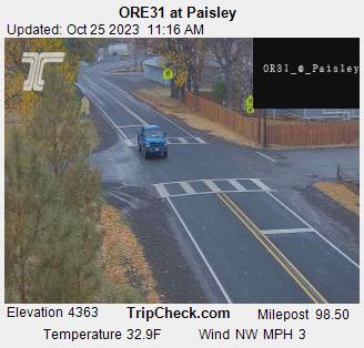
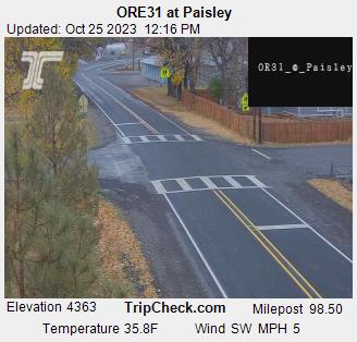
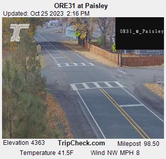
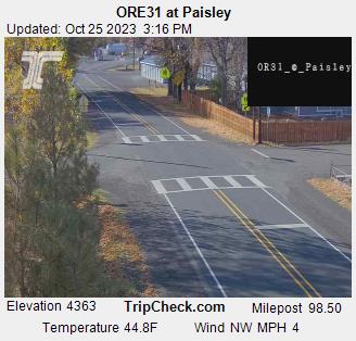
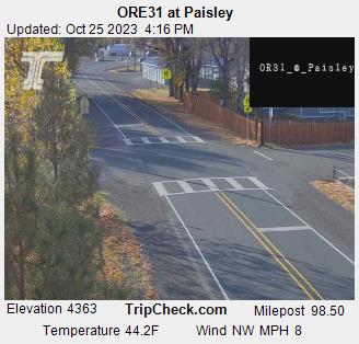
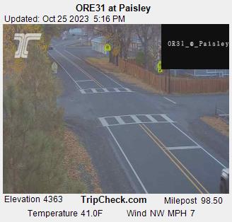
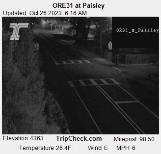
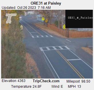
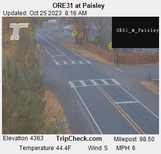
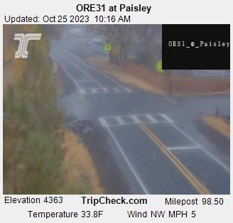
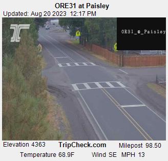
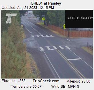
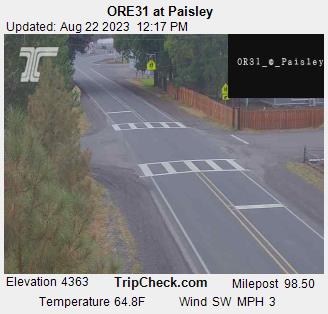
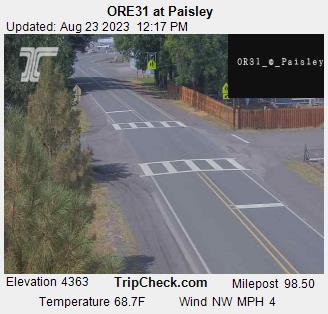
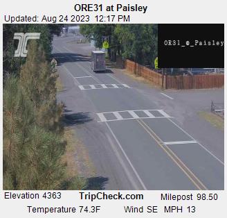
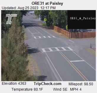
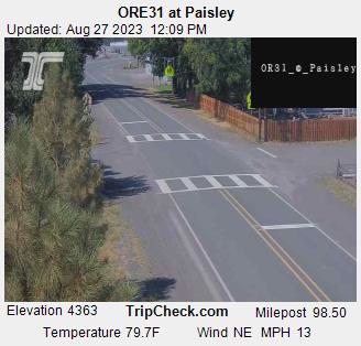
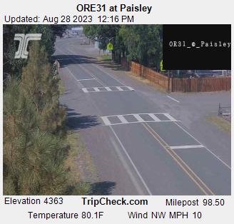
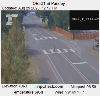
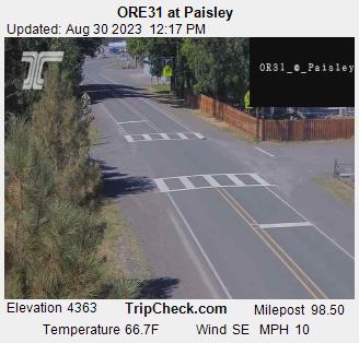
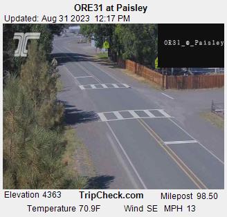
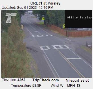
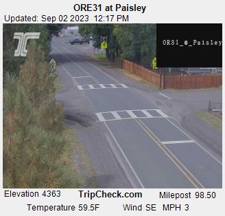
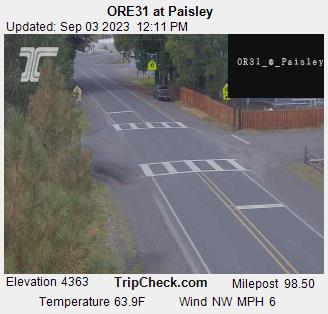
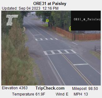
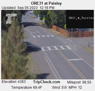
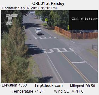
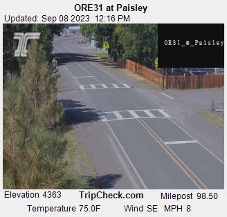
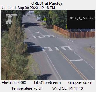
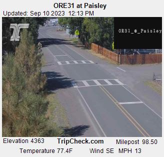
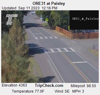
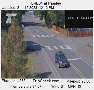
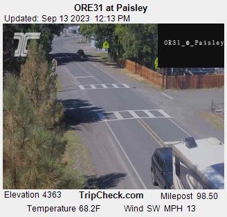
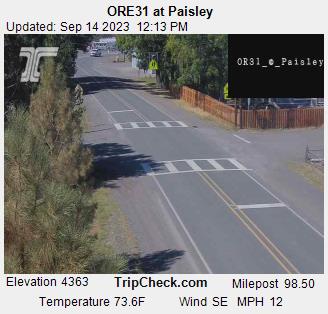
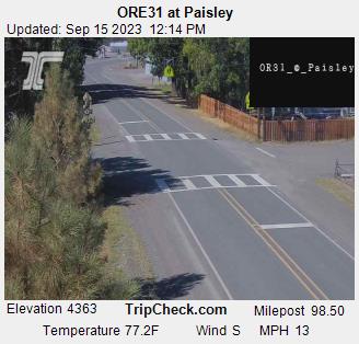
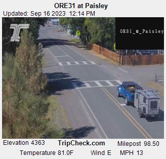
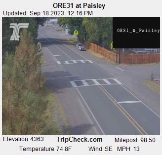
Paisley, Oregon, USA - 52 miles from Haynesville: ORE31 at Paisley - A view of the current traffic situation on the ORE31.
Operator: Oregon Department of Transportation
Operator: Oregon Department of Transportation


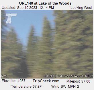
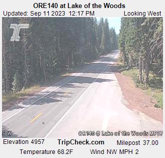
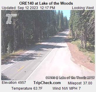
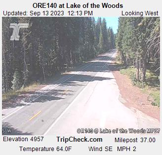
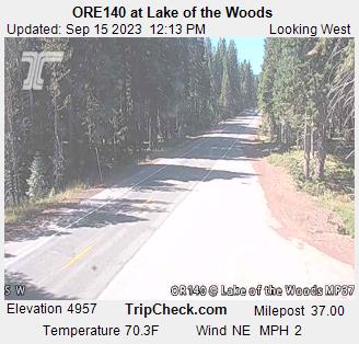
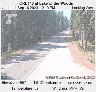
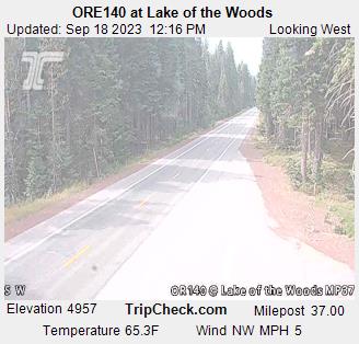
Lake of the Woods, Oregon, USA - 52.8 miles from Haynesville: ORE140 at Lake of the Woods - A view of the current traffic situation on the ORE140.
Operator: Oregon Department of Transportation
Operator: Oregon Department of Transportation


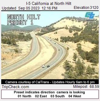
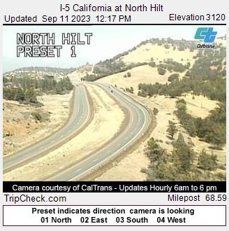
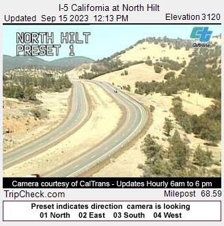
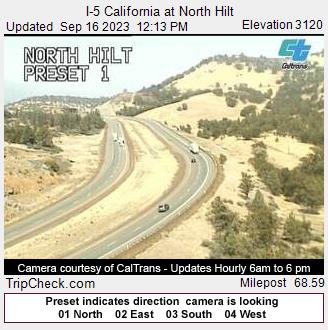
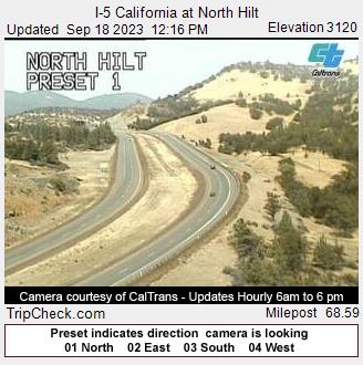
Hilt, California, USA - 72 miles from Haynesville: I-5 California at North Hilt - A view of the current traffic situation on the I-5.
Operator: Oregon Department of Transportation
Operator: Oregon Department of Transportation


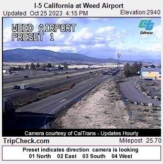
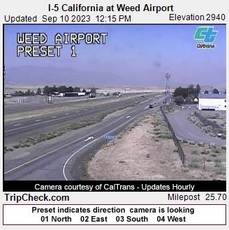
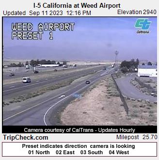
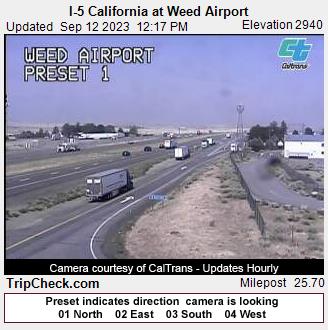
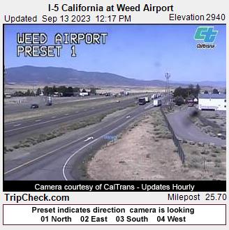
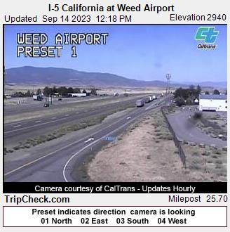
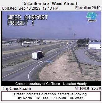
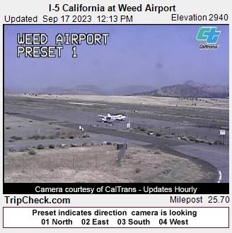
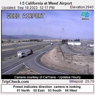
Weed, California, USA - 77.2 miles from Haynesville: I-5 California at Weed Airport - A view of the current traffic situation on the I-5.
Operator: Oregon Department of Transportation
Operator: Oregon Department of Transportation


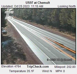
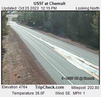
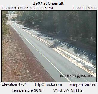
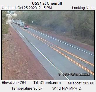
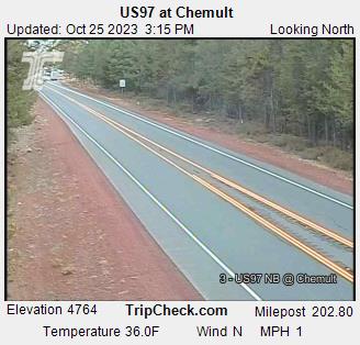
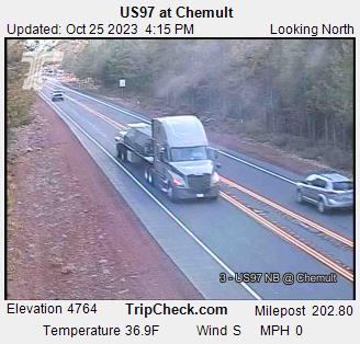
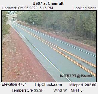
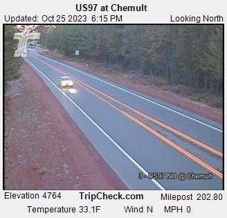
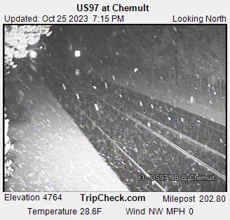
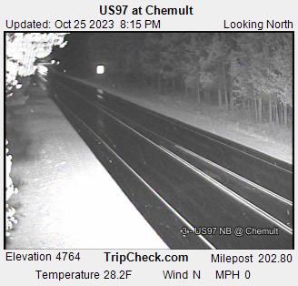
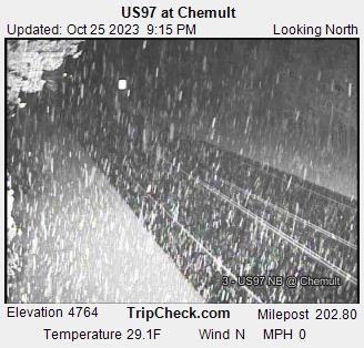
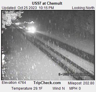
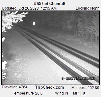
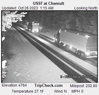
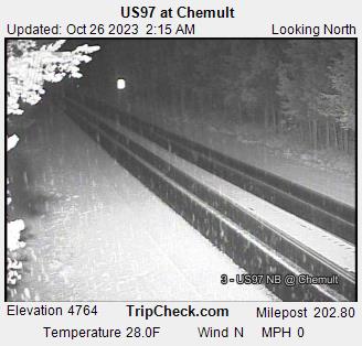
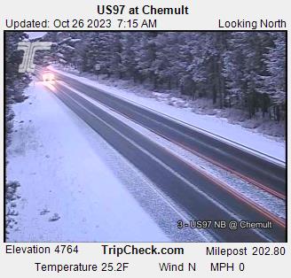
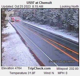
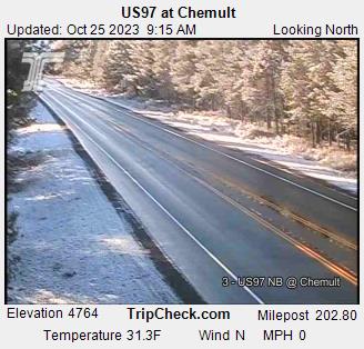
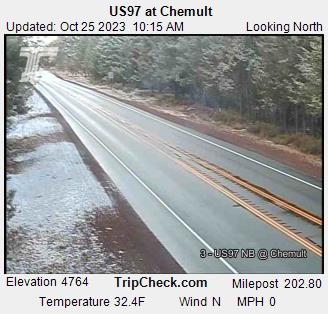
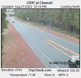
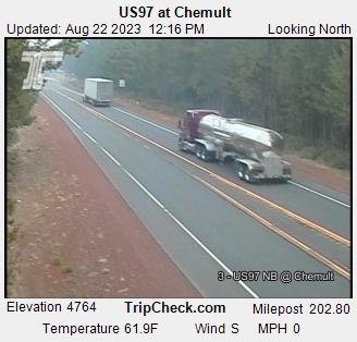
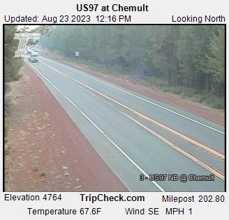
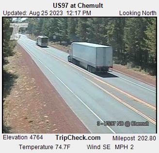
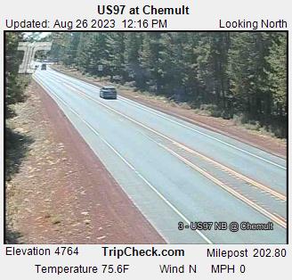
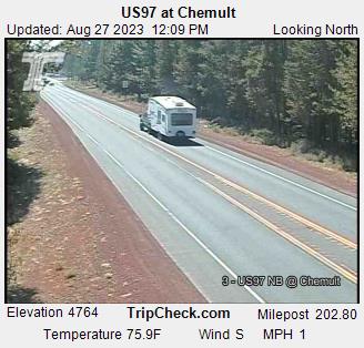
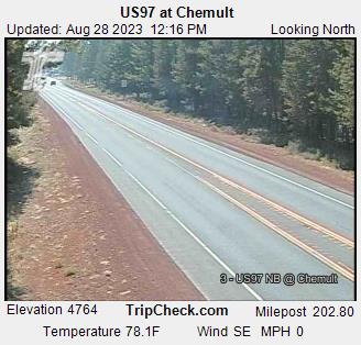
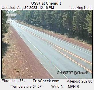
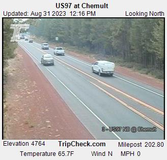
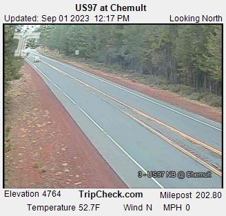
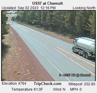
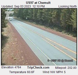
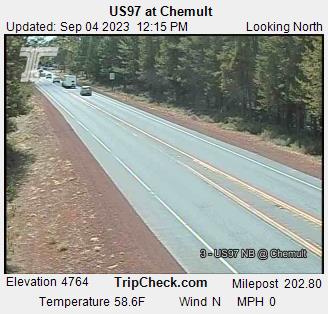
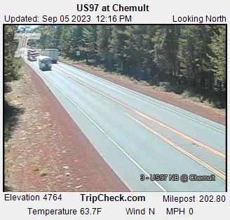
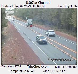
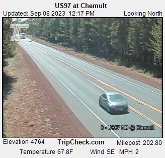
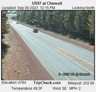
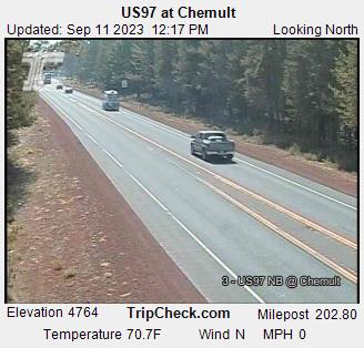
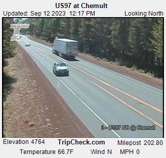
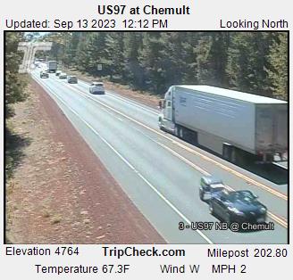
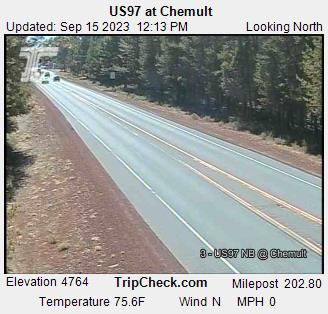
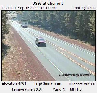
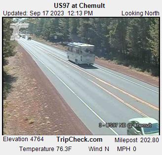
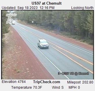
Chemult, Oregon, USA - 79.7 miles from Haynesville: US97 at Chemult - A view of the current traffic situation on the US97.
Operator: Oregon Department of Transportation
Operator: Oregon Department of Transportation


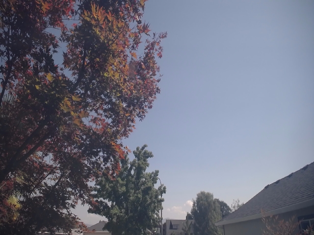
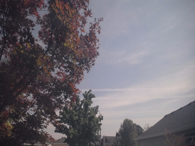
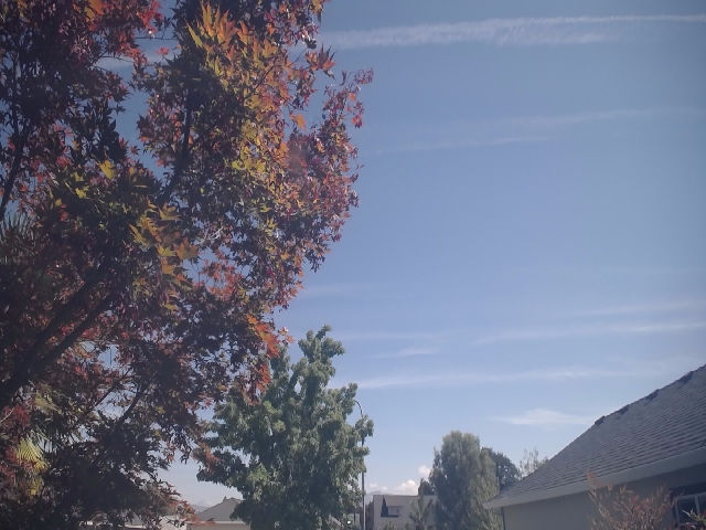
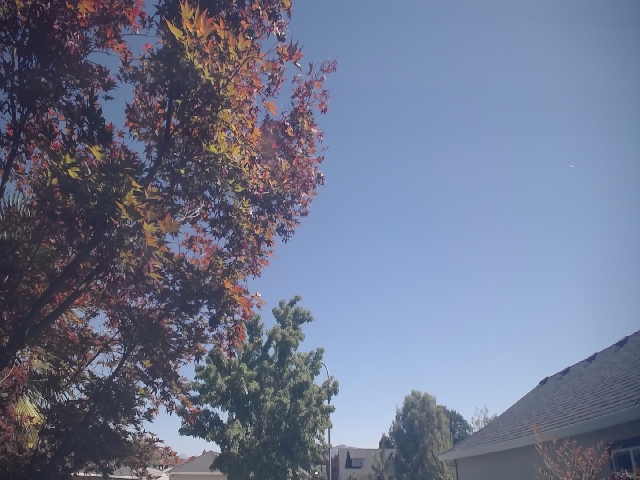
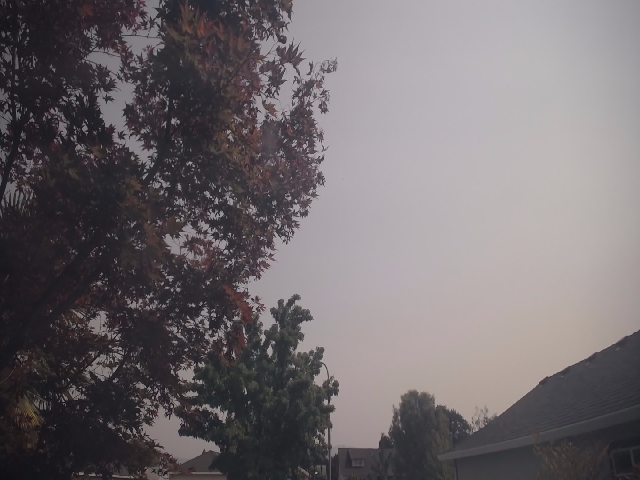
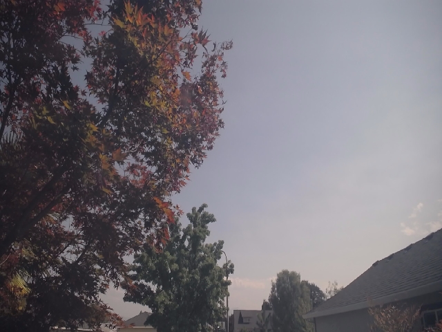
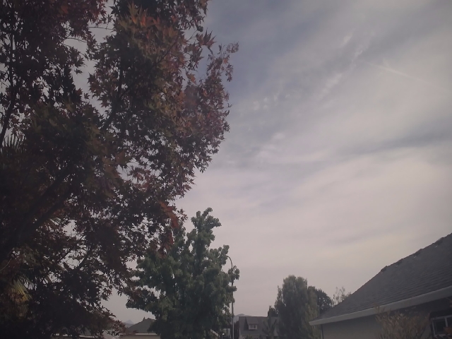
Medford, Oregon, USA - 85.1 miles from Haynesville: Medford Weathercam - A live view from Medford, Oregon, with current weather data.
Operator: Ryan's Weather Website - Medford, Oregon
Operator: Ryan's Weather Website - Medford, Oregon


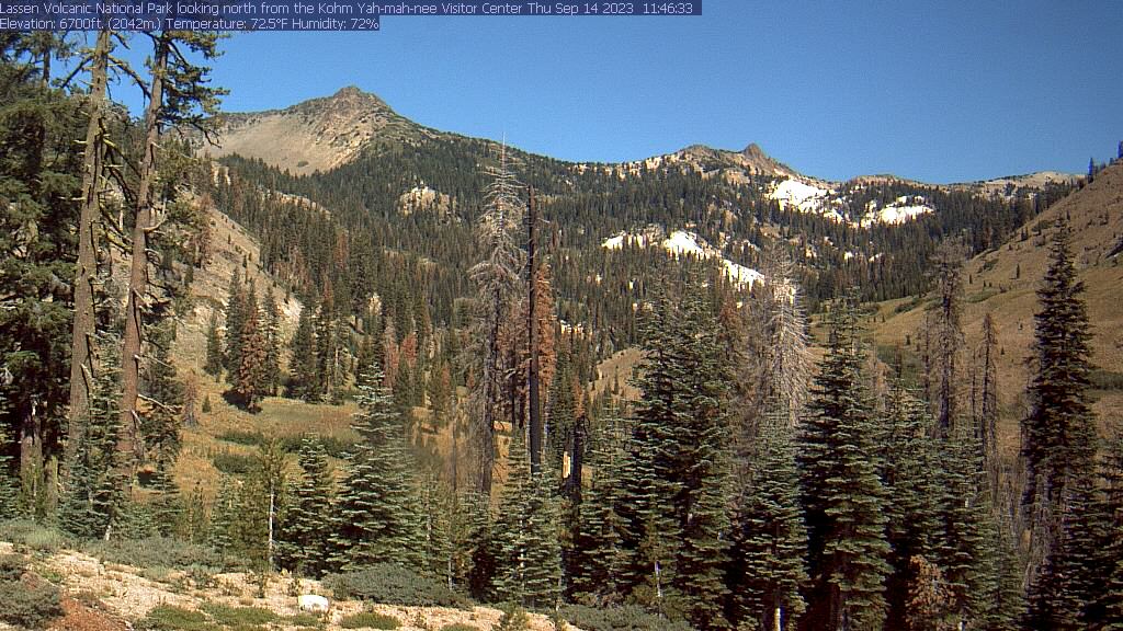
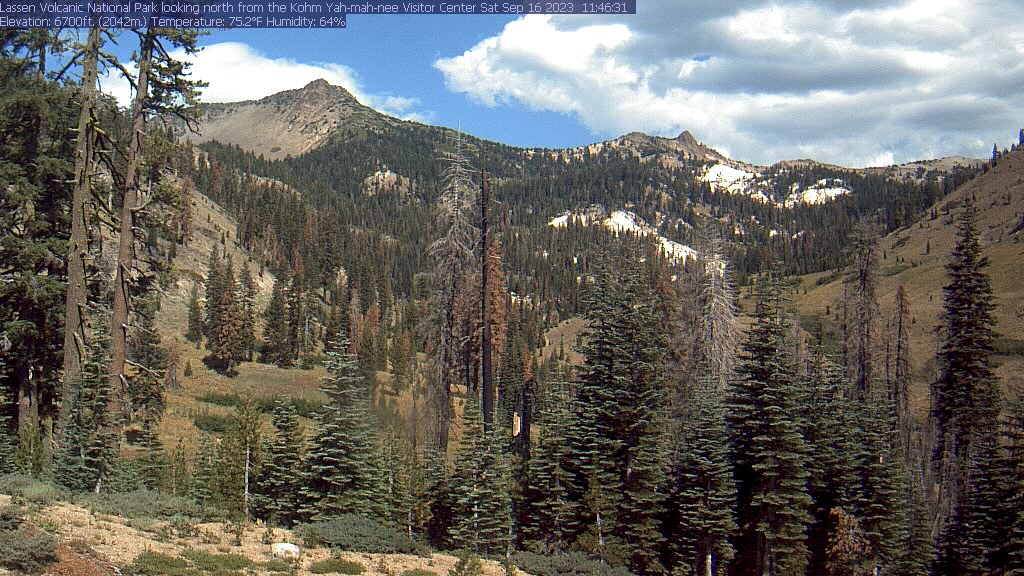
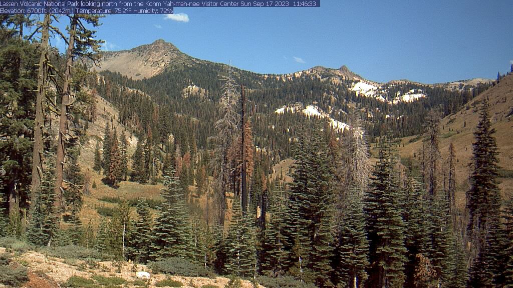
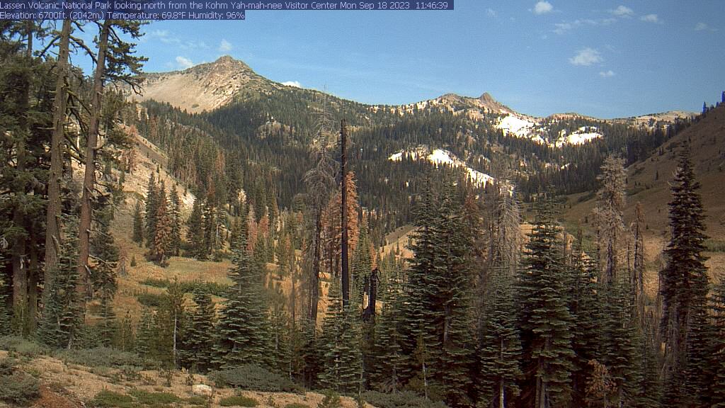
Lassen Volcanic National Park, California, USA - 113 miles from Haynesville: Kohm Yah-mah-nee Visitor Center - A view from the Kohm Yah-mah-nee Visitor Center in the Lassen Volcanic National Park towards Mt. Diller (left) und Pilot Pinnacle (right).
Operator: U.S. National Park Service
Operator: U.S. National Park Service


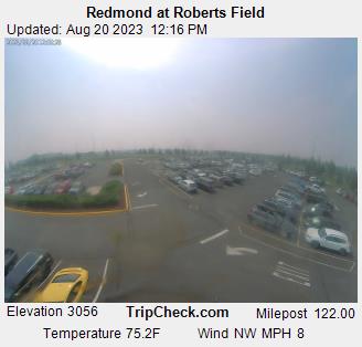
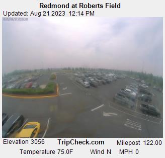
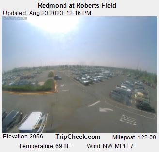
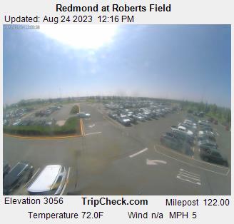
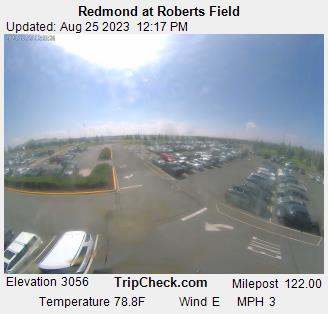
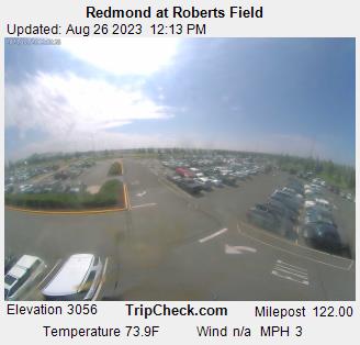
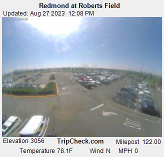
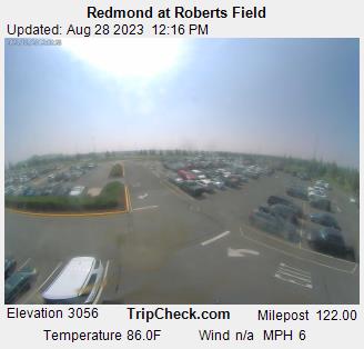
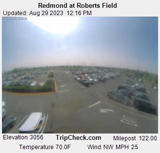
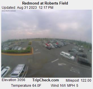
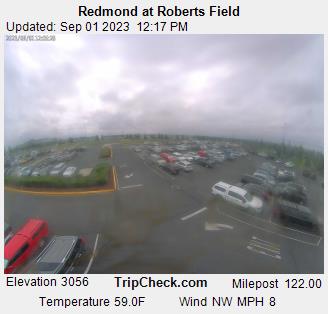
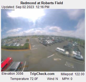
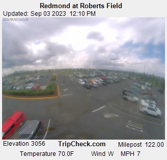
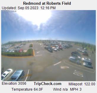
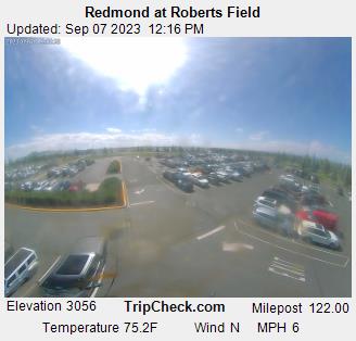
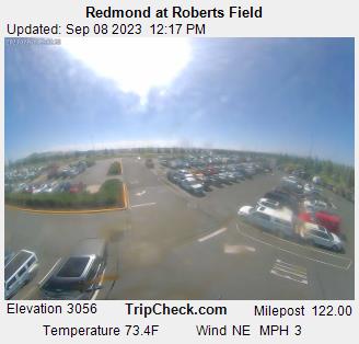
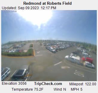
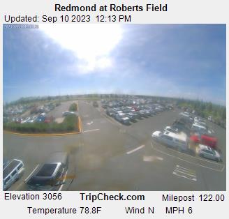
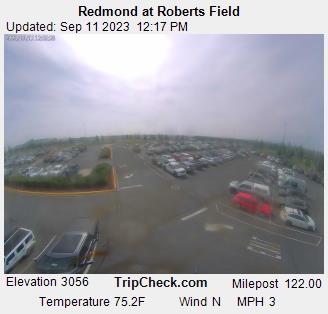
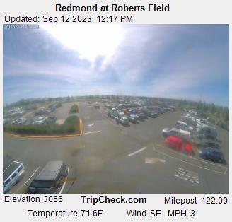
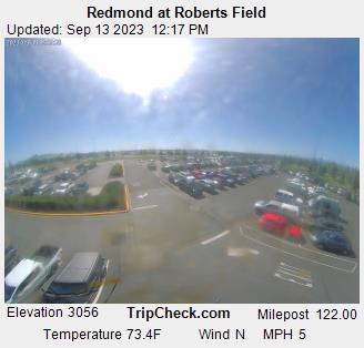
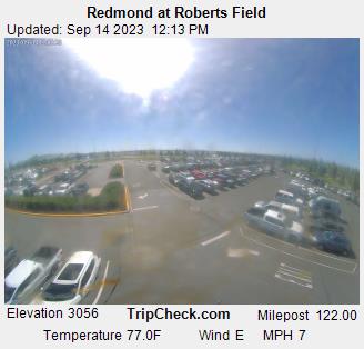
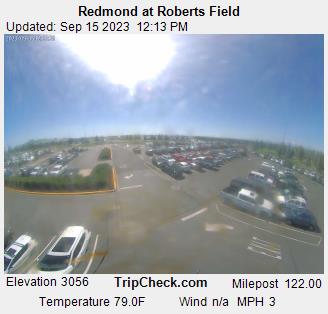
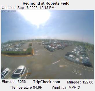
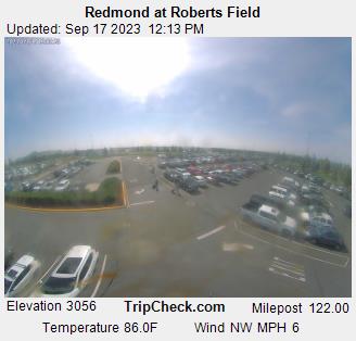
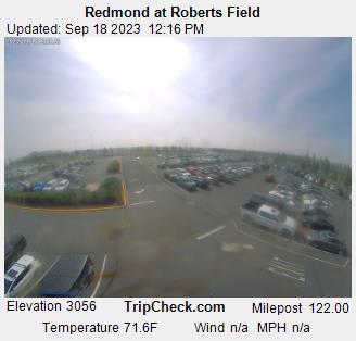
Redmond, Oregon, USA - 147.6 miles from Haynesville: Redmond at Roberts Field - A view of the current traffic situation on the Redmond.
Operator: Oregon Department of Transportation
Operator: Oregon Department of Transportation


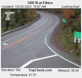
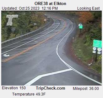
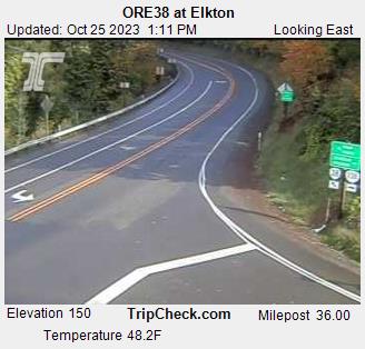
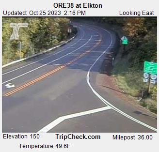
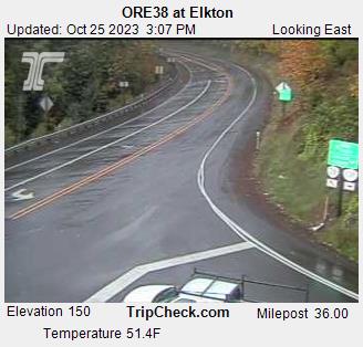
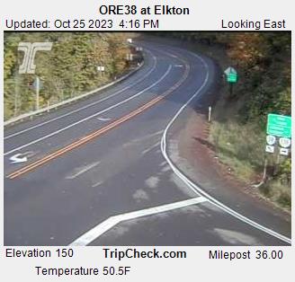
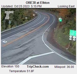
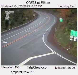
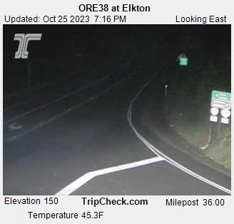
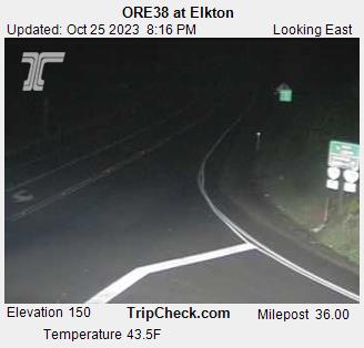
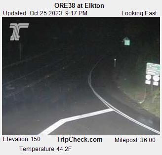
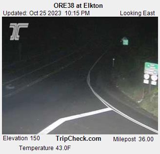
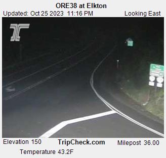
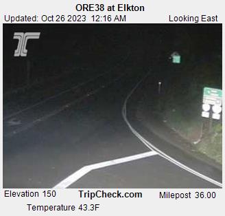
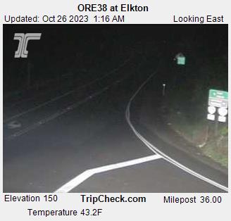
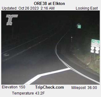
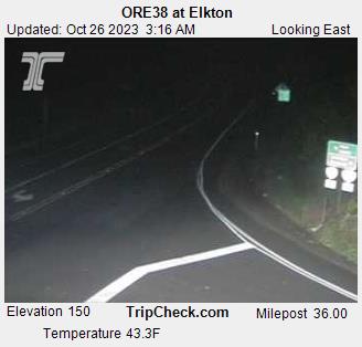
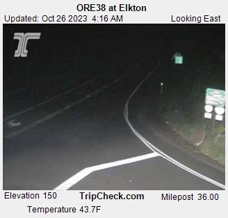
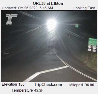
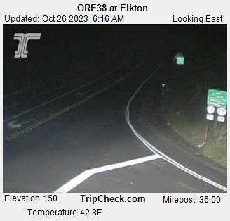
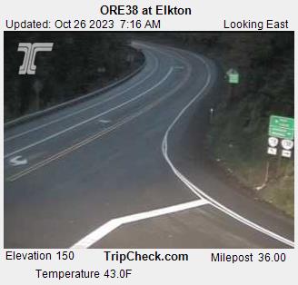
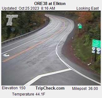
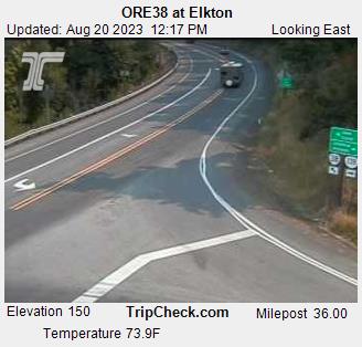
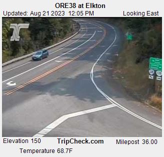
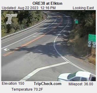
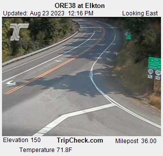
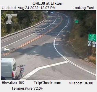
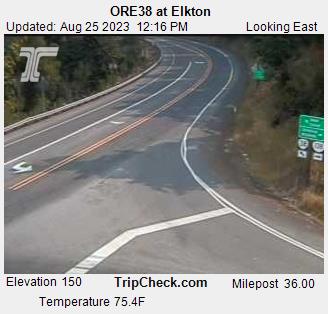
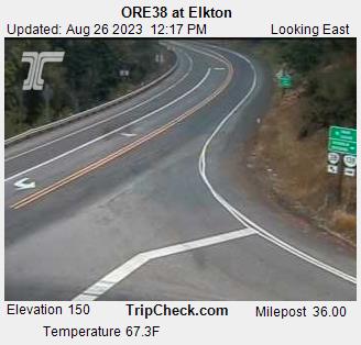
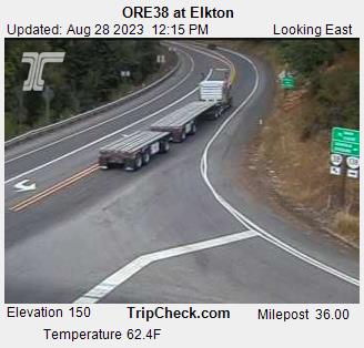
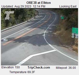
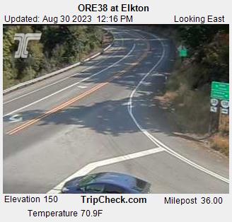
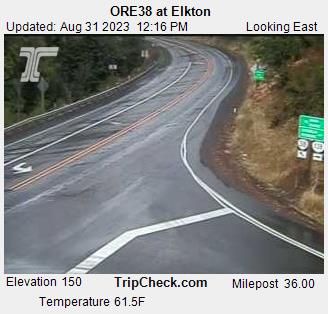
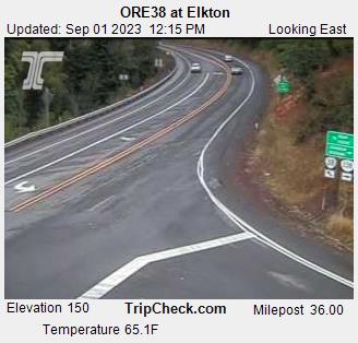
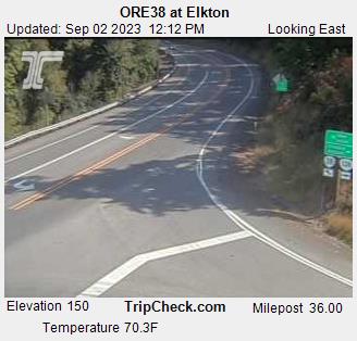
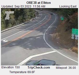
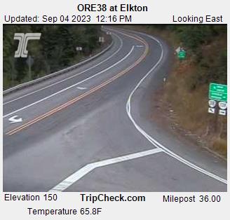
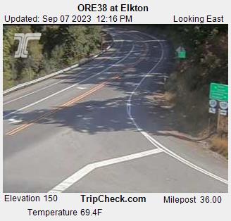
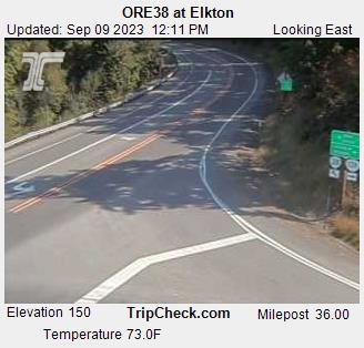
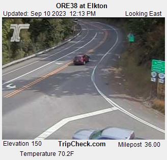
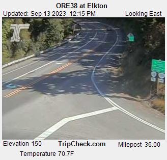
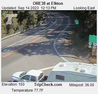
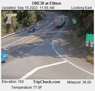
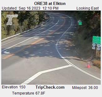
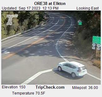
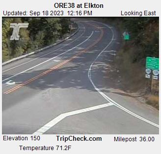
Elkton, Oregon, USA - 157.3 miles from Haynesville: ORE38 at Elkton - A view of the current traffic situation on the ORE38.
Operator: Oregon Department of Transportation
Operator: Oregon Department of Transportation


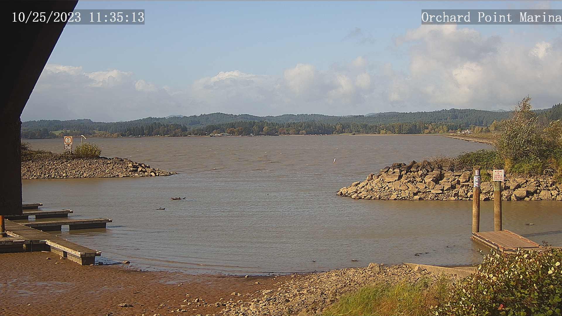
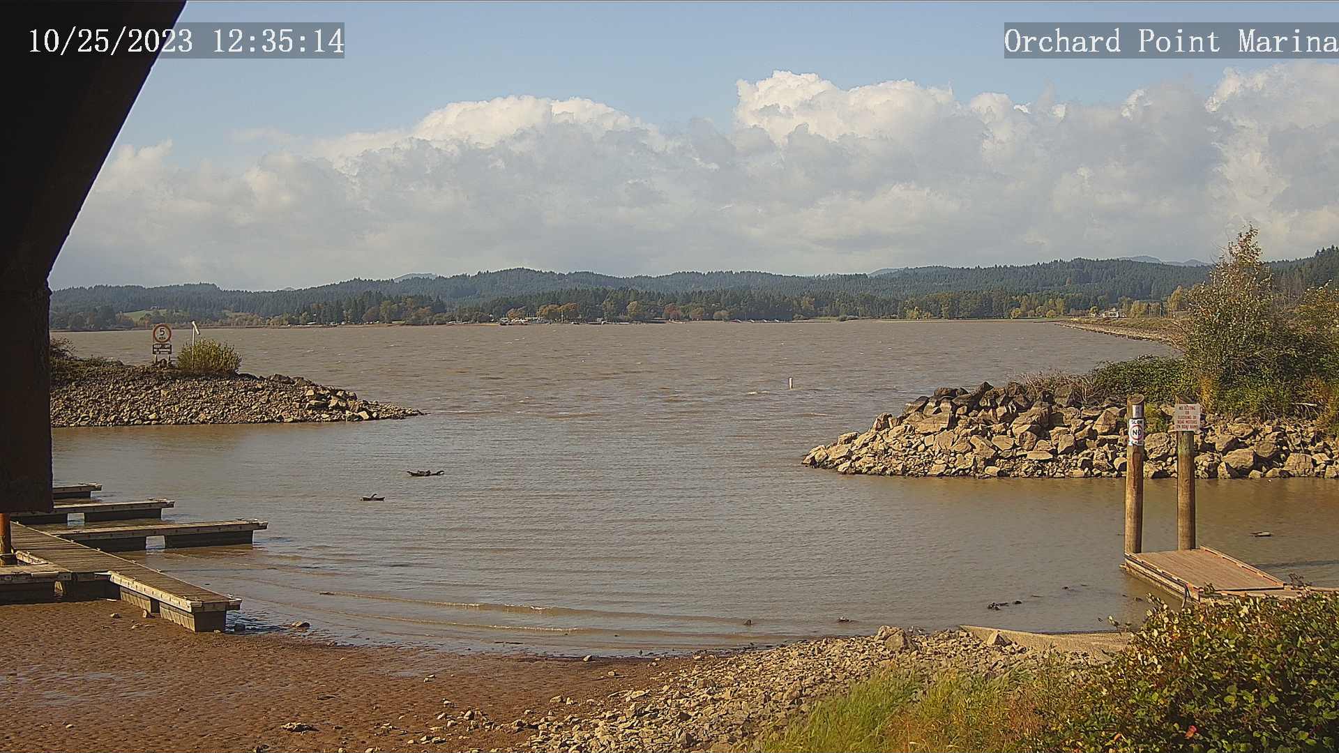
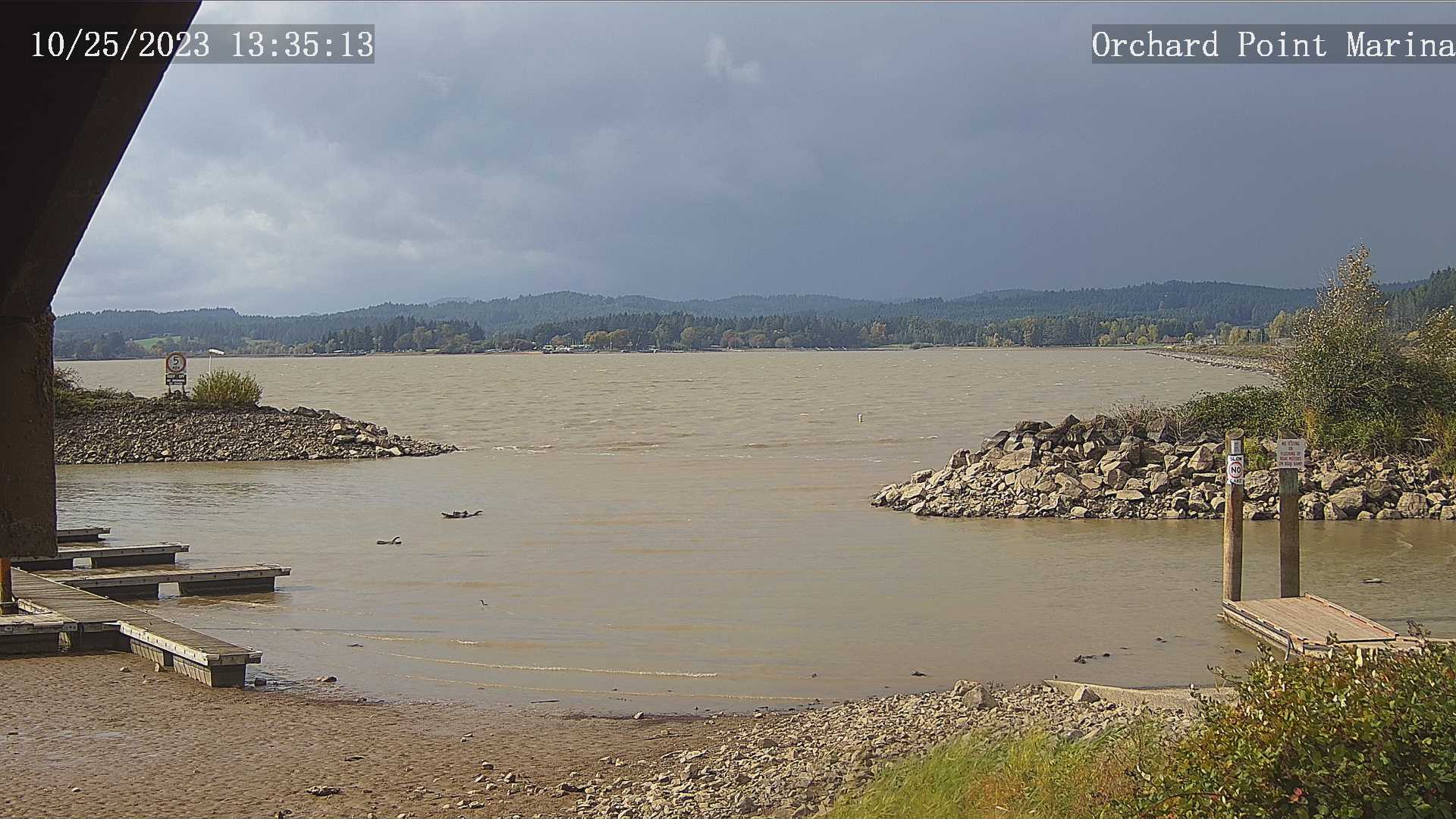
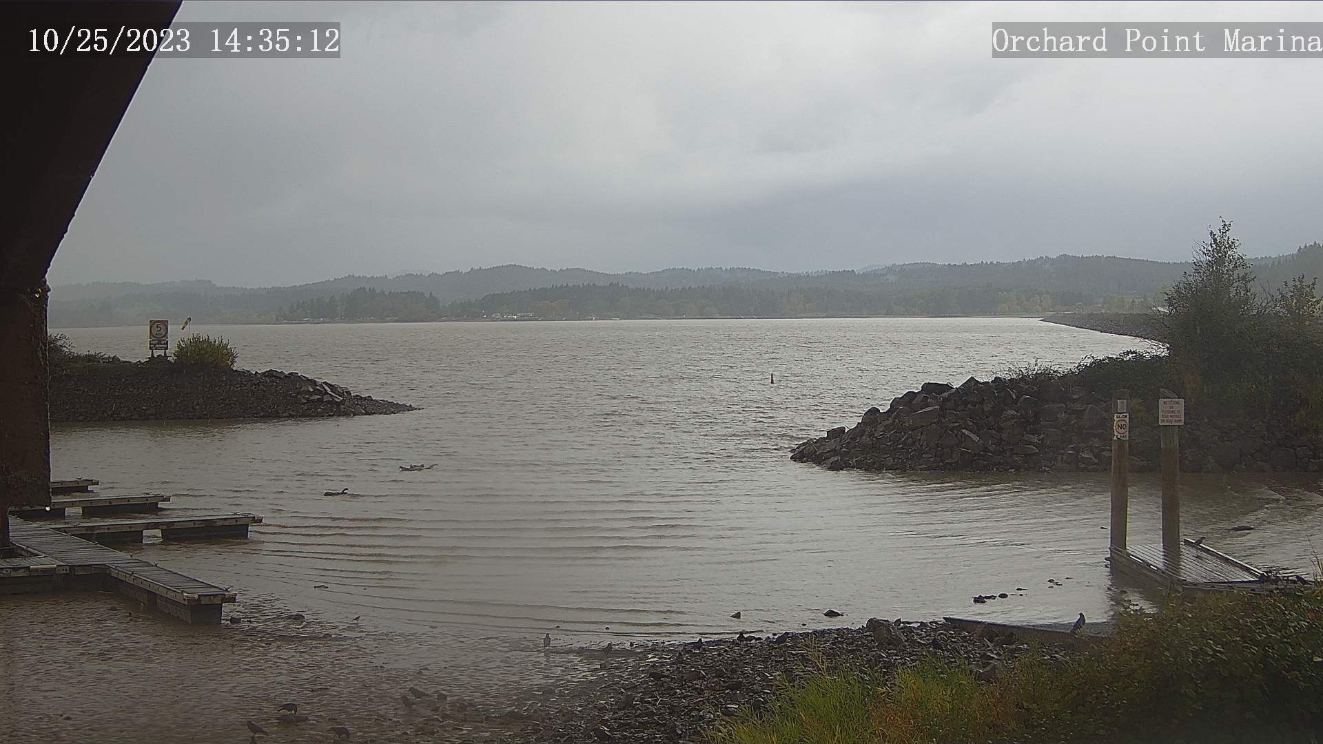
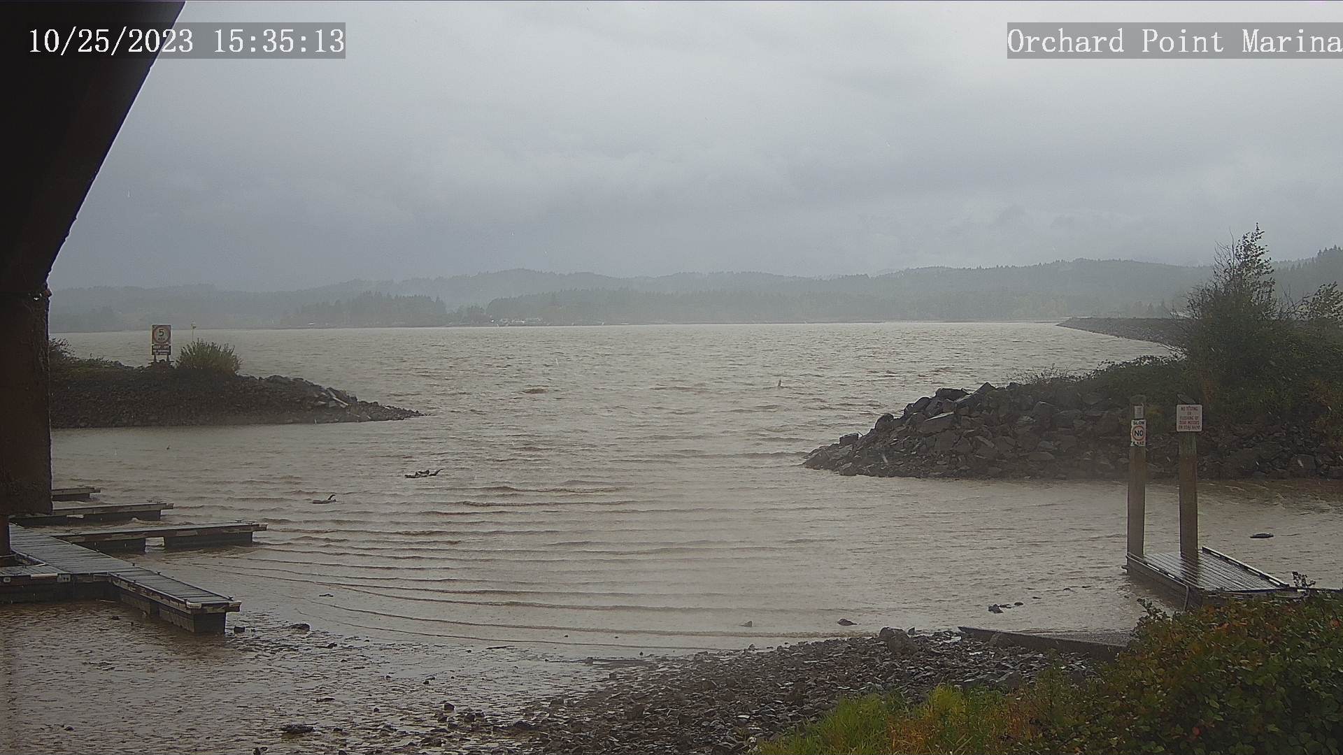
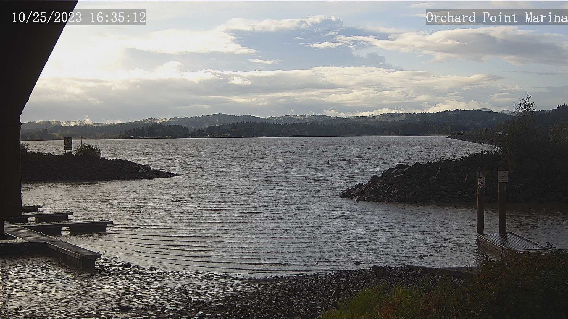
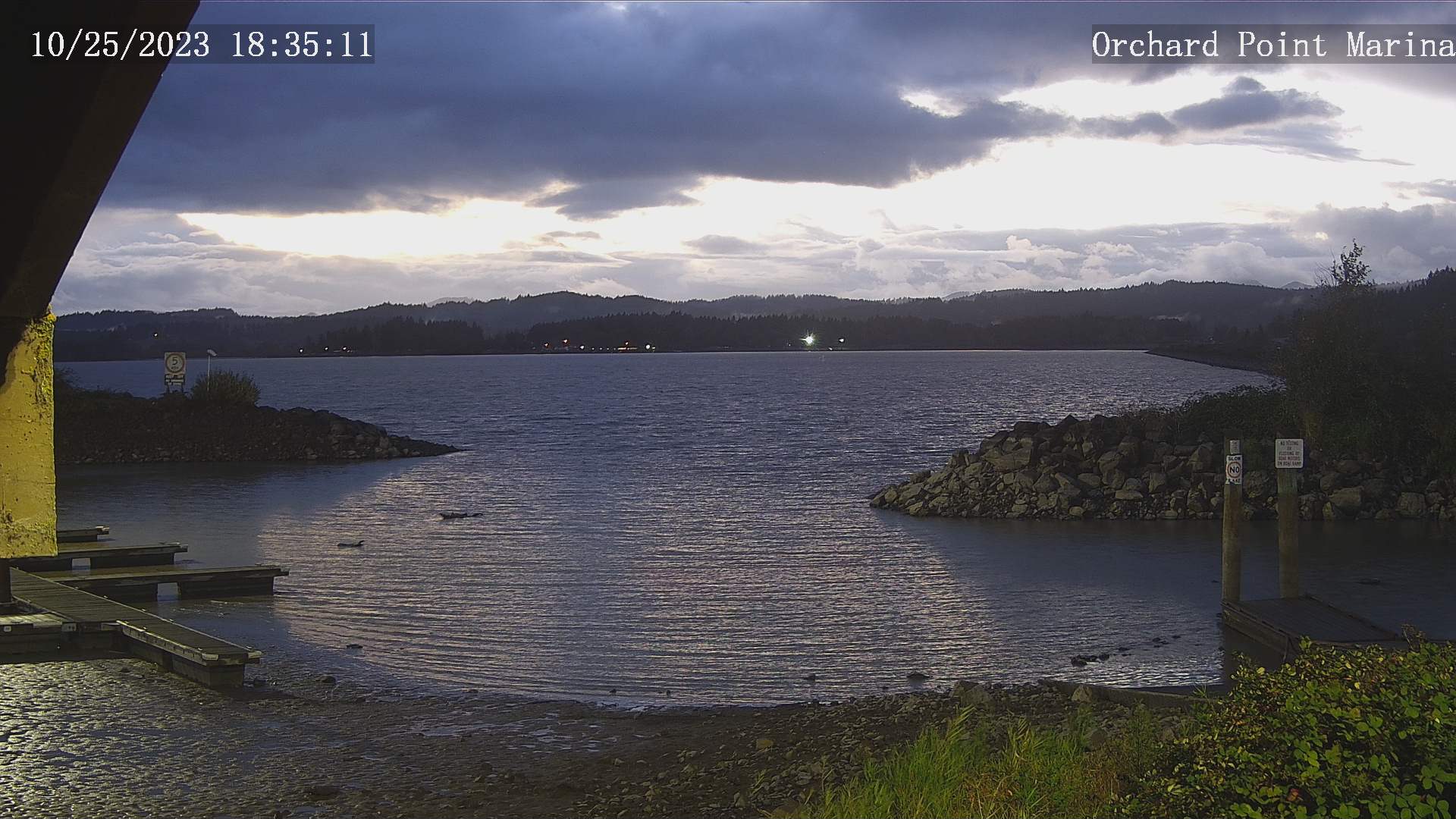
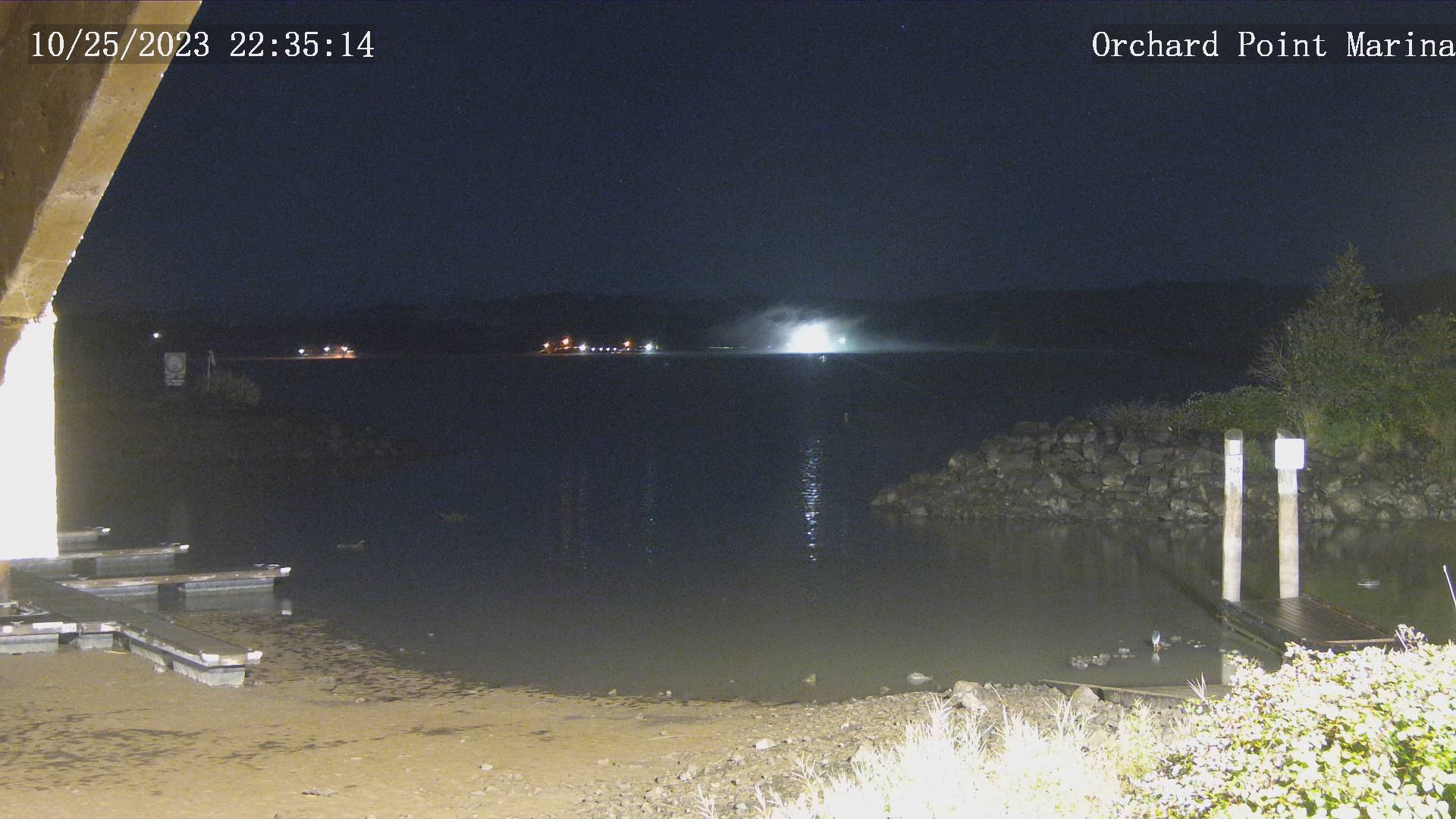
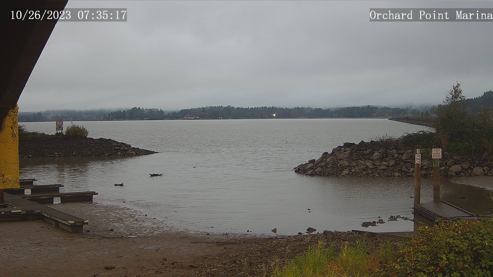
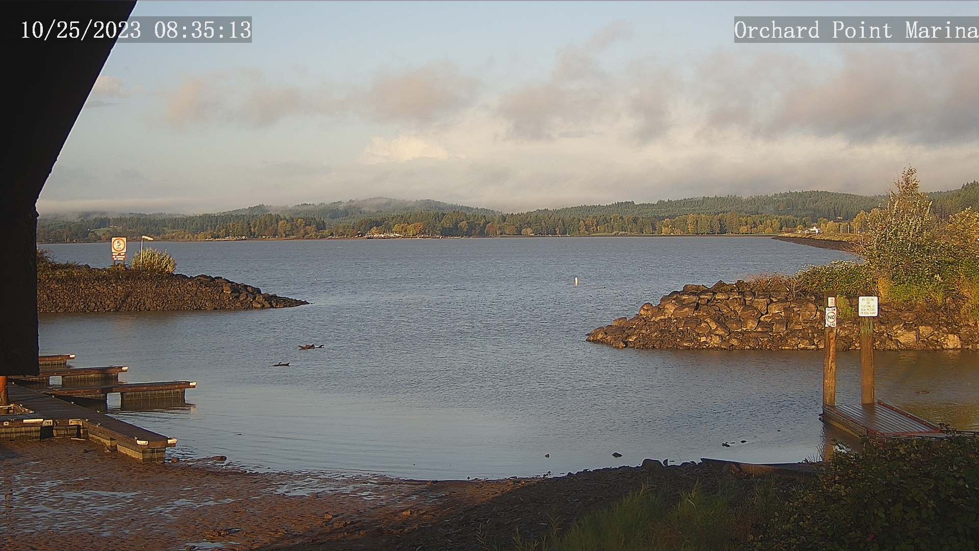
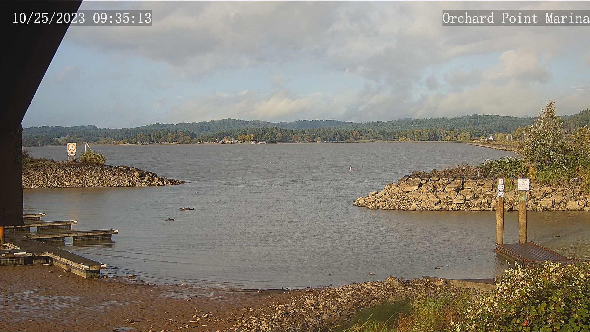
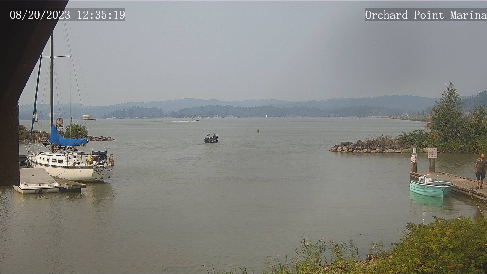
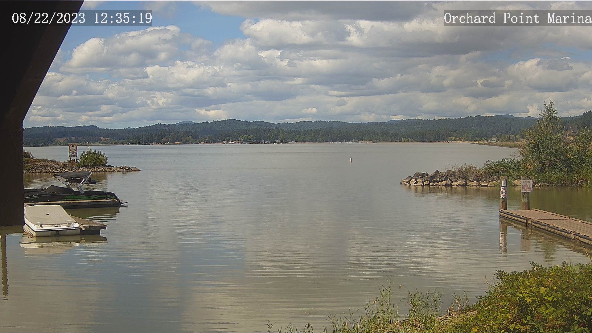
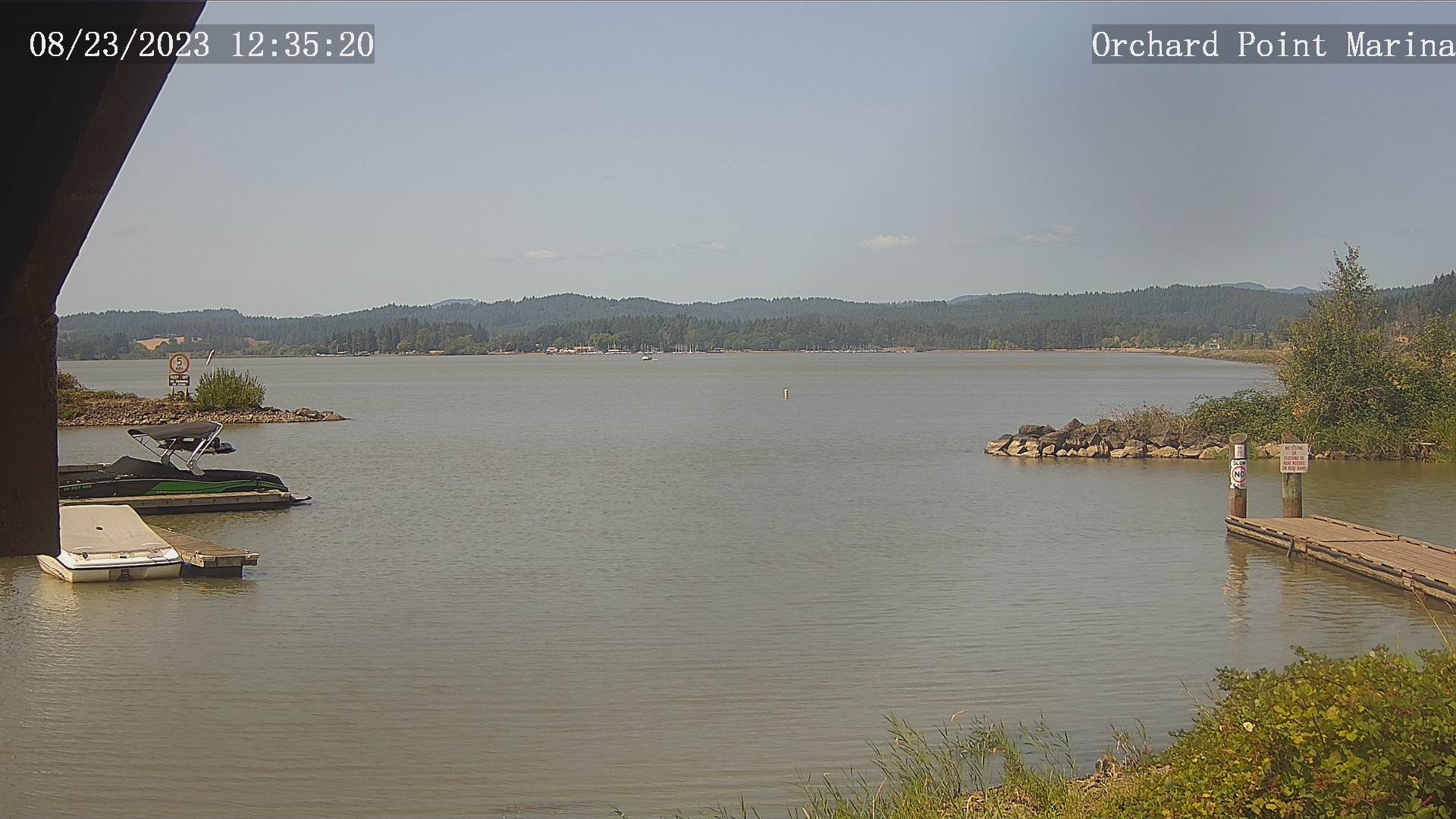
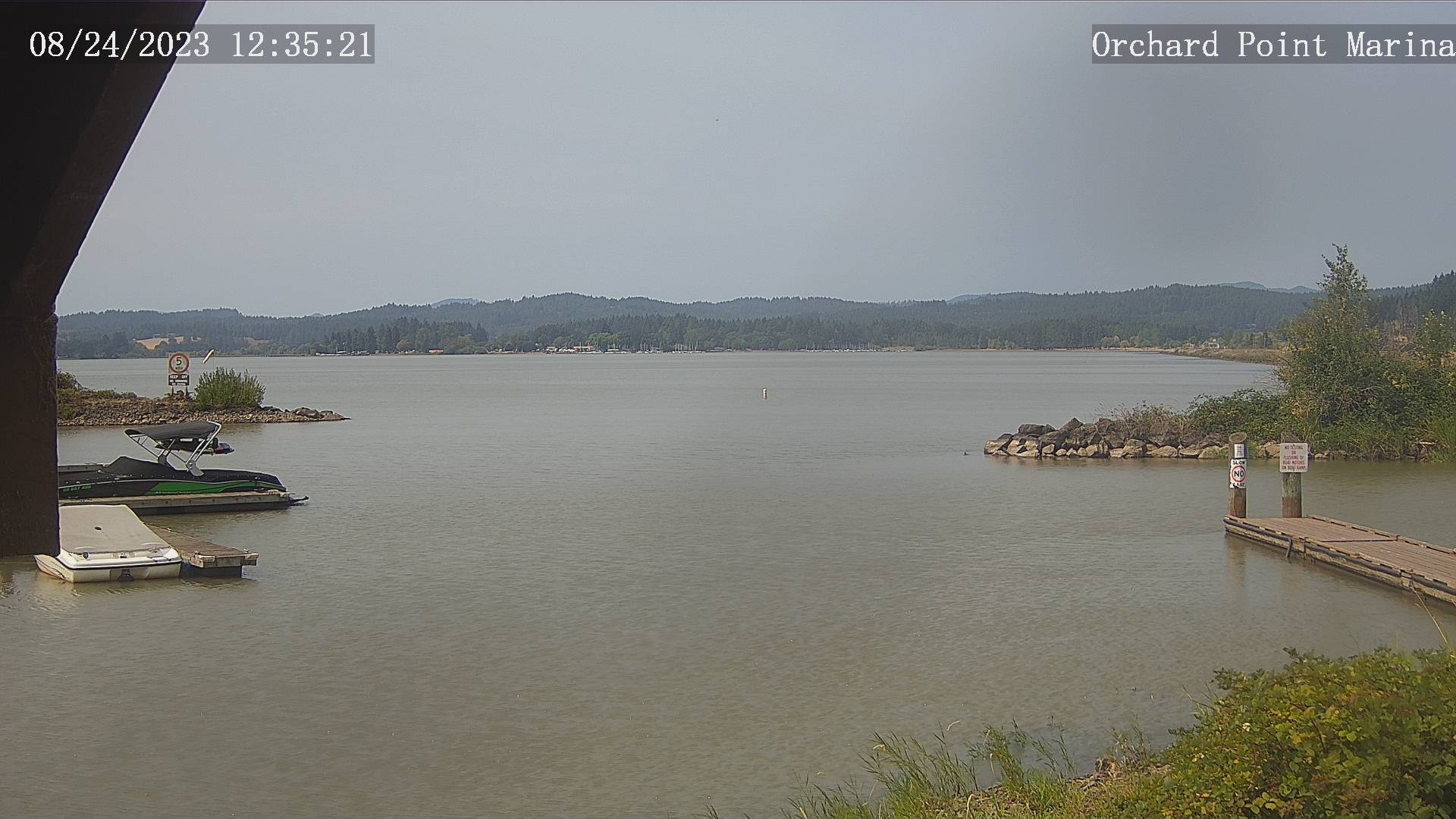
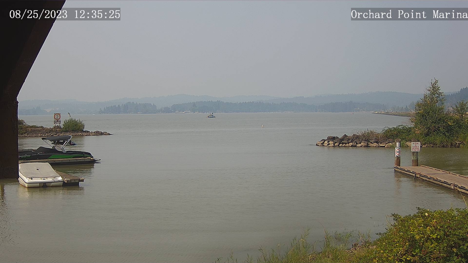
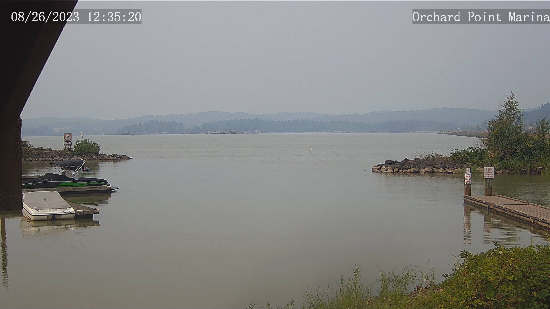
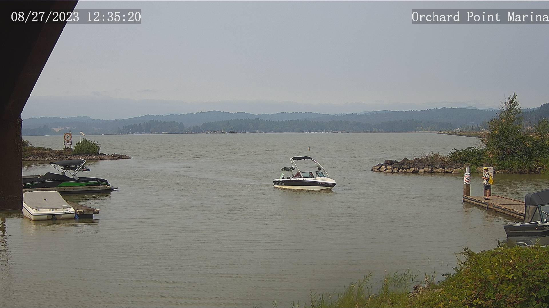
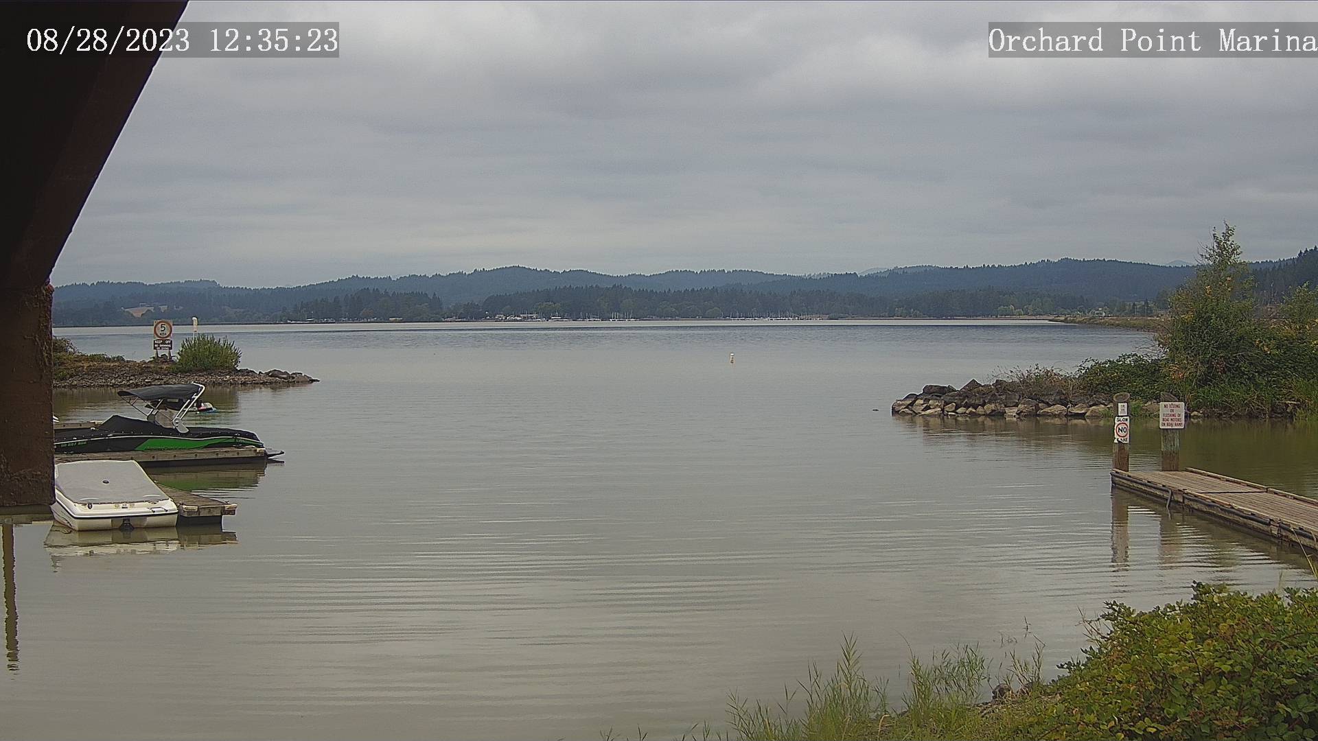
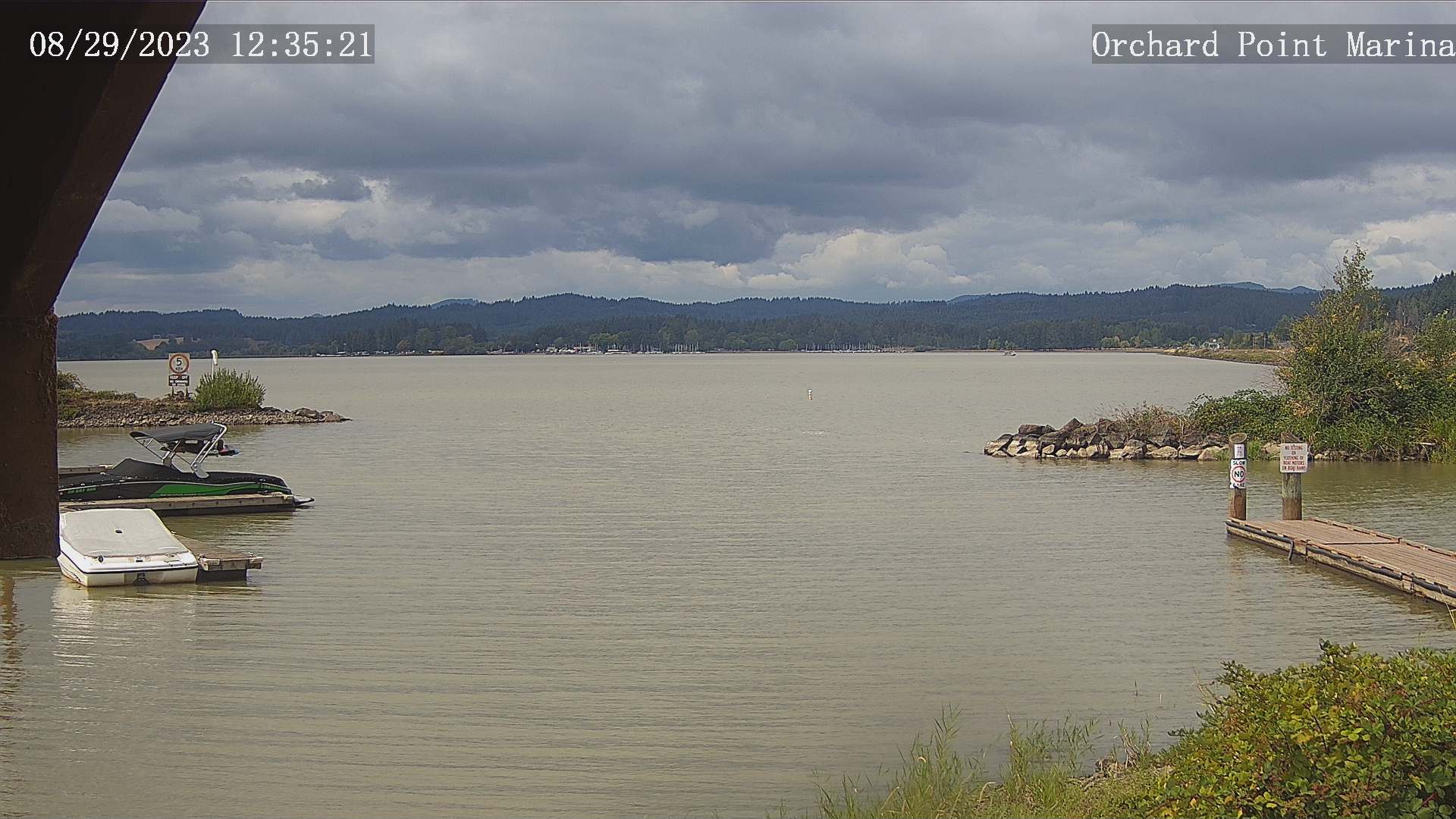
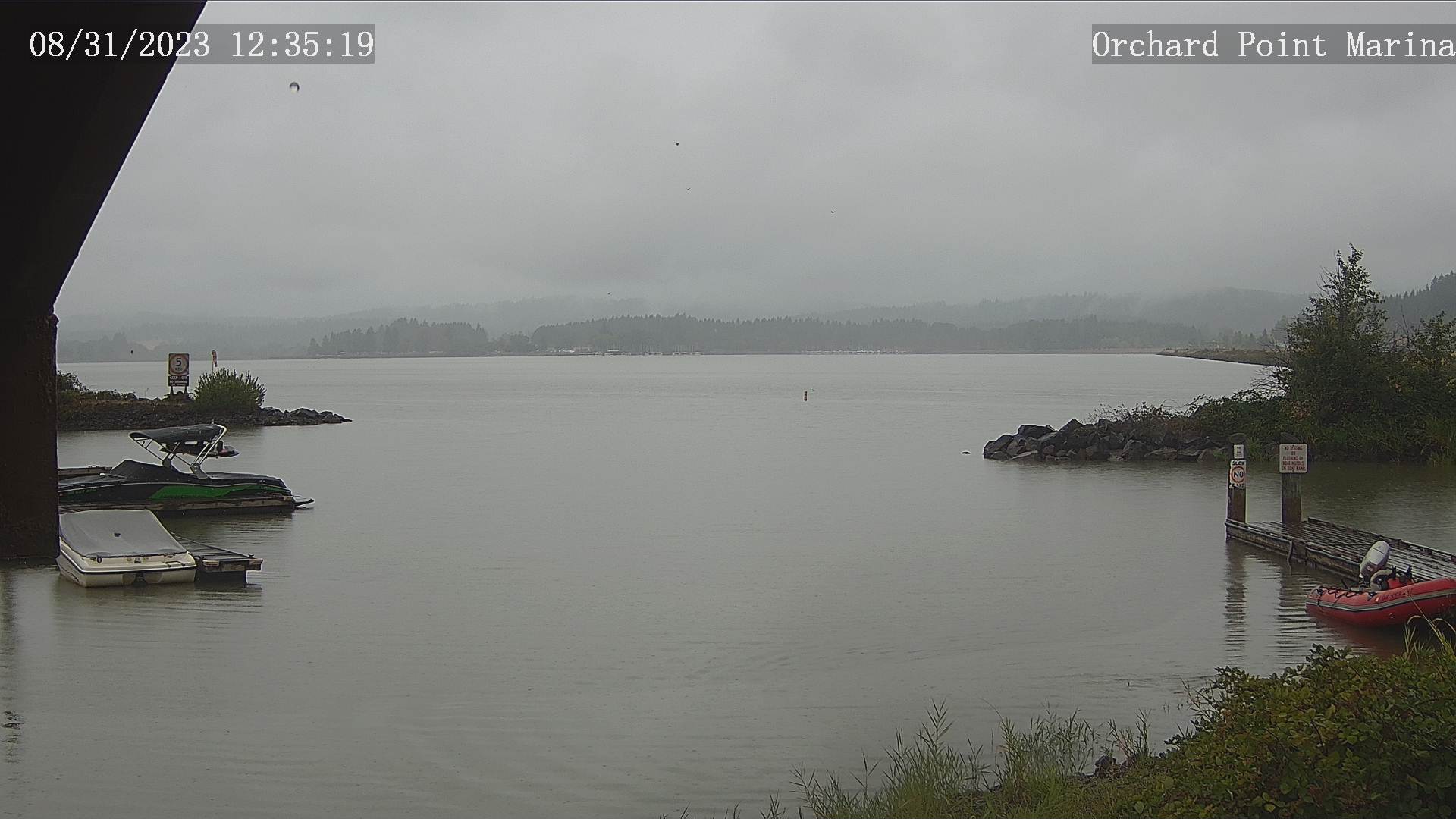
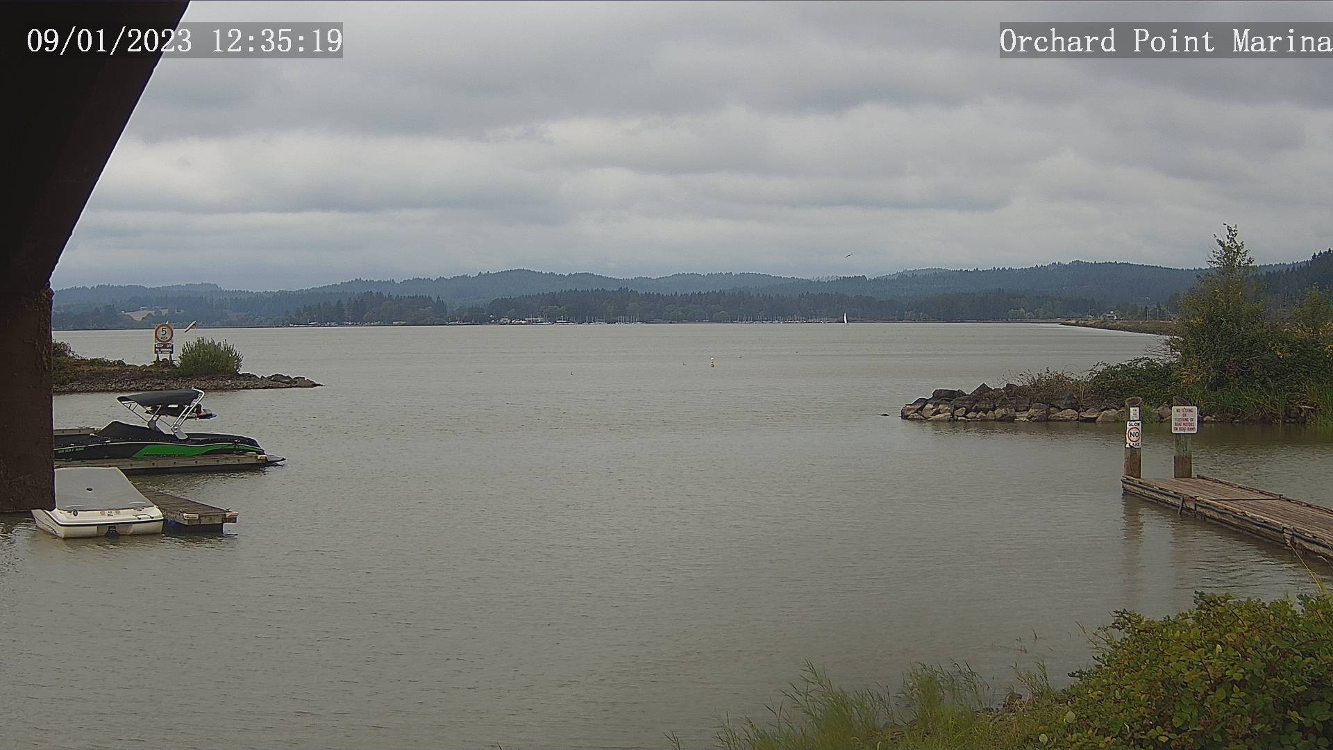
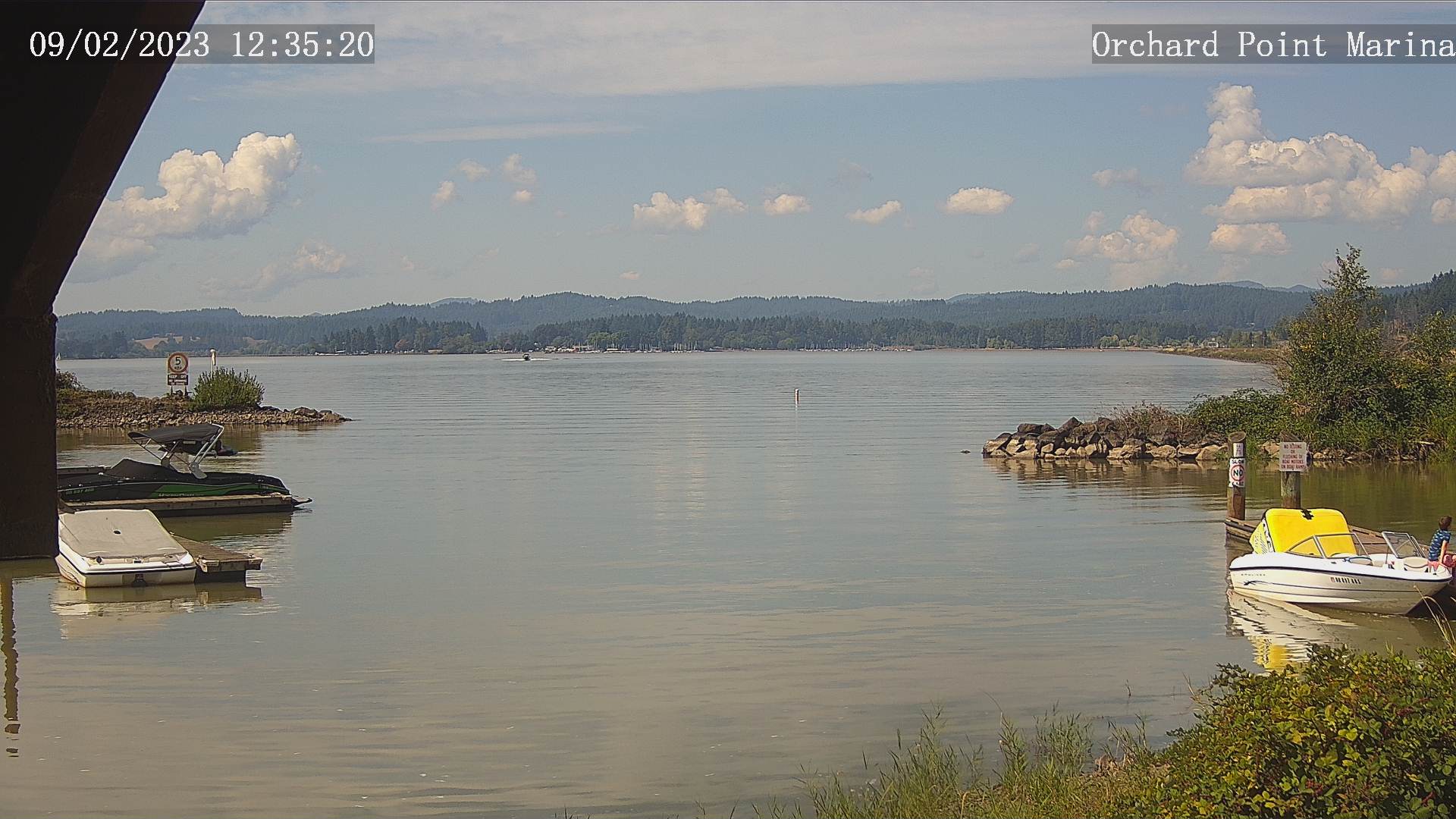
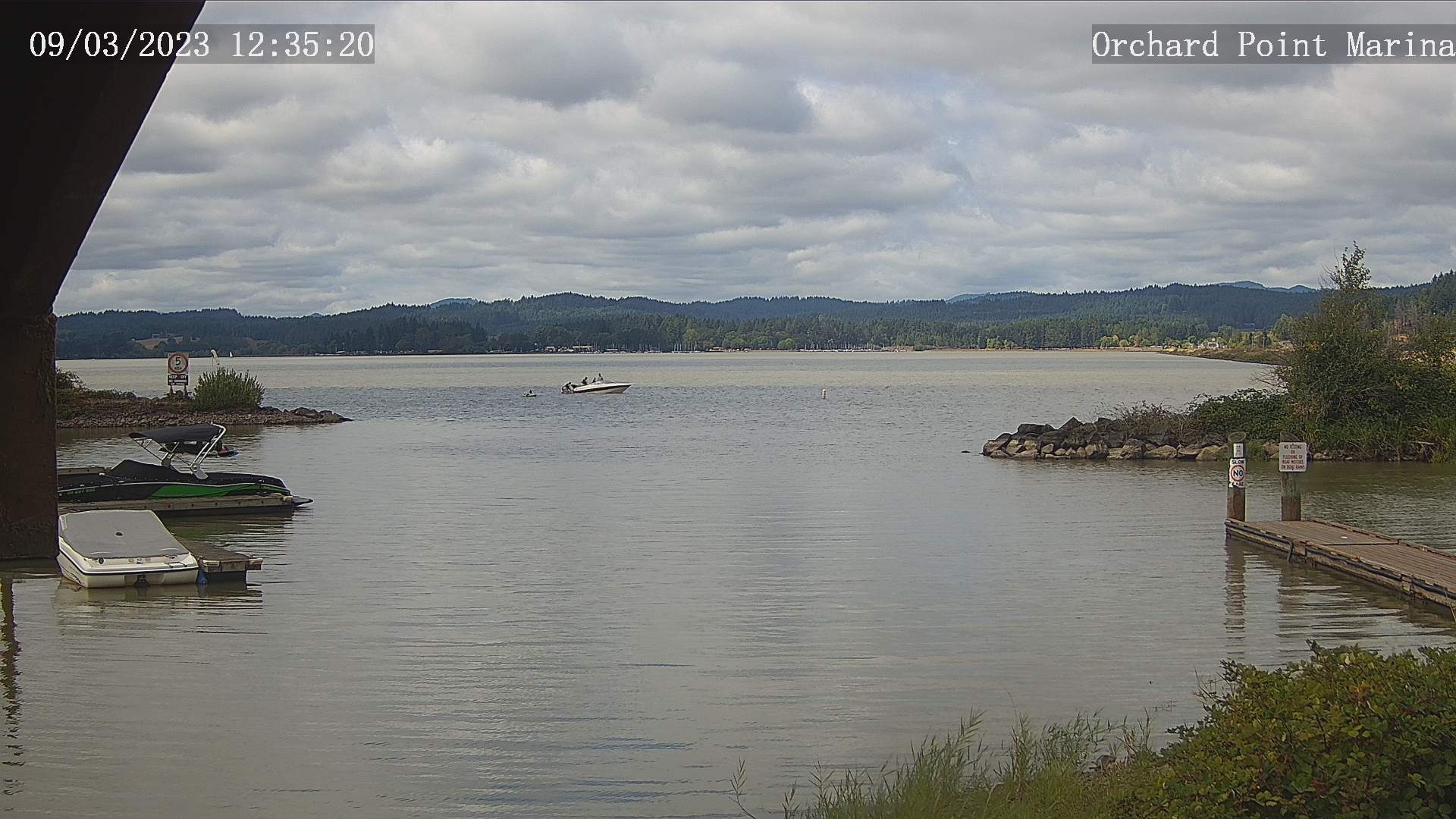
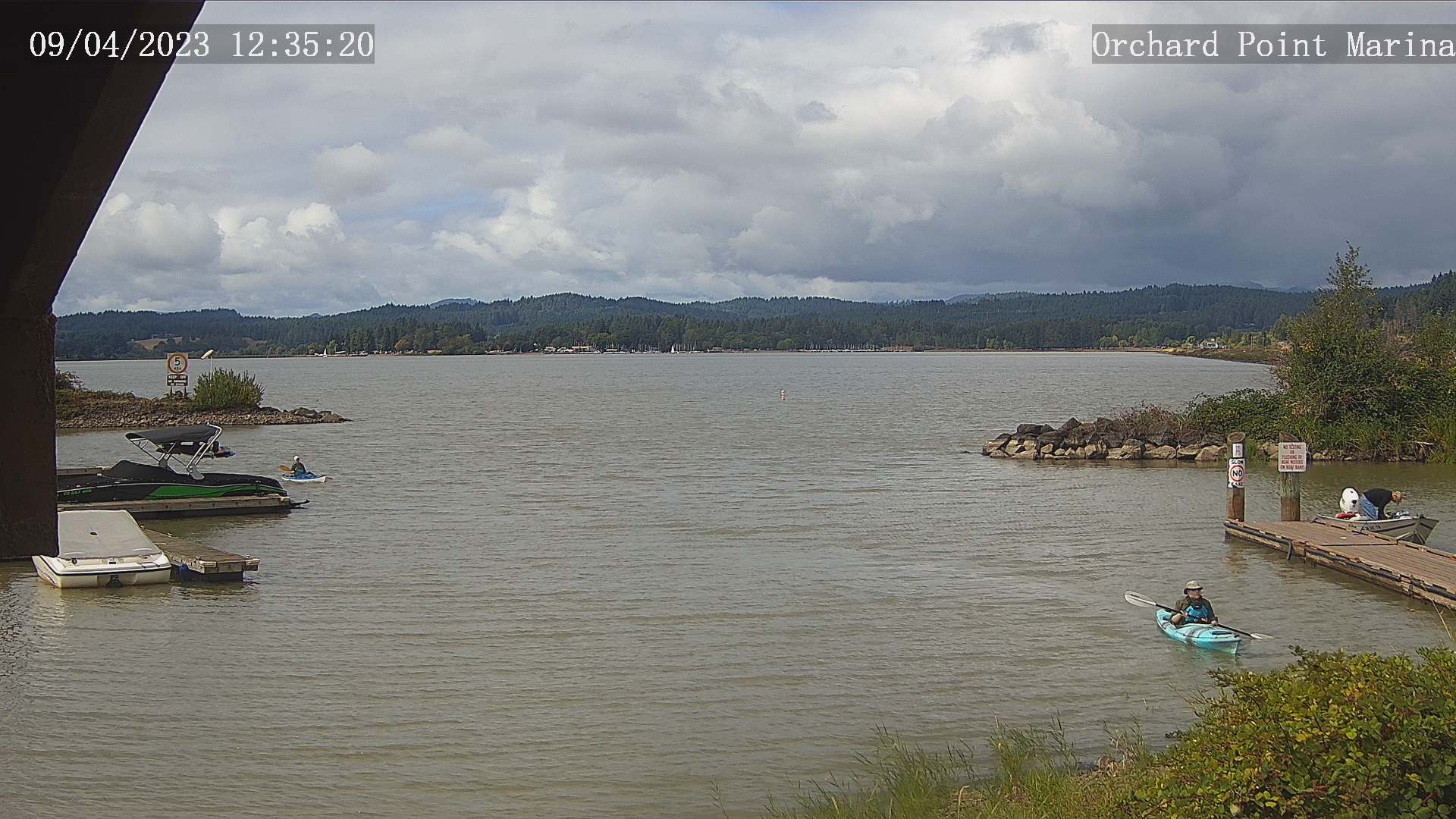
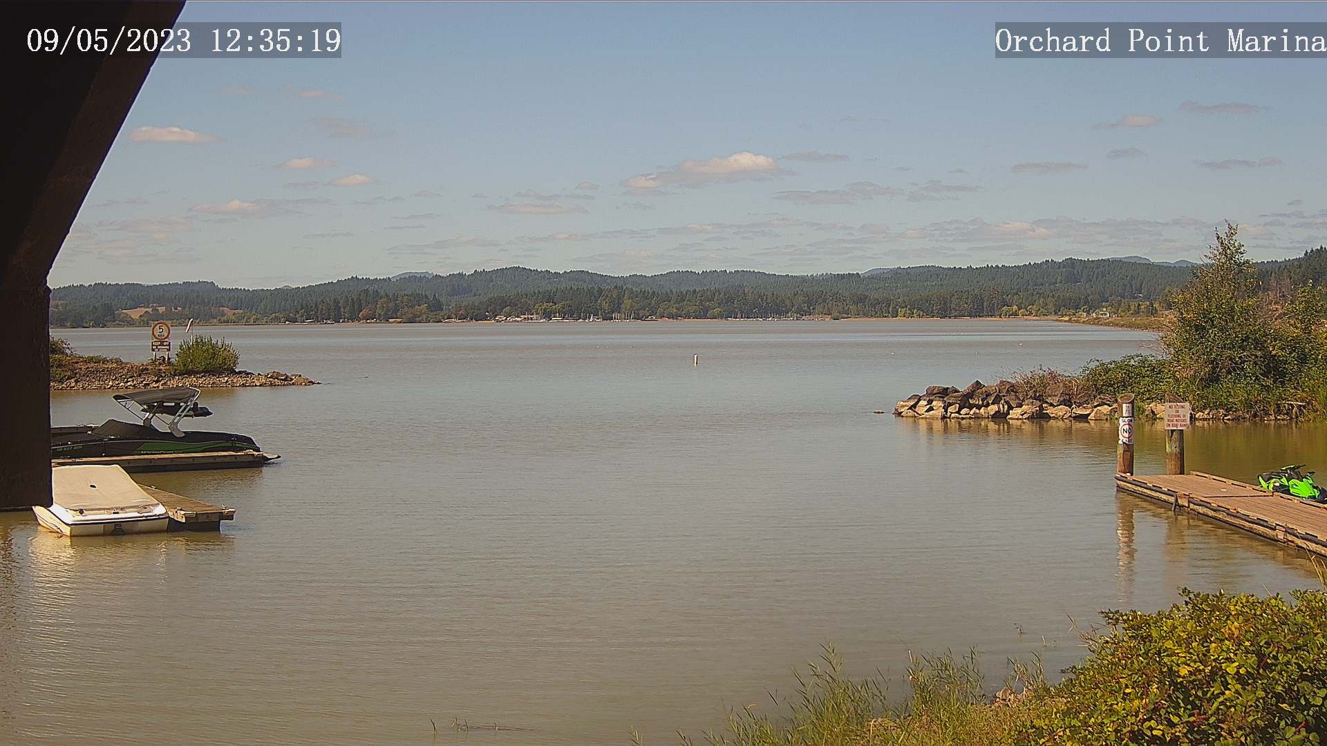
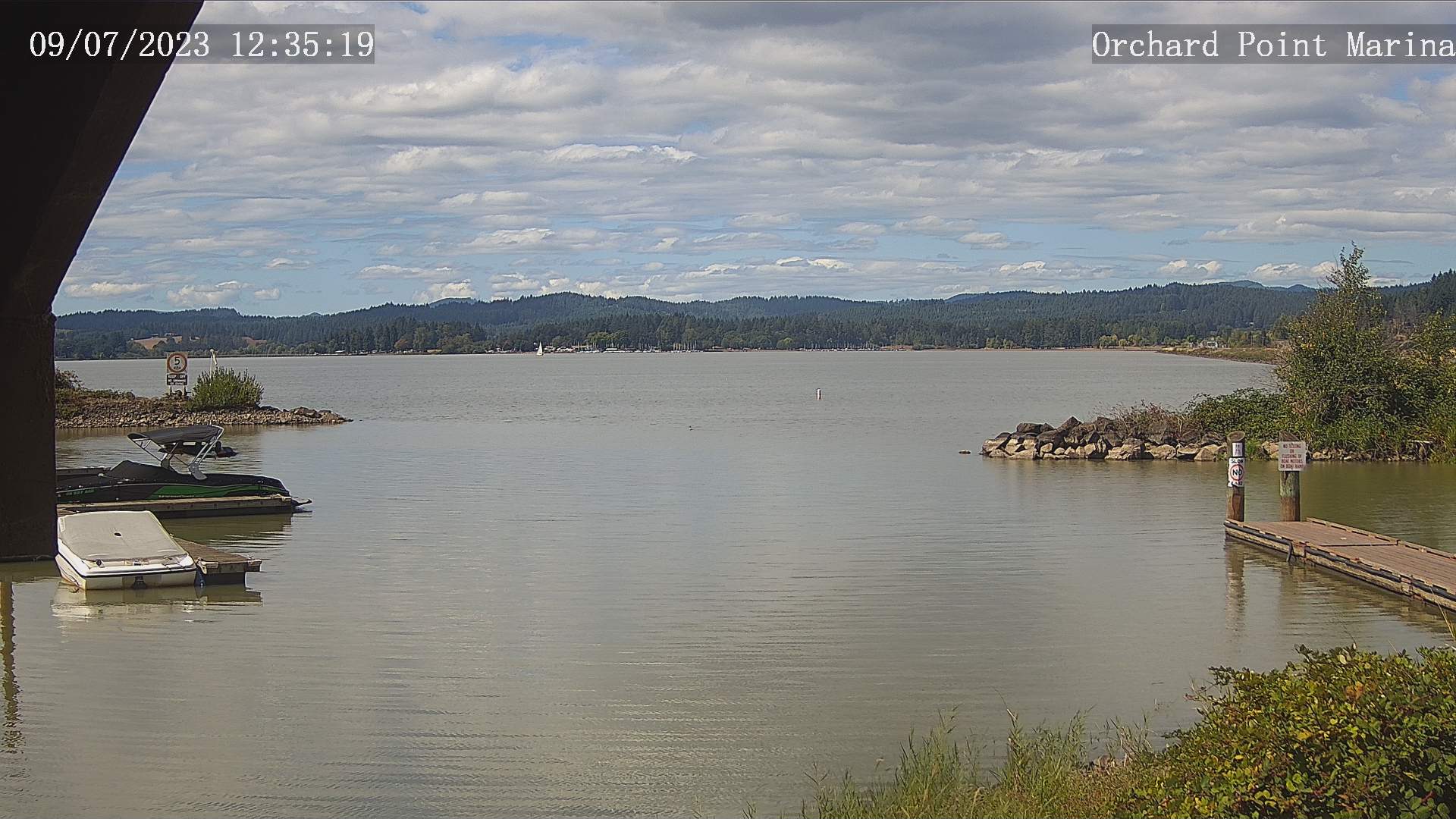
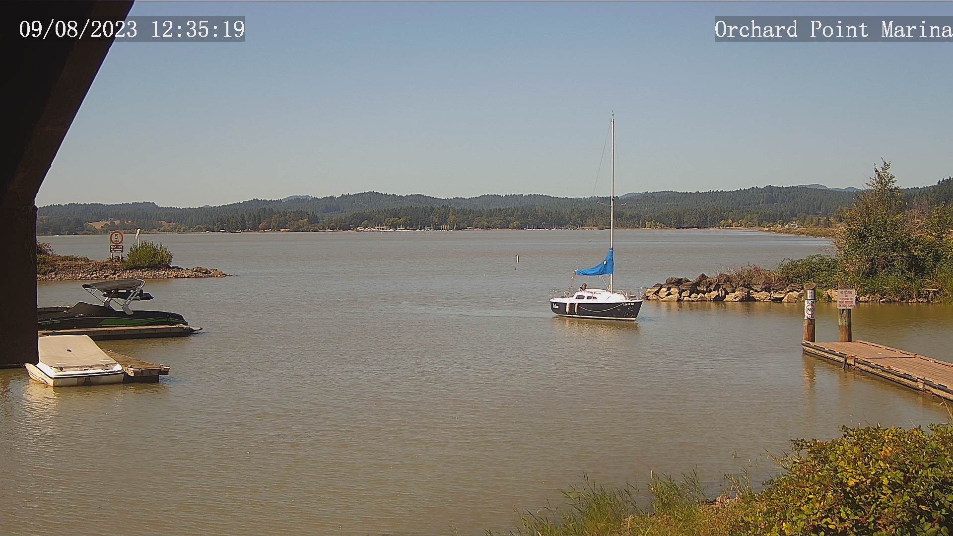
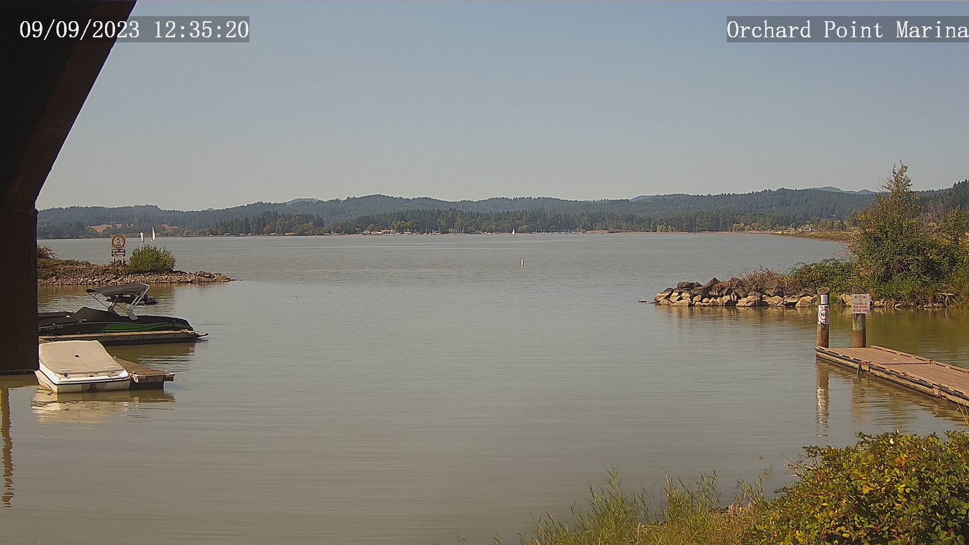
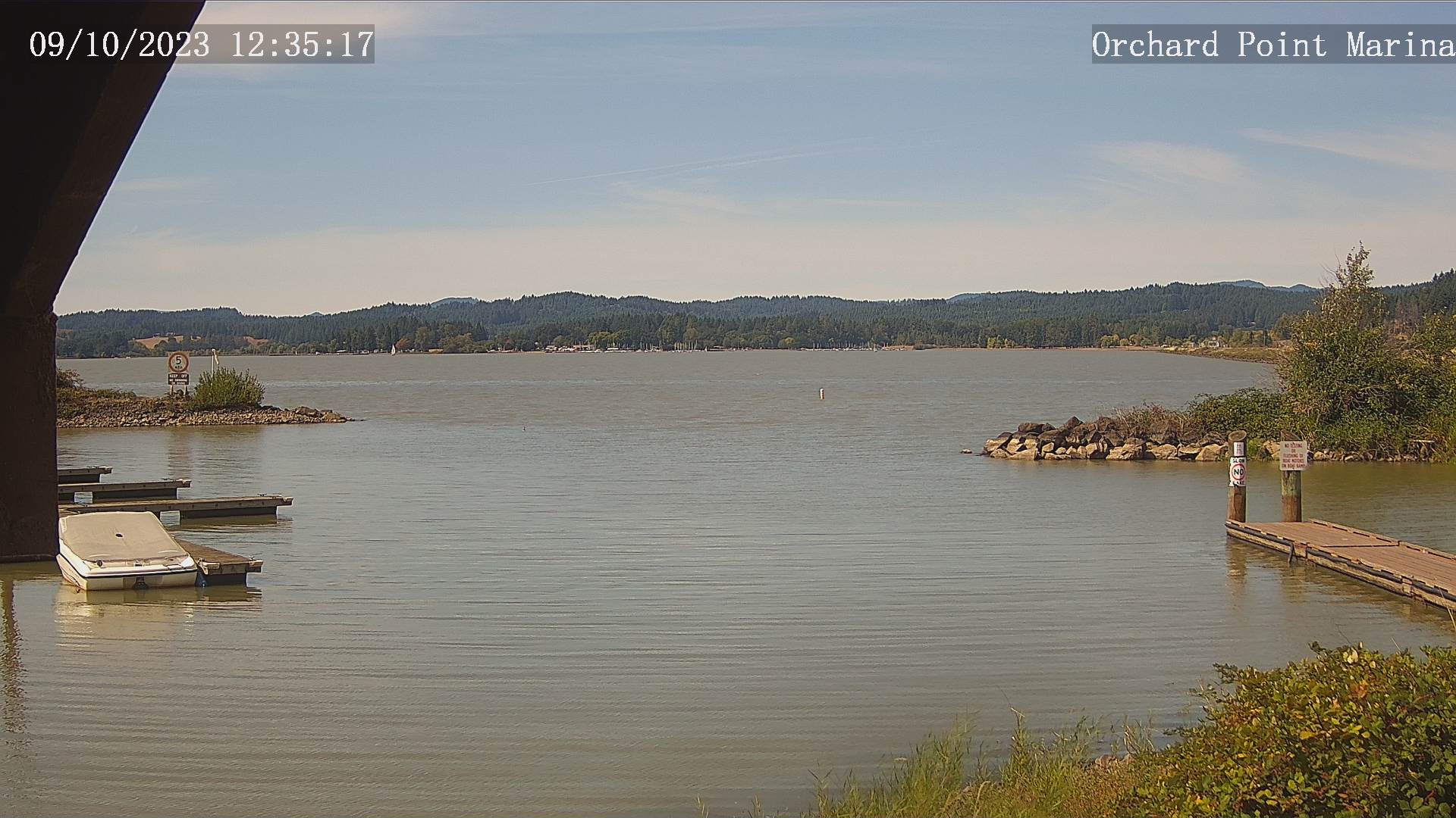
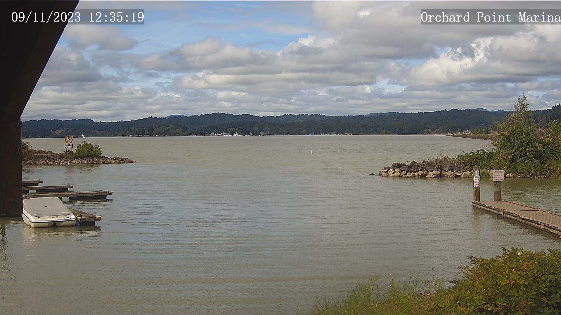
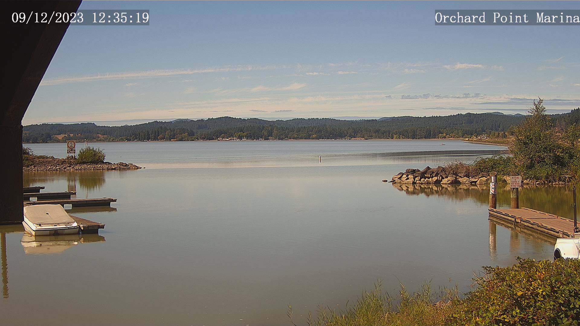
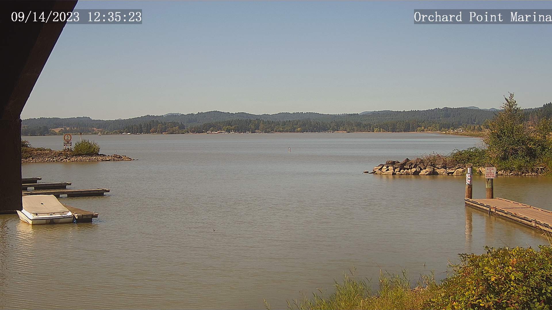
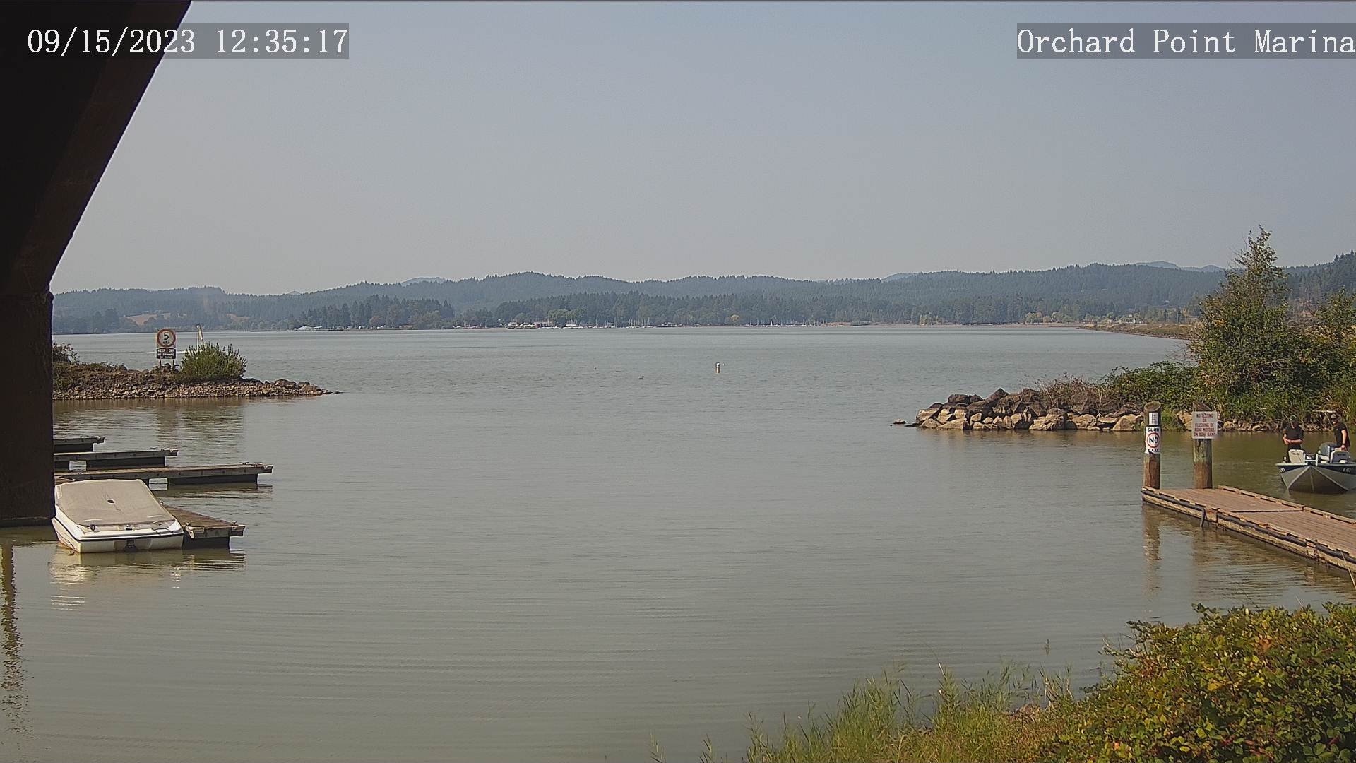
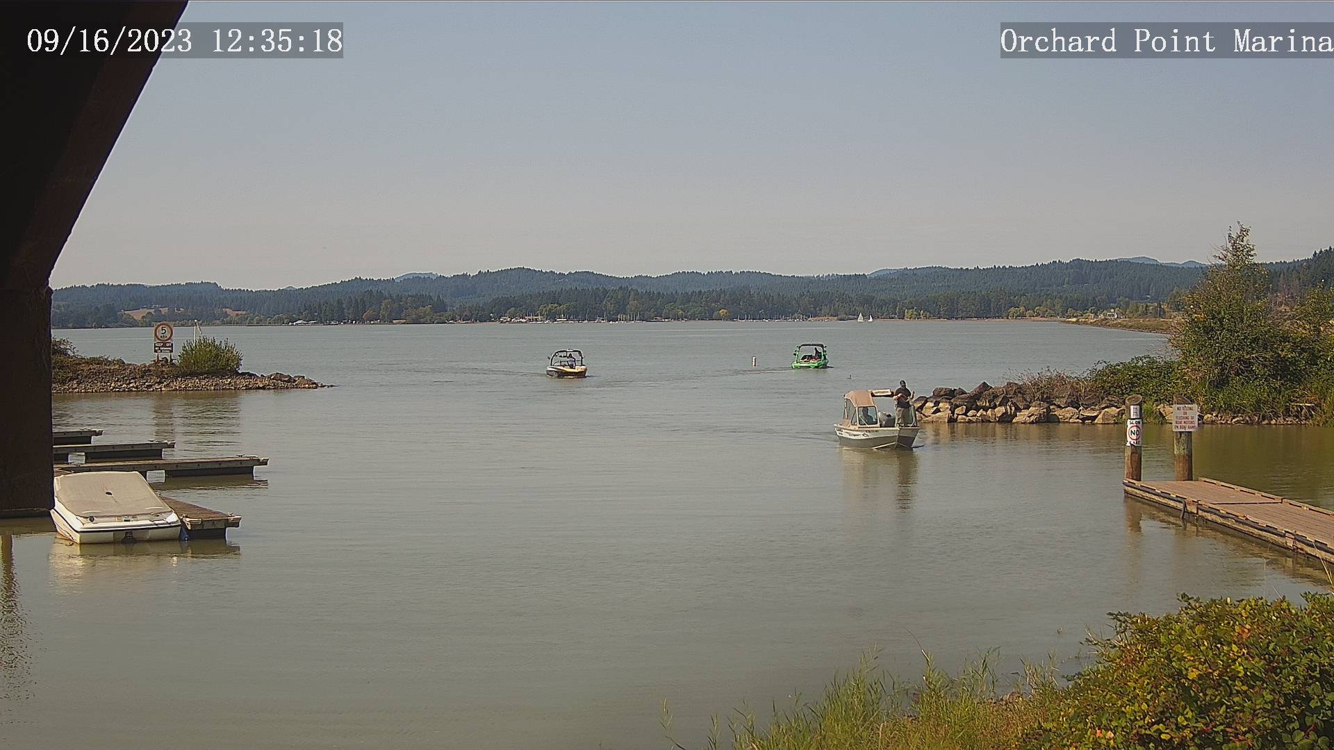
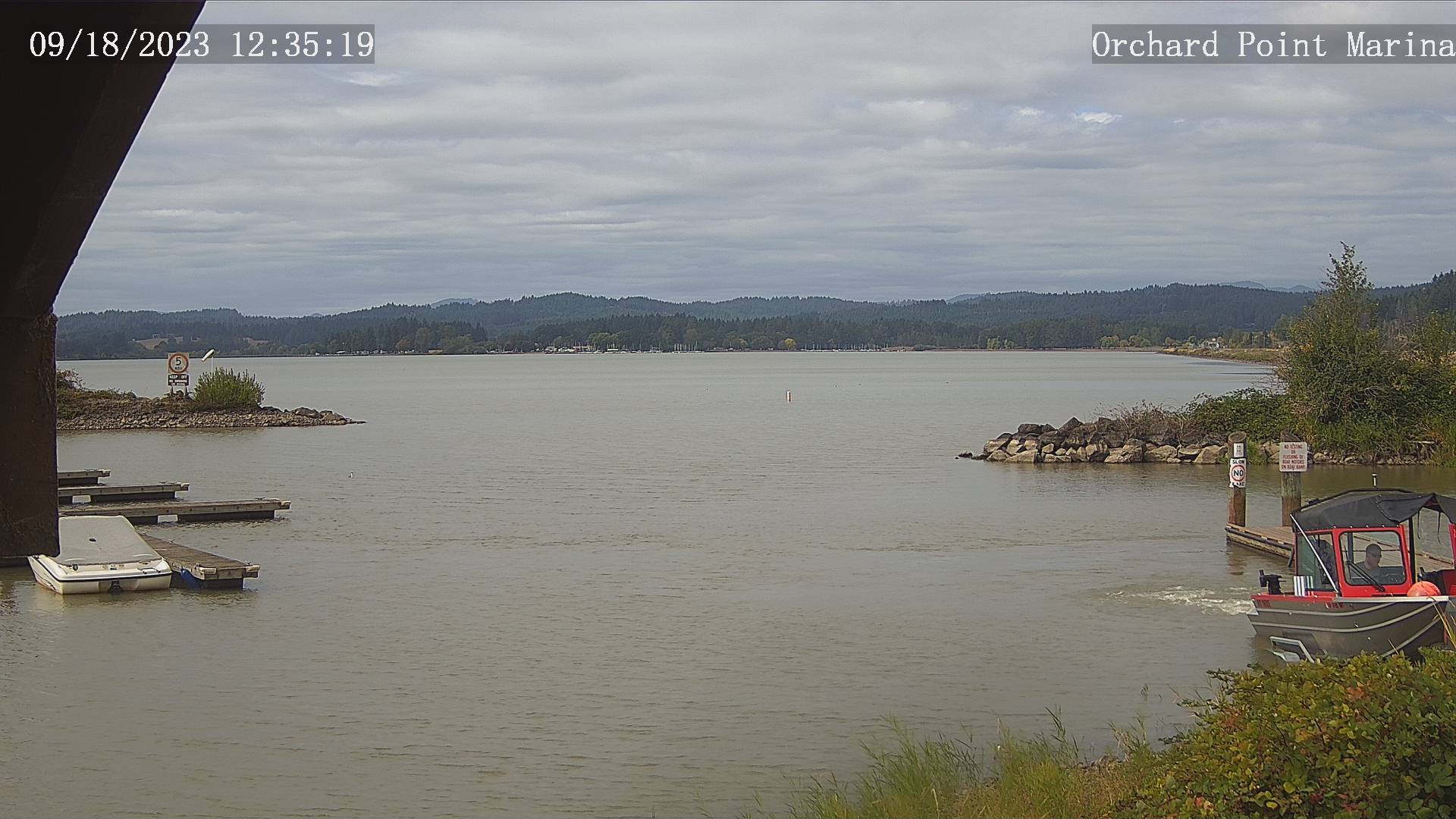
Eugene, Oregon, USA - 162.1 miles from Haynesville: Lane County Parks - Orchard Point, Harbor Vista, Mount Pisgah - Views of 3 Lane County parks including Orchard Point, Harbor Vista, Mount Pisgah. Orchard Point is the boat ramp at Fern Ridge. You can see the water conditions and wind sock.
Operator: Lane County
Operator: Lane County


Some other places in this country: Bayshore - Reed - Old Town - Range - Spikenard (historical) - Beagle - Courtrock - Mishawaka - Trail Fork (historical) - Lost Valley (historical)