Webcams in the region of Trail Fork (historical), Oregon, USA
The List of Webcams near Trail Fork (historical), Oregon, USA:

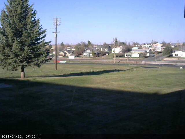
Condon, Oregon, USA - 10.7 miles from Trail Fork (historical): Condon High School - A view in southern direction.
Operator: Condon Schools
Operator: Condon Schools


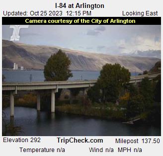
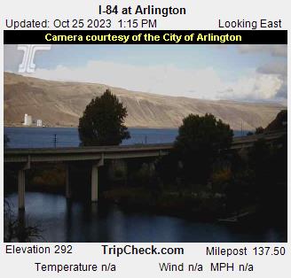
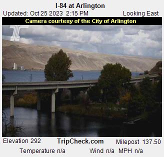
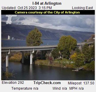
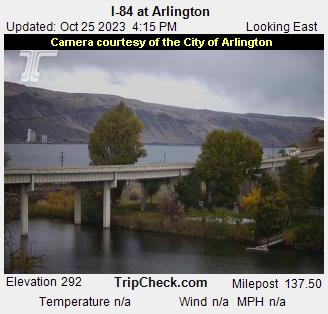
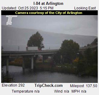
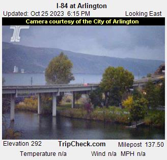
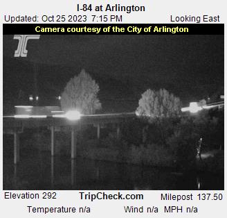
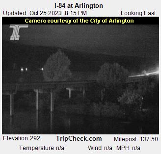
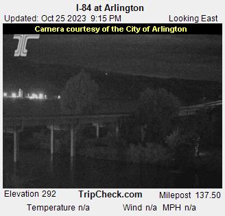
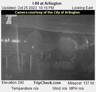
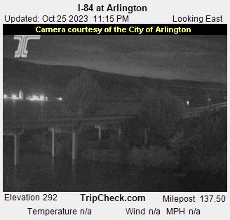
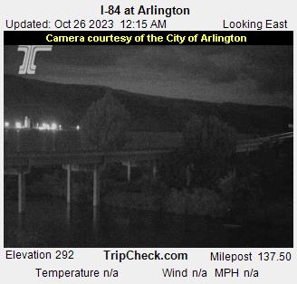
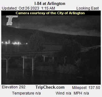
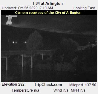
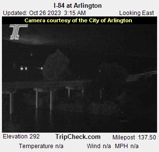
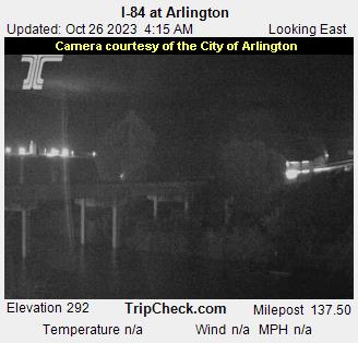
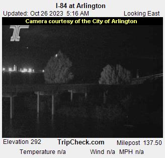
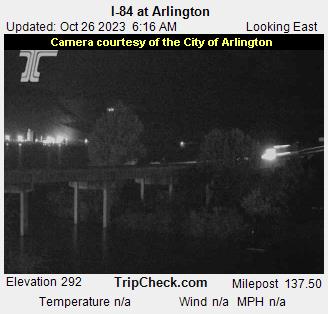
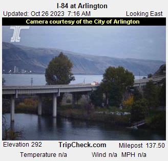
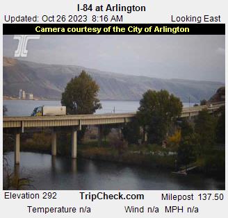
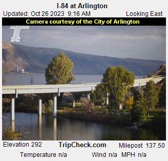
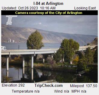
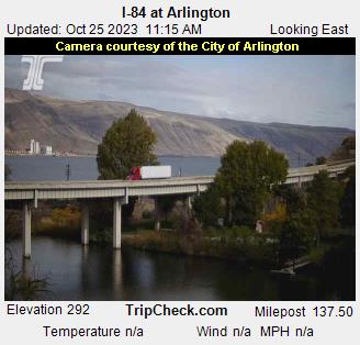
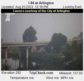
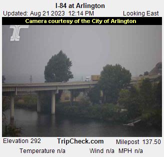
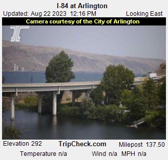
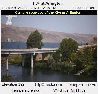
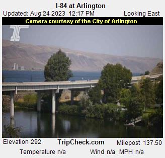
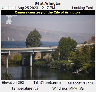
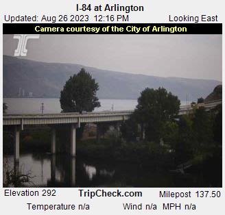
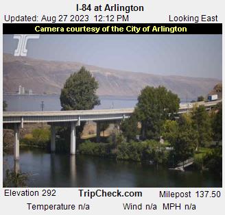
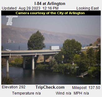
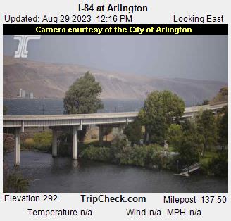
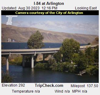
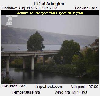
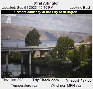
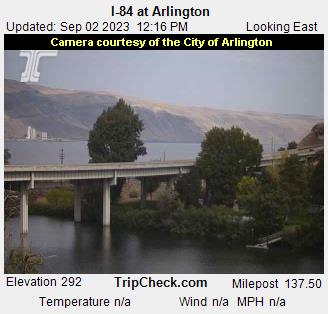
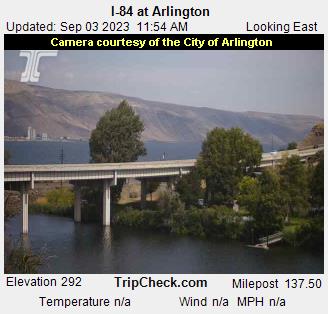
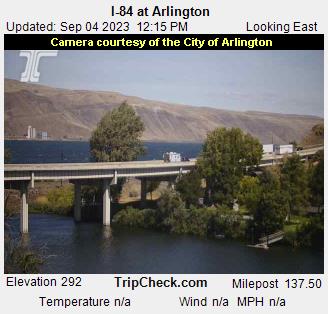
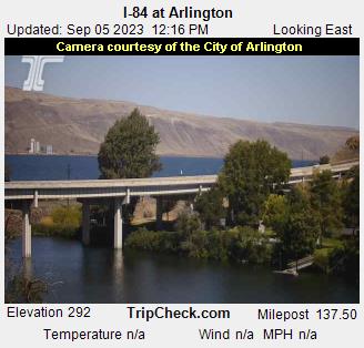
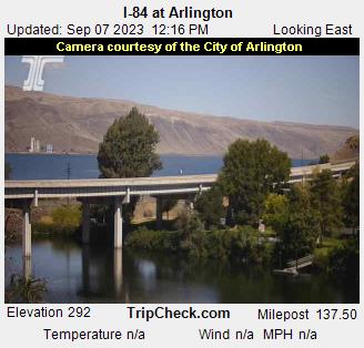
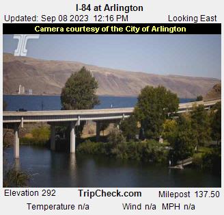
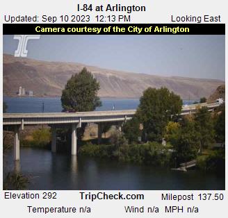
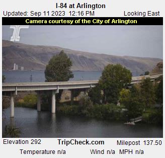
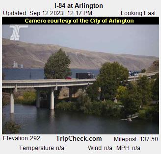
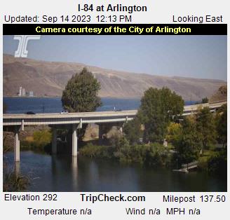
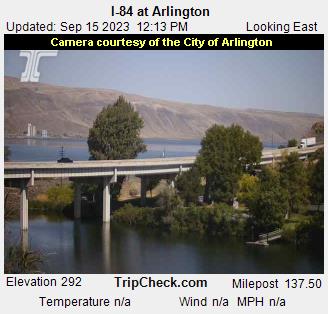
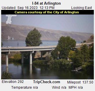
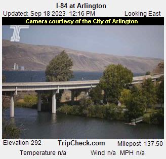
Arlington, Oregon, USA - 42.8 miles from Trail Fork (historical): I-84 at Arlington - A view of the current traffic situation on the I-84.
Operator: Oregon Department of Transportation
Operator: Oregon Department of Transportation


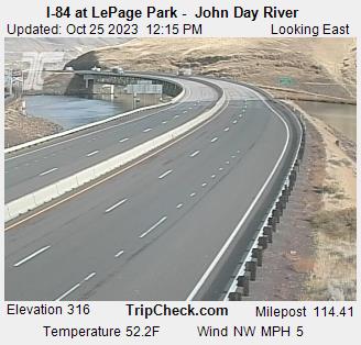
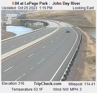
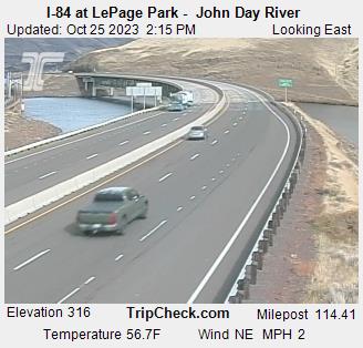
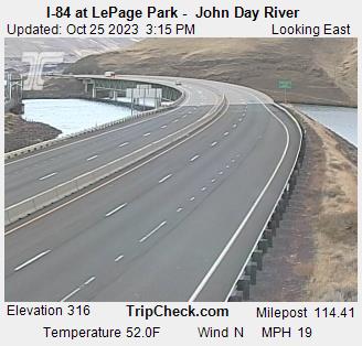
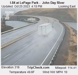
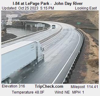
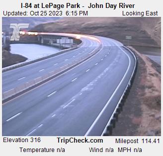
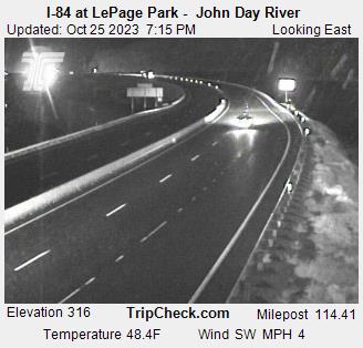
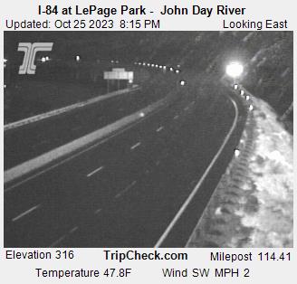
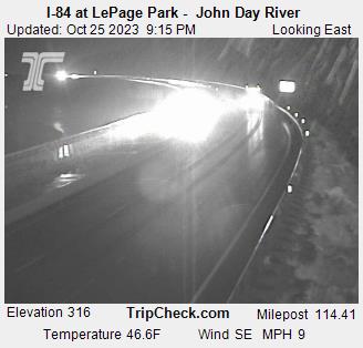
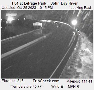
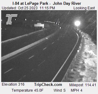
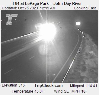
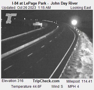
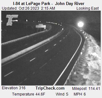
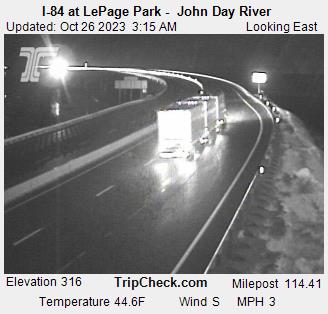
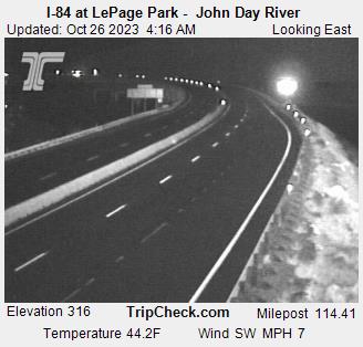
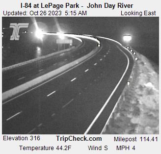
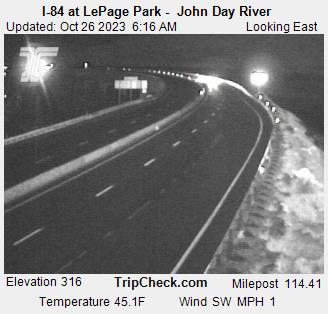
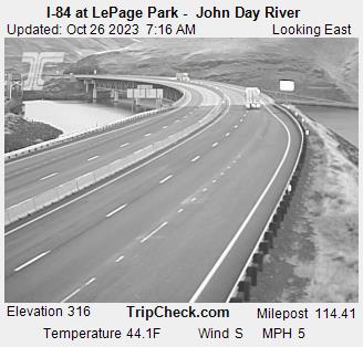
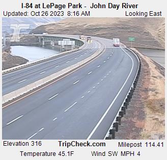
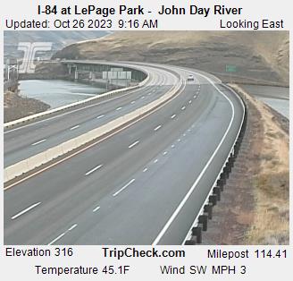
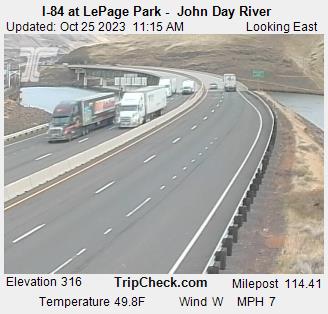
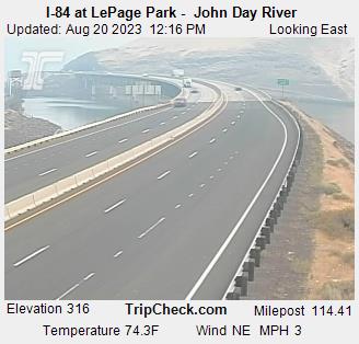
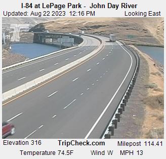
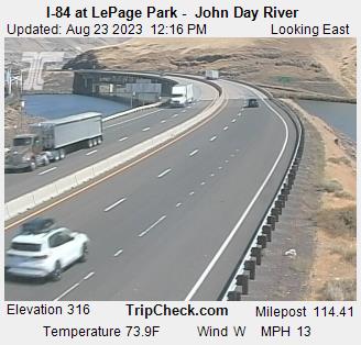
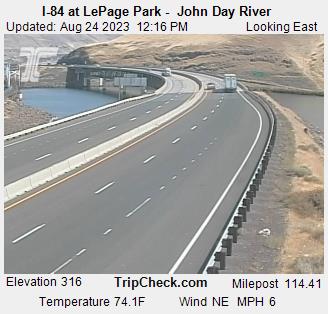
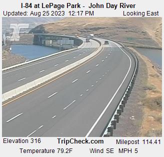
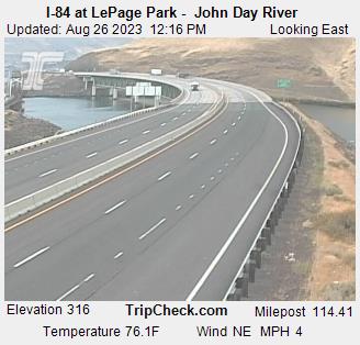
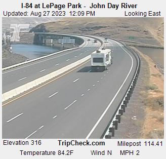
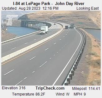
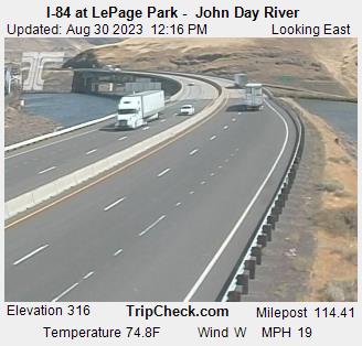
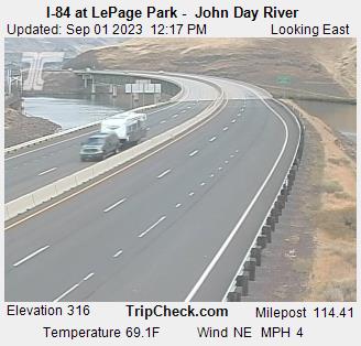
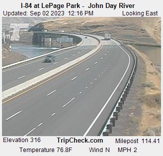
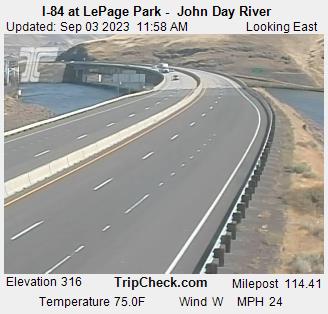
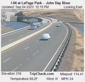
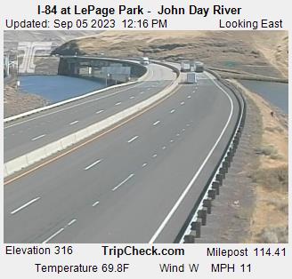
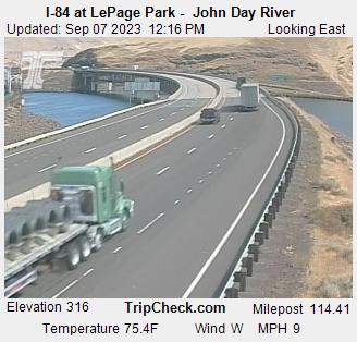
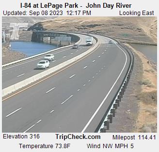
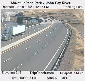
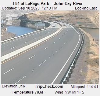
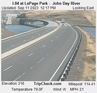
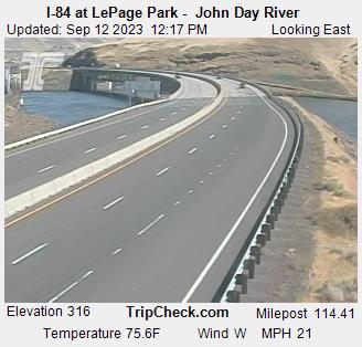
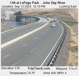
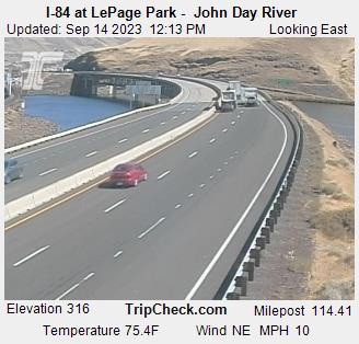
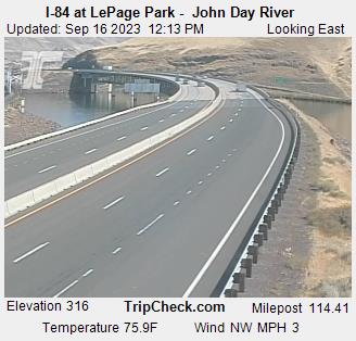
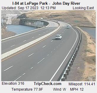
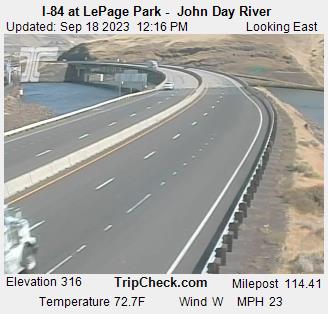
Wasco, Oregon, USA - 45.5 miles from Trail Fork (historical): I-84 at LePage Park - John Day River - A view of the current traffic situation on the I-84.
Operator: Oregon Department of Transportation
Operator: Oregon Department of Transportation


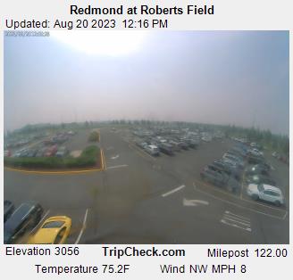
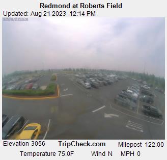
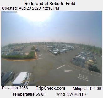
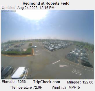
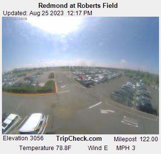
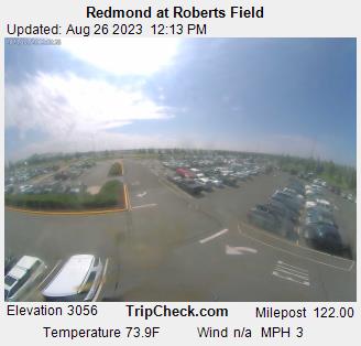
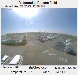
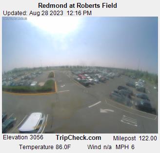
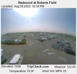
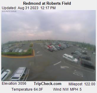
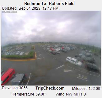
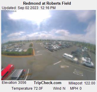
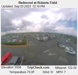
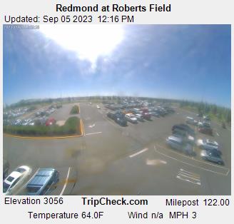
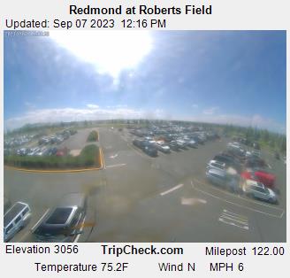
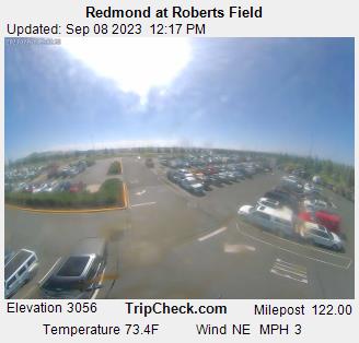
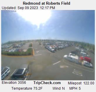
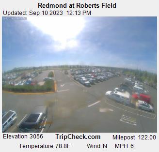
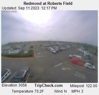
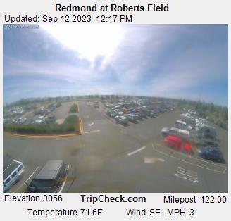
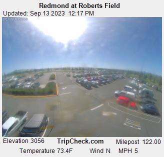
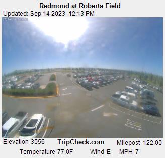
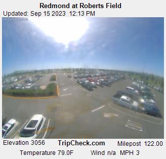
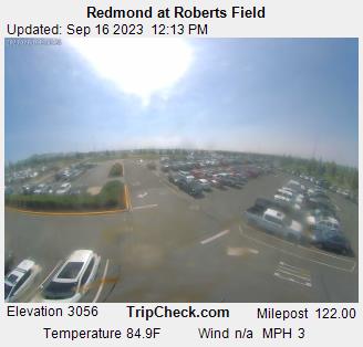
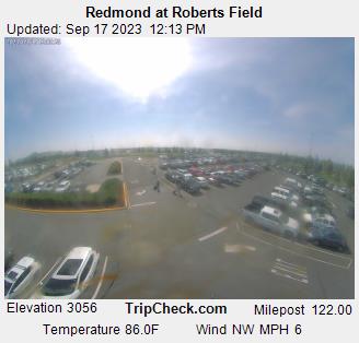
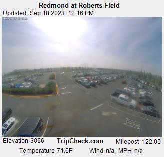
Redmond, Oregon, USA - 79.1 miles from Trail Fork (historical): Redmond at Roberts Field - A view of the current traffic situation on the Redmond.
Operator: Oregon Department of Transportation
Operator: Oregon Department of Transportation


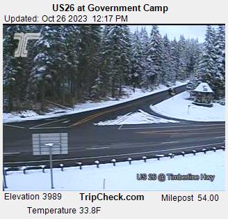
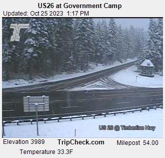
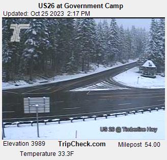
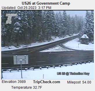
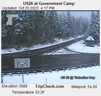
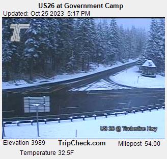
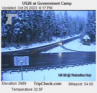
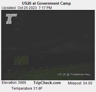
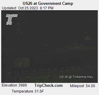
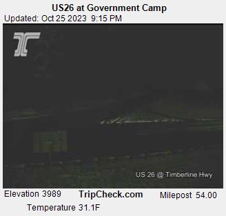
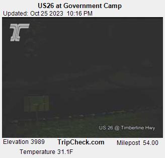
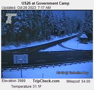
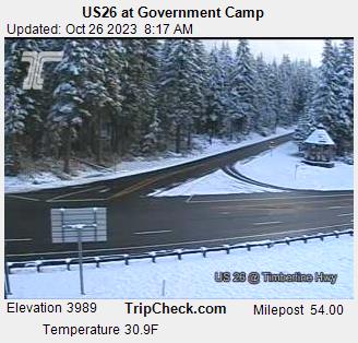
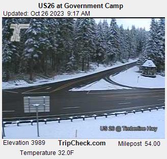
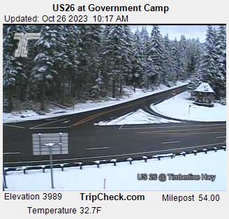
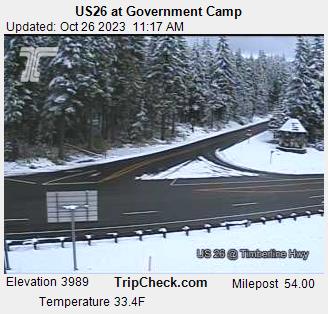
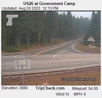
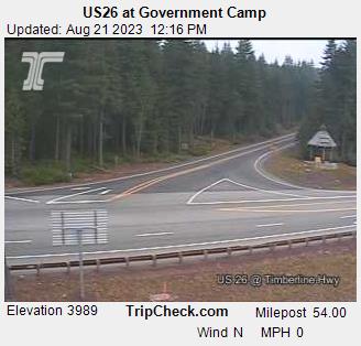
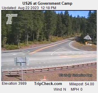
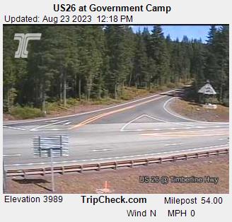
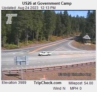
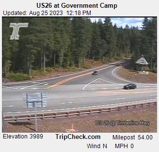
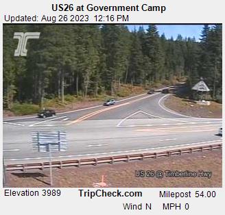
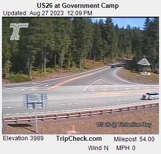
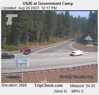
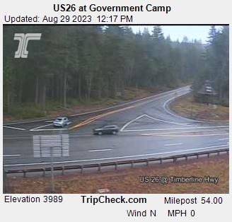
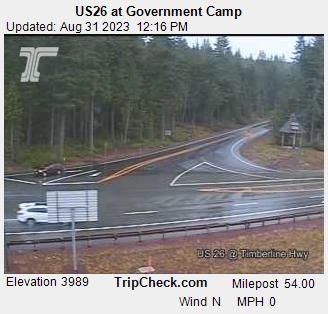
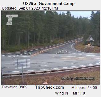
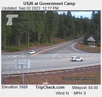
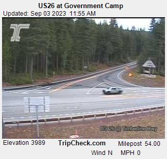
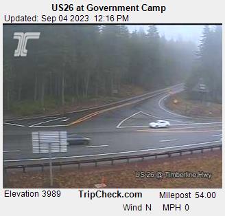
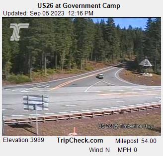
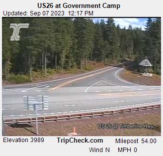
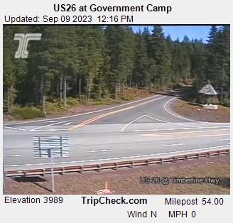
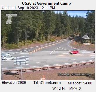
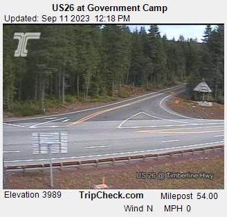
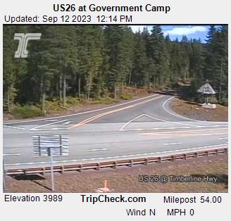
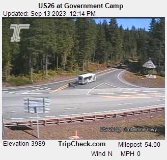
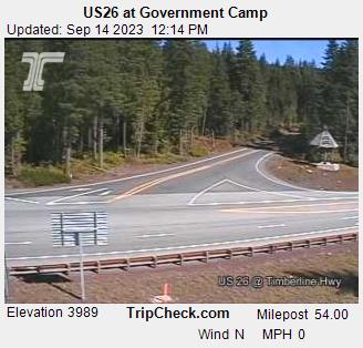
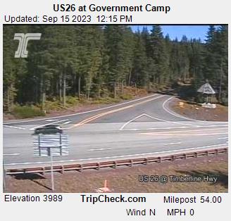
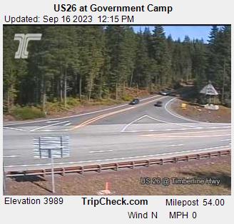
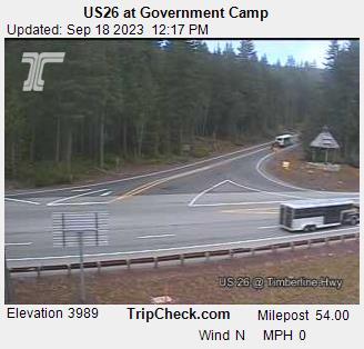
Government Camp, Oregon, USA - 83.4 miles from Trail Fork (historical): US26 at Government Camp - A view of the current traffic situation on the US26.
Operator: Oregon Department of Transportation
Operator: Oregon Department of Transportation


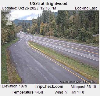
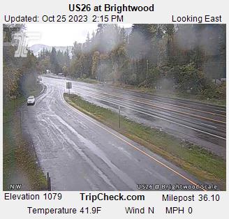
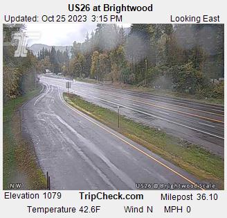
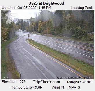
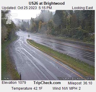
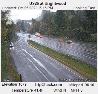
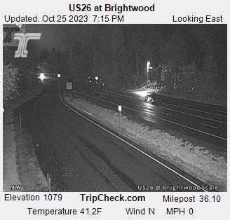
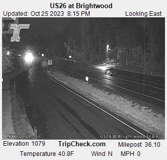
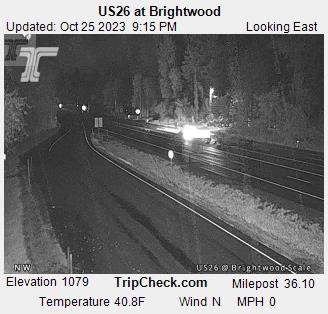
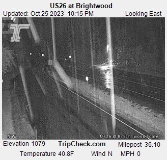
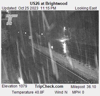
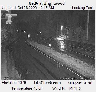
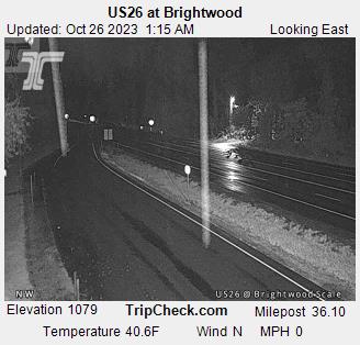
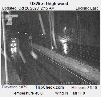
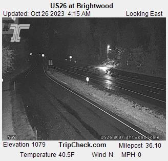
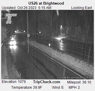
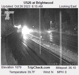
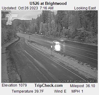
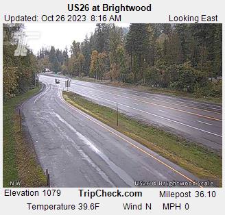
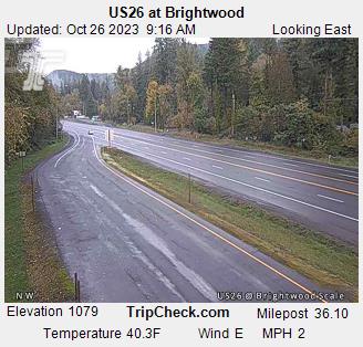
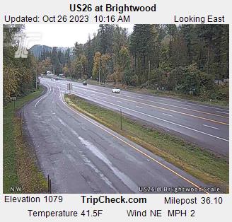
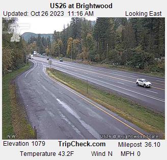
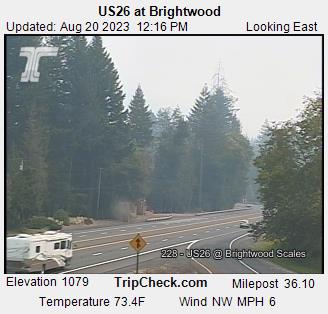
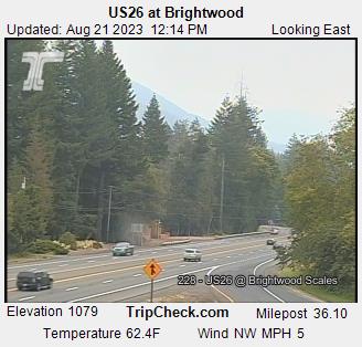
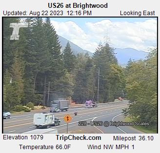
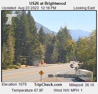
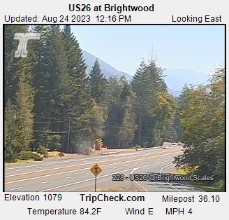
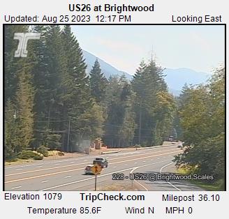
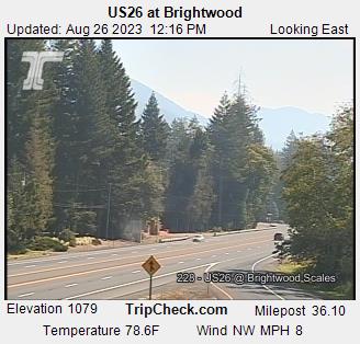
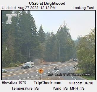
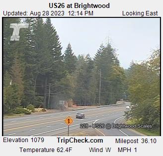
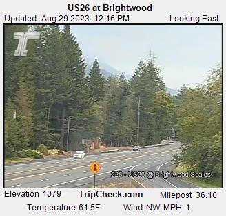
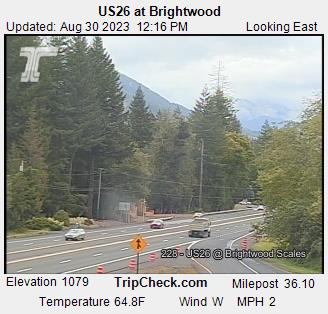
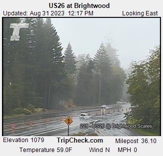
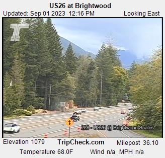
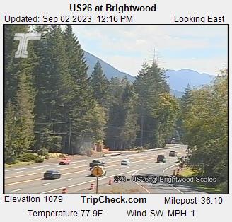
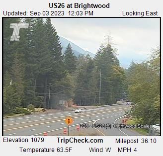
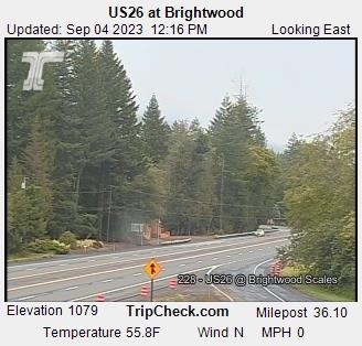
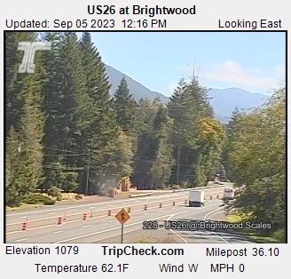
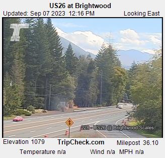
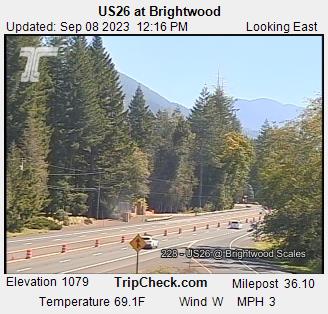
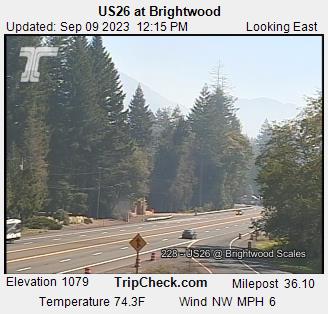
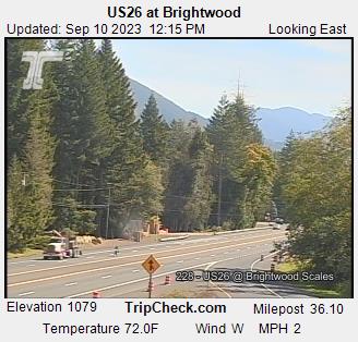
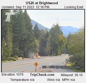
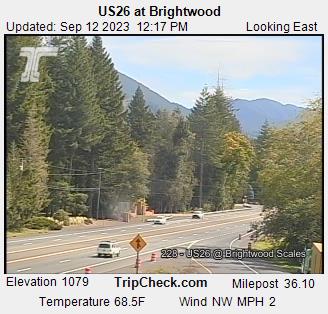
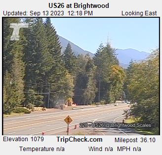
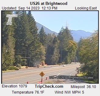
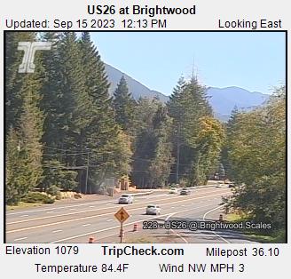
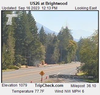
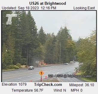
Brightwood, Oregon, USA - 96.7 miles from Trail Fork (historical): US26 at Brightwood - A view of the current traffic situation on the US26.
Operator: Oregon Department of Transportation
Operator: Oregon Department of Transportation


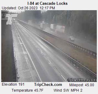
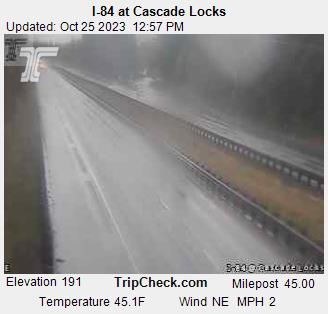
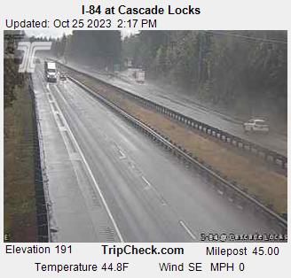
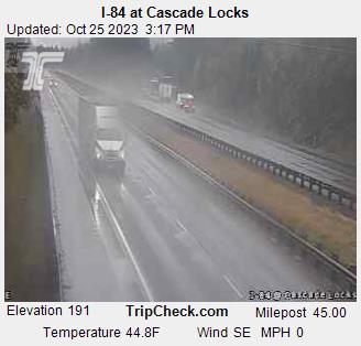
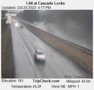
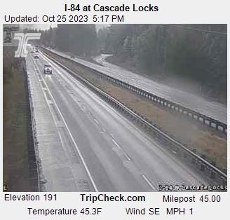
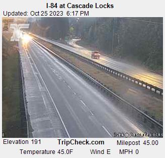
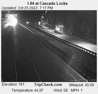
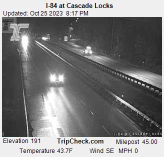
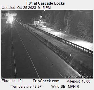
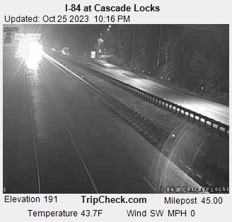
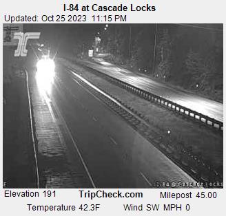
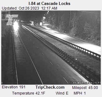
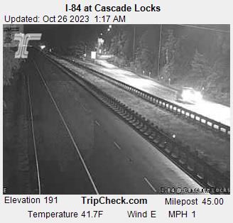
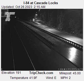
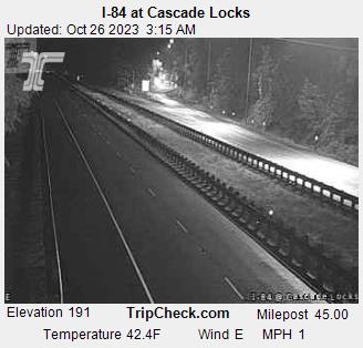
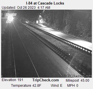
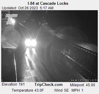
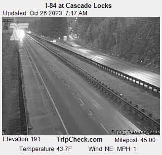
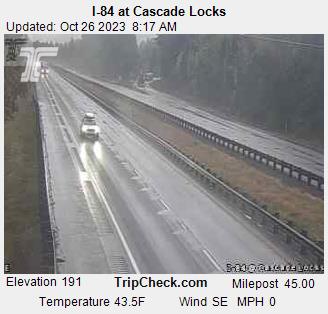
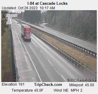
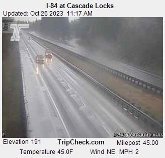
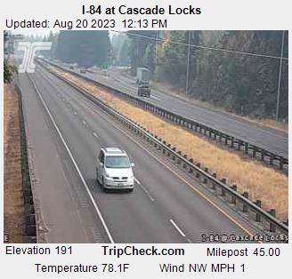
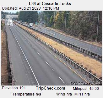
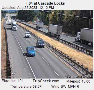
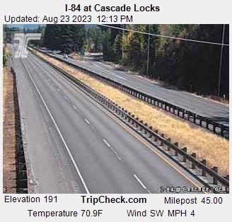
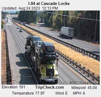
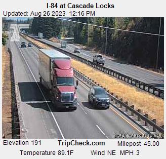
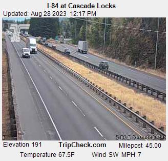
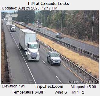
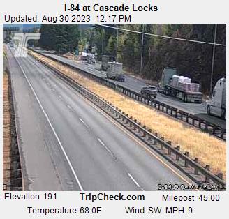
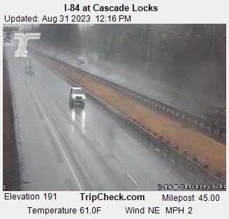
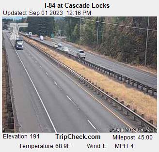
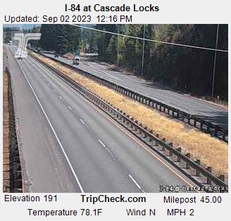
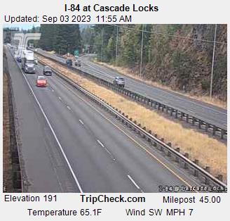
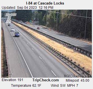
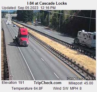
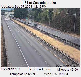
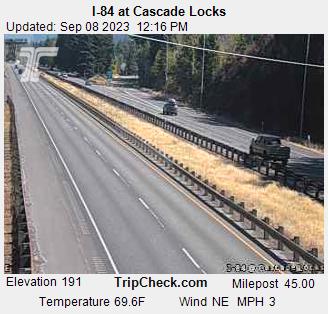
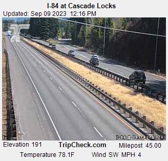
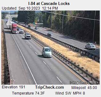
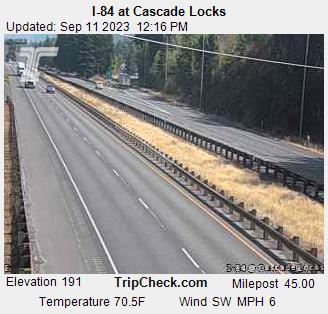
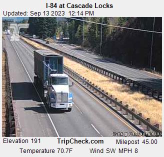
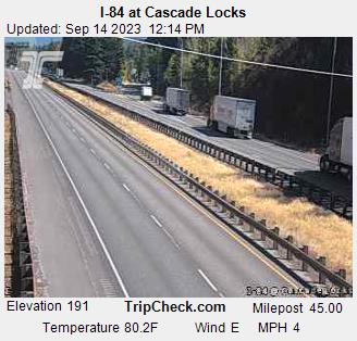
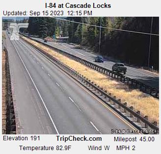
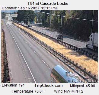
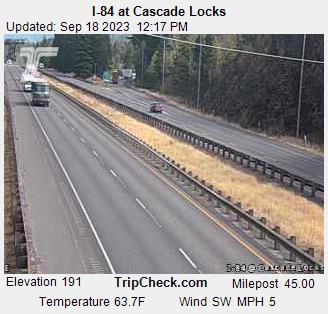
Cascade Locks, Oregon, USA - 96.8 miles from Trail Fork (historical): I-84 at Cascade Locks - A view of the current traffic situation on the I-84.
Operator: Oregon Department of Transportation
Operator: Oregon Department of Transportation


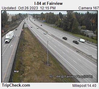
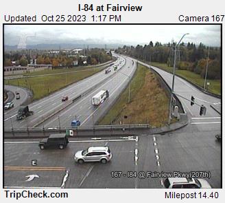
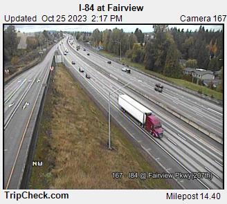
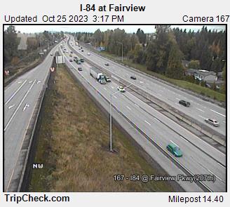
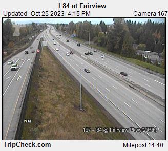
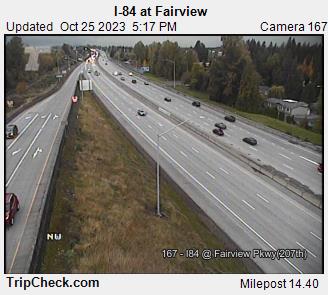
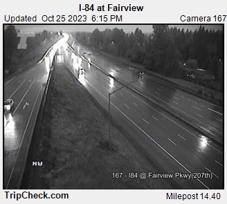
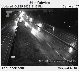
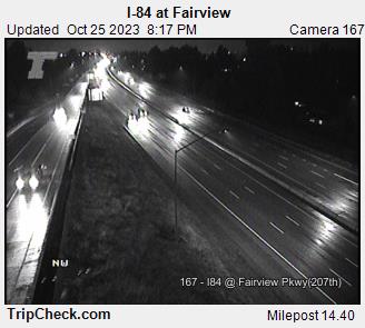
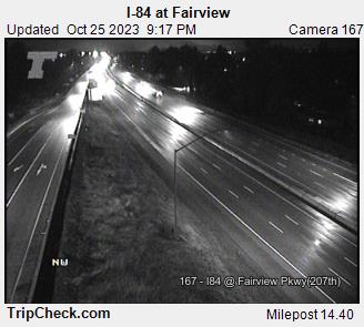
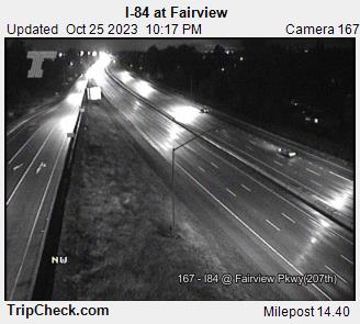
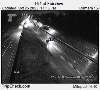
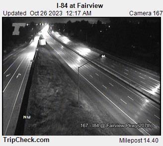
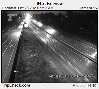
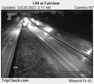
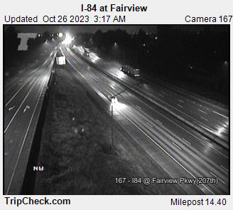
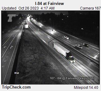
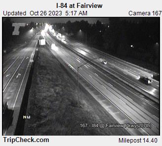
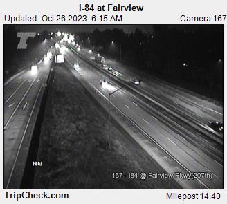
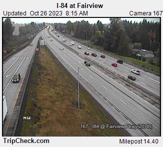
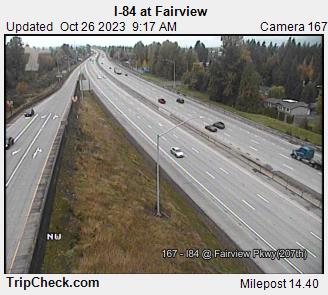
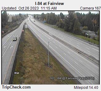
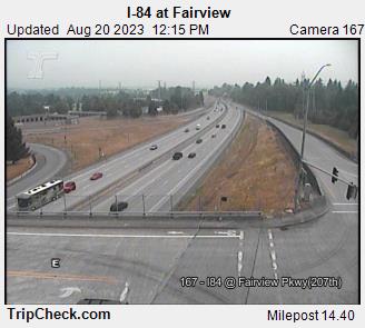
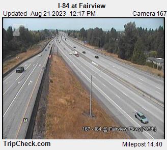
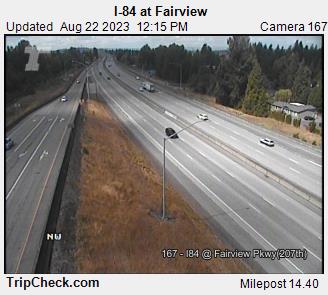
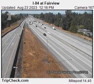
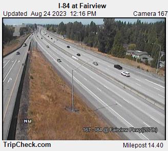
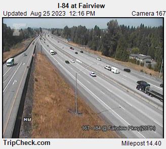
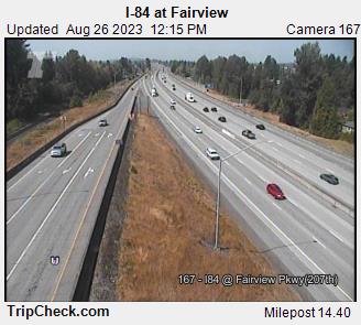
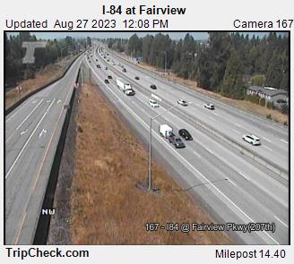
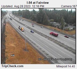
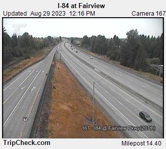
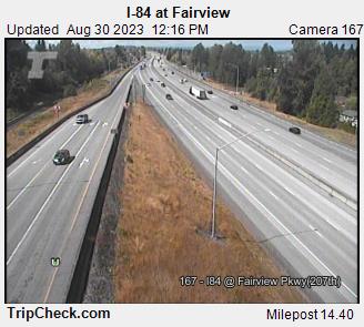
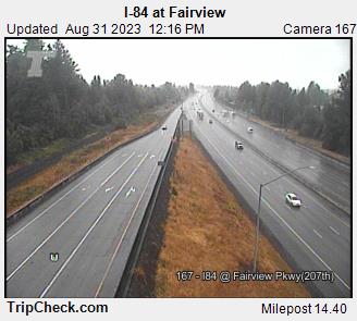
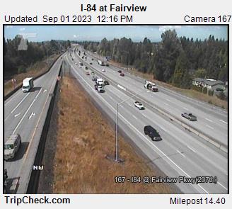
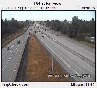
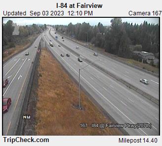
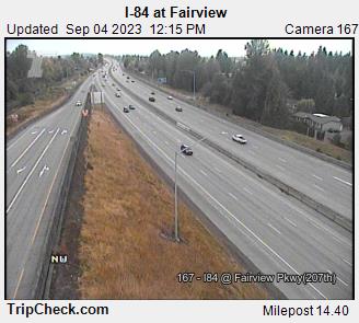
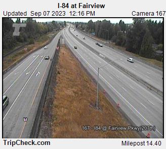
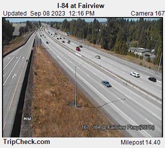
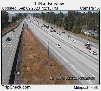
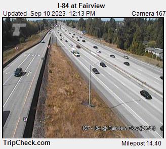
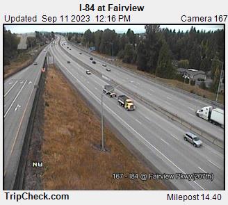
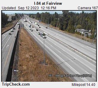
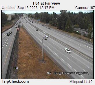
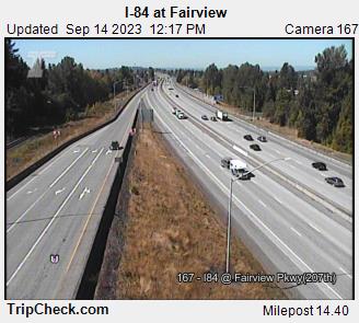
Fairview, Oregon, USA - 118.9 miles from Trail Fork (historical): I-84 at Fairview - A view of the current traffic situation on the I-84.
Operator: Oregon Department of Transportation
Operator: Oregon Department of Transportation


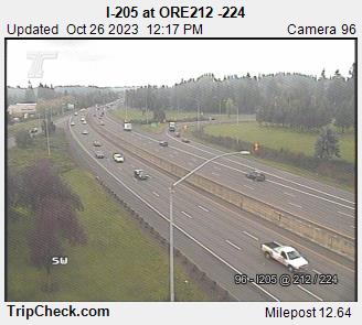
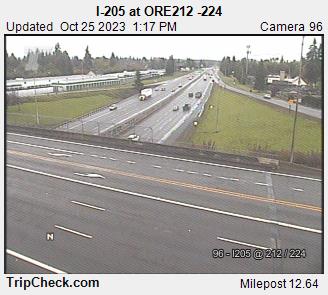
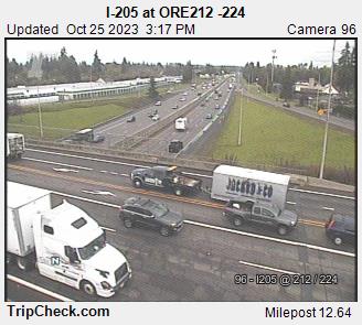
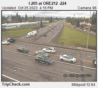
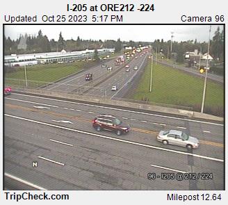
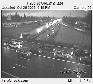
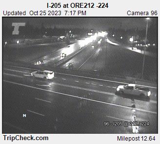
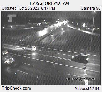
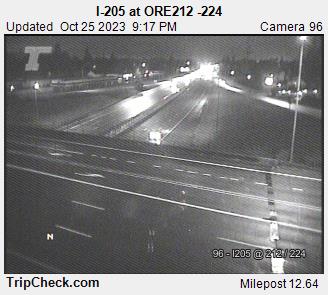
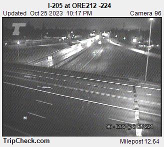
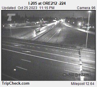
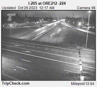
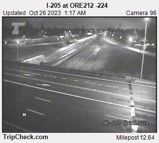
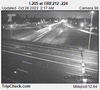
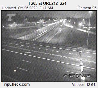
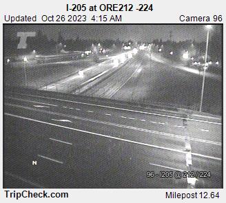
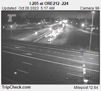
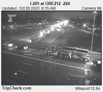
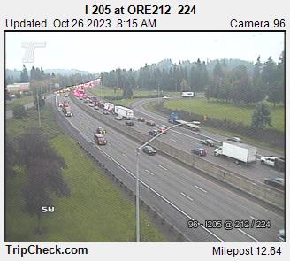
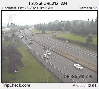
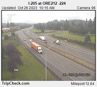
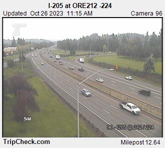
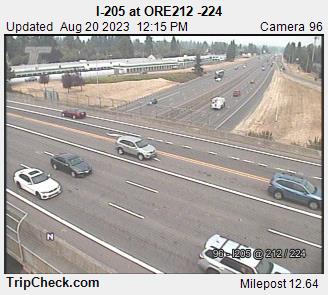
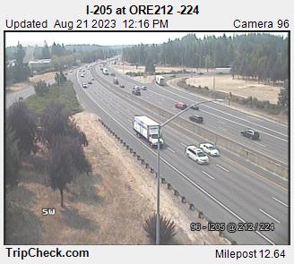
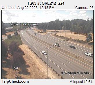
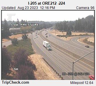
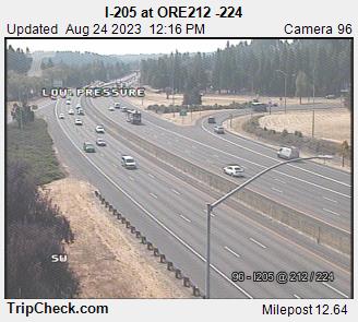
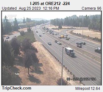
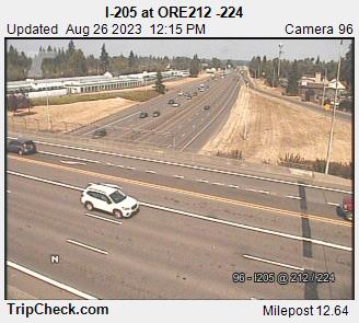
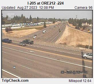
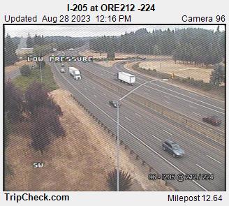
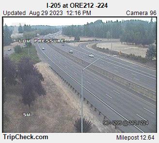
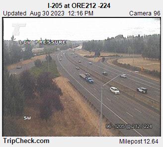
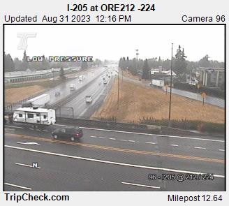
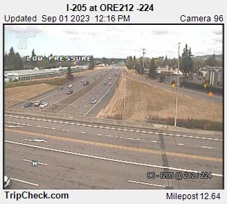
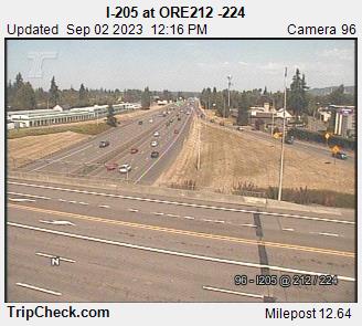
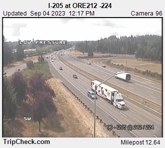
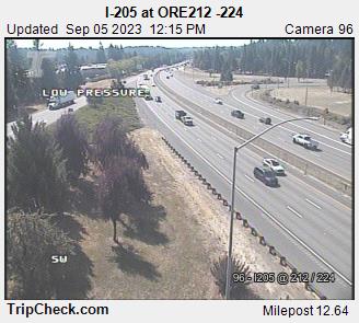
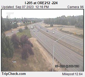
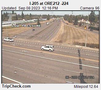
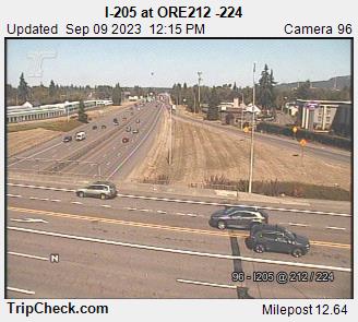
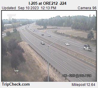
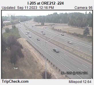
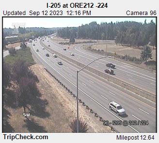
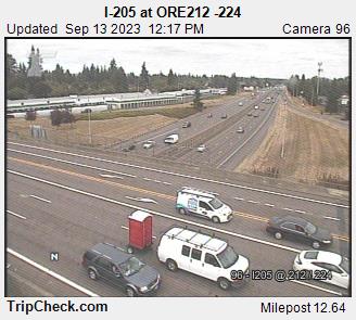
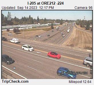
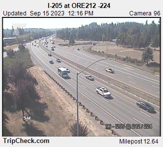
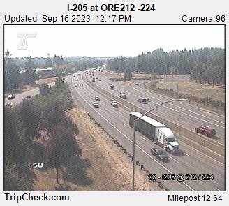
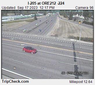
Clackamas, Oregon, USA - 121.2 miles from Trail Fork (historical): I-205 at ORE212 -224 - A view of the current traffic situation on the I-205.
Operator: Oregon Department of Transportation
Operator: Oregon Department of Transportation


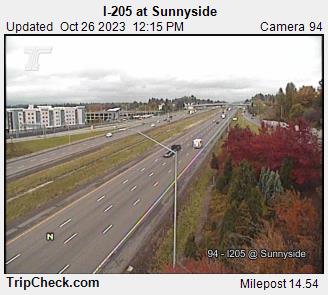
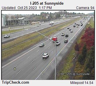
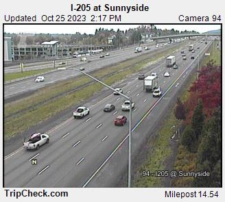
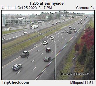
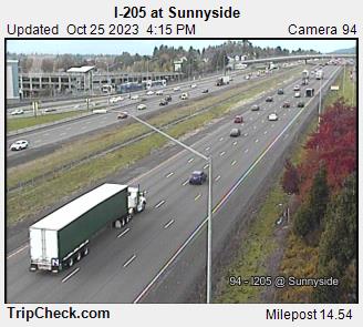
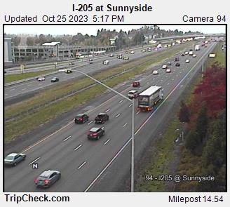
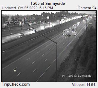
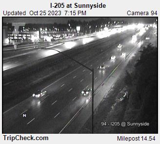
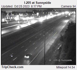
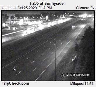
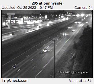
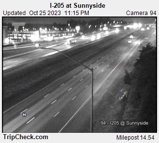
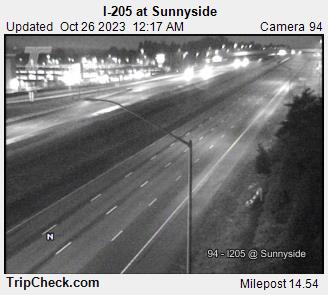
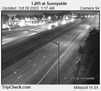
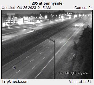
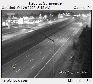
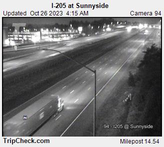
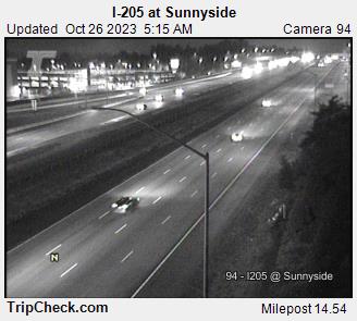
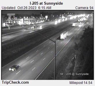
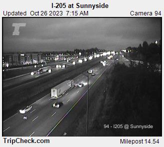
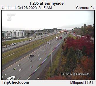
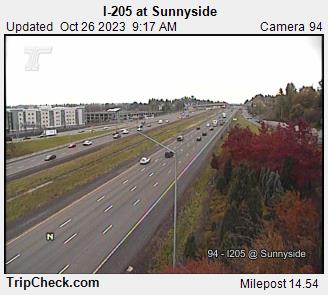
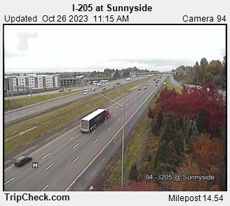
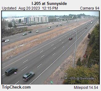
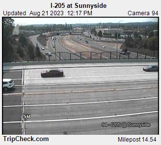
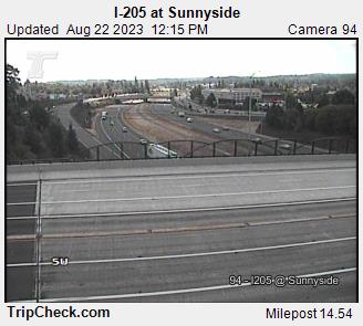
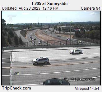
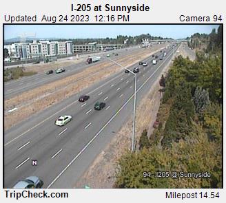
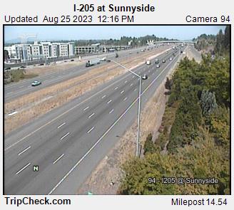
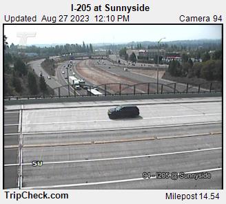
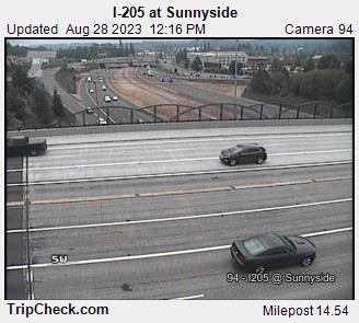
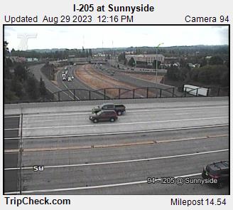
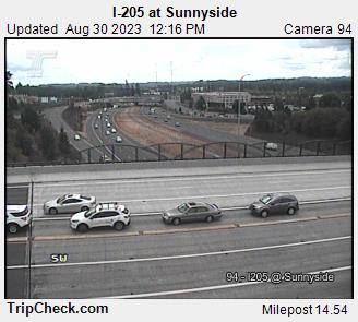
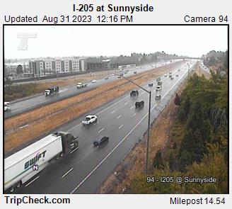
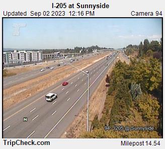
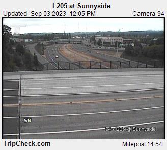
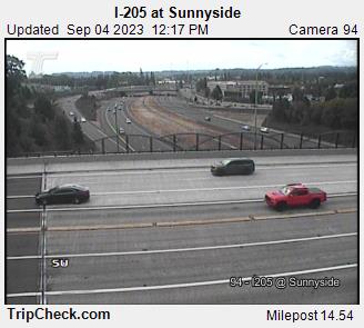
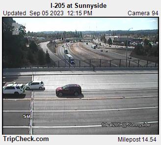
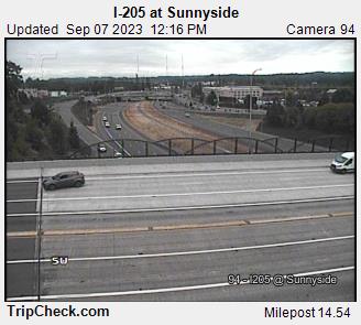
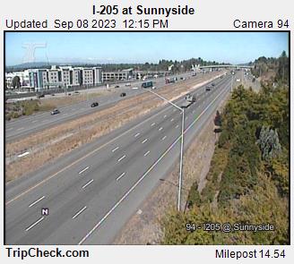
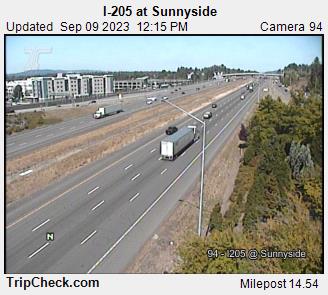
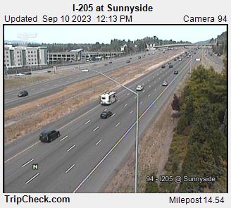
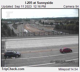
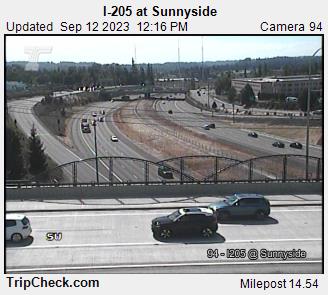
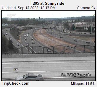
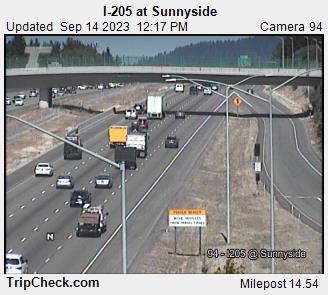
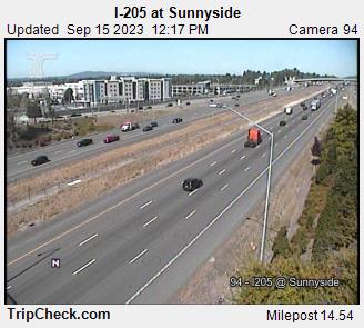
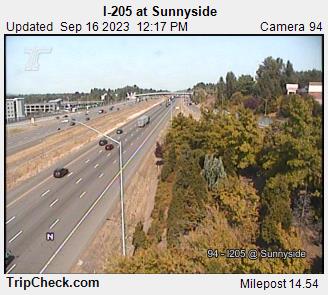
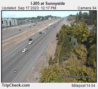
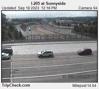
Sunnyside, Oregon, USA - 123 miles from Trail Fork (historical): I-205 at Sunnyside - A view of the current traffic situation on the I-205.
Operator: Oregon Department of Transportation
Operator: Oregon Department of Transportation


Some other places in this country: Mishawaka - Lost Valley (historical) - Shaw - Elliott Prairie - Noble (historical) - Eola - Imperial (historical) - Barview - Bay City - Bridgeport