Webcams in the region of Monroeton, North Carolina, USA
The List of Webcams near Monroeton, North Carolina, USA:

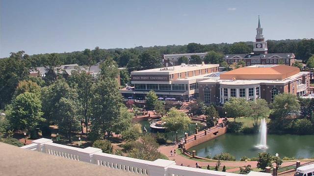
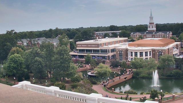
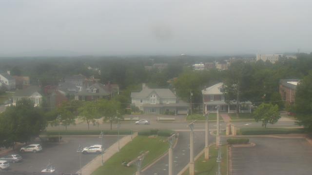
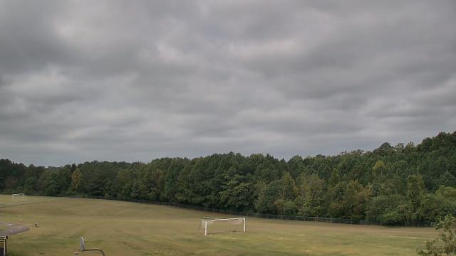
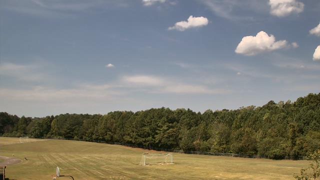
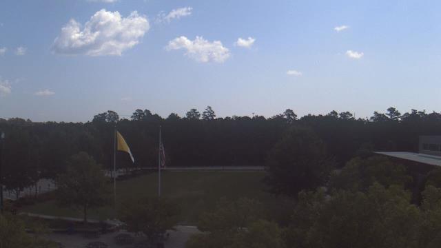
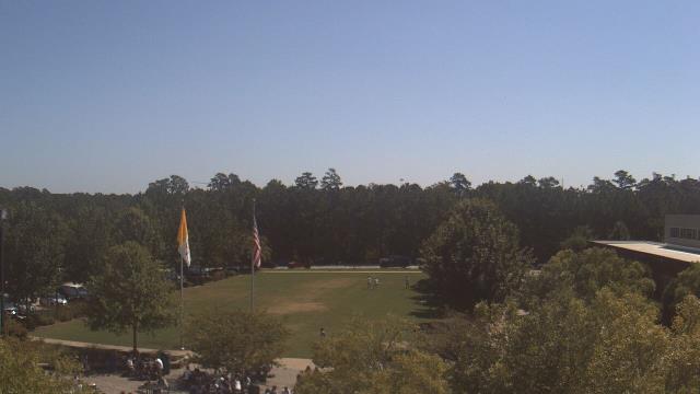
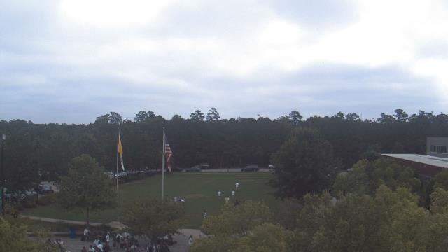
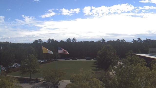
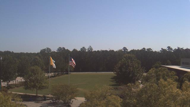
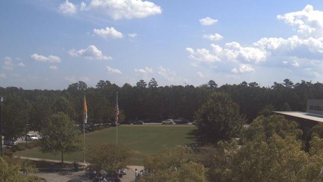
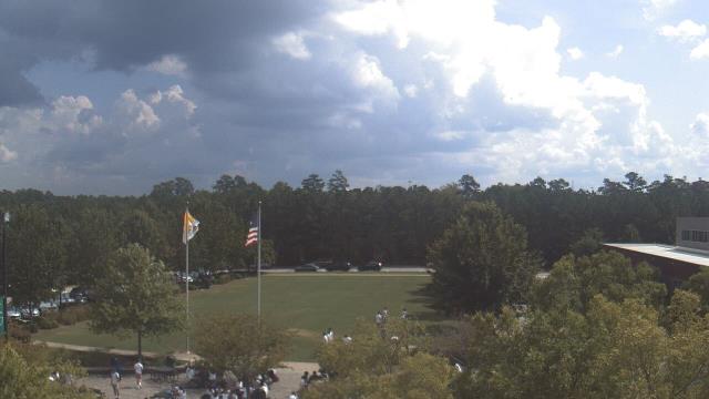
High Point, North Carolina, USA - 27.6 miles from Monroeton: High Point University - A webcam in High Point, North Carolina - camera location: High Point University.
Operator: WeatherBug
Operator: WeatherBug


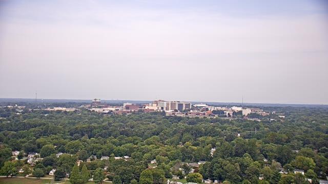
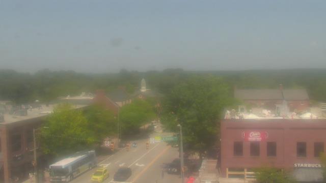
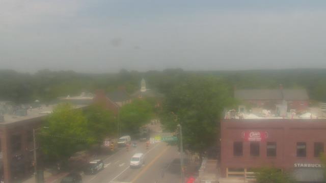
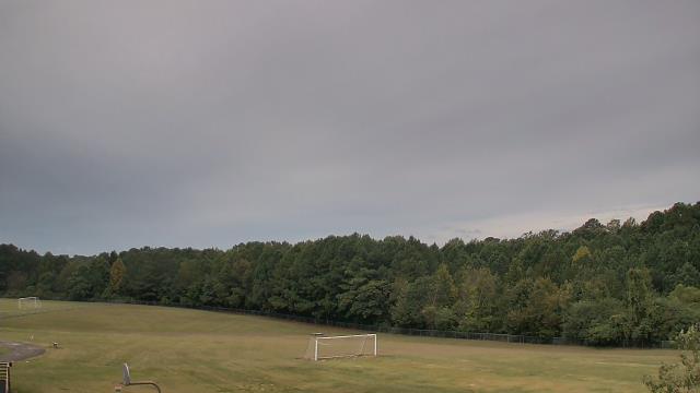
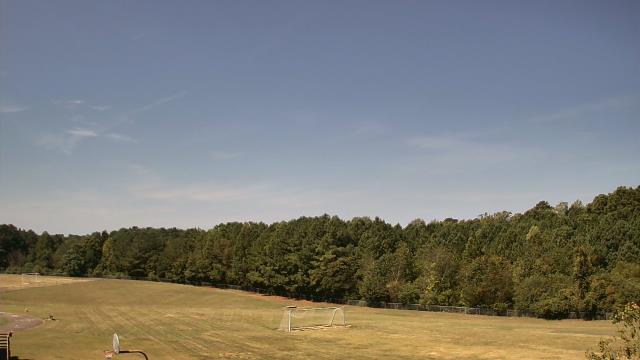
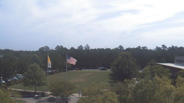
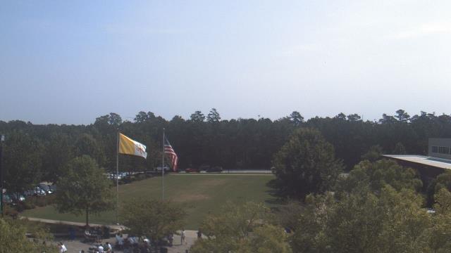
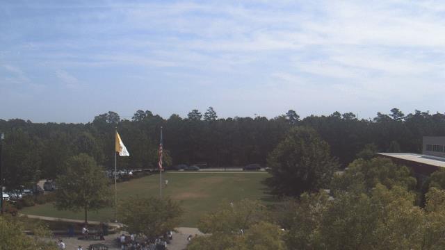
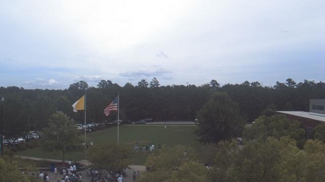
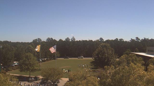
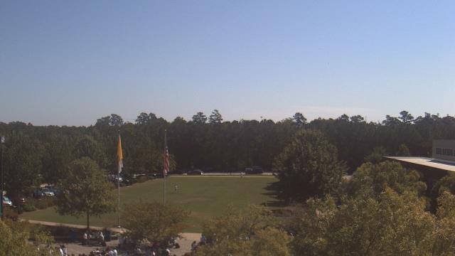
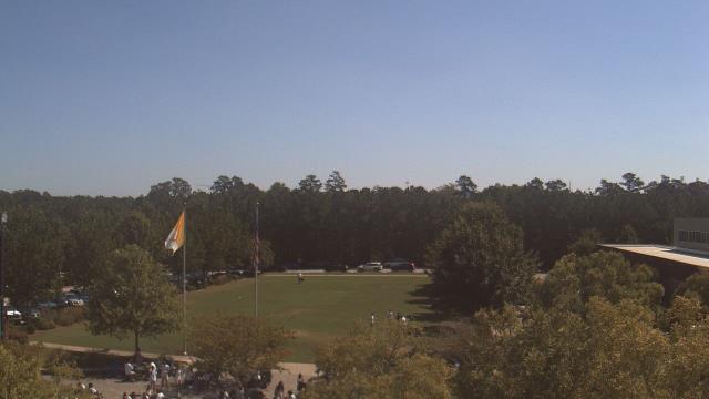
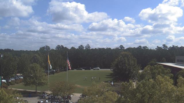
High Point, North Carolina, USA - 27.6 miles from Monroeton: WGHP-TV - A webcam in High Point, North Carolina - camera location: WGHP-TV.
Operator: WeatherBug
Operator: WeatherBug


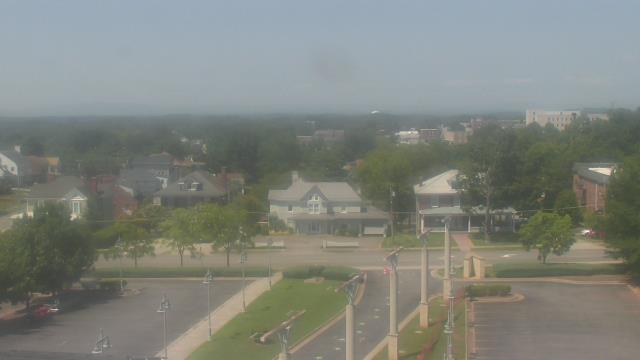
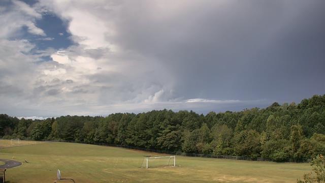
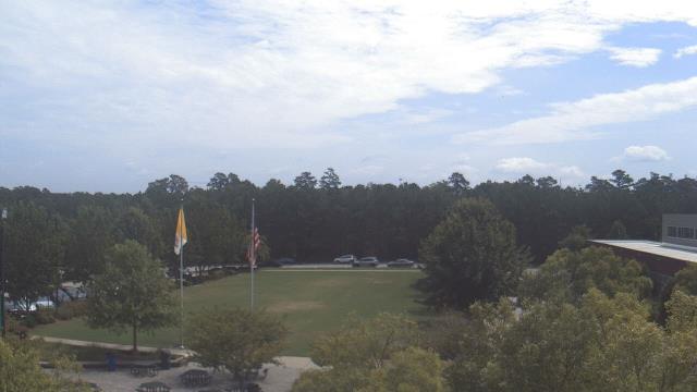
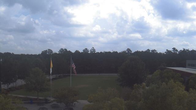
Martinsville, Virginia, USA - 28.8 miles from Monroeton: Virginia Museum of Natural History - A webcam in Martinsville, Virginia - camera location: Virginia Museum of Natural History.
Operator: WeatherBug
Operator: WeatherBug


Chapel Hill, North Carolina, USA - 48.2 miles from Monroeton: Top of the Hill Restaurant - A webcam in Chapel Hill, North Carolina - camera location: Top of the Hill Restaurant.
Operator: WeatherBug
Operator: WeatherBug


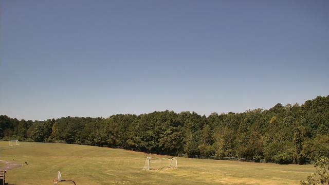
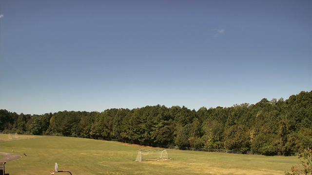
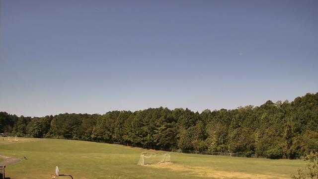
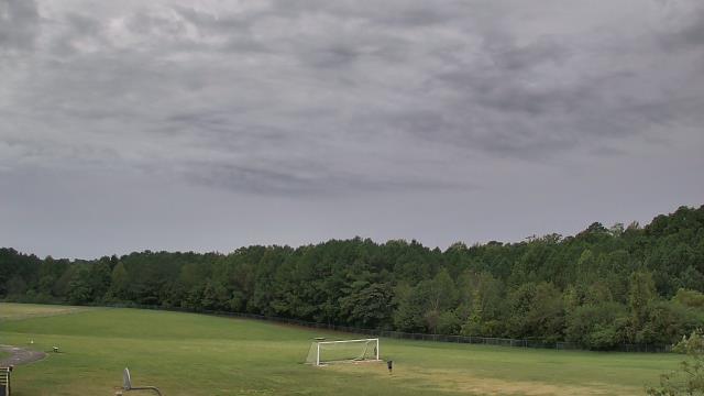
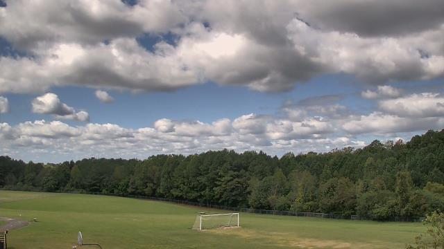
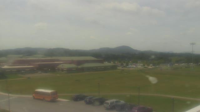
Cary, North Carolina, USA - 62.7 miles from Monroeton: Davis Drive Elementary School - A webcam in Cary, North Carolina - camera location: Davis Drive Elementary School.
Operator: WeatherBug
Operator: WeatherBug


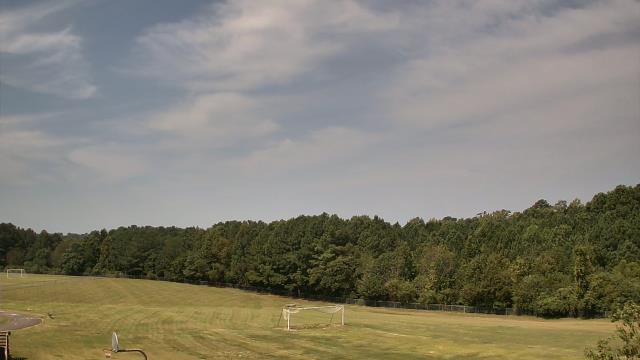


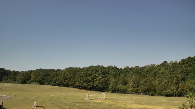
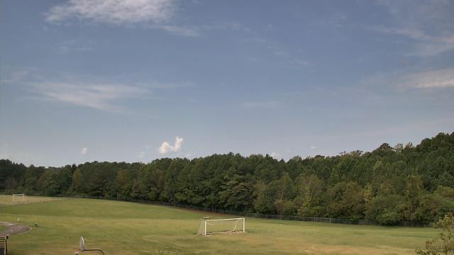

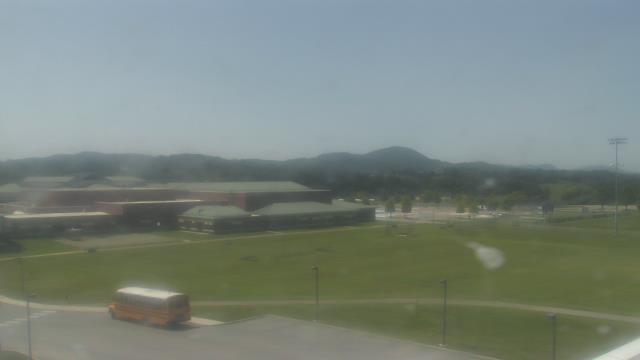
Riner, Virginia, USA - 66.4 miles from Monroeton: Auburn Middle School - A webcam in Riner, Virginia - camera location: Auburn Middle School.
Operator: WeatherBug
Operator: WeatherBug


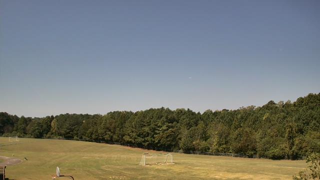
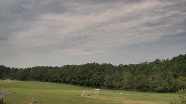
Roanoke, Virginia, USA - 68.8 miles from Monroeton: Roanoke Catholic School - A webcam in Roanoke, Virginia - camera location: Roanoke Catholic School.
Operator: WeatherBug
Operator: WeatherBug


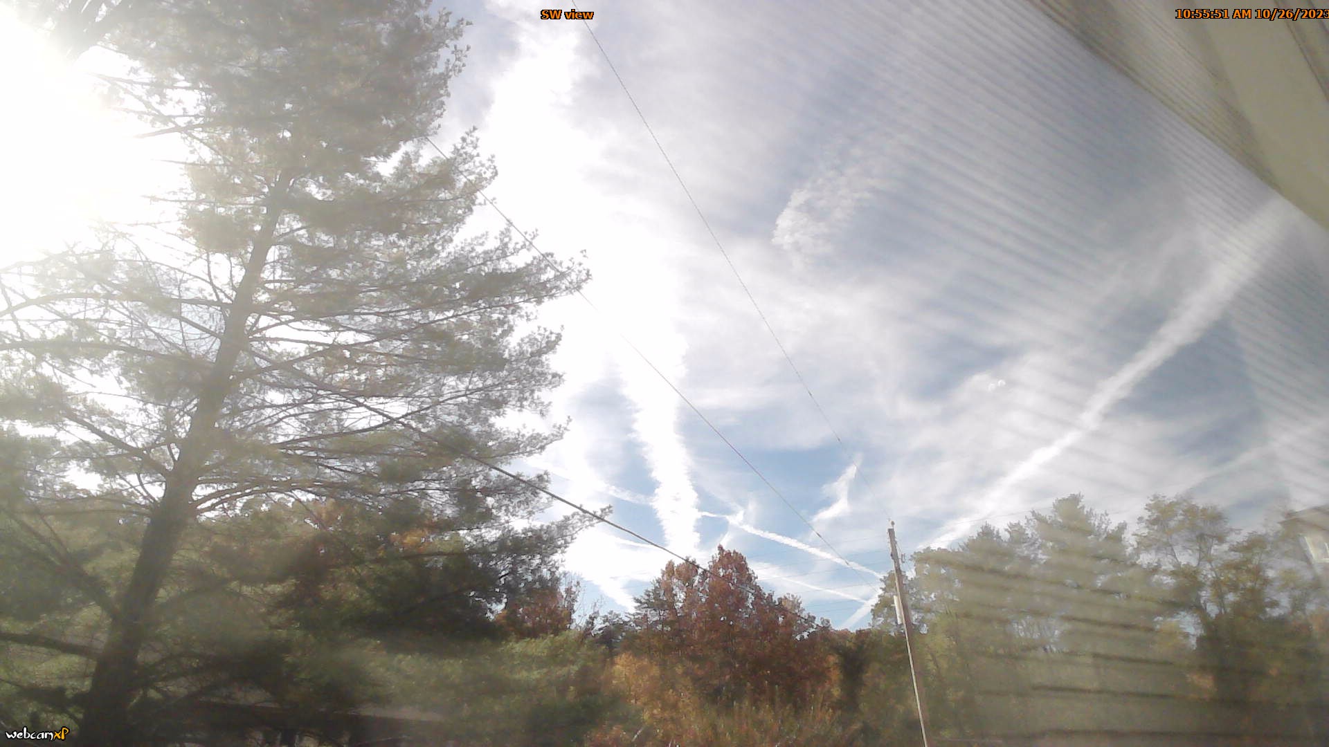
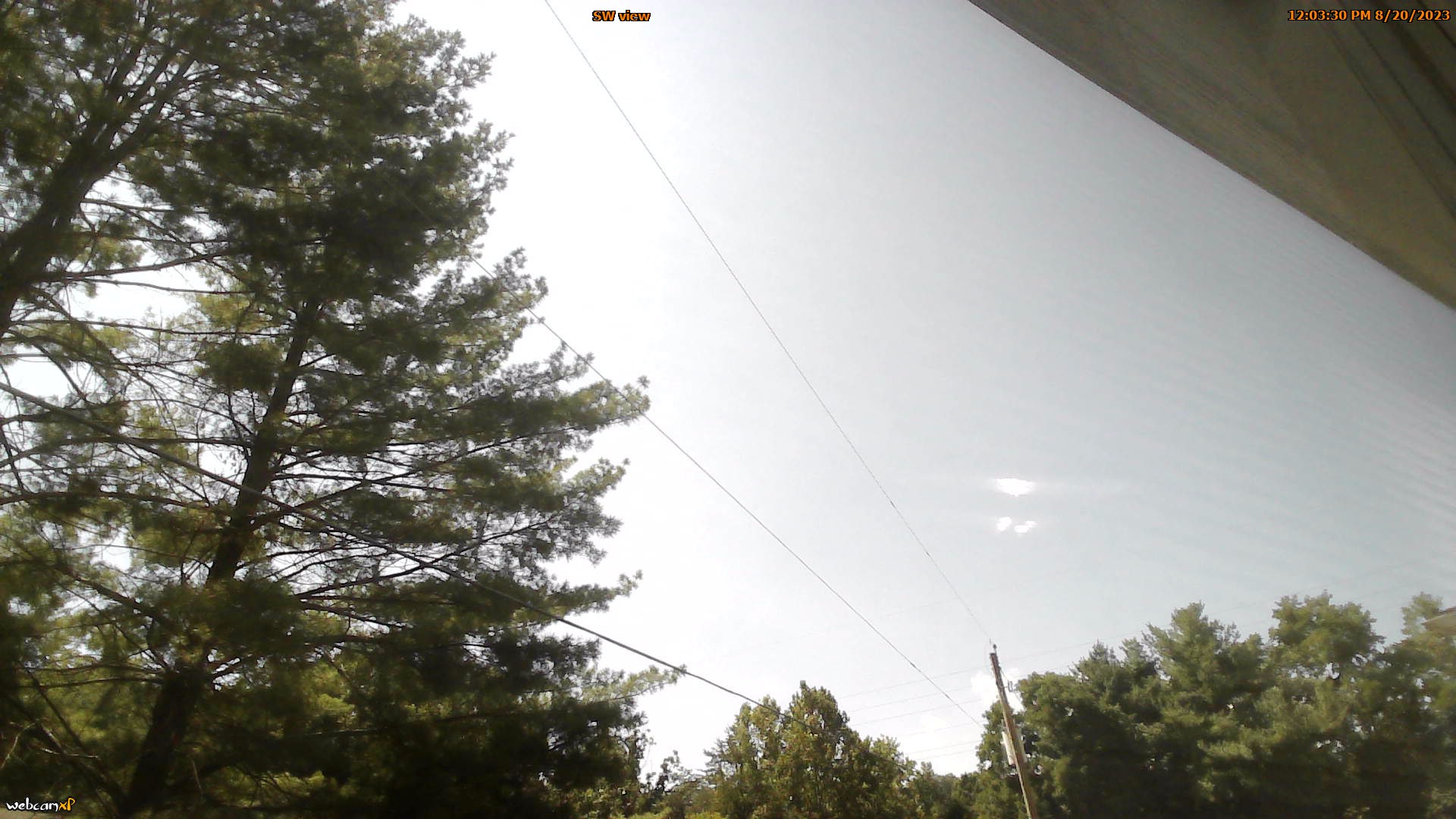
Roanoke, Virginia, USA - 68.8 miles from Monroeton: Mountain View - Looking SW over Appalachians near Blue Ridge Pkwy.
Operator: Roanoke Weather Page
Operator: Roanoke Weather Page


Raleigh, North Carolina, USA - 70.9 miles from Monroeton: Skyline - A panorama view of the skyline of Raleigh, North Carolina.
Operator: WRAL.com
Operator: WRAL.com

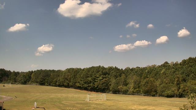
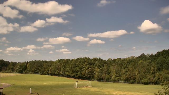
Raleigh, North Carolina, USA - 70.9 miles from Monroeton: Cardinal Gibbons High School - A webcam in Raleigh, North Carolina - camera location: Cardinal Gibbons High School.
Operator: WeatherBug
Operator: WeatherBug


Some other places in this country: Mineral Springs - Misenheimer - Mitchiners Crossroads - Monroe - Monticello - Moores Chapel - Moores Crossroads - Mooresboro - Mooresville - Mooretown