Webcams in the region of Monticello, North Carolina, USA
The List of Webcams near Monticello, North Carolina, USA:

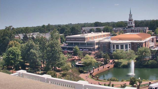
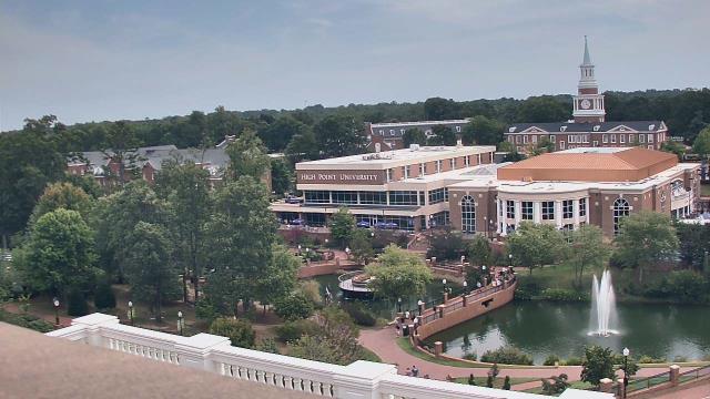
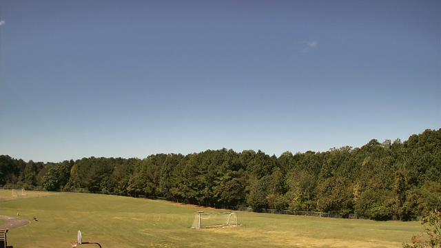
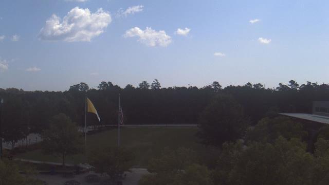
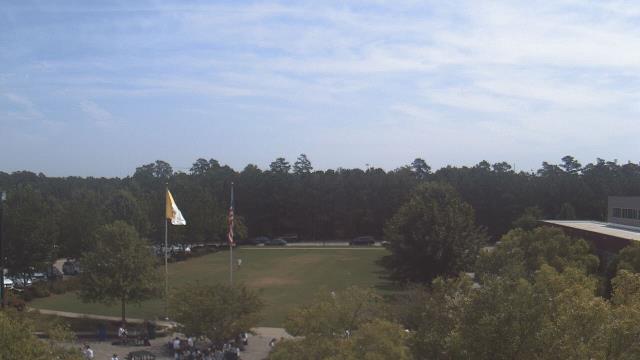
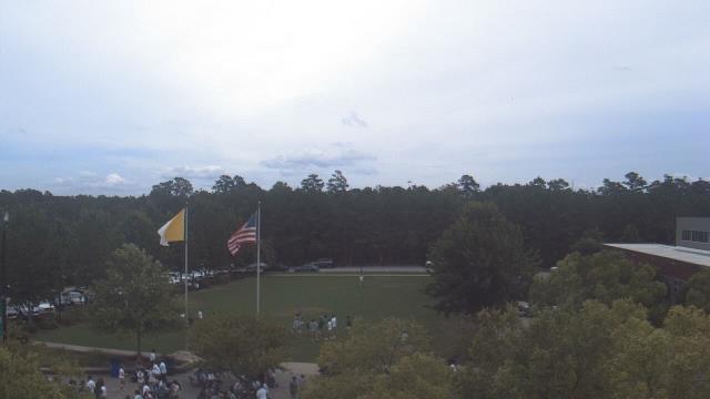
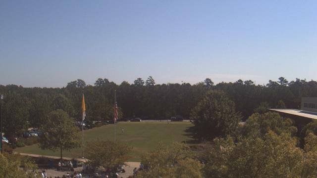
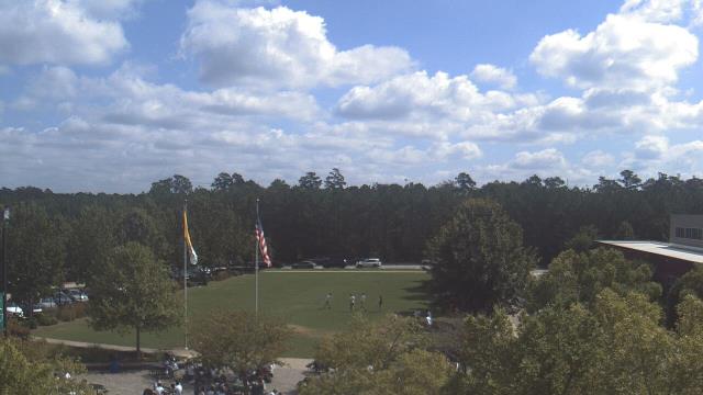
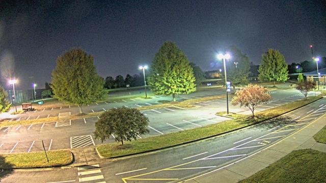
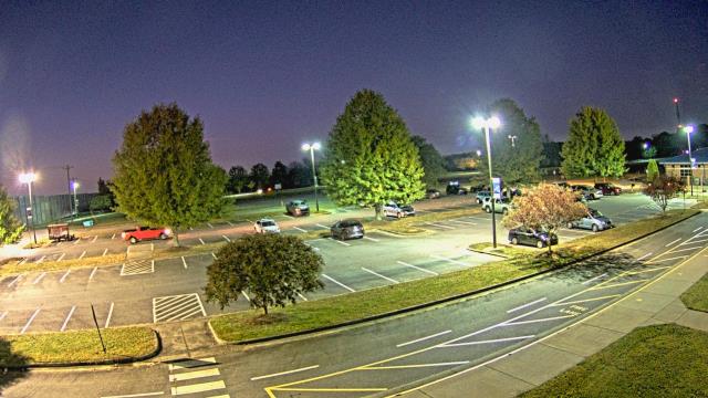
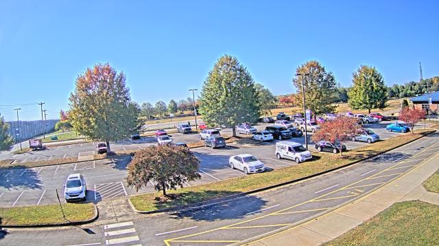
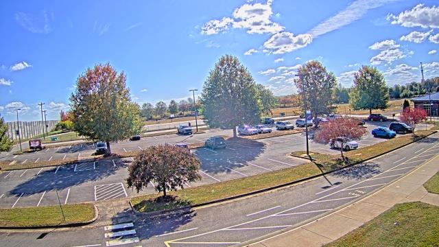
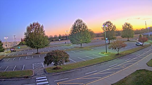
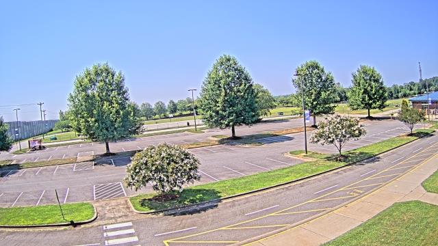
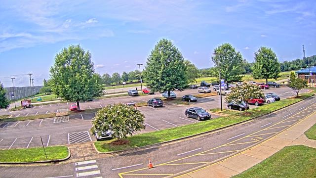
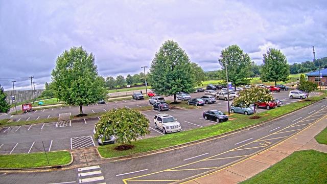
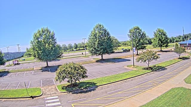
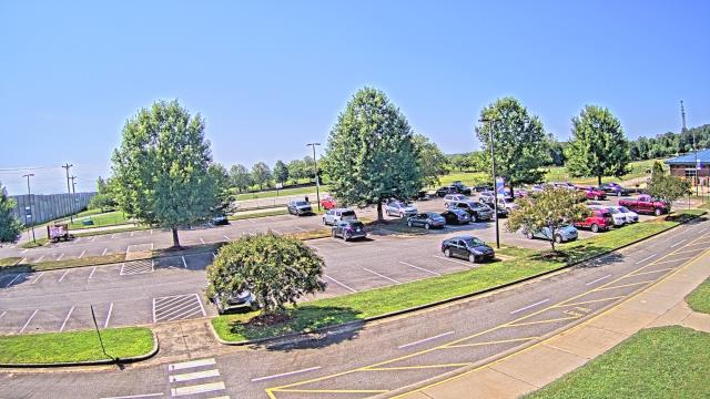
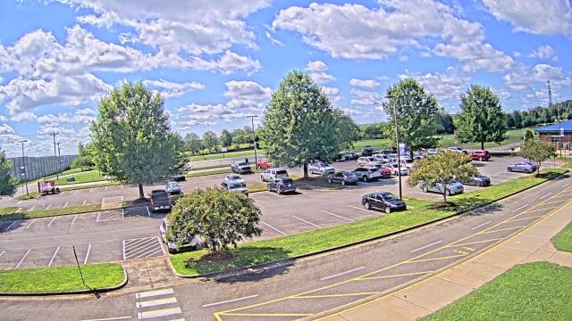
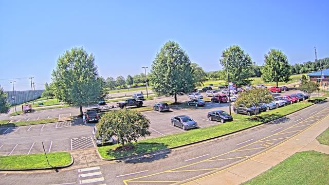
High Point, North Carolina, USA - 25.9 miles from Monticello: High Point University - A webcam in High Point, North Carolina - camera location: High Point University.
Operator: WeatherBug
Operator: WeatherBug


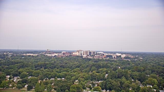
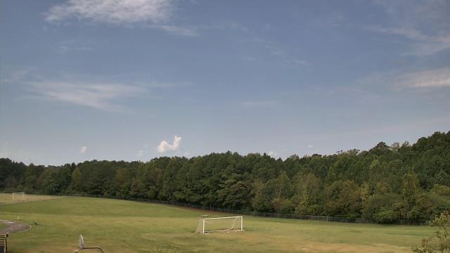
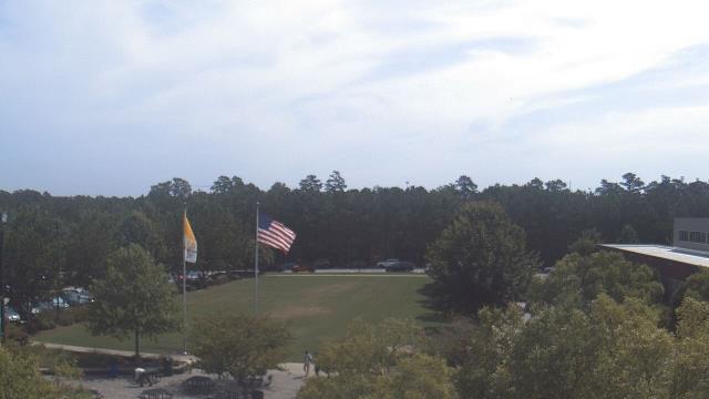
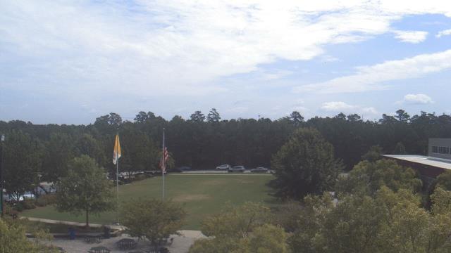
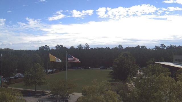
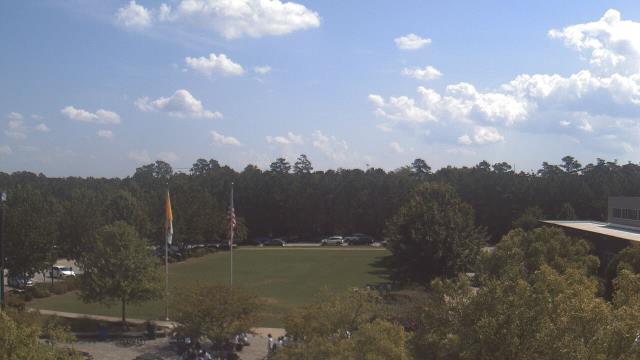
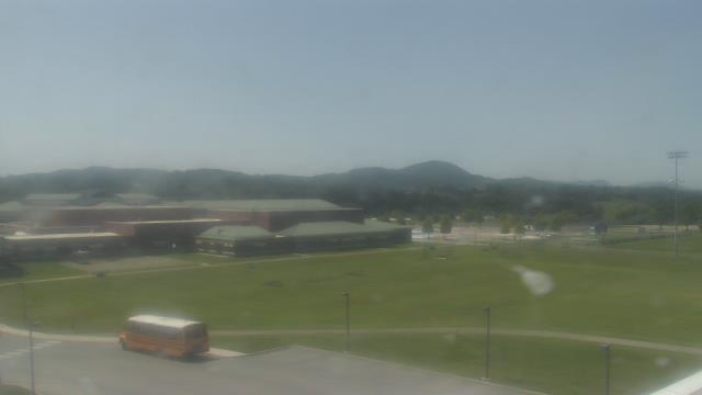
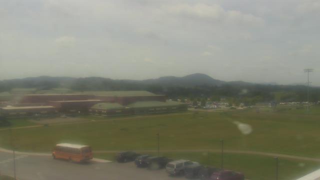
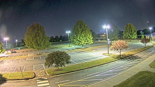
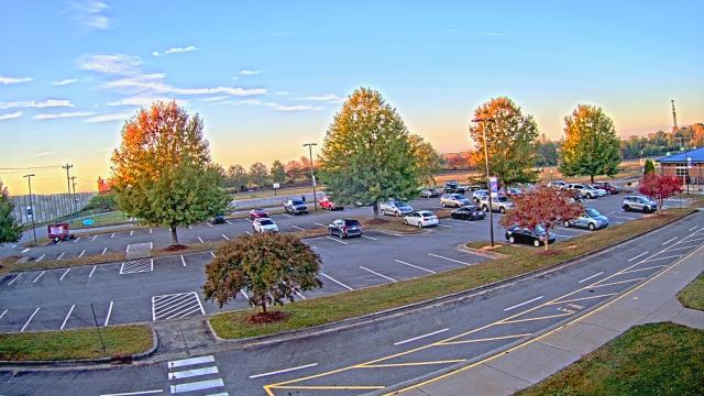
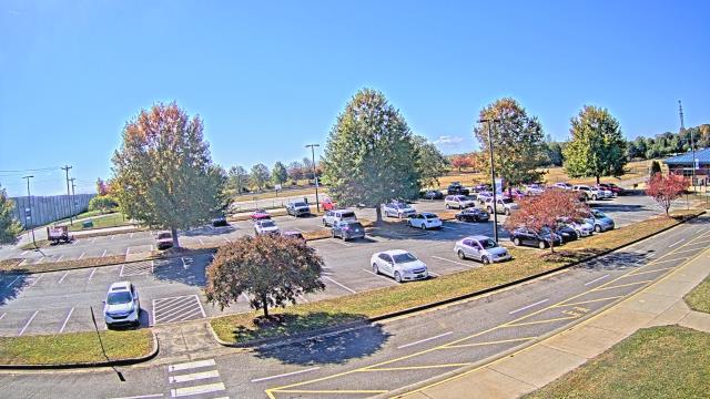
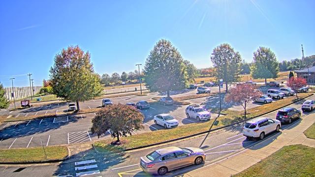
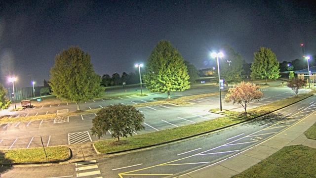
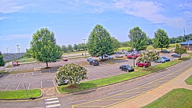
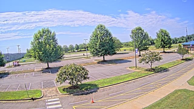
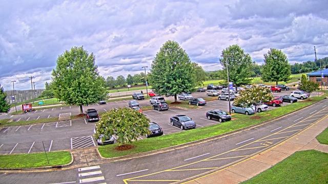
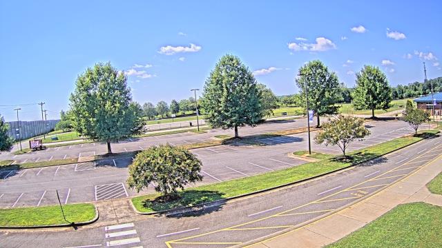
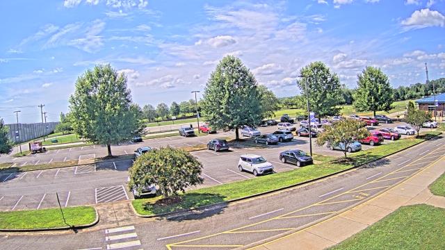
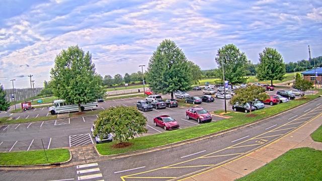
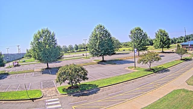
High Point, North Carolina, USA - 25.9 miles from Monticello: WGHP-TV - A webcam in High Point, North Carolina - camera location: WGHP-TV.
Operator: WeatherBug
Operator: WeatherBug


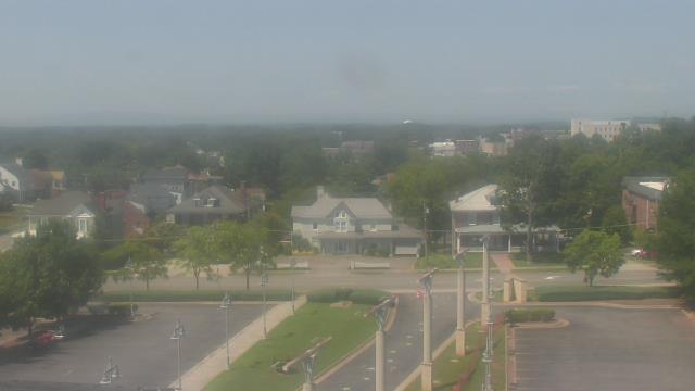
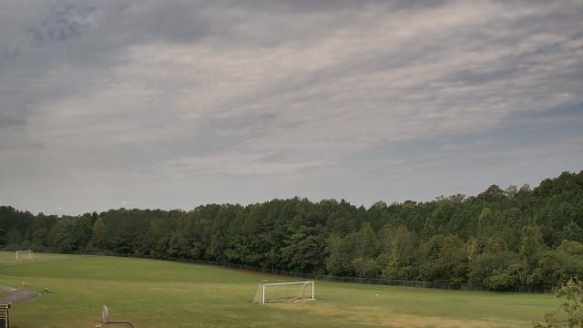
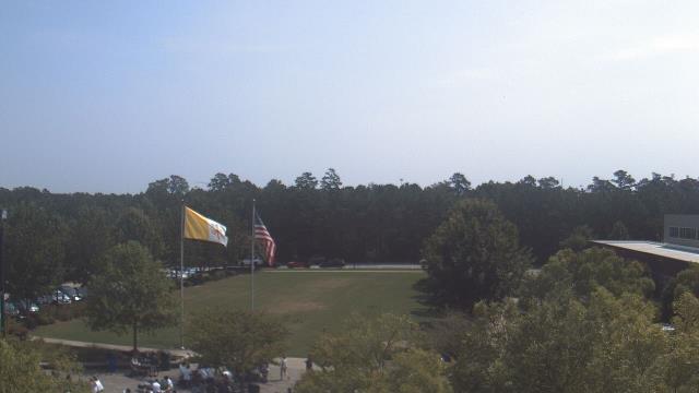
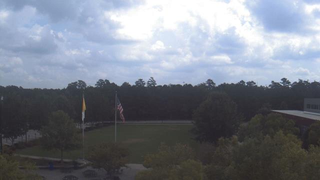
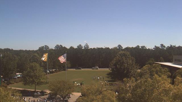
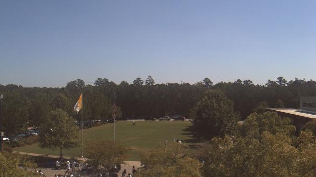
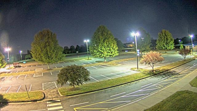
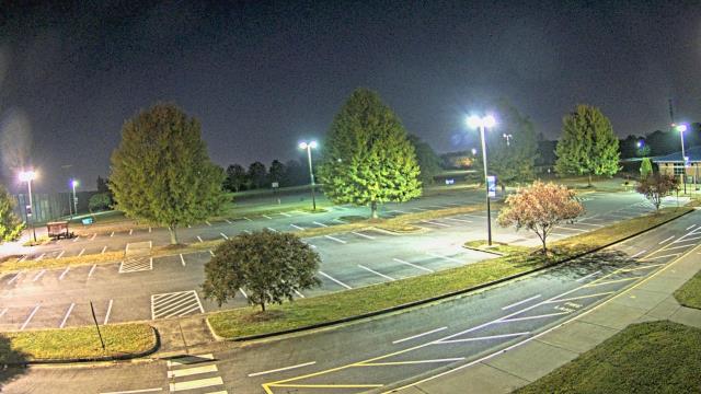
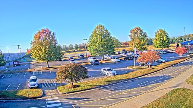
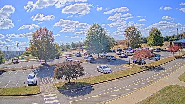
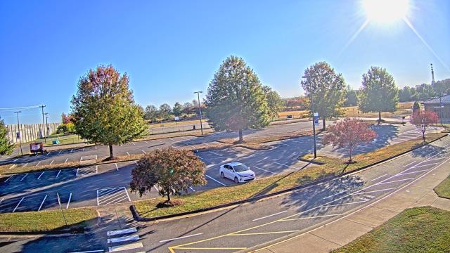
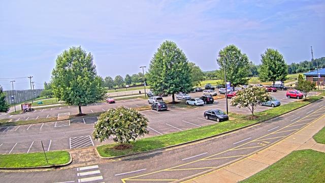
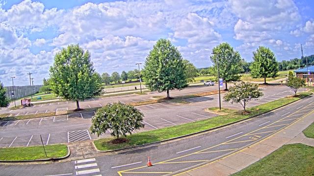
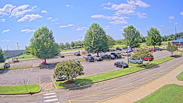
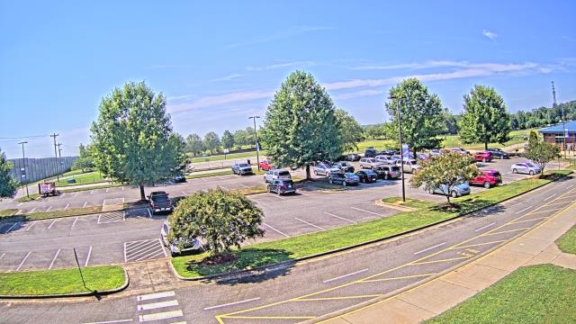
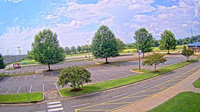
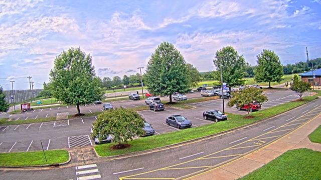
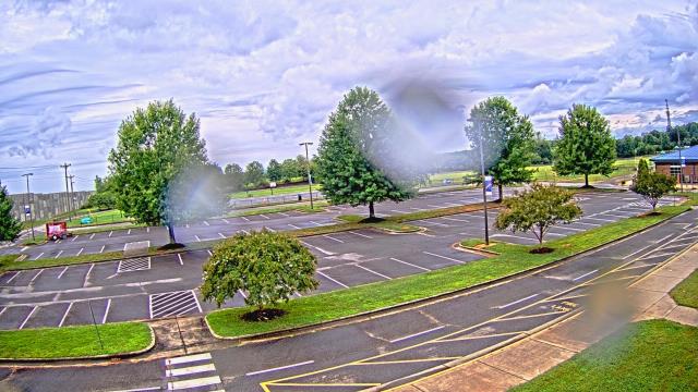
Martinsville, Virginia, USA - 34.4 miles from Monticello: Virginia Museum of Natural History - A webcam in Martinsville, Virginia - camera location: Virginia Museum of Natural History.
Operator: WeatherBug
Operator: WeatherBug


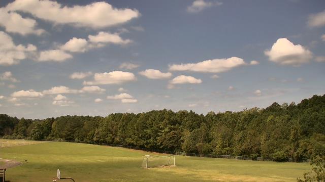
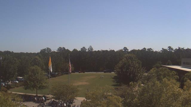
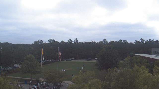
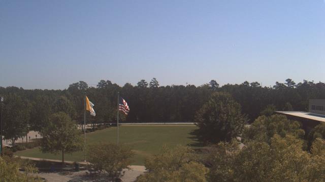
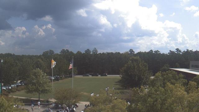
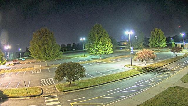
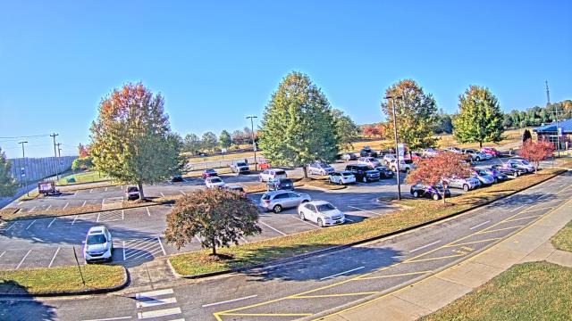
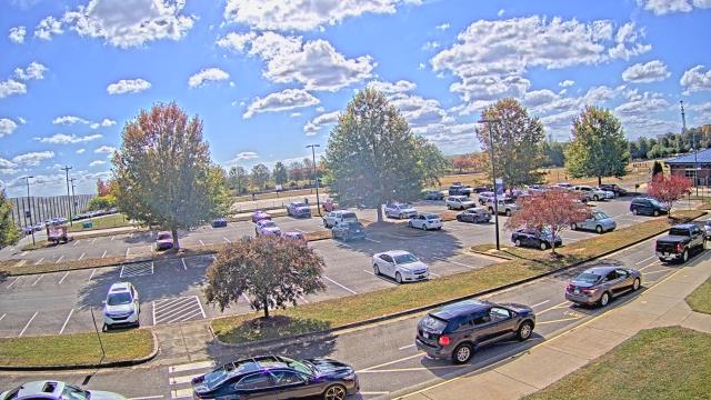
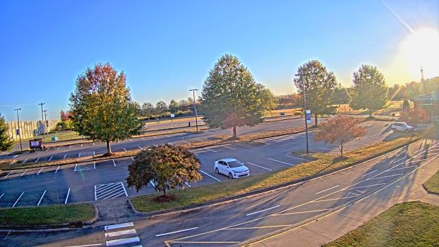
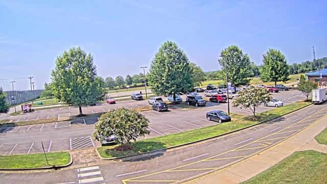
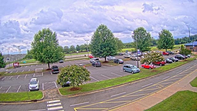
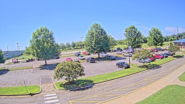
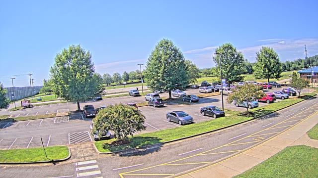
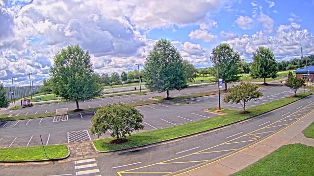
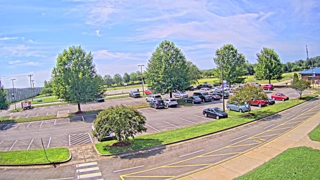
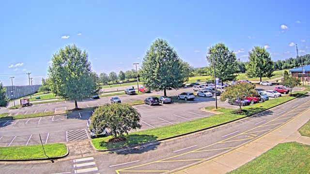
Chapel Hill, North Carolina, USA - 43 miles from Monticello: Top of the Hill Restaurant - A webcam in Chapel Hill, North Carolina - camera location: Top of the Hill Restaurant.
Operator: WeatherBug
Operator: WeatherBug


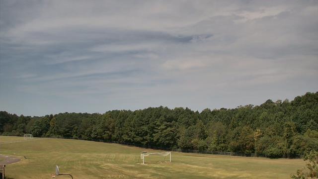
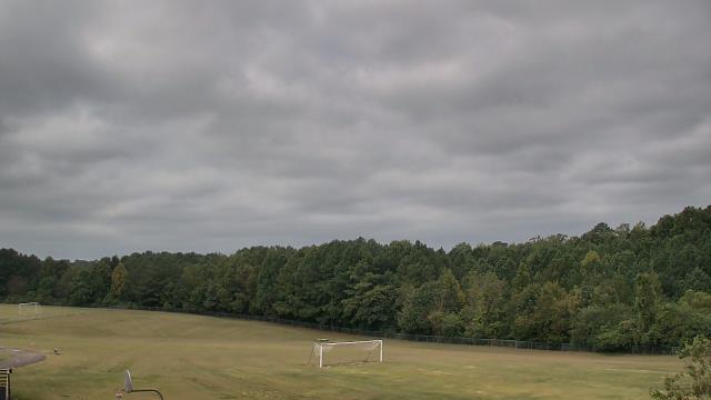
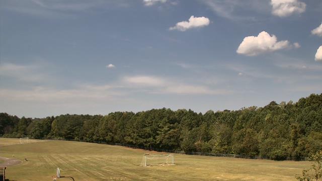
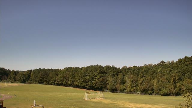
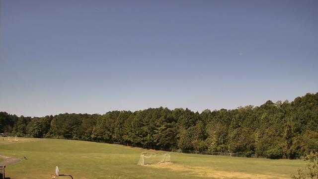
Cary, North Carolina, USA - 57.4 miles from Monticello: Davis Drive Elementary School - A webcam in Cary, North Carolina - camera location: Davis Drive Elementary School.
Operator: WeatherBug
Operator: WeatherBug


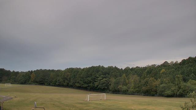


Raleigh, North Carolina, USA - 65.8 miles from Monticello: Skyline - A panorama view of the skyline of Raleigh, North Carolina.
Operator: WRAL.com
Operator: WRAL.com

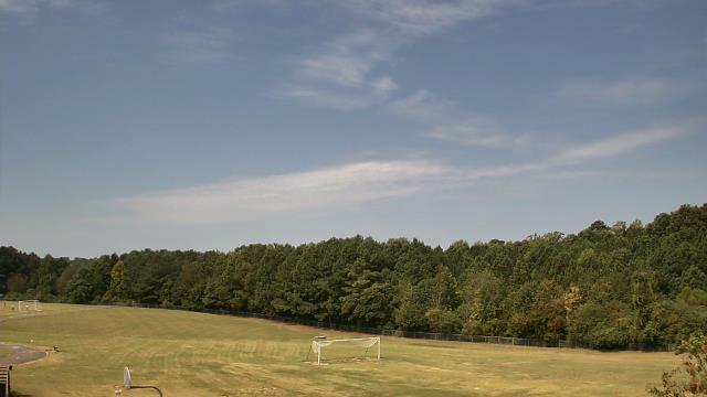
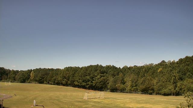
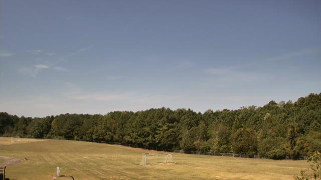
Raleigh, North Carolina, USA - 65.8 miles from Monticello: Cardinal Gibbons High School - A webcam in Raleigh, North Carolina - camera location: Cardinal Gibbons High School.
Operator: WeatherBug
Operator: WeatherBug


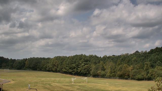
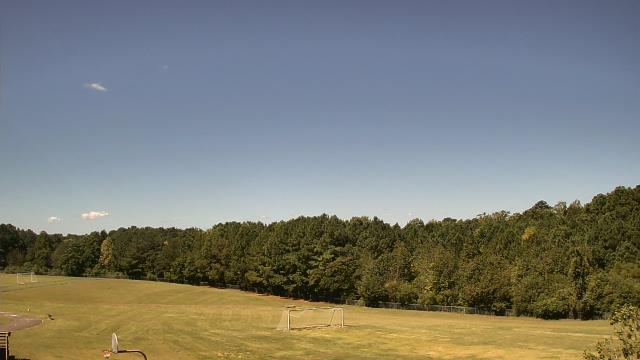
Riner, Virginia, USA - 72.2 miles from Monticello: Auburn Middle School - A webcam in Riner, Virginia - camera location: Auburn Middle School.
Operator: WeatherBug
Operator: WeatherBug


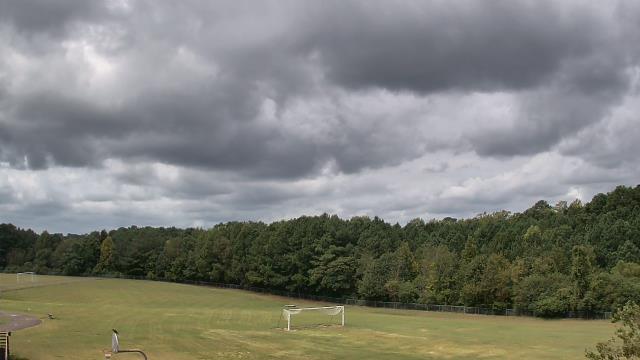
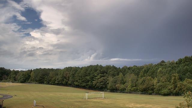
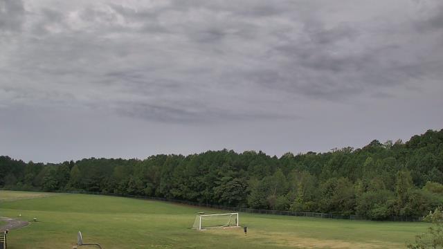
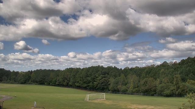
Statesville, North Carolina, USA - 74 miles from Monticello: Cloverleaf Elementary School - A webcam in Statesville, North Carolina - camera location: Cloverleaf Elementary School.
Operator: WeatherBug
Operator: WeatherBug


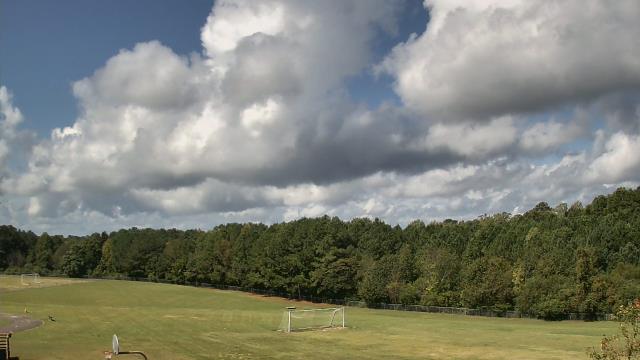
Roanoke, Virginia, USA - 74.1 miles from Monticello: Roanoke Catholic School - A webcam in Roanoke, Virginia - camera location: Roanoke Catholic School.
Operator: WeatherBug
Operator: WeatherBug


Some other places in this country: Misenheimer - Mitchiners Crossroads - Monroe - Monroeton - Moores Chapel - Moores Crossroads - Mooresboro - Mooresville - Mooretown - Moravian Falls