Webcams in the region of Light Nixon Fork, North Carolina, USA
The List of Webcams near Light Nixon Fork, North Carolina, USA:

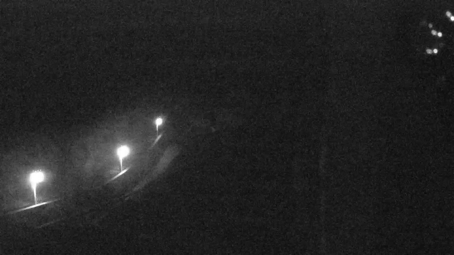
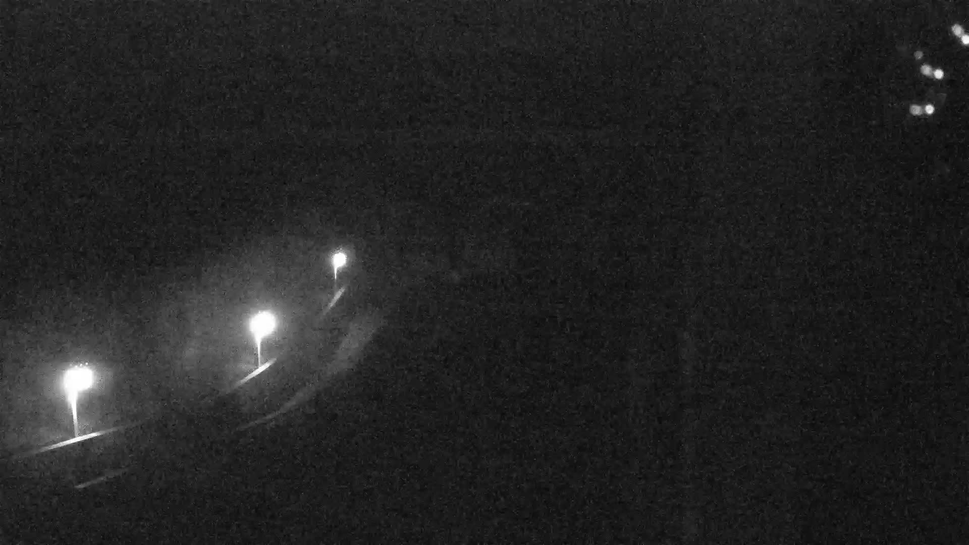
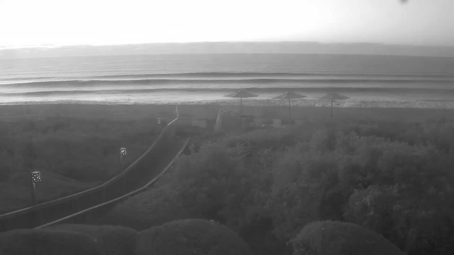
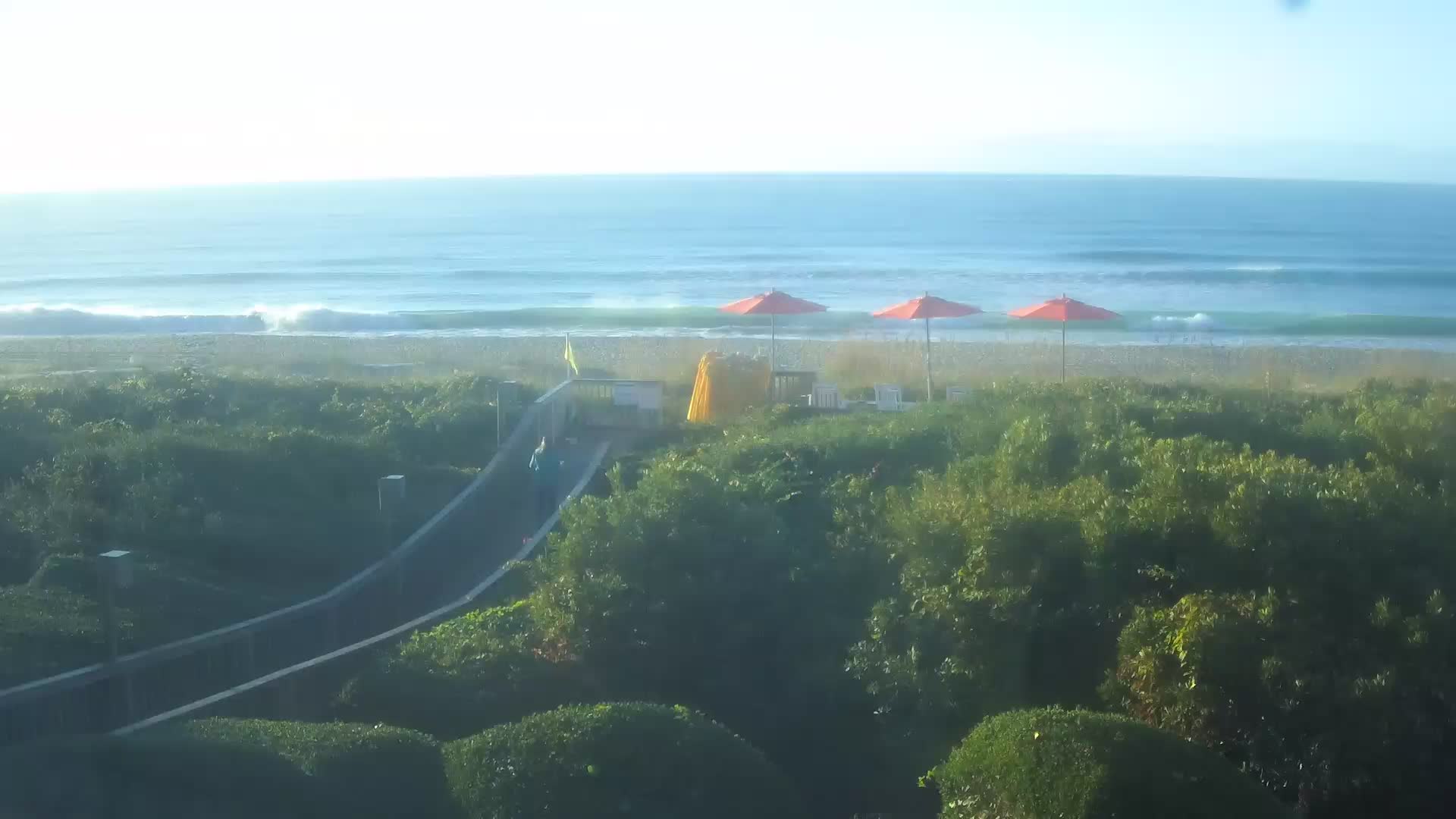
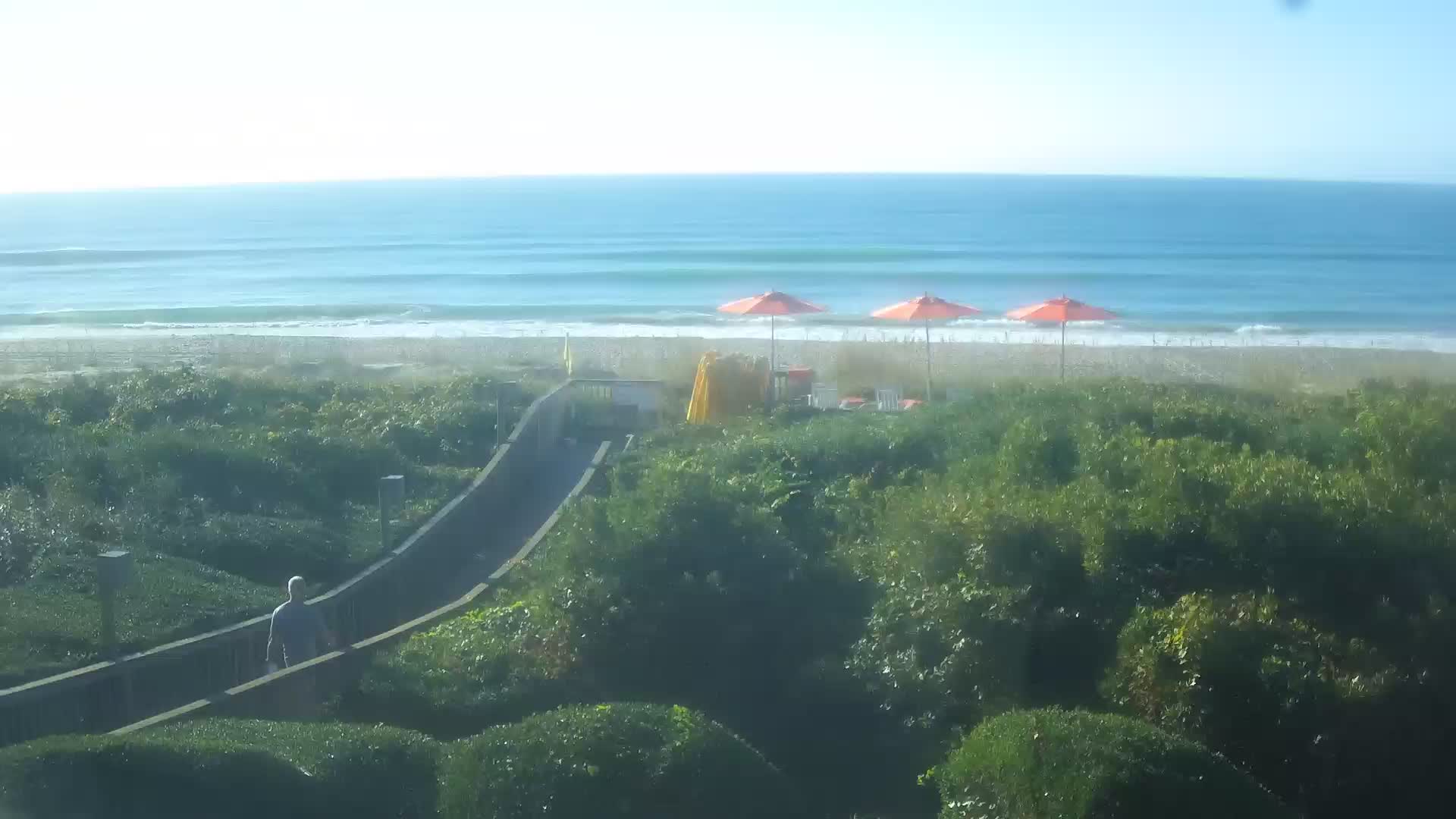
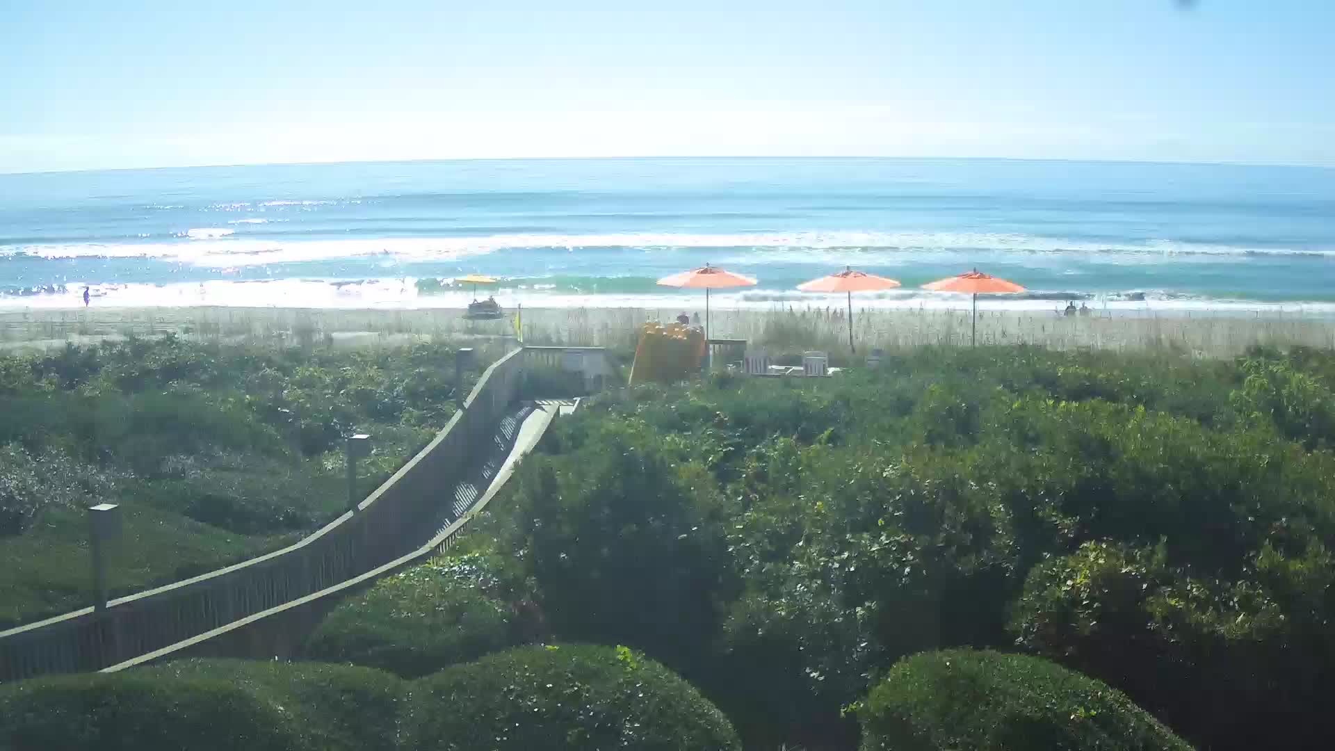
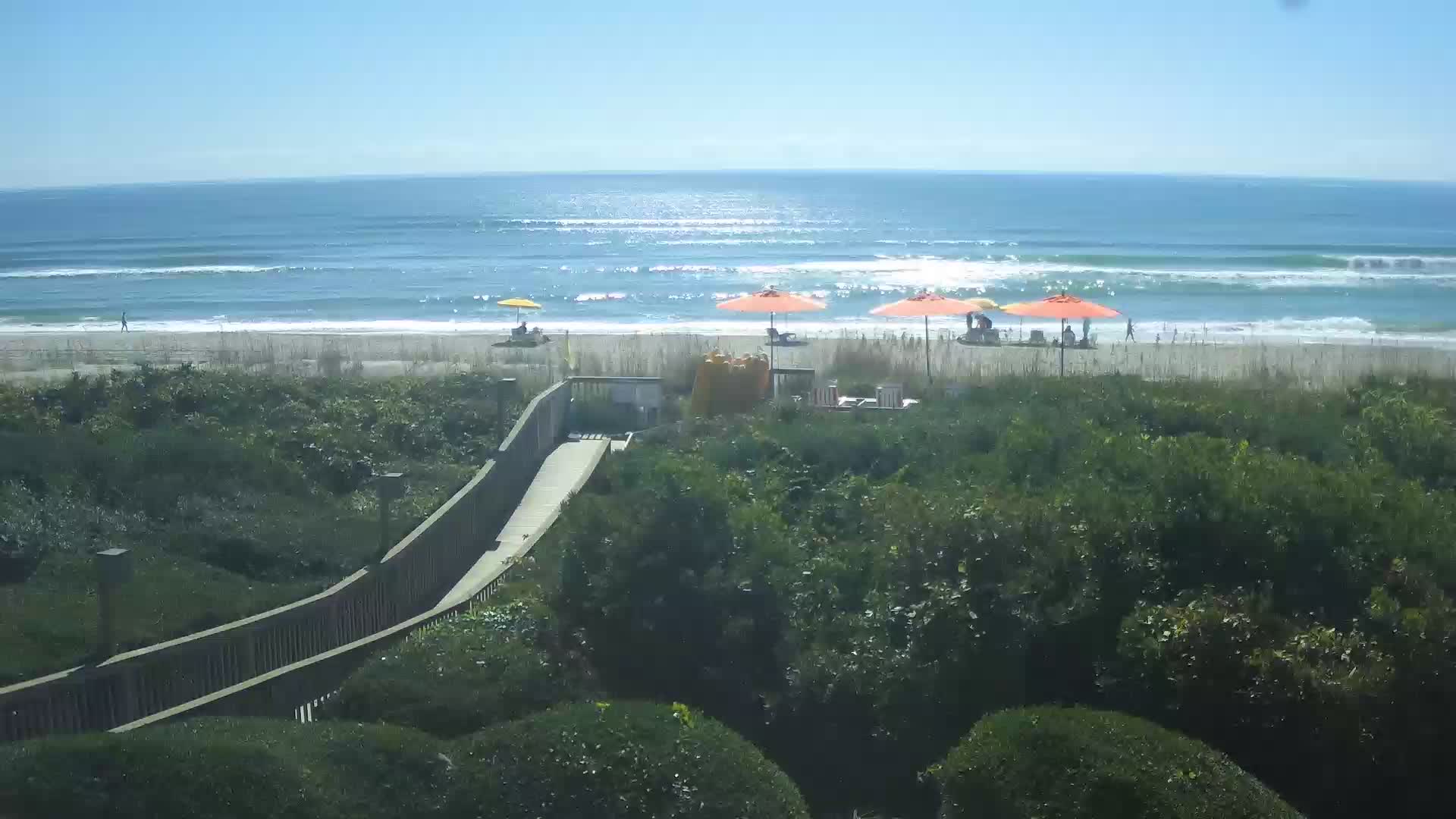
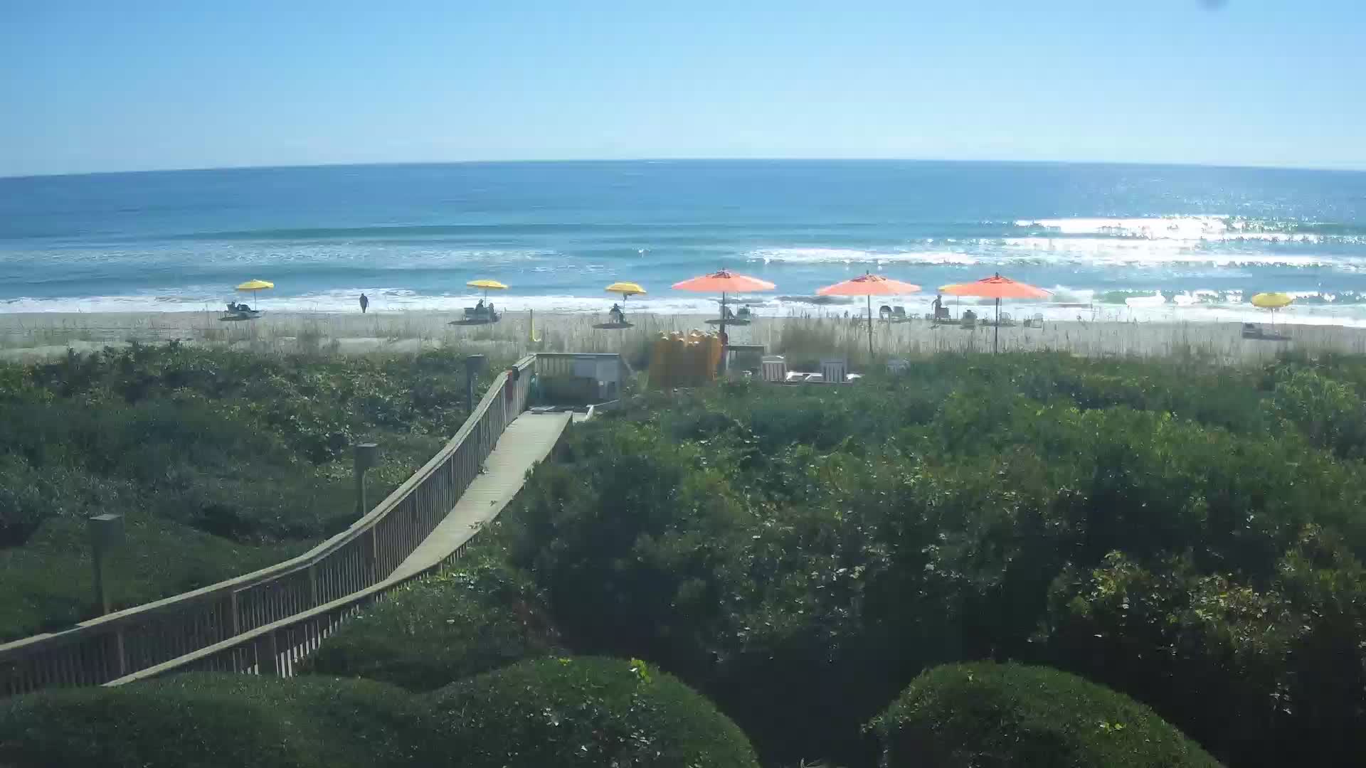
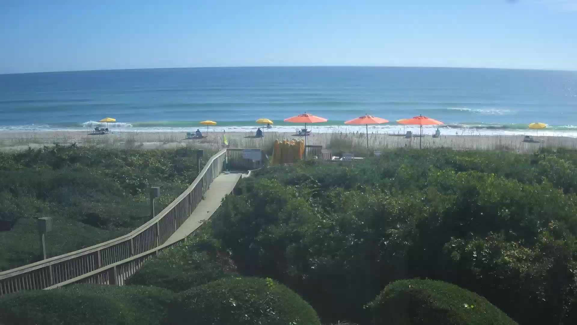
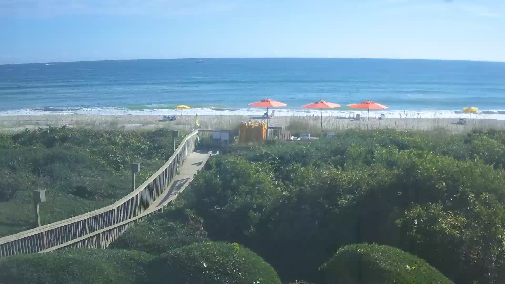
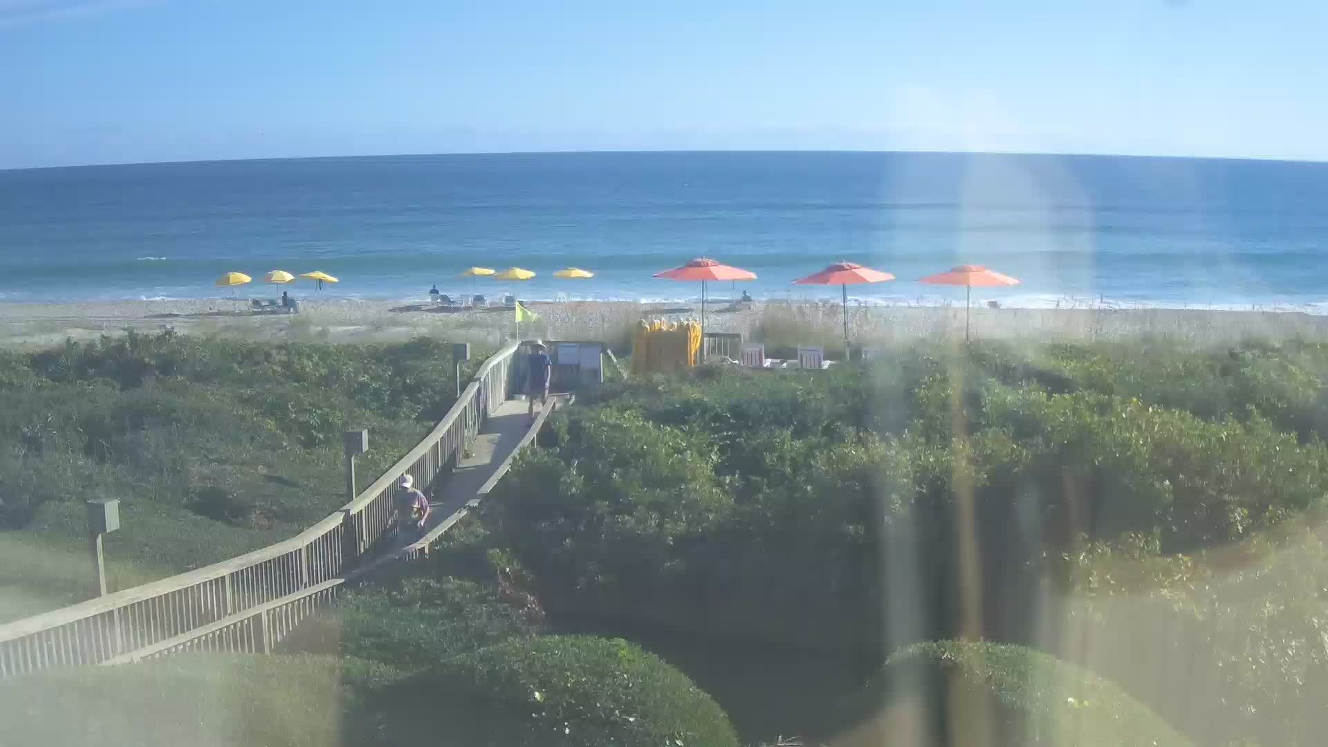
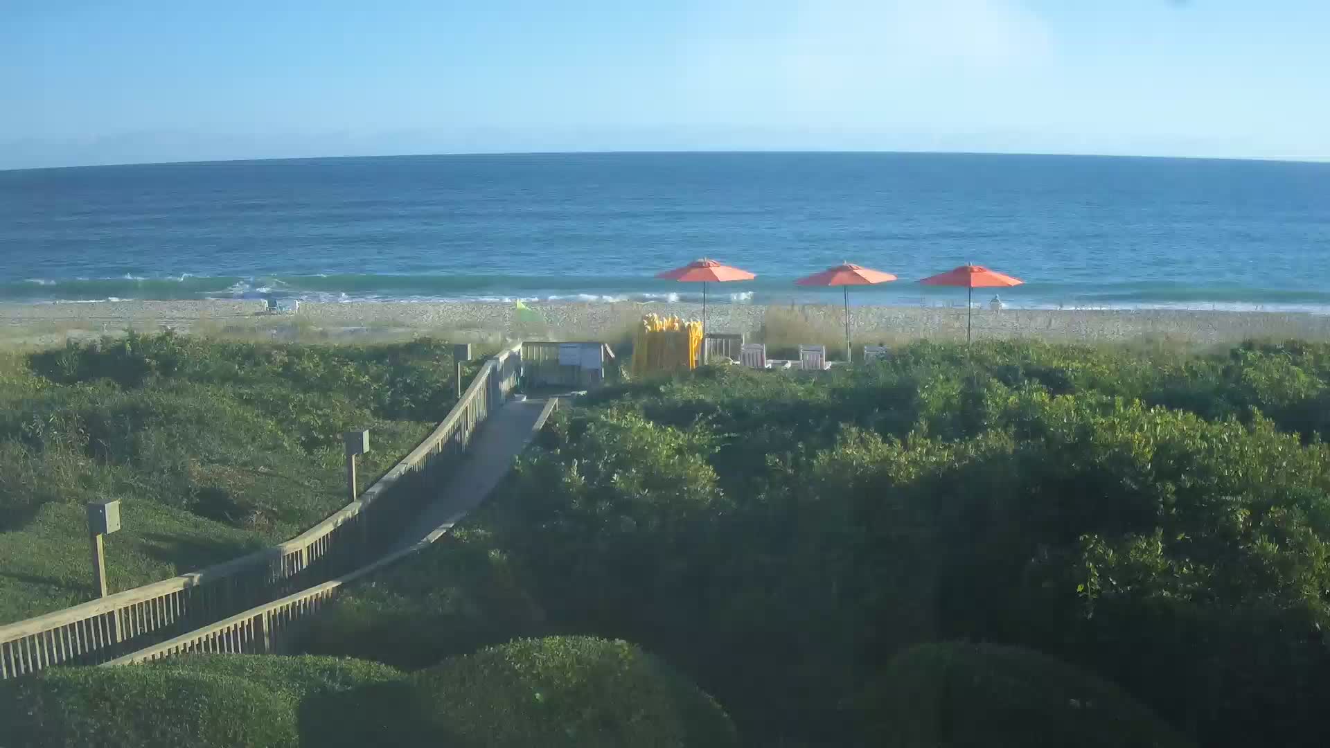
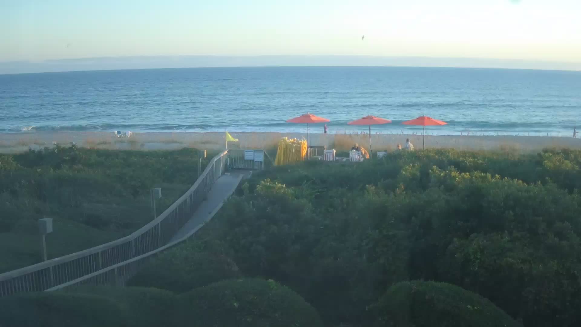
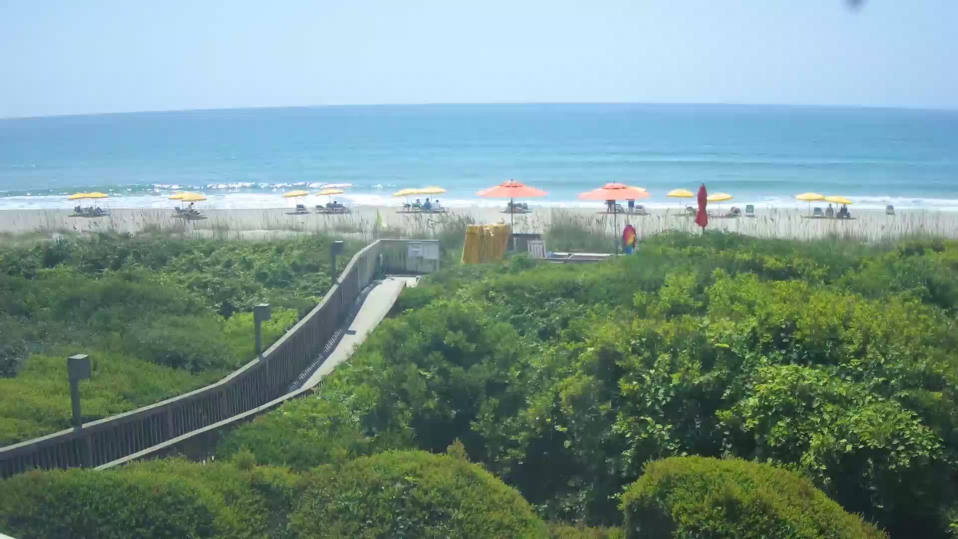
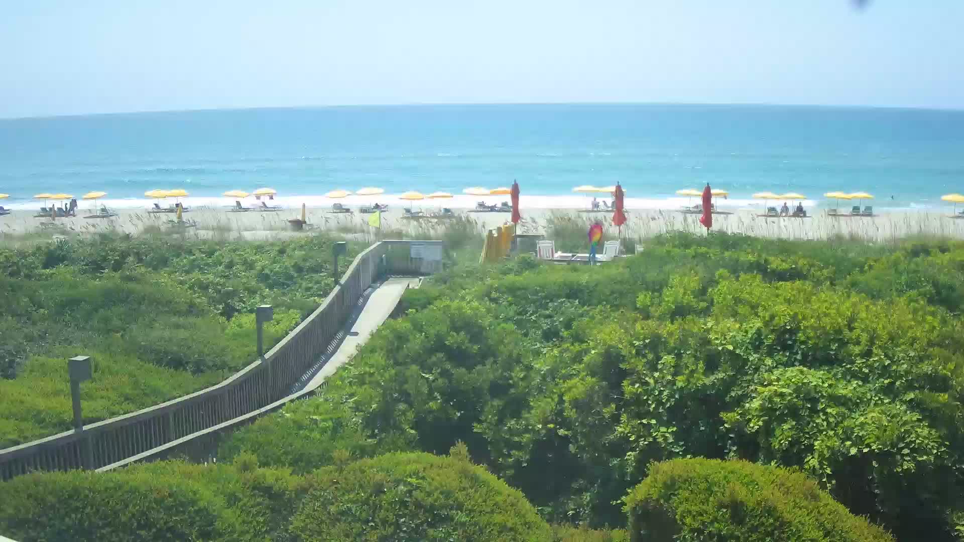
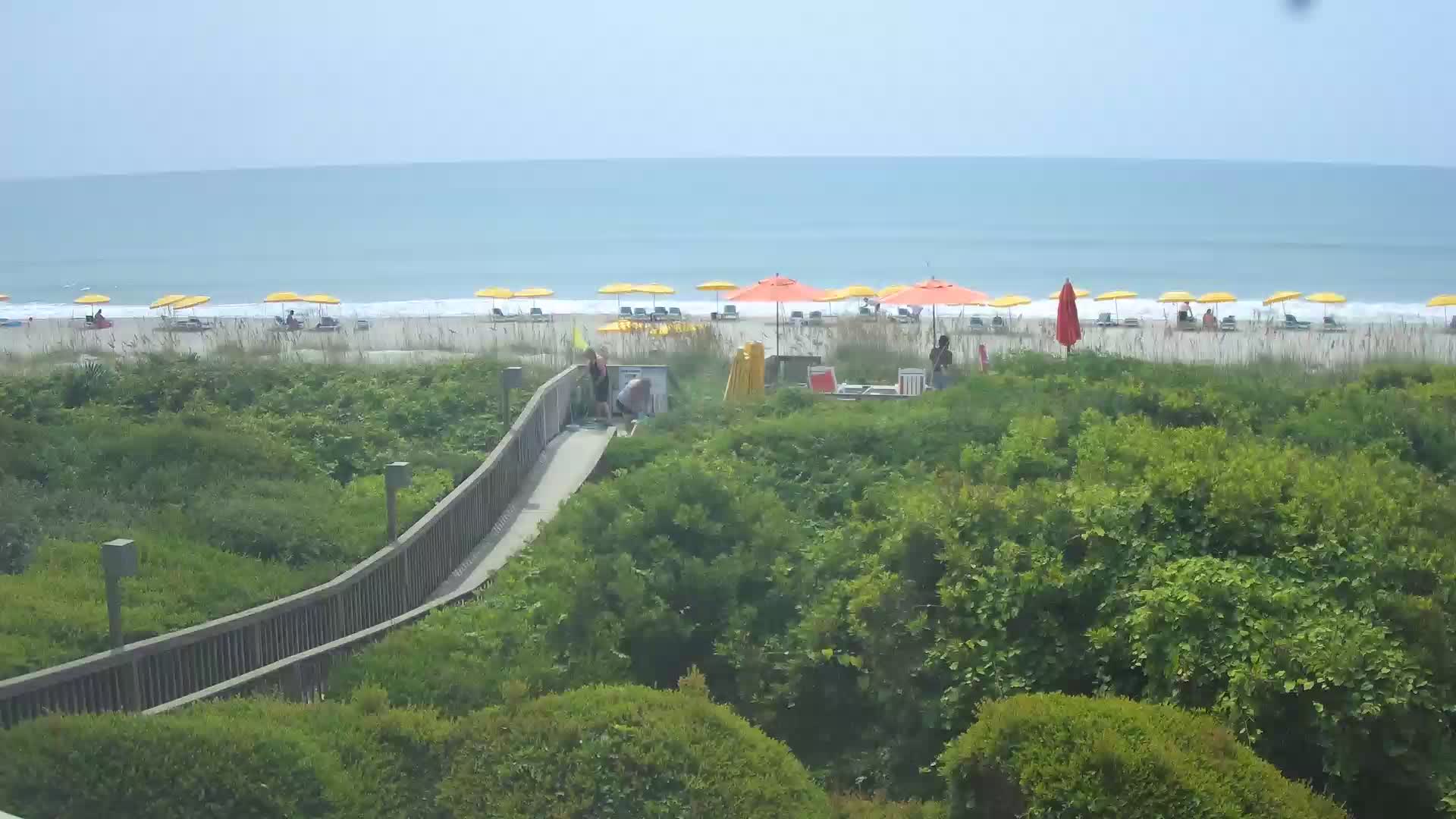
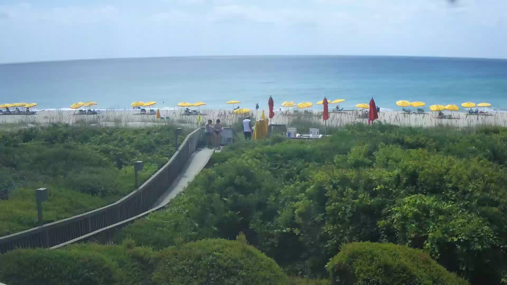
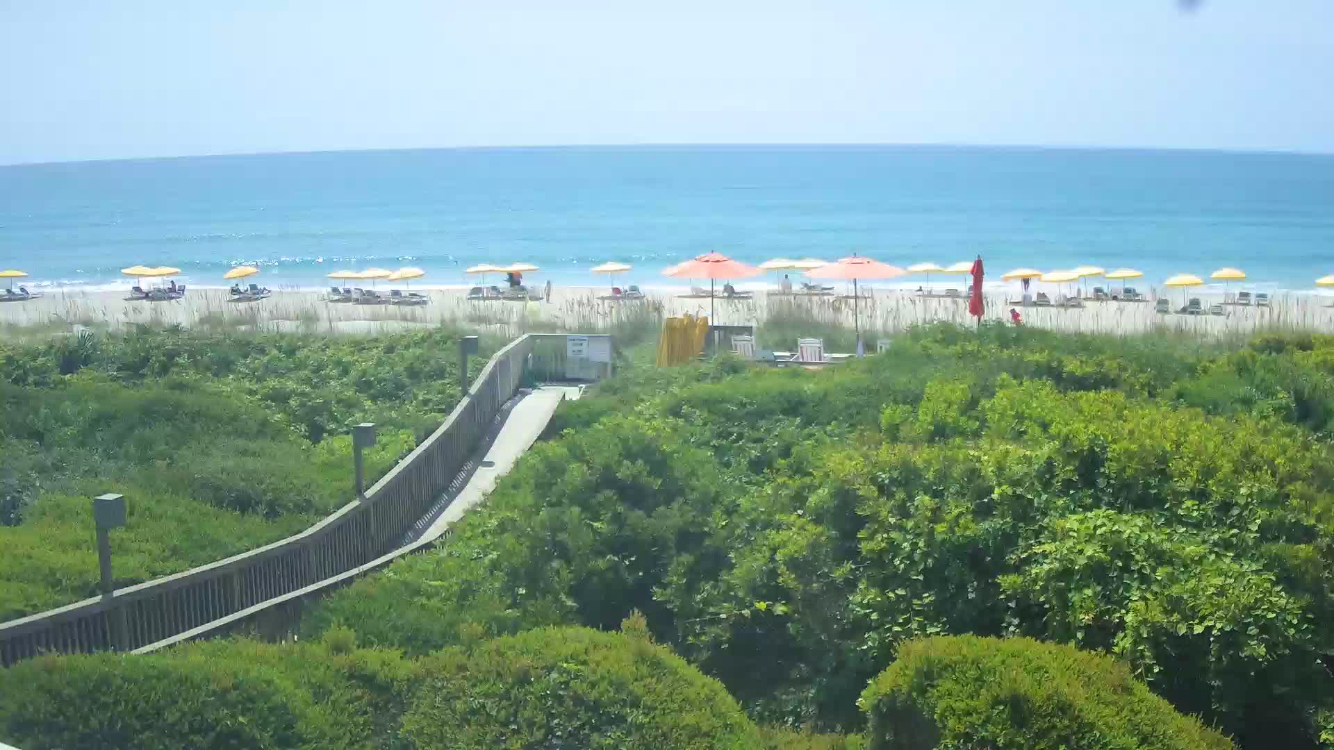
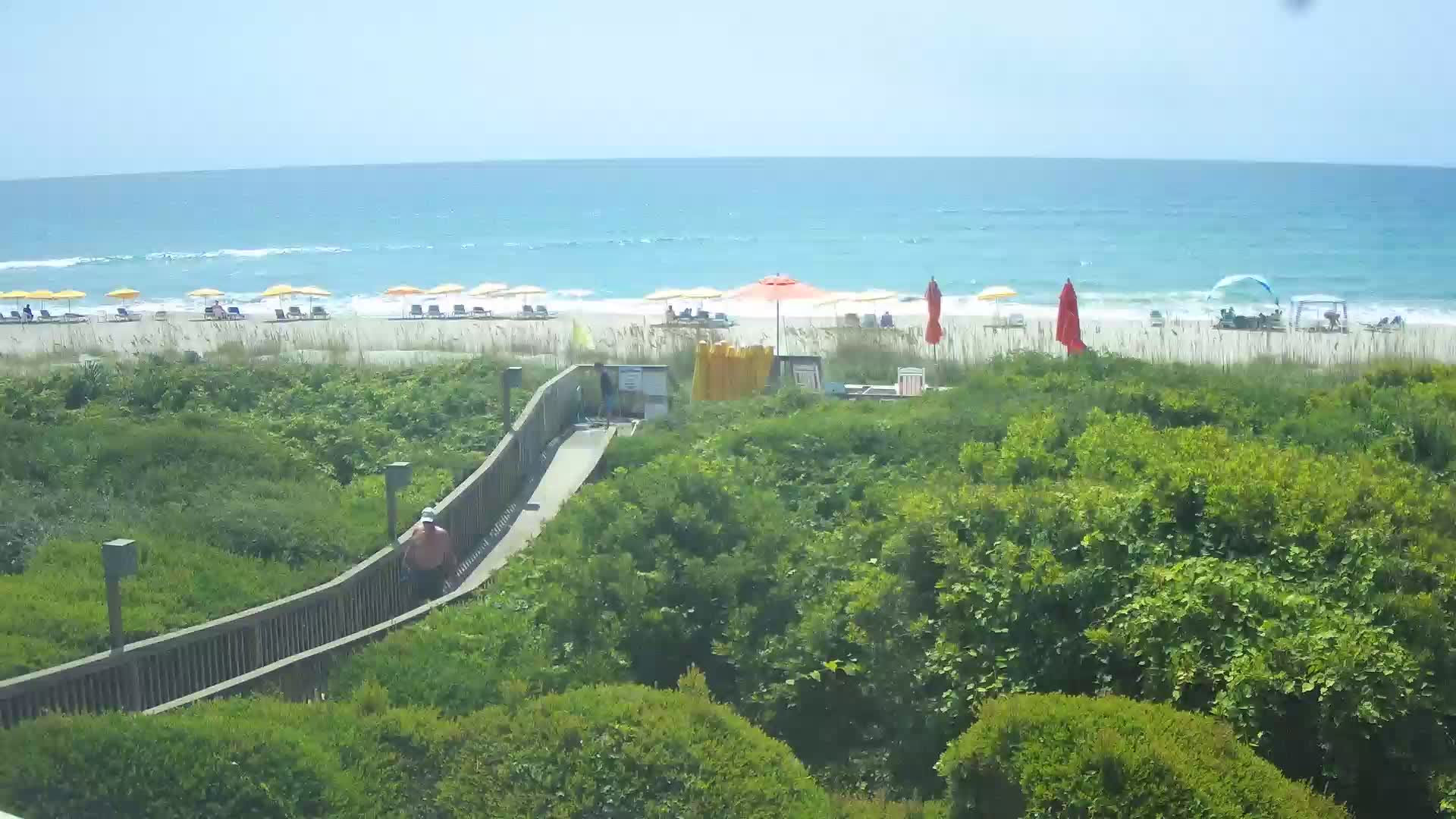
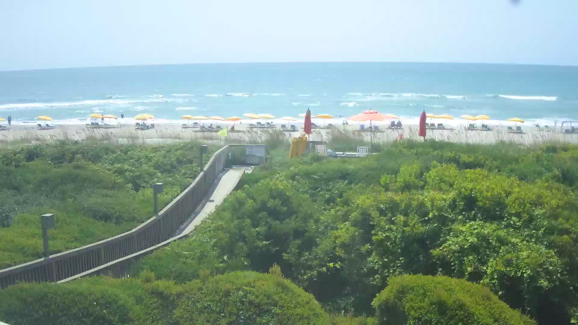
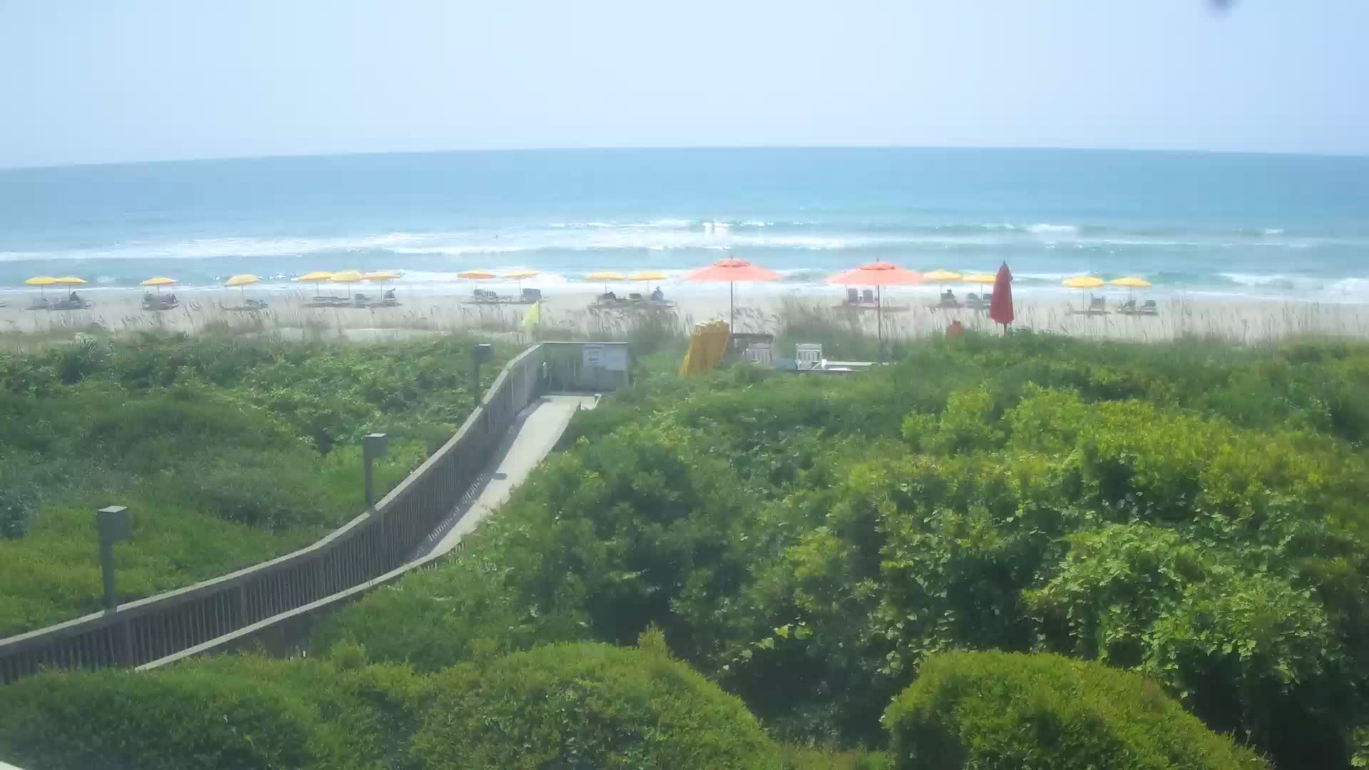
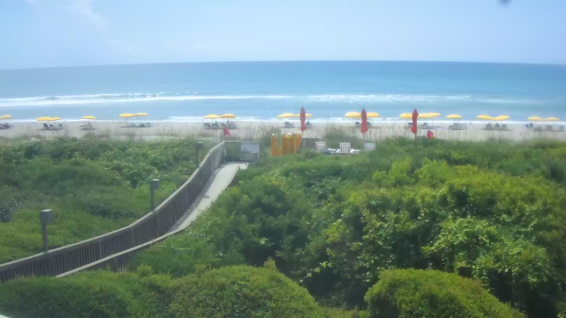
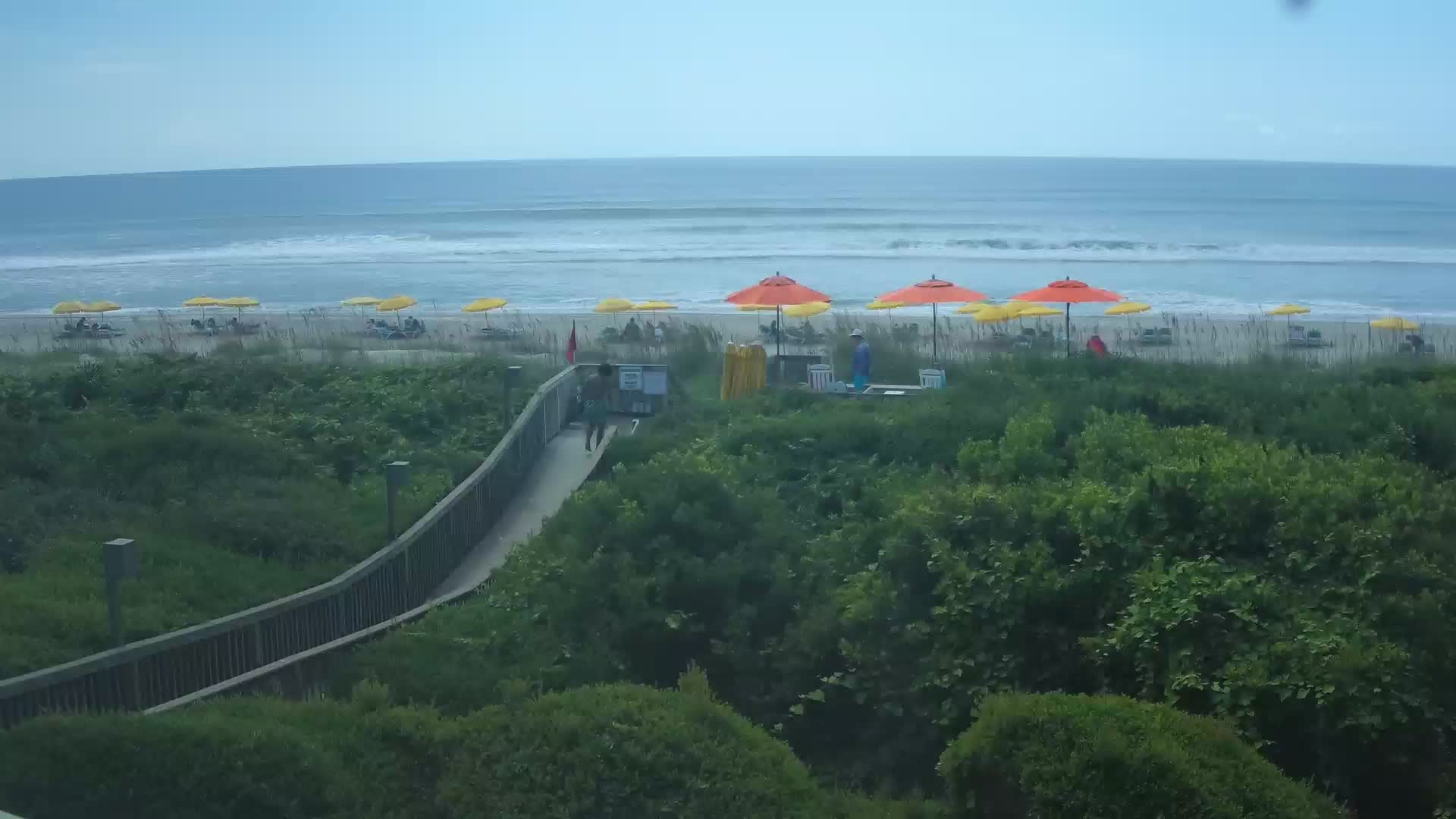
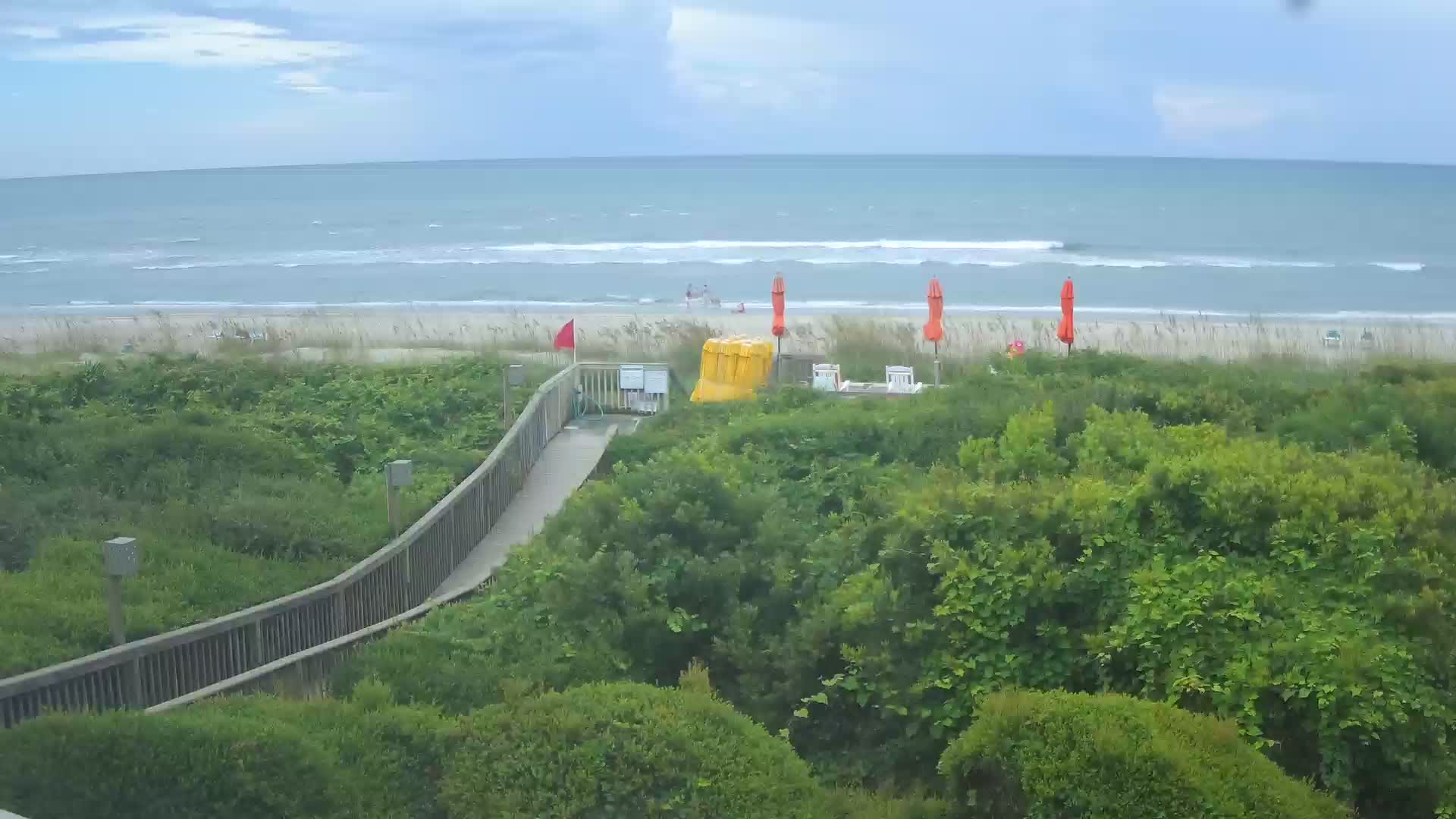
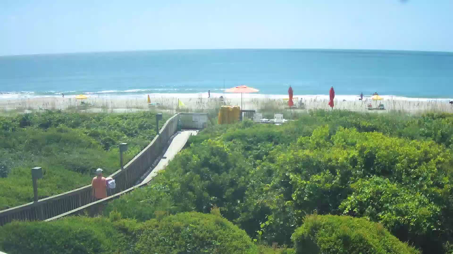
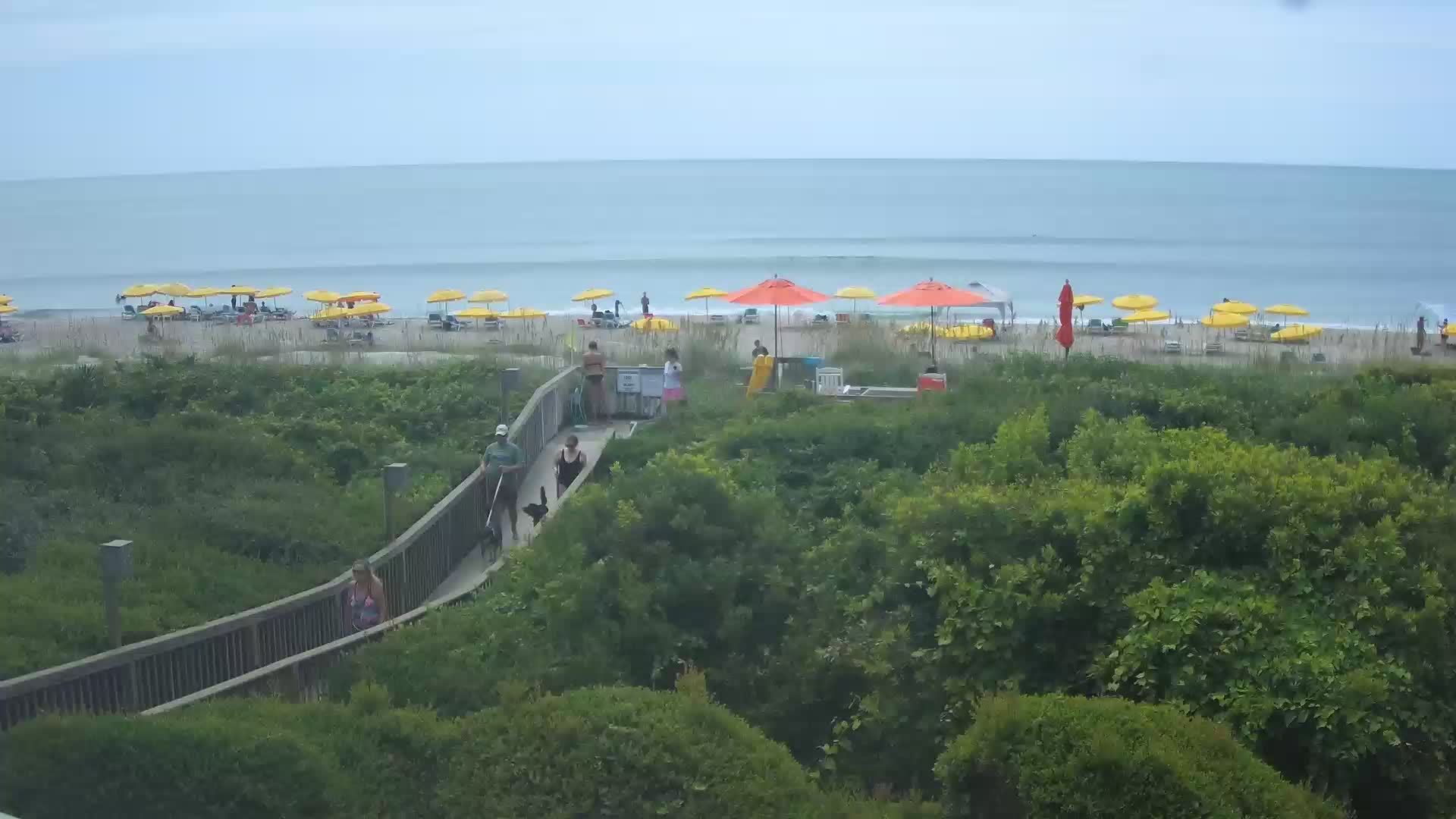
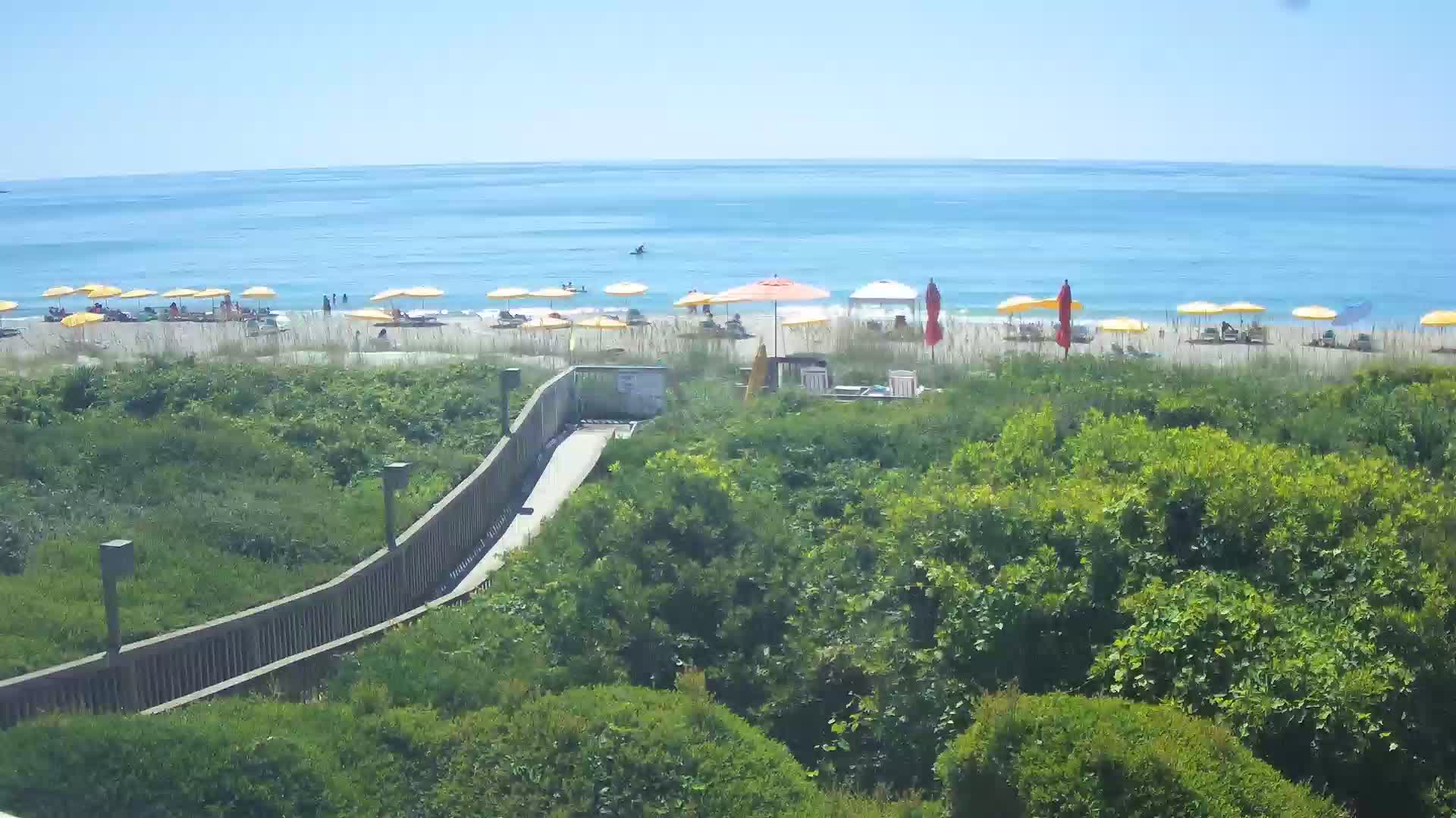
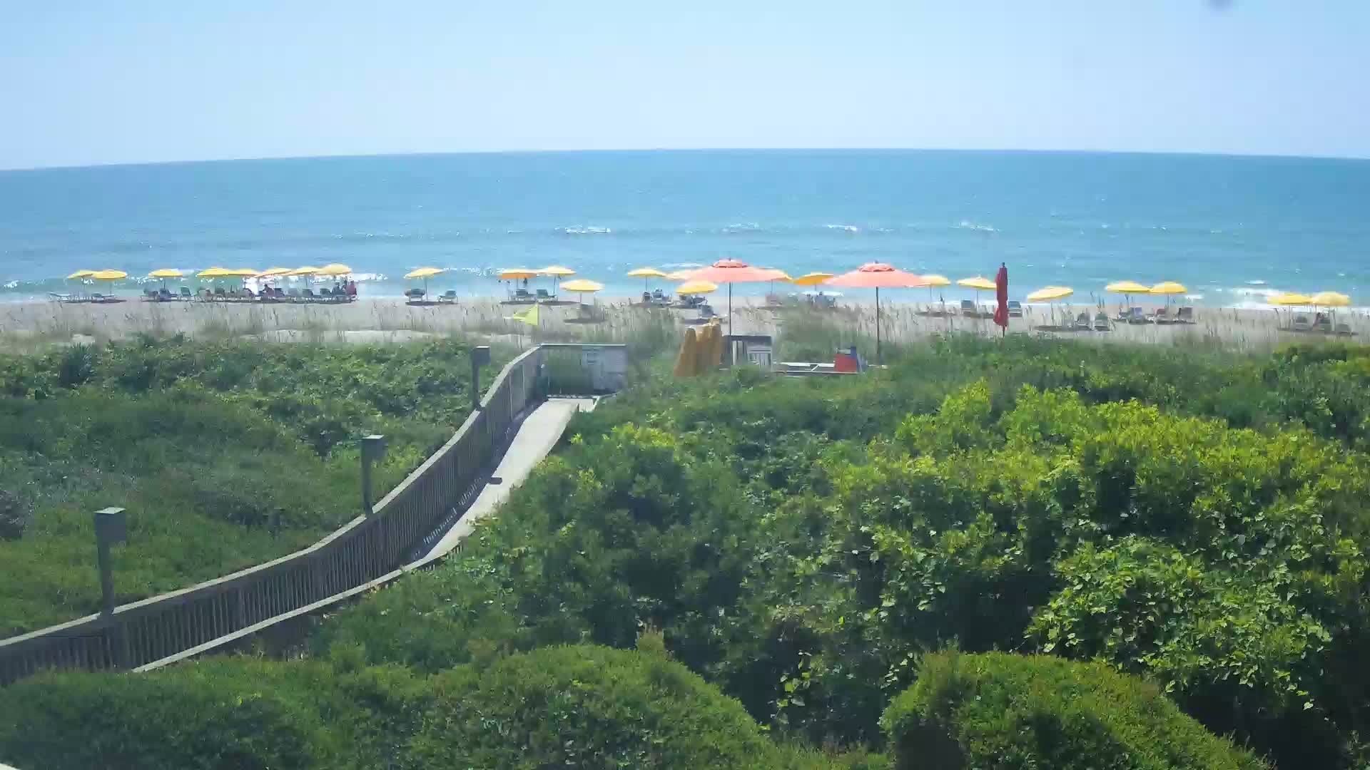
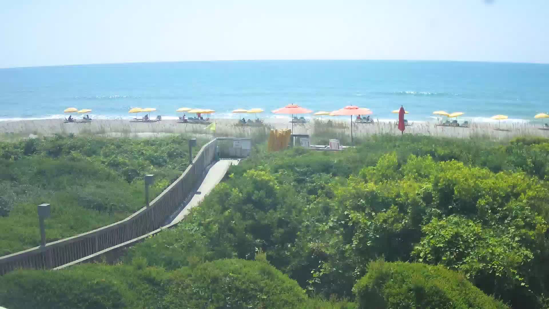
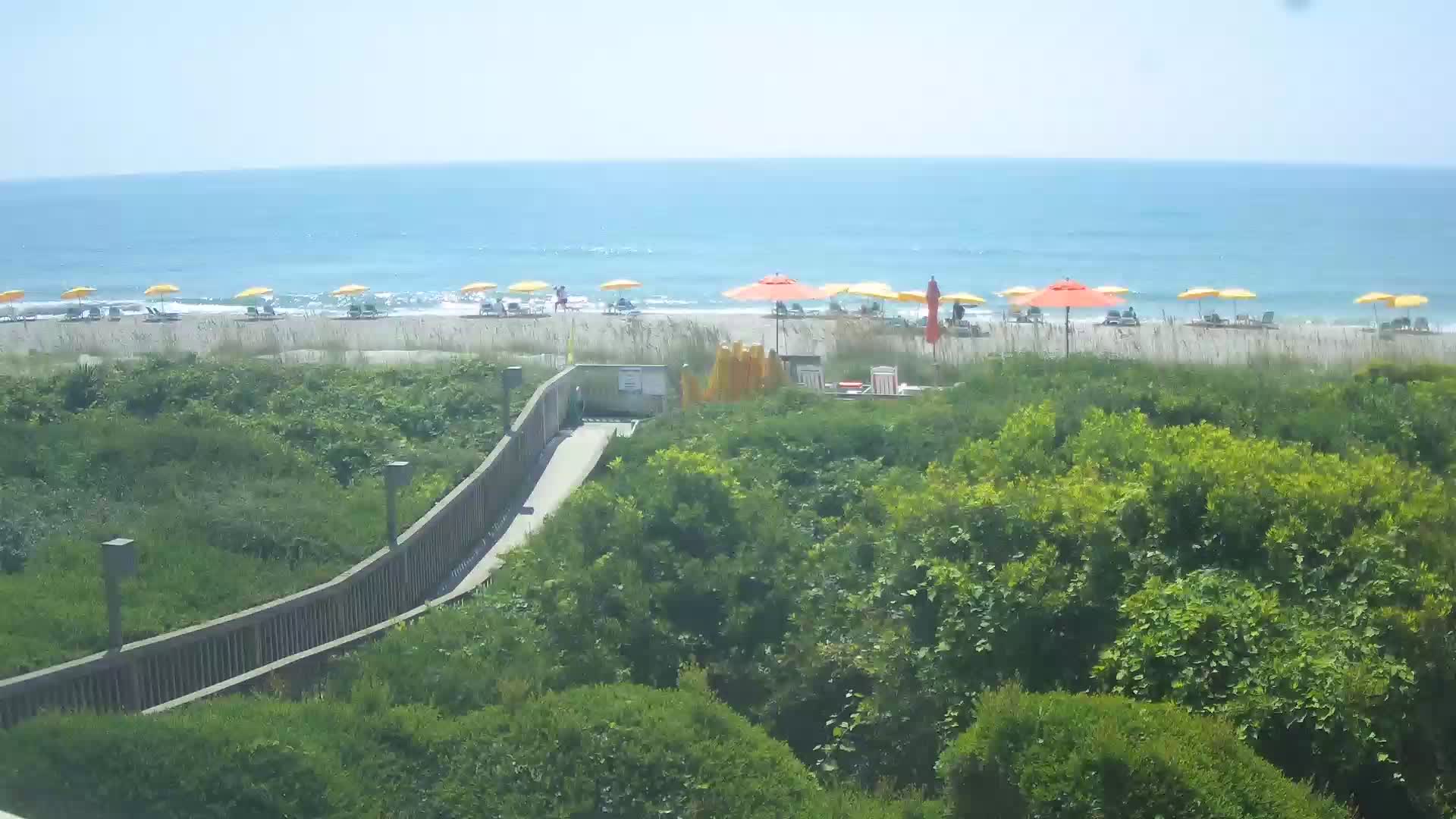
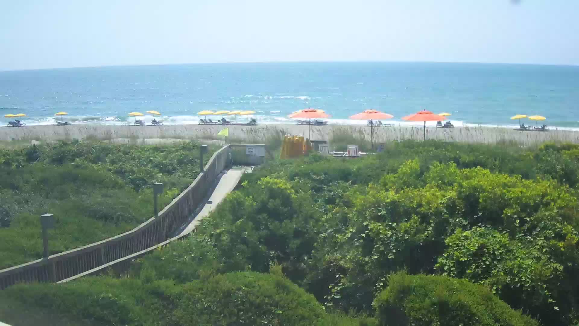
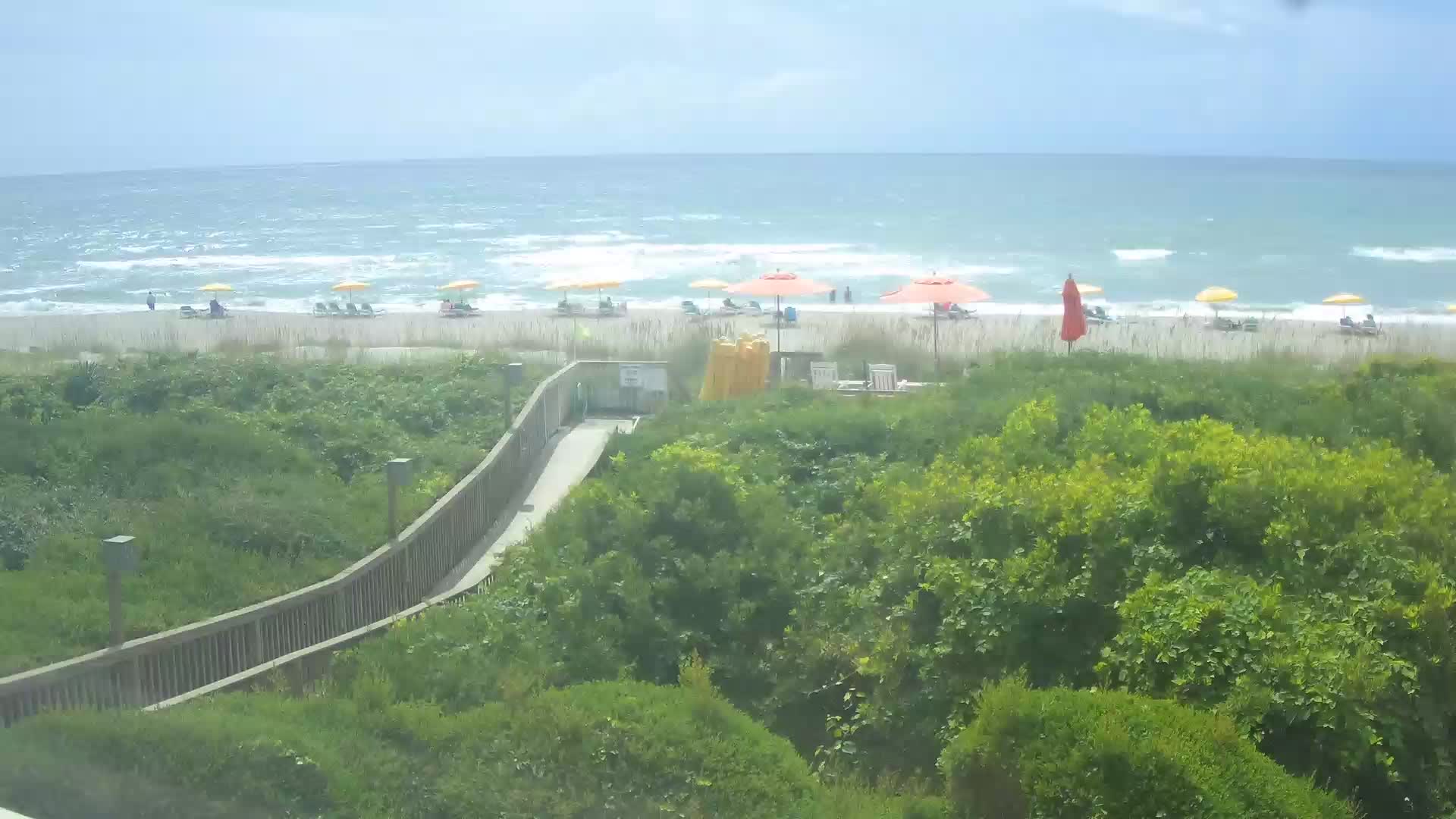
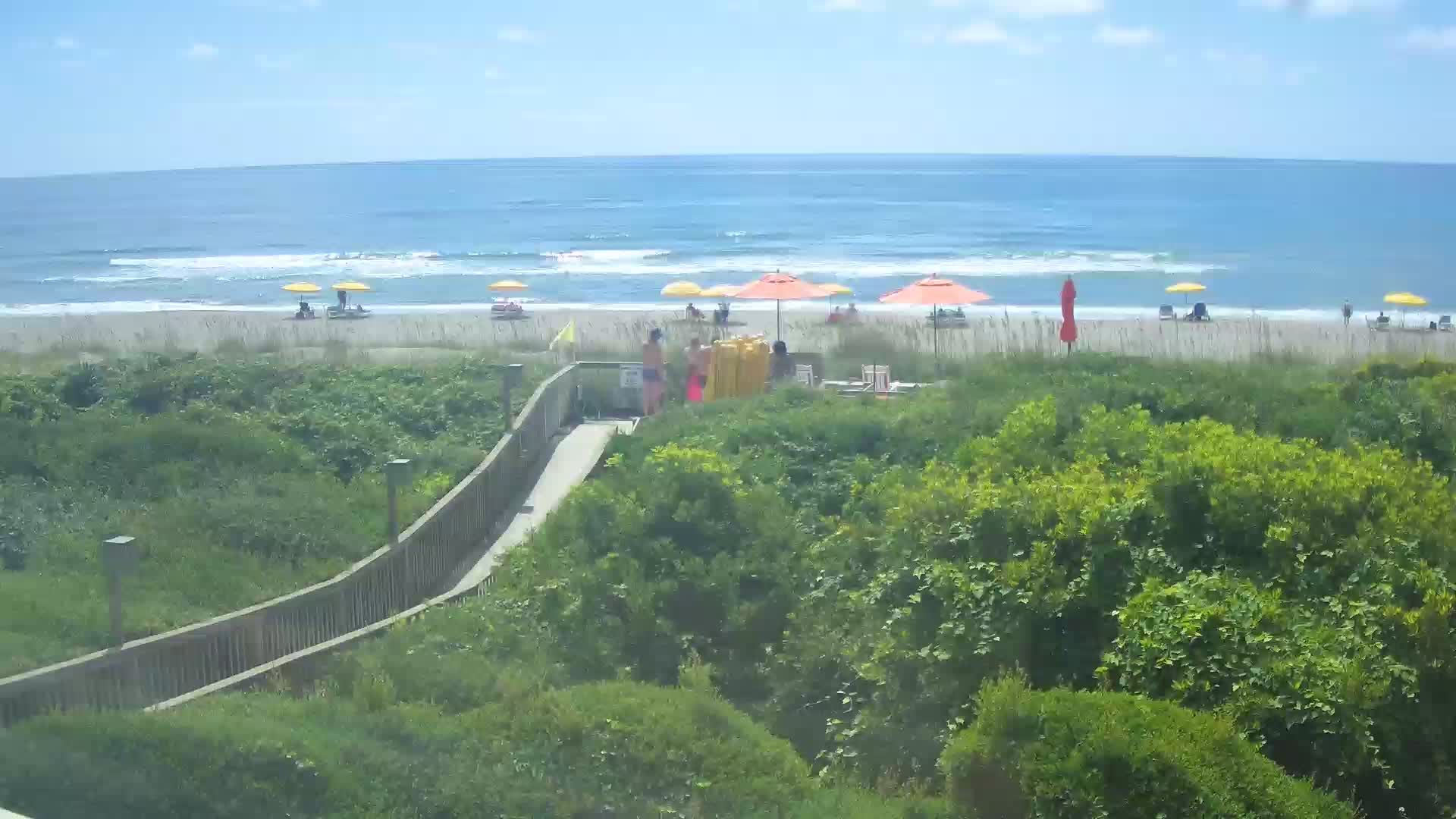
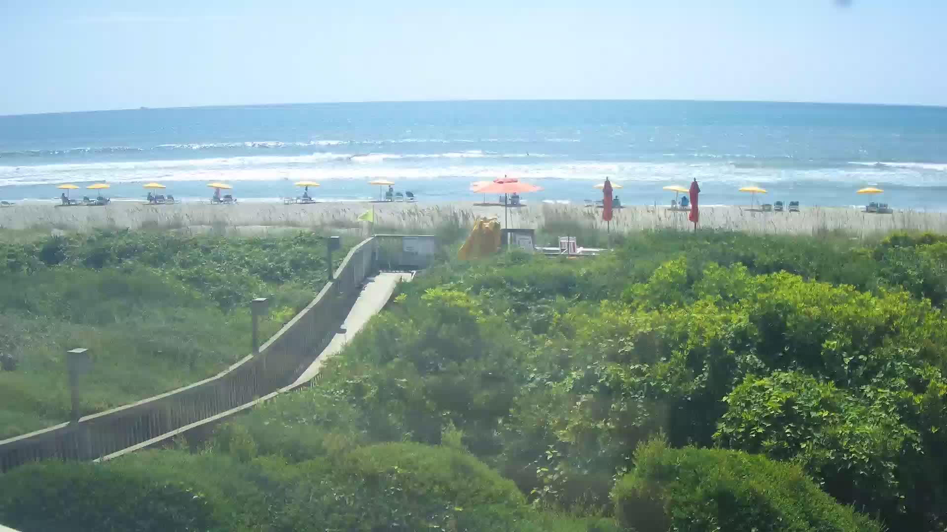
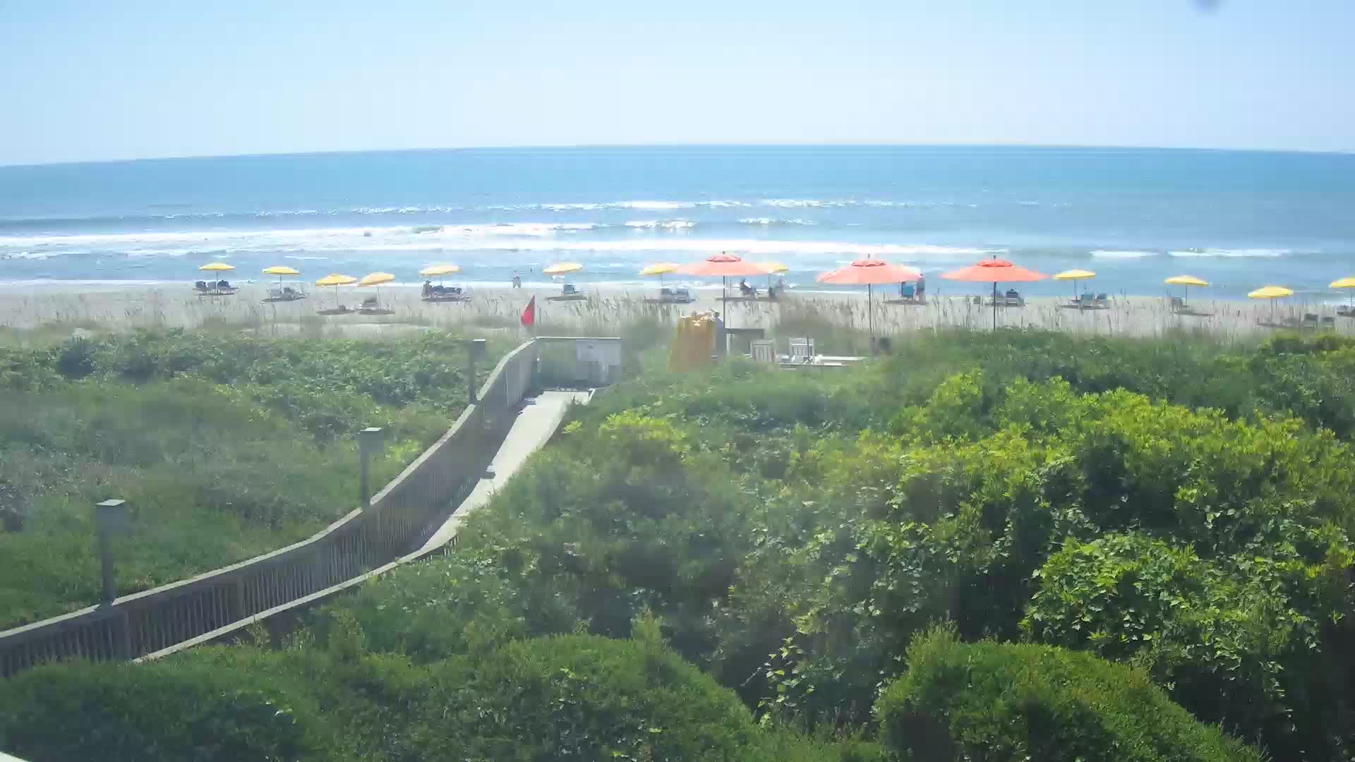
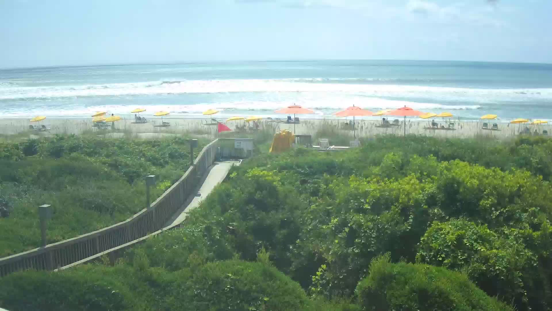
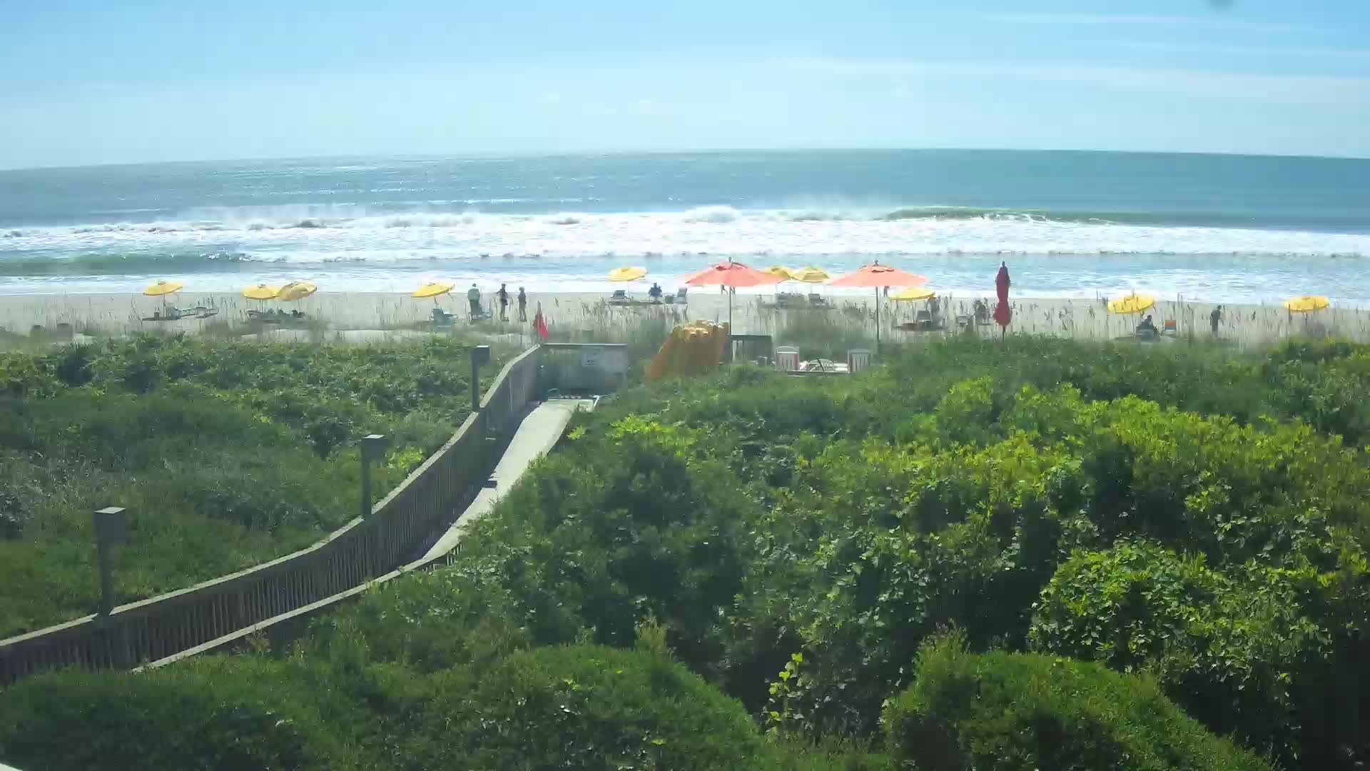
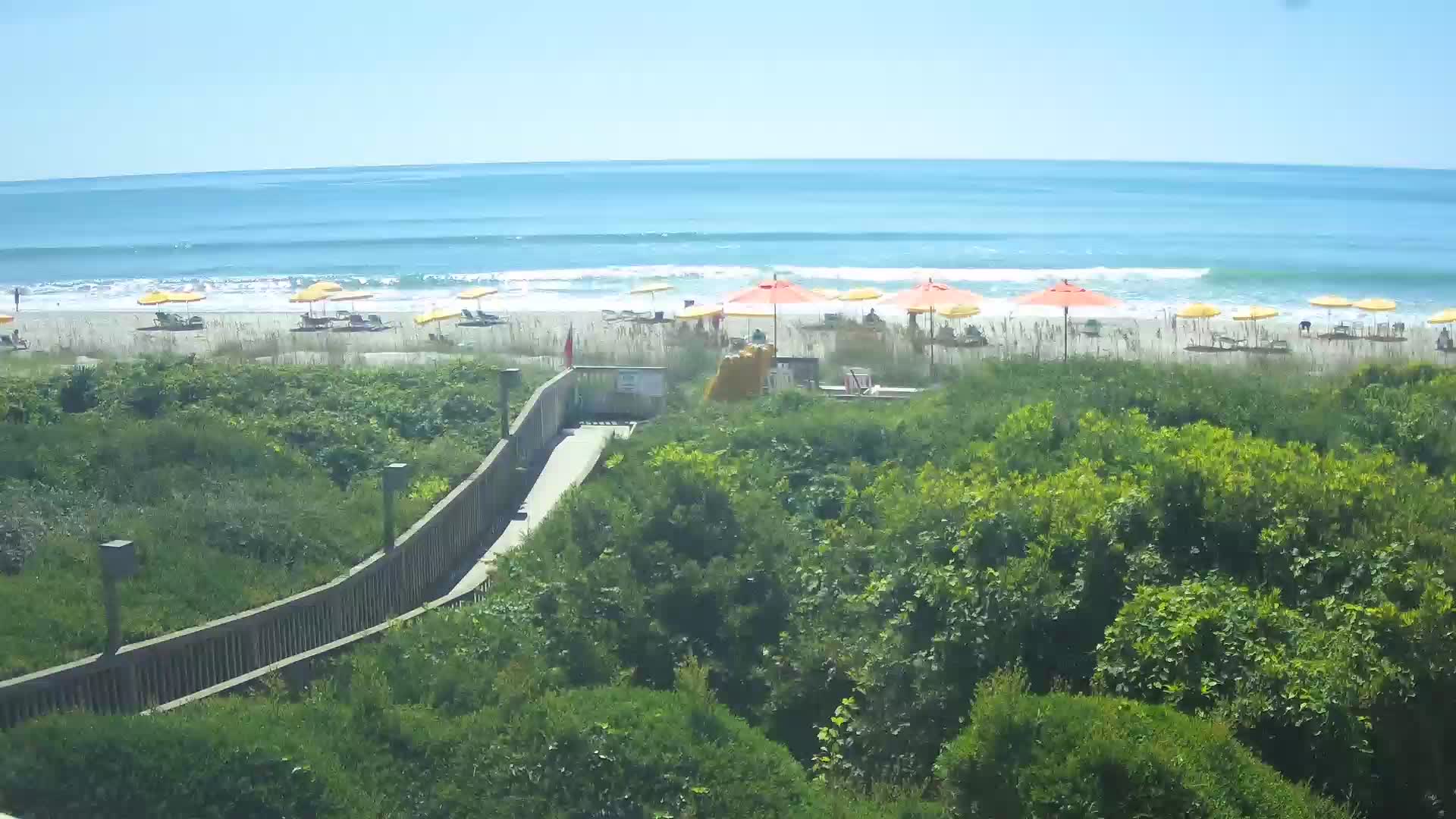
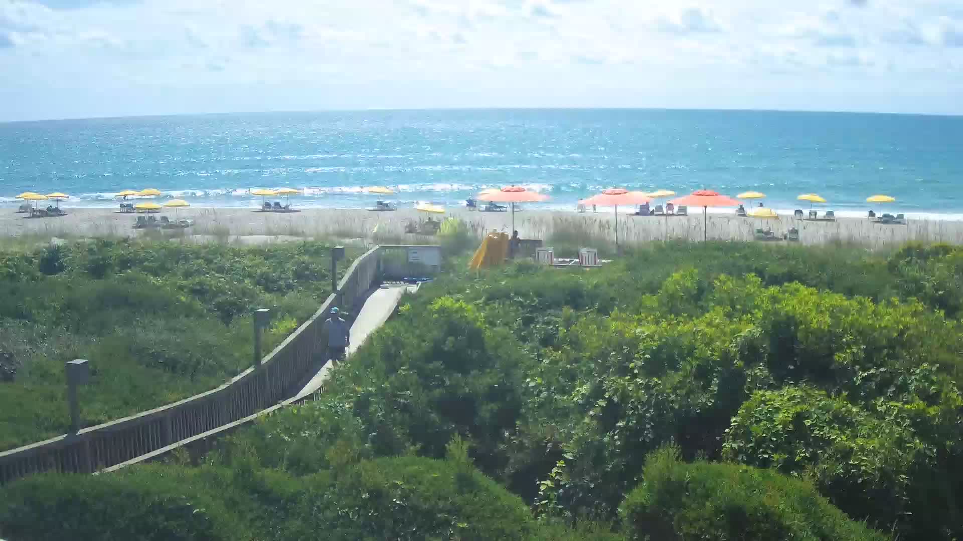
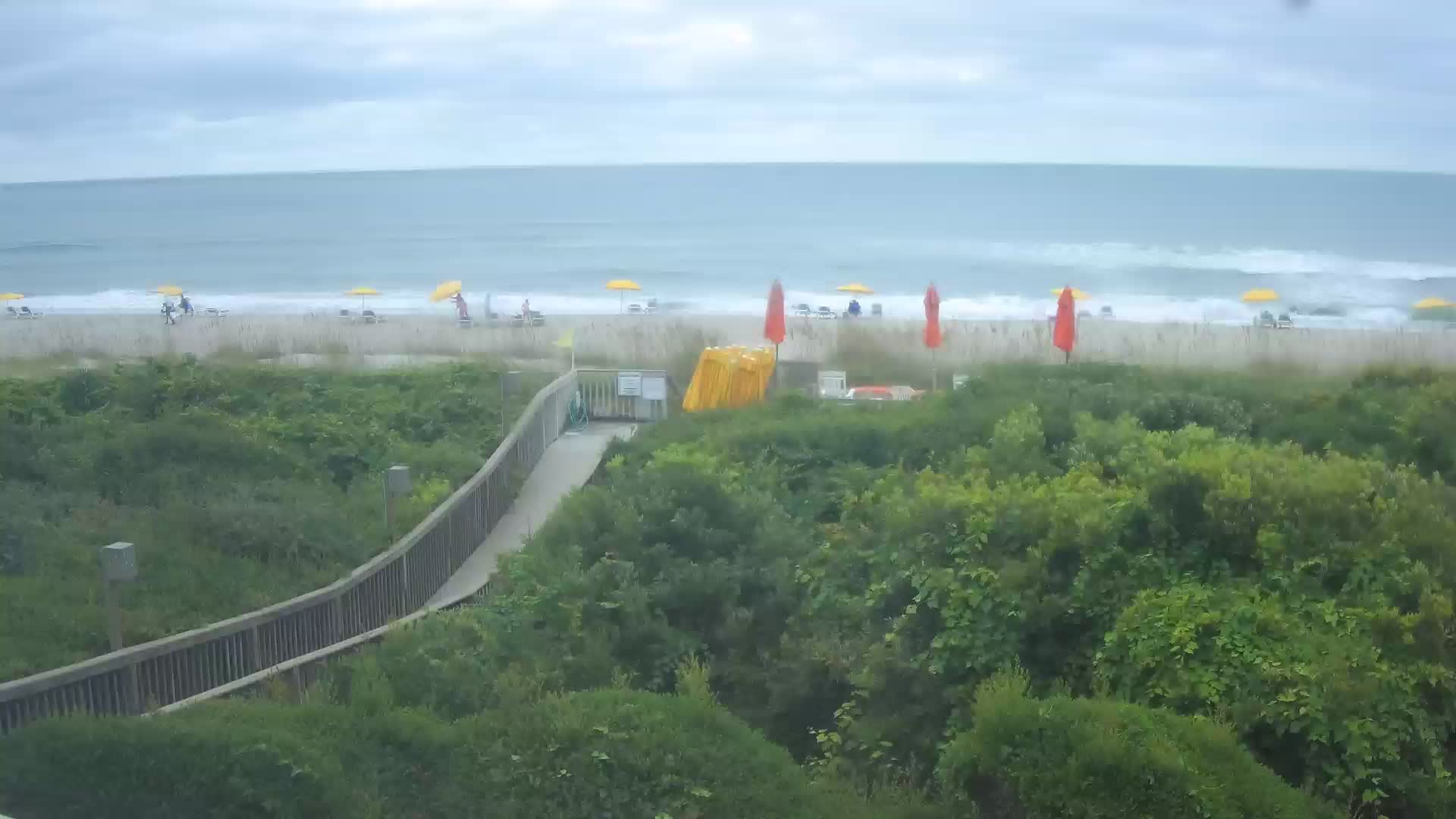
Pine Knoll Shores, North Carolina, USA - 100.8 miles from Light Nixon Fork: Beachcam - A view from the Atlantis Lodge over the beack of Pine Knoll Shores near Atlantic Beach, NC.
Operator: Atlantis Lodge
Operator: Atlantis Lodge


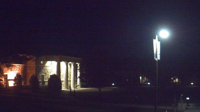
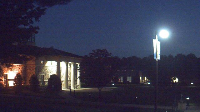
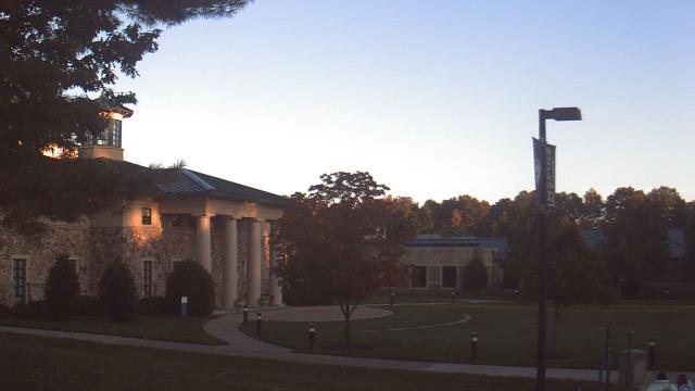
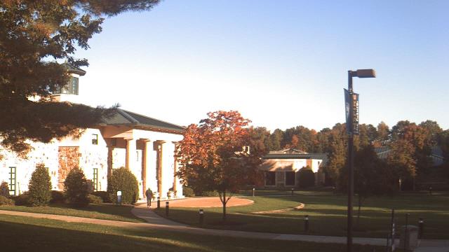
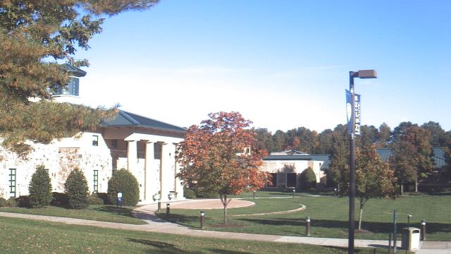
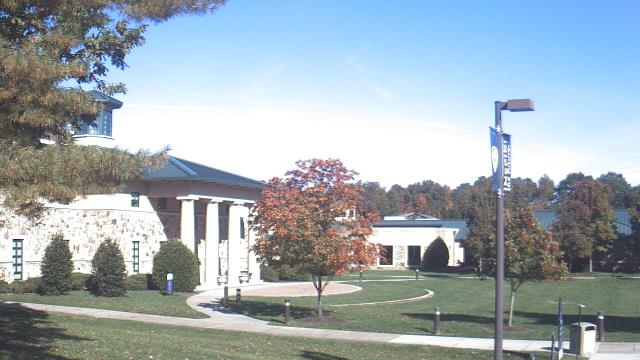
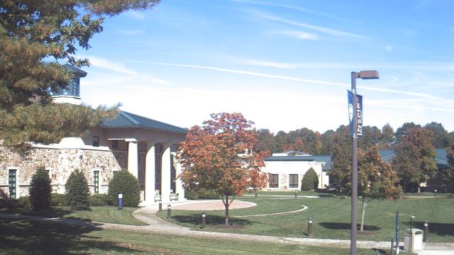
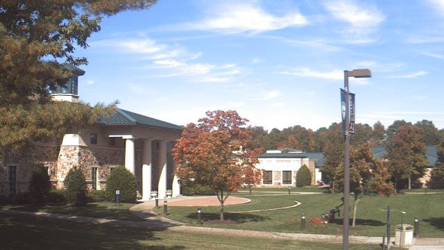
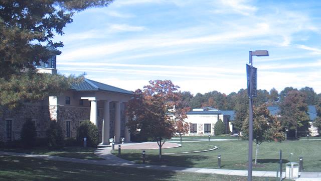
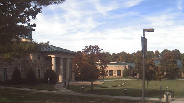
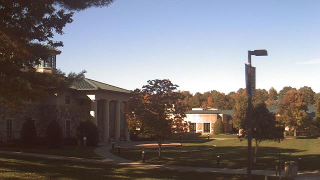
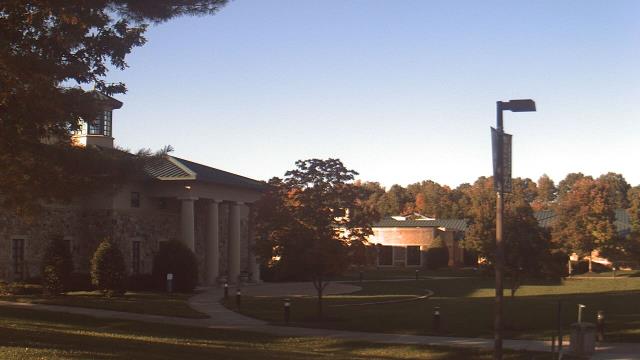
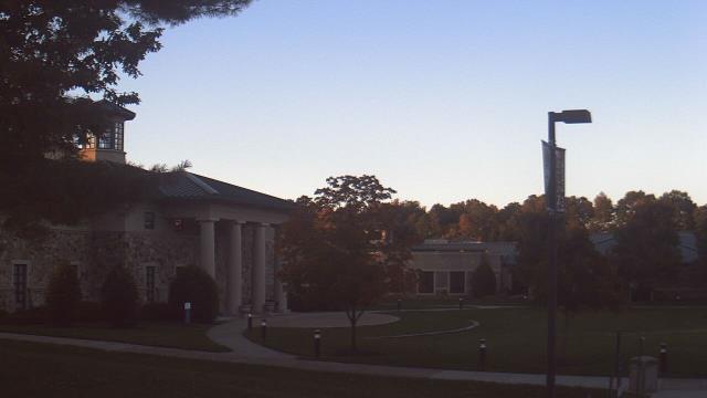
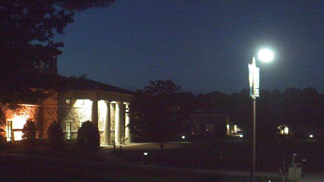
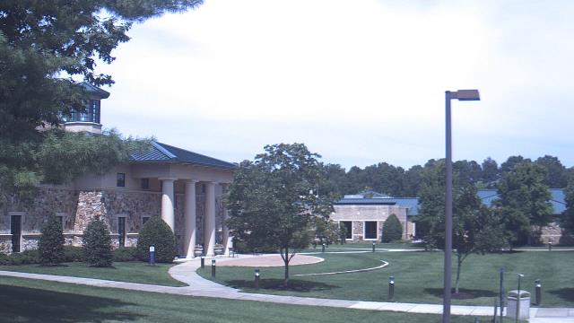
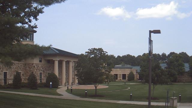
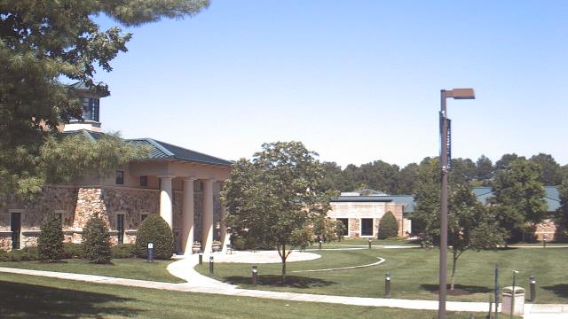
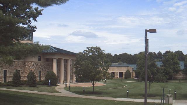
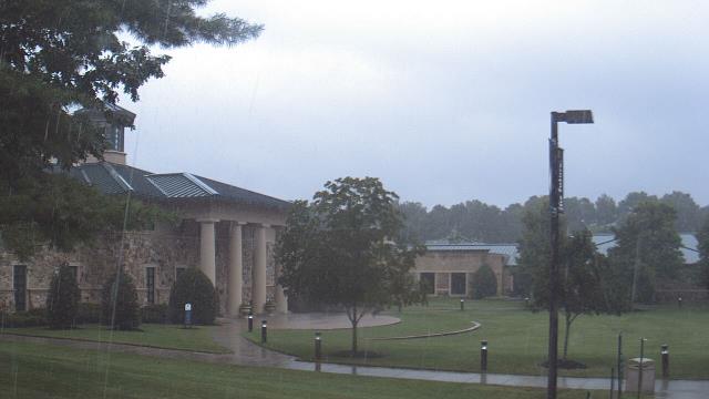
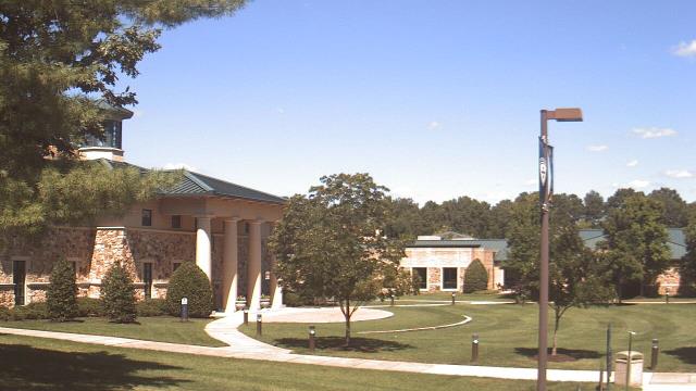
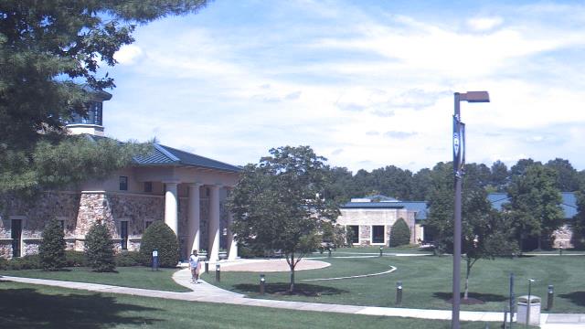
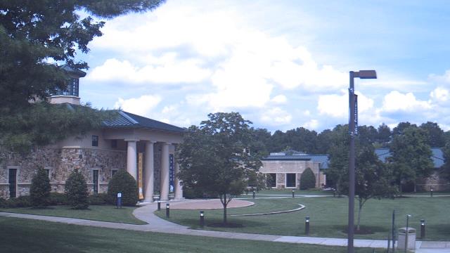
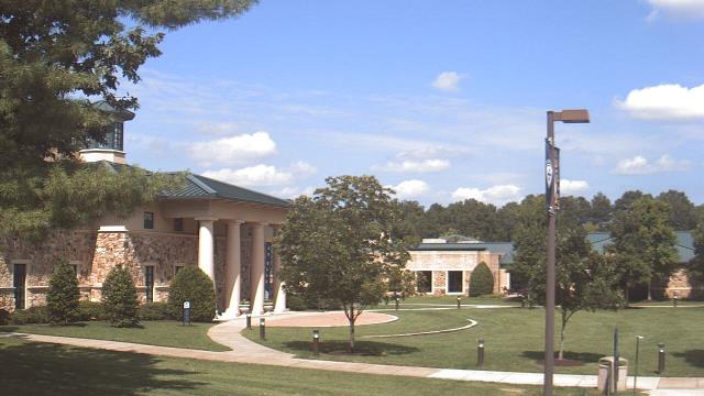
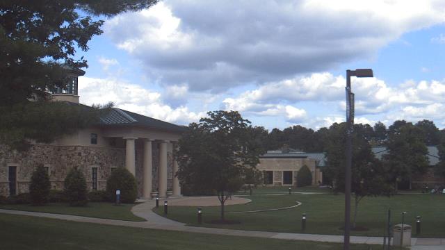
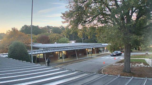
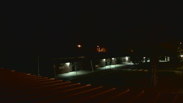
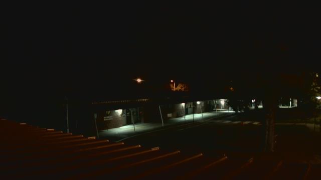
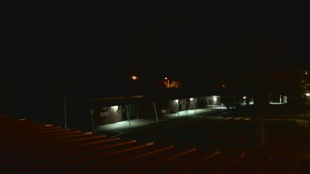
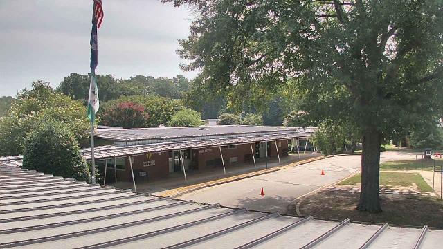
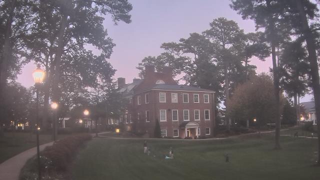
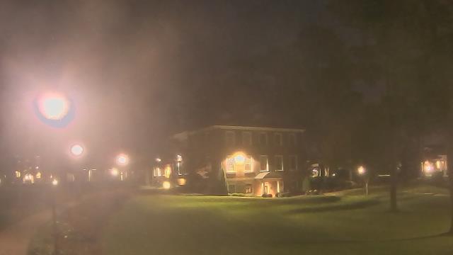
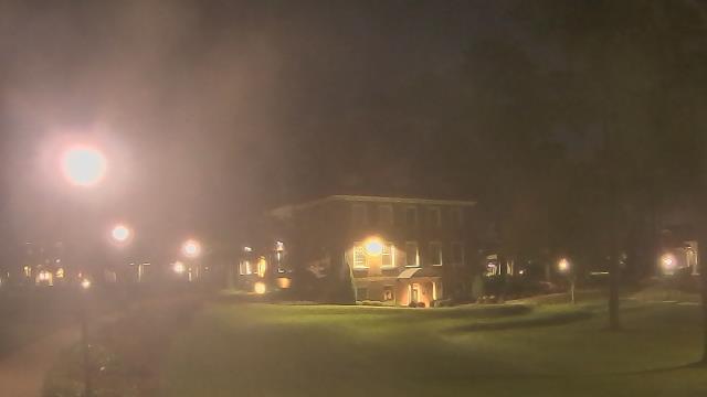
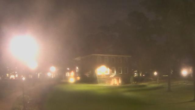
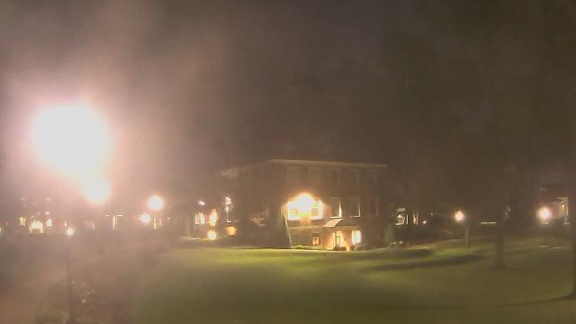
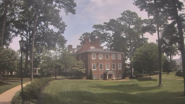
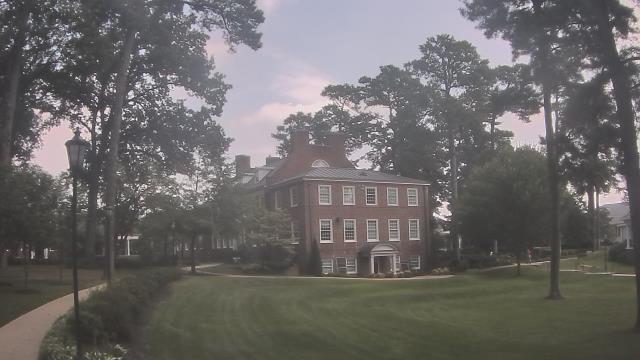
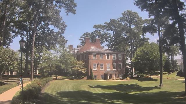
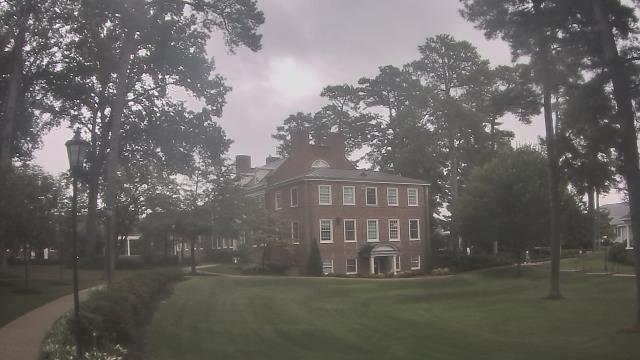
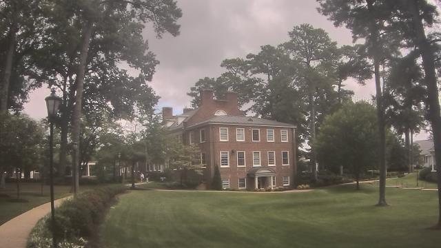
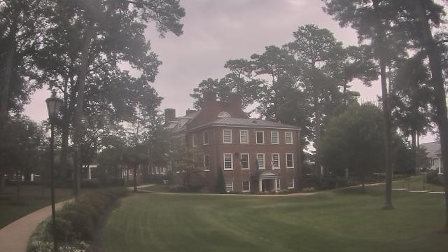
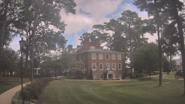
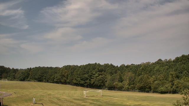
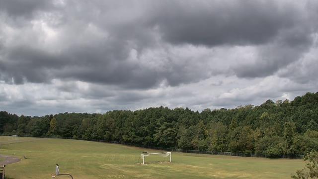
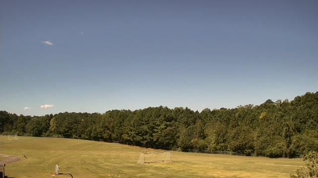
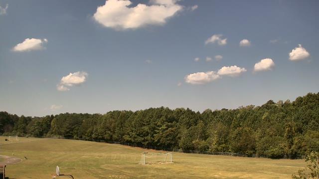
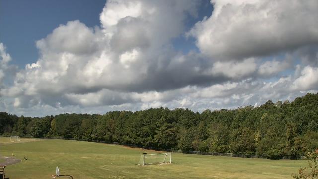
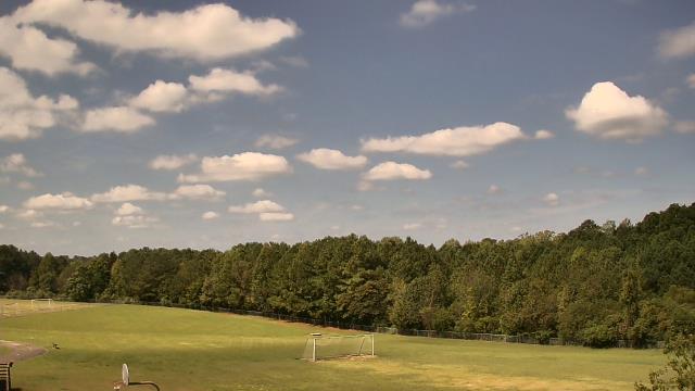
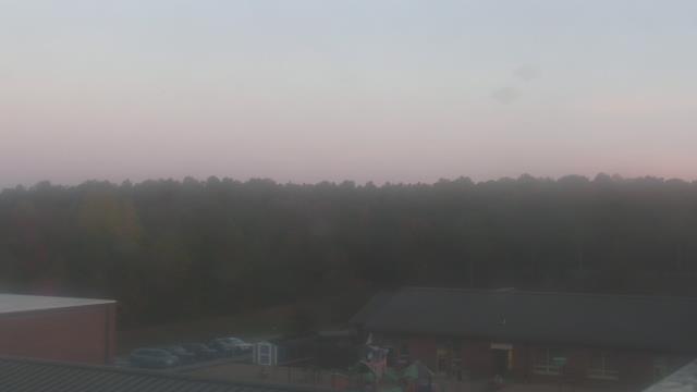
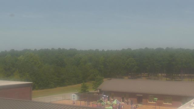
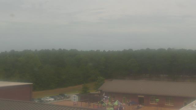
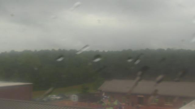
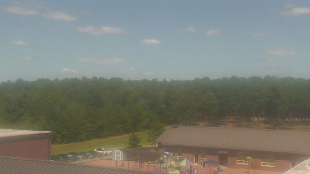
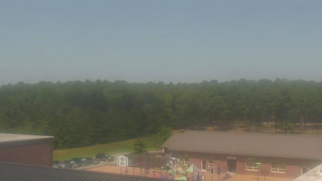
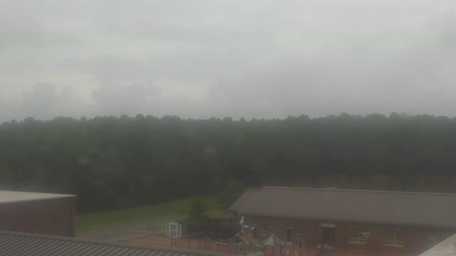
Richmond, Virginia, USA - 110.4 miles from Light Nixon Fork: The Steward School - A webcam in Richmond, Virginia - camera location: The Steward School.
Operator: WeatherBug
Operator: WeatherBug


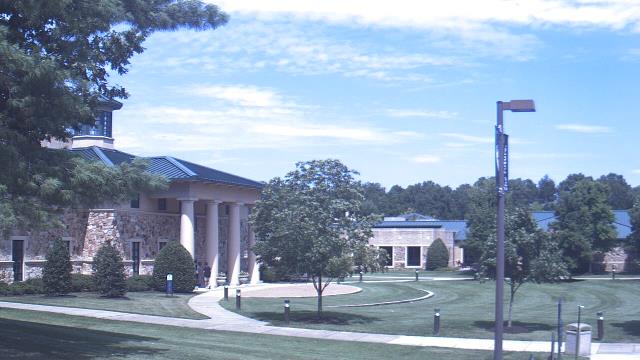
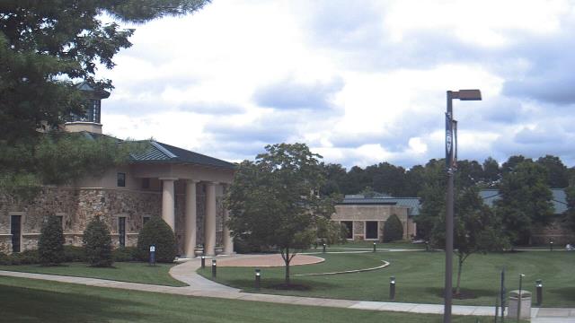
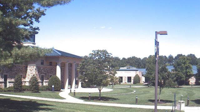
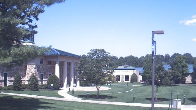
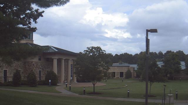

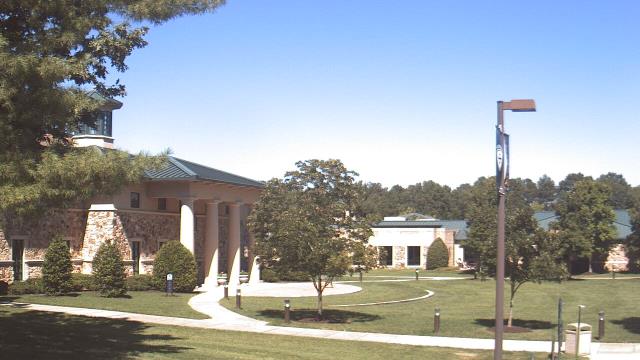

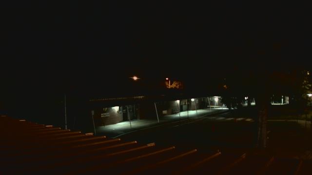
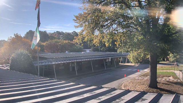
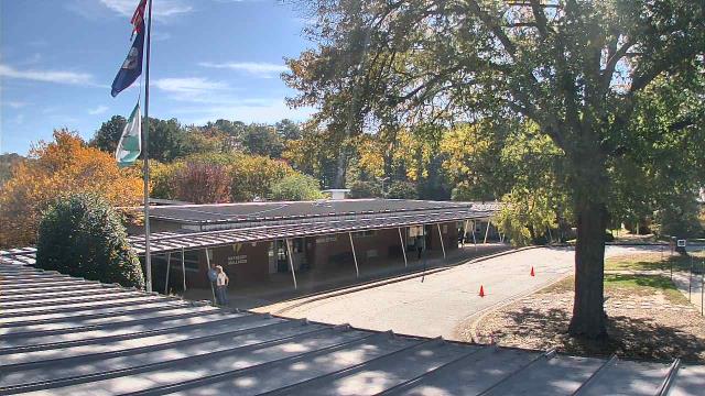
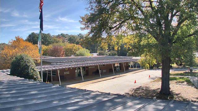
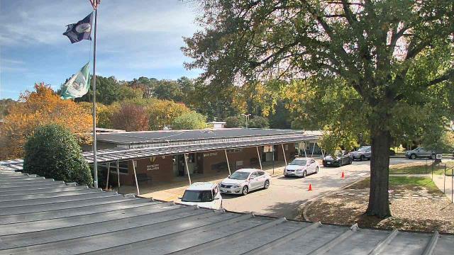
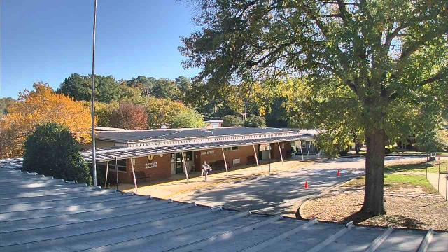
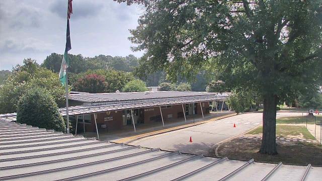
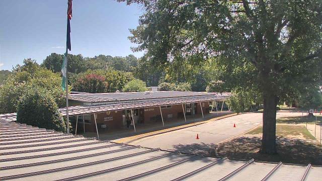
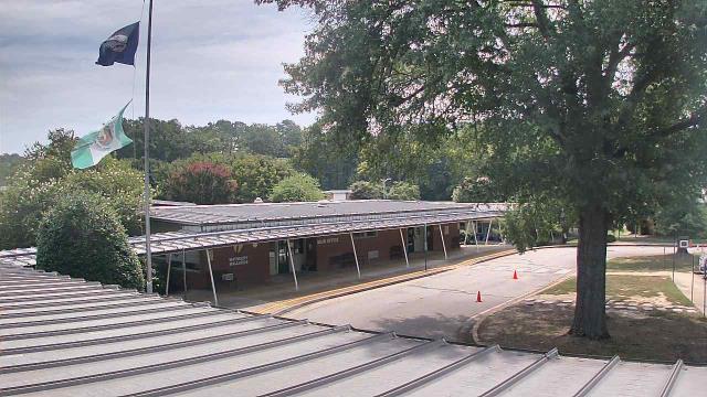
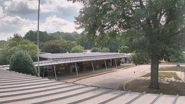
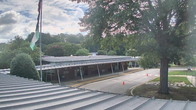
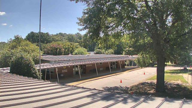
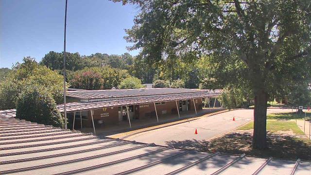
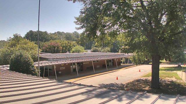
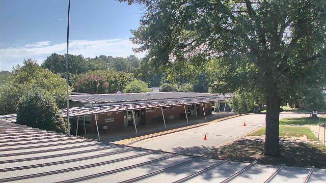
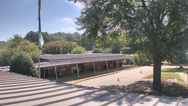
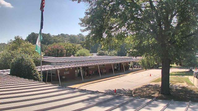
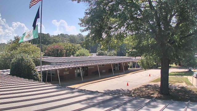
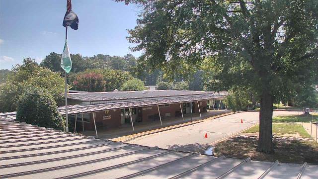
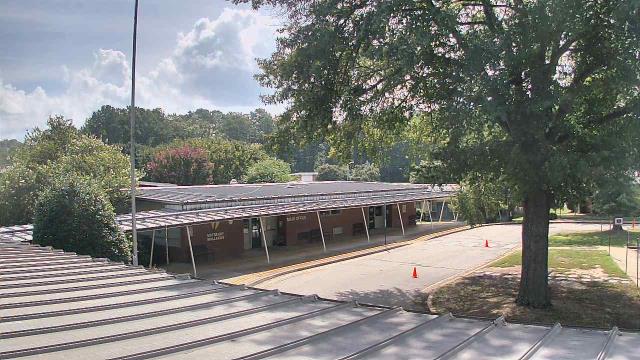
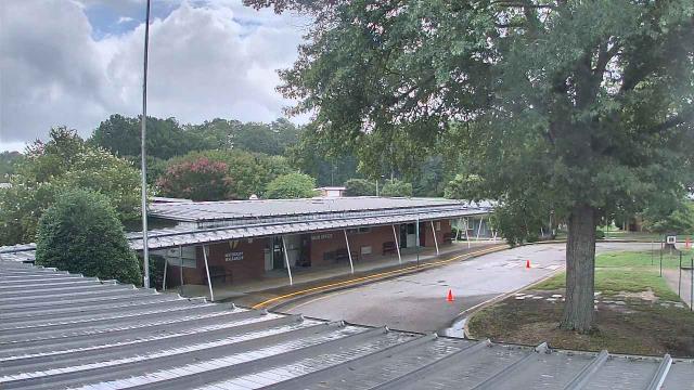
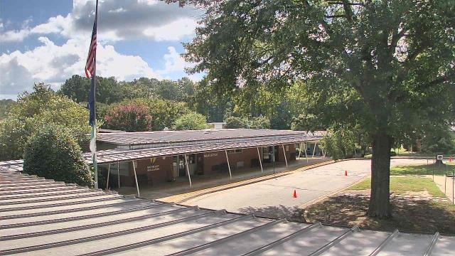
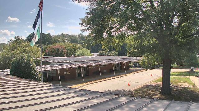
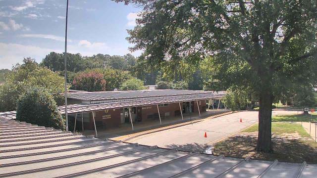
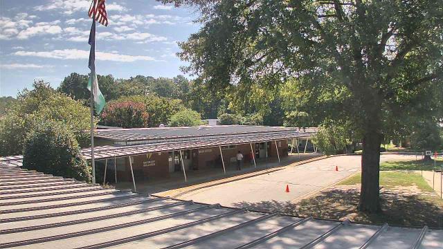
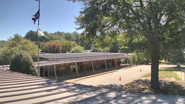
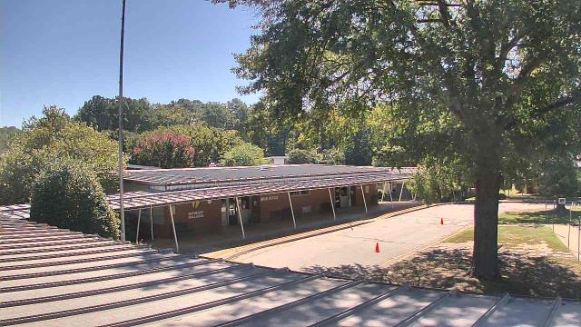
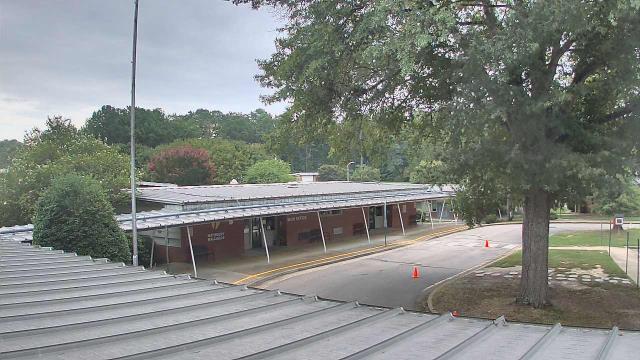
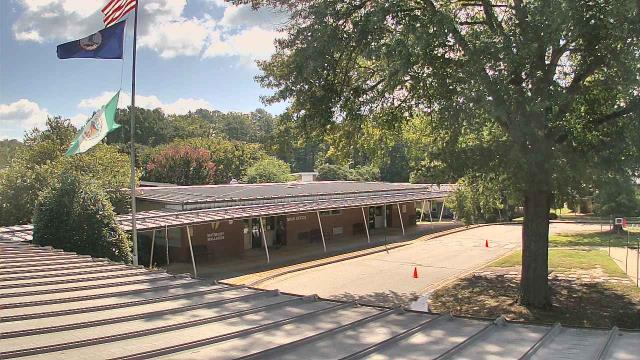
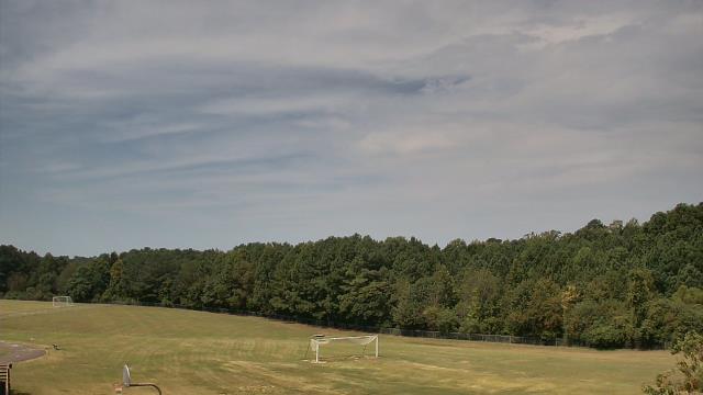
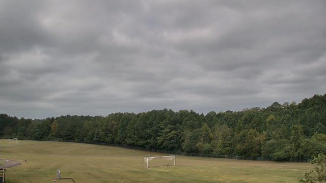
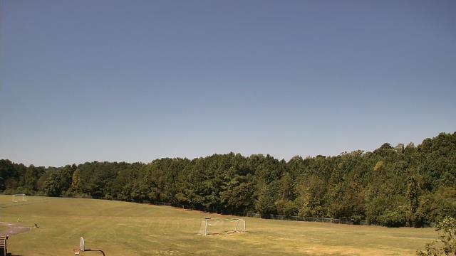
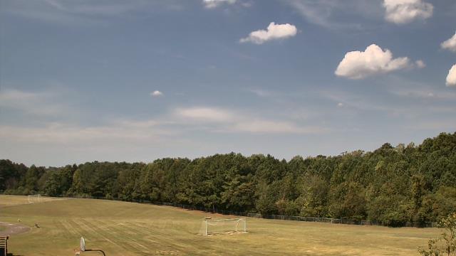
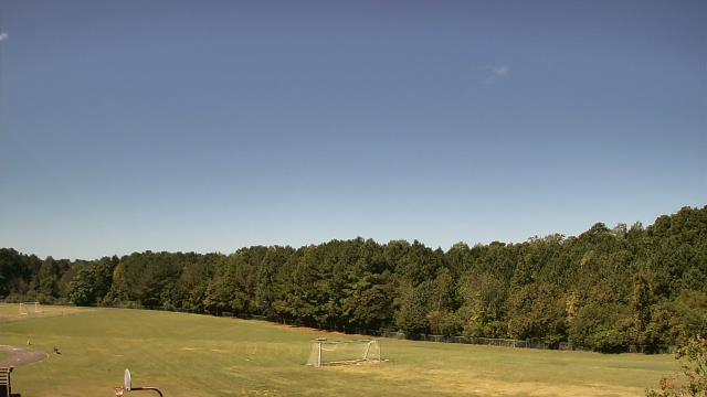
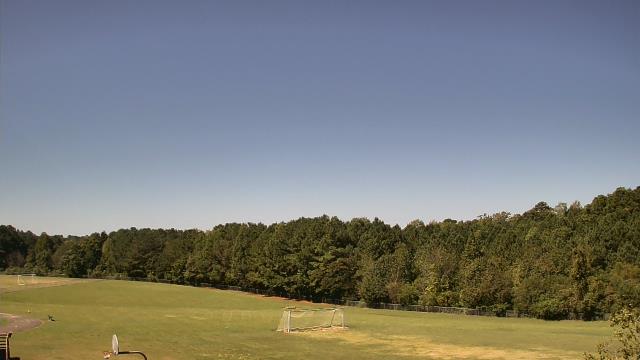
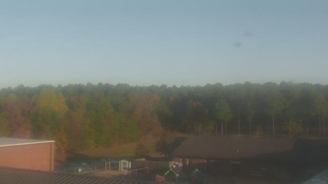
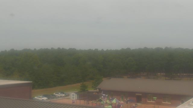
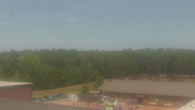
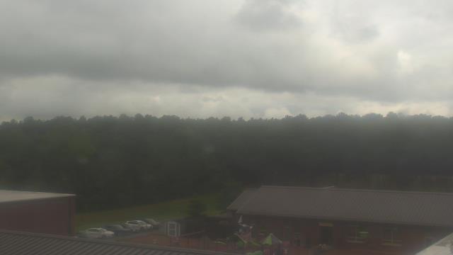
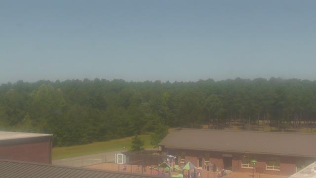
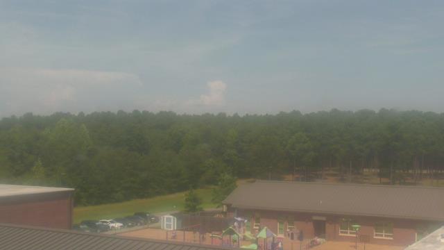
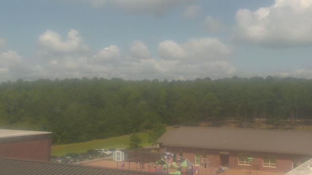
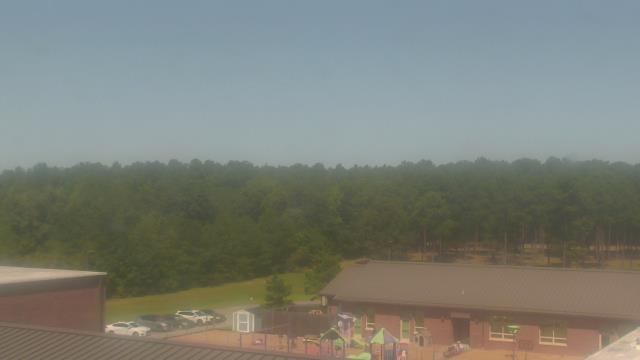
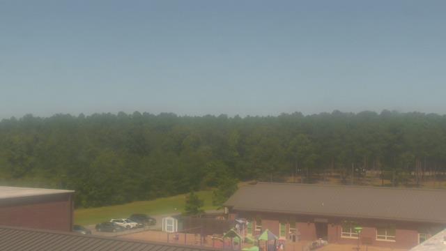
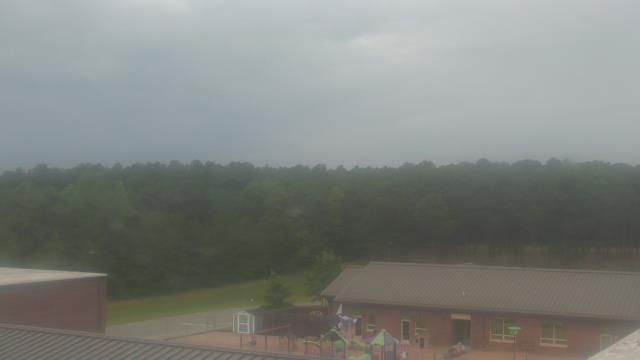
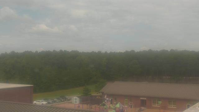
Richmond, Virginia, USA - 110.4 miles from Light Nixon Fork: Maybeury Elementary School - A webcam in Richmond, Virginia - camera location: Maybeury Elementary School.
Operator: WeatherBug
Operator: WeatherBug


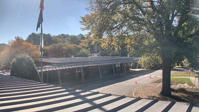
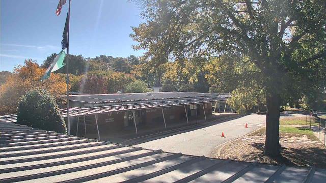


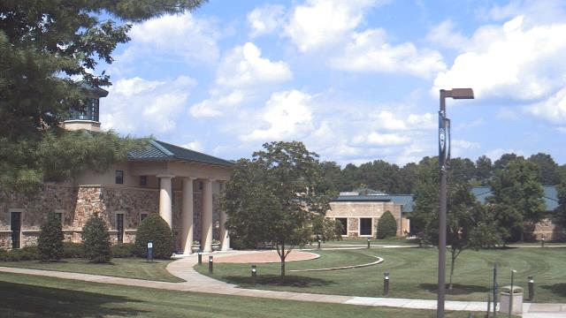
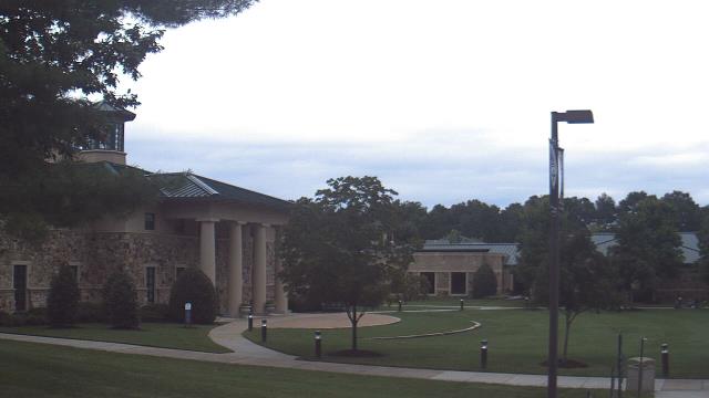
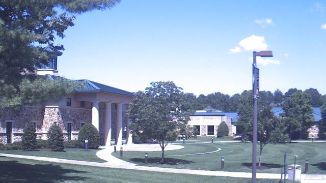
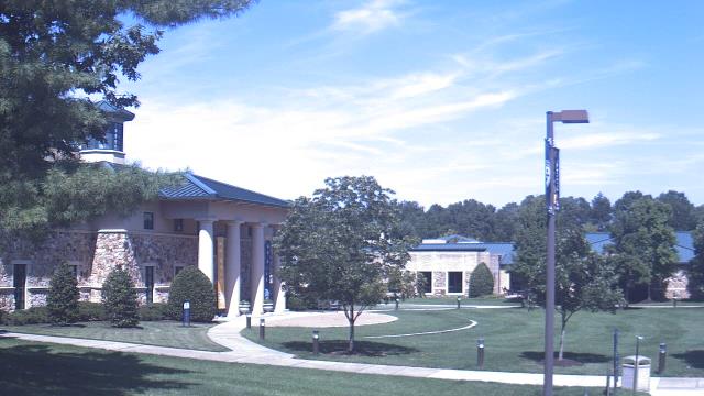
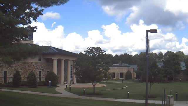
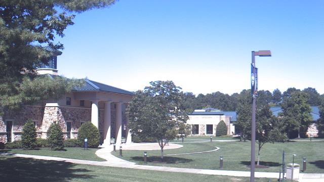
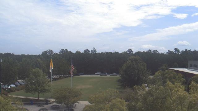
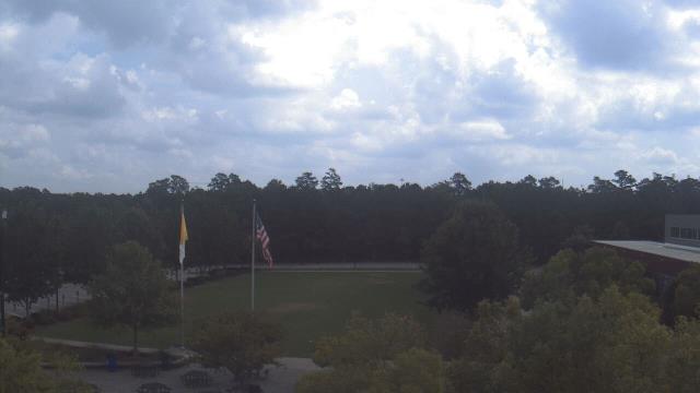
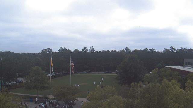
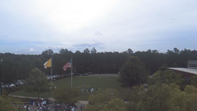
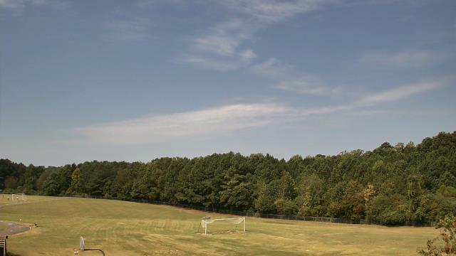
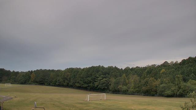
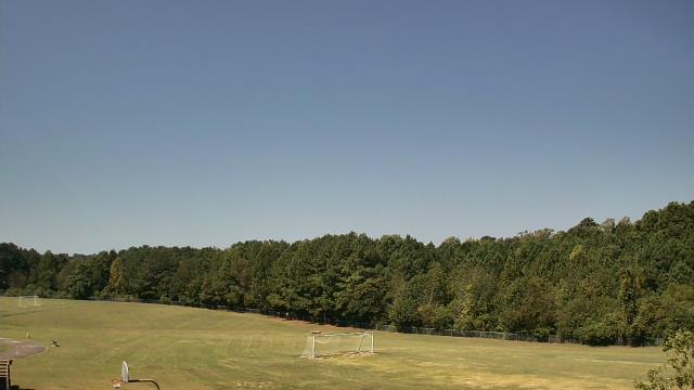
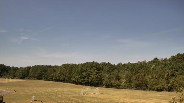
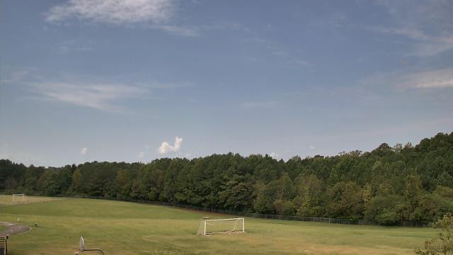
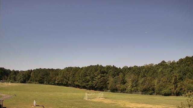
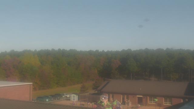
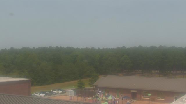
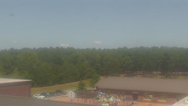
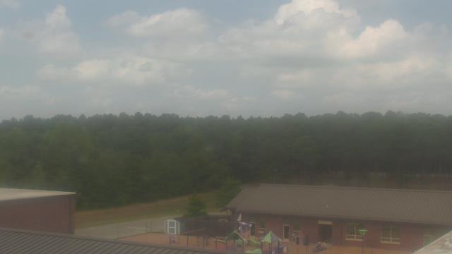
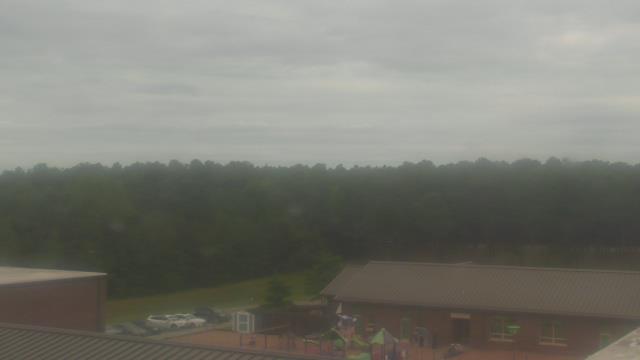
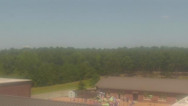
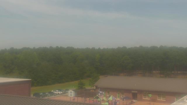
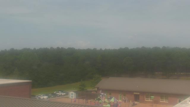
Richmond, Virginia, USA - 110.4 miles from Light Nixon Fork: St. Christophers School - Webcam and current weather data - camera location: St. Christophers School.
Operator: WeatherBug
Operator: WeatherBug


Raleigh, North Carolina, USA - 122.5 miles from Light Nixon Fork: Skyline - A panorama view of the skyline of Raleigh, North Carolina.
Operator: WRAL.com
Operator: WRAL.com

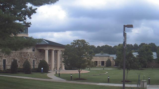
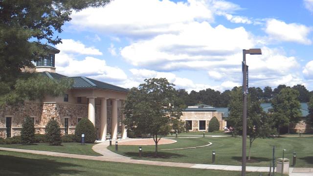
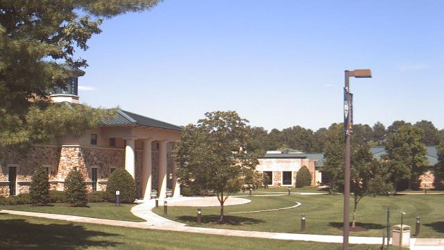
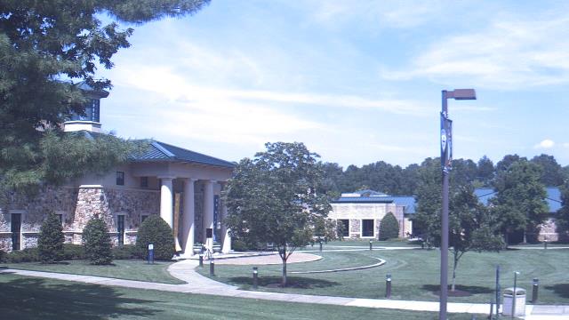
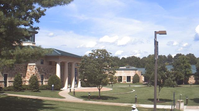
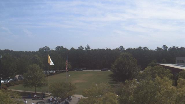
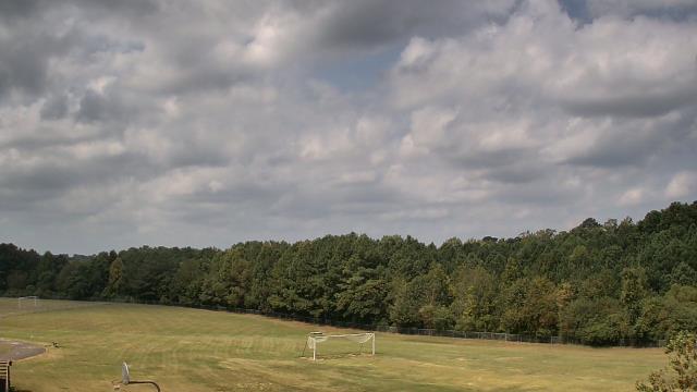
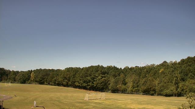
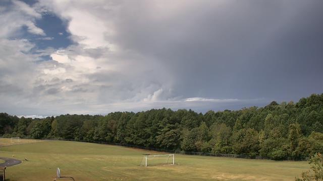
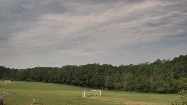
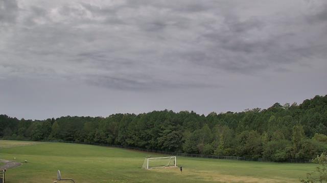
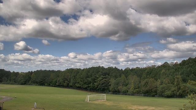
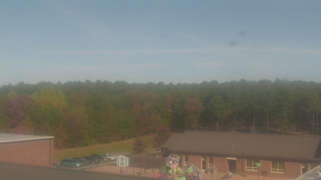
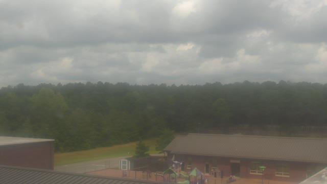
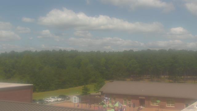
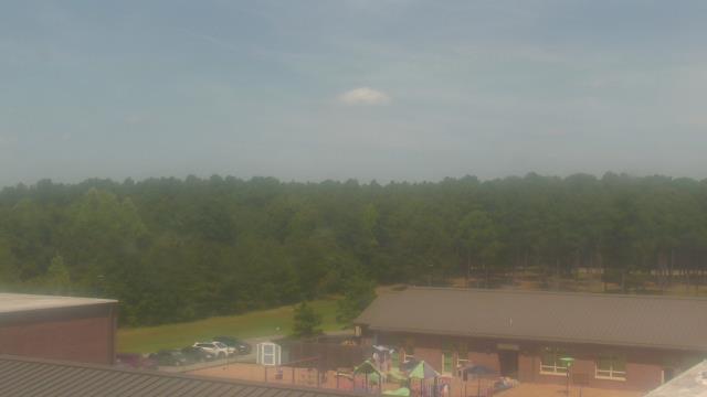
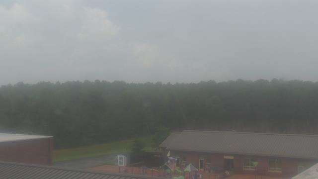
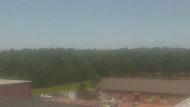
Raleigh, North Carolina, USA - 122.5 miles from Light Nixon Fork: Cardinal Gibbons High School - A webcam in Raleigh, North Carolina - camera location: Cardinal Gibbons High School.
Operator: WeatherBug
Operator: WeatherBug


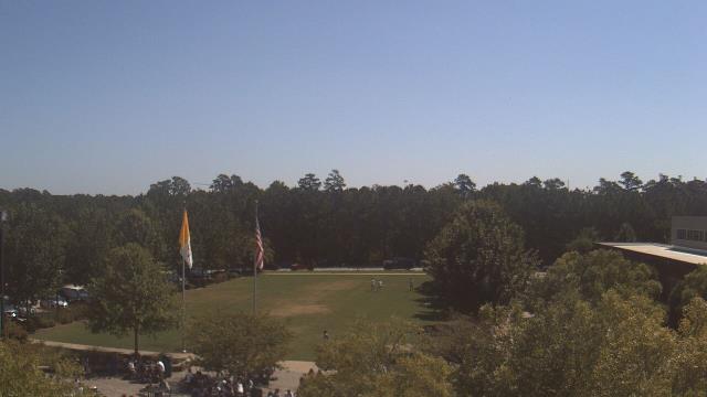


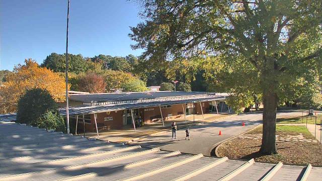
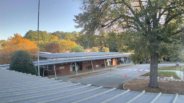
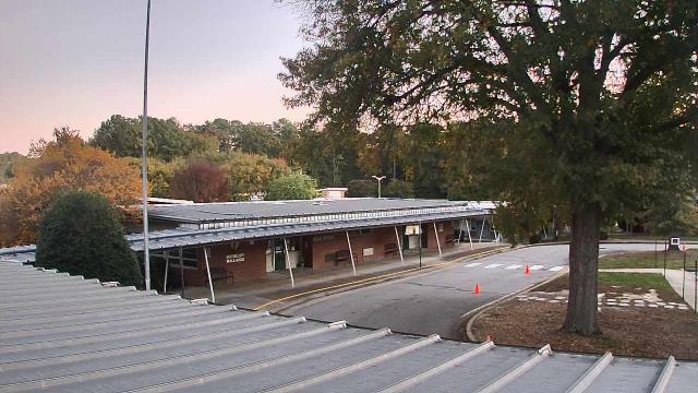
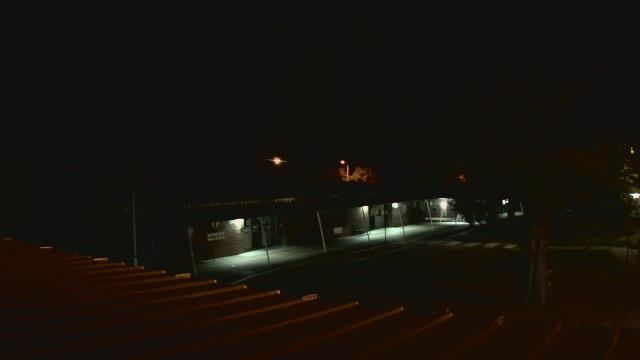
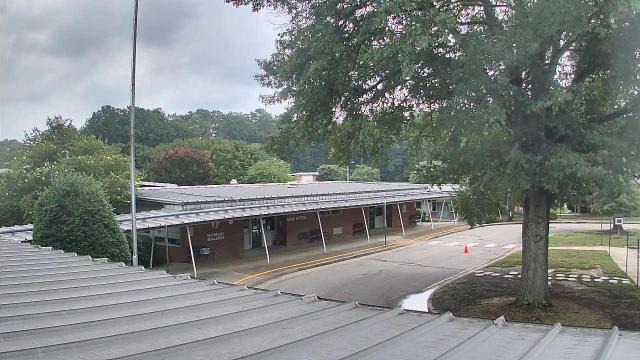
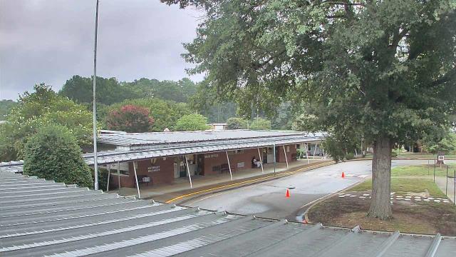
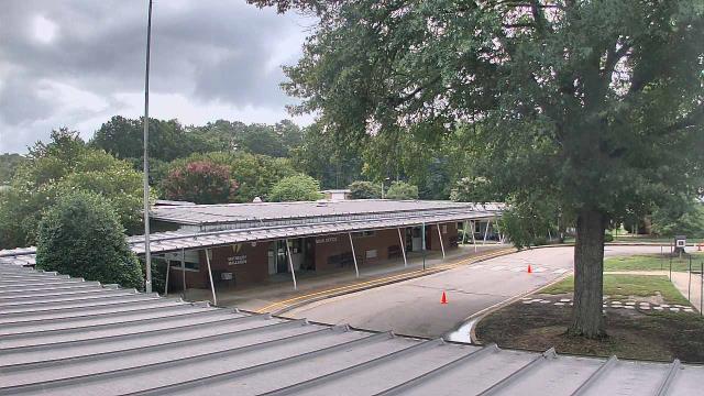
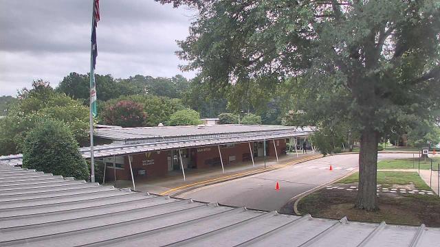
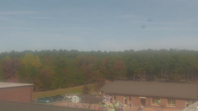
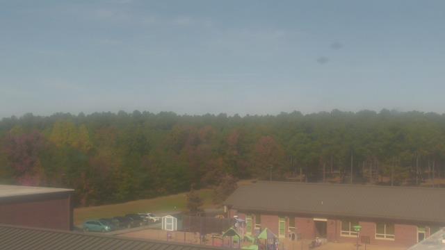
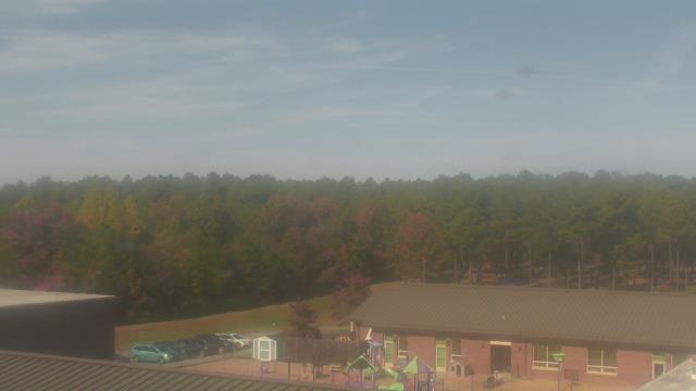
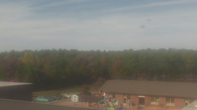
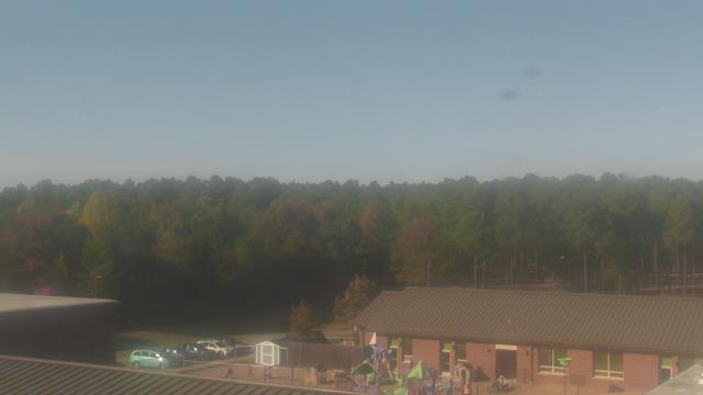
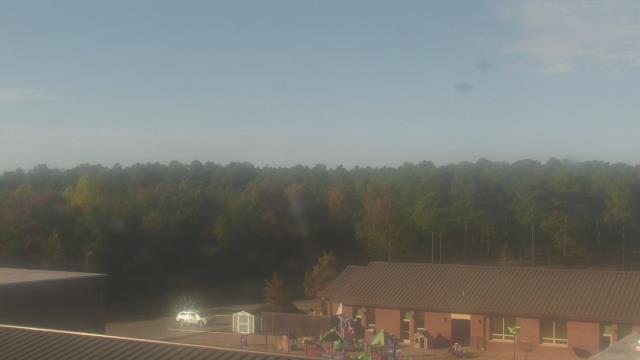
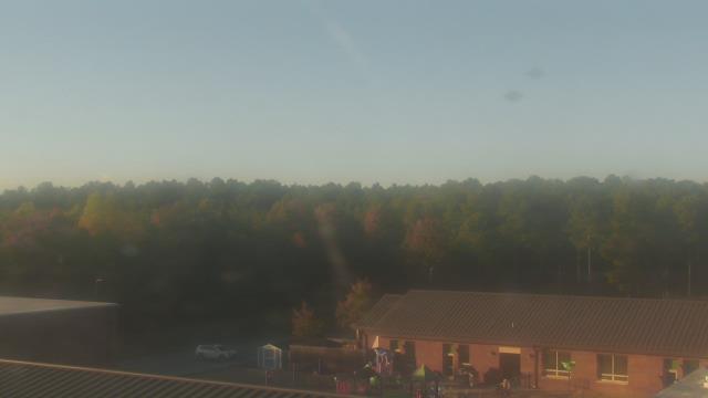
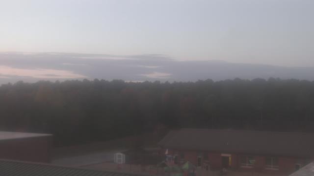
Cary, North Carolina, USA - 130.7 miles from Light Nixon Fork: Davis Drive Elementary School - A webcam in Cary, North Carolina - camera location: Davis Drive Elementary School.
Operator: WeatherBug
Operator: WeatherBug


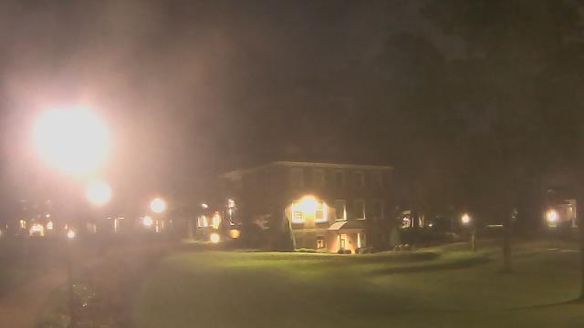
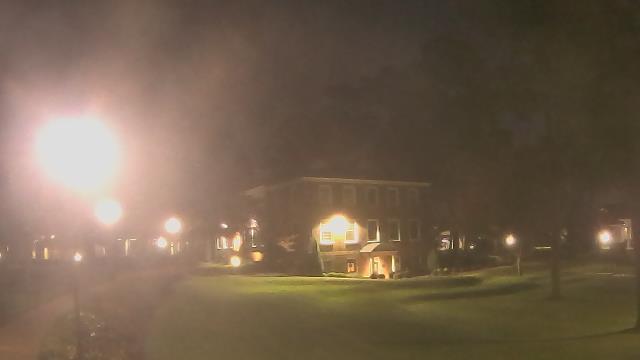
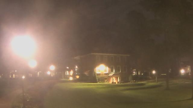
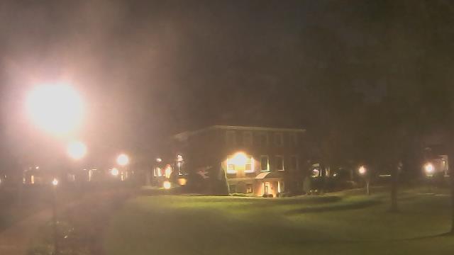
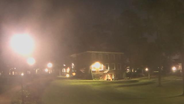
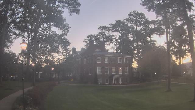
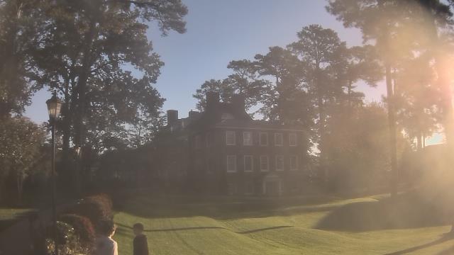
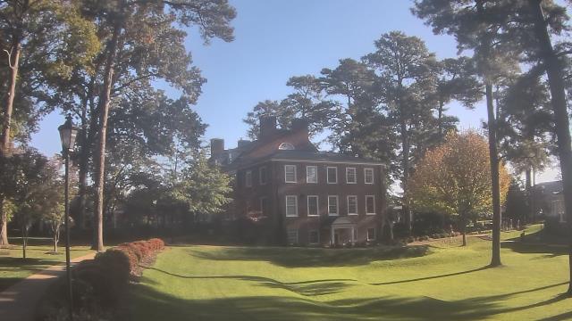
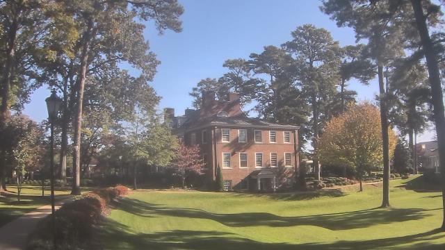
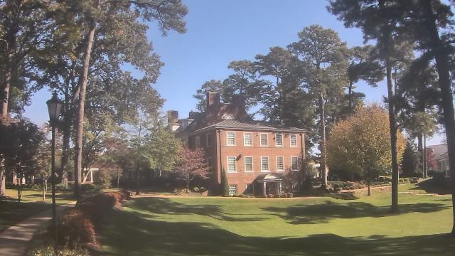
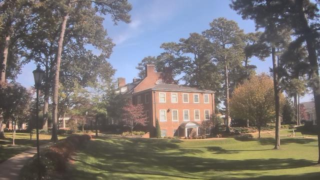
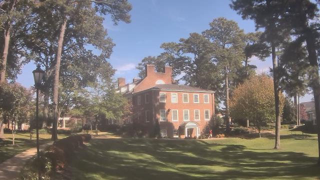
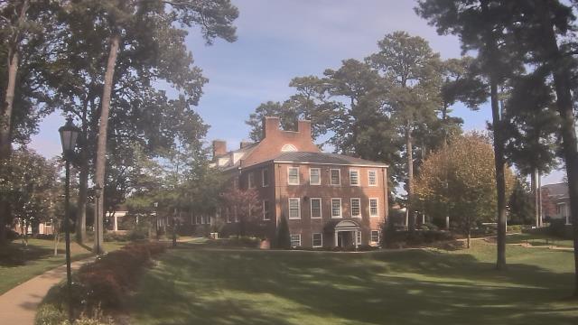
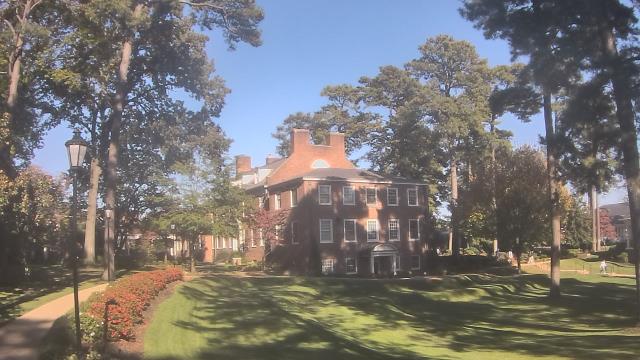
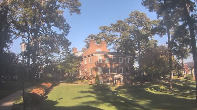
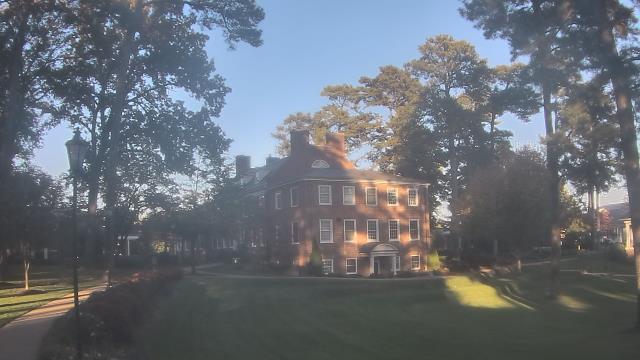
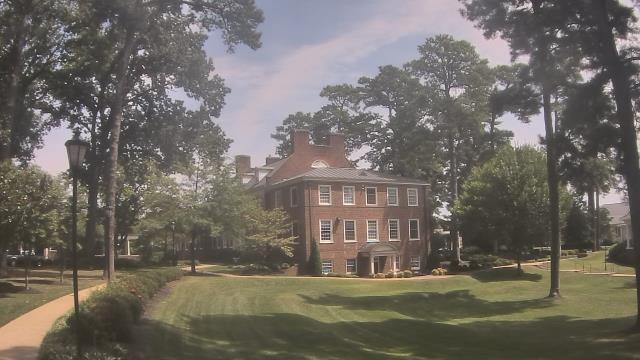
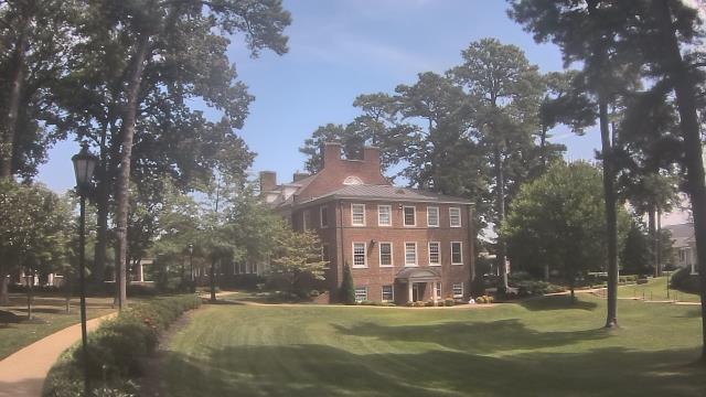
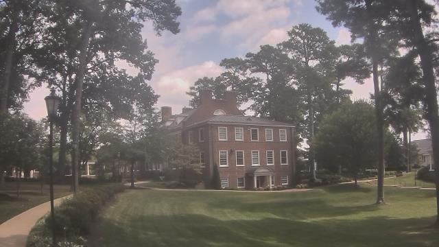
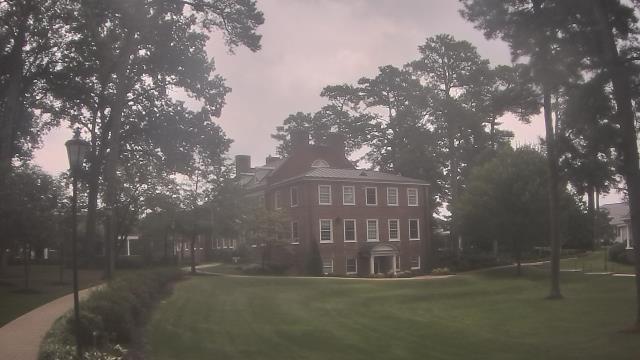
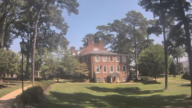
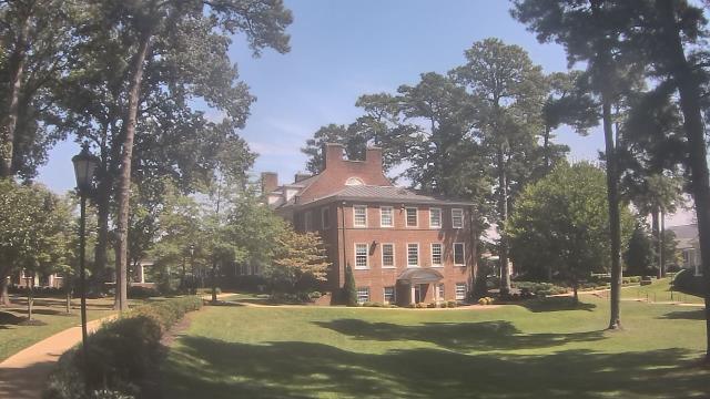
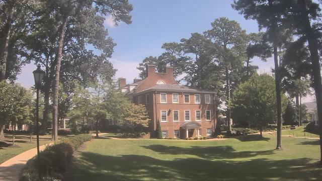
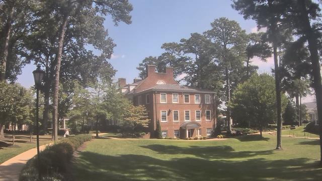
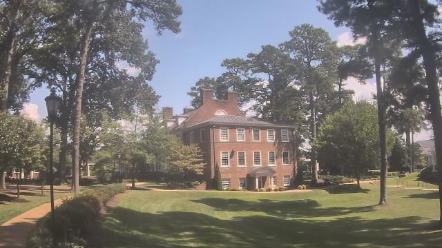
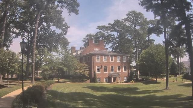
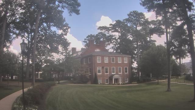
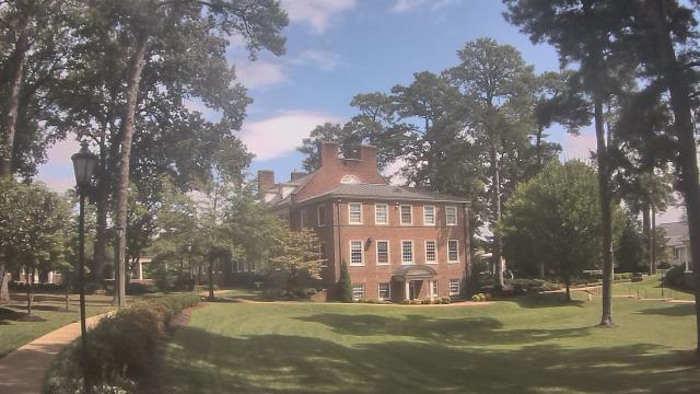
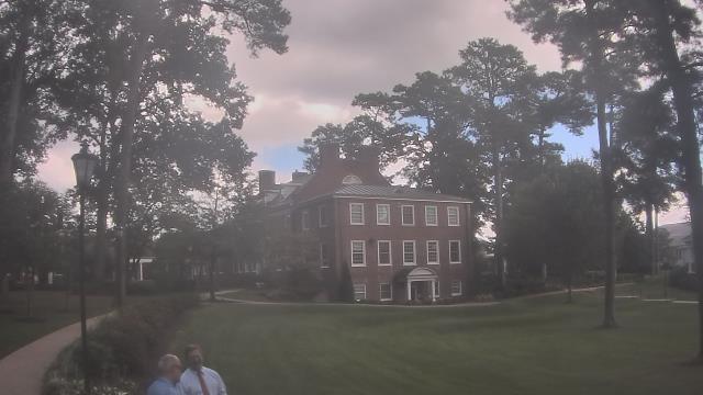
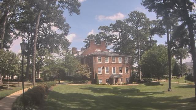
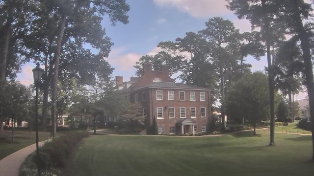
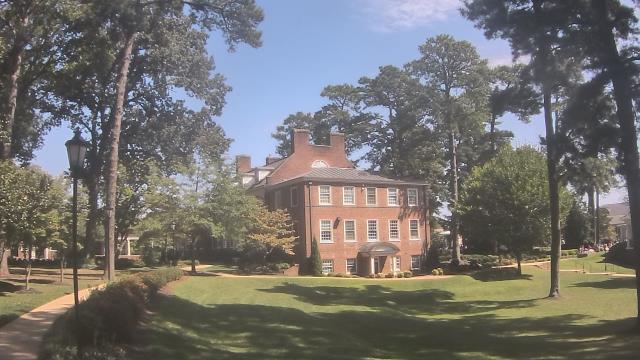
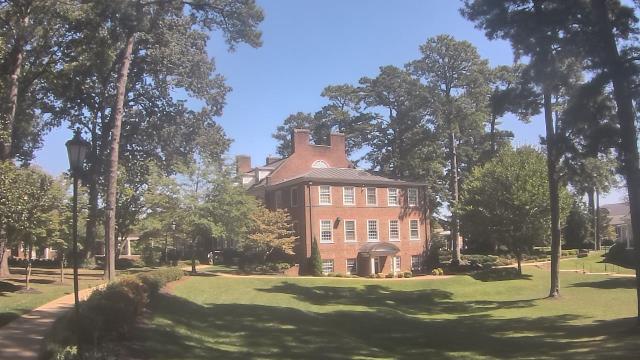
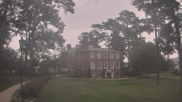
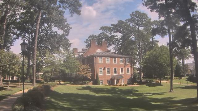
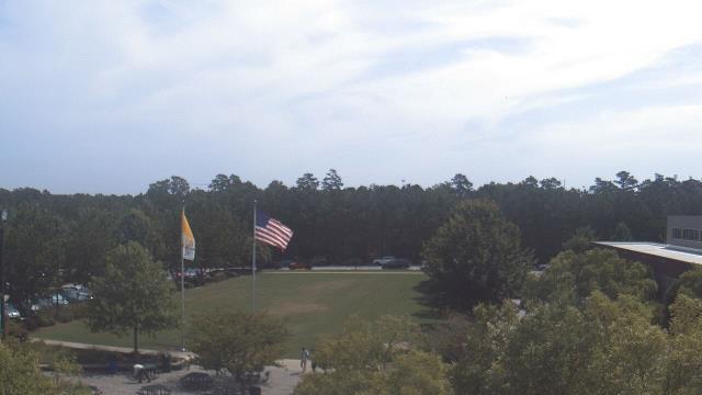
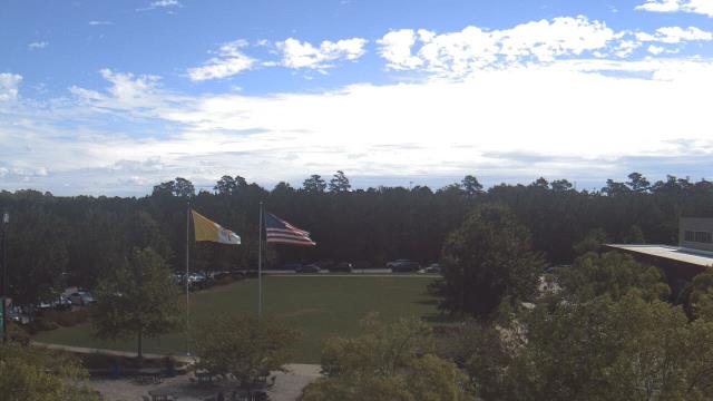
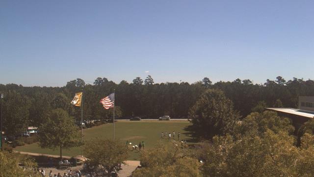
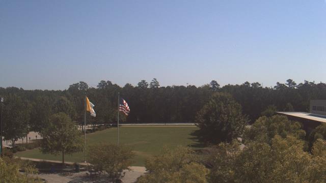
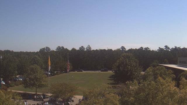
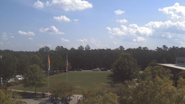
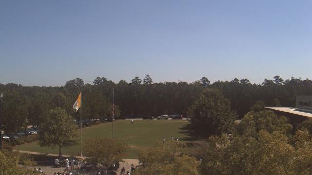
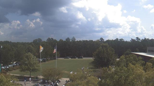
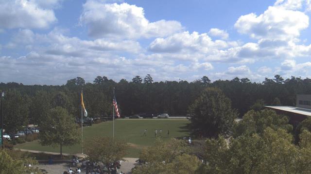
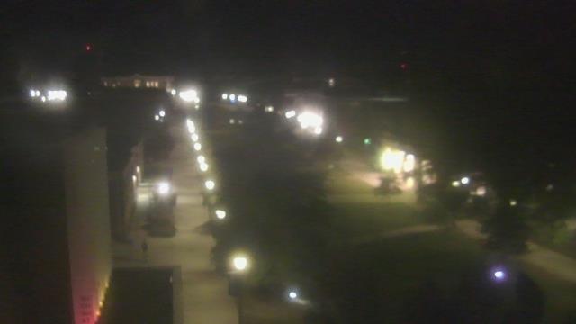
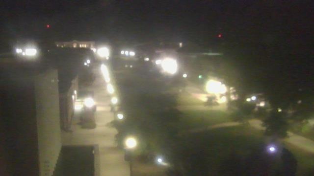
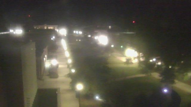
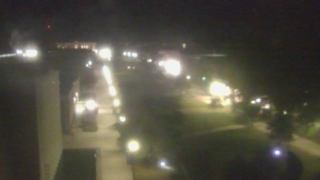
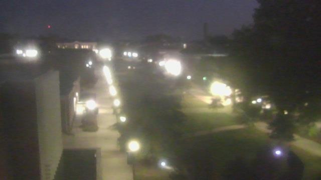
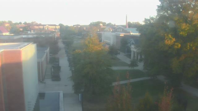
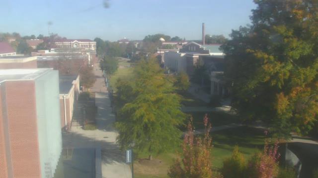
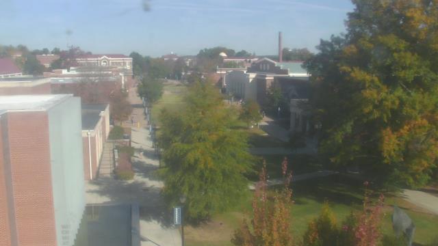
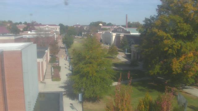
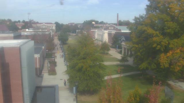
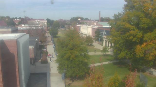
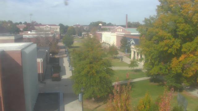
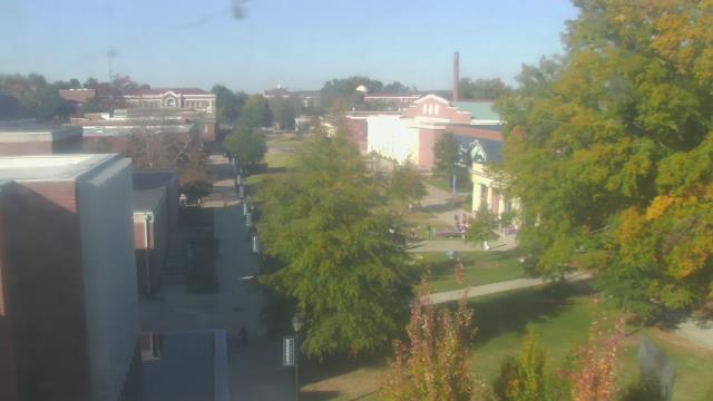
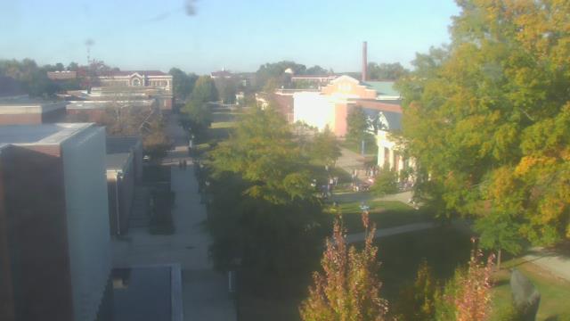
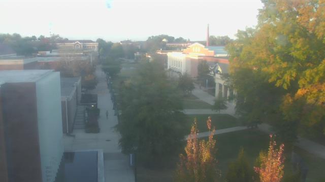
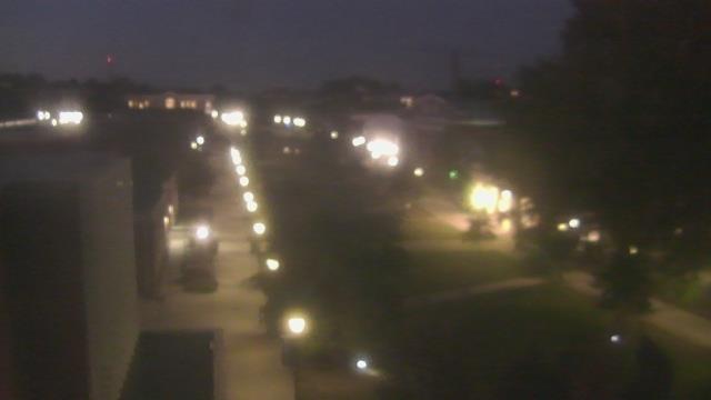
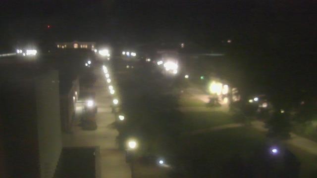
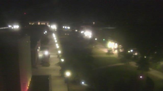
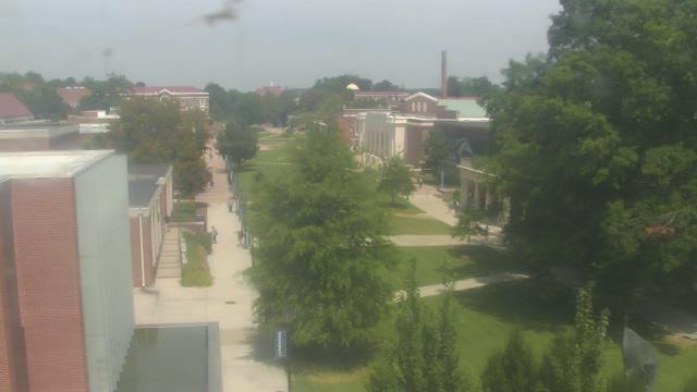
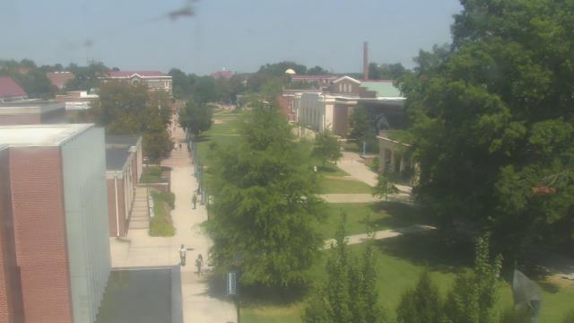
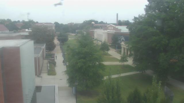
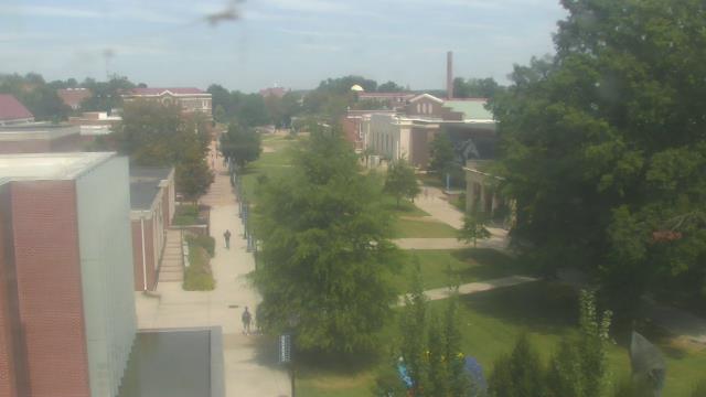
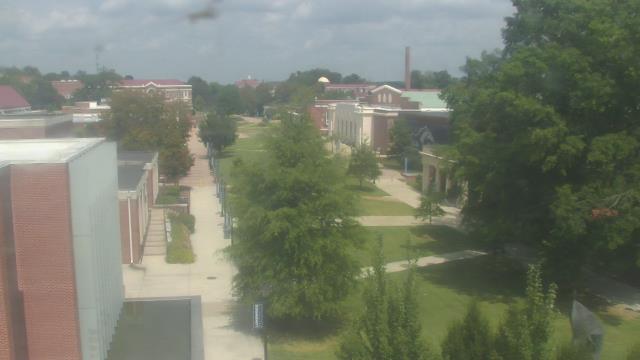
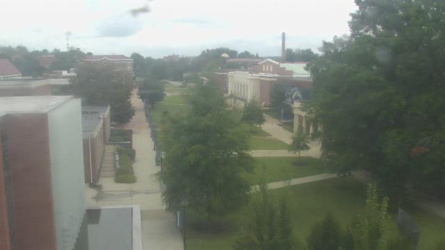
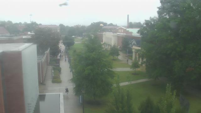
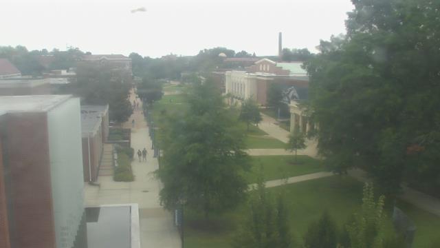
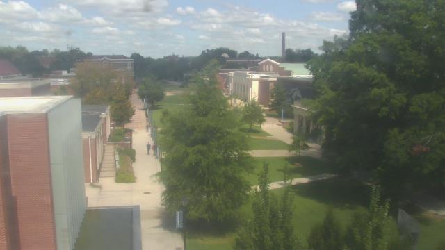
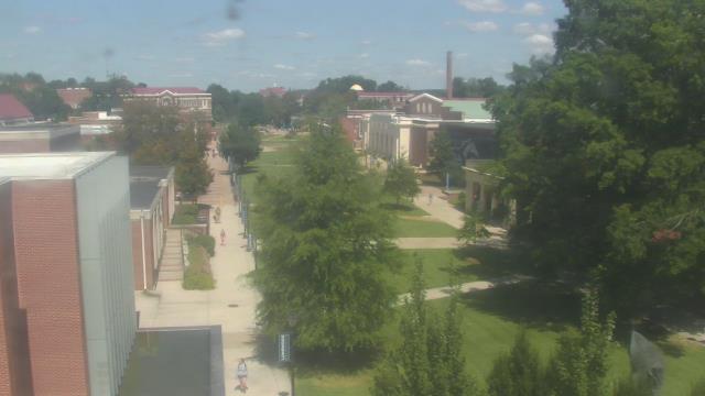
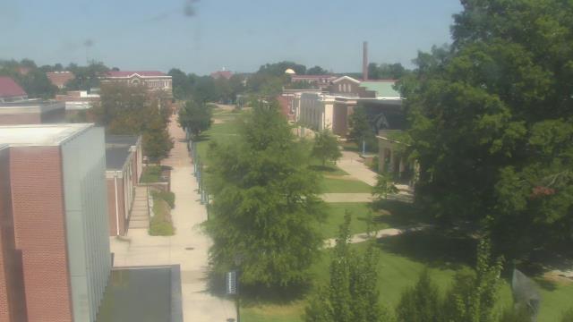
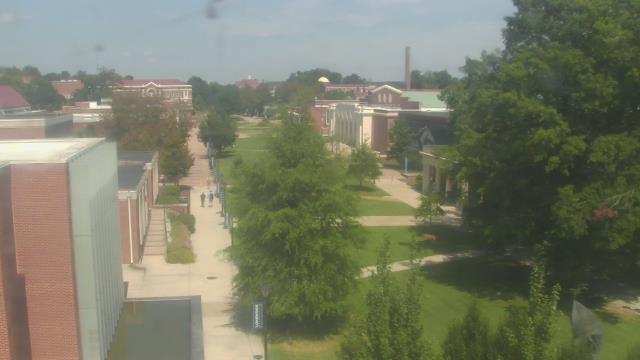
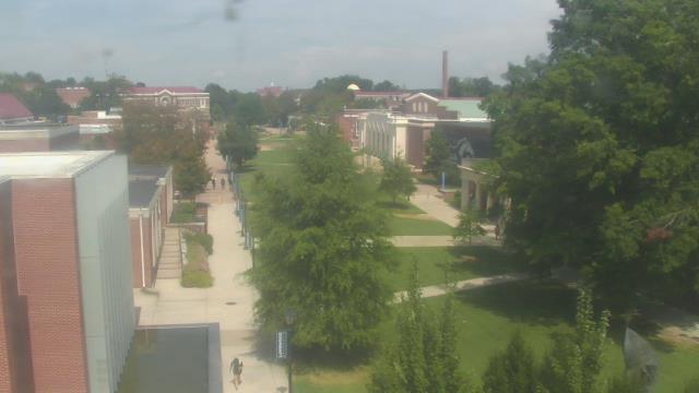
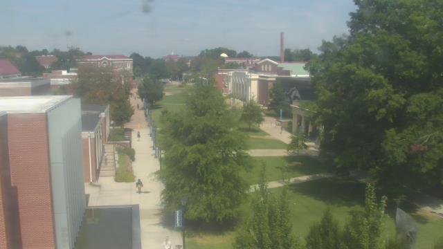
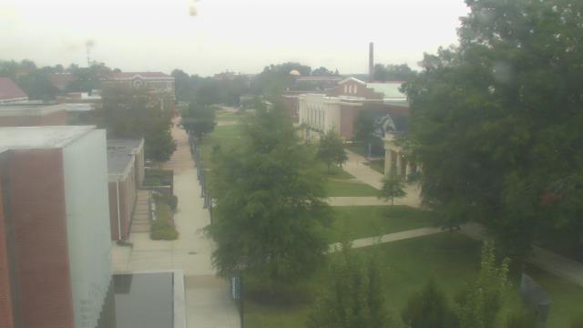
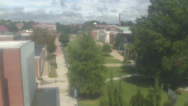
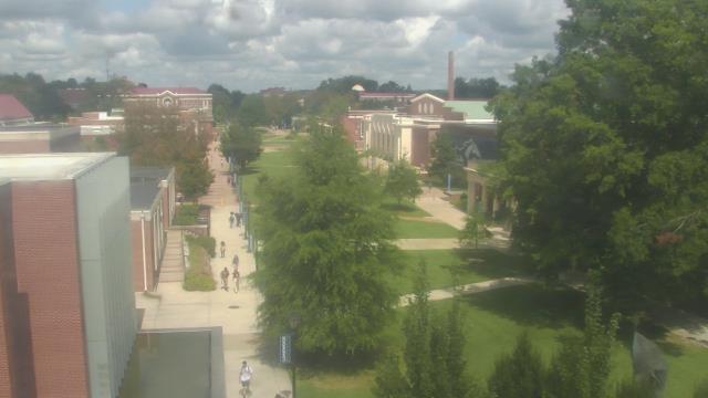
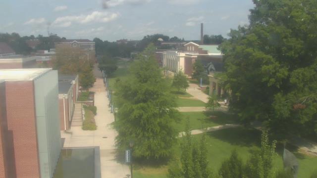
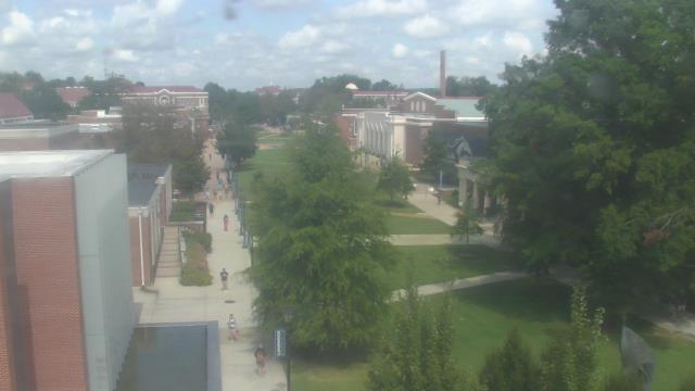
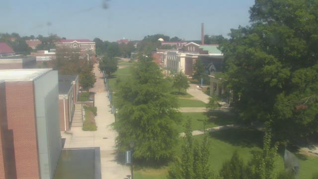
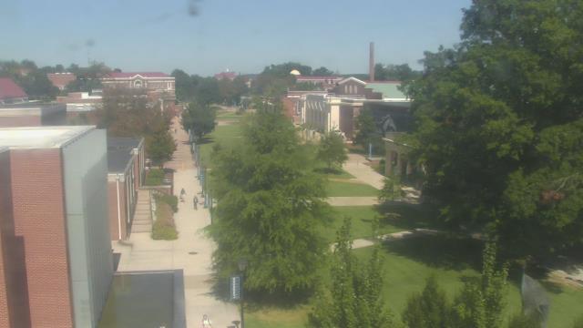
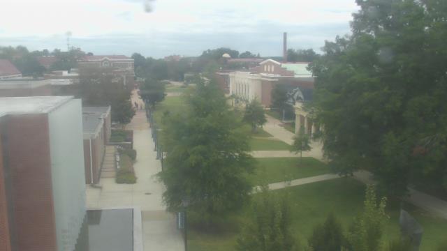
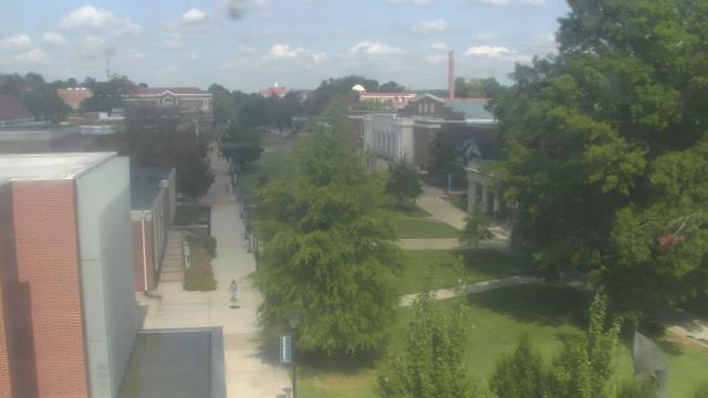
Farmville, Virginia, USA - 132.6 miles from Light Nixon Fork: Longwood University - A webcam in Farmville, Virginia - camera location: Longwood University.
Operator: WeatherBug
Operator: WeatherBug


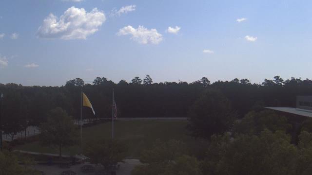
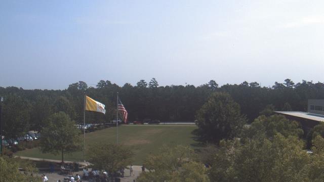
Ruther Glen, Virginia, USA - 135 miles from Light Nixon Fork: The Carmel School - A webcam in Ruther Glen, Virginia - camera location: The Carmel School.
Operator: WeatherBug
Operator: WeatherBug


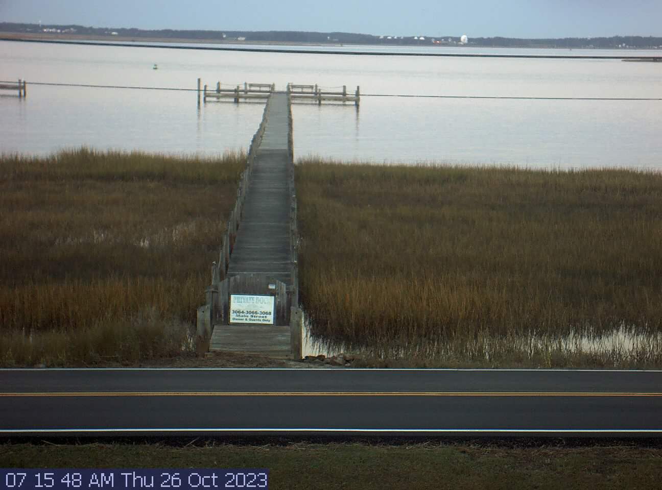
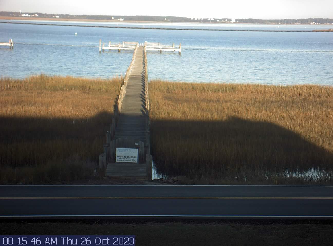
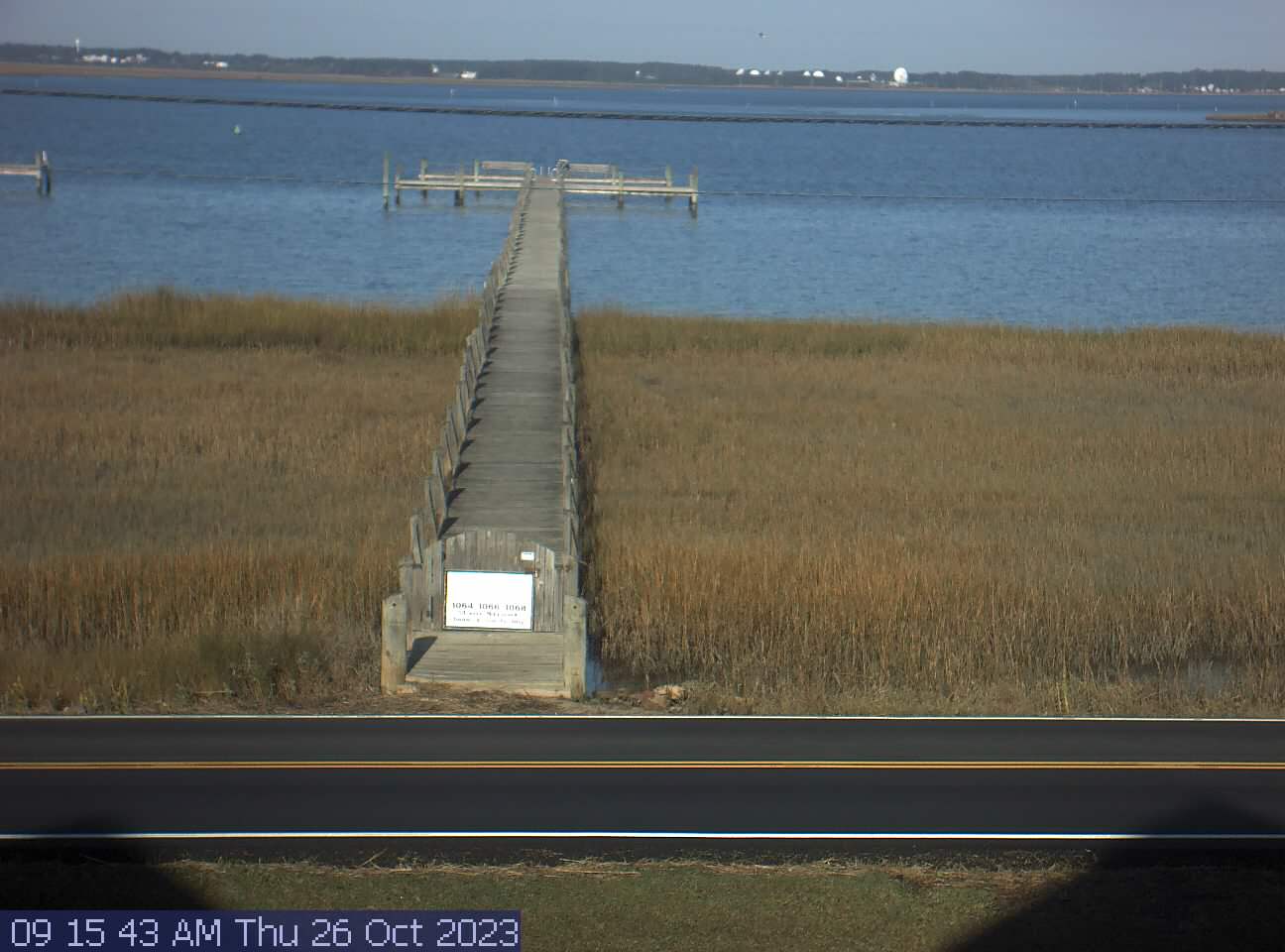
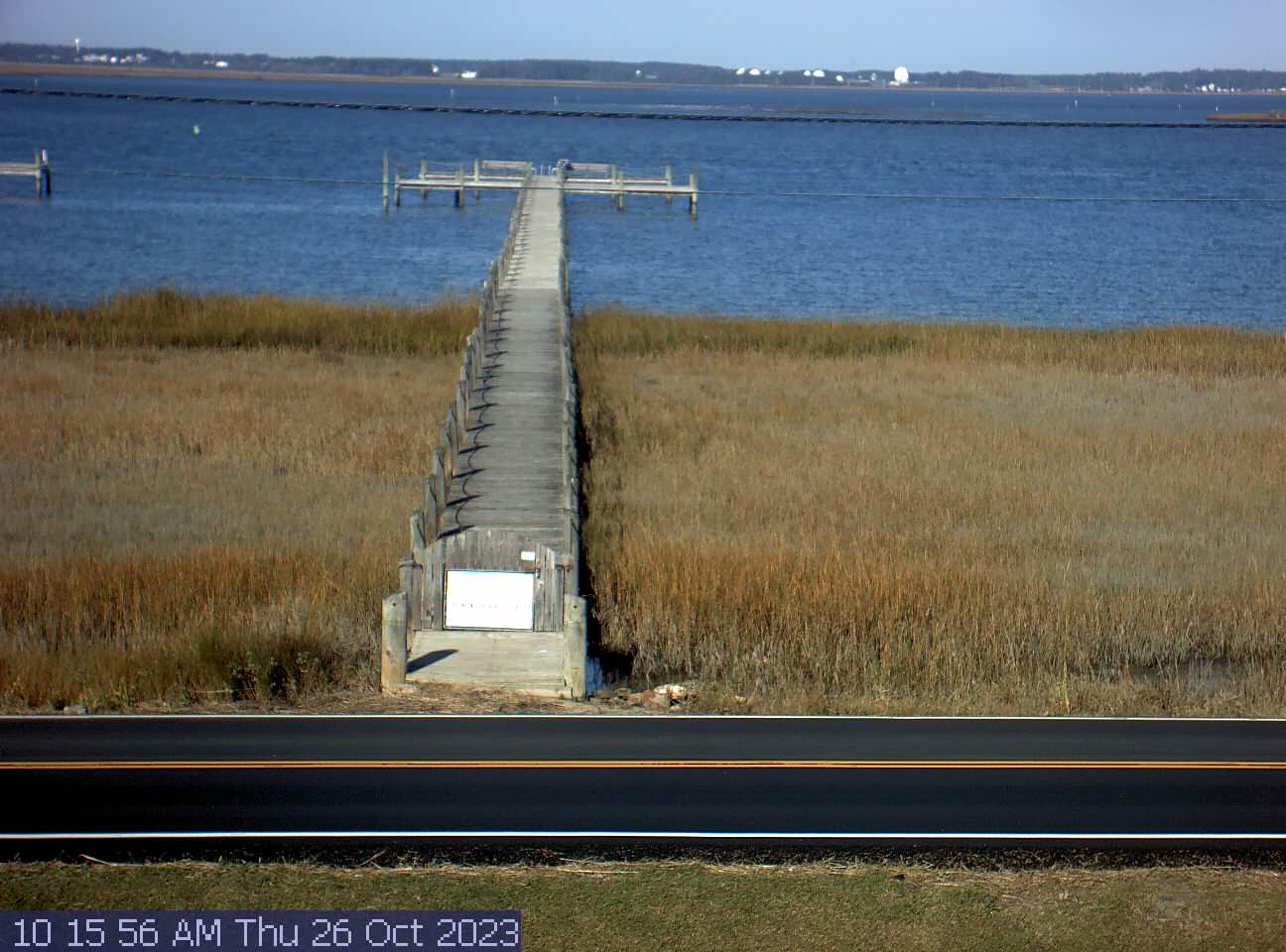
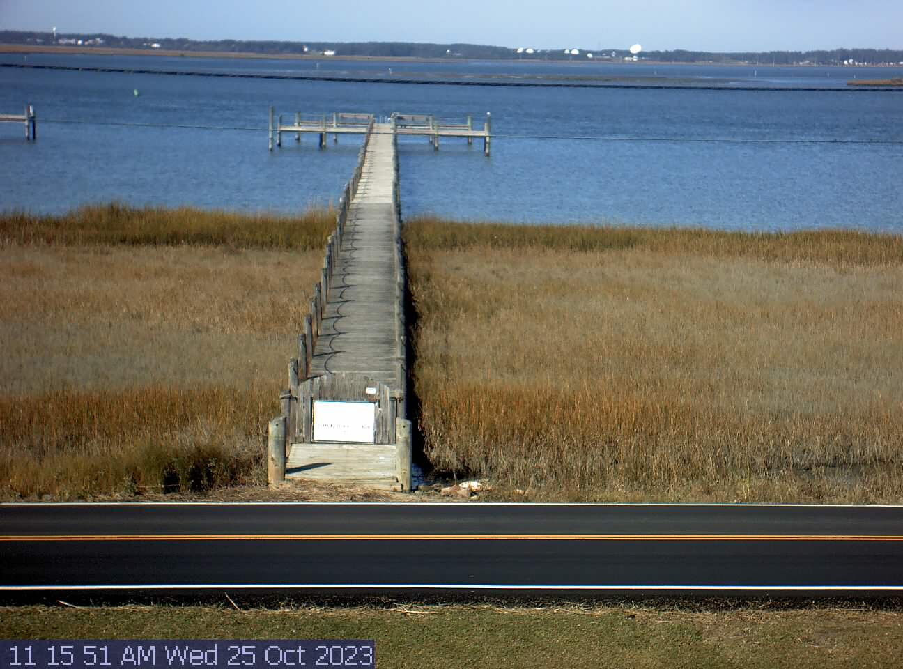
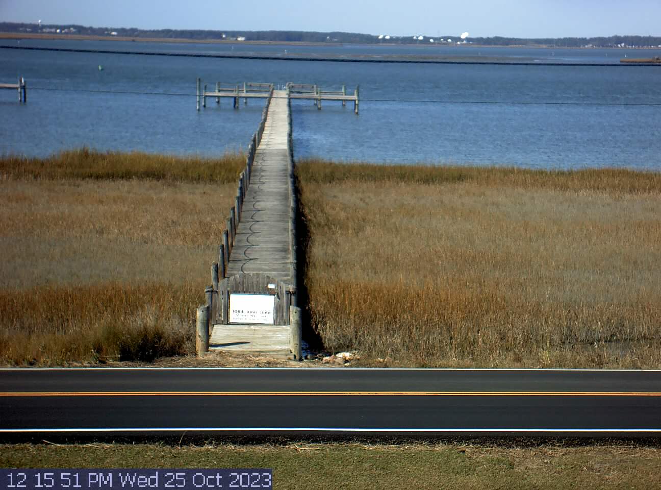
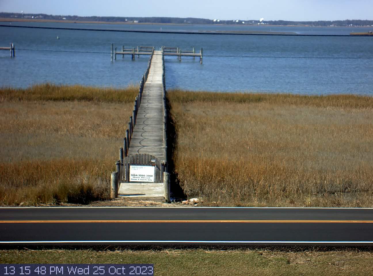
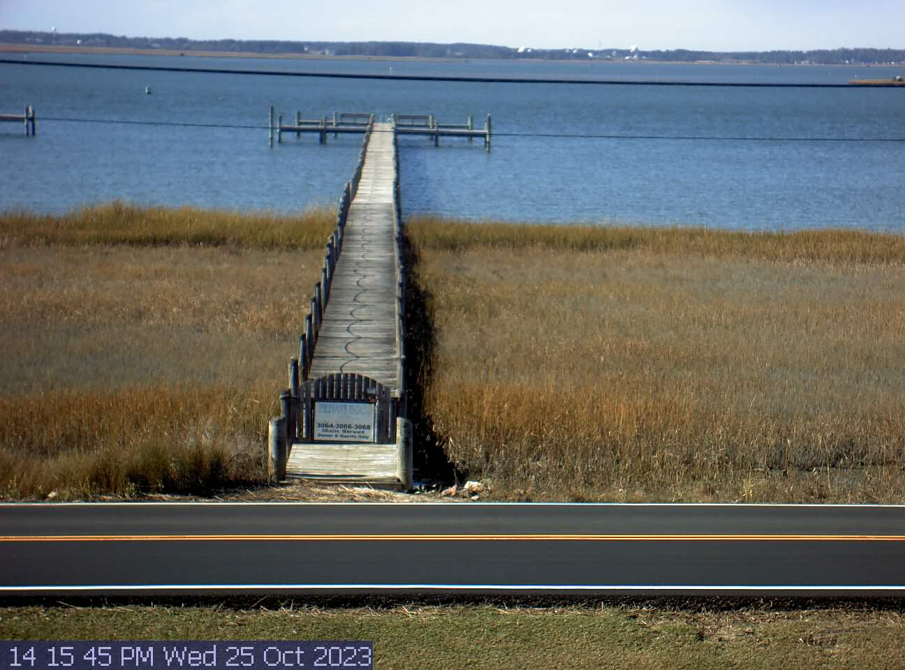
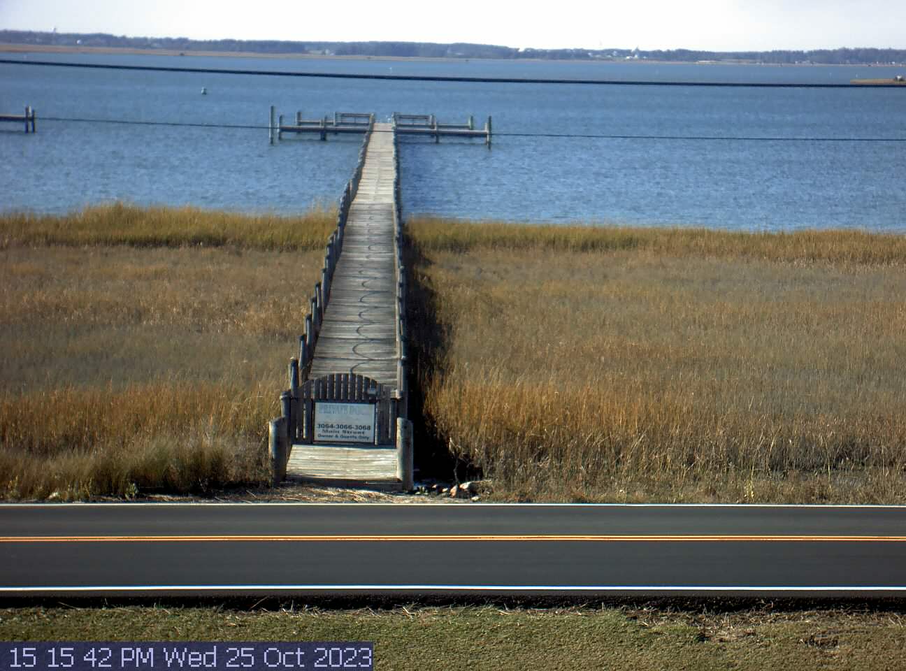
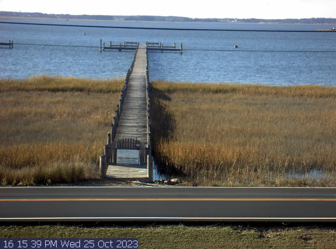
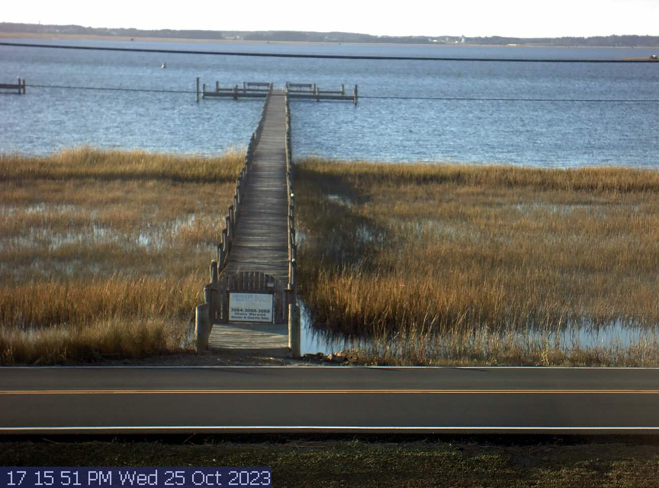
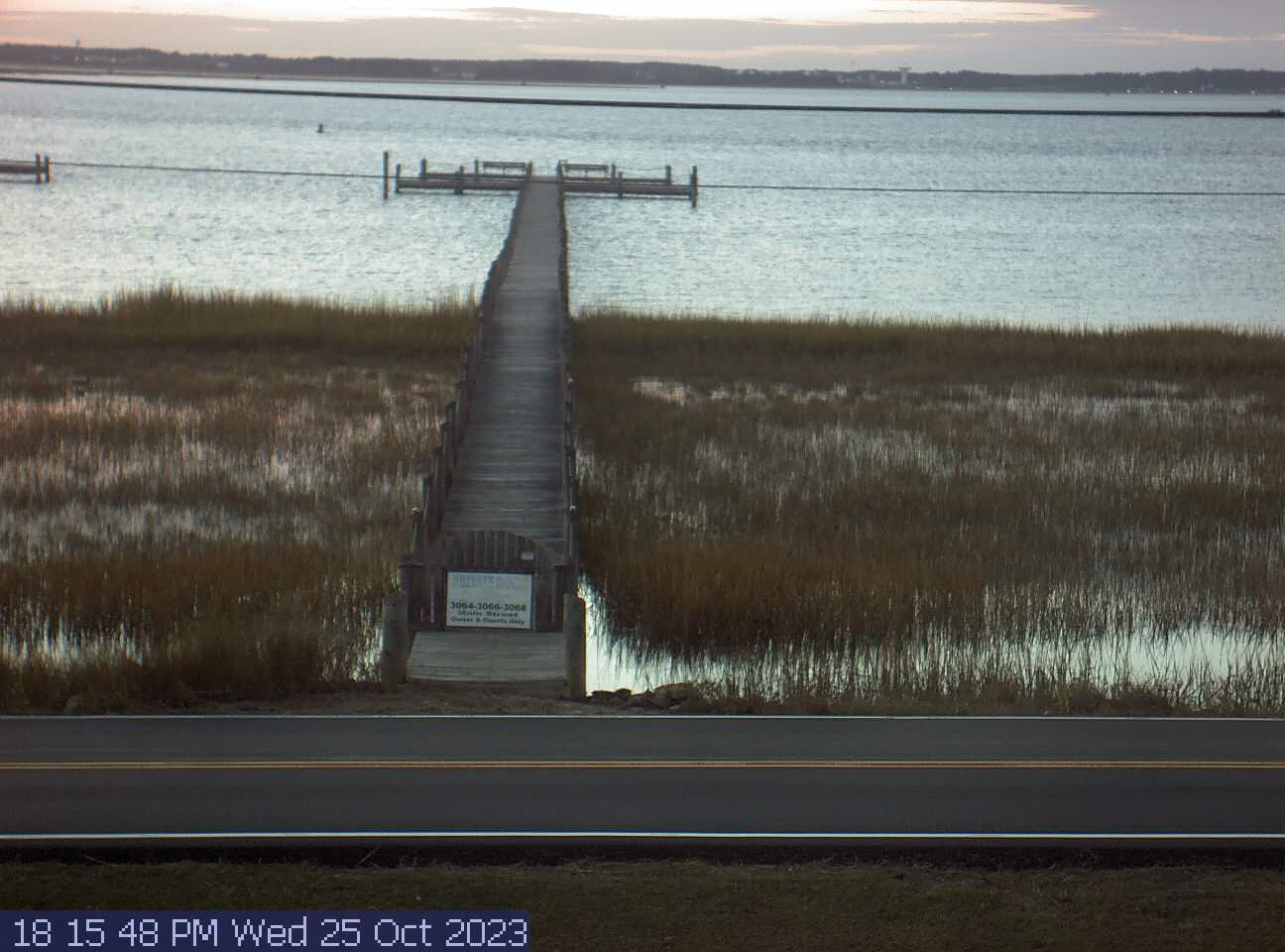
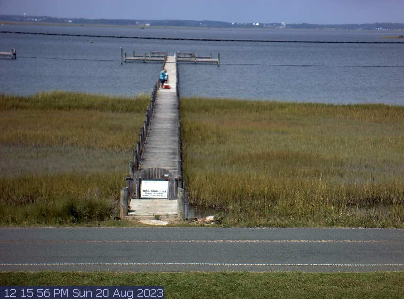
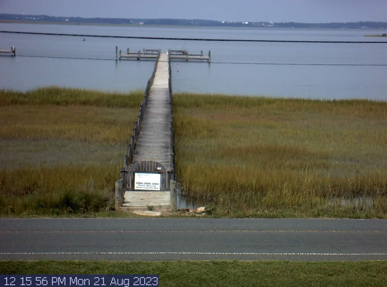
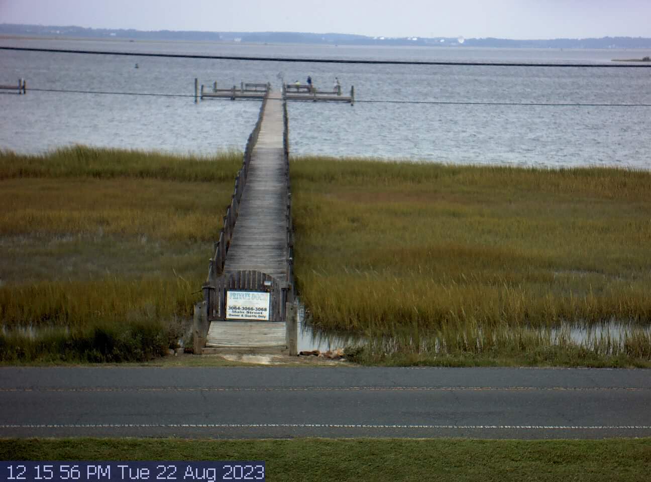
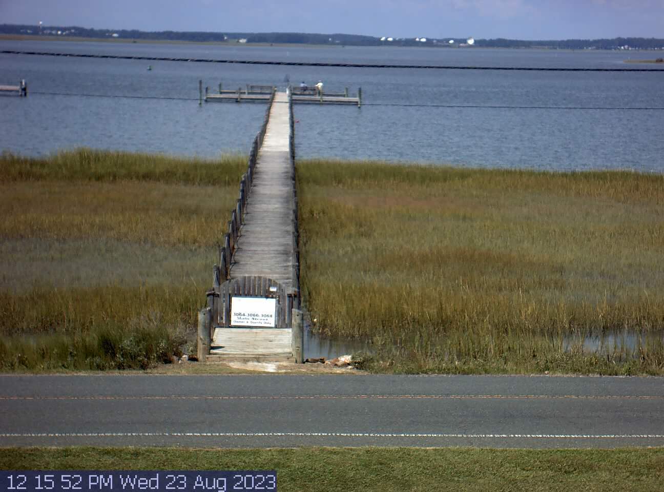
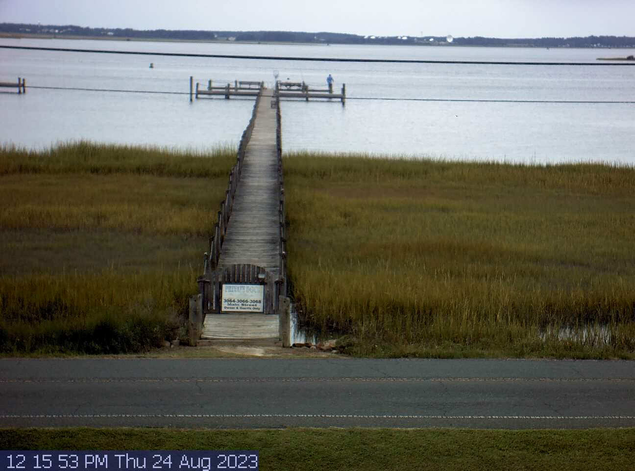
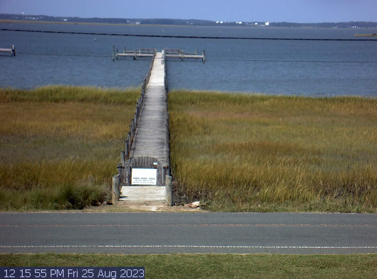
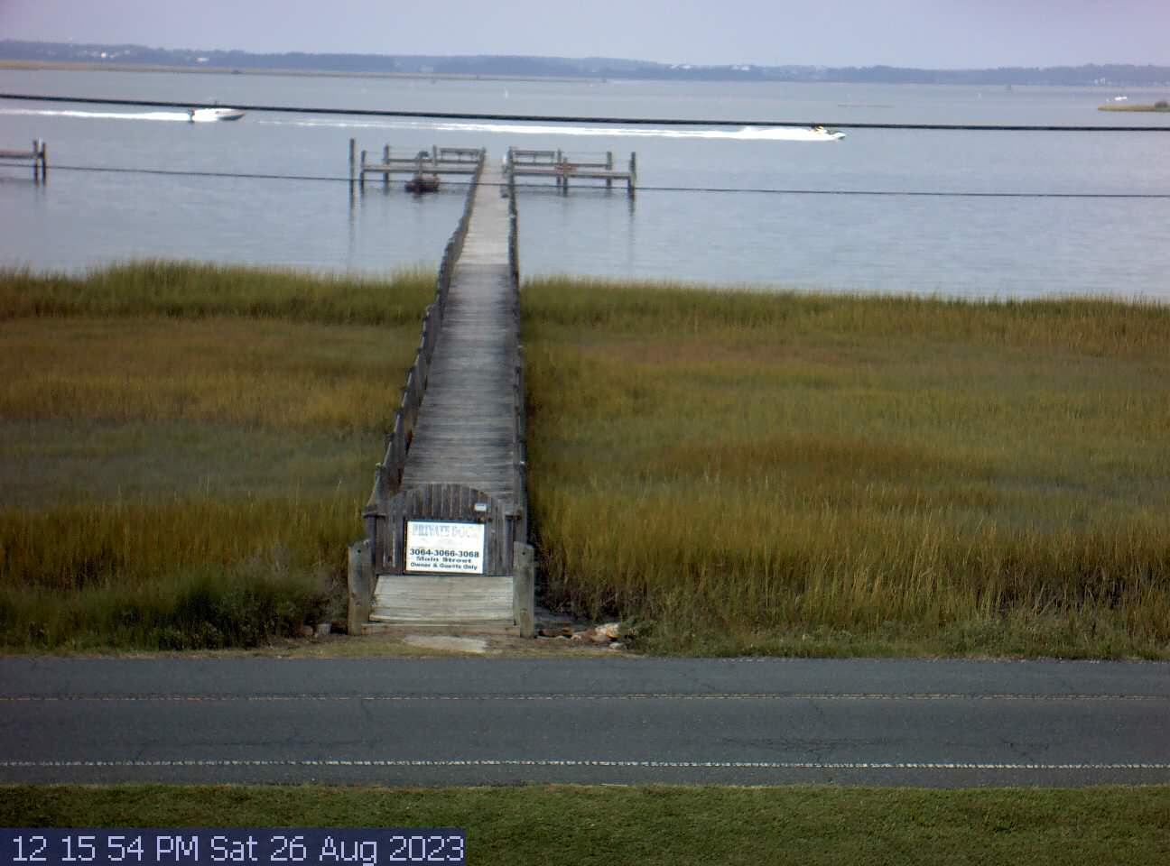
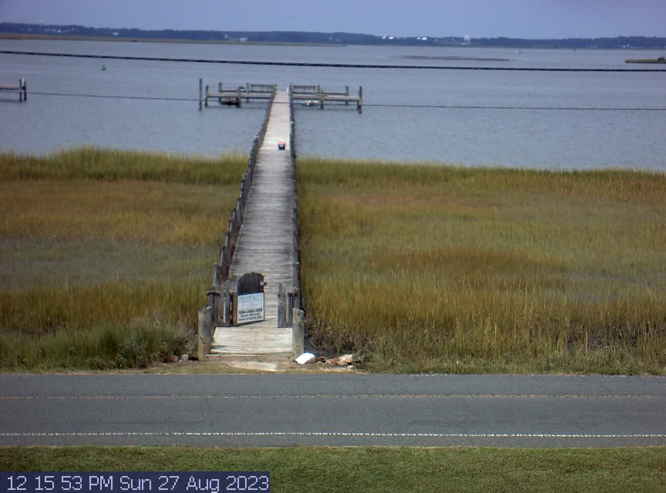
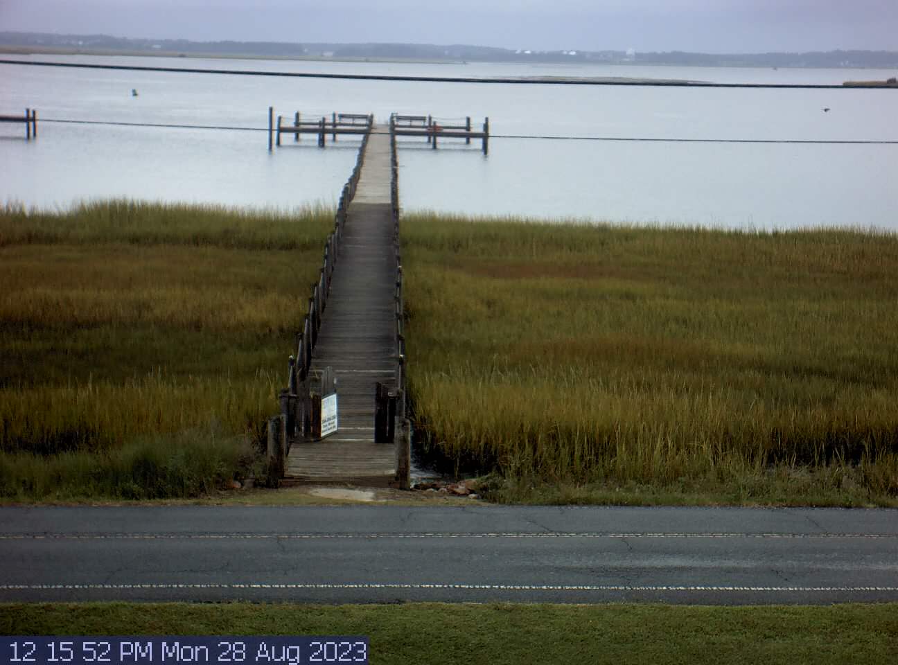
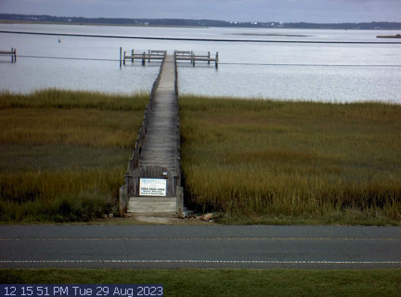
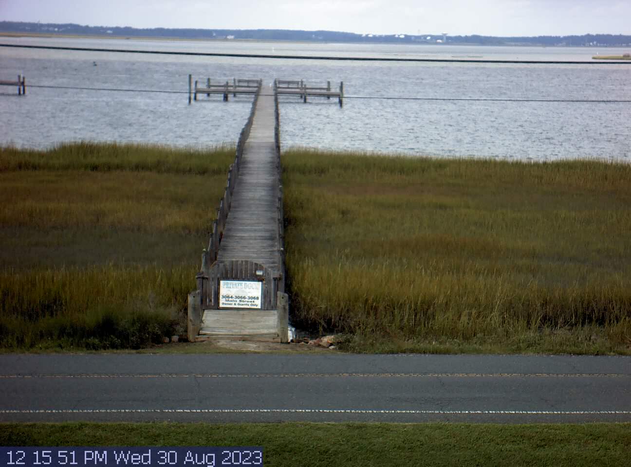
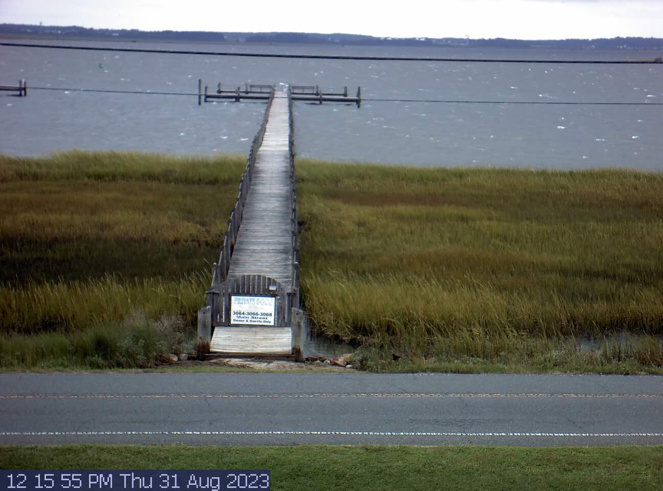
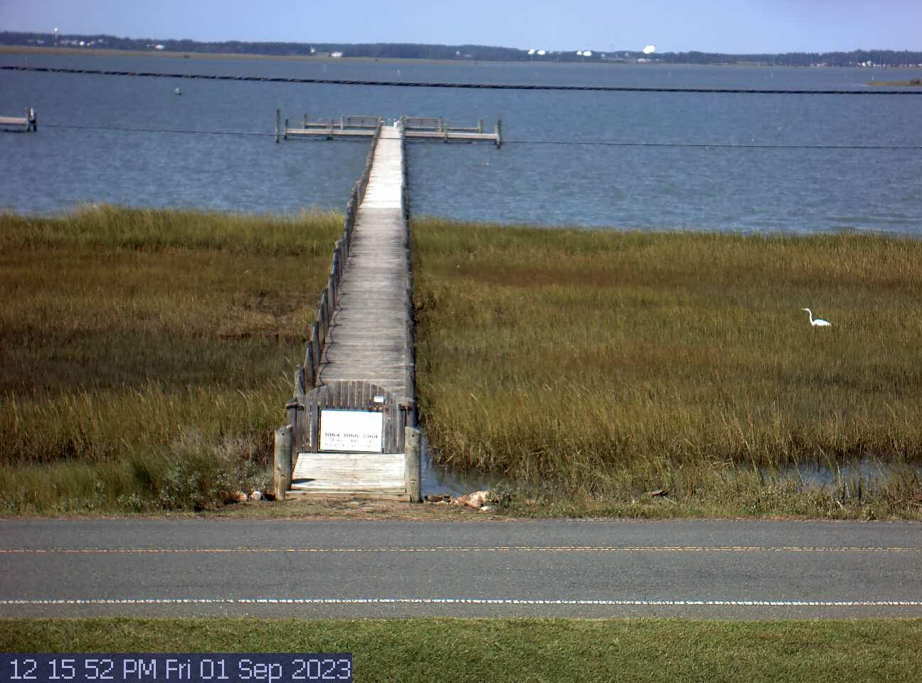
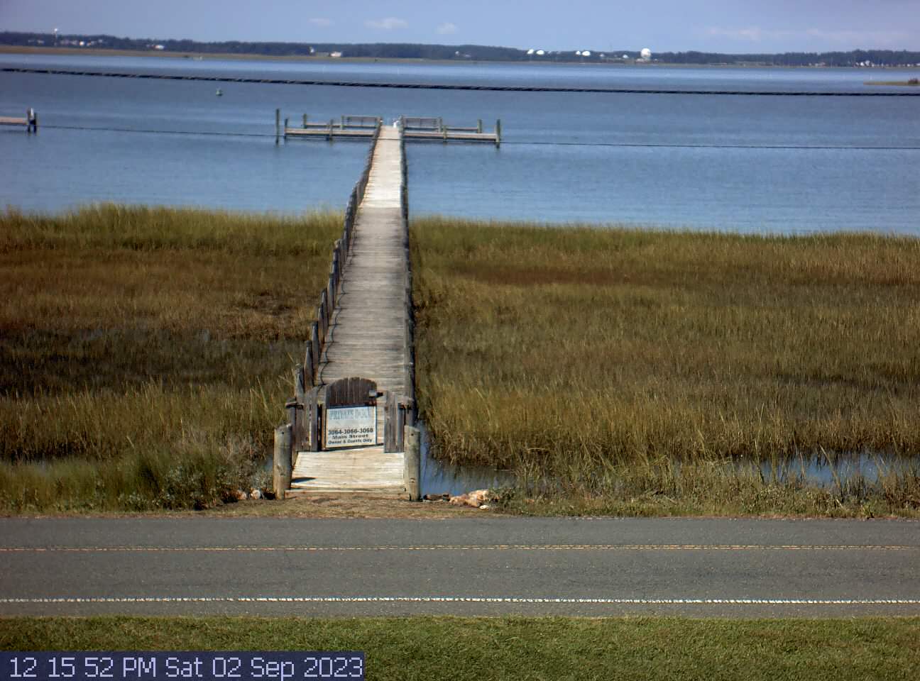
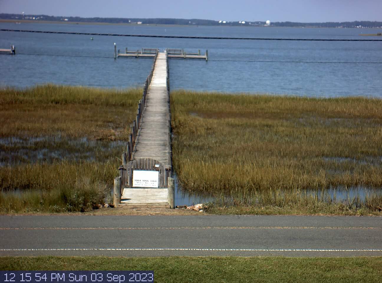
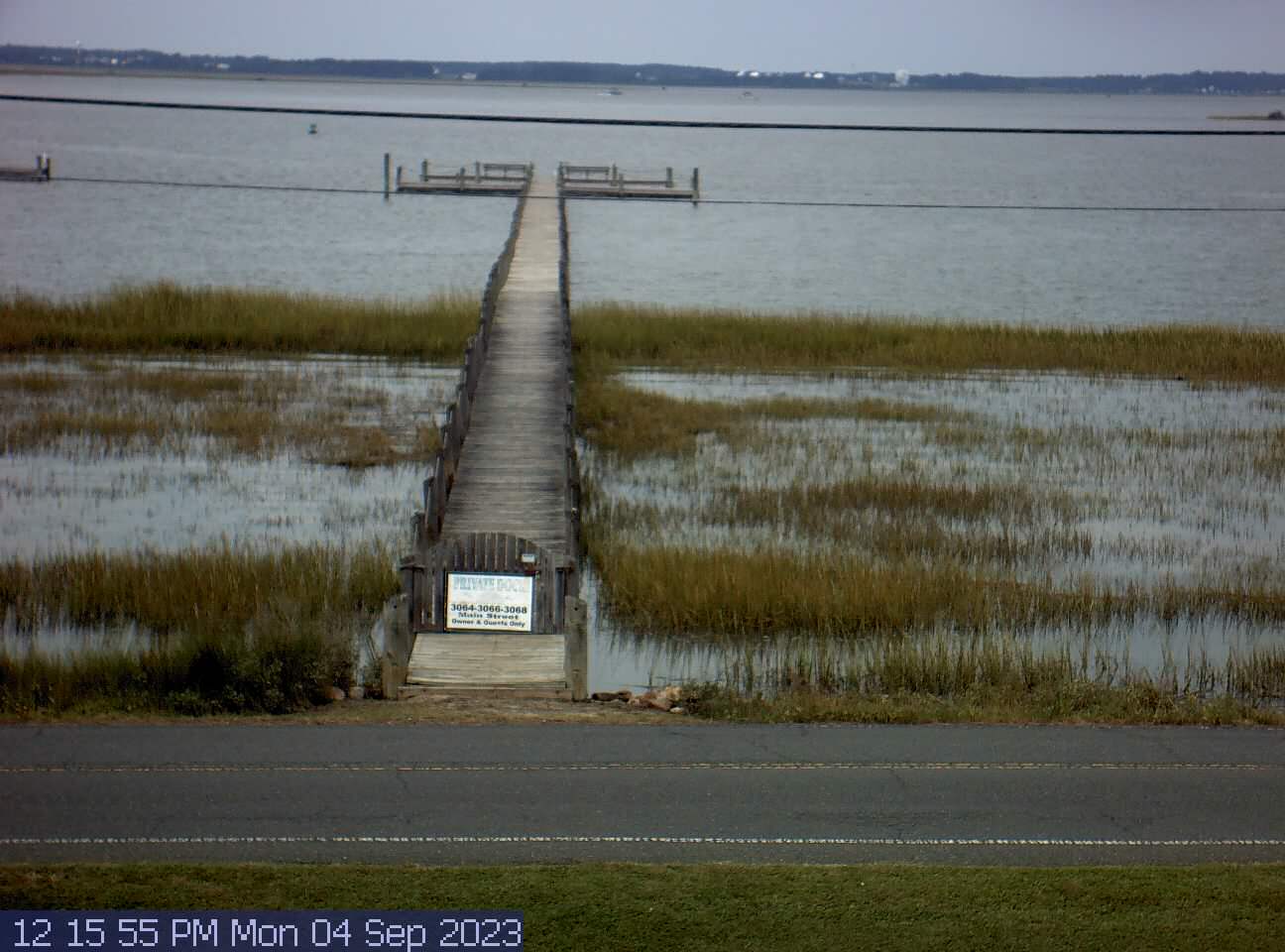
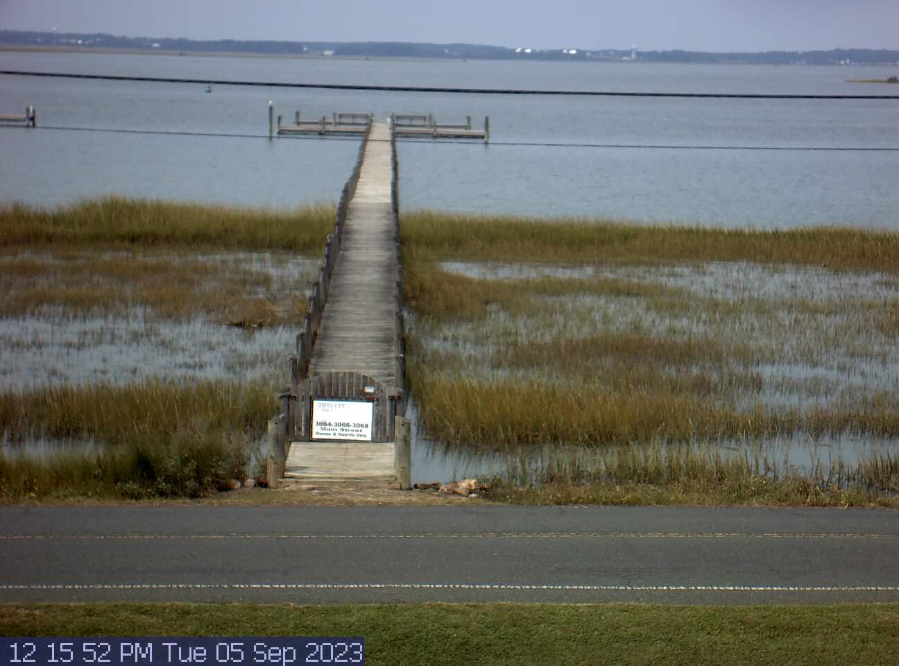
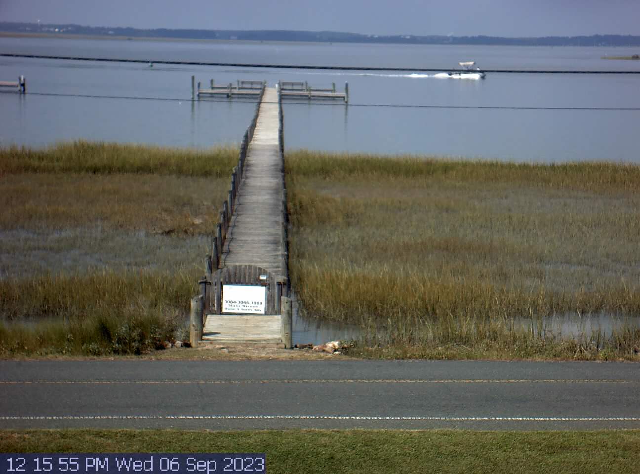
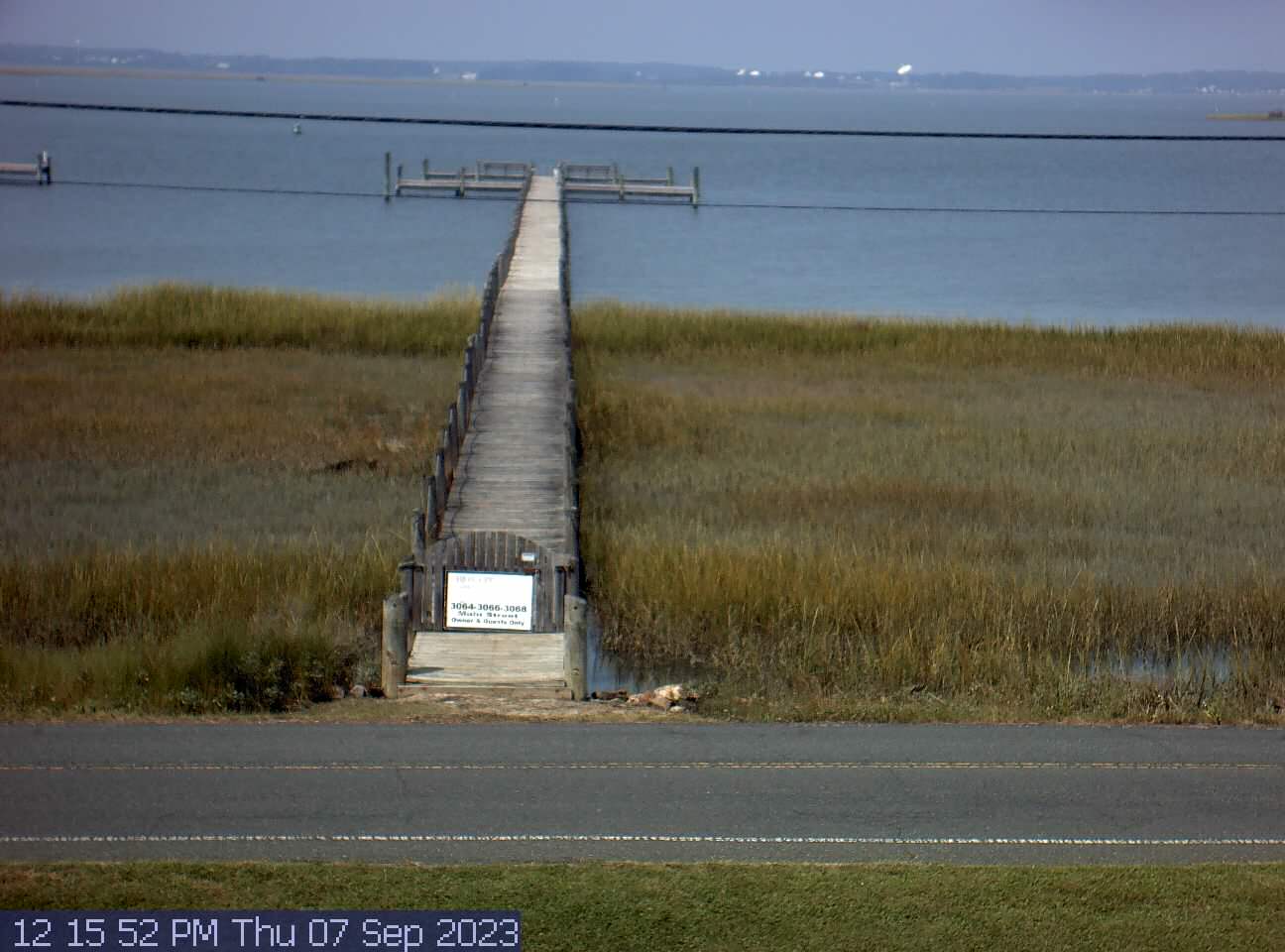
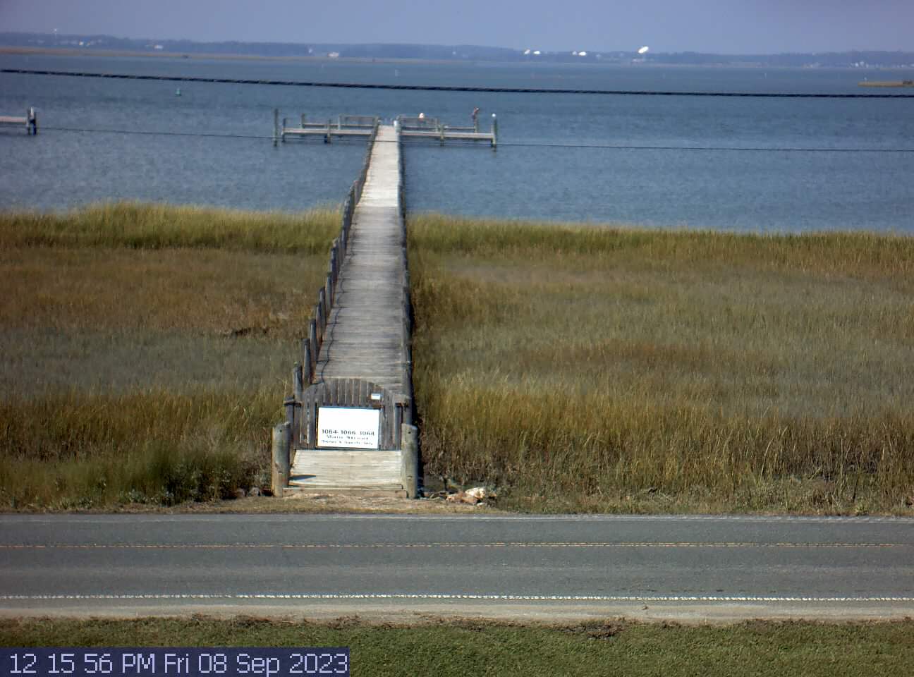
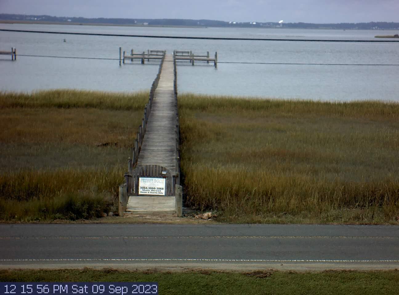
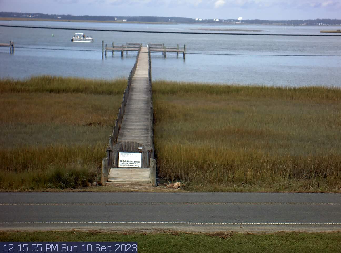
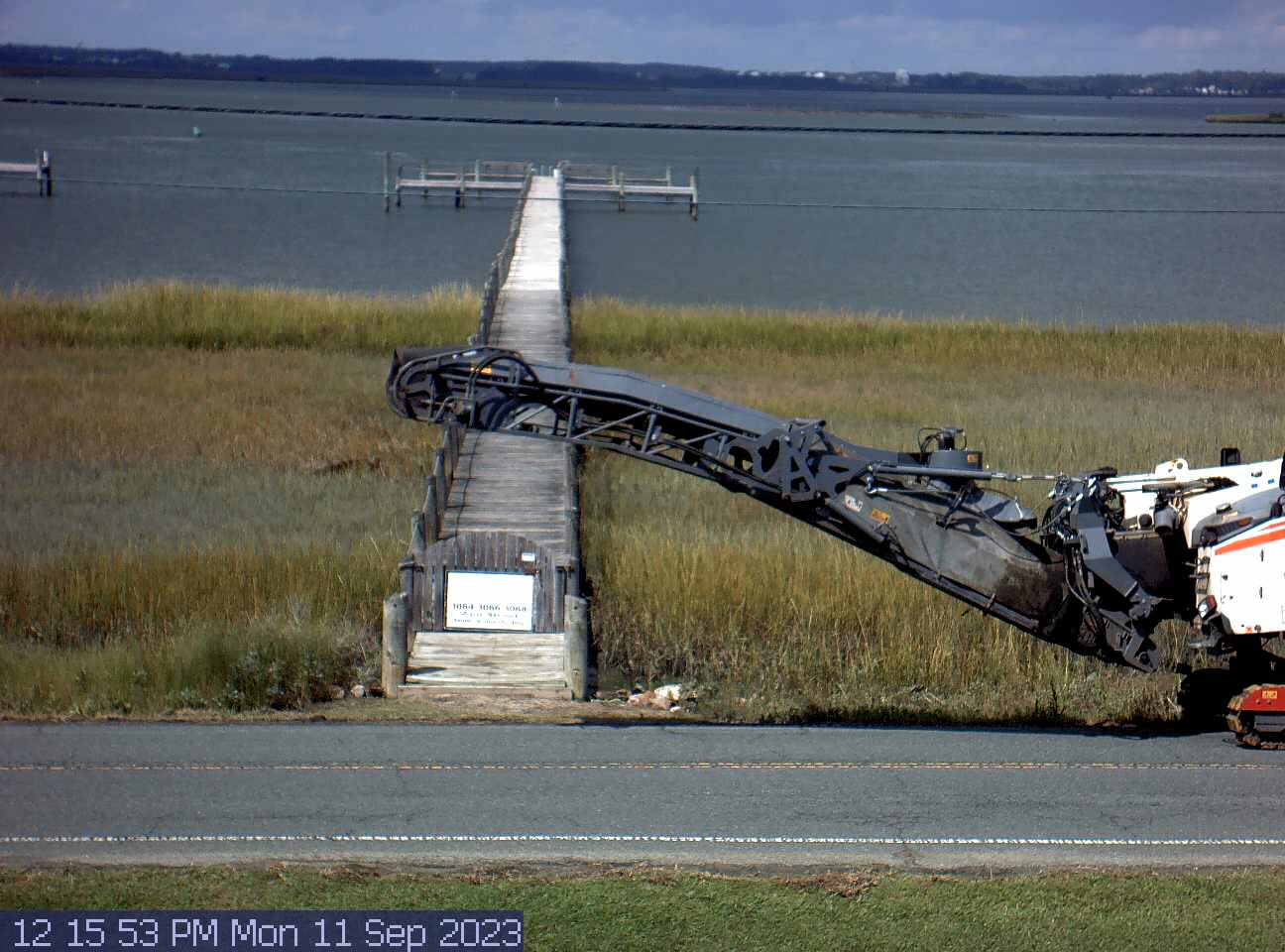
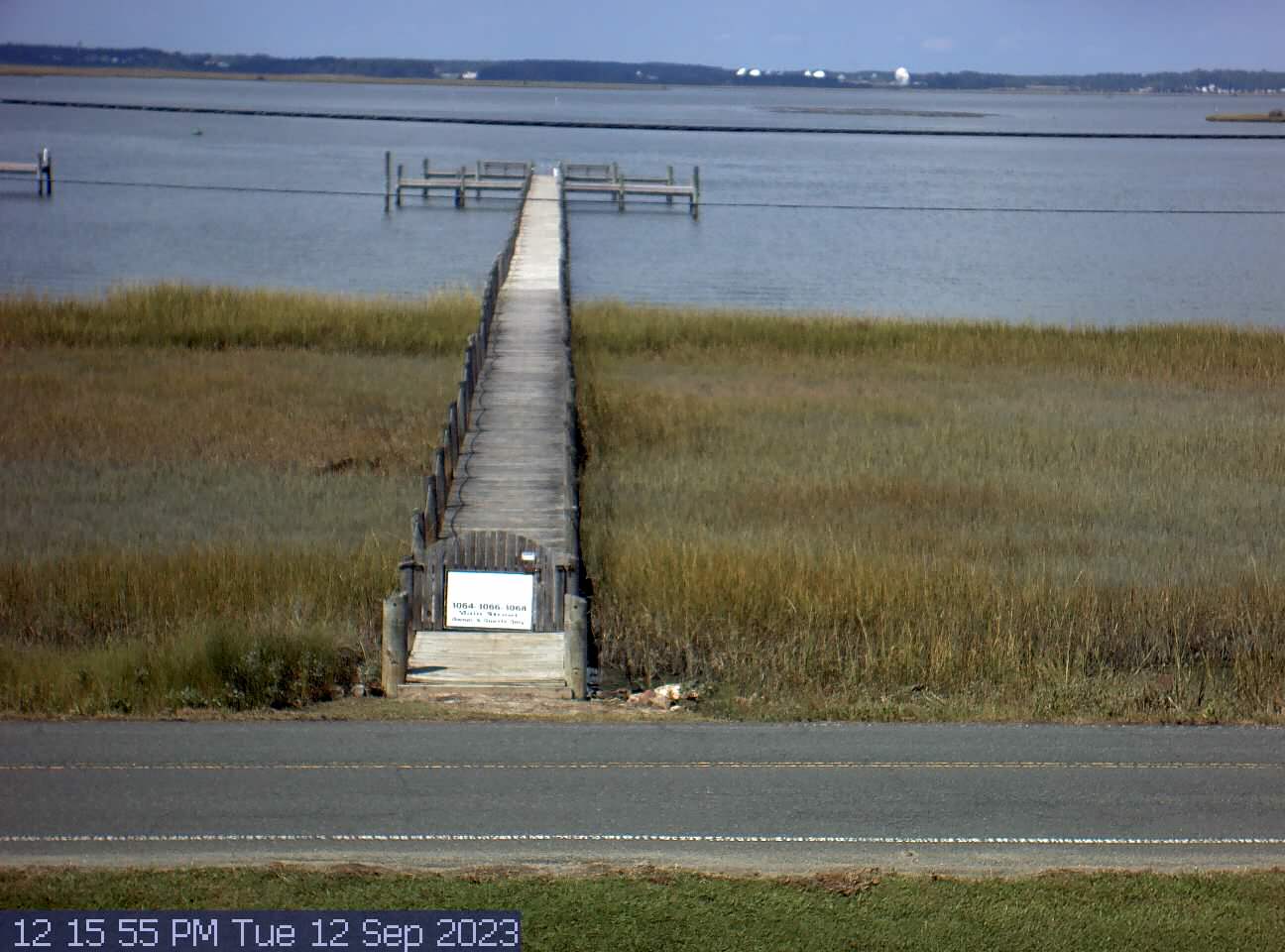
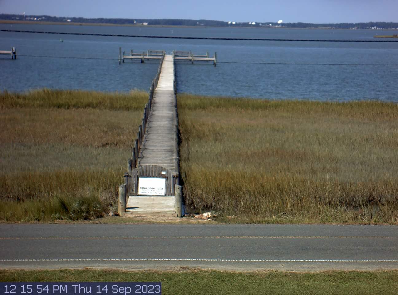
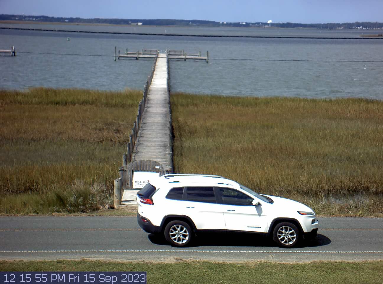
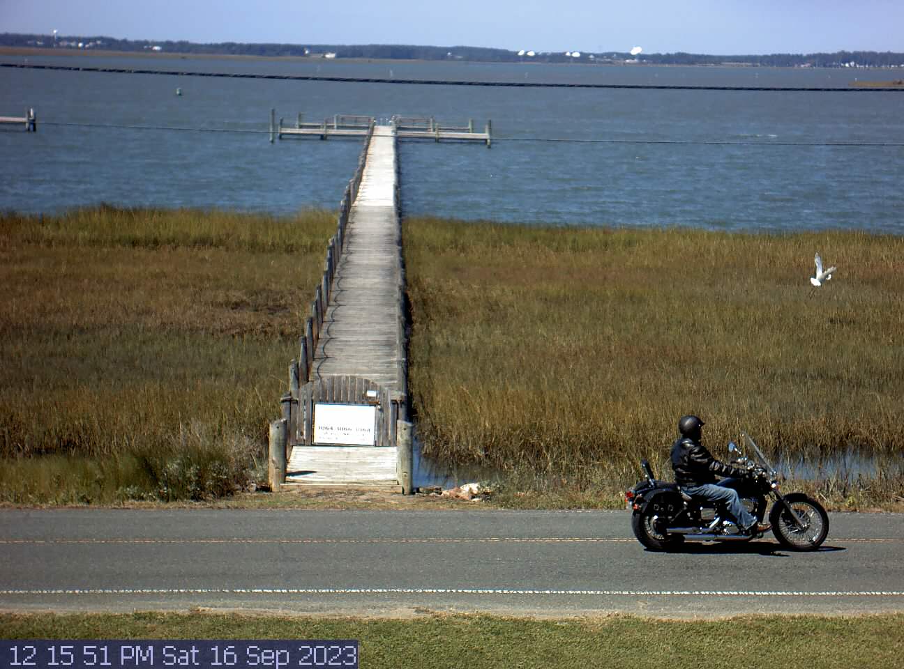
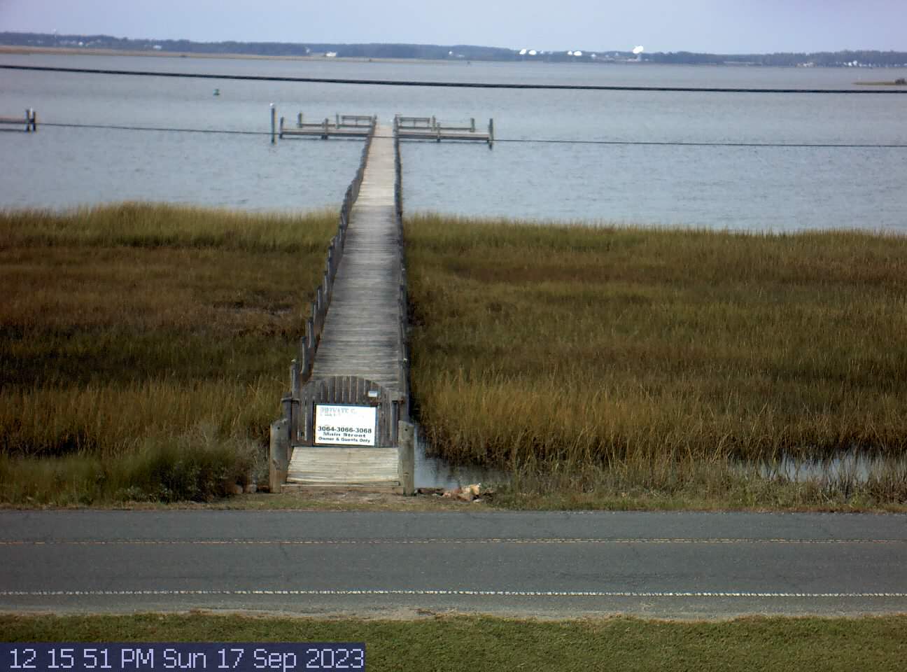
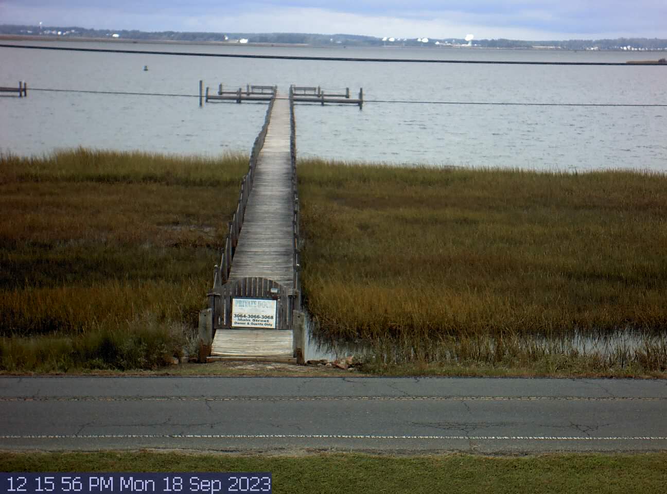
Chincoteague Island, Virginia, USA - 138.8 miles from Light Nixon Fork: Chincoteague Bay
Operator: Easy Does It Vacations
Operator: Easy Does It Vacations

Some other places in this country: Boardman - Carter - Cherry Point Landing (historical) - Chimney Rock - Dover - Halls Mills - Healing Springs - Herrings Crossroads - Penny Hill - Hobbton