Webcams in the region of Healing Springs, North Carolina, USA
The List of Webcams near Healing Springs, North Carolina, USA:

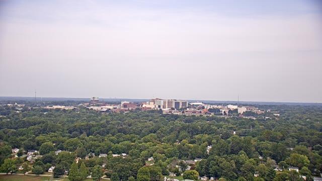
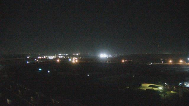
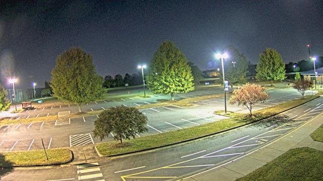
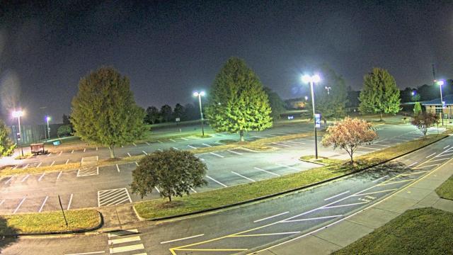
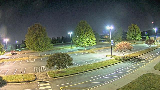
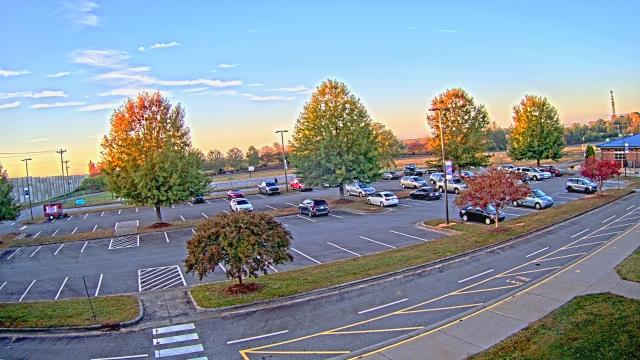
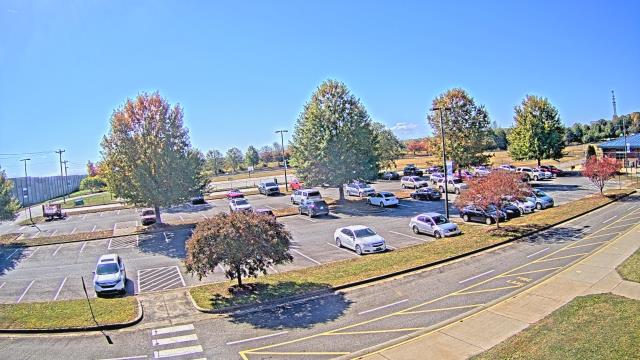
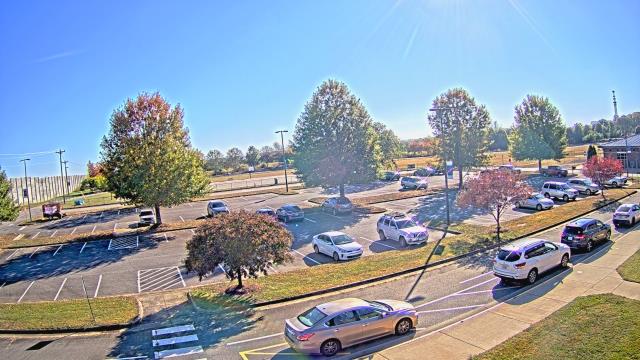
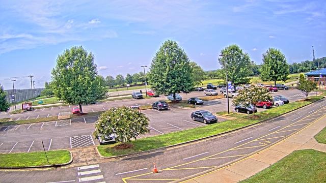
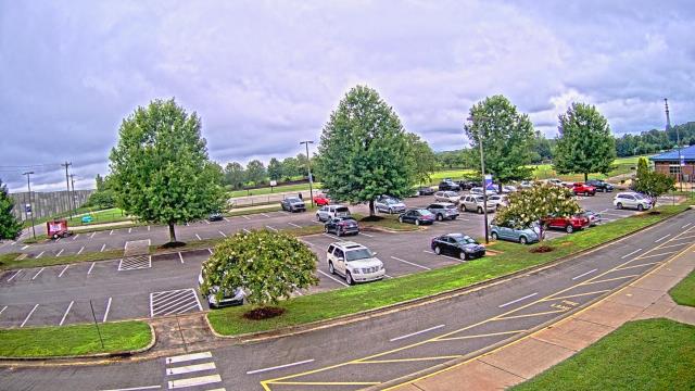
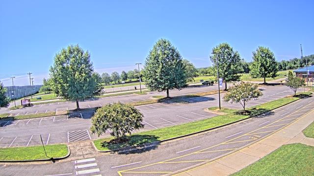
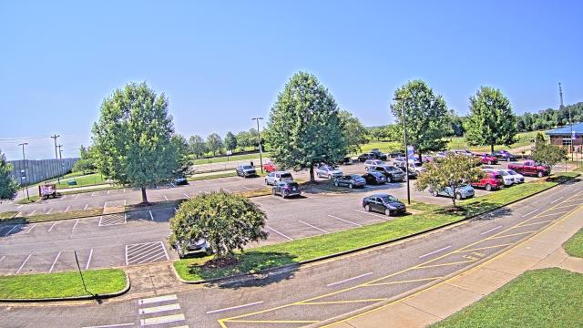
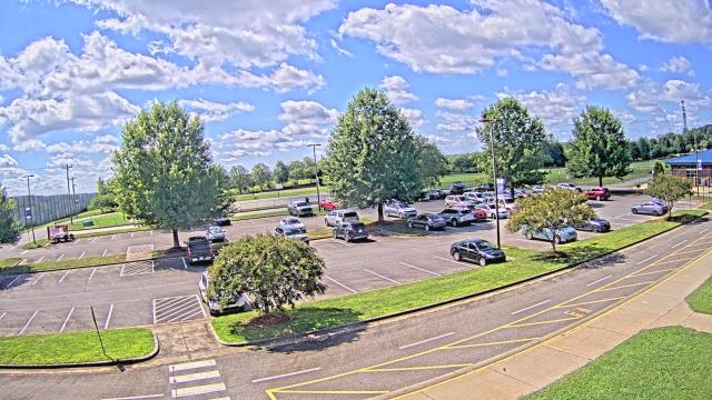
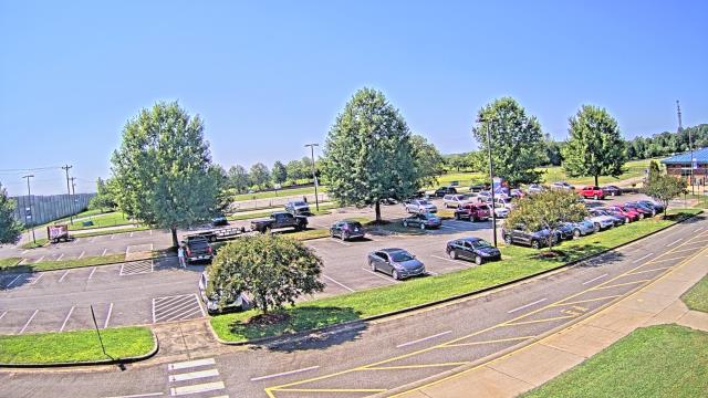
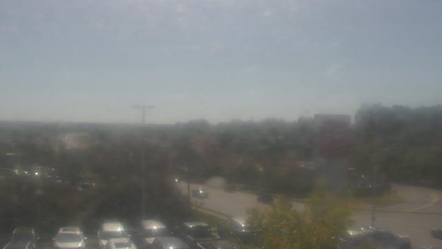
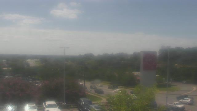
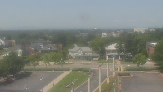
High Point, North Carolina, USA - 25.3 miles from Healing Springs: High Point University - A webcam in High Point, North Carolina - camera location: High Point University.
Operator: WeatherBug
Operator: WeatherBug


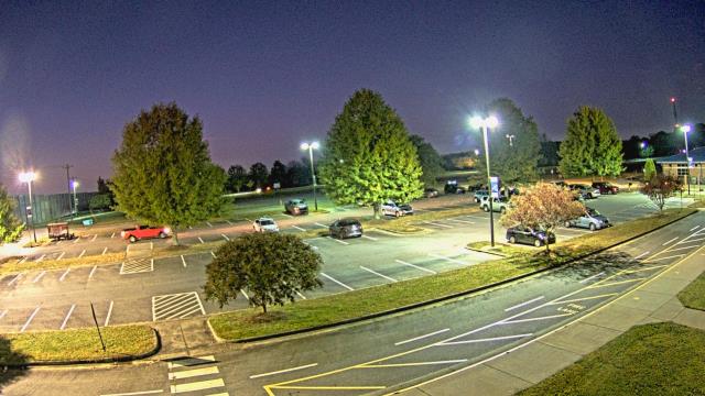
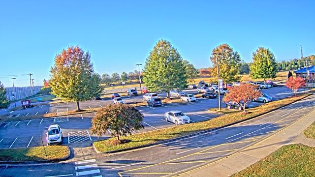
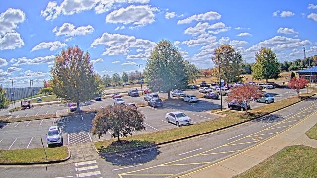
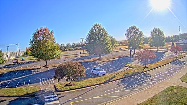
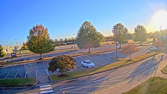
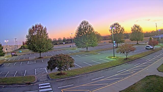
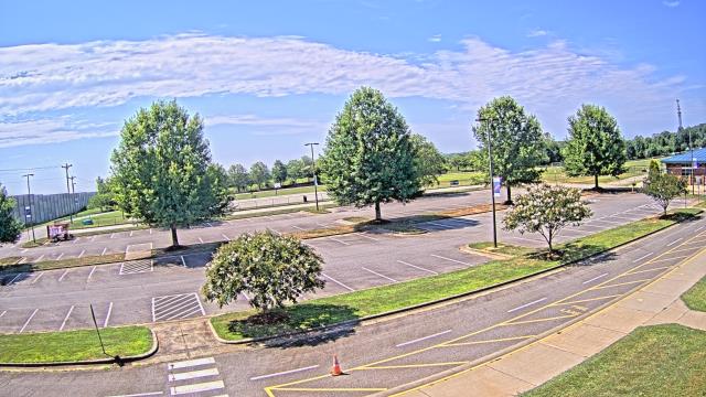
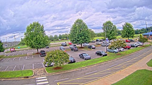
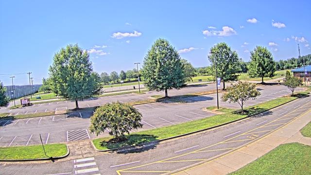
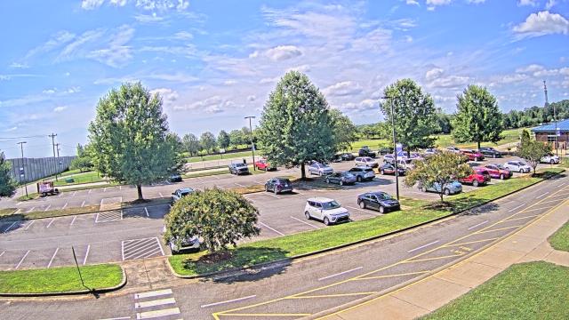
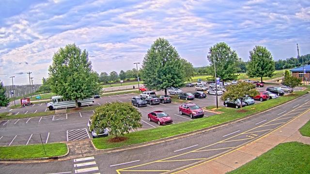
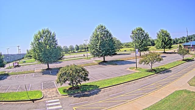
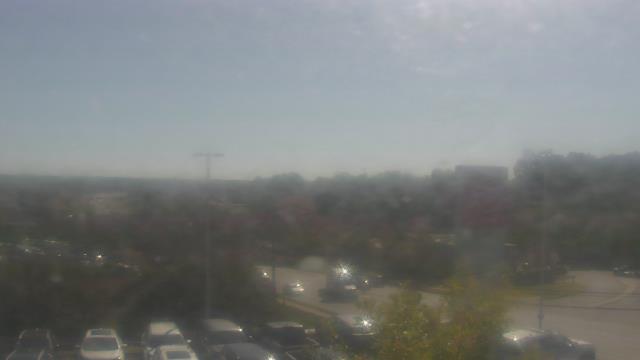
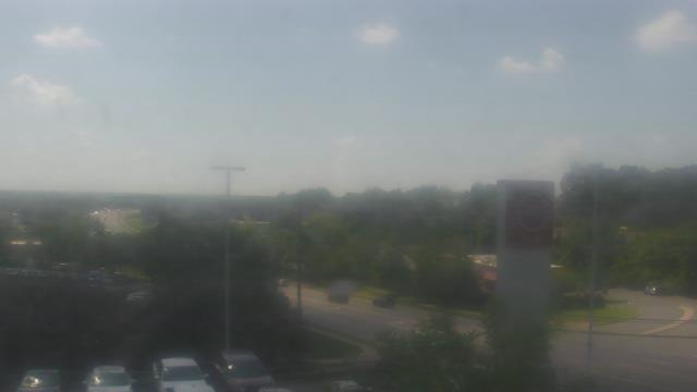
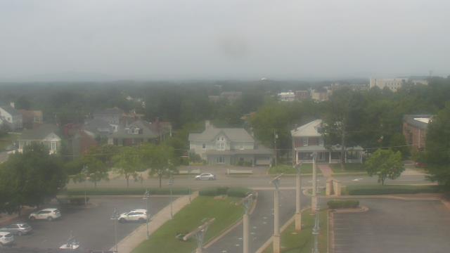
High Point, North Carolina, USA - 25.3 miles from Healing Springs: WGHP-TV - A webcam in High Point, North Carolina - camera location: WGHP-TV.
Operator: WeatherBug
Operator: WeatherBug


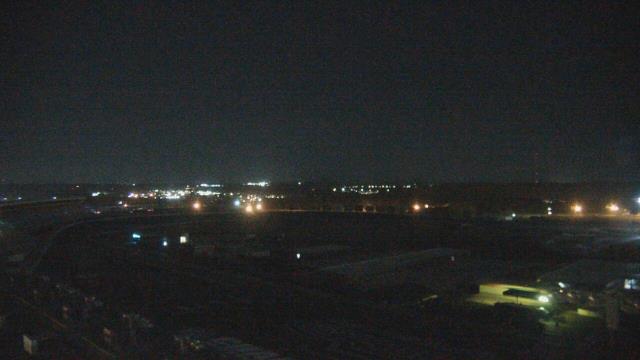
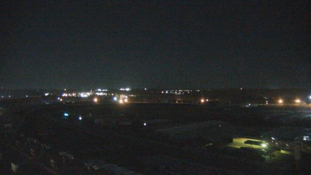
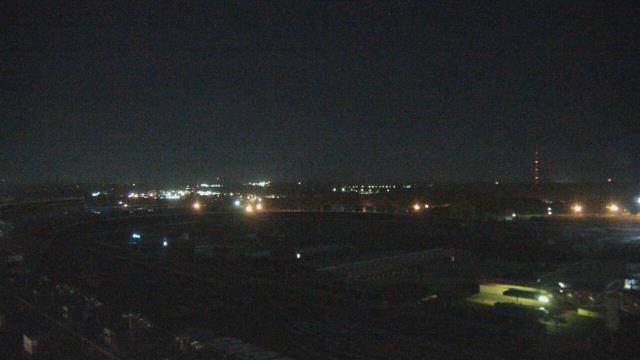
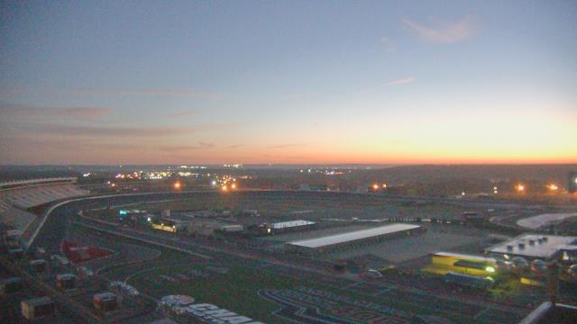
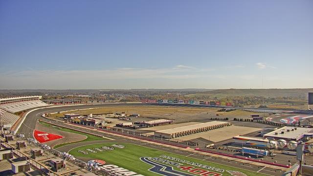
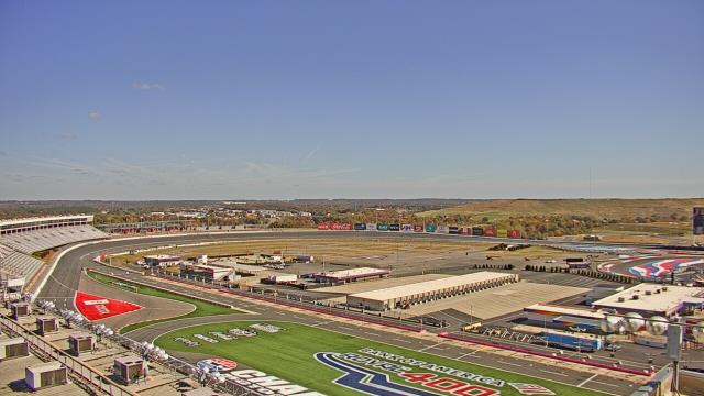
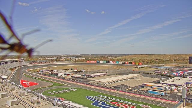
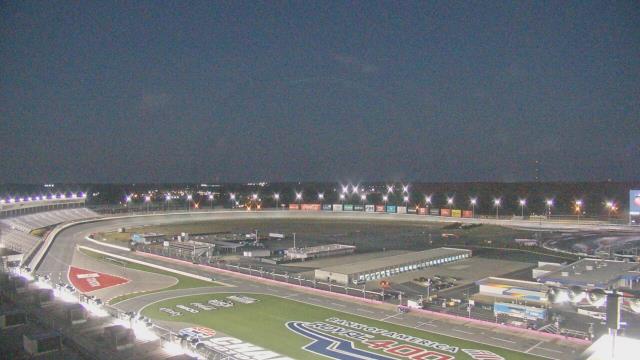
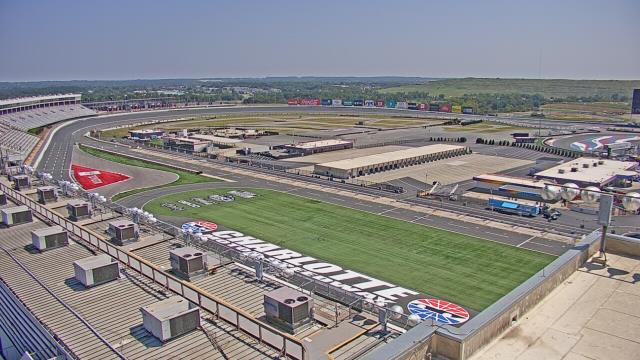
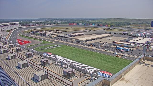
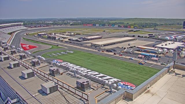
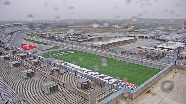
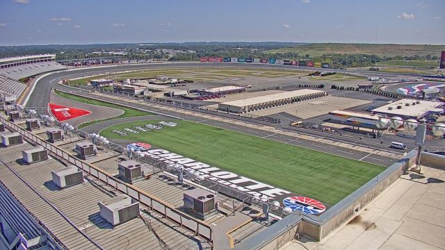
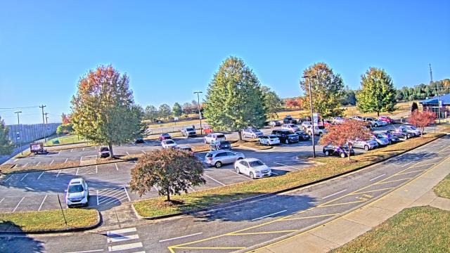
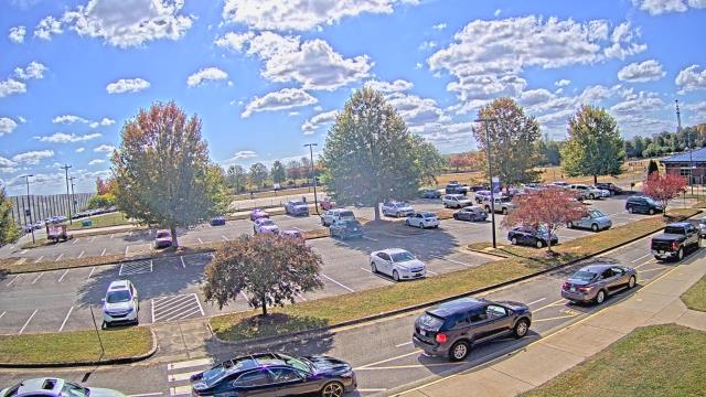
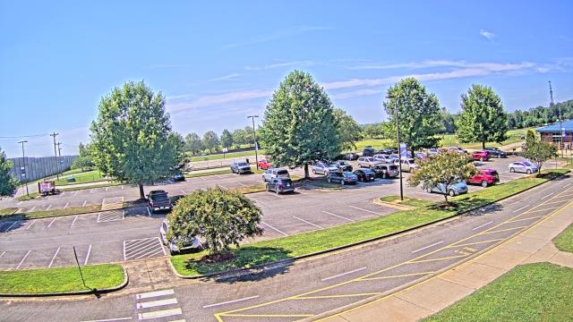
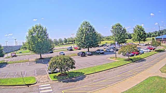
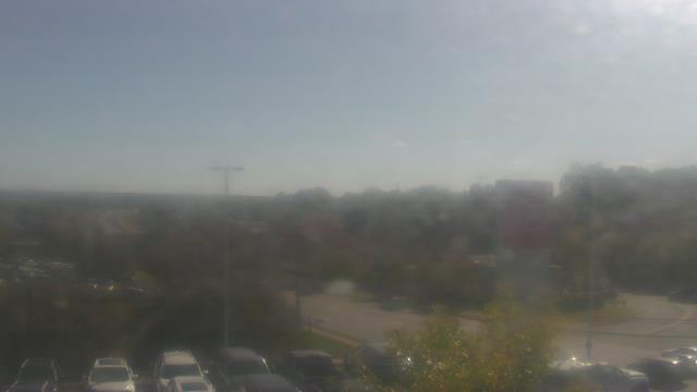
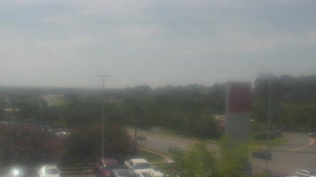
Concord, North Carolina, USA - 26.7 miles from Healing Springs: Charlotte Motor Speedway - A webcam in Concord, North Carolina - camera location: Charlotte Motor Speedway.
Operator: WeatherBug
Operator: WeatherBug


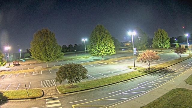
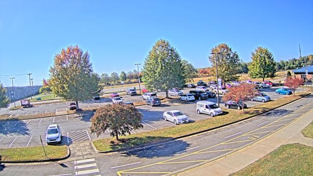
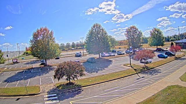
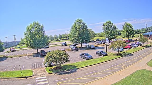
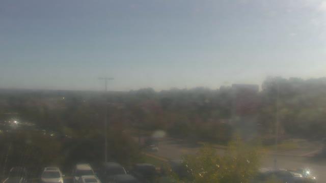
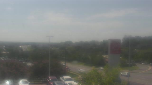
Statesville, North Carolina, USA - 41.4 miles from Healing Springs: Cloverleaf Elementary School - A webcam in Statesville, North Carolina - camera location: Cloverleaf Elementary School.
Operator: WeatherBug
Operator: WeatherBug


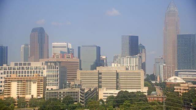
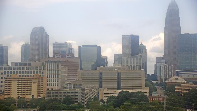
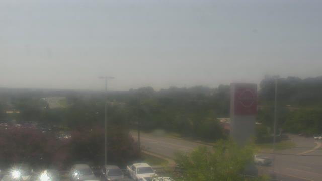
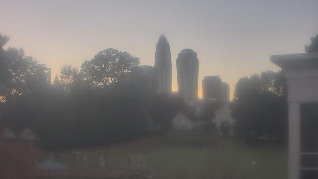
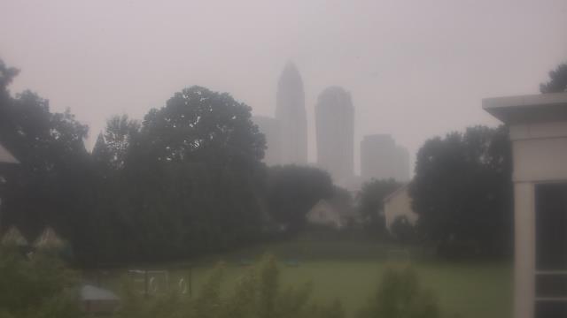
Charlotte, North Carolina, USA - 46.1 miles from Healing Springs: Central Piedmont Community College - A webcam in Charlotte, North Carolina - camera location: Central Piedmont Community College.
Operator: WeatherBug
Operator: WeatherBug


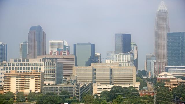


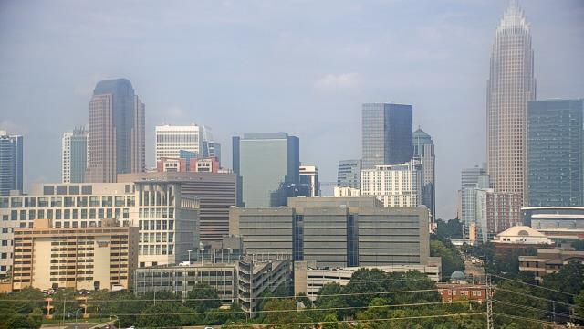


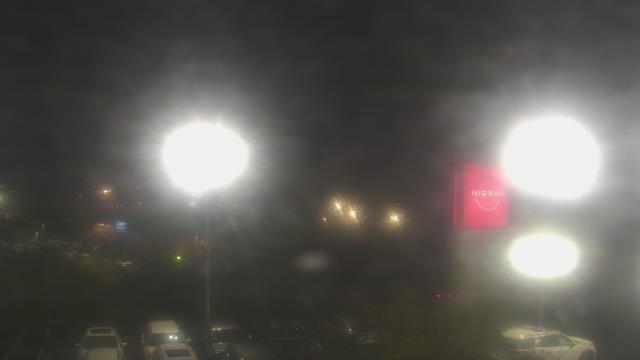
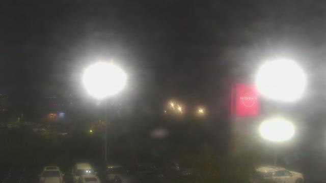
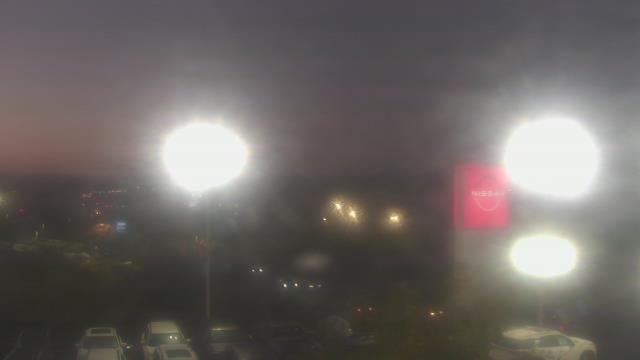
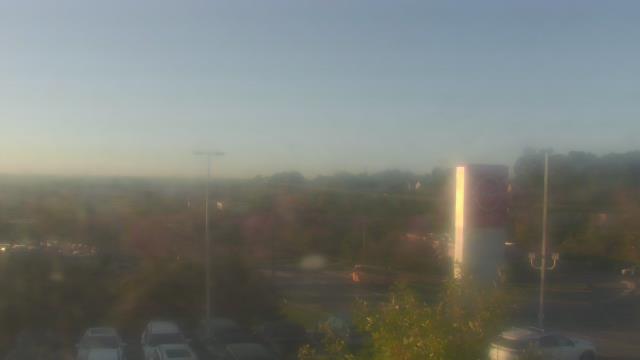
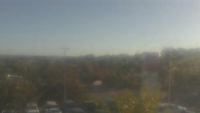
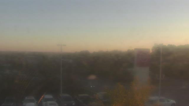
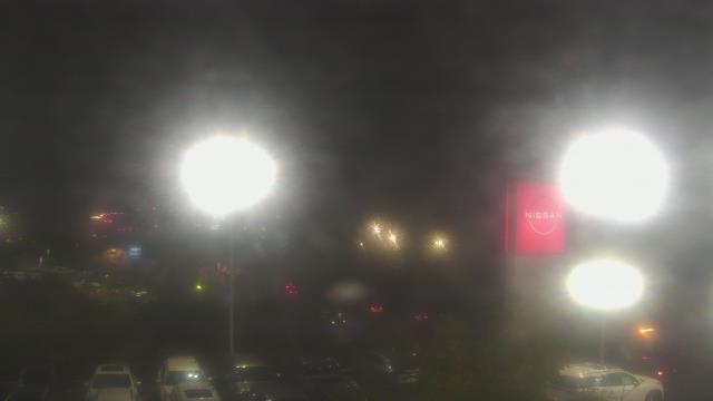
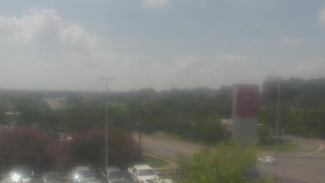
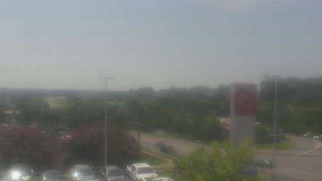
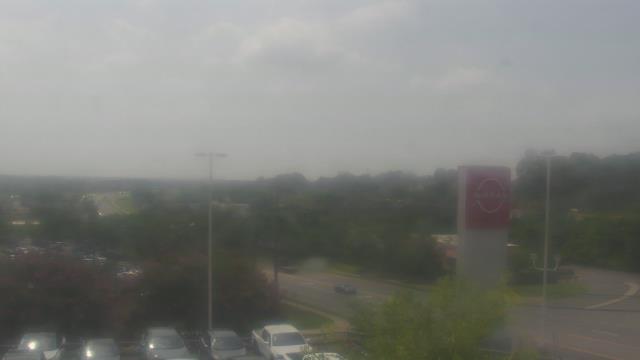
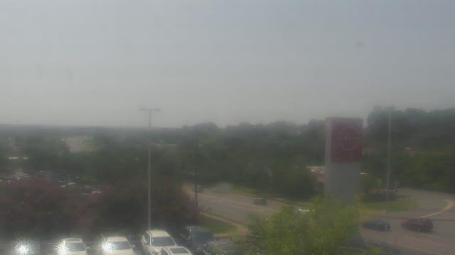
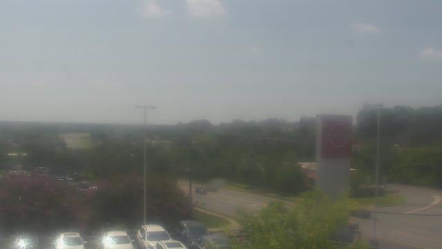
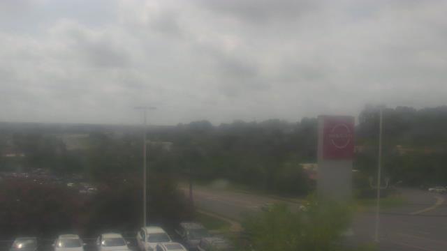
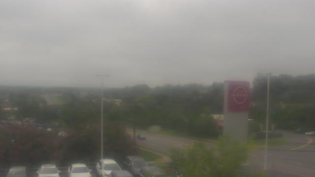
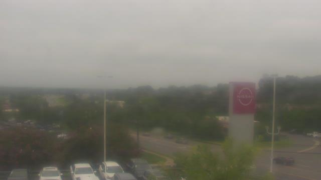
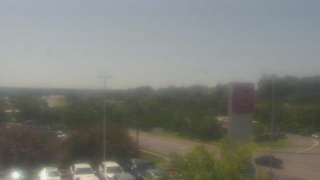
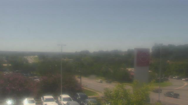
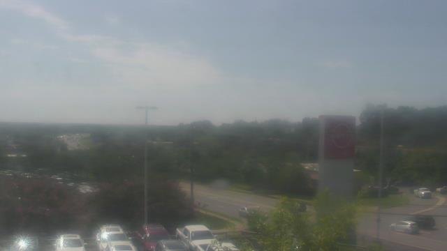
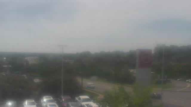
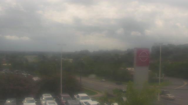
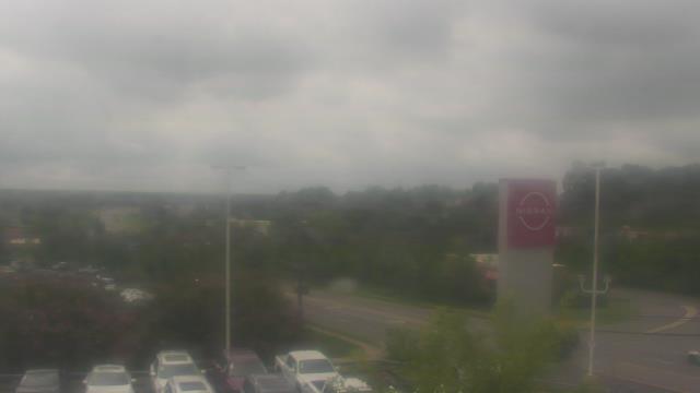
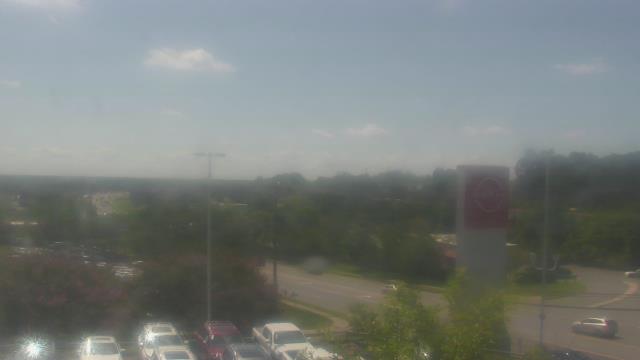
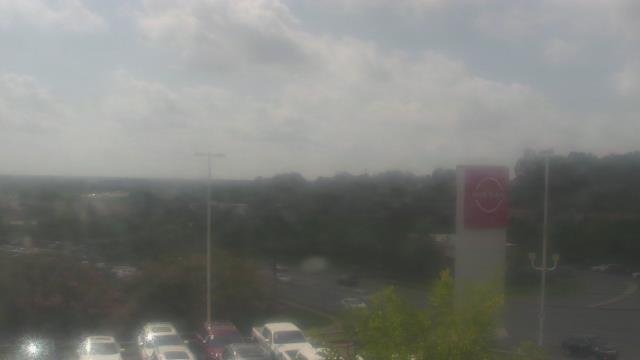
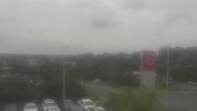
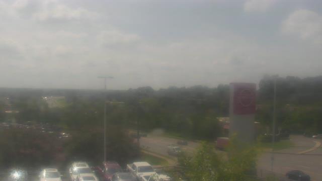
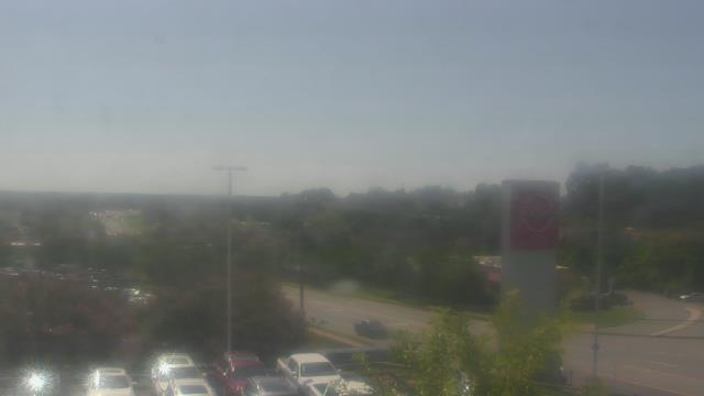
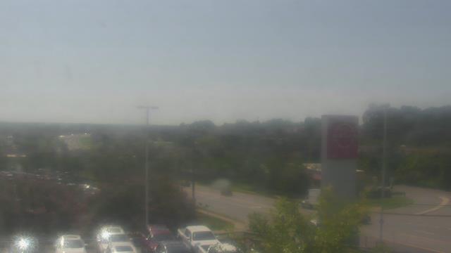
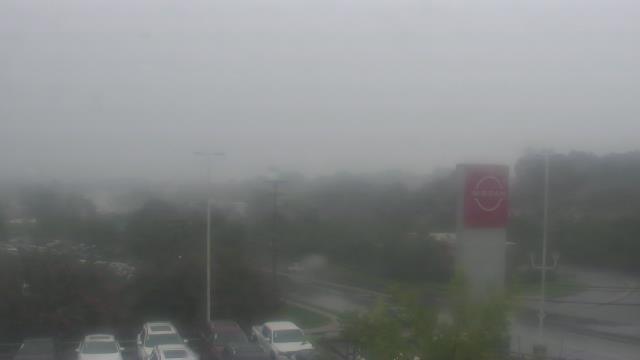
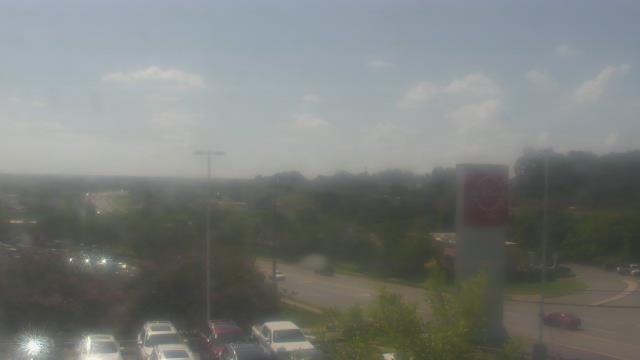
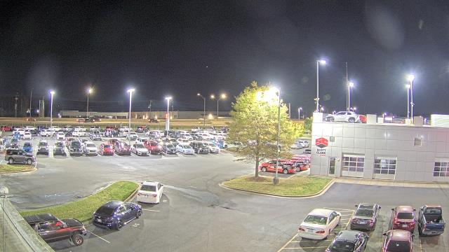
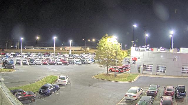
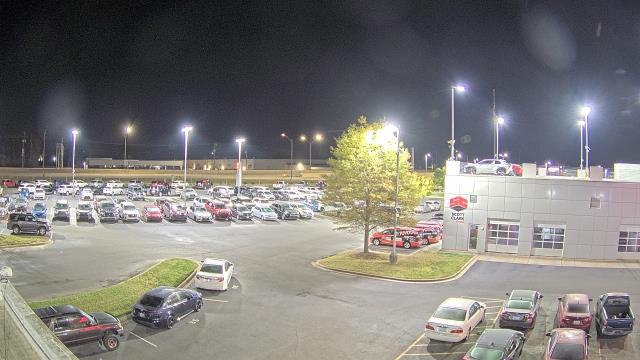
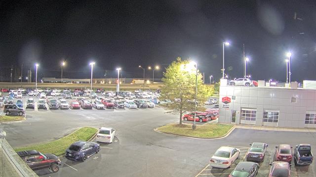
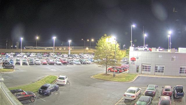
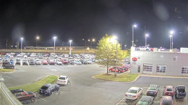
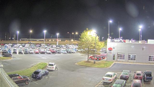
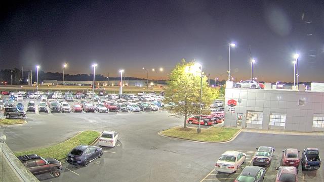
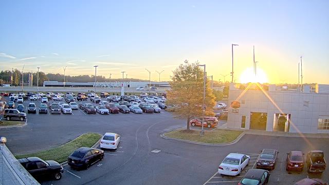
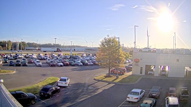
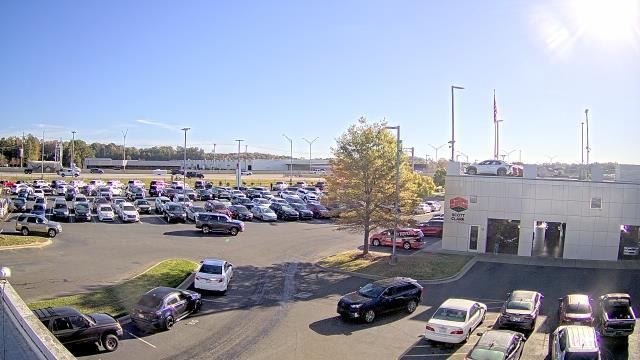
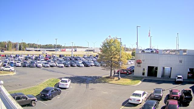
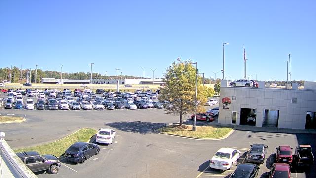
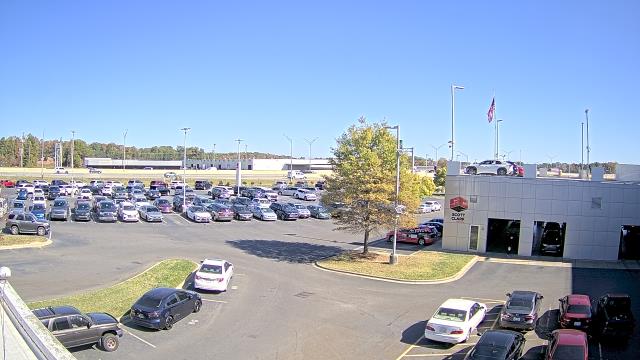
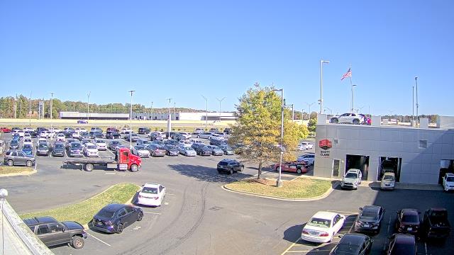
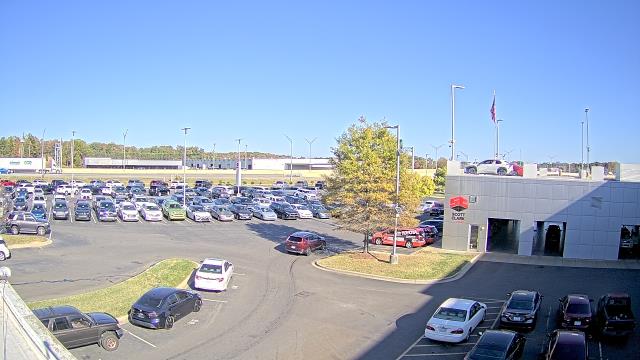
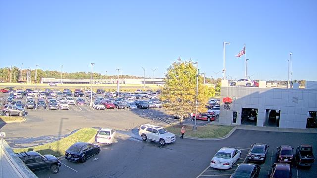
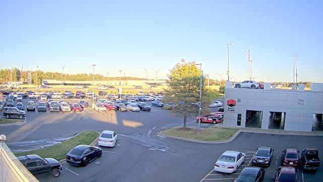
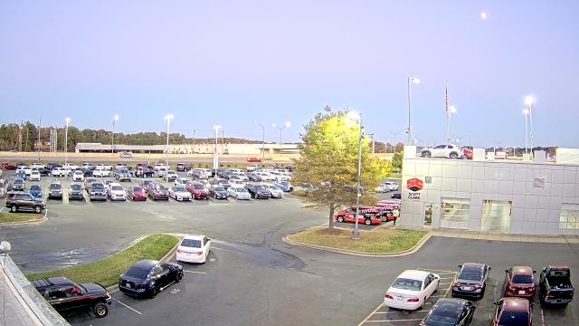
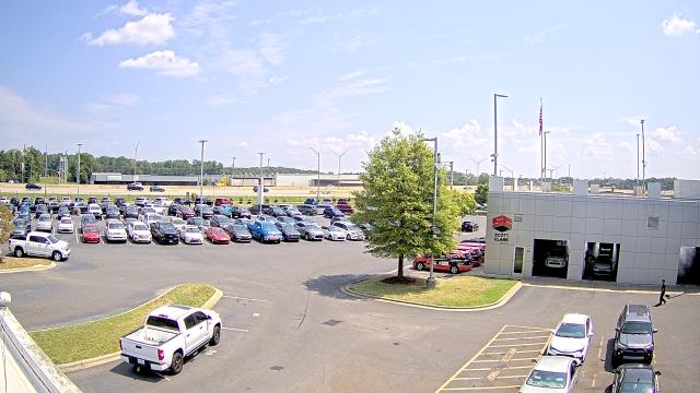
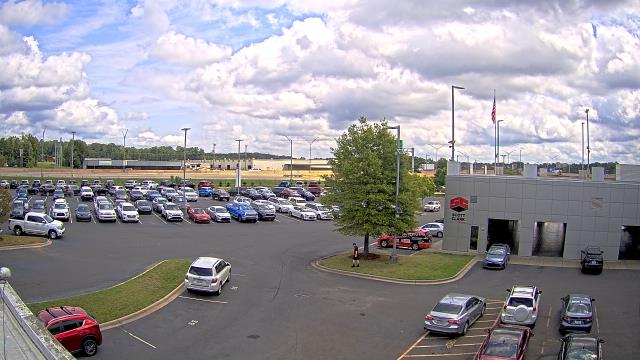
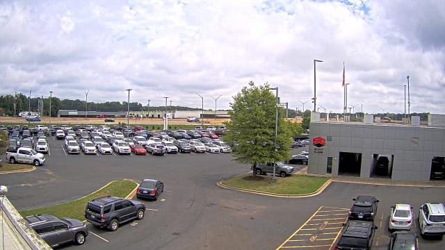
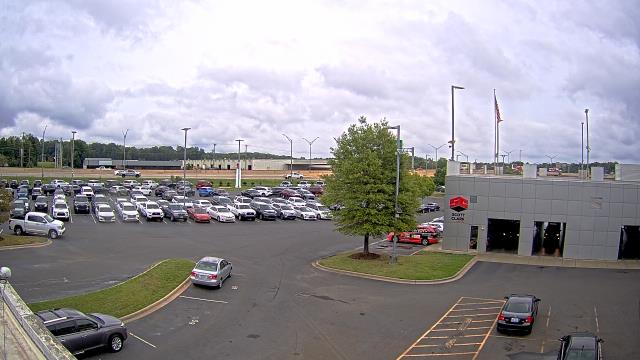
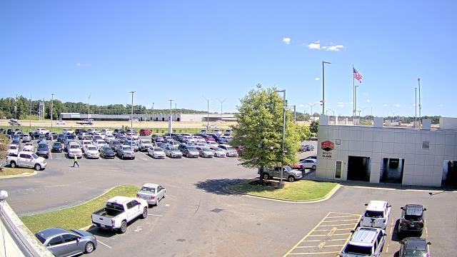
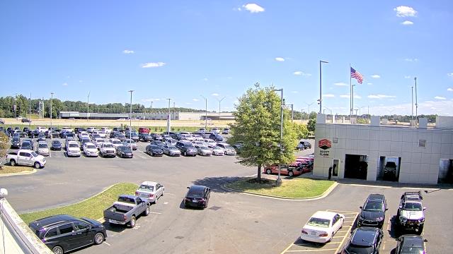
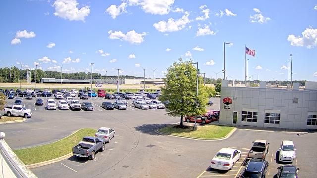
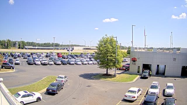
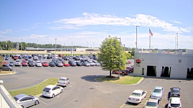
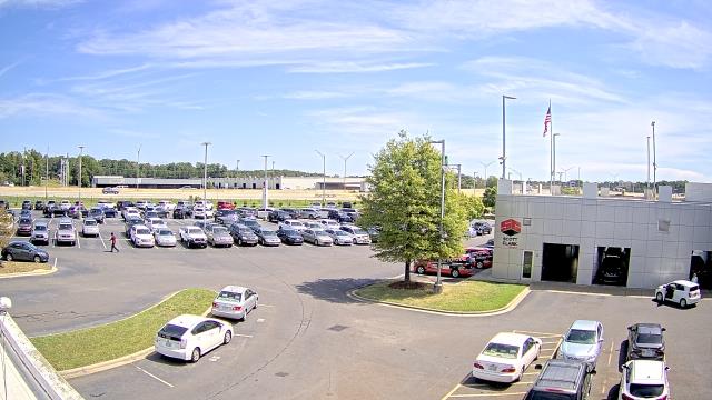
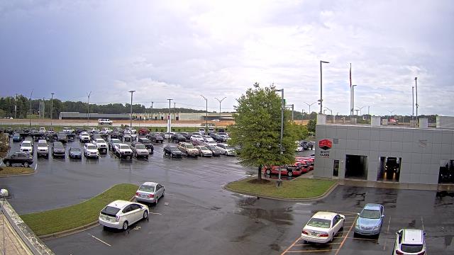
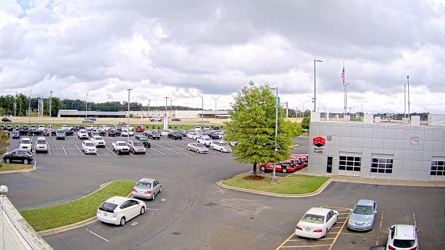
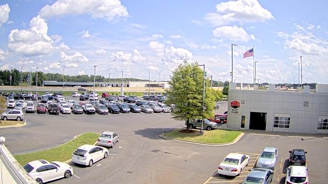
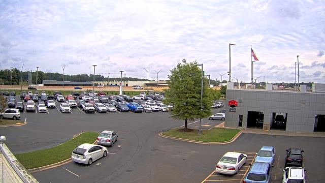
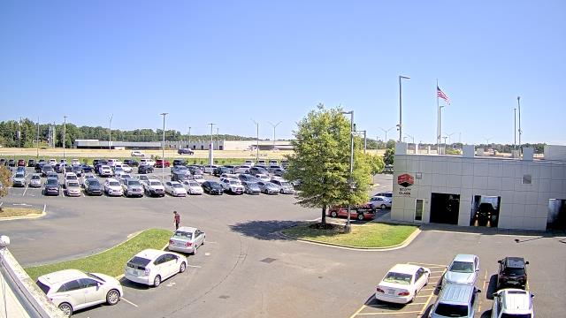
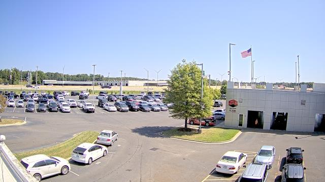
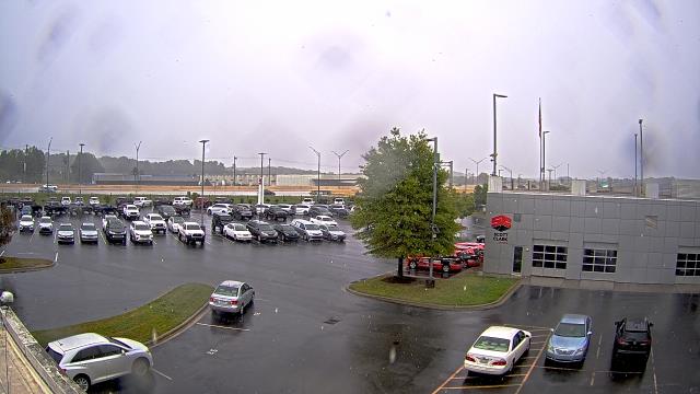
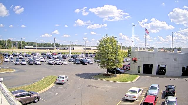
Charlotte, North Carolina, USA - 46.1 miles from Healing Springs: Scott Clarks Nissan - A webcam in Charlotte, North Carolina - camera location: Scott Clarks Nissan.
Operator: WeatherBug
Operator: WeatherBug


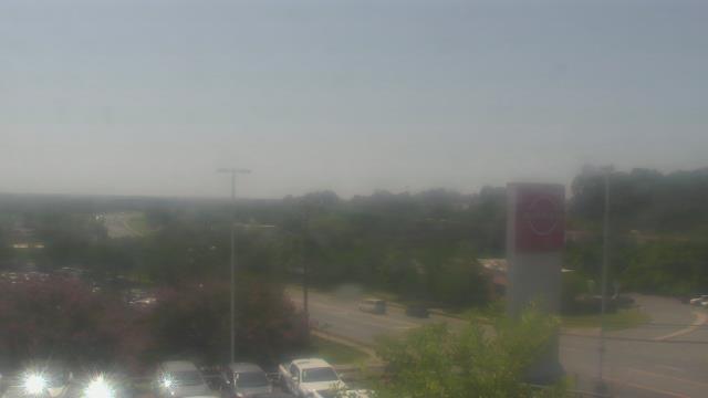


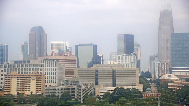
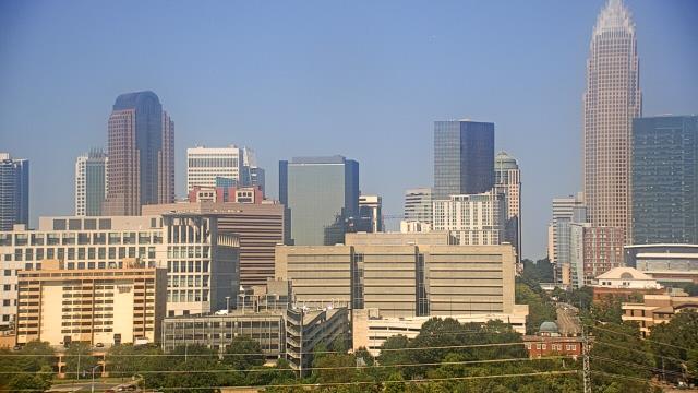
Charlotte, North Carolina, USA - 46.1 miles from Healing Springs: Trinity Episcopal School - Webcam and current weather data - camera location: Trinity Episcopal School.
Operator: WeatherBug
Operator: WeatherBug


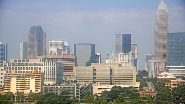
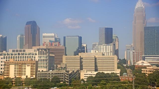
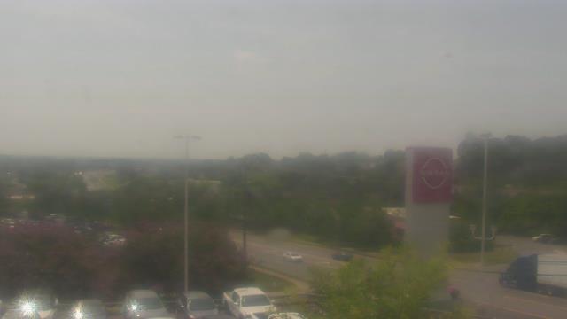
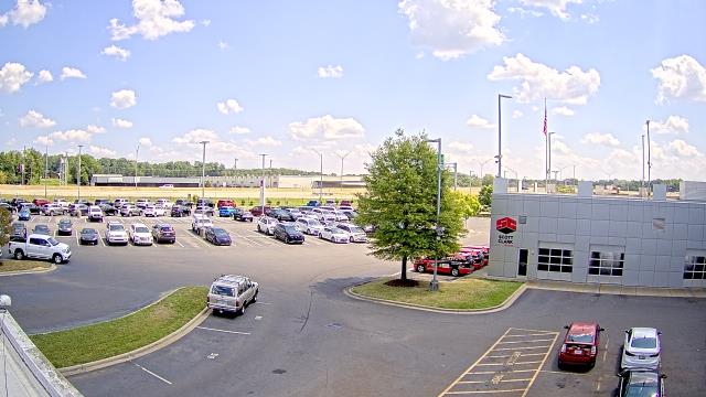
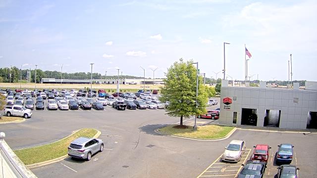
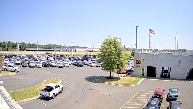
Stallings, North Carolina, USA - 46.2 miles from Healing Springs: Scott Clarks Toyota - A webcam in Stallings, North Carolina - camera location: Scott Clarks Toyota.
Operator: WeatherBug
Operator: WeatherBug


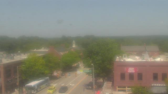
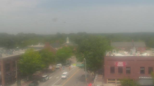
Chapel Hill, North Carolina, USA - 69.1 miles from Healing Springs: Top of the Hill Restaurant - A webcam in Chapel Hill, North Carolina - camera location: Top of the Hill Restaurant.
Operator: WeatherBug
Operator: WeatherBug


Martinsville, Virginia, USA - 76.2 miles from Healing Springs: Virginia Museum of Natural History - A webcam in Martinsville, Virginia - camera location: Virginia Museum of Natural History.
Operator: WeatherBug
Operator: WeatherBug


Some other places in this country: Chimney Rock - Light Nixon Fork - Dover - Halls Mills - Herrings Crossroads - Penny Hill - Hobbton - Kyles Crossroads - Lewisville - Longview