Webcams in the region of Yellow River (historical), Georgia, USA
The List of Webcams near Yellow River (historical), Georgia, USA:

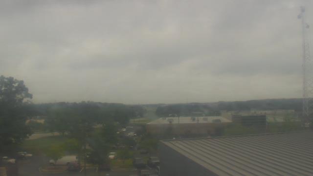
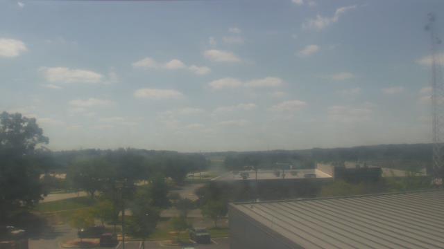
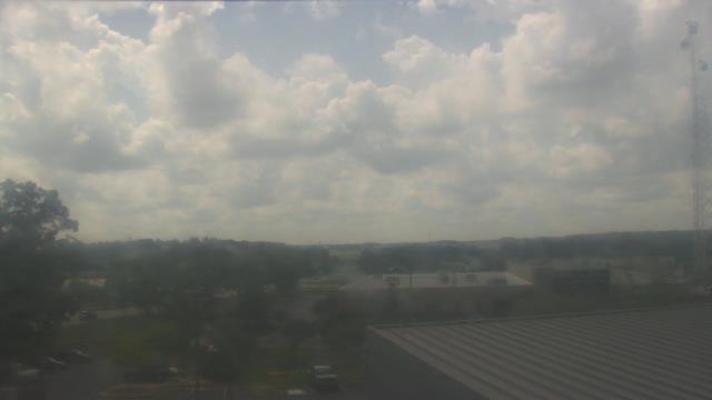
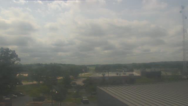
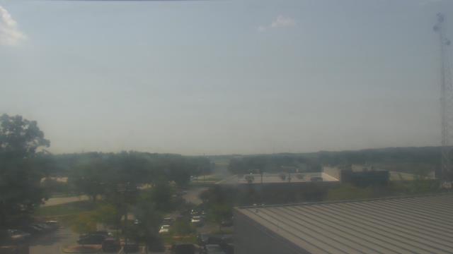
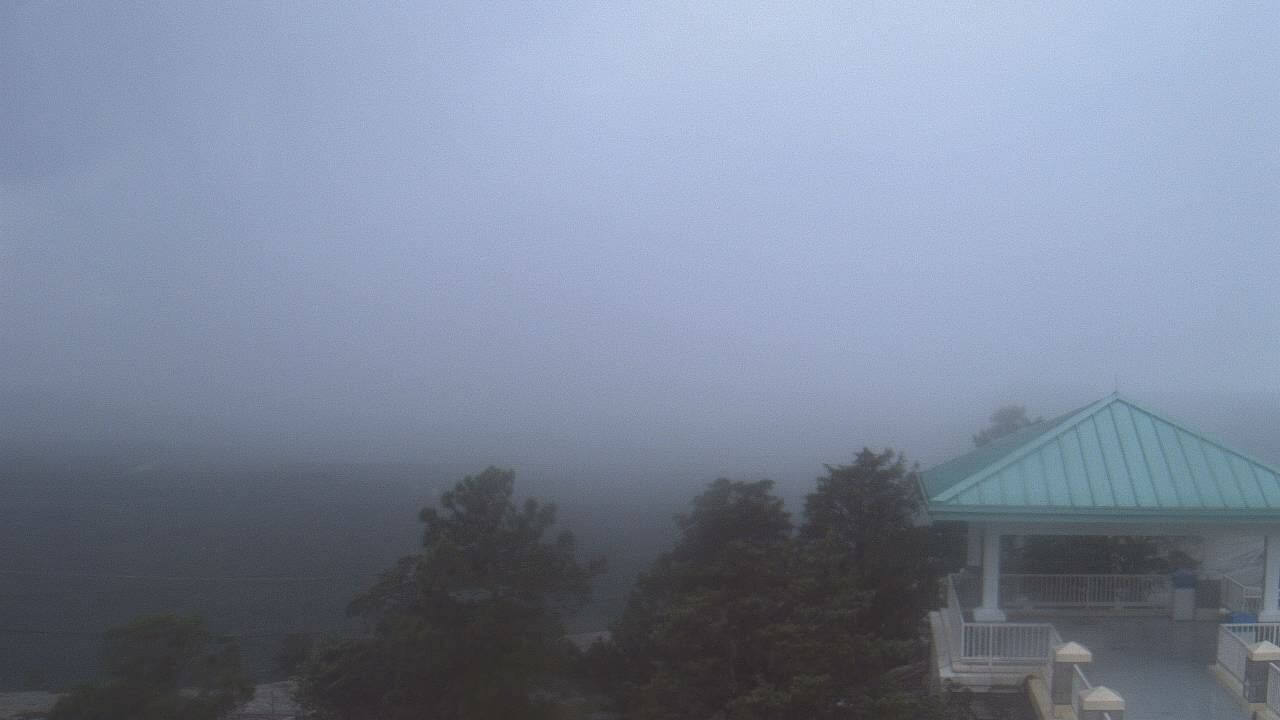
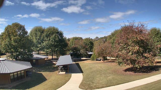
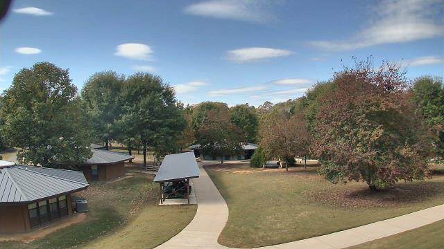
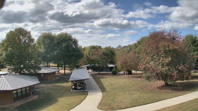
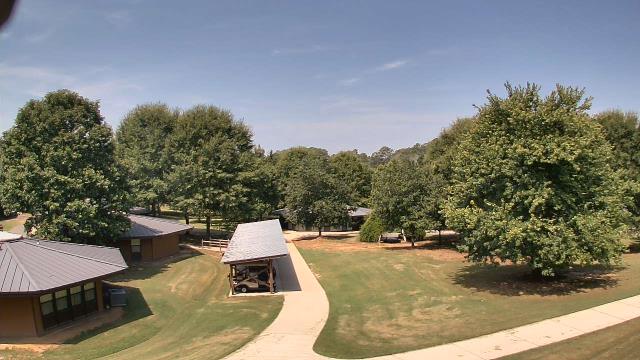
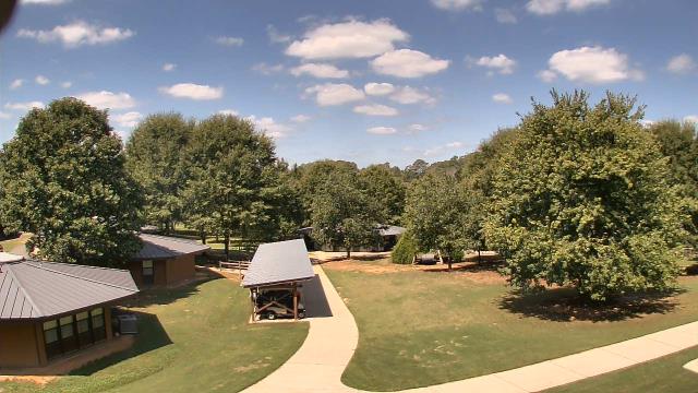
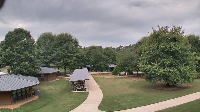
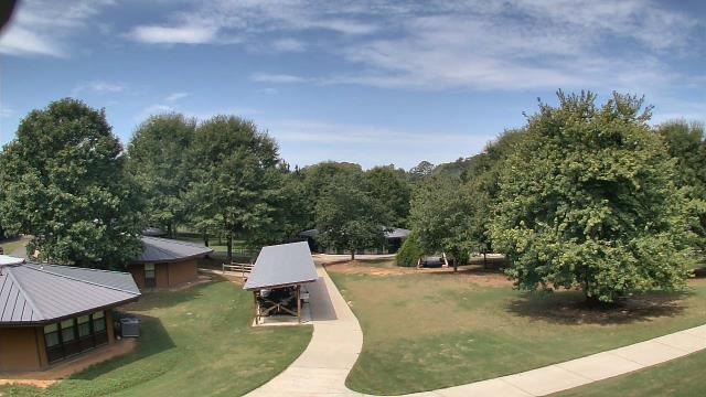
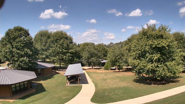
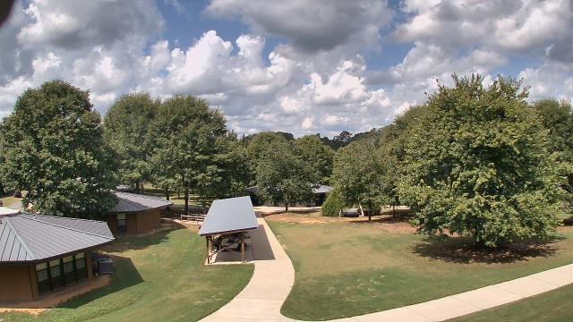
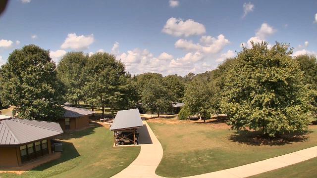
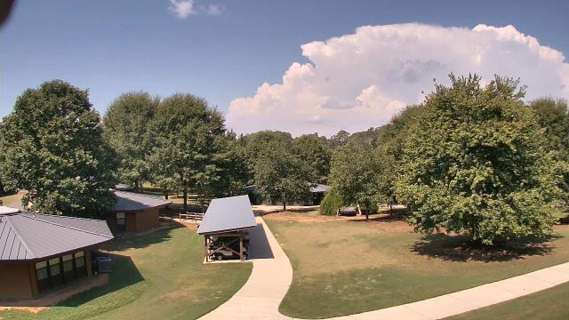
Lawrenceville, Georgia, USA - 4 miles from Yellow River (historical): Gwinnett County EMA - A webcam in Lawrenceville, Georgia - camera location: Gwinnett County EMA.
Operator: WeatherBug
Operator: WeatherBug


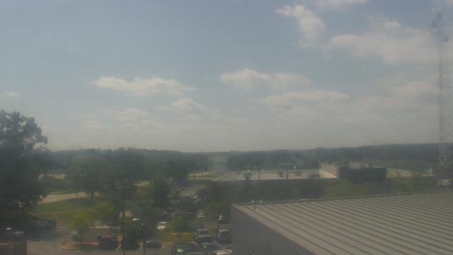

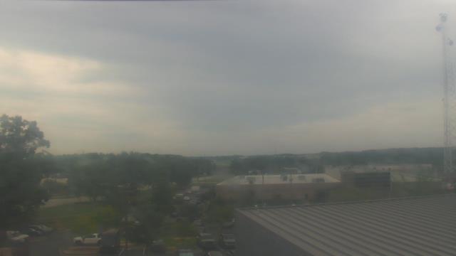


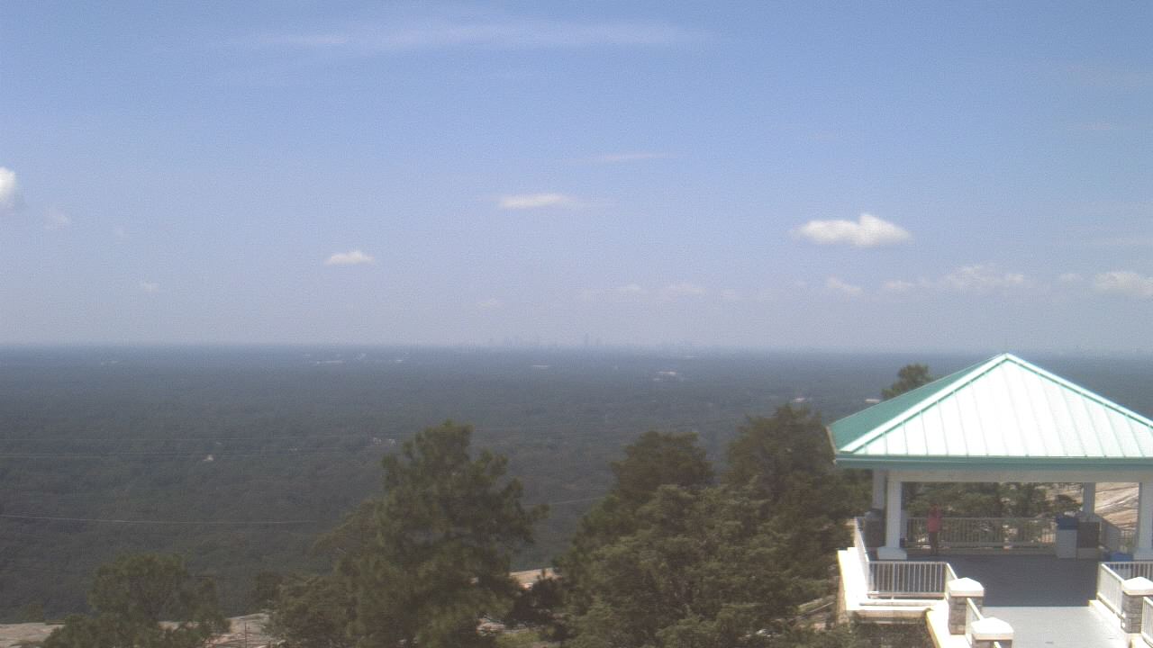
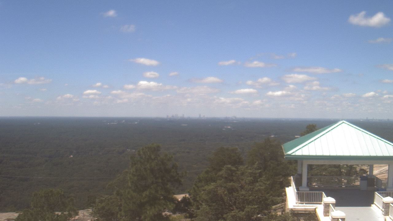
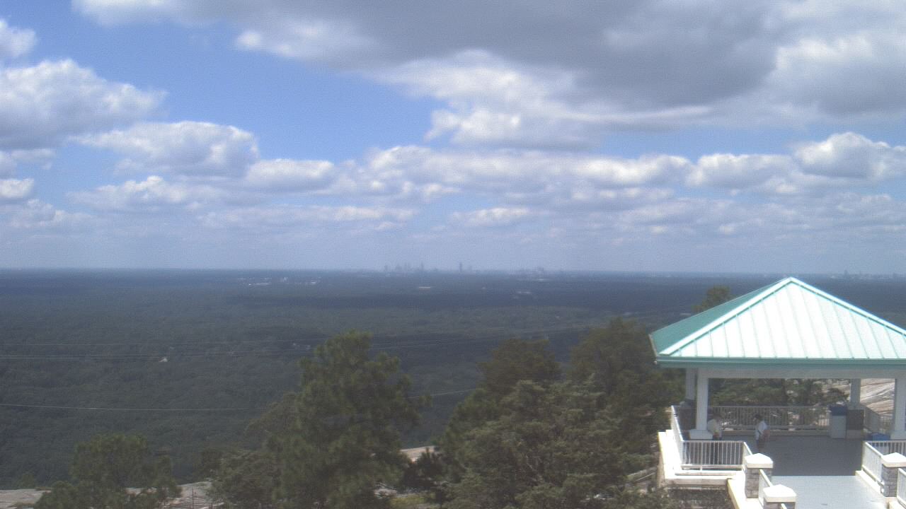
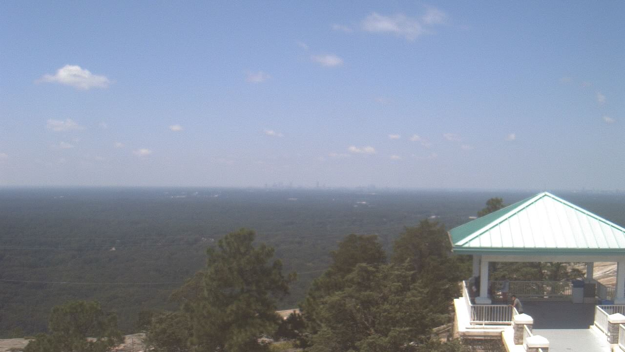
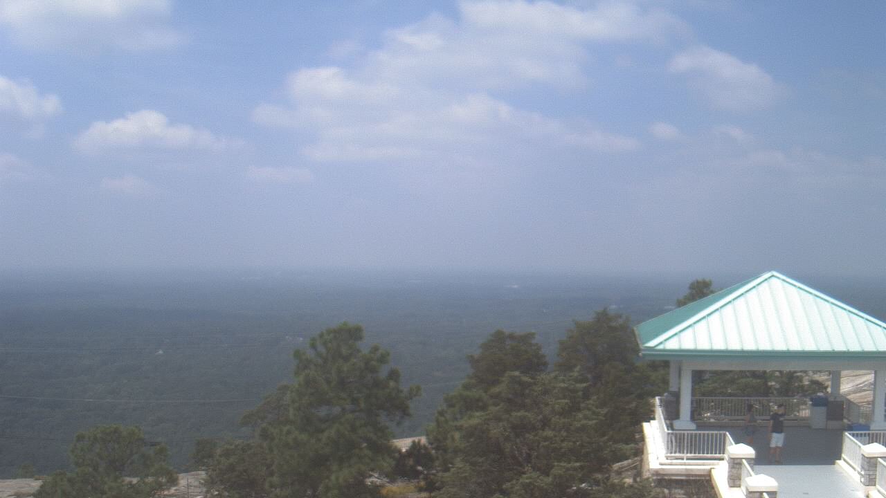
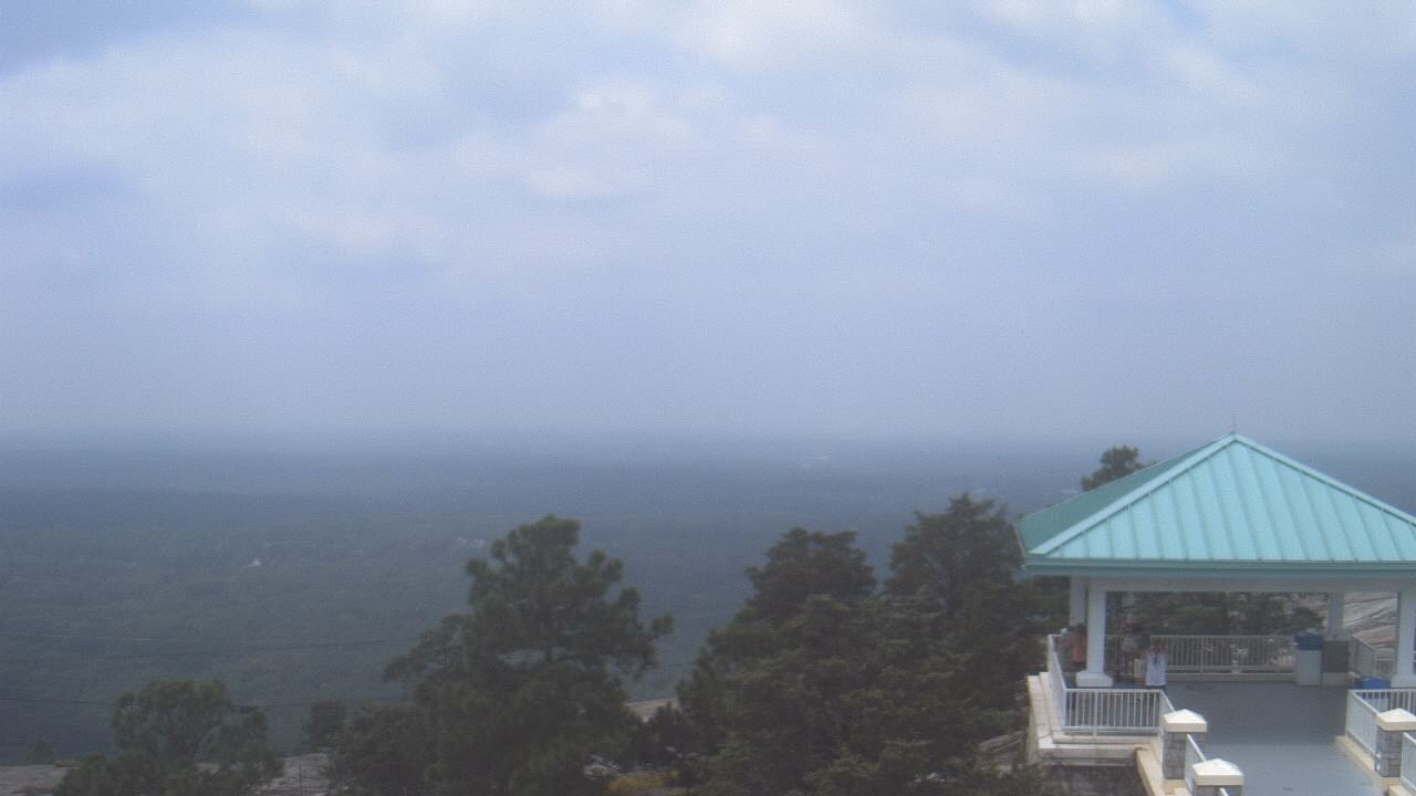
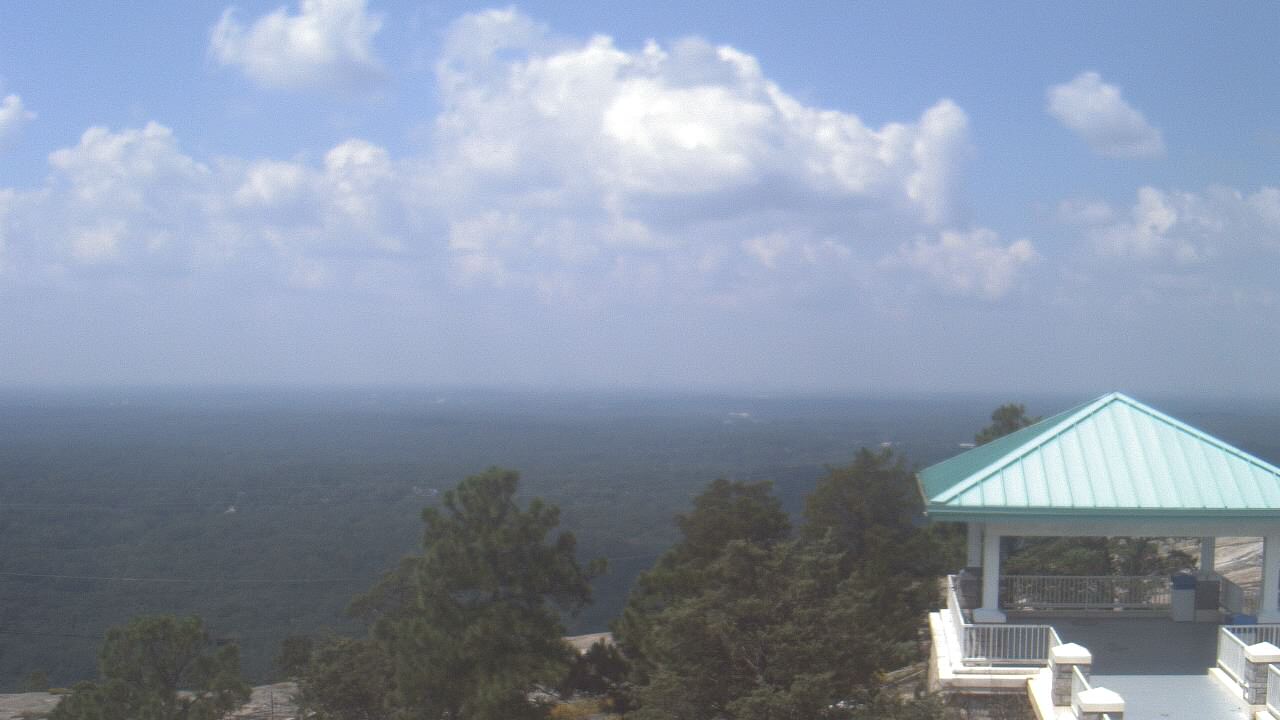
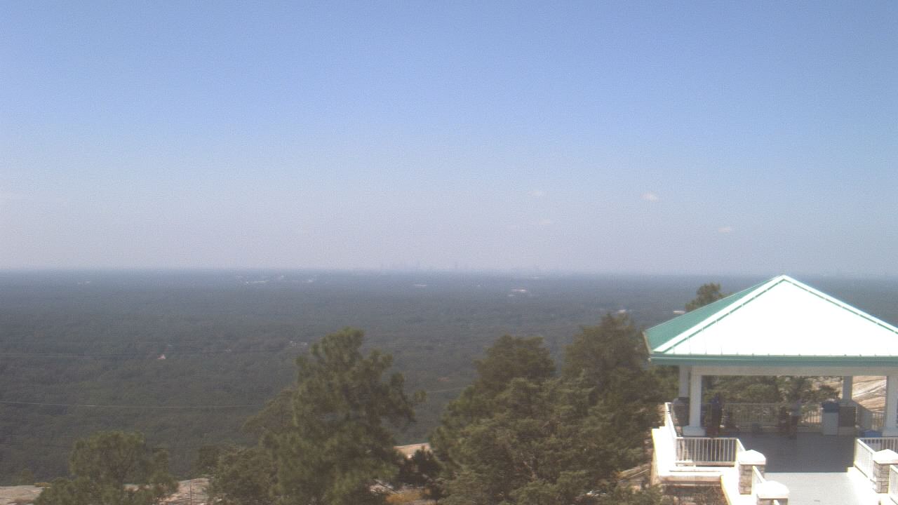
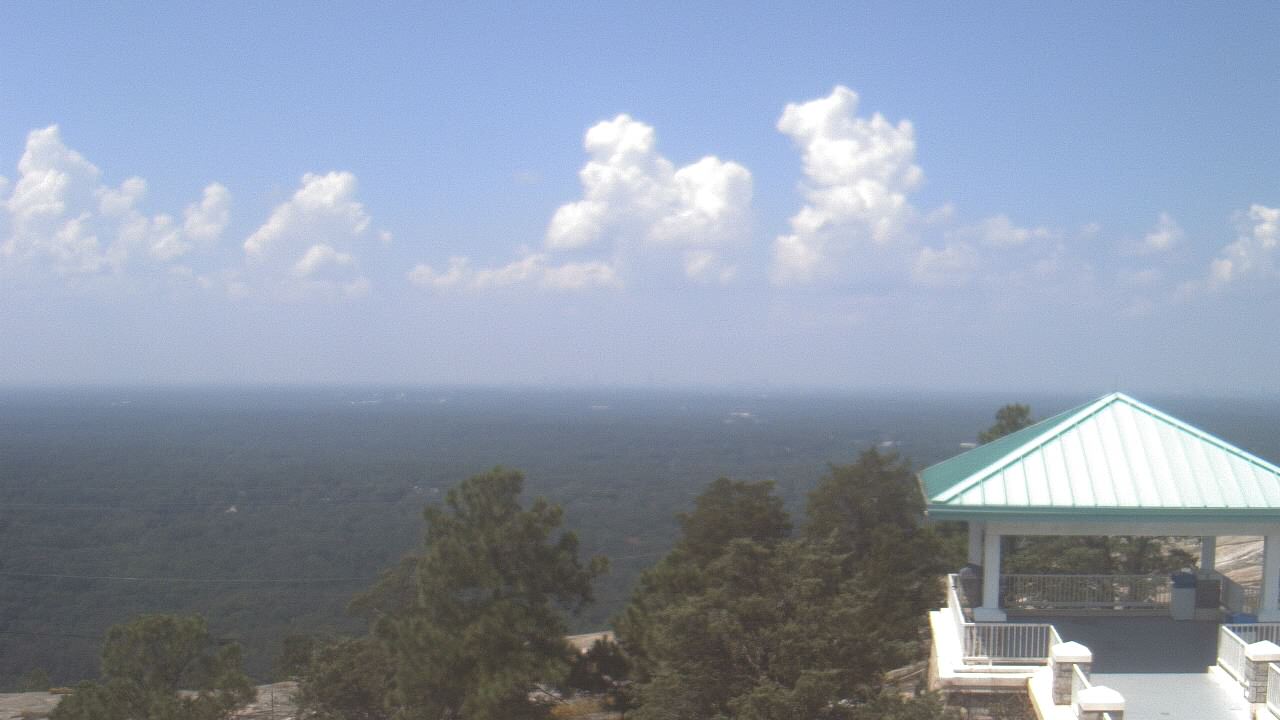
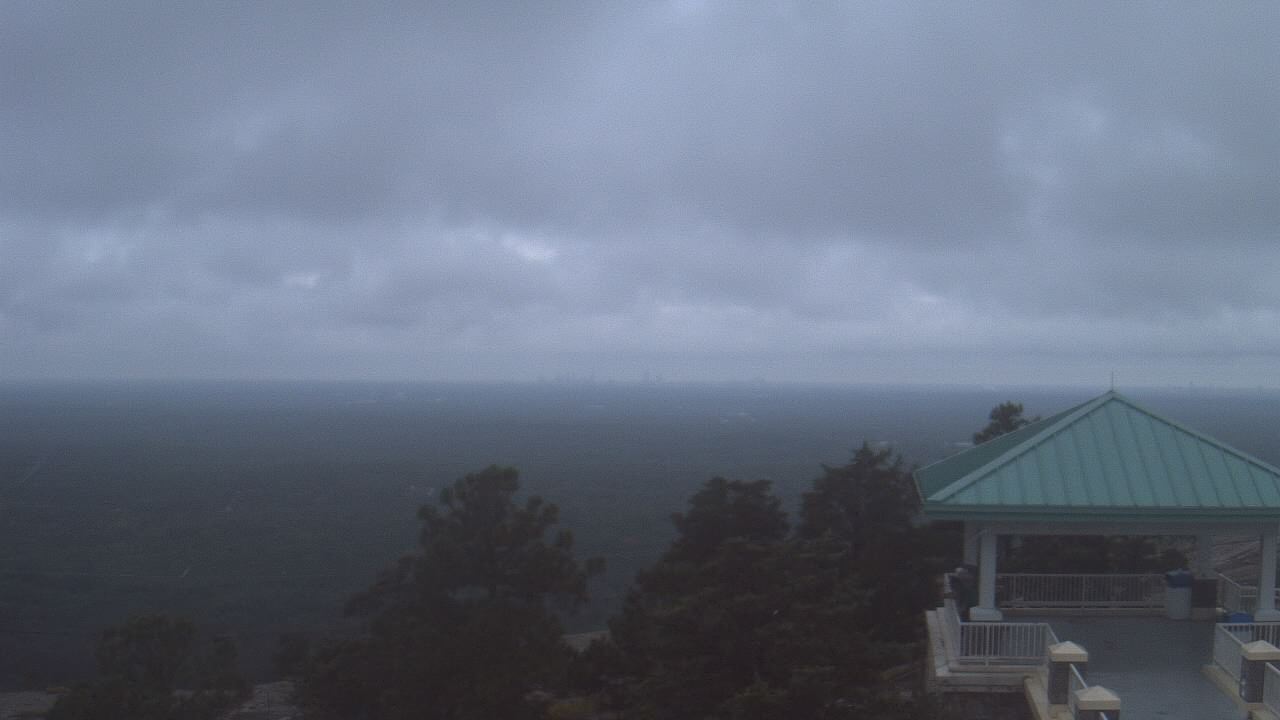
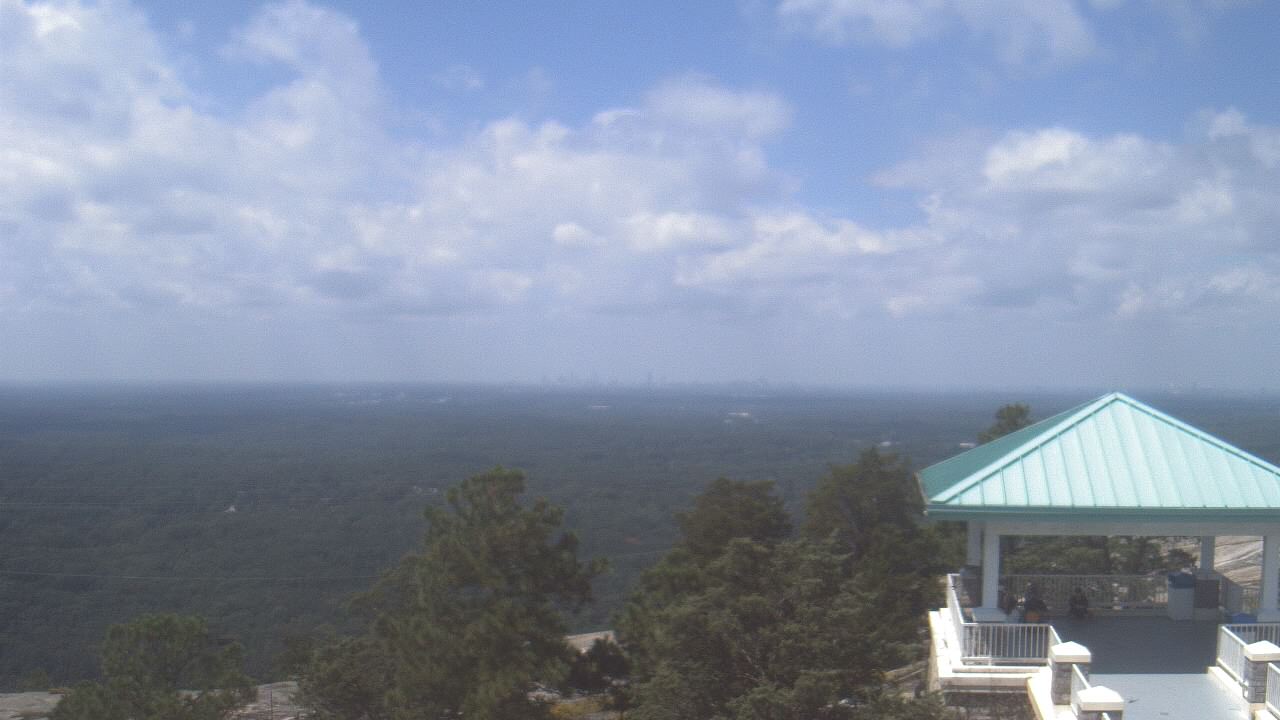
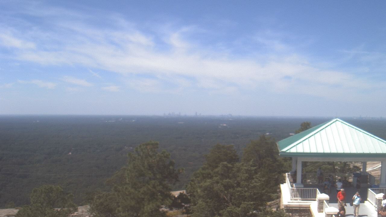
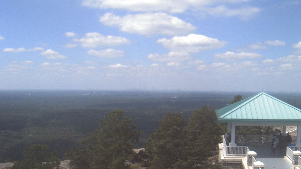
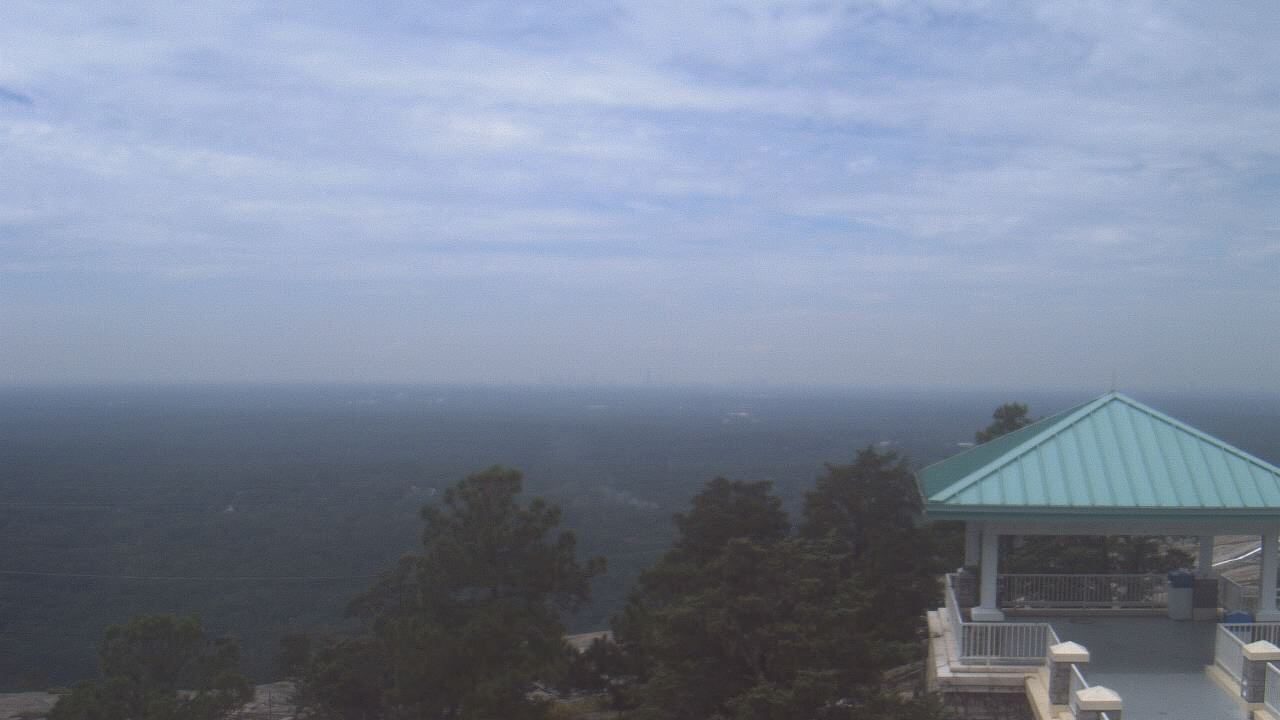
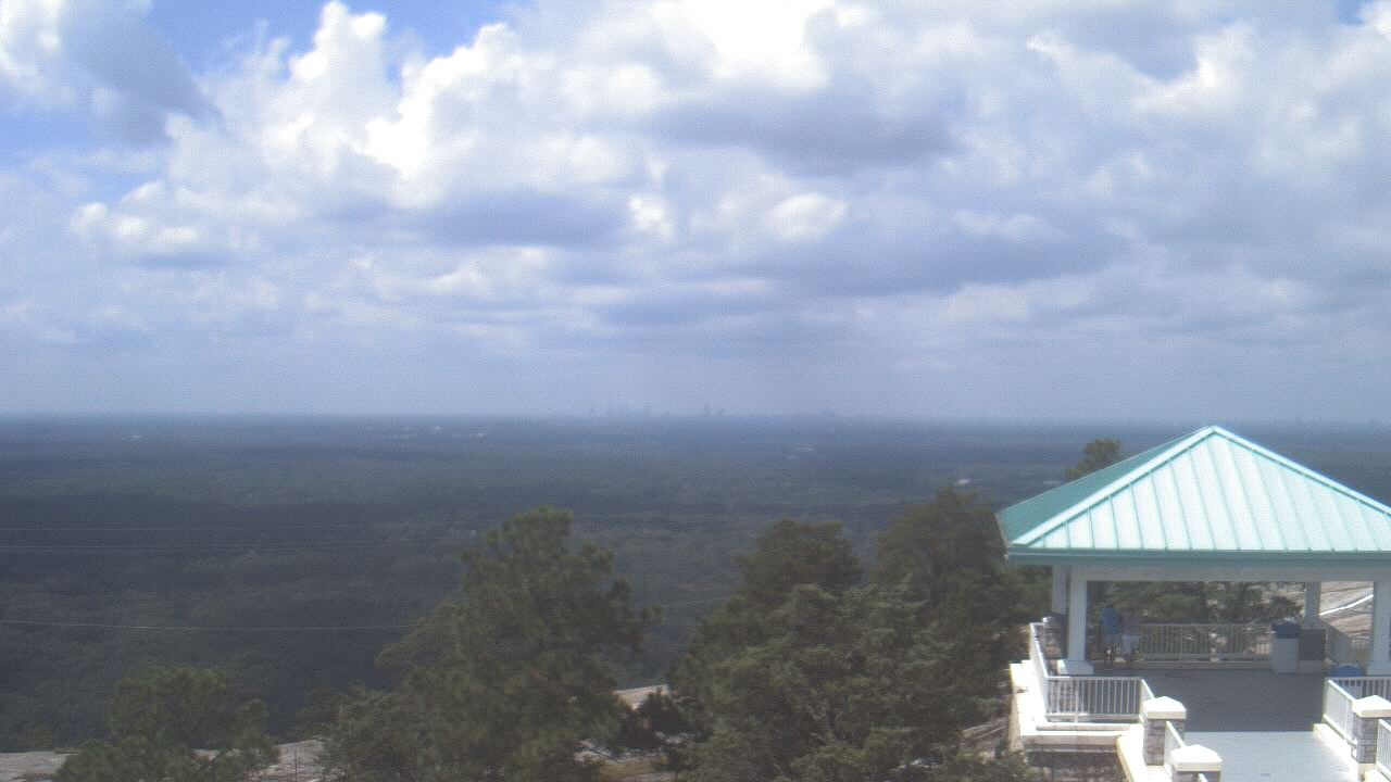
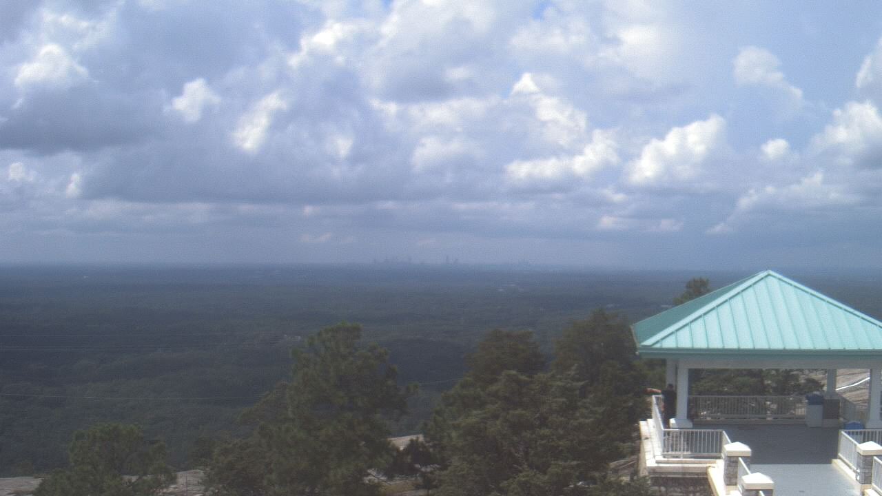
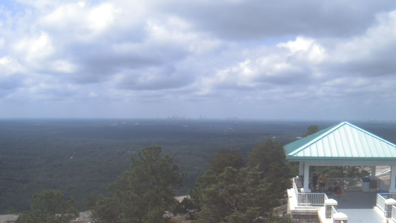
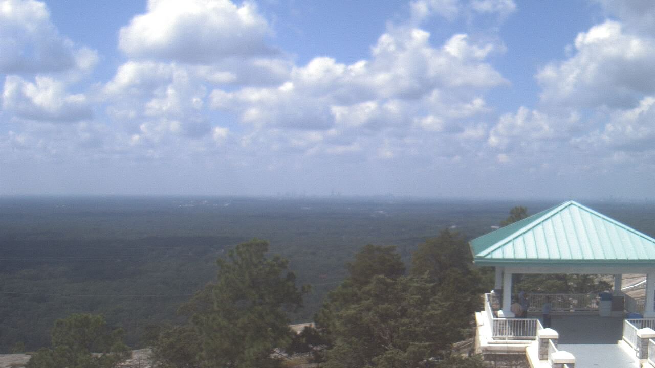
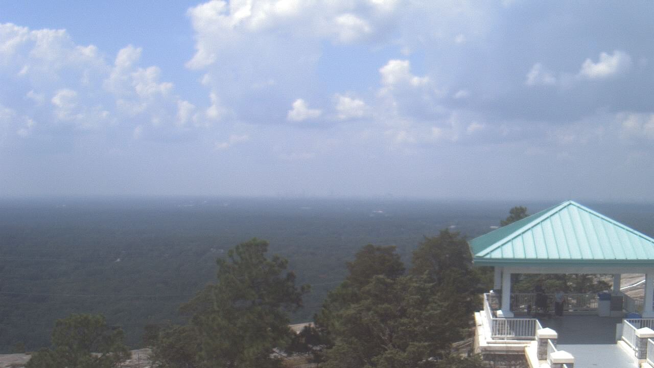
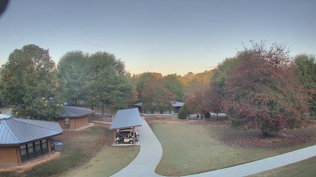
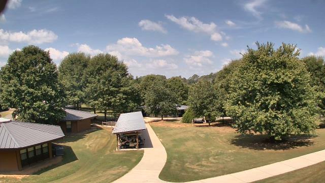
Stone Mountain, Georgia, USA - 7 miles from Yellow River (historical): Top of Stone Mountain - A webcam in Stone Mountain, Georgia - camera location: Top of Stone Mountain.
Operator: WeatherBug
Operator: WeatherBug


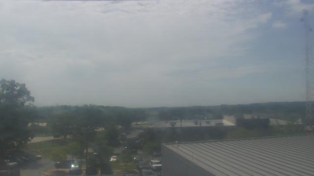
Atlanta, Georgia, USA - 19.4 miles from Yellow River (historical): Skyline Atlanta - A nice view of the skyline of Atlanta, Georgia.
Operator: EarthCam
Operator: EarthCam


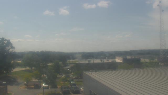
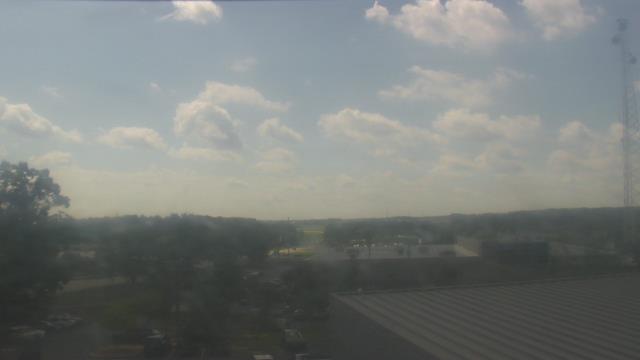
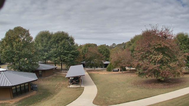
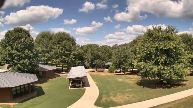
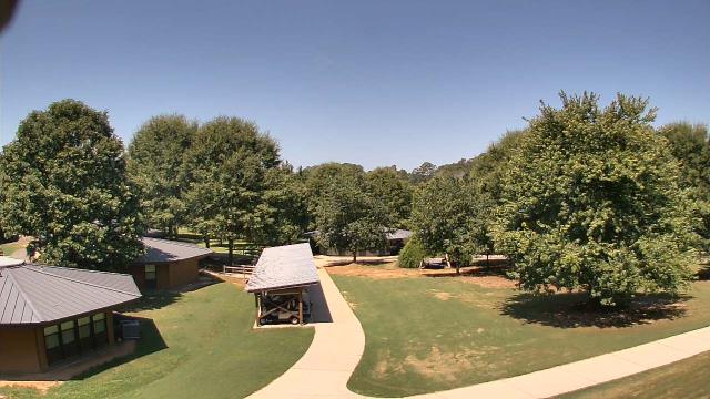
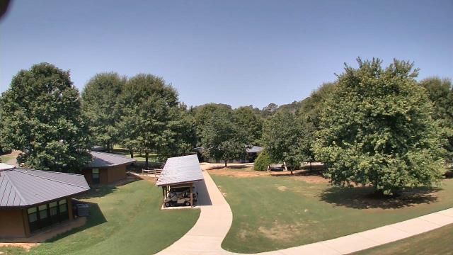
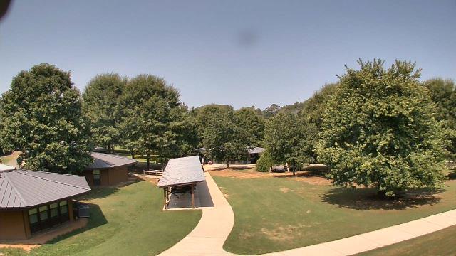
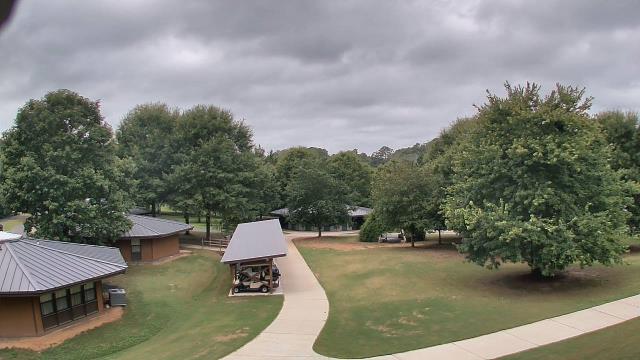
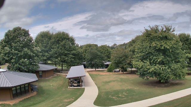
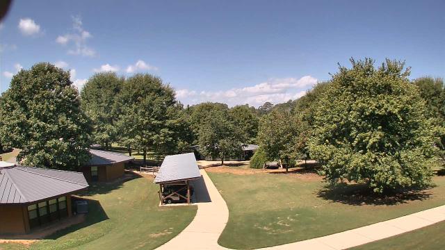
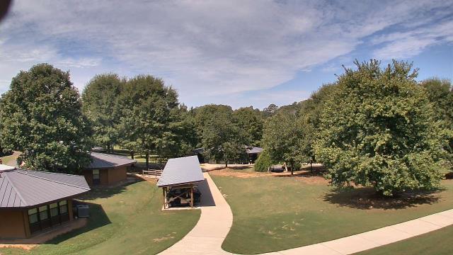
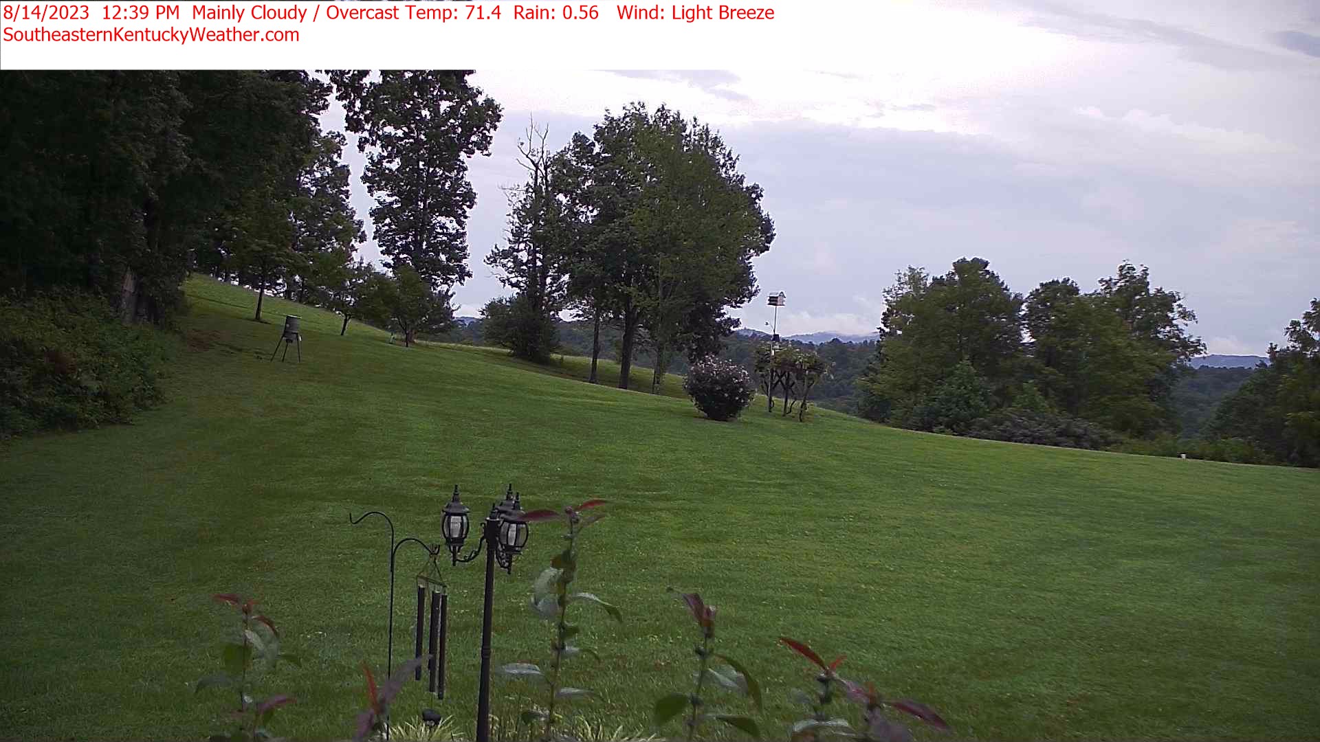
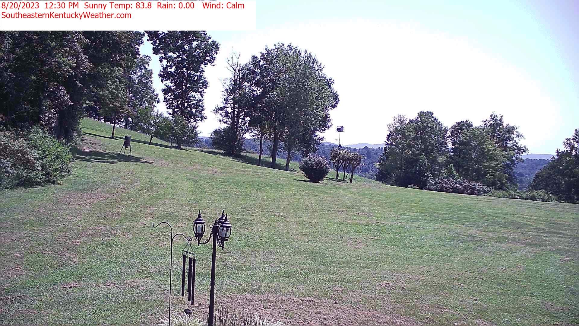
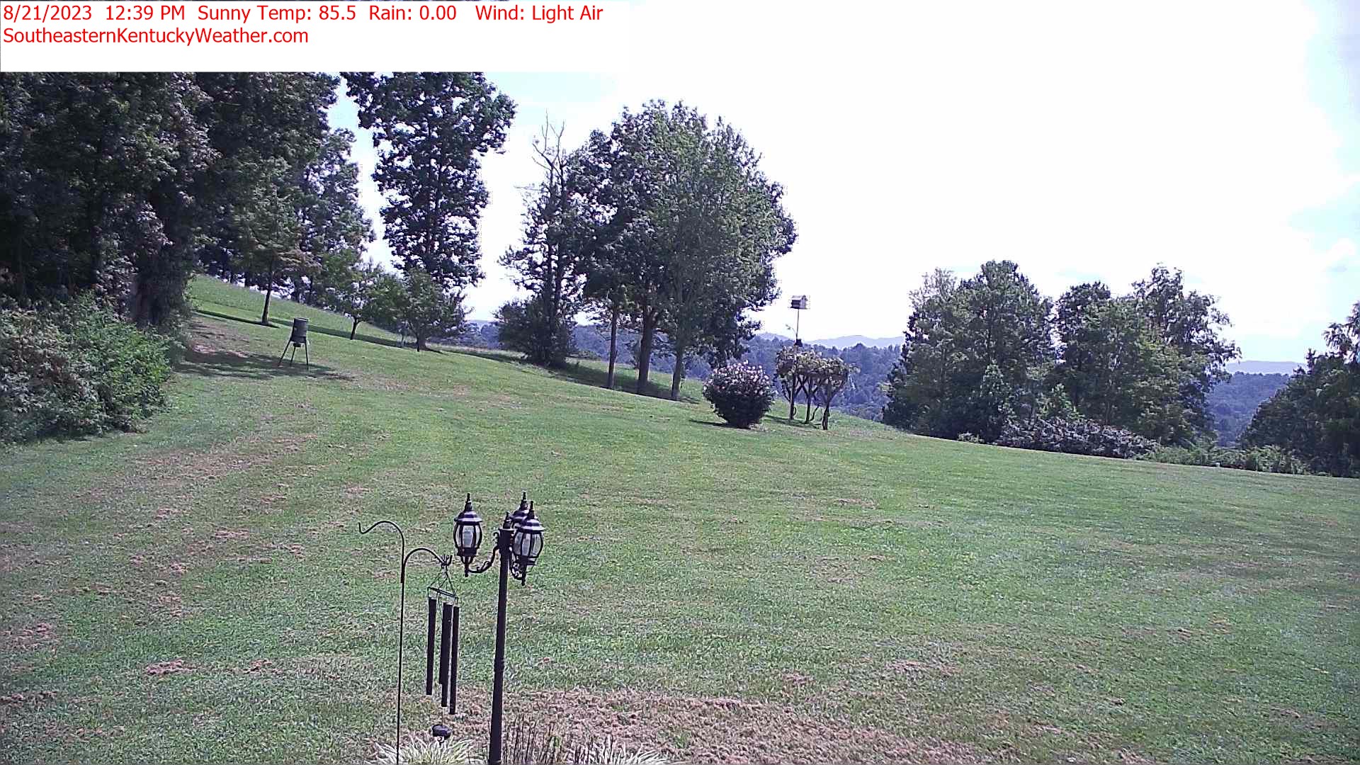
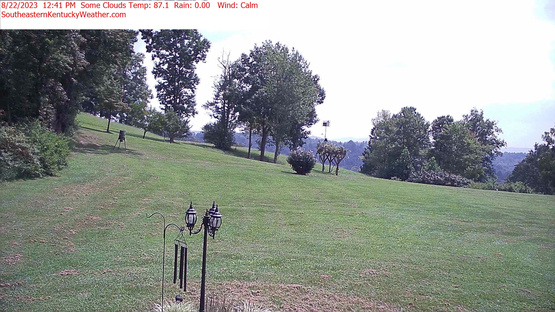
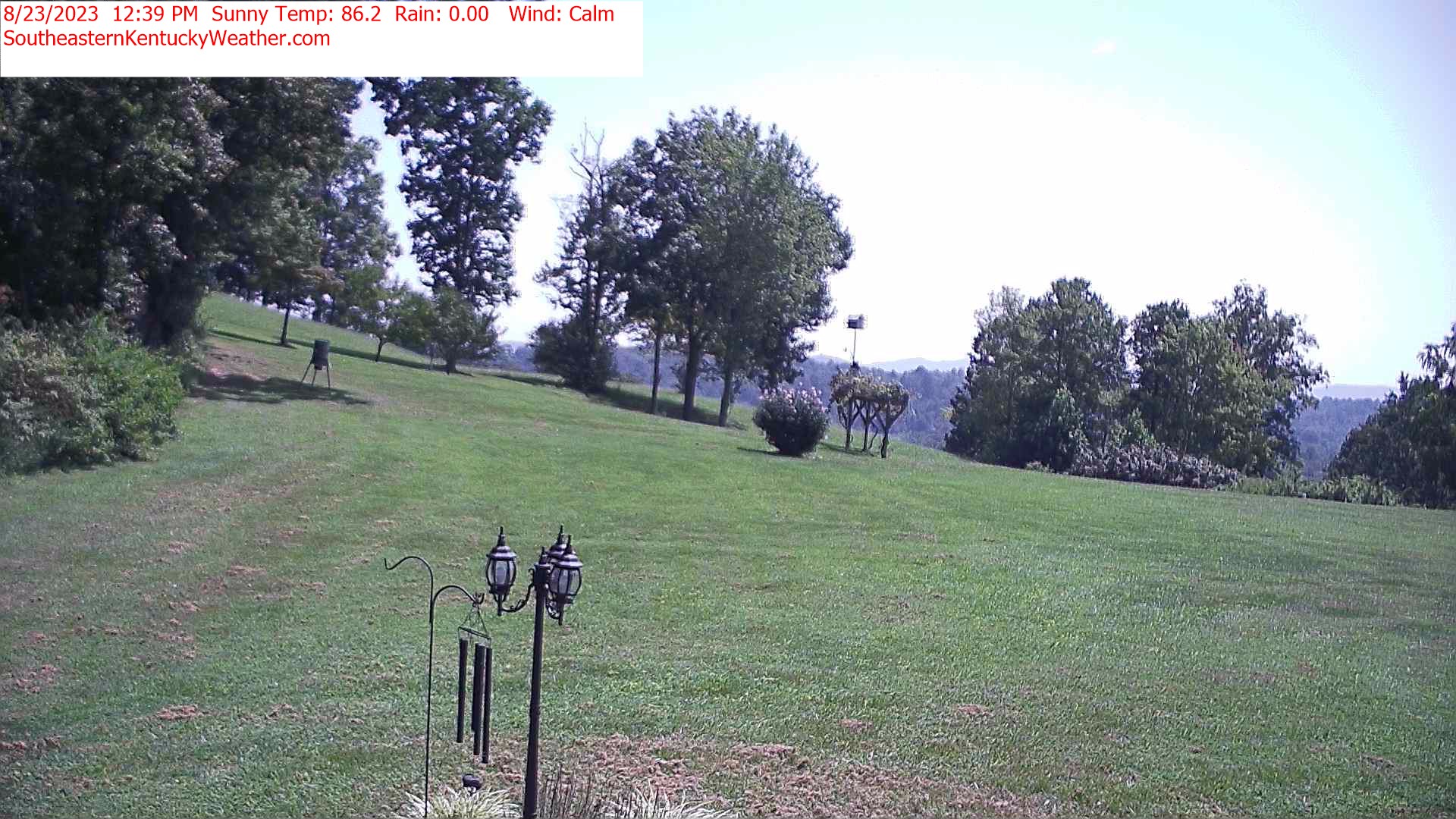
Winder, Georgia, USA - 22.3 miles from Yellow River (historical): Camp Twin Lakes - Will-a-Way - A webcam in Winder, Georgia - camera location: Camp Twin Lakes - Will-a-Way.
Operator: WeatherBug
Operator: WeatherBug


Sylva, North Carolina, USA - 114.5 miles from Yellow River (historical): Town View - A nice view of Sylva, North Carolina.
Operator: The Sylva Herald
Operator: The Sylva Herald

Whittier, North Carolina, USA - 115.4 miles from Yellow River (historical): Conleys Creek - A live view from Whittier, Smokey Mountains, North Carolina.
Operator: crews.cc
Operator: crews.cc


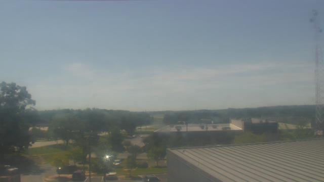
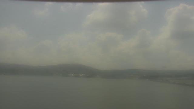
Guntersville, Alabama, USA - 130.9 miles from Yellow River (historical): Wyndham Garden Lake Guntersville - A webcam in Guntersville, Alabama - camera location: Wyndham Garden Lake Guntersville.
Operator: WeatherBug
Operator: WeatherBug


Gatlinburg, Tennessee, USA - 132.1 miles from Yellow River (historical): Anakeesta's Firefly Village - View of Anakeesta's Firefly Village with the Great Smoky Mountains in the background.
Operator: Skyline Webcams
Operator: Skyline Webcams


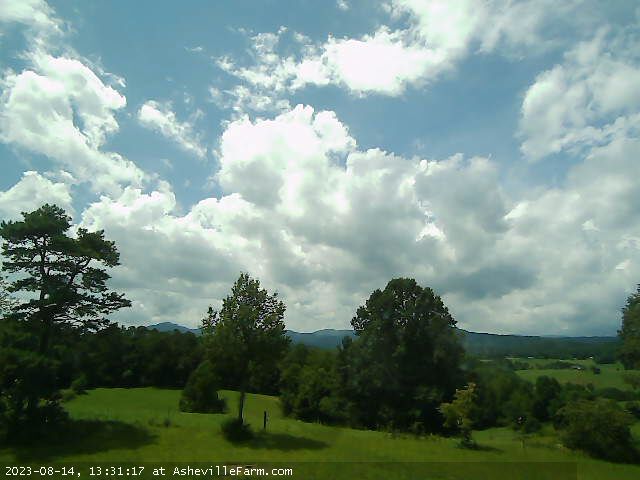
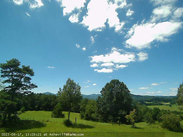
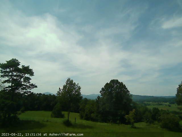
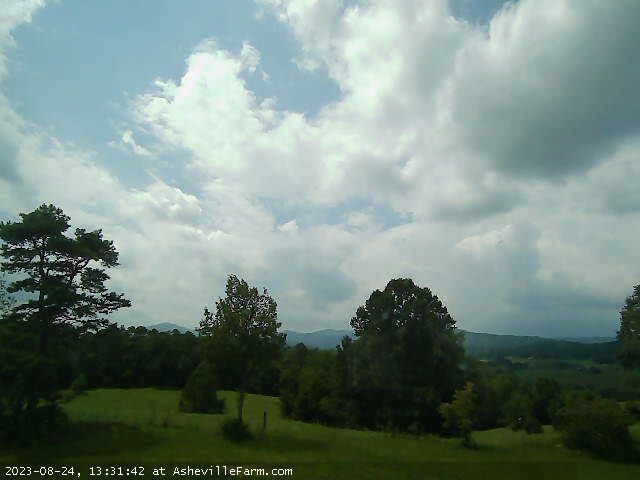
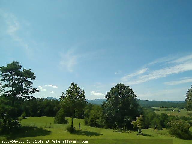
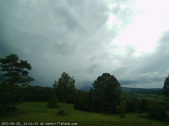
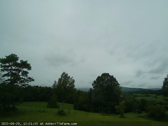
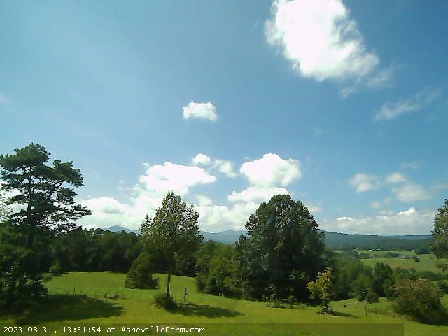
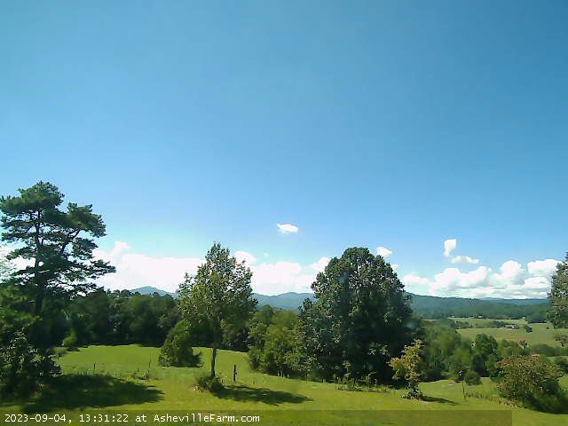
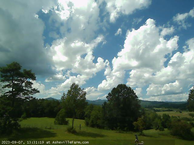
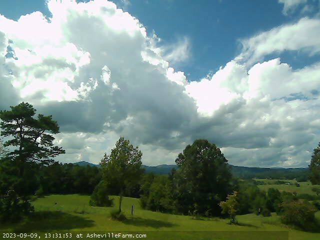
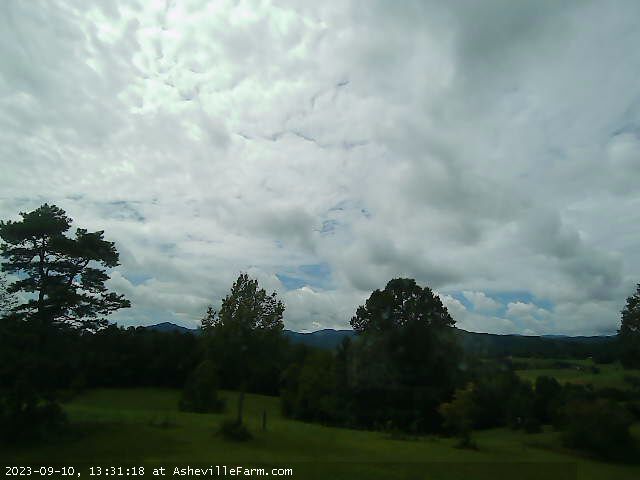
Asheville, North Carolina, USA - 147.5 miles from Yellow River (historical): View of NC Great Smokey Mountains from Asheville Farm - View of the Great Smokey Mountains just west of Asheville Farm in Asheville, NC.
Operator: Asheville Farm
Operator: Asheville Farm


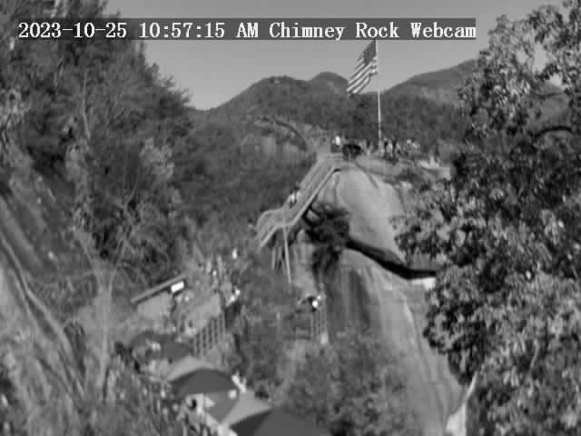
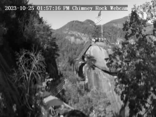
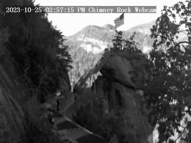
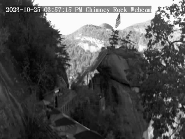
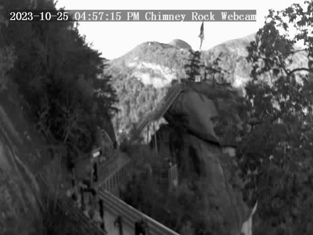
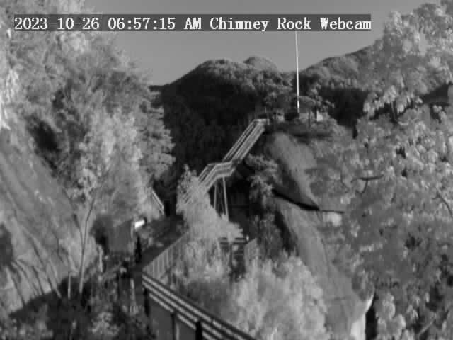
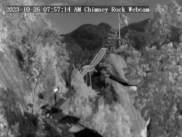
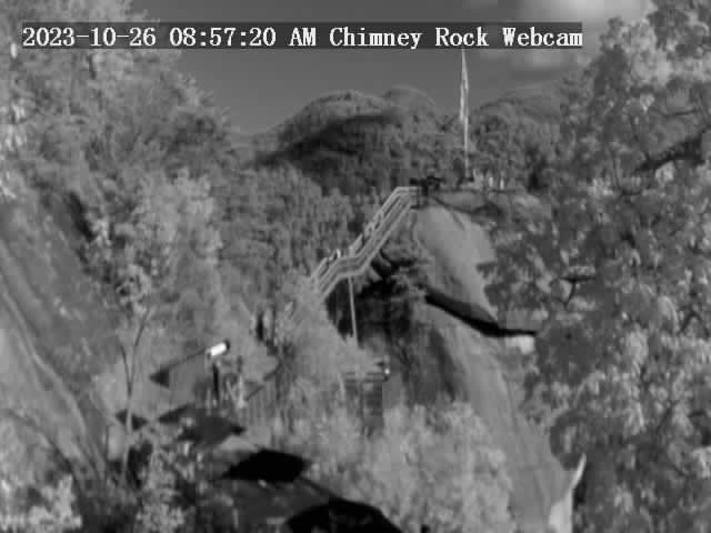
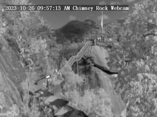
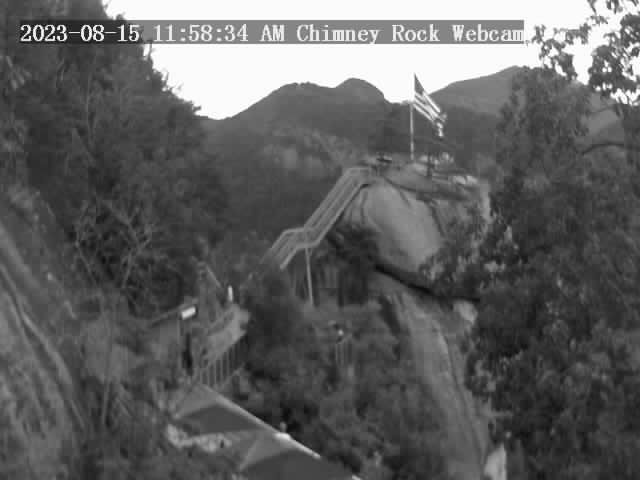
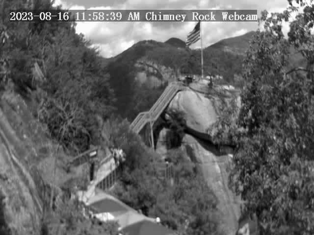
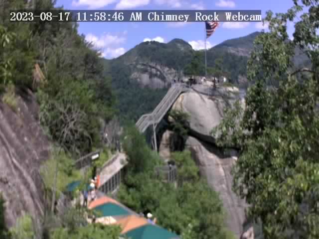
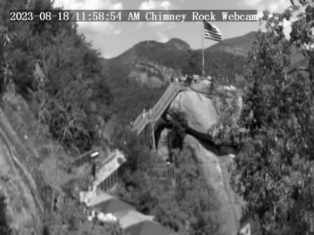
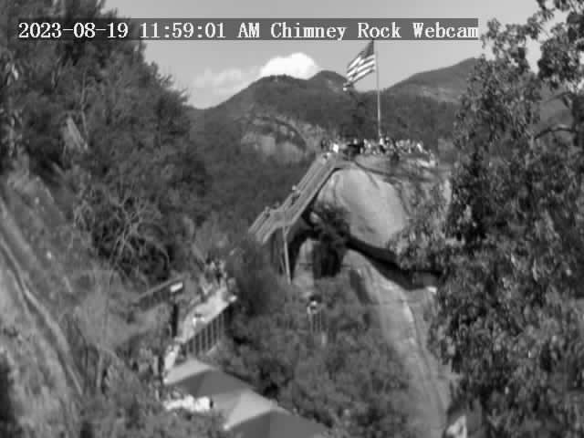
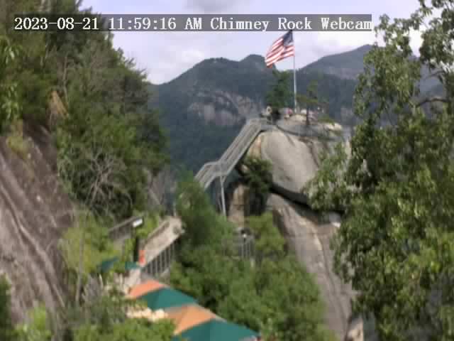
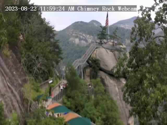
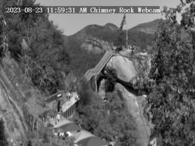
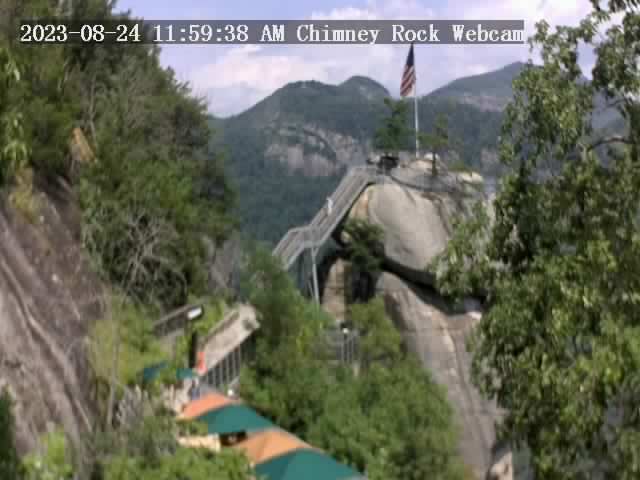
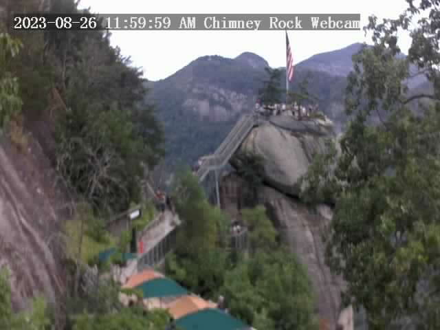
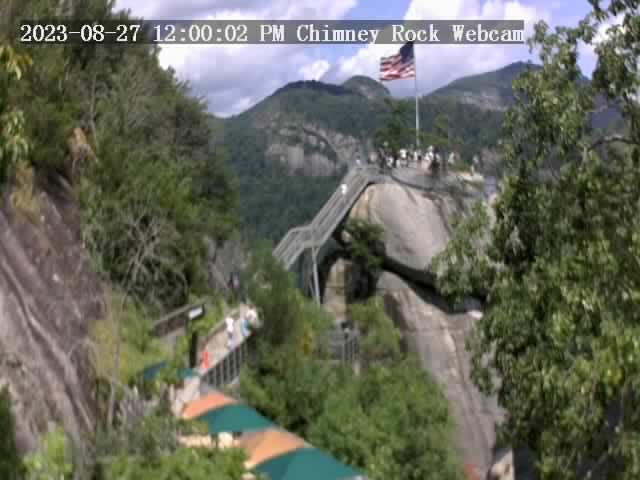
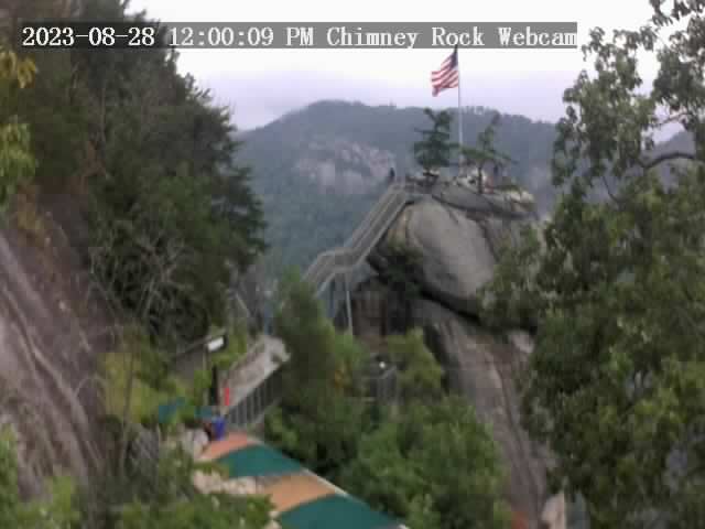
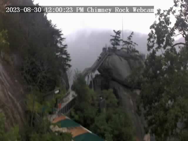
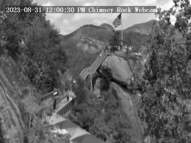
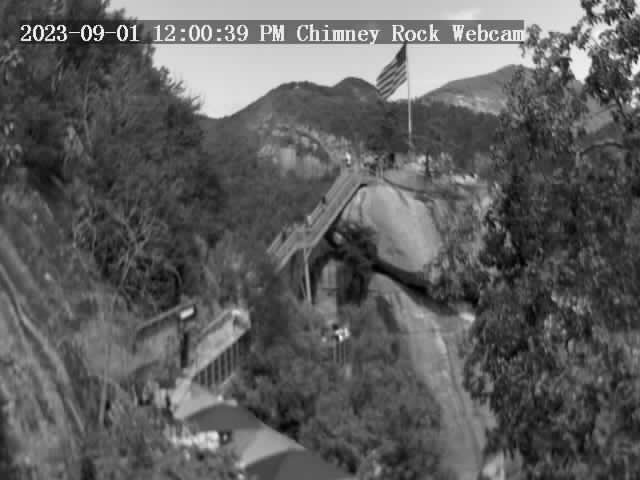
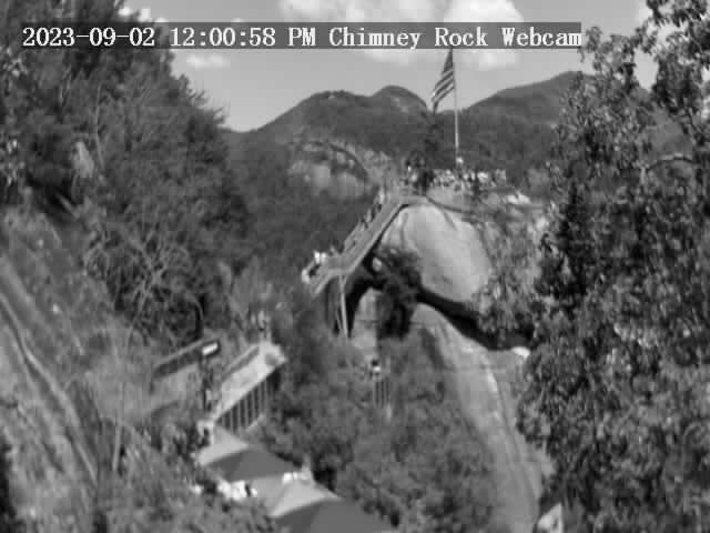
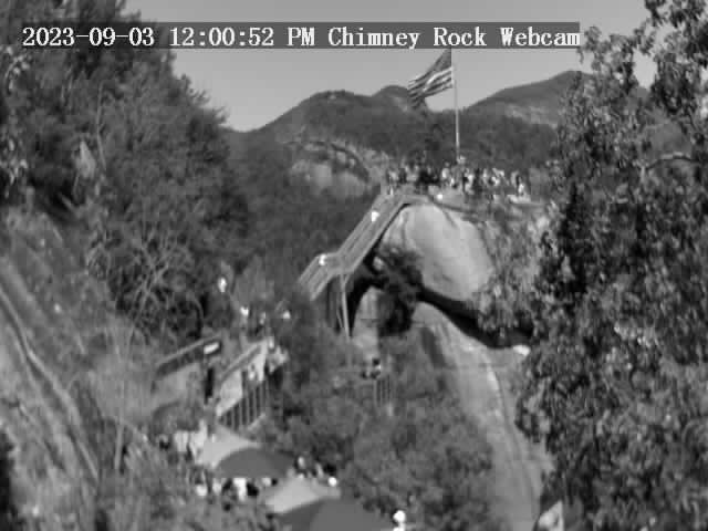
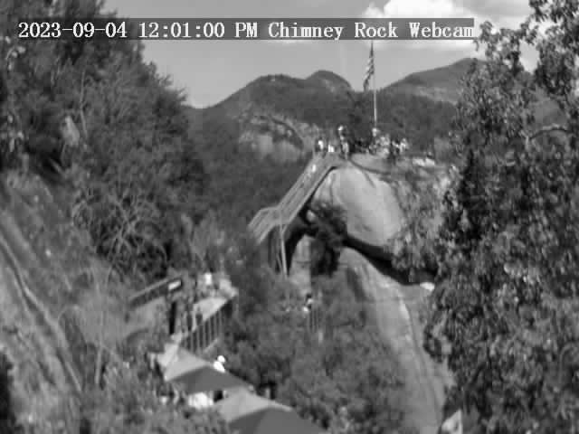
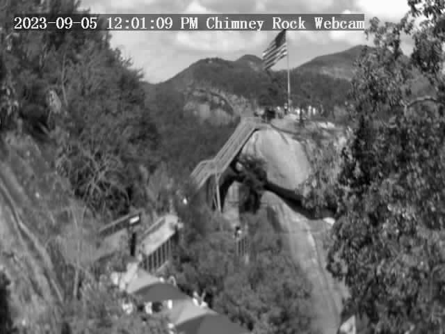
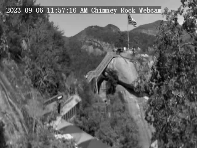
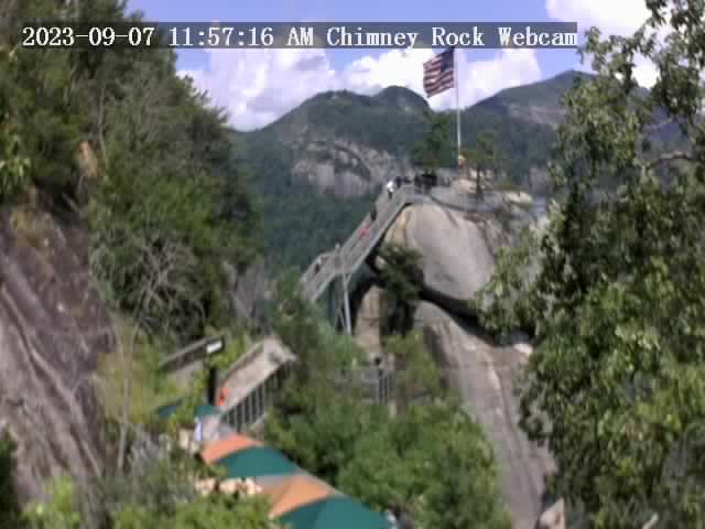
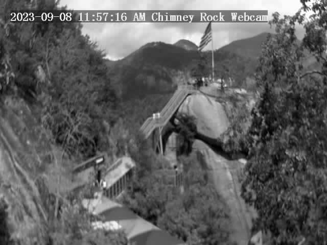
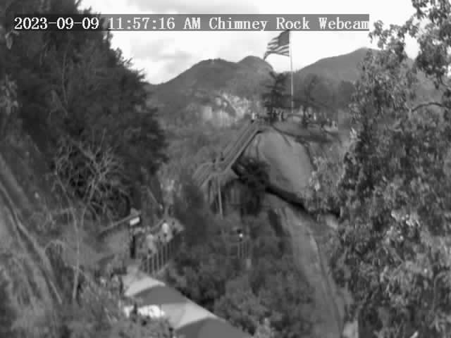
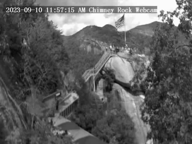
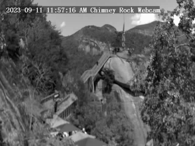
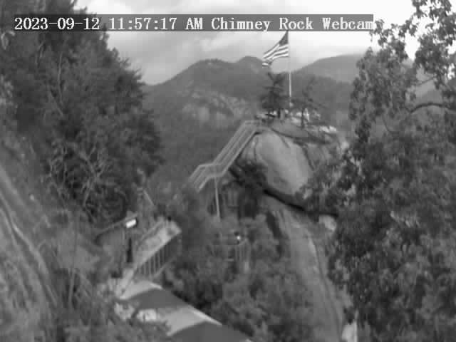
Chimney Rock, North Carolina, USA - 150.3 miles from Yellow River (historical): Chimney Rock State Park - A view of the Chimney Rock.
Operator: Chimney Rock State Park
Operator: Chimney Rock State Park


Some other places in this country: McGuires (historical) - Pinckneyville (historical) - Rock Bridge - Sweet Water - Bert (historical) - Fay (historical) - Knob (historical) - Mahers (historical) - Mayday (historical) - Campagne (historical)