Webcams in the region of Mayday (historical), Georgia, USA
The List of Webcams near Mayday (historical), Georgia, USA:

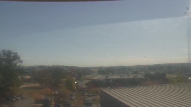
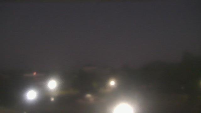
Atlanta, Georgia, USA - 18 miles from Mayday (historical): Skyline Atlanta - A nice view of the skyline of Atlanta, Georgia.
Operator: EarthCam
Operator: EarthCam


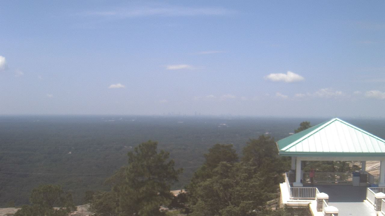
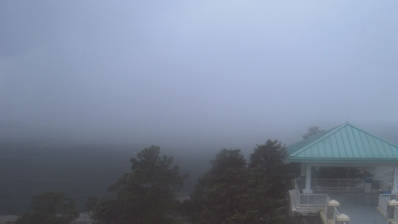
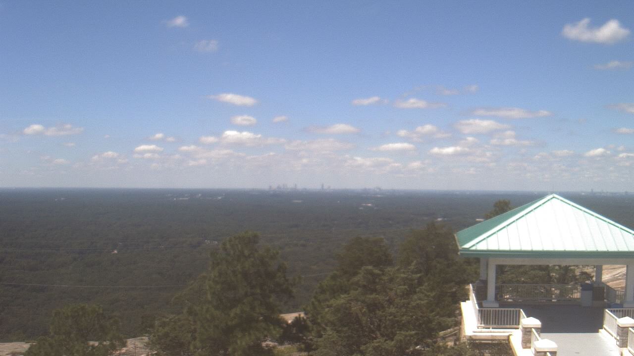
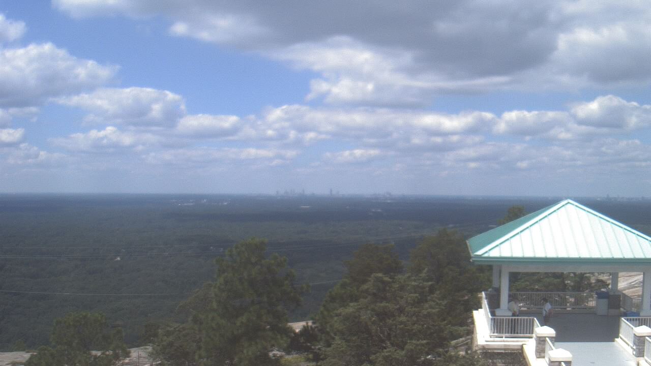
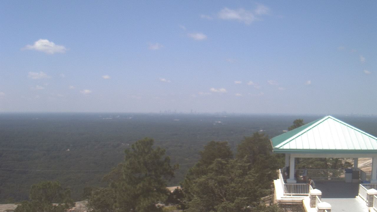
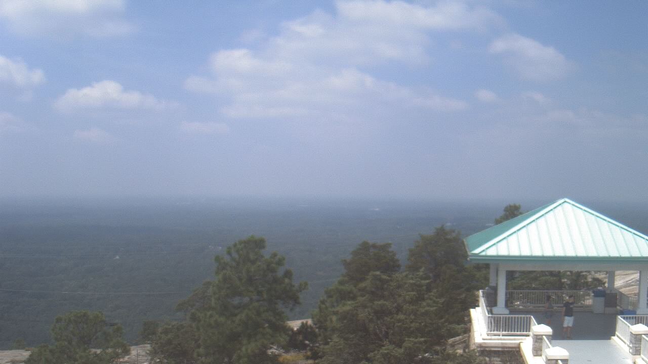
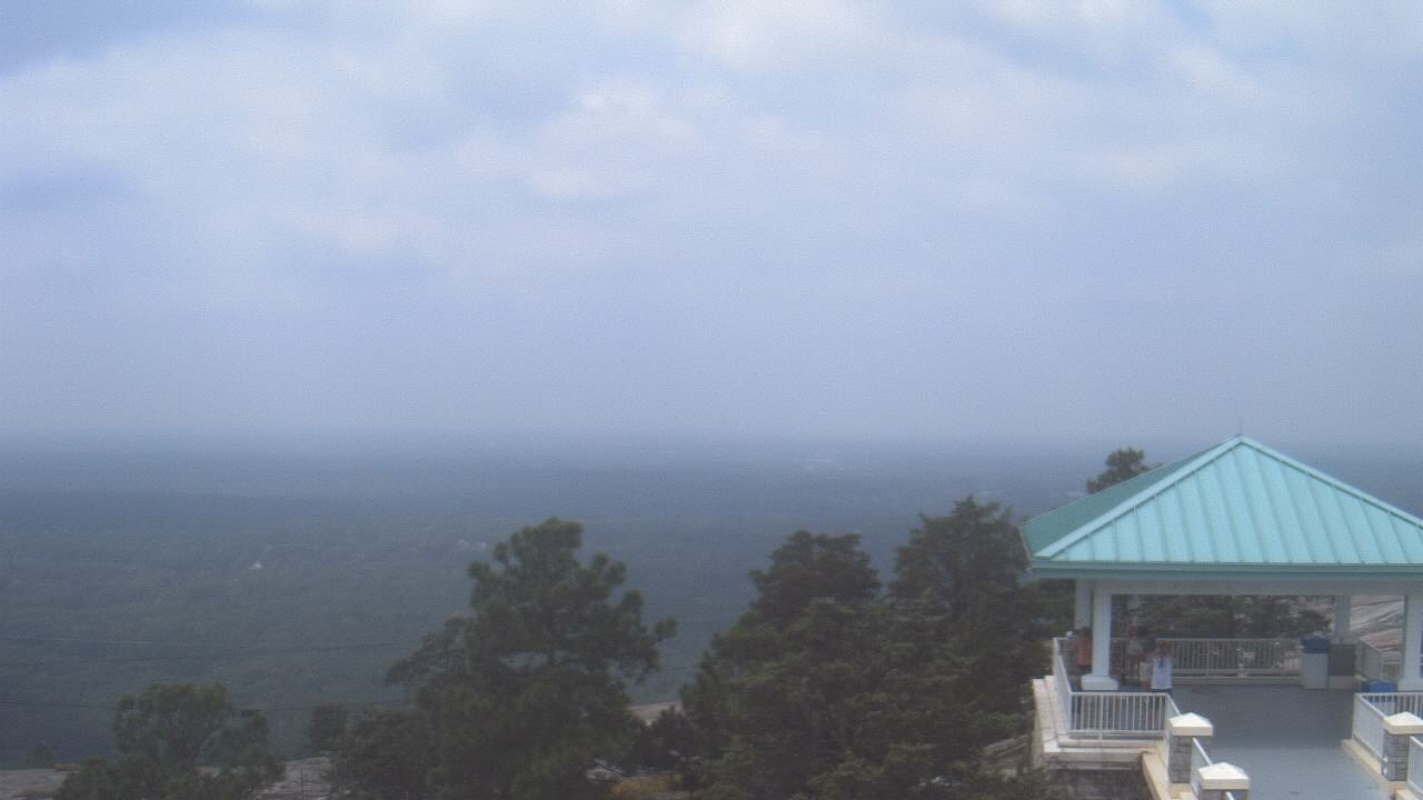
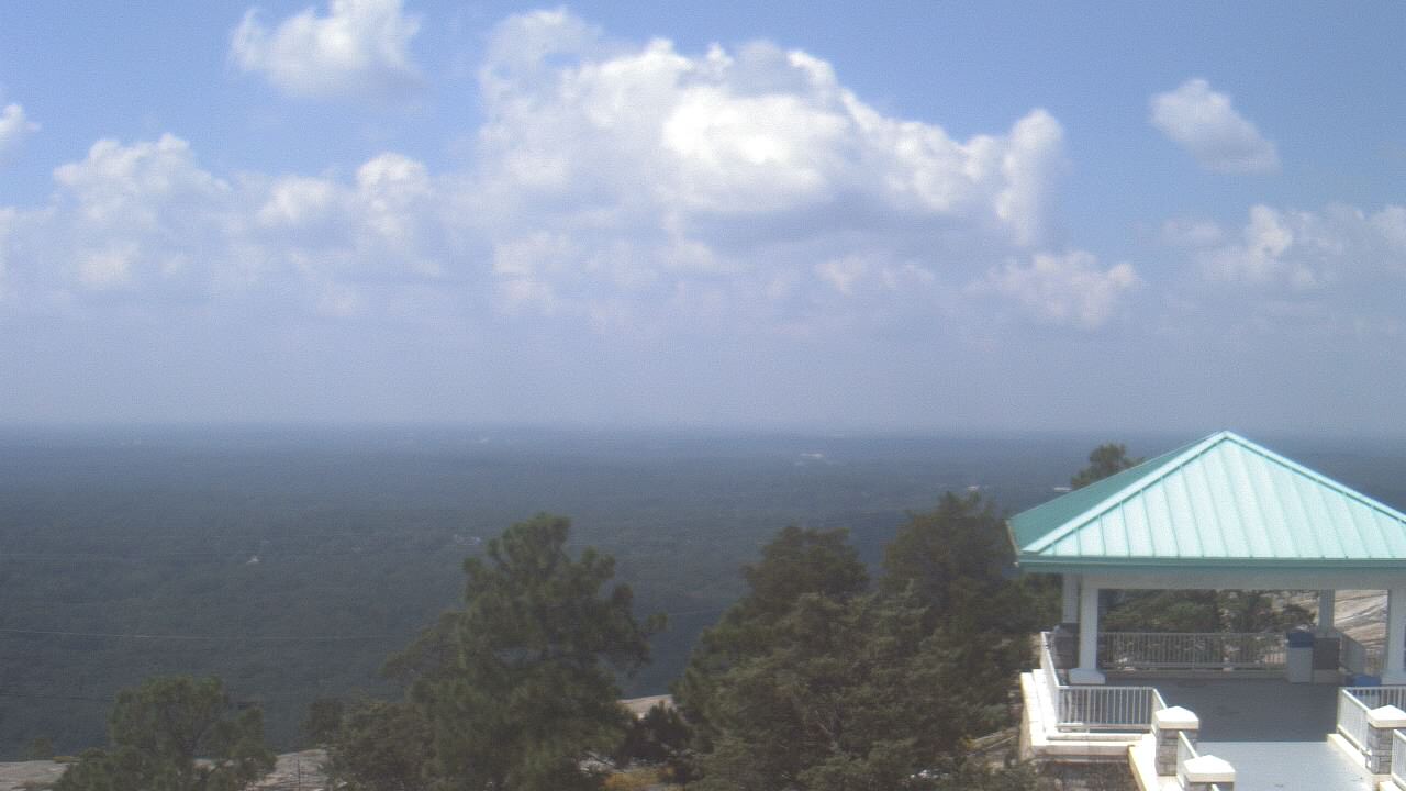
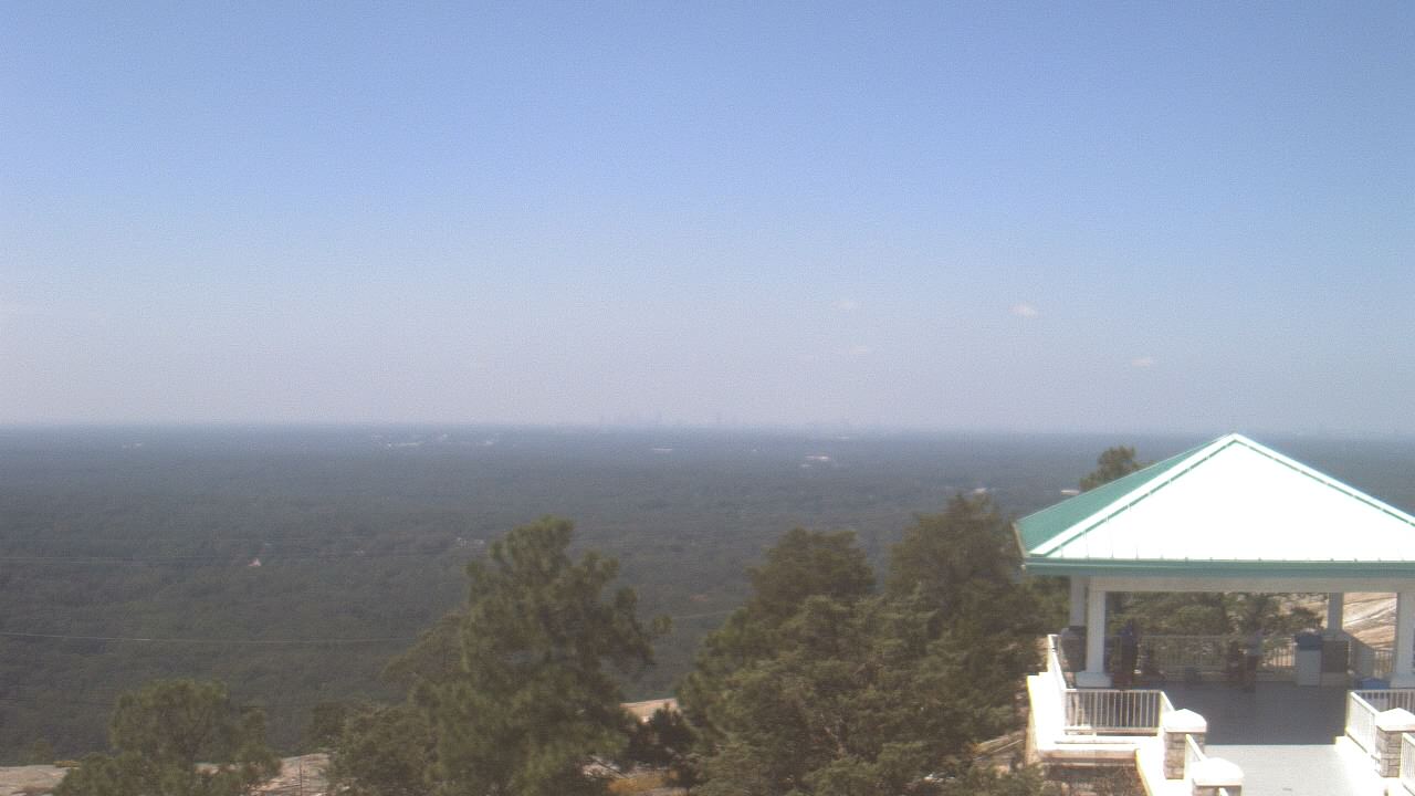
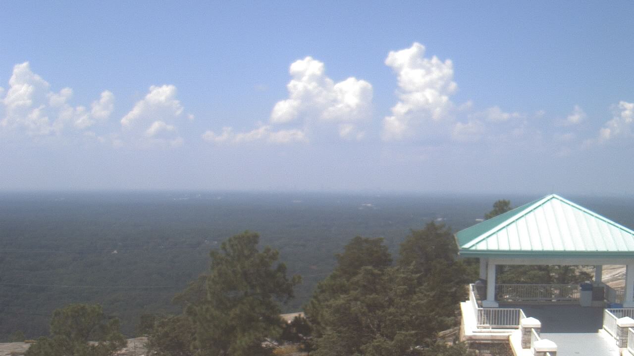
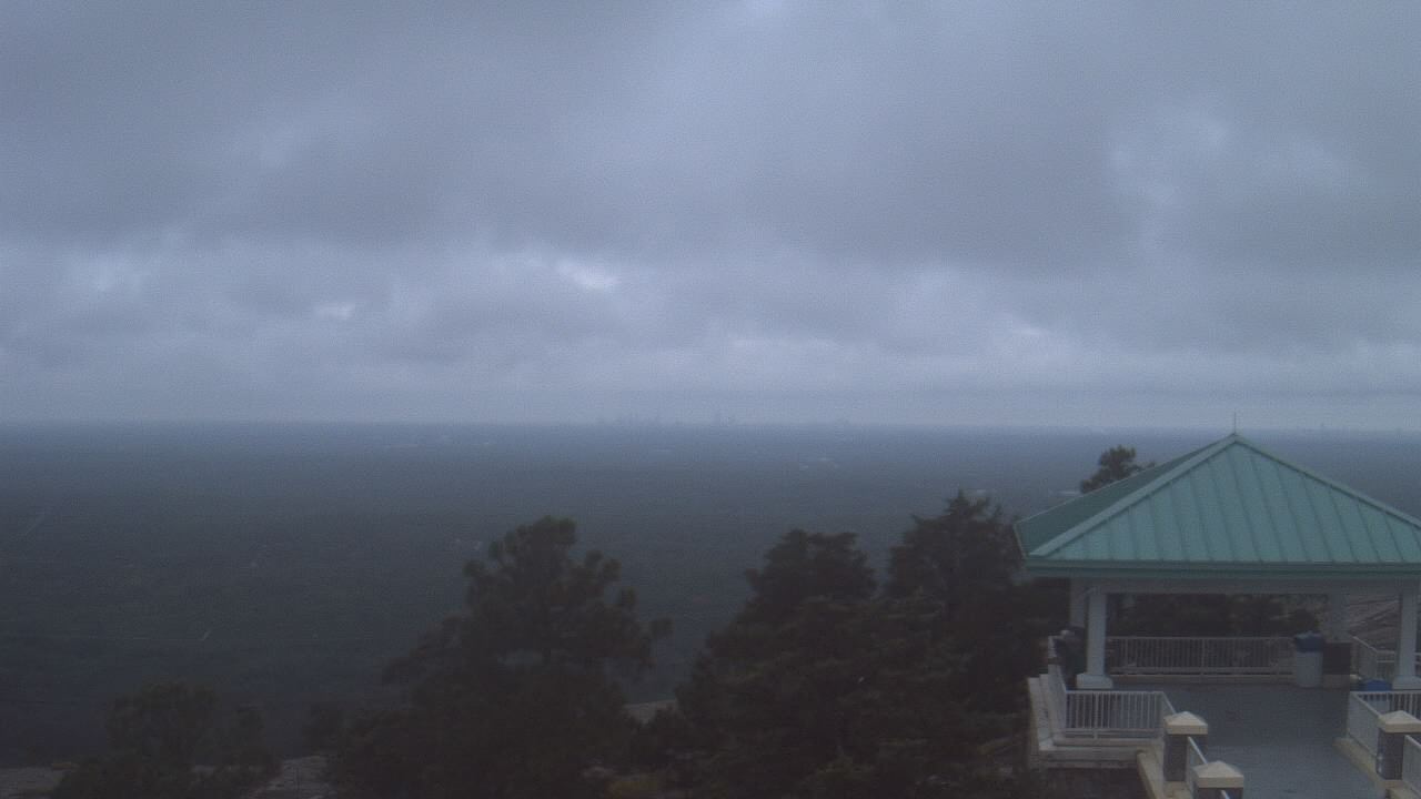
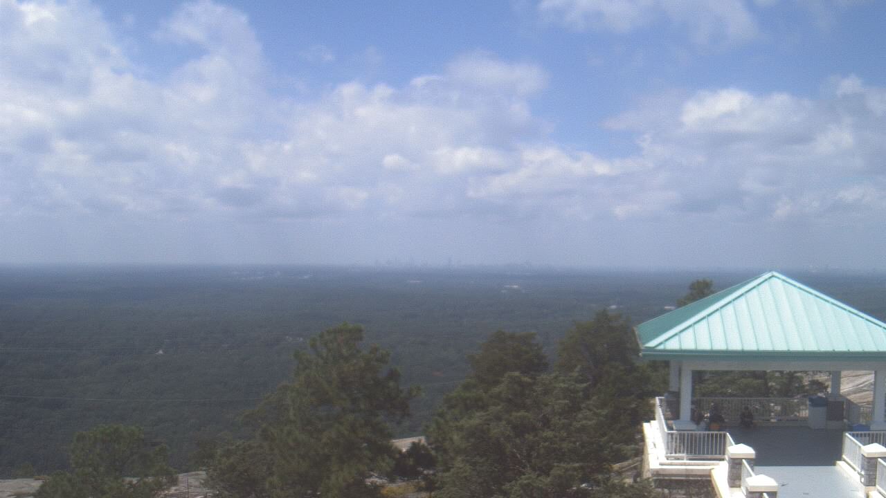
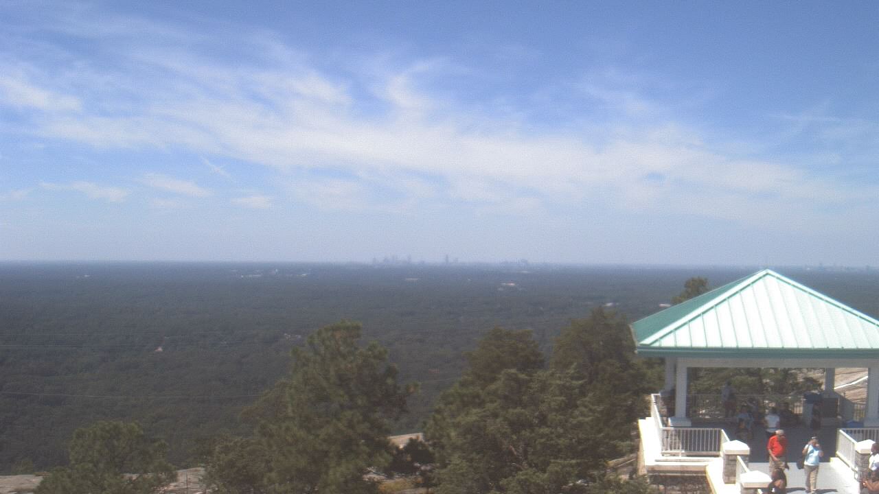
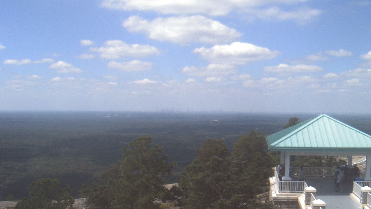
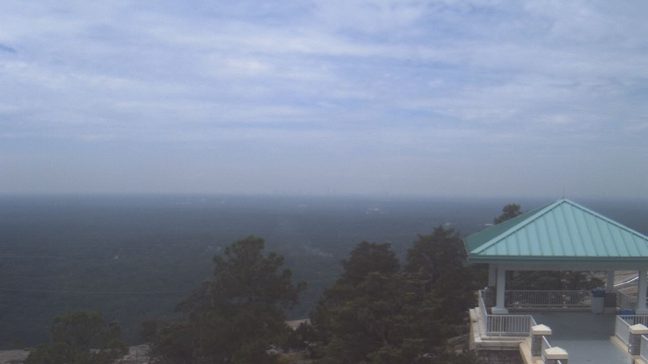
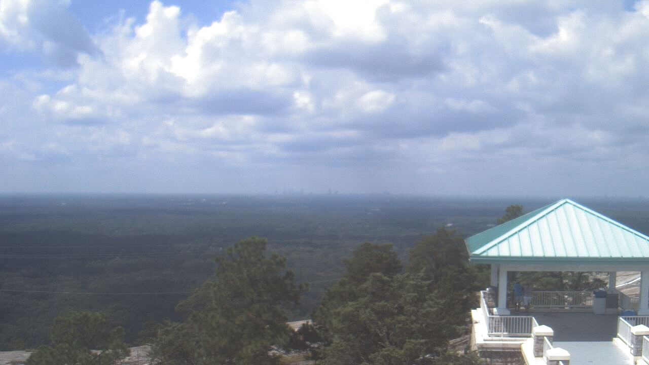
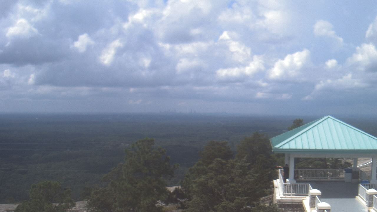
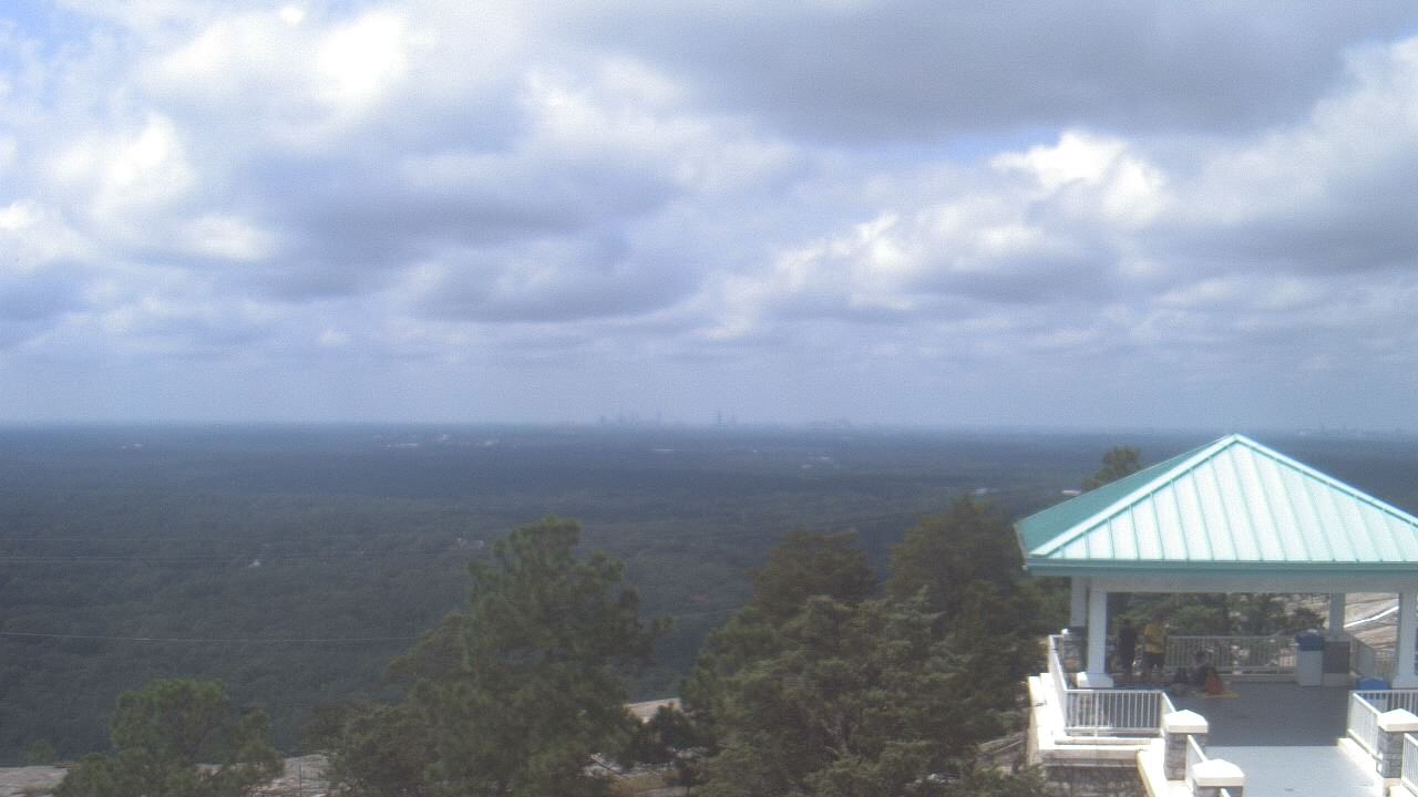
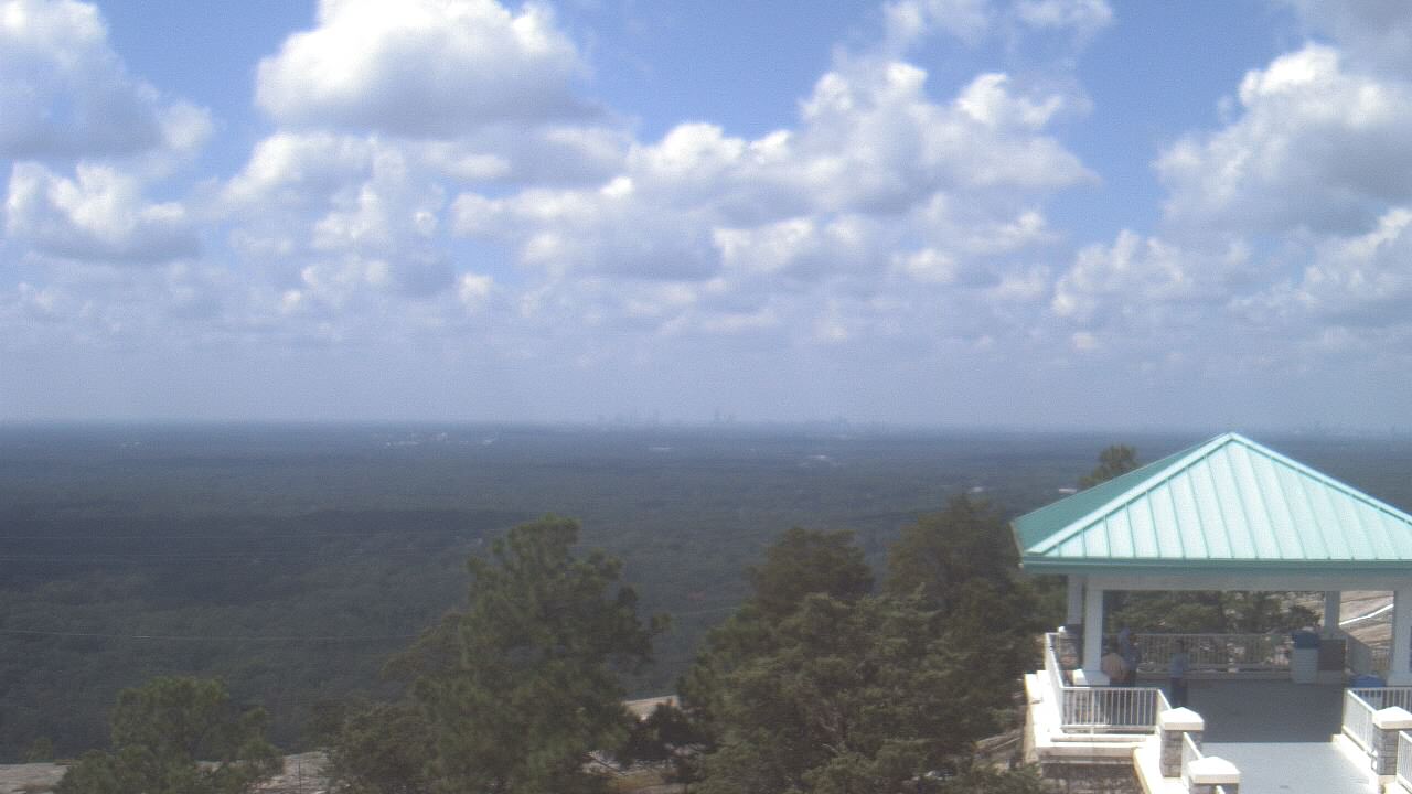
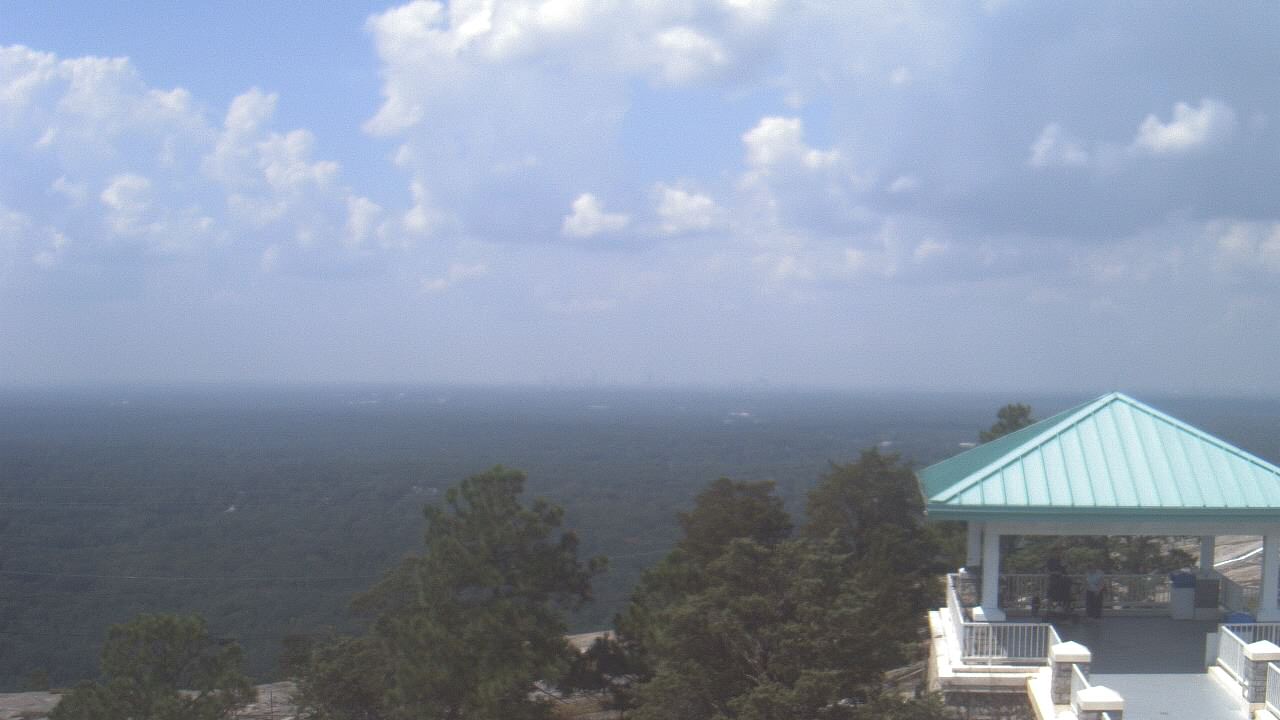
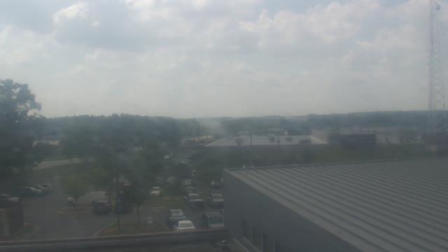
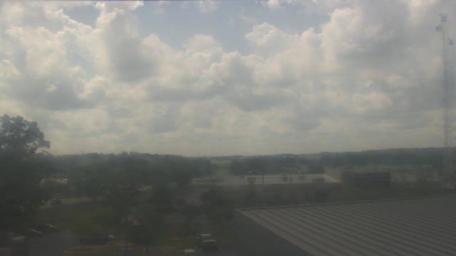
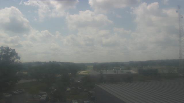
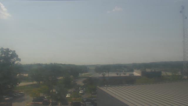
Stone Mountain, Georgia, USA - 21.3 miles from Mayday (historical): Top of Stone Mountain - A webcam in Stone Mountain, Georgia - camera location: Top of Stone Mountain.
Operator: WeatherBug
Operator: WeatherBug


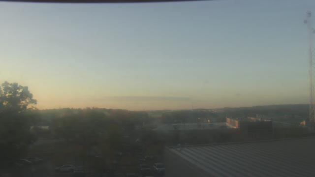
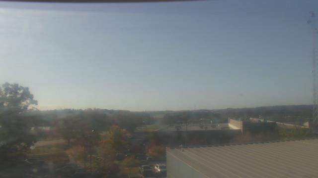
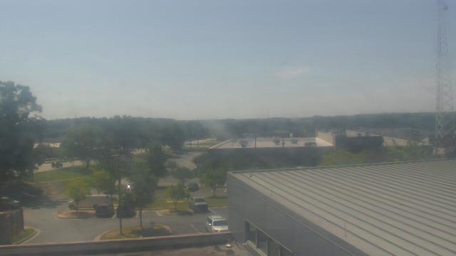
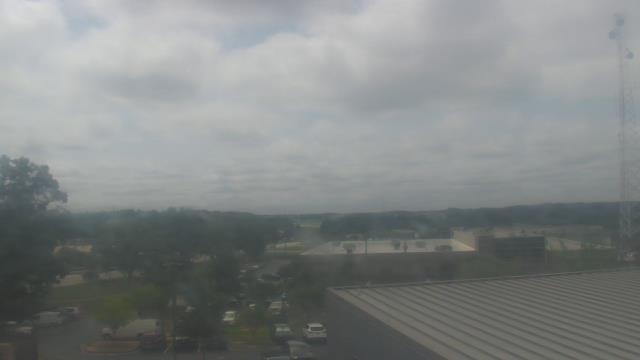
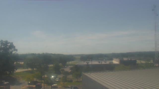
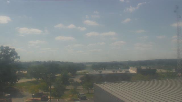
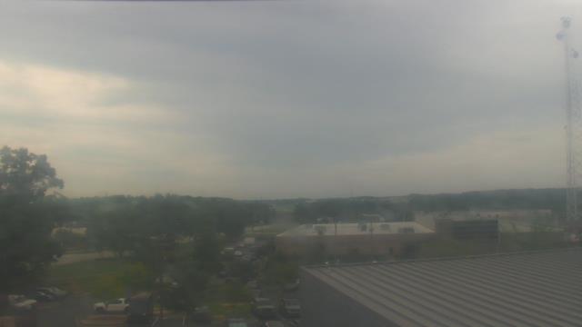
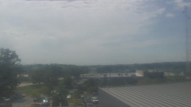
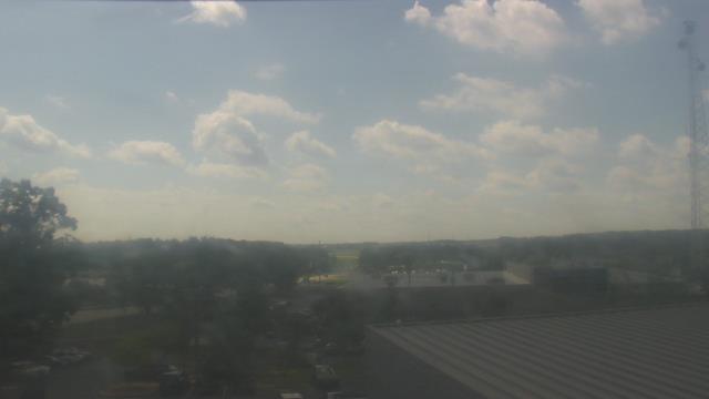
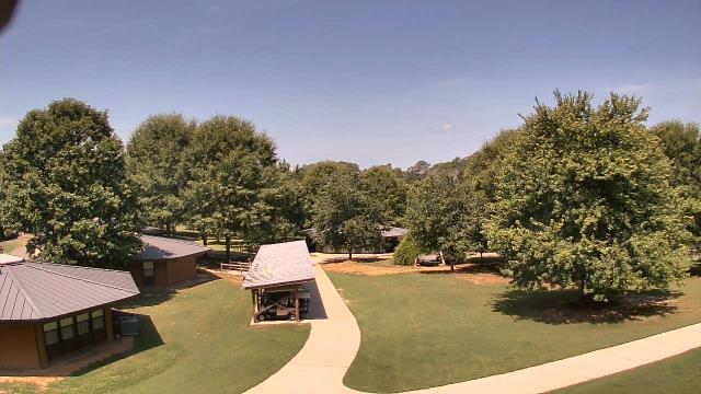
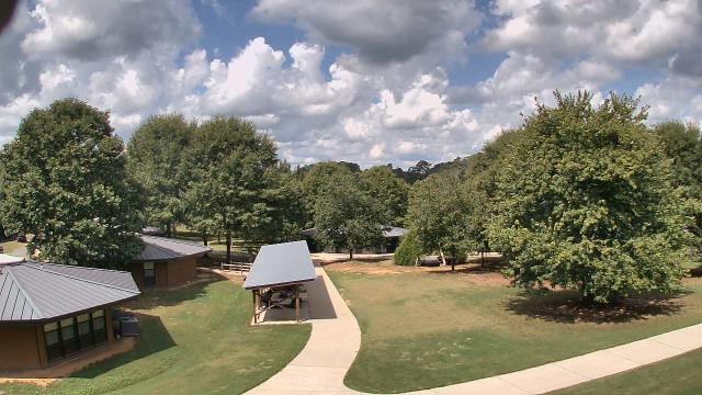
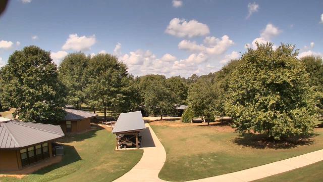
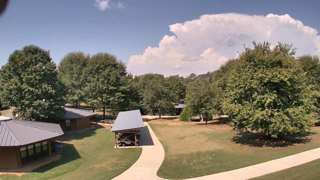
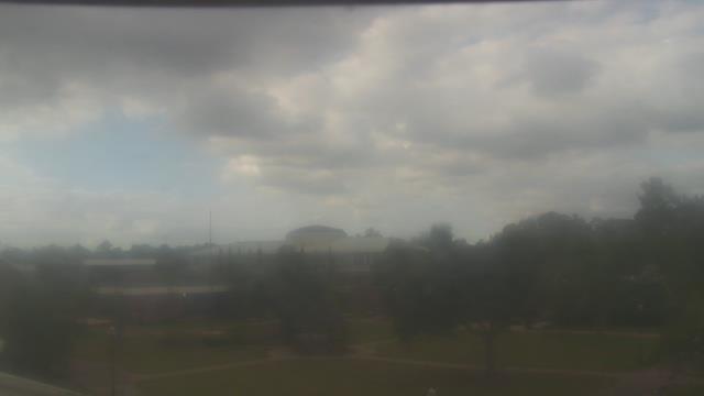
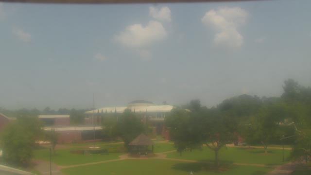
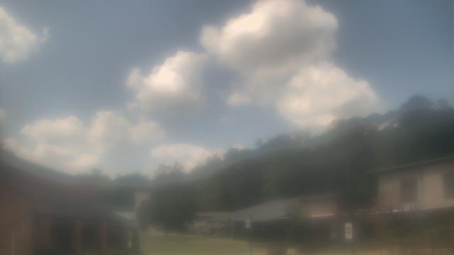
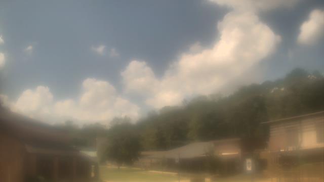
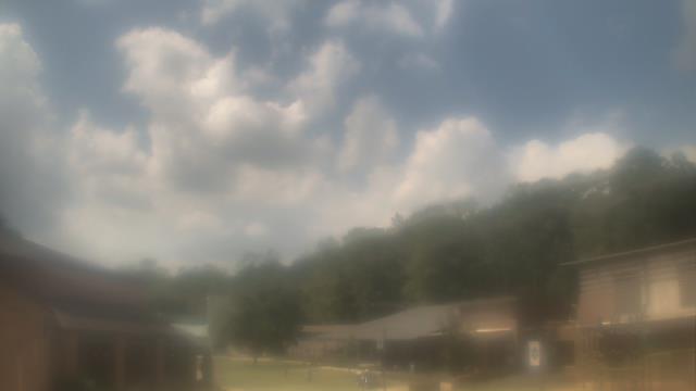
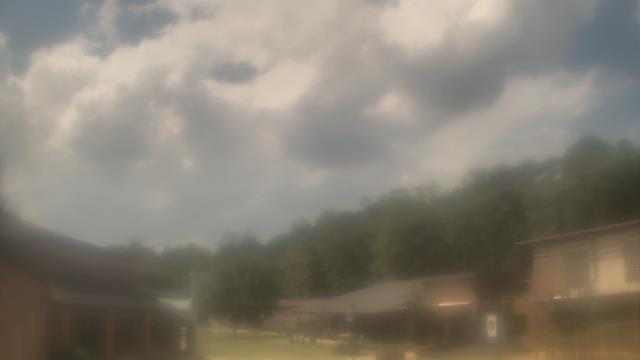
Lawrenceville, Georgia, USA - 30.8 miles from Mayday (historical): Gwinnett County EMA - A webcam in Lawrenceville, Georgia - camera location: Gwinnett County EMA.
Operator: WeatherBug
Operator: WeatherBug


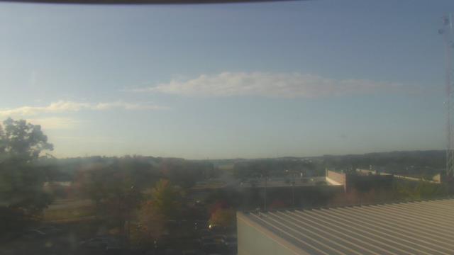
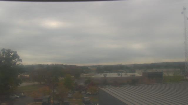


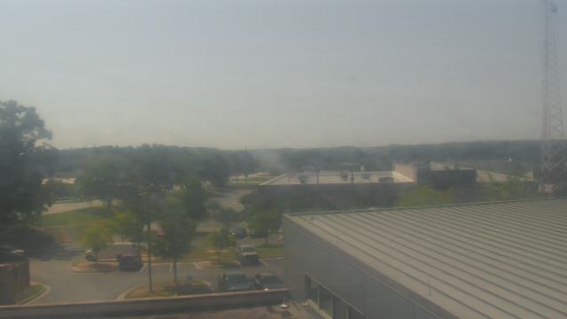

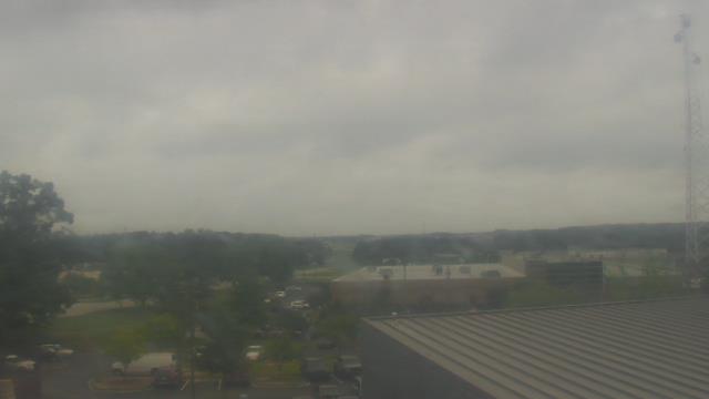

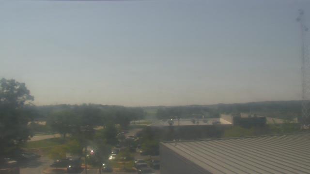

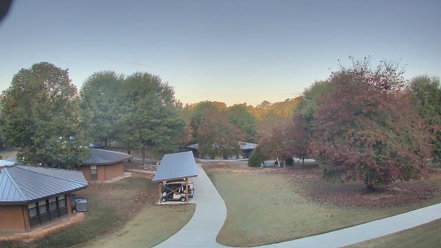
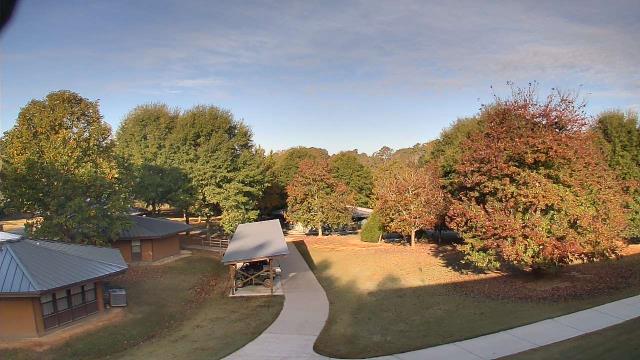
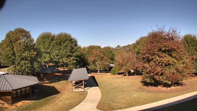
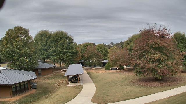
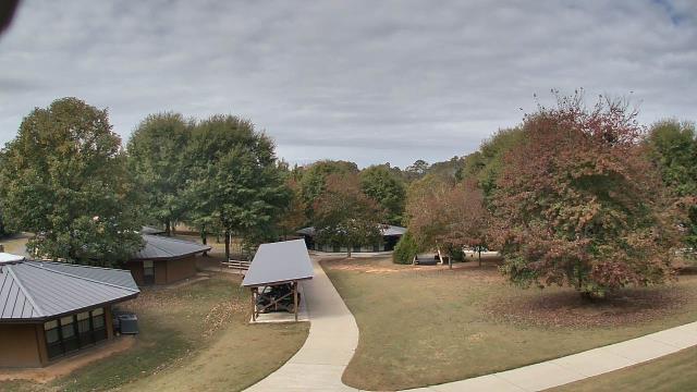
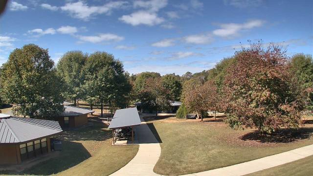
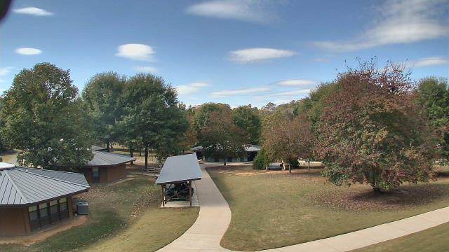
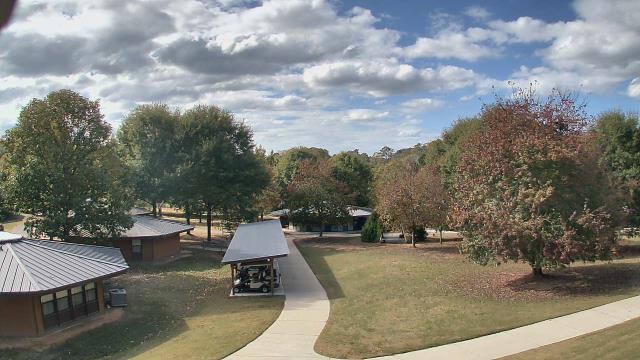
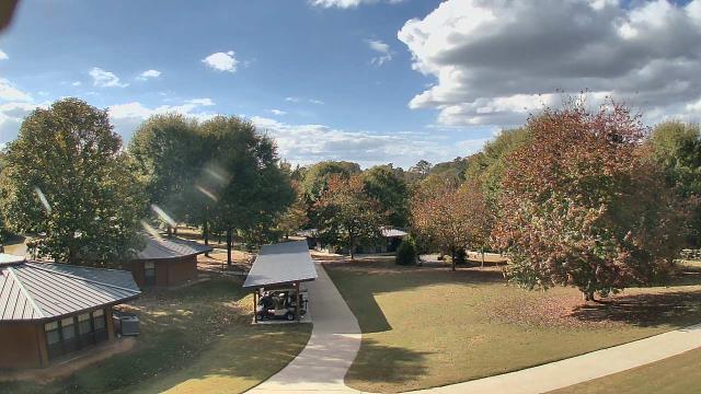
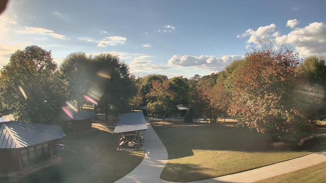
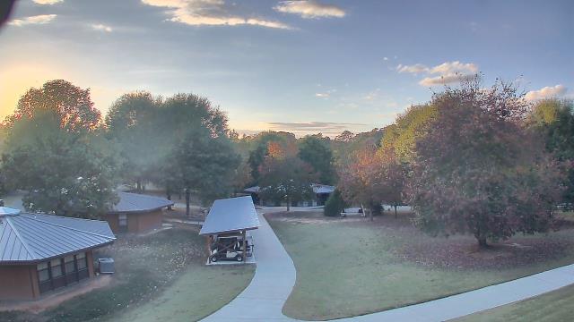
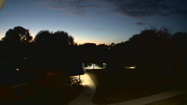
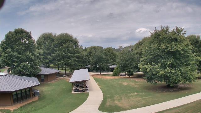
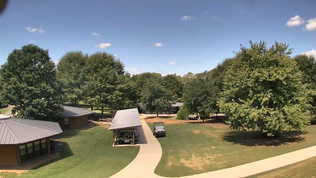
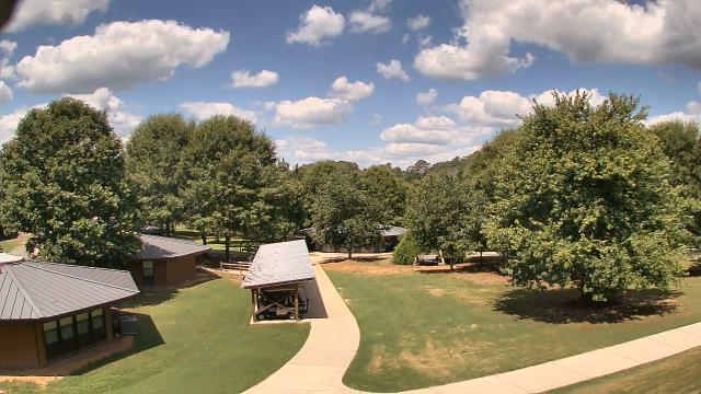
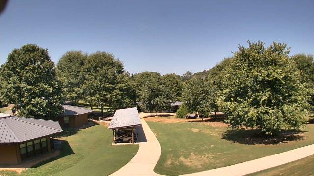
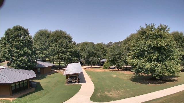
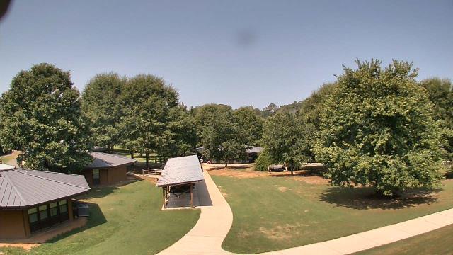
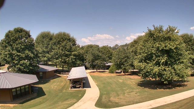
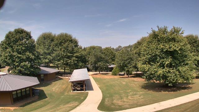
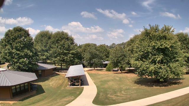
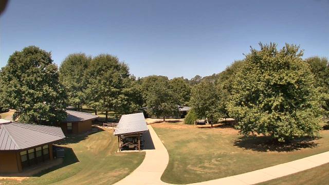
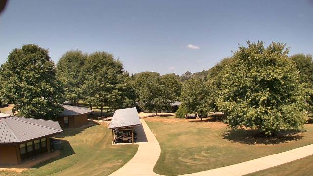
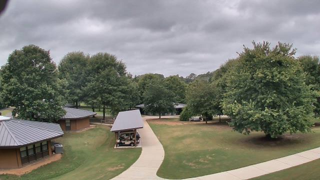
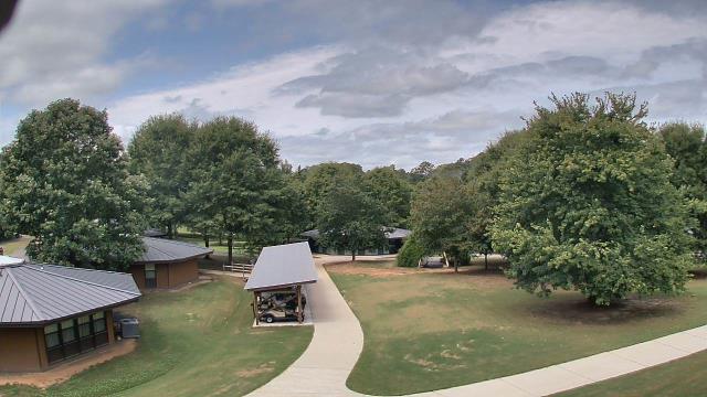
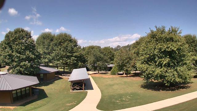
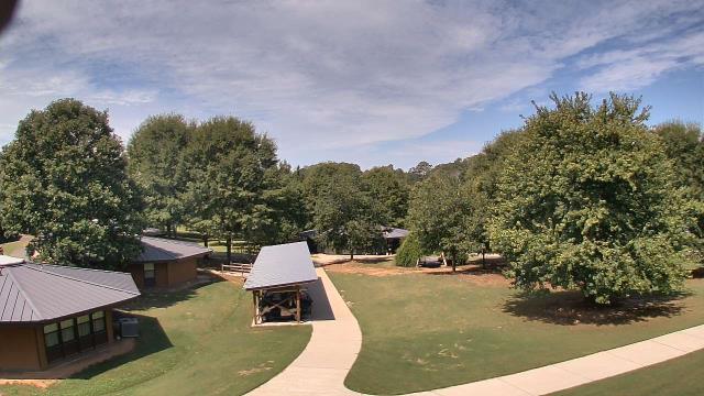
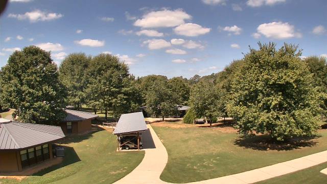
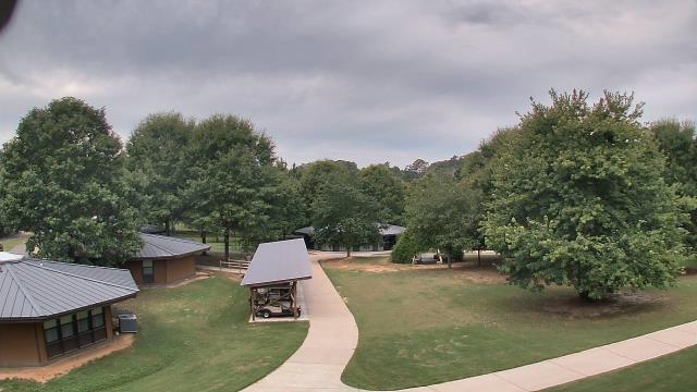
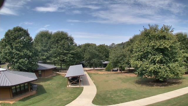
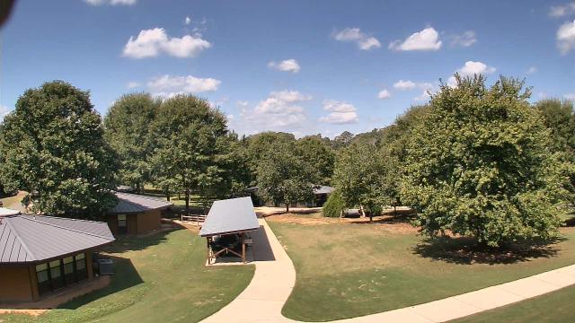
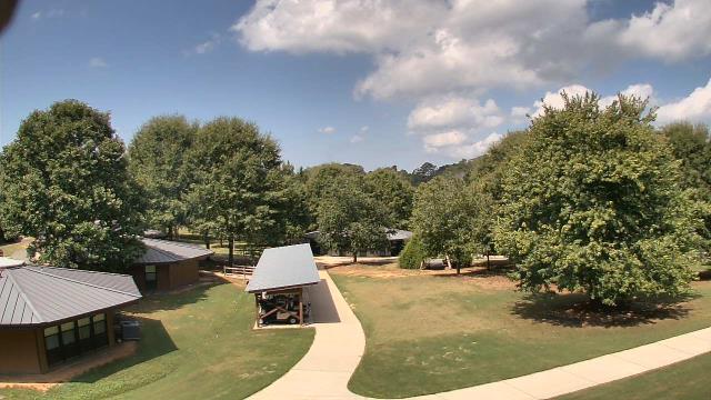
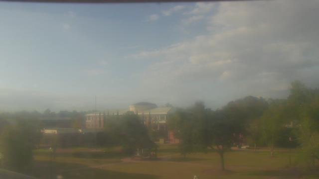
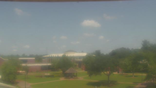
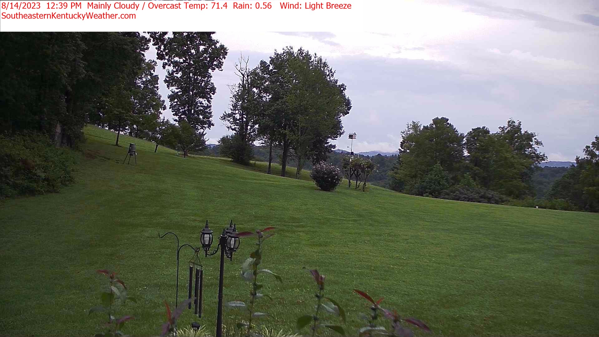
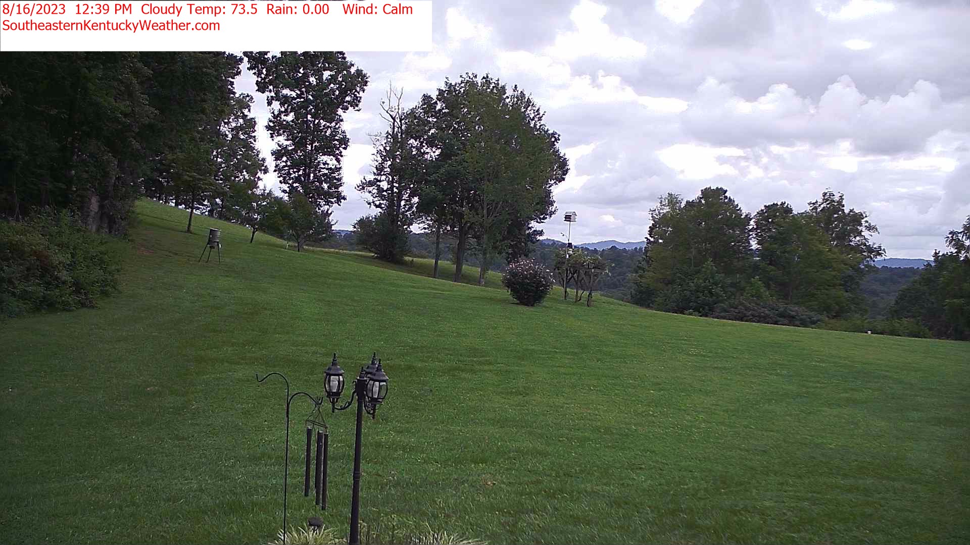
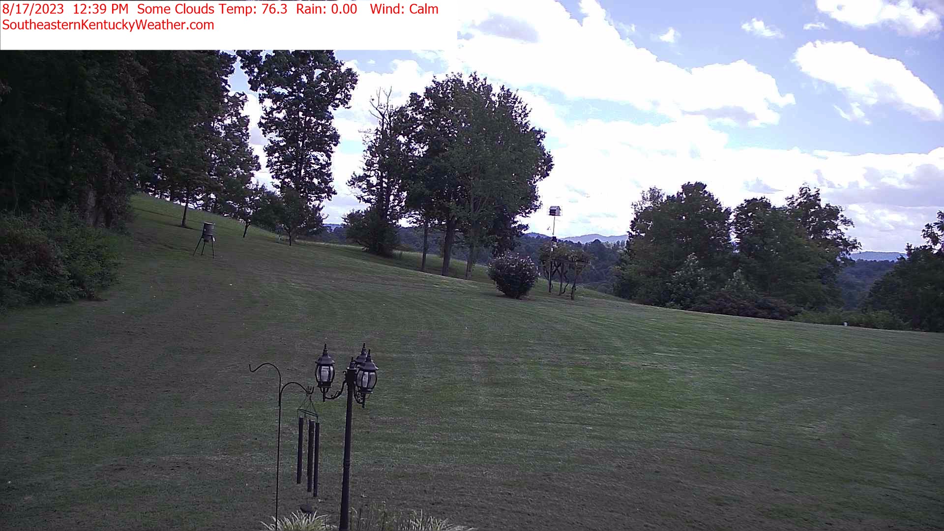
Winder, Georgia, USA - 46.4 miles from Mayday (historical): Camp Twin Lakes - Will-a-Way - A webcam in Winder, Georgia - camera location: Camp Twin Lakes - Will-a-Way.
Operator: WeatherBug
Operator: WeatherBug


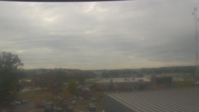
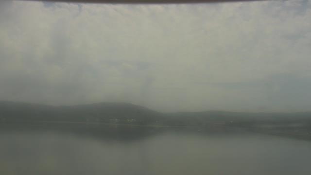
Guntersville, Alabama, USA - 129.5 miles from Mayday (historical): Wyndham Garden Lake Guntersville - A webcam in Guntersville, Alabama - camera location: Wyndham Garden Lake Guntersville.
Operator: WeatherBug
Operator: WeatherBug


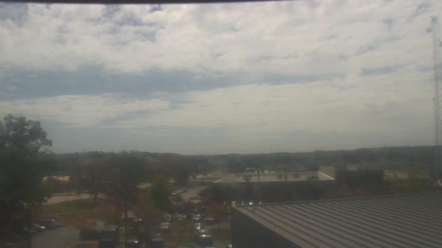
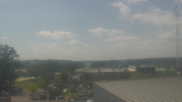
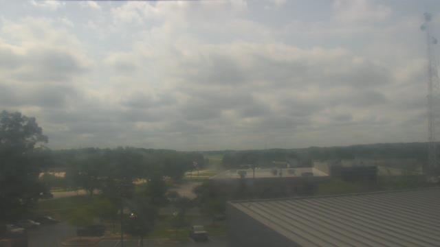
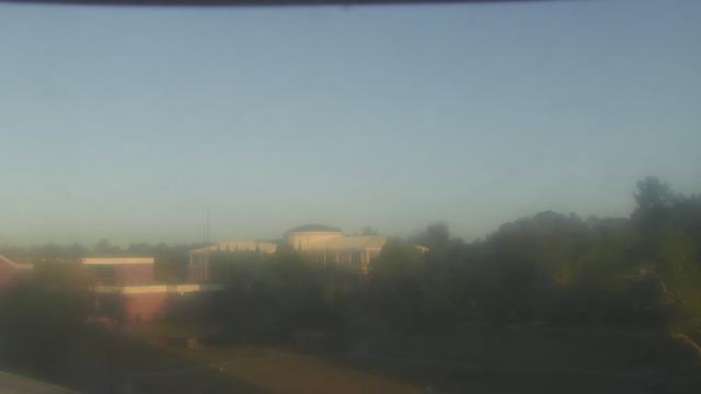
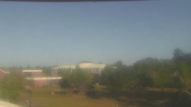
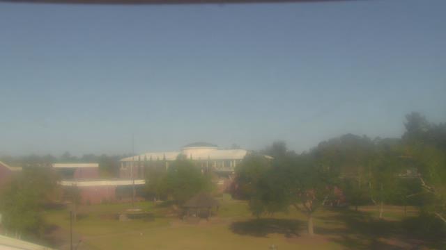
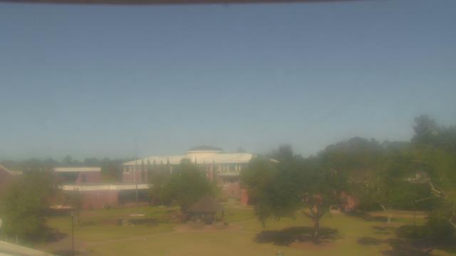
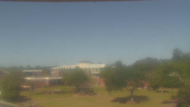
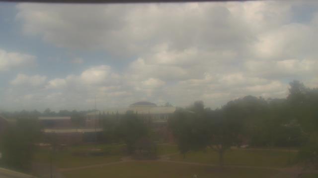
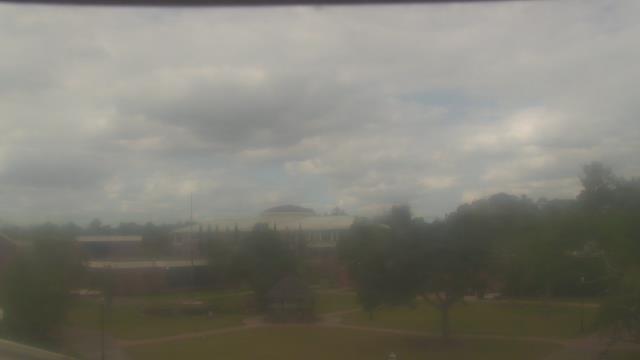
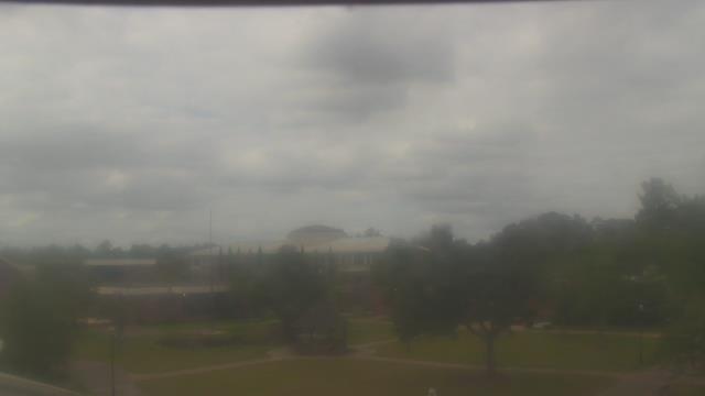
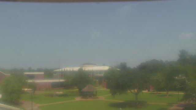
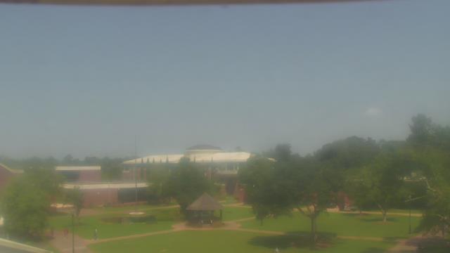
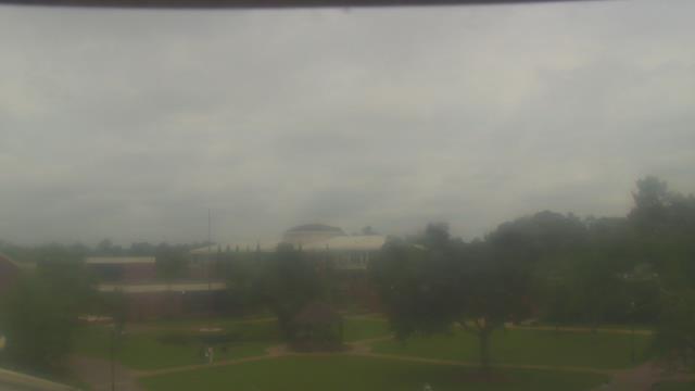
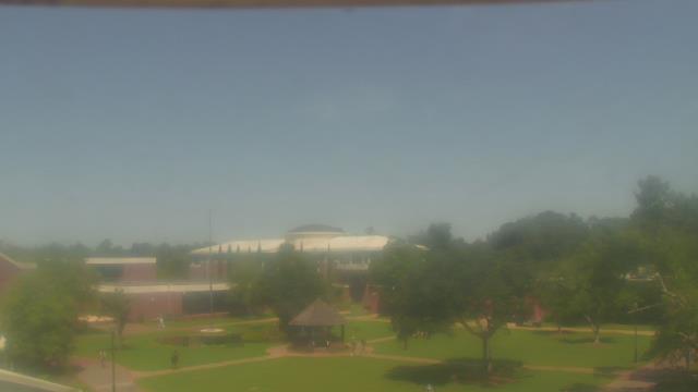
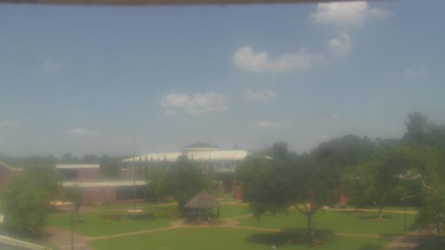
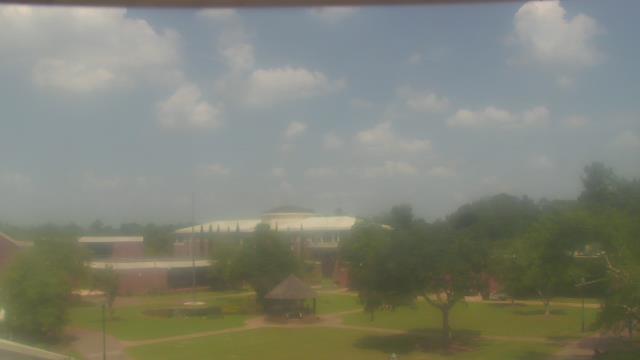
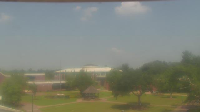
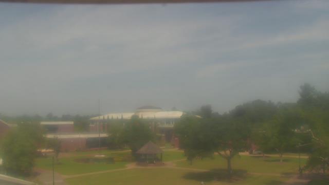
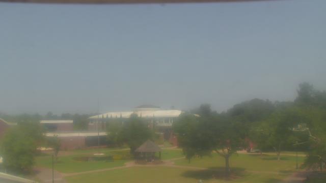
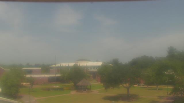
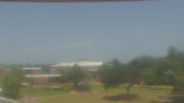
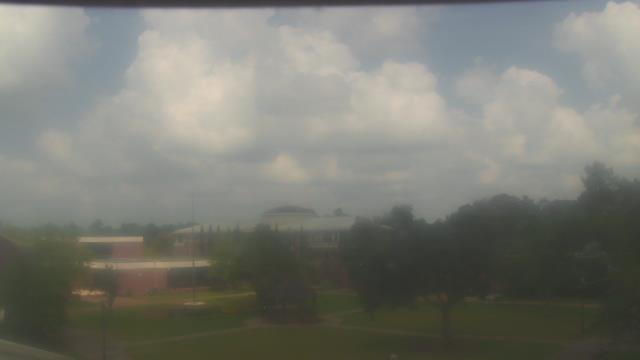
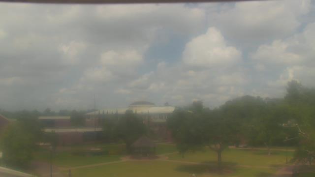
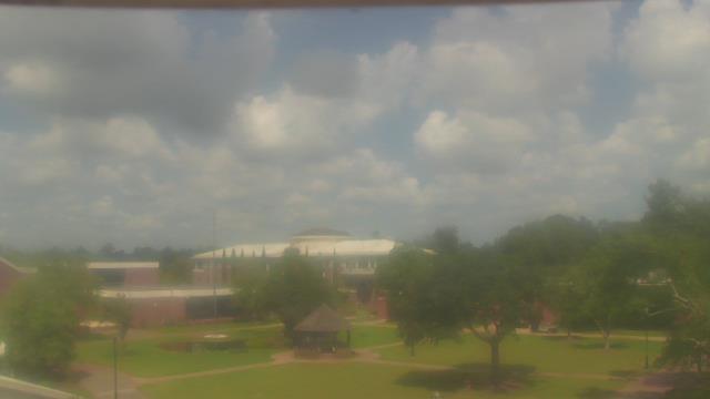
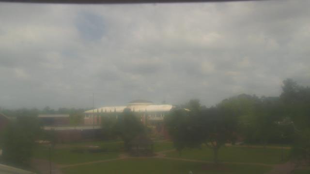
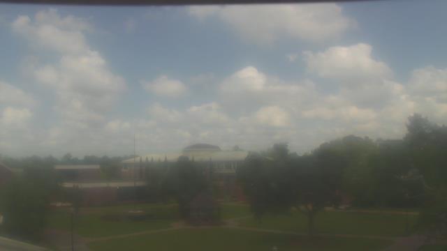
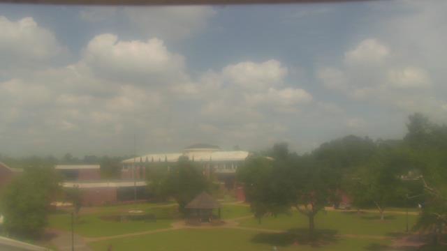
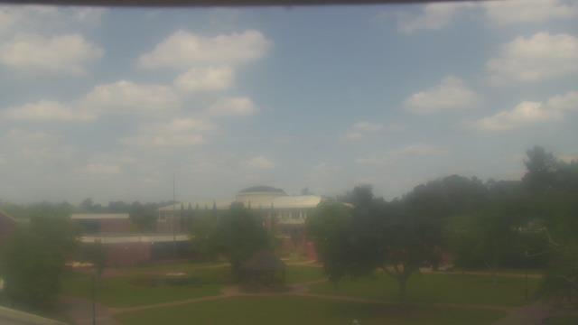
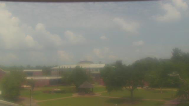
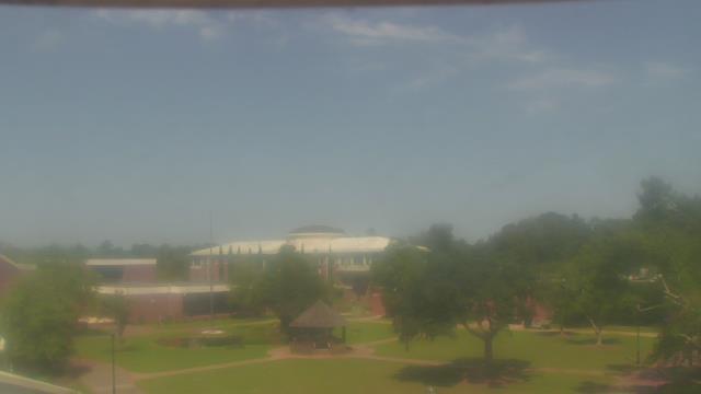
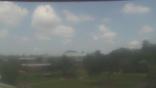
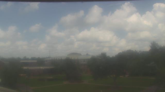
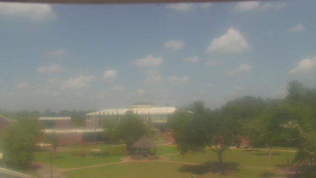
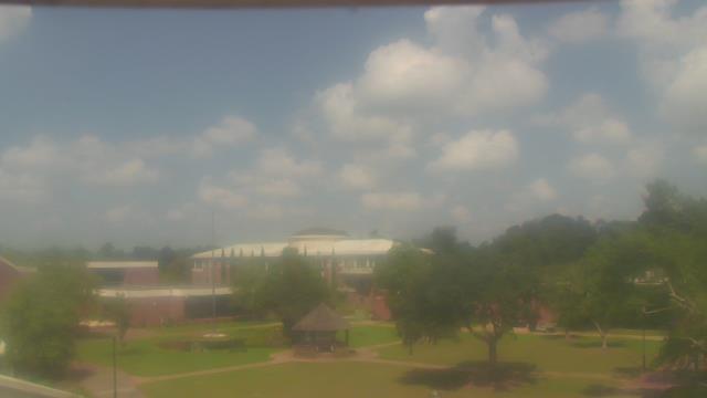
Albany, Georgia, USA - 133.6 miles from Mayday (historical): Darton State College - A webcam in Albany, Georgia - camera location: Darton State College.
Operator: WeatherBug
Operator: WeatherBug


Sylva, North Carolina, USA - 142.1 miles from Mayday (historical): Town View - A nice view of Sylva, North Carolina.
Operator: The Sylva Herald
Operator: The Sylva Herald

Whittier, North Carolina, USA - 143 miles from Mayday (historical): Conleys Creek - A live view from Whittier, Smokey Mountains, North Carolina.
Operator: crews.cc
Operator: crews.cc


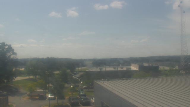
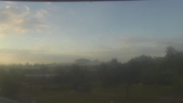
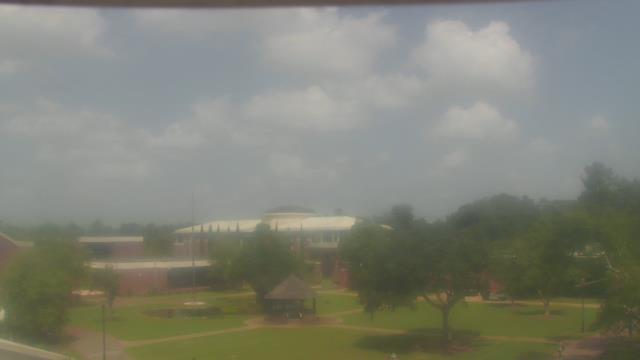
Birmingham, Alabama, USA - 146.1 miles from Mayday (historical): Highlands School - A webcam in Birmingham, Alabama - camera location: Highlands School.
Operator: WeatherBug
Operator: WeatherBug


Gatlinburg, Tennessee, USA - 159.4 miles from Mayday (historical): Anakeesta's Firefly Village - View of Anakeesta's Firefly Village with the Great Smoky Mountains in the background.
Operator: Skyline Webcams
Operator: Skyline Webcams


Some other places in this country: Bert (historical) - Fay (historical) - Knob (historical) - Mahers (historical) - Campagne (historical) - Hunt (historical) - Visage (historical) - Caldwell (historical) - Hood (historical) - Otto (historical)