Webcams in the region of Irishtown (historical), California, USA
The List of Webcams near Irishtown (historical), California, USA:

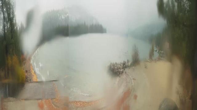
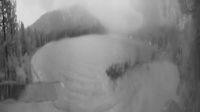
Pinecrest, California, USA - 39.6 miles from Irishtown (historical): Dodge Ridge Ski Resort - Base Cam - Controllable webcam at the Dodge Ridge Ski Resort showing the current snow conditions.
Operator: Dodge Ridge Ski Resort
Operator: Dodge Ridge Ski Resort

Norden, California, USA - 66.4 miles from Irishtown (historical): Sugar Bowl Ski Resort - Several views of the Sugar Bowl Ski Resort near Norden, California.
Operator: Sugar Bowl Ski Resort
Operator: Sugar Bowl Ski Resort

Boreal Mountain Resort, California, USA - 66.5 miles from Irishtown (historical): Current Snow Conditions - View of the current snow conditions at the Boreal Mountain Resort.
Operator: Boreal Mountain Resort
Operator: Boreal Mountain Resort

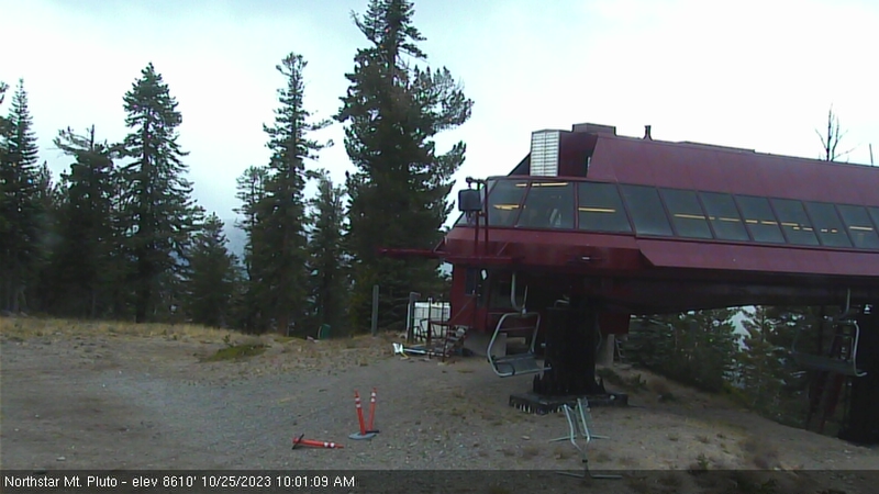
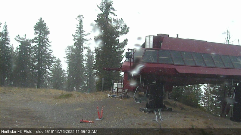
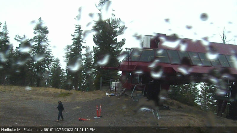
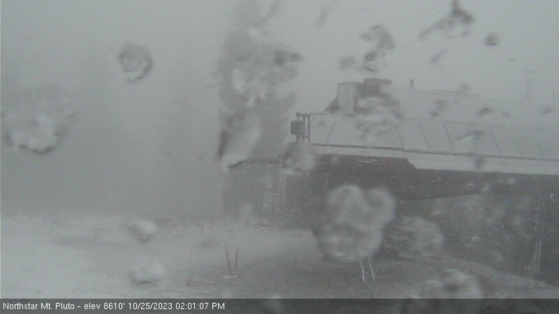
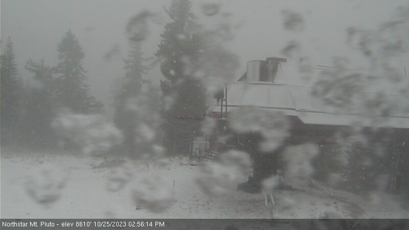
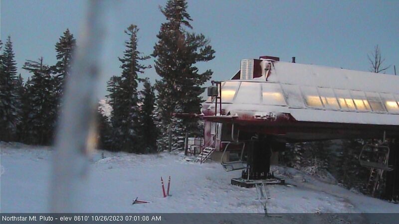
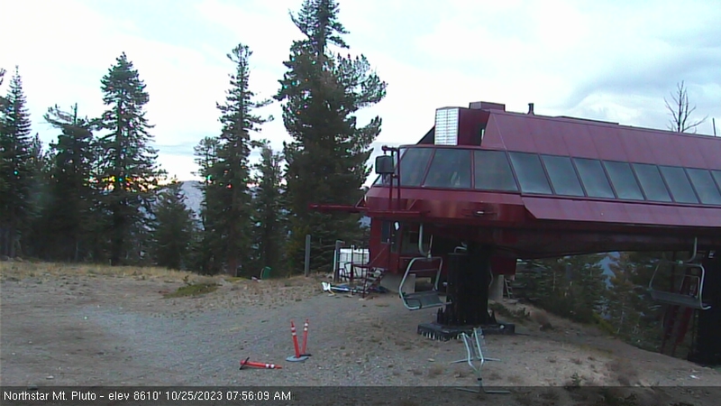
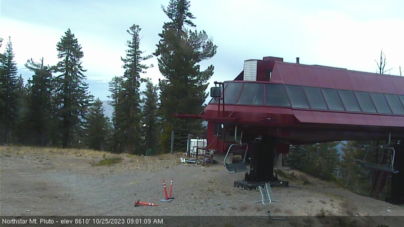
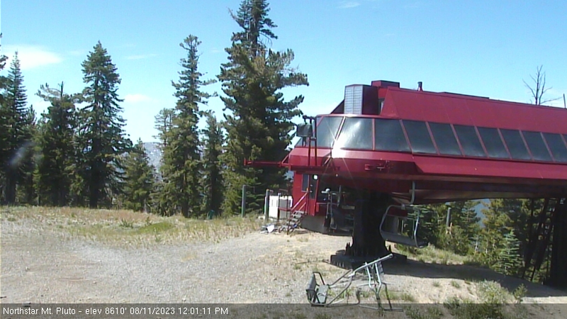
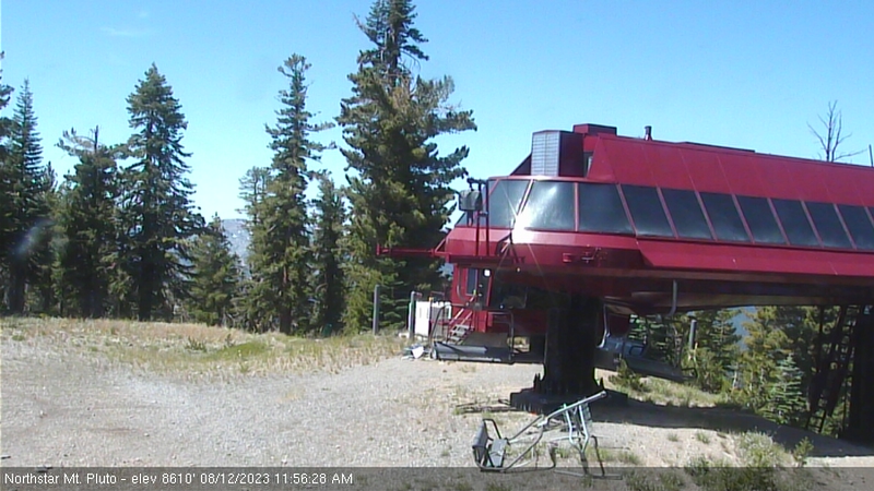
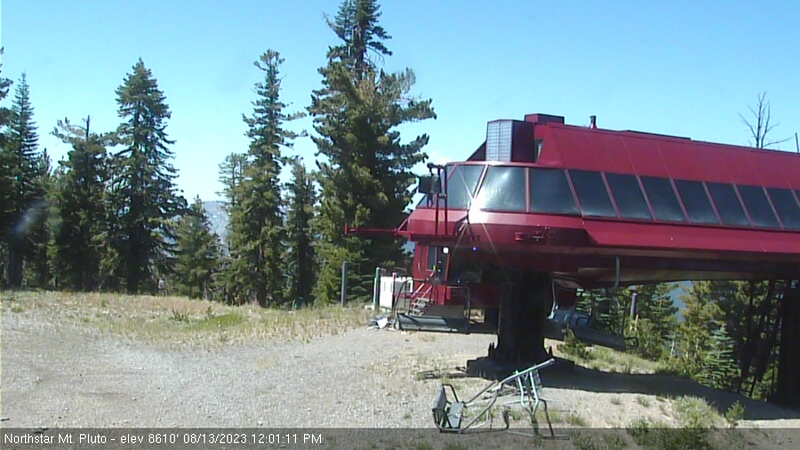
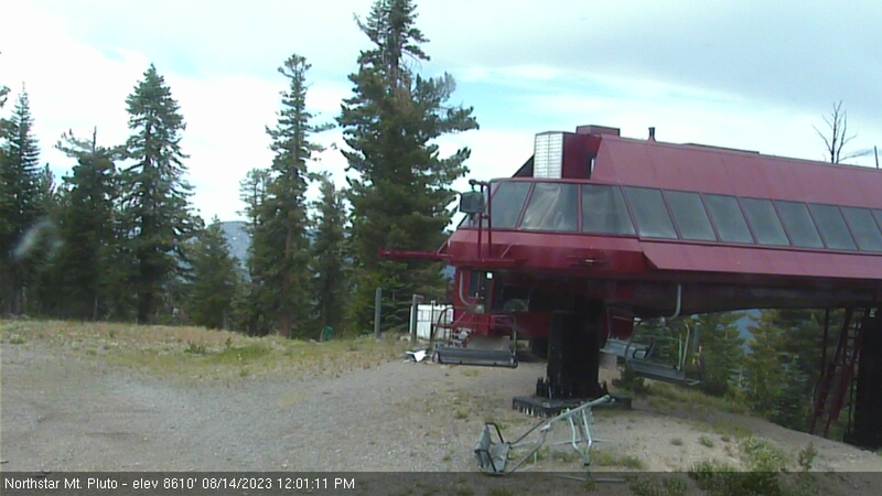
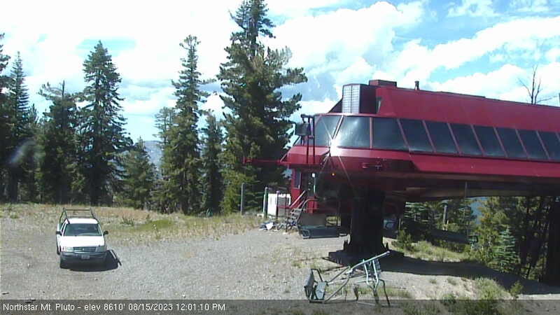
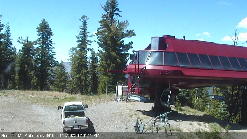
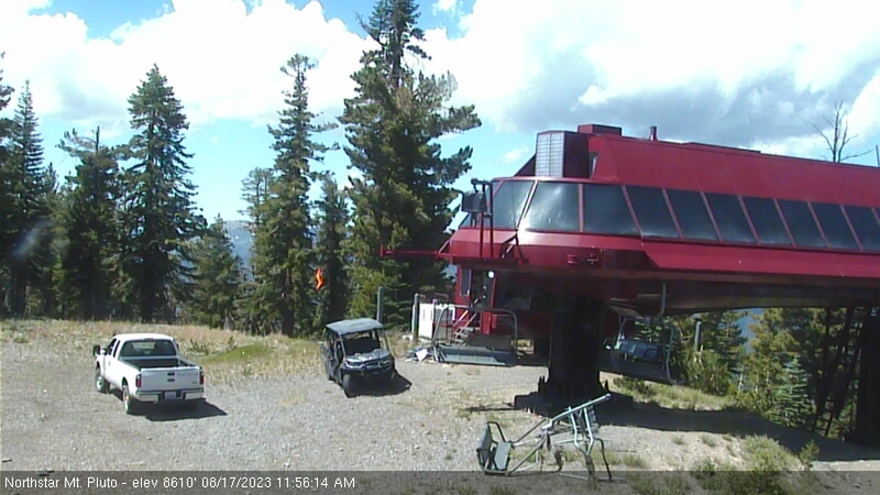
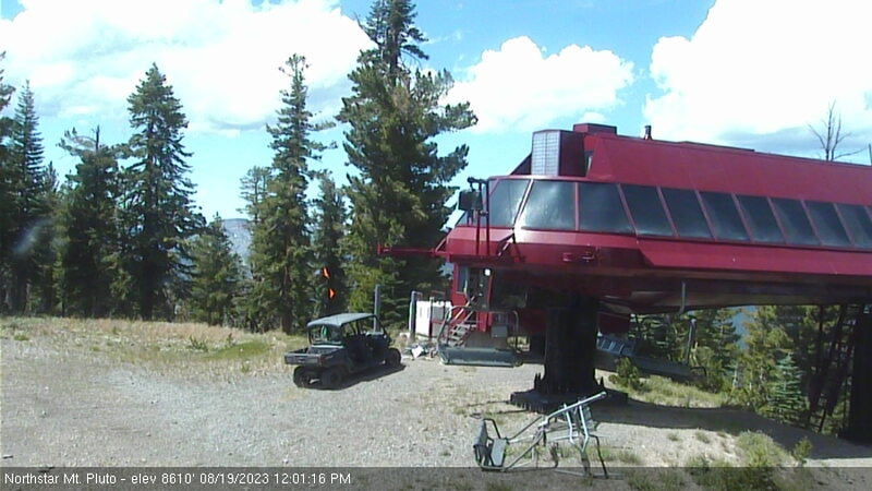
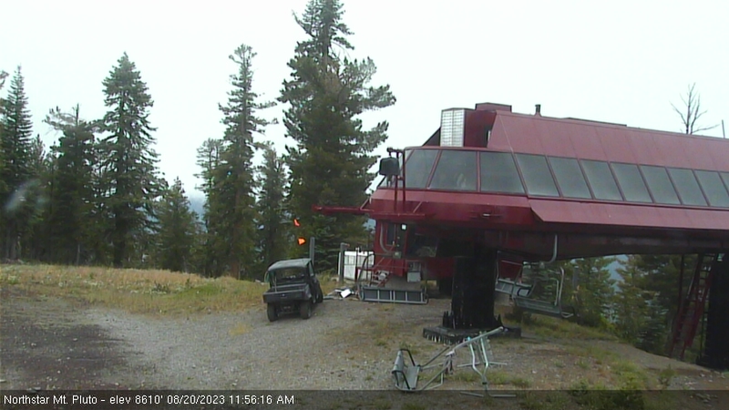
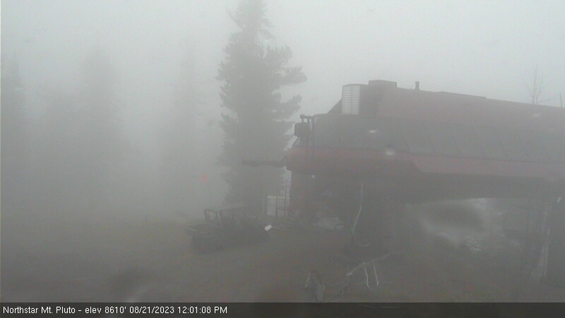
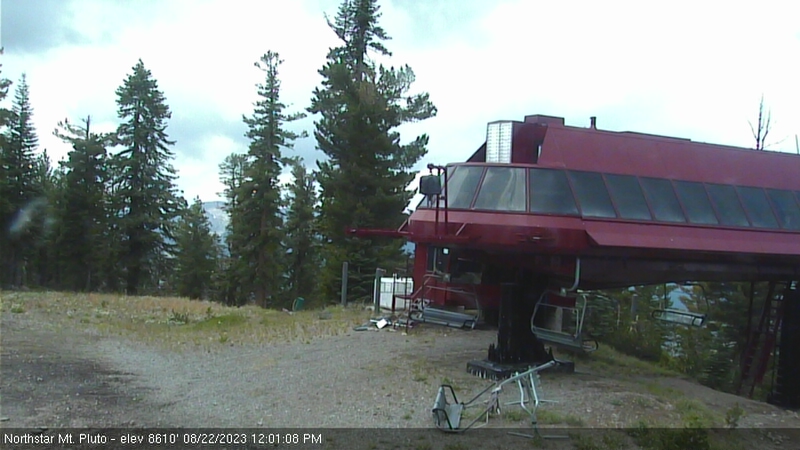
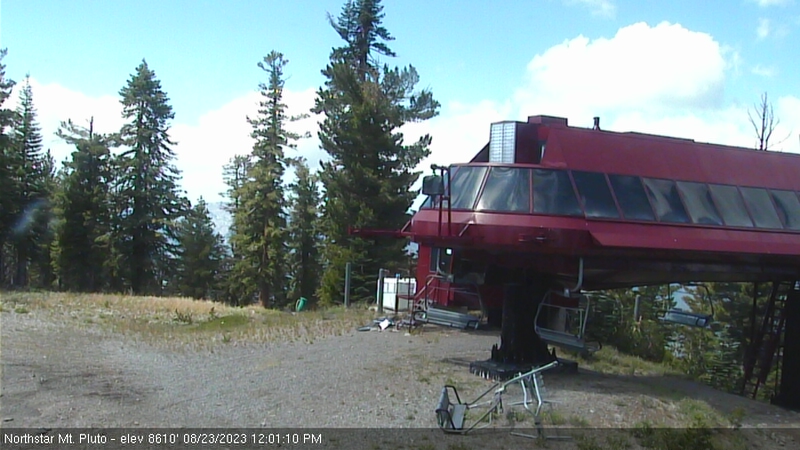
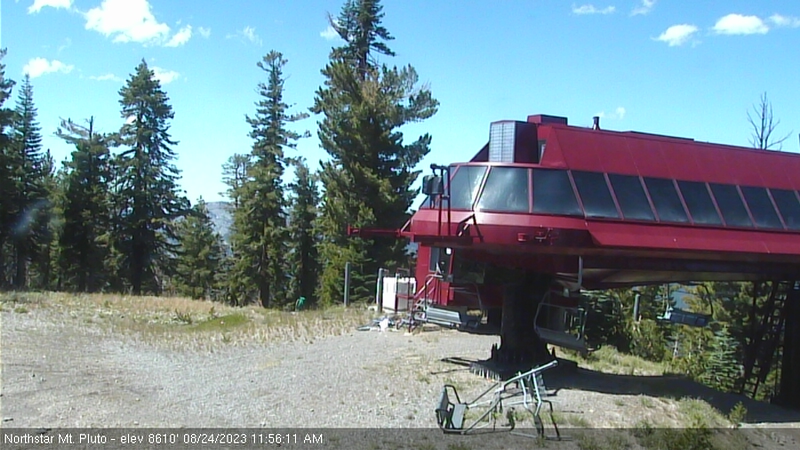
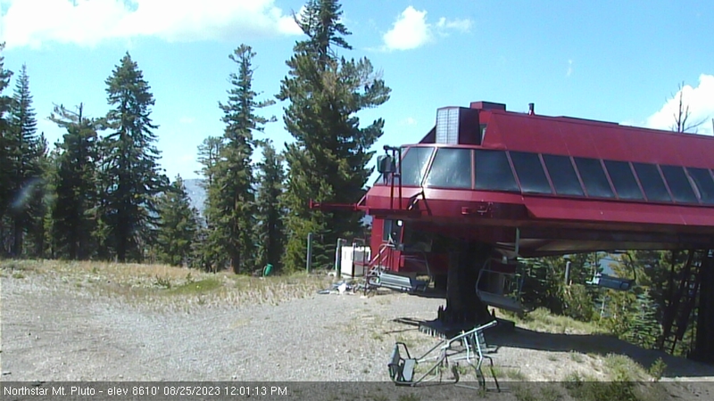
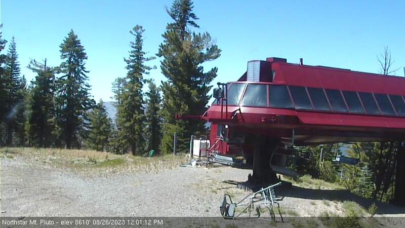
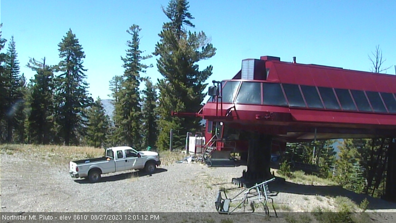
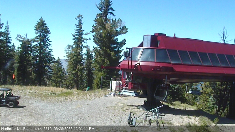
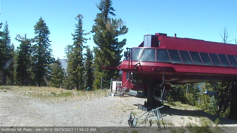
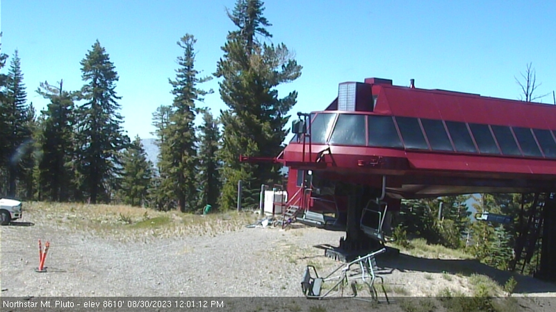
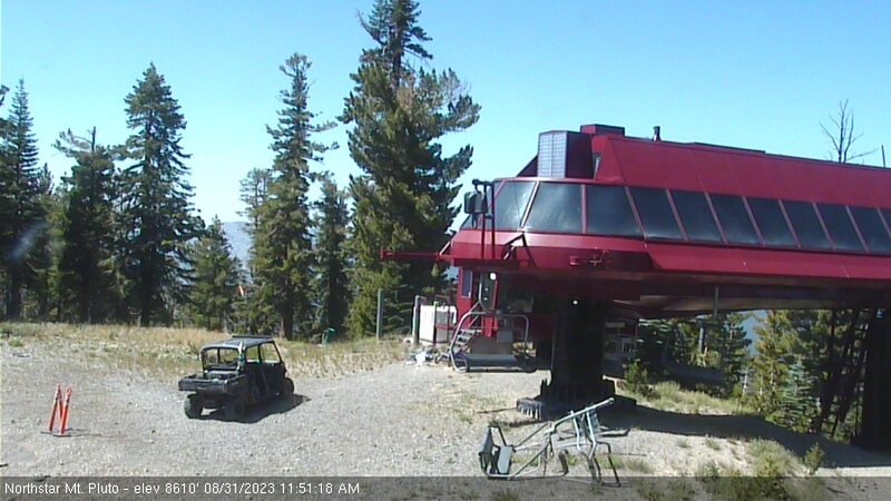
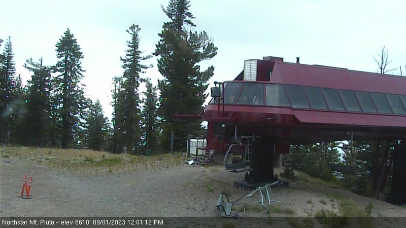
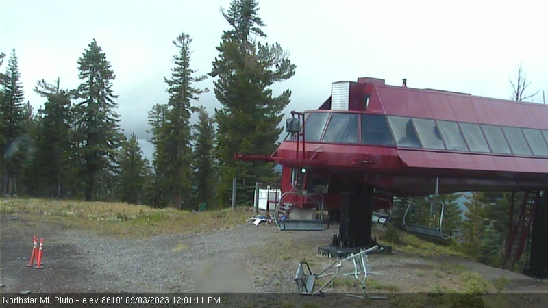
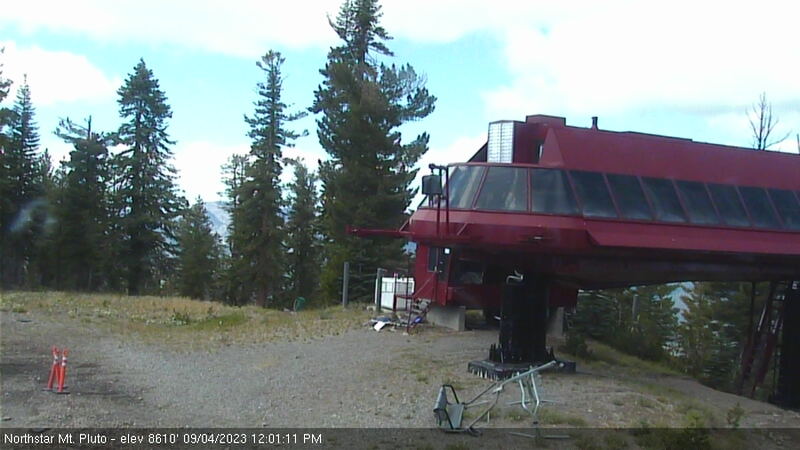
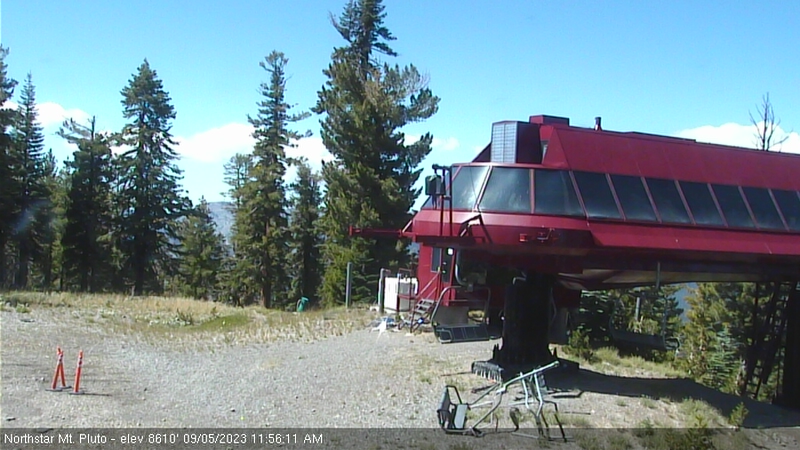
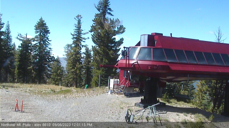
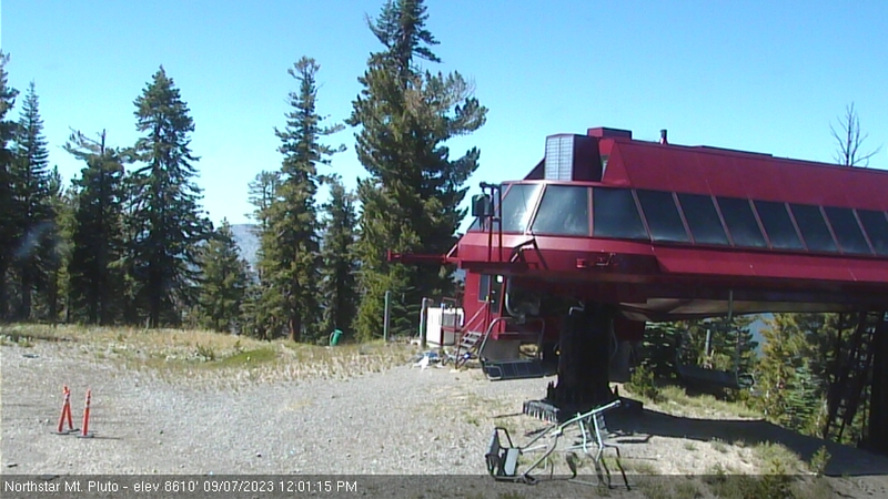
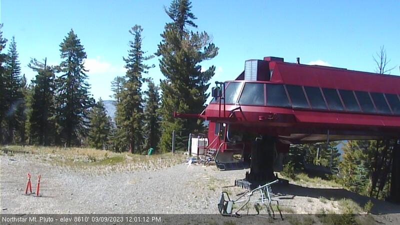
Northstar California Resort, USA - 68.1 miles from Irishtown (historical): Current Snow Conditions - Several webcams offer a view of the current snow situation at the Northstar California Resort.
Operator: Northstar California Resort
Operator: Northstar California Resort


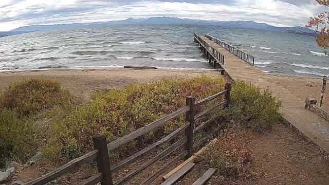
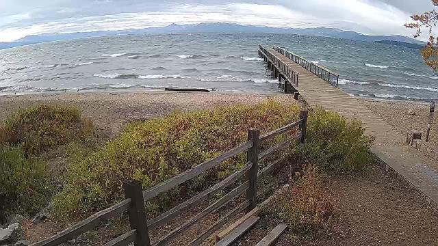
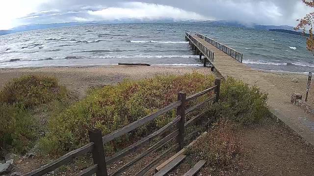
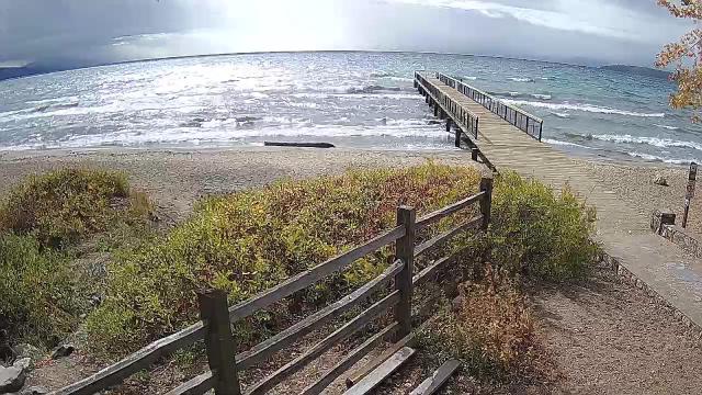
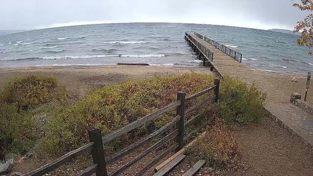
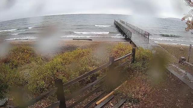
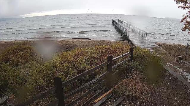
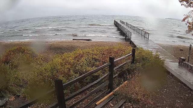
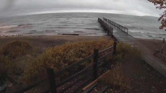
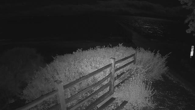
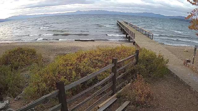
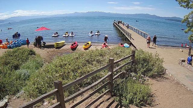
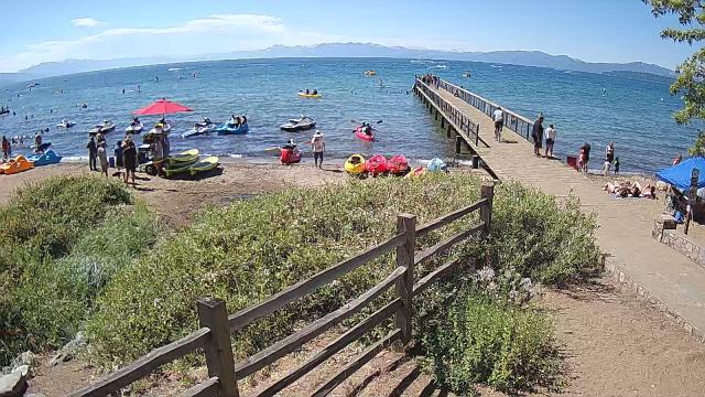
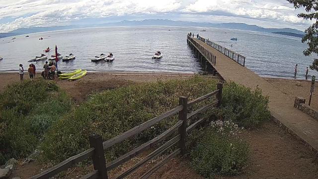
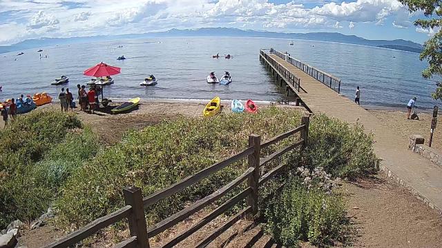
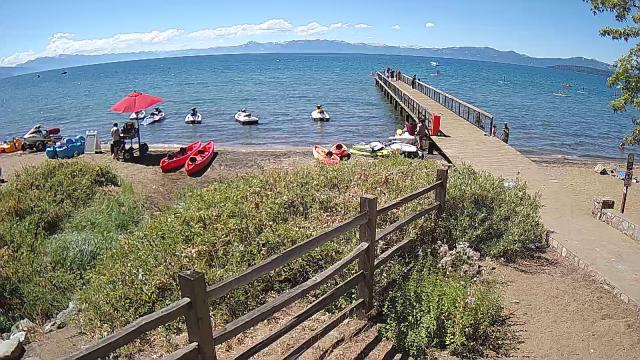
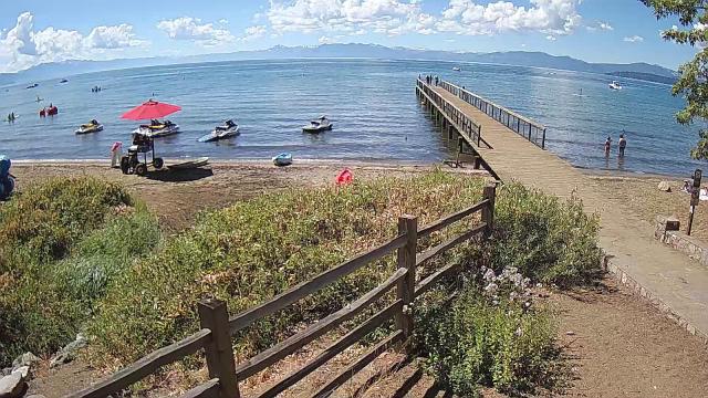
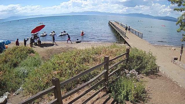
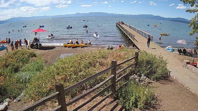
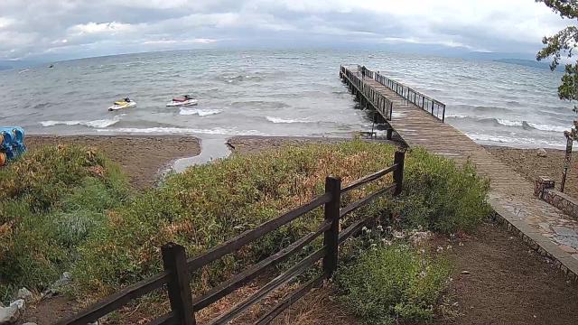
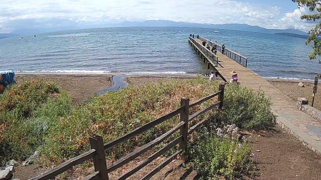
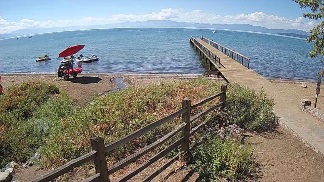
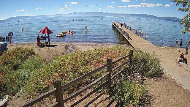
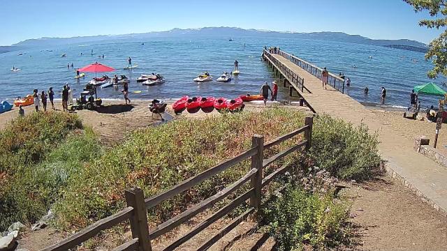
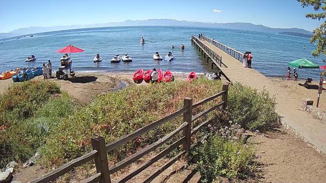
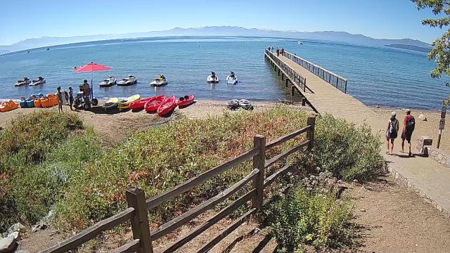
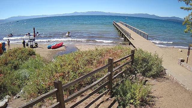
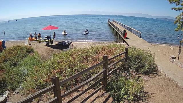
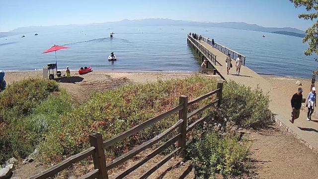
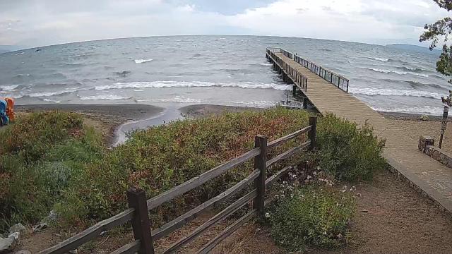
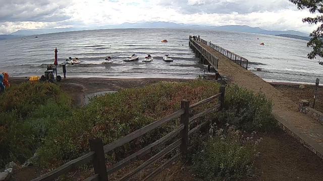
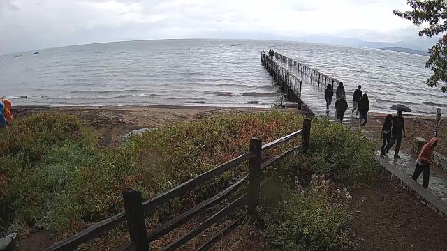
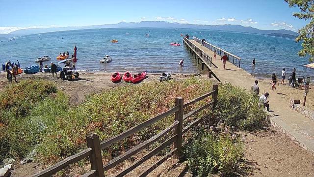
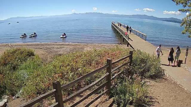
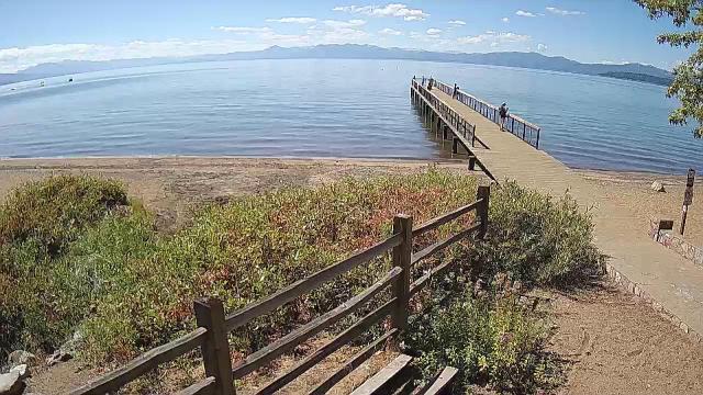
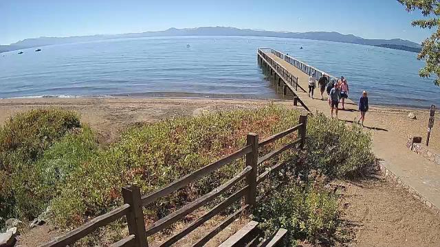
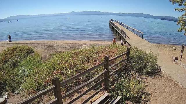
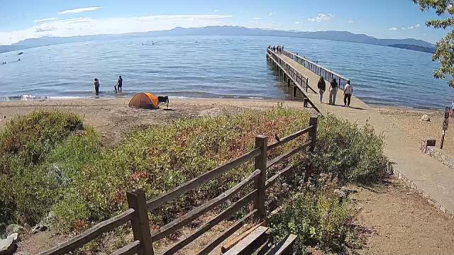
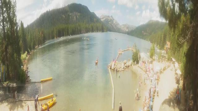
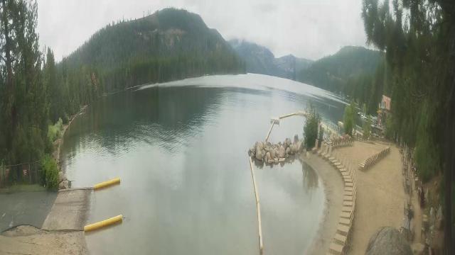
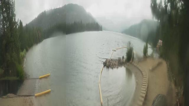
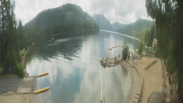
Kings Beach, California, USA - 68.2 miles from Irishtown (historical): Beachview - Sunny Kings Beach, Lake Tahoe
Operator: HDOnTap
Operator: HDOnTap


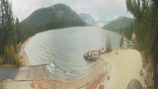
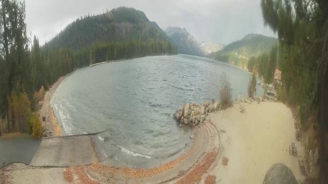
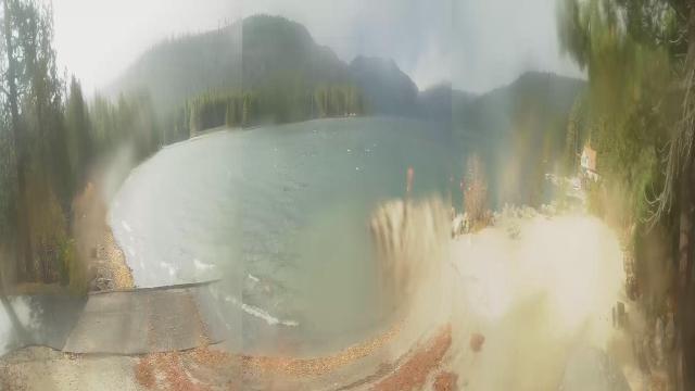
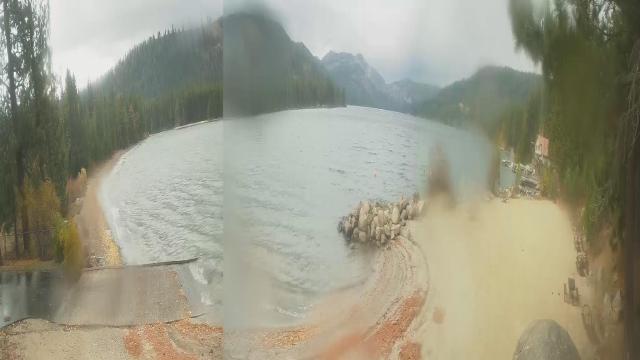
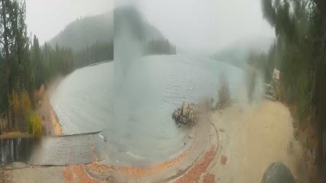
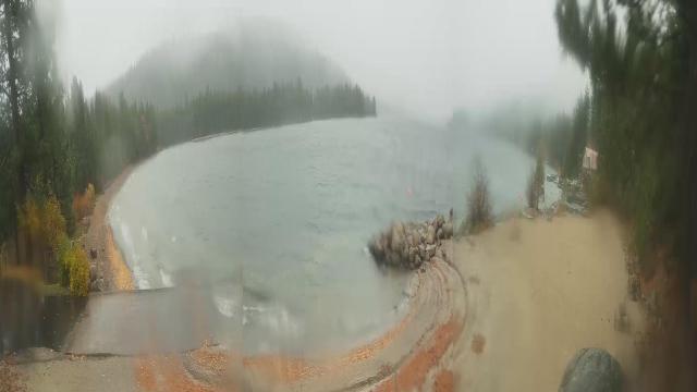
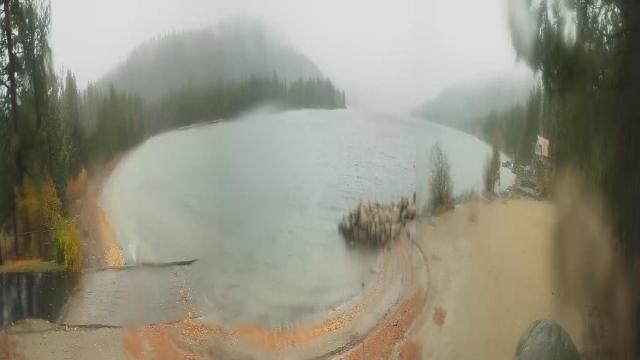
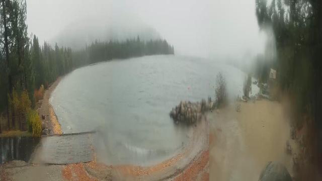
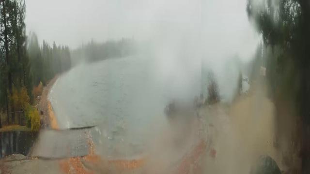
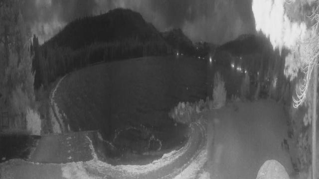
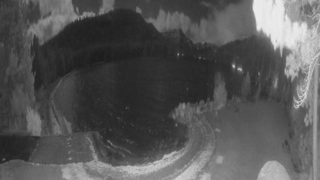
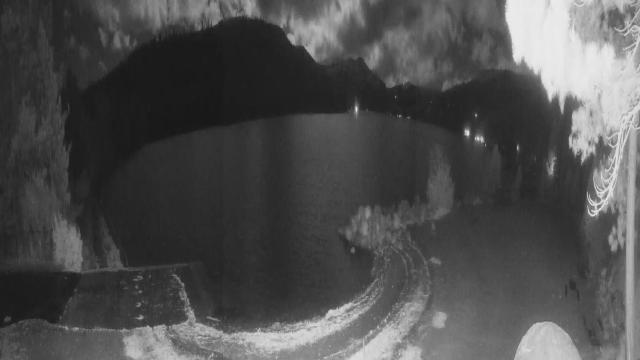
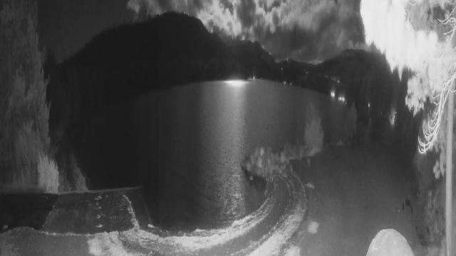
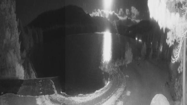
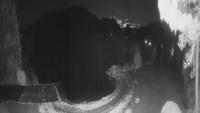
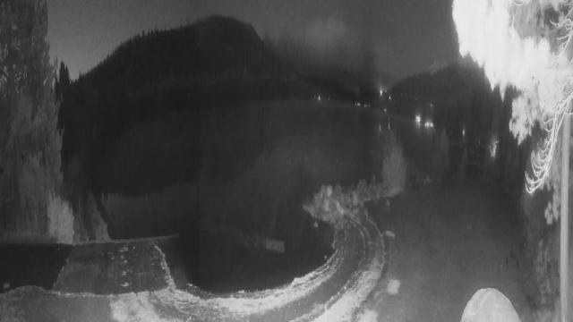
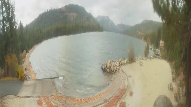
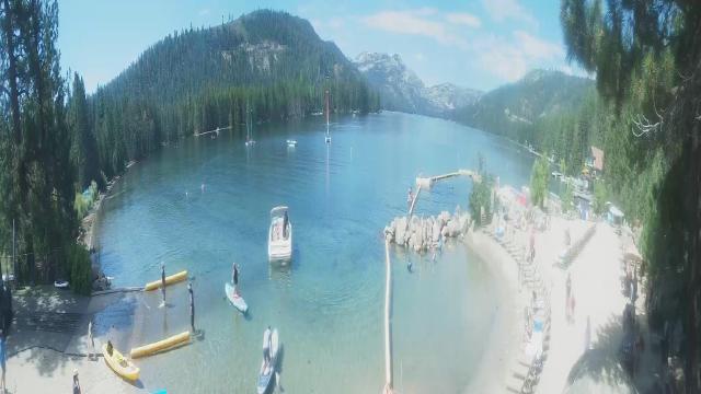
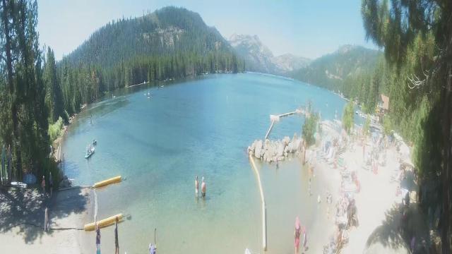
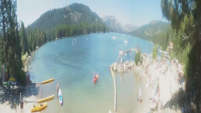
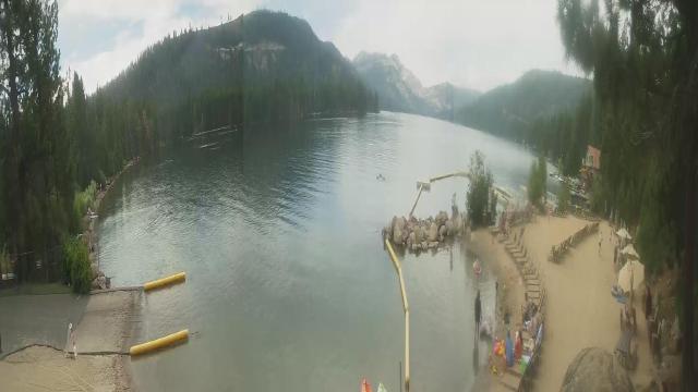
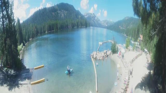
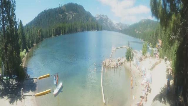
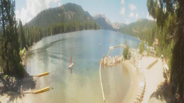
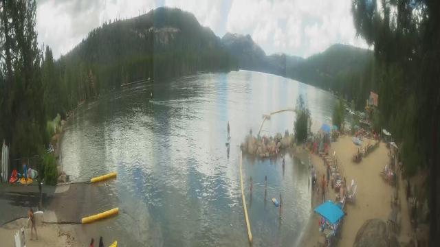
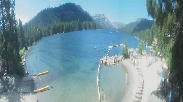
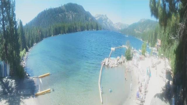
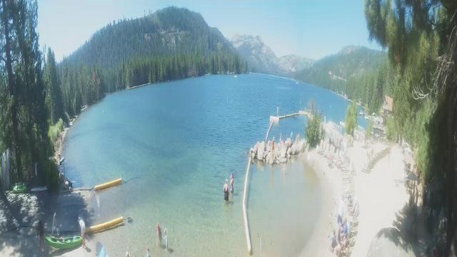
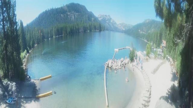
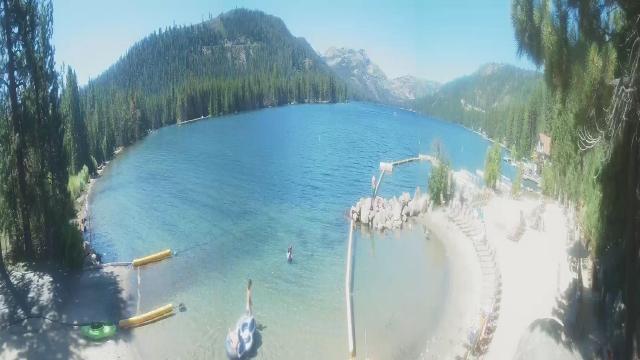
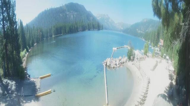
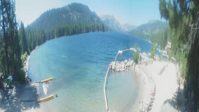
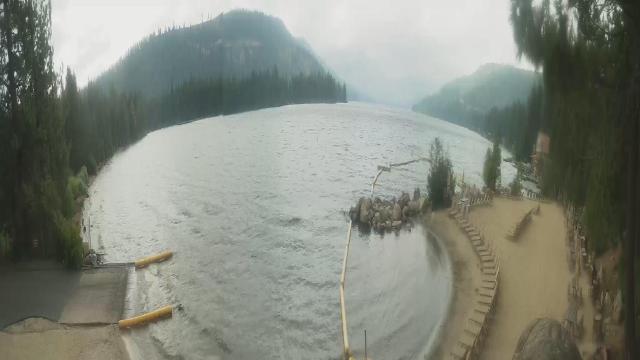
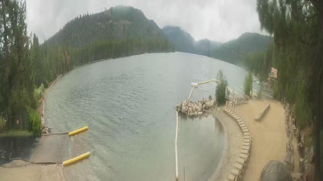
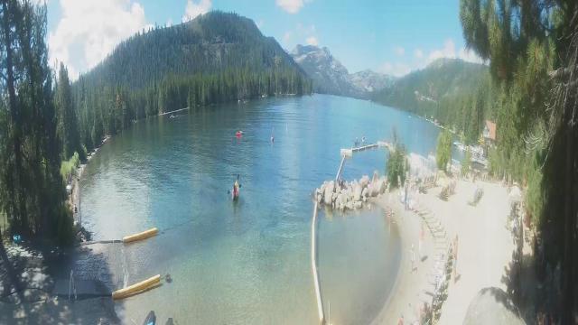
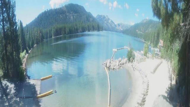
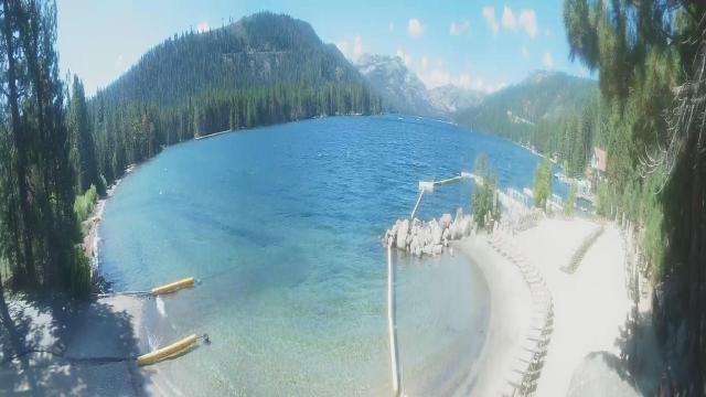
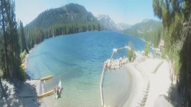
Truckee, California, USA - 70.1 miles from Irishtown (historical): Lake View - Donner Lake in Truckee, California.
Operator: HDOnTap
Operator: HDOnTap


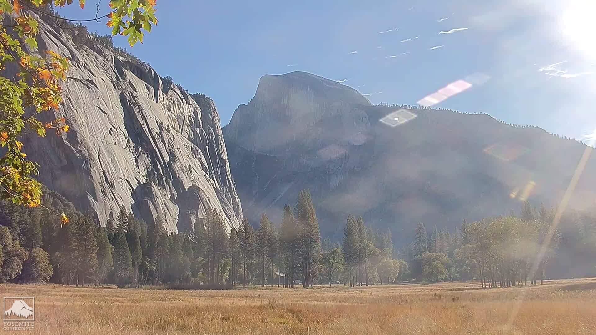
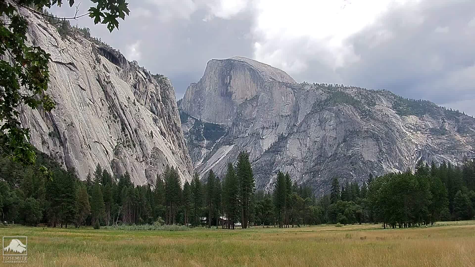
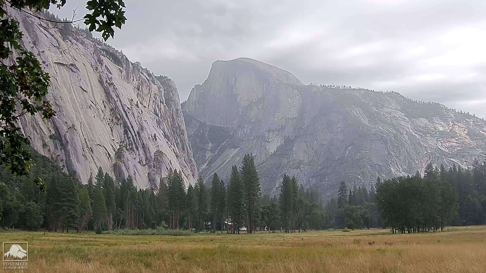
Yosemite National Park, California, USA - 73.6 miles from Irishtown (historical): Live Web Cam Views of Yosemite Valley - Several views.
Operator: The Yosemite Association
Operator: The Yosemite Association
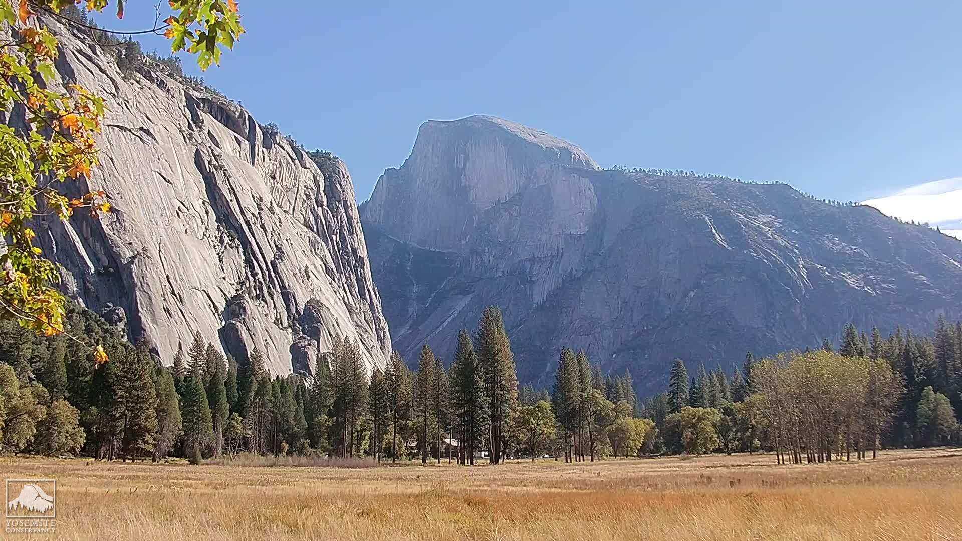
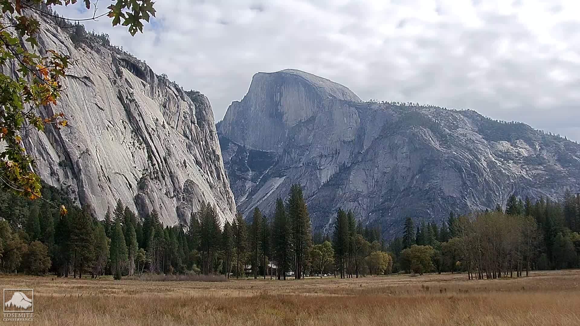
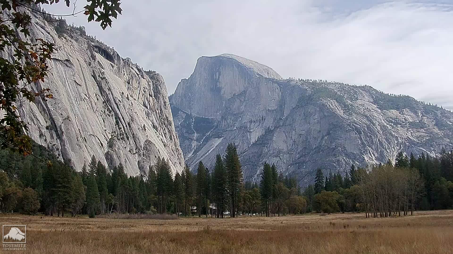
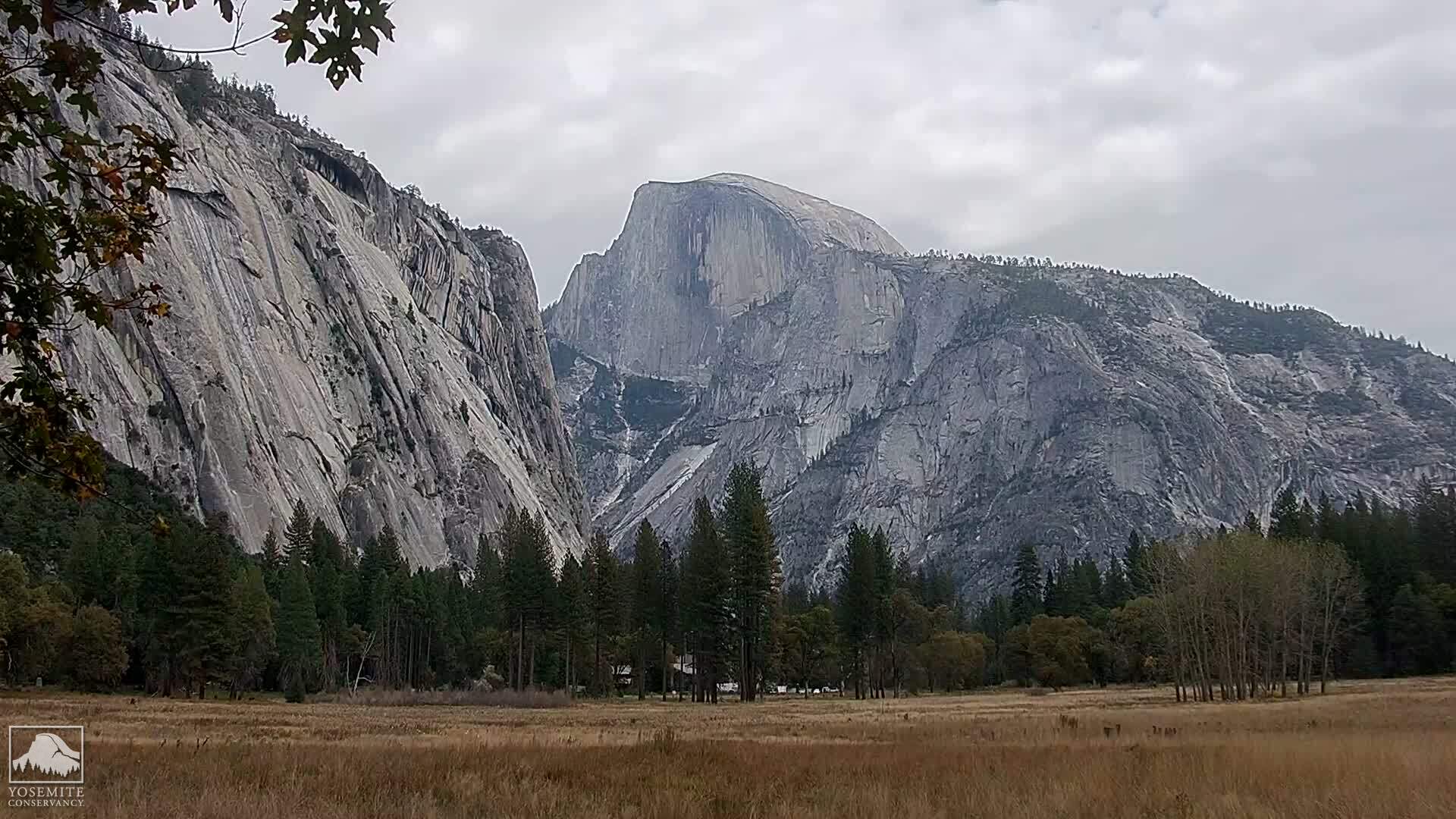
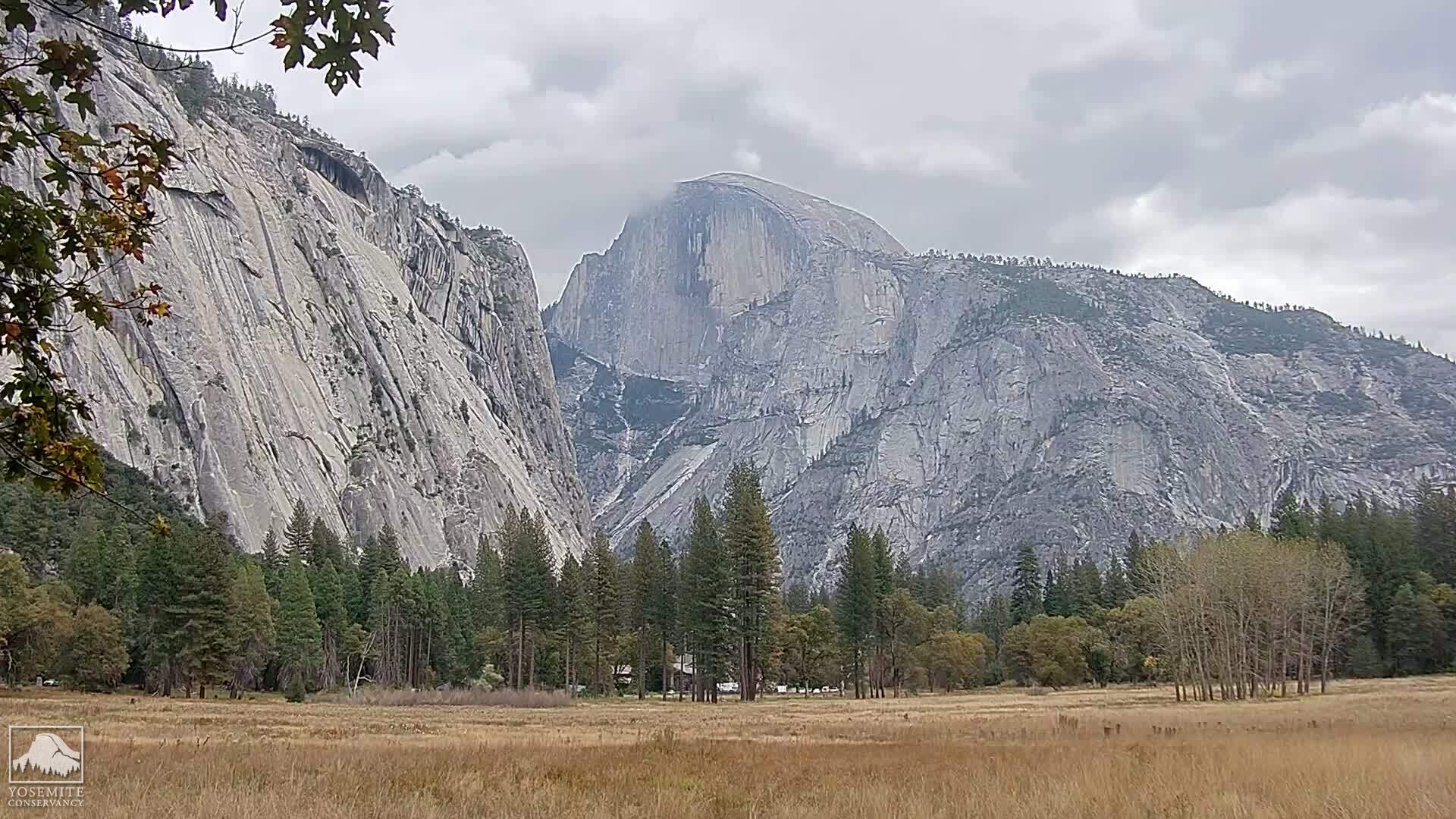

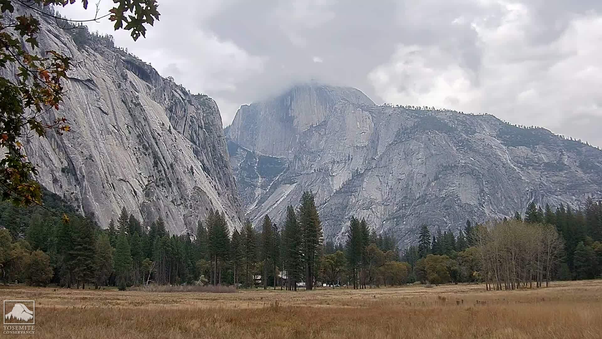
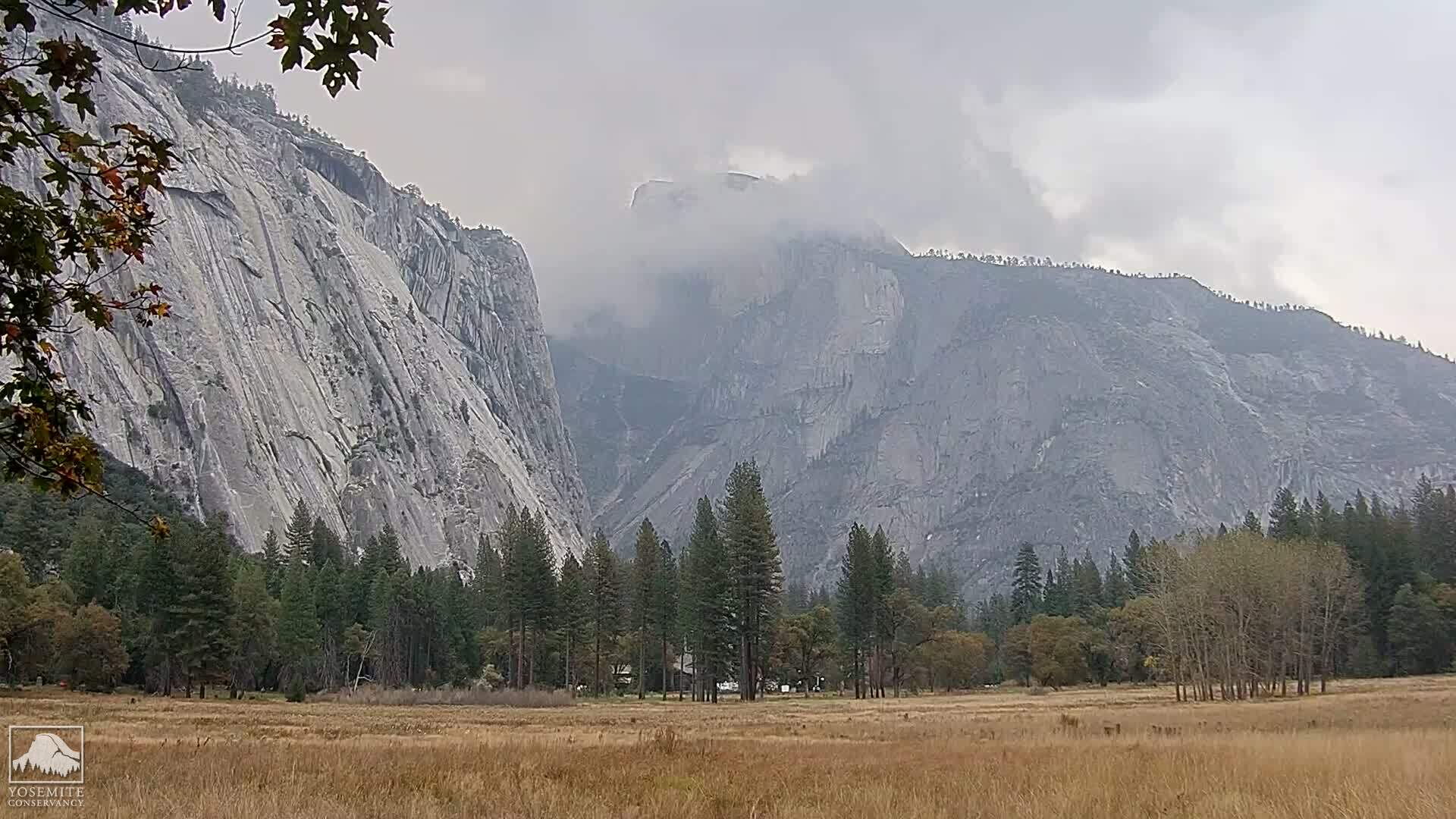


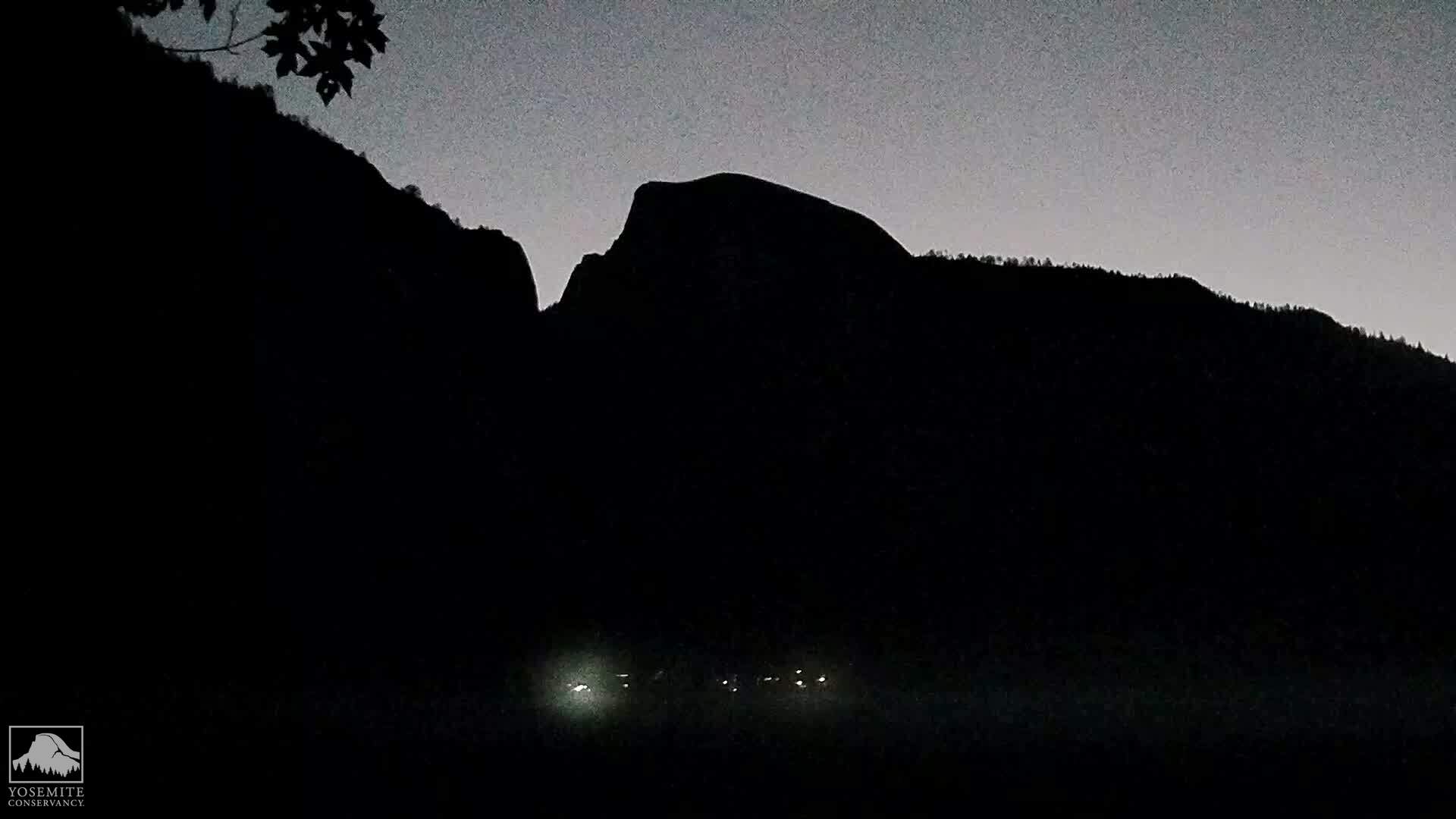
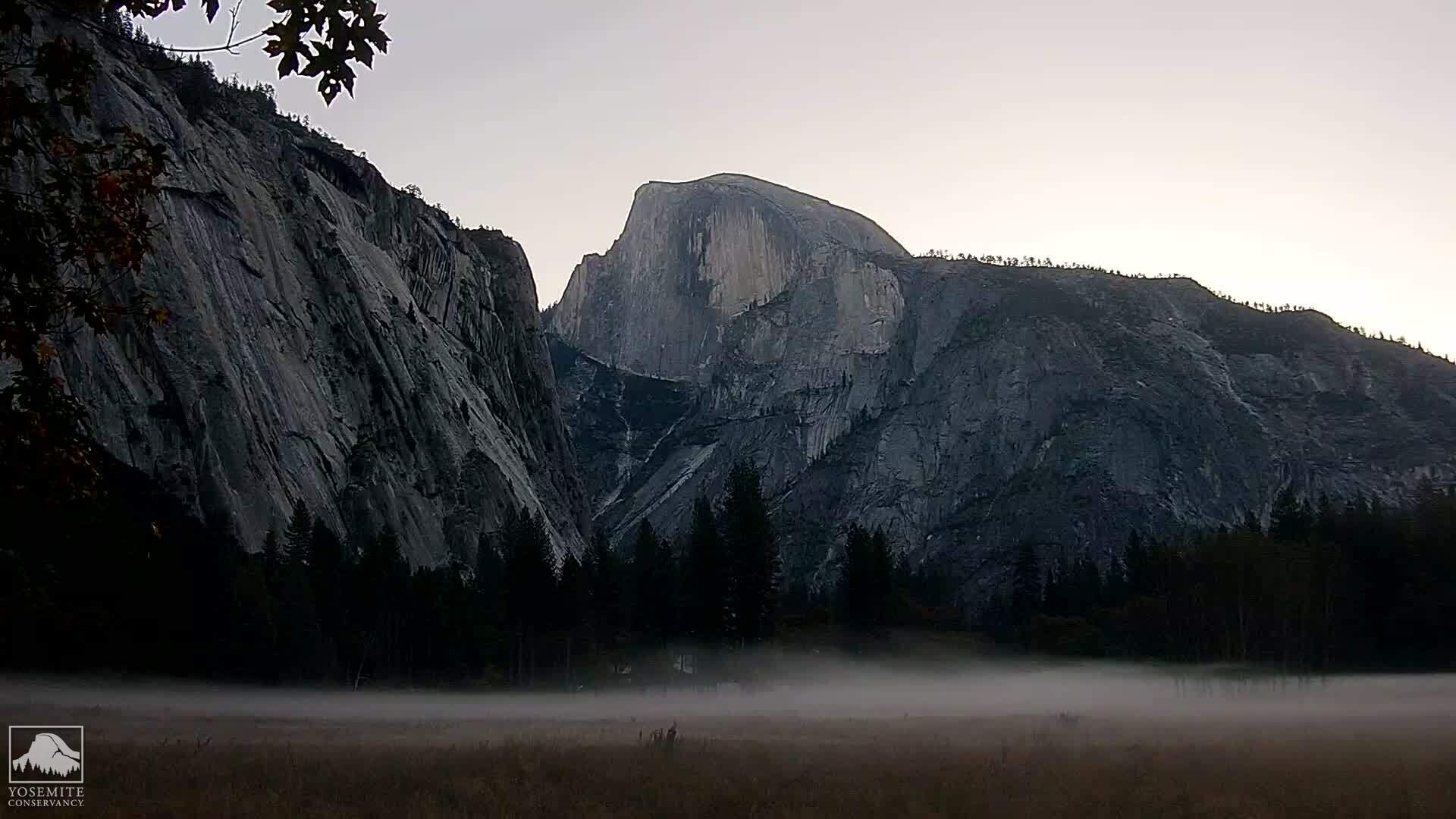

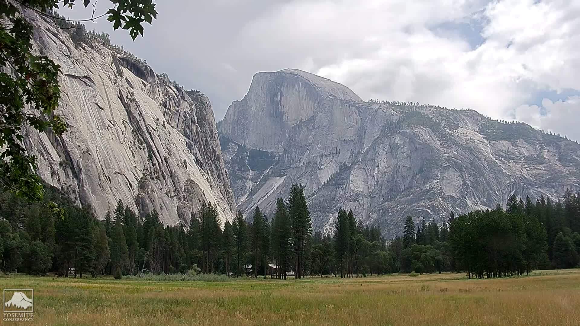
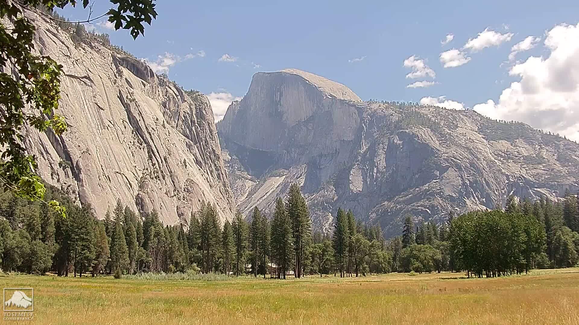
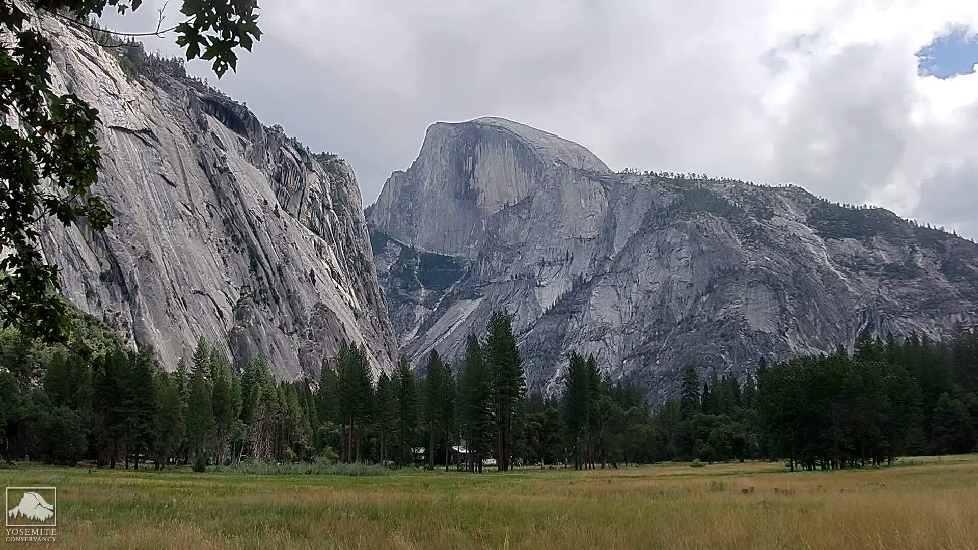
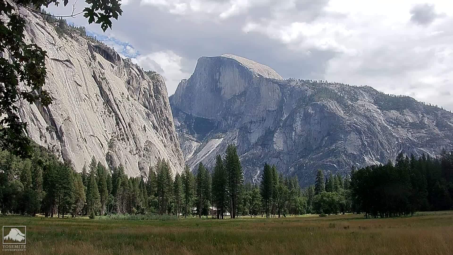
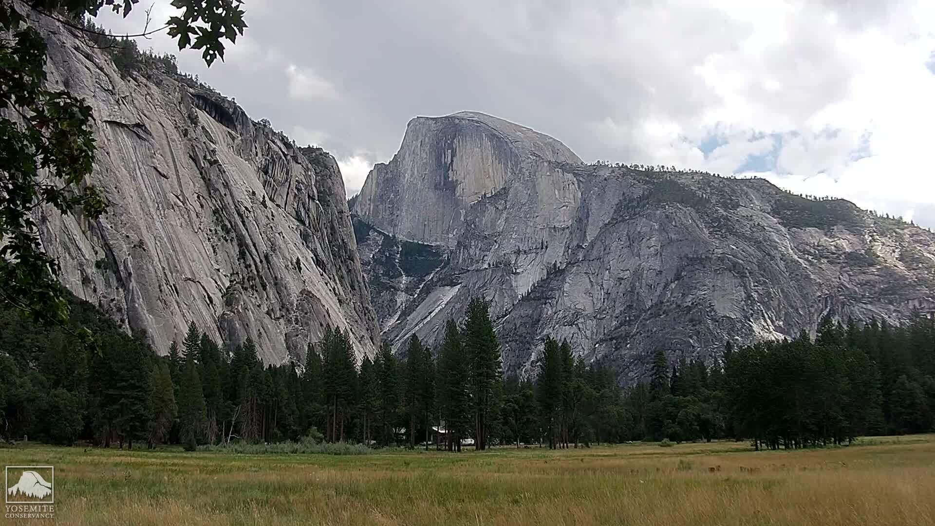
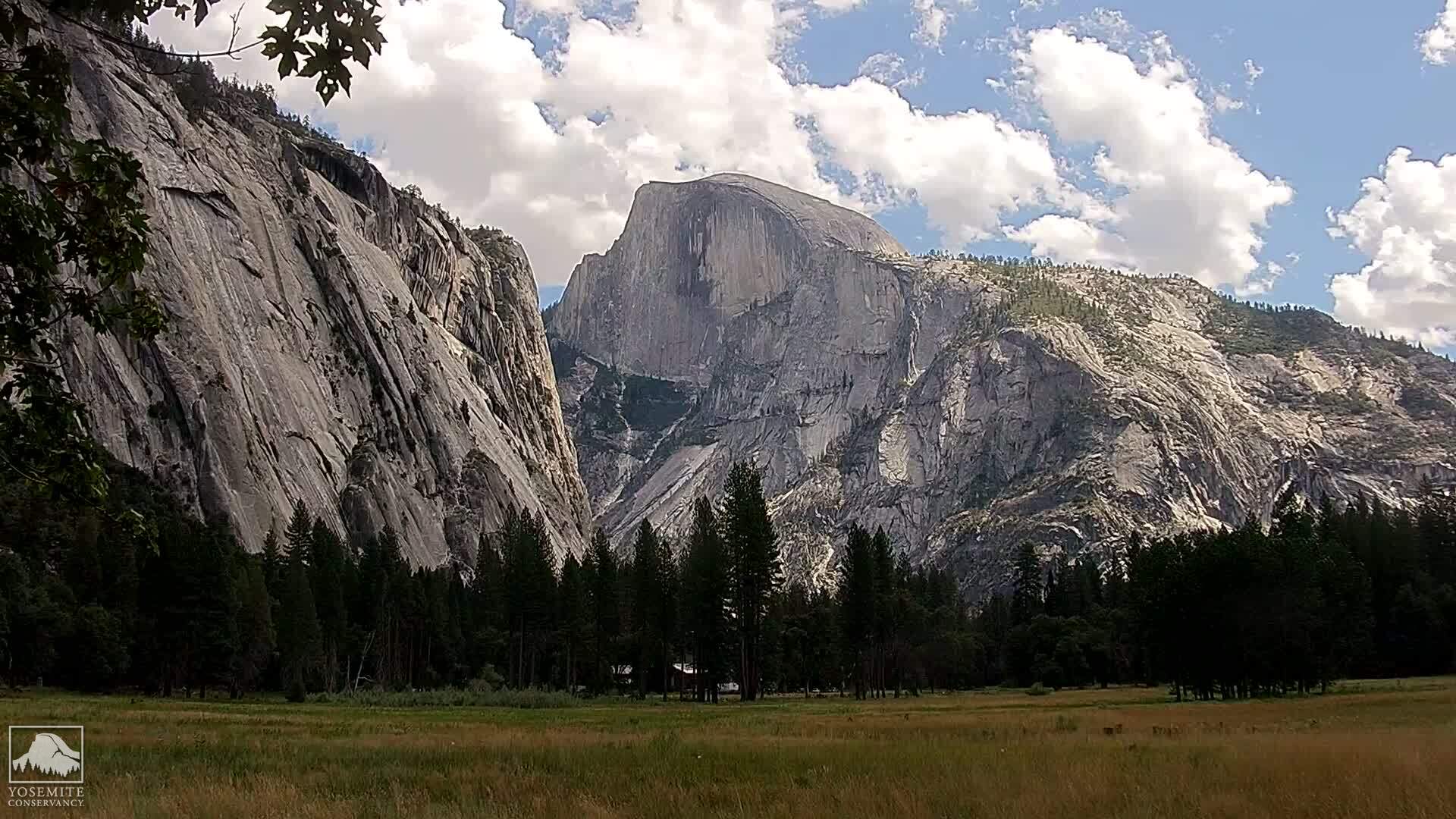

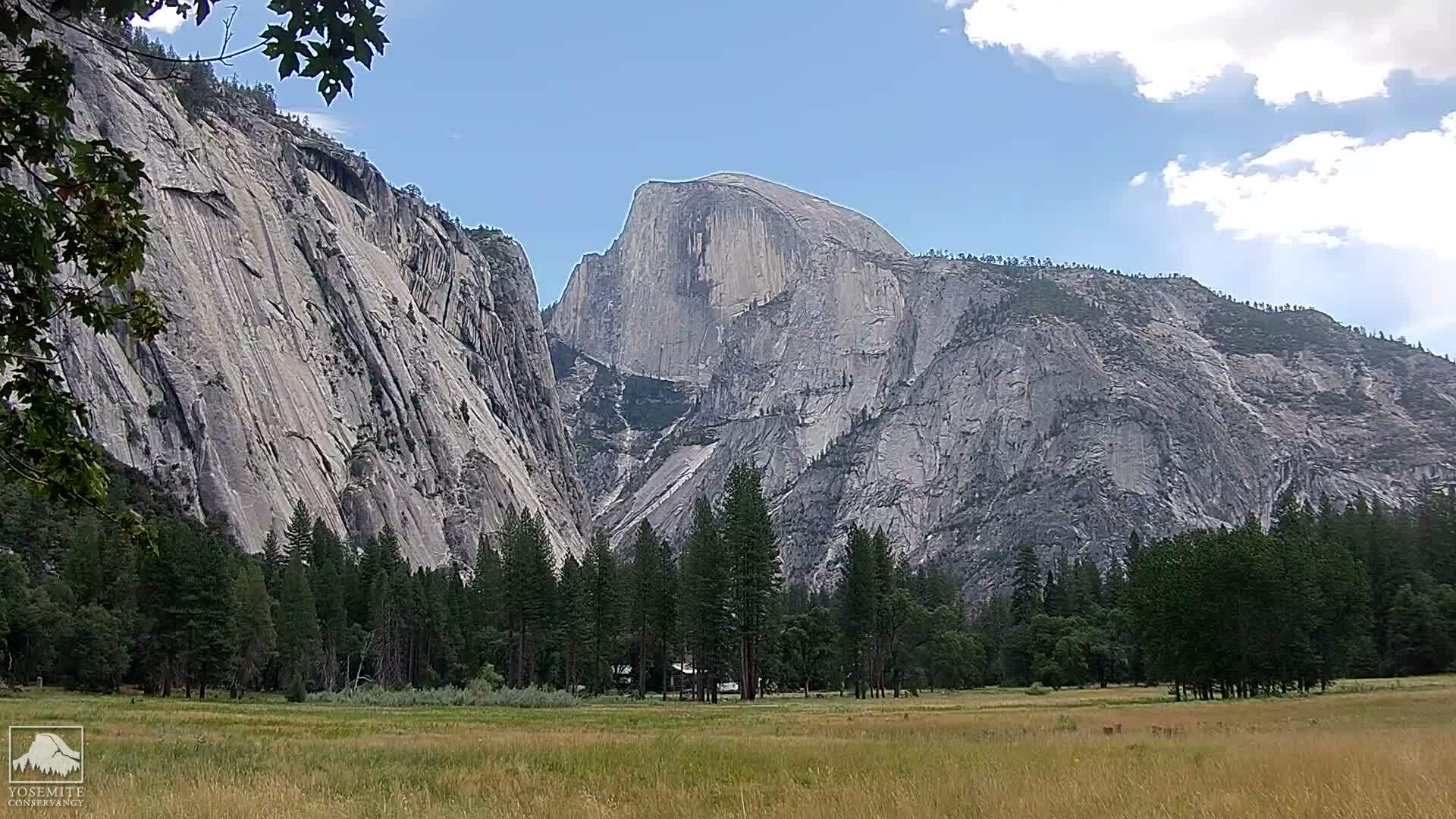
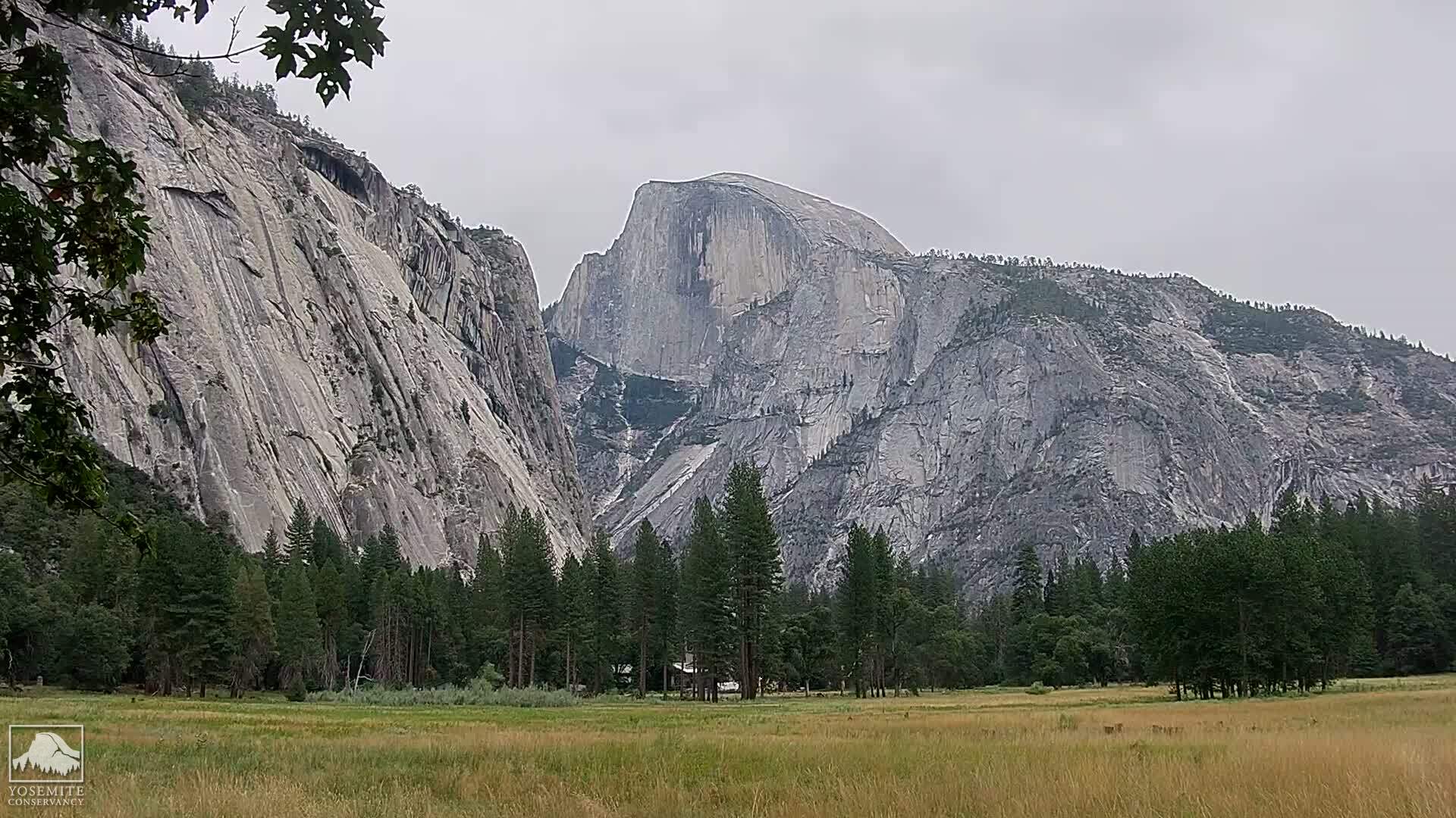
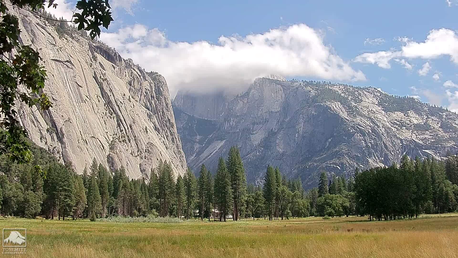
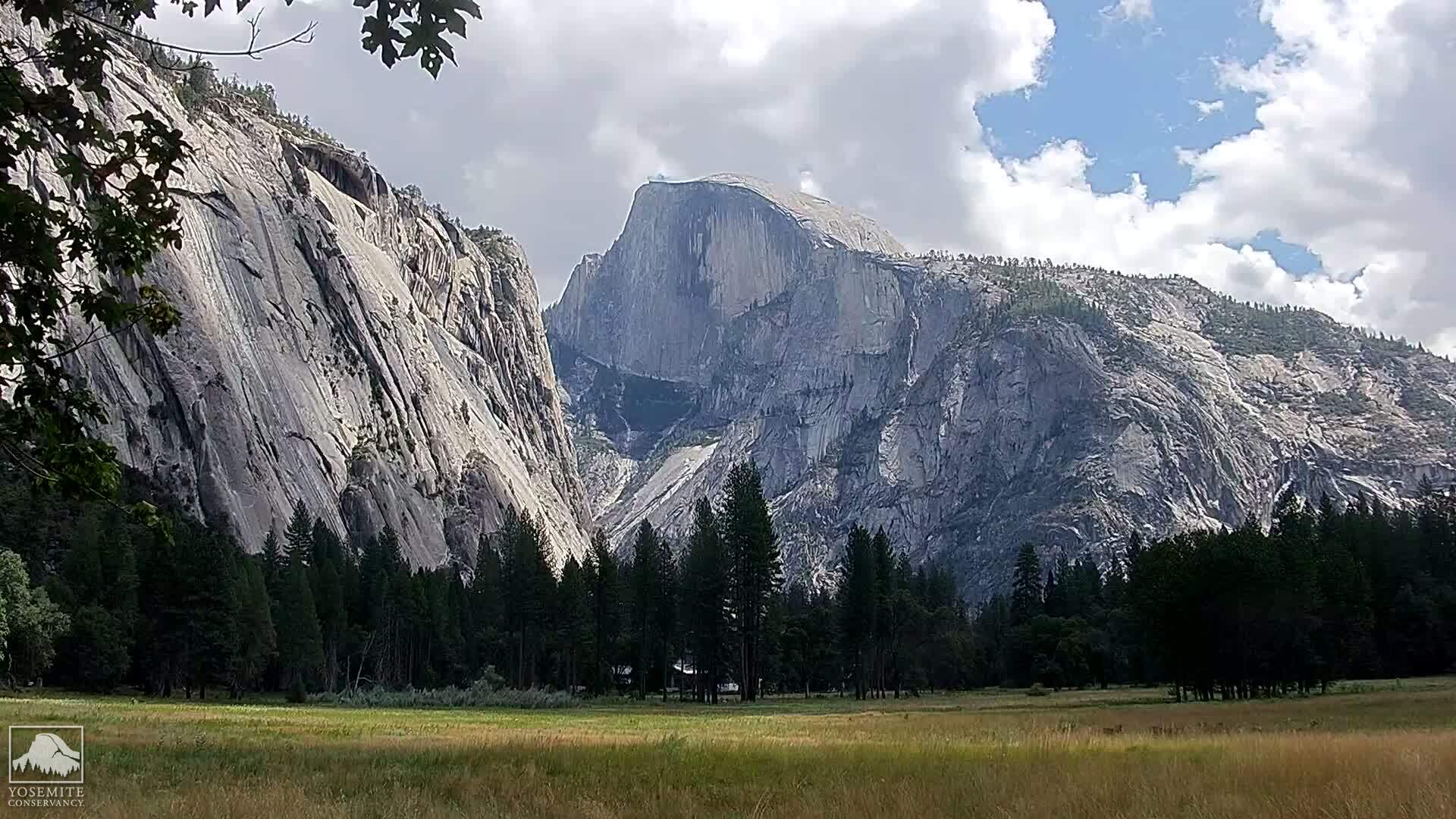
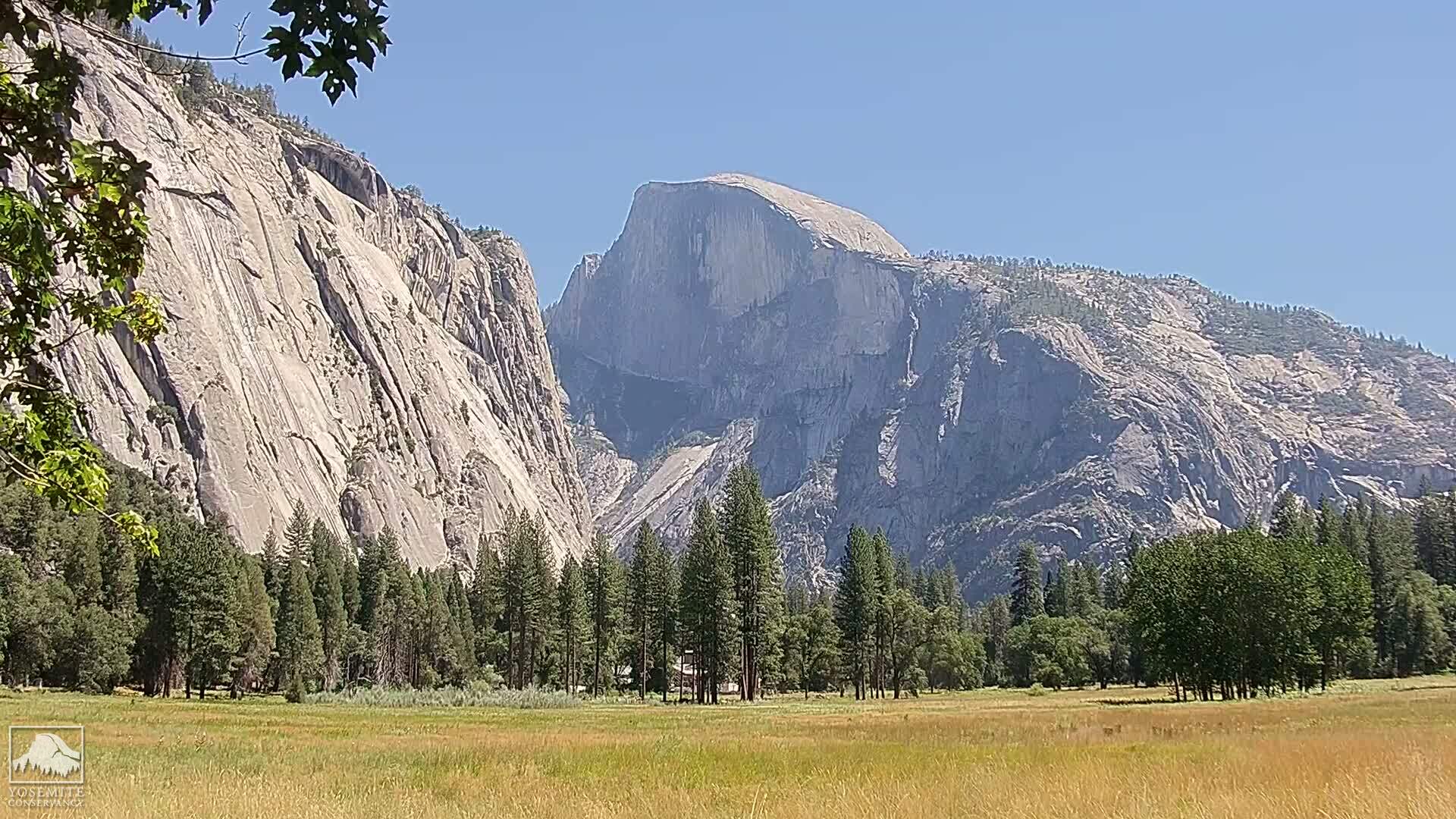
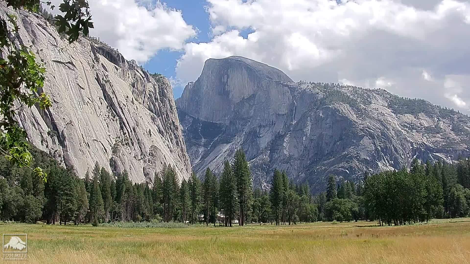
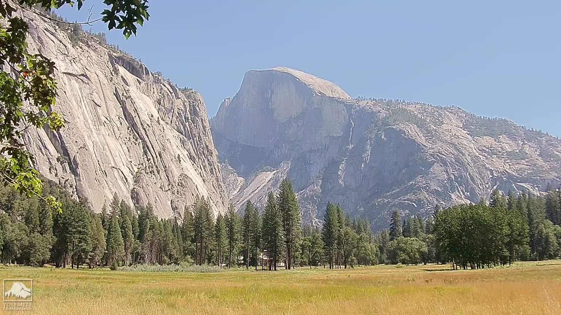
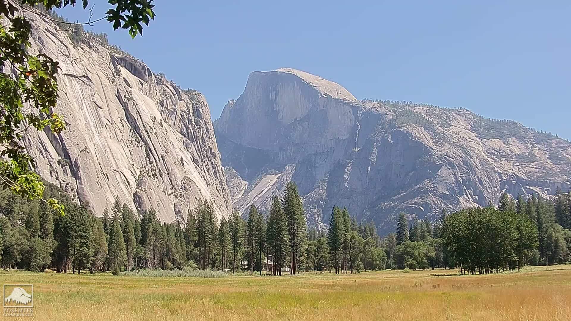

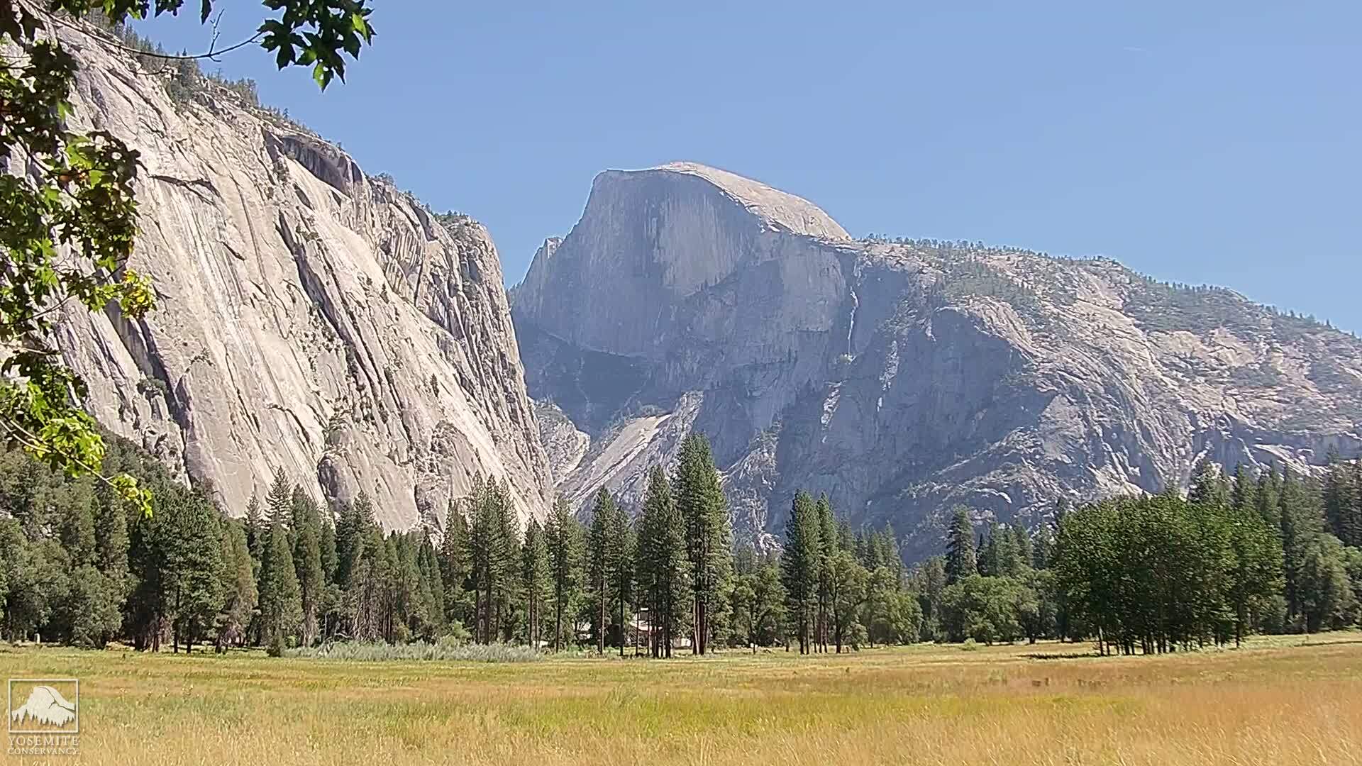
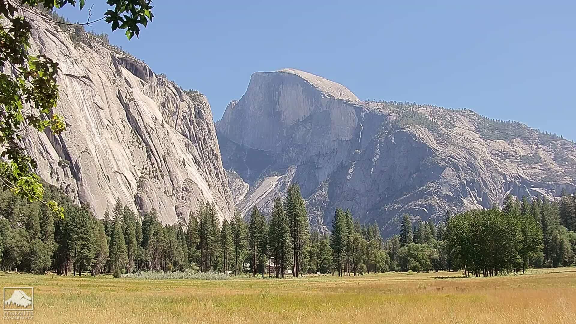
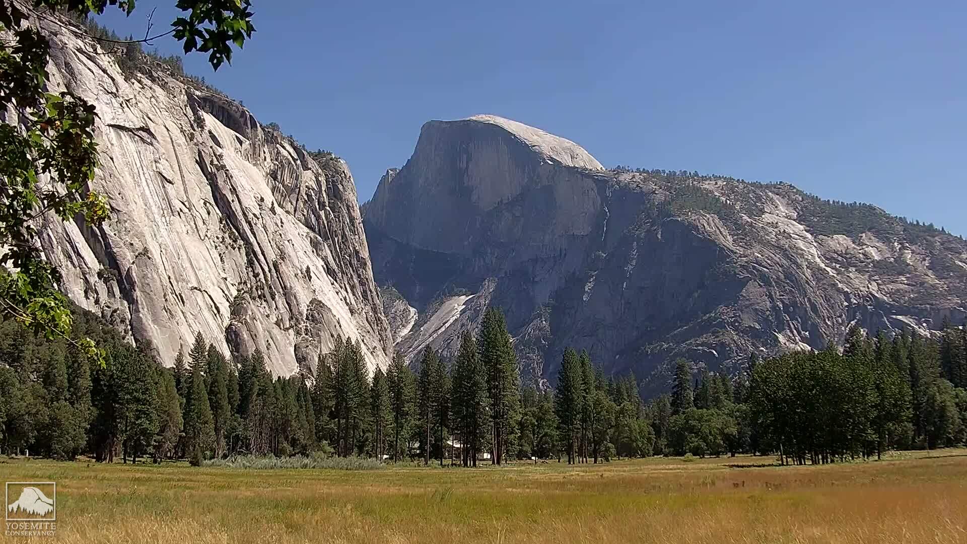
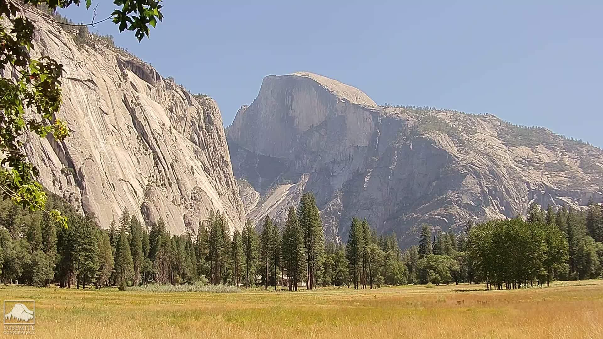
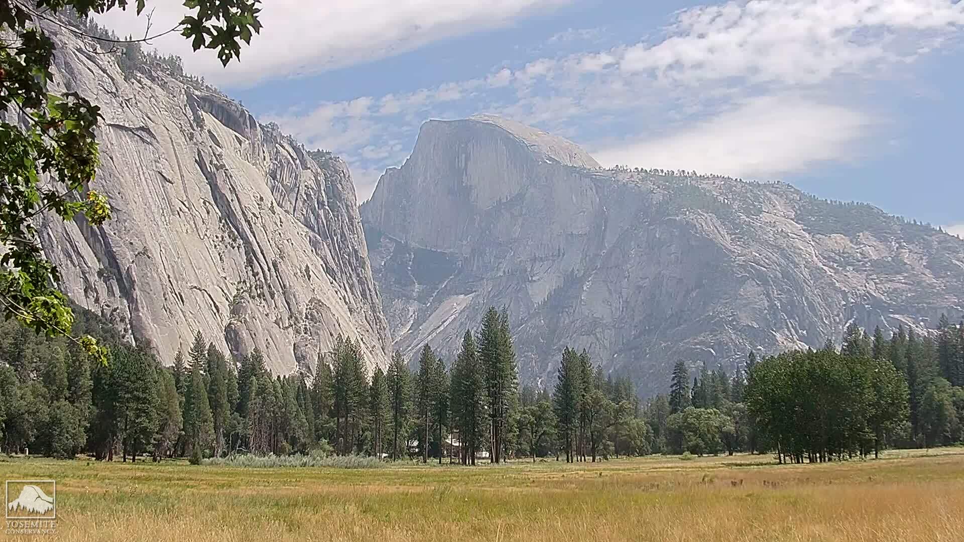
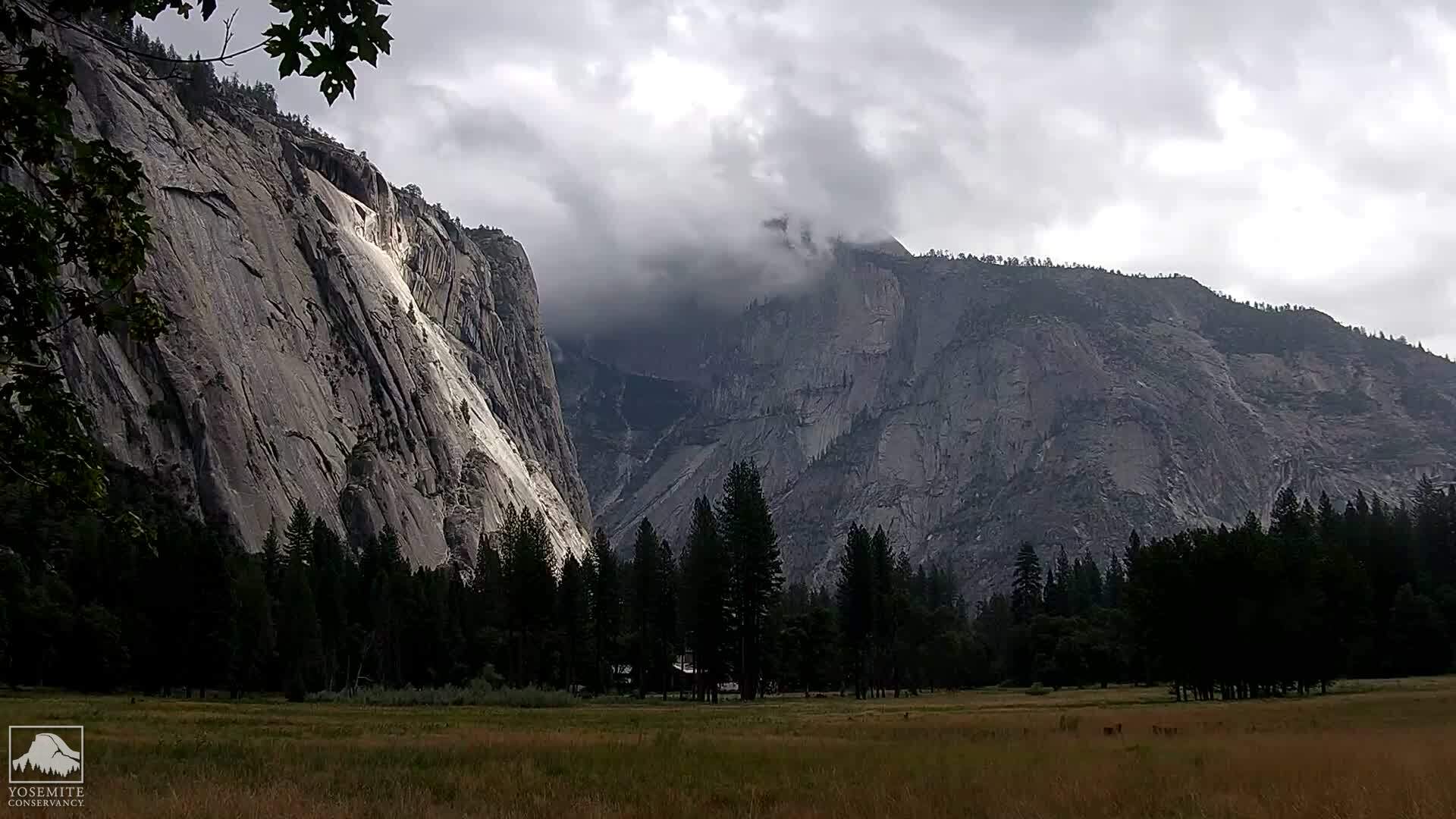
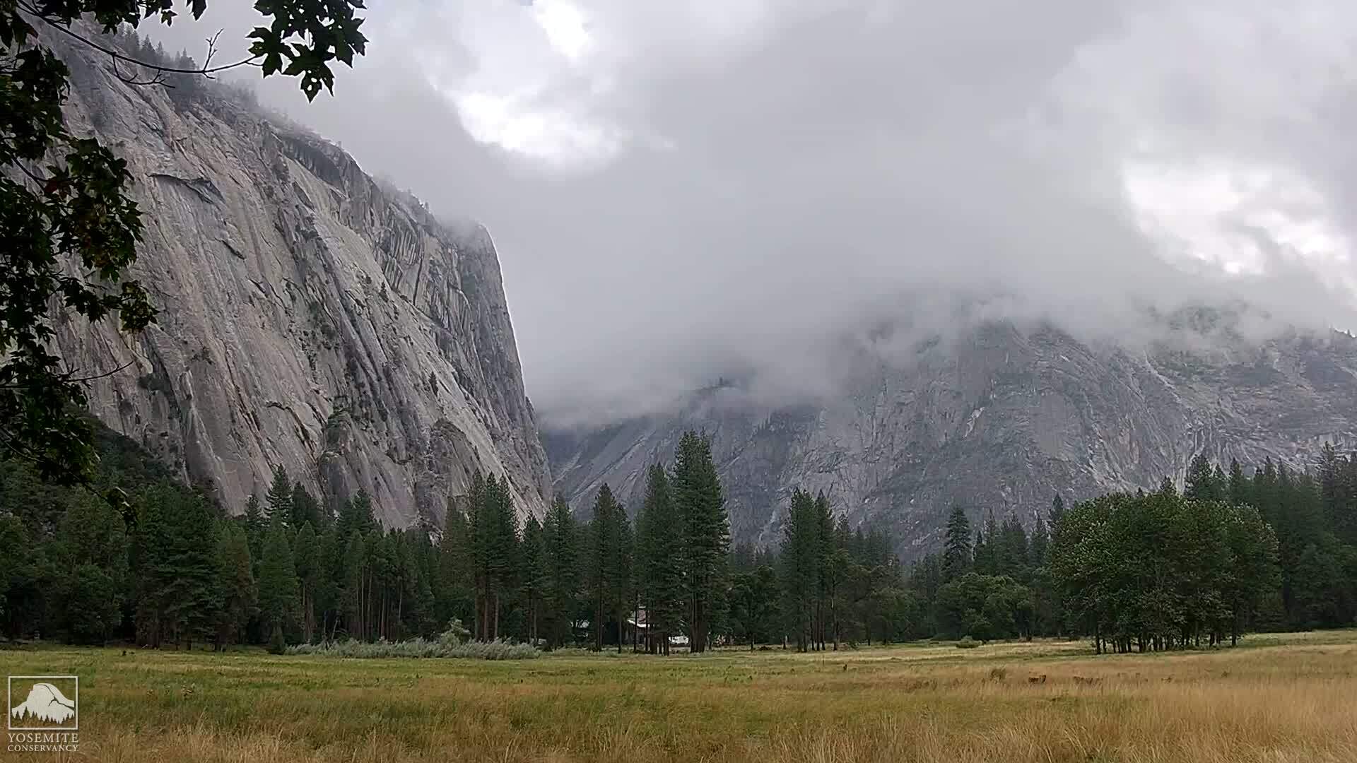
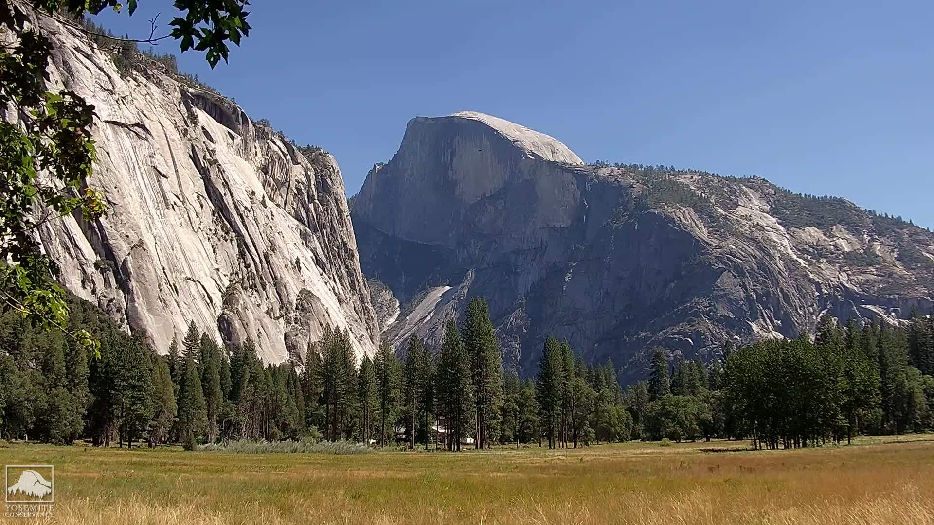
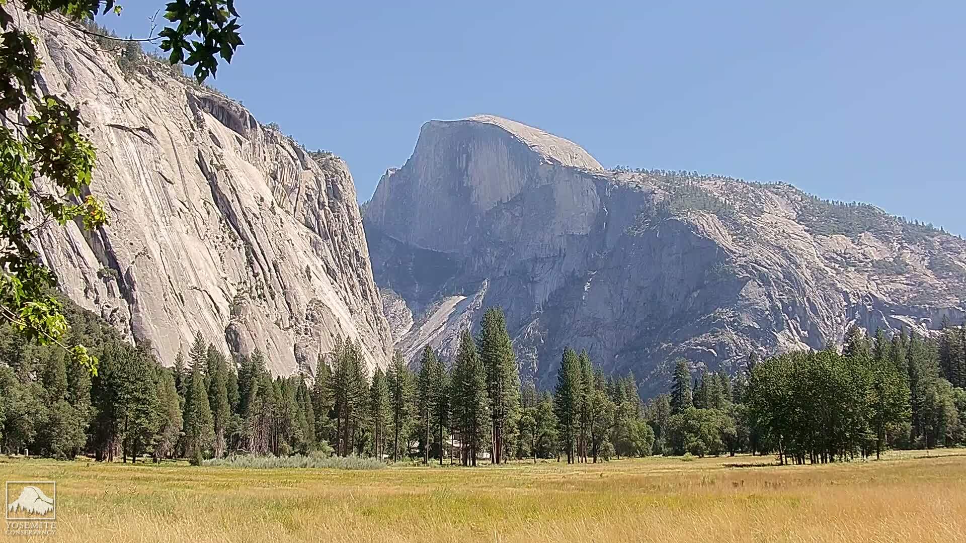

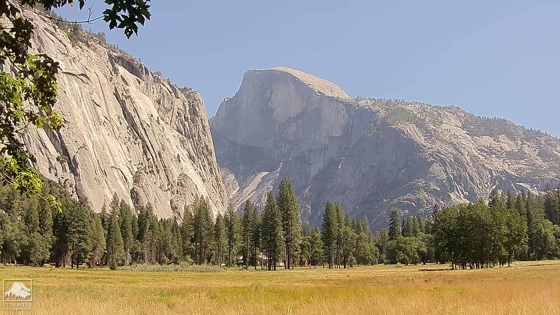
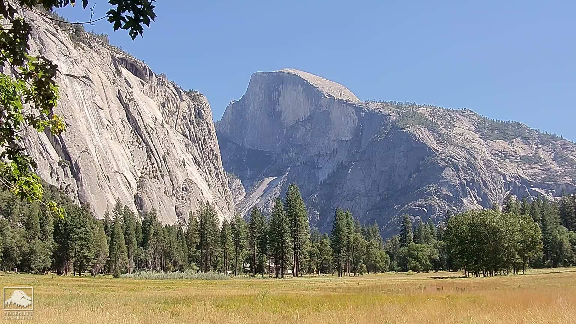

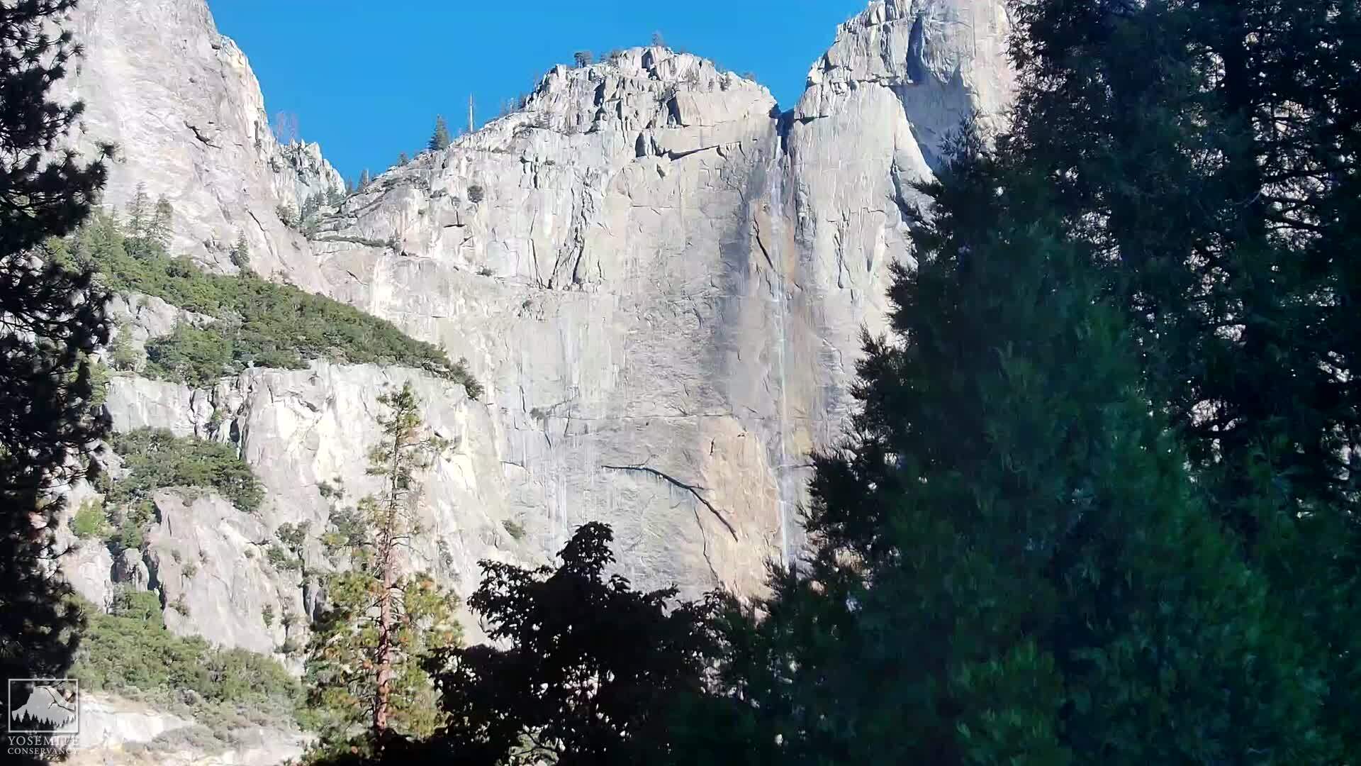
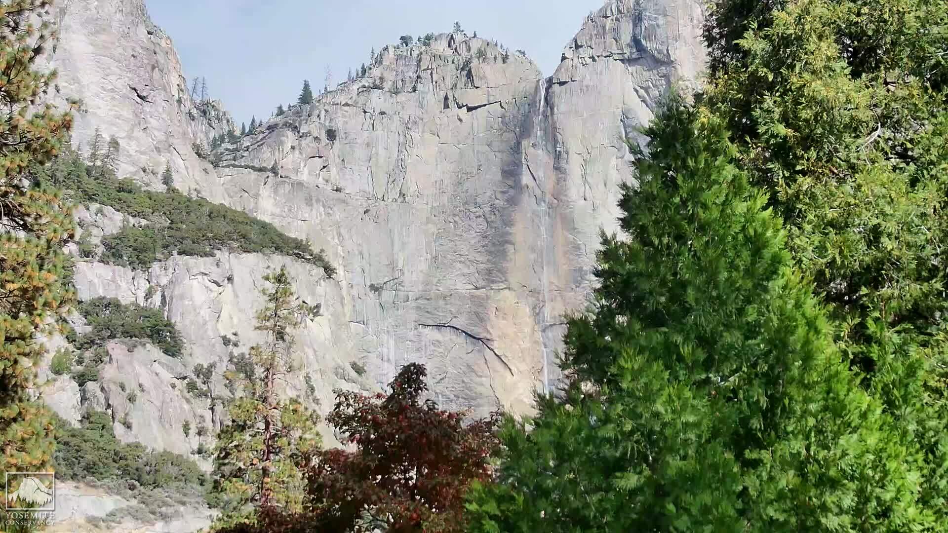
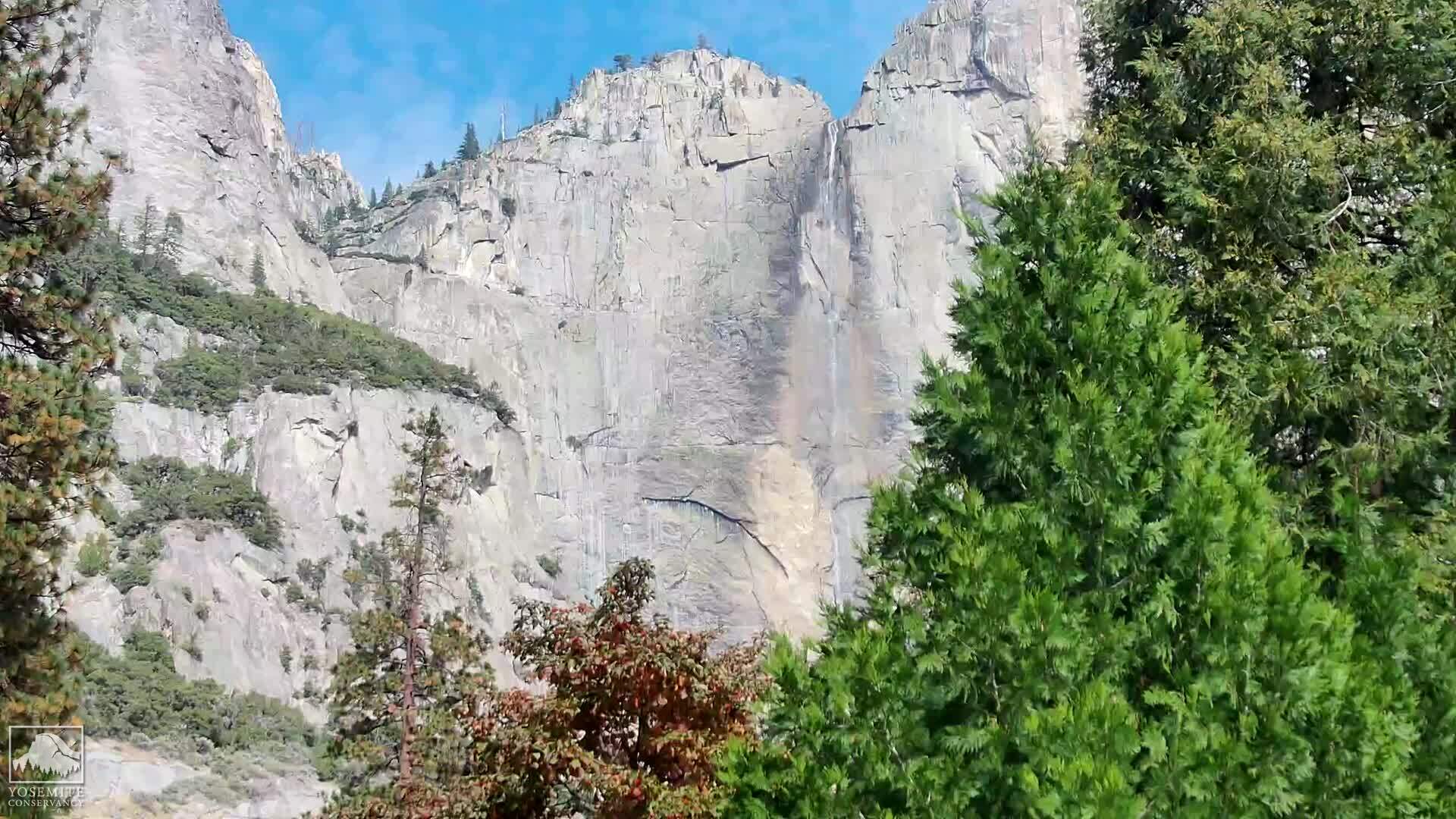
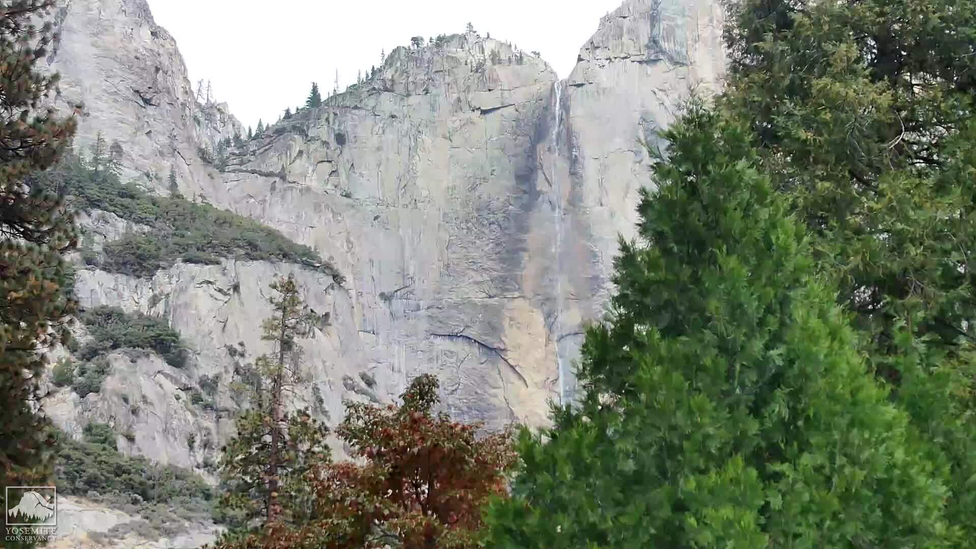
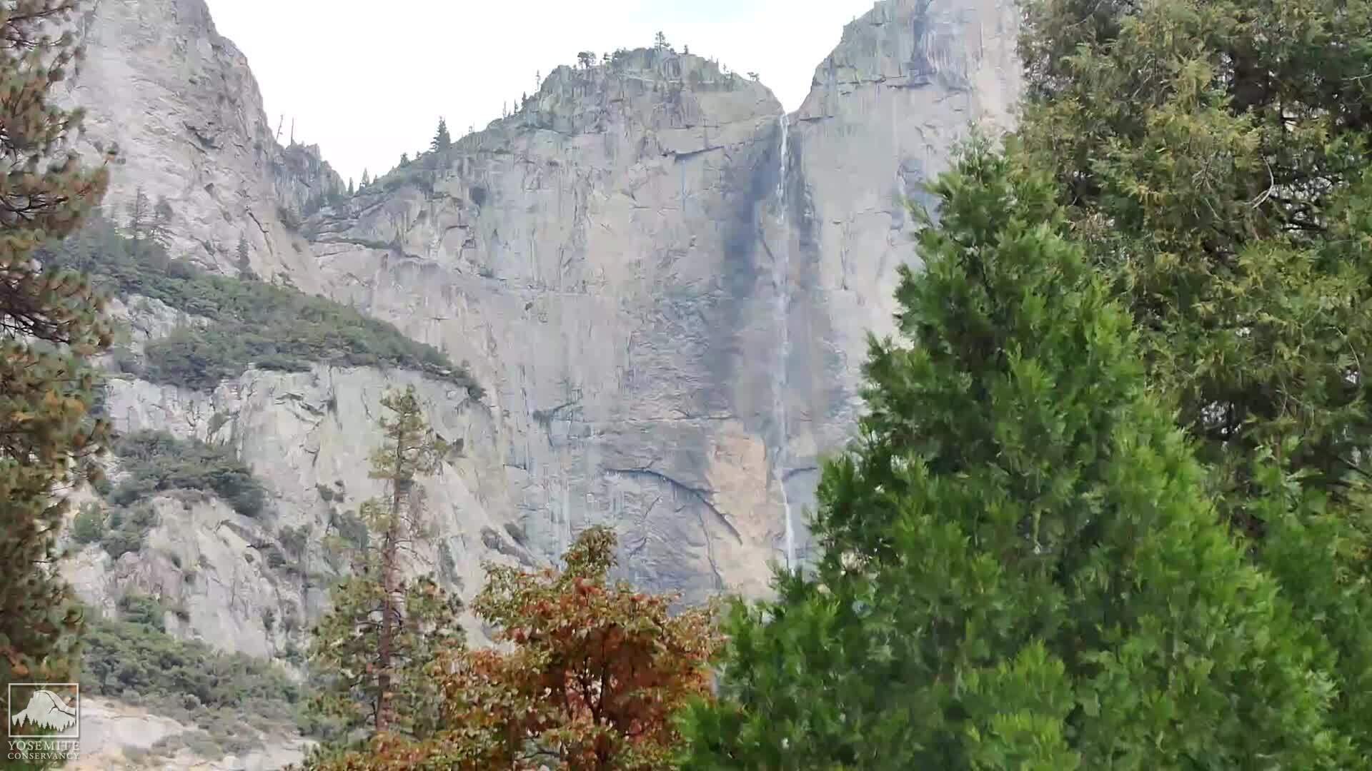
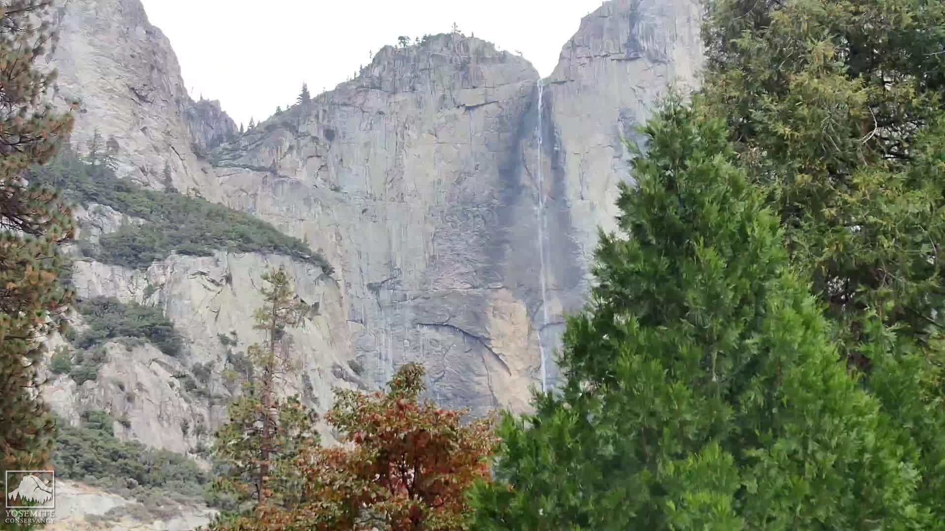
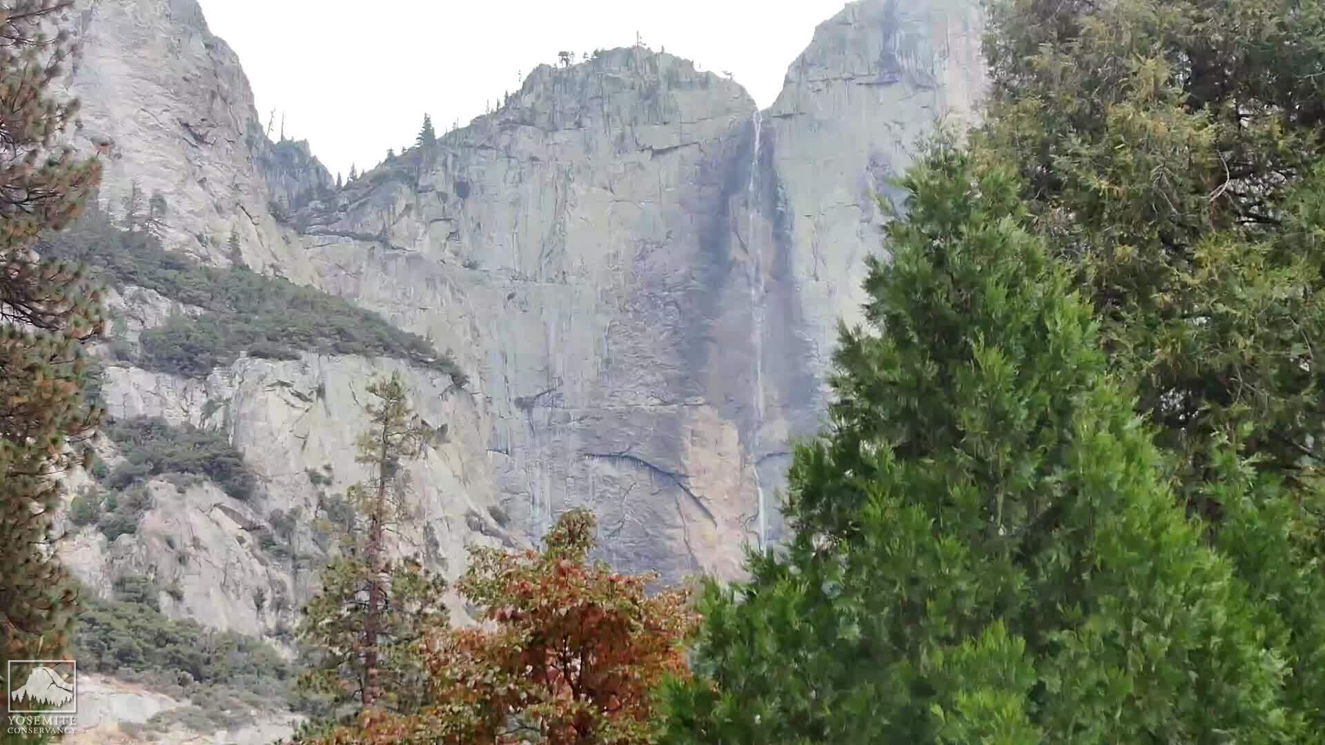
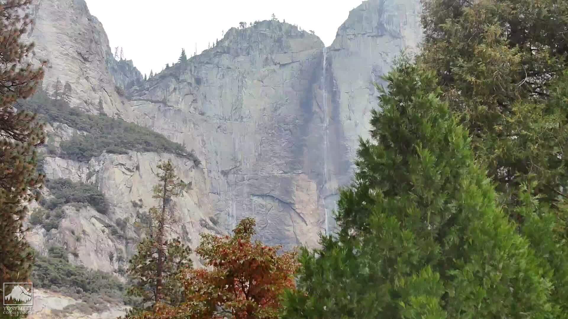
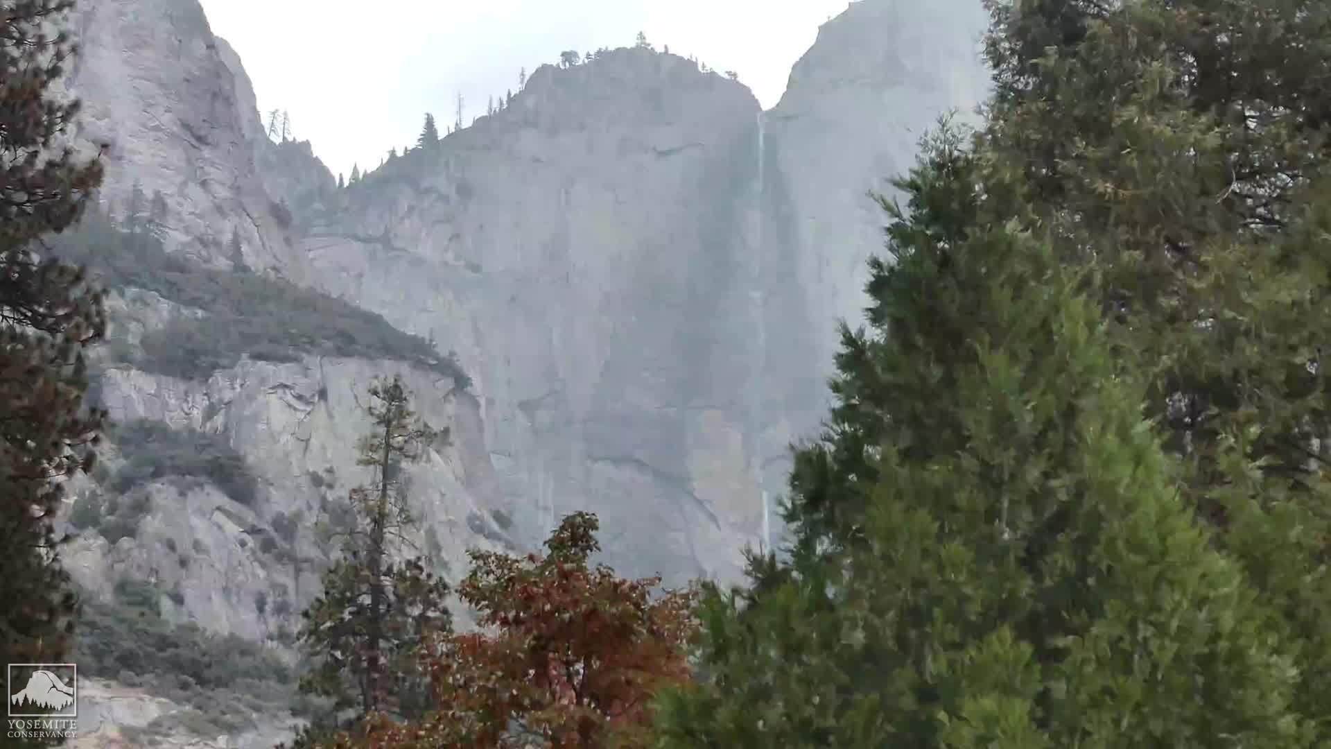
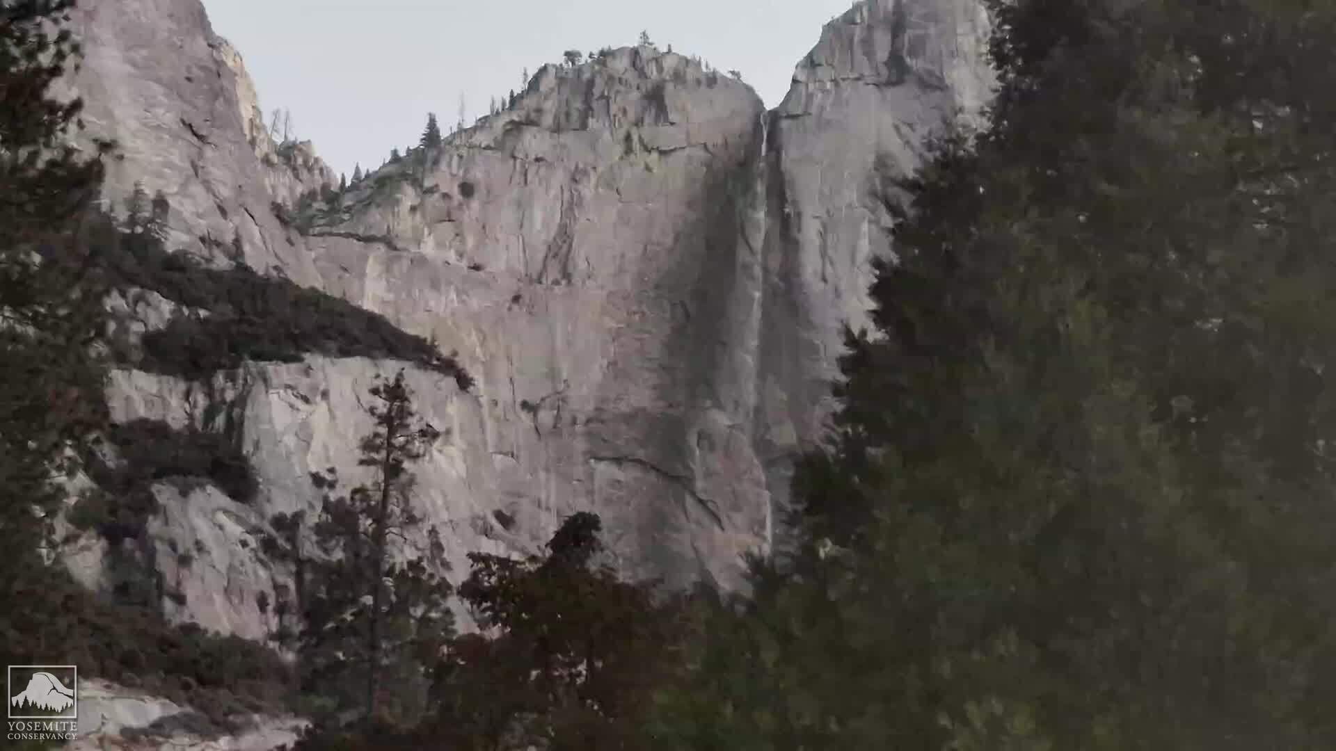
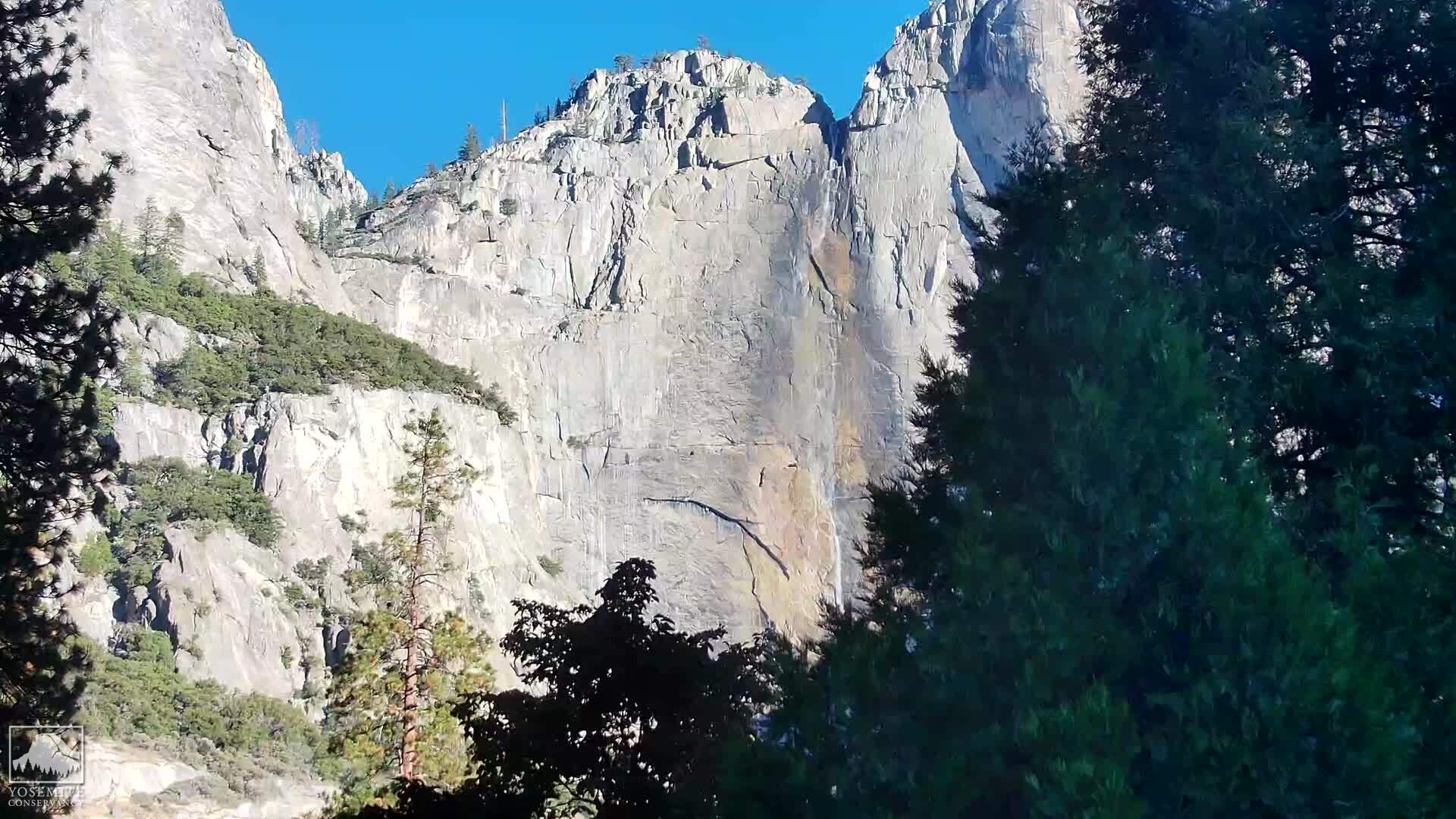
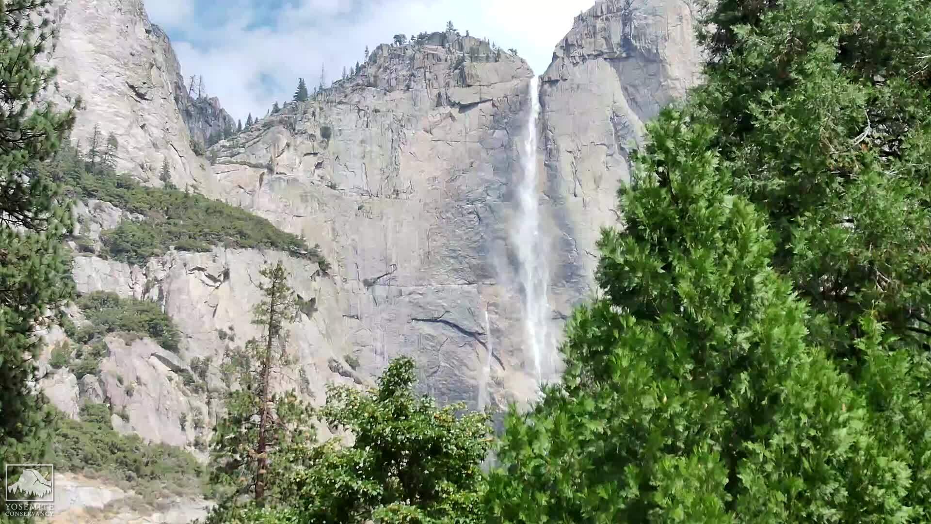
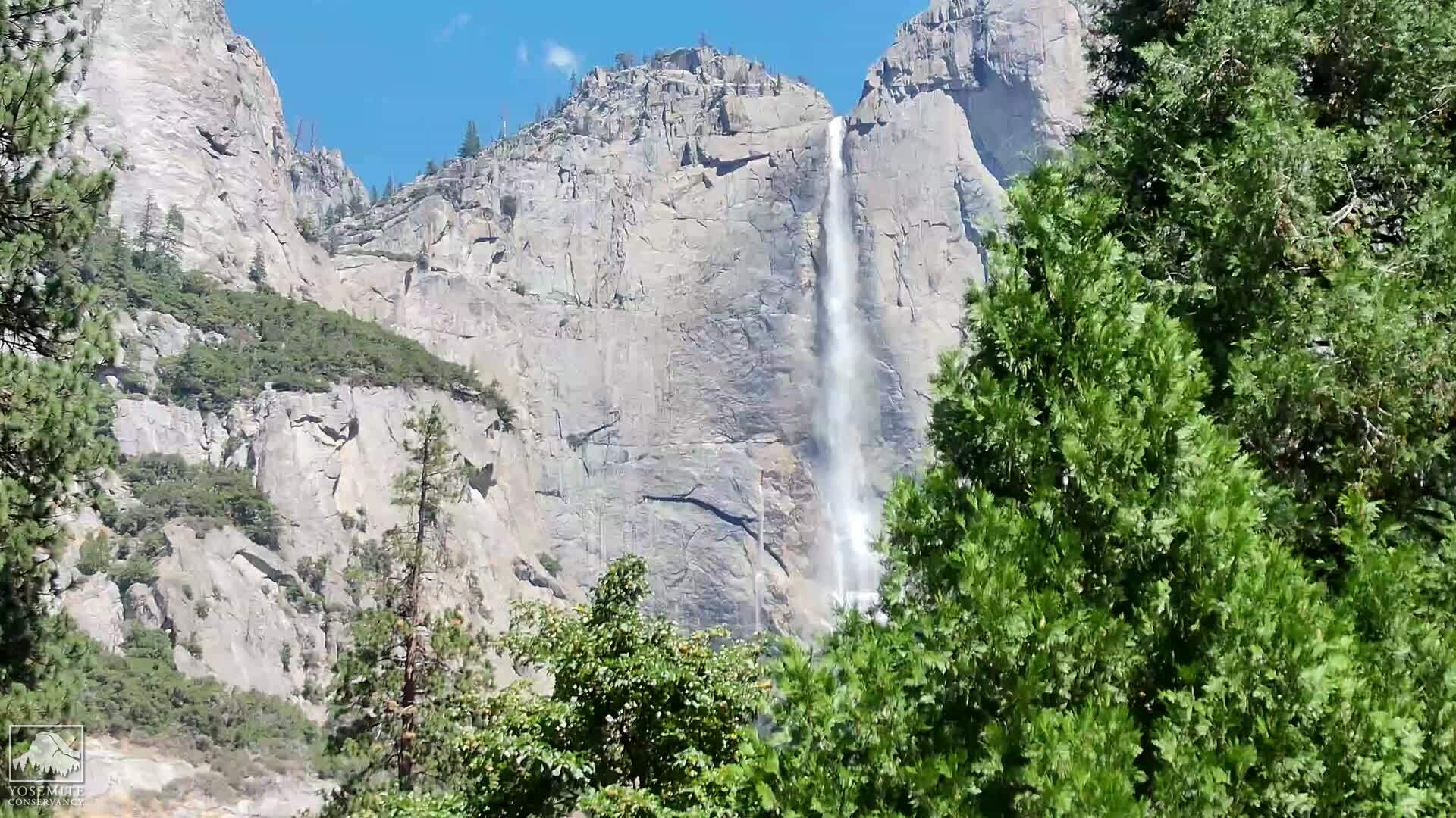
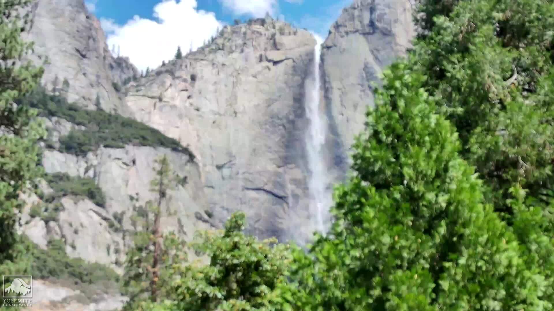
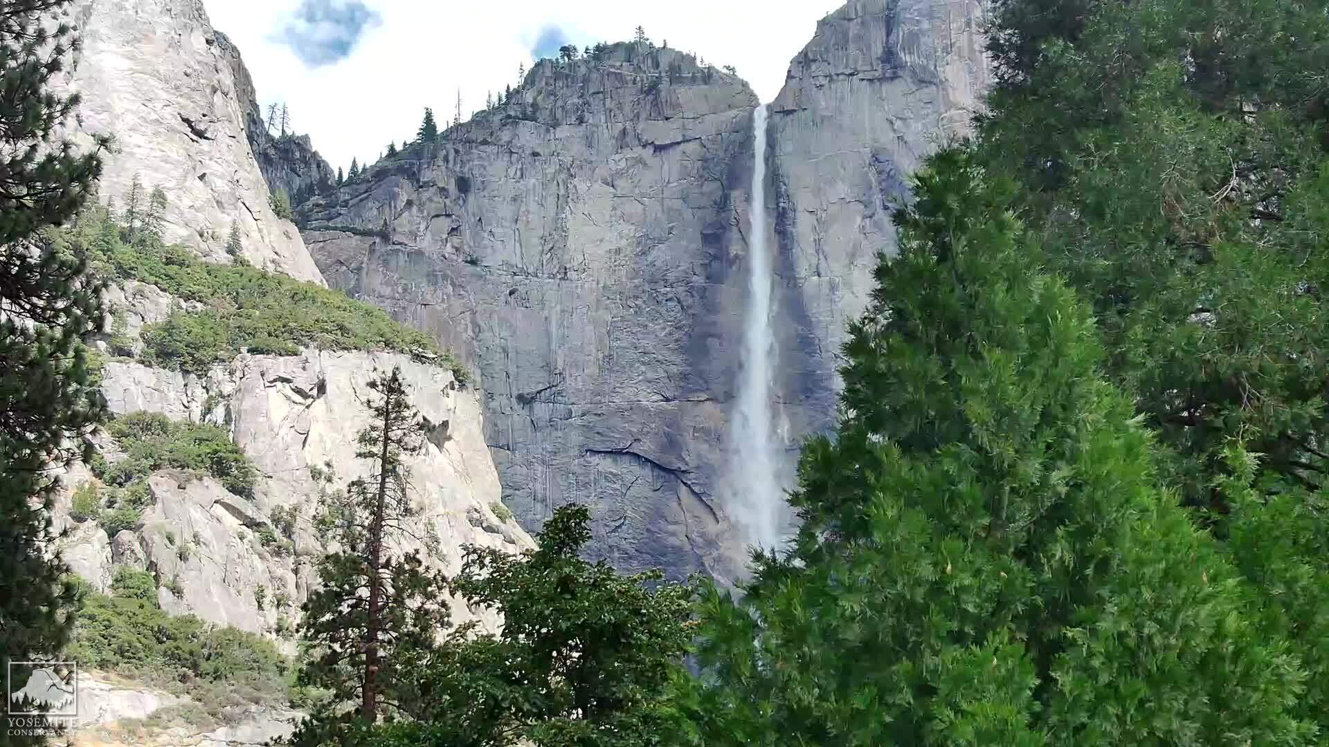
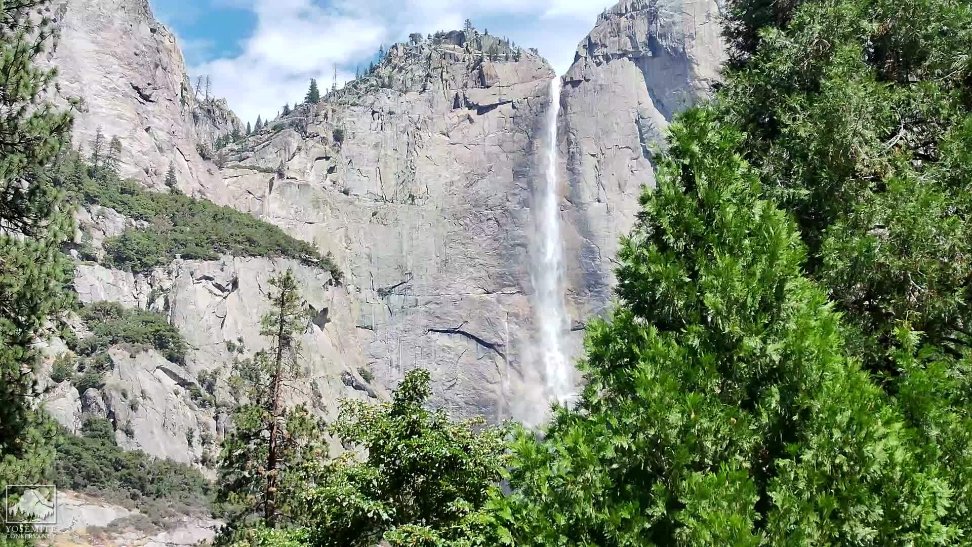
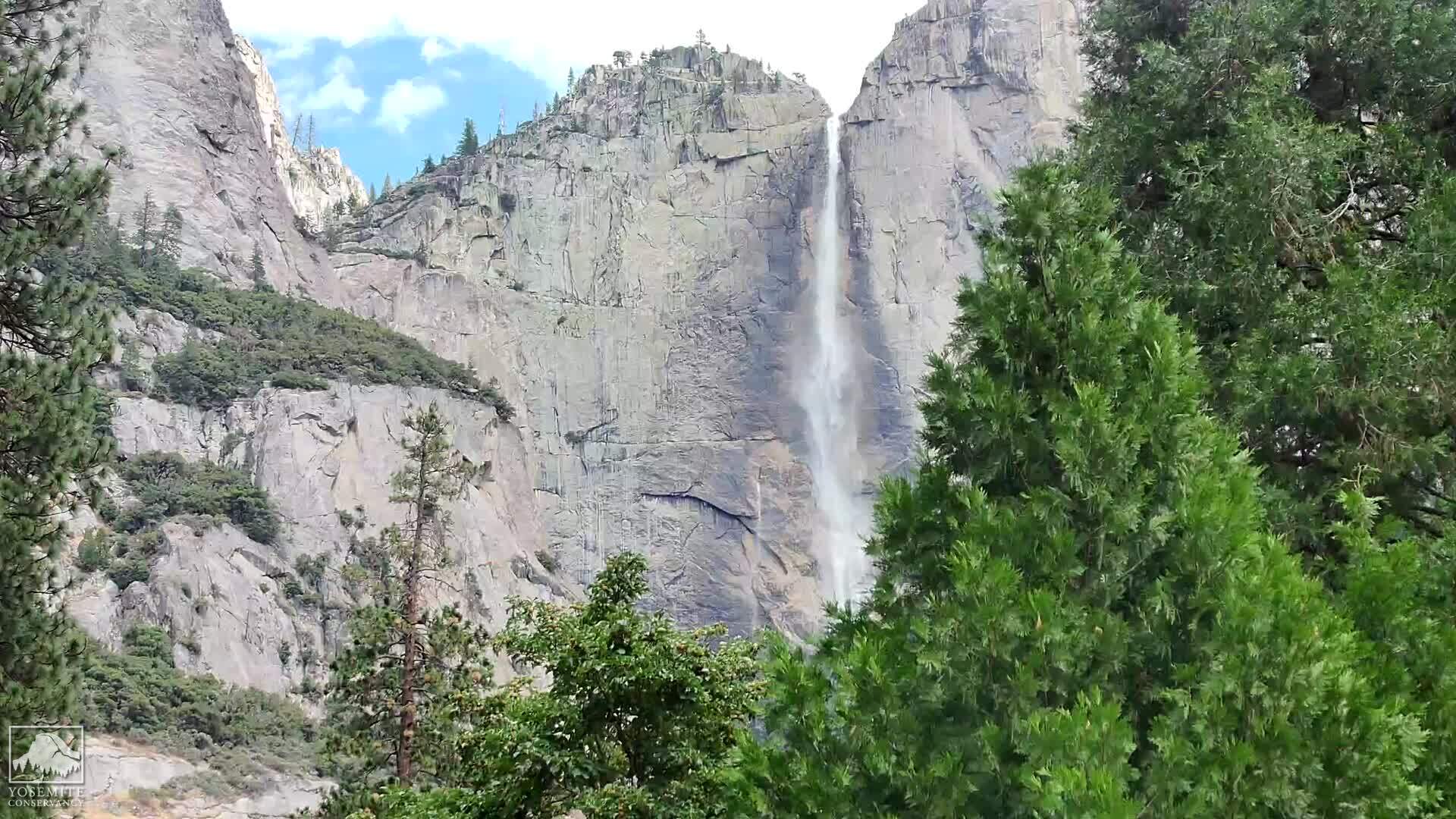
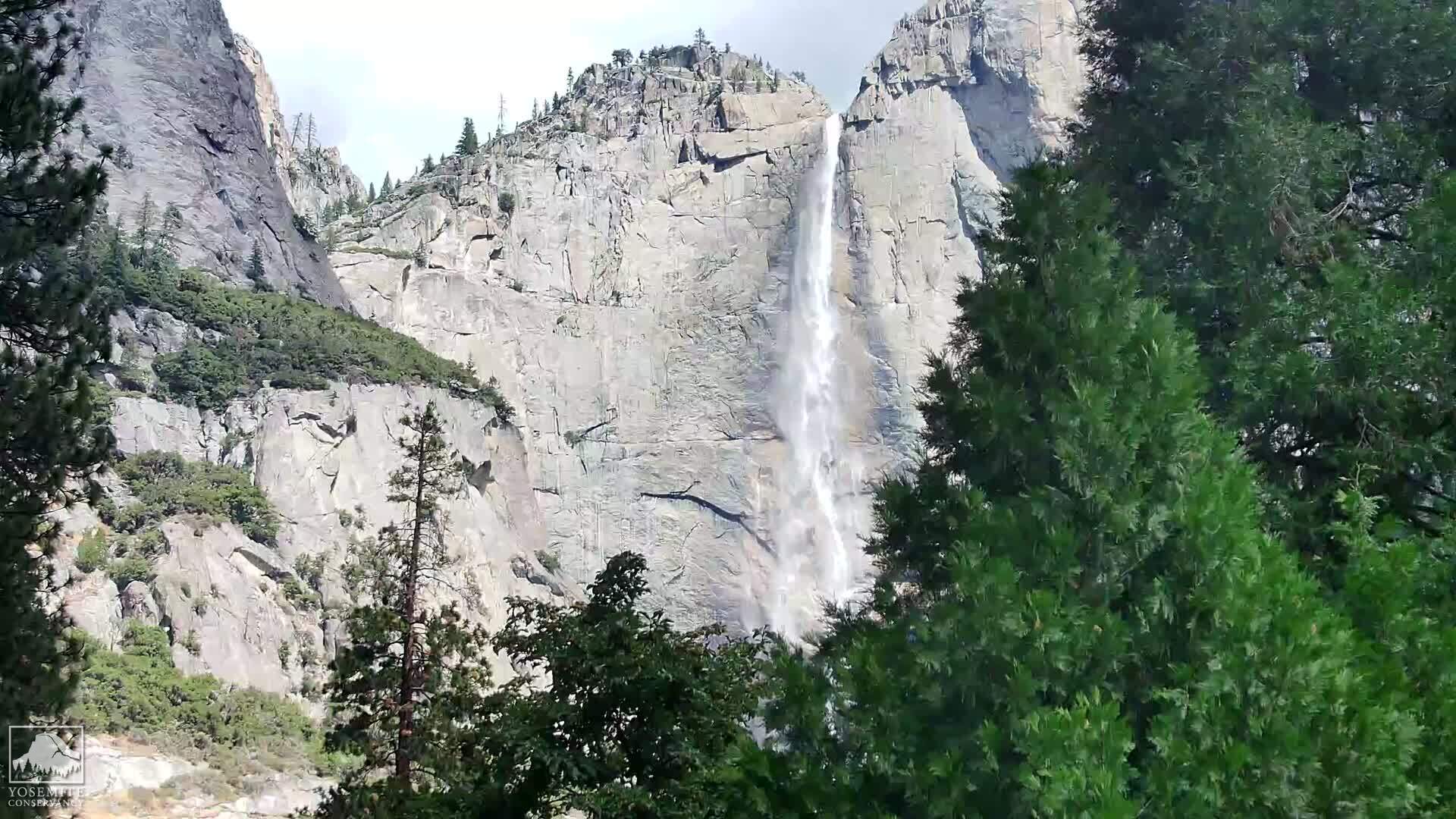
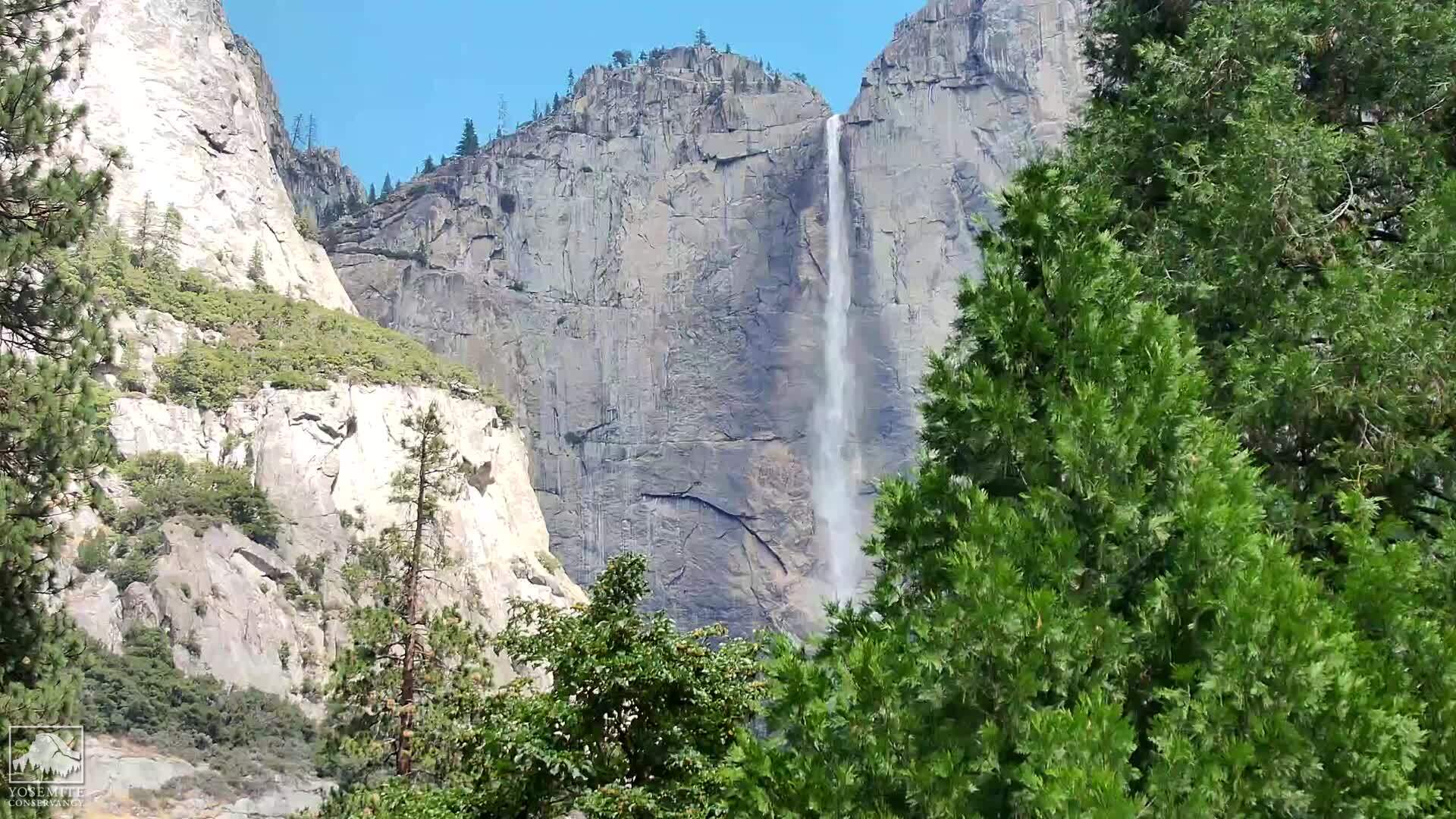
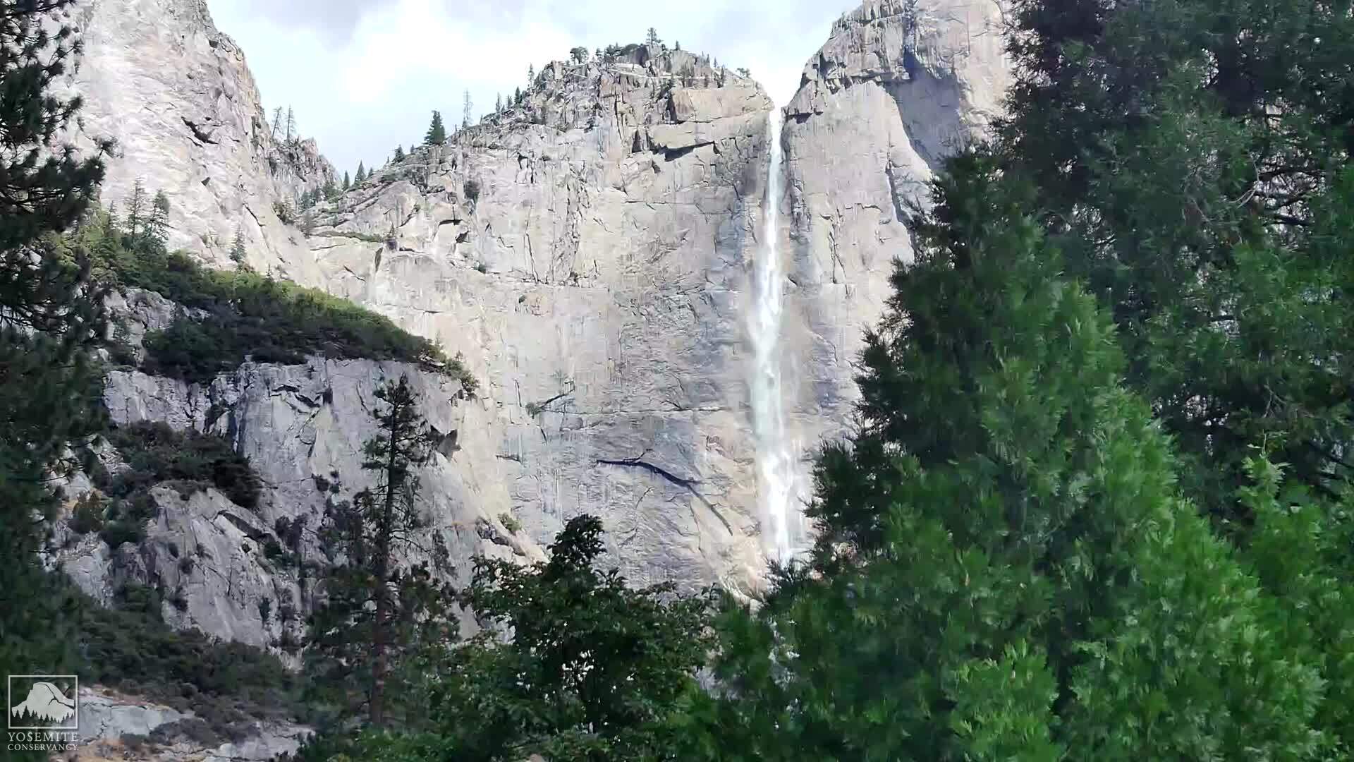
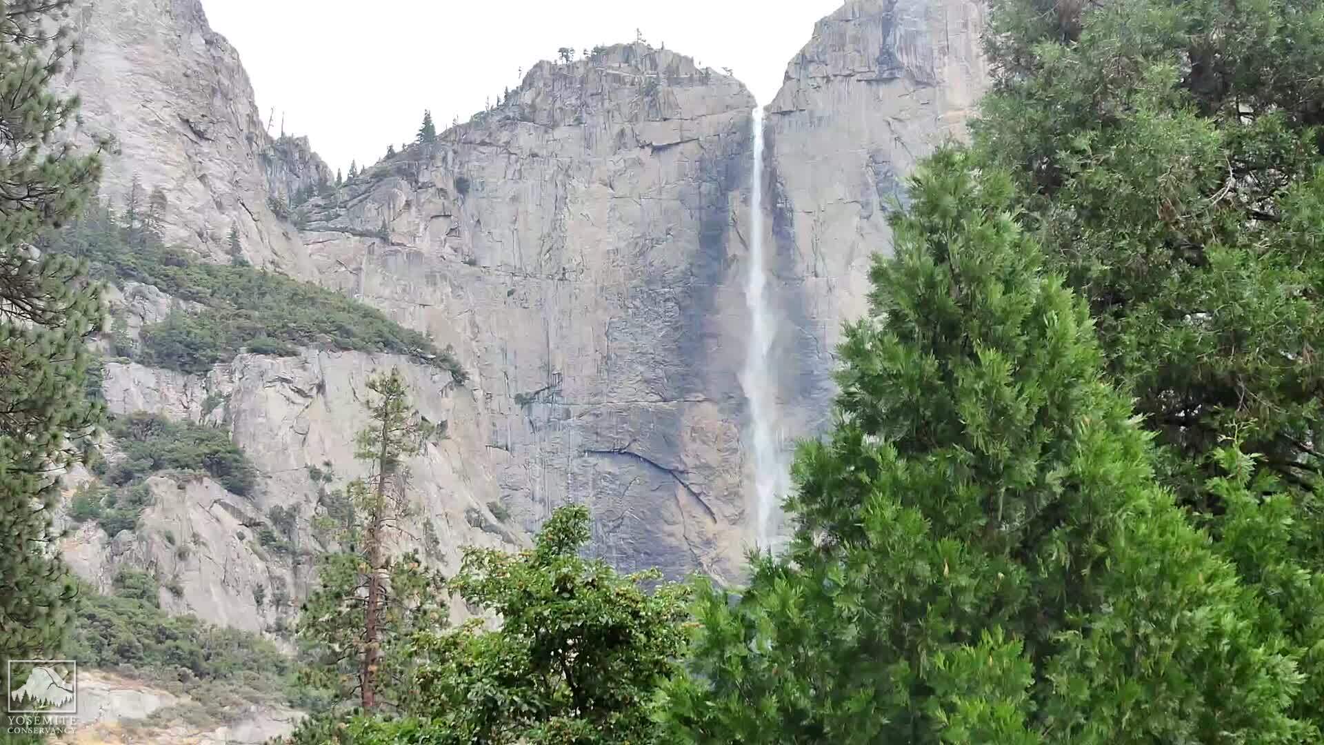
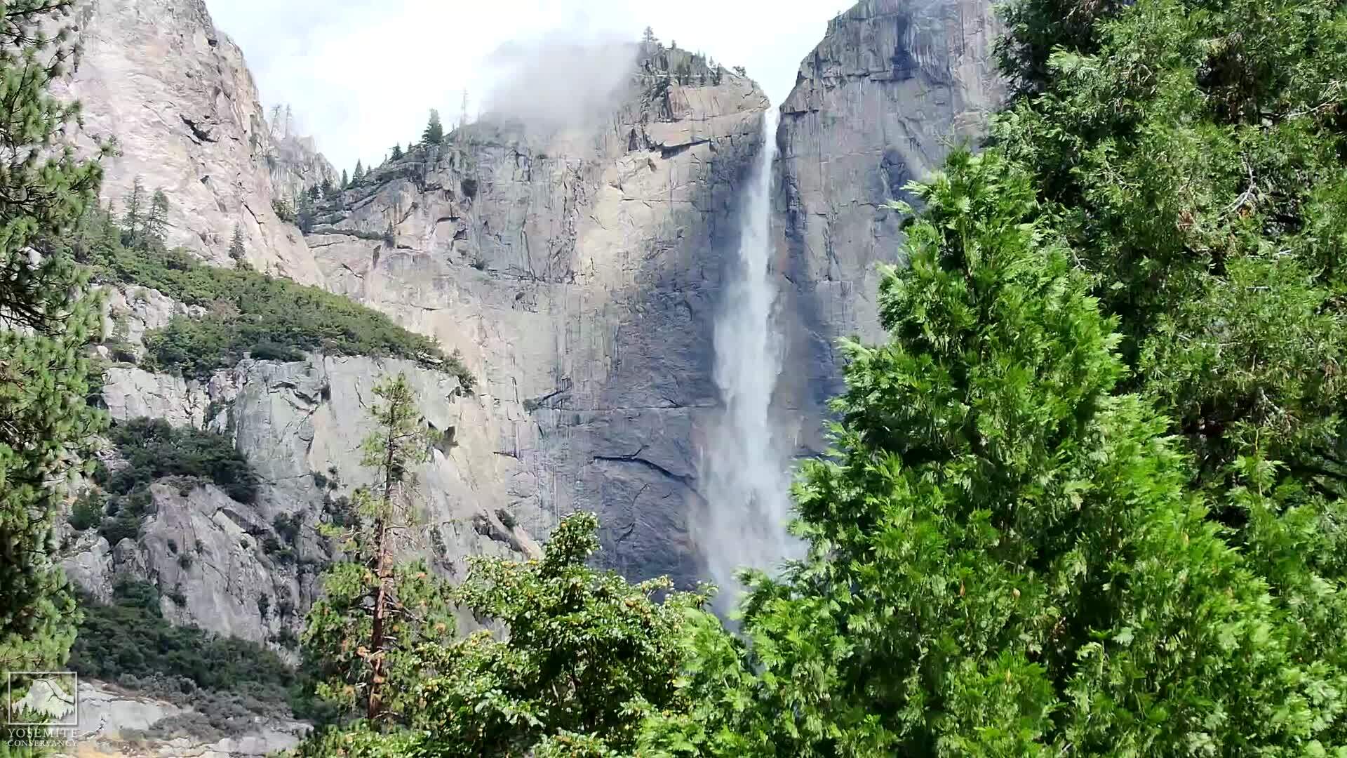
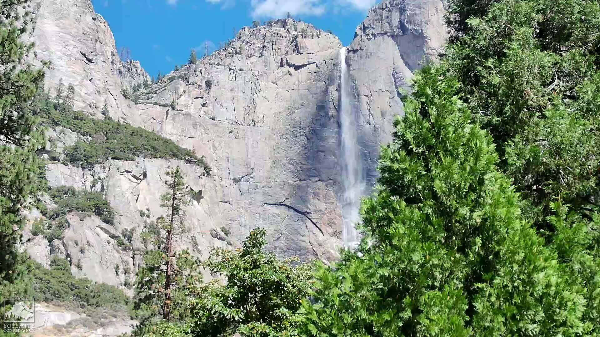
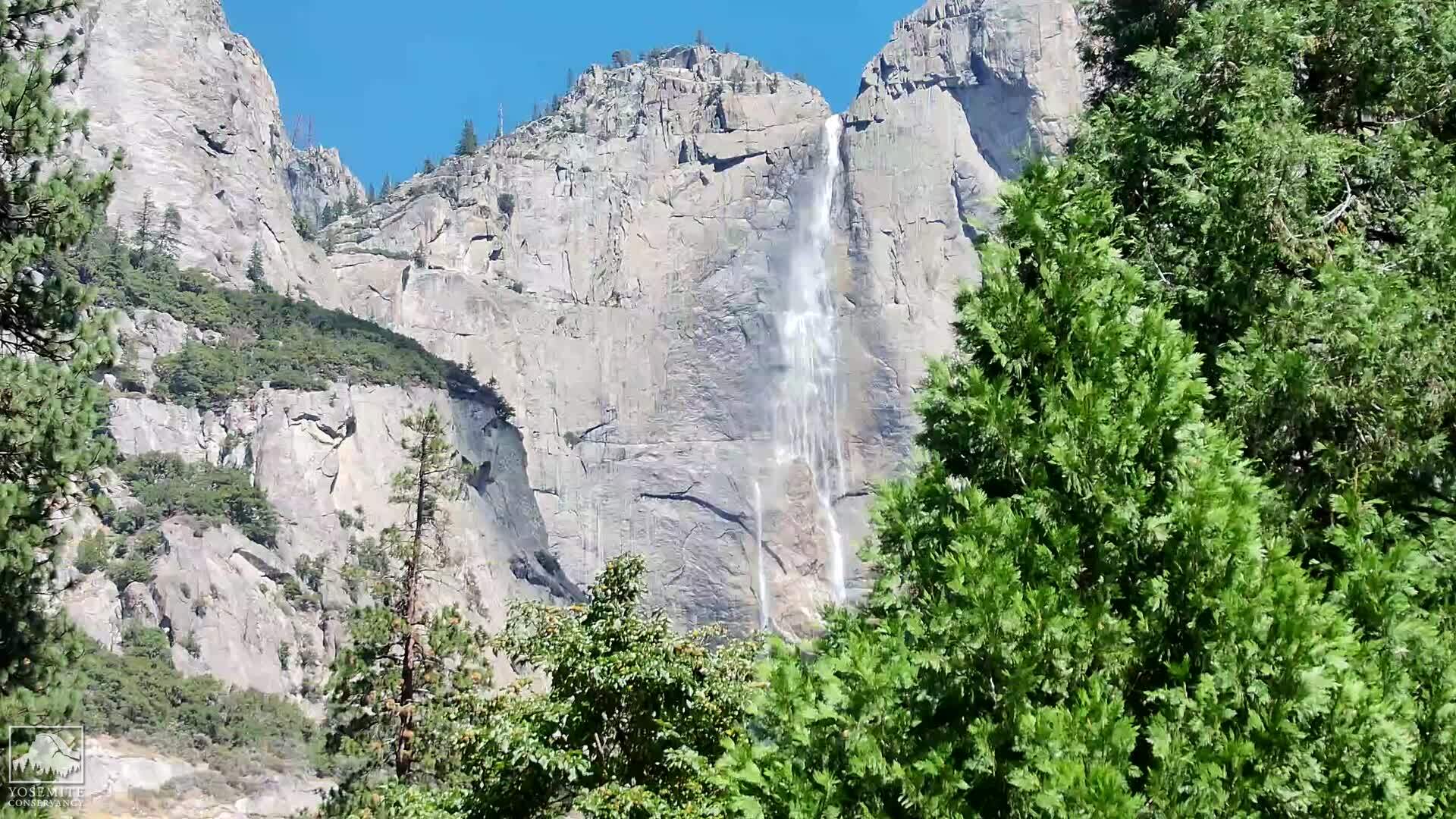
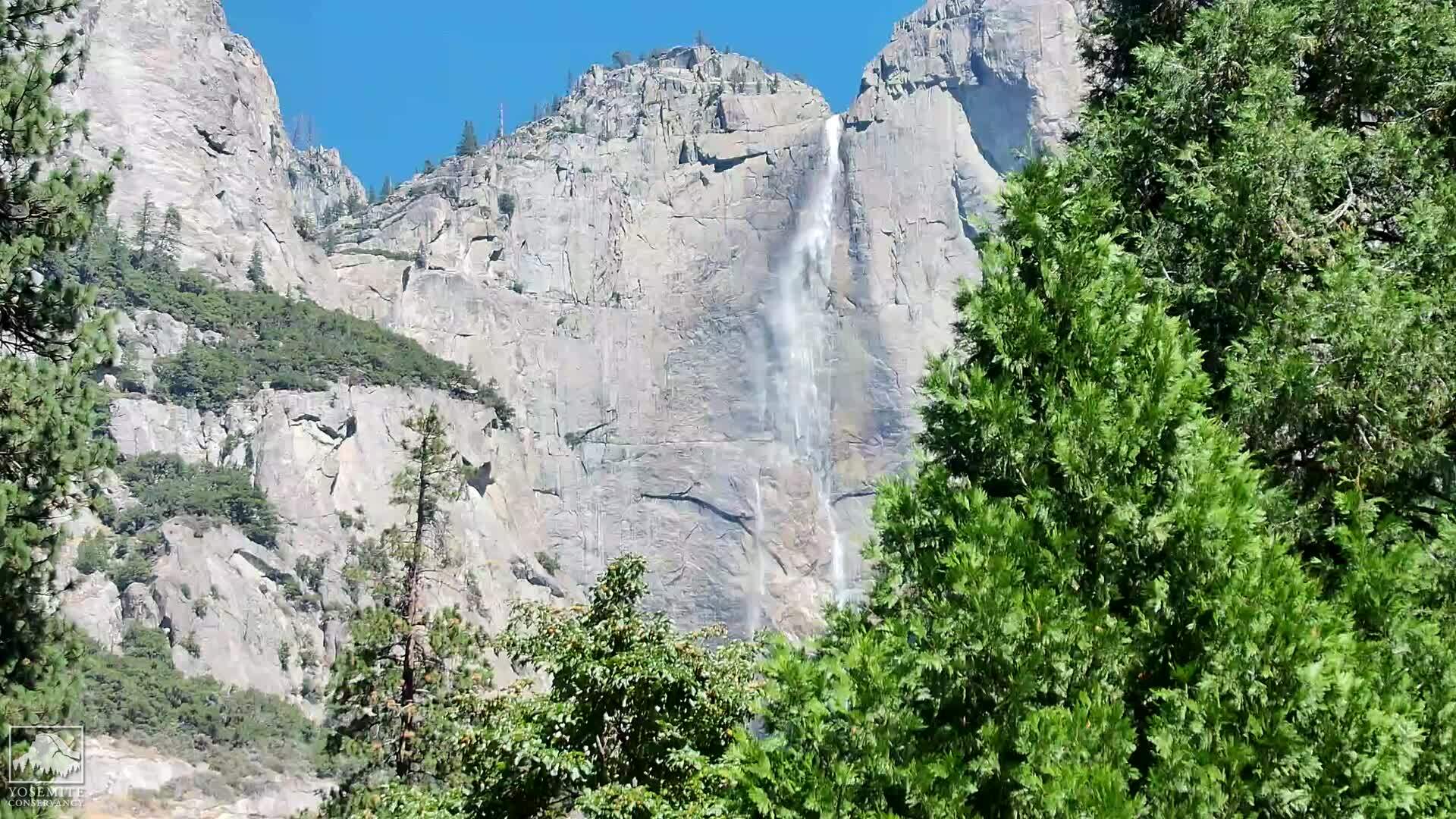
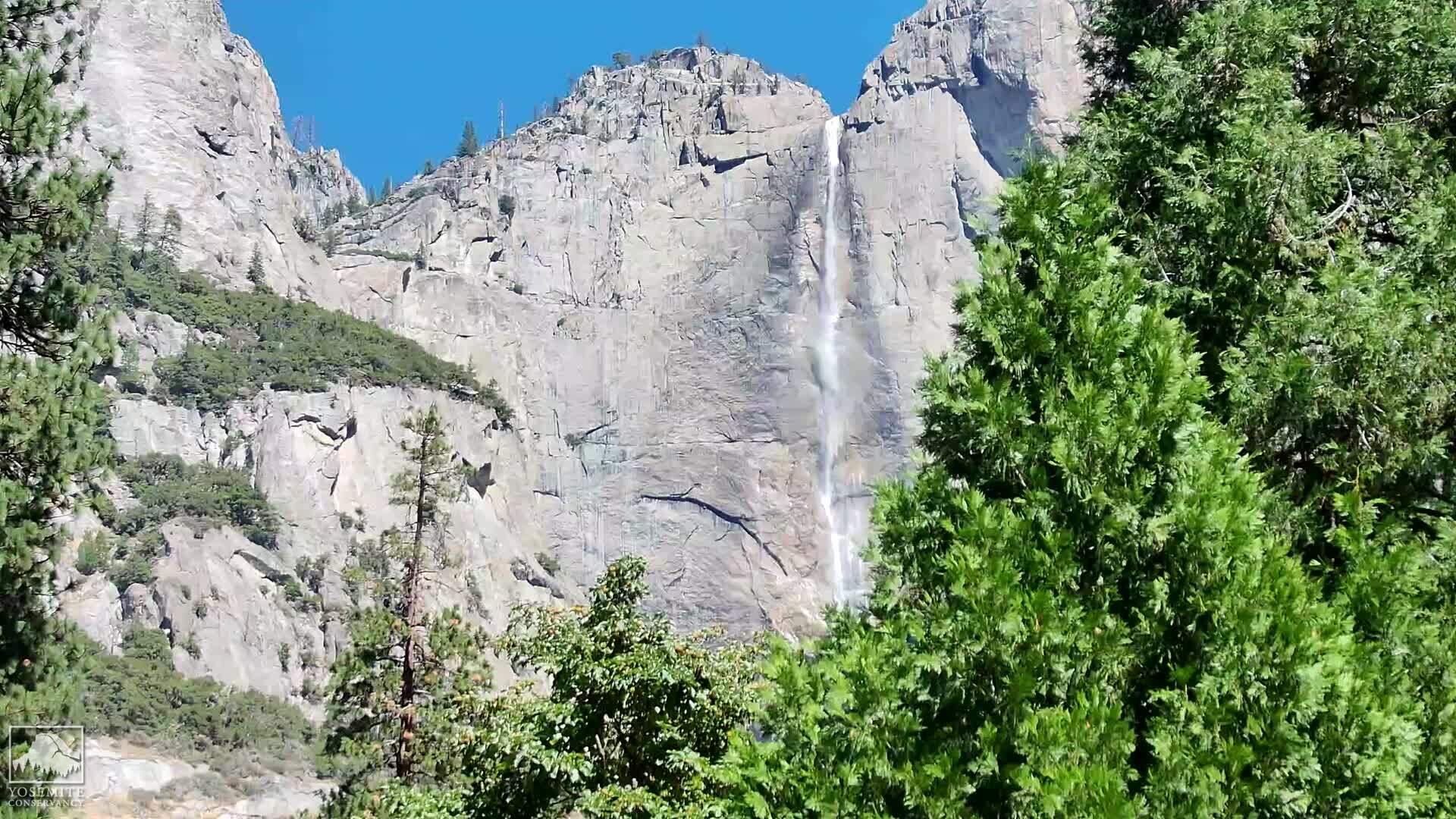
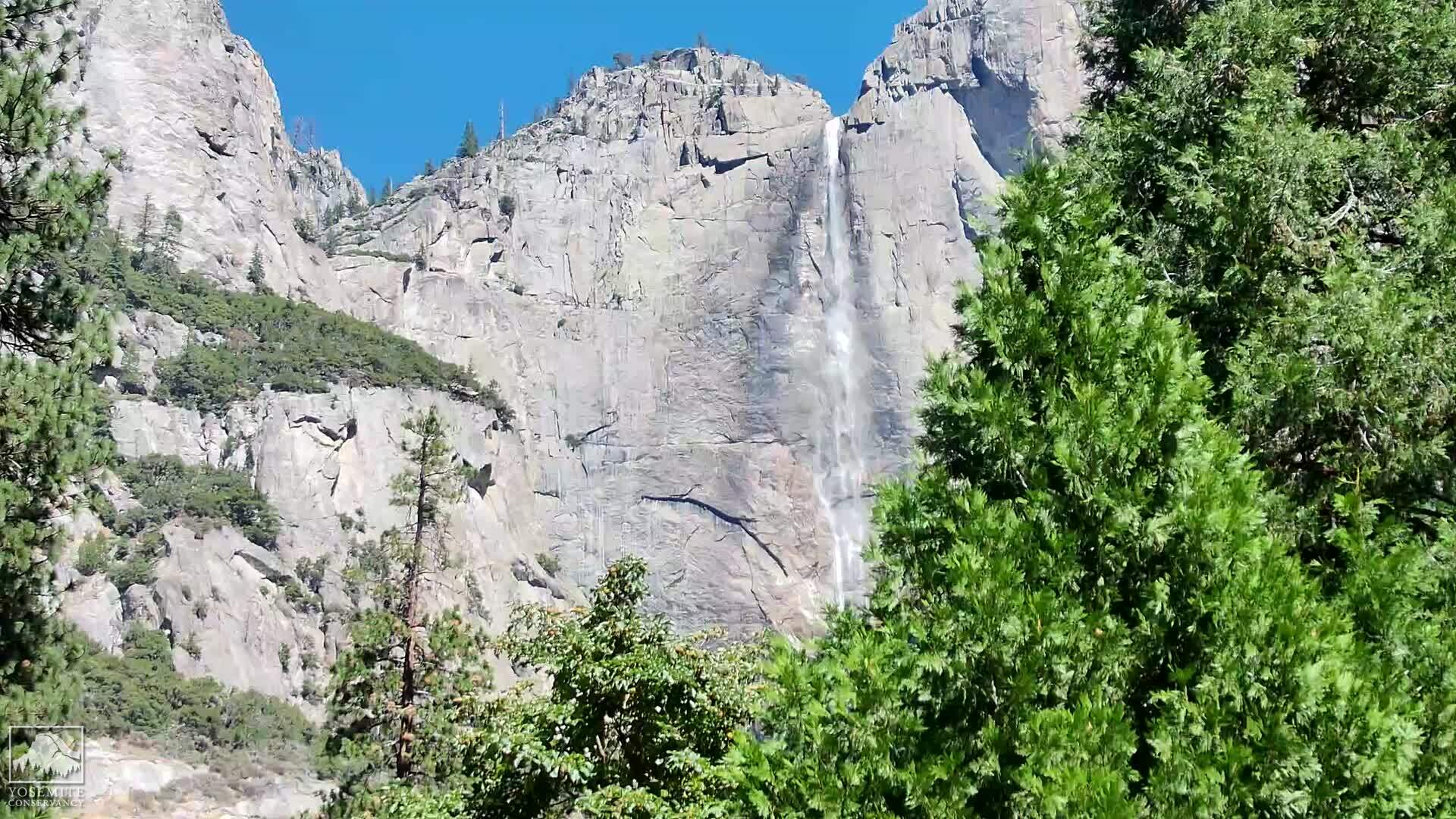
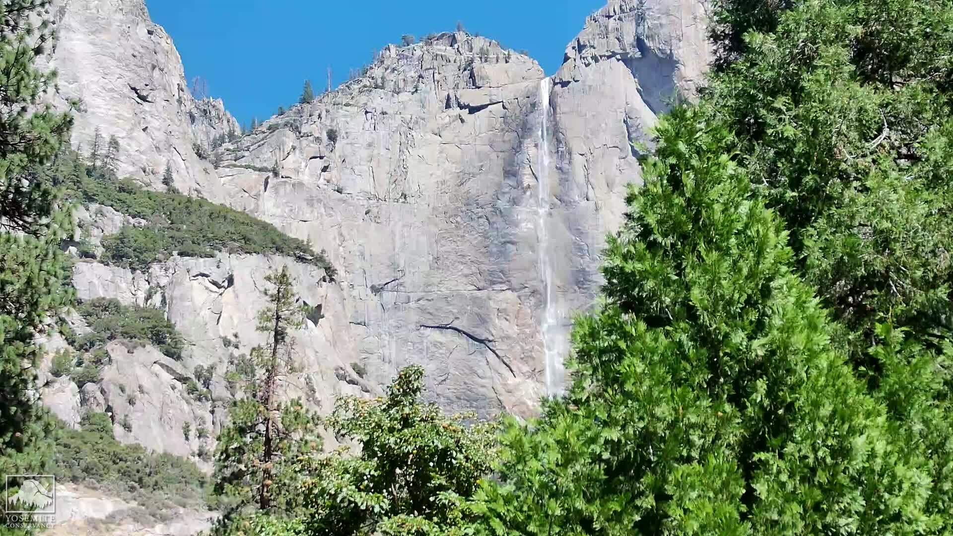
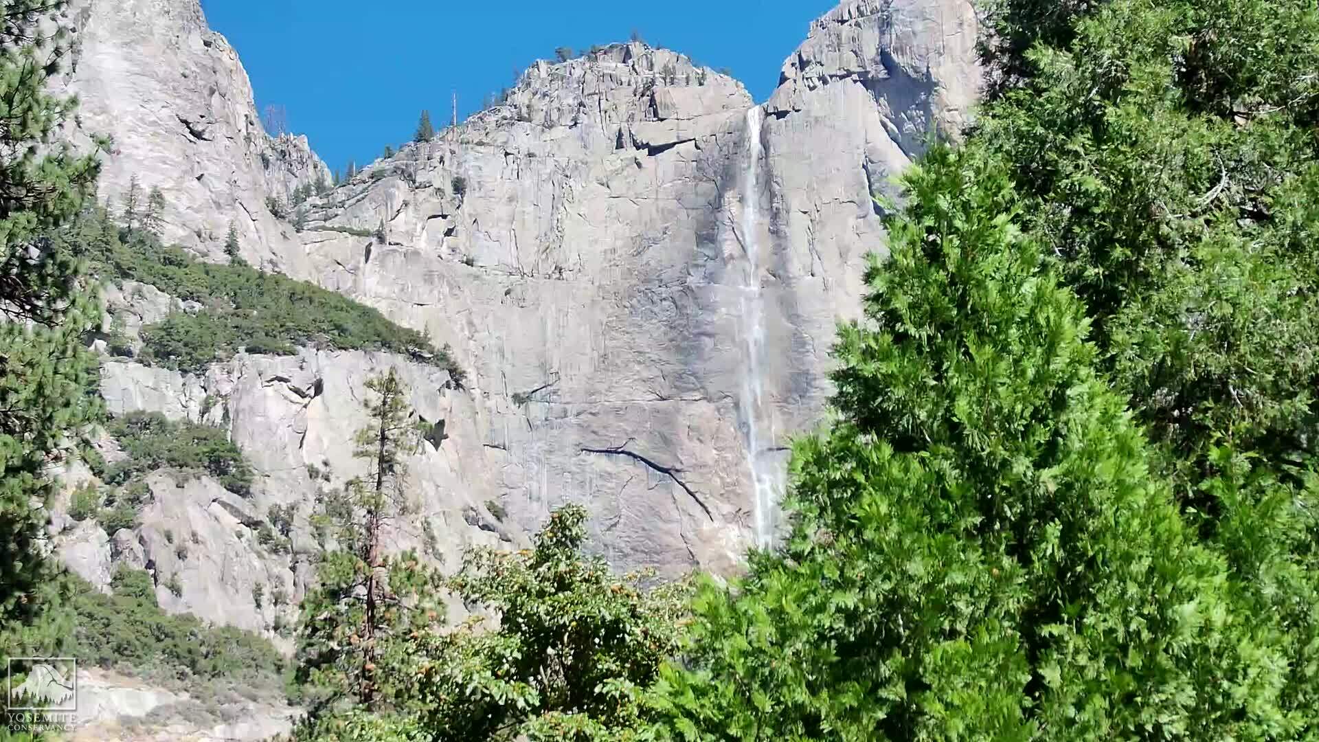
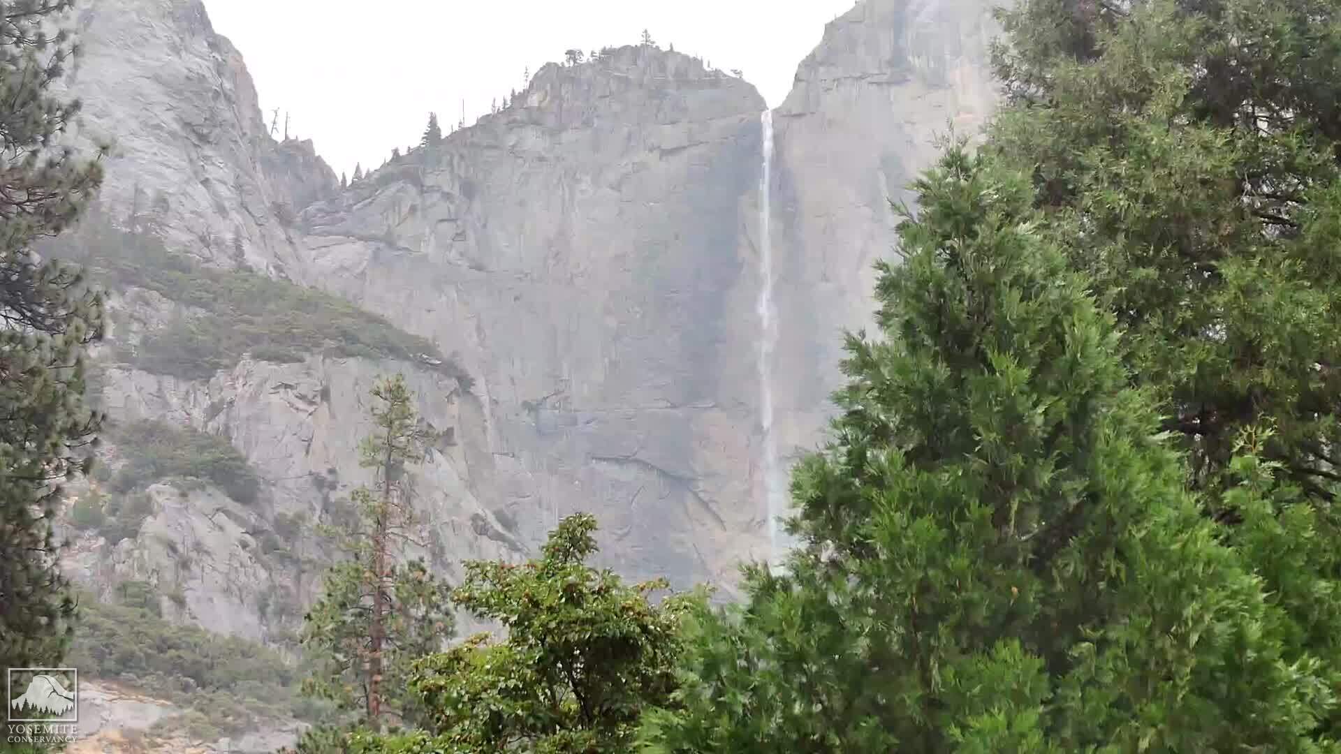
Yosemite Village, California, USA - 73.9 miles from Irishtown (historical): Yosemite Falls
Operator: Yosemite Conservancy
Operator: Yosemite Conservancy


Concord, California, USA - 78.9 miles from Irishtown (historical): Calvary Temple Christian School - A webcam in Concord, California - camera location: Calvary Temple Christian School.
Operator: WeatherBug
Operator: WeatherBug


Virginia City, Nevada, USA - 84.2 miles from Irishtown (historical): View of the C Street
Operator: Skyline Webcams
Operator: Skyline Webcams


Some other places in this country: May (historical) - Milligan District (historical) - Pokerville (historical) - Ranch House Estates - Pine Acres - Agoura Hills - Desert View Highlands - Rancho Vista - Centerville (historical) - Marklee Village