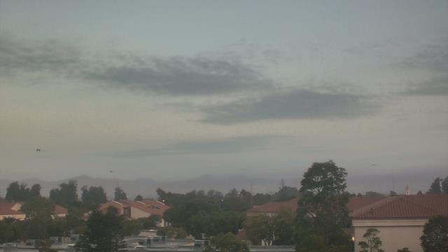
Webcams in the region of Agoura Hills, California, USA
The List of Webcams near Agoura Hills, California, USA:

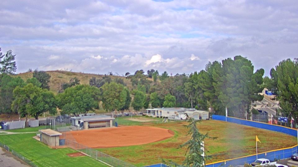
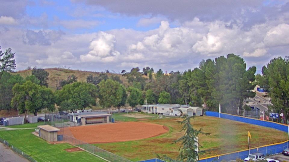
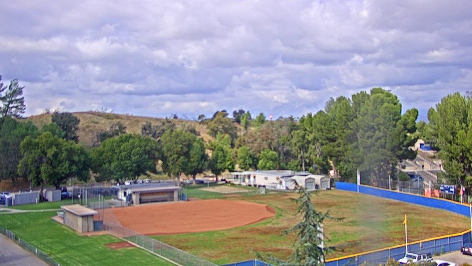
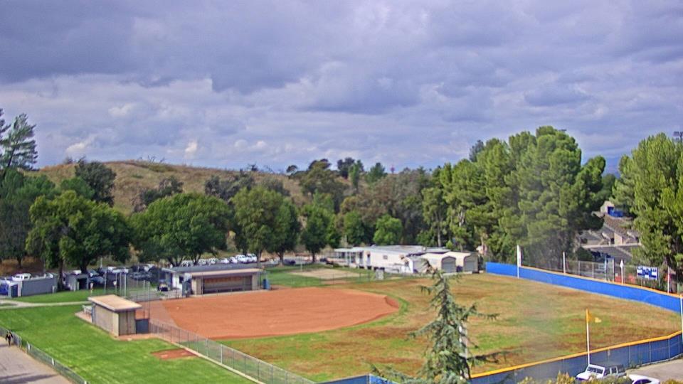
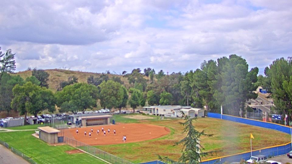
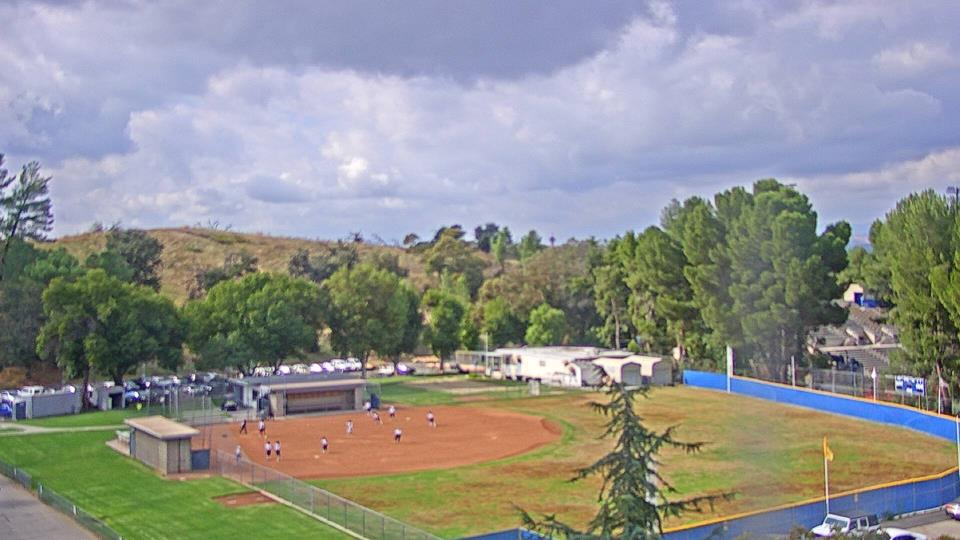
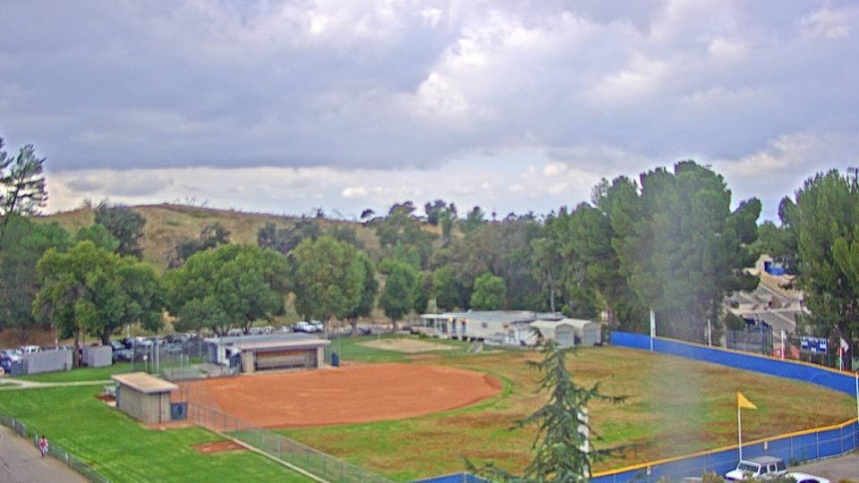
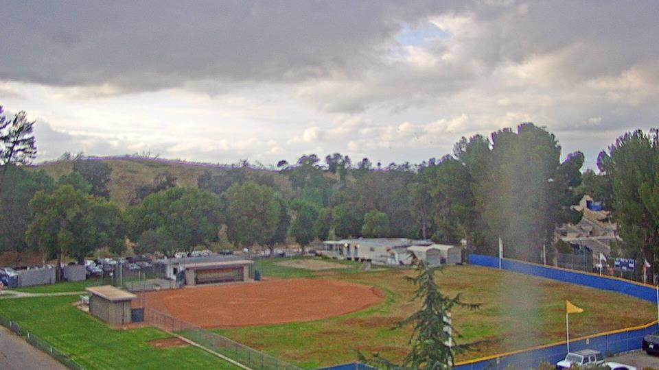
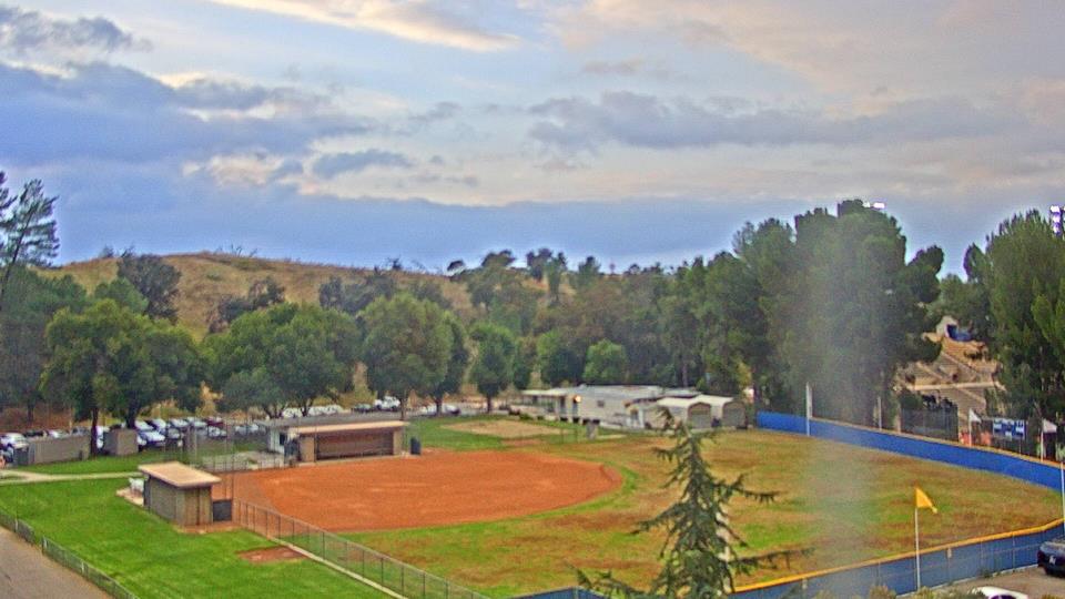
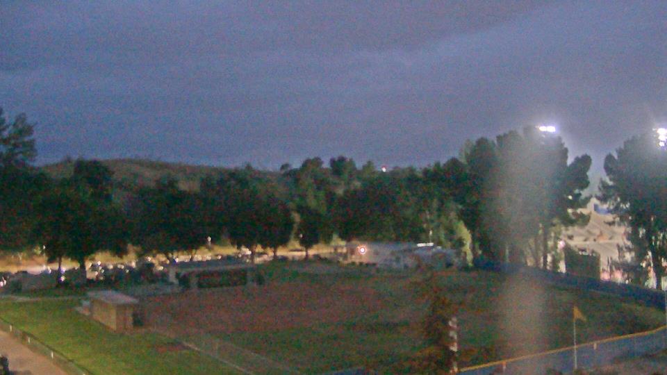
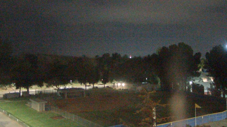
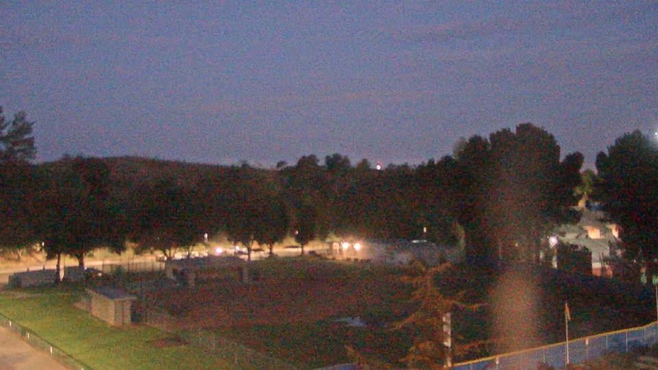
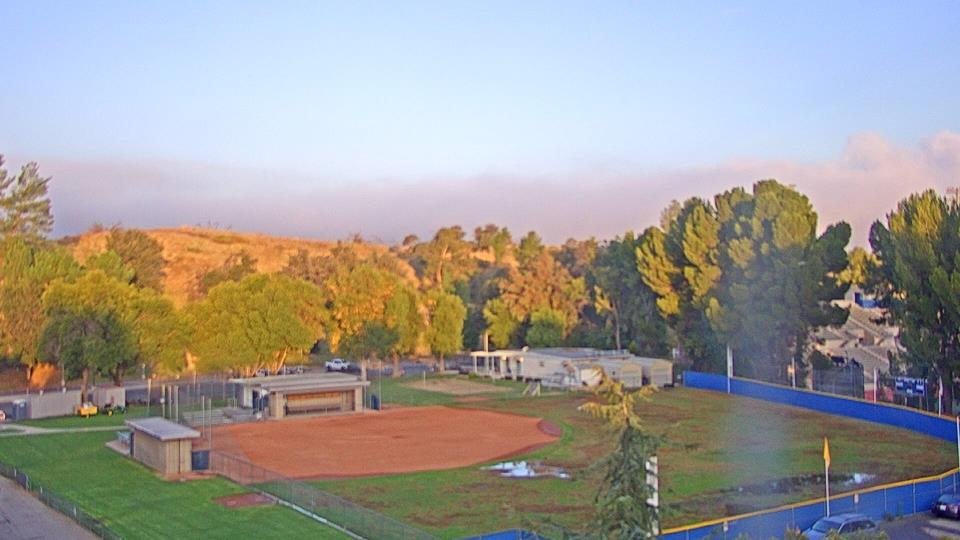
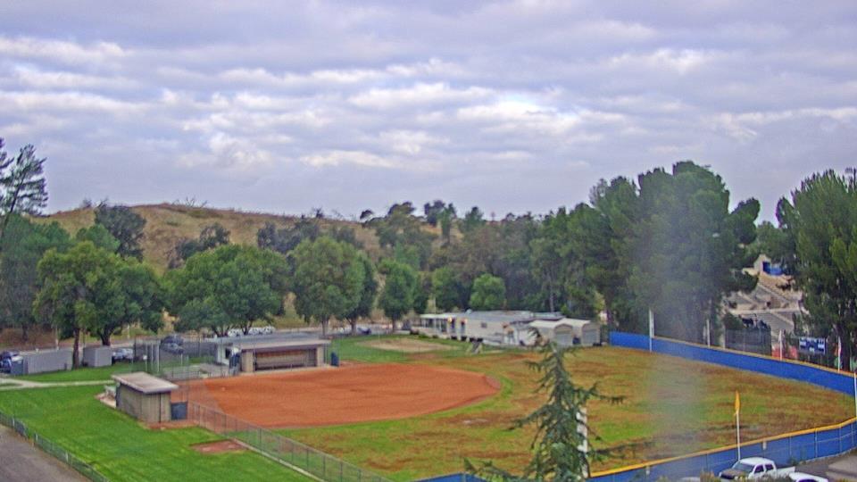
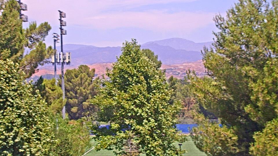
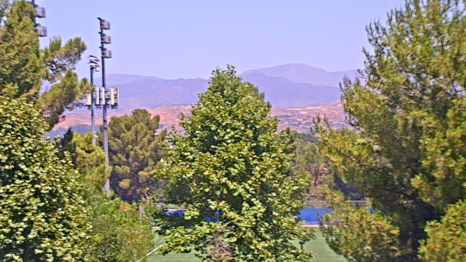
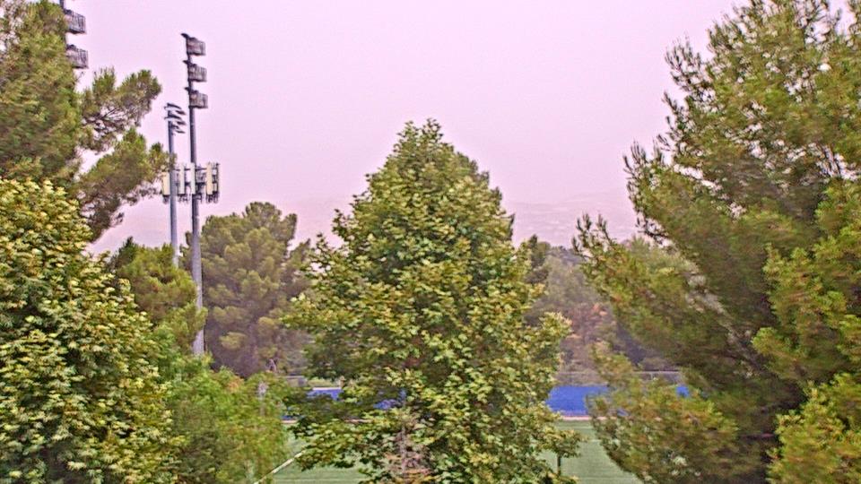
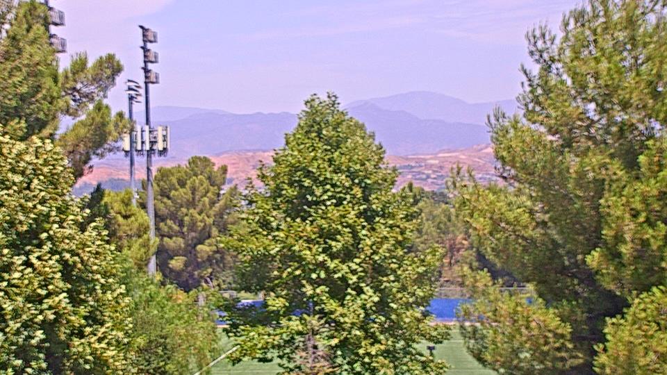
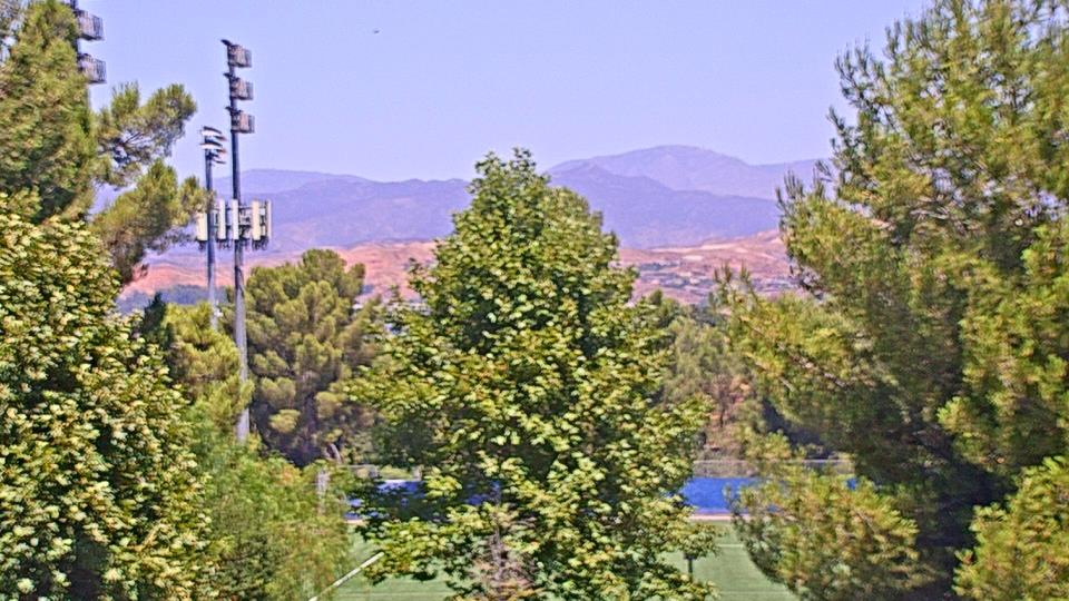
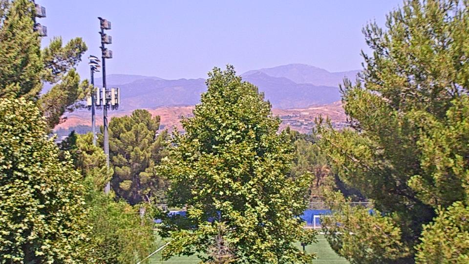
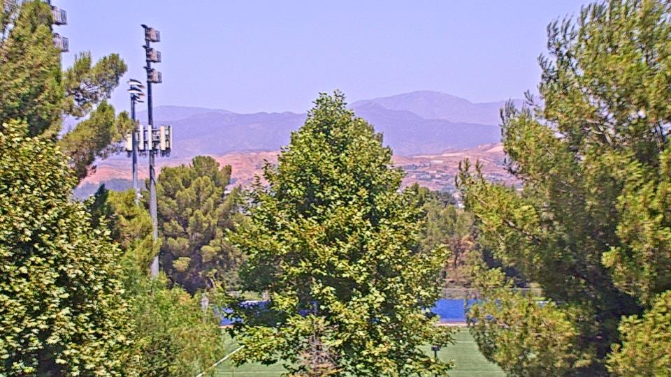
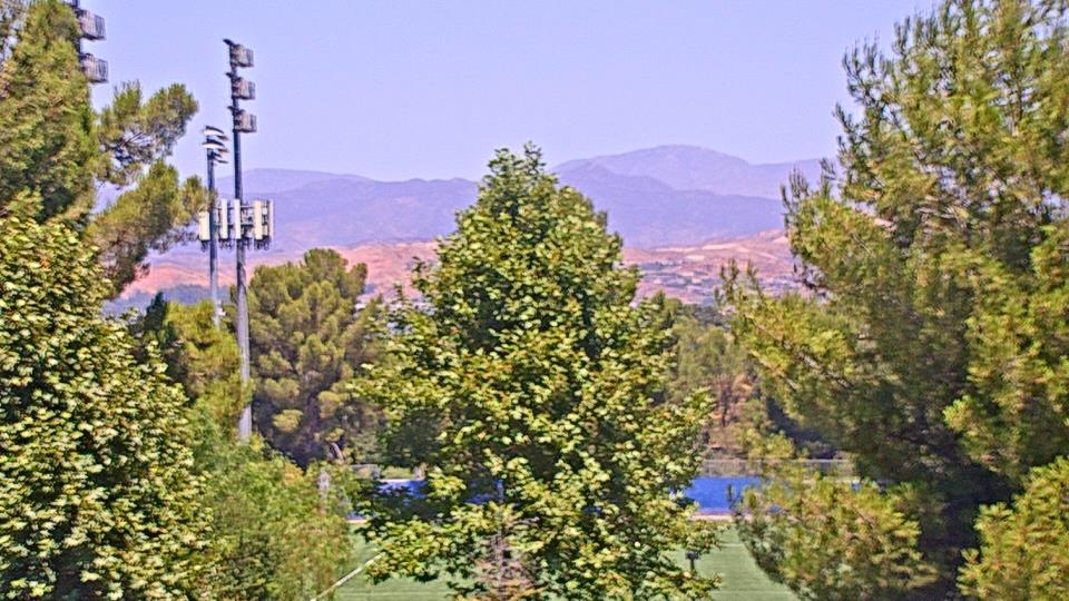
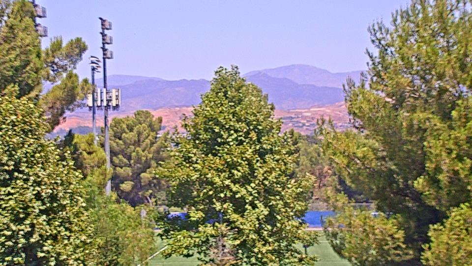
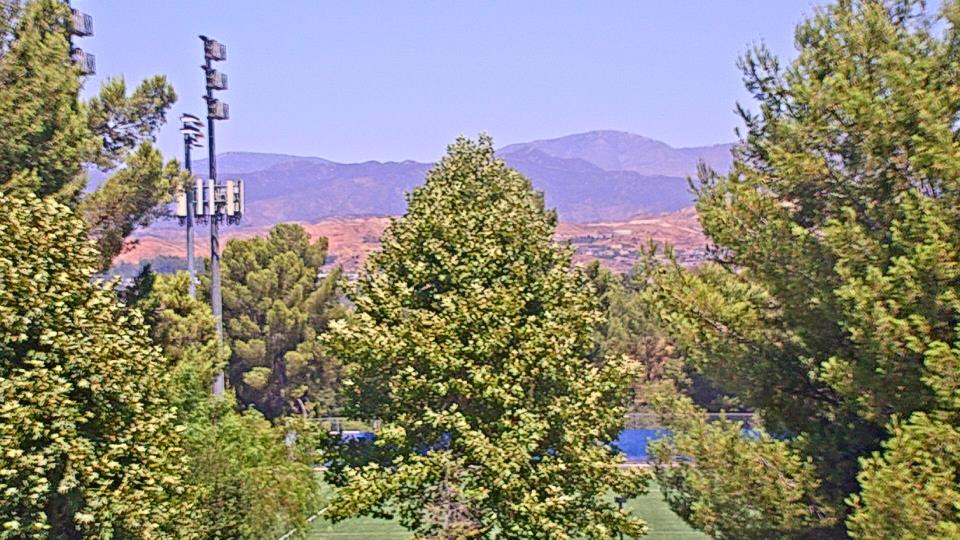
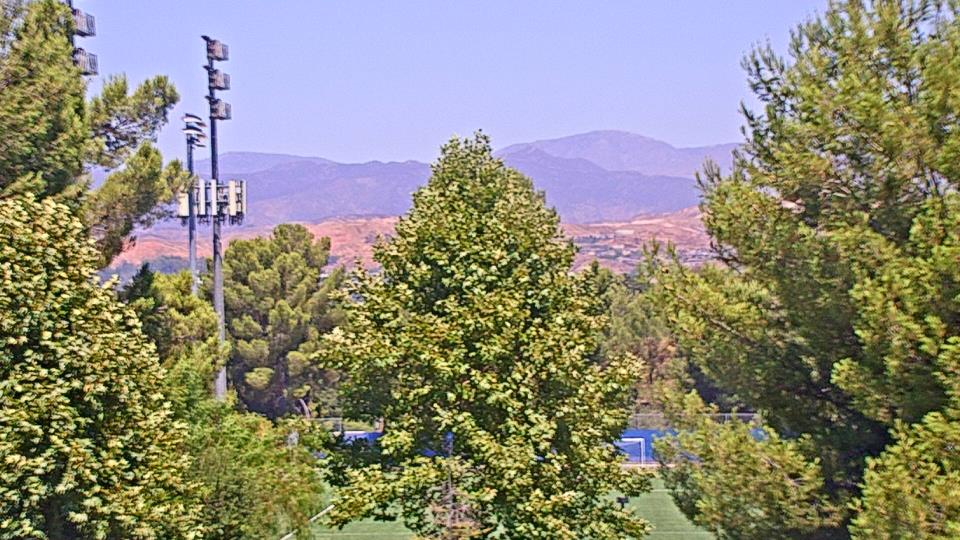
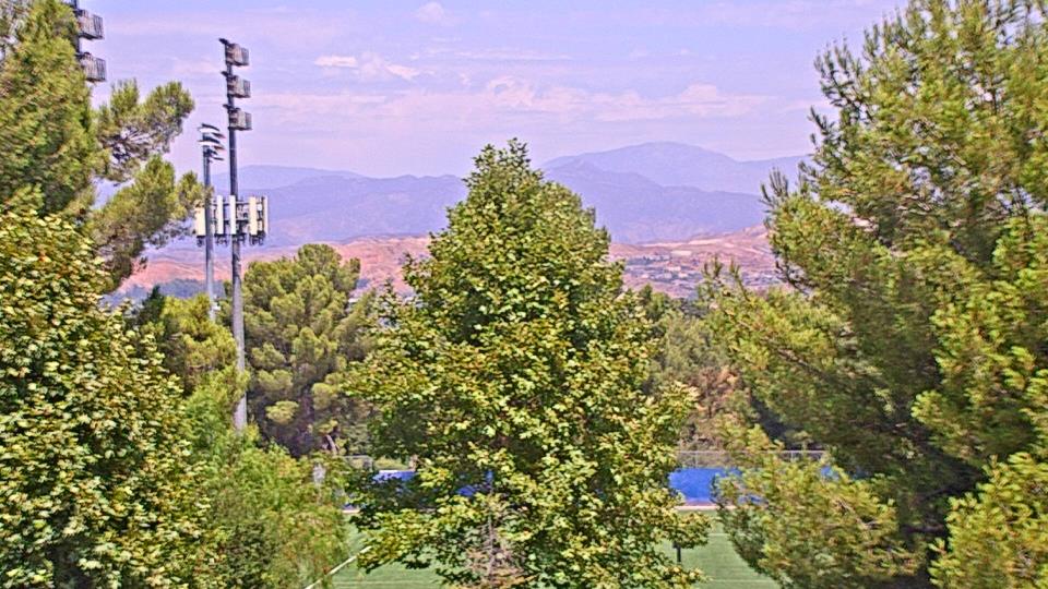
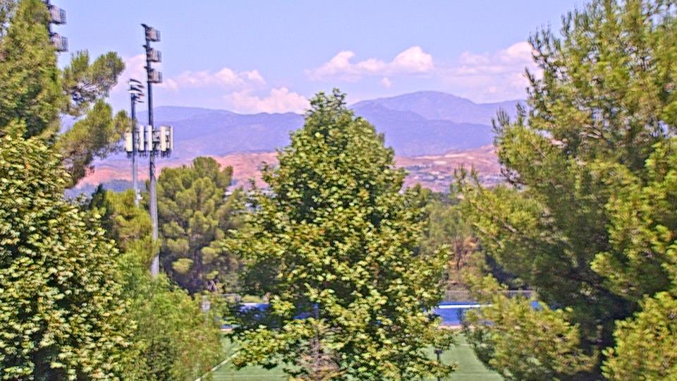
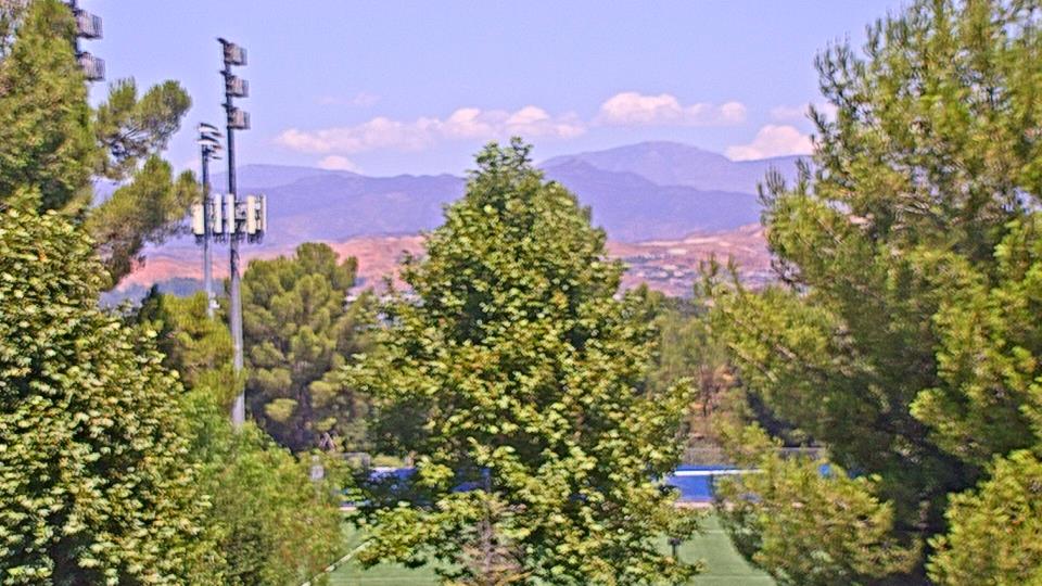
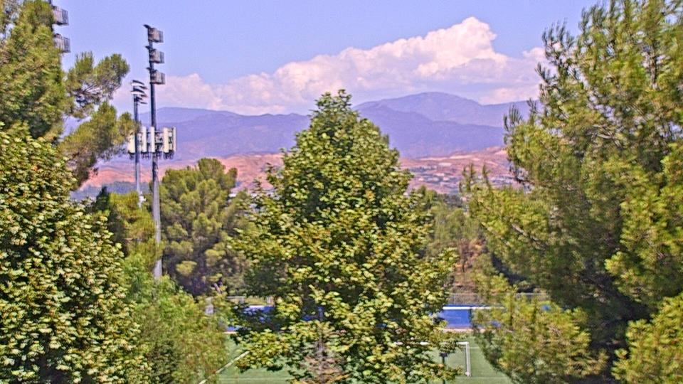
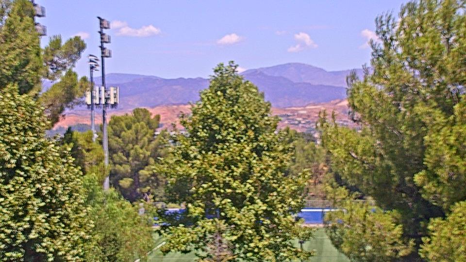
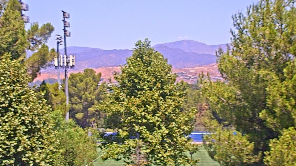
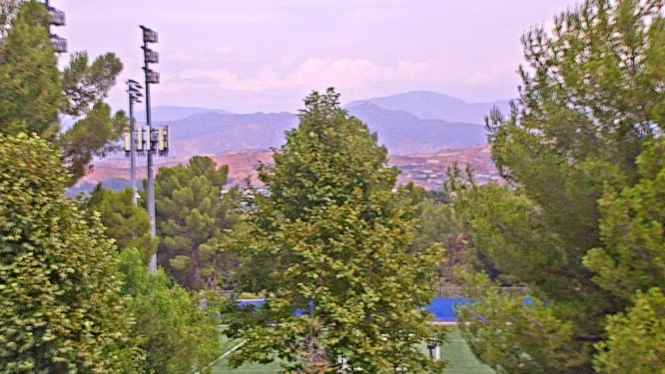
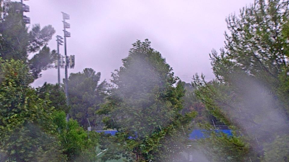
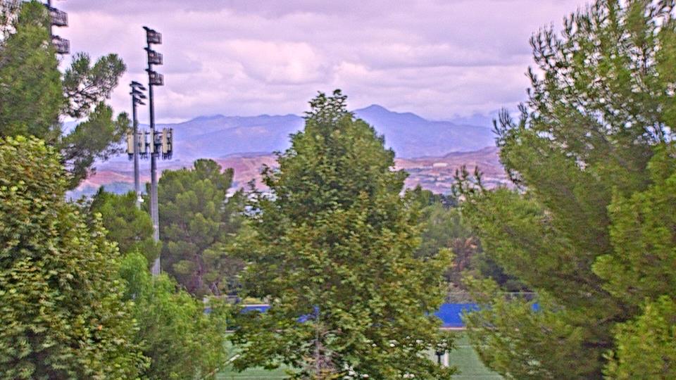
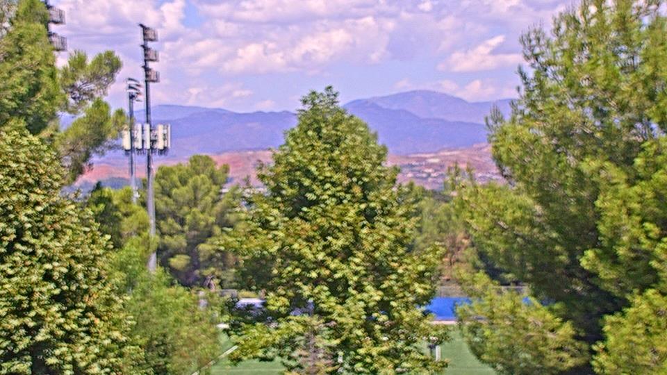
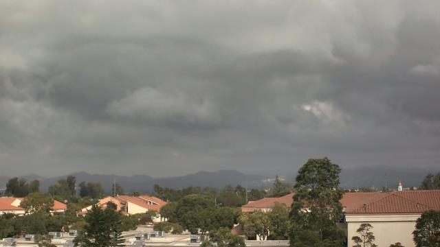
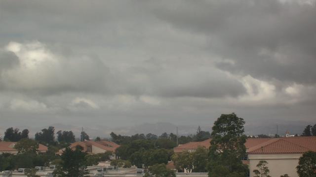
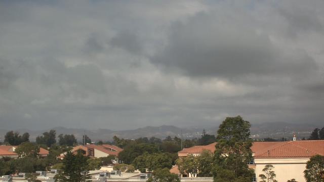
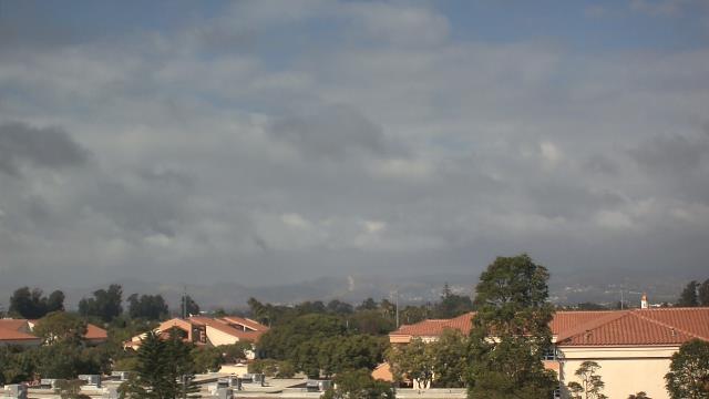
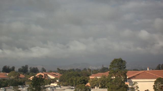
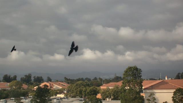
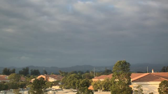
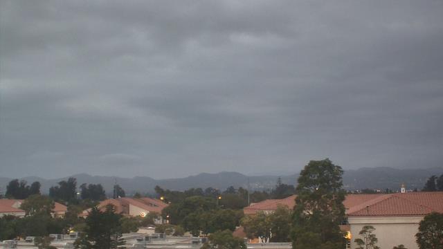
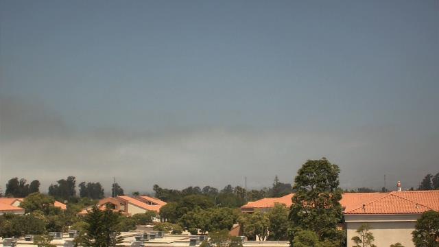
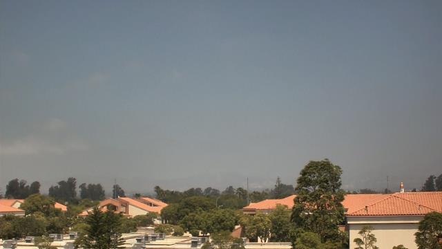
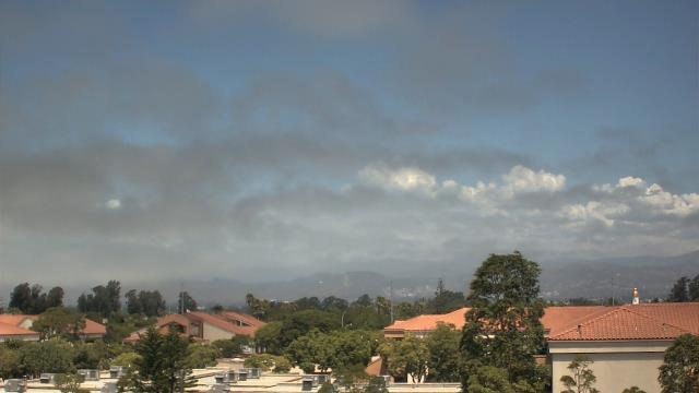
Canoga Park, California, USA - 11 miles from Agoura Hills: Canoga Park High School - Webcam and current weather data - camera location: Canoga Park High School.
Operator: WeatherBug
Operator: WeatherBug


Topanga Beach, California, USA - 13 miles from Agoura Hills: Live Surf Camera - Live streaming Surf camera for Topanga Point.
Operator: SwellMagnet.com
Operator: SwellMagnet.com

Santa Monica, California, USA - 18.6 miles from Agoura Hills: Santa Monica Beach - This live streaming surf camera covers the best surf spot in Santa Monica, CA.
Operator: SwellMagnet.com
Operator: SwellMagnet.com

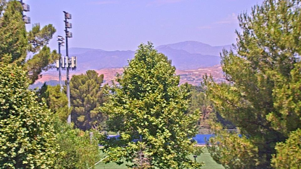
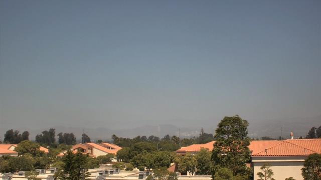
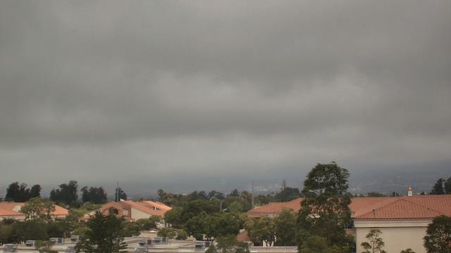
Valencia, California, USA - 21.2 miles from Agoura Hills: College of the Canyons - Webcam and current weather data - camera location: College of the Canyons.
Operator: WeatherBug
Operator: WeatherBug


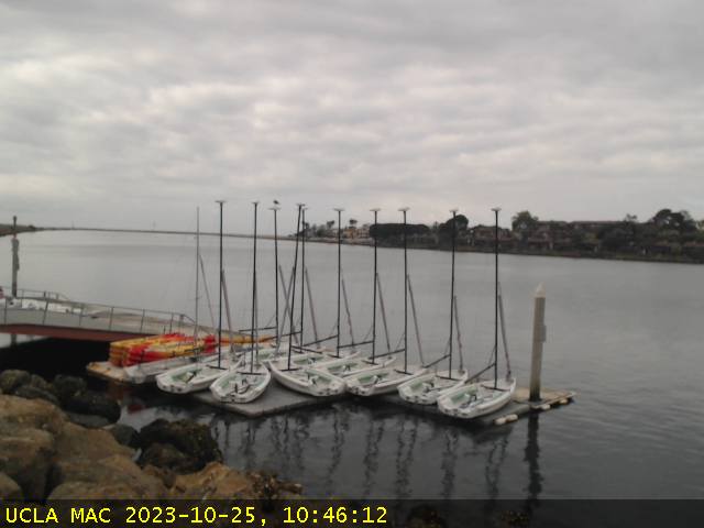
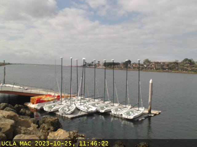
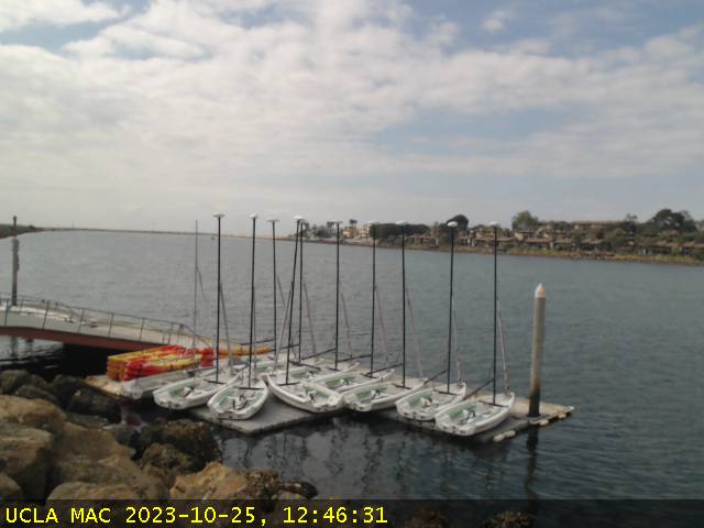
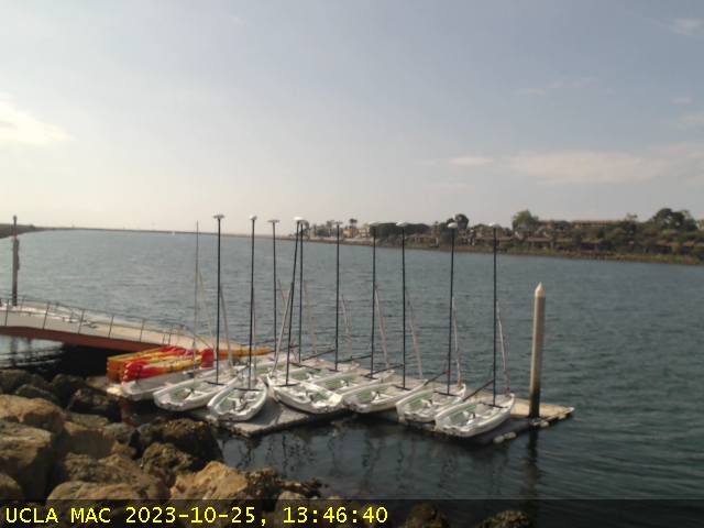
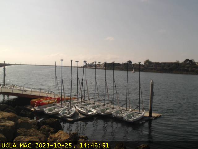
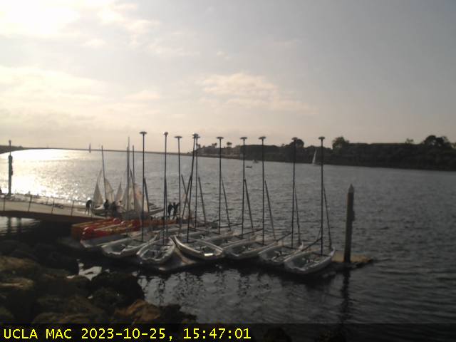
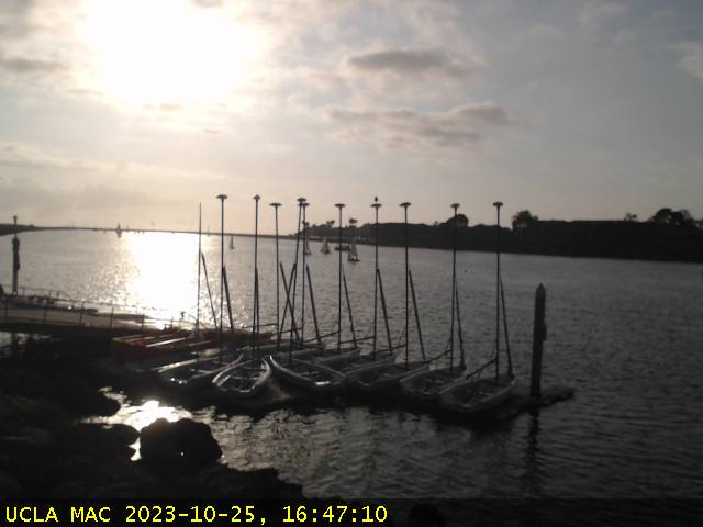
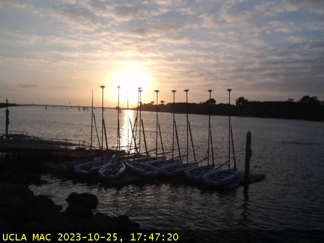
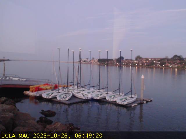
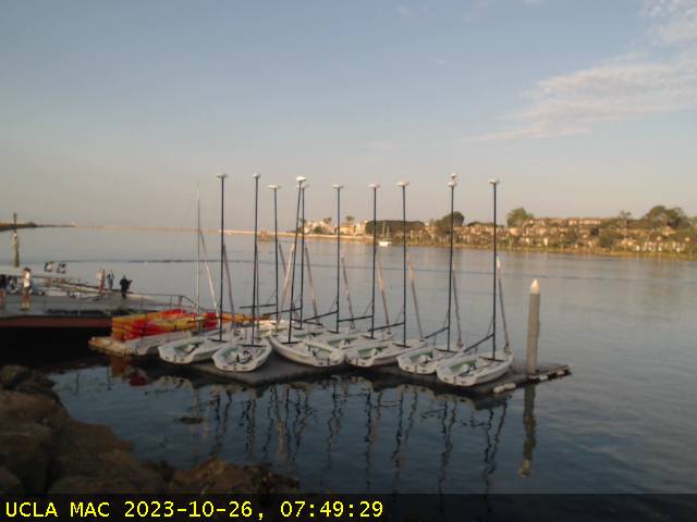
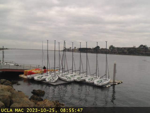
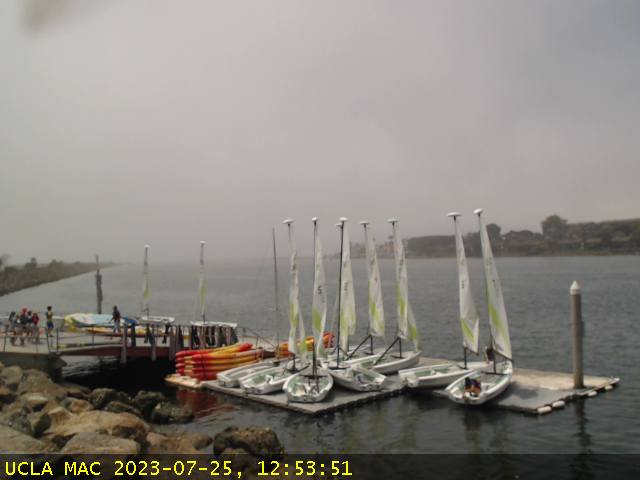
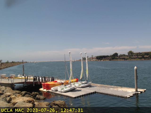
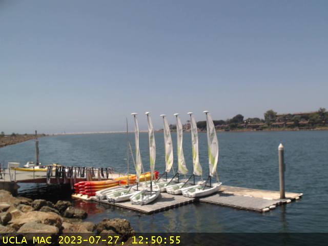
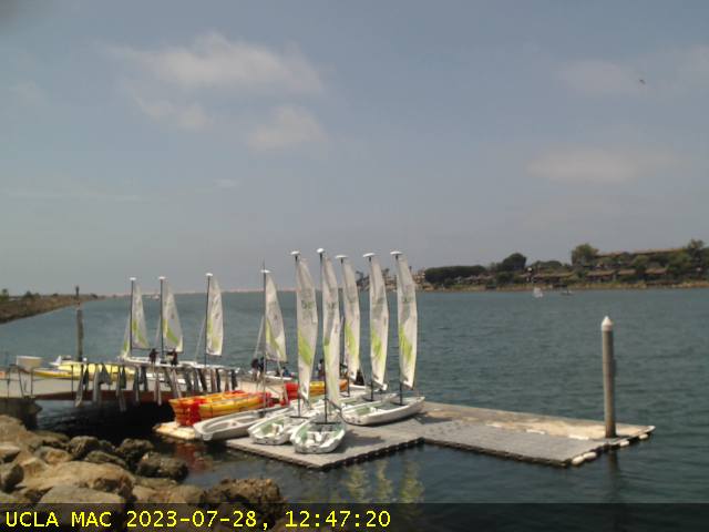
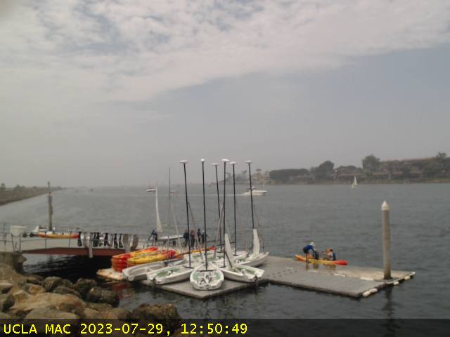
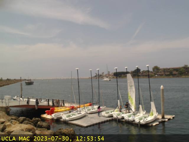
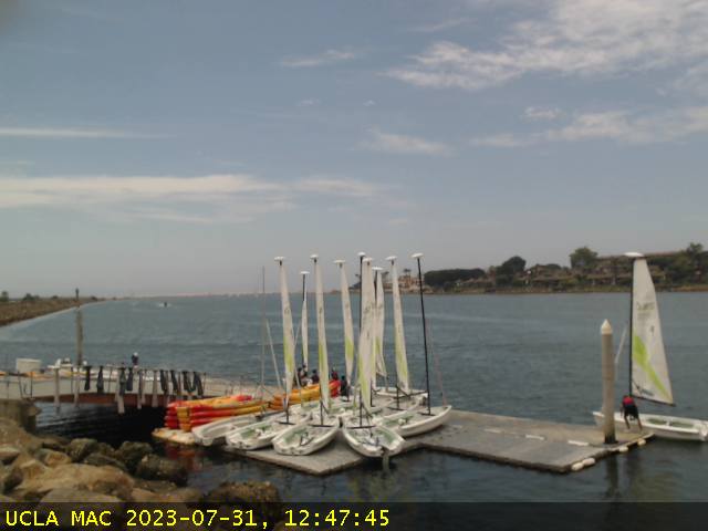
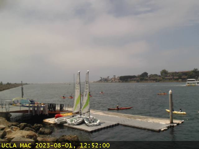
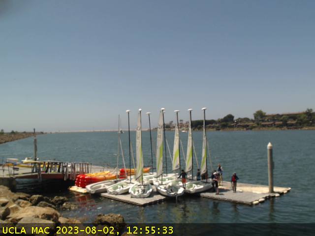
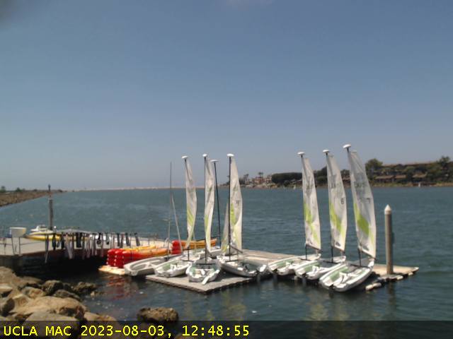
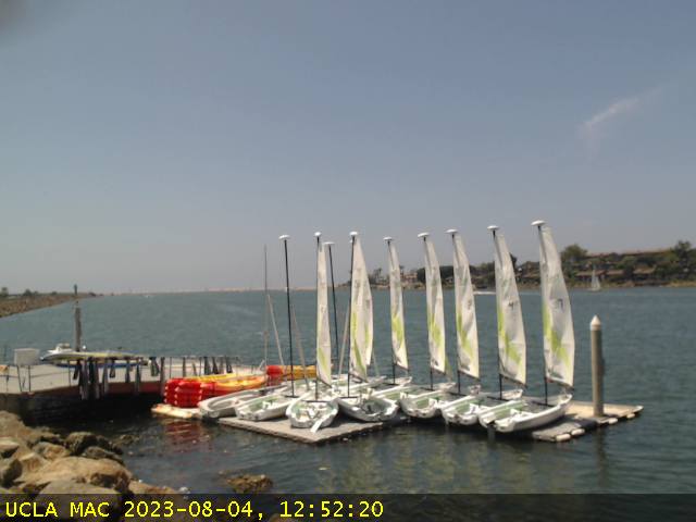
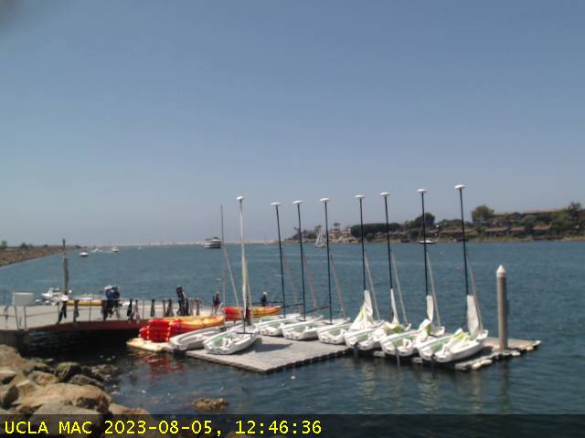
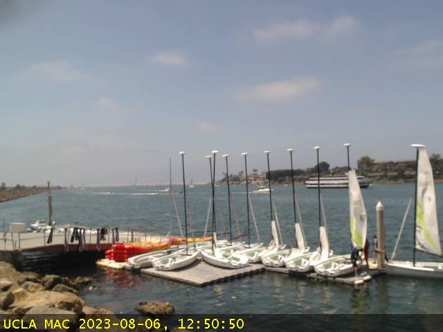
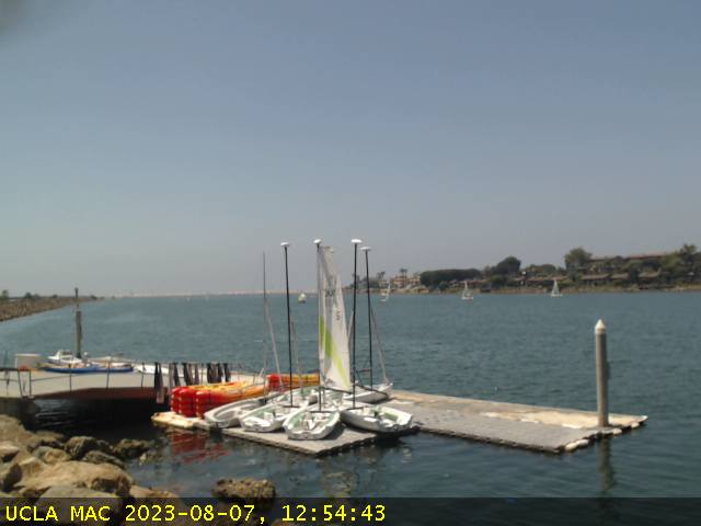
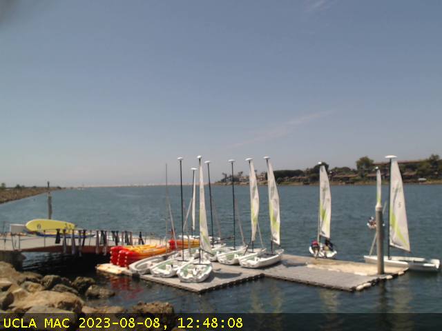
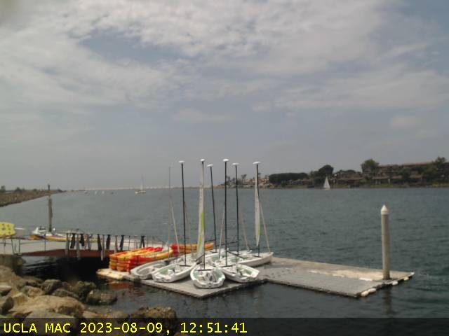
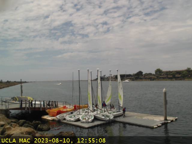
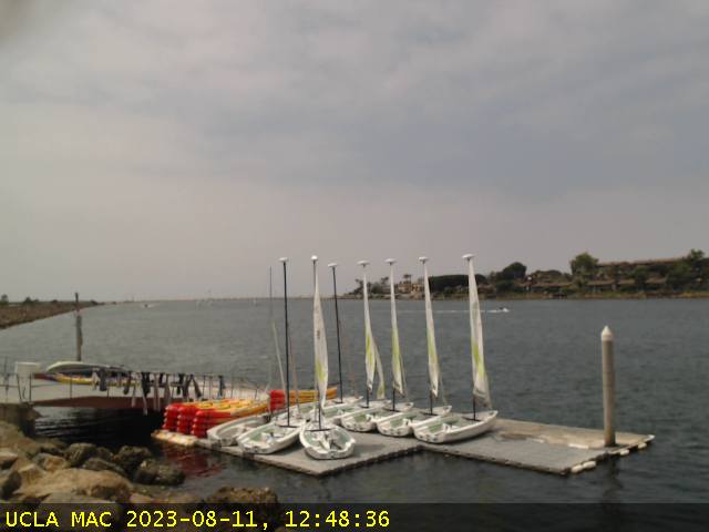
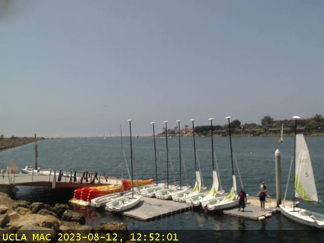
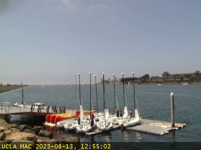
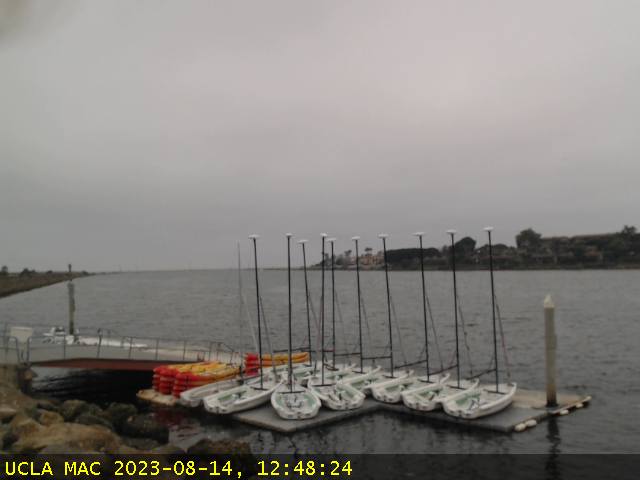
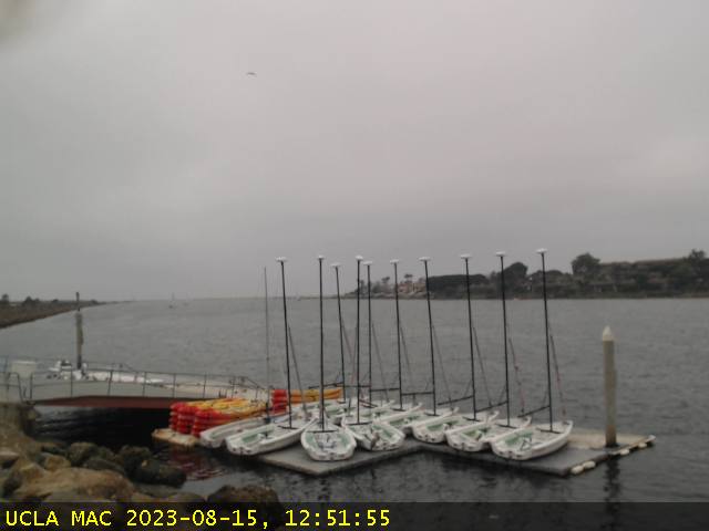
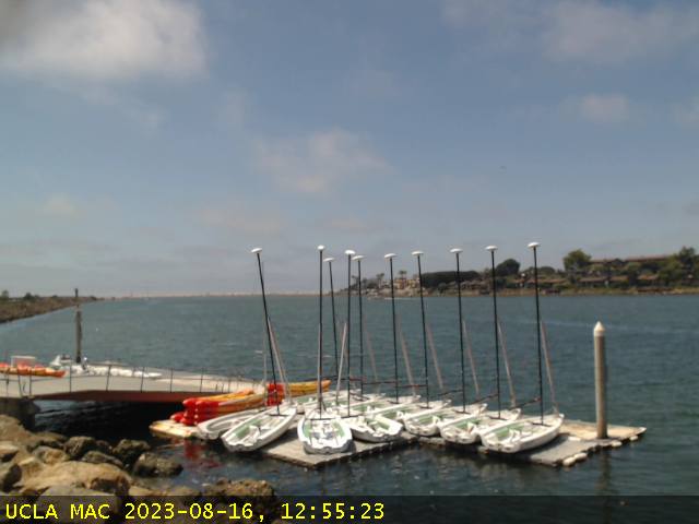
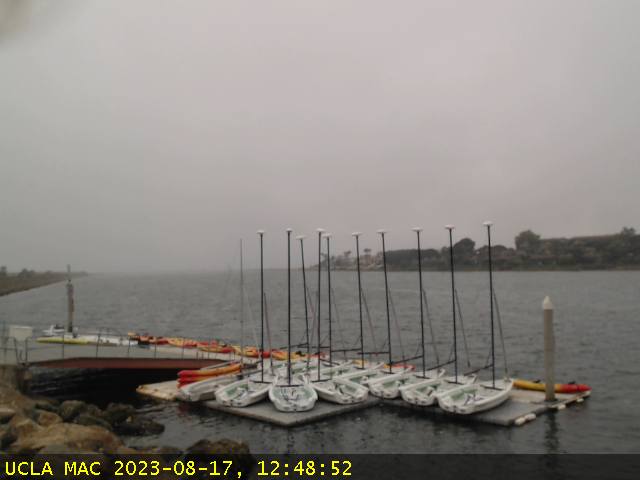
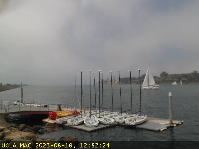
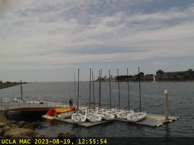
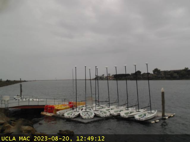
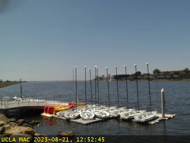
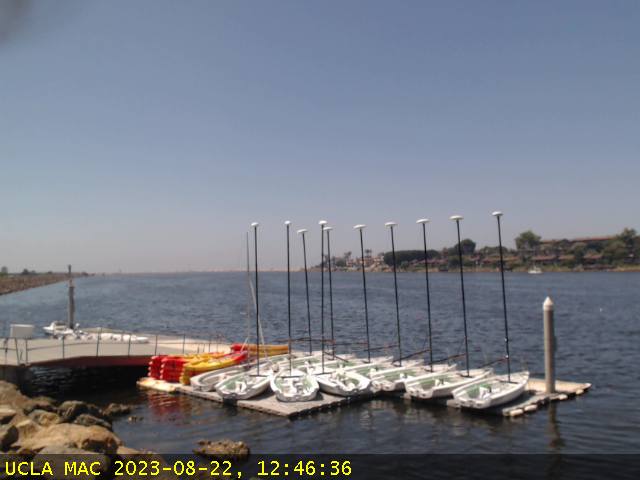
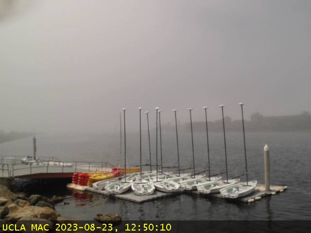
Marina del Rey, California, USA - 21.4 miles from Agoura Hills: Marina Aquatic Center - A view of the doch area and the port entrance channel in Marina del Rey from the Marina Aquatic Center.
Operator: Marina Aquatic Center
Operator: Marina Aquatic Center


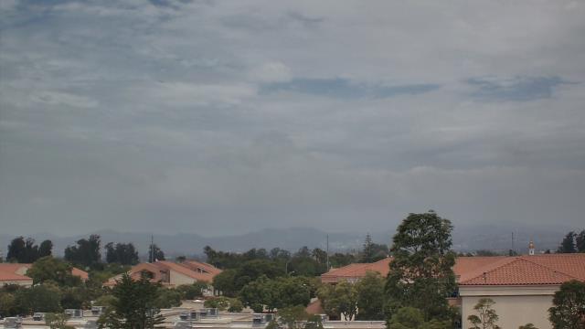
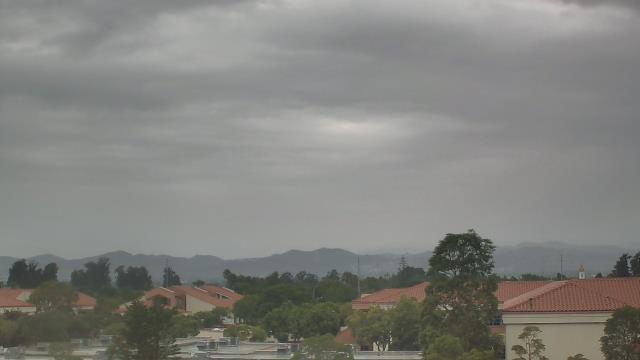
Saugus, California, USA - 23.3 miles from Agoura Hills: Valencia-Santa Clarita View - A view of Valencia/Six Flags Magic Mountain/Steveson Ranch areas within Santa Clarita from Saugus, CA.
Operator: Santa Clarita Cam
Operator: Santa Clarita Cam

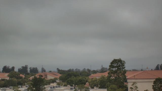
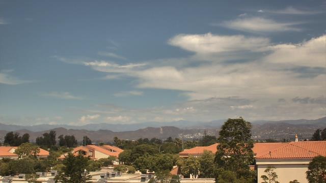
Oxnard, California, USA - 23.4 miles from Agoura Hills: Oxnard School District - A webcam in Oxnard, California - camera location: Oxnard School District.
Operator: WeatherBug
Operator: WeatherBug


Manhattan Beach, California, USA - 27.1 miles from Agoura Hills: El Porto Beach - The El Porto Beach Live Surf Camera gives you an up close view of the South Bay Gem.
Operator: SwellMagnet.com
Operator: SwellMagnet.com

Manhattan Beach, California, USA - 27.1 miles from Agoura Hills: Manhattan Beach Pier - The Manhattan Beach Pier Live Surf Camera has the World's best view of this historical location.
Operator: SwellMagnet.com
Operator: SwellMagnet.com

Hermosa Beach, California, USA - 28.7 miles from Agoura Hills: Hermosa Beach Pier - A view of the Hermosa Beach Pier, taken from Hennessey's Tavern, also as streaming video.
Operator: hermosawave.net
Operator: hermosawave.net
Some other places in this country: Pokerville (historical) - Ranch House Estates - Irishtown (historical) - Pine Acres - Desert View Highlands - Rancho Vista - Centerville (historical) - Marklee Village - Country Mobile Estates - Auburn Lake Trails