Webcams in the region of Hymer (historical), Alabama, USA
The List of Webcams near Hymer (historical), Alabama, USA:

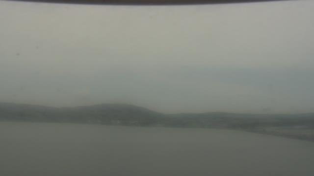
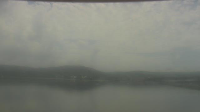
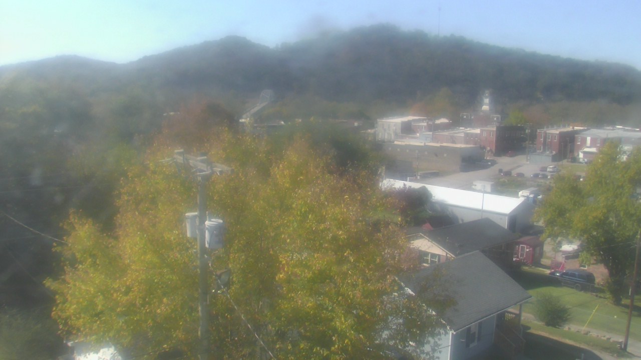
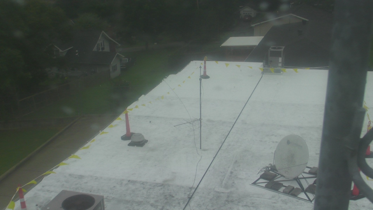
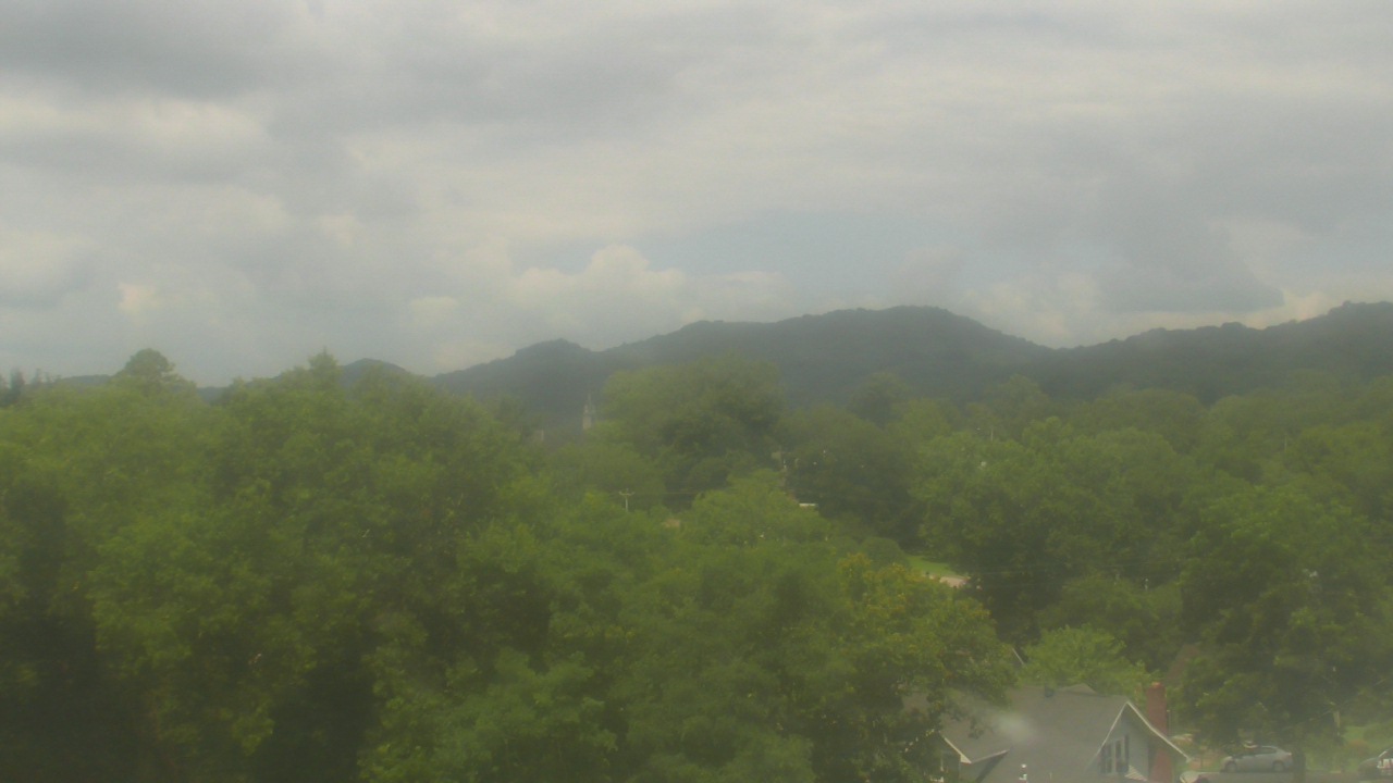
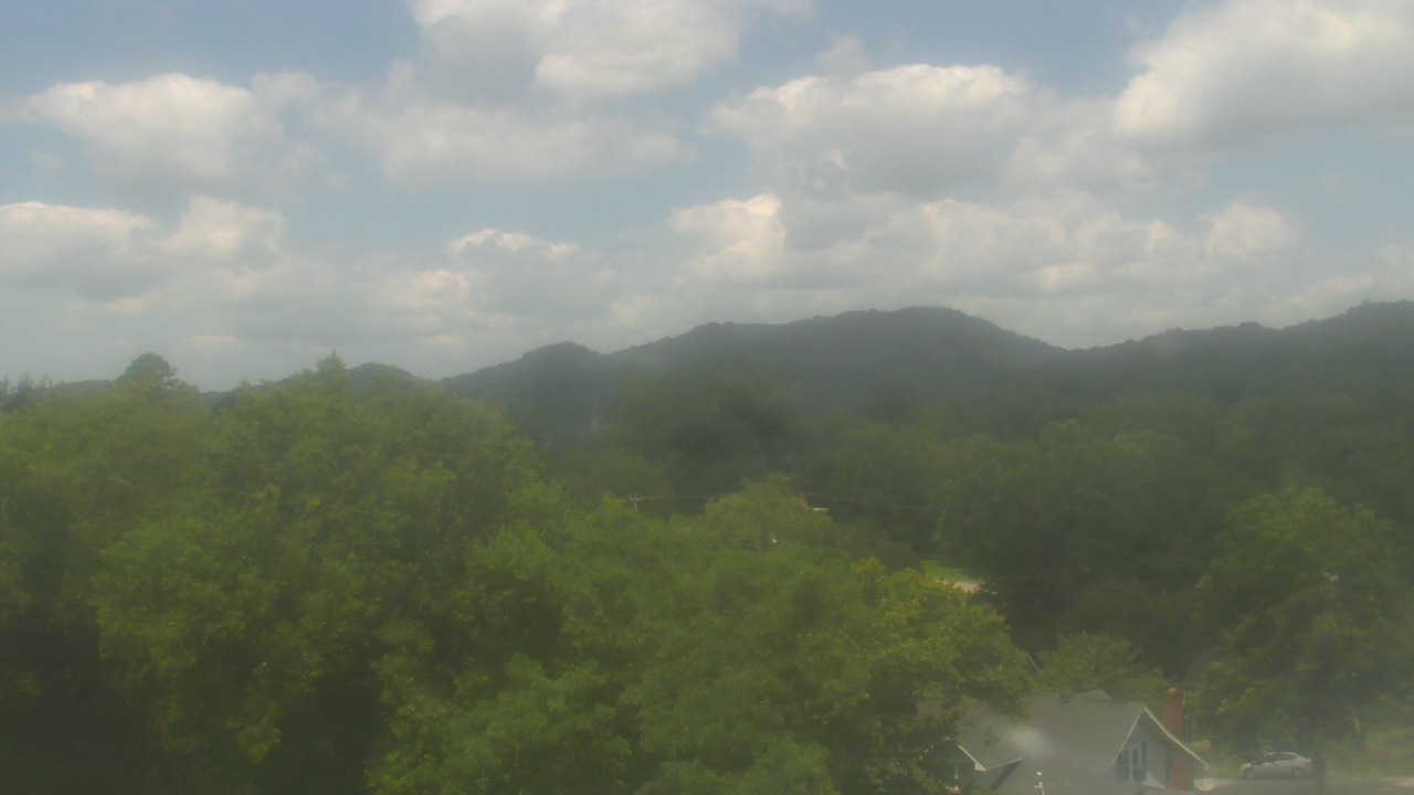
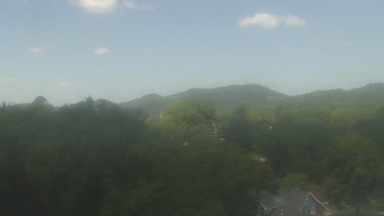
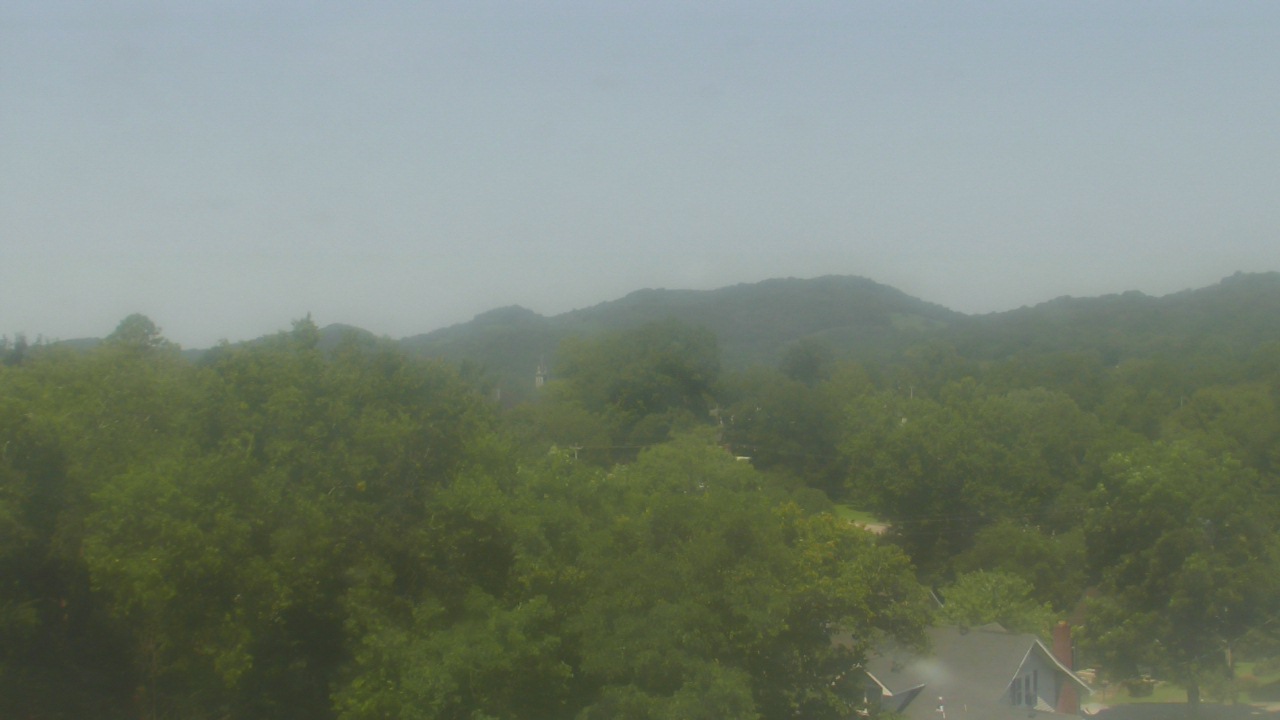
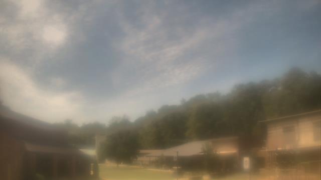
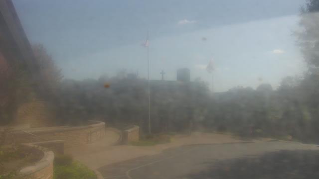
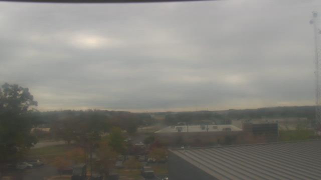
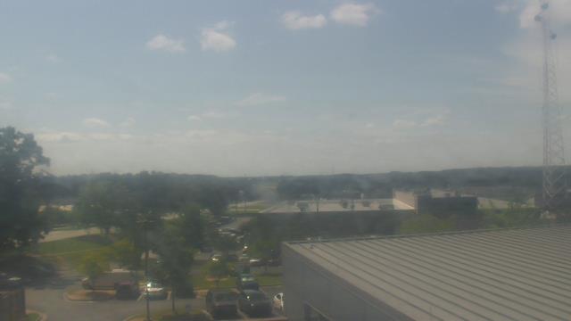
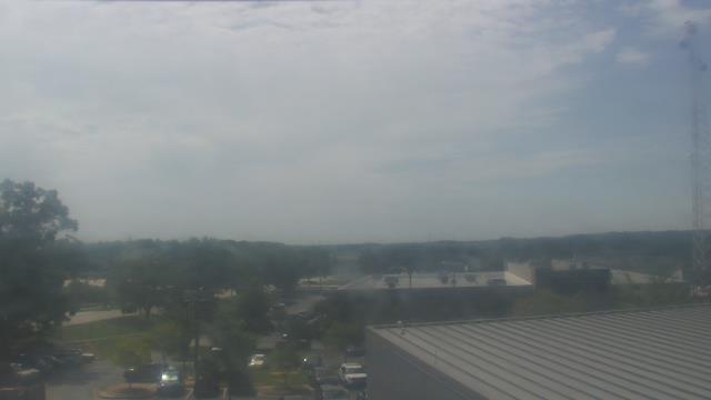
Guntersville, Alabama, USA - 41.4 miles from Hymer (historical): Wyndham Garden Lake Guntersville - A webcam in Guntersville, Alabama - camera location: Wyndham Garden Lake Guntersville.
Operator: WeatherBug
Operator: WeatherBug


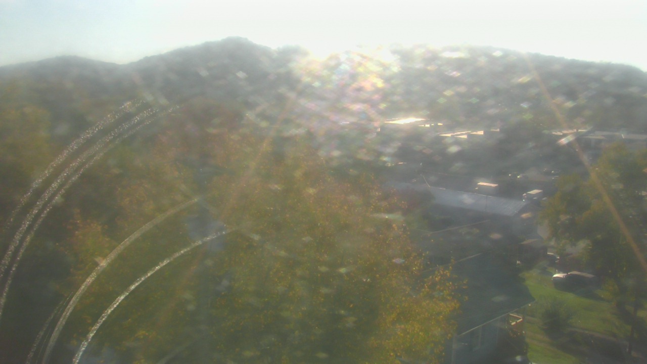
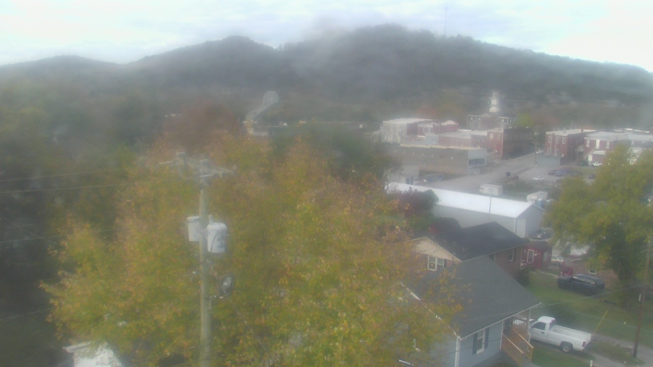
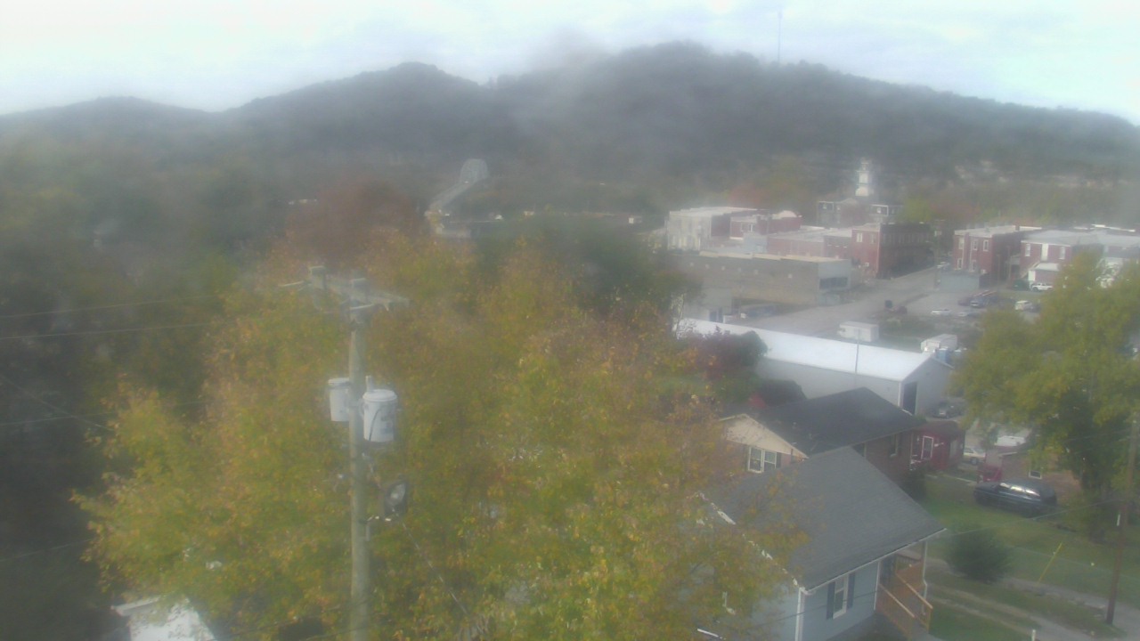
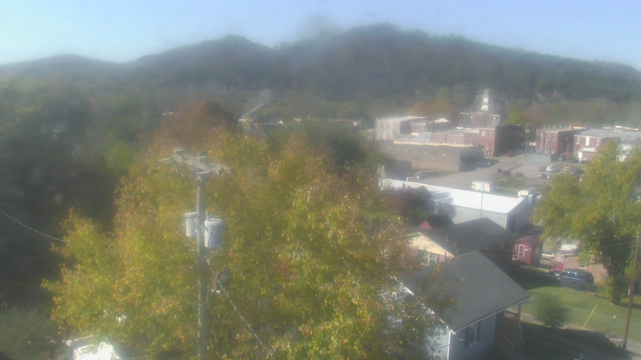
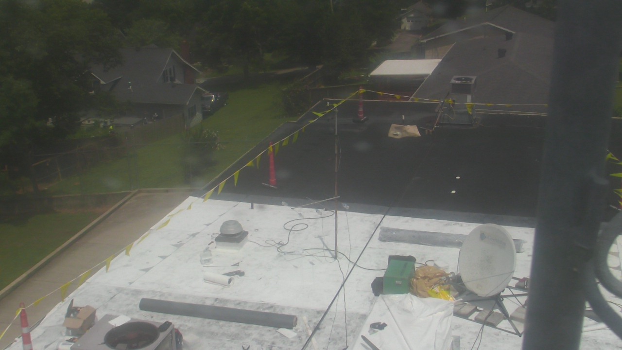
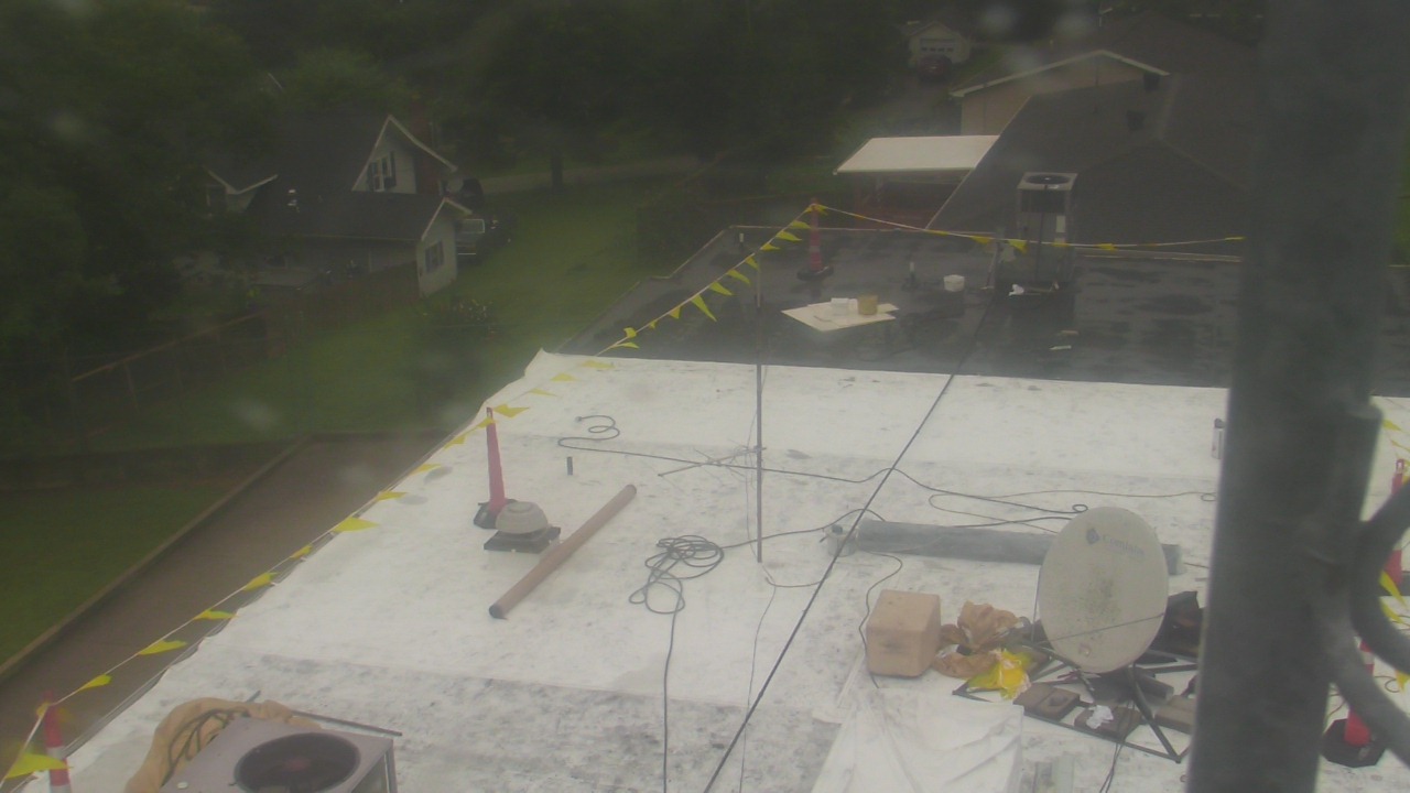
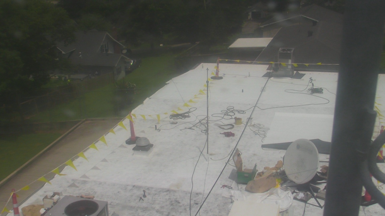
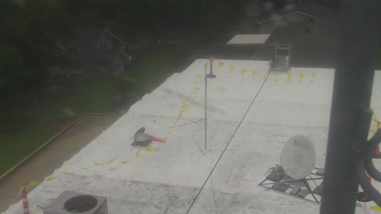
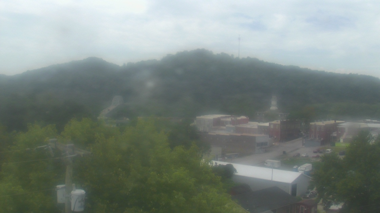
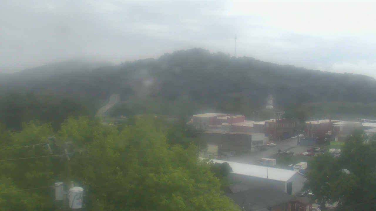
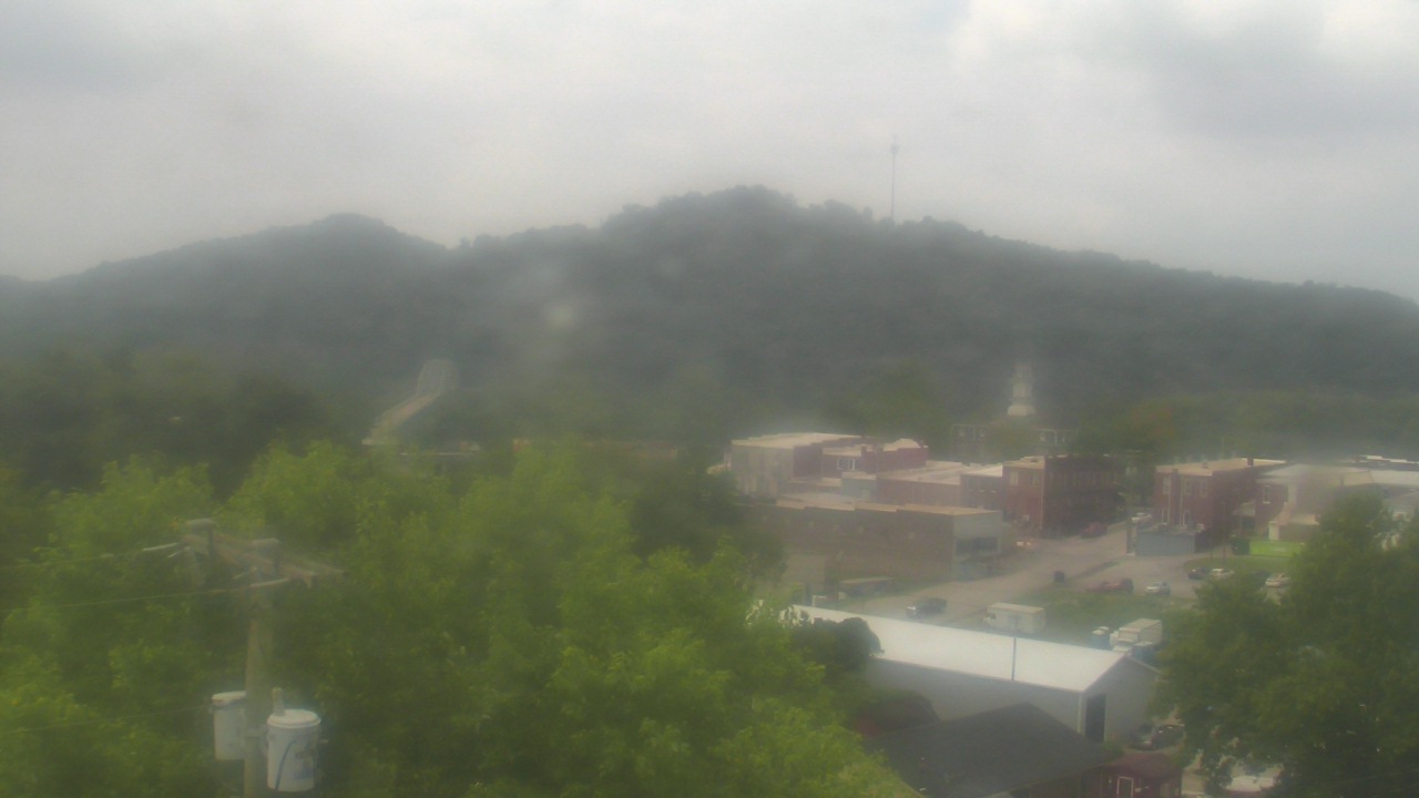
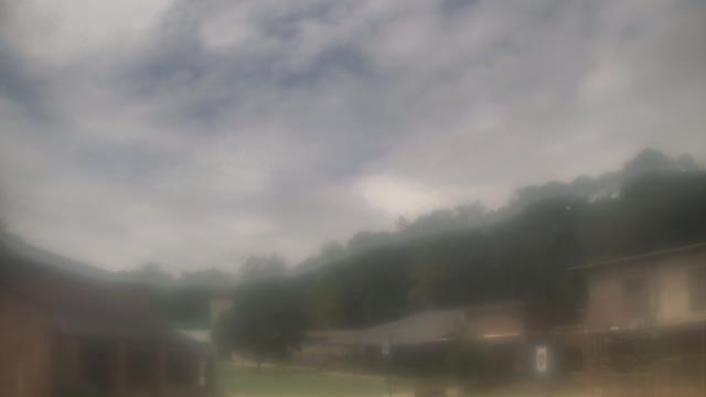
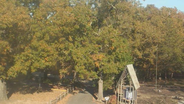
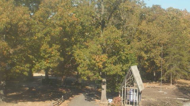
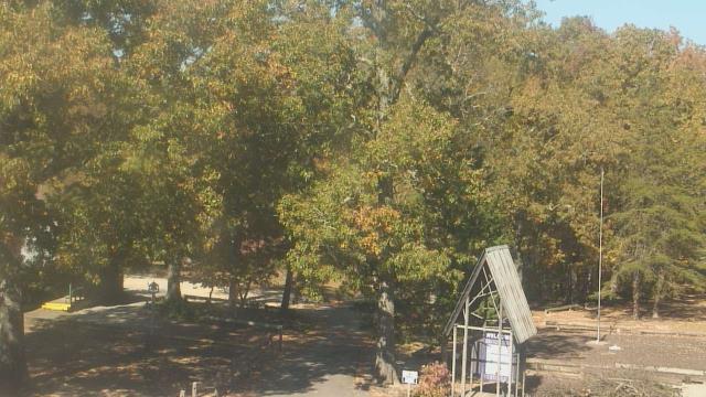
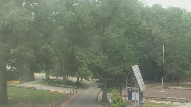
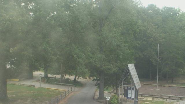
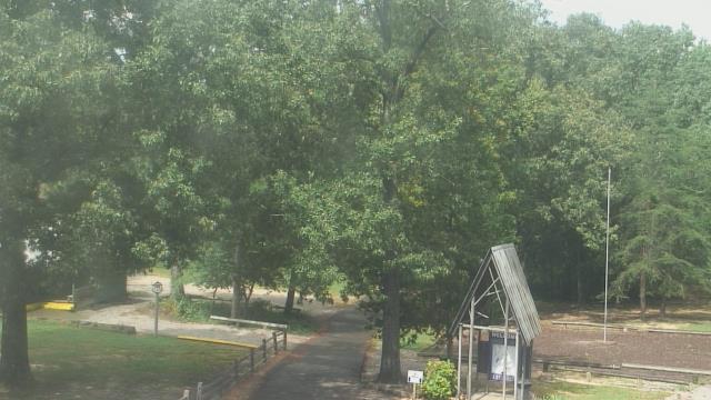
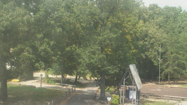
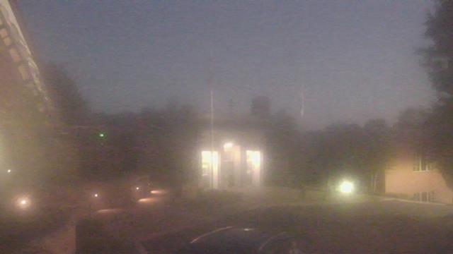
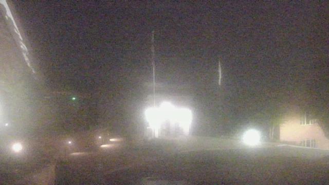
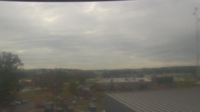
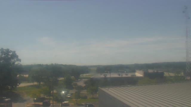
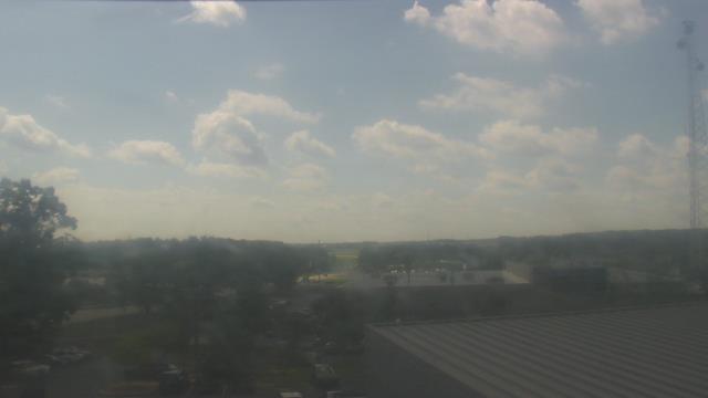
Carthage, Tennessee, USA - 98.5 miles from Hymer (historical): Smith County Chamber of Commerce - A webcam in Carthage, Tennessee - camera location: Smith County Chamber of Commerce.
Operator: WeatherBug
Operator: WeatherBug


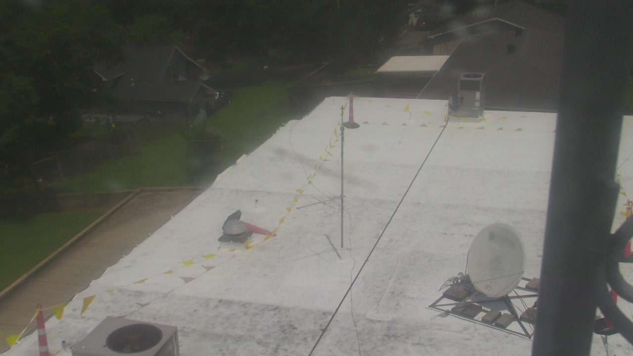


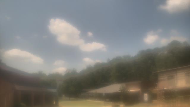
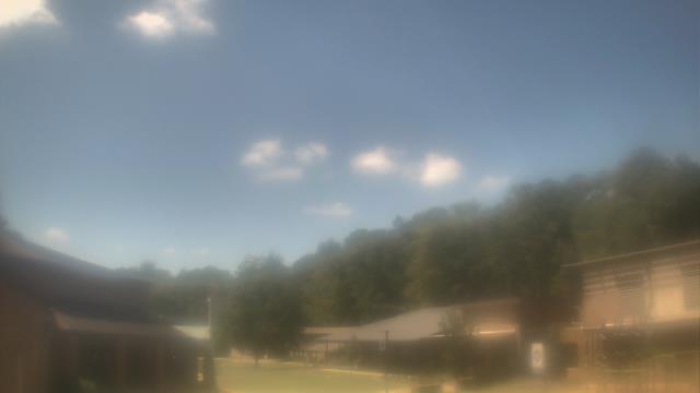
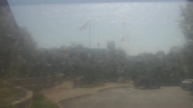
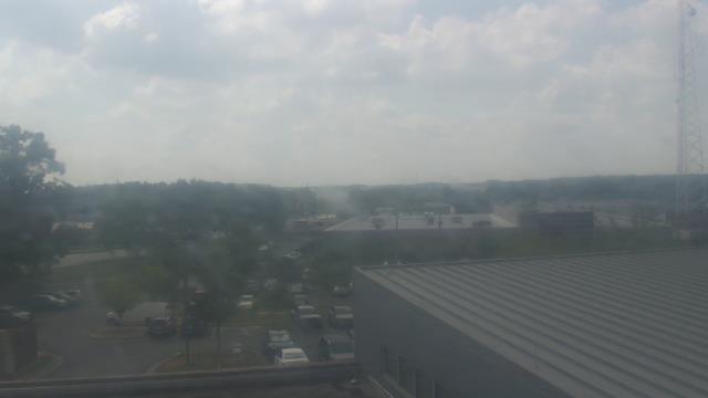
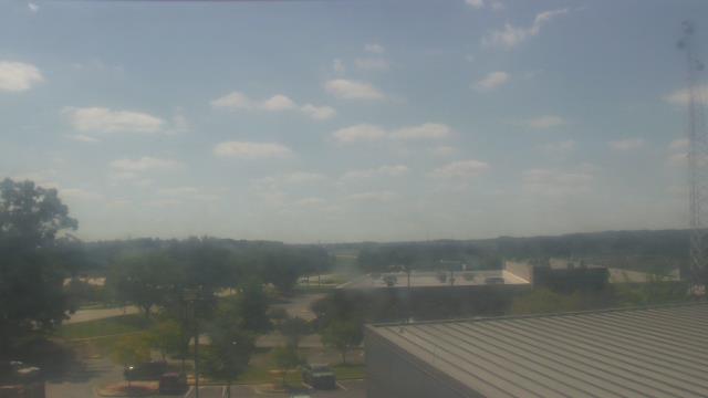
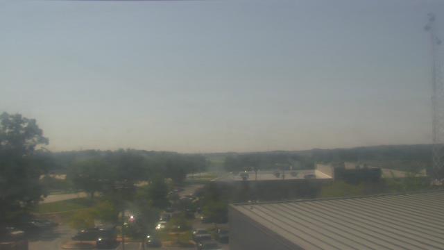
Birmingham, Alabama, USA - 106.4 miles from Hymer (historical): Highlands School - A webcam in Birmingham, Alabama - camera location: Highlands School.
Operator: WeatherBug
Operator: WeatherBug
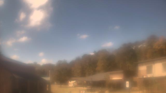


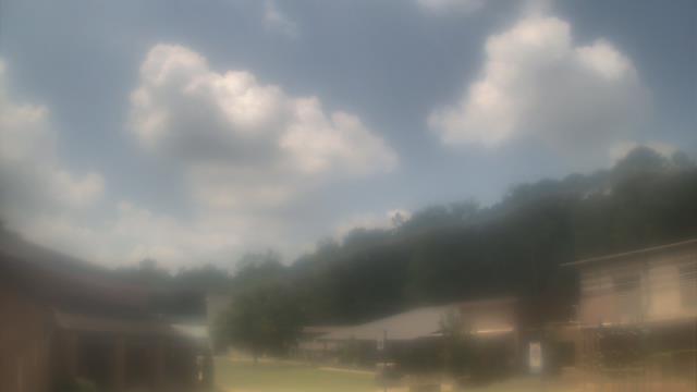


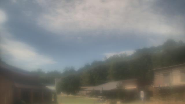


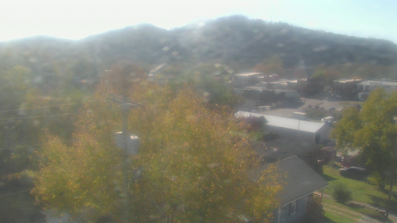
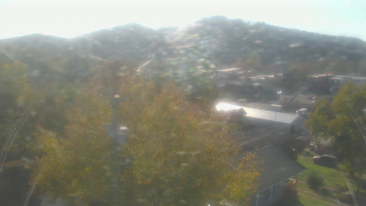
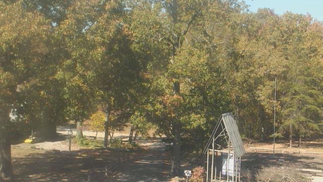
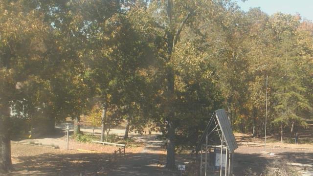
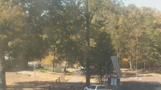
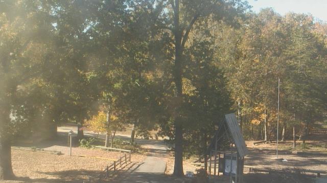
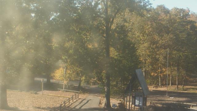
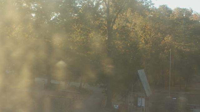
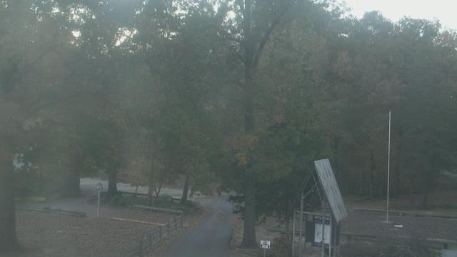
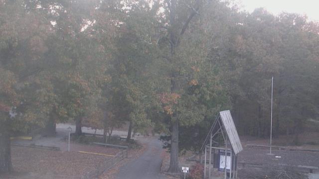
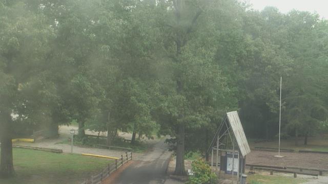
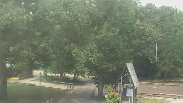
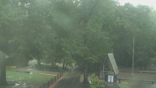
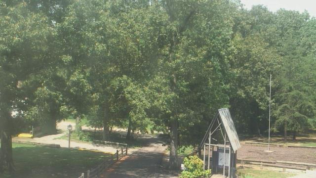
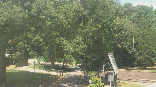
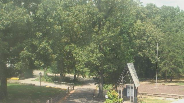
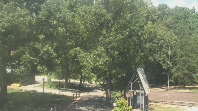
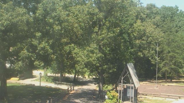
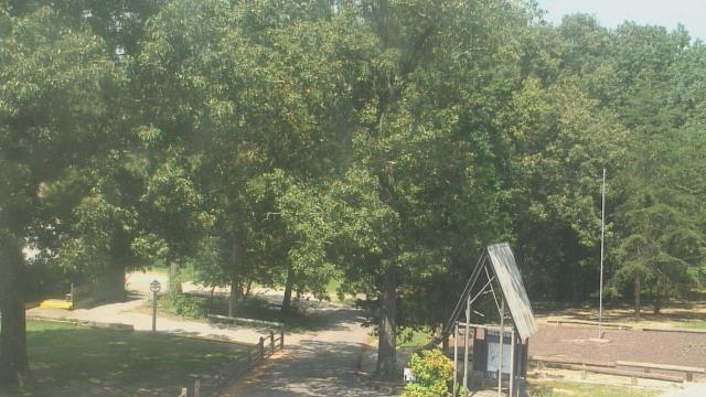
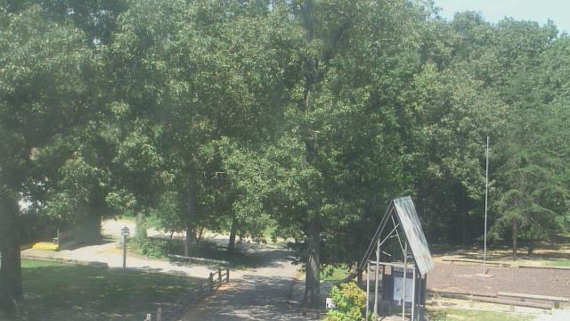
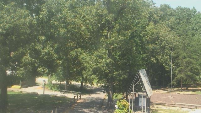
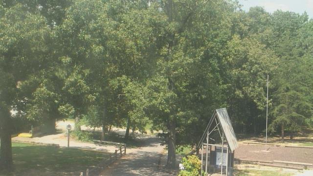
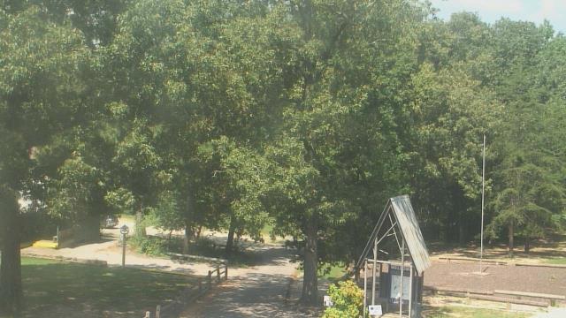
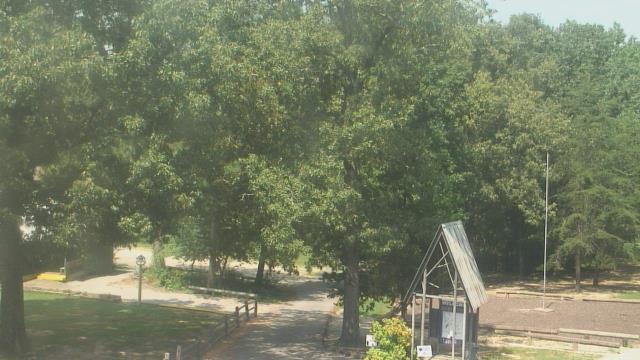
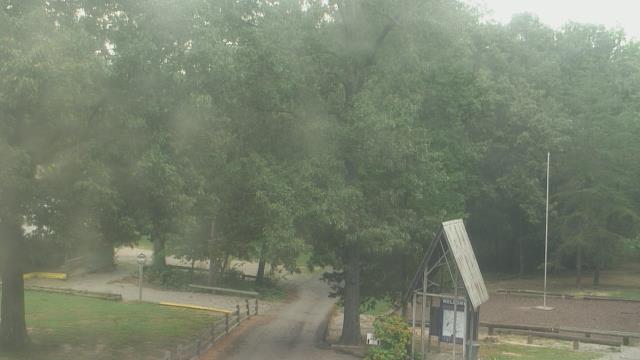
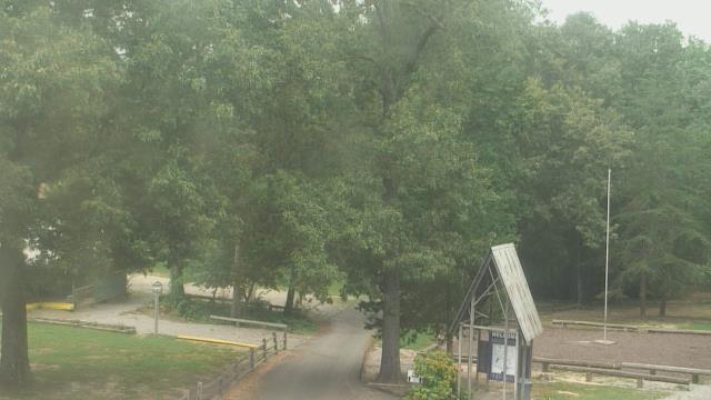
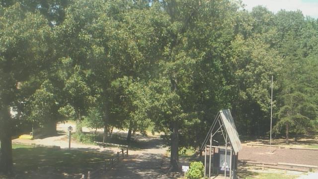
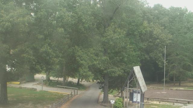
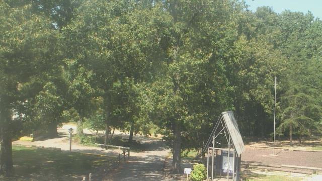
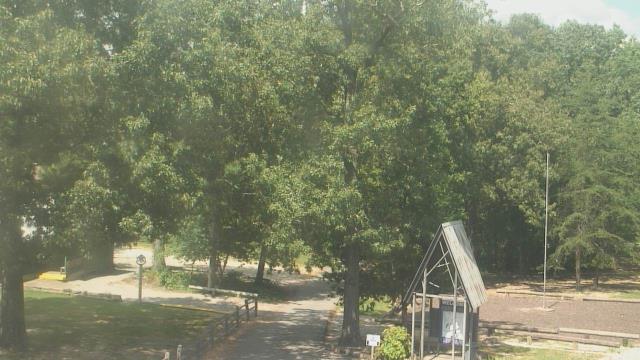
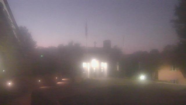
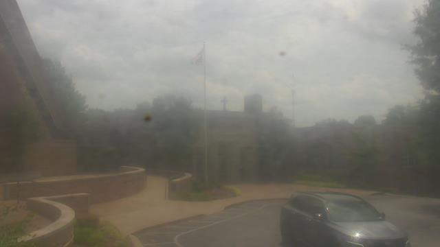
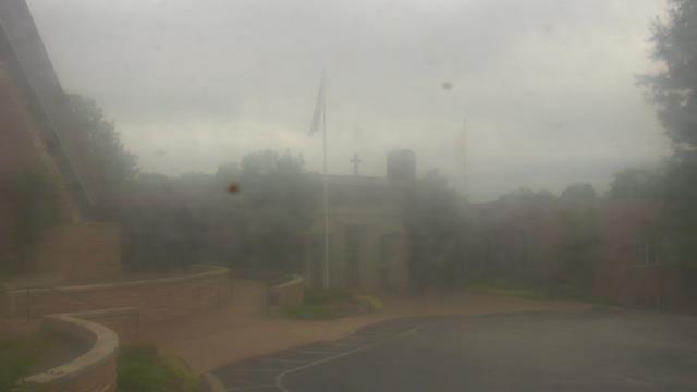
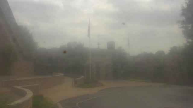
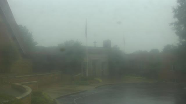
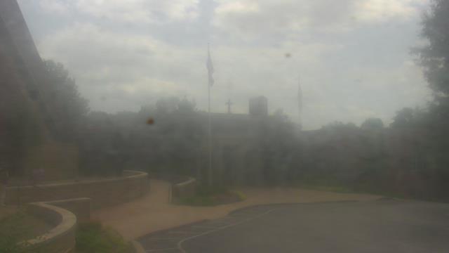
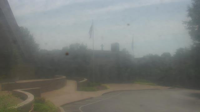
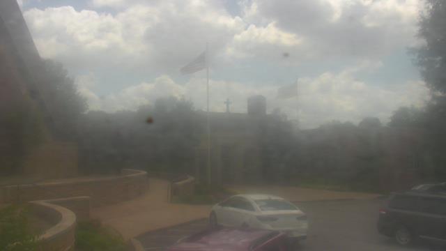
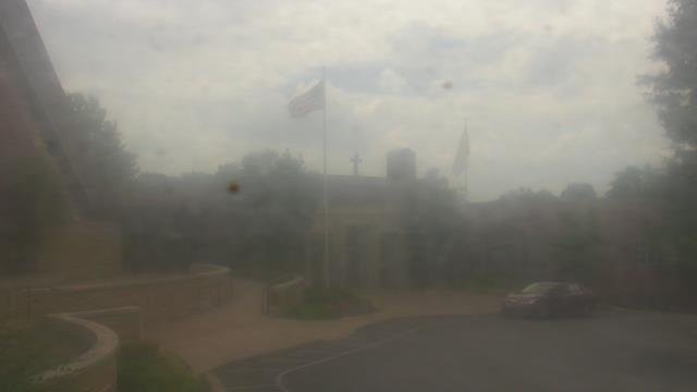
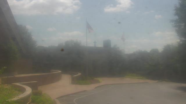
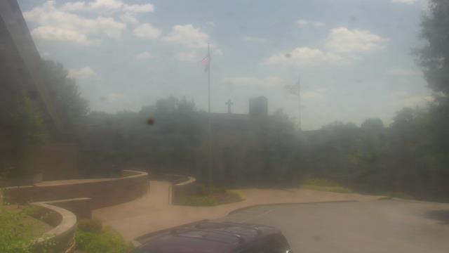
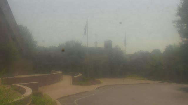
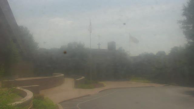
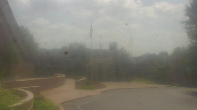
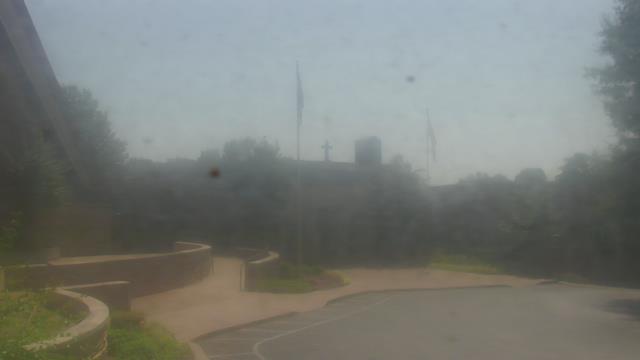
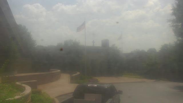
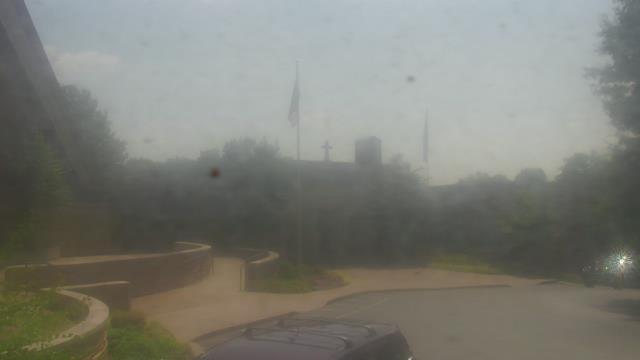
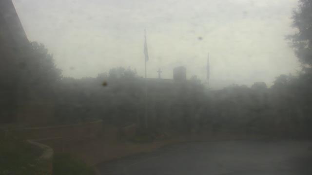
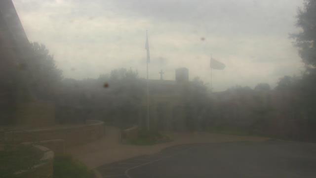
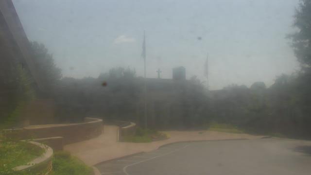
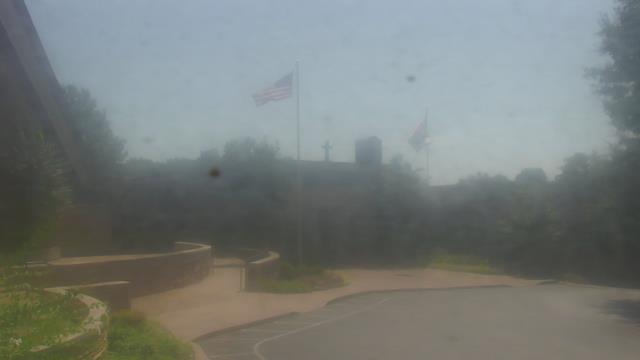
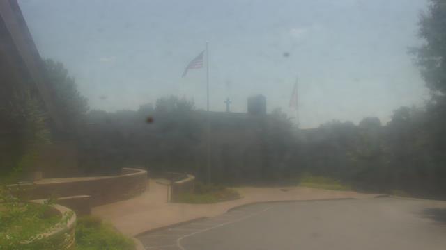
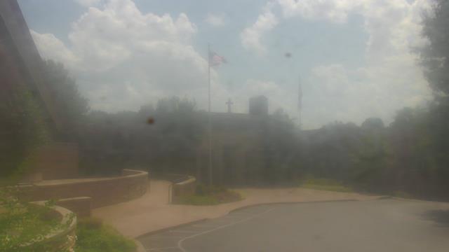
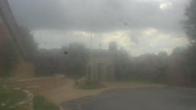
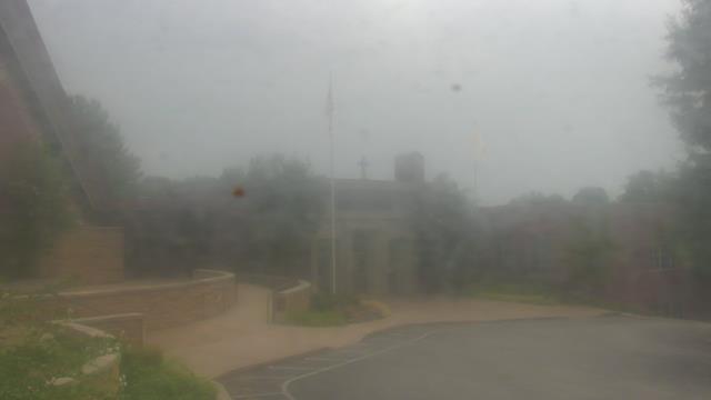
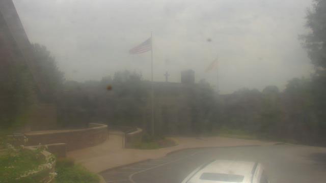
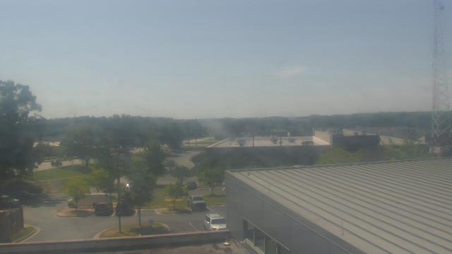
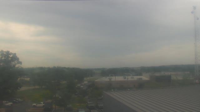
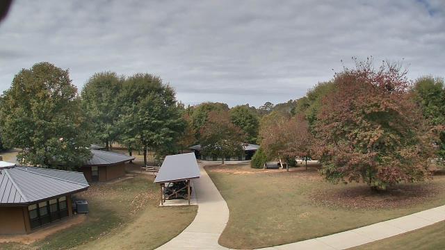
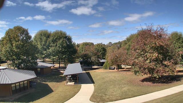
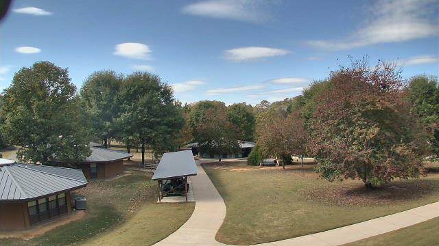
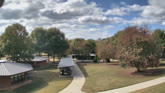
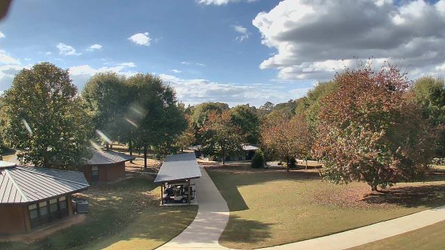
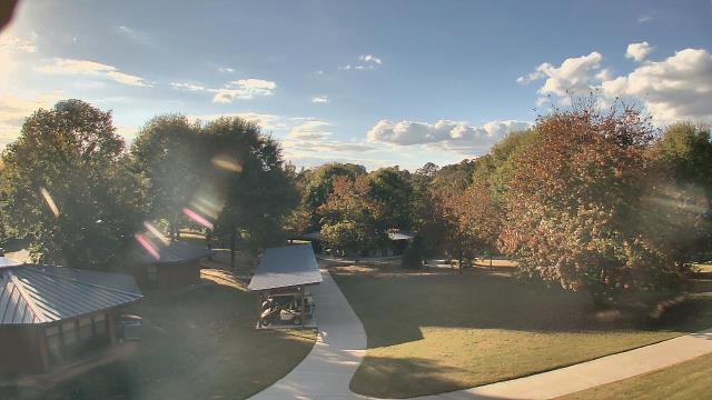
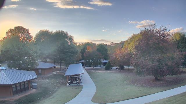
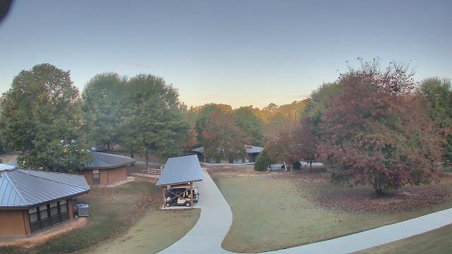
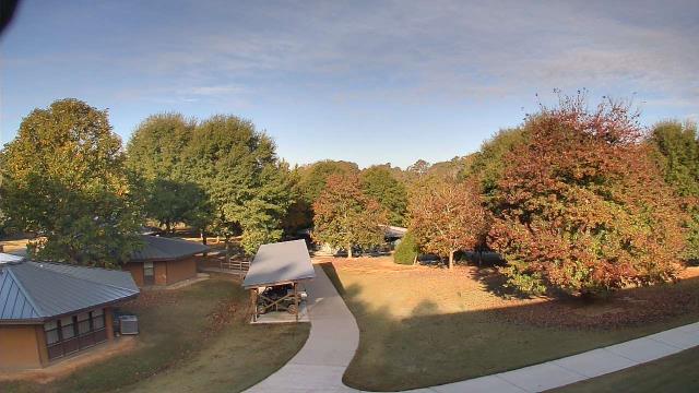
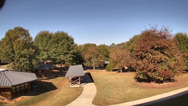
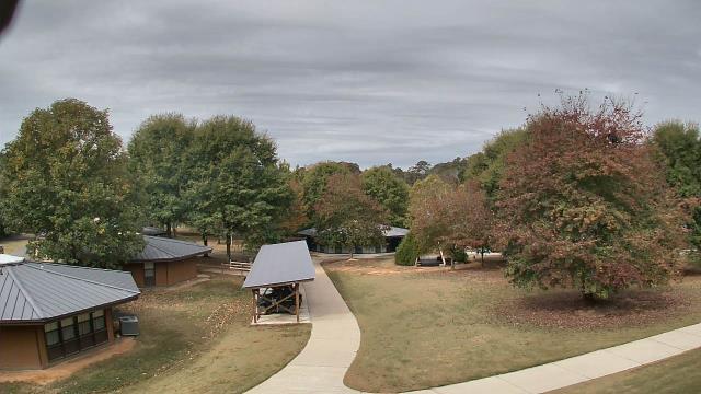
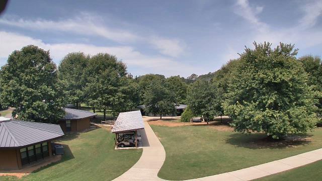
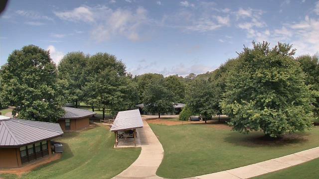
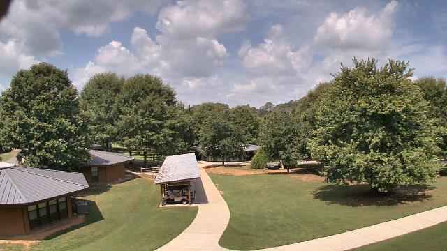
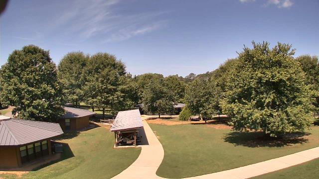
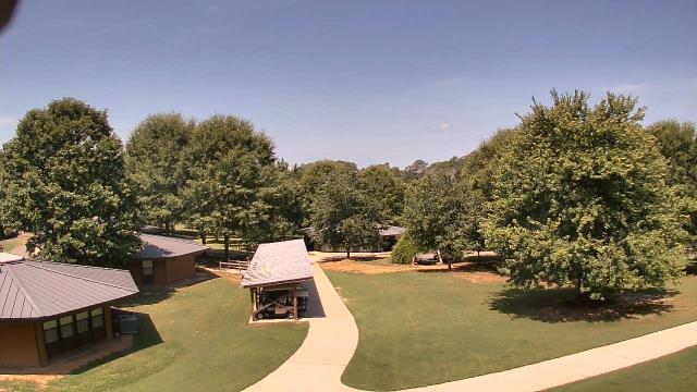
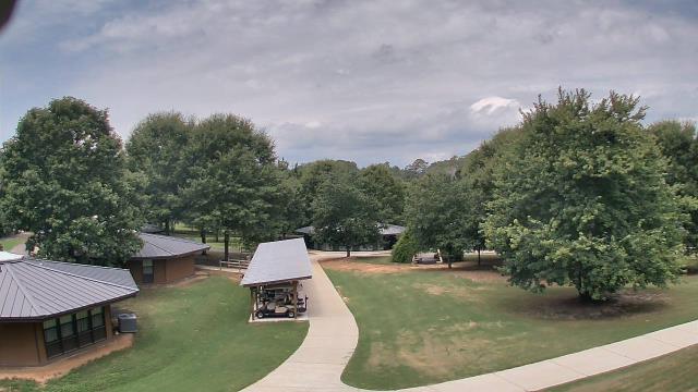
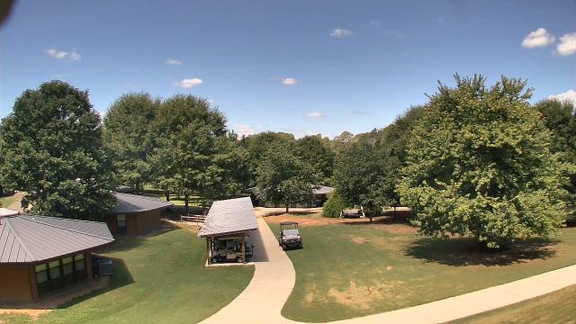
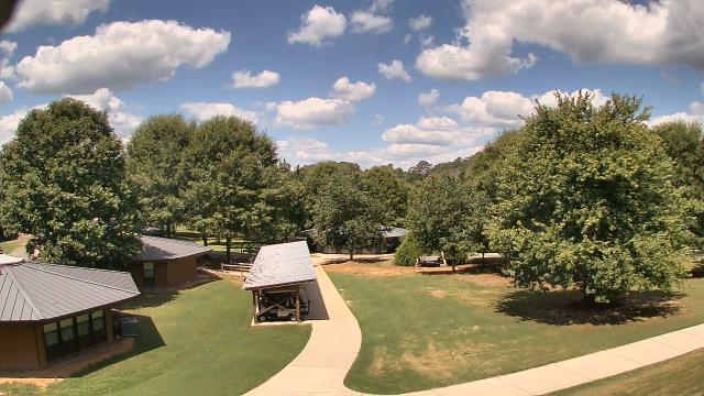
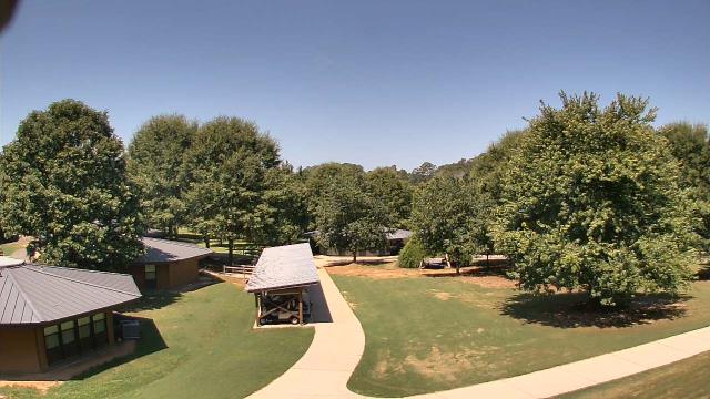
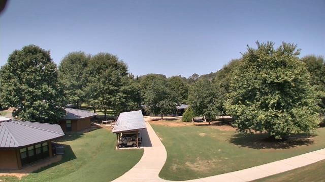
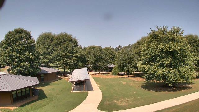
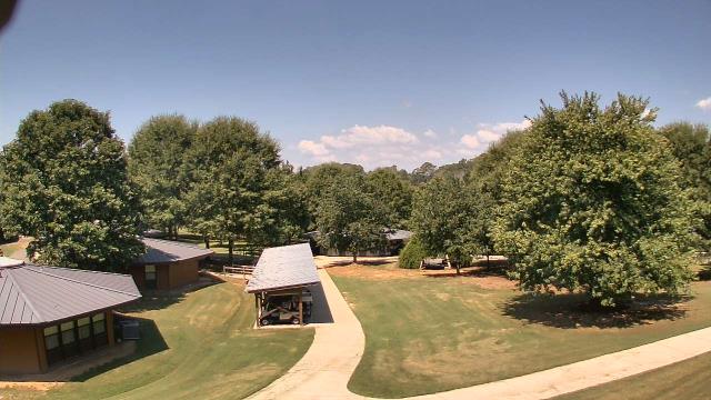
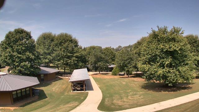
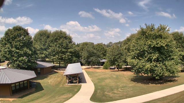
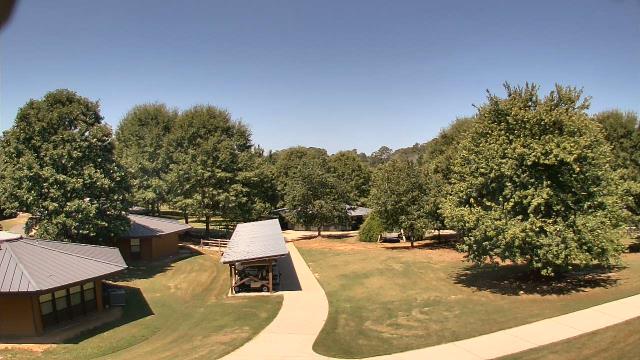
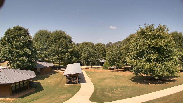
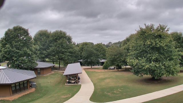
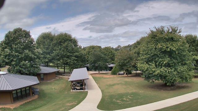
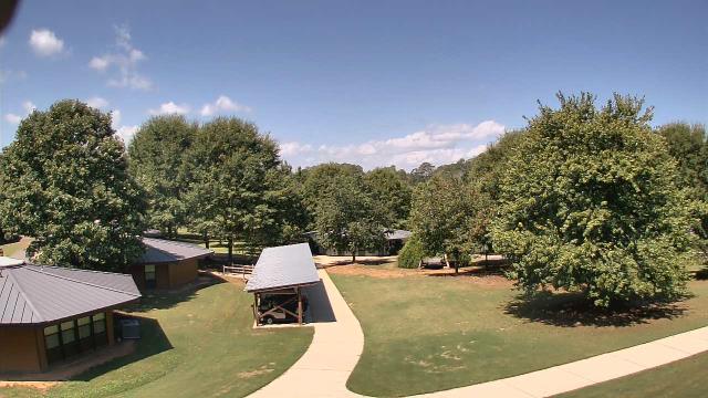
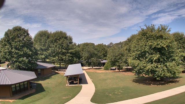
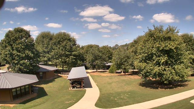
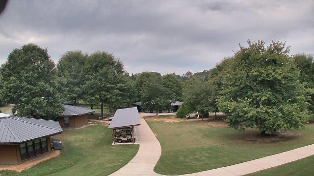
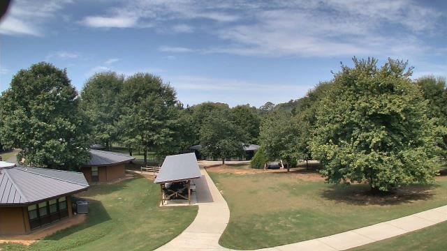
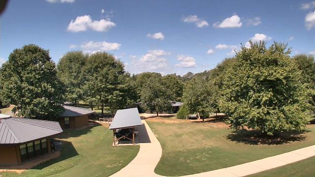
Fairview, Tennessee, USA - 107.4 miles from Hymer (historical): Camp Marymount - A webcam in Fairview, Tennessee - camera location: Camp Marymount.
Operator: WeatherBug
Operator: WeatherBug


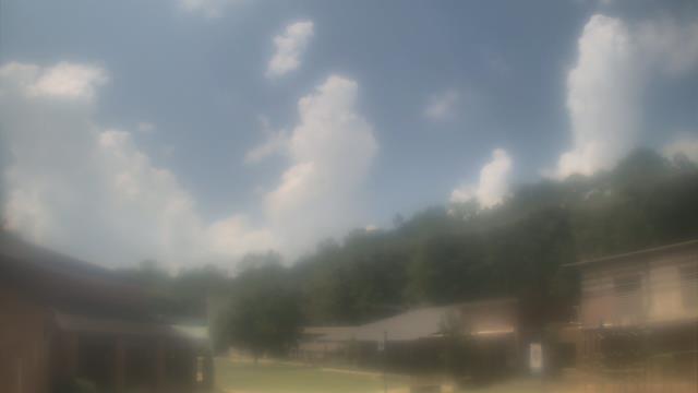
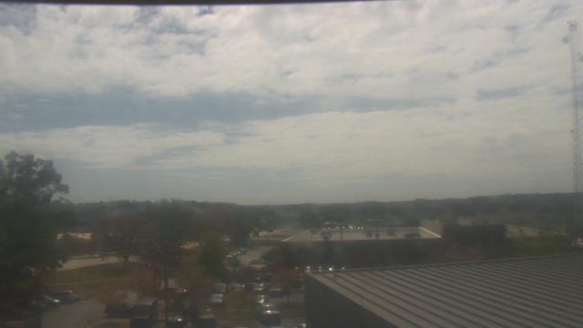
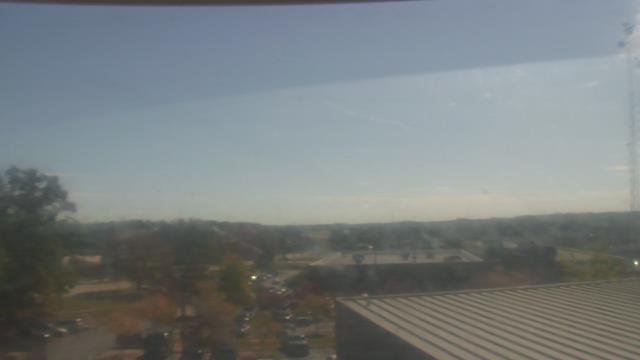
Madison, Tennessee, USA - 110 miles from Hymer (historical): St Joseph School - A webcam in Madison, Tennessee - camera location: St Joseph School.
Operator: WeatherBug
Operator: WeatherBug


Atlanta, Georgia, USA - 111.5 miles from Hymer (historical): Skyline Atlanta - A nice view of the skyline of Atlanta, Georgia.
Operator: EarthCam
Operator: EarthCam


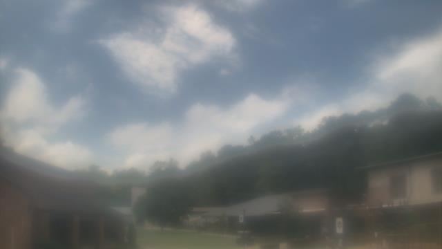
Lawrenceville, Georgia, USA - 117.2 miles from Hymer (historical): Gwinnett County EMA - A webcam in Lawrenceville, Georgia - camera location: Gwinnett County EMA.
Operator: WeatherBug
Operator: WeatherBug


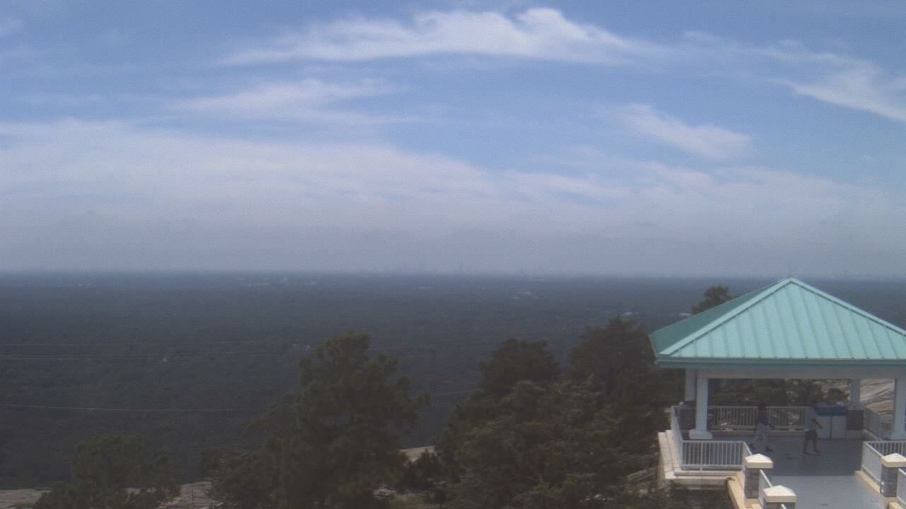
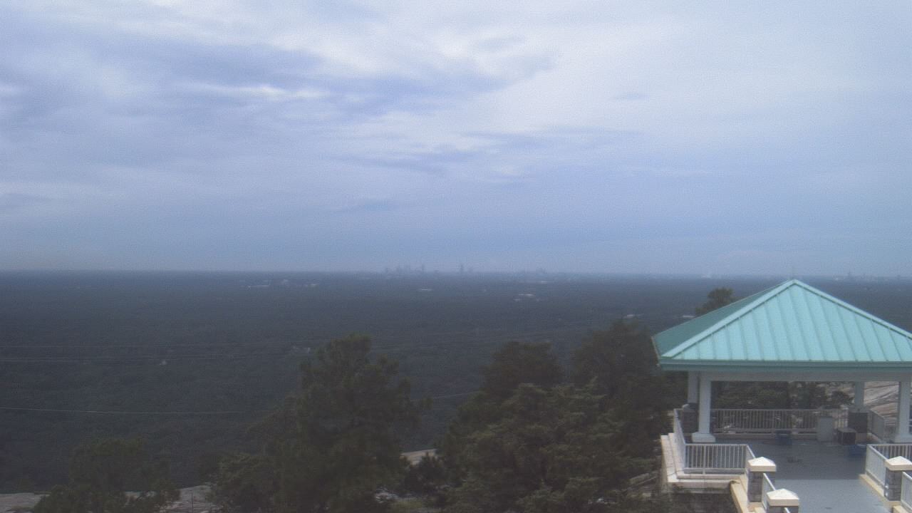
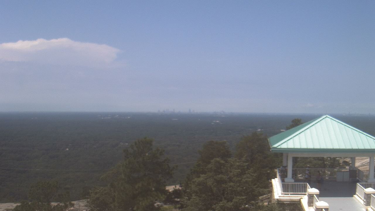
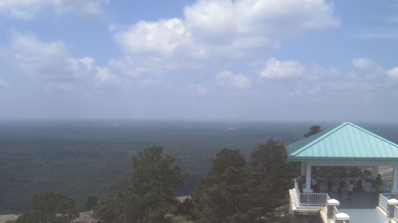
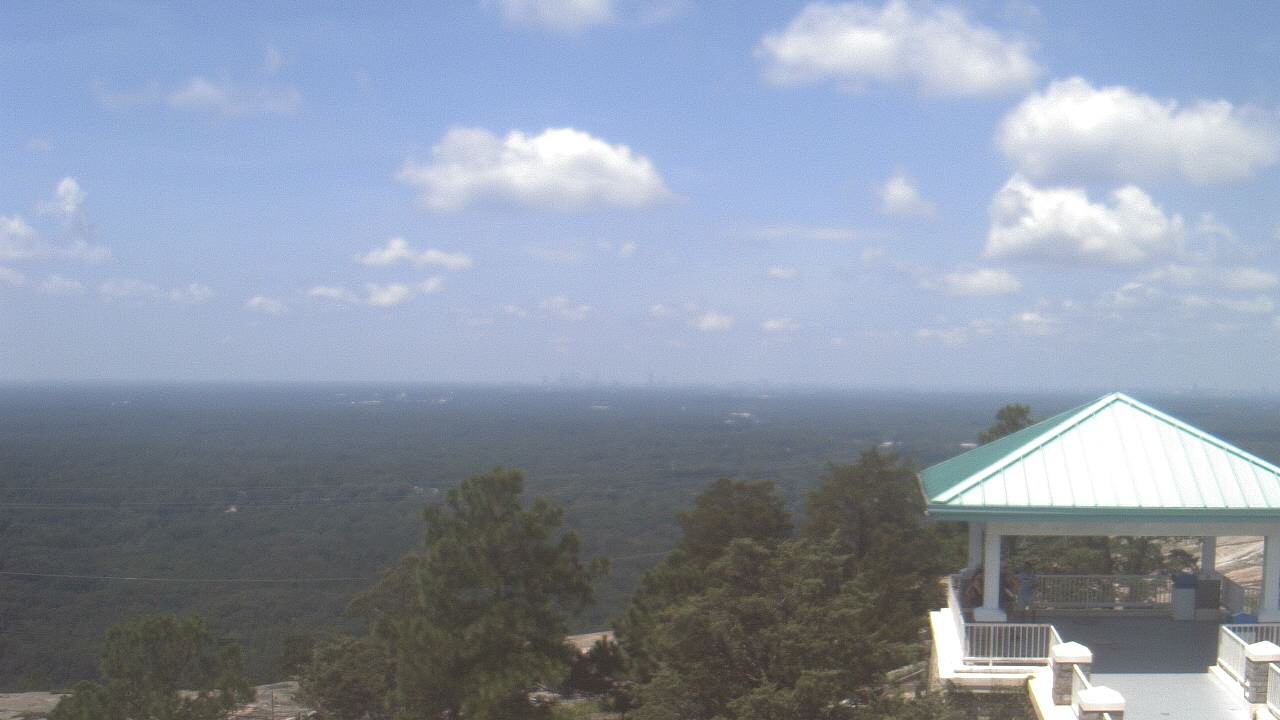
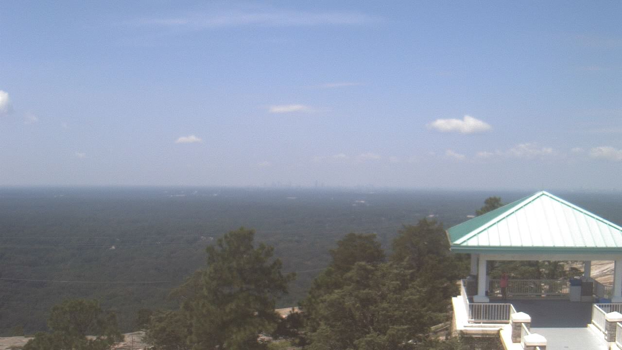
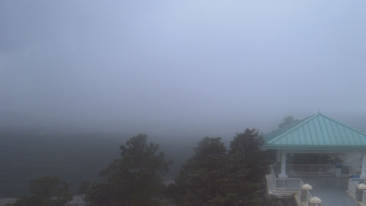
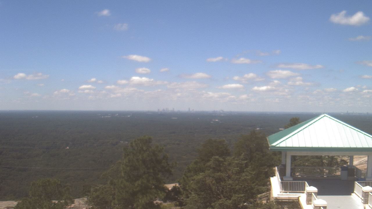
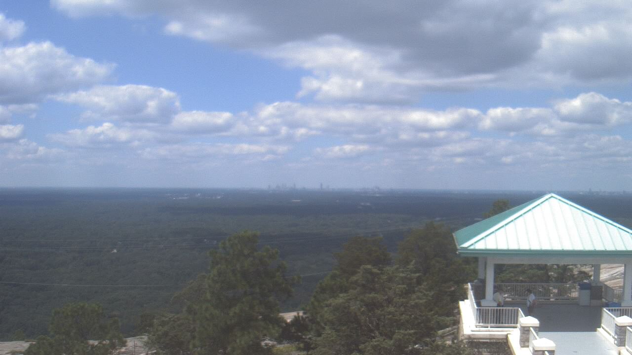
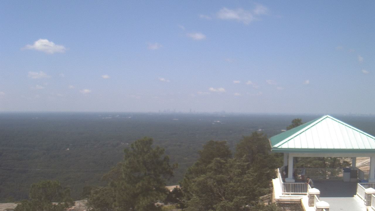
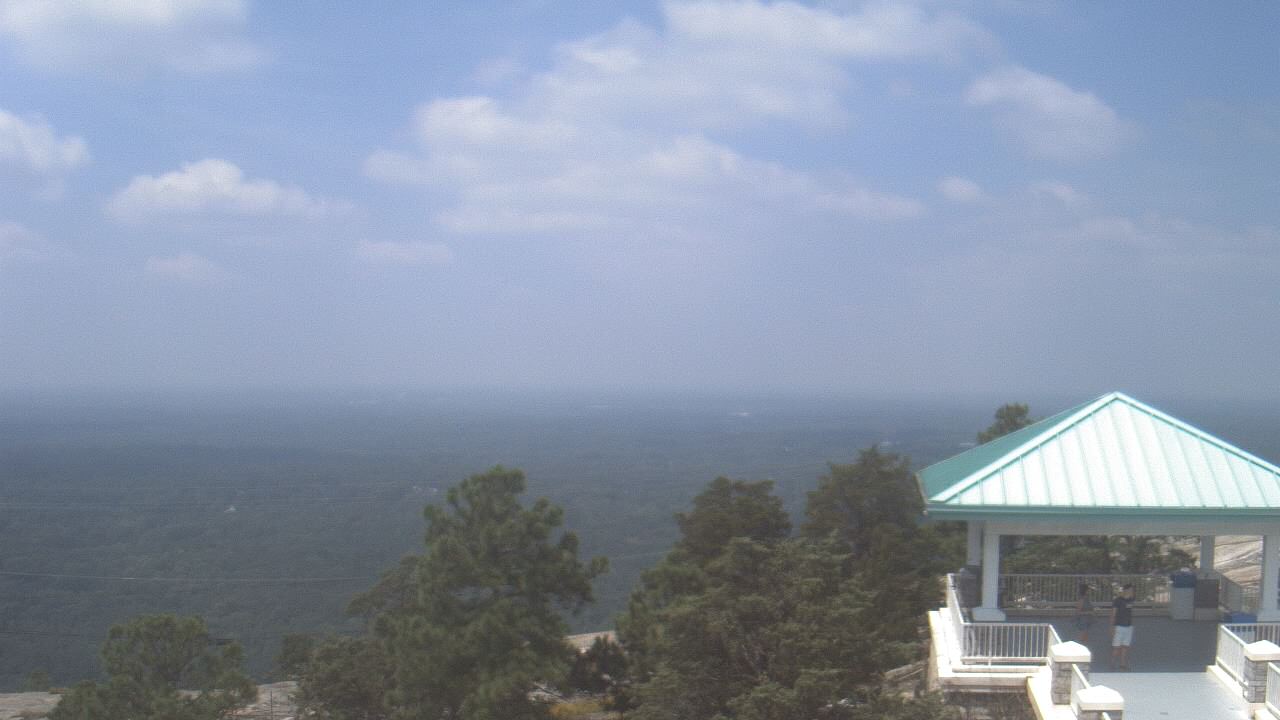
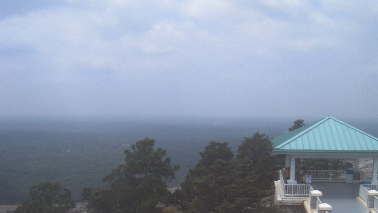
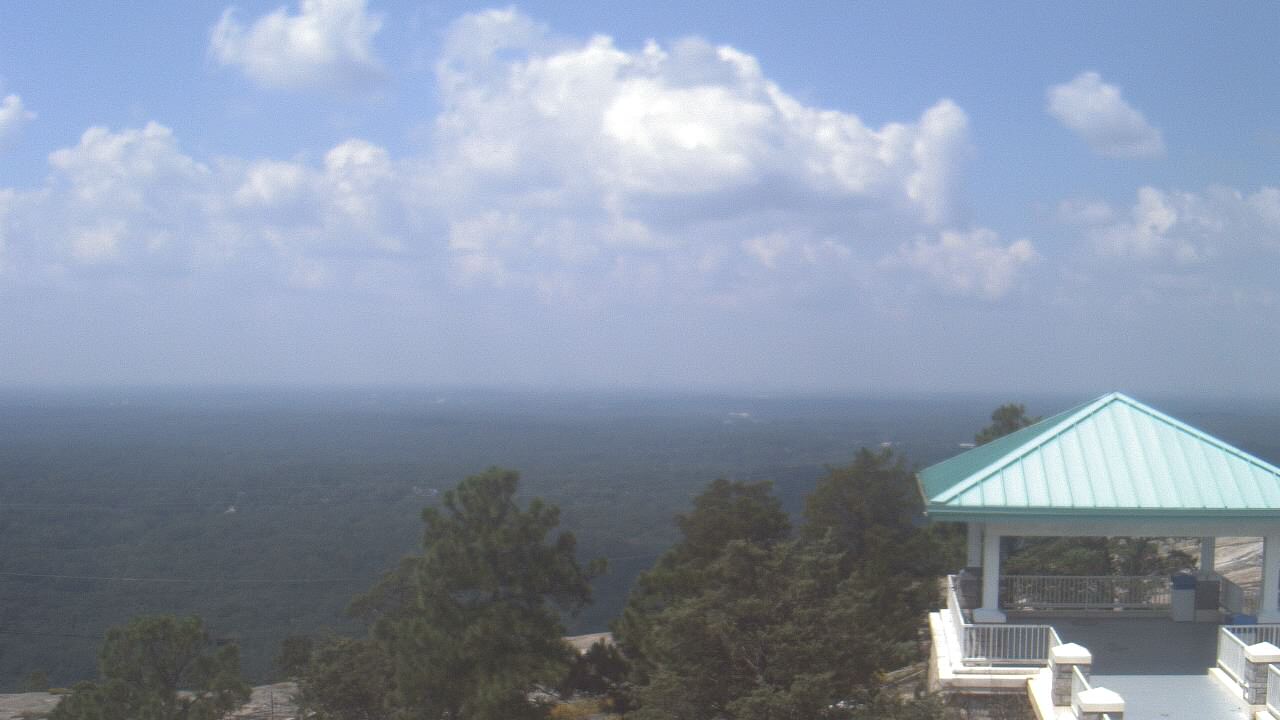
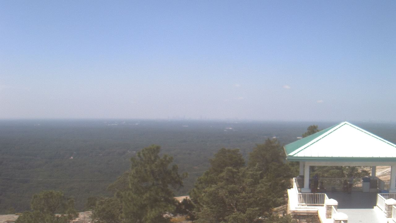
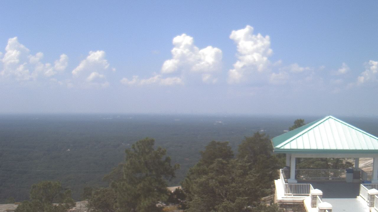
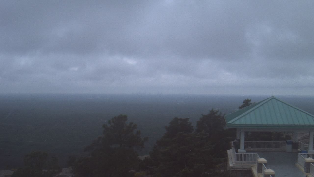
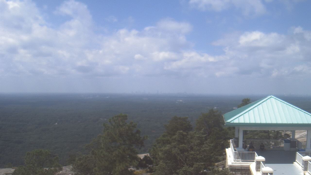
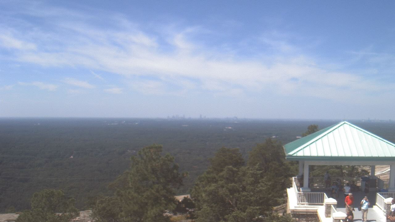
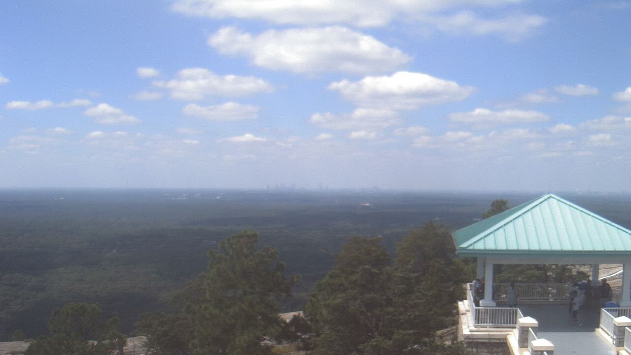
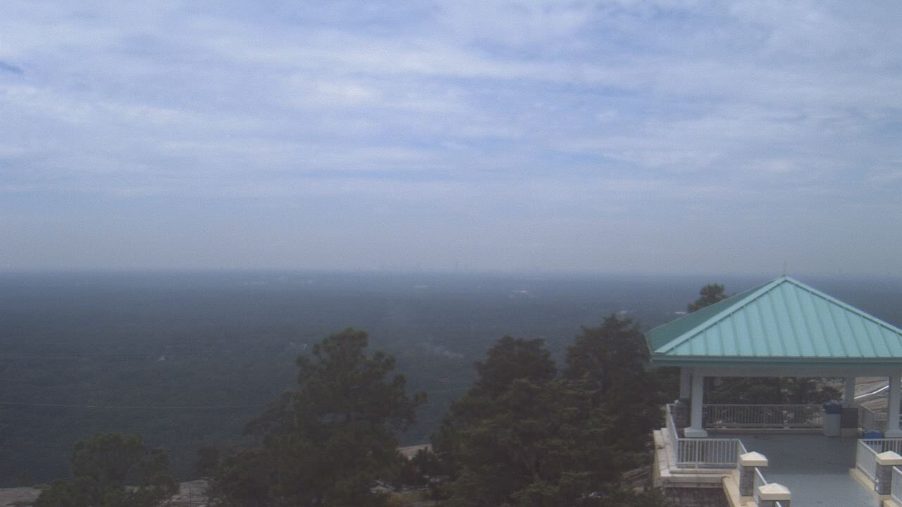
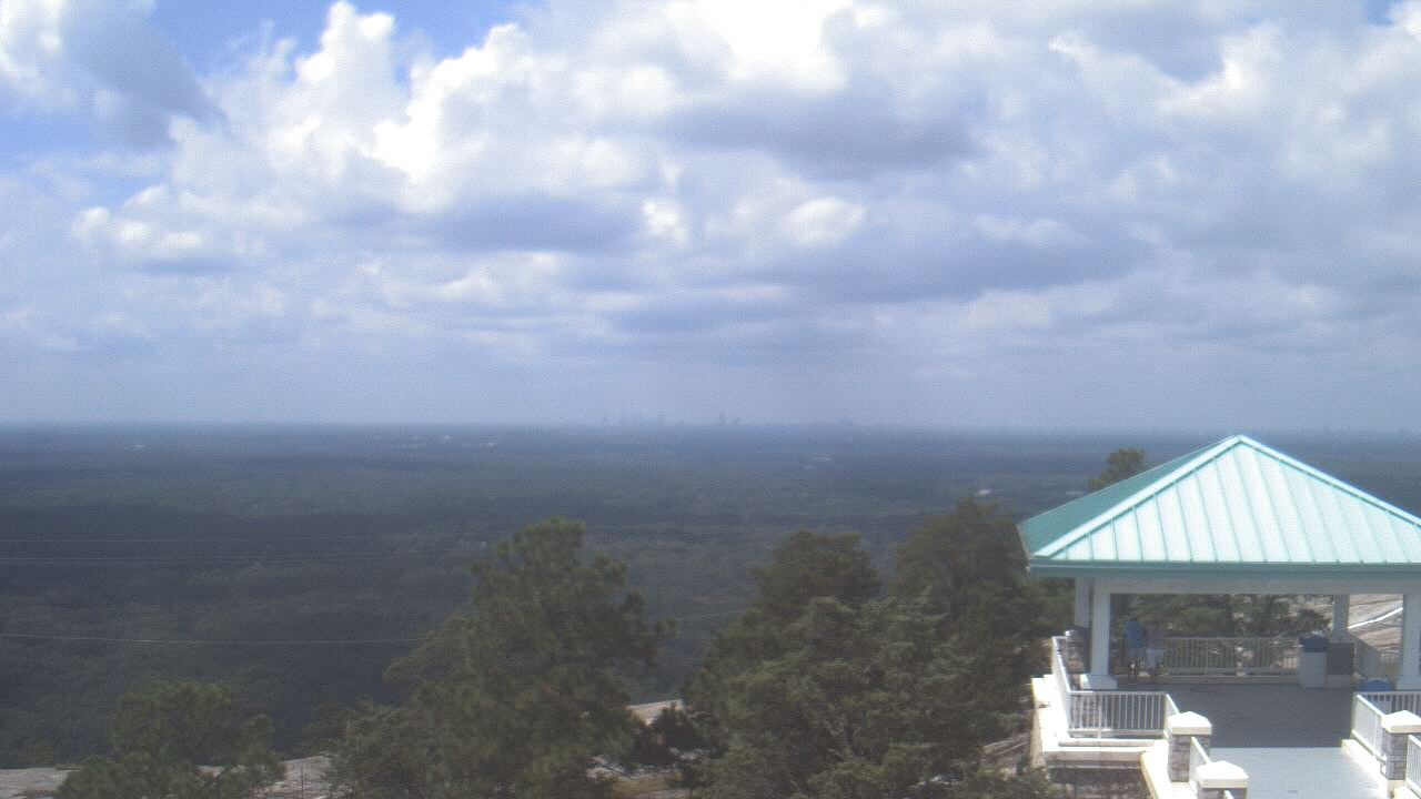
Stone Mountain, Georgia, USA - 119 miles from Hymer (historical): Top of Stone Mountain - A webcam in Stone Mountain, Georgia - camera location: Top of Stone Mountain.
Operator: WeatherBug
Operator: WeatherBug


Winder, Georgia, USA - 134.2 miles from Hymer (historical): Camp Twin Lakes - Will-a-Way - A webcam in Winder, Georgia - camera location: Camp Twin Lakes - Will-a-Way.
Operator: WeatherBug
Operator: WeatherBug


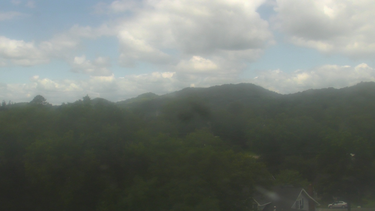
Gatlinburg, Tennessee, USA - 146.3 miles from Hymer (historical): Anakeesta's Firefly Village - View of Anakeesta's Firefly Village with the Great Smoky Mountains in the background.
Operator: Skyline Webcams
Operator: Skyline Webcams


Some other places in this country: Glenzaida - Yucca (historical) - Academy Park - Banks - Burmah (historical) - Cane Creek (historical) - Choctaw Hills - Duff Settlement - East Centreville - East Town