Webcams in the region of Burmah (historical), Alabama, USA
The List of Webcams near Burmah (historical), Alabama, USA:

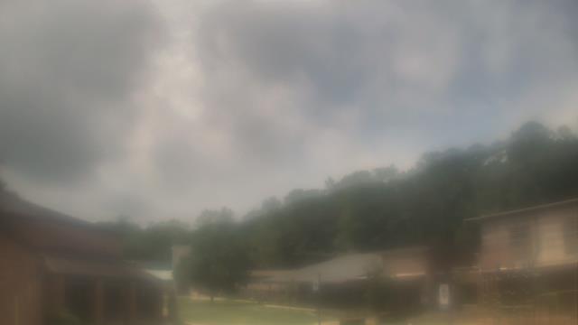
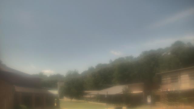
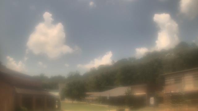
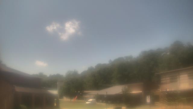
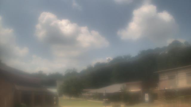
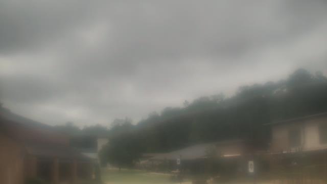
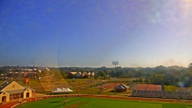
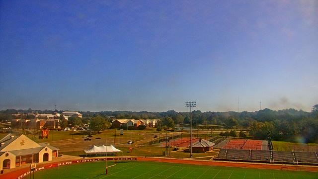
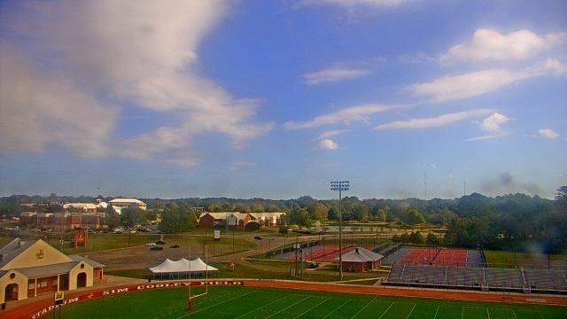
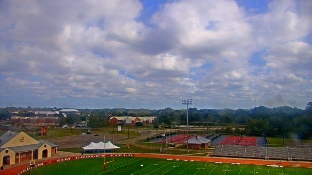
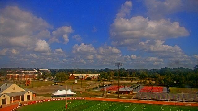
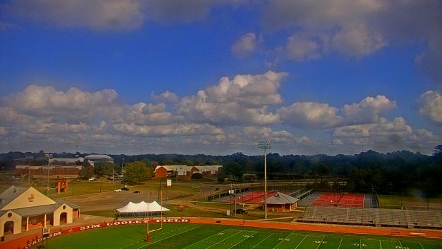
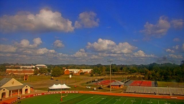
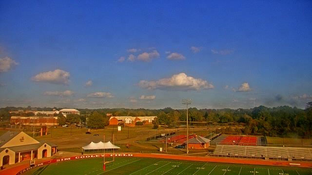
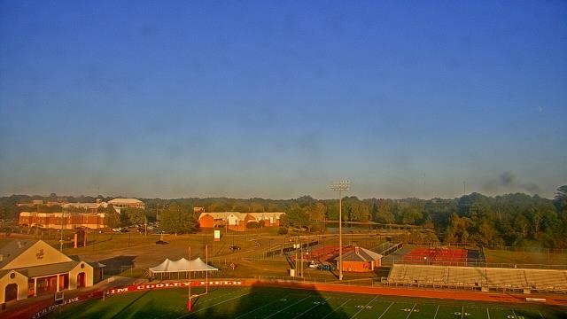
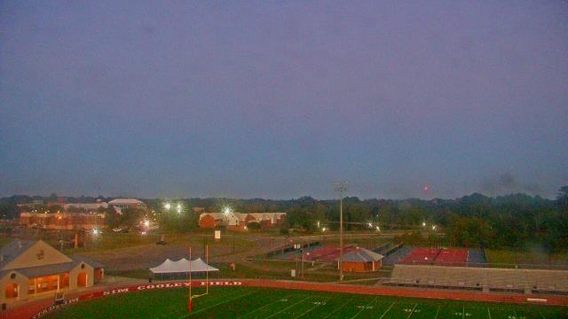
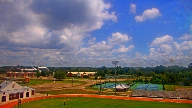
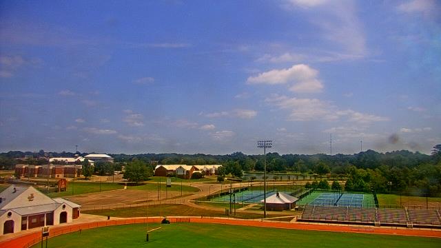
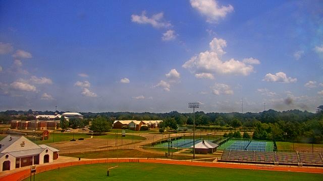
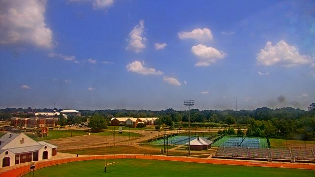
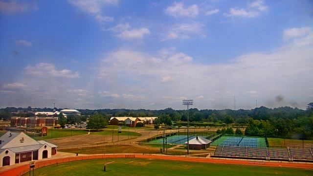
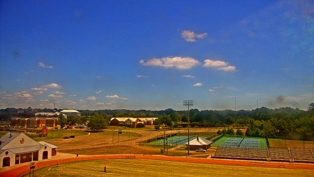
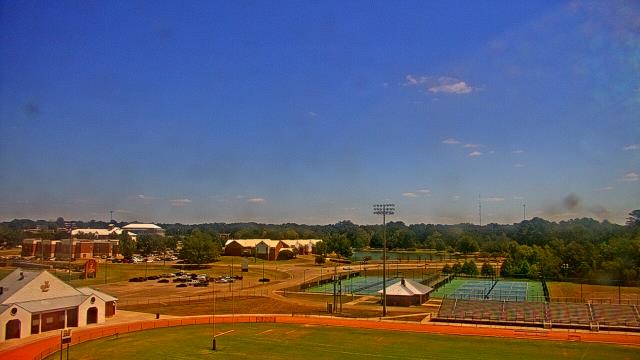
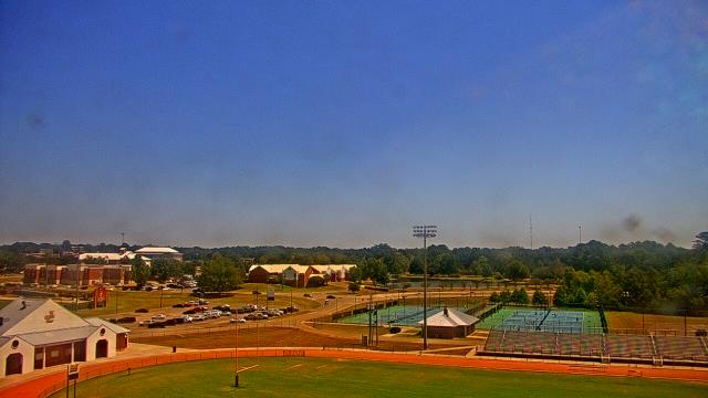
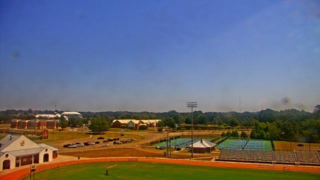
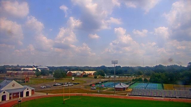
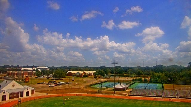
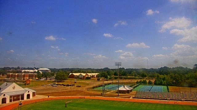
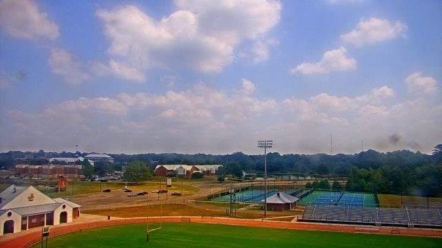
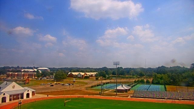
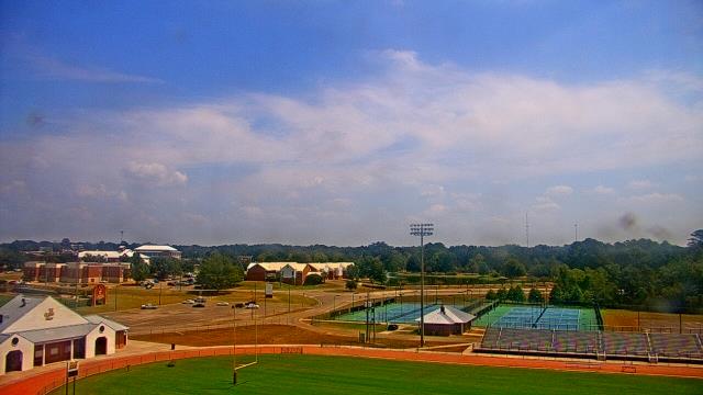
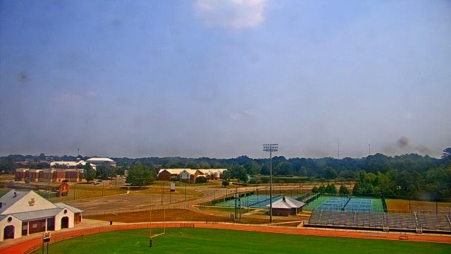
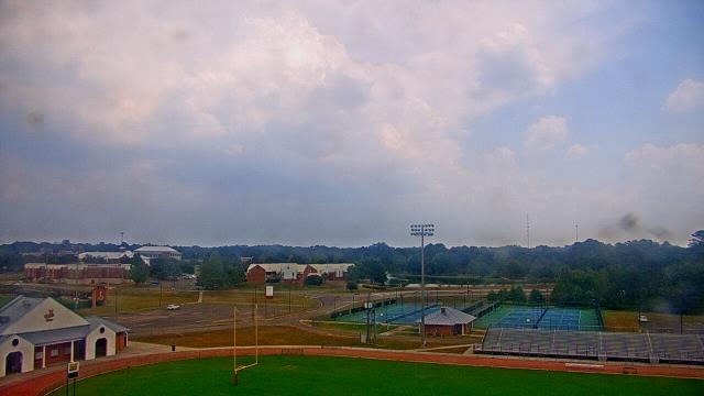
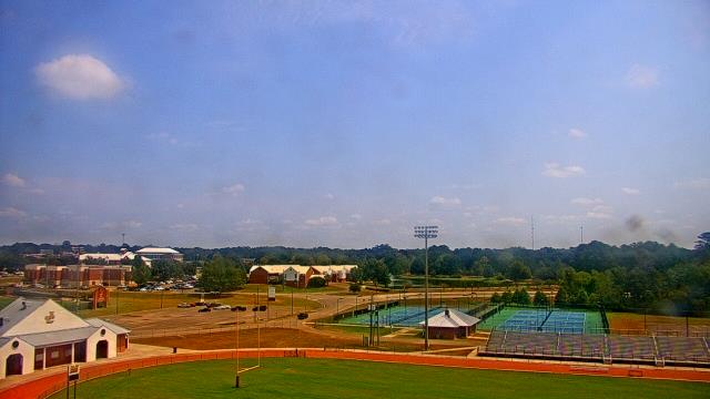
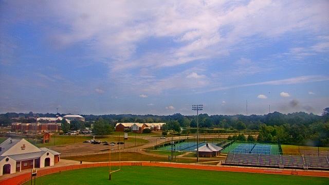
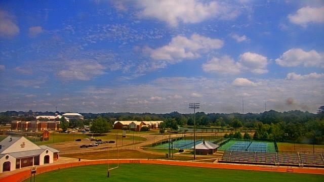
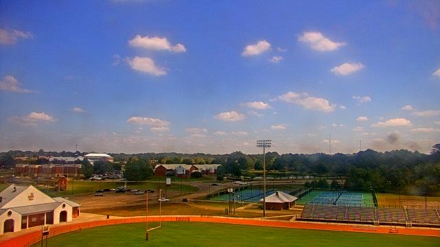
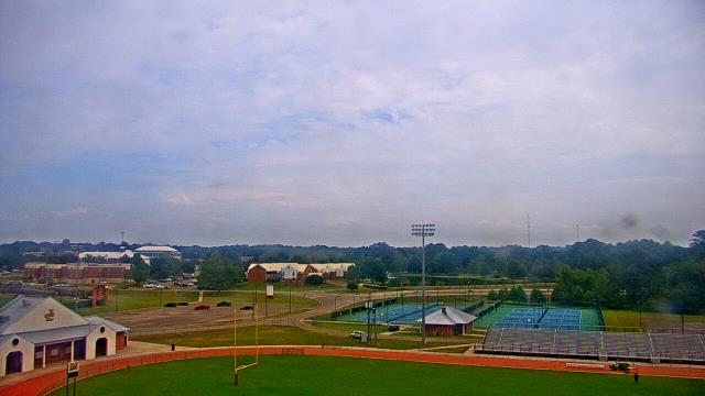
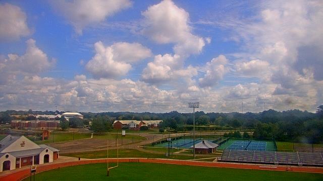
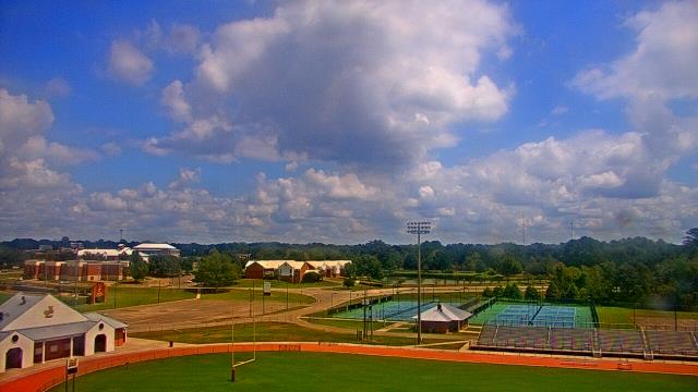
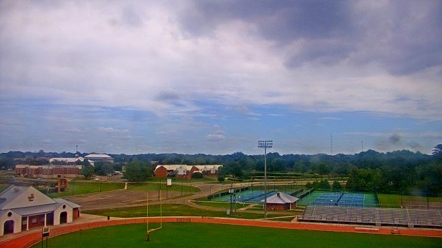
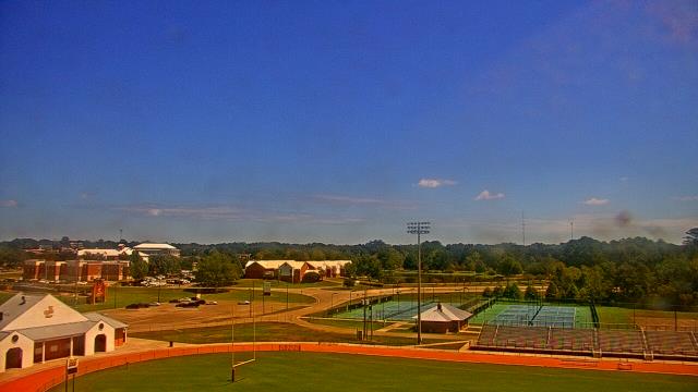
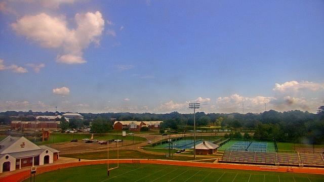
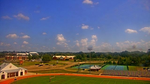
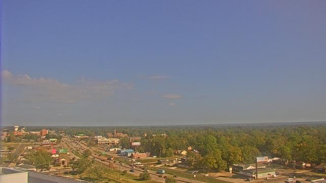
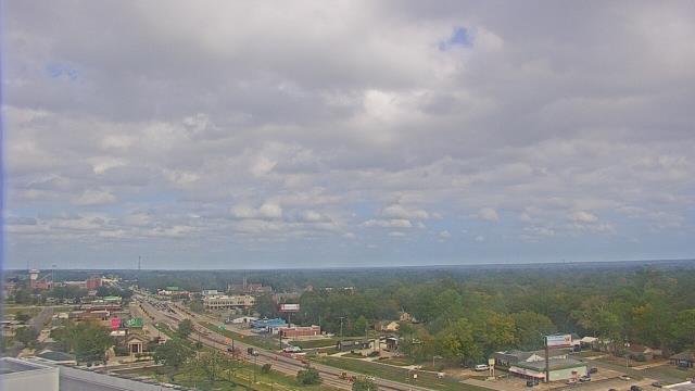
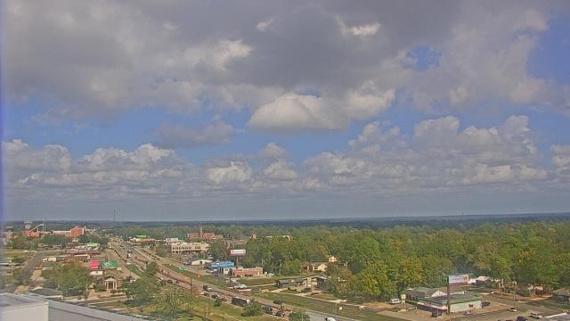
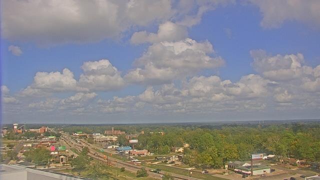
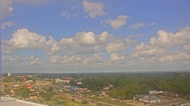
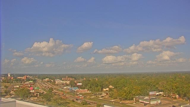
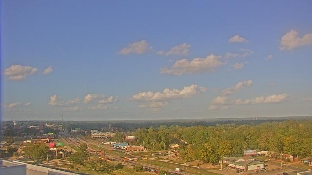
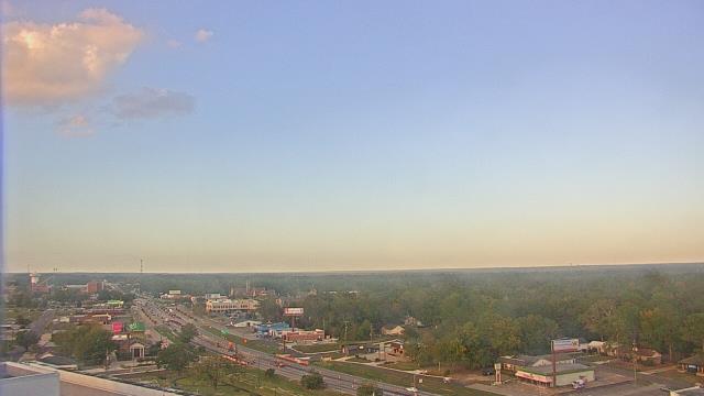
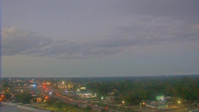
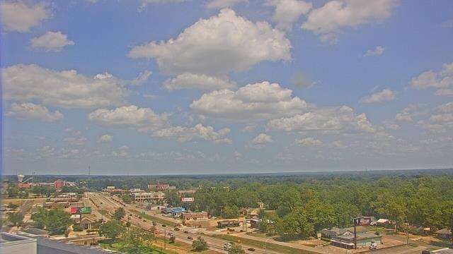
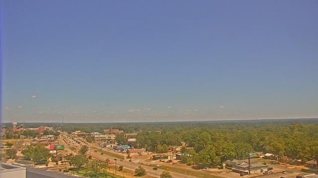
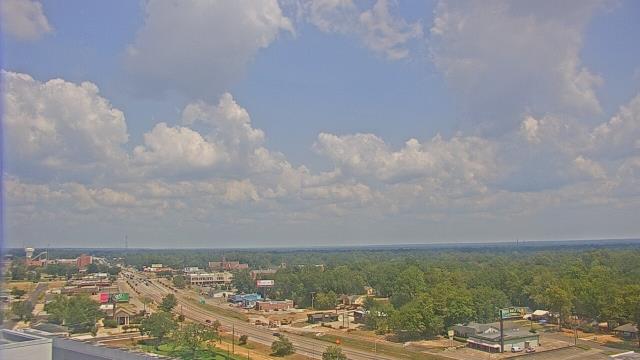
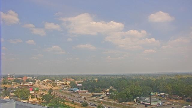
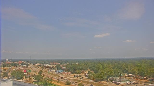
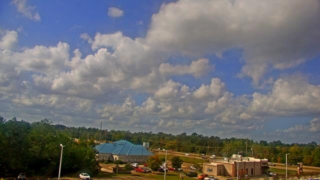
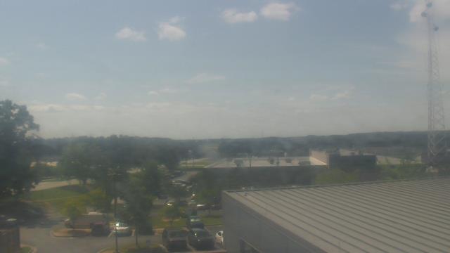
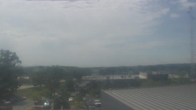
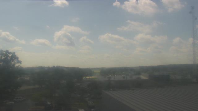
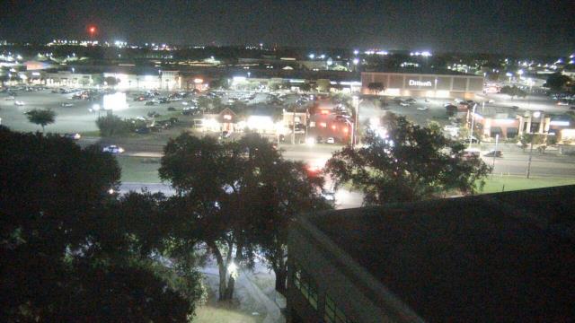
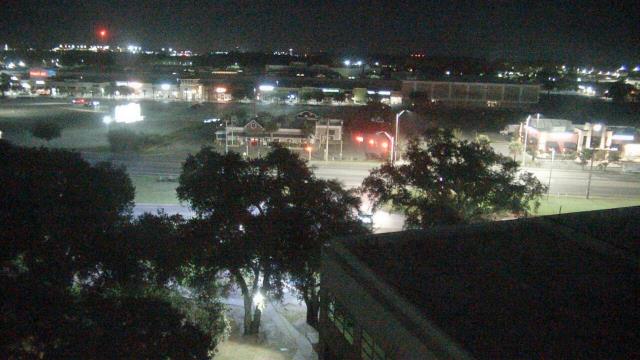
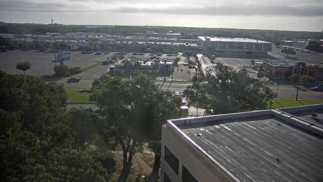
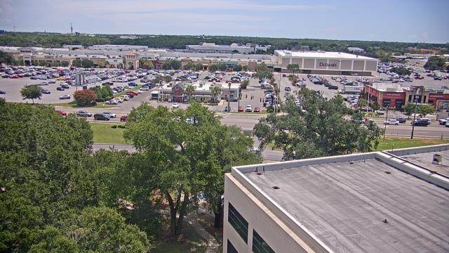
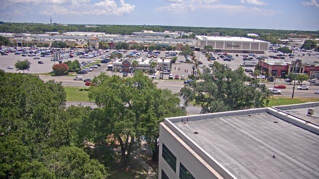
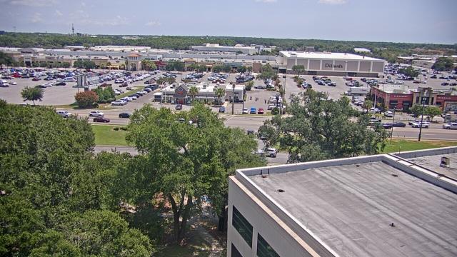
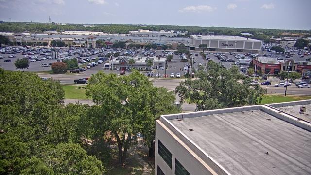
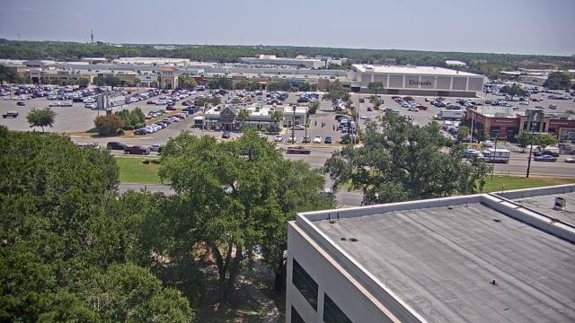
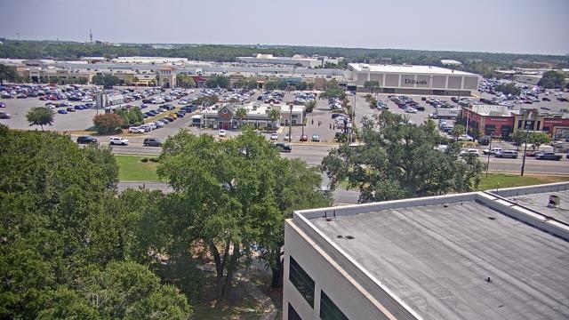
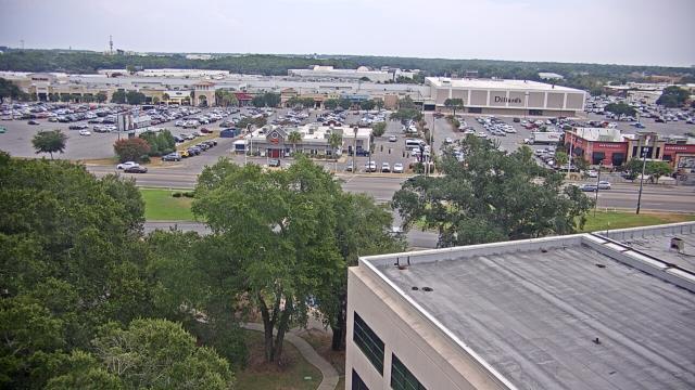
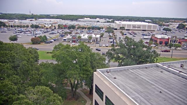
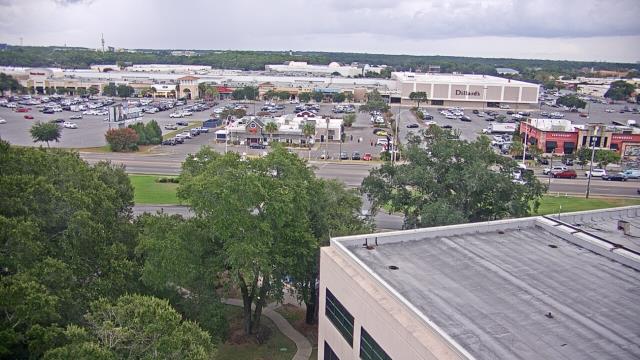
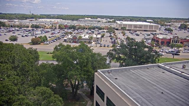
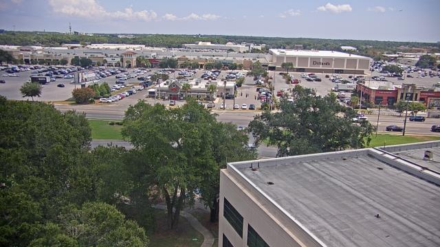
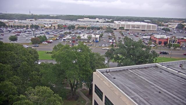
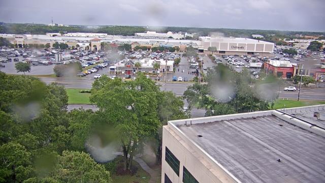
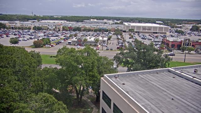
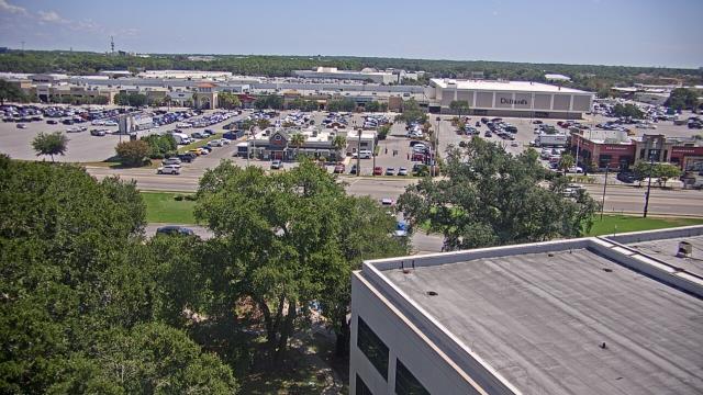
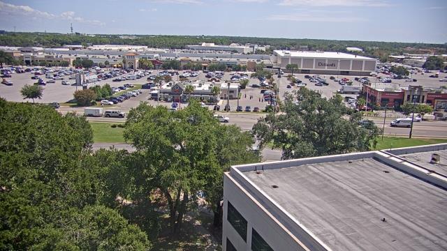
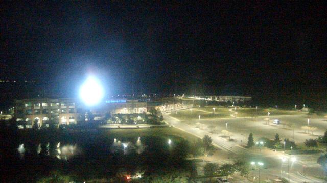
Birmingham, Alabama, USA - 32.2 miles from Burmah (historical): Highlands School - A webcam in Birmingham, Alabama - camera location: Highlands School.
Operator: WeatherBug
Operator: WeatherBug


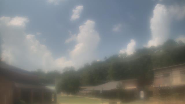


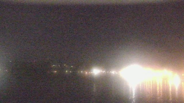
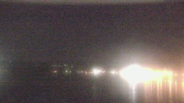
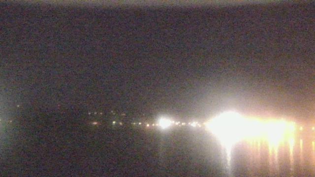
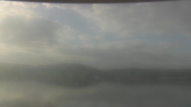
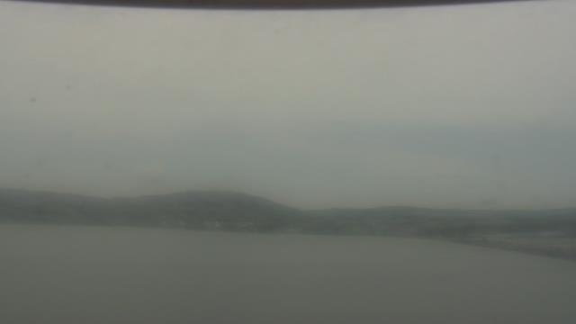
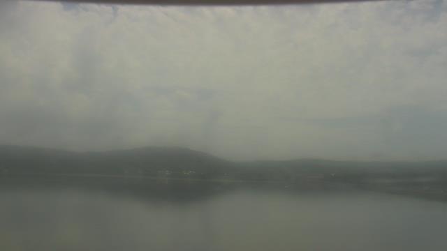
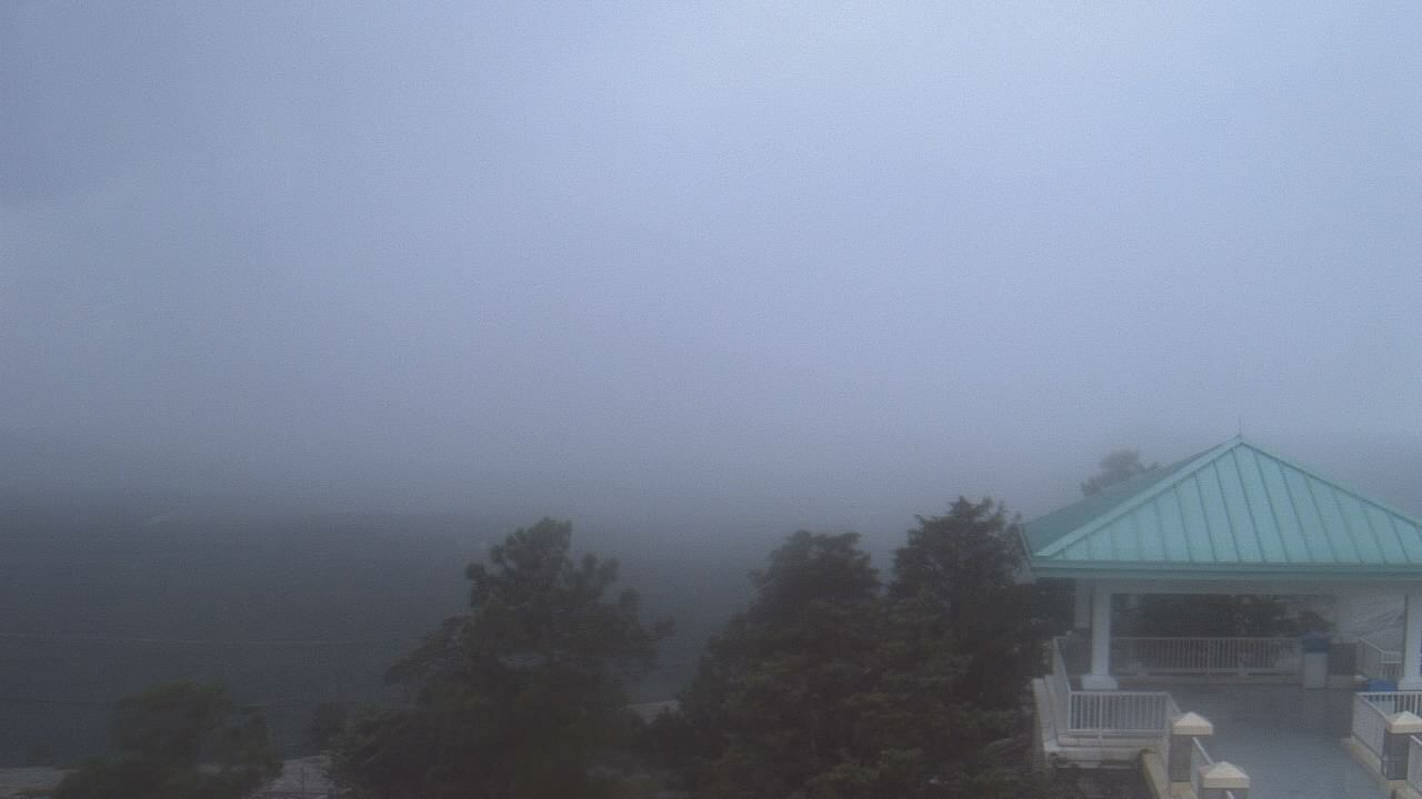
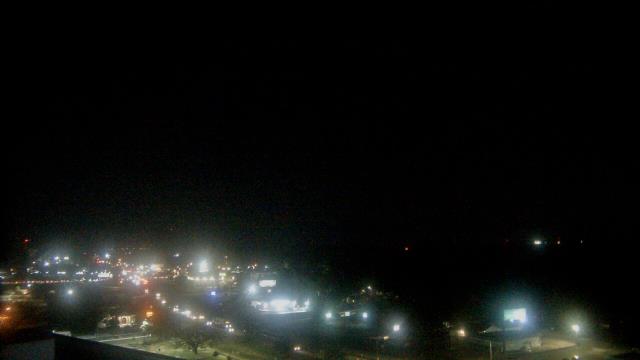
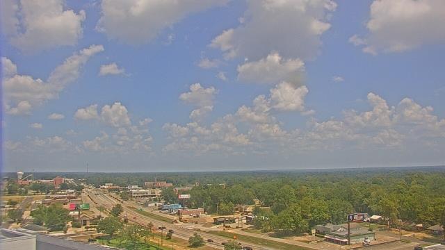
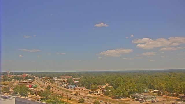
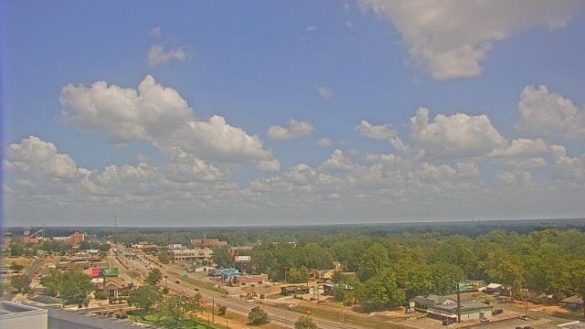
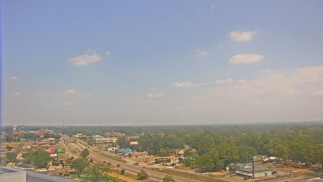
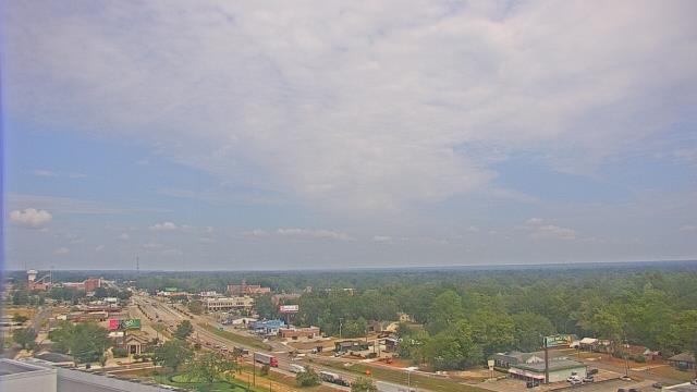
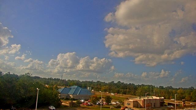
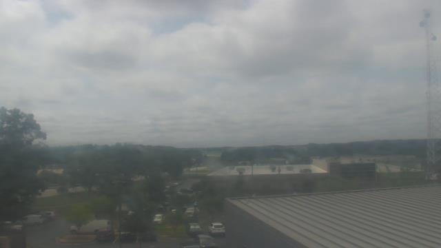
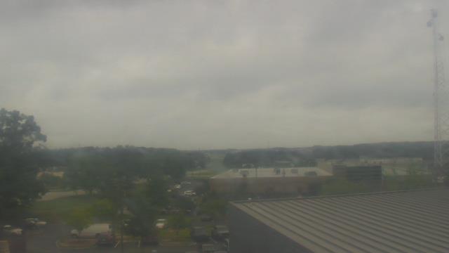
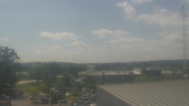
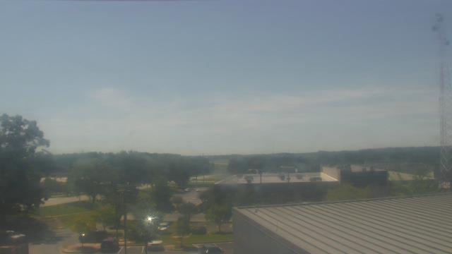
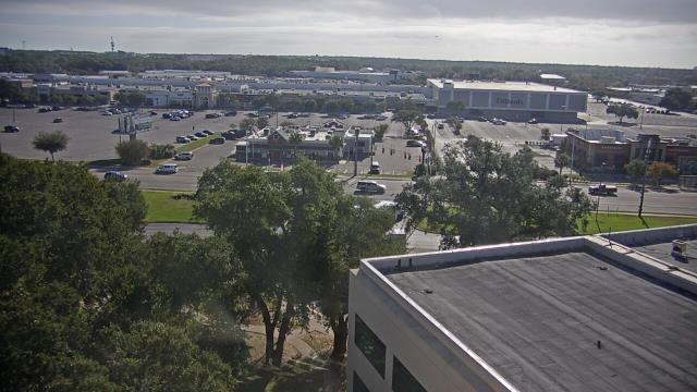
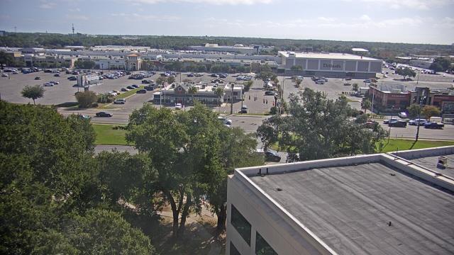
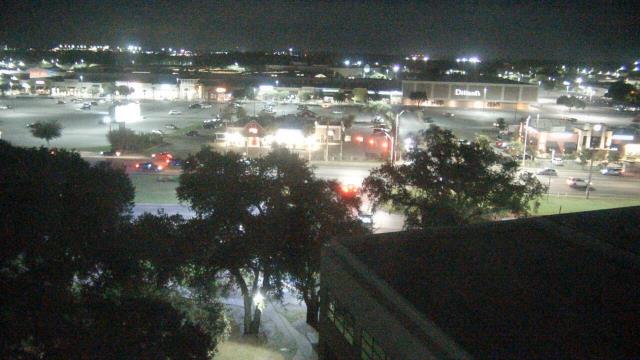
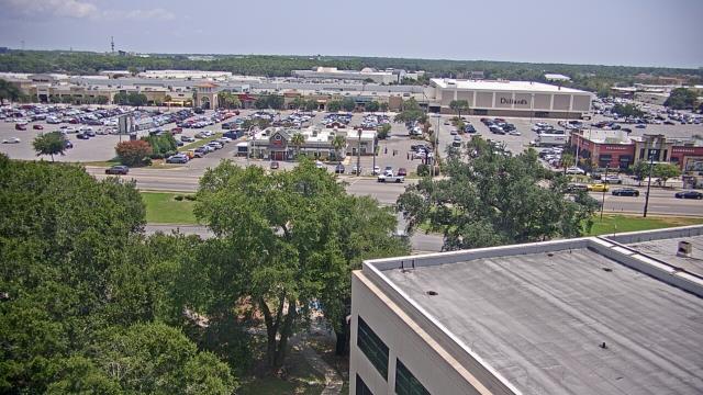
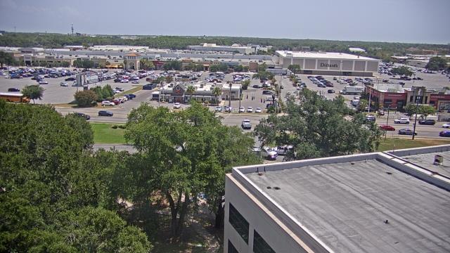
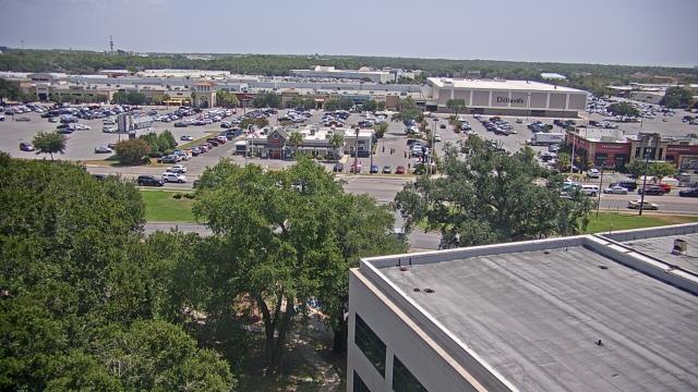
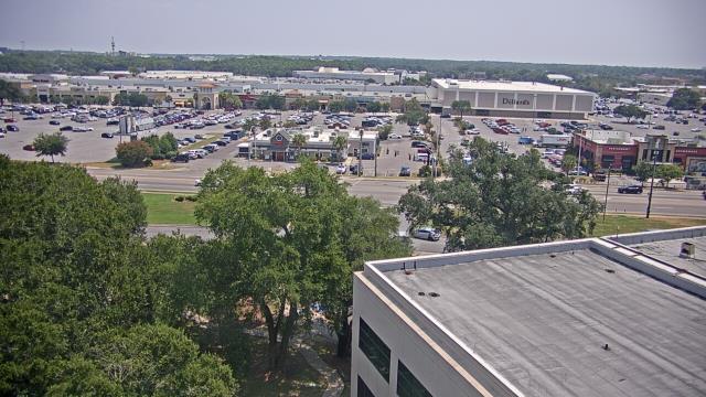
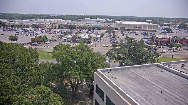
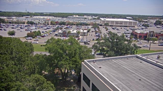
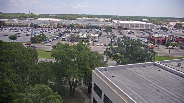
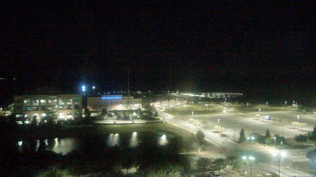
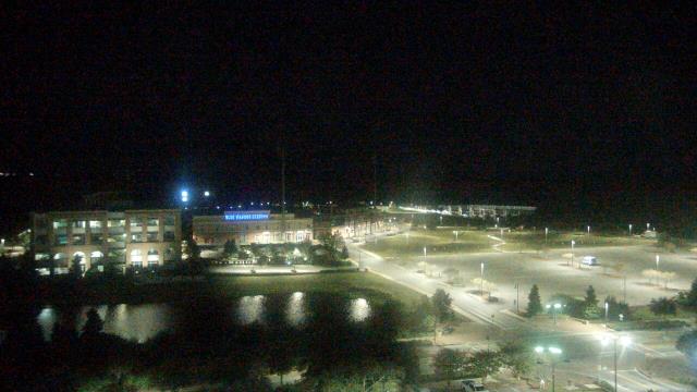
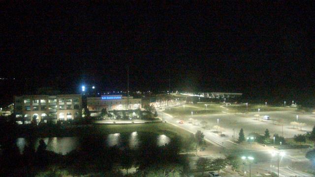
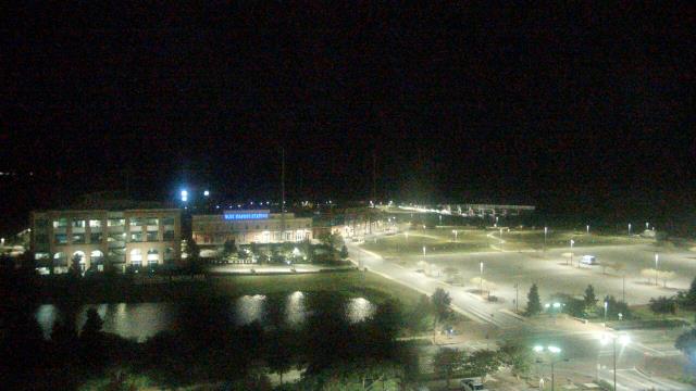
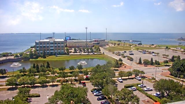
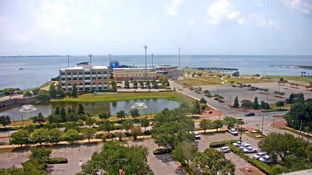
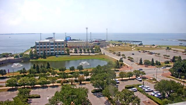
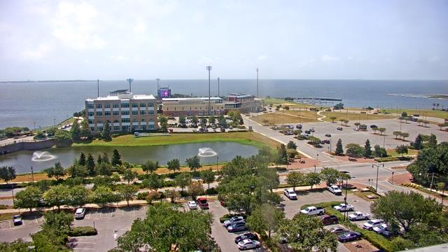
Guntersville, Alabama, USA - 97.4 miles from Burmah (historical): Wyndham Garden Lake Guntersville - A webcam in Guntersville, Alabama - camera location: Wyndham Garden Lake Guntersville.
Operator: WeatherBug
Operator: WeatherBug


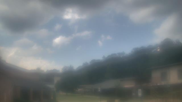
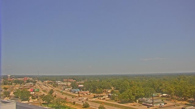
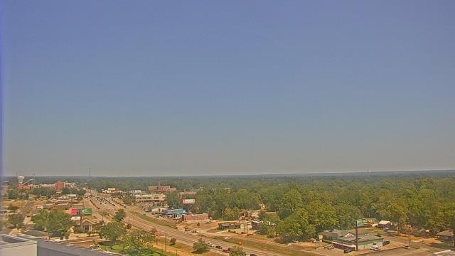
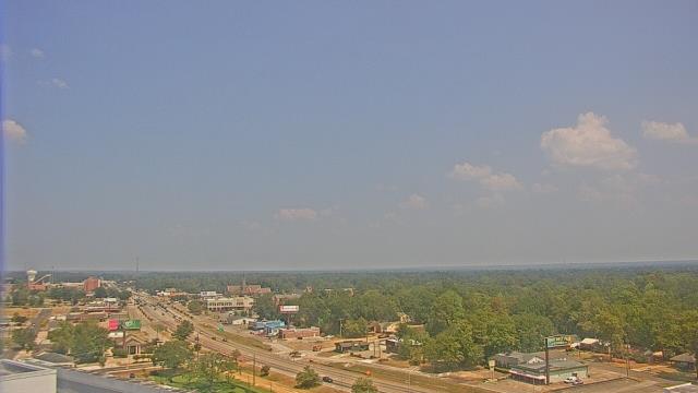
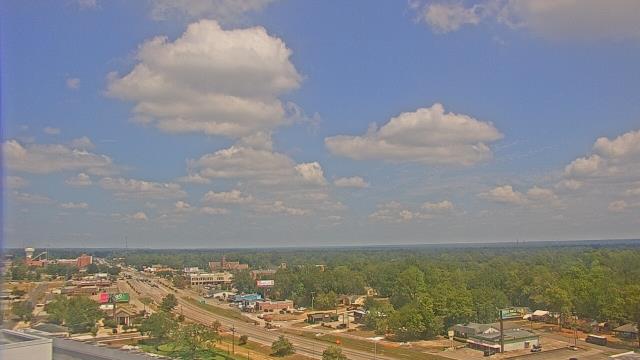
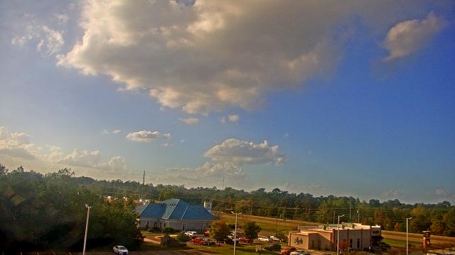
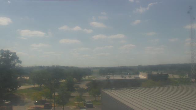
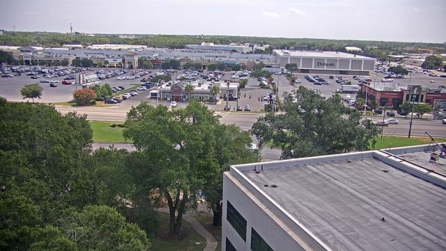
Ellisville, Mississippi, USA - 160.2 miles from Burmah (historical): Jones County Junior College - A webcam in Ellisville, Mississippi - camera location: Jones County Junior College.
Operator: WeatherBug
Operator: WeatherBug


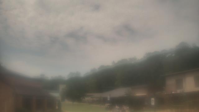
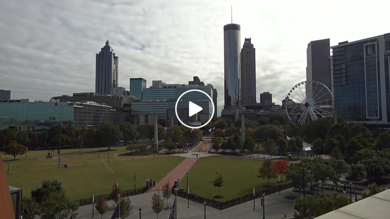
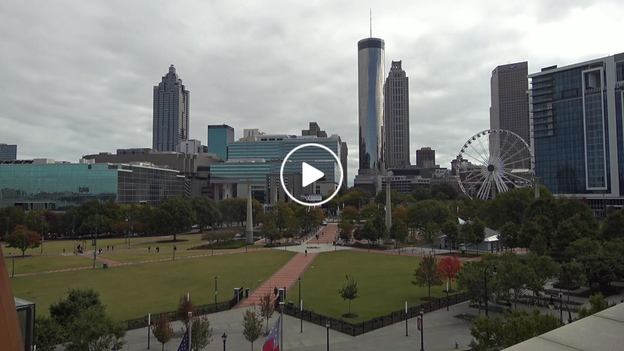
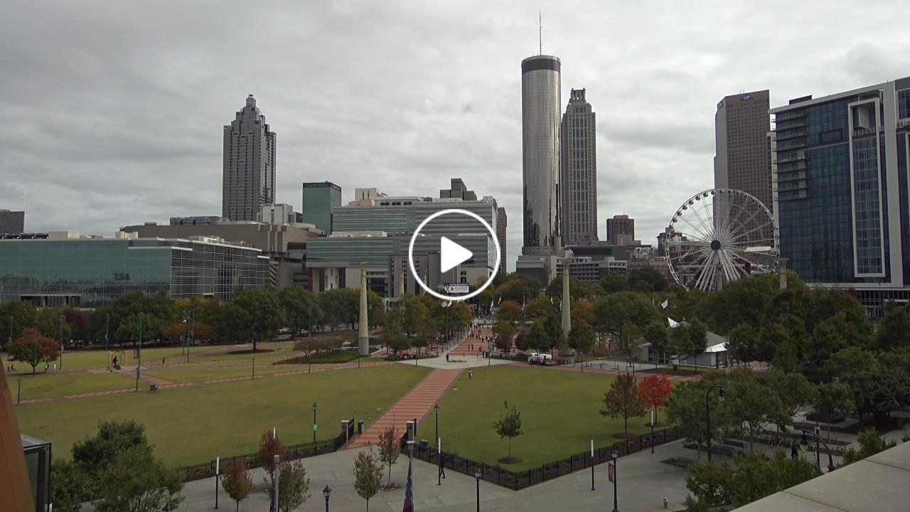
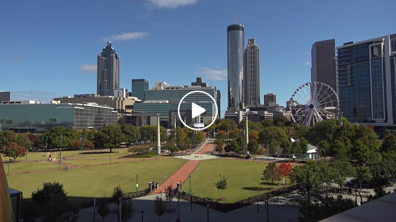
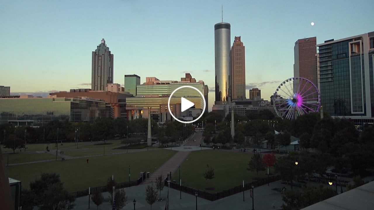
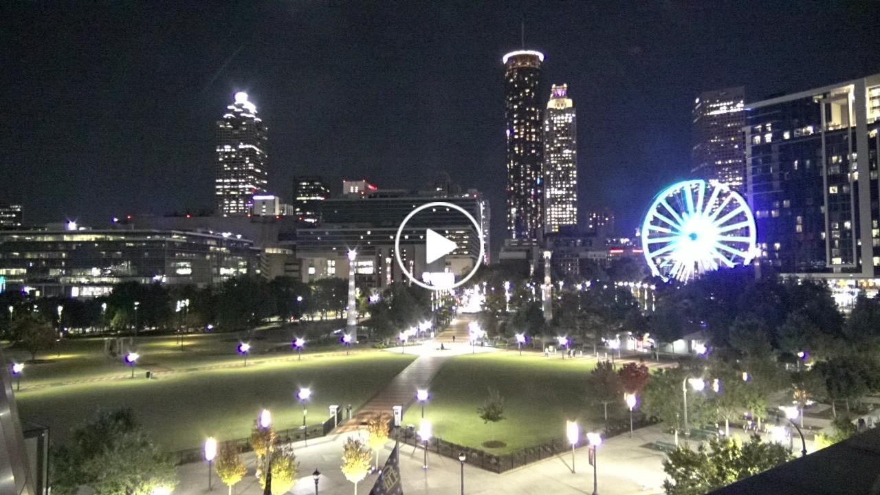
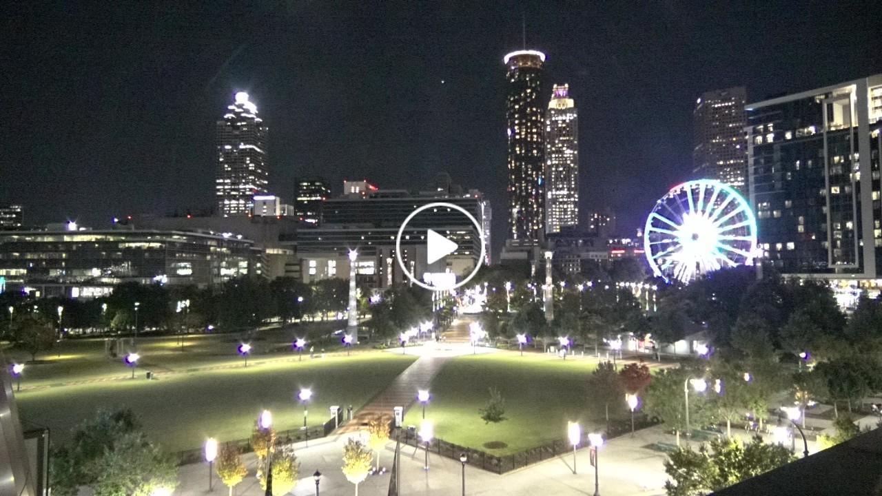
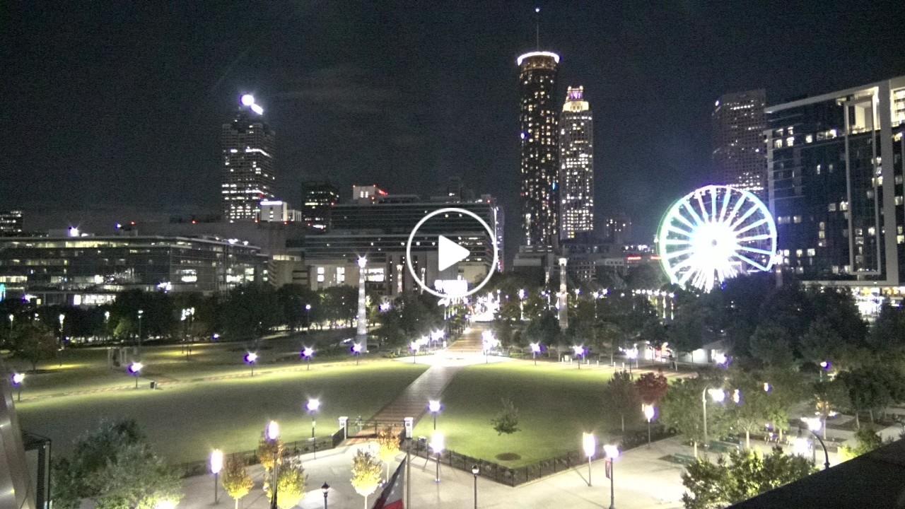
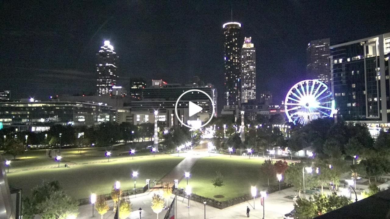
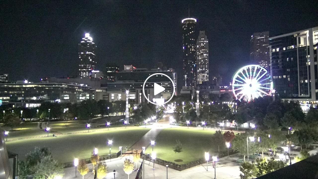
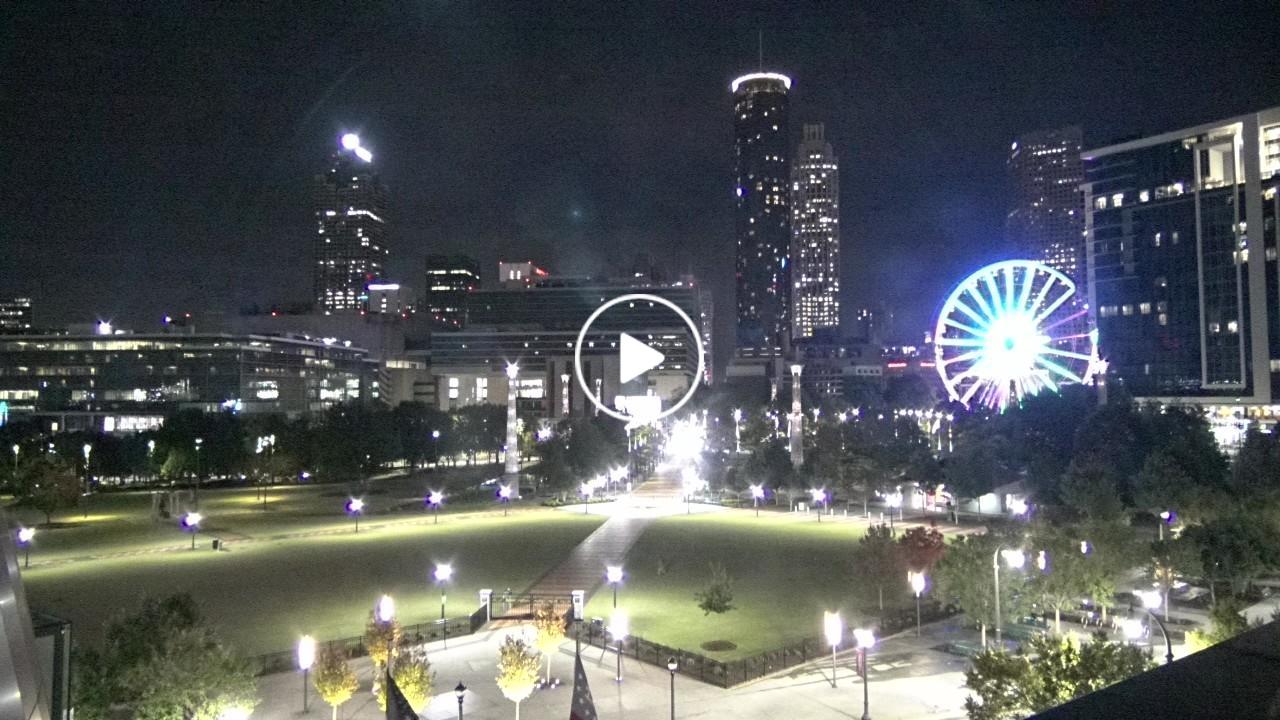
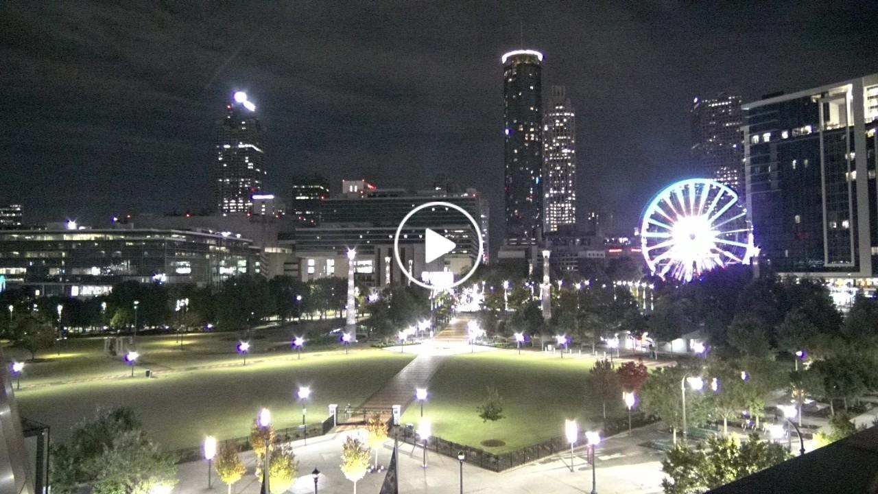
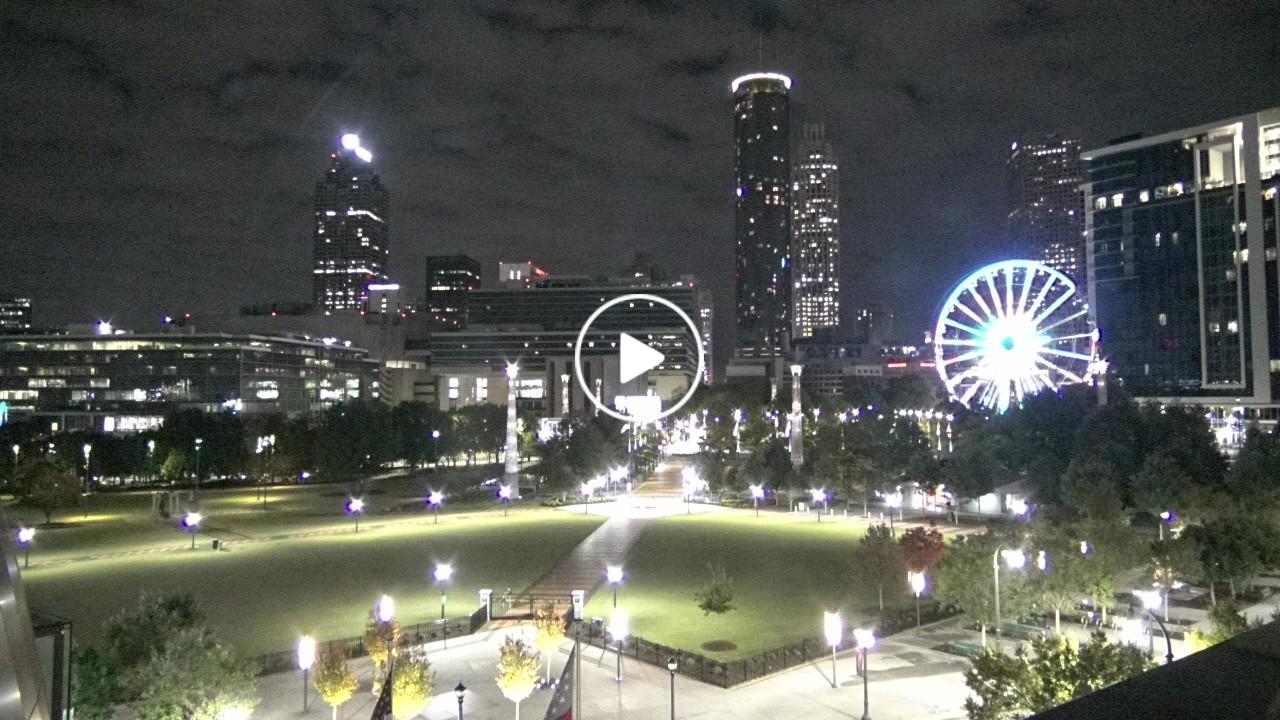
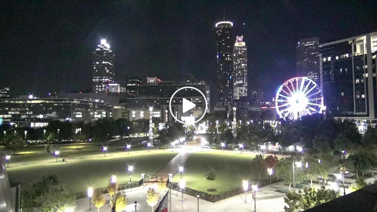
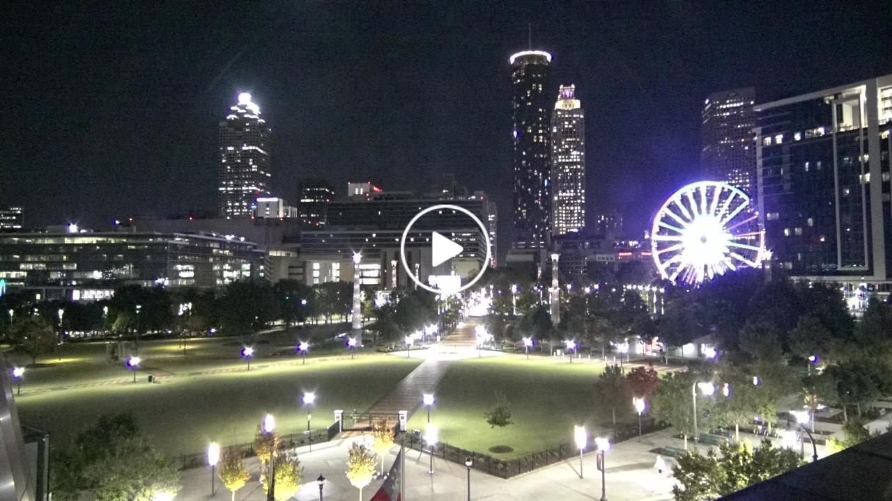
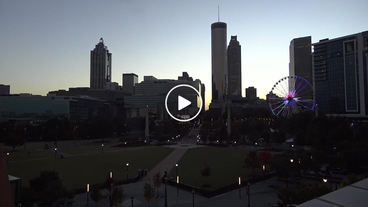
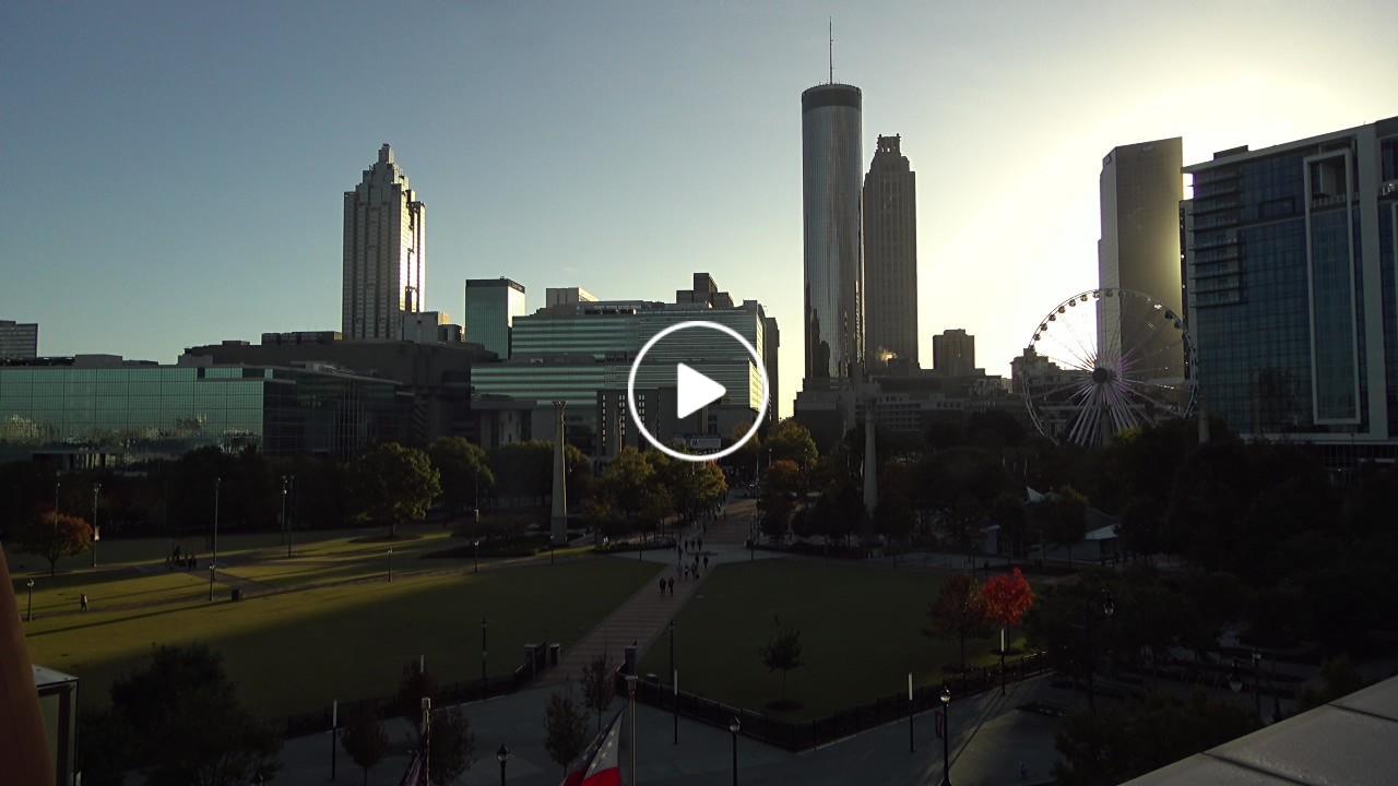
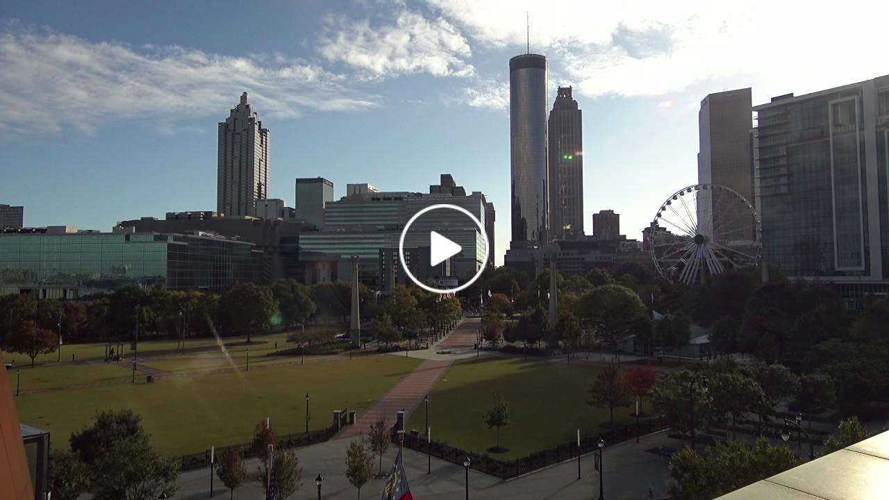
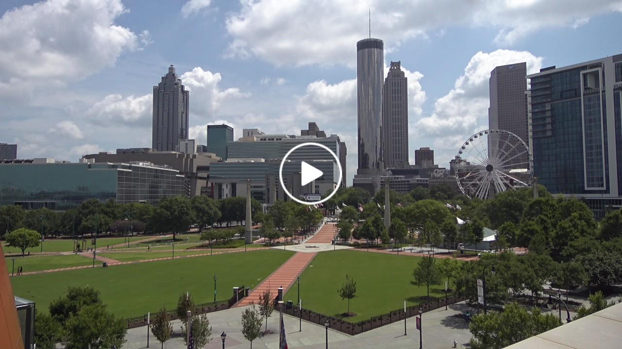
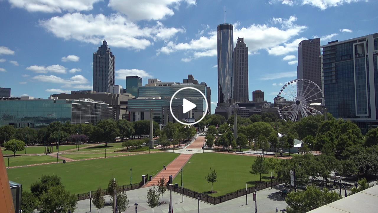
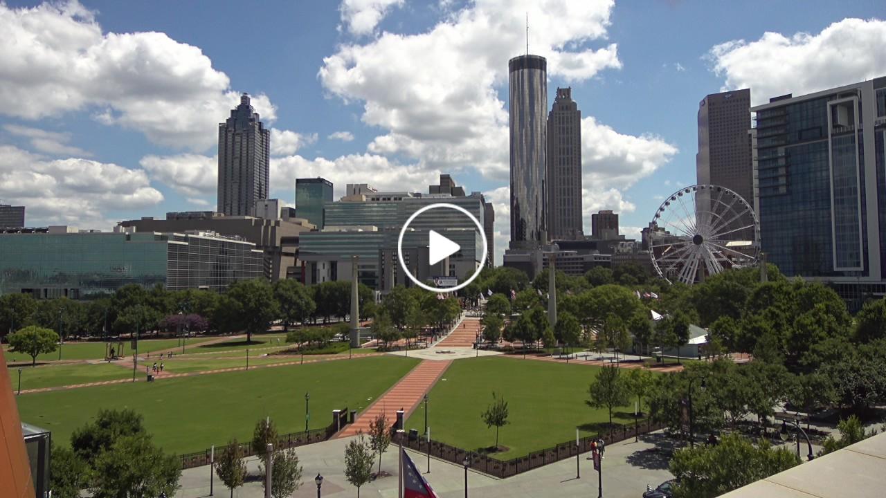
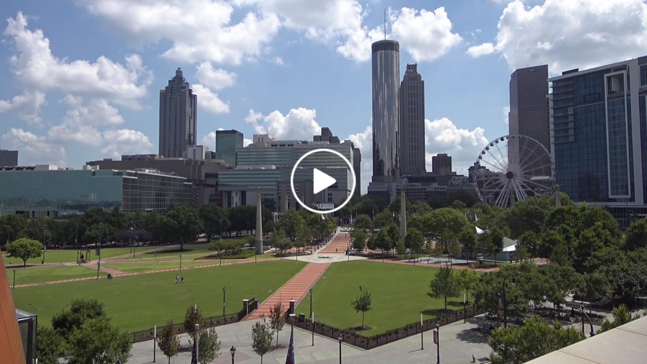
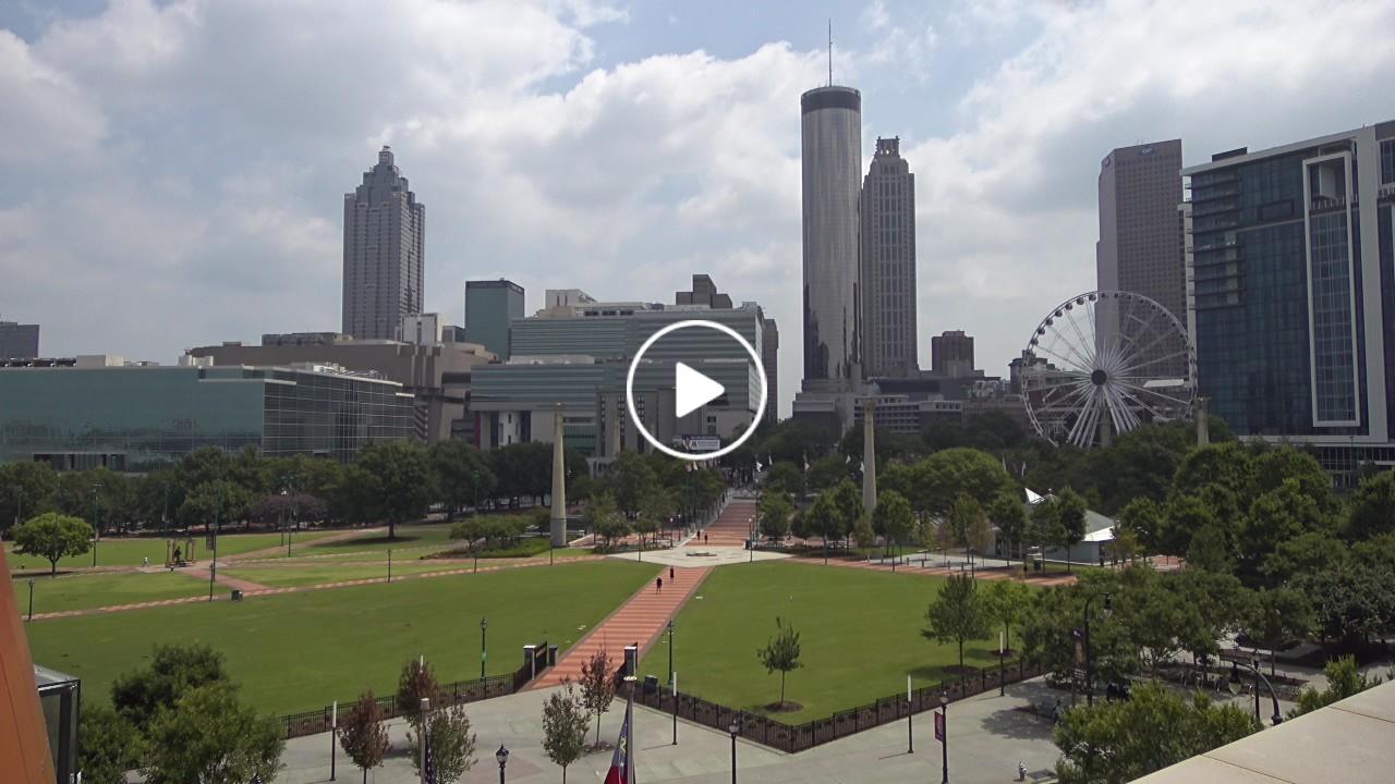
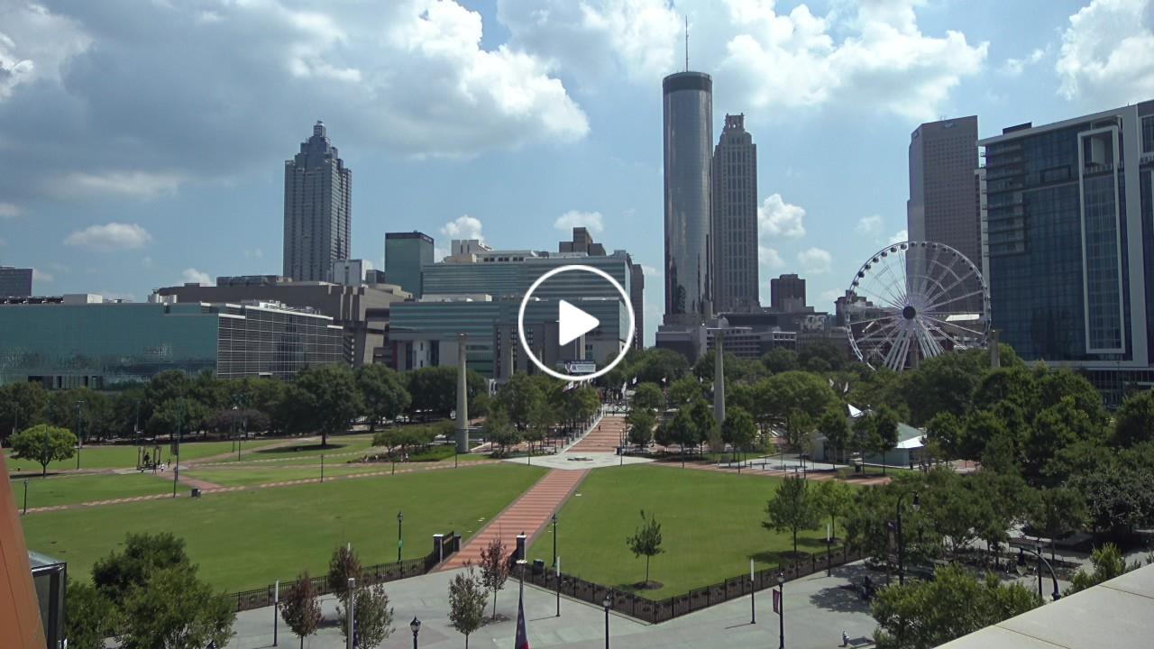
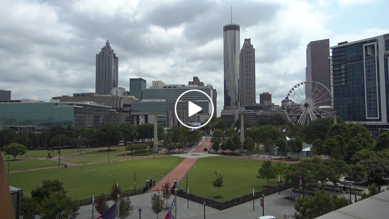
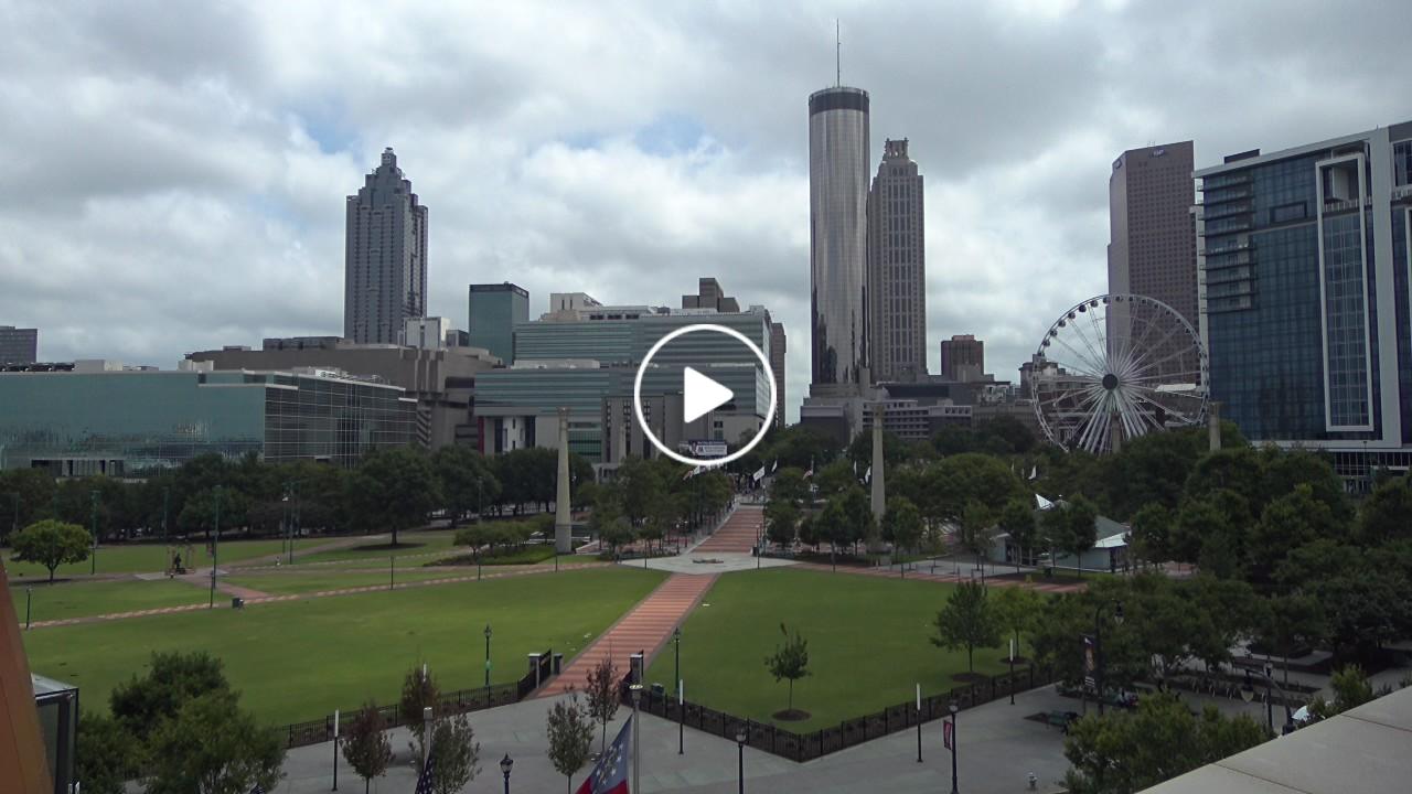
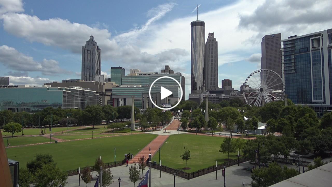
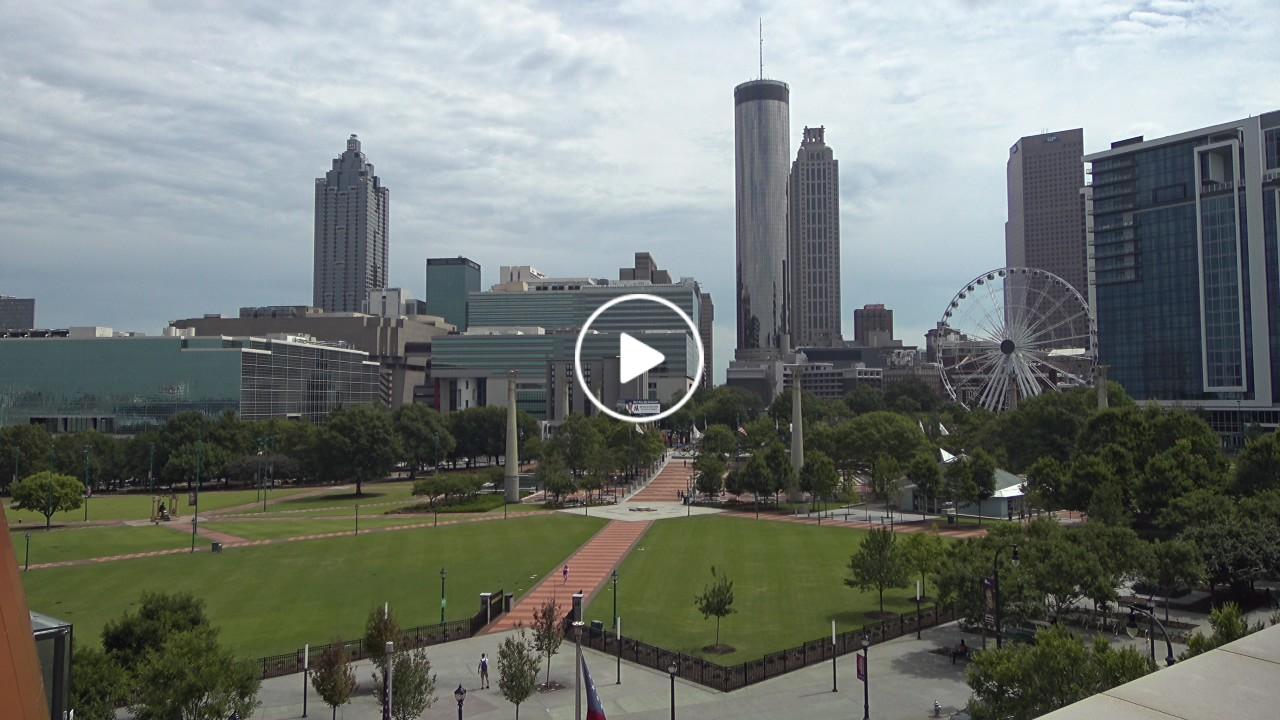
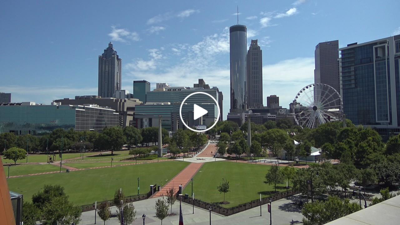
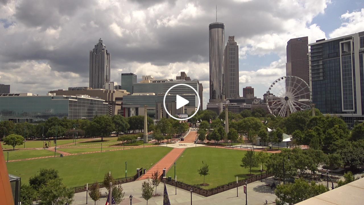
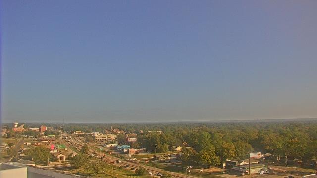
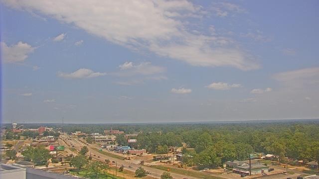
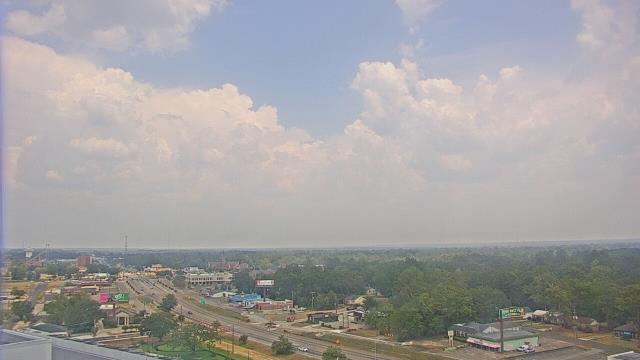
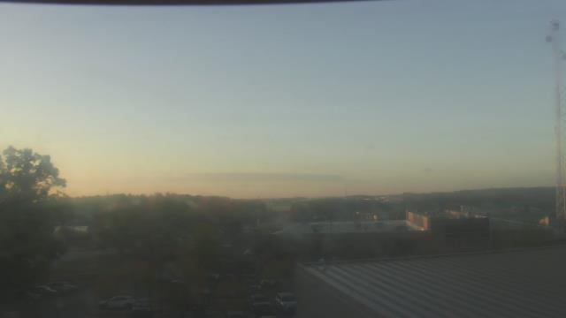
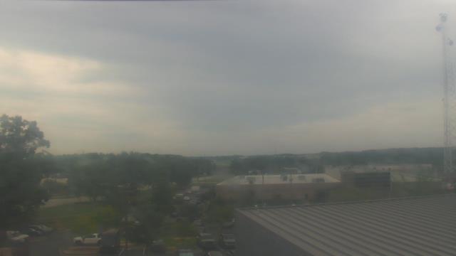
Atlanta, Georgia, USA - 163.8 miles from Burmah (historical): Skyline Atlanta - A nice view of the skyline of Atlanta, Georgia.
Operator: EarthCam
Operator: EarthCam


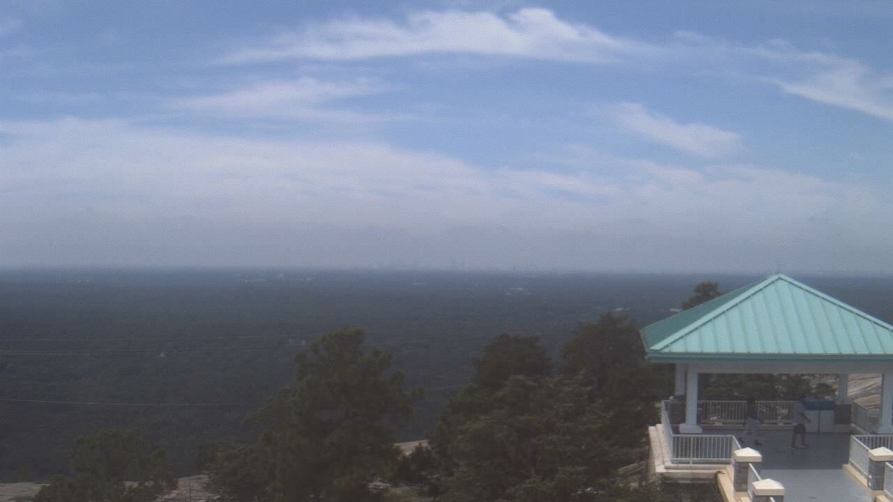
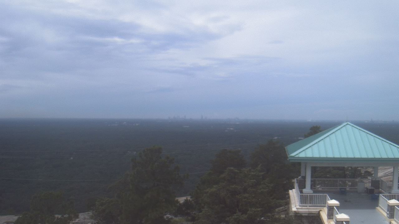
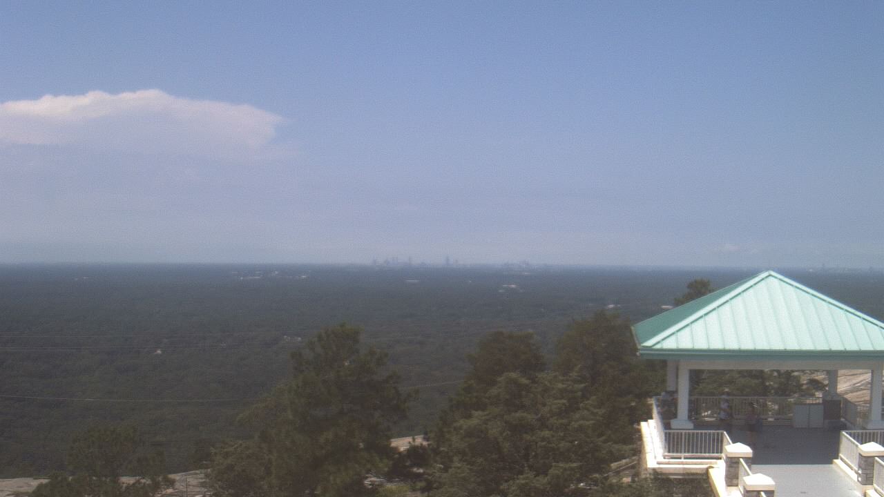
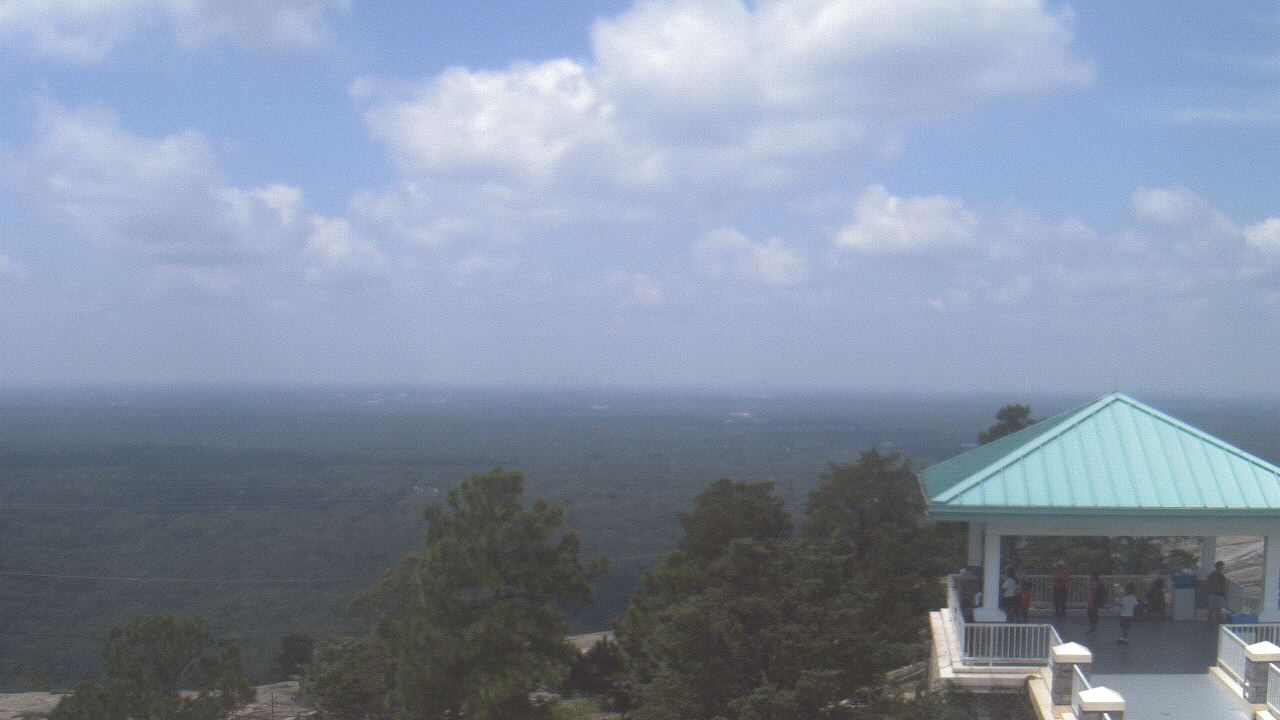
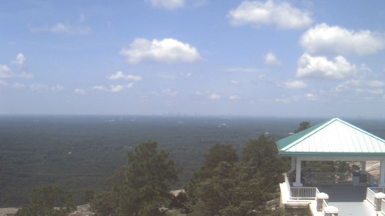
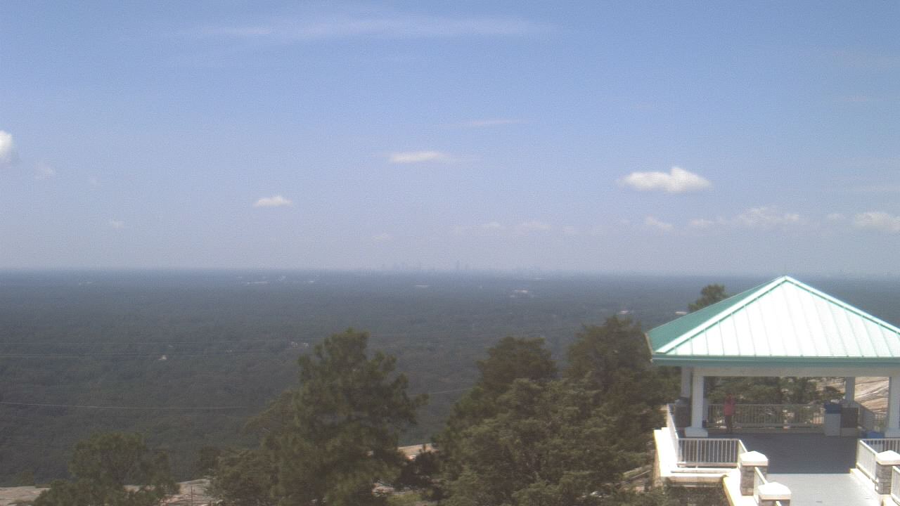
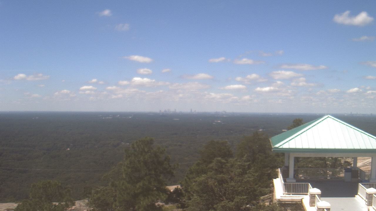
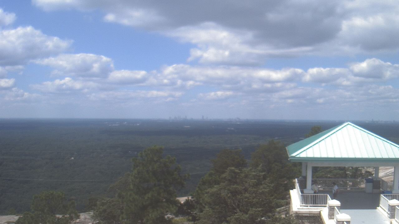
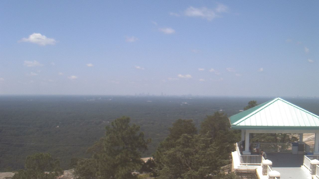
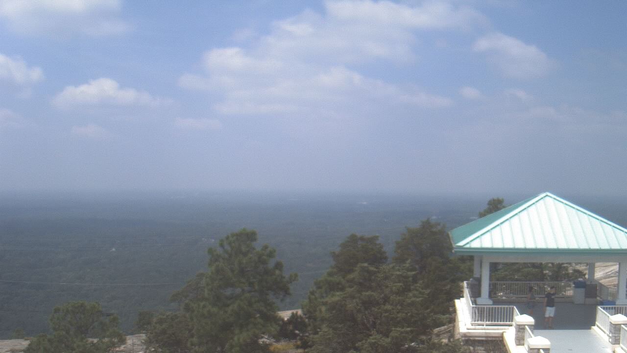
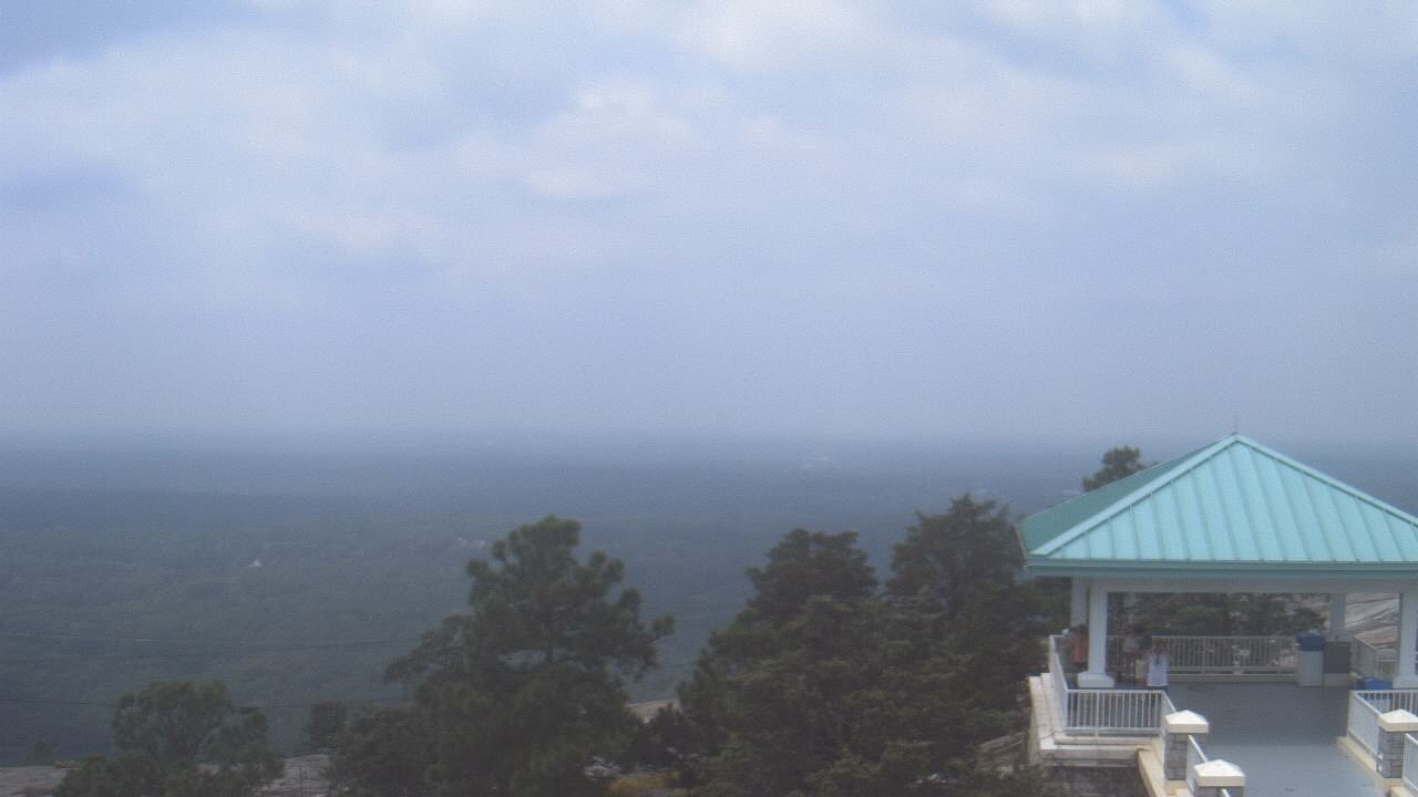
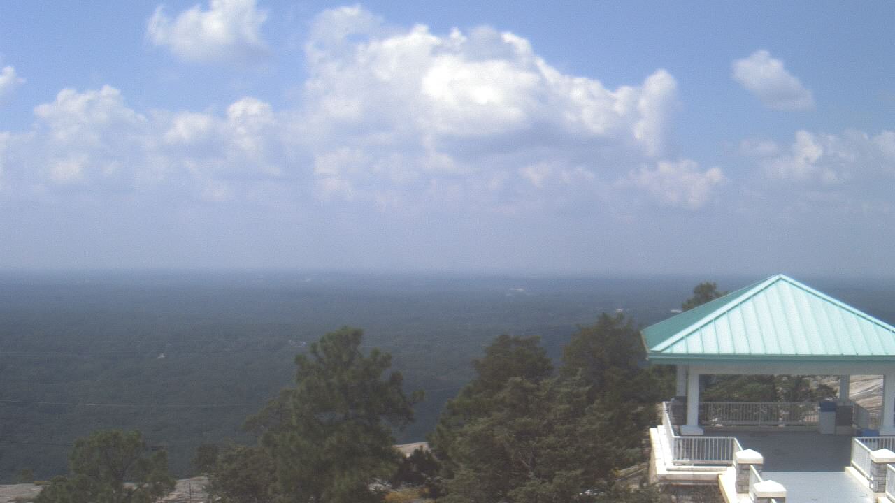
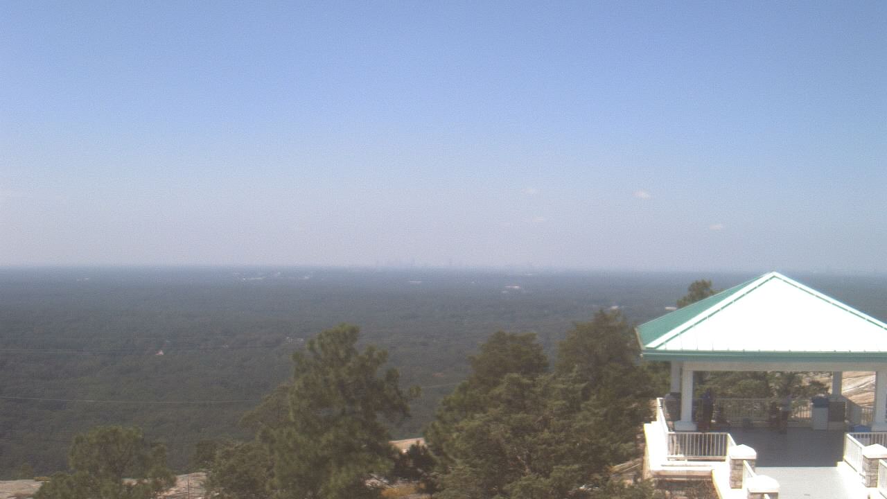
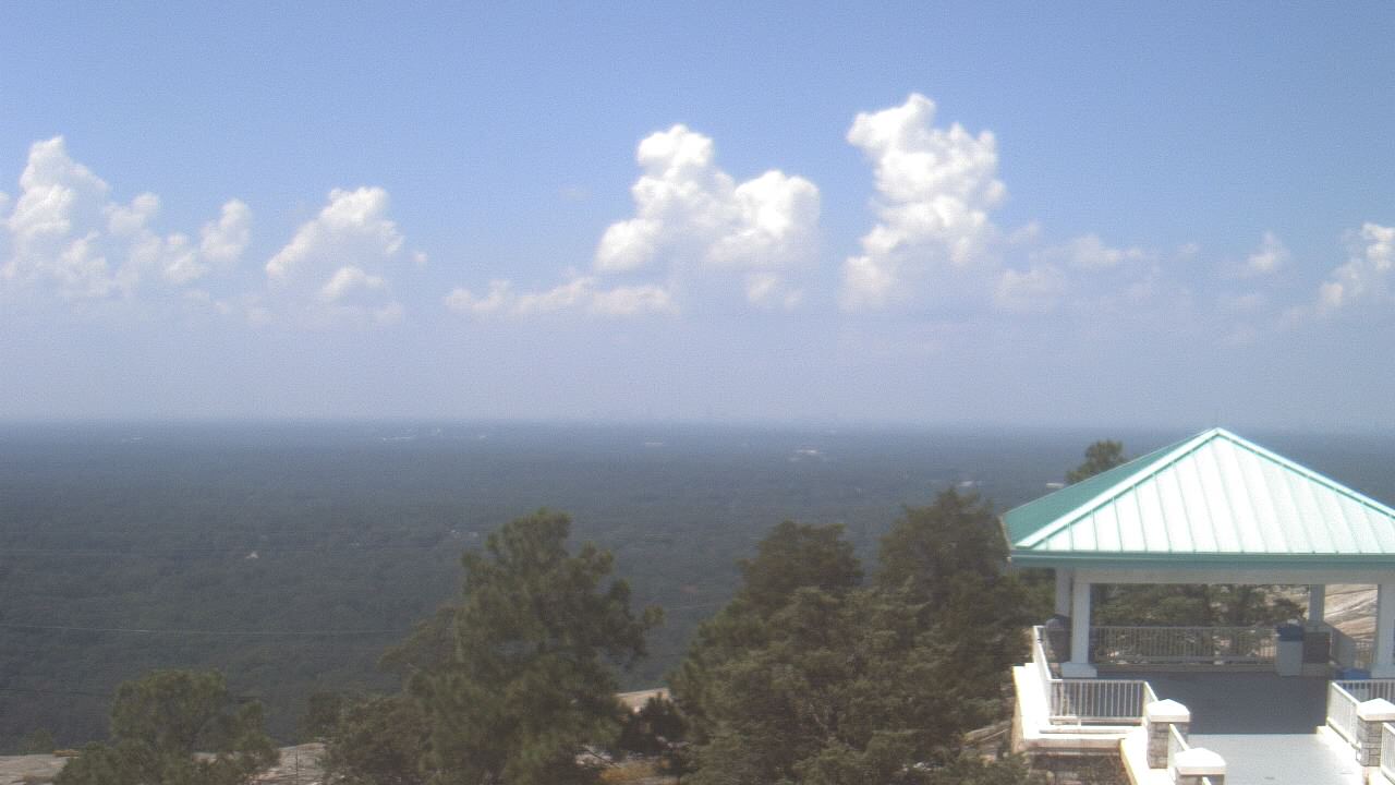
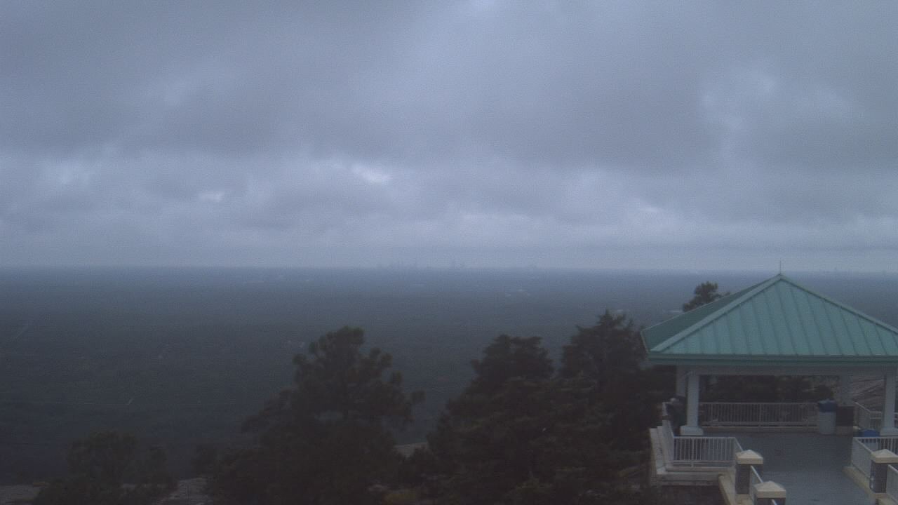
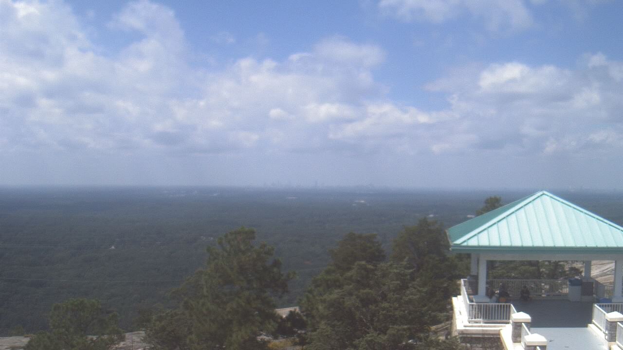
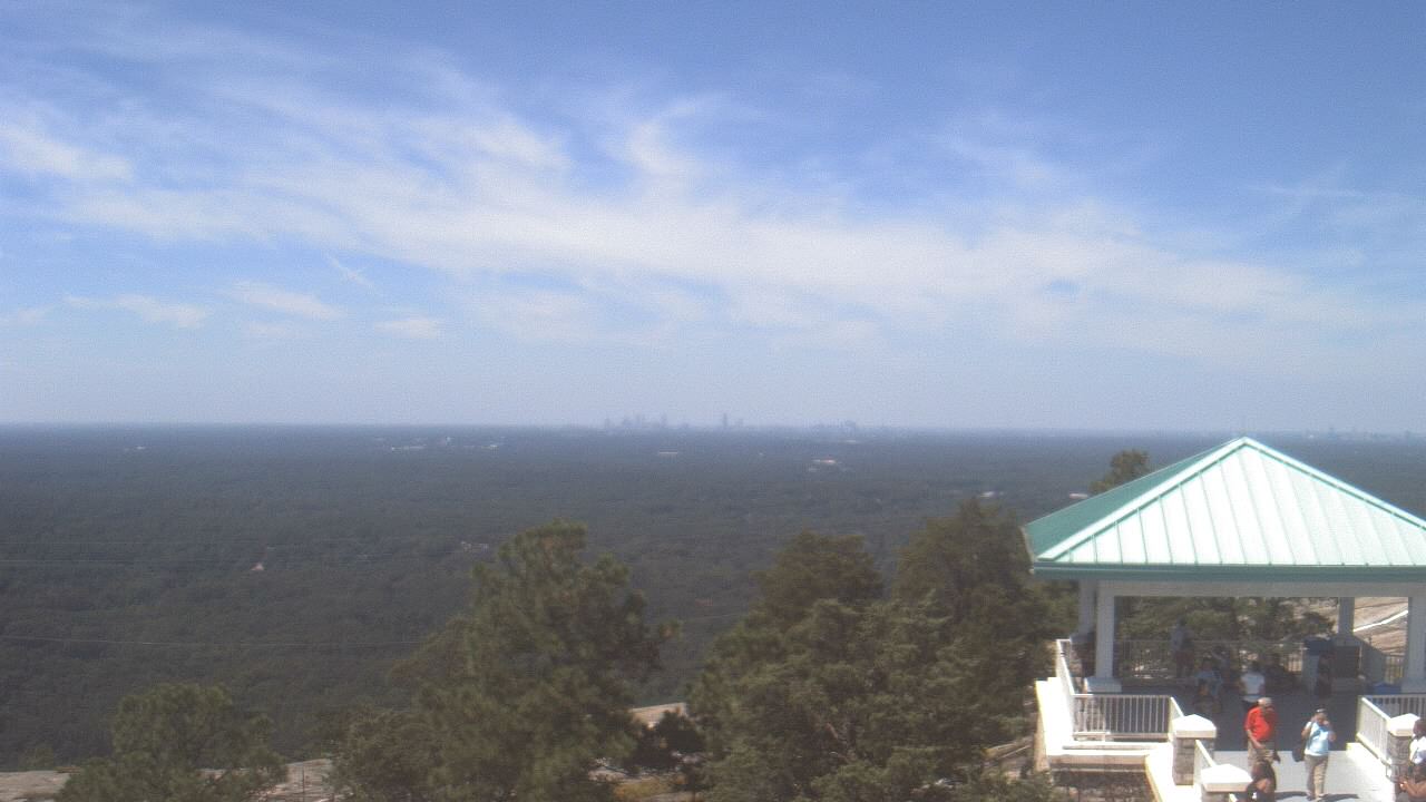
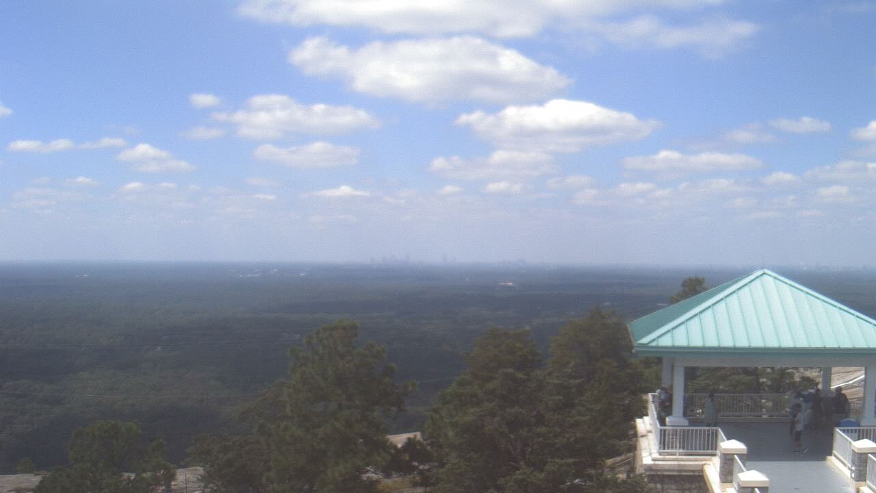
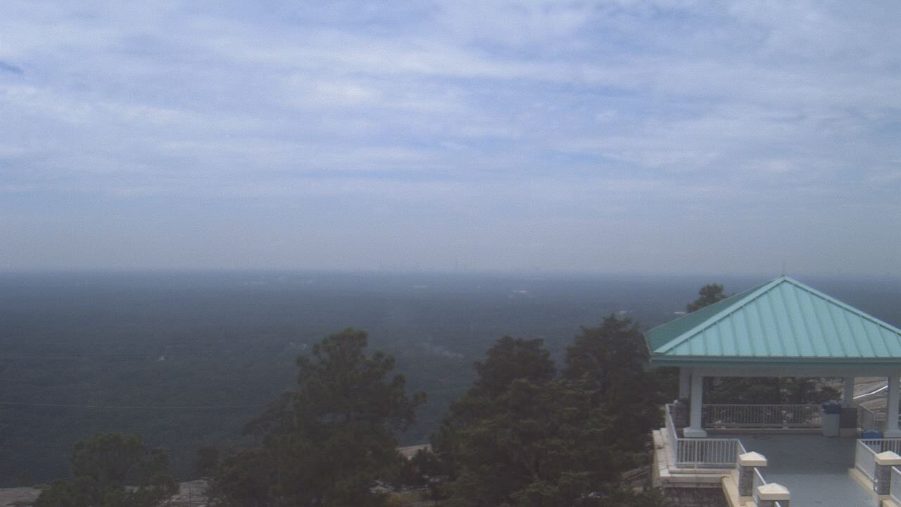
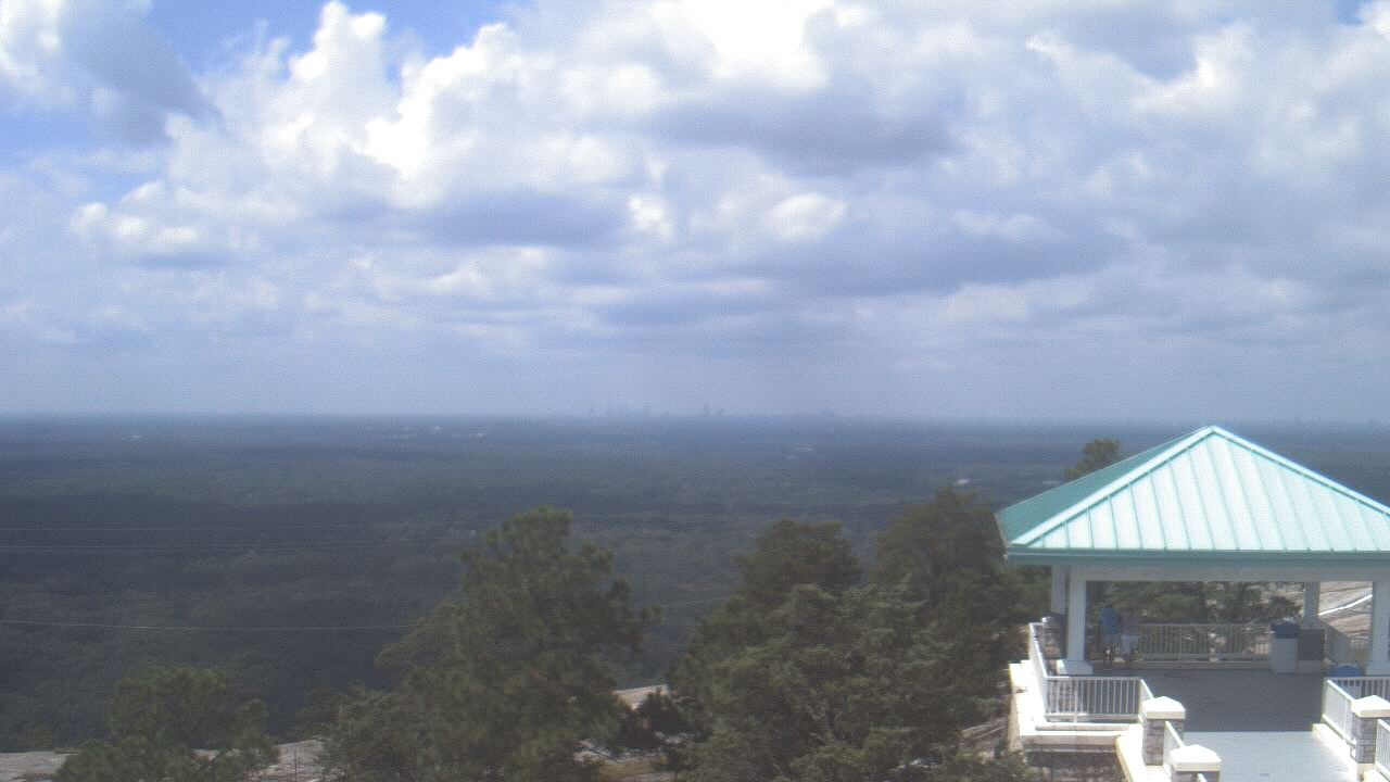
Stone Mountain, Georgia, USA - 176.8 miles from Burmah (historical): Top of Stone Mountain - A webcam in Stone Mountain, Georgia - camera location: Top of Stone Mountain.
Operator: WeatherBug
Operator: WeatherBug


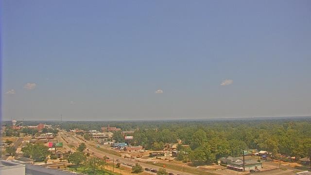
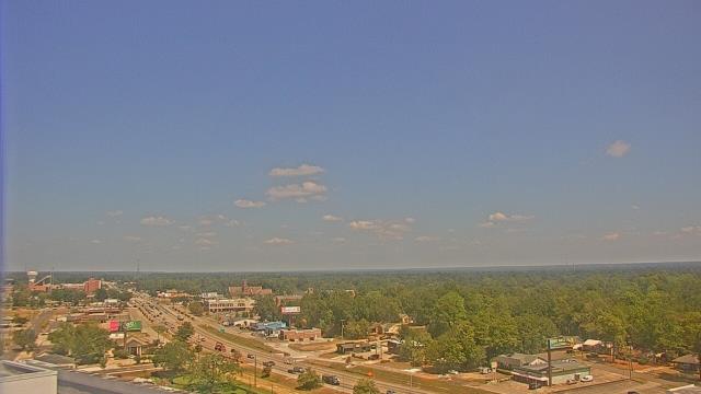
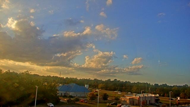
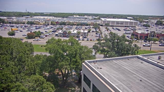
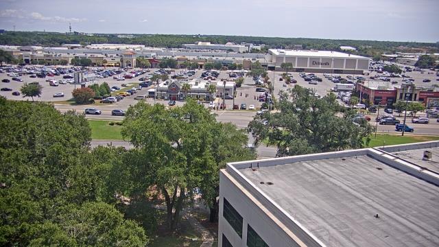
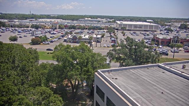
Hattiesburg, Mississippi, USA - 177.4 miles from Burmah (historical): Forrest General Hospital - A webcam in Hattiesburg, Mississippi - camera location: Forrest General Hospital.
Operator: WeatherBug
Operator: WeatherBug


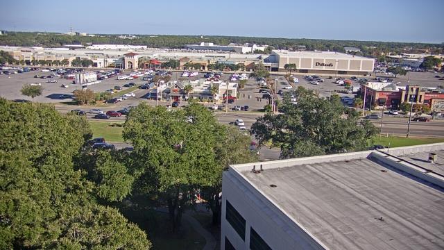
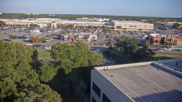
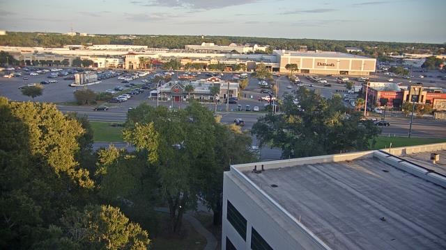
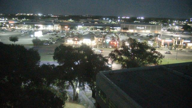
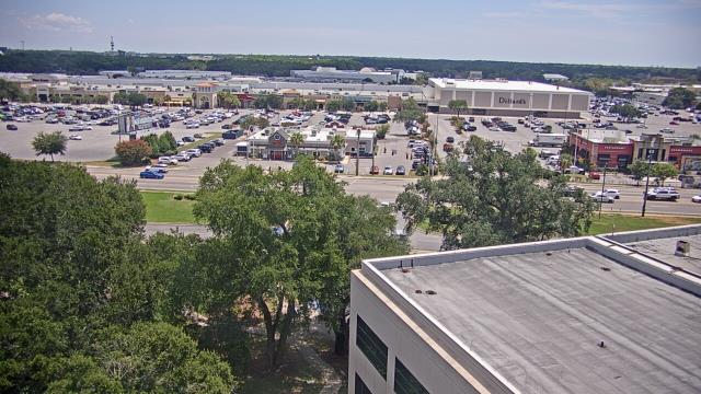
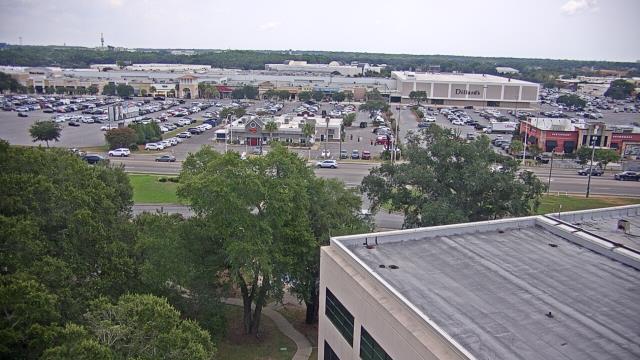
Hattiesburg, Mississippi, USA - 177.4 miles from Burmah (historical): Petro Nissan - A webcam in Hattiesburg, Mississippi - camera location: Petro Nissan.
Operator: WeatherBug
Operator: WeatherBug


Lawrenceville, Georgia, USA - 182.8 miles from Burmah (historical): Gwinnett County EMA - A webcam in Lawrenceville, Georgia - camera location: Gwinnett County EMA.
Operator: WeatherBug
Operator: WeatherBug


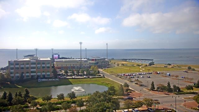
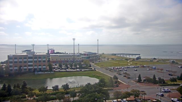
Pensacola, Florida, USA - 187.3 miles from Burmah (historical): Sacred Heart Hospital - A webcam in Pensacola, Florida - camera location: Sacred Heart Hospital.
Operator: WeatherBug
Operator: WeatherBug


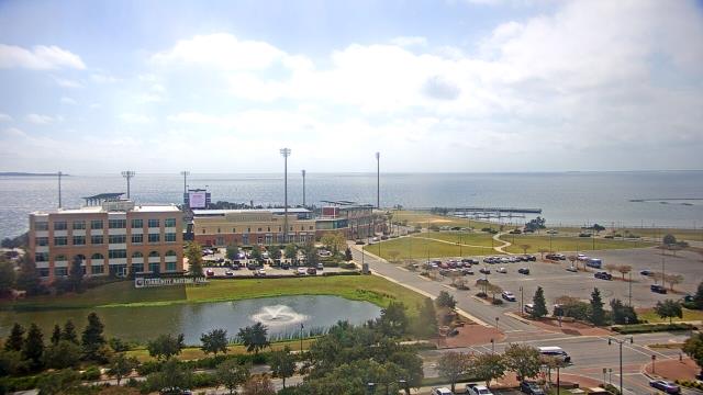
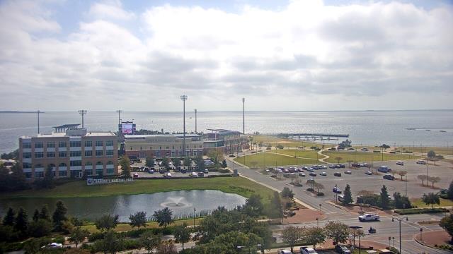
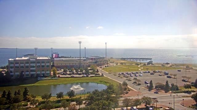
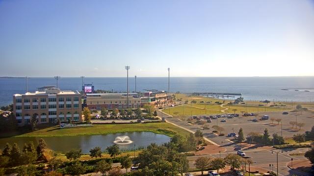
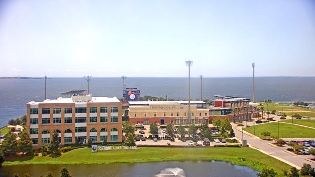
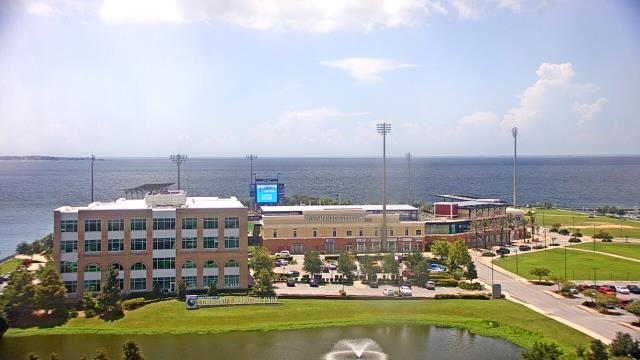
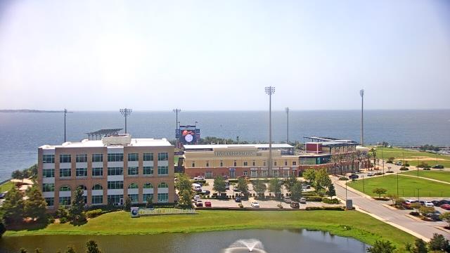
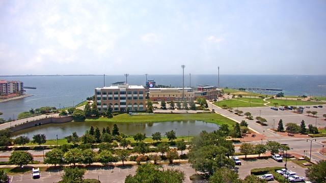
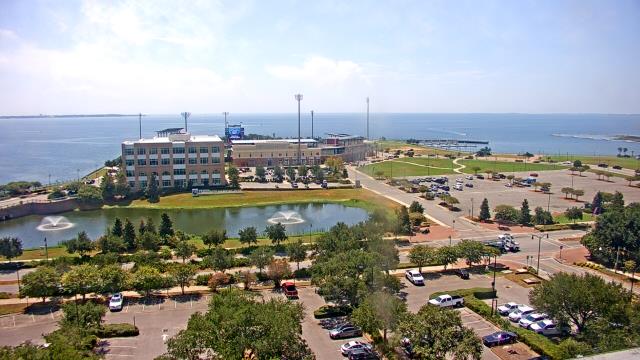
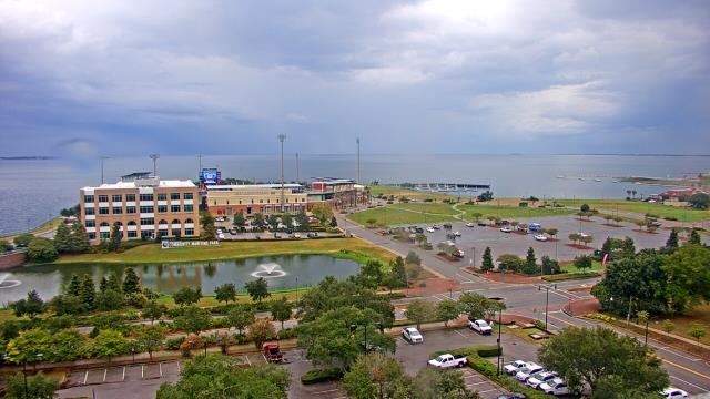
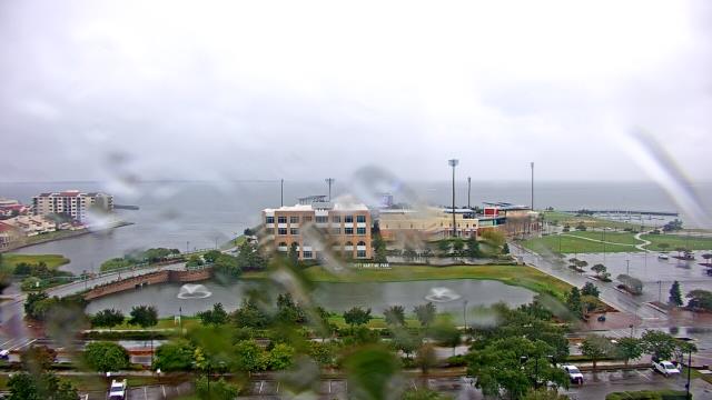
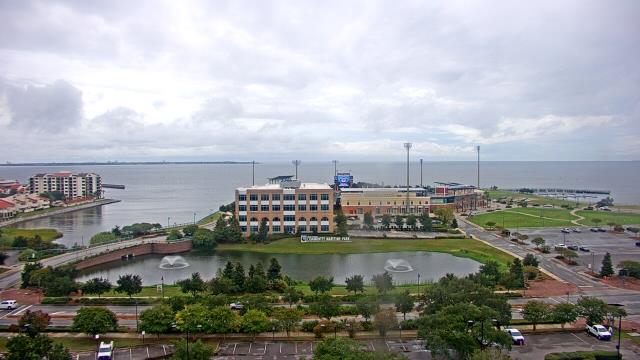
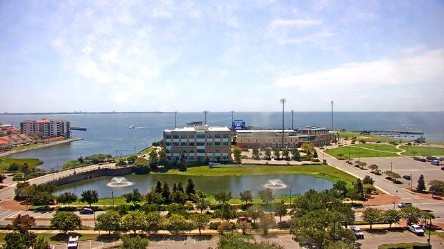
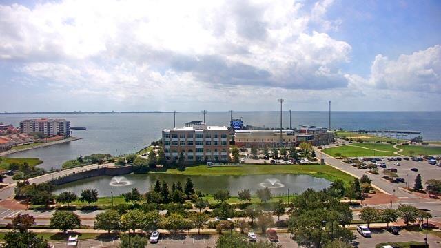
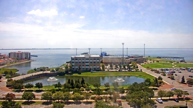
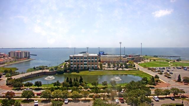
Pensacola, Florida, USA - 187.3 miles from Burmah (historical): City of Pensacola City Hall - A webcam in Pensacola, Florida - camera location: City of Pensacola City Hall.
Operator: WeatherBug
Operator: WeatherBug


Some other places in this country: Academy Park - Banks - Cane Creek (historical) - Choctaw Hills - Duff Settlement - East Centreville - East Town - Goodson - Jamesville - Pleasant Hill