Webcams in the region of Islay, Wyoming, USA
The List of Webcams near Islay, Wyoming, USA:

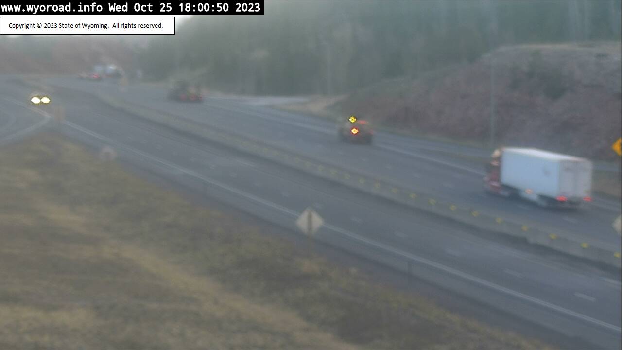
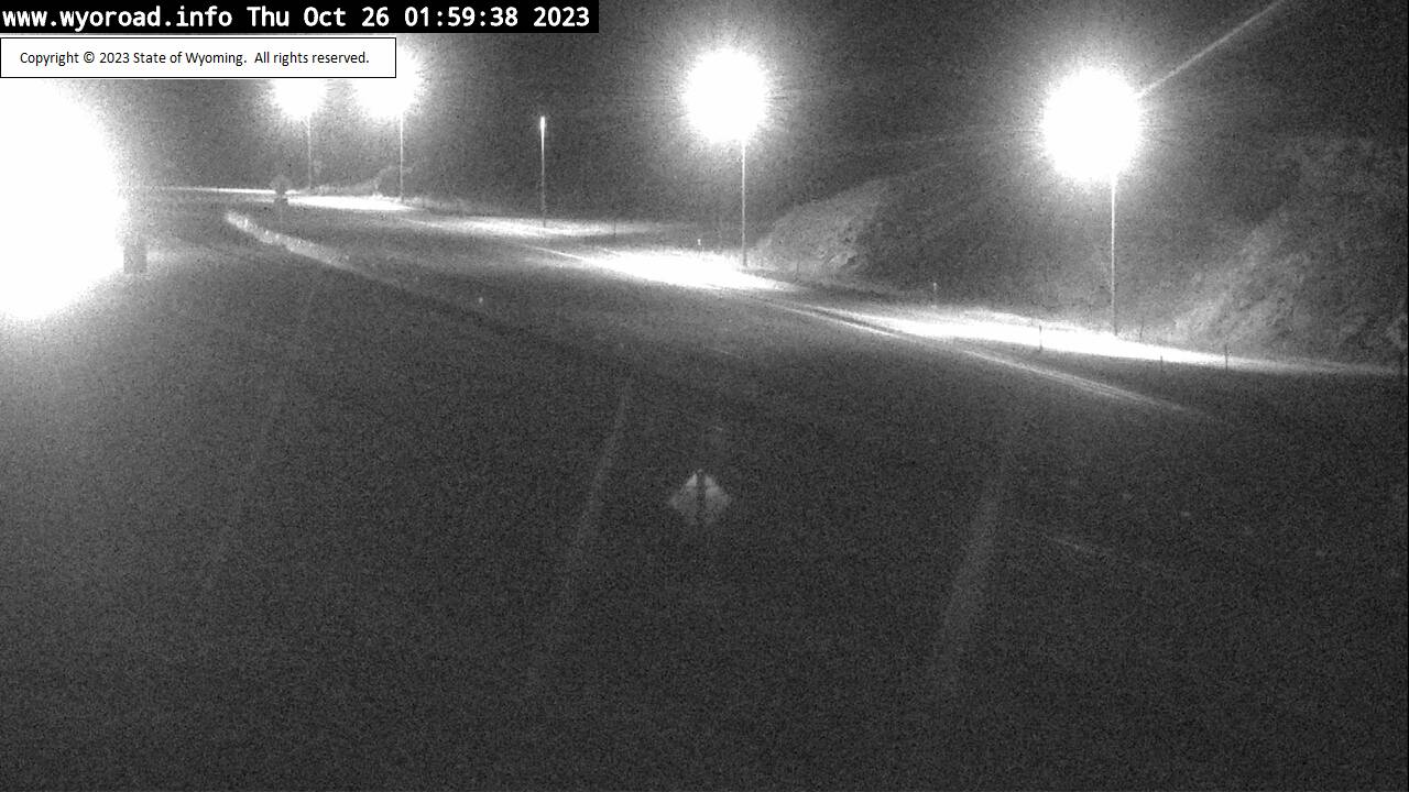
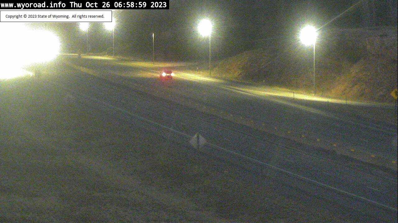
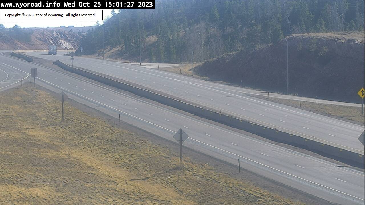
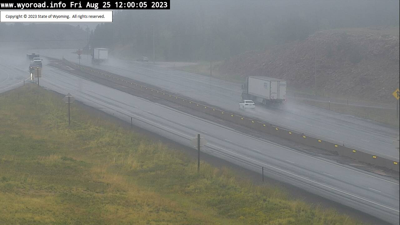
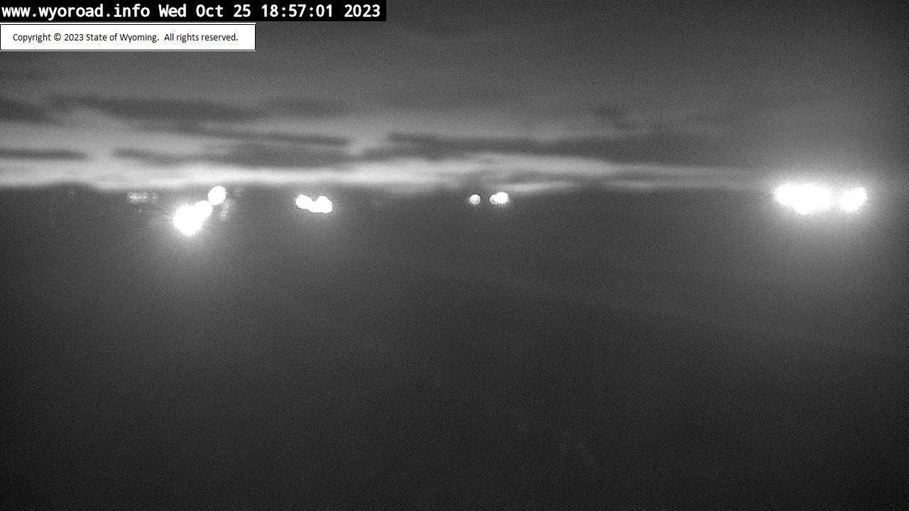
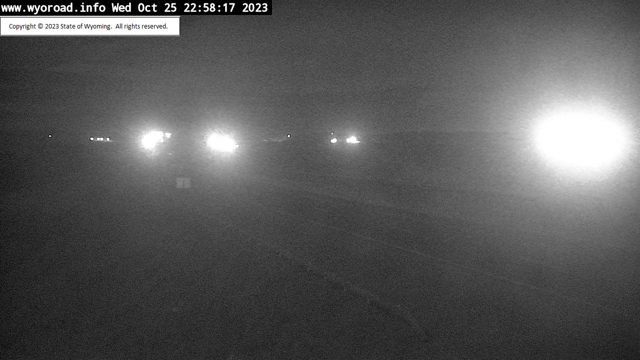
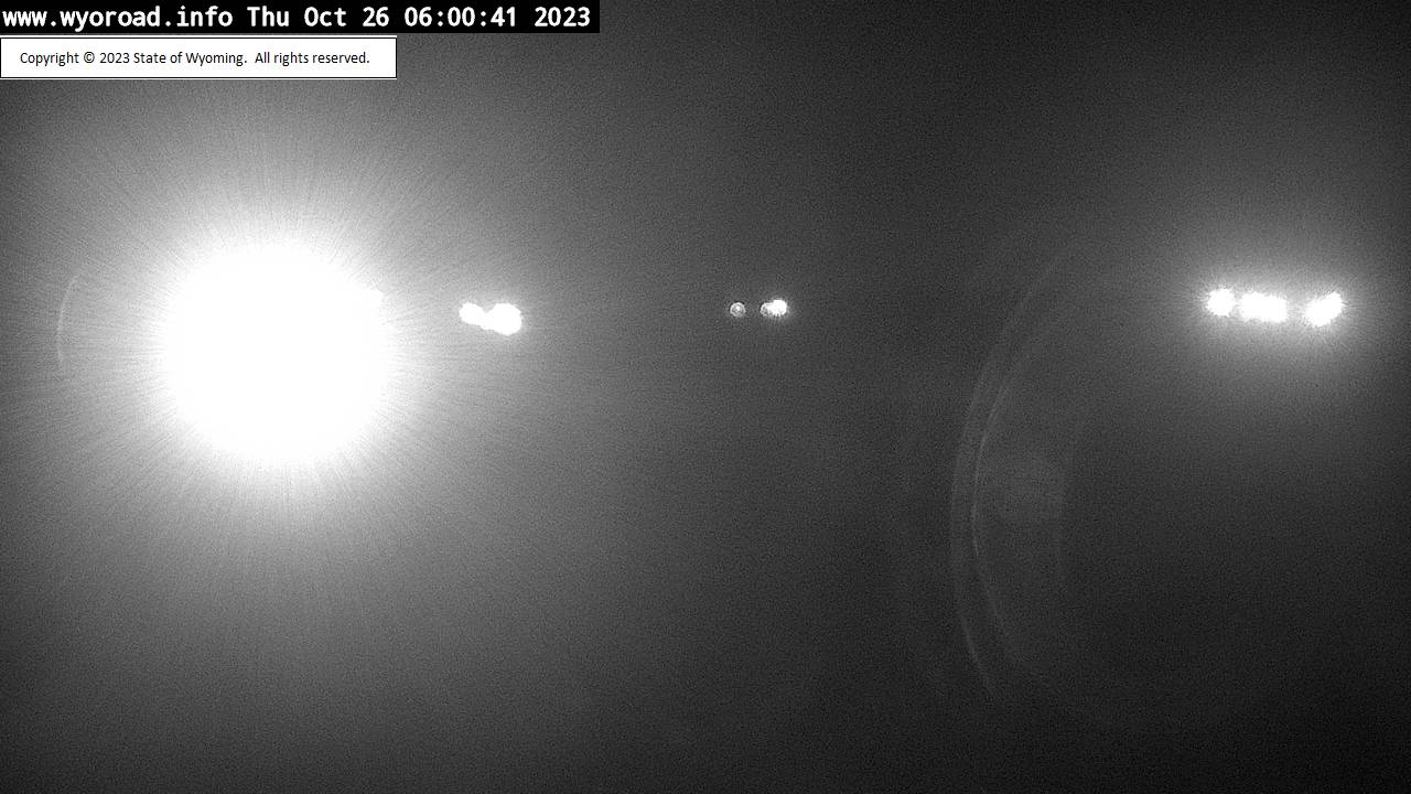
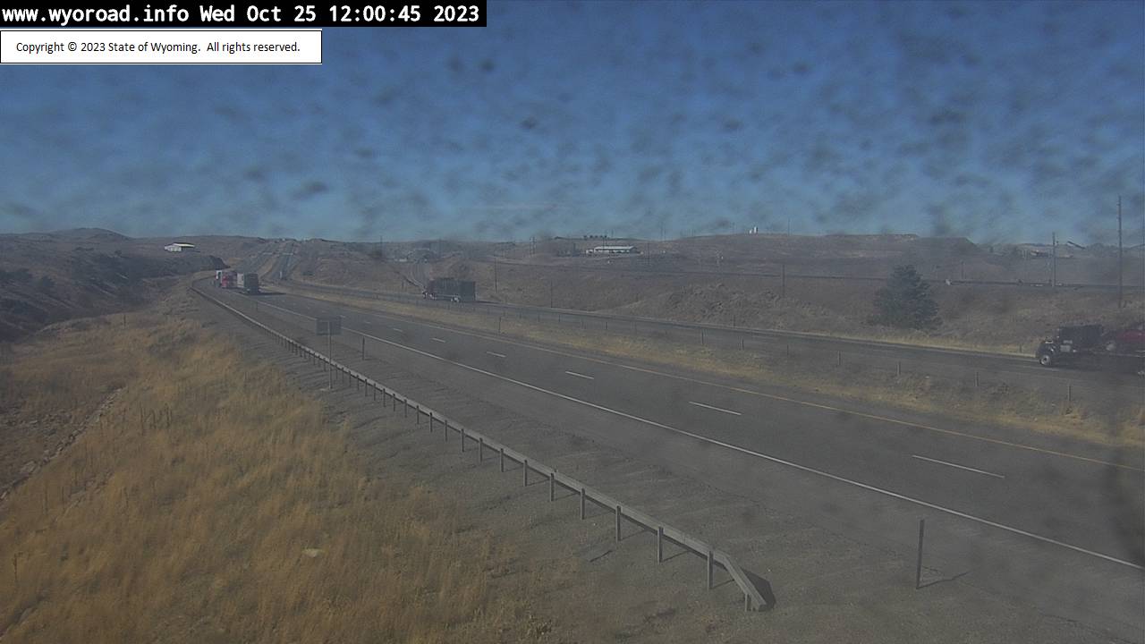
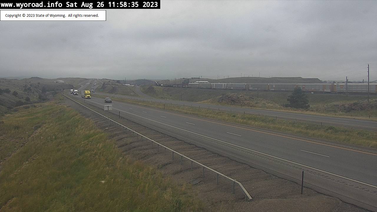
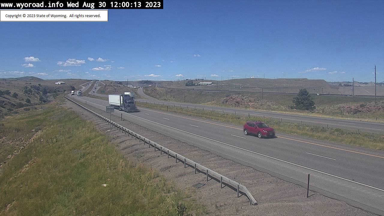
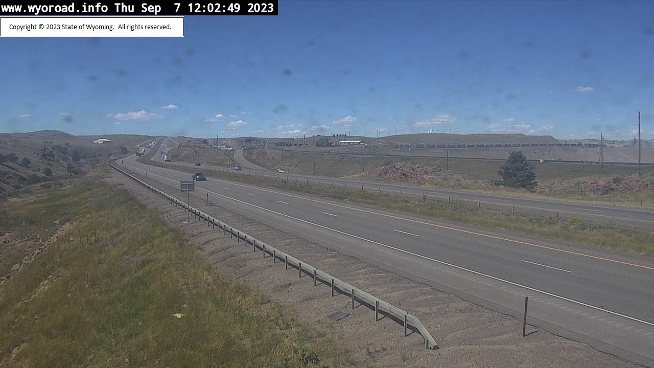
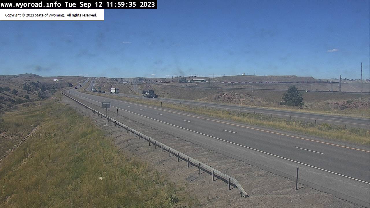
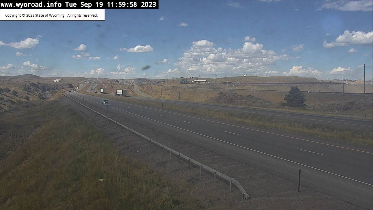
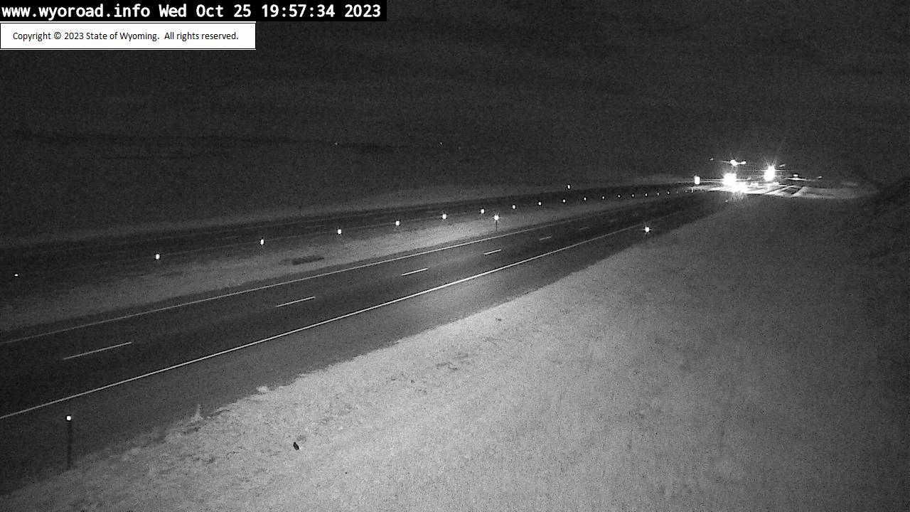
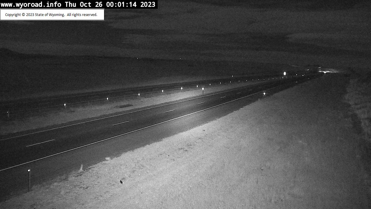
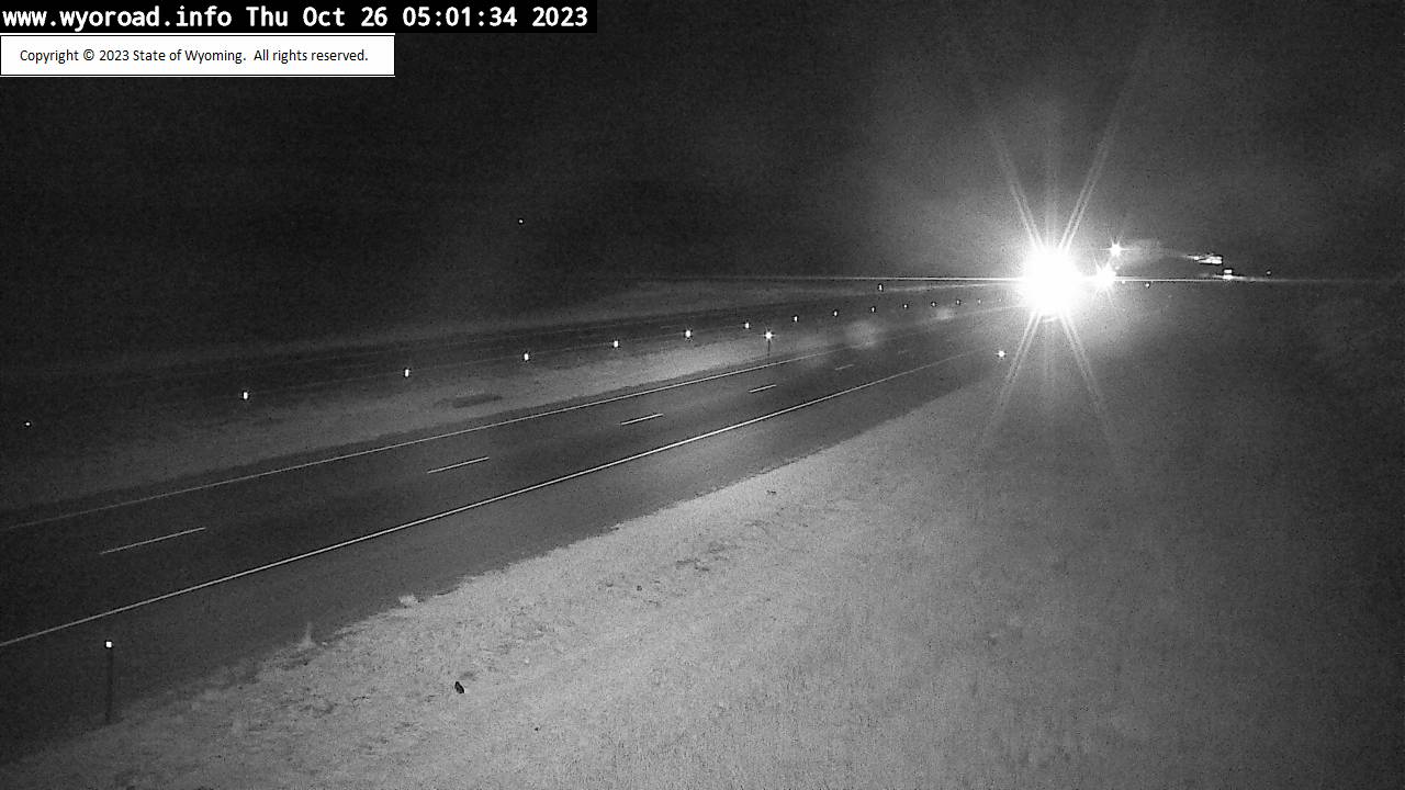
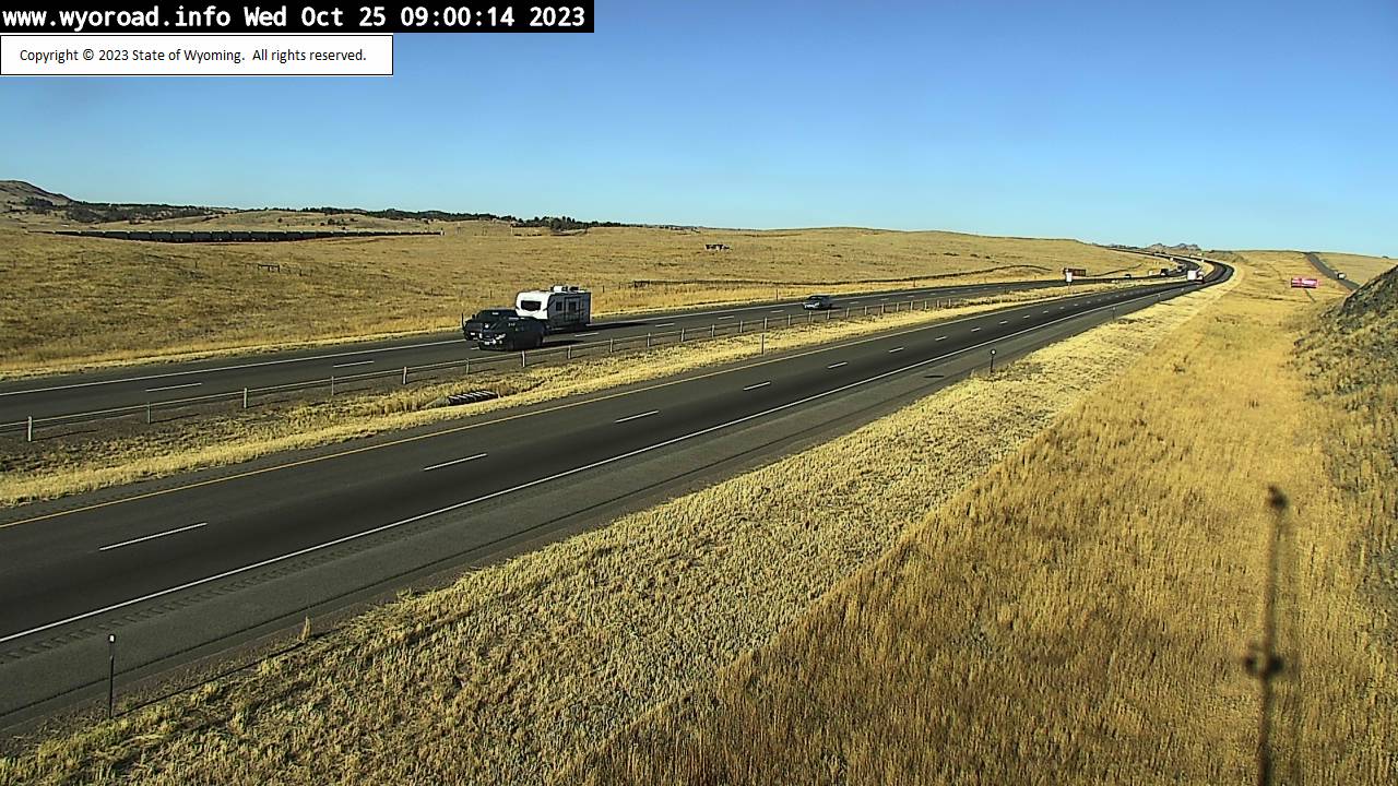
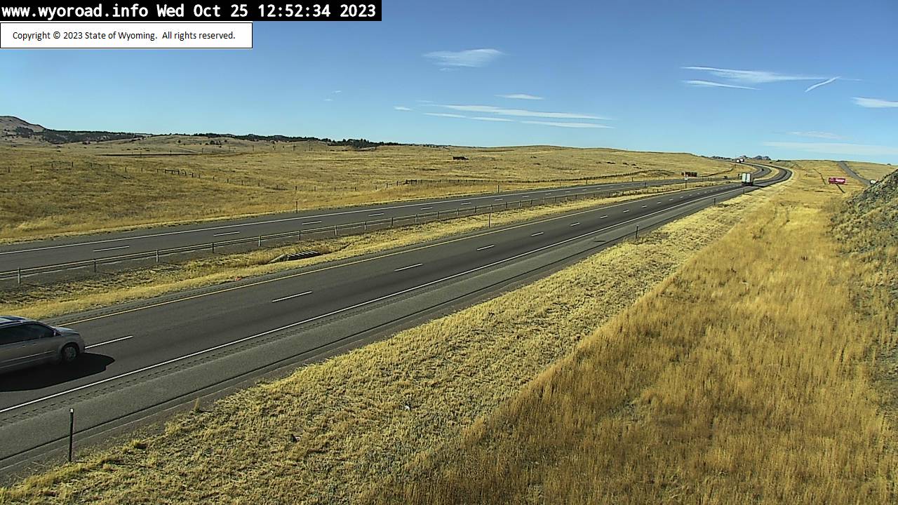
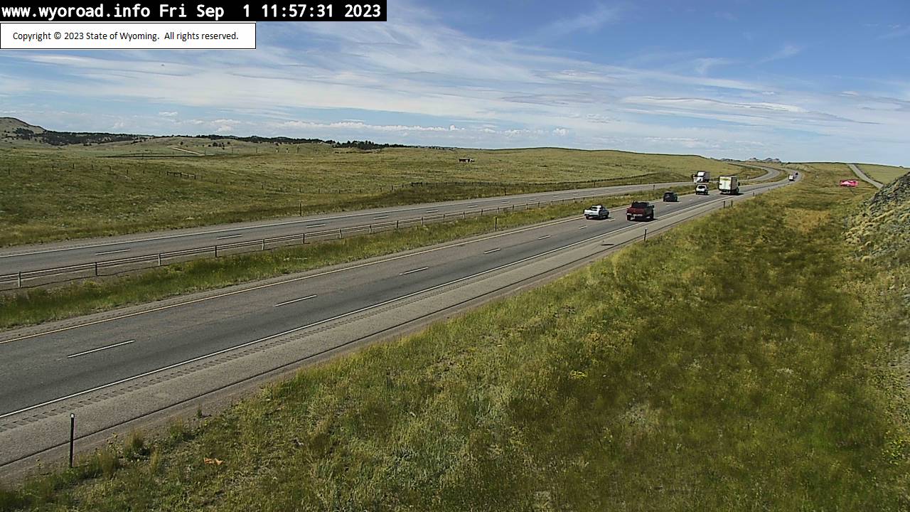
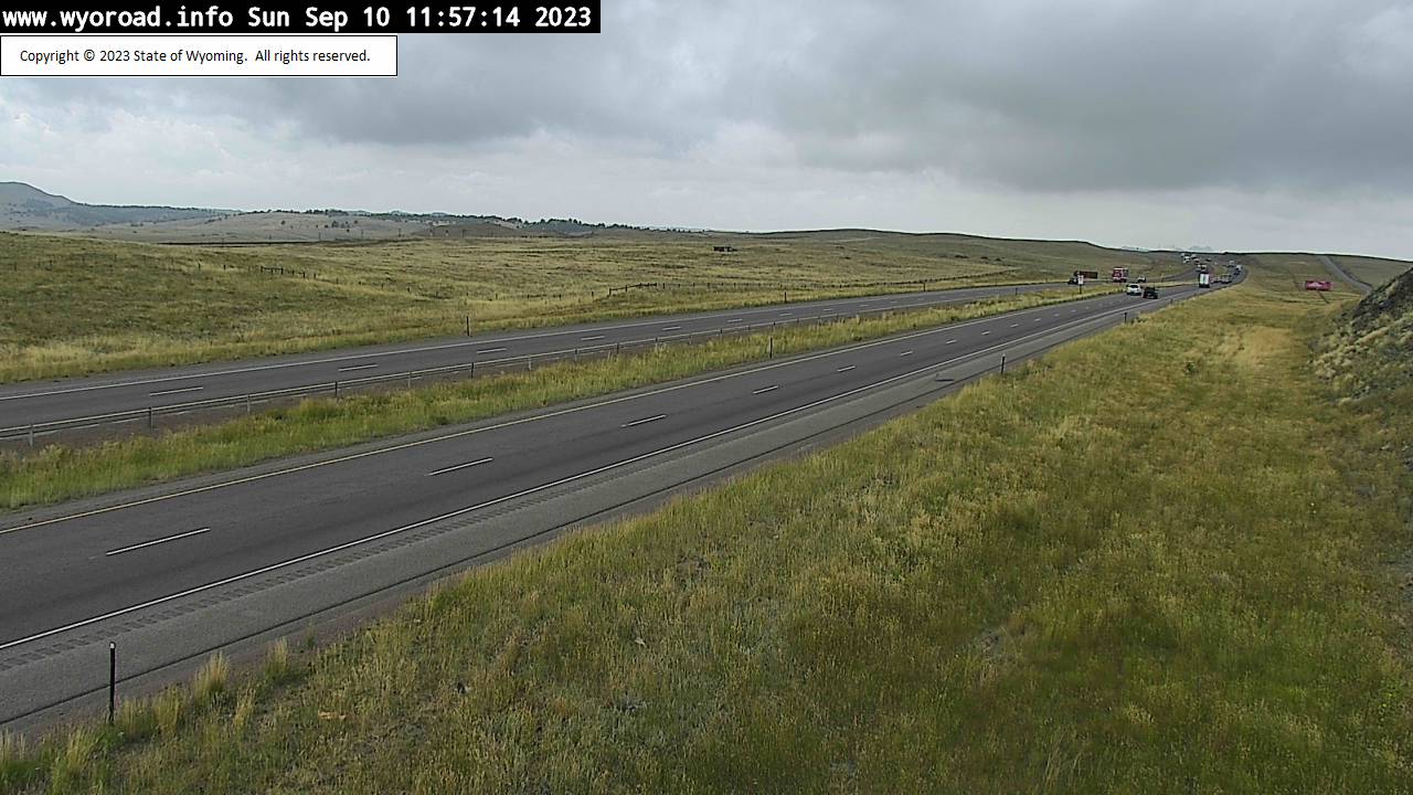
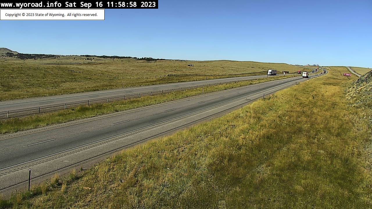
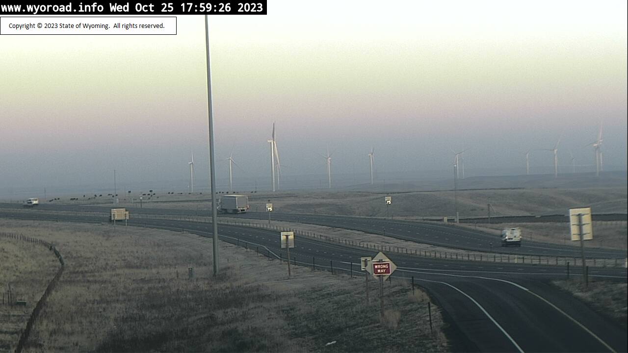
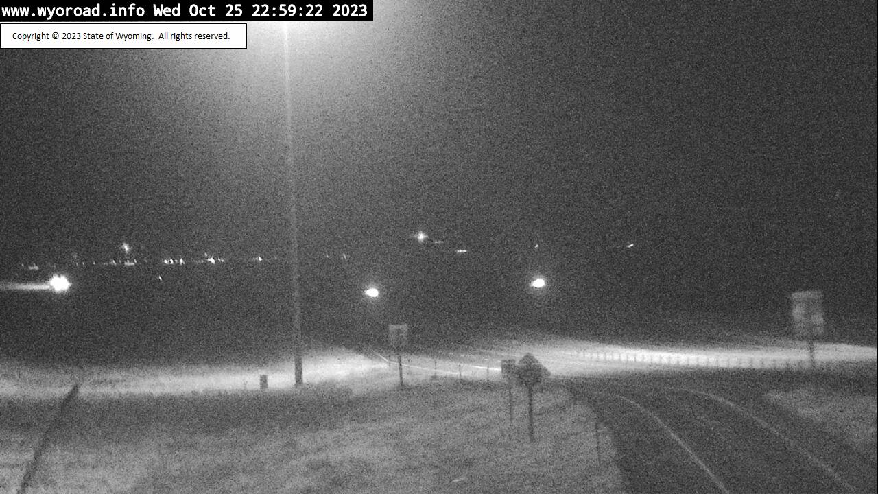
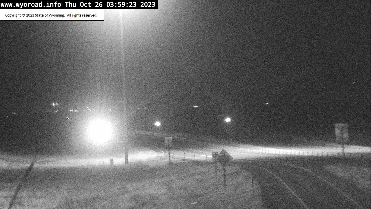
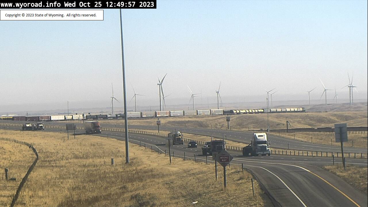
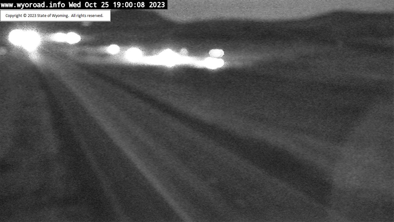
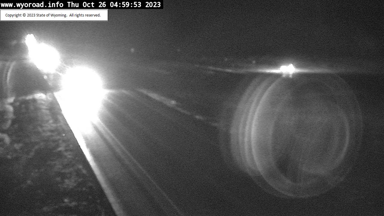
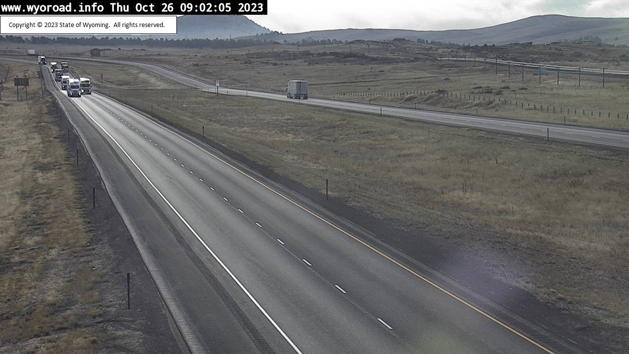
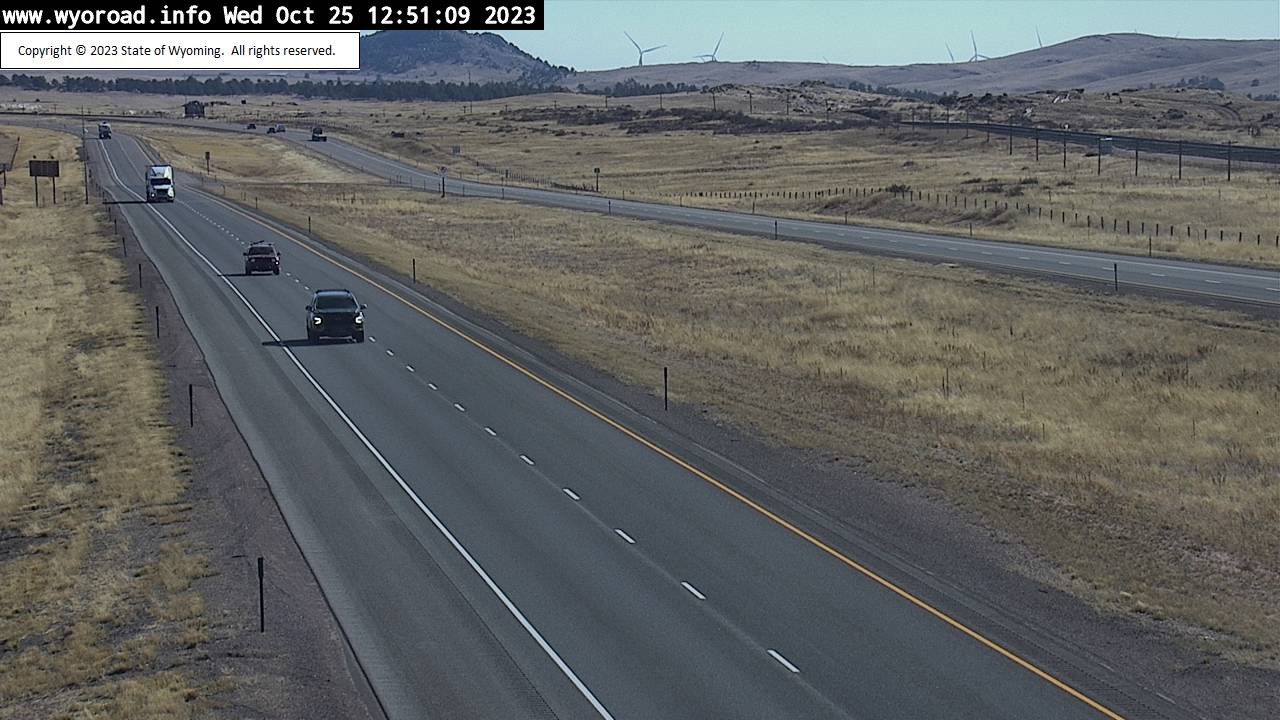
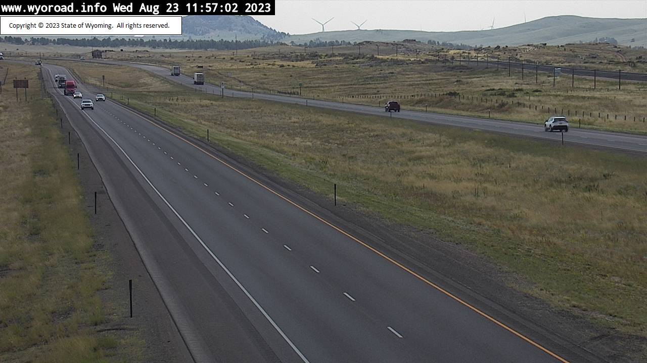
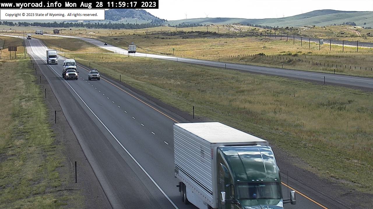
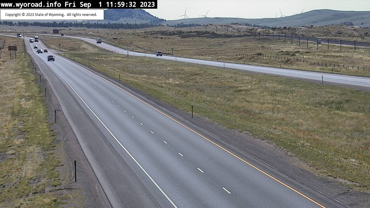
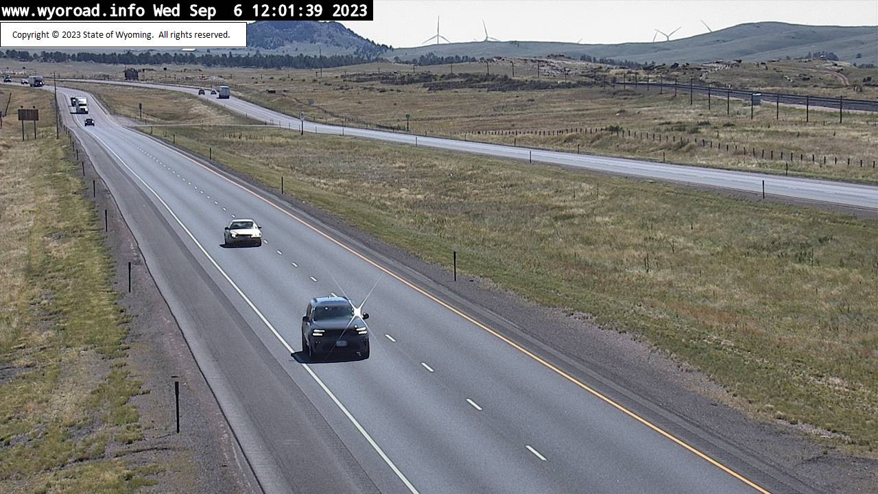
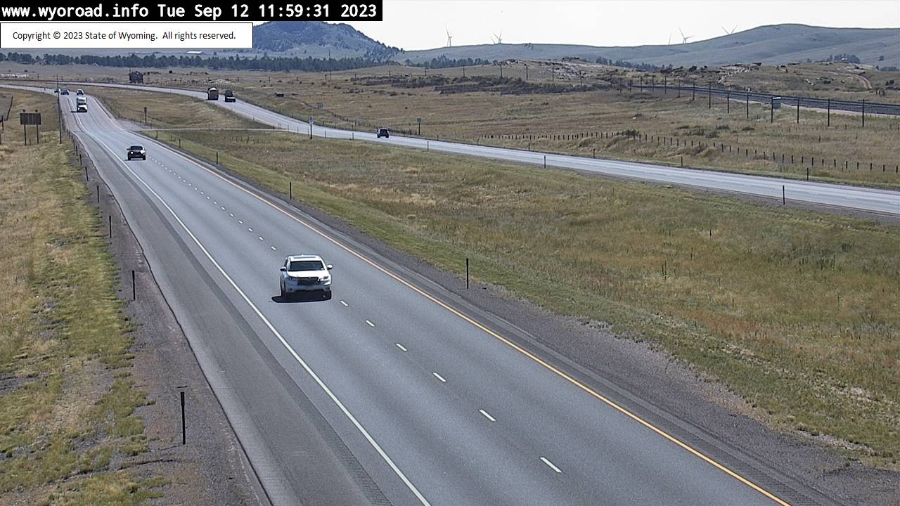
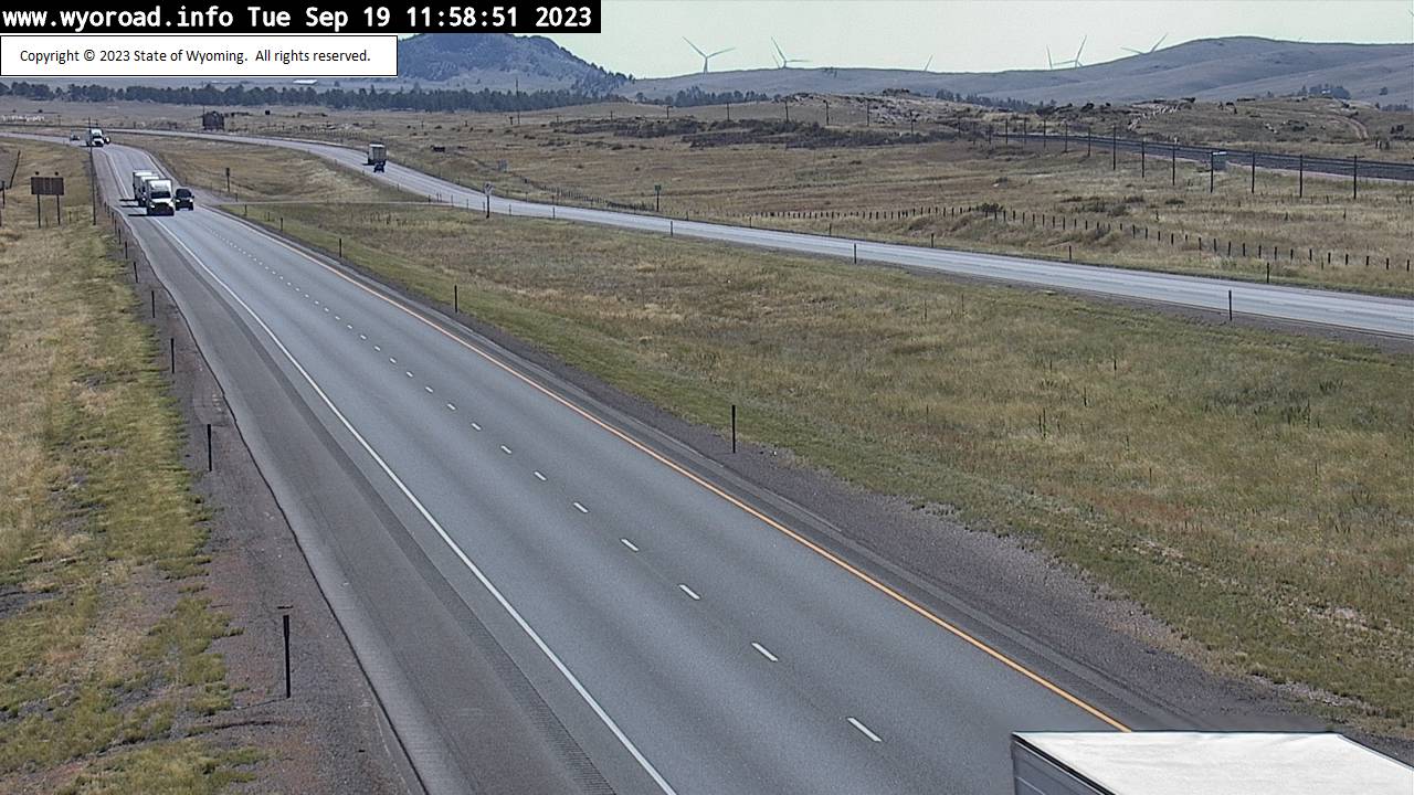
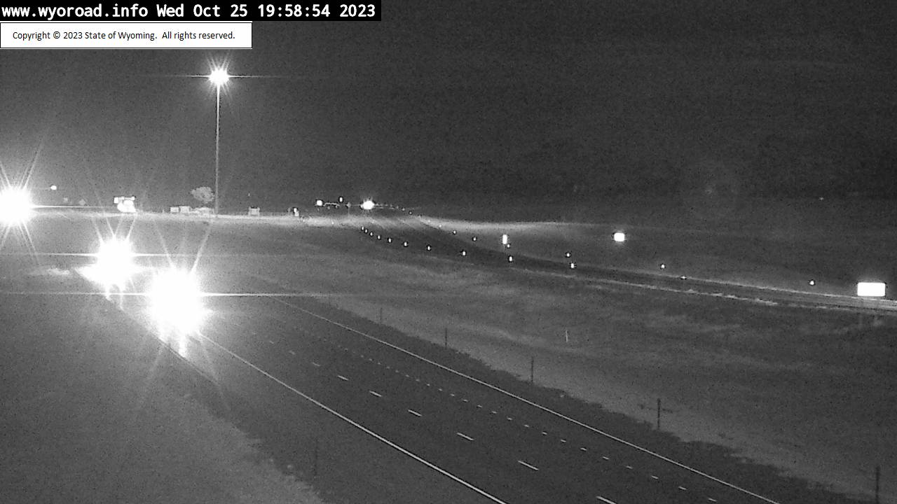
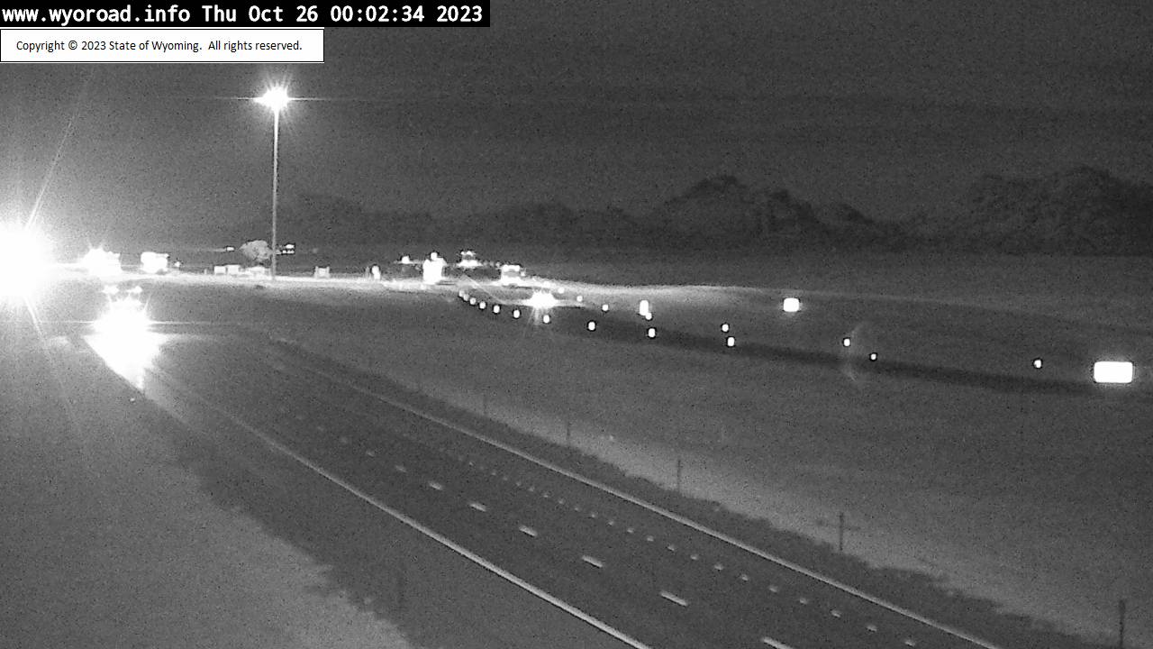
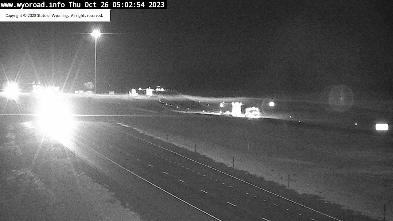
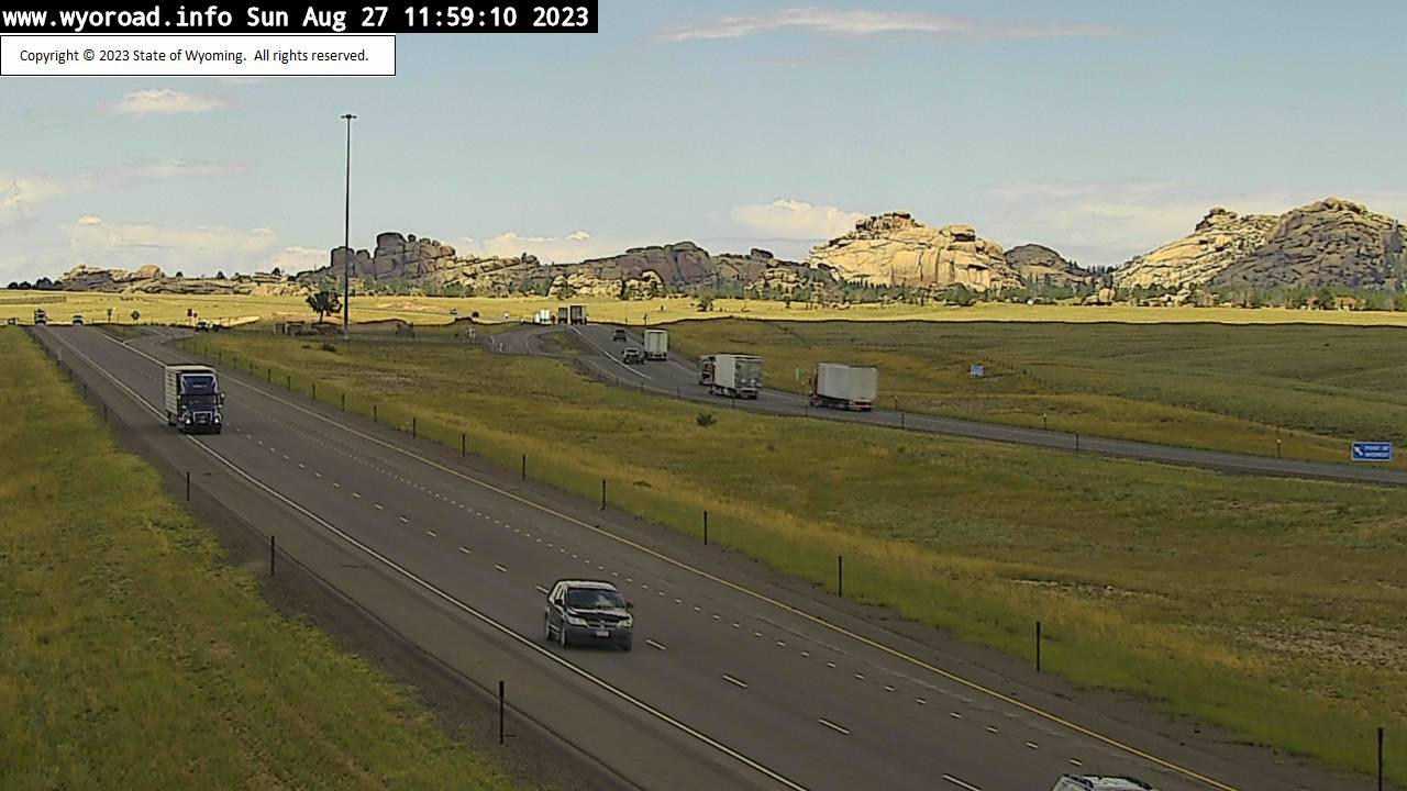
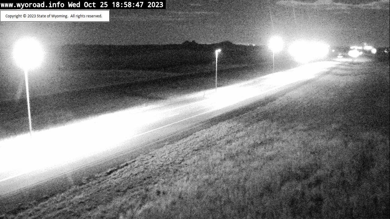
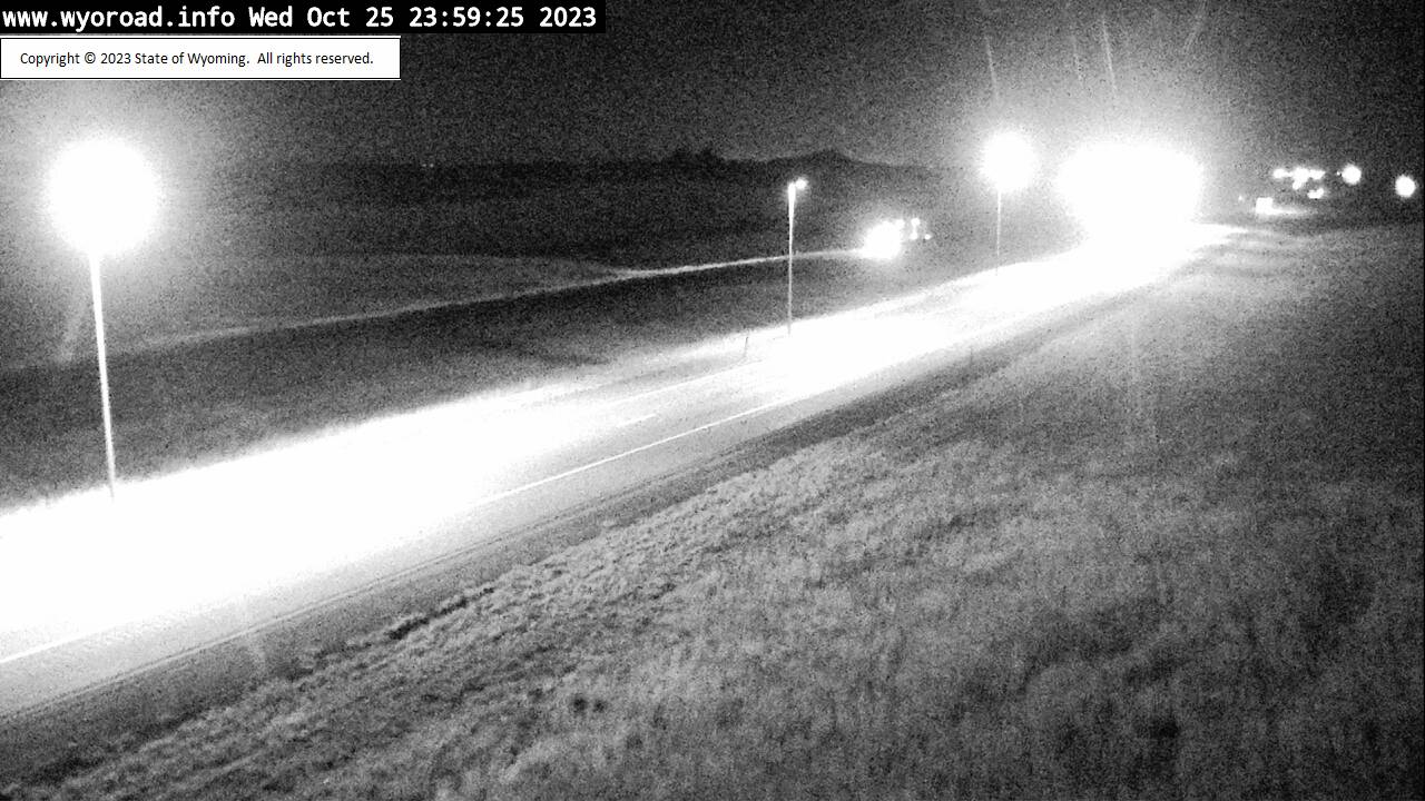
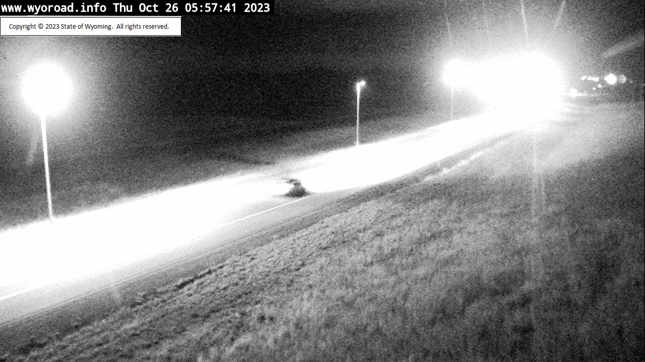
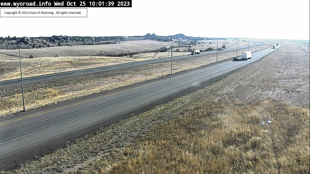
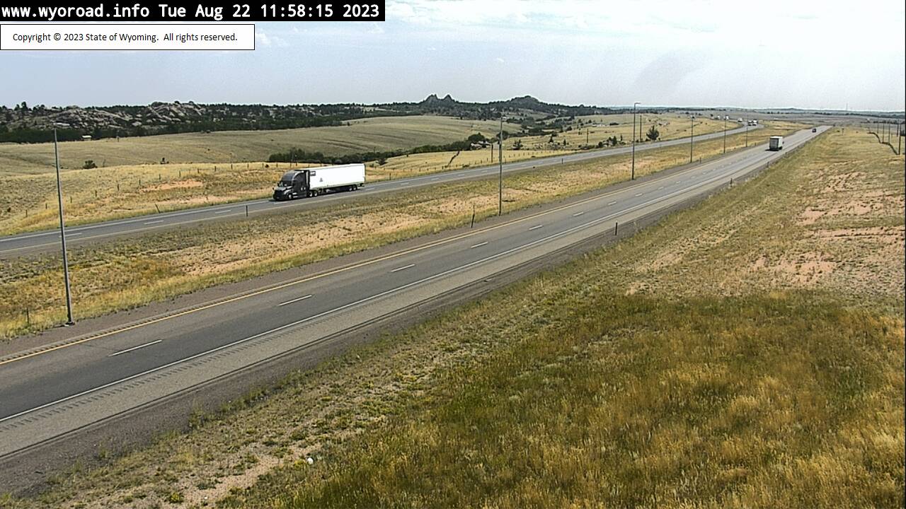
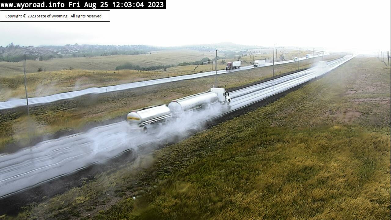
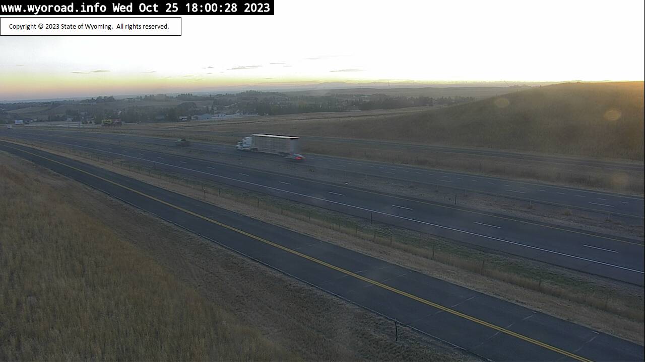
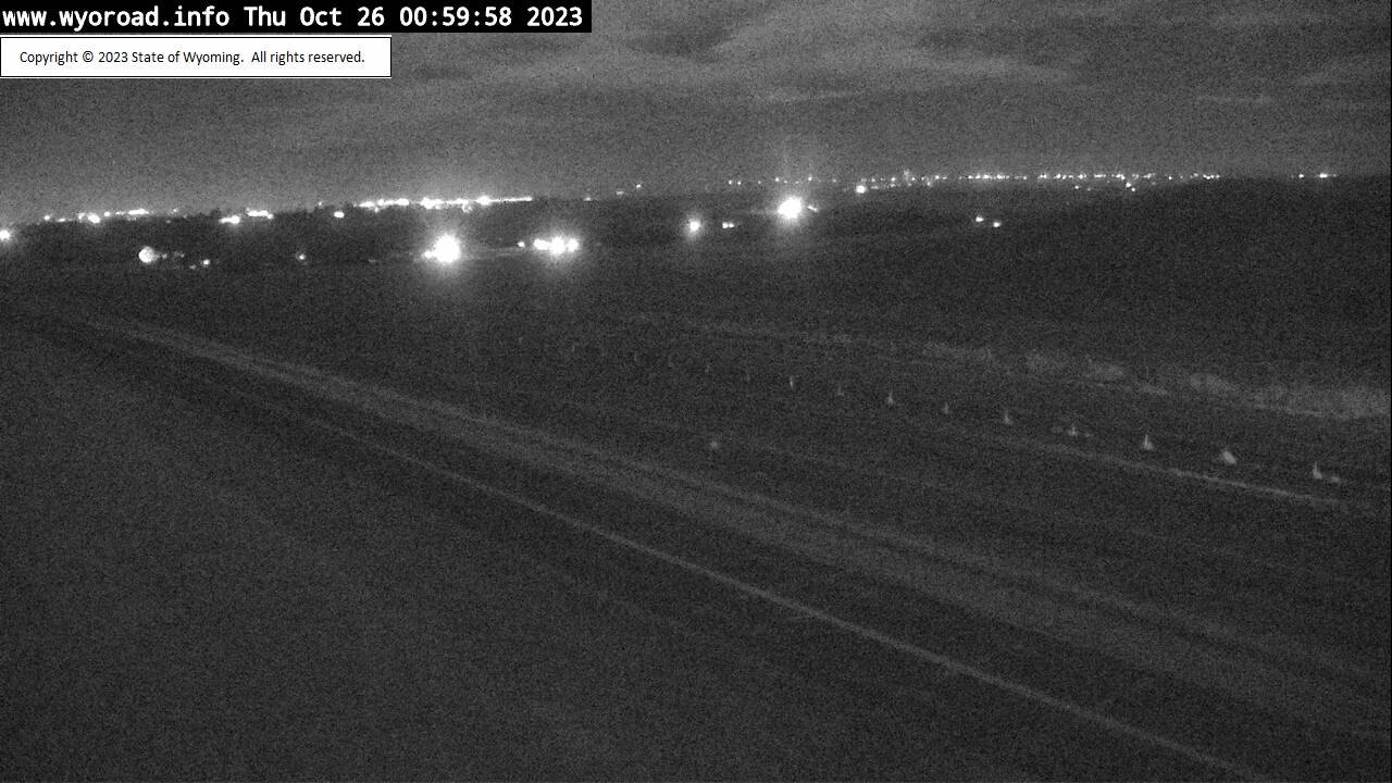
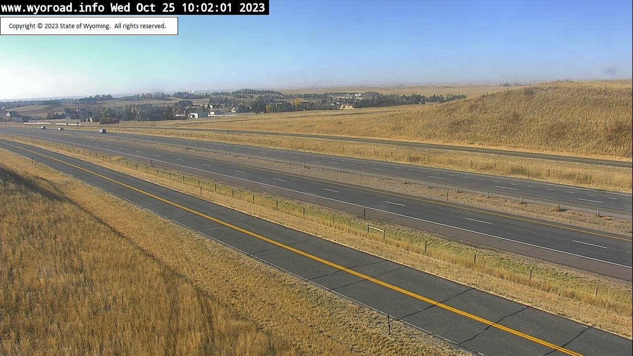
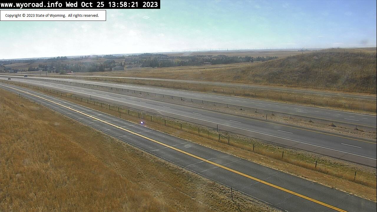
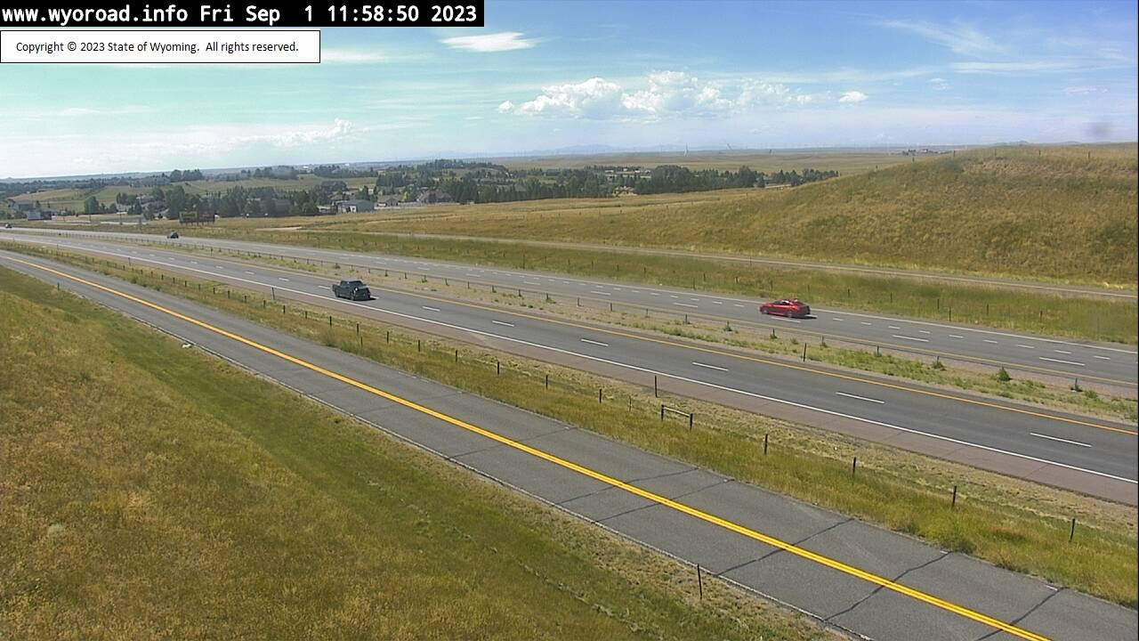
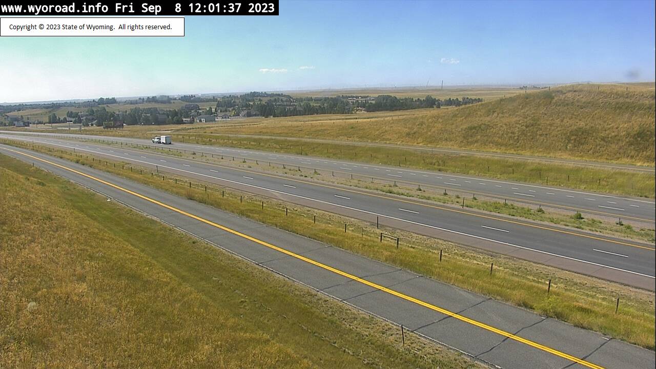
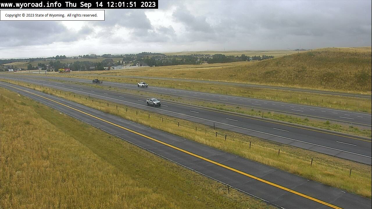
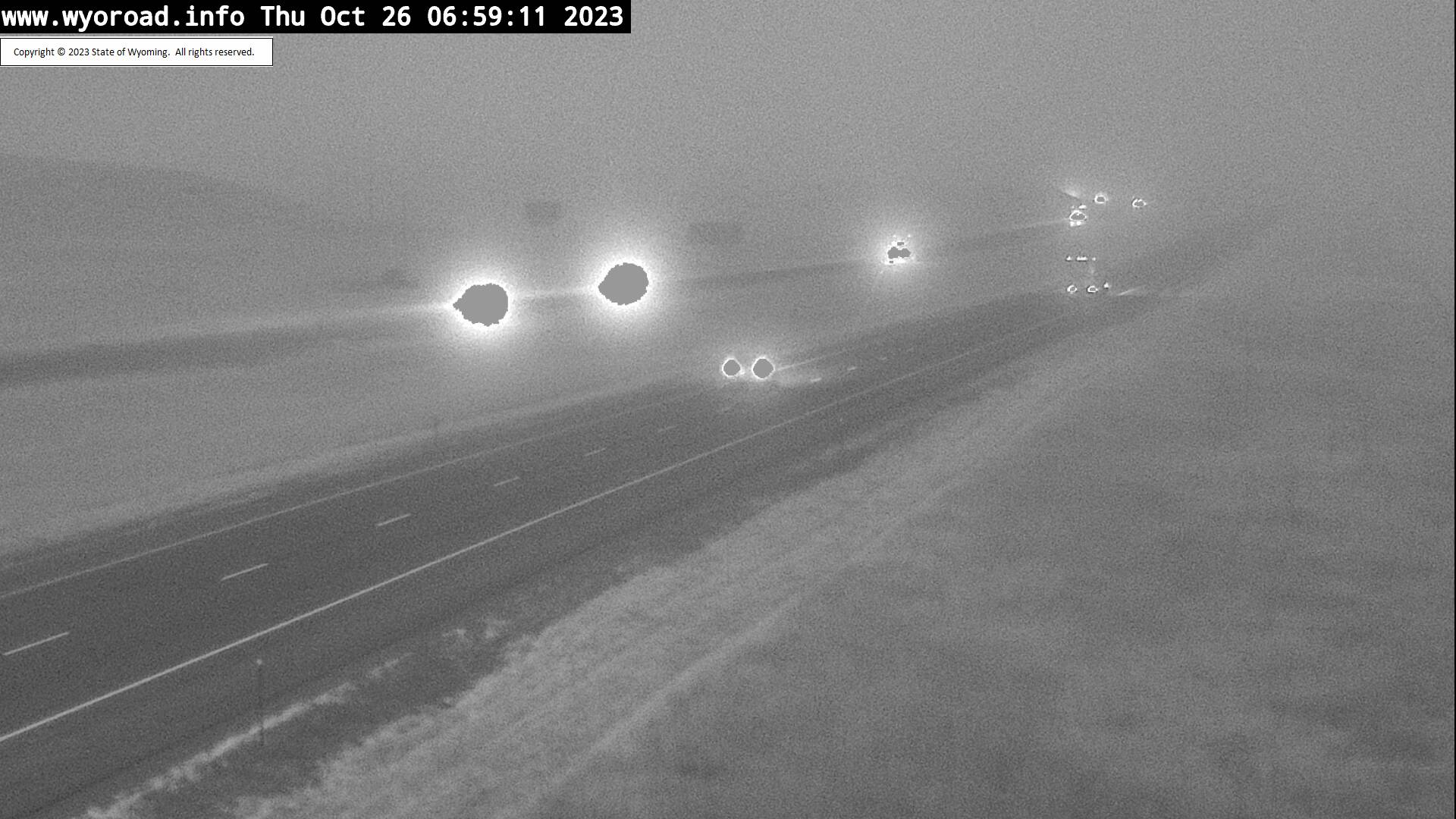
Hirsig, Wyoming, USA - 12.3 miles from Islay: Traffic and Weather - A view of the current traffic and weather situation.
Operator: WYDOT Travel Information Service
Operator: WYDOT Travel Information Service
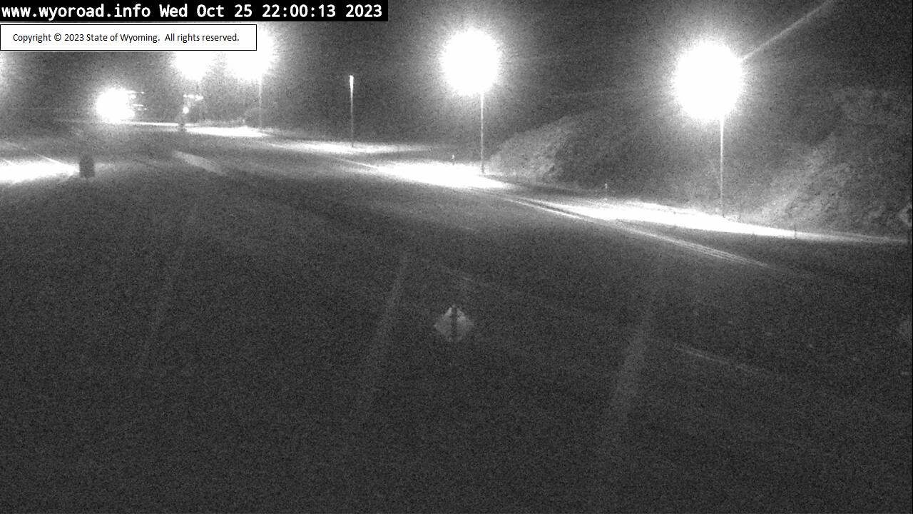
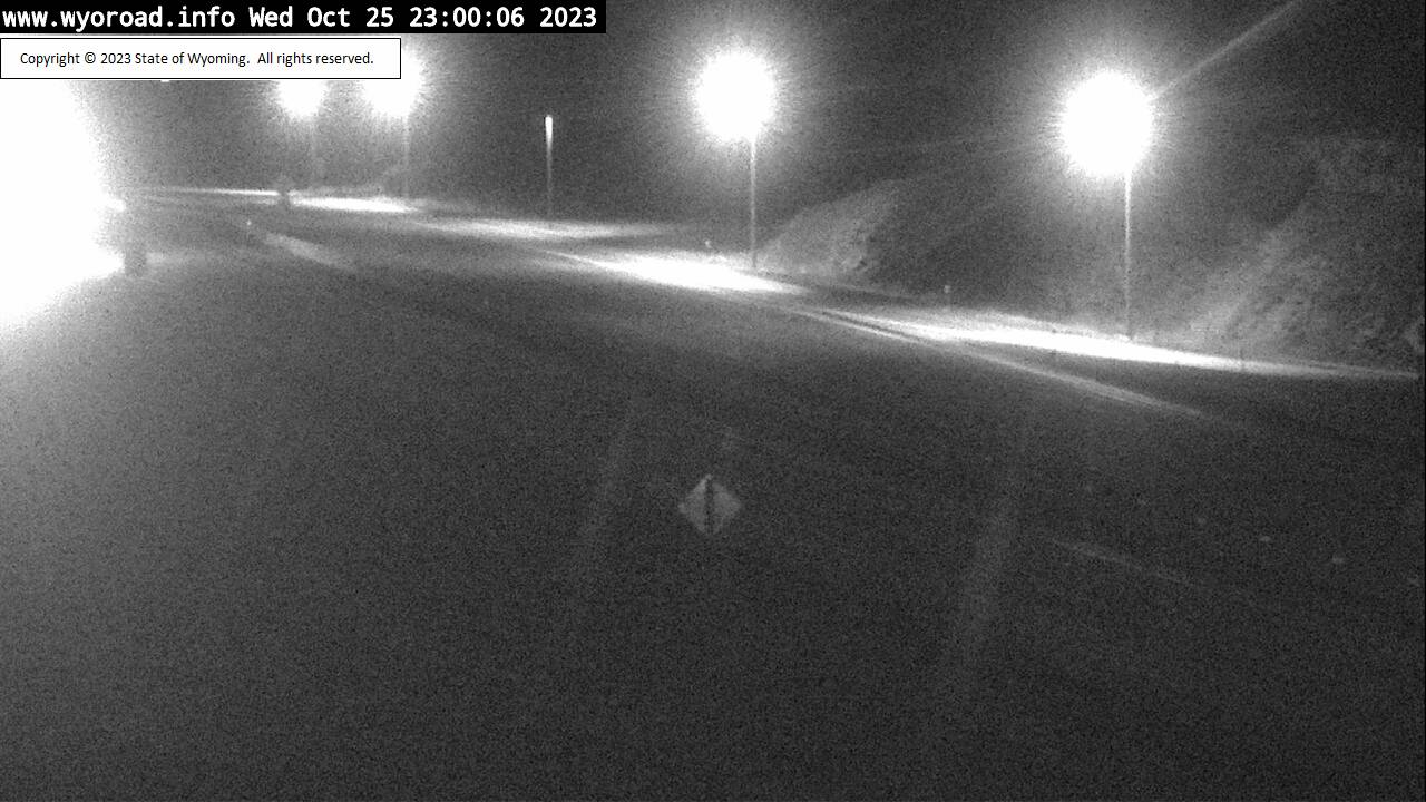
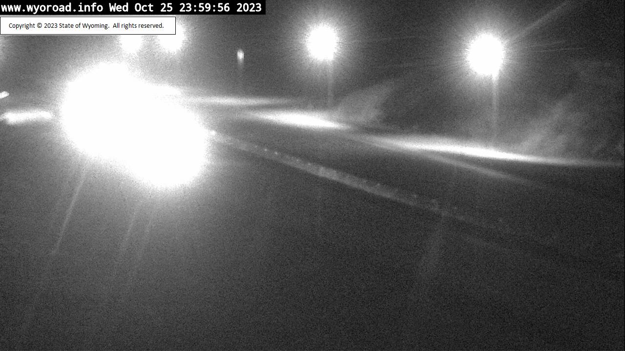
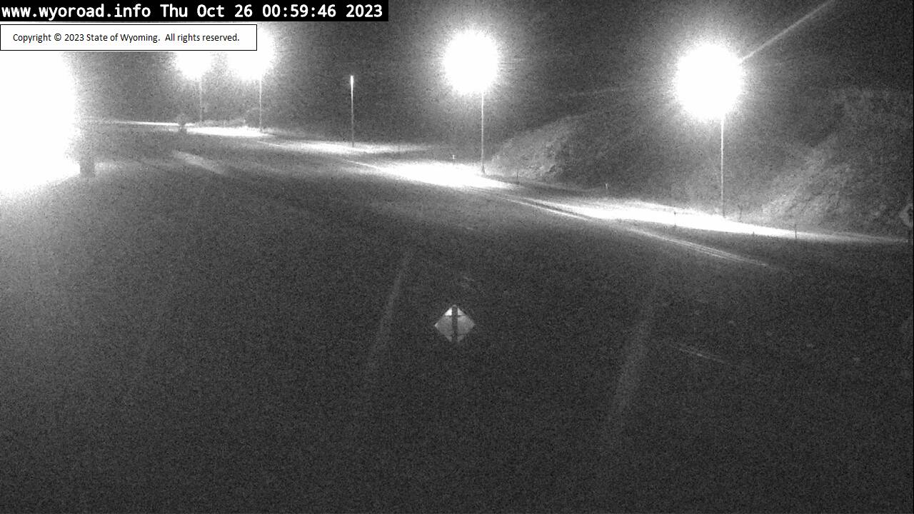
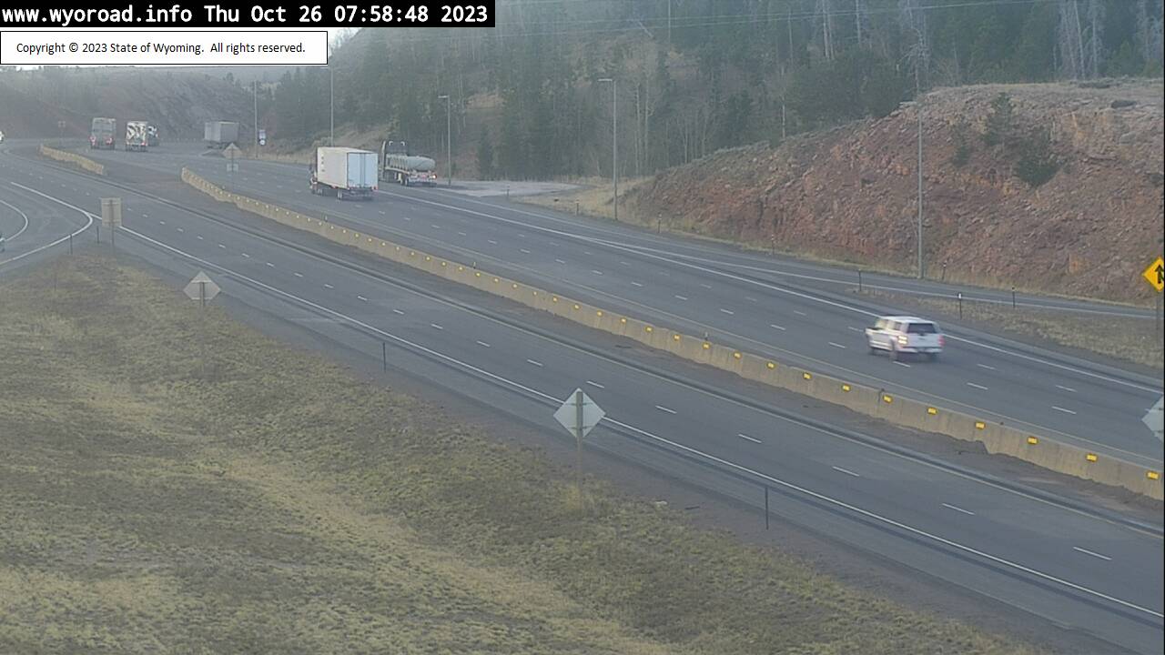
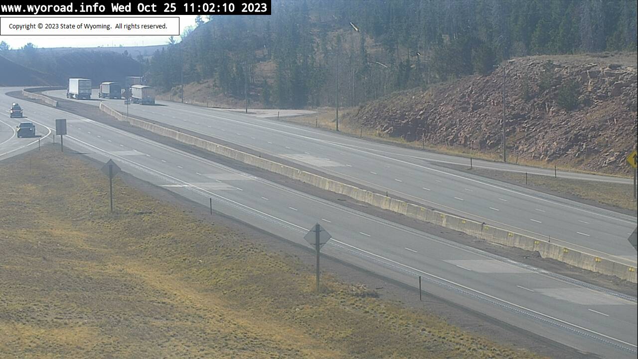
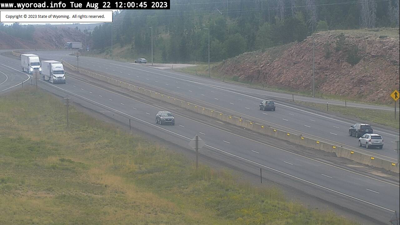
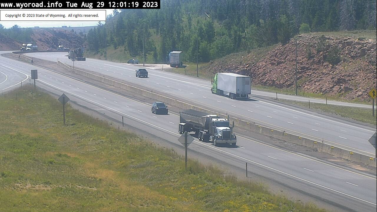
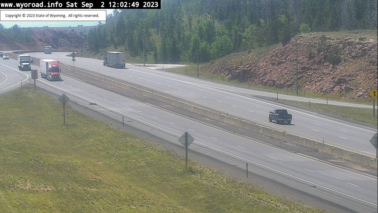
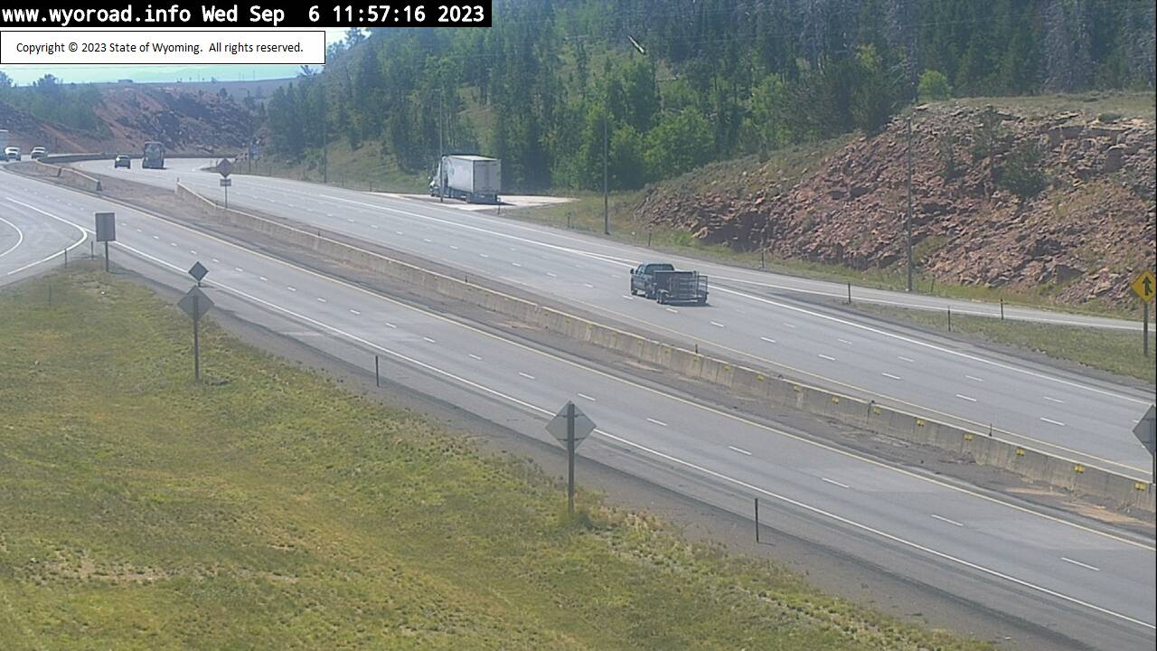

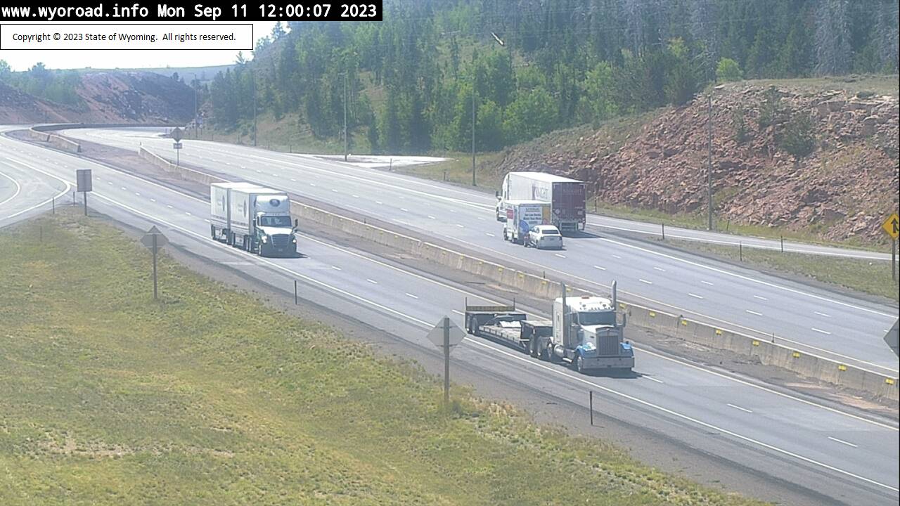


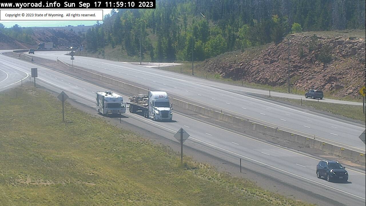


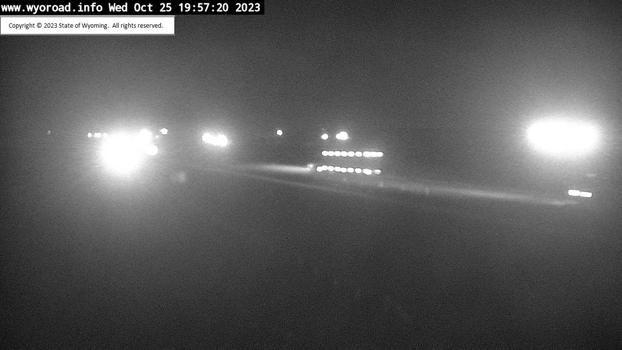
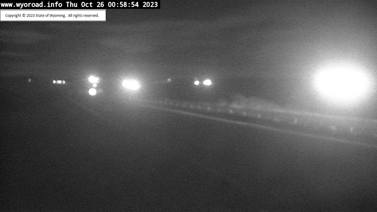
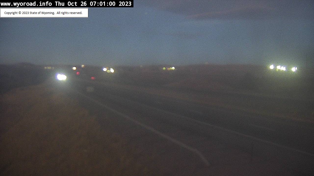
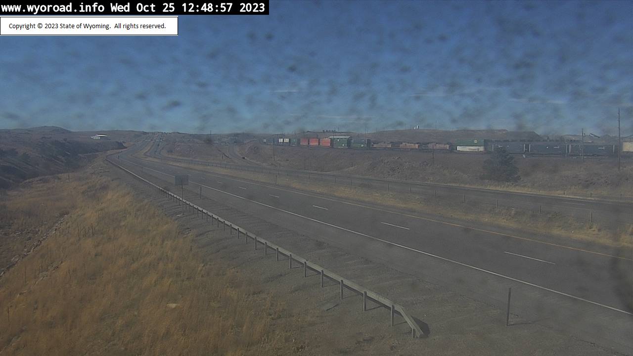
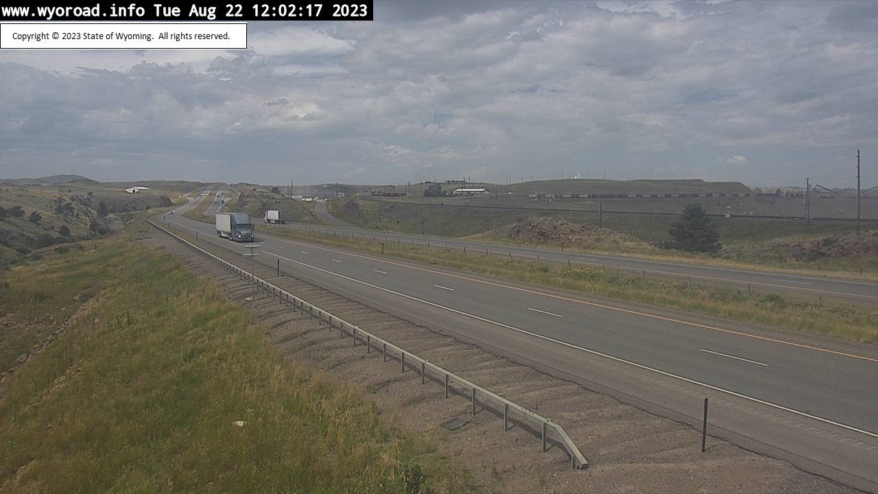
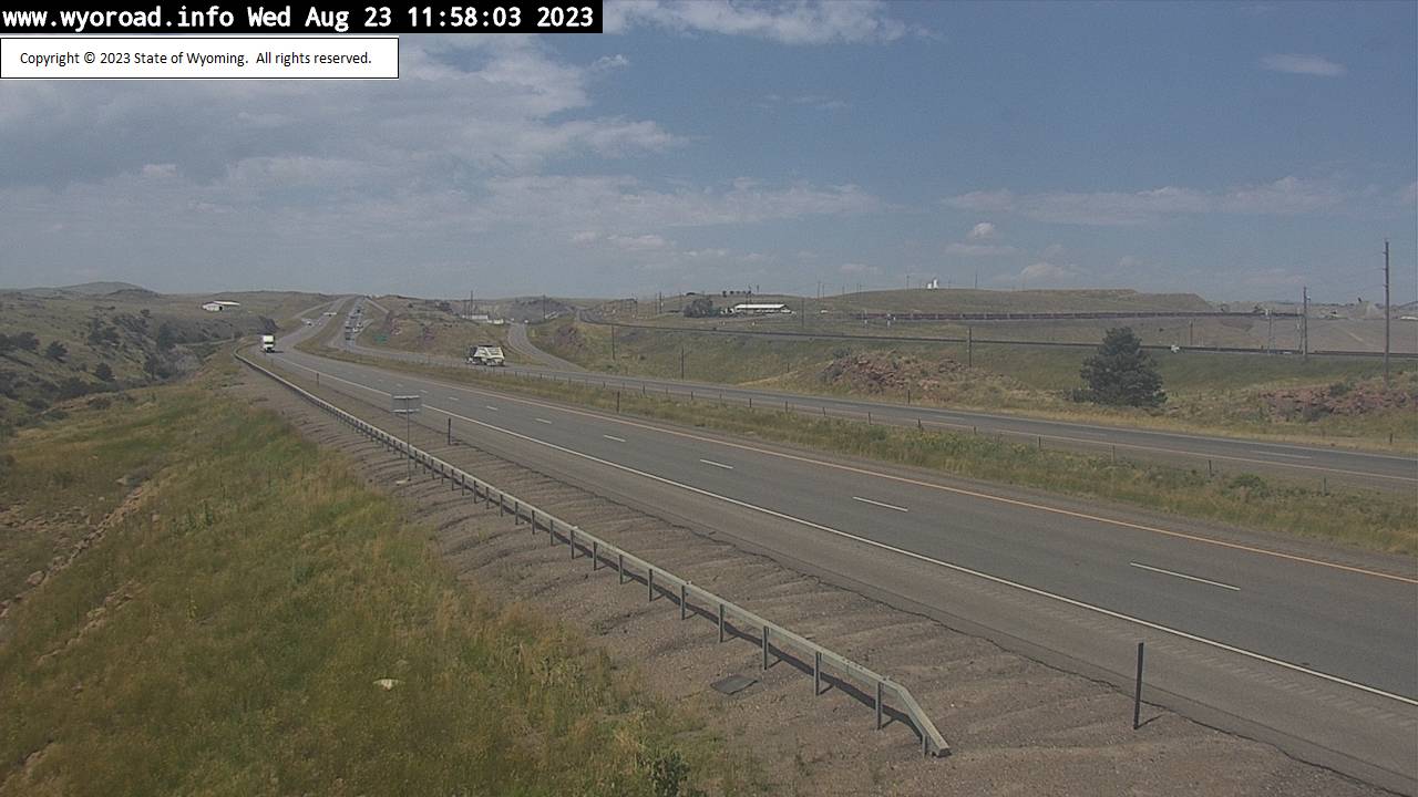
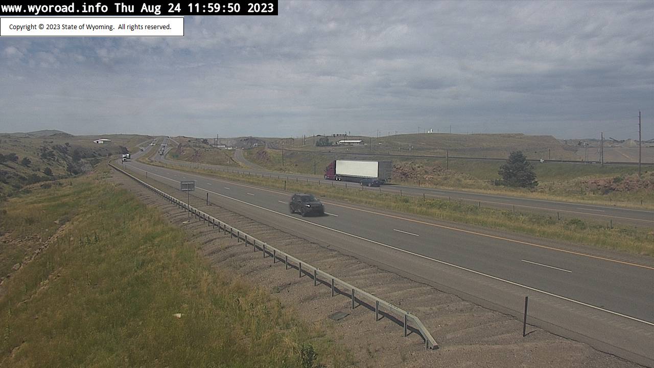
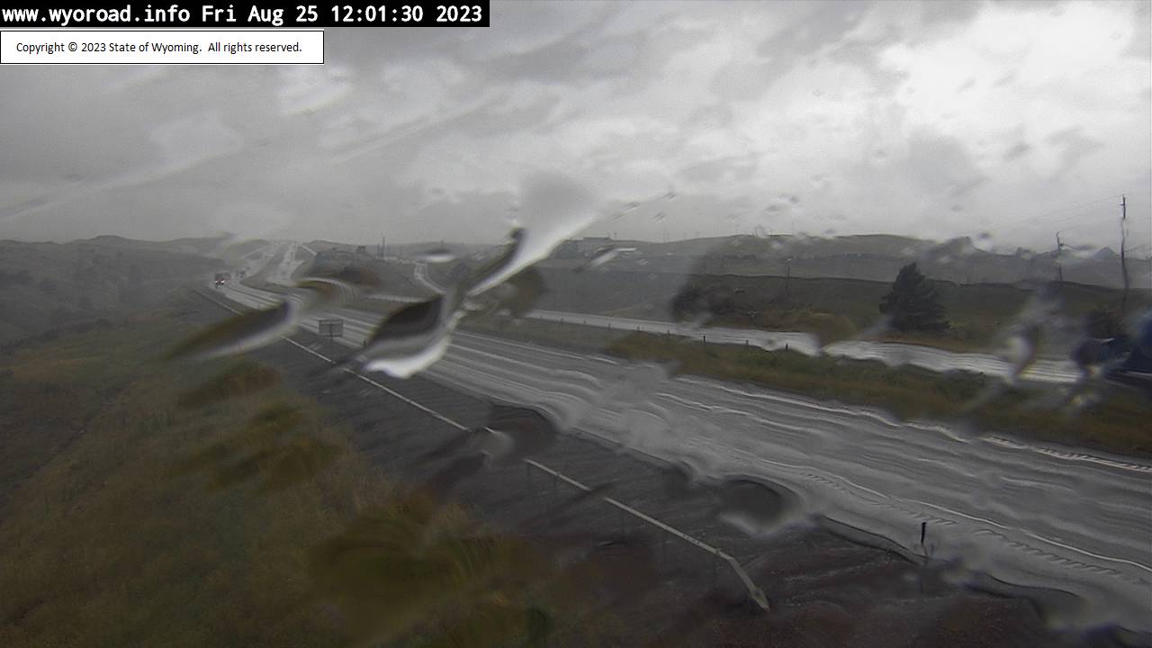
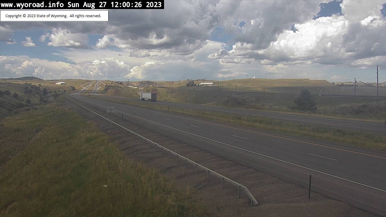
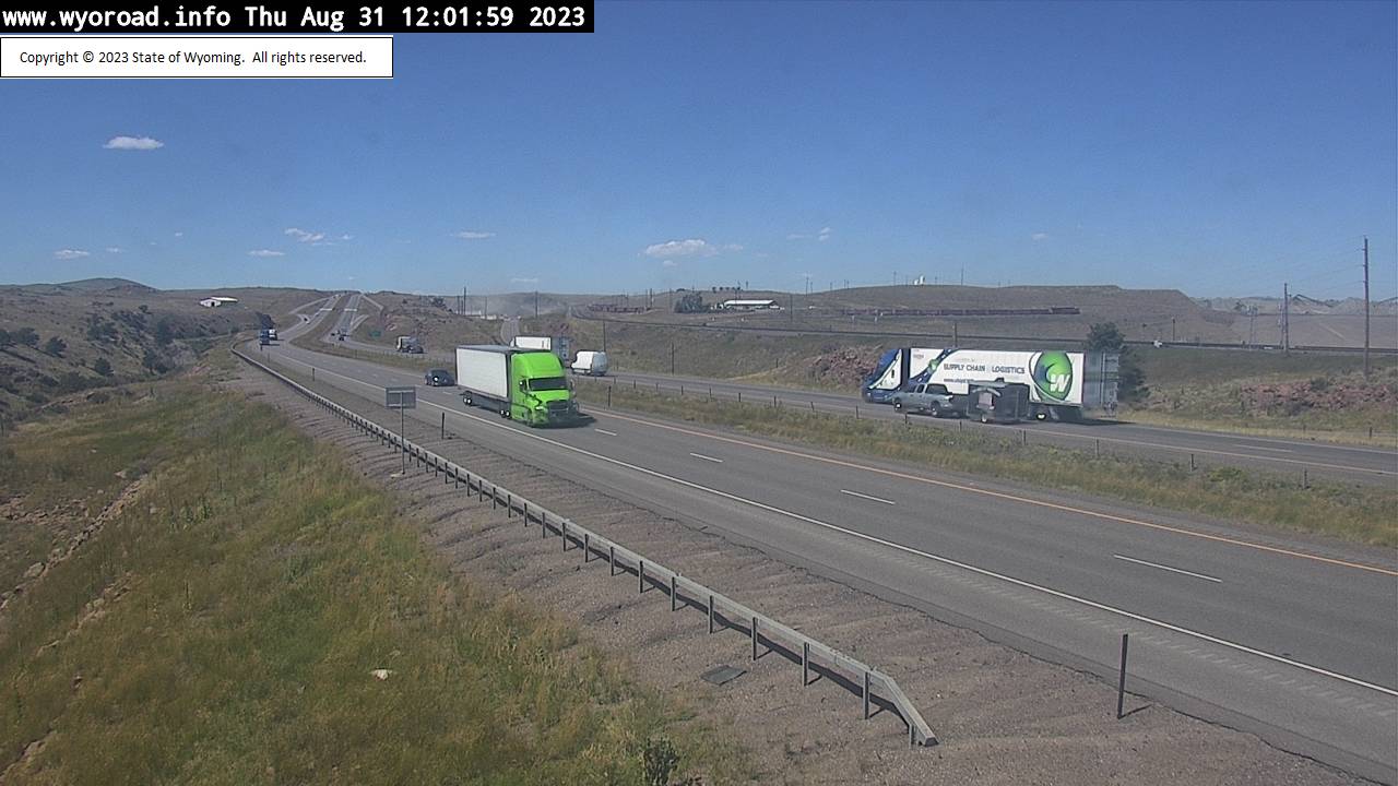
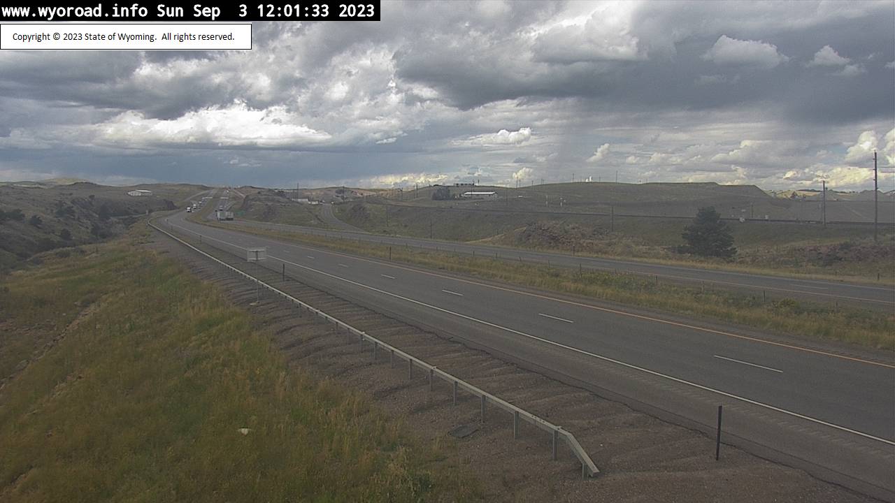
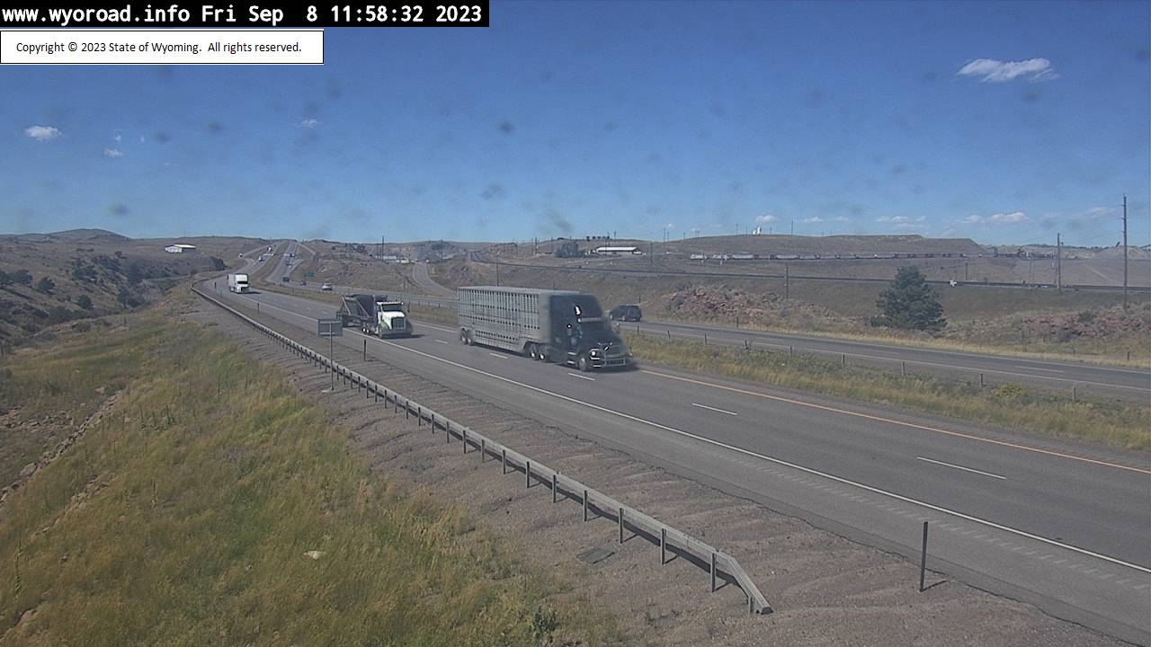
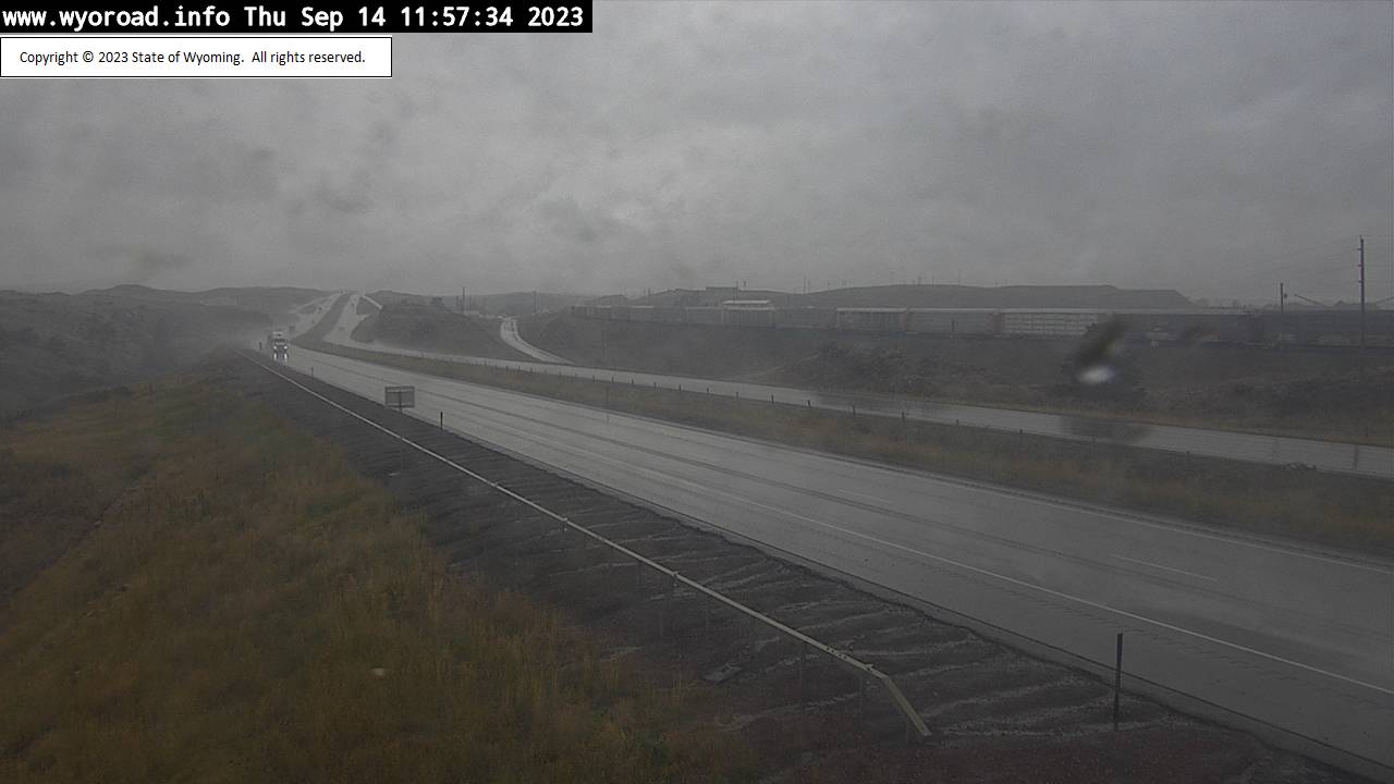
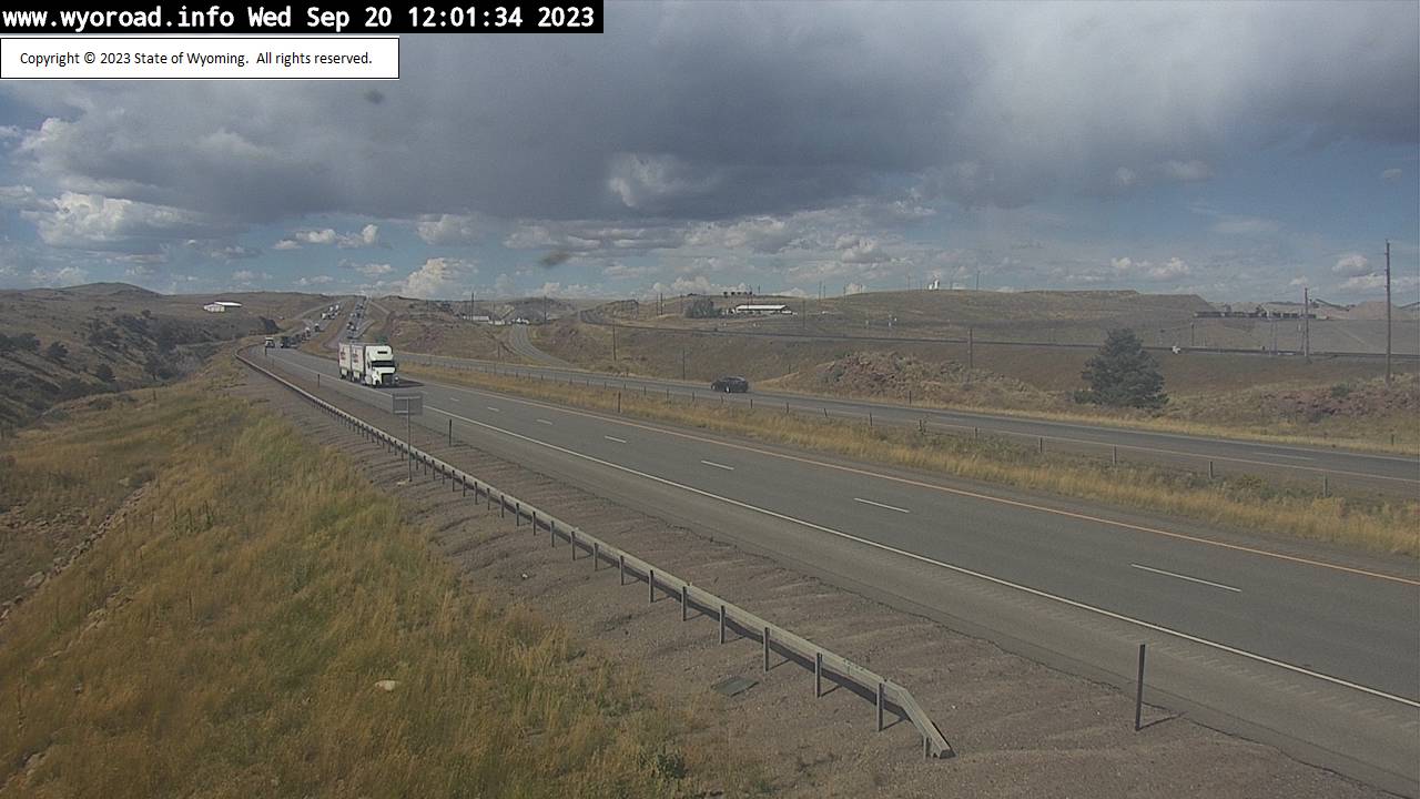
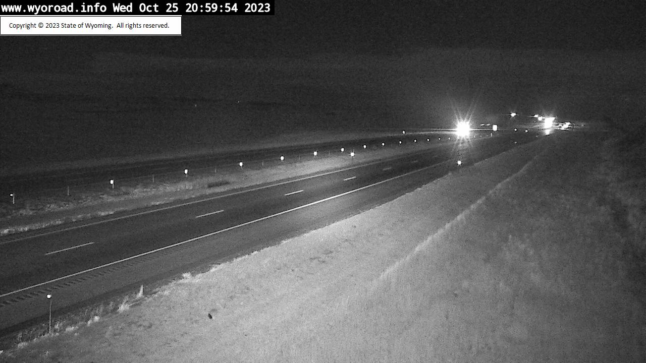
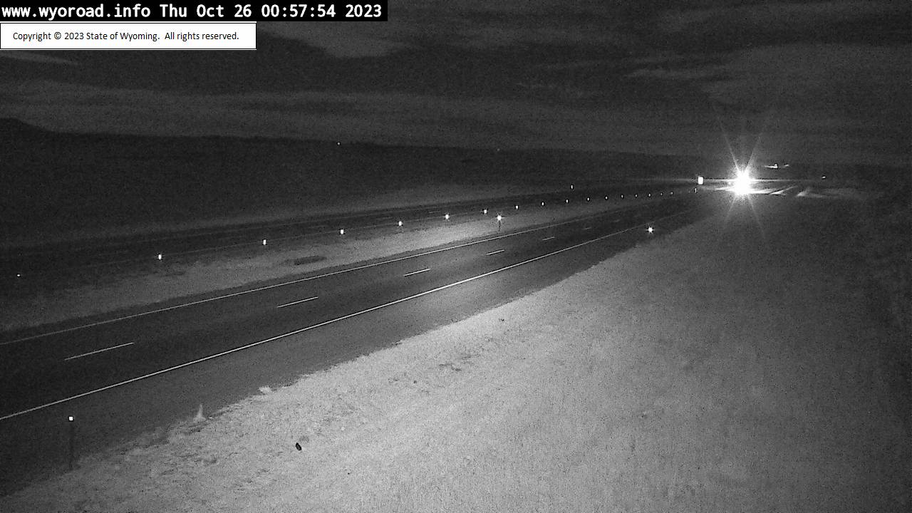
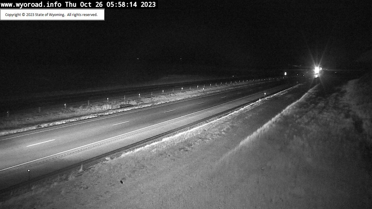
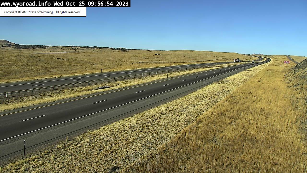
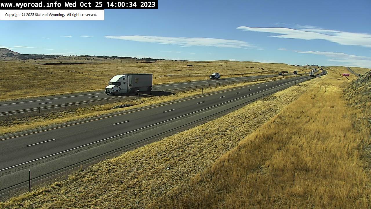
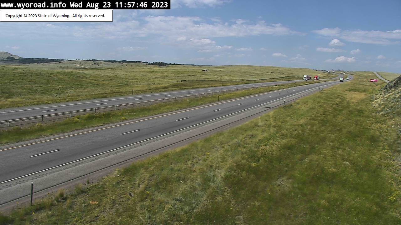
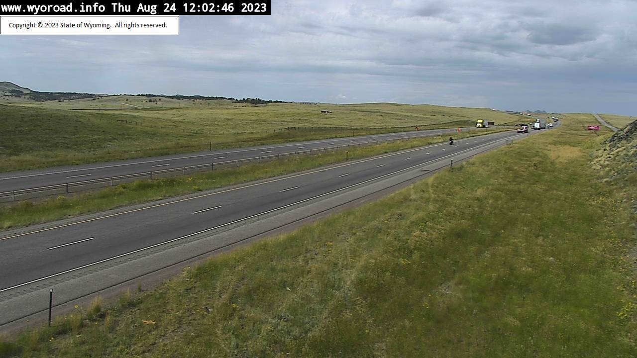
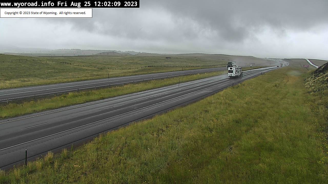
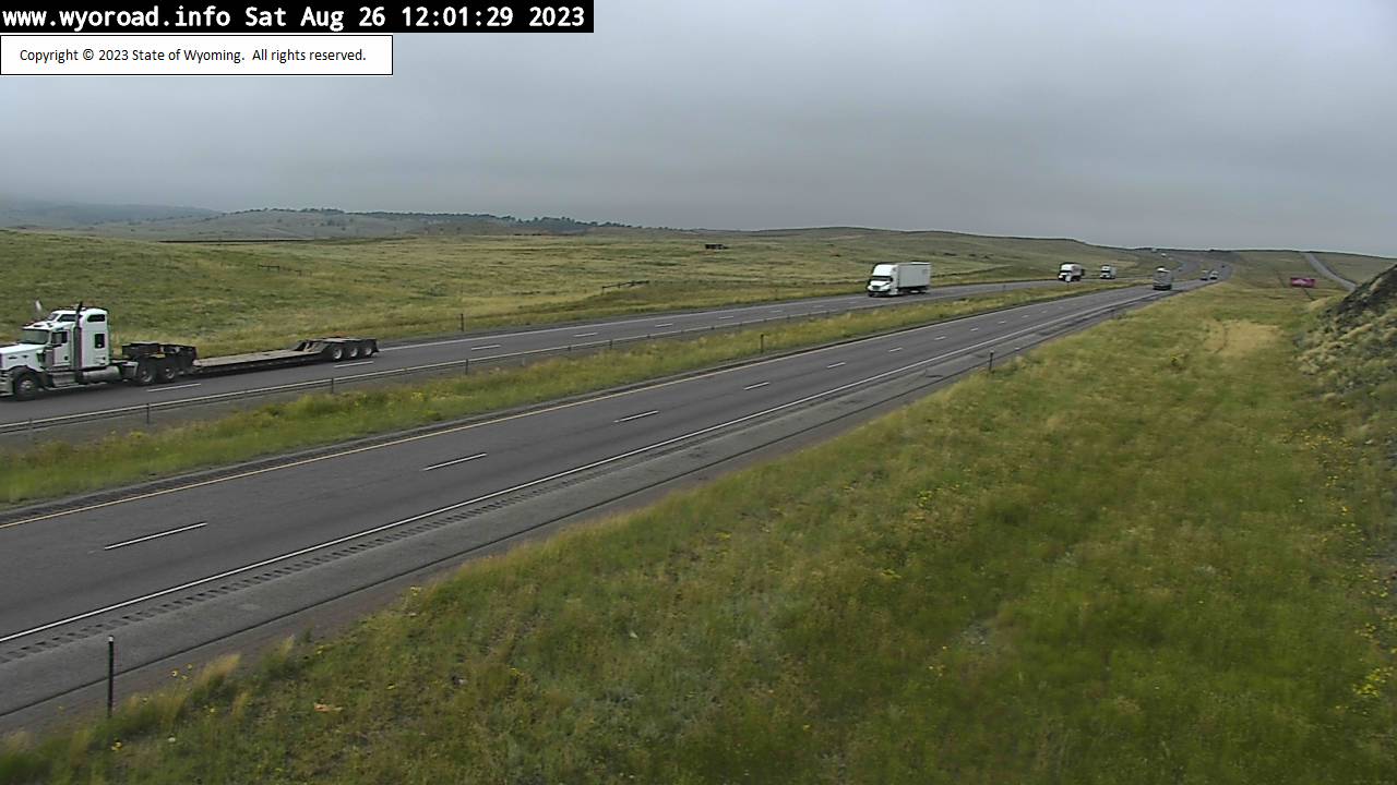
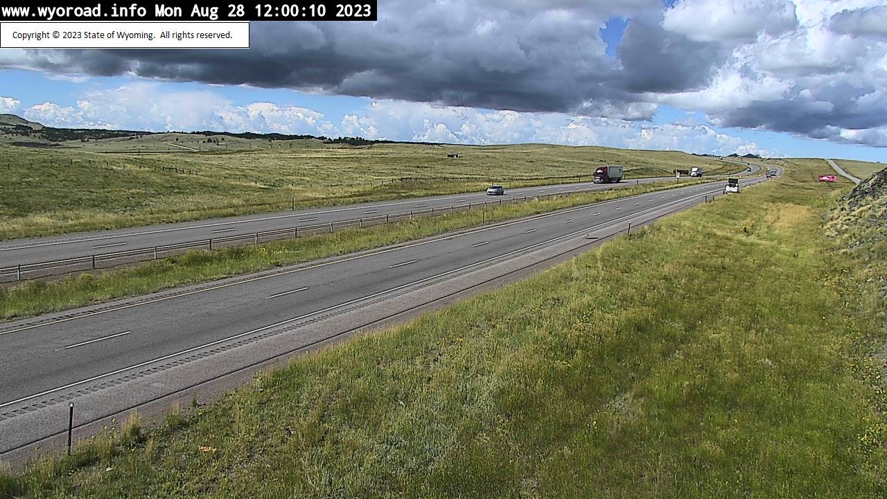
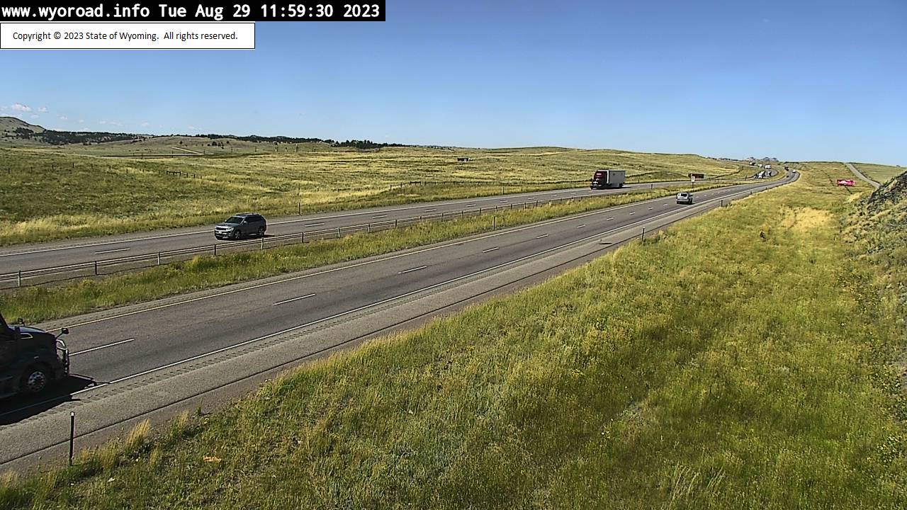
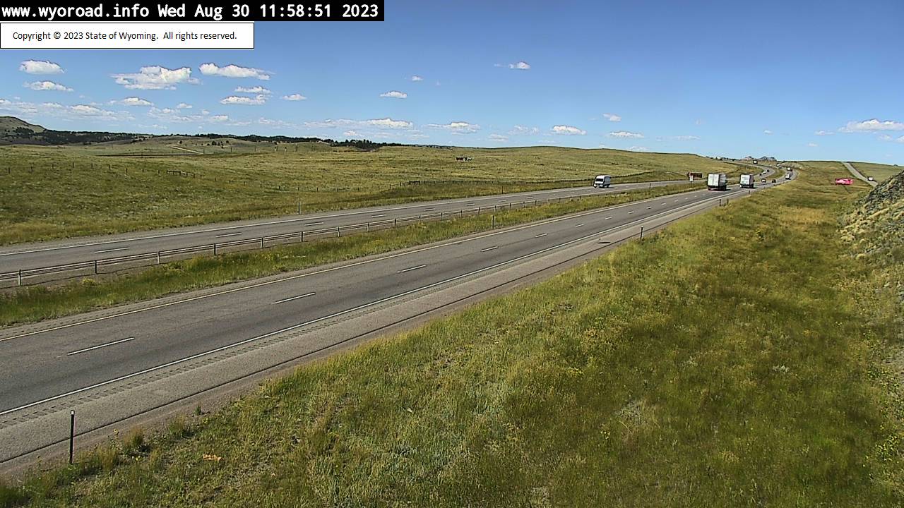
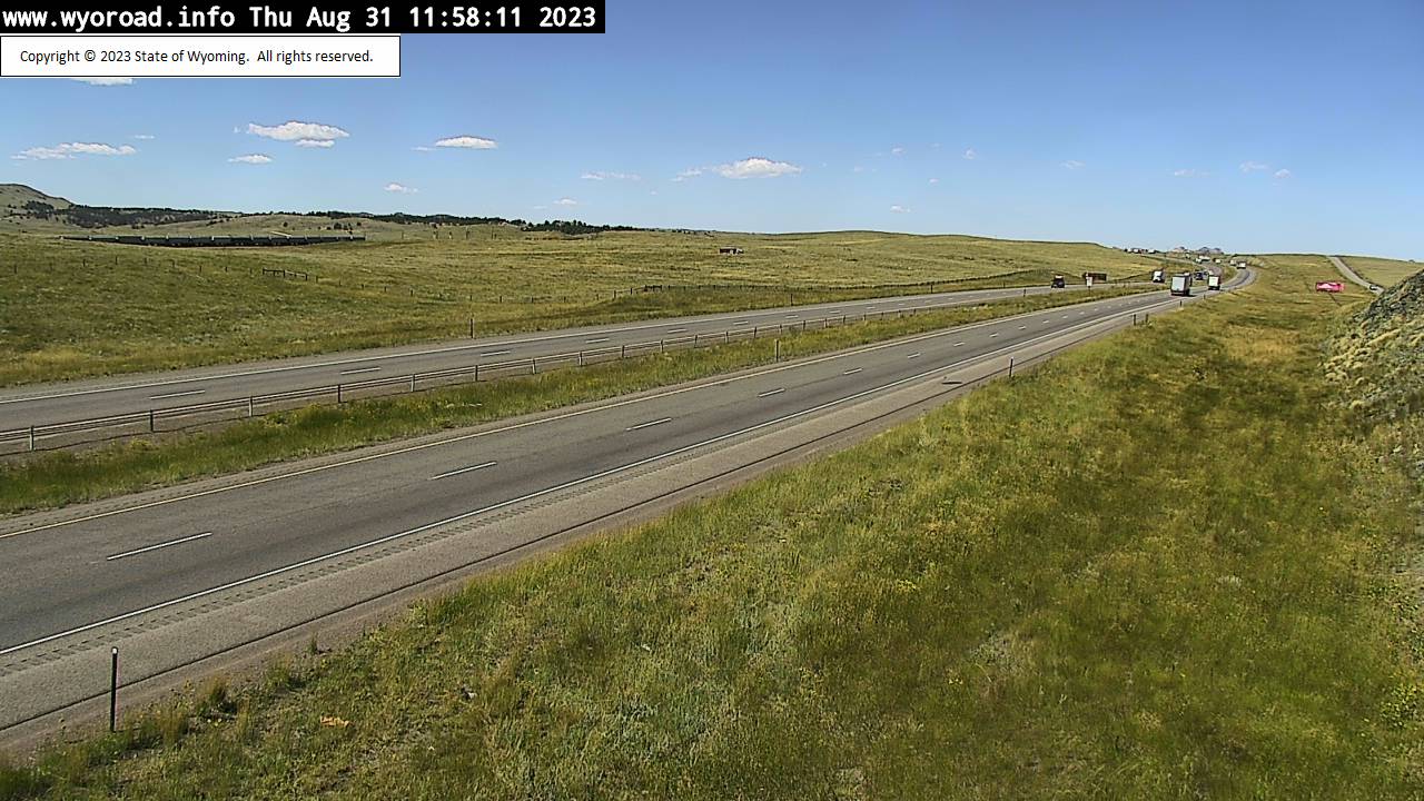
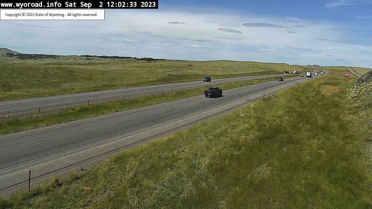
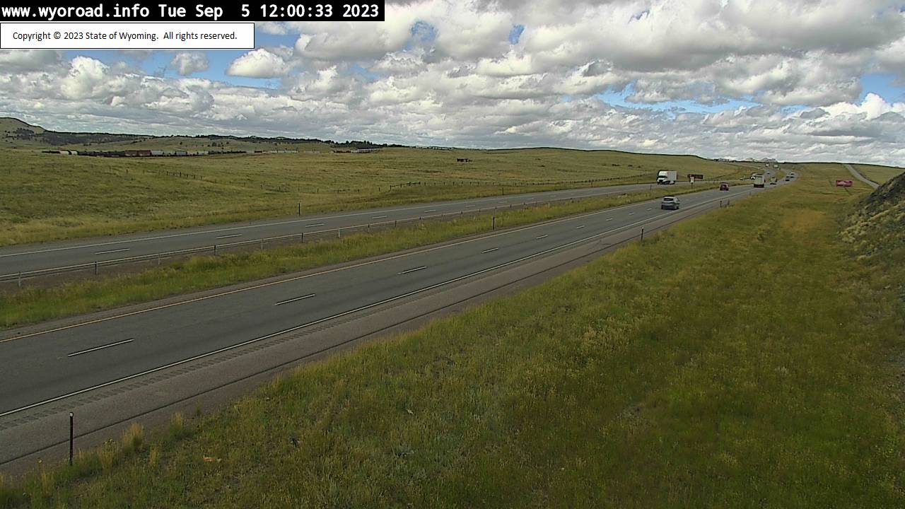
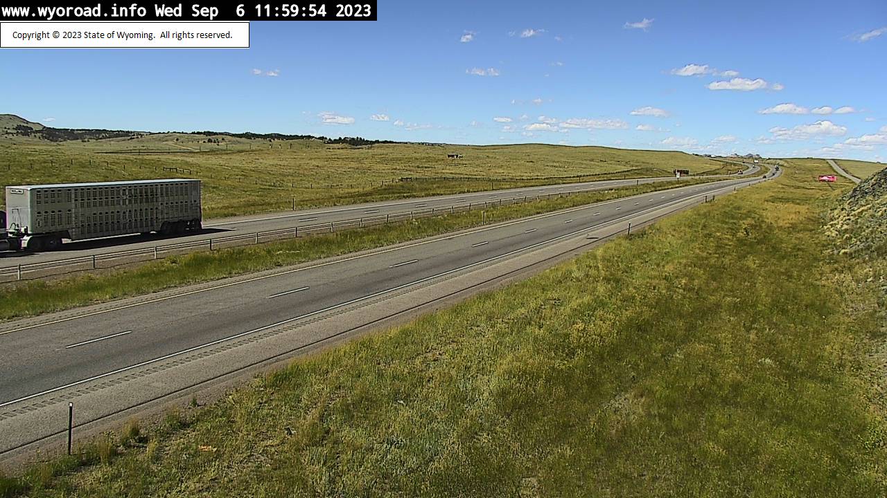
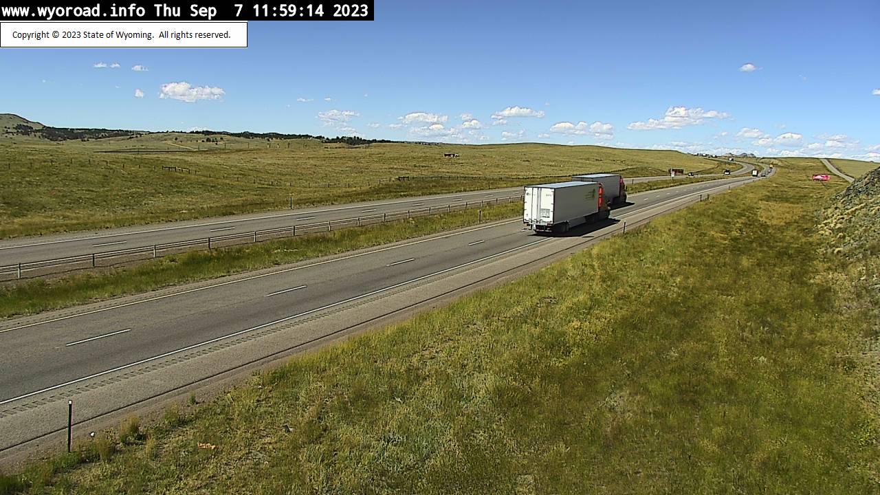
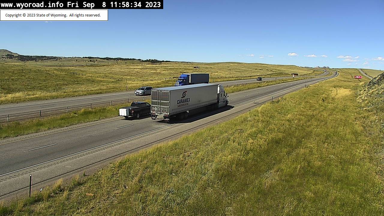
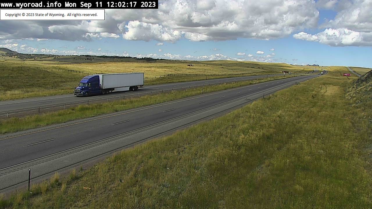
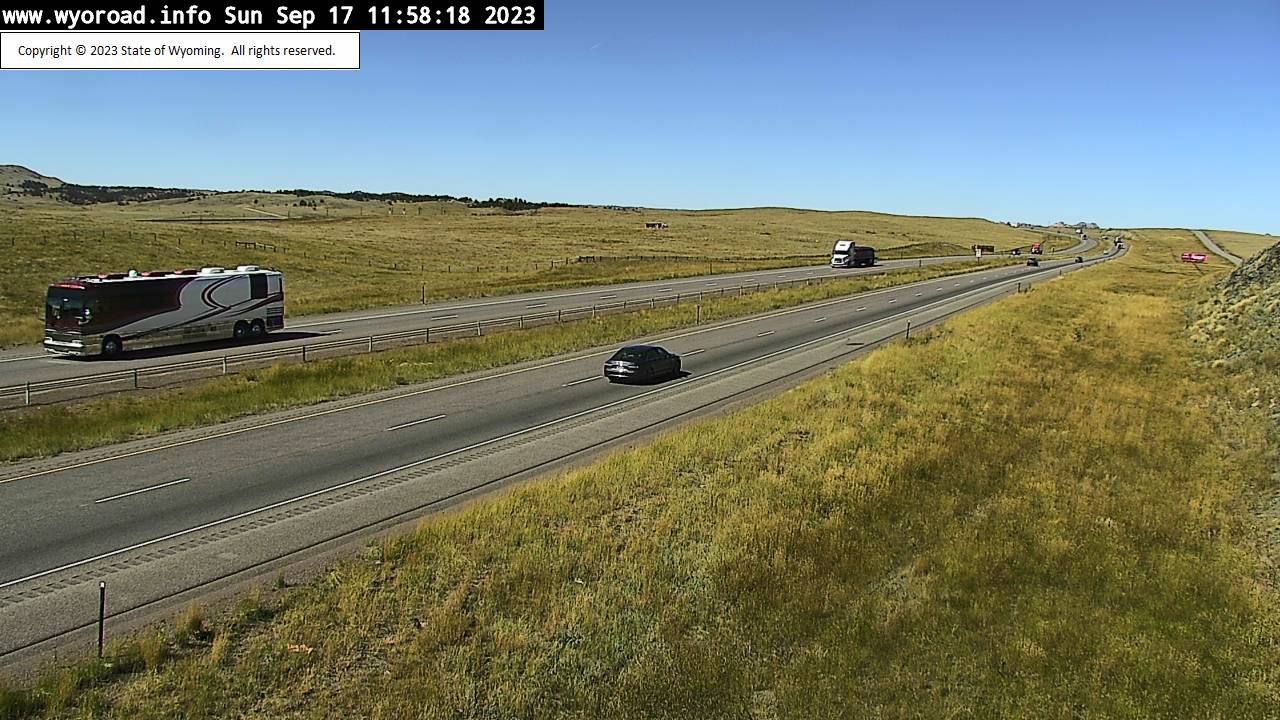
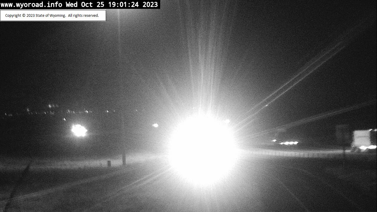
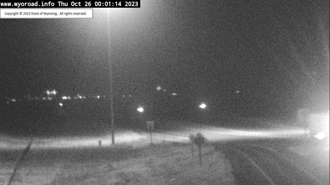
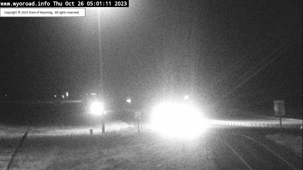
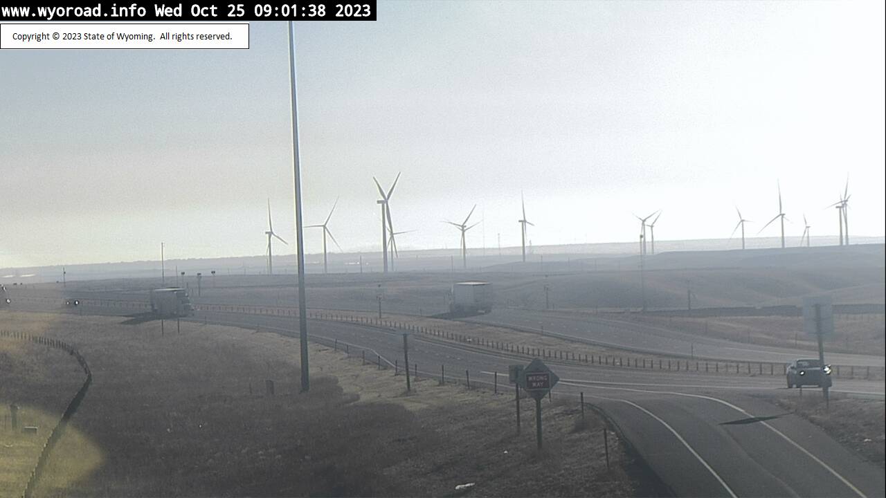
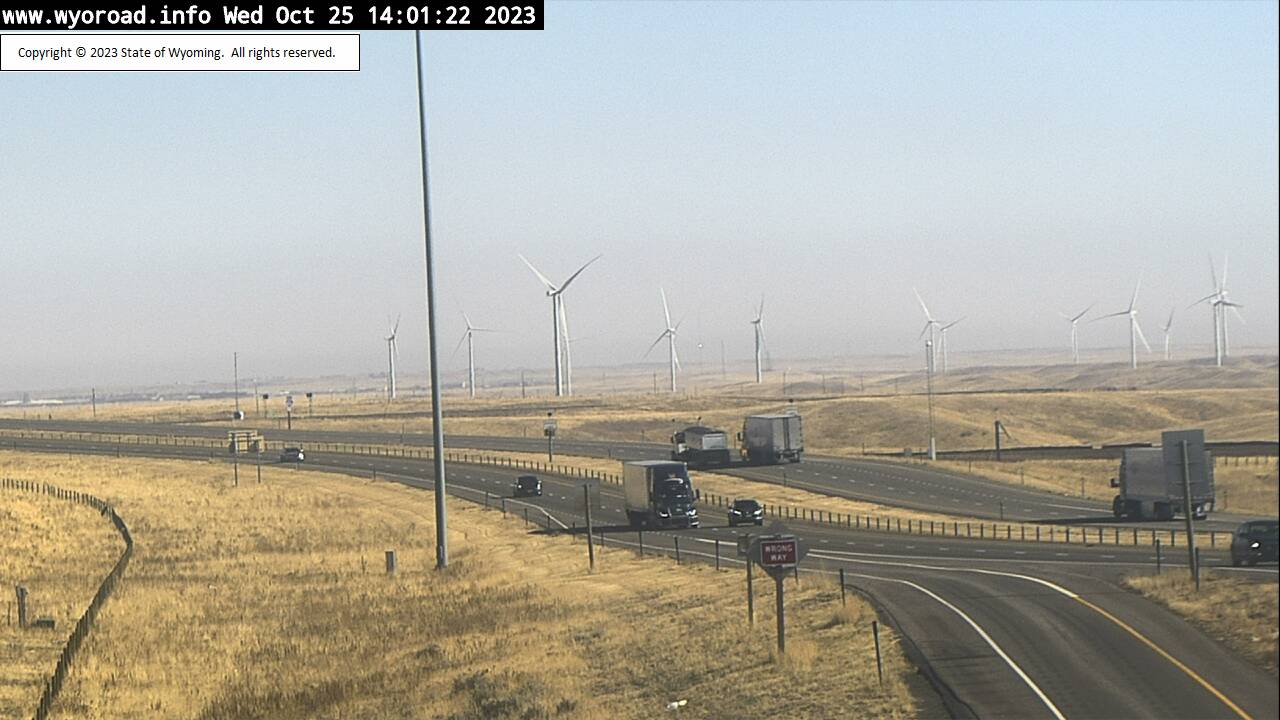
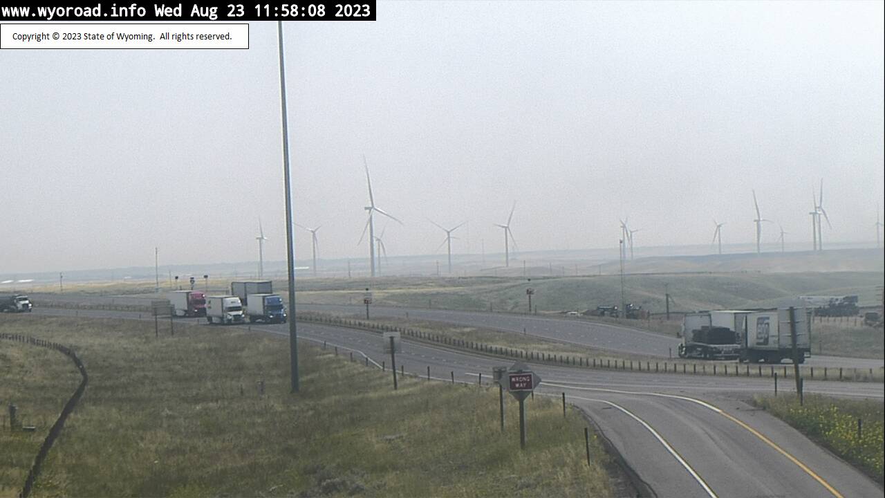
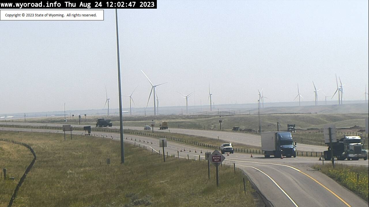
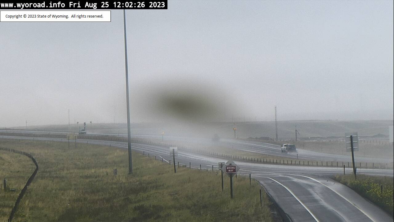
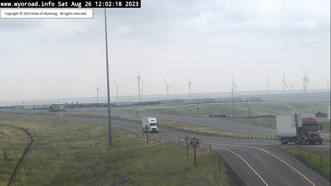
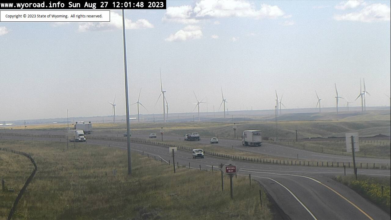
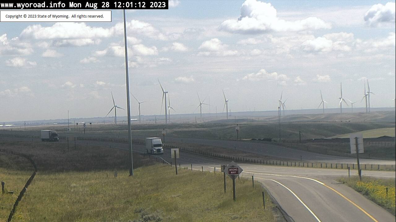
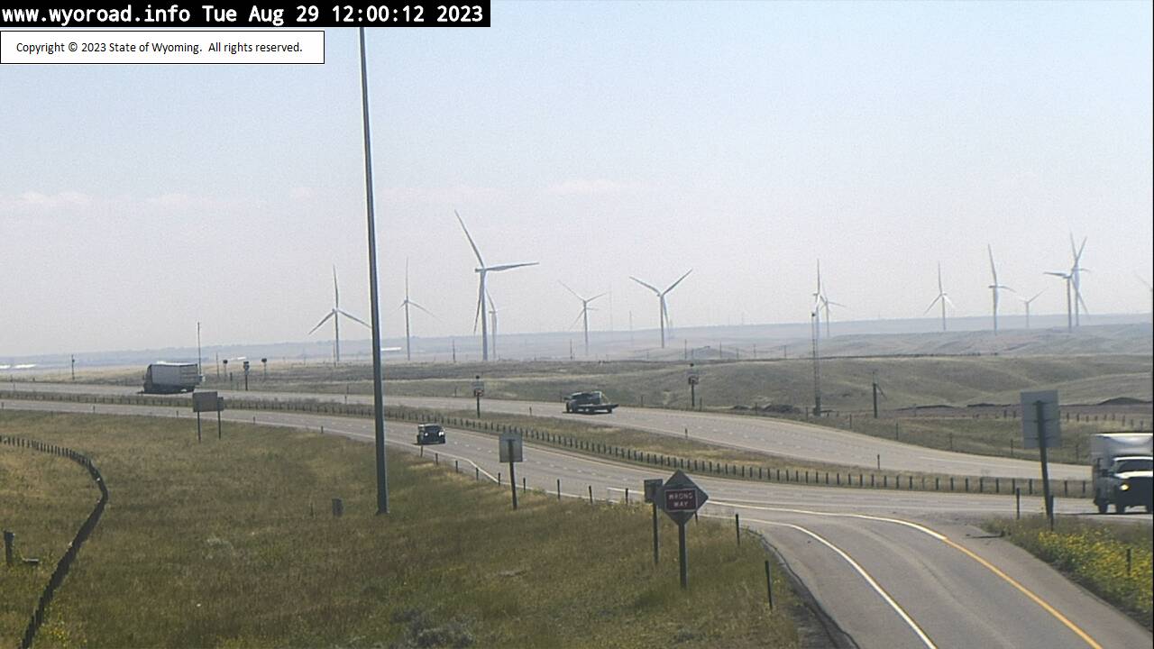
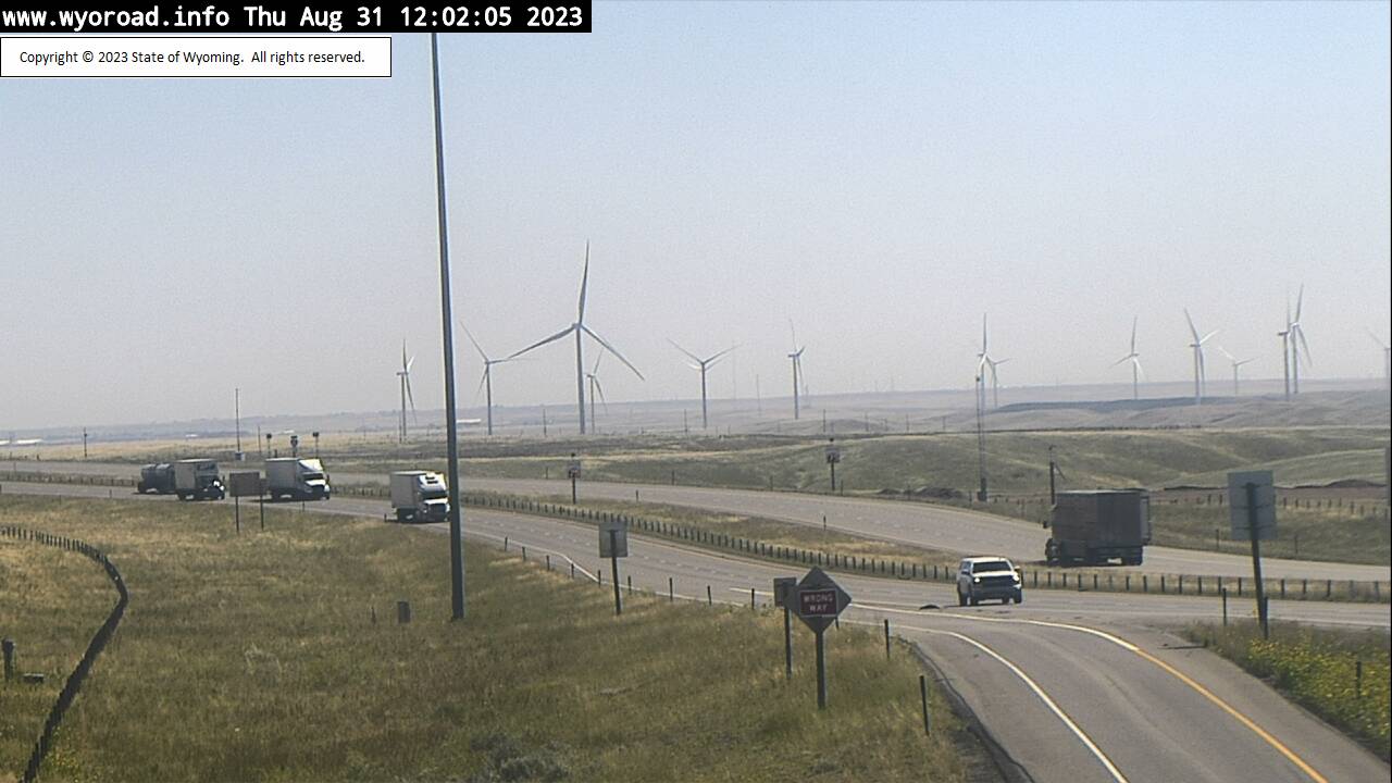
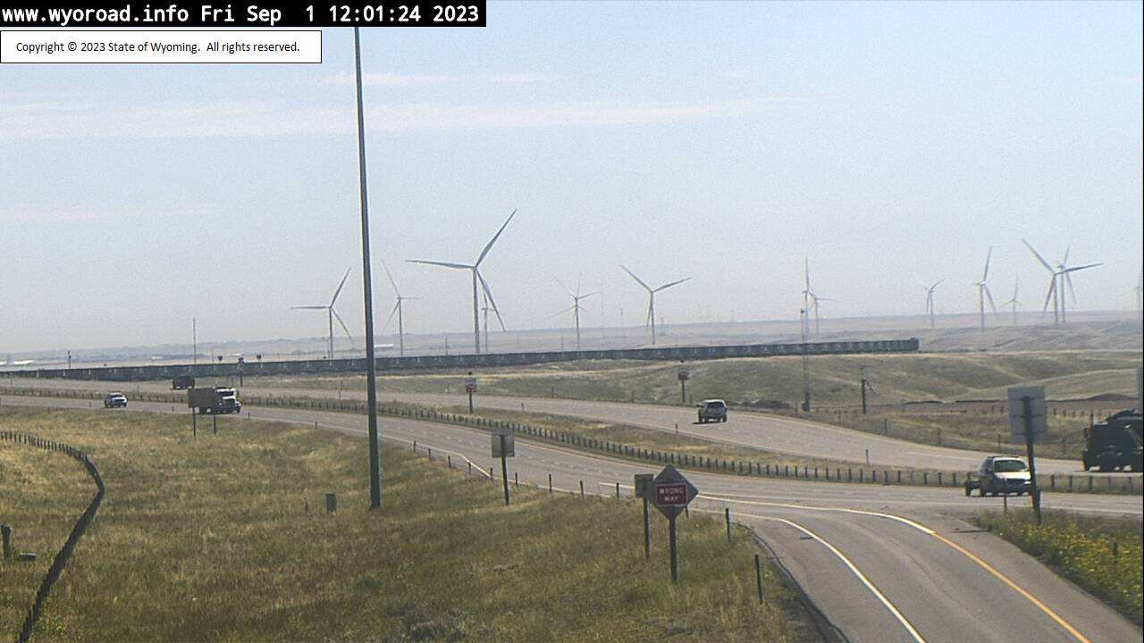
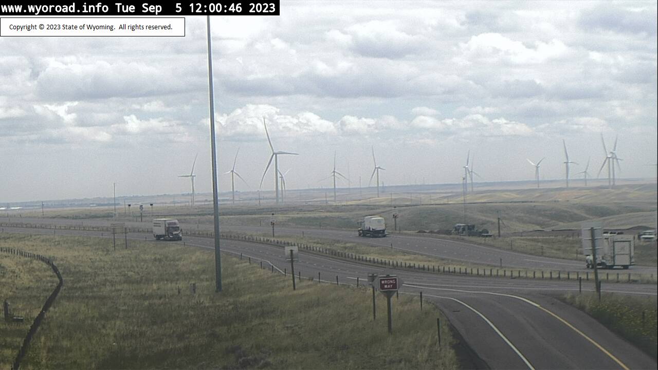
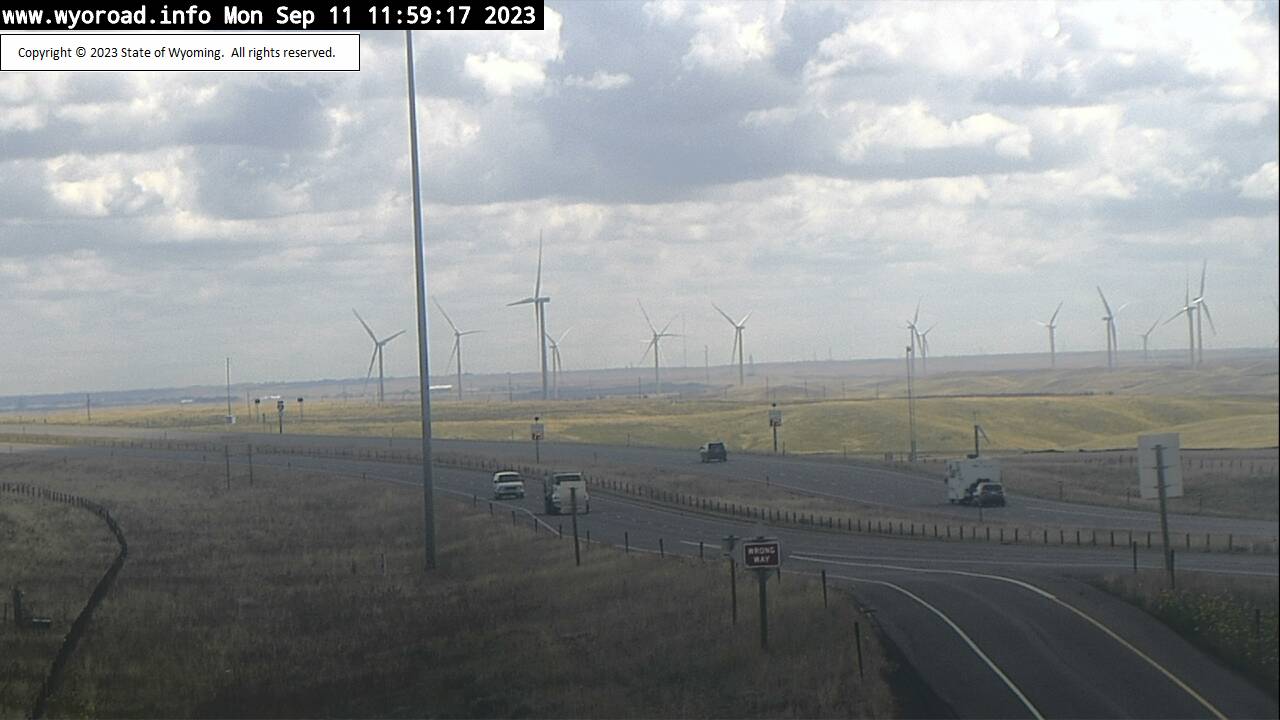
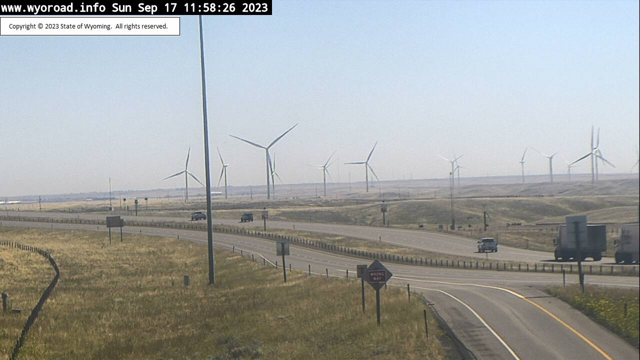
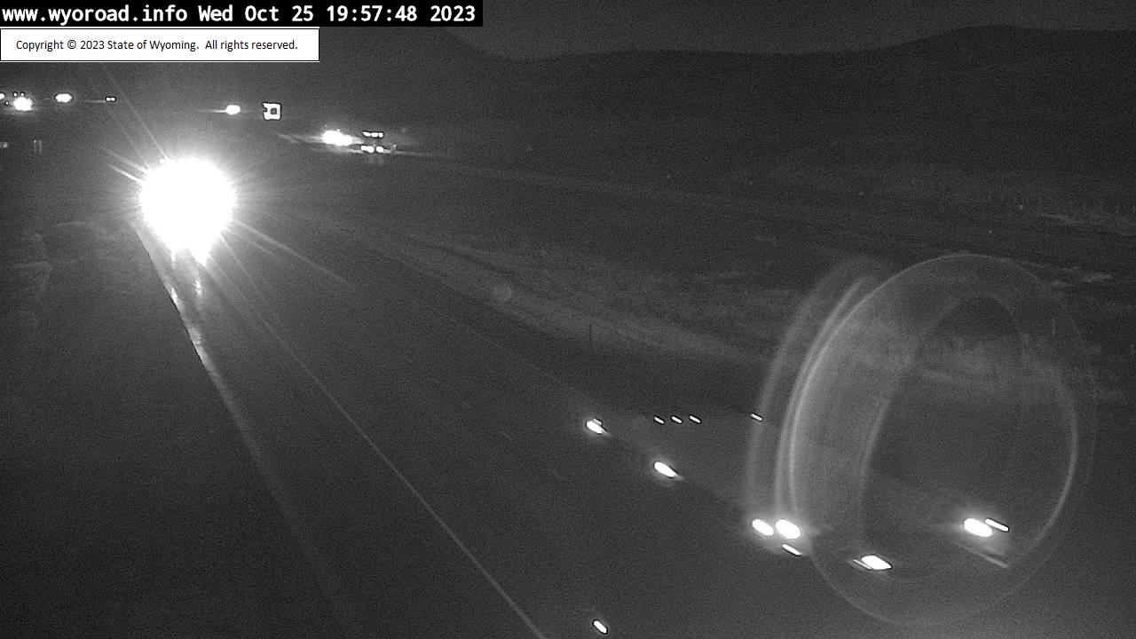
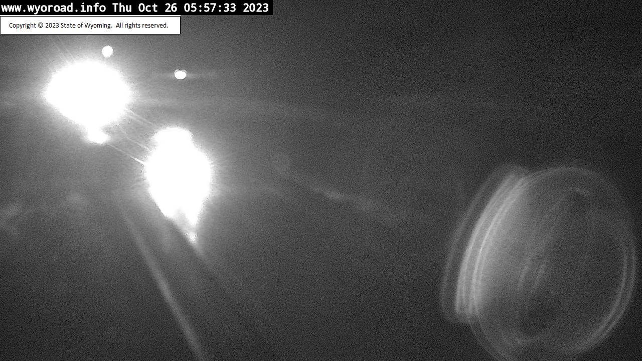
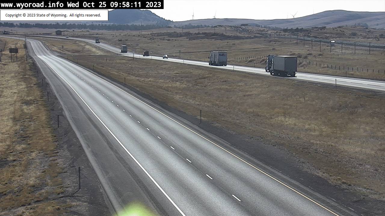
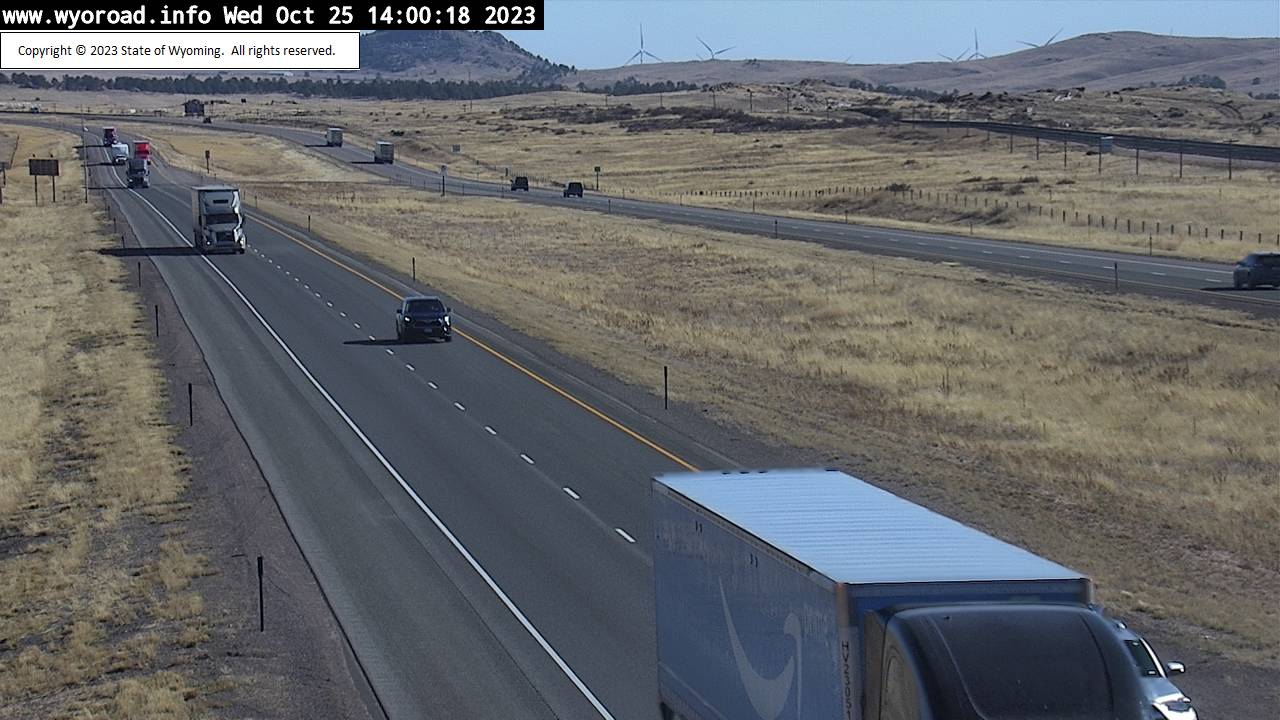
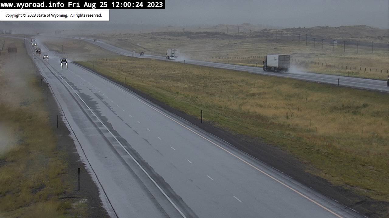
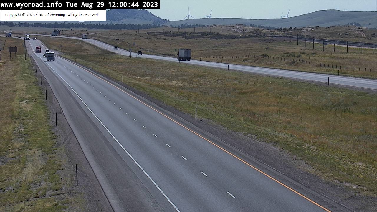
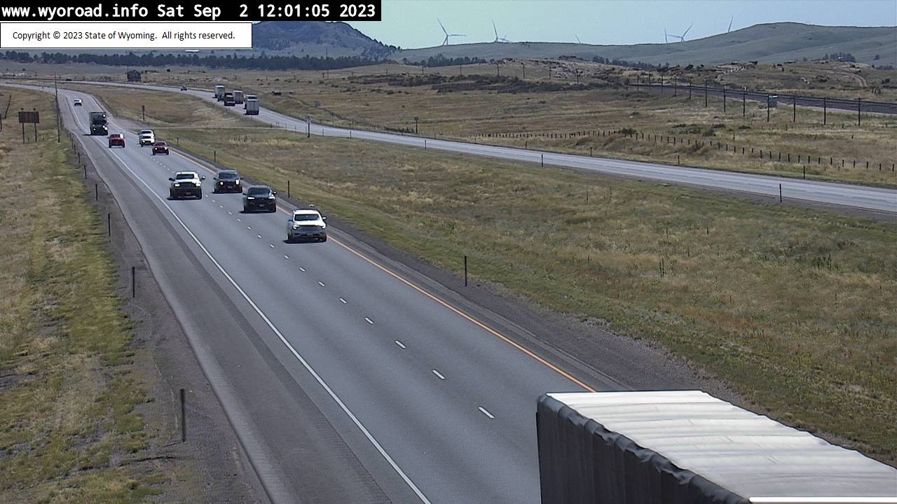
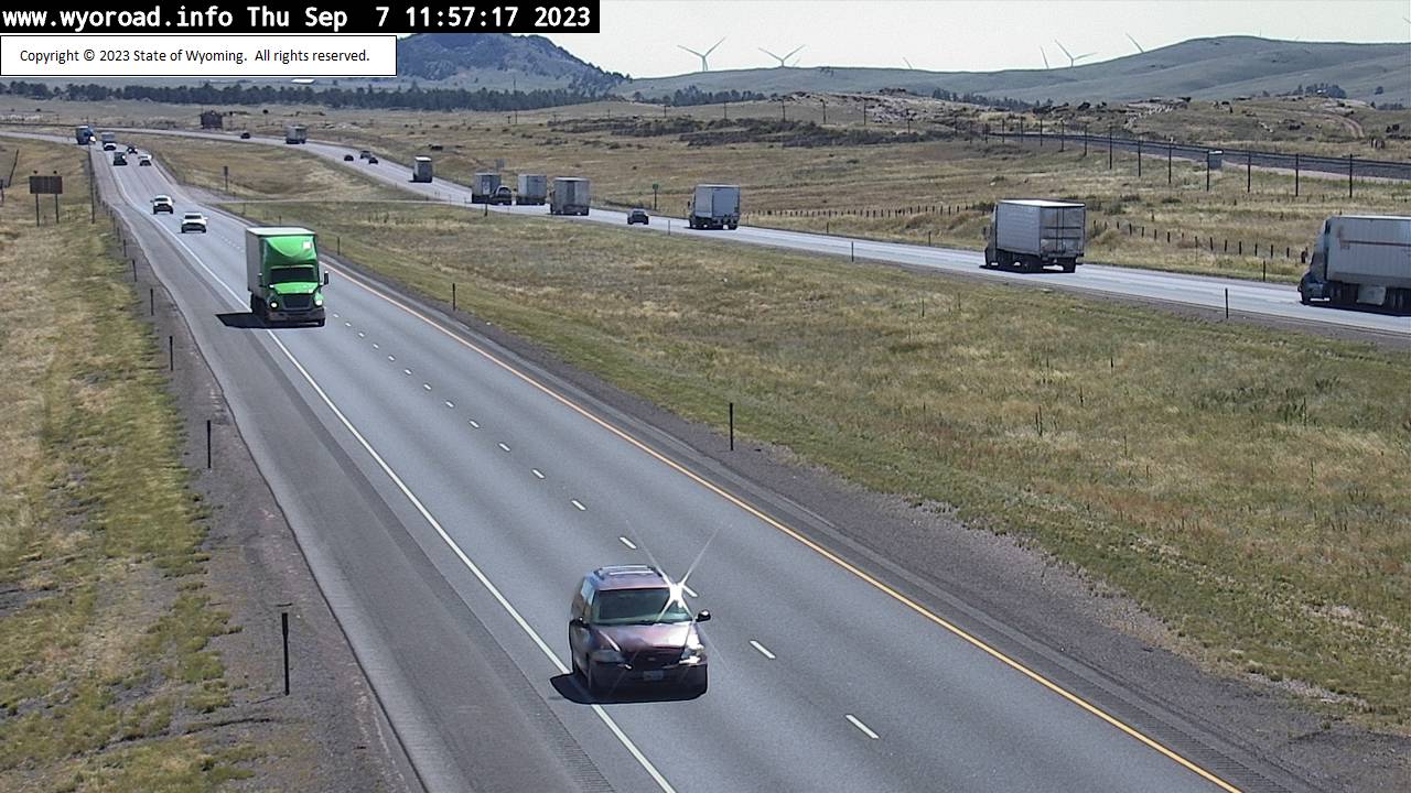
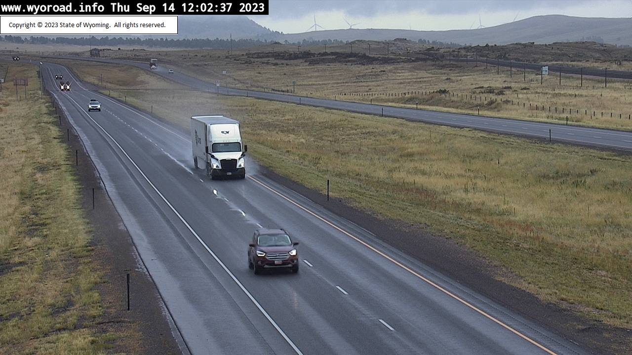
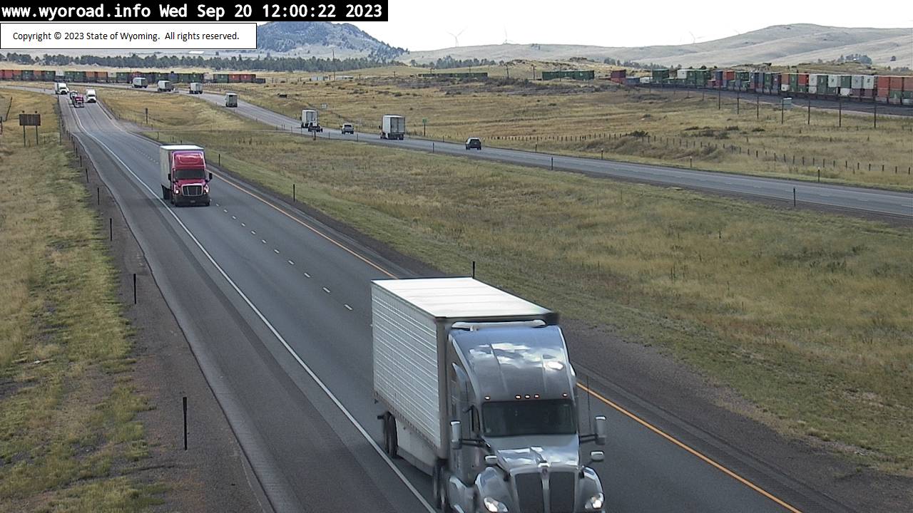
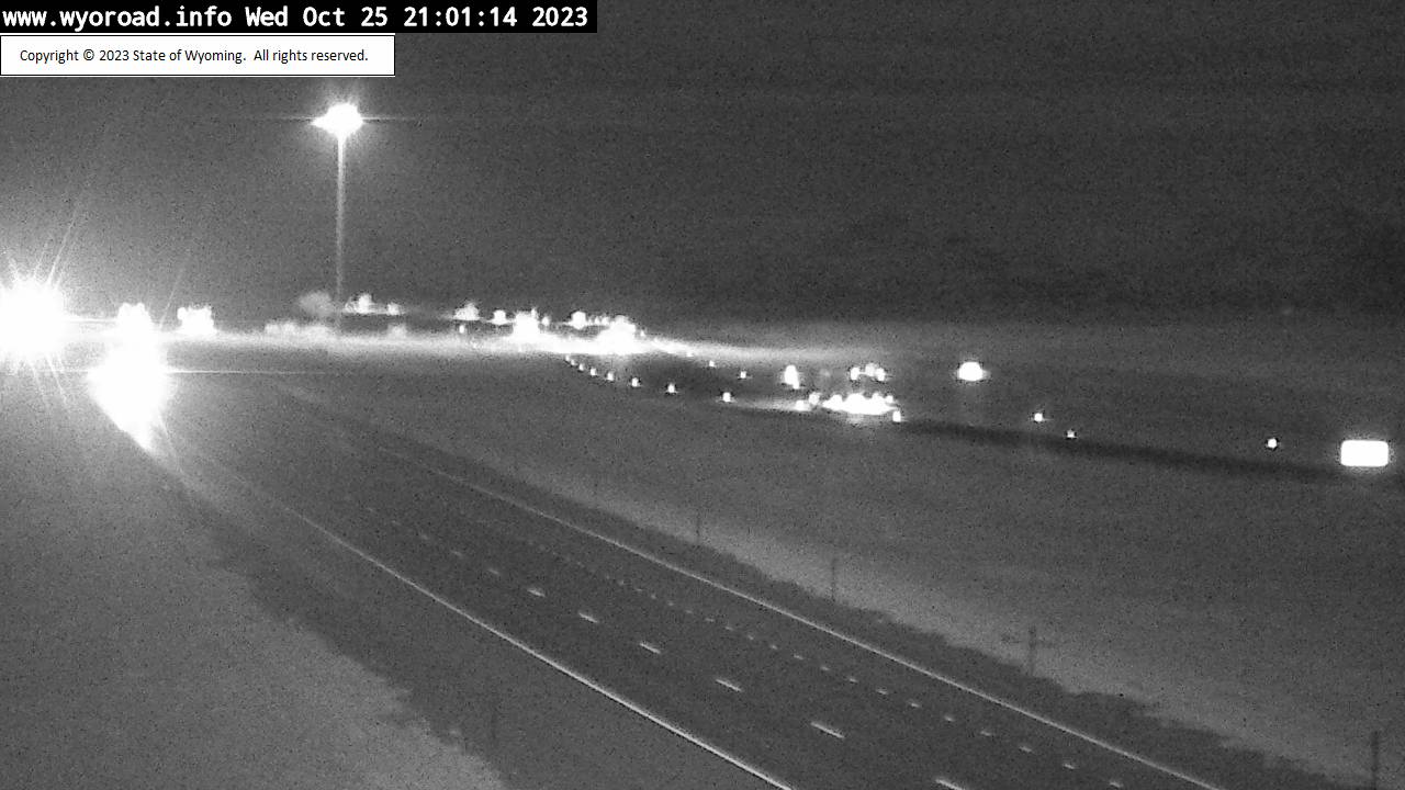
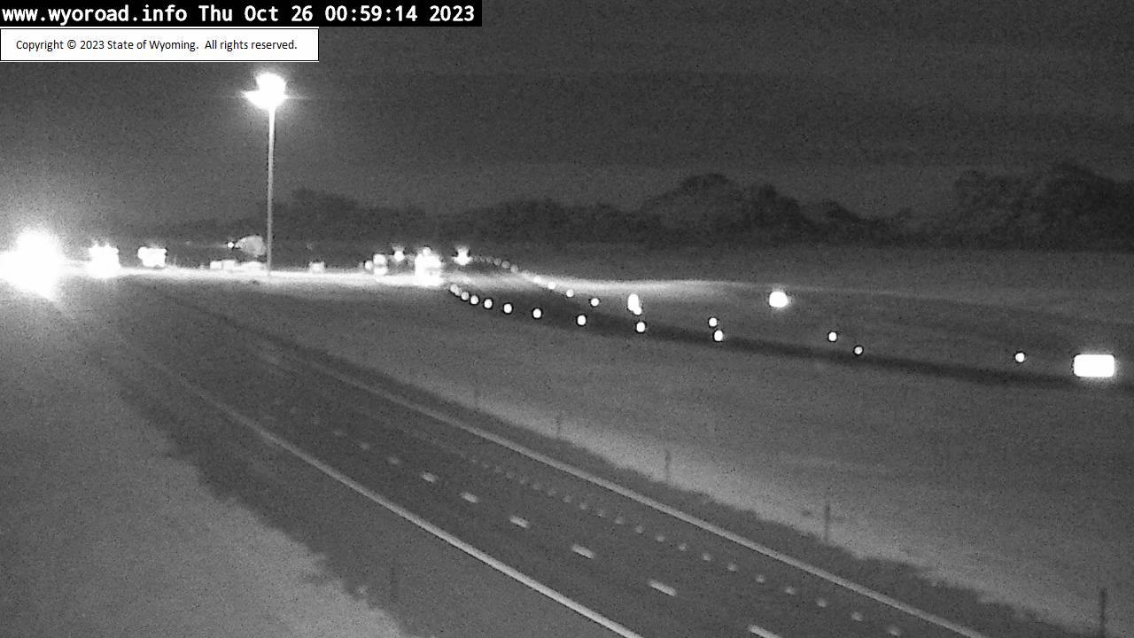
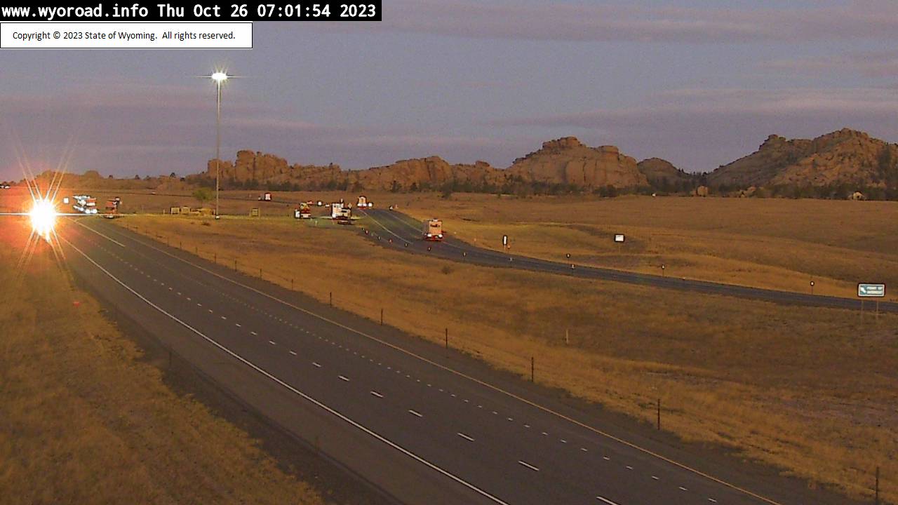
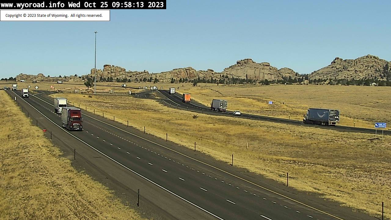
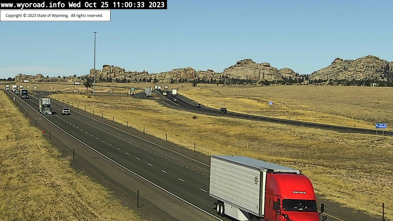
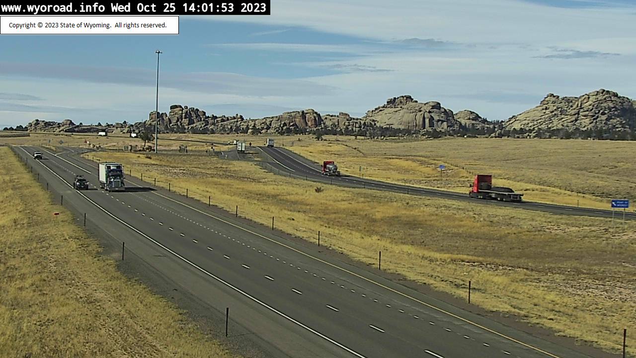
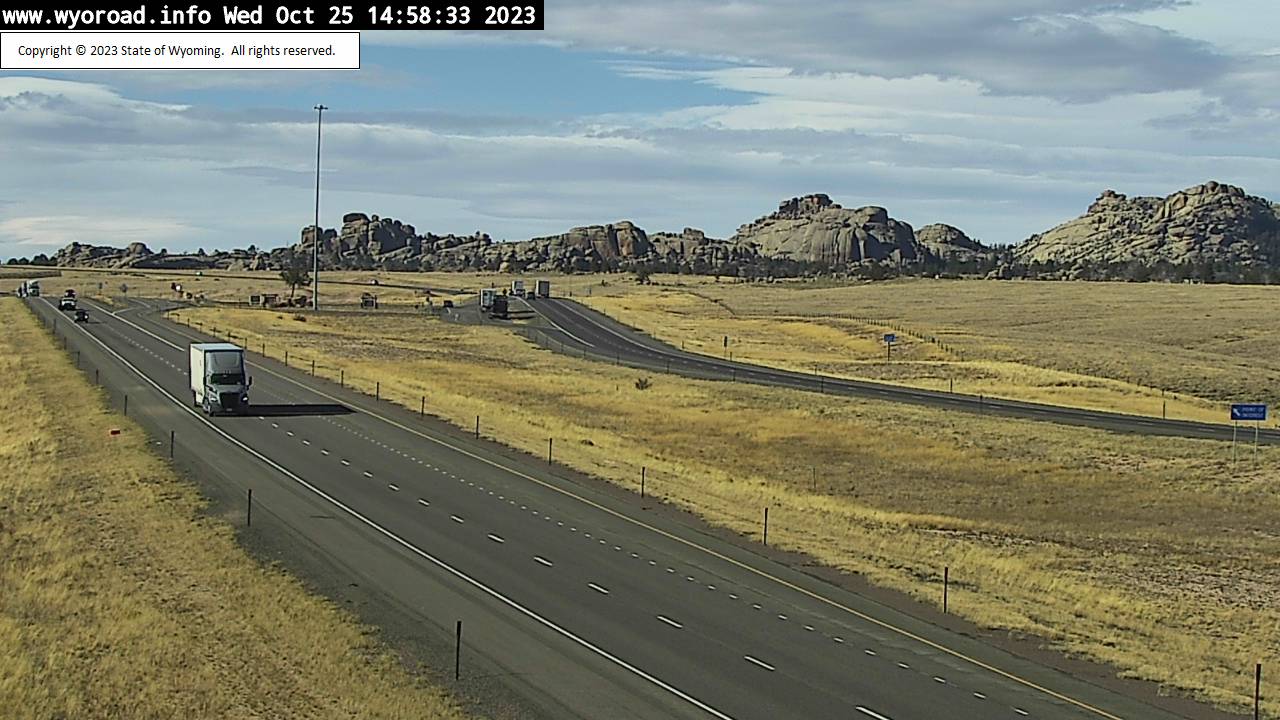
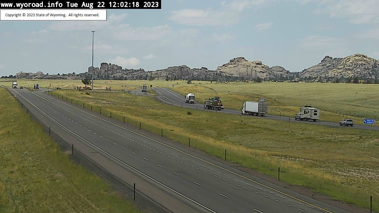
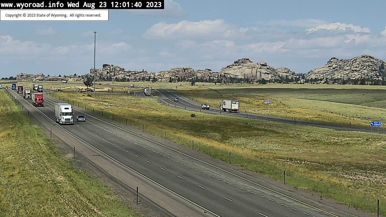
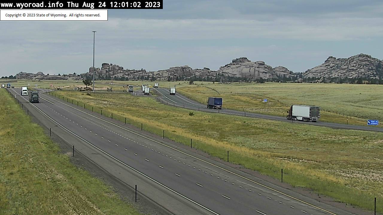
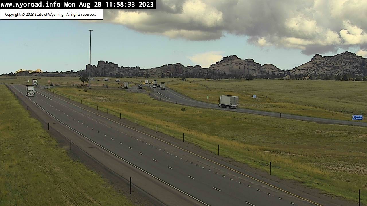
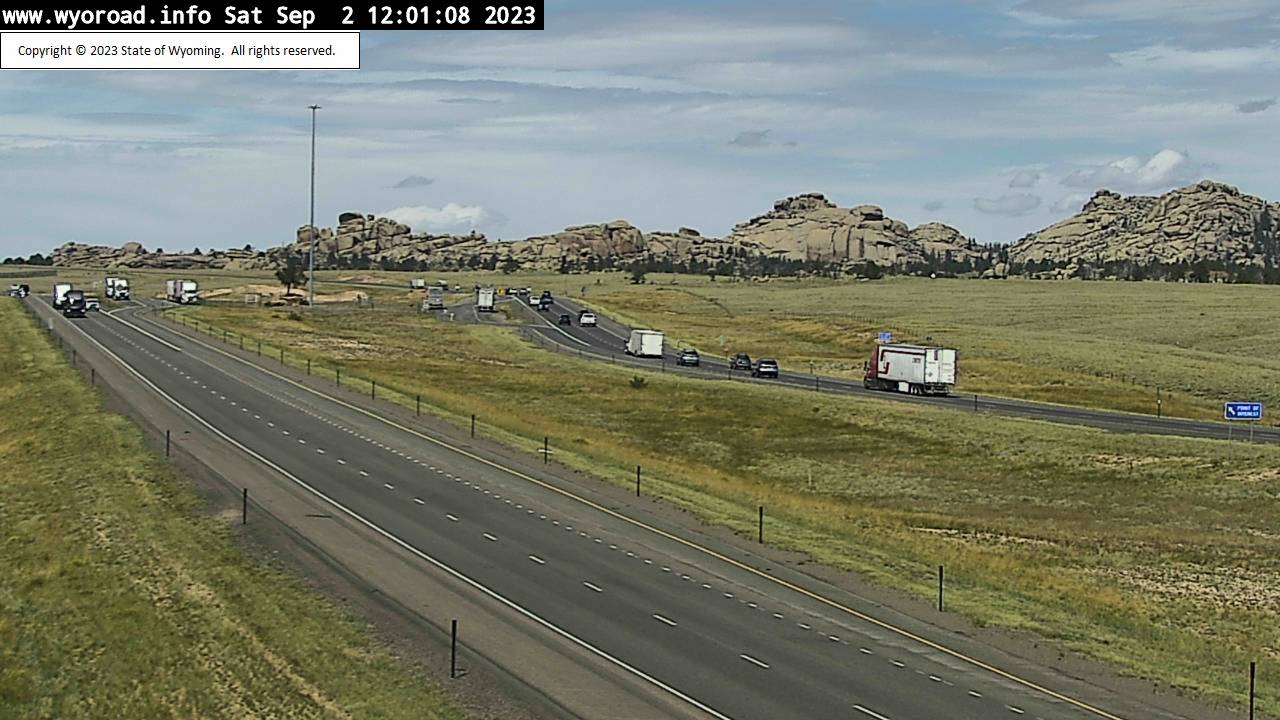
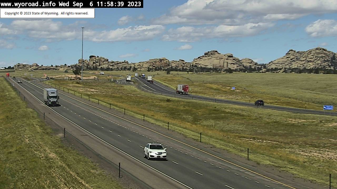
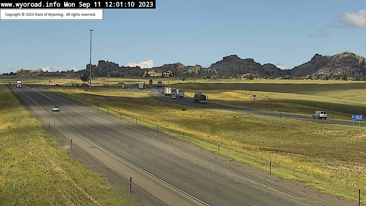
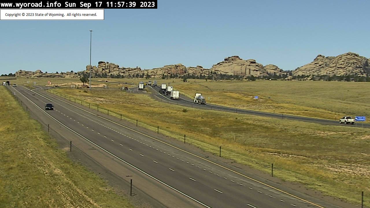
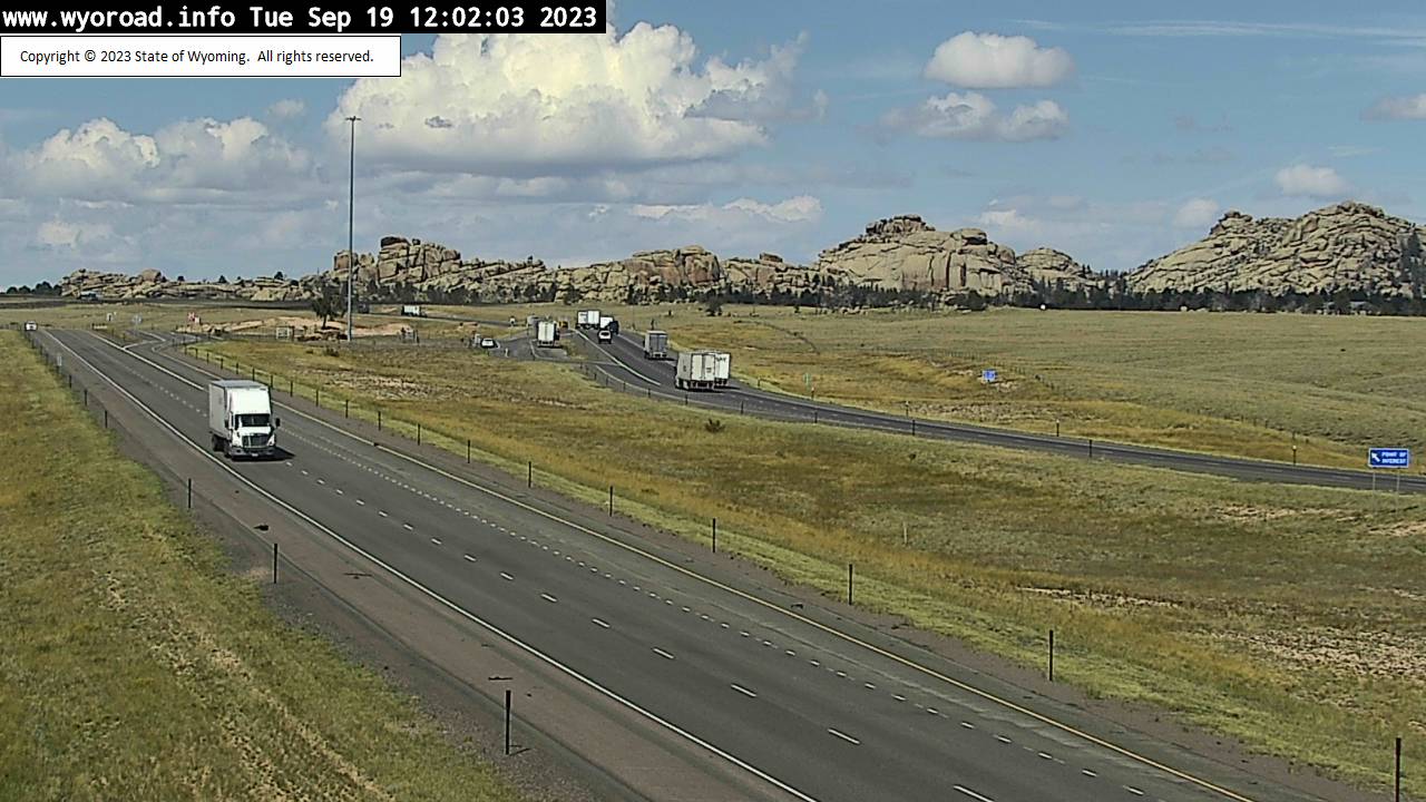
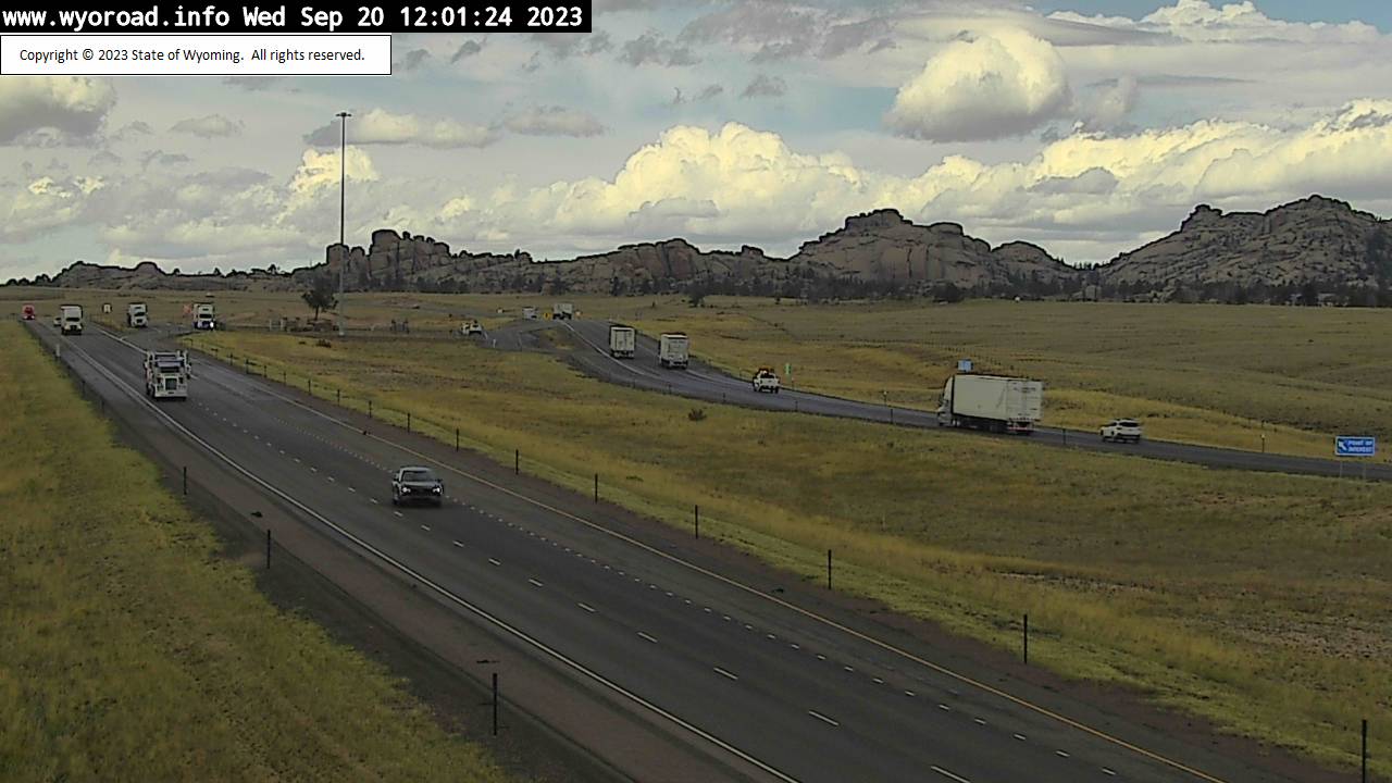
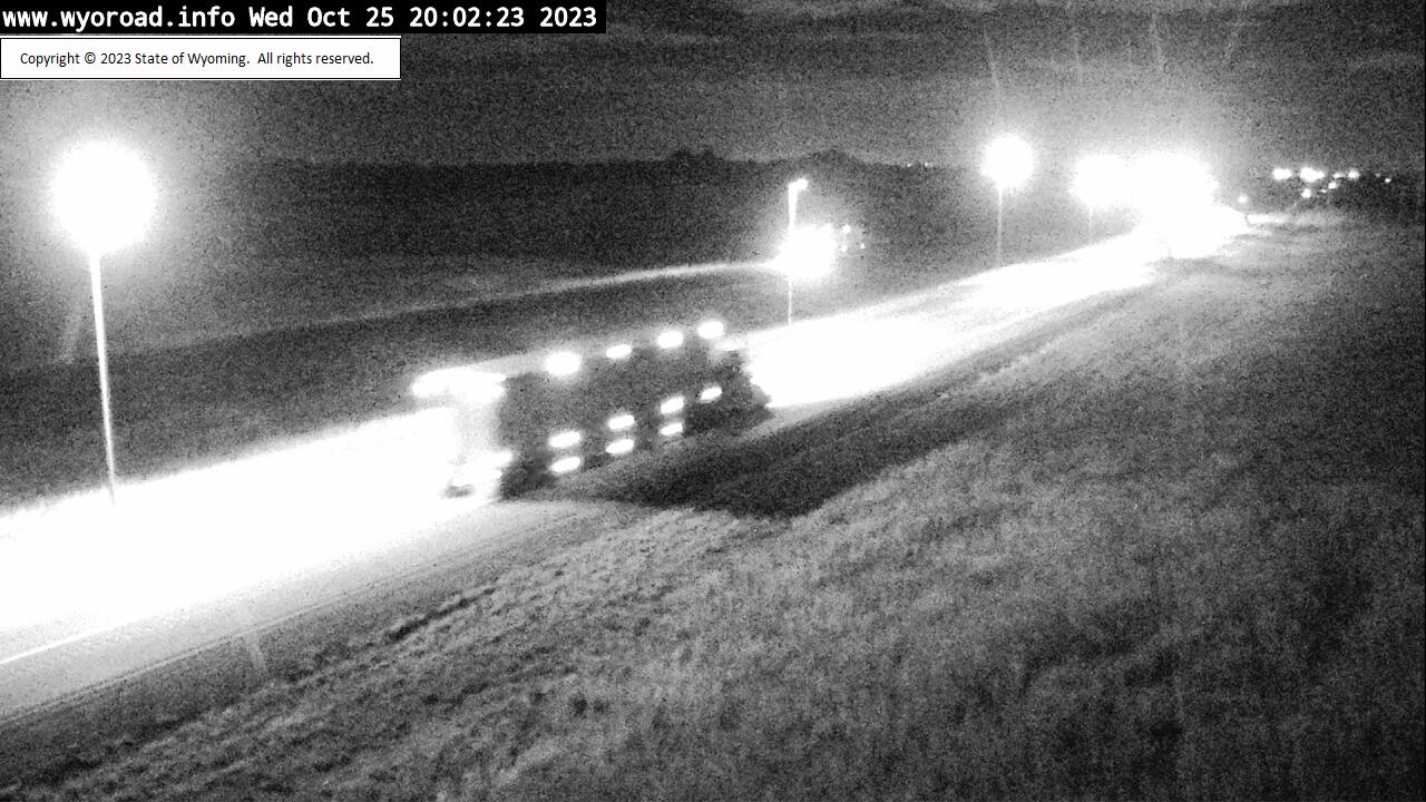
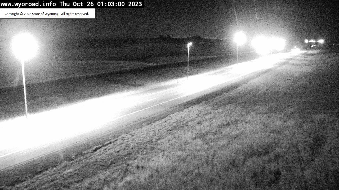
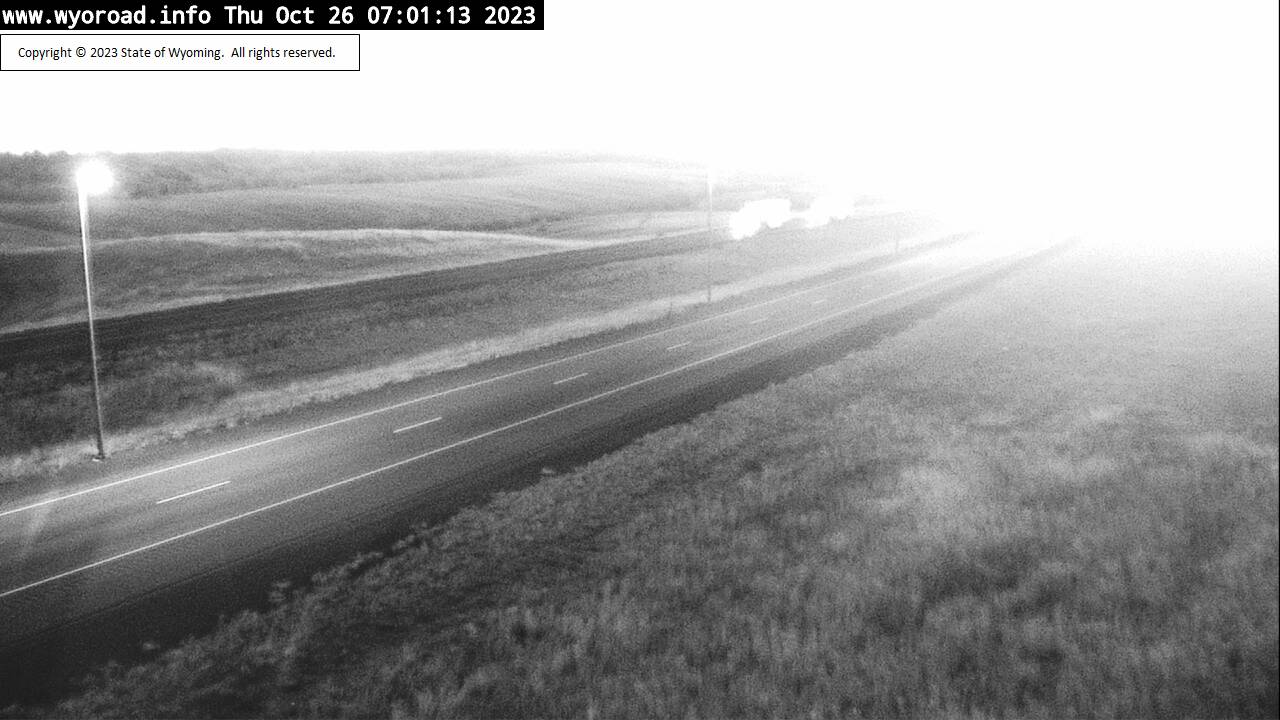
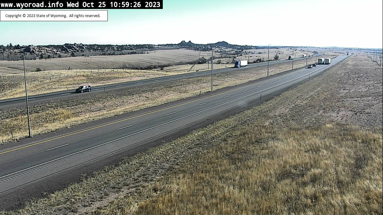
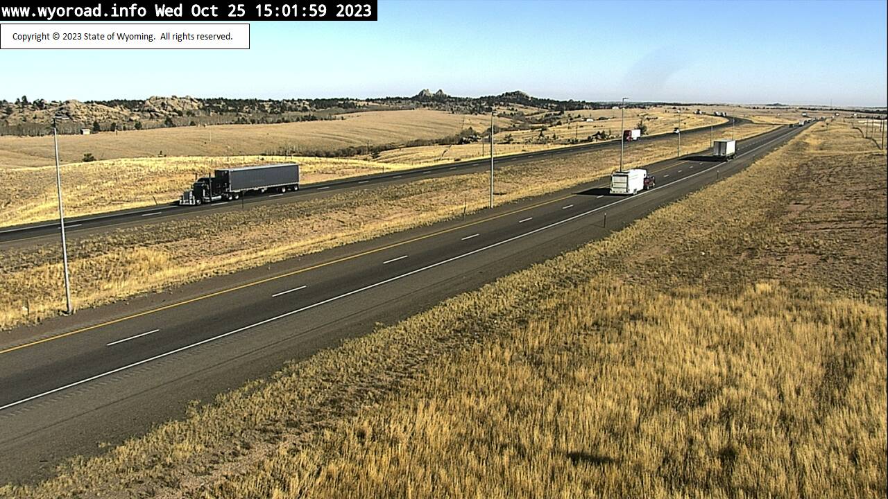
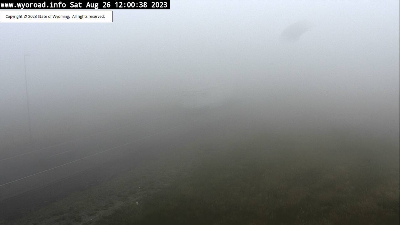
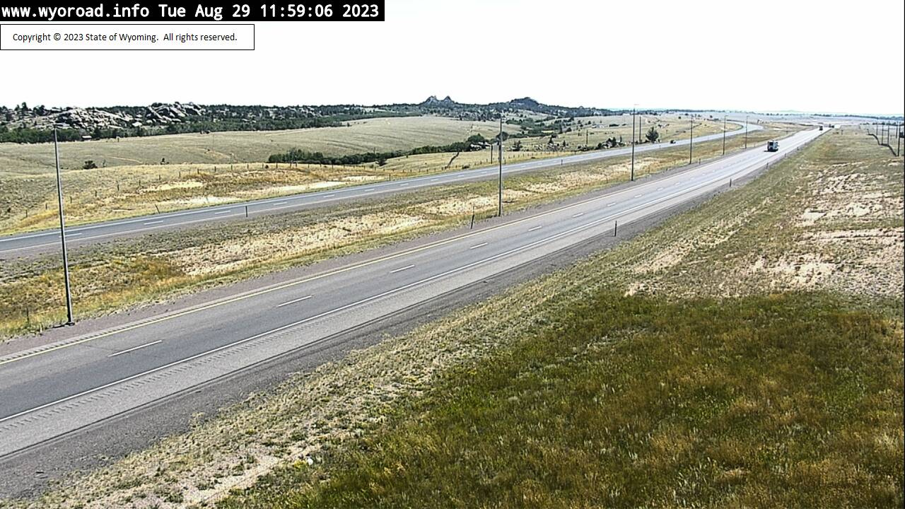
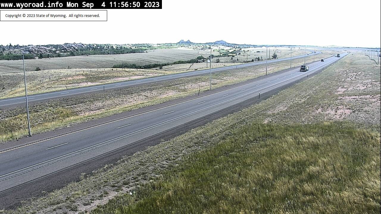
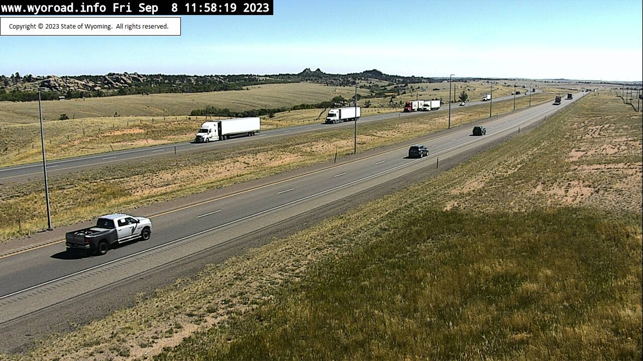
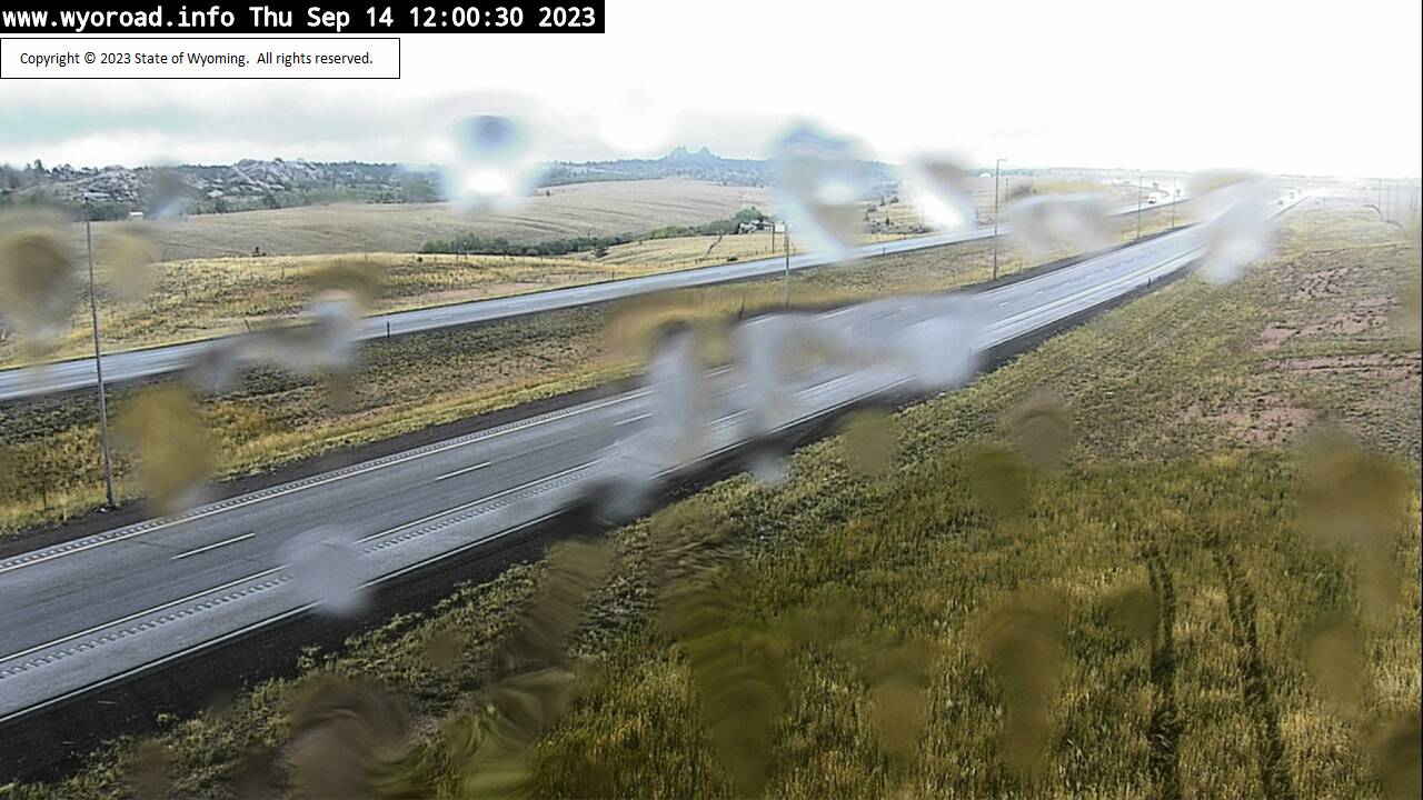
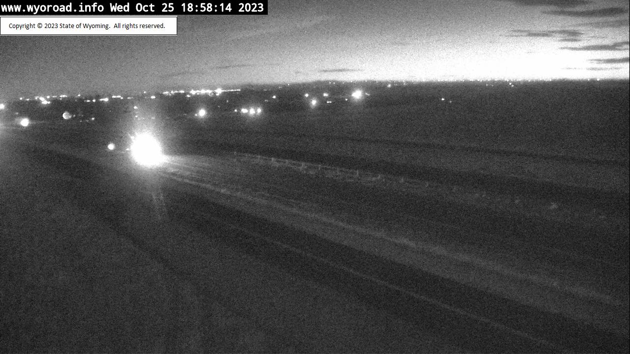
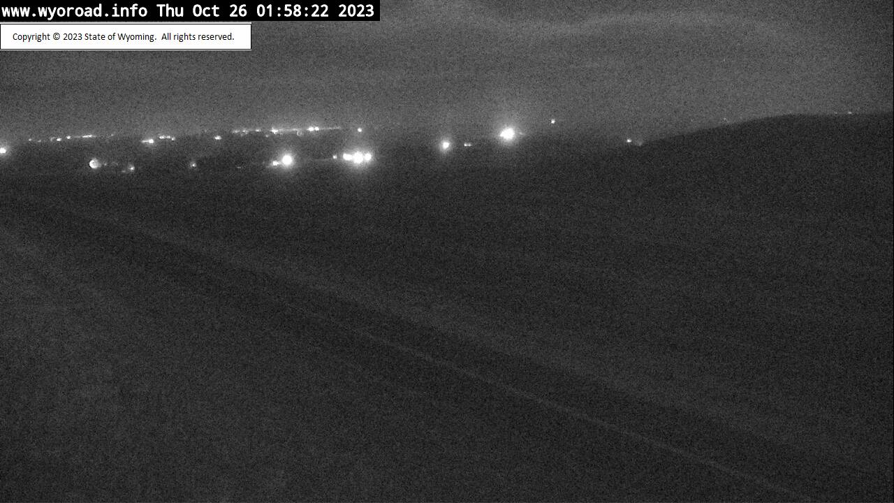
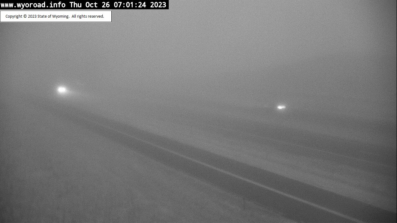
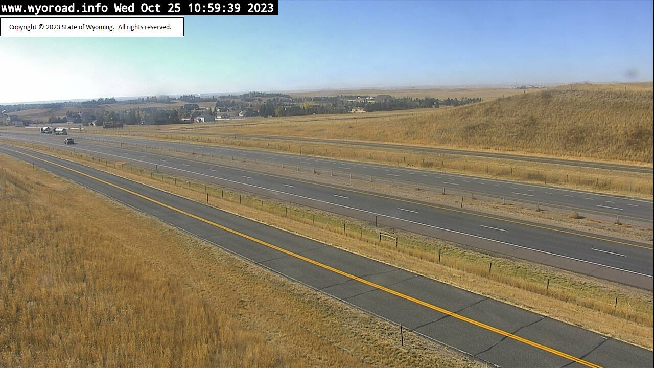
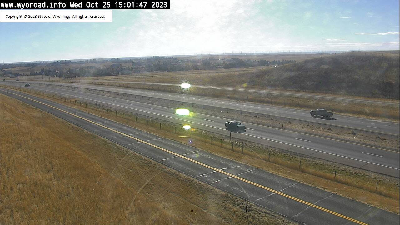
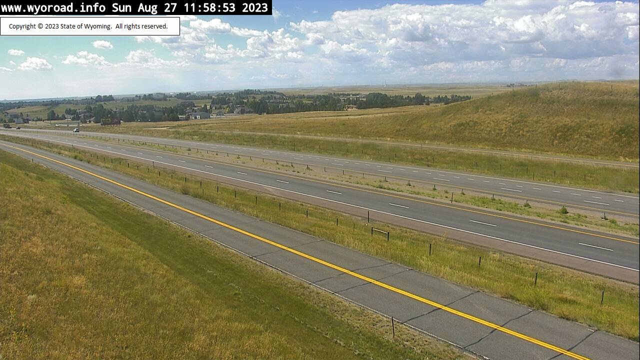
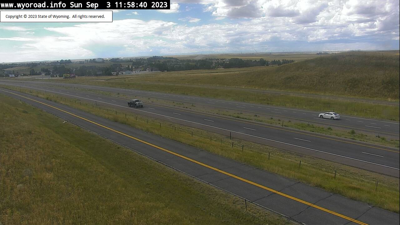
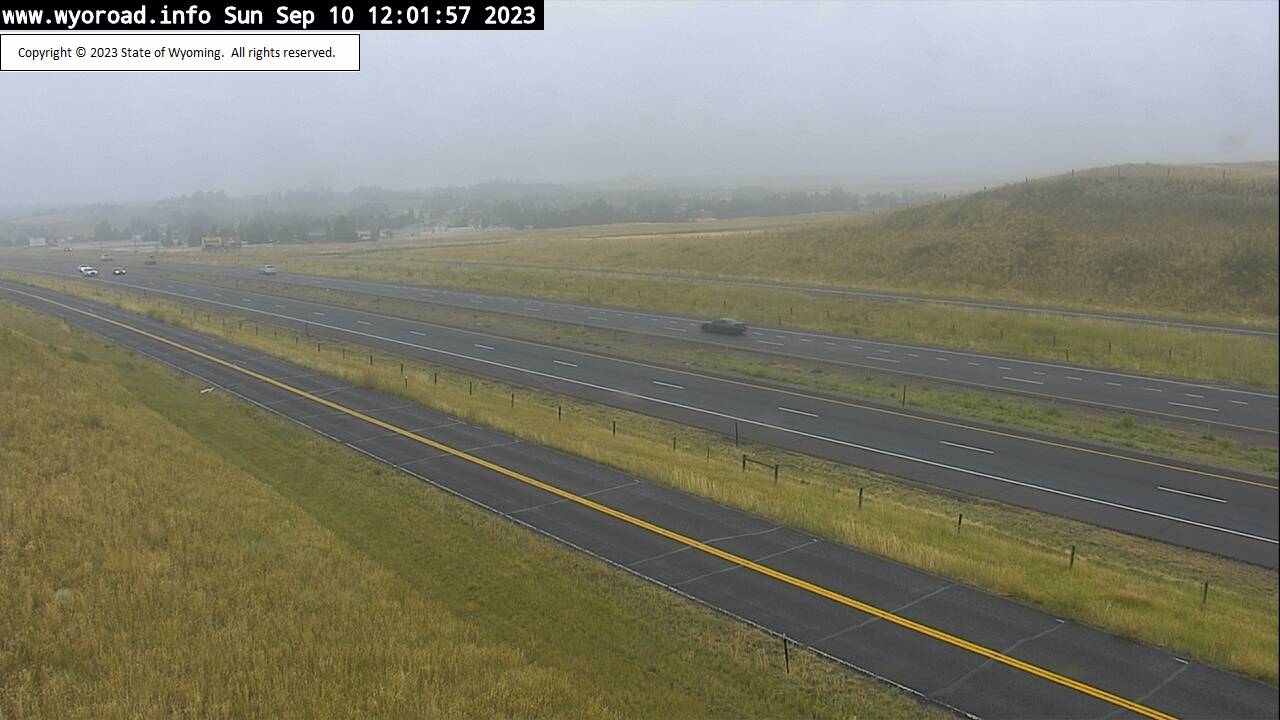
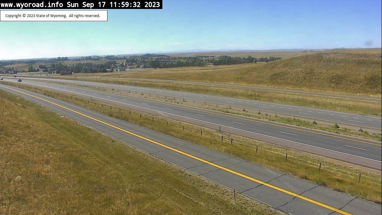
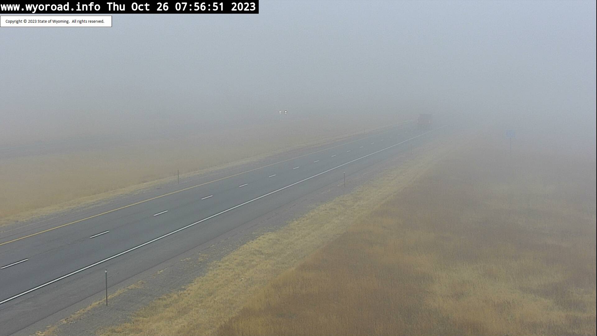
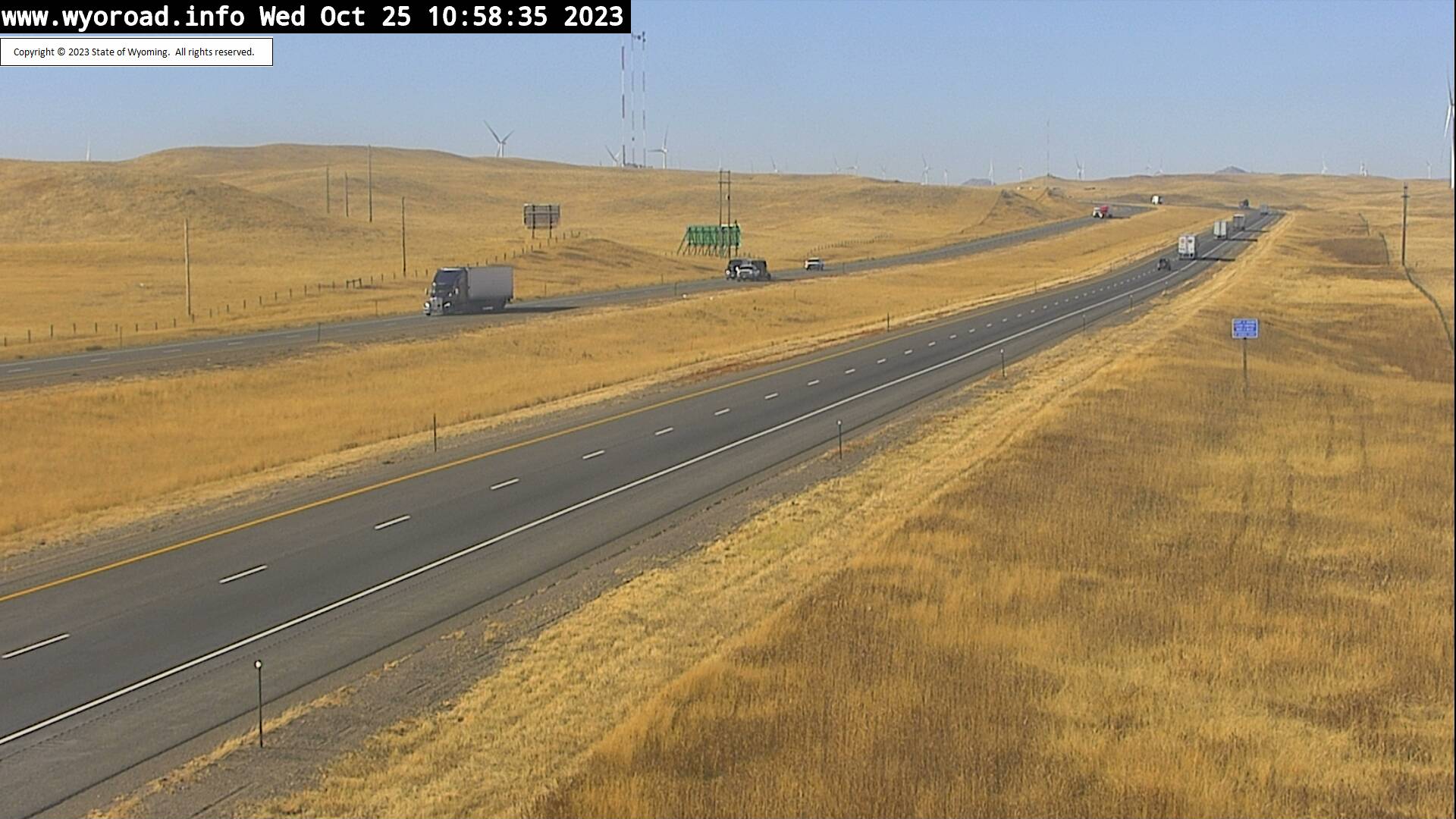
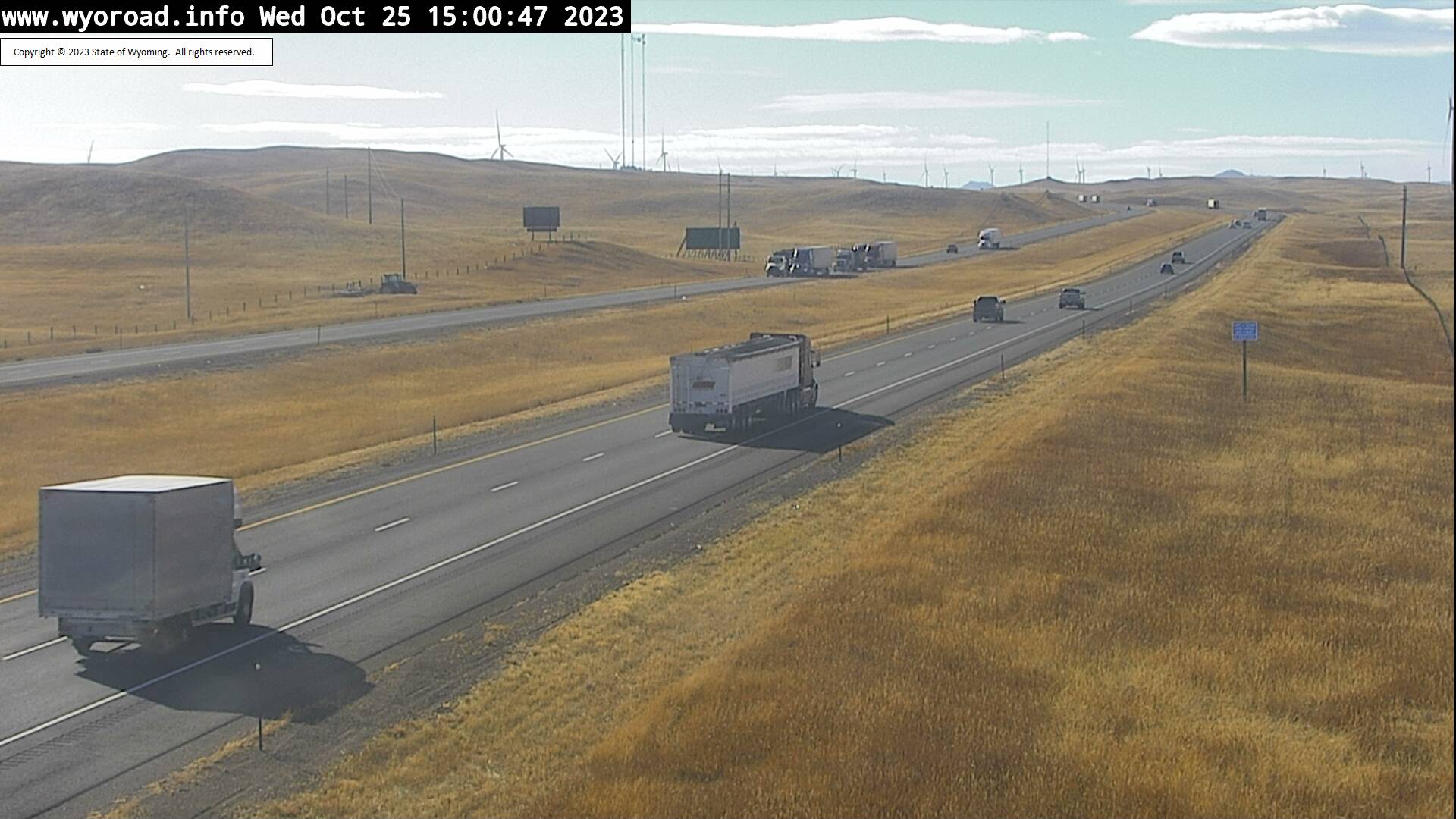
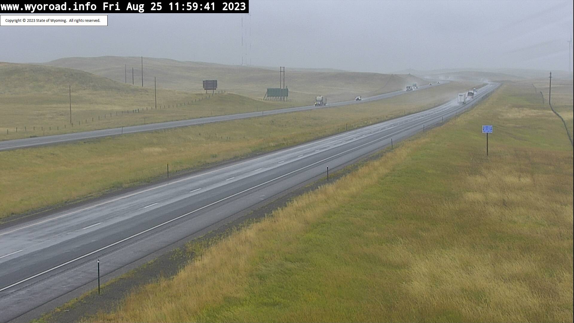
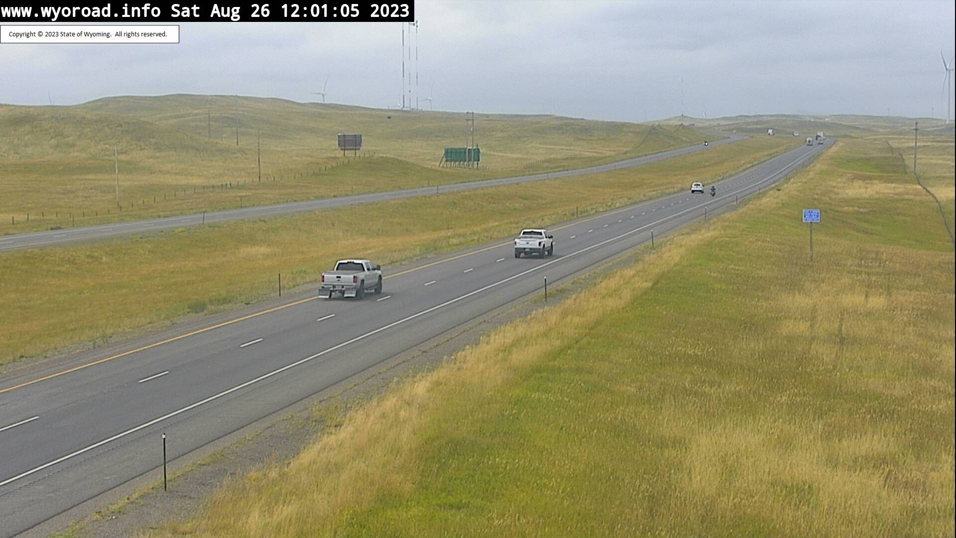
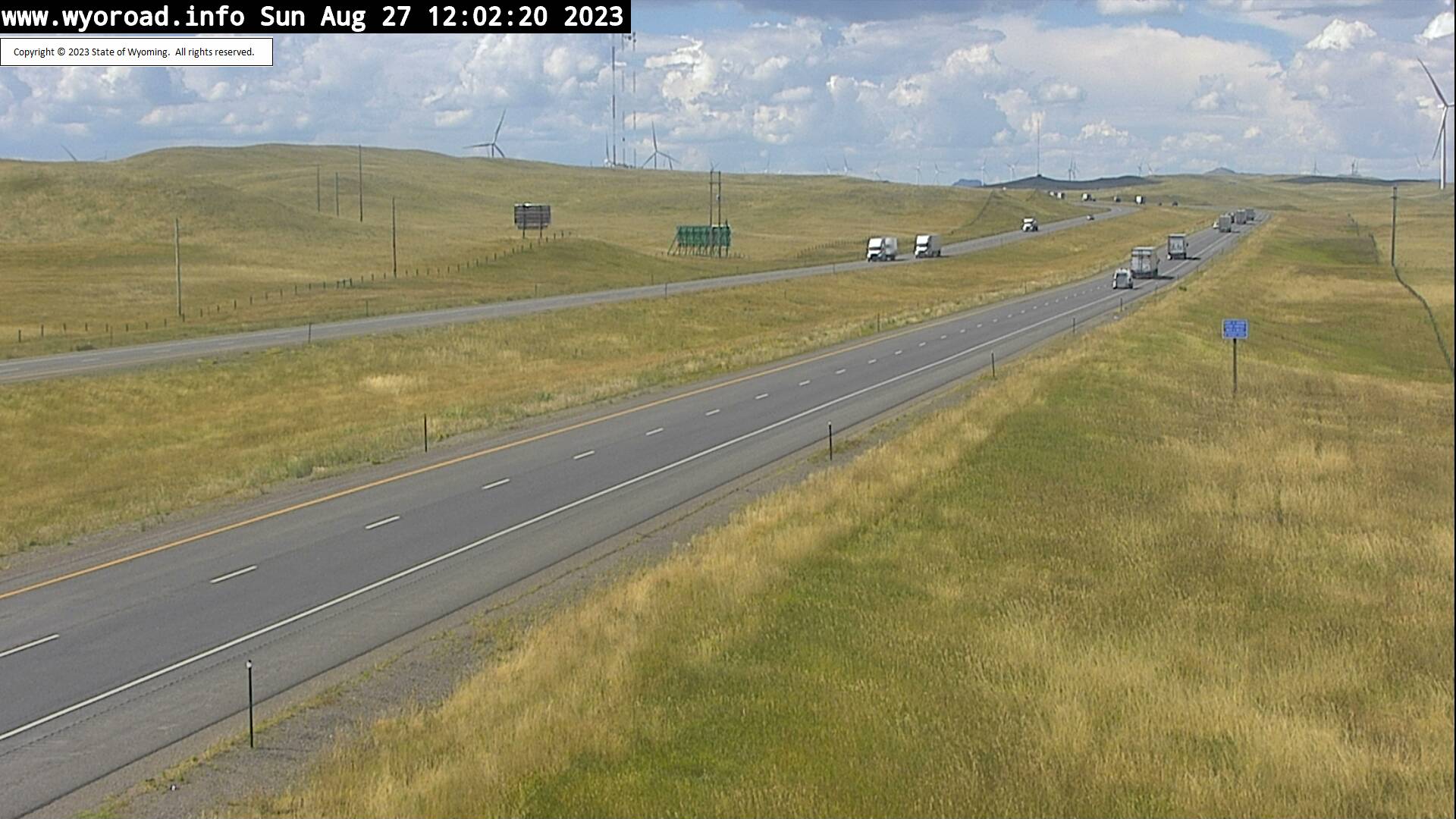
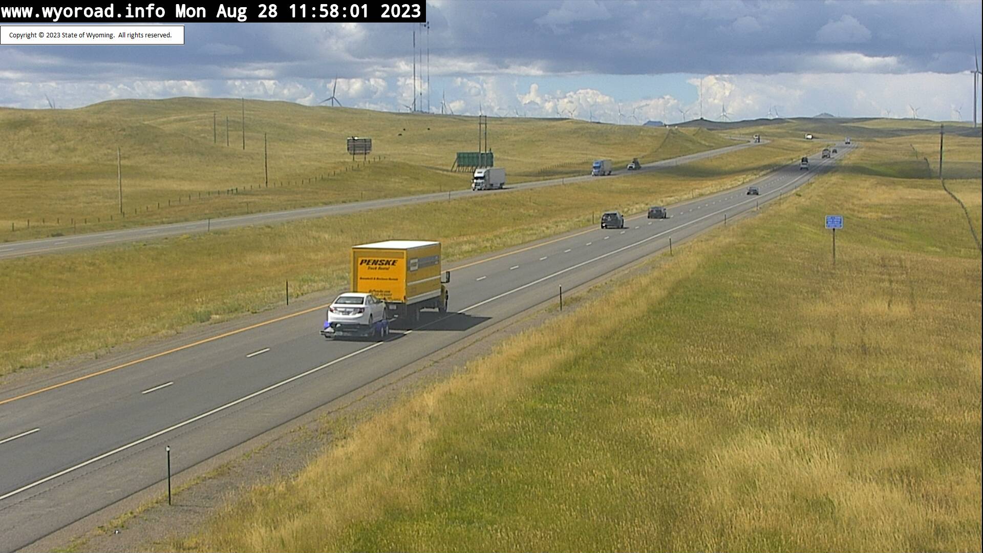
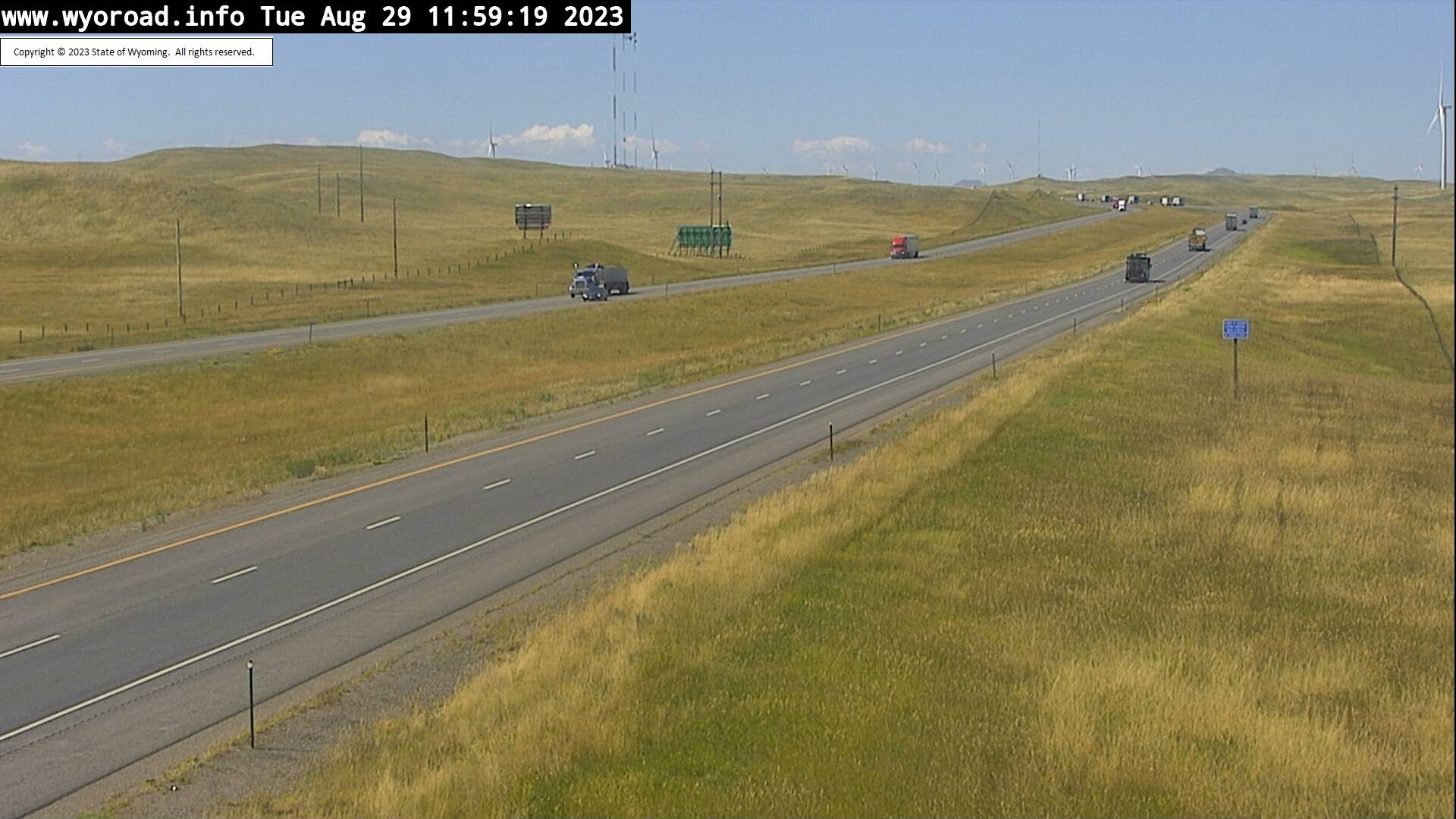
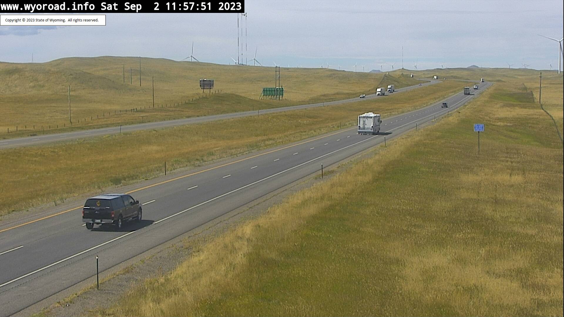
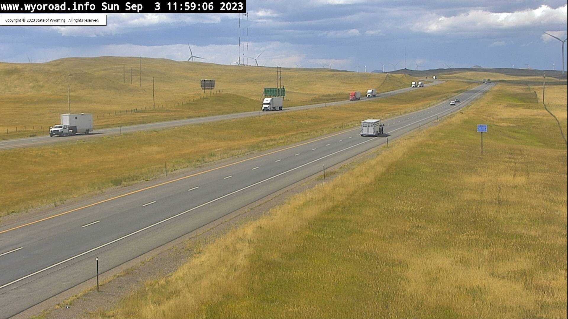
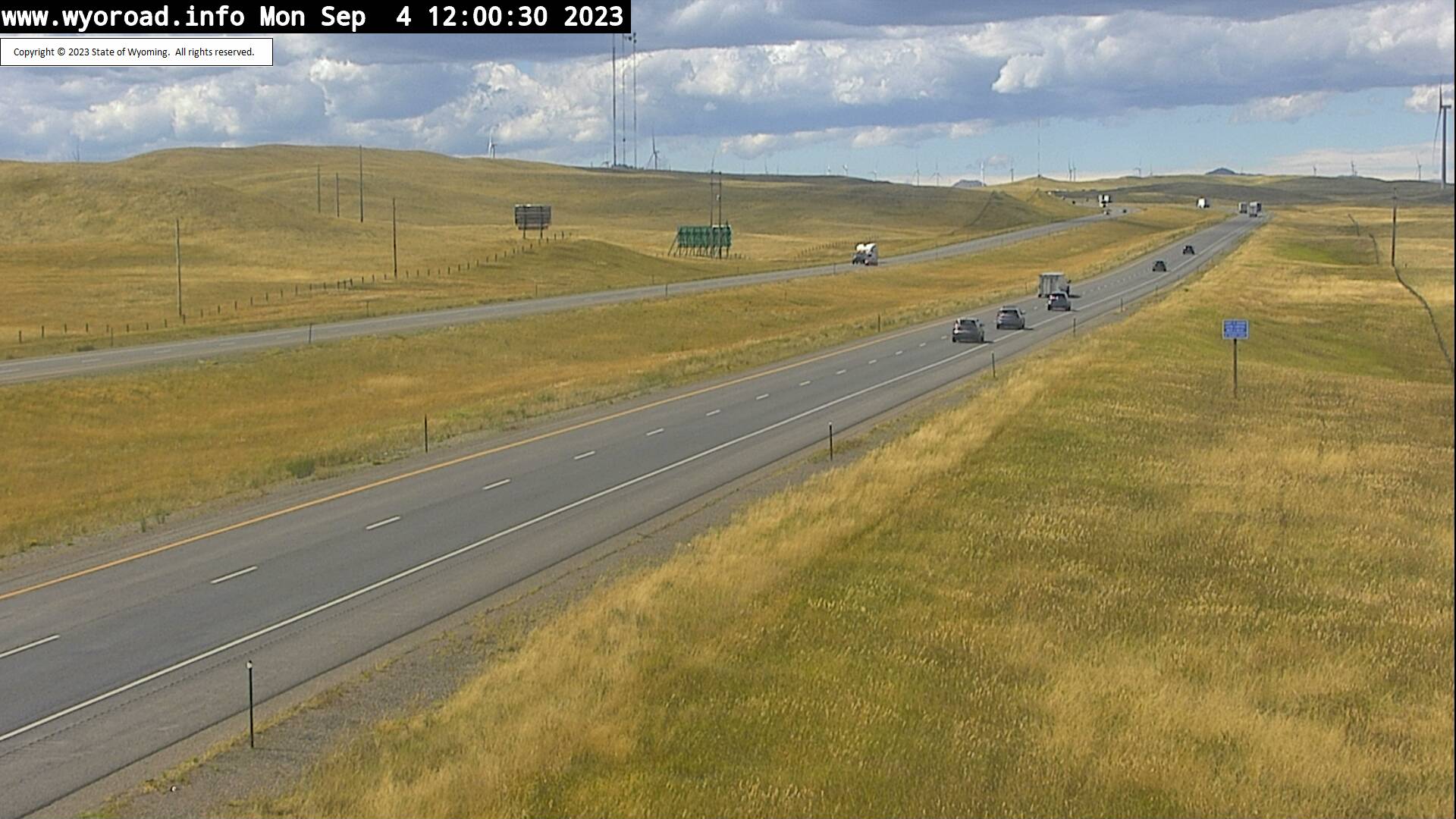
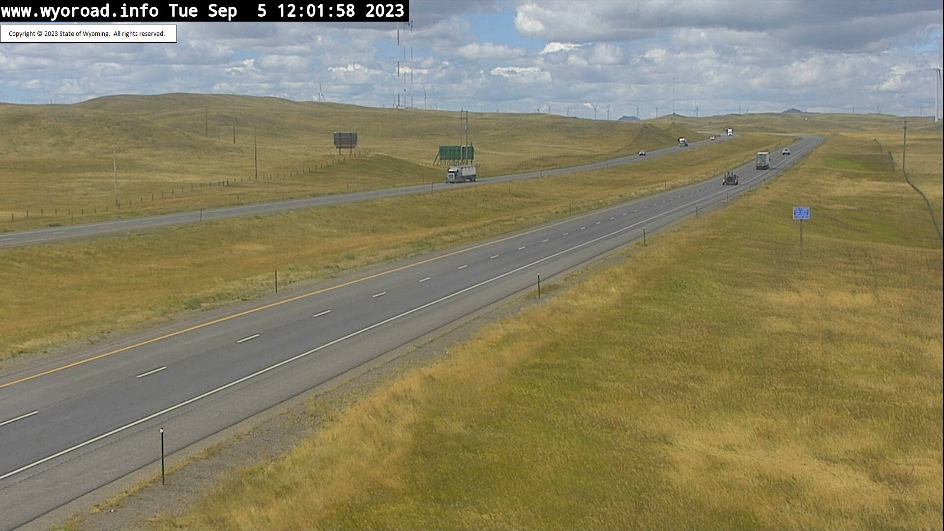
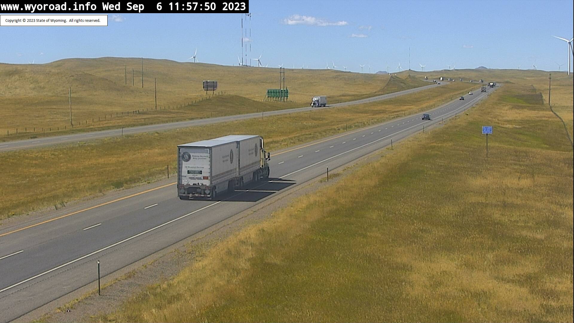
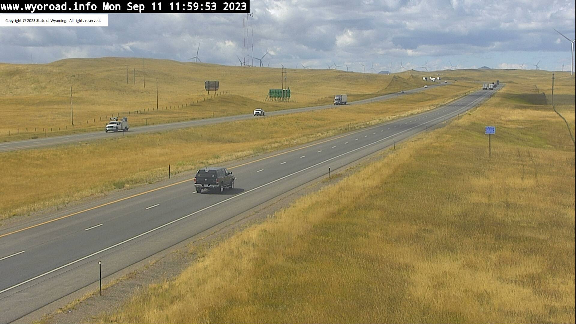
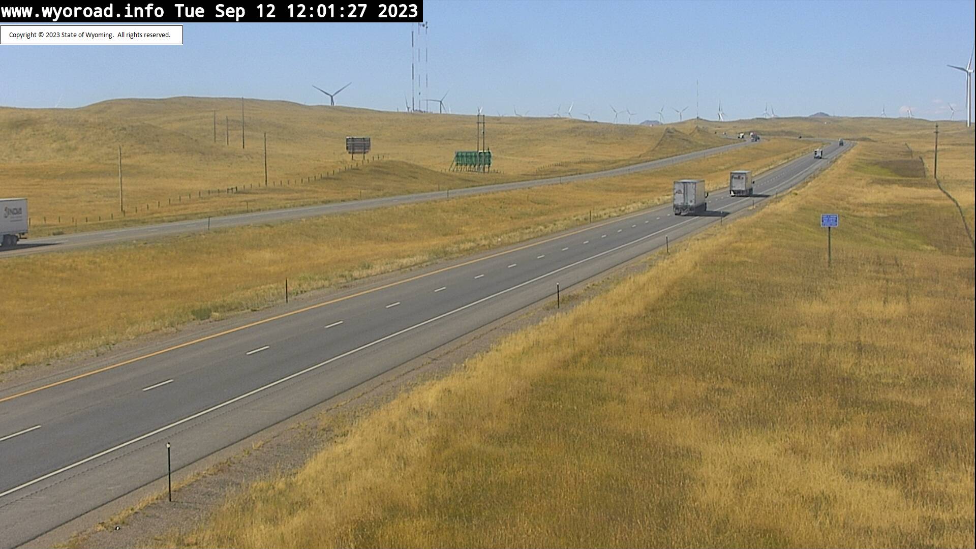
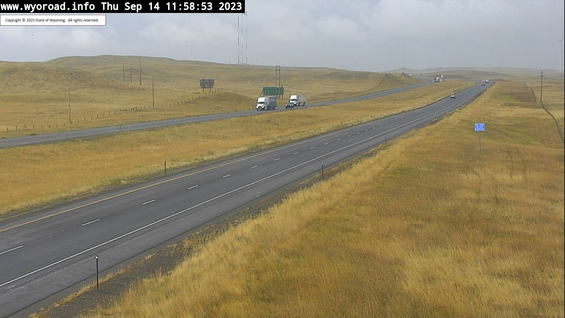
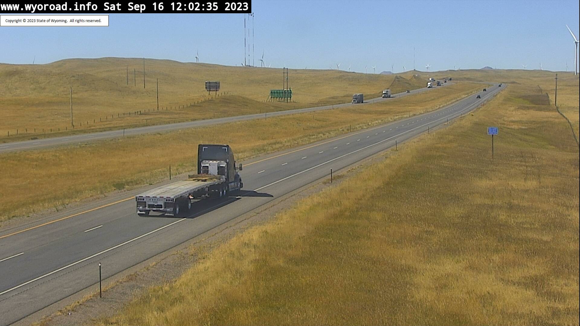
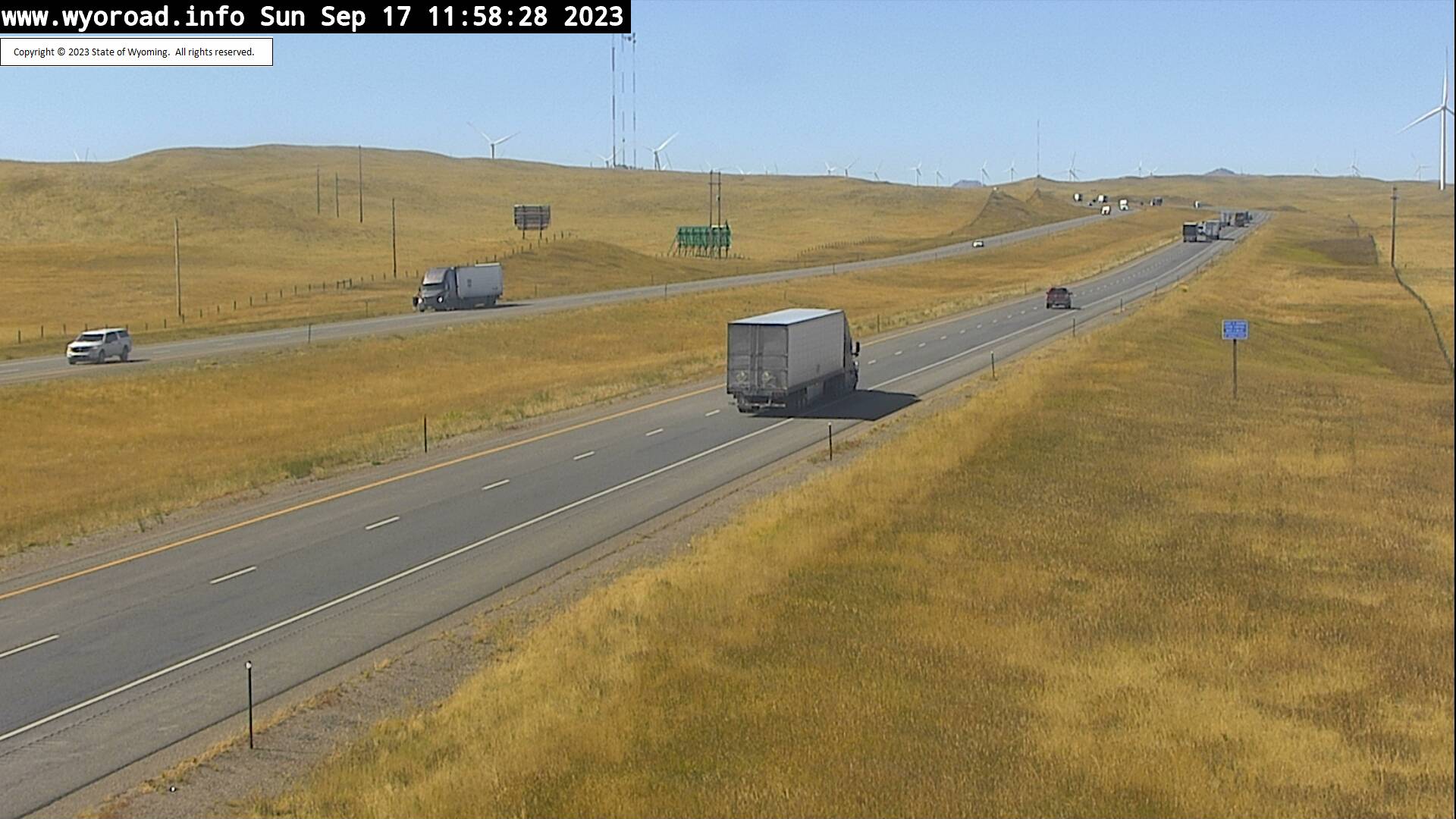
Granite, Wyoming, USA - 15.9 miles from Islay: Harriman - Traffic and Weather - A view of the current traffic and weather situation.
Operator: WYDOT Travel Information Service
Operator: WYDOT Travel Information Service
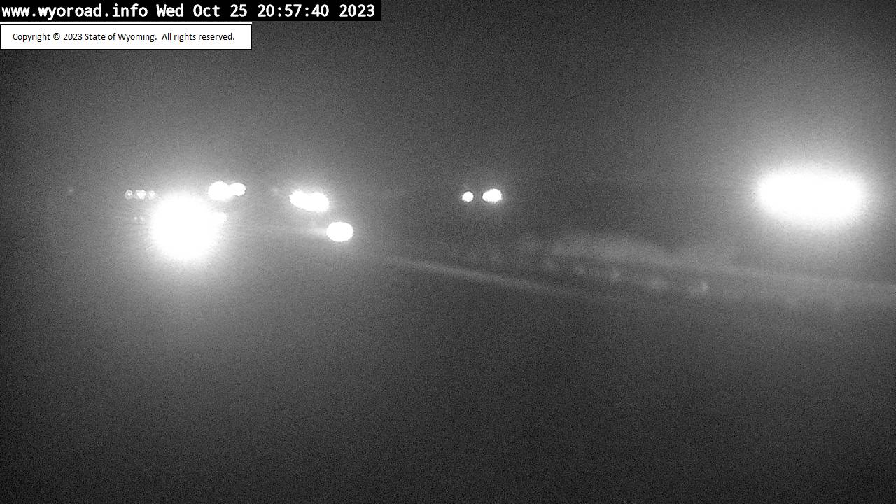


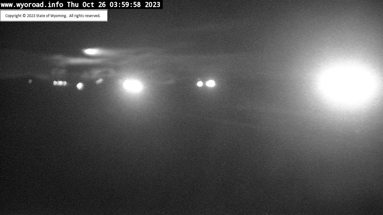

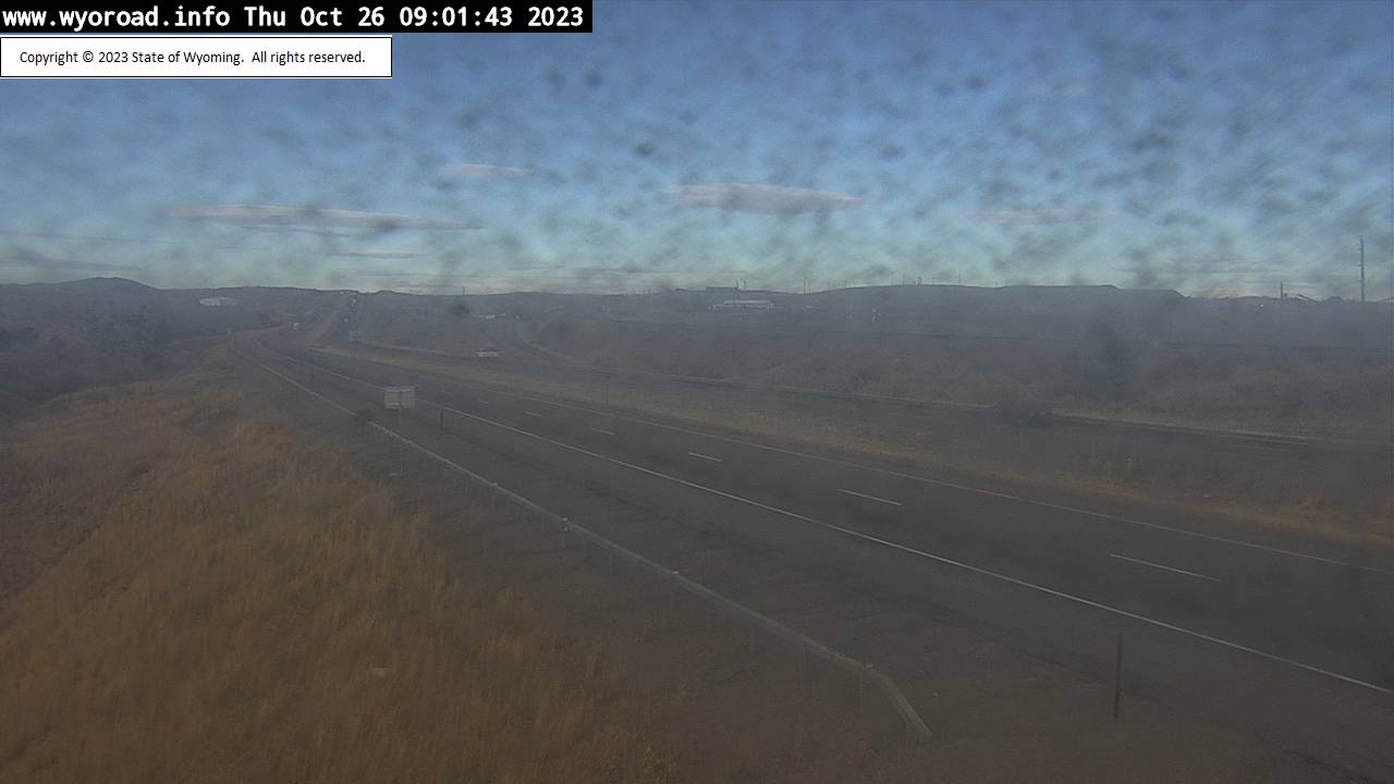

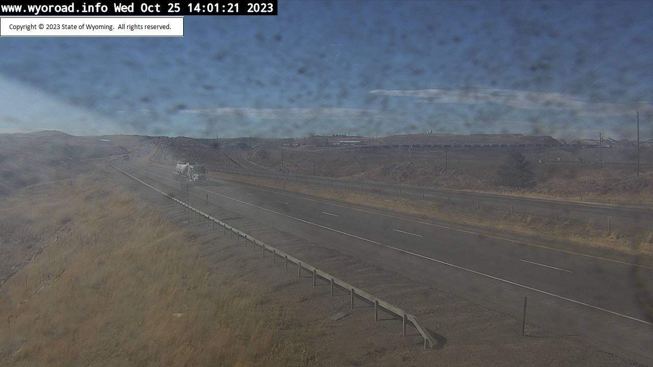
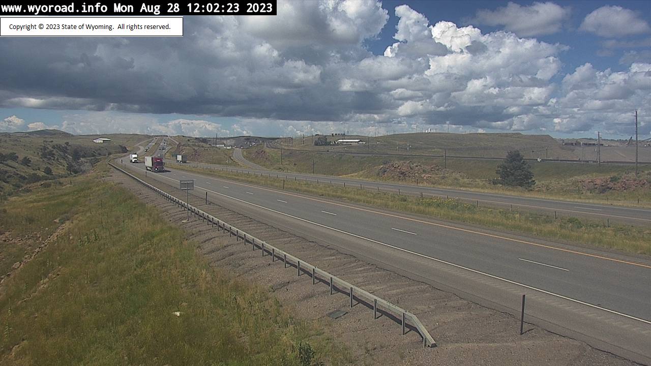
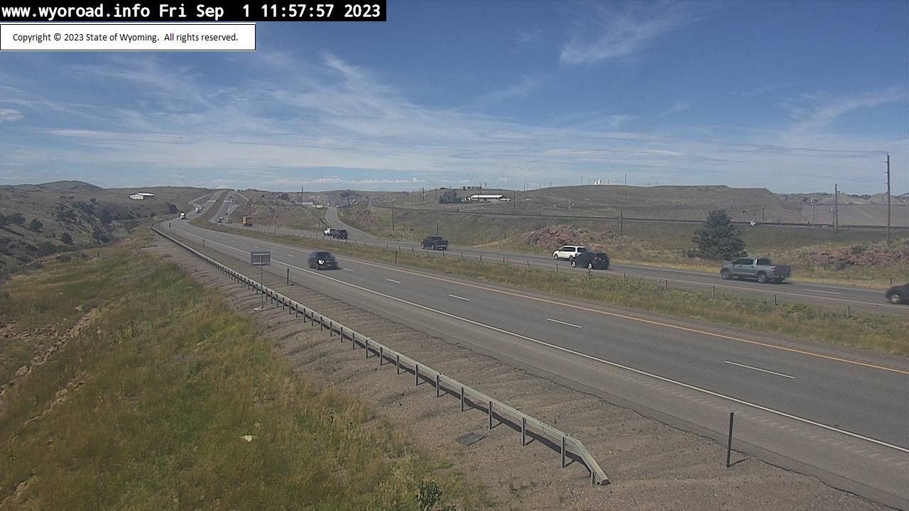
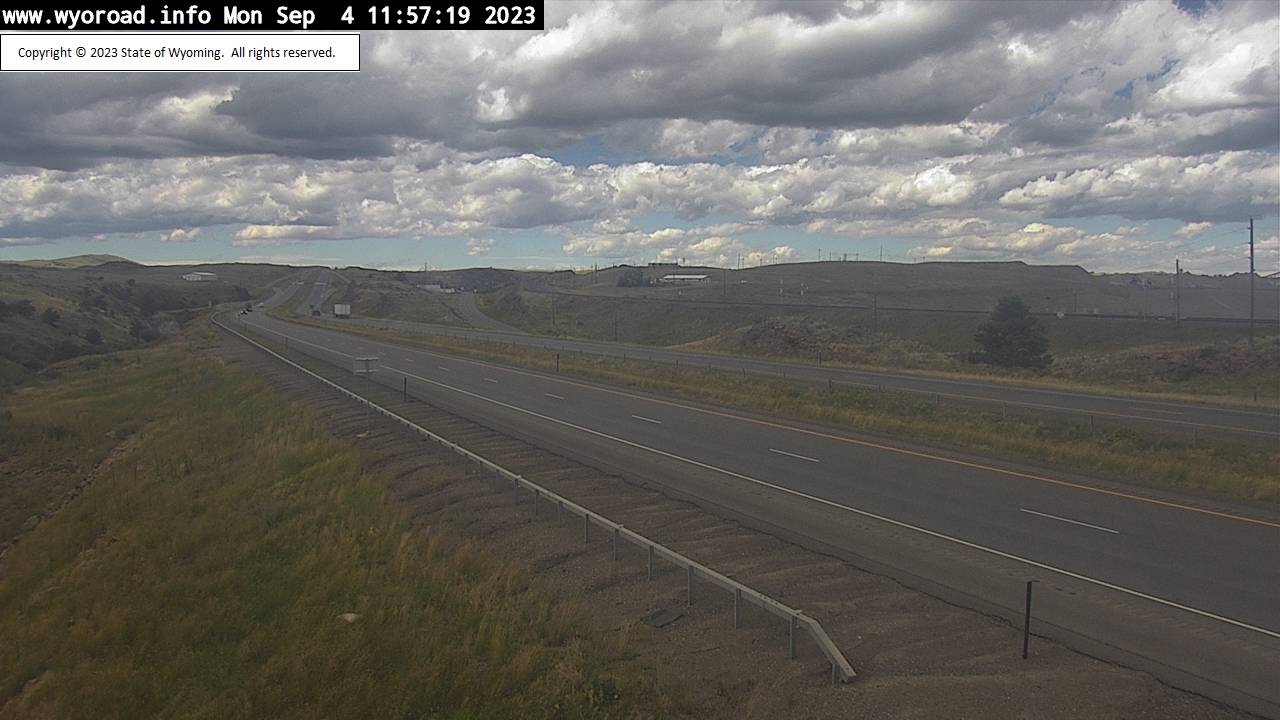

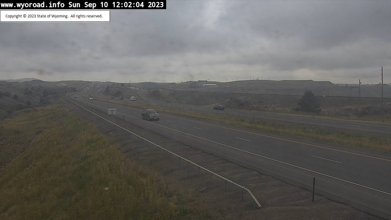


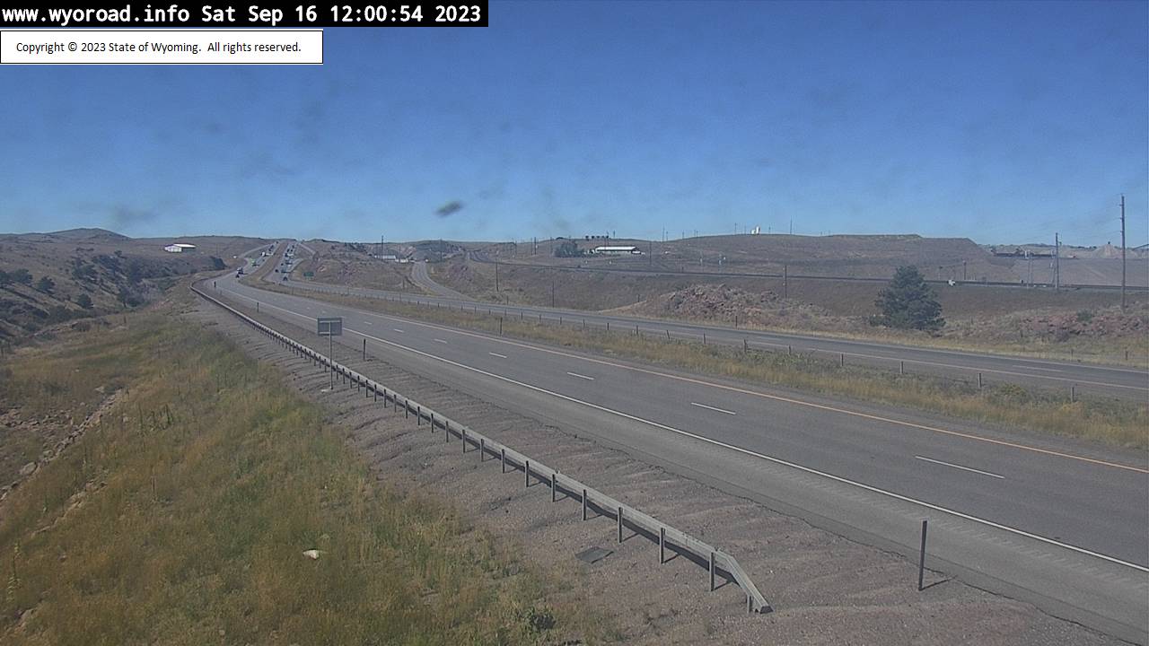


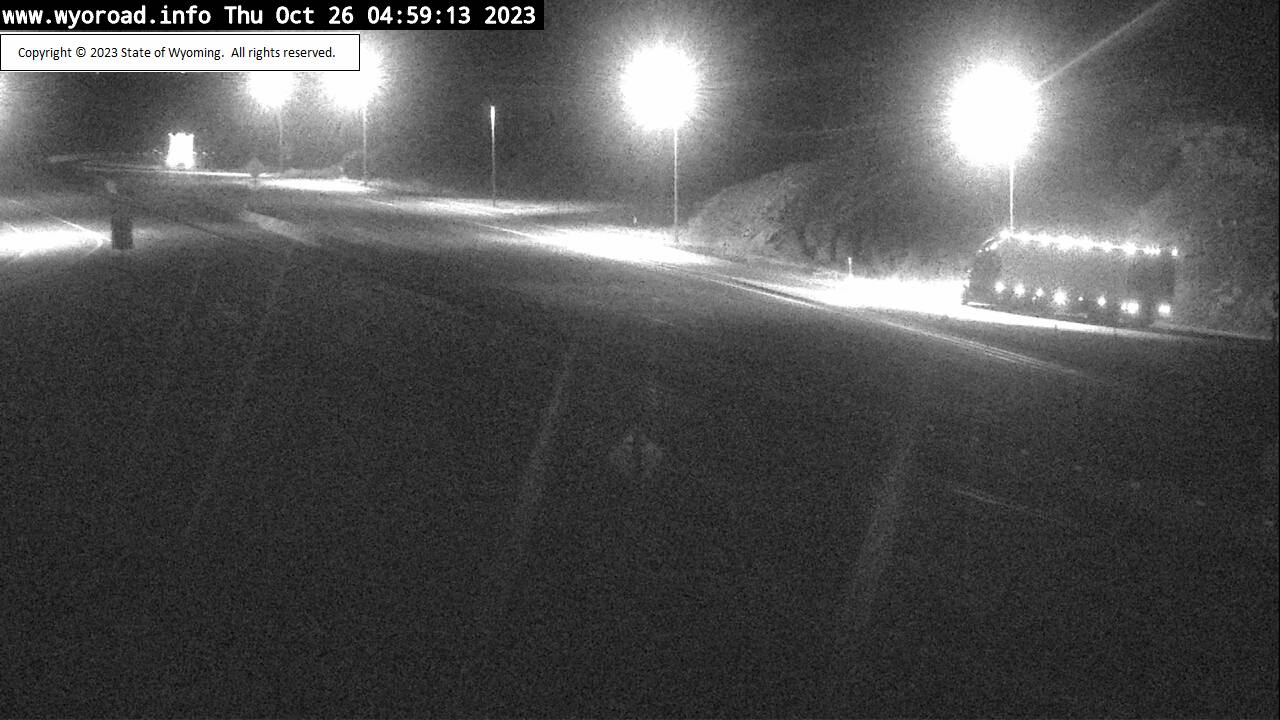
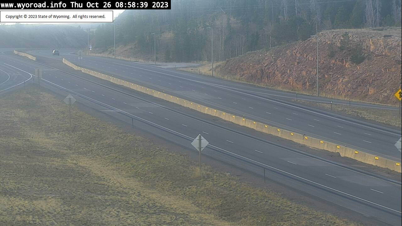
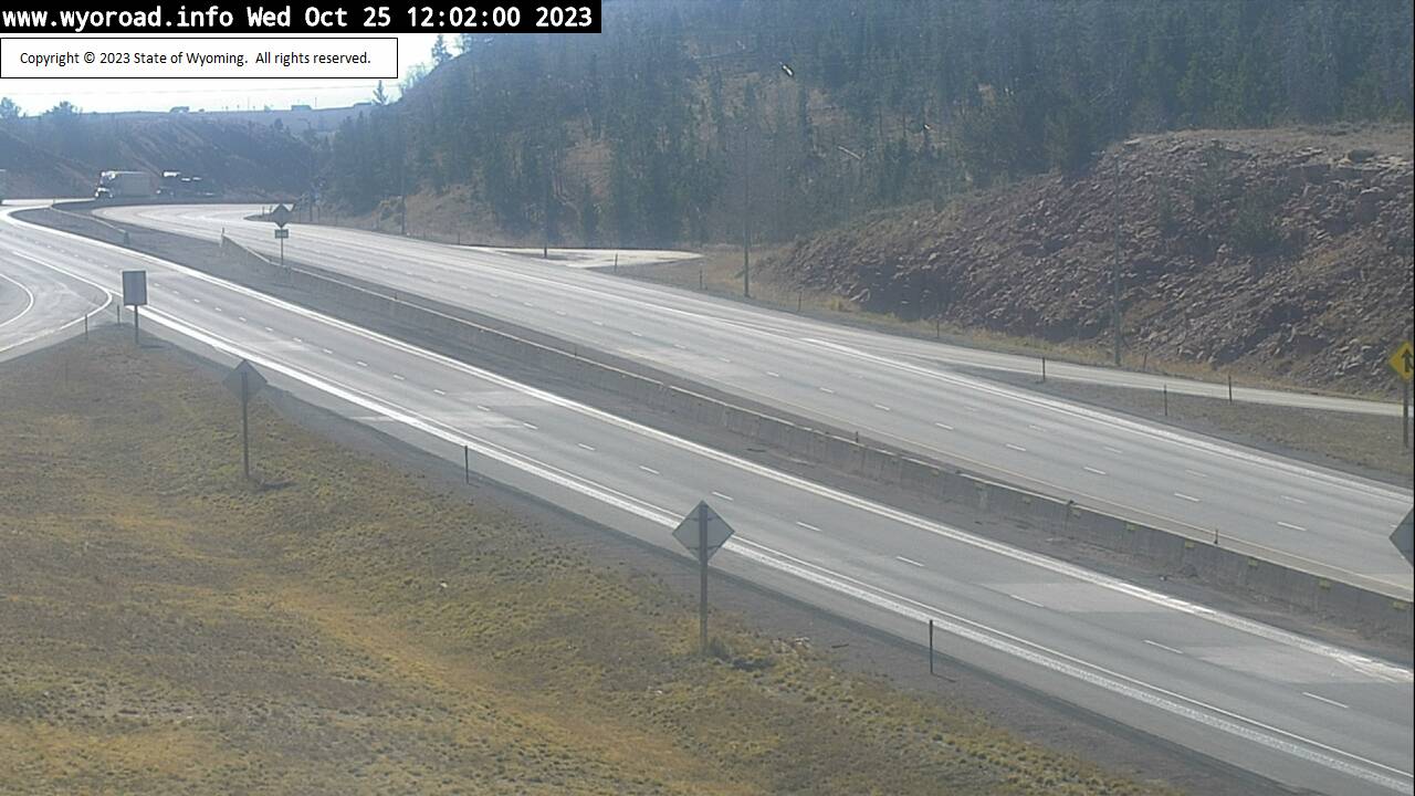
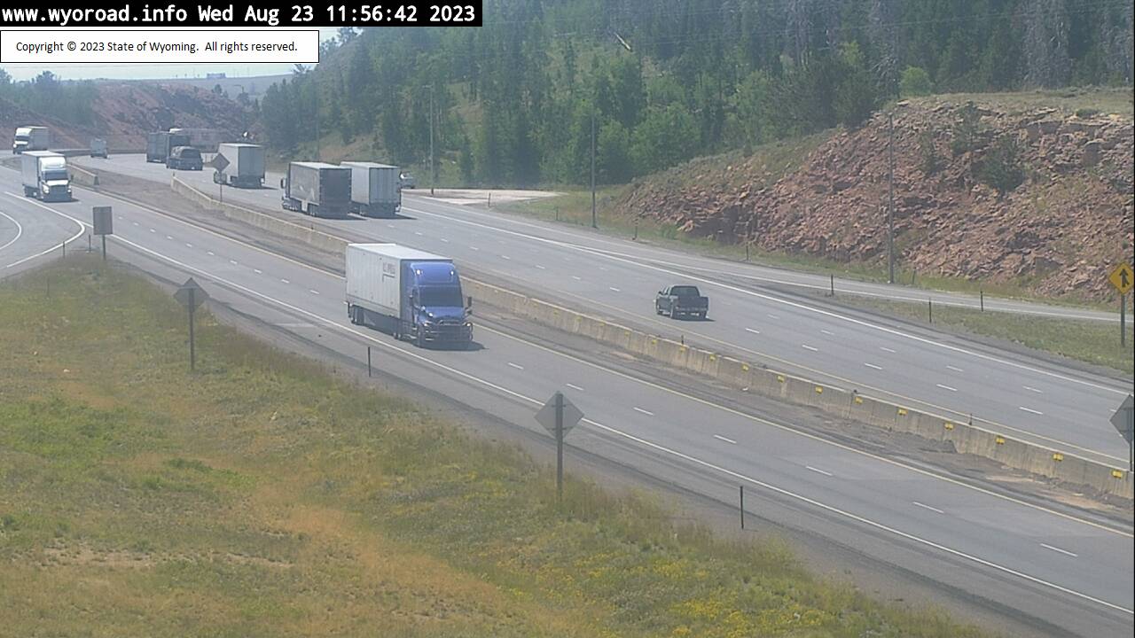
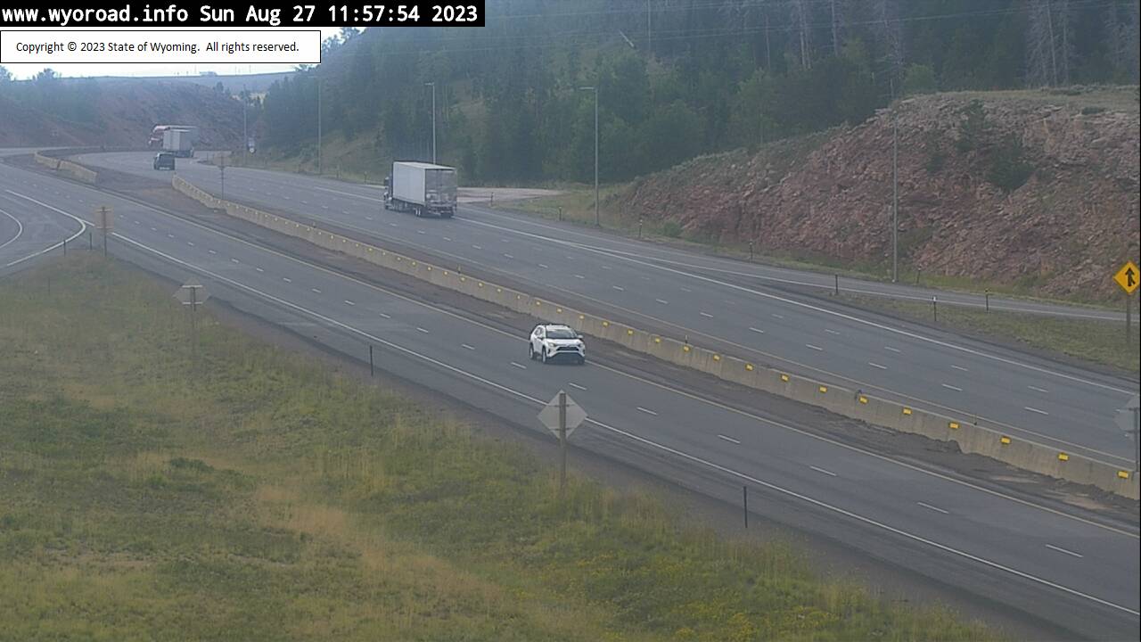
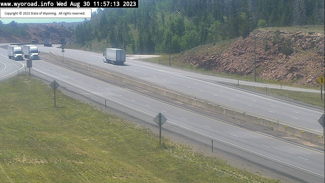
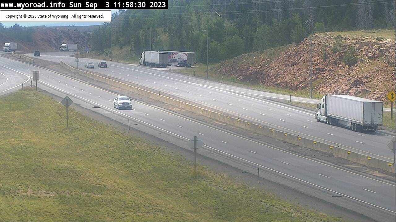
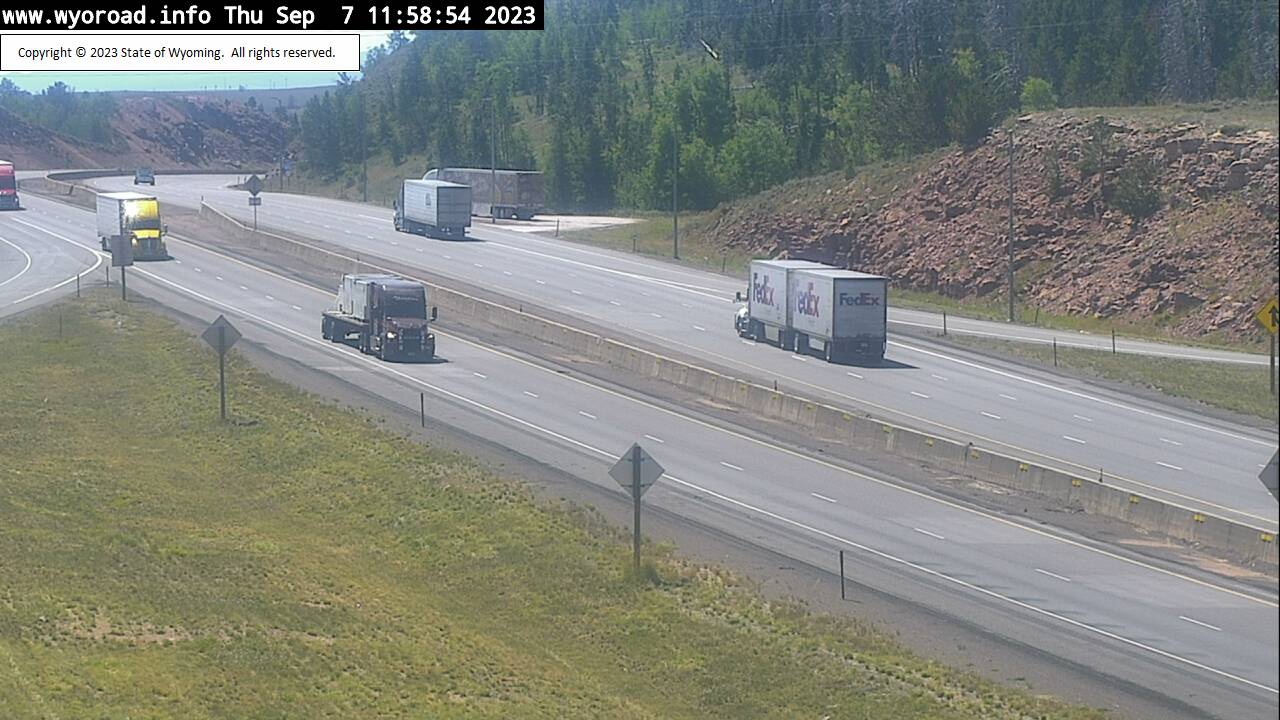
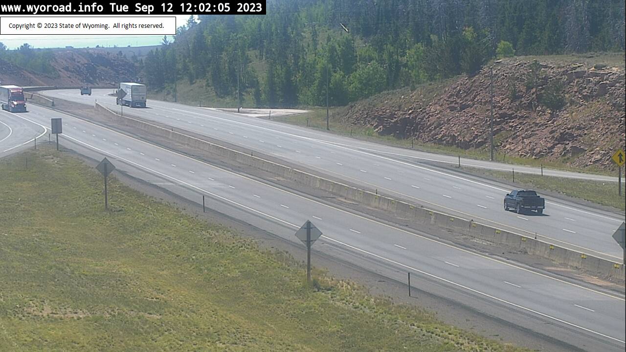
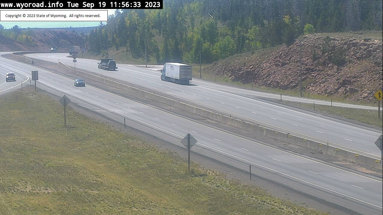
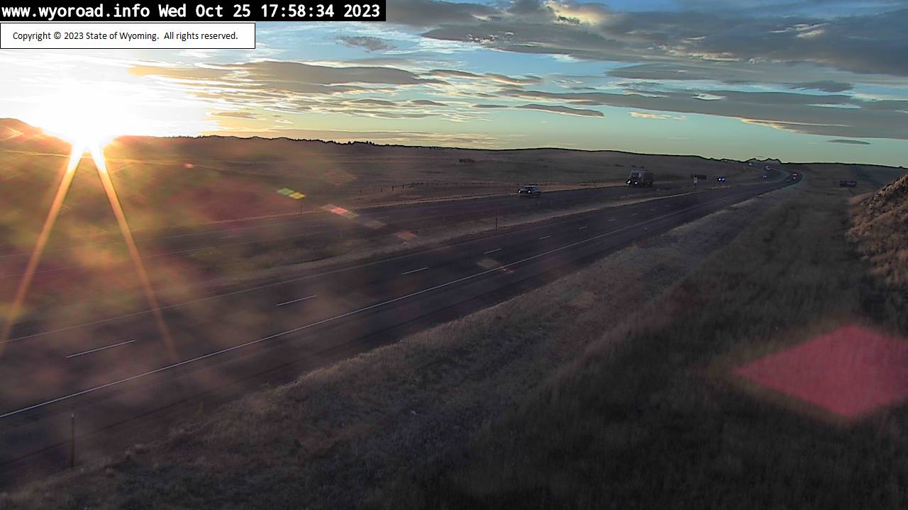
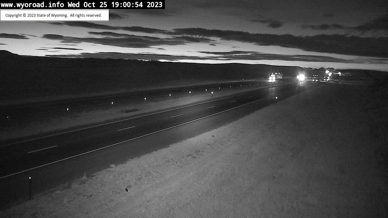
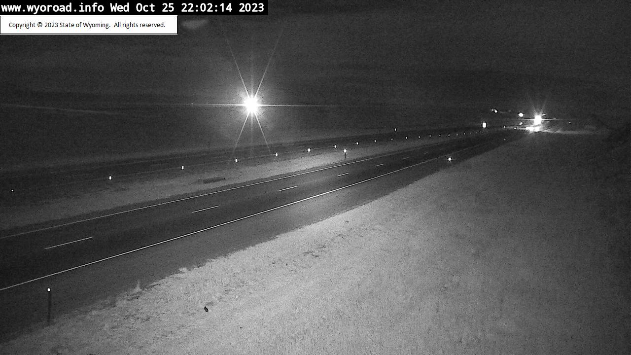
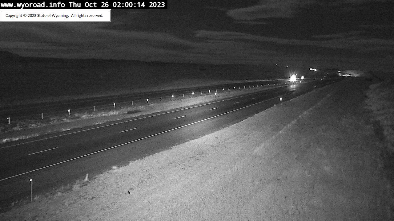
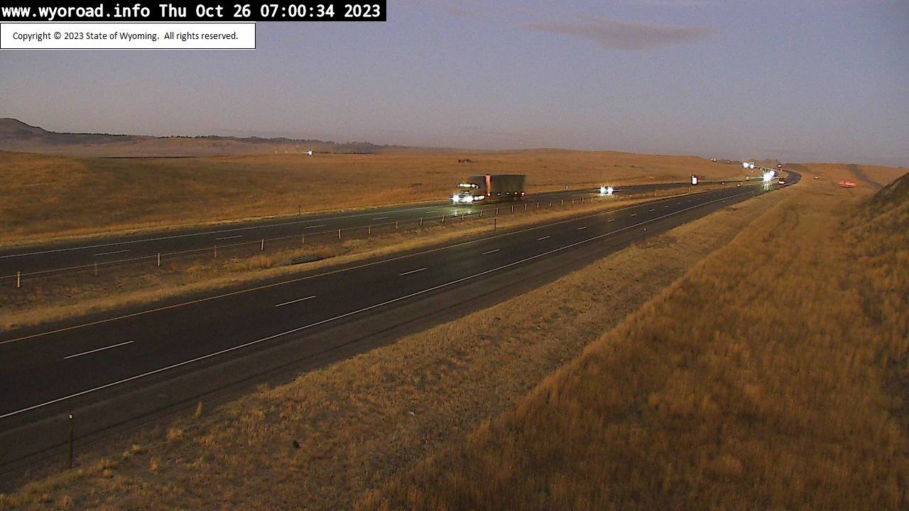
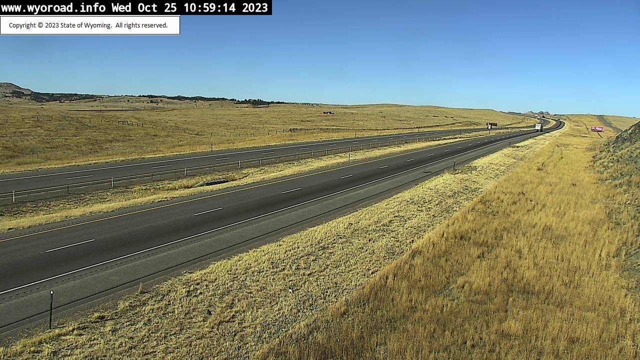
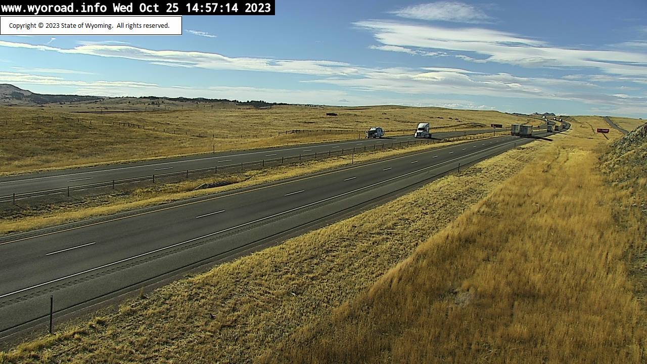
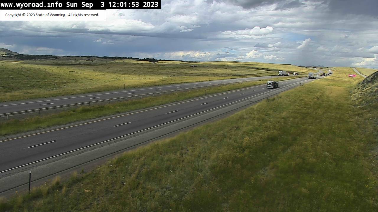
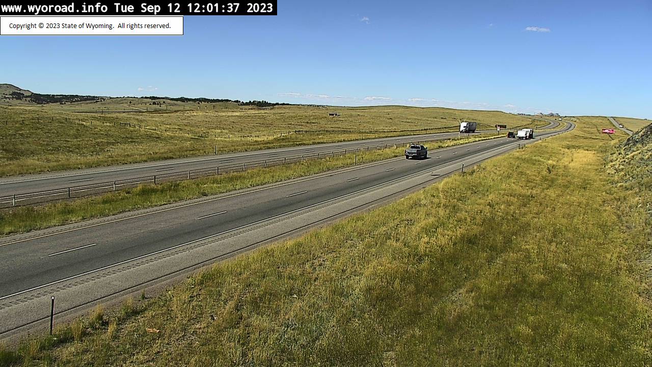
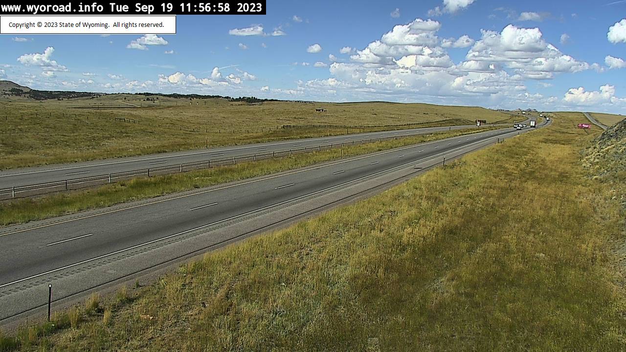
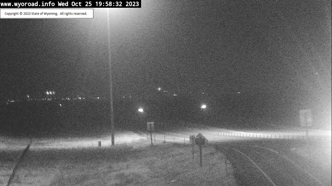
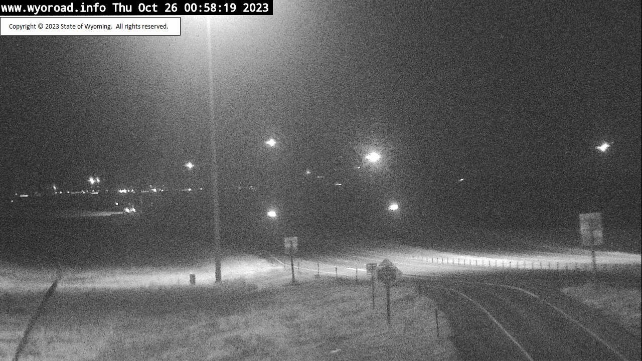
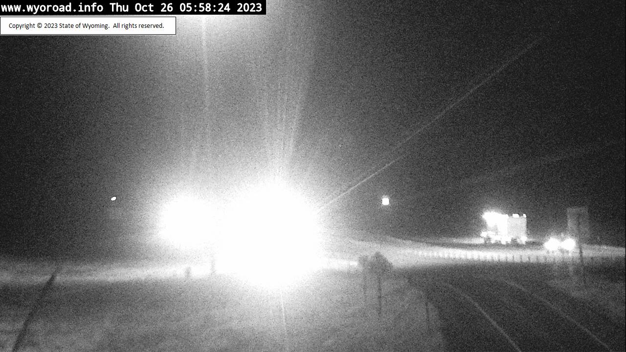
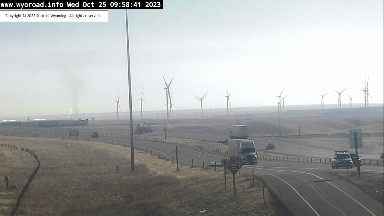
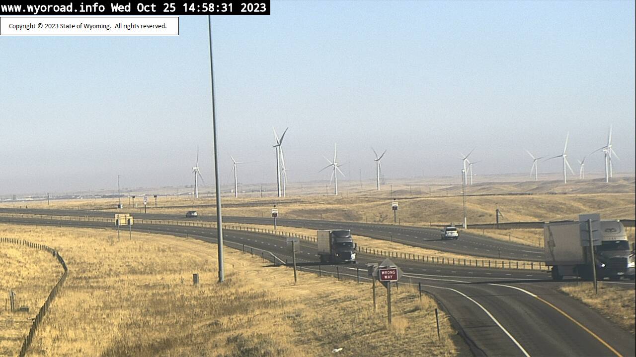
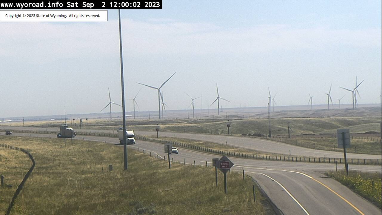
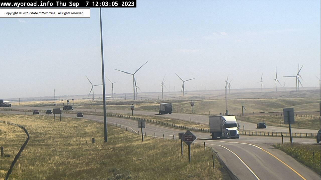
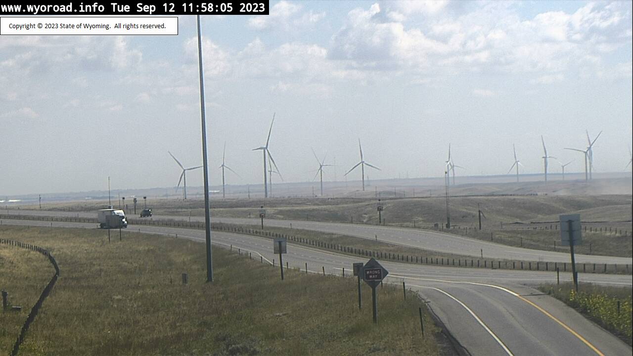
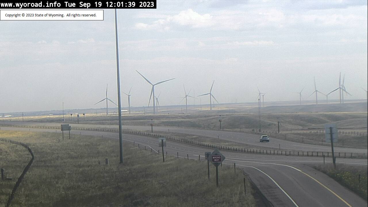
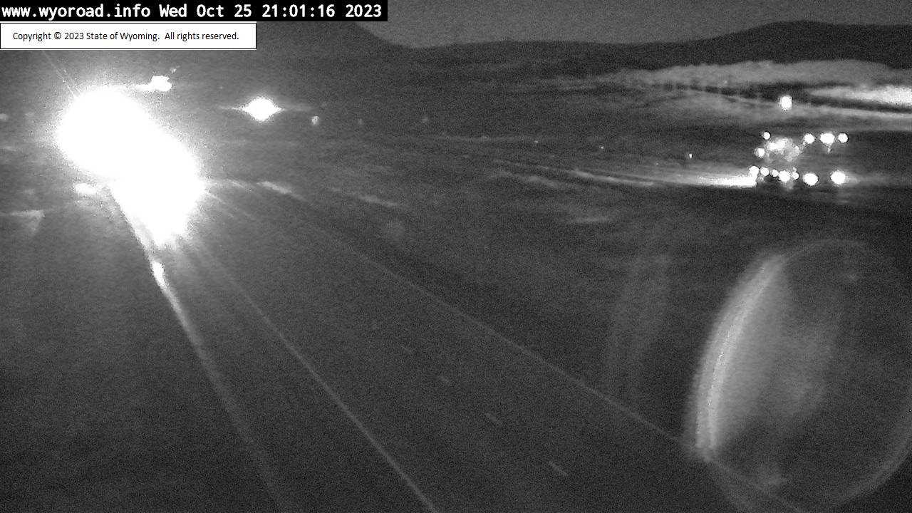
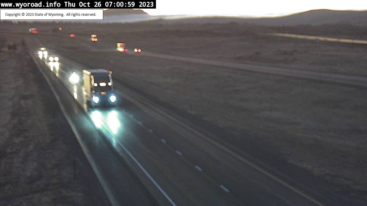
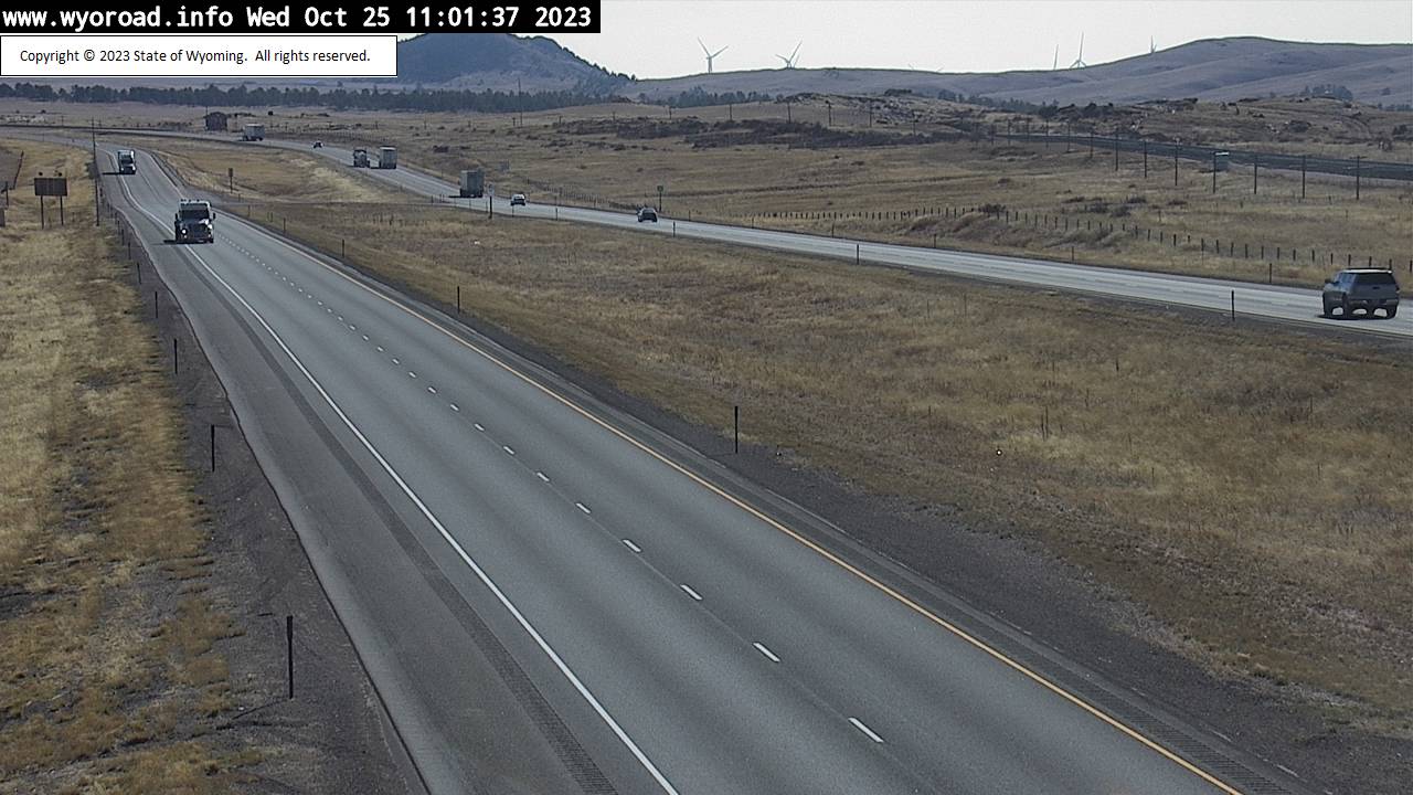
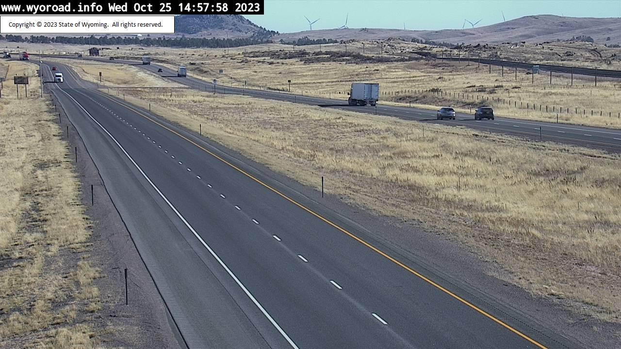
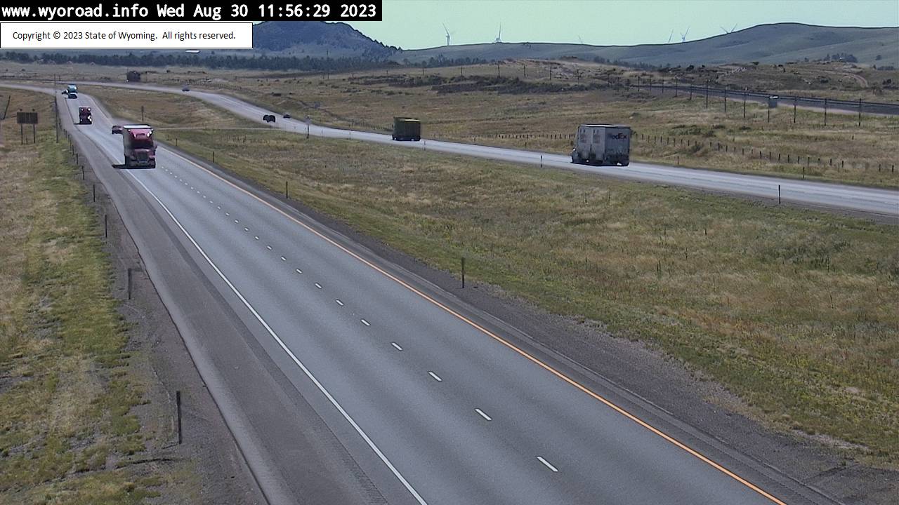
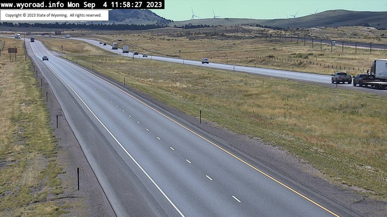
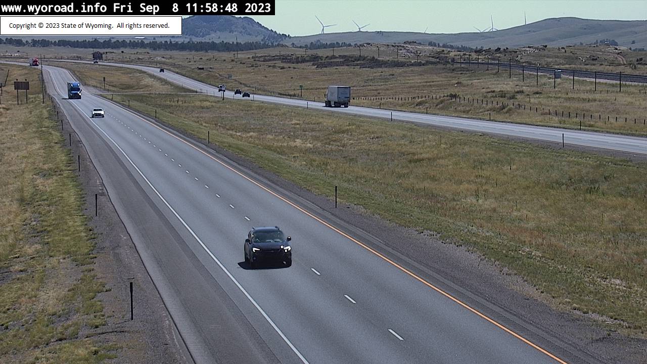
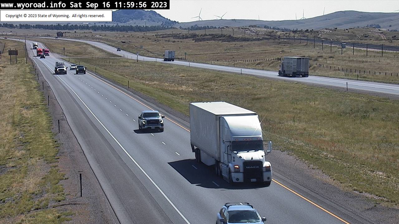
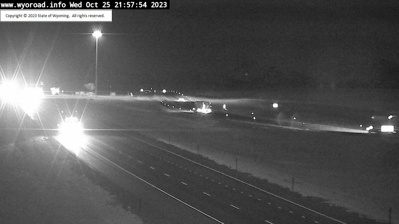
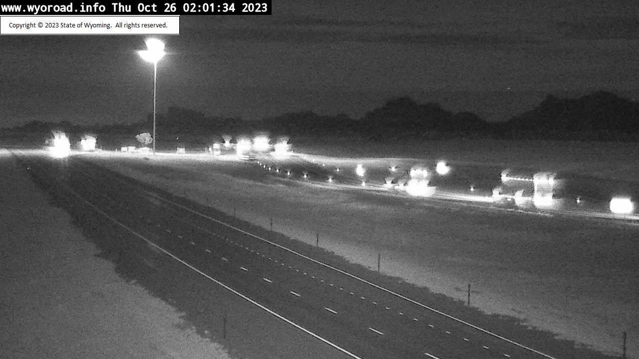
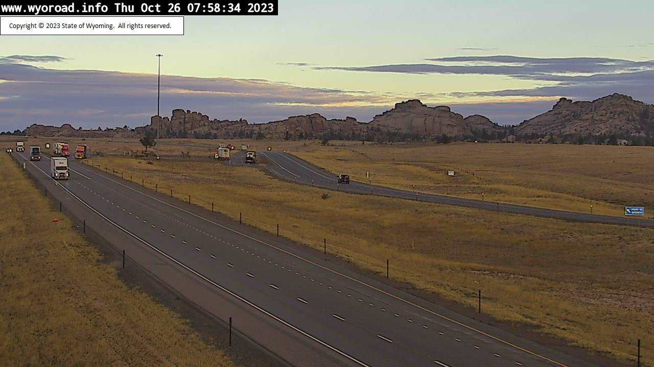
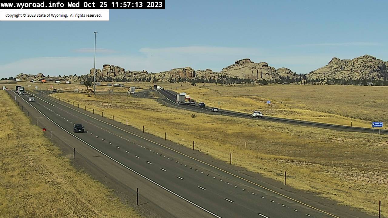
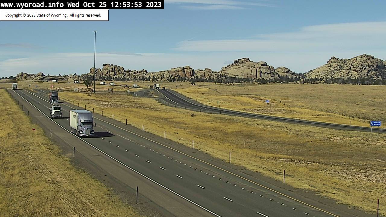
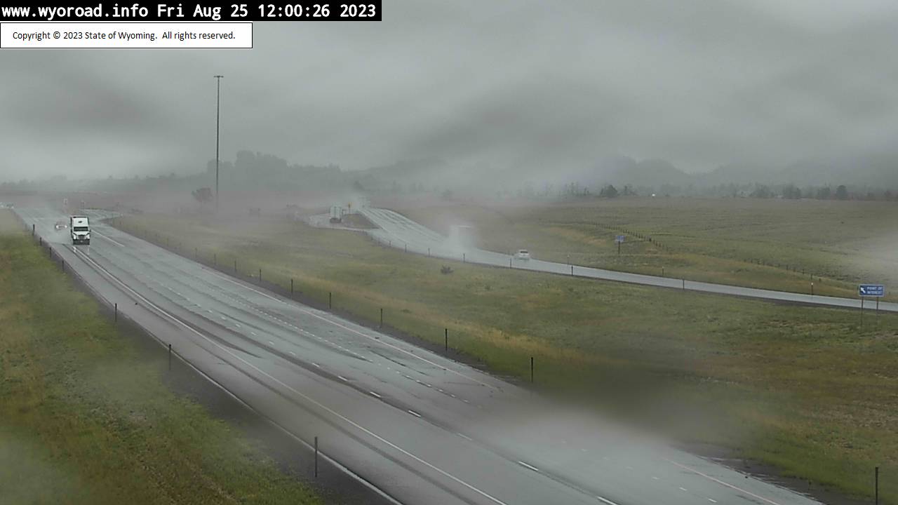
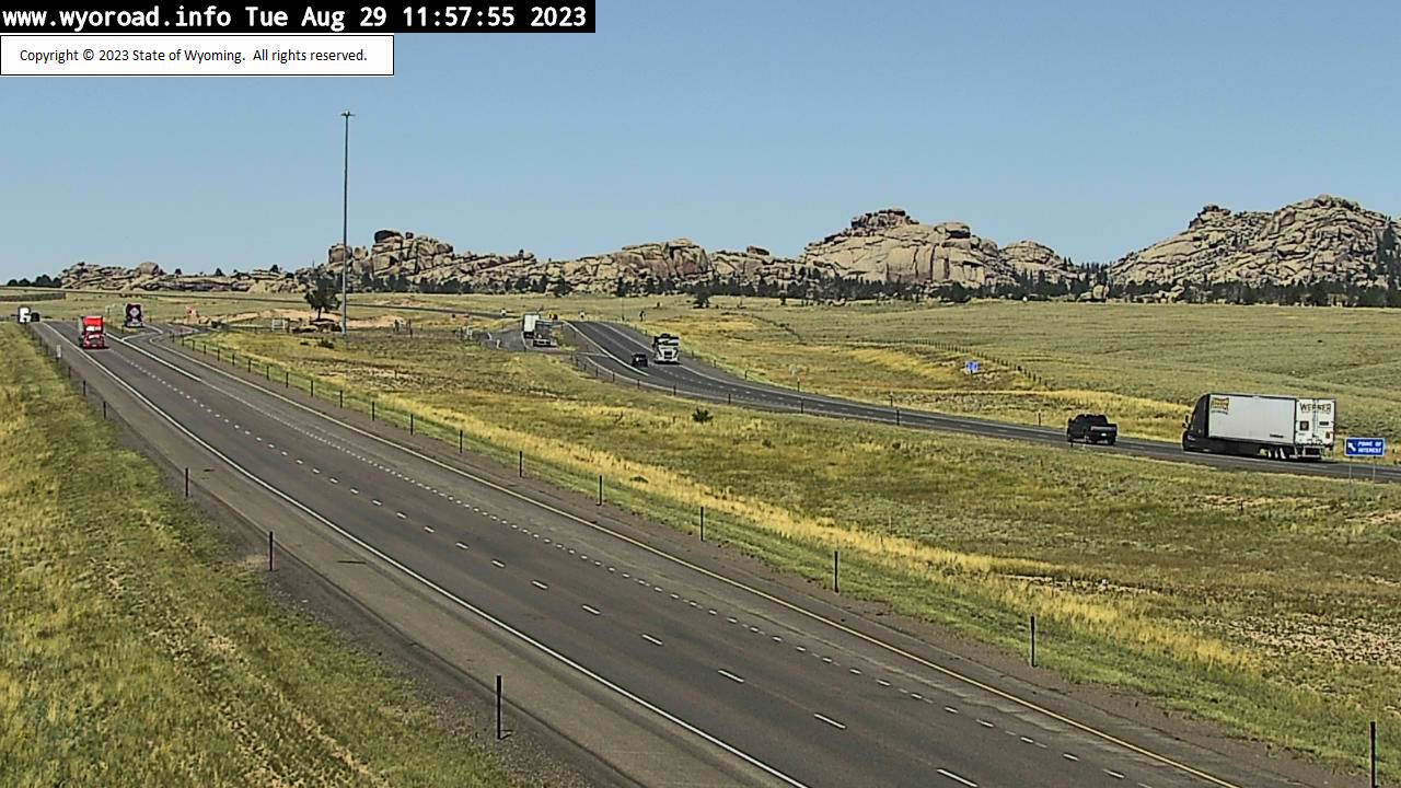
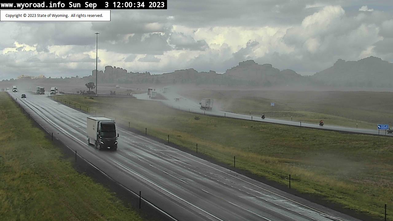
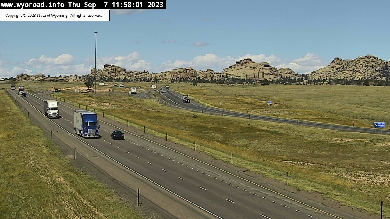
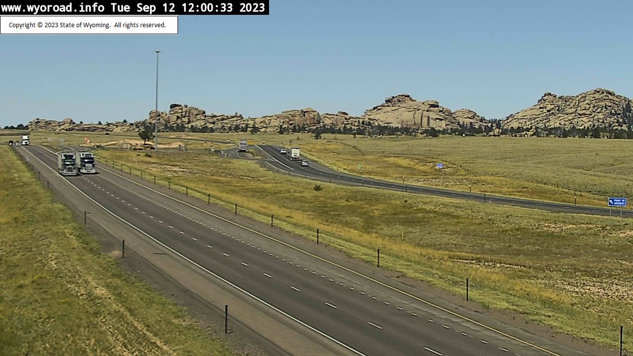
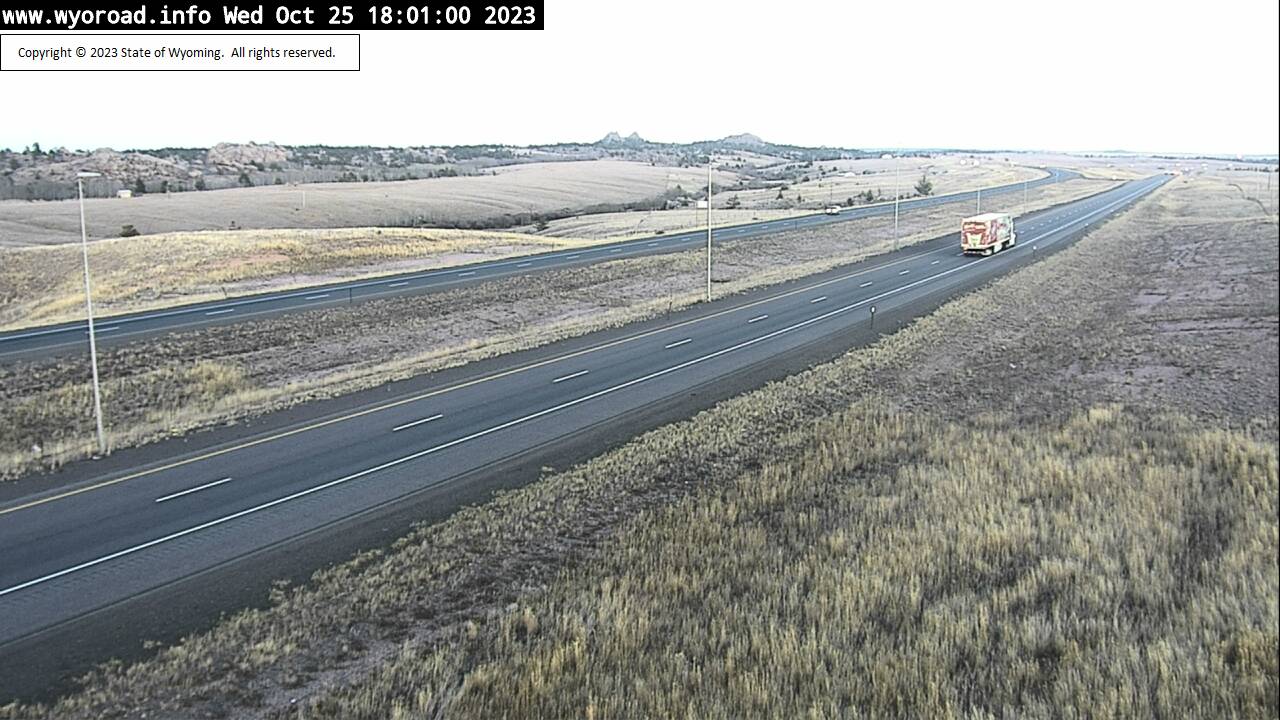
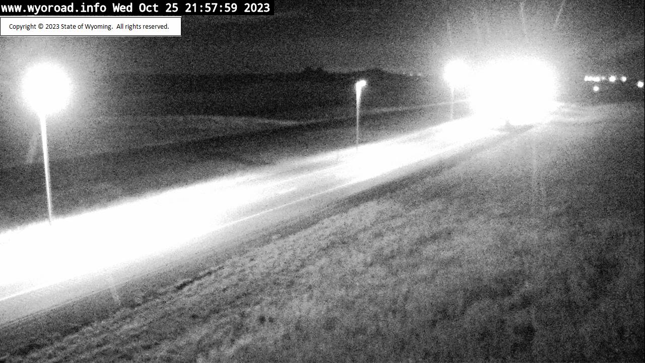
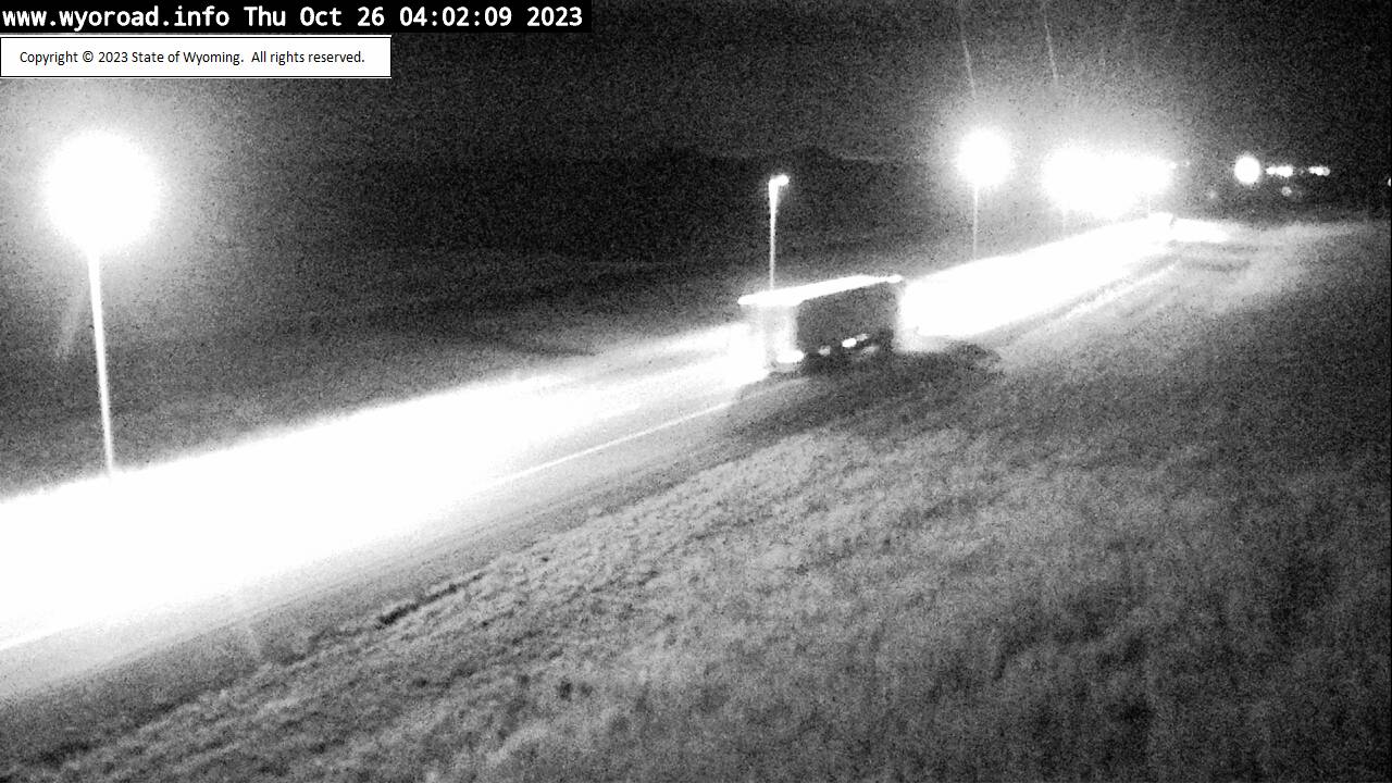
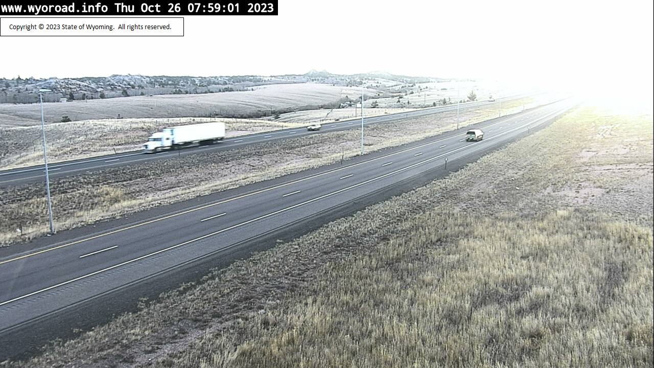
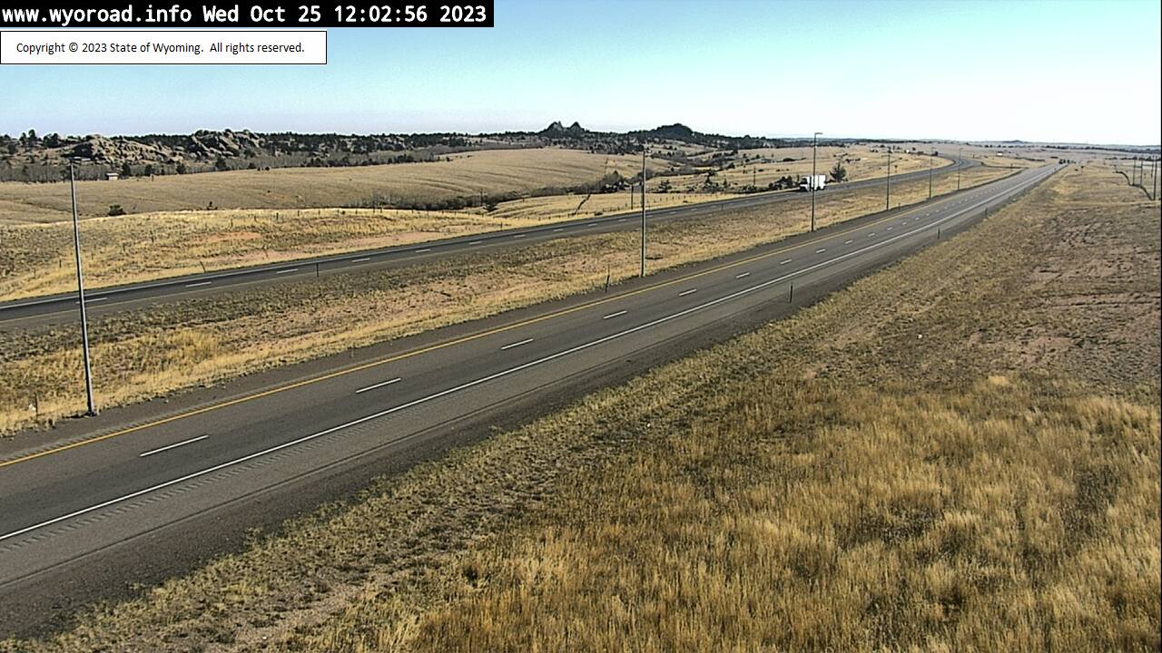
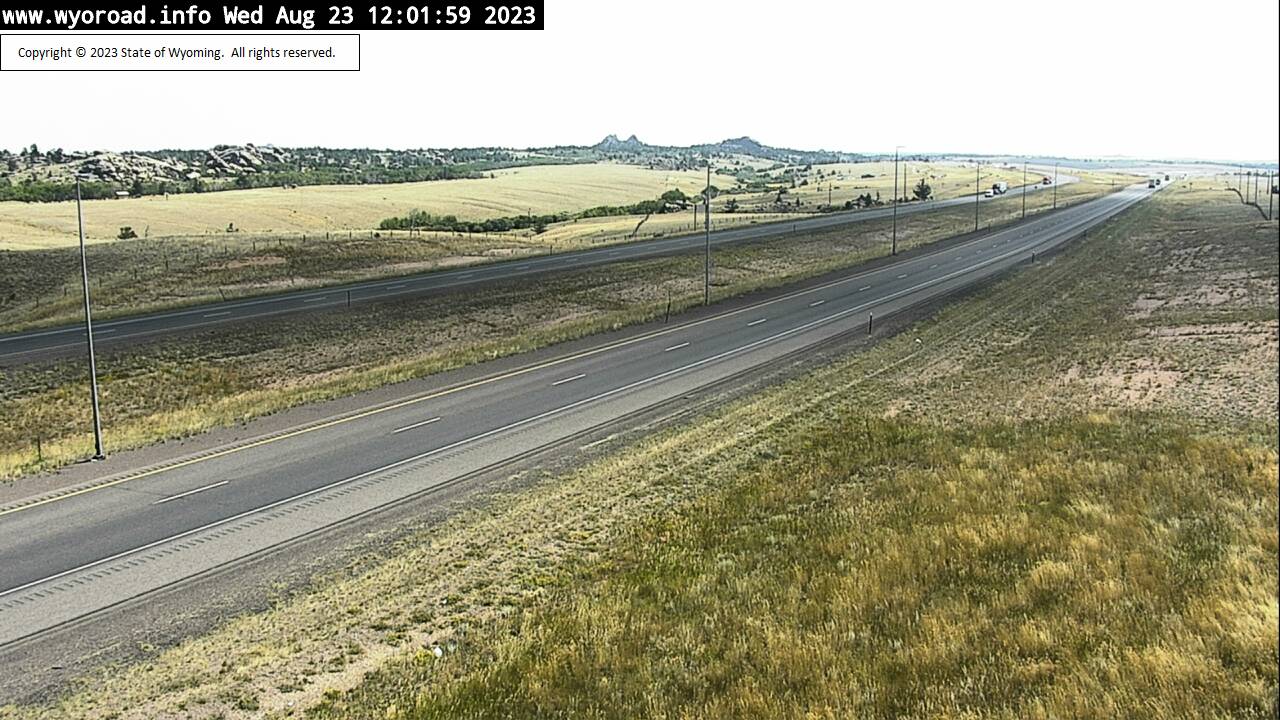
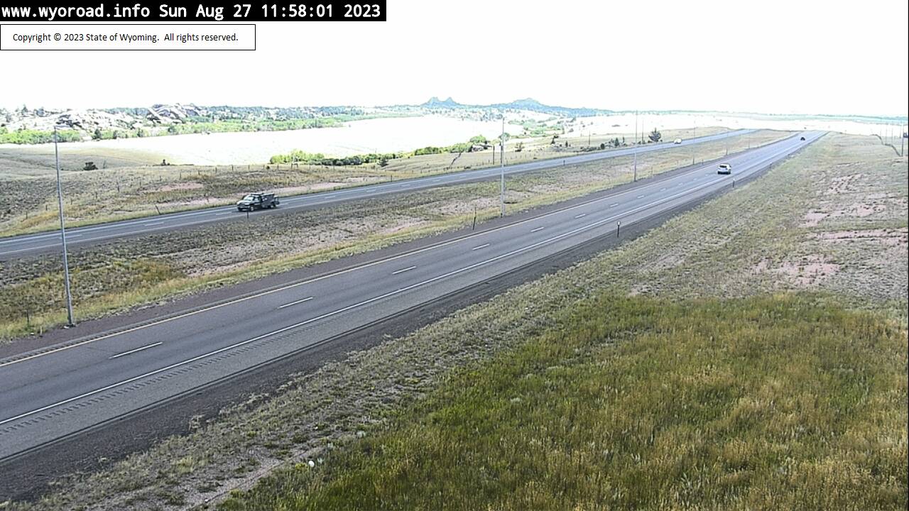
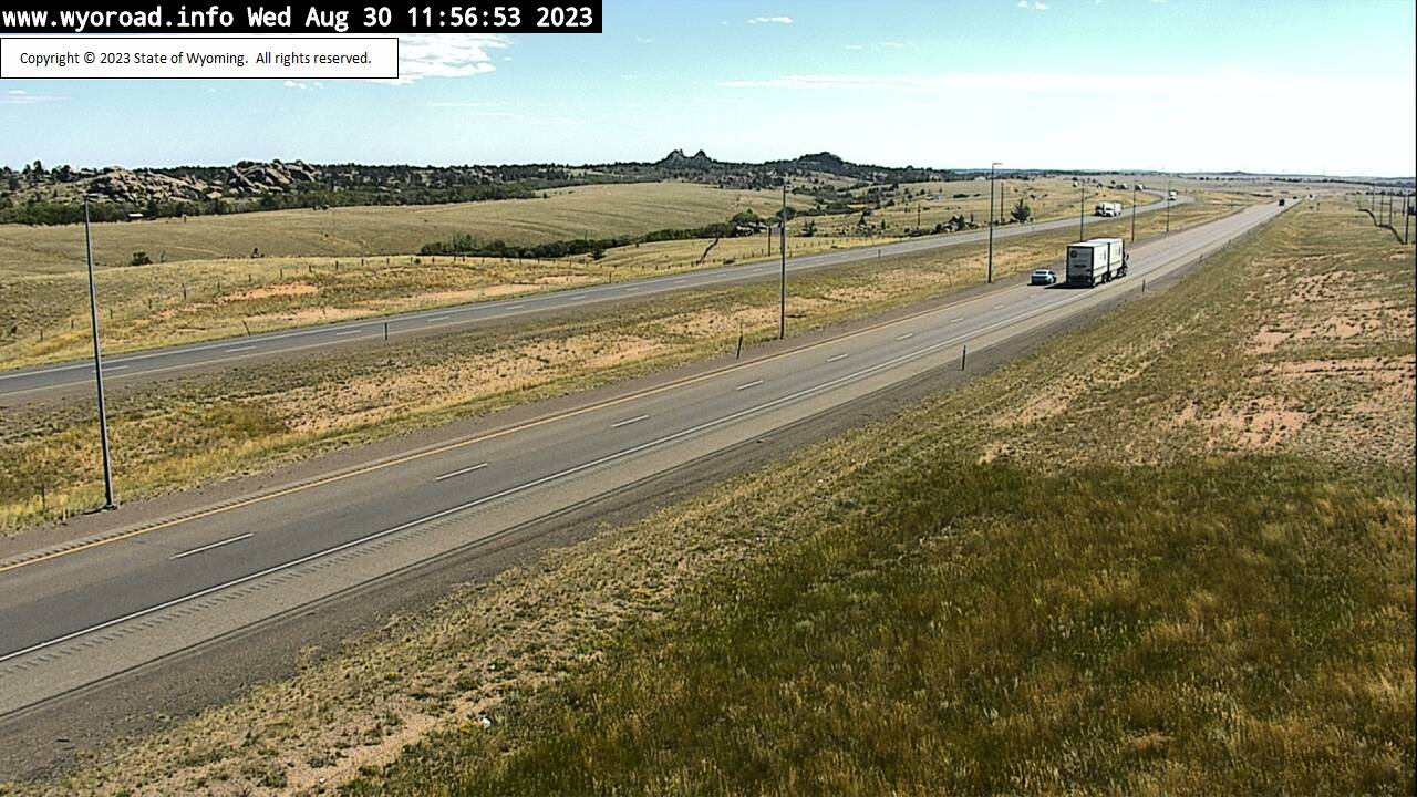
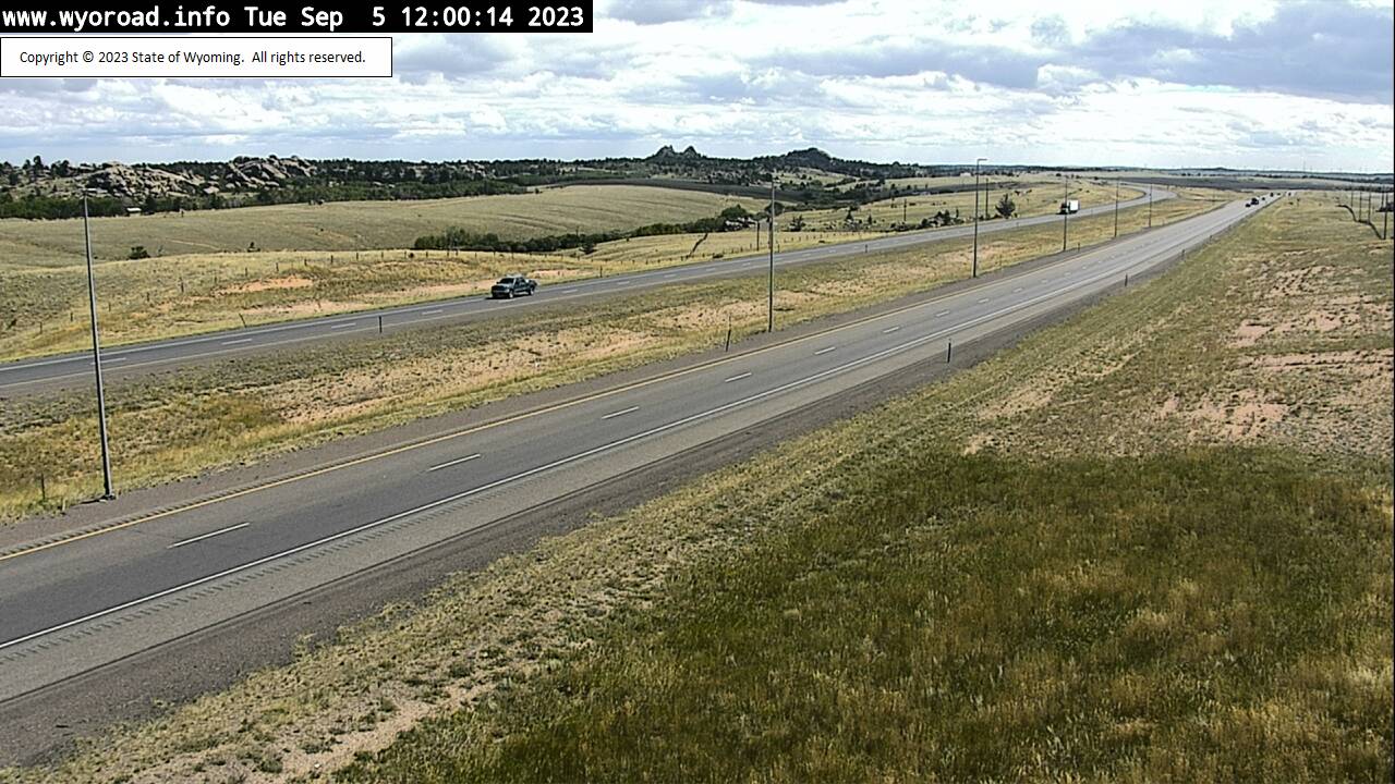
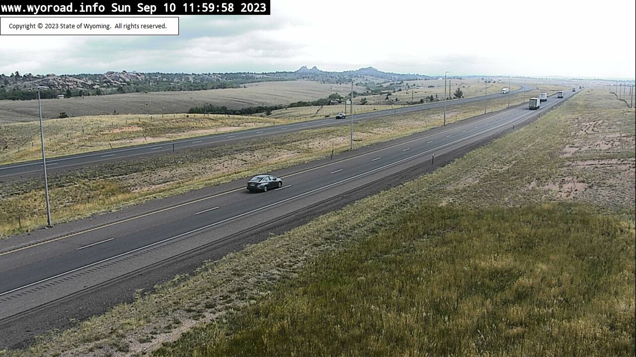
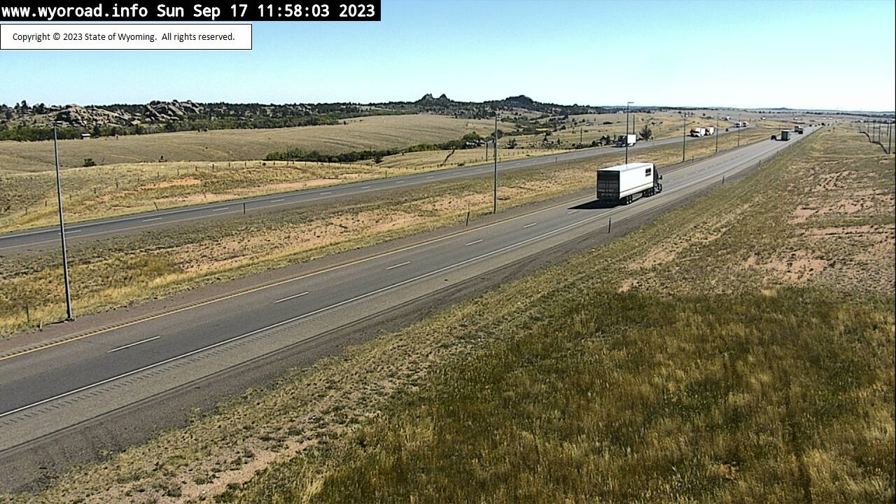
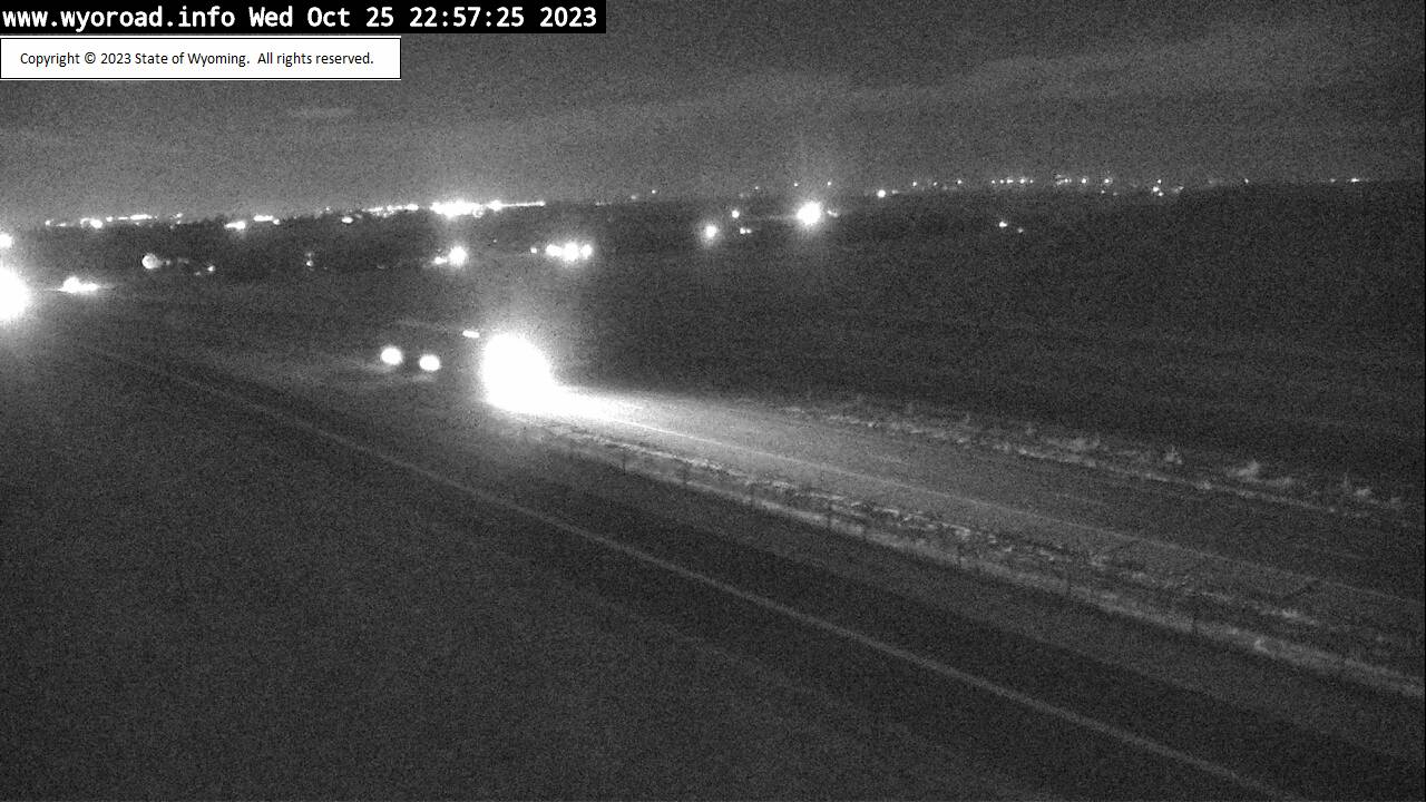
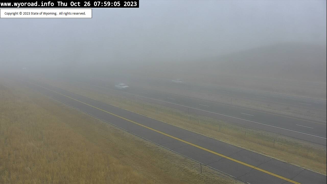
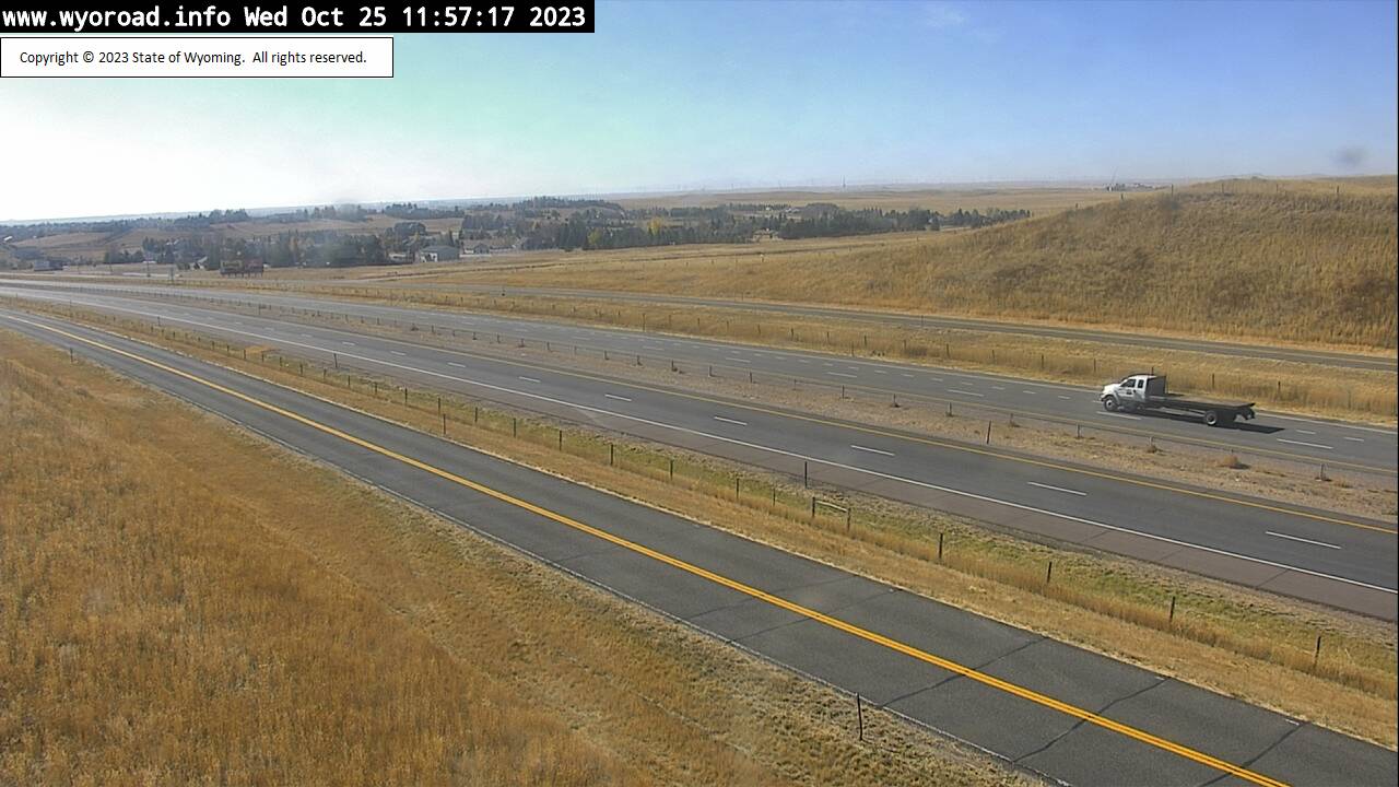
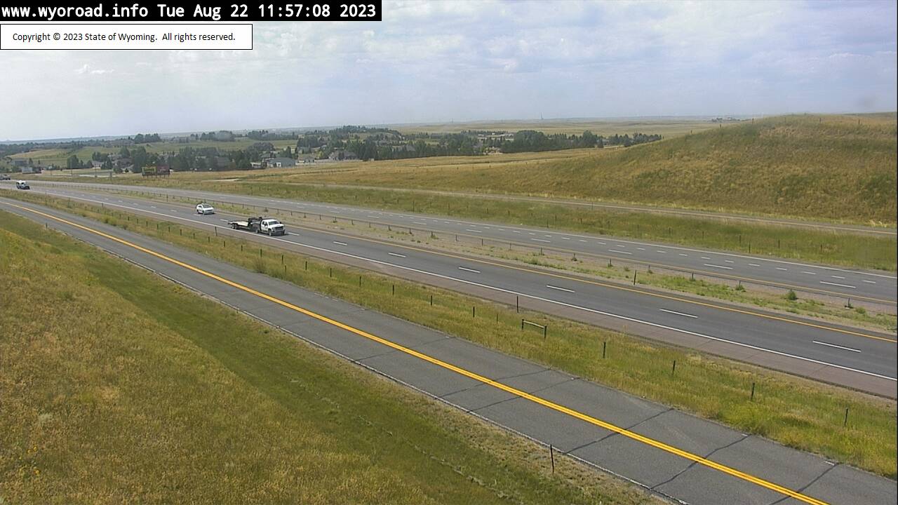
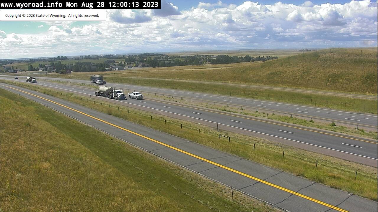
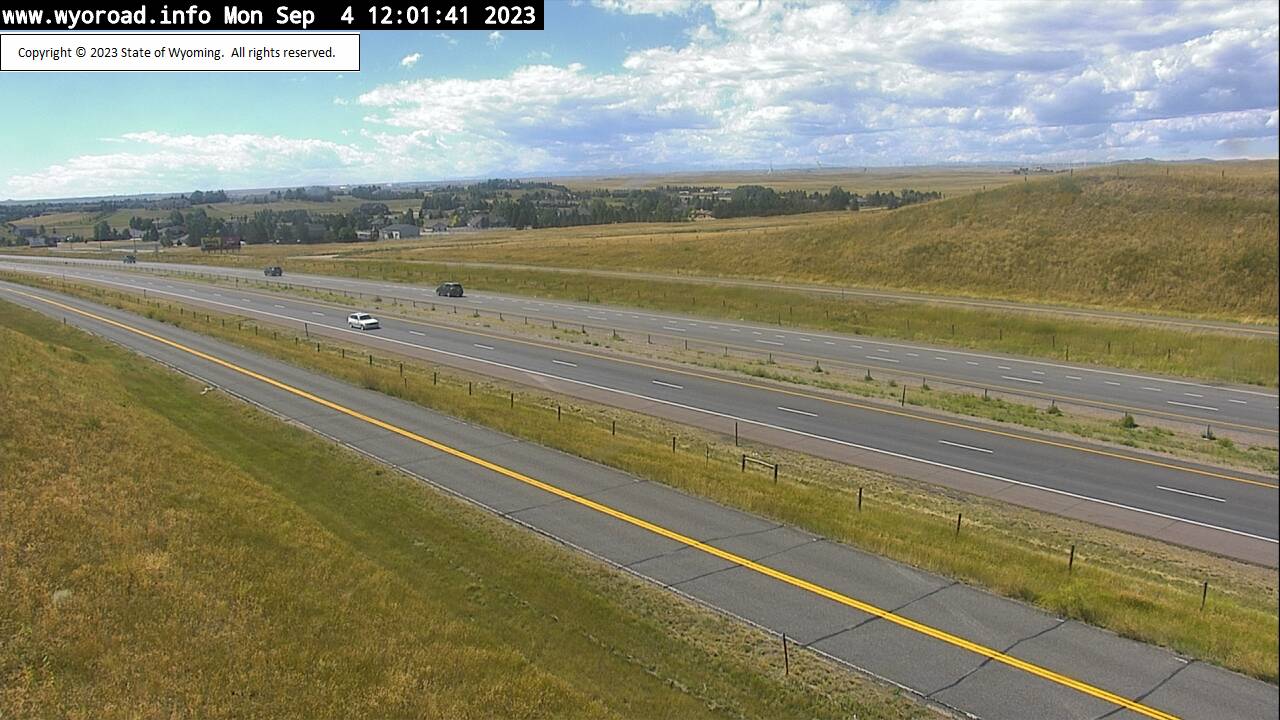
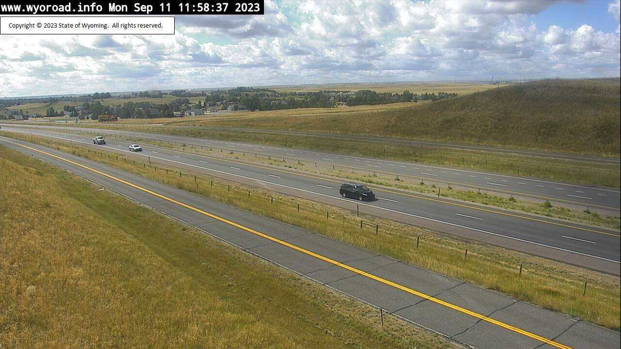
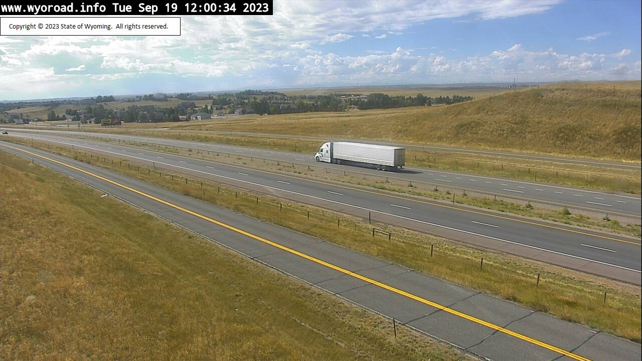
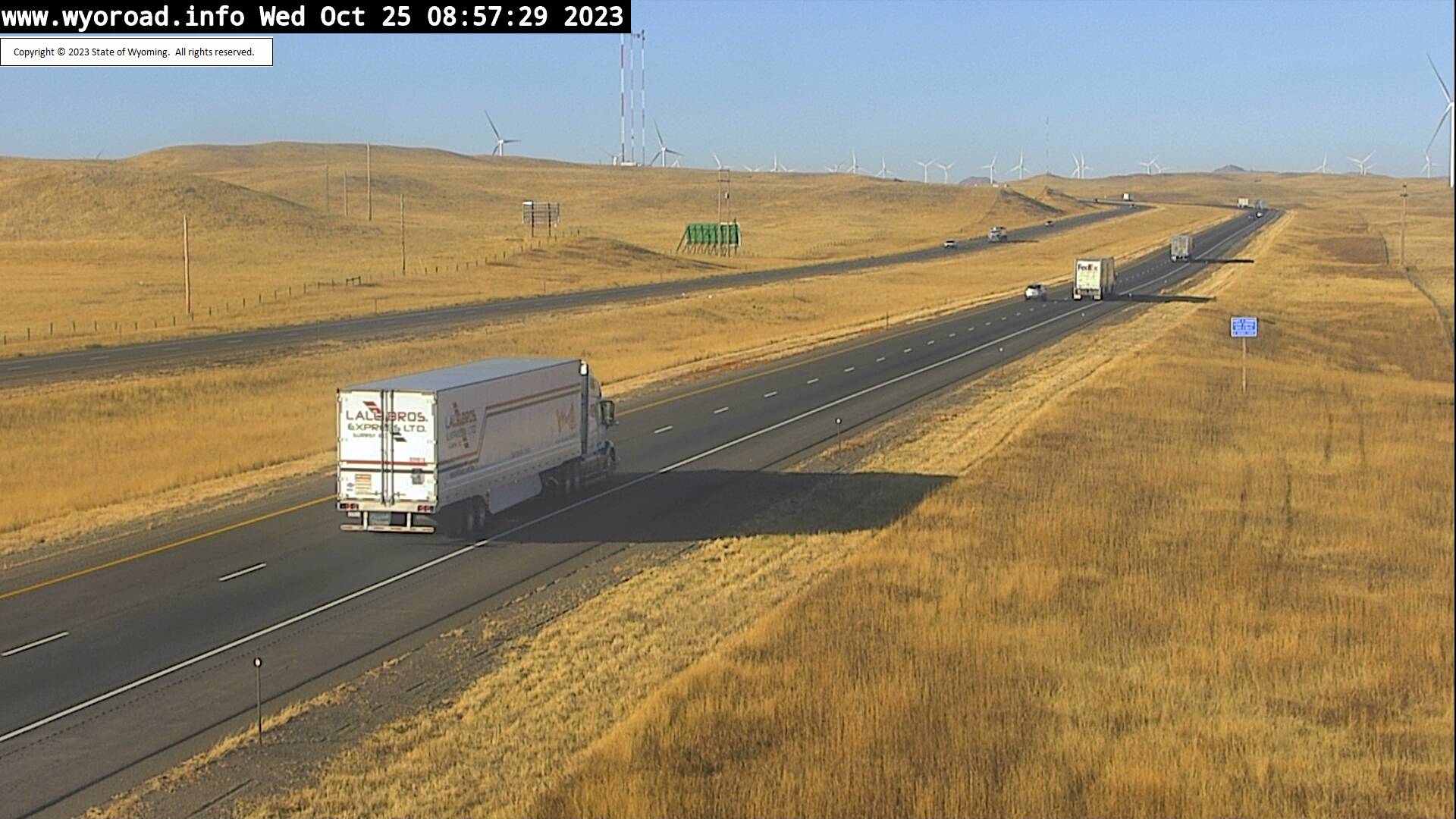
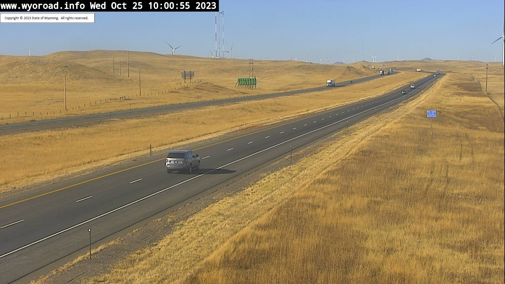
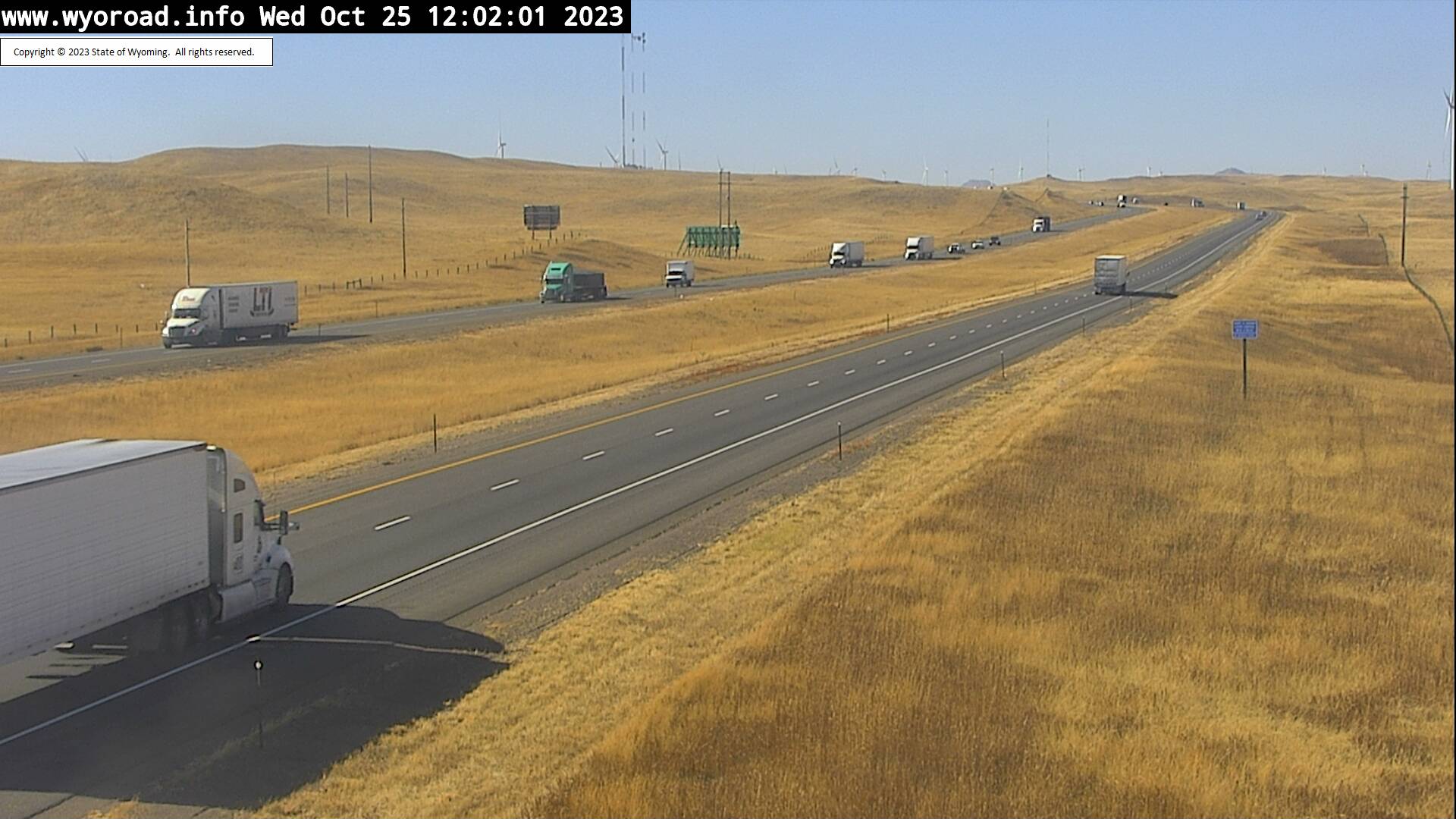
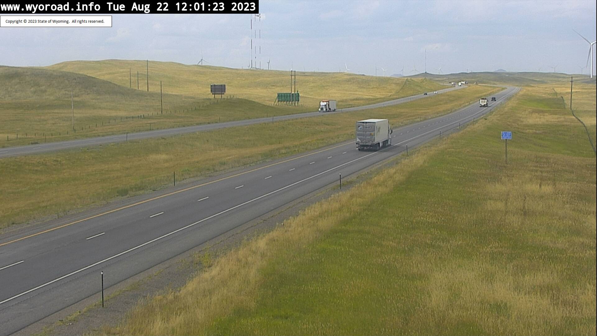
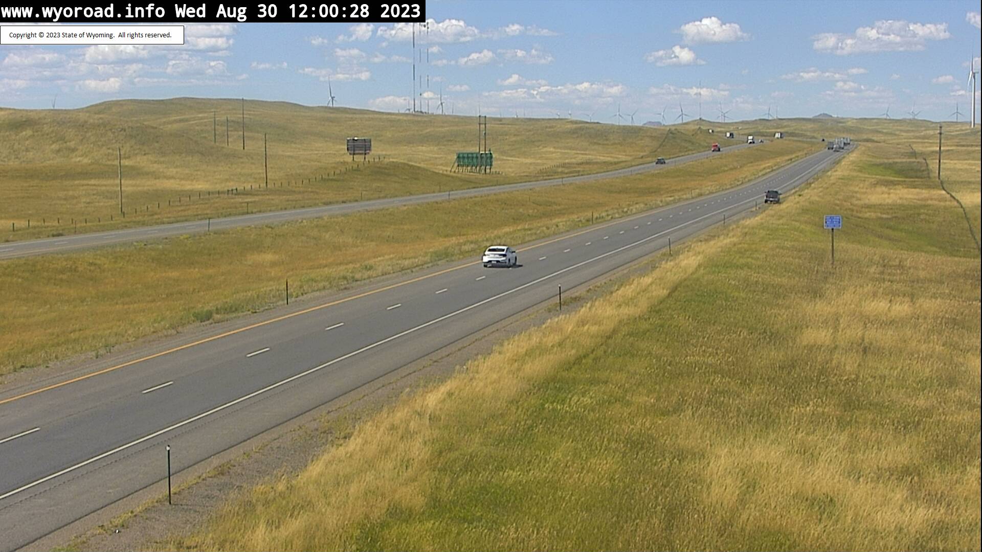
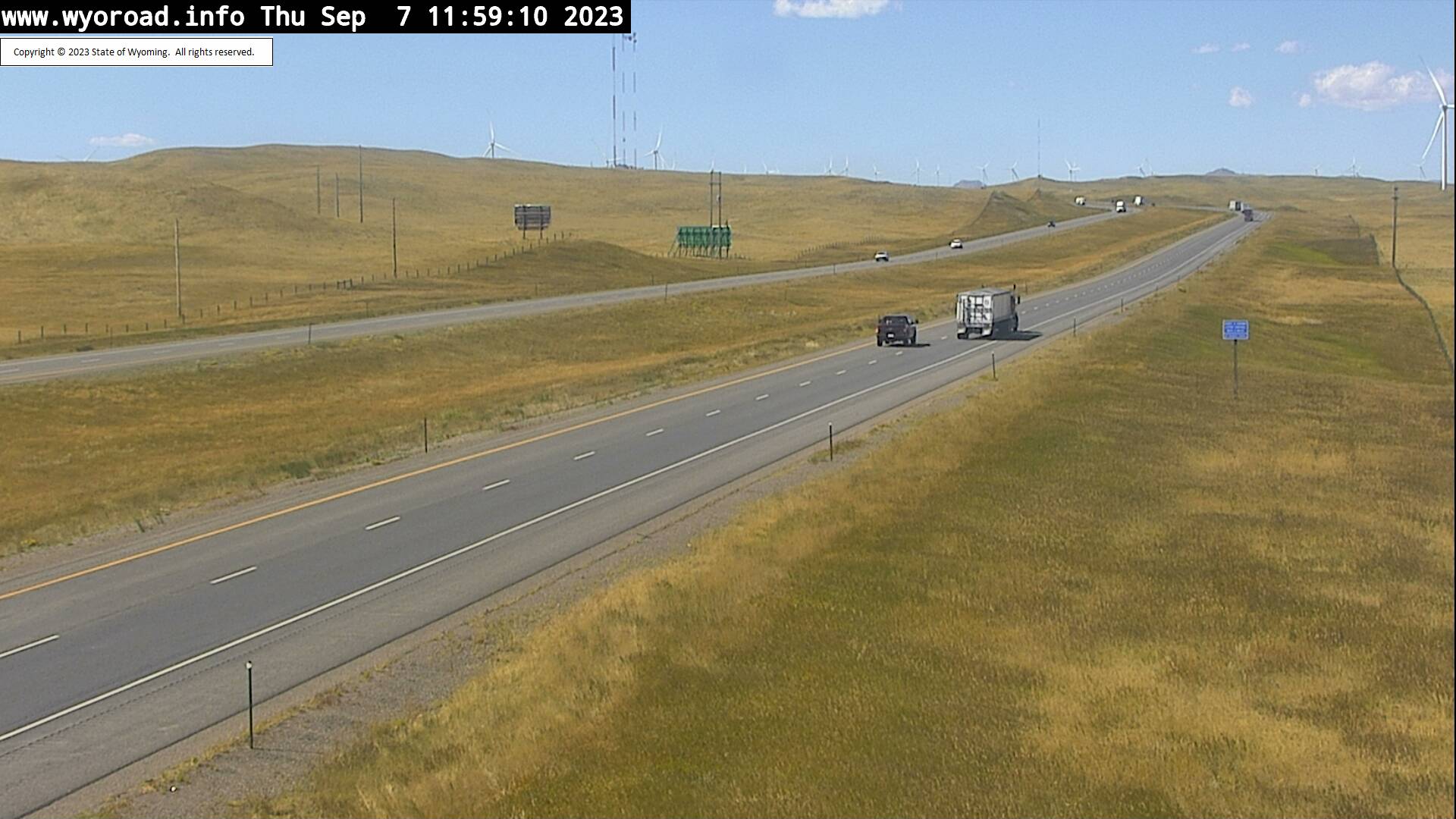
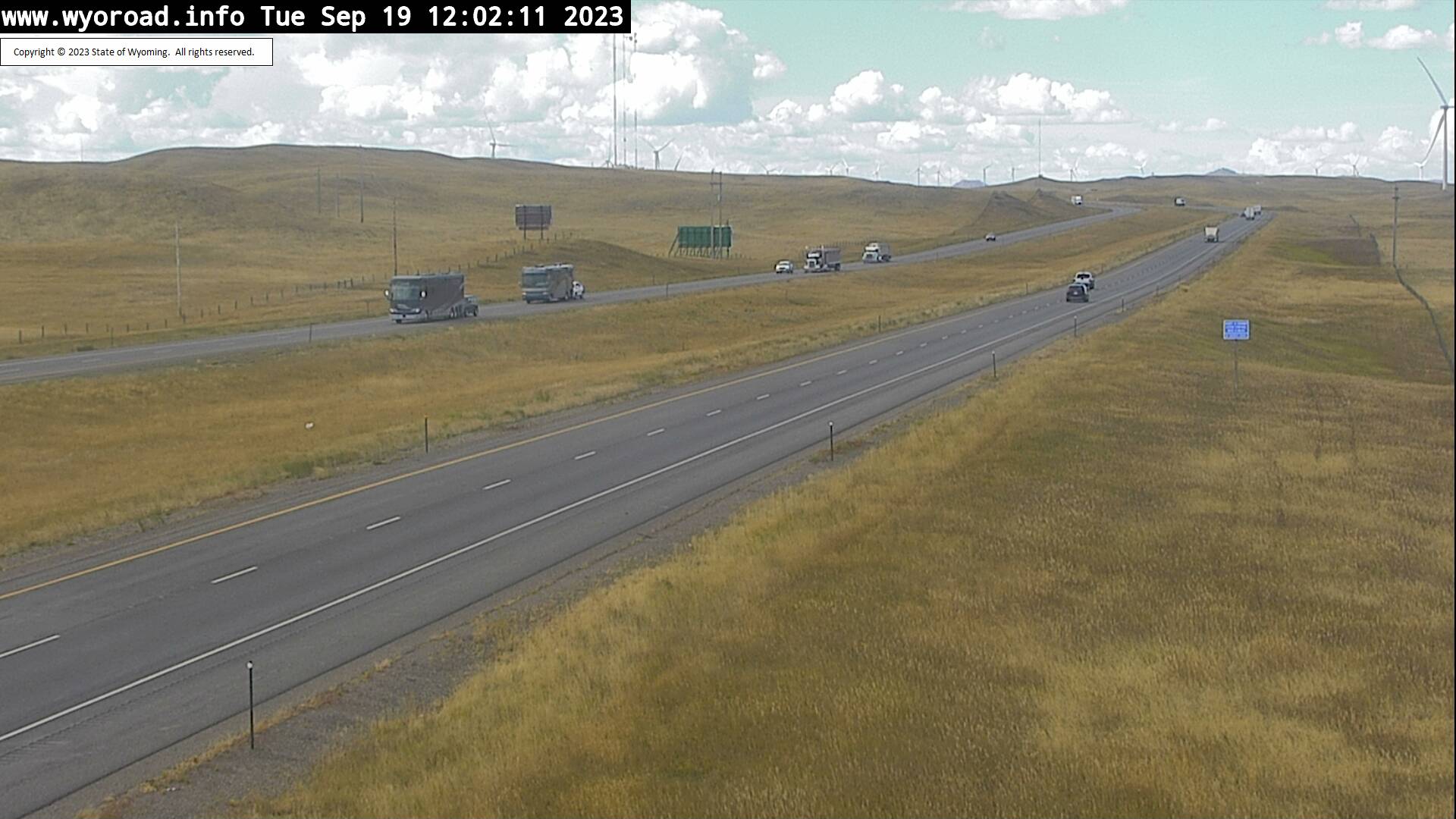
Granite, Wyoming, USA - 15.9 miles from Islay: Remount - Traffic and Weather - A view of the current traffic and weather situation.
Operator: WYDOT Travel Information Service
Operator: WYDOT Travel Information Service
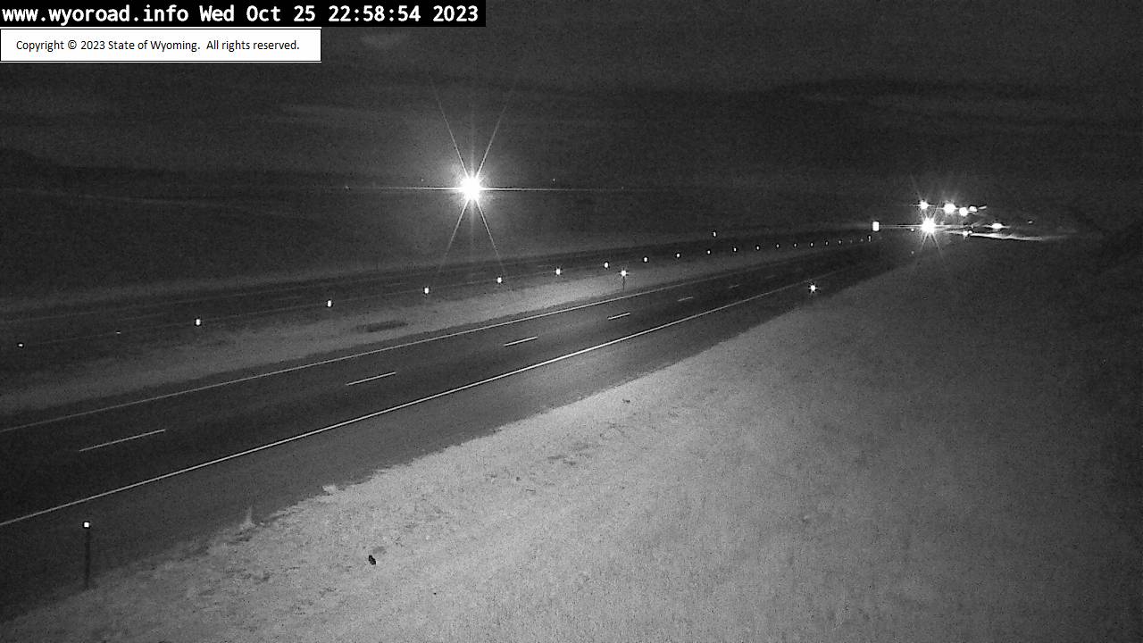
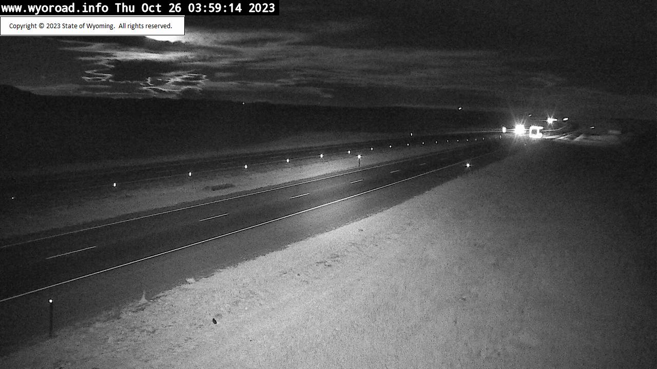
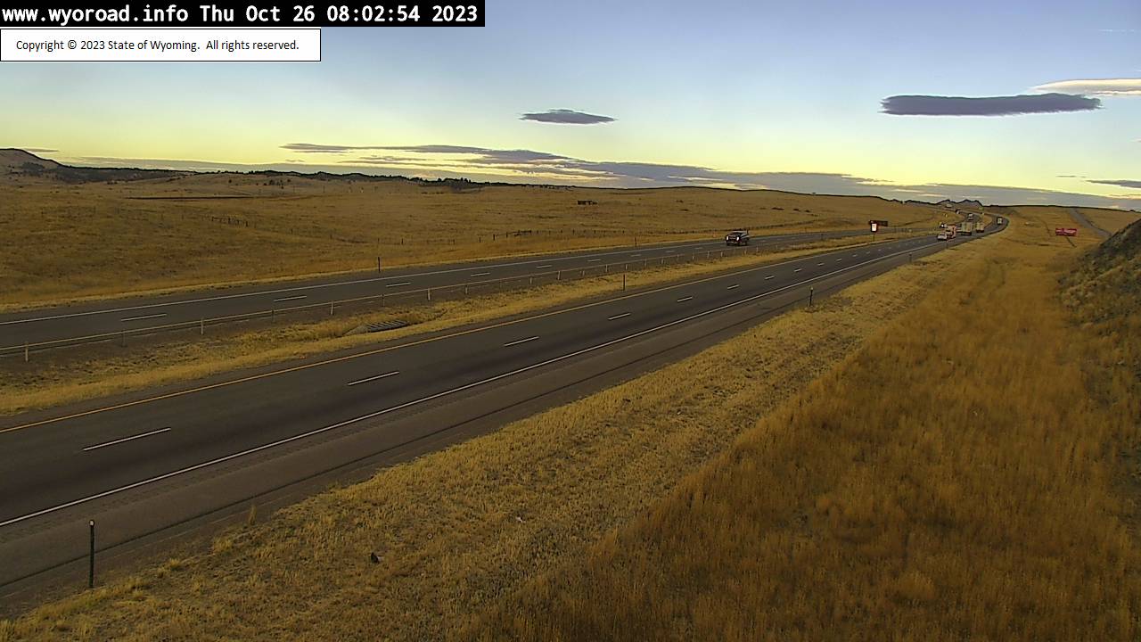
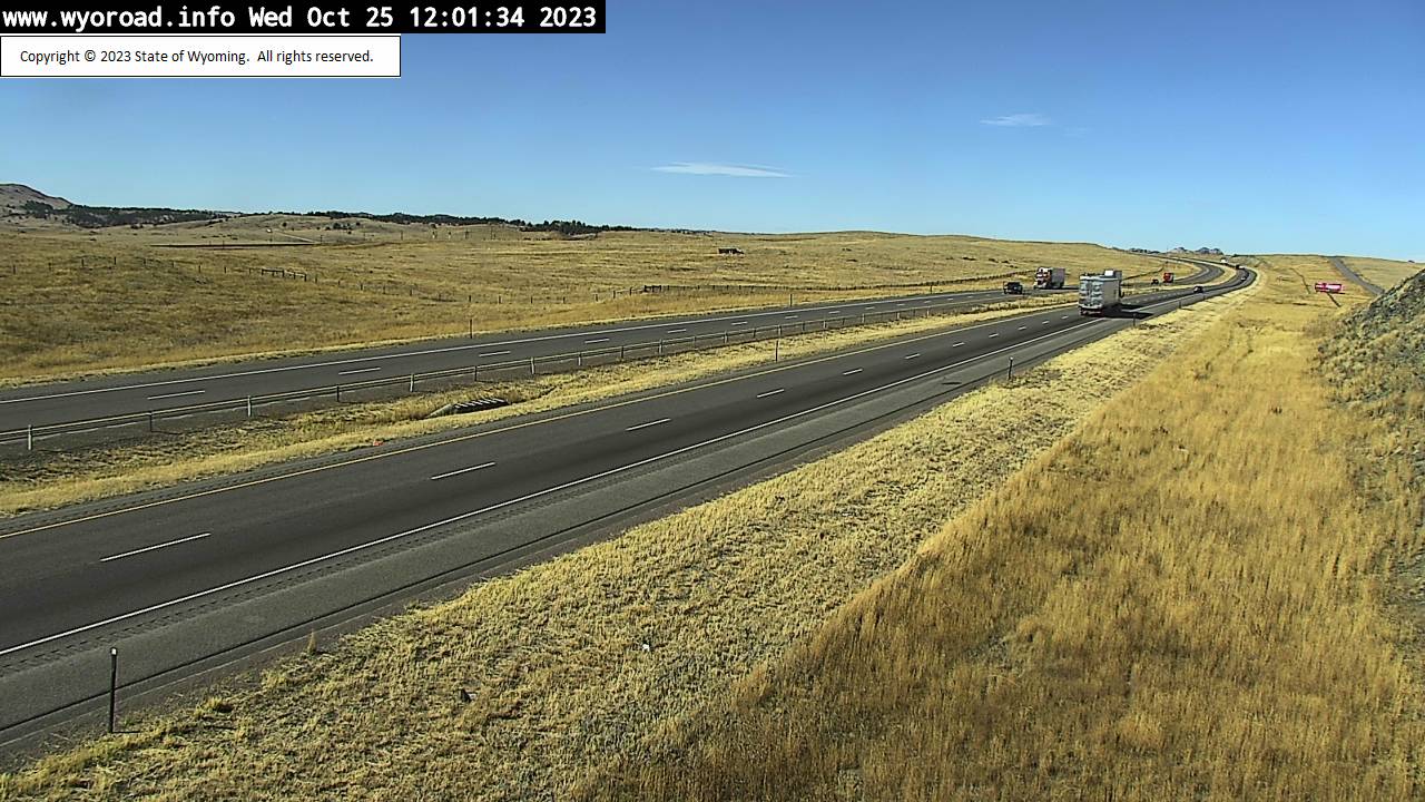
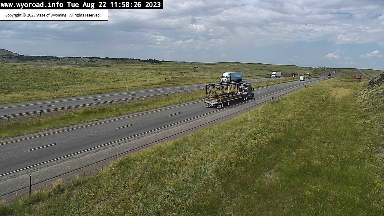

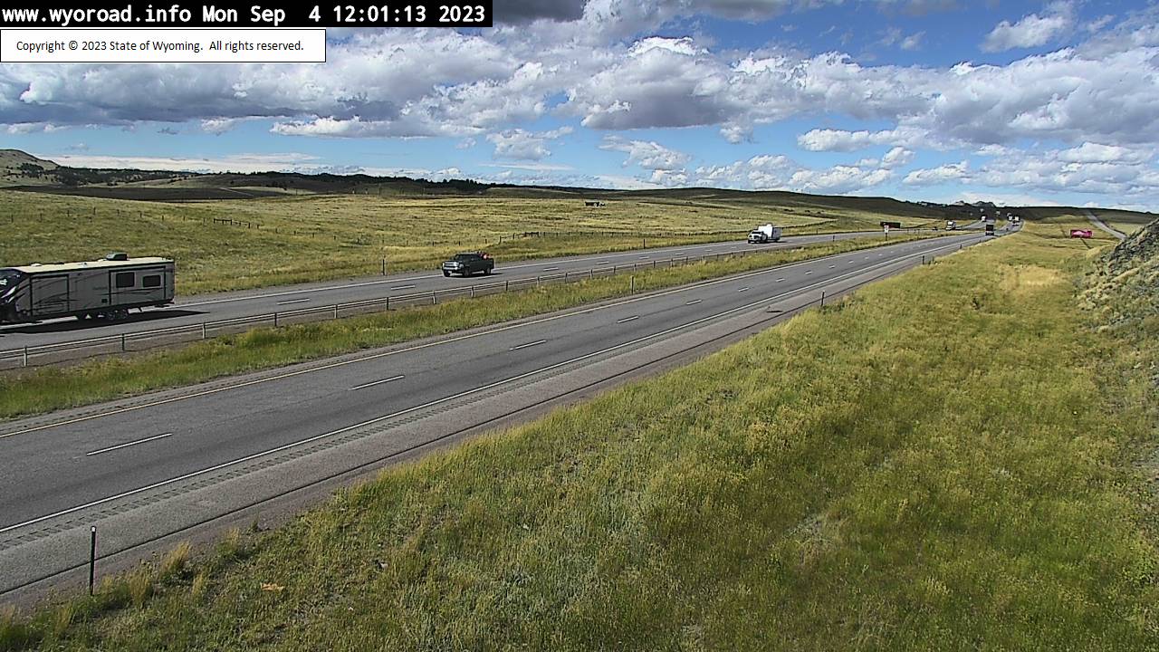


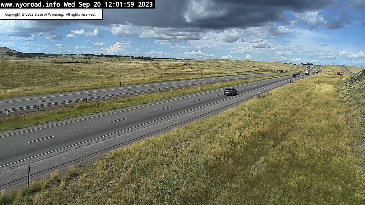

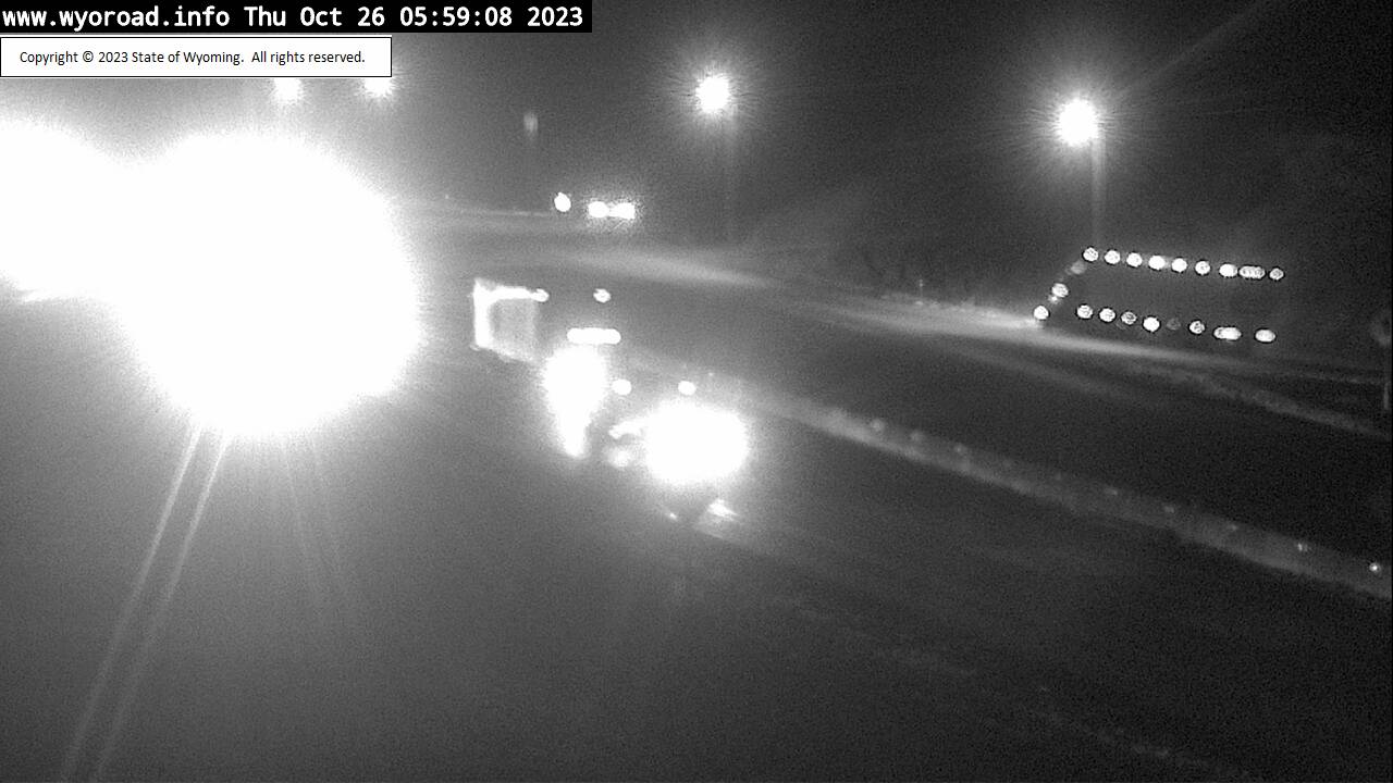
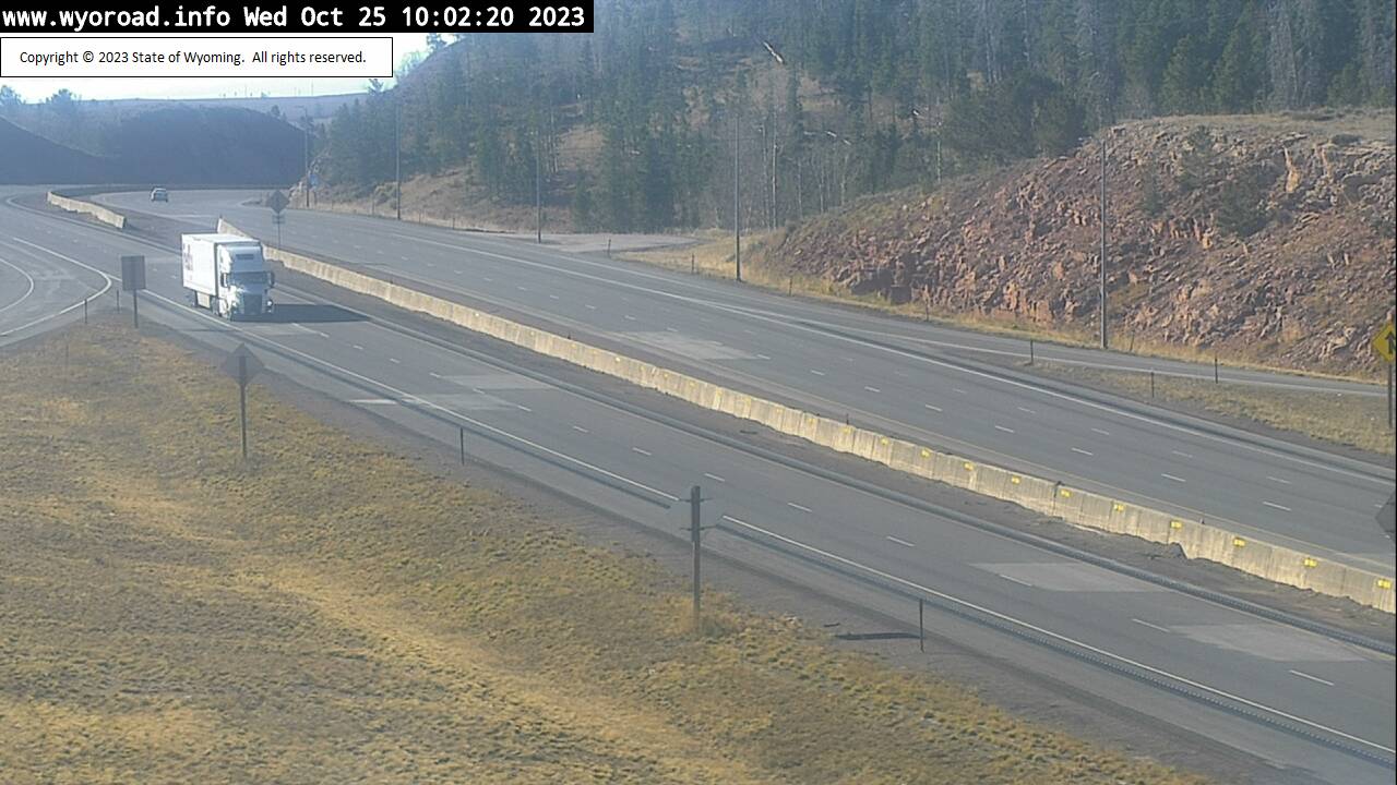
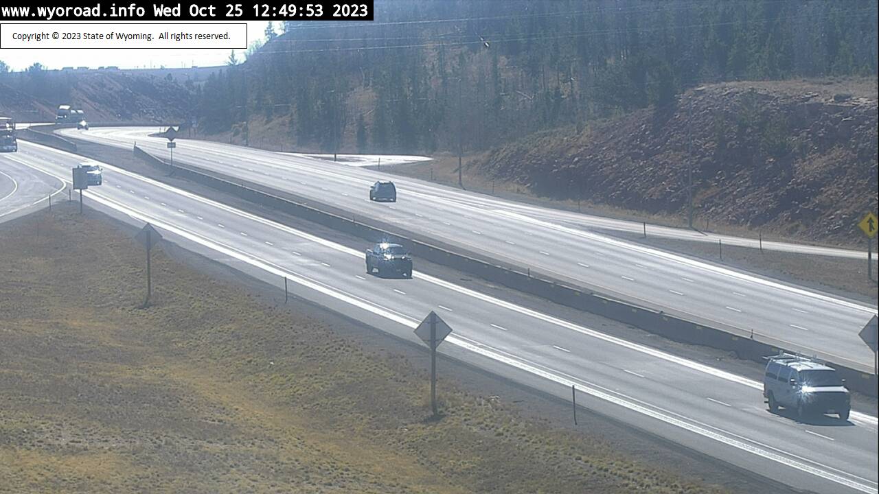
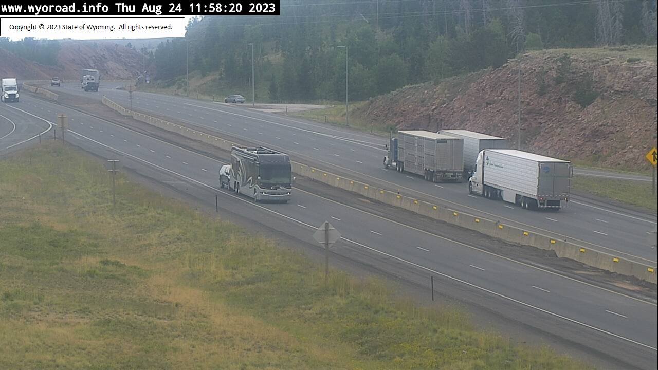
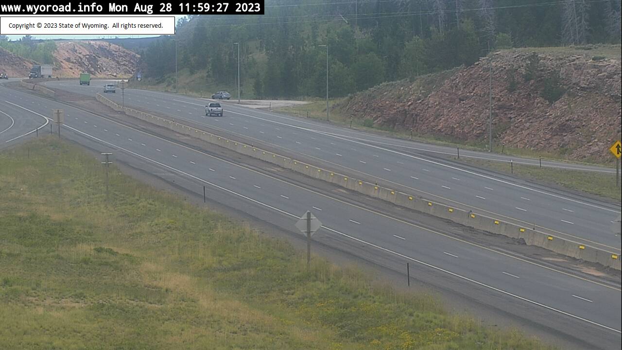
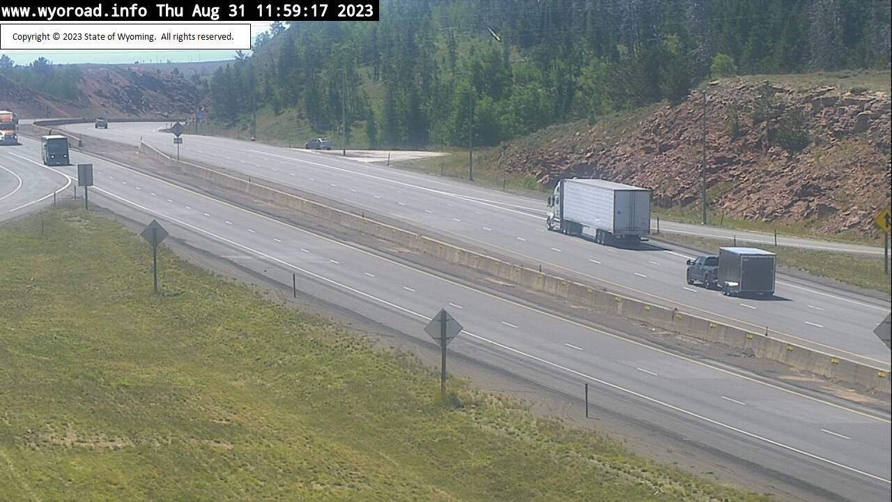
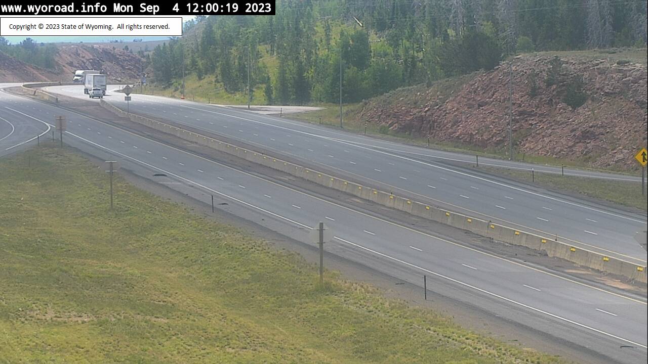
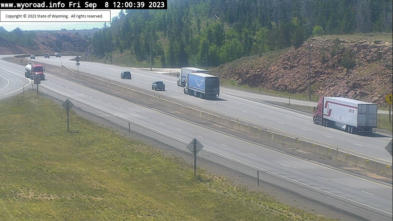
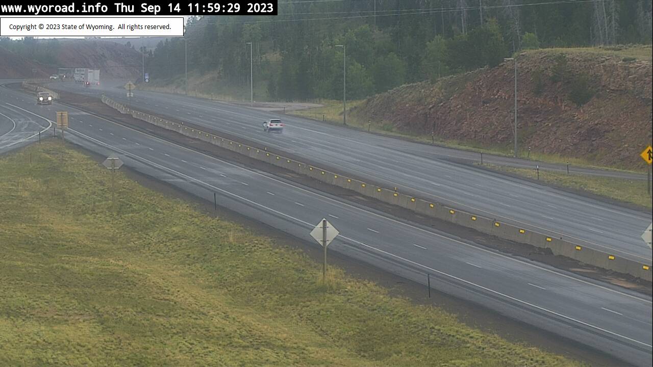
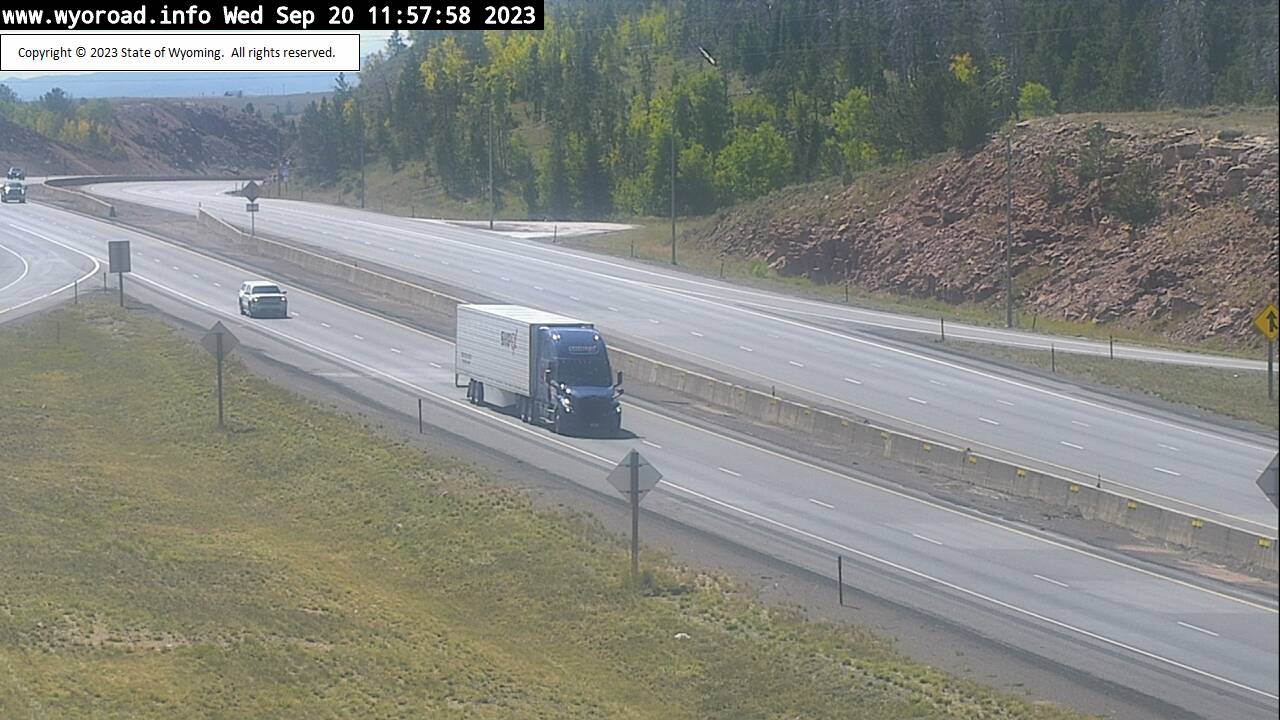
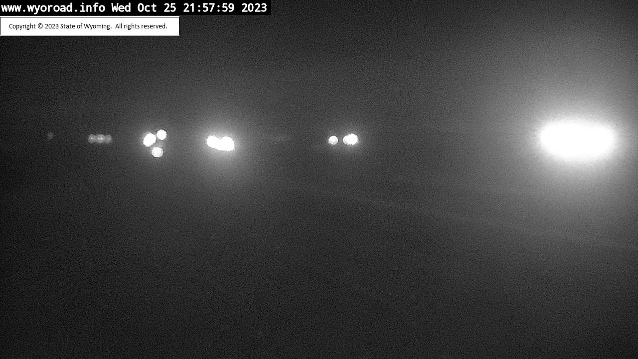
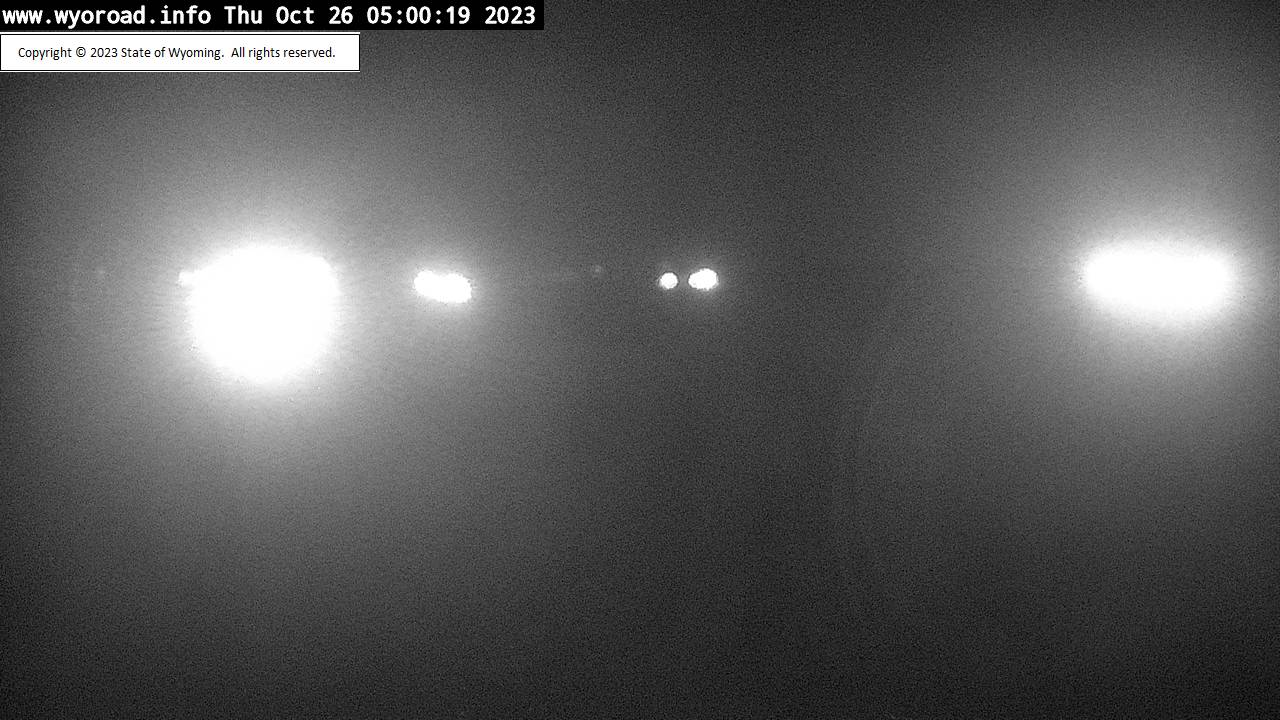
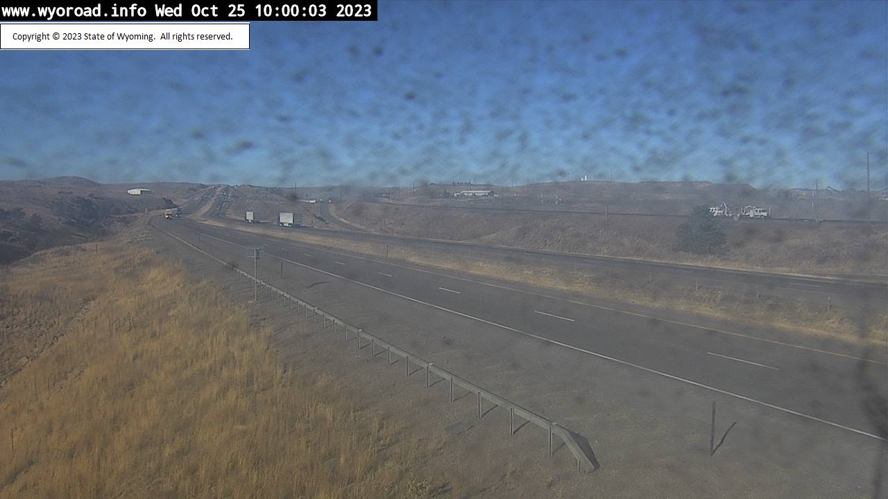
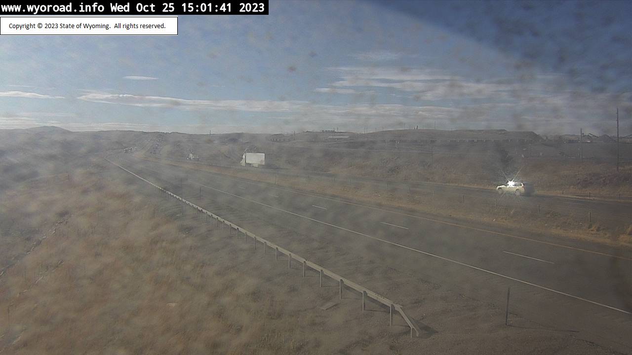
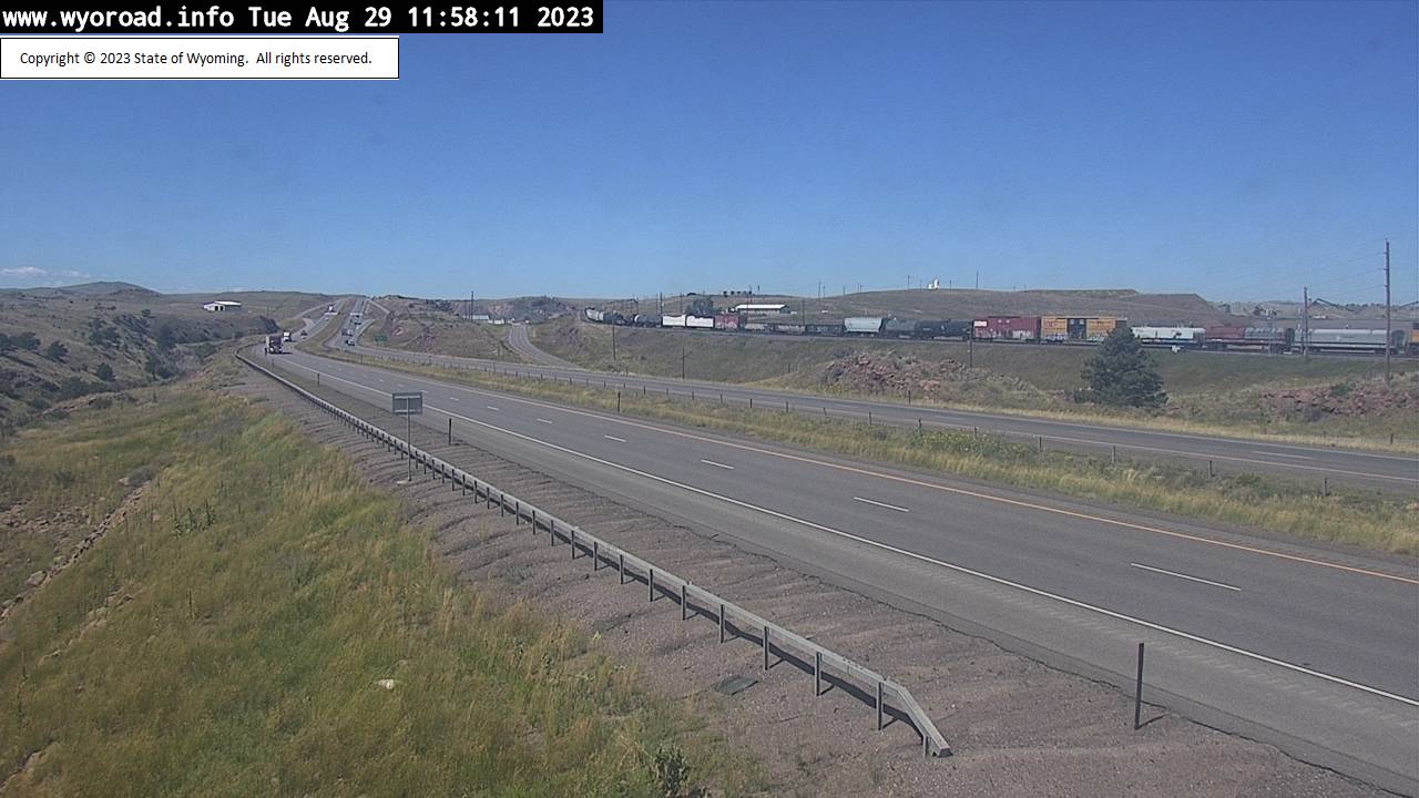
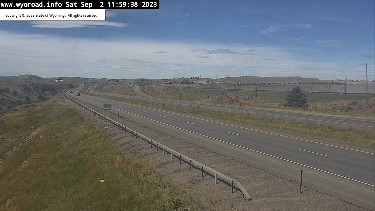
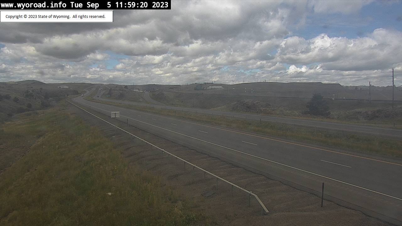
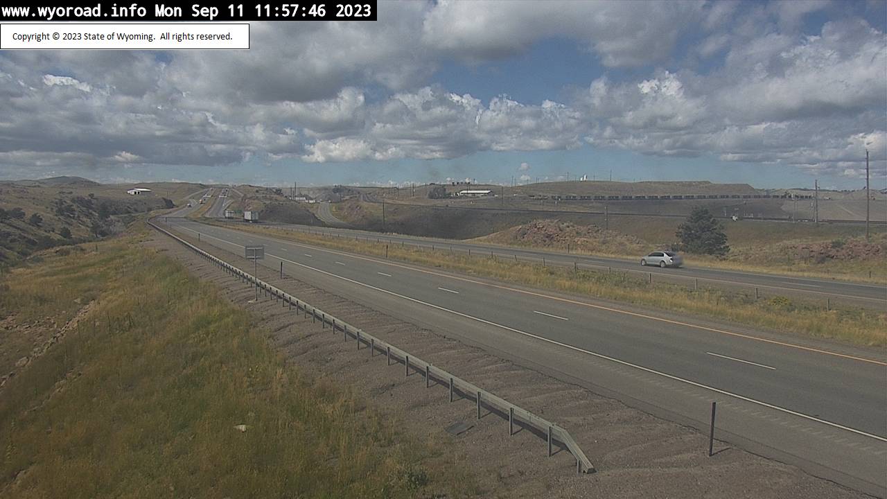
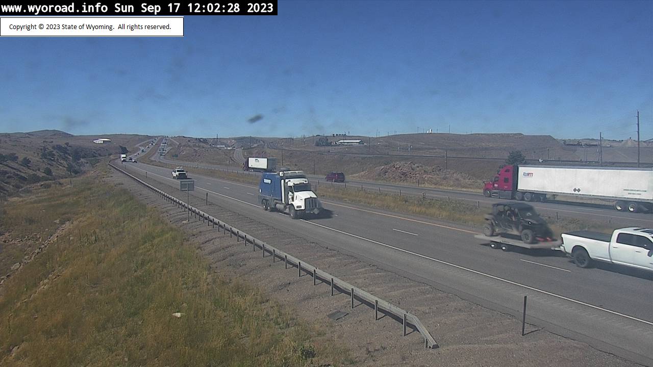
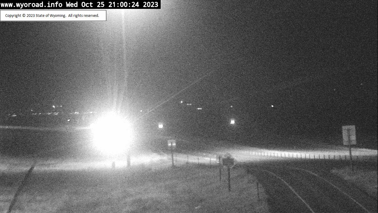
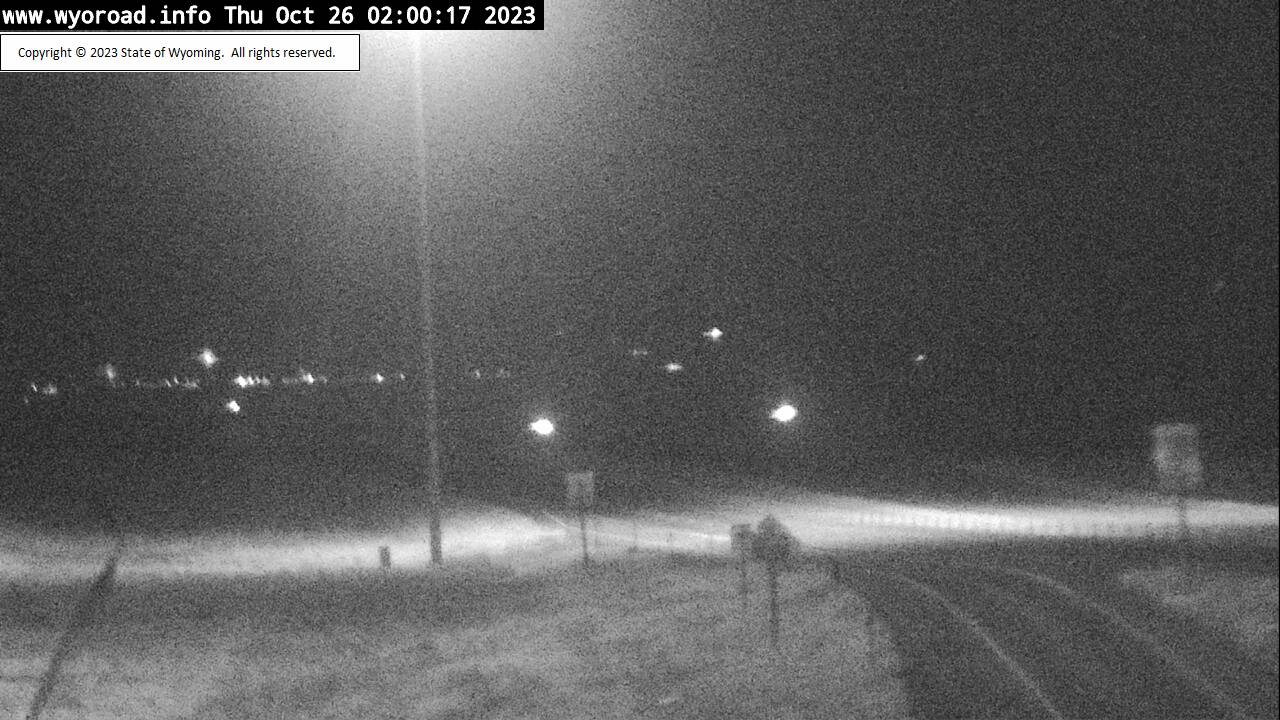
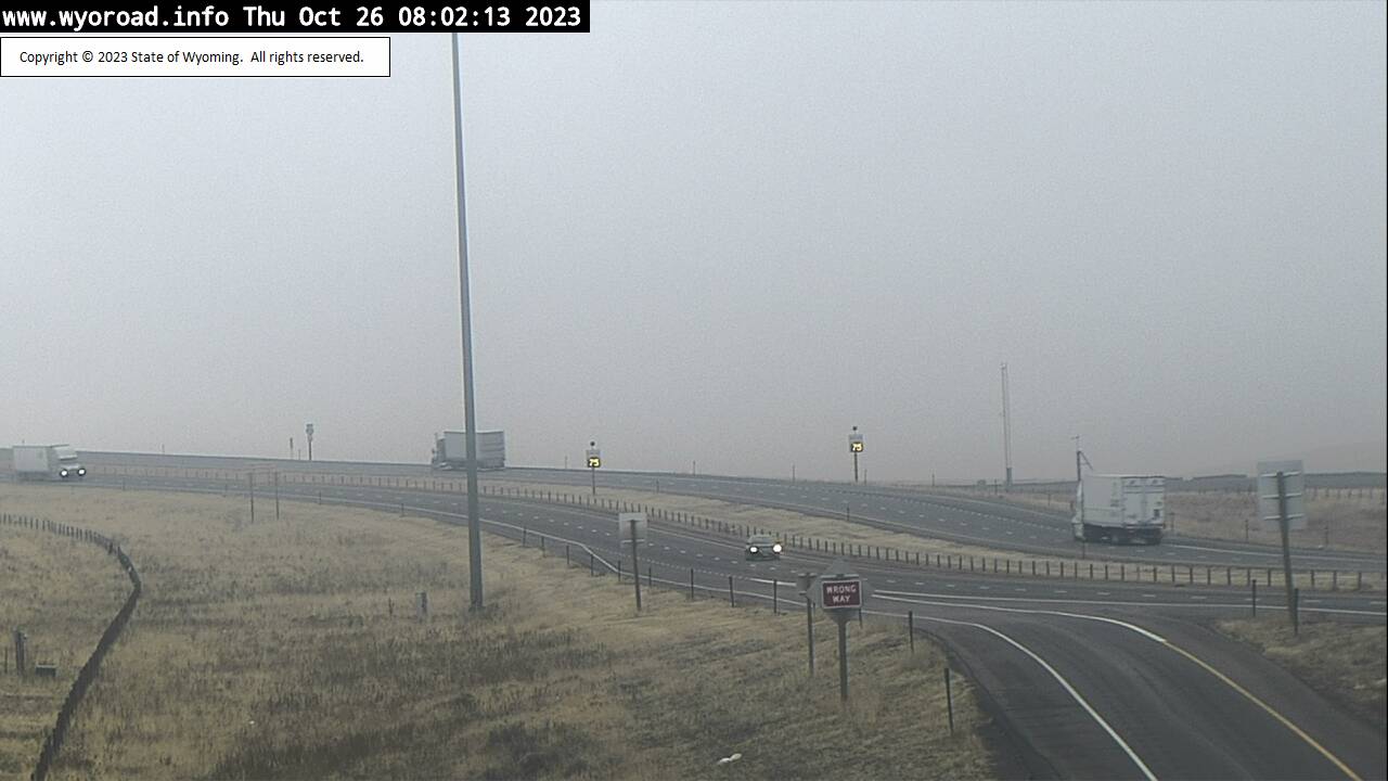
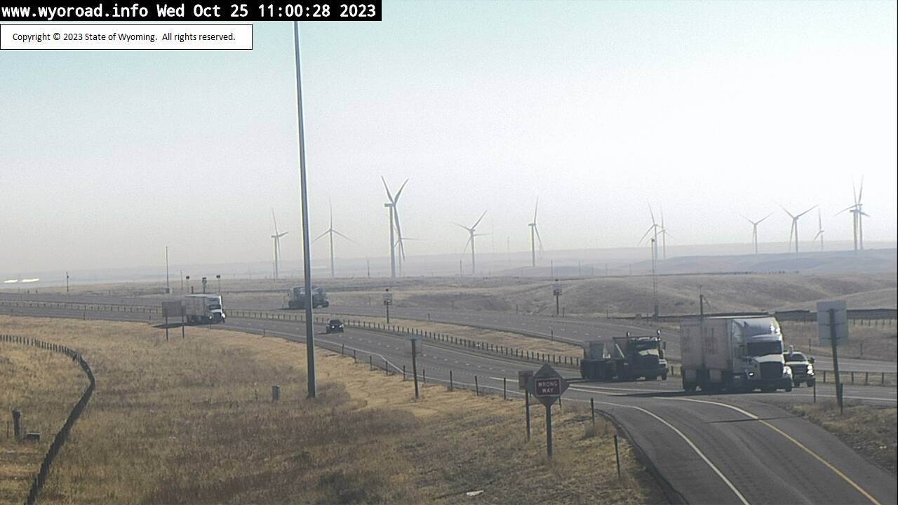
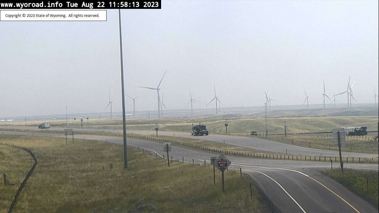
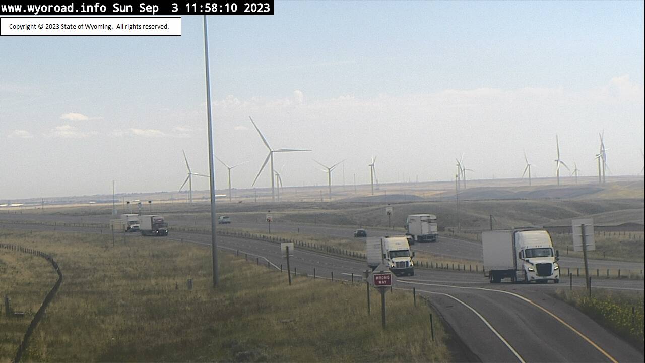
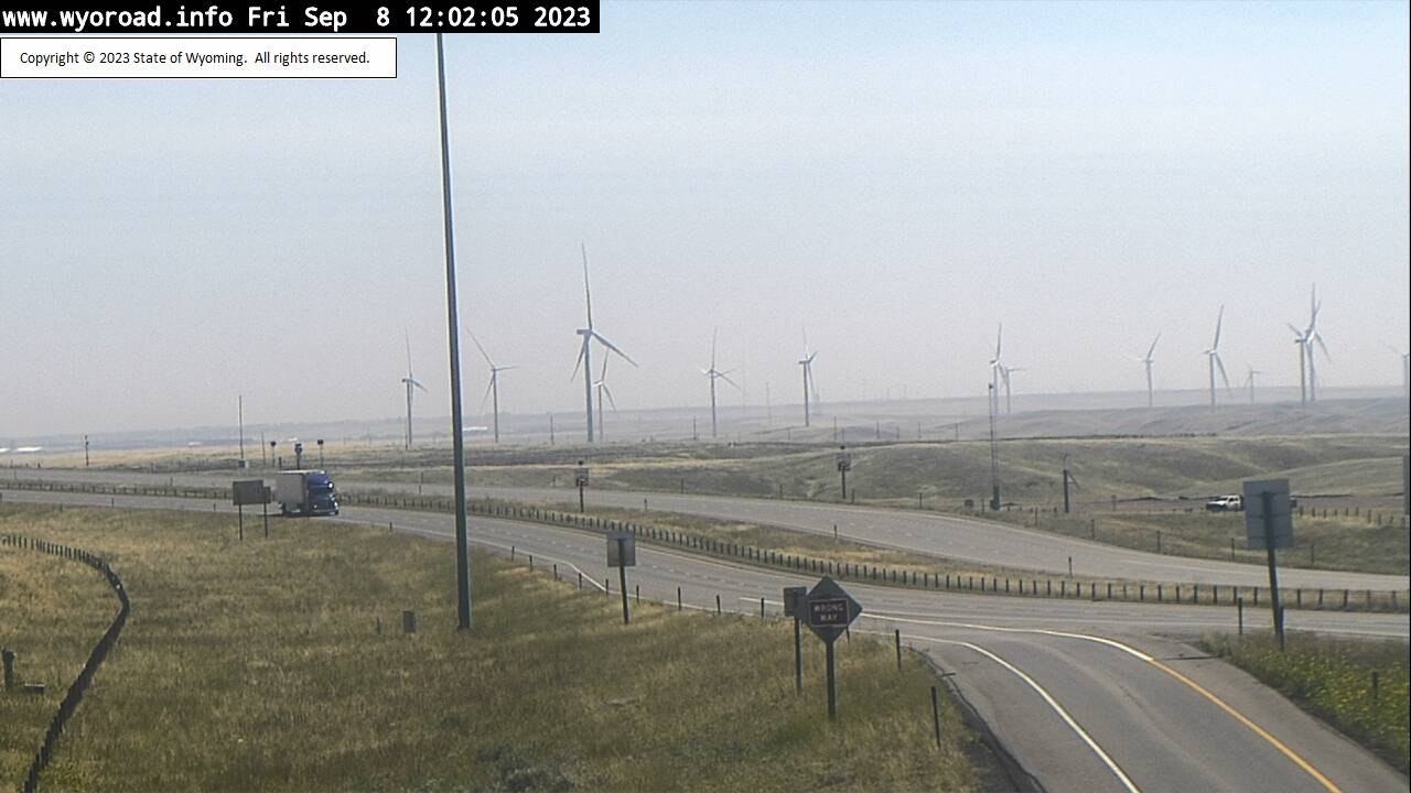
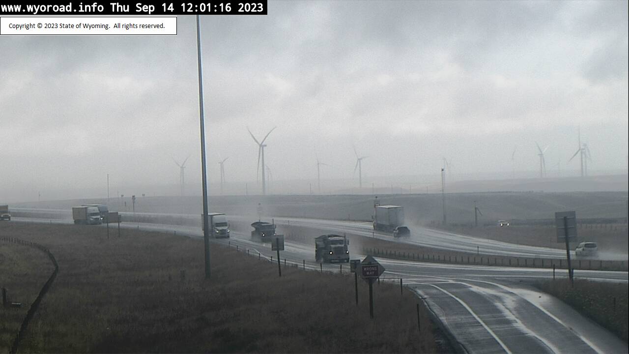
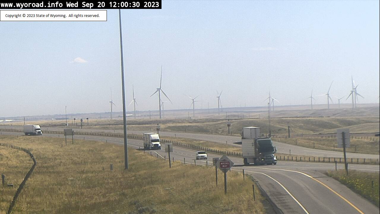
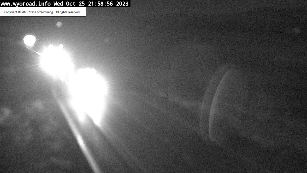
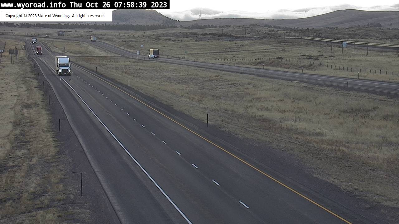
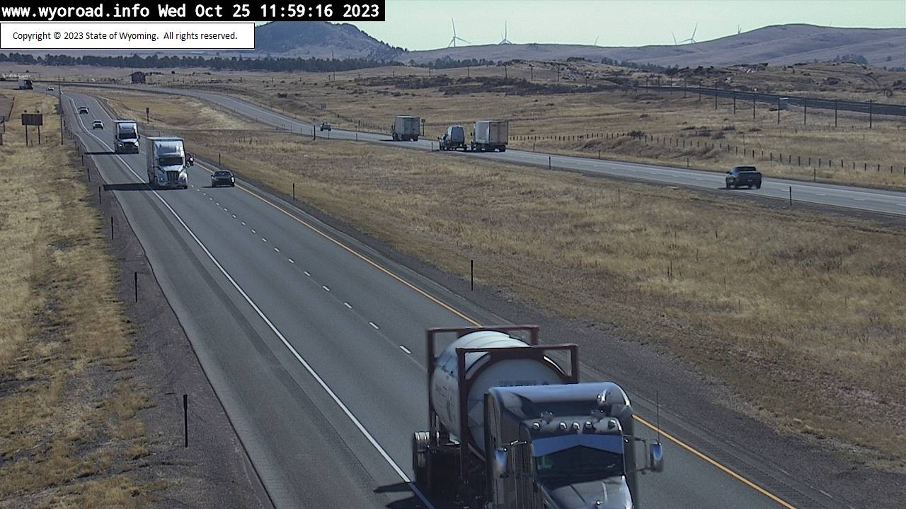
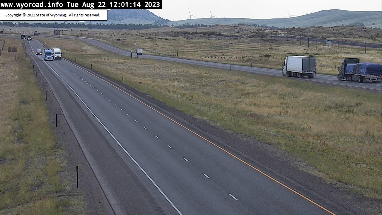
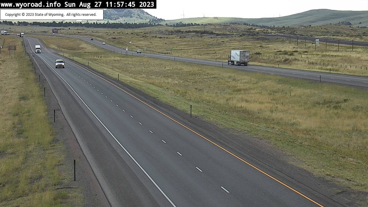
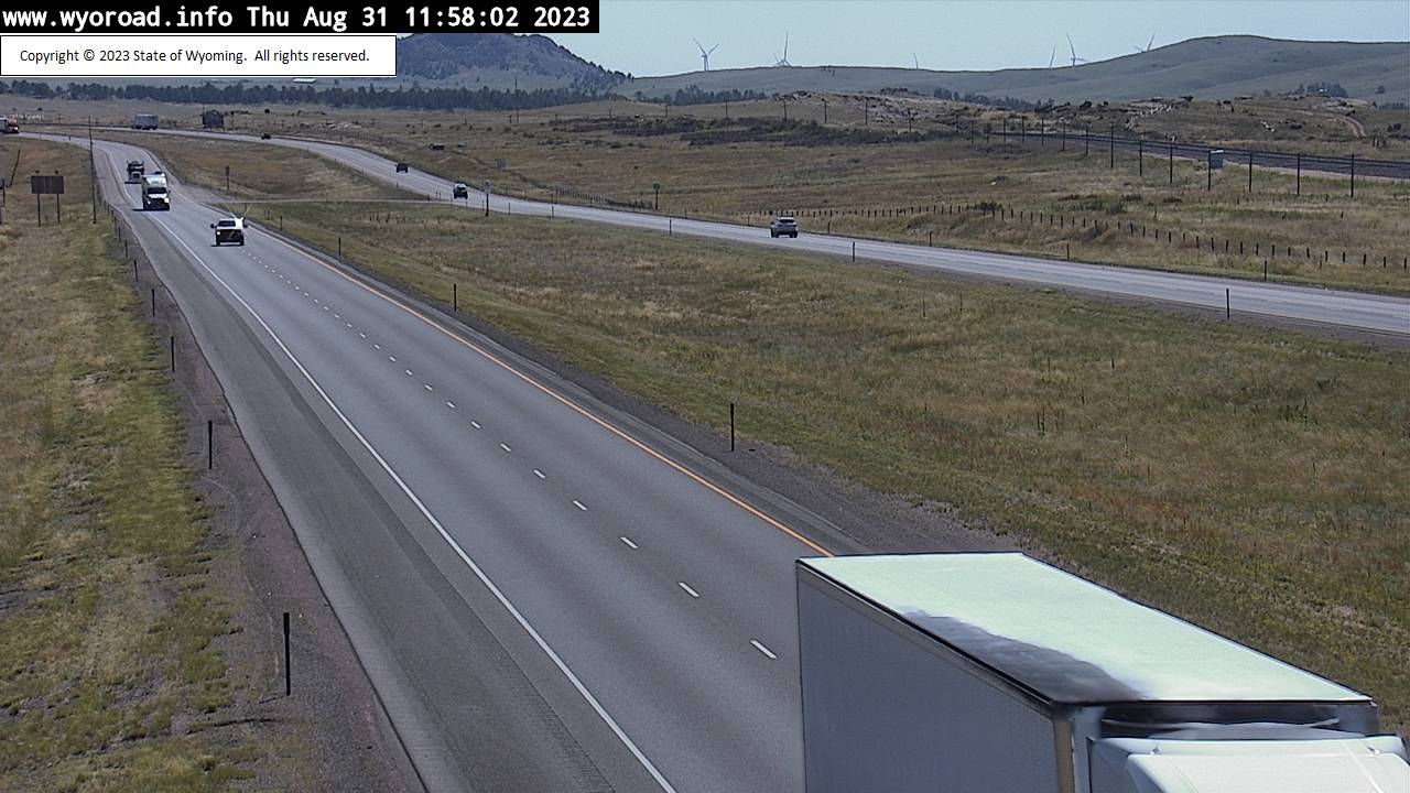
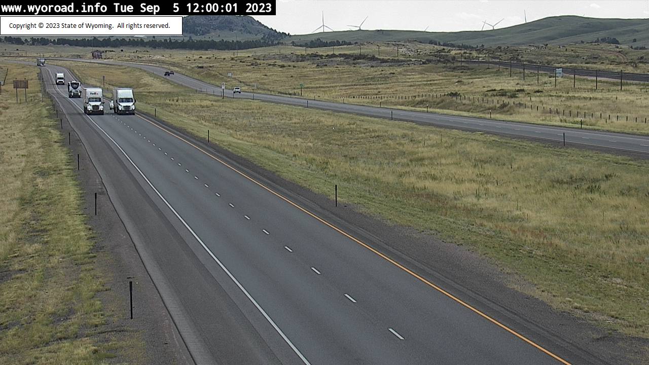
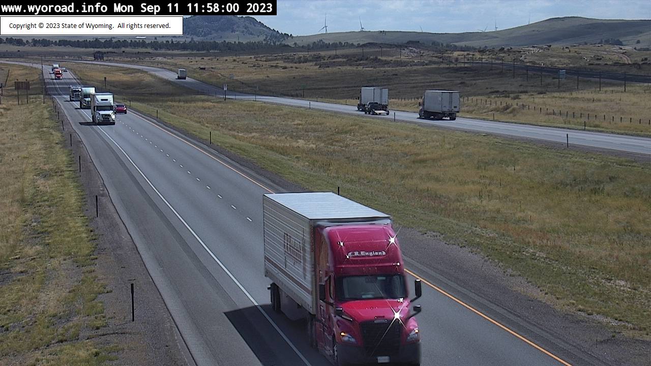
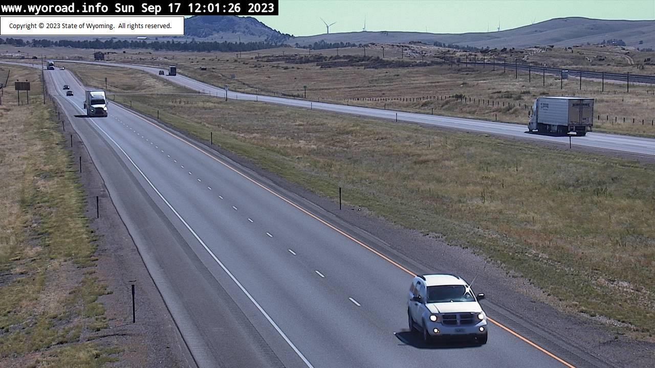
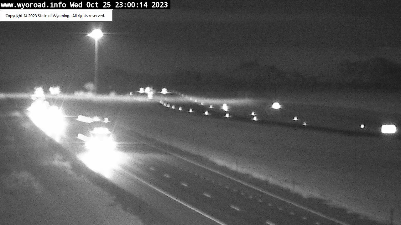
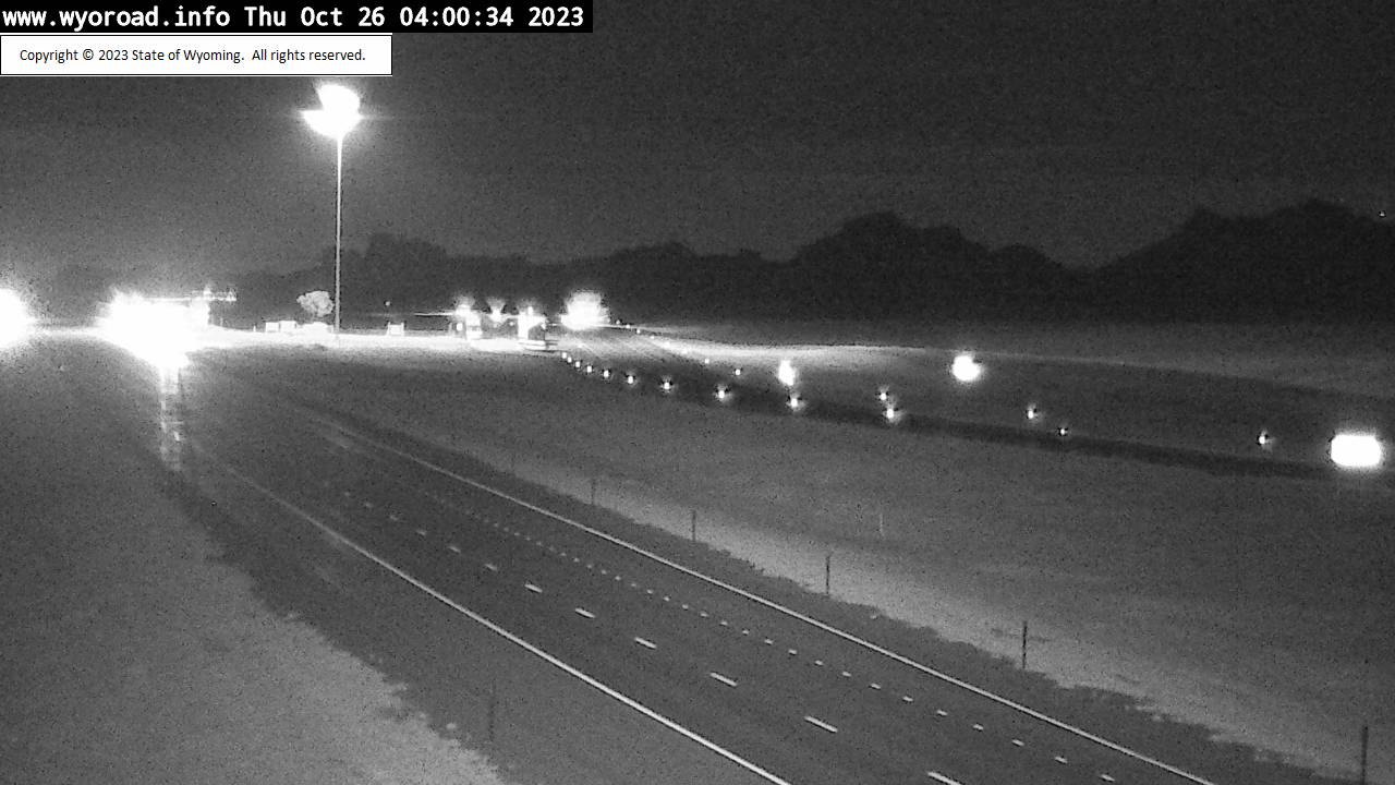
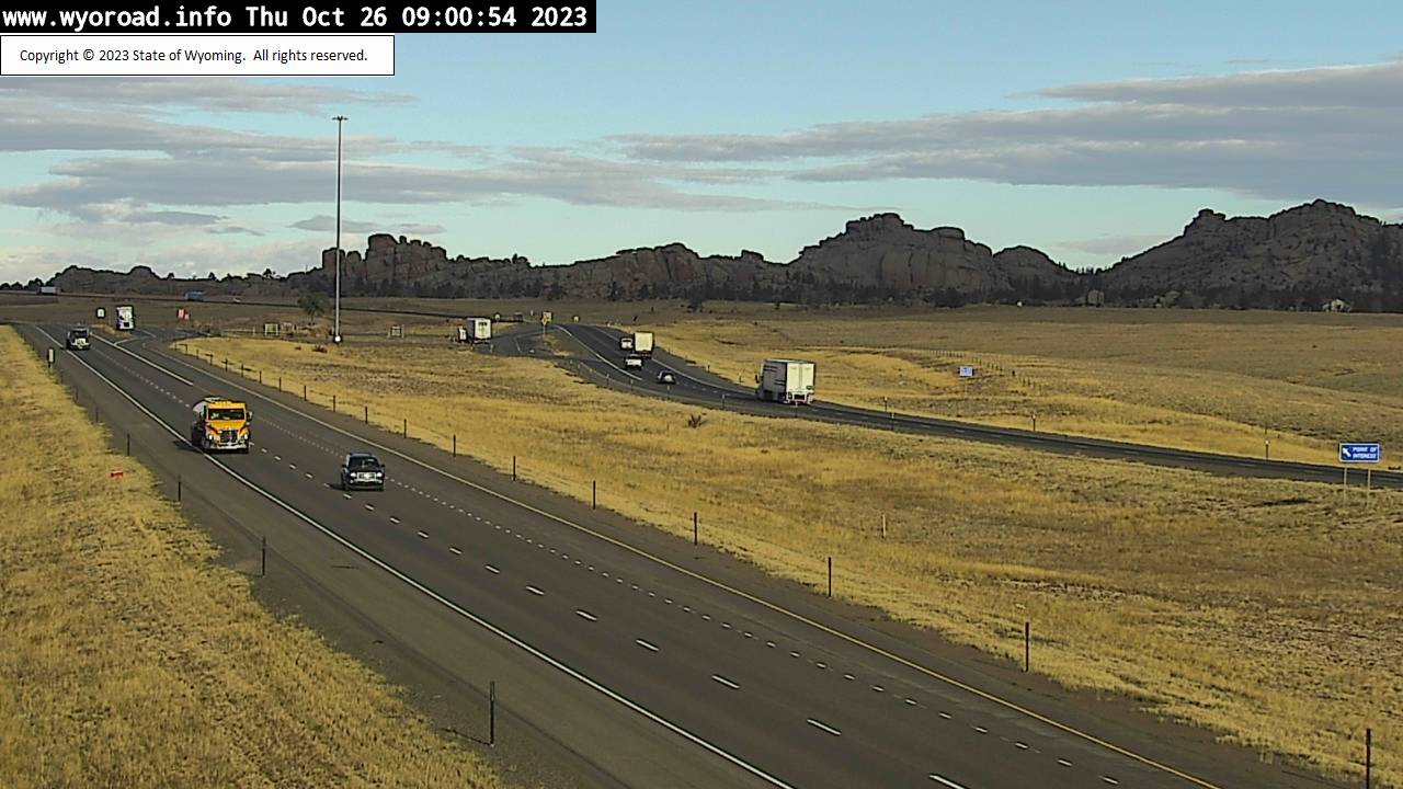
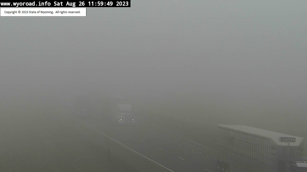
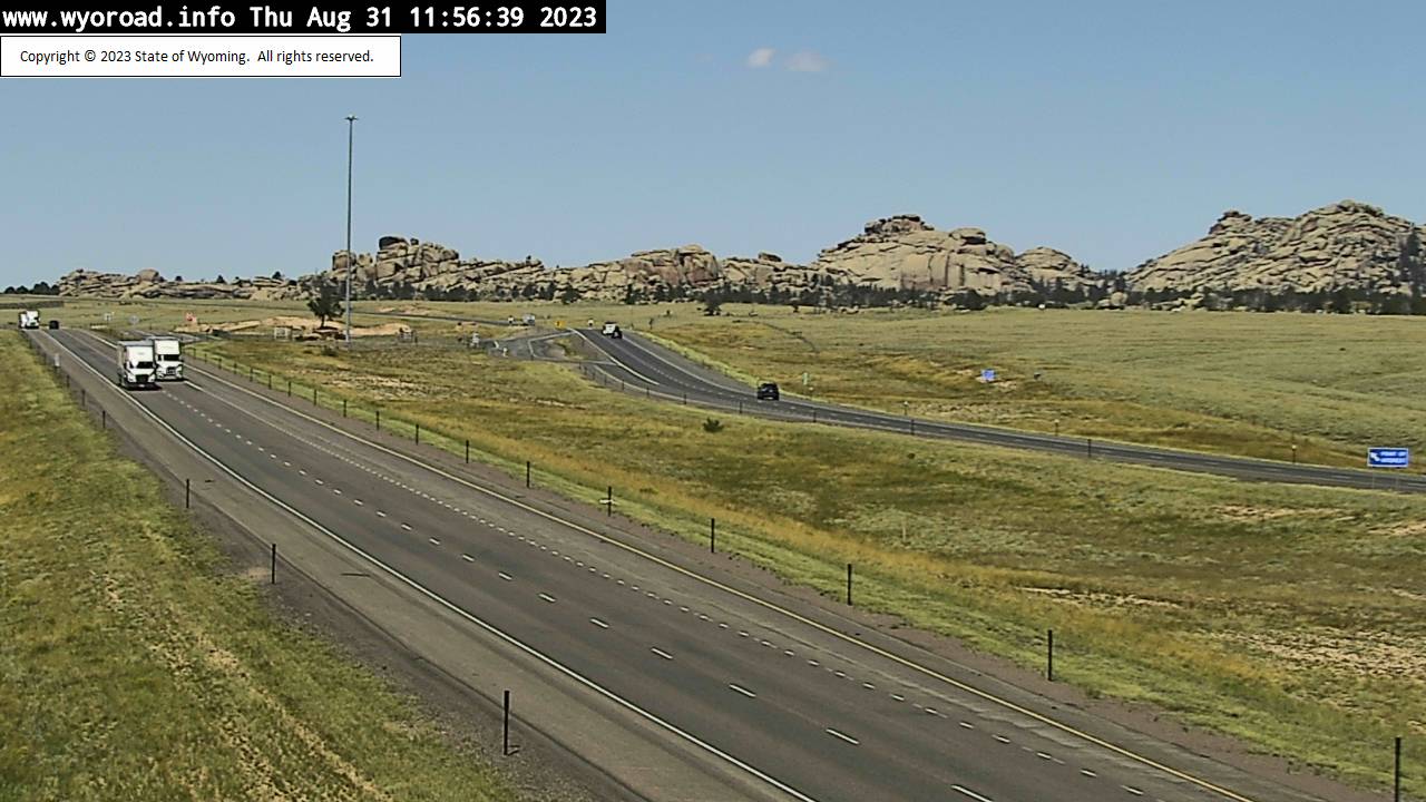
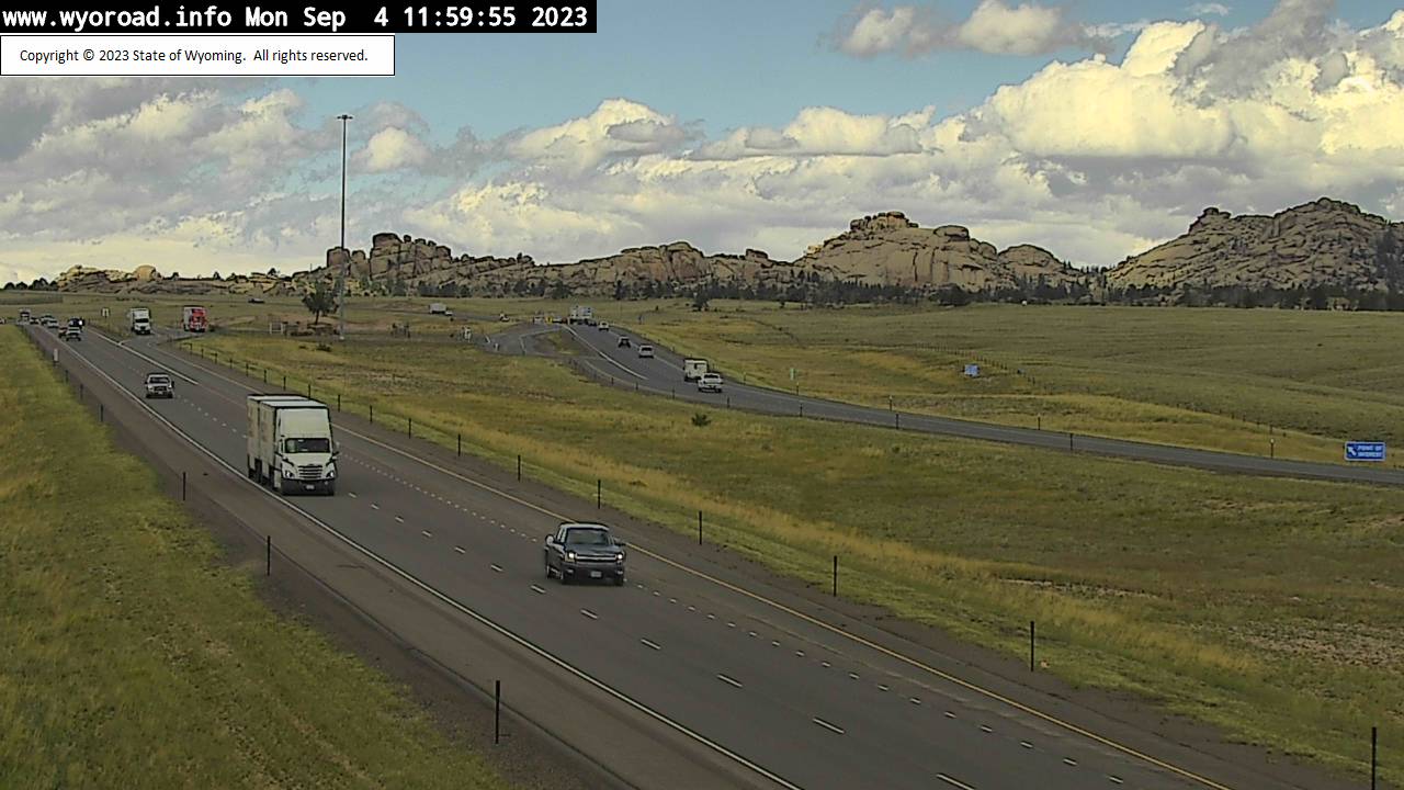
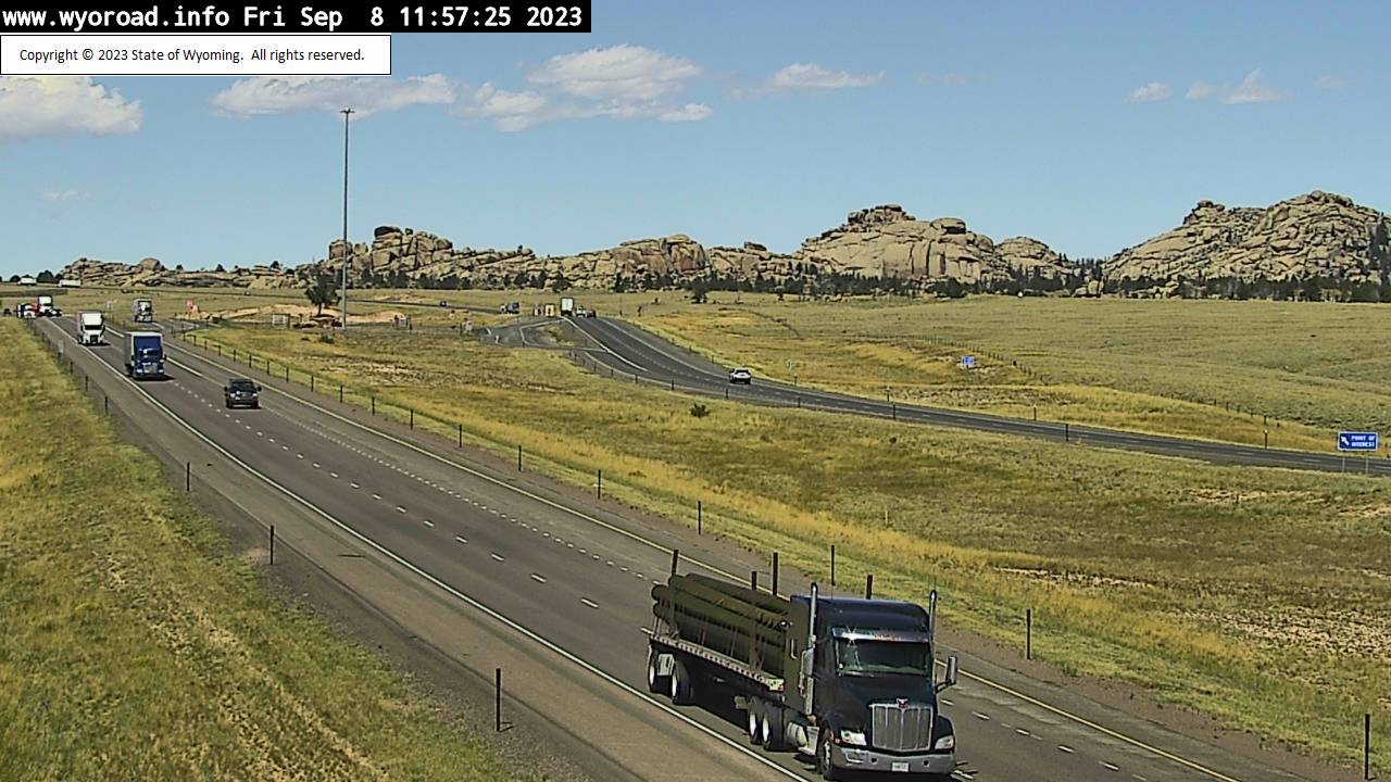
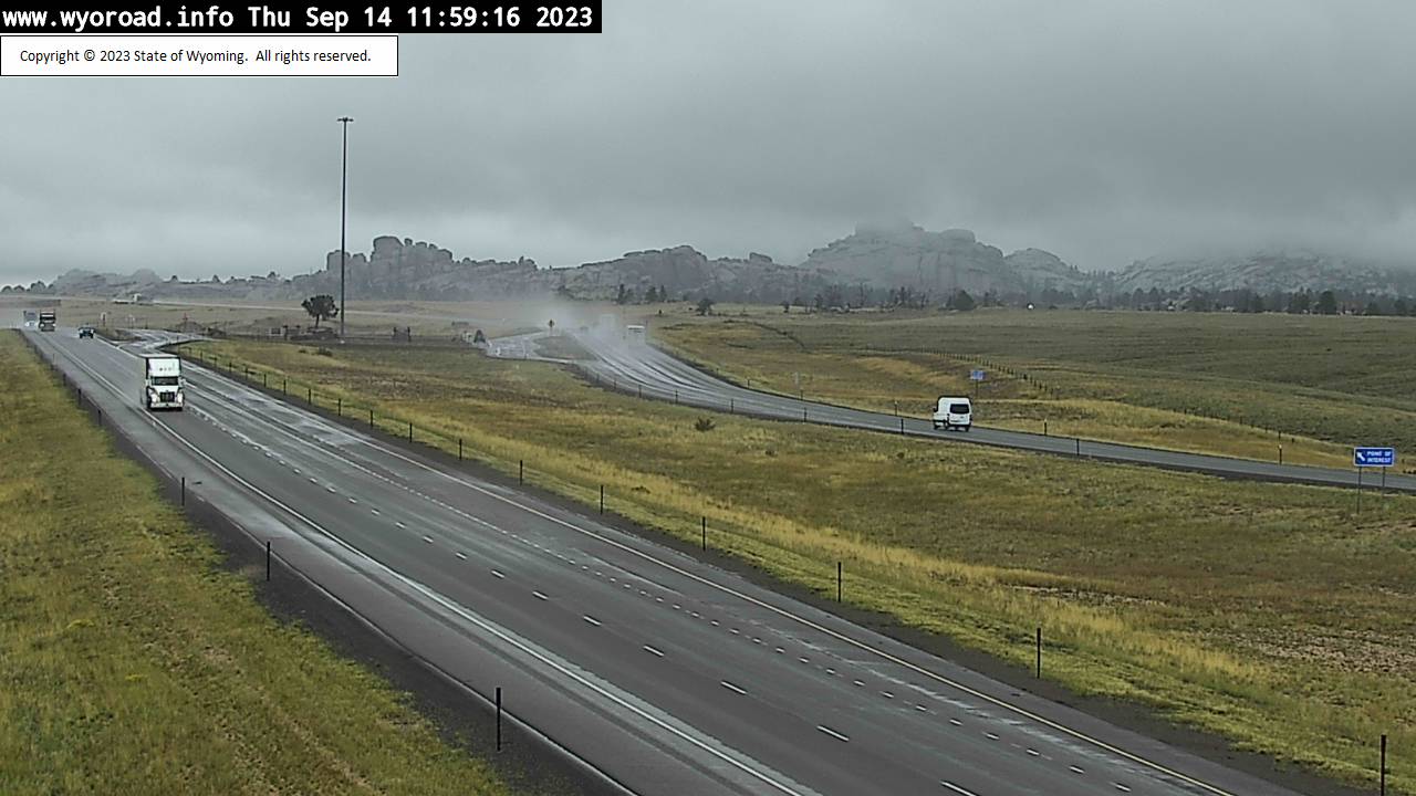
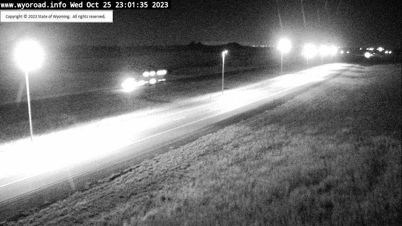
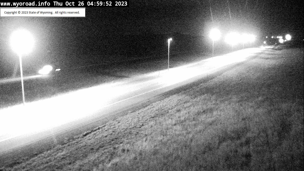
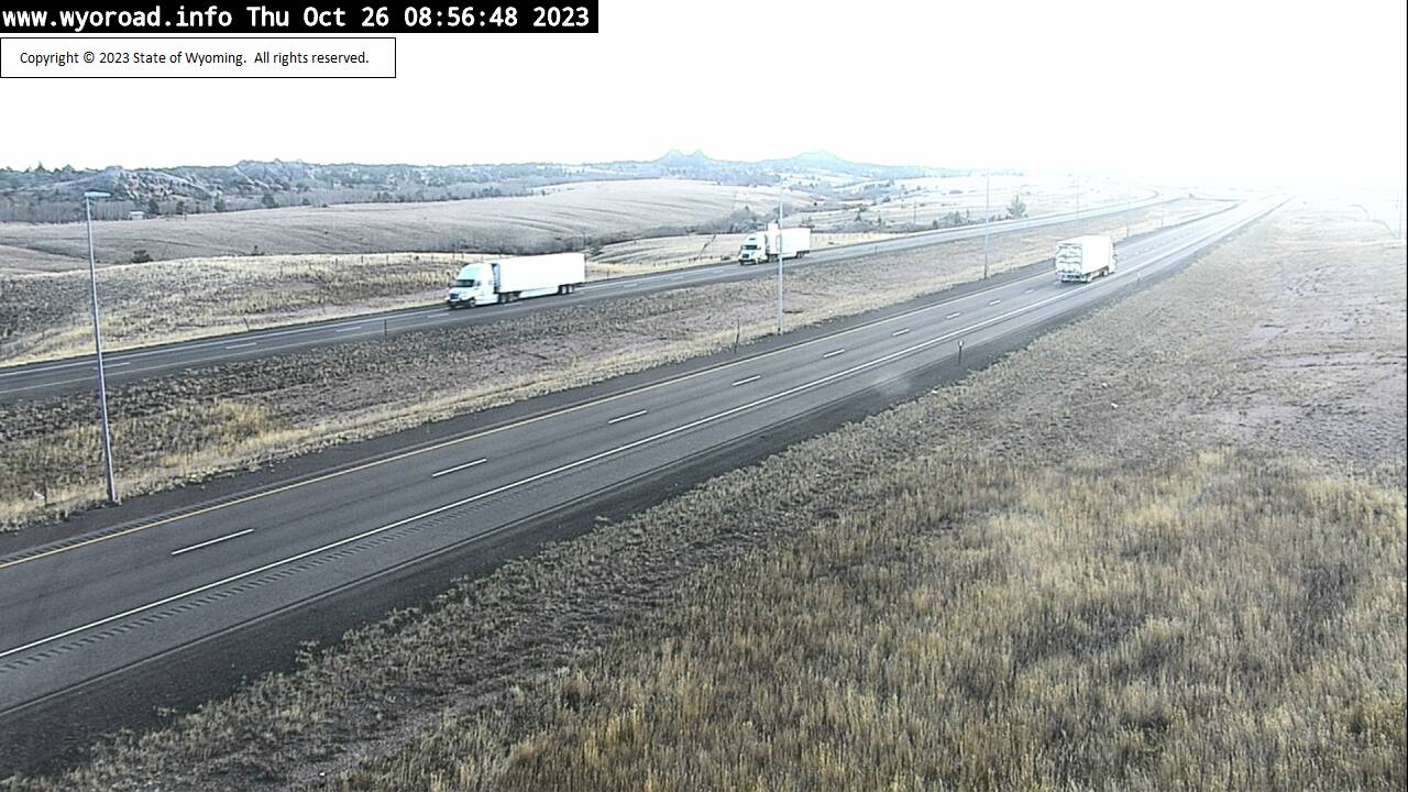
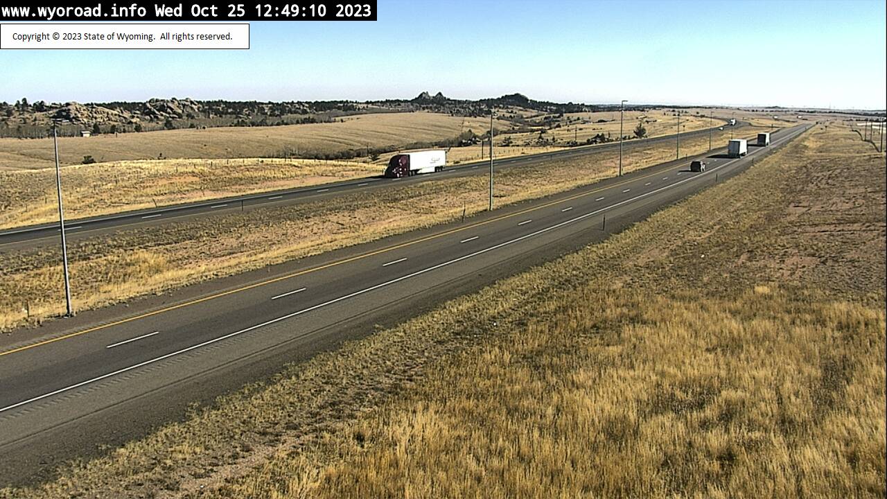
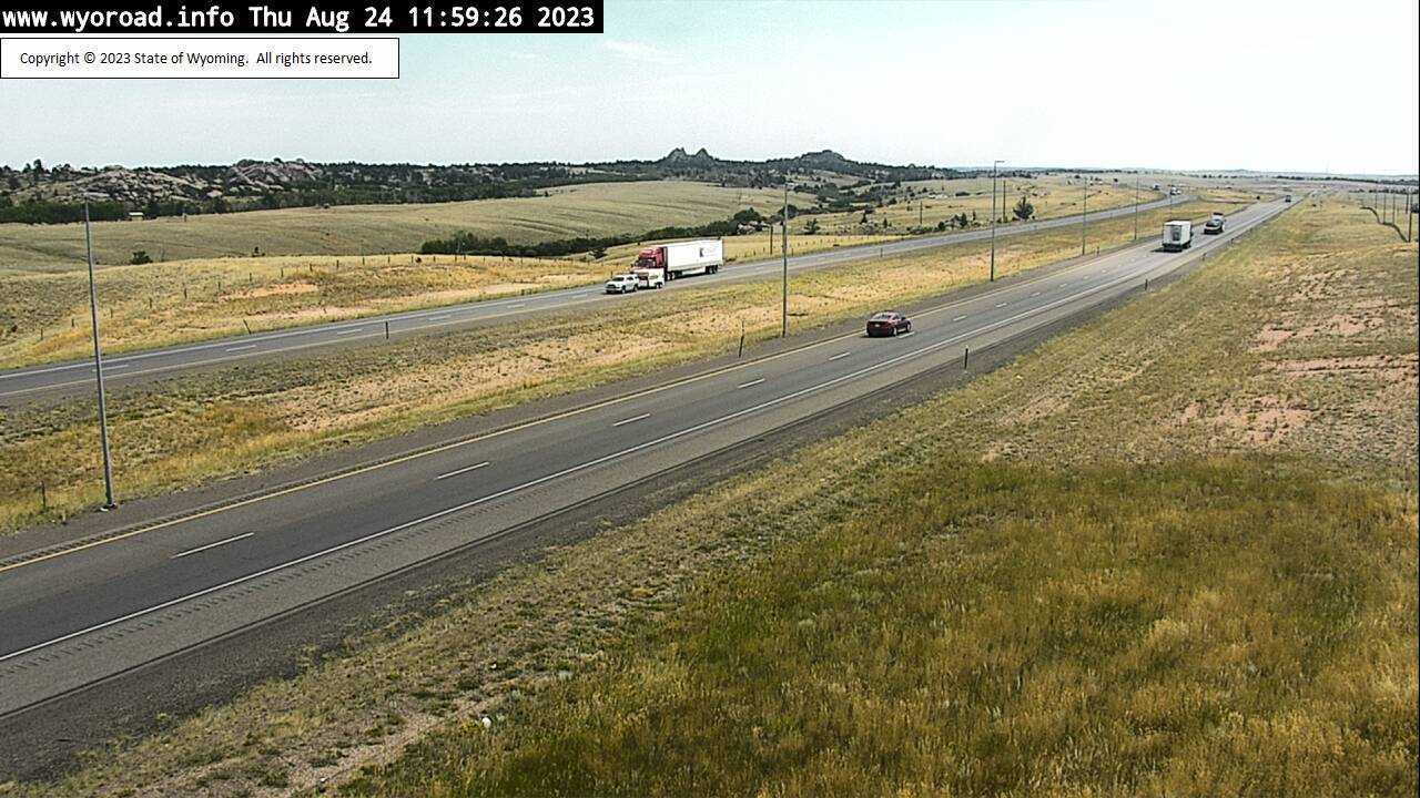
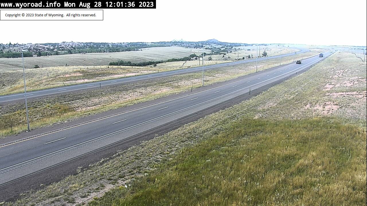
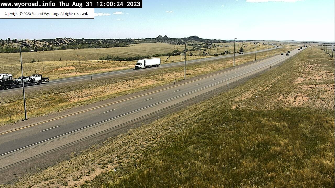
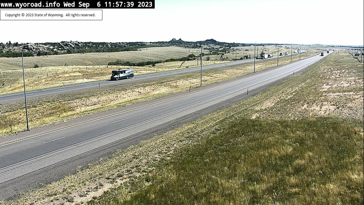
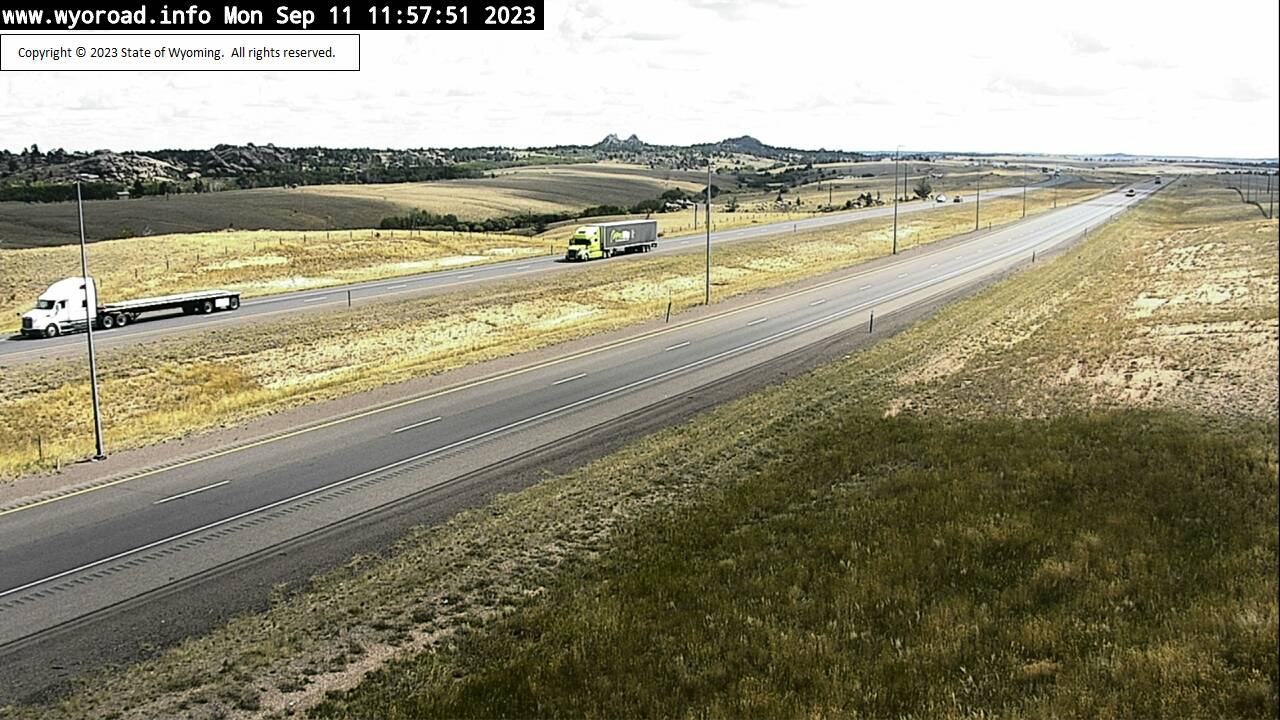
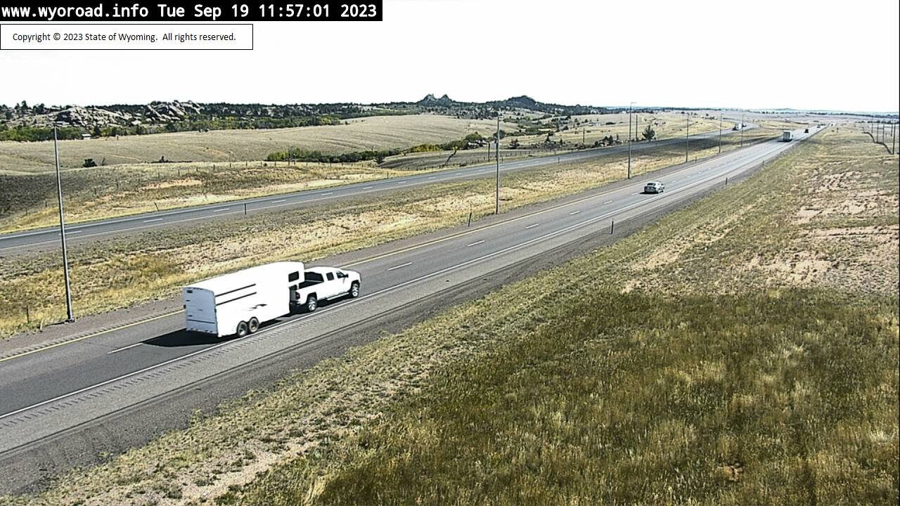
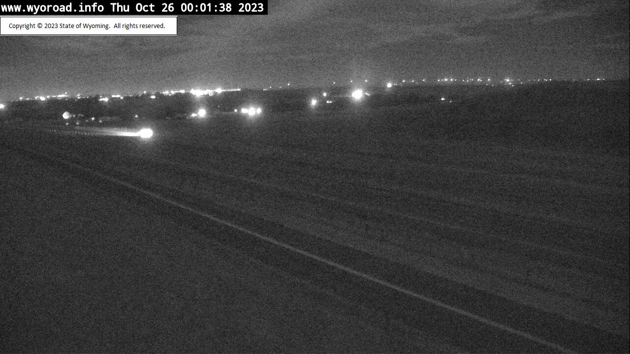
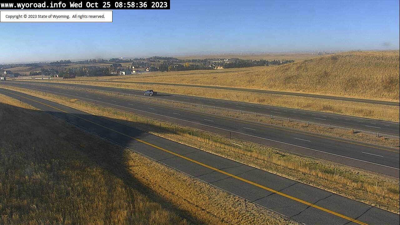
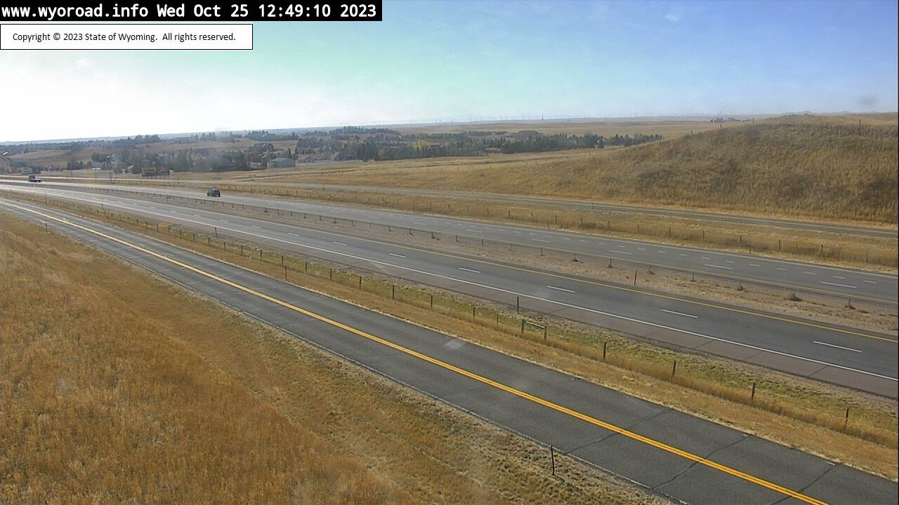
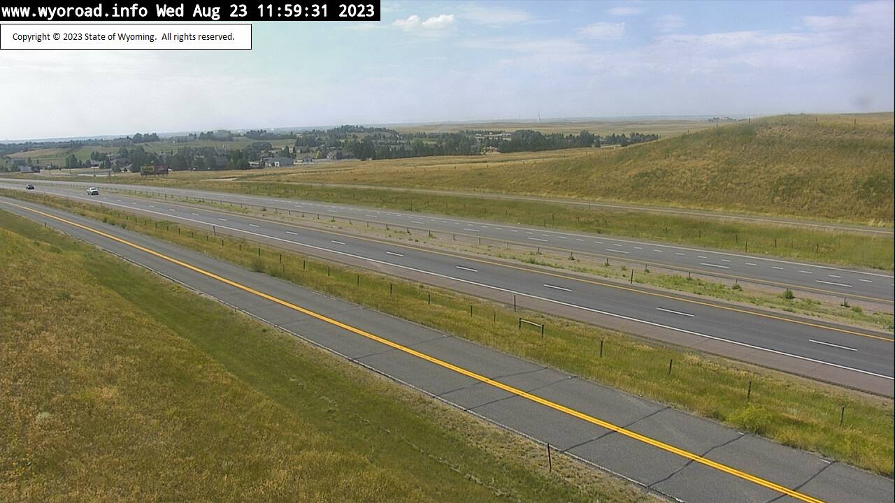
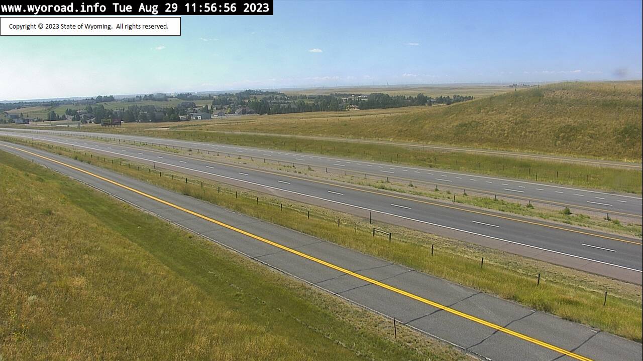
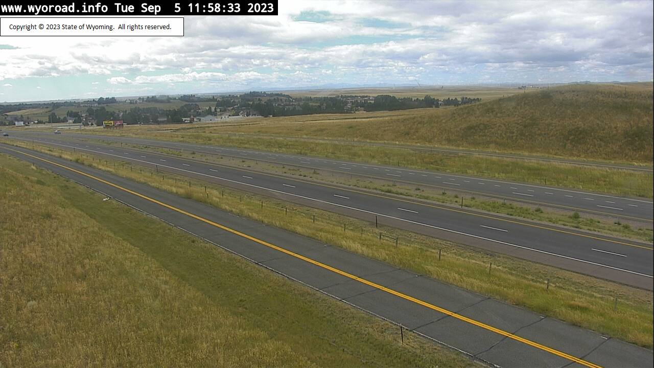
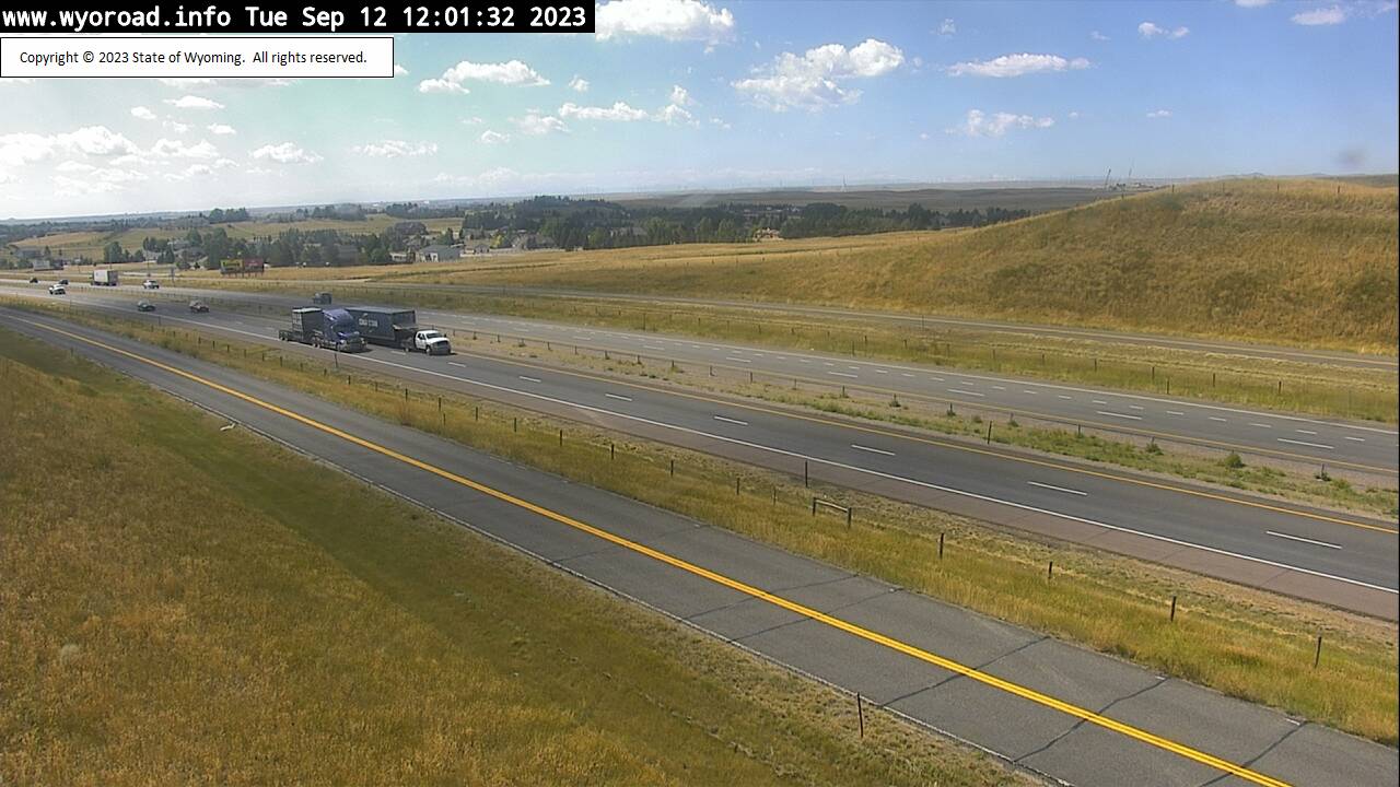
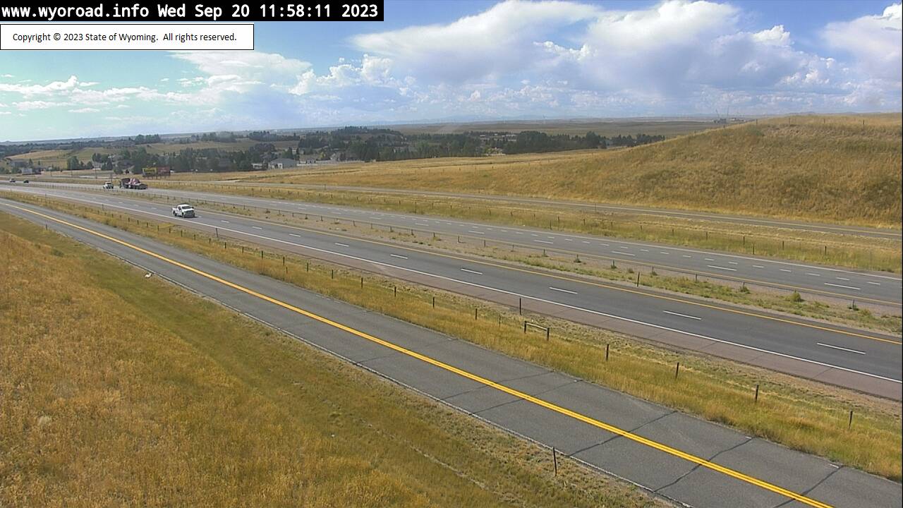
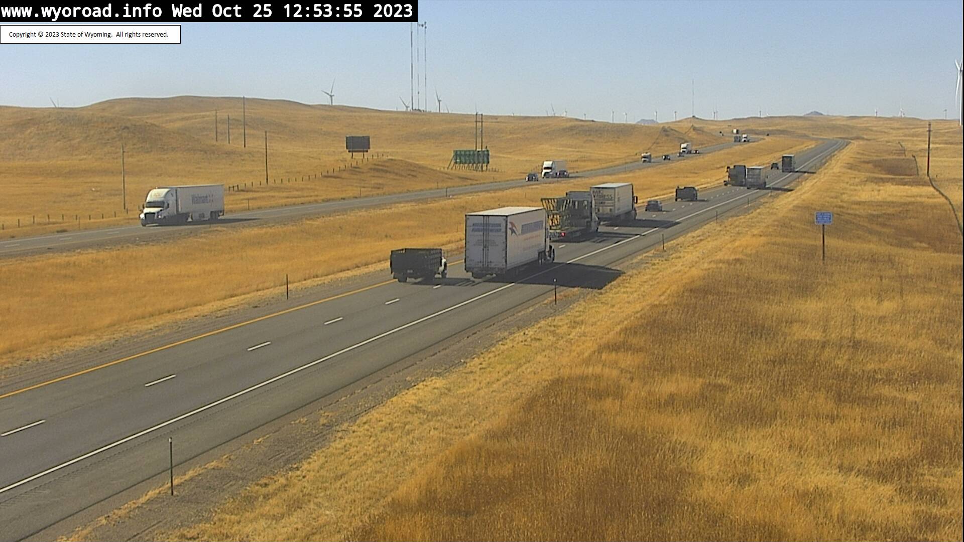
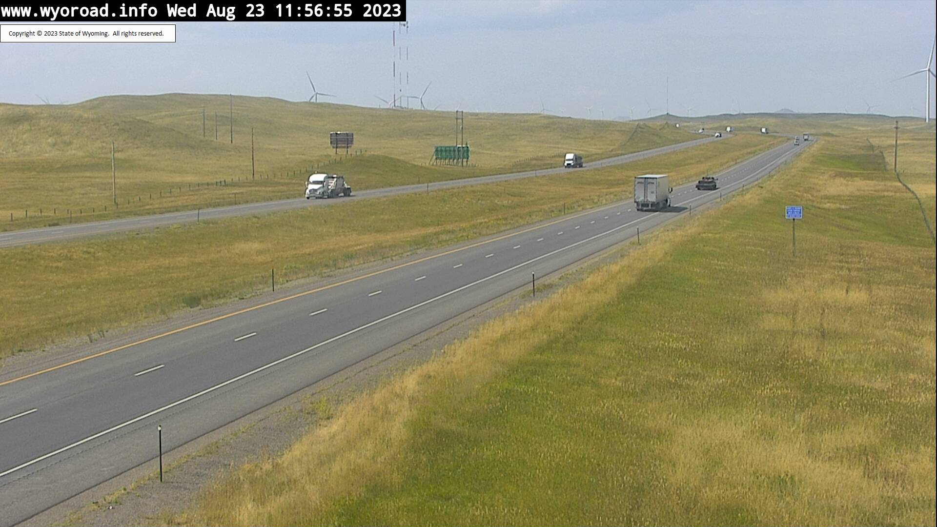
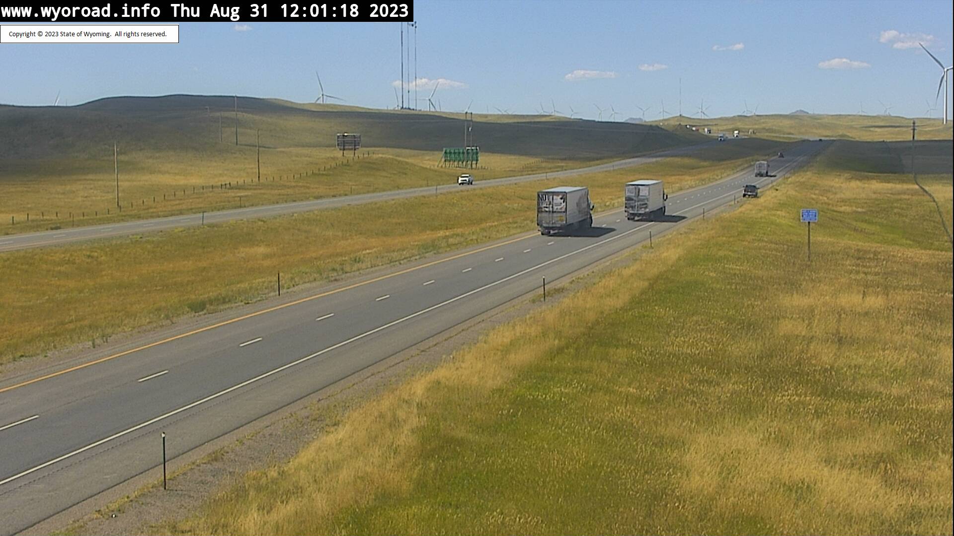
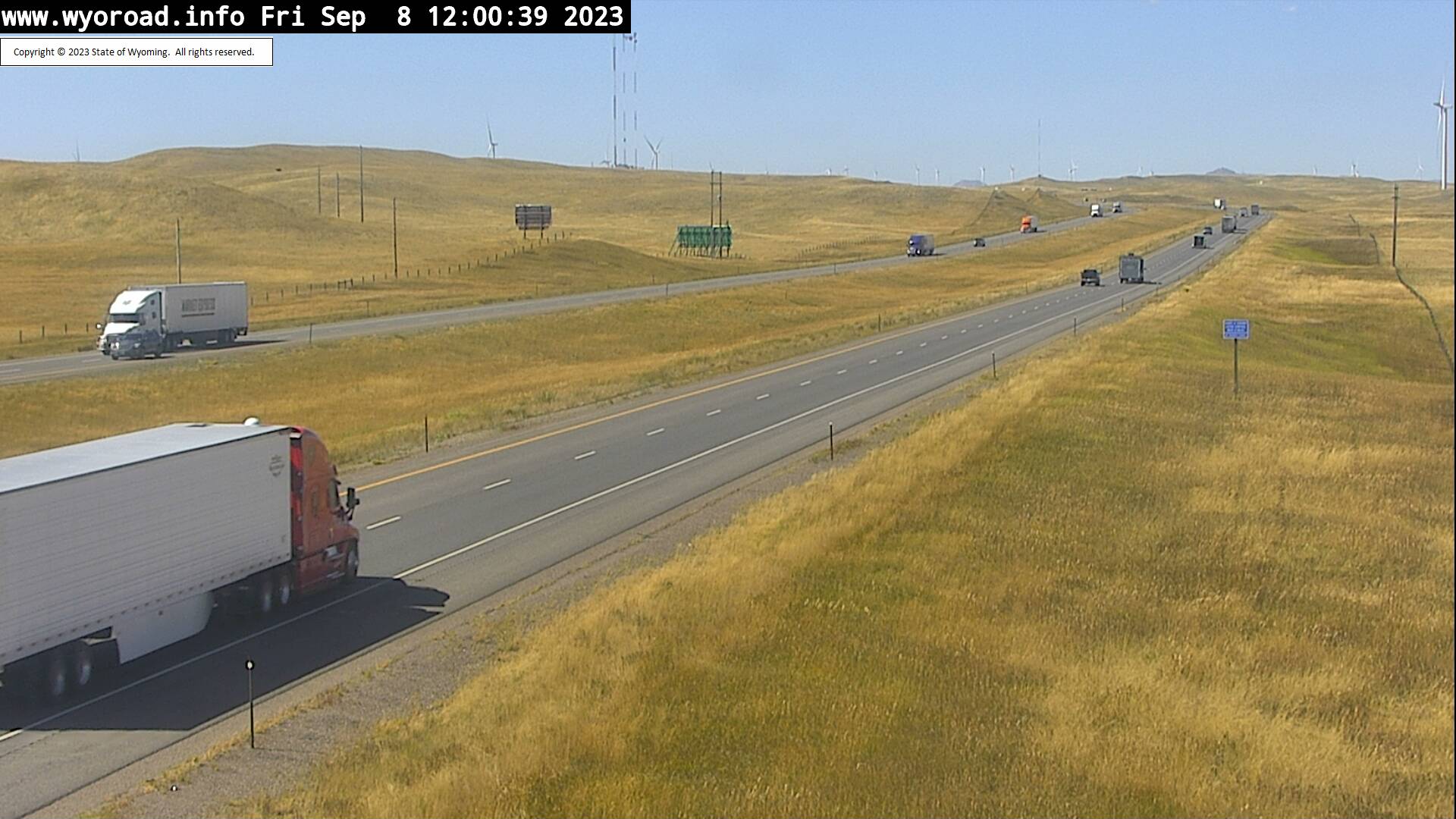
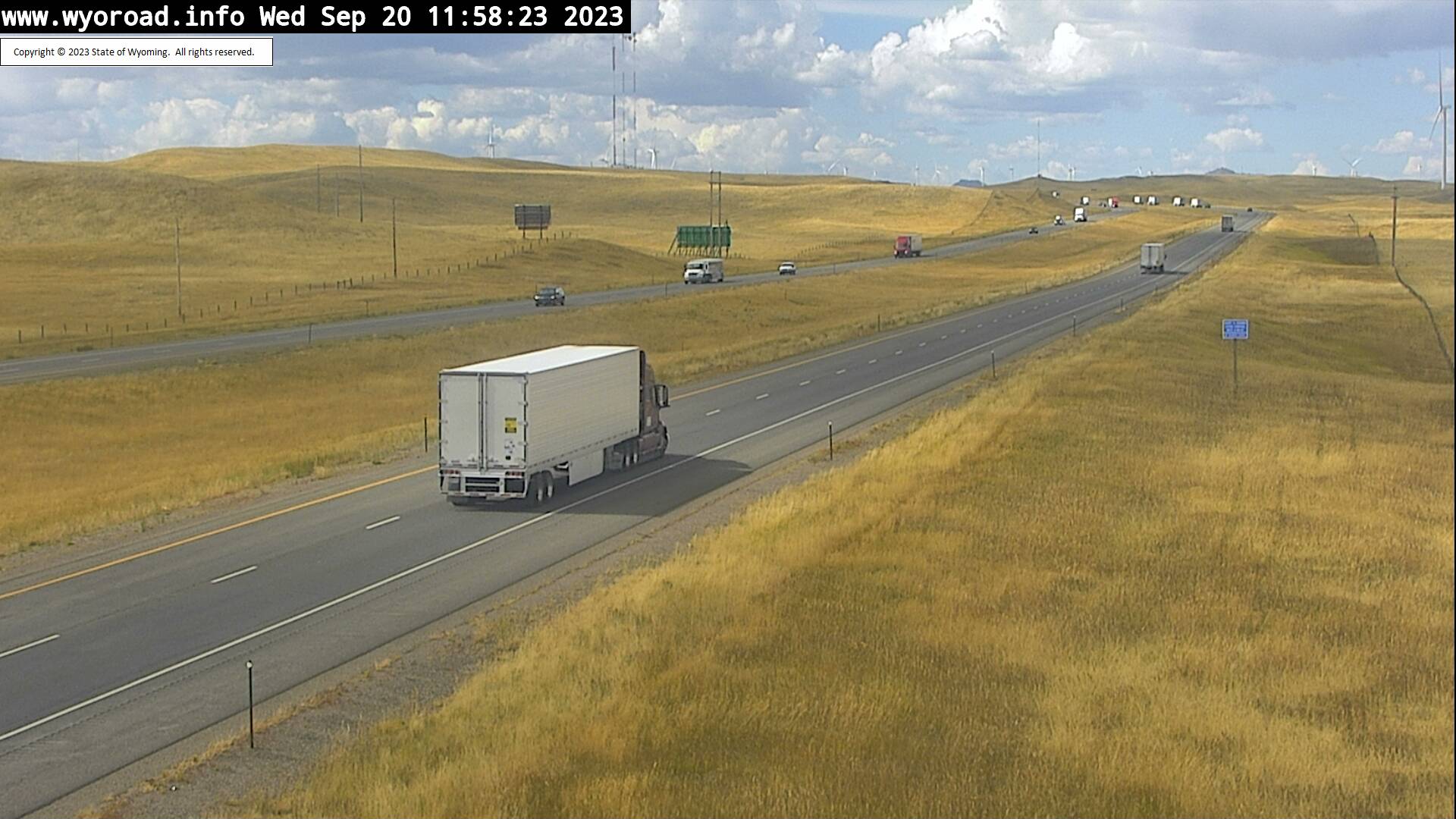
Granite, Wyoming, USA - 15.9 miles from Islay: Warren Interchange - Traffic and Weather - A view of the current traffic and weather situation.
Operator: WYDOT Travel Information Service
Operator: WYDOT Travel Information Service


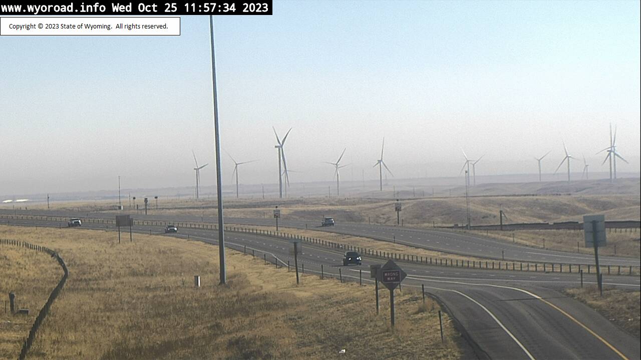

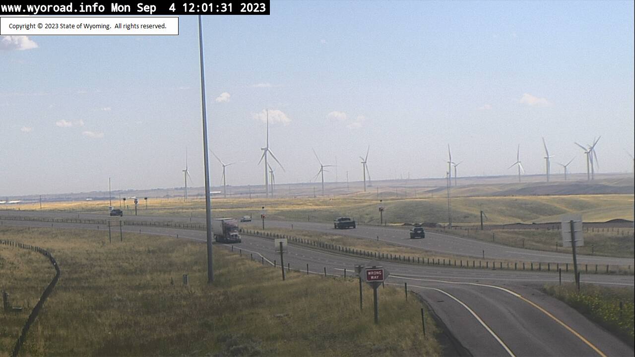


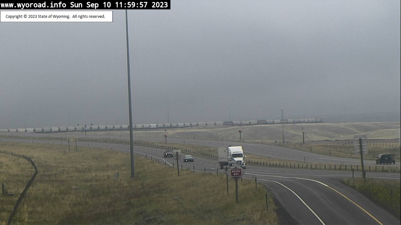


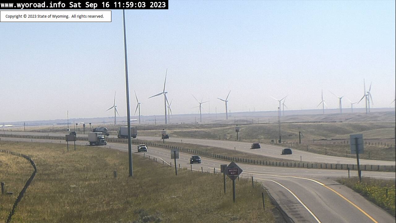


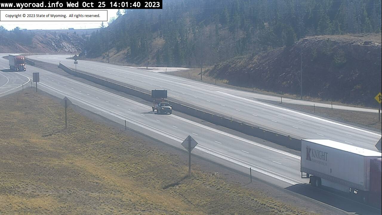
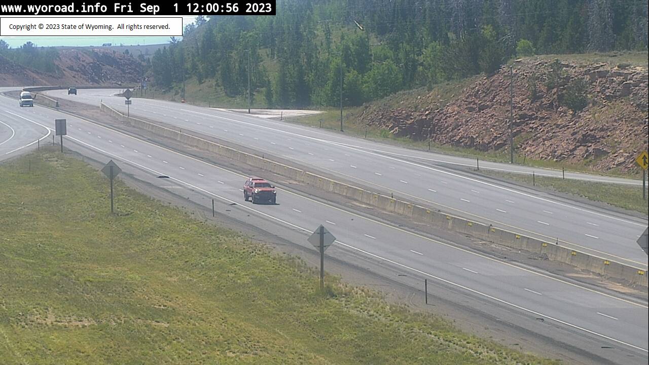
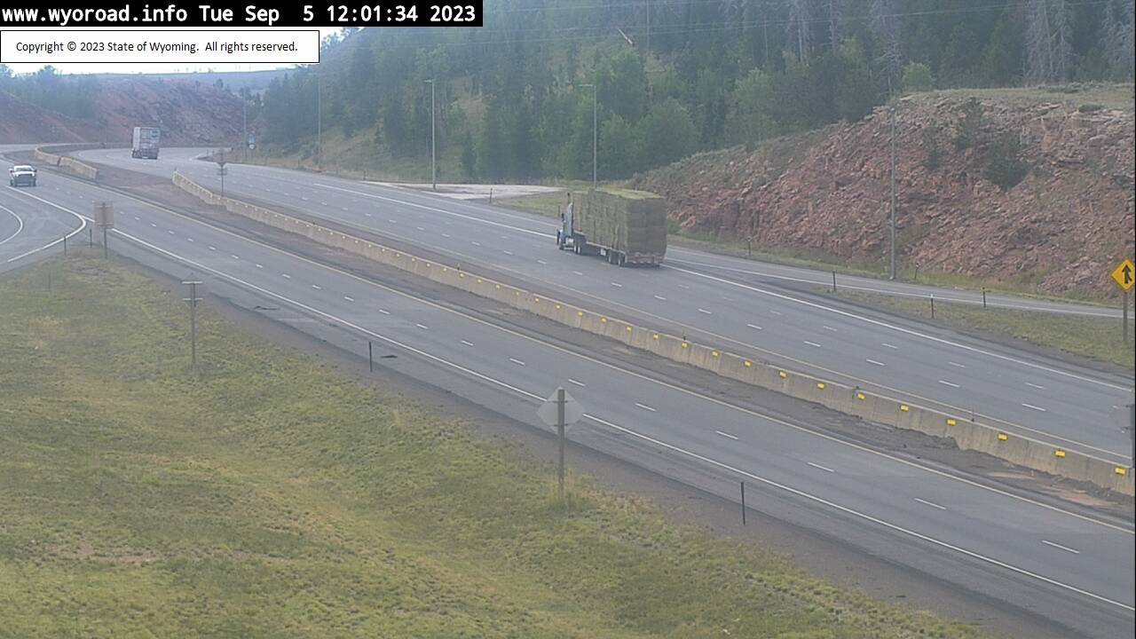
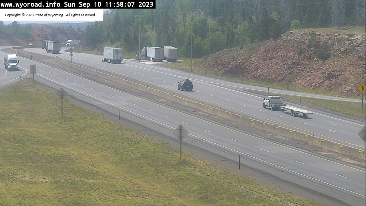
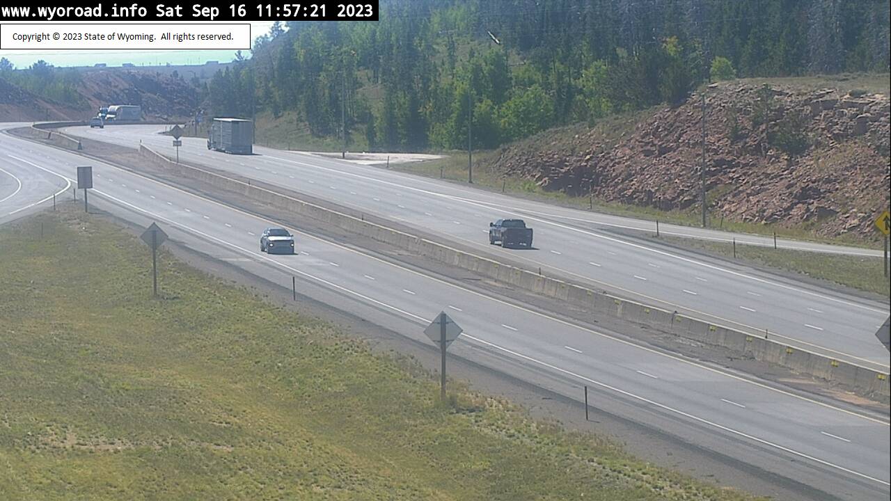
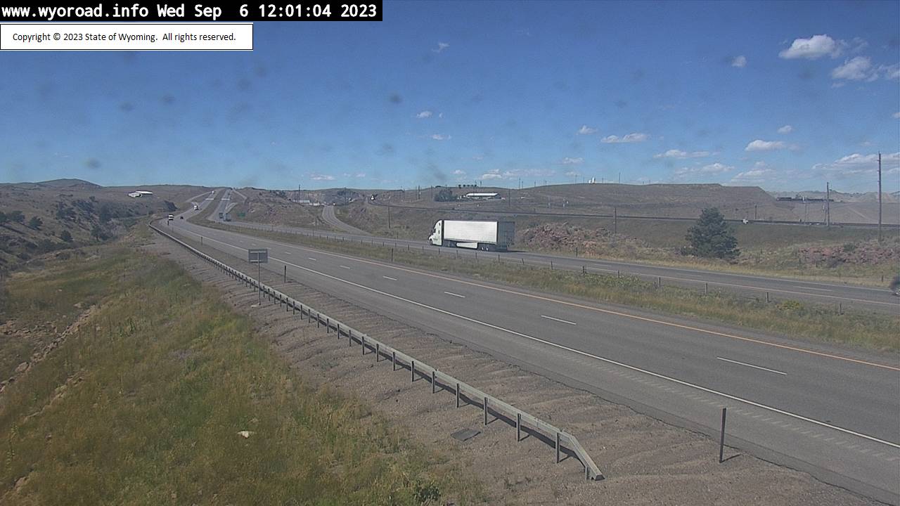
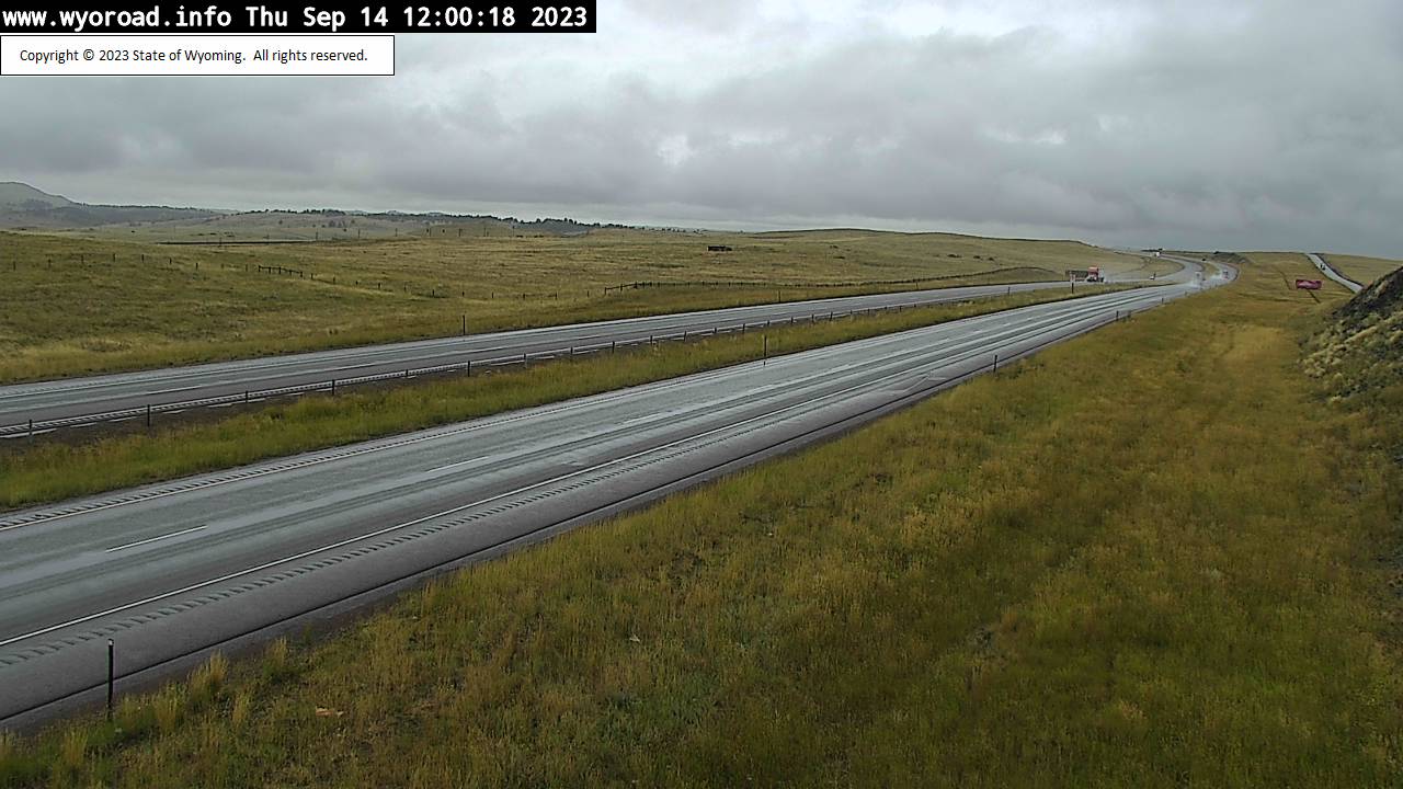
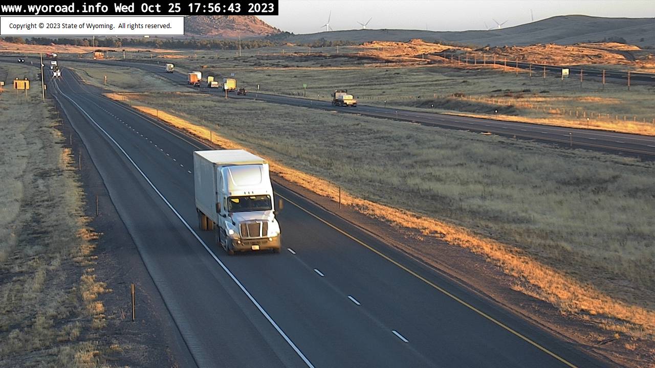
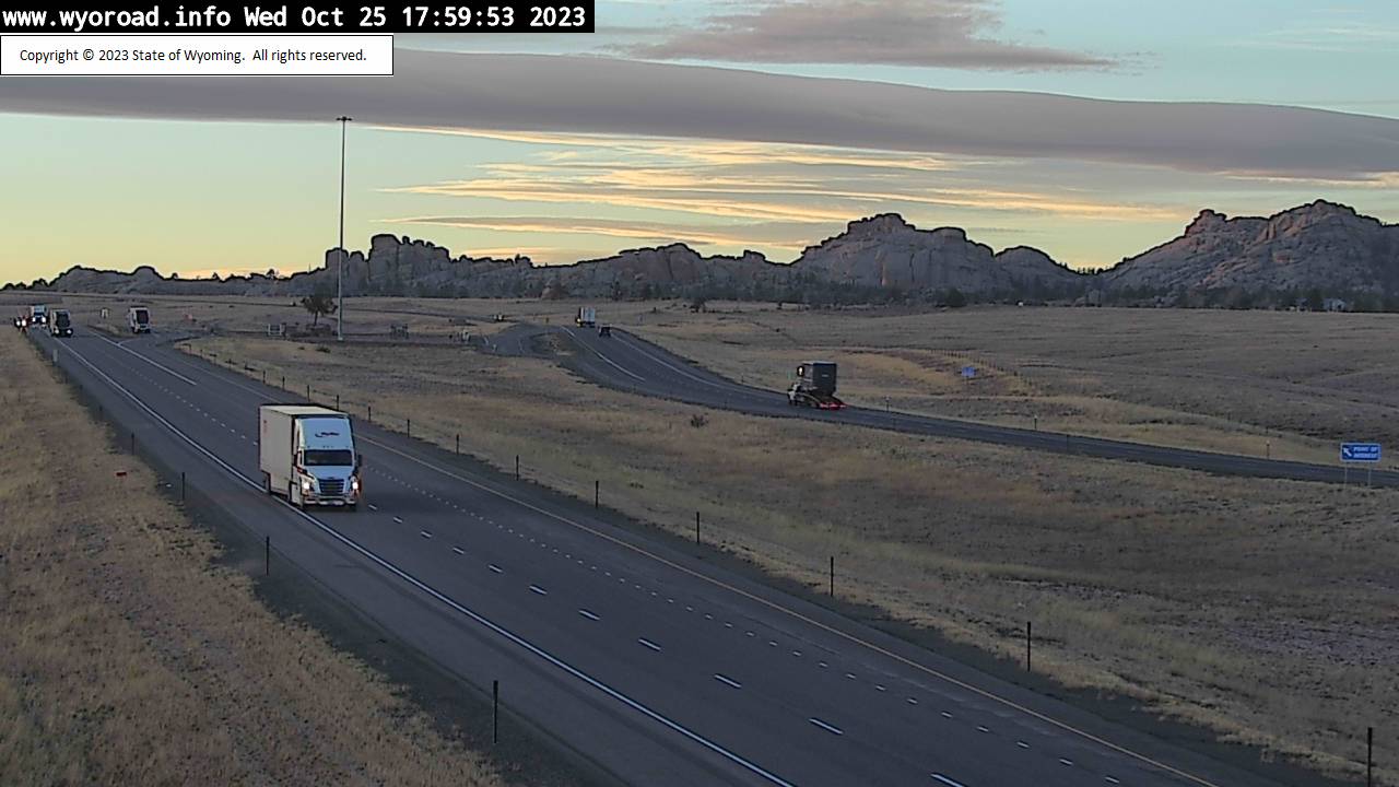
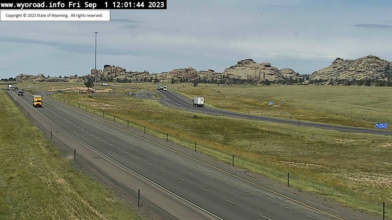
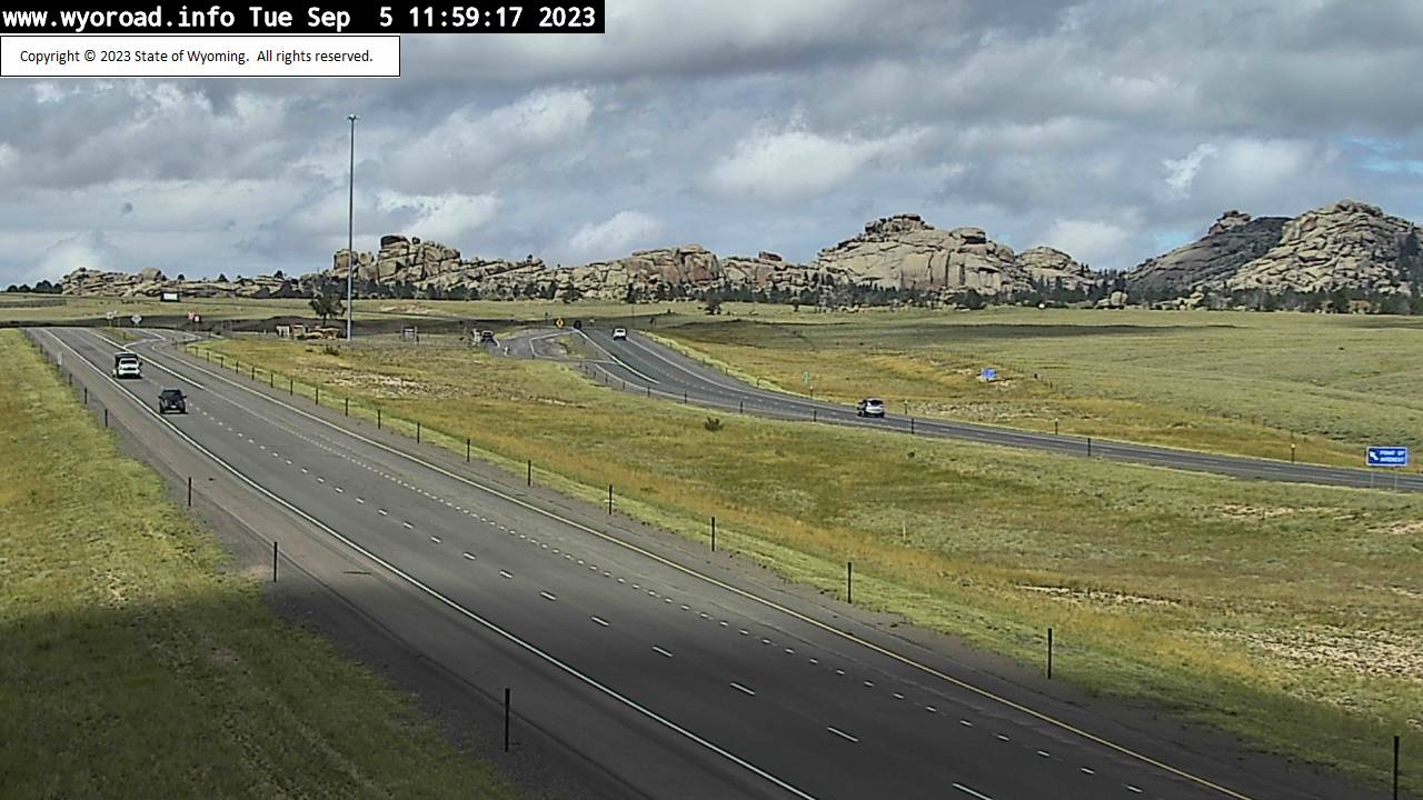
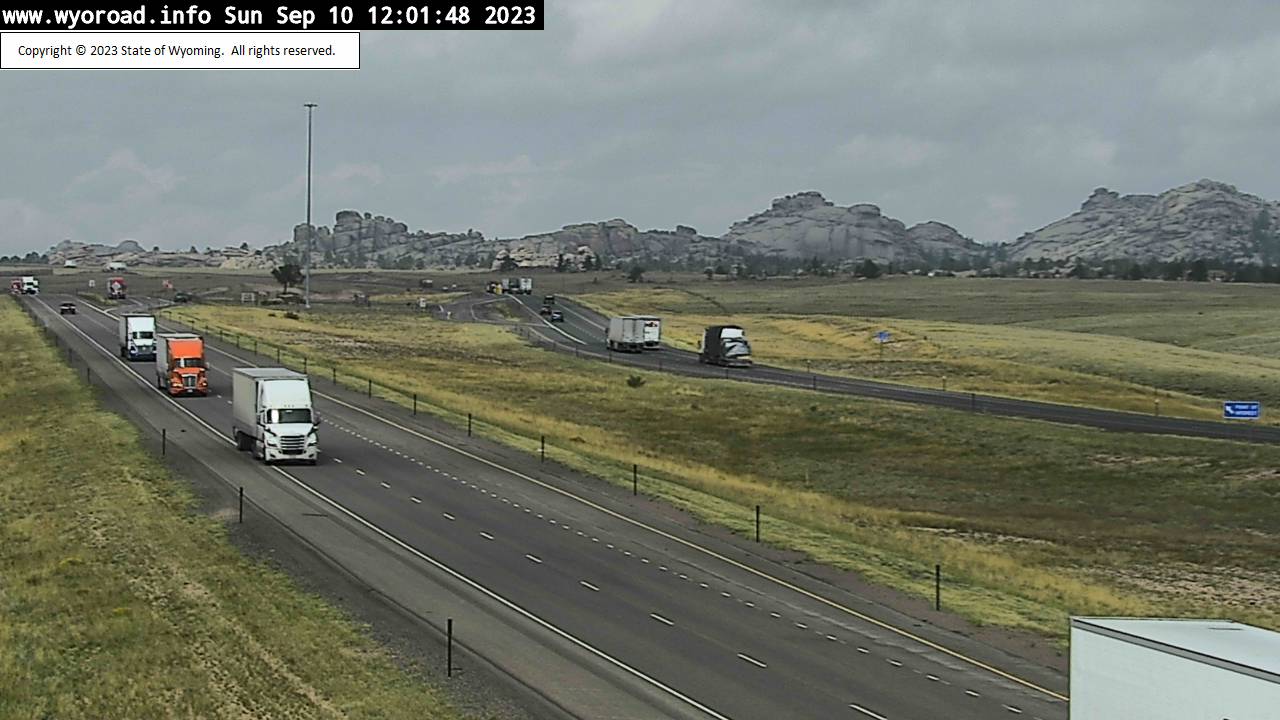
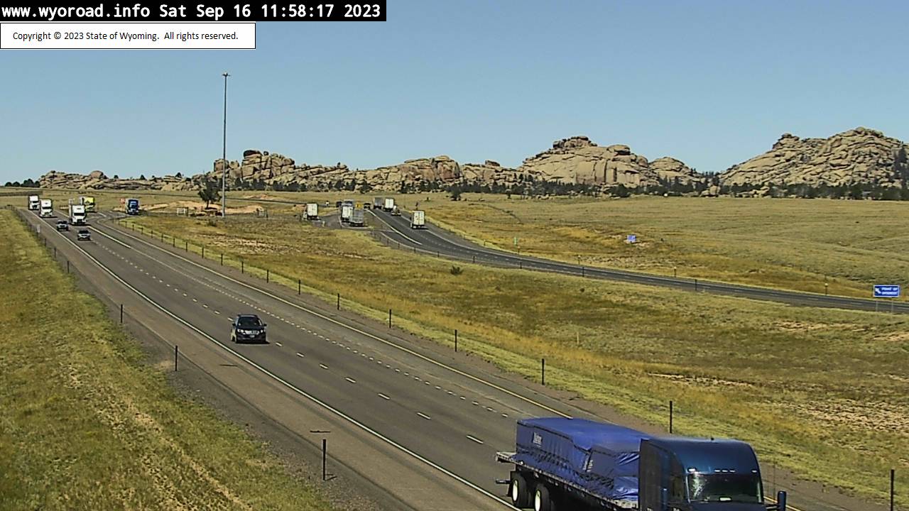
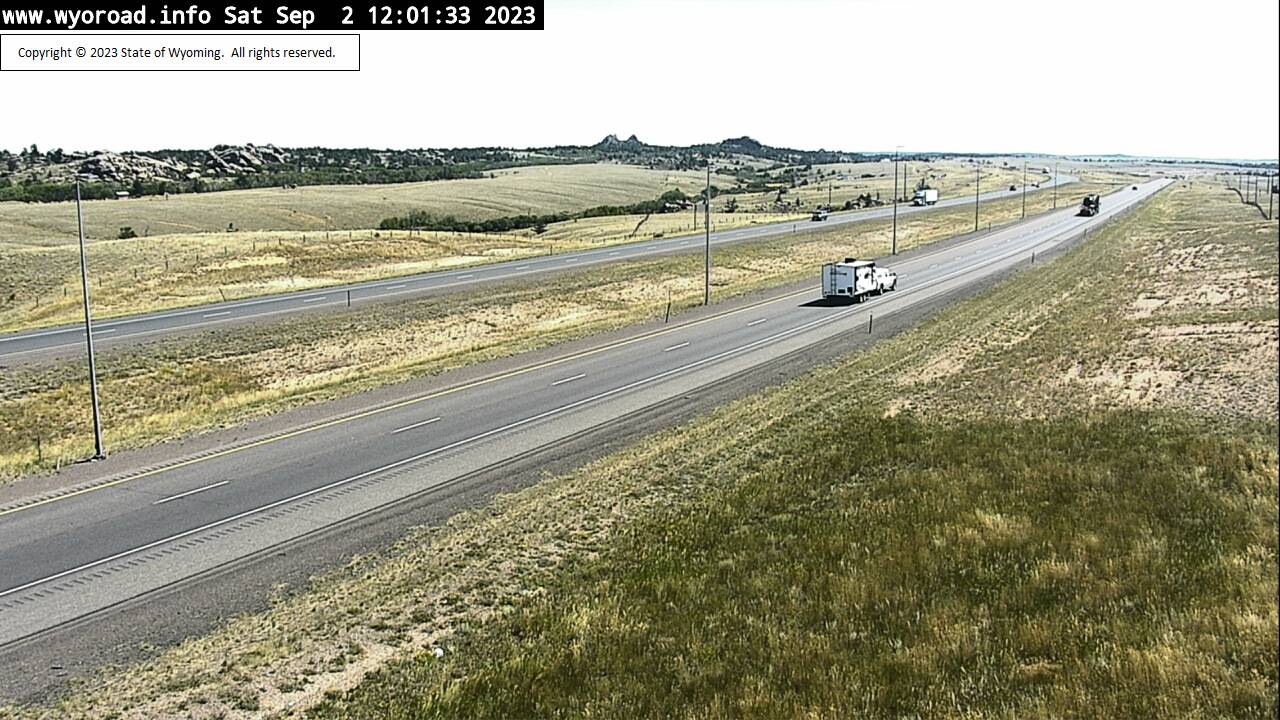
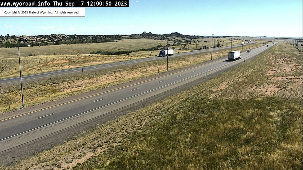
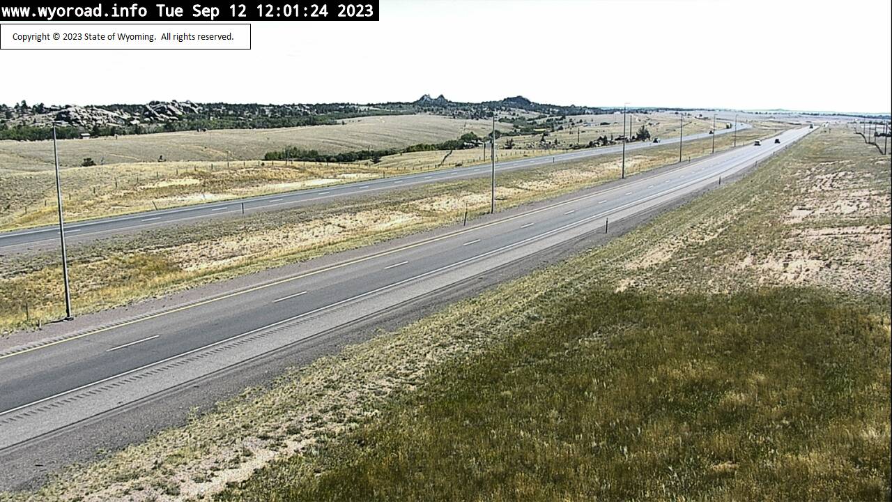
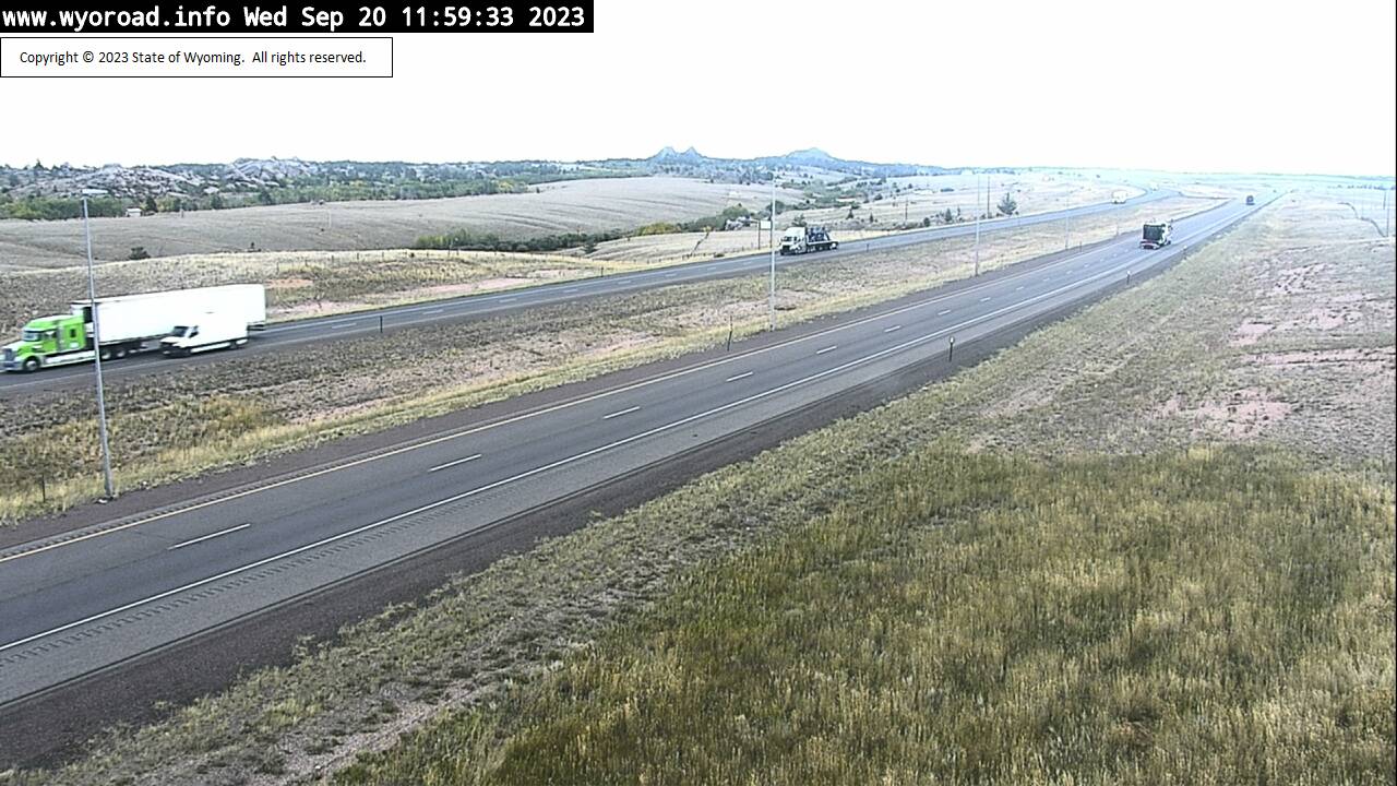
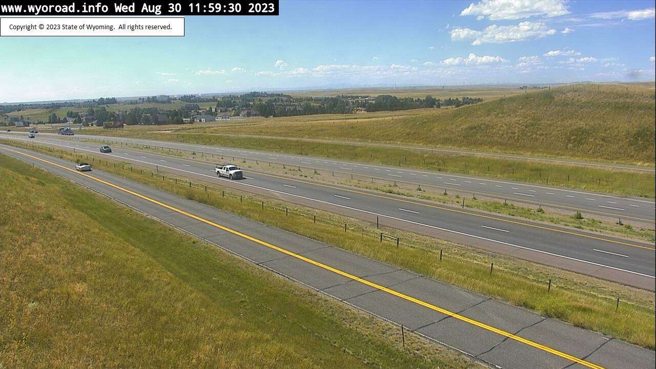
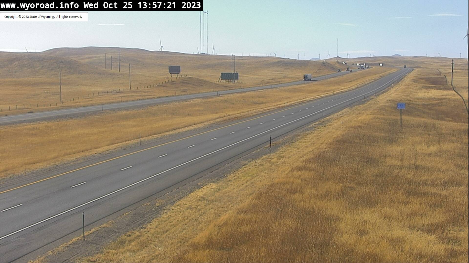
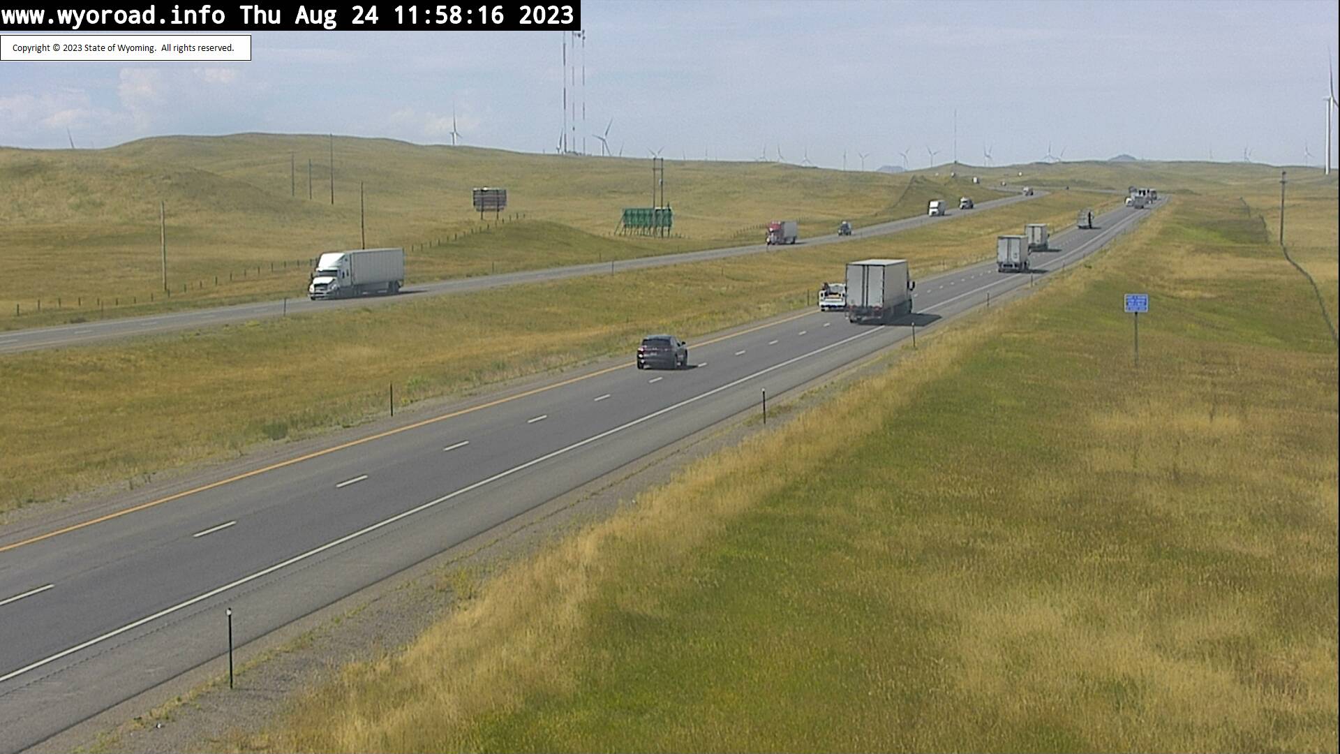
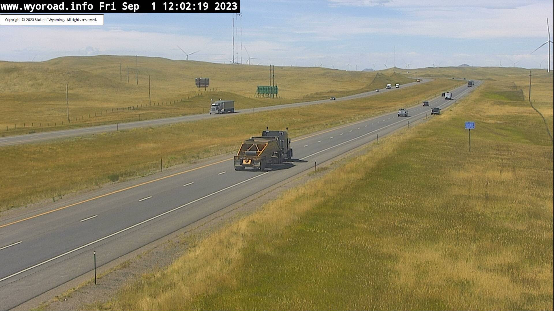
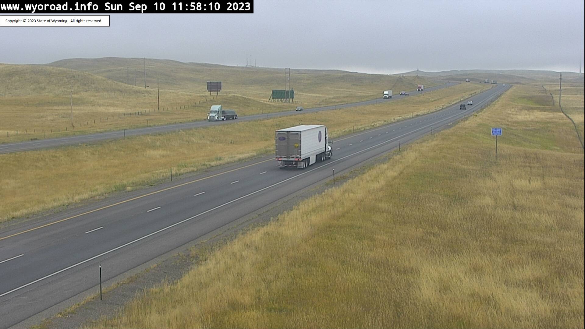
Buford, Wyoming, USA - 16.1 miles from Islay: Buford East - Traffic and Weather - A view of the current traffic and weather situation.
Operator: WYDOT Travel Information Service
Operator: WYDOT Travel Information Service


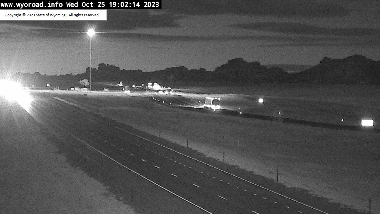
Buford, Wyoming, USA - 16.1 miles from Islay: Lone Tree - Traffic and Weather - A view of the current traffic and weather situation.
Operator: WYDOT Travel Information Service
Operator: WYDOT Travel Information Service


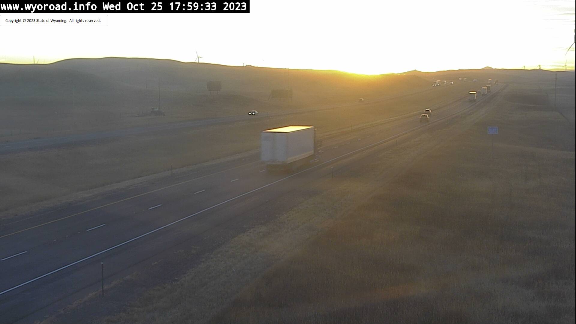
Buford, Wyoming, USA - 16.2 miles from Islay: Vedauwoo - Traffic and Weather - A view of the current traffic and weather situation.
Operator: WYDOT Travel Information Service
Operator: WYDOT Travel Information Service


Cheyenne, Wyoming, USA - 20.8 miles from Islay: Cheyenne North - Traffic and Weather - A view of the current traffic and weather situation.
Operator: WYDOT Travel Information Service
Operator: WYDOT Travel Information Service


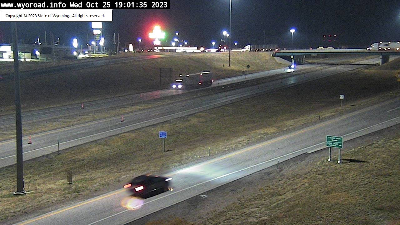
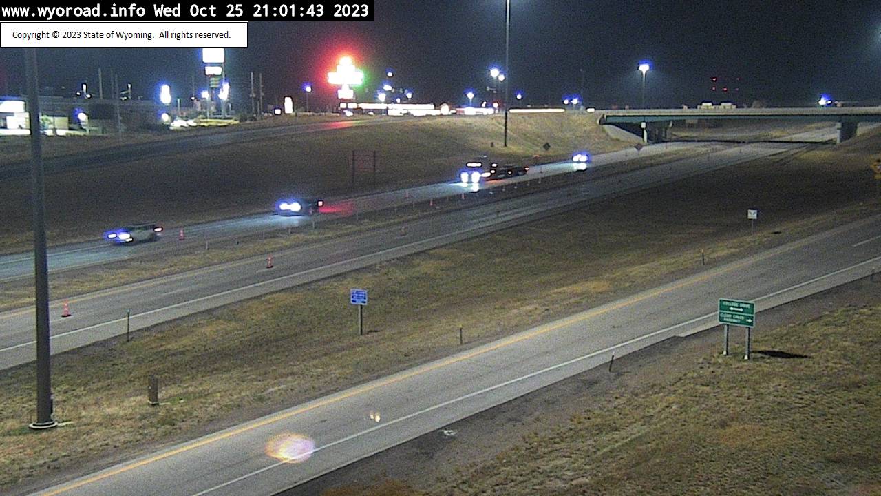
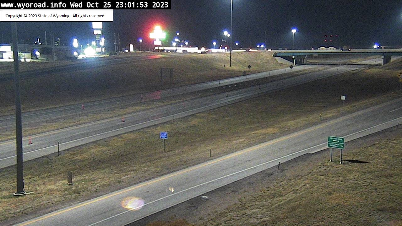
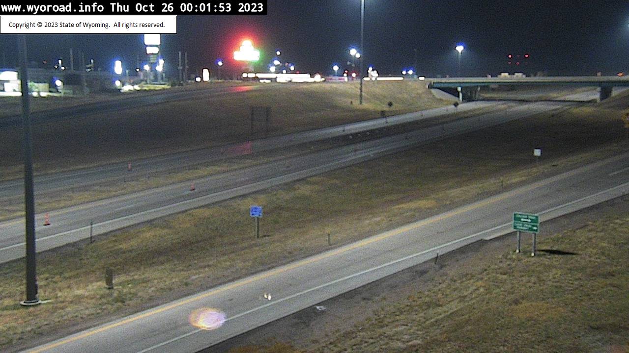
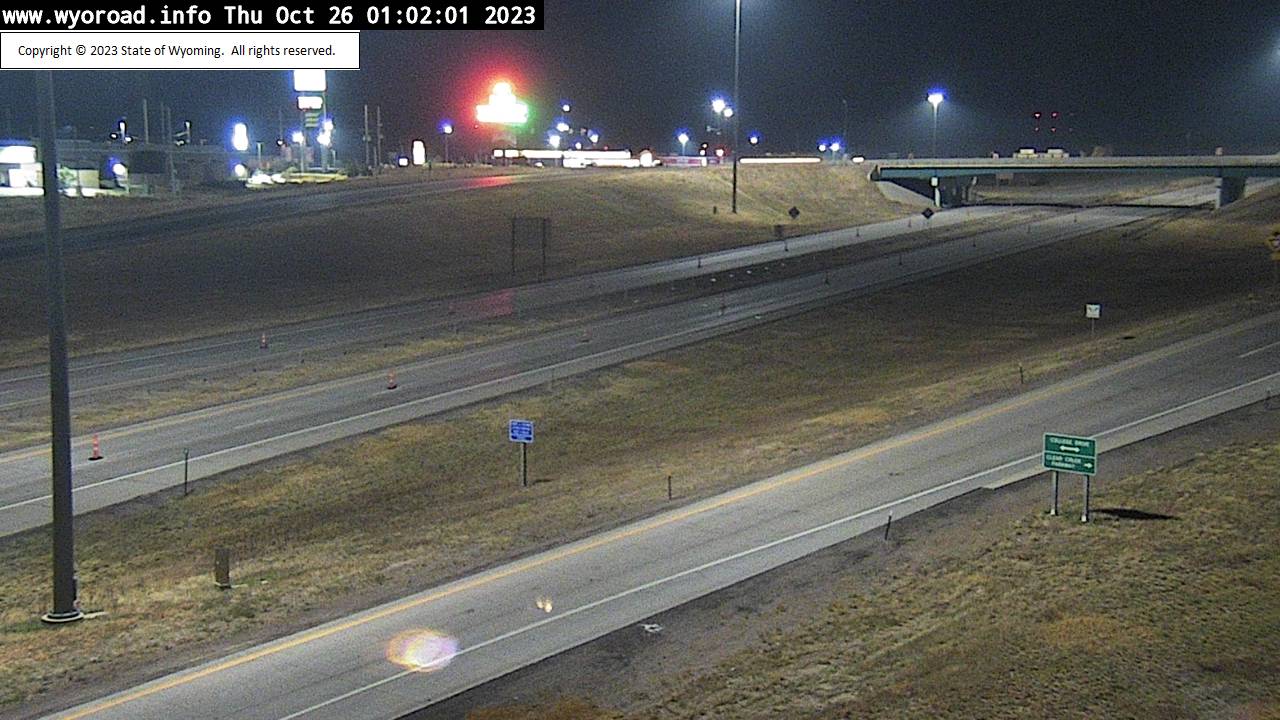
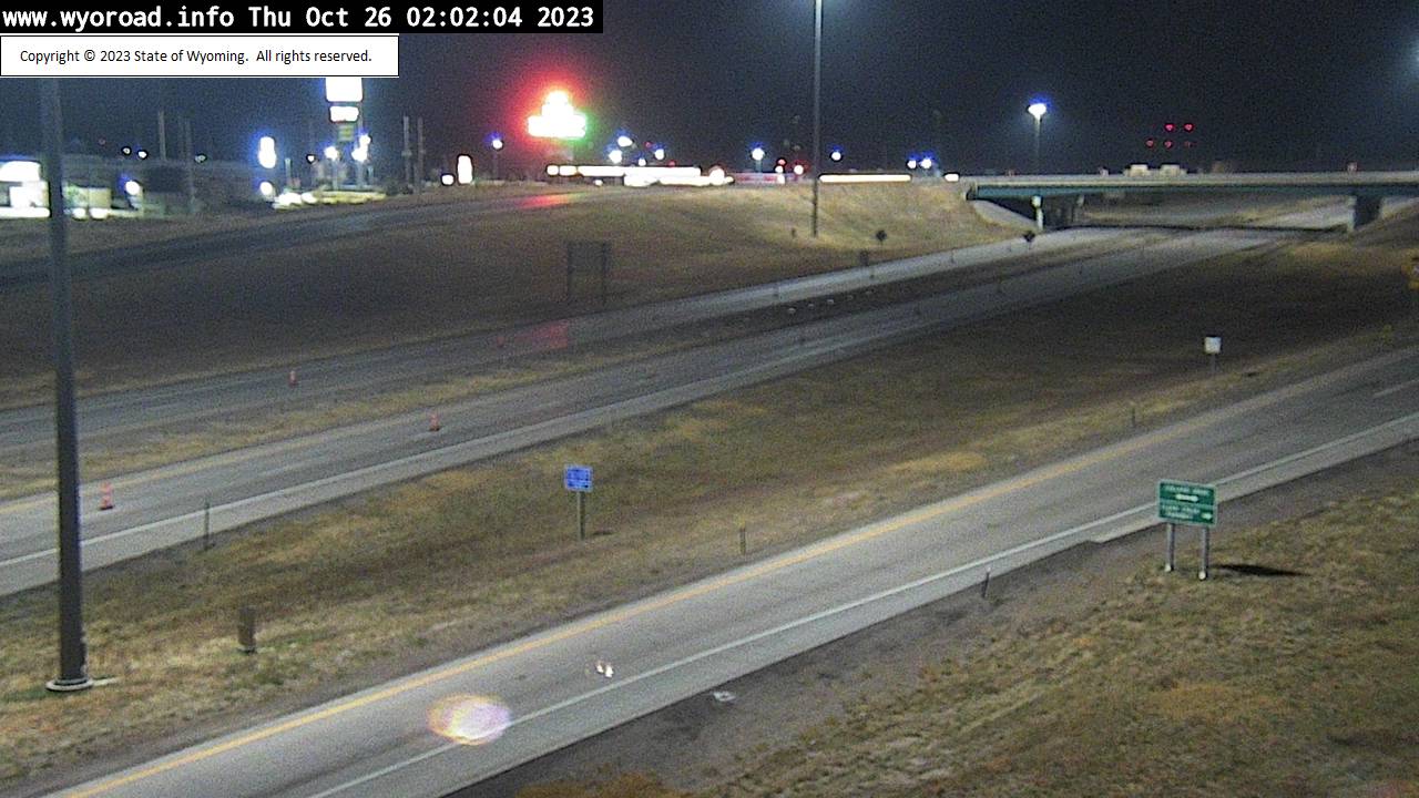
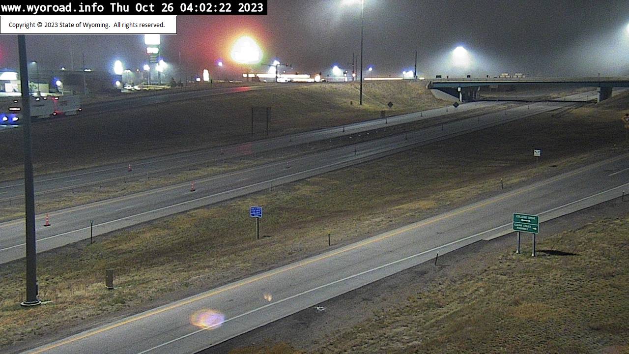
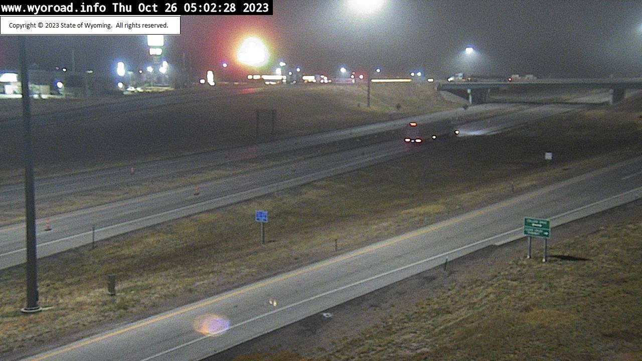
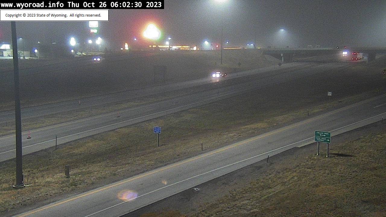
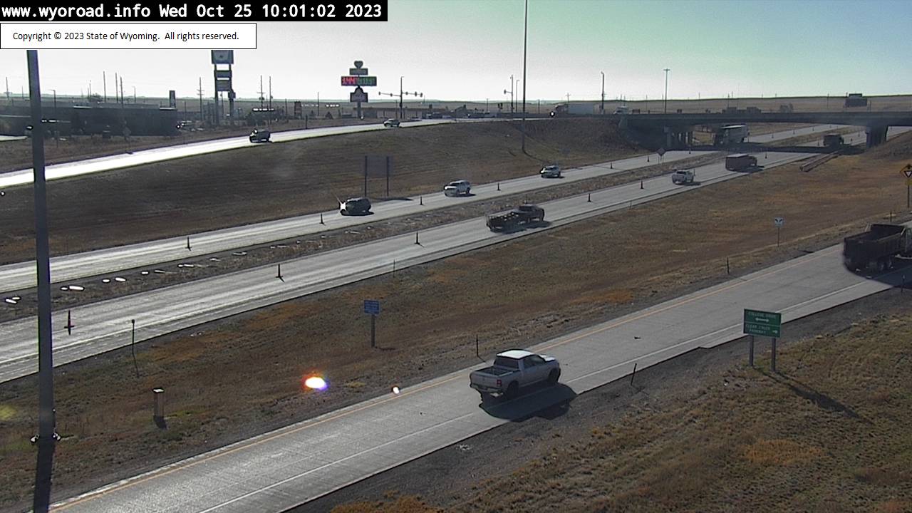
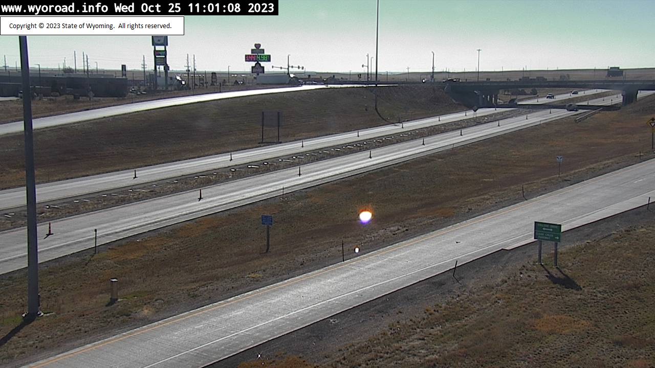
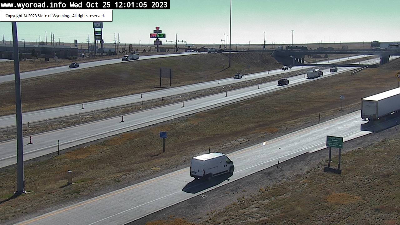
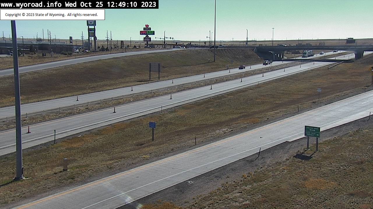
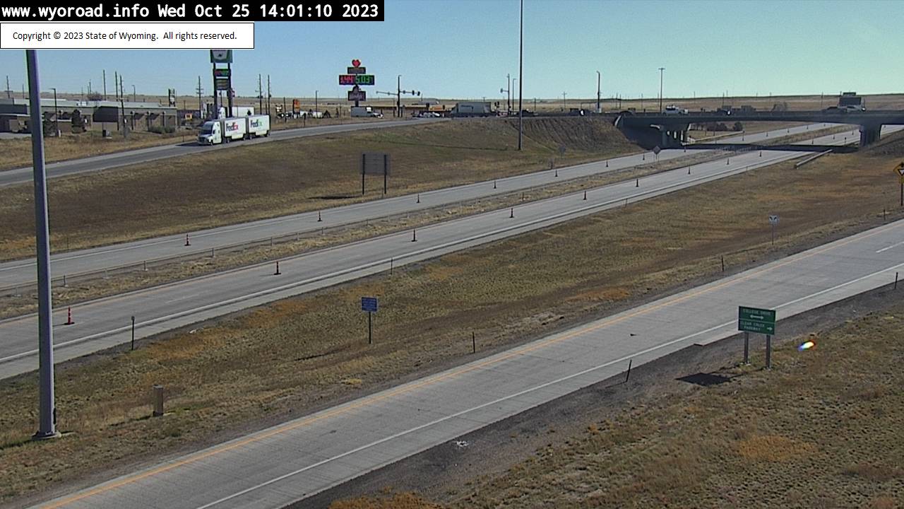
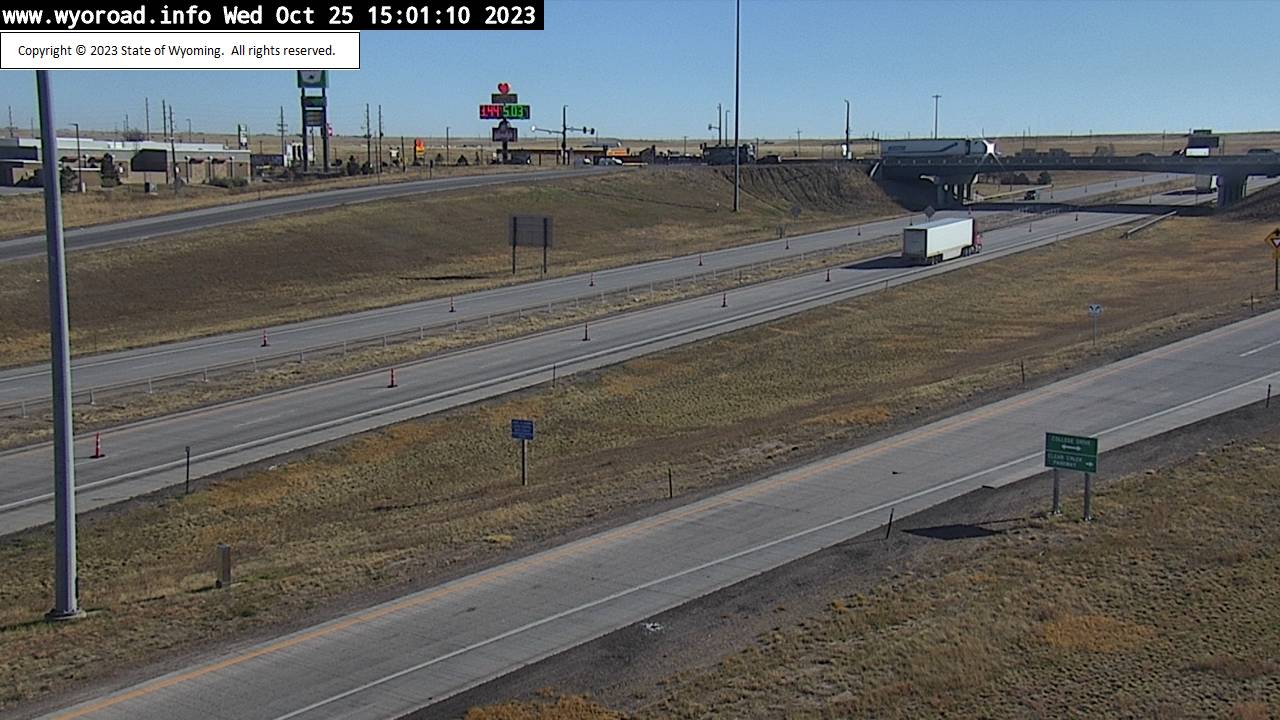
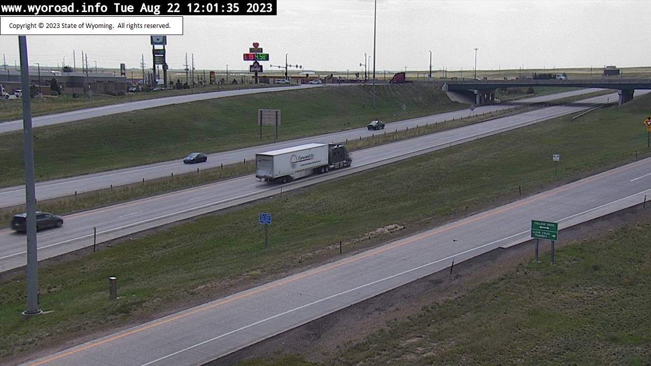
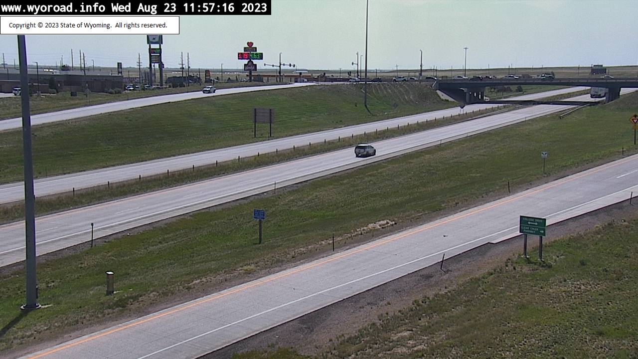
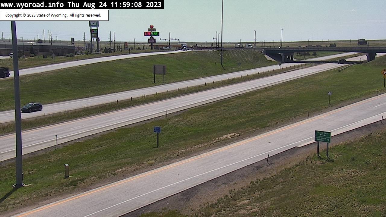
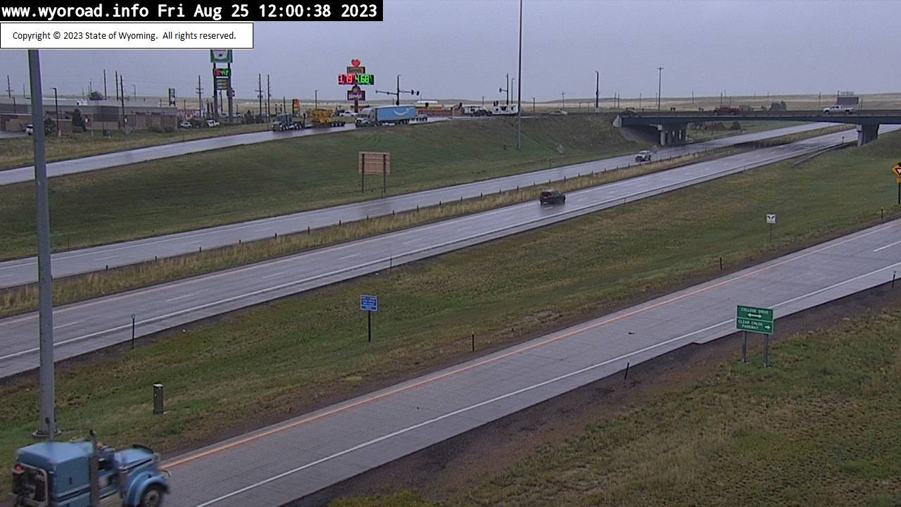
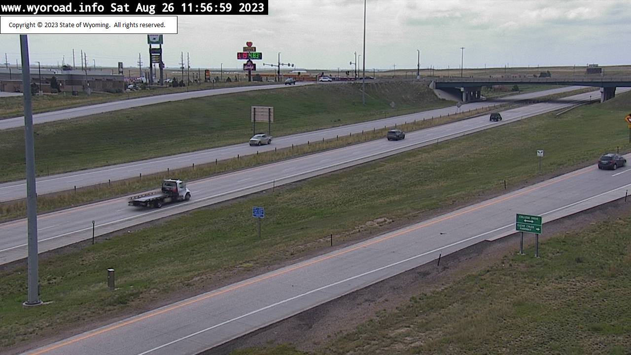
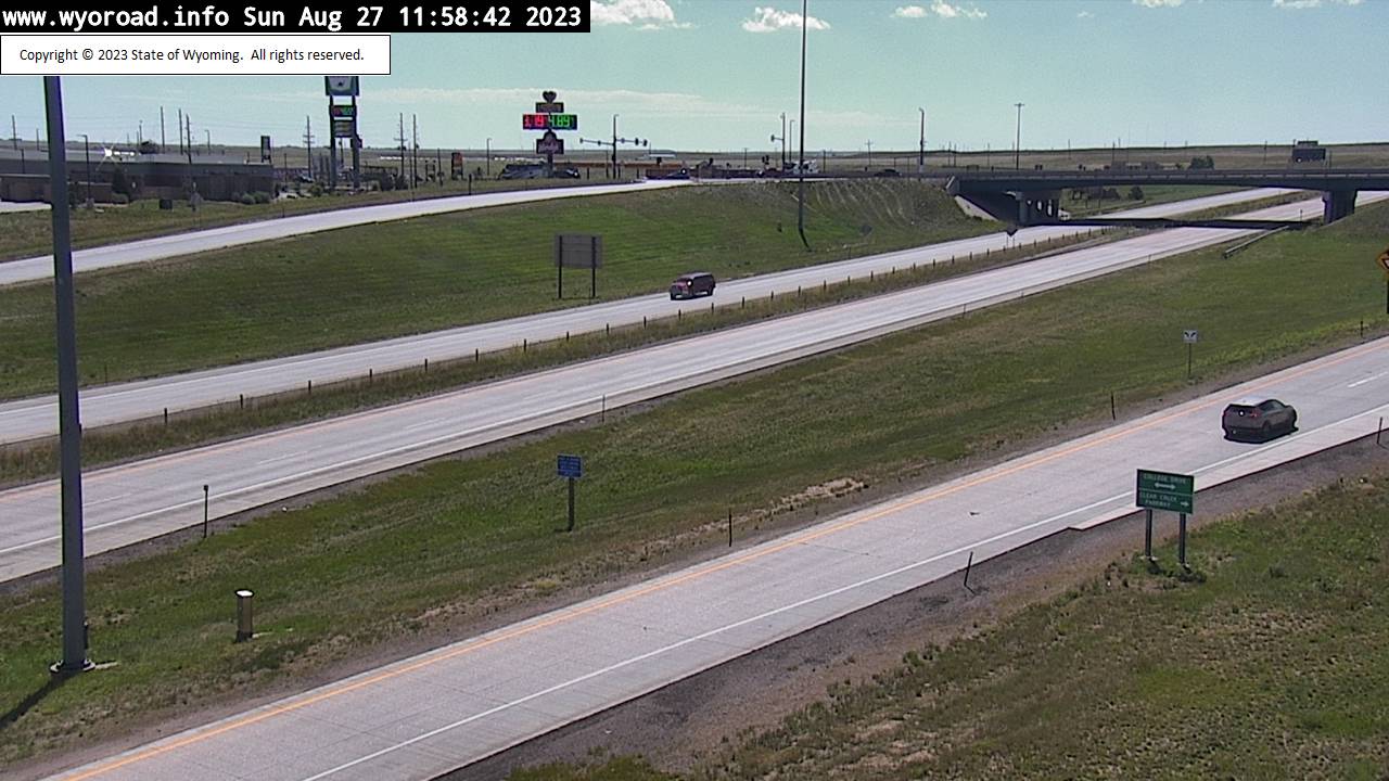
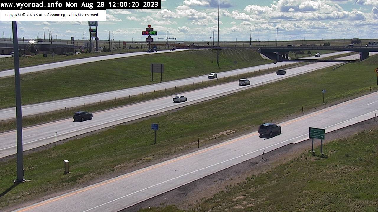
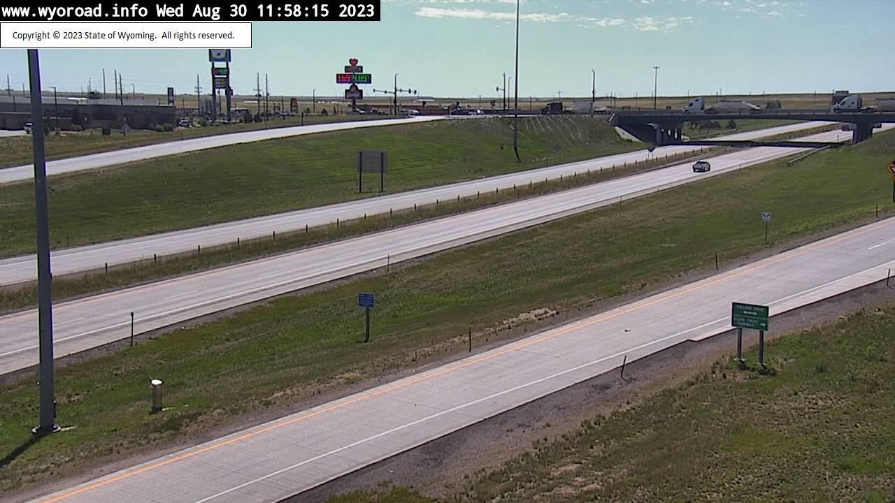
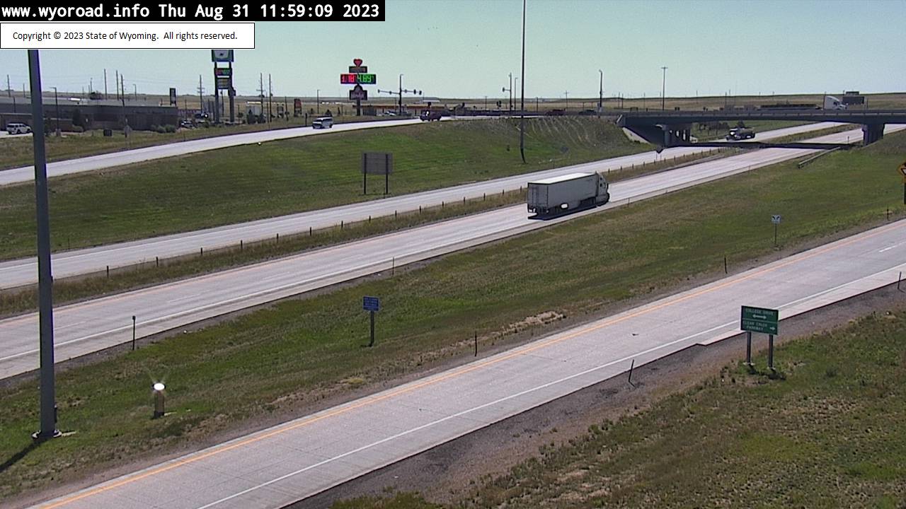
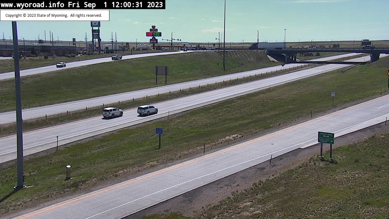
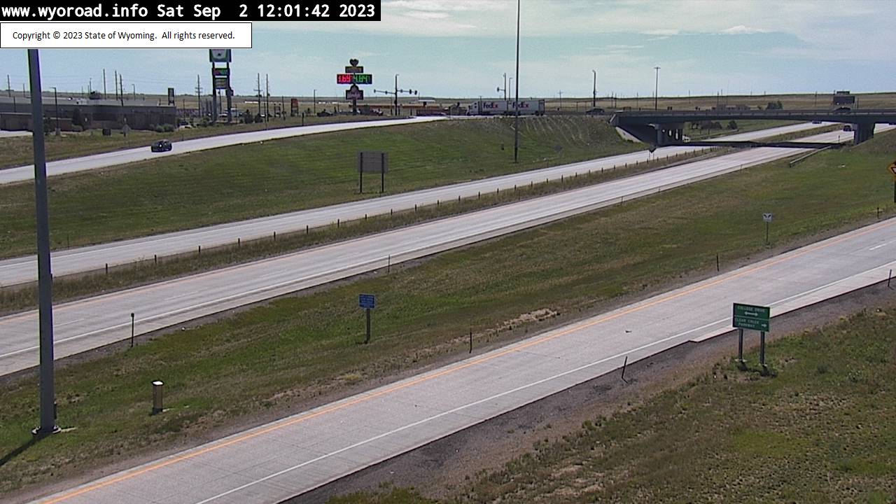
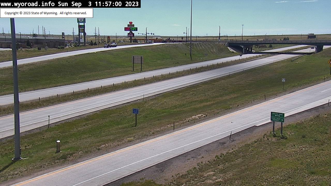
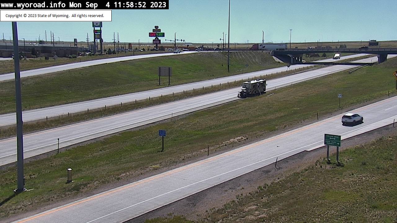
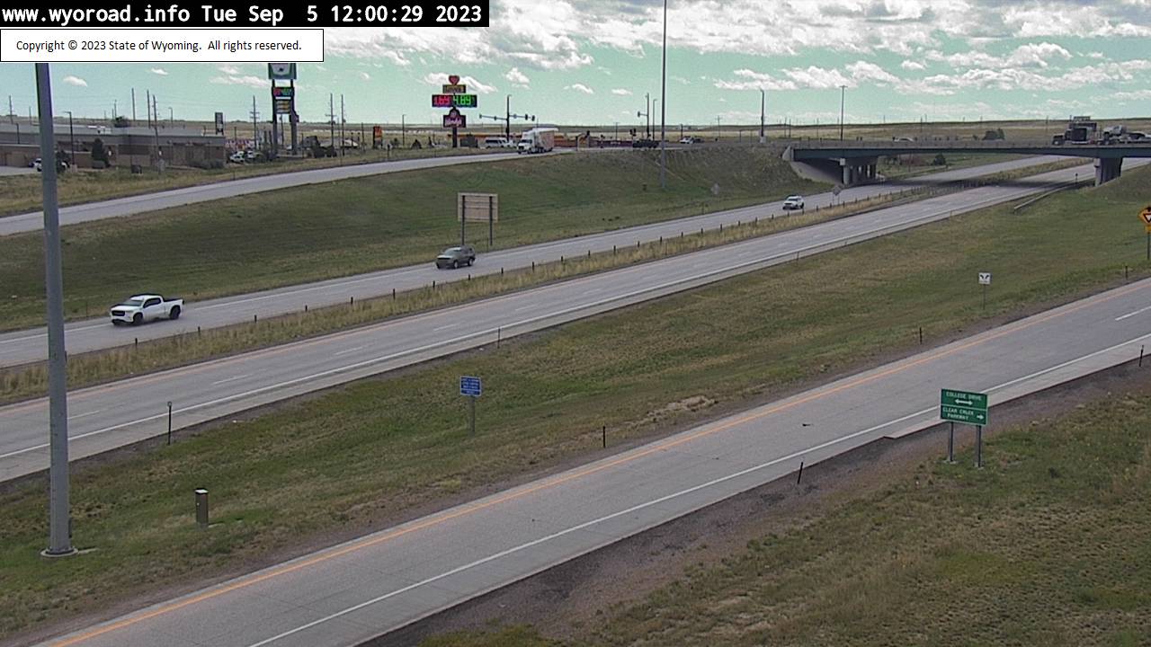
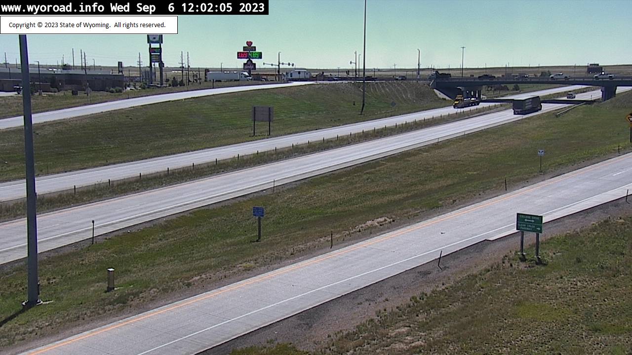
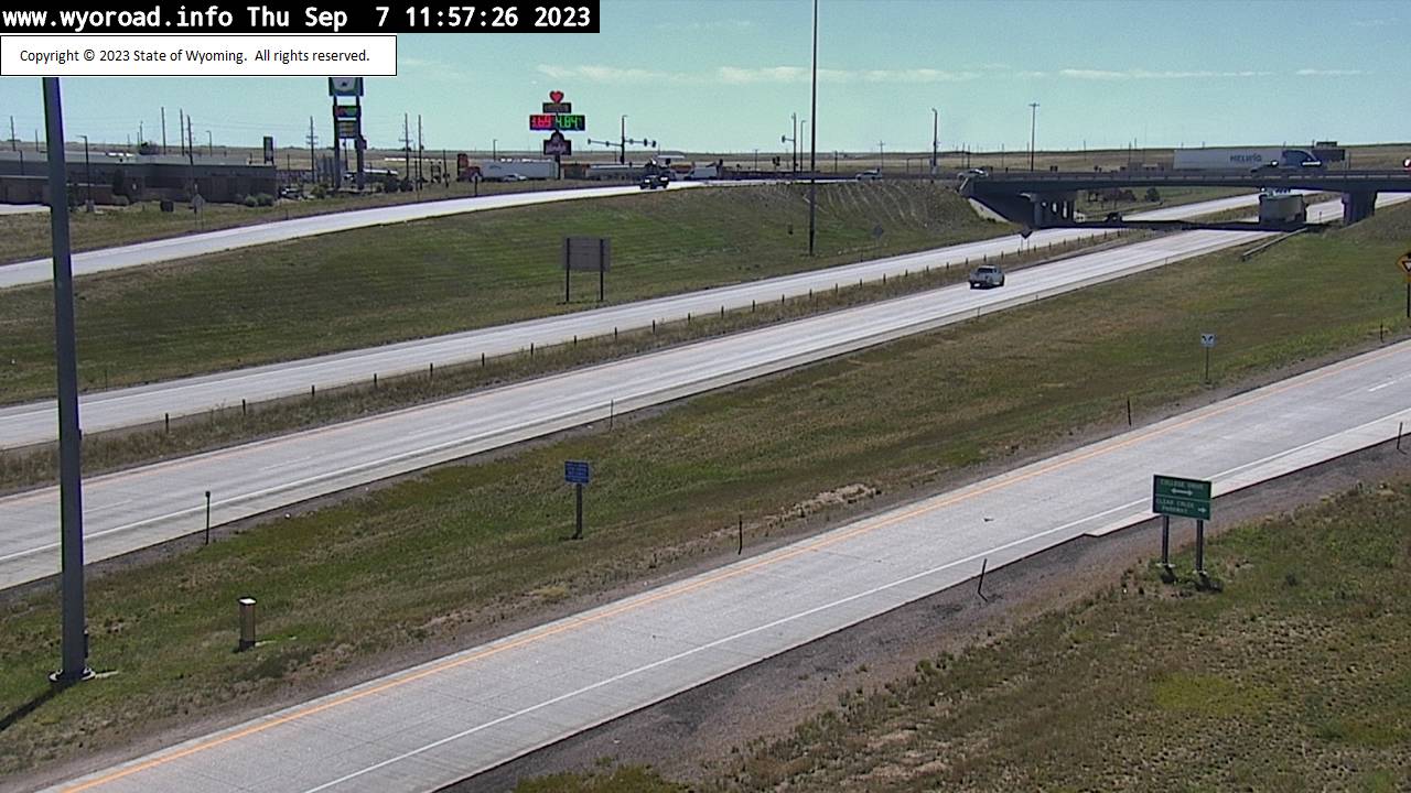
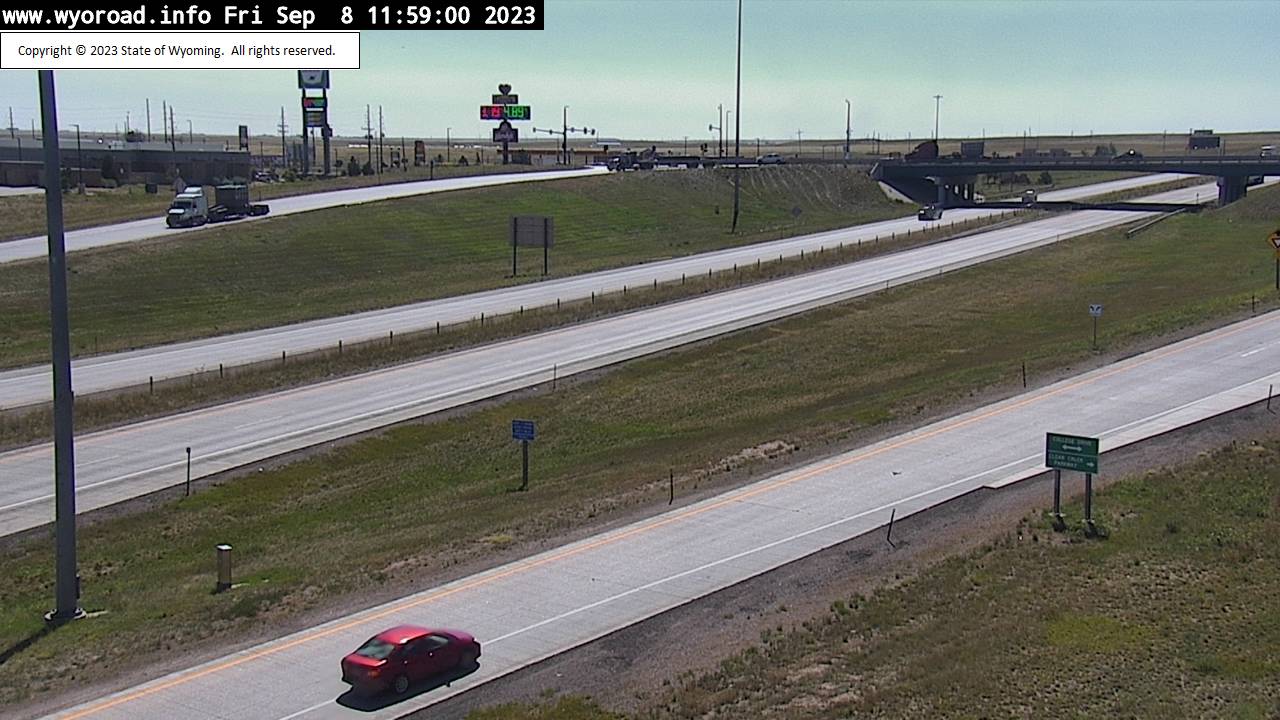
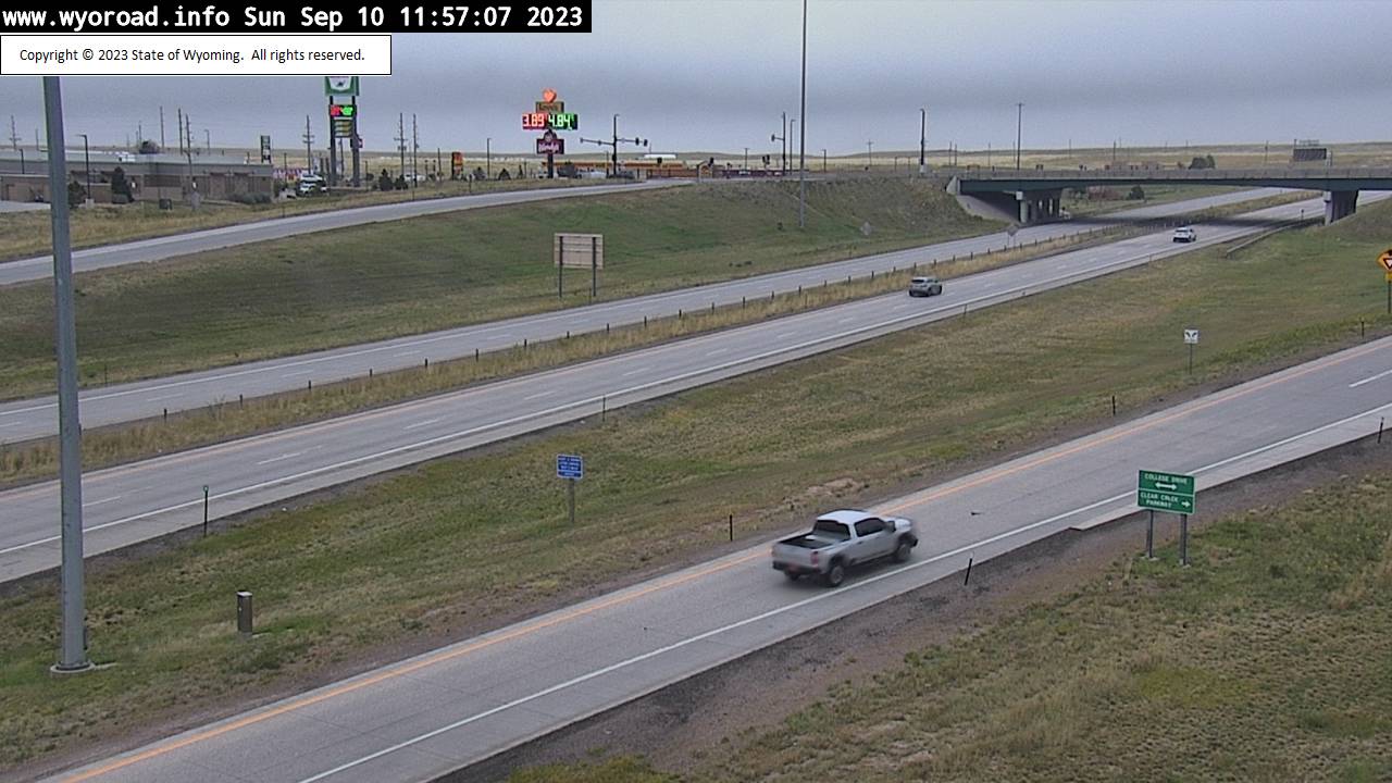
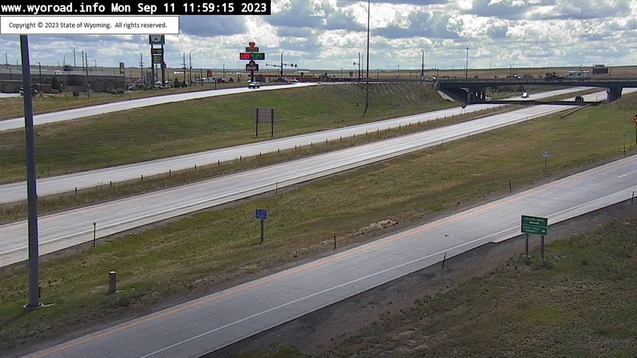
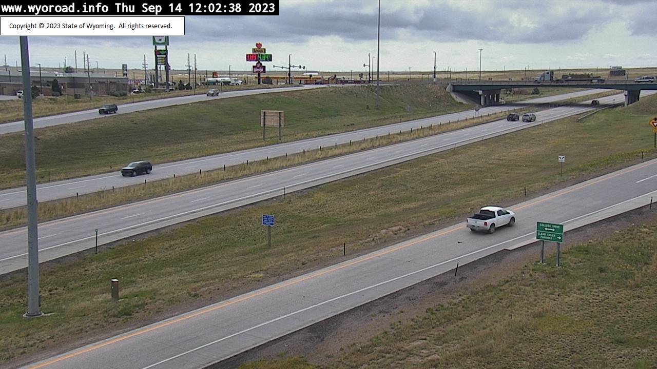
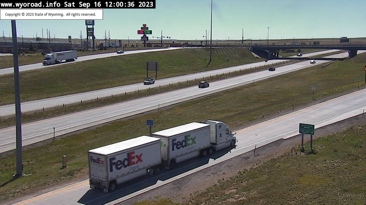
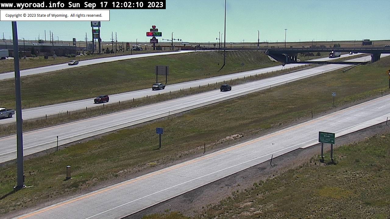
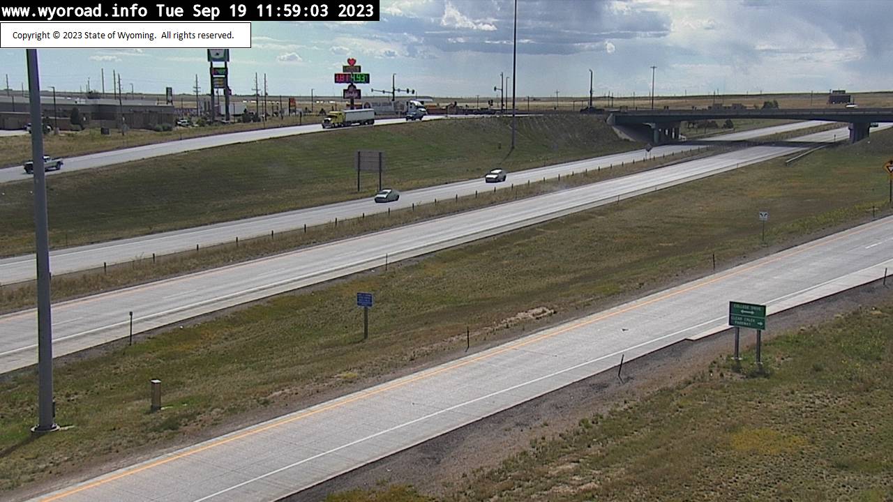
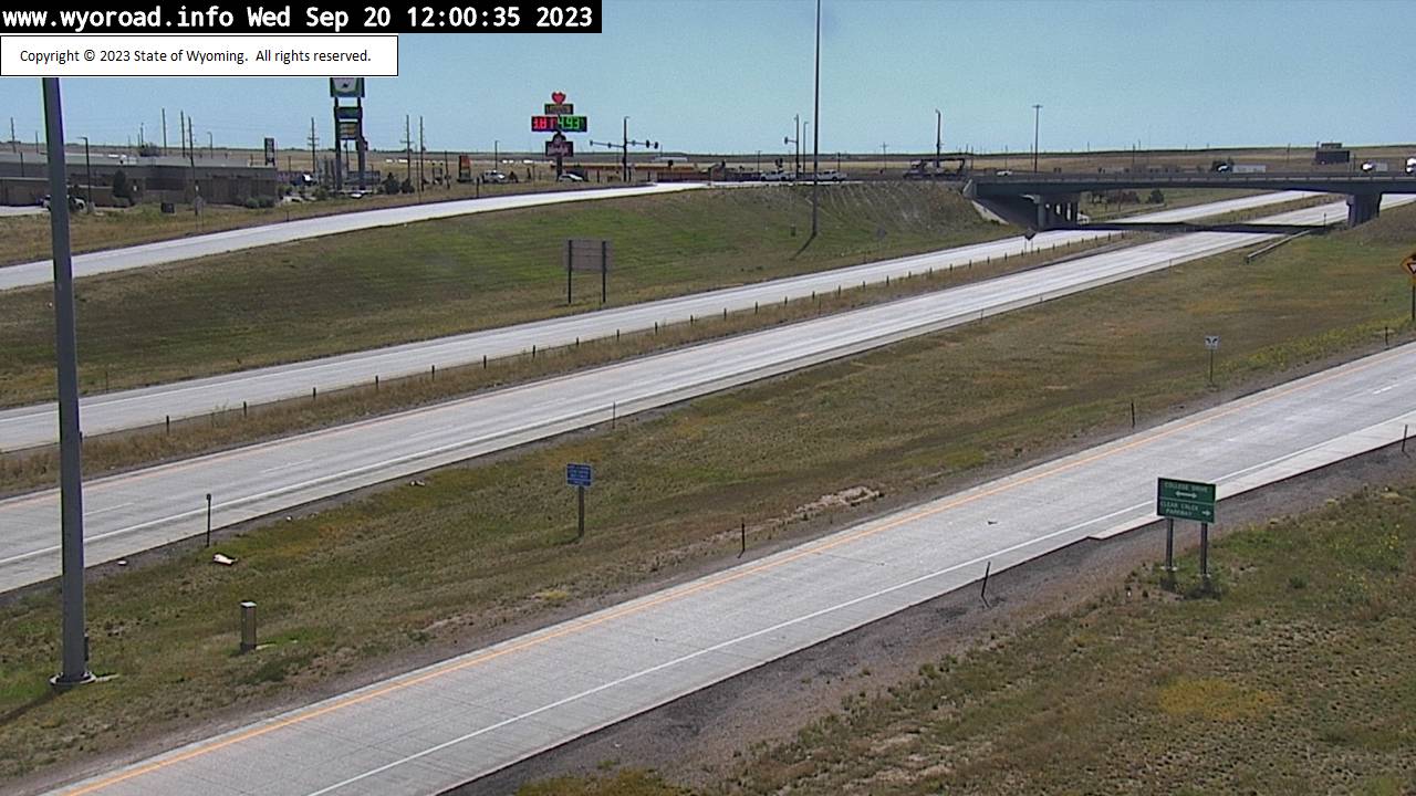
Cheyenne, Wyoming, USA - 20.8 miles from Islay: College Drive - Traffic and Weather - A view of the current traffic and weather situation.
Operator: WYDOT Travel Information Service
Operator: WYDOT Travel Information Service


Cheyenne, Wyoming, USA - 20.8 miles from Islay: MP 353.0 - Traffic and Weather - A view of the current traffic and weather situation.
Operator: WYDOT Travel Information Service
Operator: WYDOT Travel Information Service


Some other places in this country: Hewitt Place - Howell - Irvine - Ivans Grove (historical) - J O Junction - Kamms Corner - Kanda - Kane - Kearny - Keeline