Webcams in the region of Waiilatpo (historical), Washington, USA
The List of Webcams near Waiilatpo (historical), Washington, USA:

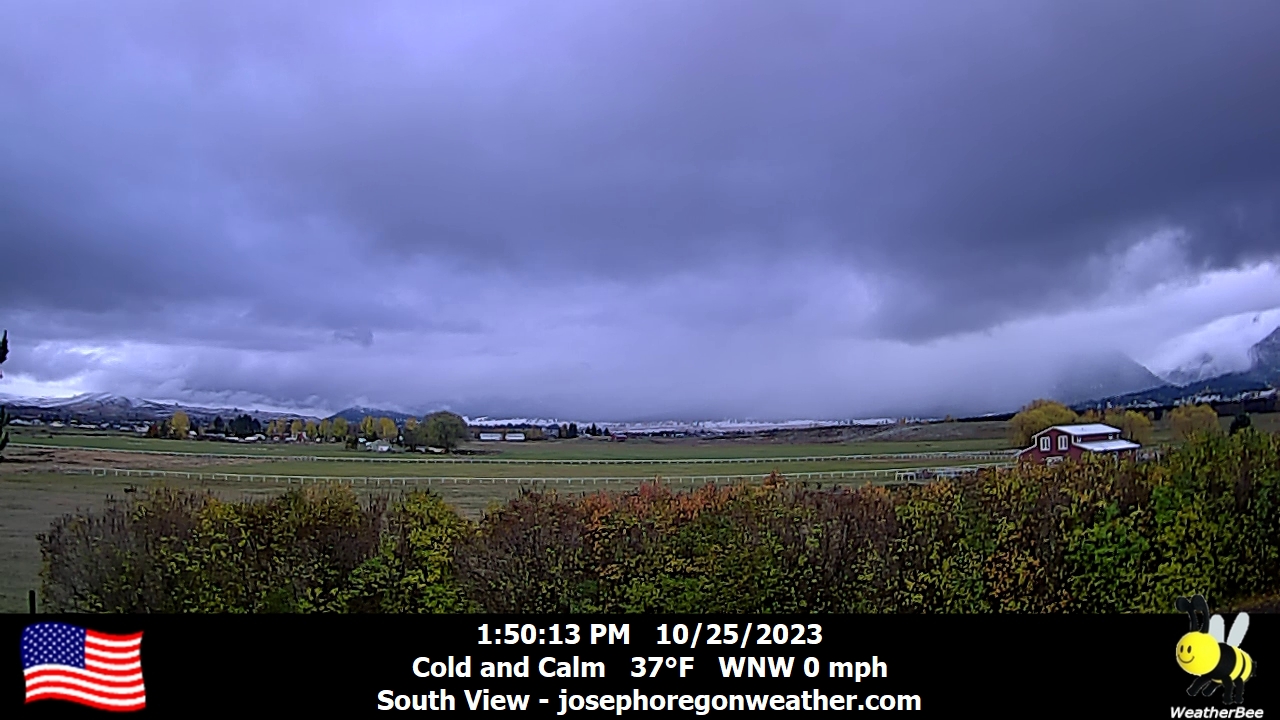
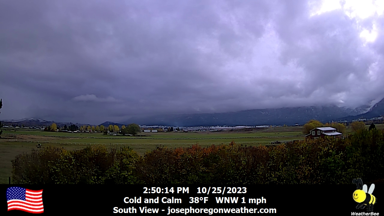
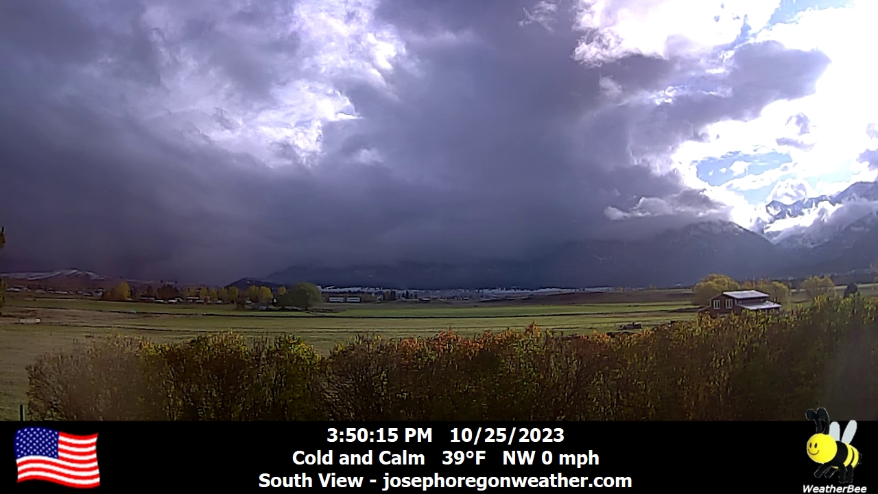
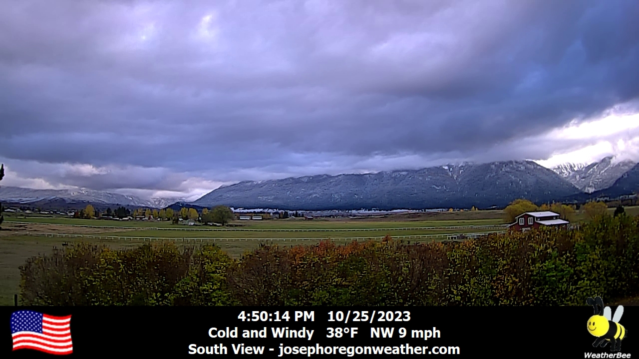
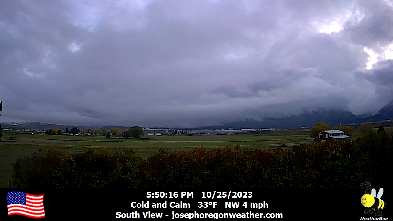
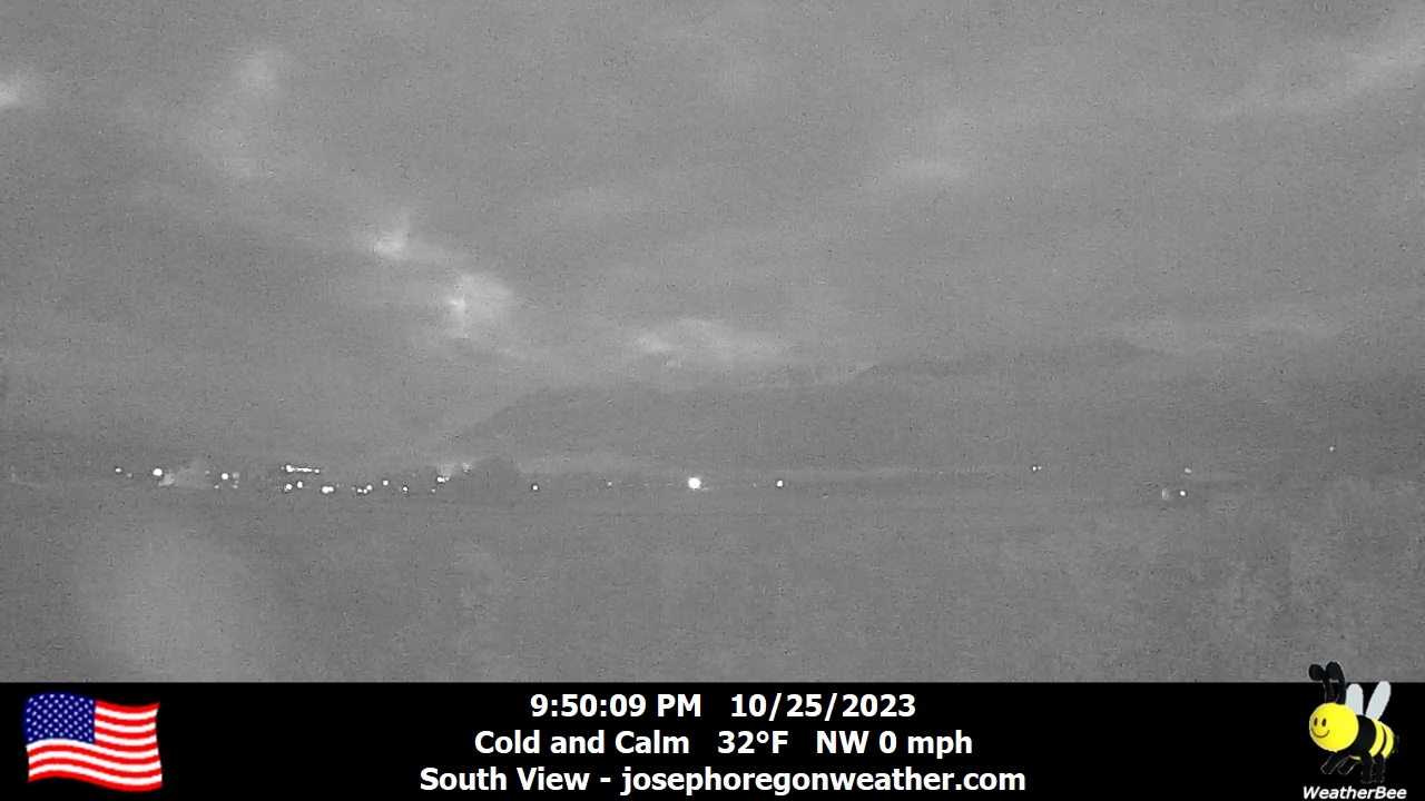
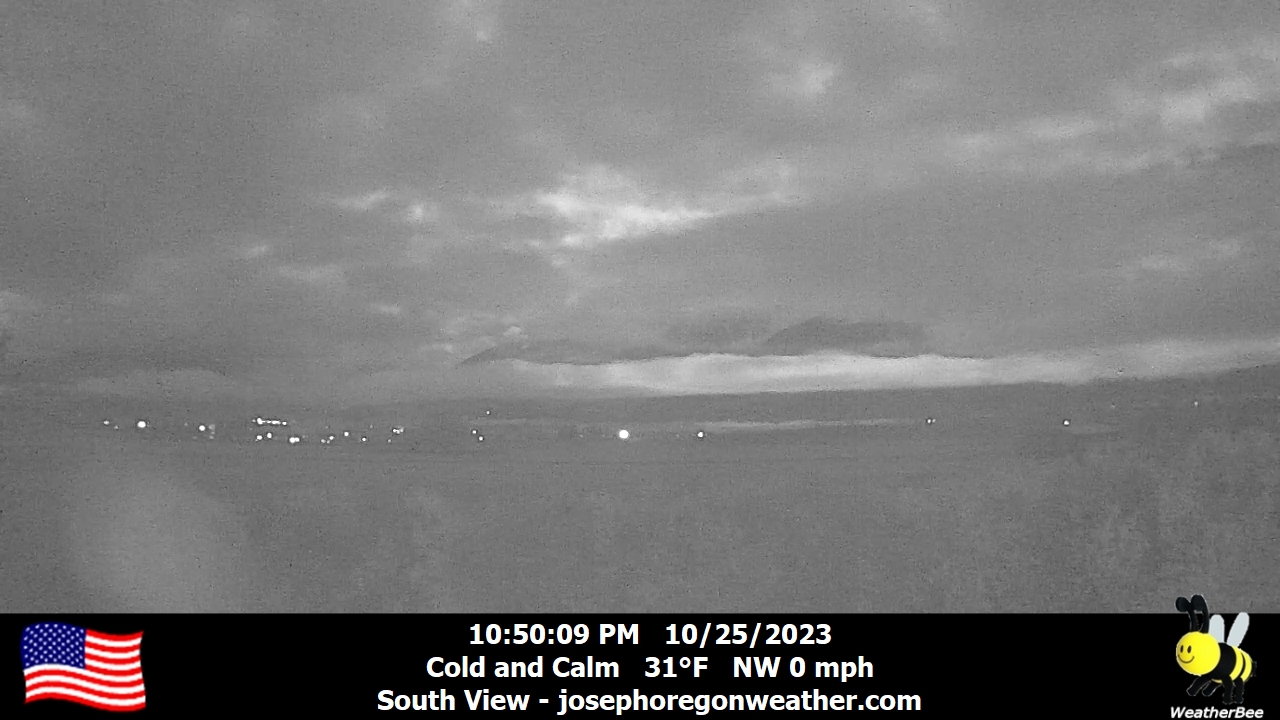
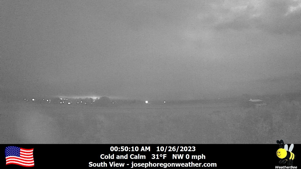
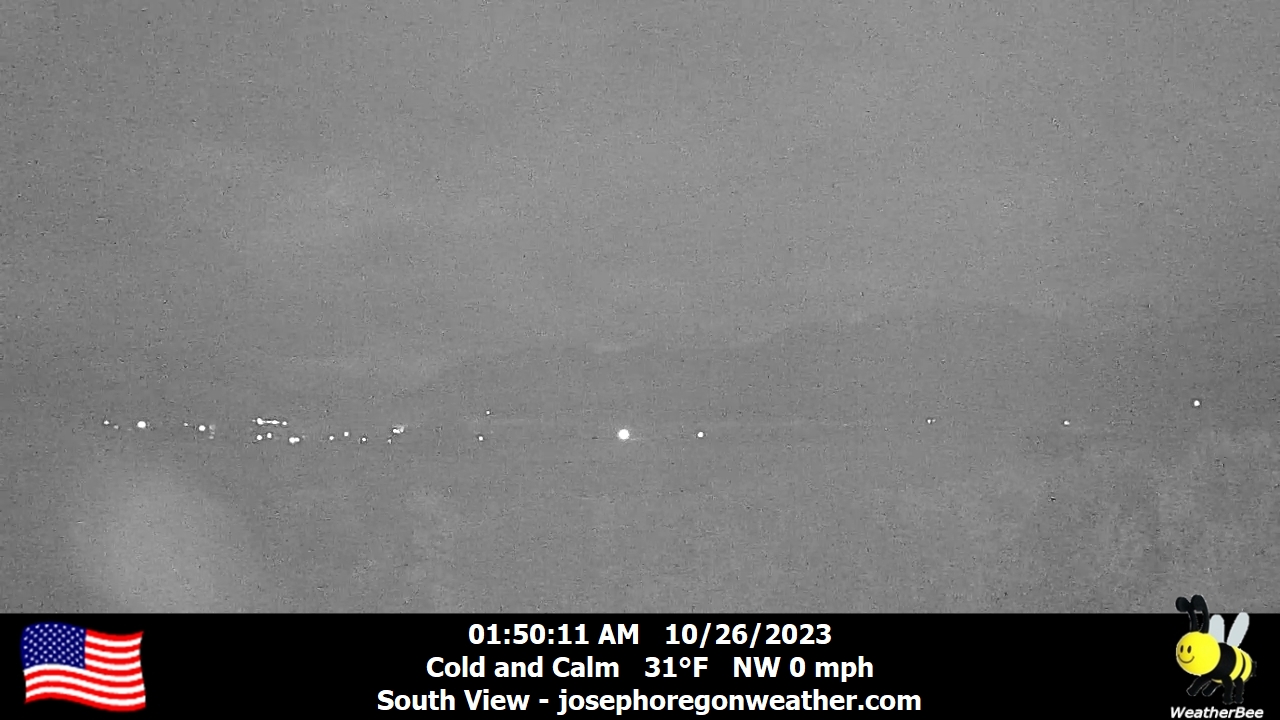
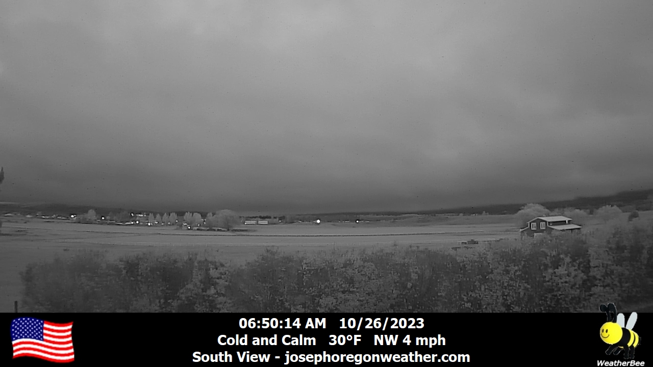
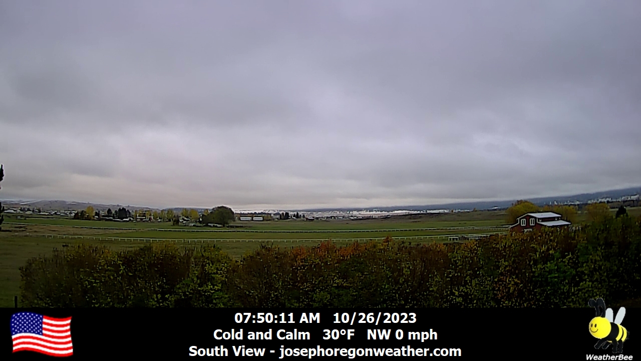
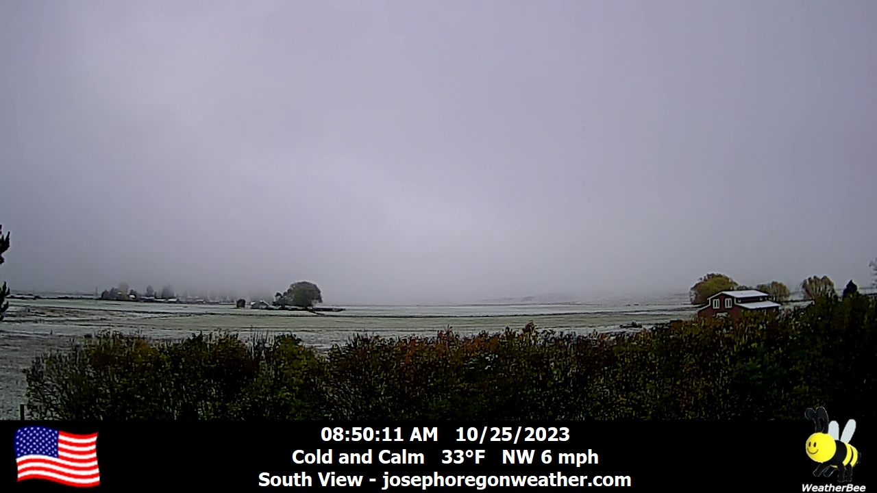
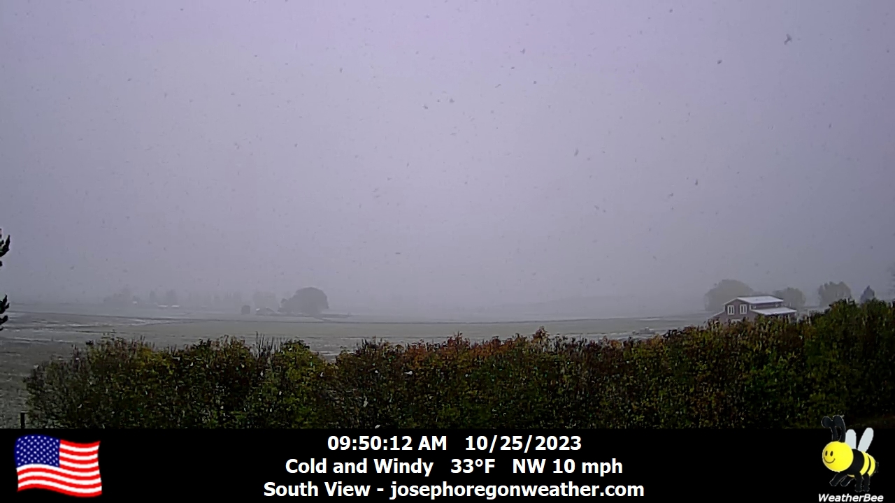
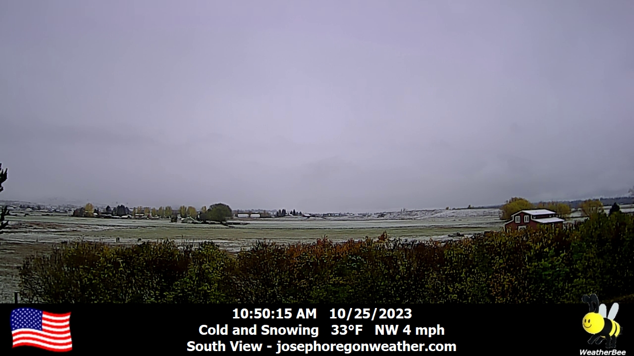
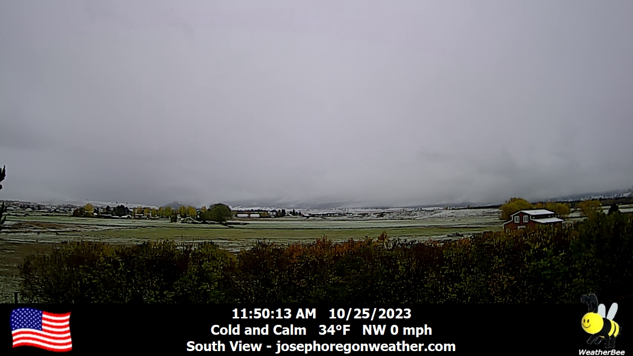
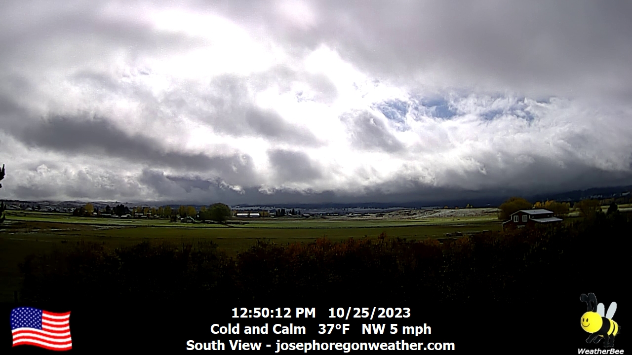
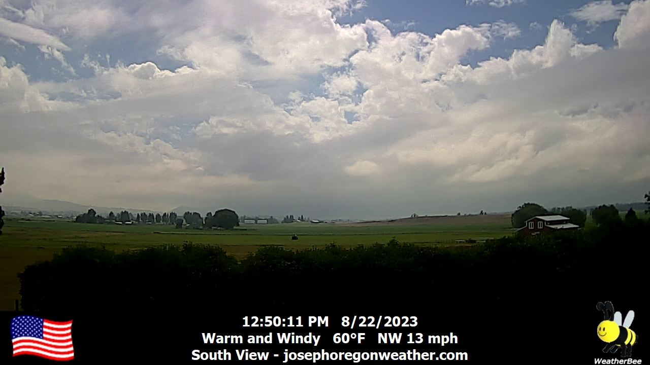
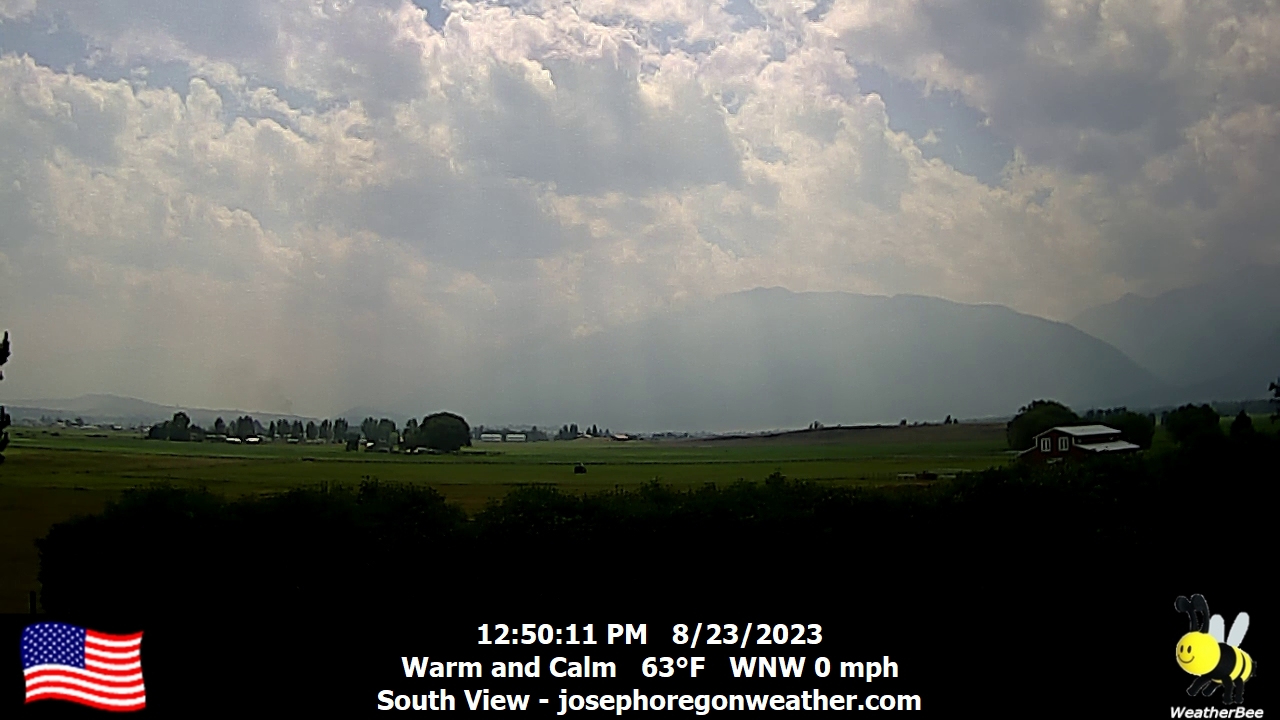
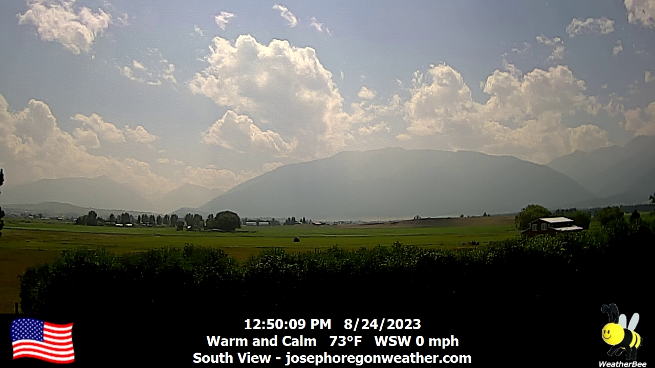
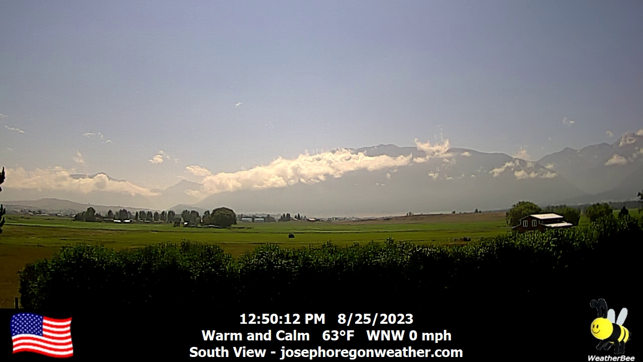
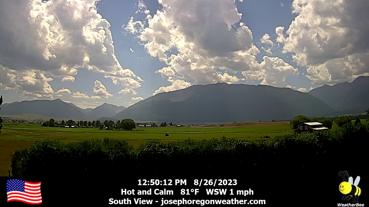
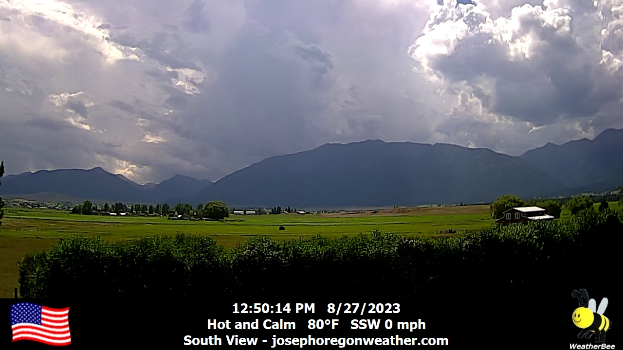
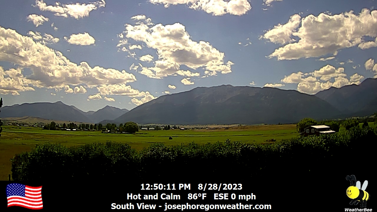
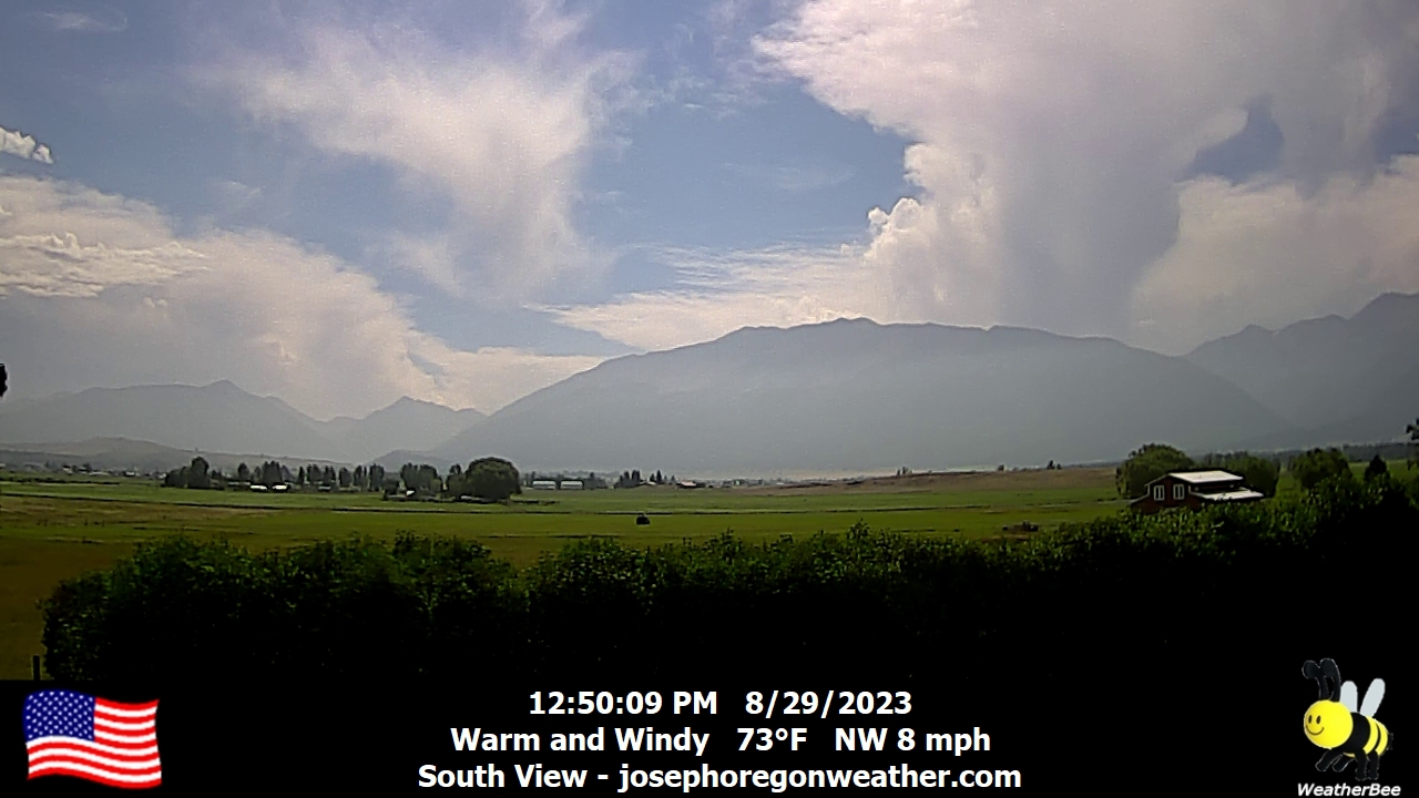
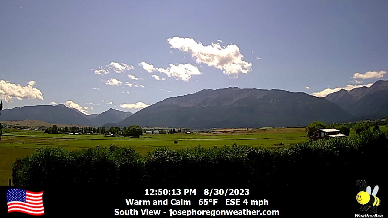
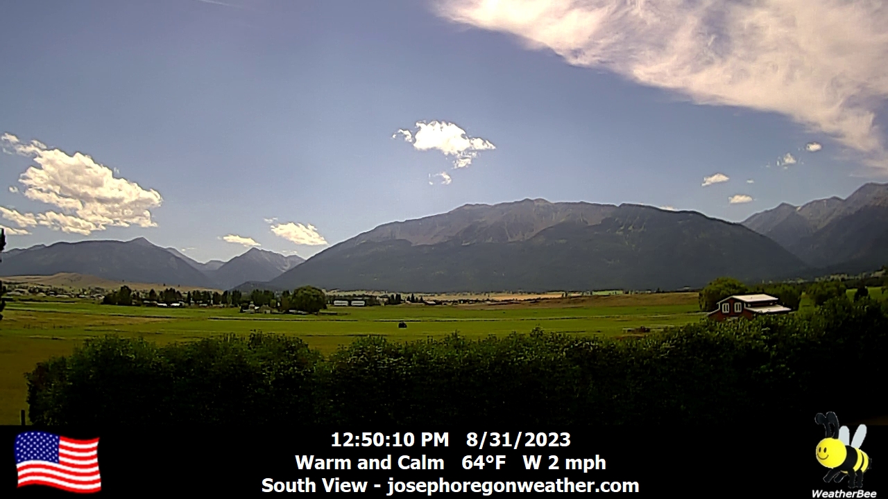
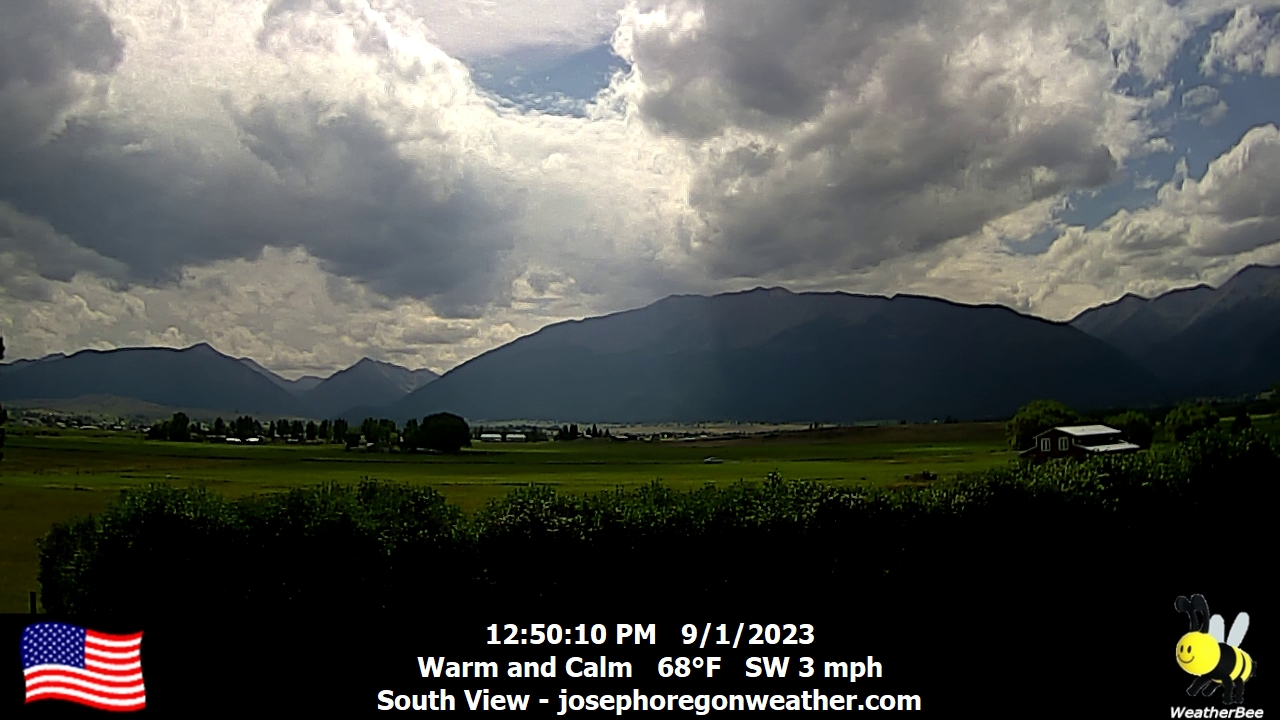
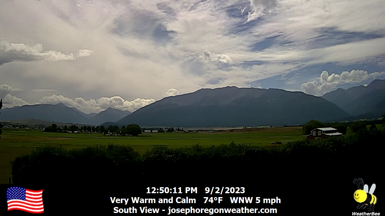
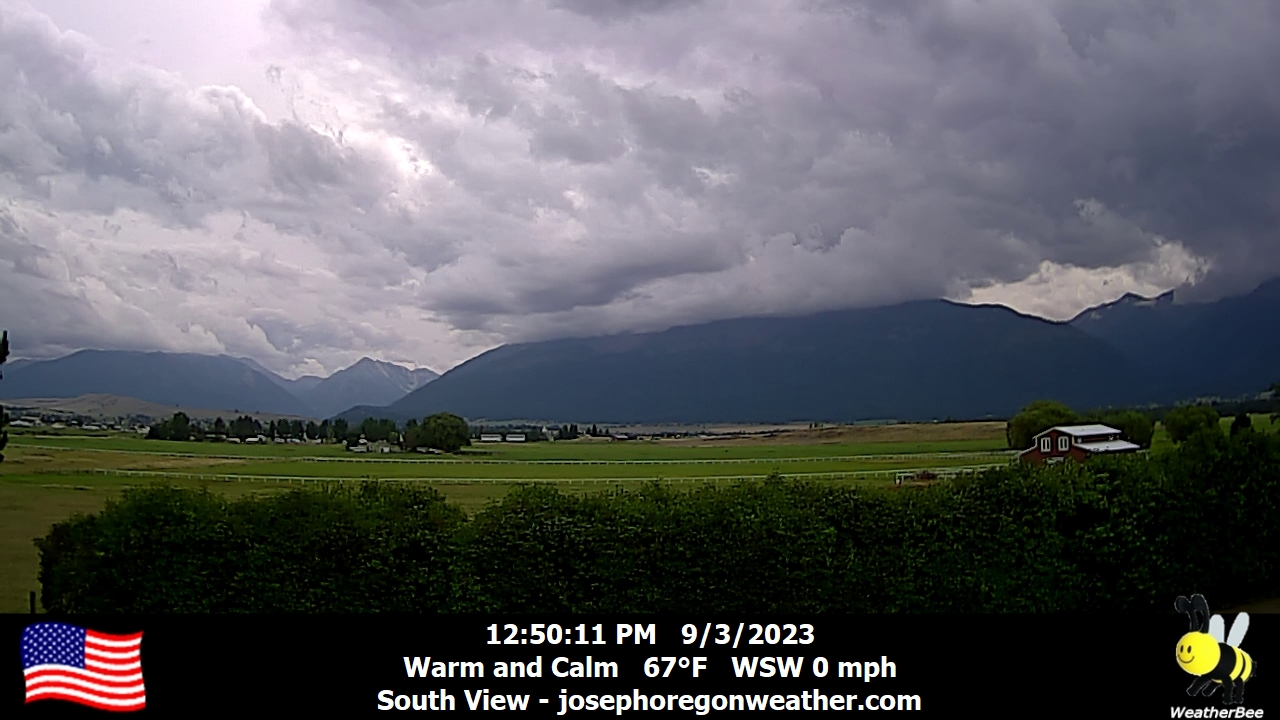
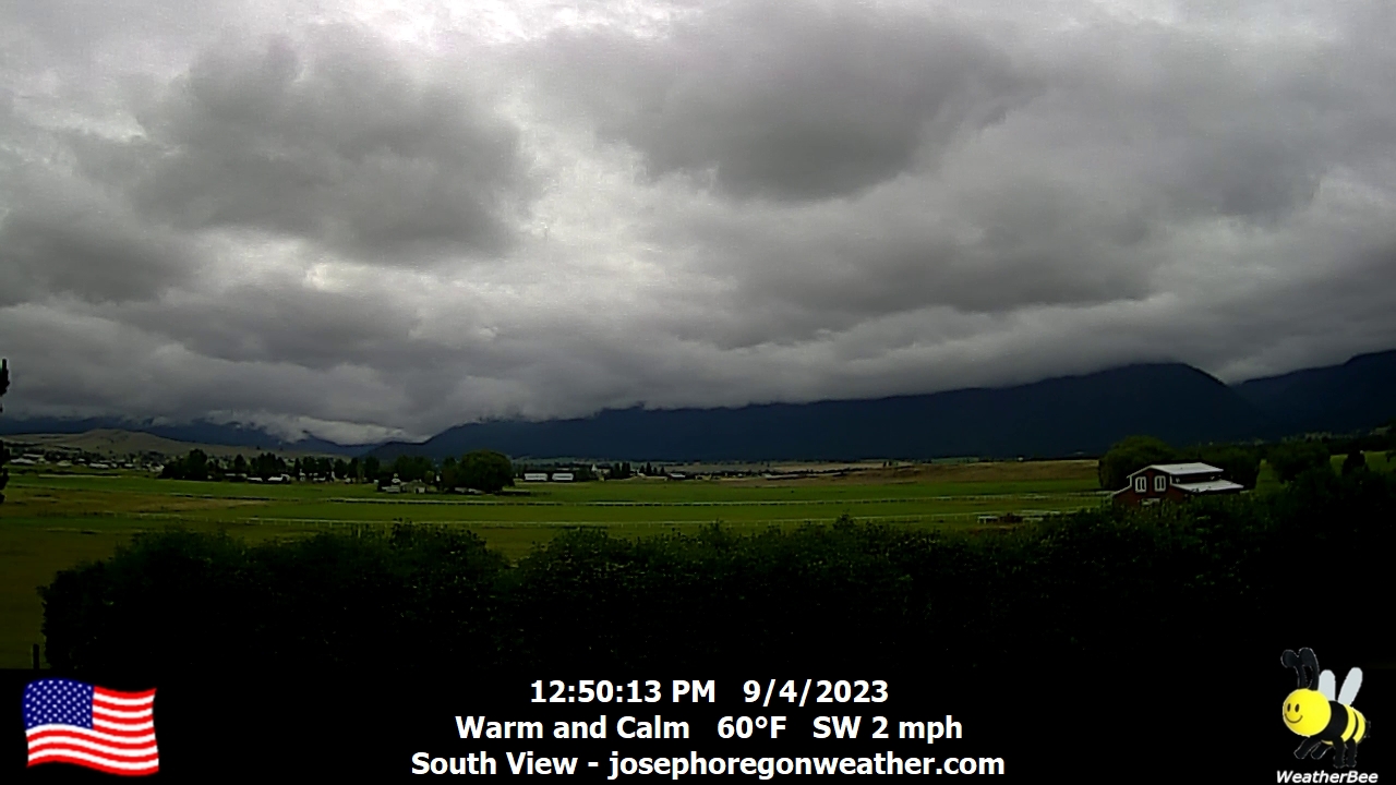
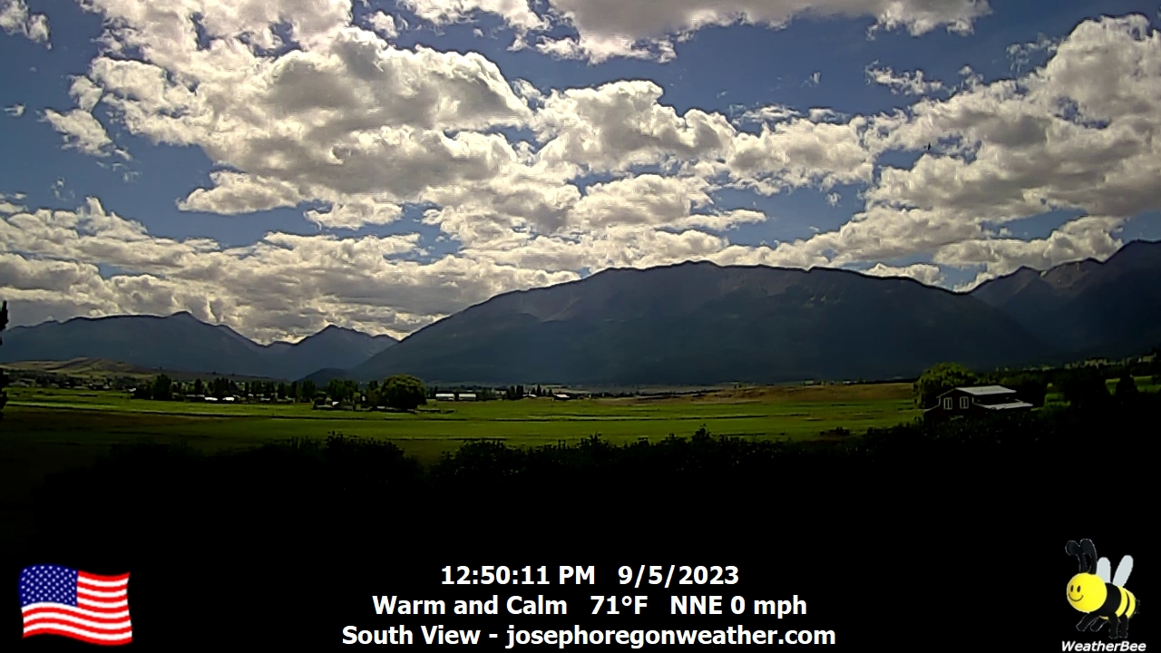
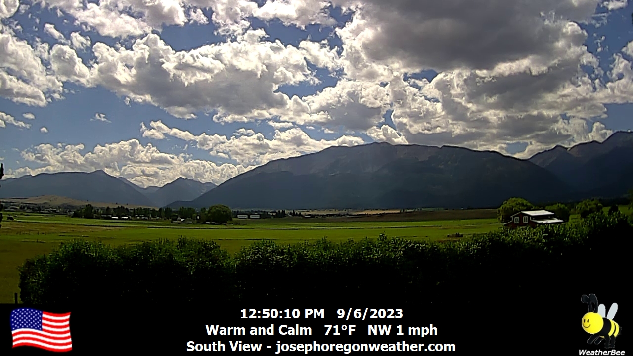
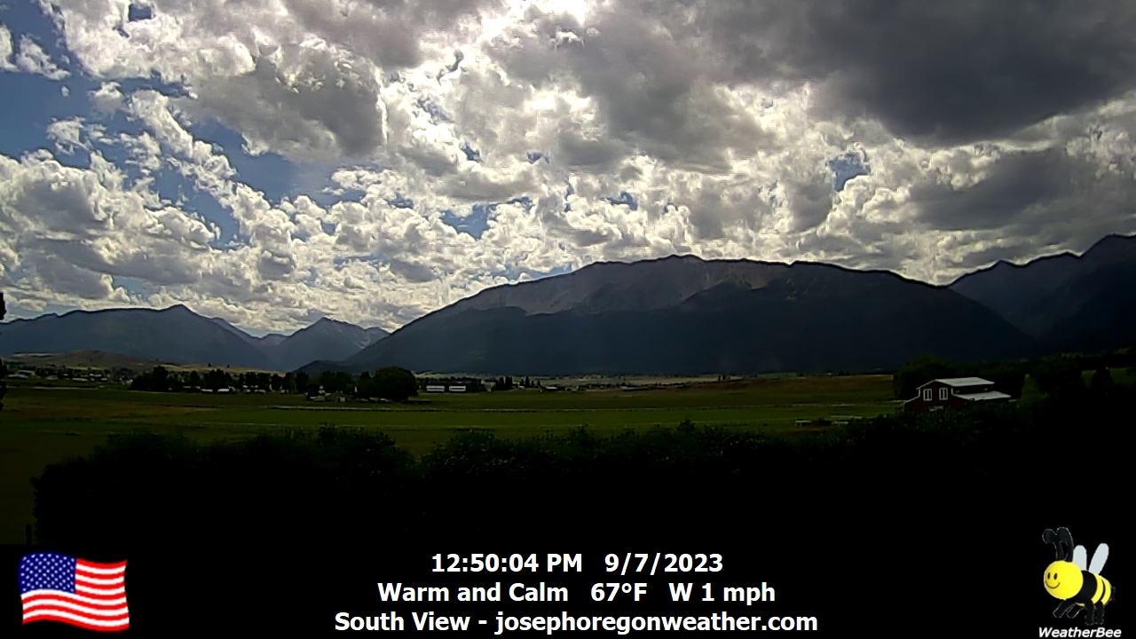
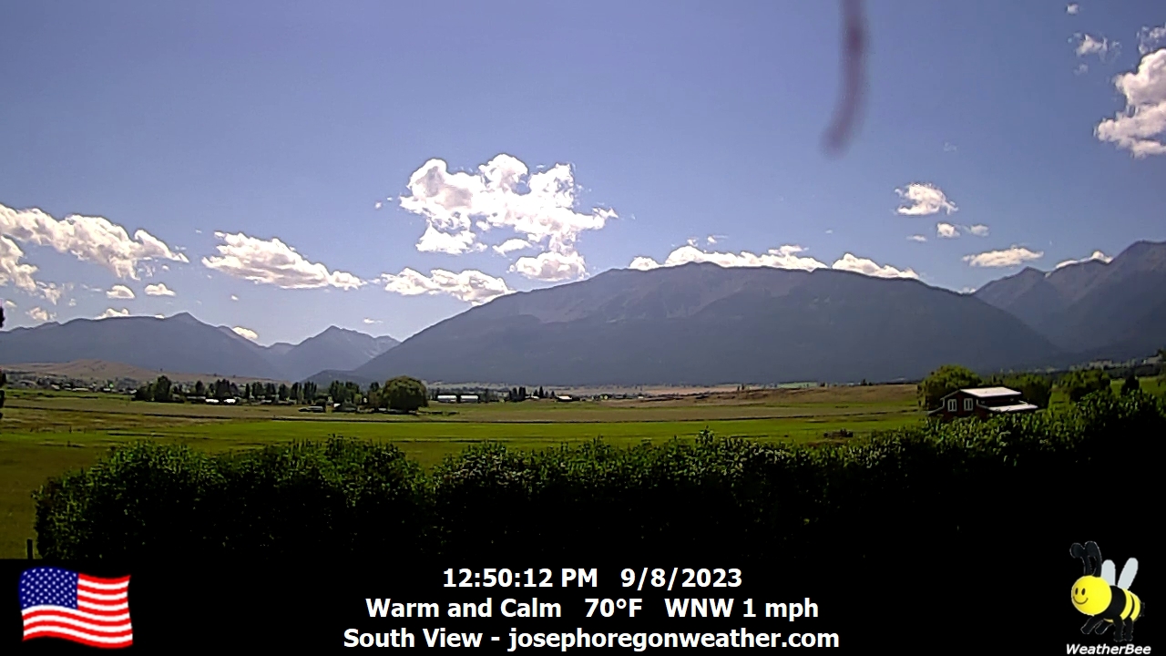
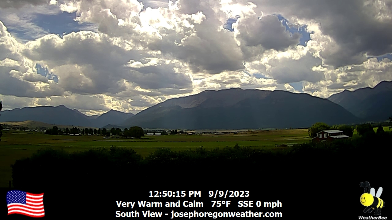
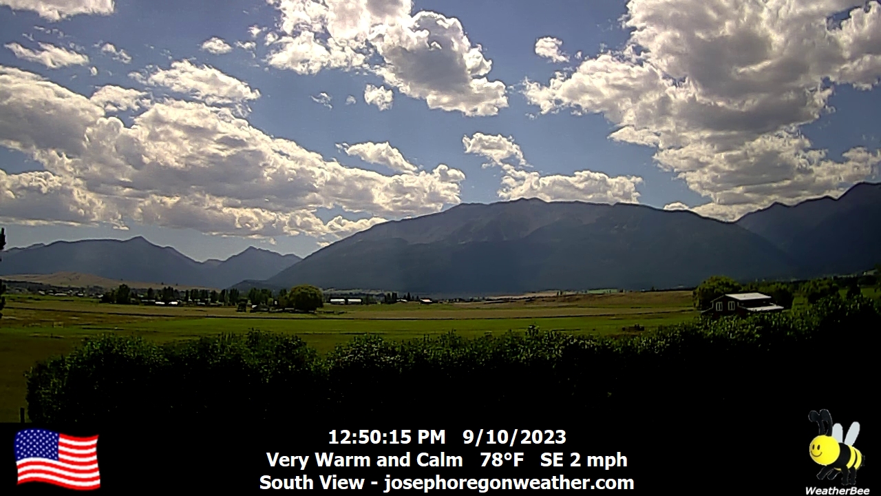
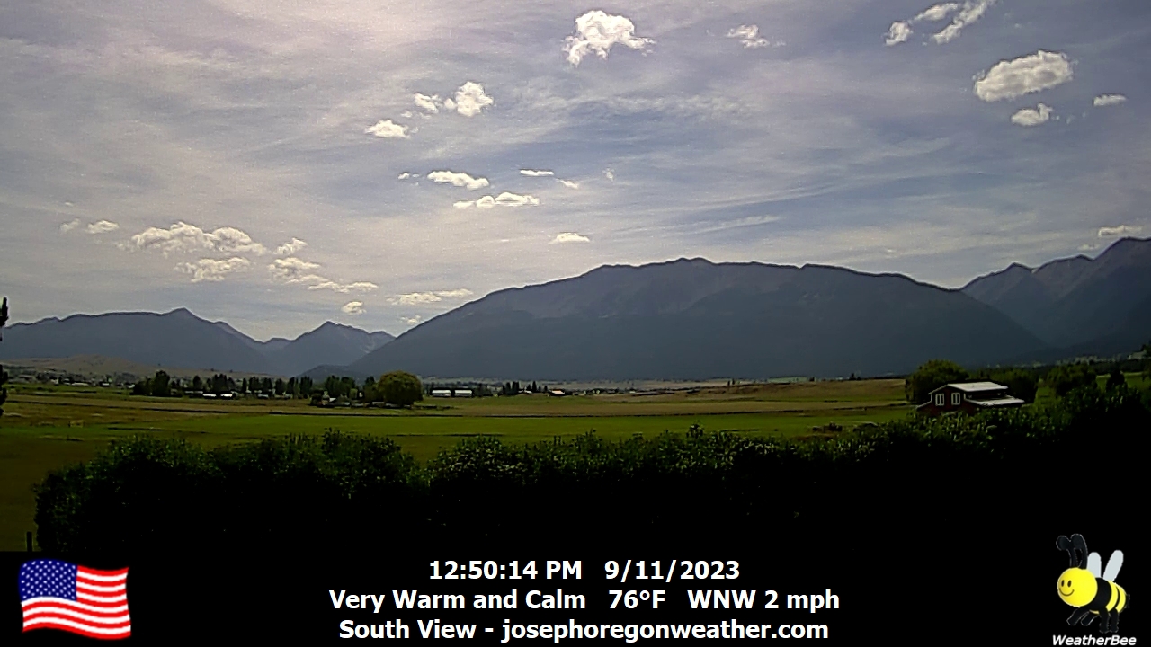
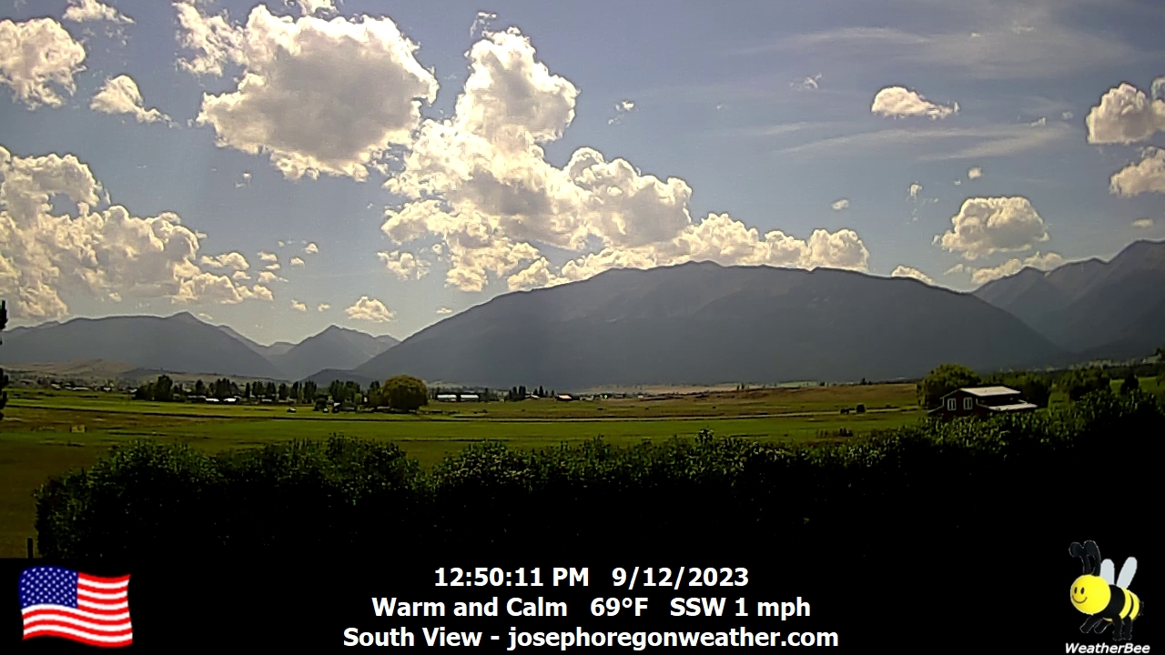
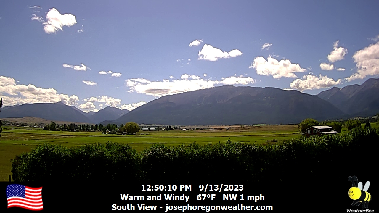
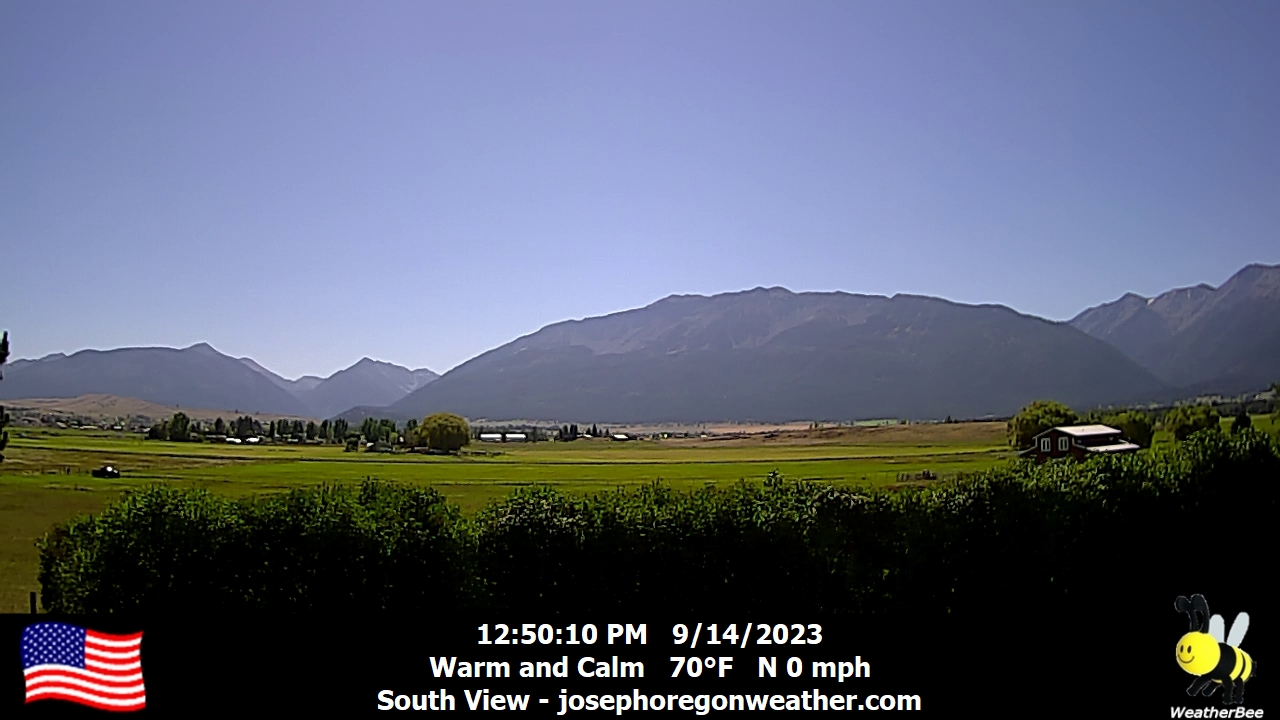
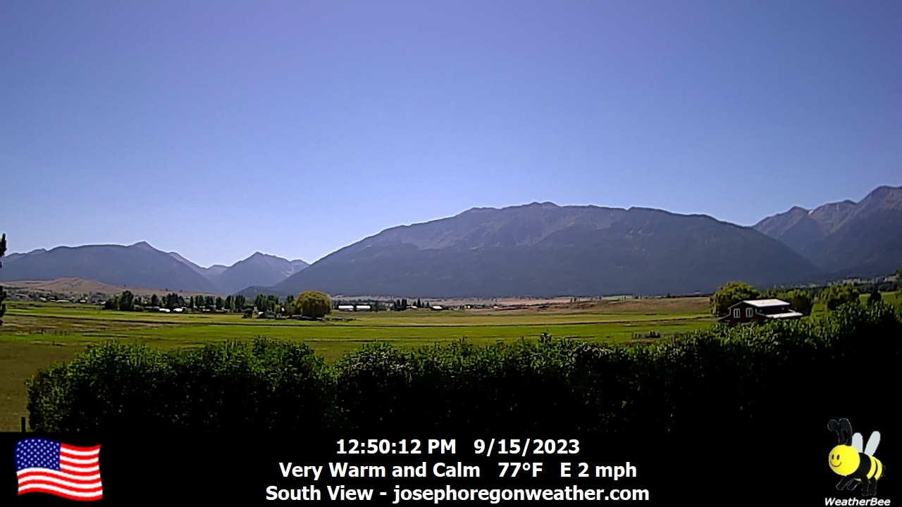
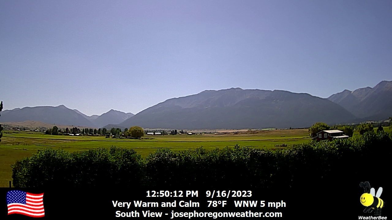
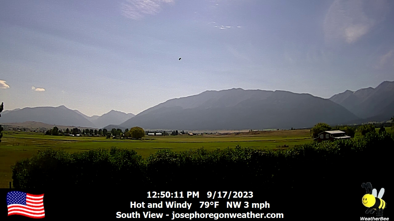
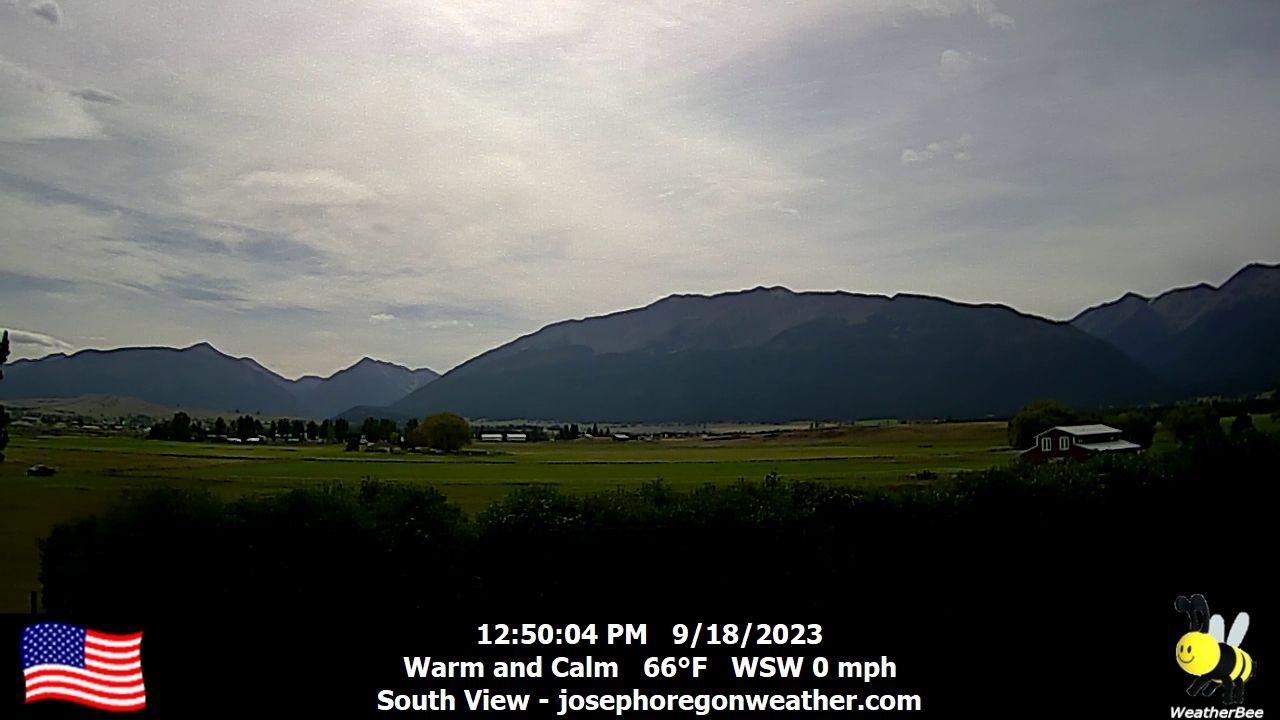
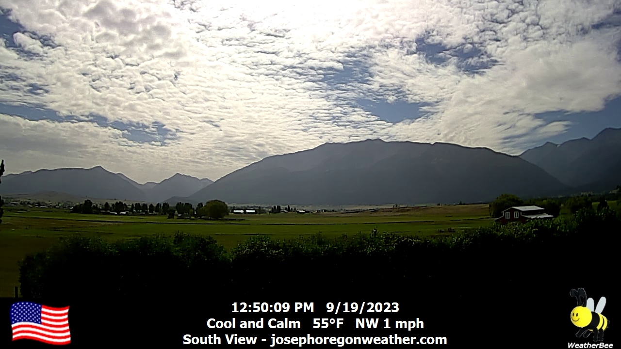
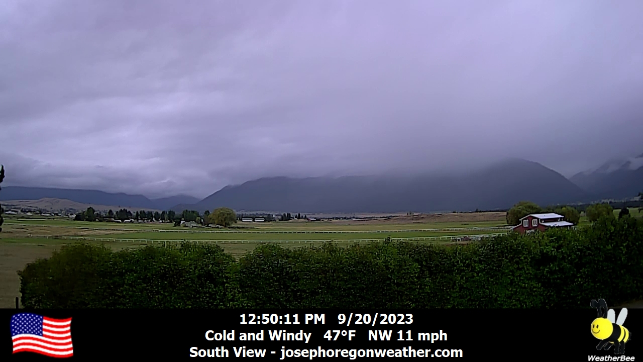
Joseph, Oregon, USA - 76.1 miles from Waiilatpo (historical): Joseph Oregon Weather - A view of the Wallowa Mountains from Joseph, Oregon - with current weather data.
Operator: Joseph Oregon Weather
Operator: Joseph Oregon Weather


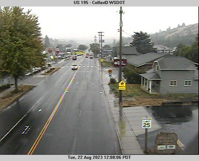
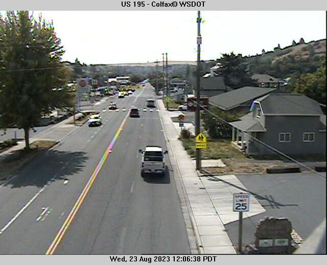
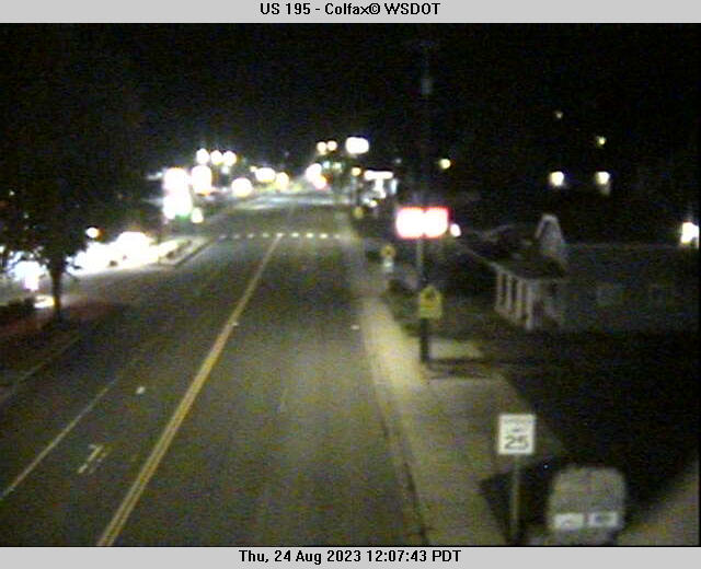
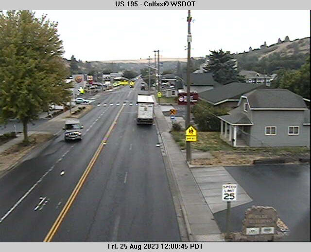
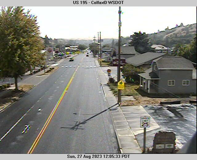
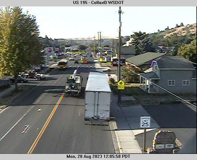
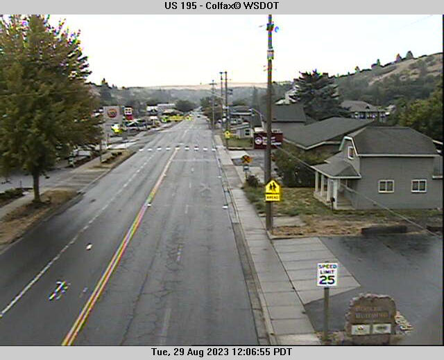
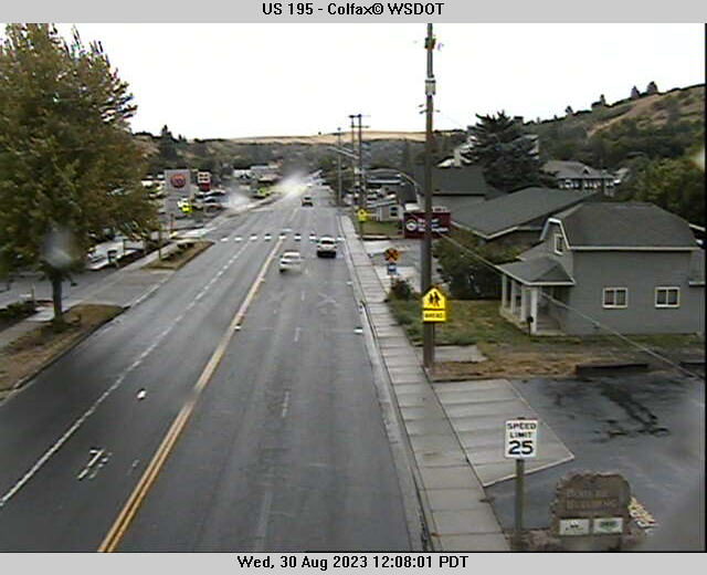
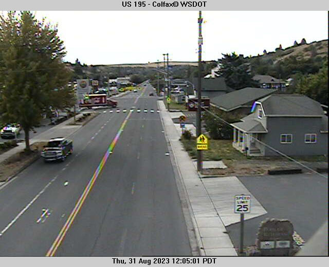
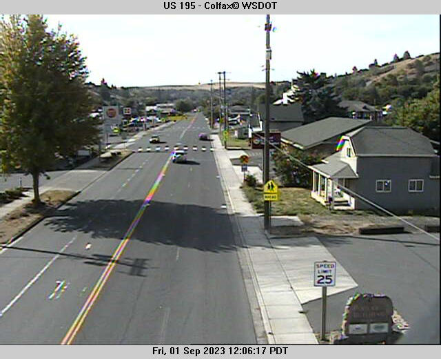
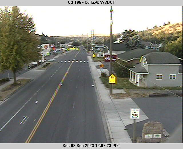
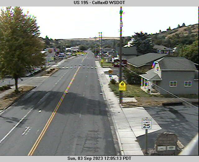
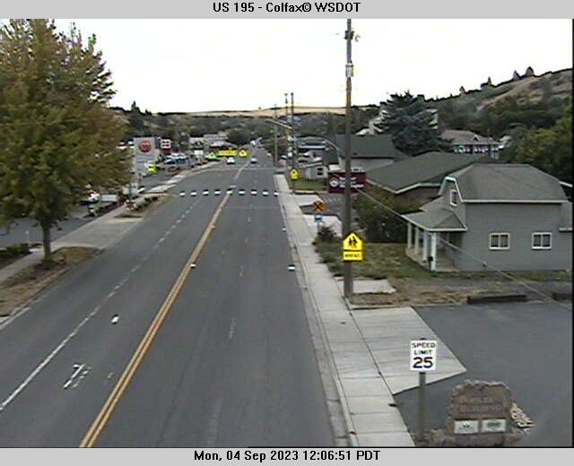
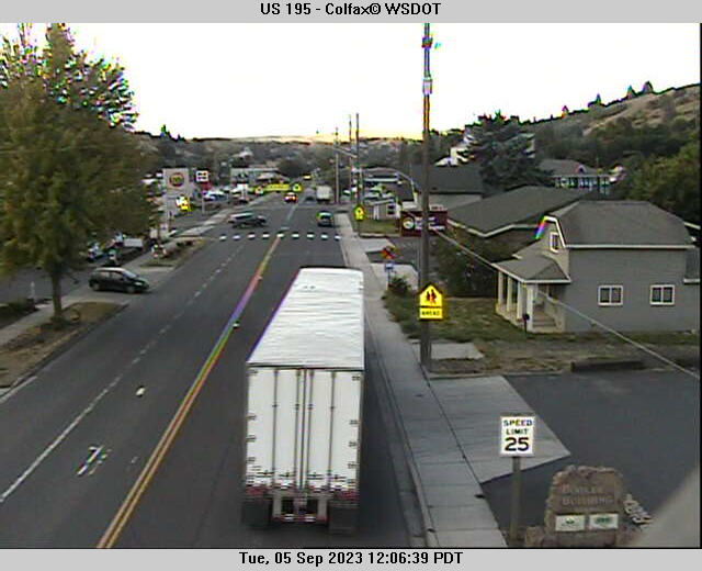
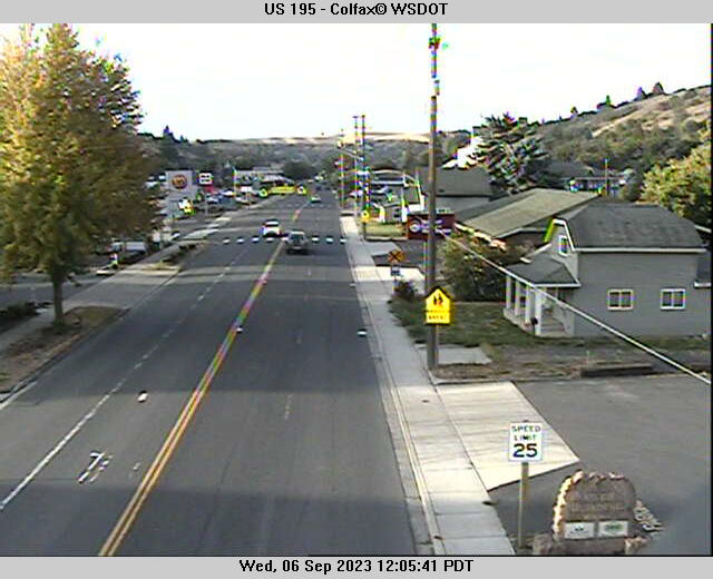
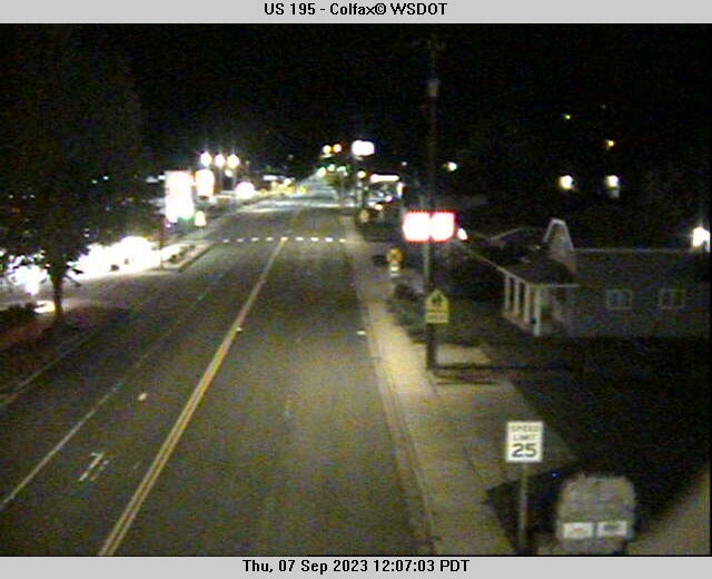
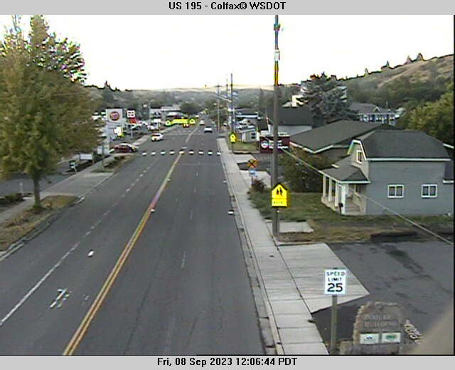
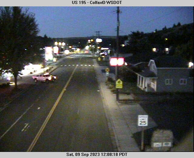
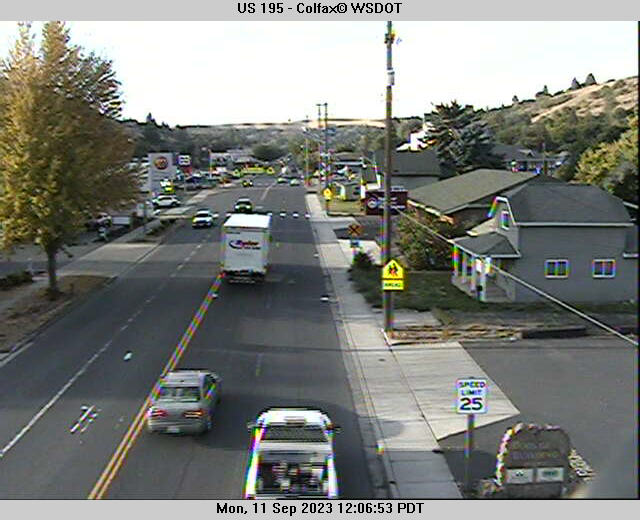
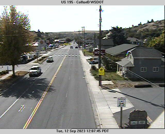
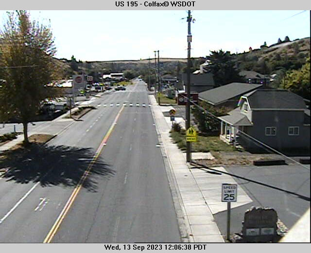
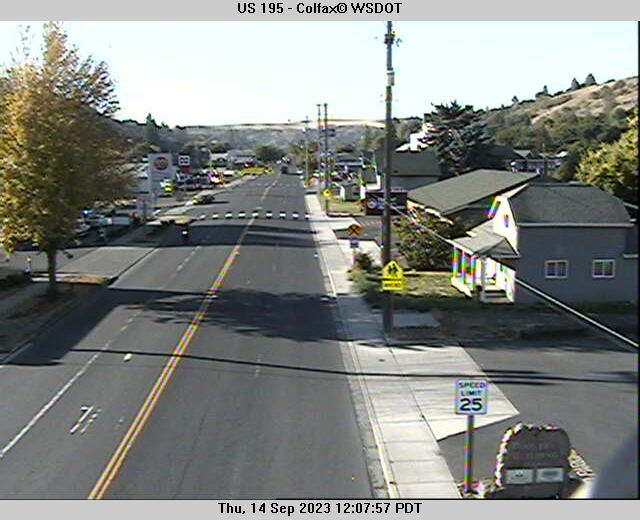
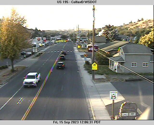
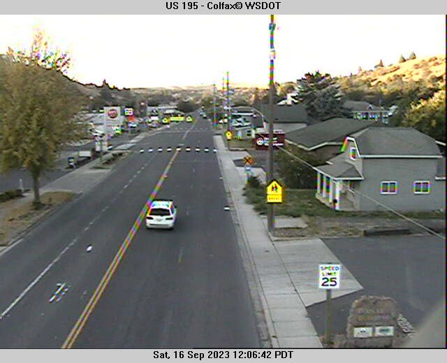
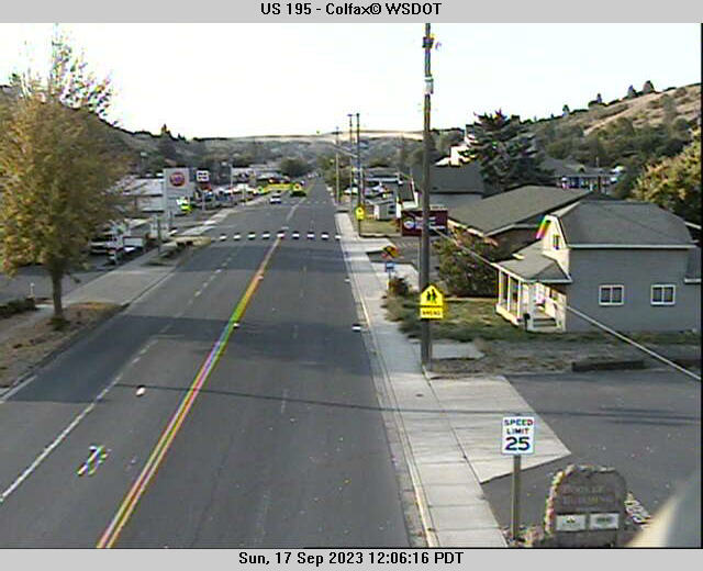
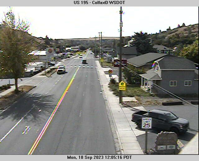
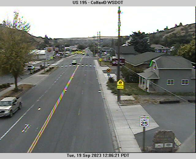
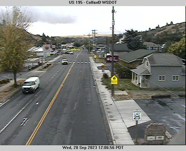
Colfax, Washington, USA - 78.1 miles from Waiilatpo (historical): US 195 - Colfax - A view of the current traffic situation.
Operator: WSDOT
Operator: WSDOT


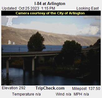
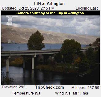
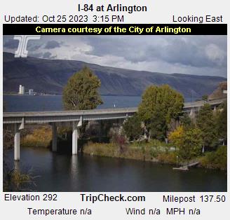
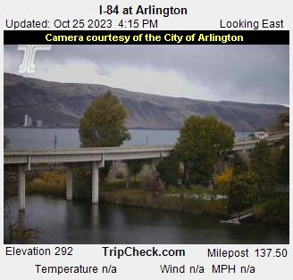
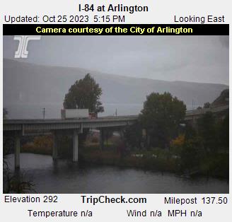
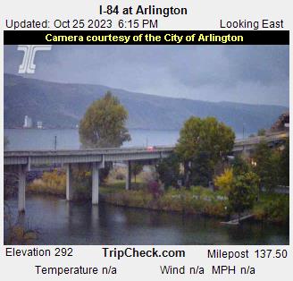
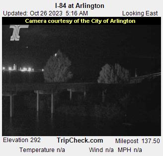
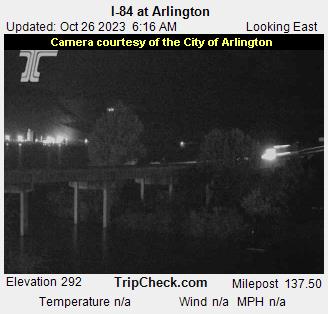
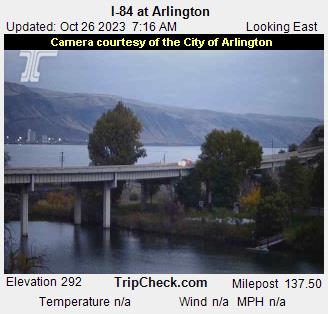
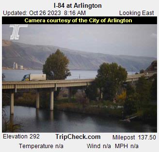
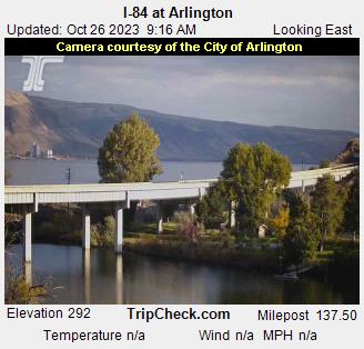
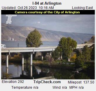
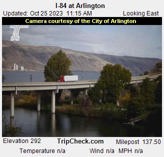
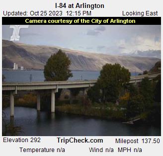
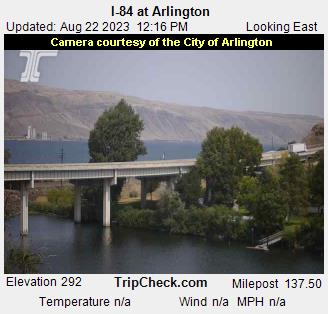
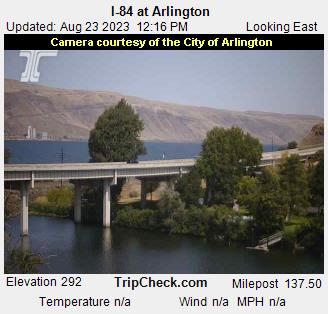
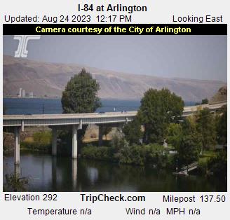
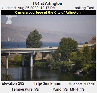
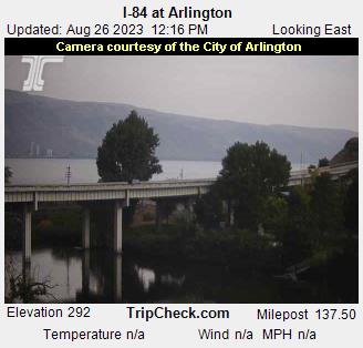
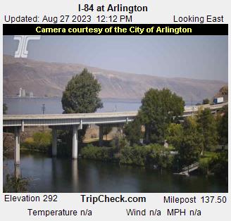
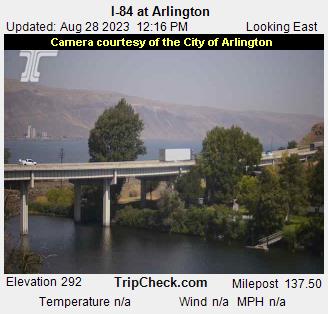
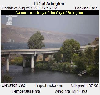
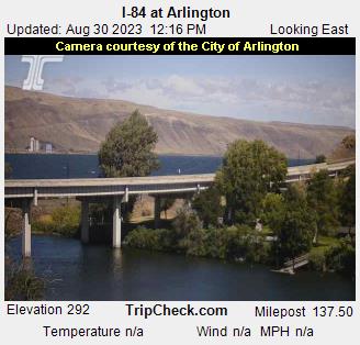
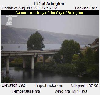
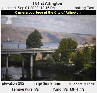
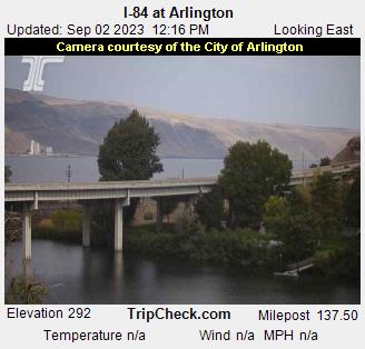
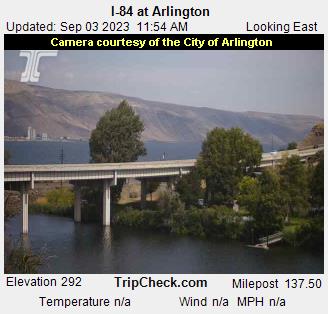
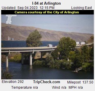
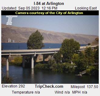
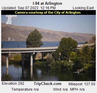
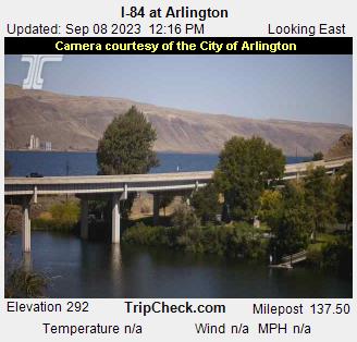
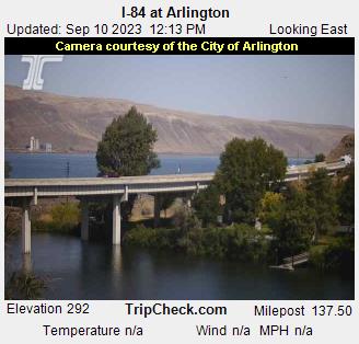
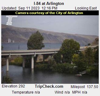
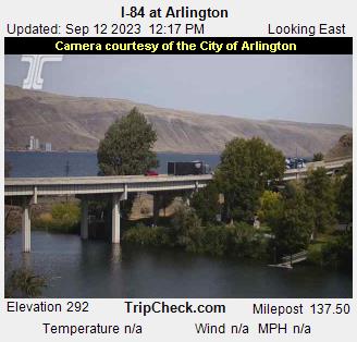
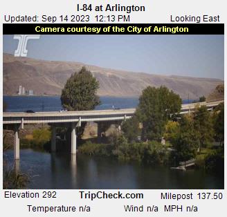
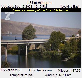
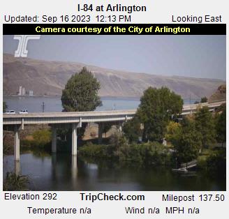
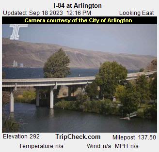
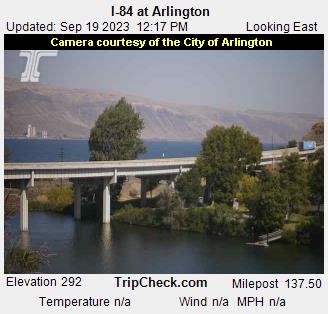
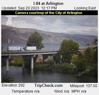
Arlington, Oregon, USA - 86.6 miles from Waiilatpo (historical): I-84 at Arlington - A view of the current traffic situation on the I-84.
Operator: Oregon Department of Transportation
Operator: Oregon Department of Transportation


Condon, Oregon, USA - 100.1 miles from Waiilatpo (historical): Condon High School - A view in southern direction.
Operator: Condon Schools
Operator: Condon Schools


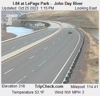
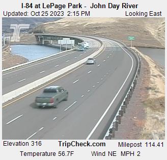
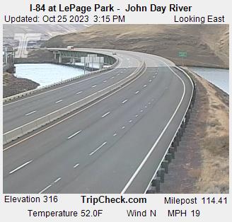
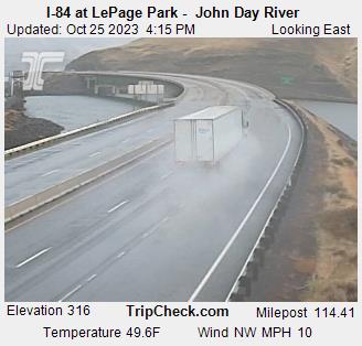
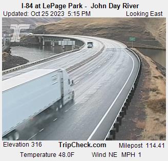
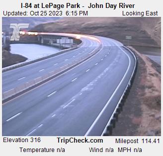
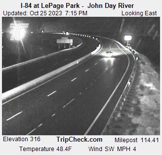
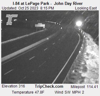
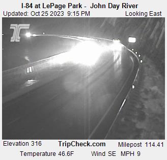
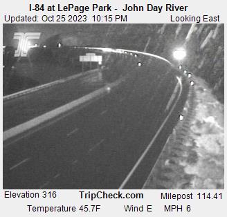
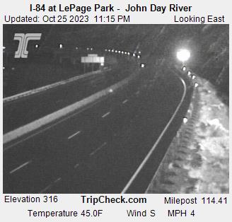
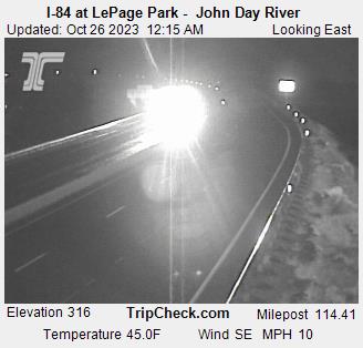
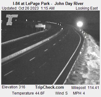
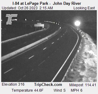
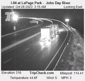
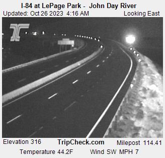
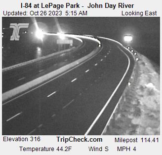
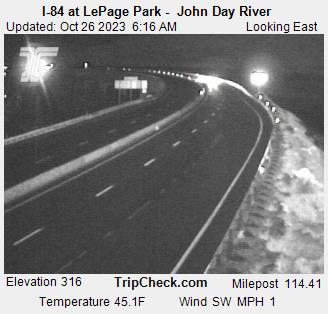
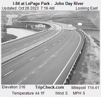
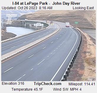
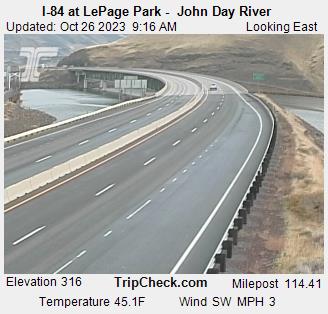
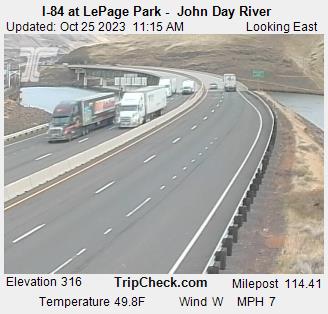
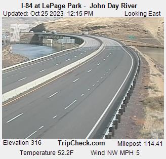
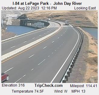
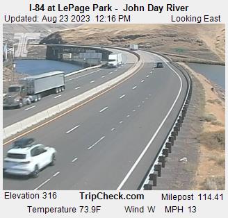
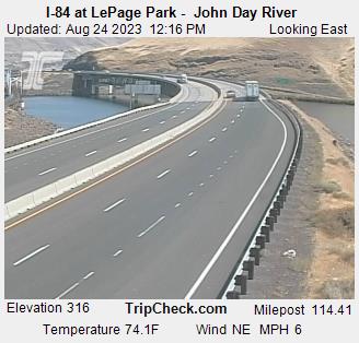
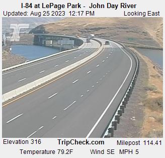
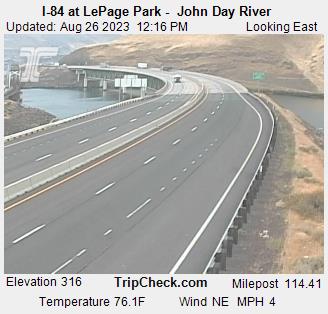
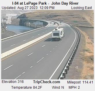
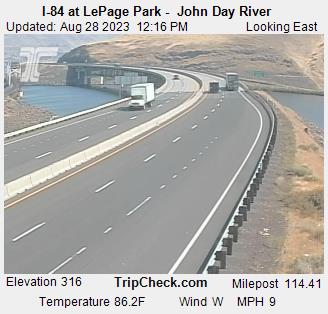
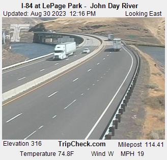
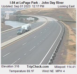
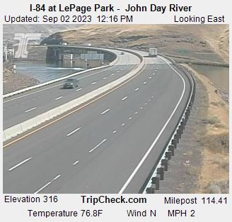
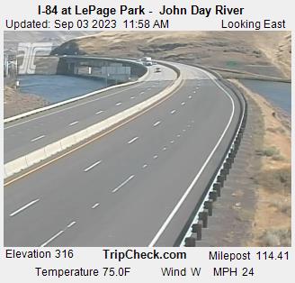
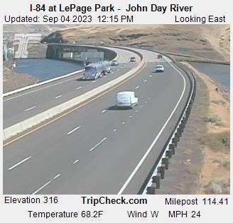
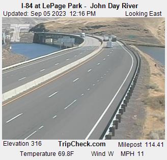
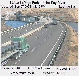
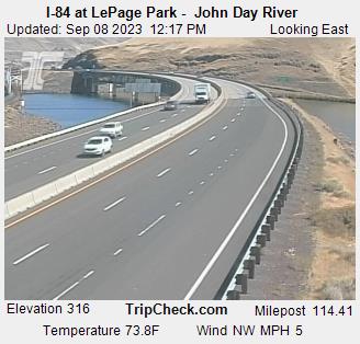
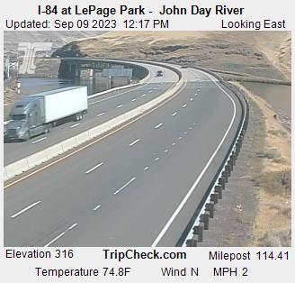
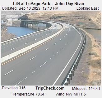
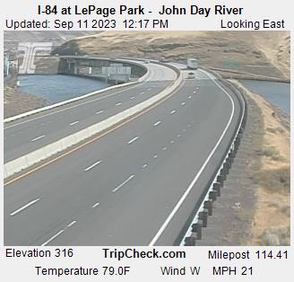
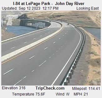
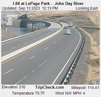
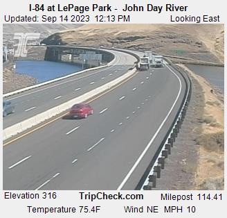
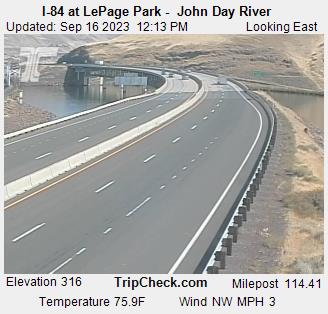
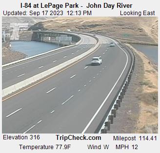
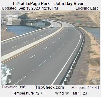
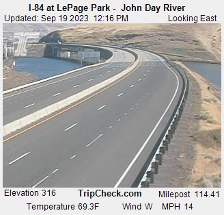
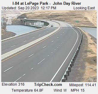
Wasco, Oregon, USA - 112.1 miles from Waiilatpo (historical): I-84 at LePage Park - John Day River - A view of the current traffic situation on the I-84.
Operator: Oregon Department of Transportation
Operator: Oregon Department of Transportation


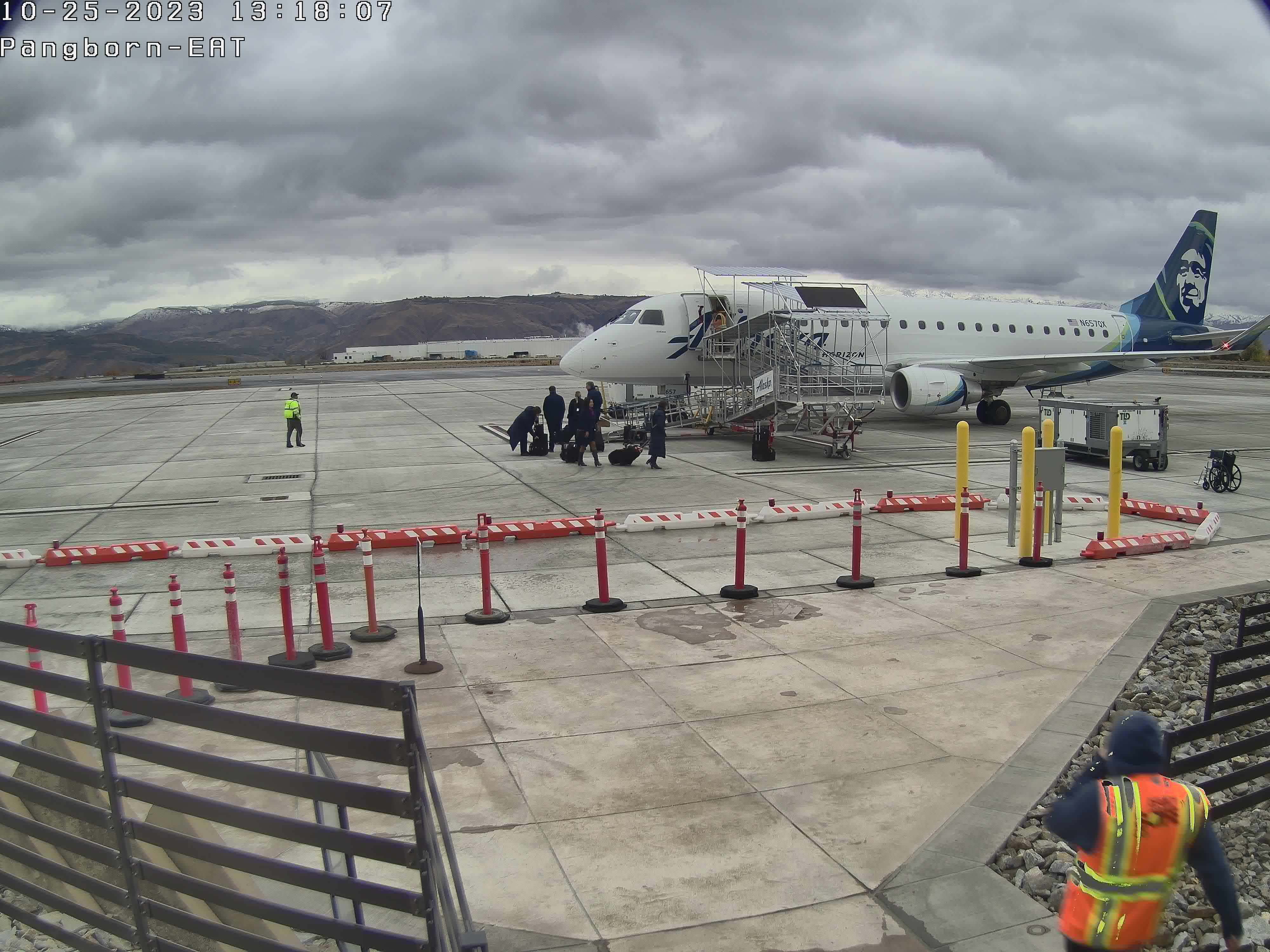
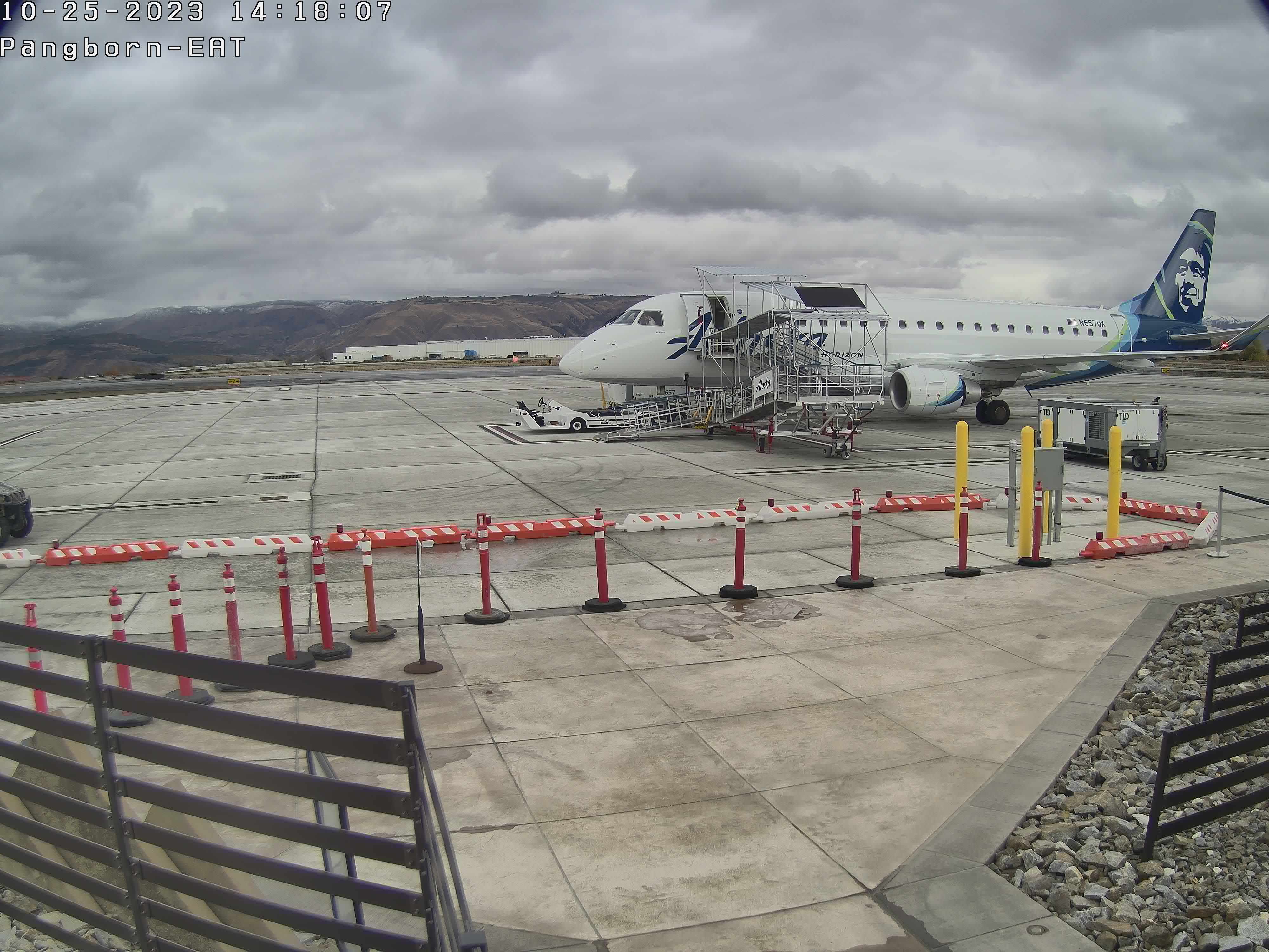
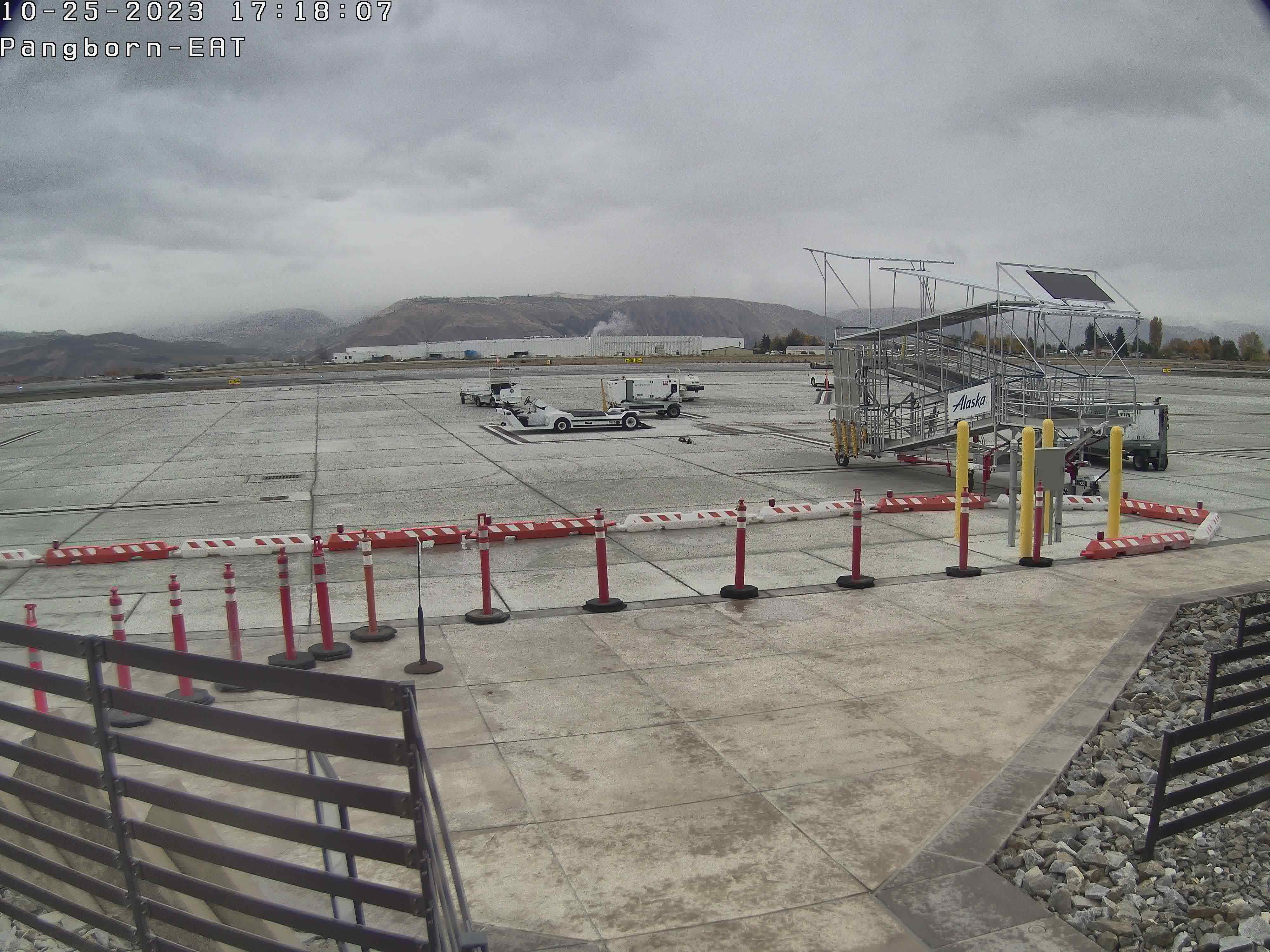
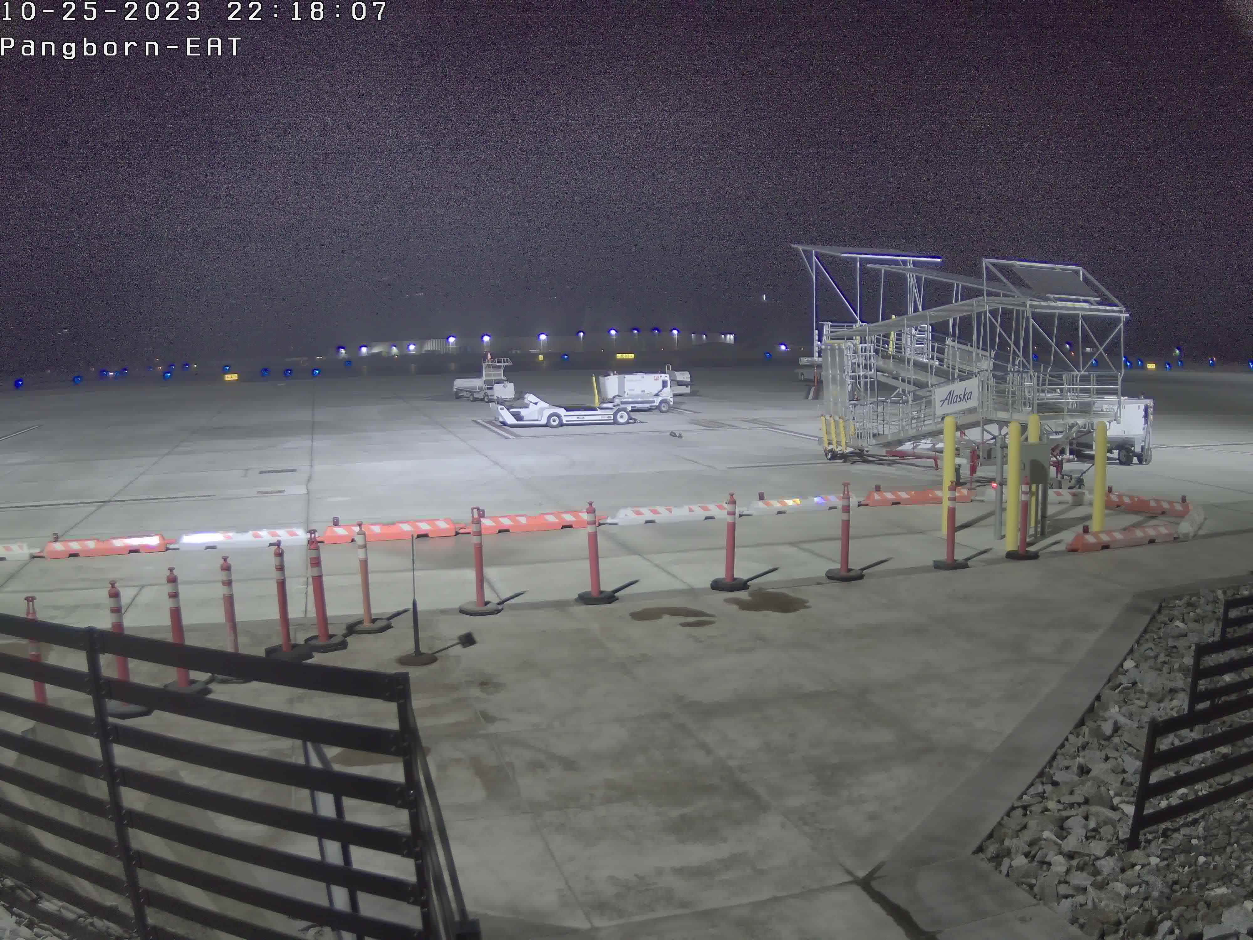
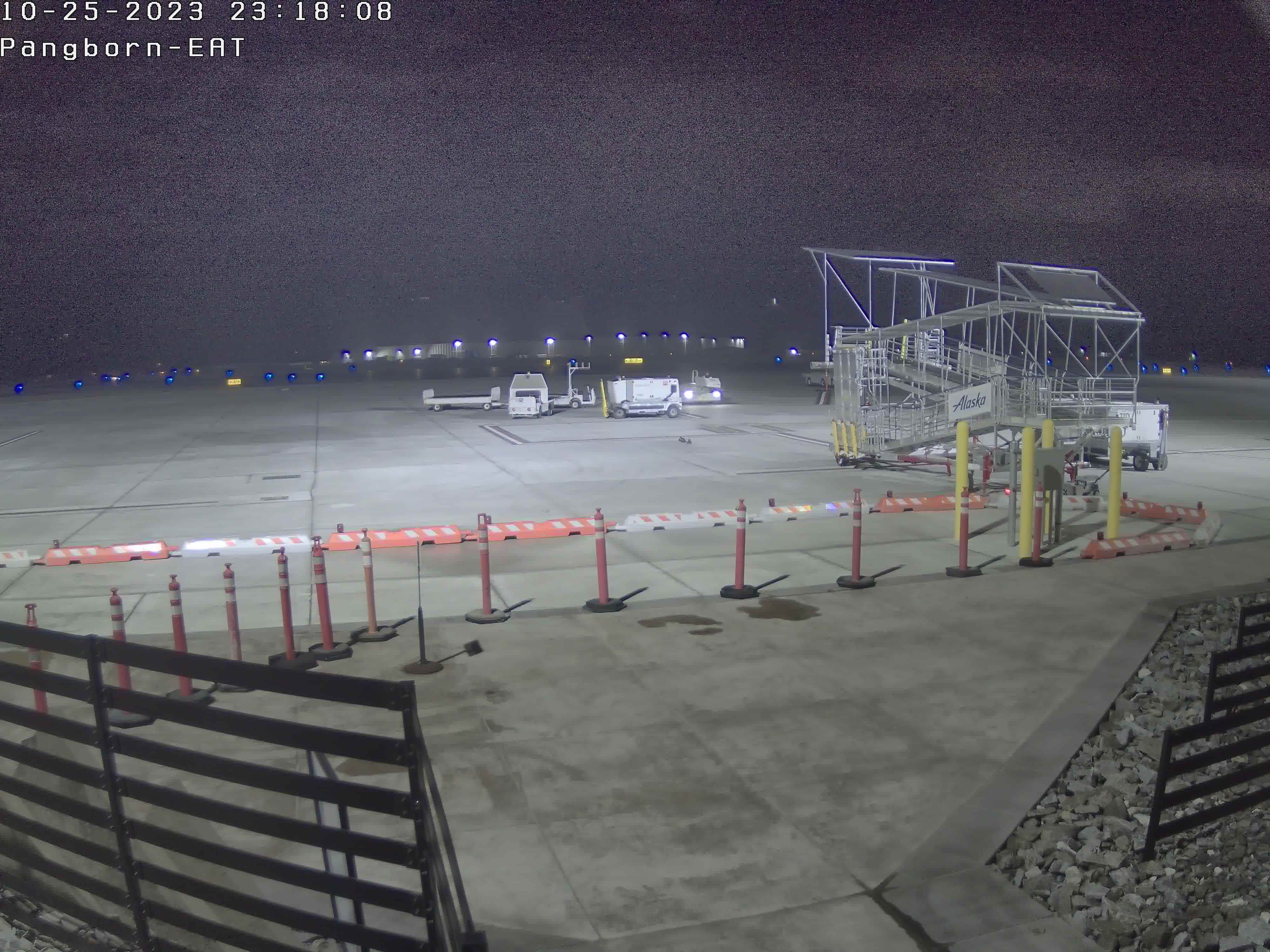
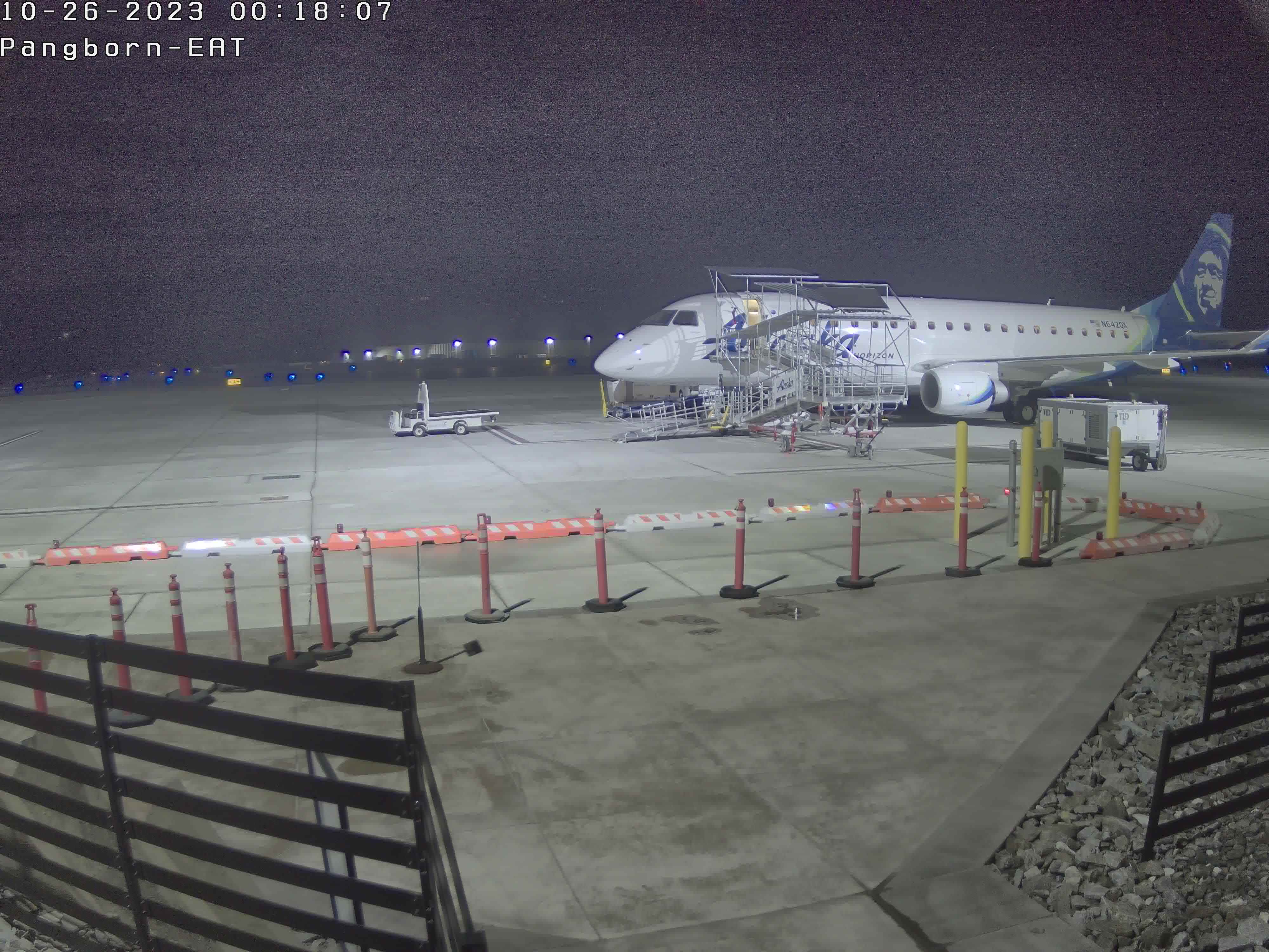
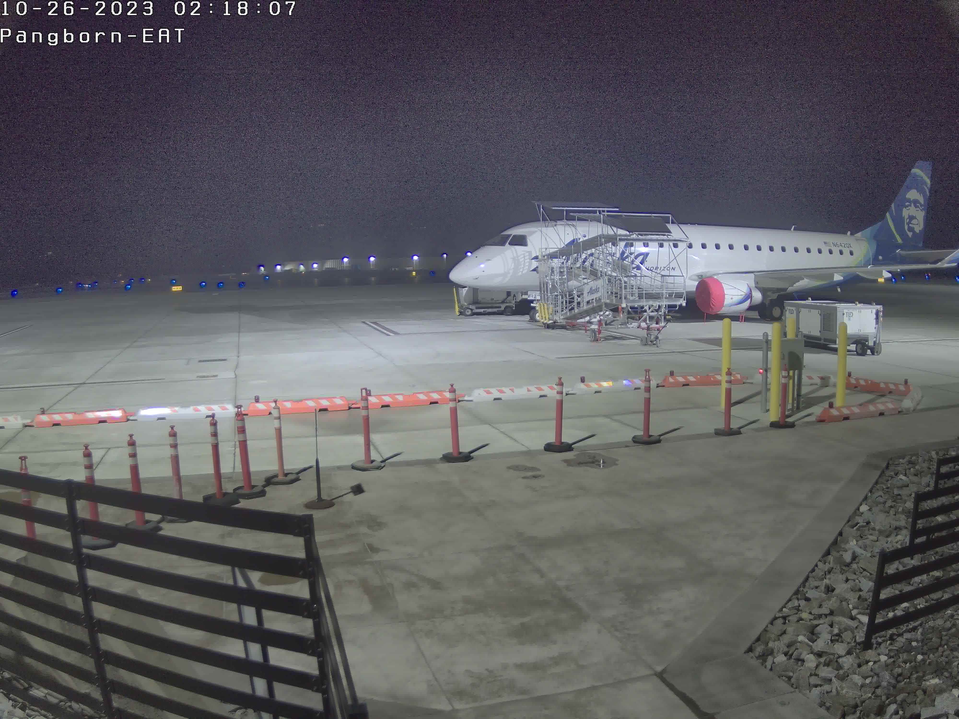
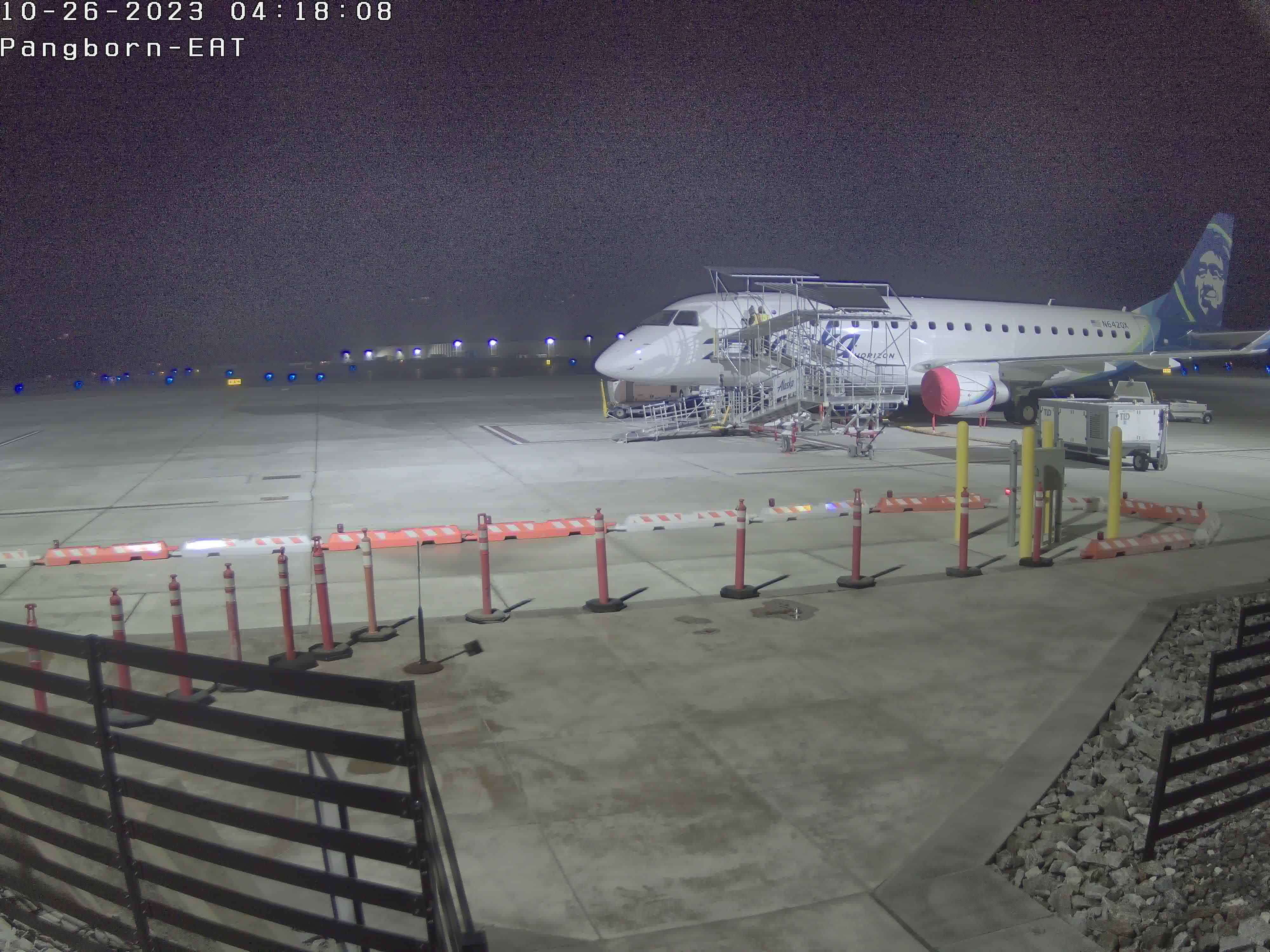
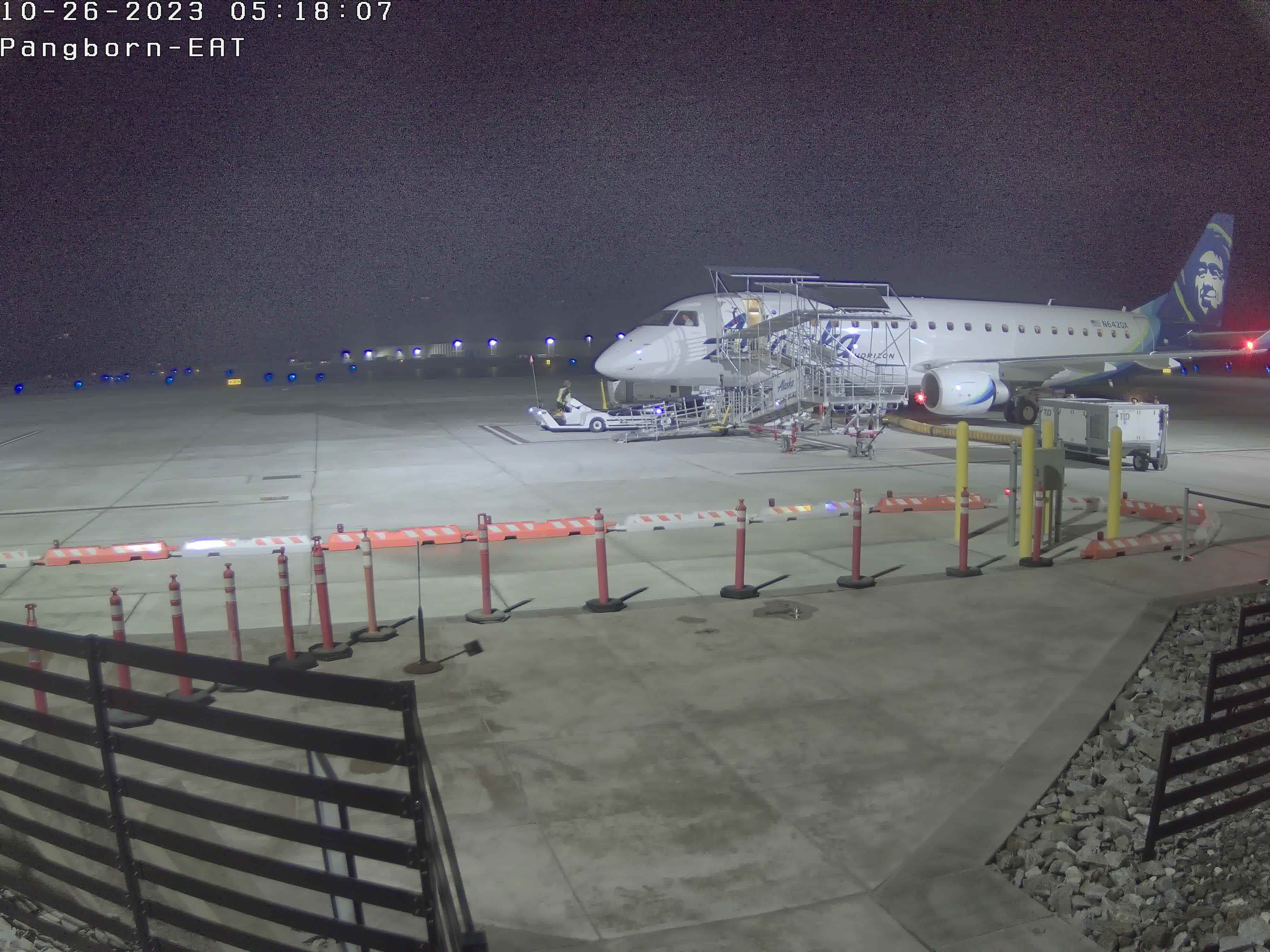
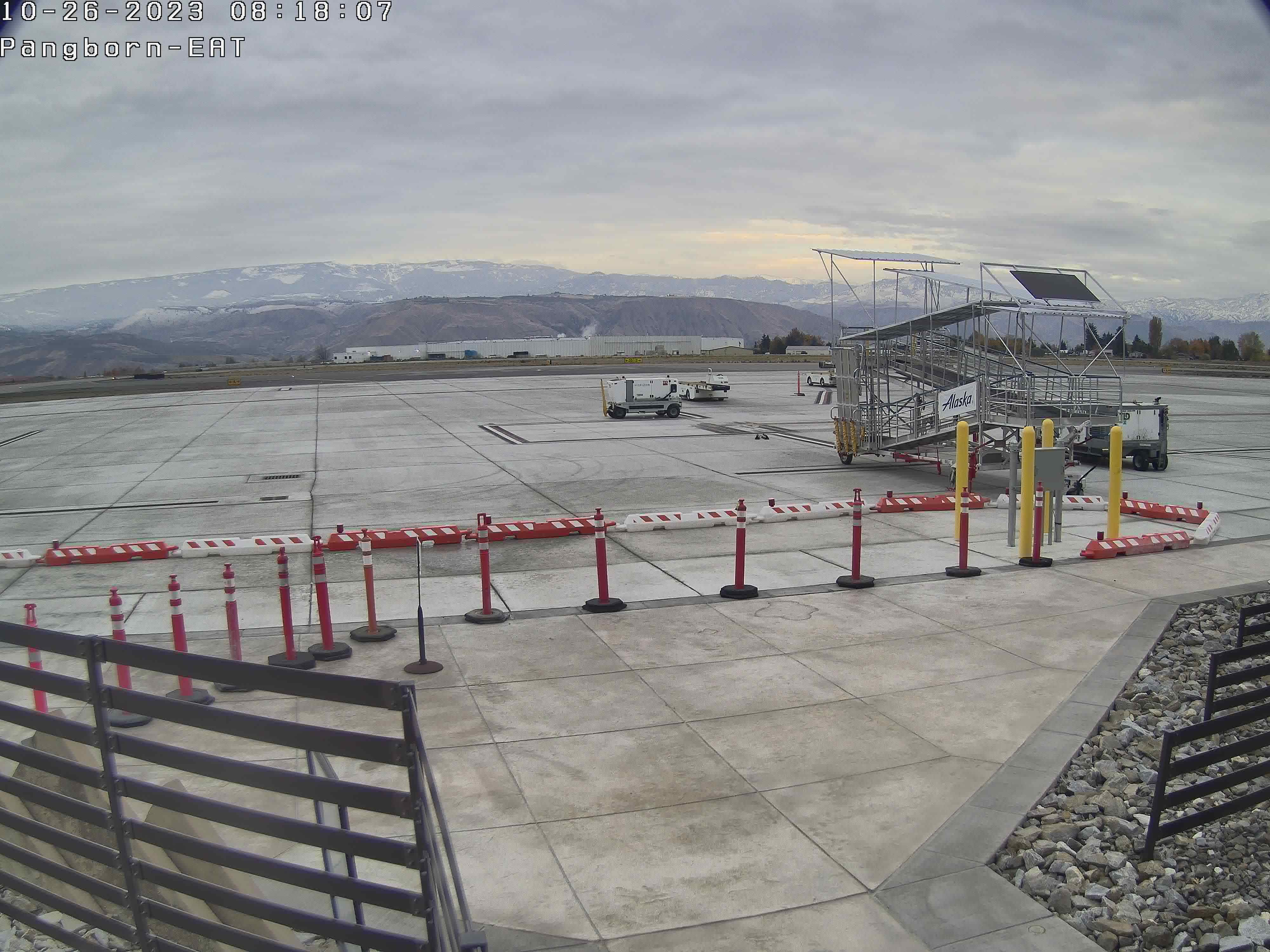
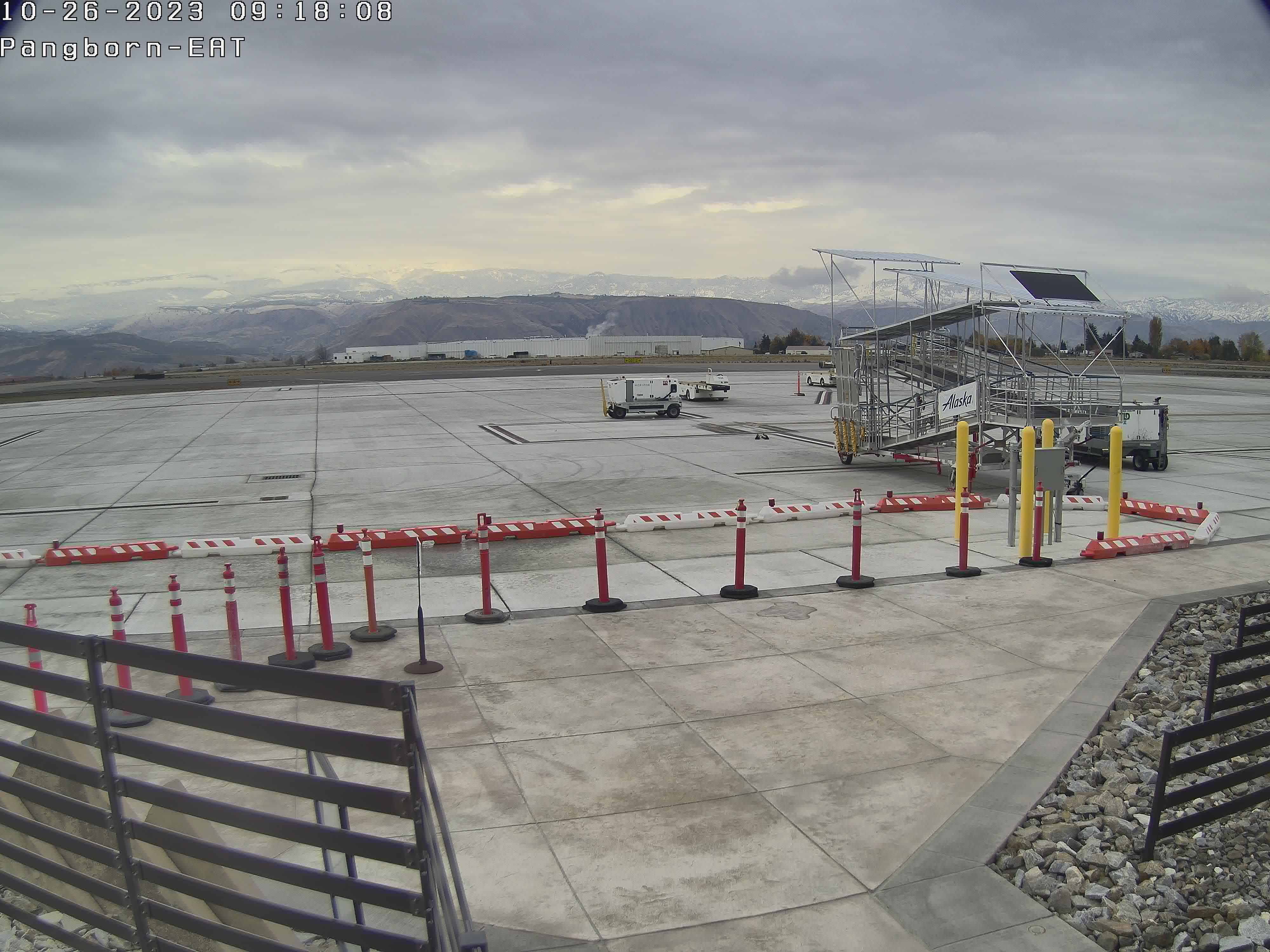
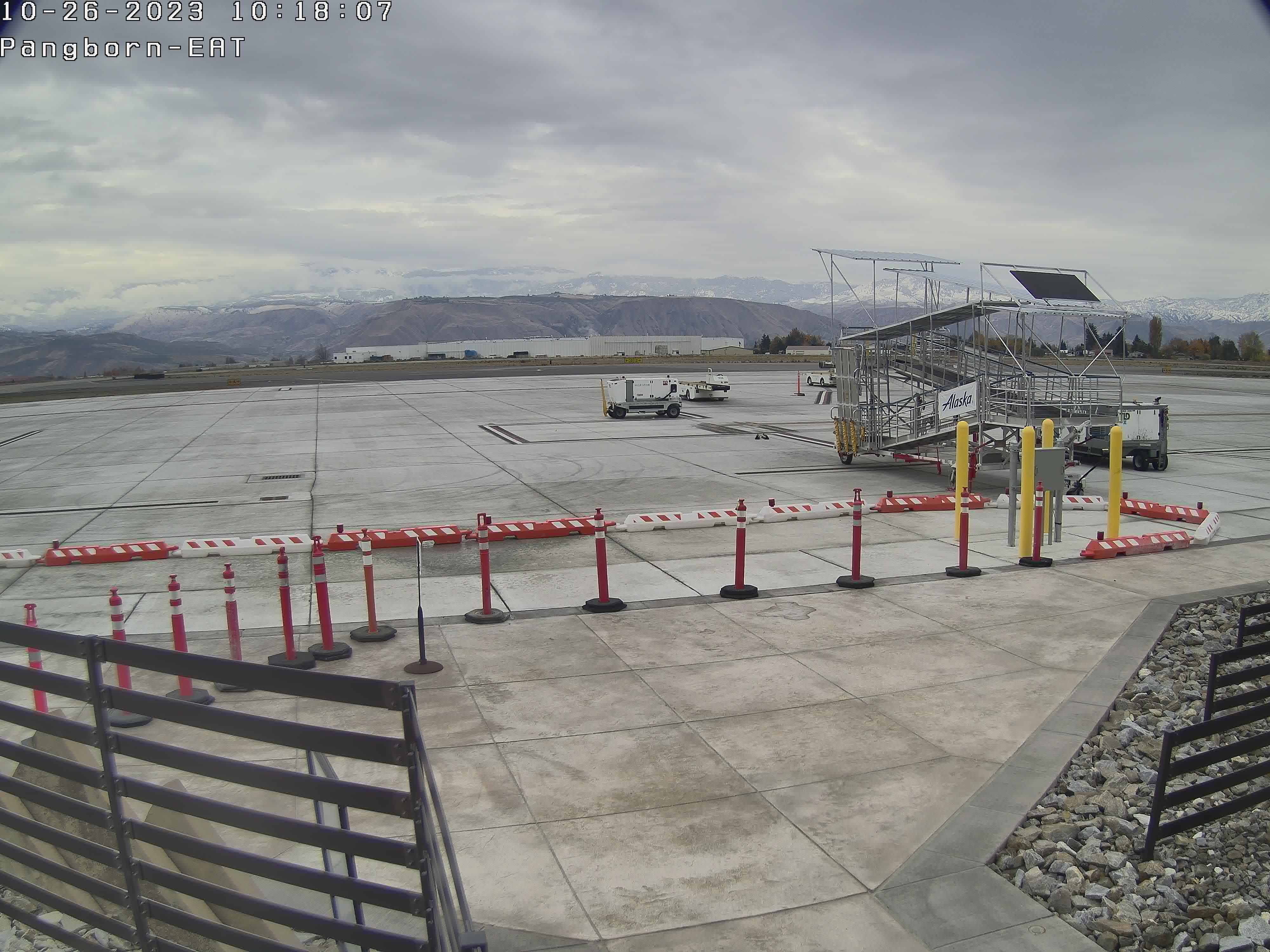
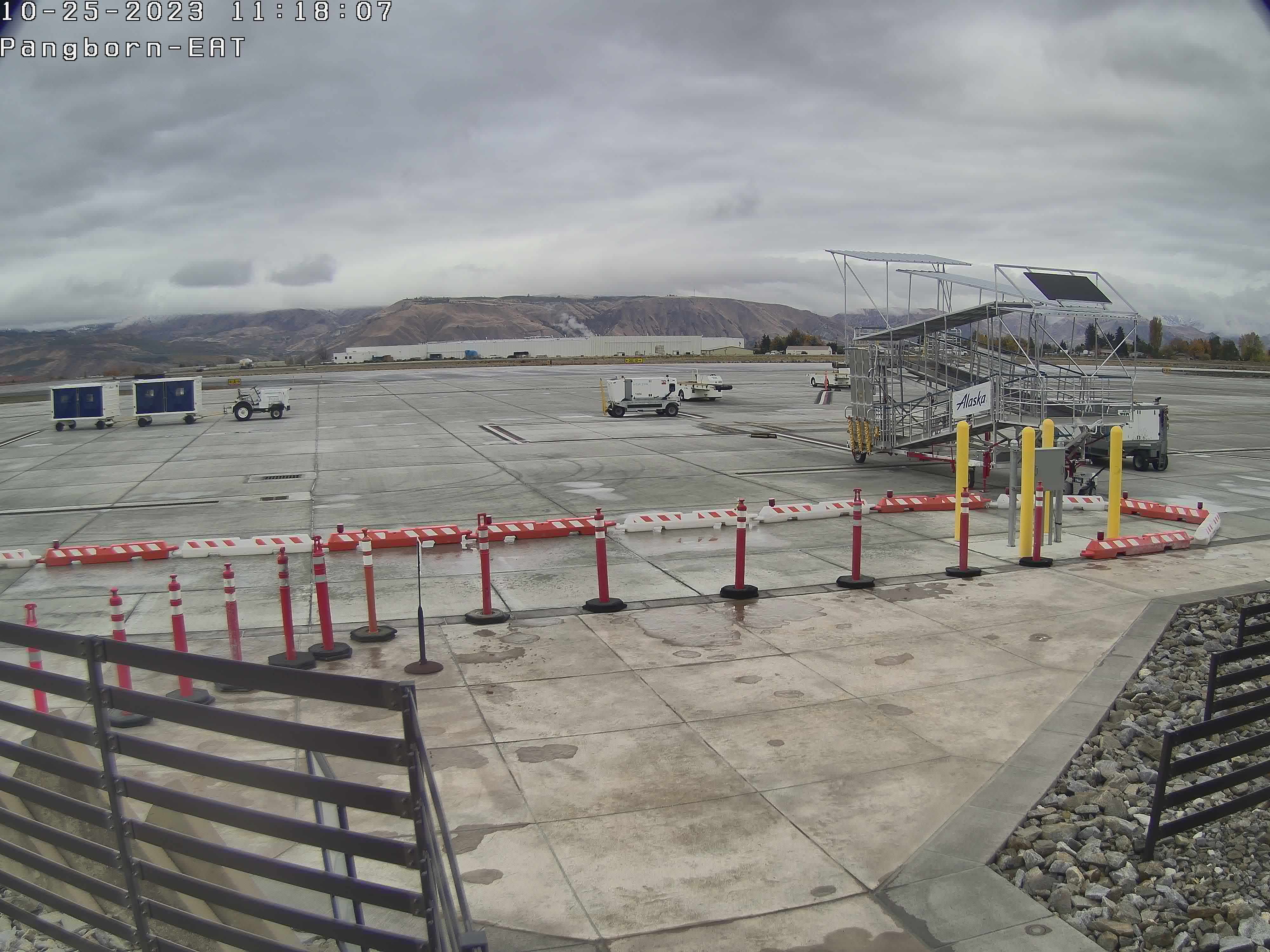
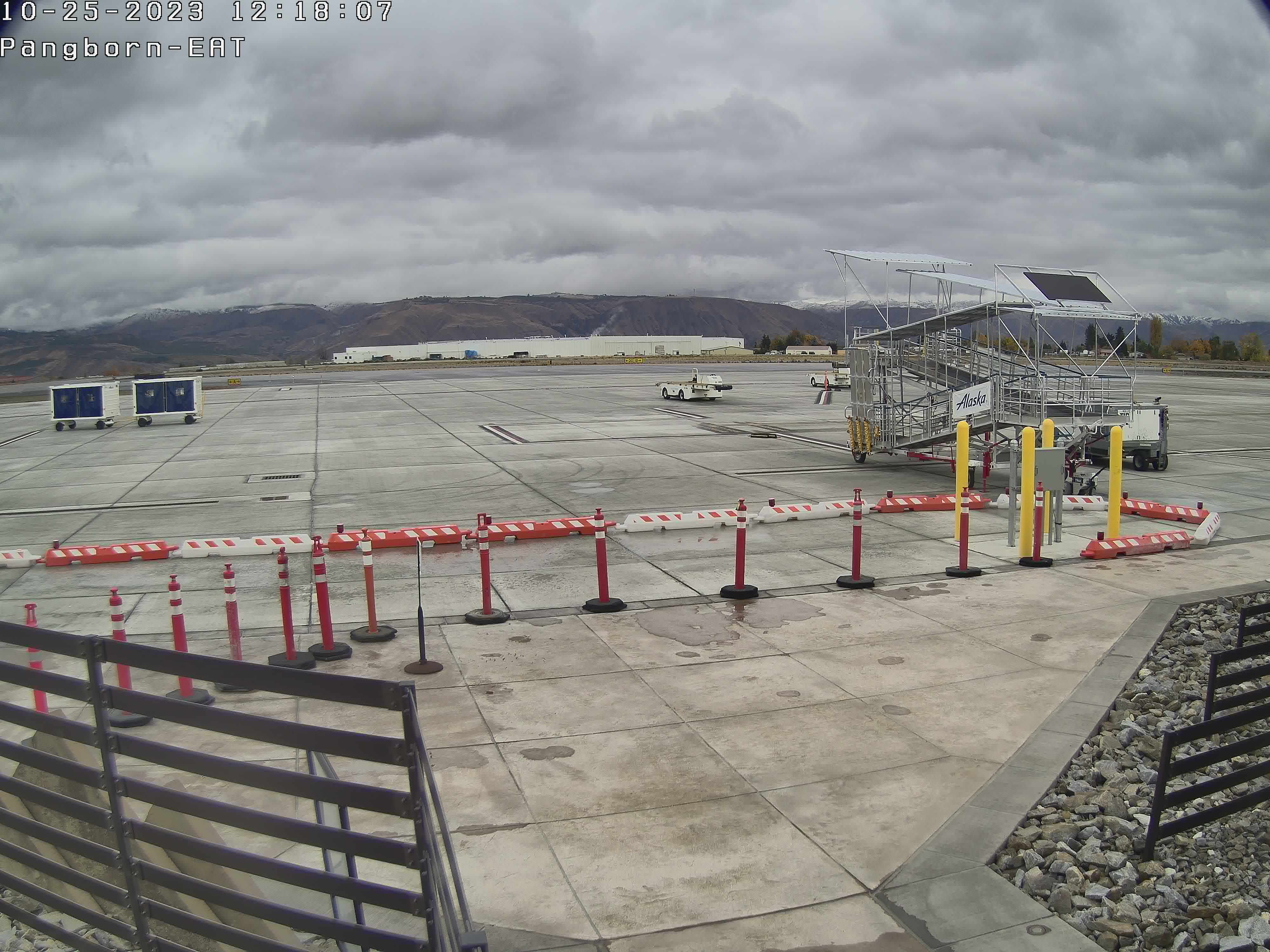
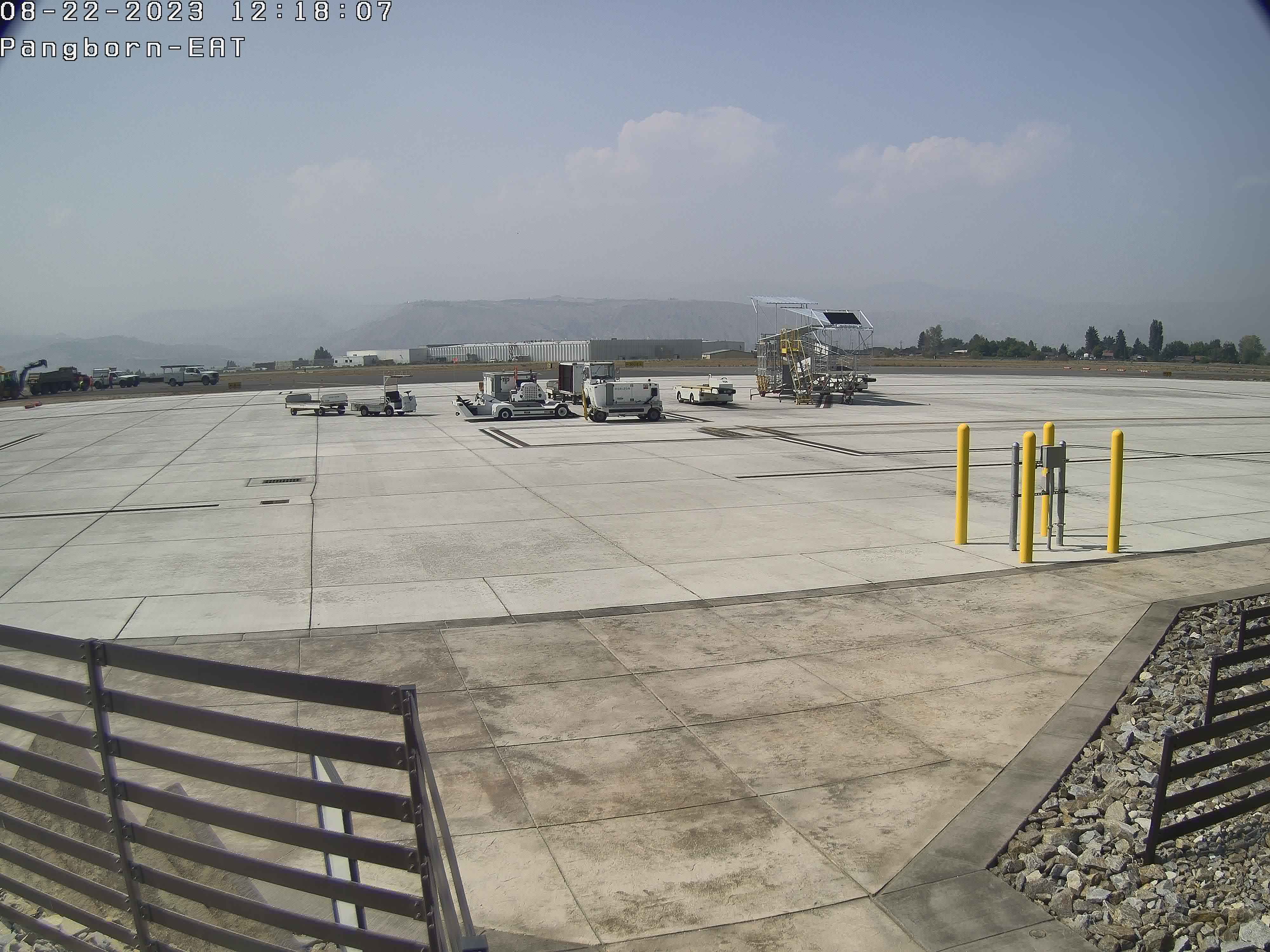
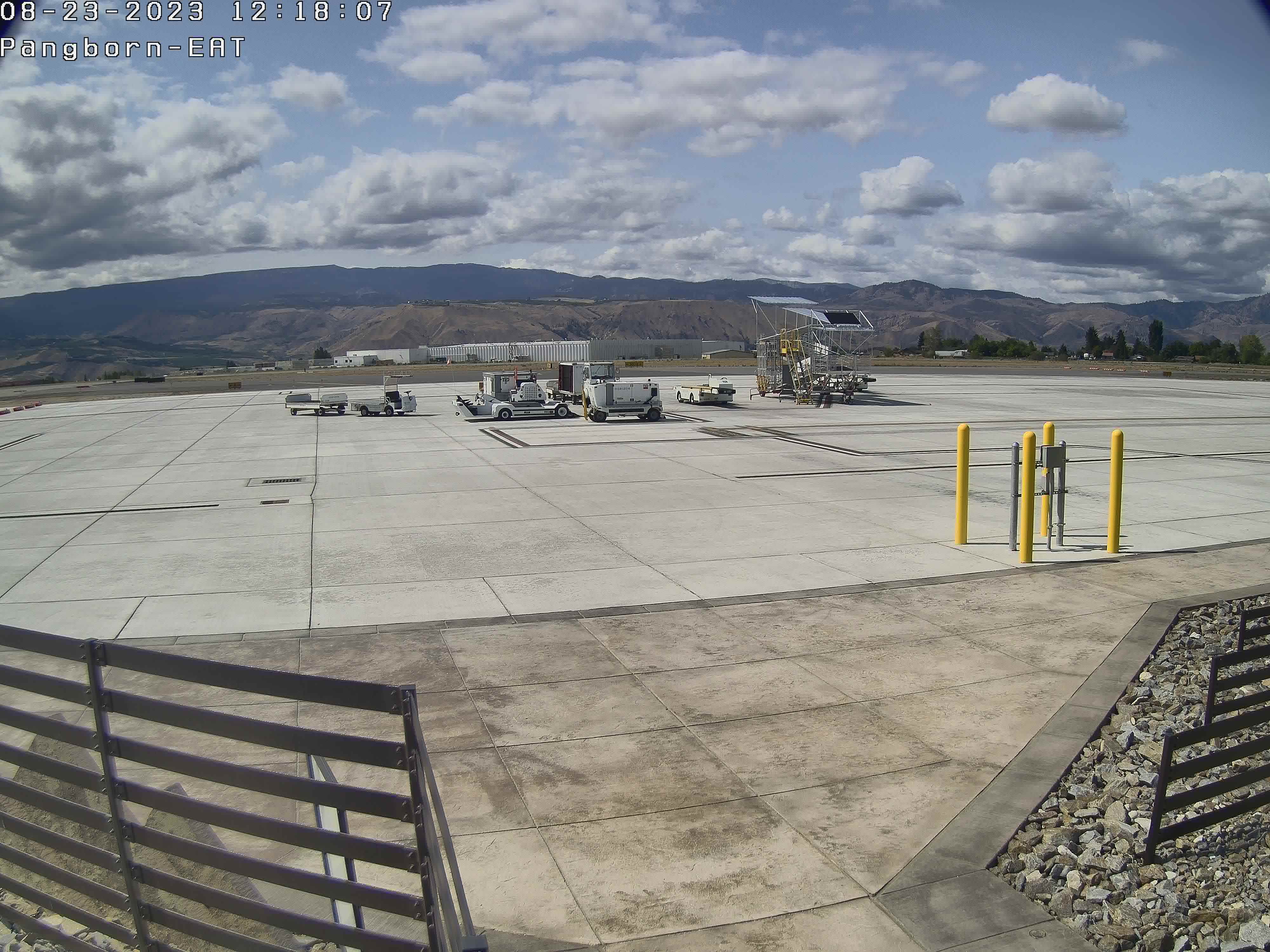
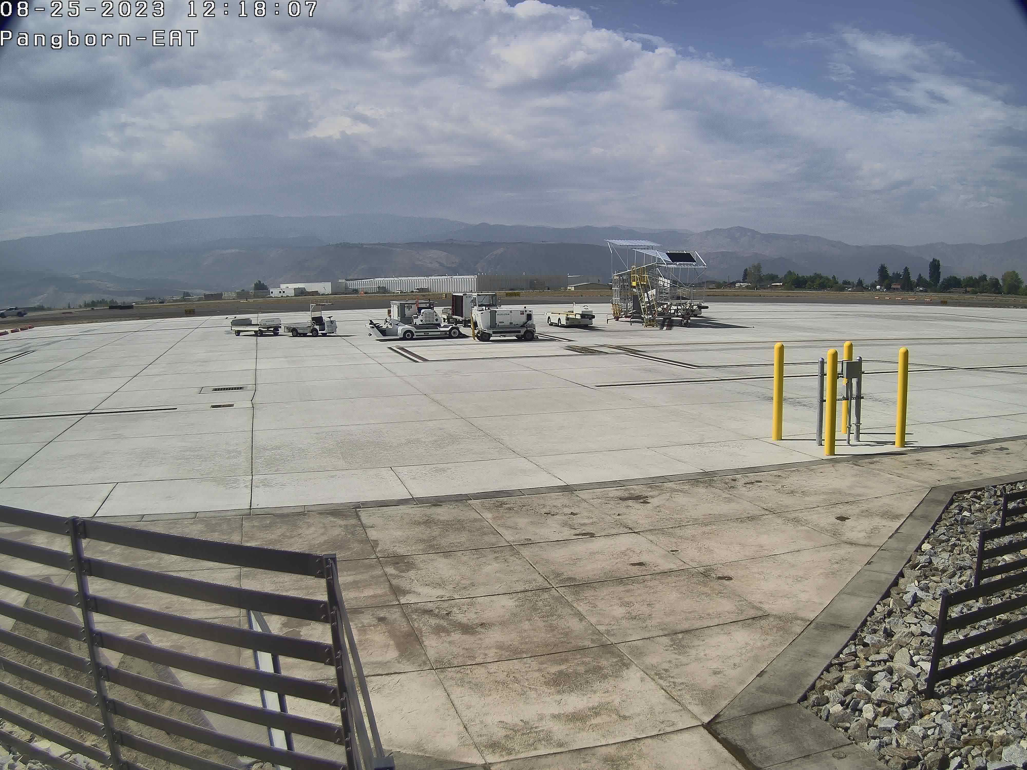
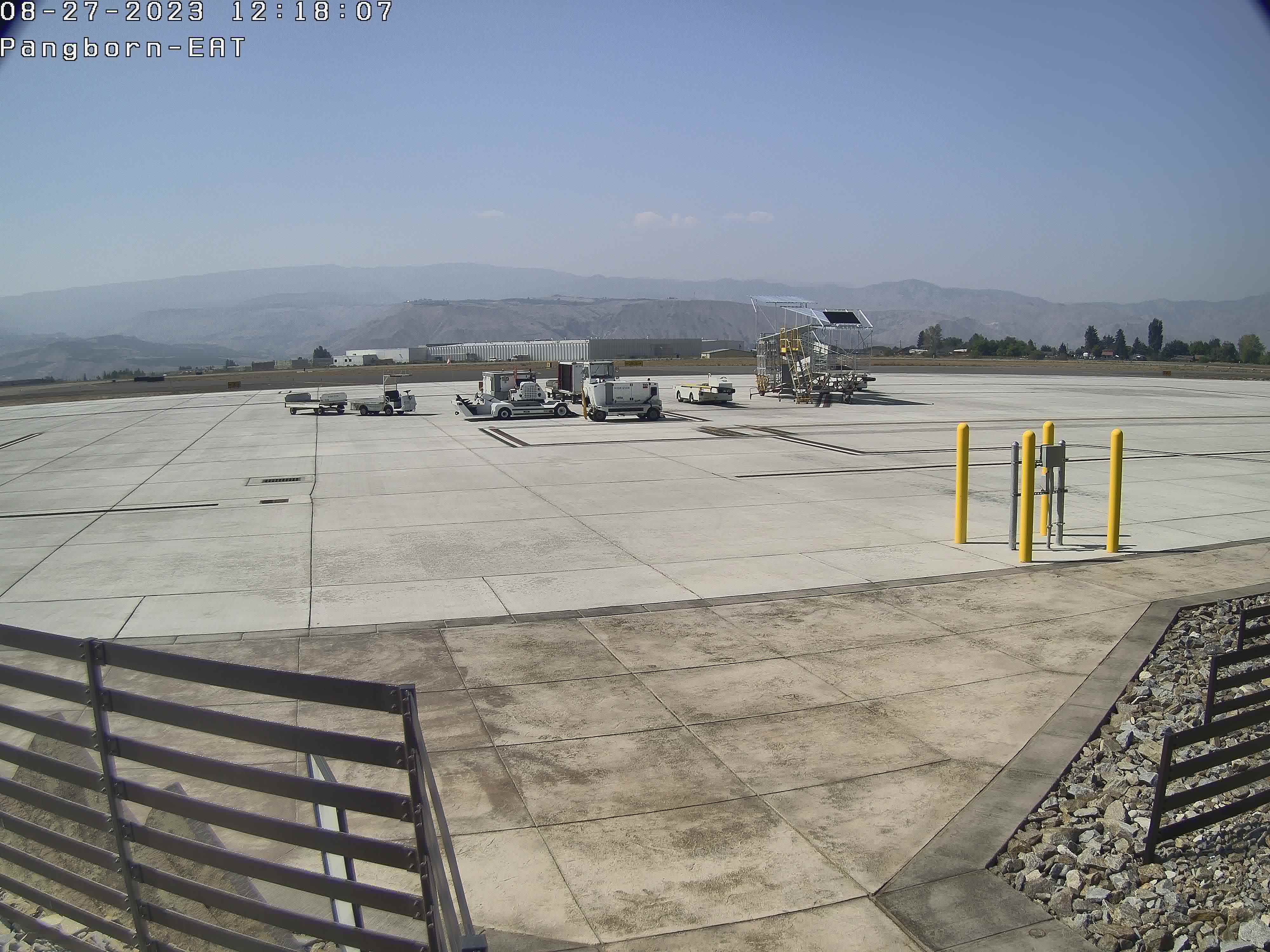
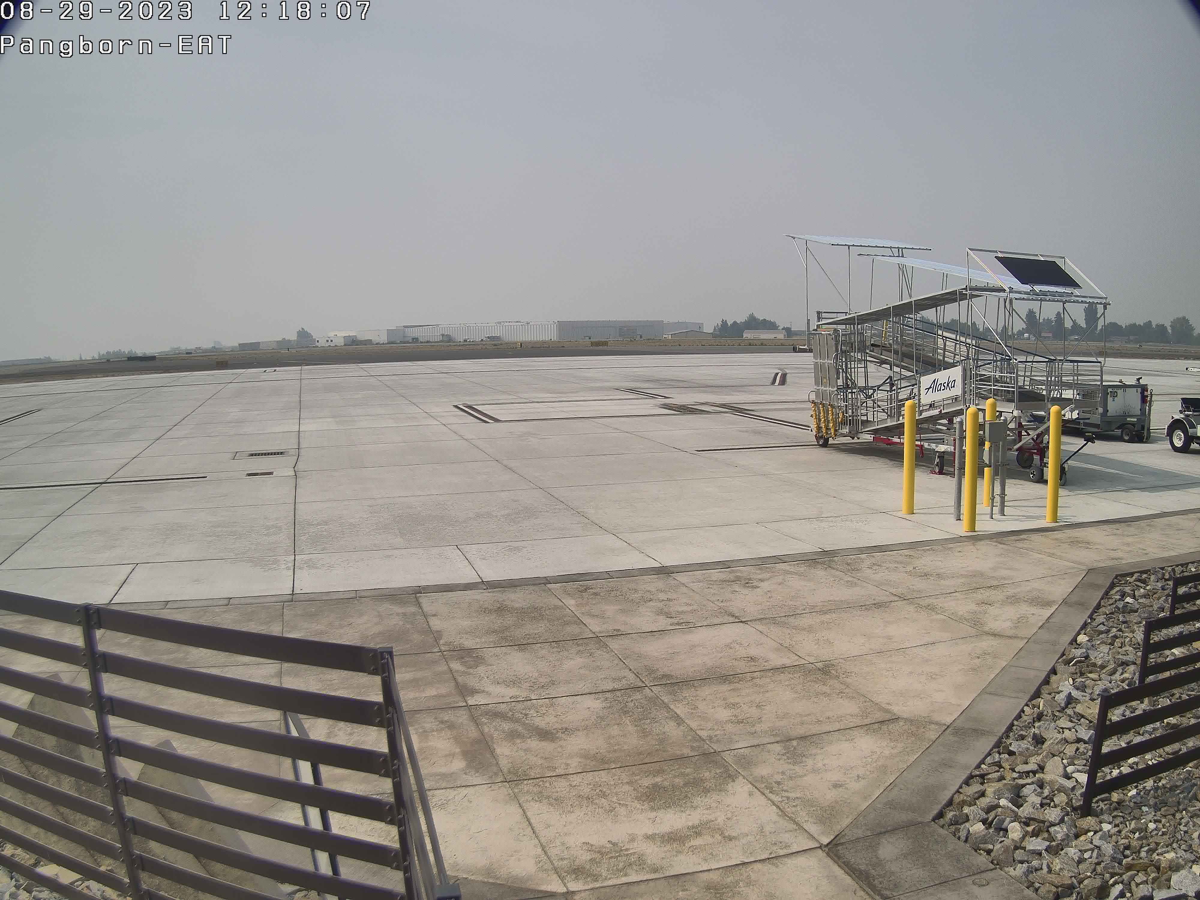
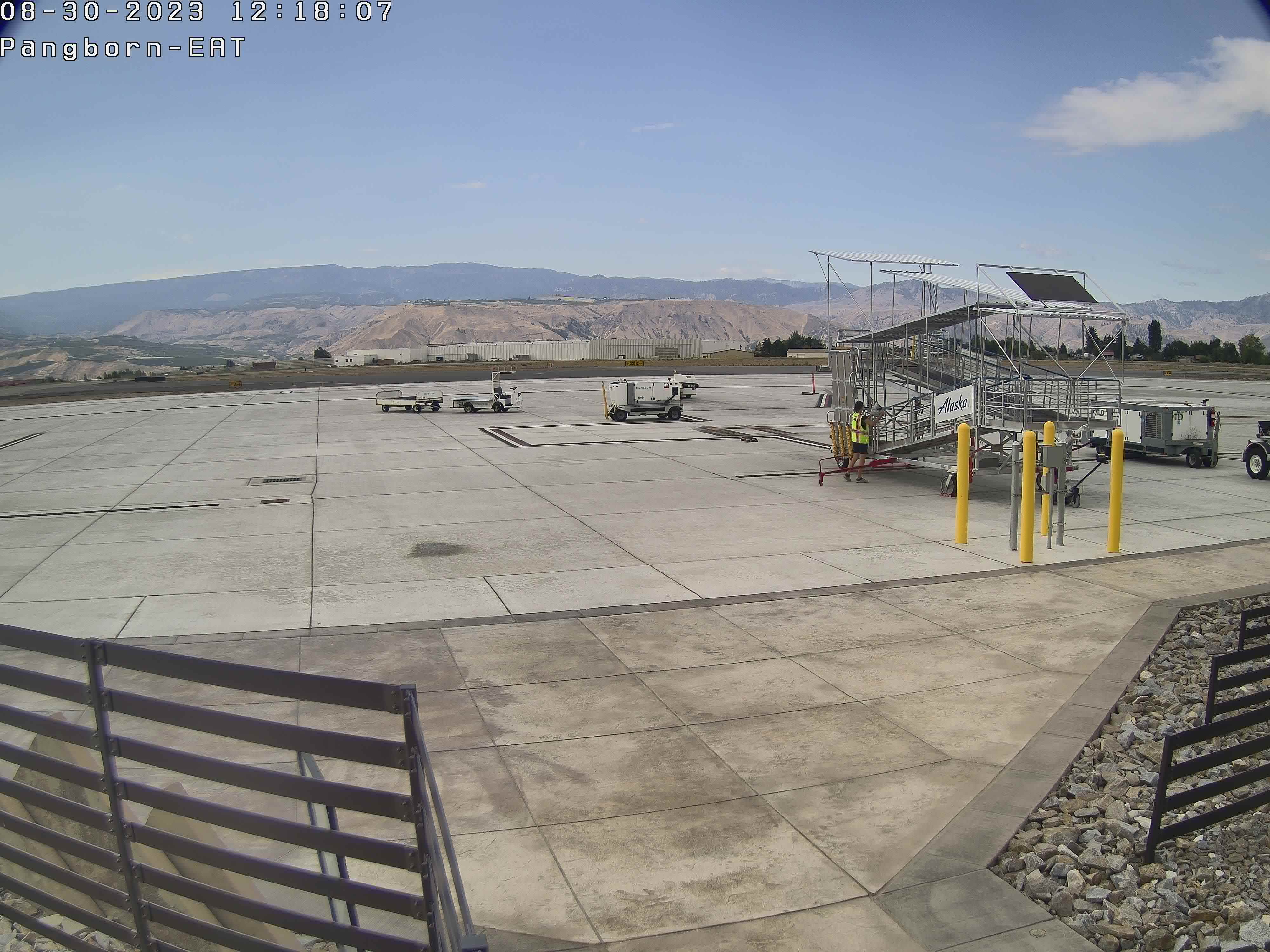
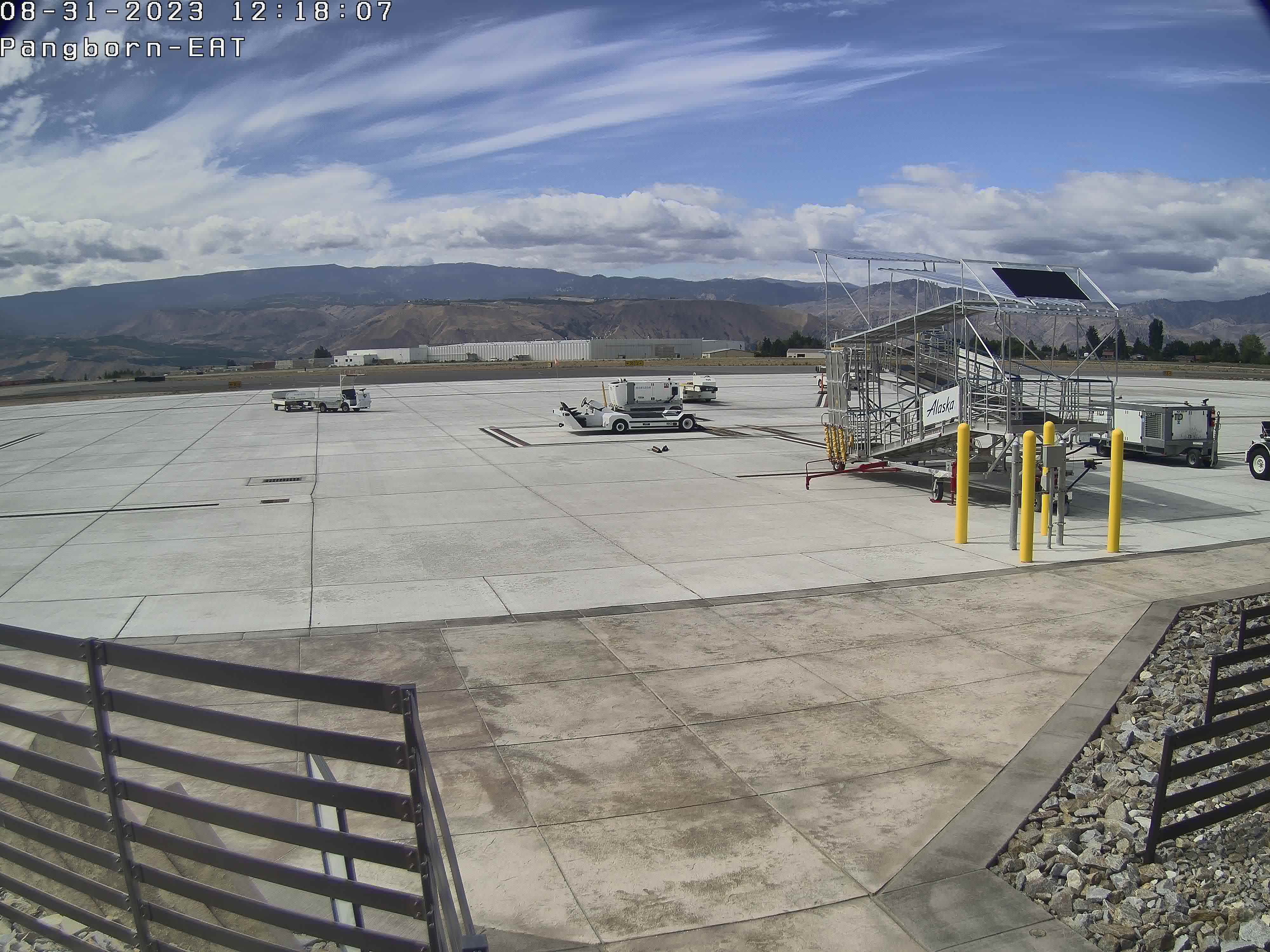
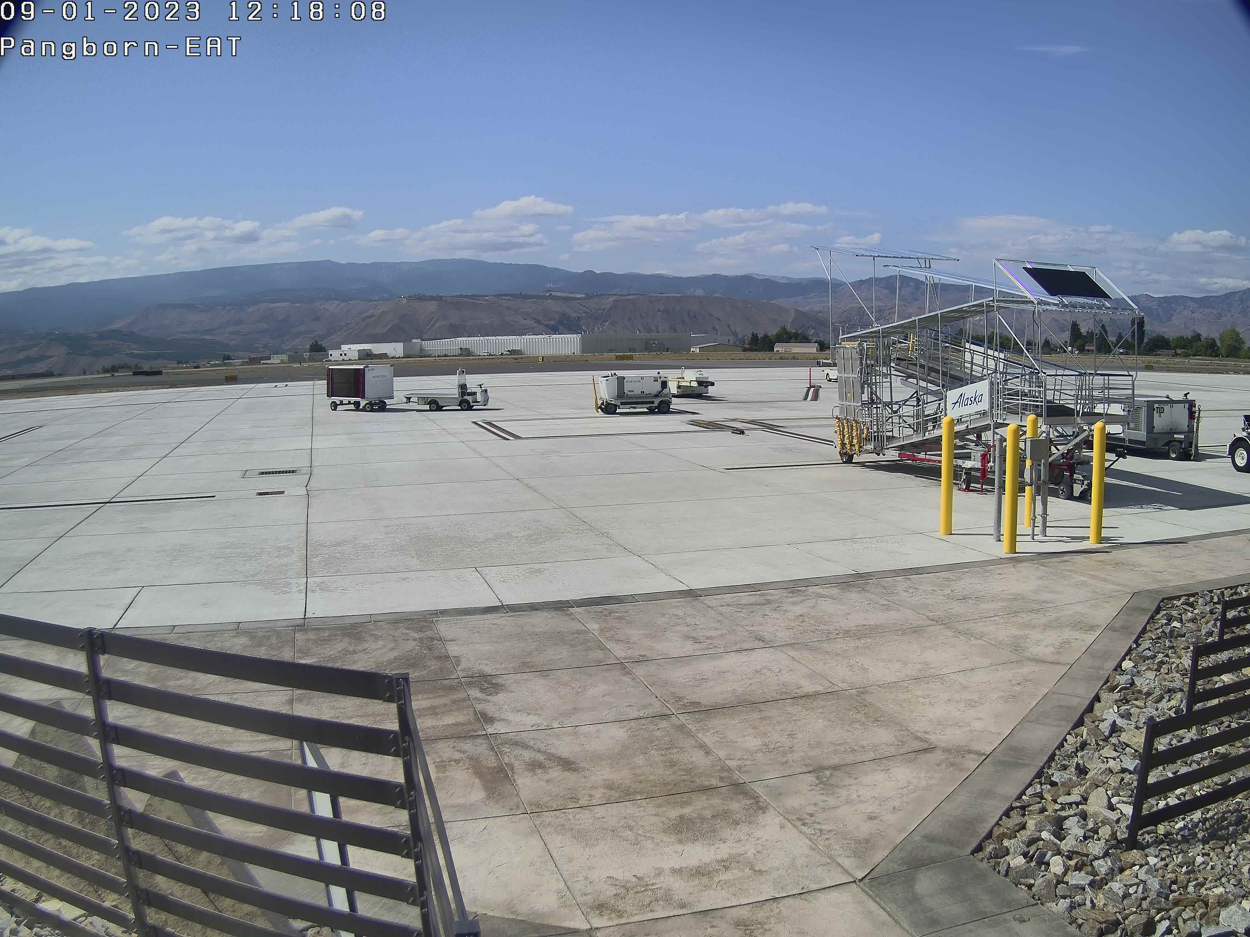
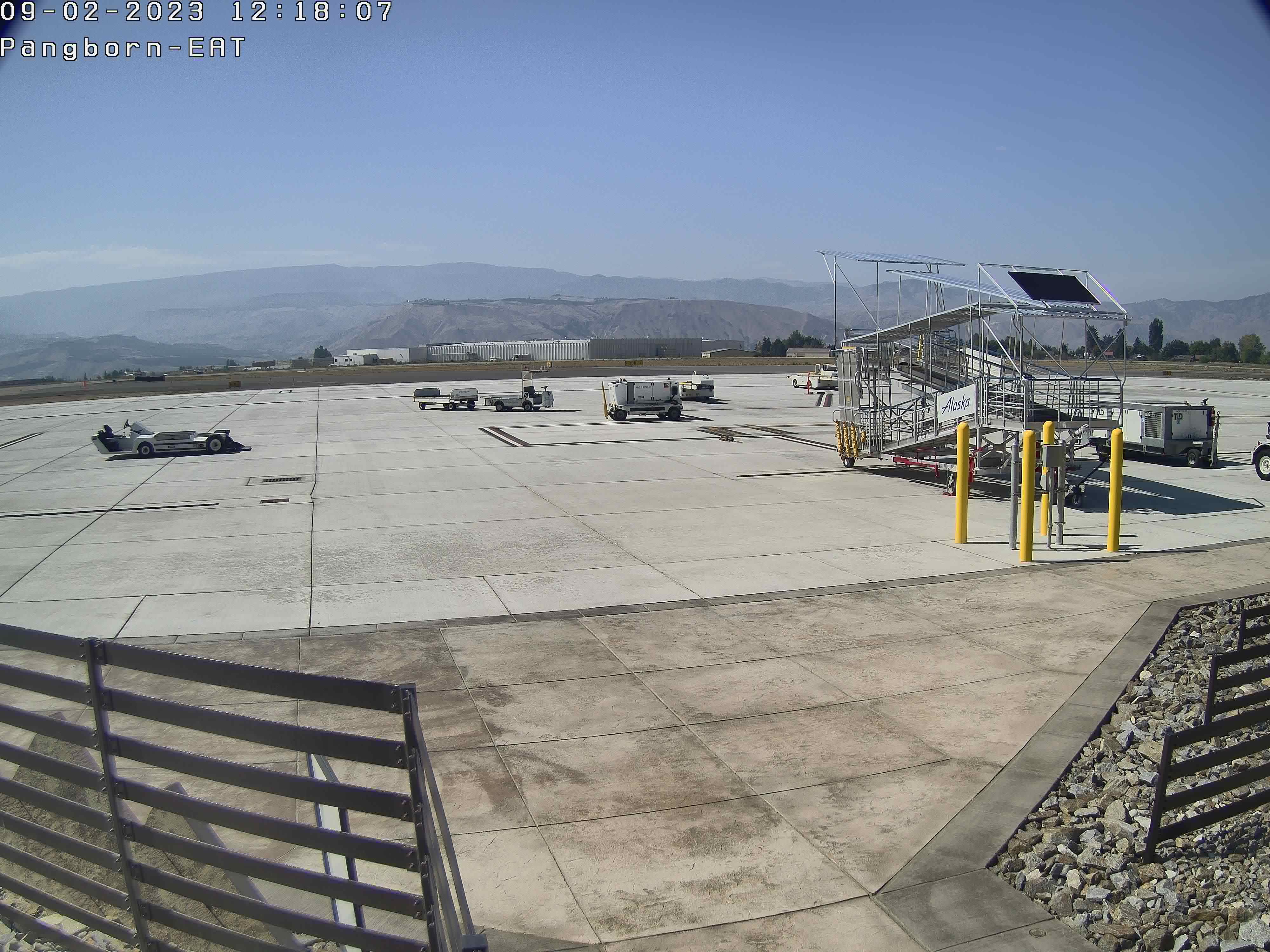
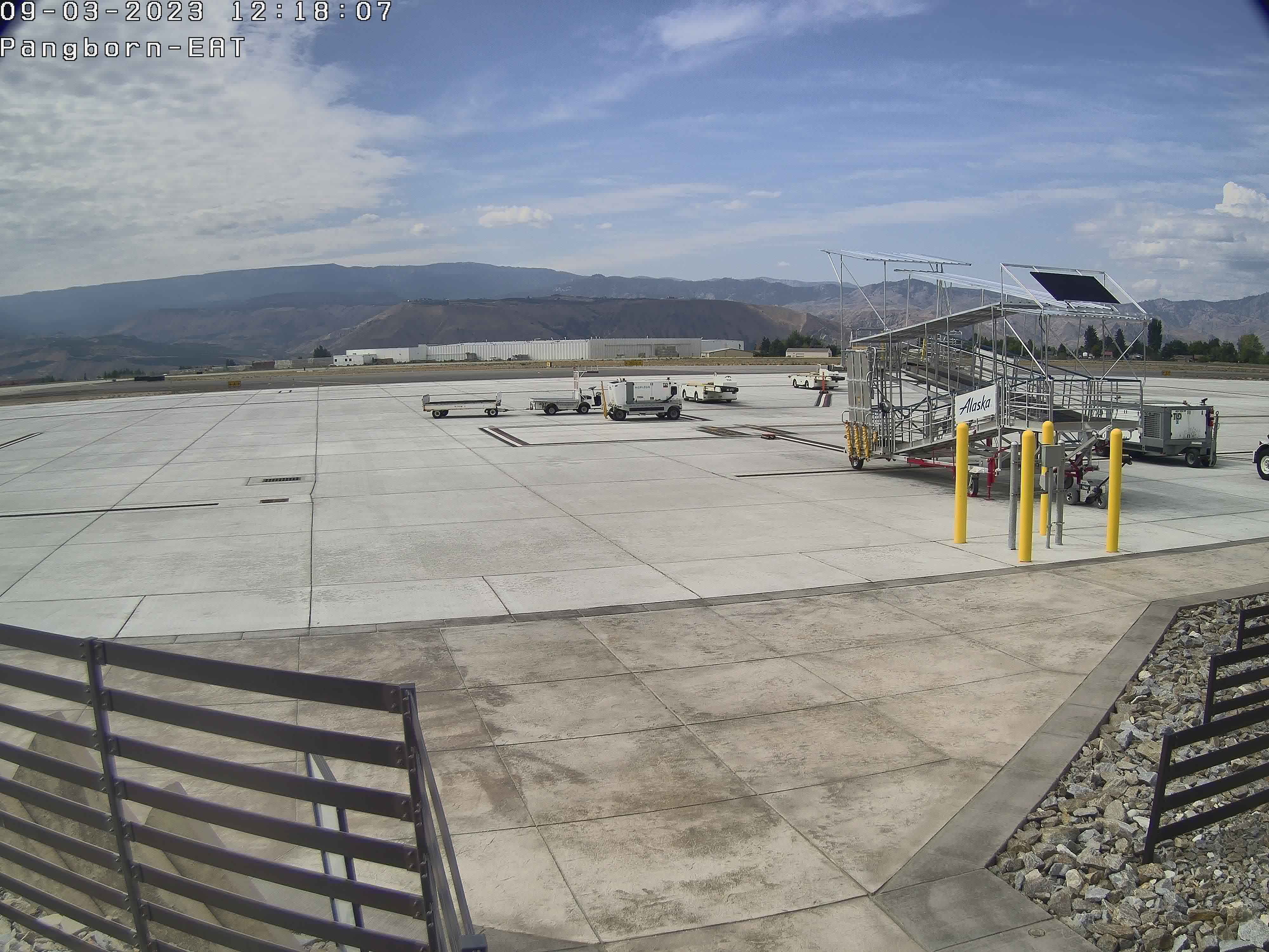
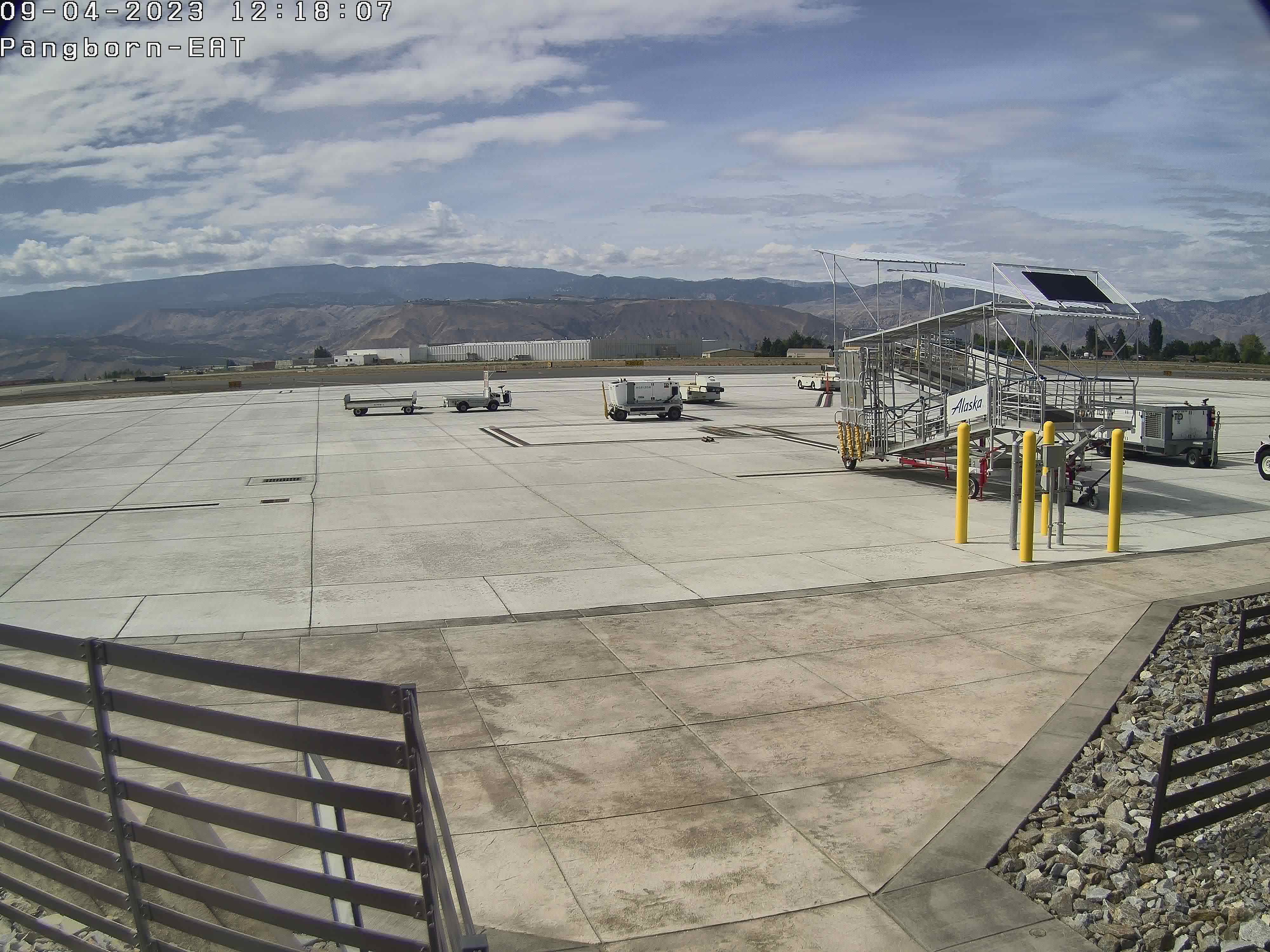
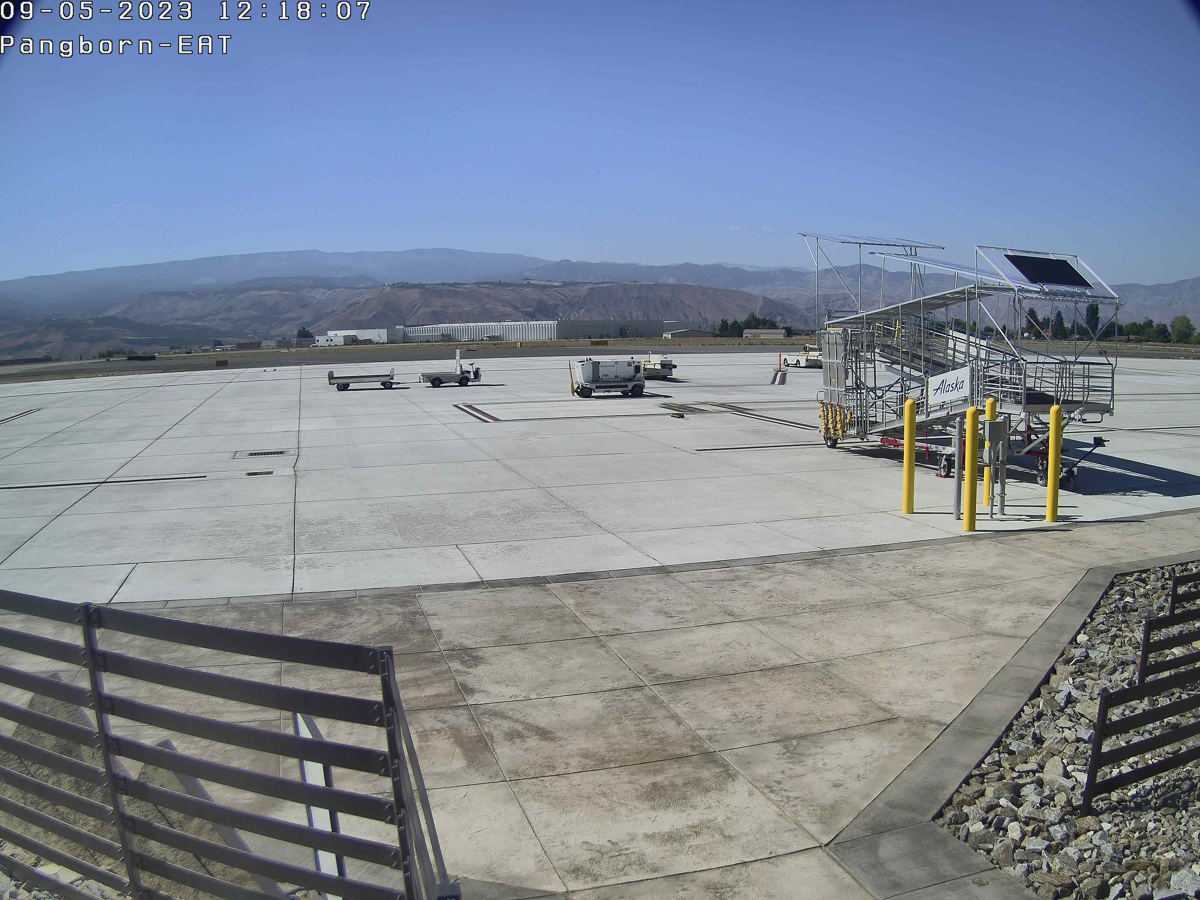
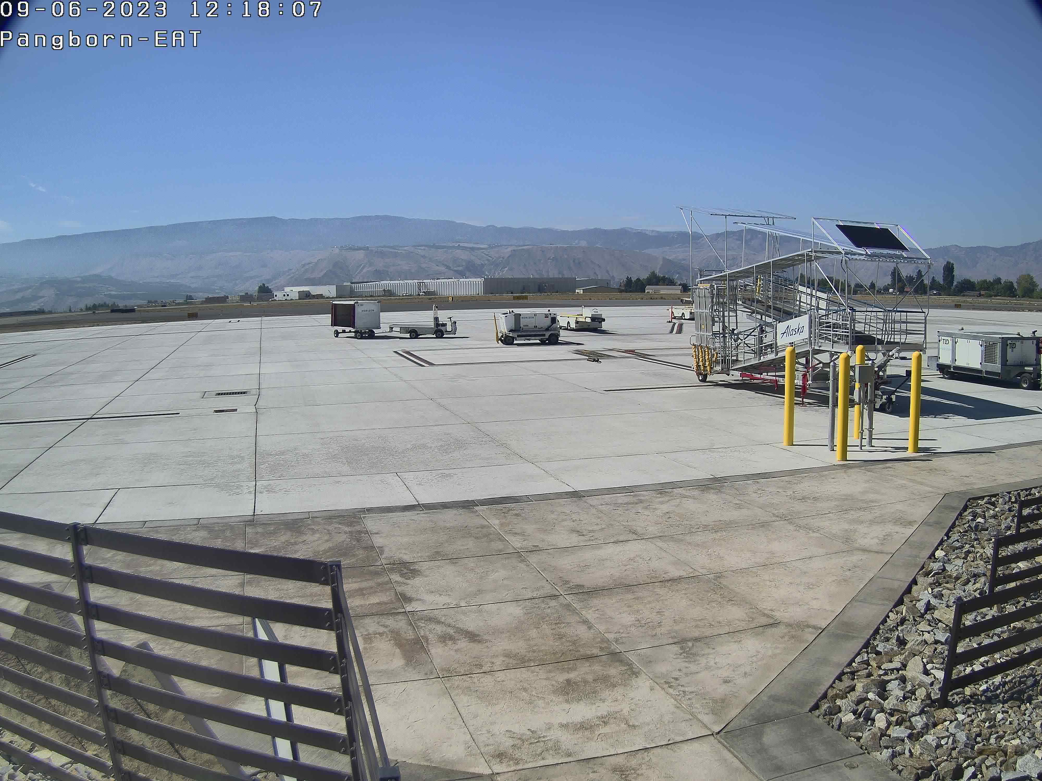
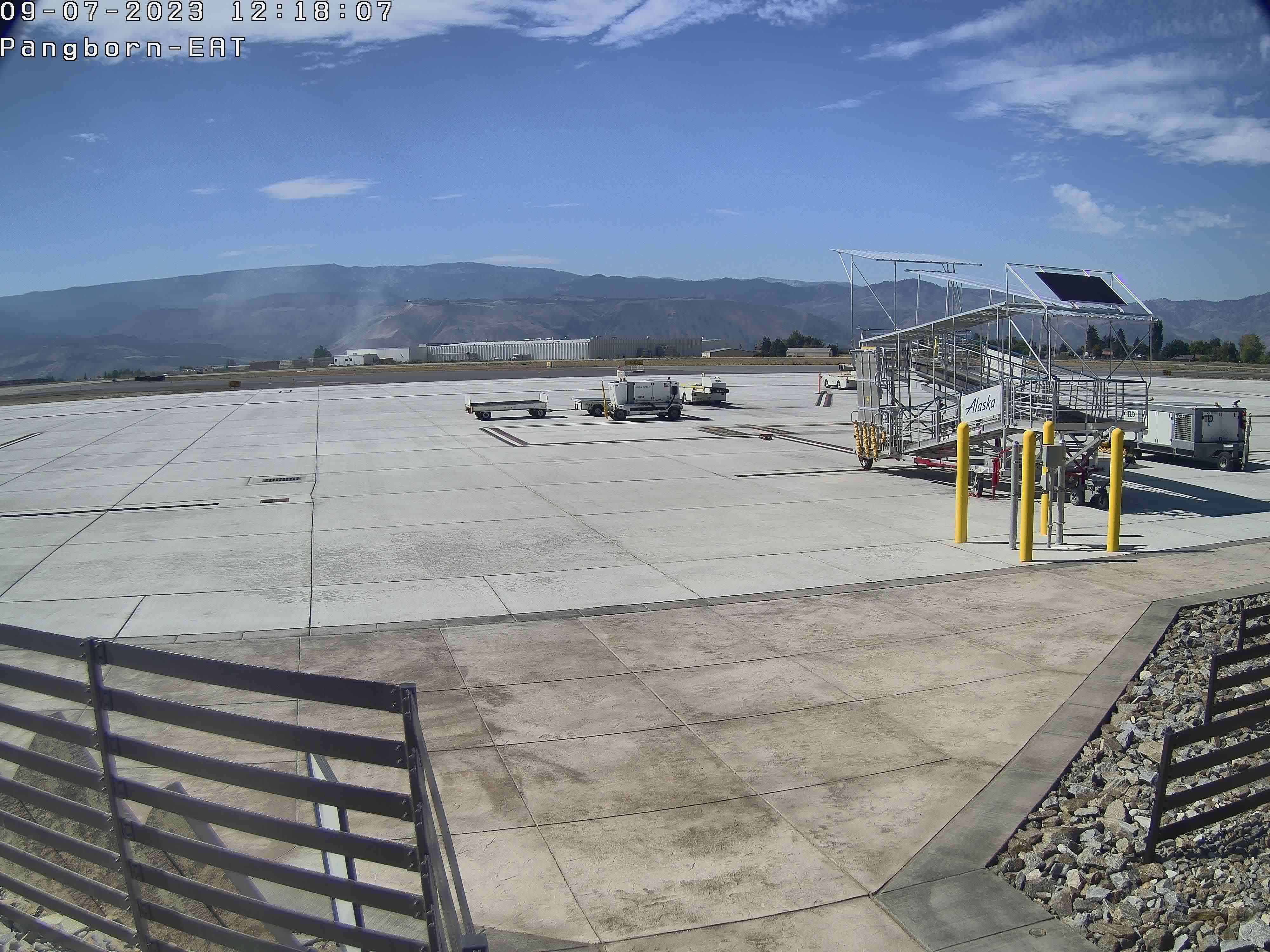
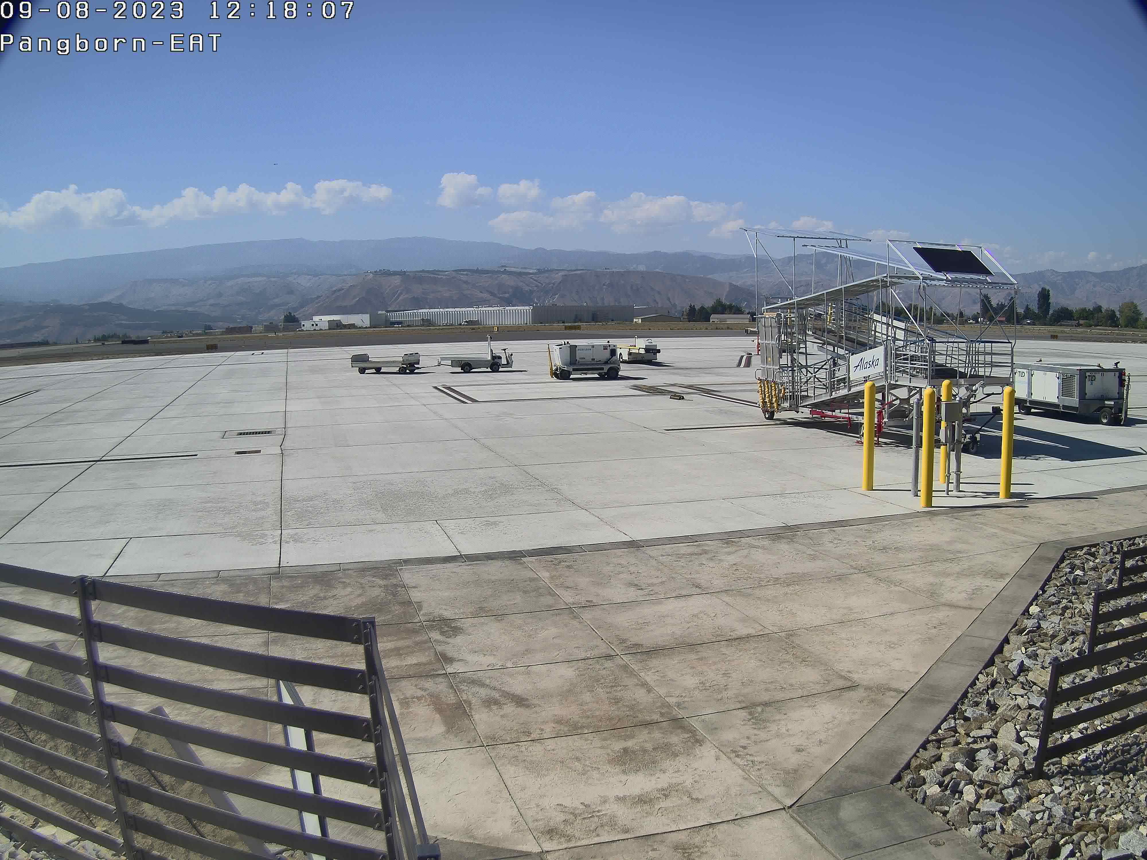
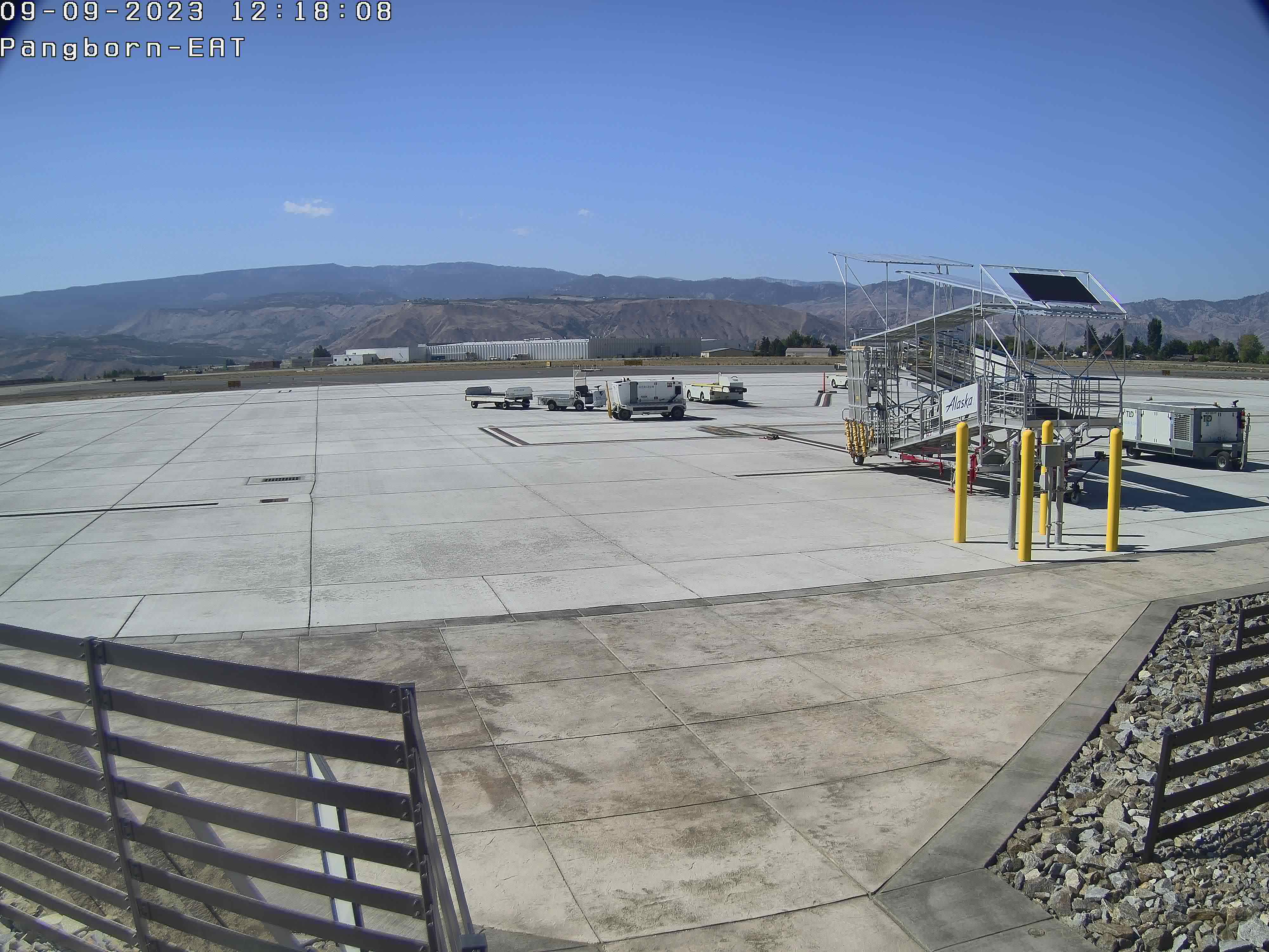
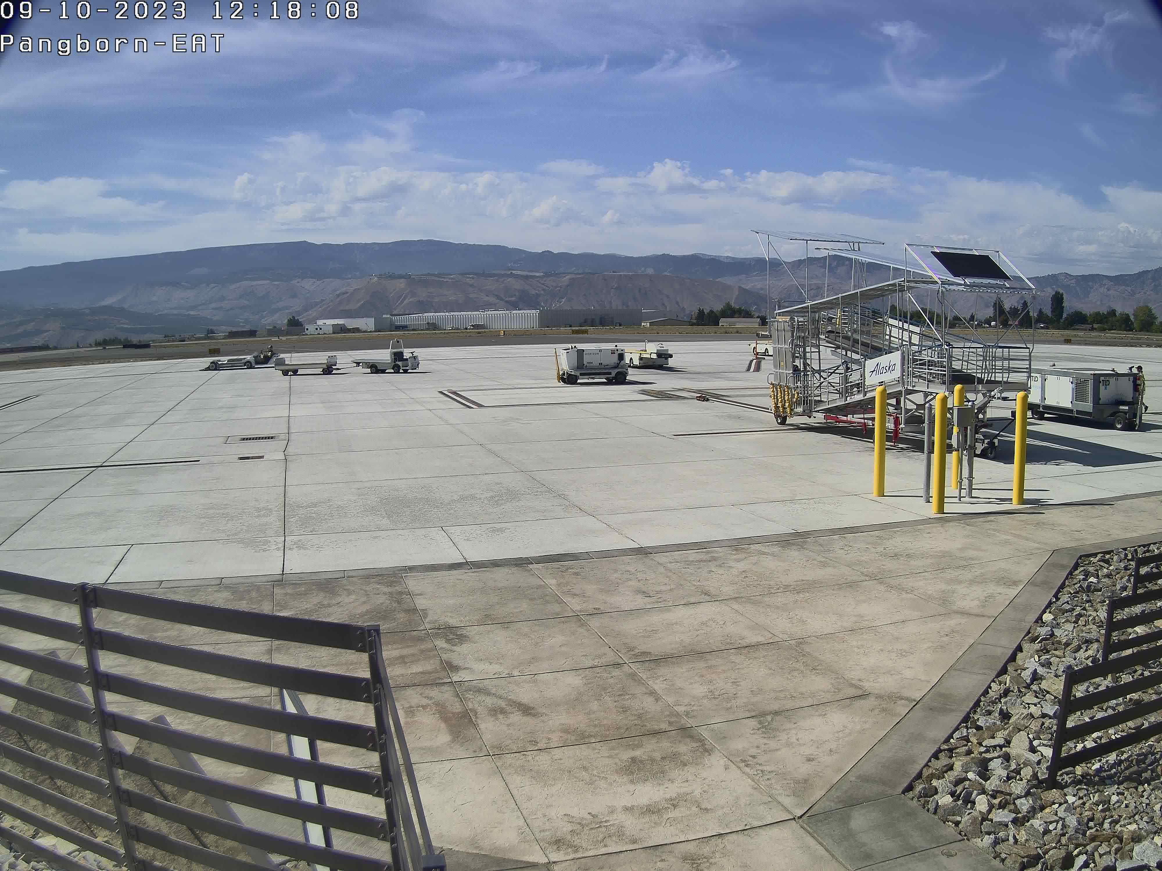
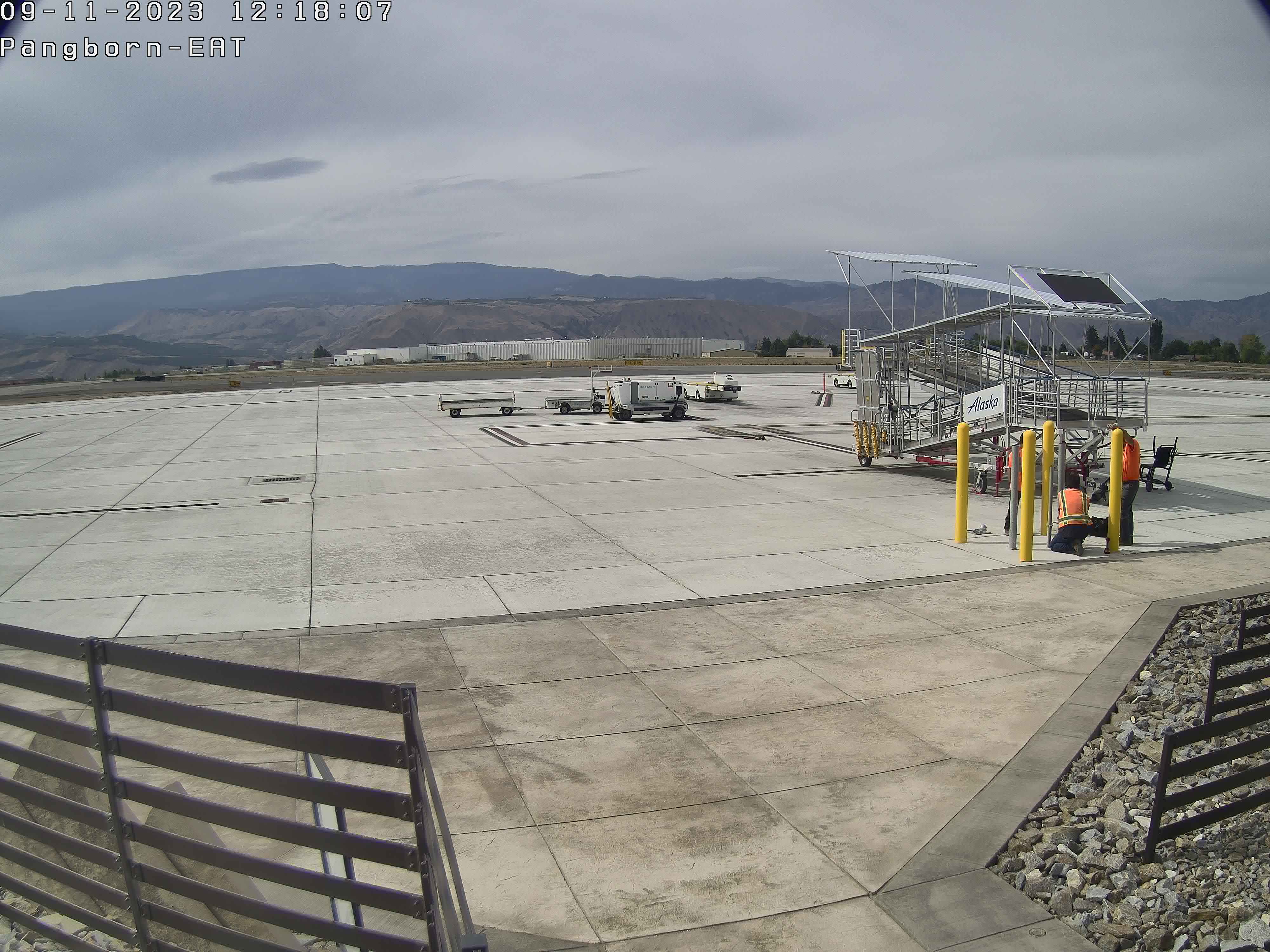
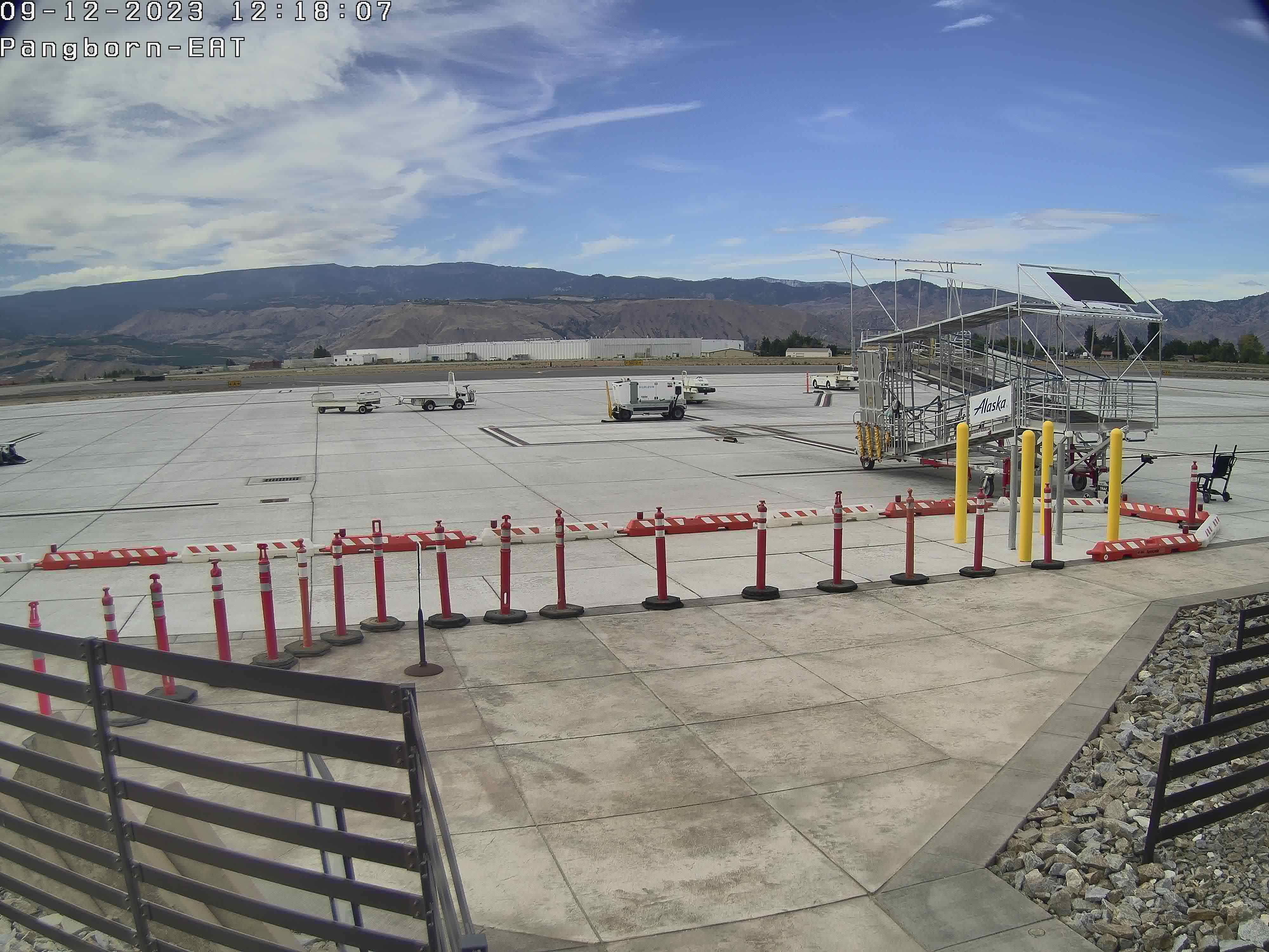
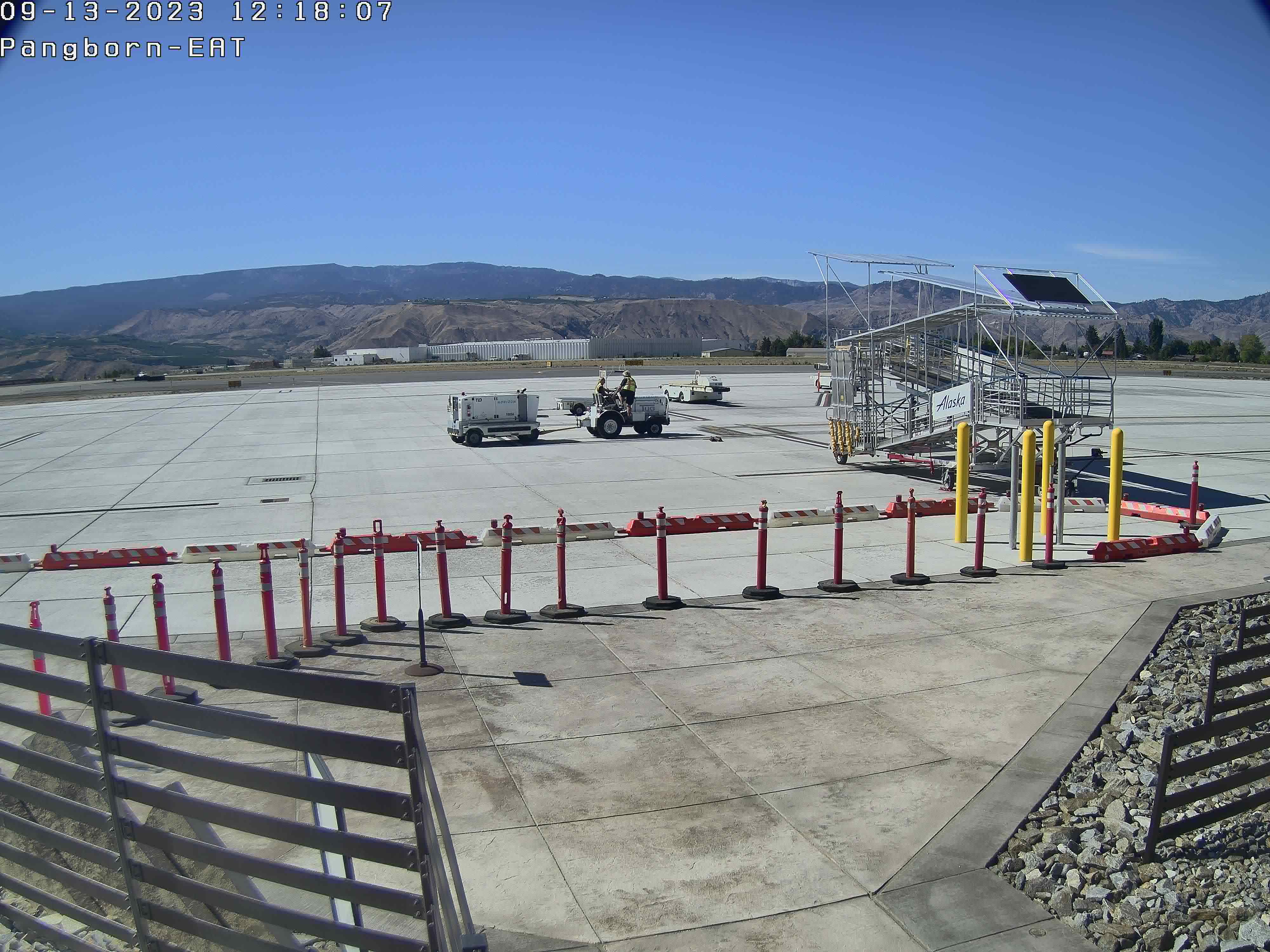
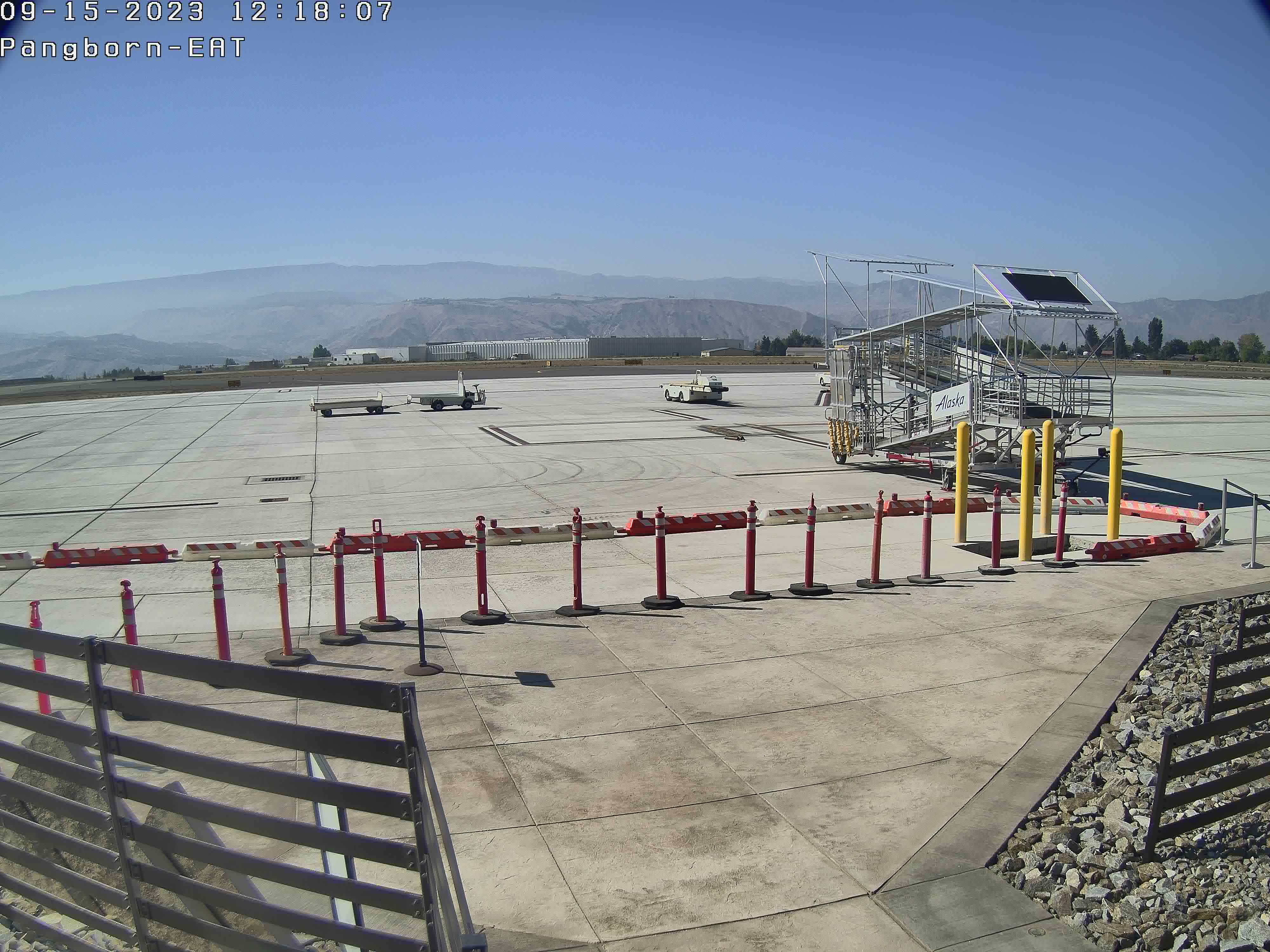
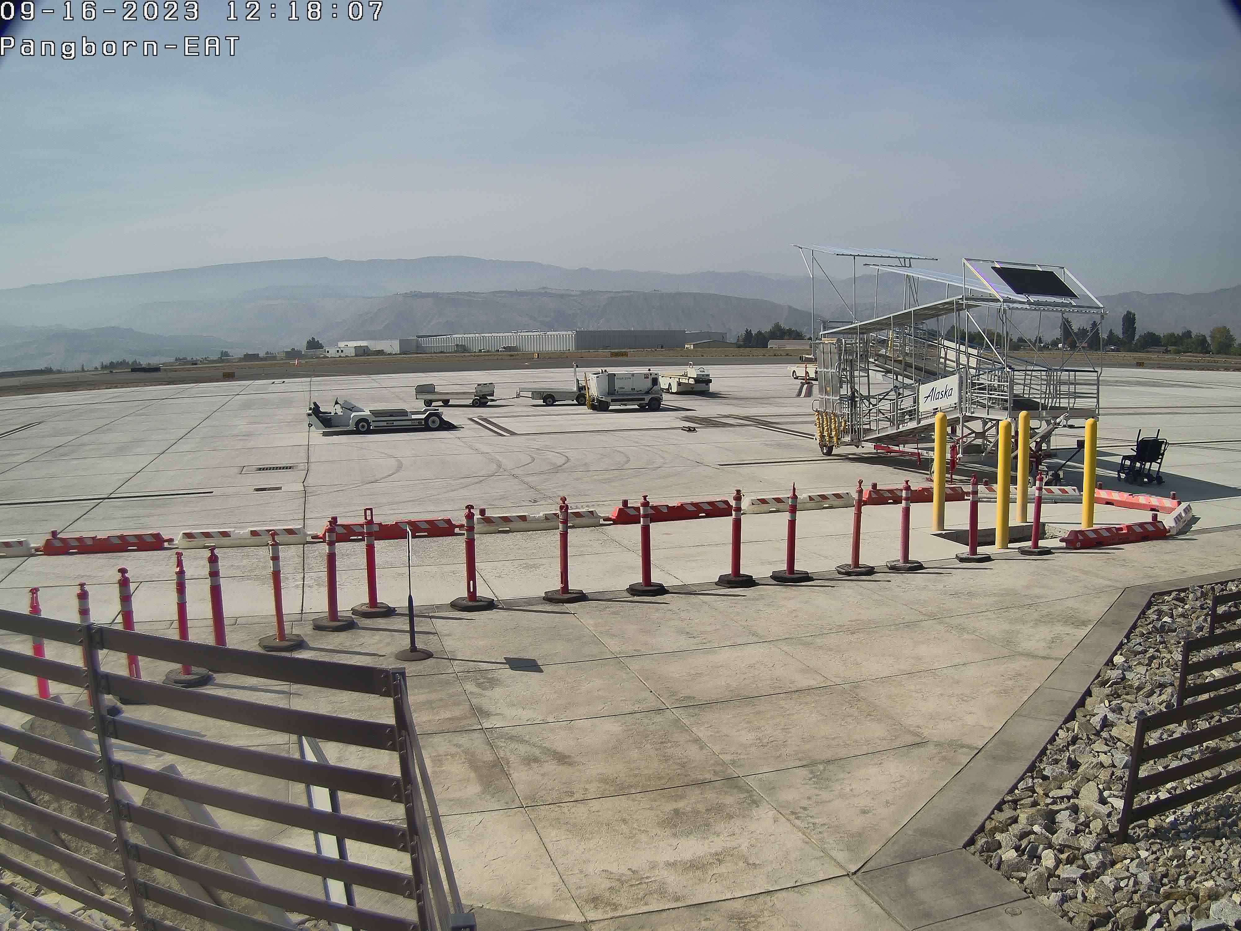
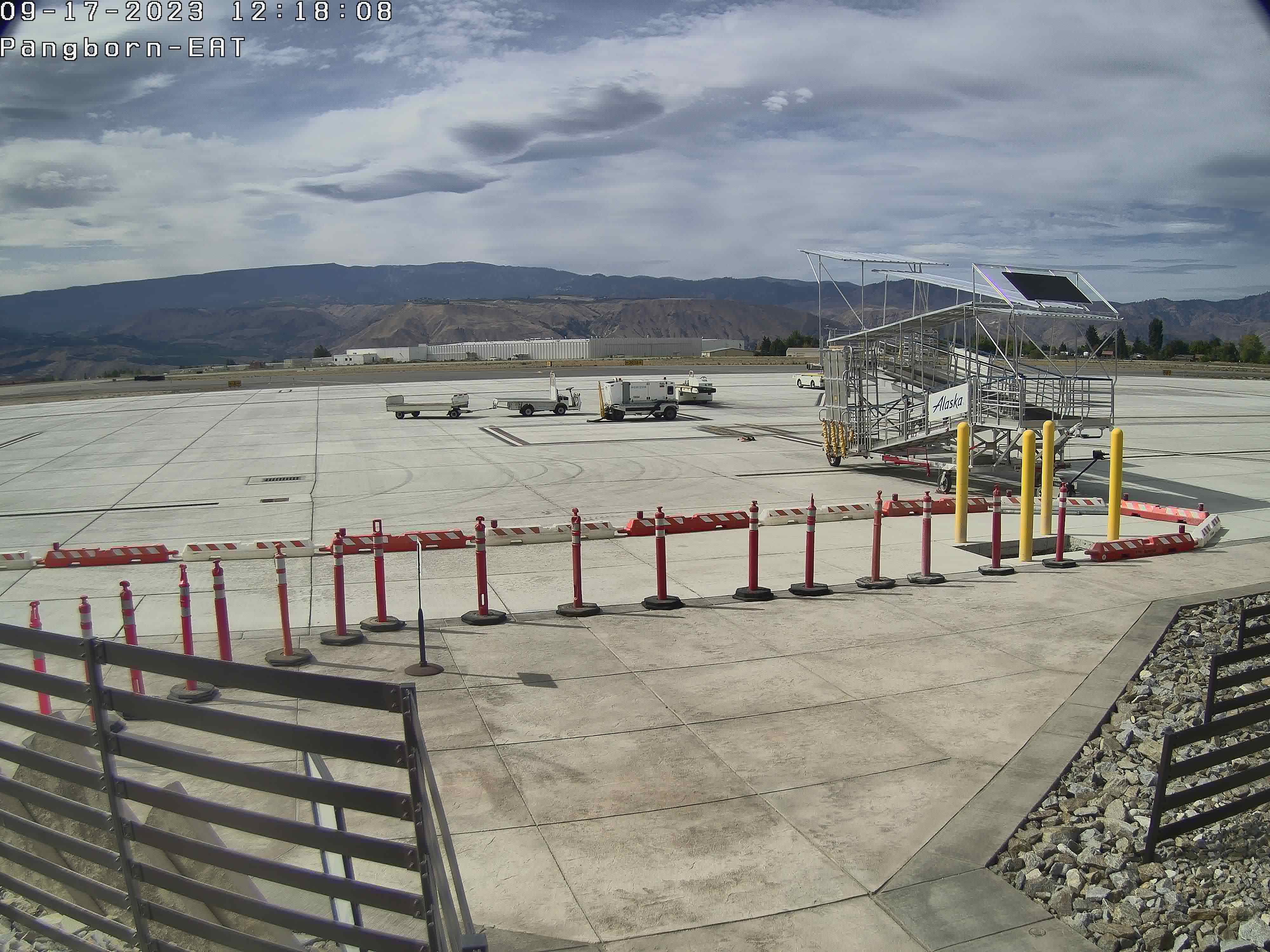
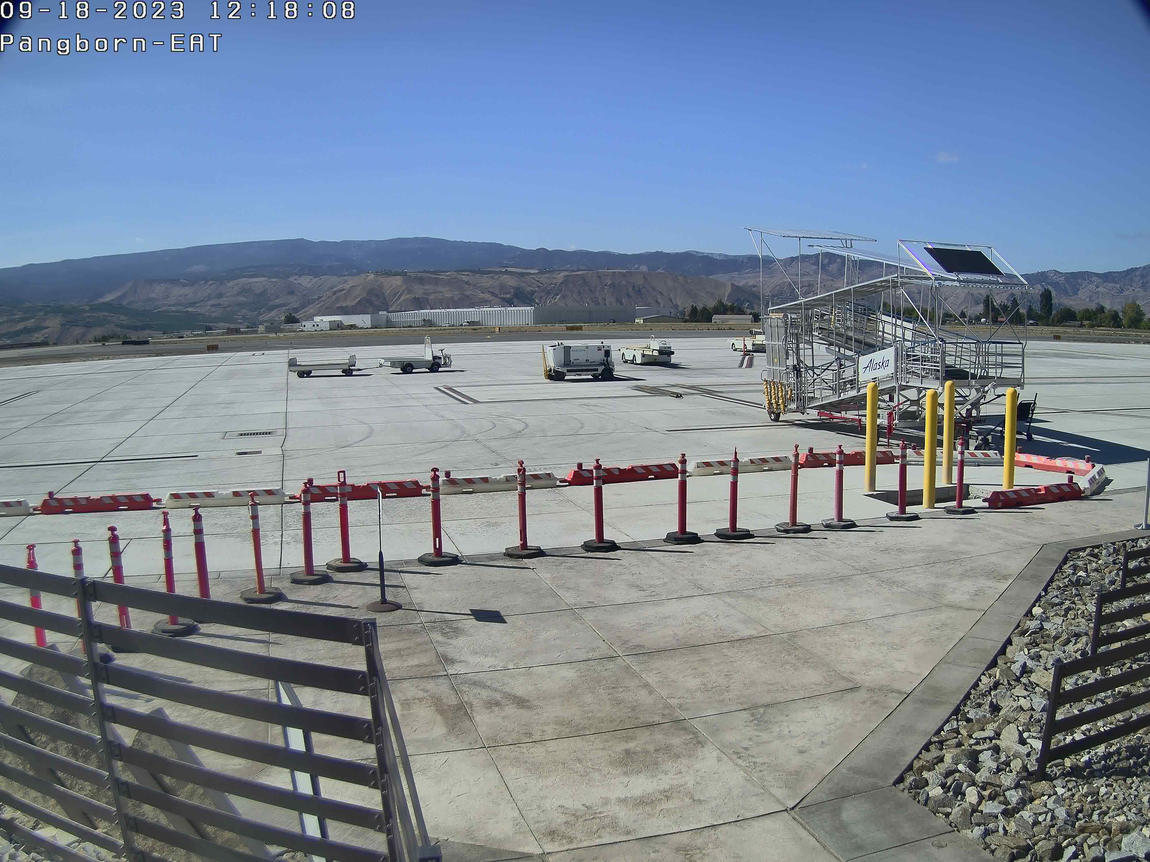
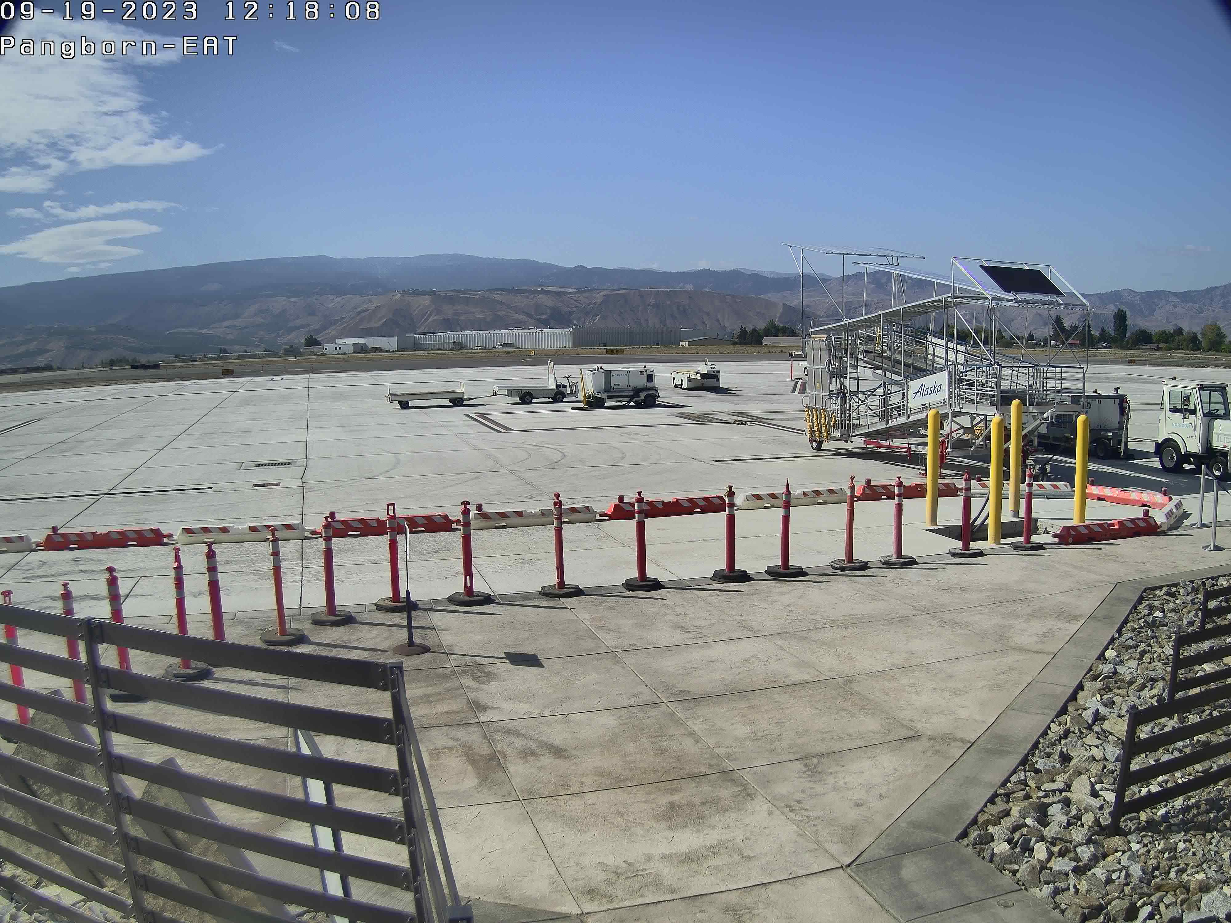
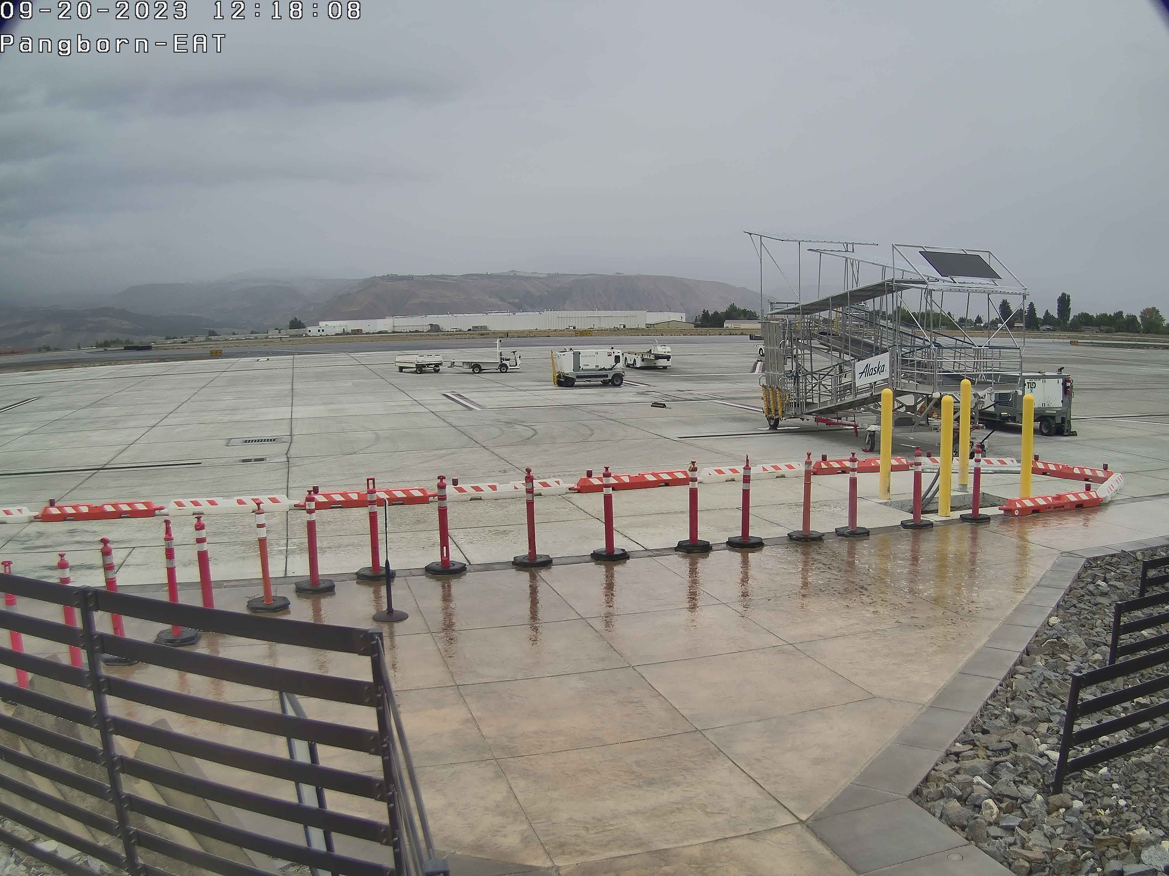
Wenatchee, Washington, USA - 129.5 miles from Waiilatpo (historical): Pangborn Memorial Airport
Operator: Pangborn Memorial Airport
Operator: Pangborn Memorial Airport


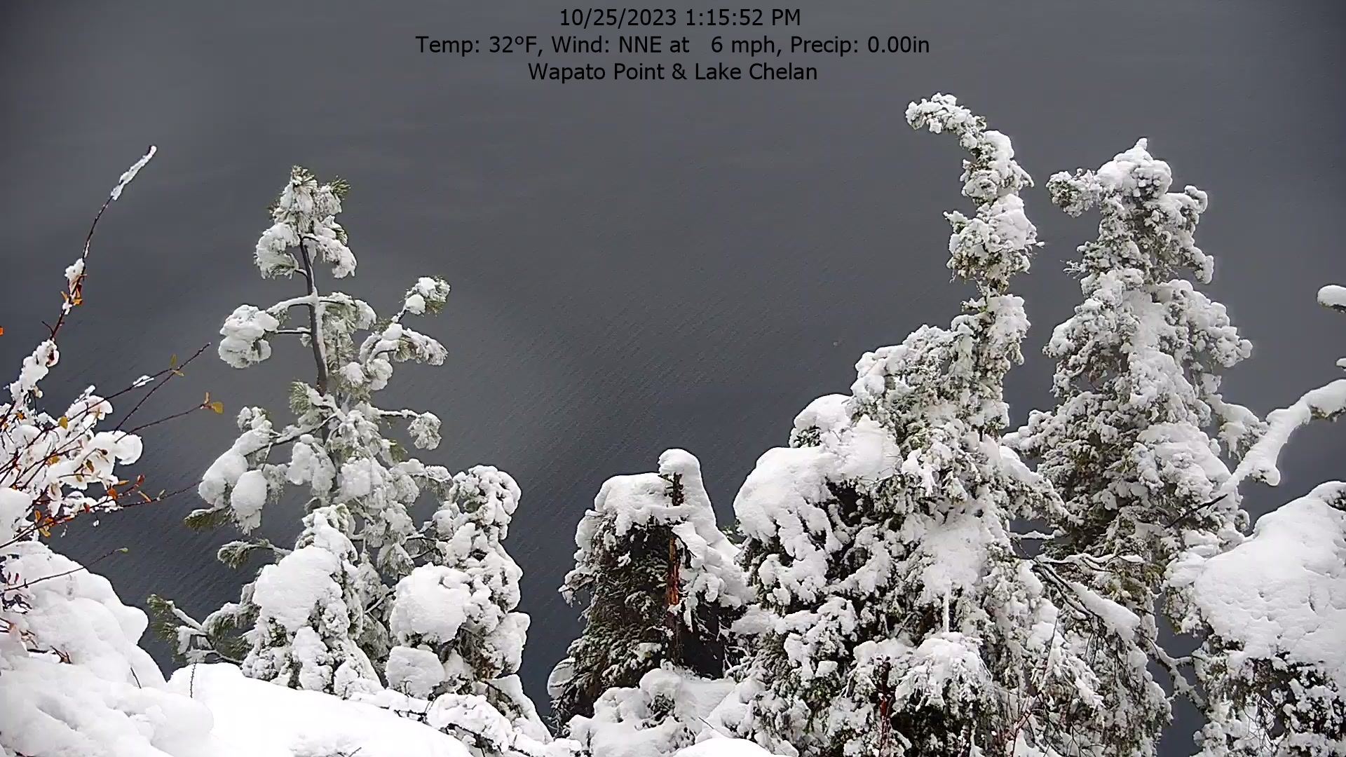
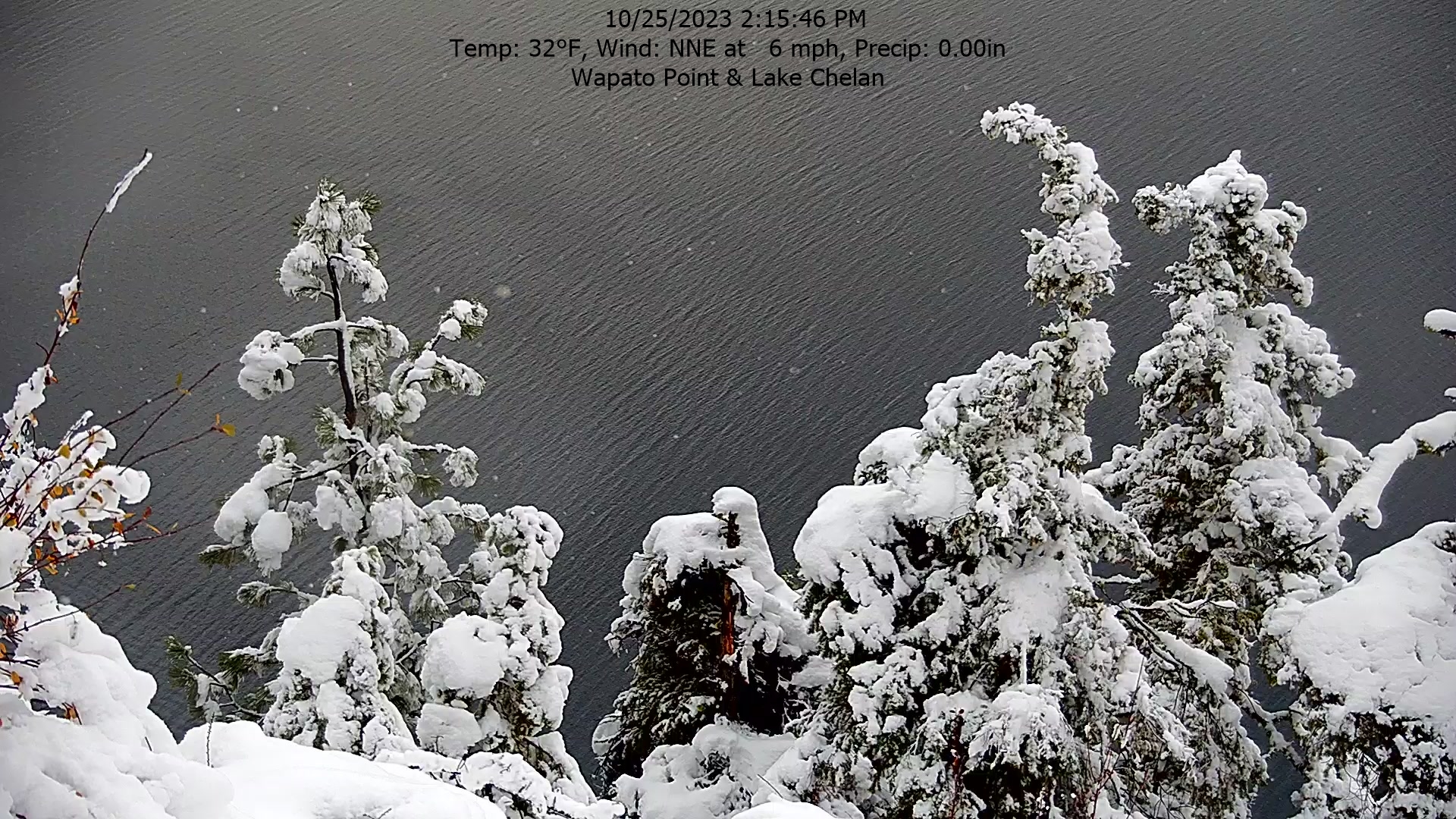
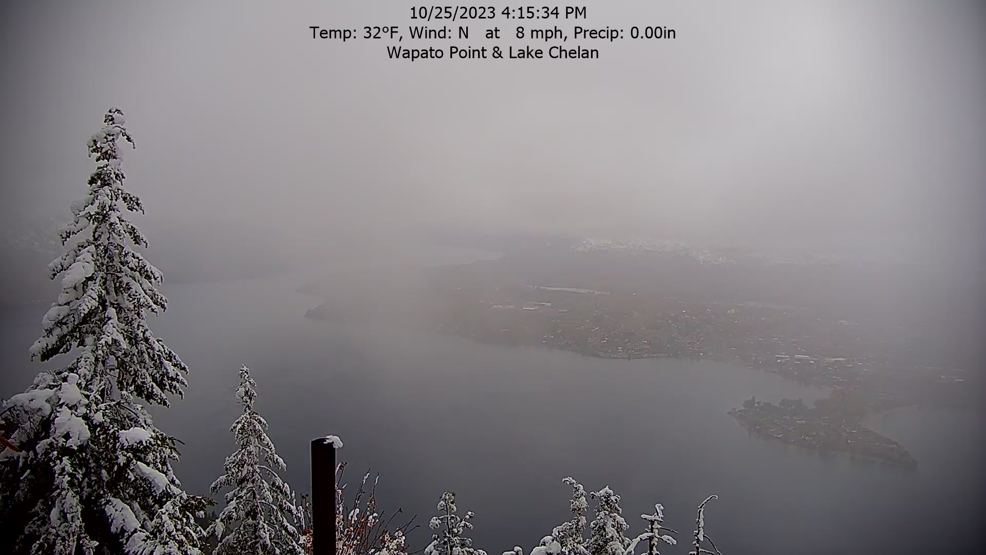
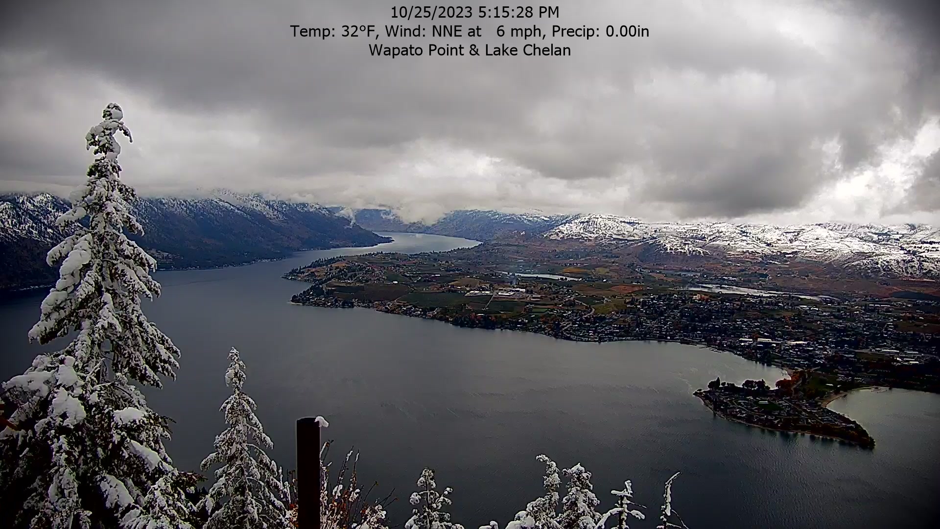
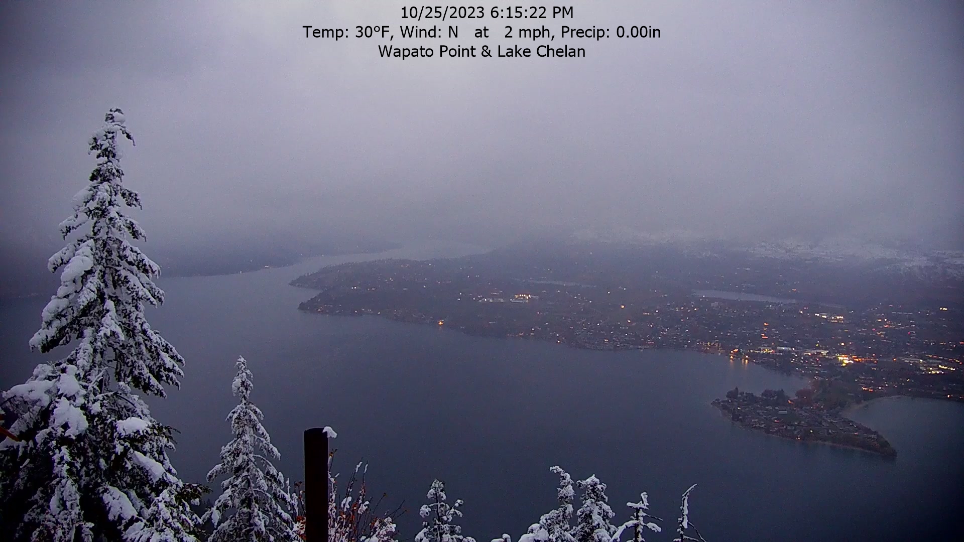
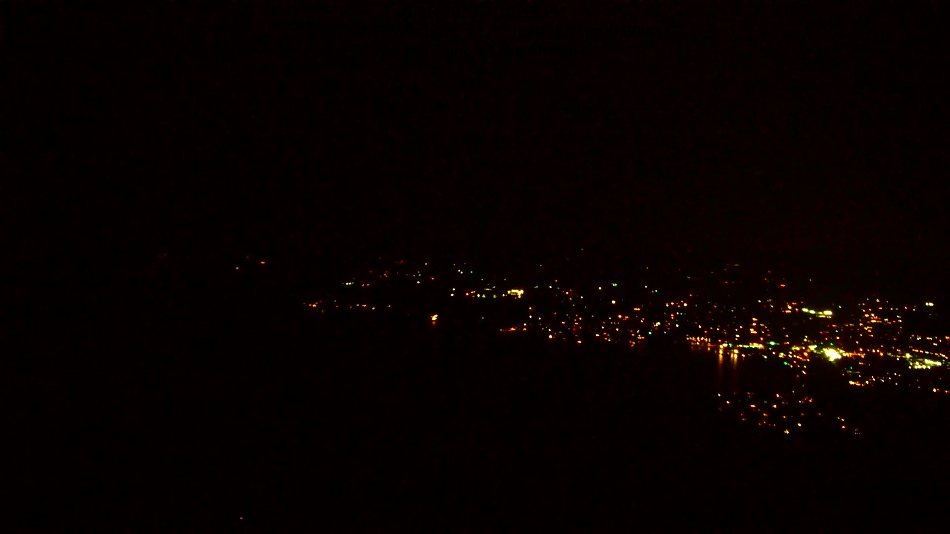
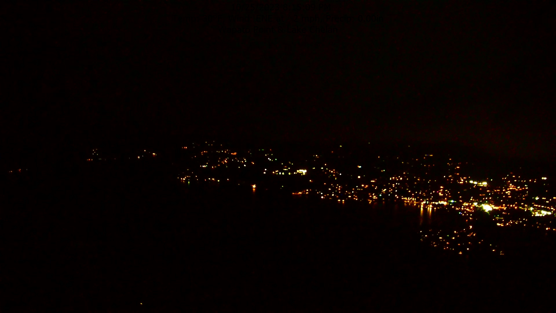
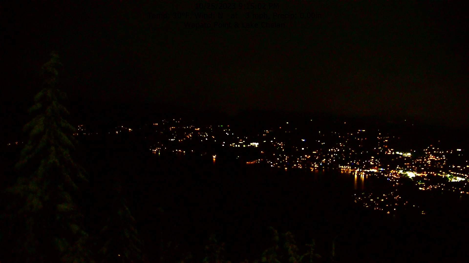
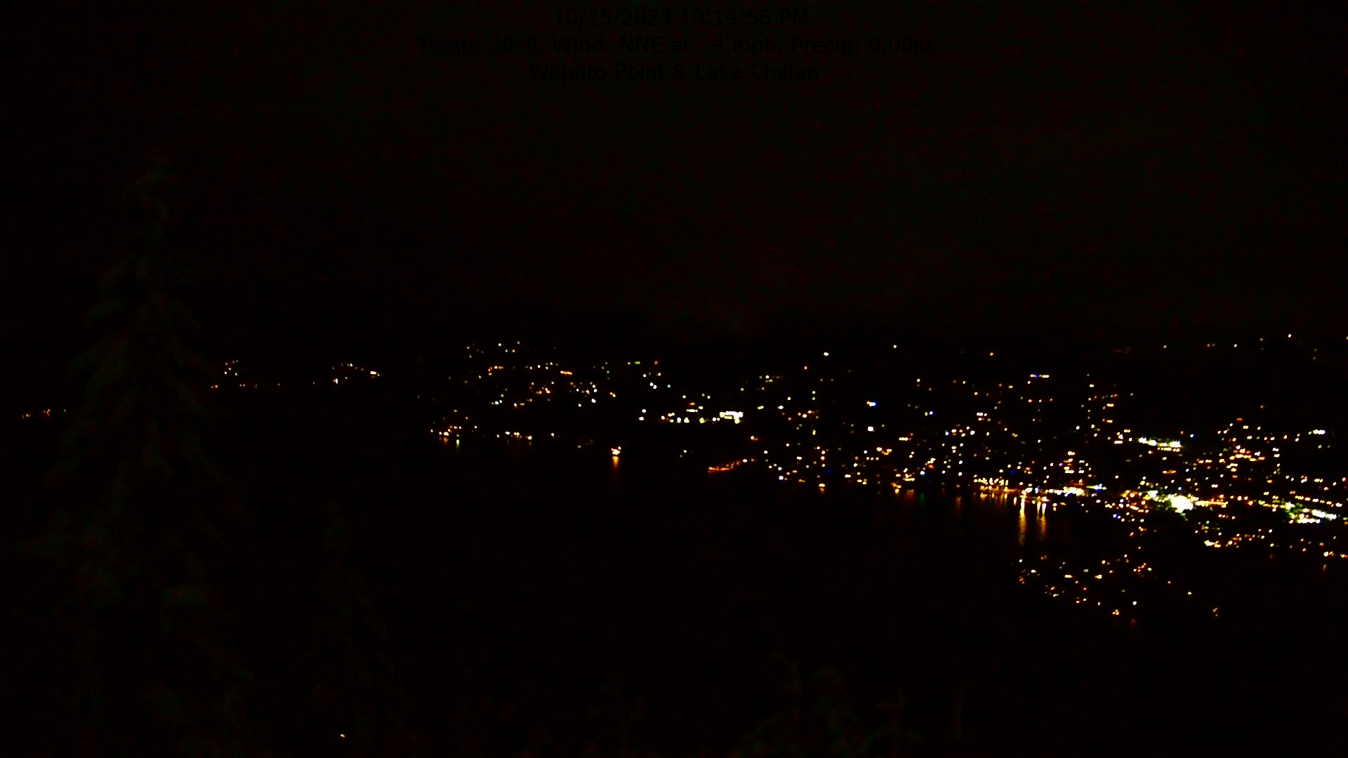
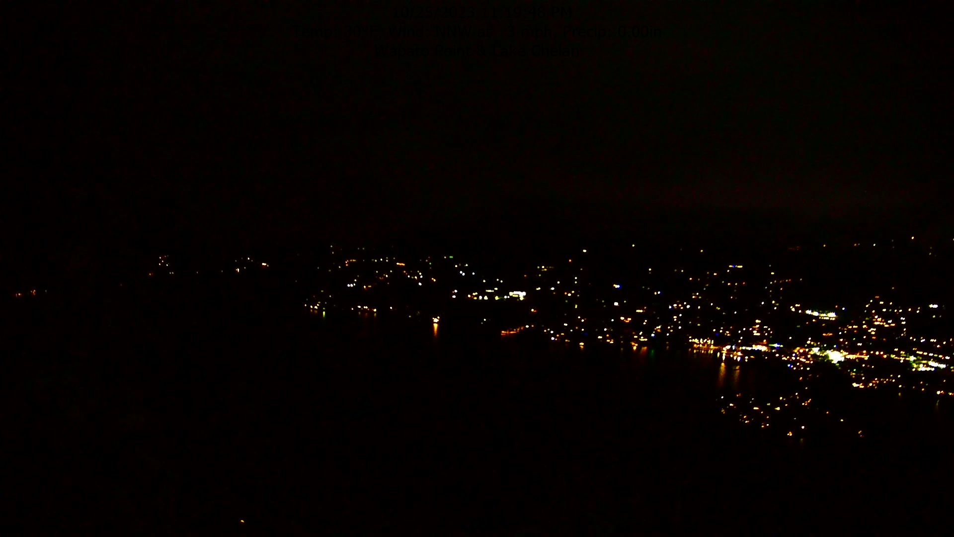
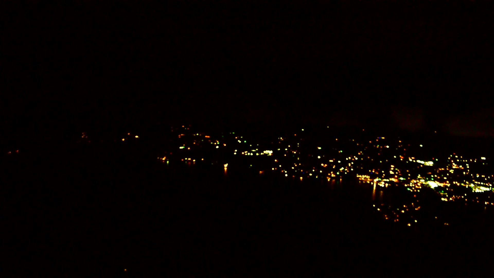
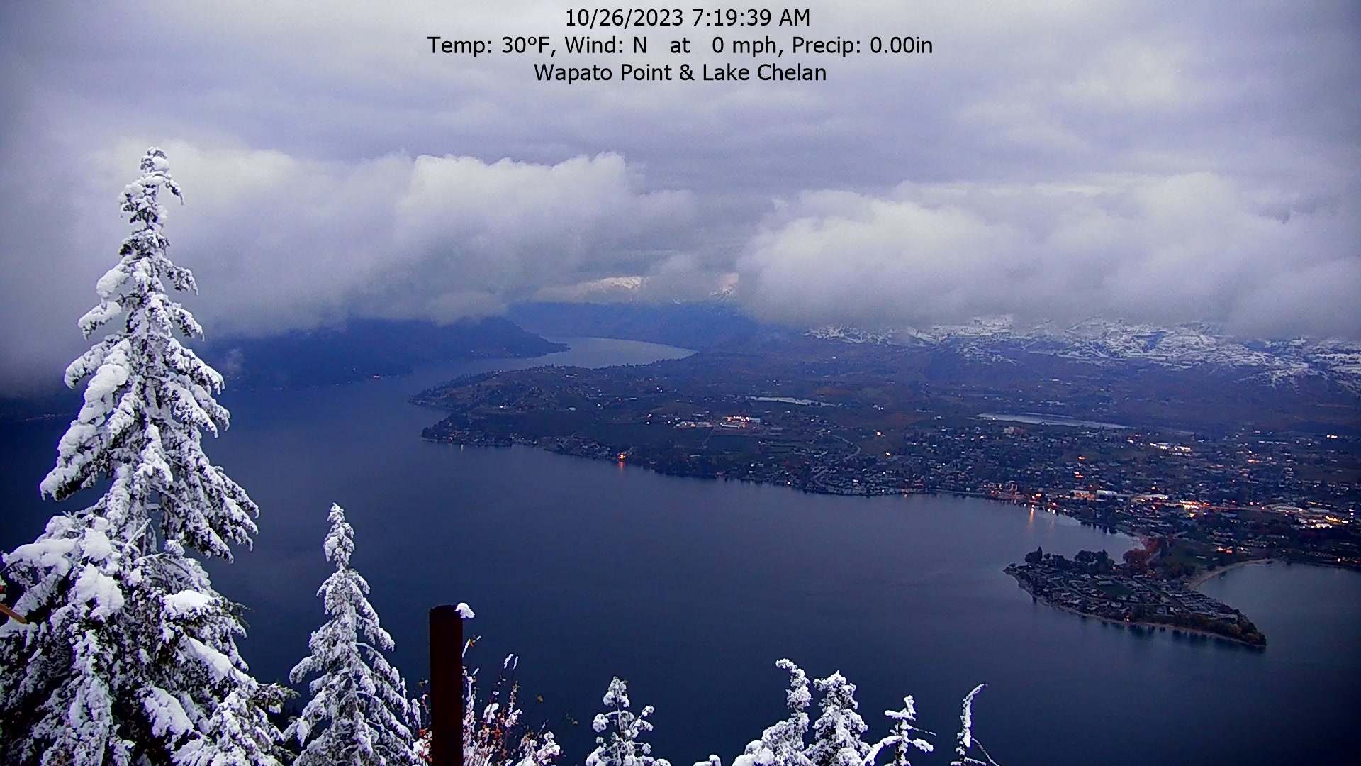
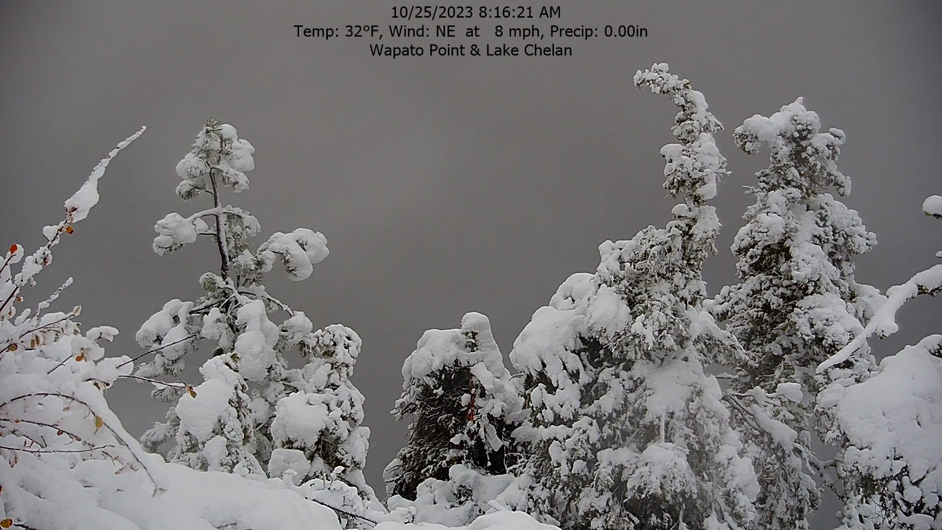
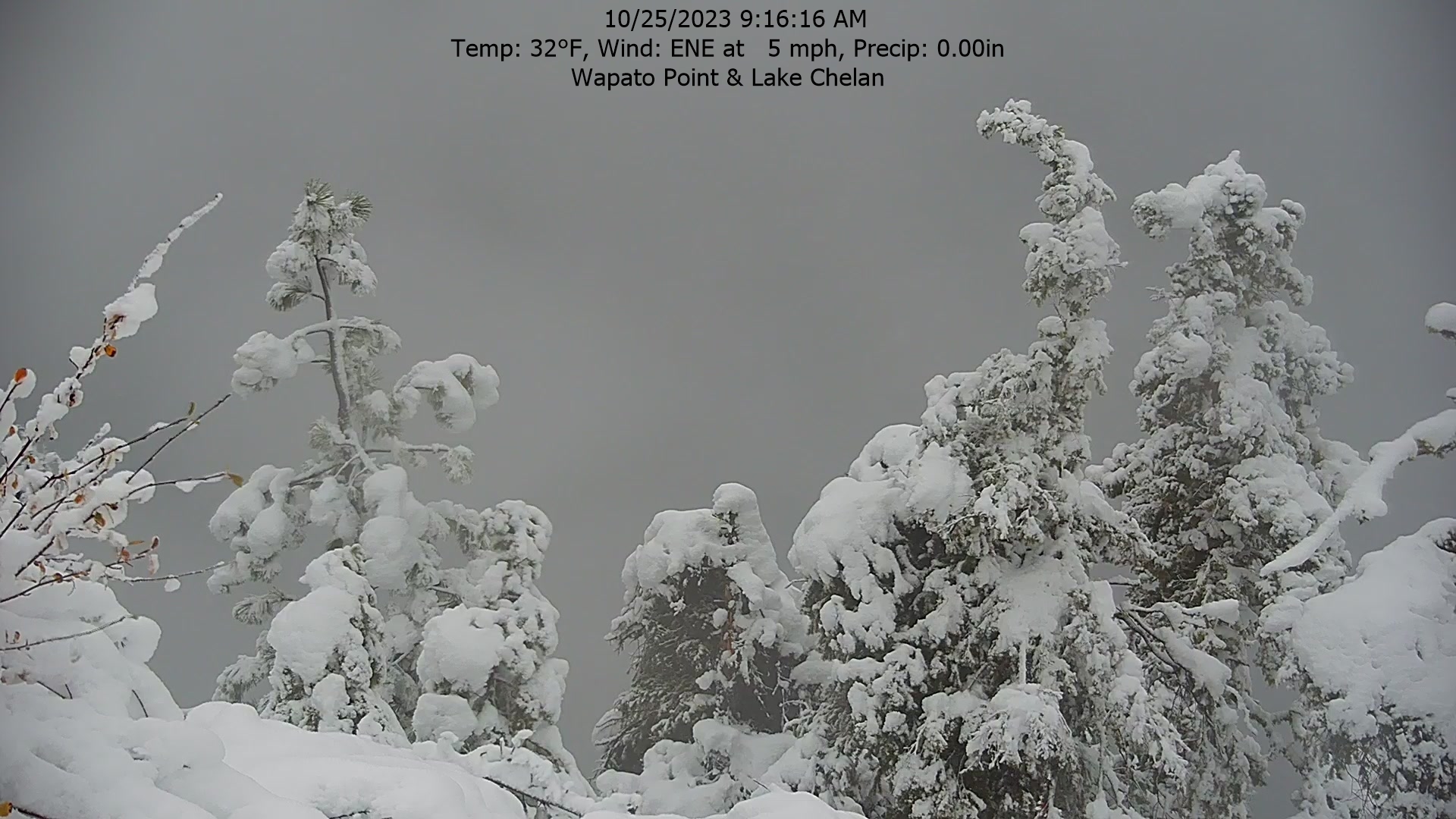
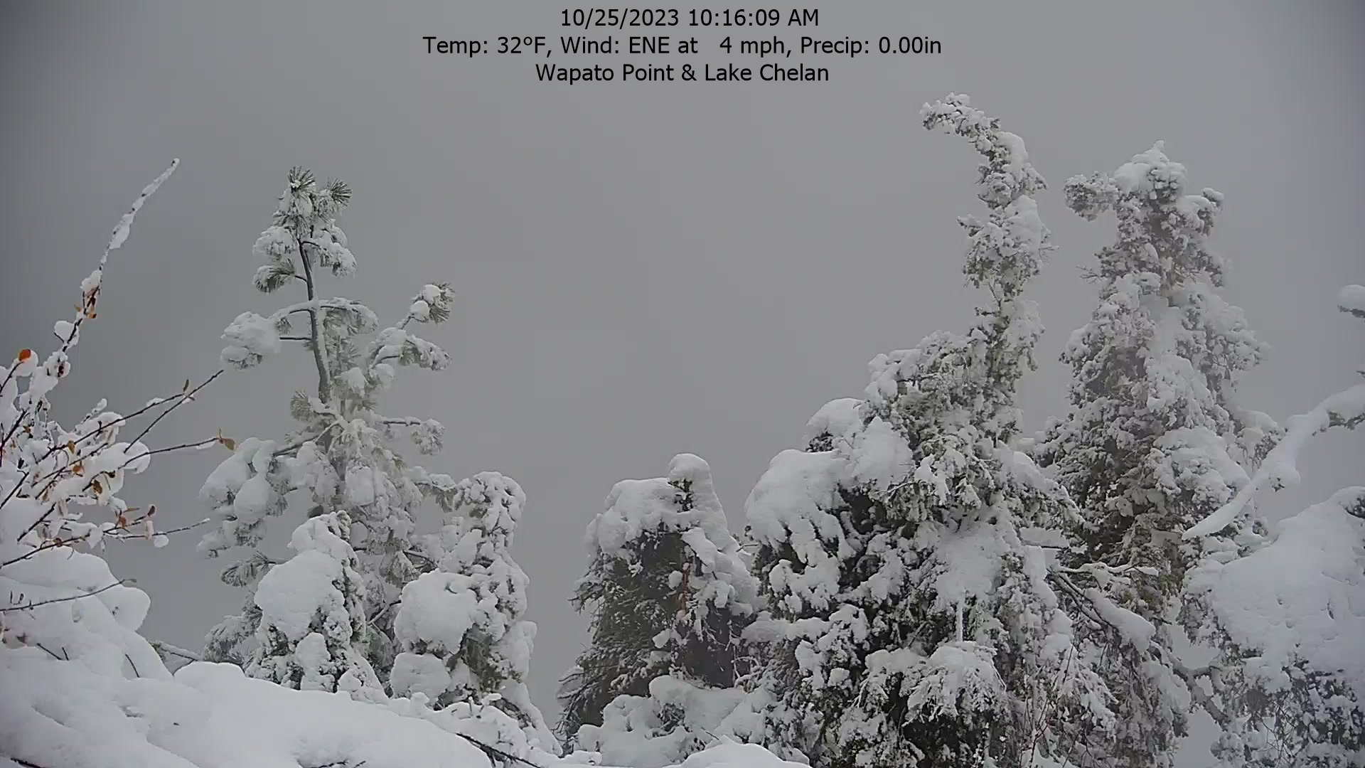
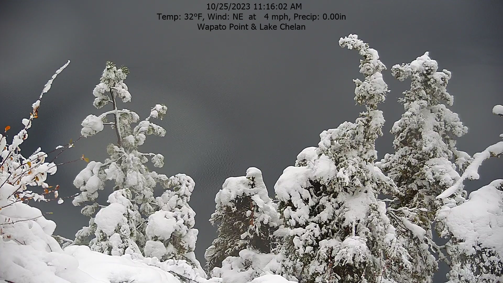
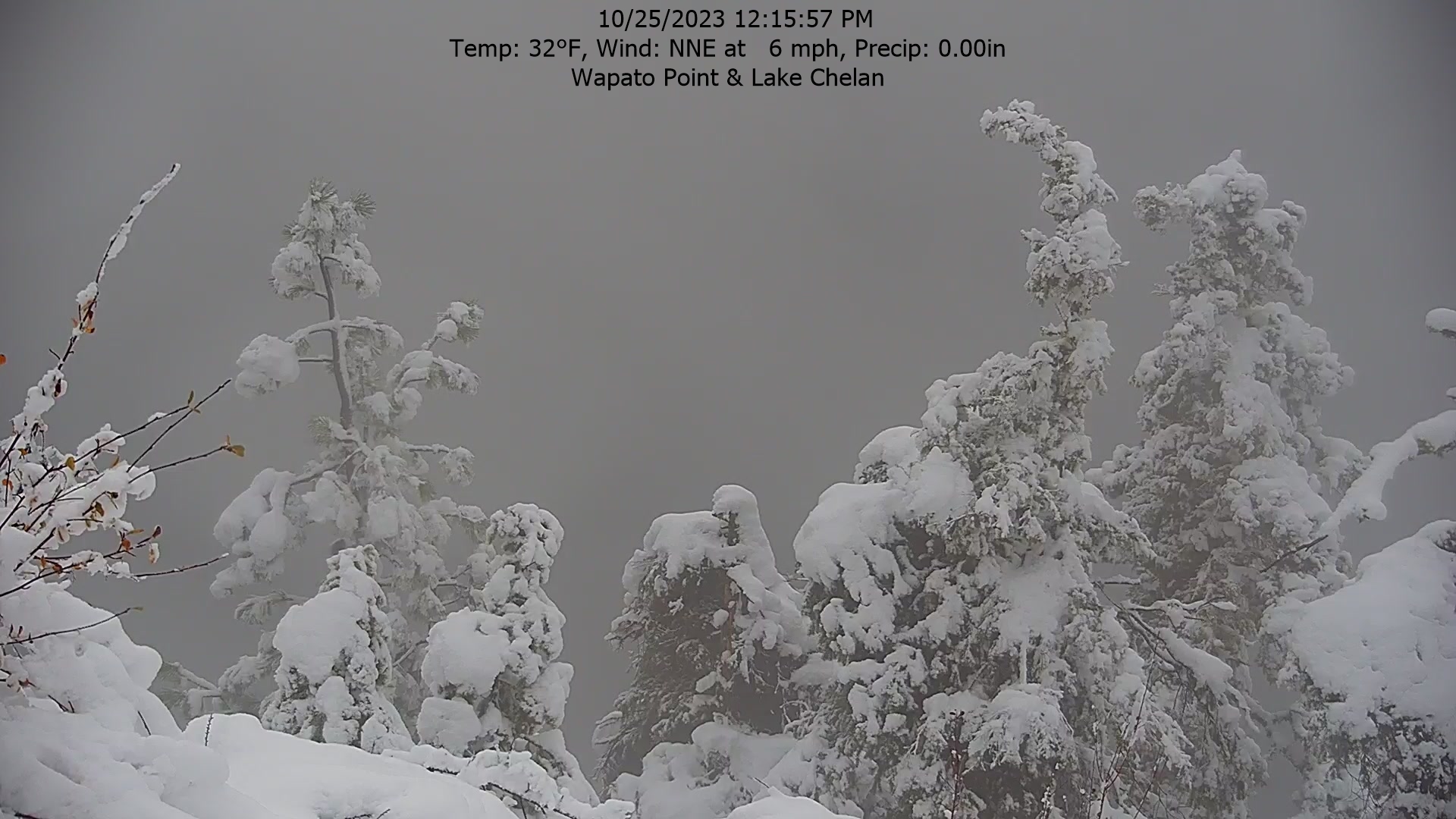
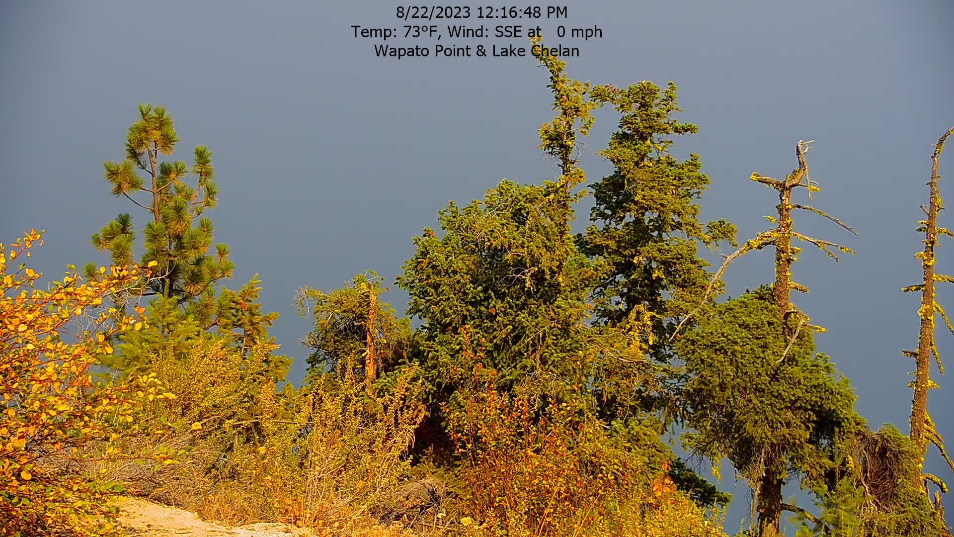
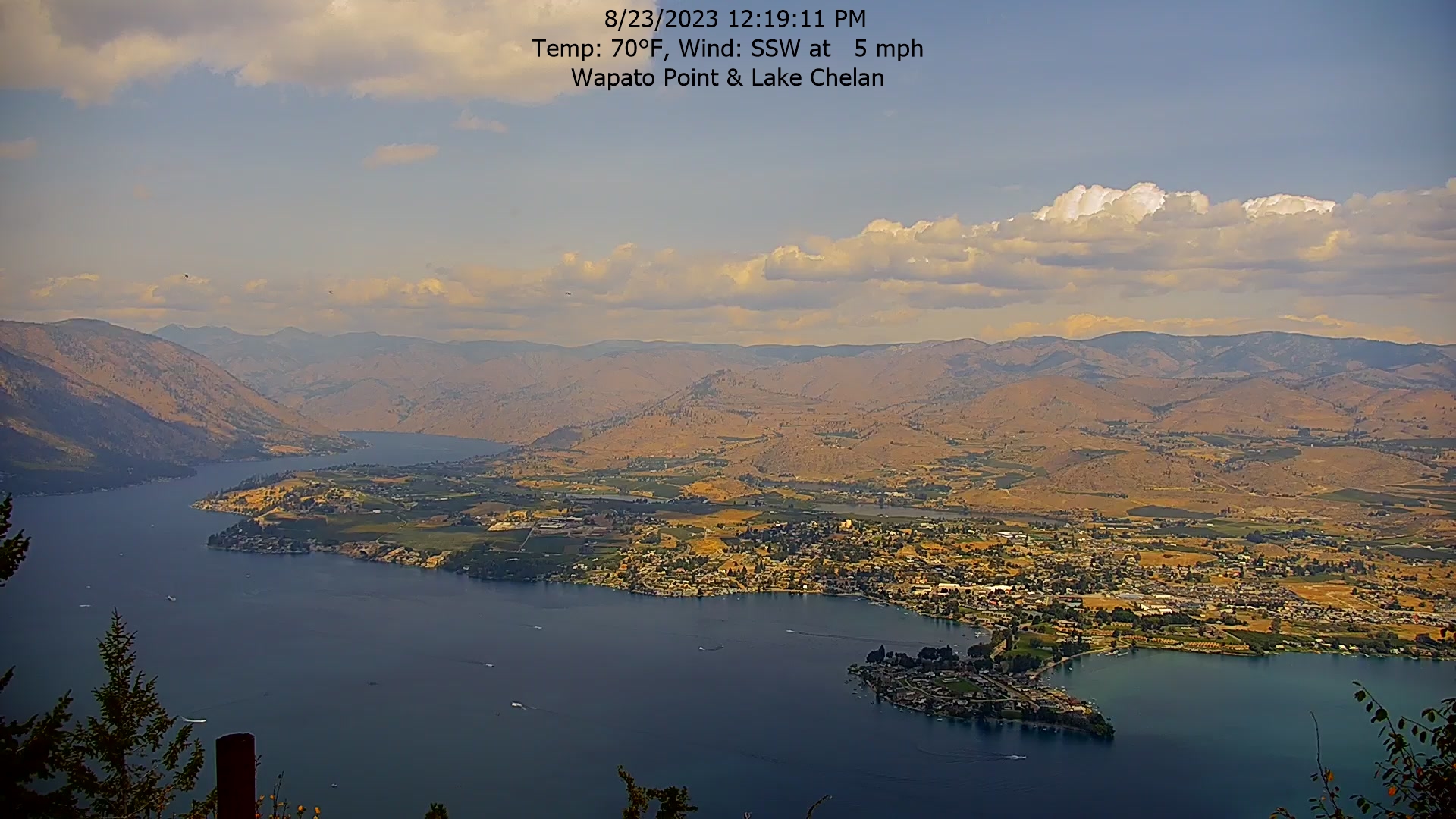
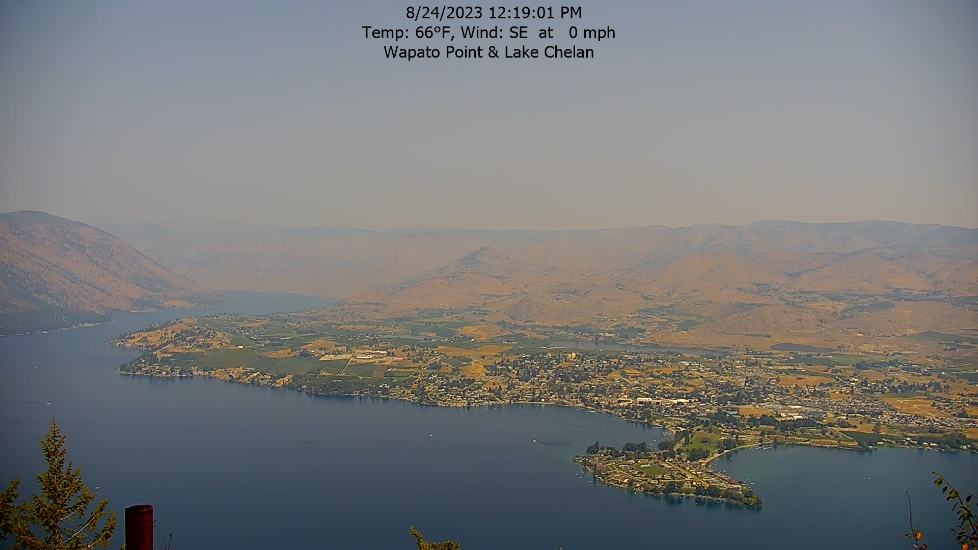
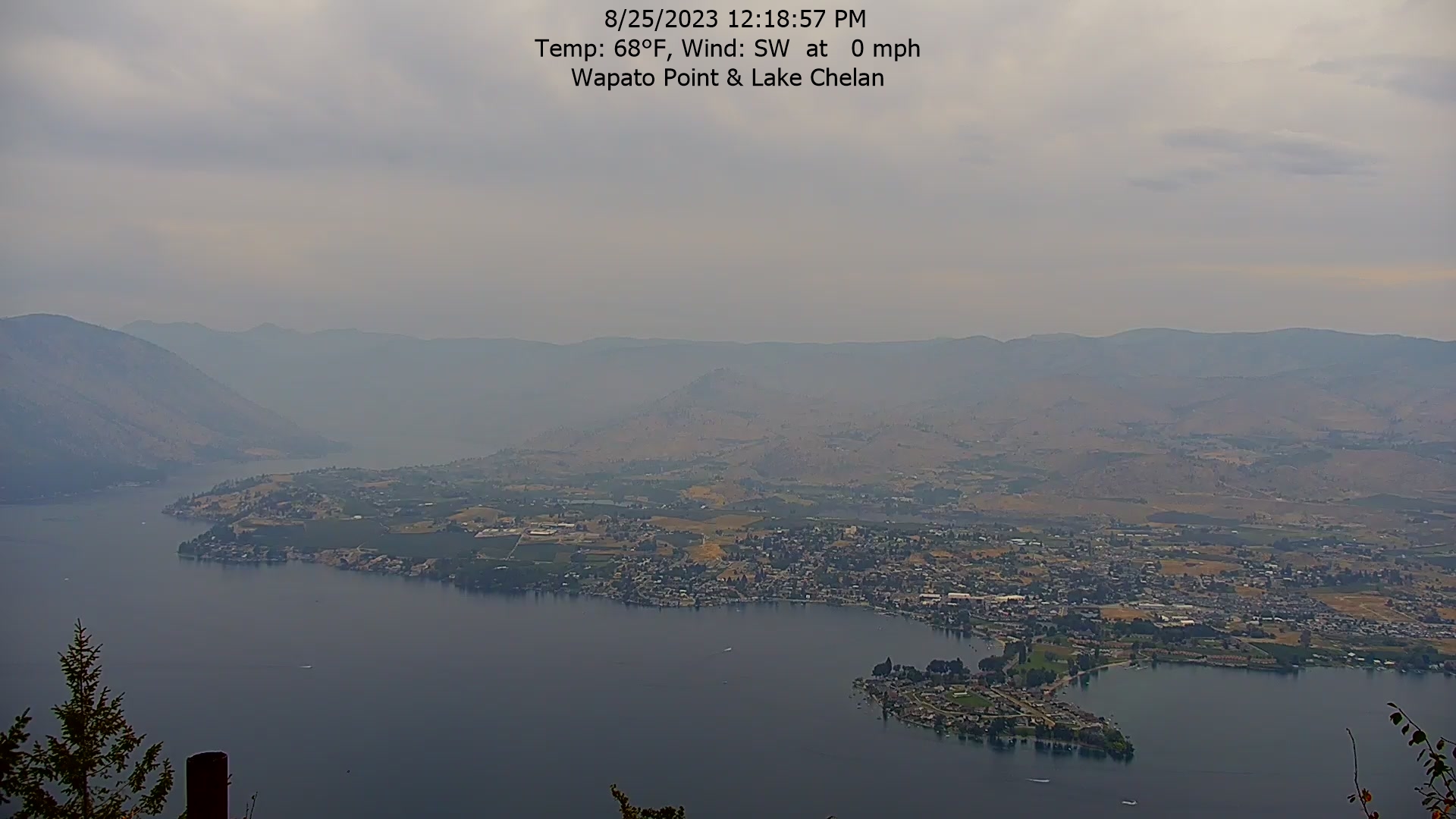
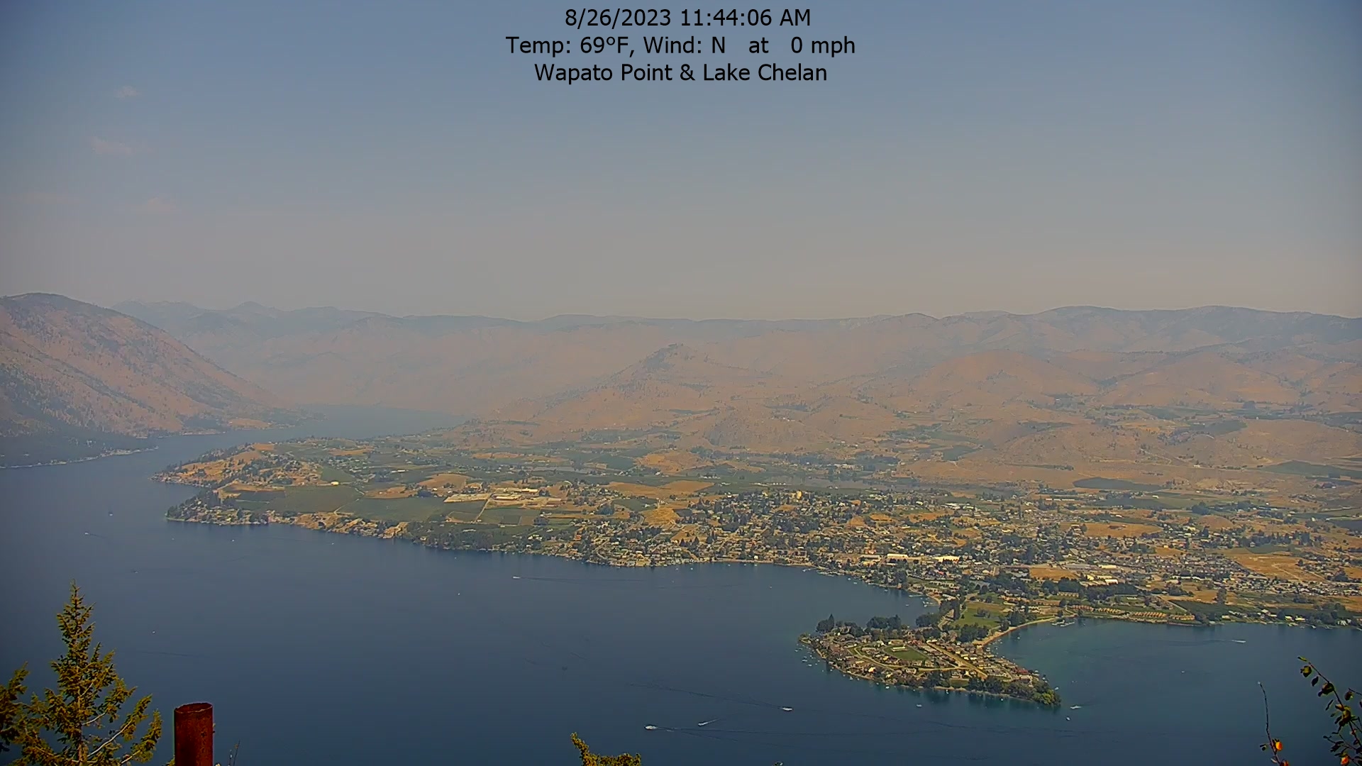
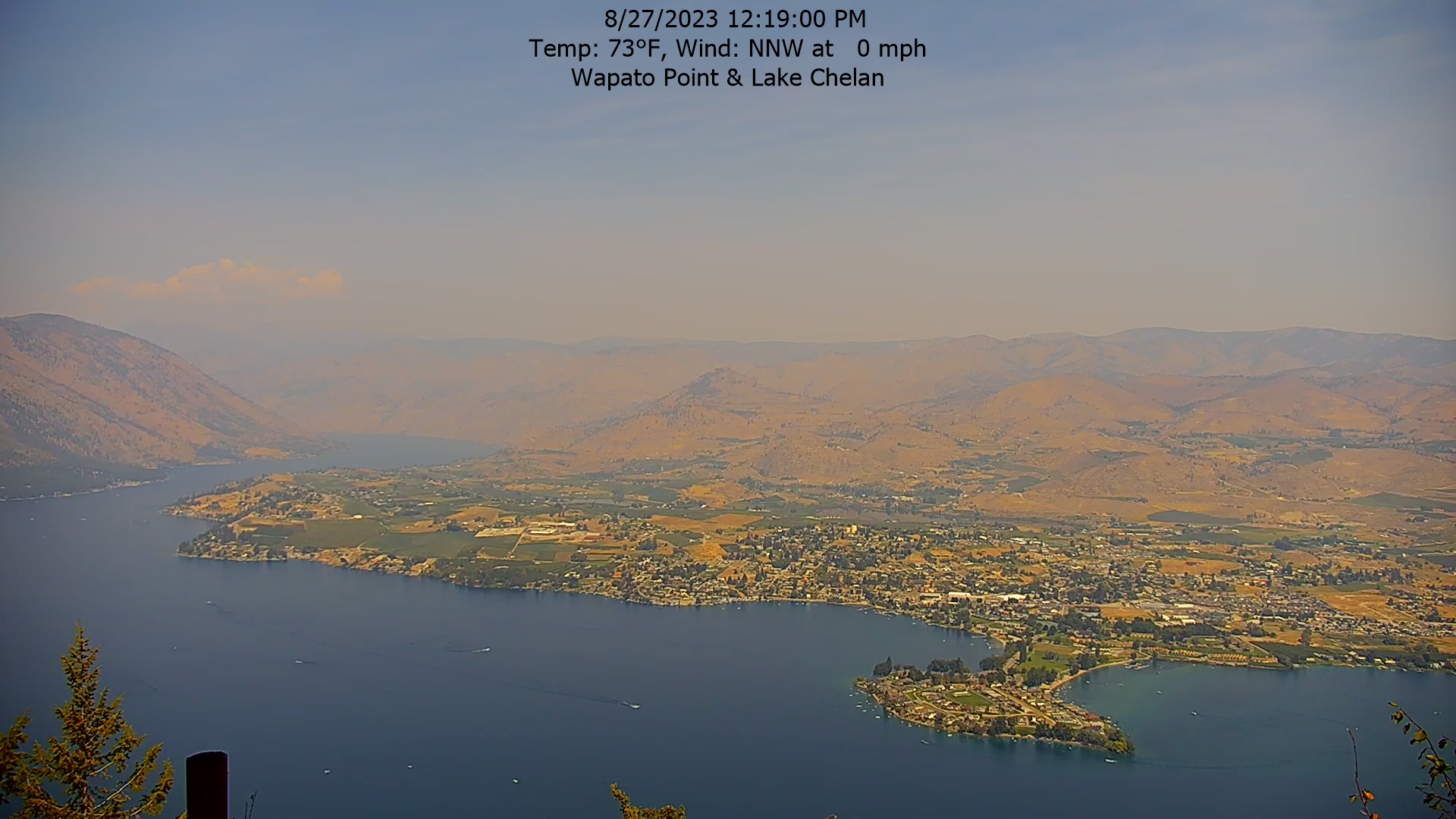
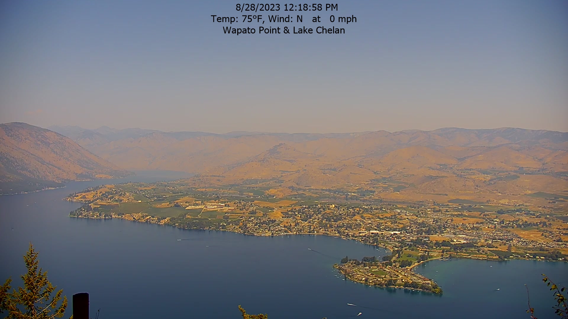
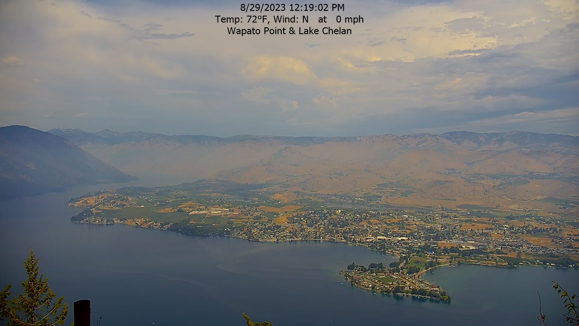
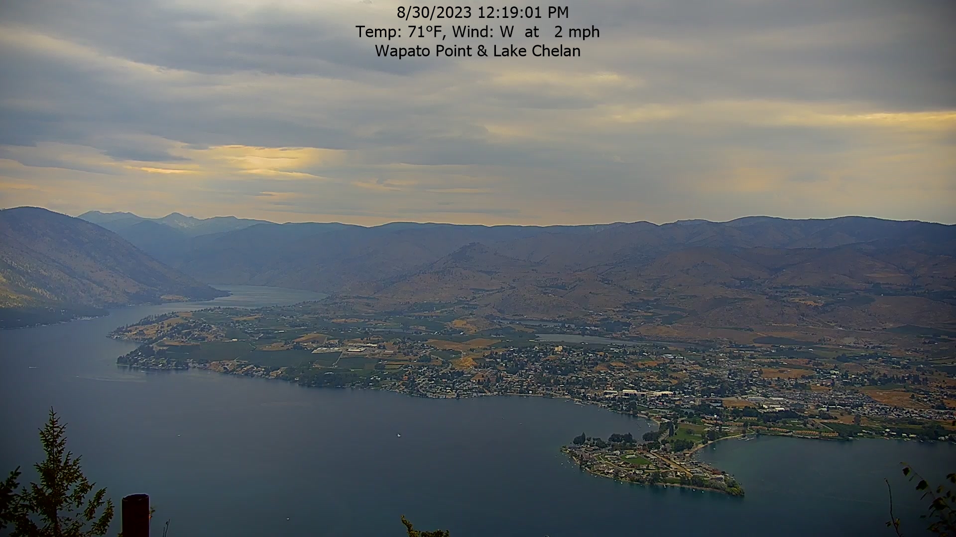
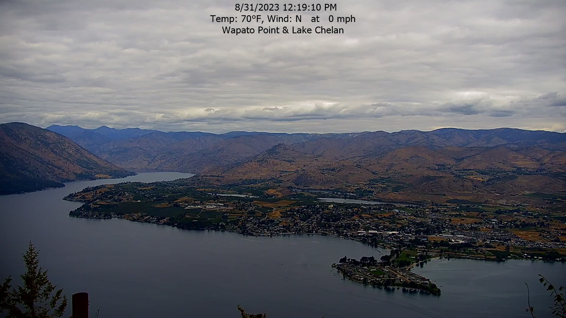
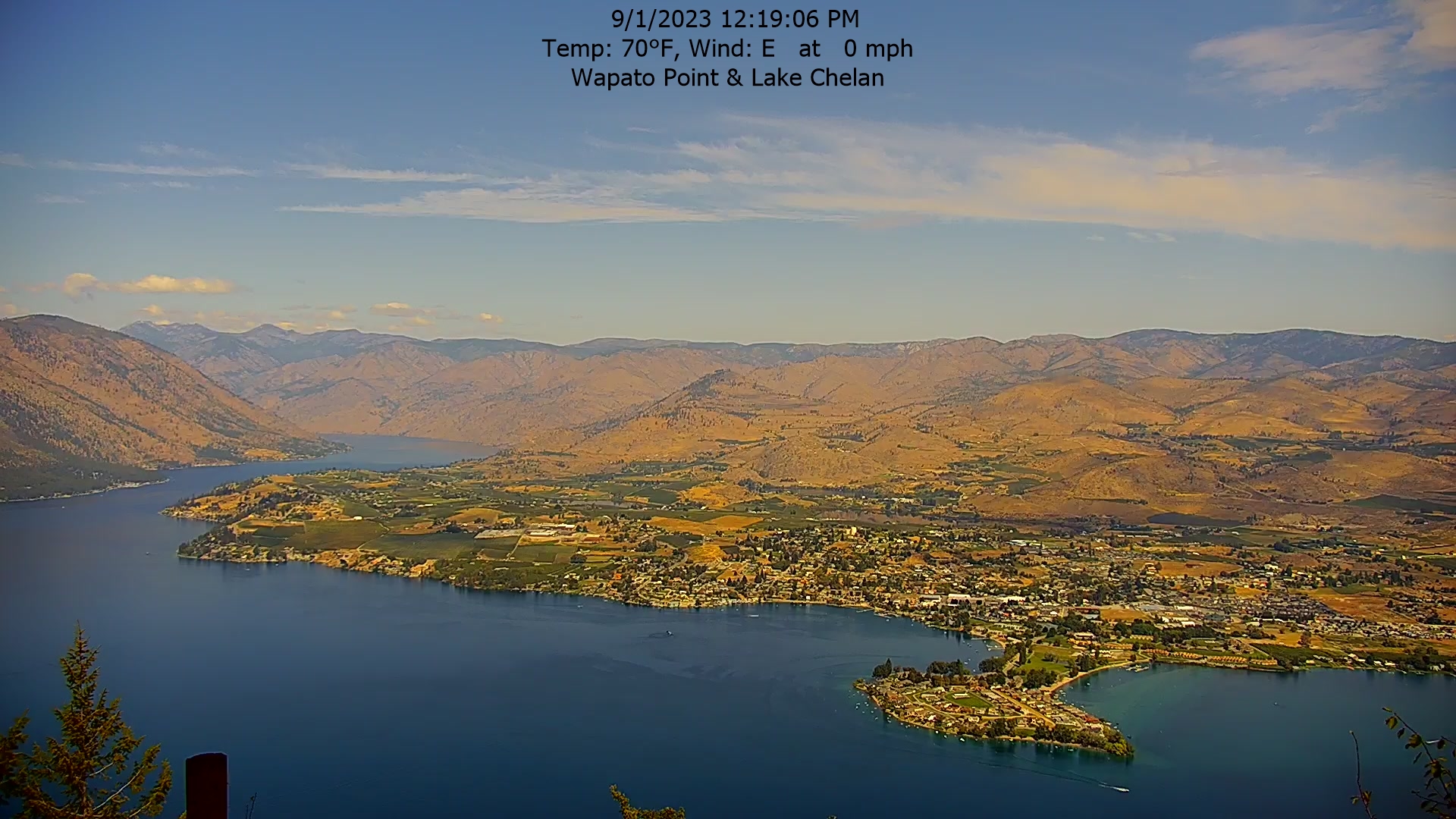
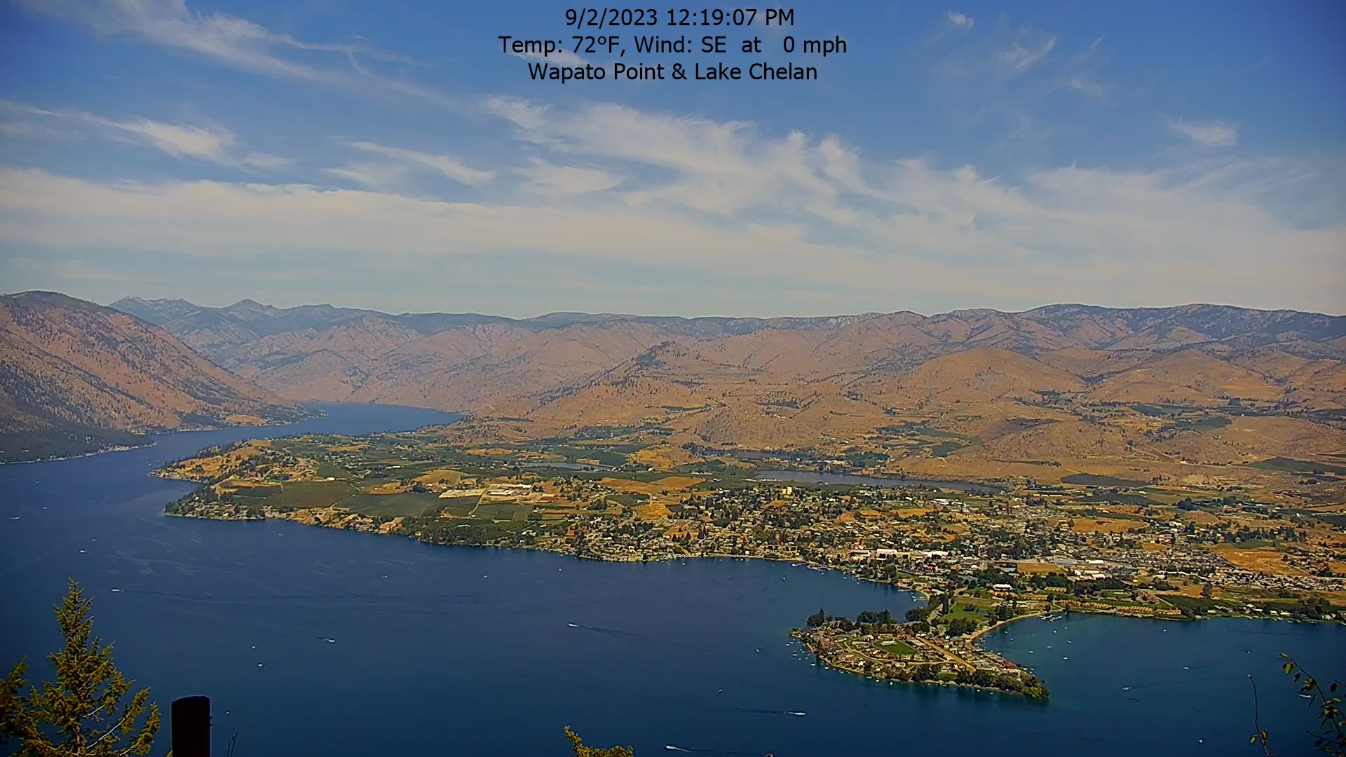
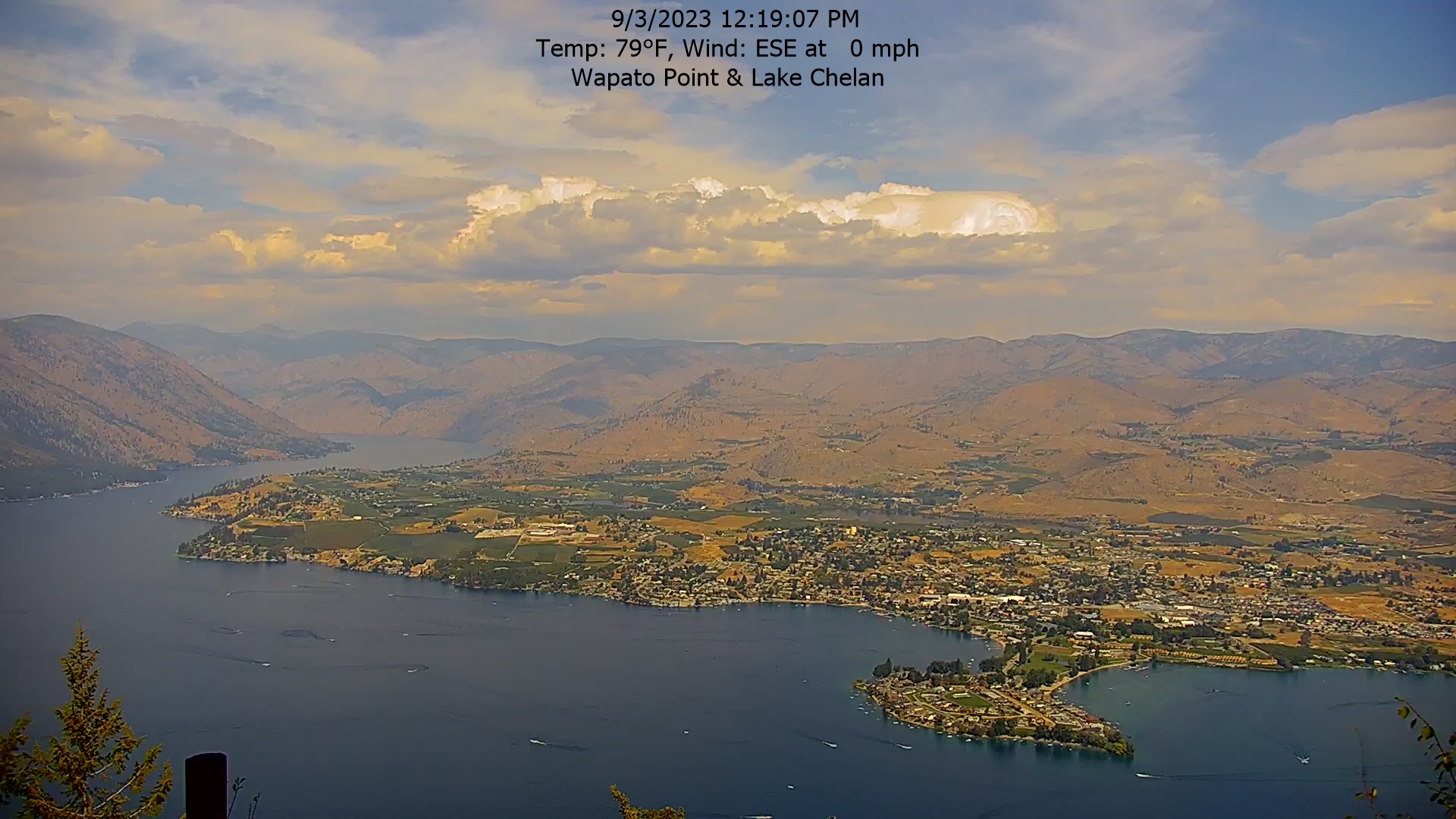
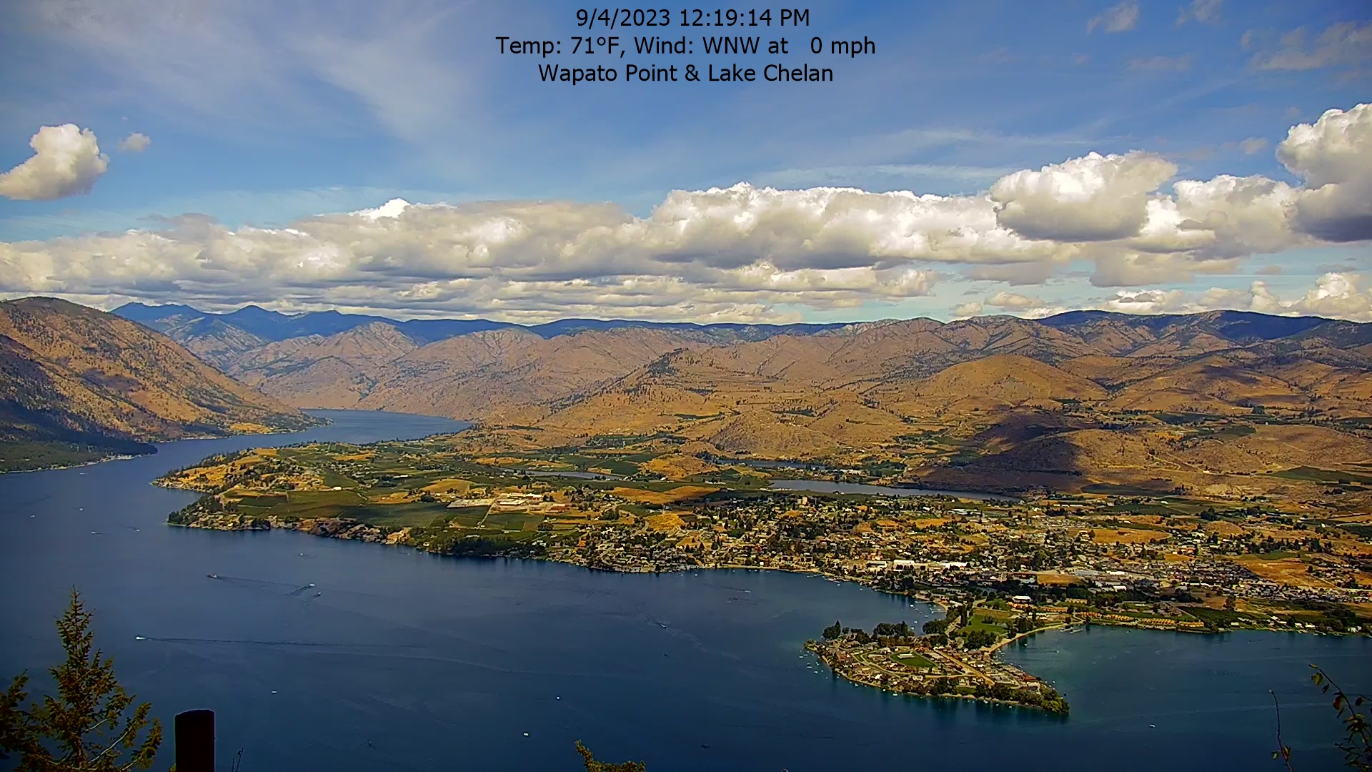
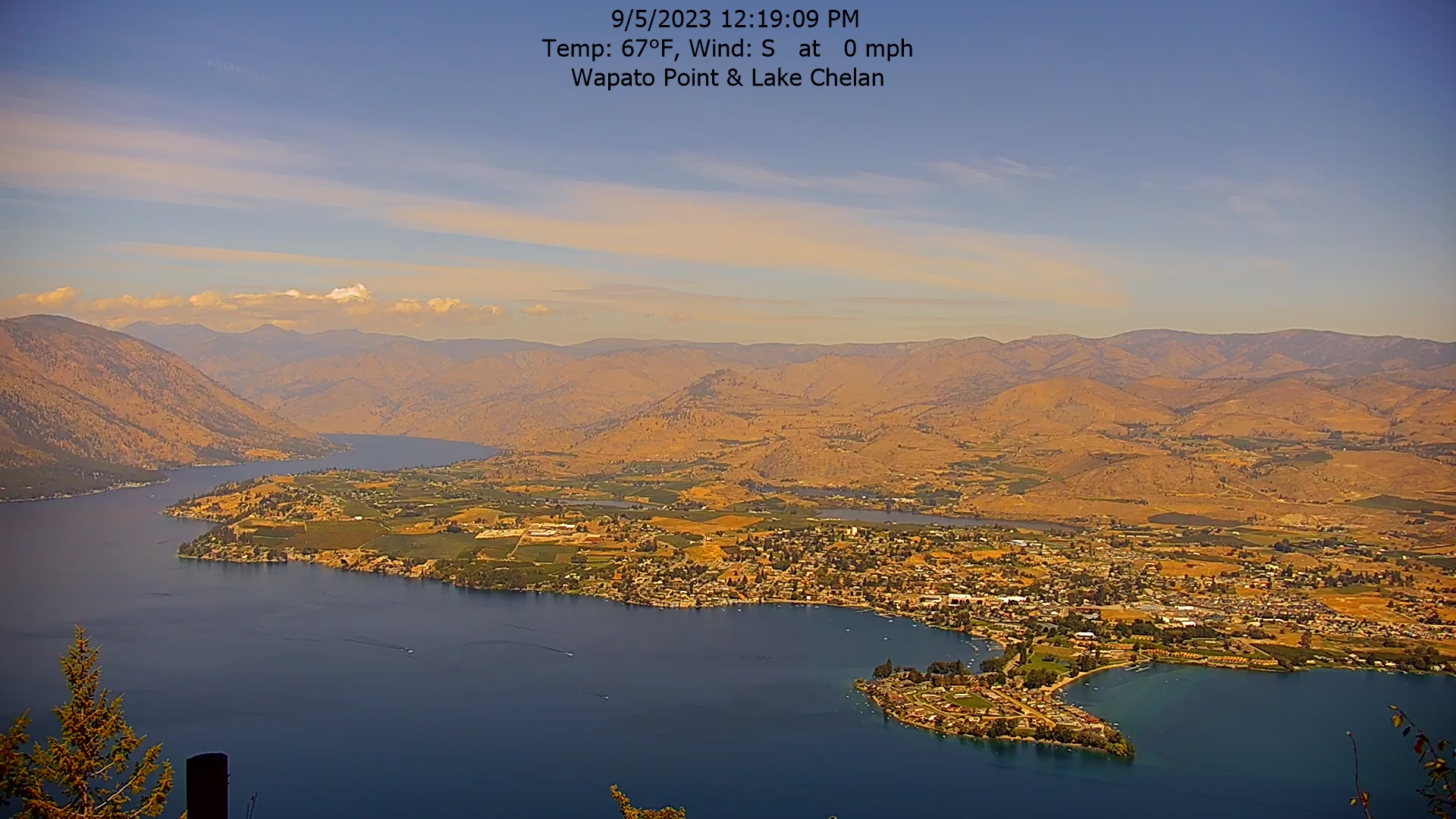
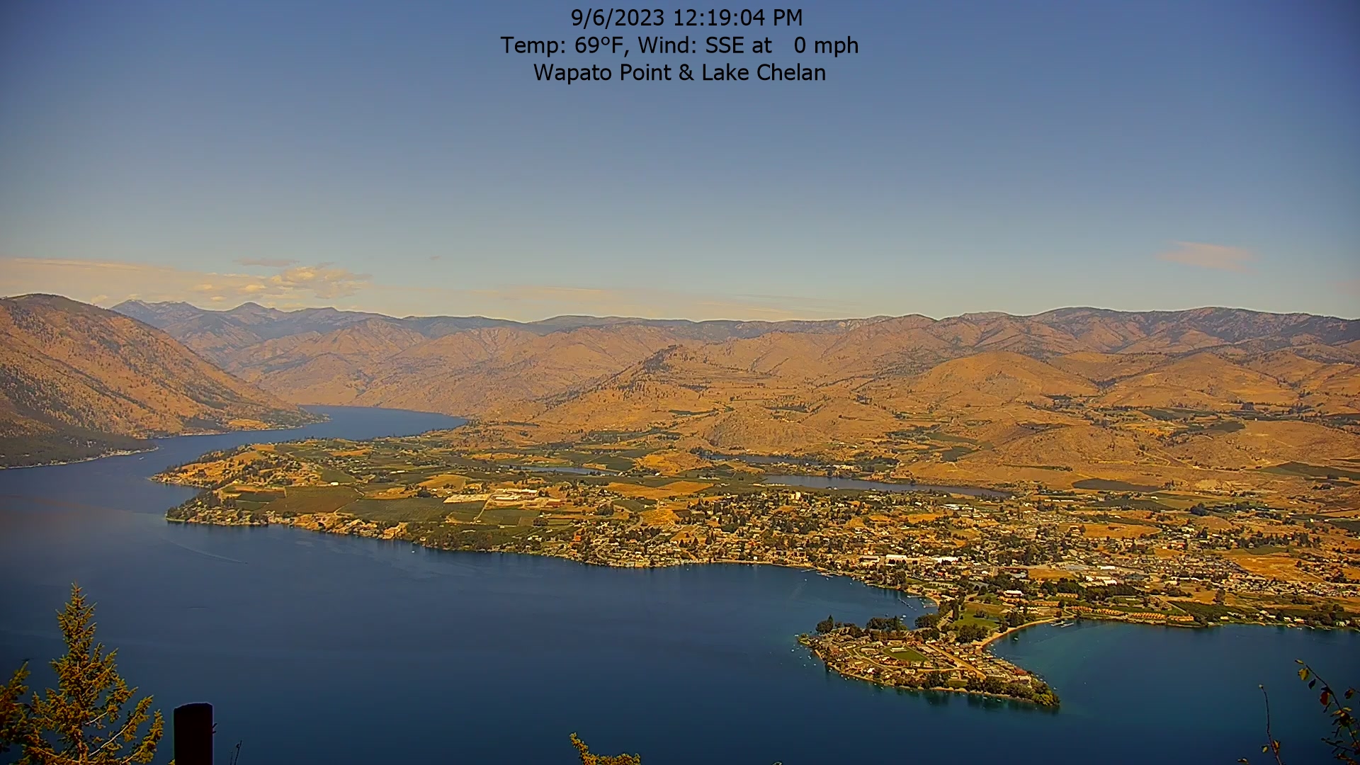
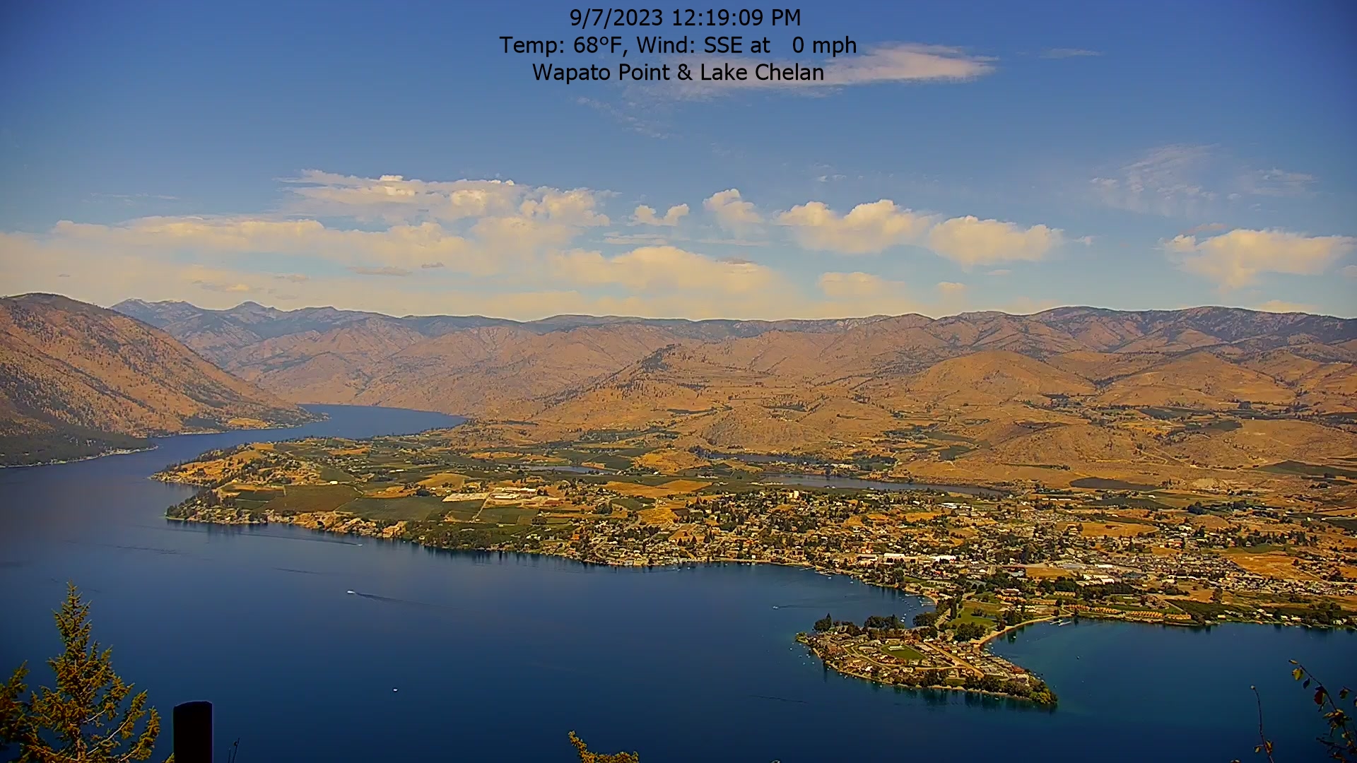
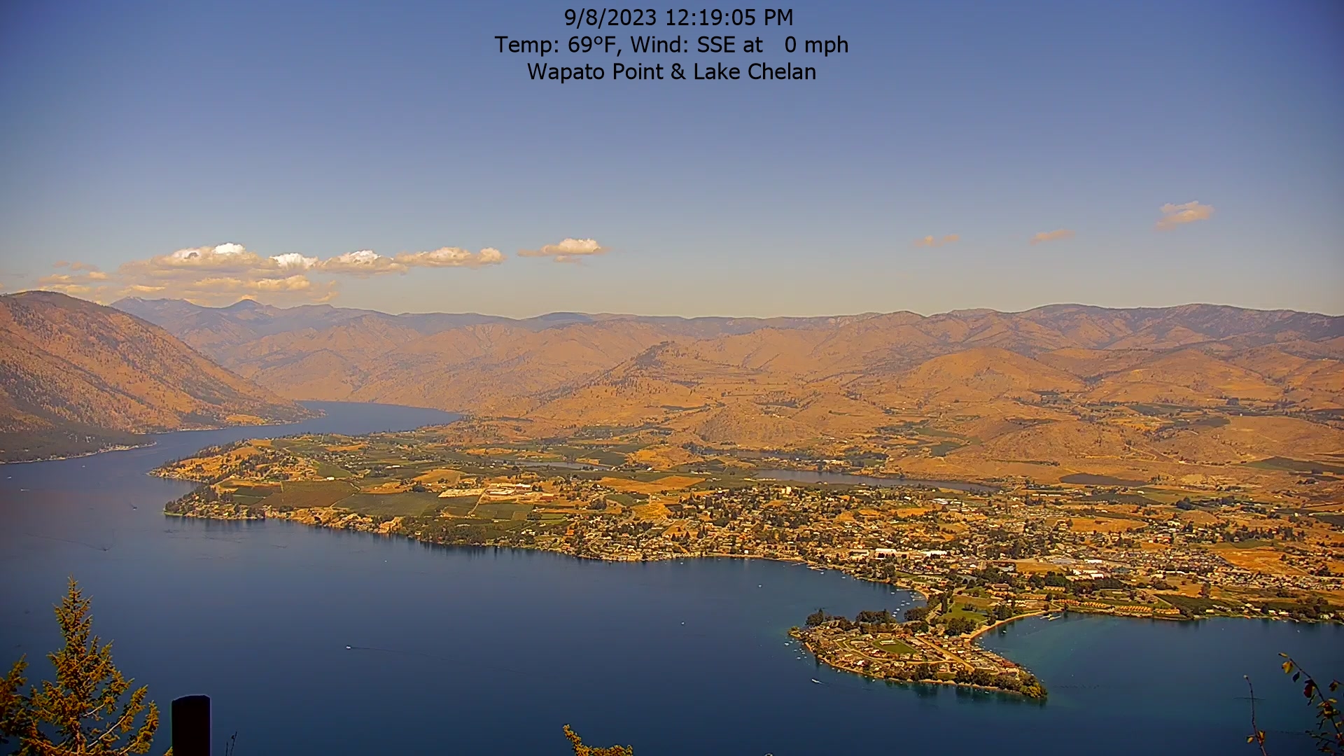
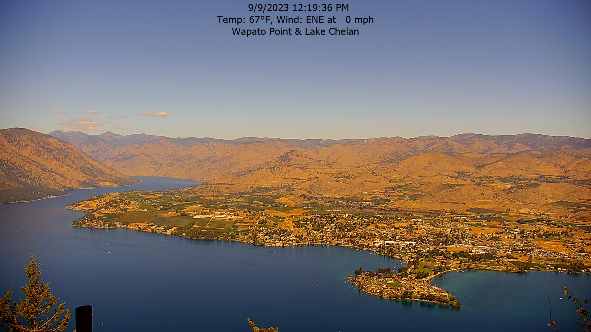
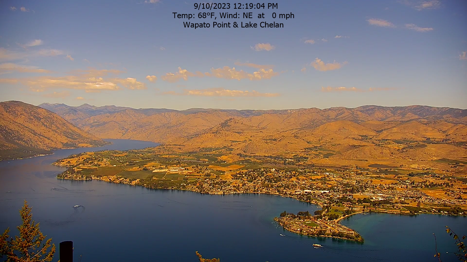
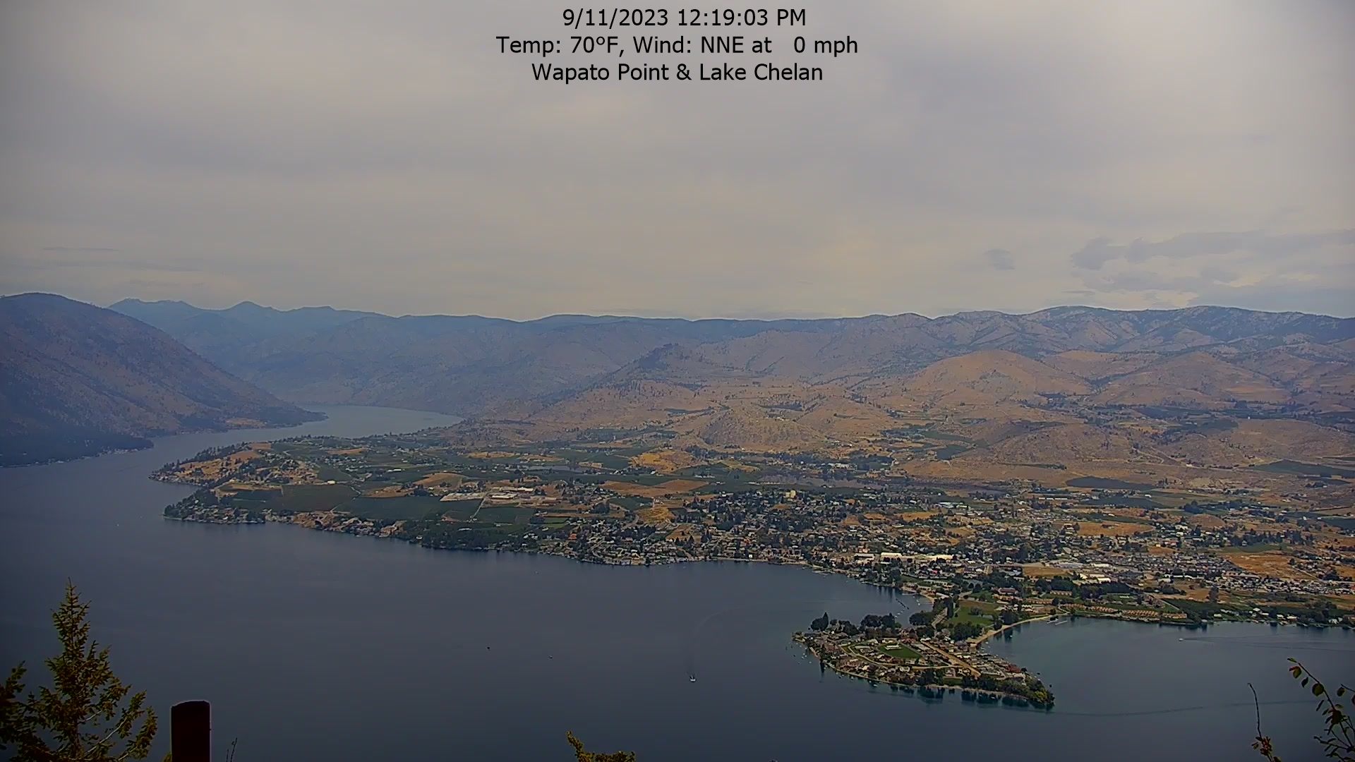
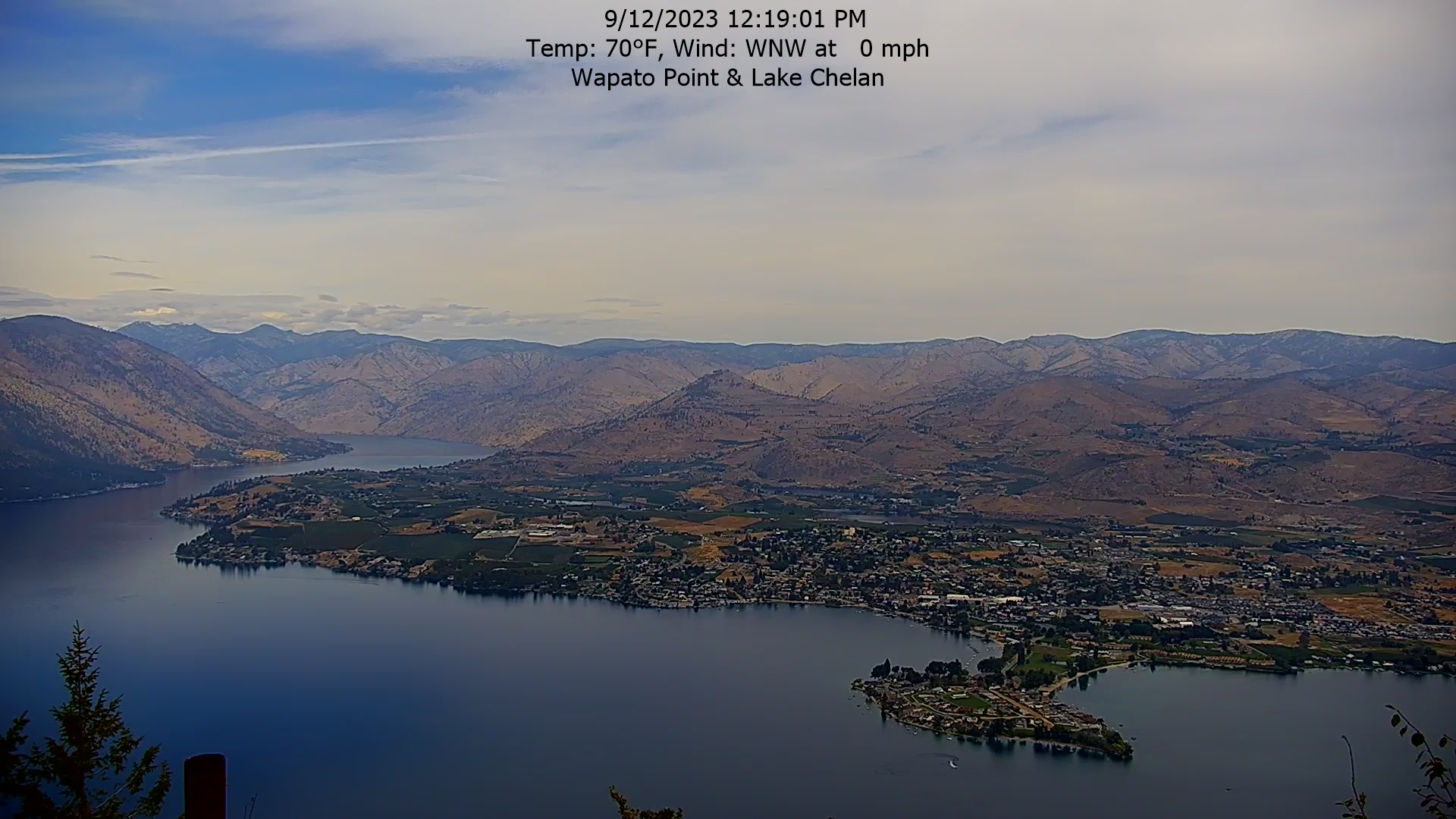
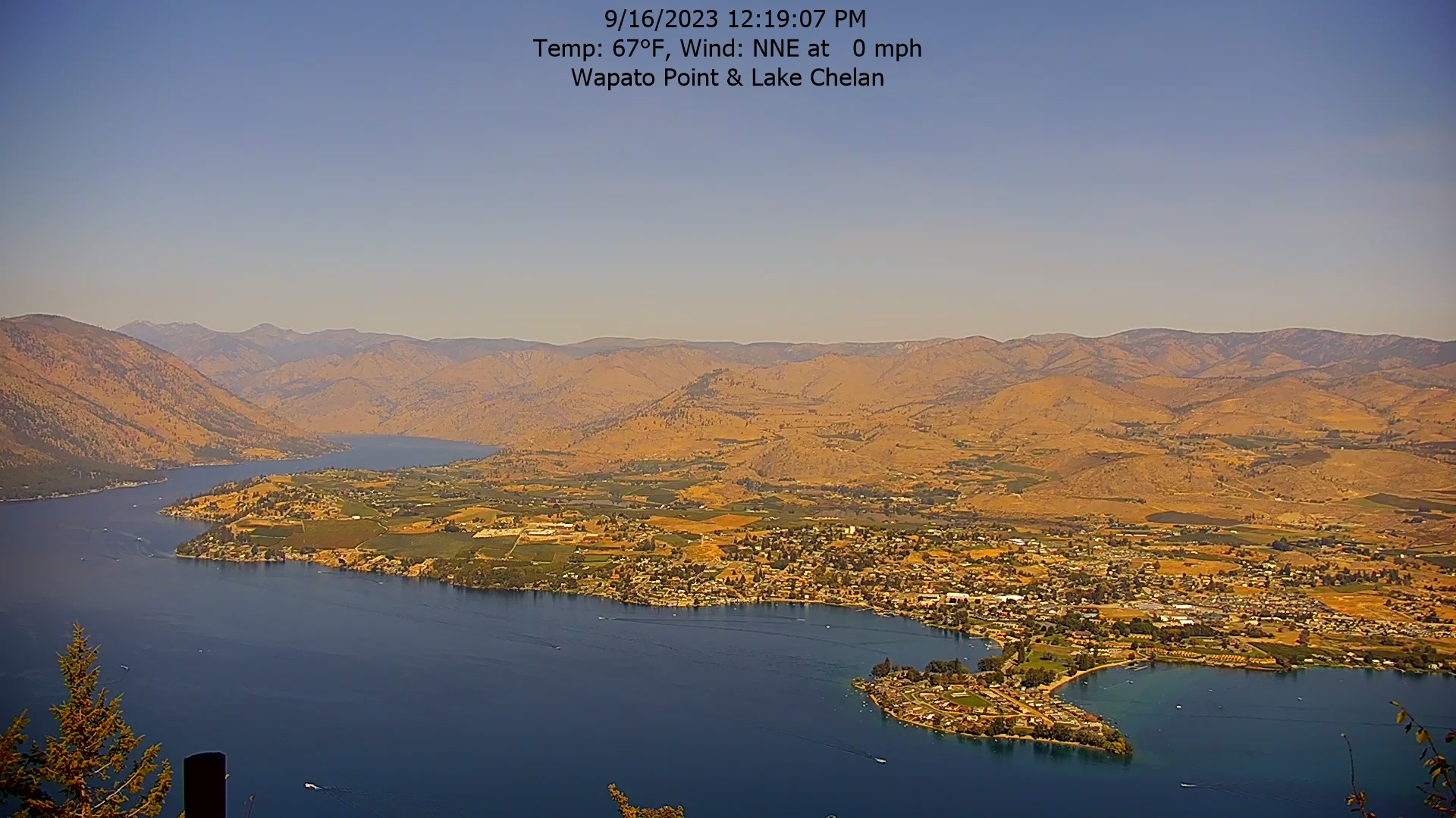
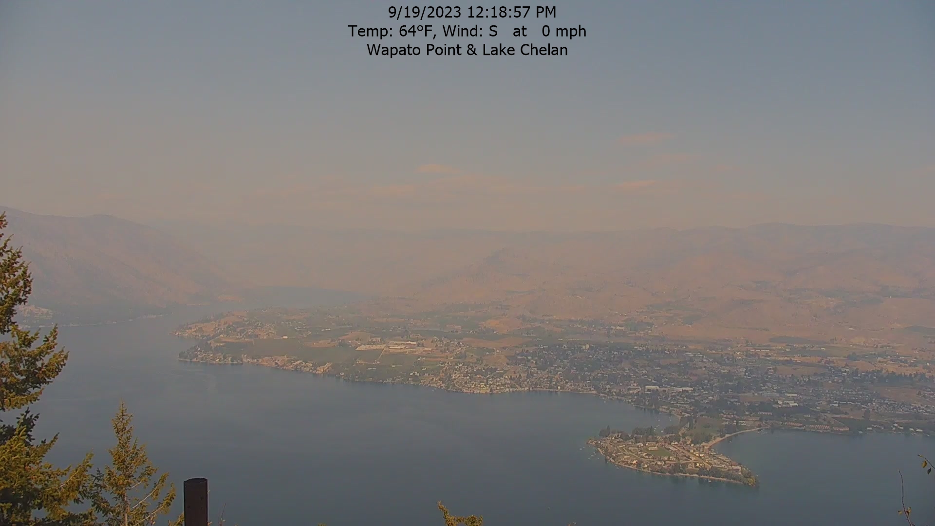
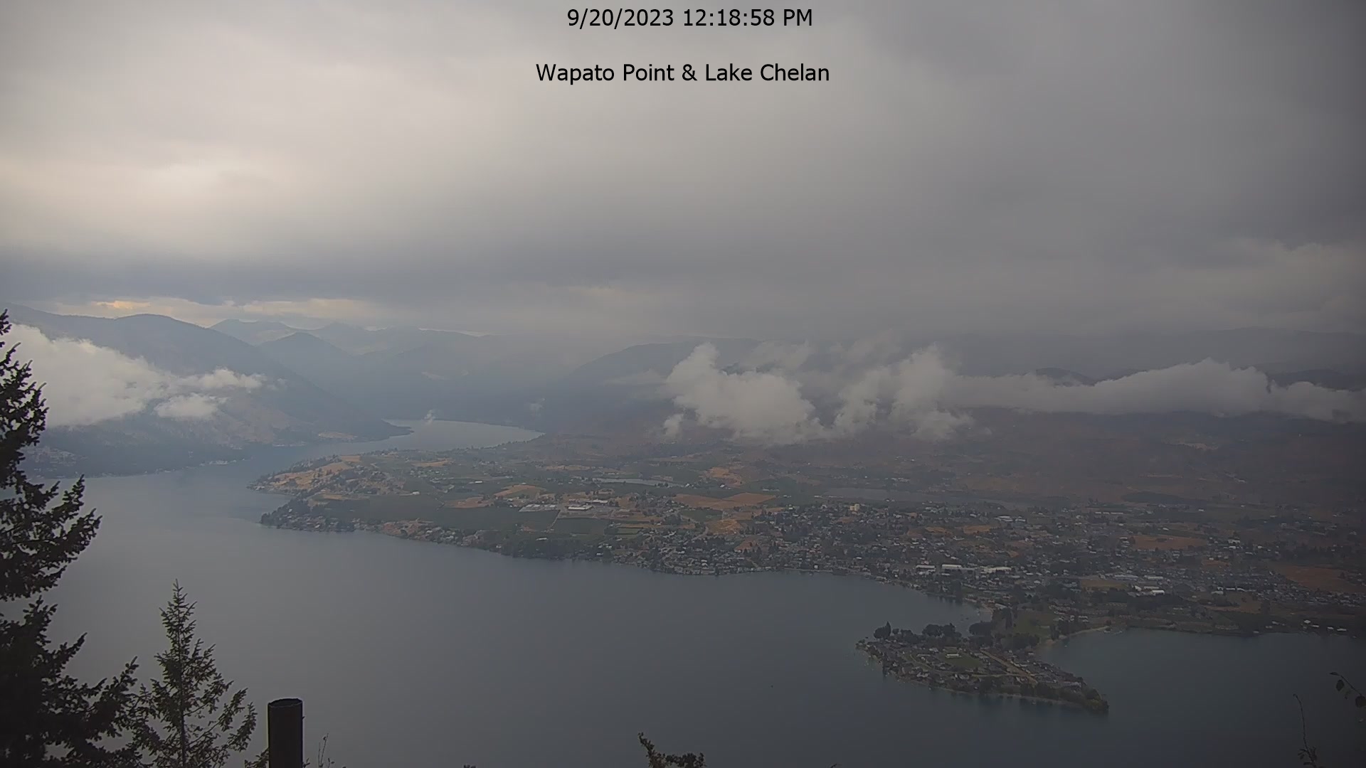
Manson, Washington, USA - 150.4 miles from Waiilatpo (historical): Wapato Point, Lake Chelan - The view from the Wapato Point Resort.
Operator: Wapato Point Resort
Operator: Wapato Point Resort


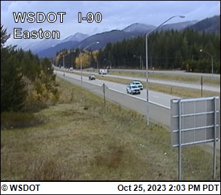
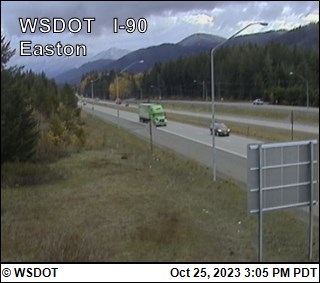
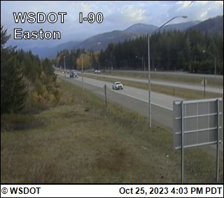
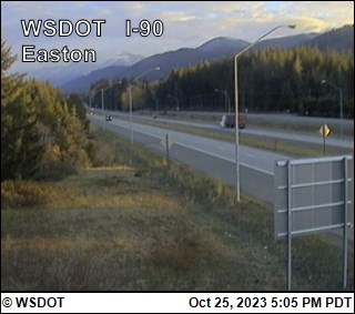
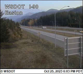
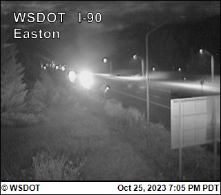
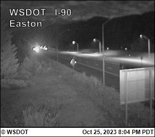
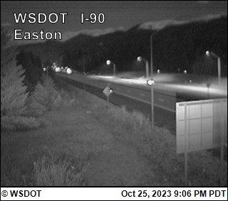
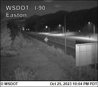
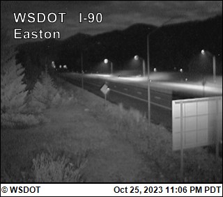
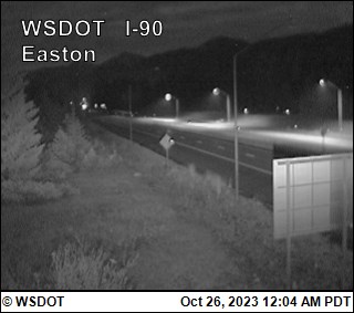
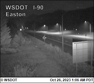
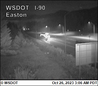
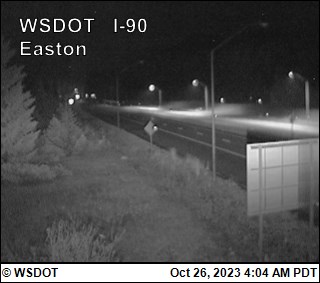
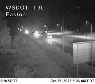
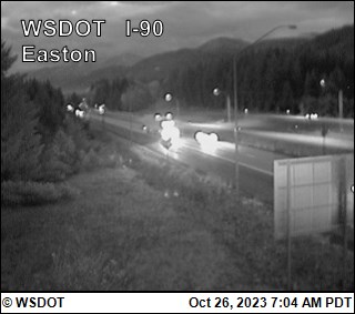
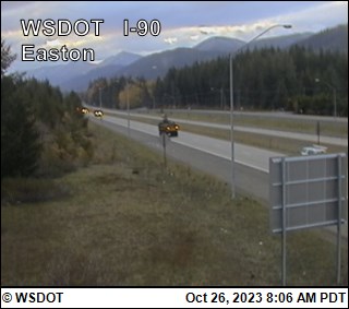
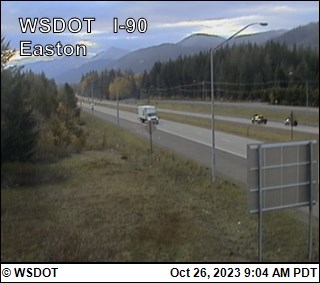
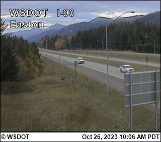
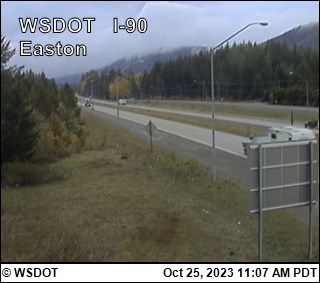
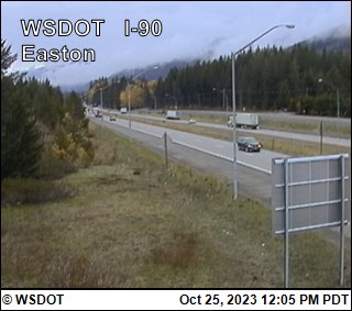
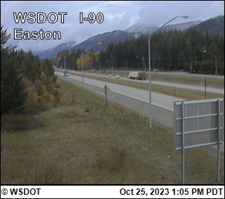
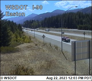
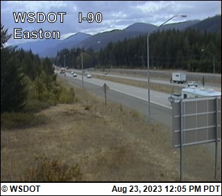
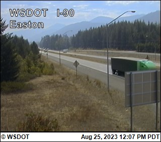
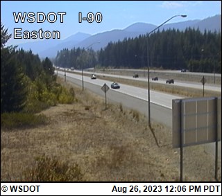
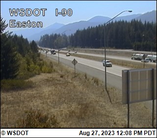
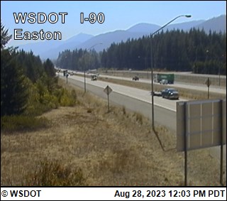
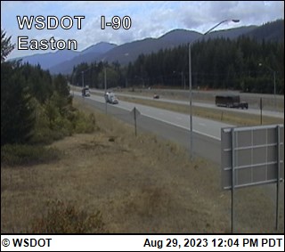
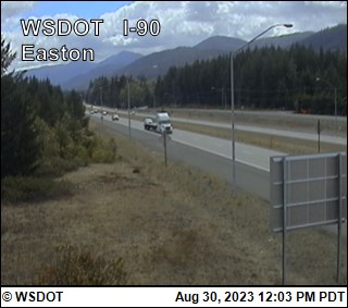
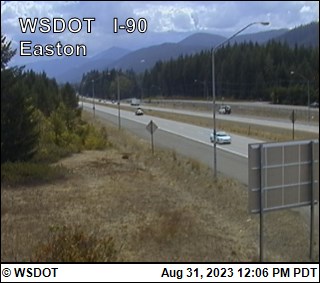
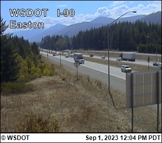
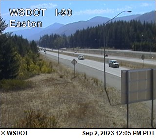
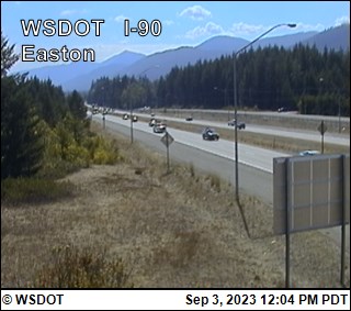
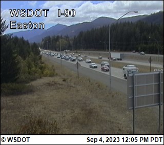
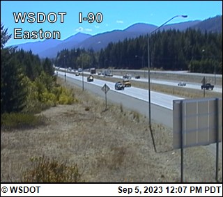
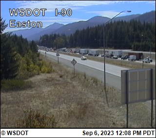
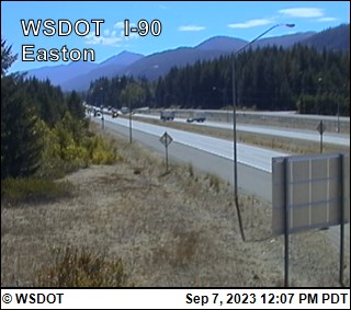
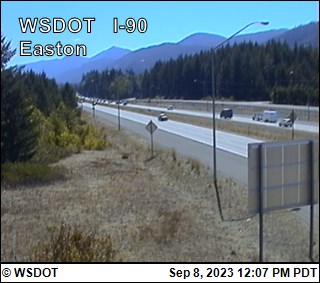
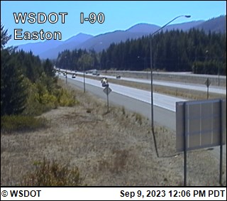
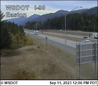
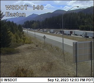
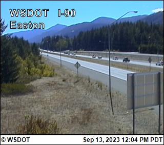
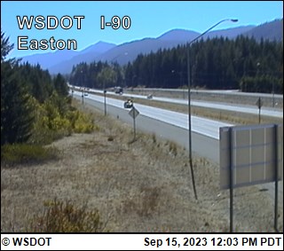
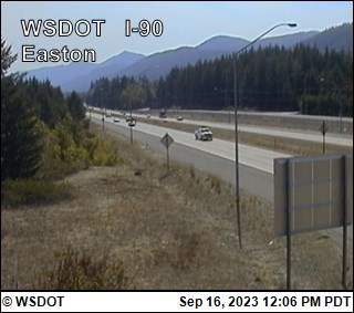
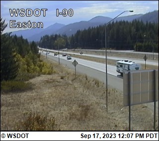
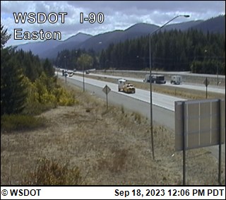
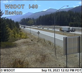
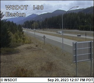
Easton, Washington, USA - 153.1 miles from Waiilatpo (historical): Easton on I-90 @ MP70.6 - A view of the current traffic situation.
Operator: WSDOT
Operator: WSDOT


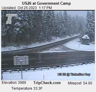
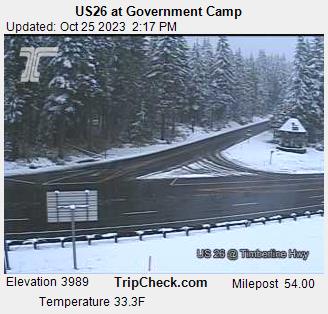
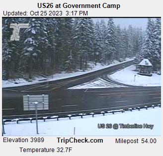
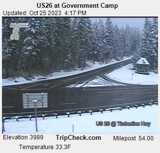
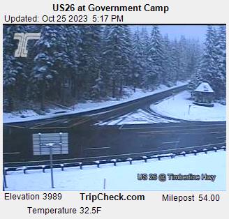
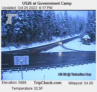
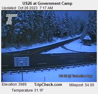
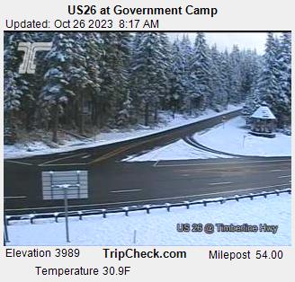
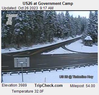
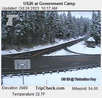
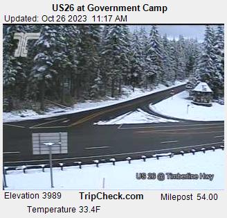
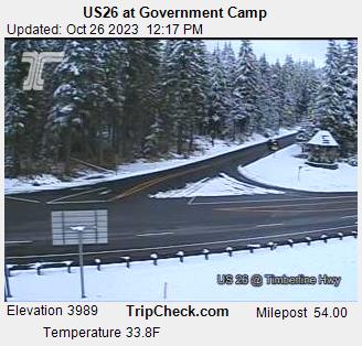
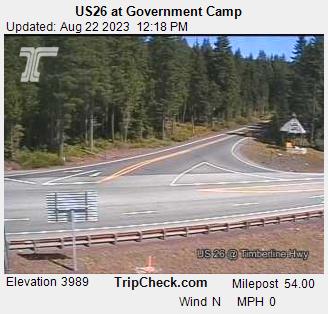
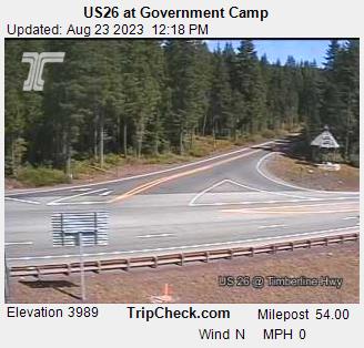
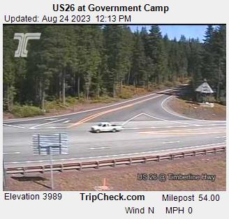
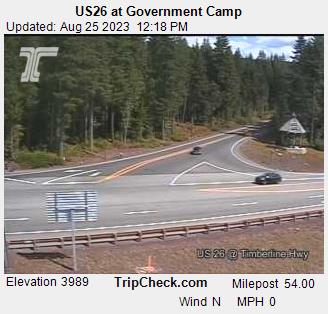
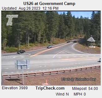
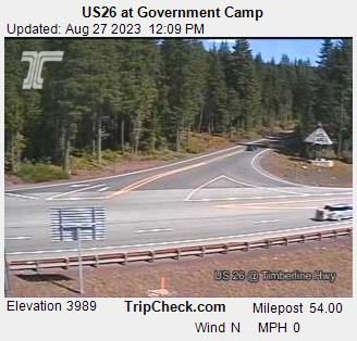
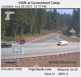
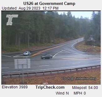
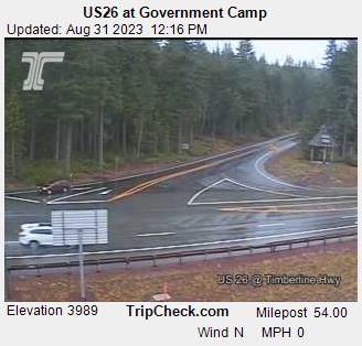
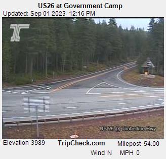
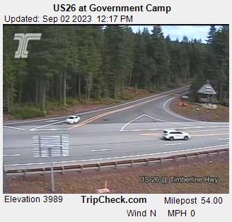
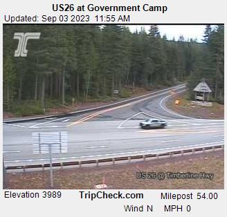
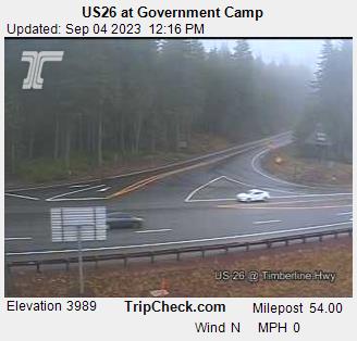
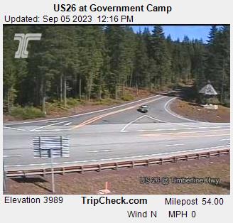
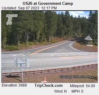
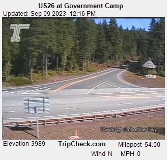
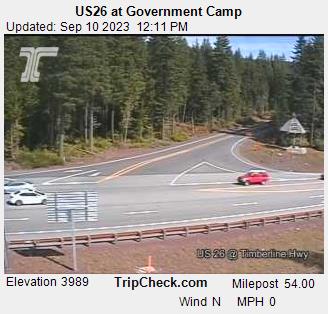
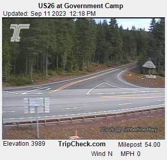
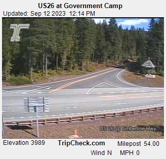
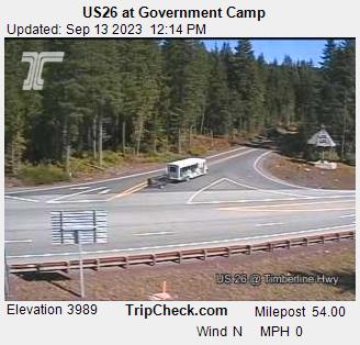
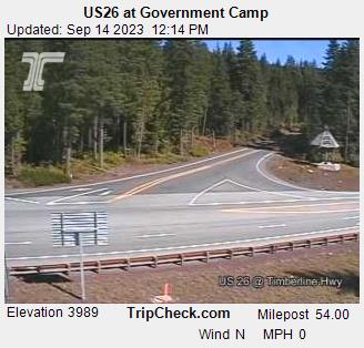
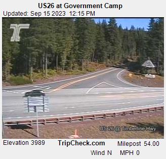
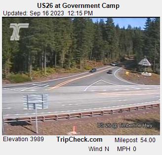
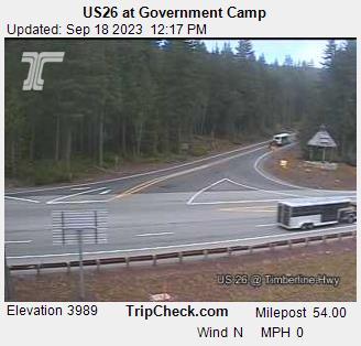
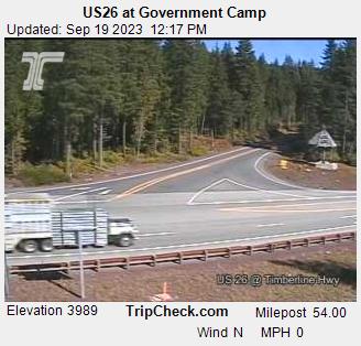
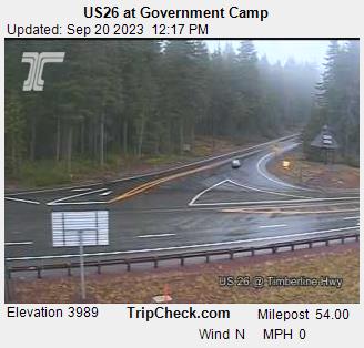
Government Camp, Oregon, USA - 166.9 miles from Waiilatpo (historical): US26 at Government Camp - A view of the current traffic situation on the US26.
Operator: Oregon Department of Transportation
Operator: Oregon Department of Transportation


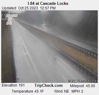
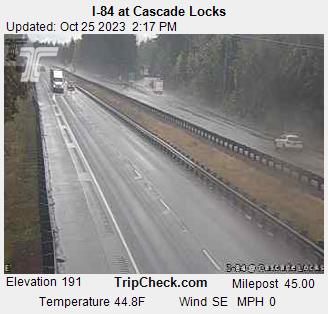
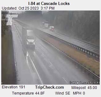
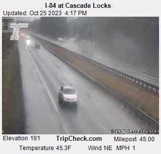
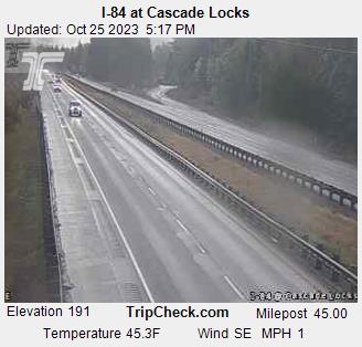
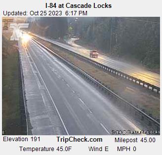
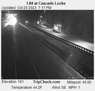
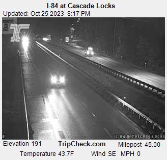
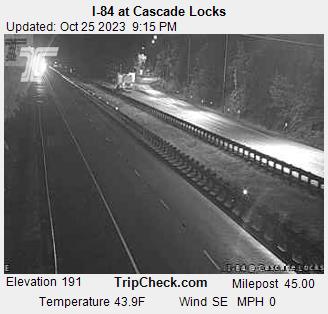
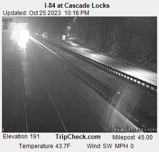
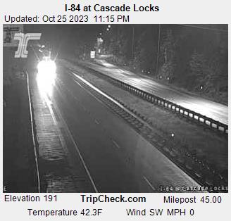
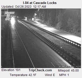
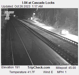
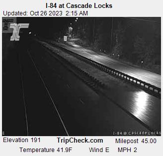
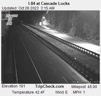
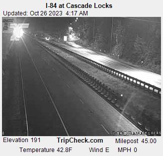
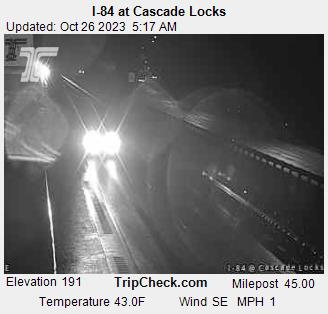
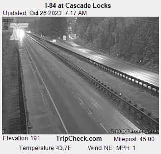
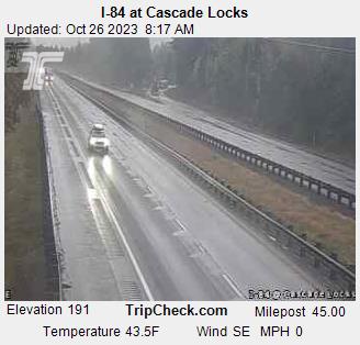
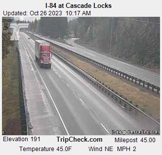
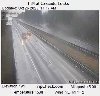
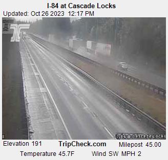
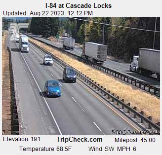
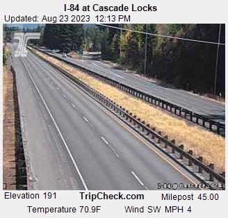
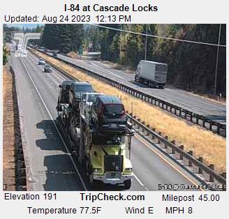
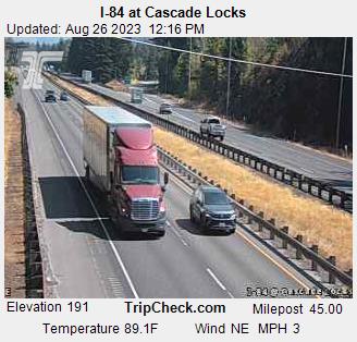
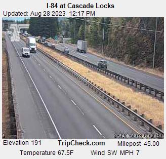
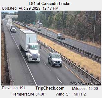
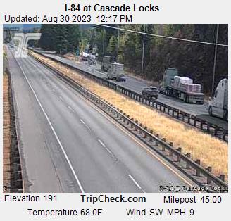
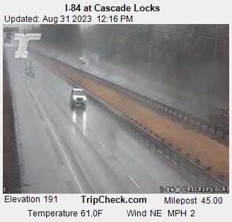
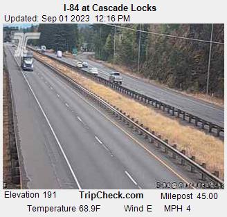
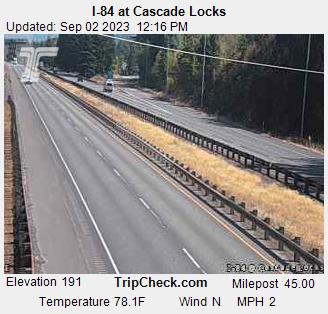
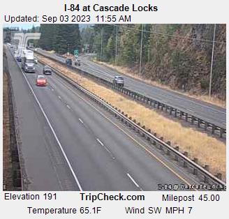
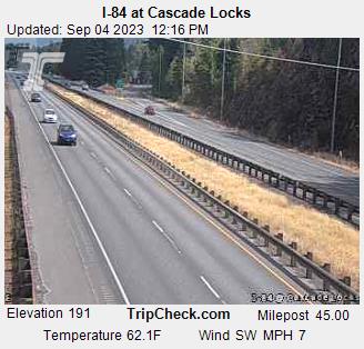
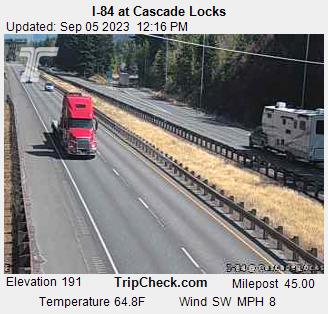
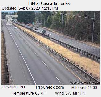
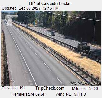
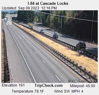
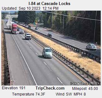
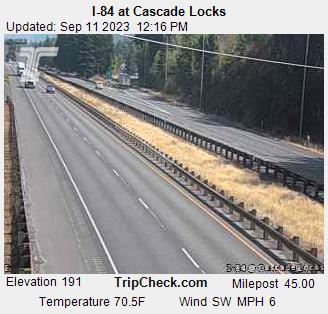
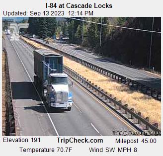
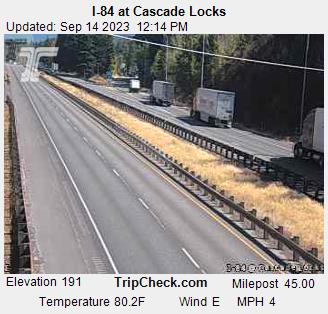
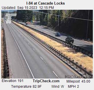
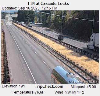
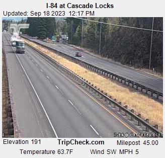
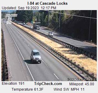
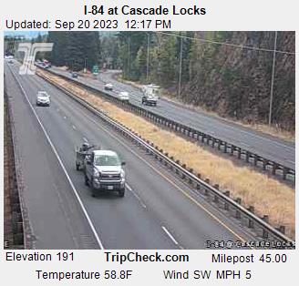
Cascade Locks, Oregon, USA - 167 miles from Waiilatpo (historical): I-84 at Cascade Locks - A view of the current traffic situation on the I-84.
Operator: Oregon Department of Transportation
Operator: Oregon Department of Transportation


Some other places in this country: Deer Trail - Mays (historical) - Fayette - Crego (historical) - Lakedale - Mason City (historical) - Marshville (historical) - Sheridan - Reynolds (historical) - McIntosh