Webcams in the region of Doe Bay, Washington, USA
The List of Webcams near Doe Bay, Washington, USA:

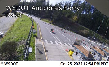
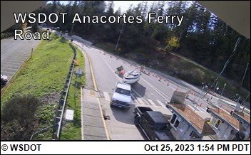
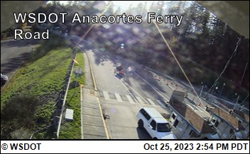
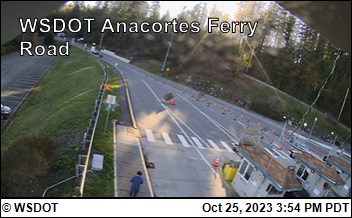
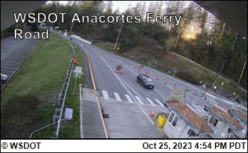
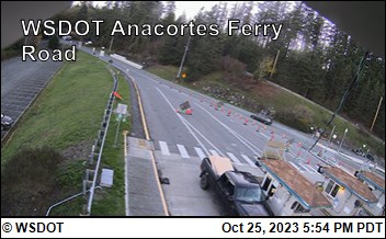
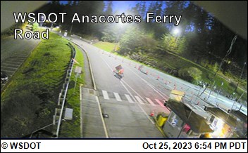
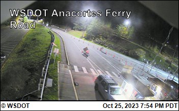
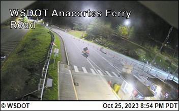
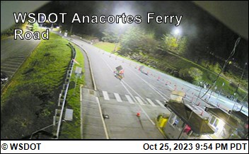
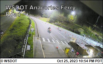
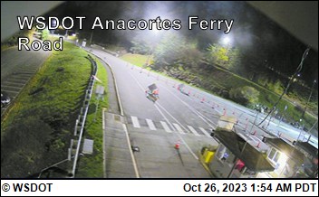
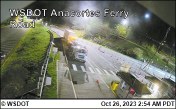
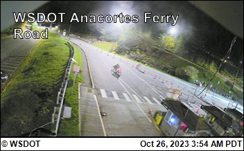
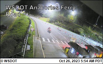
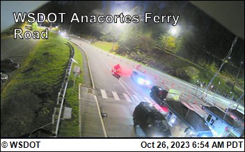
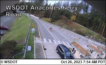
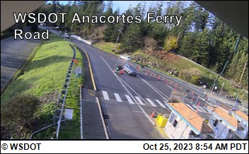
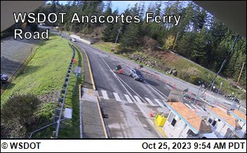
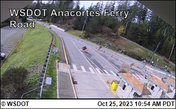
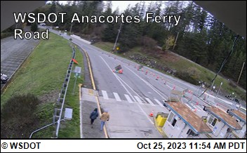
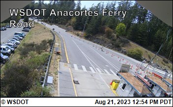
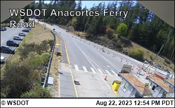
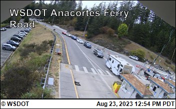
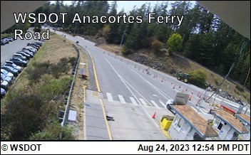
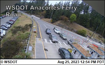
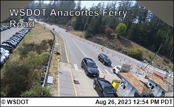
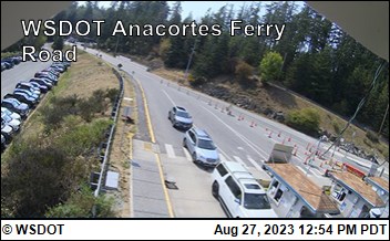
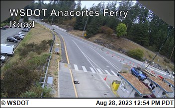
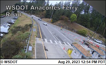
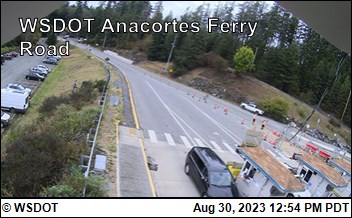
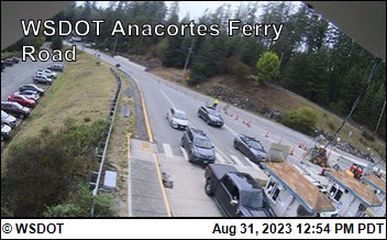
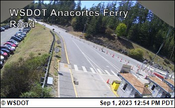
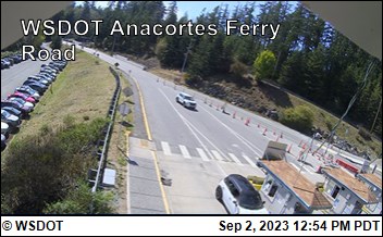
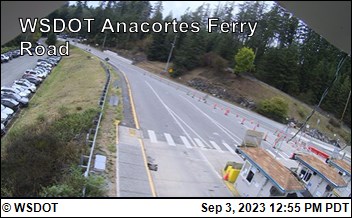
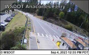
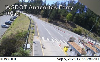
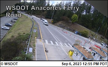
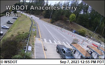
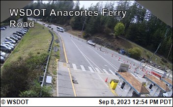
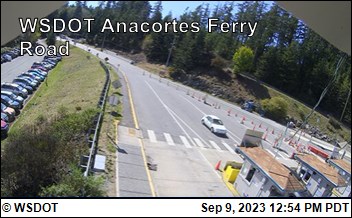
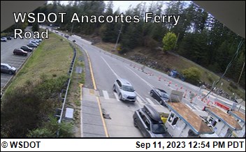
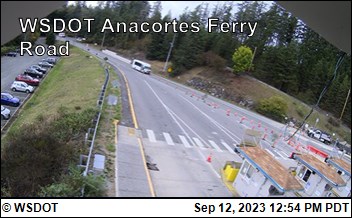
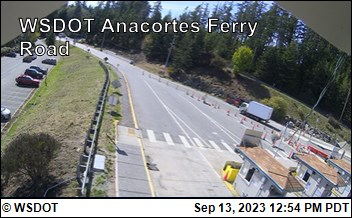
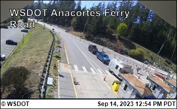
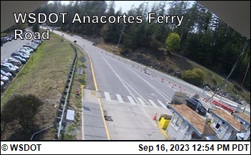
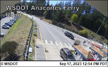
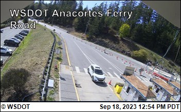
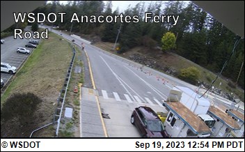
Anacortes, Washington, USA - 11.8 miles from Doe Bay: WSF Anacortes Ferry Terminal Rd - A view of the current traffic situation.
Operator: WSDOT
Operator: WSDOT


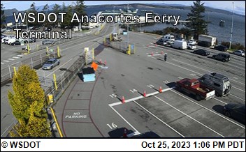
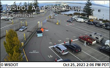
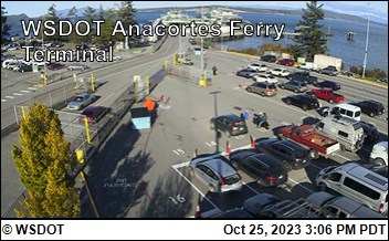
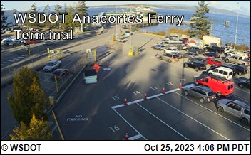
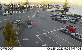
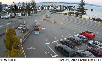
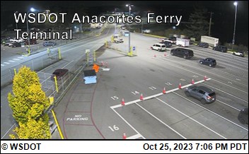
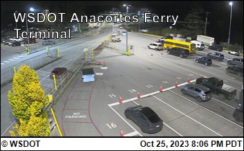
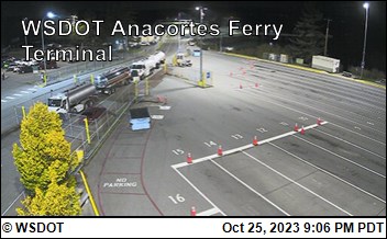
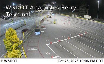
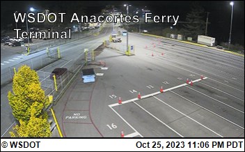
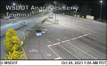
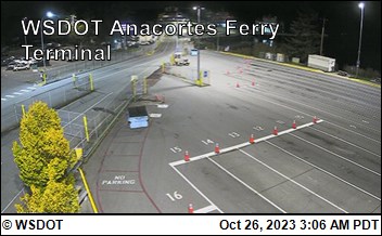
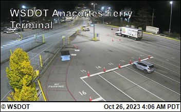
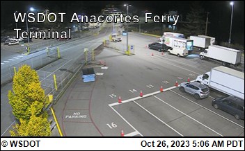
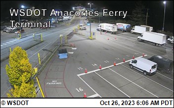
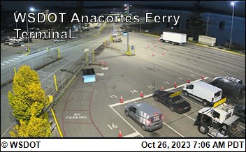
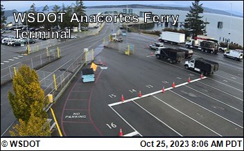
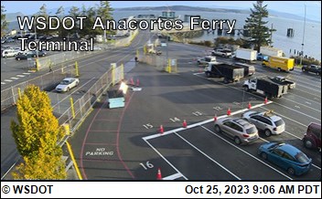
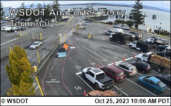
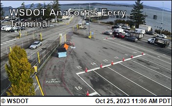
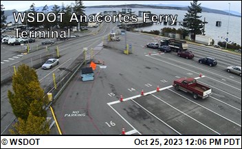
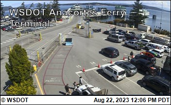
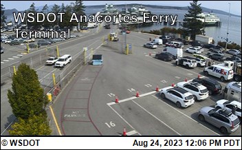
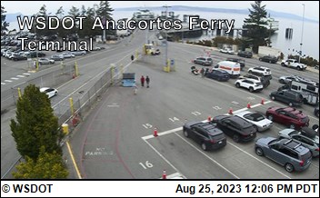
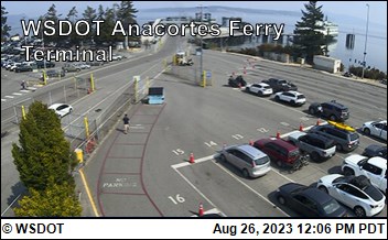
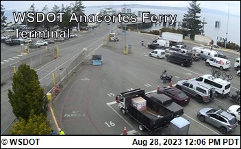
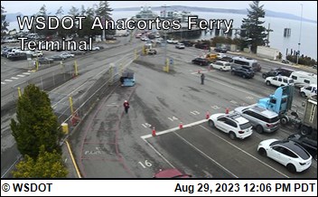
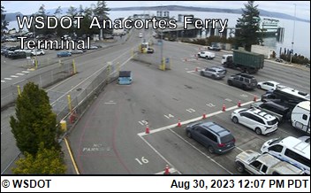
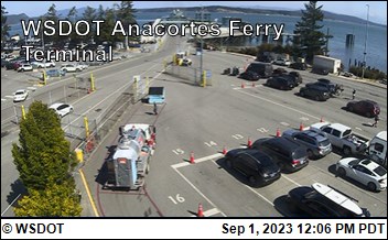
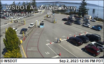
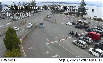
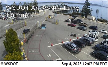
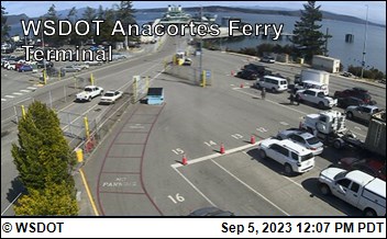
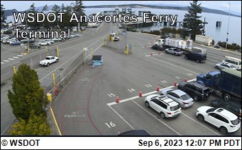
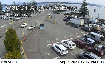
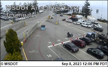
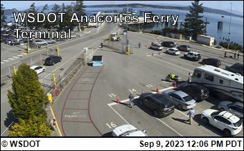
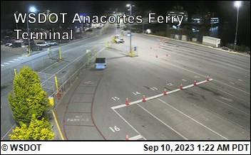
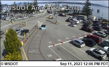
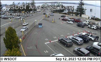
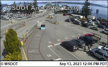
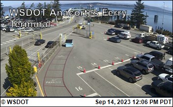
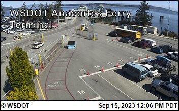
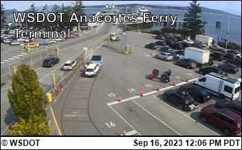
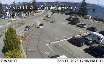
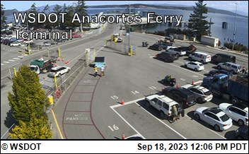
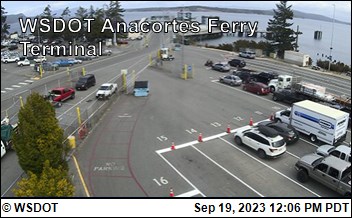
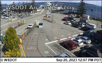
Anacortes, Washington, USA - 11.8 miles from Doe Bay: WSF Anacortes Ferry Terminal - A view of the current traffic situation.
Operator: WSDOT
Operator: WSDOT


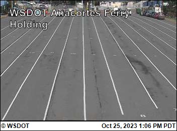
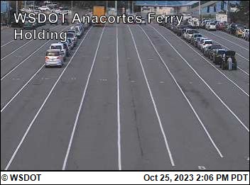
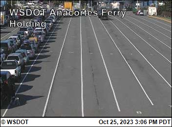
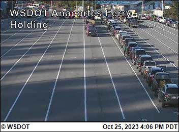
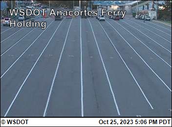
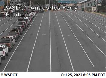
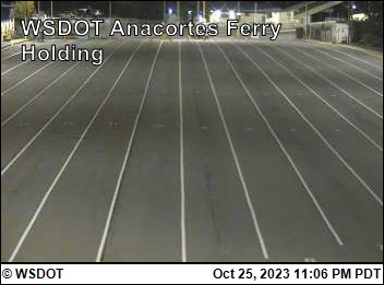
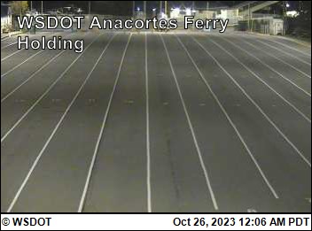
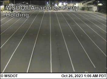
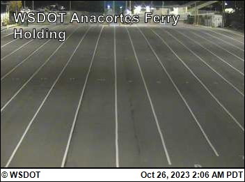
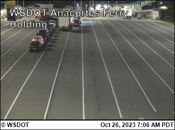
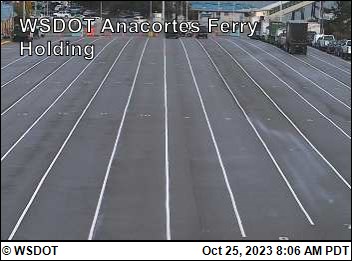
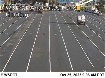
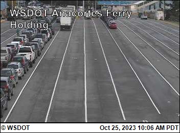
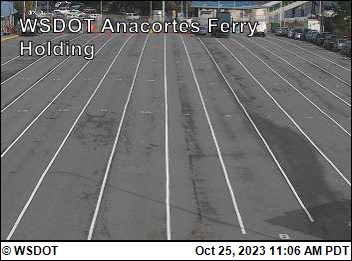
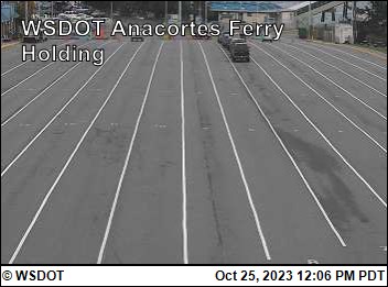
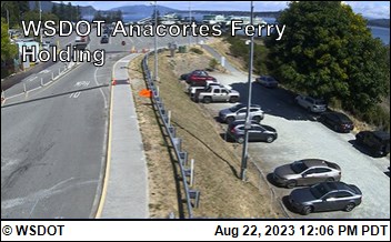
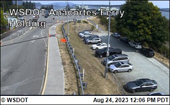
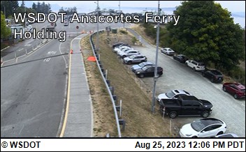
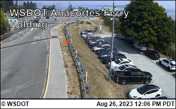
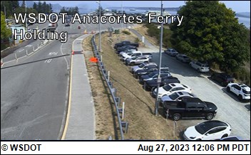
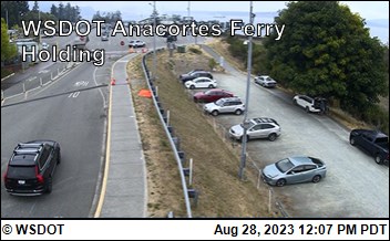
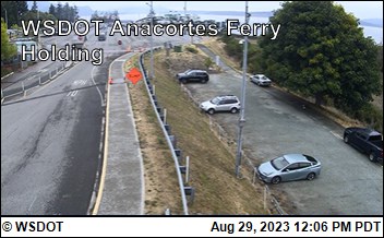
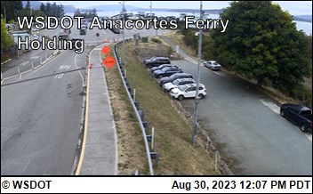
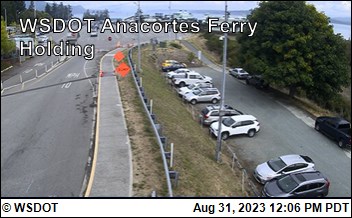
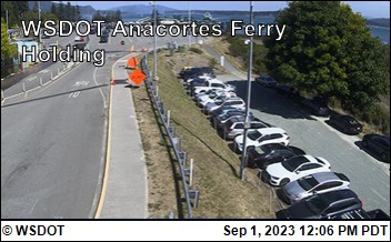
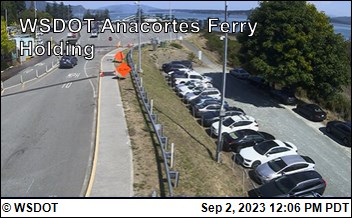
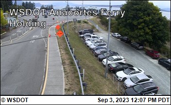
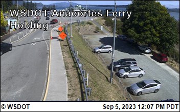
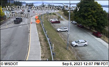
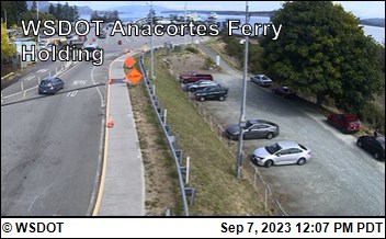
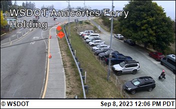
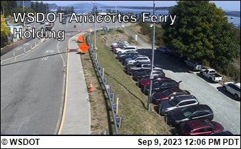
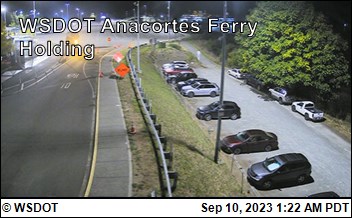
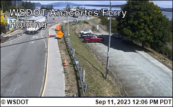
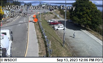
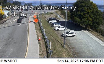
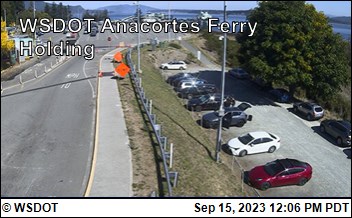
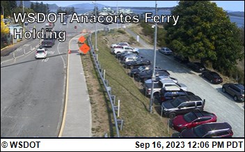
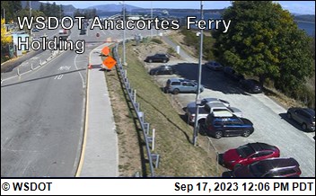
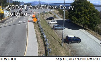
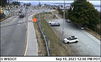
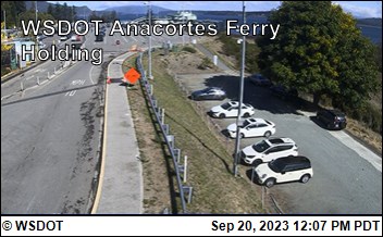
Anacortes, Washington, USA - 11.8 miles from Doe Bay: WSF Anacortes Ferry Holding - A view of the current traffic situation.
Operator: WSDOT
Operator: WSDOT


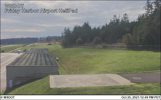
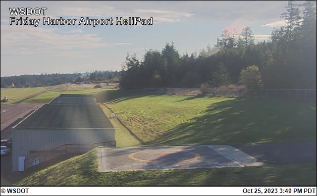
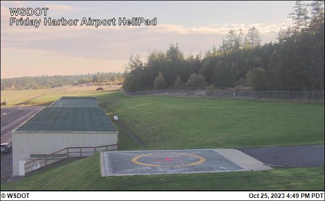
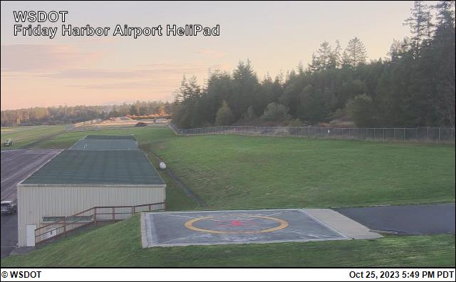
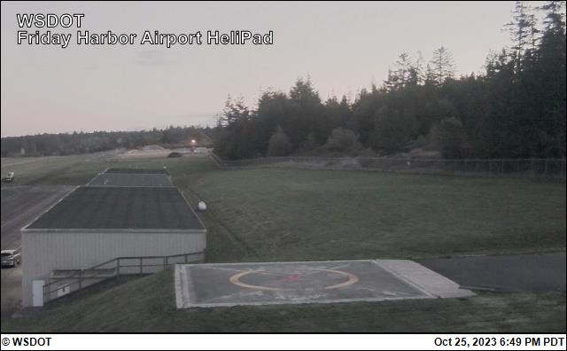
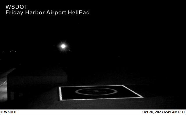
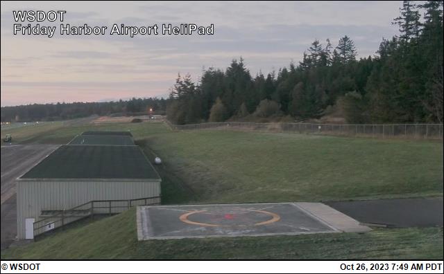
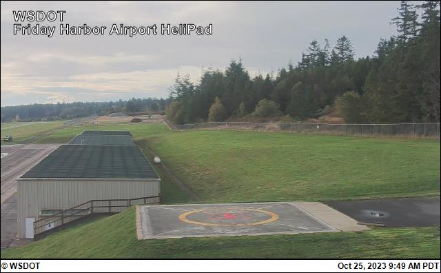
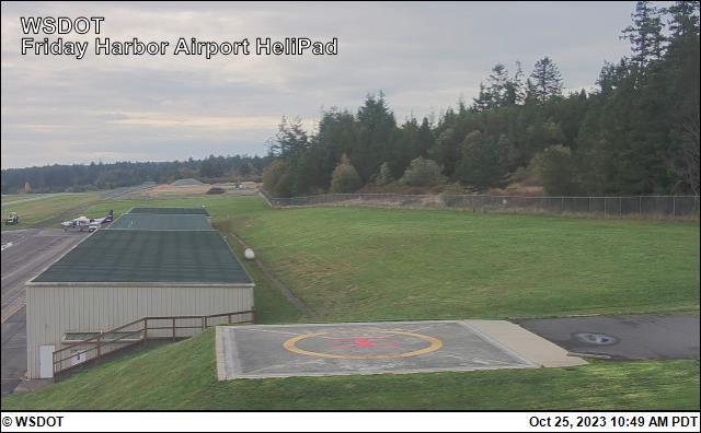
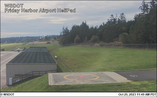
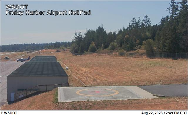
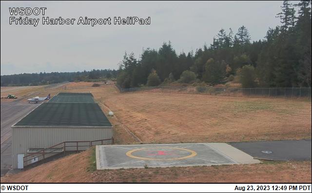
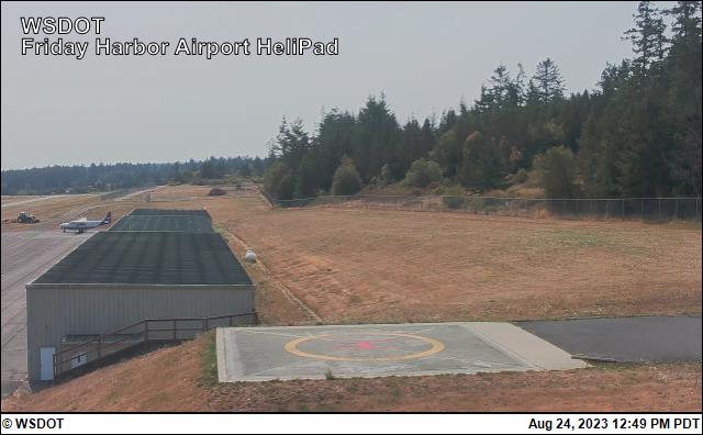
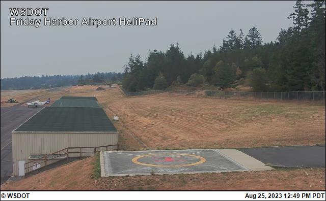
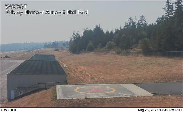
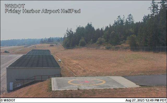
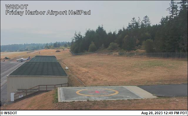
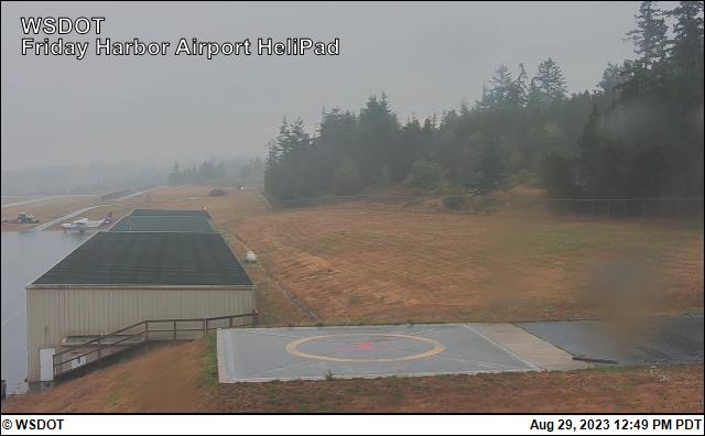
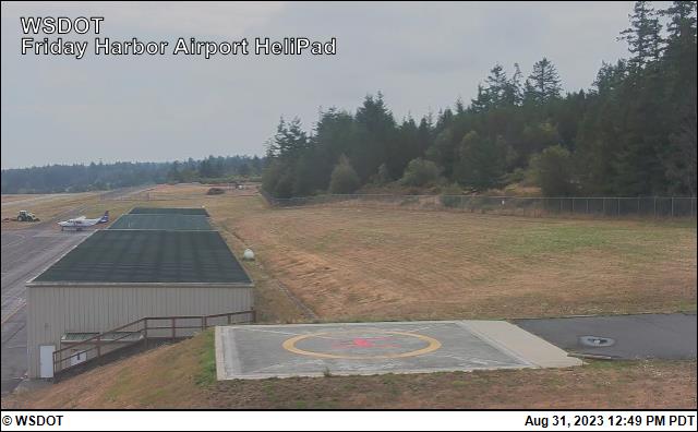
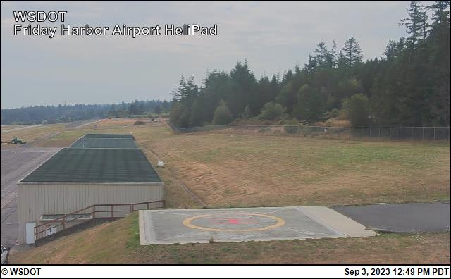
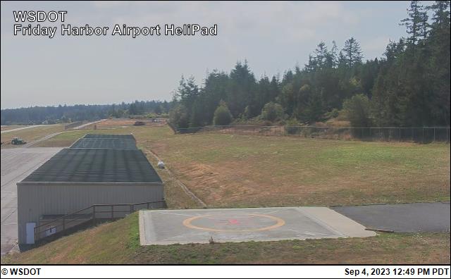
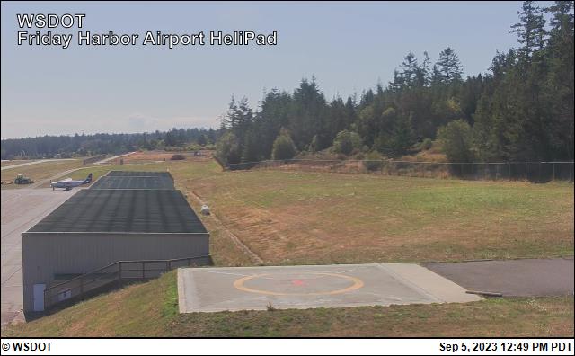
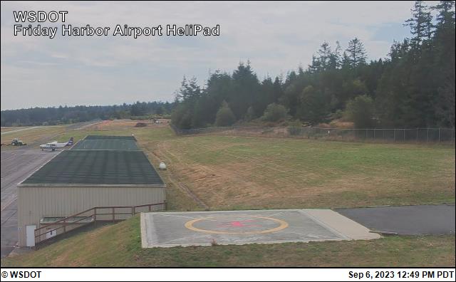
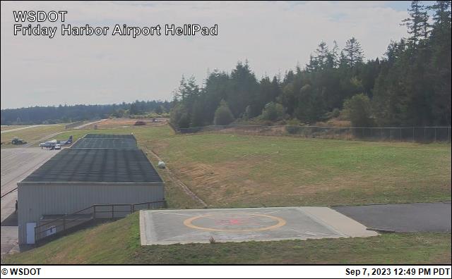
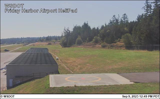
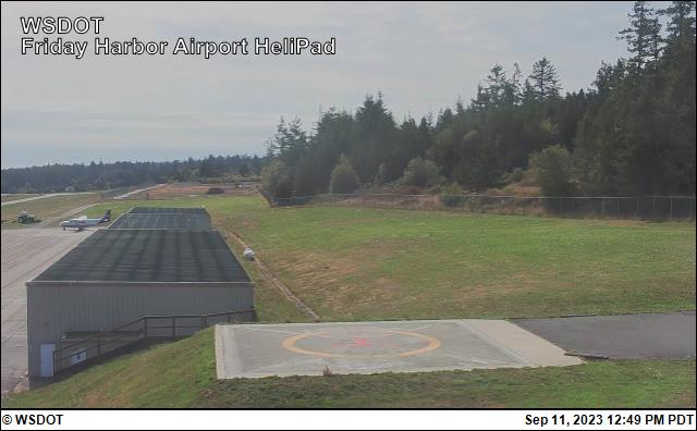
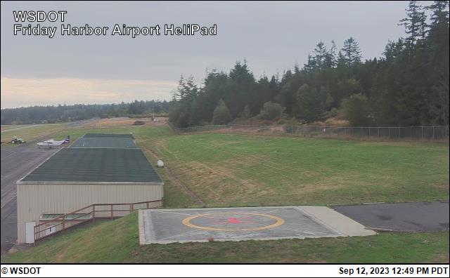
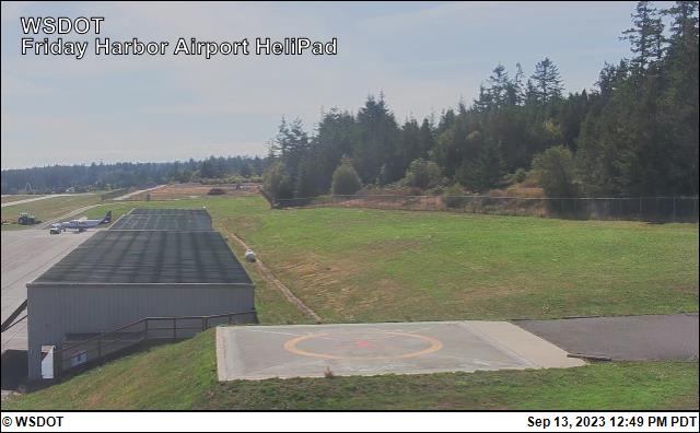
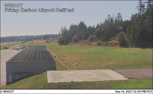
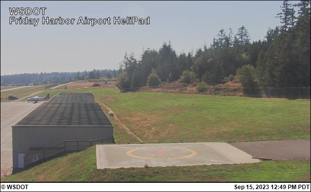
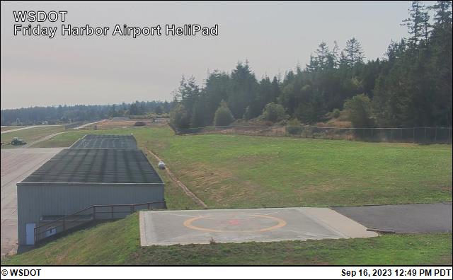
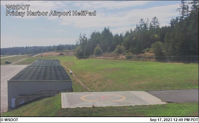
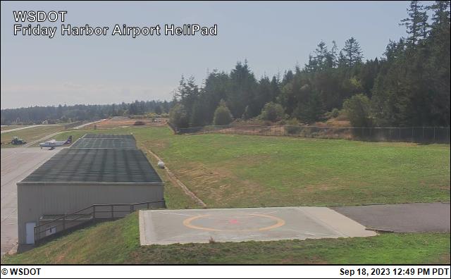
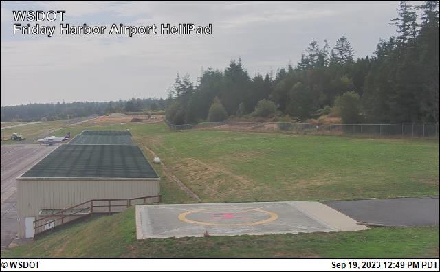
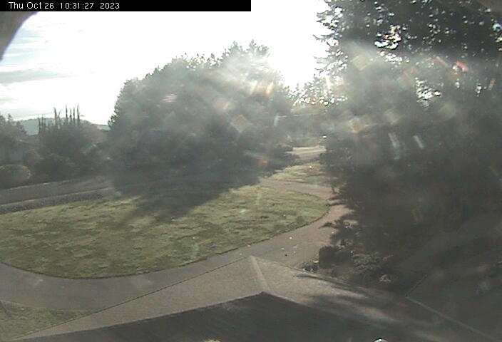
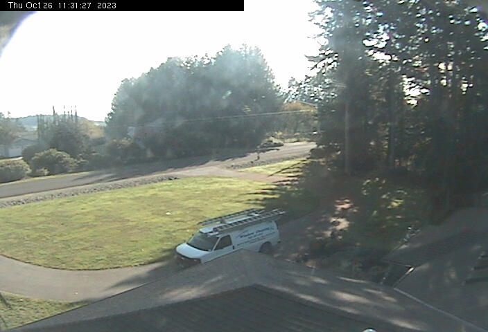
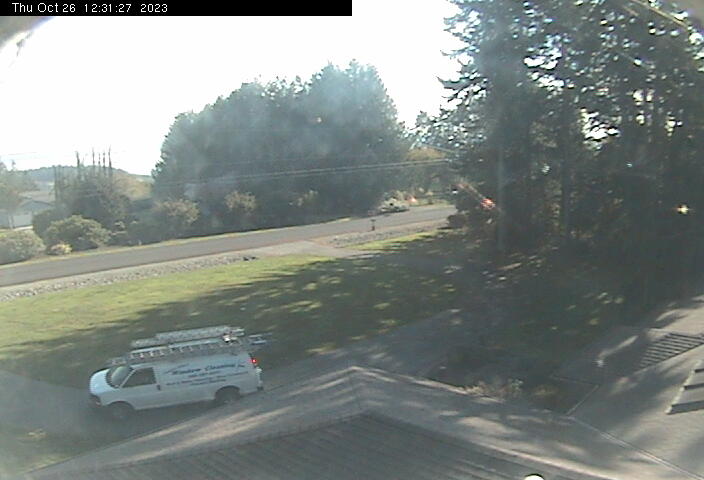
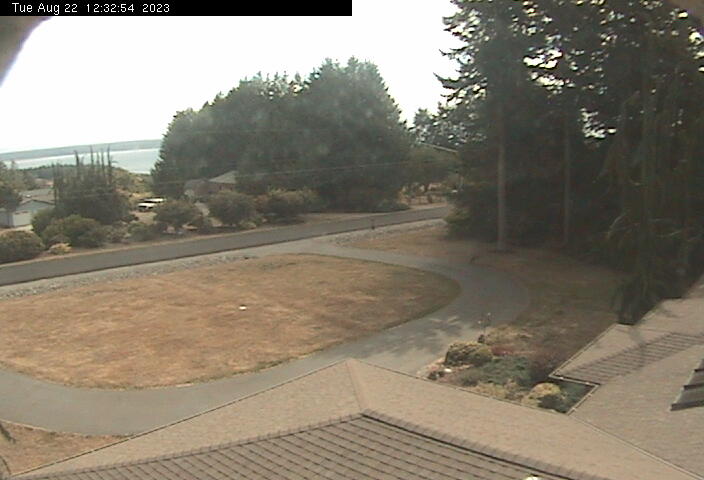
Friday Harbor, Washington, USA - 13.1 miles from Doe Bay: Friday Harbor Airport - Several views of Friday Harbor Airport.
Operator: WSDOT
Operator: WSDOT


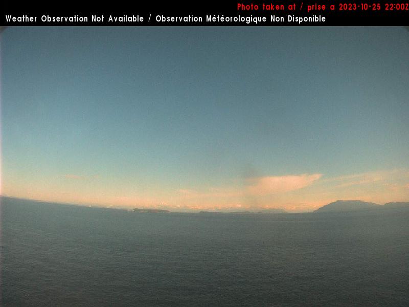
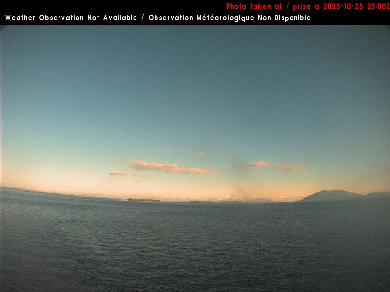
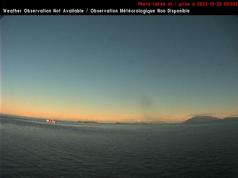
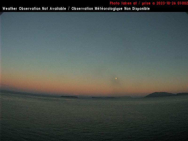
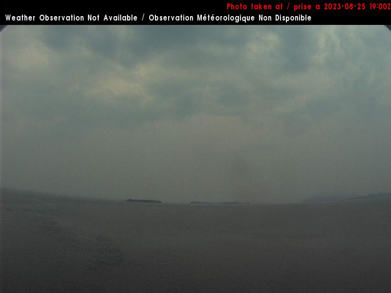
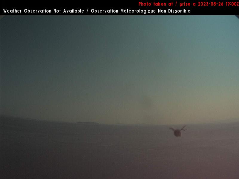
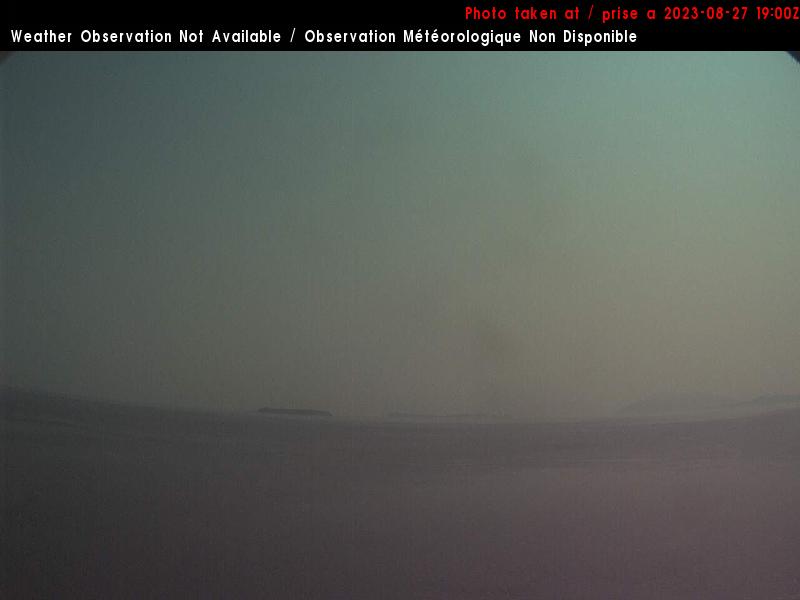
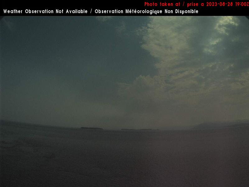
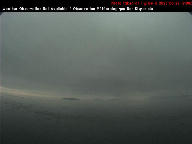
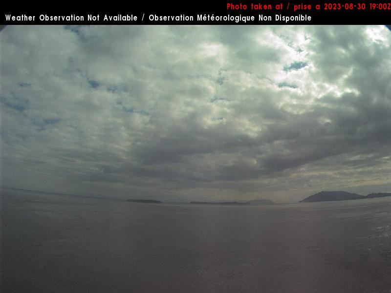
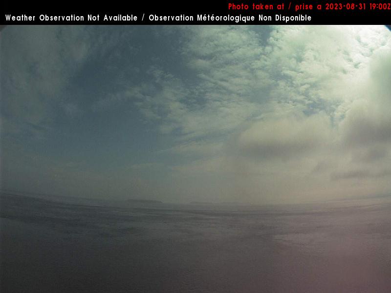
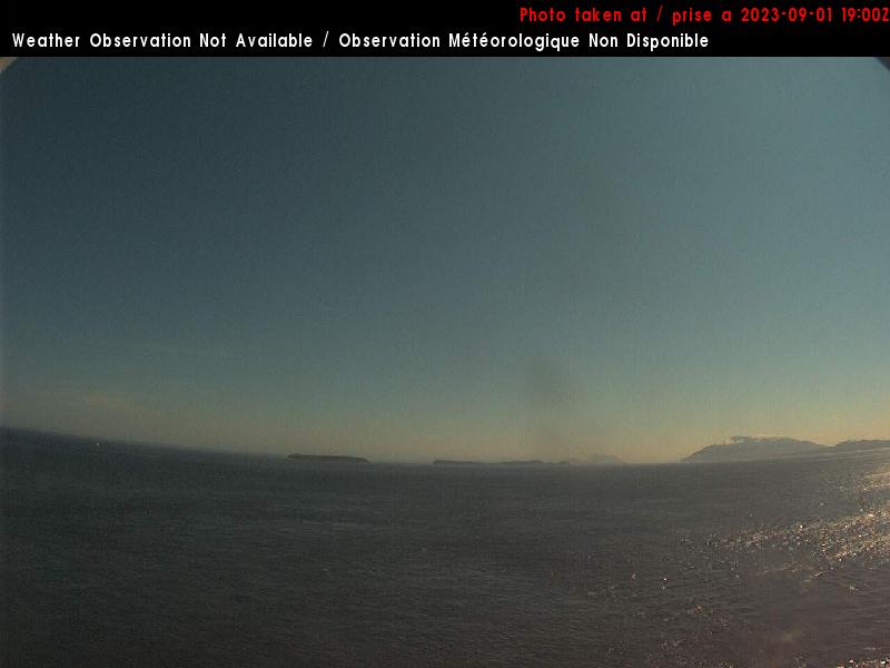
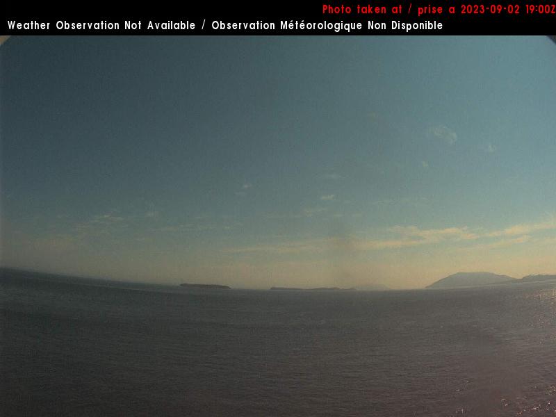
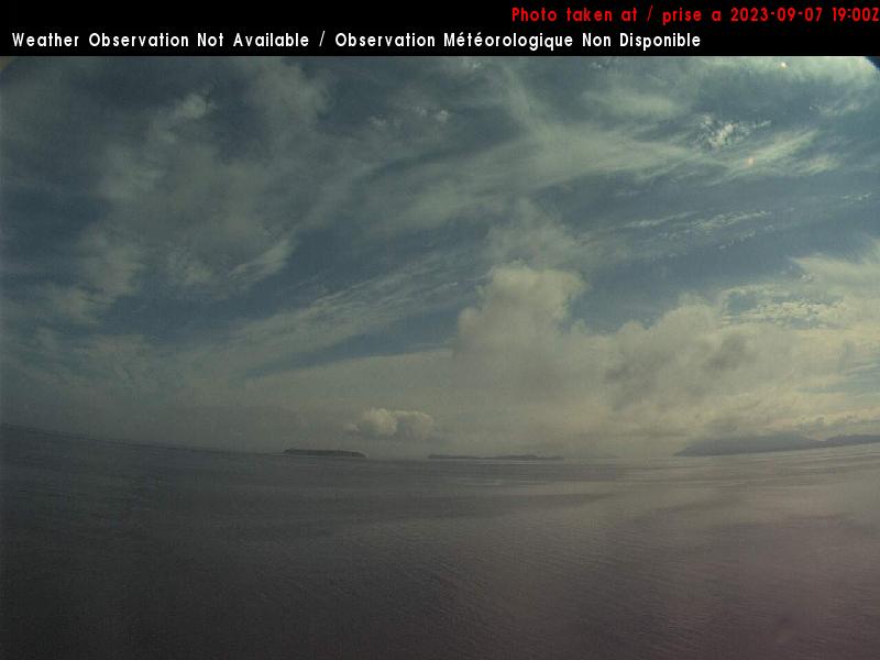
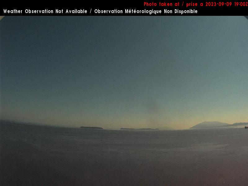
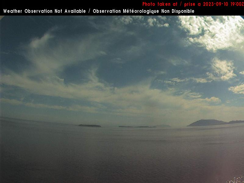
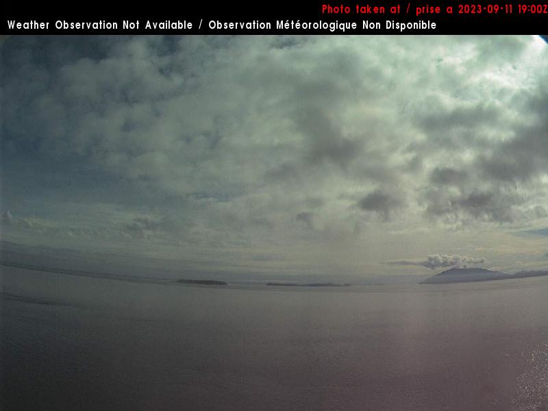
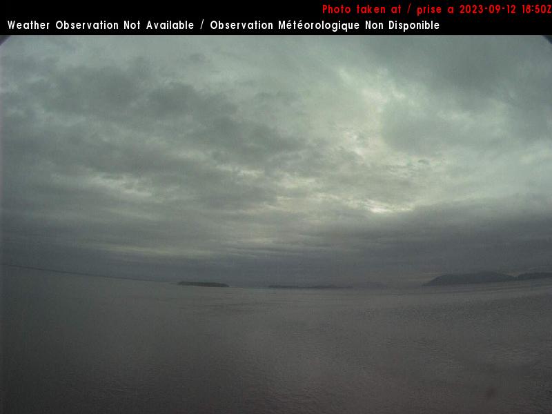
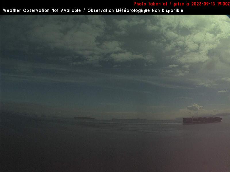
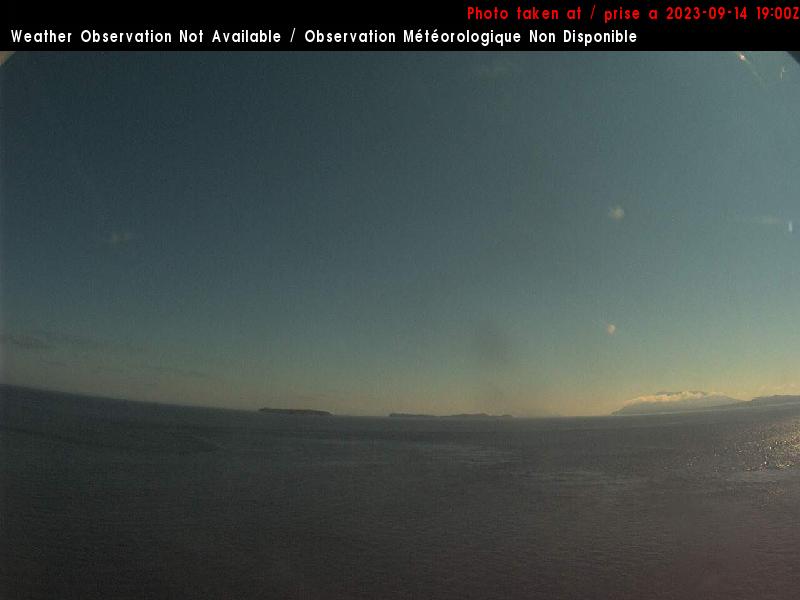
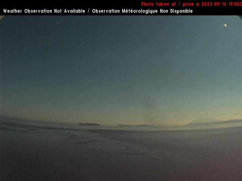
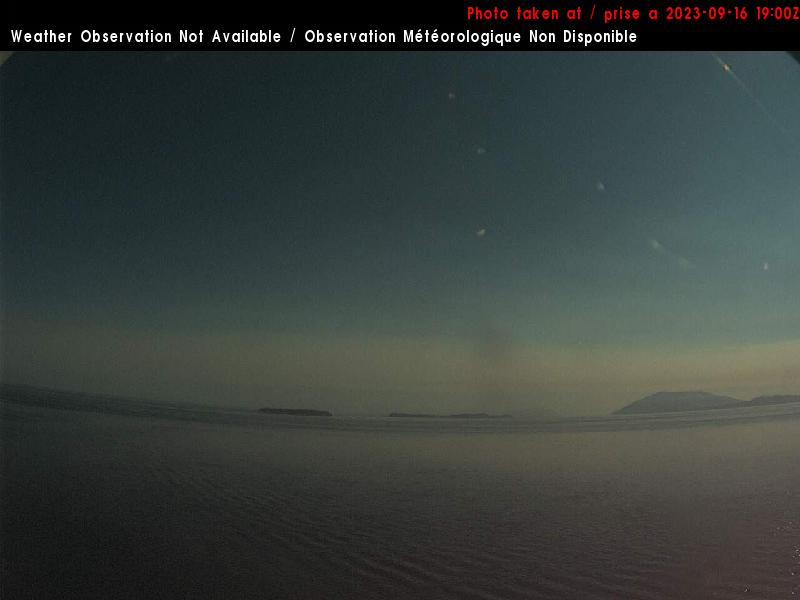
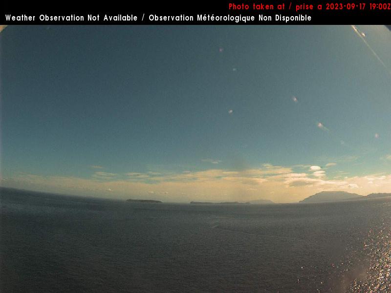
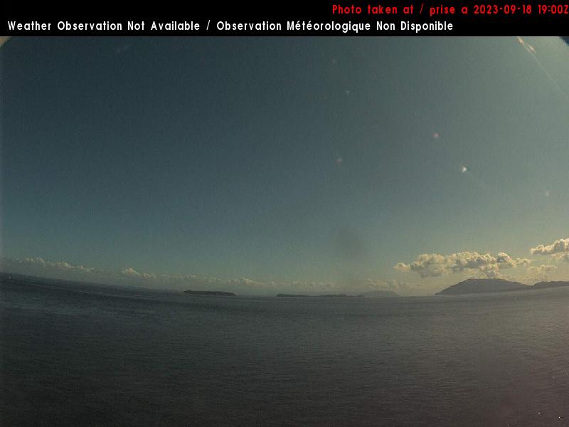
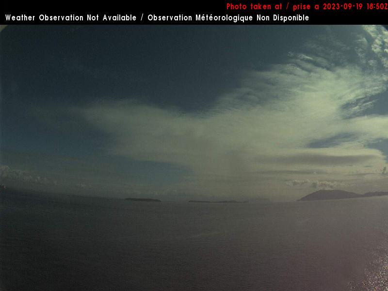
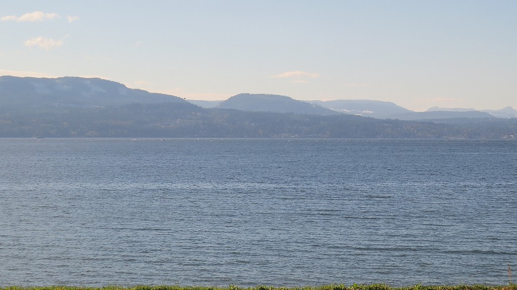
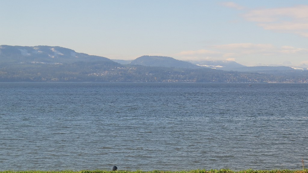
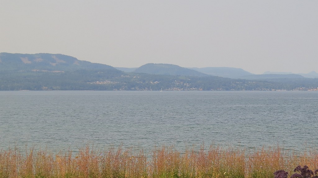
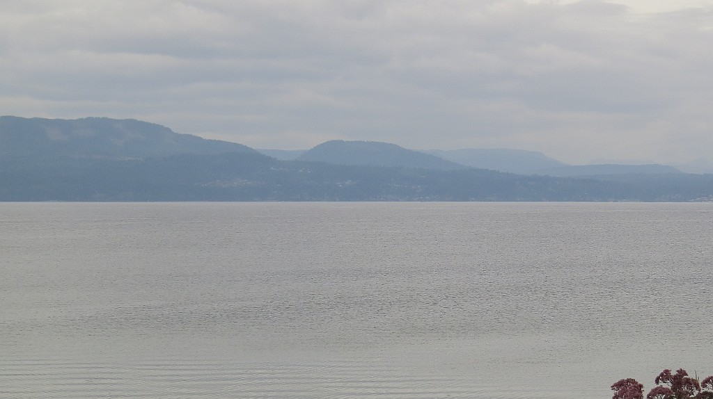
Saturna, USA - 21.7 miles from Doe Bay: East Point - A view in eastern direction.
Operator: NAV CANADA
Operator: NAV CANADA


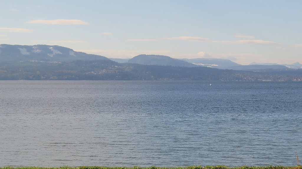
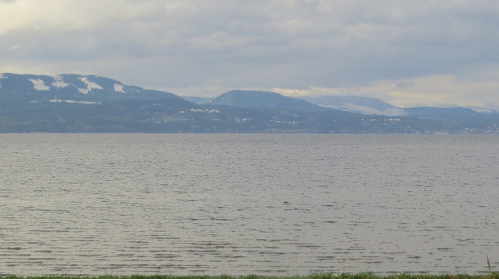
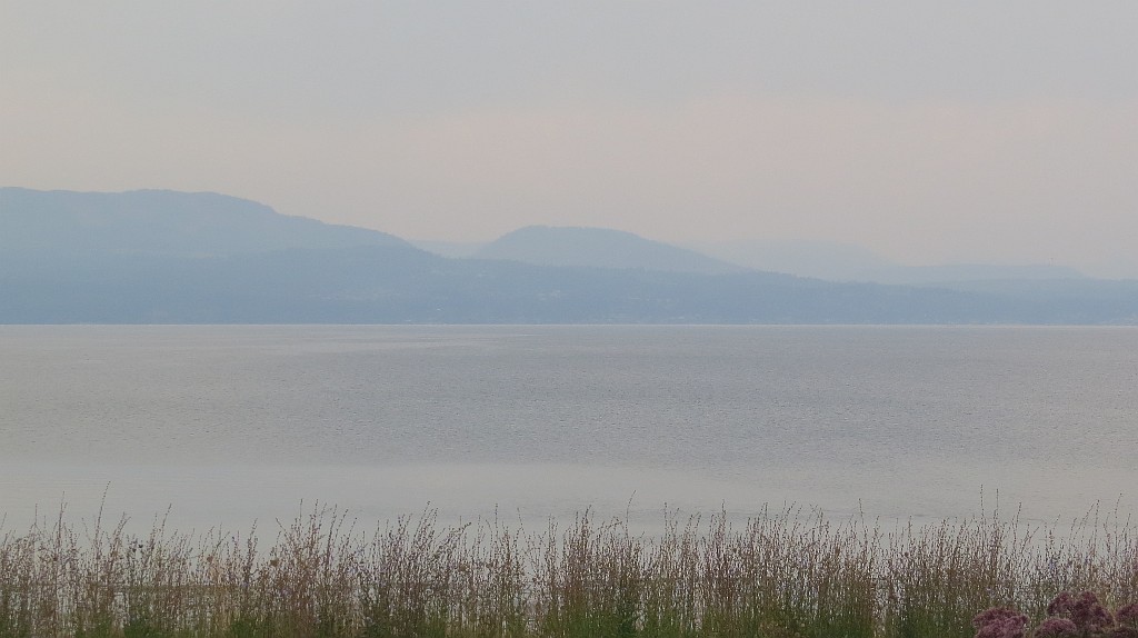
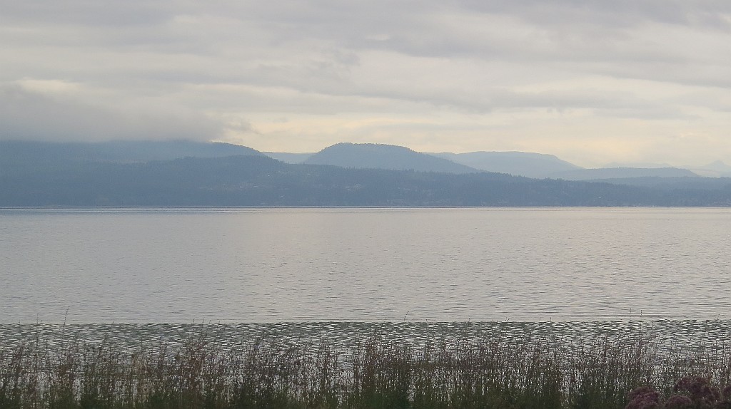
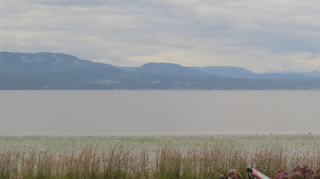
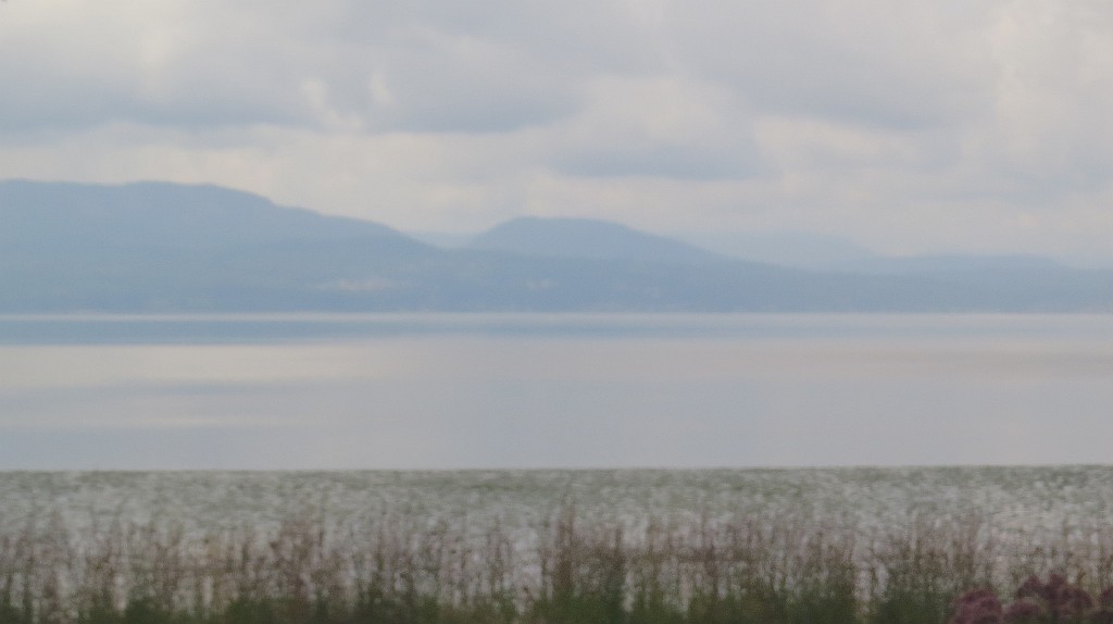
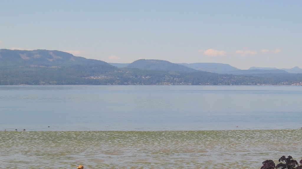
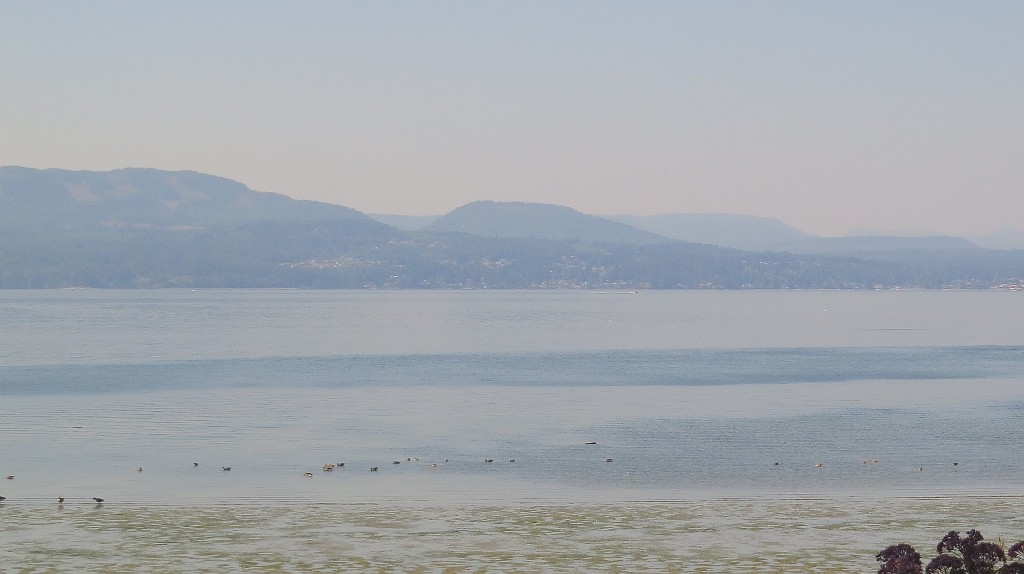
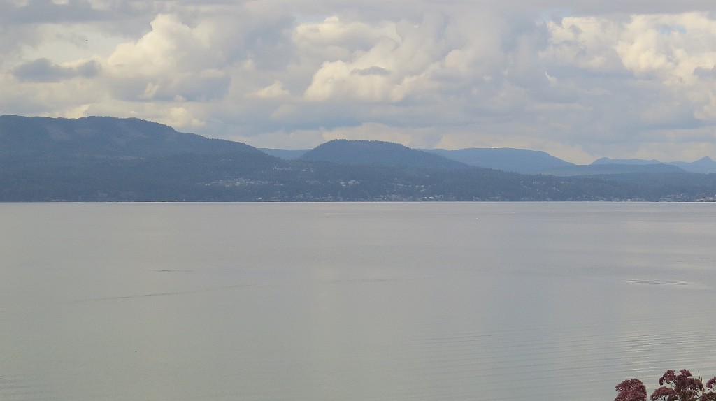
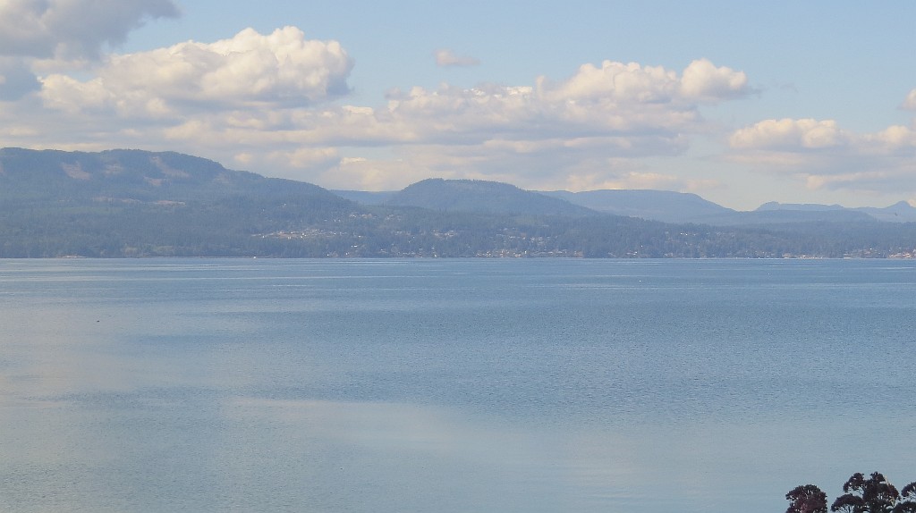
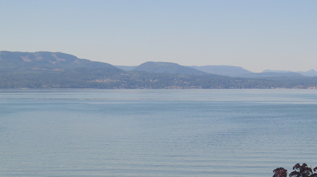
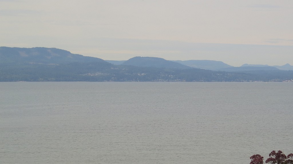
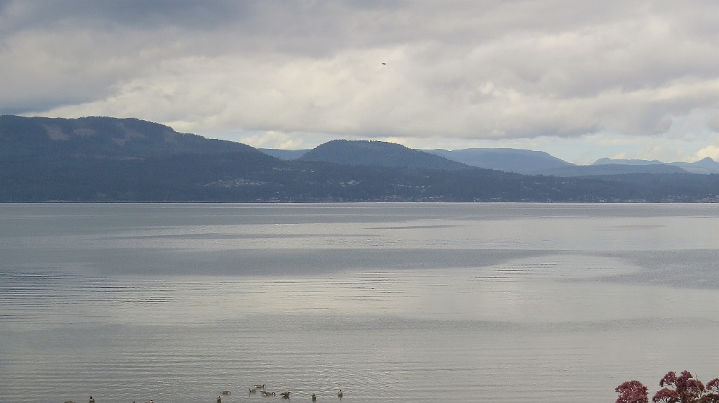
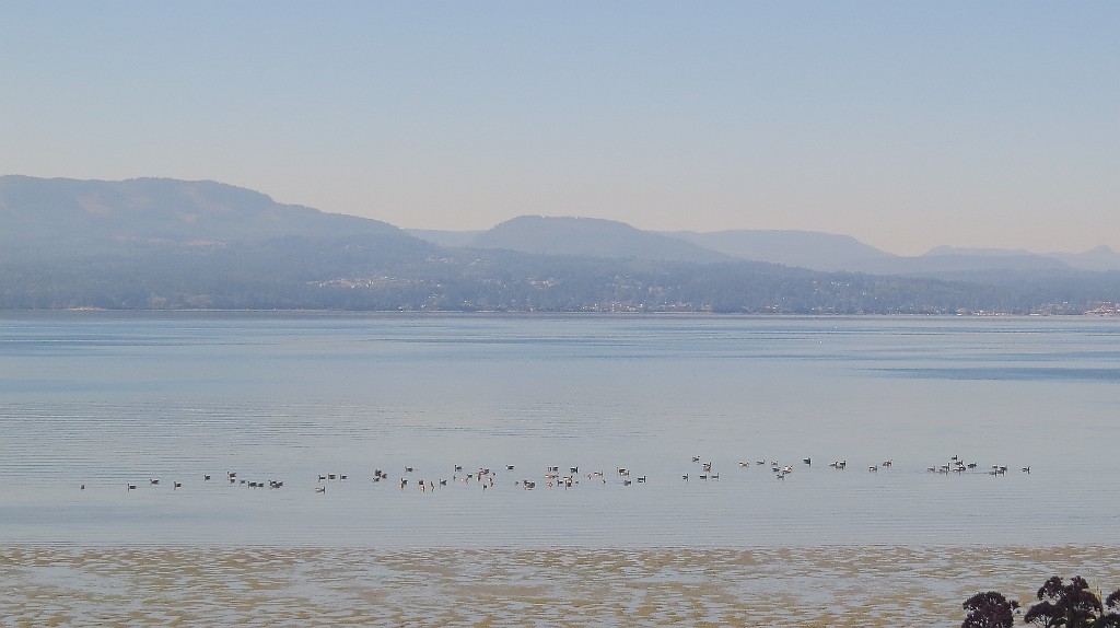
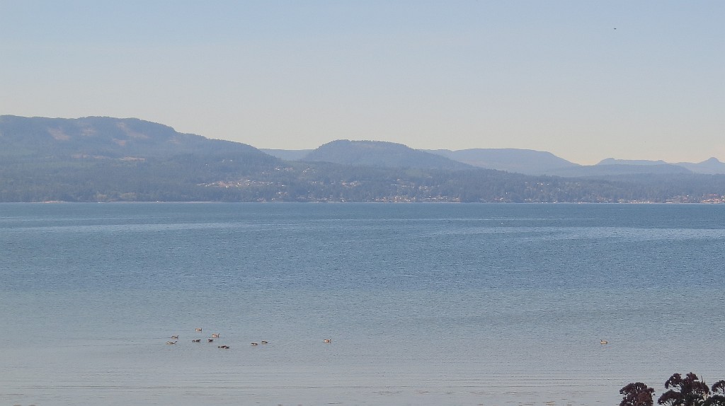
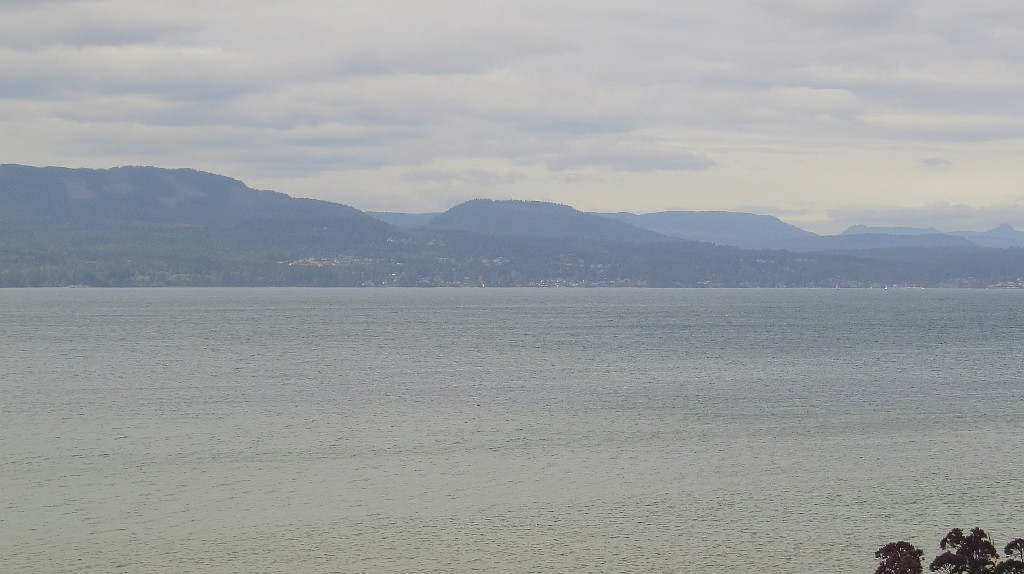
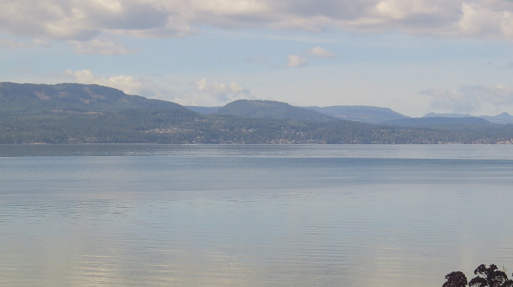
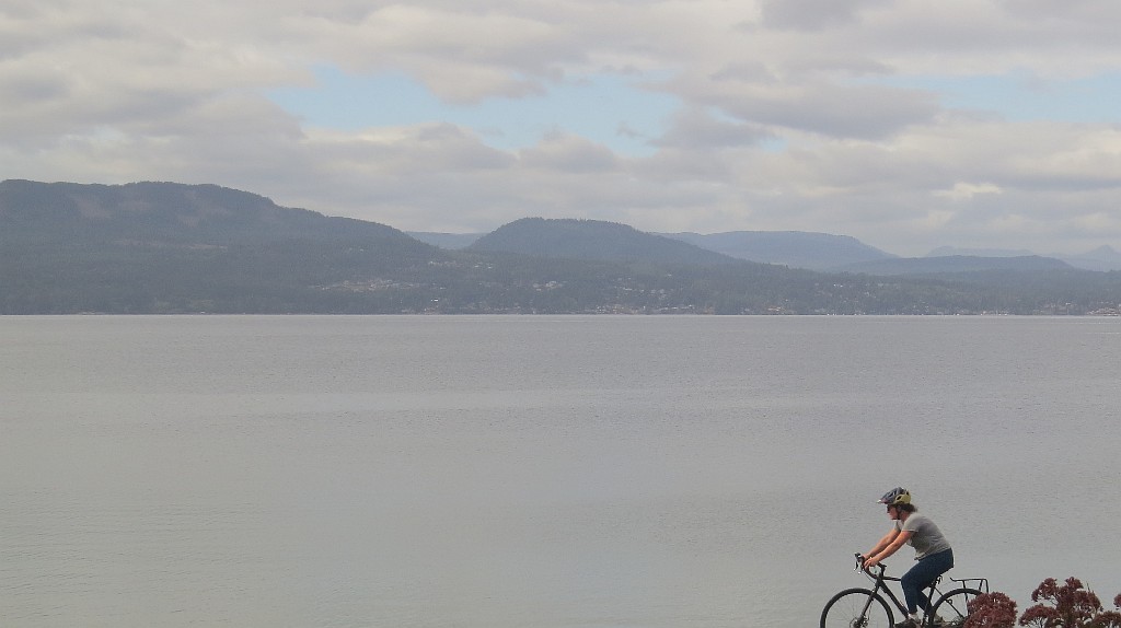
North Saanich, Canada - 29.2 miles from Doe Bay: Pat Bay Webcam and Weather - Webcam on Vancouver Island that looks West across the Saanich Inlet from Patricia Bay to Mill Bay.
Operator: Pat Bay Webcam and Weather
Operator: Pat Bay Webcam and Weather


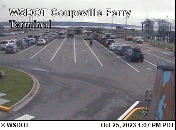
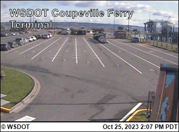
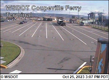
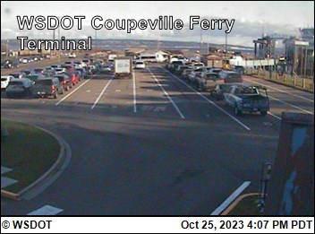
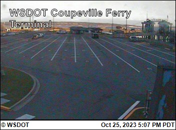
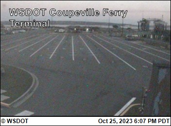
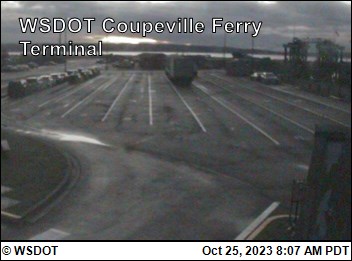
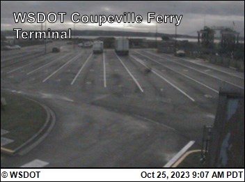
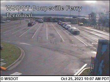
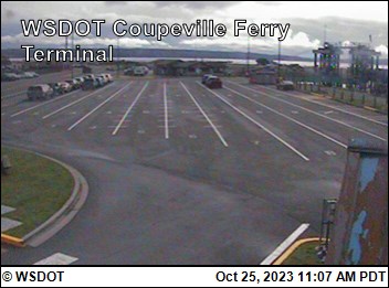
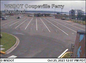
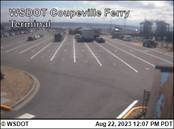
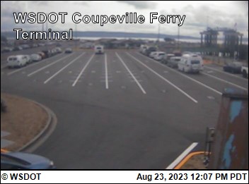
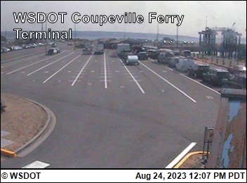
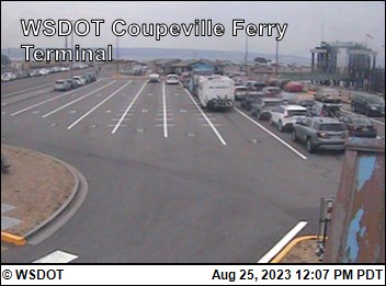
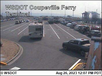
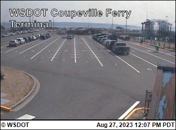
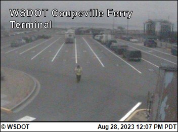
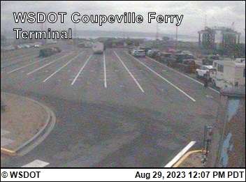
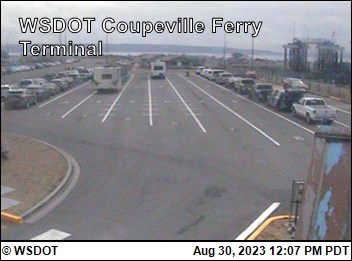
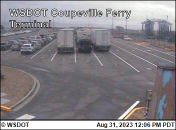
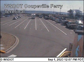
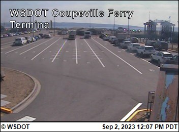
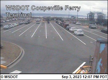
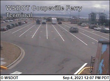
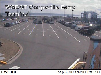
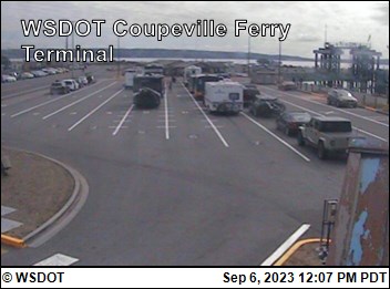
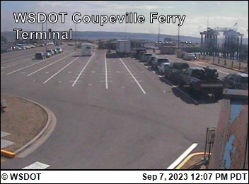
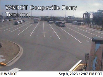
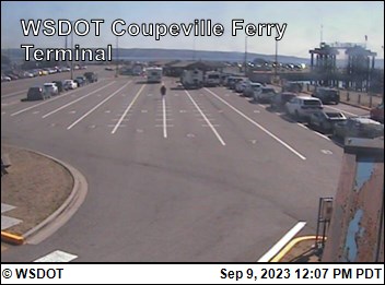
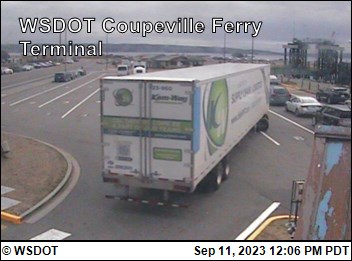
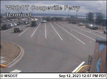
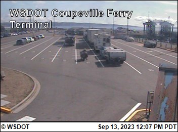
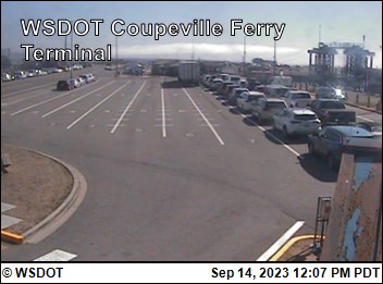
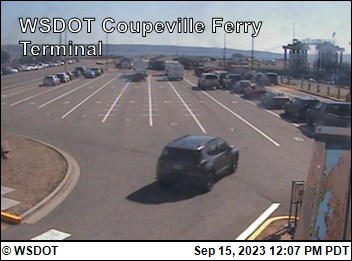
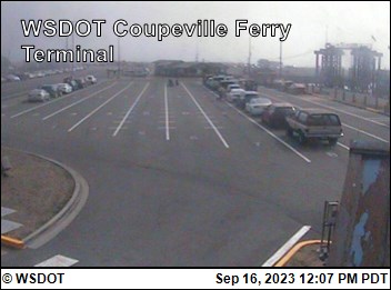
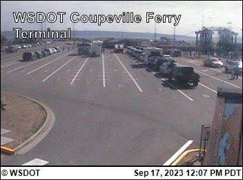
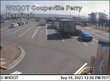
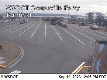
Coupeville, Washington, USA - 29.4 miles from Doe Bay: WSF Coupeville Terminal - A view of the current traffic situation.
Operator: WSDOT
Operator: WSDOT


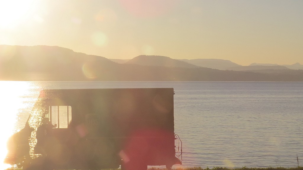
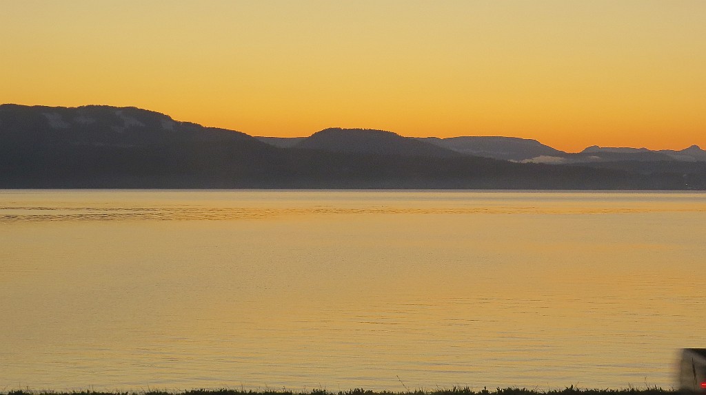
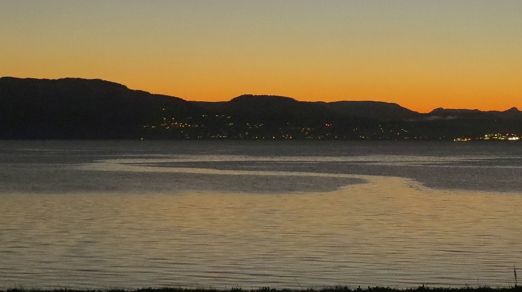
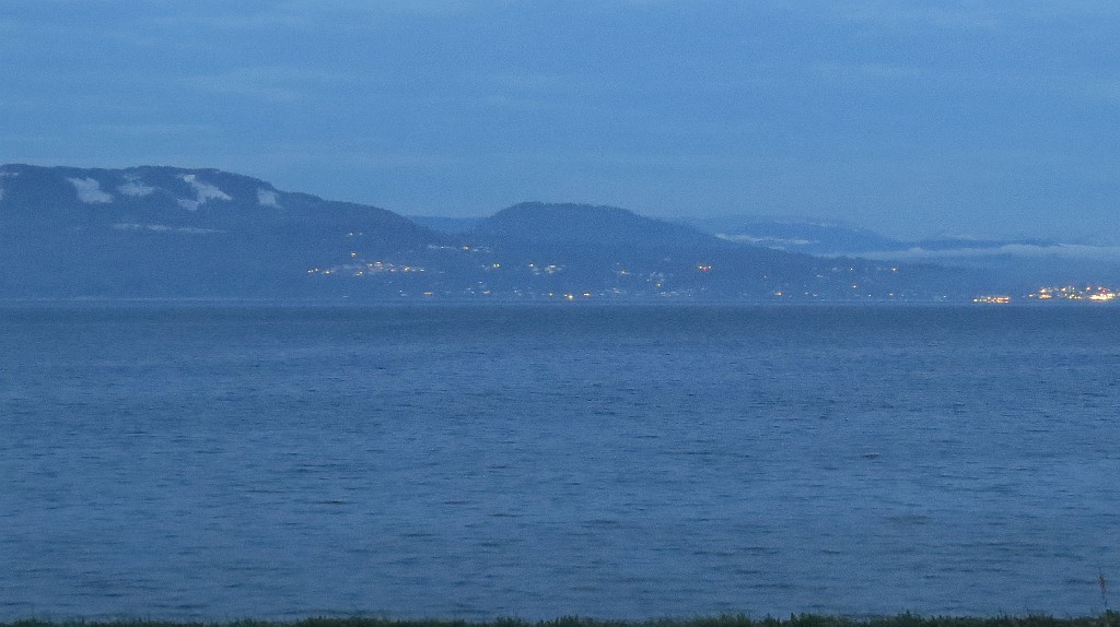
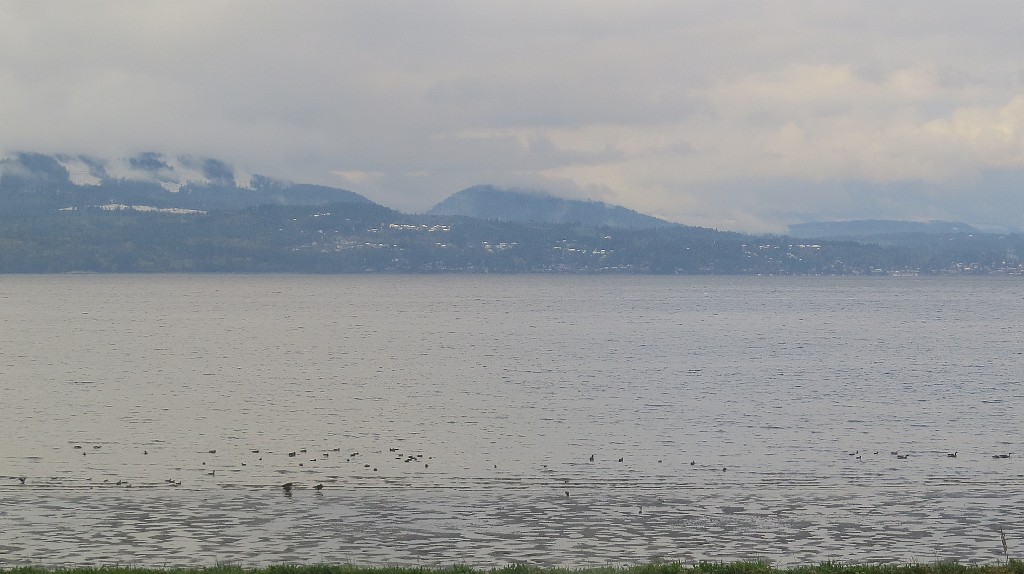
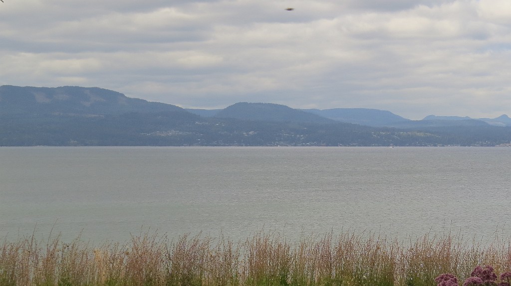
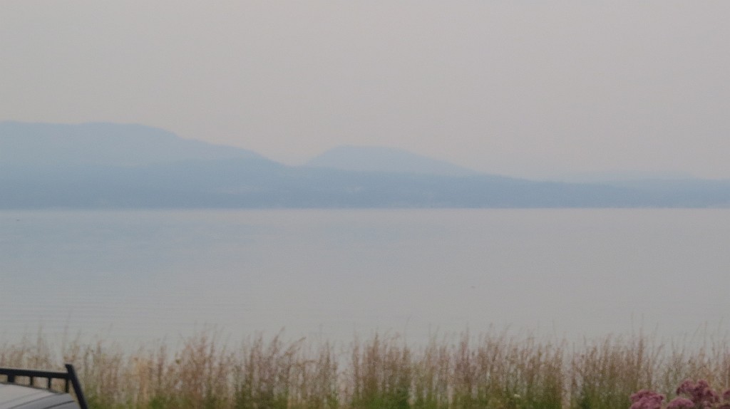
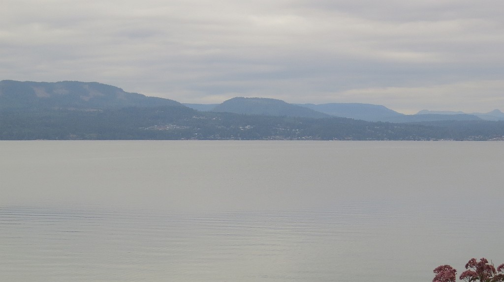
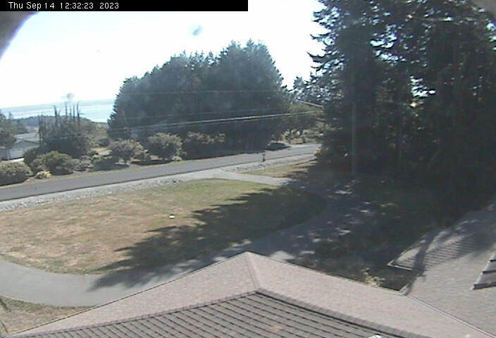
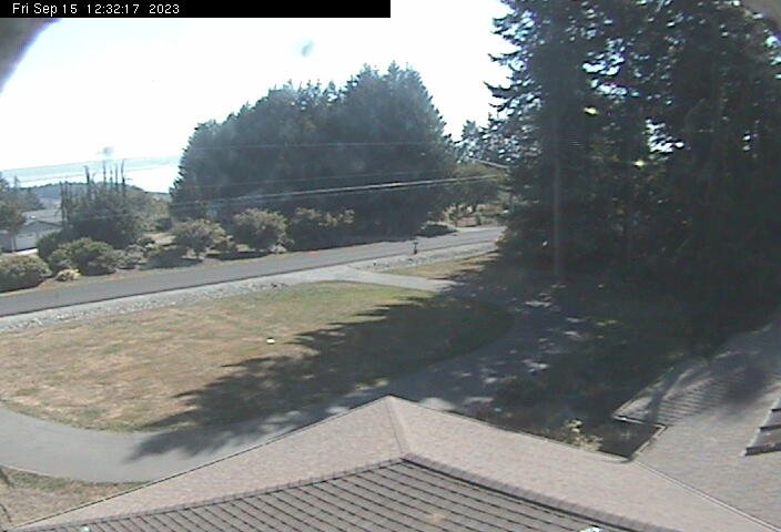
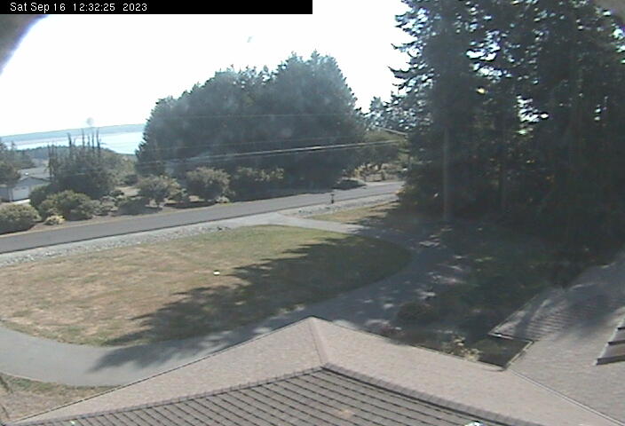
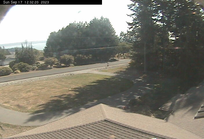
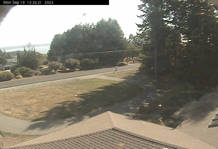
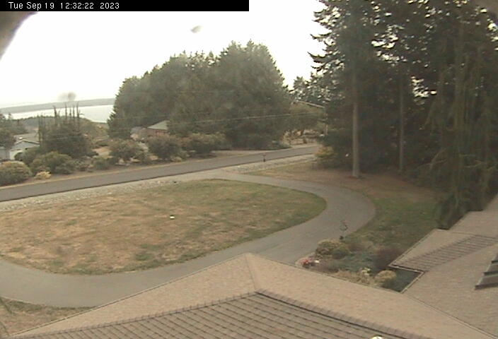
Camano Island, Washington, USA - 33.6 miles from Doe Bay: View to the East - View from Camano Island, looking East to the mainland.
Operator: KW7Y - Camano Island, WA
Operator: KW7Y - Camano Island, WA


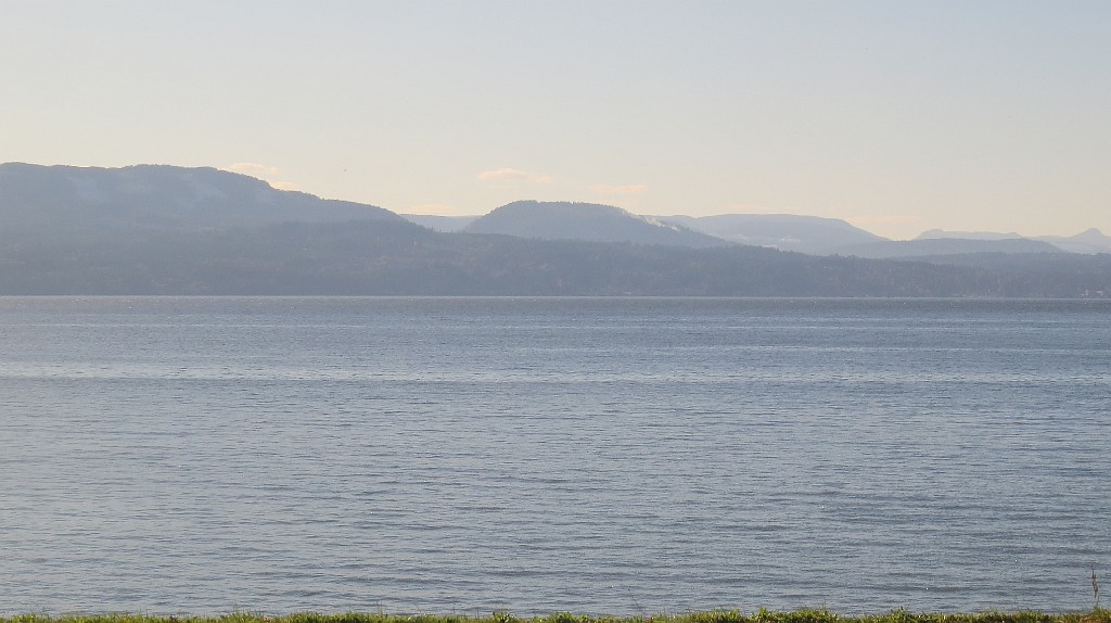
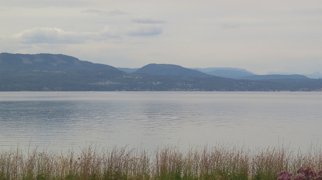
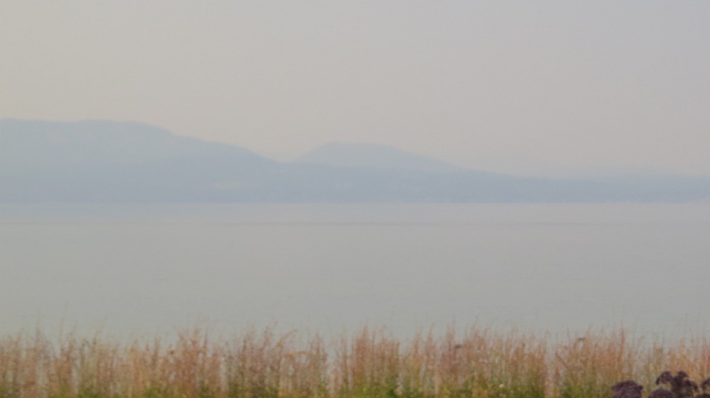
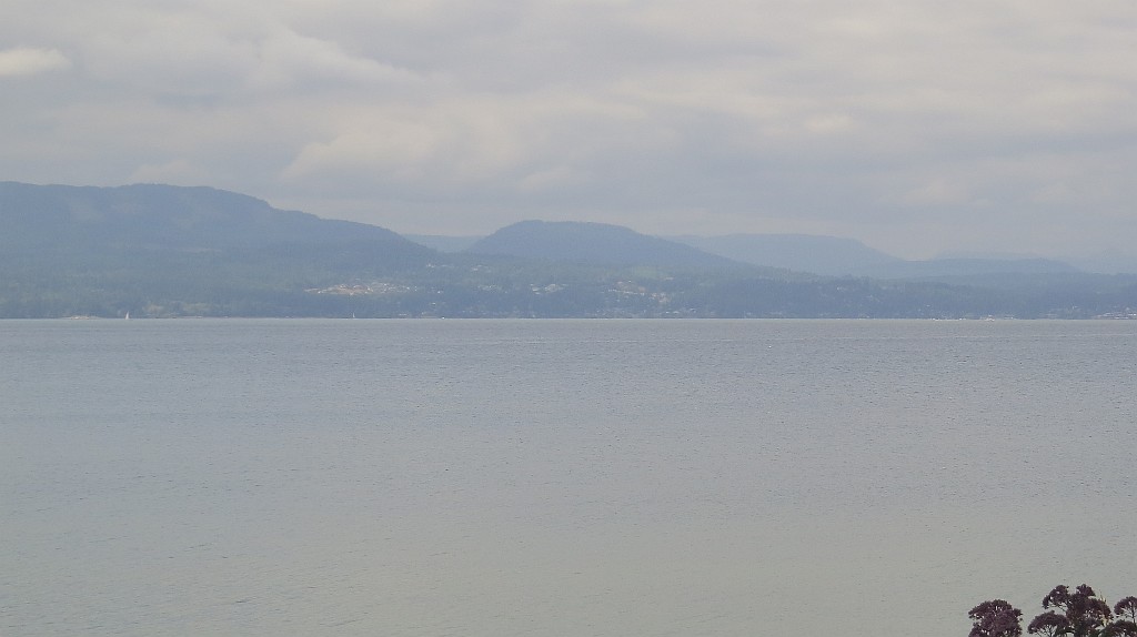
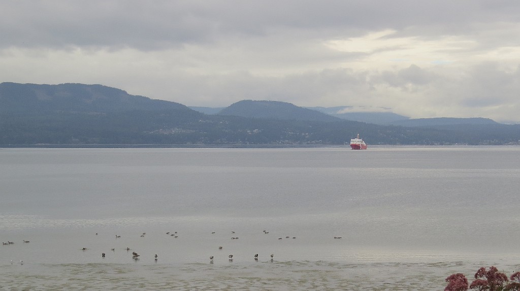
Ganges (Salt Spring Island), Canada - 35.9 miles from Doe Bay: Ganges Harbour - A view in northern direction.
Operator: NAV CANADA
Operator: NAV CANADA


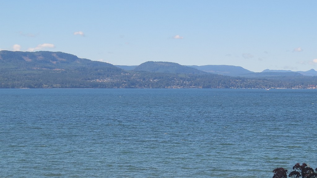
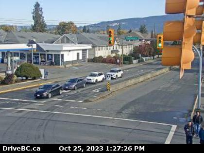
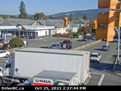
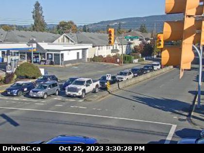
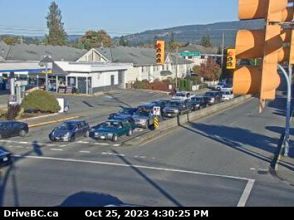
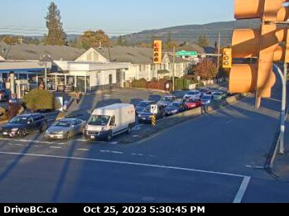
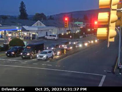
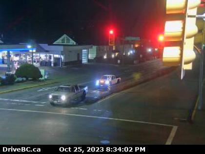
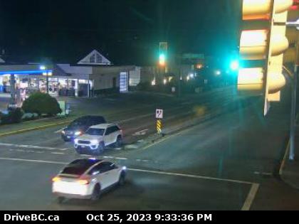
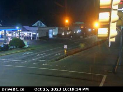
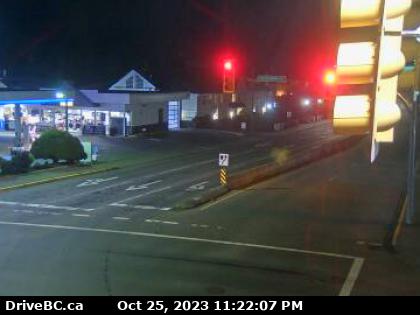
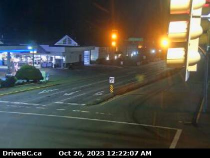
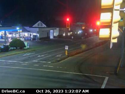
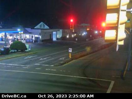
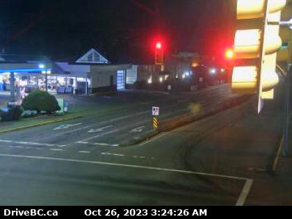
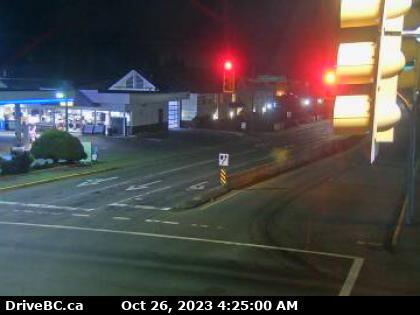
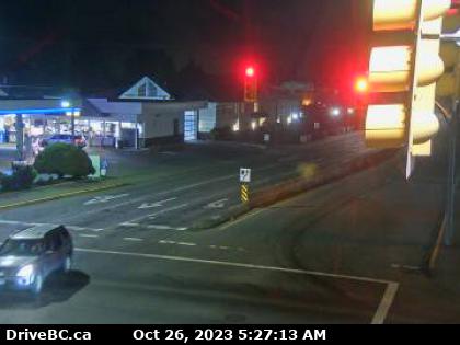
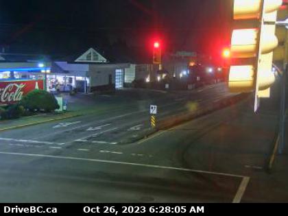
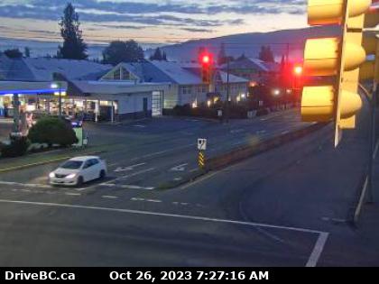
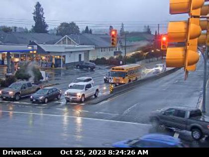
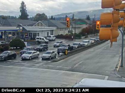
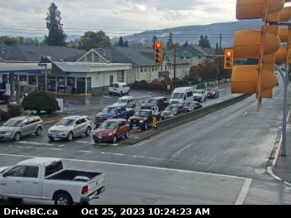
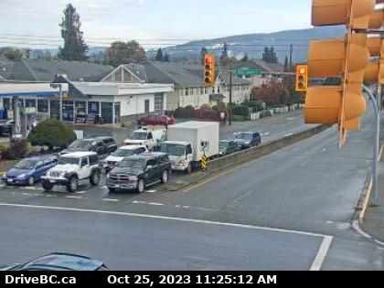
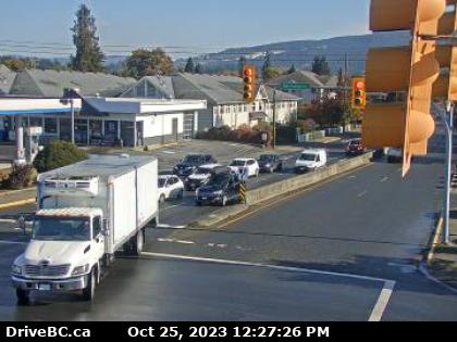
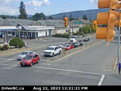
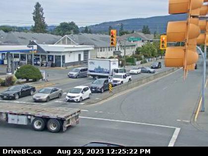
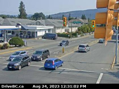
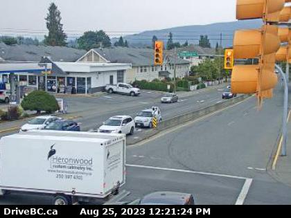
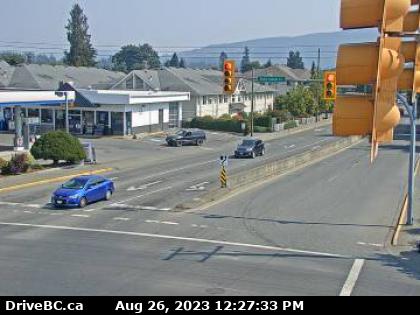
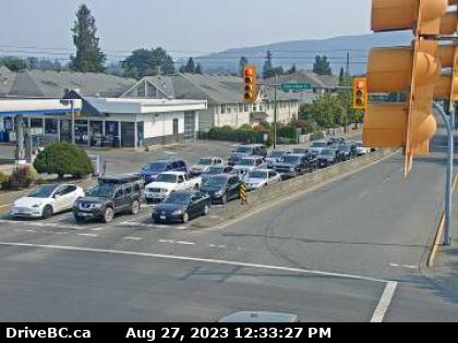
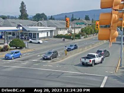
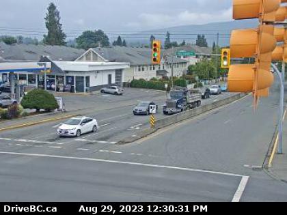
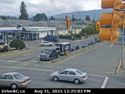
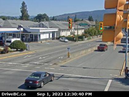
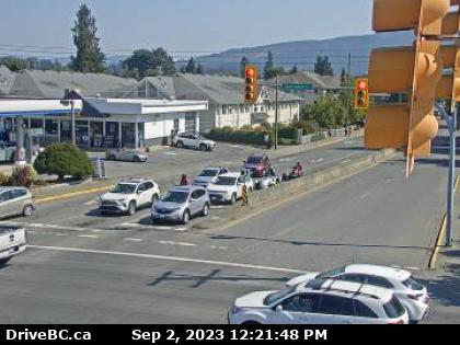
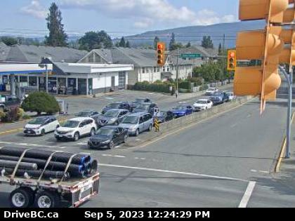
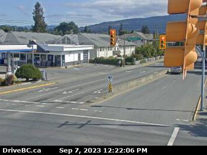
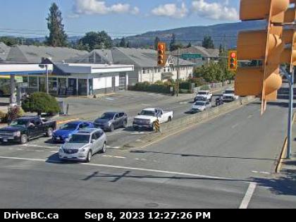
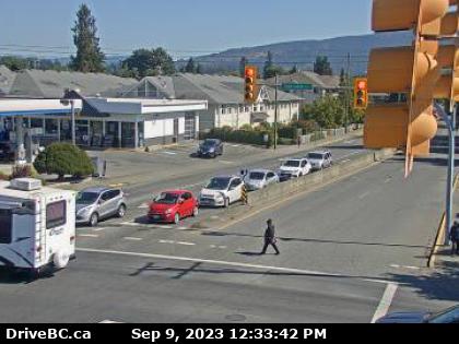
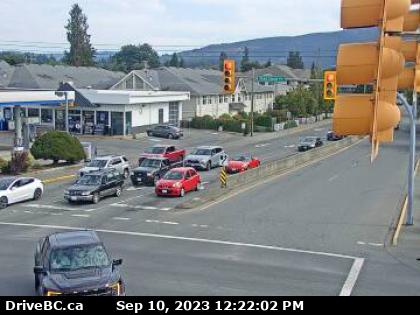
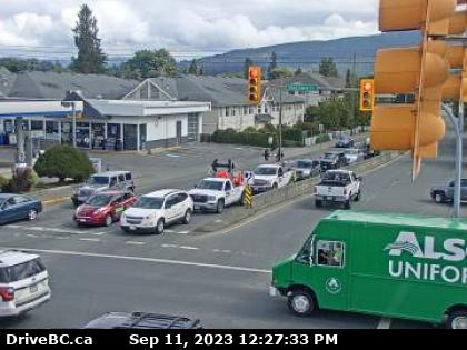
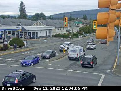
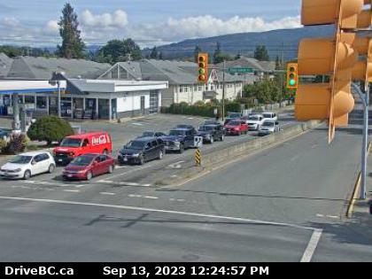
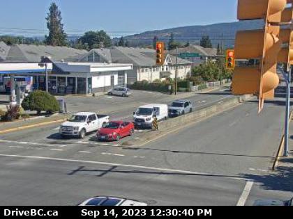
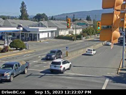
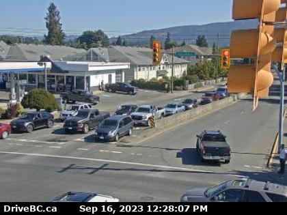
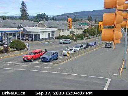
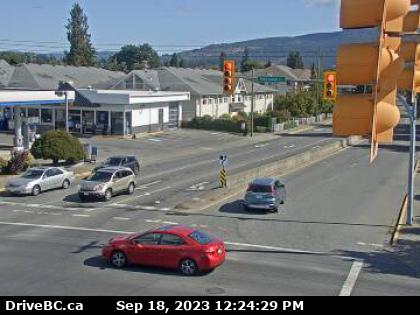
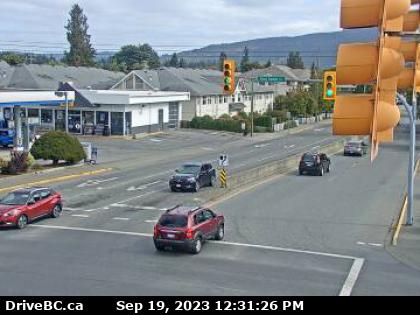
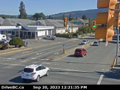
Duncan, Canada - 43.2 miles from Doe Bay: Highway 1 - Hwy 1 in Duncan at Trunk Rd, looking east. (elevation: 20 metres)
Operator: DriveBC
Operator: DriveBC


Some other places in this country: Parkwood - Bordeaux - Delphi - Charter Oak - Hanford - Koren - Mason City - Hartford - Montesano - Fort Spokane