Webcams in the region of Peak (historical), Oregon, USA
The List of Webcams near Peak (historical), Oregon, USA:

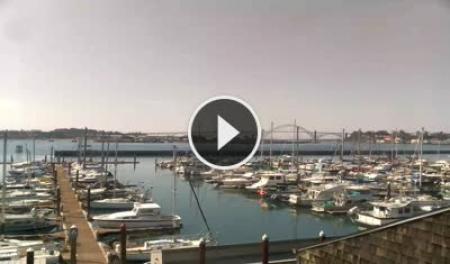
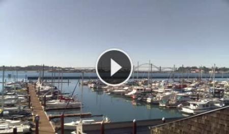
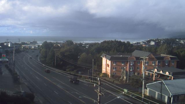
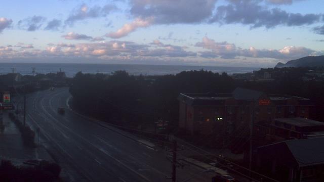
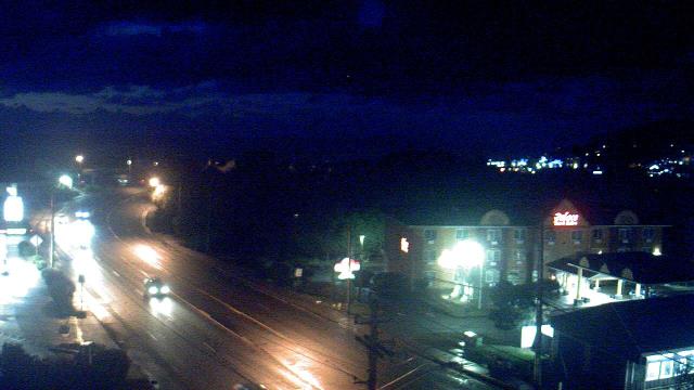
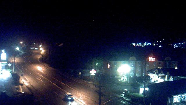
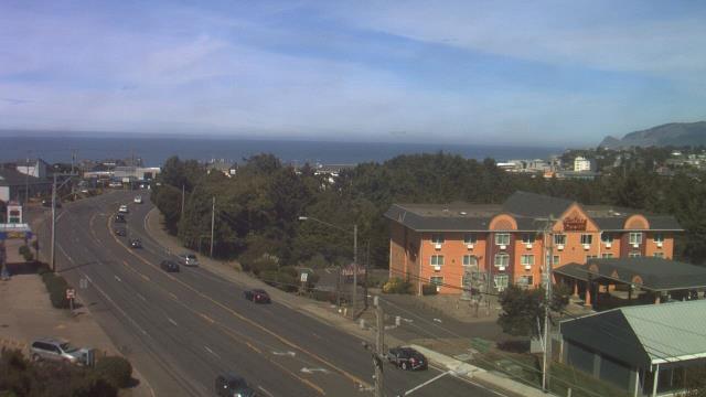
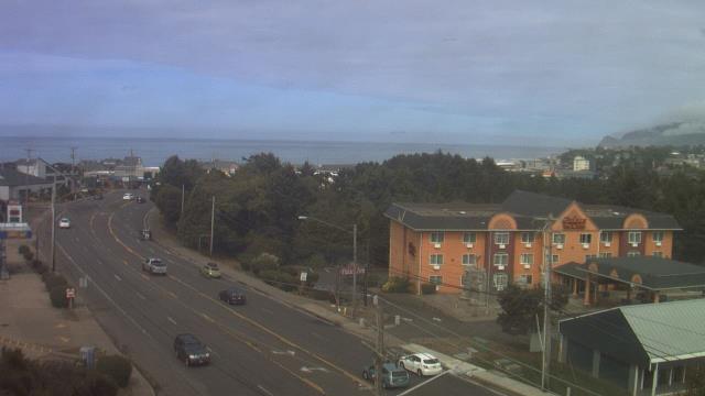
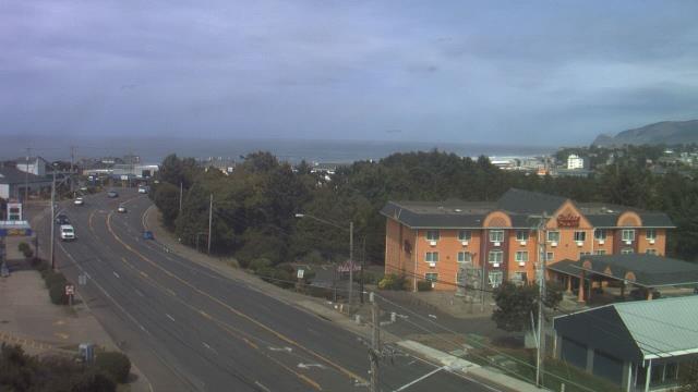
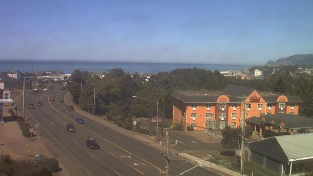
Newport, Oregon, USA - 25.8 miles from Peak (historical): Yaquina Bay, Newport - Oregon Coast - Nice view of the Embarcadero Marina and the bay, Yaquina Bay Bridge in the background.
Operator: Skyline Webcams
Operator: Skyline Webcams


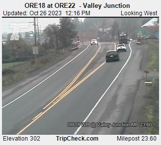
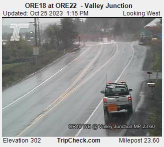
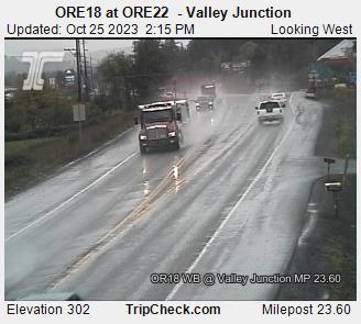
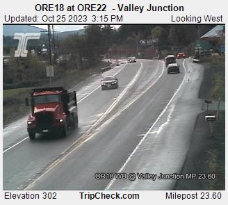
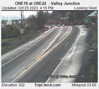
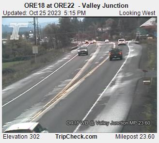
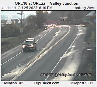
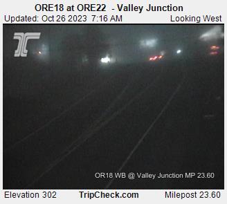
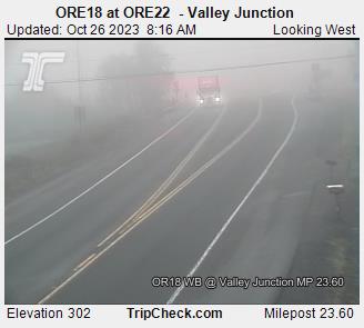
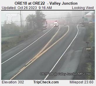
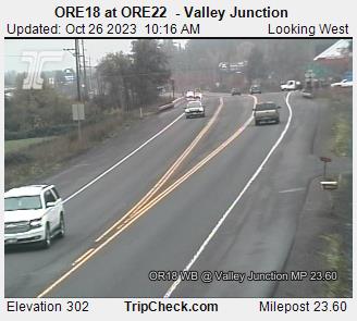
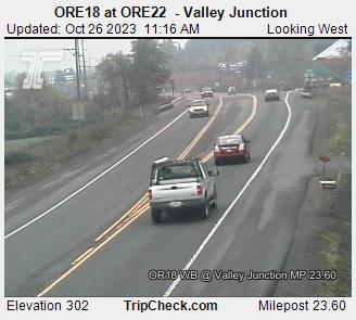
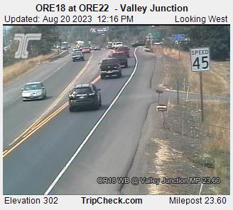
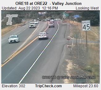
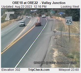
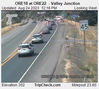
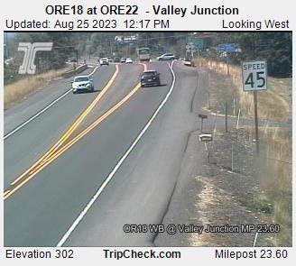
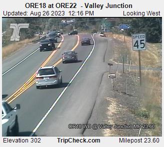
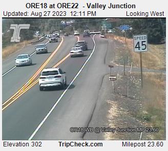
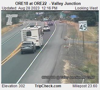
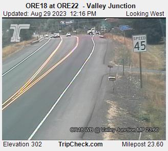
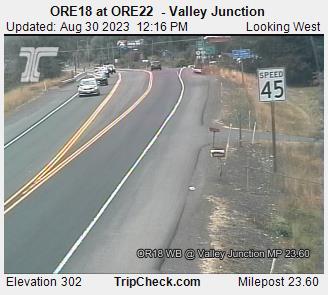
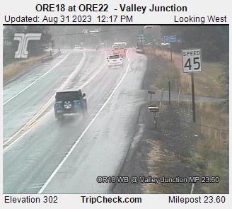
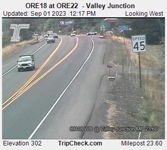
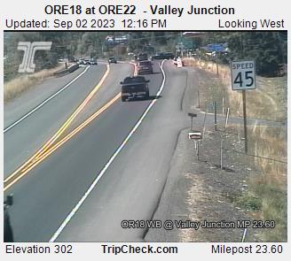
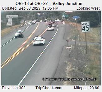
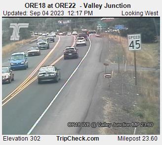
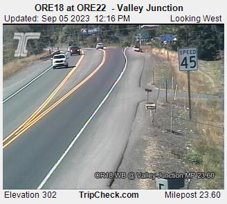
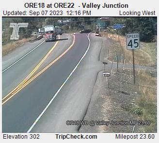
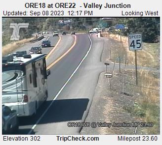
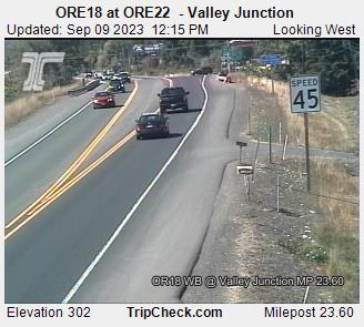
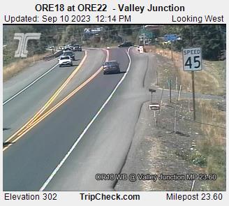
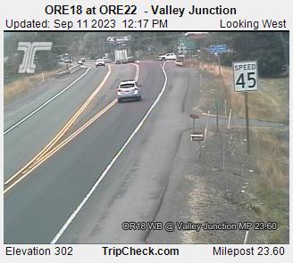
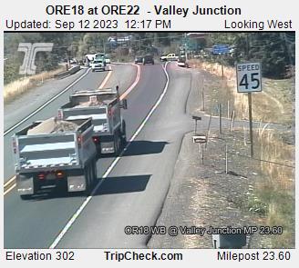
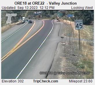
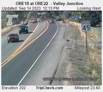
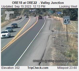
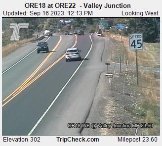
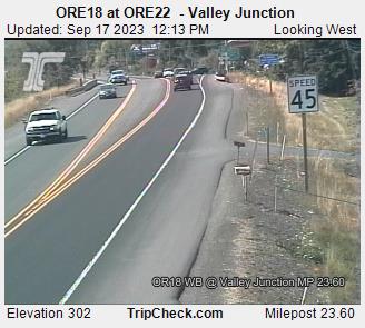
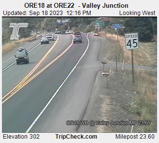
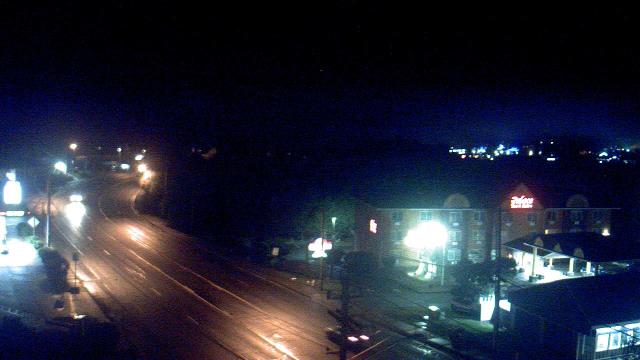
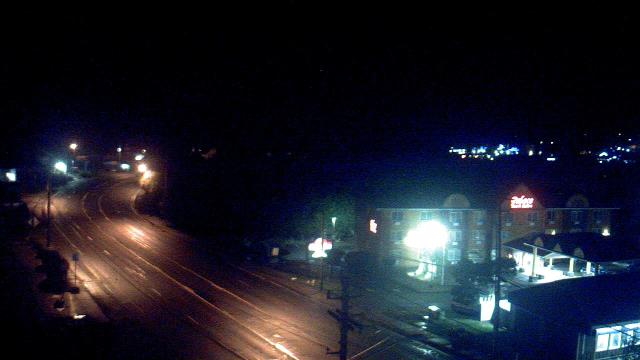
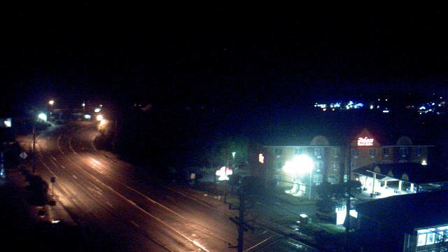
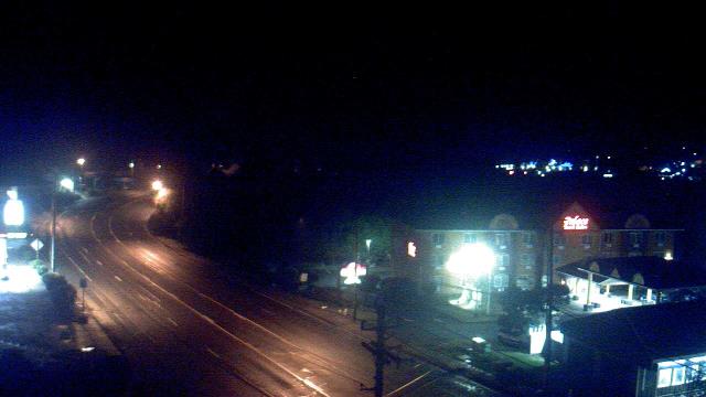
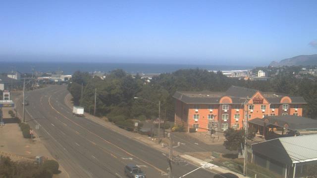
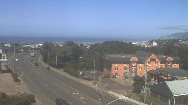
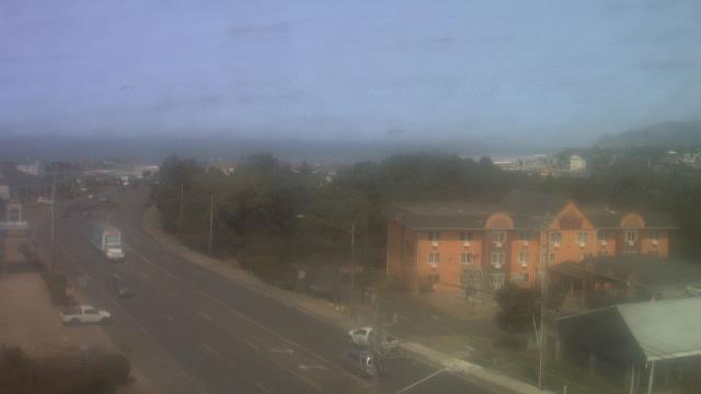
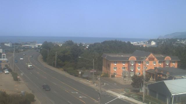
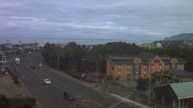
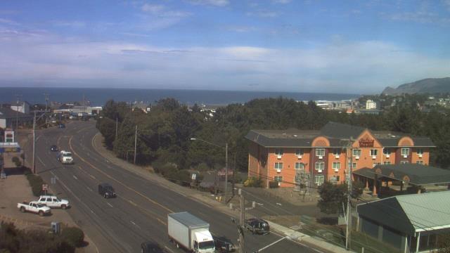
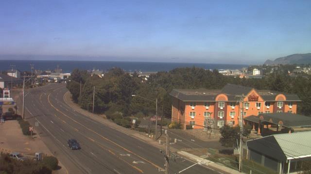
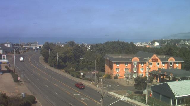
Valley Junction, Oregon, USA - 35.6 miles from Peak (historical): ORE18 at ORE22 - Valley Junction - A view of the current traffic situation on the ORE18.
Operator: Oregon Department of Transportation
Operator: Oregon Department of Transportation


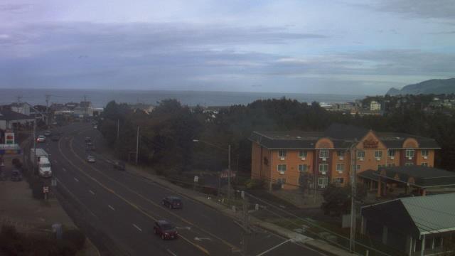
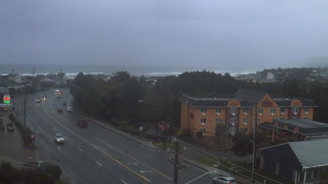
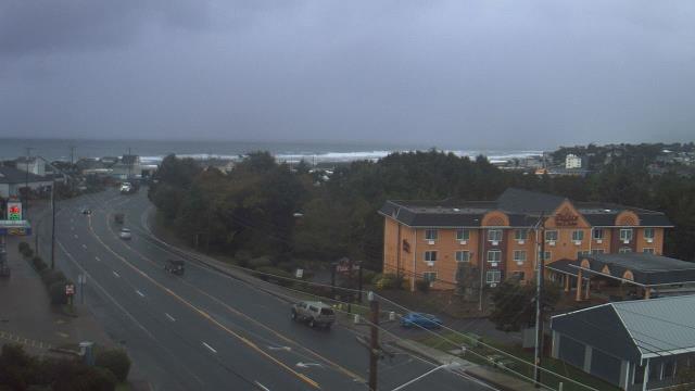
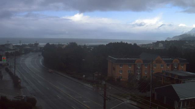
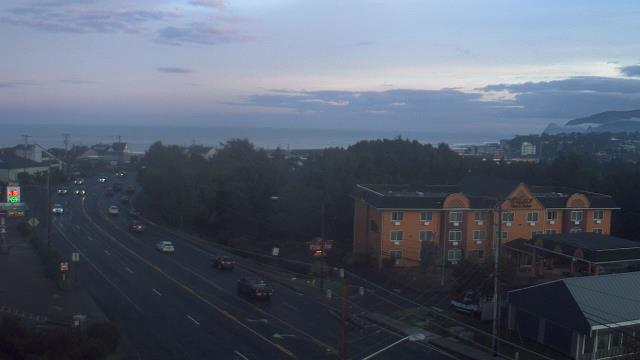
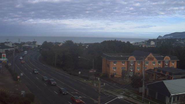
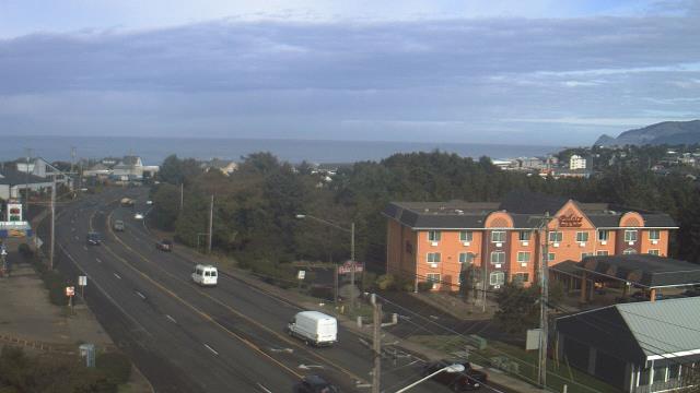
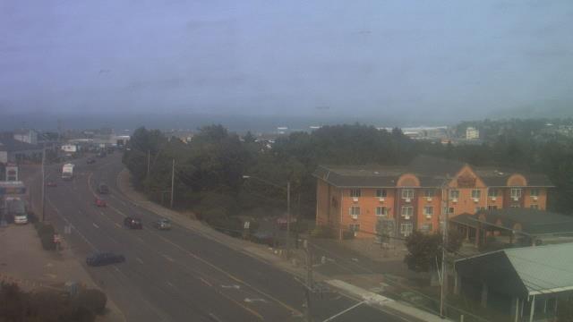
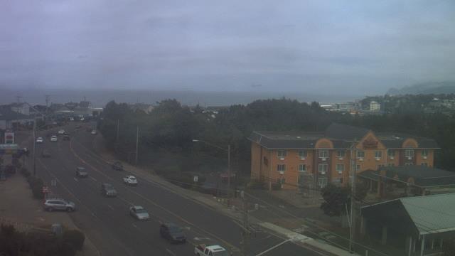
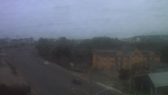
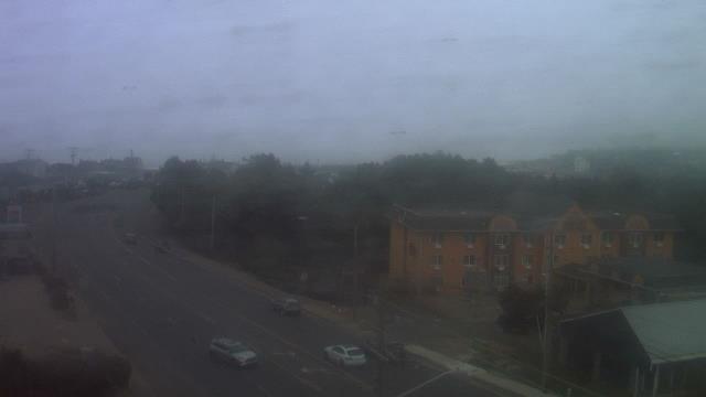
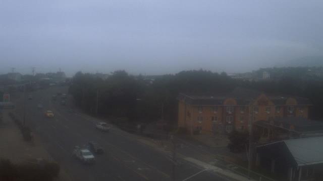
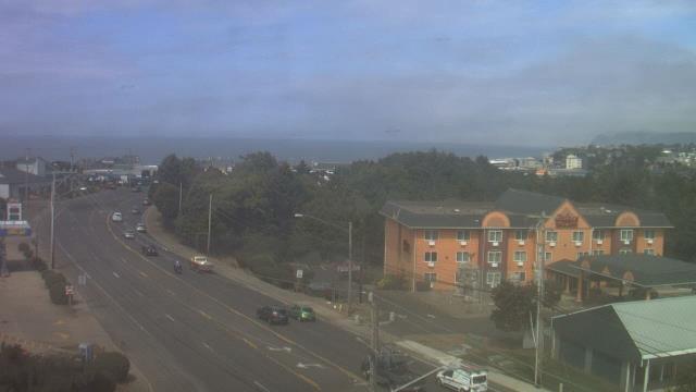
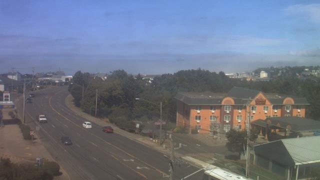
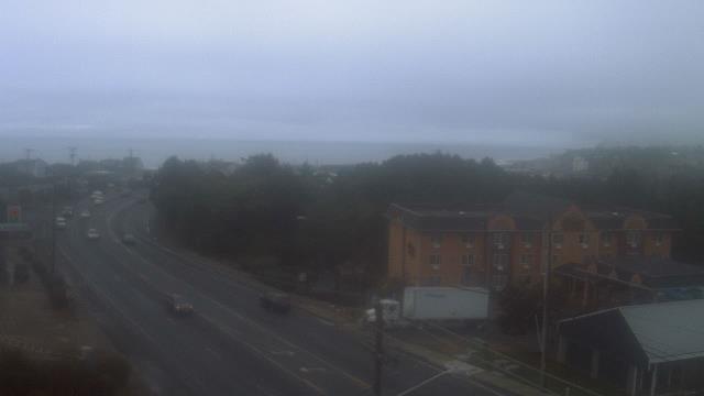
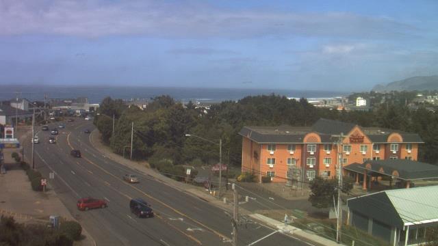
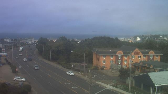
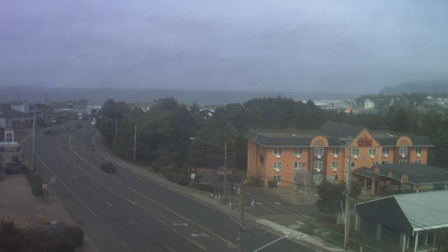
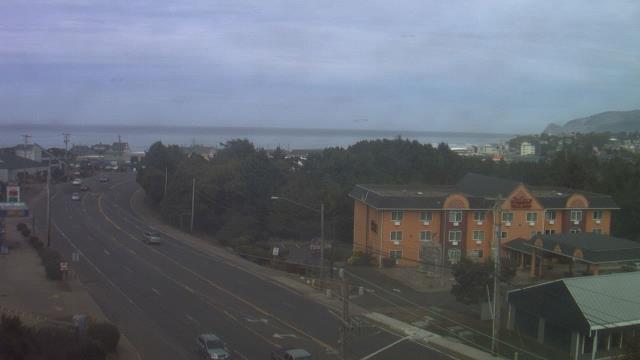
Lincoln City, Oregon, USA - 36.7 miles from Peak (historical): Career Tech Charter High School - A webcam in Lincoln City, Oregon - camera location: Career Tech Charter High School.
Operator: WeatherBug
Operator: WeatherBug


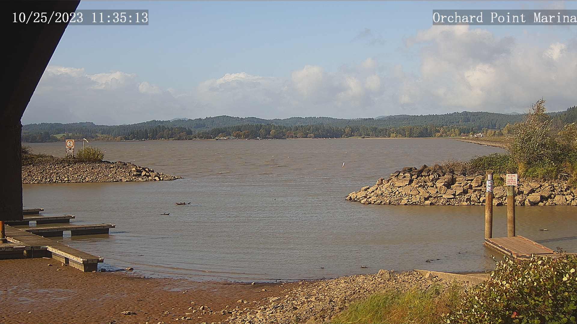
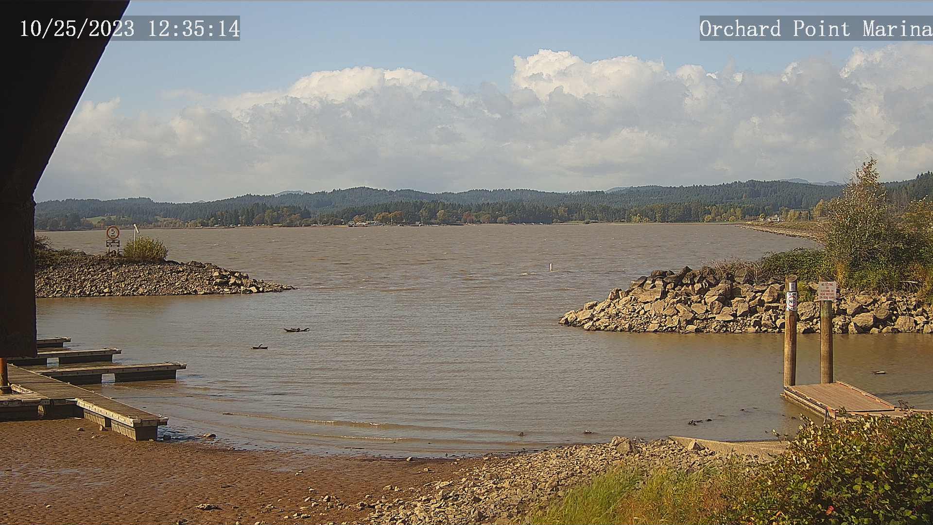
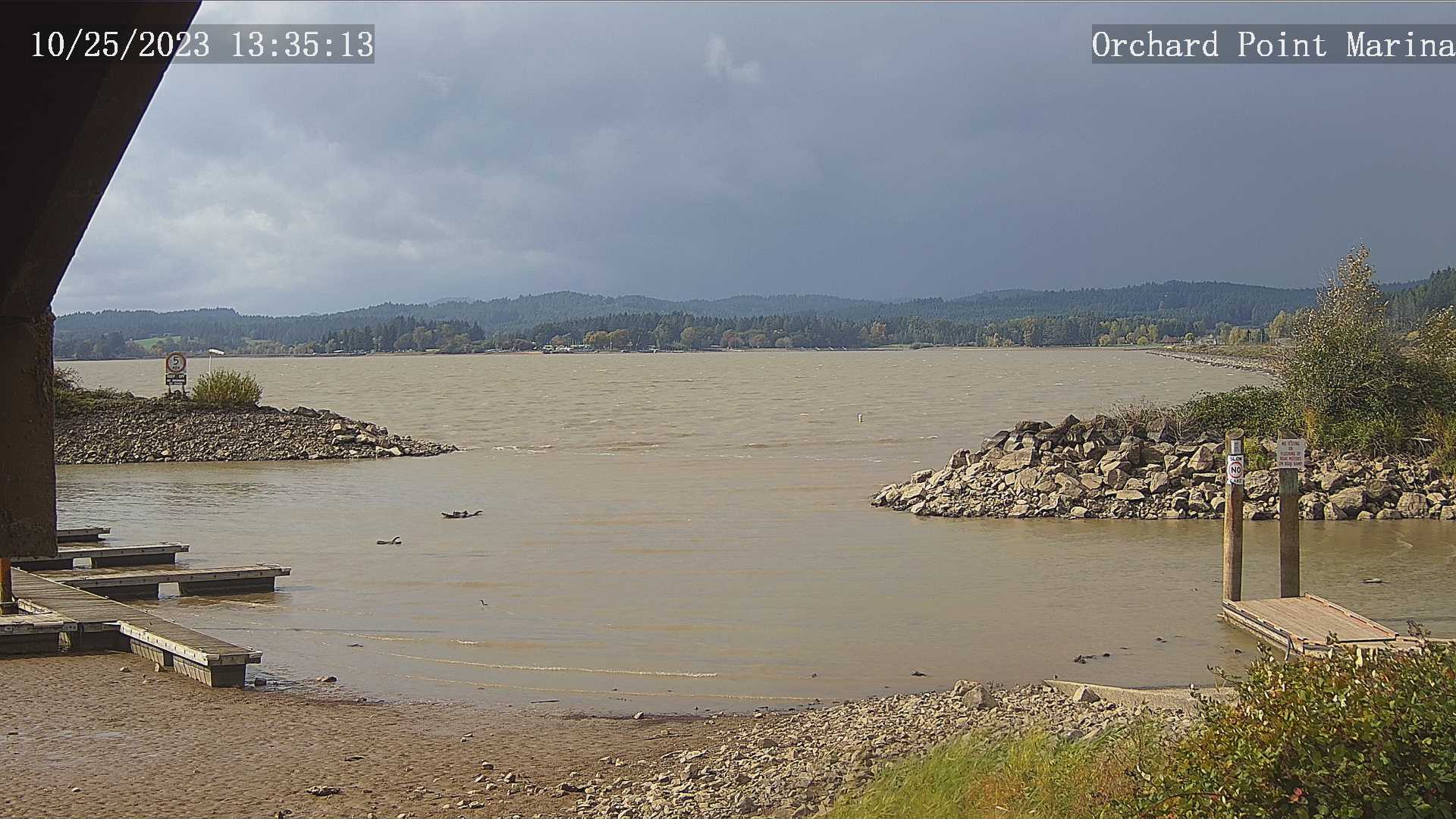
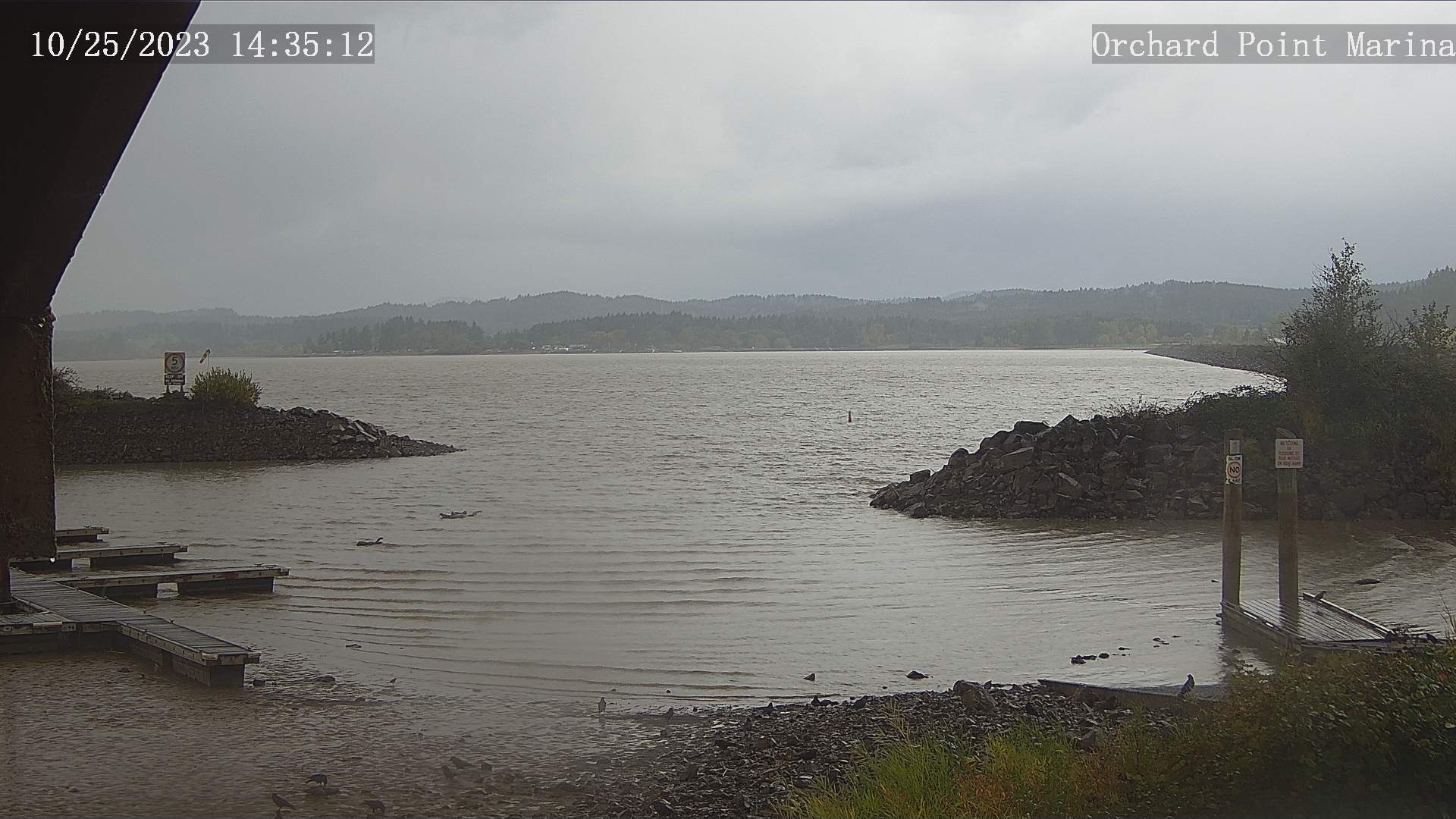
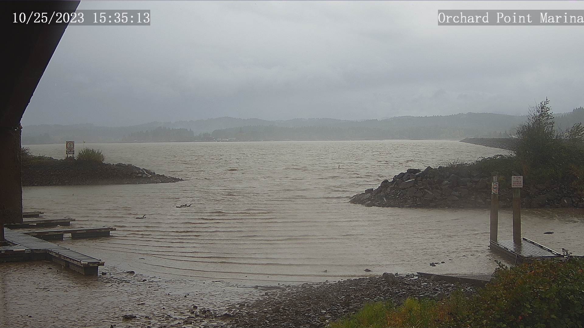
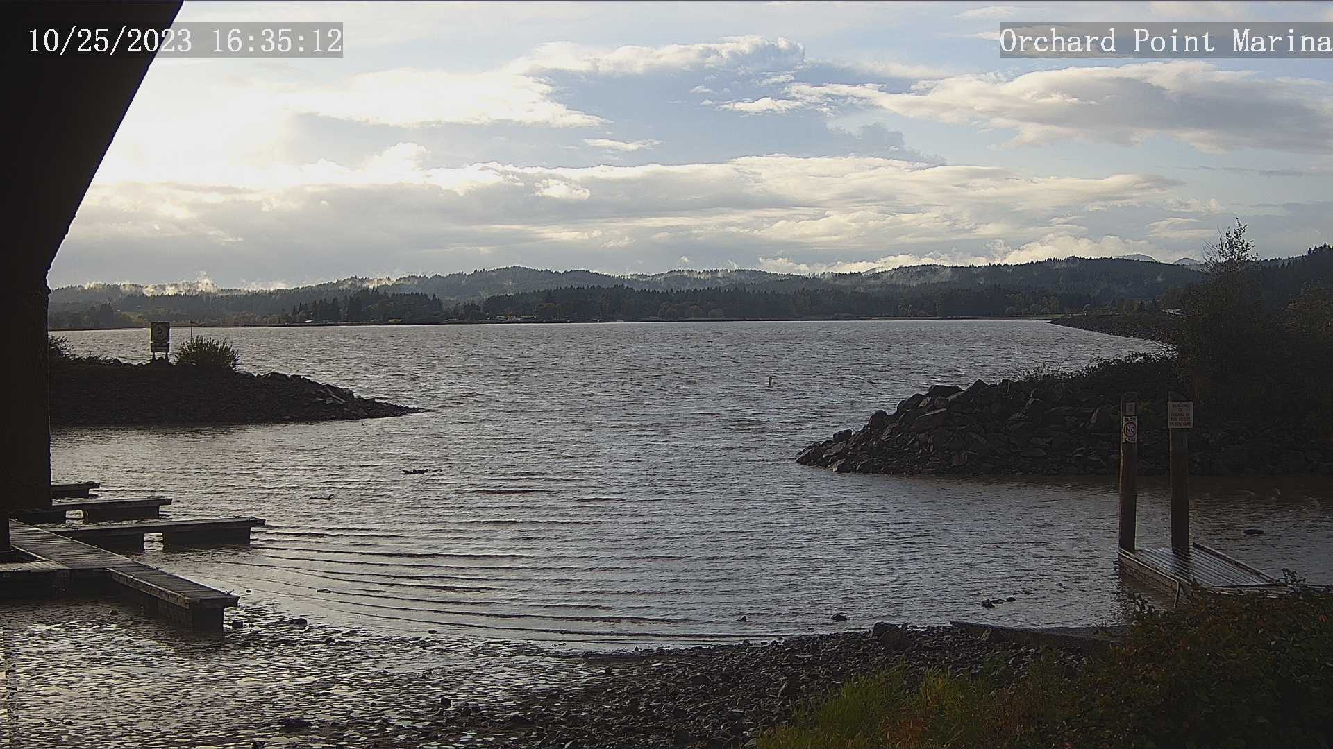
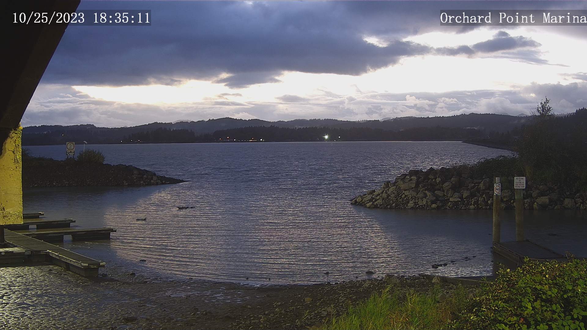
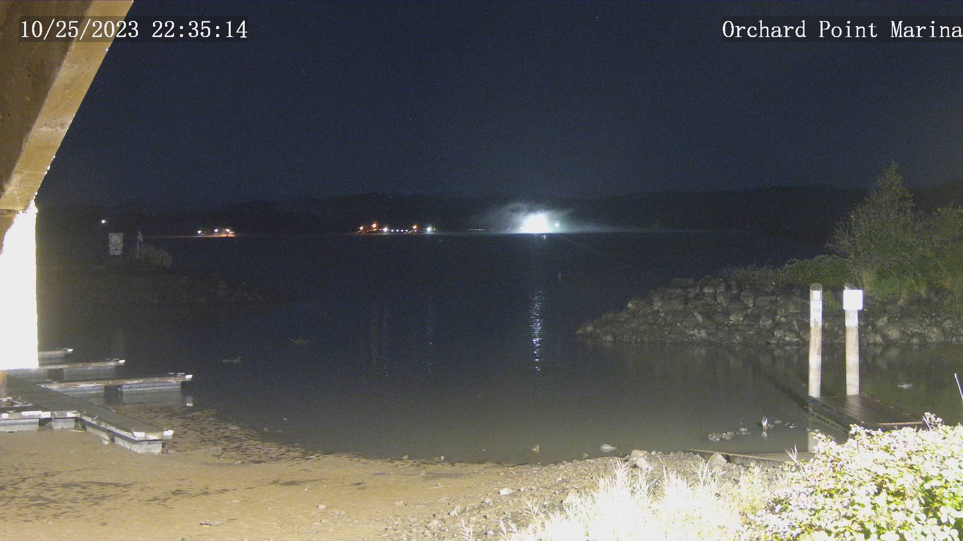
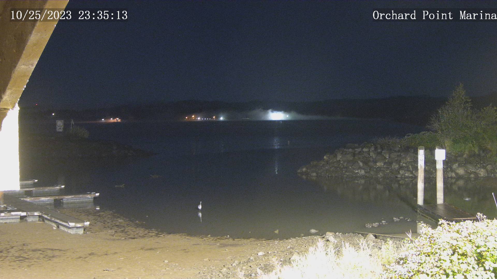
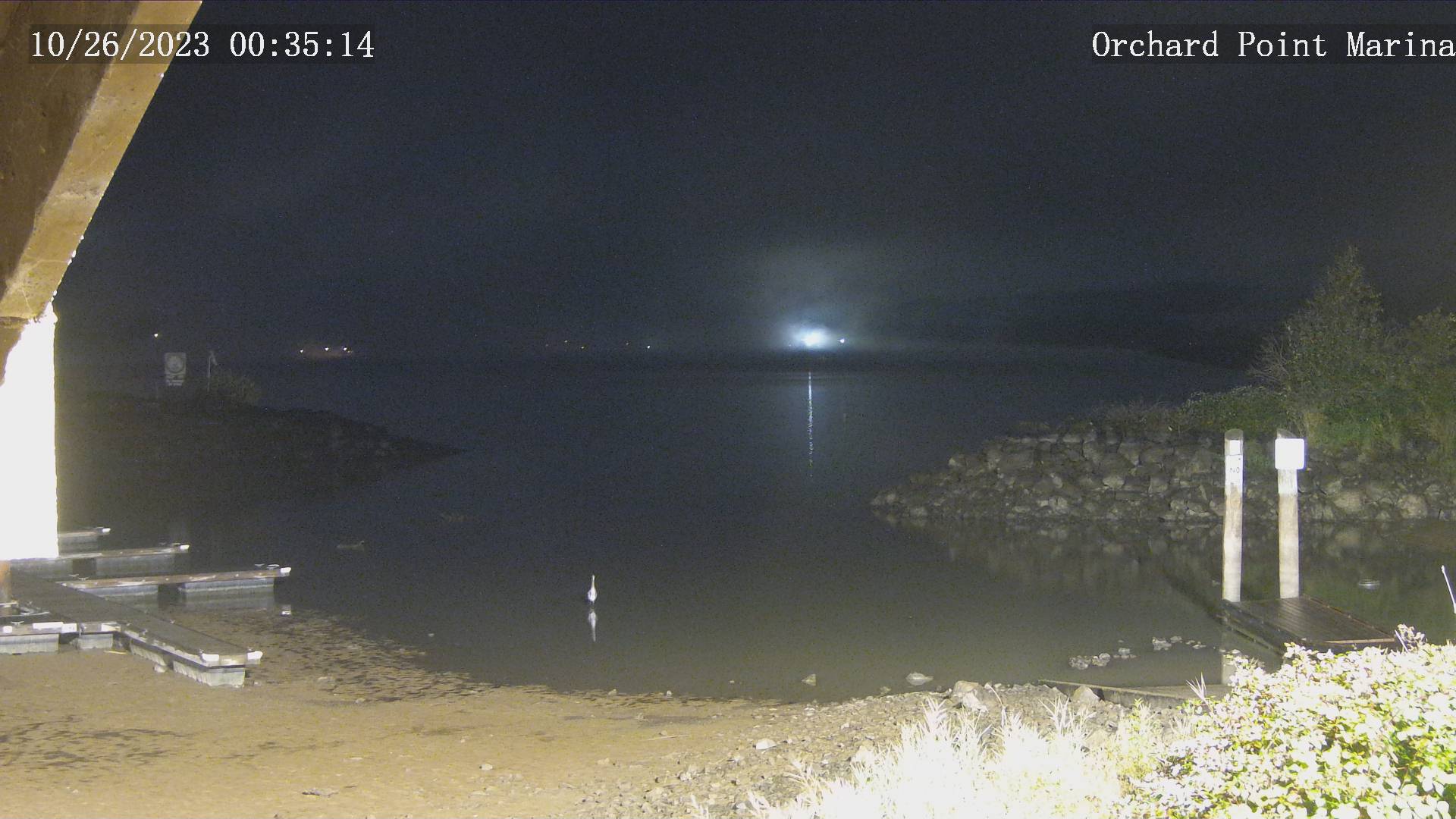
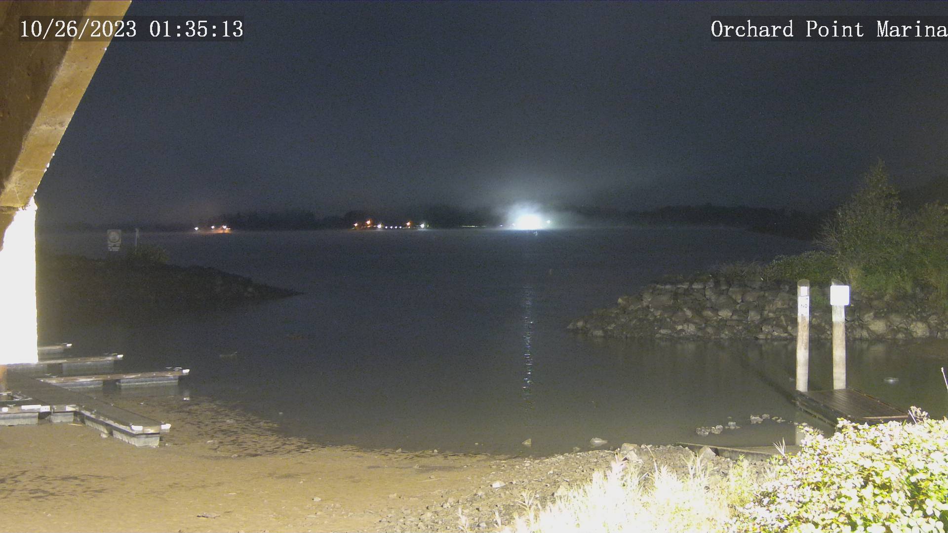
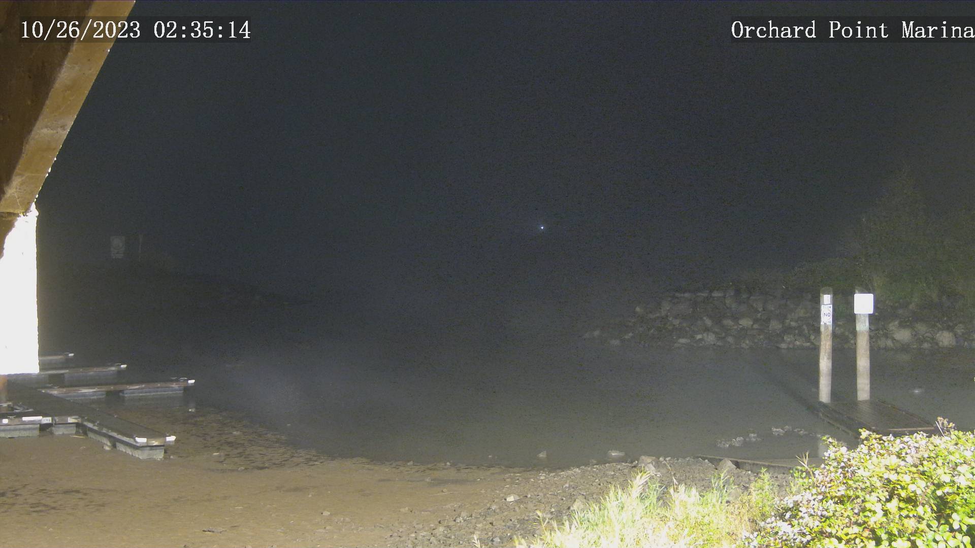
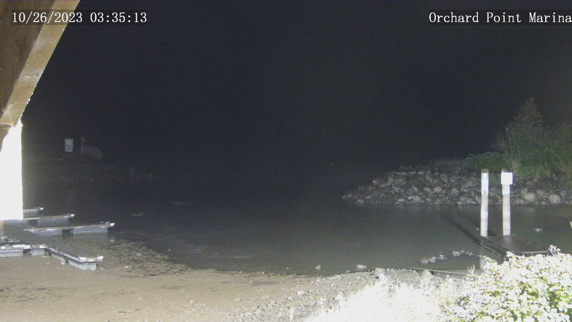
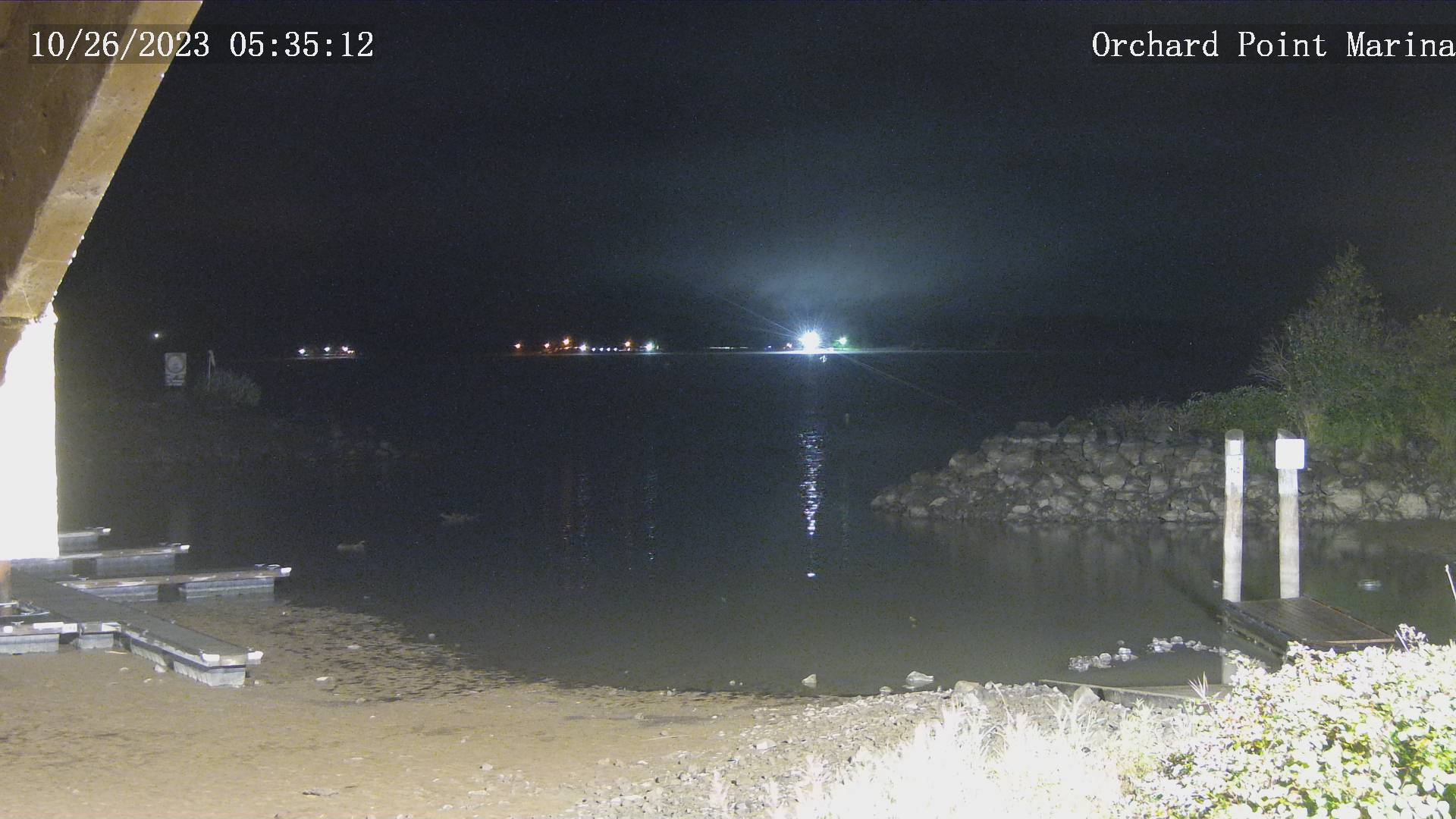
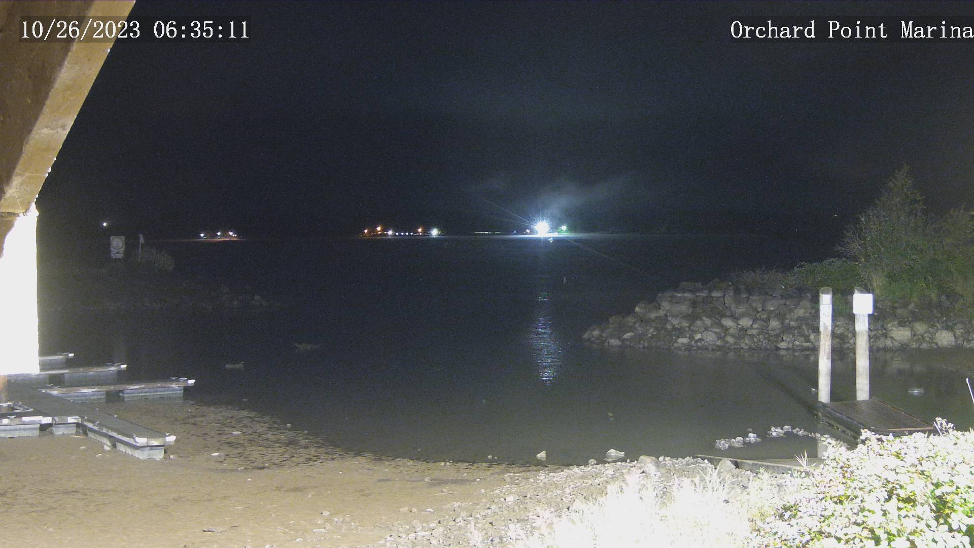
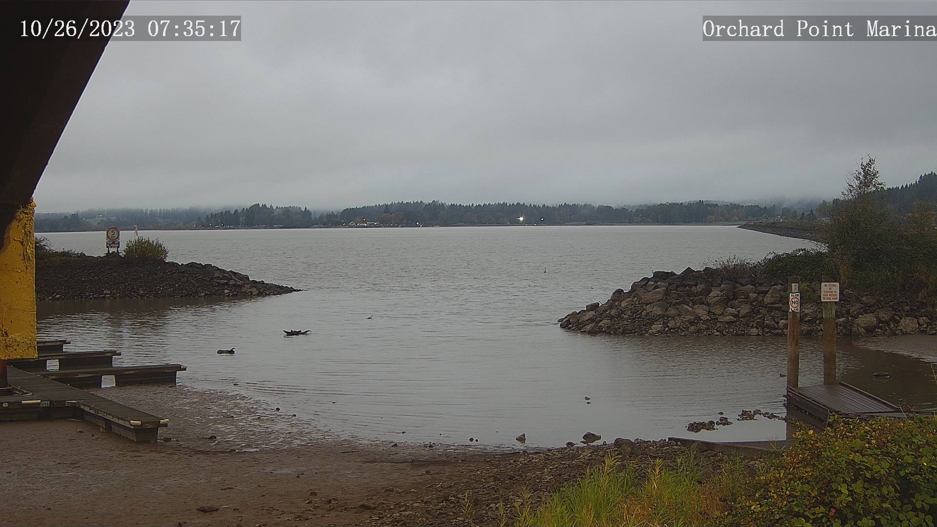
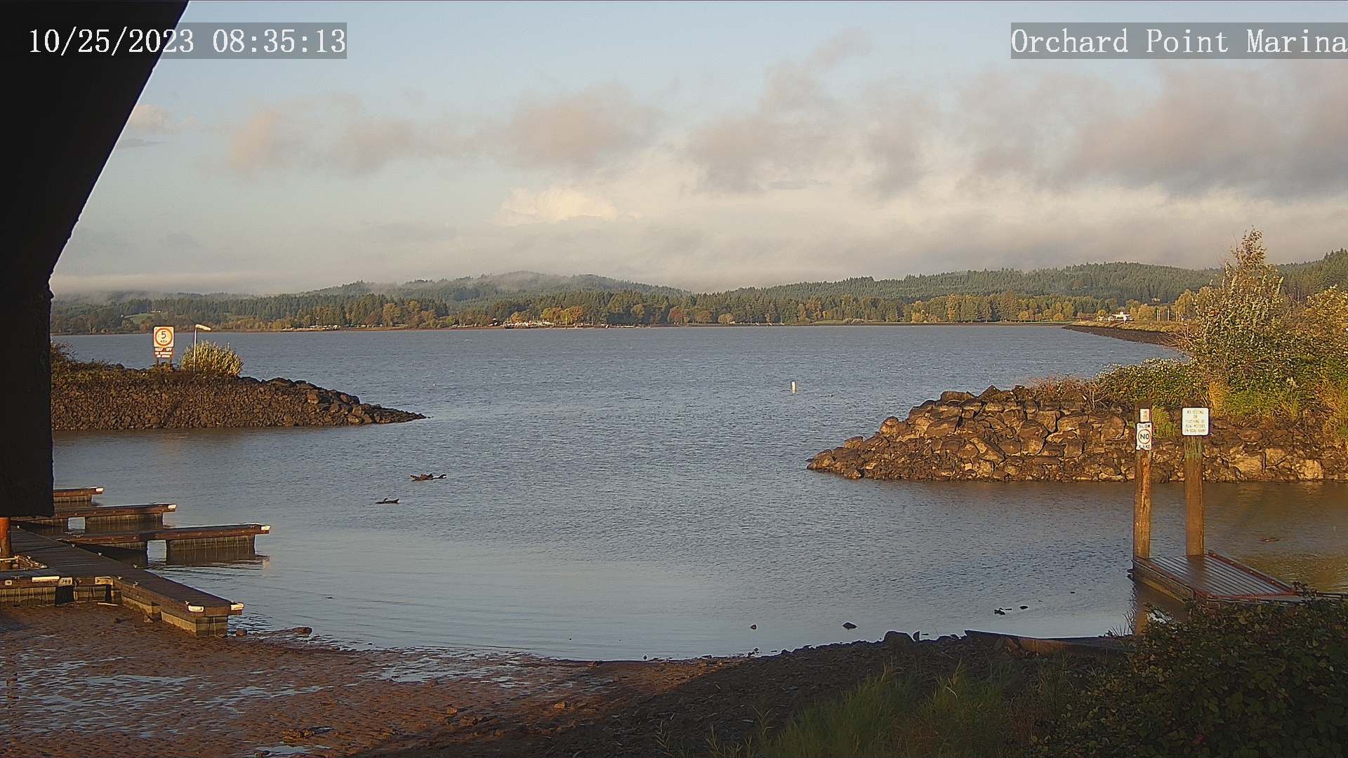
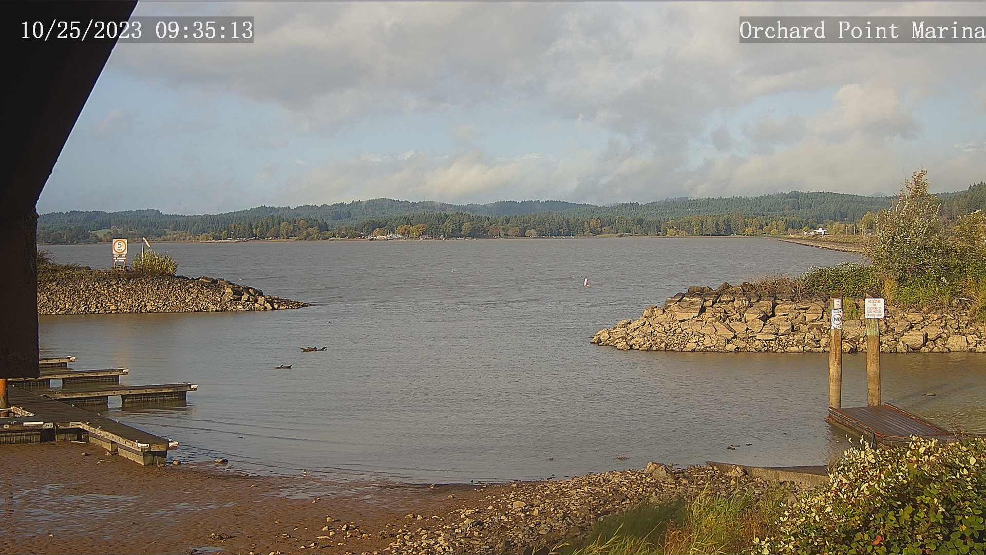
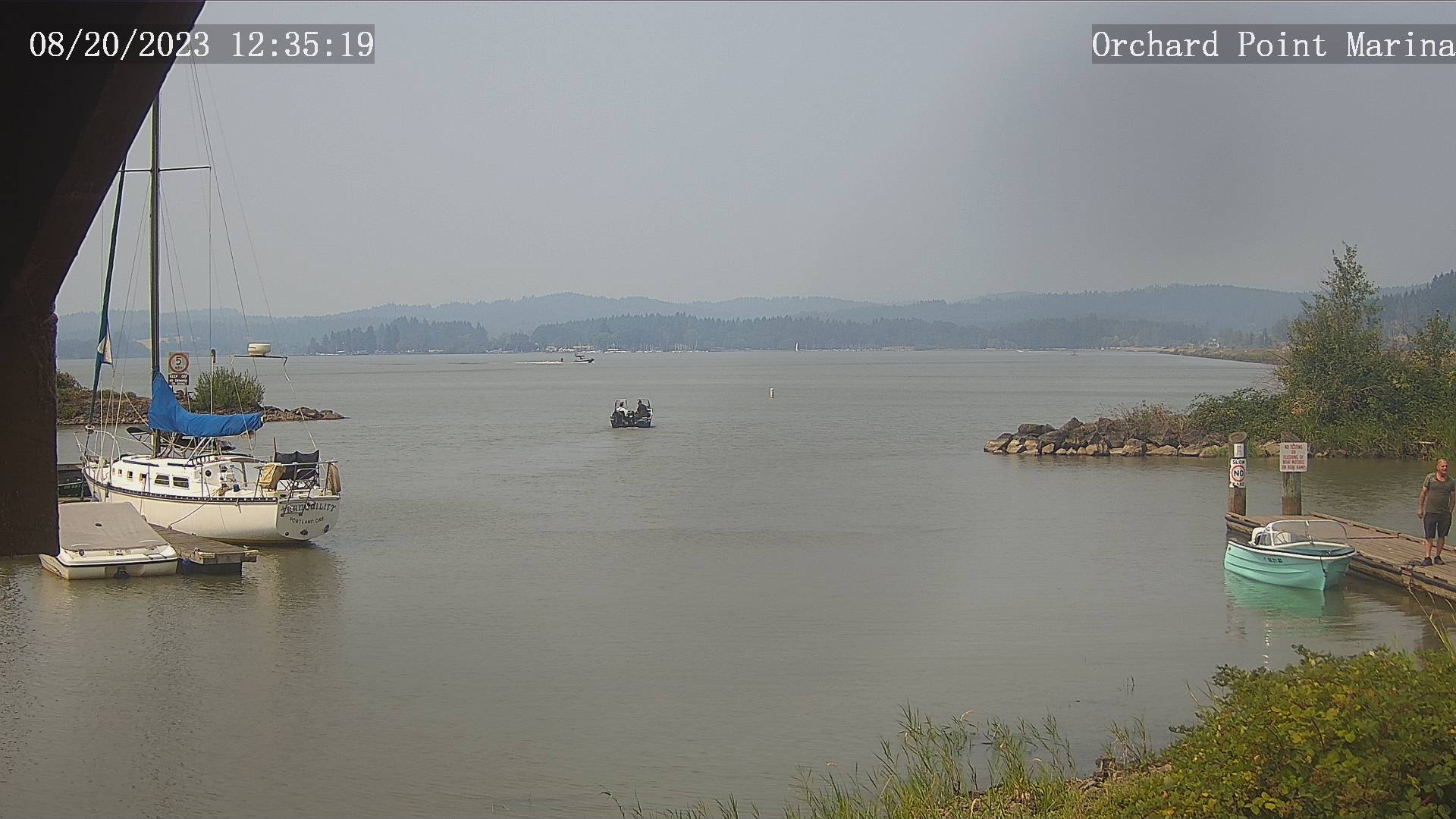
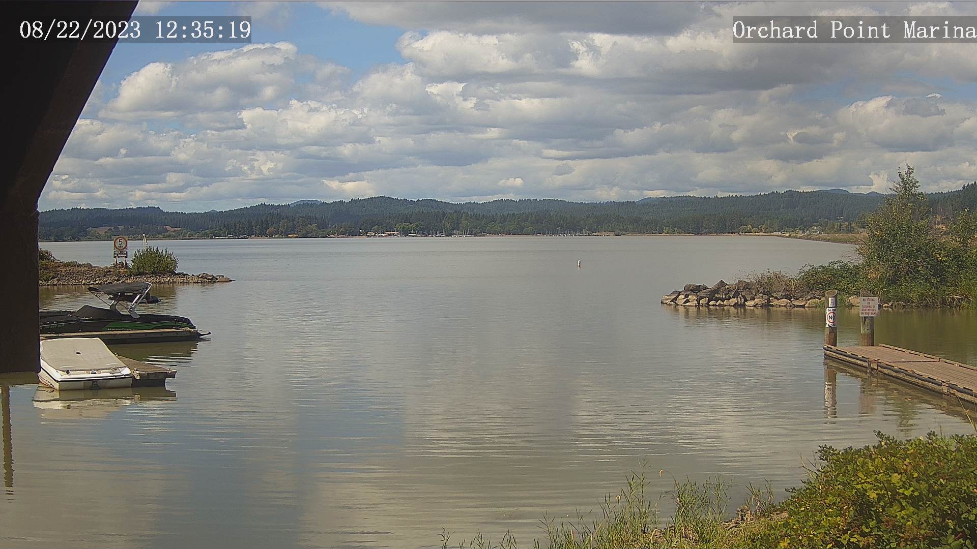
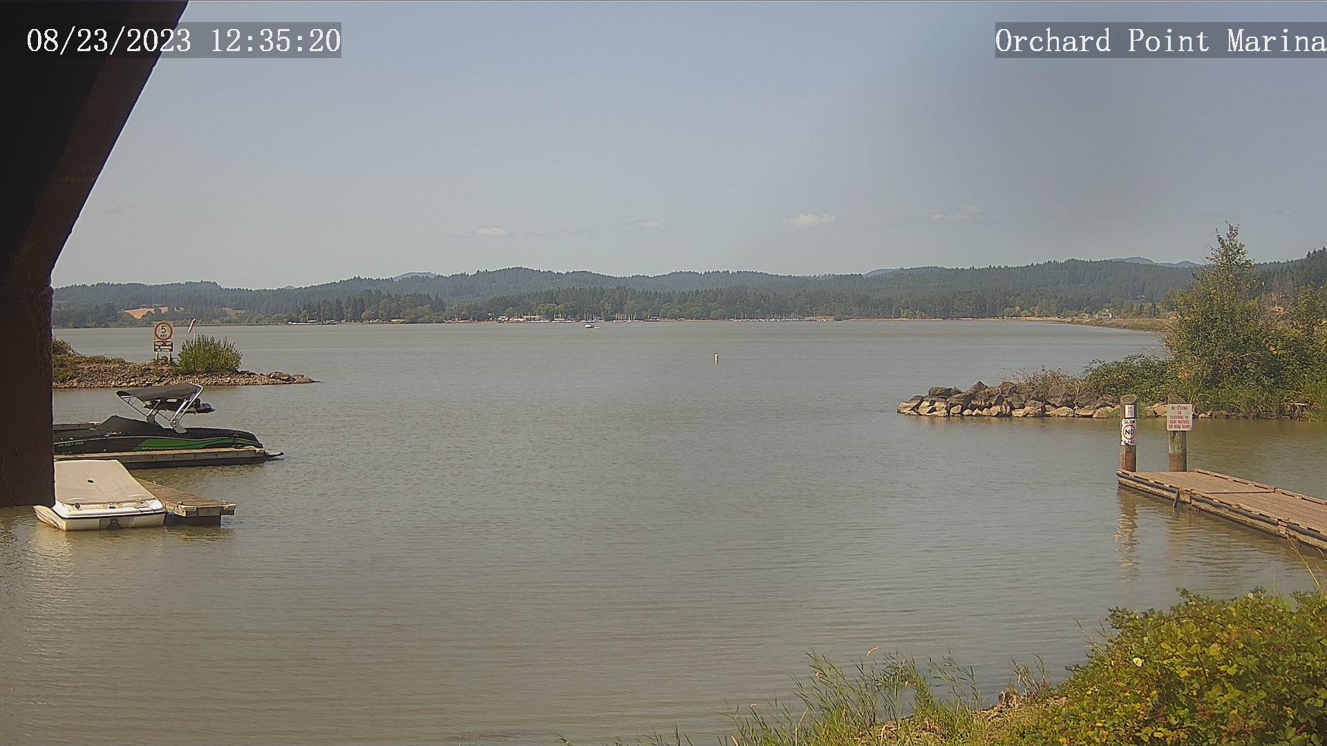
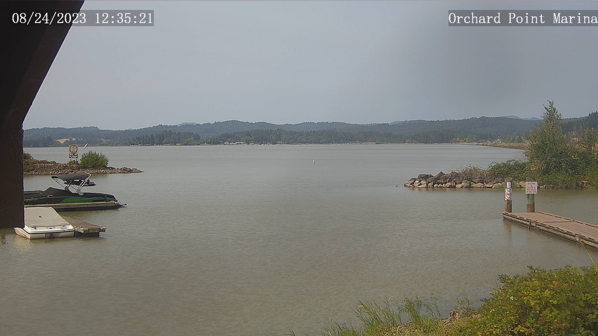
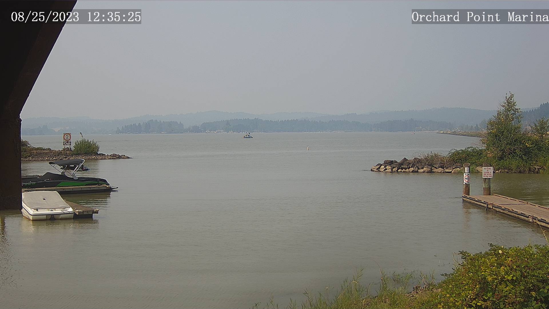
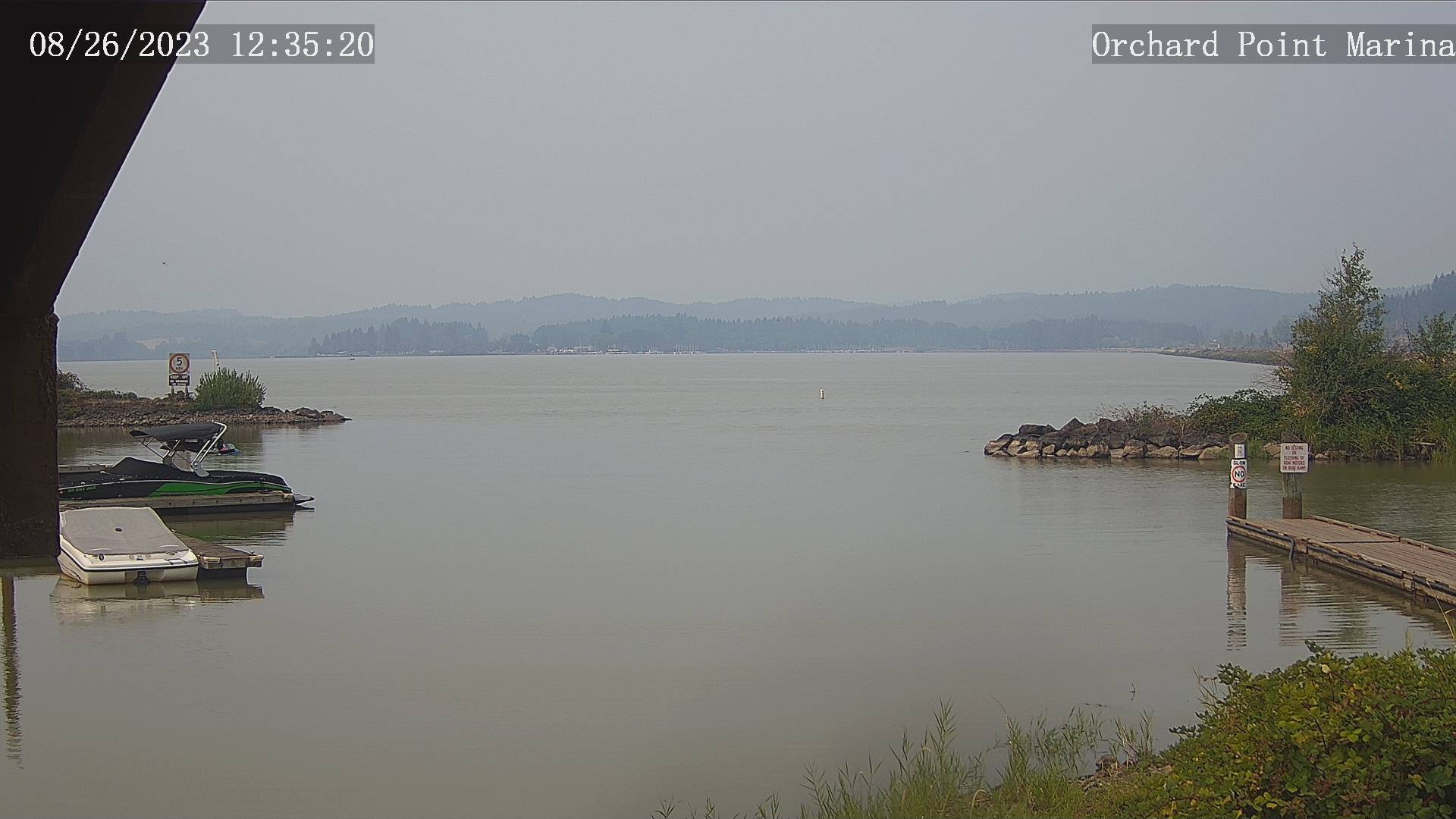
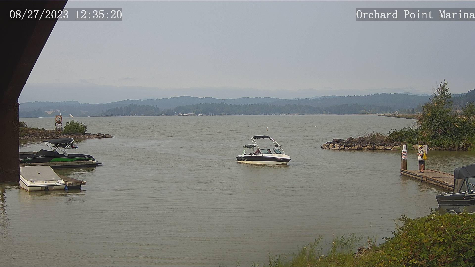
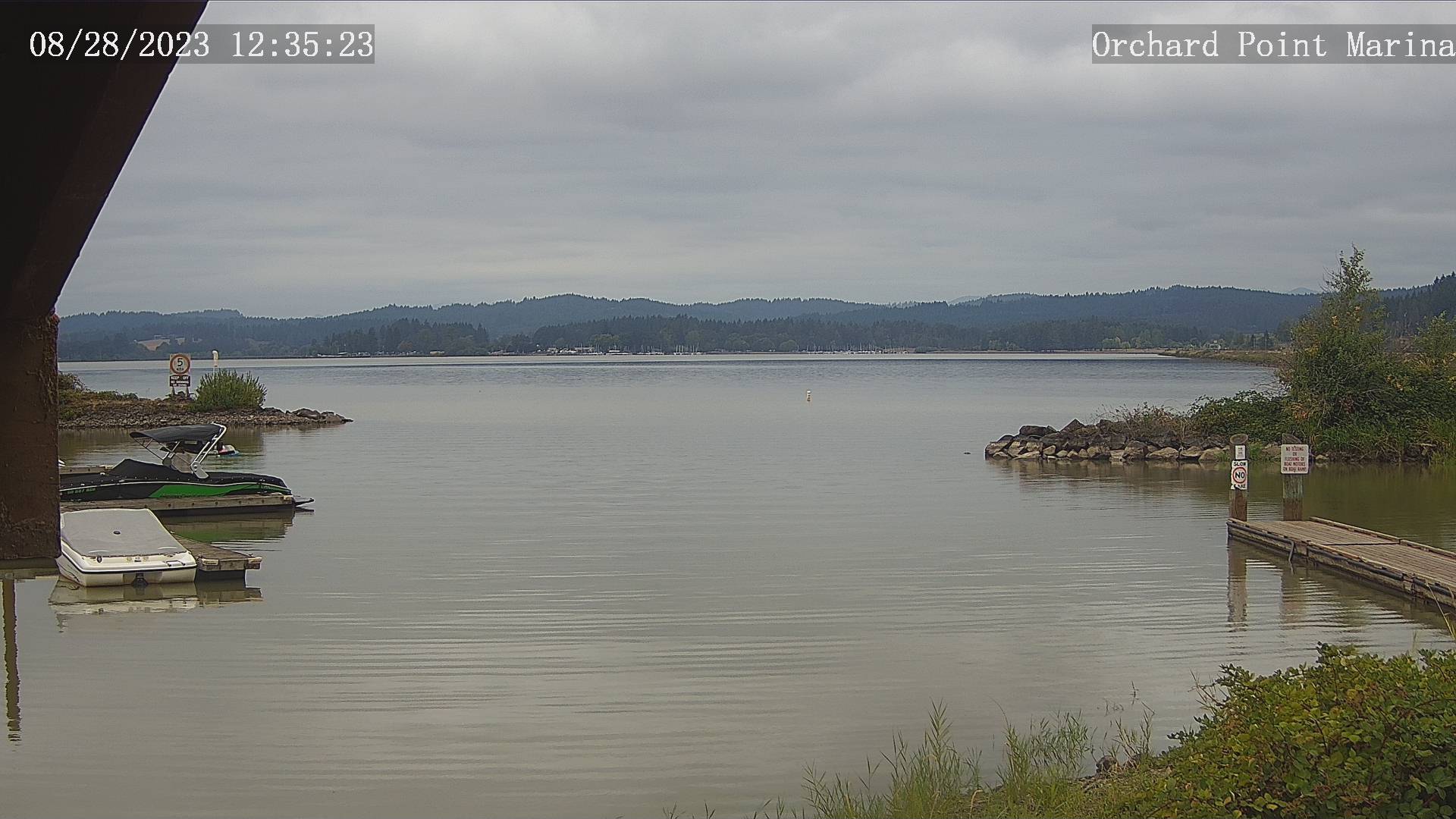
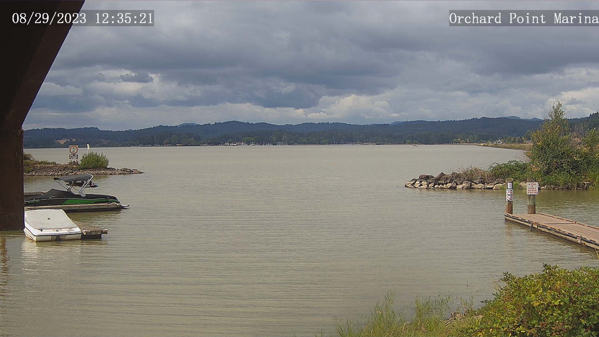
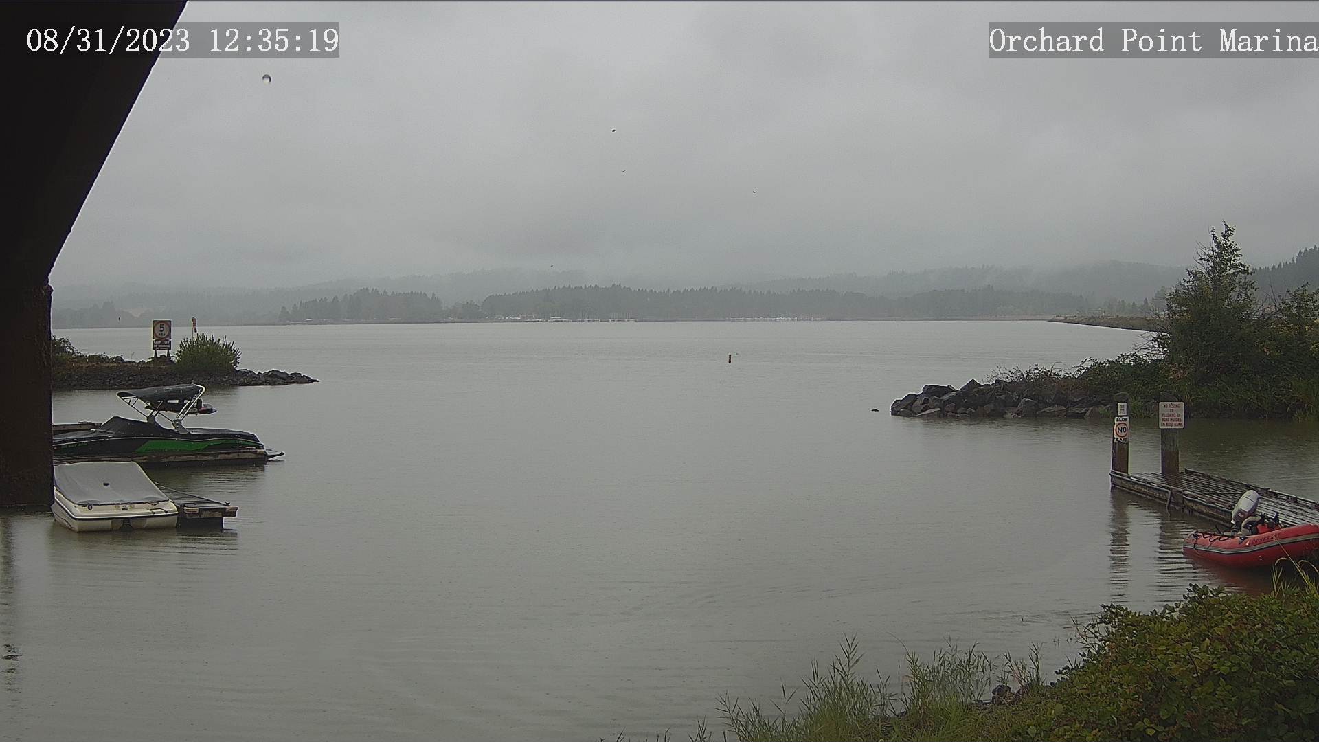
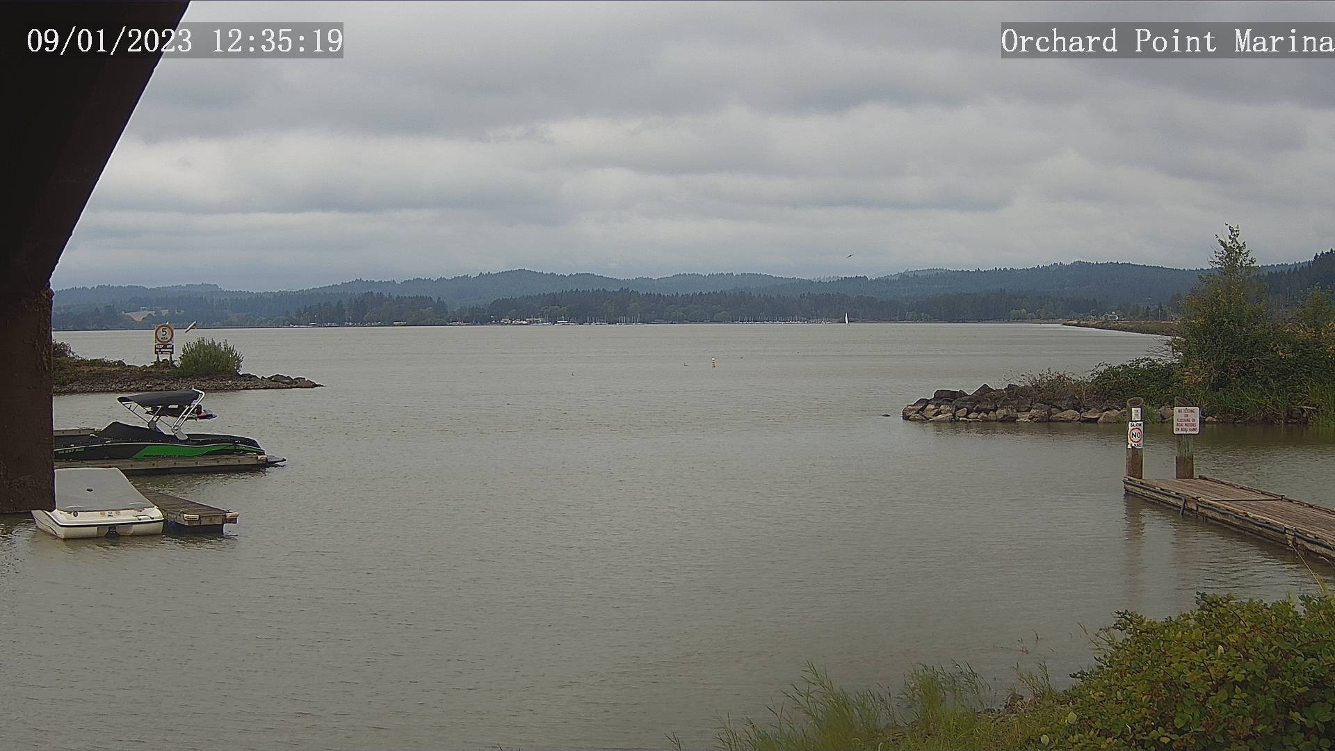
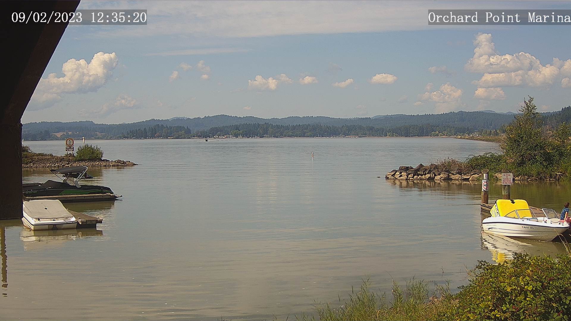
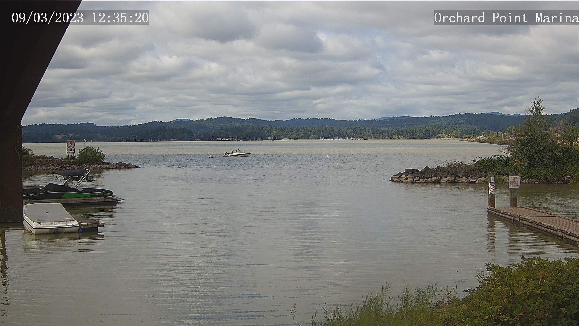
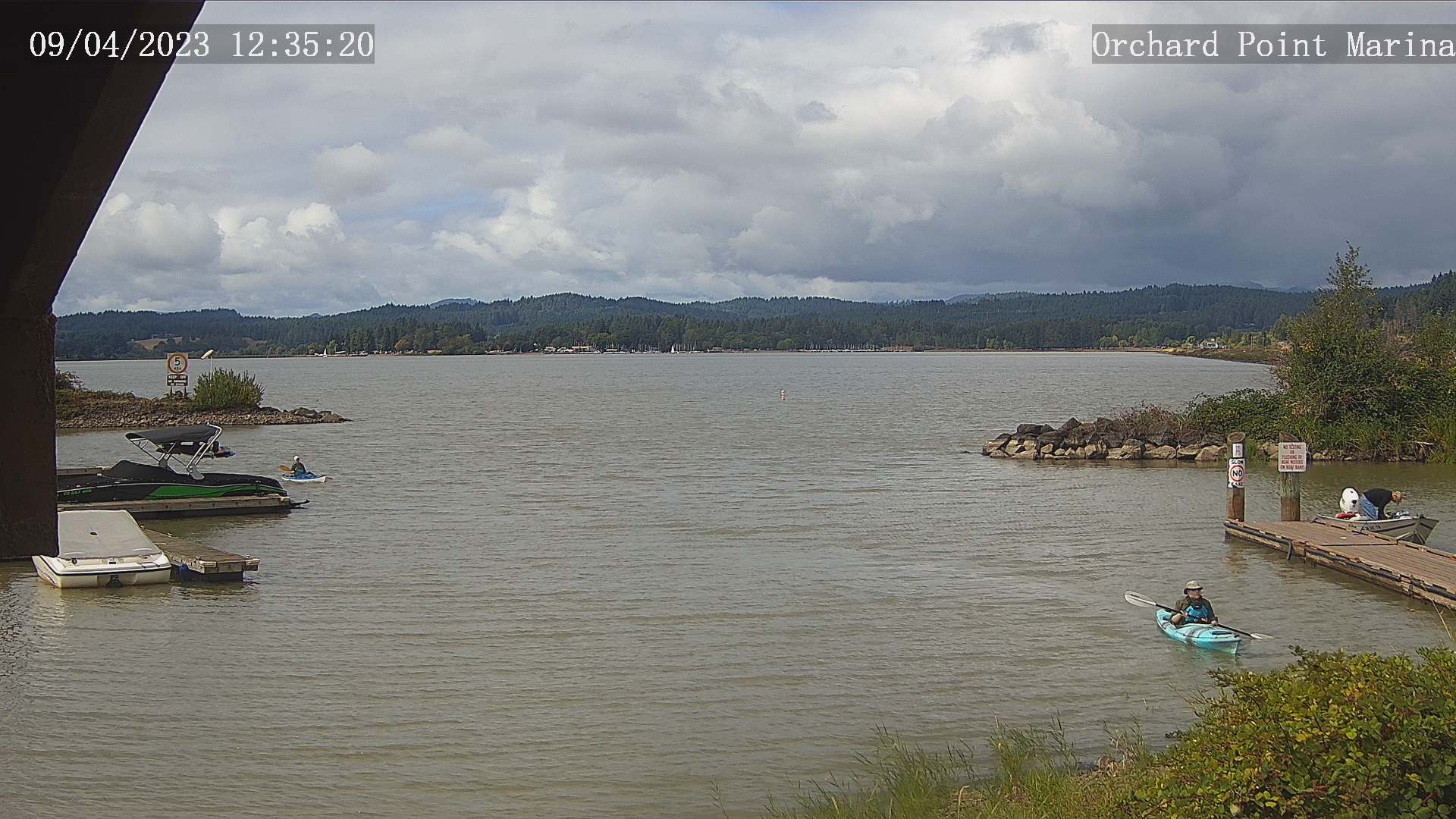
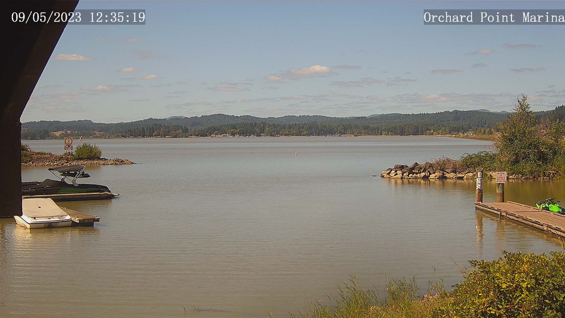
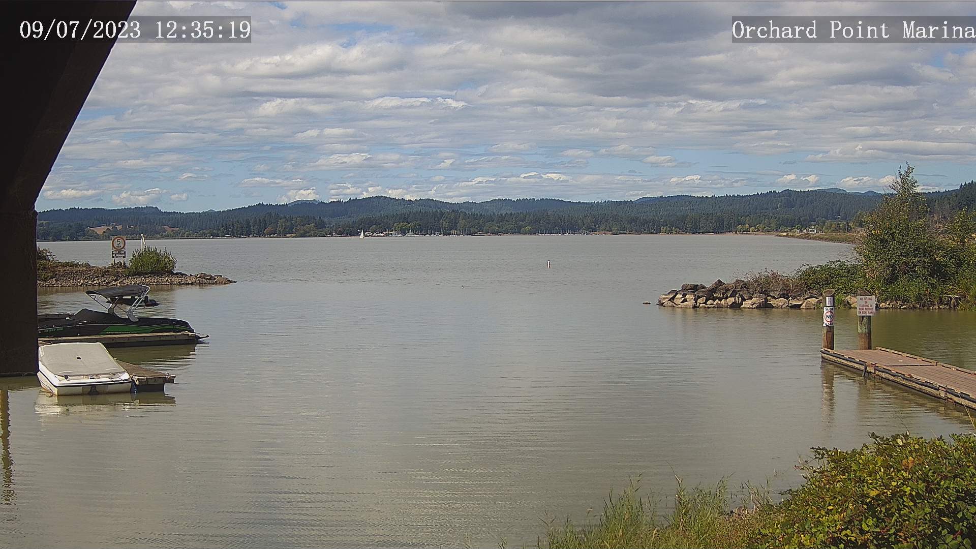
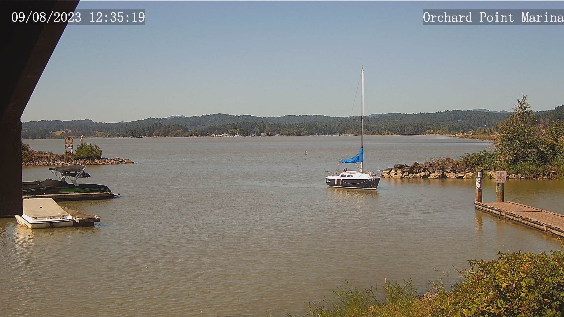
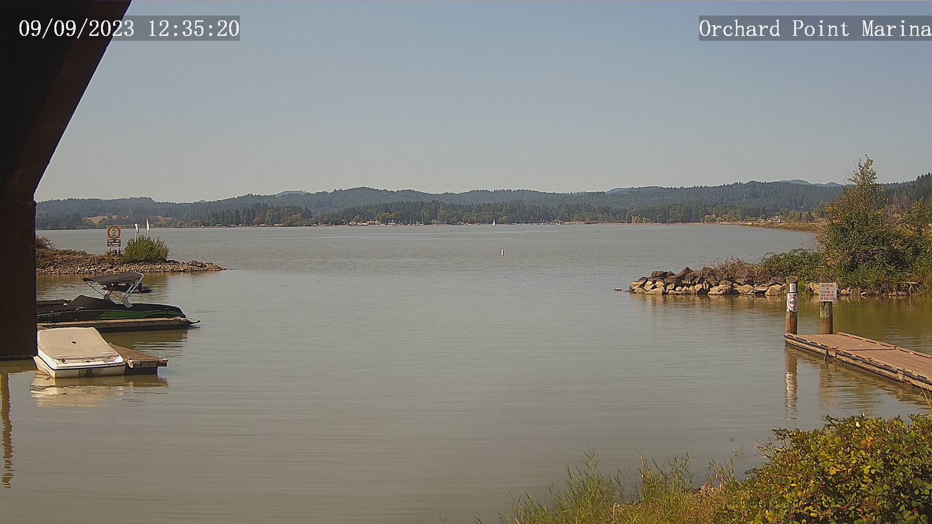
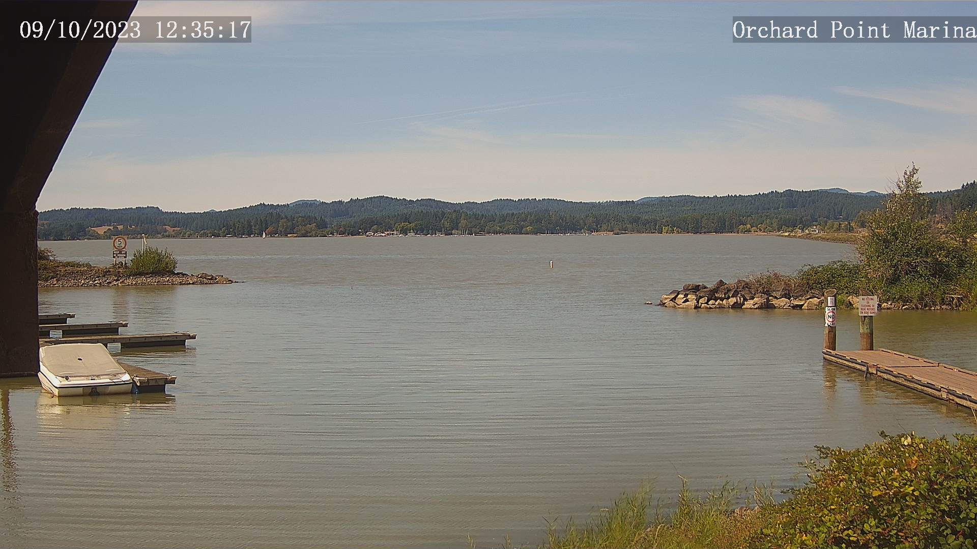
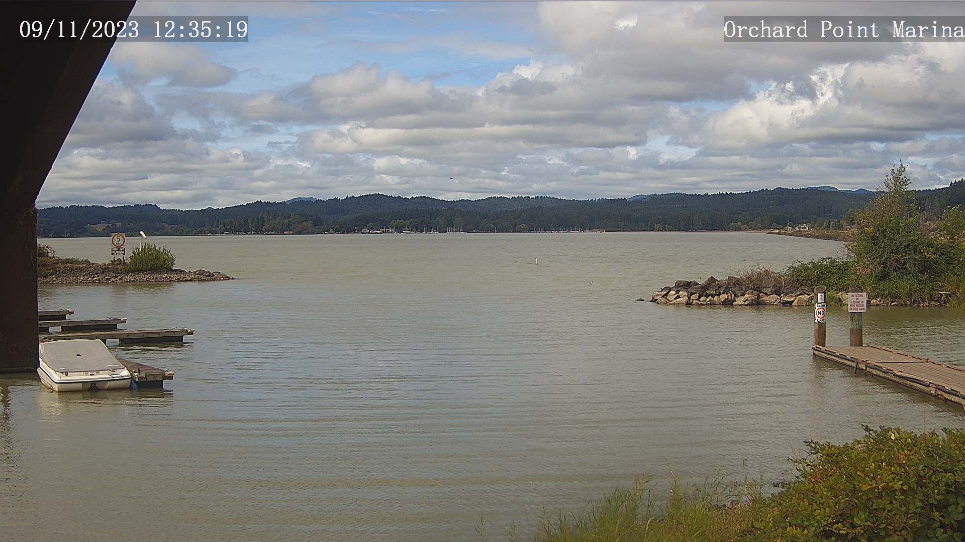
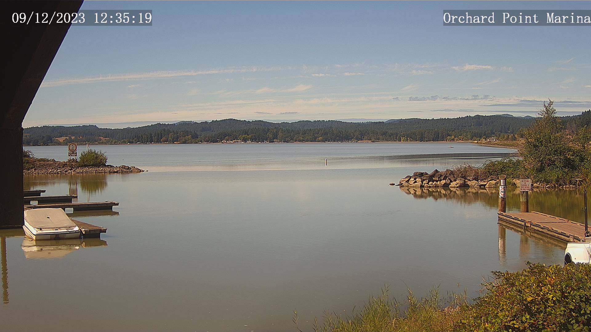
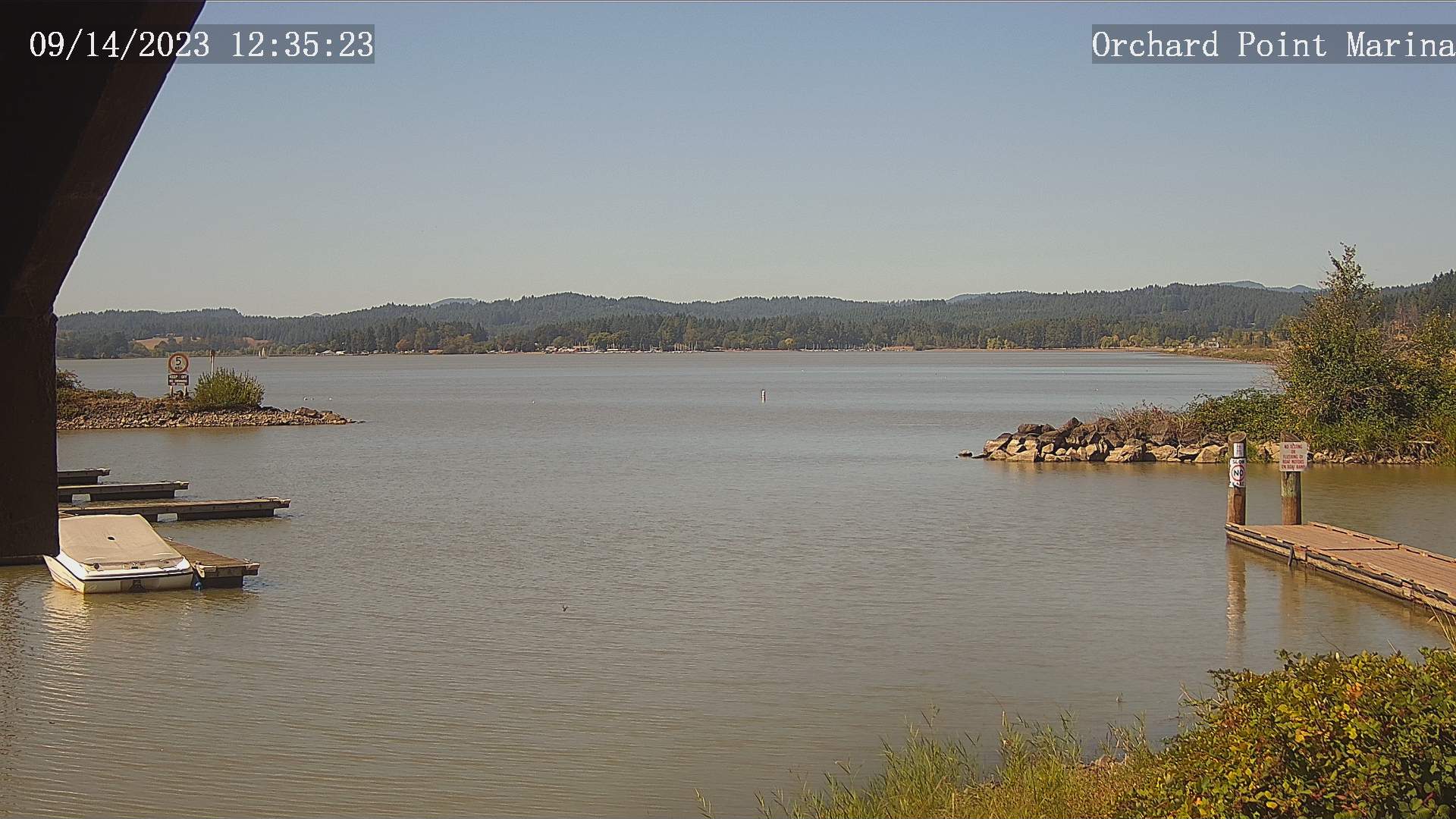
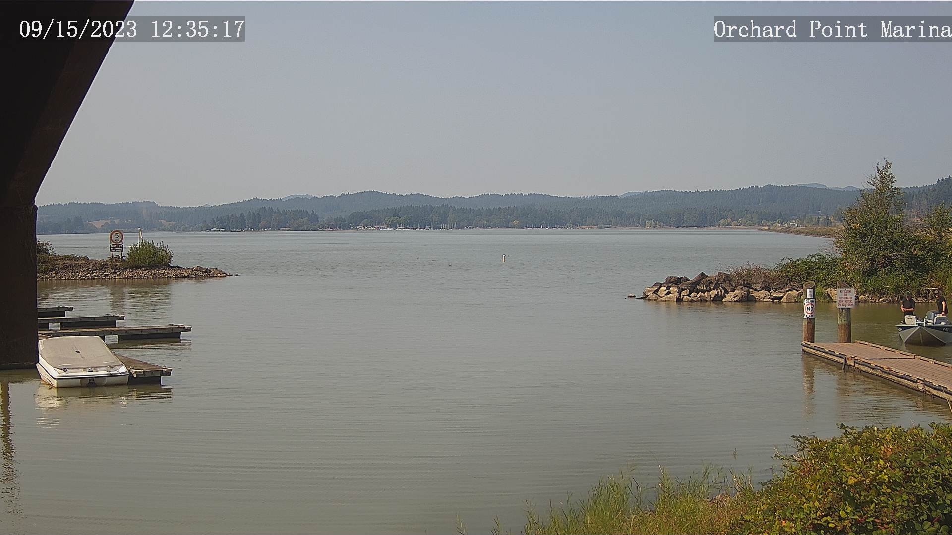
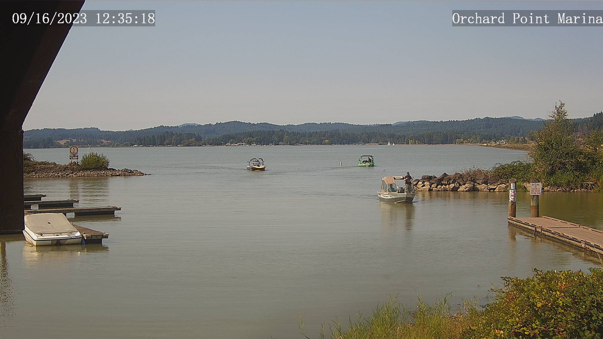
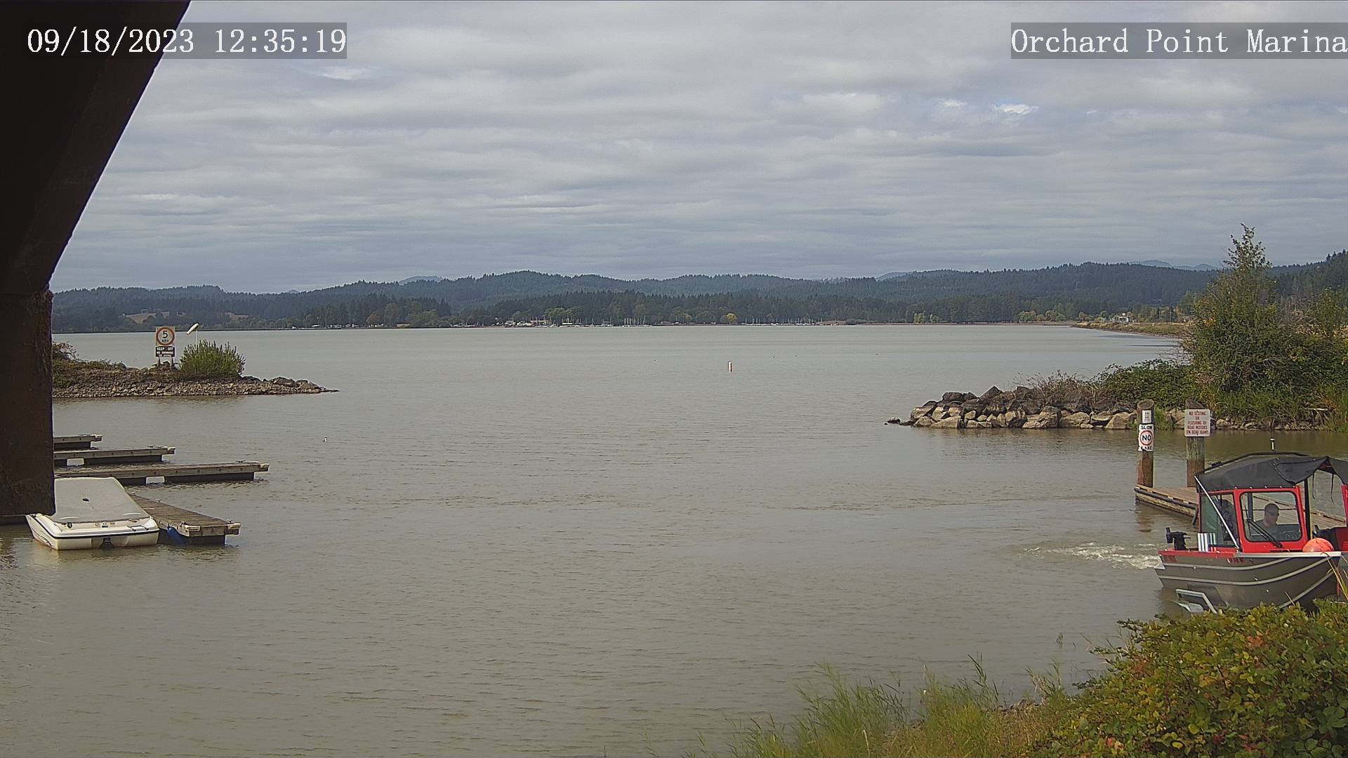
Eugene, Oregon, USA - 41 miles from Peak (historical): Lane County Parks - Orchard Point, Harbor Vista, Mount Pisgah - Views of 3 Lane County parks including Orchard Point, Harbor Vista, Mount Pisgah. Orchard Point is the boat ramp at Fern Ridge. You can see the water conditions and wind sock.
Operator: Lane County
Operator: Lane County


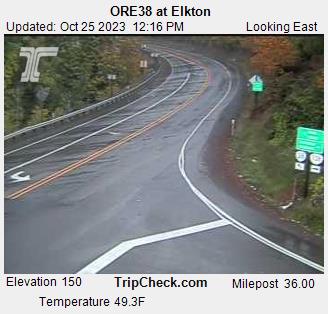
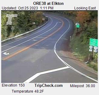
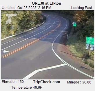
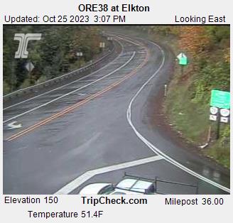
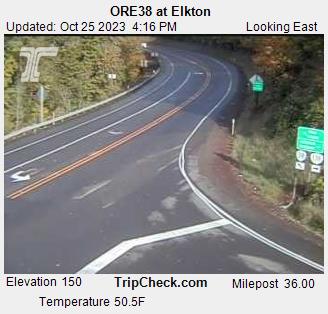
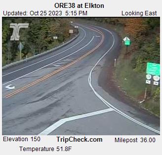
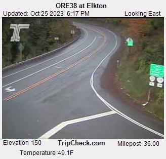
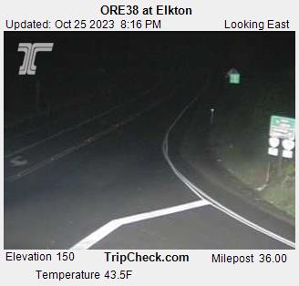
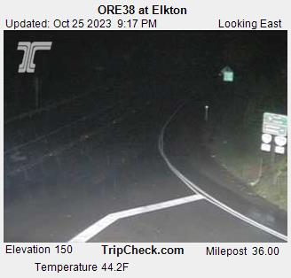
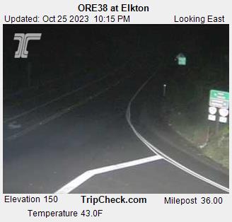
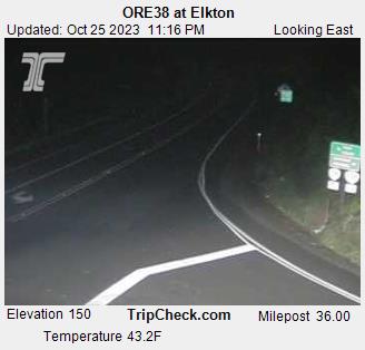
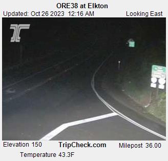
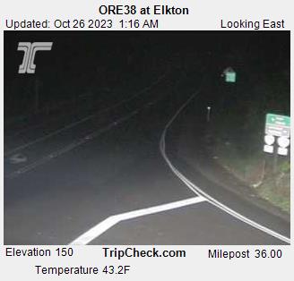
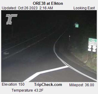
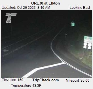
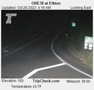
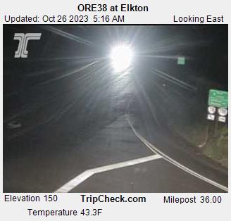
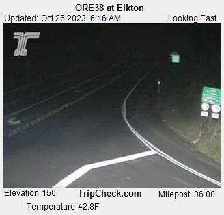
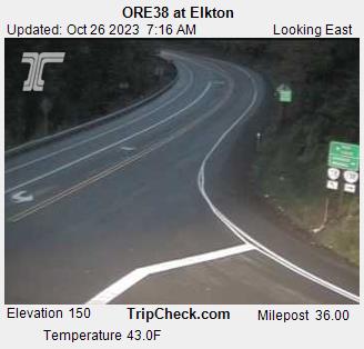
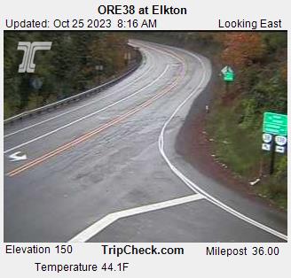
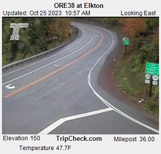
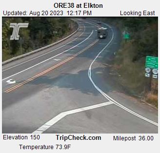
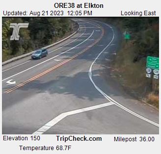
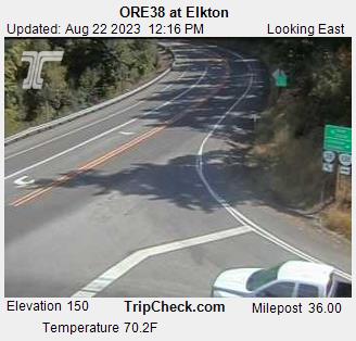
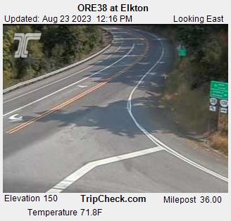
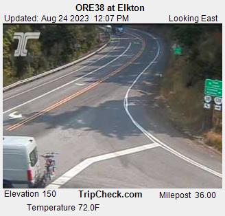
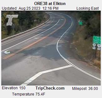
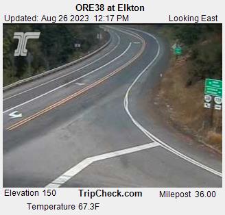
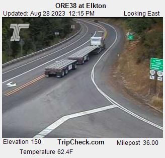
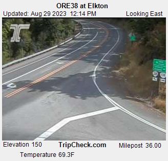
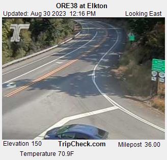
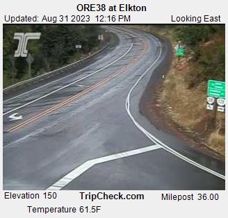
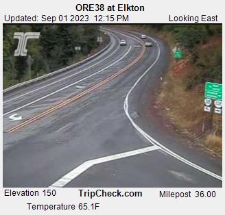
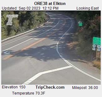
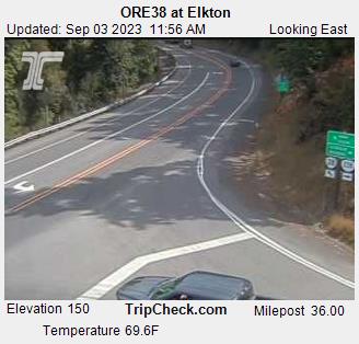
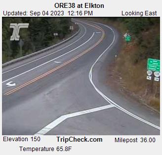
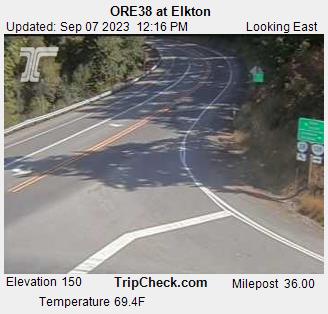
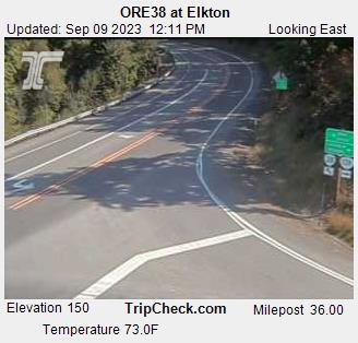
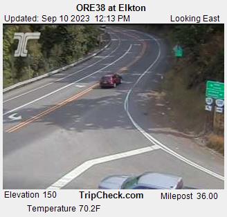
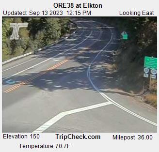
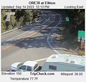
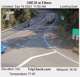
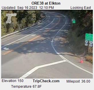
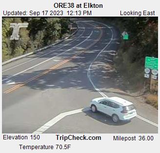
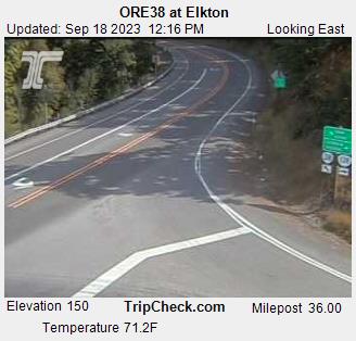
Elkton, Oregon, USA - 62.8 miles from Peak (historical): ORE38 at Elkton - A view of the current traffic situation on the ORE38.
Operator: Oregon Department of Transportation
Operator: Oregon Department of Transportation


West Linn, Oregon, USA - 71.6 miles from Peak (historical): Lowrie Primary School - A webcam in West Linn, Oregon - camera location: Lowrie Primary School.
Operator: WeatherBug
Operator: WeatherBug


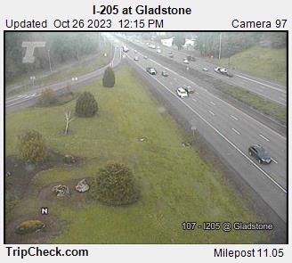
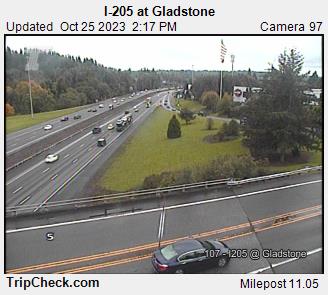
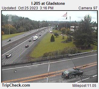
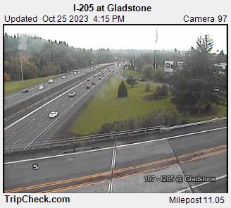
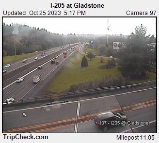
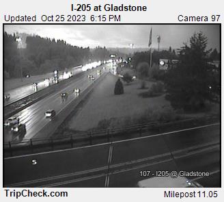
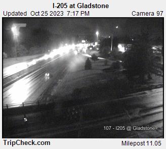
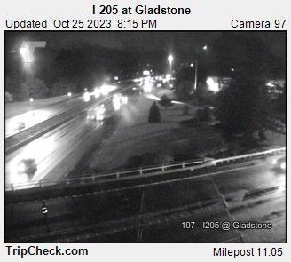
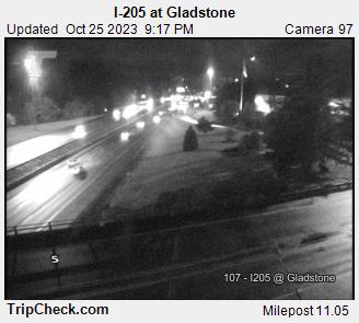
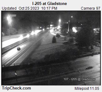
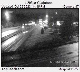
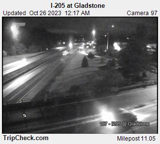
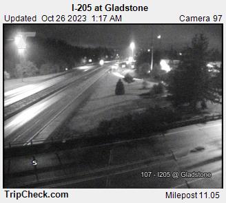
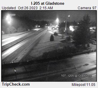
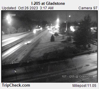
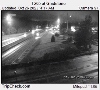
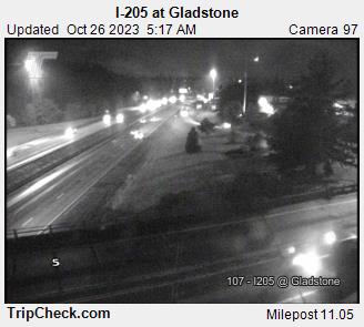
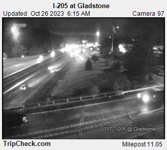
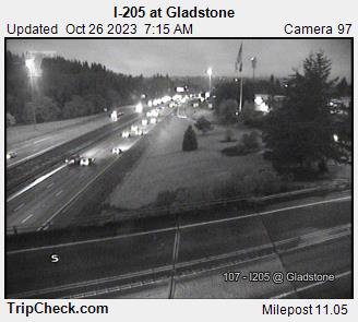
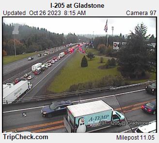
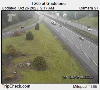
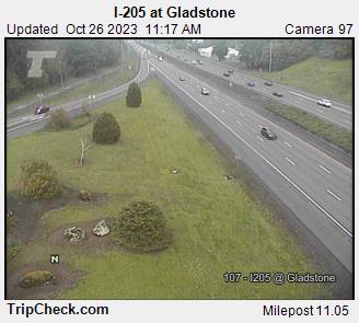
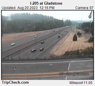
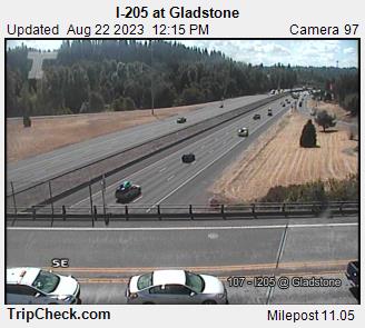
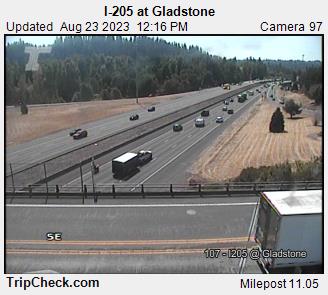
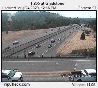
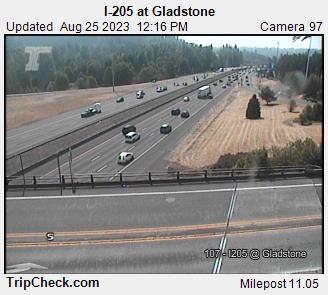
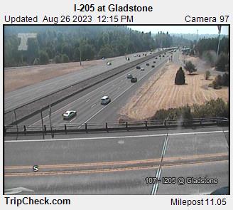
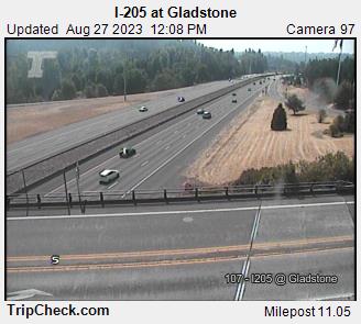
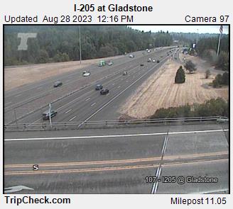
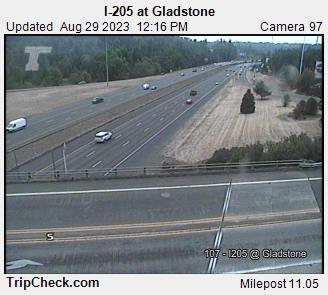
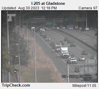
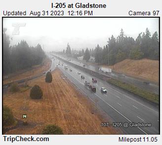
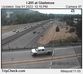
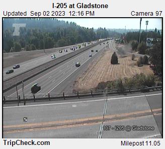
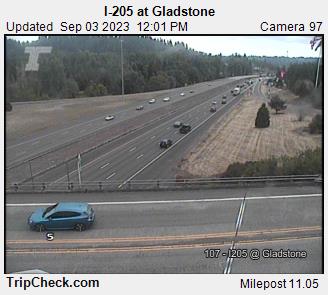
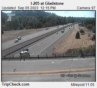
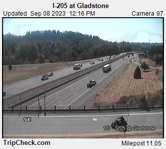
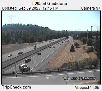
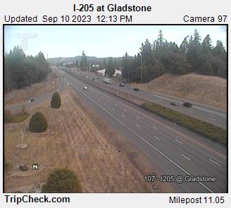
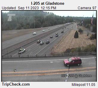
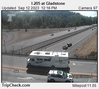
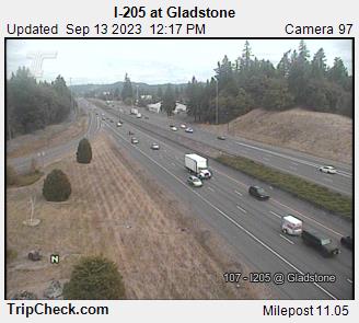
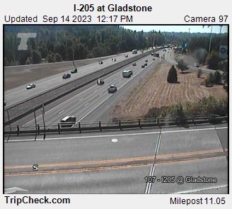
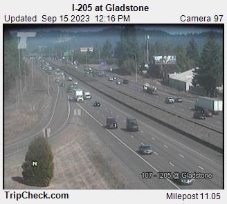
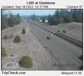
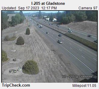
Gladstone, Oregon, USA - 74.6 miles from Peak (historical): I-205 at Gladstone - A view of the current traffic situation on the I-205.
Operator: Oregon Department of Transportation
Operator: Oregon Department of Transportation


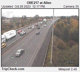
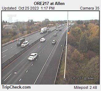
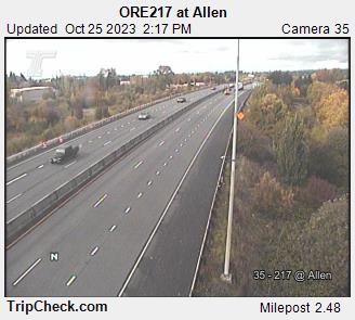
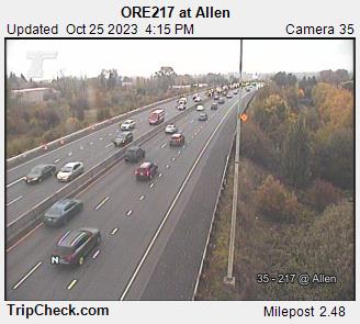
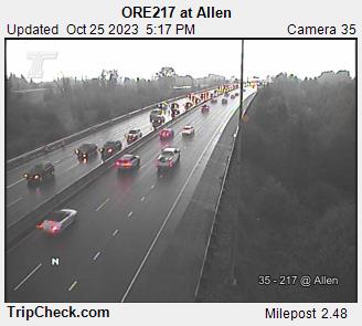
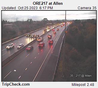
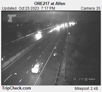
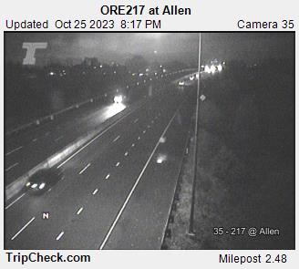
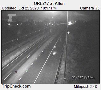
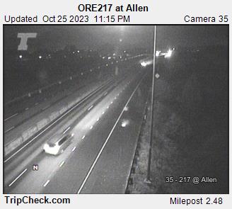
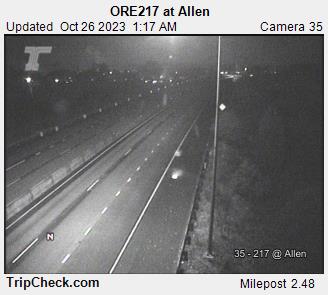
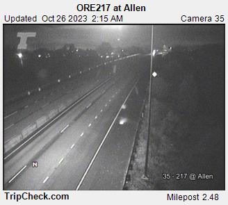
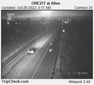
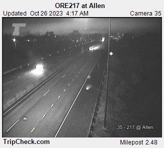
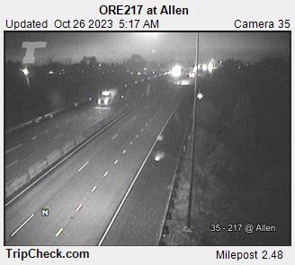
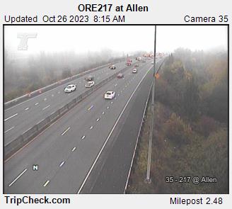
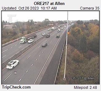
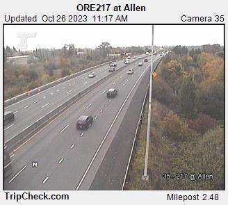
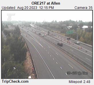
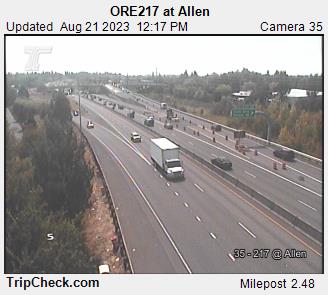
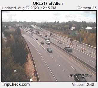
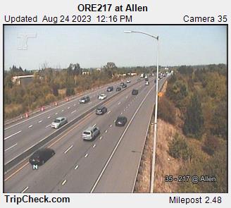
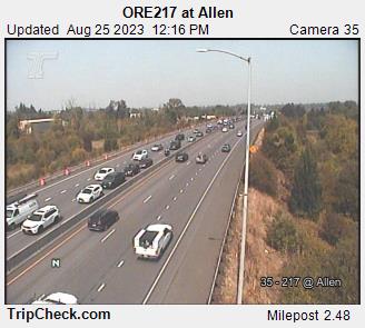
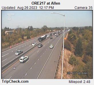
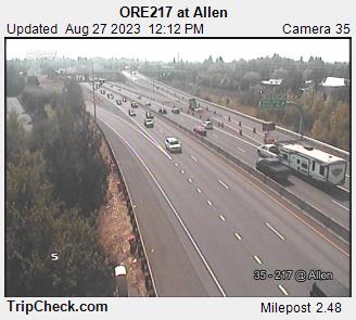
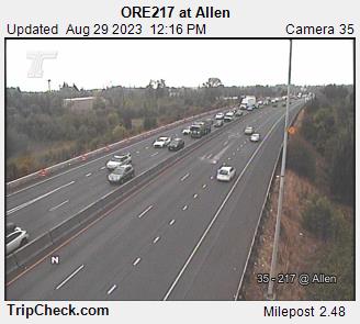
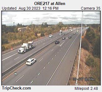
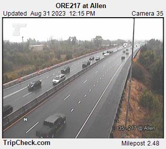
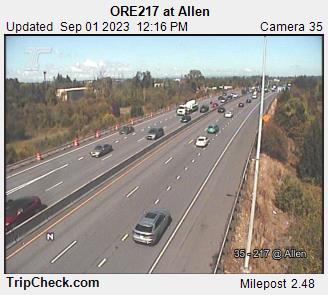
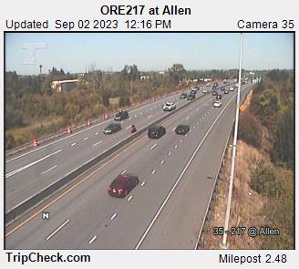
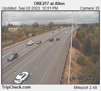
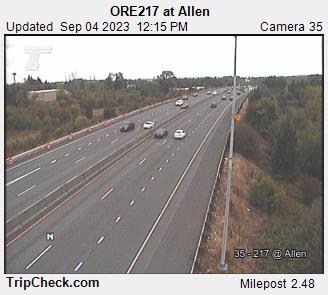
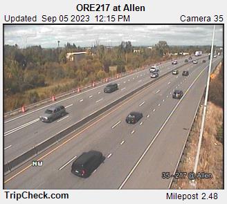
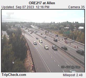
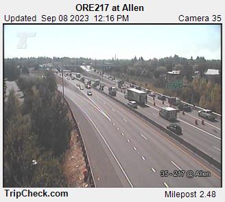
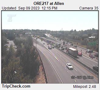
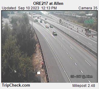
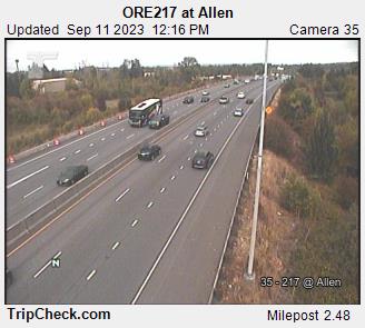
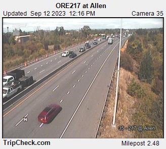
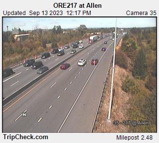
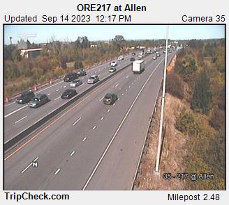
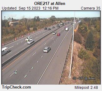
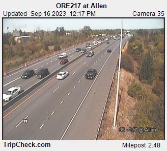
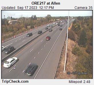
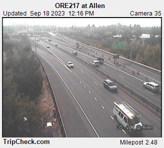
Beaverton, Oregon, USA - 75 miles from Peak (historical): ORE217 at Allen - A view of the current traffic situation on the ORE217.
Operator: Oregon Department of Transportation
Operator: Oregon Department of Transportation


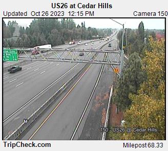
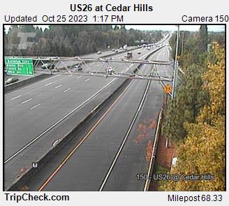
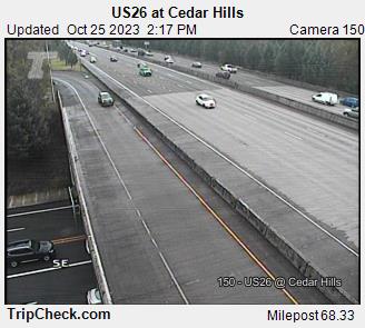
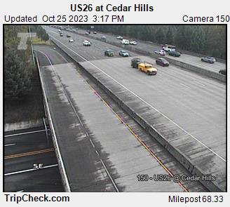
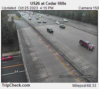
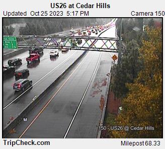
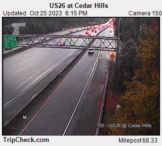
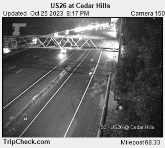
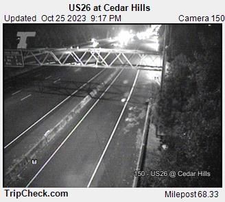
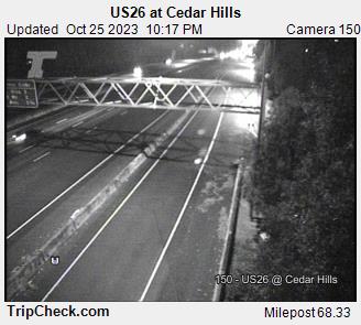
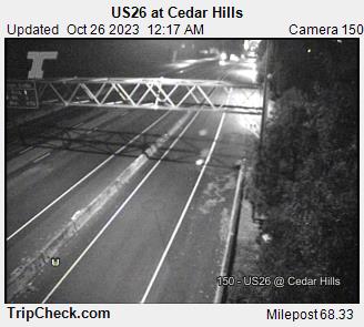
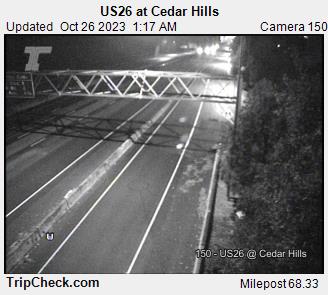
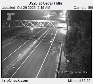
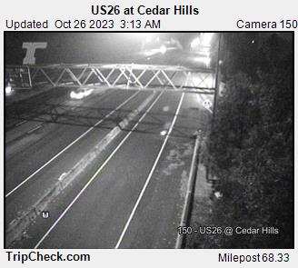
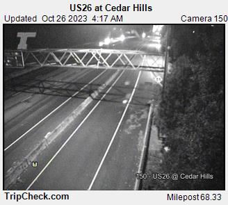
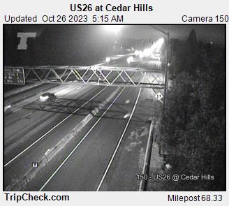
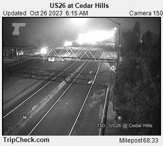
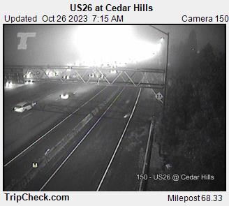
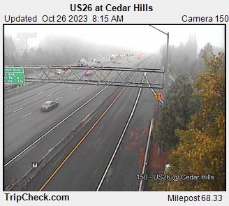
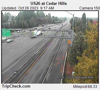
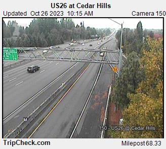
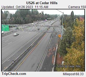
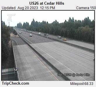
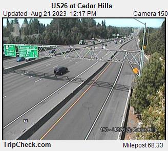
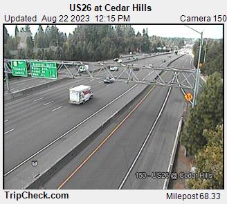
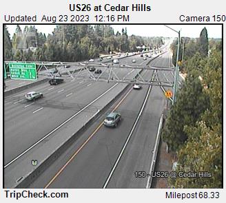
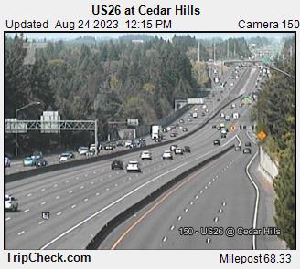
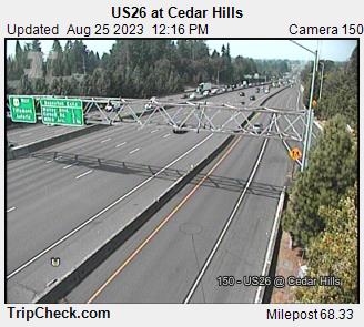
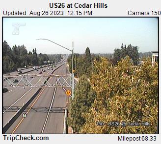
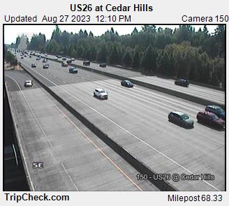
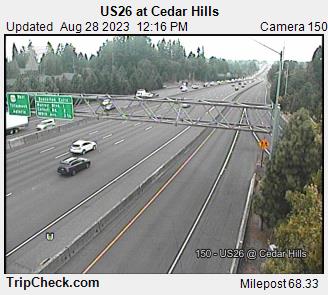
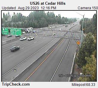
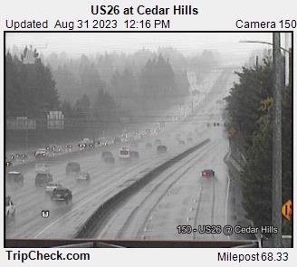
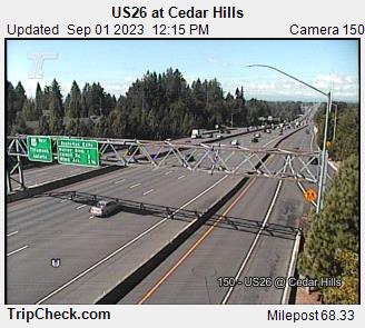
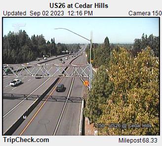
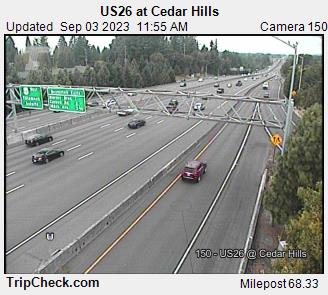
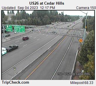
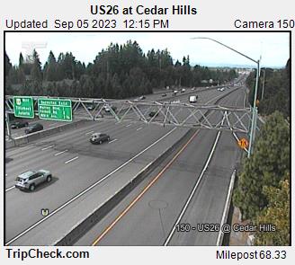
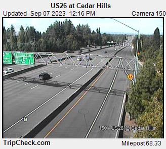
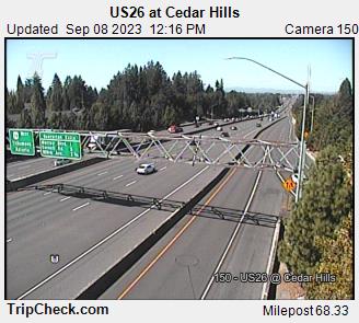
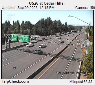
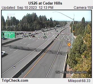
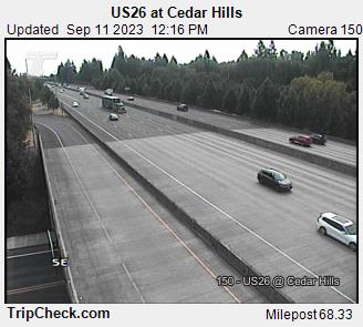
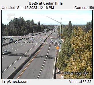
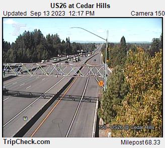
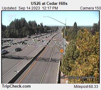
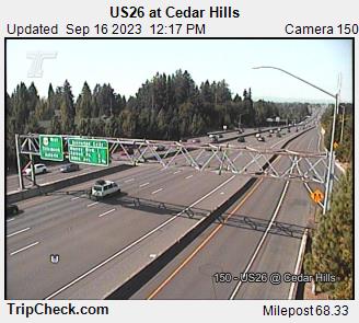
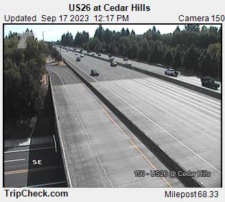
Cedar Hills, Oregon, USA - 75.7 miles from Peak (historical): US26 at Cedar Hills - A view of the current traffic situation on the US26.
Operator: Oregon Department of Transportation
Operator: Oregon Department of Transportation


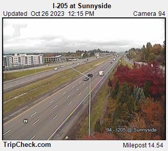
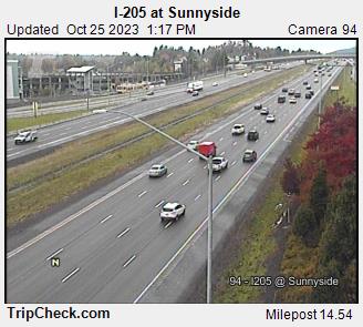
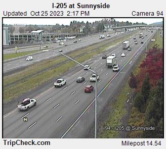
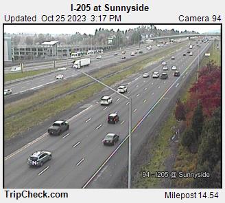
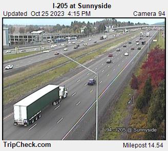
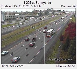
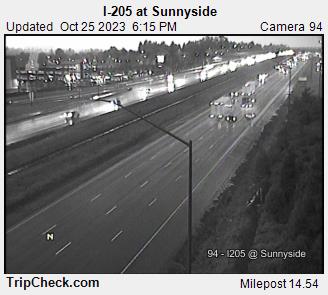
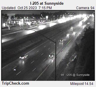
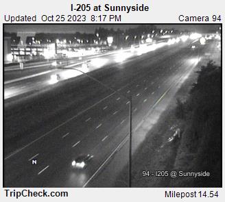
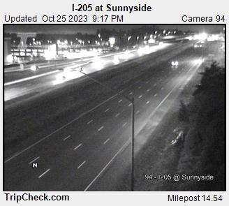
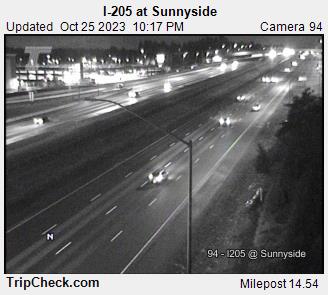
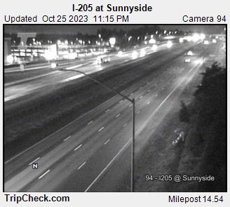
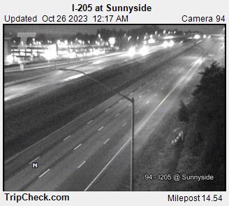
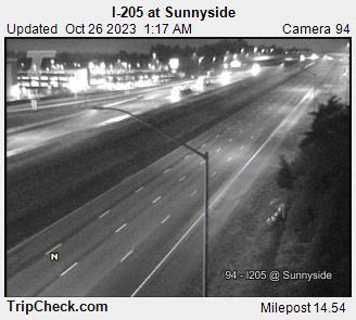
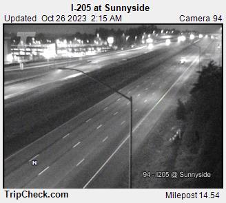
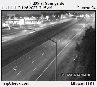
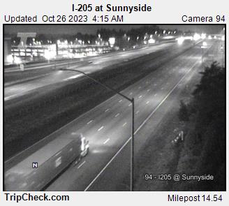
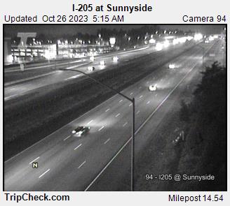
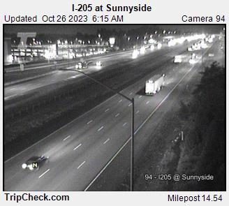
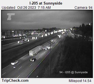
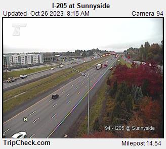
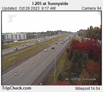
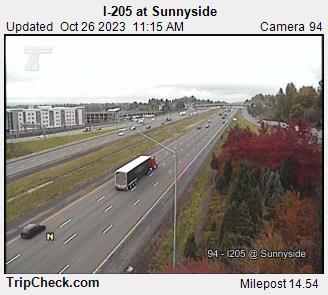
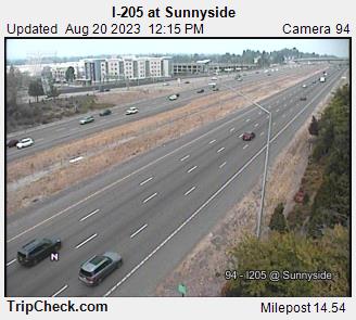
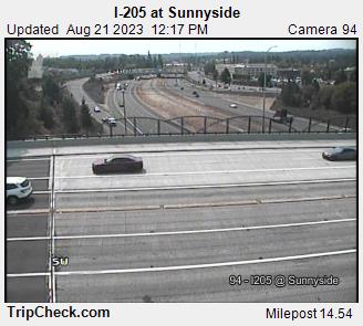
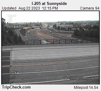
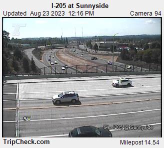
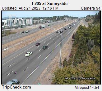
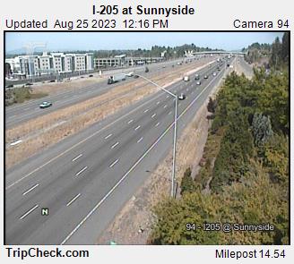
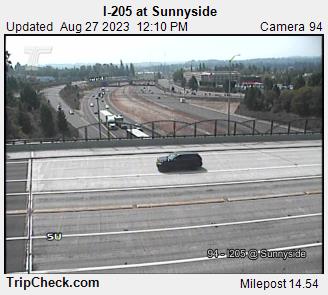
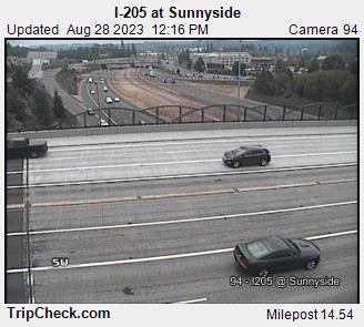
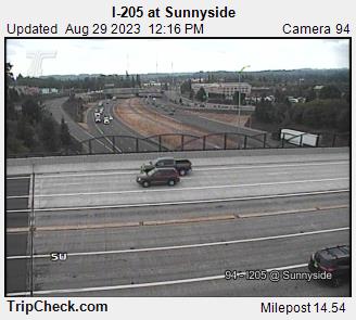
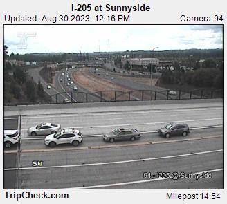
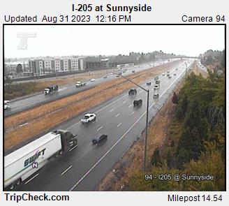
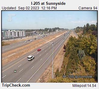
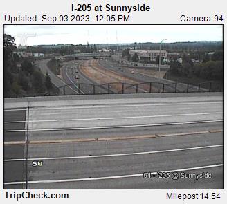
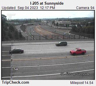
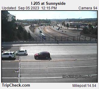
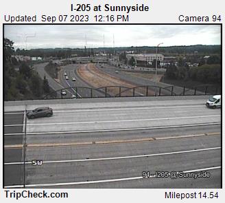
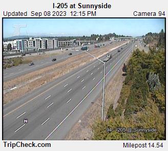
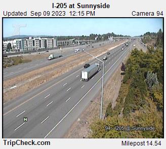
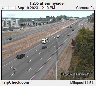
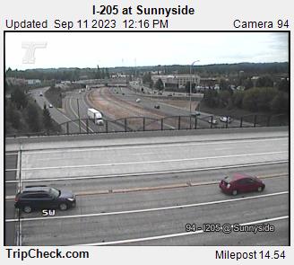
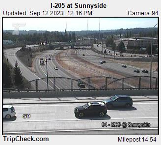
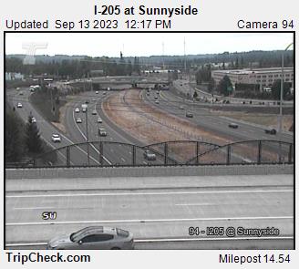
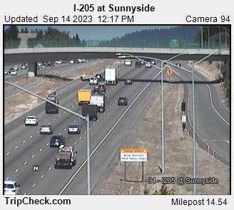
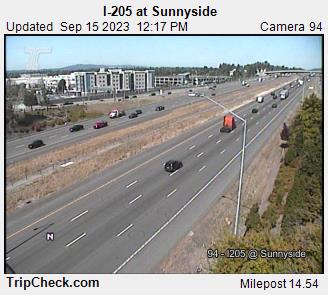
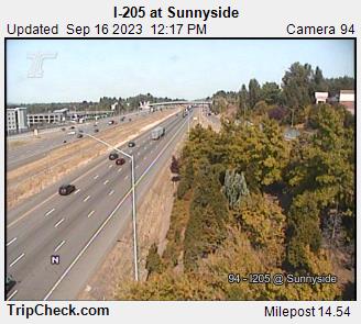
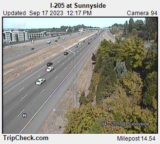
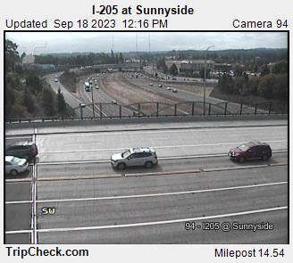
Sunnyside, Oregon, USA - 78.1 miles from Peak (historical): I-205 at Sunnyside - A view of the current traffic situation on the I-205.
Operator: Oregon Department of Transportation
Operator: Oregon Department of Transportation


Some other places in this country: Denzer (historical) - Glen (historical) - Sunnyridge - Brickerville - Earl (historical) - Walden - Hot Springs (historical) - Drews Valley (historical) - Caverhill (historical) - Linville (historical)