Webcams in the region of Conner Creek (historical), Oregon, USA
The List of Webcams near Conner Creek (historical), Oregon, USA:

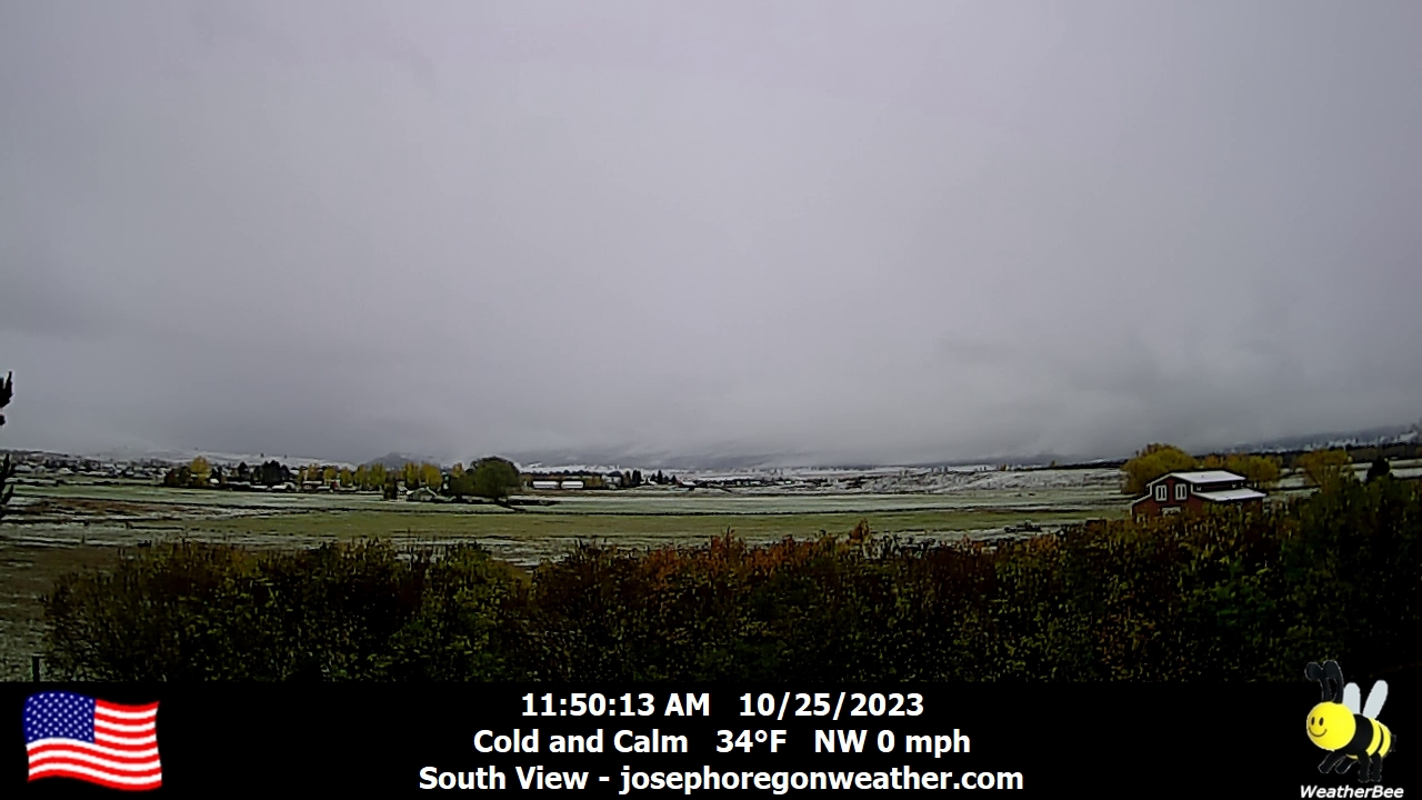
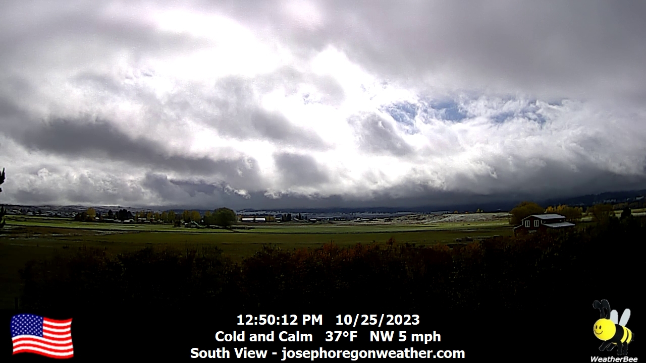
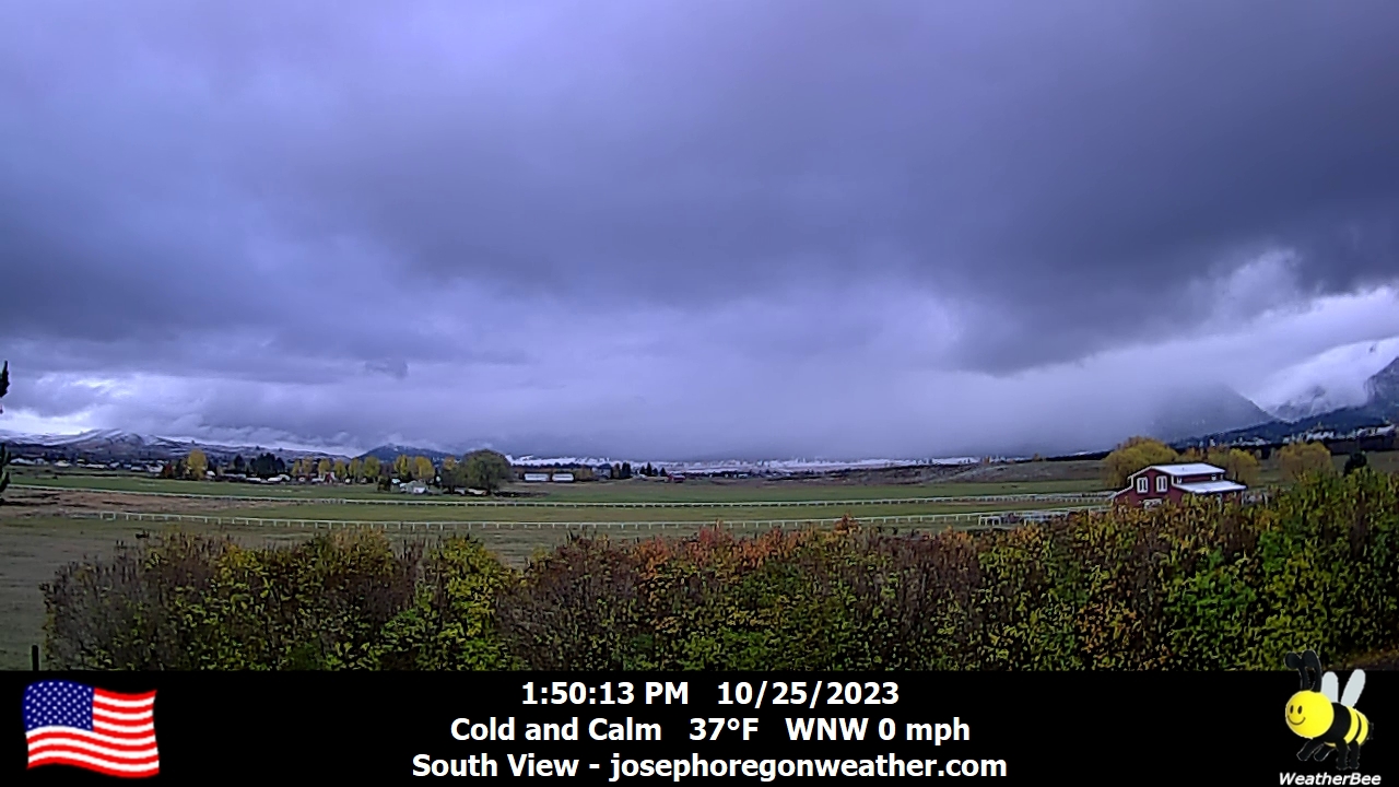
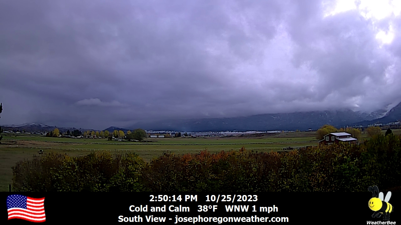
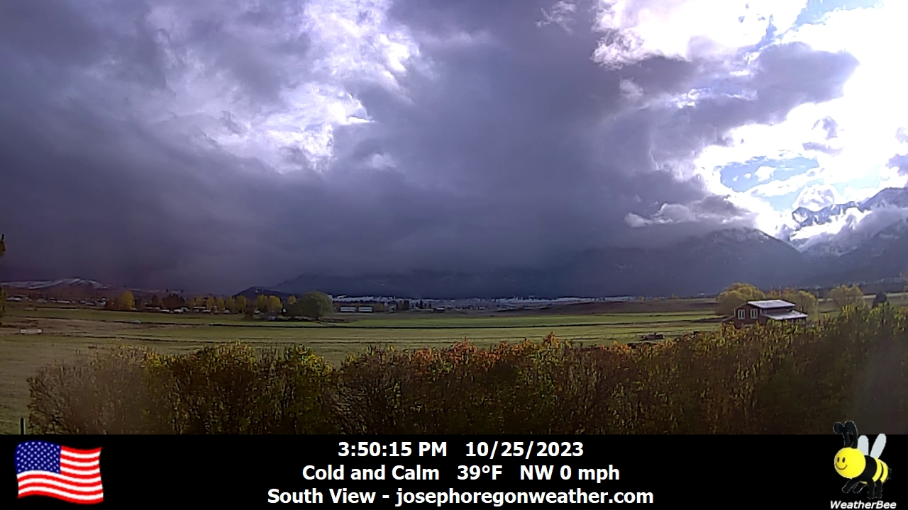
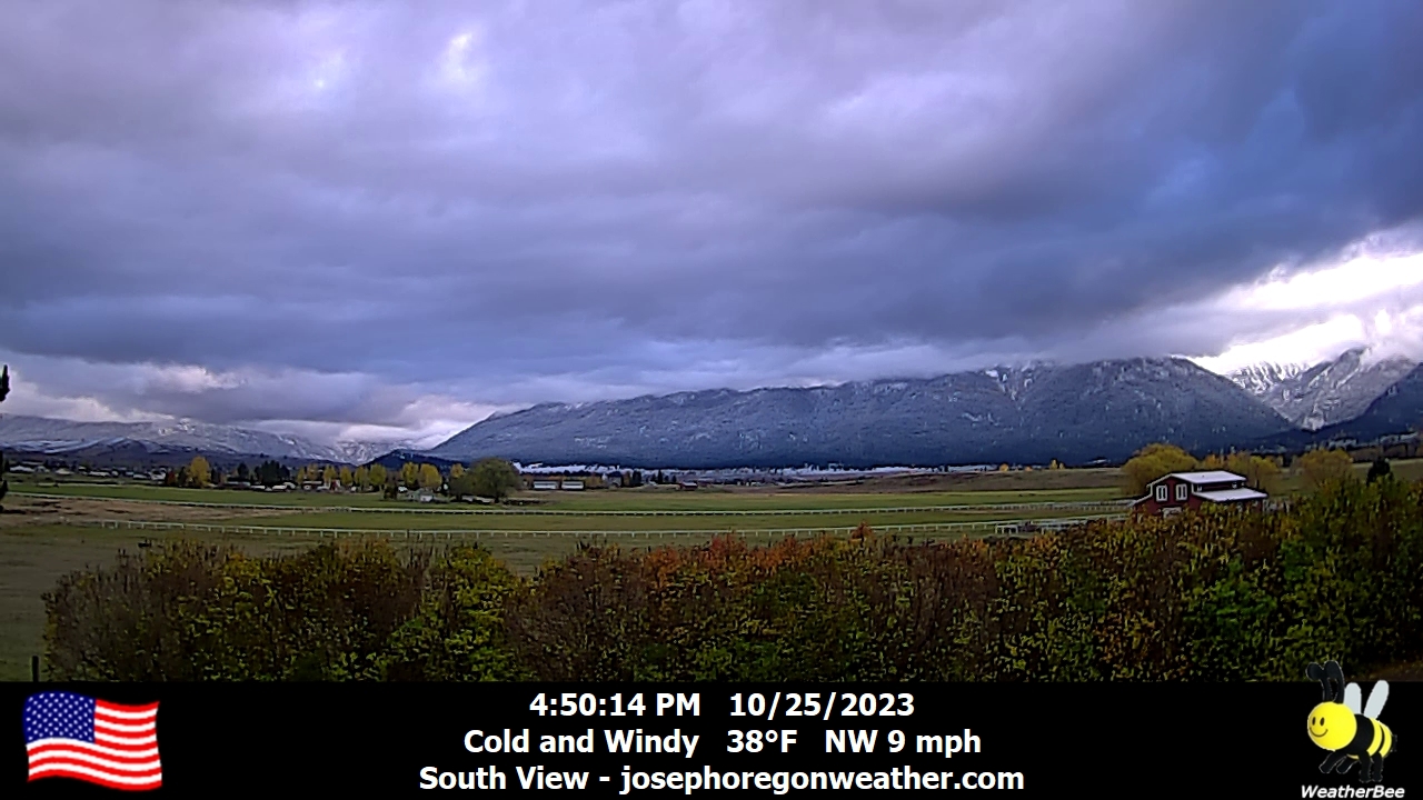
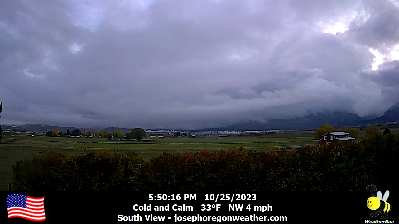
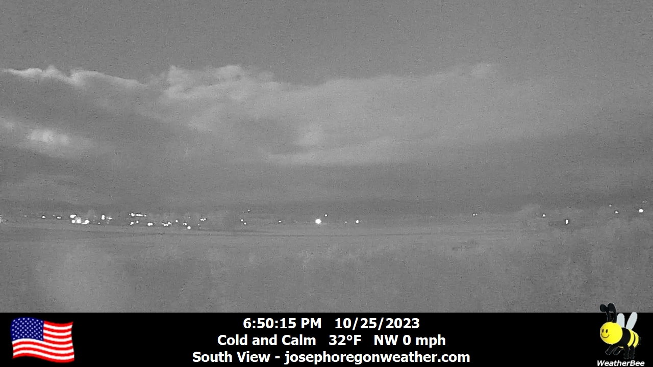
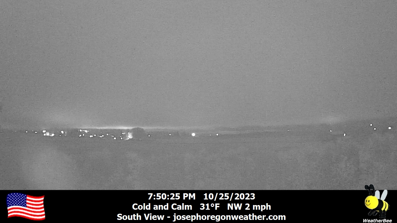
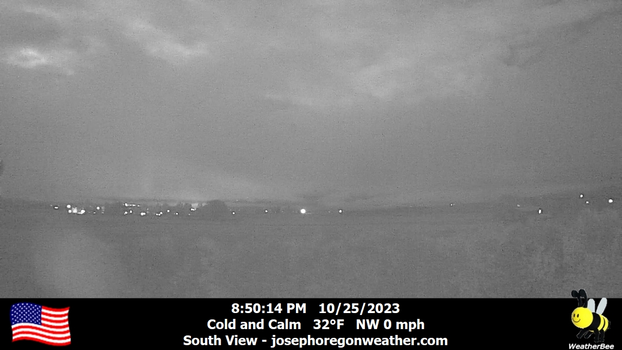
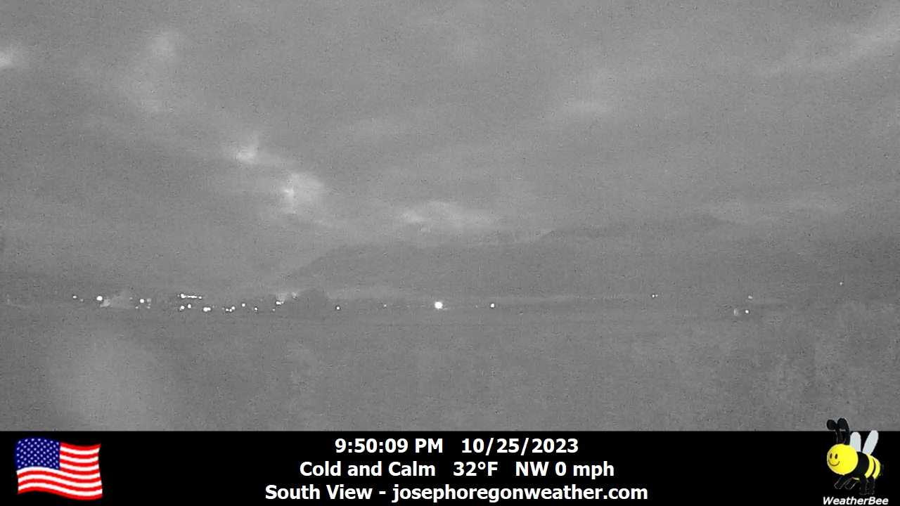
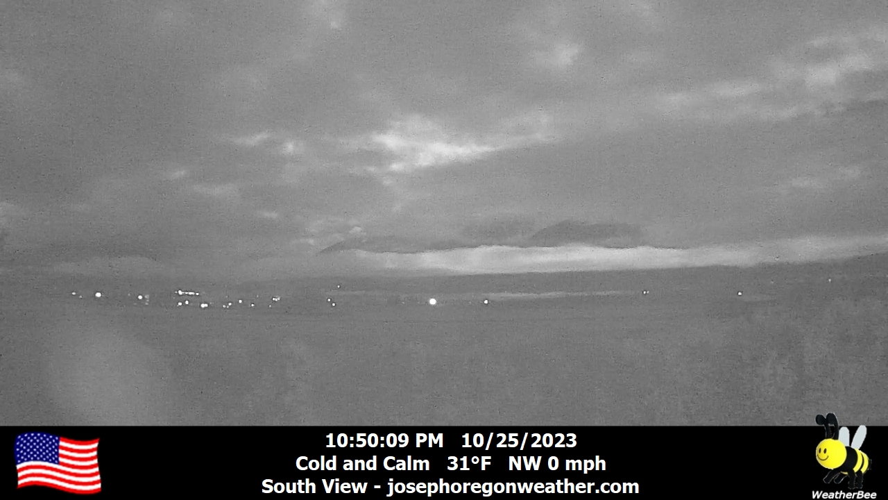
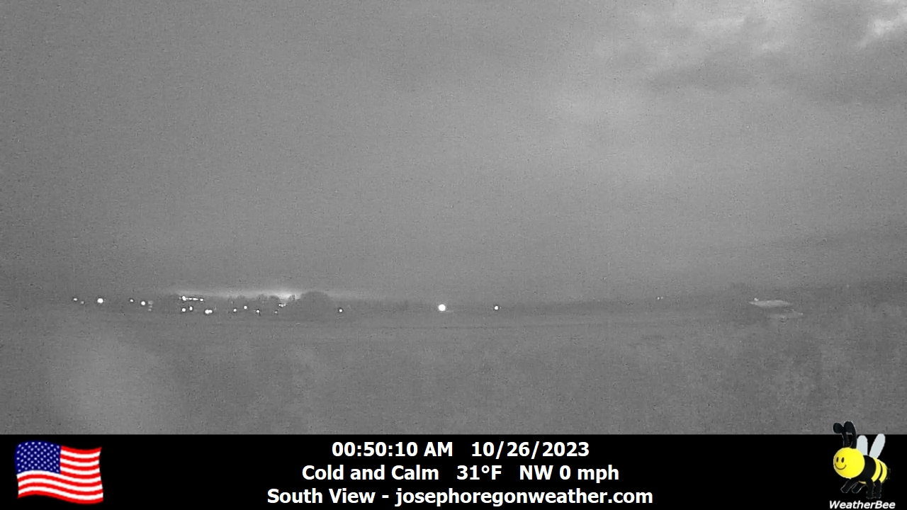
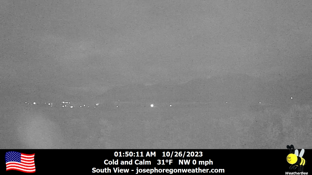
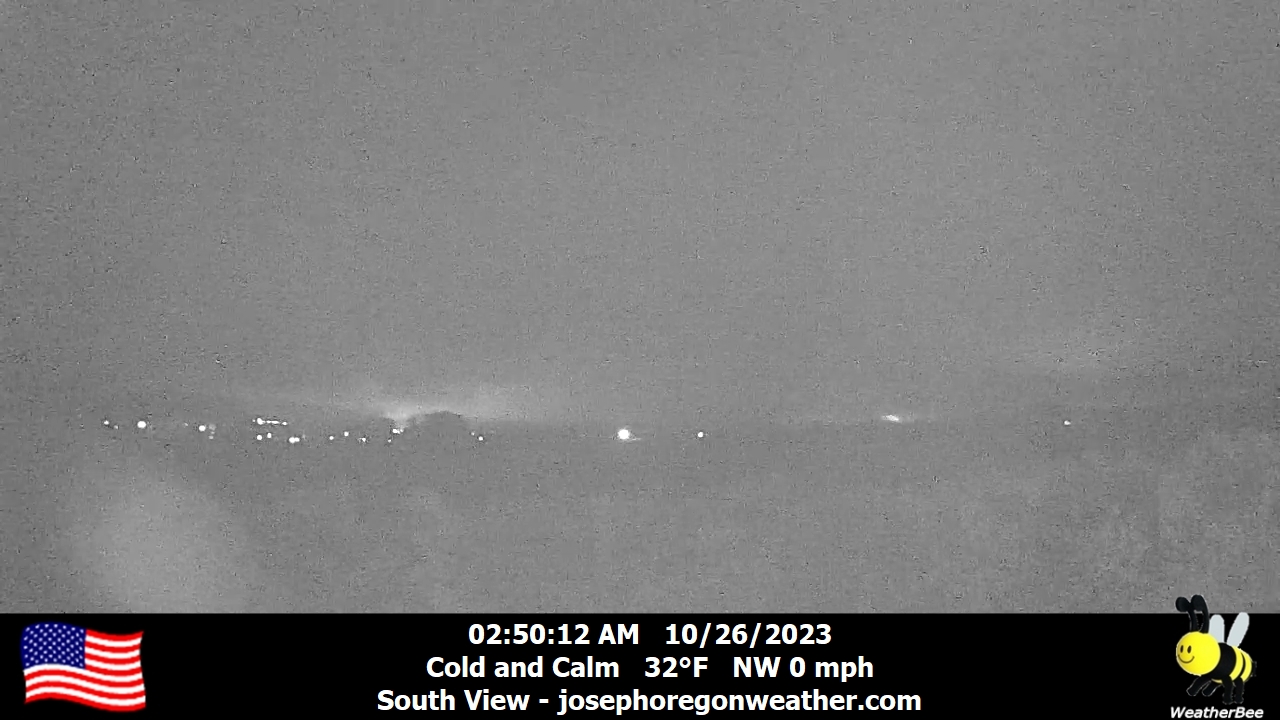
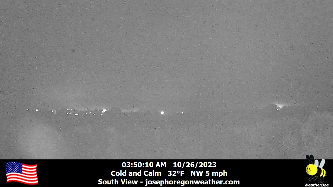
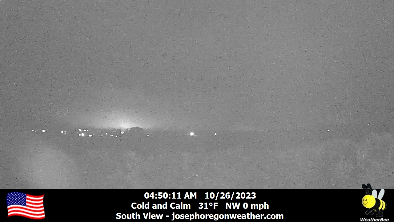
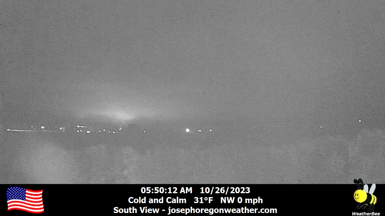
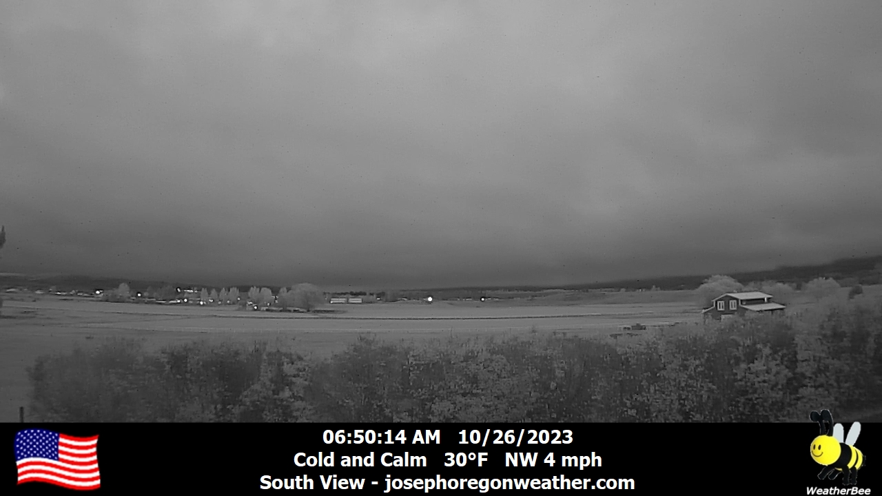
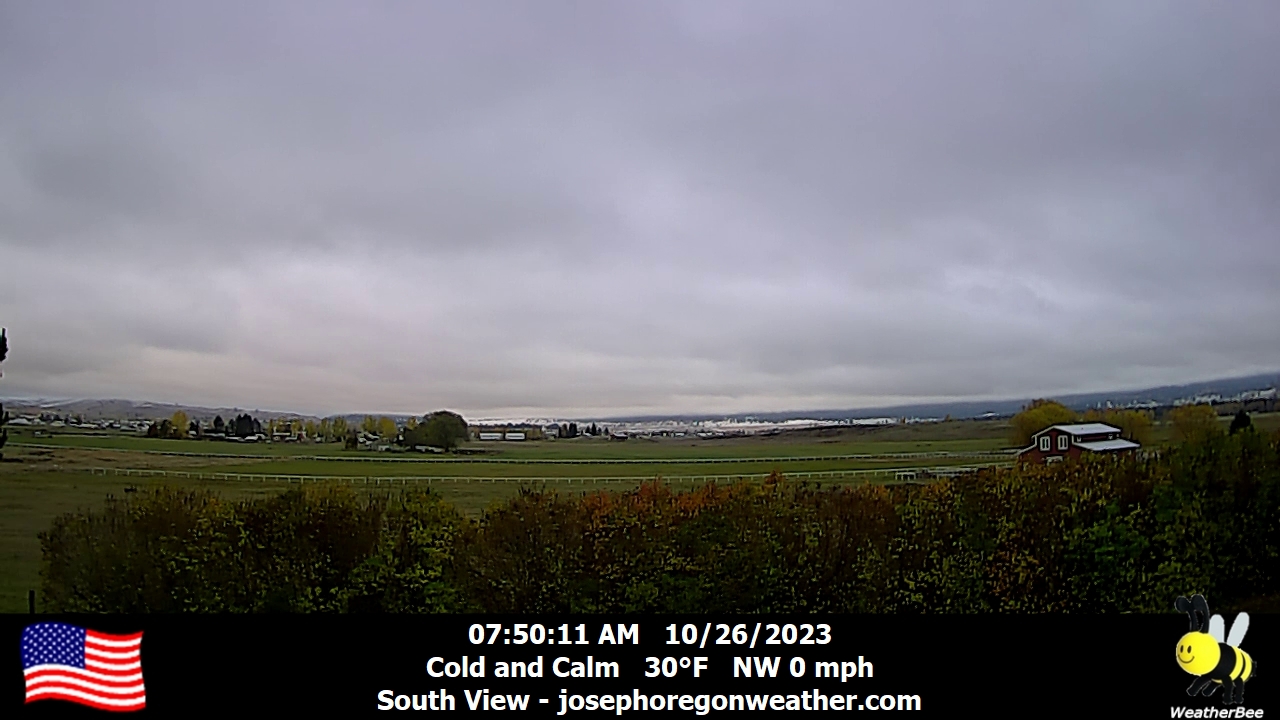
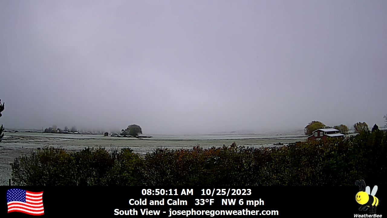
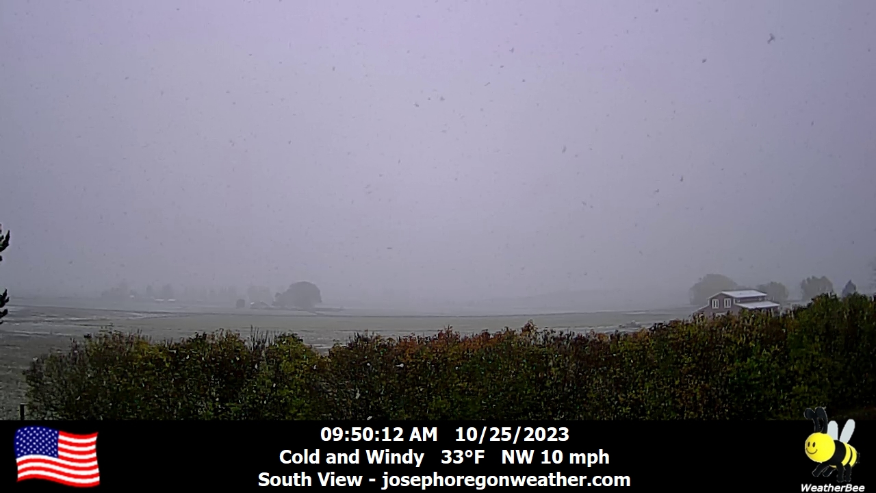
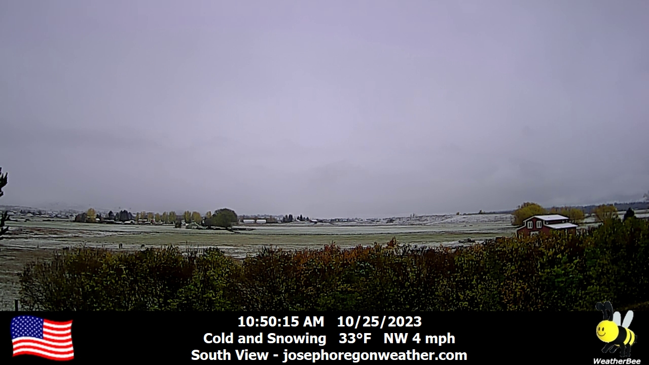
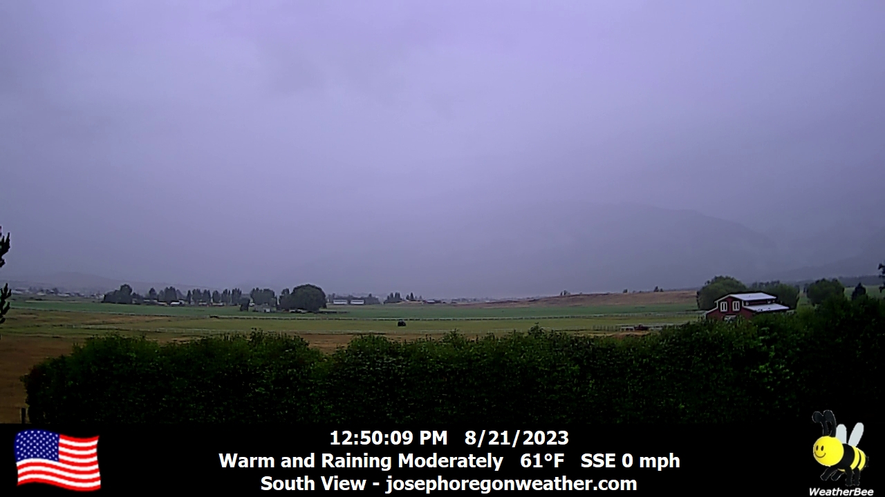
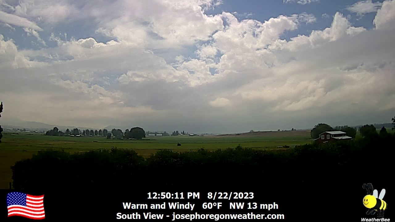
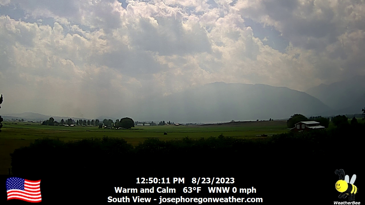
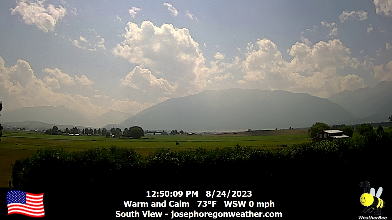
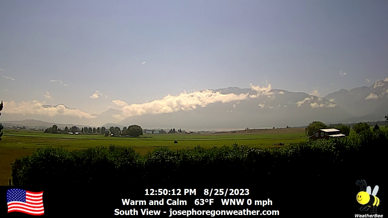
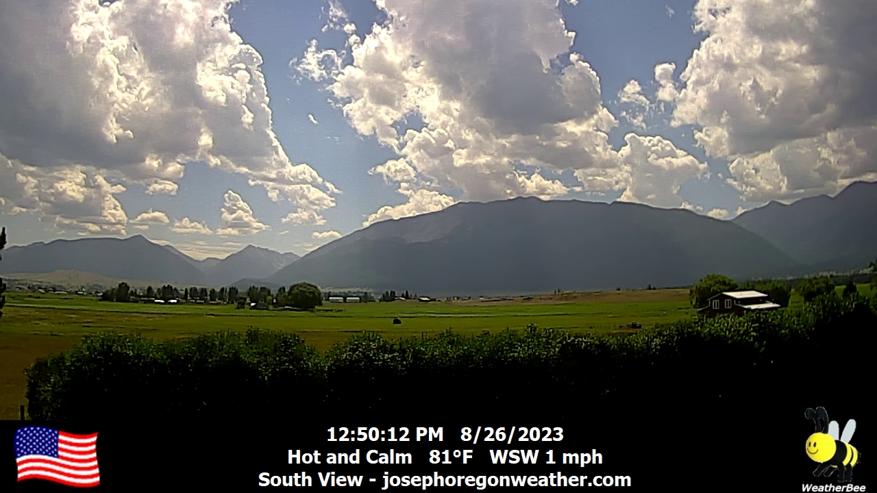
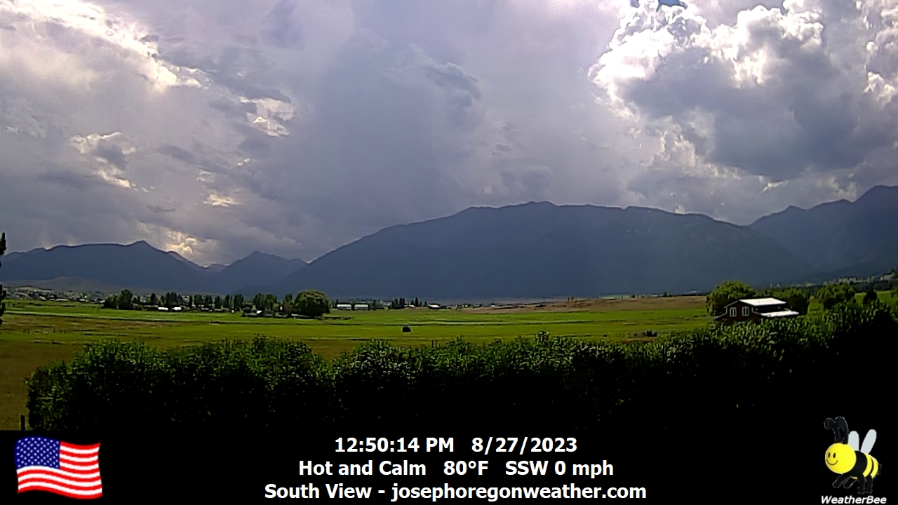
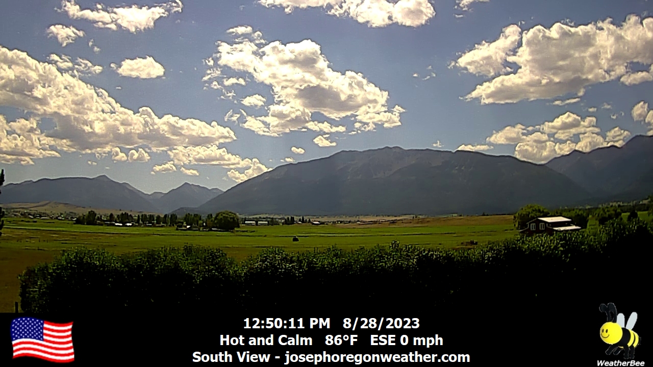
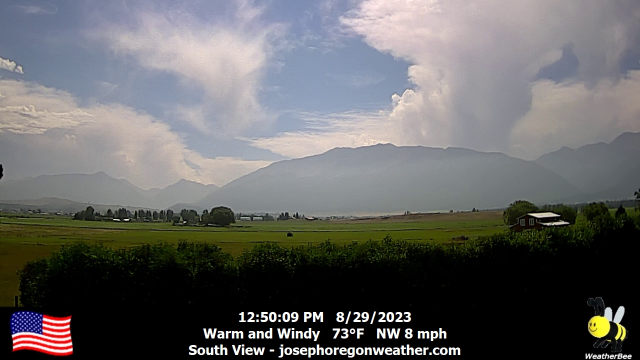
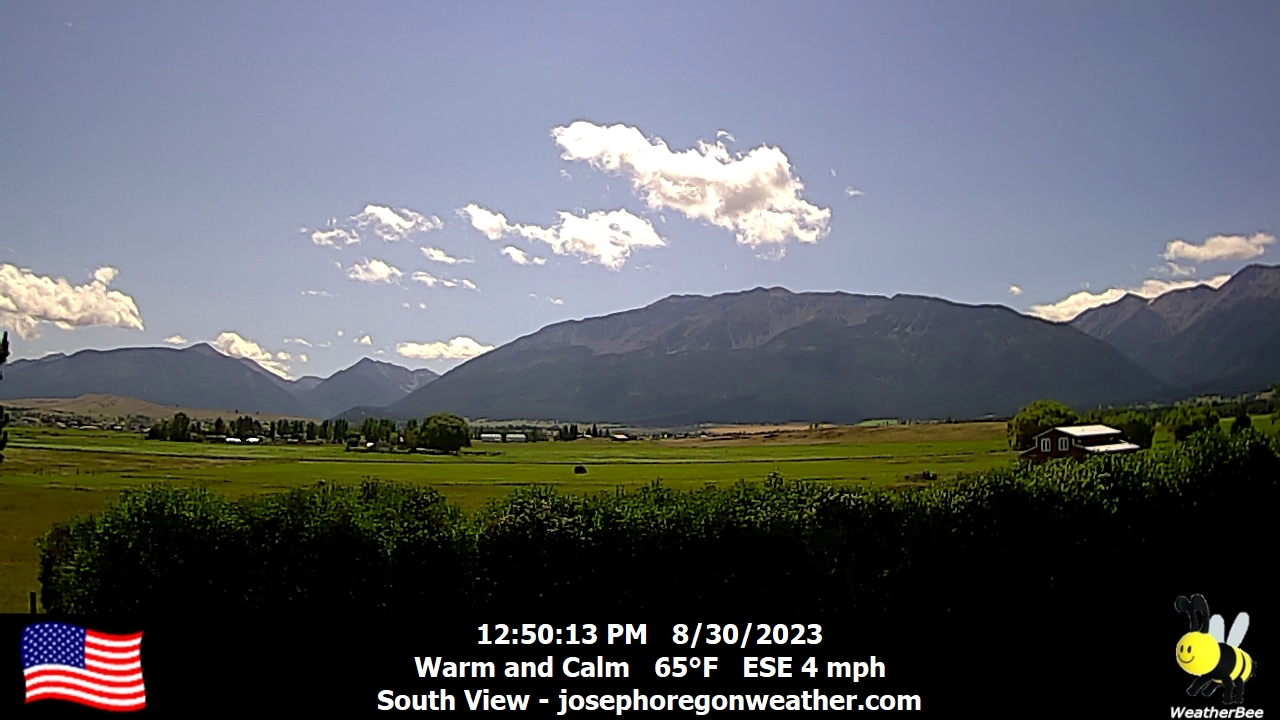
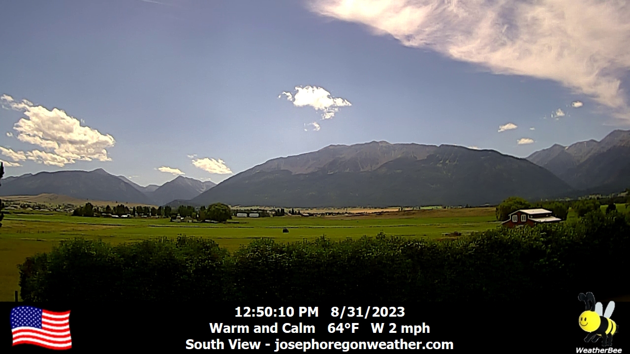
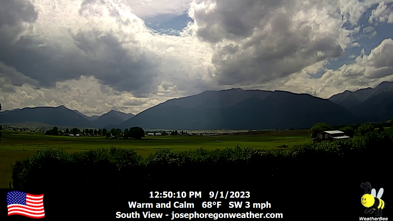
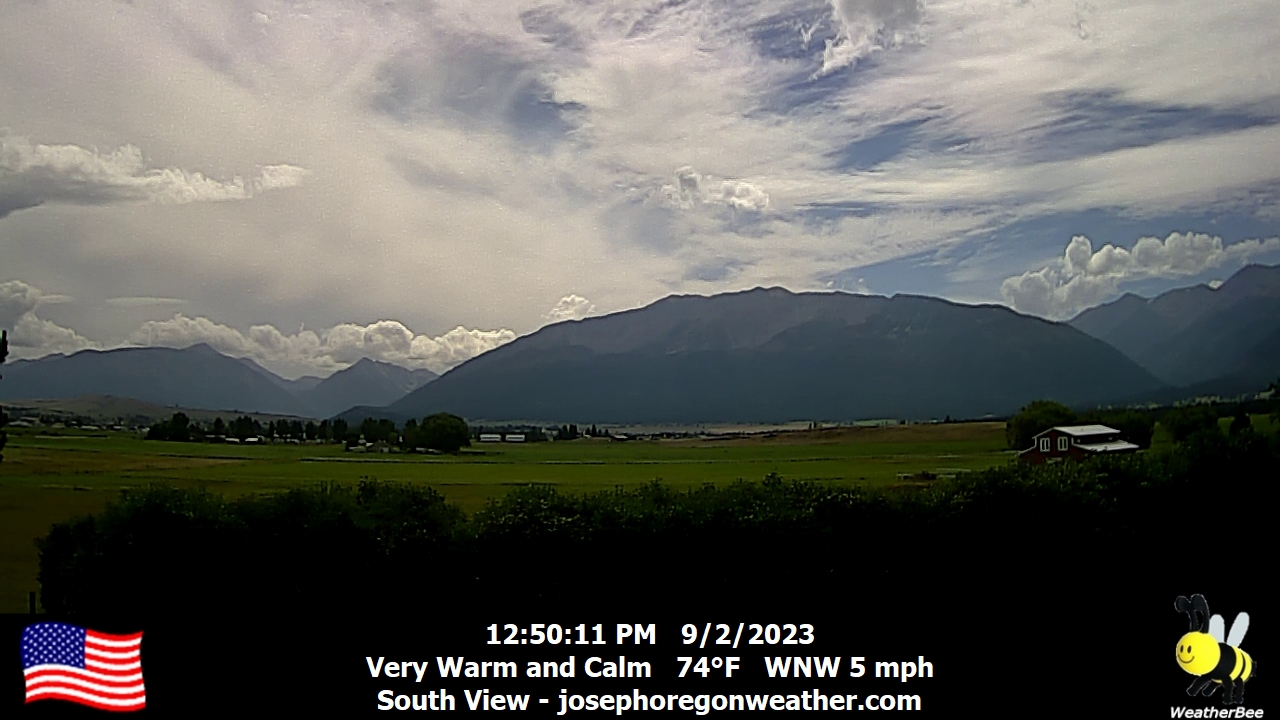
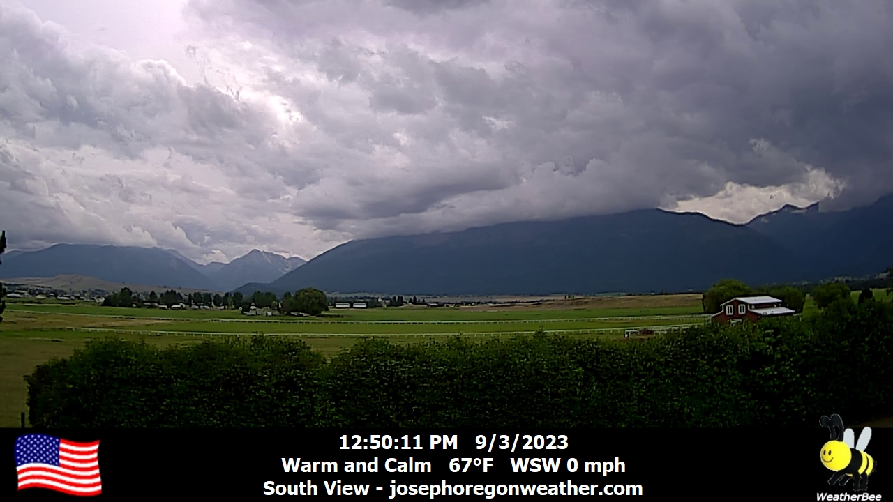
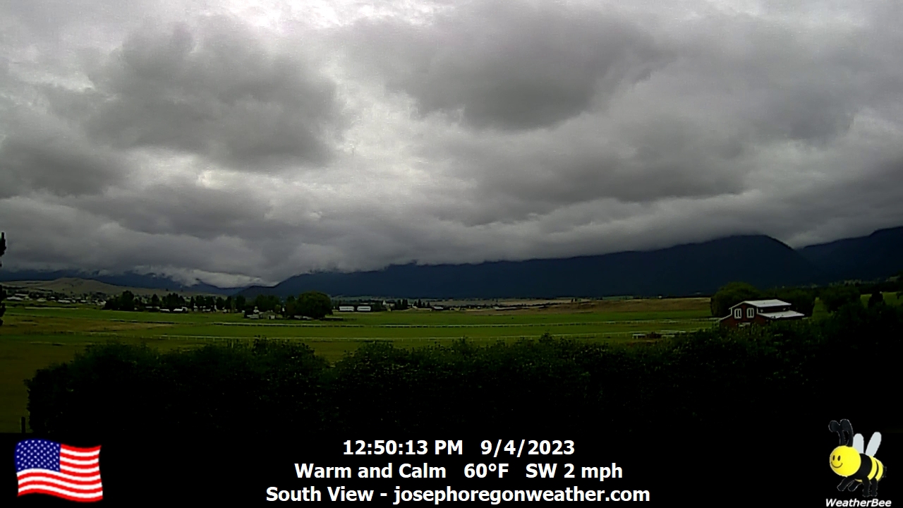
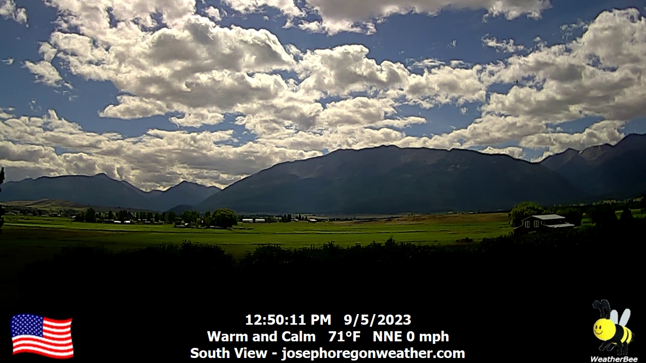
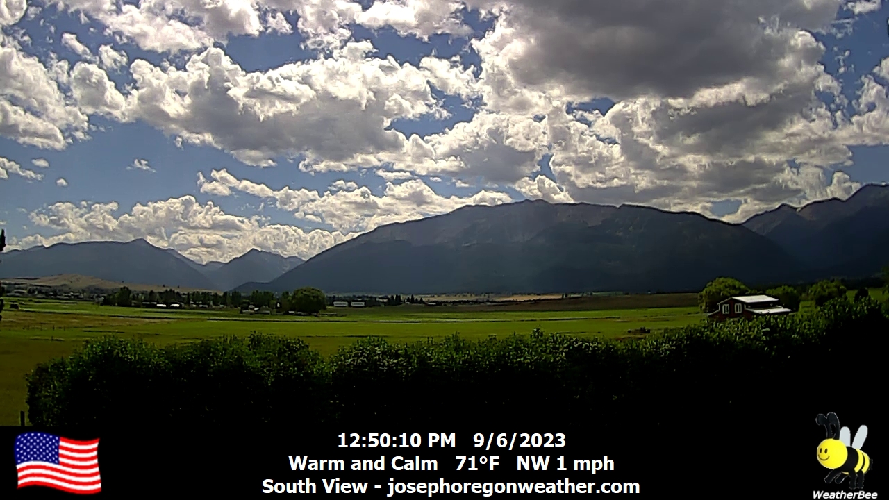
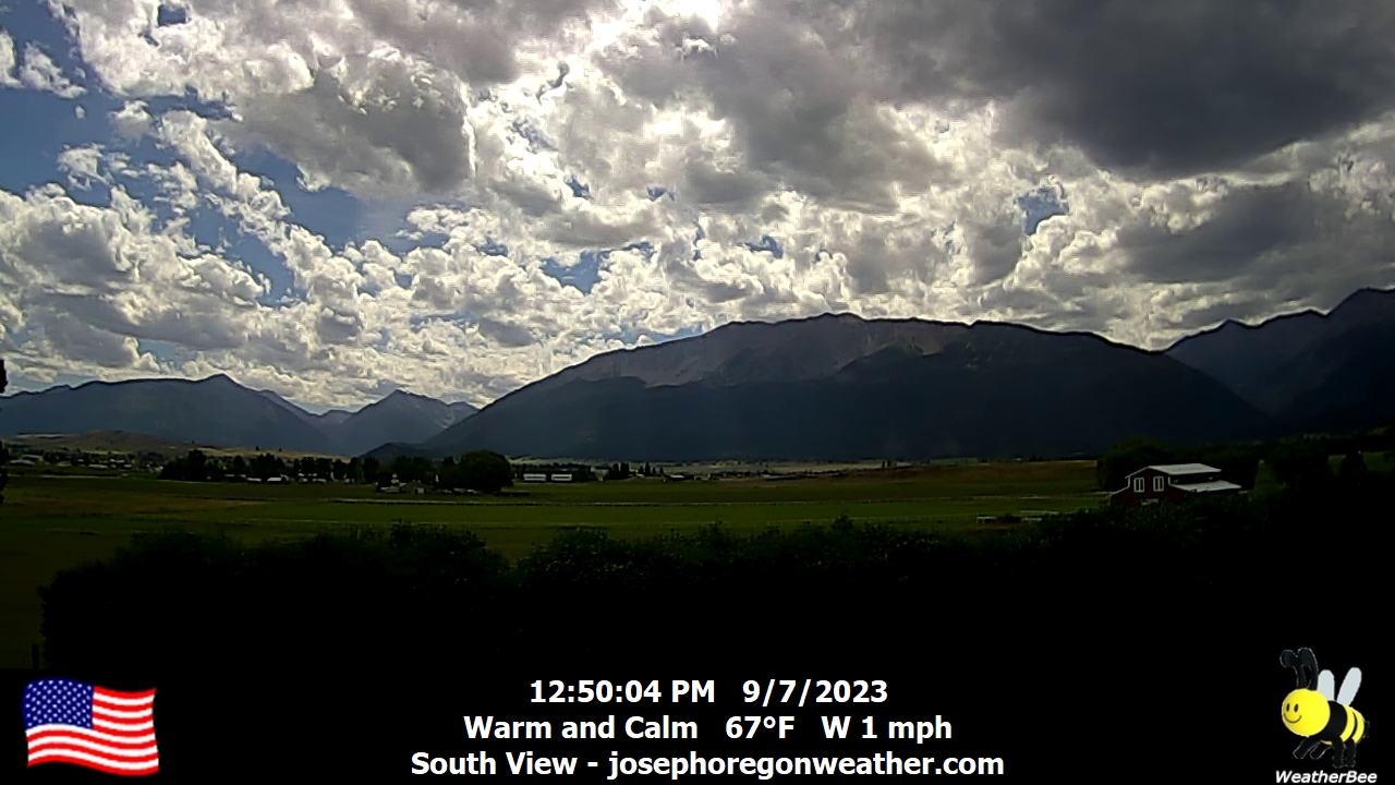
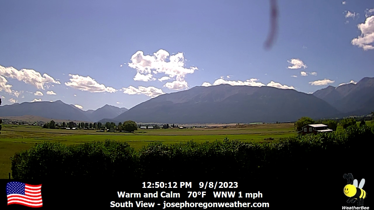
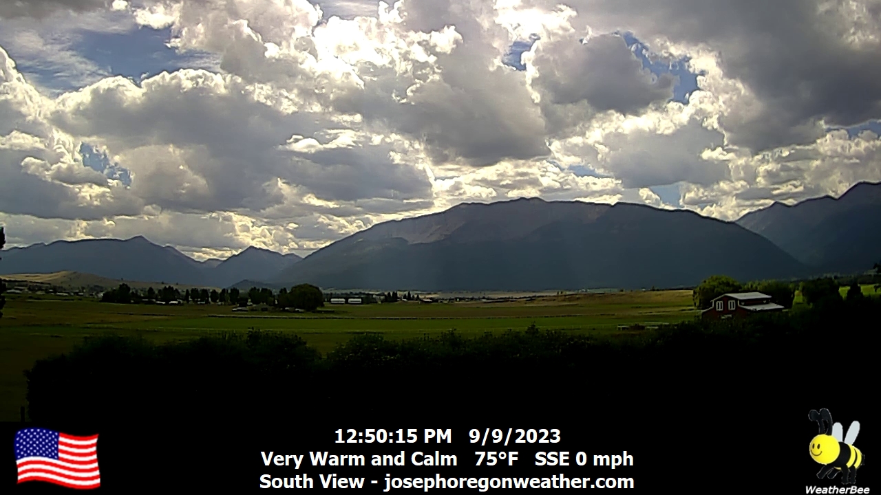
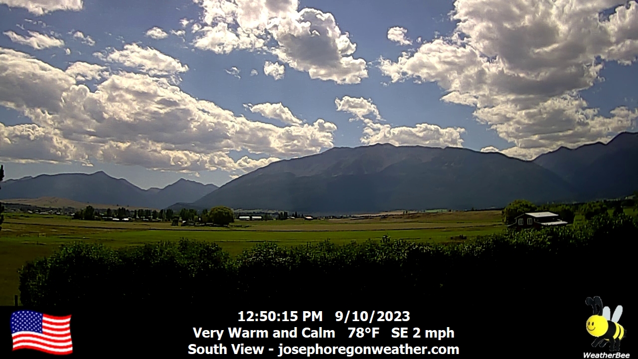
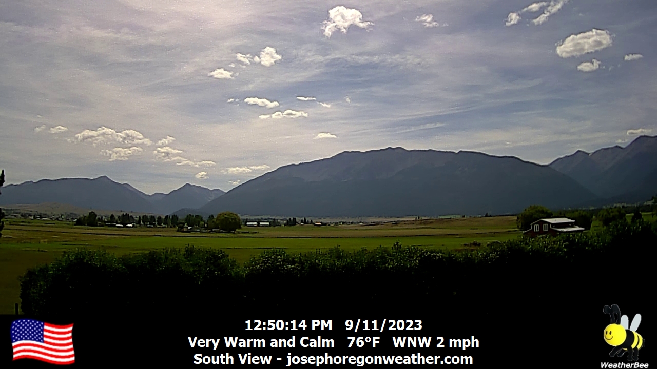
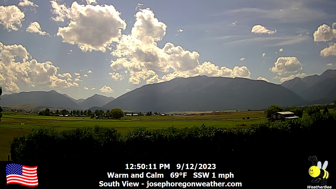
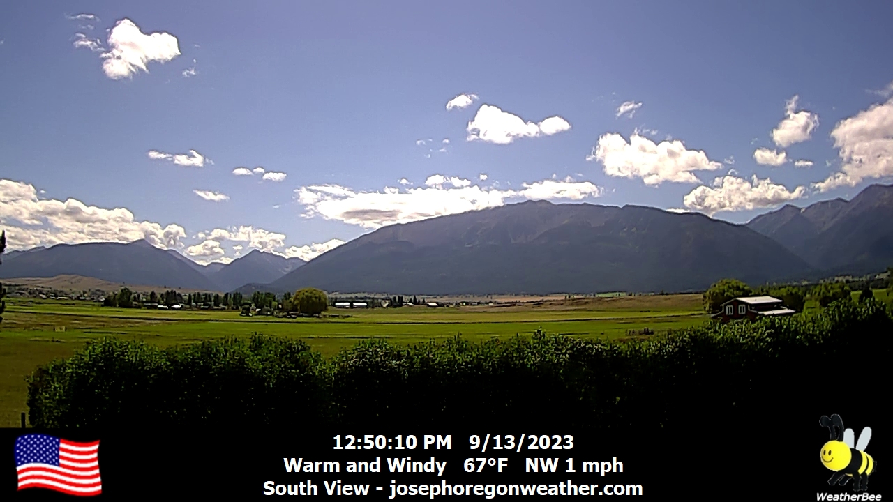
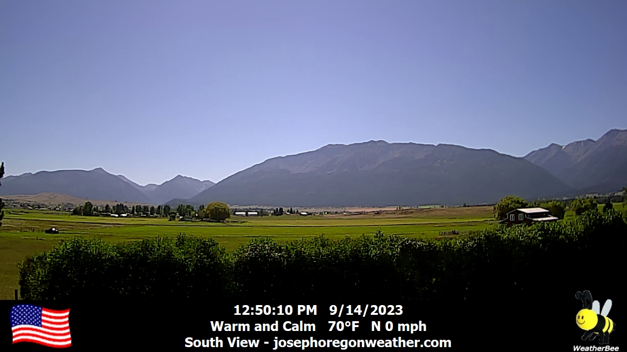
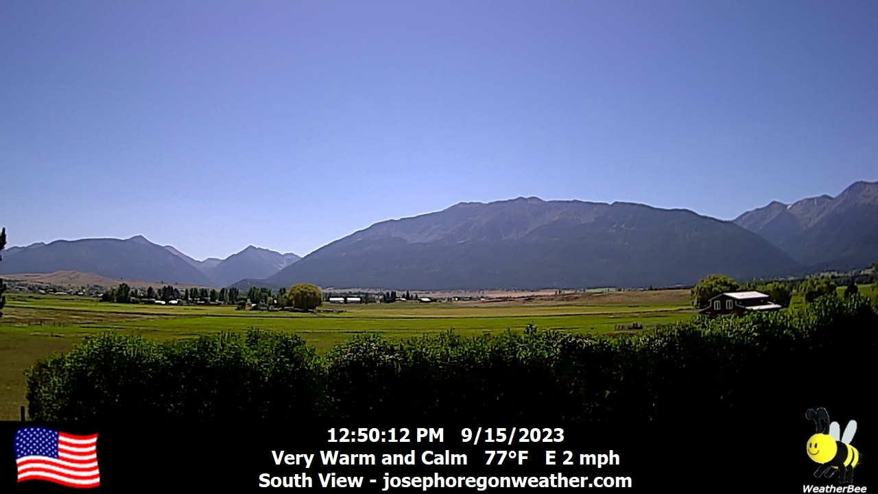
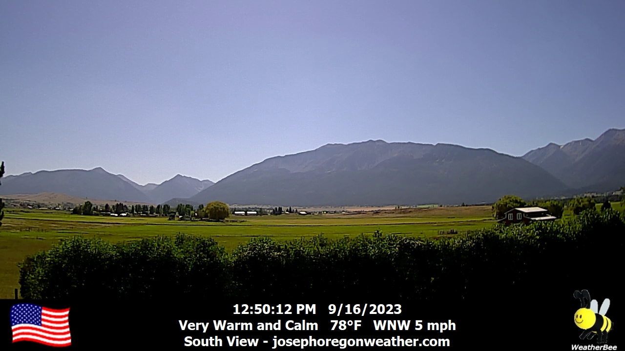
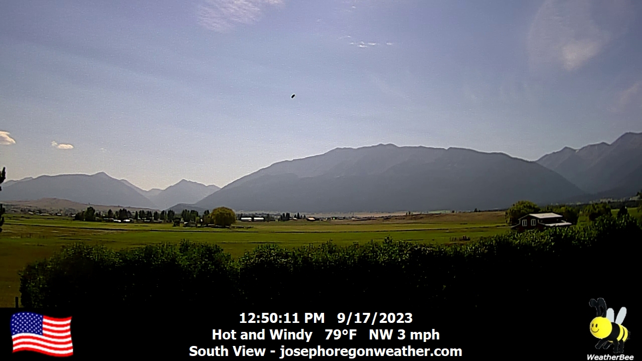
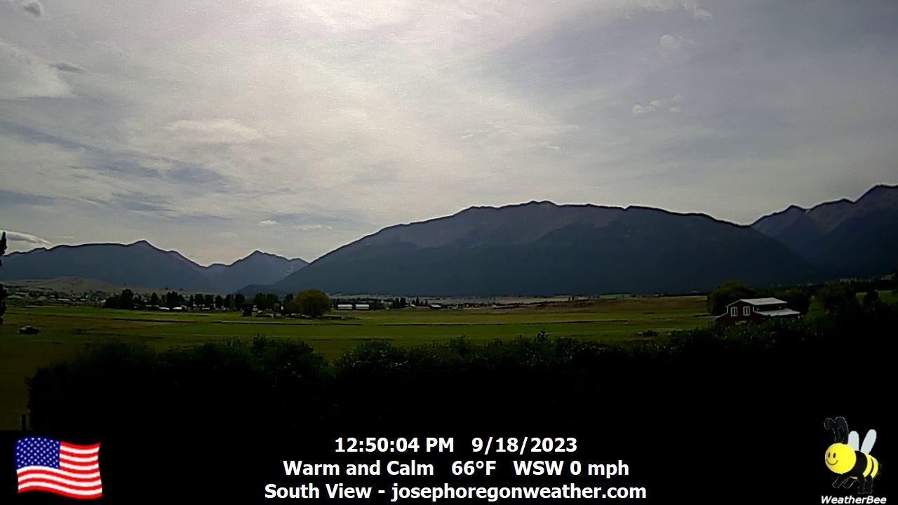
Joseph, Oregon, USA - 54 miles from Conner Creek (historical): Joseph Oregon Weather - A view of the Wallowa Mountains from Joseph, Oregon - with current weather data.
Operator: Joseph Oregon Weather
Operator: Joseph Oregon Weather


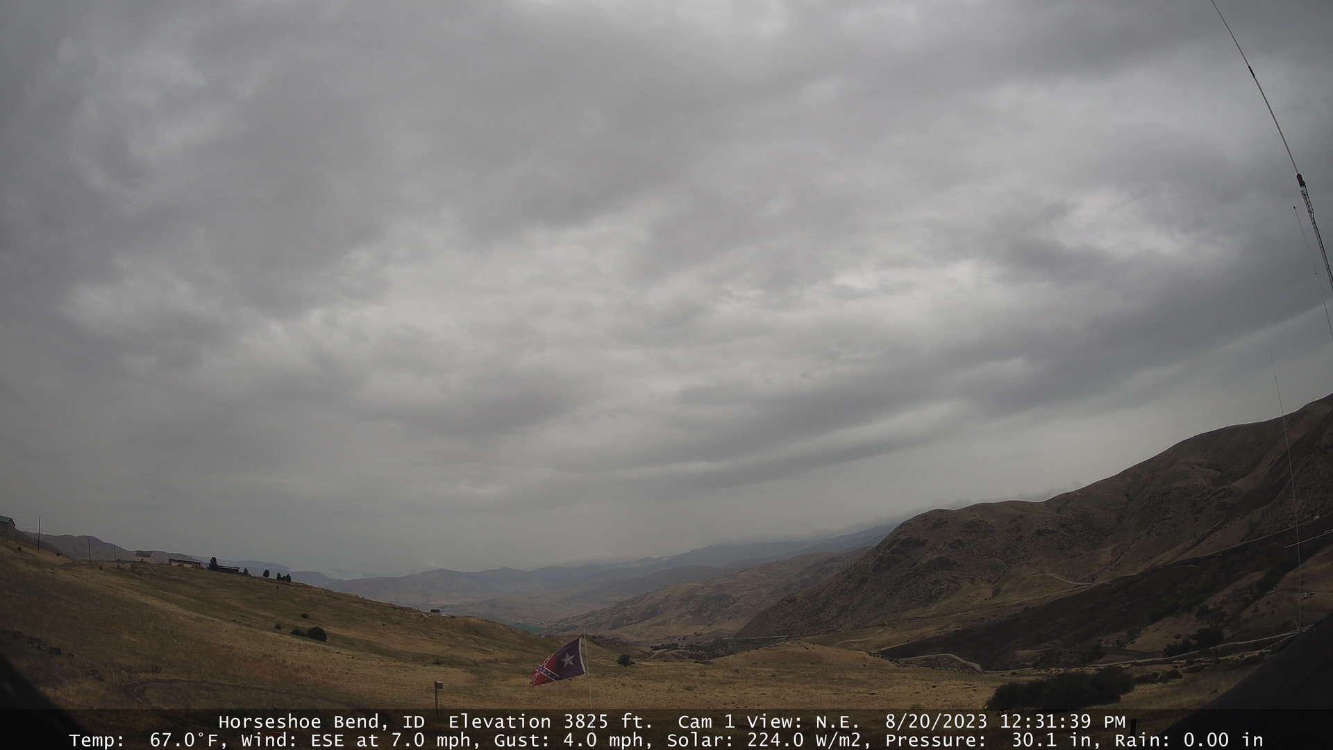
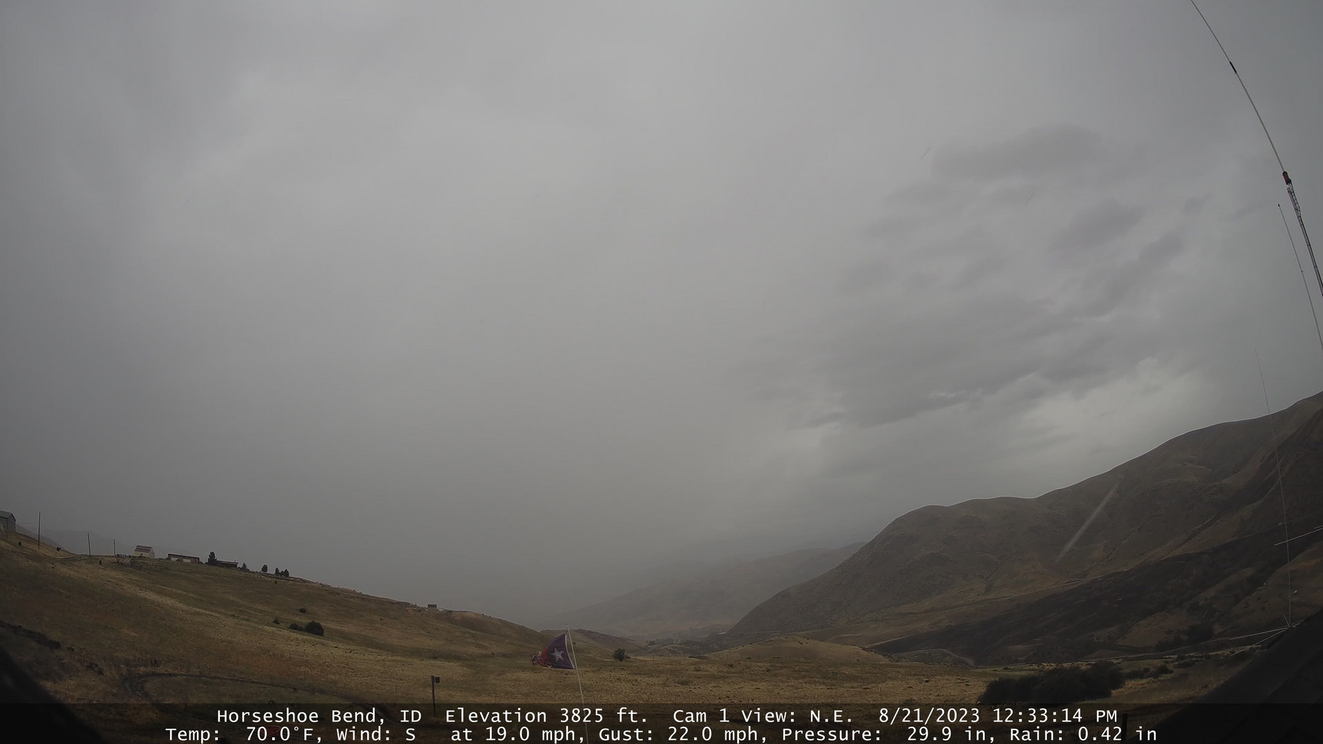
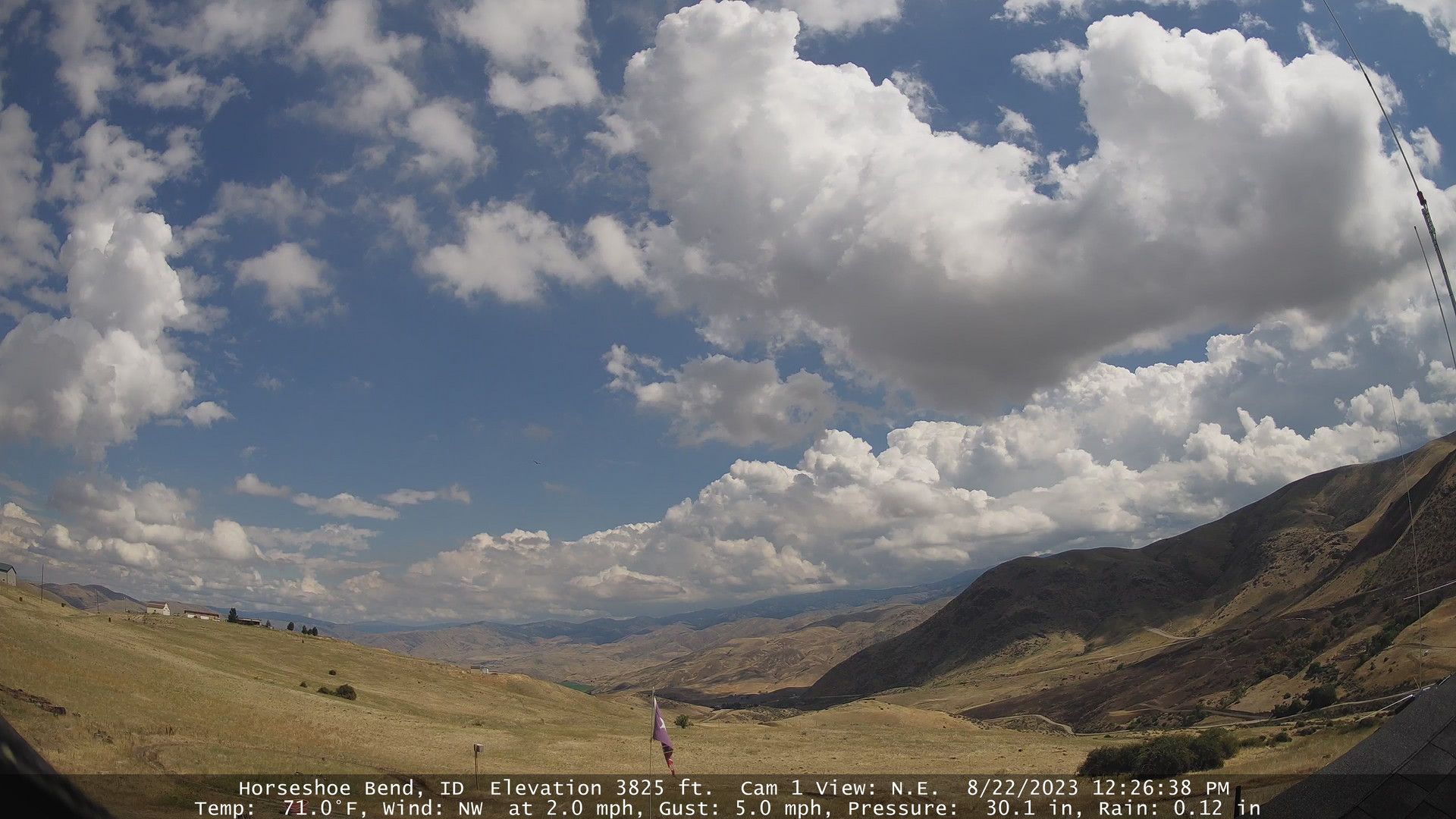
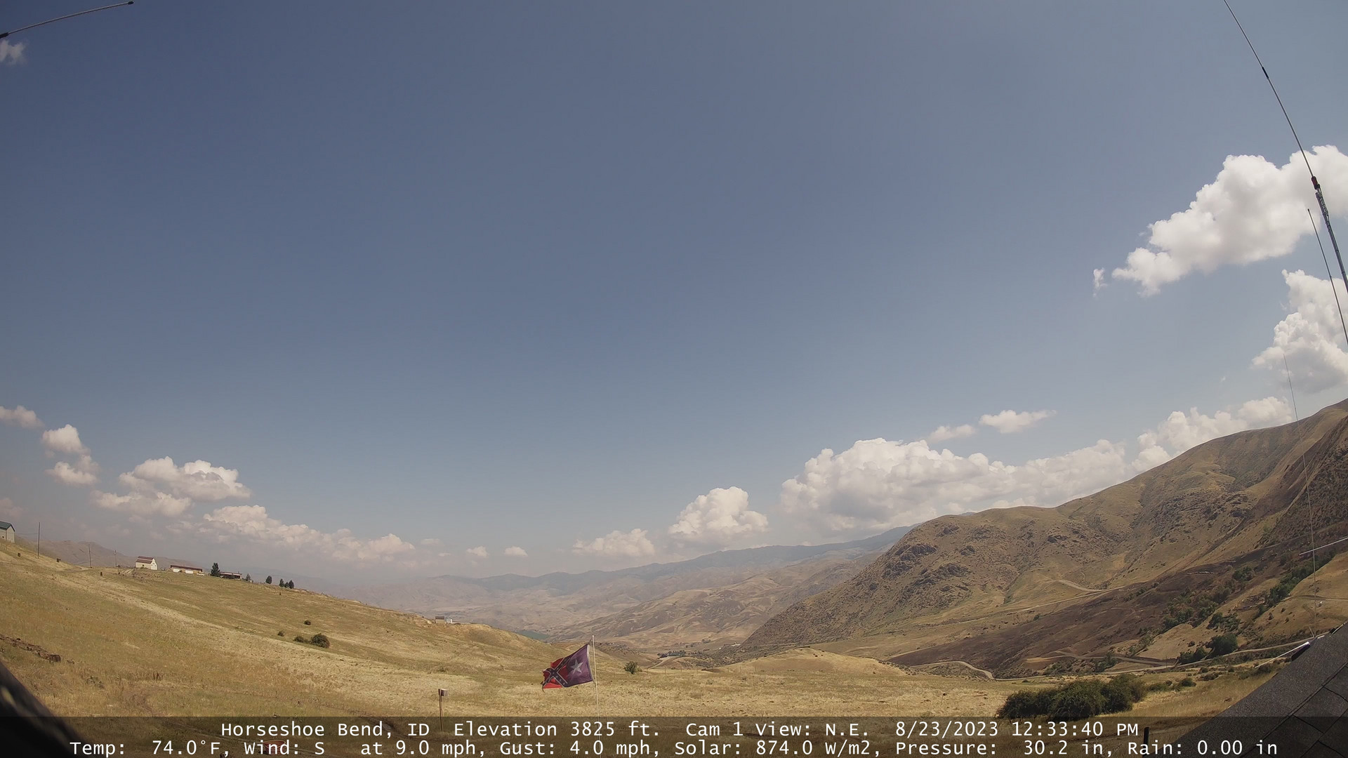
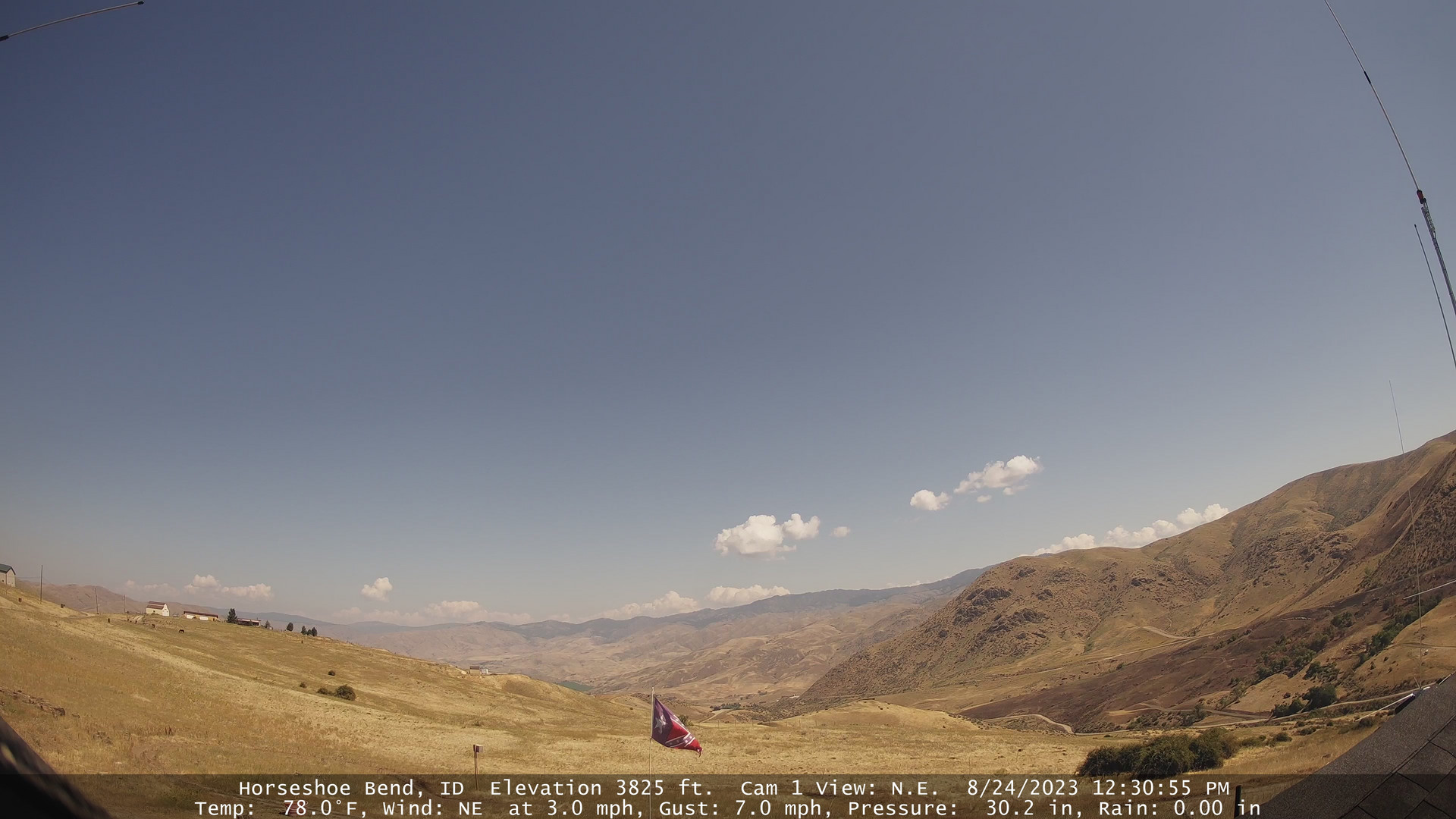
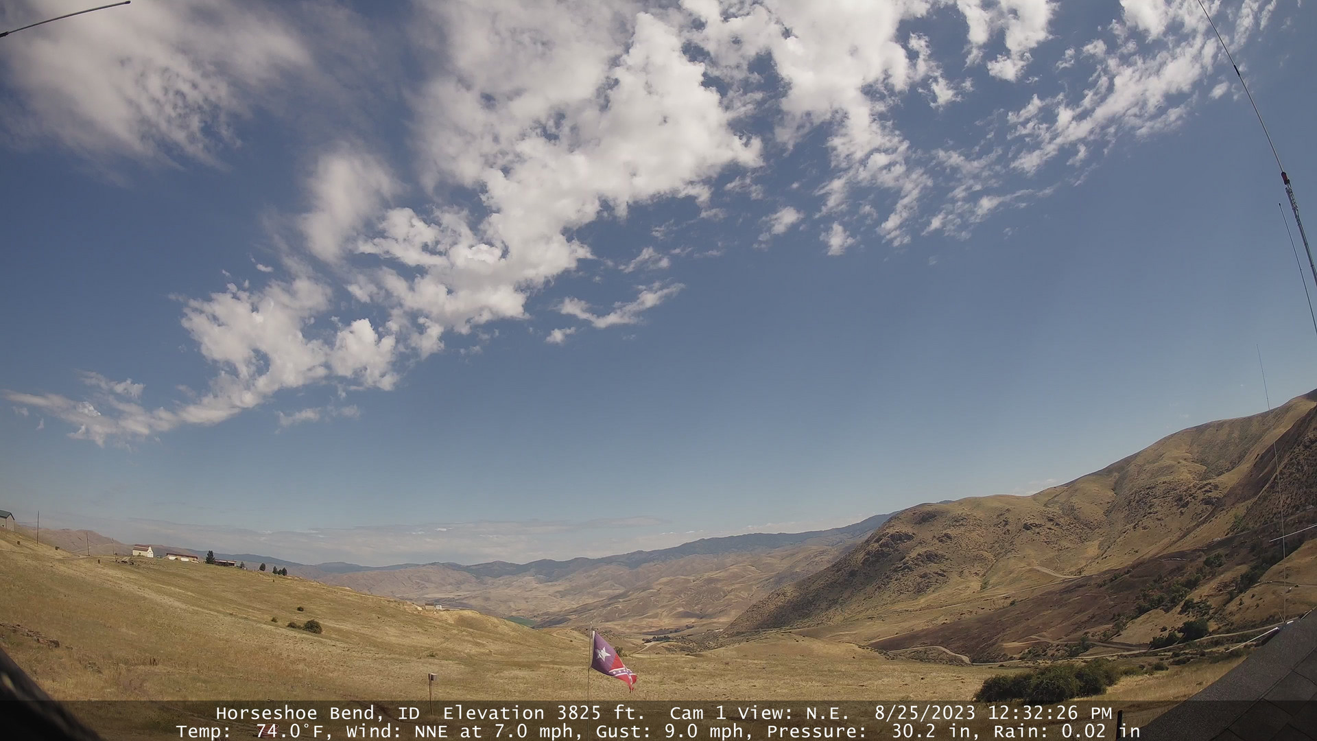
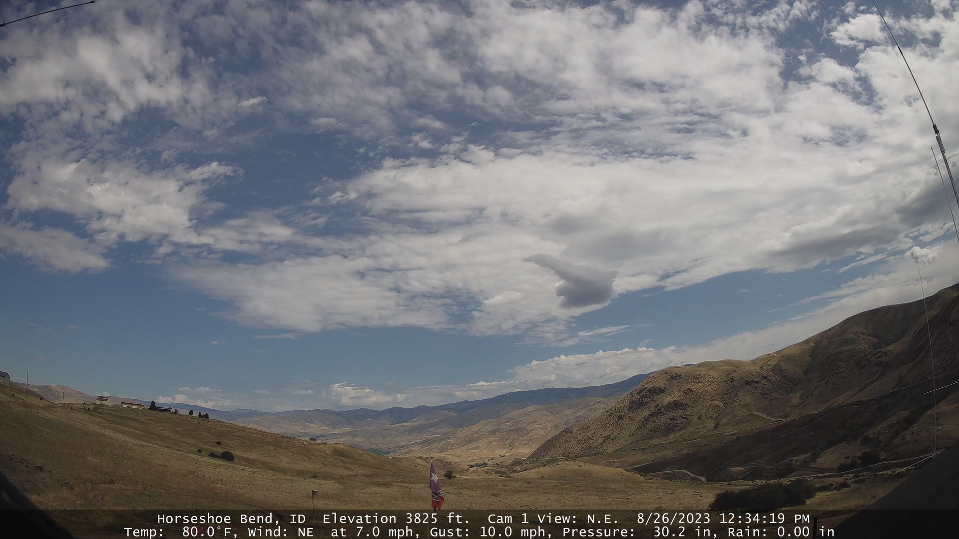
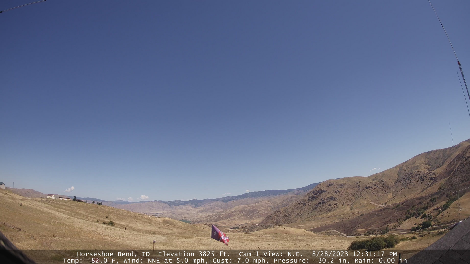
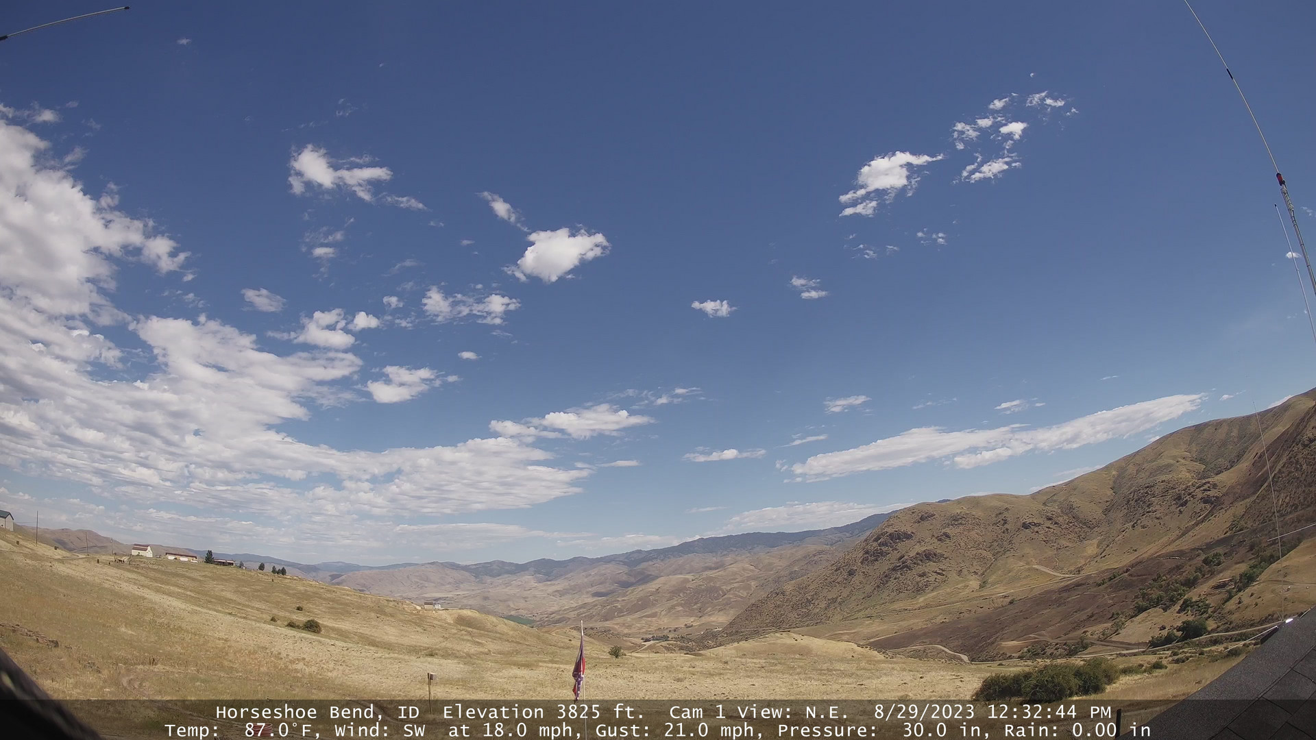
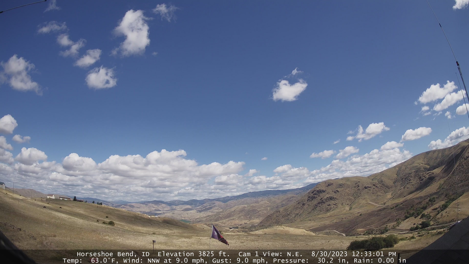
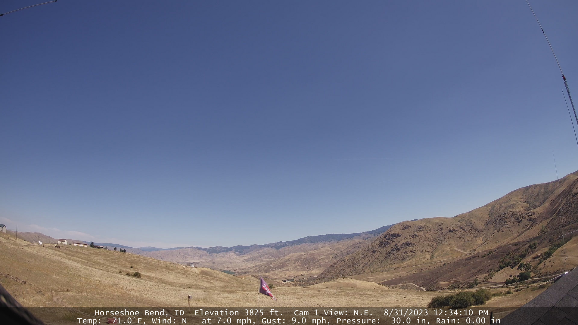
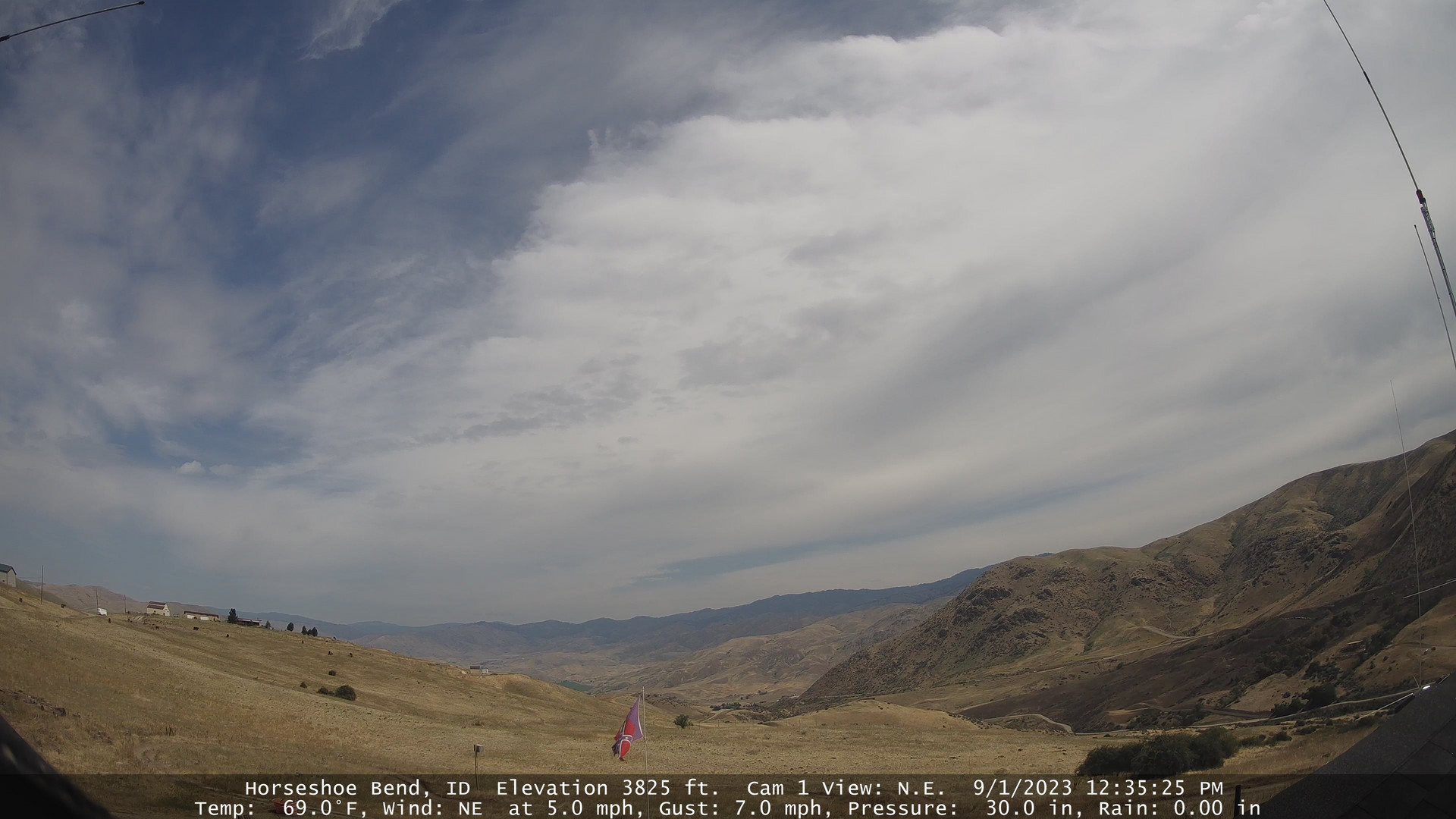
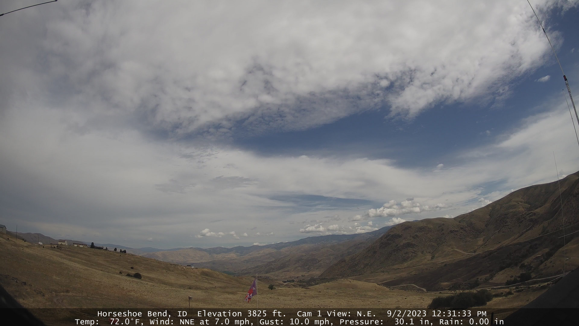
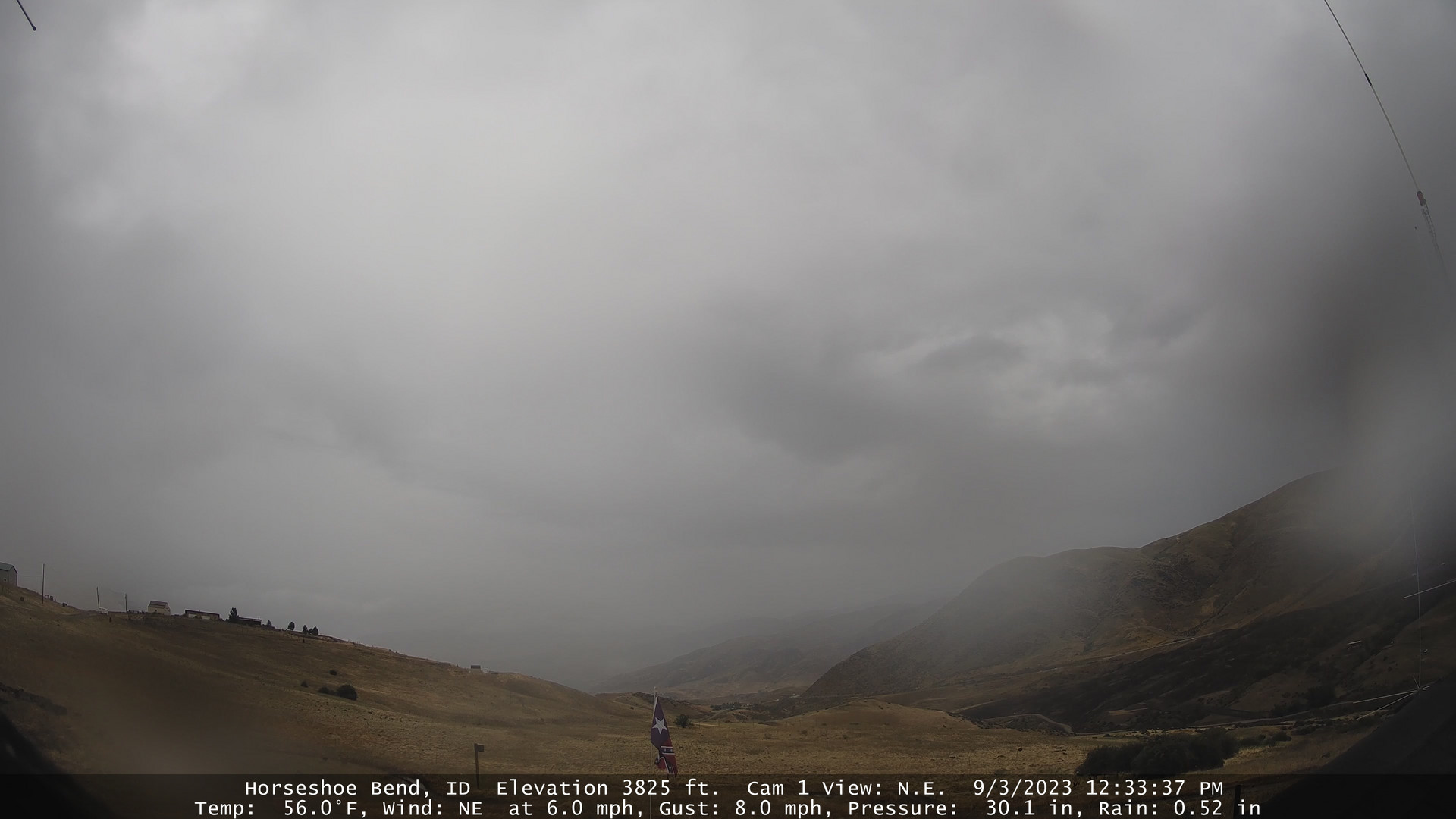
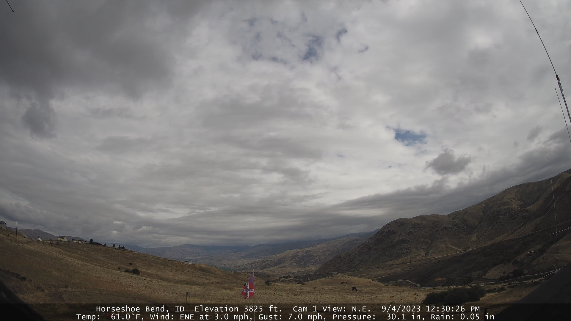
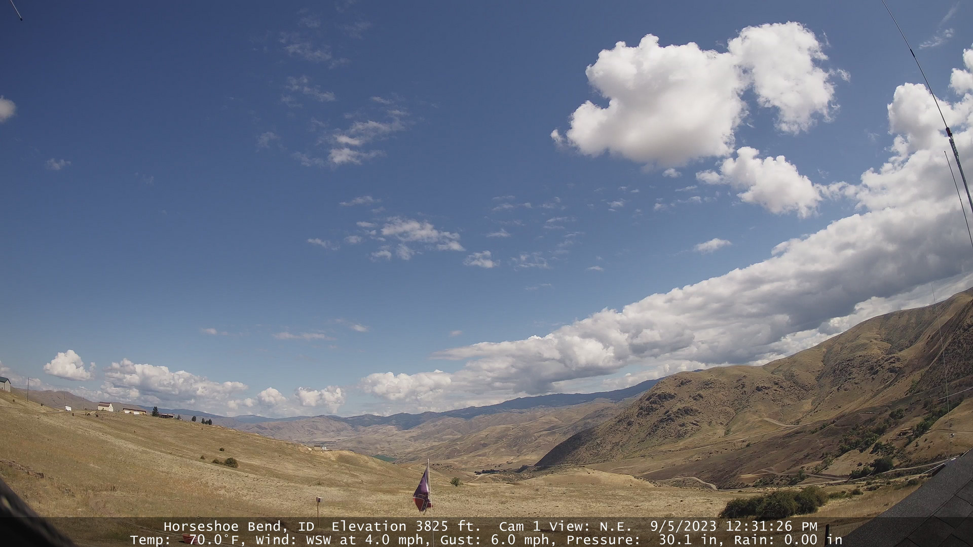
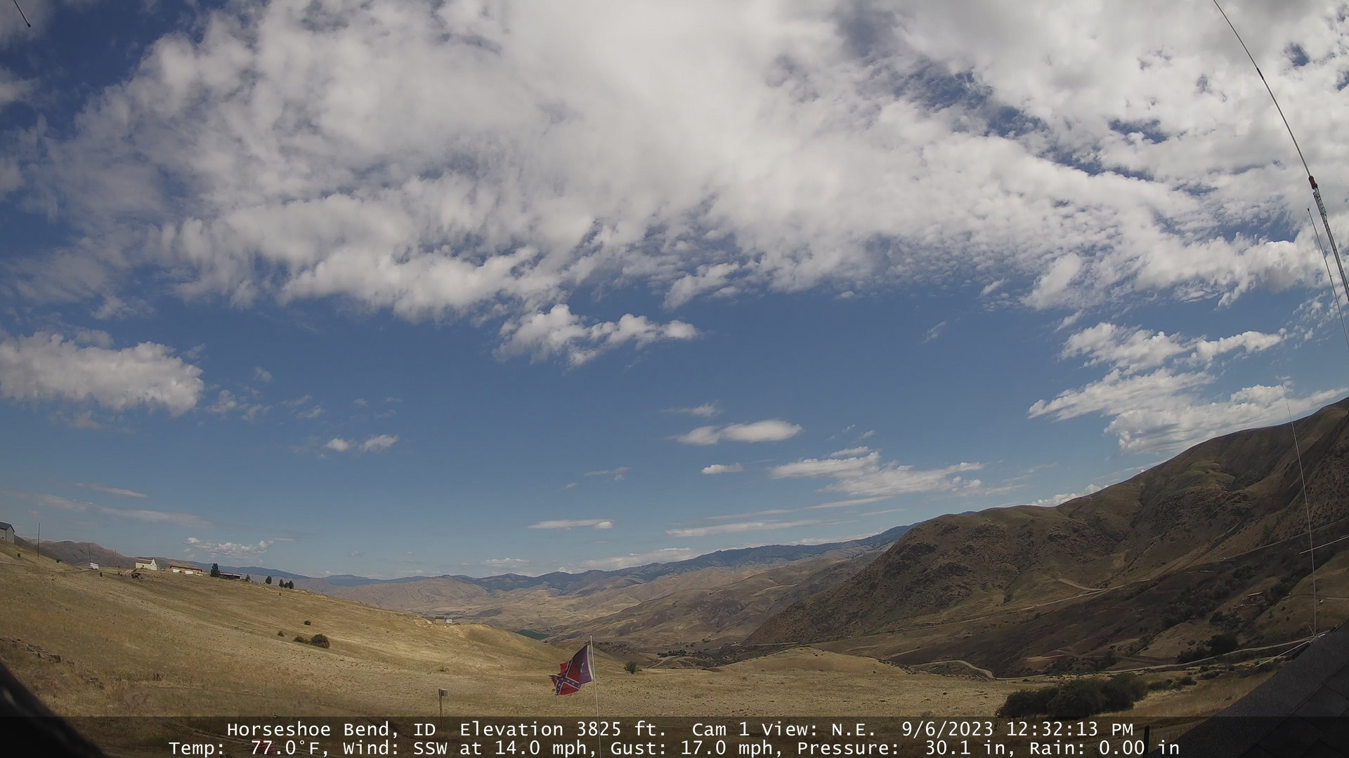
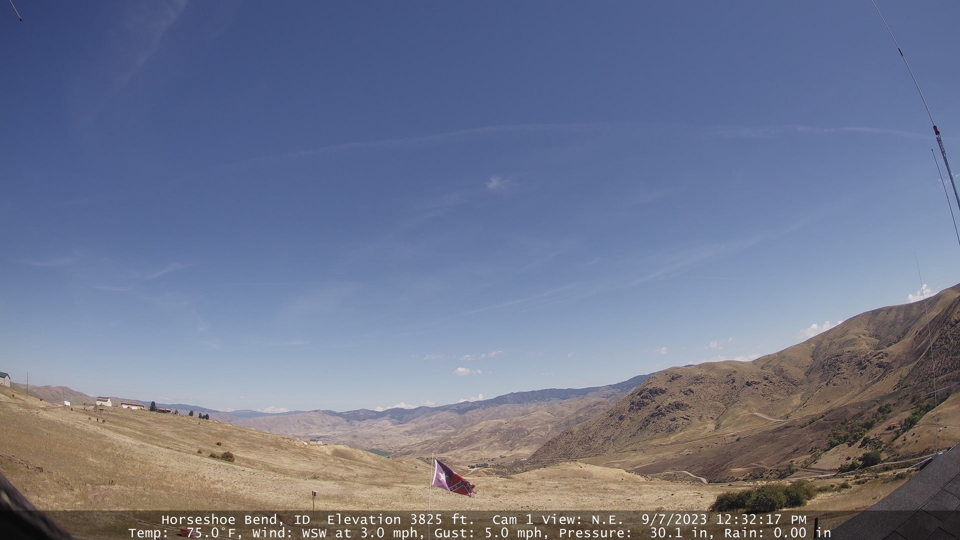
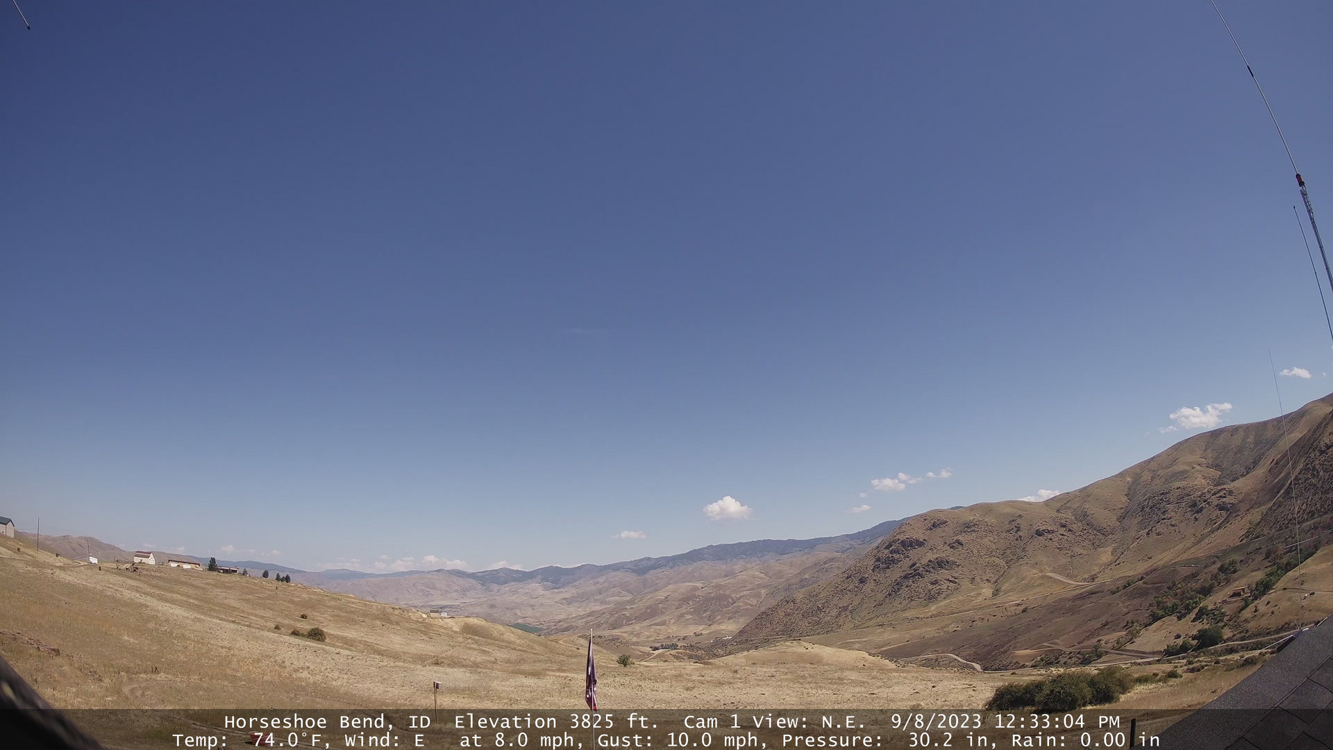
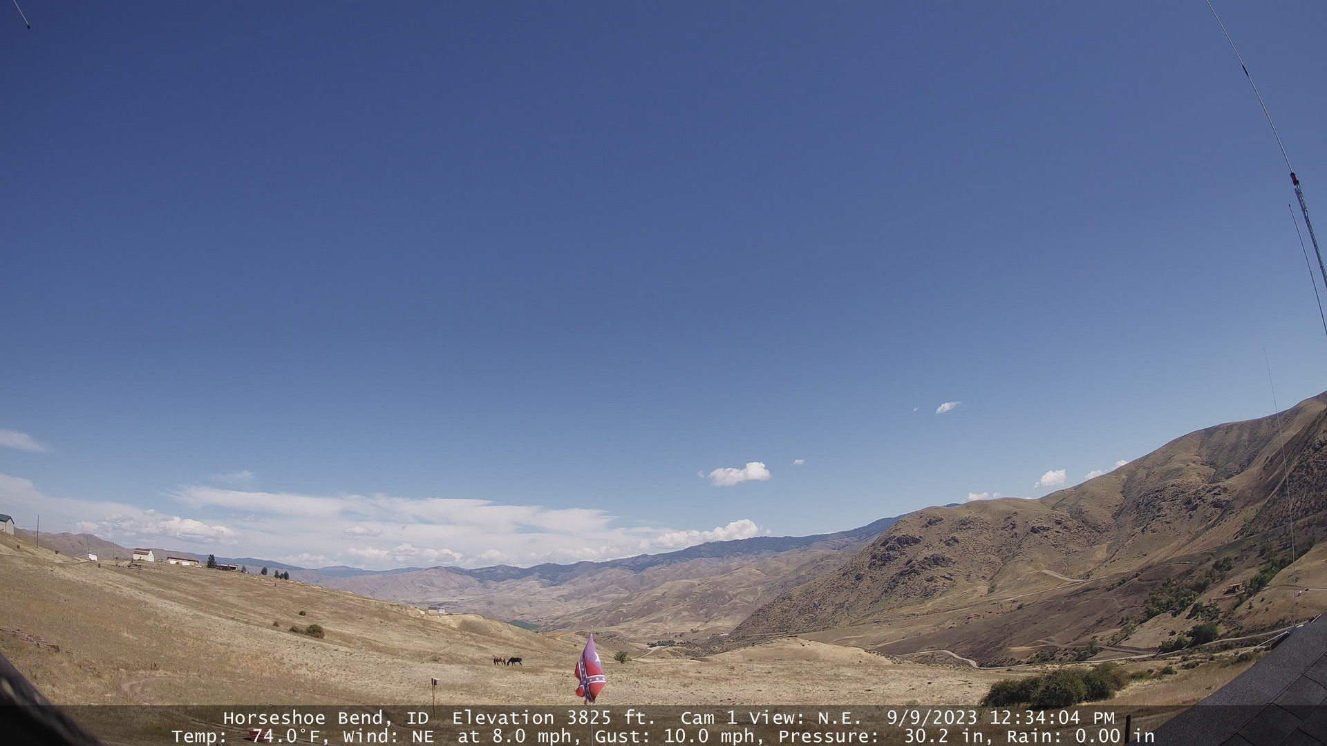
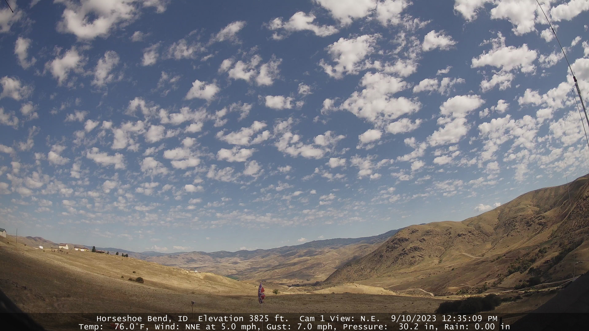
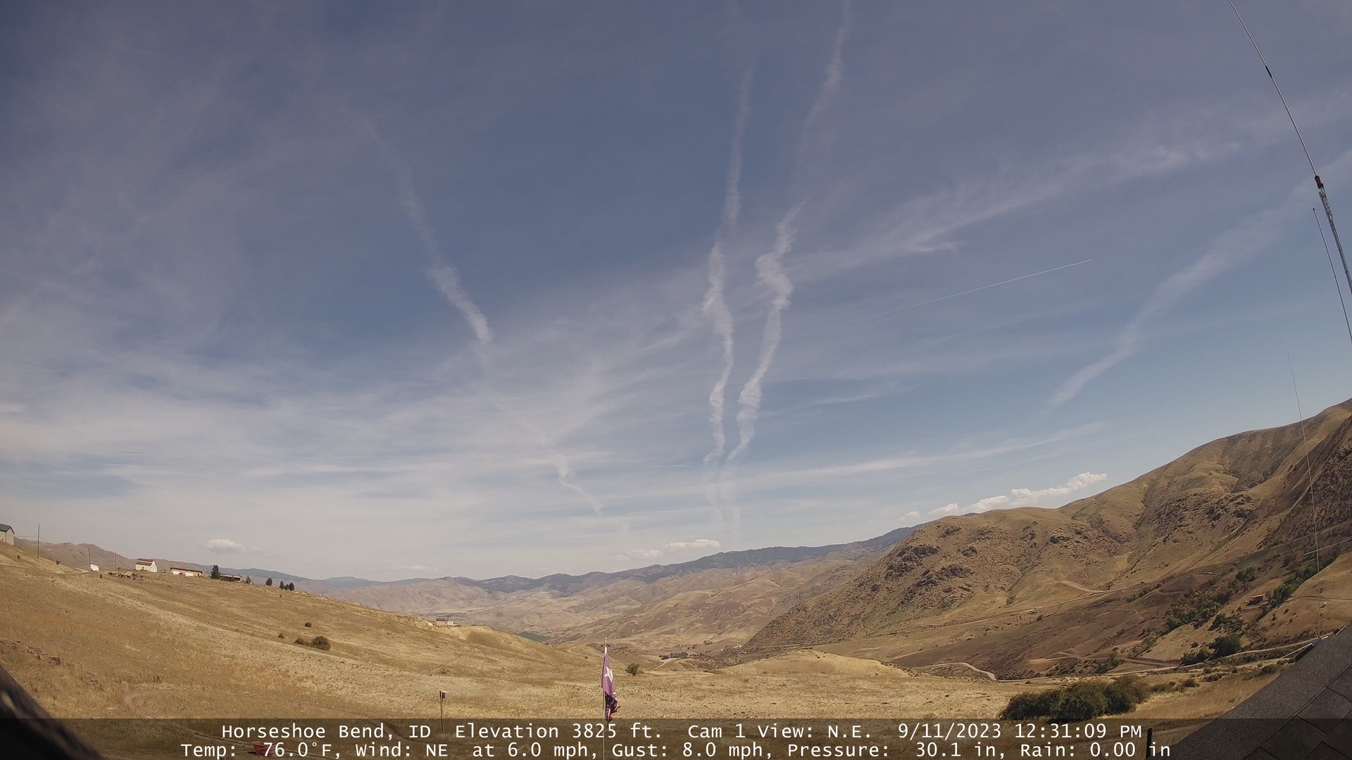
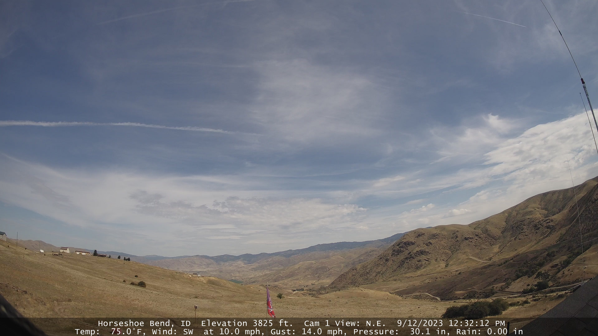
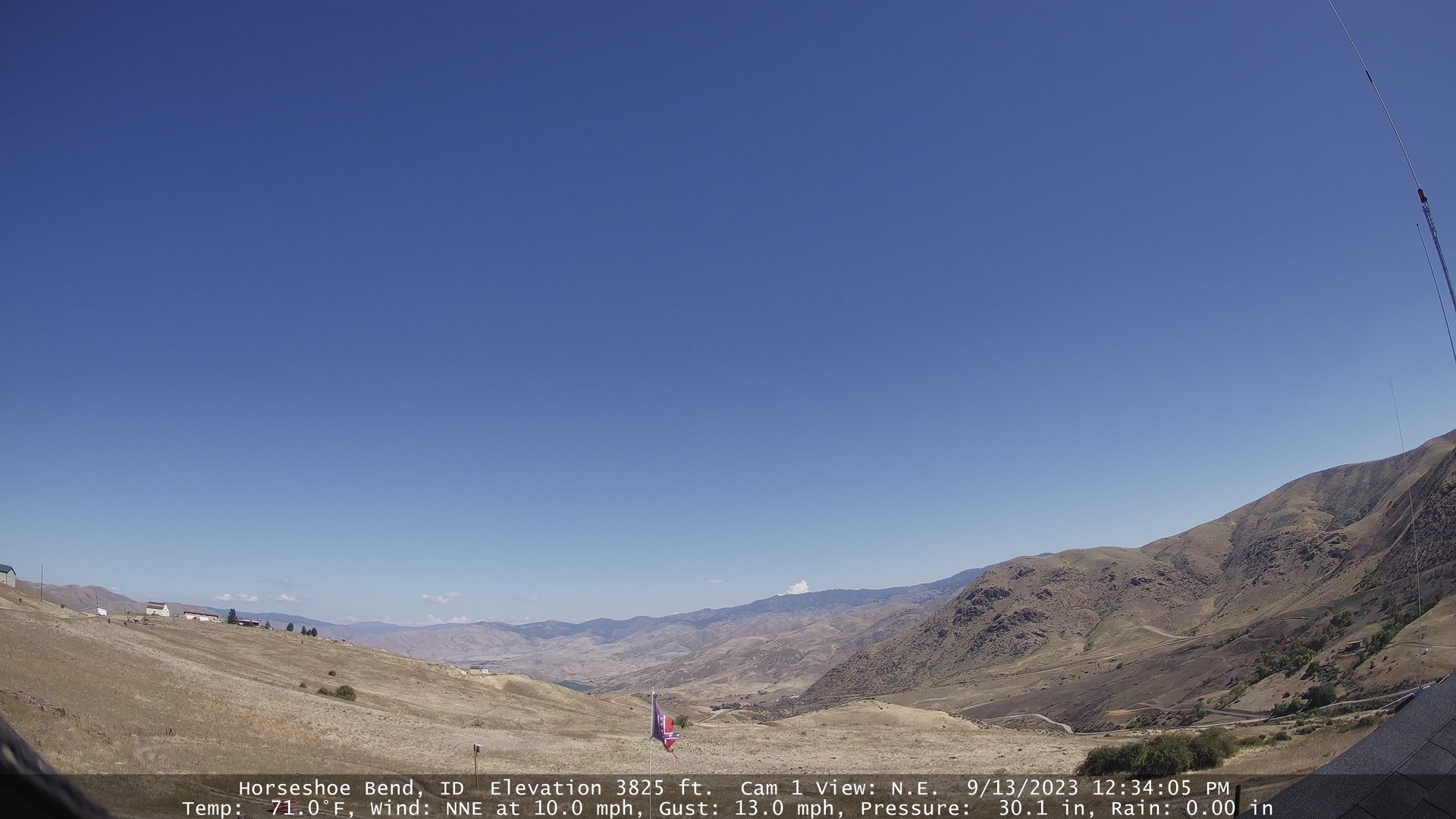
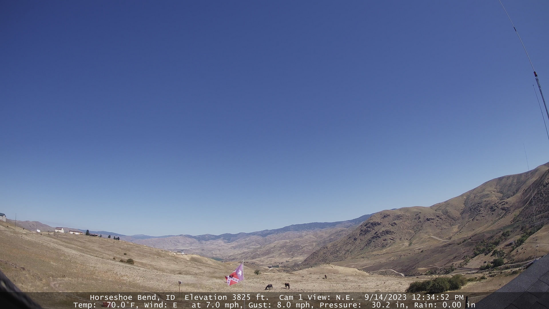
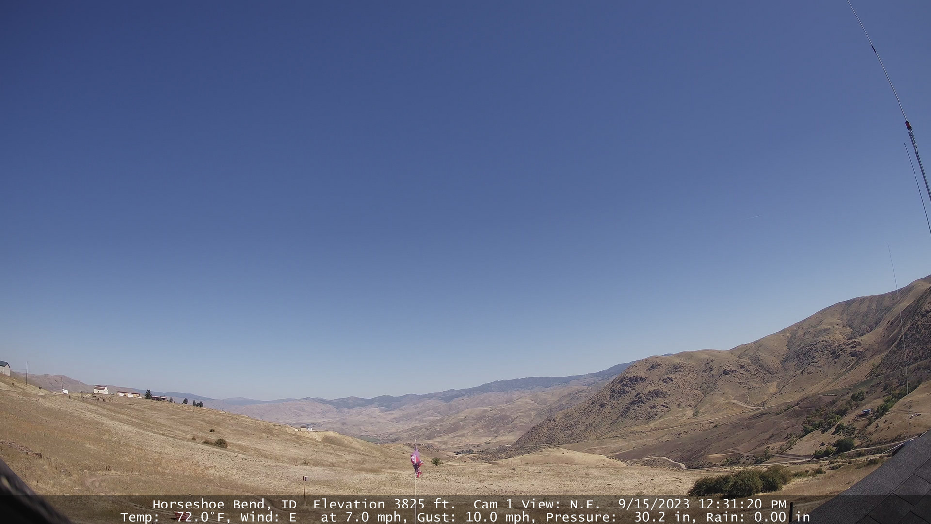
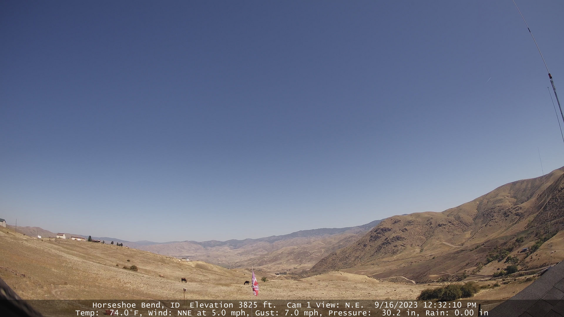
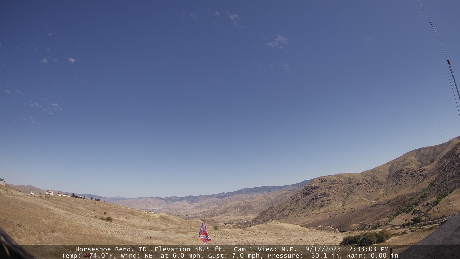
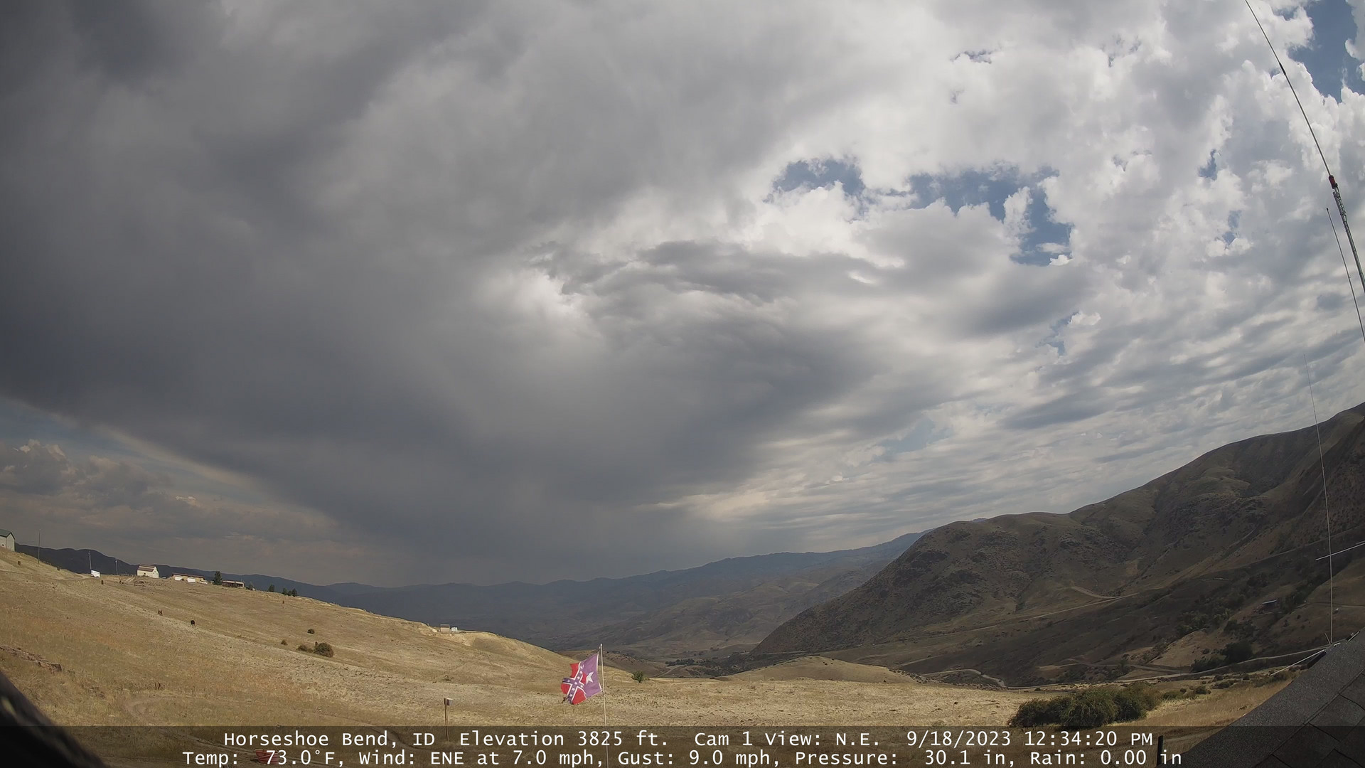
Horseshoe Bend, Idaho, USA - 67 miles from Conner Creek (historical): Horseshoe Bend Weathercam - A view of the mountains above Horseshoe Bend, Idaho.
Operator: Horseshoe Bend Idaho Weather
Operator: Horseshoe Bend Idaho Weather


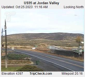
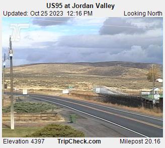
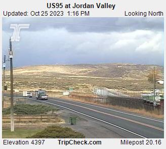
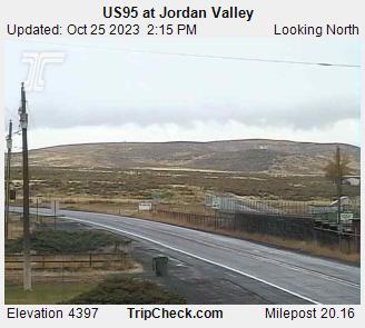
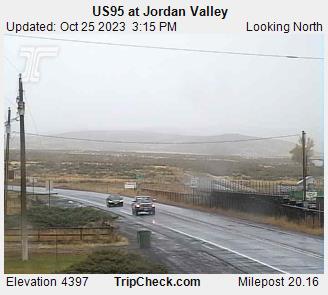
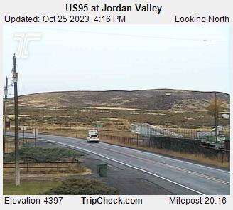
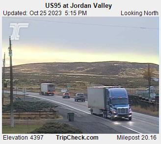
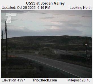
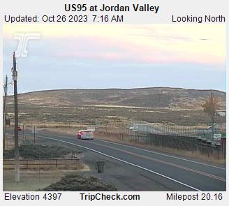
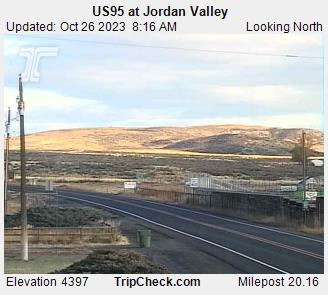
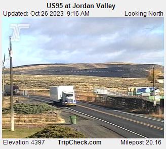
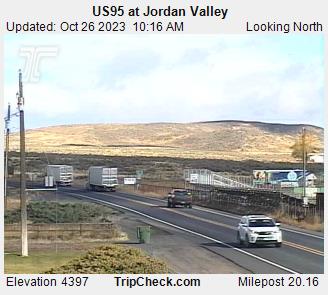
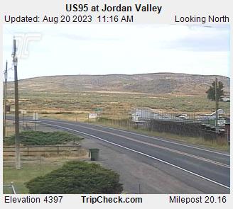
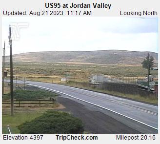
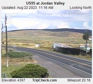
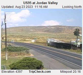
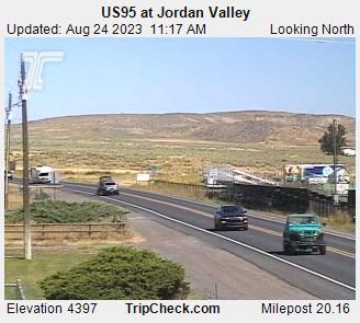
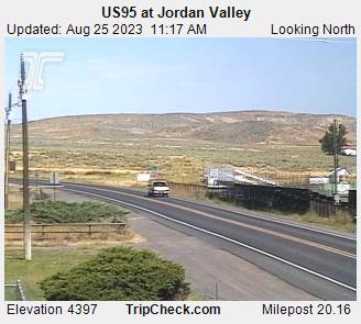
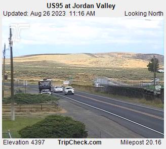
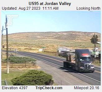
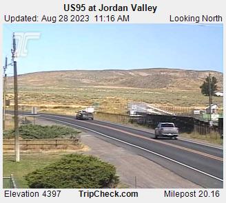
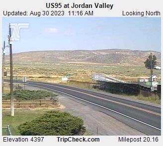
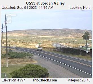
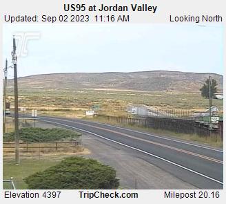
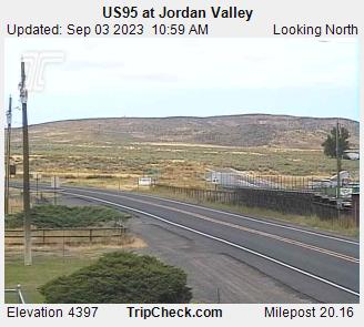
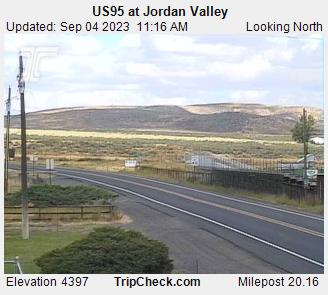
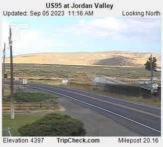
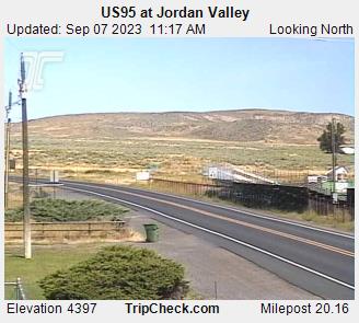
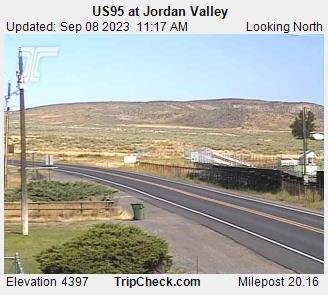
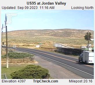
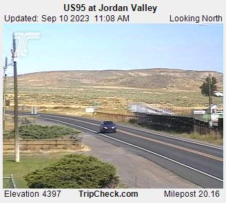
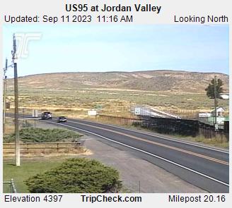
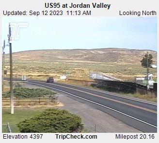
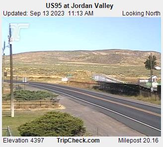
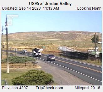
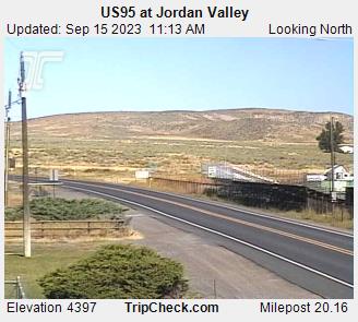
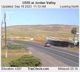
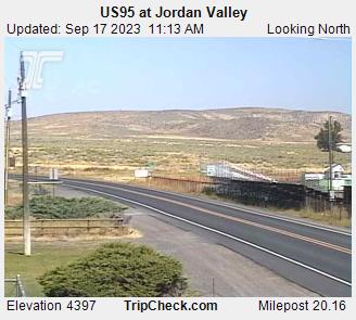
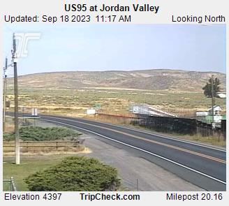
Jordan Valley, Oregon, USA - 110.6 miles from Conner Creek (historical): US95 at Jordan Valley - A view of the current traffic situation on the US95.
Operator: Oregon Department of Transportation
Operator: Oregon Department of Transportation


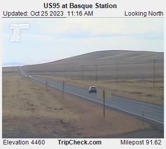
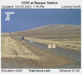
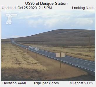
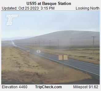
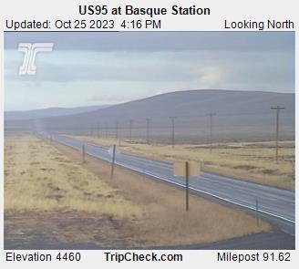
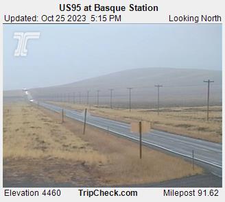
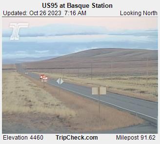
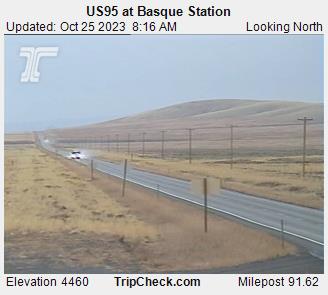
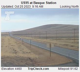
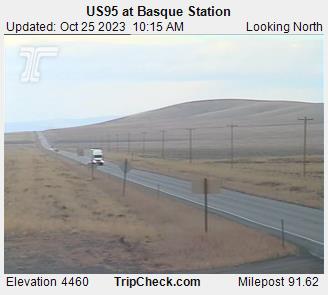
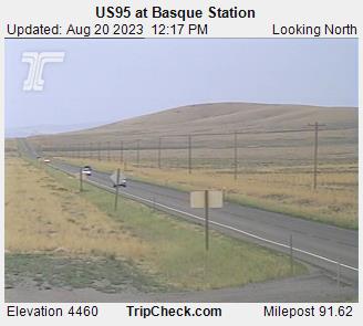
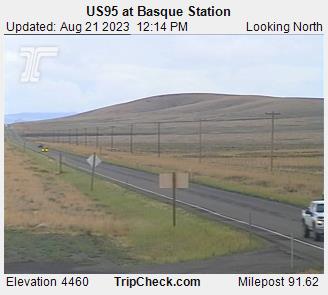
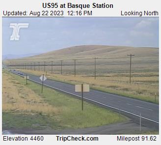
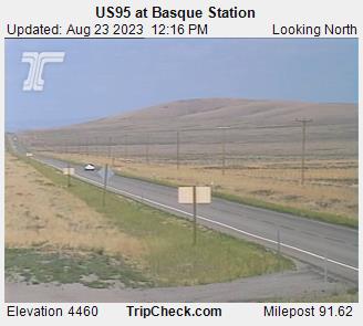
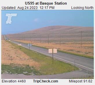
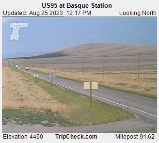
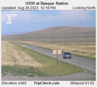
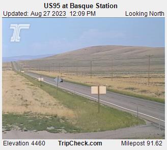
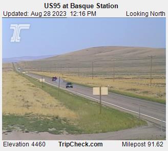
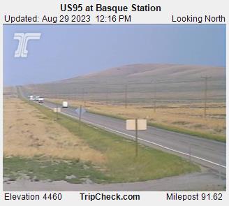
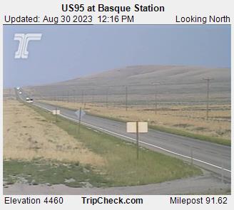
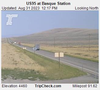
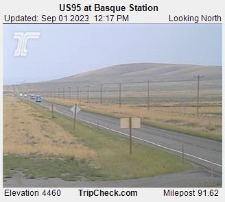
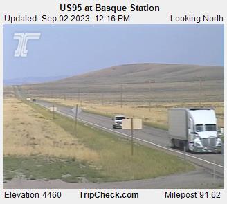
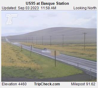
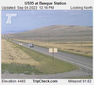
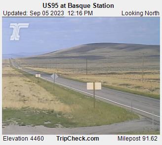
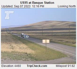
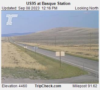
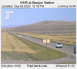
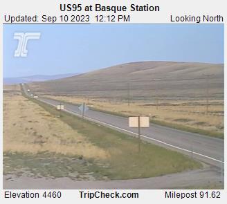
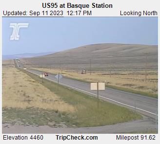
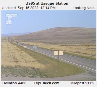
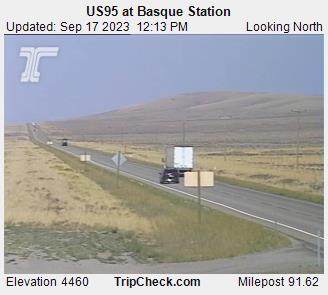
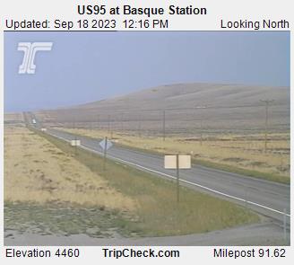
Basque, Oregon, USA - 153.1 miles from Conner Creek (historical): US95 at Basque Station - A view of the current traffic situation on the US95.
Operator: Oregon Department of Transportation
Operator: Oregon Department of Transportation


Condon, Oregon, USA - 153.4 miles from Conner Creek (historical): Condon High School - A view in southern direction.
Operator: Condon Schools
Operator: Condon Schools


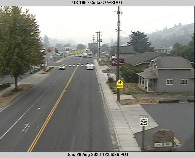
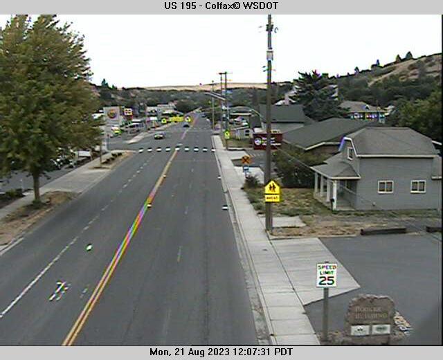
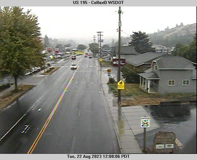
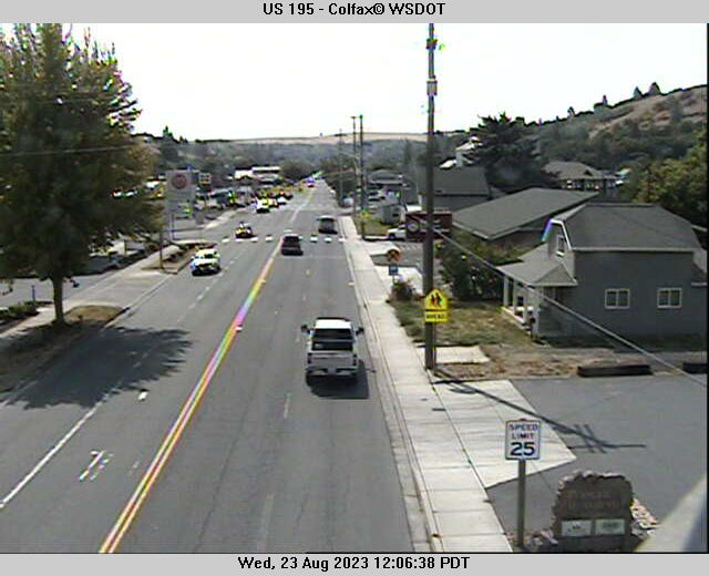
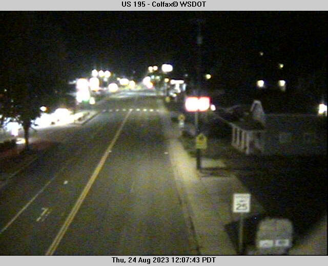
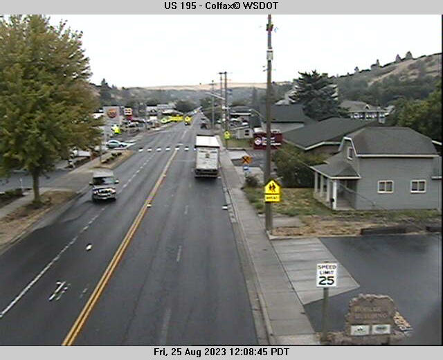
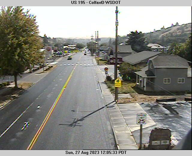
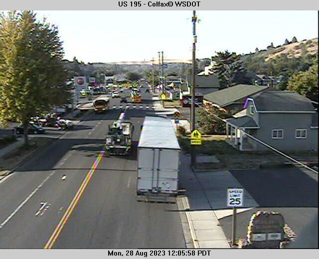
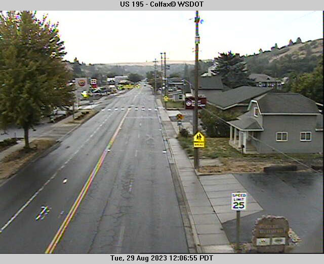
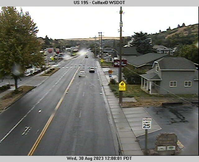
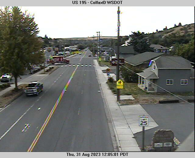
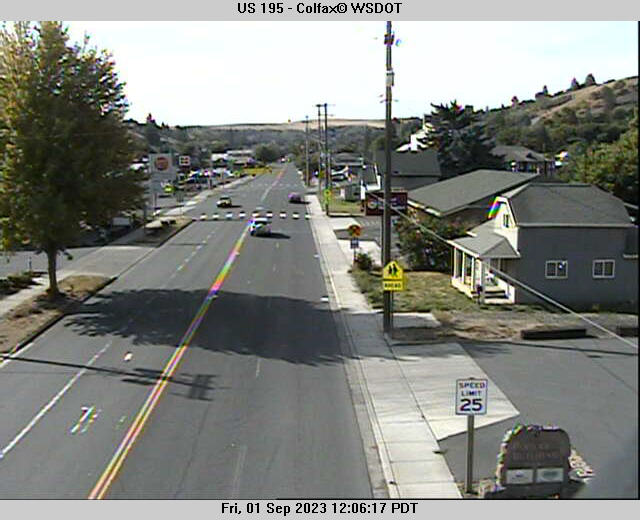
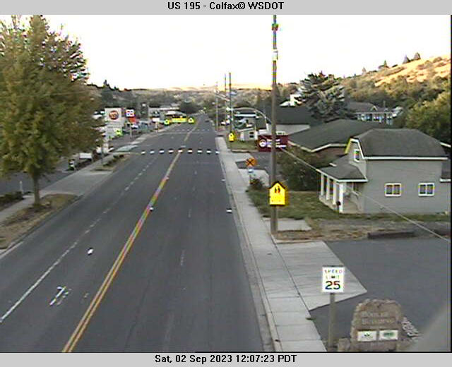
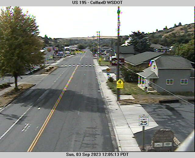
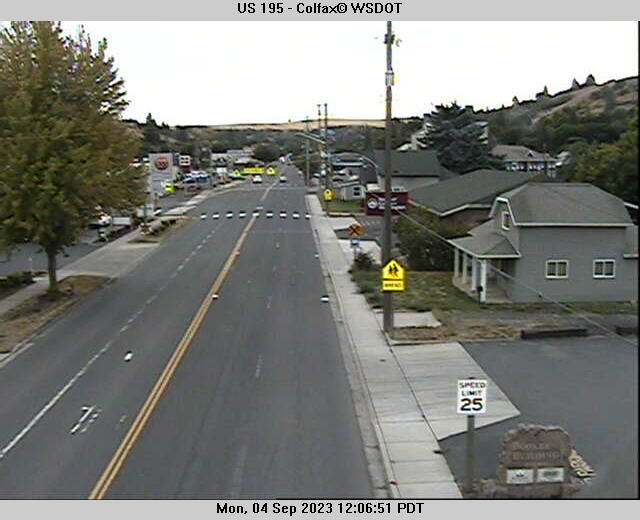
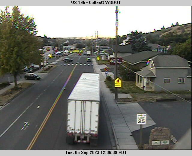
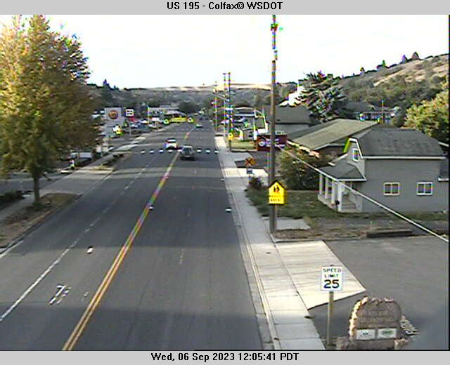
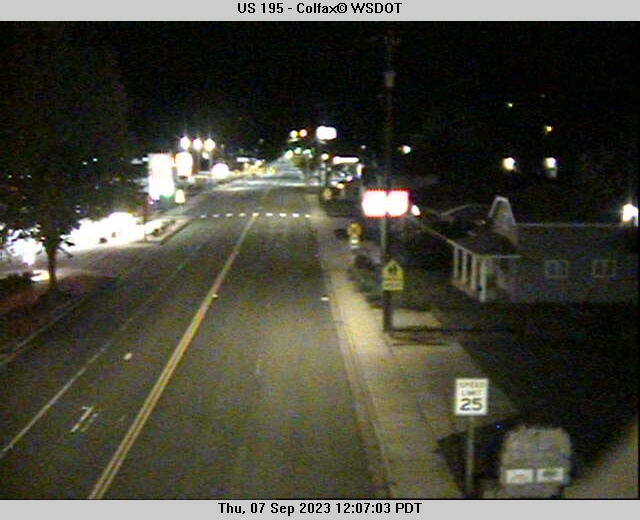
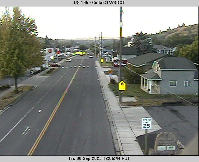
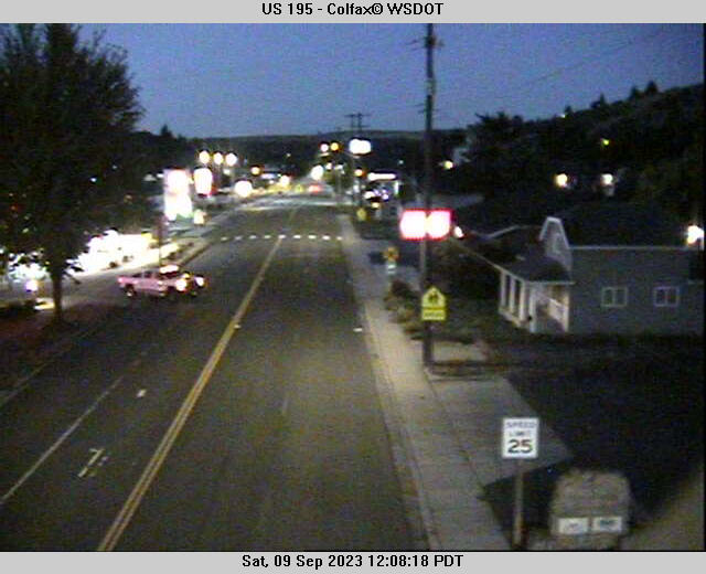
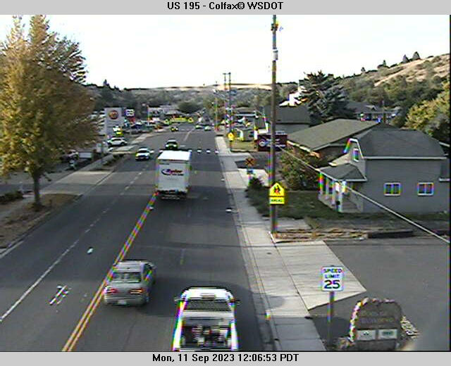
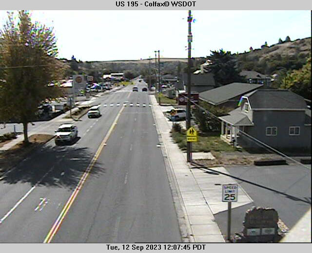
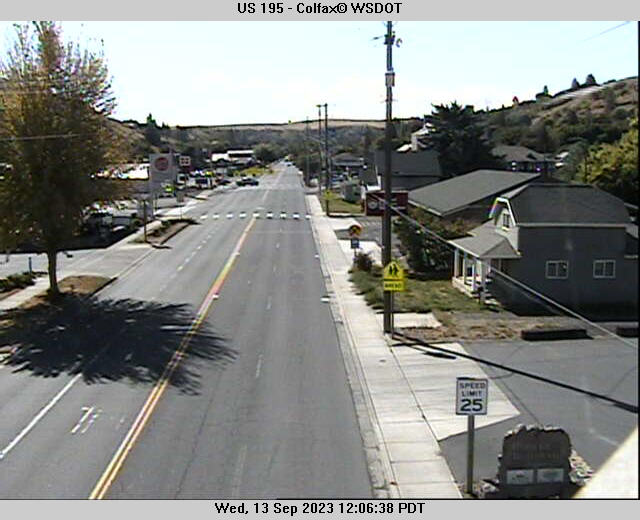
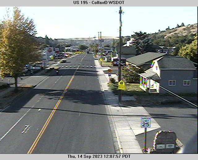
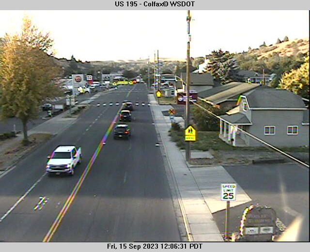
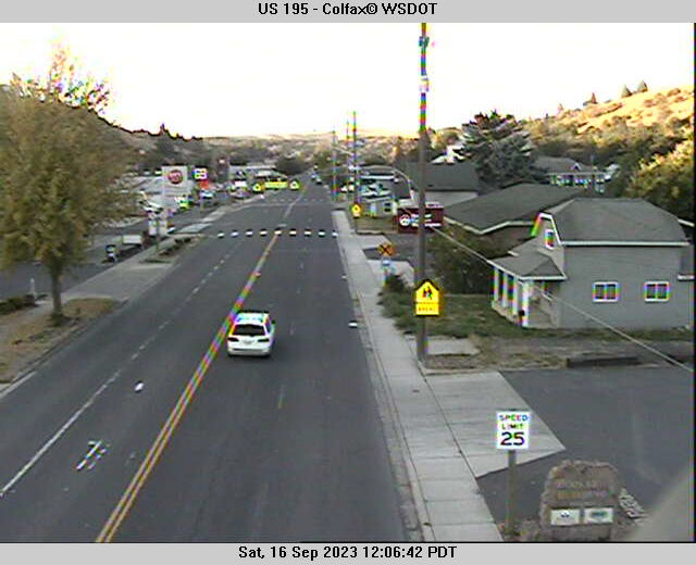
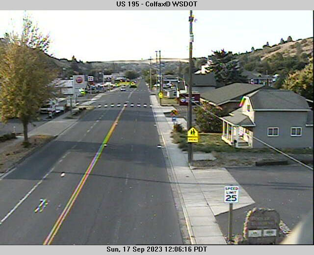
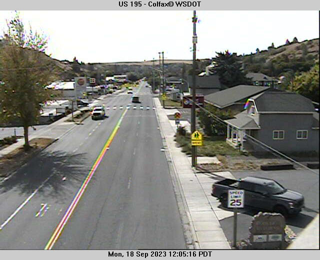
Colfax, Washington, USA - 159.7 miles from Conner Creek (historical): US 195 - Colfax - A view of the current traffic situation.
Operator: WSDOT
Operator: WSDOT


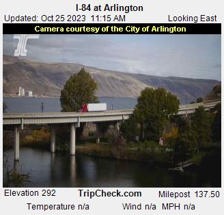
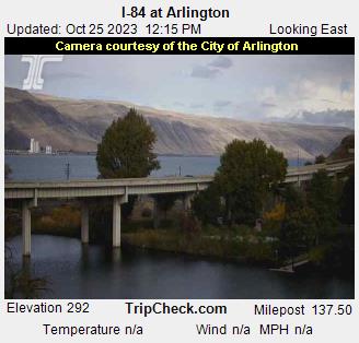
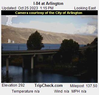
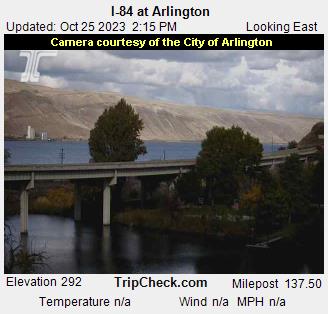
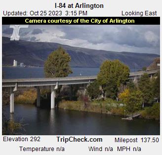
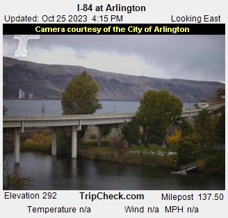
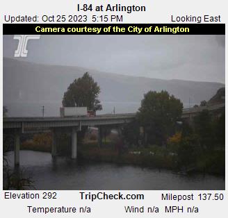
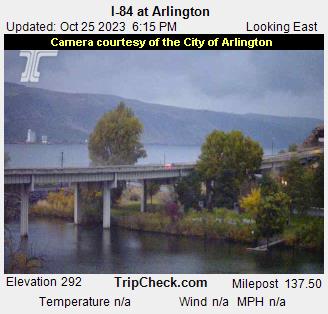
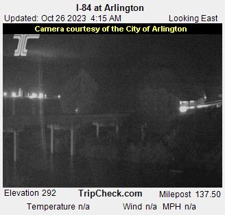
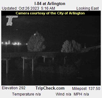
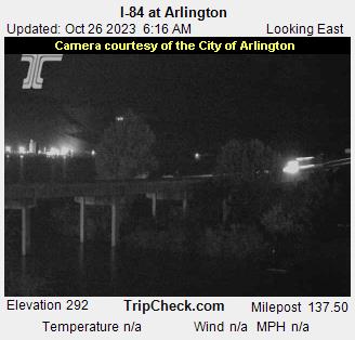
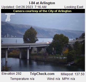
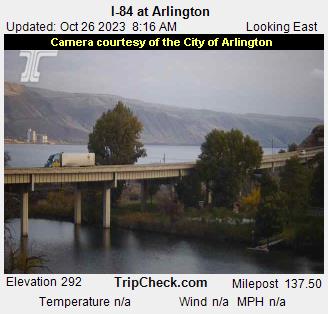
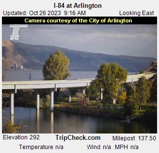
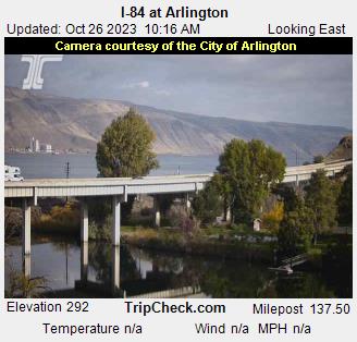
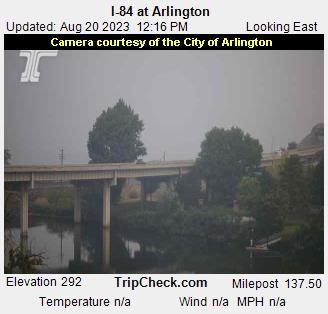
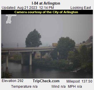
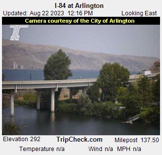
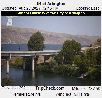
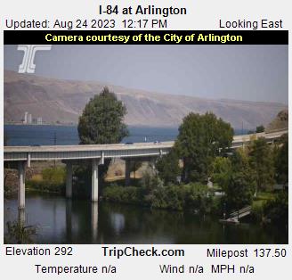
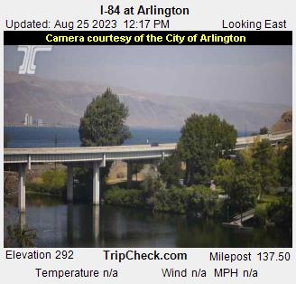
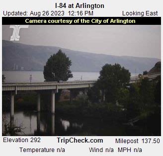
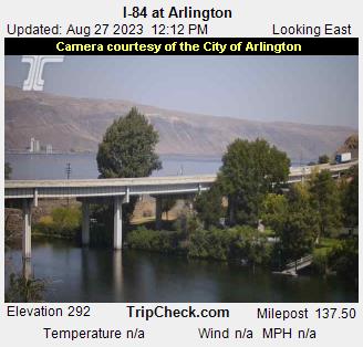
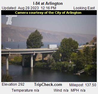
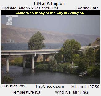
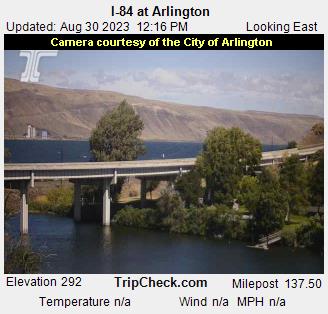
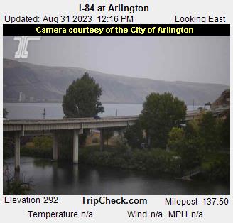
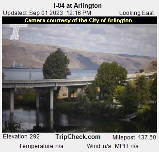
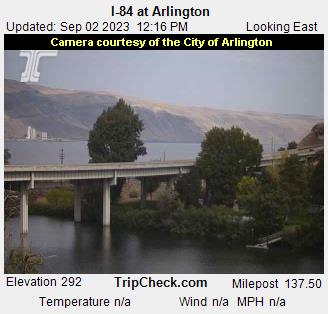
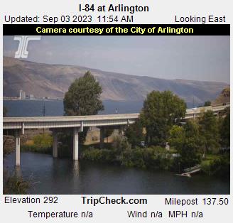
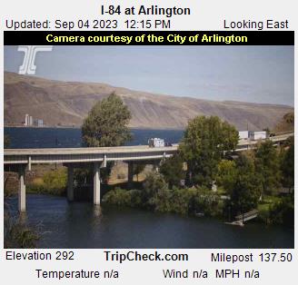
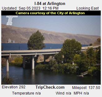
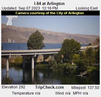
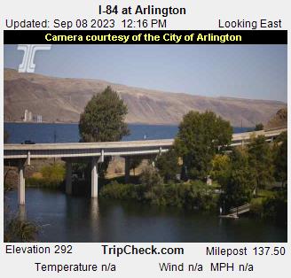
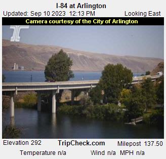
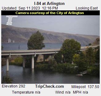
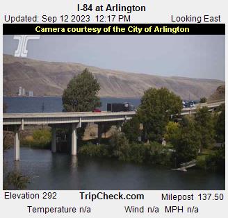
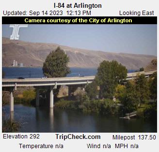
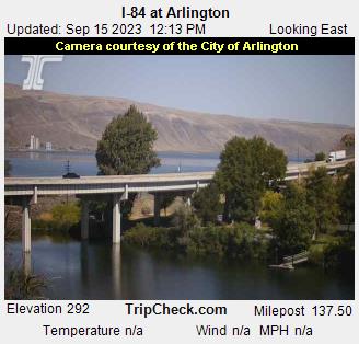
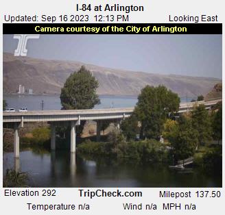
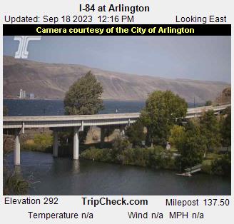
Arlington, Oregon, USA - 166.5 miles from Conner Creek (historical): I-84 at Arlington - A view of the current traffic situation on the I-84.
Operator: Oregon Department of Transportation
Operator: Oregon Department of Transportation


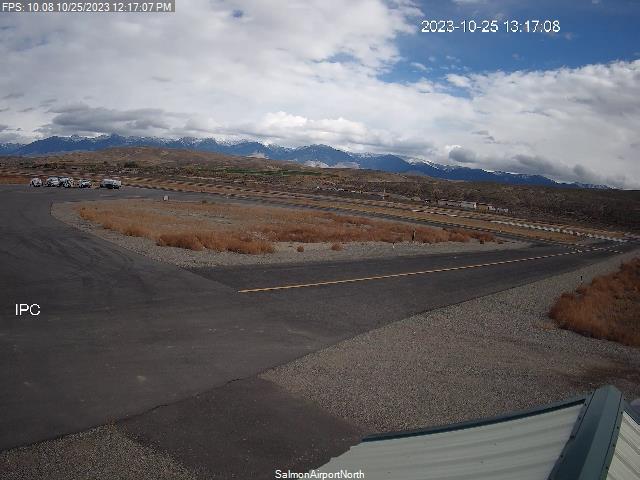
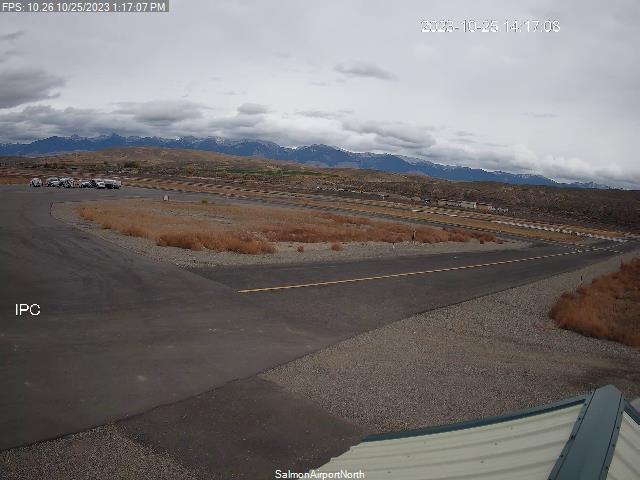
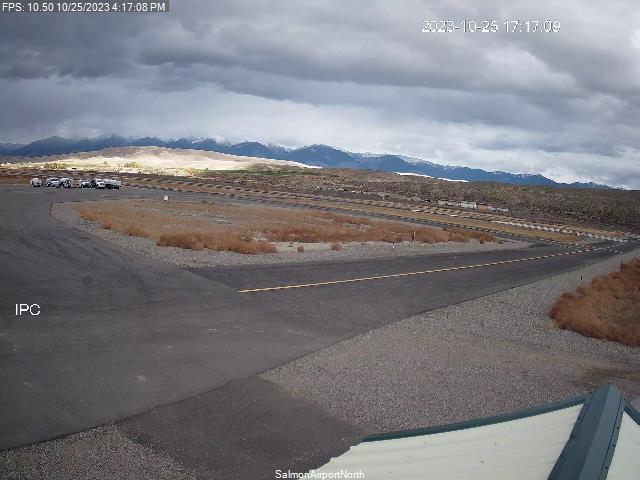
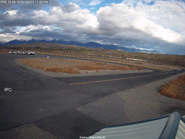
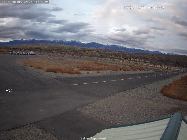
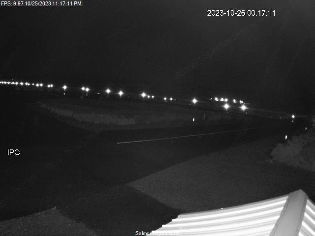
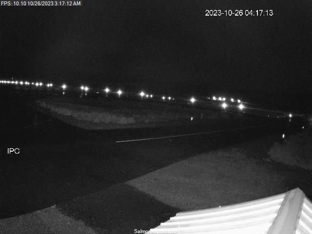
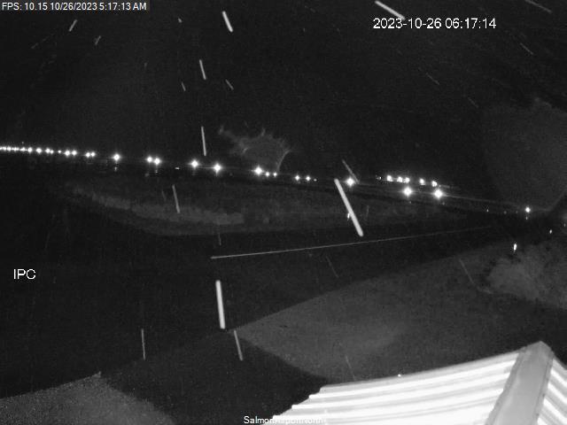
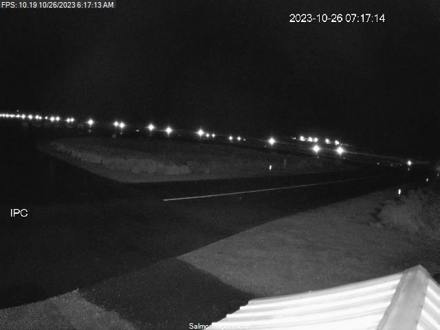
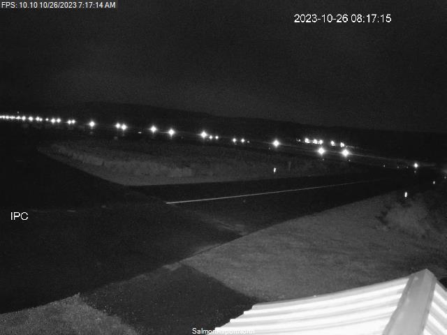
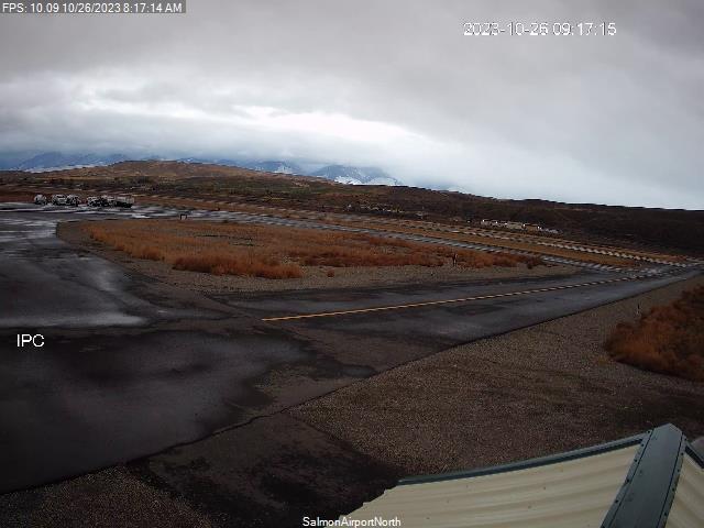
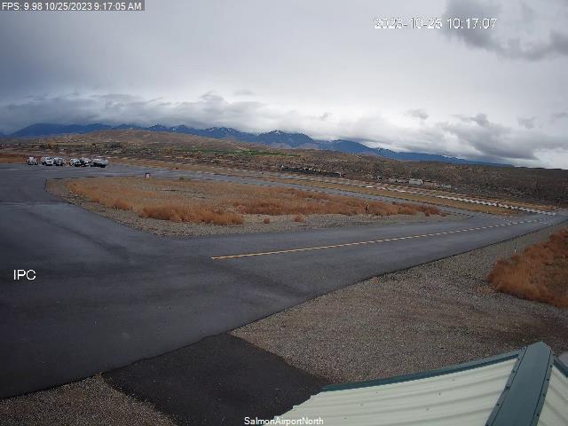
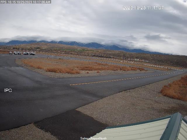
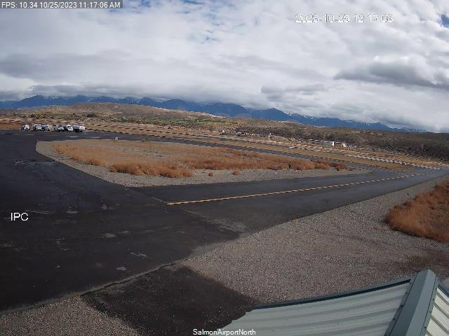
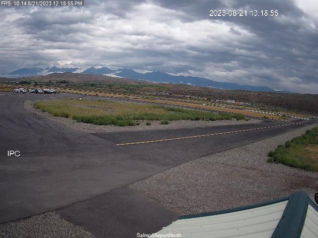
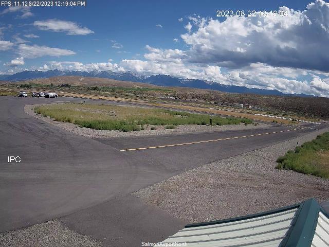
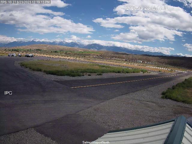
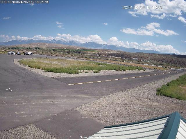
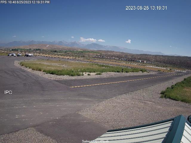
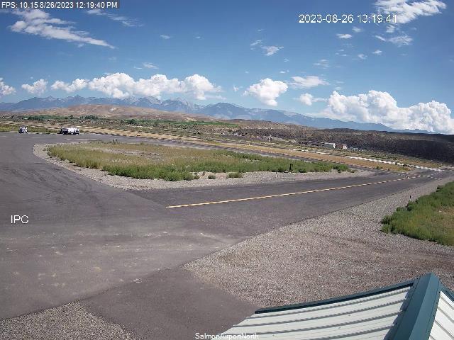
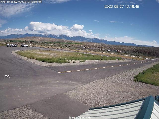
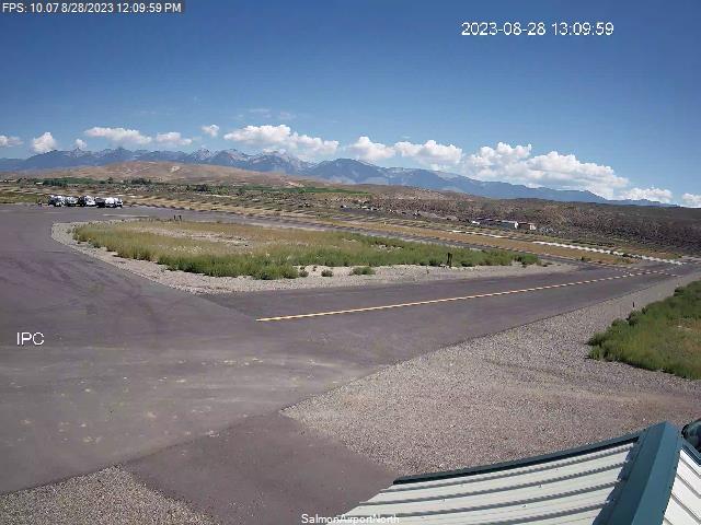
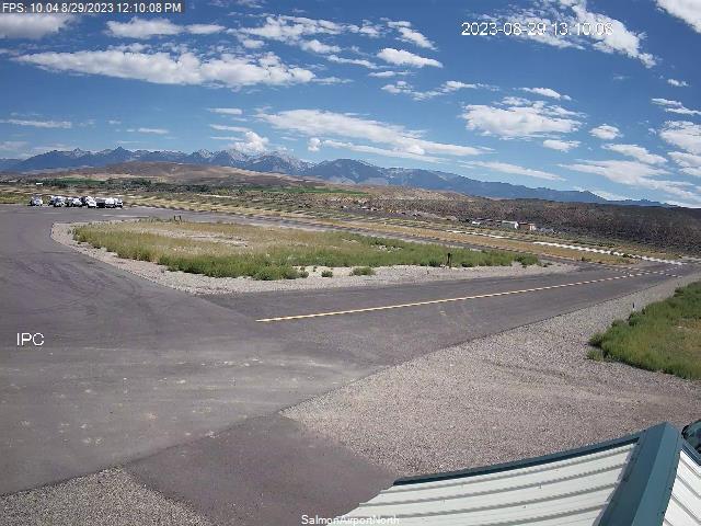
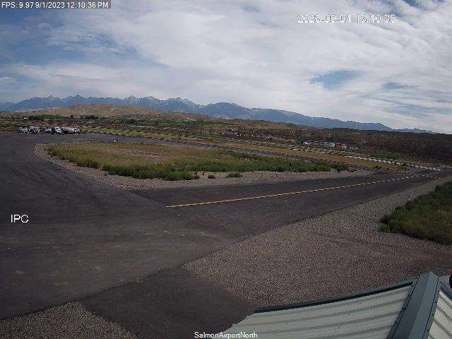
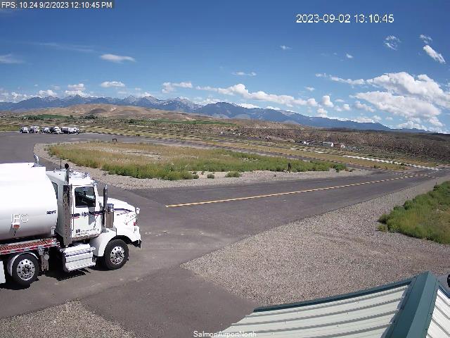
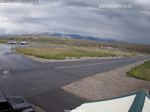
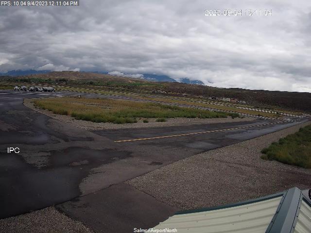
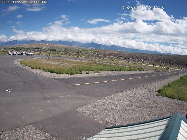
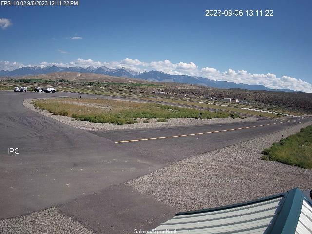
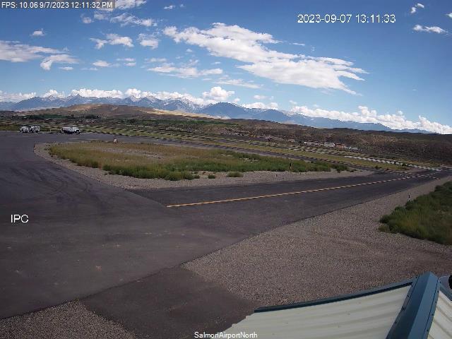
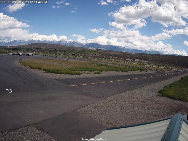
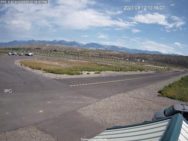
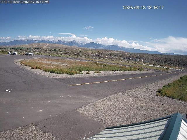
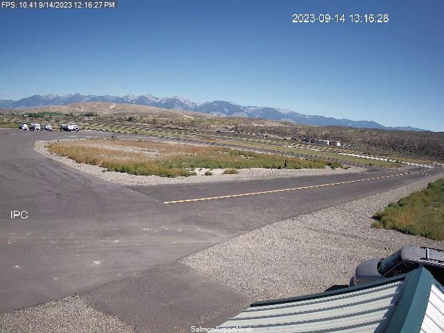
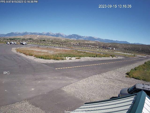
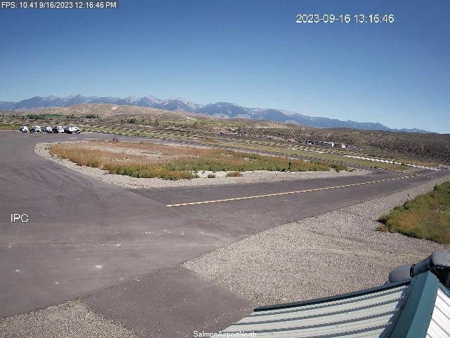
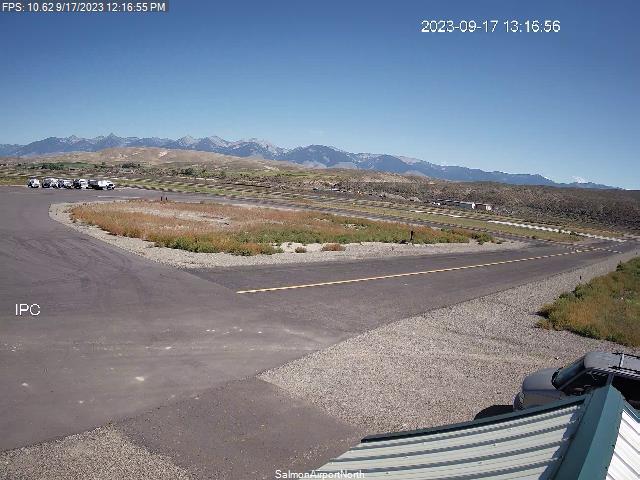
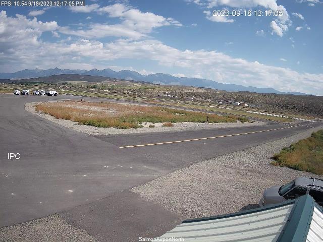
Salmon, Idaho, USA - 166.9 miles from Conner Creek (historical): Lemhi County Airport - Views north & south from the Airport.
Operator: Lemhi County Airport
Operator: Lemhi County Airport


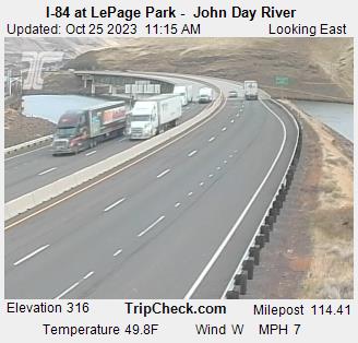
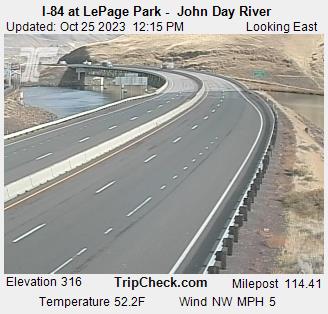
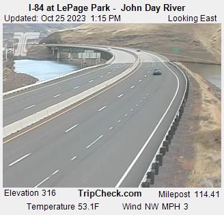
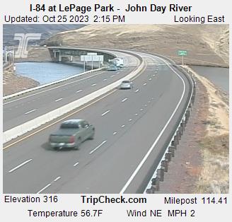
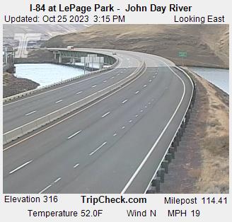
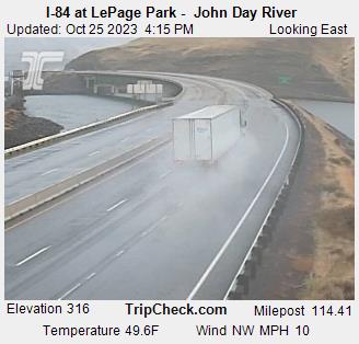
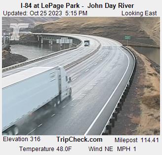
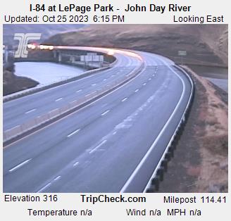
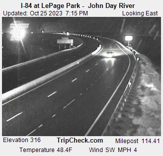
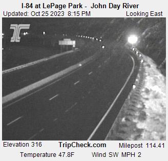
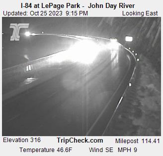
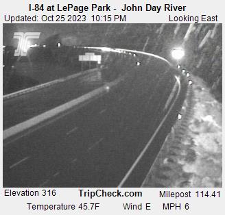
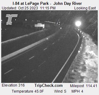
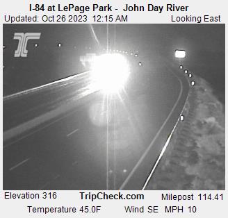
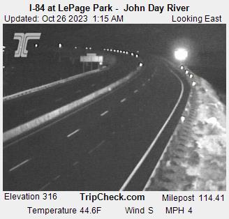
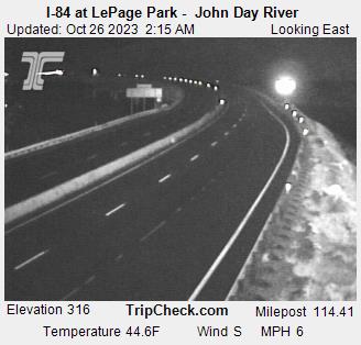
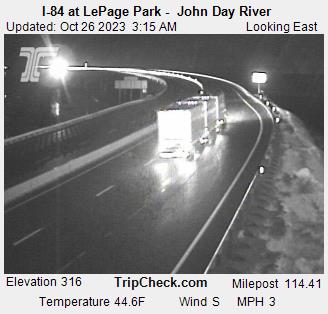
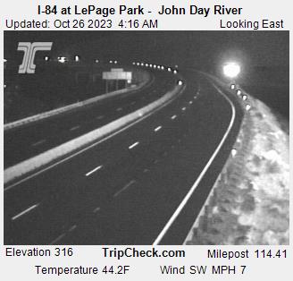
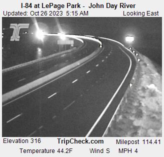
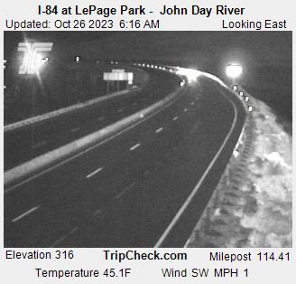
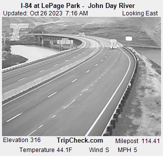
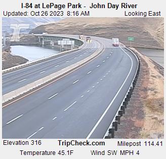
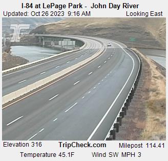
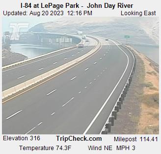
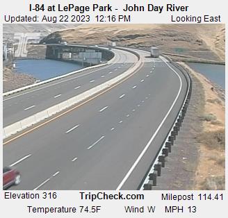
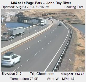
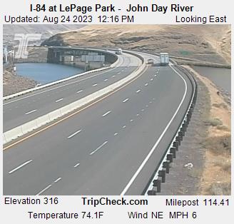
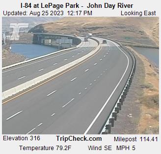
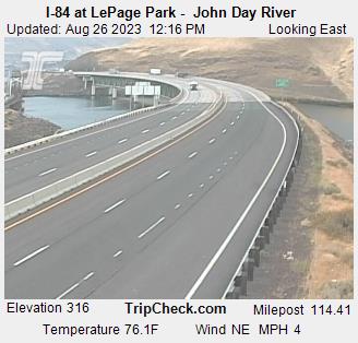
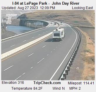
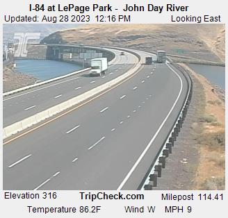
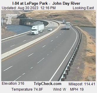
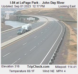
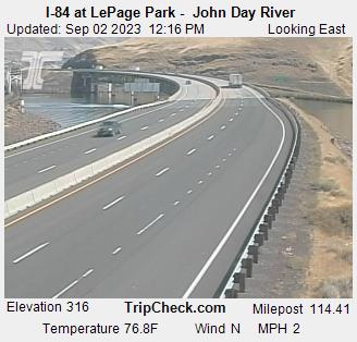
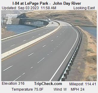
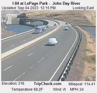
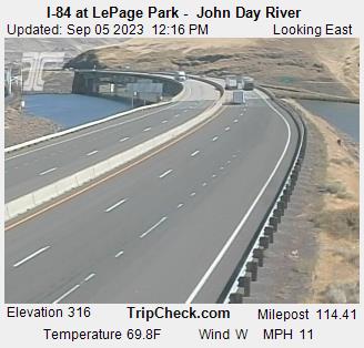
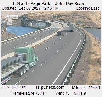
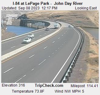
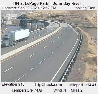
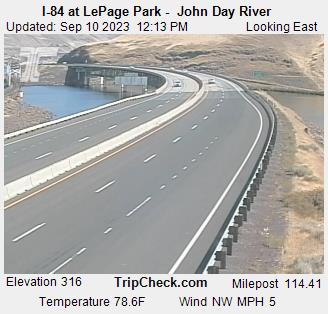
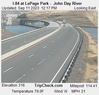
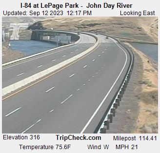
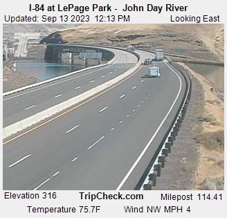
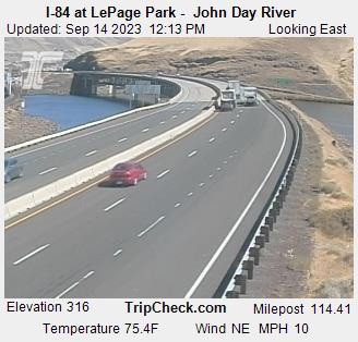
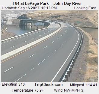
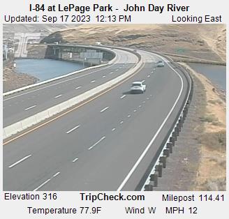
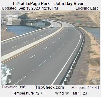
Wasco, Oregon, USA - 184.9 miles from Conner Creek (historical): I-84 at LePage Park - John Day River - A view of the current traffic situation on the I-84.
Operator: Oregon Department of Transportation
Operator: Oregon Department of Transportation


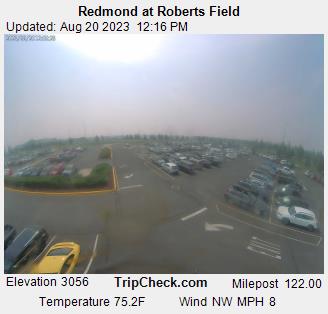
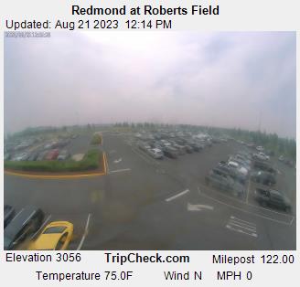
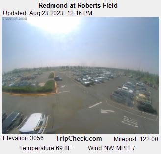
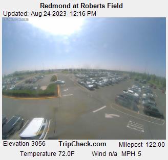
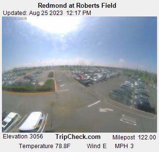
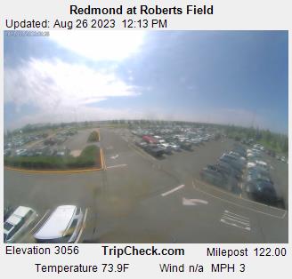
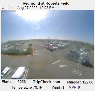
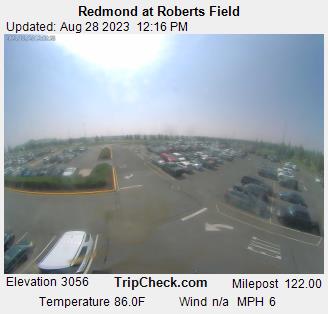
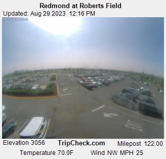
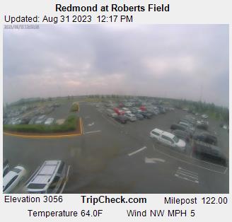
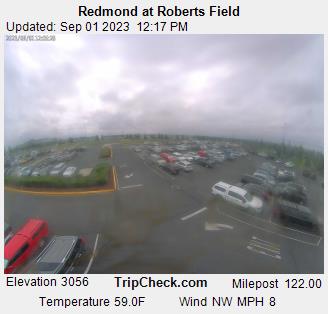
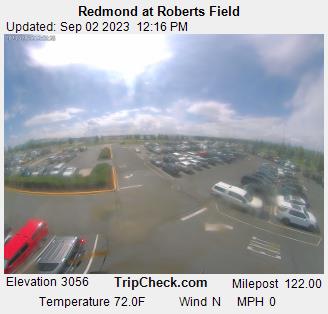
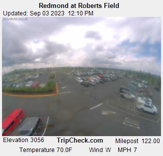
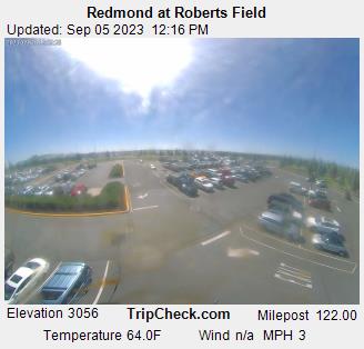
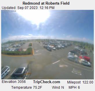
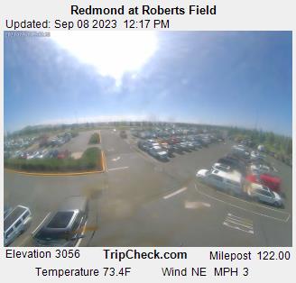
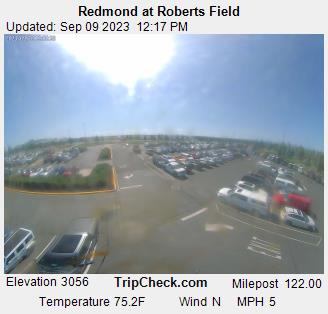
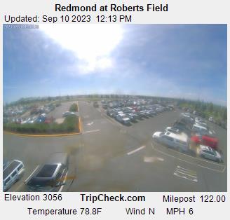
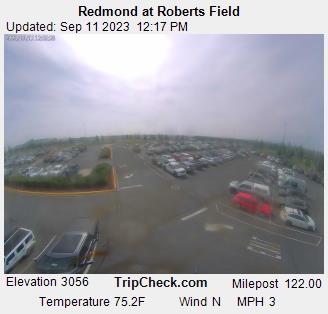
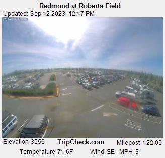
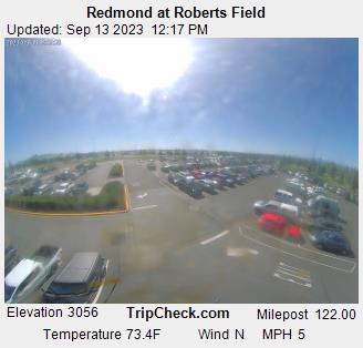
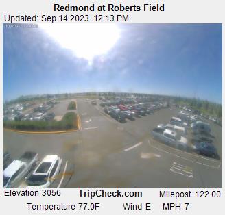
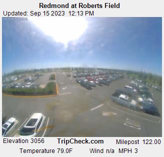
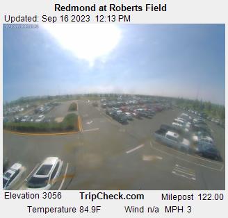
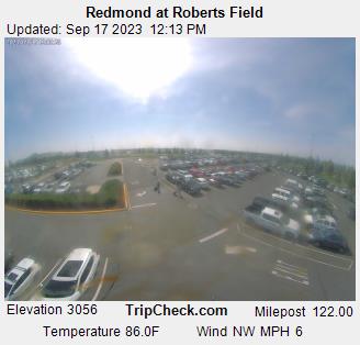
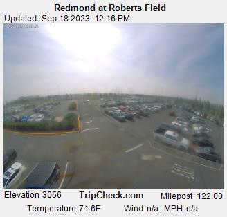
Redmond, Oregon, USA - 197.5 miles from Conner Creek (historical): Redmond at Roberts Field - A view of the current traffic situation on the Redmond.
Operator: Oregon Department of Transportation
Operator: Oregon Department of Transportation


Some other places in this country: Hadleyville - Wolf Creek - Mound (historical) - Fox Hollow (historical) - Siuslaw (historical) - Boardman (historical) - Caleb (historical) - Eddy (historical) - Anidem (historical) - Igo (historical)