Webcams in the region of Browntown (historical), Oregon, USA
The List of Webcams near Browntown (historical), Oregon, USA:

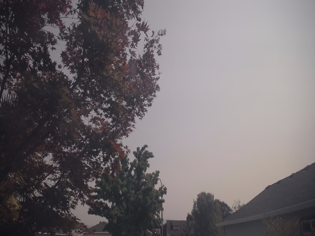
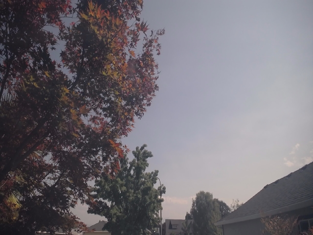
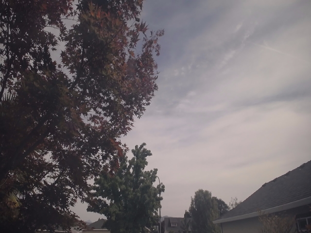
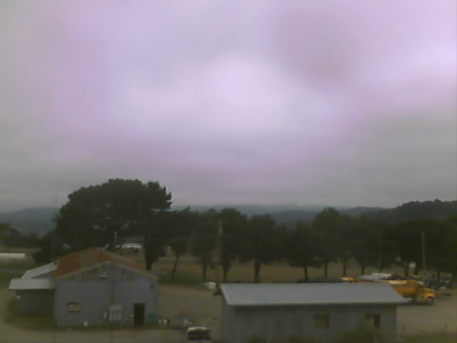
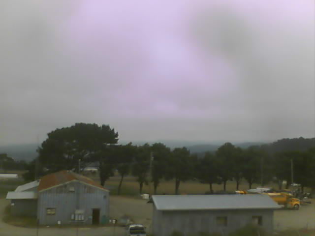
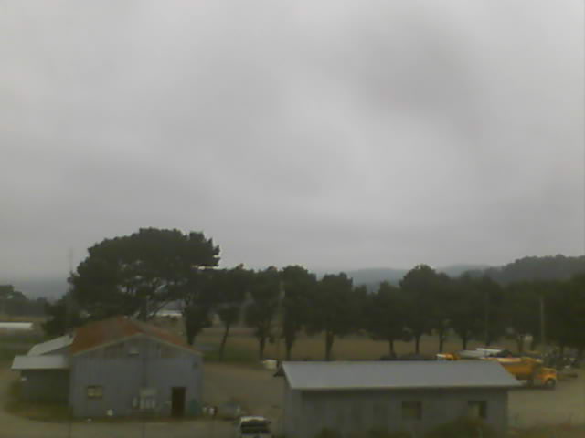
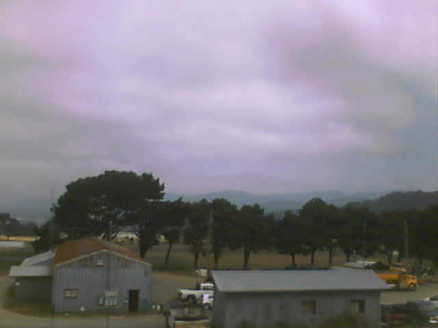
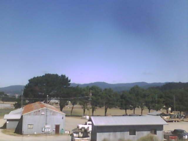
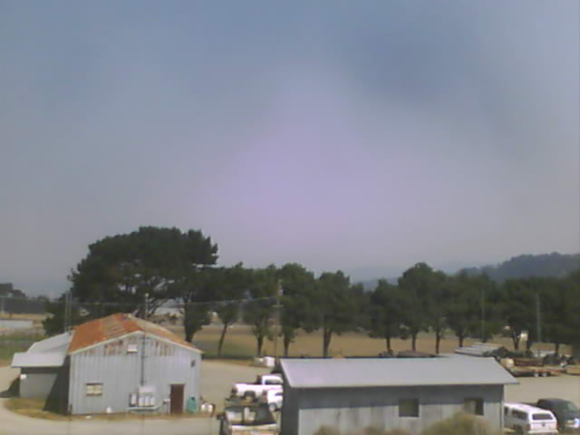
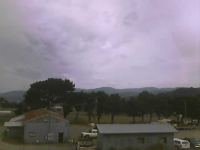
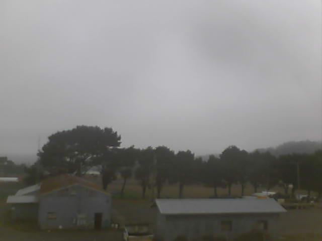
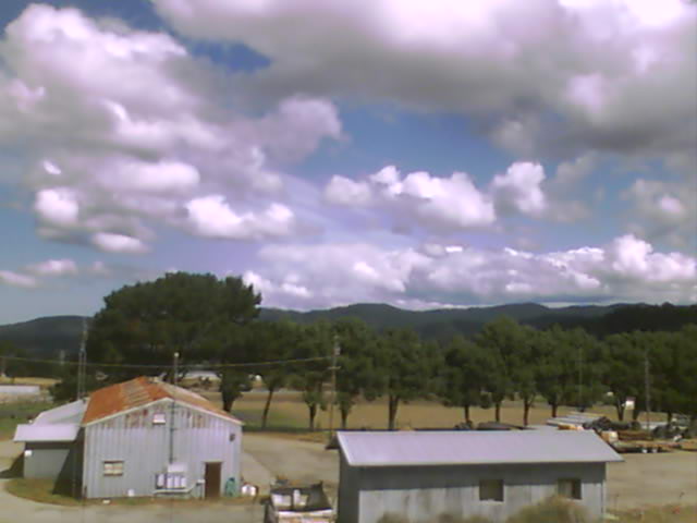
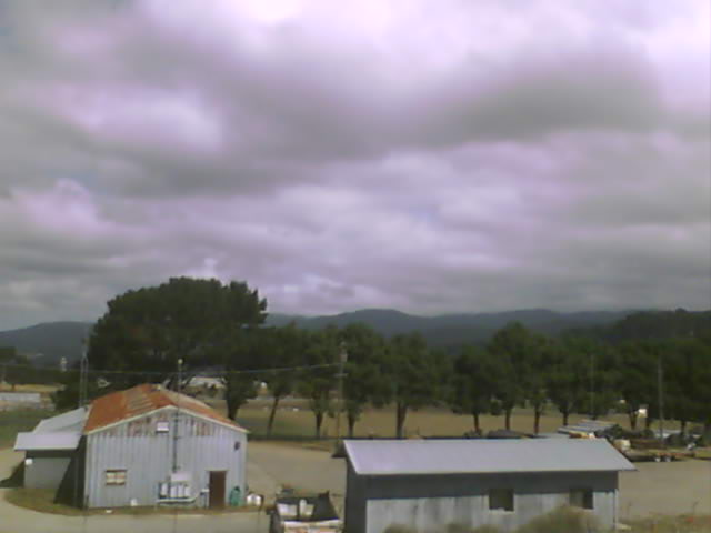
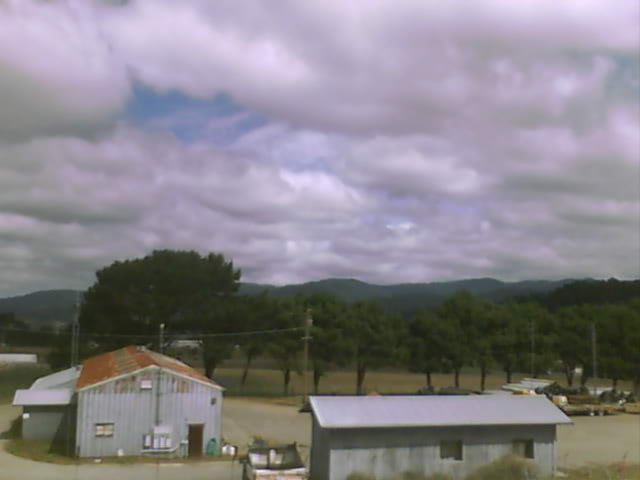
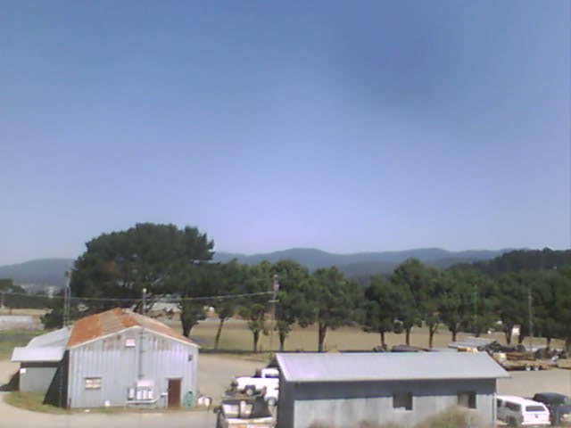
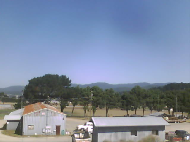
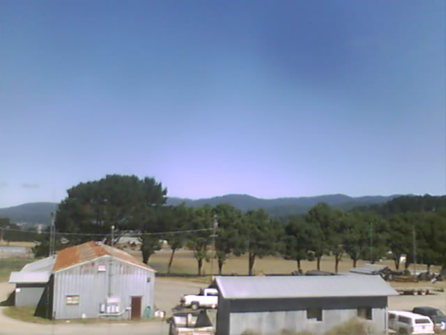
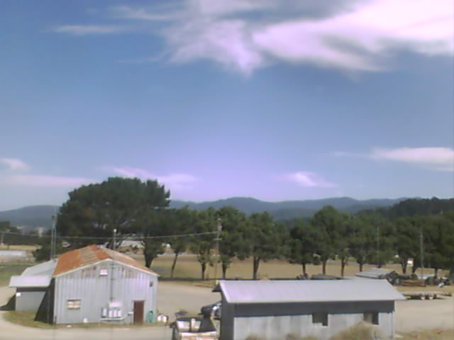
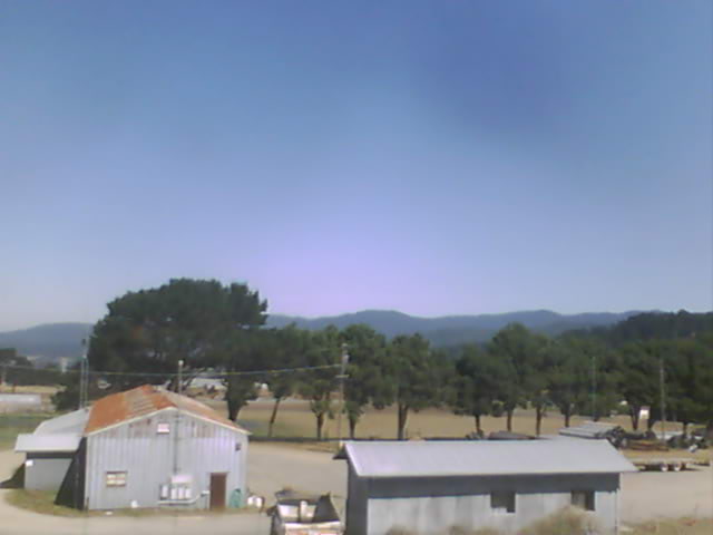
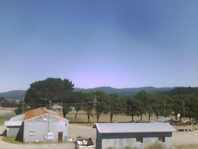
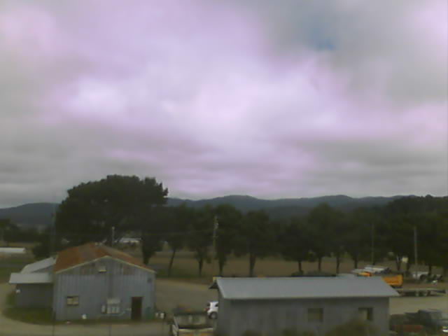
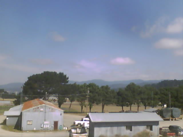
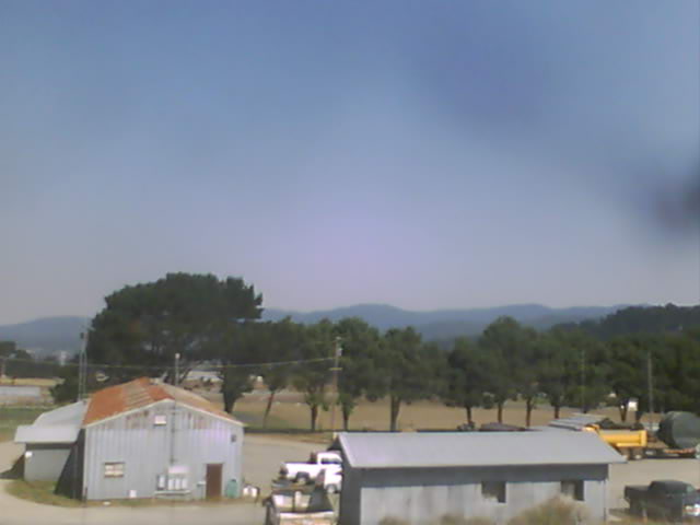
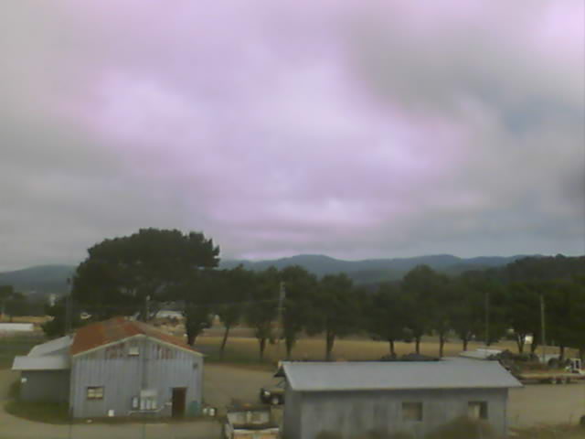
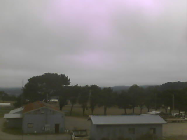
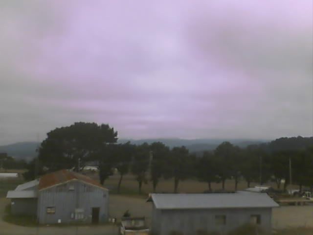
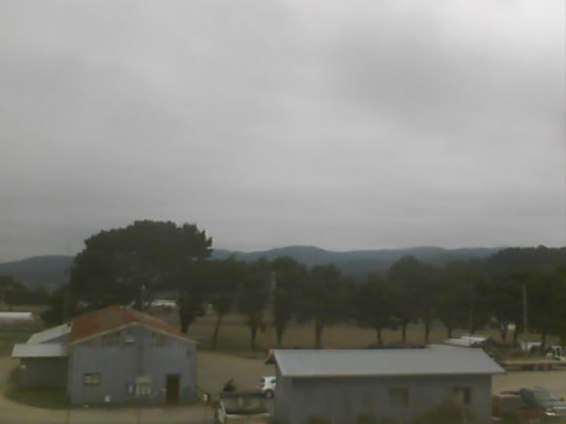
Medford, Oregon, USA - 27.4 miles from Browntown (historical): Medford Weathercam - A live view from Medford, Oregon, with current weather data.
Operator: Ryan's Weather Website - Medford, Oregon
Operator: Ryan's Weather Website - Medford, Oregon


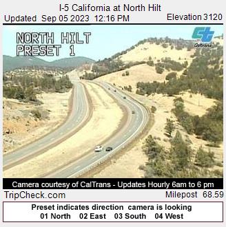
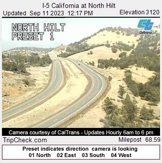
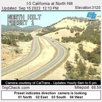
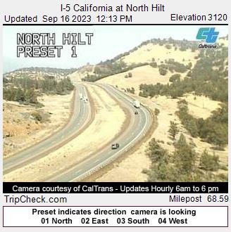
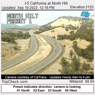
Hilt, California, USA - 33.1 miles from Browntown (historical): I-5 California at North Hilt - A view of the current traffic situation on the I-5.
Operator: Oregon Department of Transportation
Operator: Oregon Department of Transportation


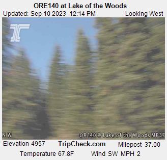
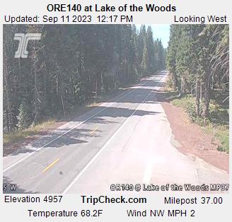
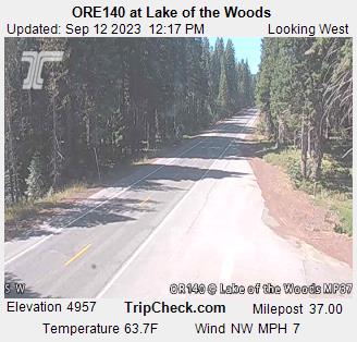
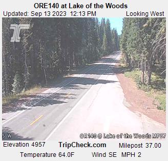
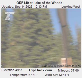
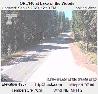
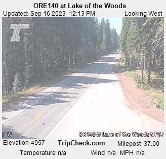
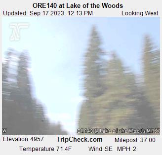
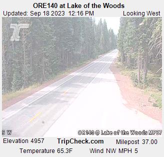
Lake of the Woods, Oregon, USA - 58.3 miles from Browntown (historical): ORE140 at Lake of the Woods - A view of the current traffic situation on the ORE140.
Operator: Oregon Department of Transportation
Operator: Oregon Department of Transportation


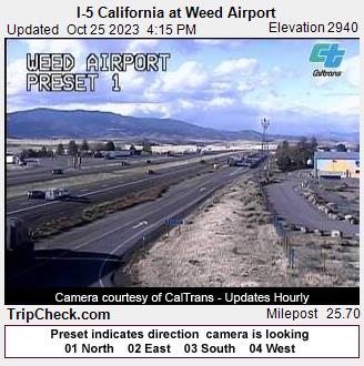
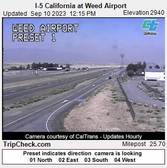
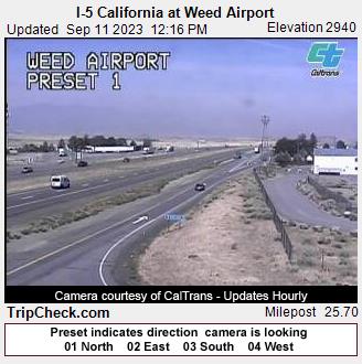
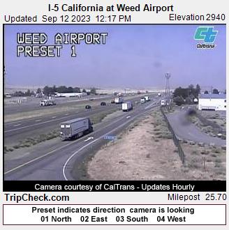
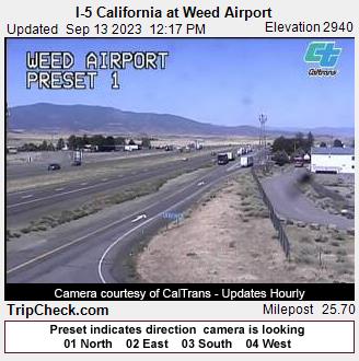
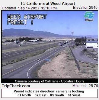
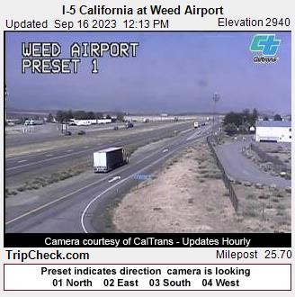
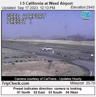
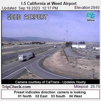
Weed, California, USA - 62.8 miles from Browntown (historical): I-5 California at Weed Airport - A view of the current traffic situation on the I-5.
Operator: Oregon Department of Transportation
Operator: Oregon Department of Transportation


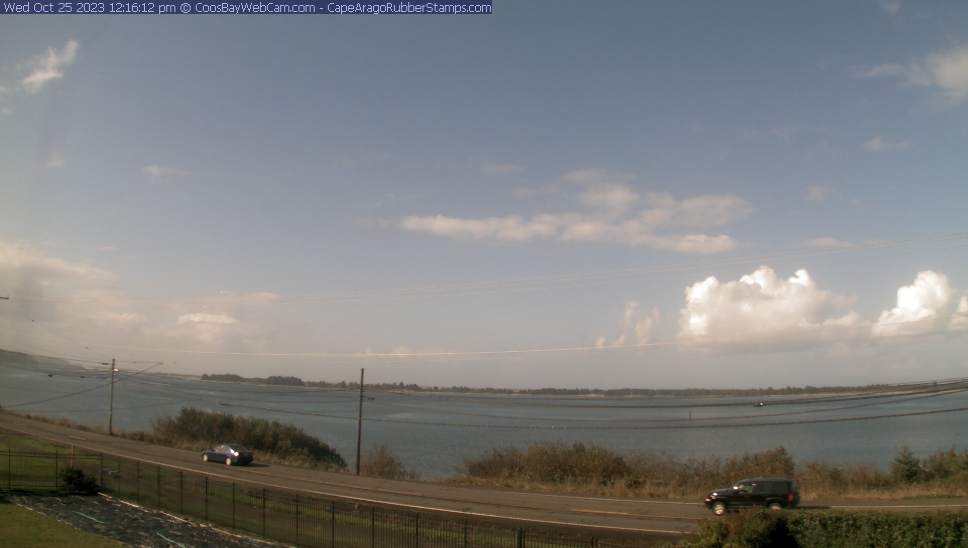
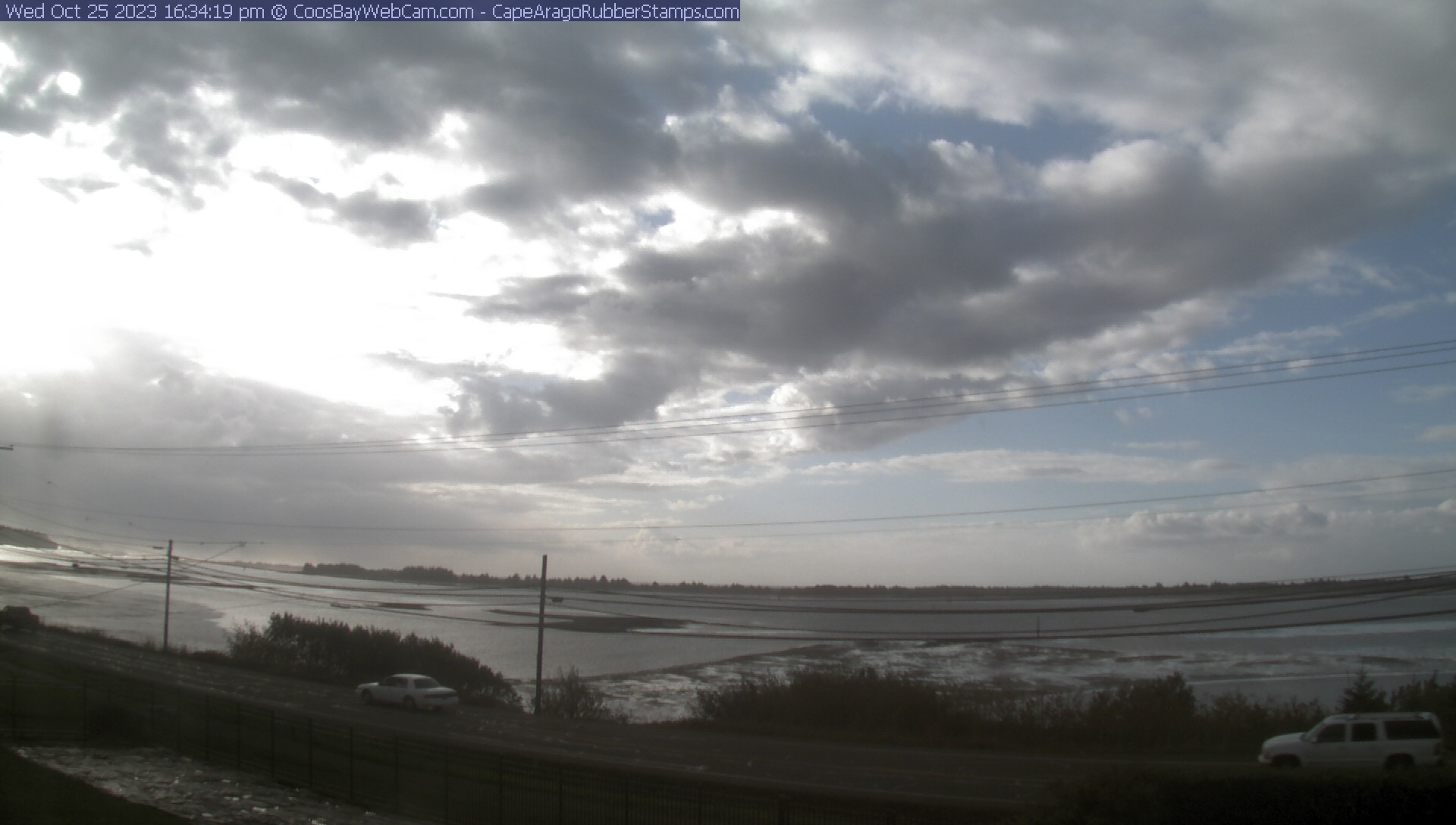
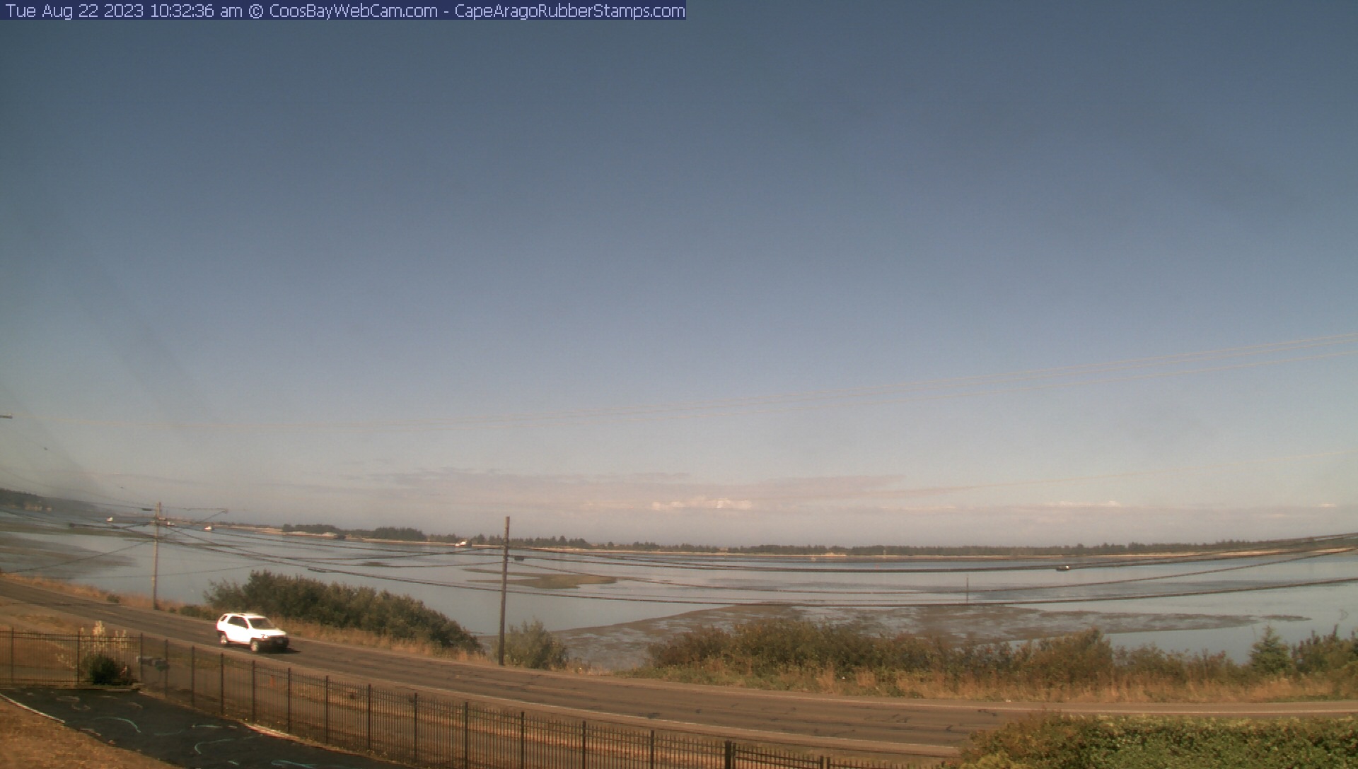
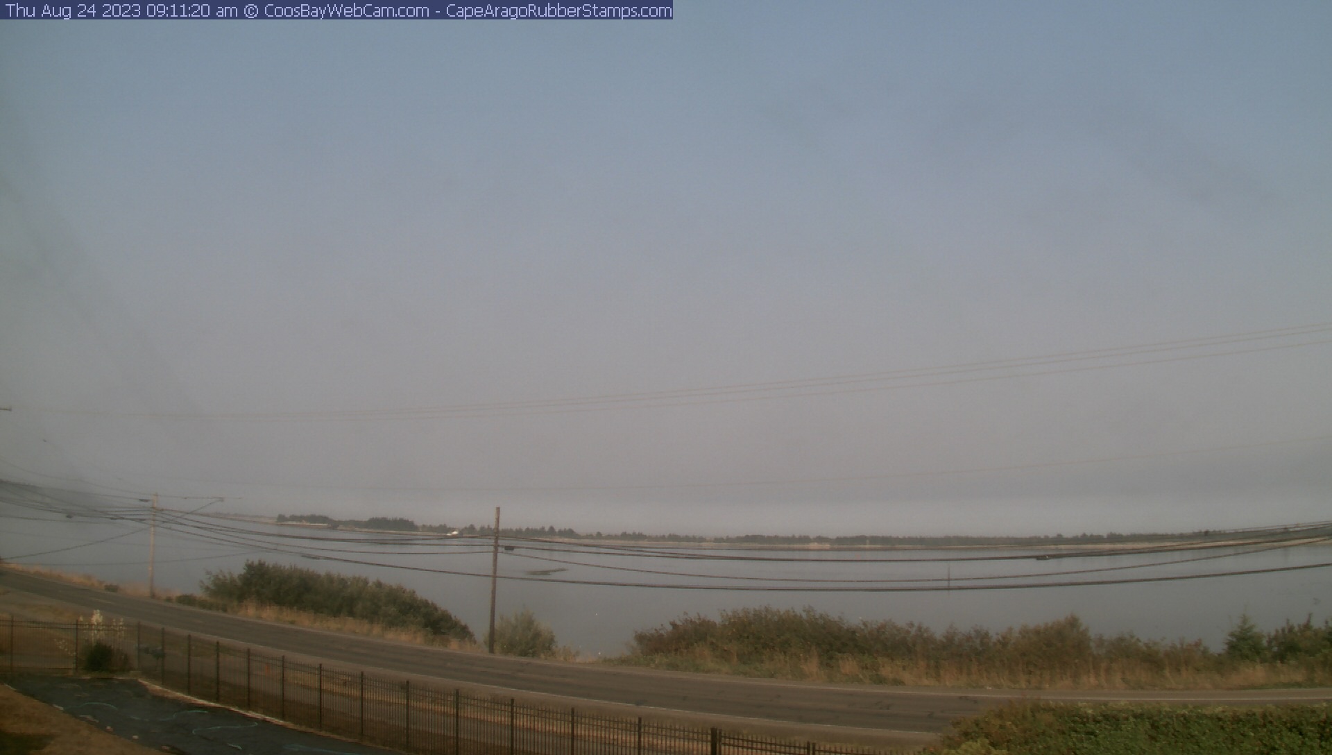
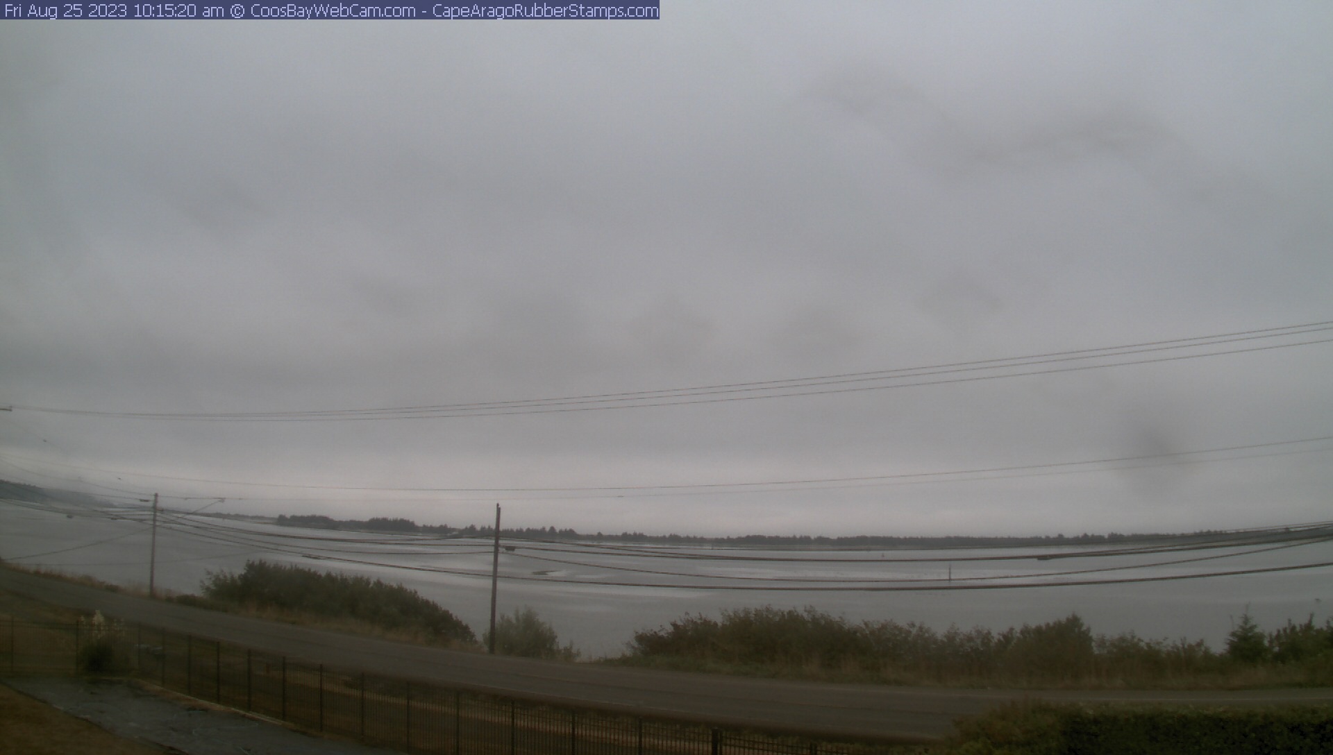
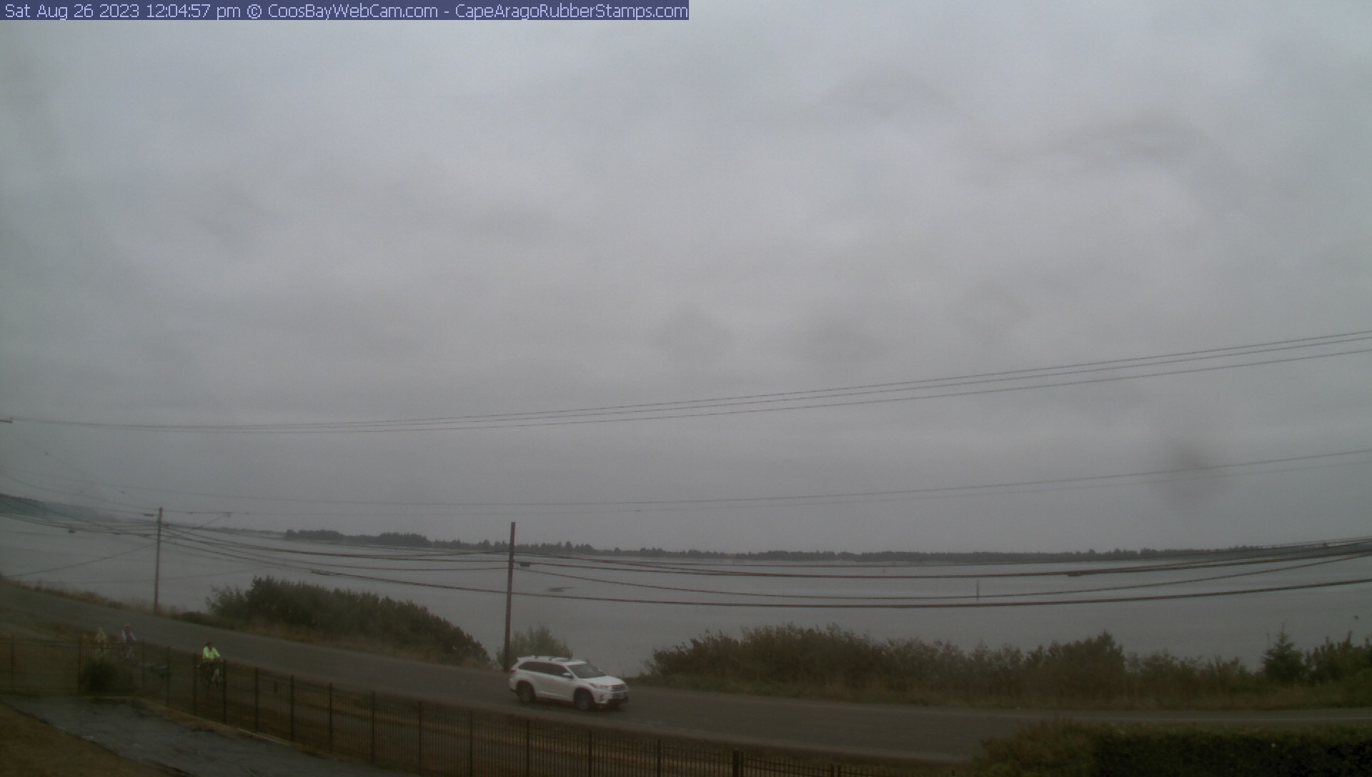
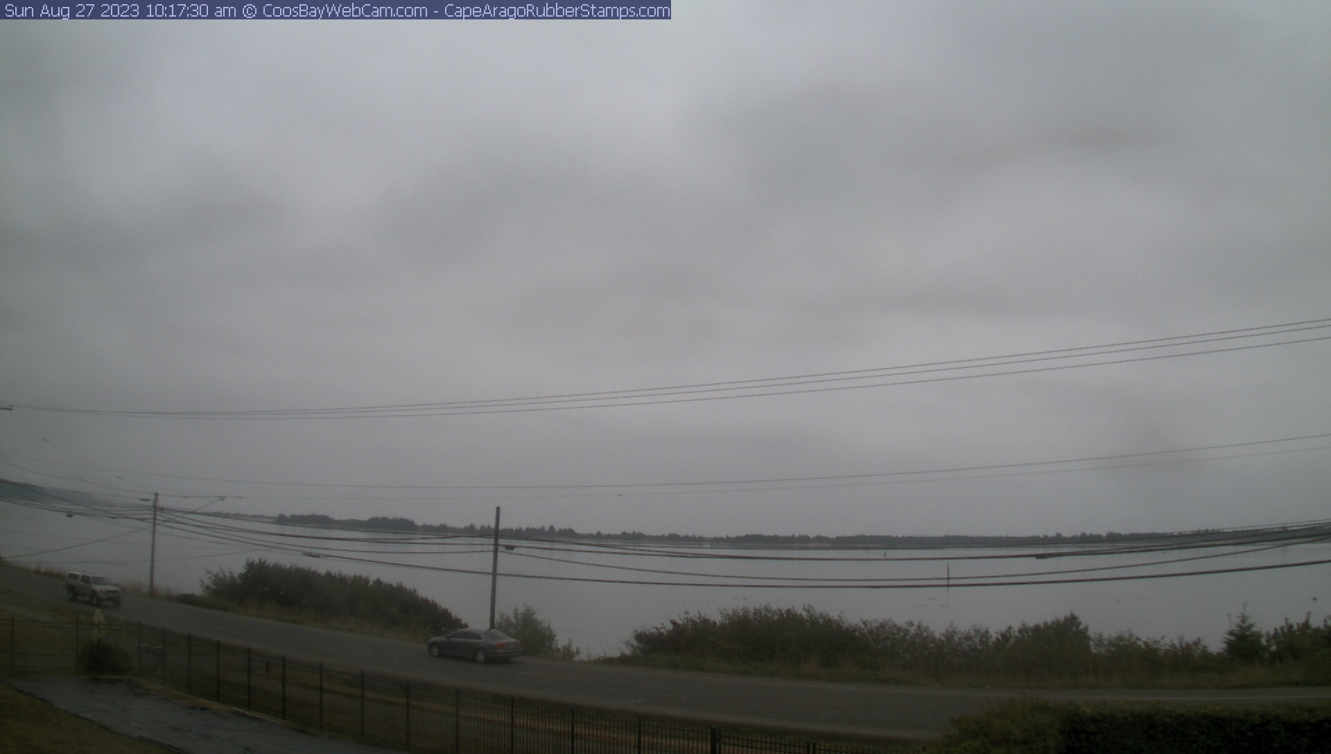
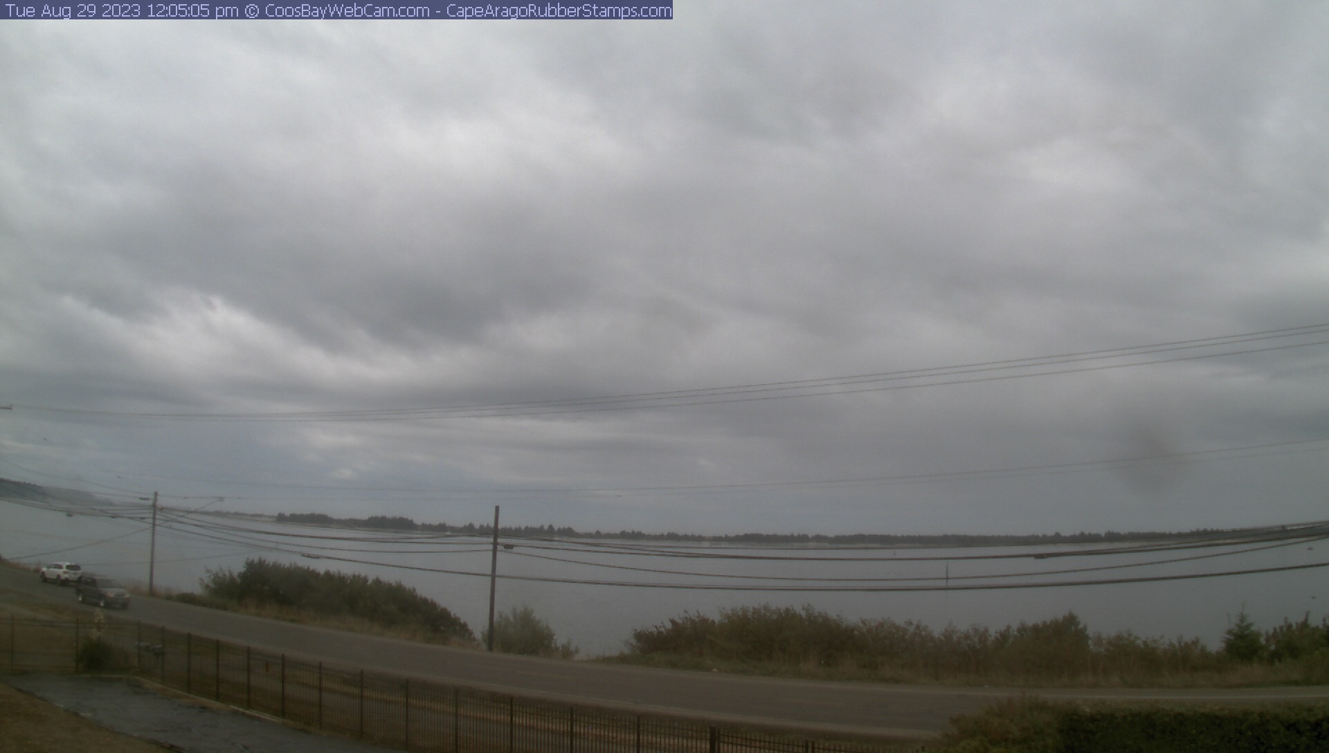
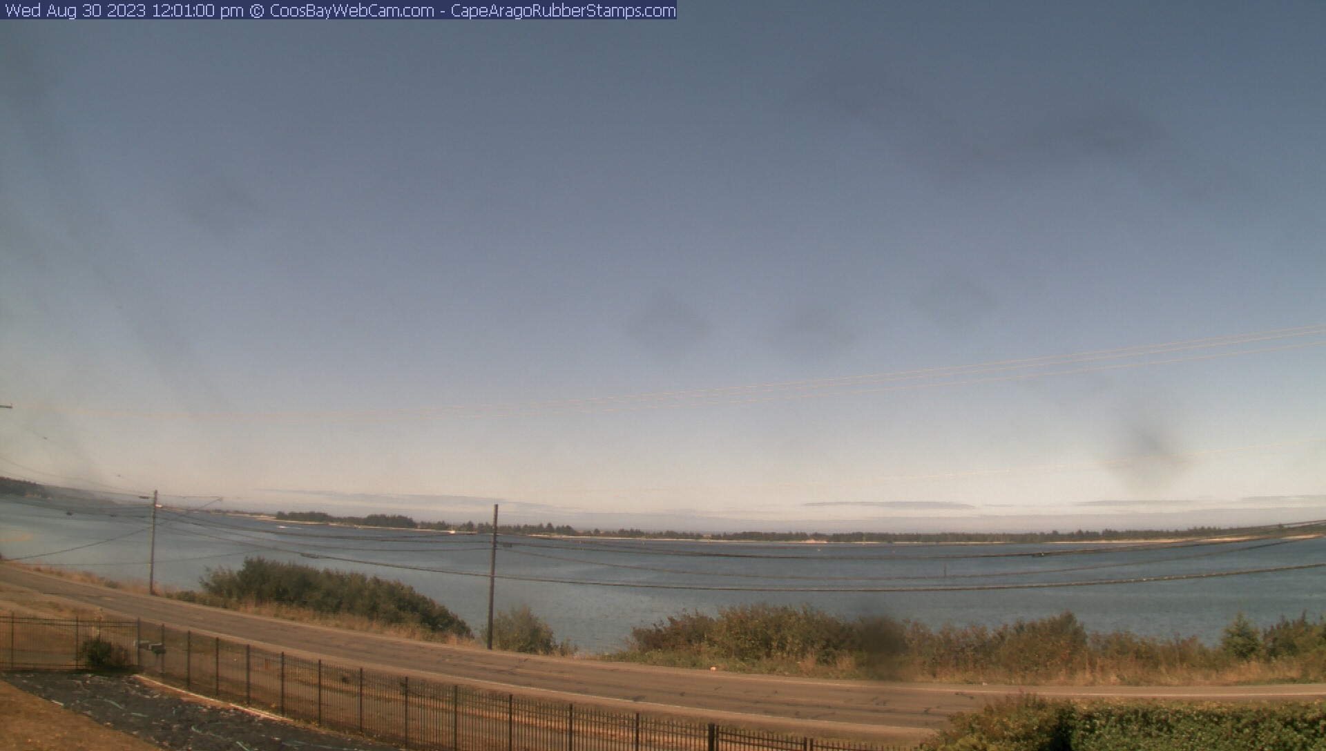
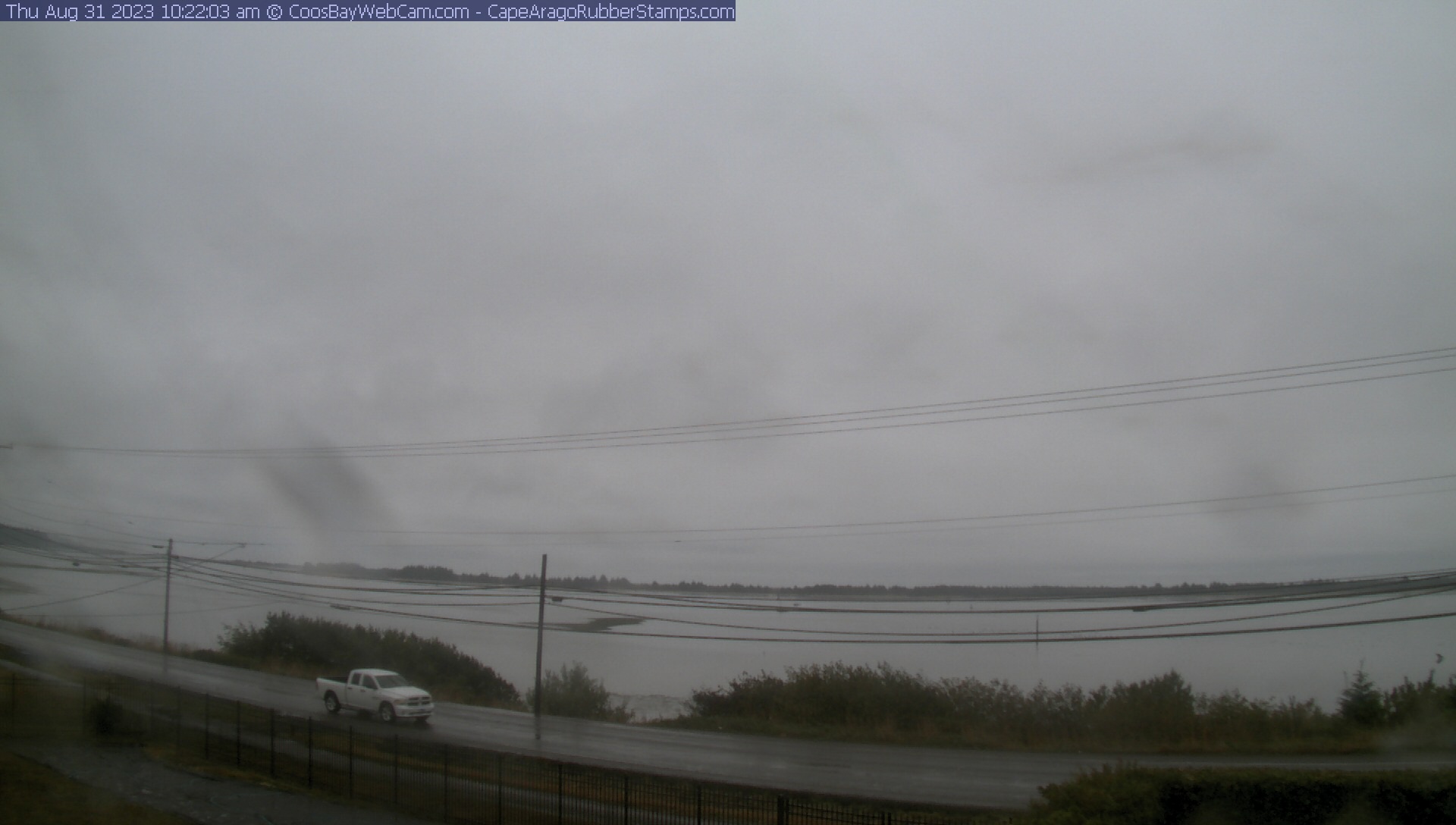
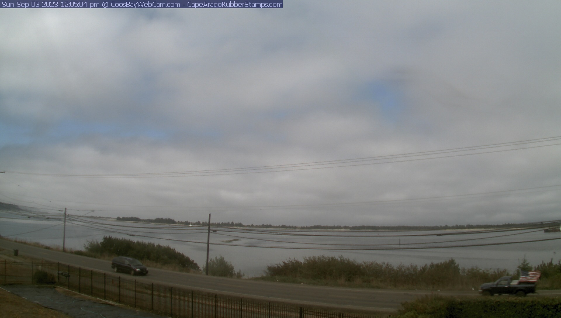
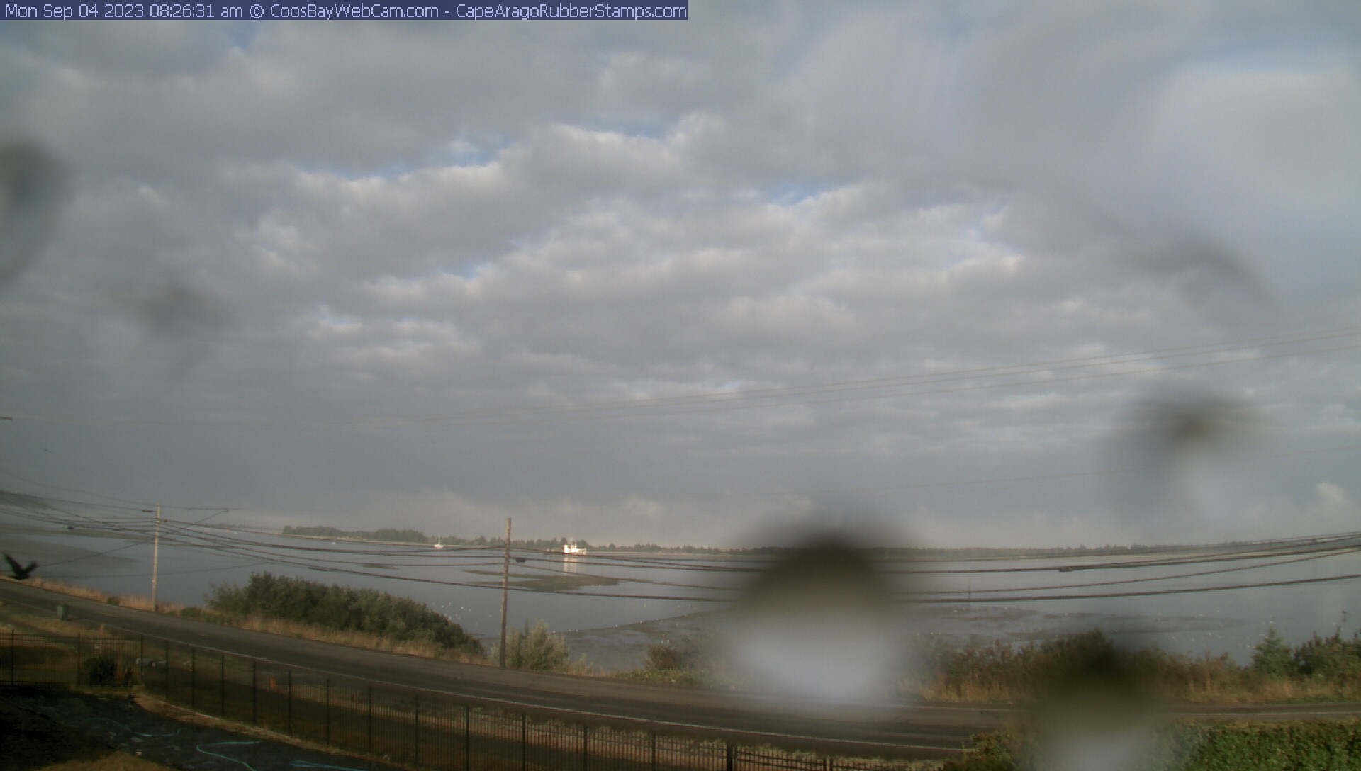
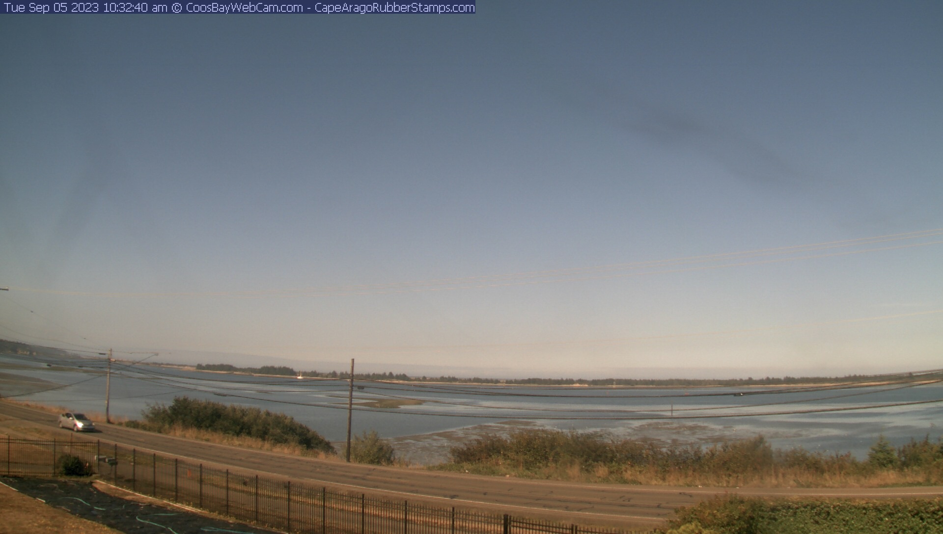
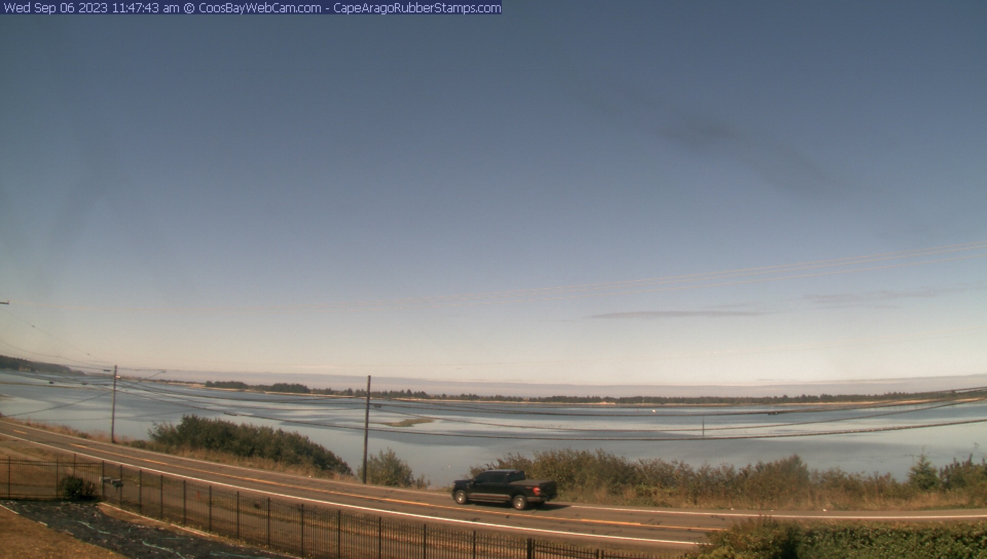
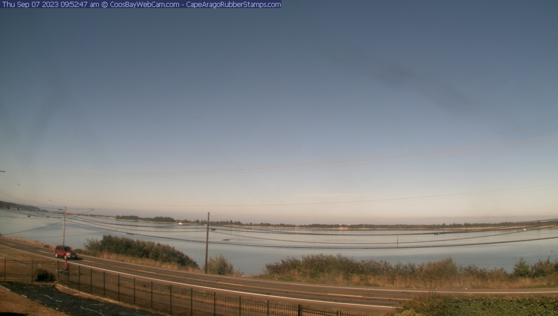
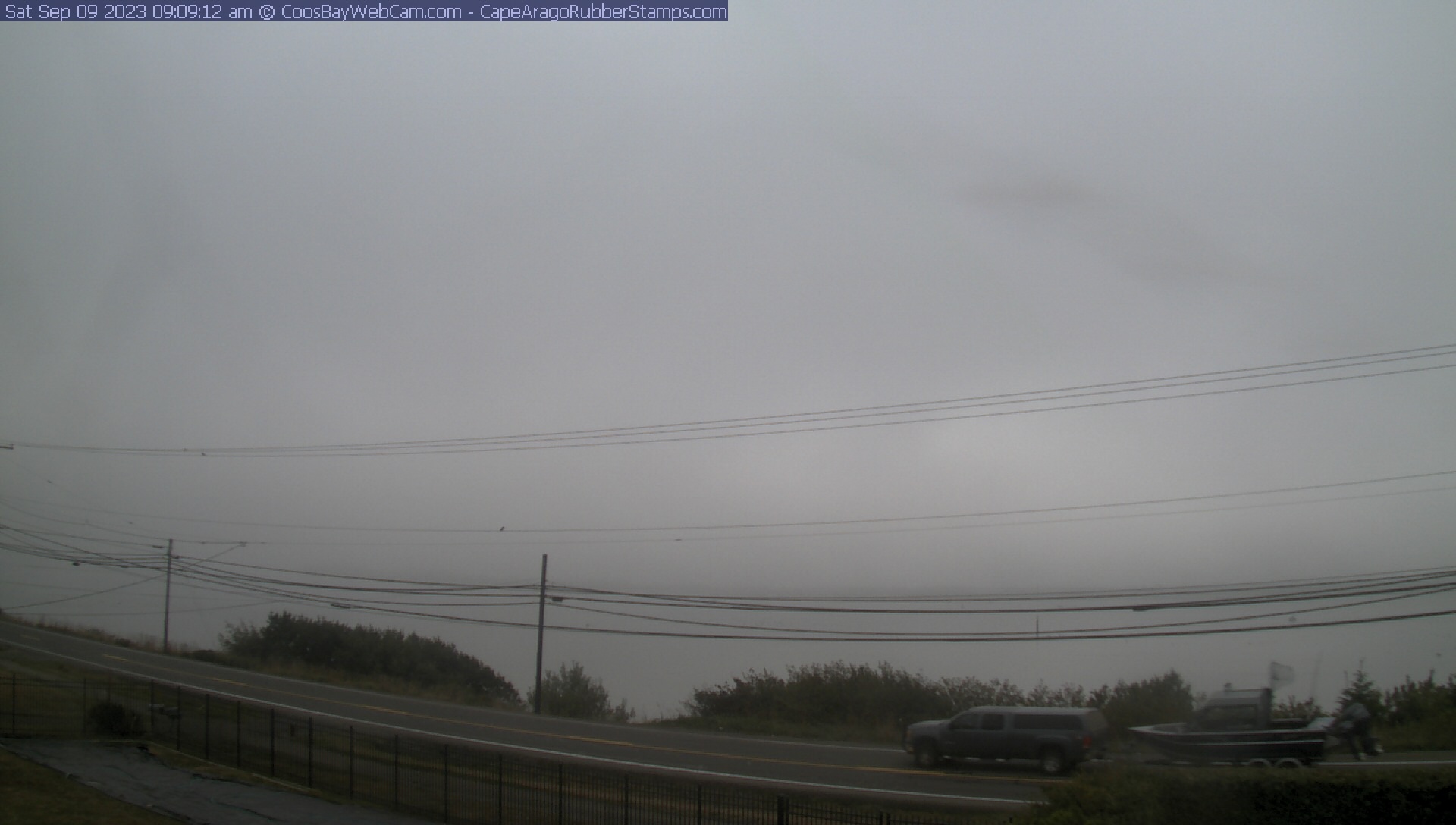
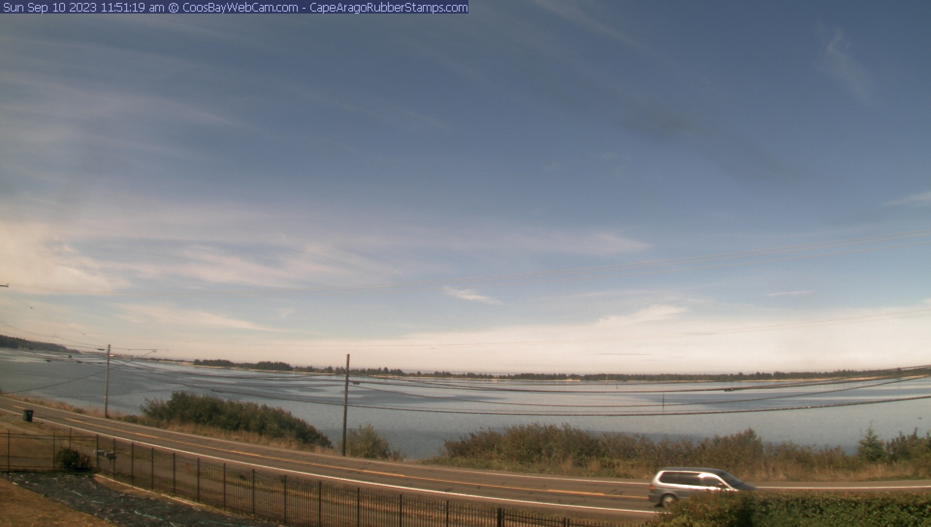
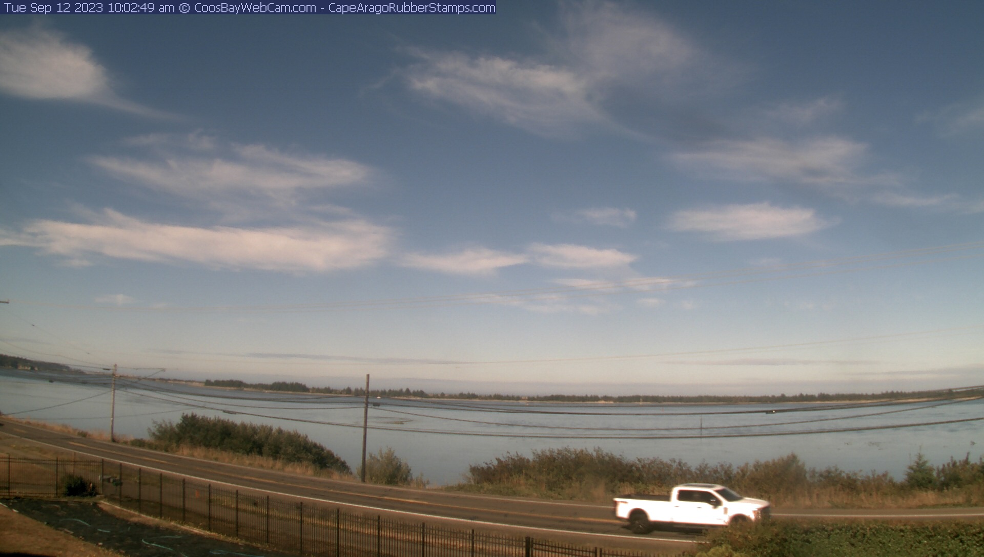
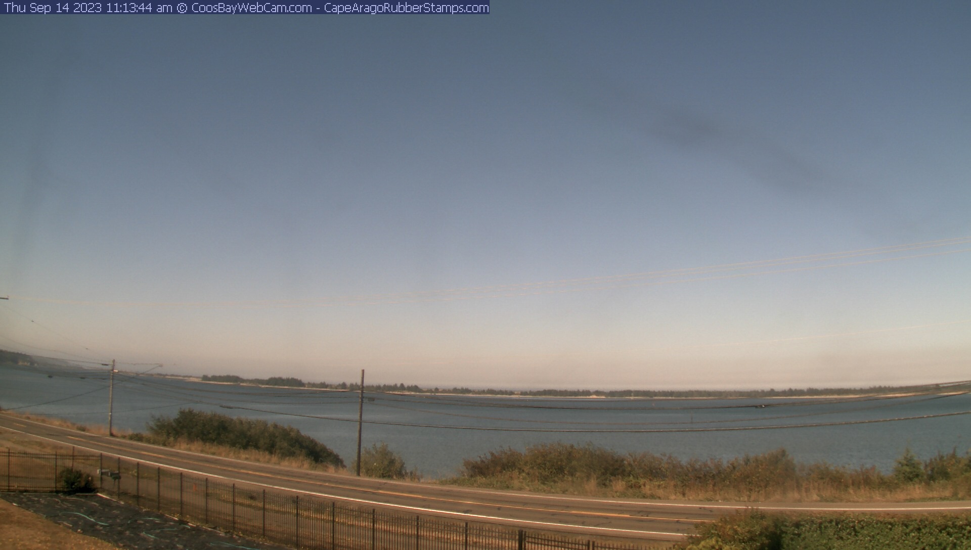
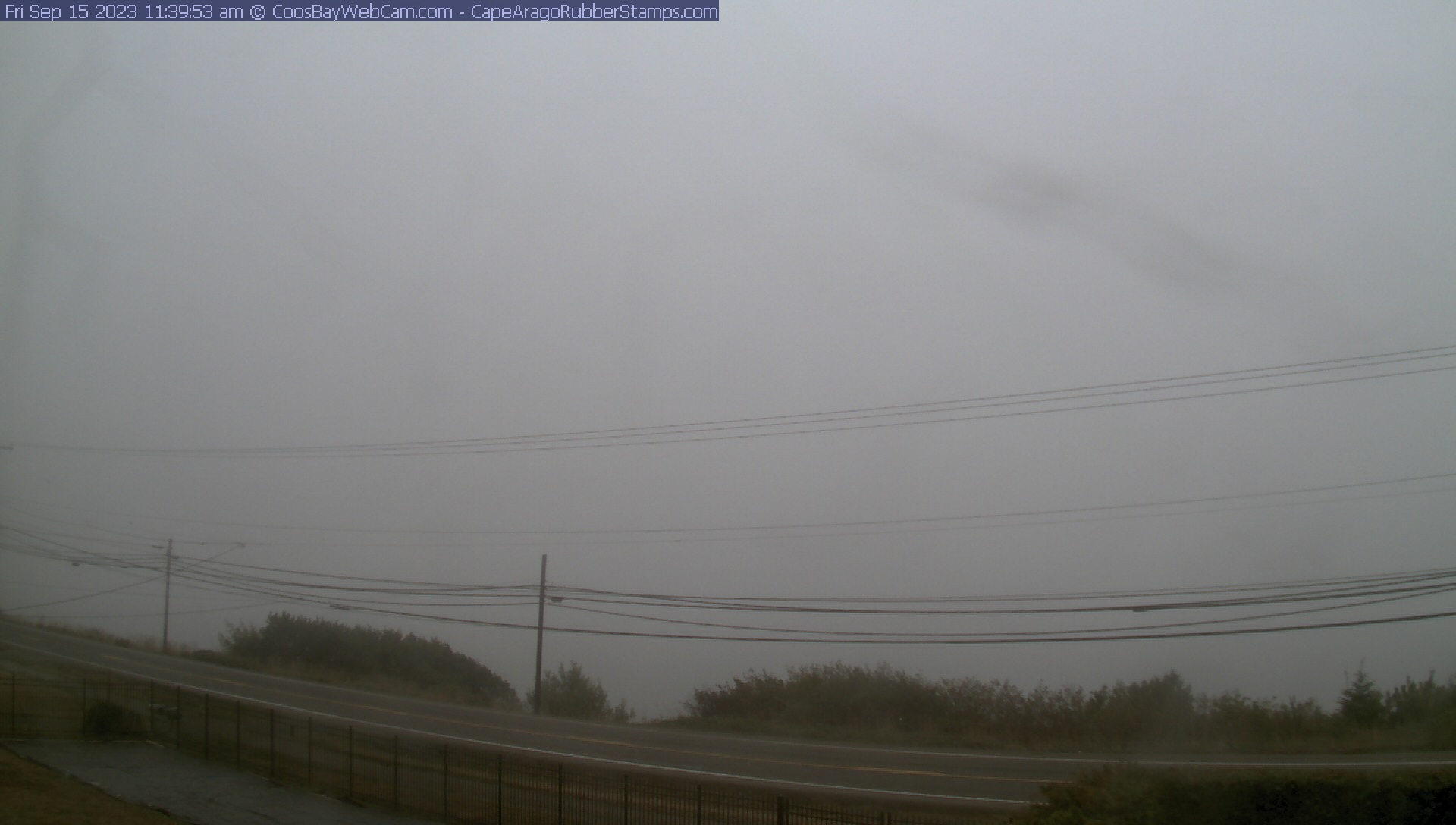
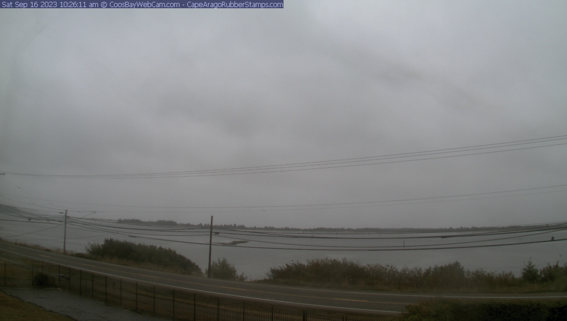
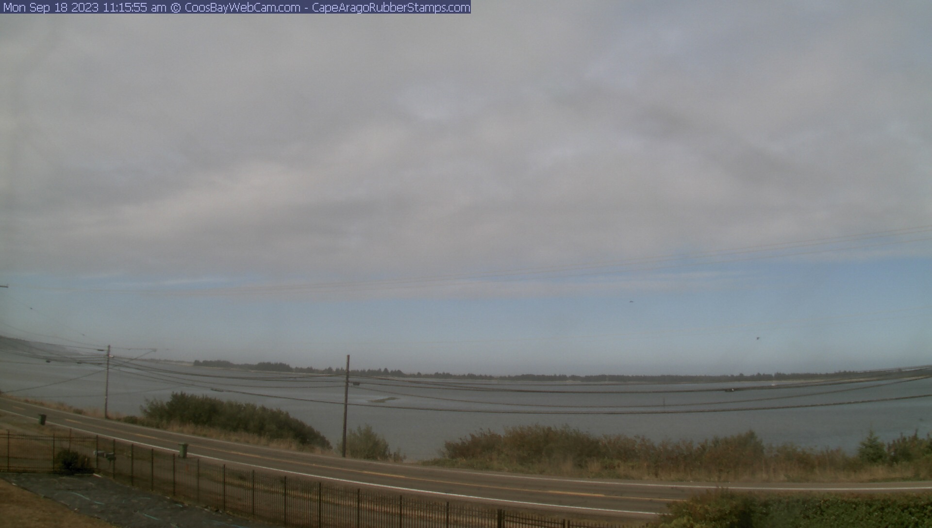
Coos Bay, Oregon, USA - 102.9 miles from Browntown (historical): View of the Coos Bay - A nice panorama view over the Coos Bay.
Operator: CoosBayWebcam.com
Operator: CoosBayWebcam.com


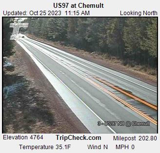
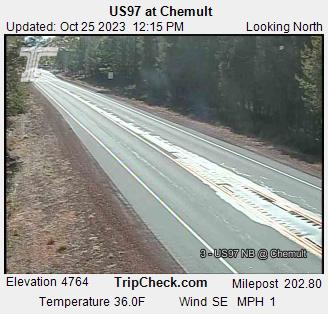
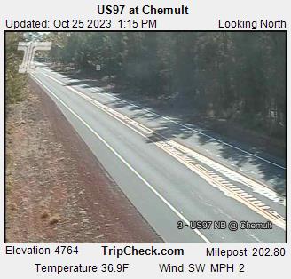
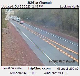
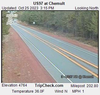
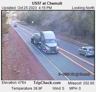
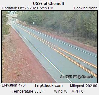
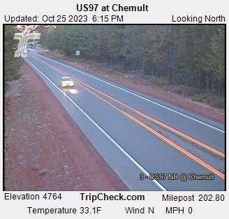
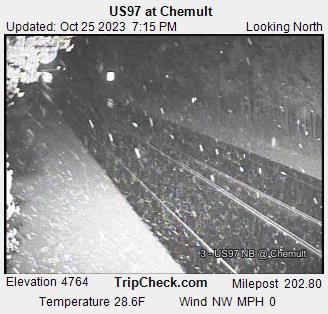
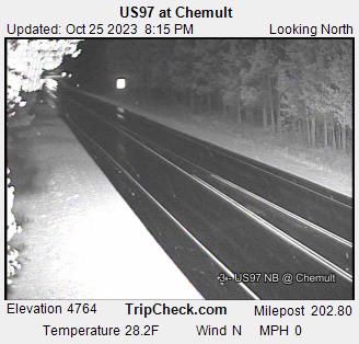
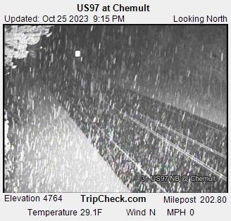
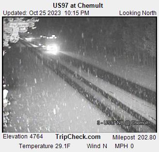
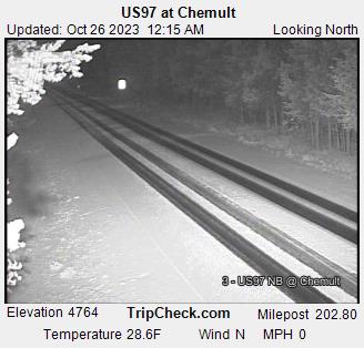
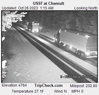
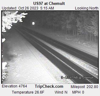
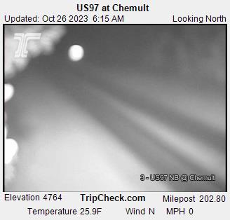
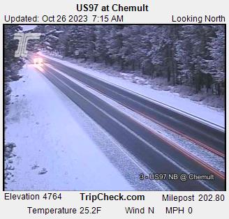
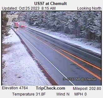
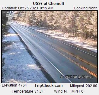
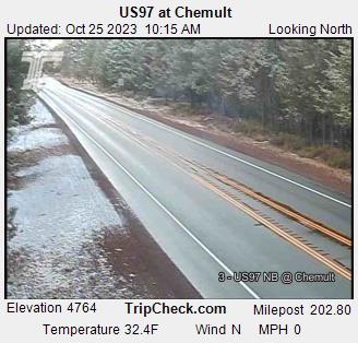
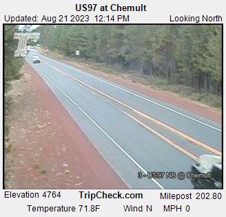
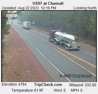
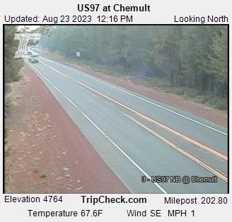
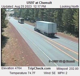
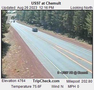
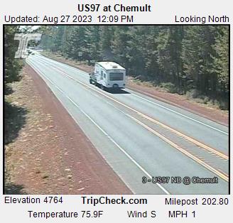
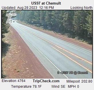
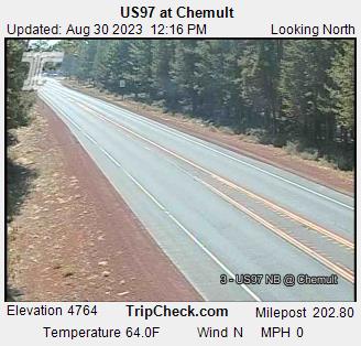
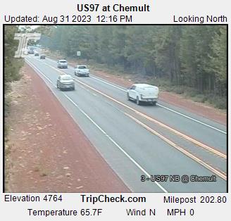
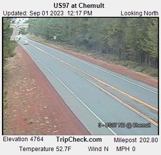
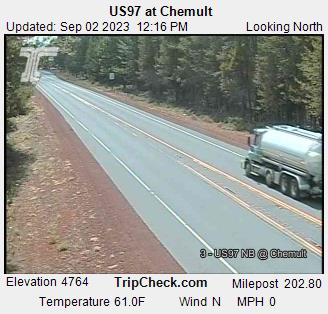
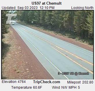
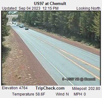
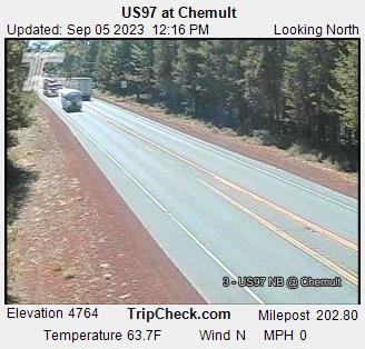
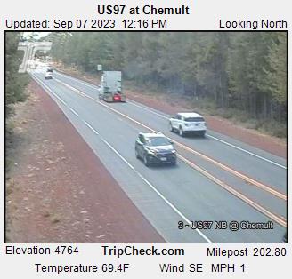
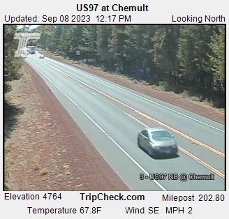
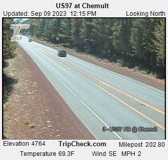
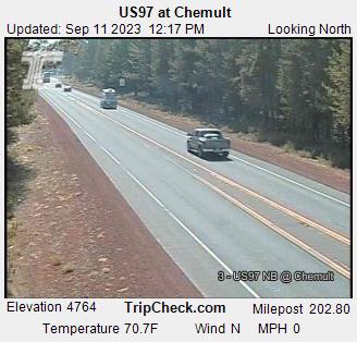
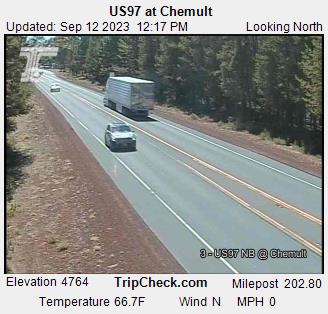
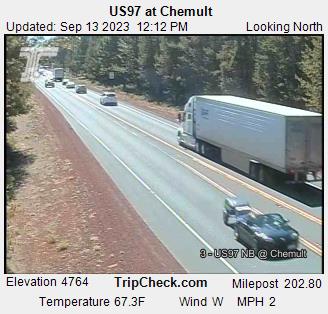
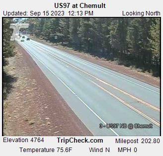
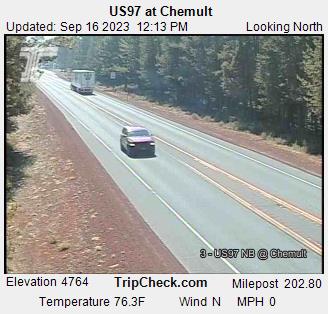
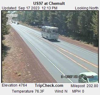
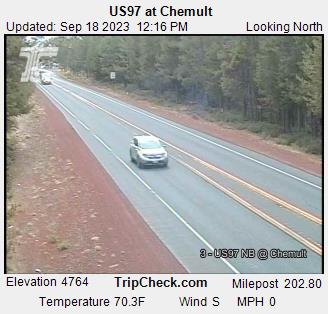
Chemult, Oregon, USA - 110.1 miles from Browntown (historical): US97 at Chemult - A view of the current traffic situation on the US97.
Operator: Oregon Department of Transportation
Operator: Oregon Department of Transportation


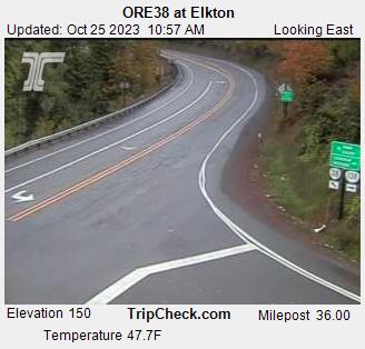
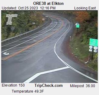
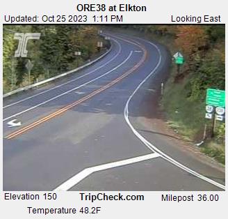
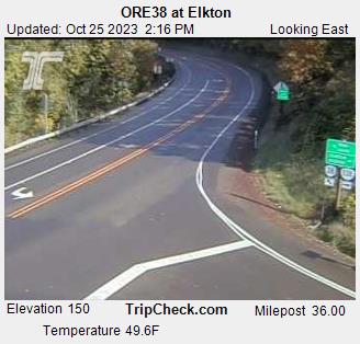
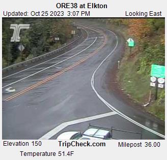
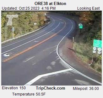
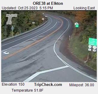
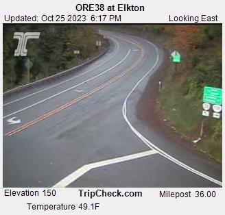
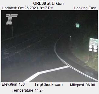
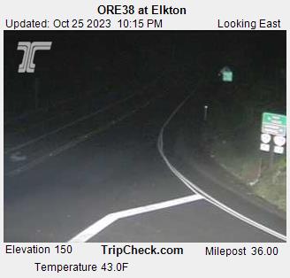
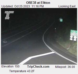
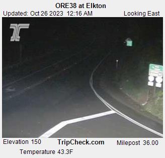
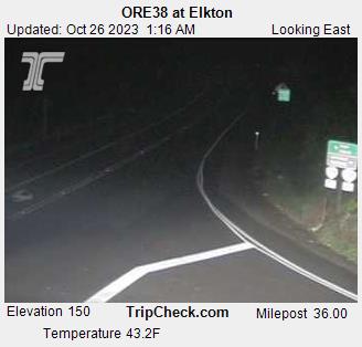
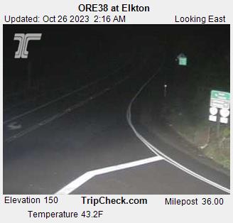
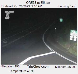
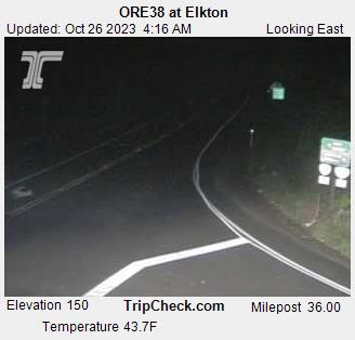
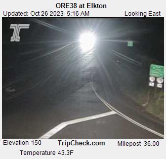
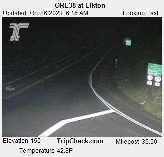
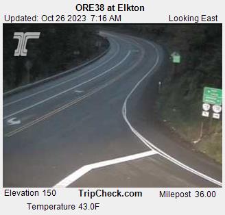
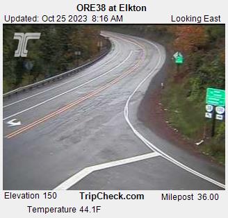
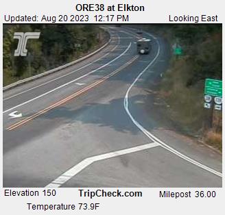
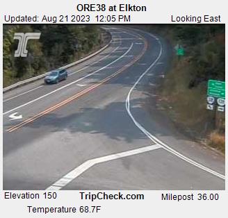
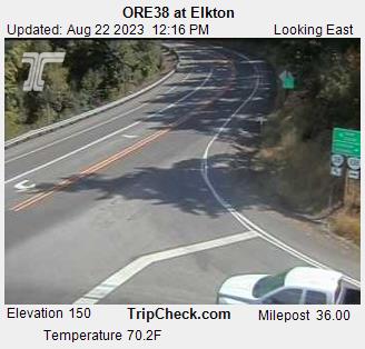
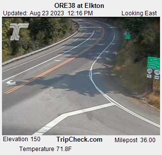
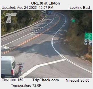
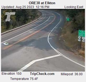
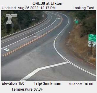
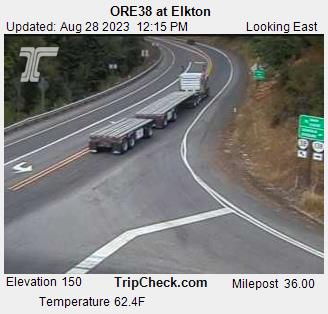
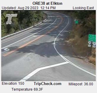
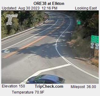
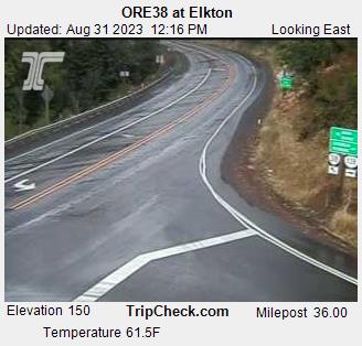
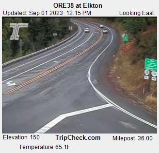
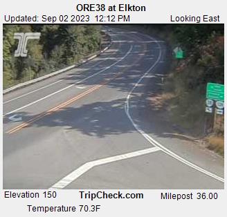
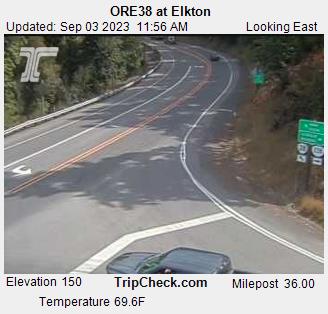
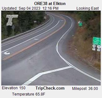
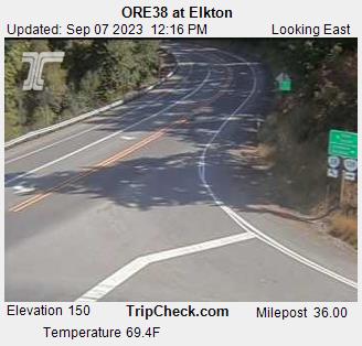
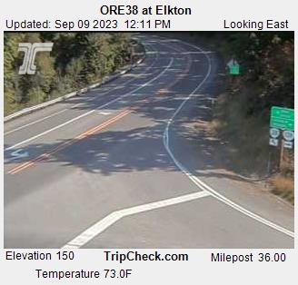
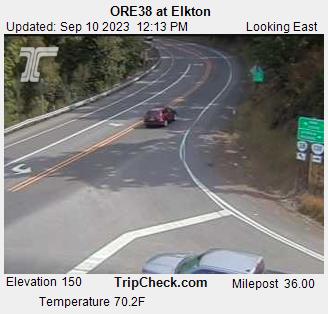
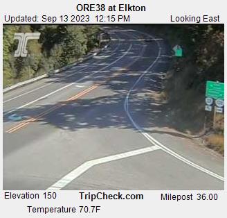
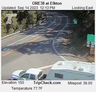
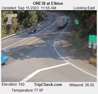
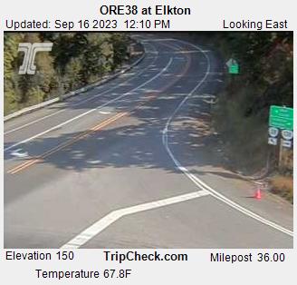
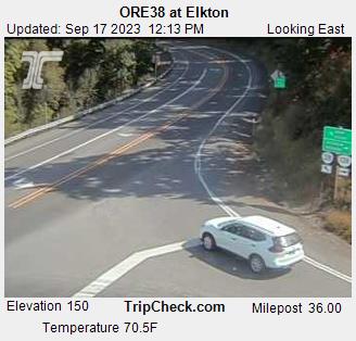
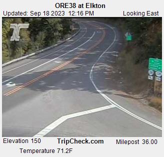
Elkton, Oregon, USA - 110.6 miles from Browntown (historical): ORE38 at Elkton - A view of the current traffic situation on the ORE38.
Operator: Oregon Department of Transportation
Operator: Oregon Department of Transportation


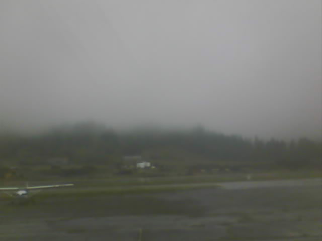
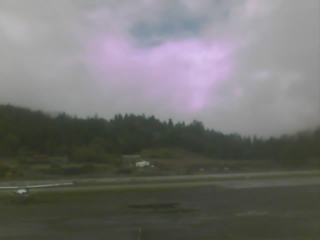
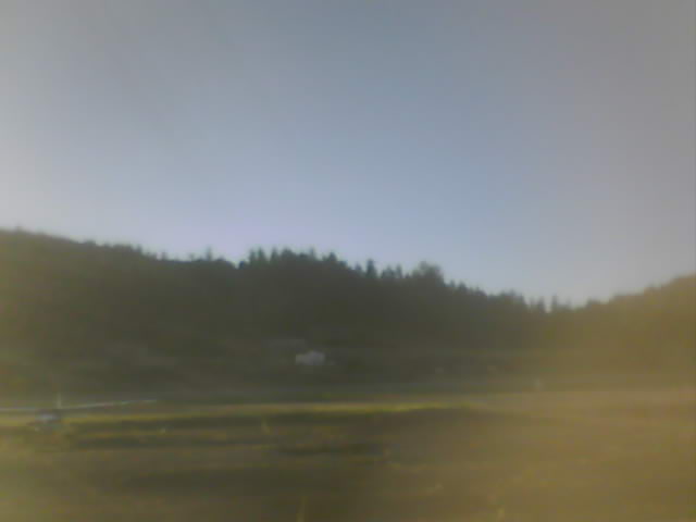
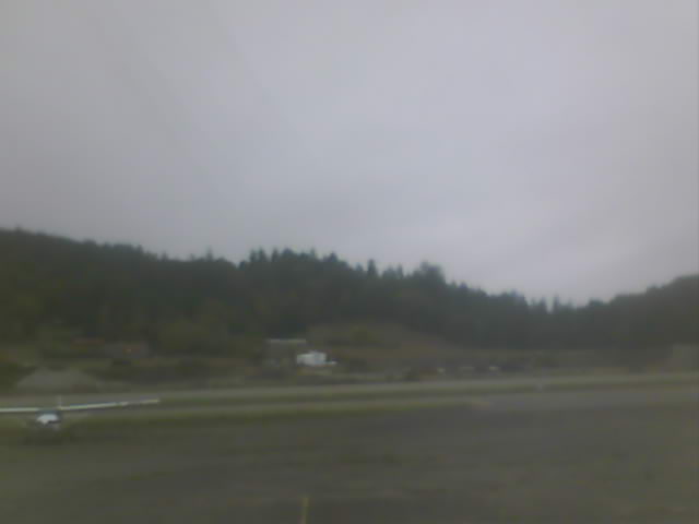
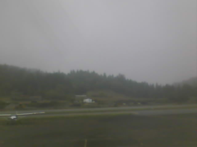
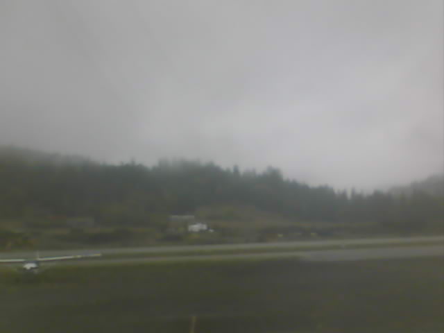
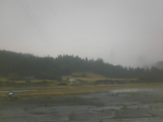
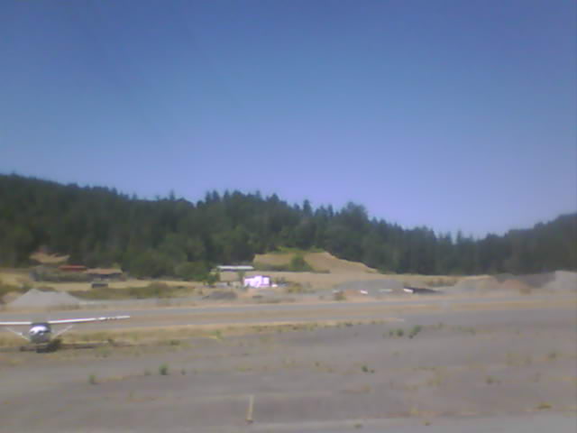
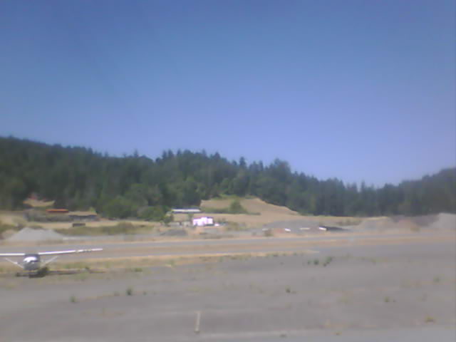
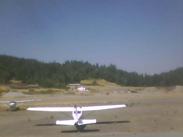
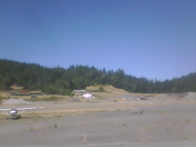
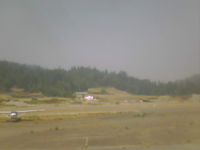
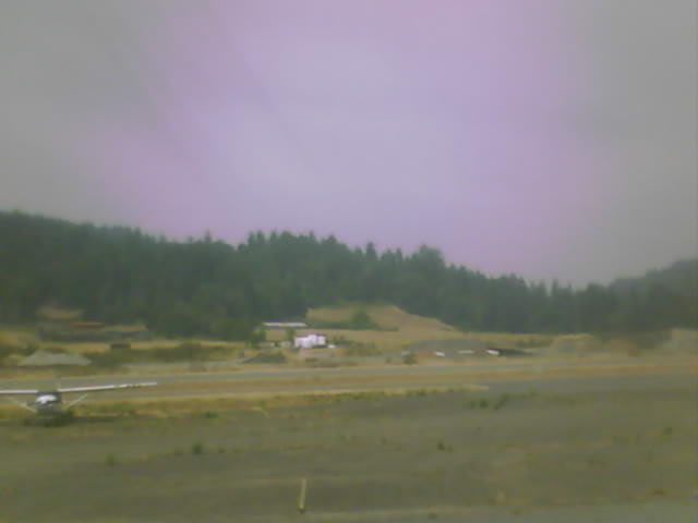
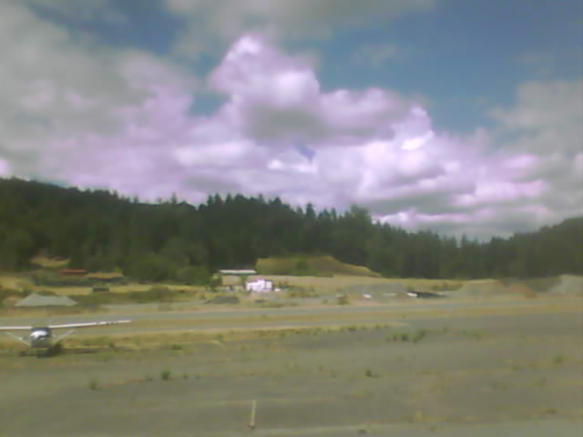
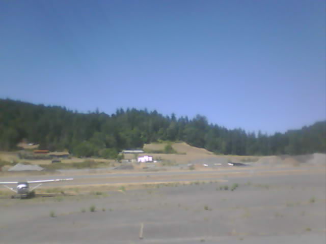
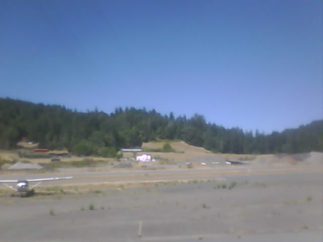
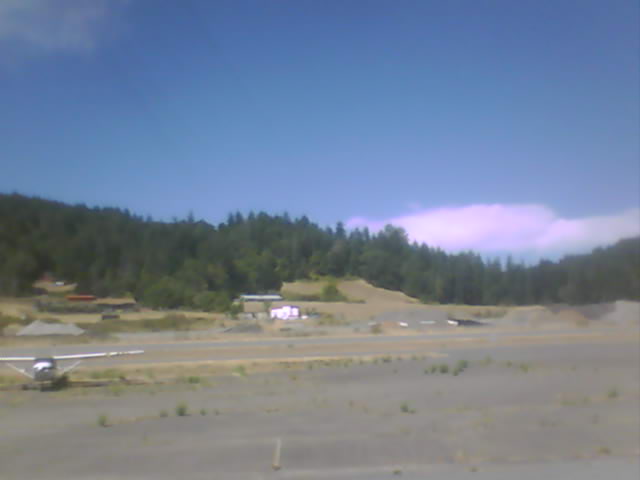
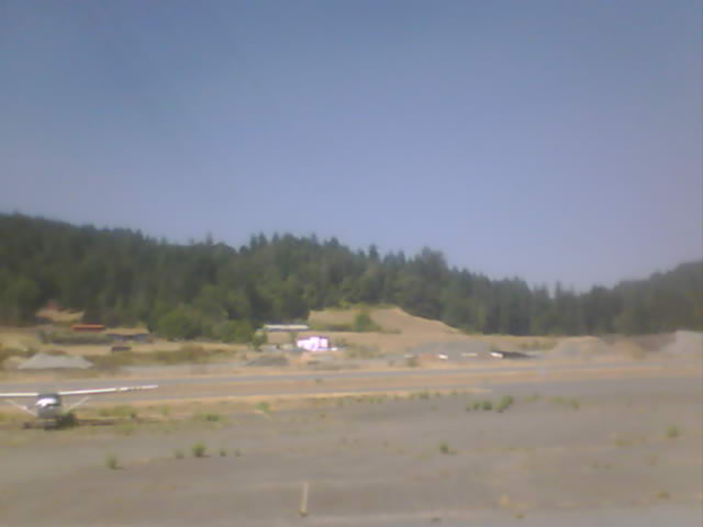
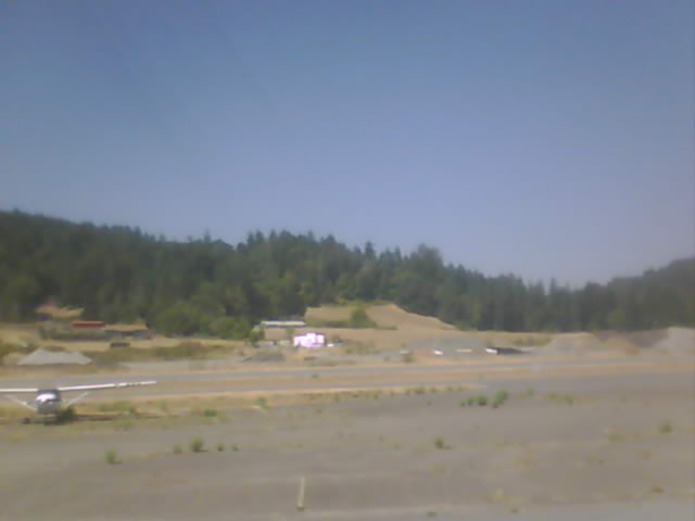
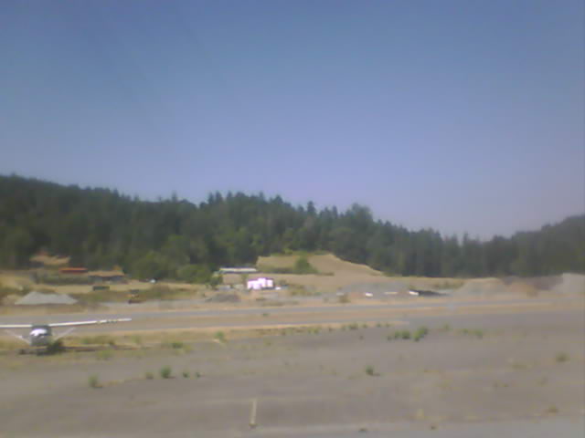
Fortuna, California, USA - 110.7 miles from Browntown (historical): Rohnerville Airport - Different views of the Rohnerville Airport, Fortuna, CA.
Operator: North Coast Aviation
Operator: North Coast Aviation


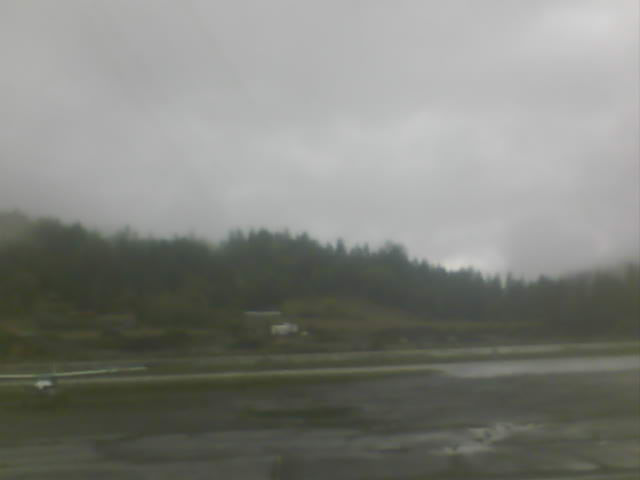
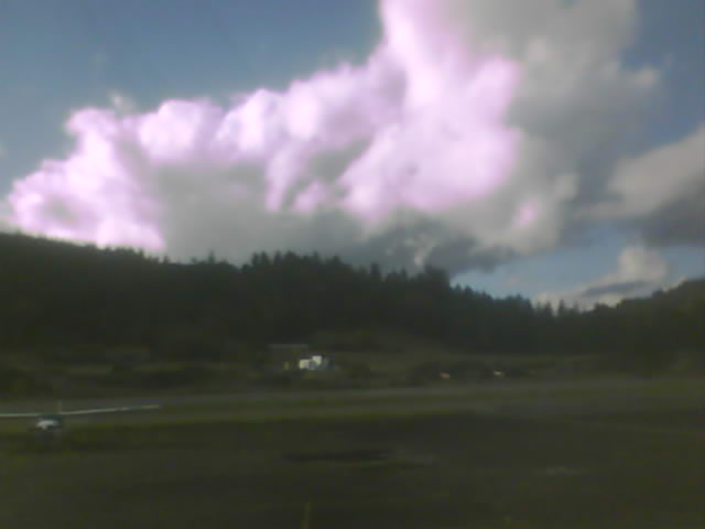
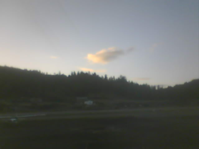
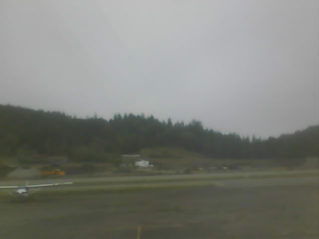
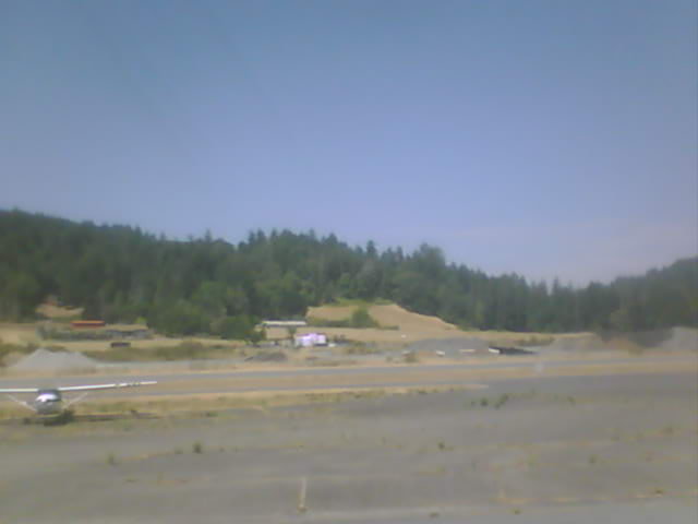
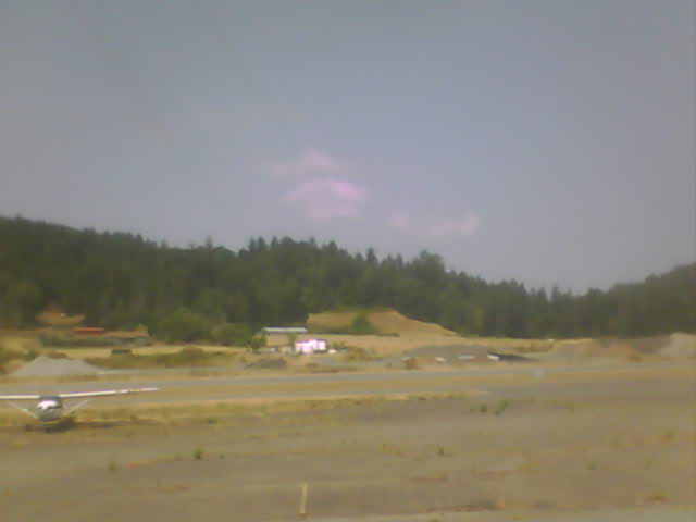
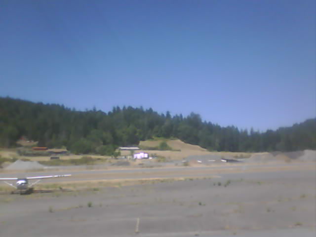
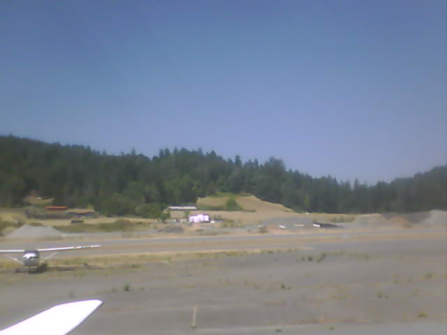
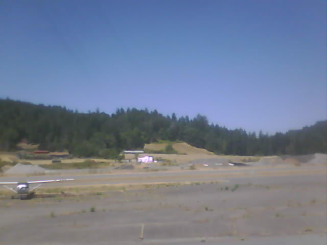
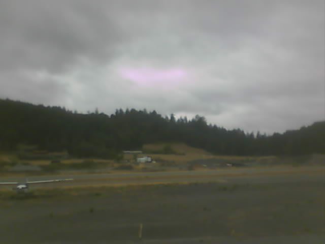
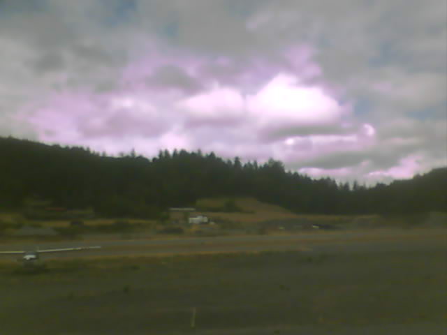
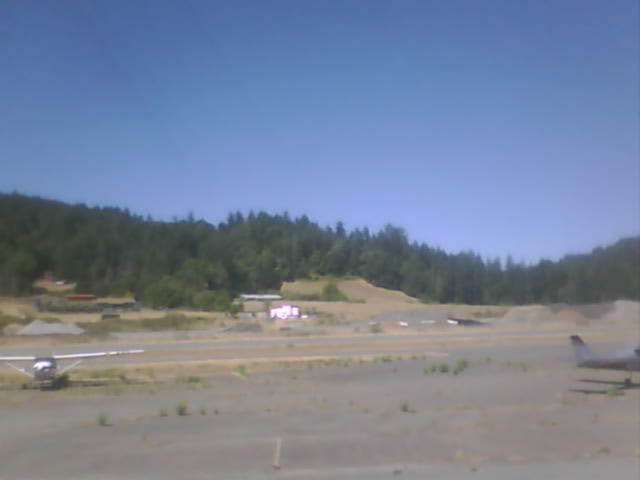
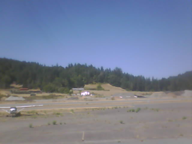
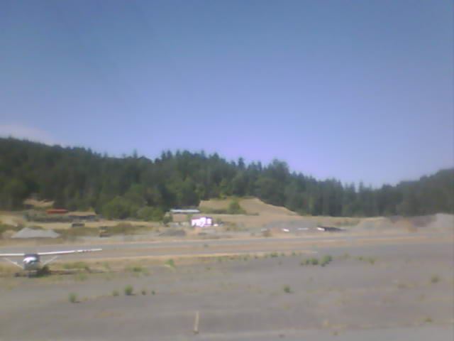
Garberville, California, USA - 137.7 miles from Browntown (historical): Garberville Airport - Several views of Garberville Airport.
Operator: North Coast Aviation
Operator: North Coast Aviation


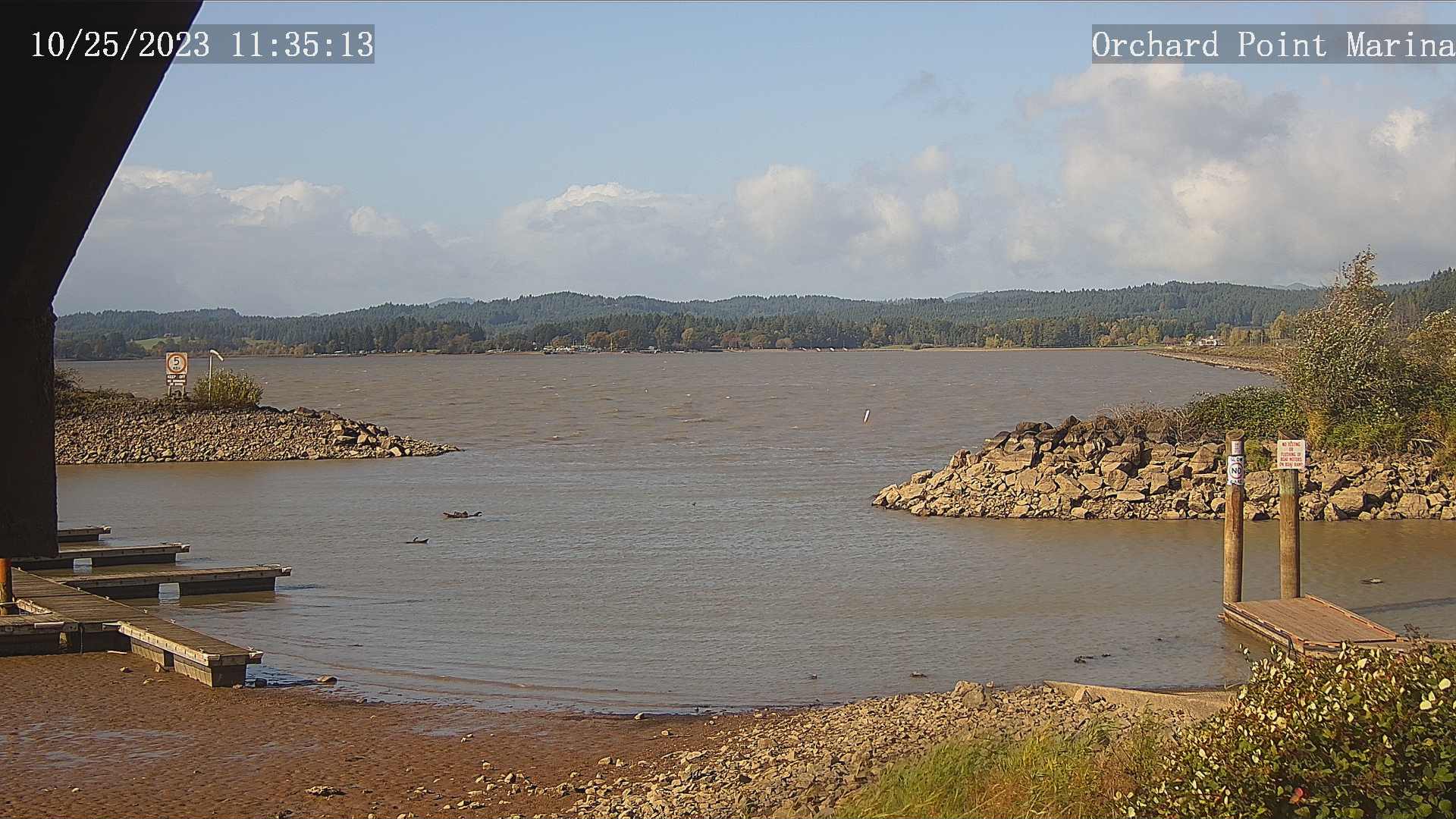
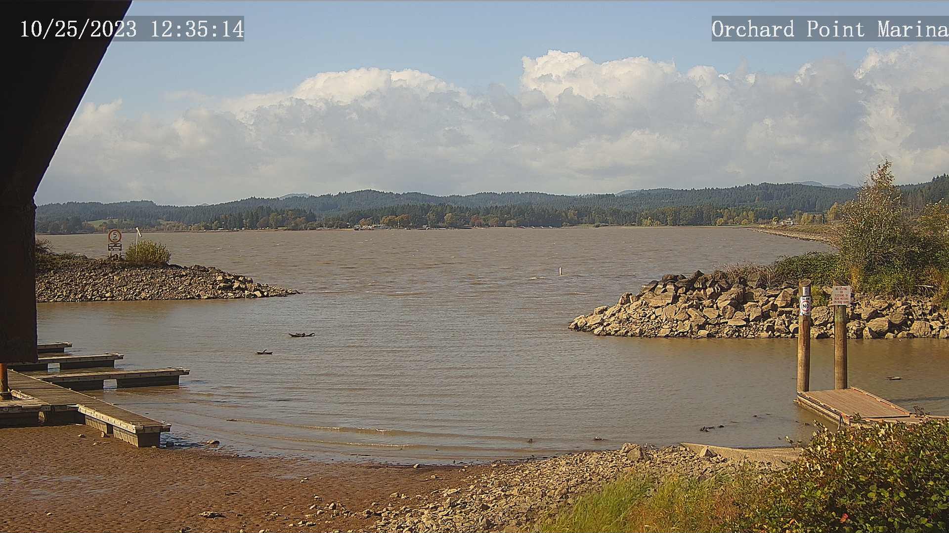
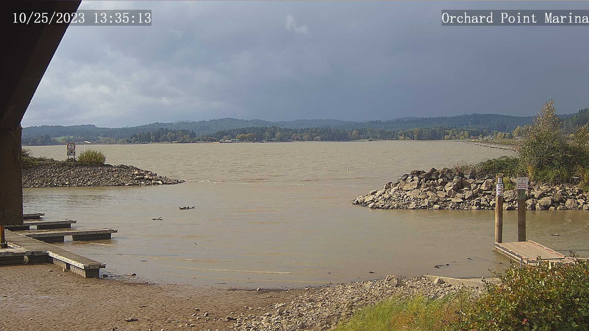
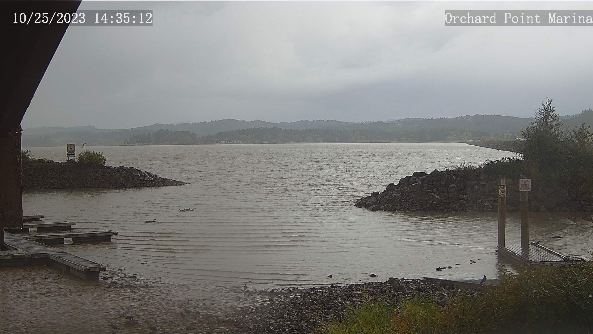
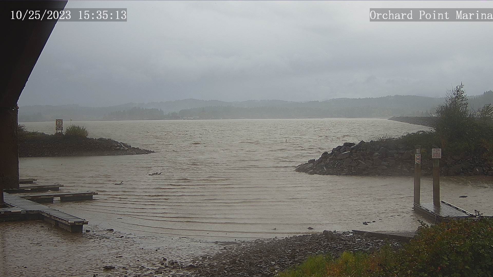
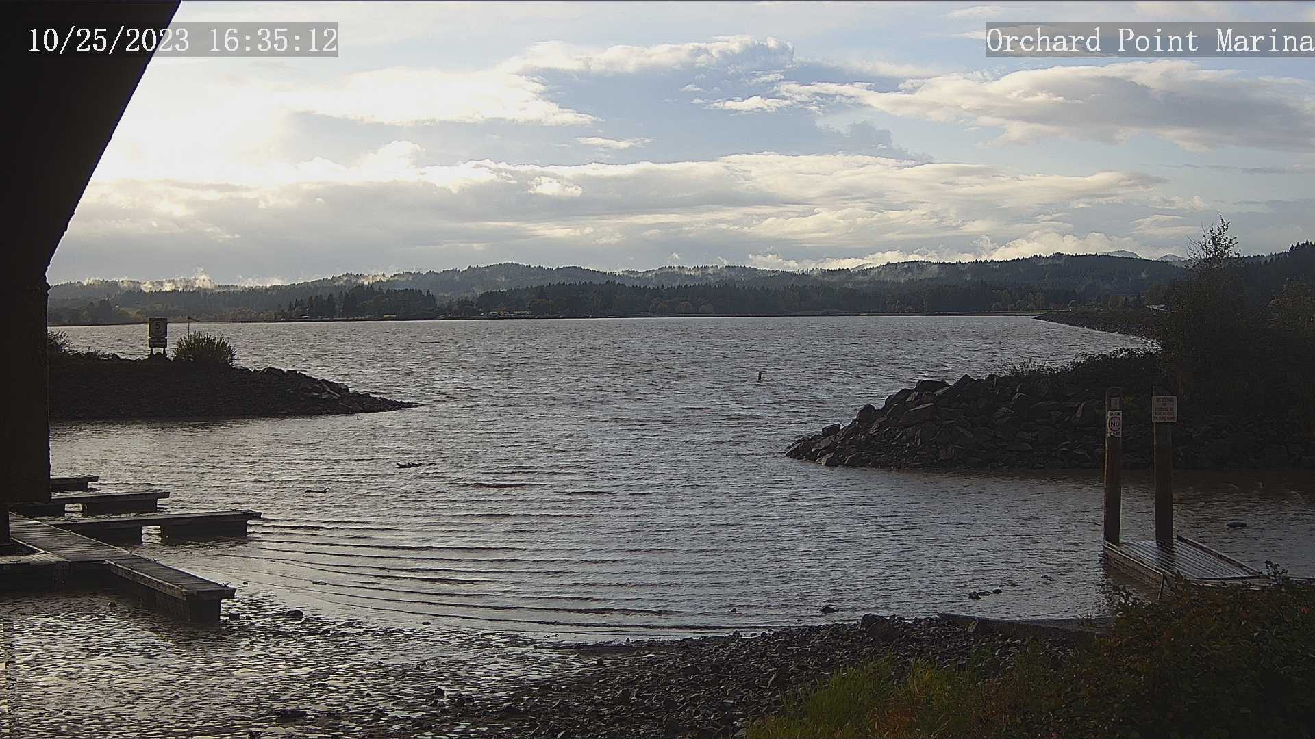
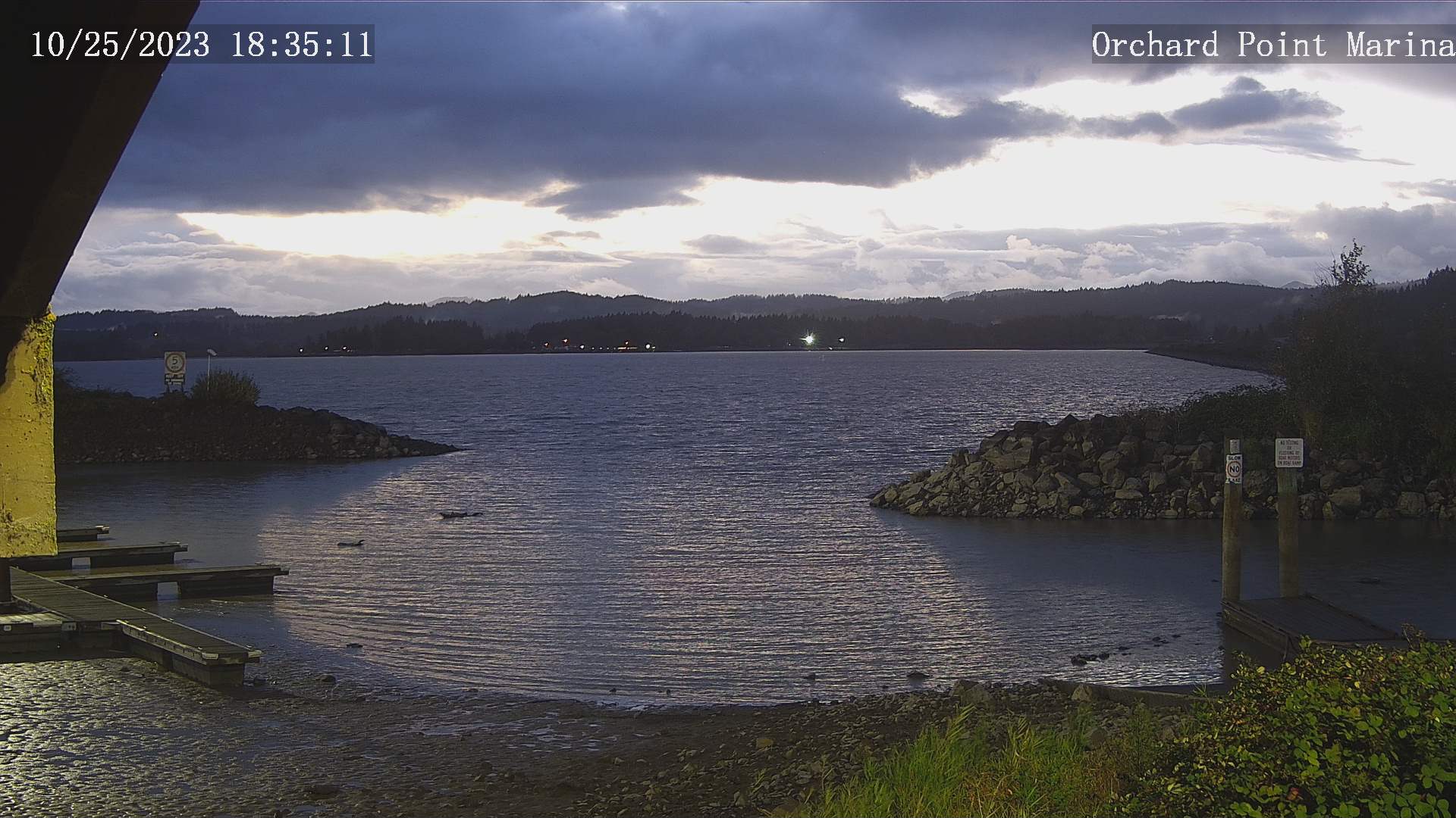
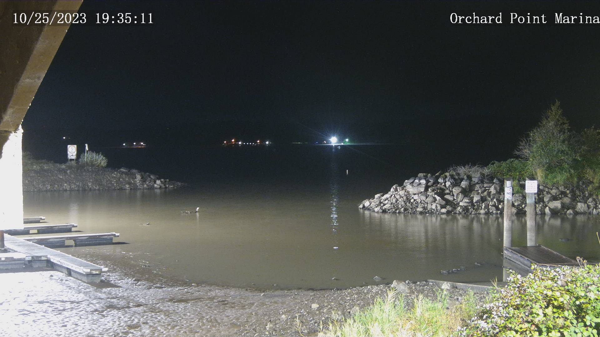
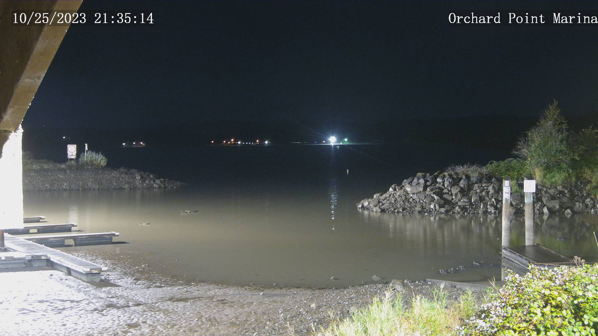
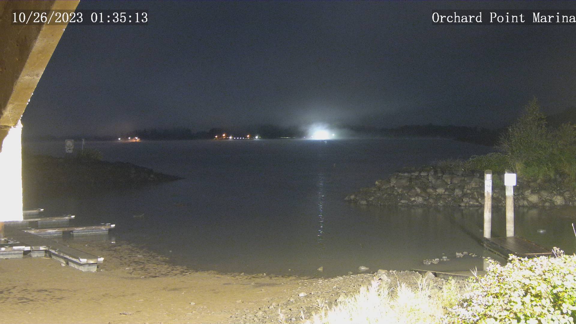
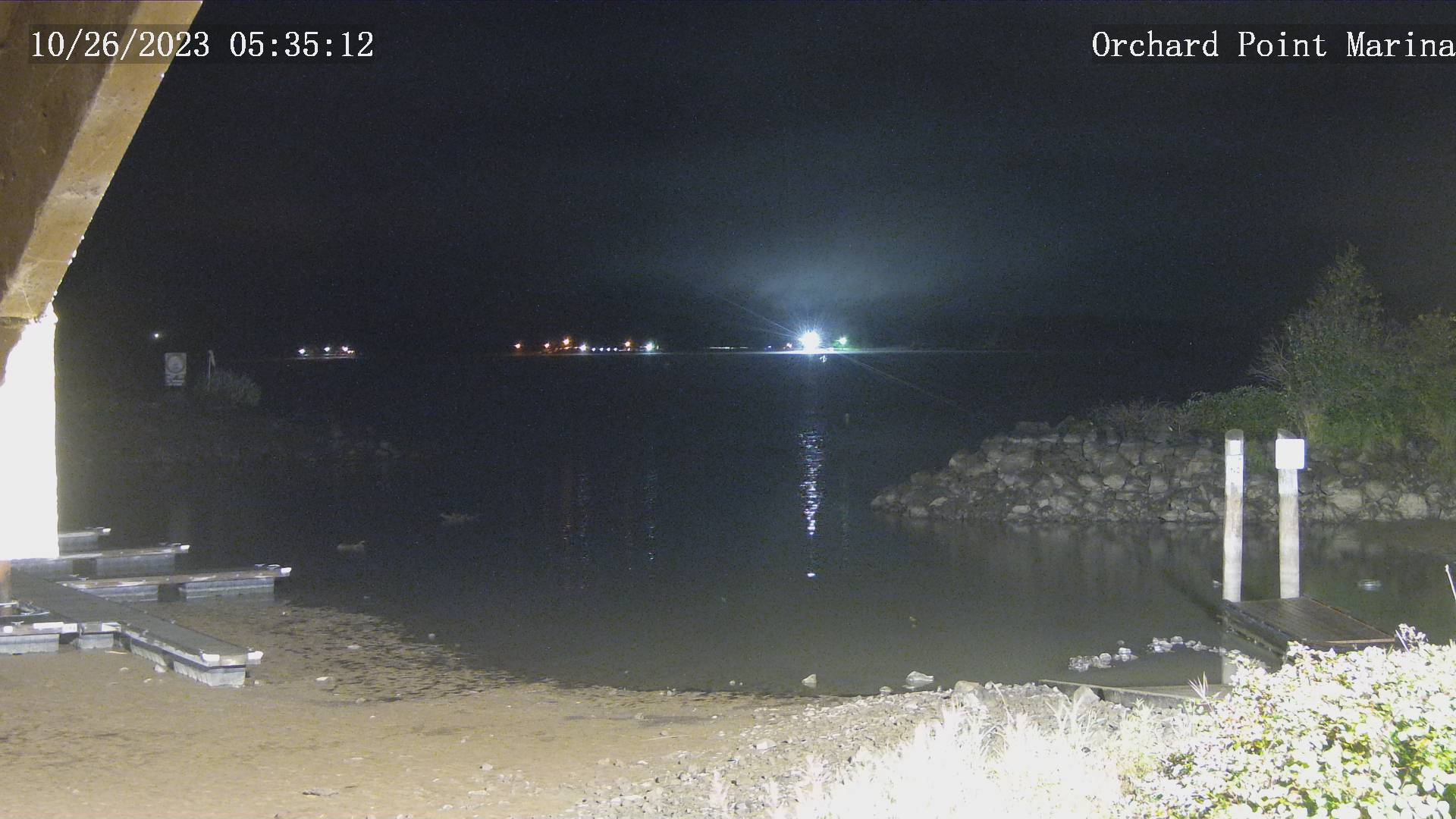
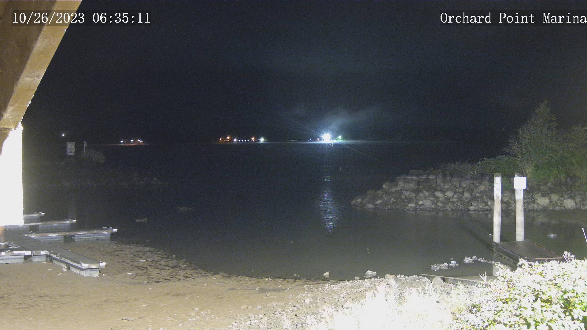
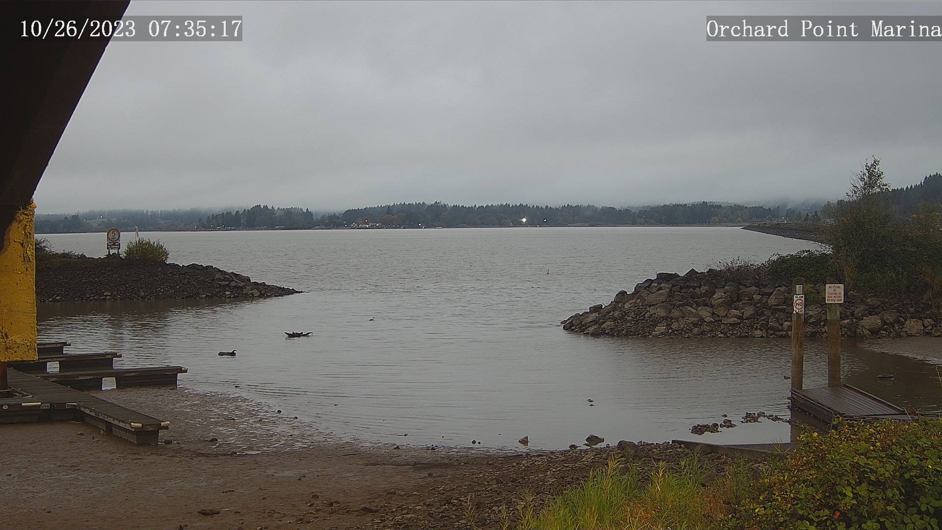
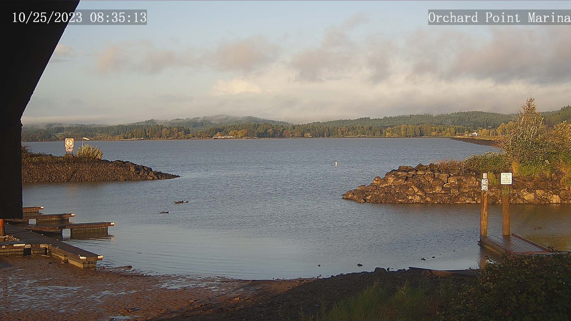
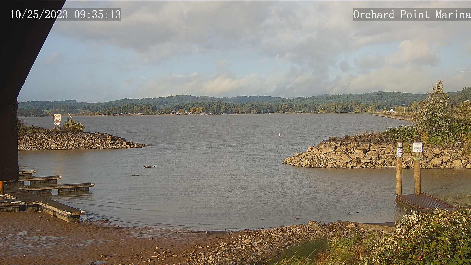
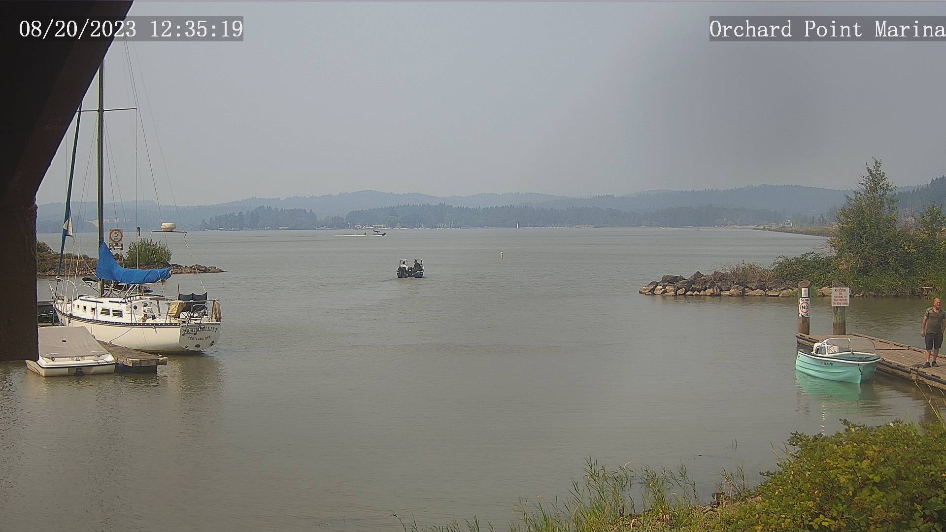
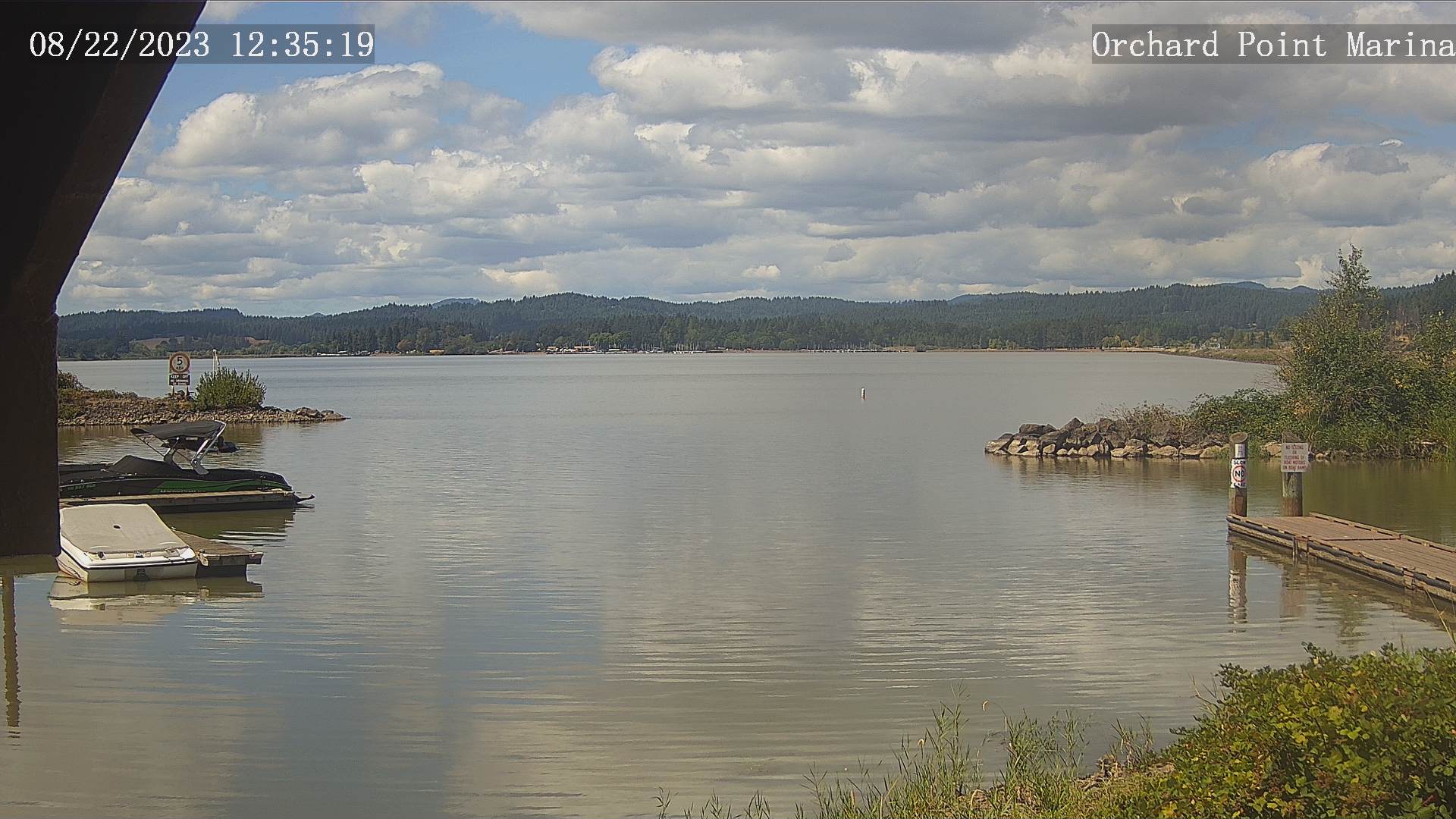
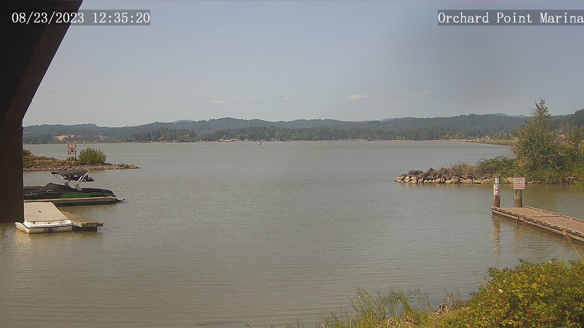
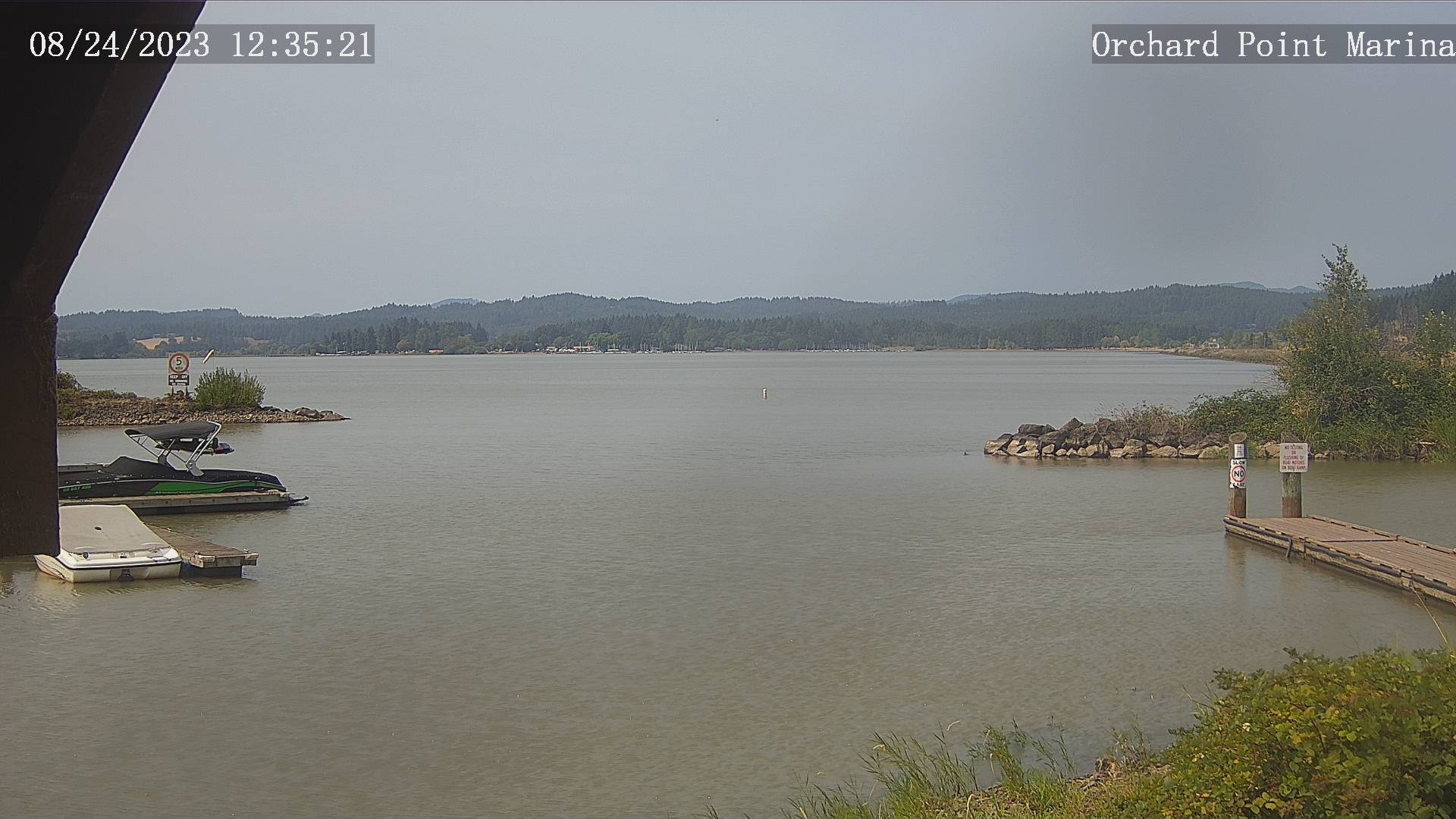
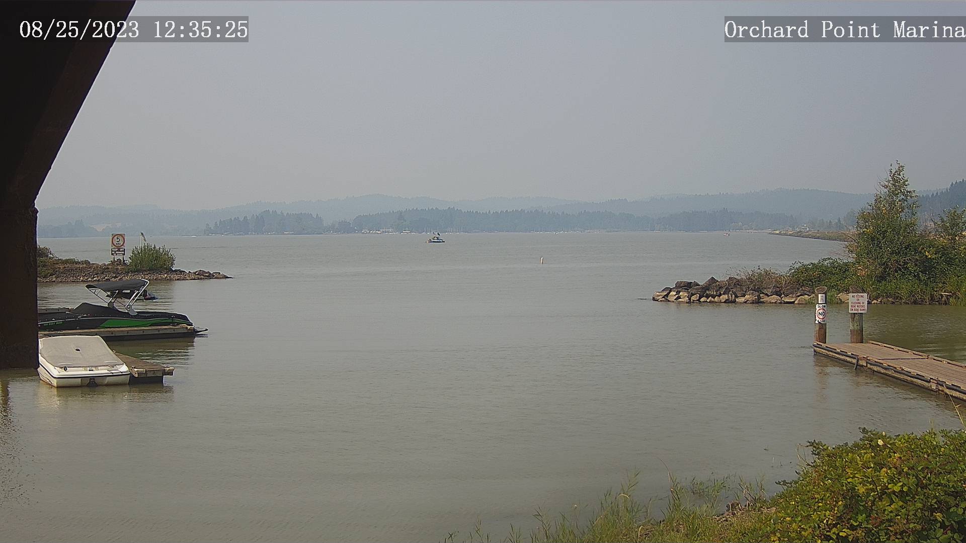
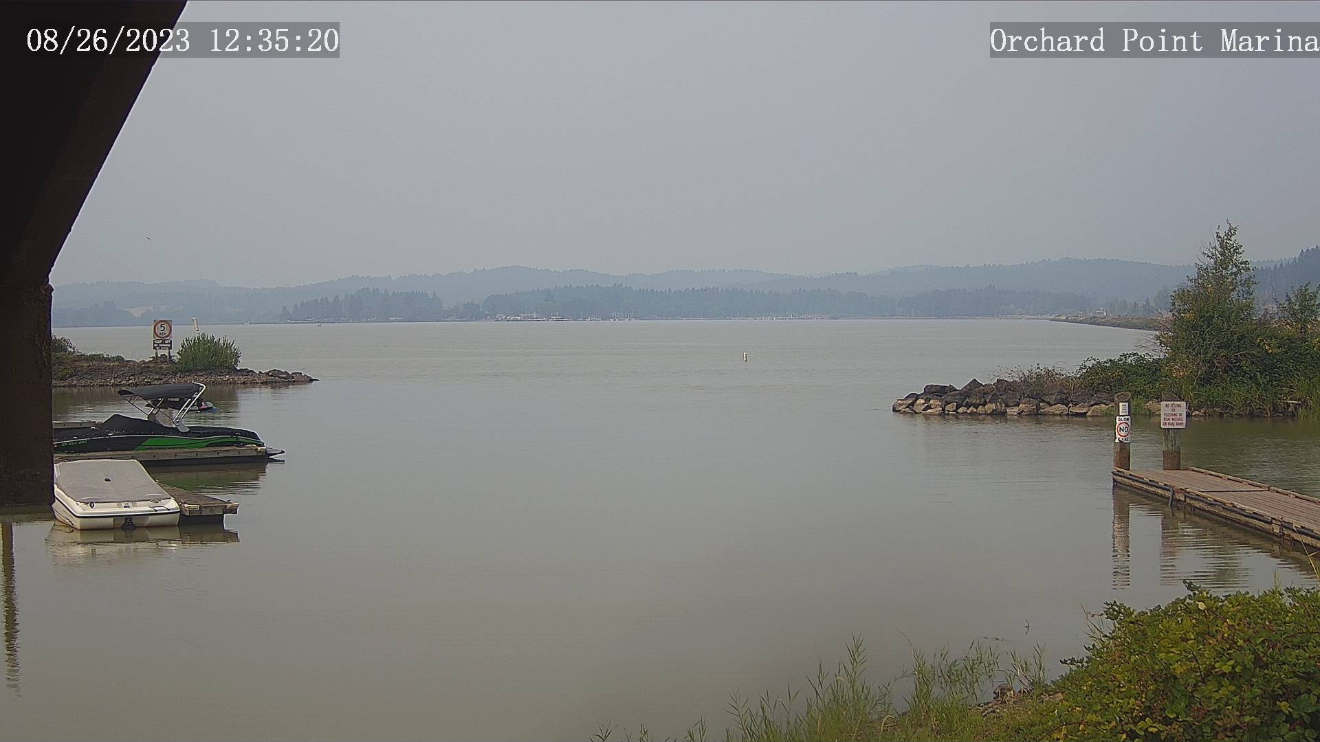
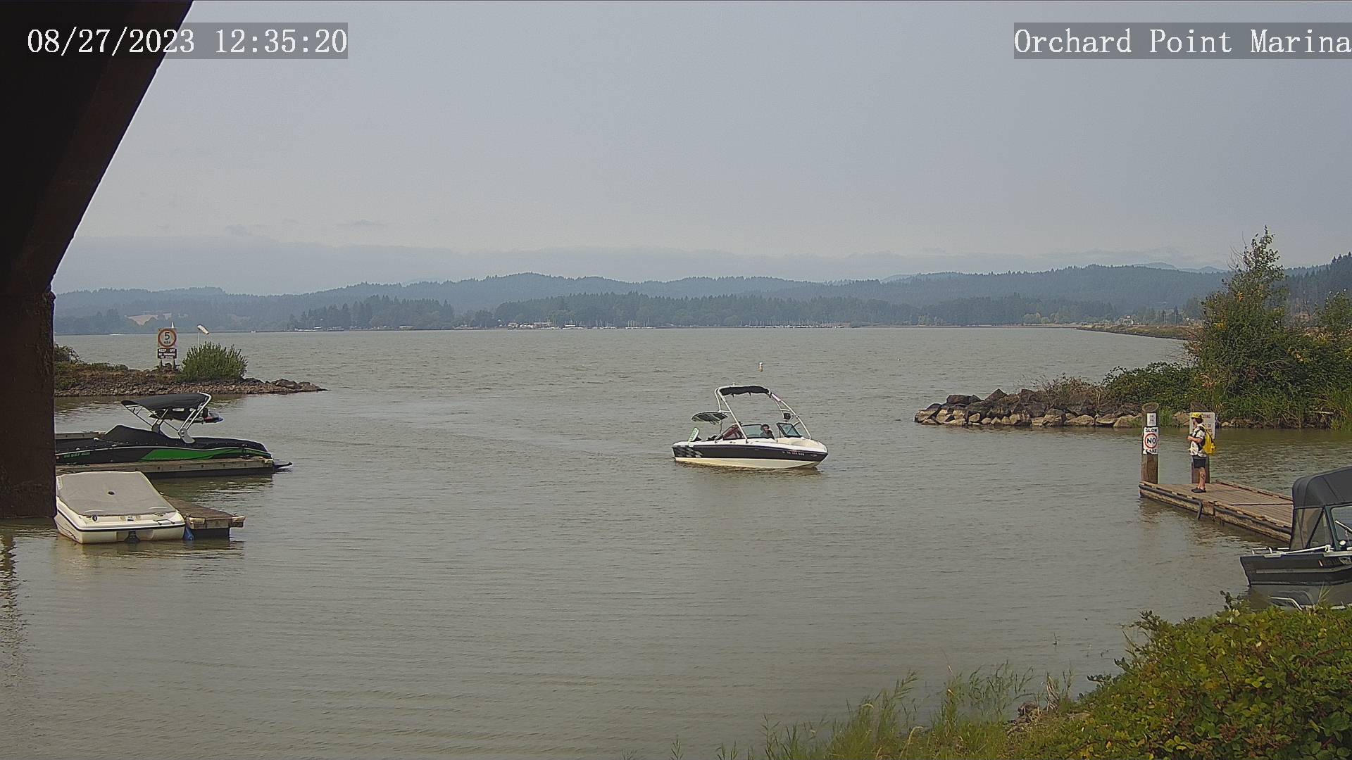
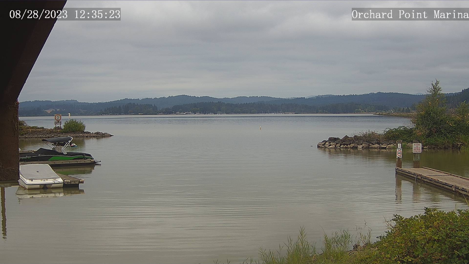
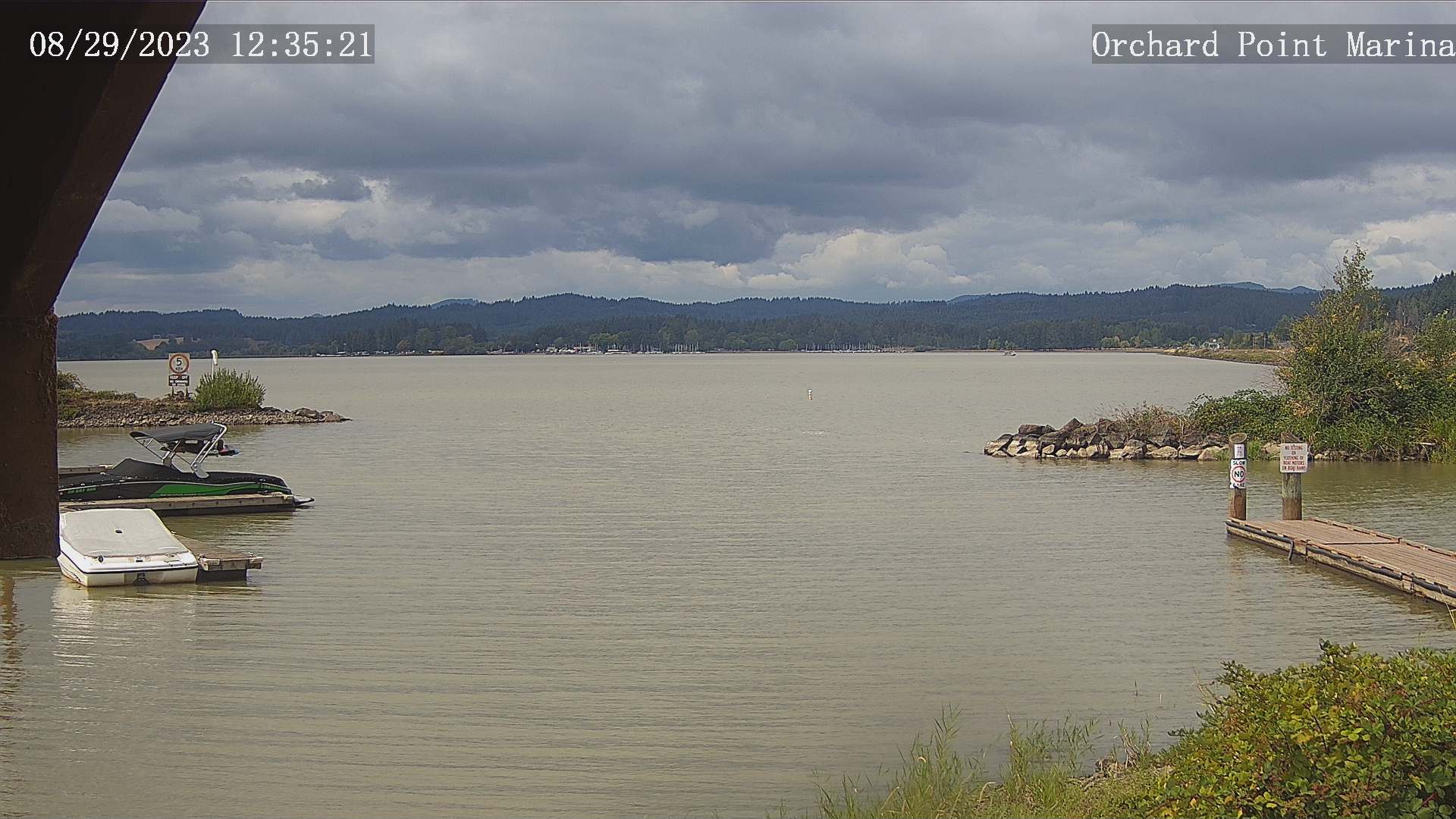
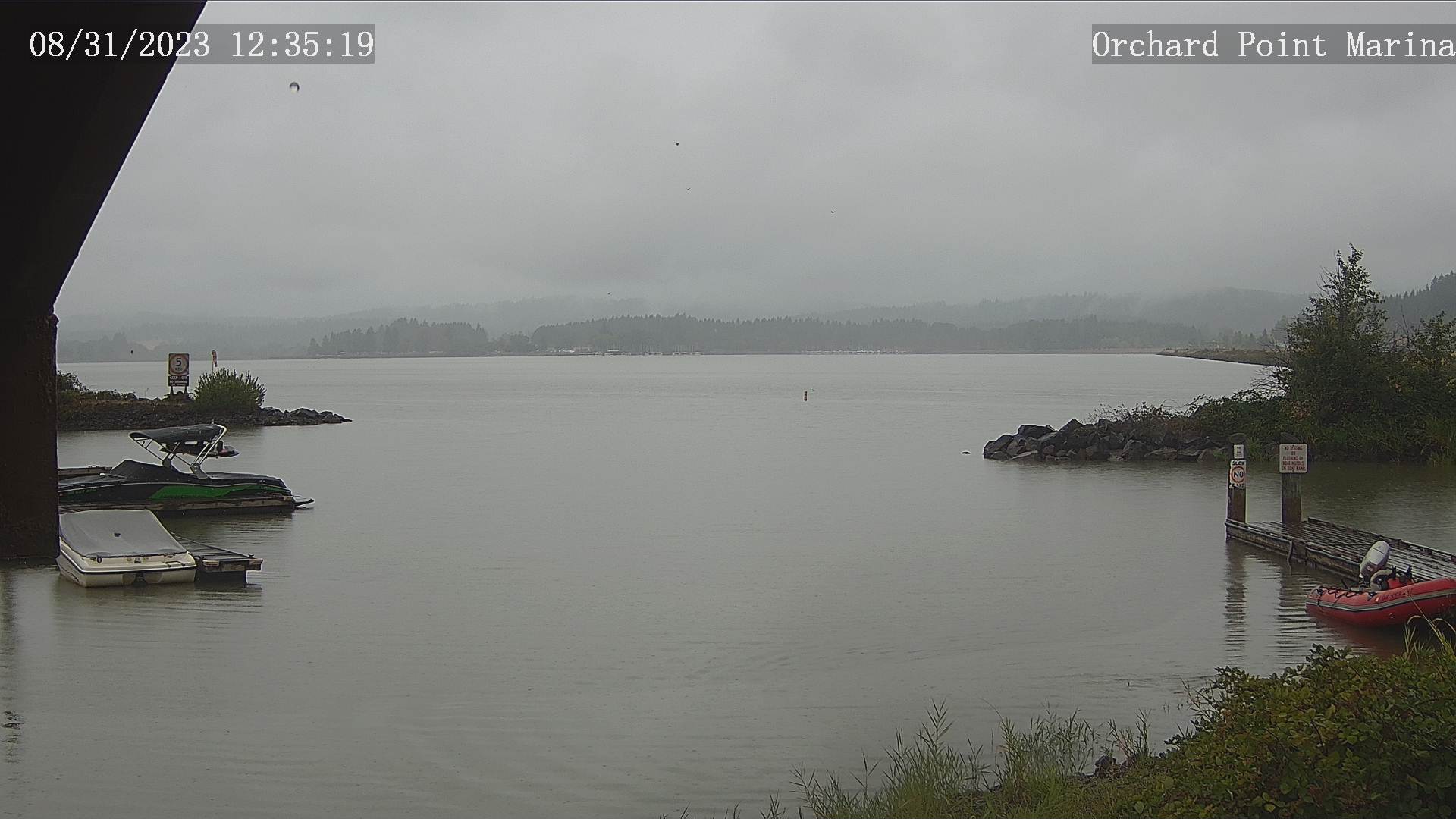
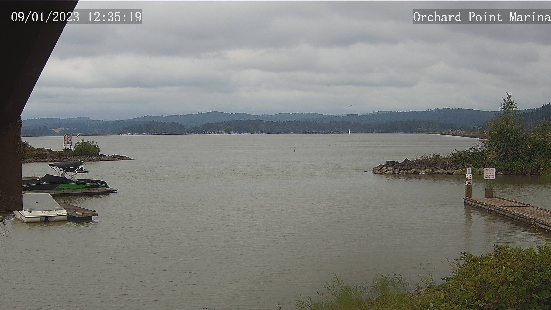
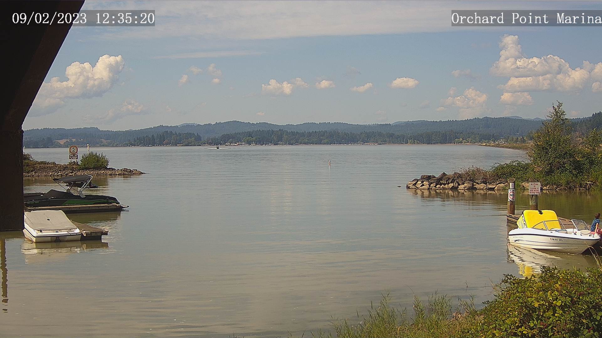
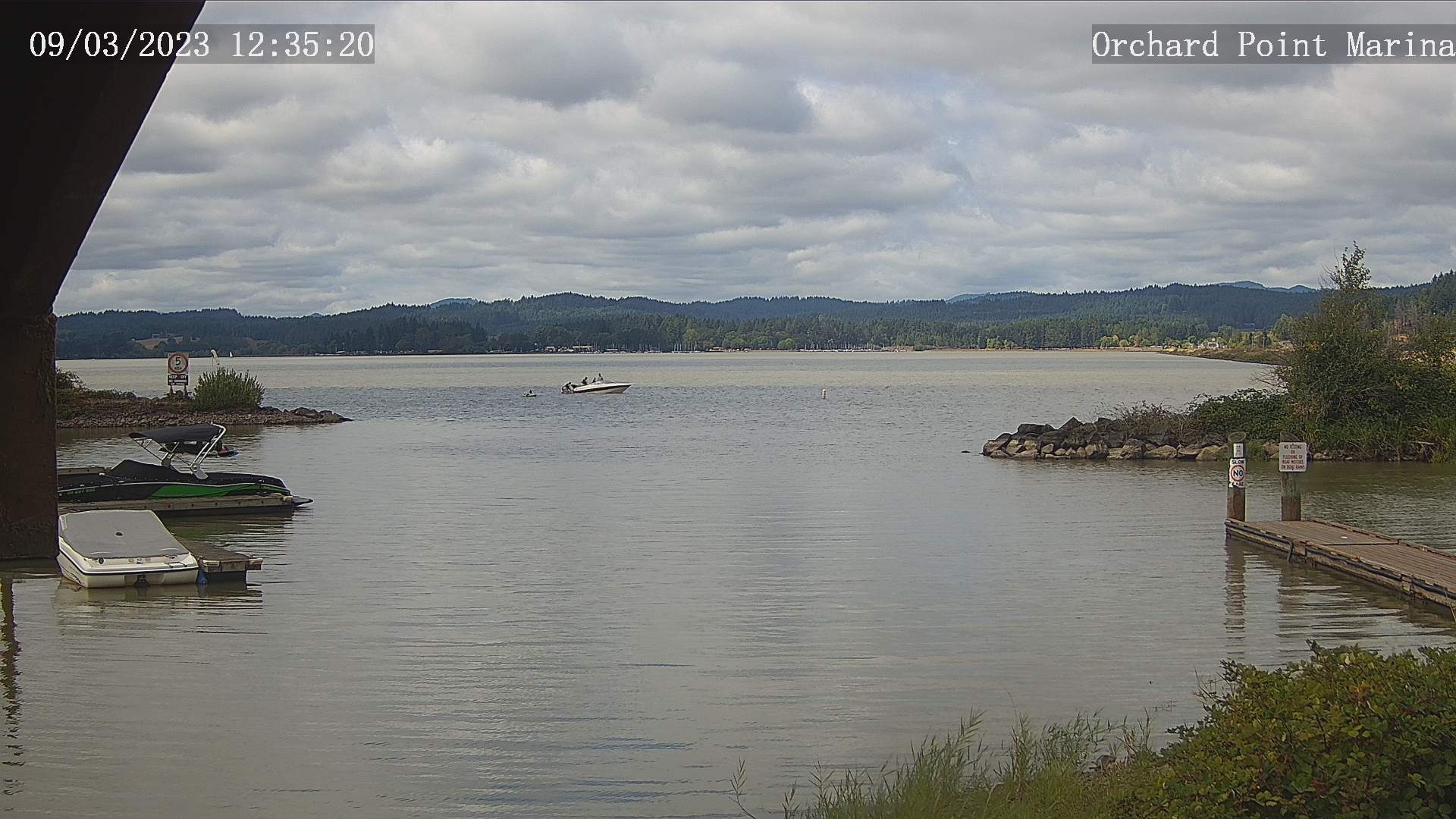
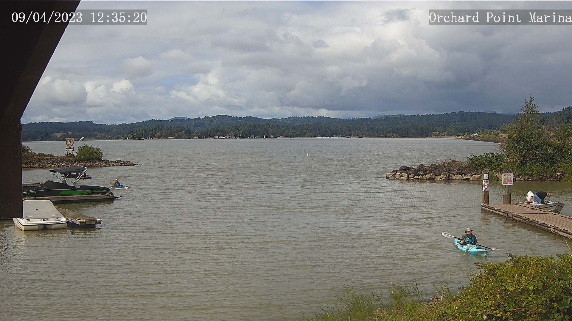
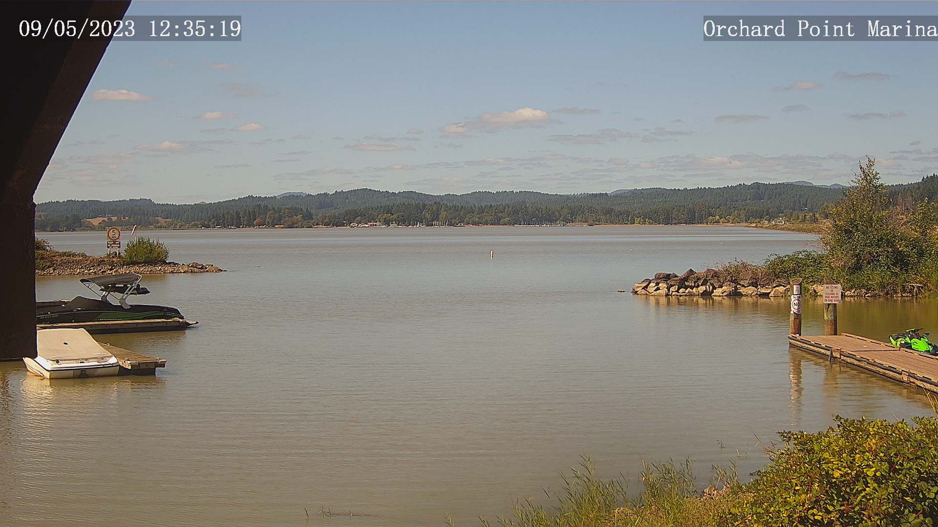
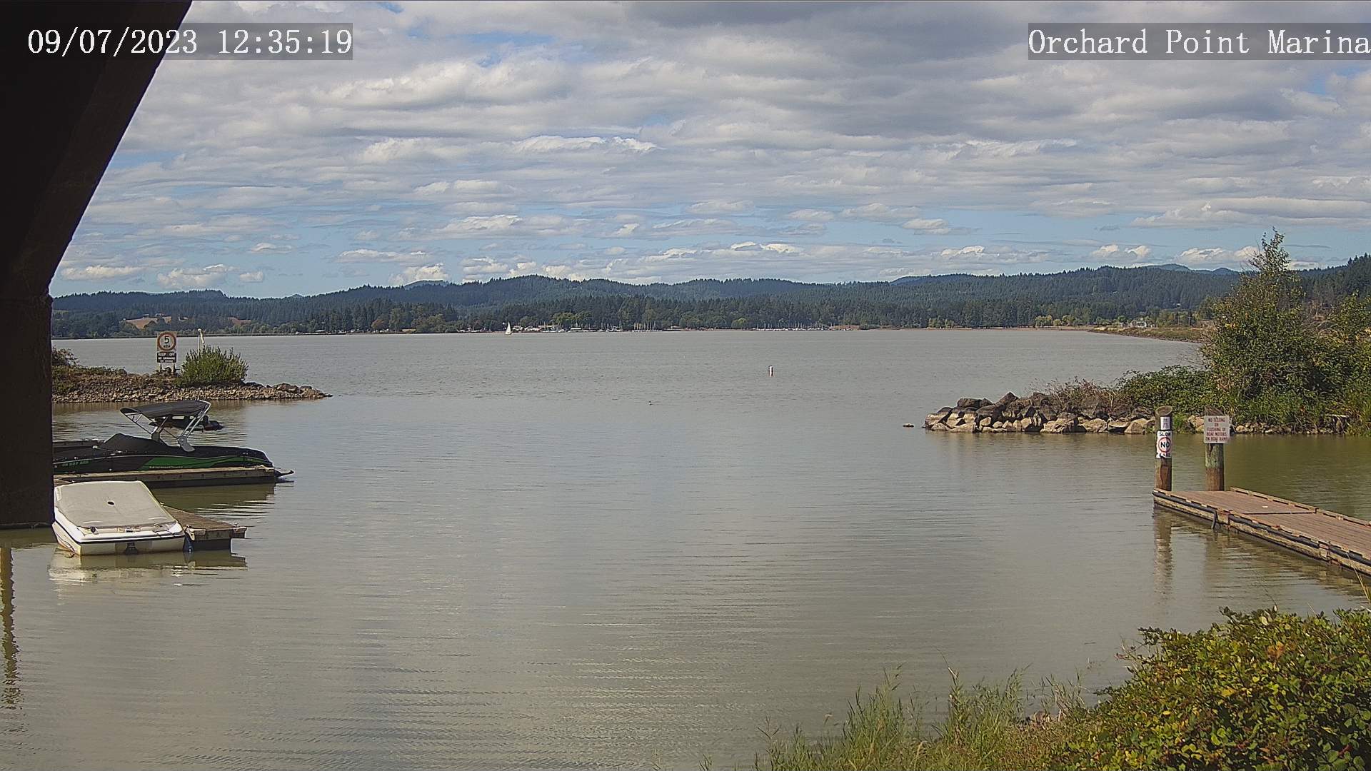
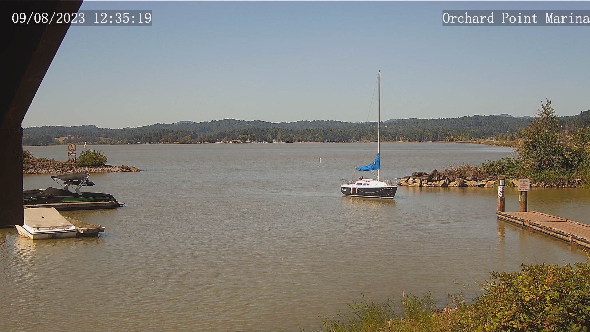
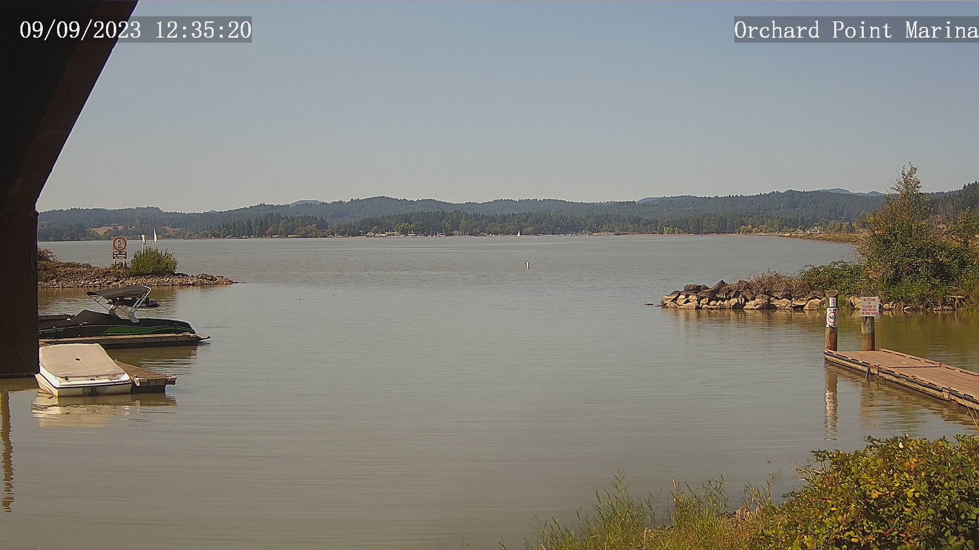
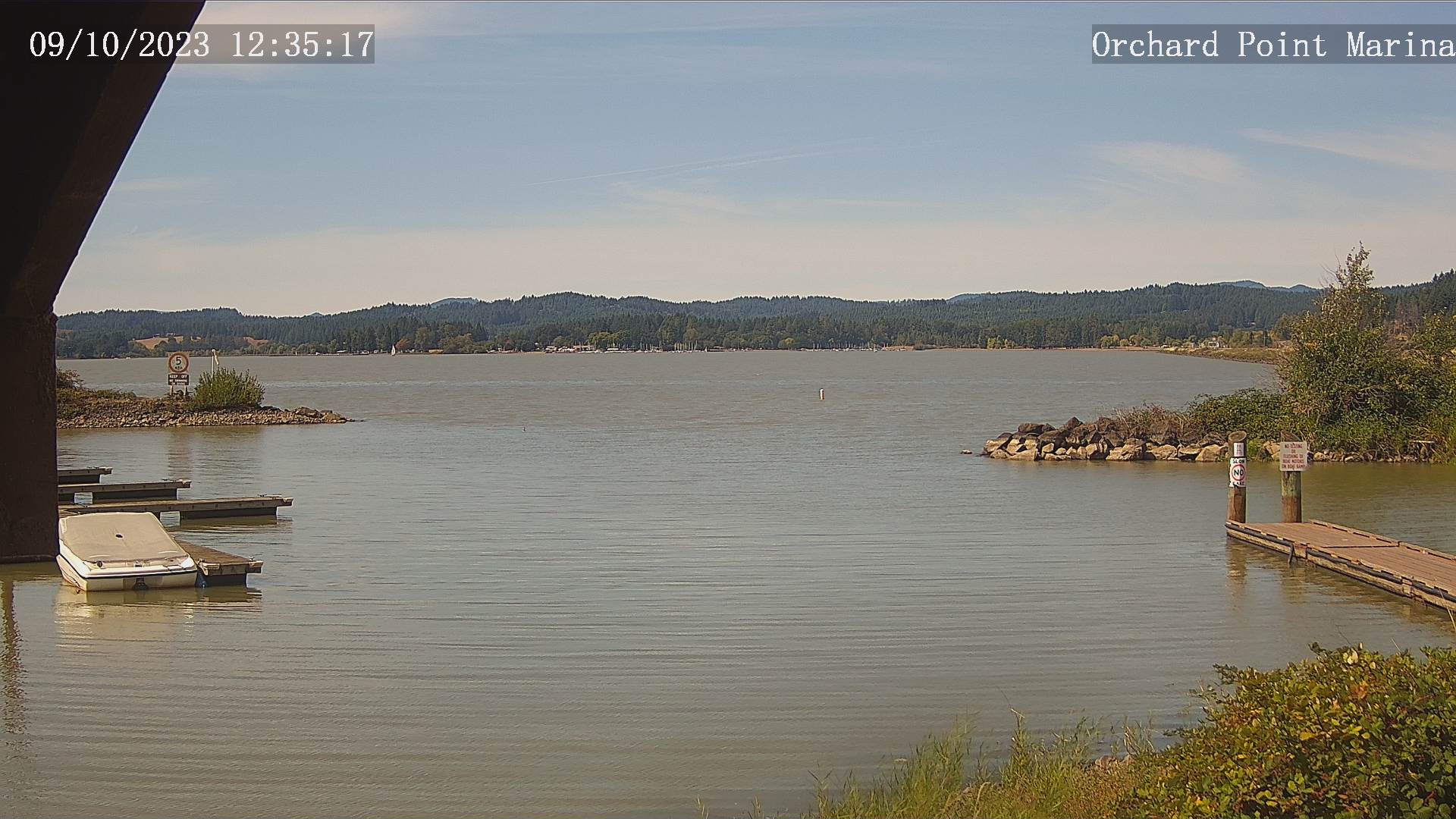
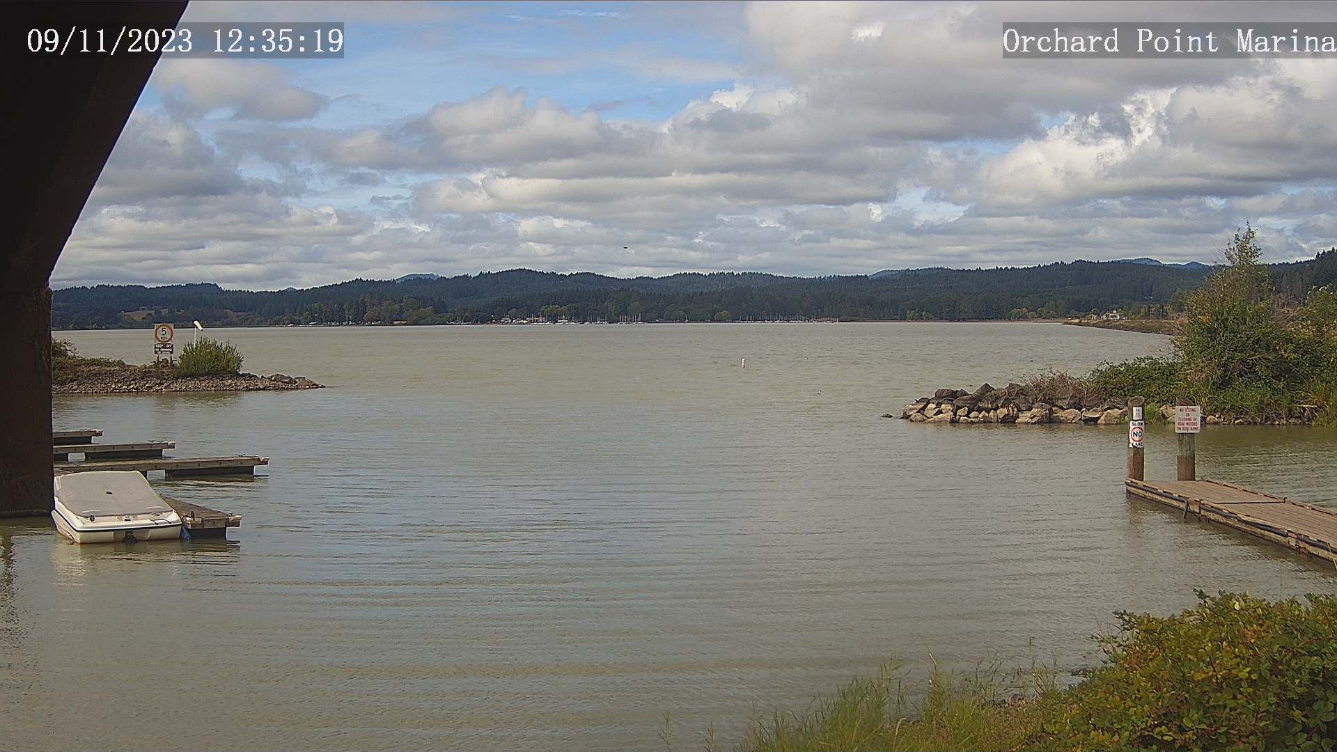
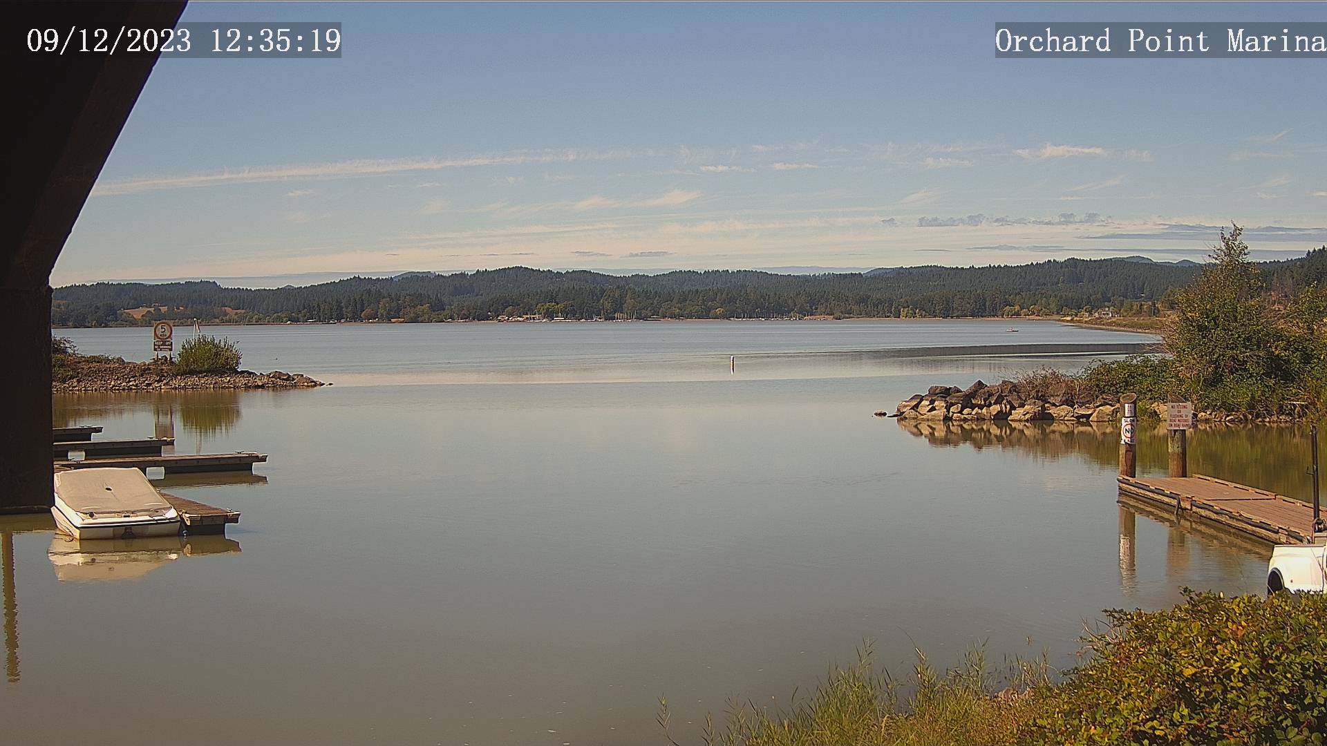
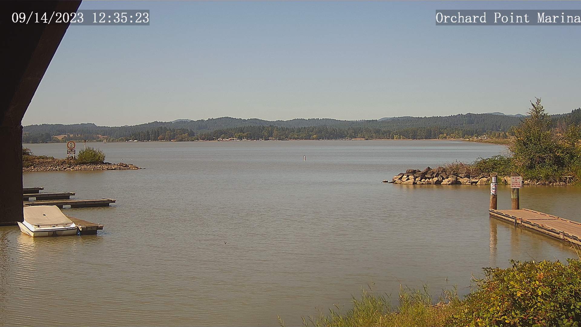
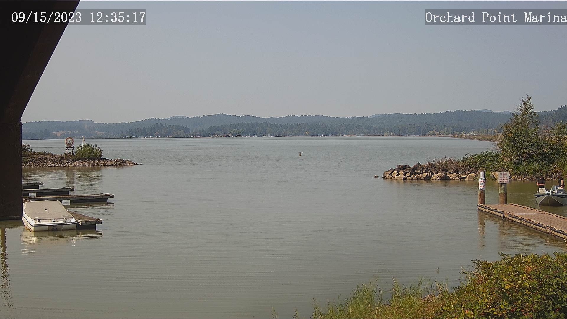
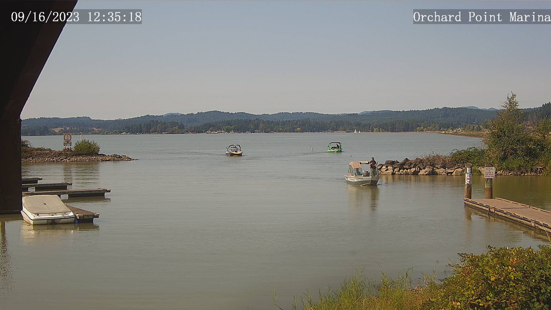
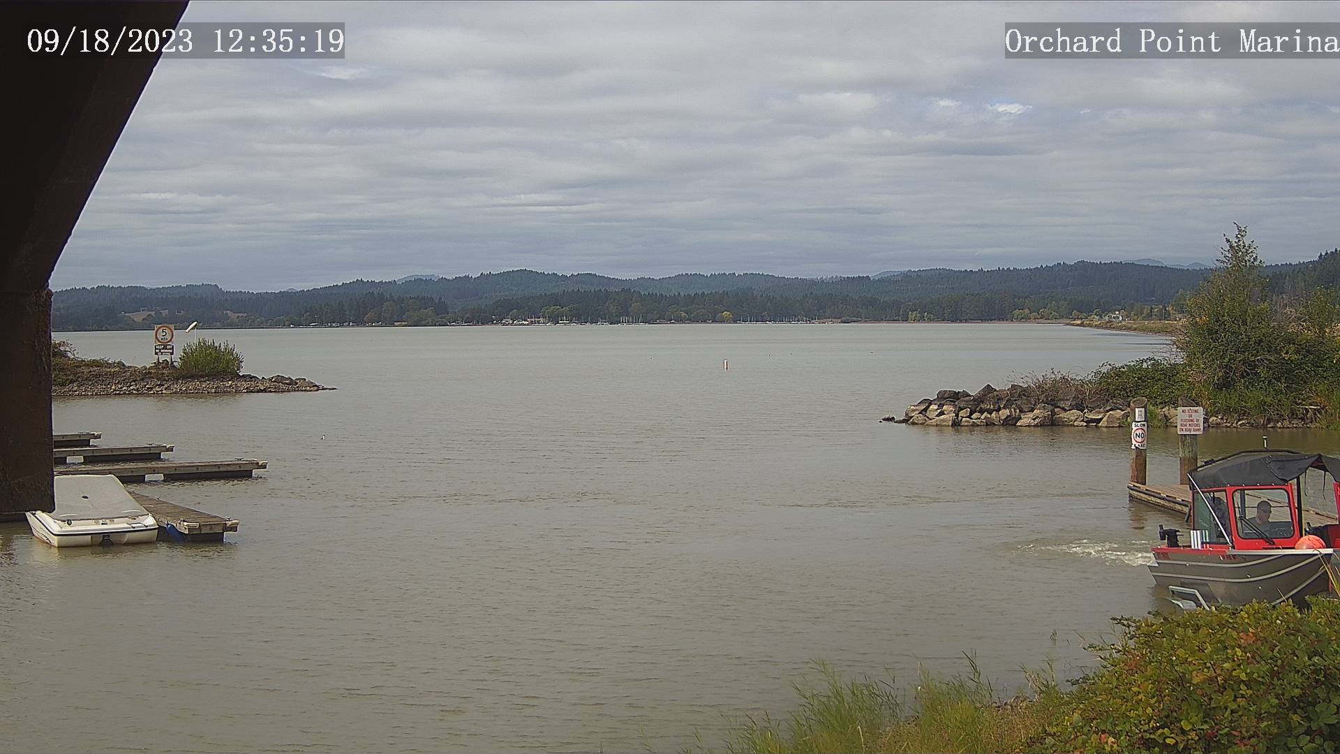
Eugene, Oregon, USA - 138.4 miles from Browntown (historical): Lane County Parks - Orchard Point, Harbor Vista, Mount Pisgah - Views of 3 Lane County parks including Orchard Point, Harbor Vista, Mount Pisgah. Orchard Point is the boat ramp at Fern Ridge. You can see the water conditions and wind sock.
Operator: Lane County
Operator: Lane County


Some other places in this country: Centerville (historical) - Mohawk - Biddle (historical) - Bridlemile - Browntown - Butteville - Clarkes - Cold Springs - Creston - Crowfoot