Webcams in the region of Furmandale, Ohio, USA
The List of Webcams near Furmandale, Ohio, USA:

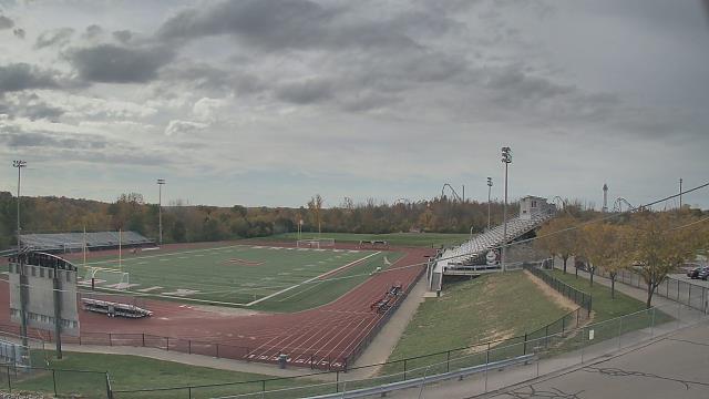
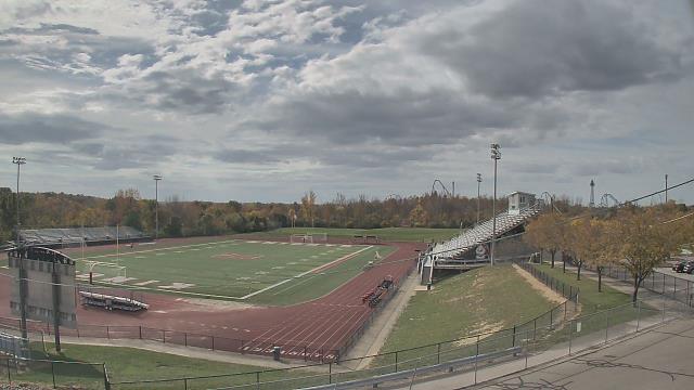
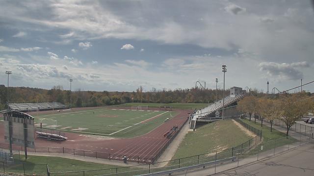
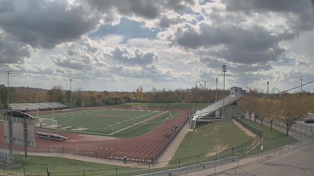
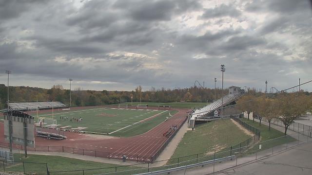
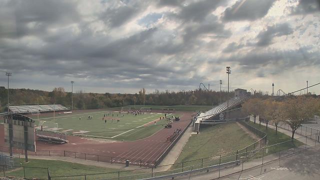
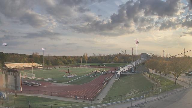
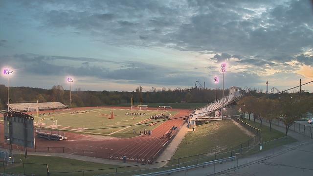
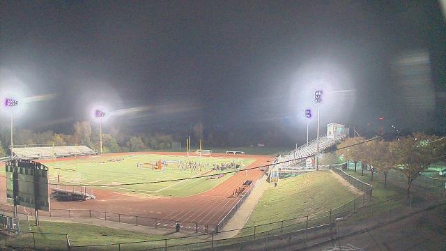
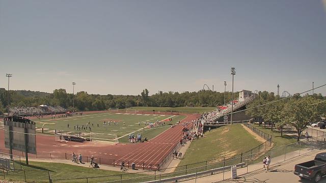
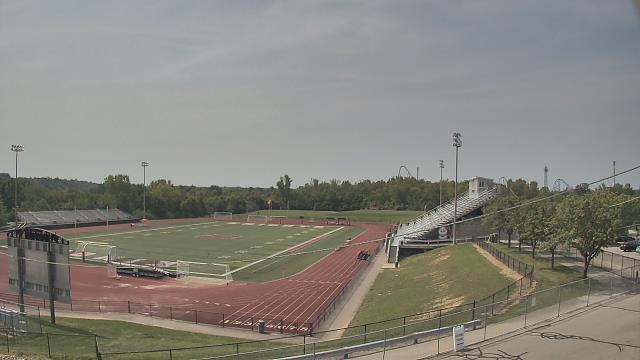
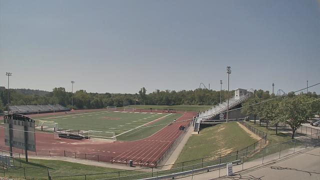
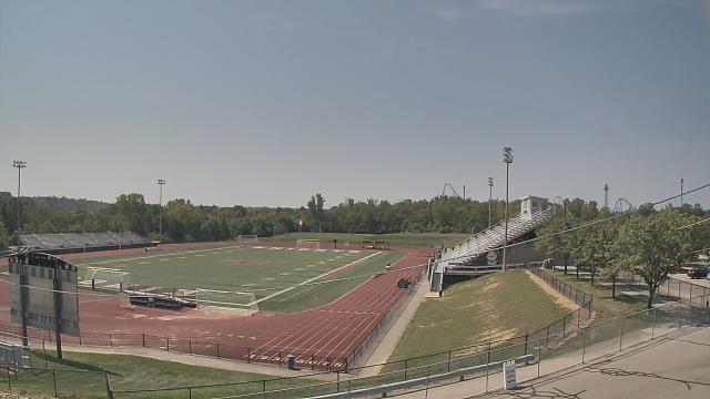
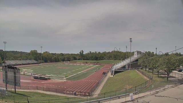
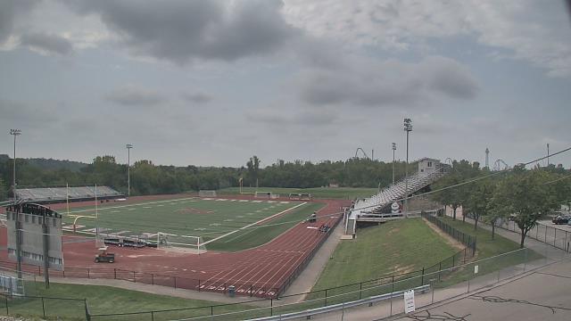
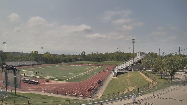
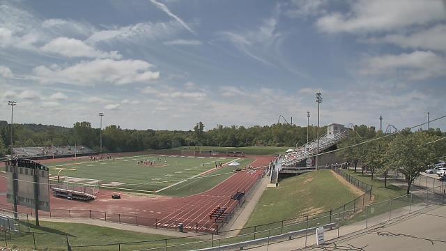
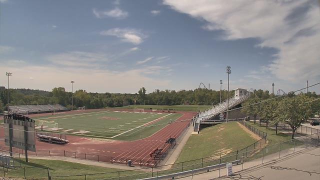
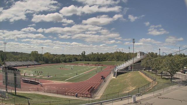
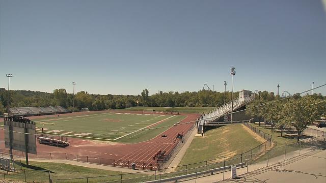
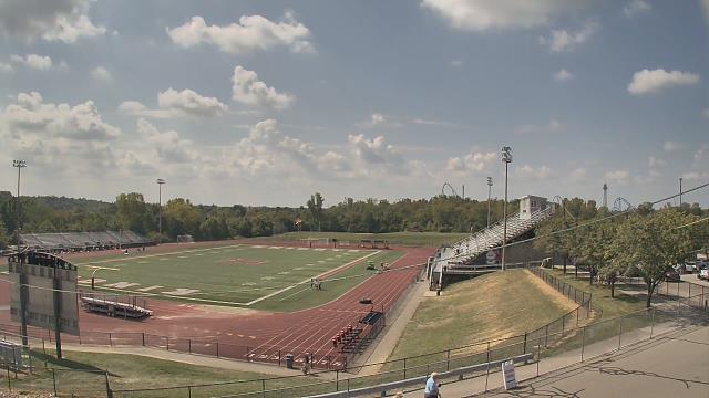
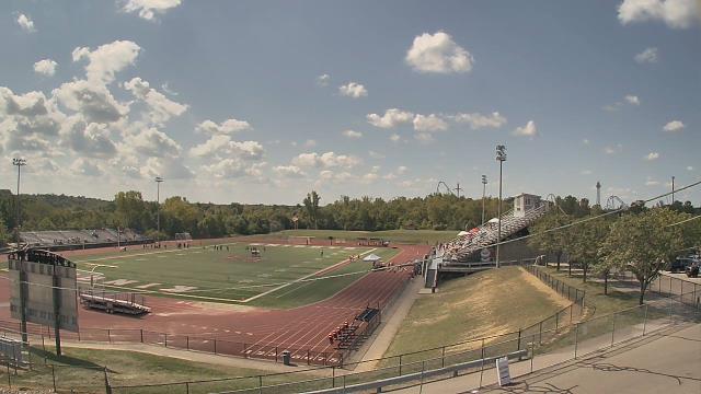
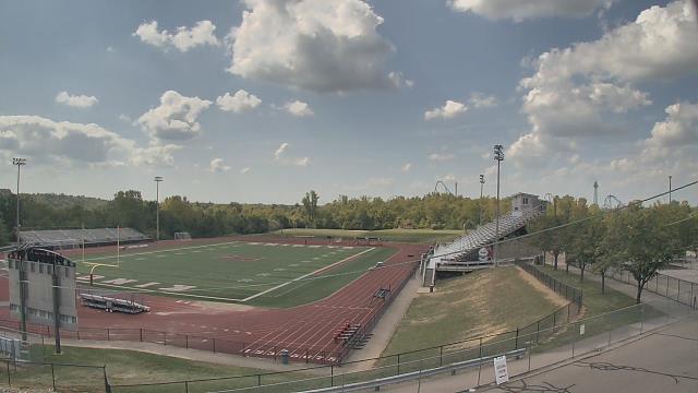
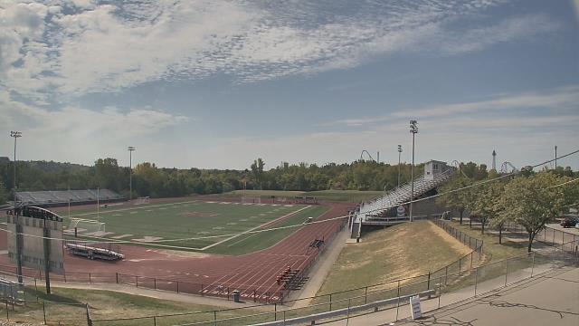
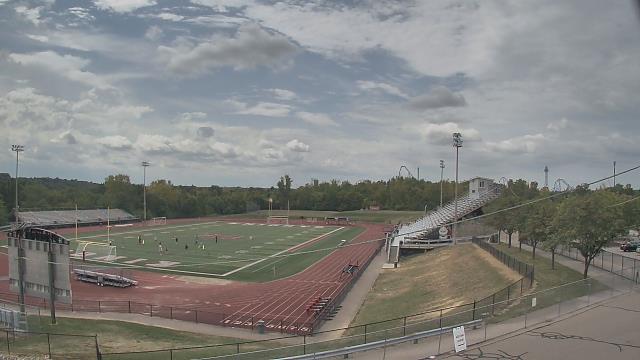
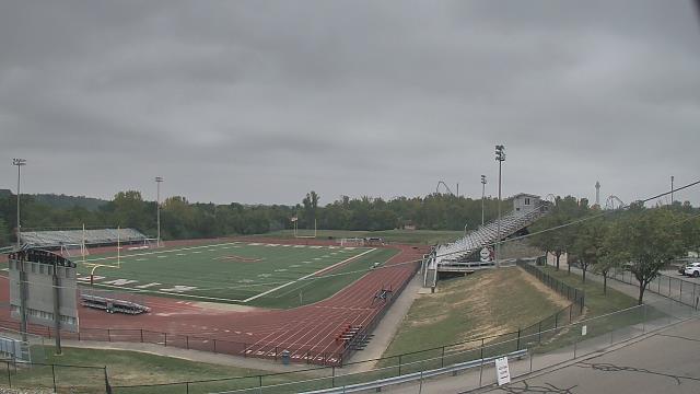
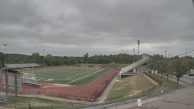
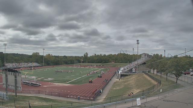
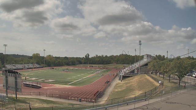
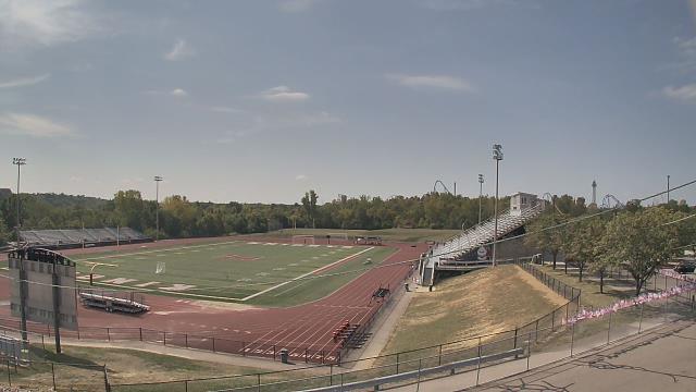
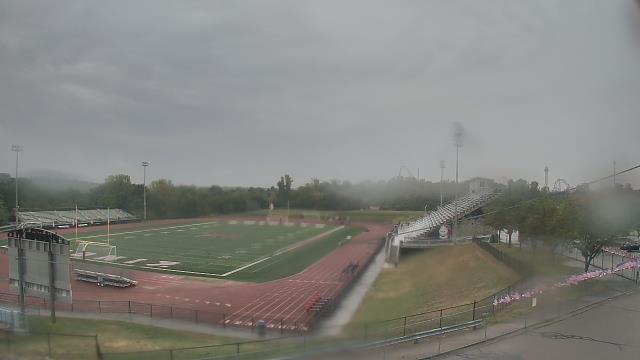
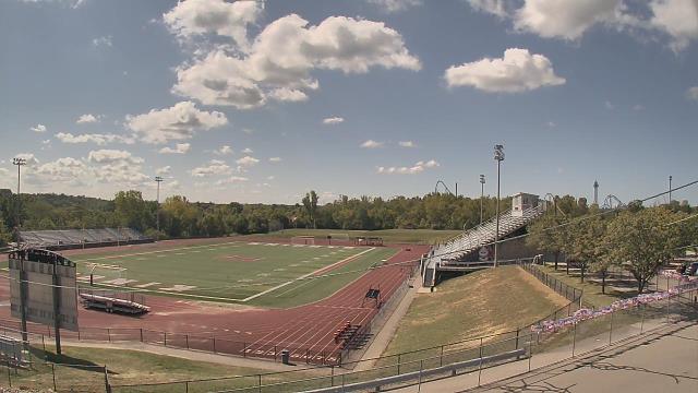
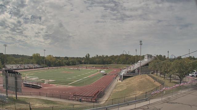
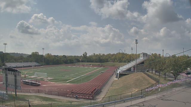
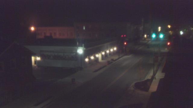
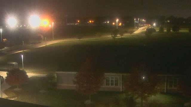
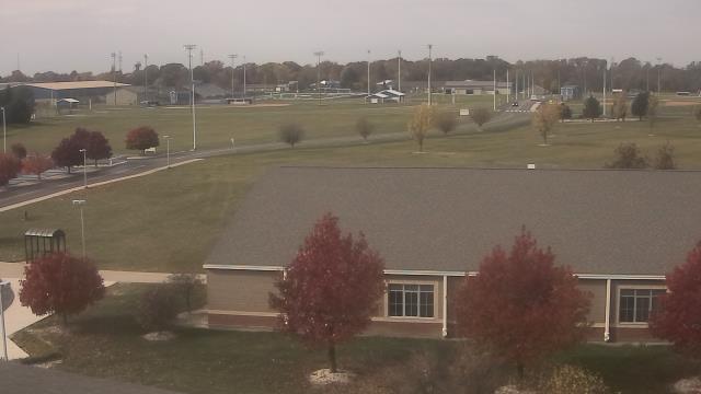
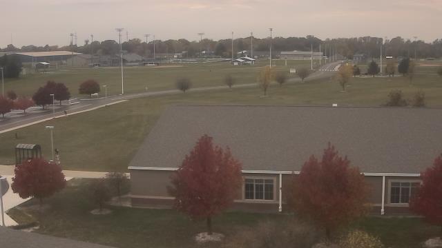
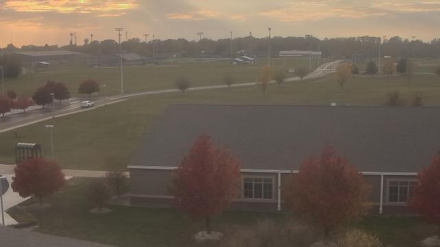
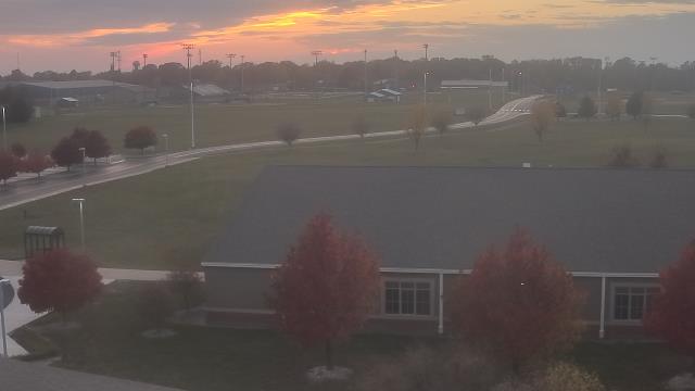
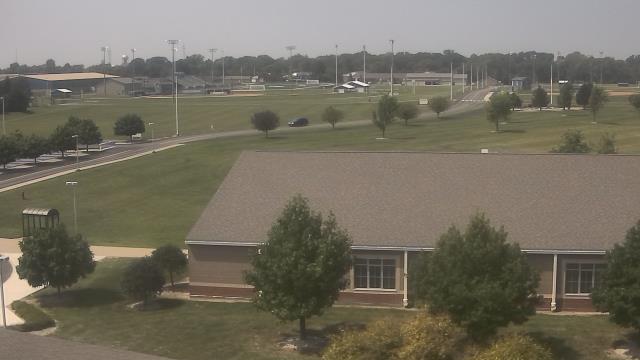
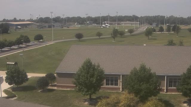
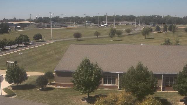
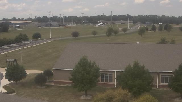
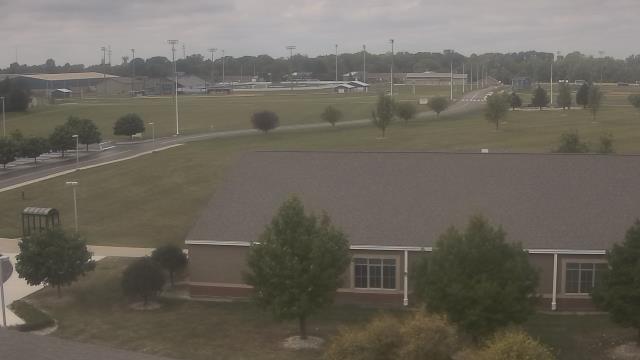
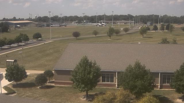
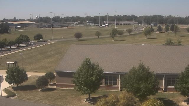
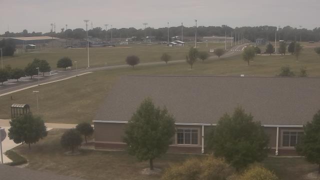
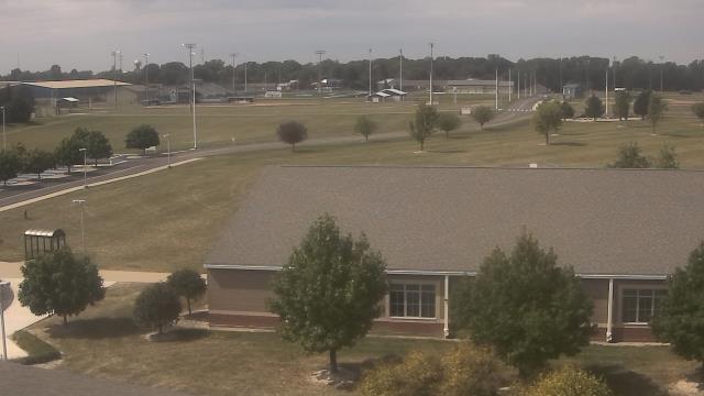
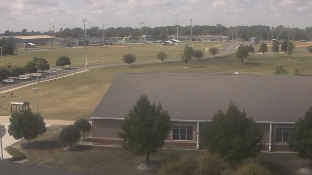
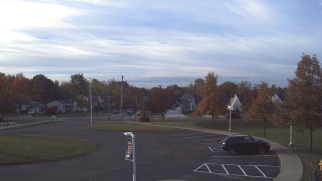
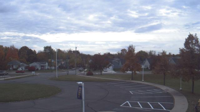
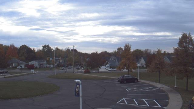
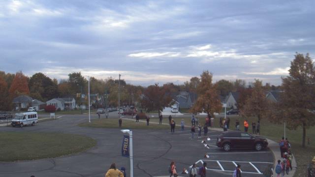
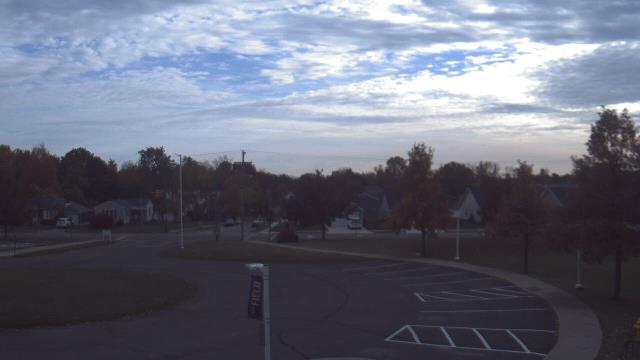
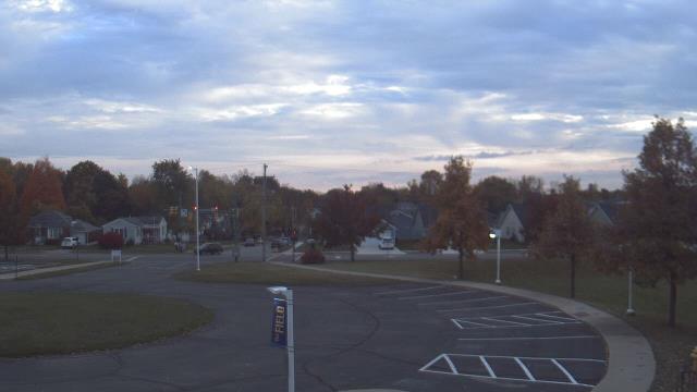
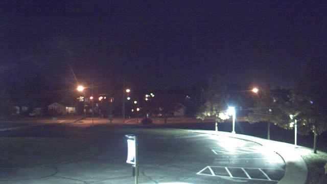
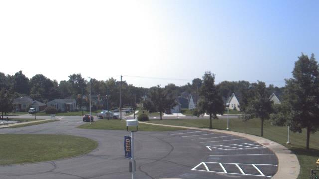
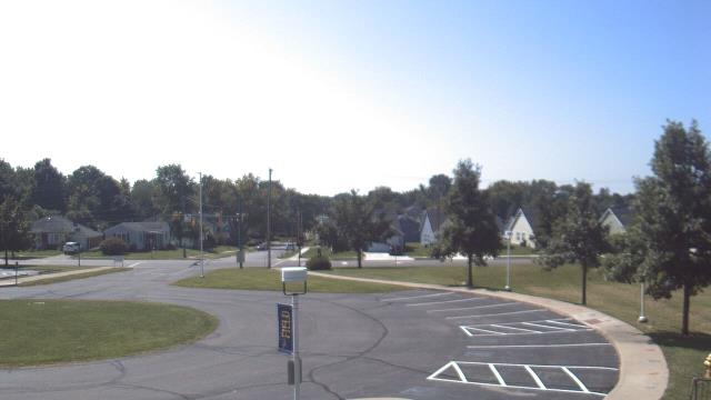
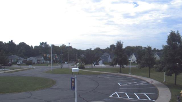
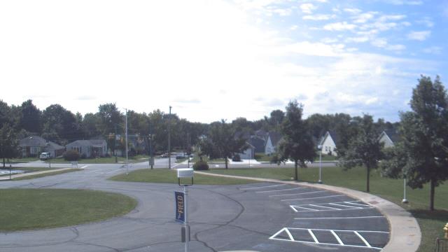
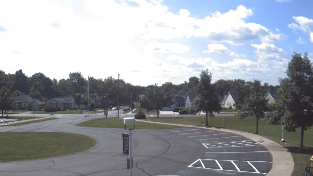
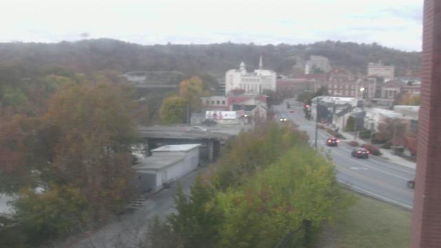
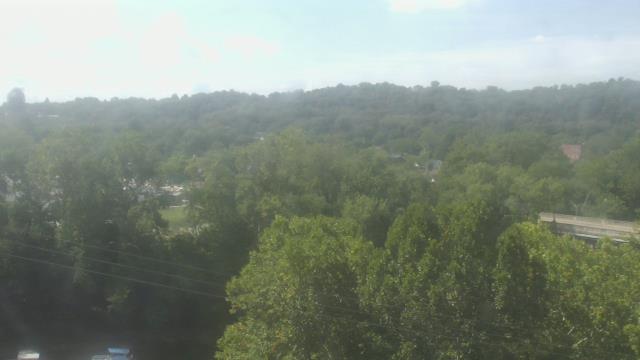
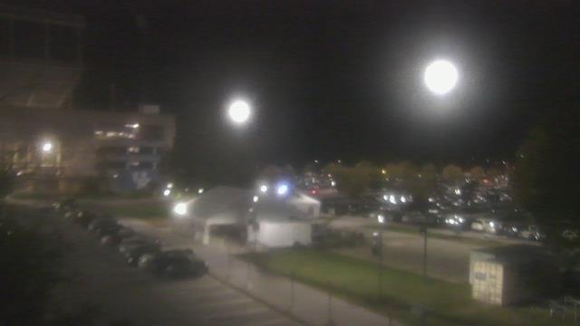
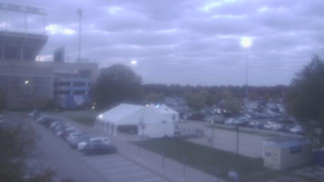
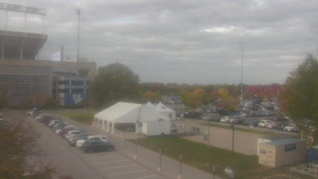
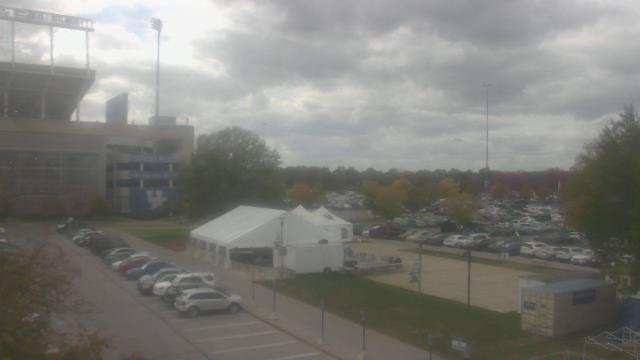
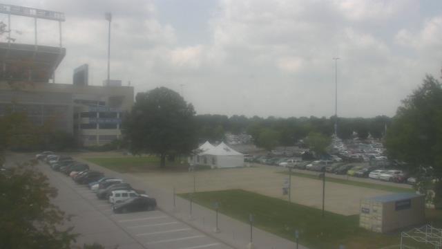
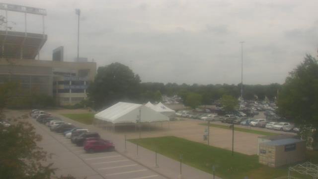
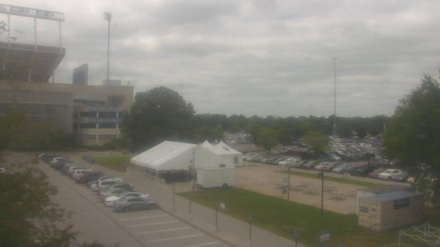
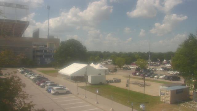
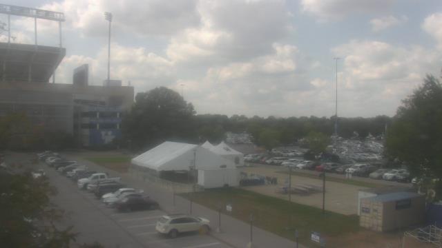
Kings Mills, Ohio, USA - 15.5 miles from Furmandale: Kings High School - A webcam in Kings Mills, Ohio - camera location: Kings High School.
Operator: WeatherBug
Operator: WeatherBug


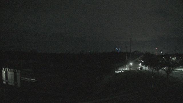
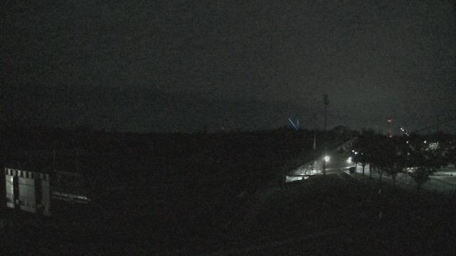
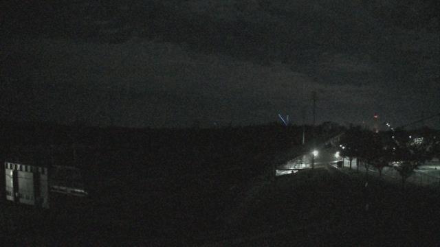


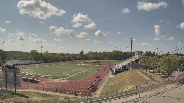

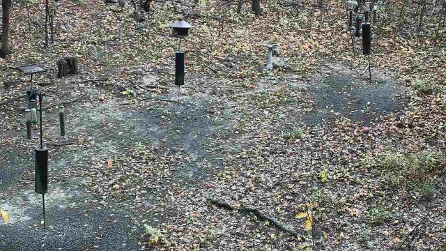
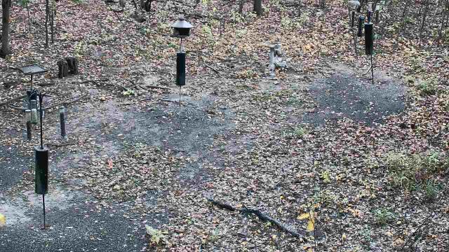
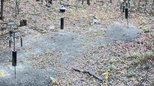
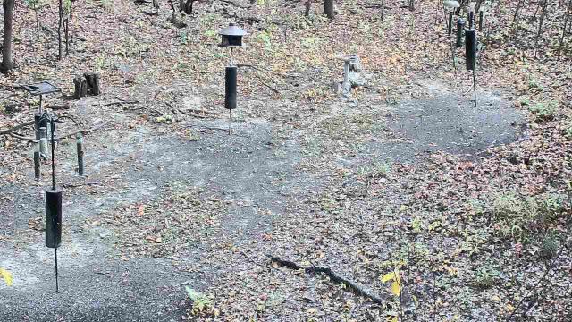
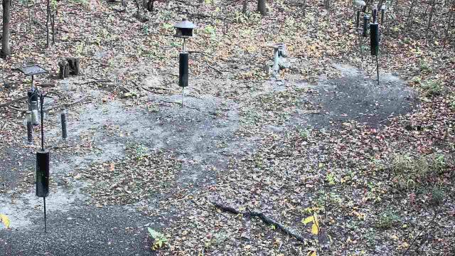
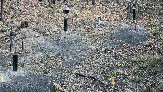
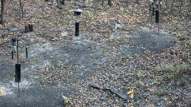
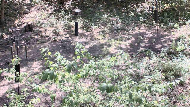
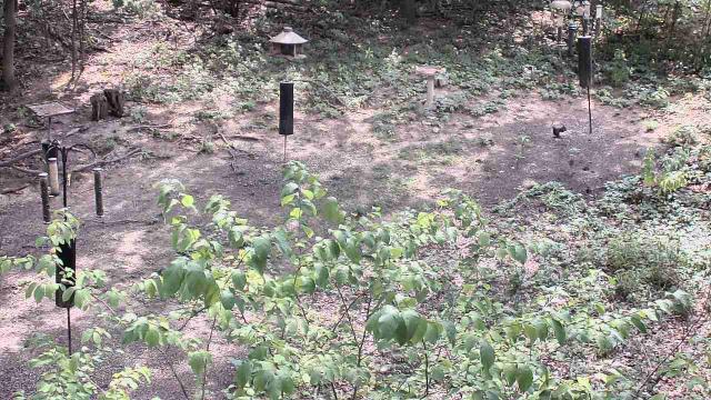
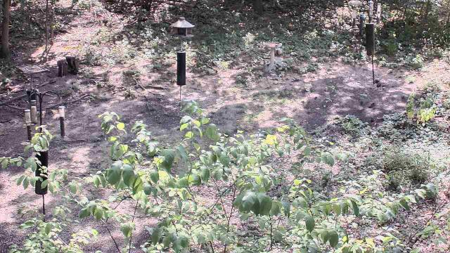
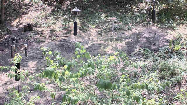
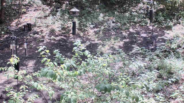
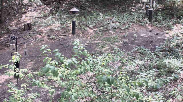
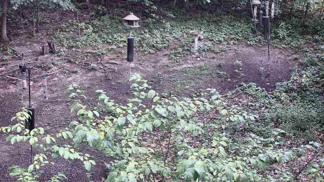
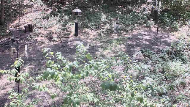
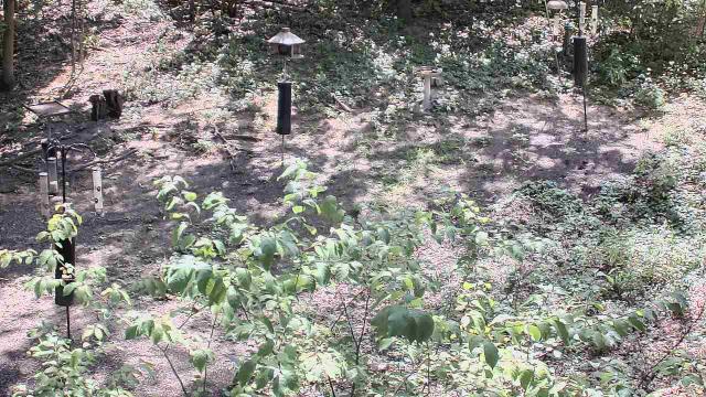
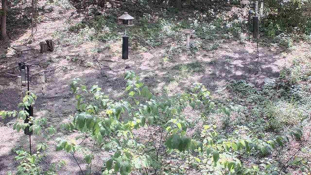
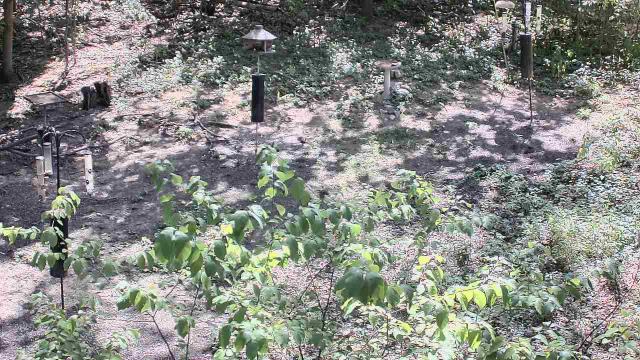
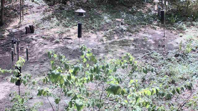
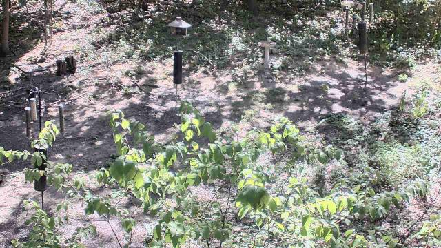
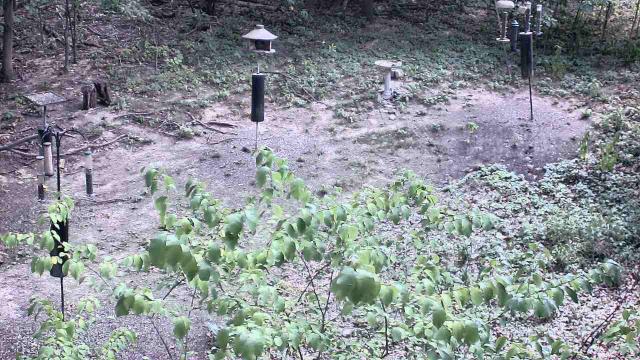
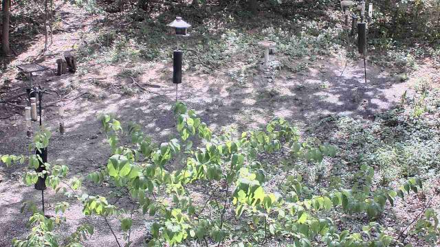
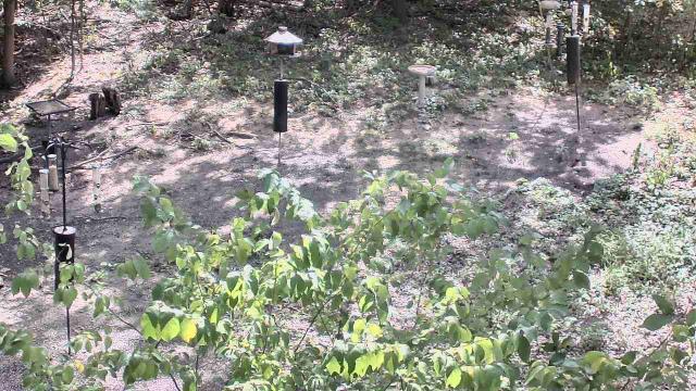
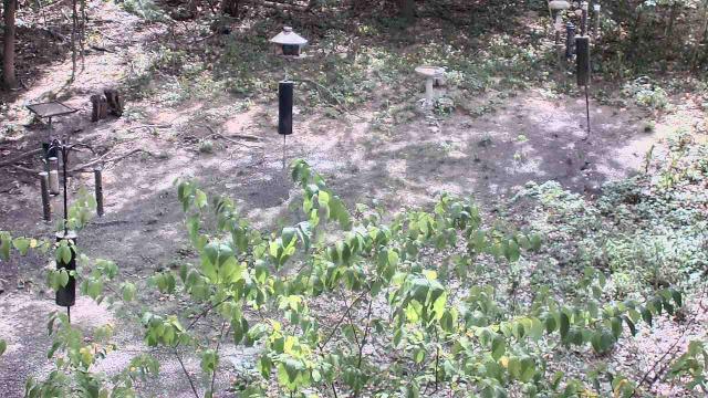
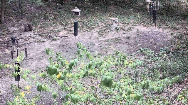
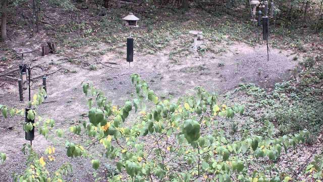
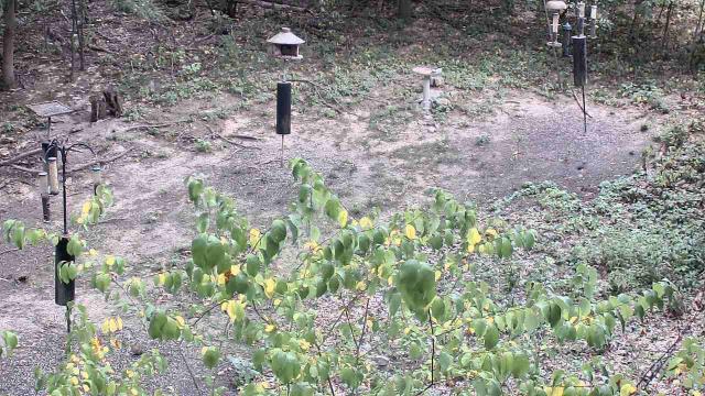
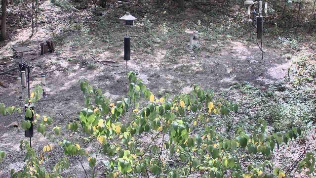
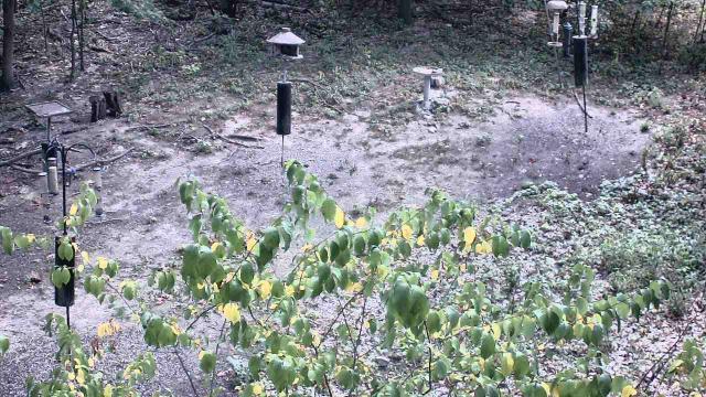
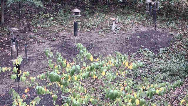
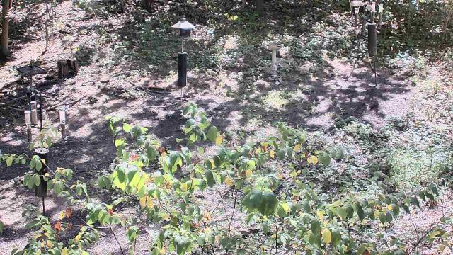
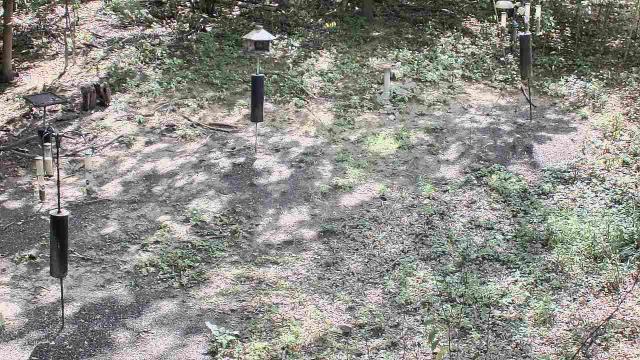
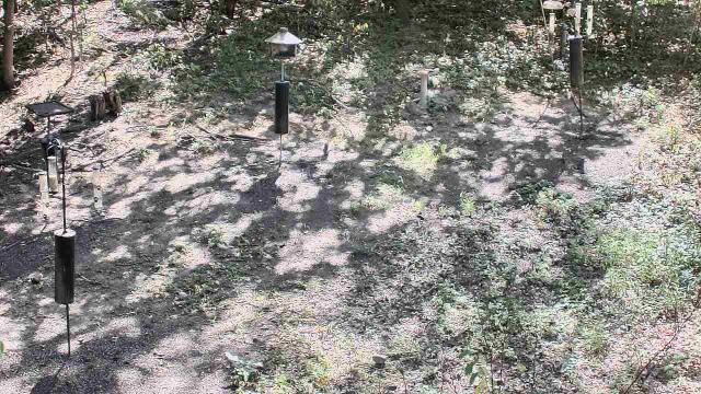
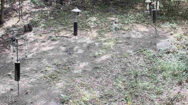
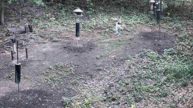
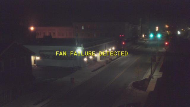
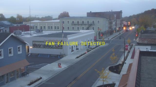
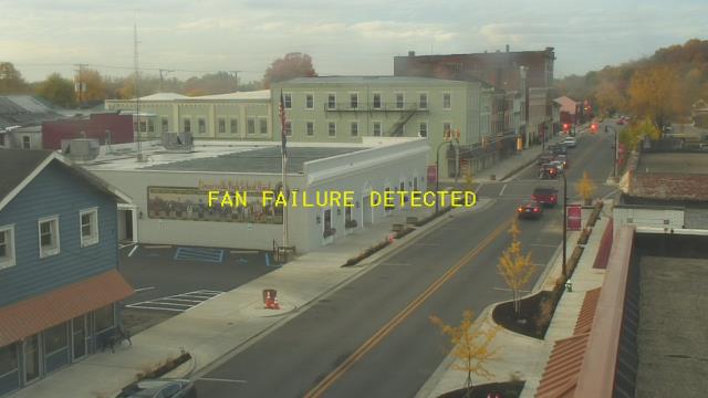
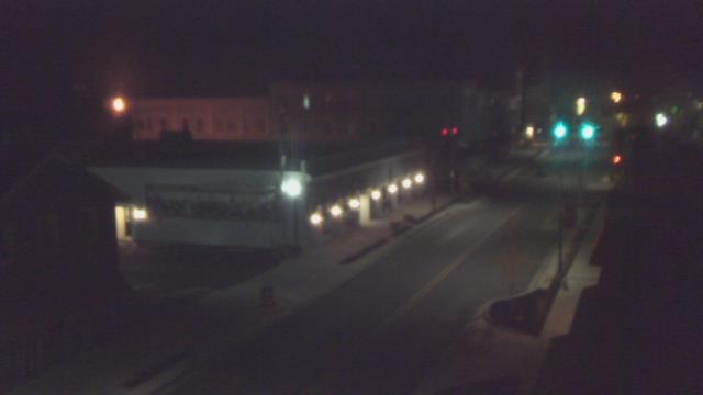
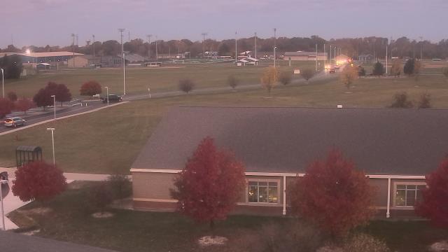
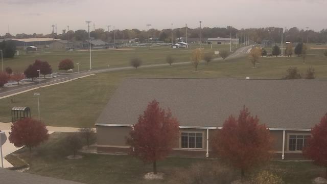
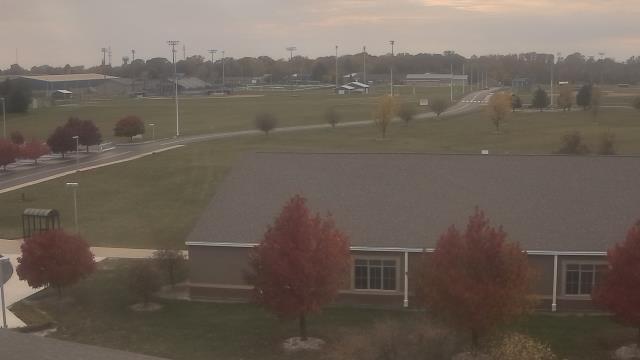
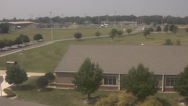
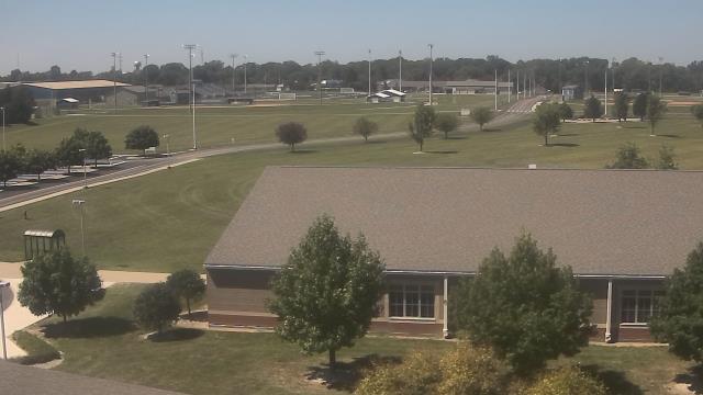
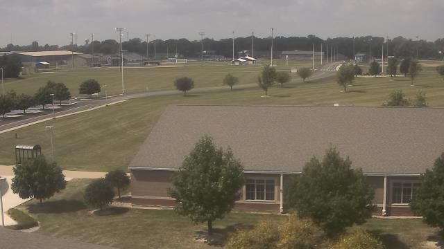
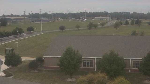
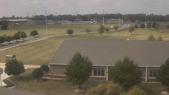
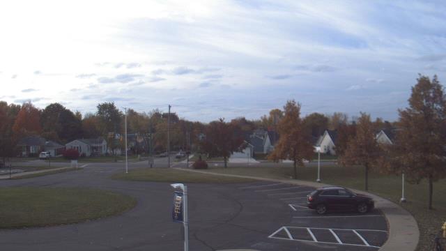
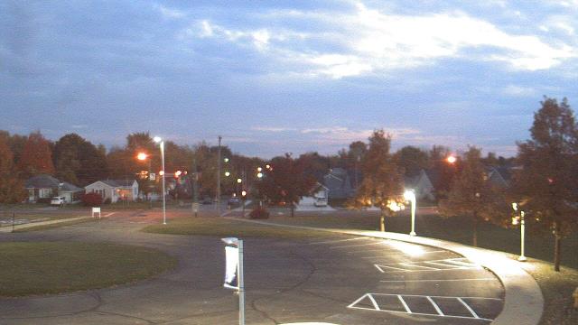
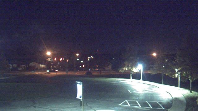
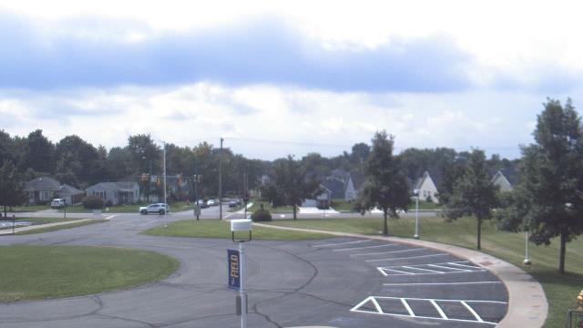
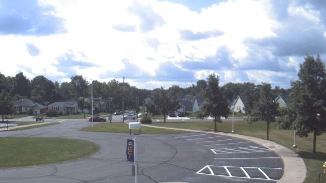
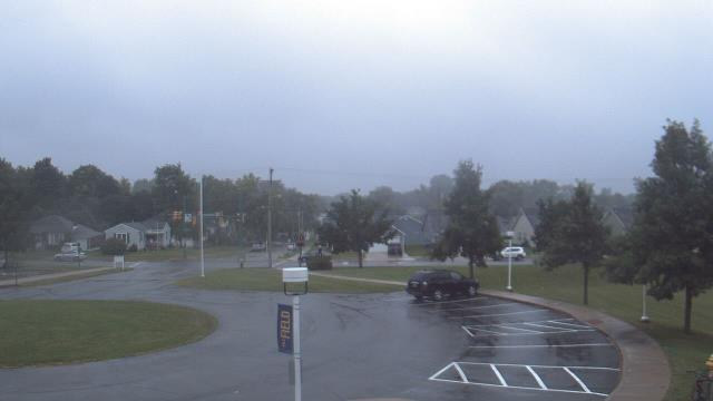
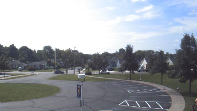
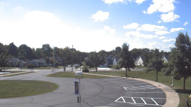
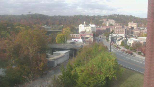
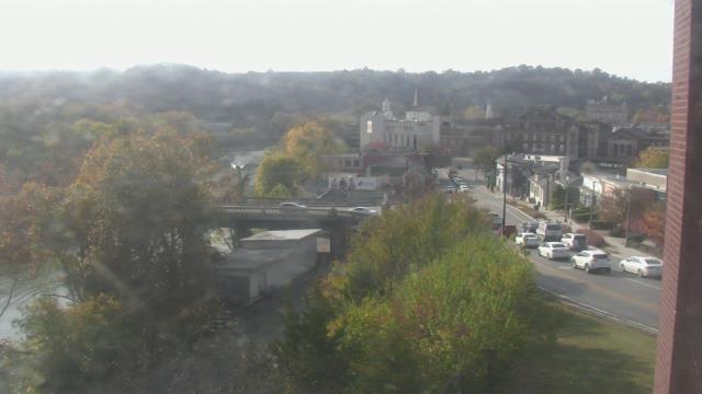
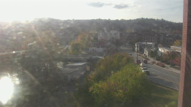
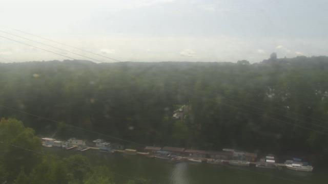
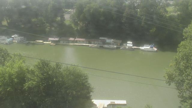
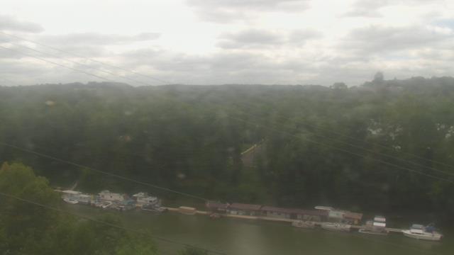
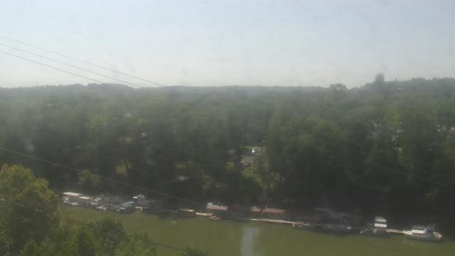
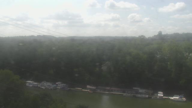
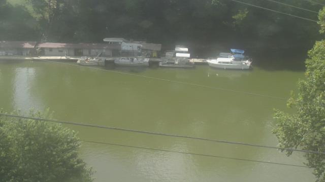
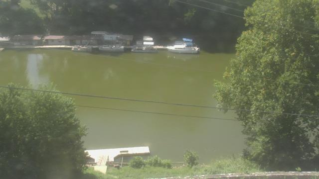
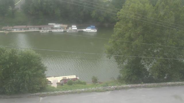
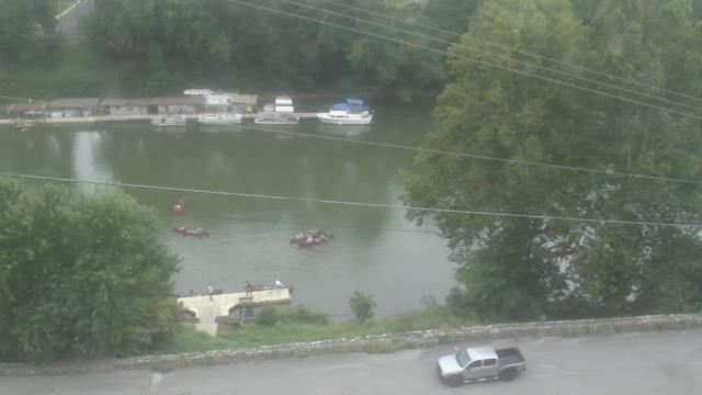
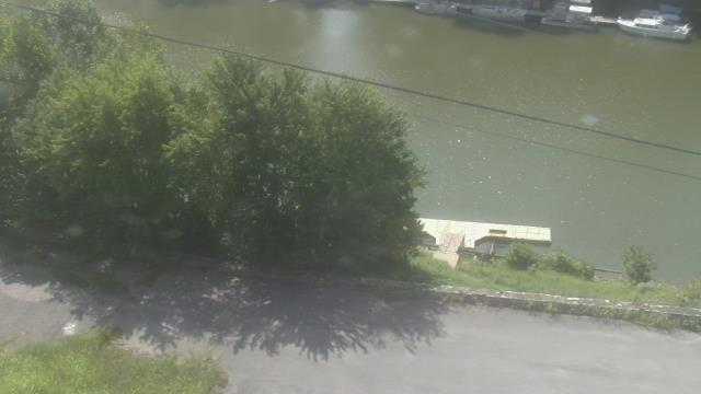
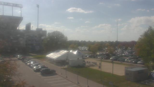
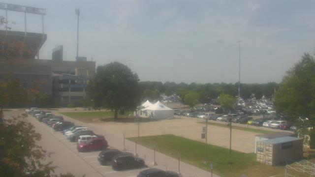
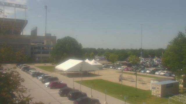
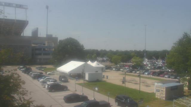
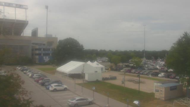
Milford, Ohio, USA - 17.5 miles from Furmandale: Cincinnati Nature Center - A webcam in Milford, Ohio - camera location: Cincinnati Nature Center.
Operator: WeatherBug
Operator: WeatherBug


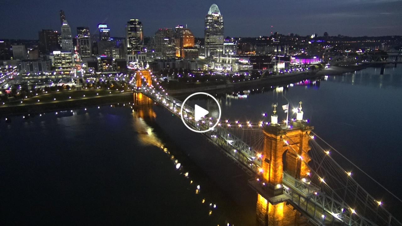
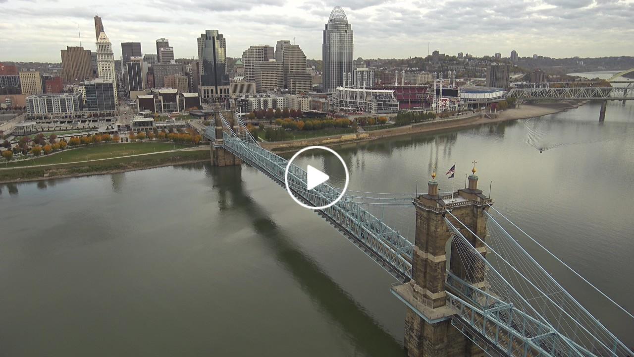
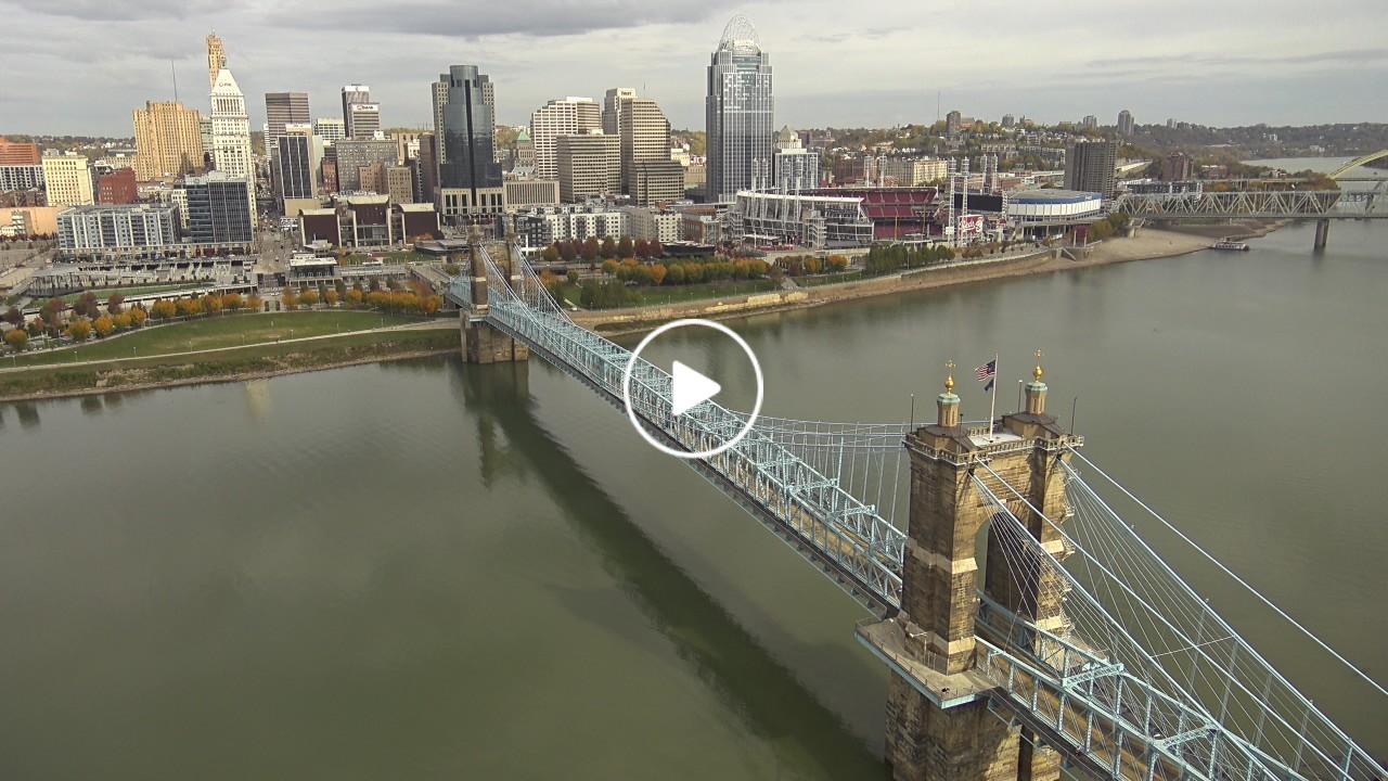
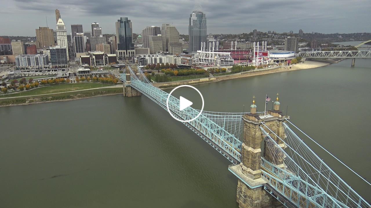
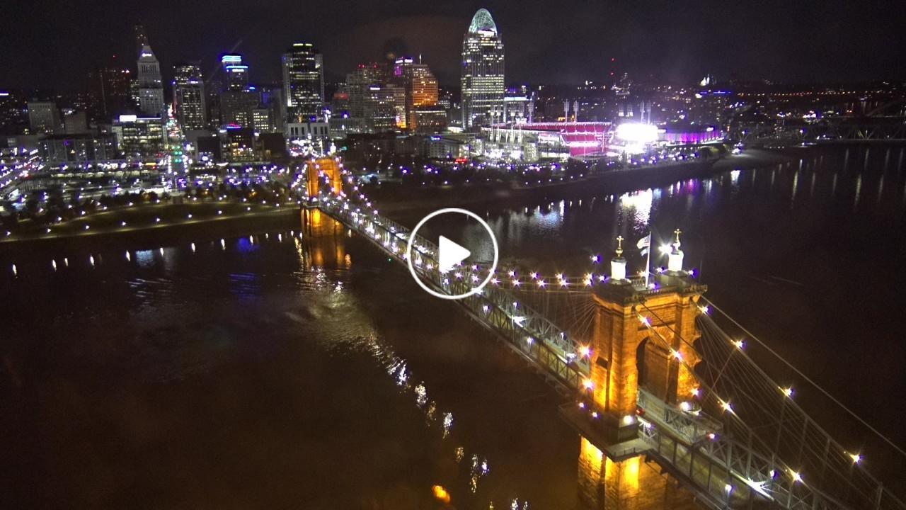
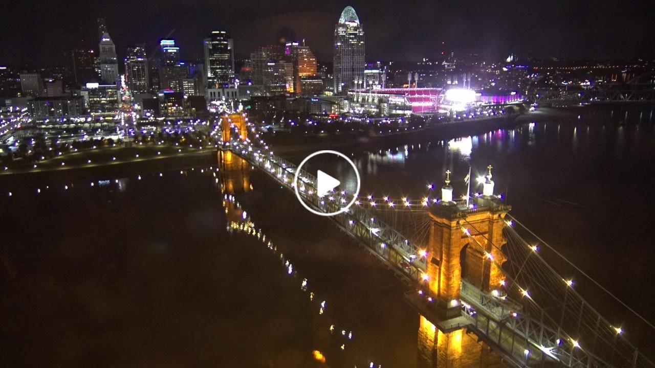
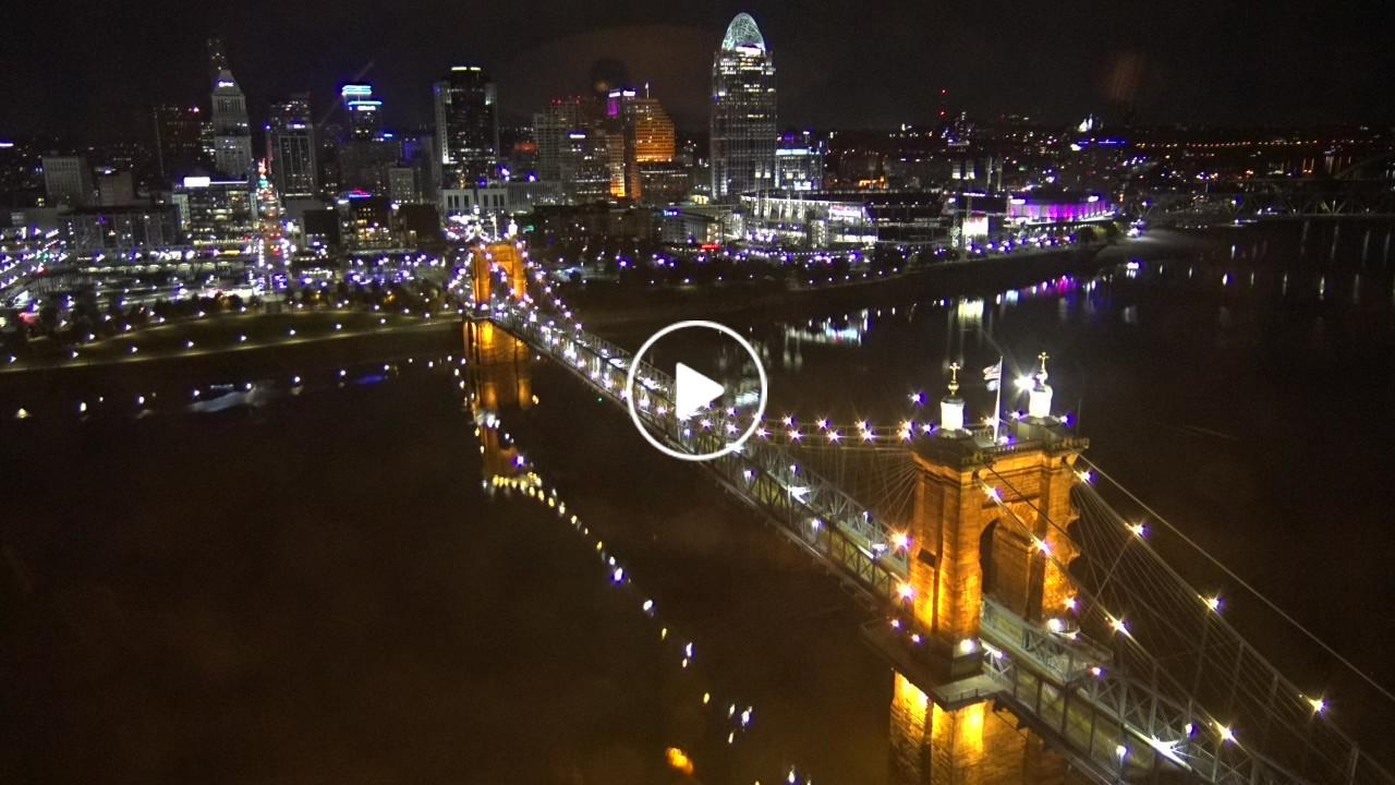
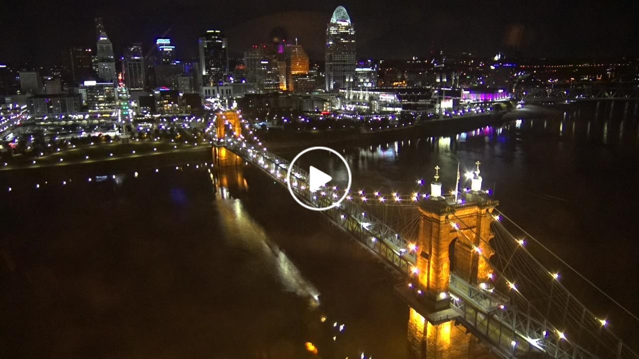
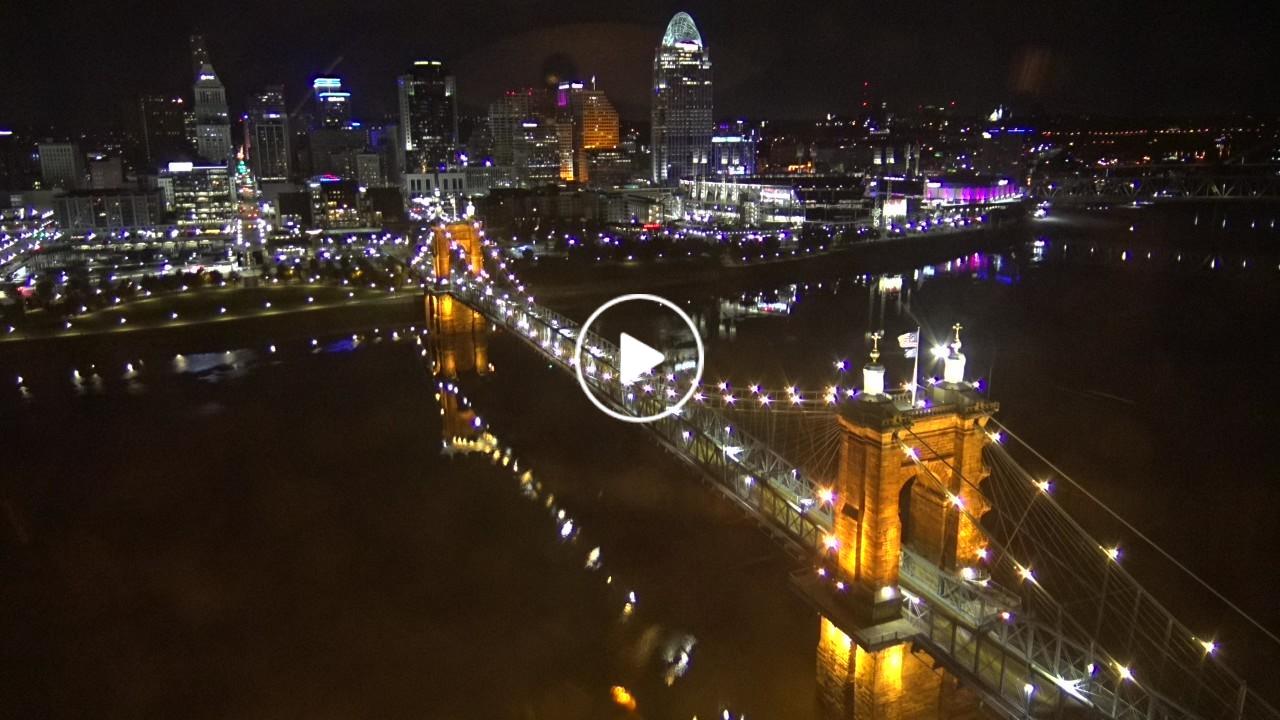
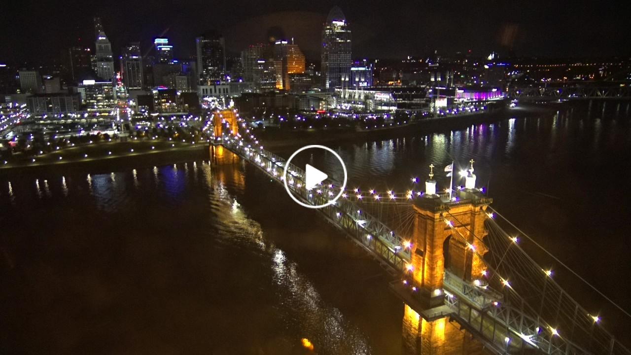
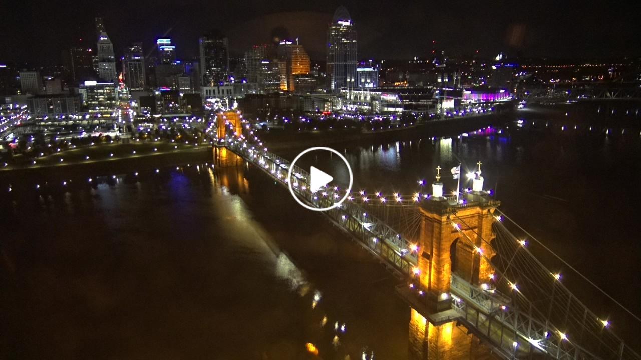
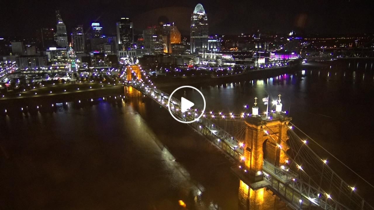
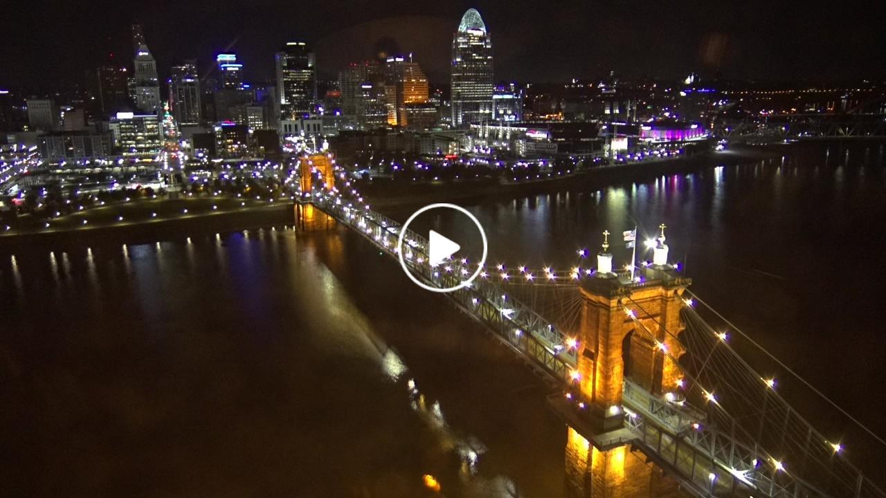
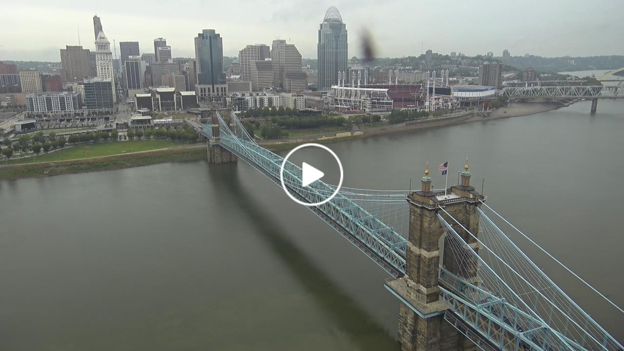
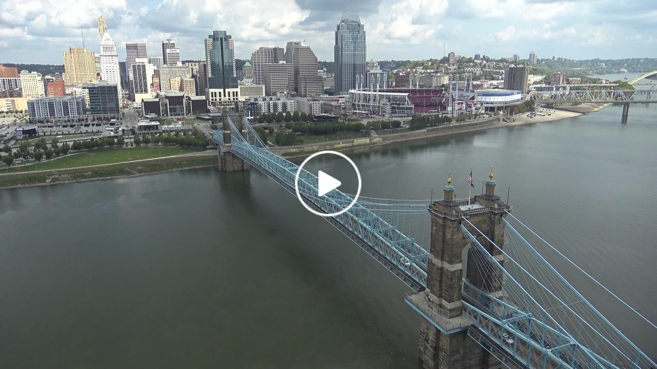
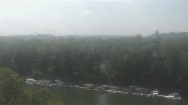
Covington, Kentucky, USA - 18 miles from Furmandale: Skyline Cincinnati - A view of the Skyline of Cincinnati and the John A. Roebling Suspension Bridge crossing the Ohio River.
Operator: EarthCam
Operator: EarthCam


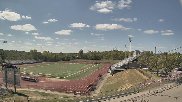
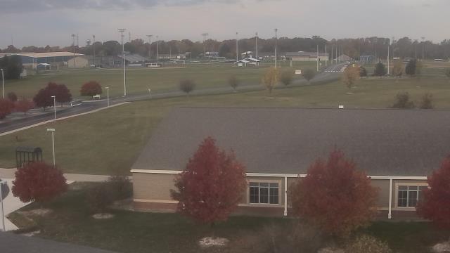
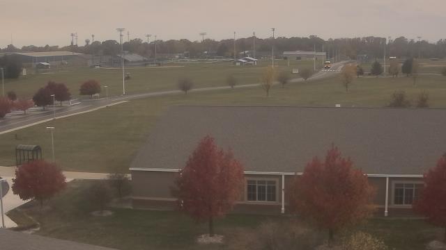
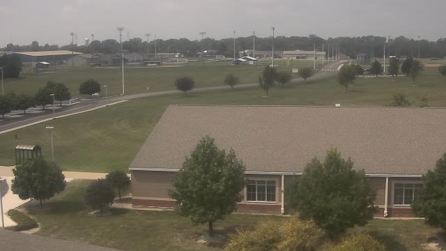
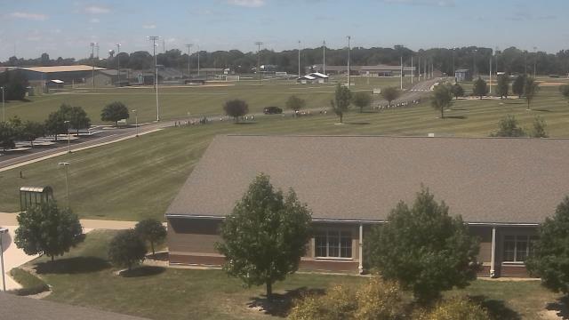
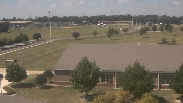
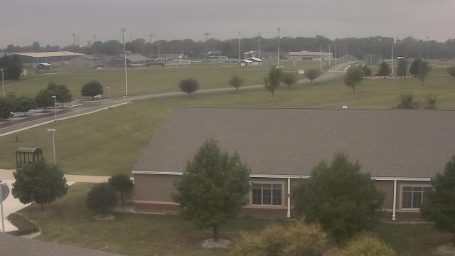
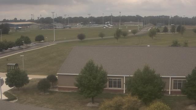
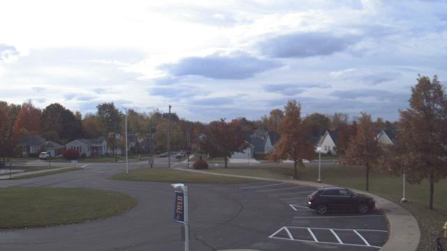
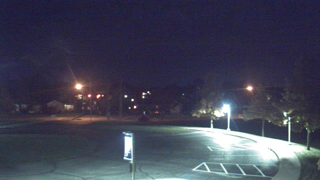
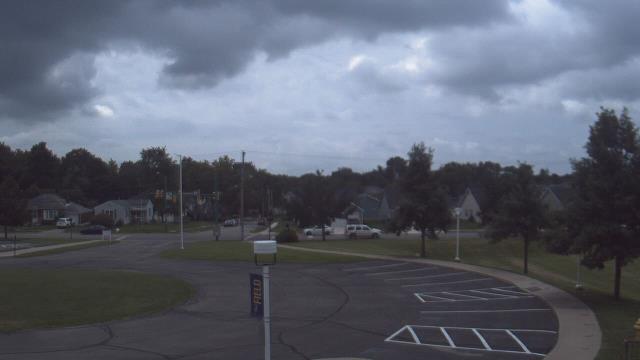
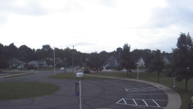
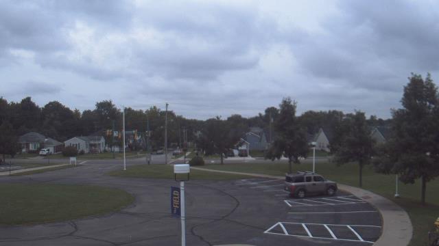
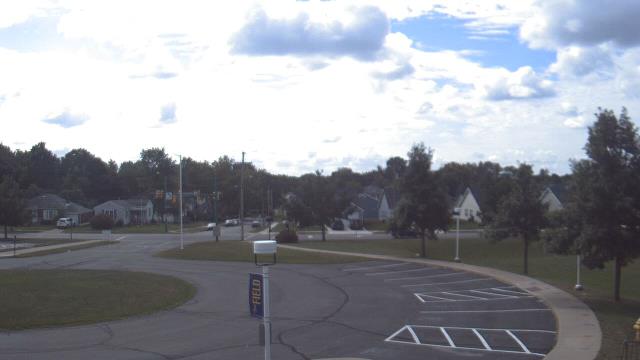
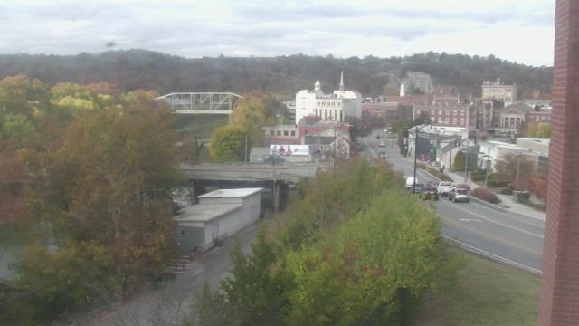
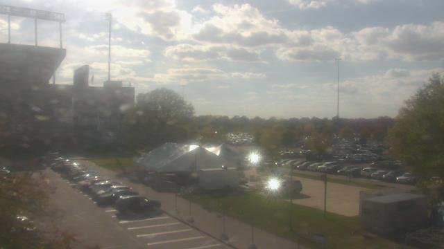
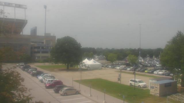
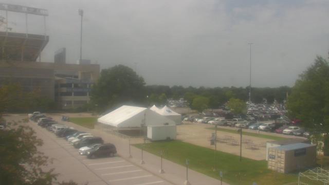
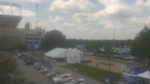
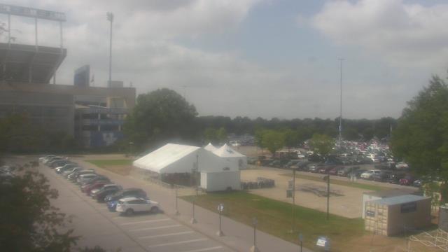
Kettering, Ohio, USA - 30.9 miles from Furmandale: Kettering Middle School - A webcam in Kettering, Ohio - camera location: Kettering Middle School.
Operator: WeatherBug
Operator: WeatherBug


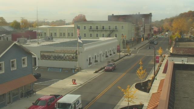
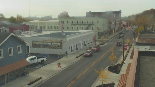
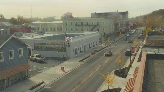
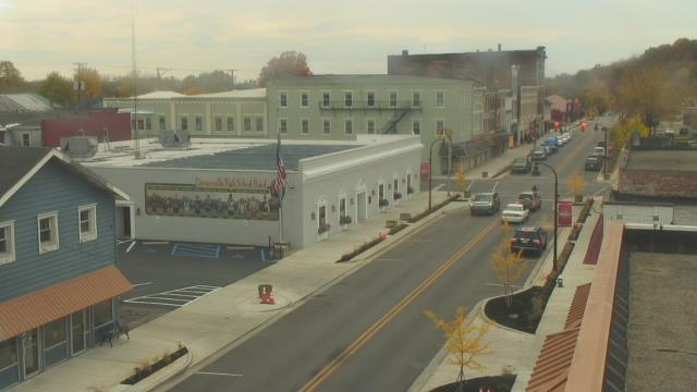
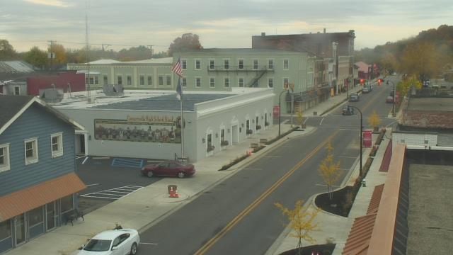
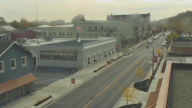
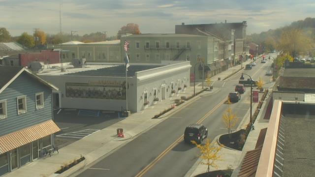
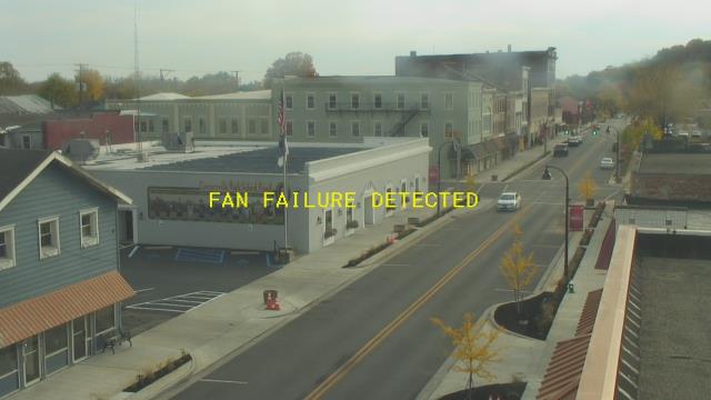
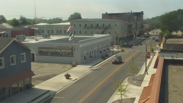
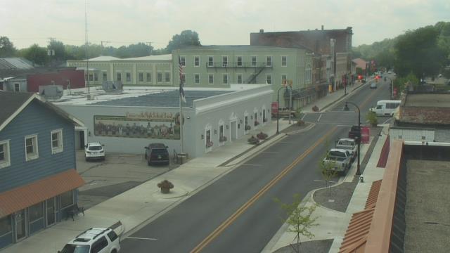
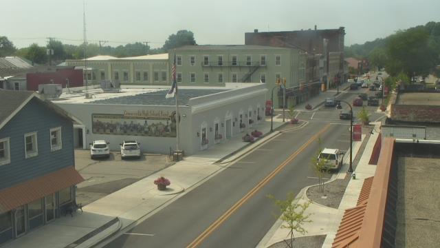
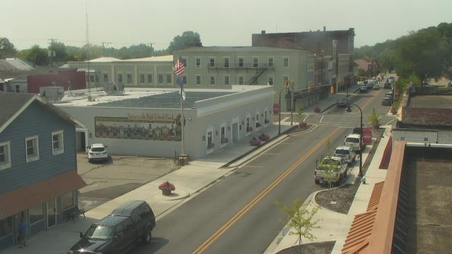
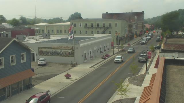
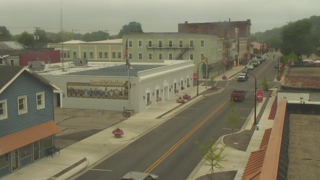
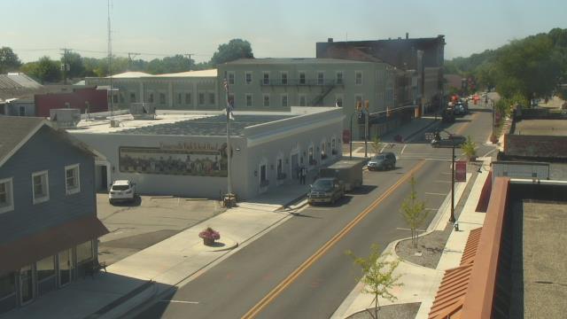
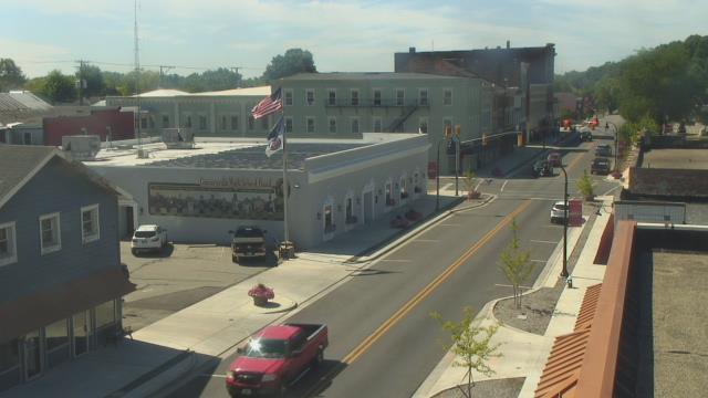
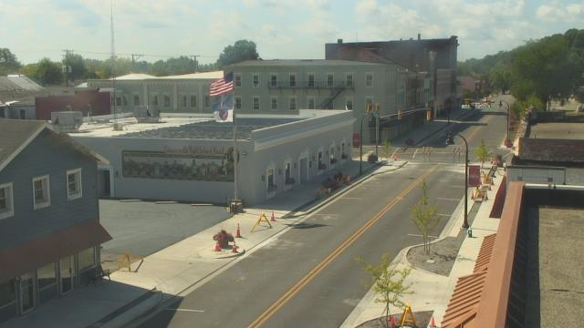
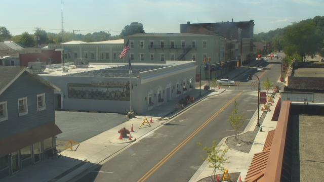
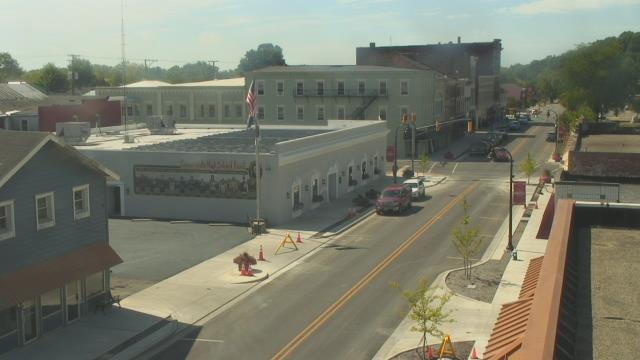
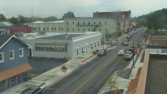
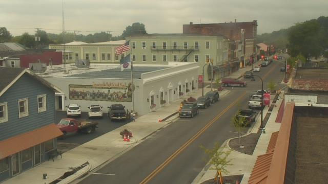
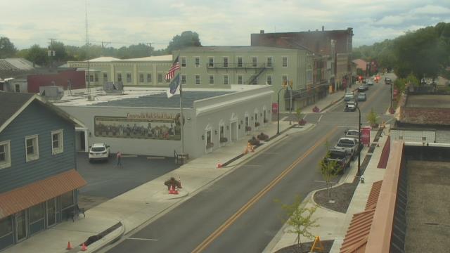
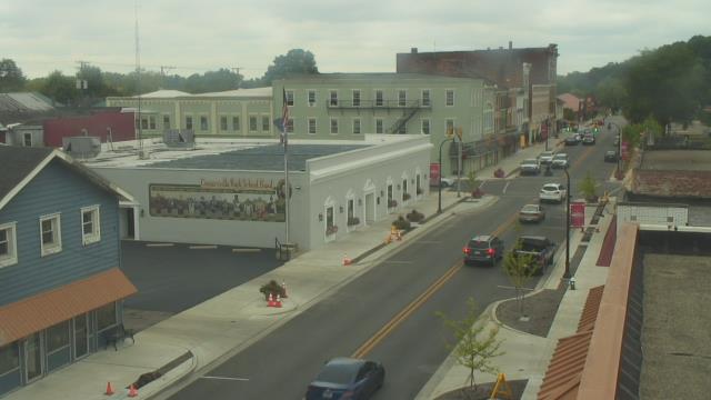
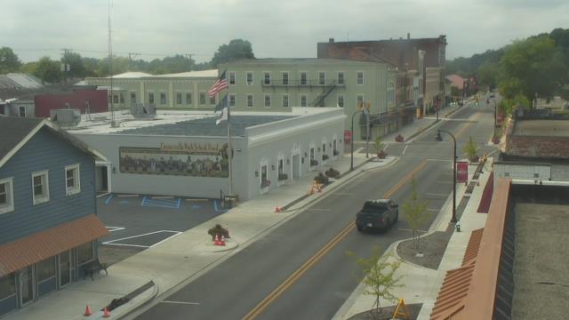
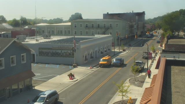
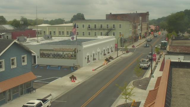
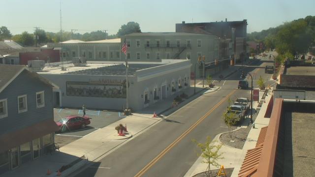
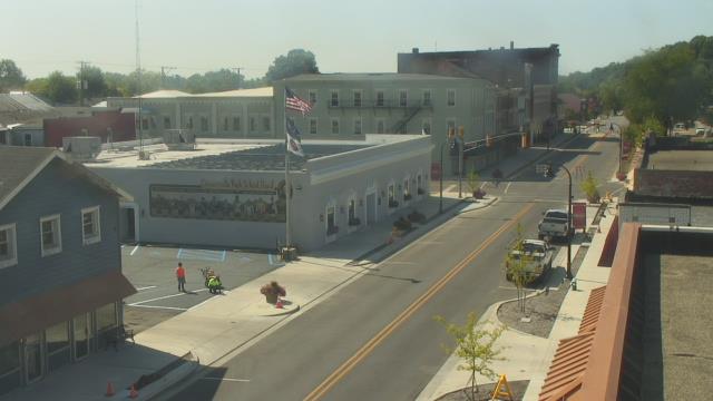
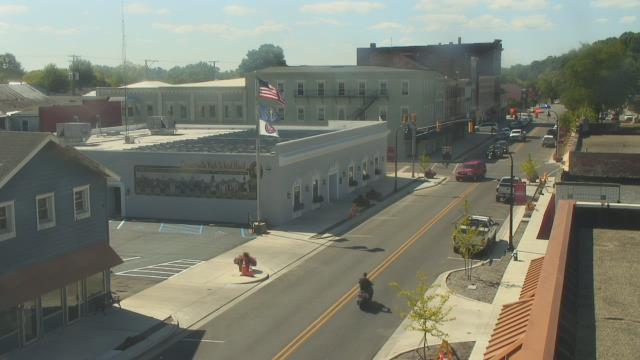
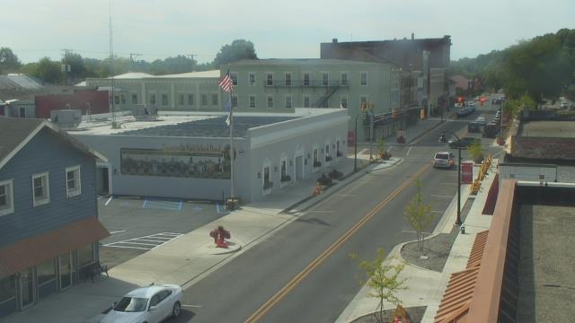
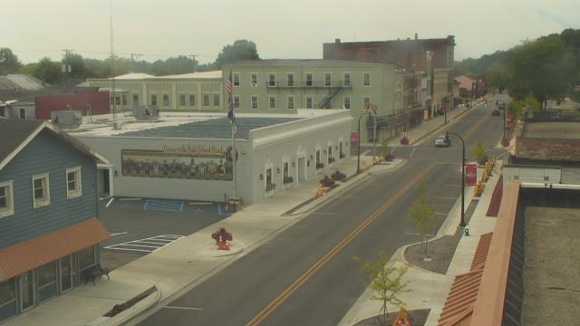
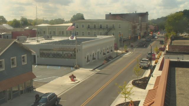
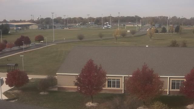
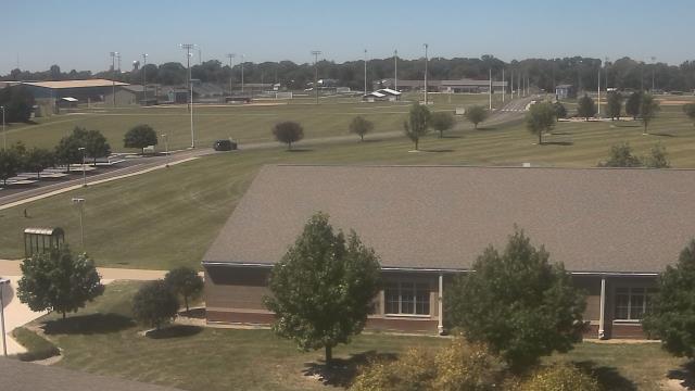
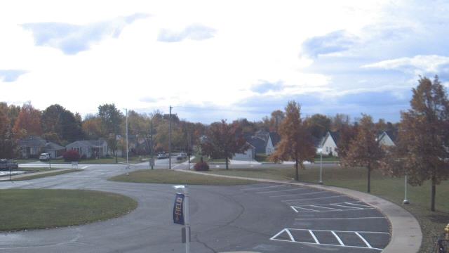
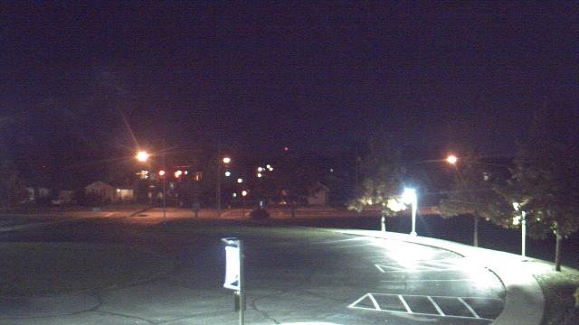
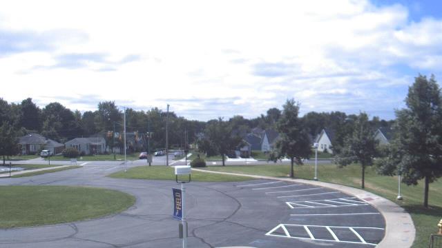
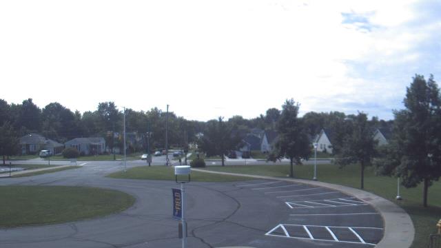
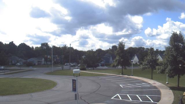
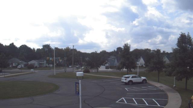
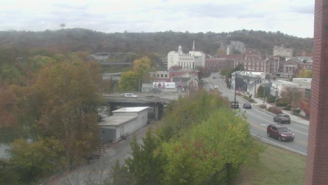
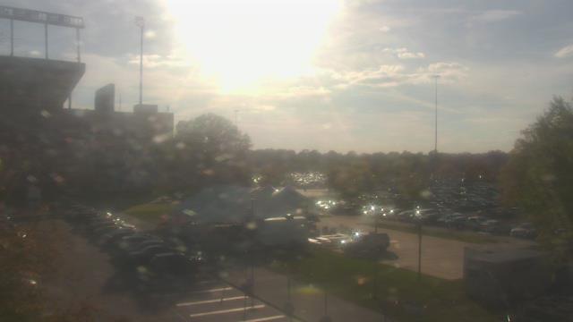
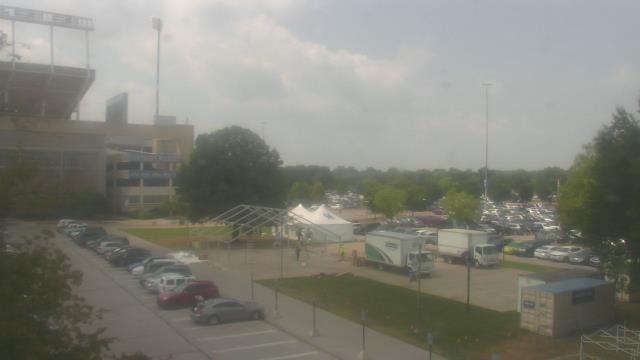
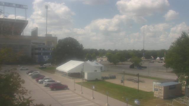
Connersville, Indiana, USA - 38.2 miles from Furmandale: City of Connersville - A webcam in Connersville, Indiana - camera location: City of Connersville.
Operator: WeatherBug
Operator: WeatherBug


Greensburg, Indiana, USA - 50.5 miles from Furmandale: Greensburg Elementary School - A webcam in Greensburg, Indiana - camera location: Greensburg Elementary School.
Operator: WeatherBug
Operator: WeatherBug

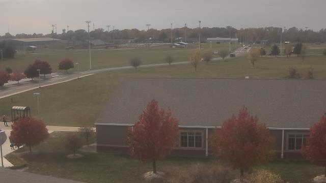


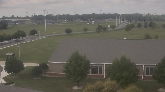

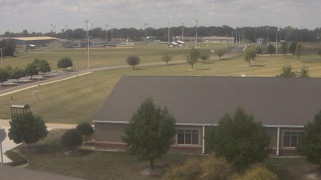
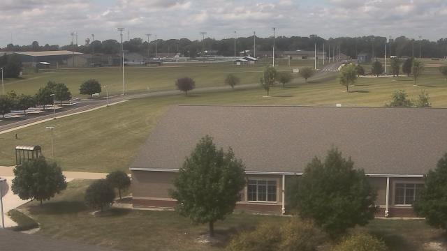

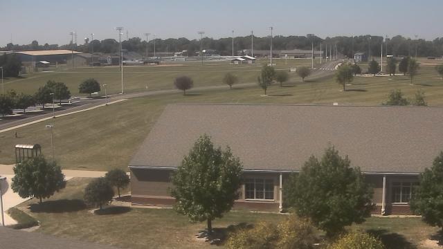

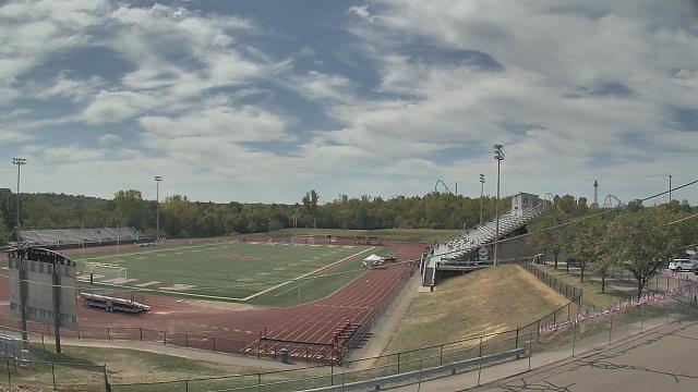
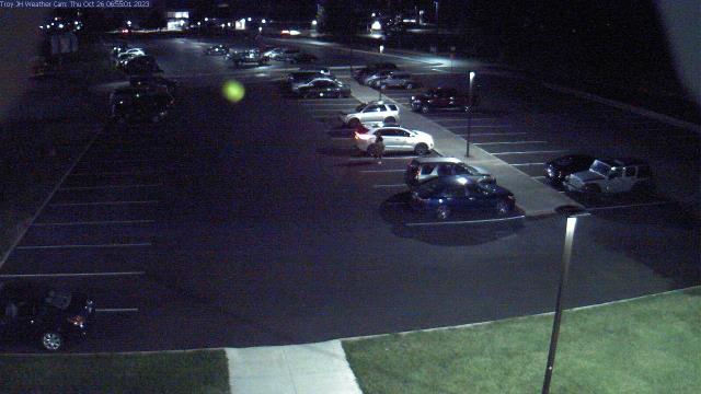
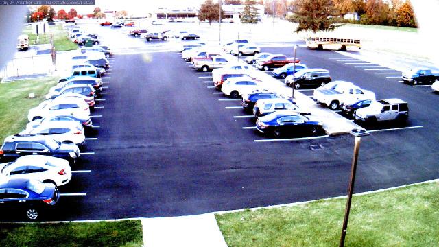
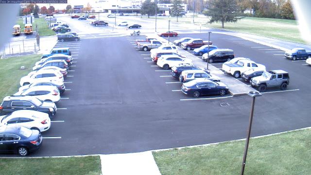
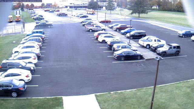
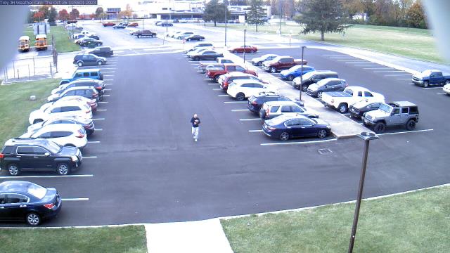
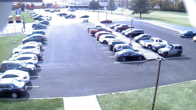
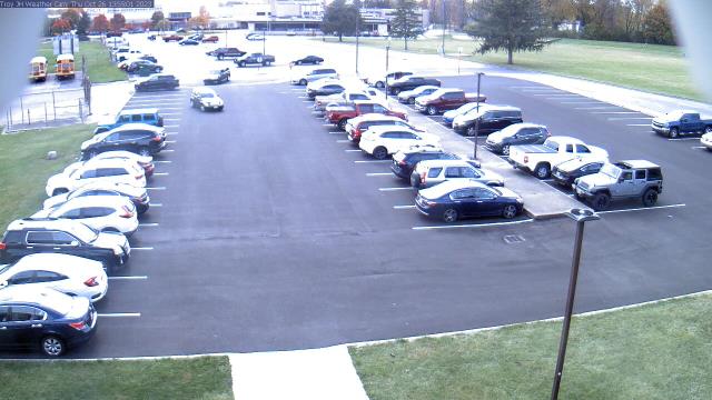
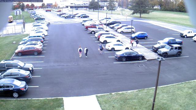
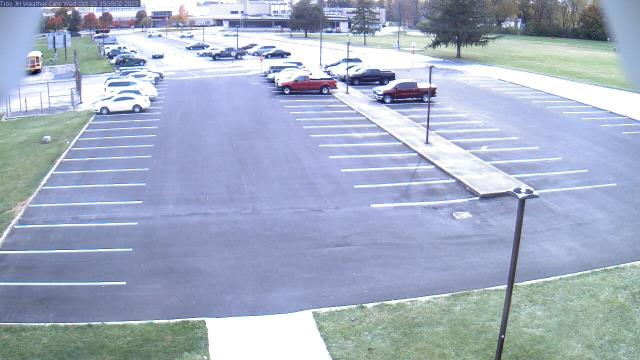
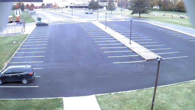
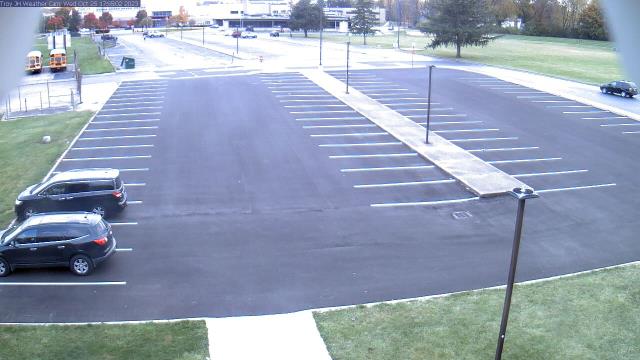
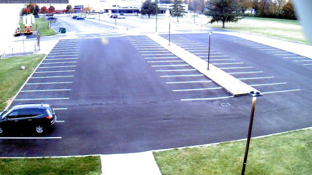
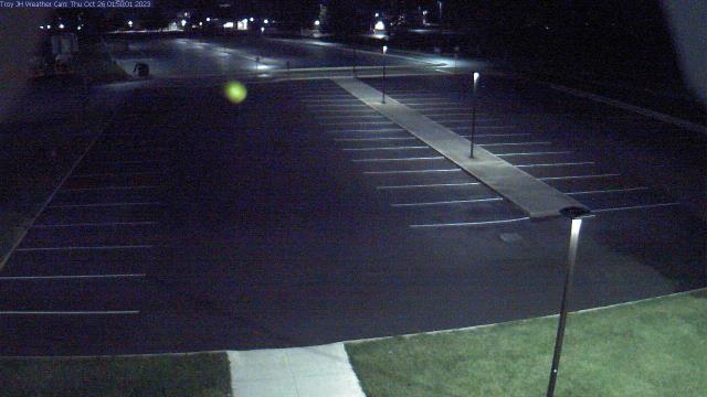
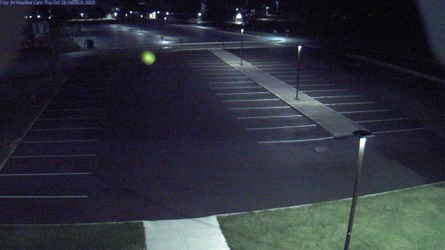
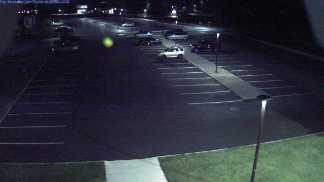
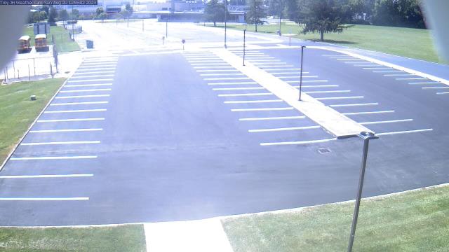
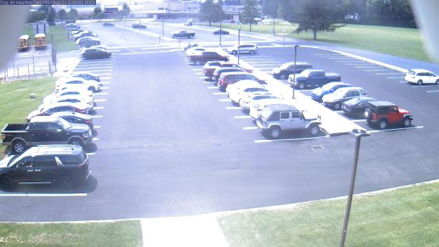
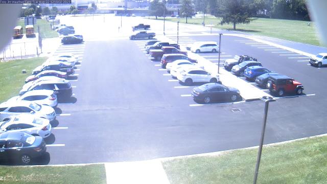
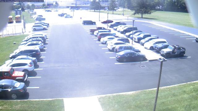
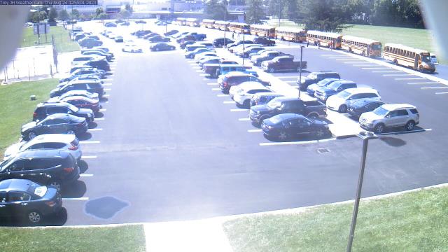
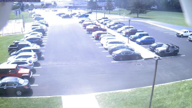
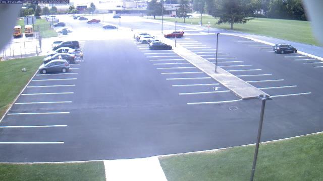
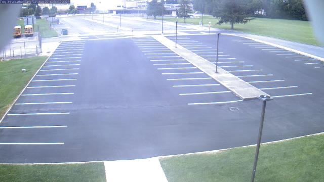
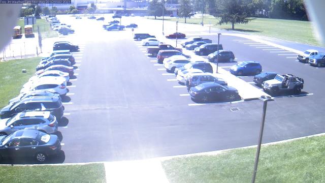
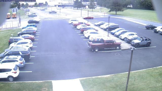
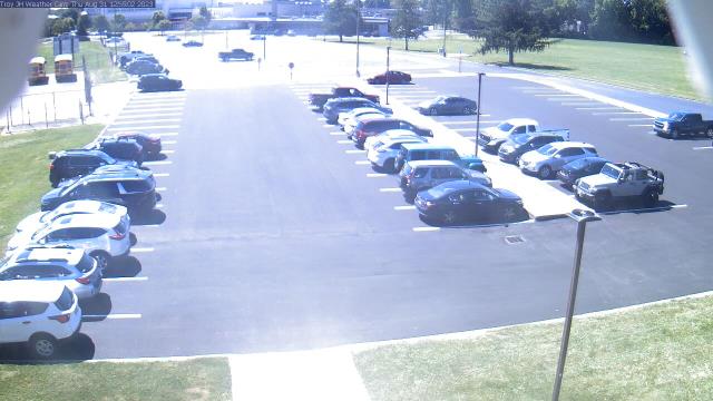
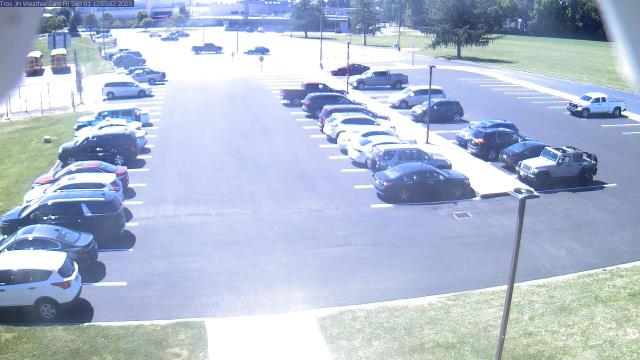
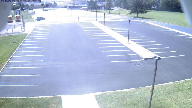
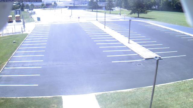
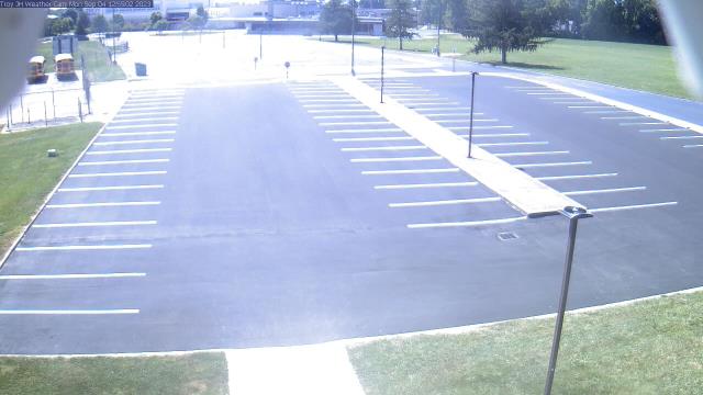
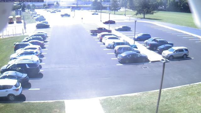
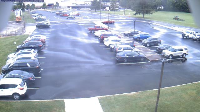
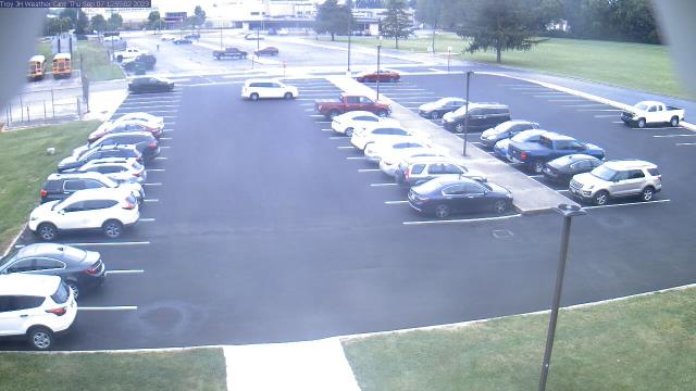
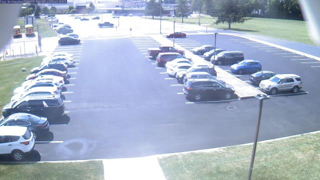
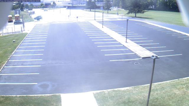
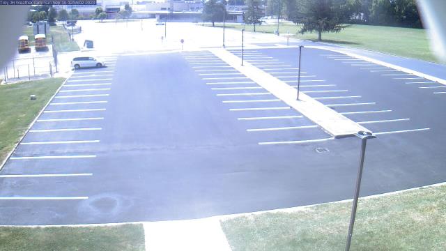
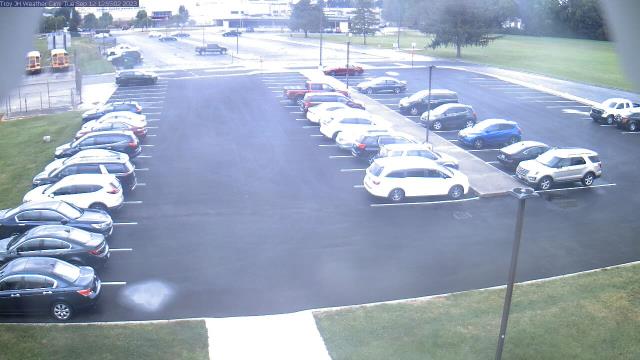
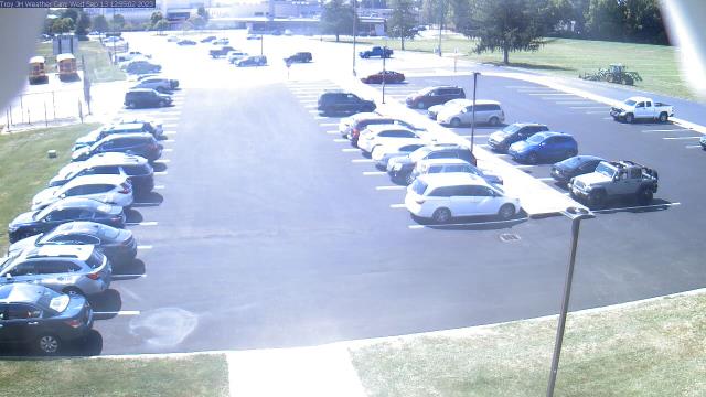
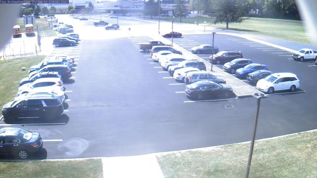
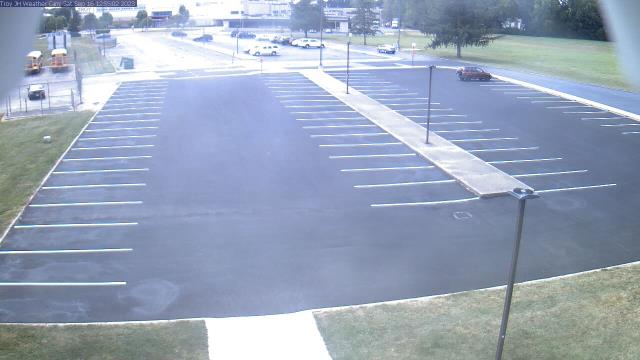
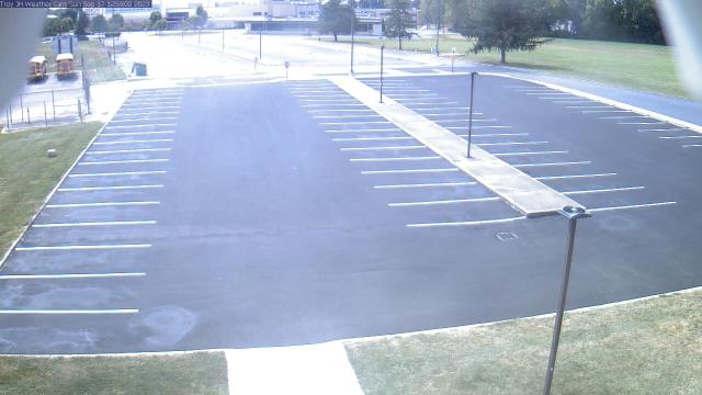
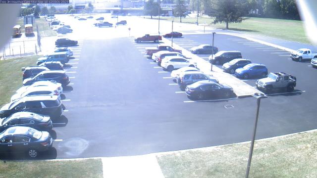
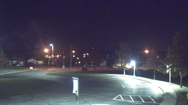
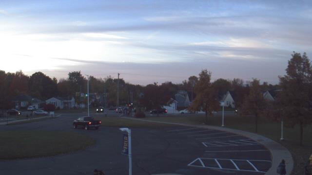
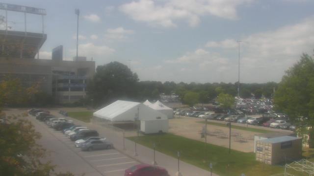
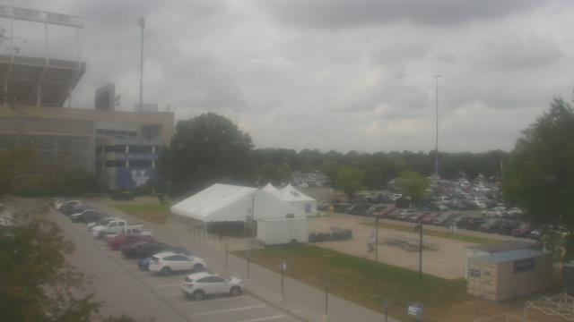
Troy, Ohio, USA - 51.3 miles from Furmandale: Troy Junior High School - A webcam in Troy, Ohio - camera location: Troy Junior High School.
Operator: WeatherBug
Operator: WeatherBug


Springfield, Ohio, USA - 55.8 miles from Furmandale: Lagonda Elementary School - A webcam in Springfield, Ohio - camera location: Lagonda Elementary School.
Operator: WeatherBug
Operator: WeatherBug


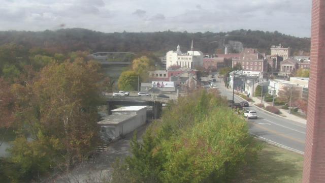
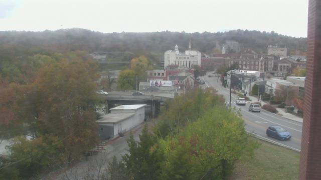
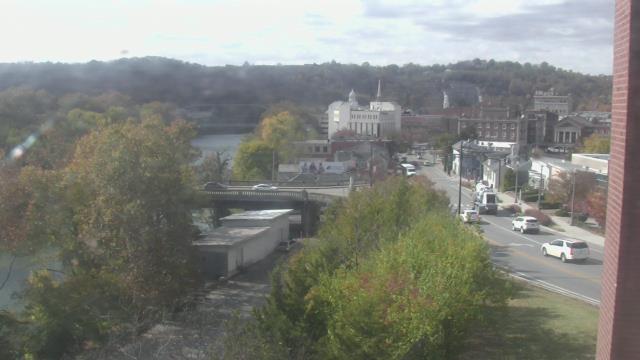
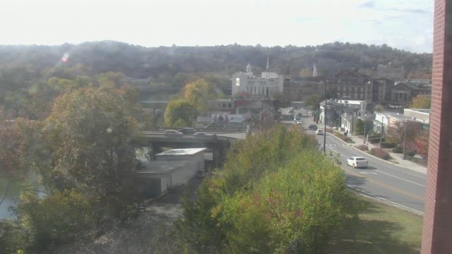
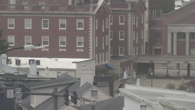
Frankfort, Kentucky, USA - 81 miles from Furmandale: Military History Museum - A webcam in Frankfort, Kentucky - camera location: Military History Museum.
Operator: WeatherBug
Operator: WeatherBug


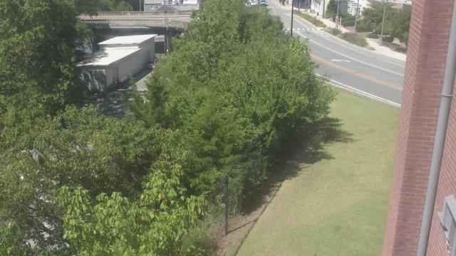
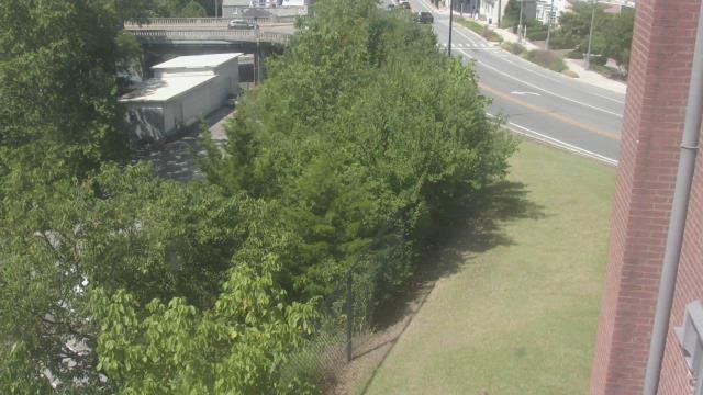


Lexington, Kentucky, USA - 90.7 miles from Furmandale: Bluegrass Community & Technical College - A webcam in Lexington, Kentucky - camera location: Bluegrass Community & Technical College.
Operator: WeatherBug
Operator: WeatherBug


Some other places in this country: Lovell - Sharples - Smithdale (historical) - Jones (historical) - Nickelplate (historical) - Wittes Corners - Enterprise (historical) - Monticello (historical) - Glenndale (historical) - Wheeling Valley (historical)