Webcams in the region of Cherry Creek (historical), Nevada, USA
The List of Webcams near Cherry Creek (historical), Nevada, USA:

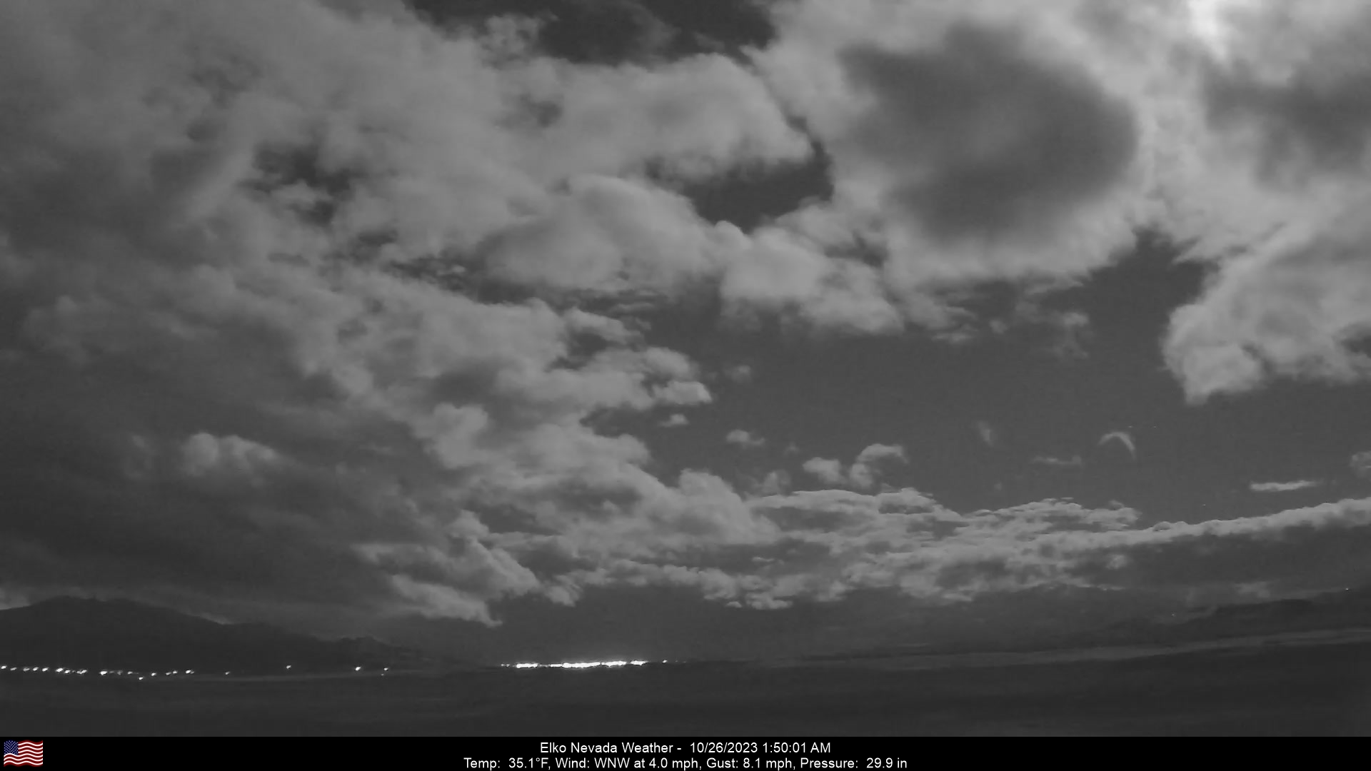
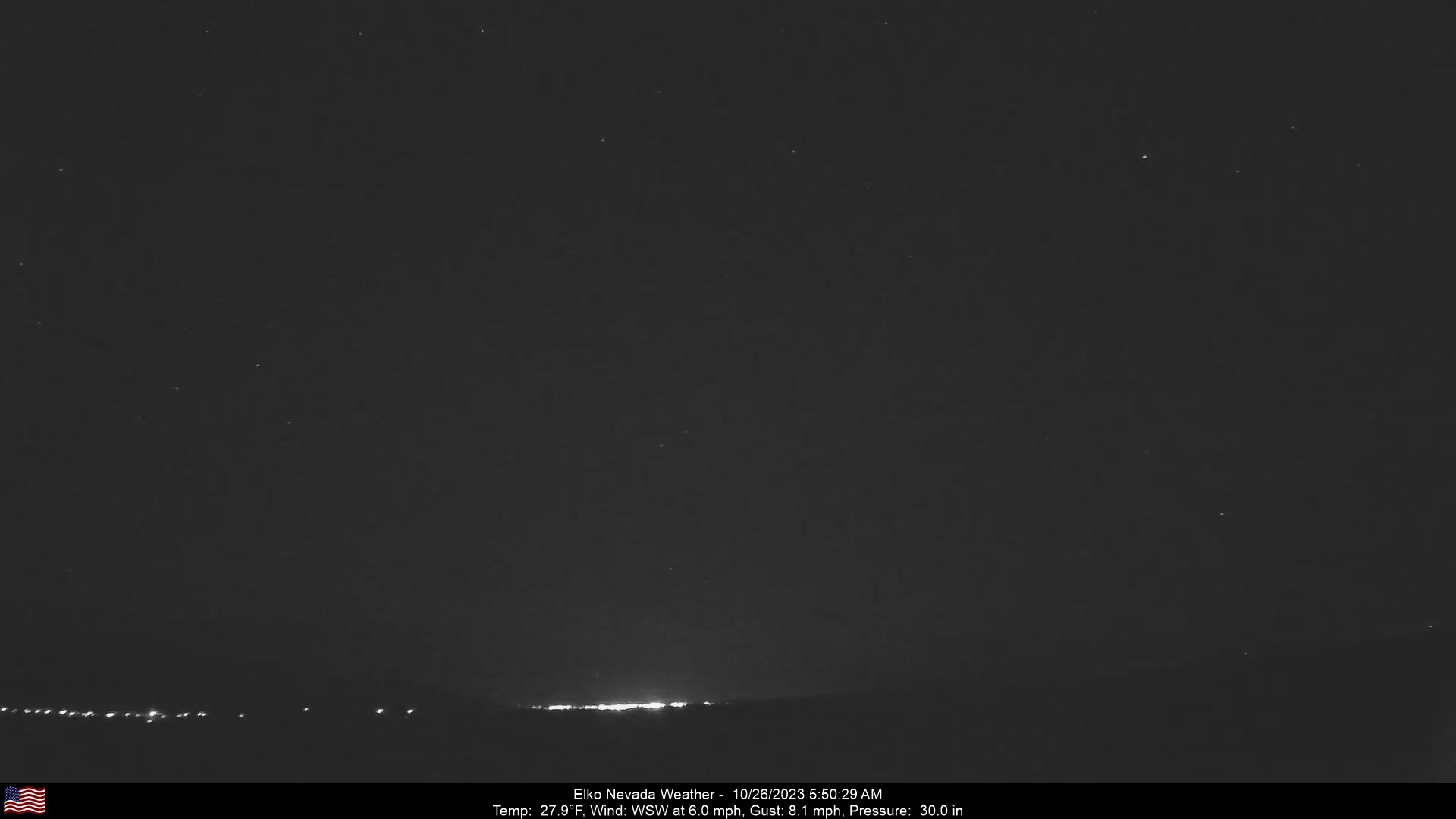
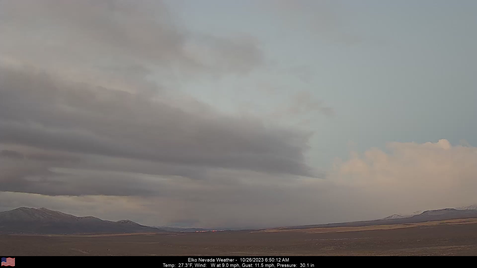
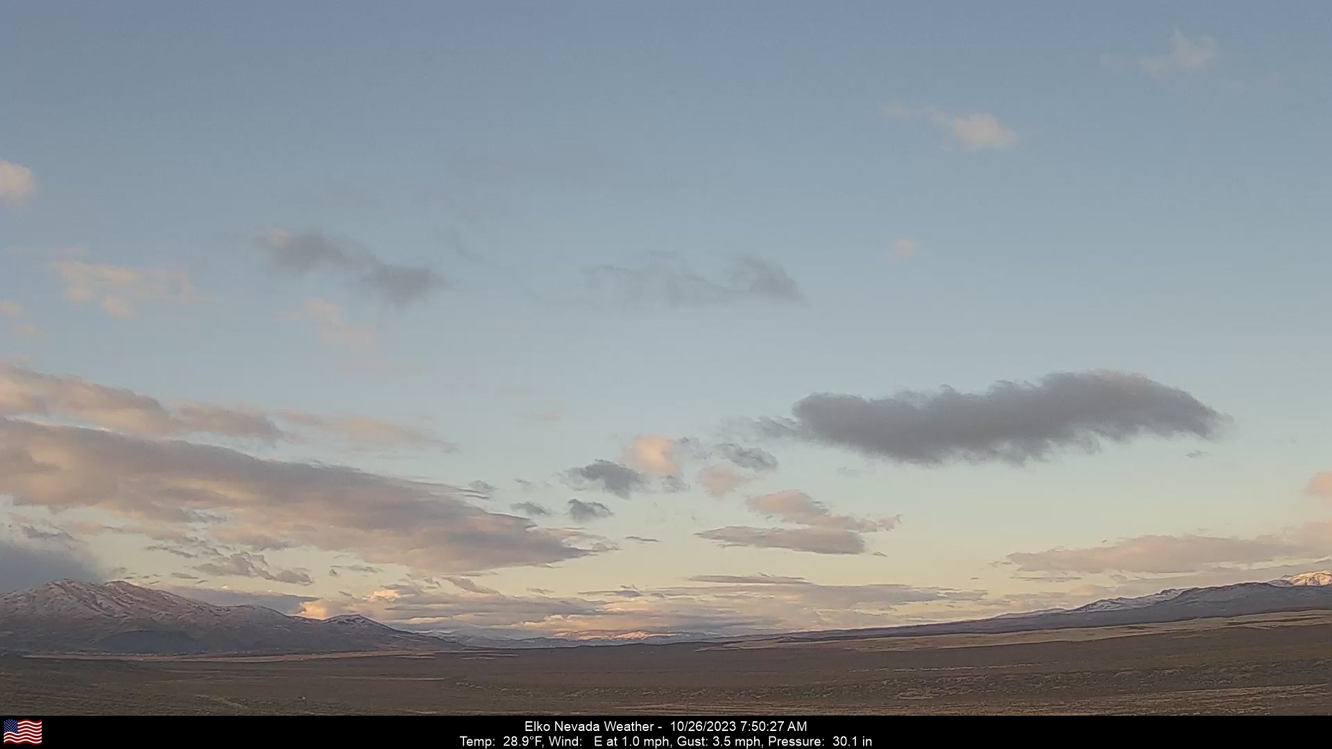
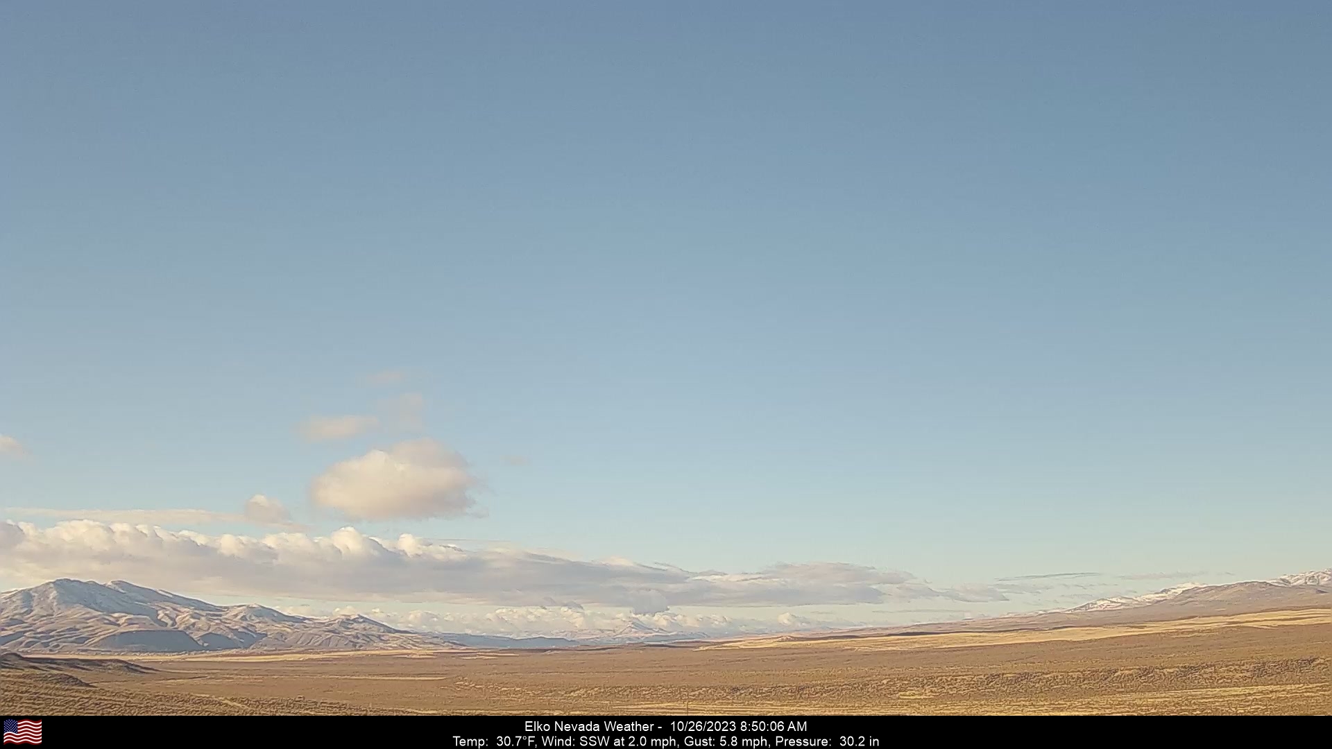
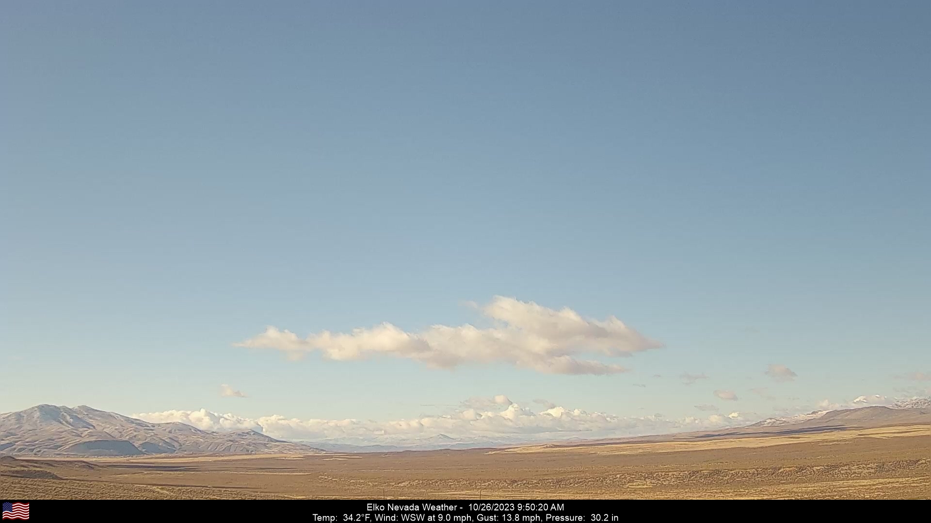
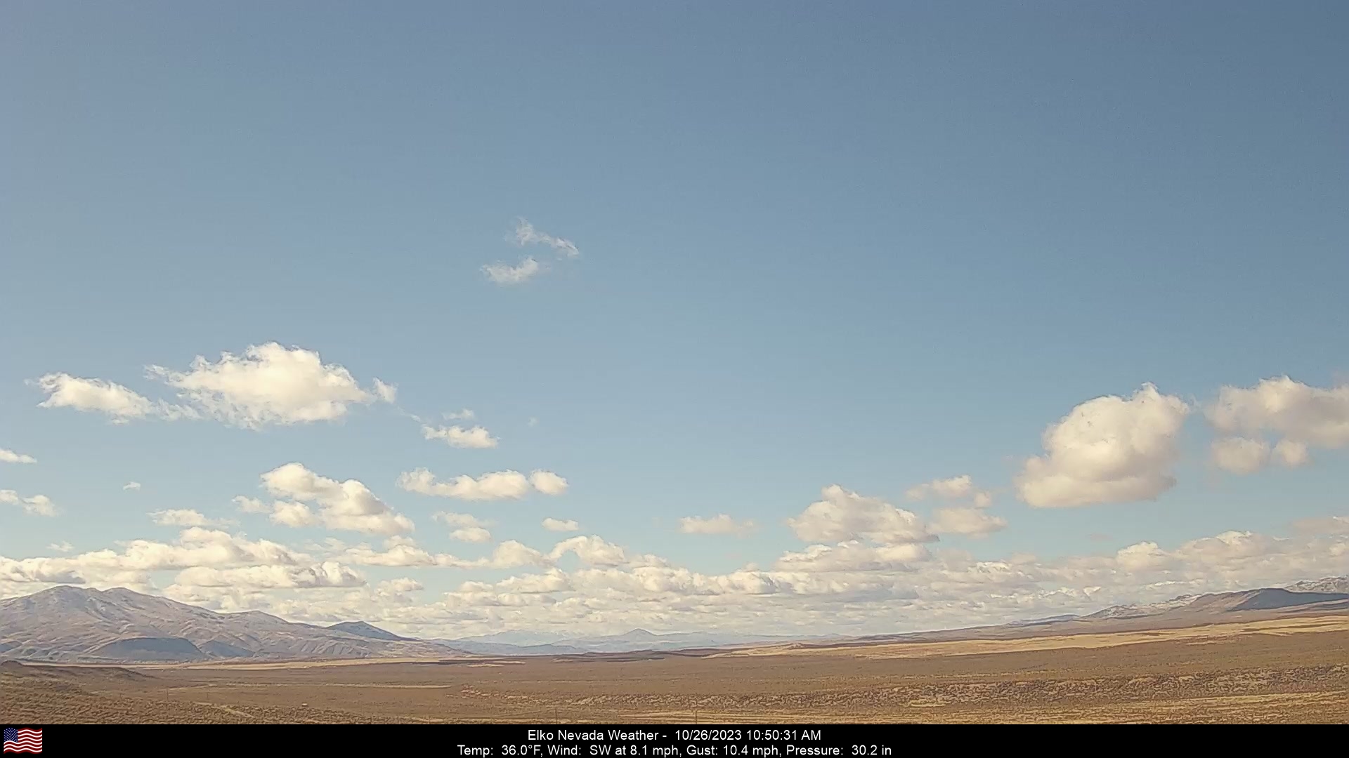
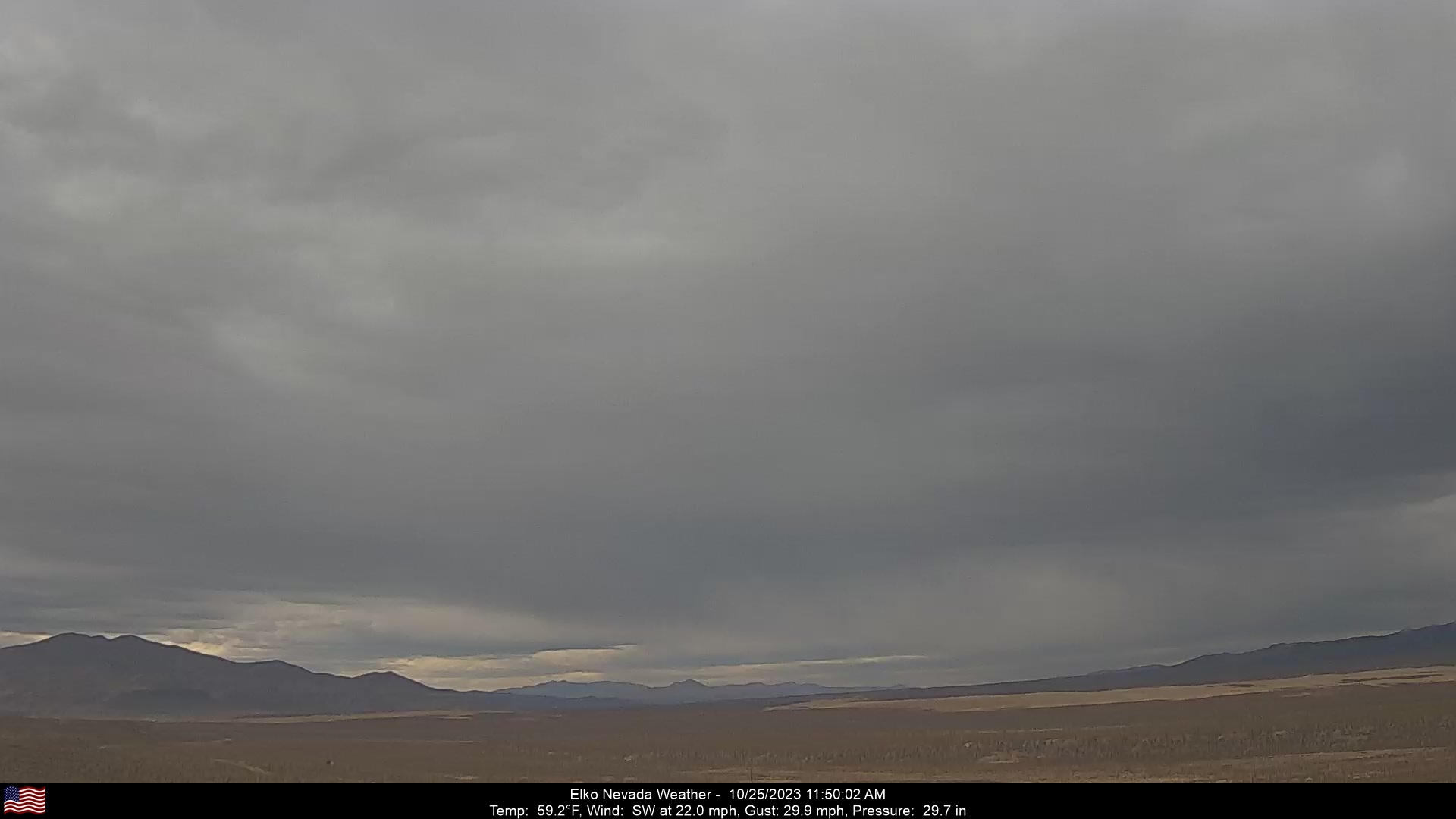
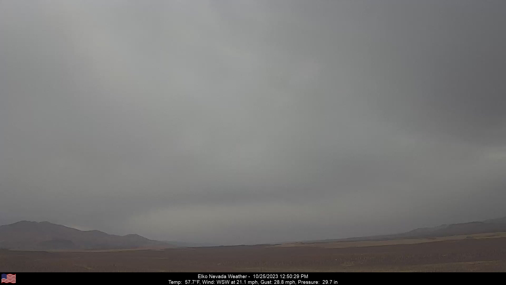
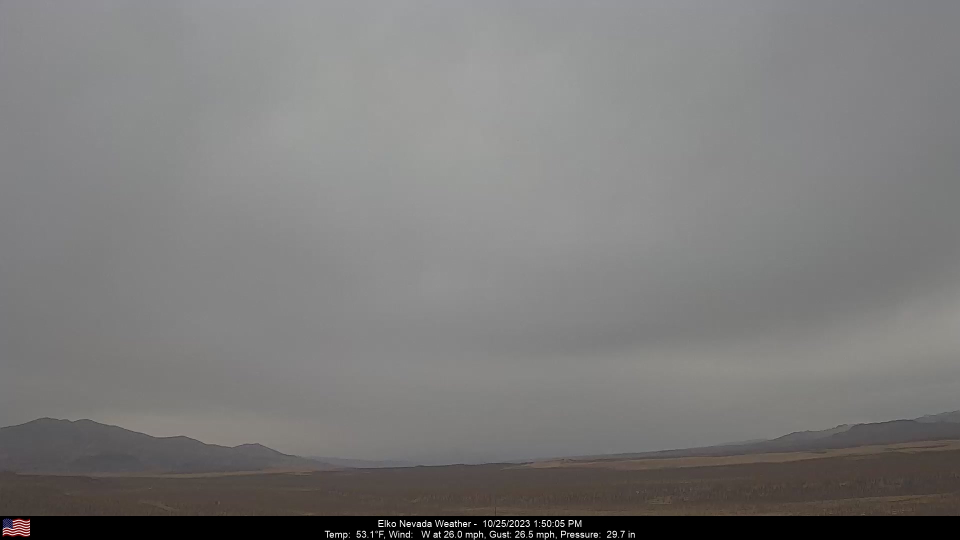
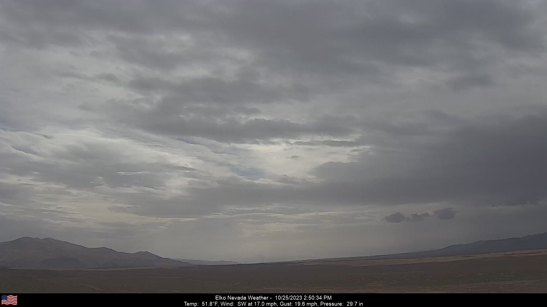
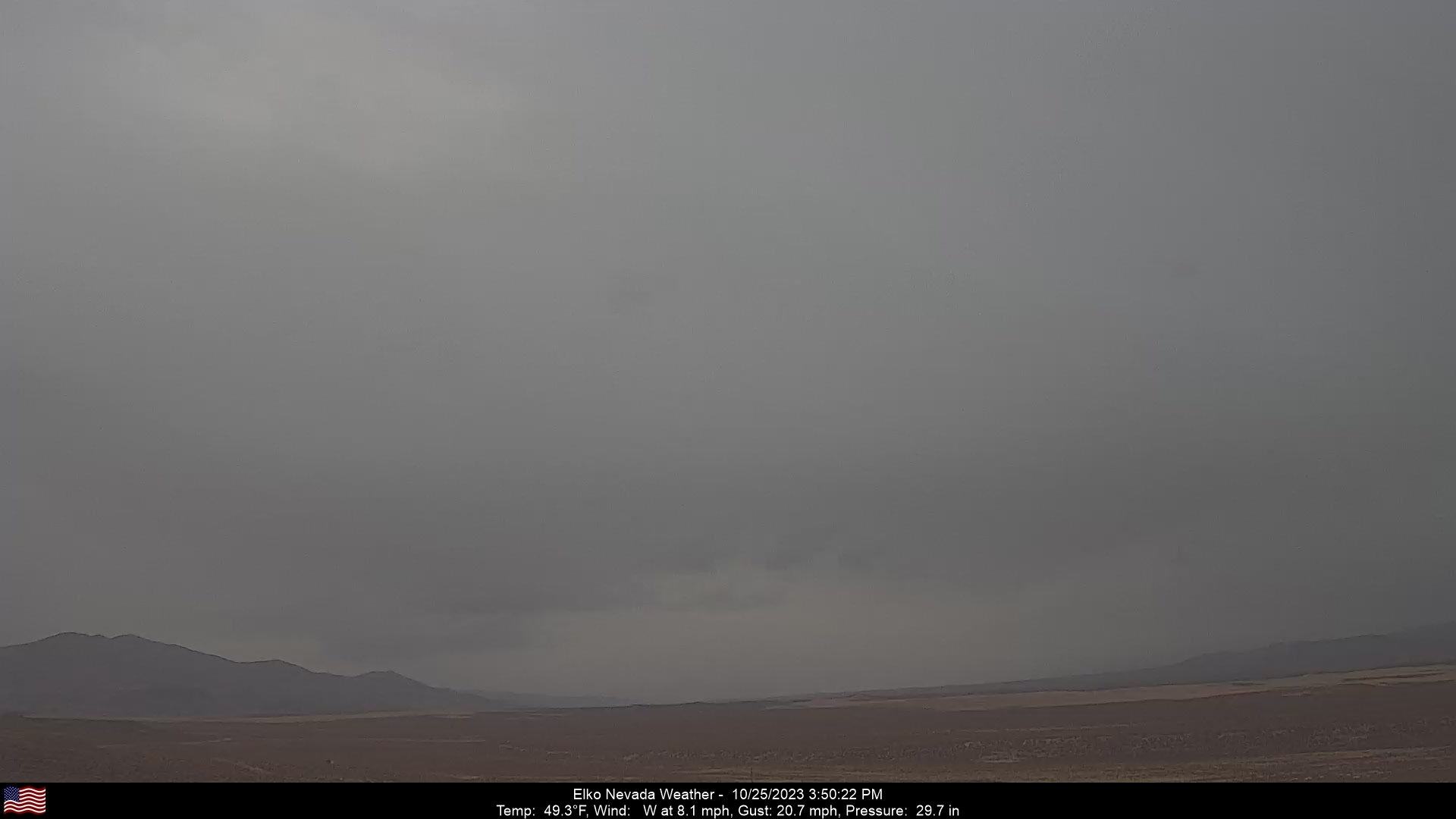
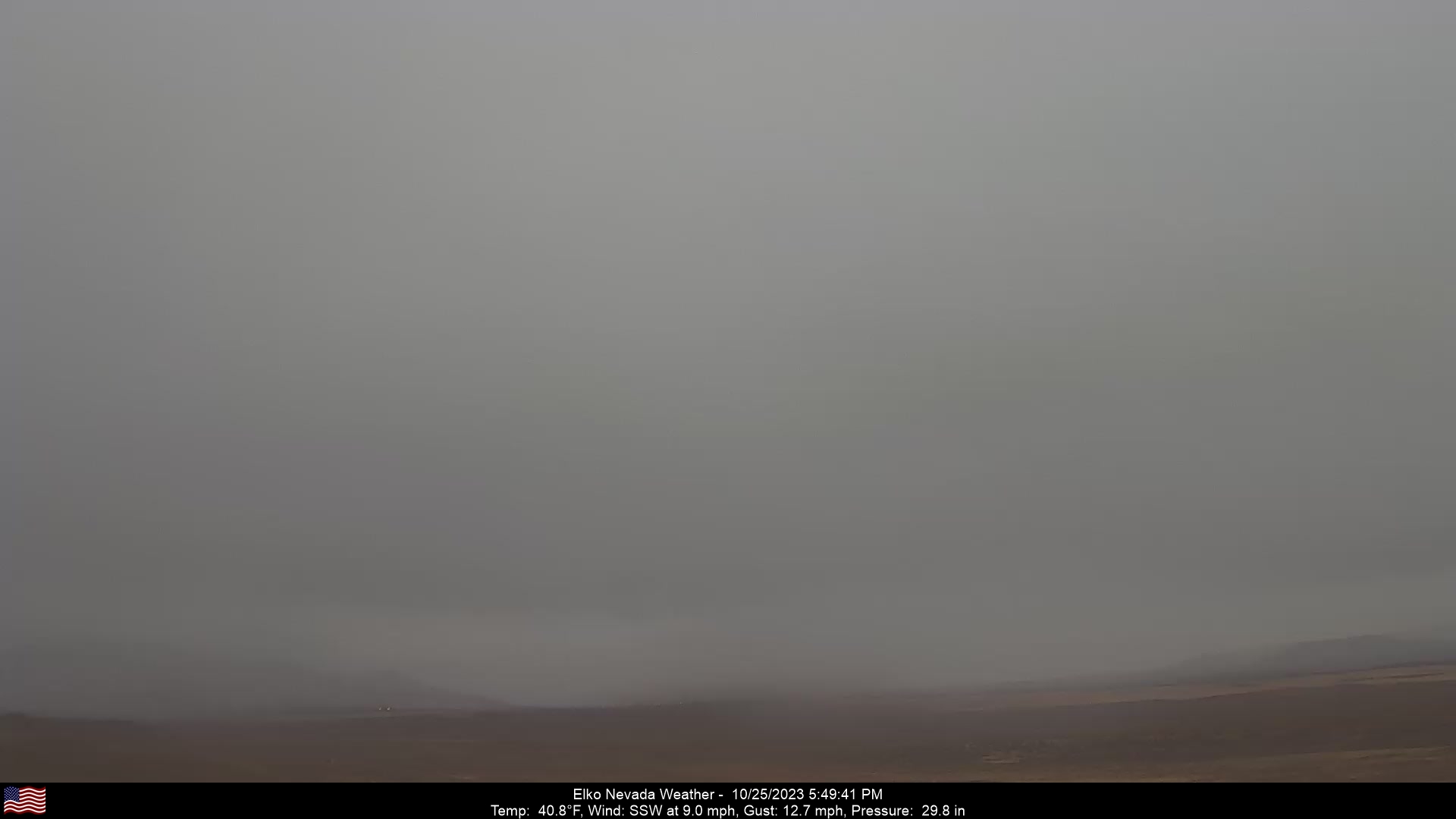
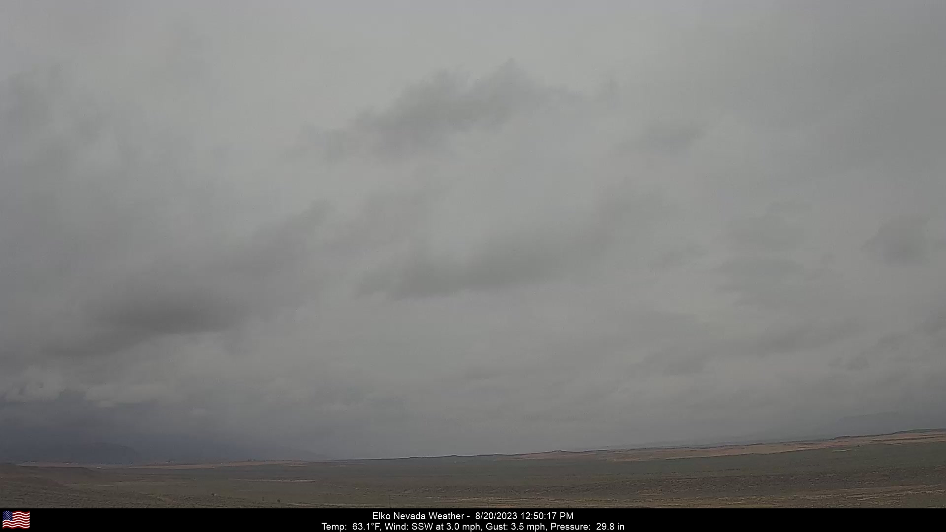
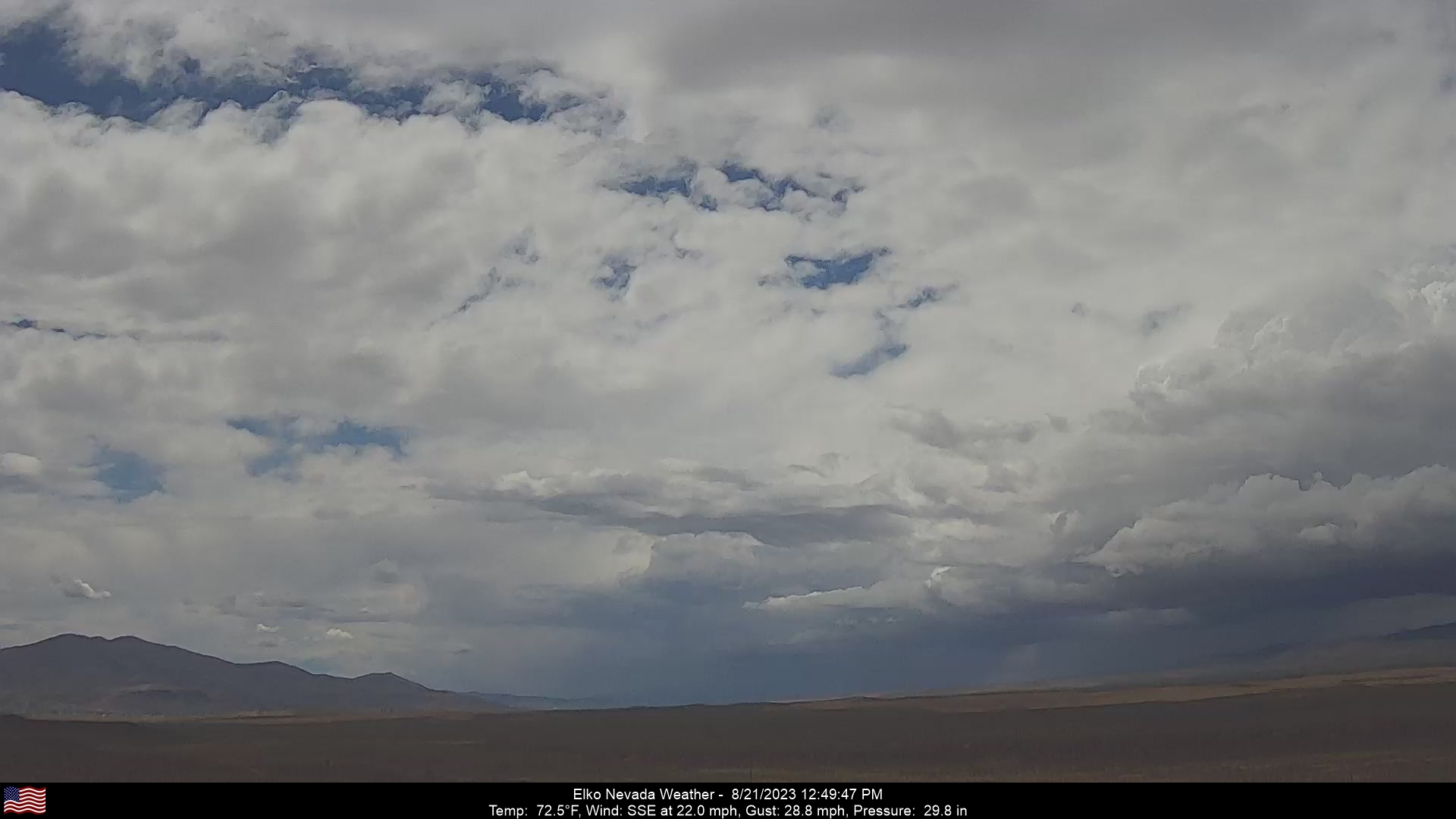
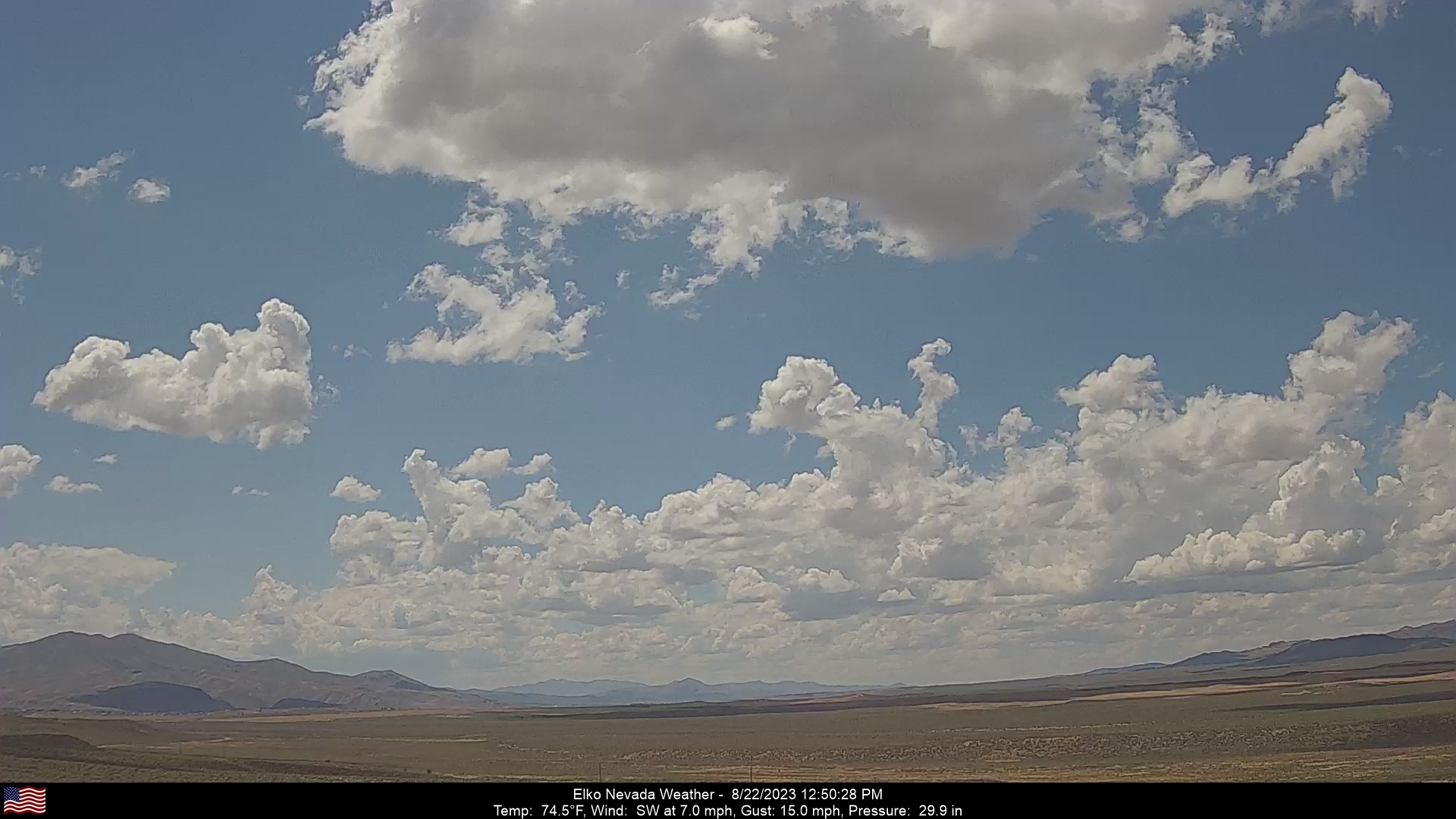
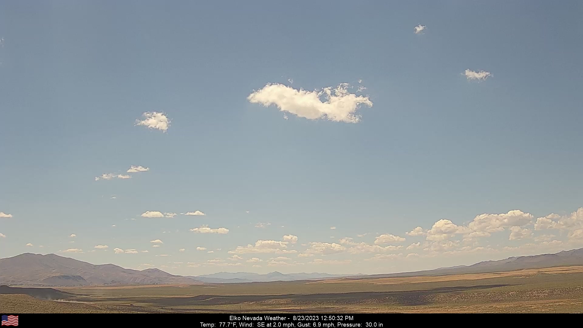
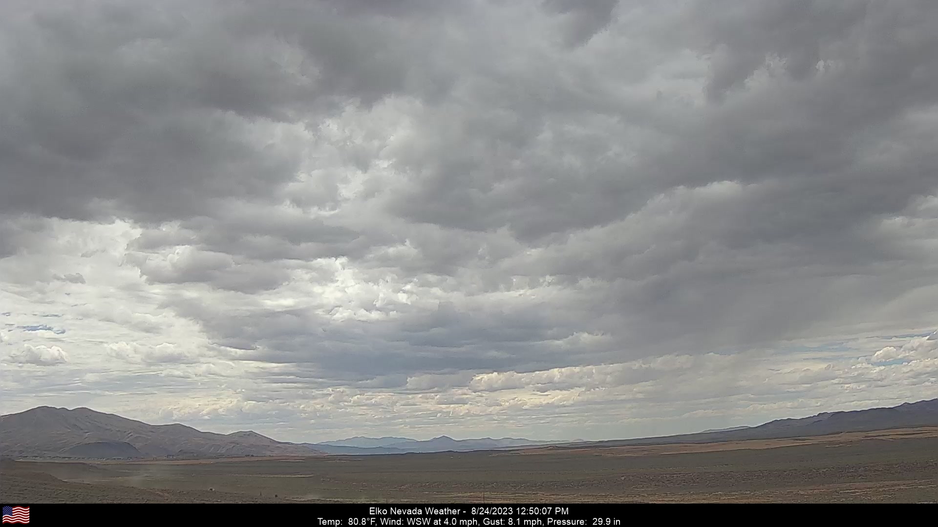
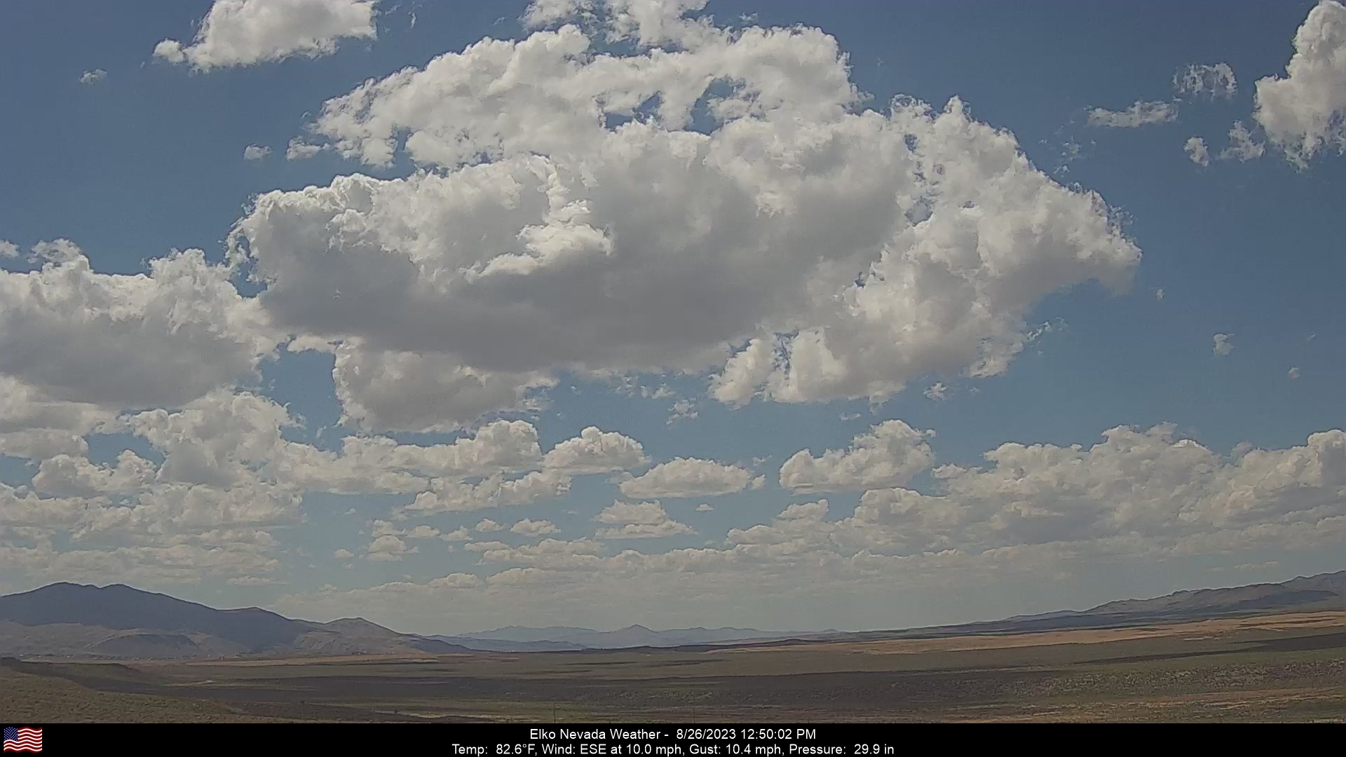
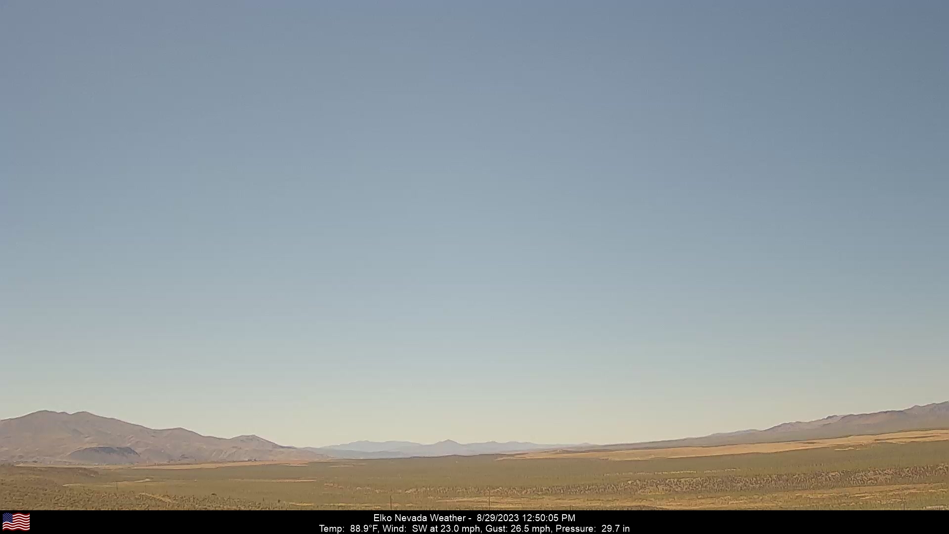
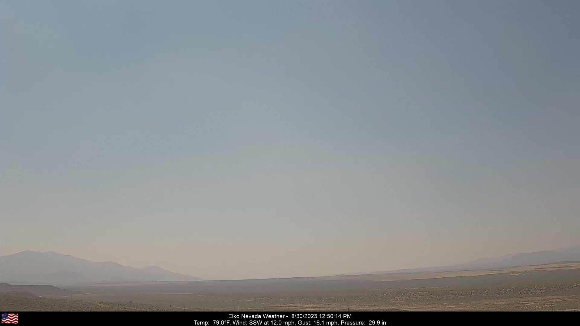
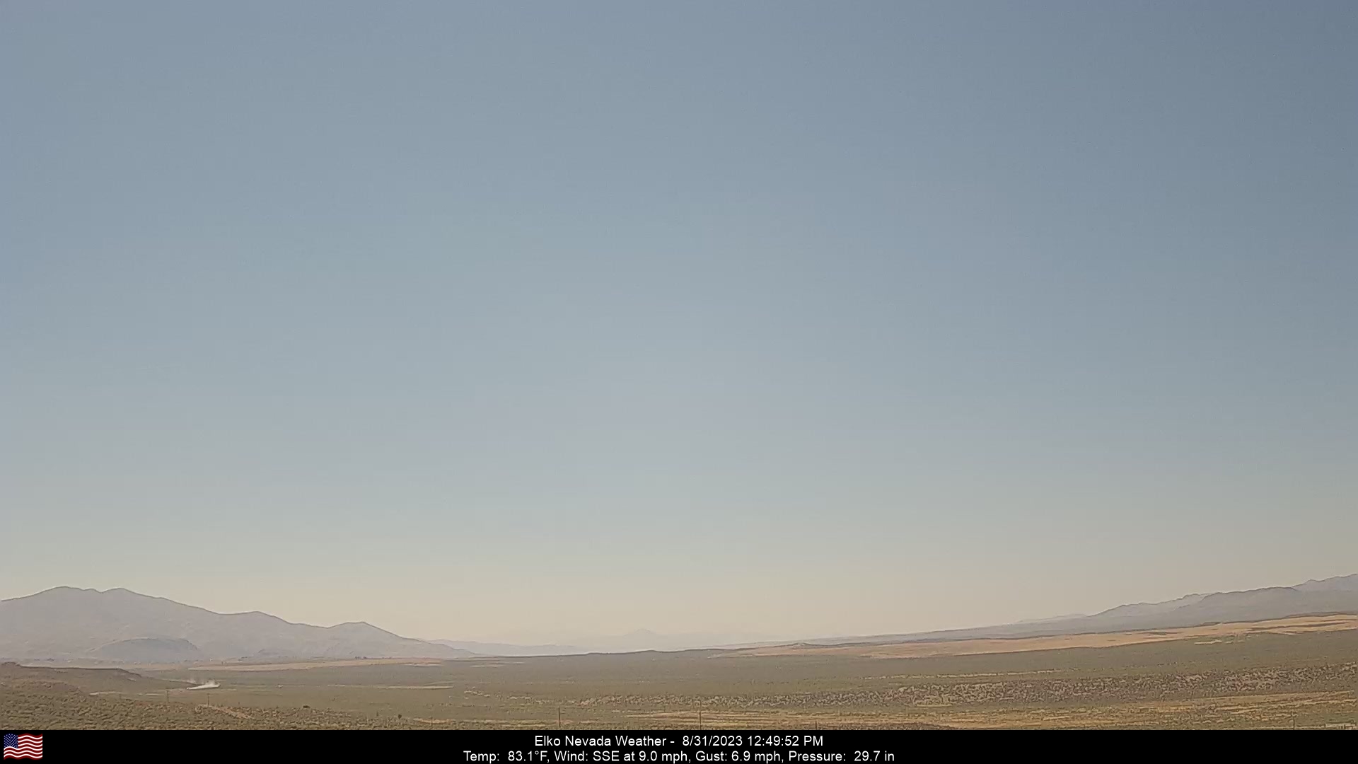
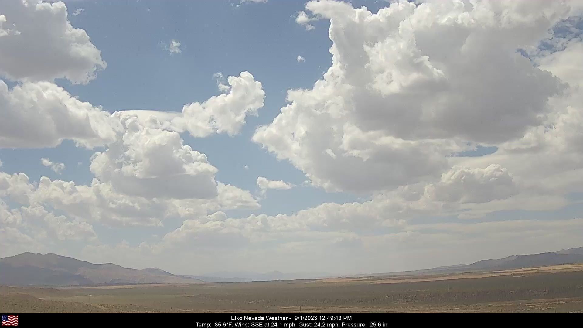
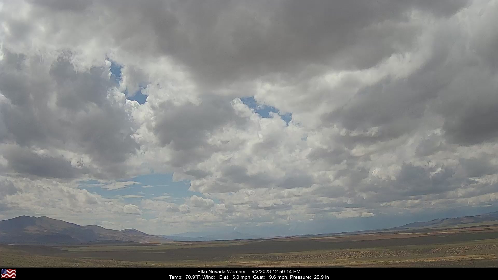
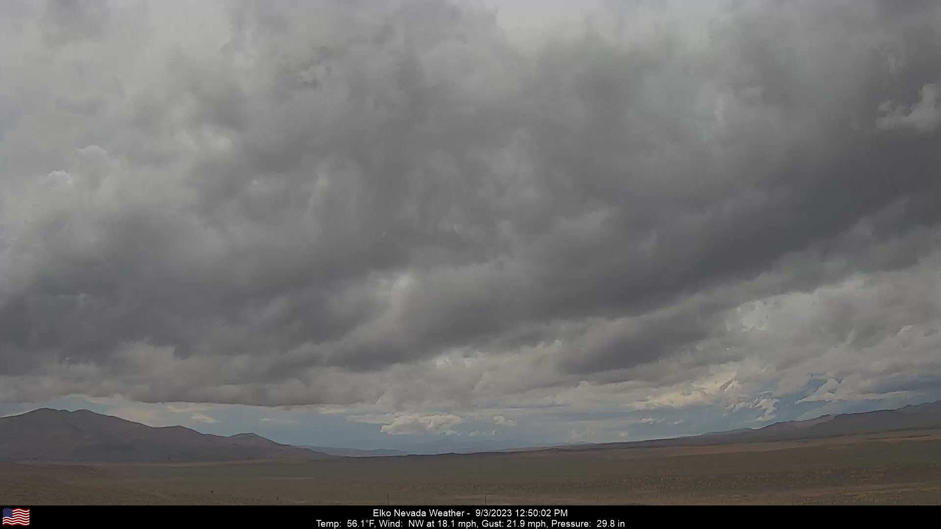
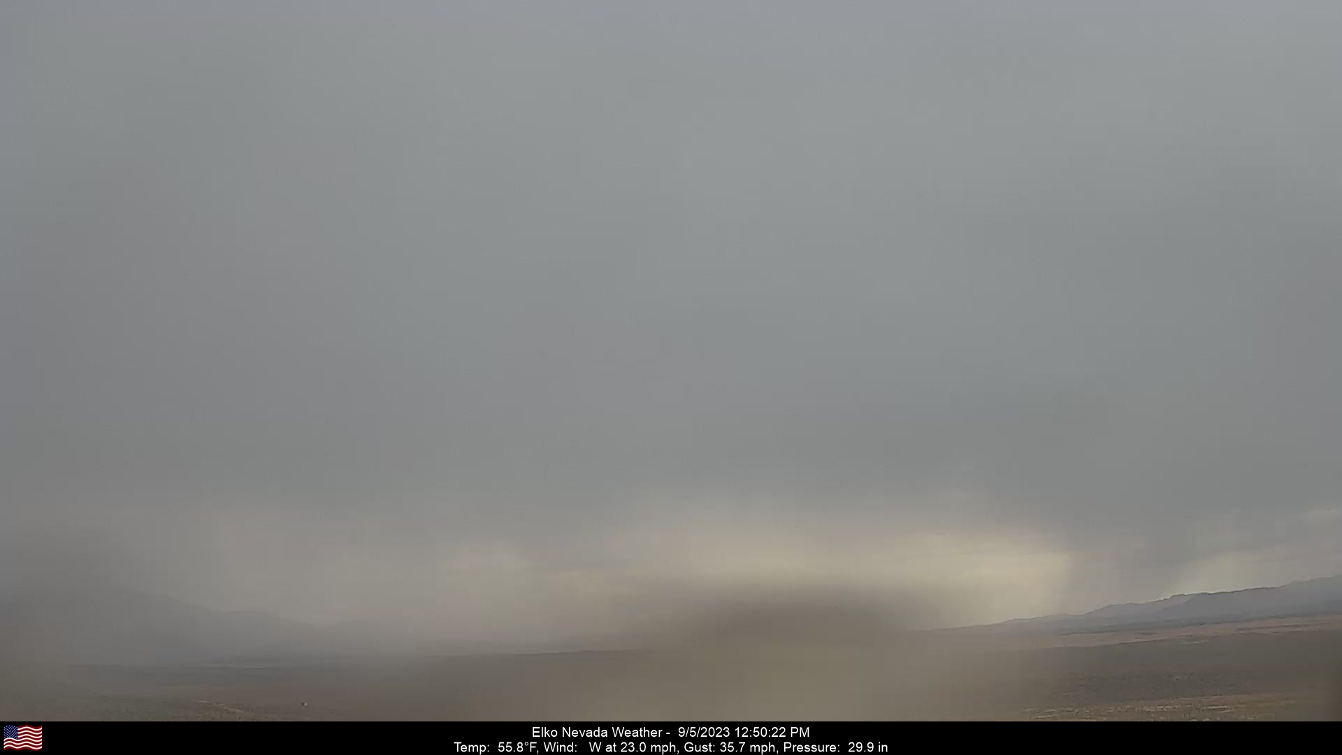
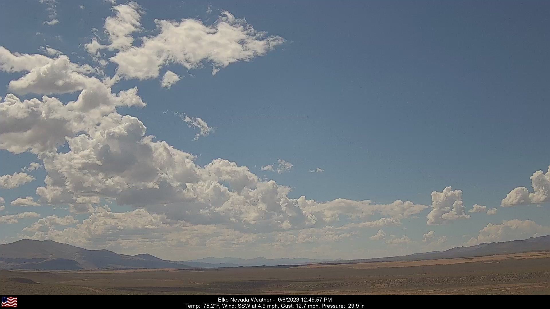
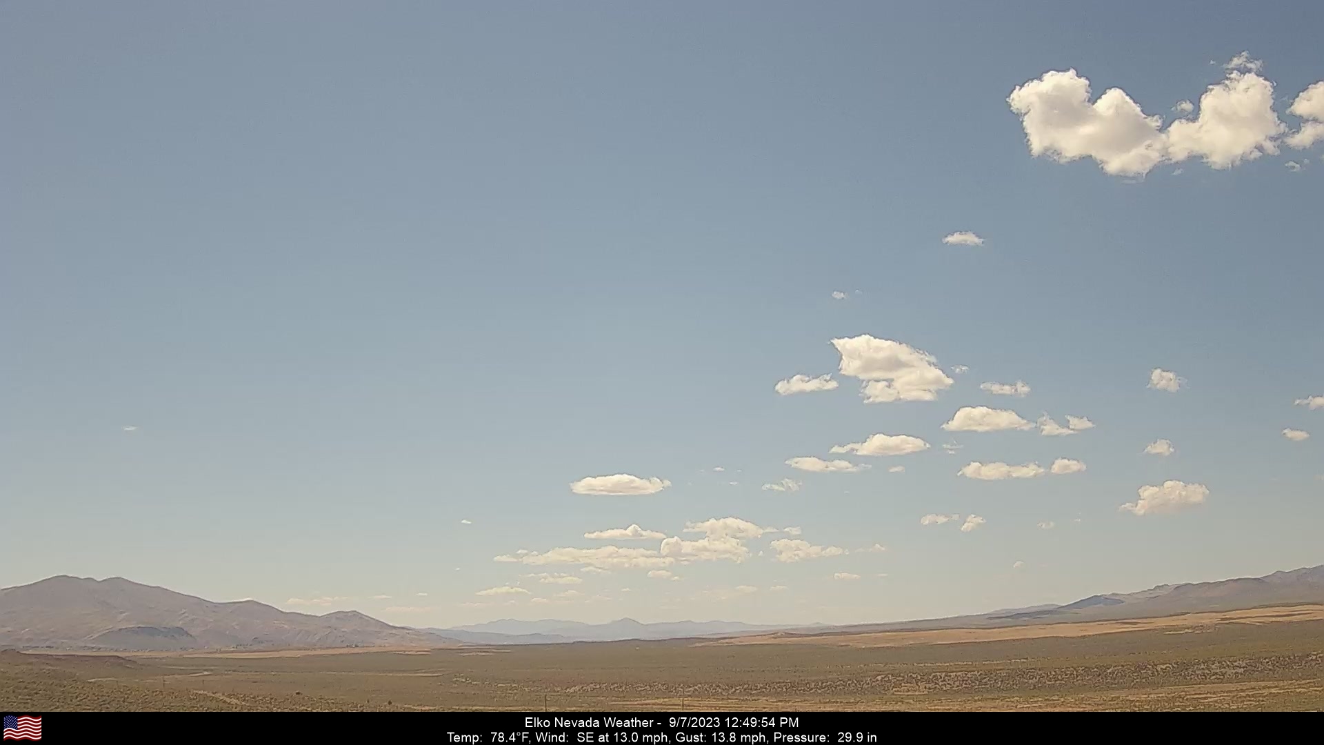
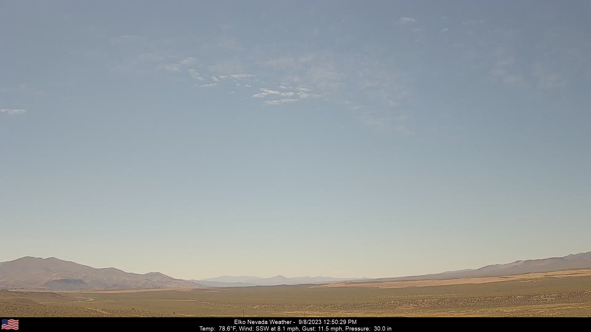
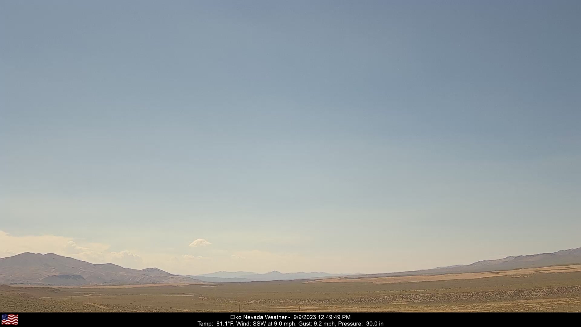
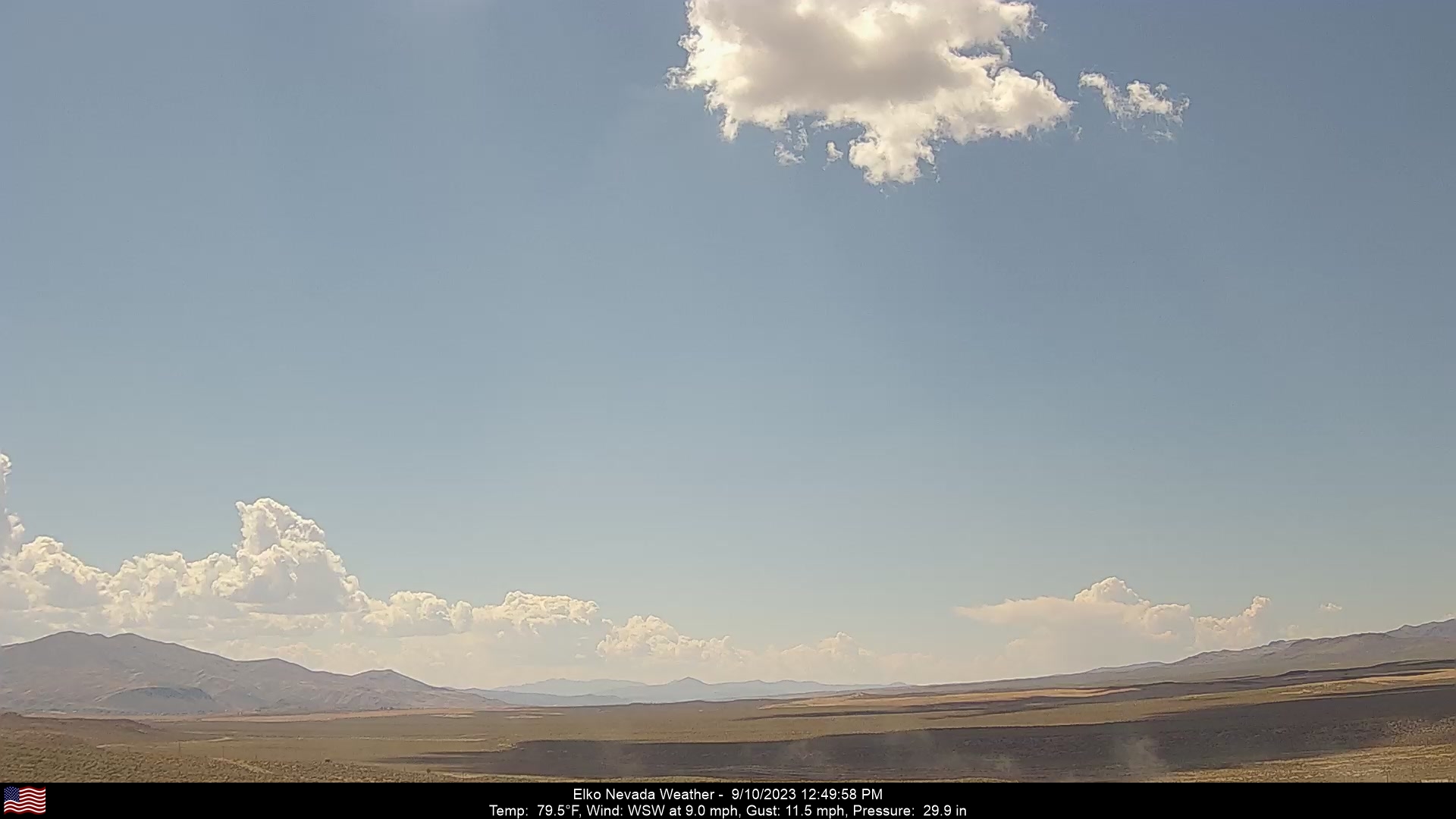
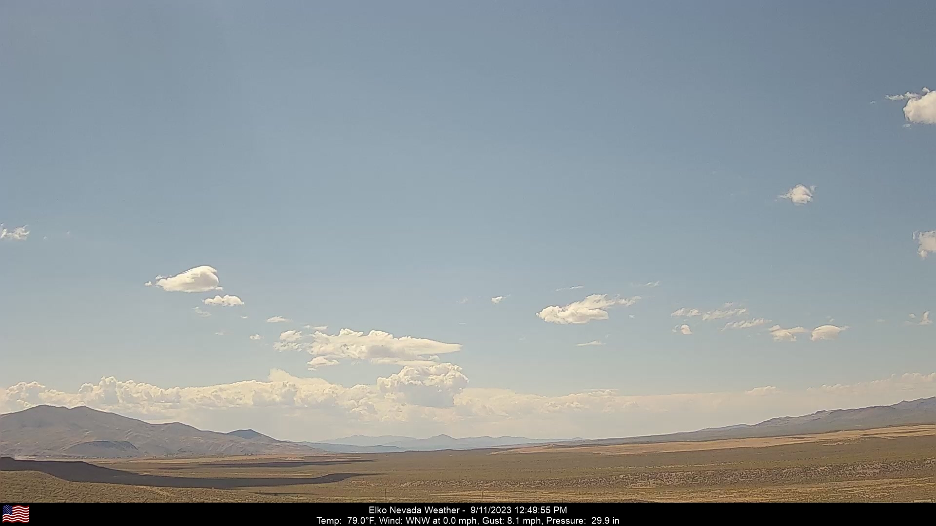
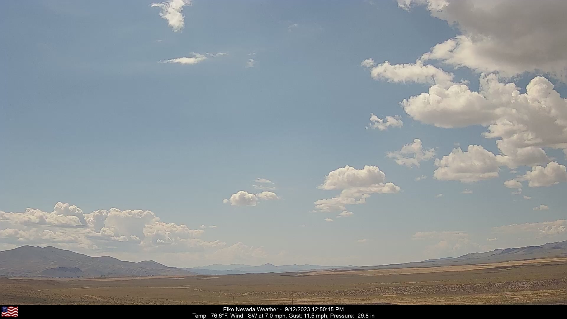
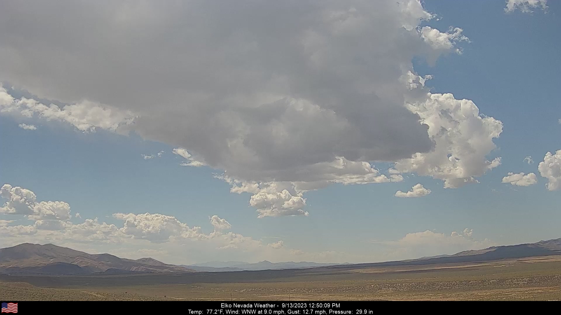
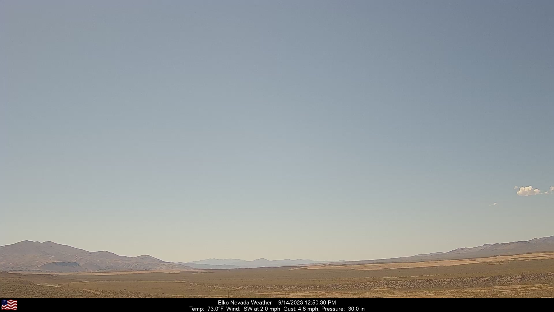
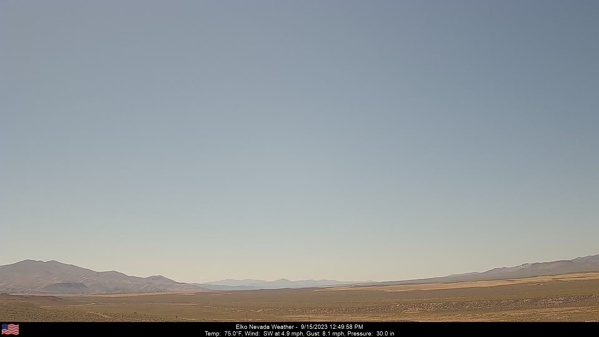
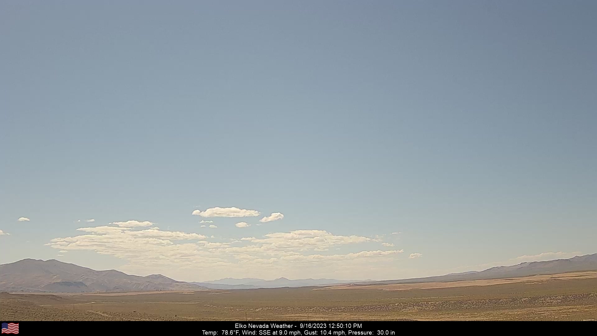
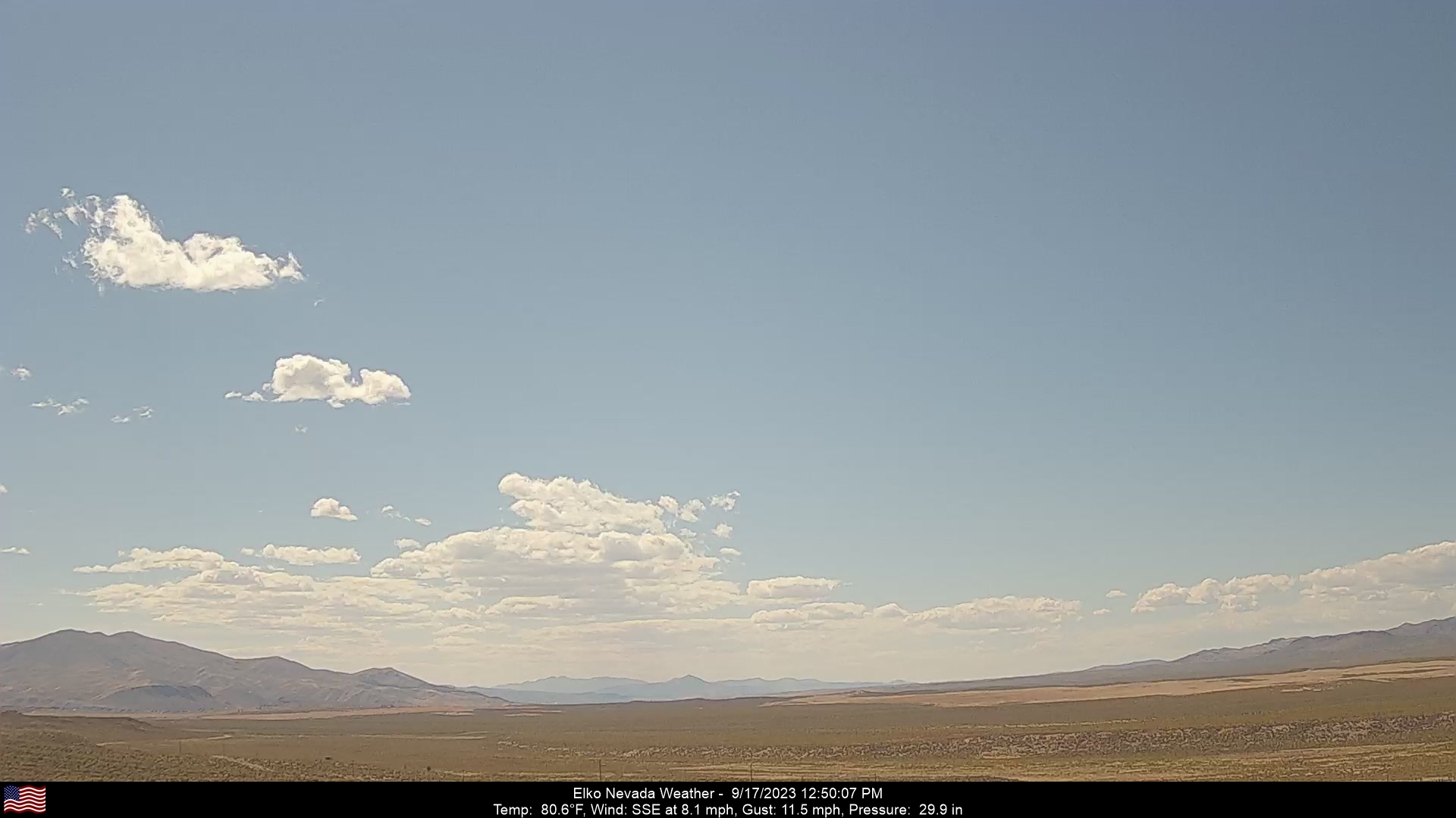
Elko, Nevada, USA - 112.6 miles from Cherry Creek (historical): Elko Nevada Weather - A webcam in Elko, Nevada - Adobe Range, with current weather data.
Operator: Elko Nevada Weather & Store
Operator: Elko Nevada Weather & Store


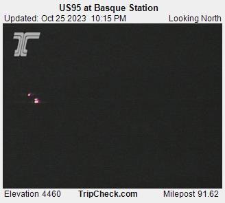
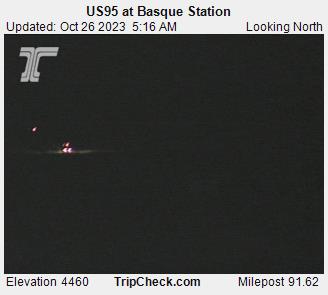
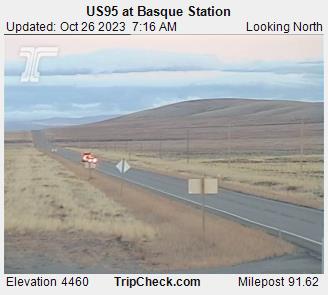
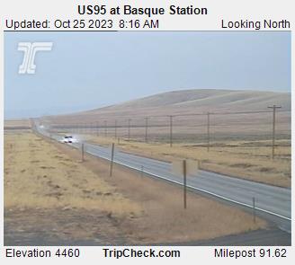
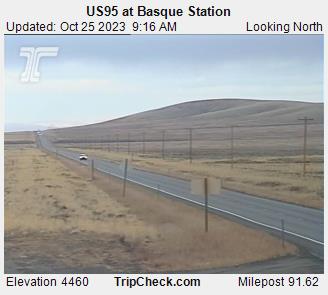
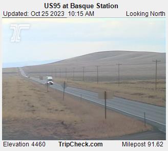
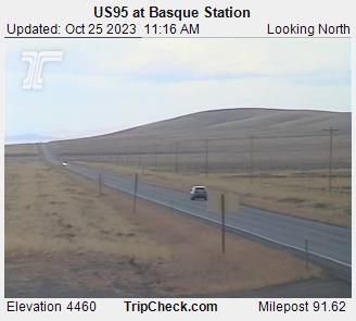
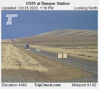
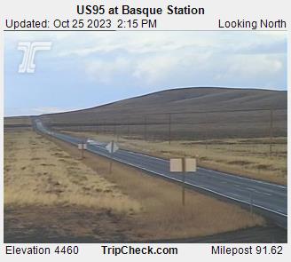
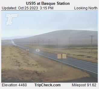
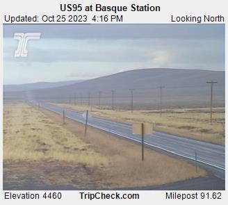
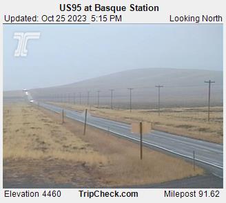
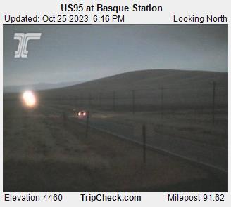
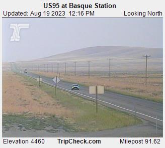
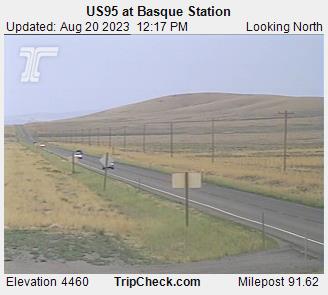
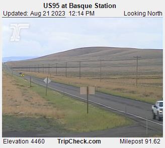
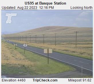
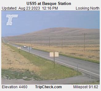
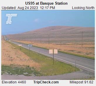
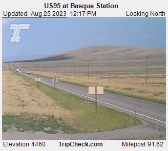
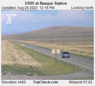
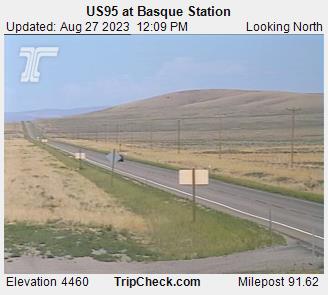
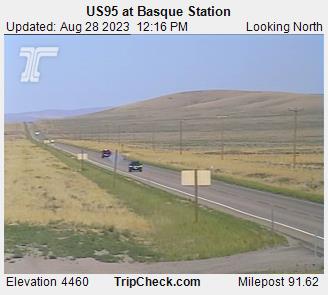
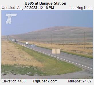
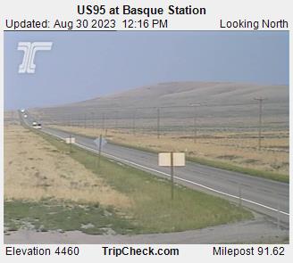
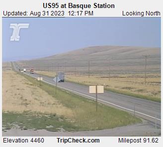
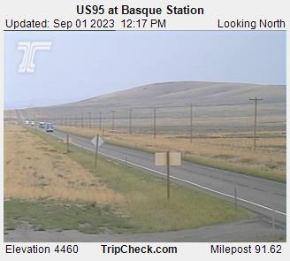
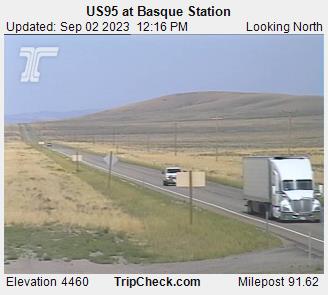
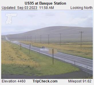
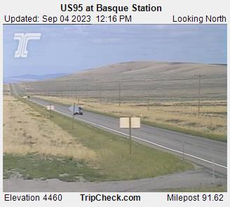
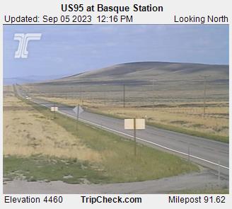
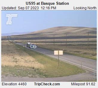
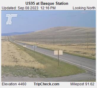
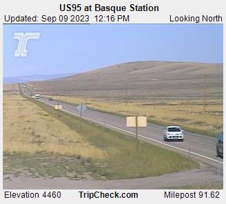
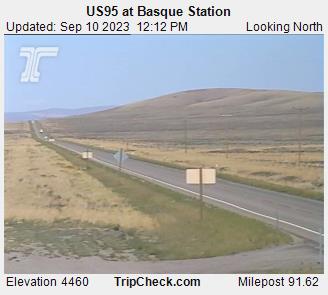
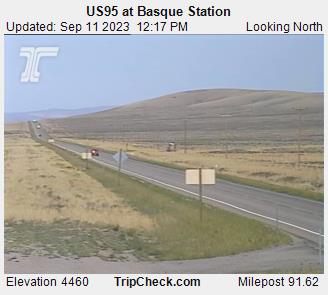
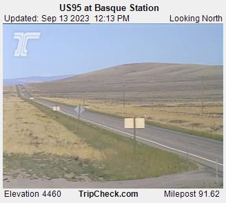
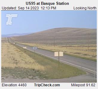
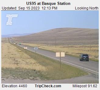
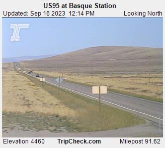
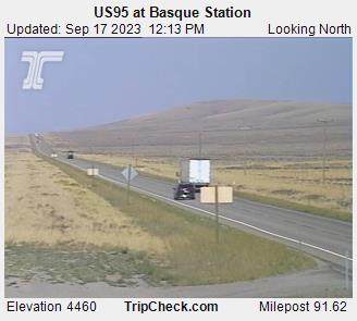
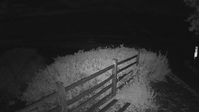
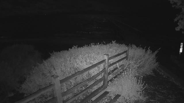
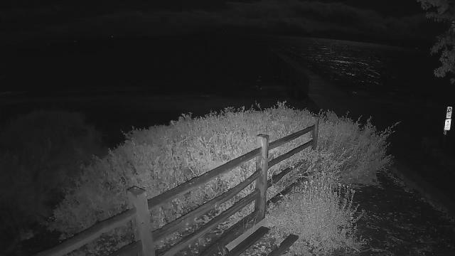
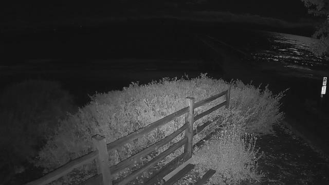
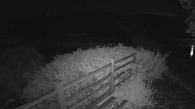
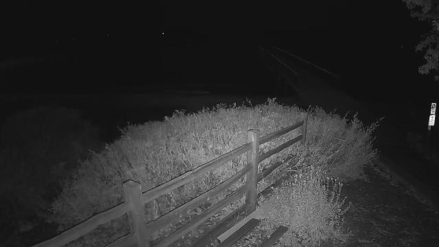
Basque, Oregon, USA - 127 miles from Cherry Creek (historical): US95 at Basque Station - A view of the current traffic situation on the US95.
Operator: Oregon Department of Transportation
Operator: Oregon Department of Transportation


Virginia City, Nevada, USA - 127.8 miles from Cherry Creek (historical): View of the C Street
Operator: Skyline Webcams
Operator: Skyline Webcams


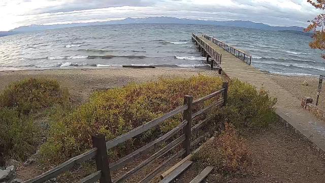
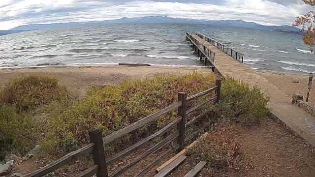
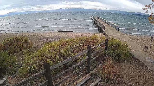
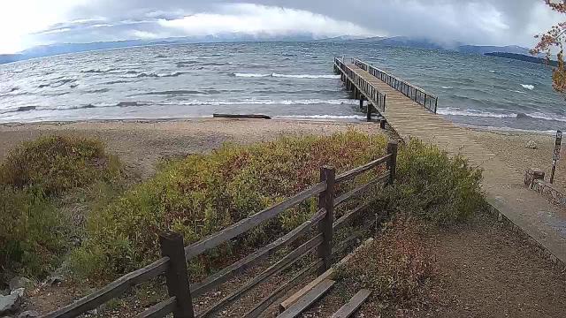
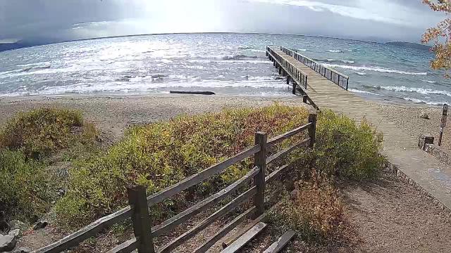
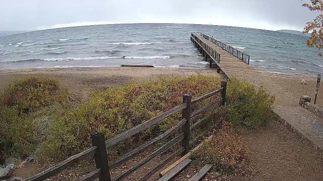
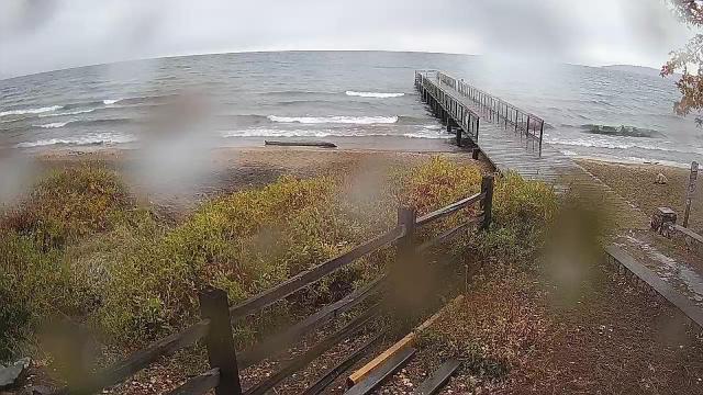
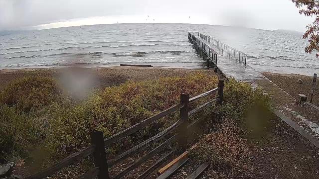
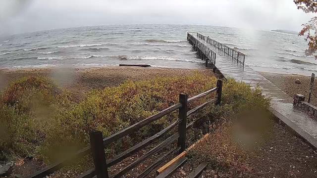
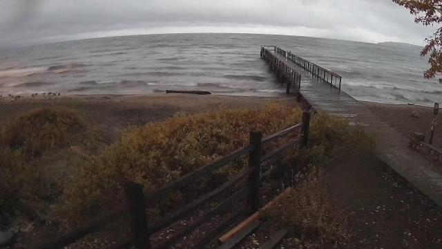
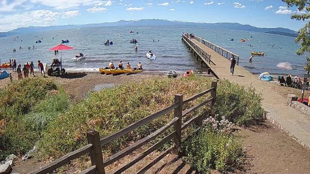
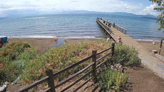
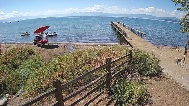
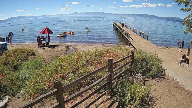
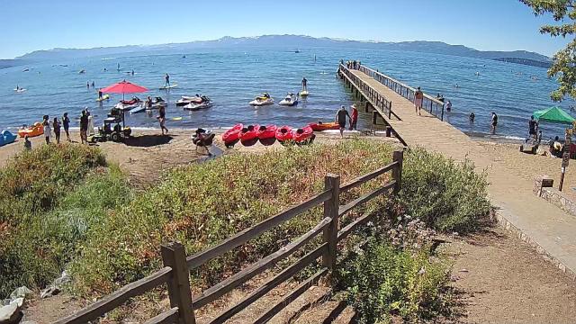
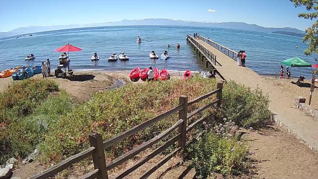
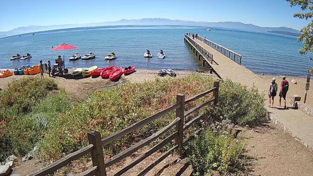
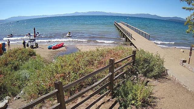
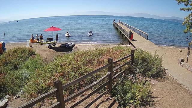
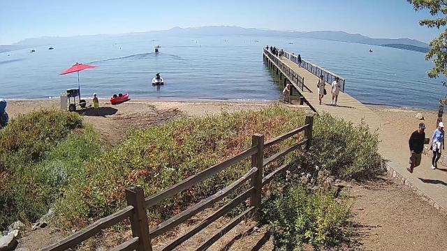
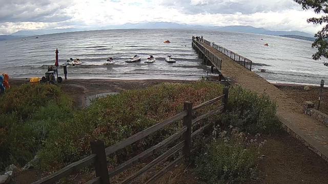
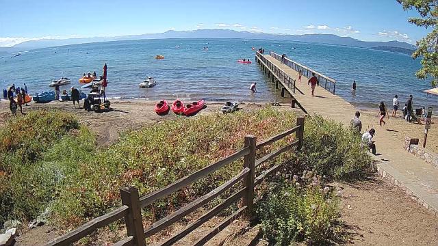
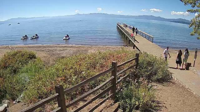
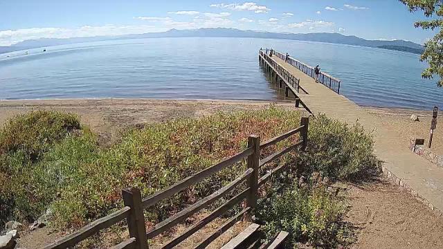
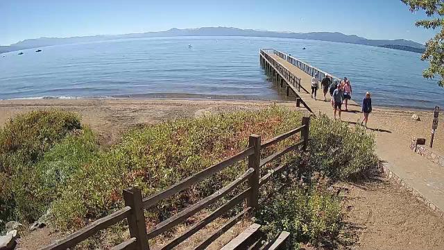
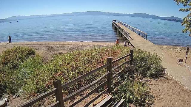
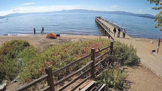
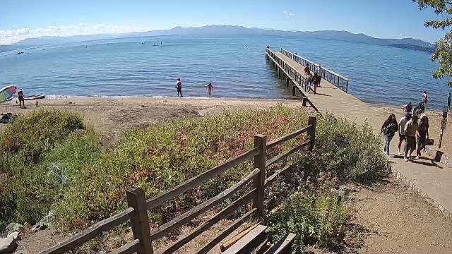
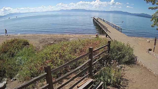
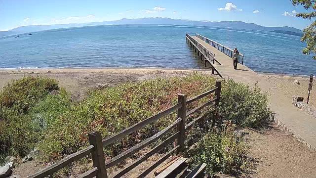
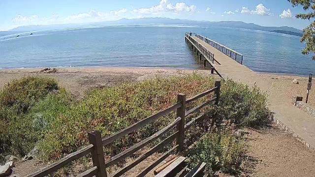
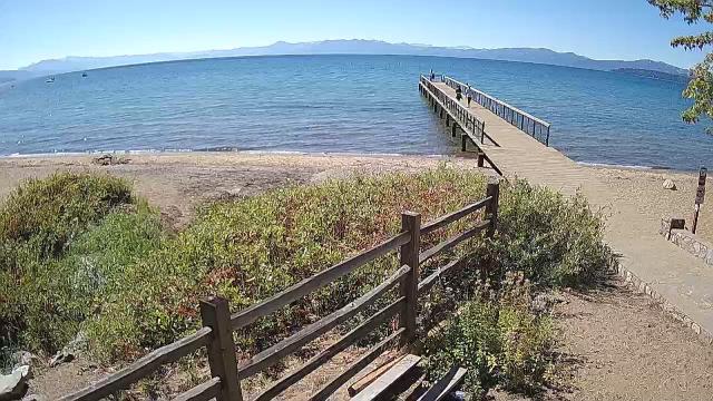
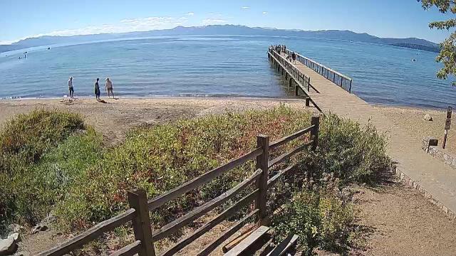
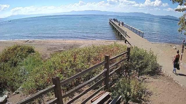
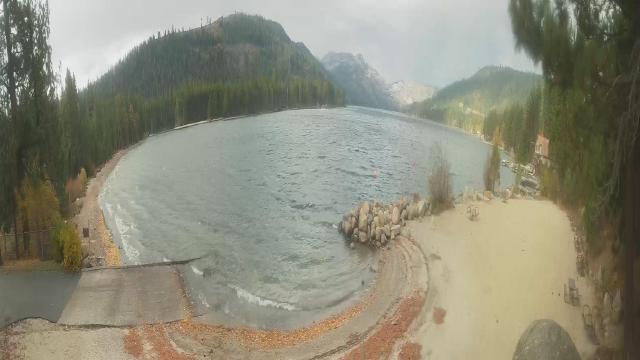
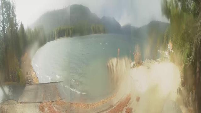
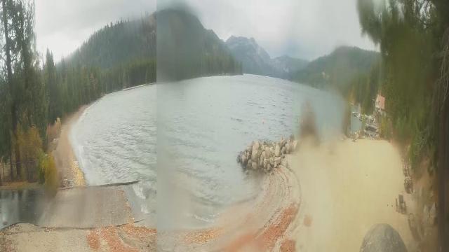
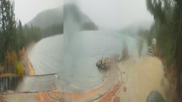
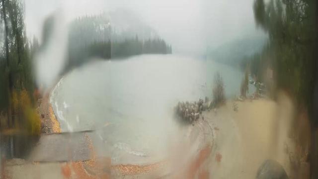
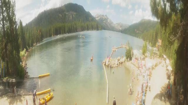
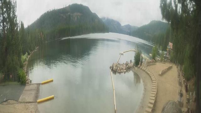
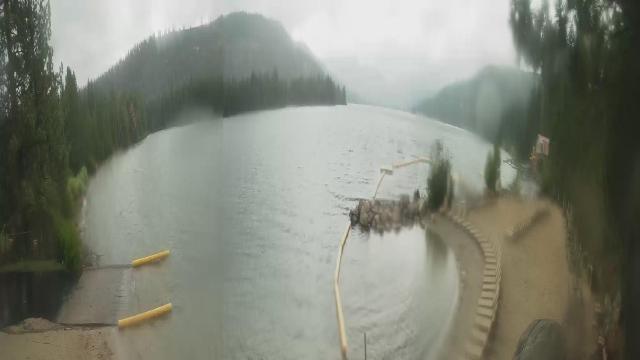
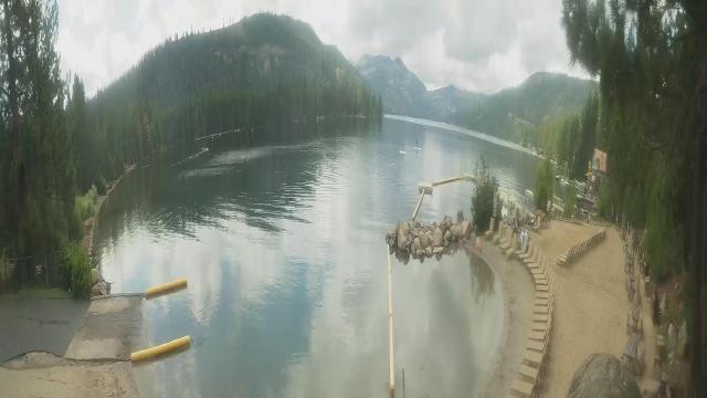
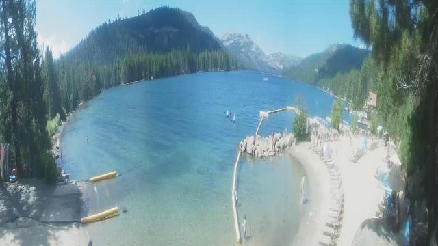
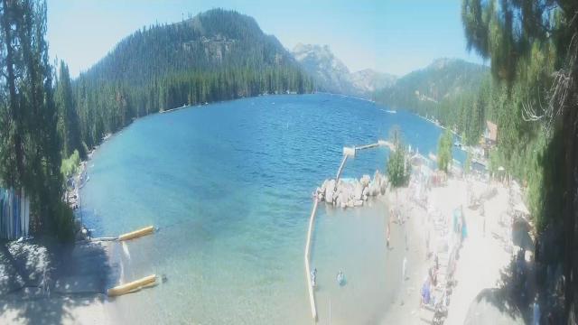
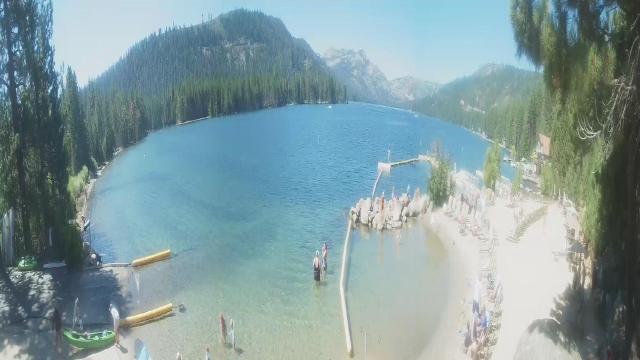
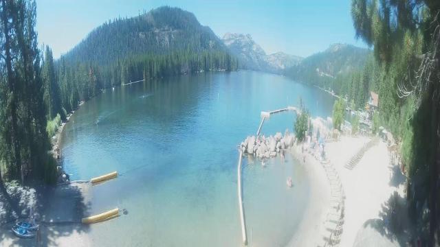
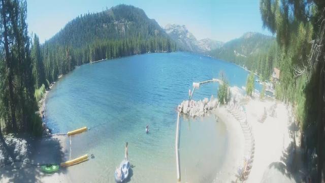
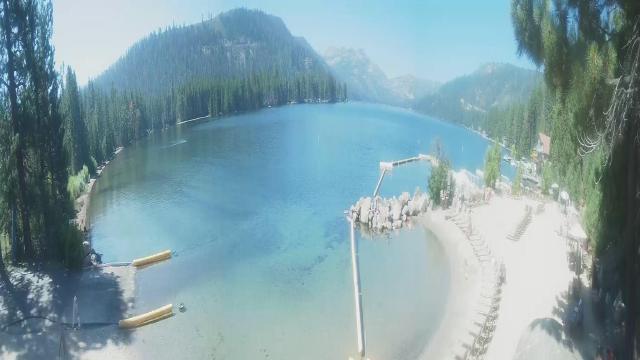
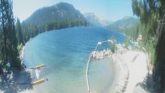
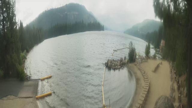
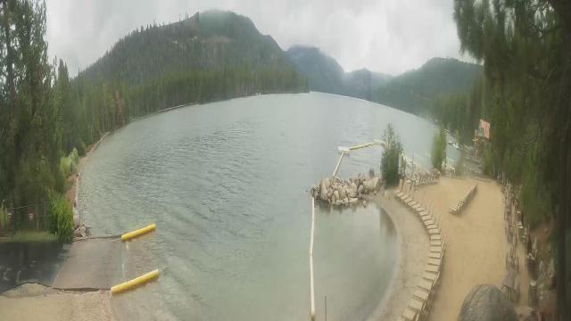
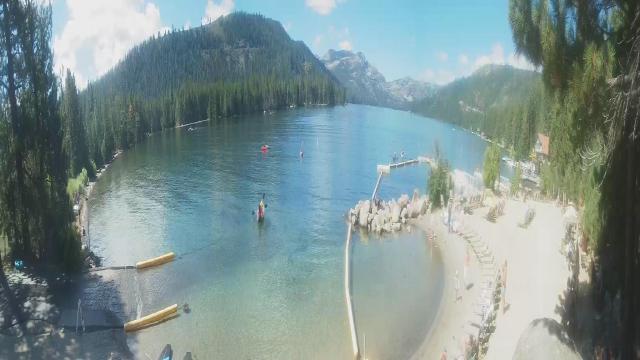
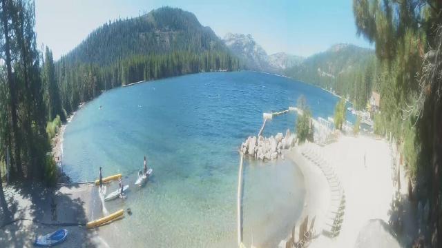
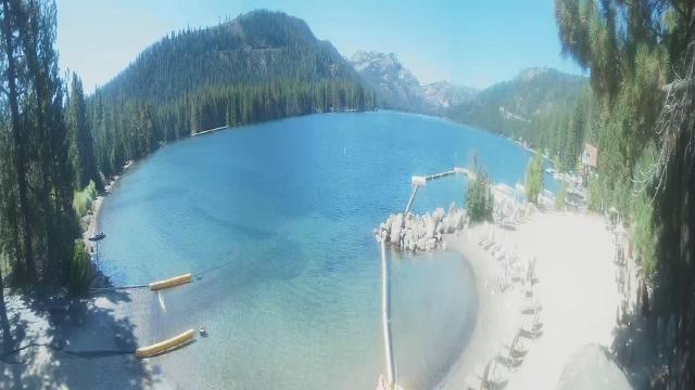
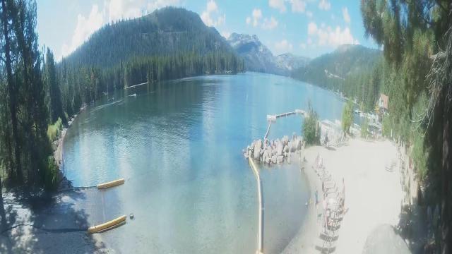
Kings Beach, California, USA - 146.1 miles from Cherry Creek (historical): Beachview - Sunny Kings Beach, Lake Tahoe
Operator: HDOnTap
Operator: HDOnTap


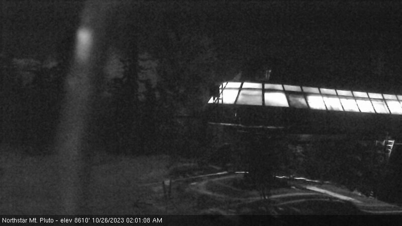
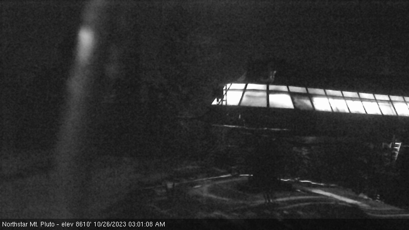
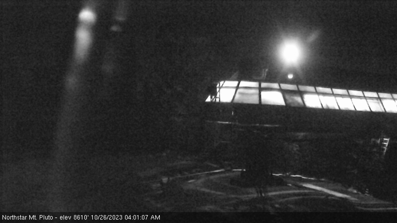
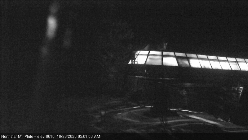
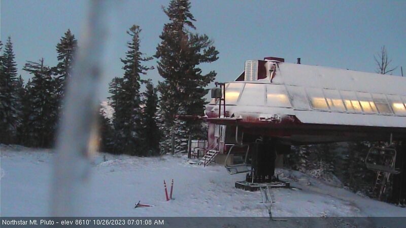
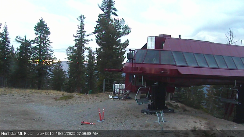
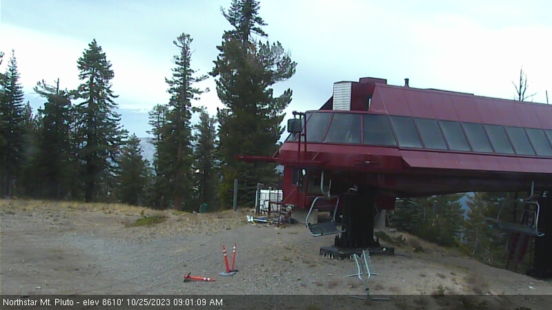
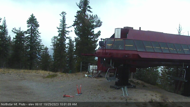
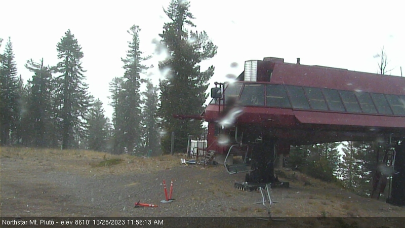
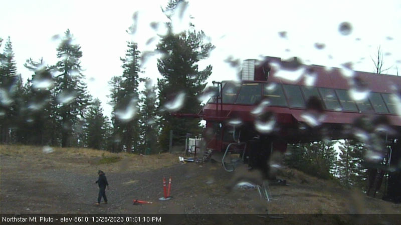
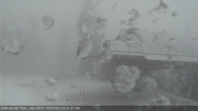
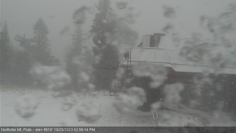
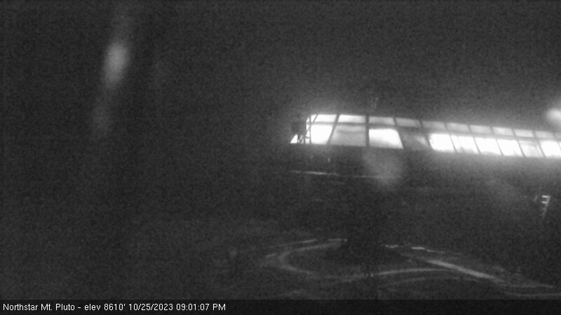
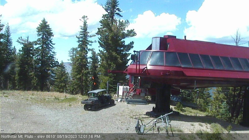
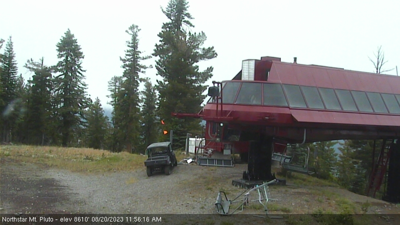
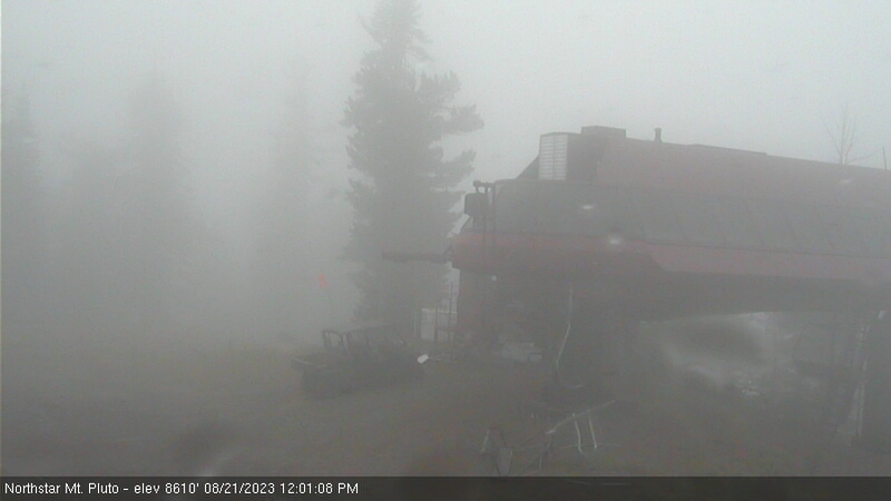
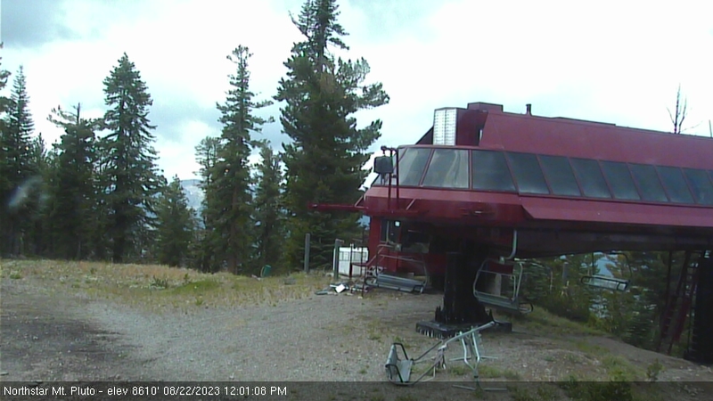
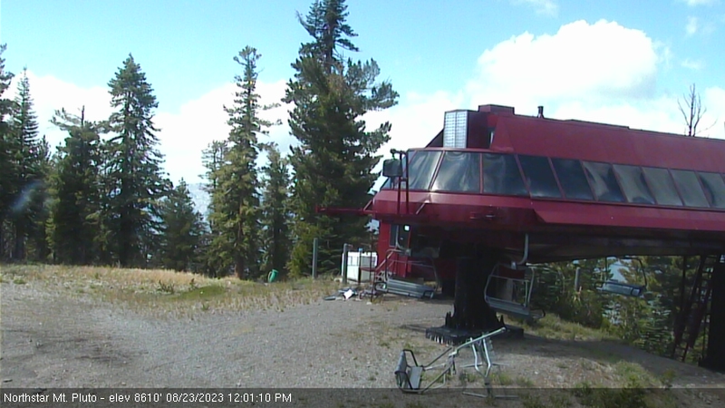
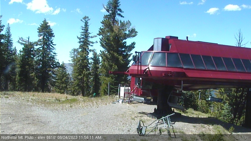
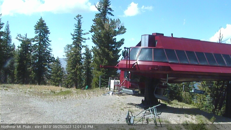
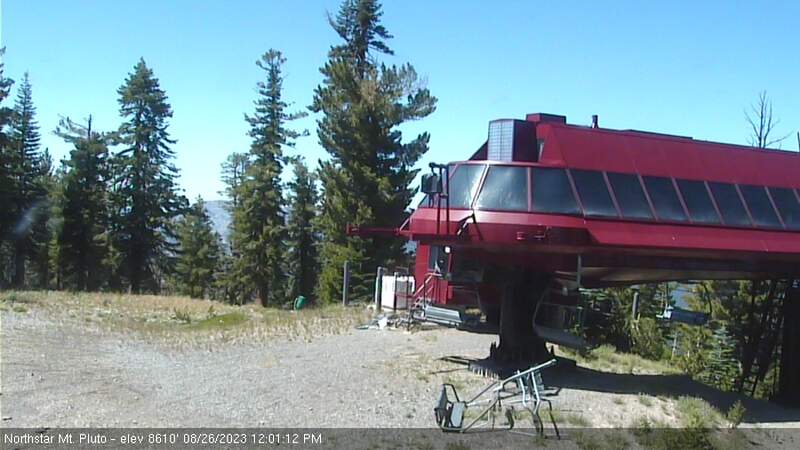
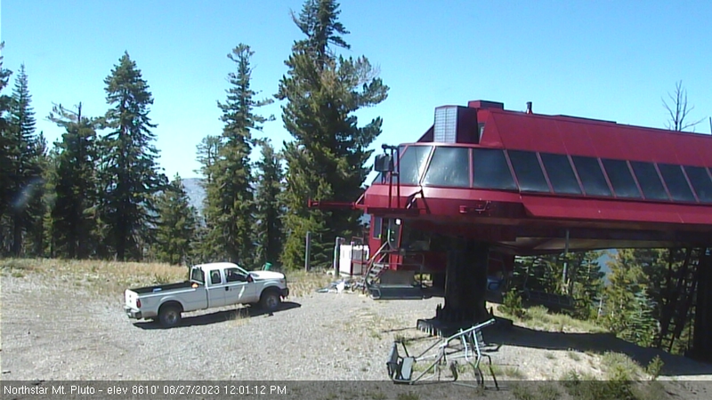
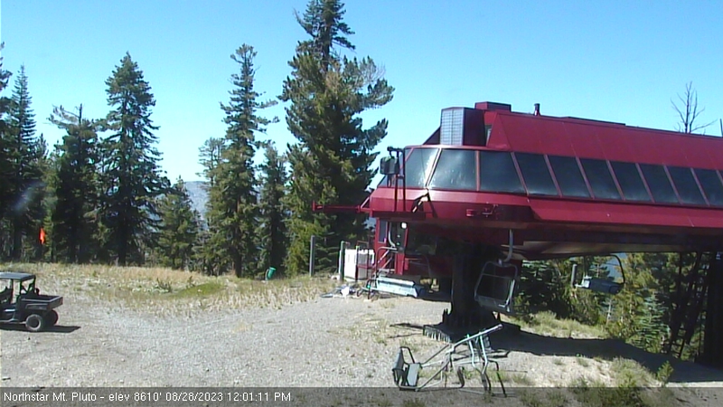
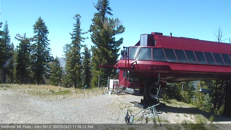
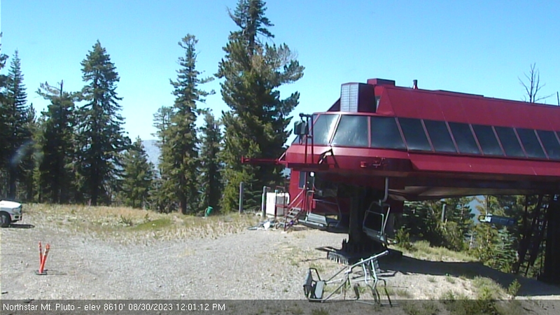
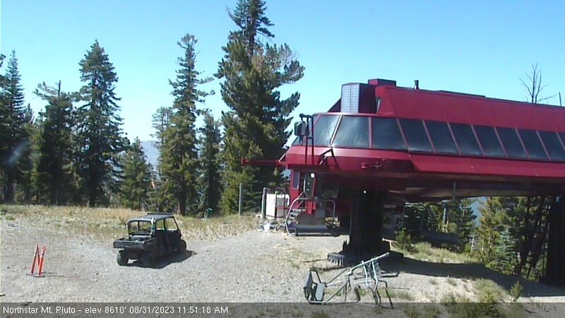
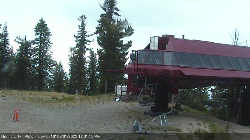
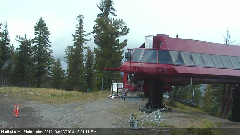
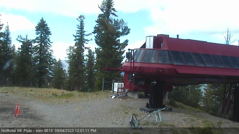
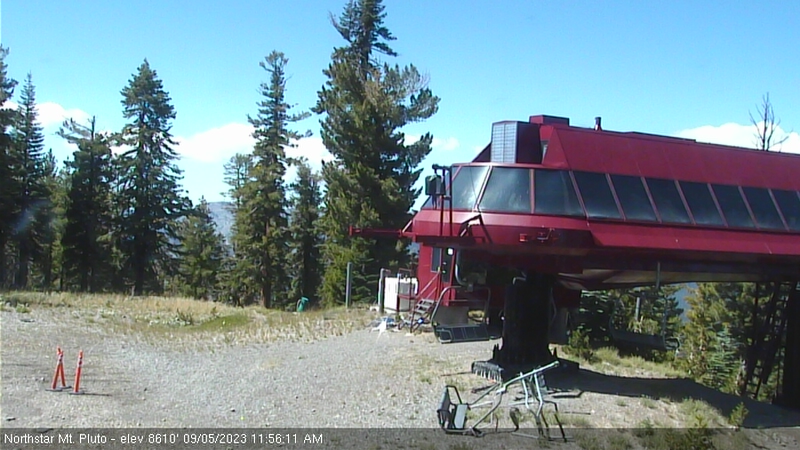
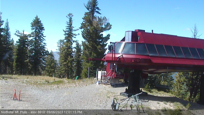
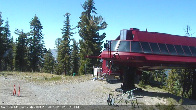
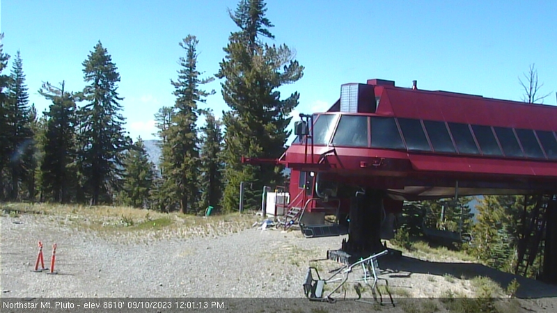
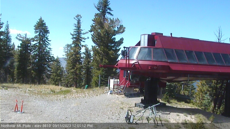
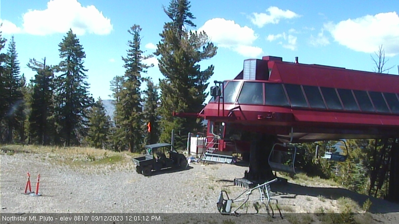
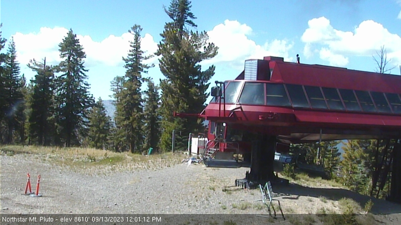
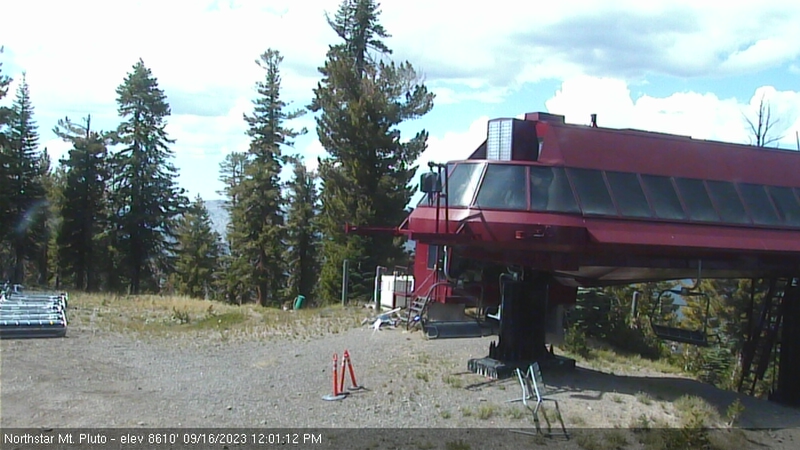
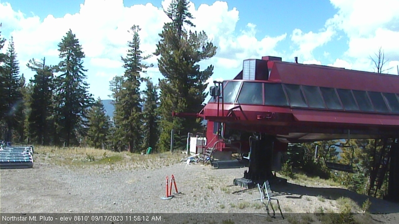
Northstar California Resort, USA - 148.4 miles from Cherry Creek (historical): Current Snow Conditions - Several webcams offer a view of the current snow situation at the Northstar California Resort.
Operator: Northstar California Resort
Operator: Northstar California Resort


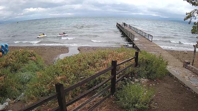
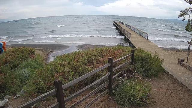
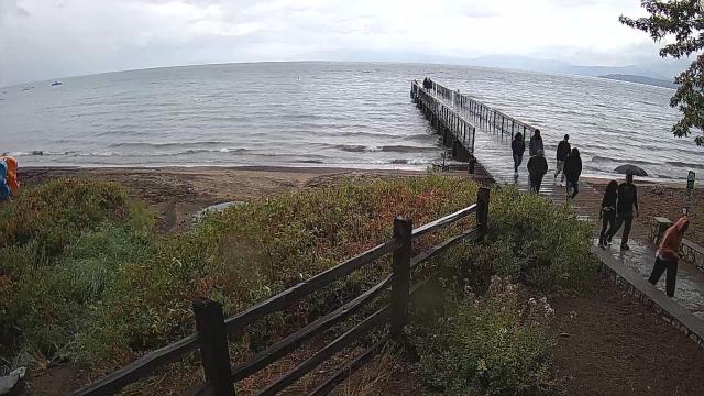
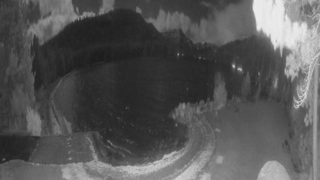
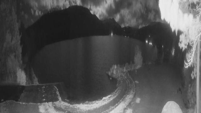
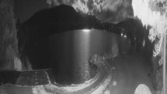
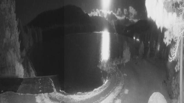
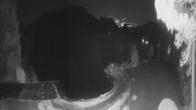
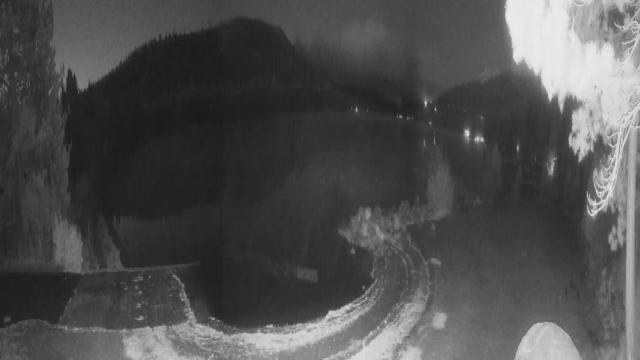
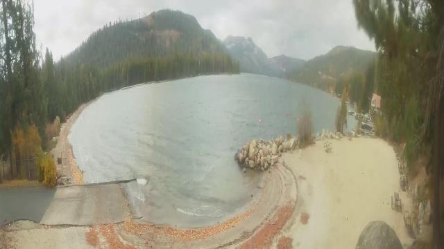
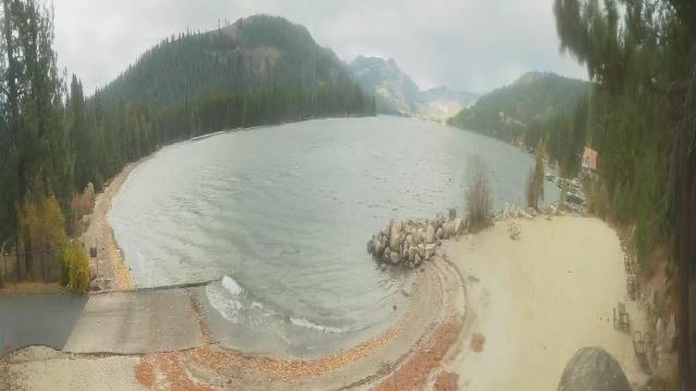
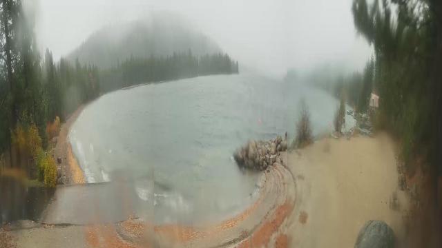
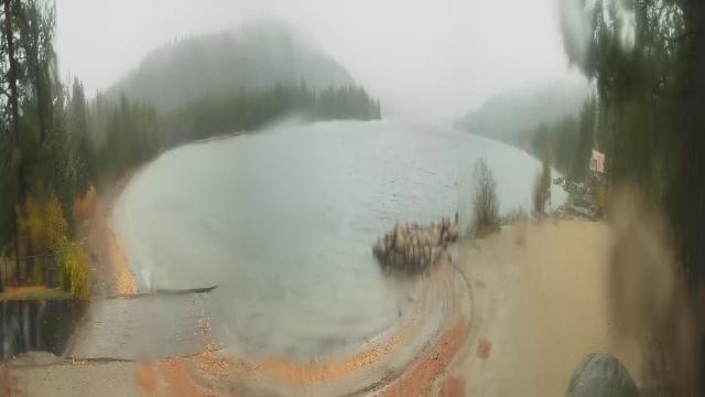
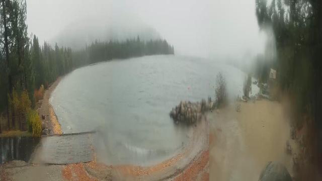
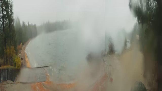
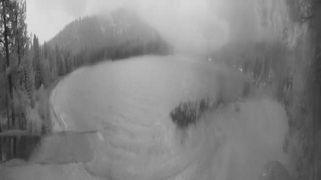
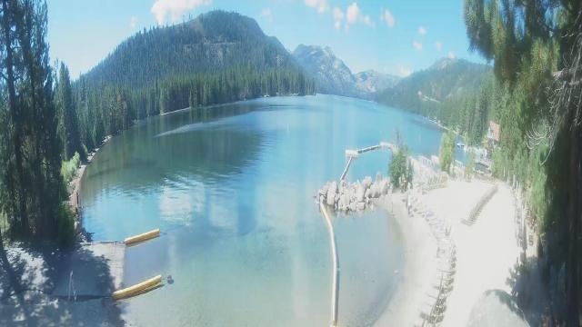
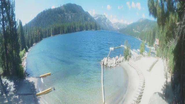
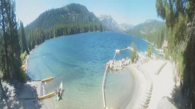
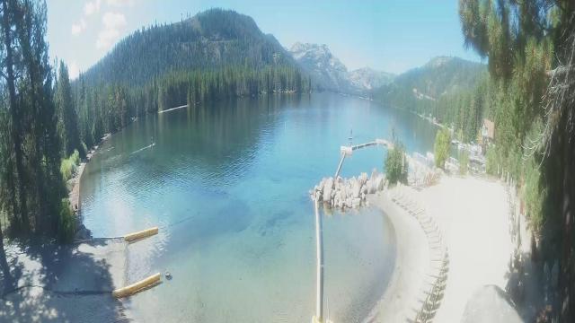
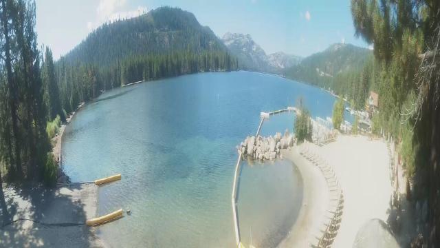
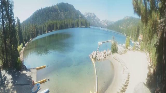
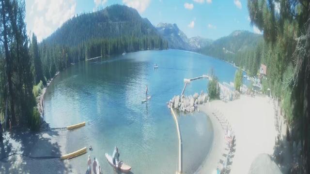
Truckee, California, USA - 148.9 miles from Cherry Creek (historical): Lake View - Donner Lake in Truckee, California.
Operator: HDOnTap
Operator: HDOnTap


Norden, California, USA - 156.8 miles from Cherry Creek (historical): Sugar Bowl Ski Resort - Several views of the Sugar Bowl Ski Resort near Norden, California.
Operator: Sugar Bowl Ski Resort
Operator: Sugar Bowl Ski Resort

Boreal Mountain Resort, California, USA - 156.8 miles from Cherry Creek (historical): Current Snow Conditions - View of the current snow conditions at the Boreal Mountain Resort.
Operator: Boreal Mountain Resort
Operator: Boreal Mountain Resort

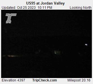
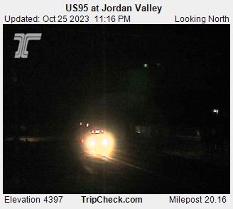
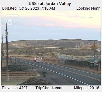
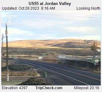
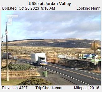
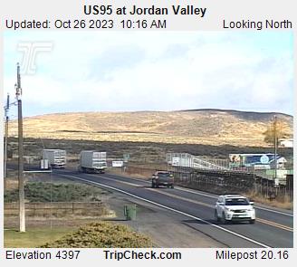
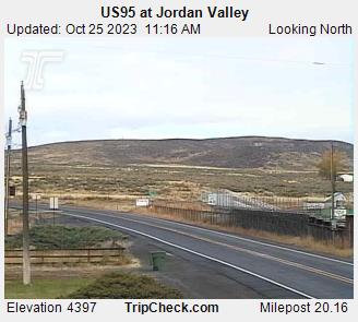
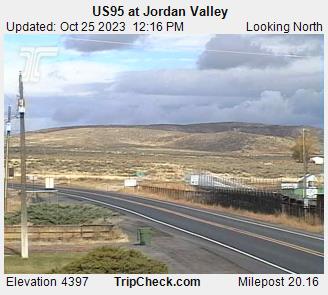
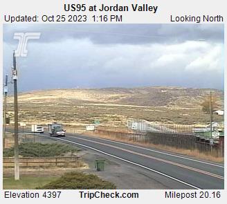
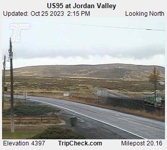
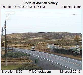
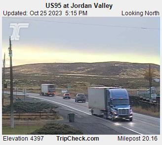
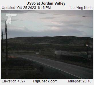
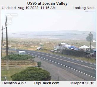
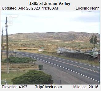
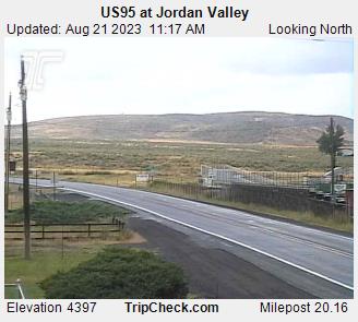
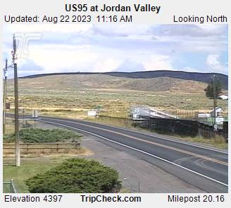
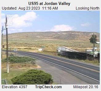
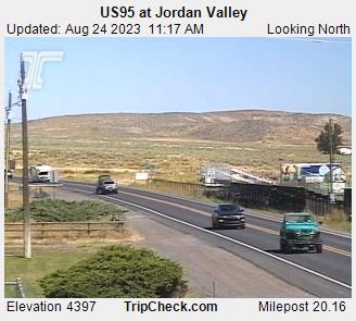
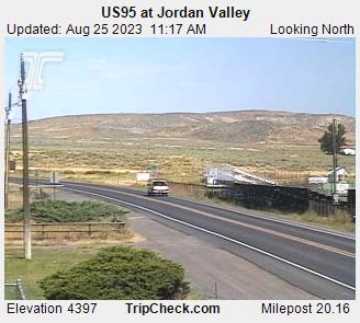
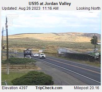
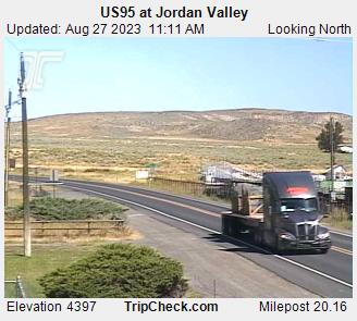
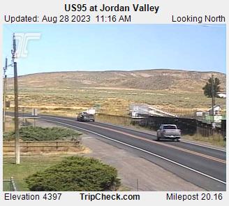
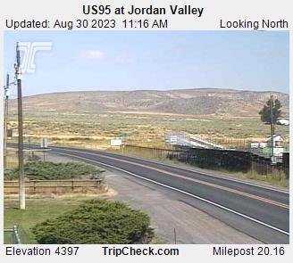
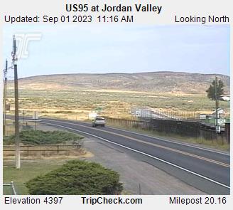
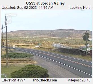
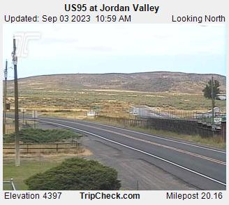
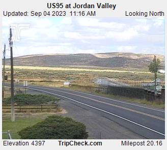
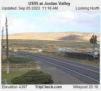
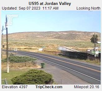
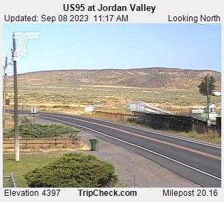
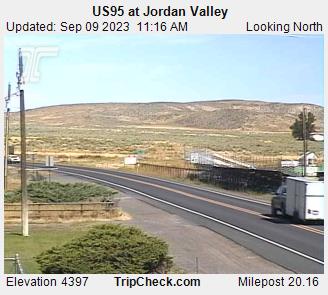
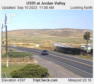
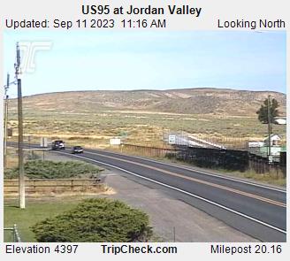
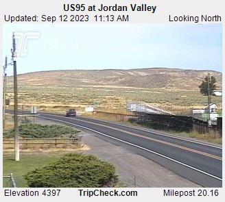
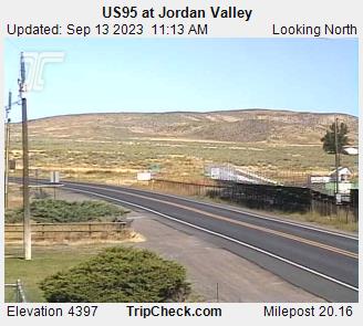
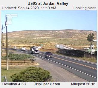
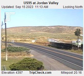
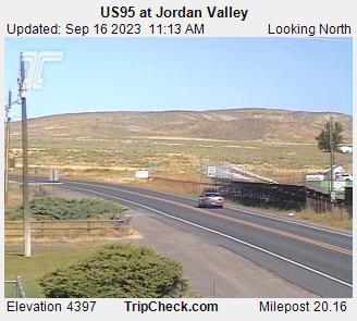
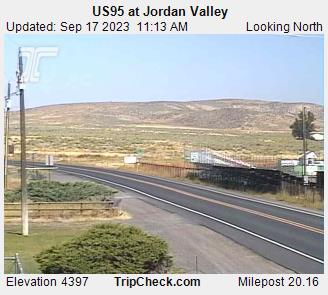
Jordan Valley, Oregon, USA - 171.4 miles from Cherry Creek (historical): US95 at Jordan Valley - A view of the current traffic situation on the US95.
Operator: Oregon Department of Transportation
Operator: Oregon Department of Transportation


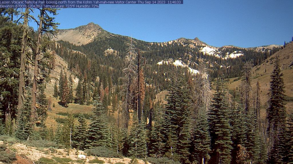
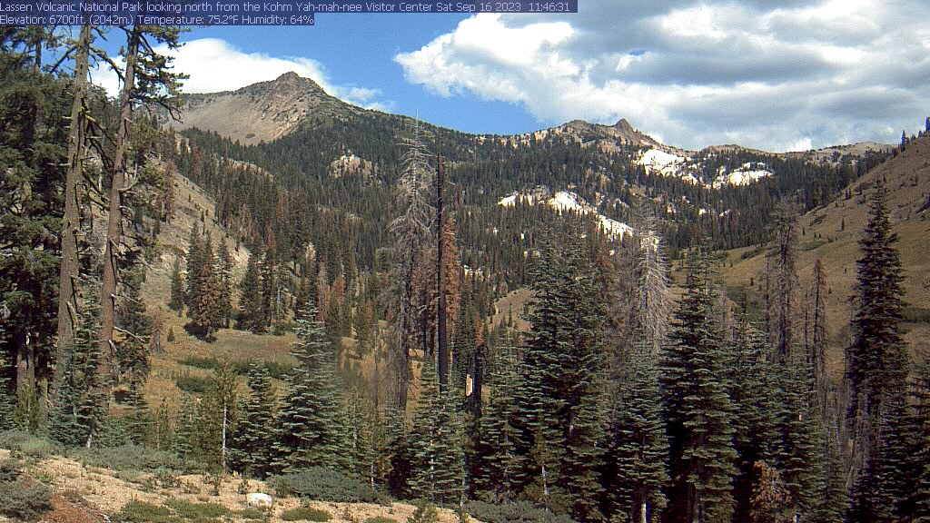
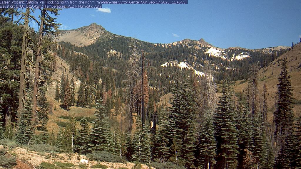
Lassen Volcanic National Park, California, USA - 186.2 miles from Cherry Creek (historical): Kohm Yah-mah-nee Visitor Center - A view from the Kohm Yah-mah-nee Visitor Center in the Lassen Volcanic National Park towards Mt. Diller (left) und Pilot Pinnacle (right).
Operator: U.S. National Park Service
Operator: U.S. National Park Service


Some other places in this country: Alpine (historical) - Sunshine Camp (historical) - Old Reveille (historical) - Elaine (historical) - Barrett Springs (historical) - Good Hope (historical) - Summit (historical) - Fairlawn (historical) - Dutton (historical) - Old Tuscarora (historical)