Webcams in the region of Lay, Colorado, USA
The List of Webcams near Lay, Colorado, USA:

Steamboat Springs, Colorado, USA - 55.3 miles from Lay: Steamboat Ski Resort - Several views with the current snow conditions.
Operator: Steamboat Ski Resort
Operator: Steamboat Ski Resort

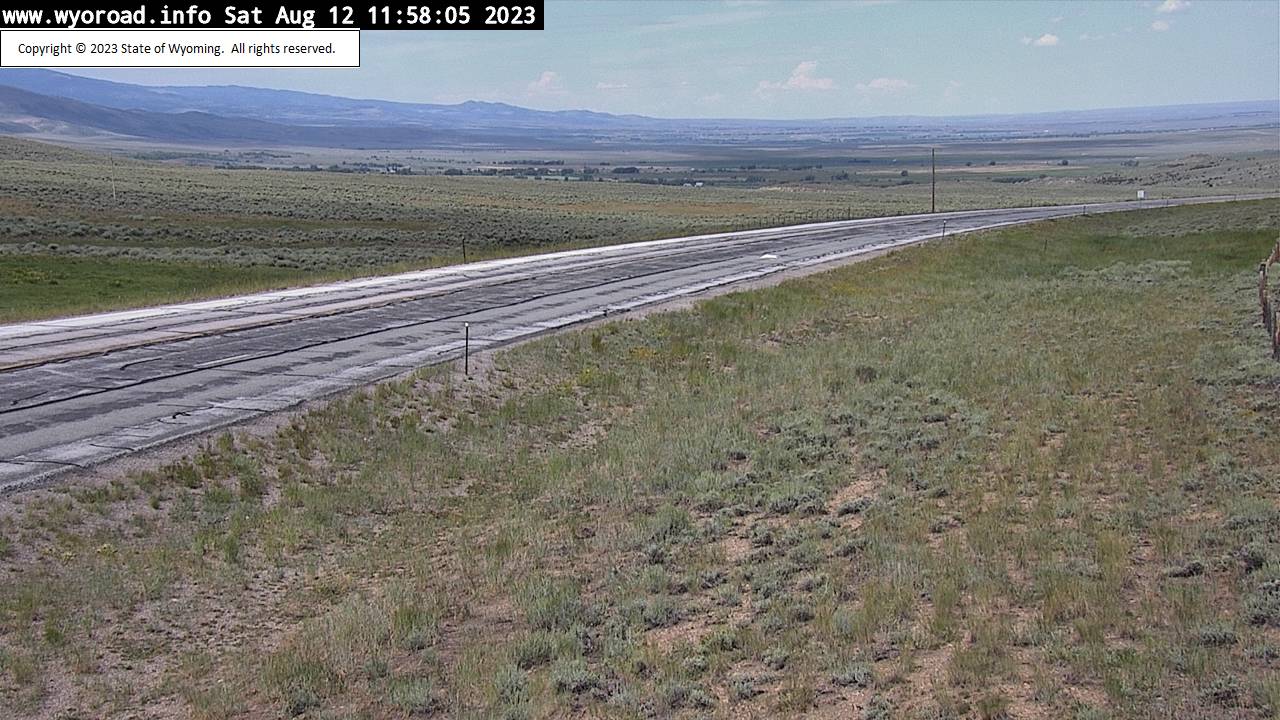
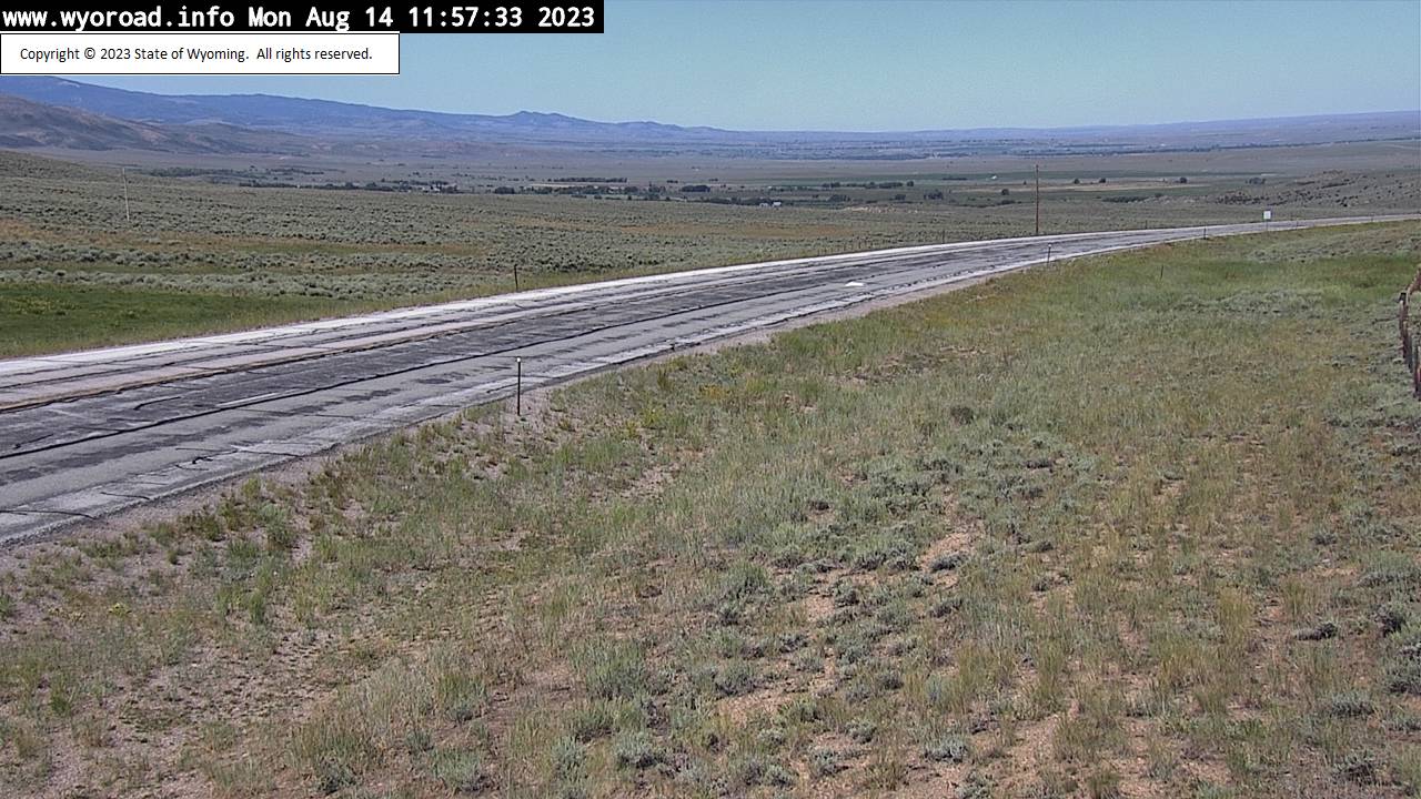
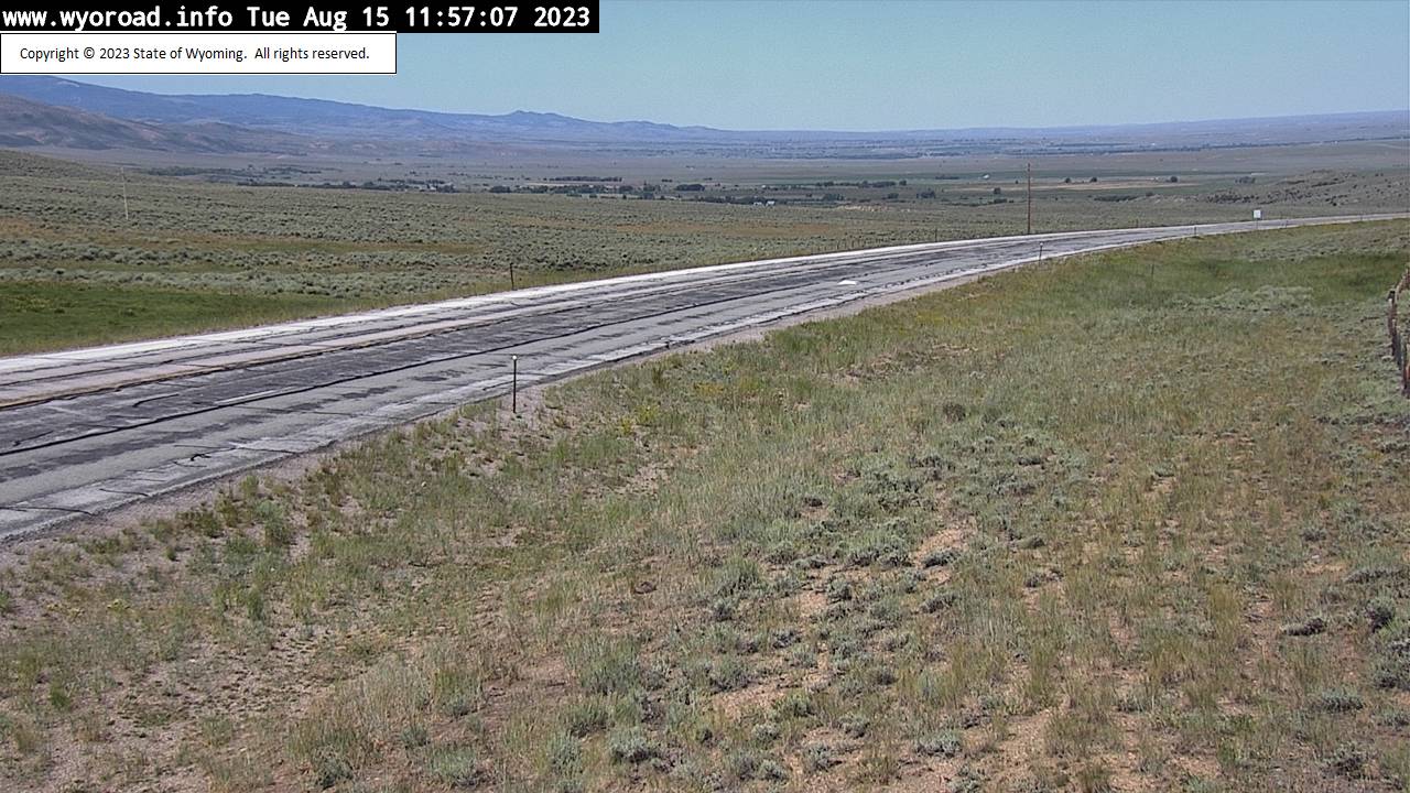
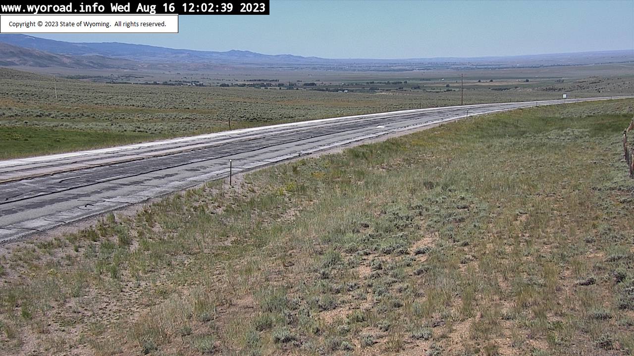
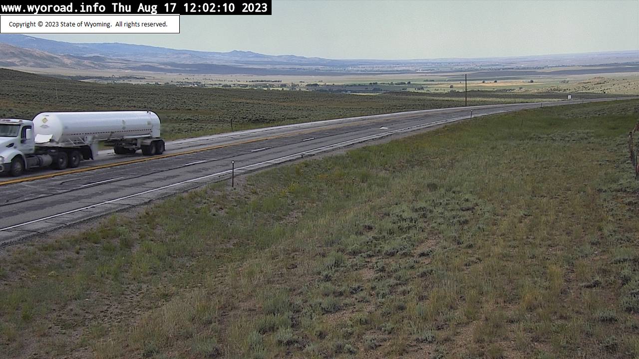
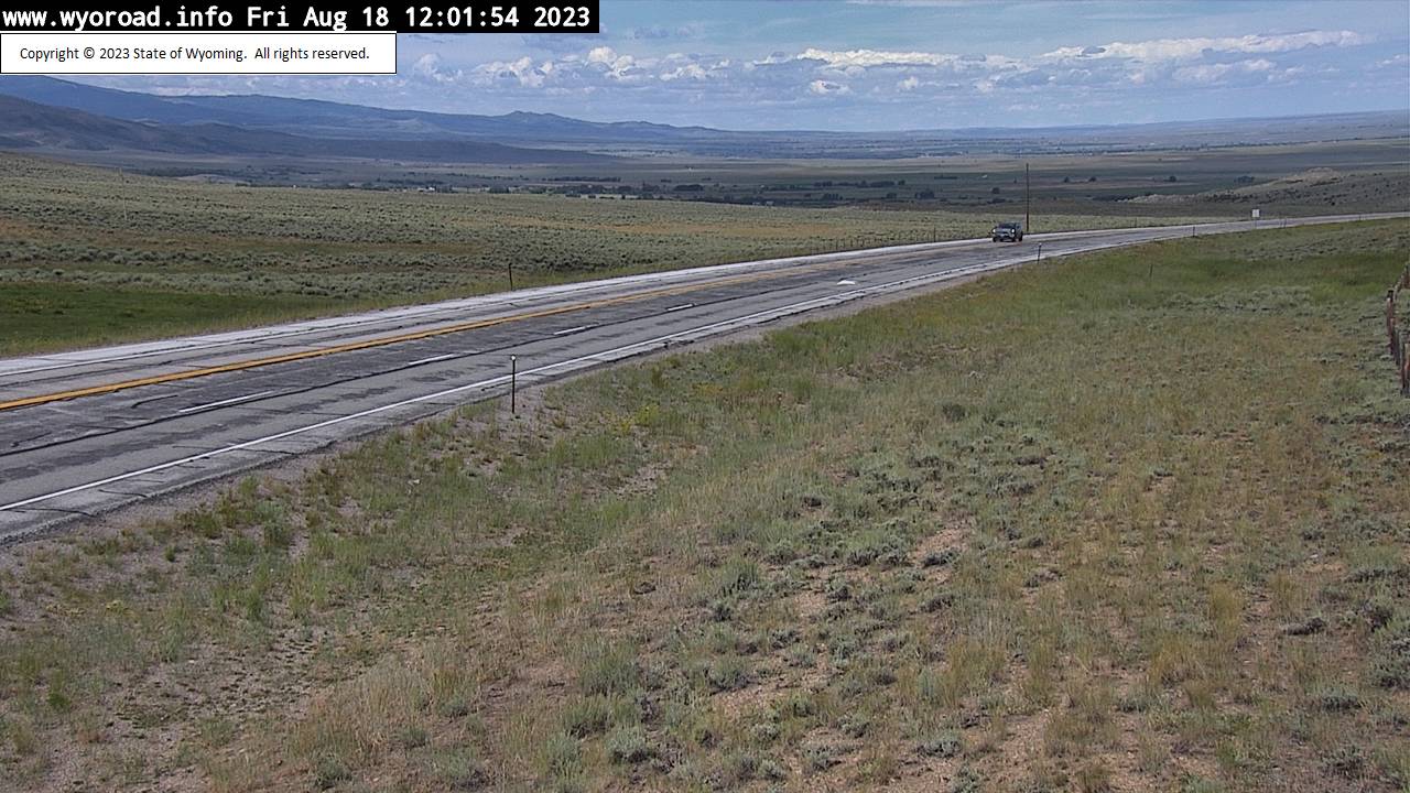
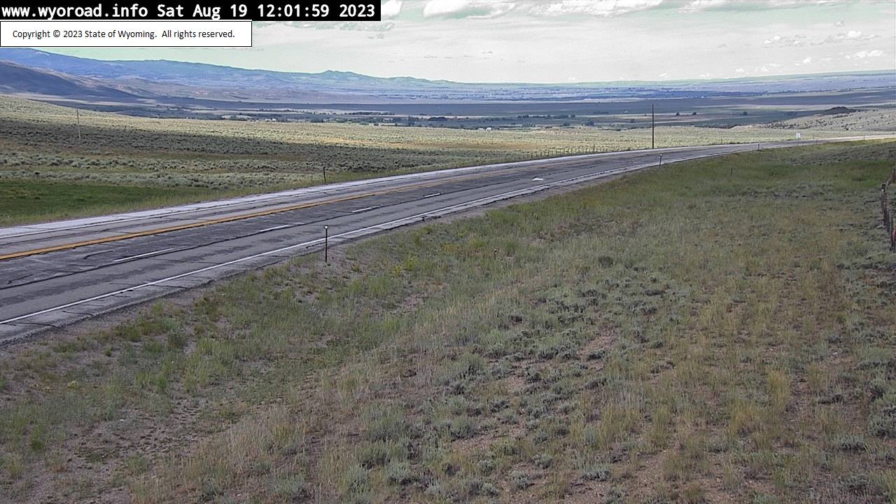
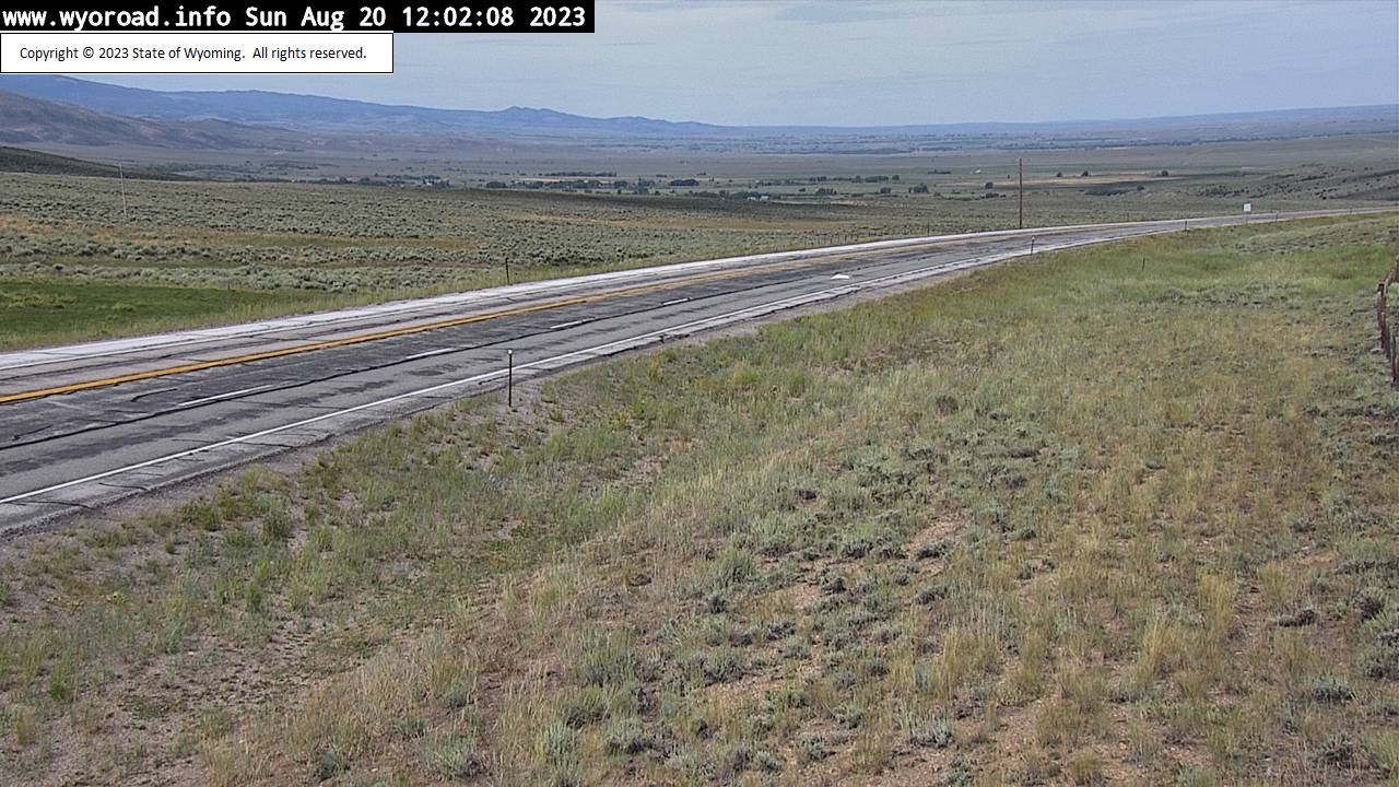
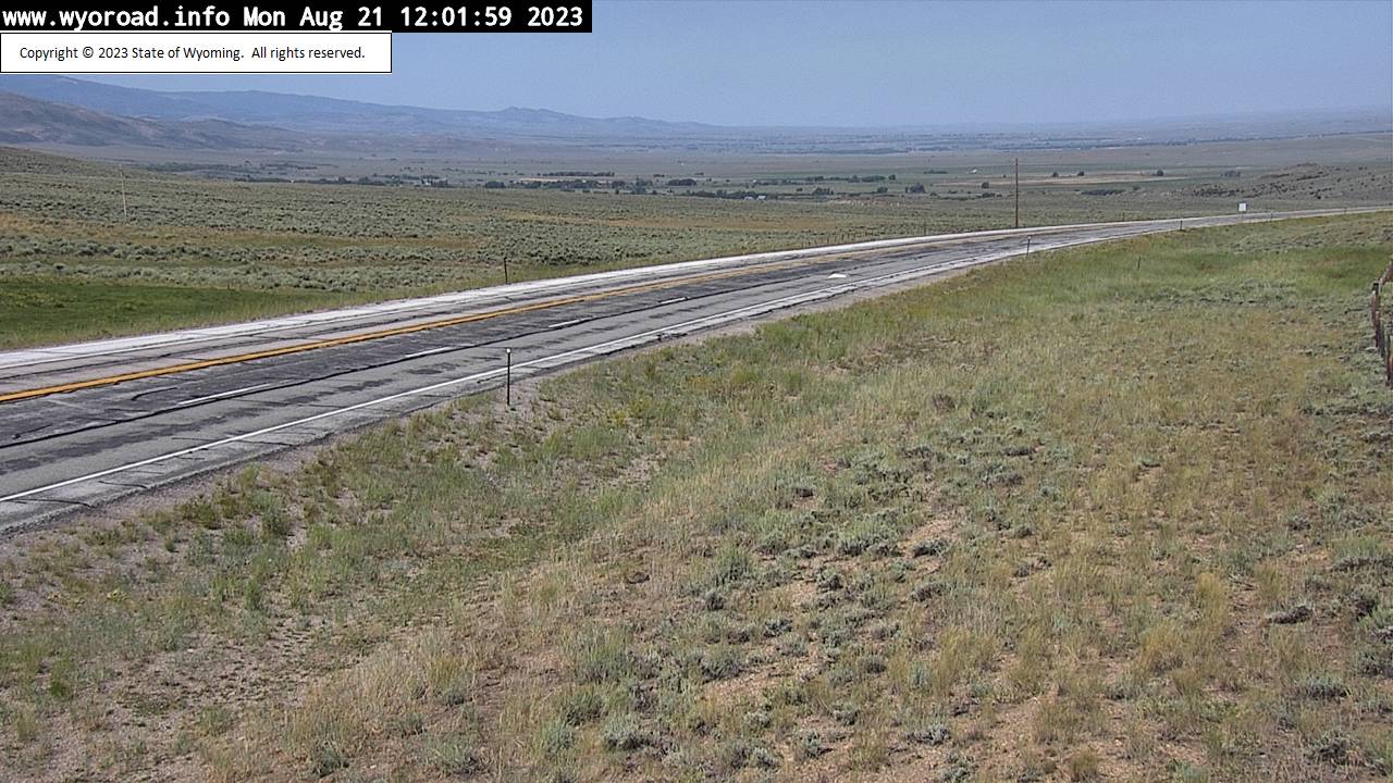
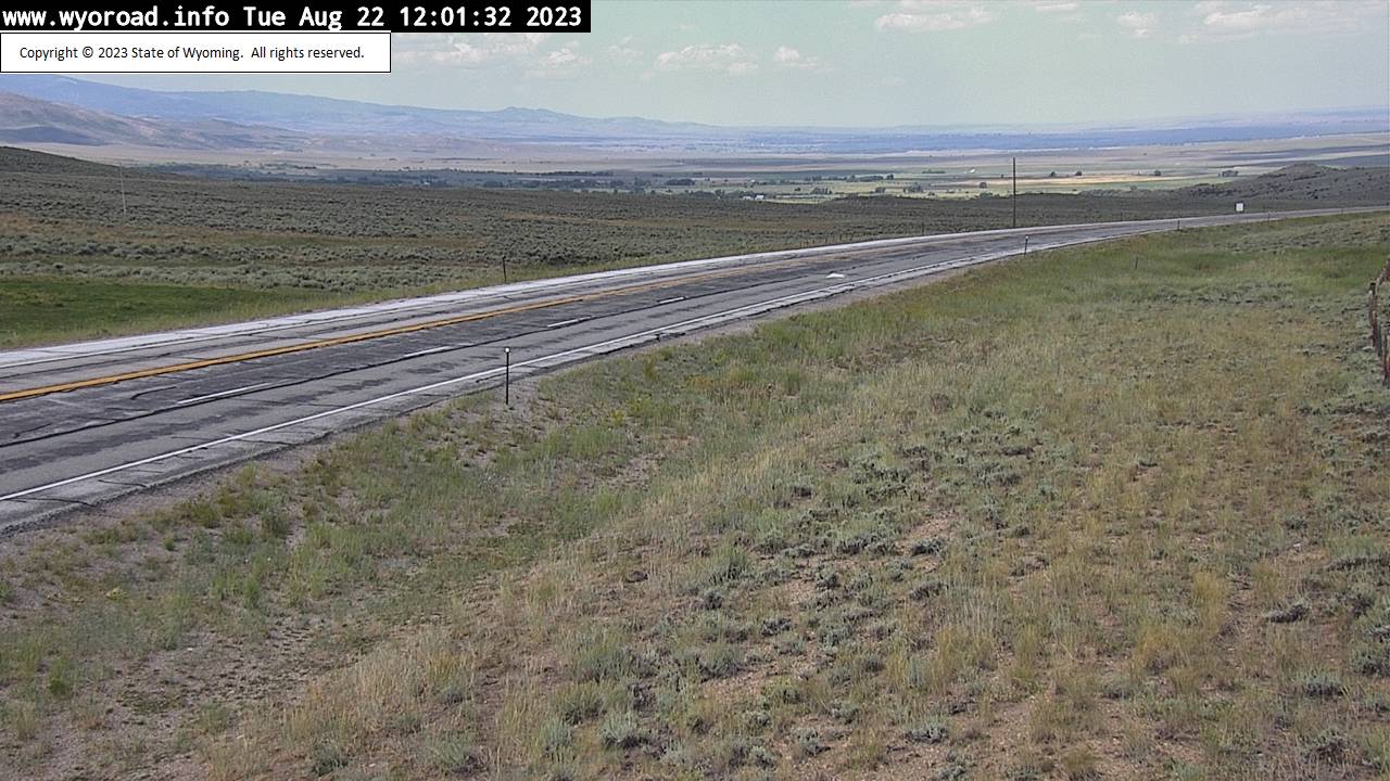
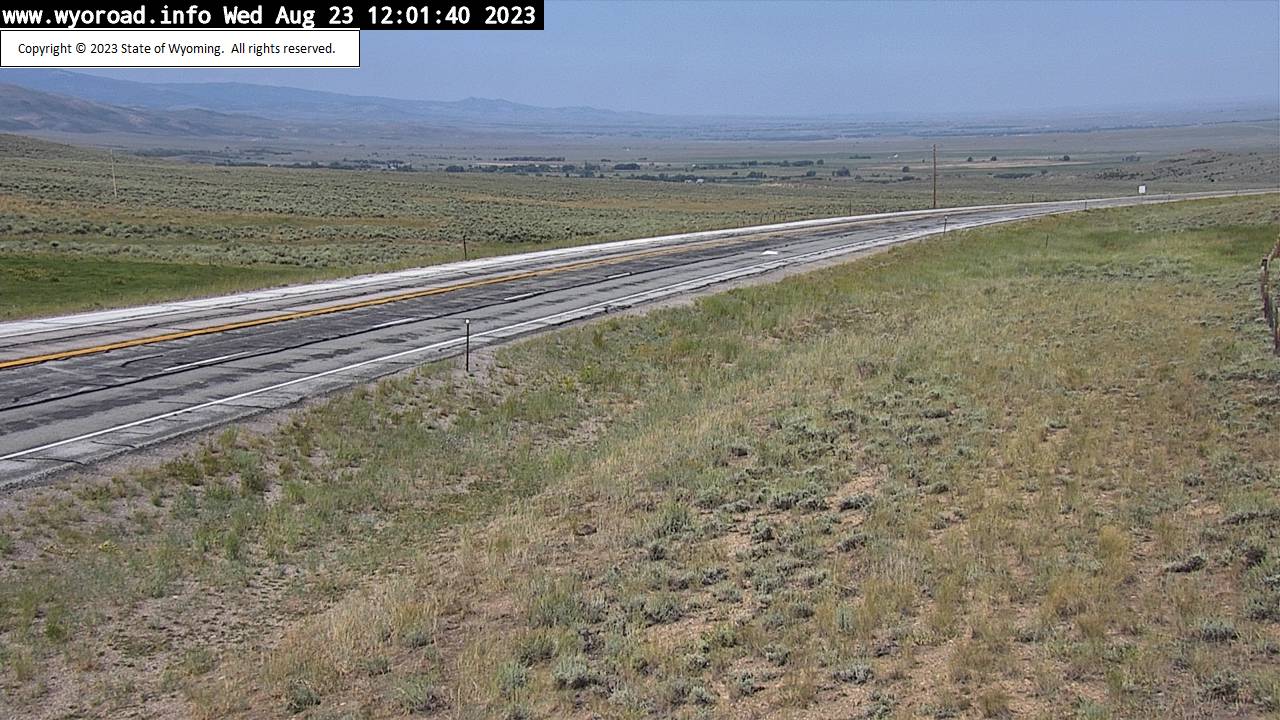
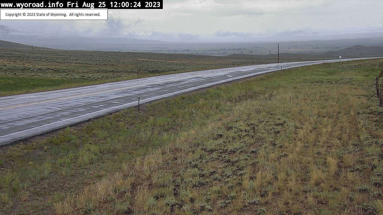
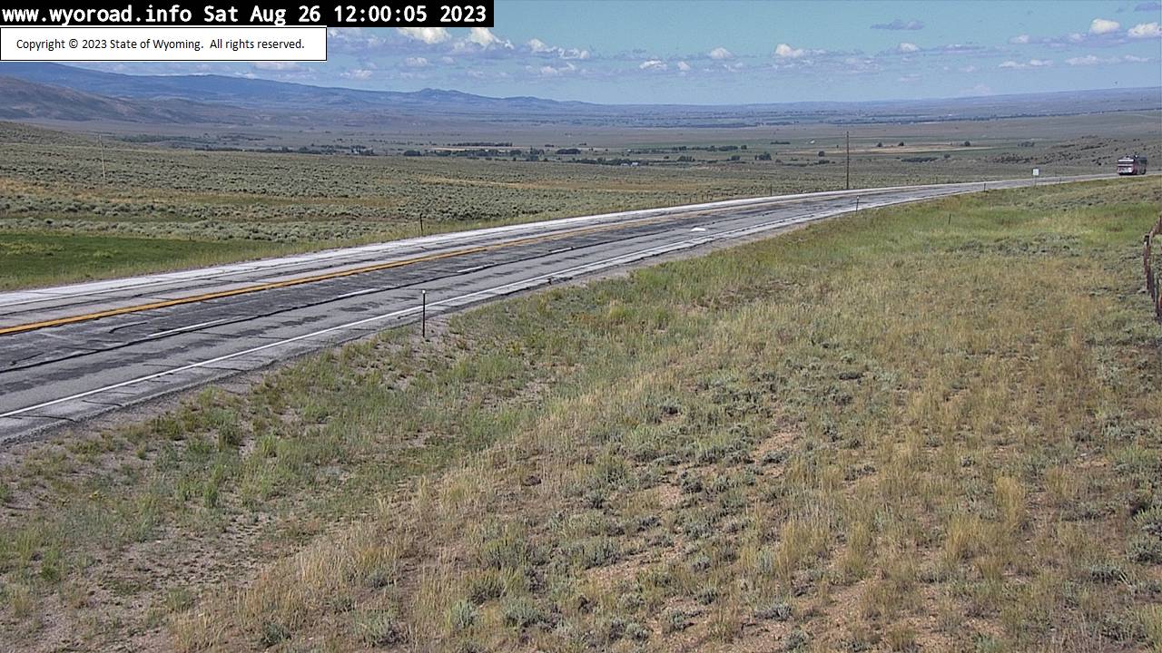
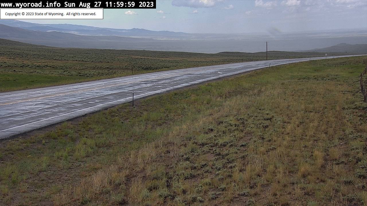
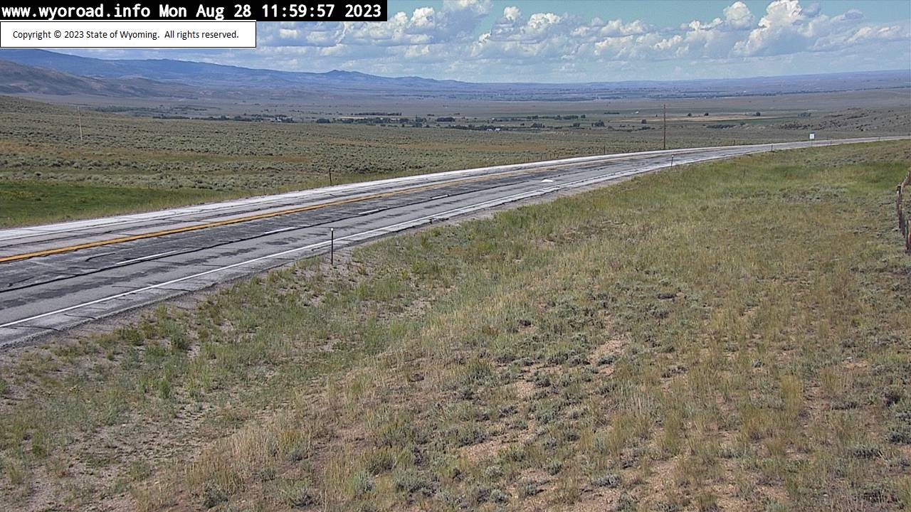
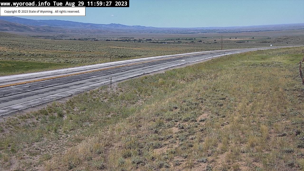
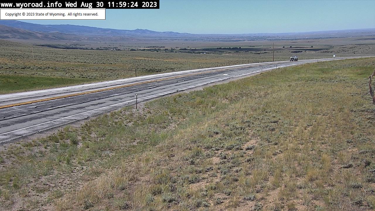
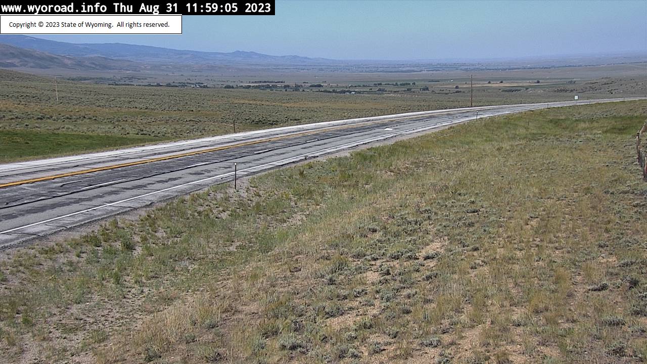
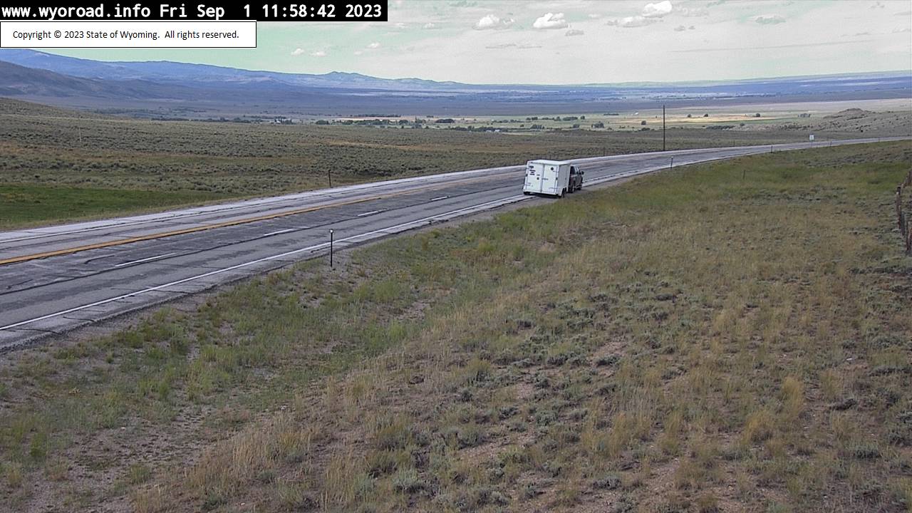
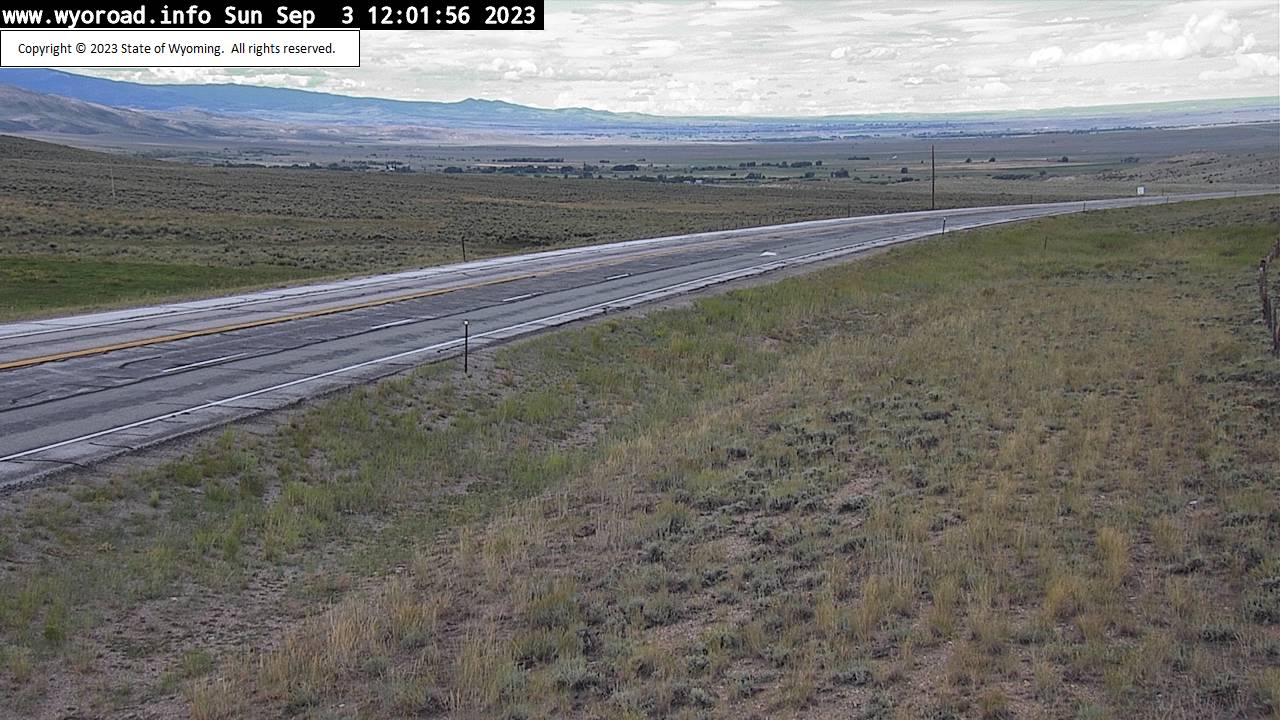
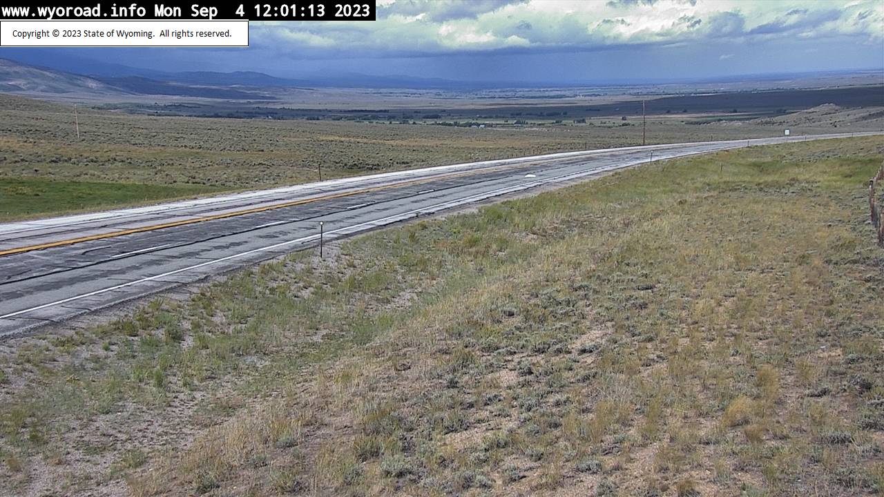
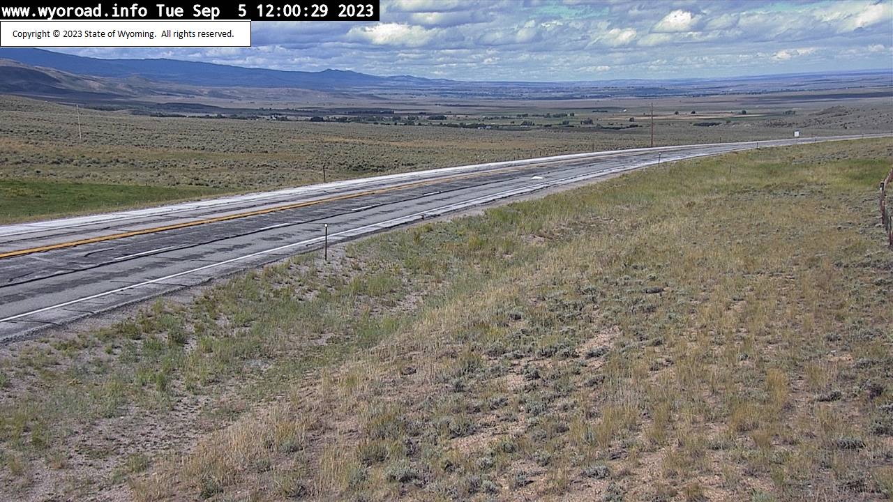
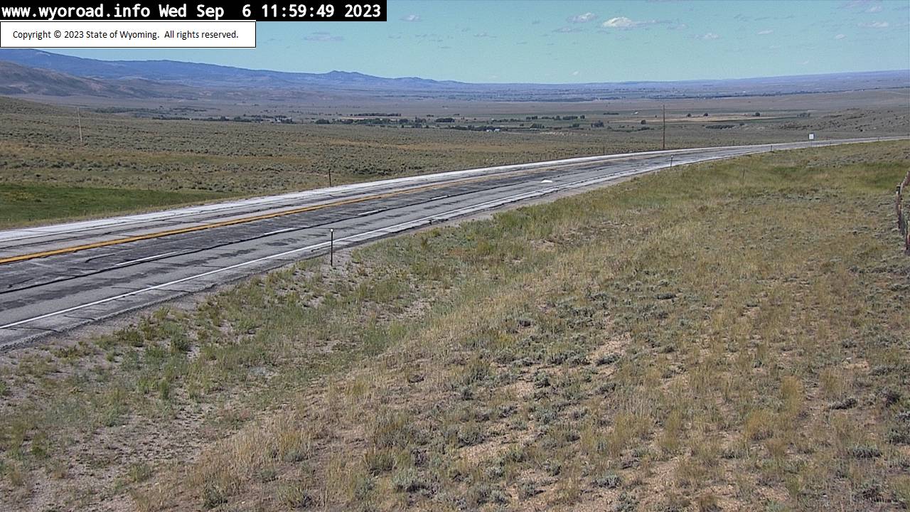
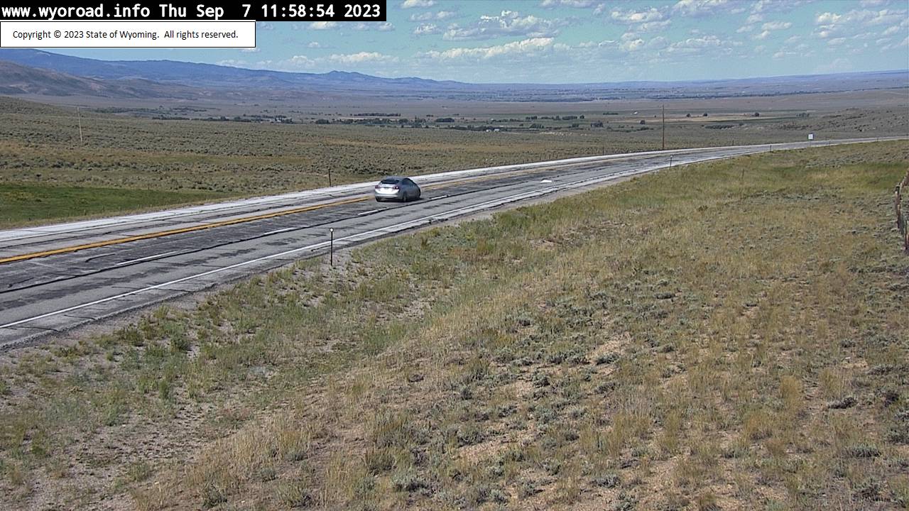
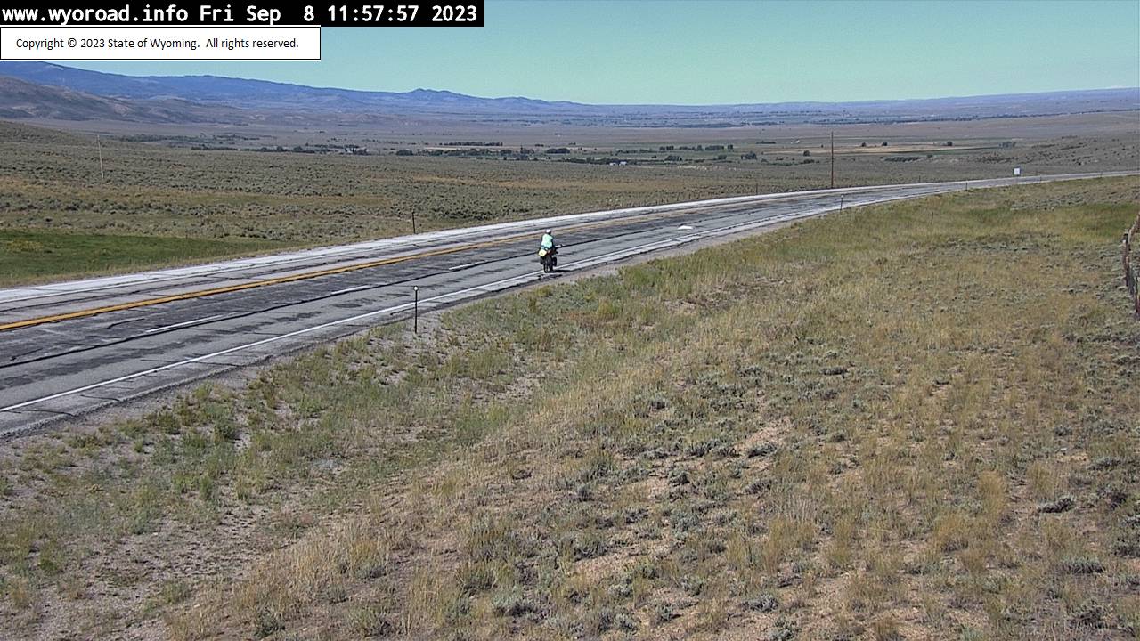
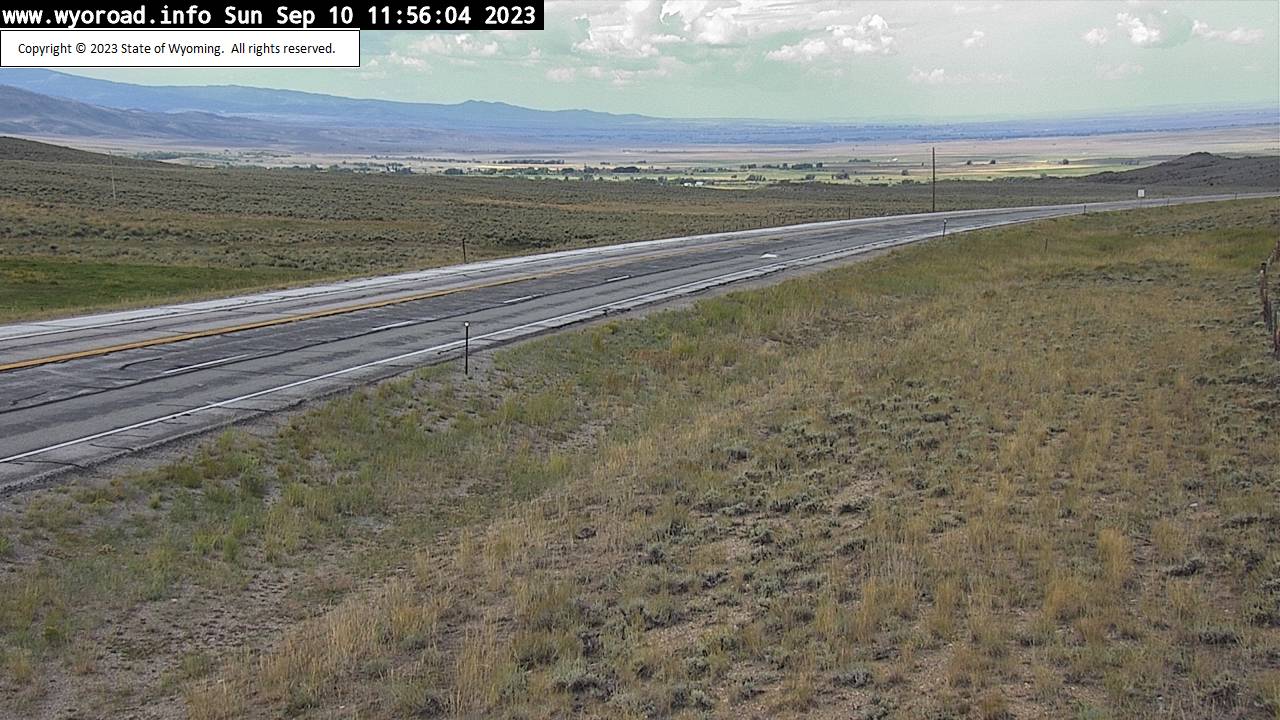
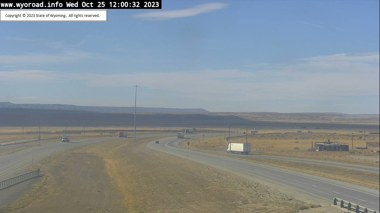
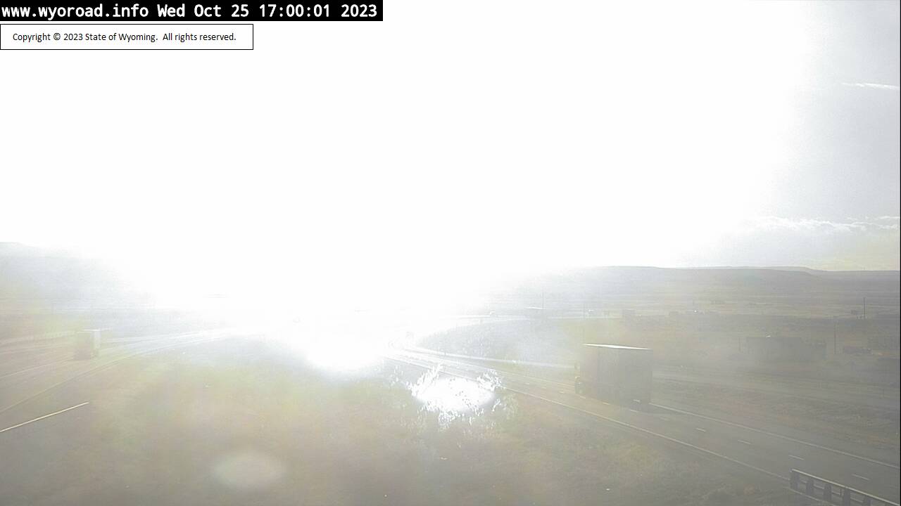
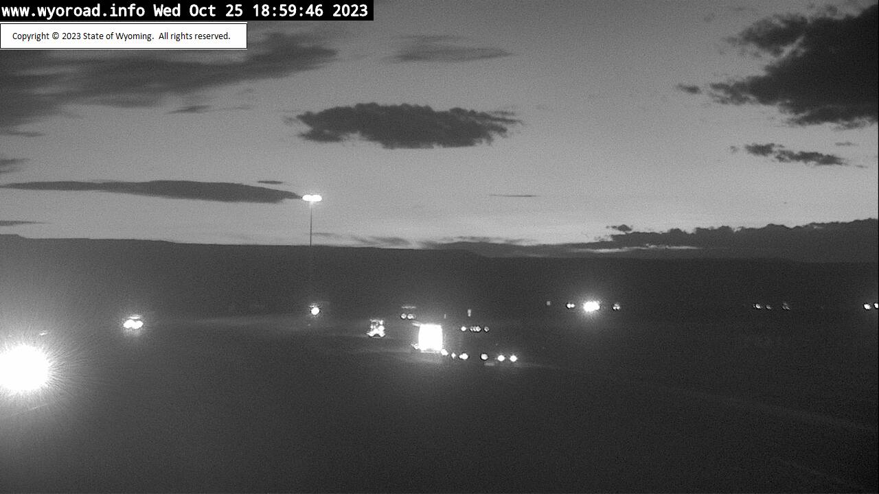
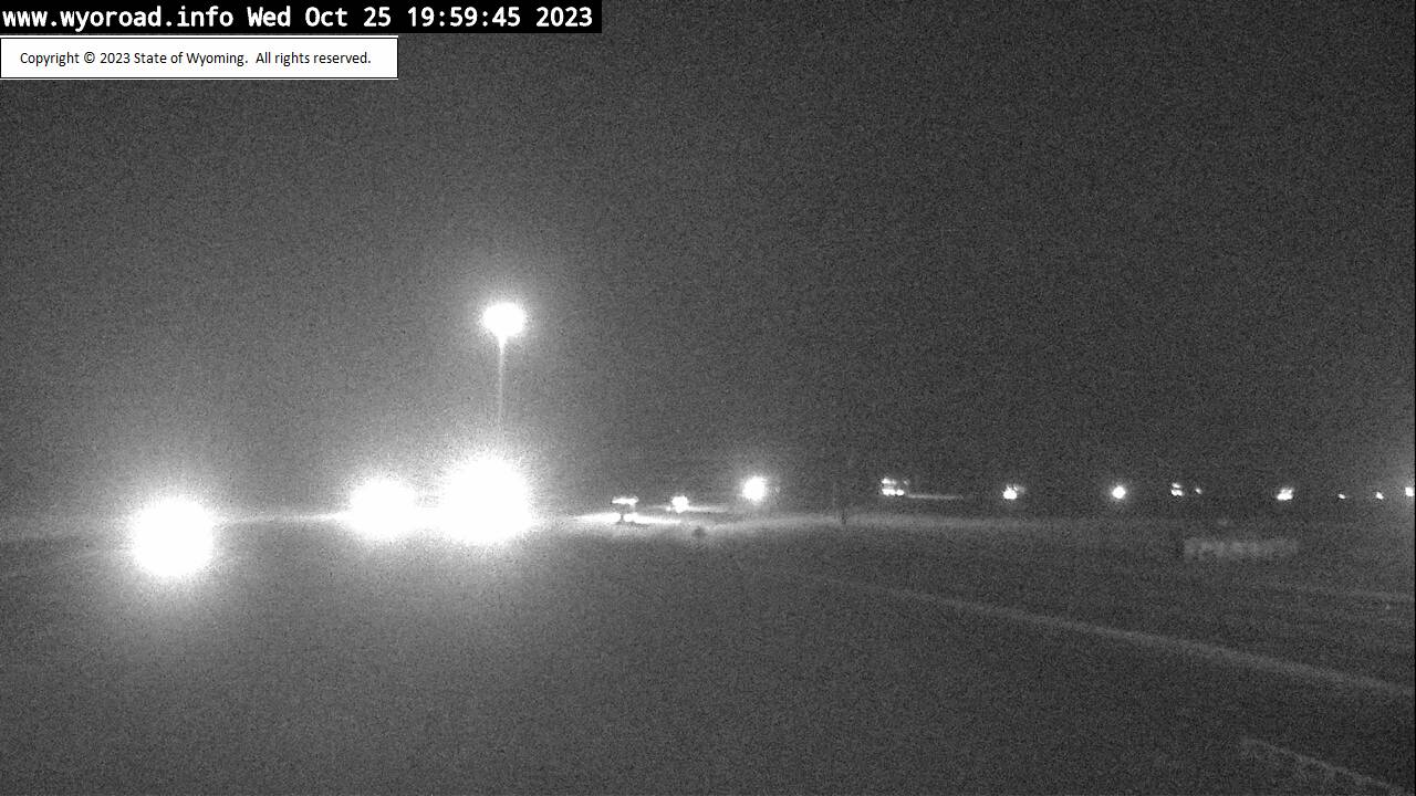
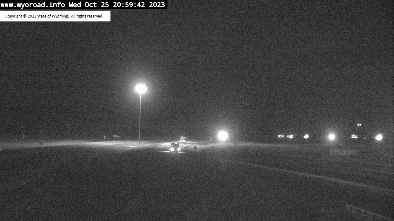
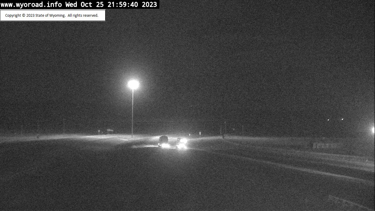
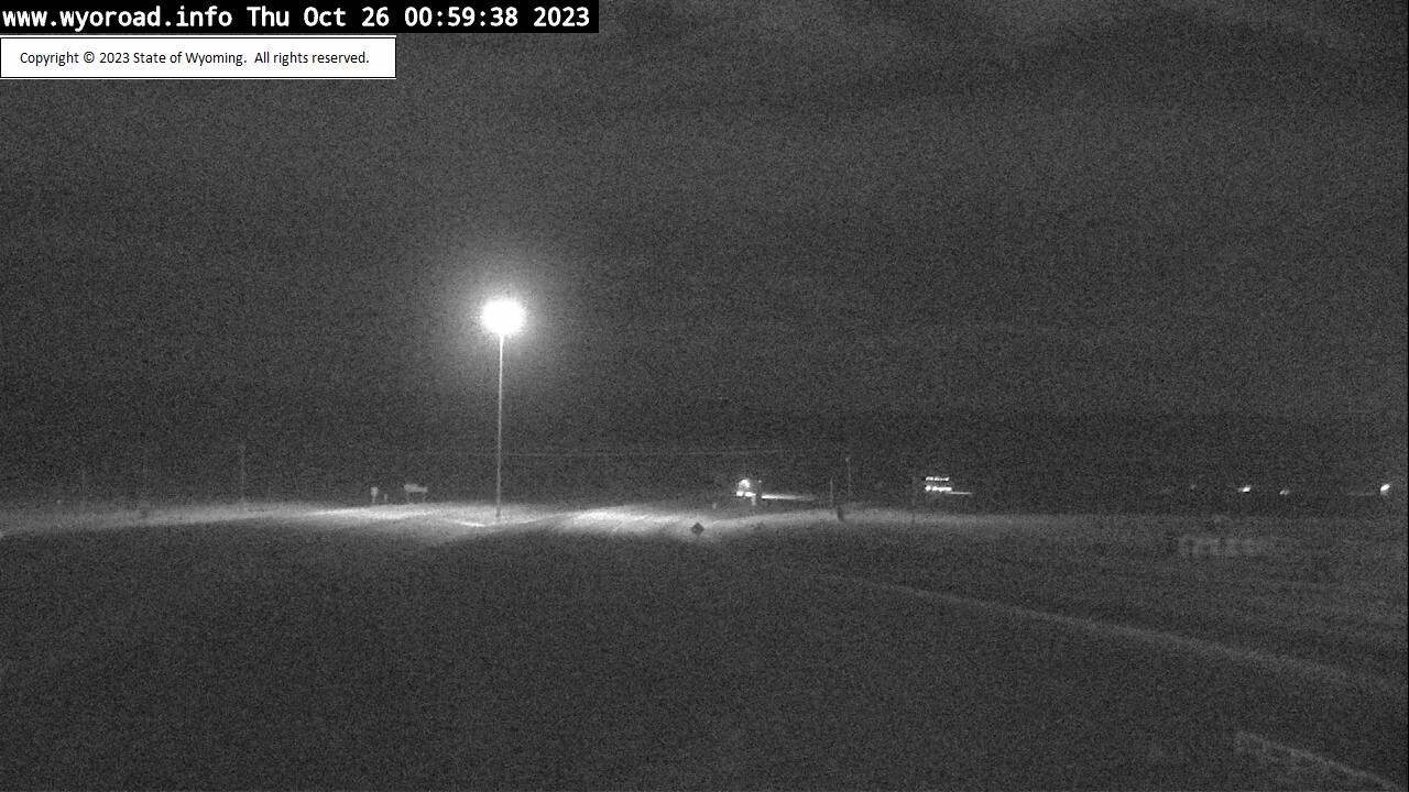
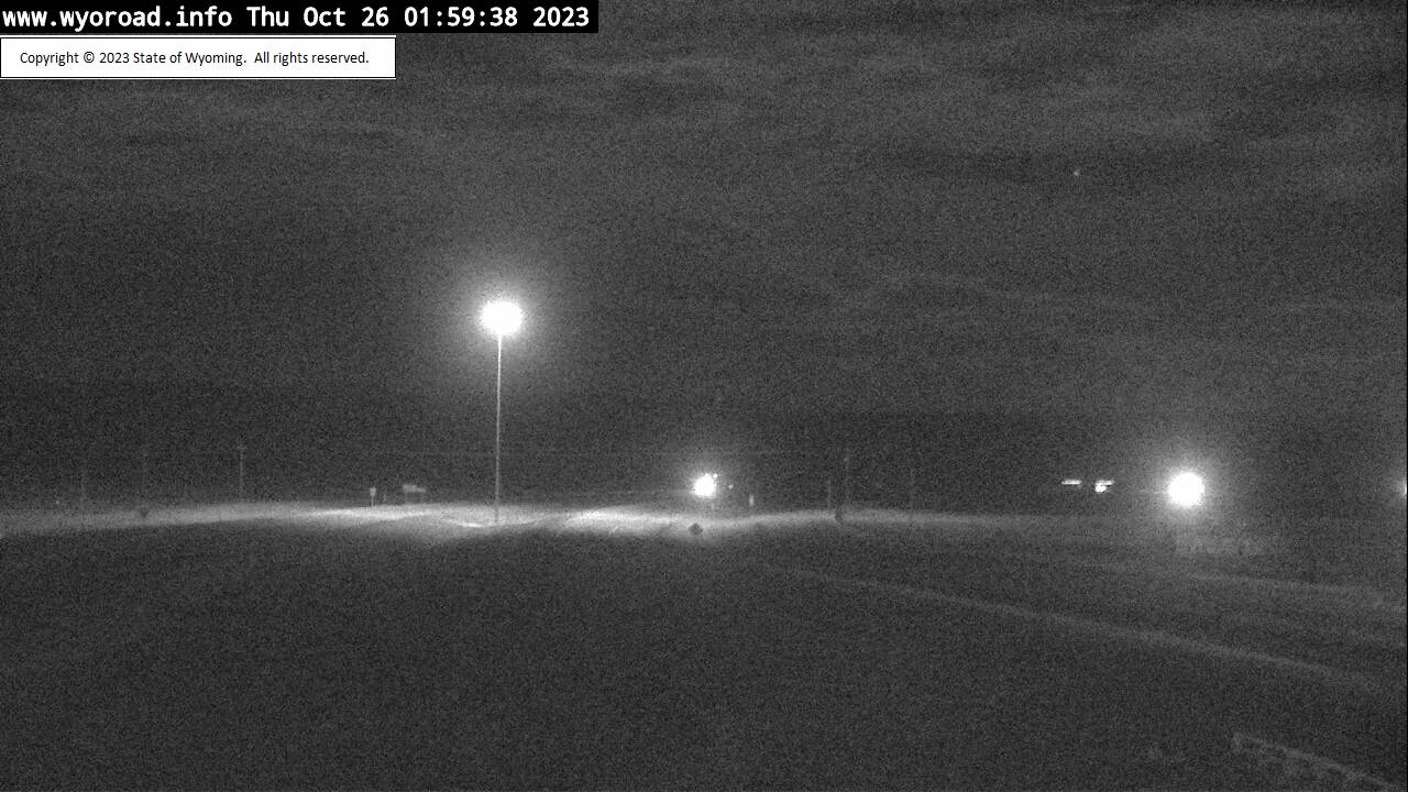
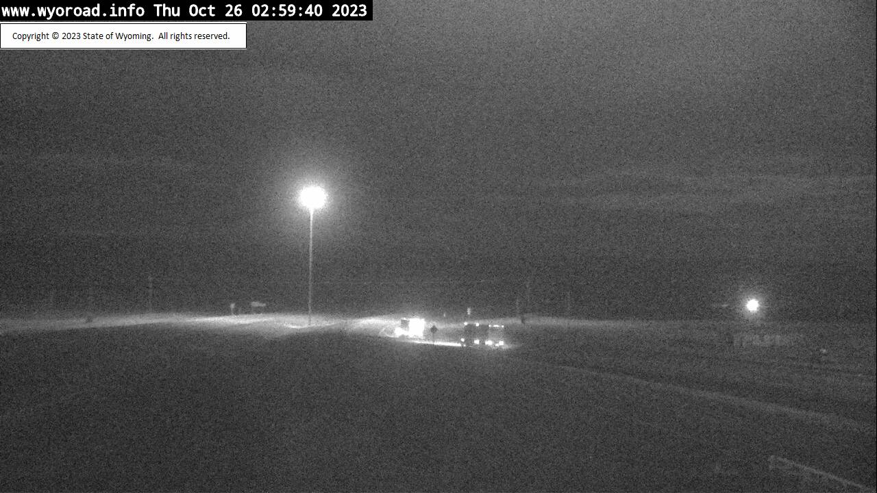
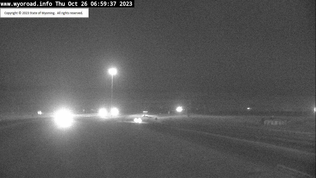
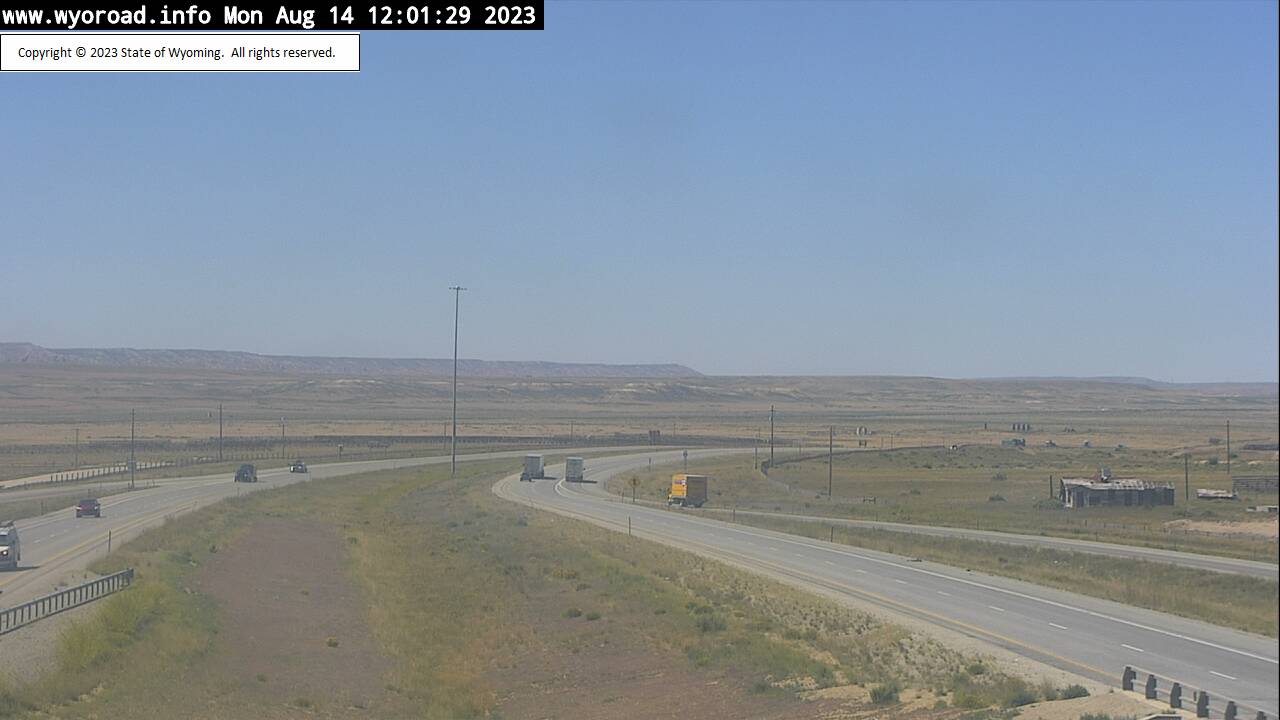
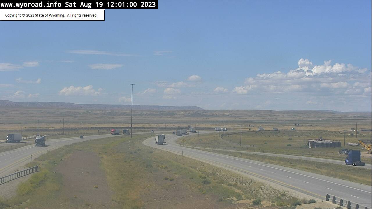
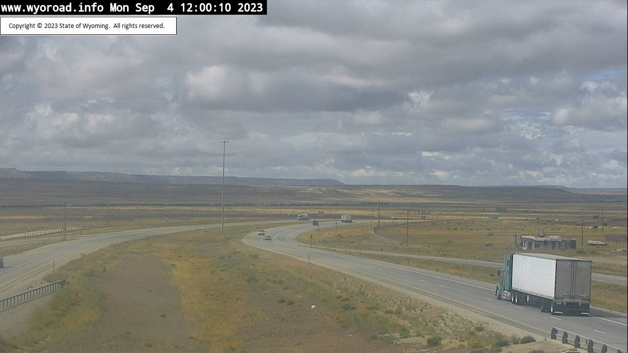
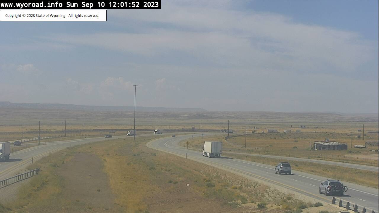
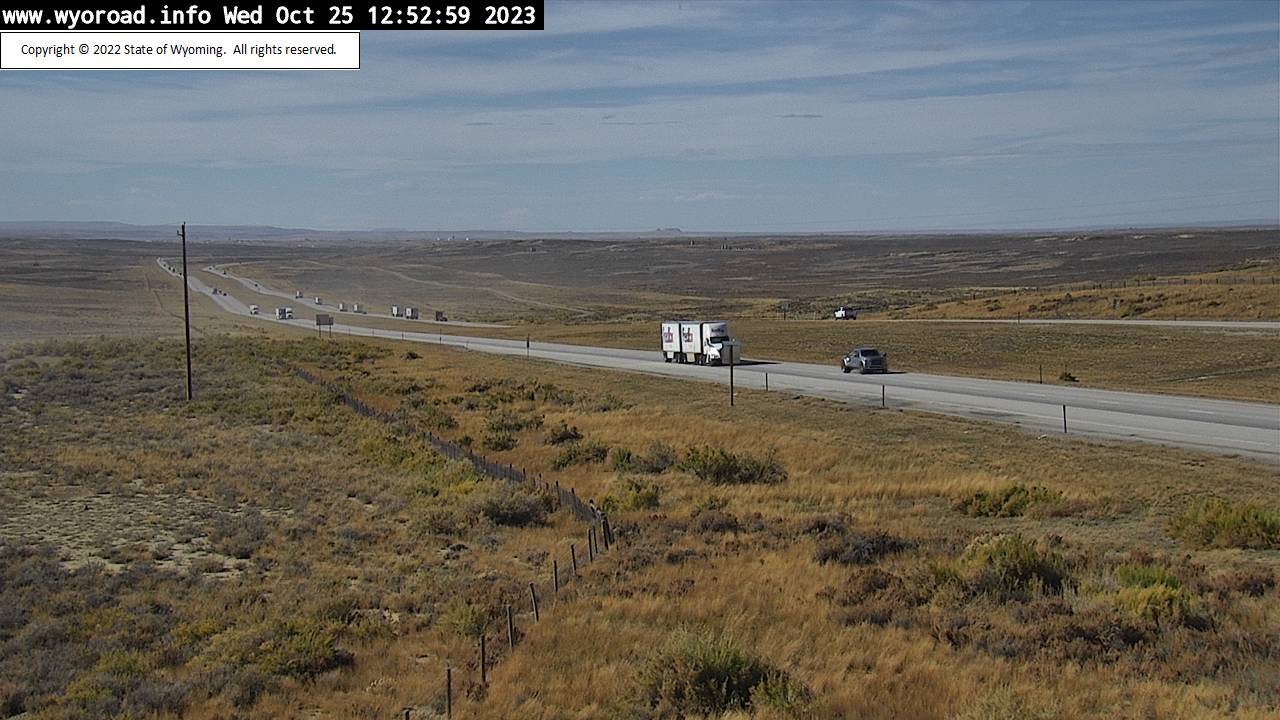
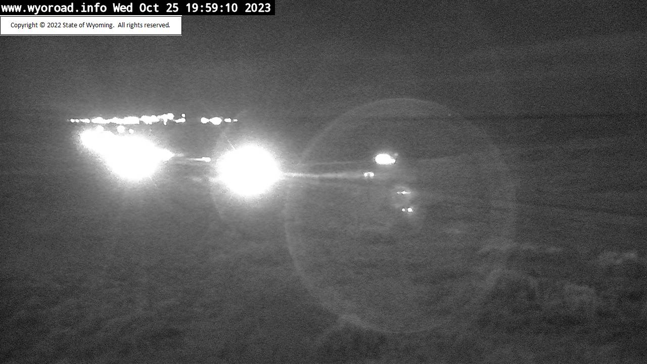
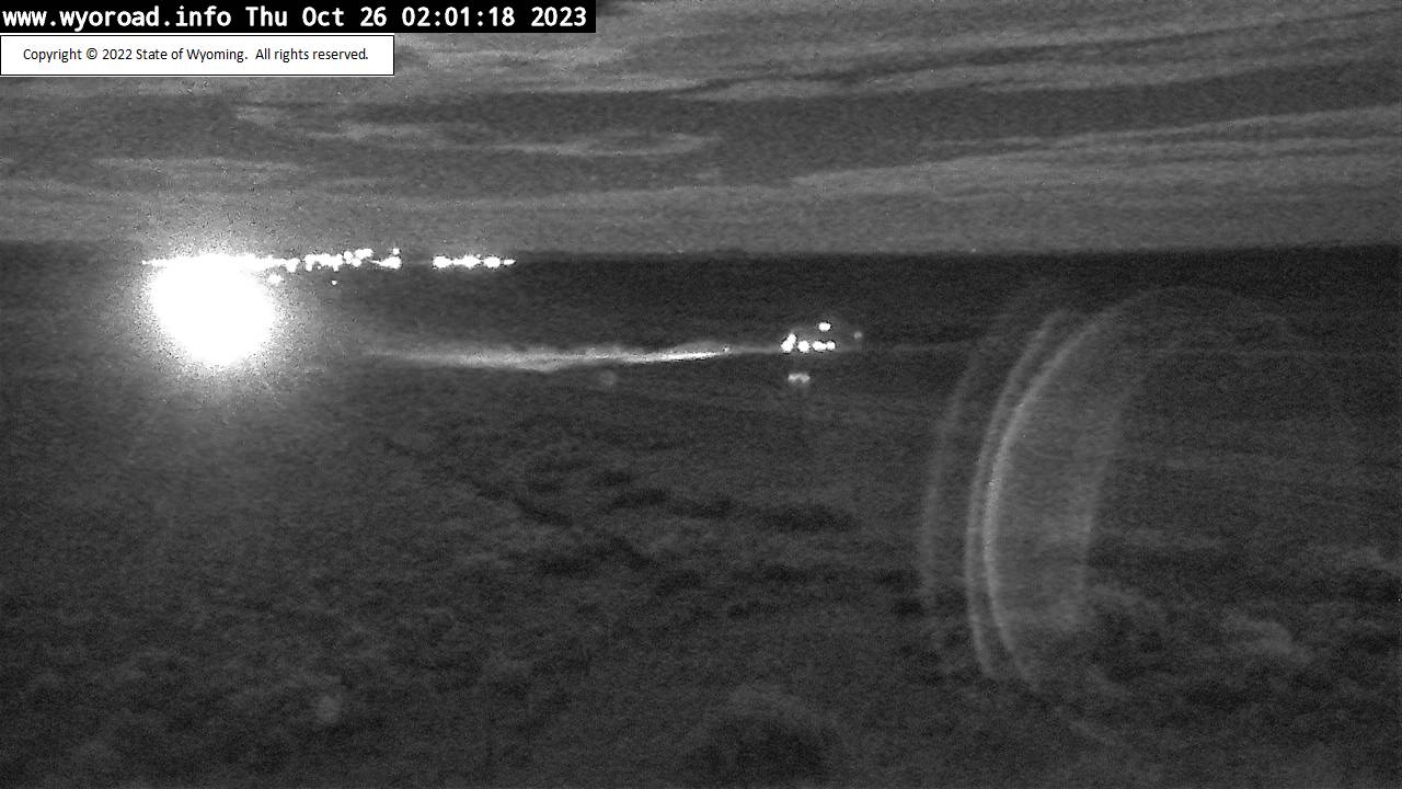
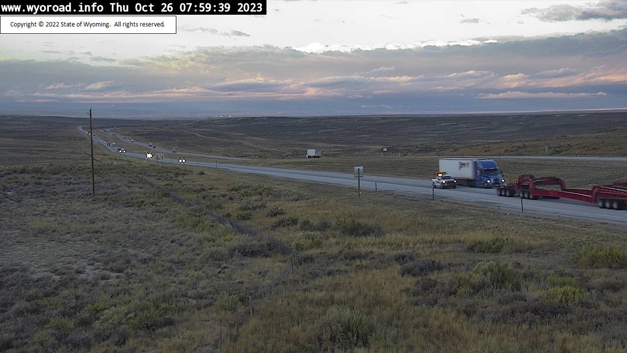
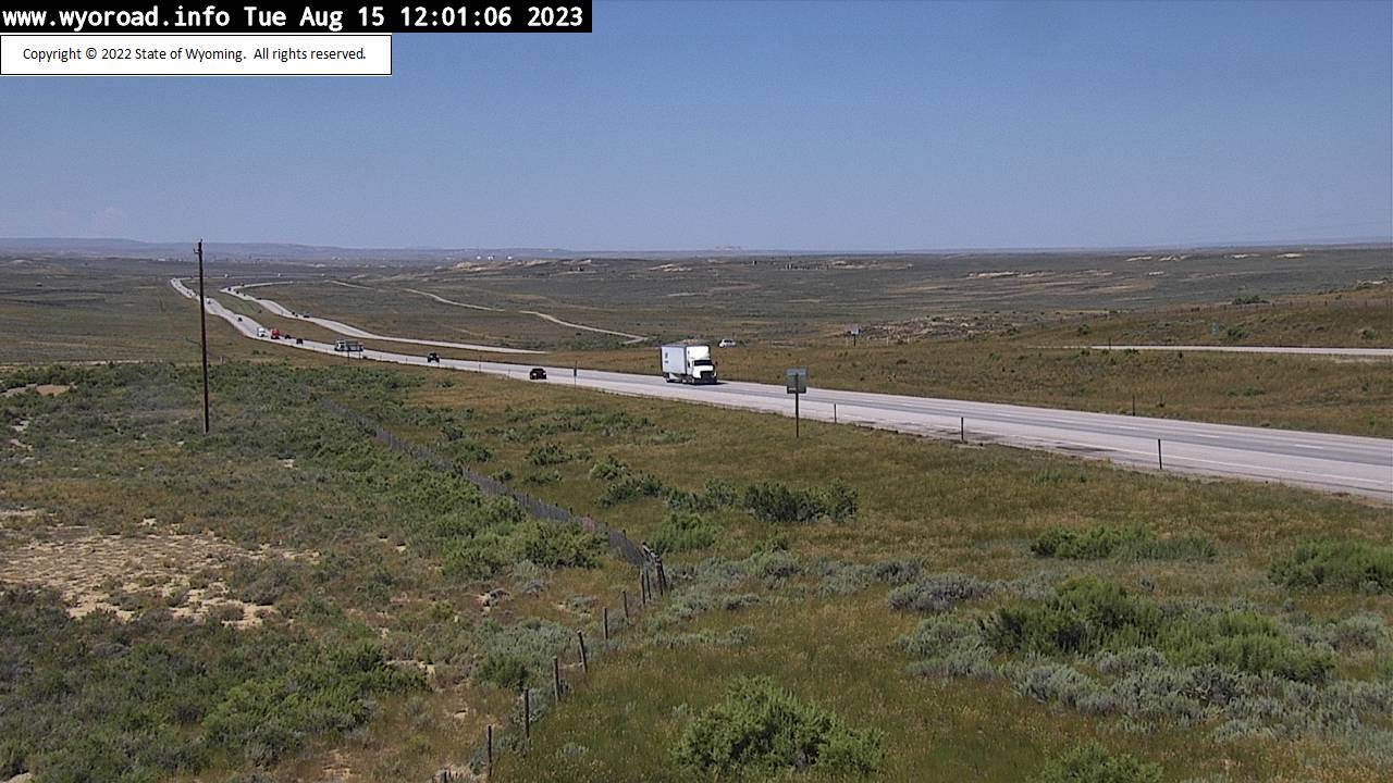
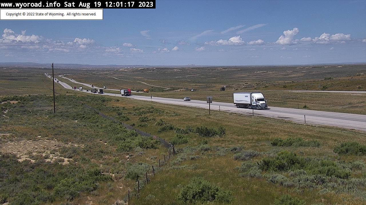
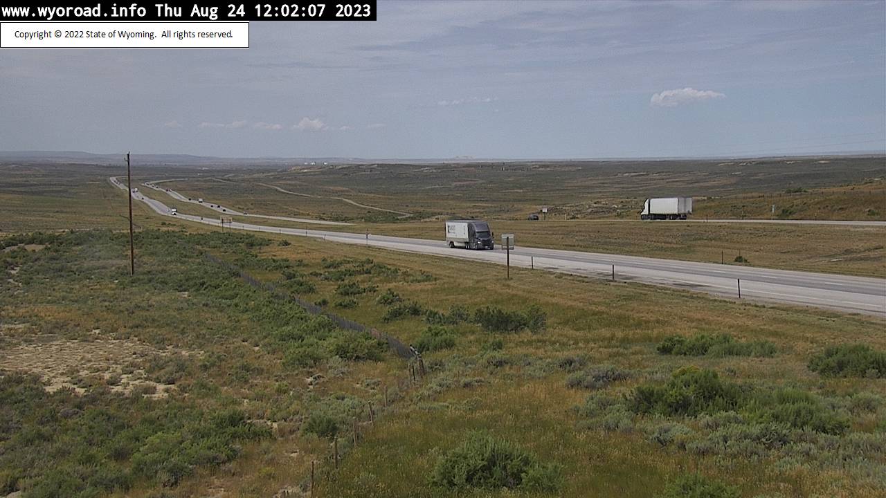
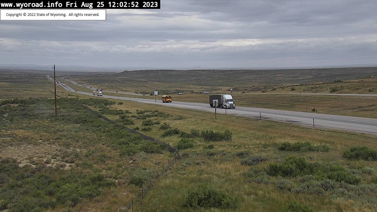
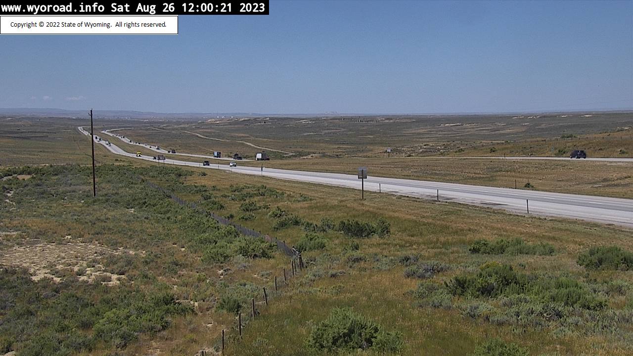
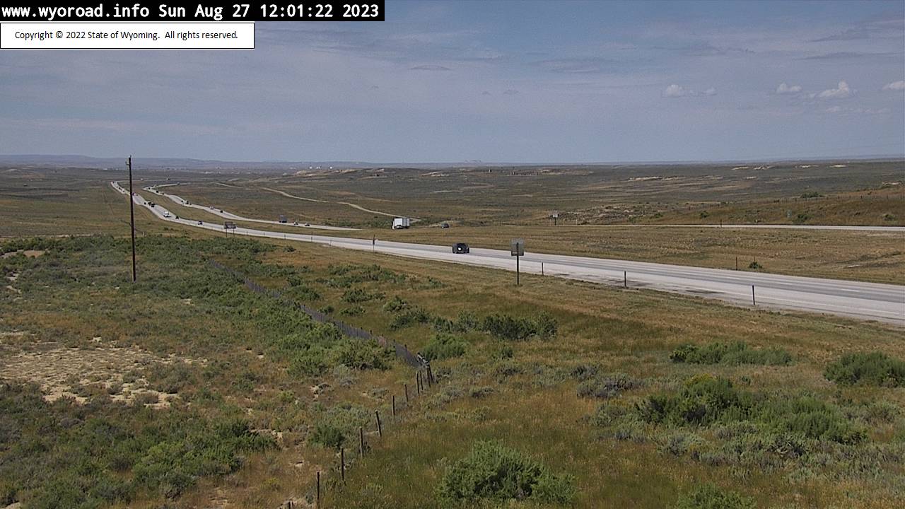
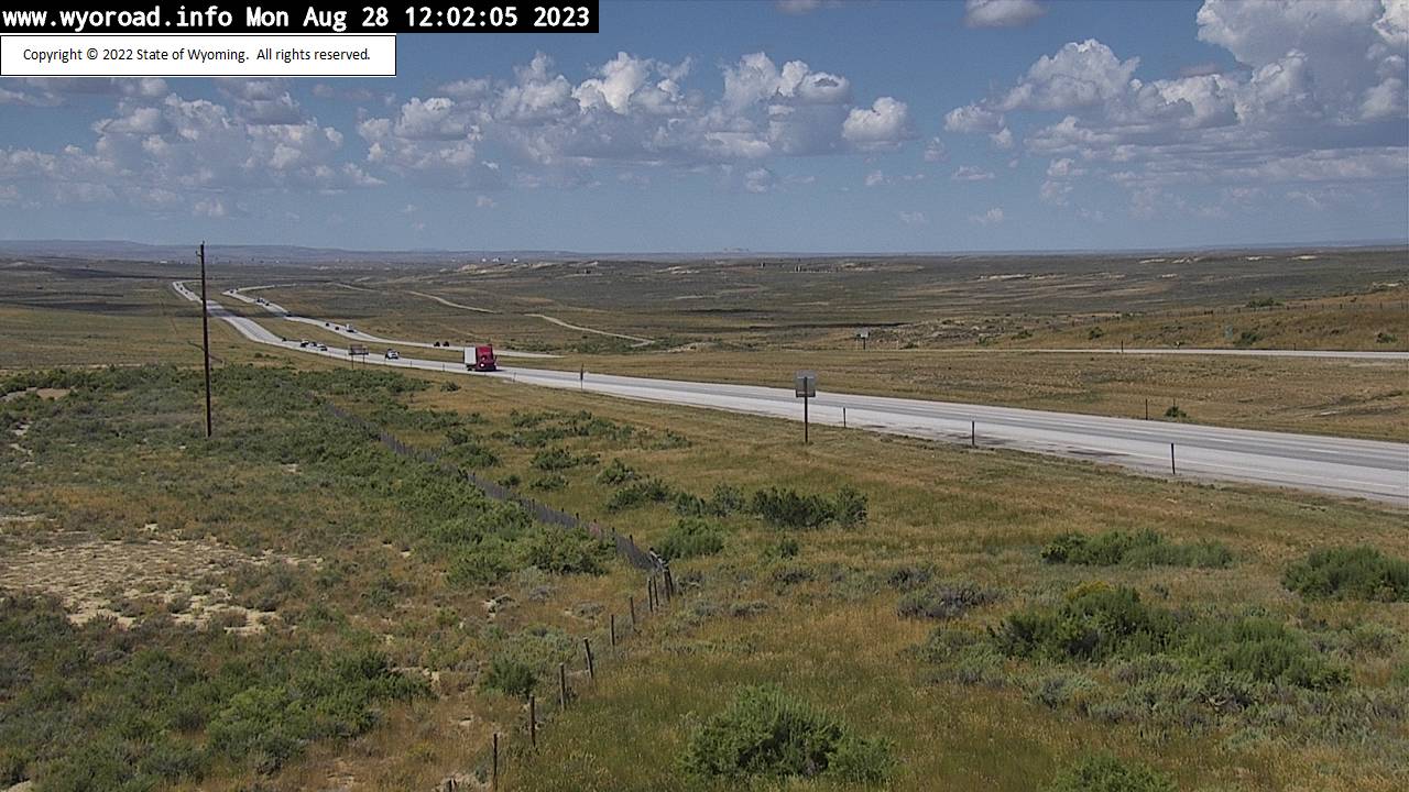
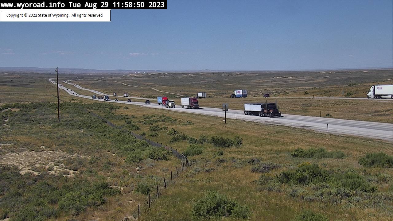
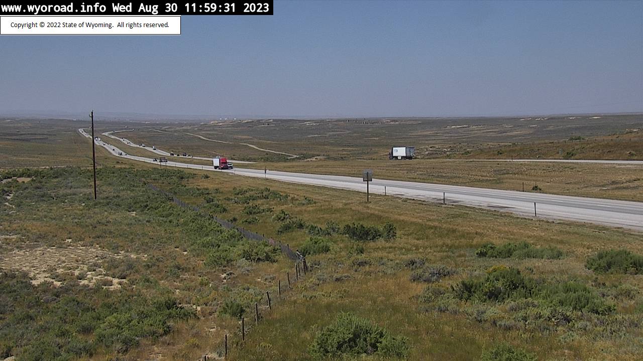
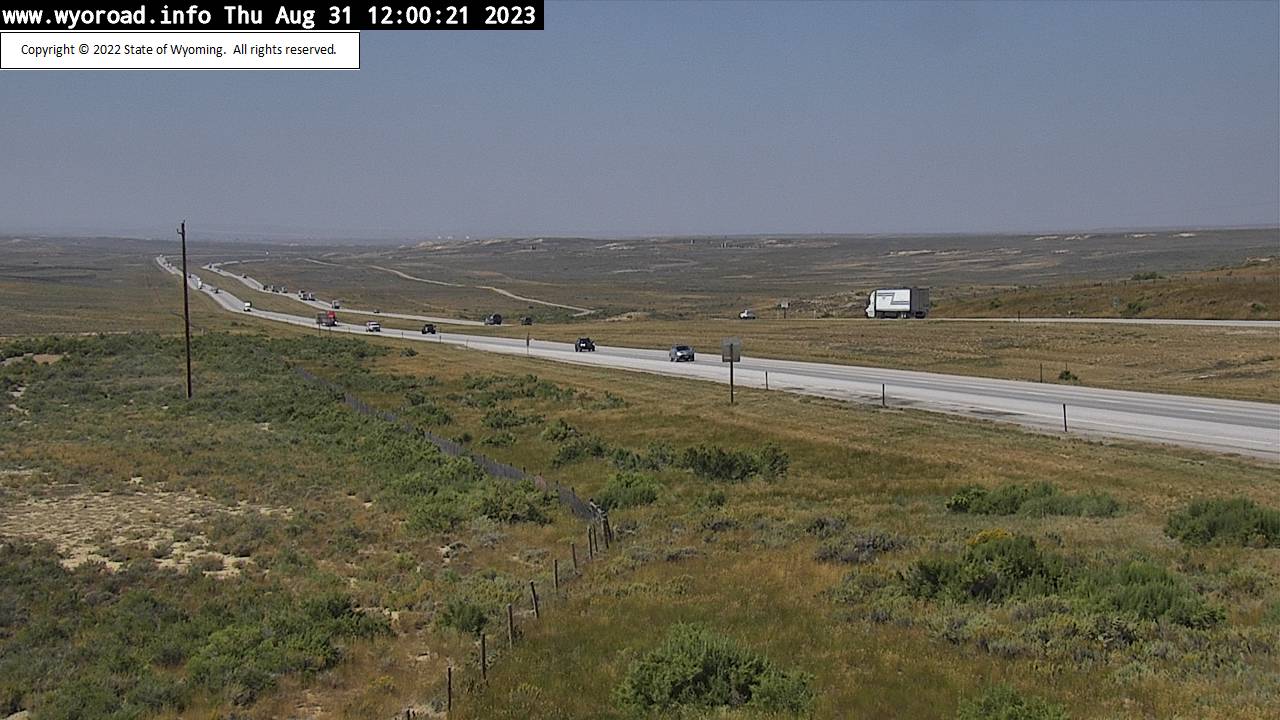
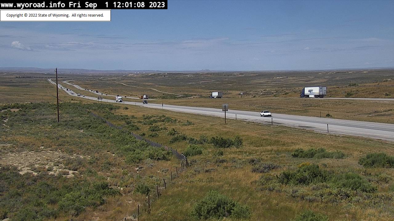
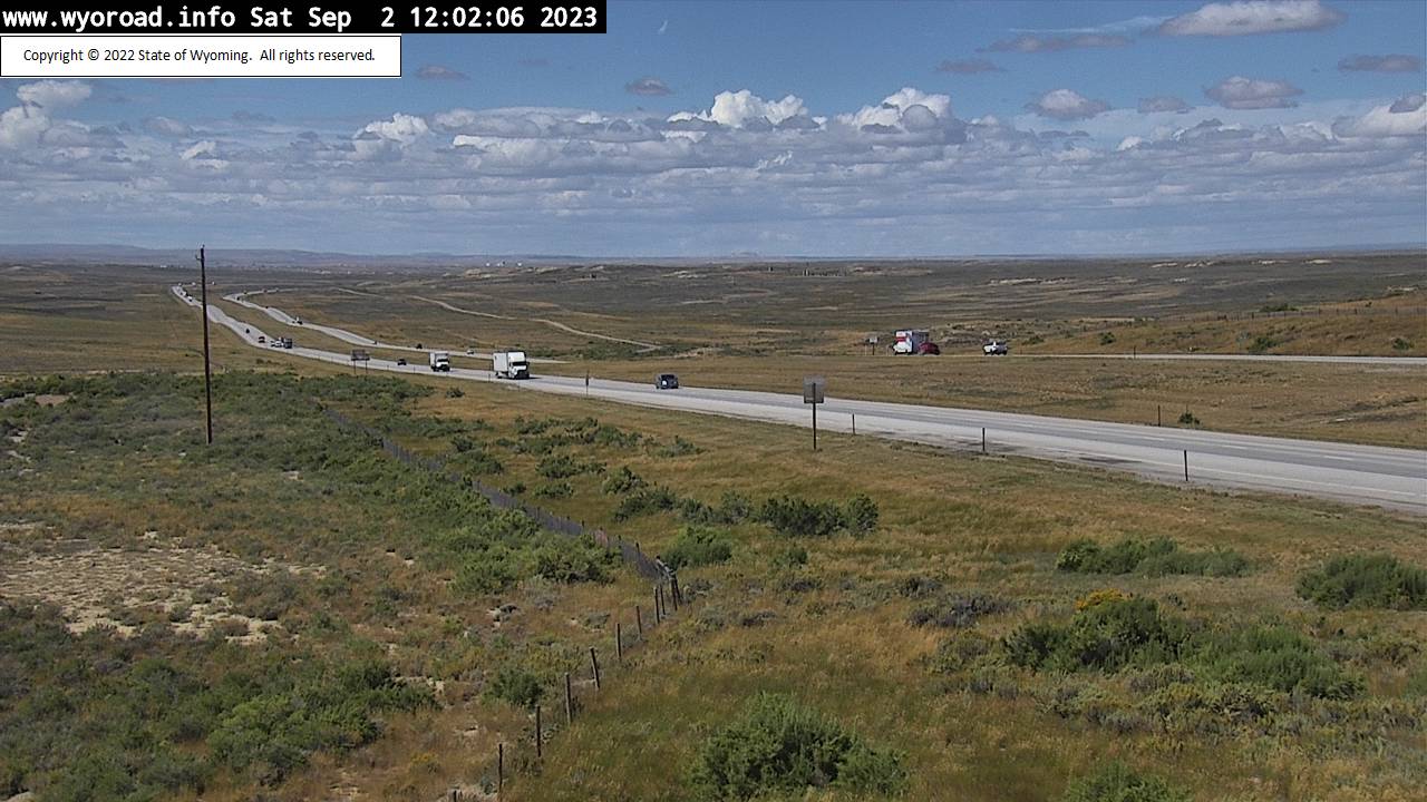
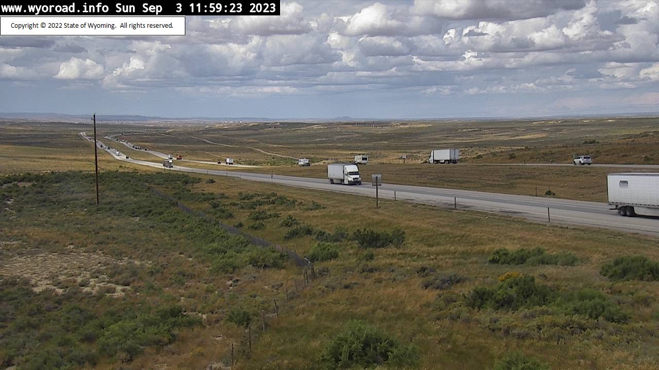
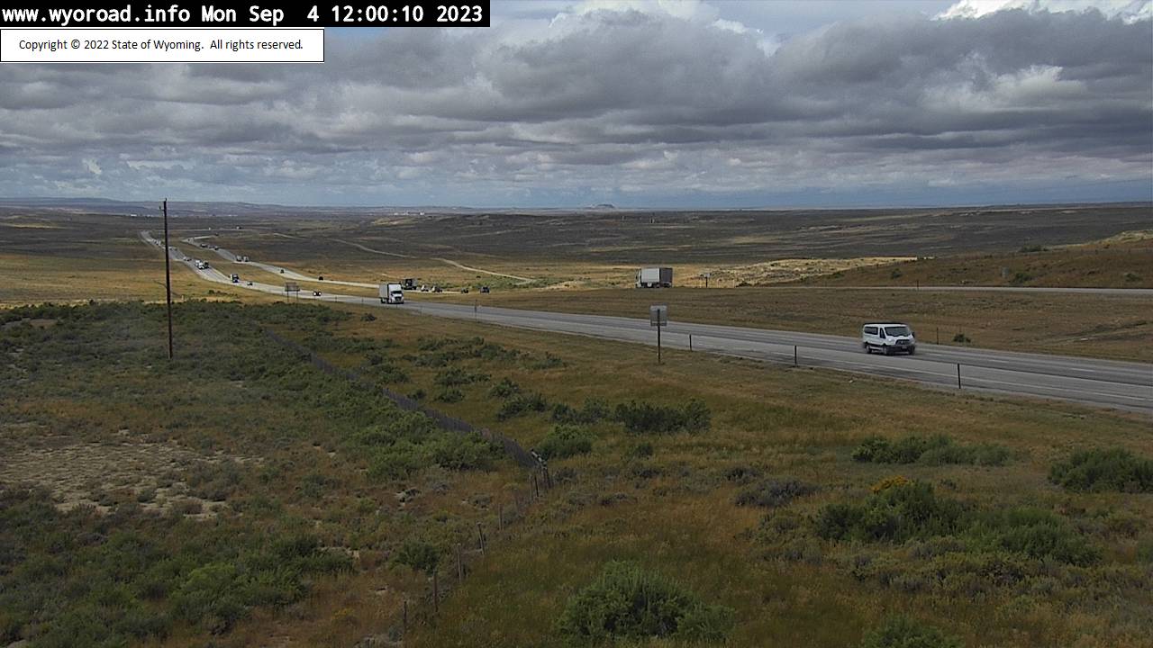
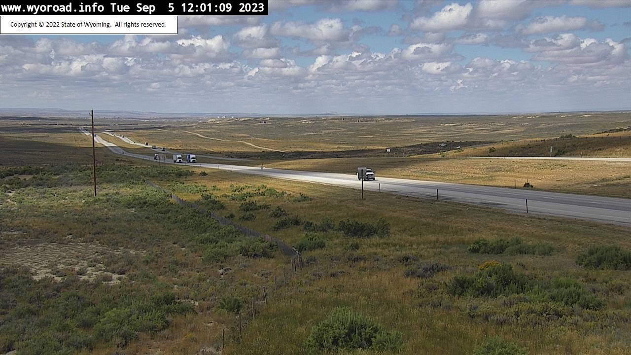
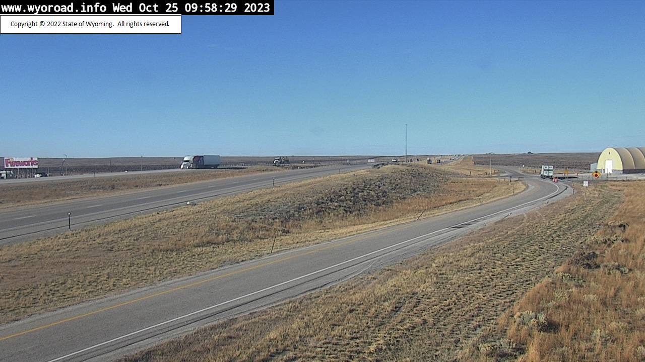
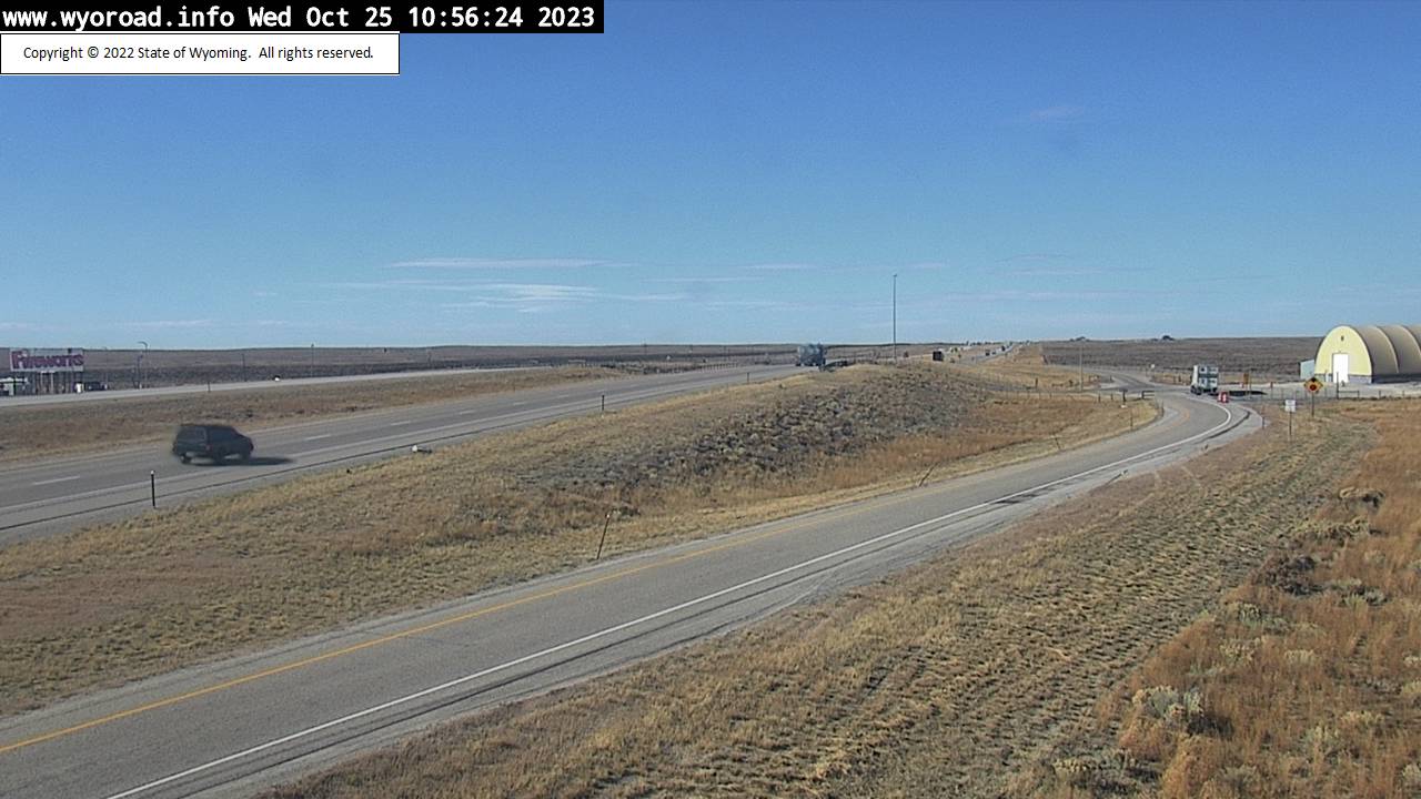
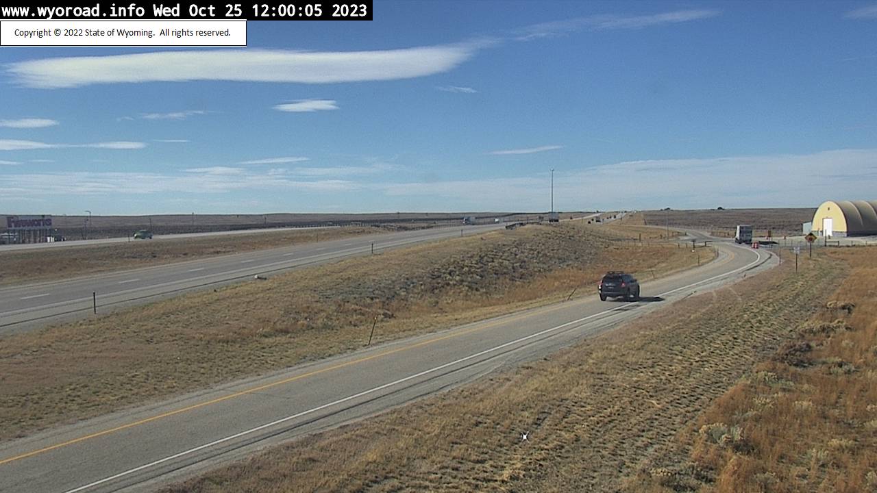
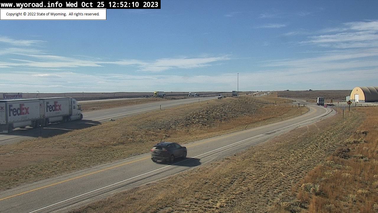
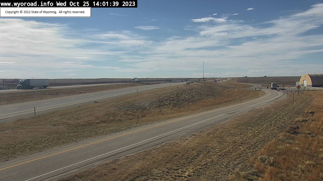
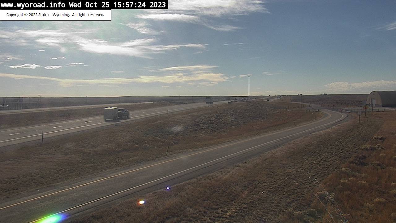
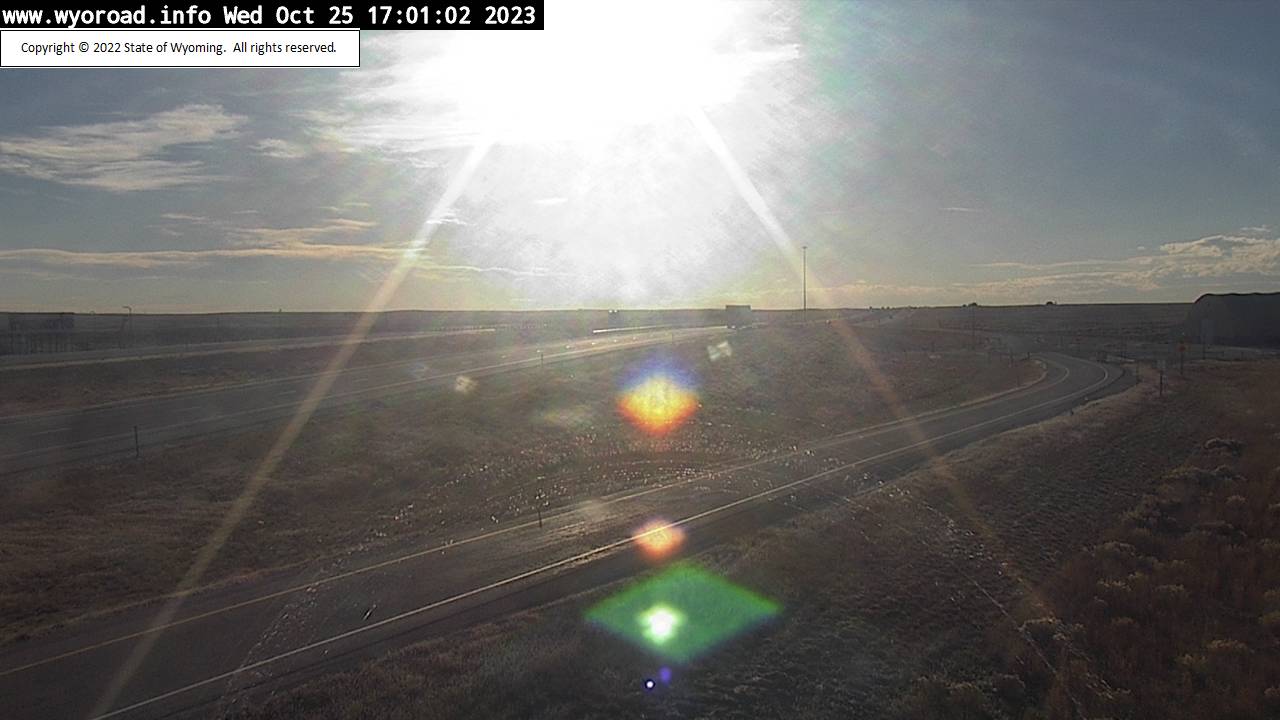
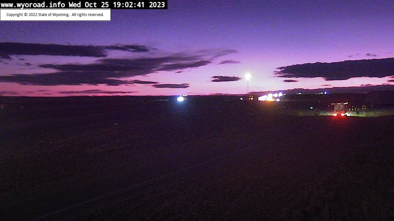
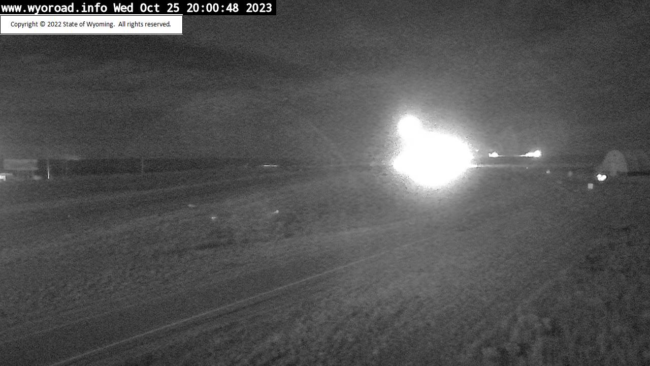
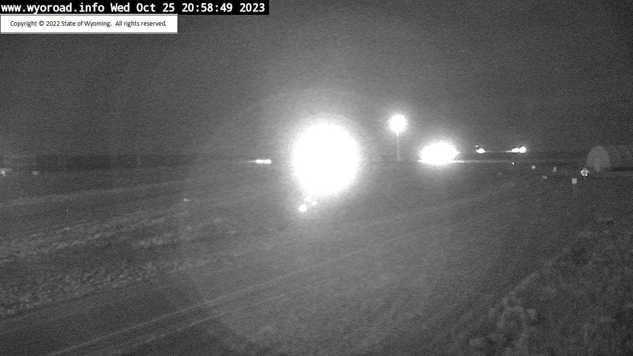
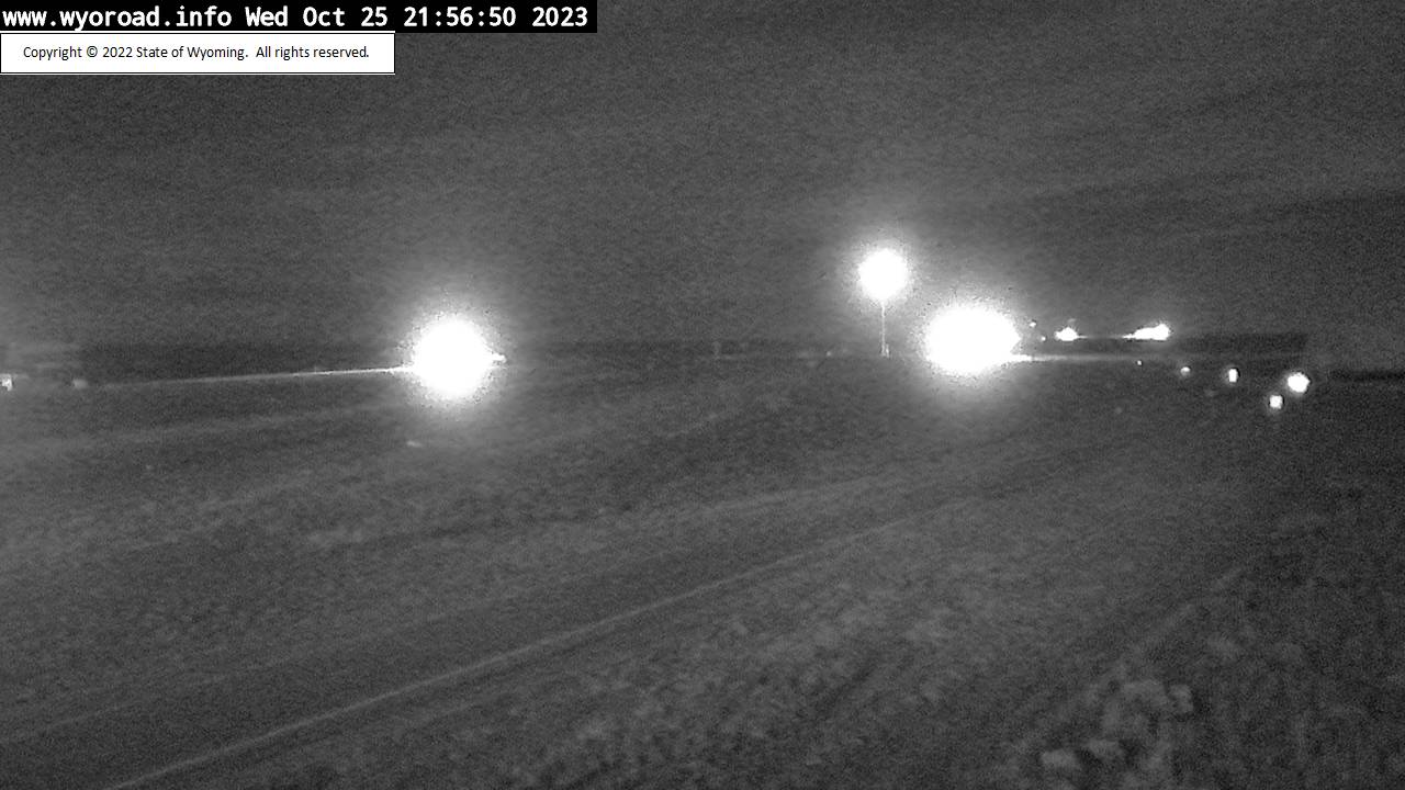
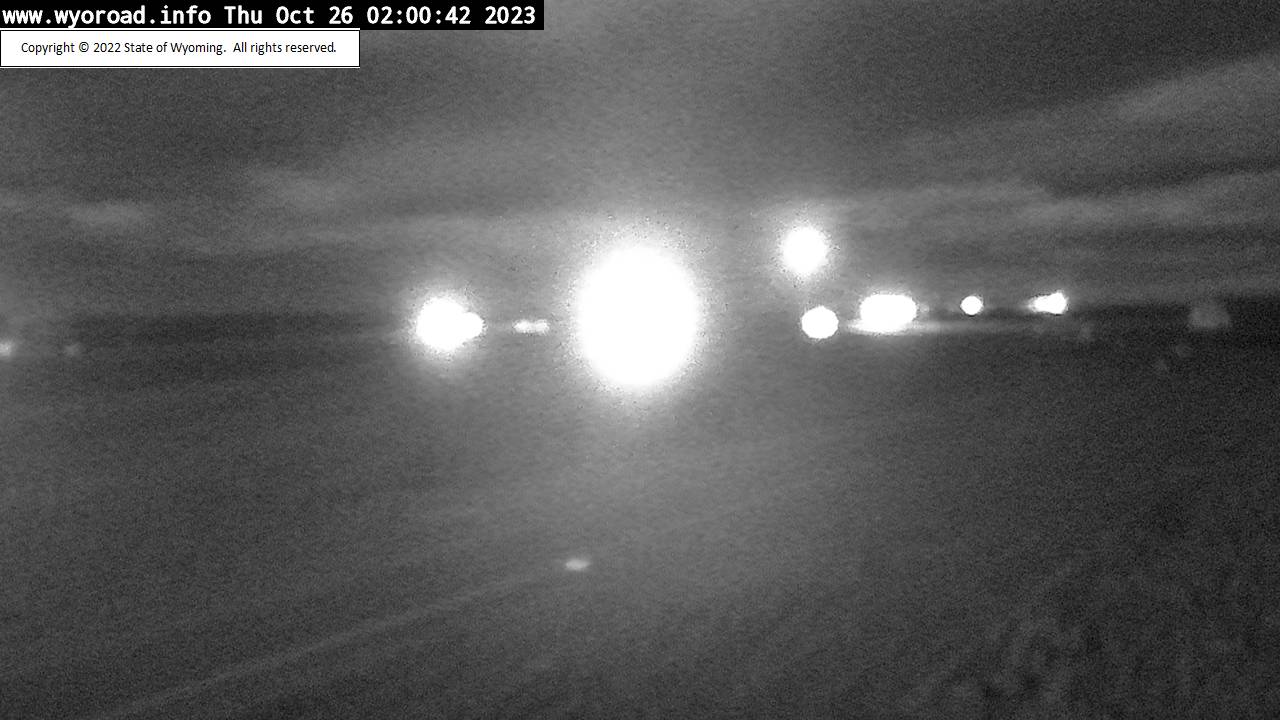
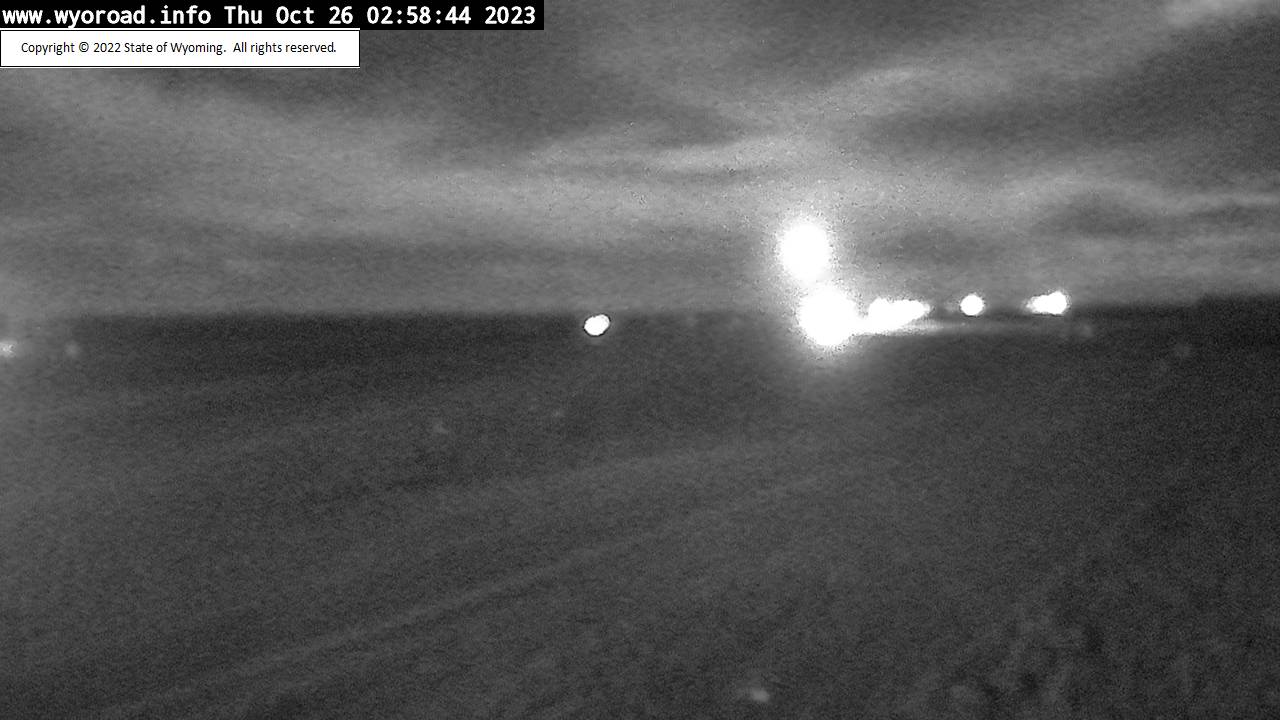
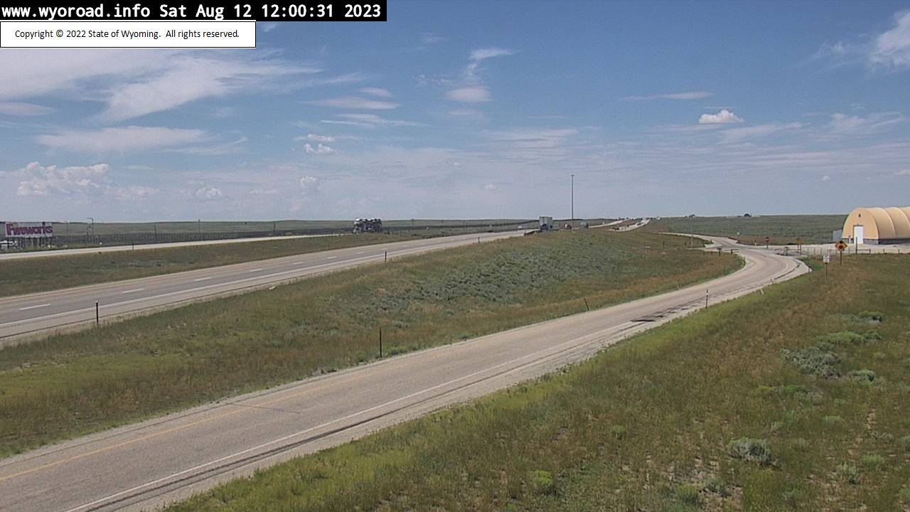
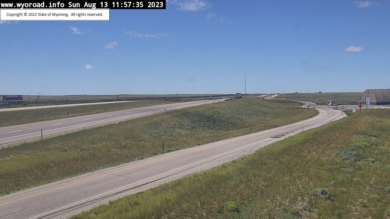
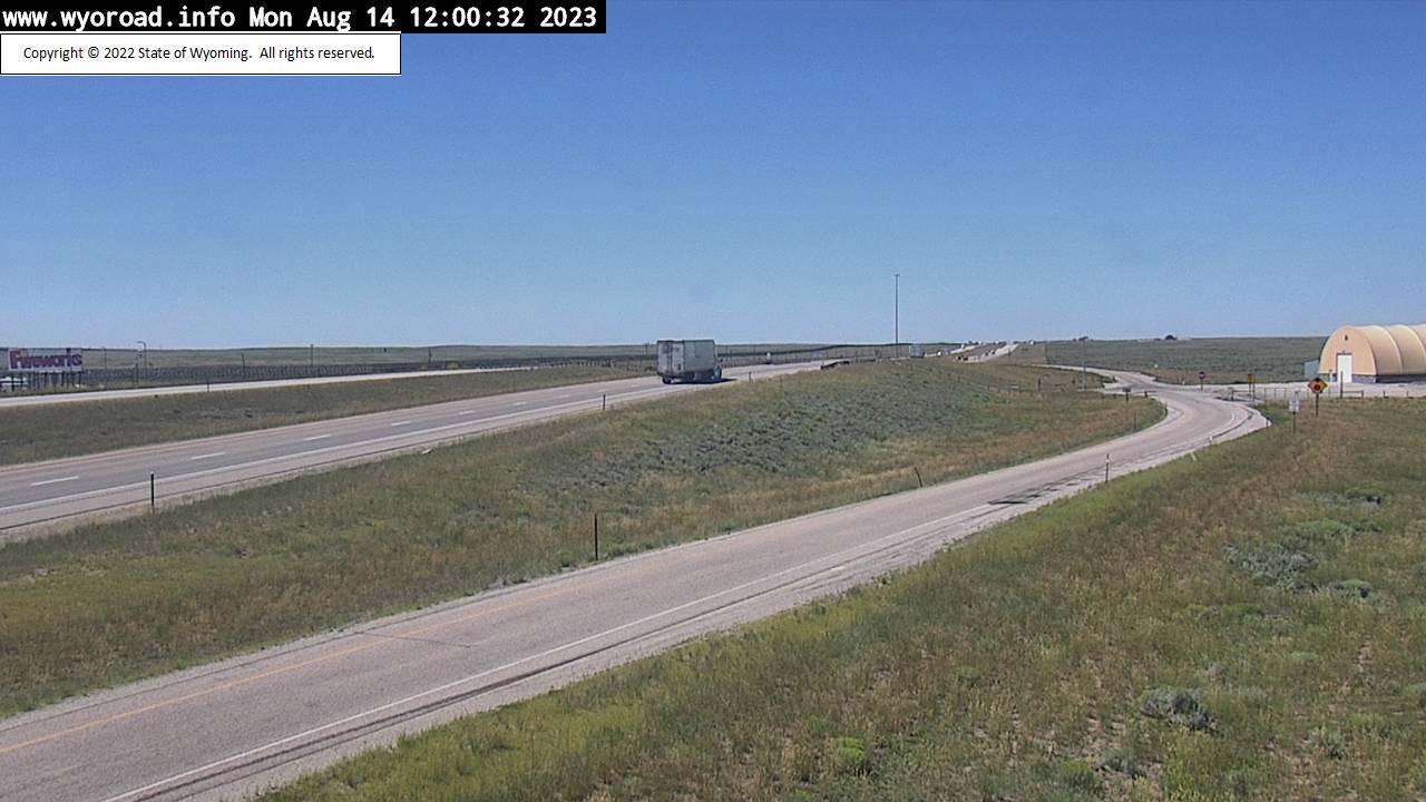
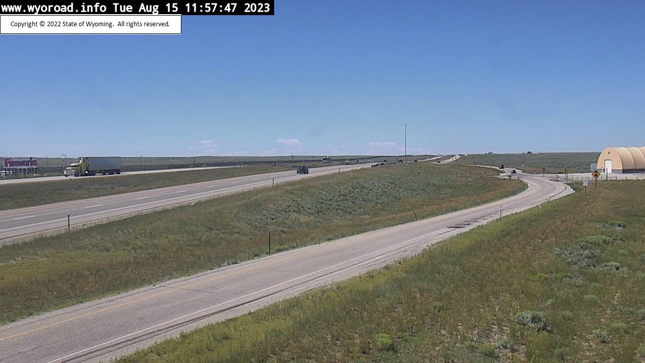
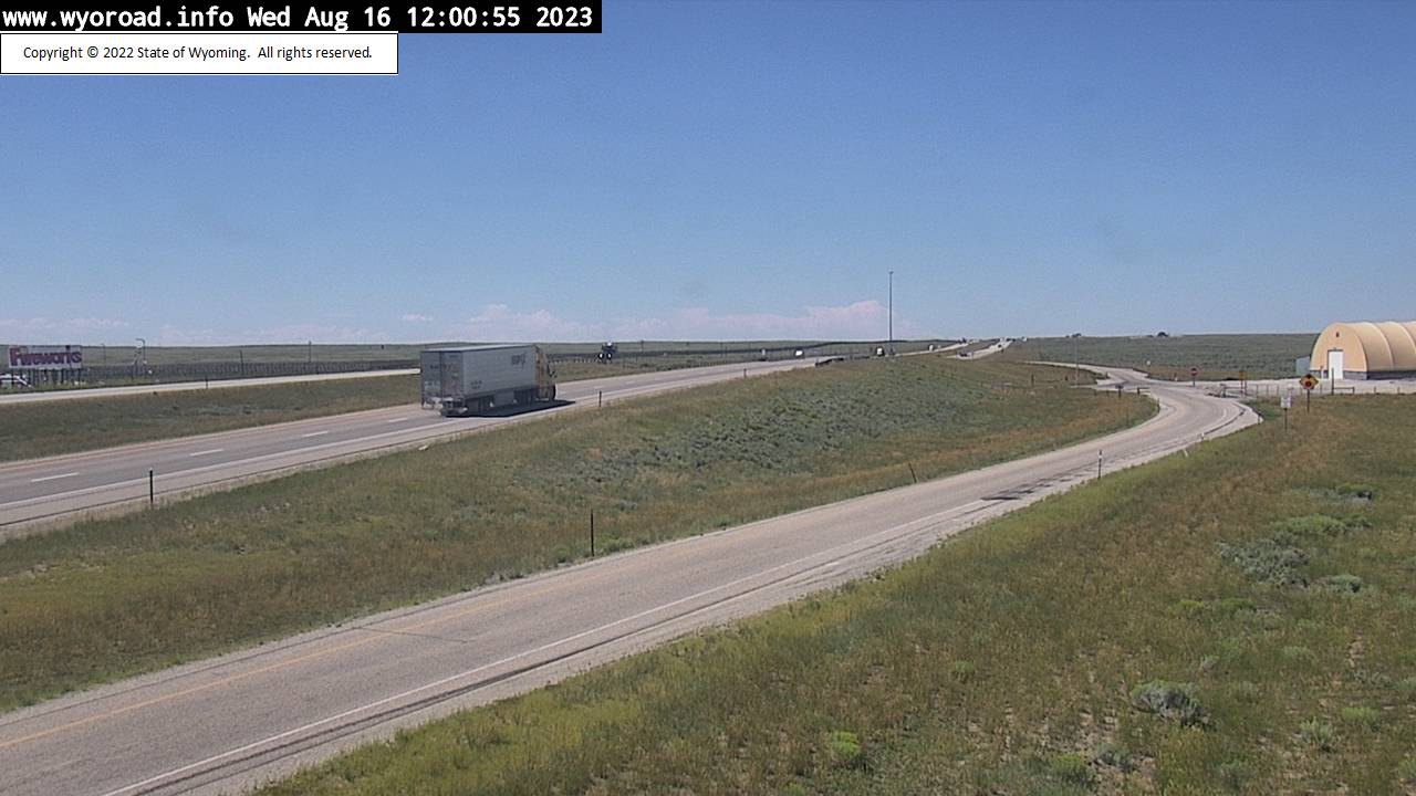
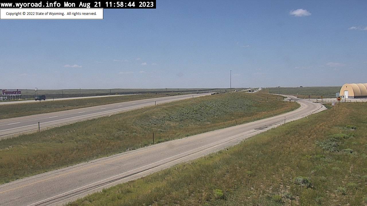
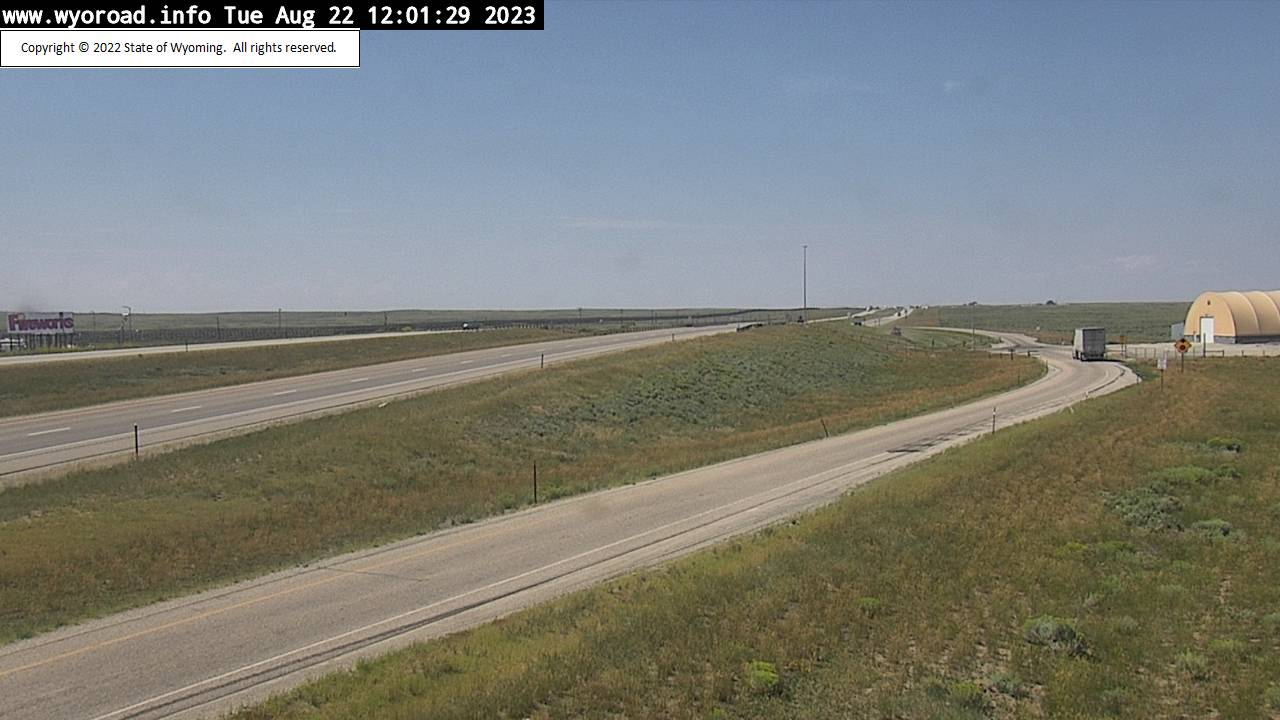
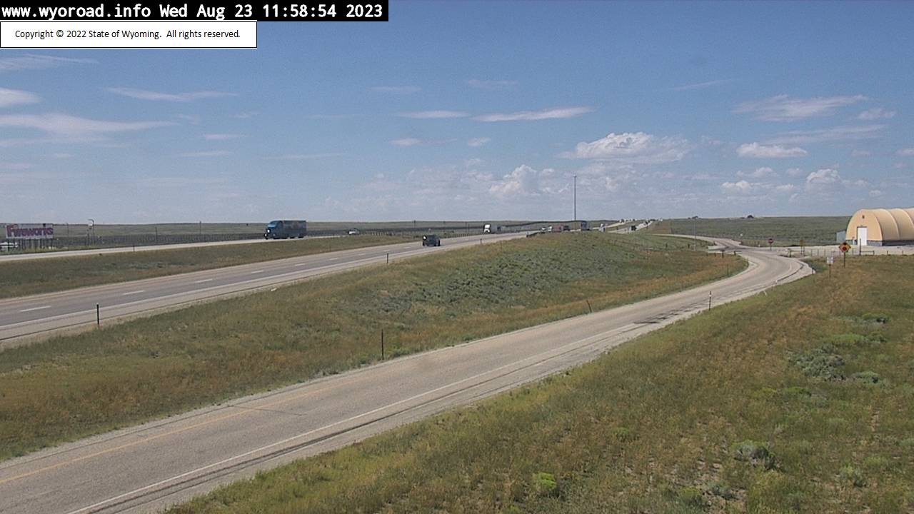
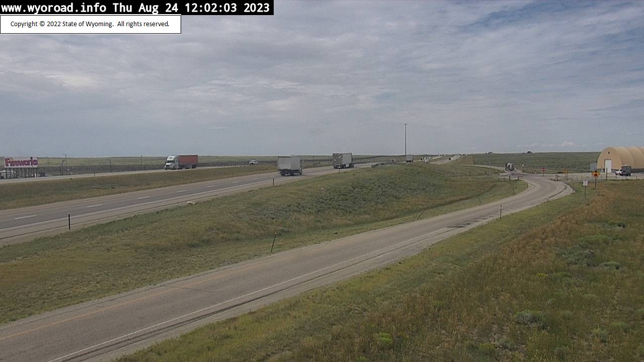
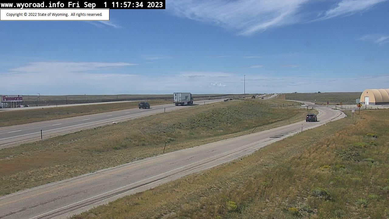
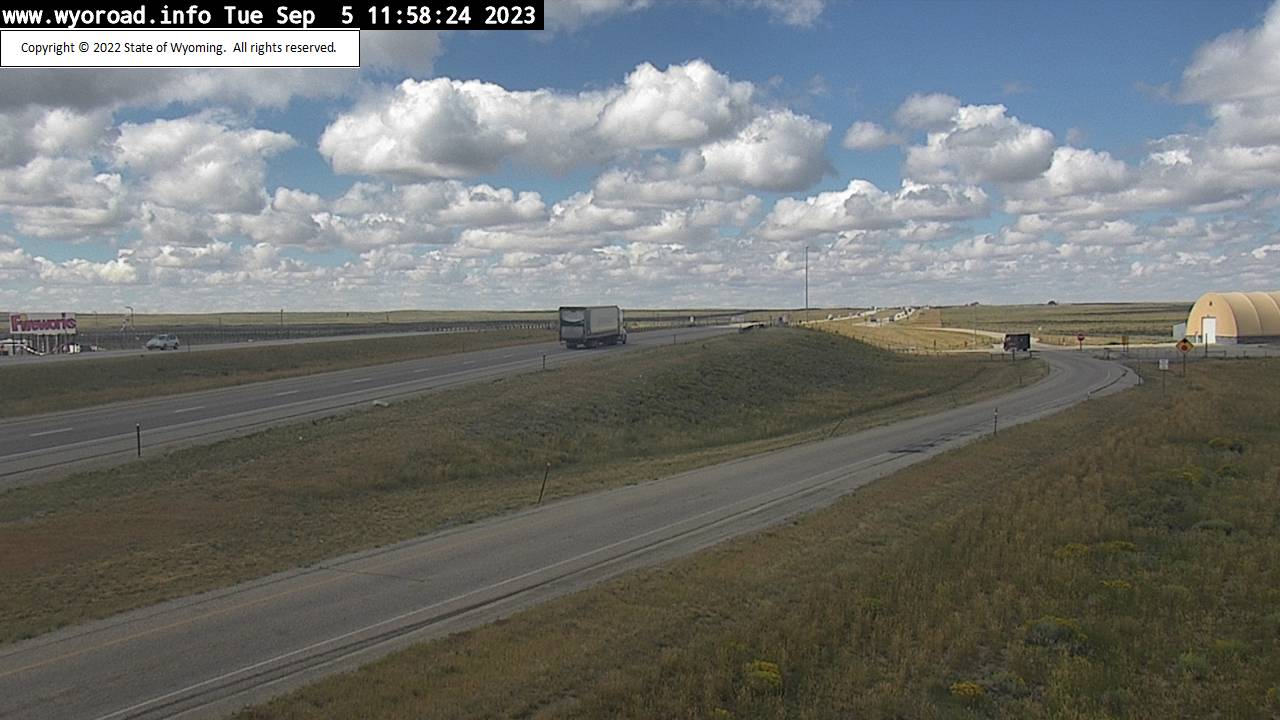
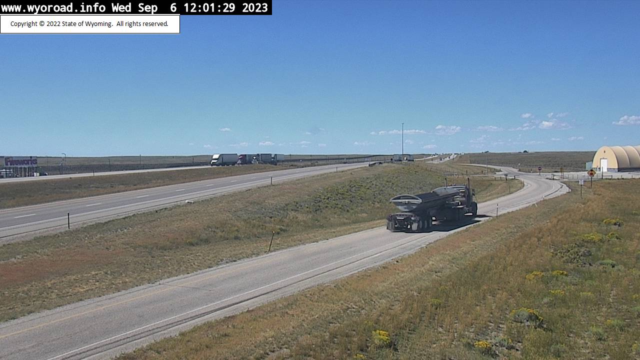
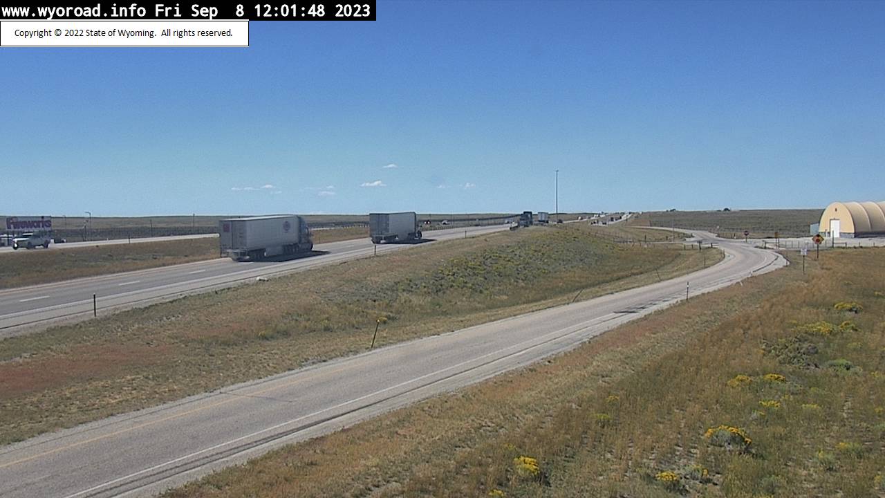
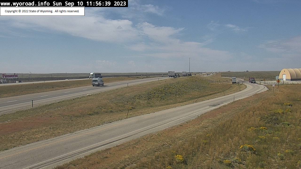
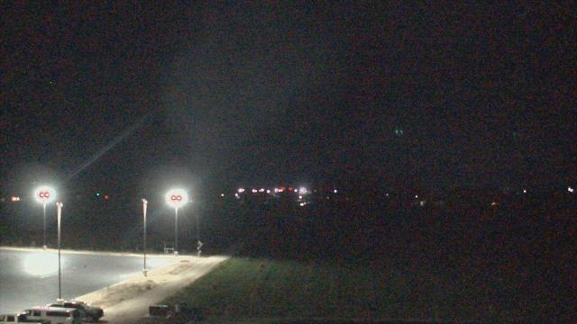
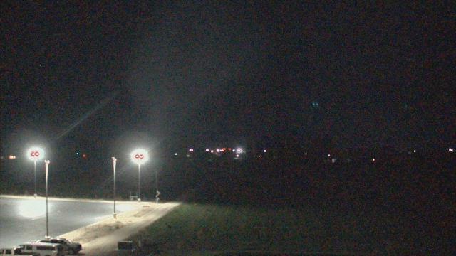
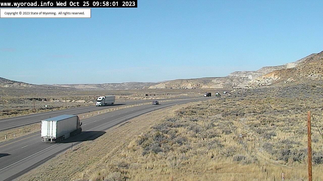
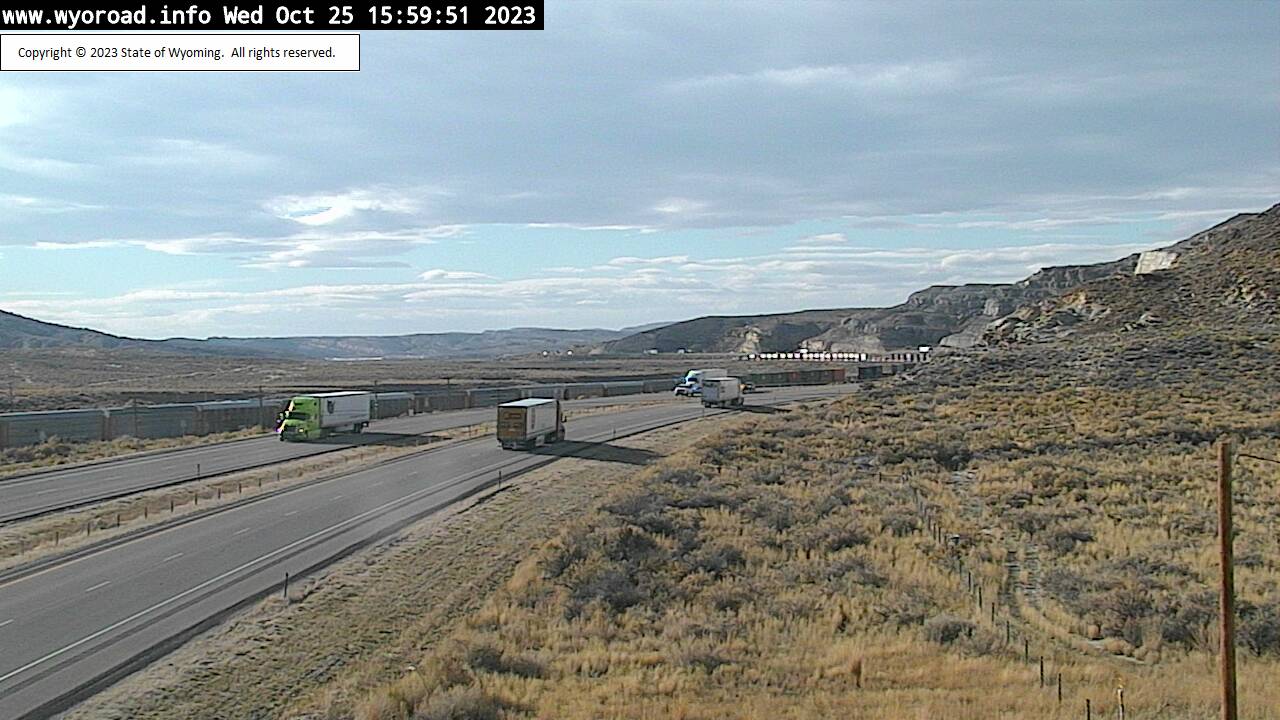
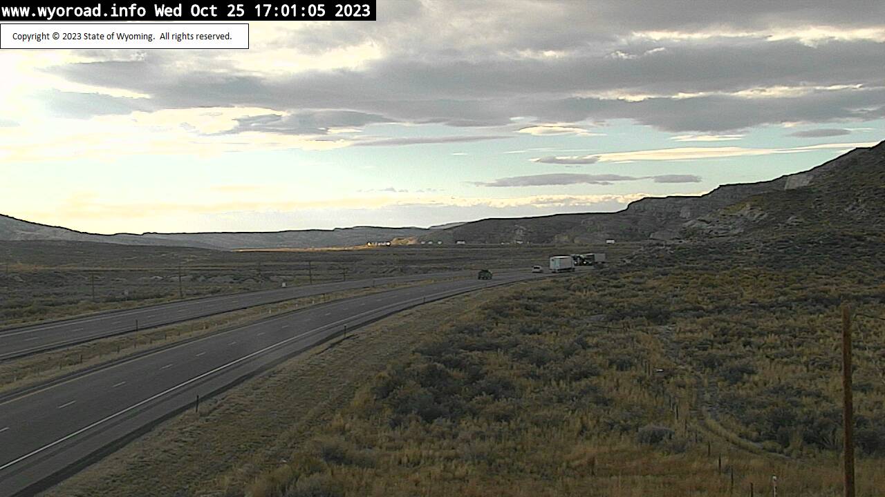
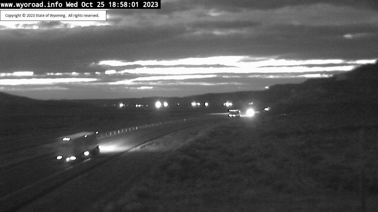
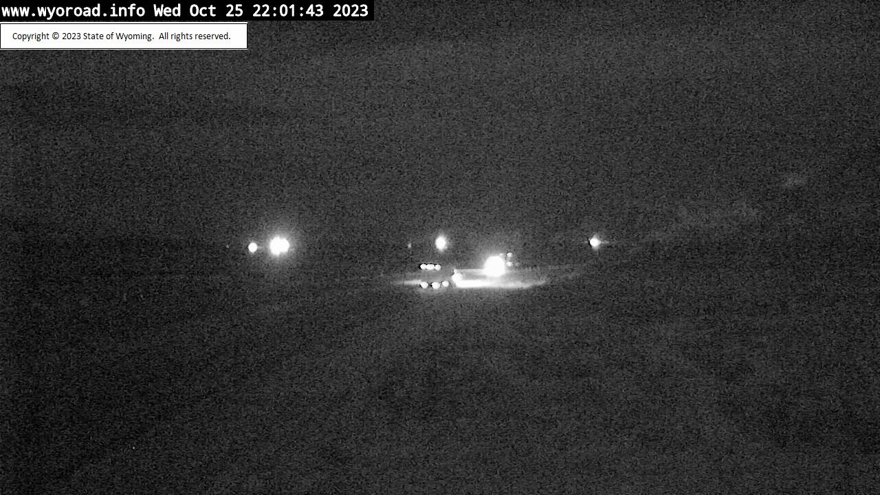
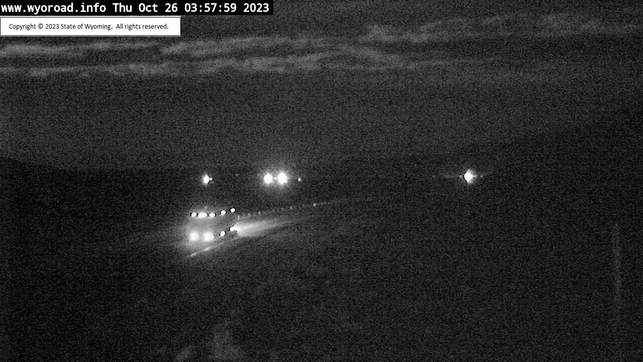
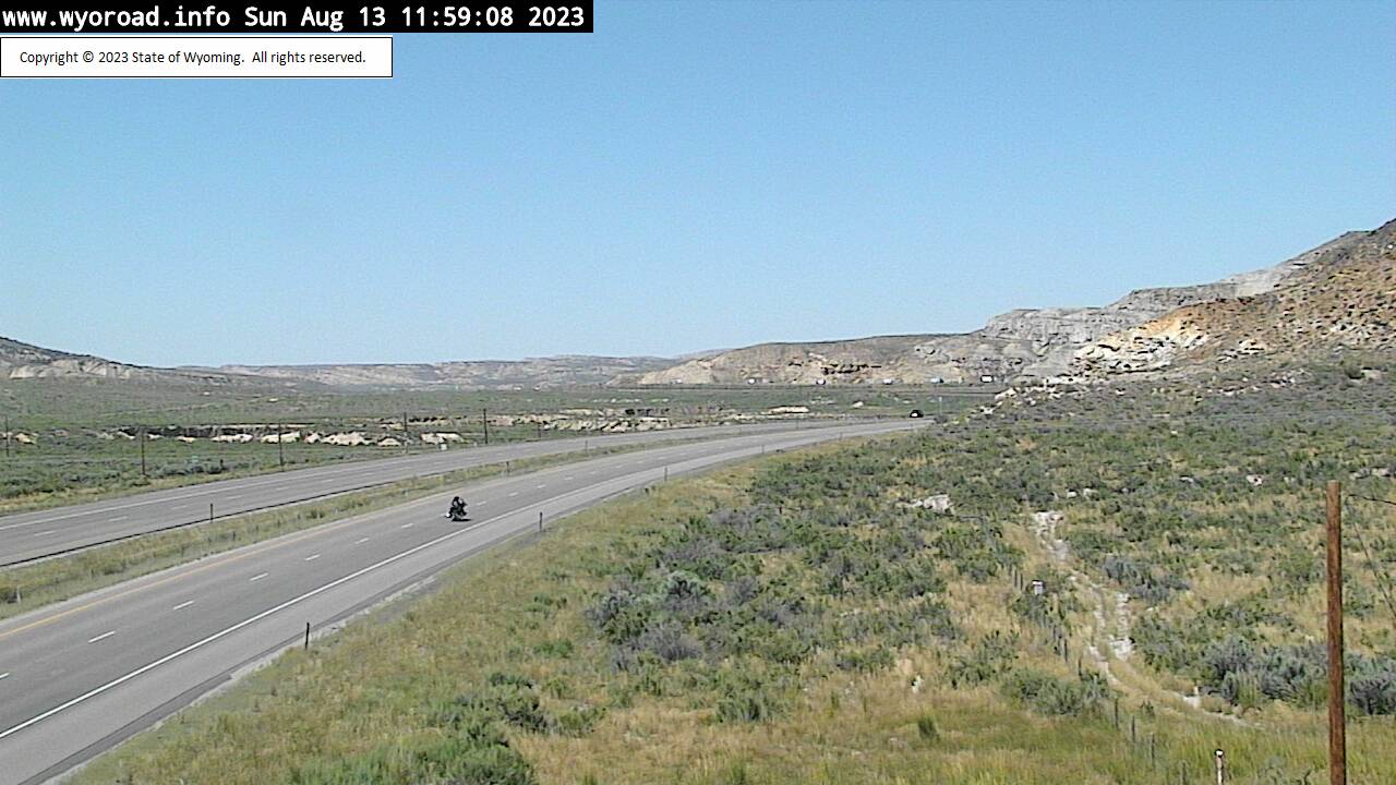
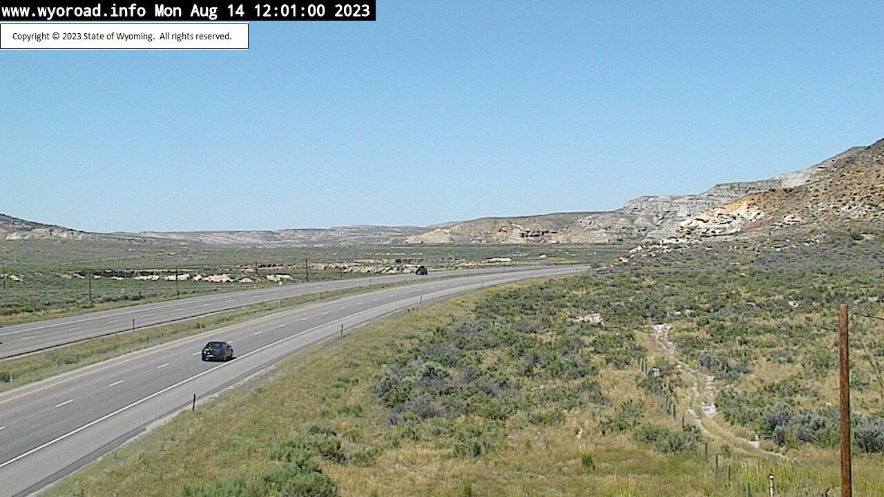
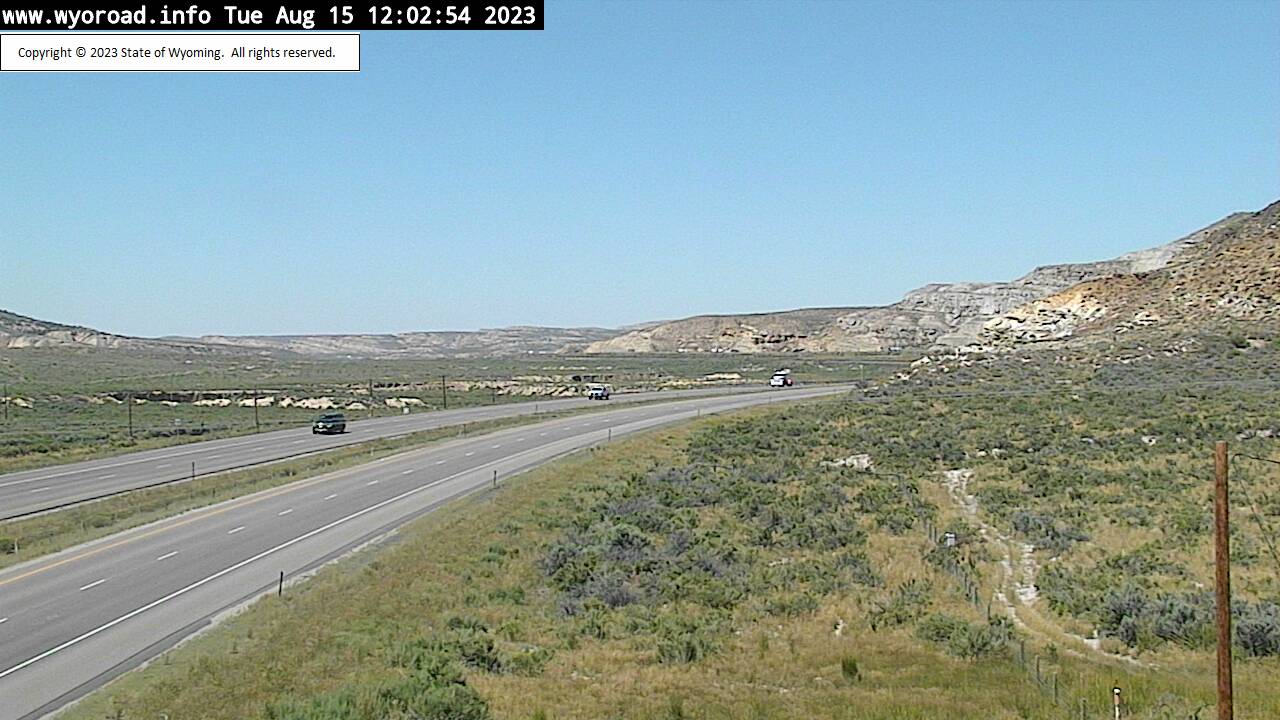
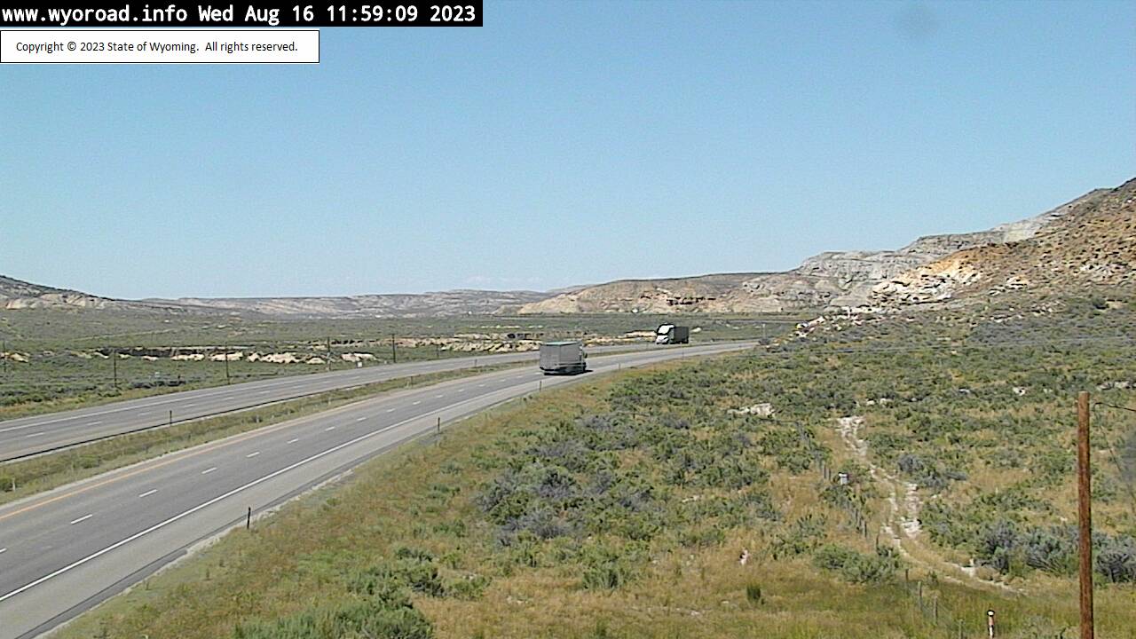
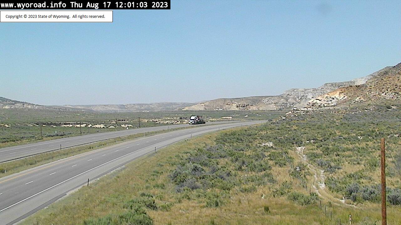
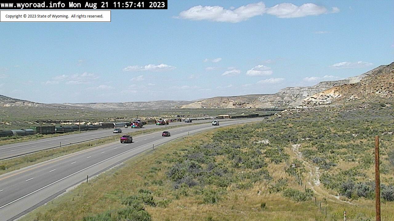
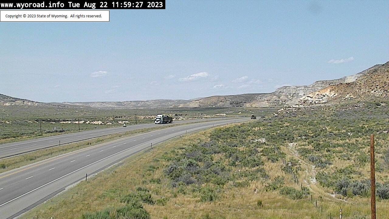
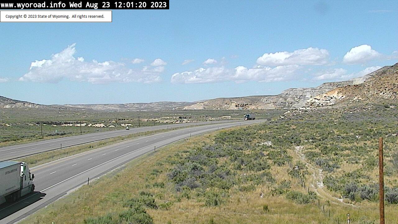
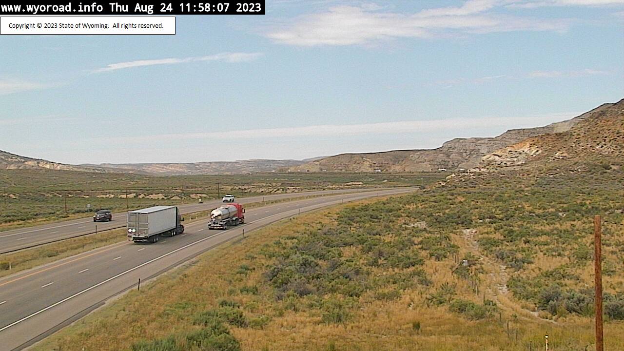
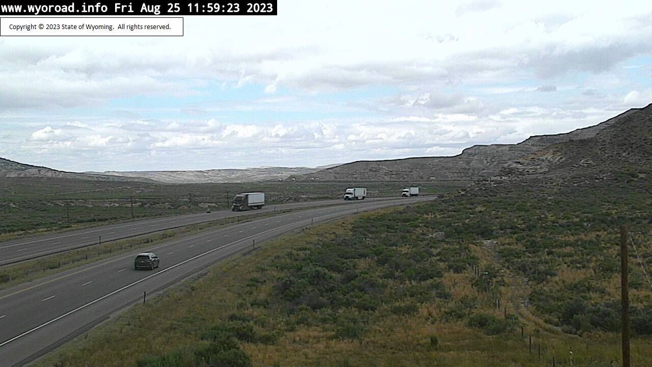
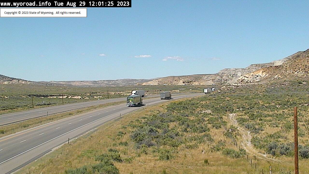
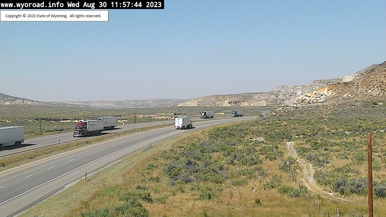
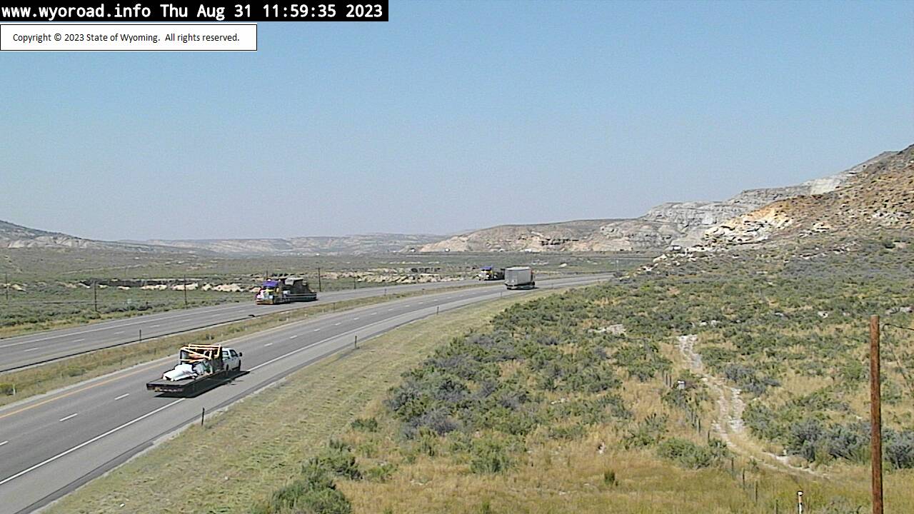
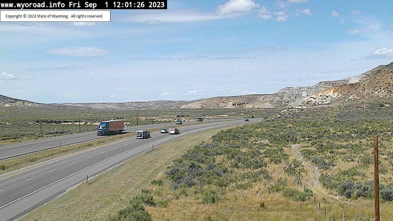
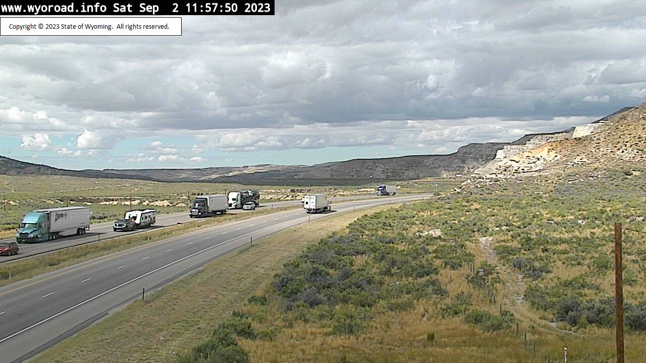
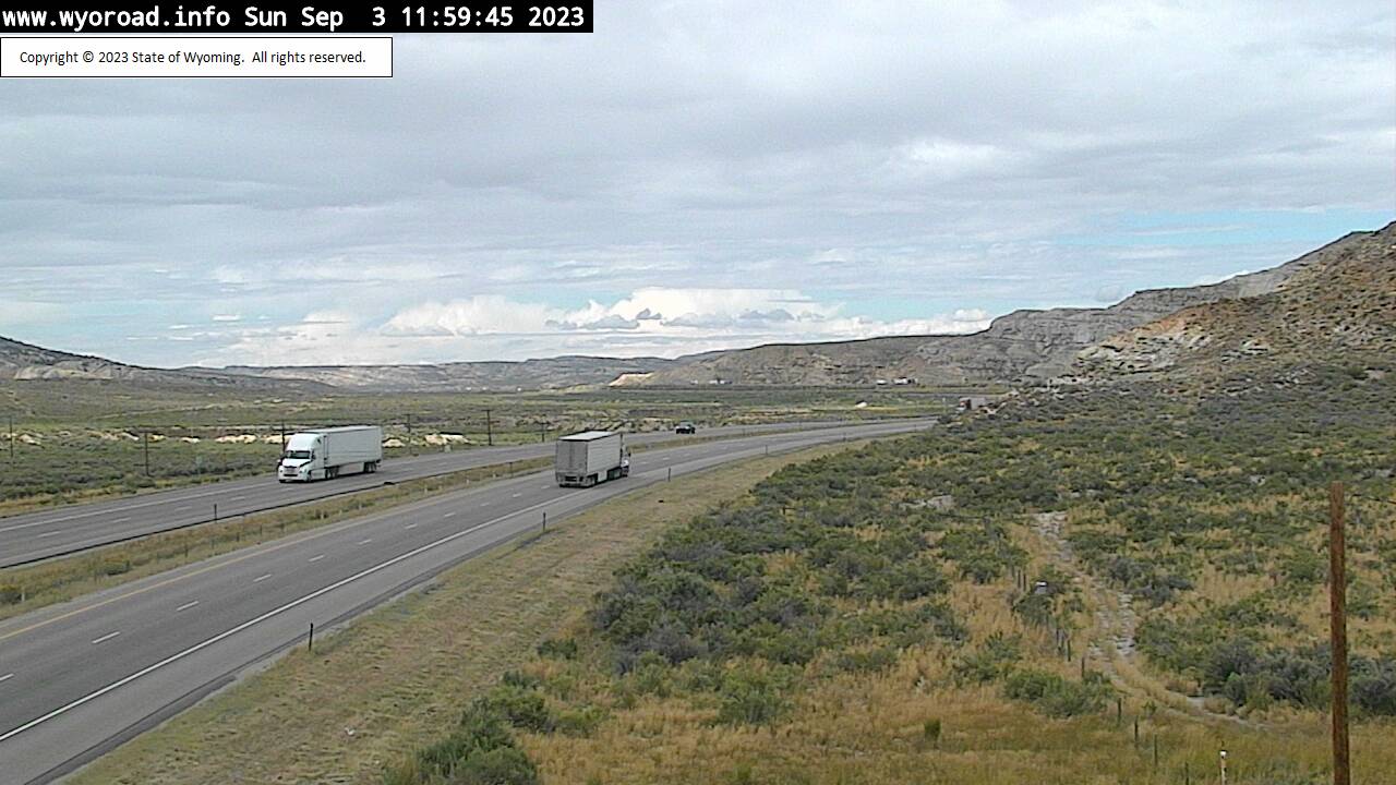
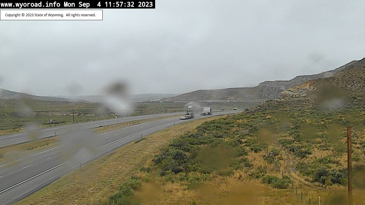
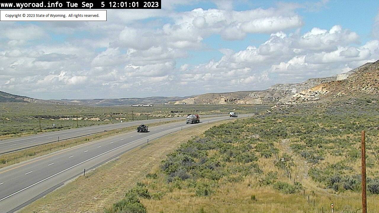
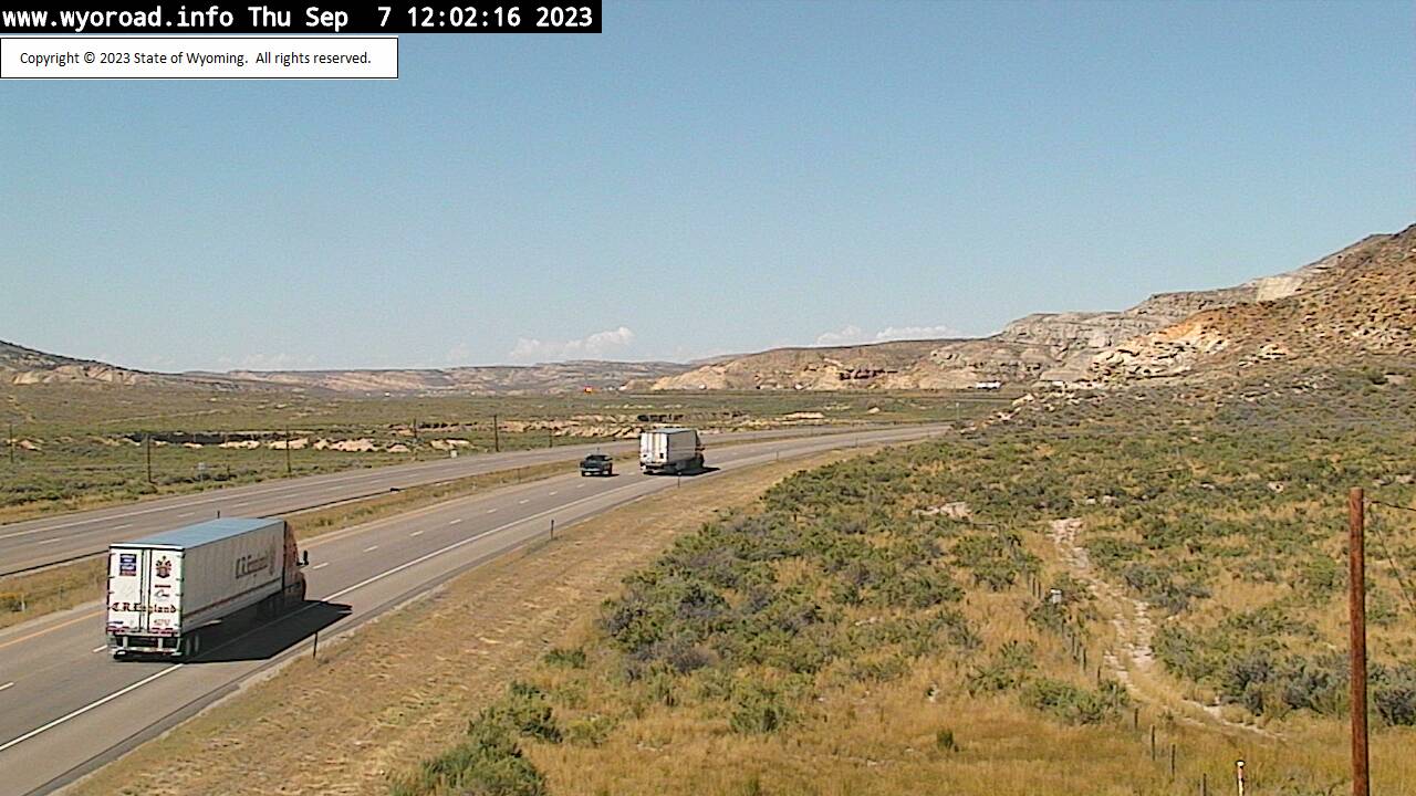
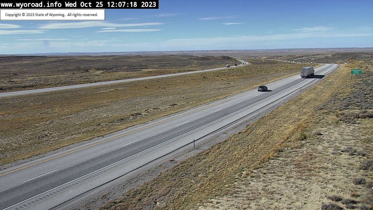
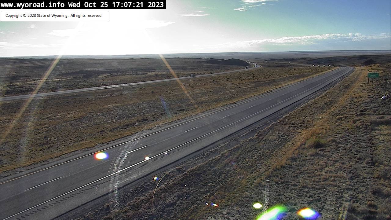
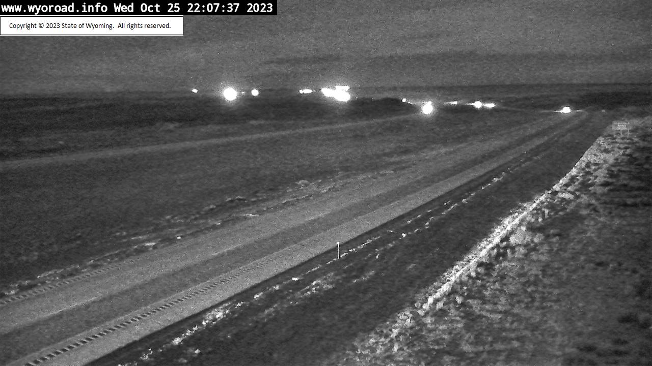
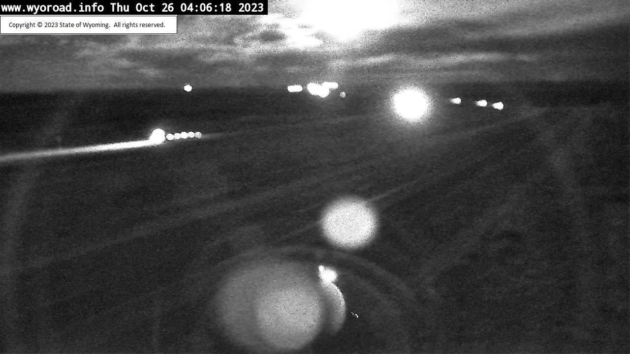
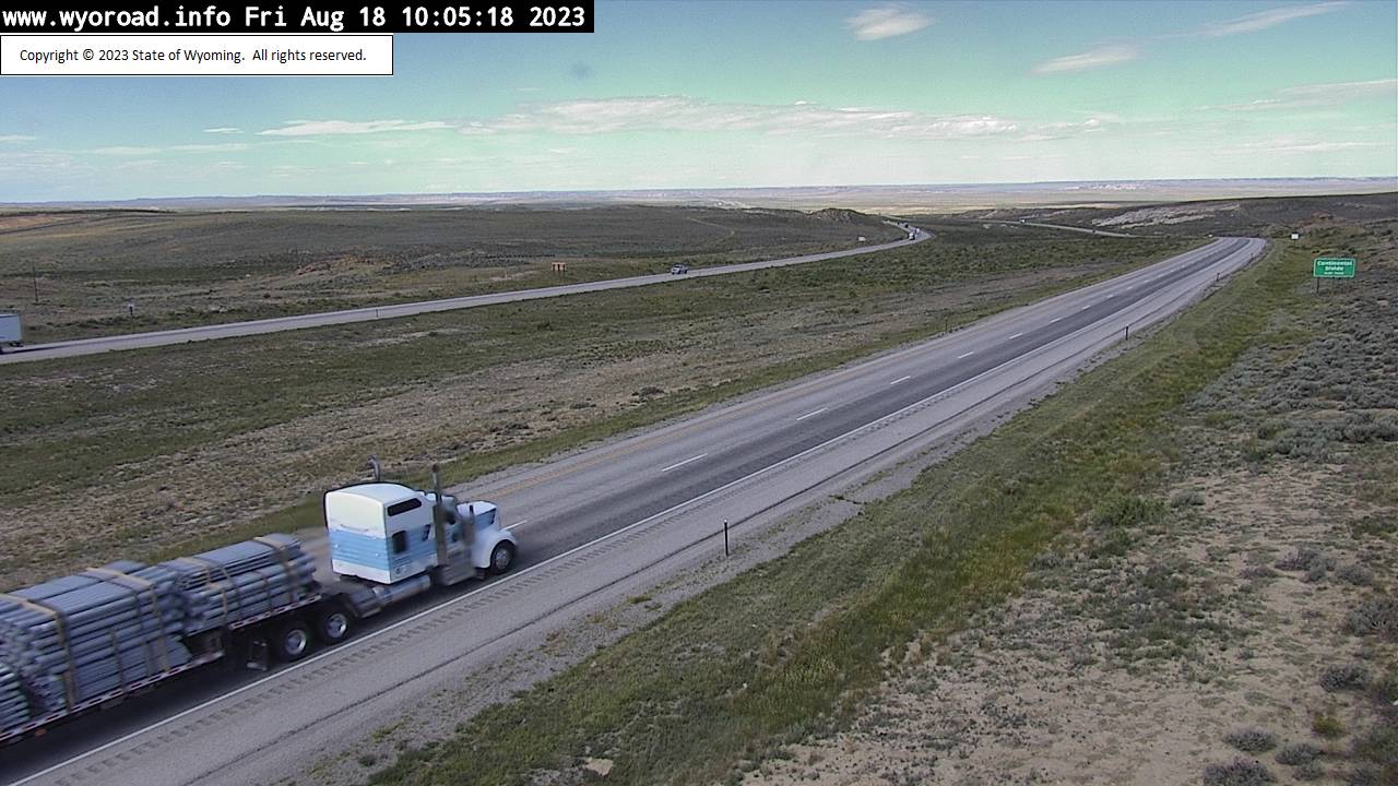
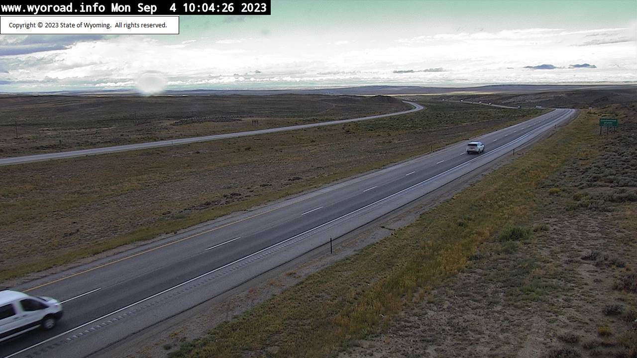
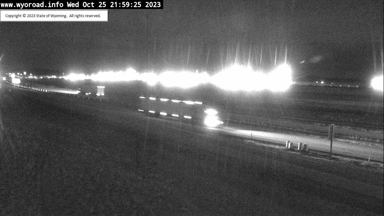
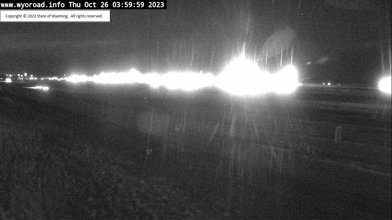
Encampment, Wyoming, USA - 73.8 miles from Lay: Traffic and Weather - A view of the current traffic and weather situation.
Operator: WYDOT Travel Information Service
Operator: WYDOT Travel Information Service


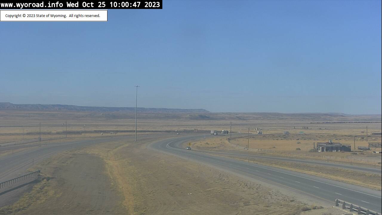
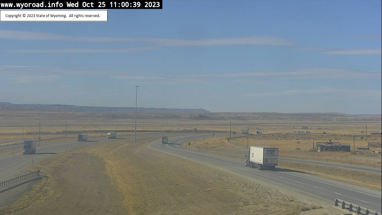
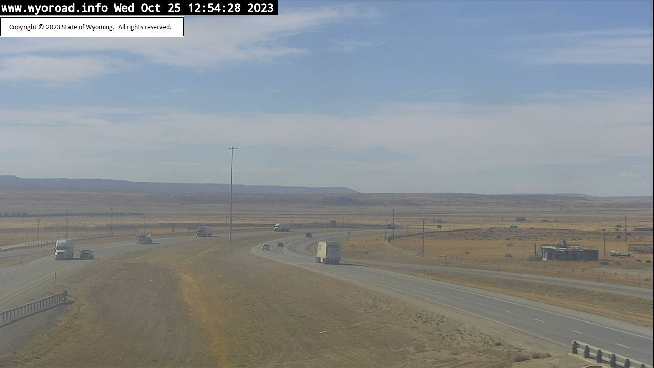
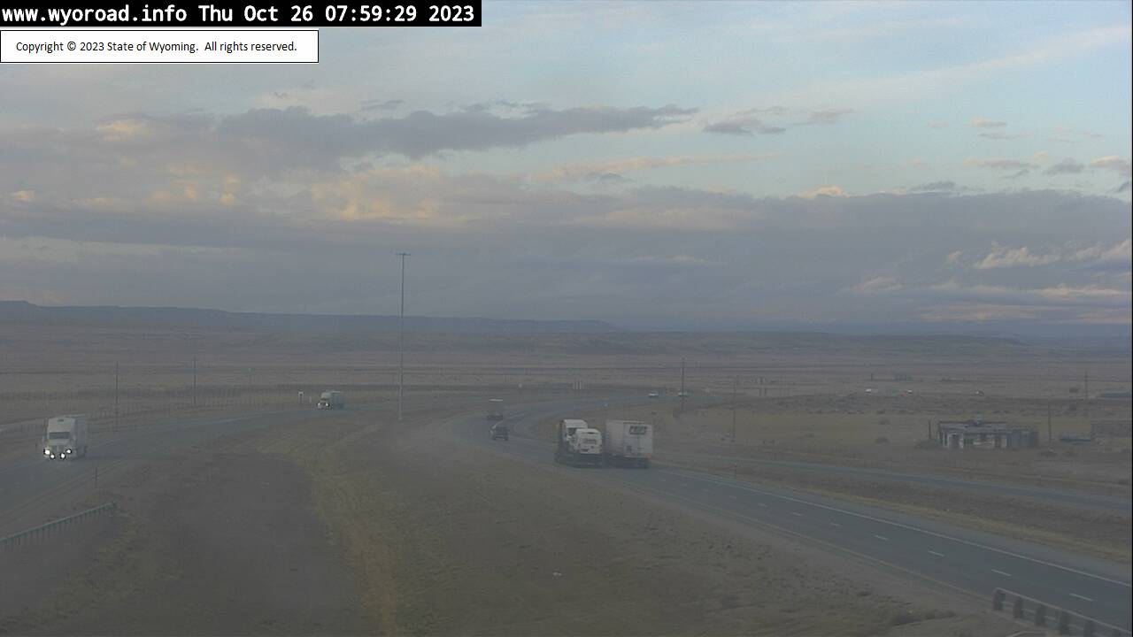
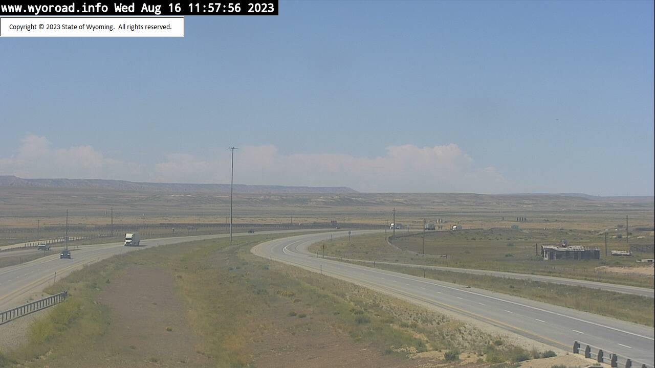
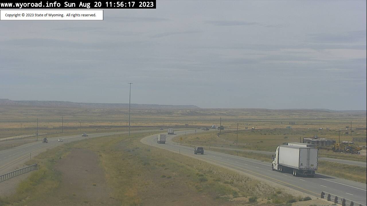
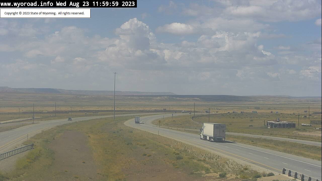
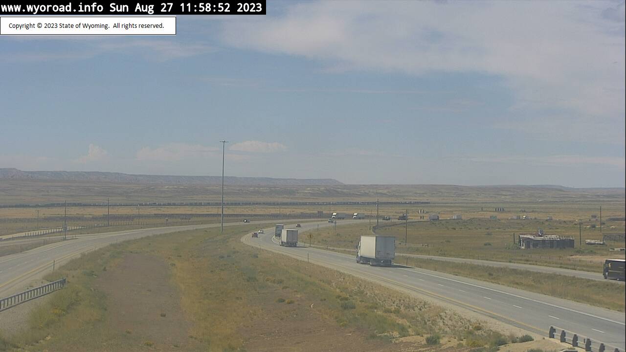
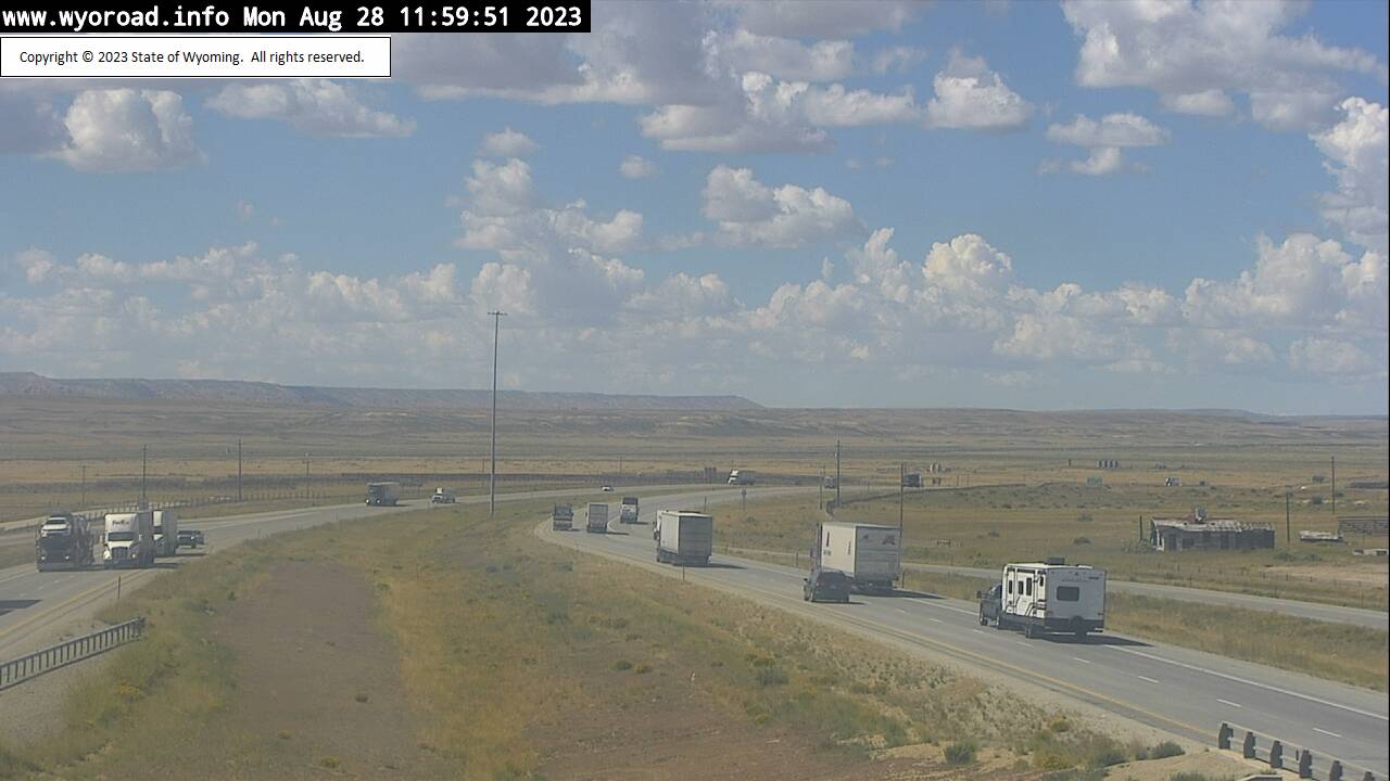
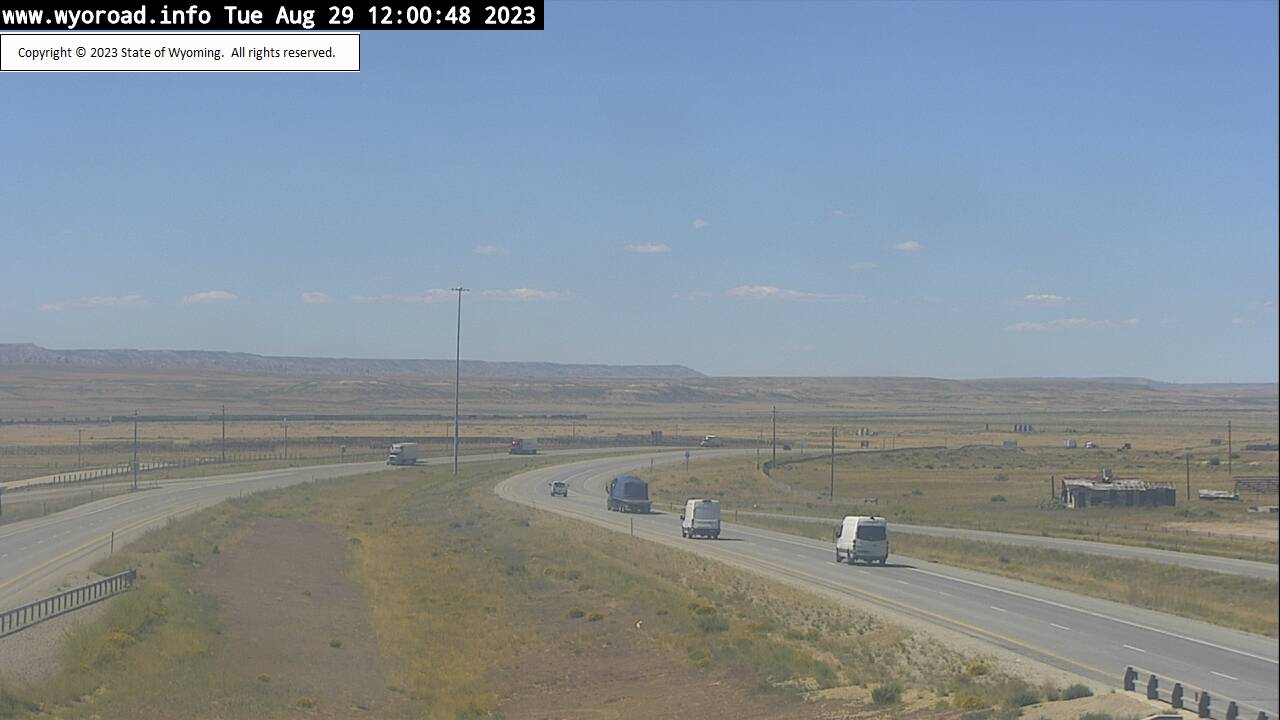
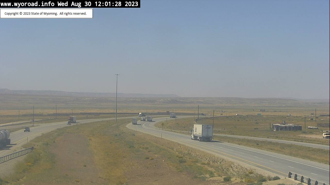
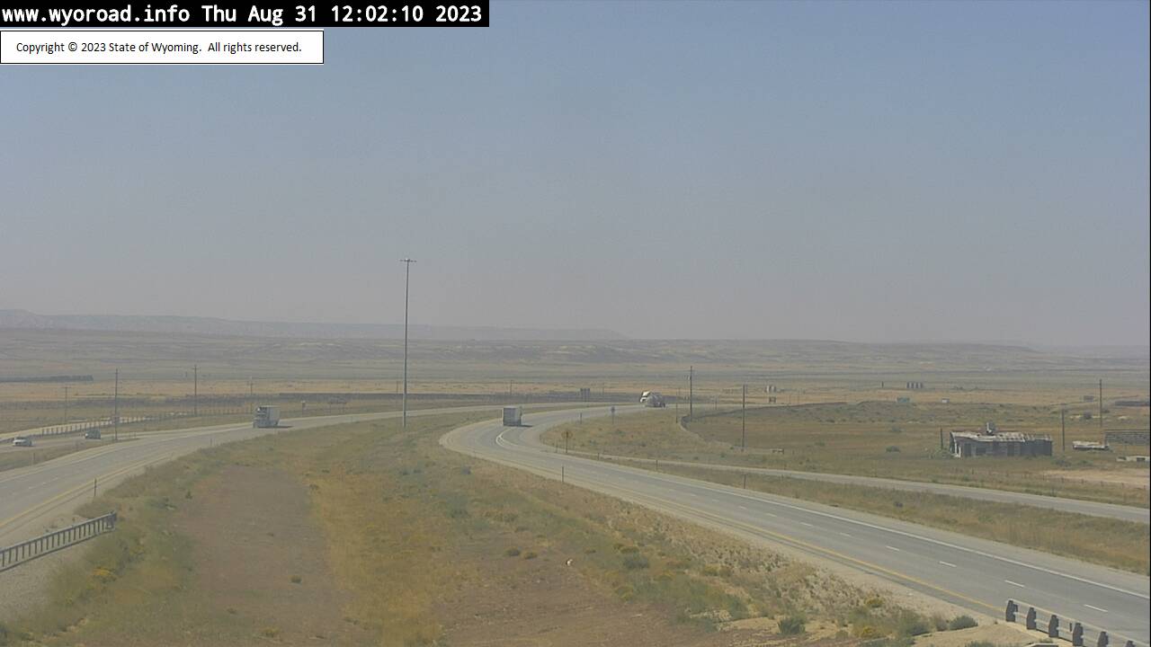
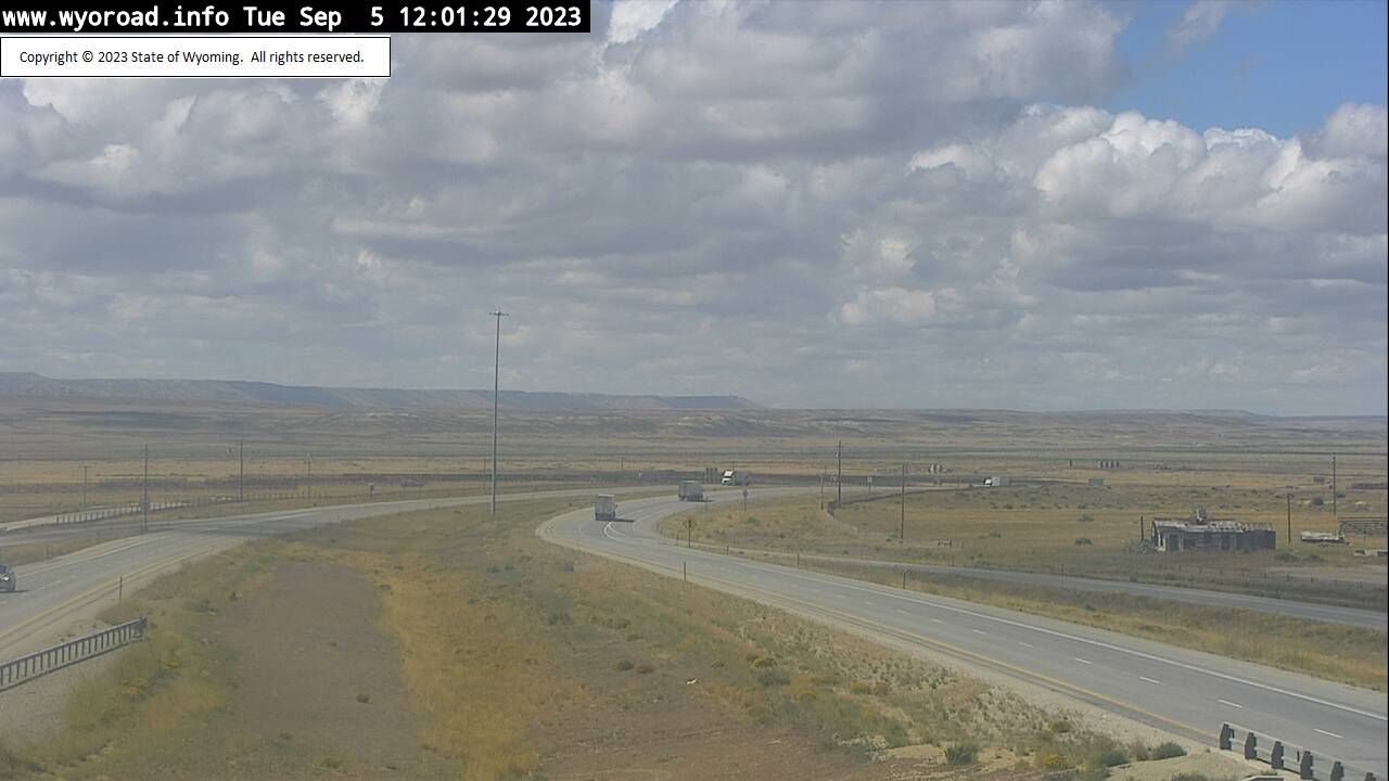
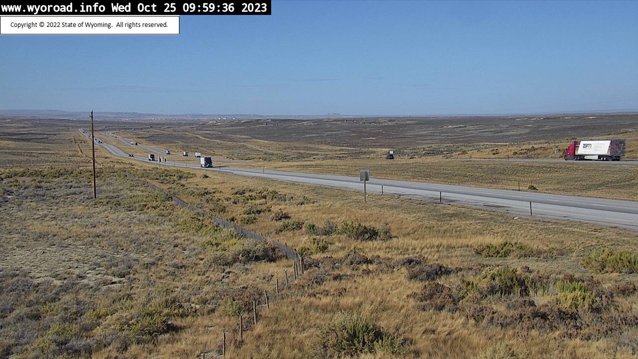
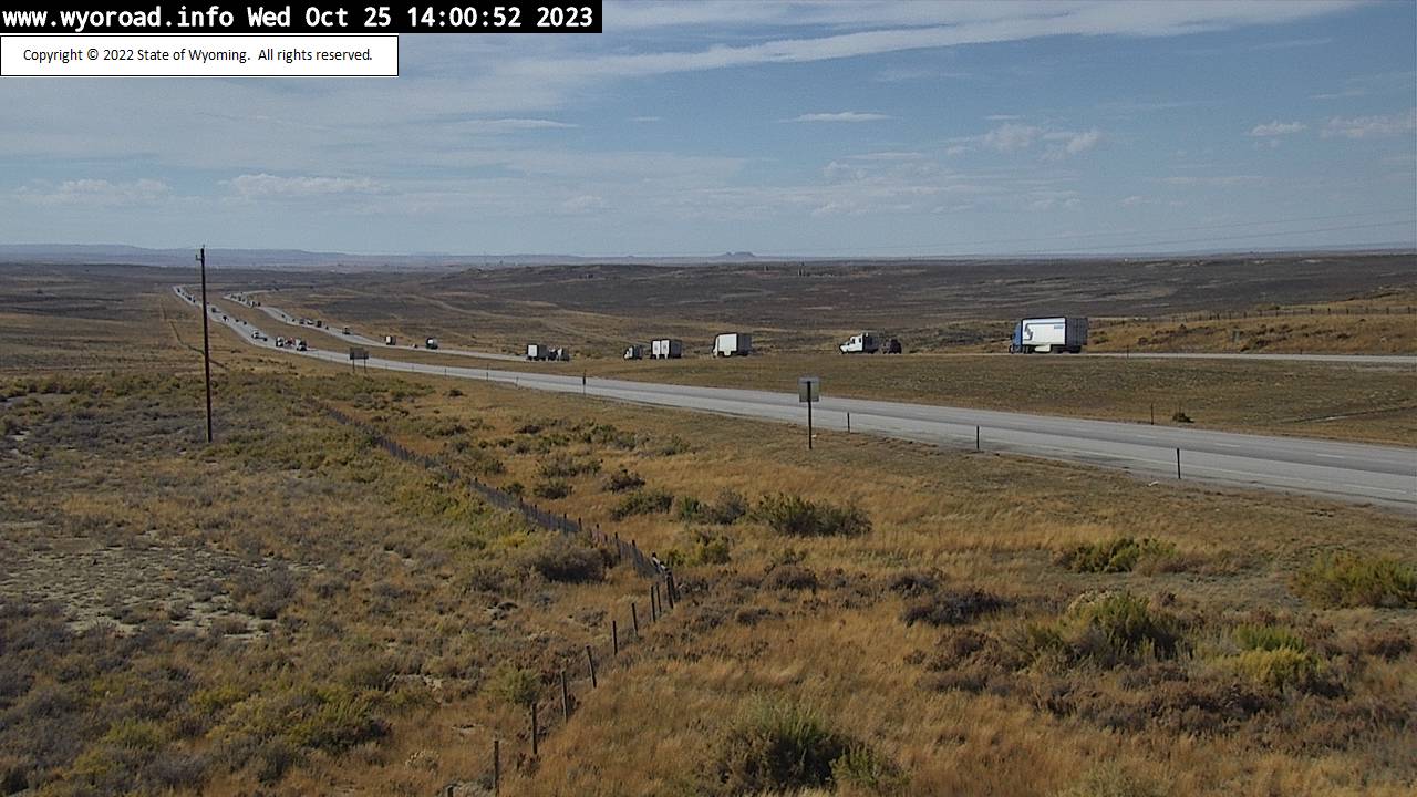
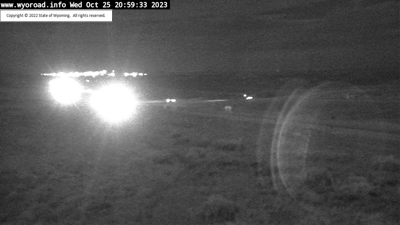
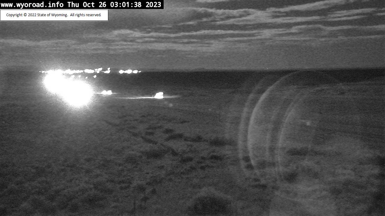
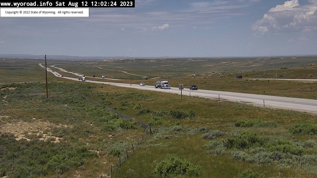
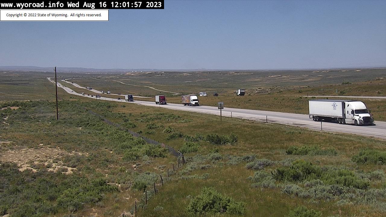
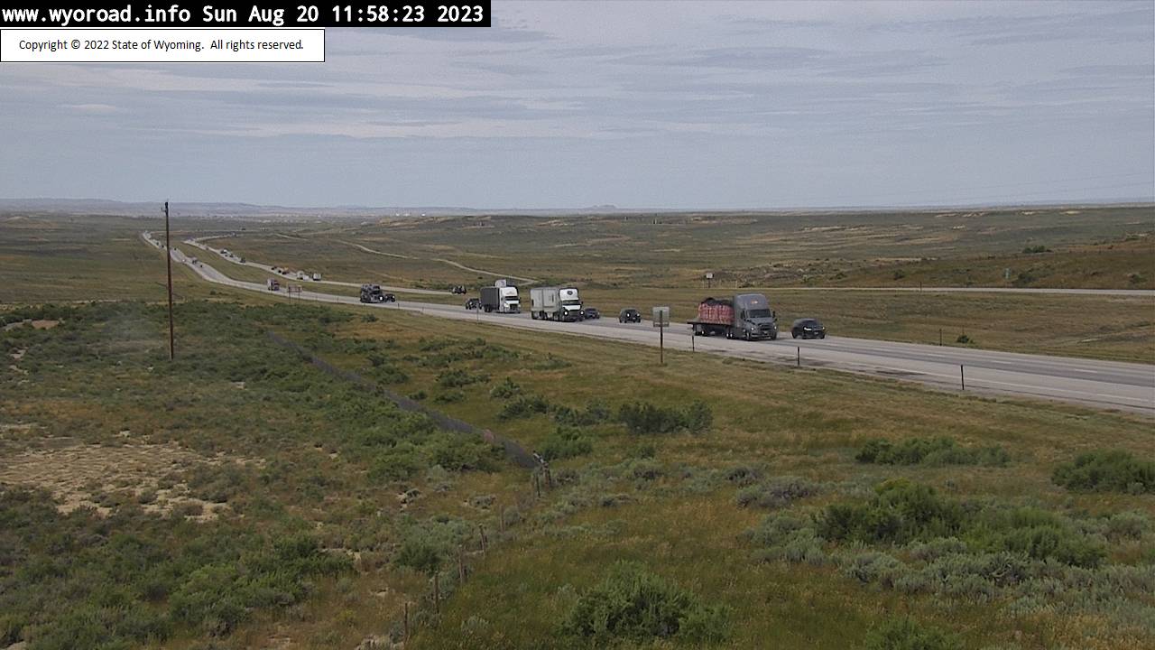
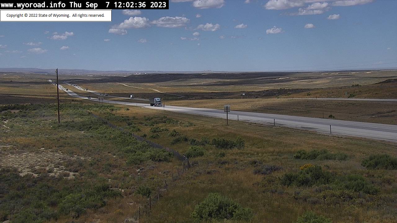
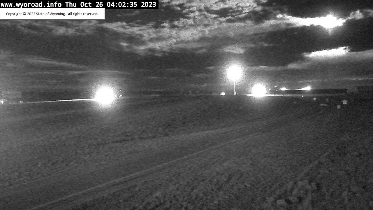
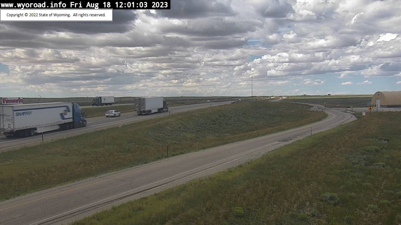
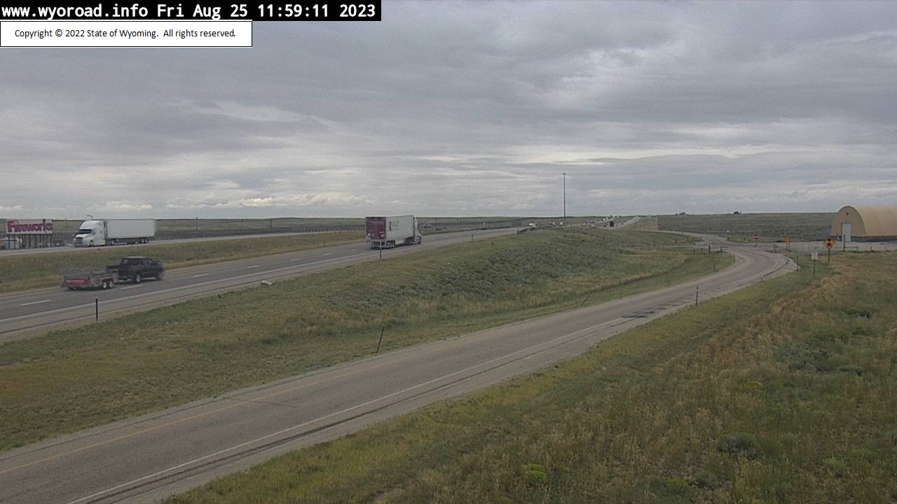
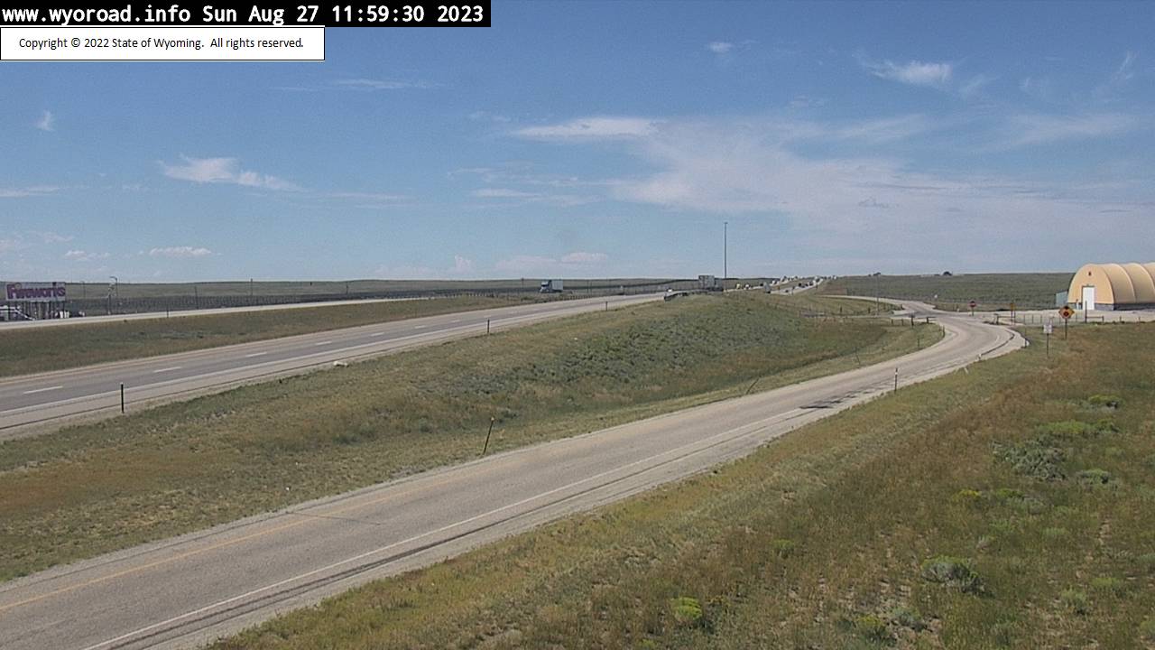
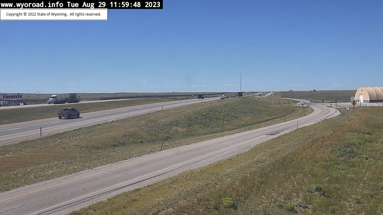
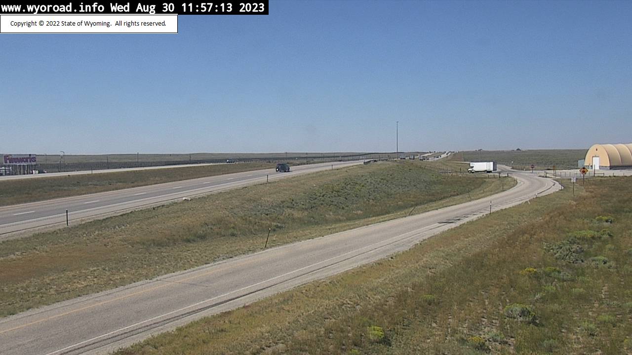
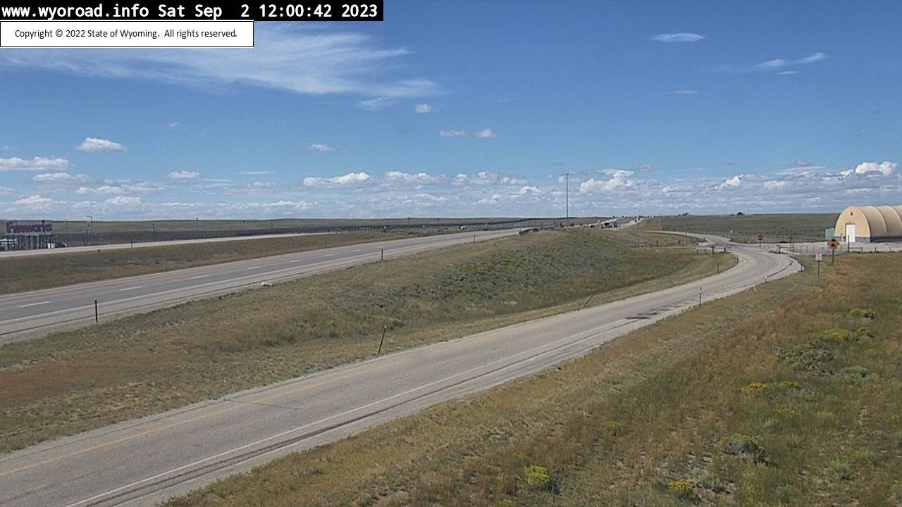
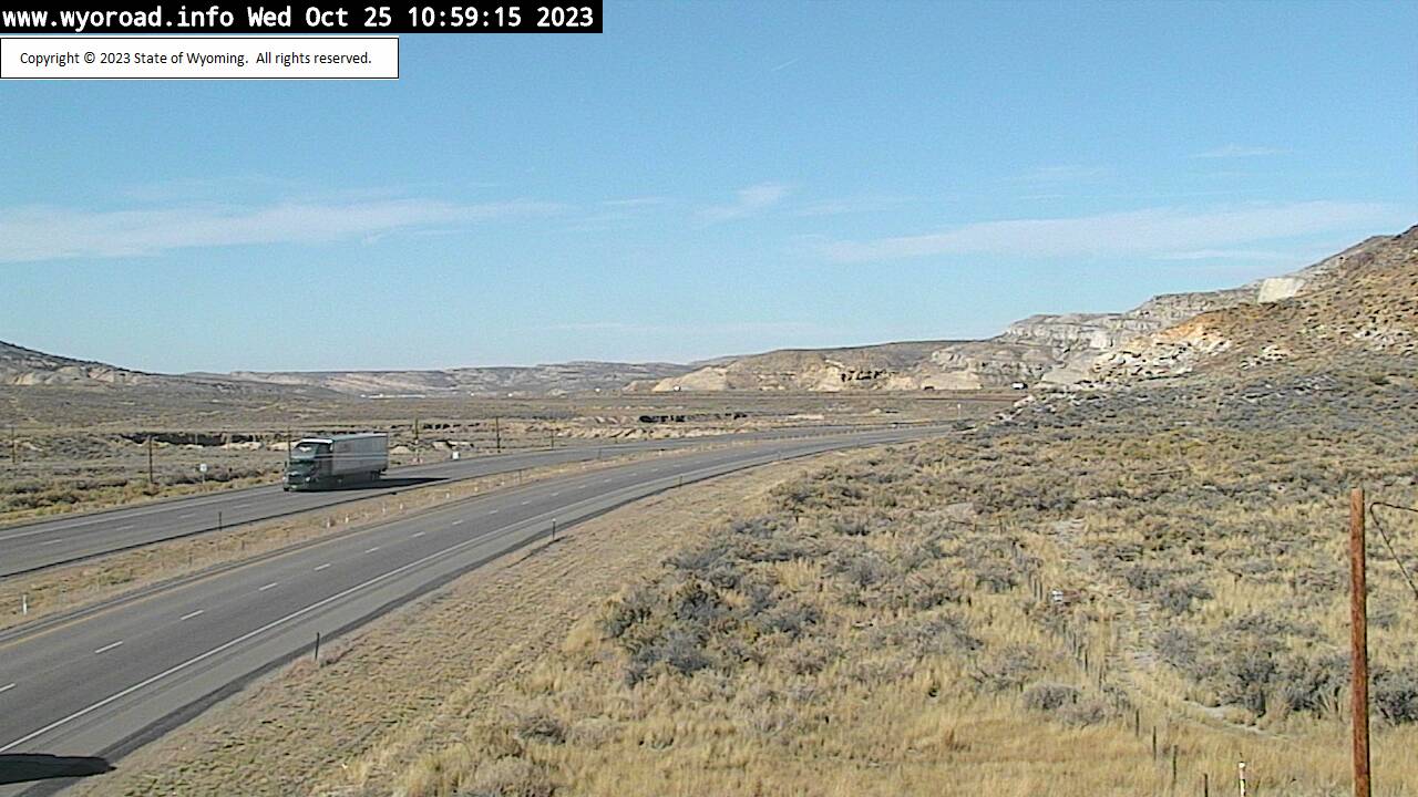
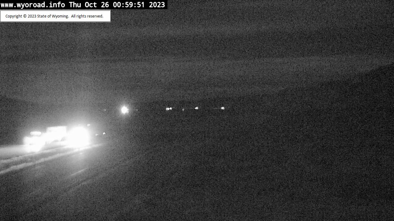
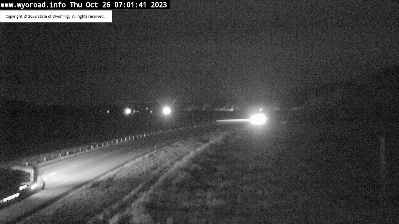
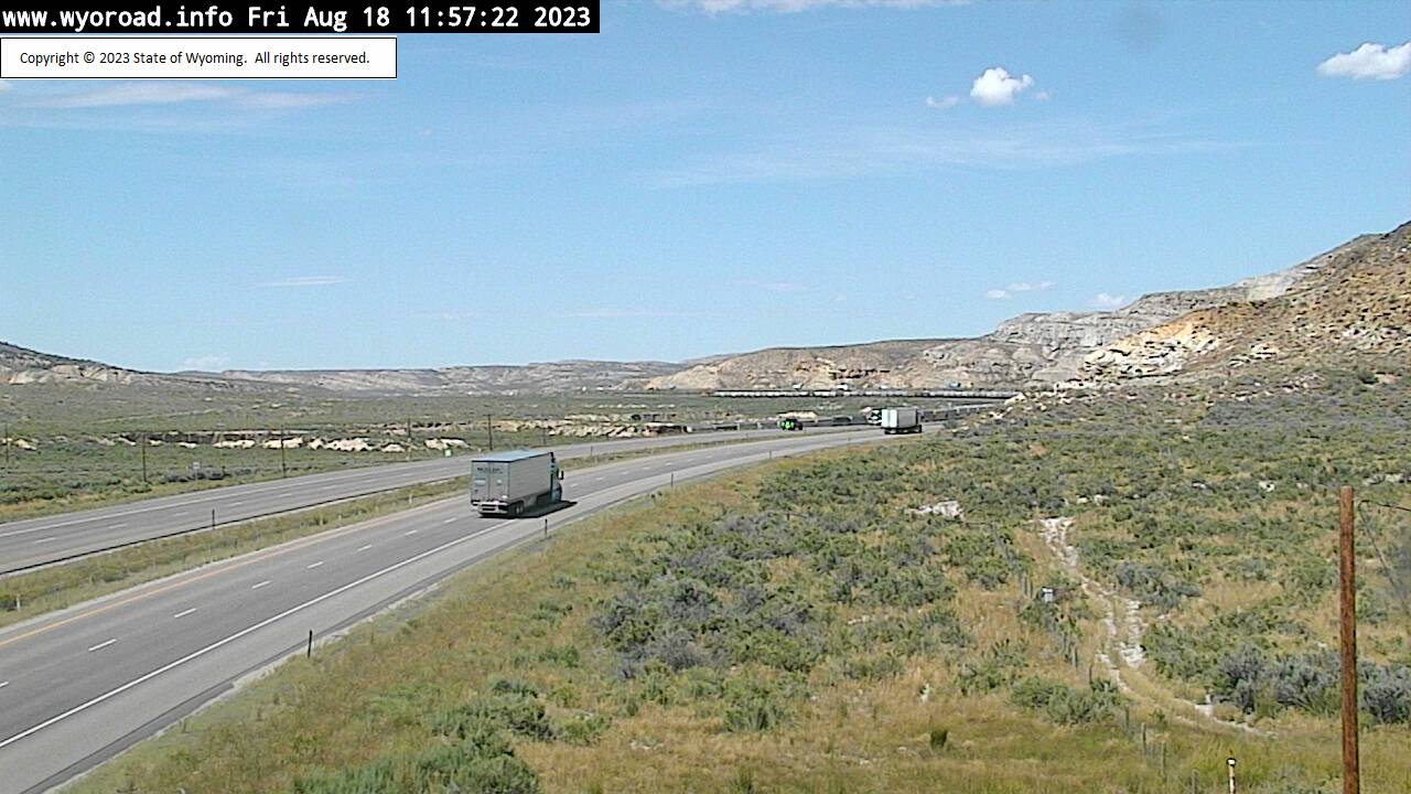
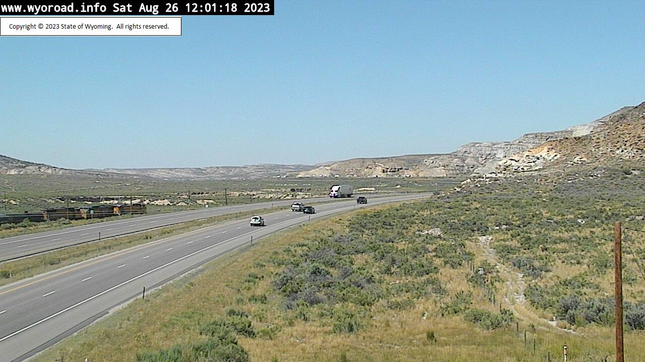
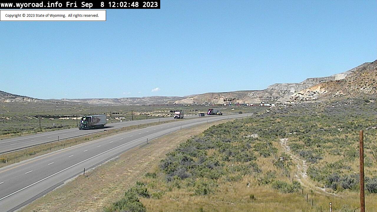
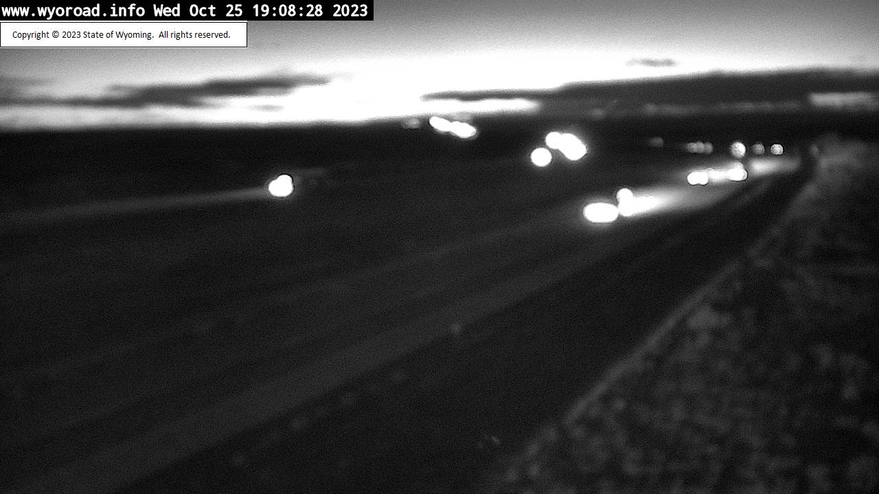
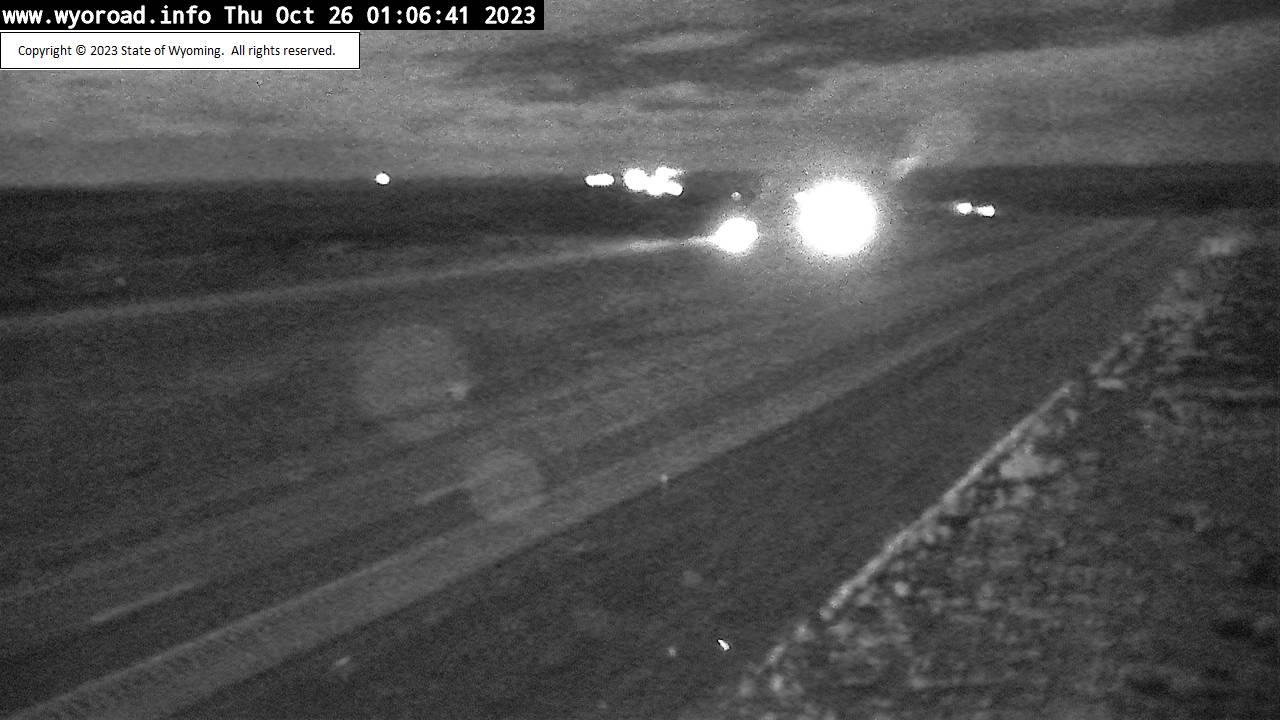
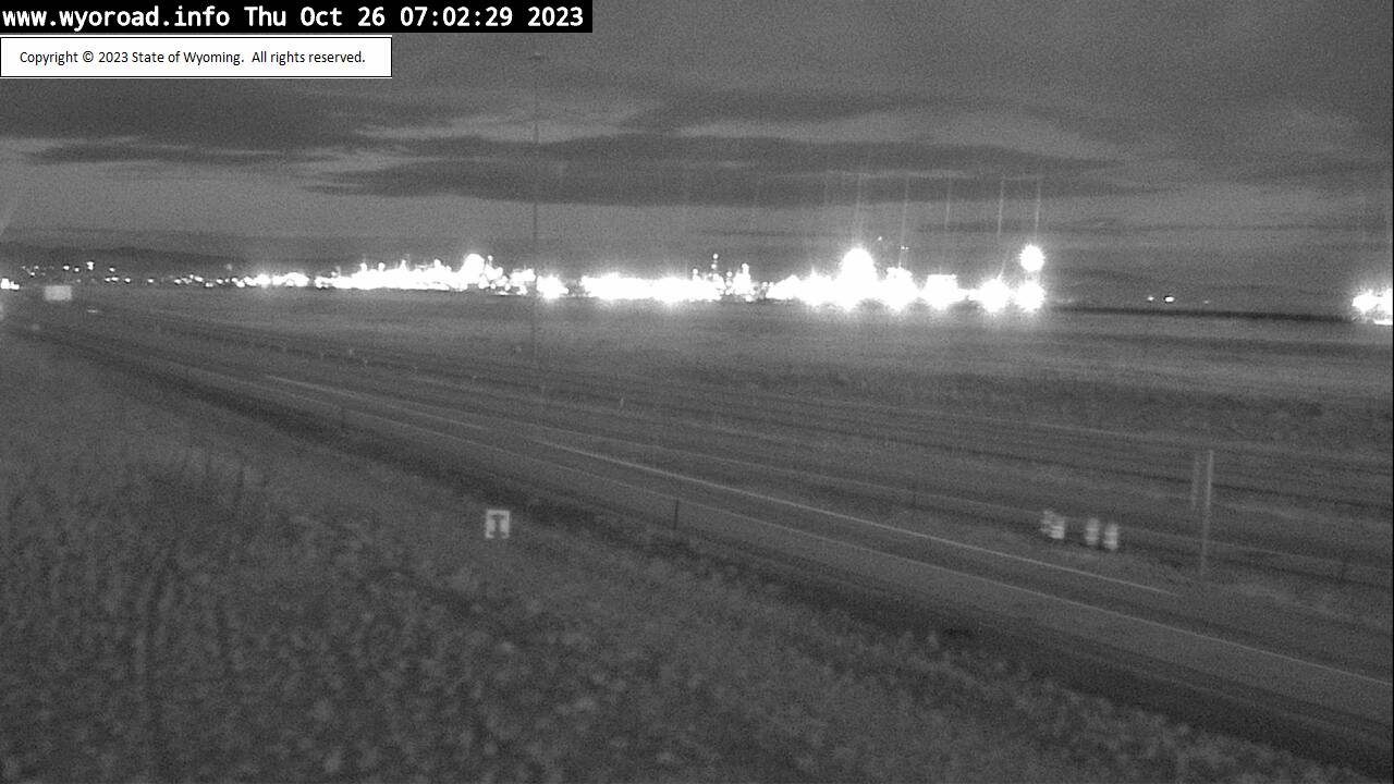
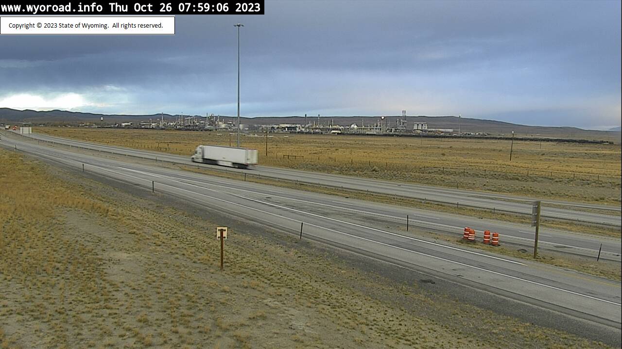
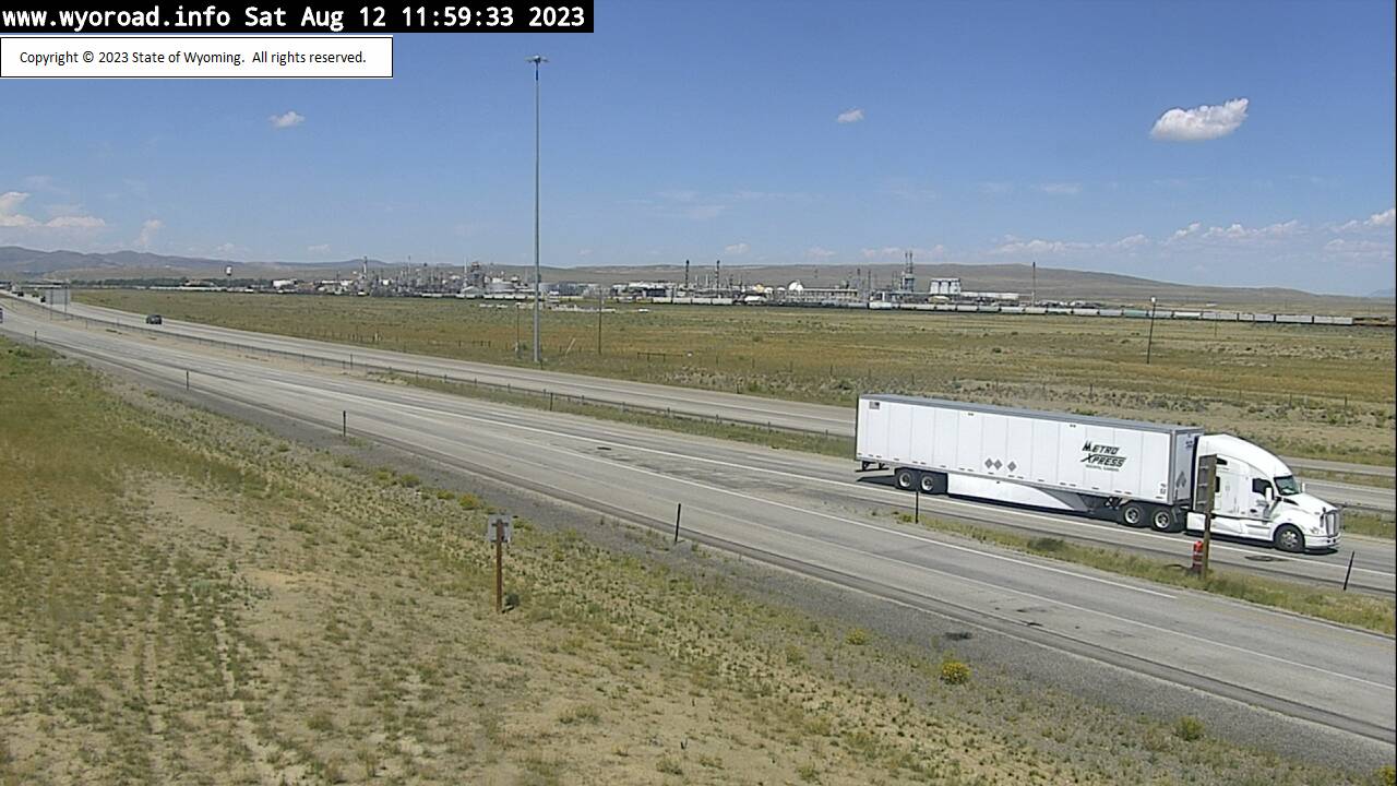
Wamsutter, Wyoming, USA - 79.4 miles from Lay: Wamsutter Interchange - Traffic and Weather - A view of the current traffic and weather situation.
Operator: WYDOT Travel Information Service
Operator: WYDOT Travel Information Service
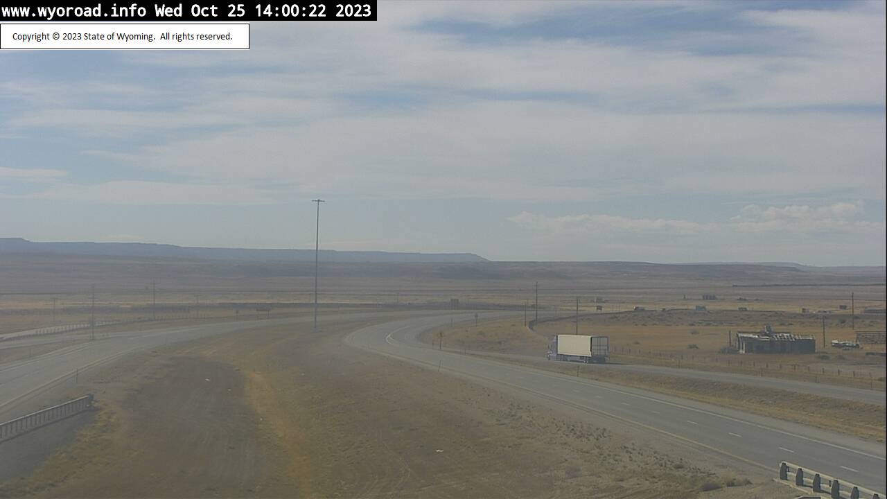

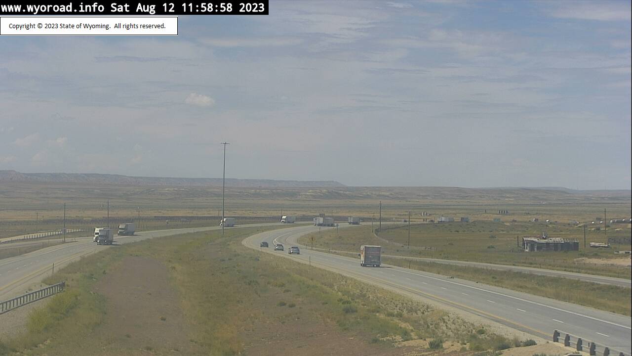

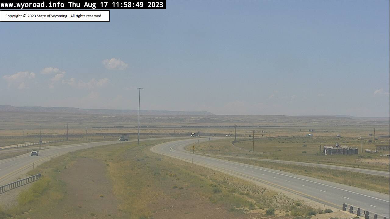
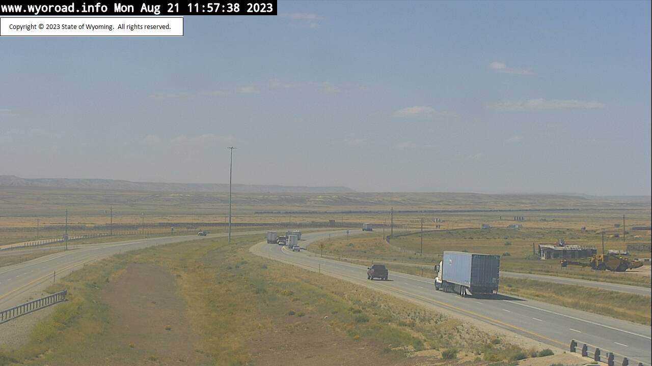
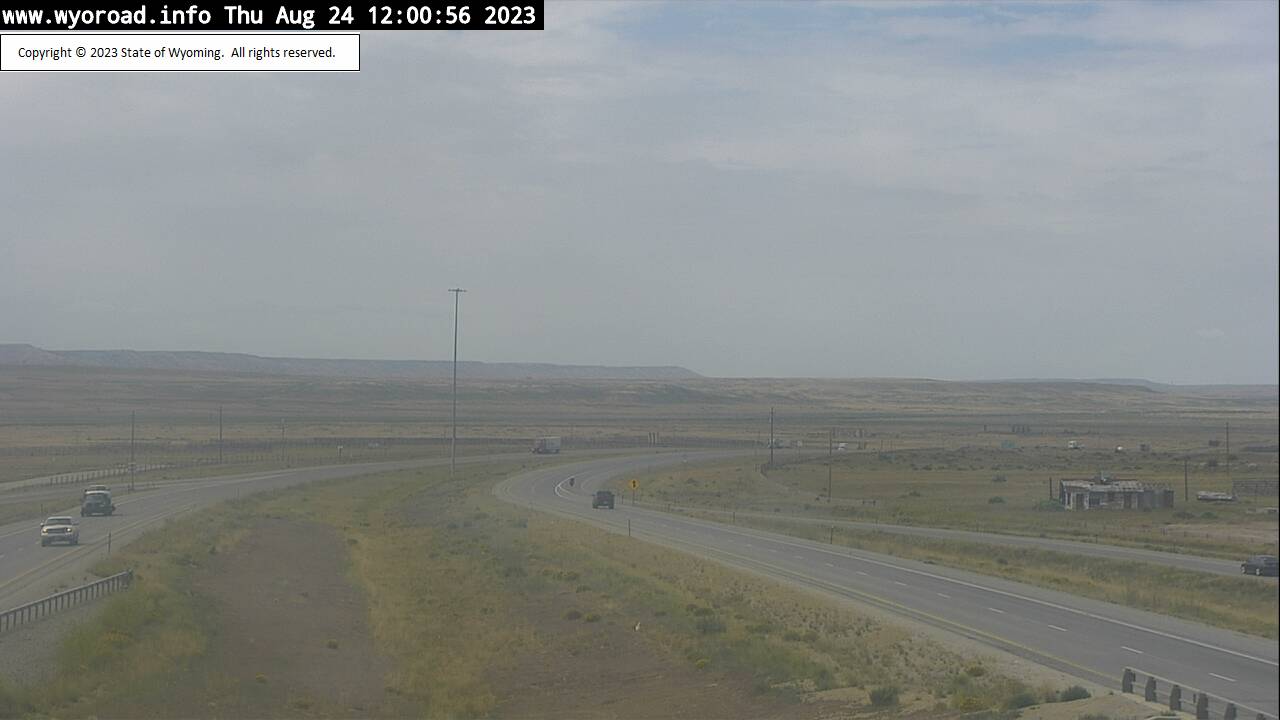
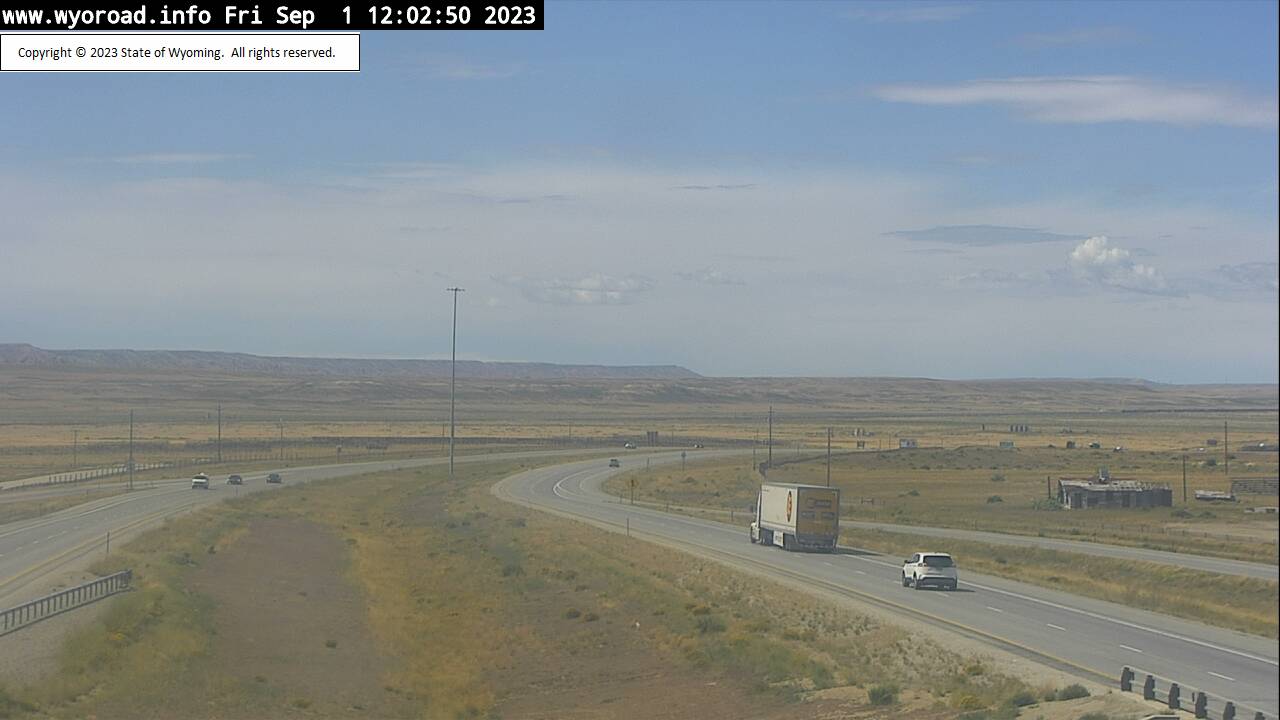
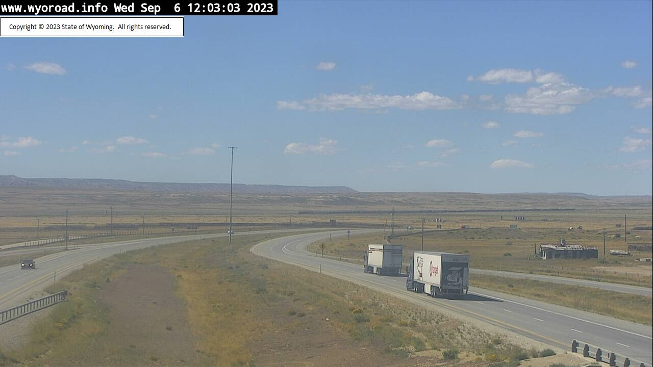


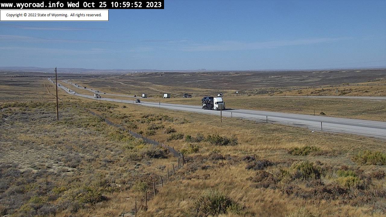
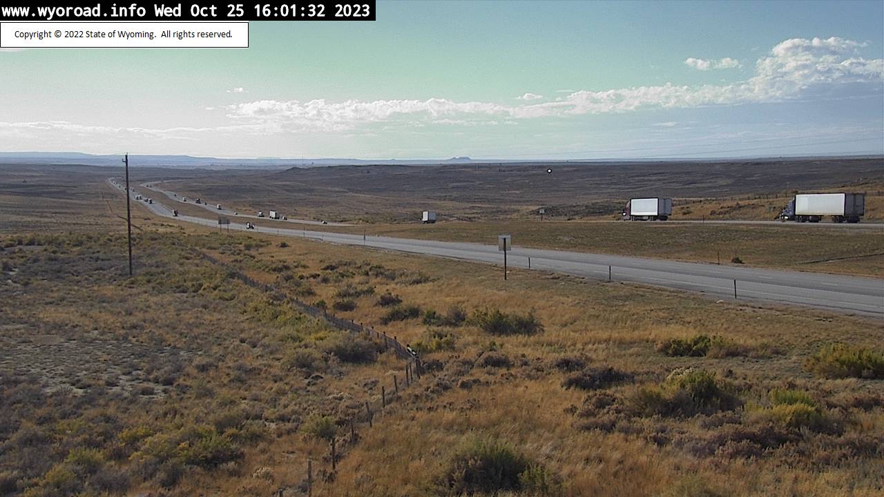
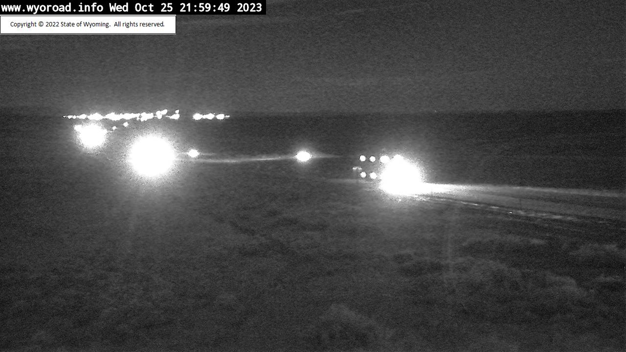
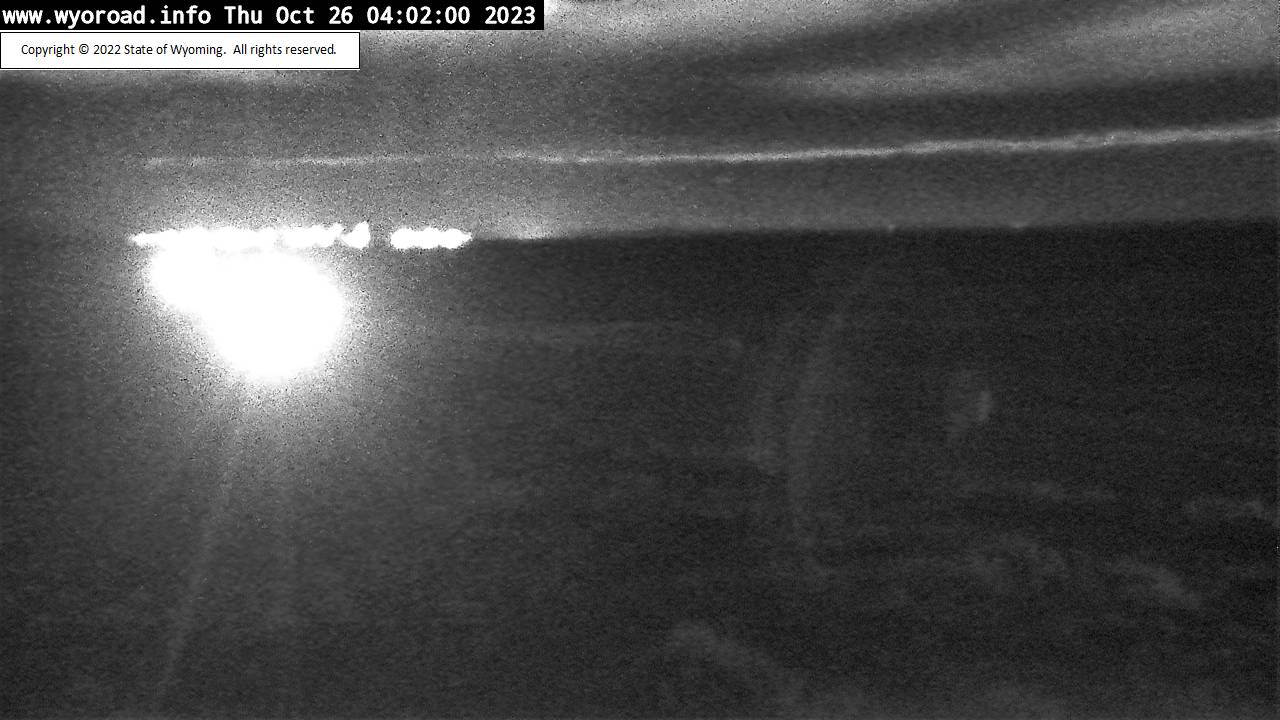
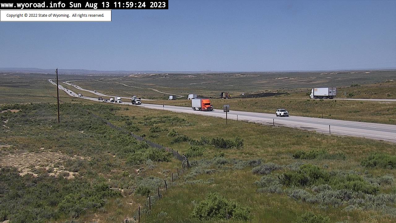
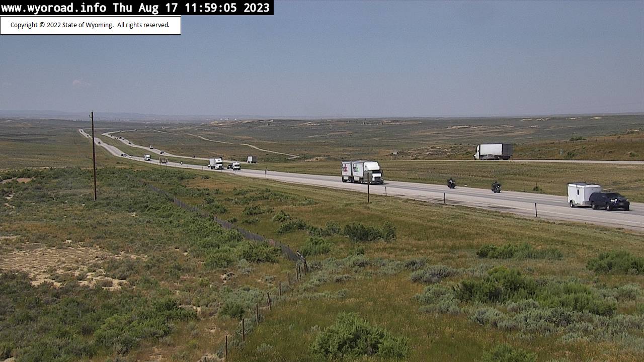
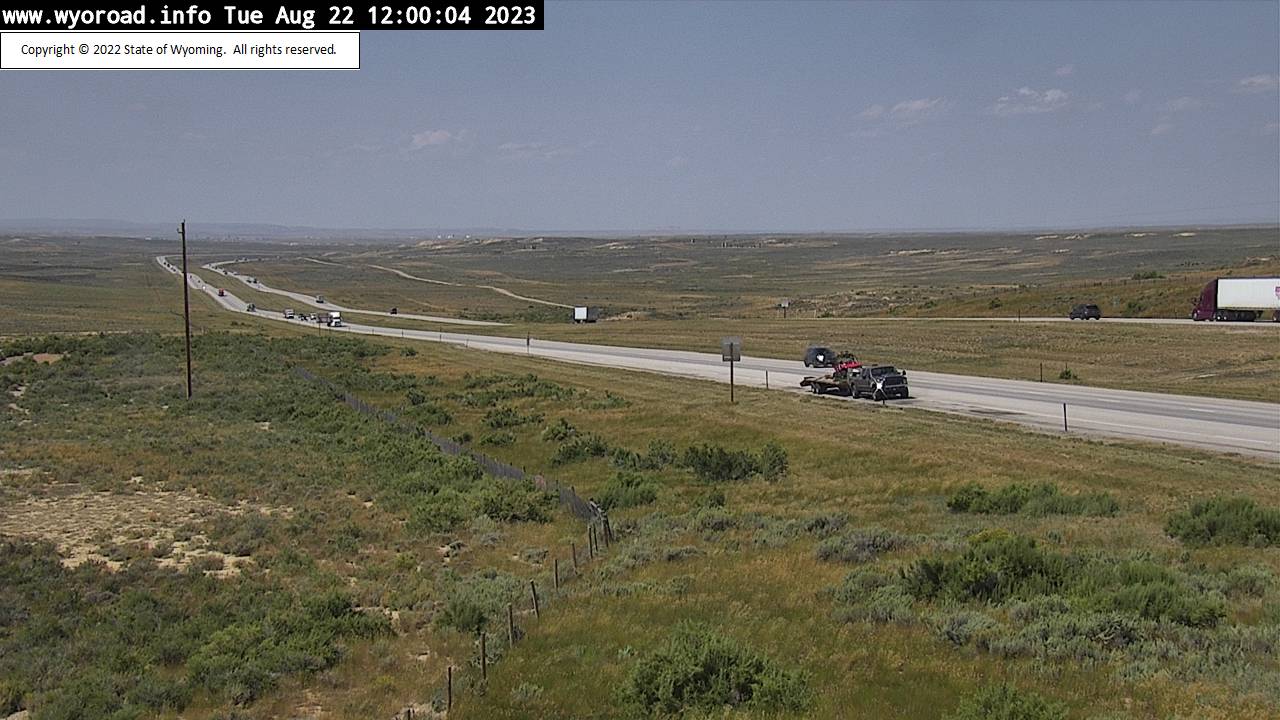
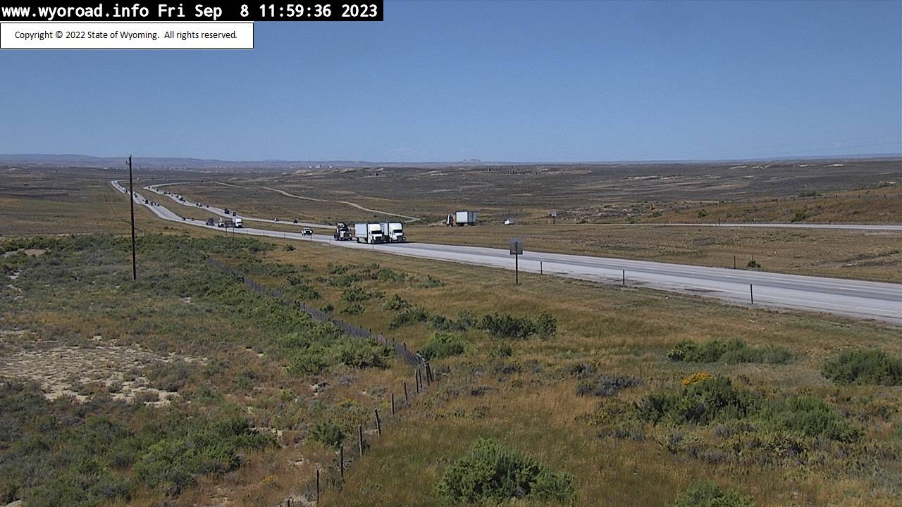
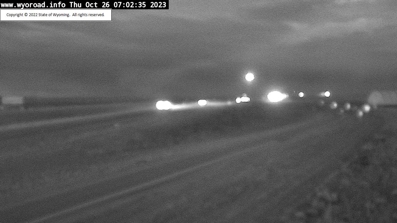
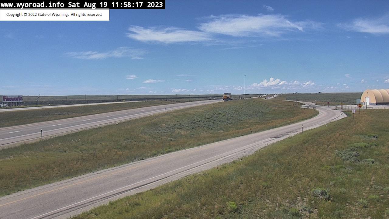
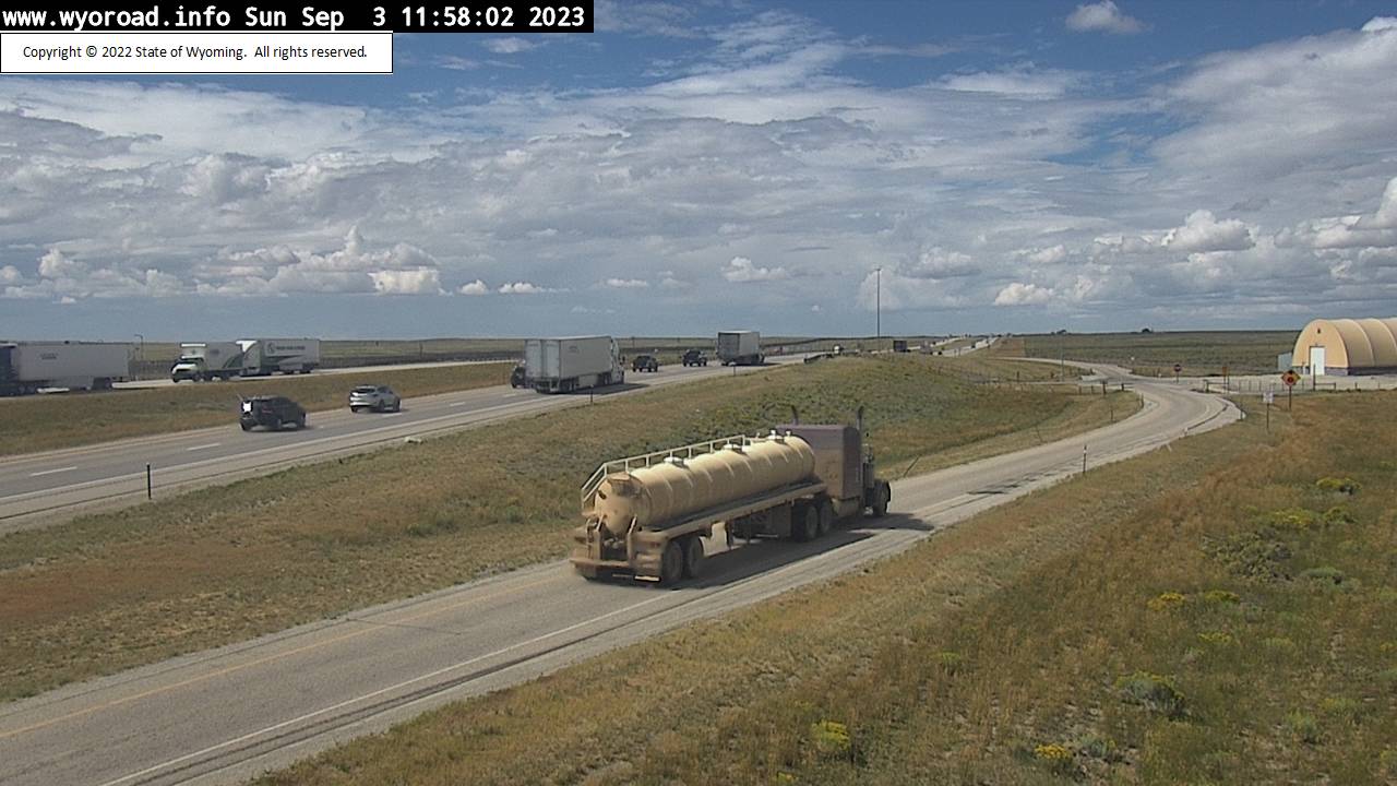
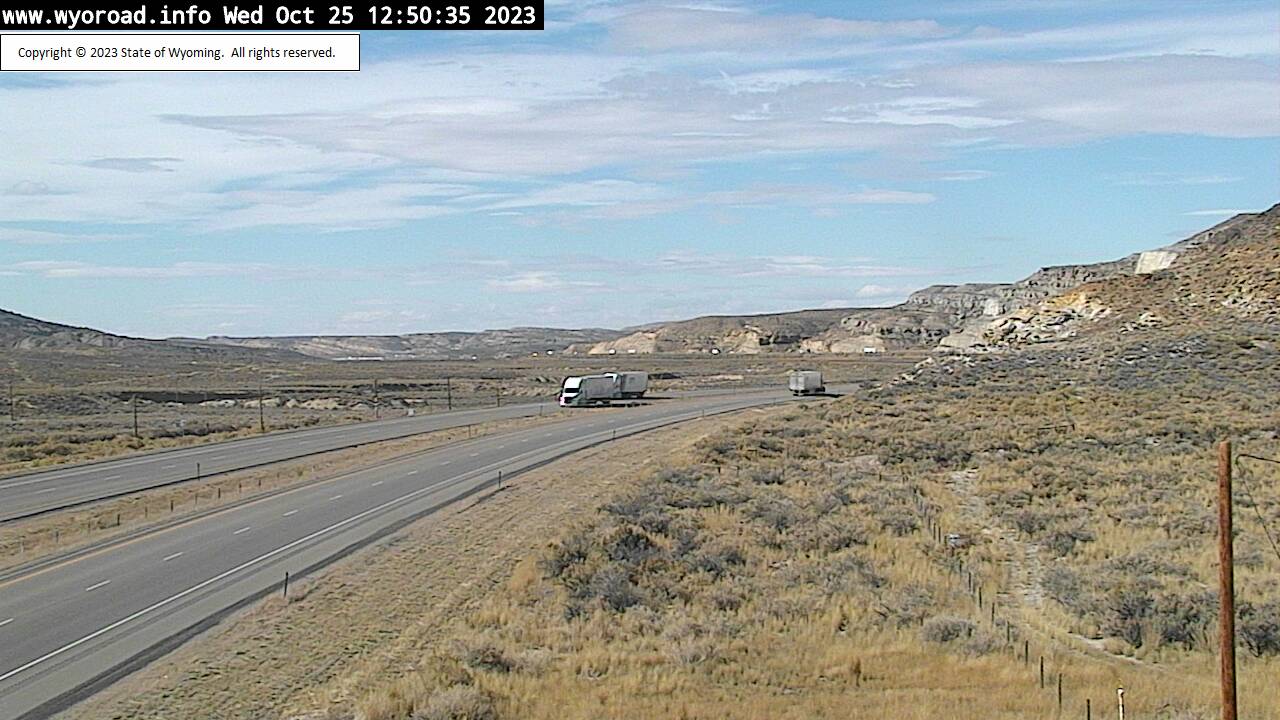
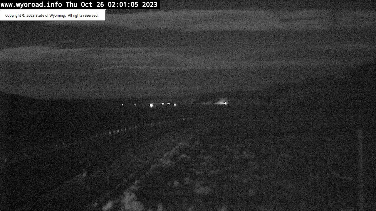
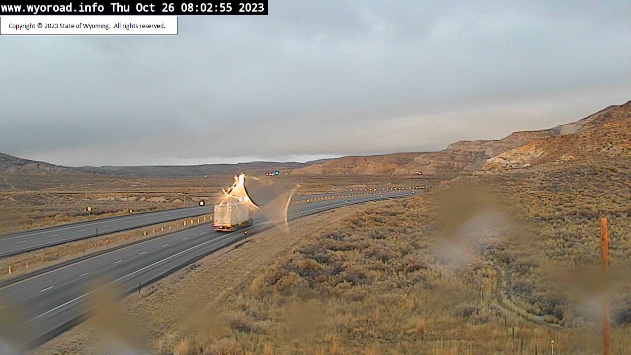
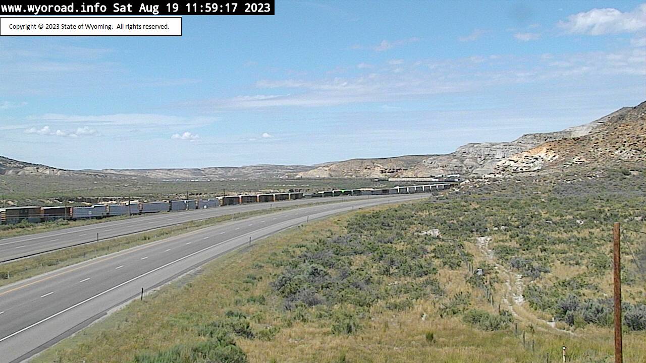
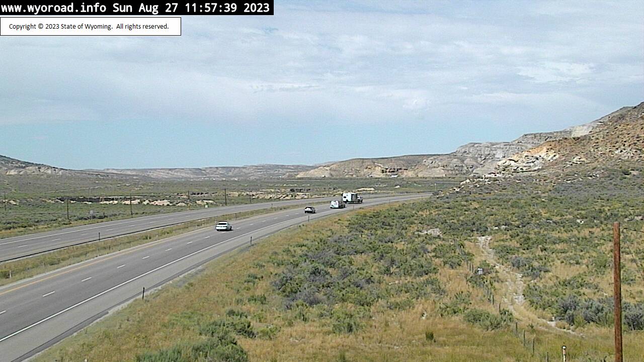
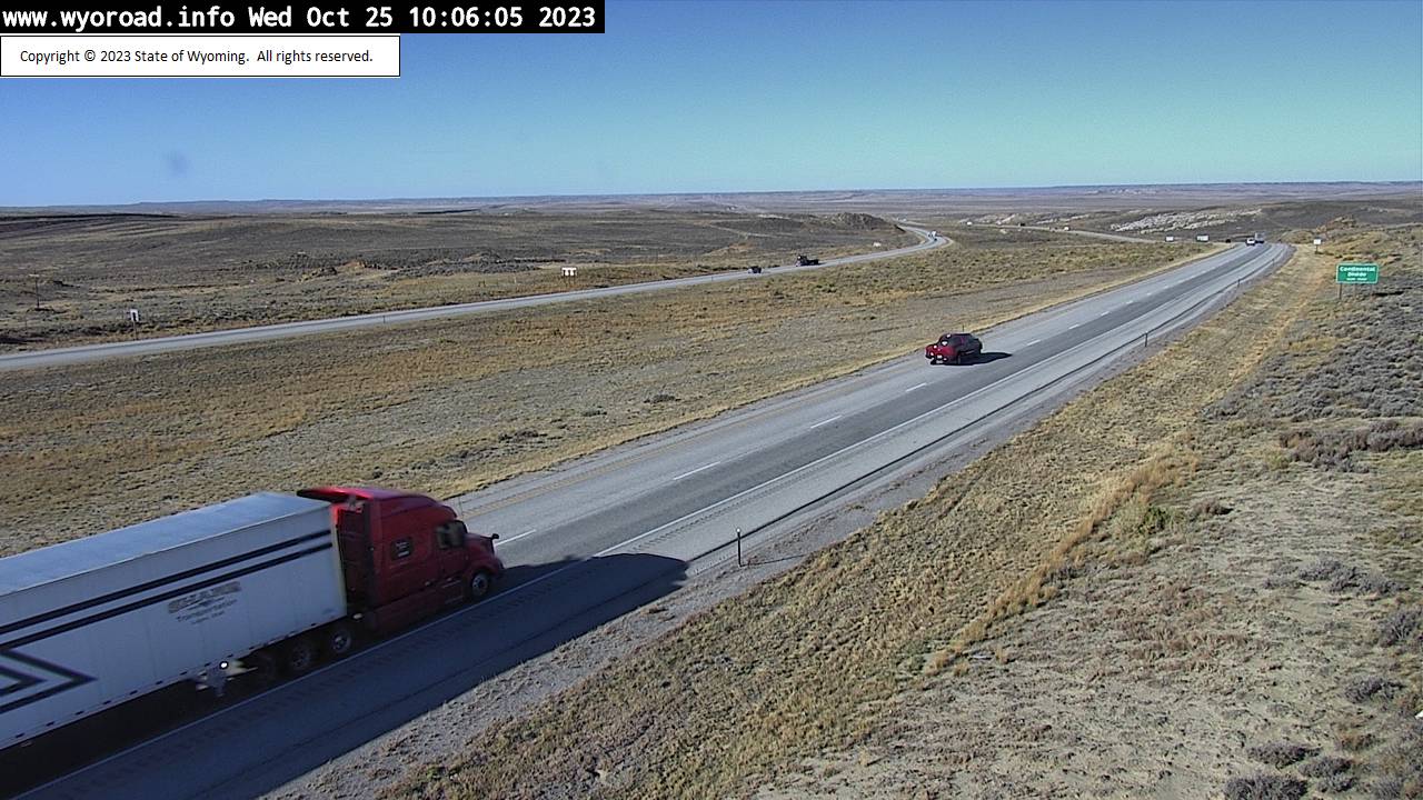
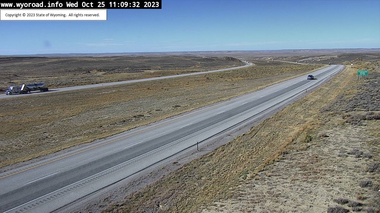
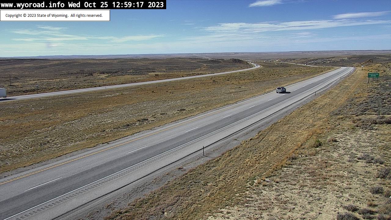
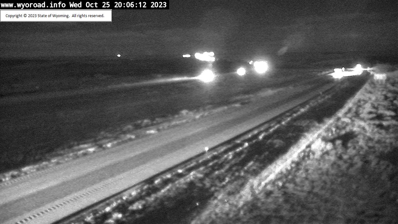
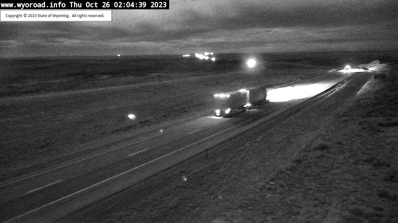
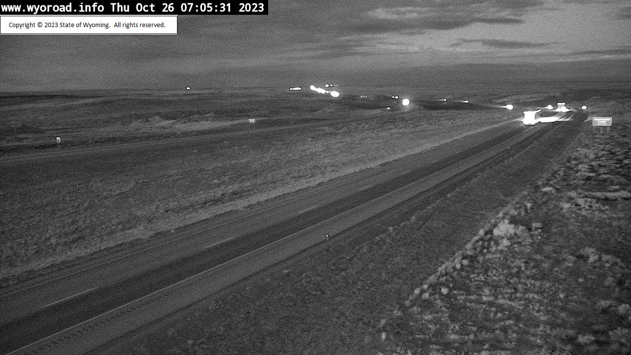
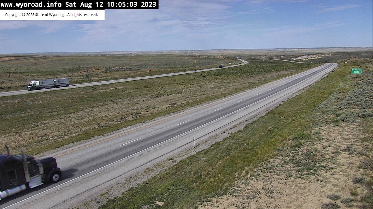
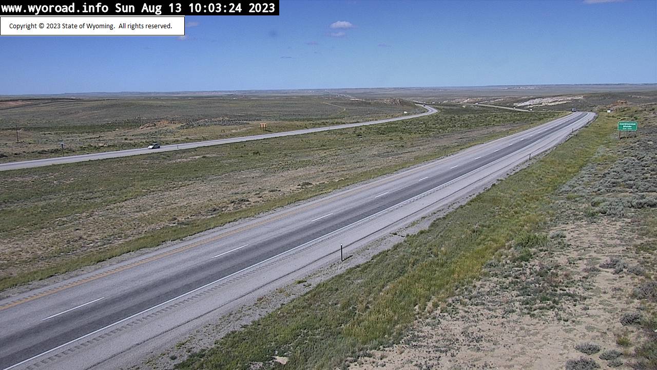
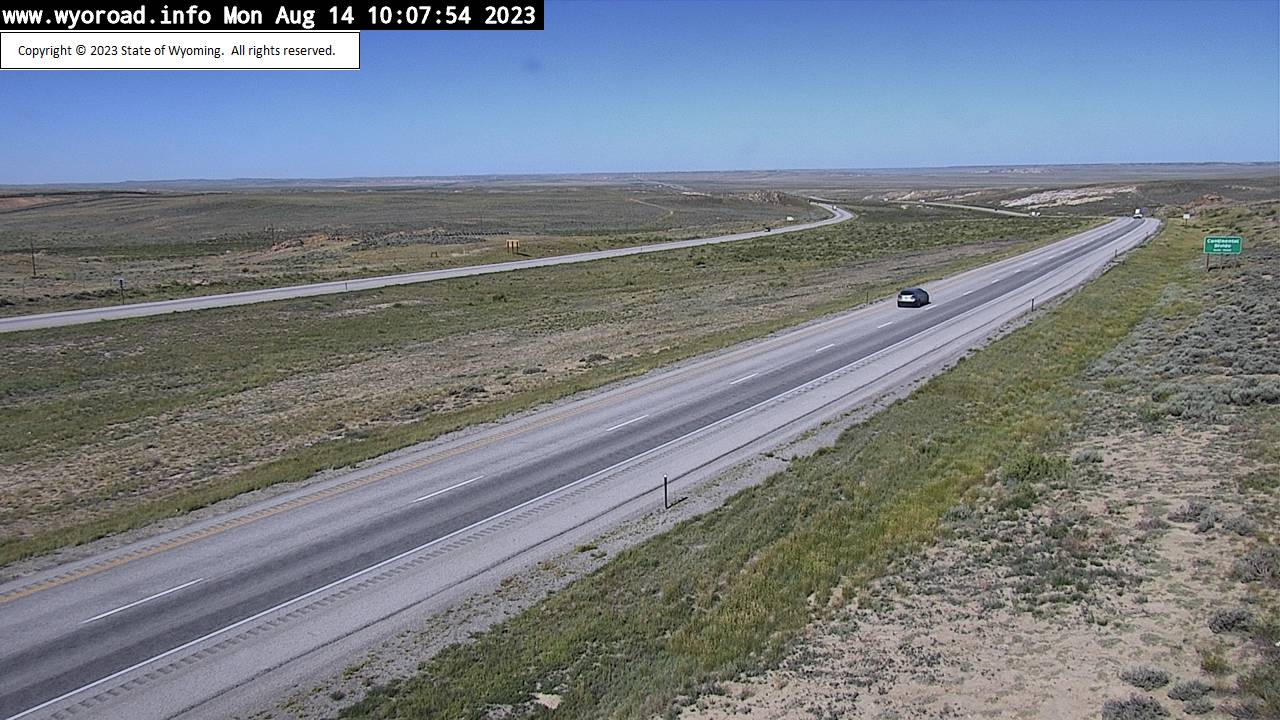
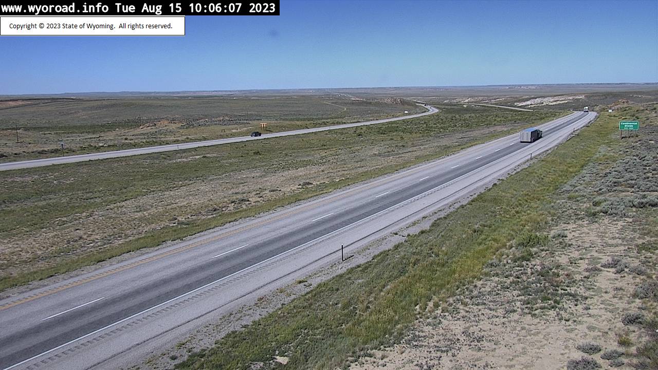
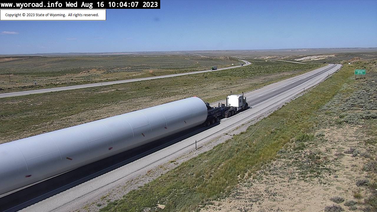
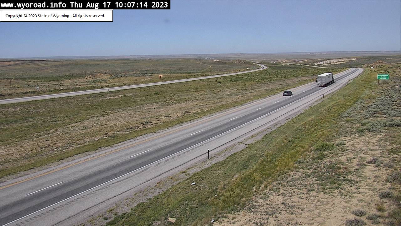
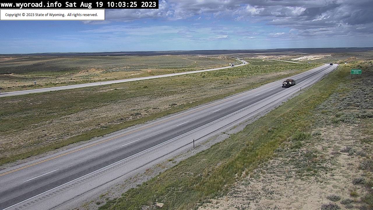
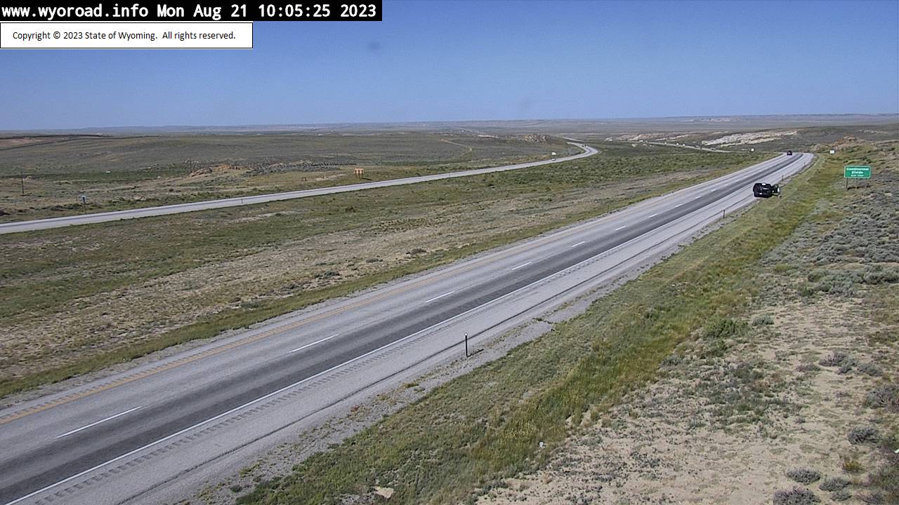
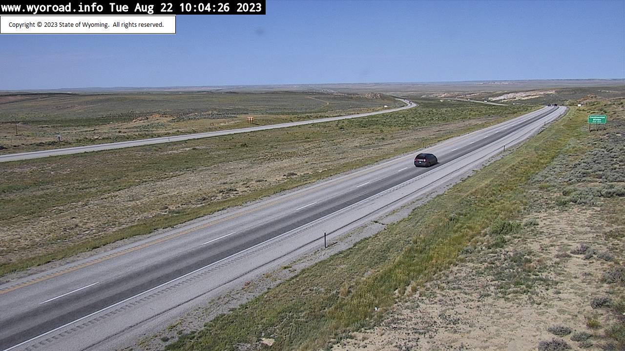
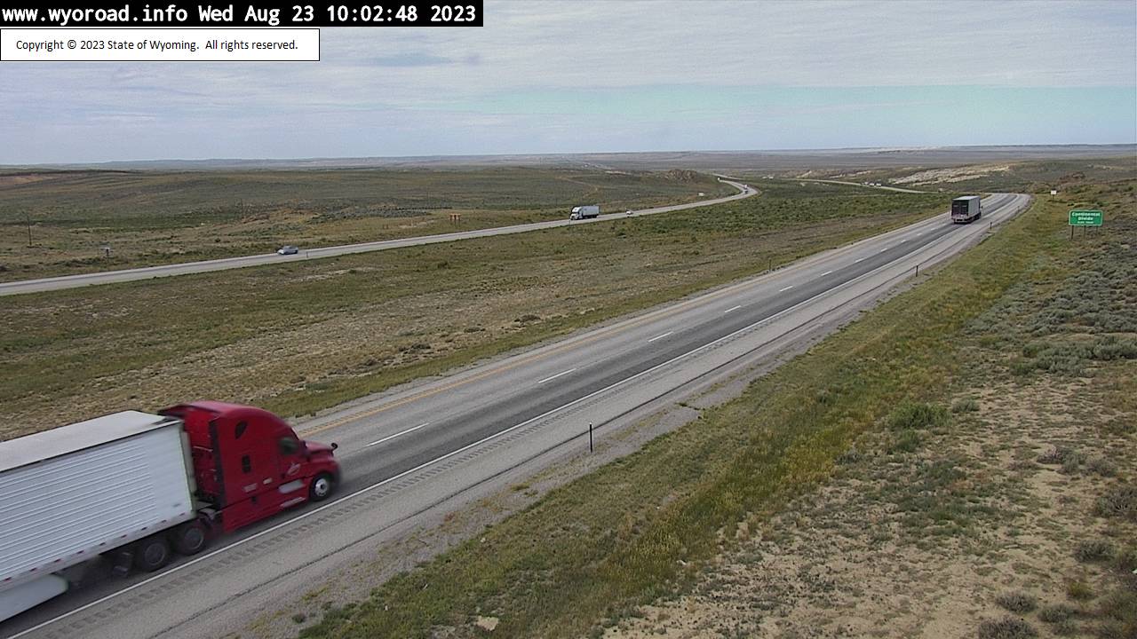
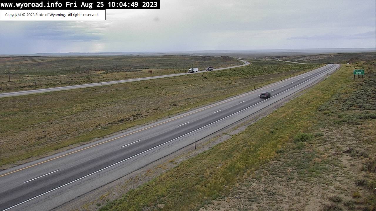
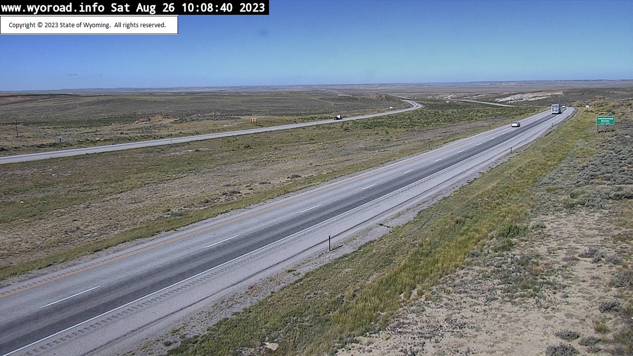
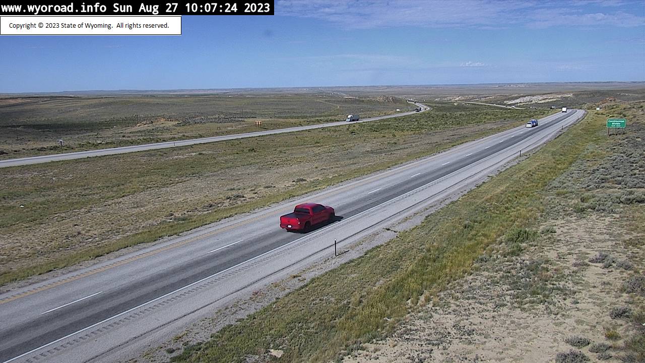
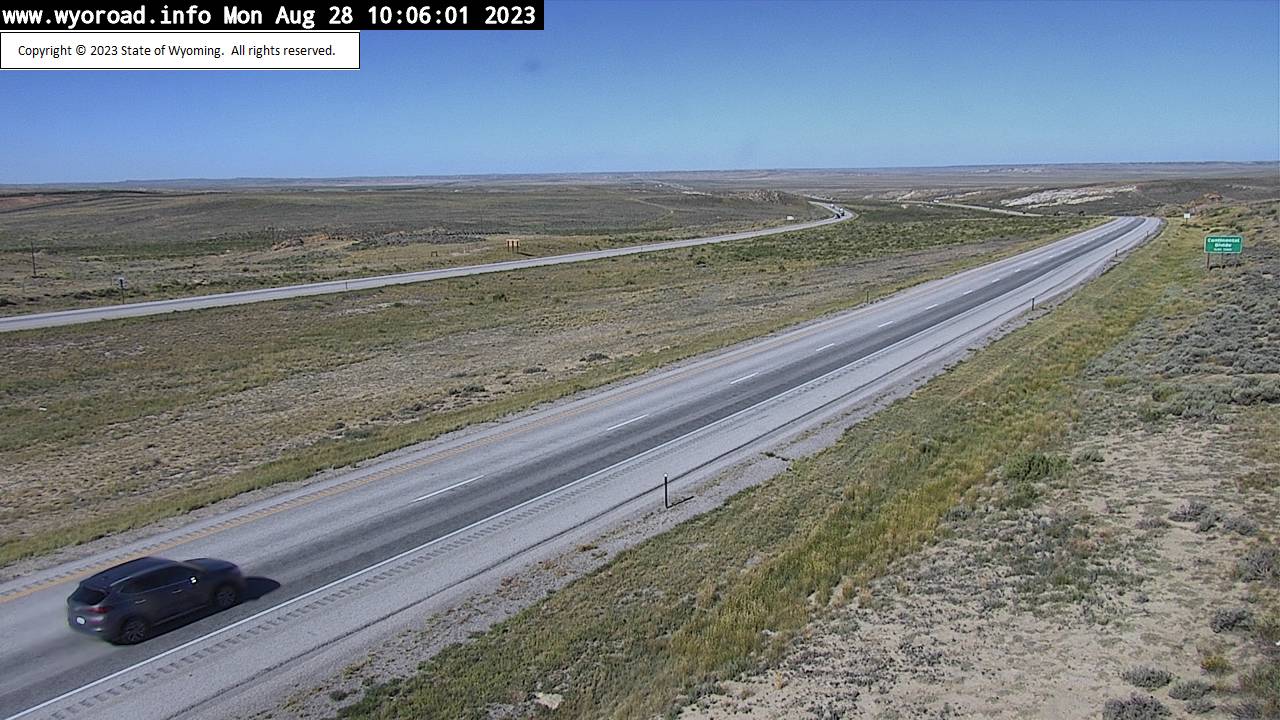
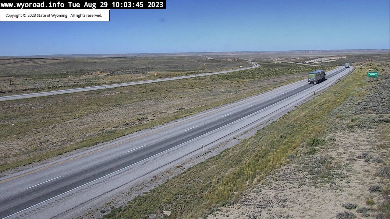
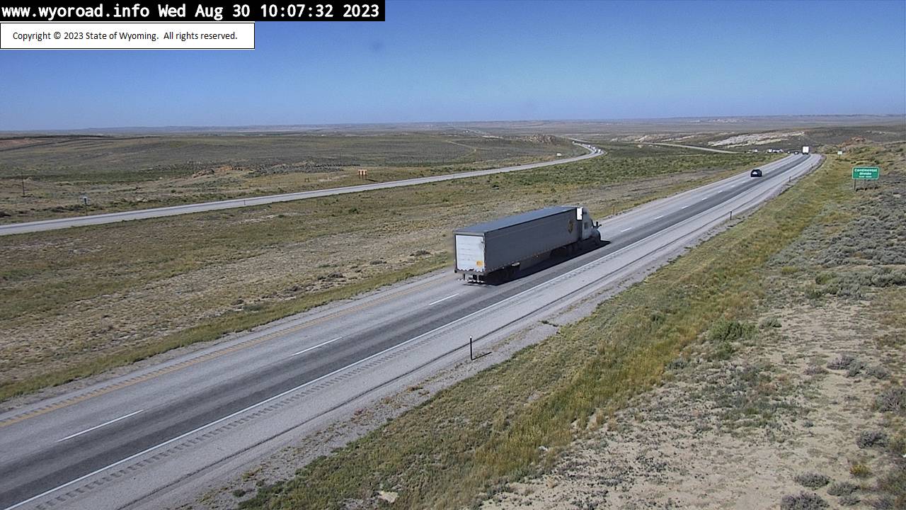
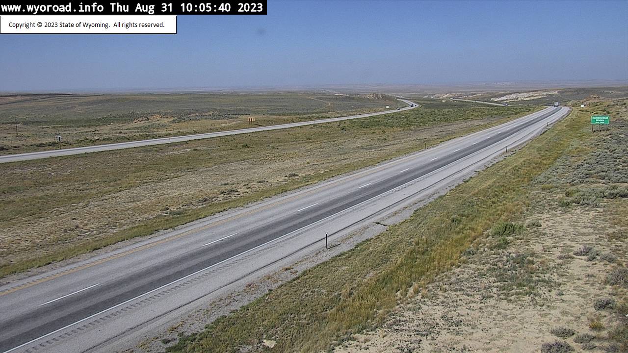
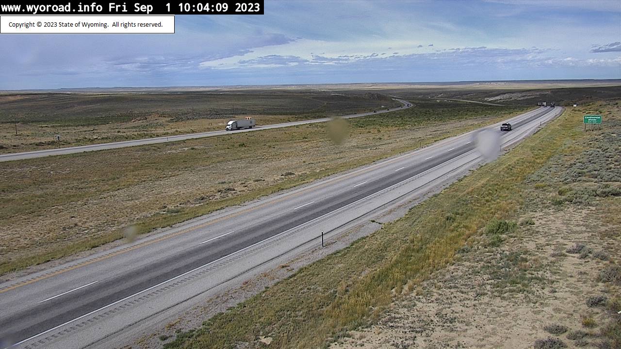
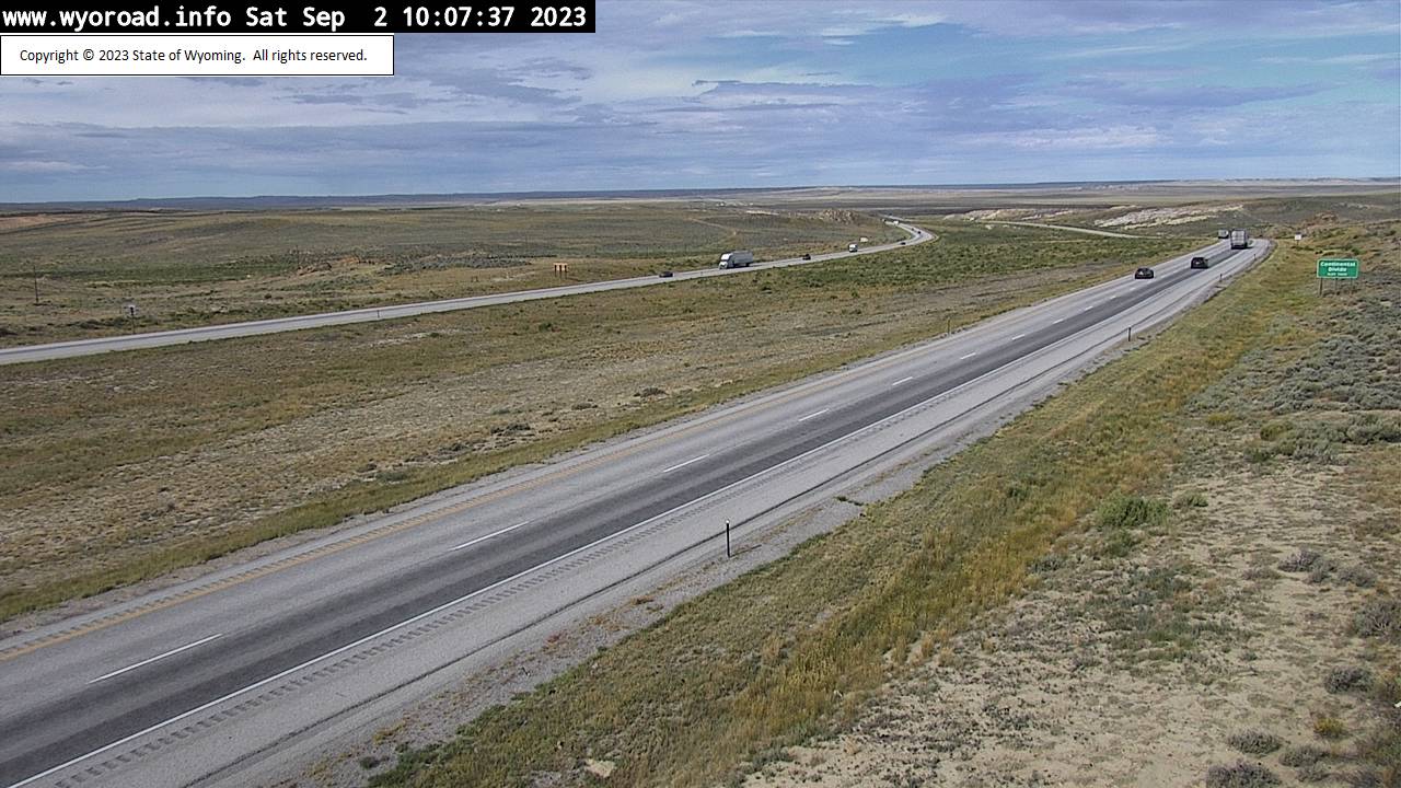
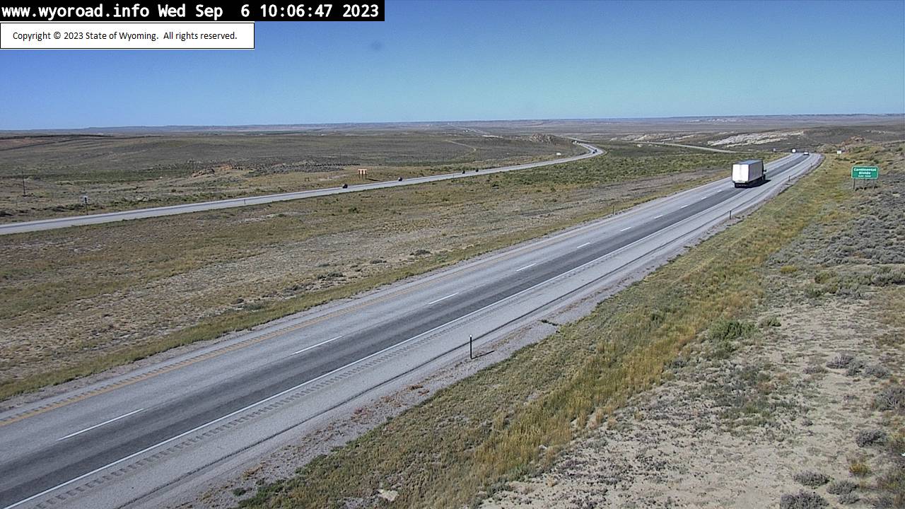
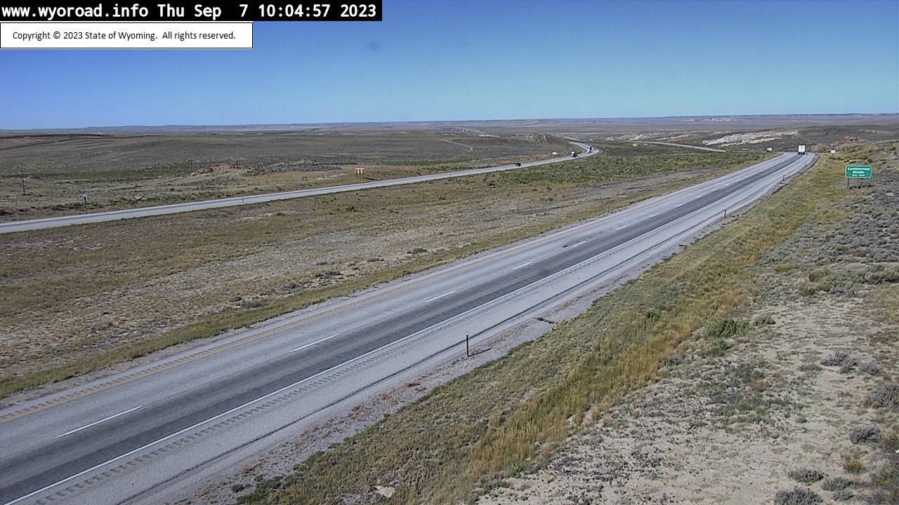
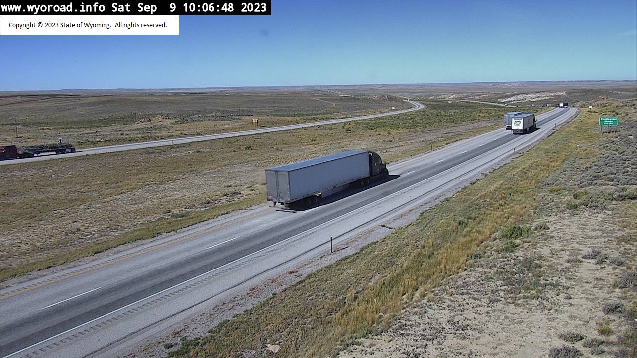
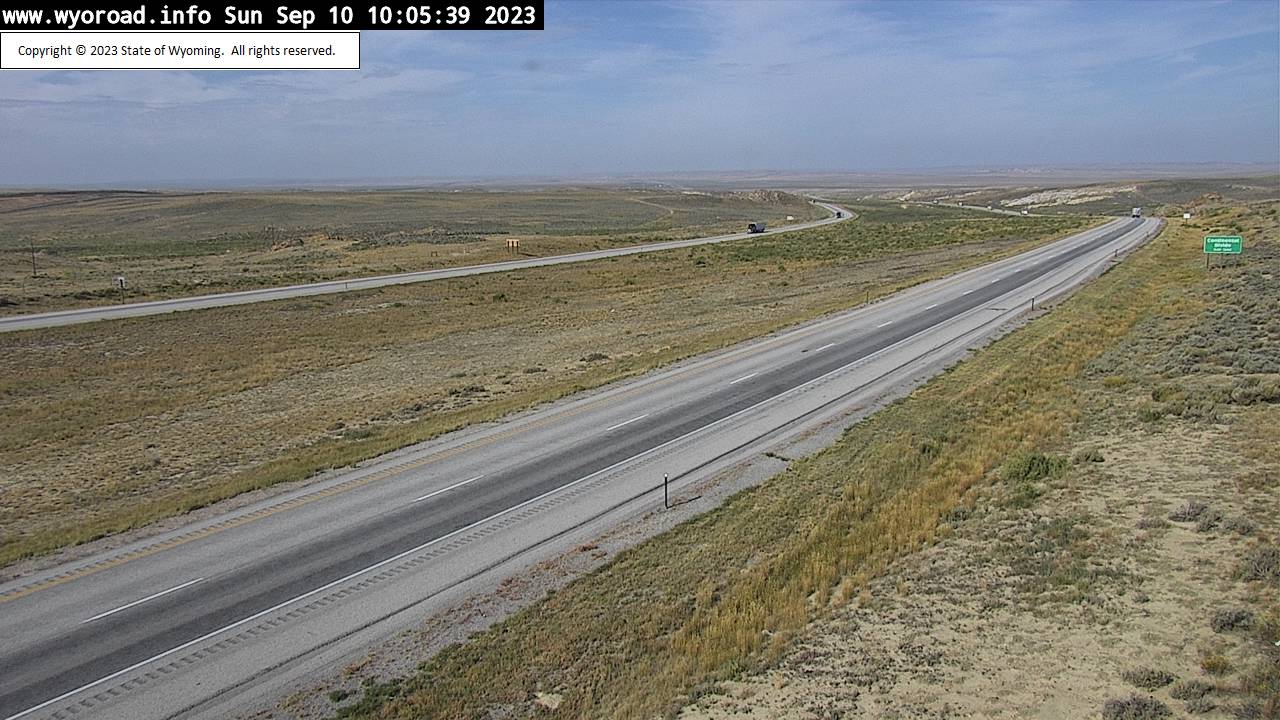
Creston, Wyoming, USA - 81.6 miles from Lay: Continental Divide - Traffic and Weather - A view of the current traffic and weather situation.
Operator: WYDOT Travel Information Service
Operator: WYDOT Travel Information Service
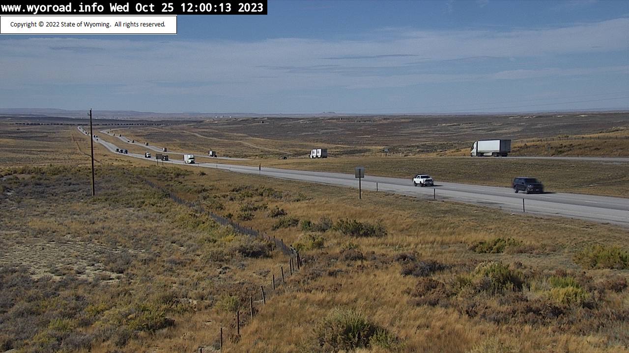
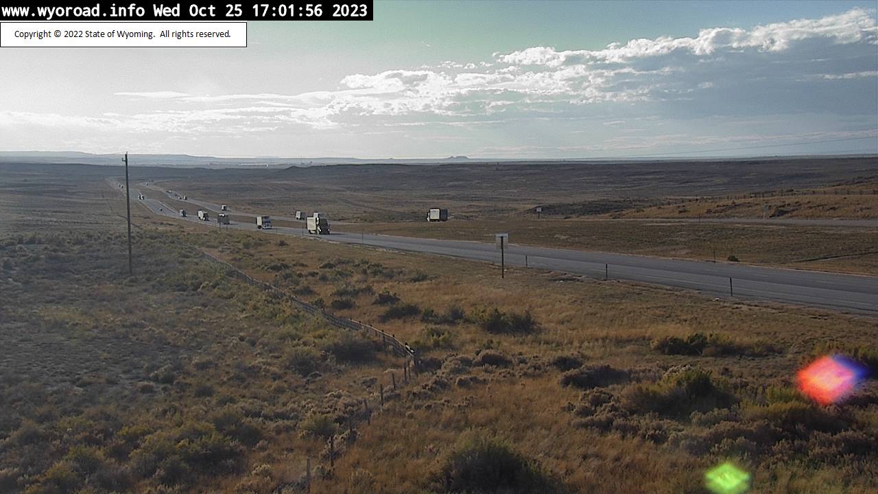

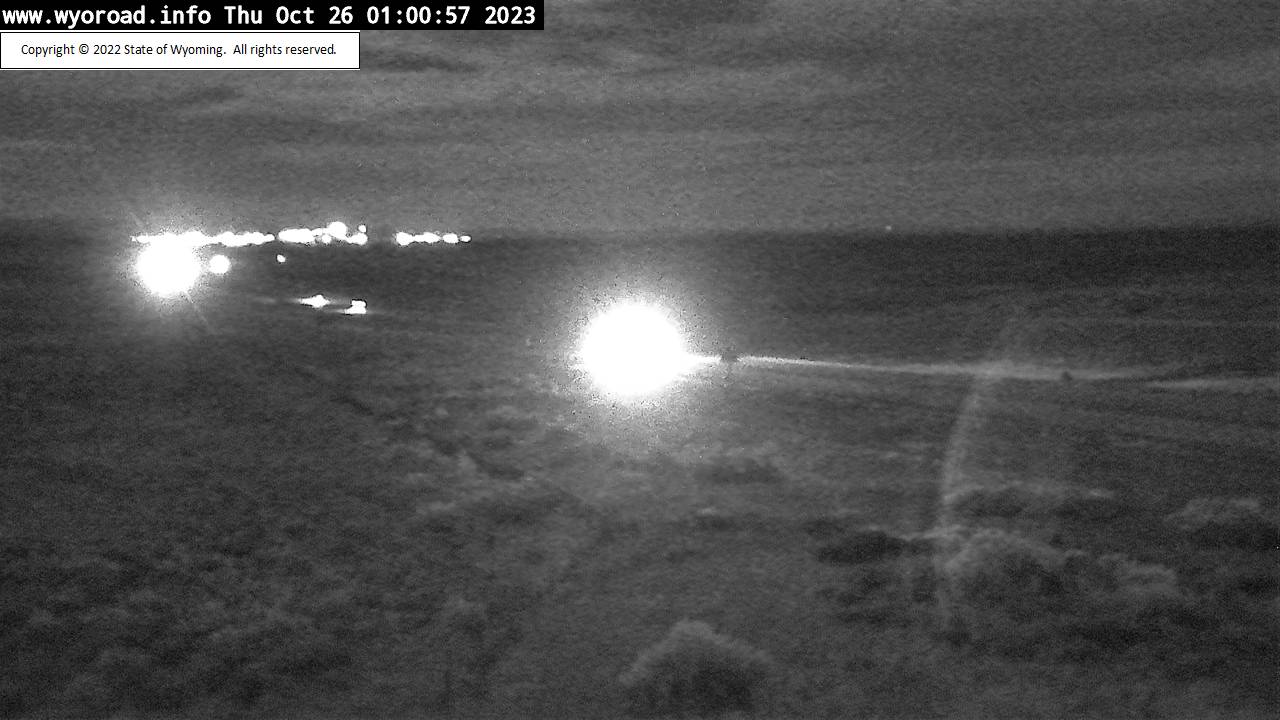
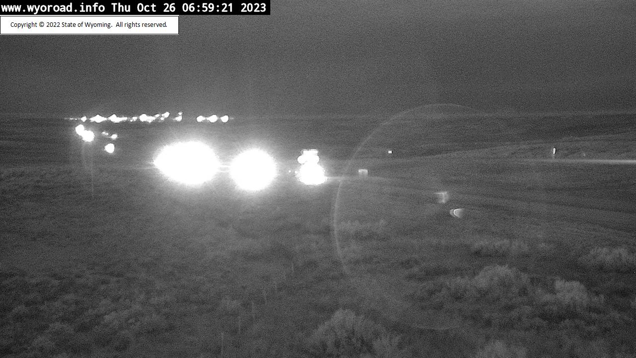
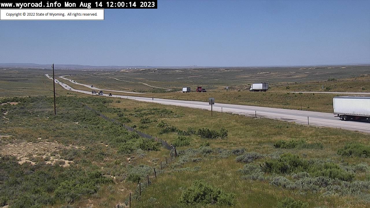
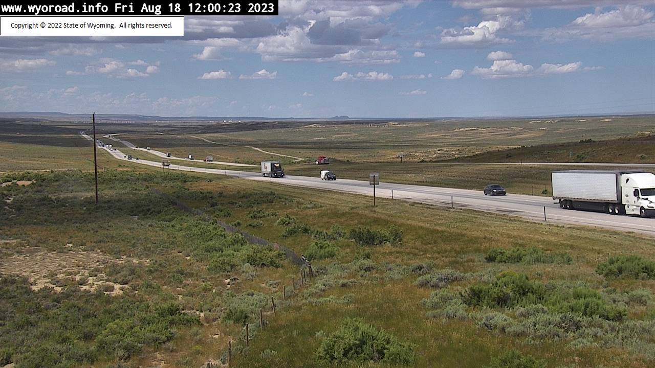

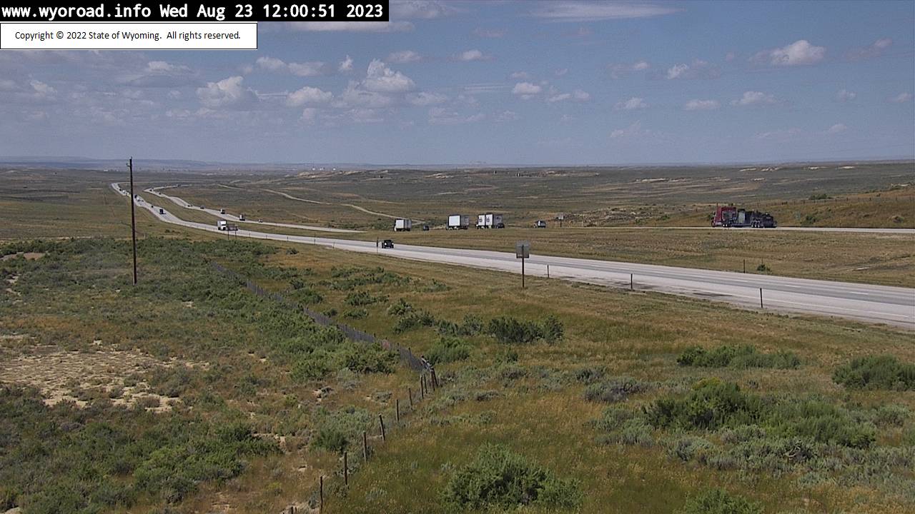


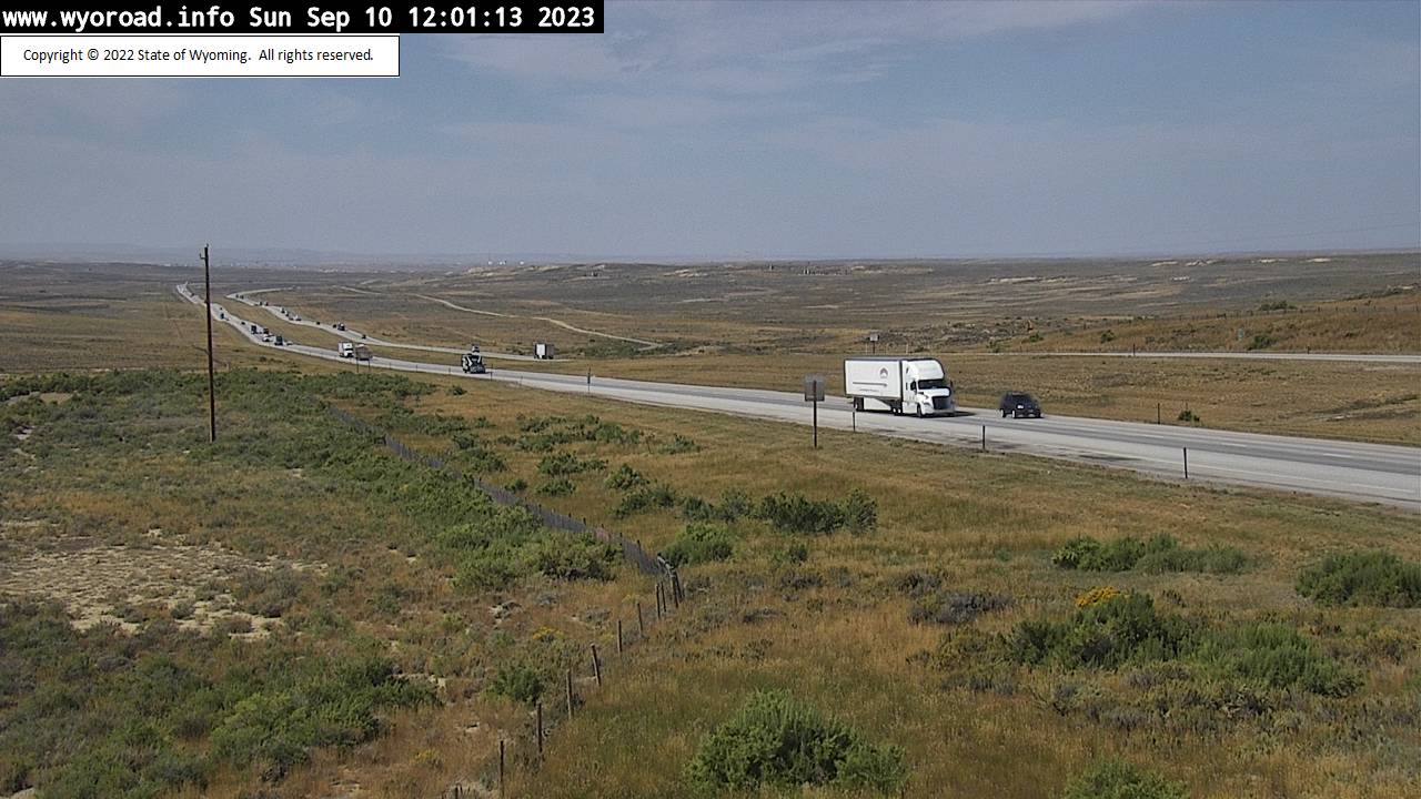

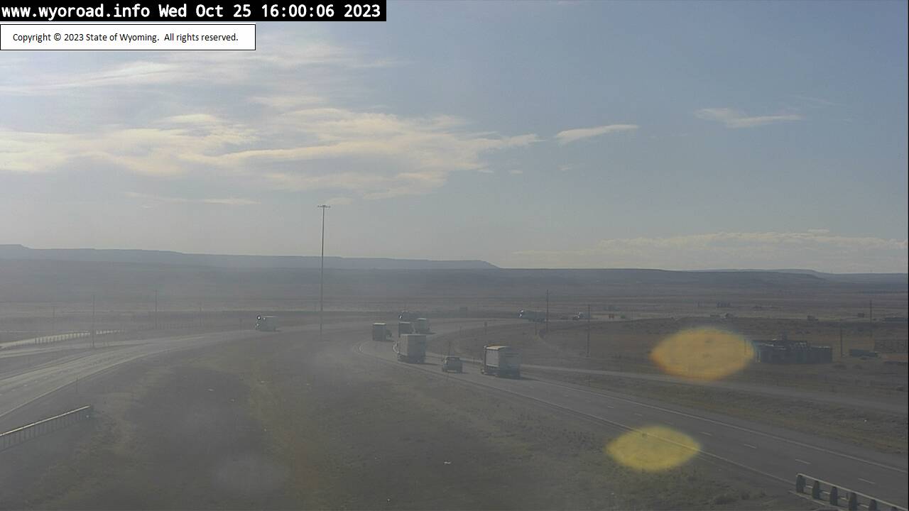
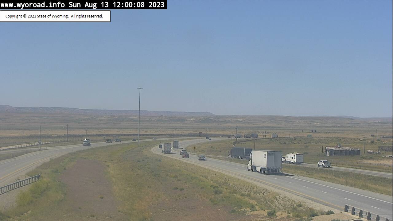
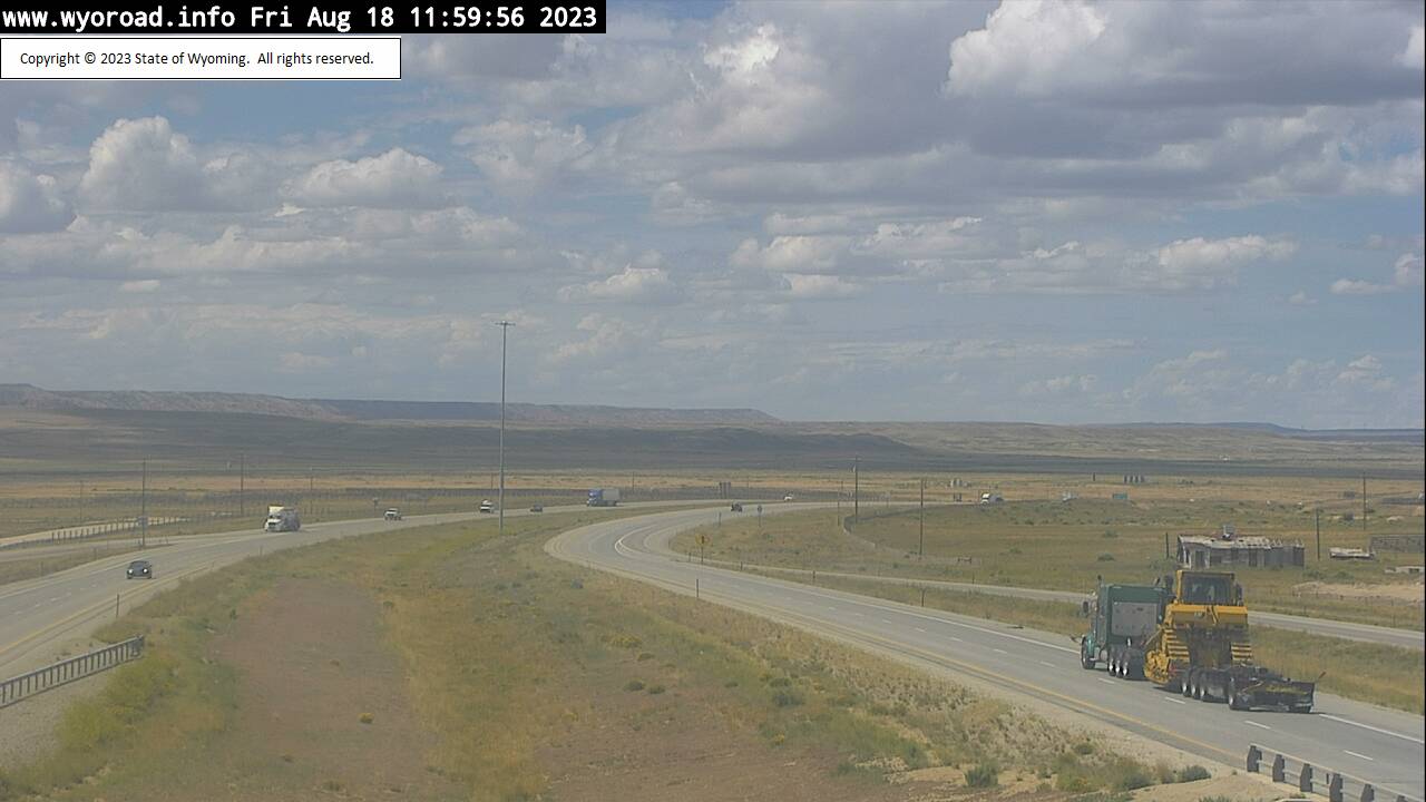
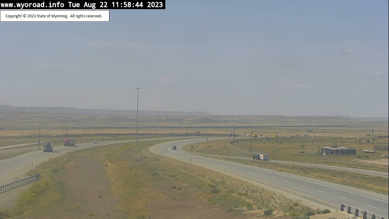
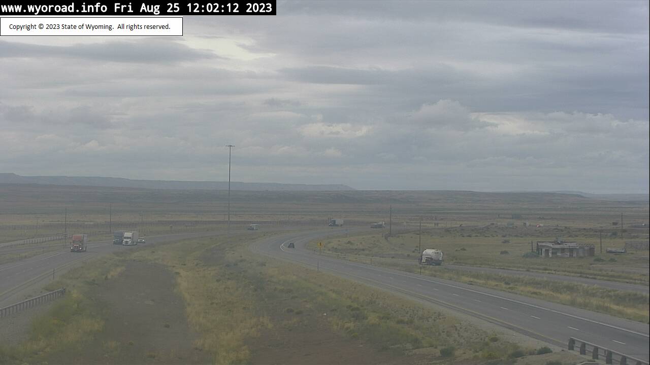
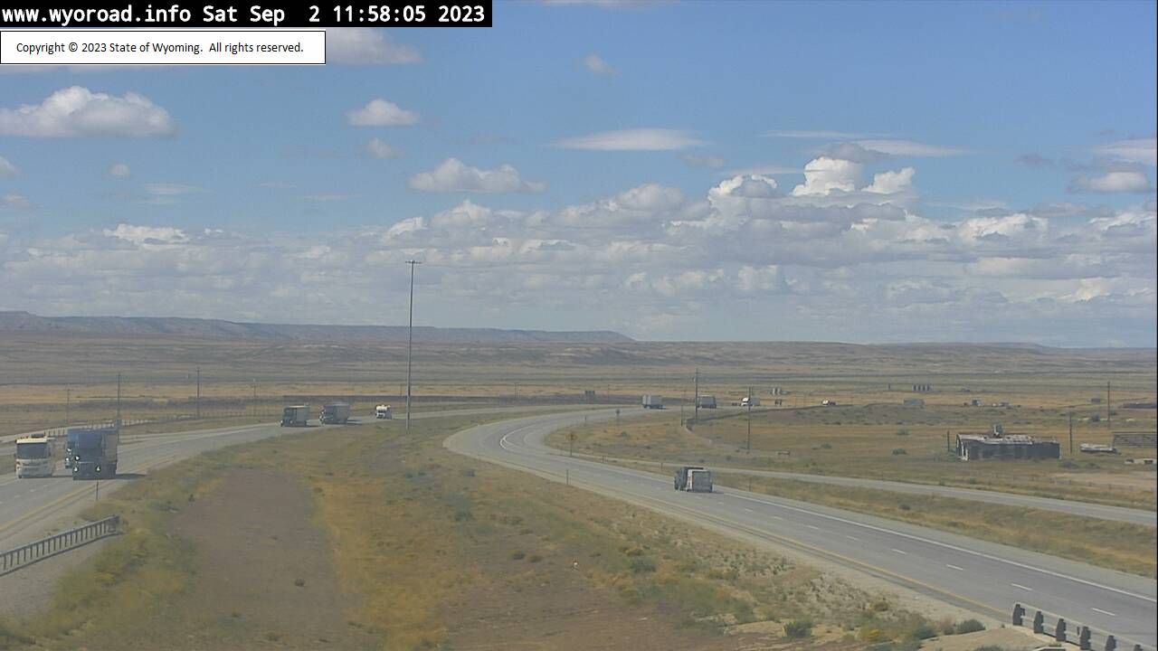
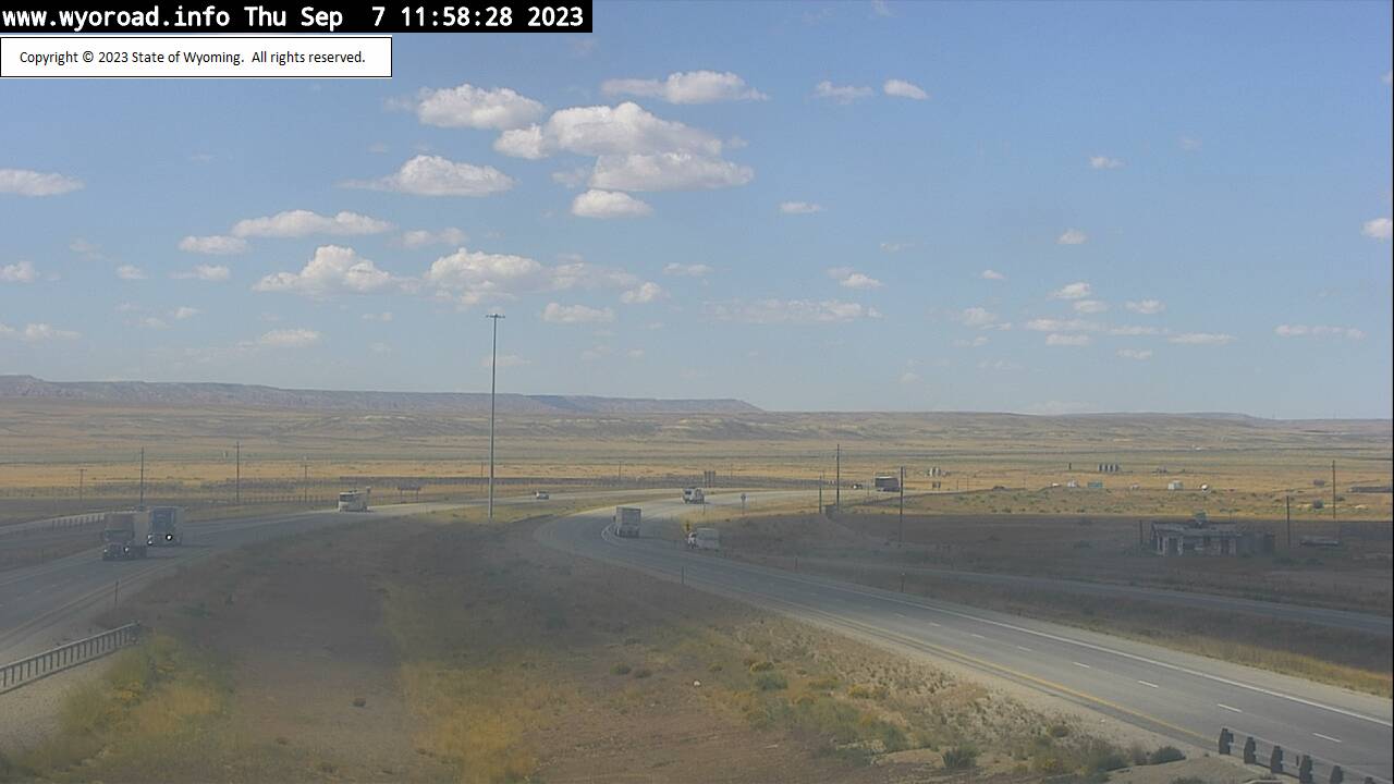
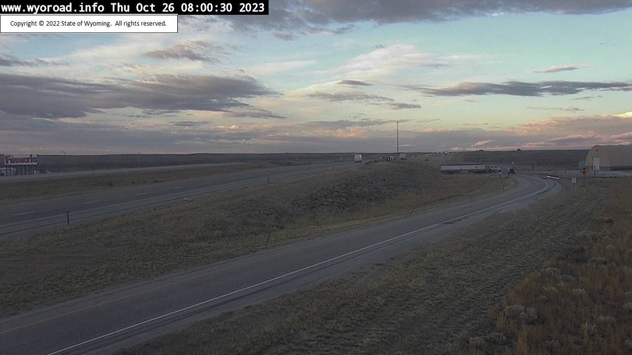
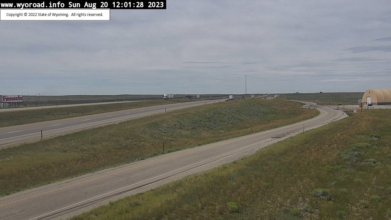
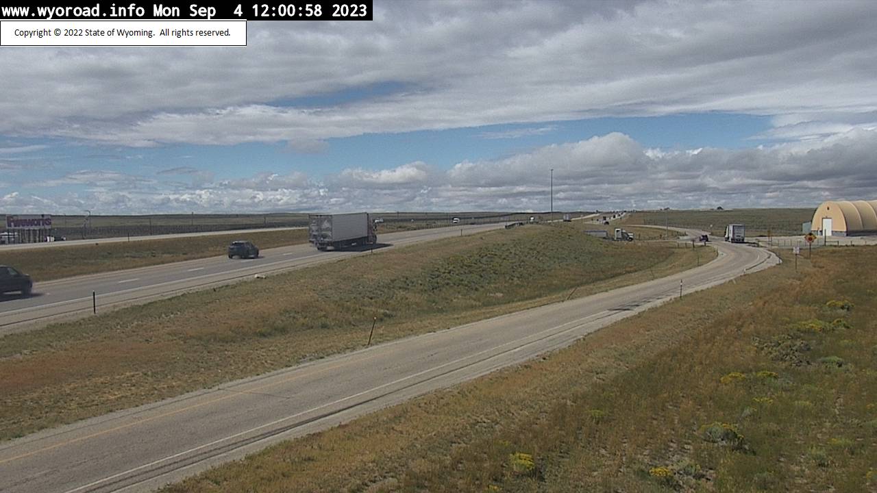
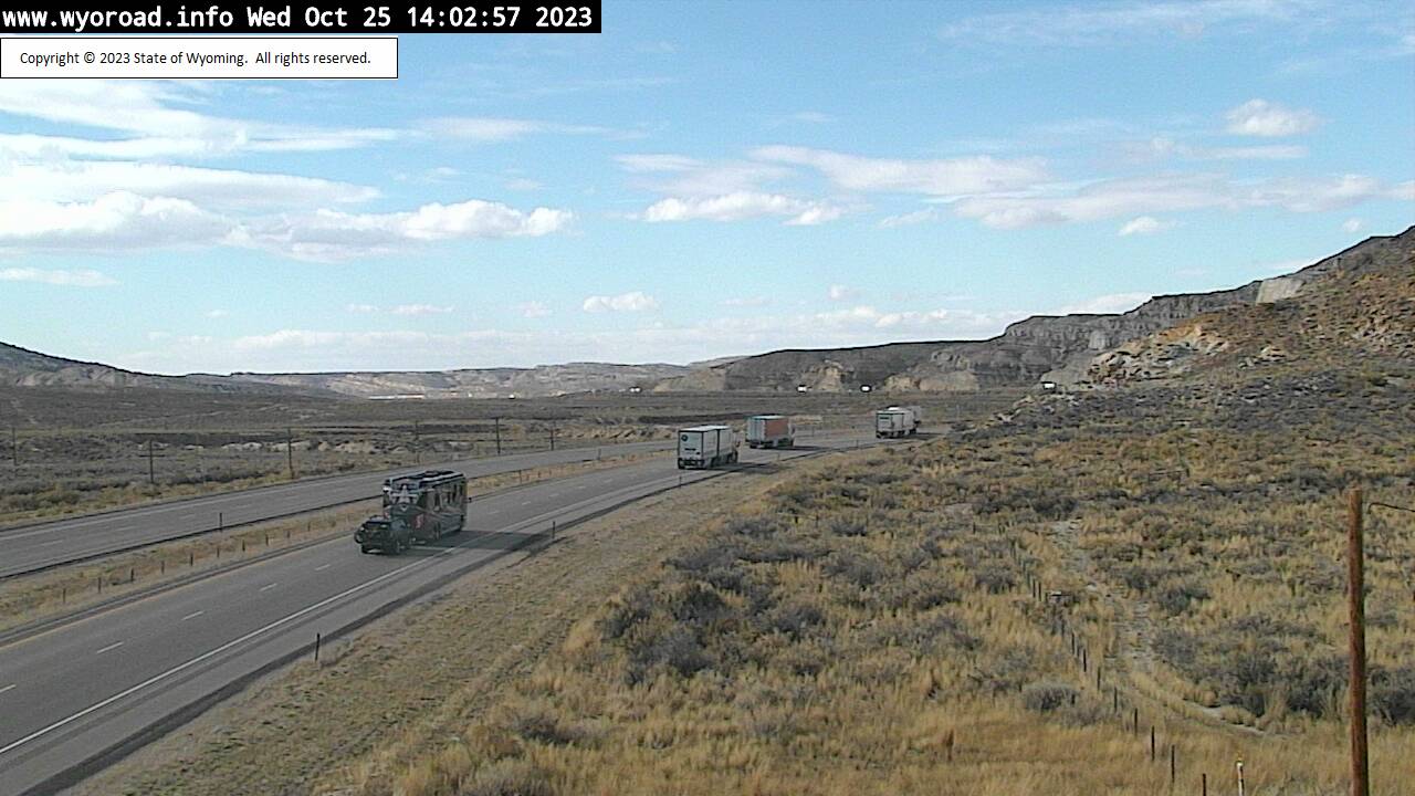
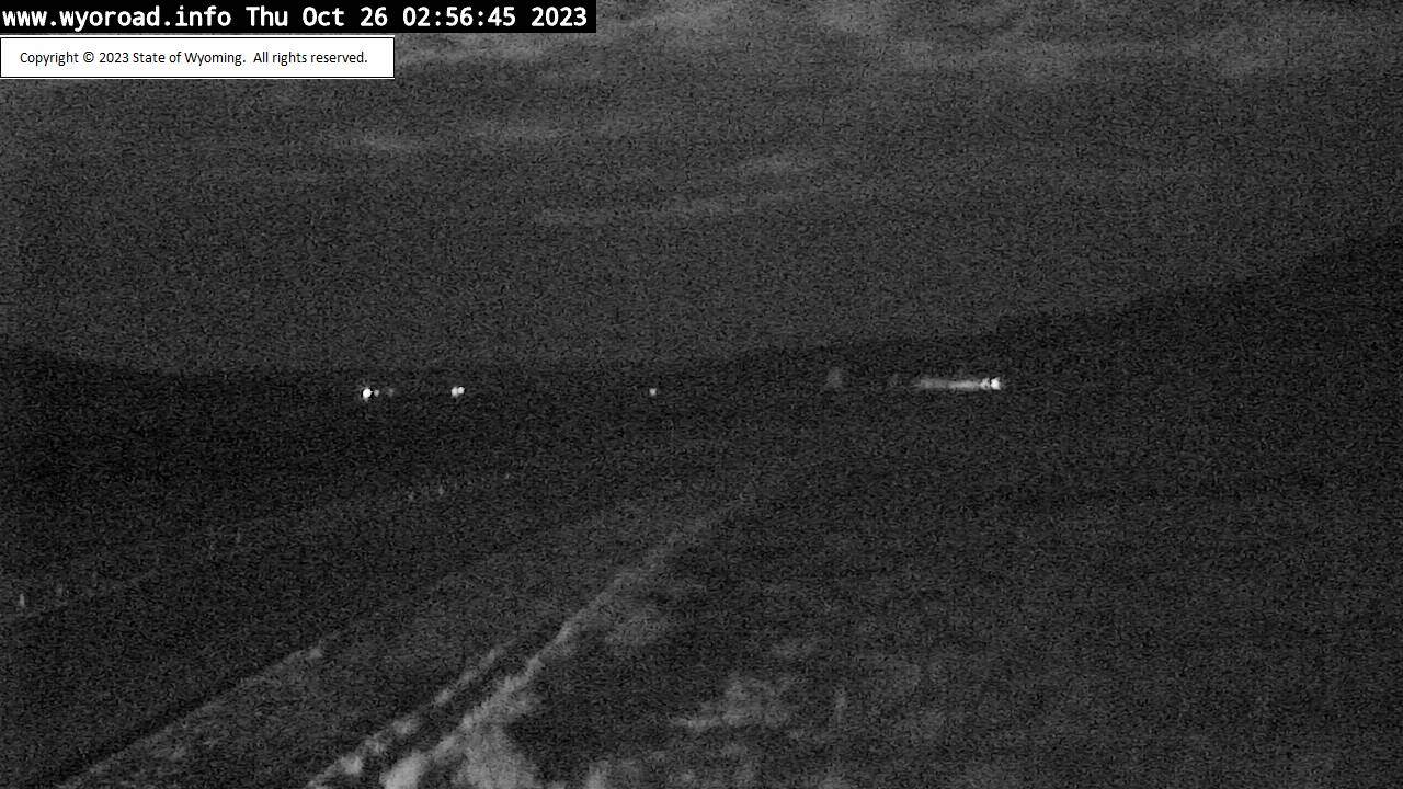
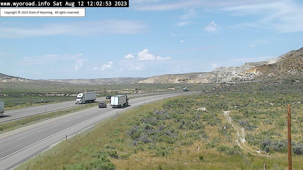
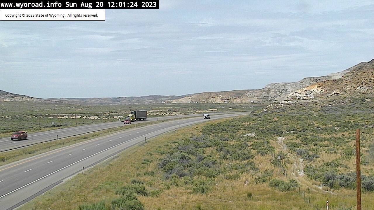
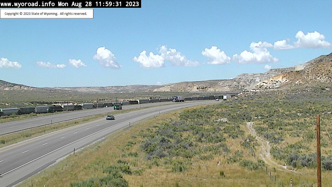
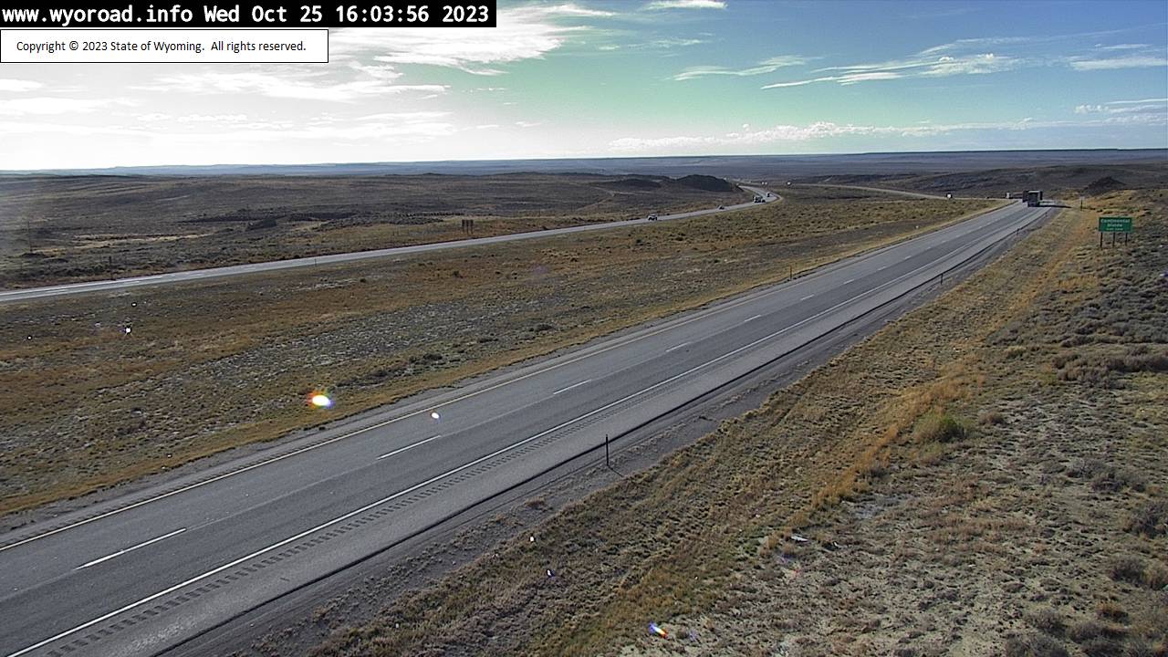
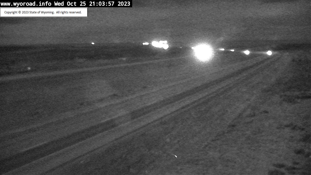
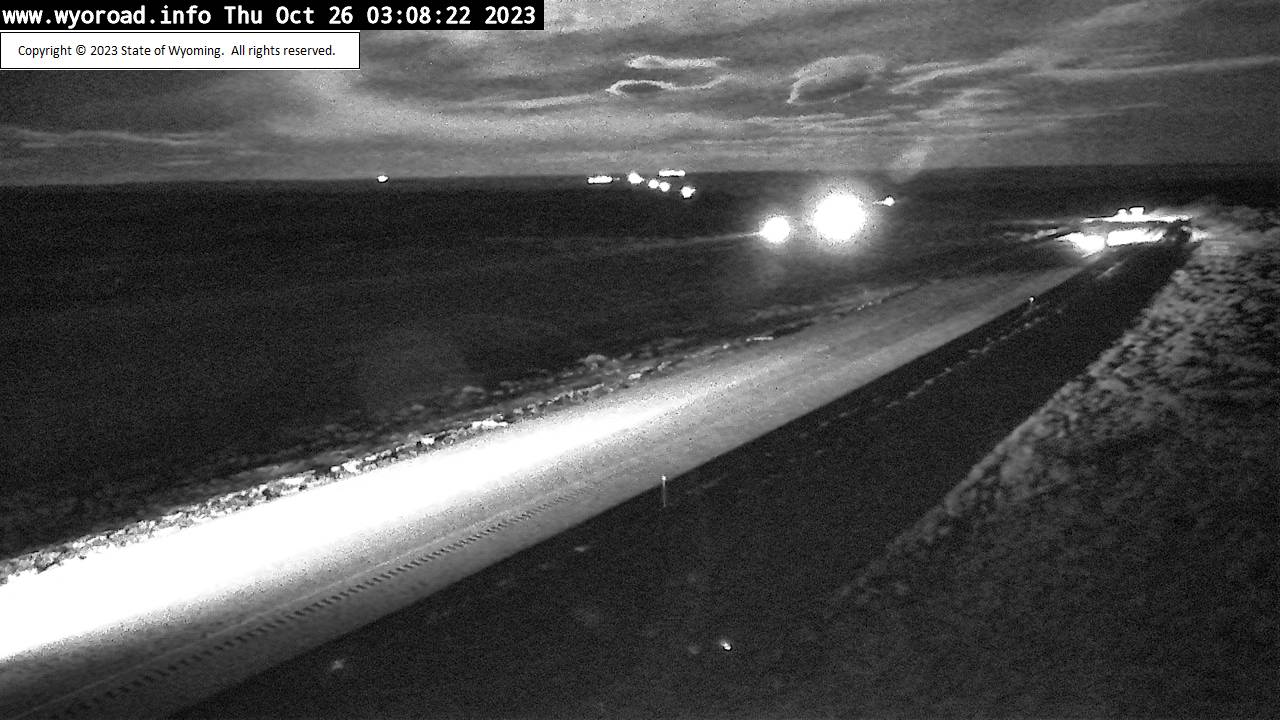
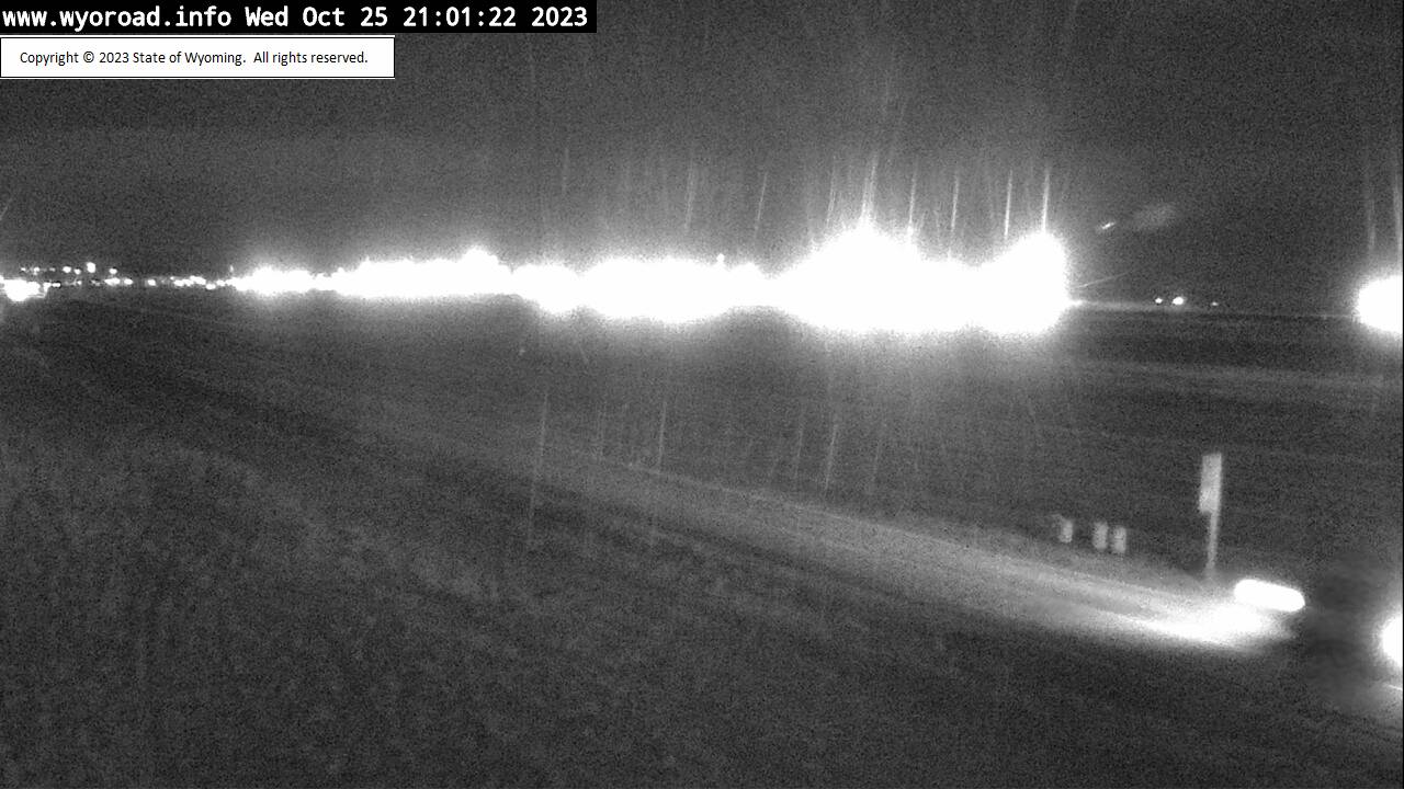
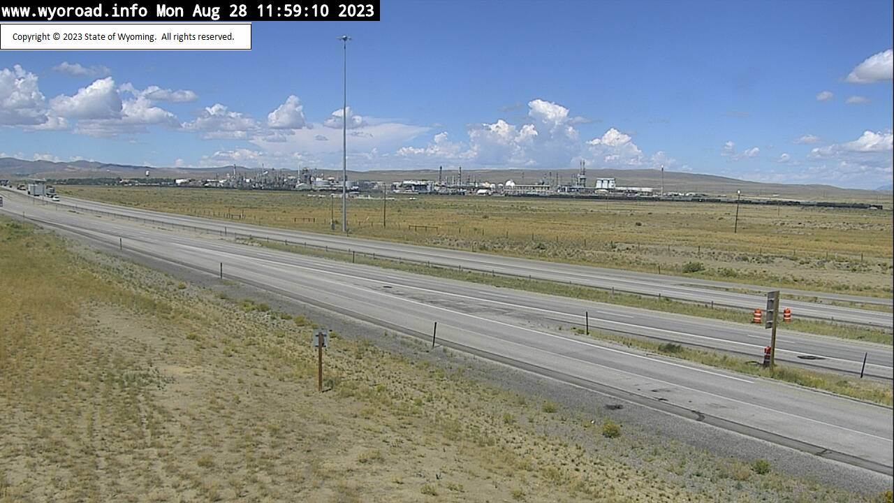
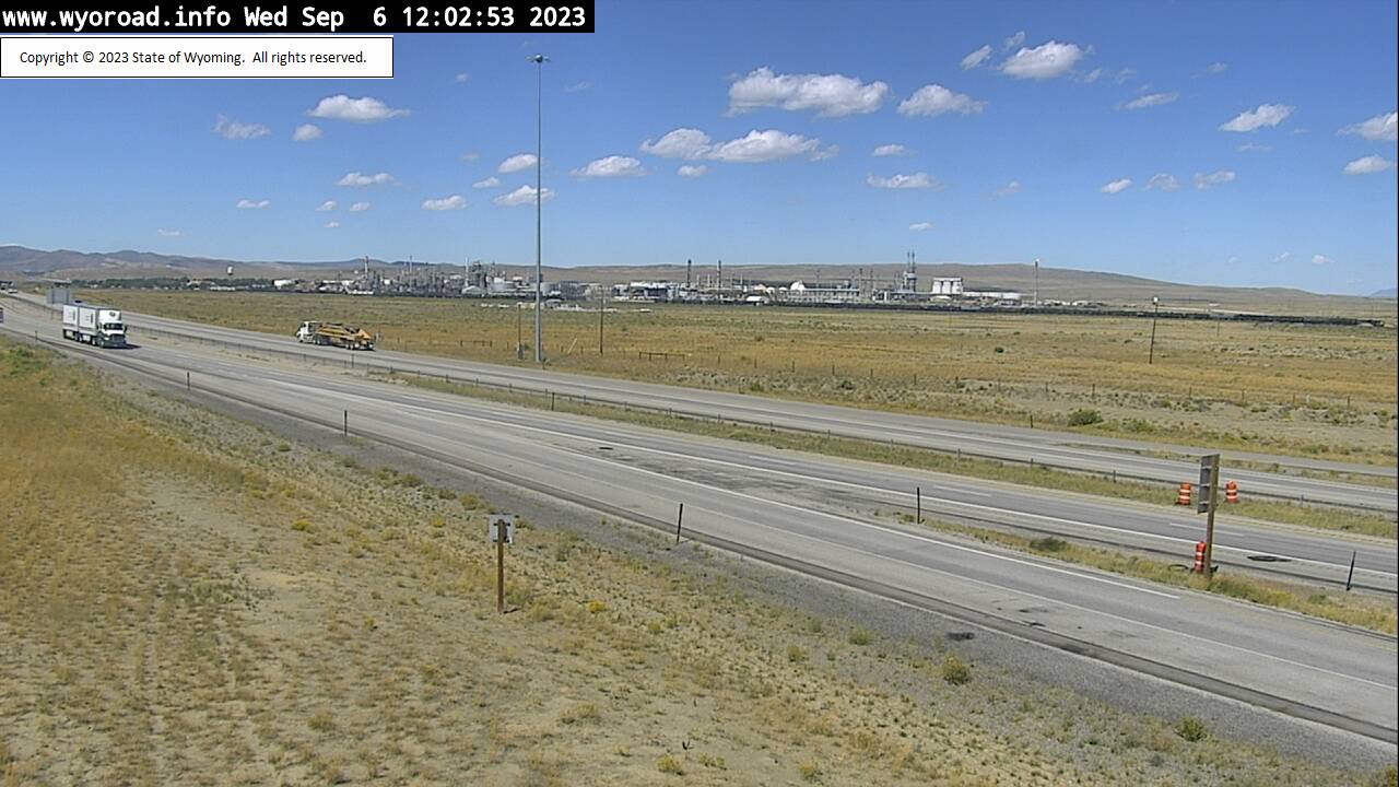
Creston Junction, Wyoming, USA - 83.3 miles from Lay: Creston Junction - Traffic and Weather - A view of the current traffic and weather situation.
Operator: WYDOT Travel Information Service
Operator: WYDOT Travel Information Service


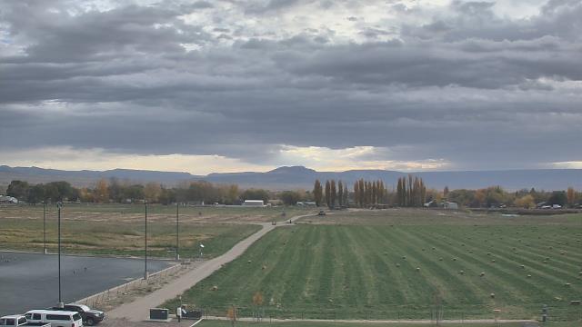
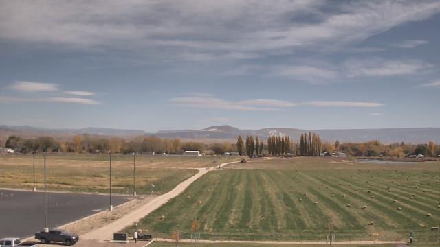
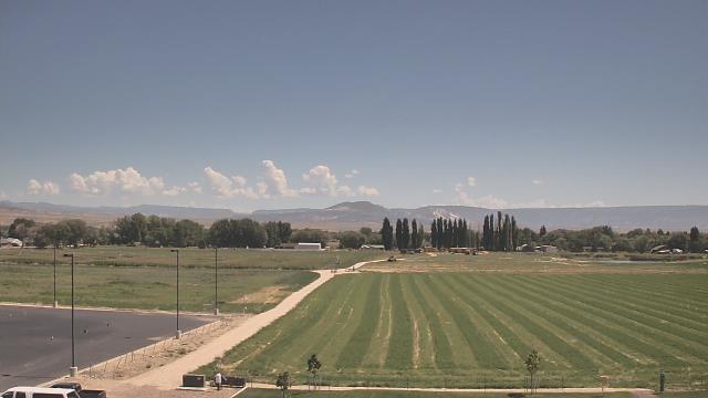
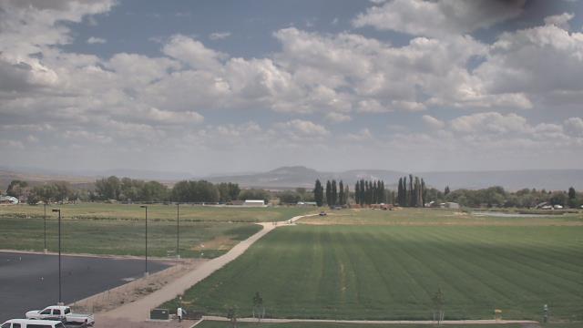
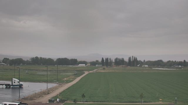
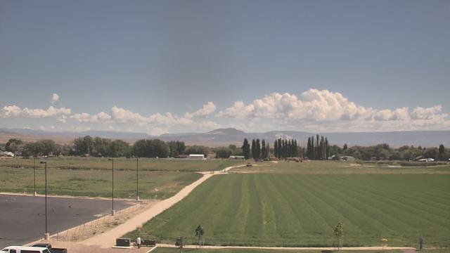
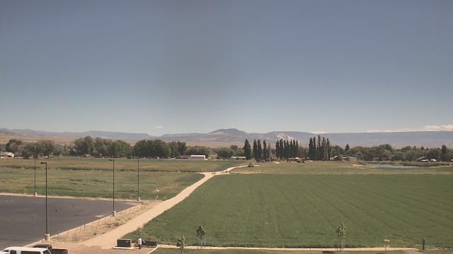
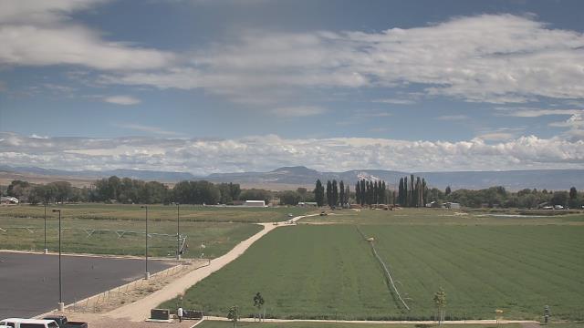
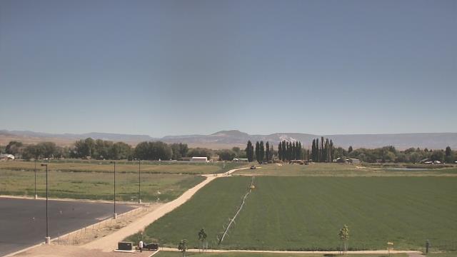
Vernal, Utah, USA - 86.7 miles from Lay: Uintah Basin Applied Tech College - A webcam in Vernal, Utah - camera location: Uintah Basin Applied Tech College.
Operator: WeatherBug
Operator: WeatherBug
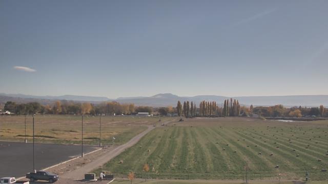
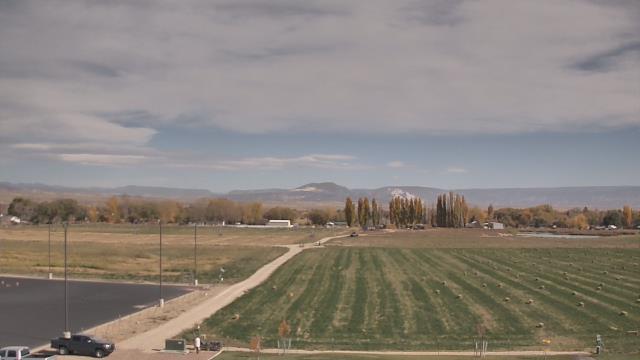
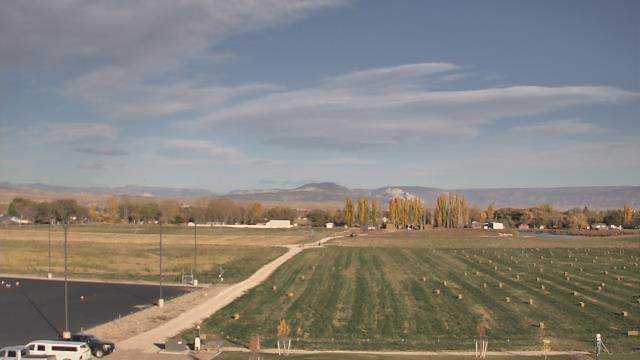
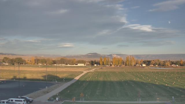
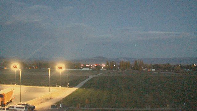


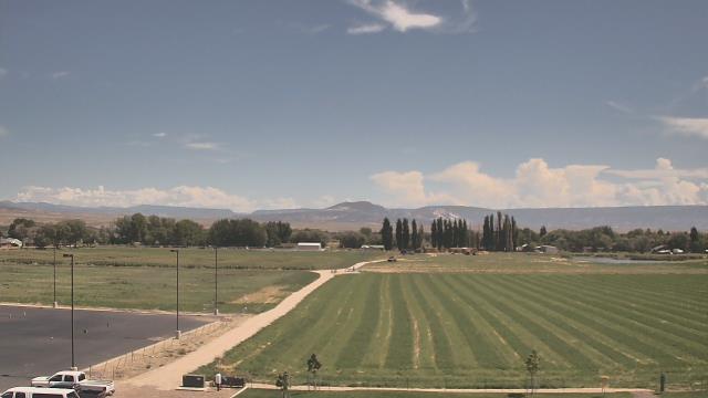

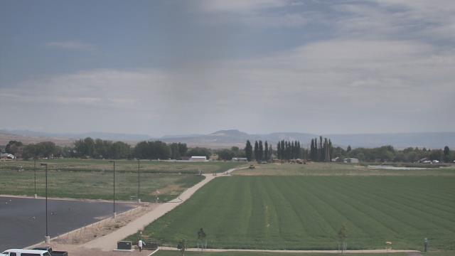
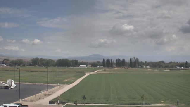
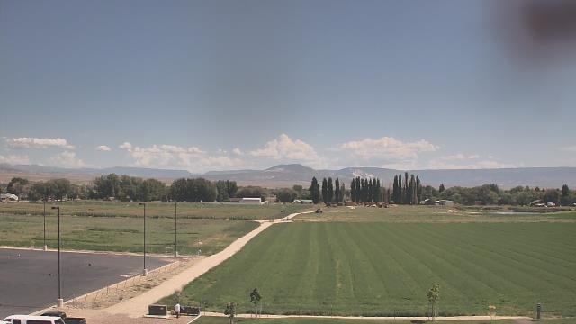
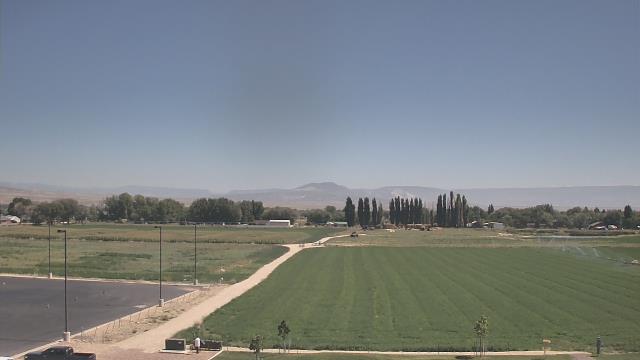
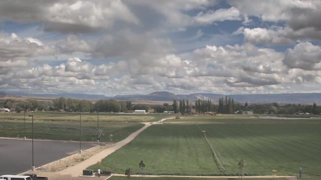
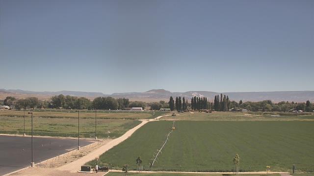

Vernal, Utah, USA - 86.7 miles from Lay: Uintah Co School District - A webcam in Vernal, Utah - camera location: Uintah Co School District.
Operator: WeatherBug
Operator: WeatherBug


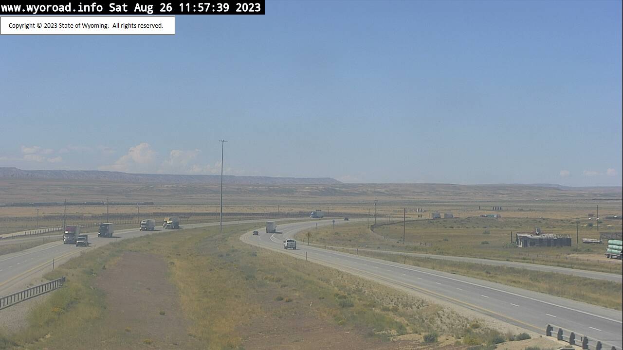
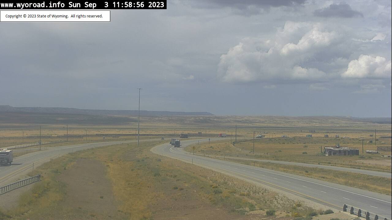
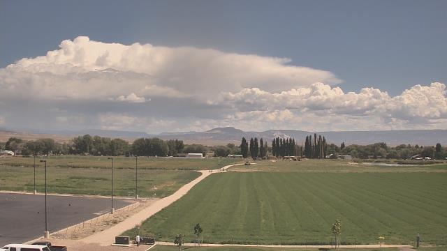
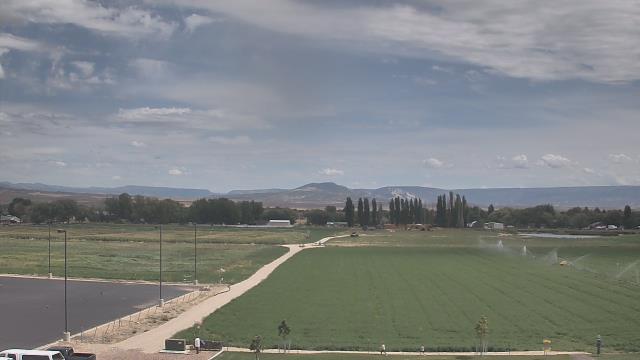
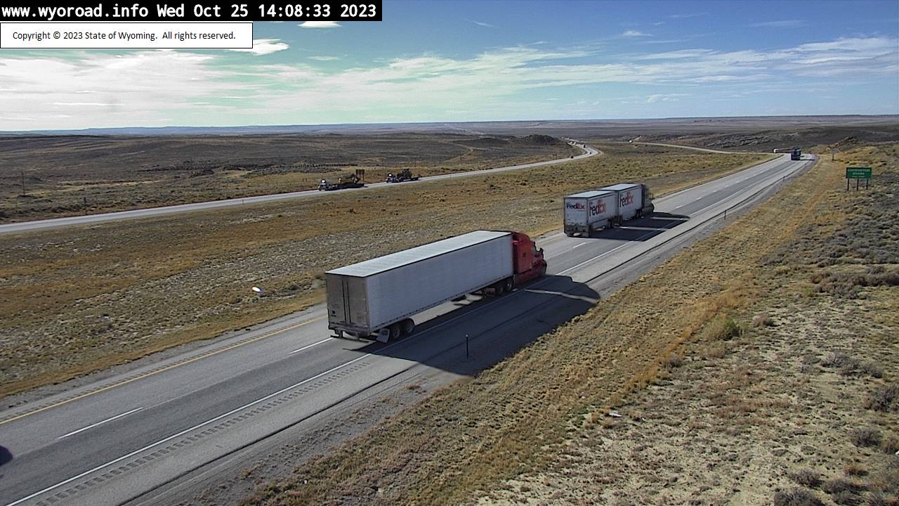
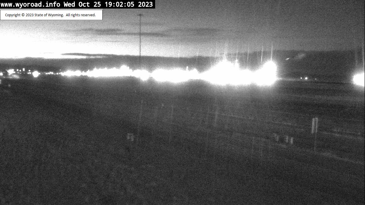
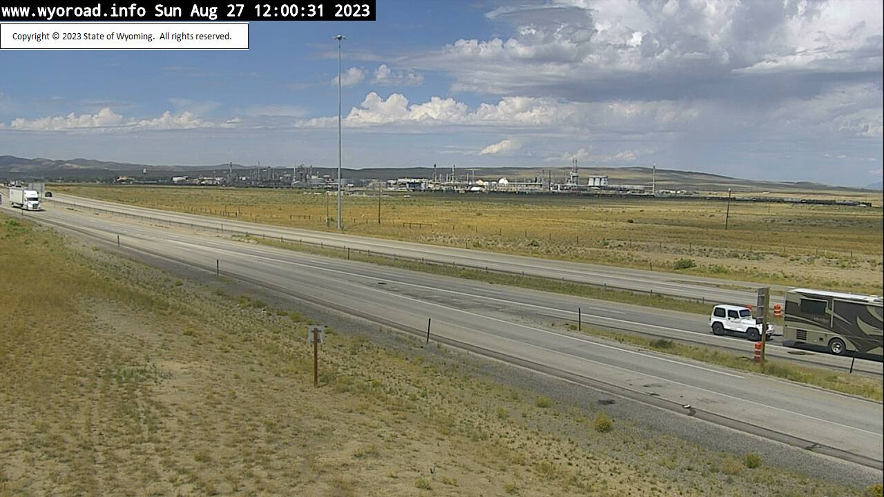
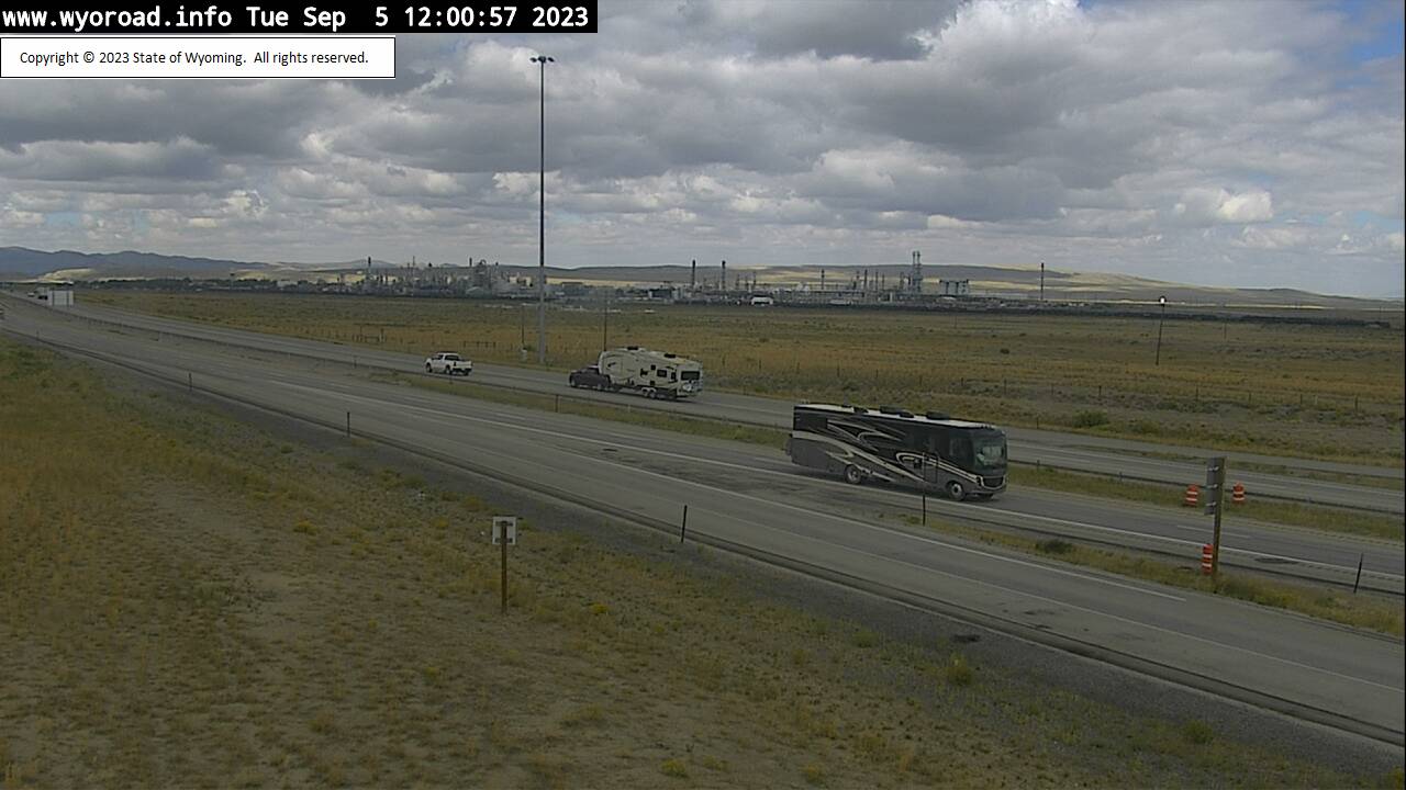
Point of Rocks, Wyoming, USA - 92.5 miles from Lay: Point of Rocks - Traffic and Weather - A view of the current traffic and weather situation.
Operator: WYDOT Travel Information Service
Operator: WYDOT Travel Information Service


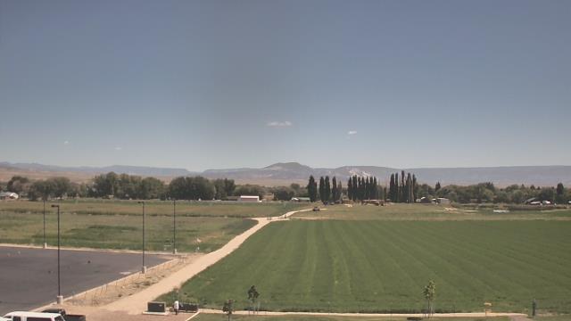
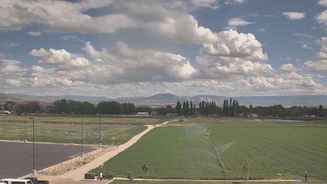
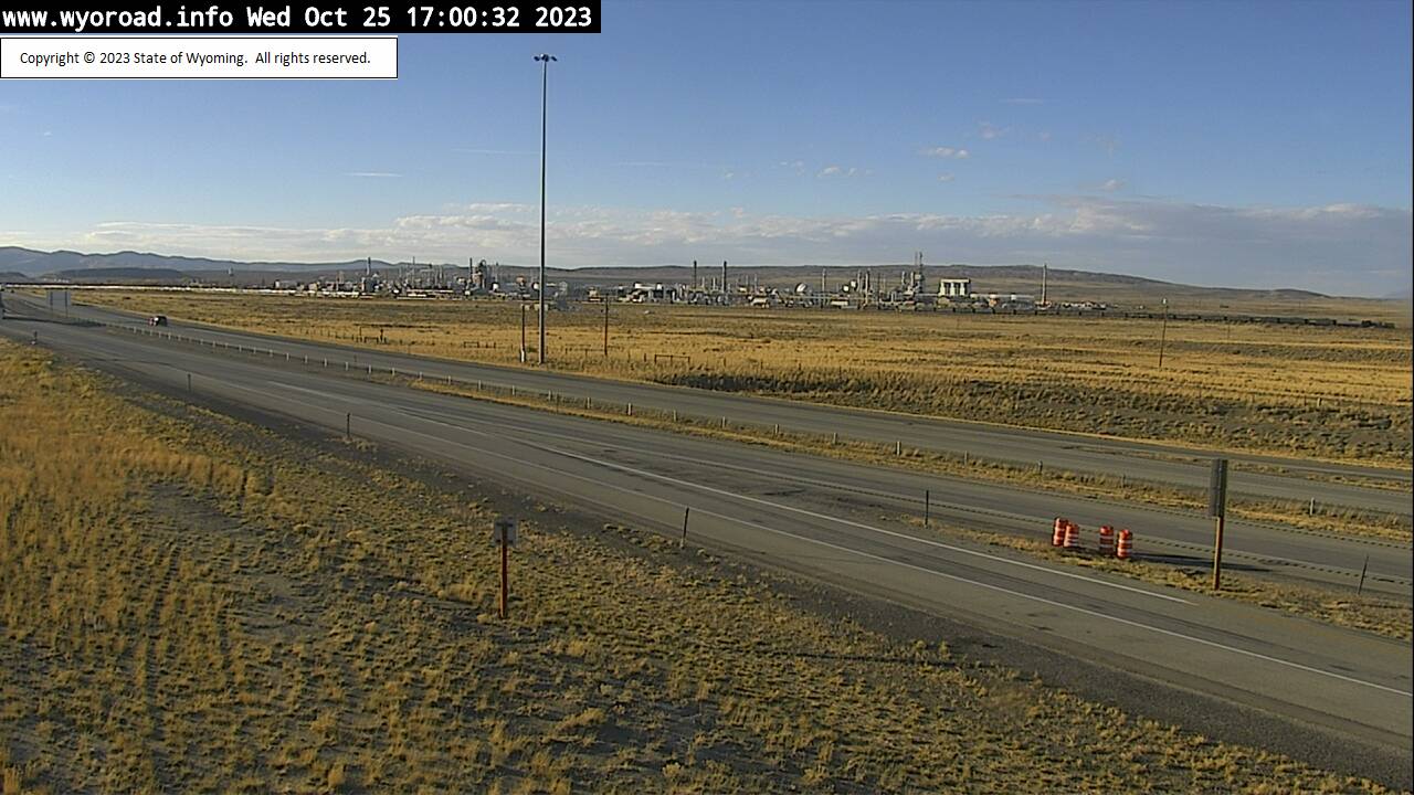
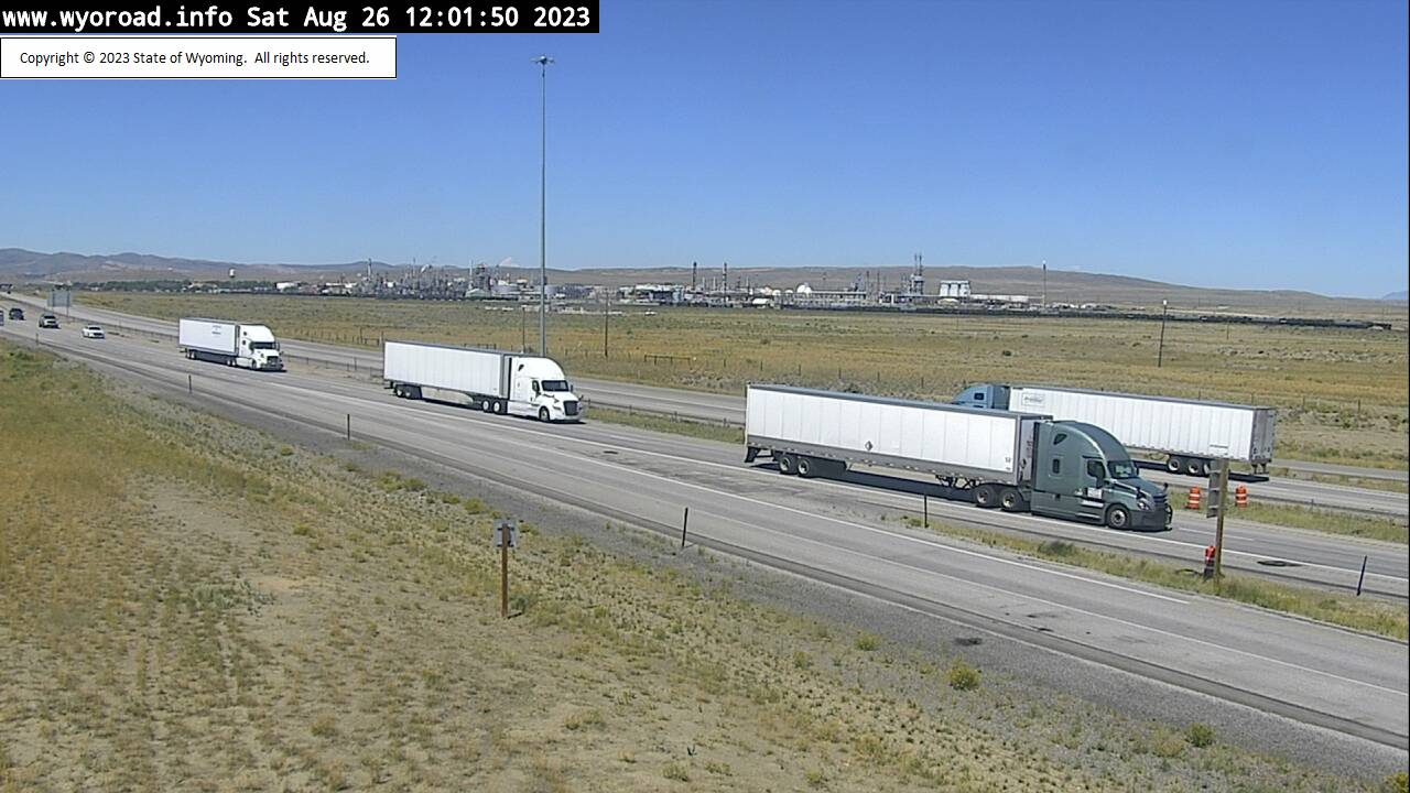
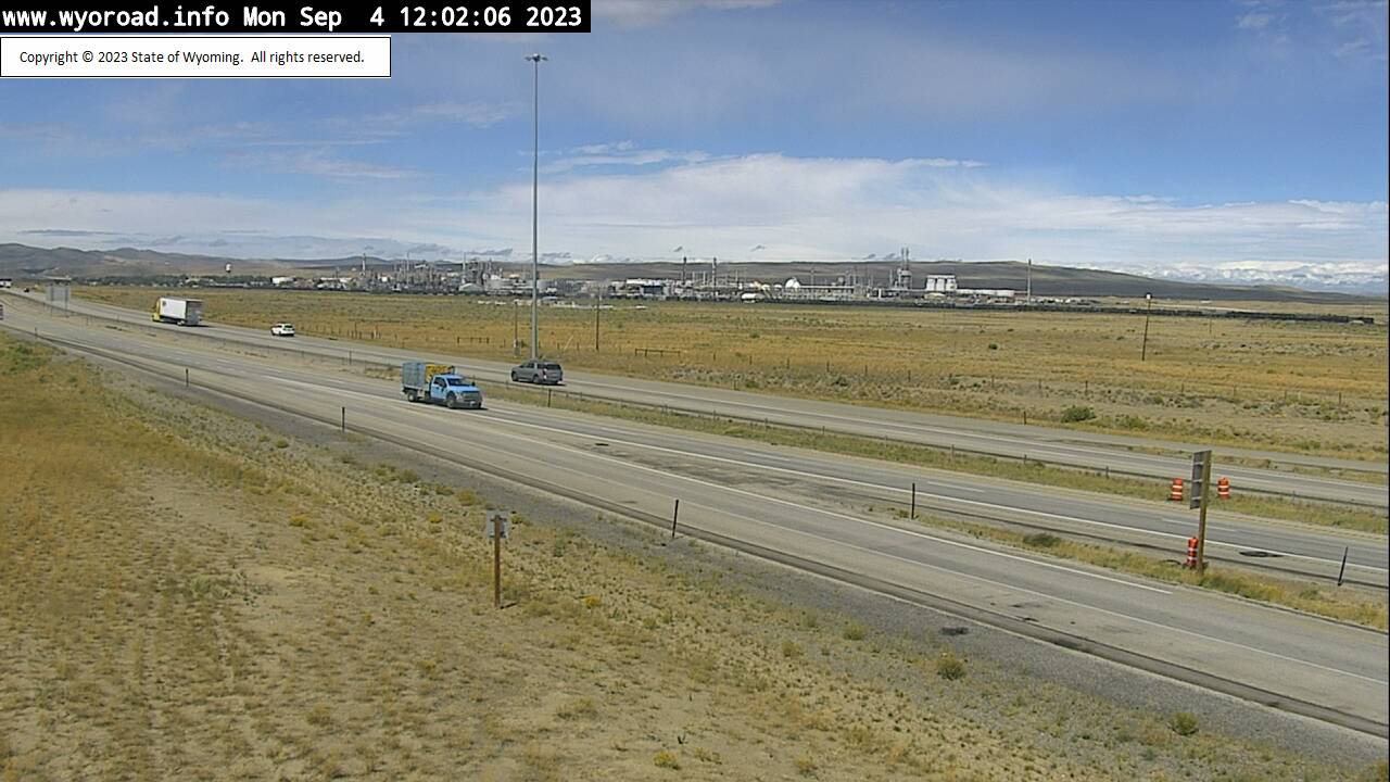
Rawlins, Wyoming, USA - 93.6 miles from Lay: Hadsell - Traffic and Weather - A view of the current traffic and weather situation.
Operator: WYDOT Travel Information Service
Operator: WYDOT Travel Information Service


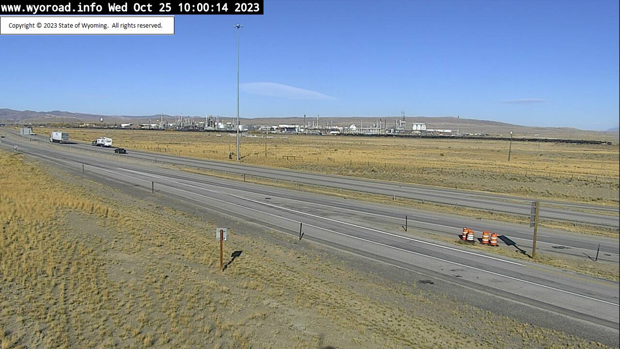
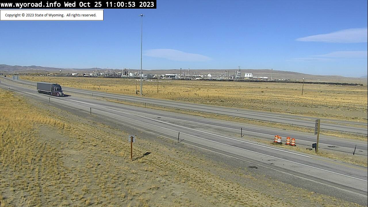
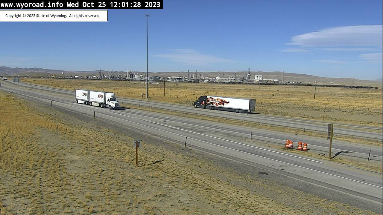
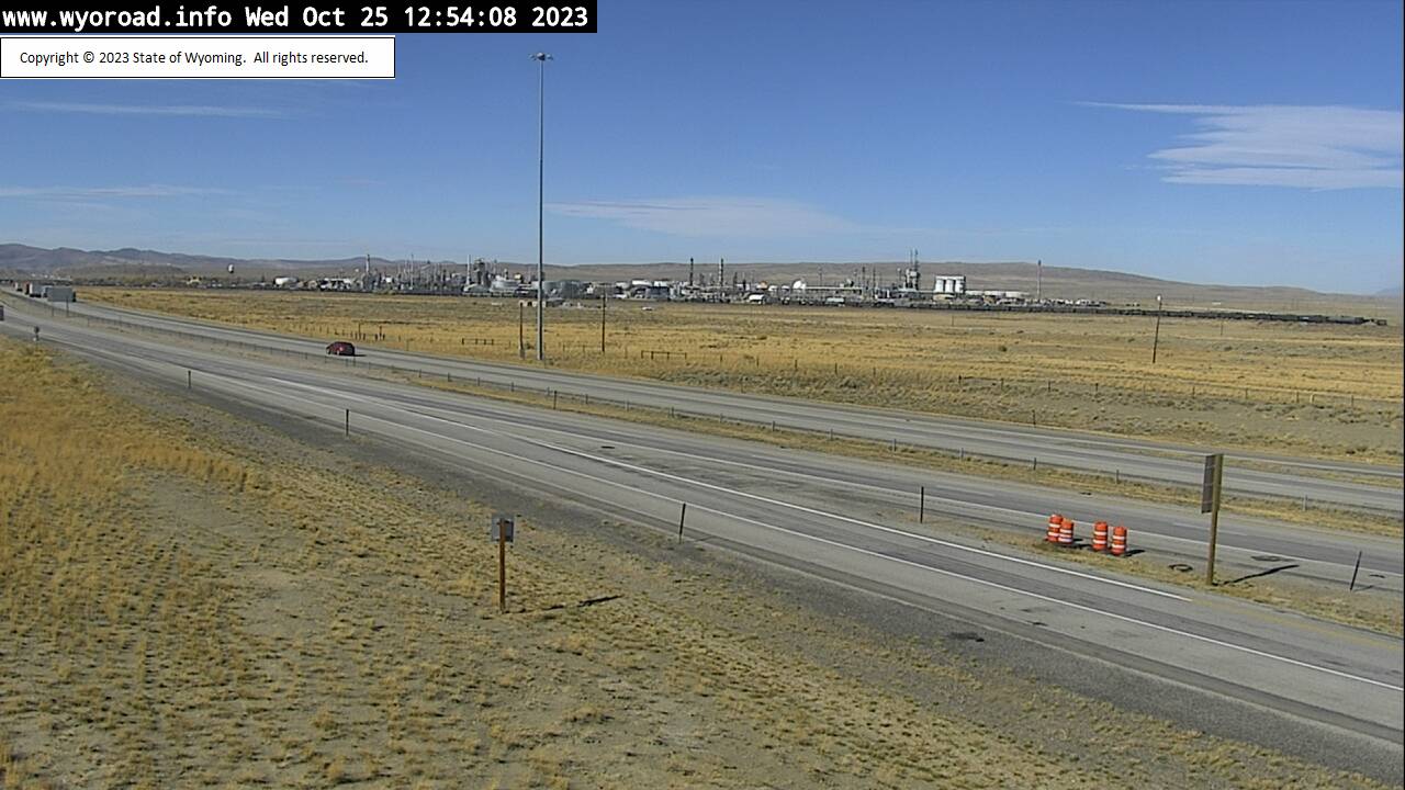
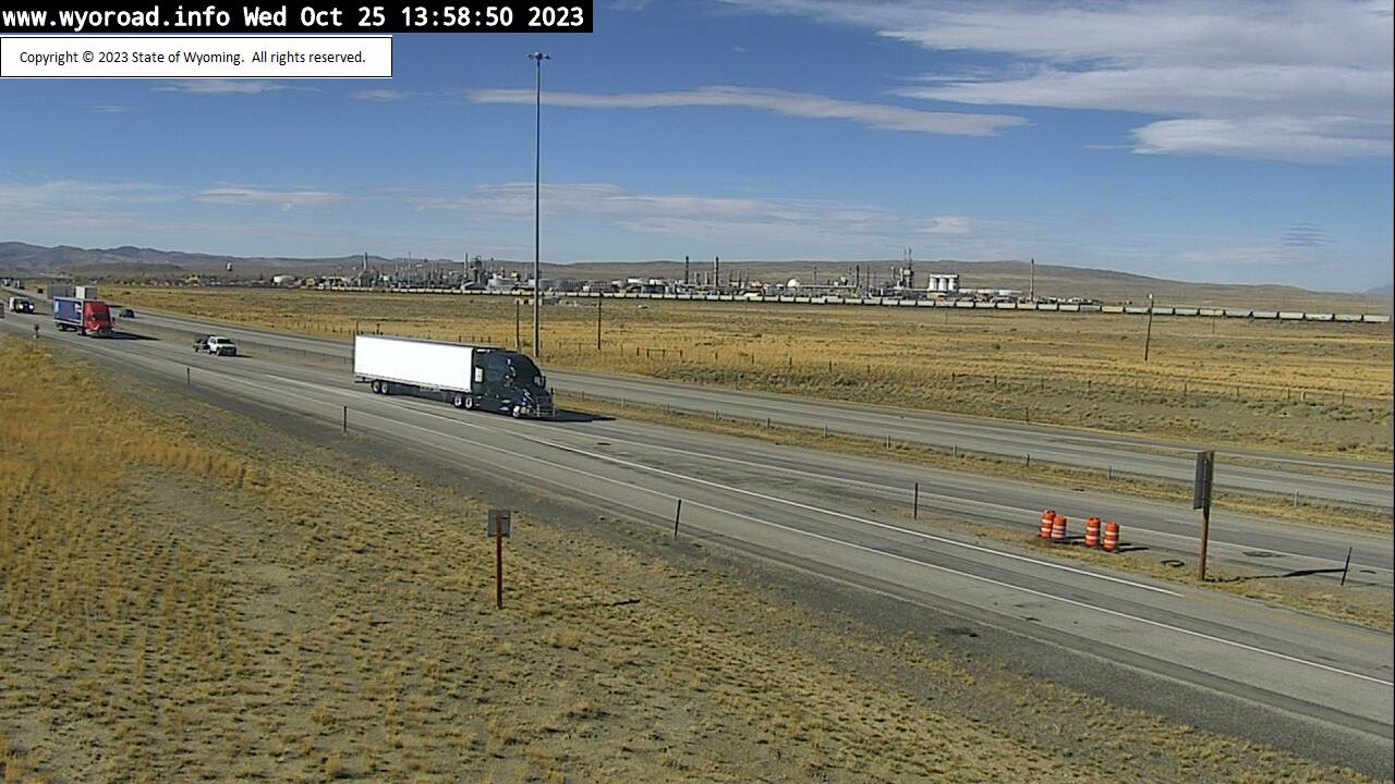
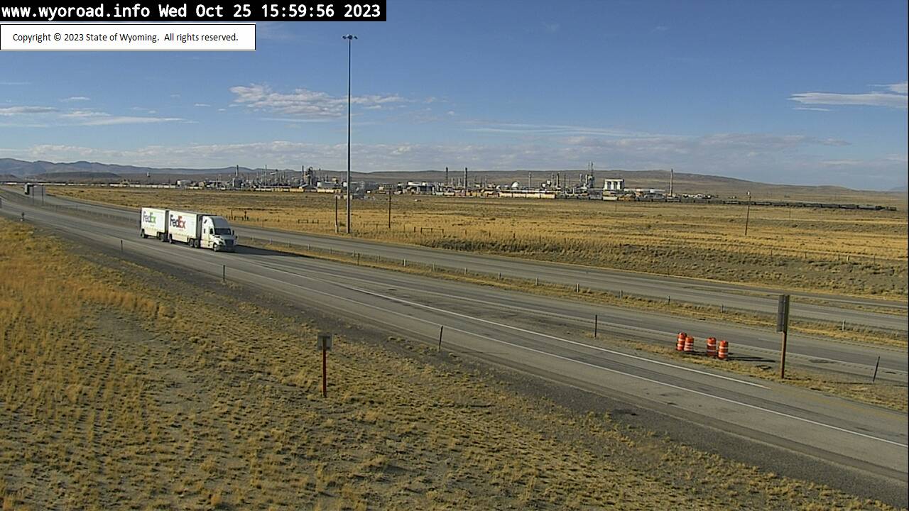
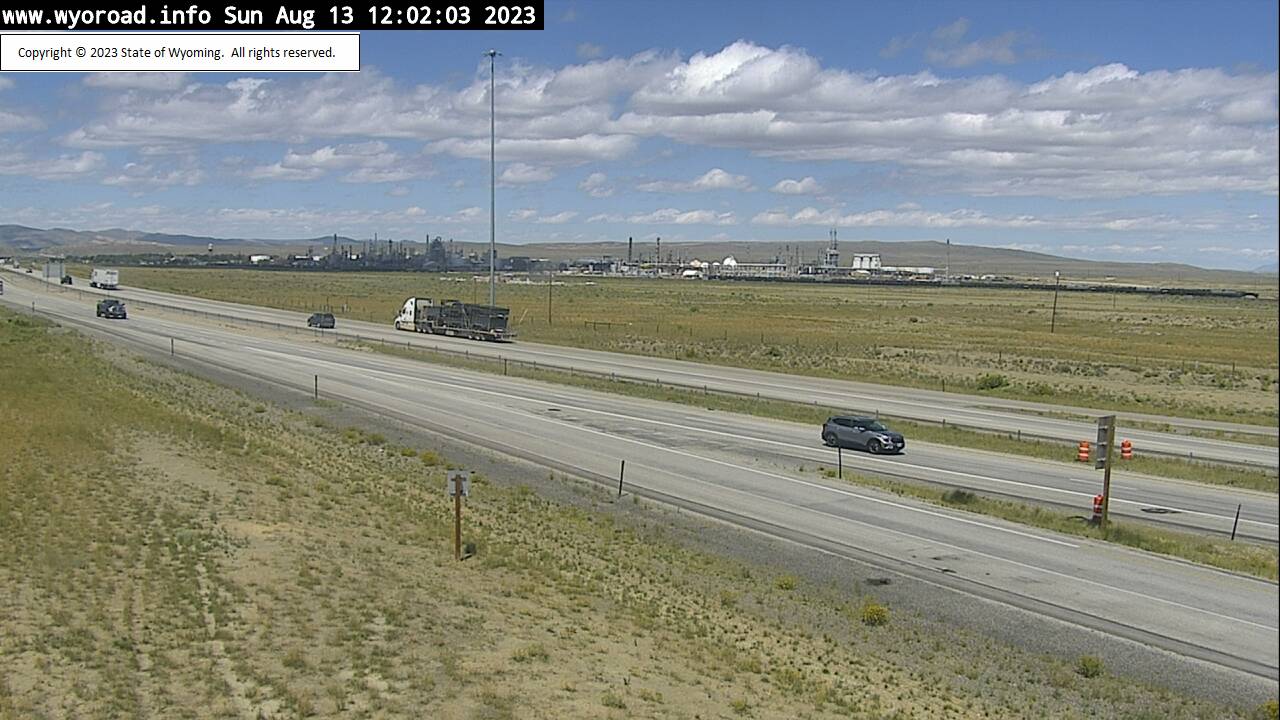
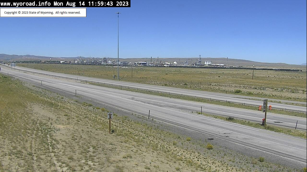
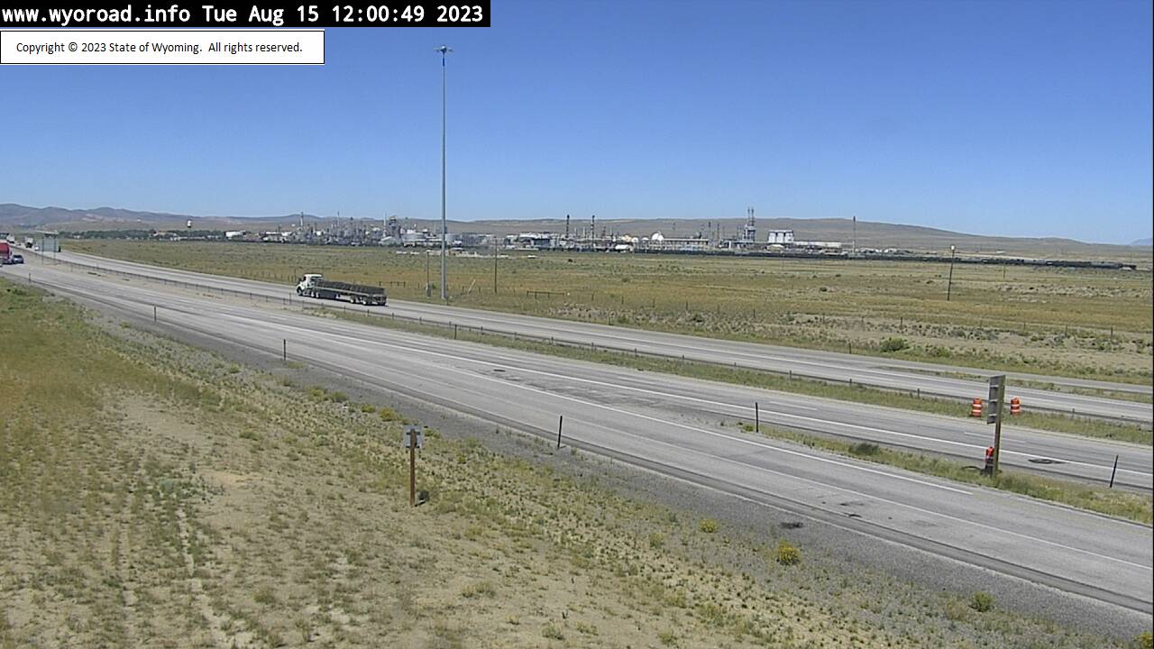
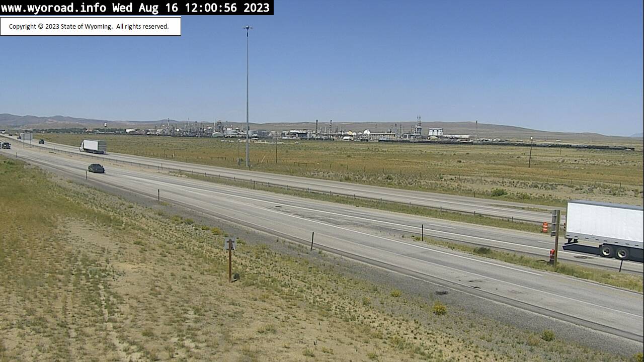
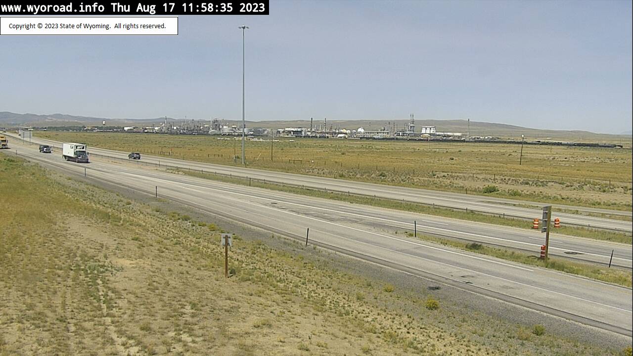
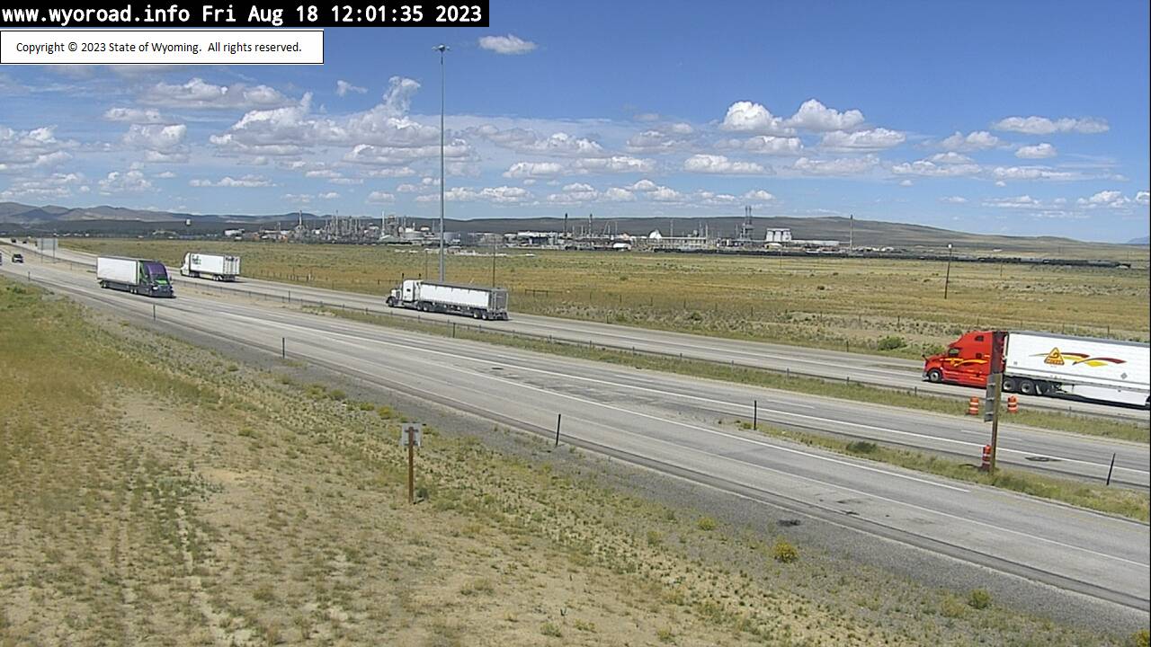
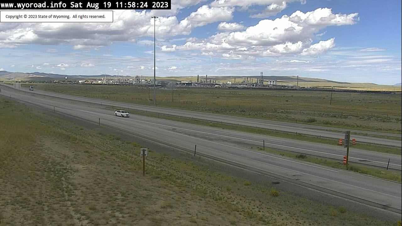
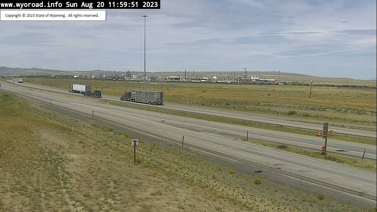
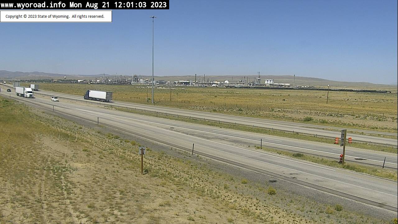
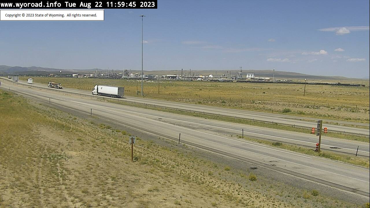
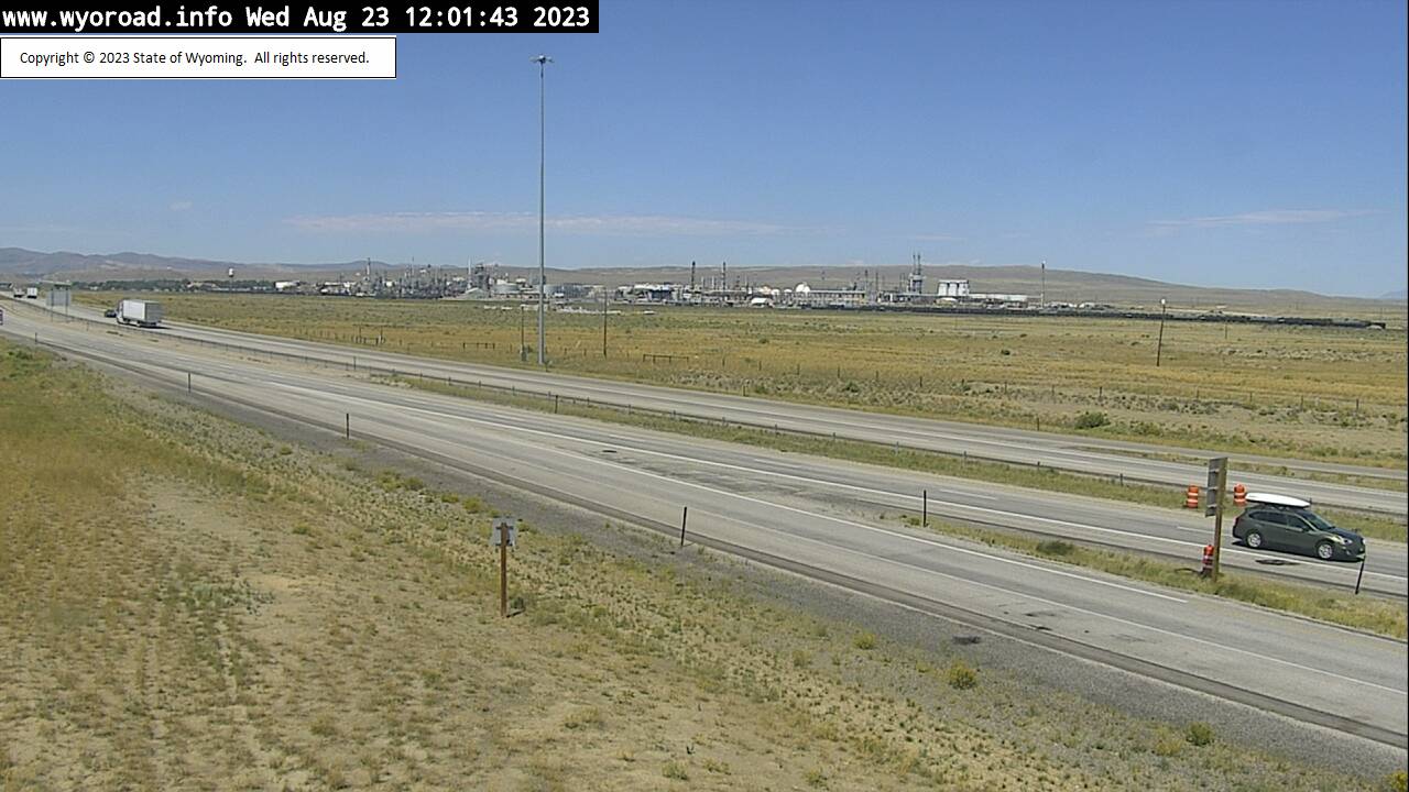
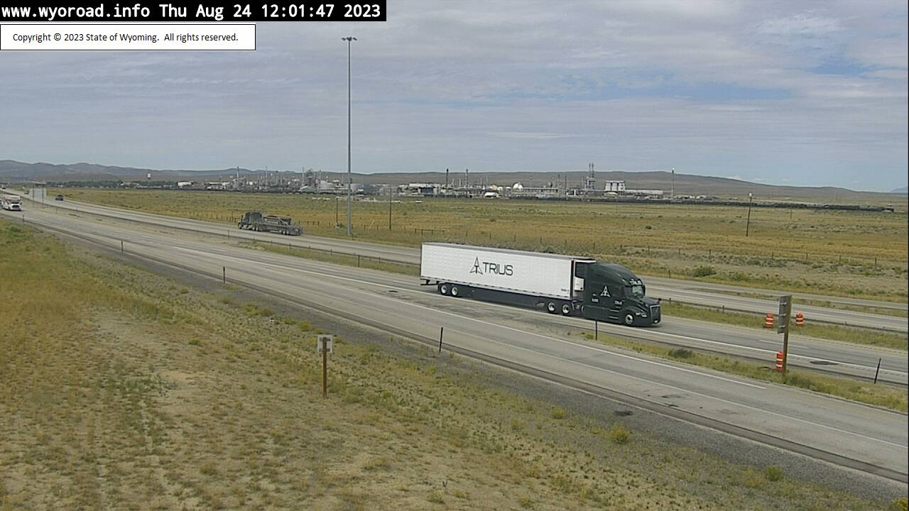
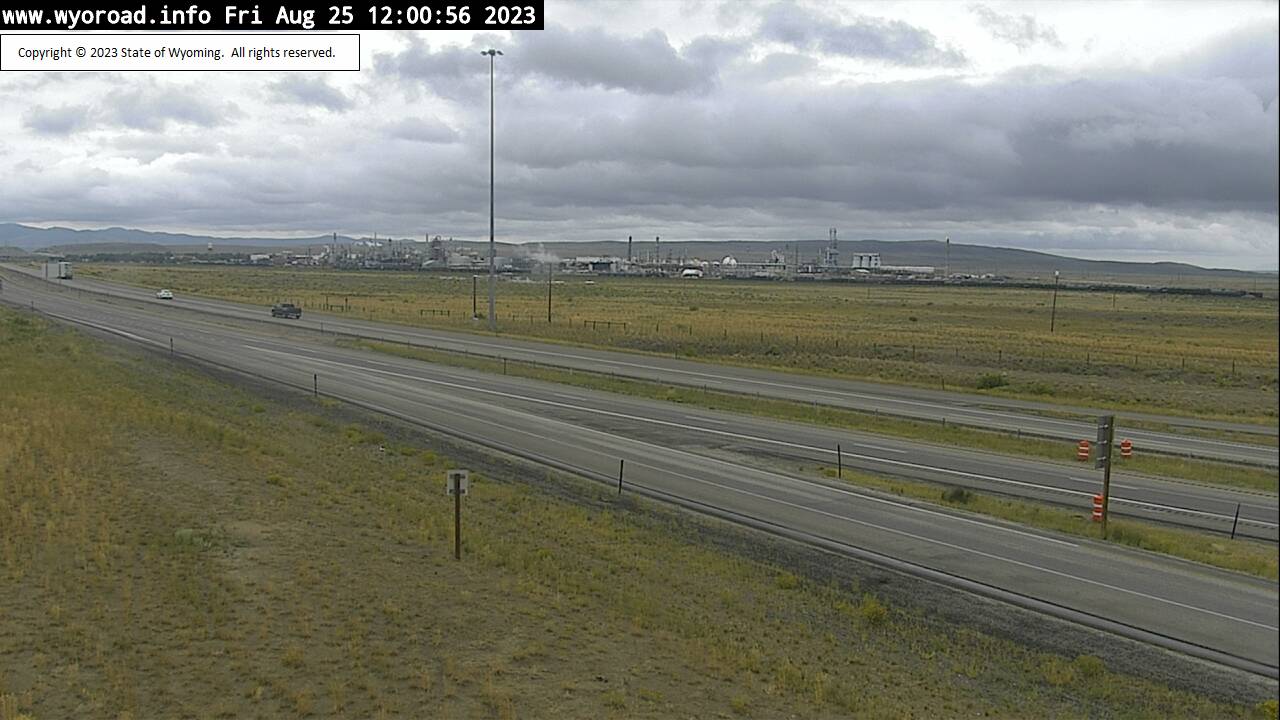
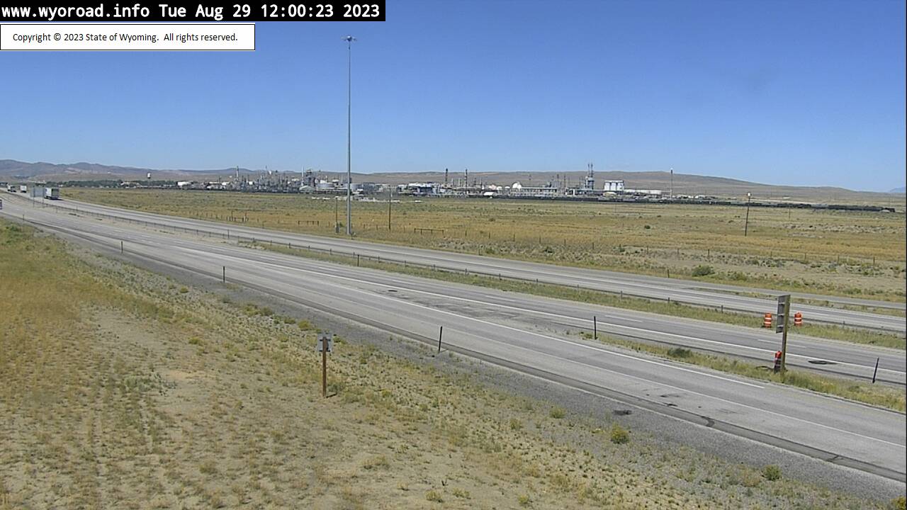
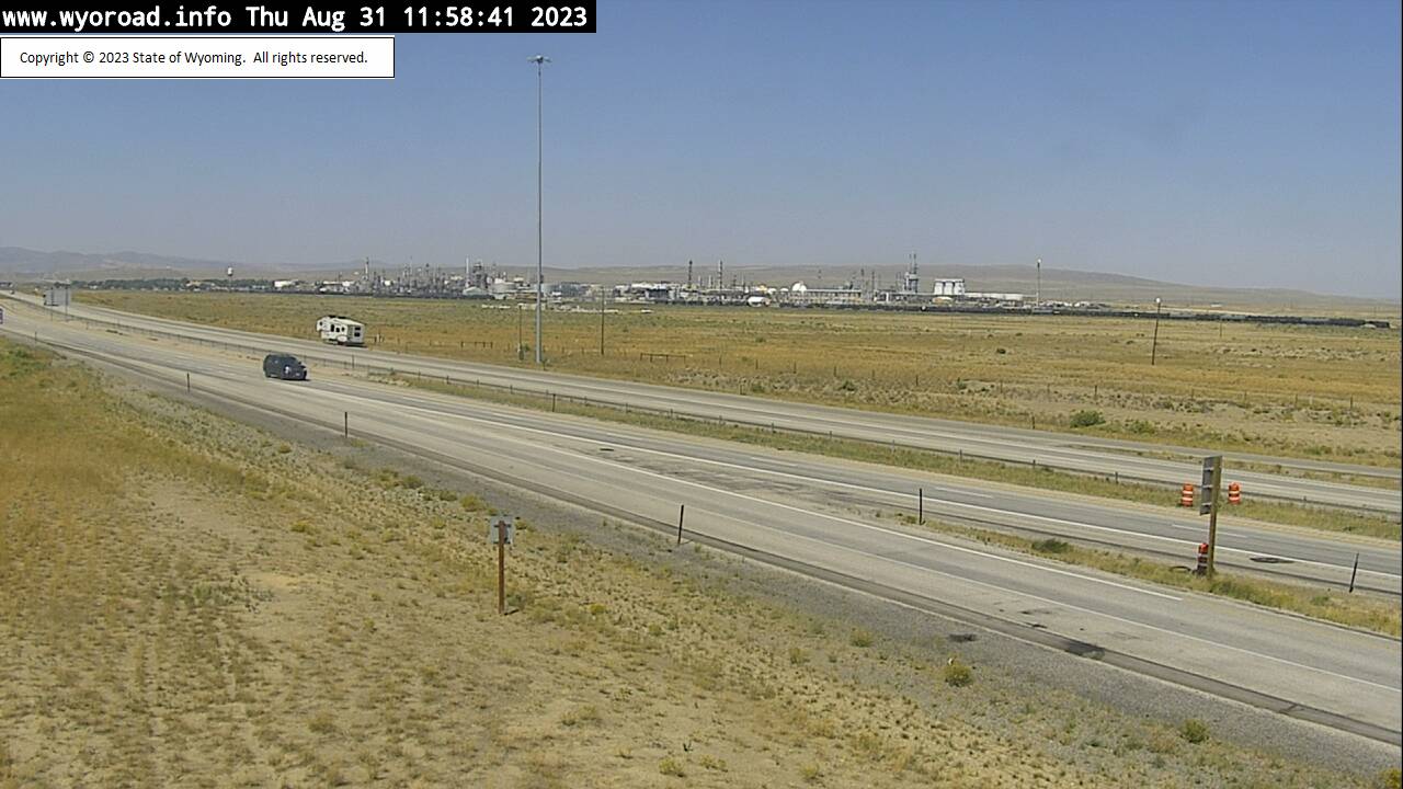
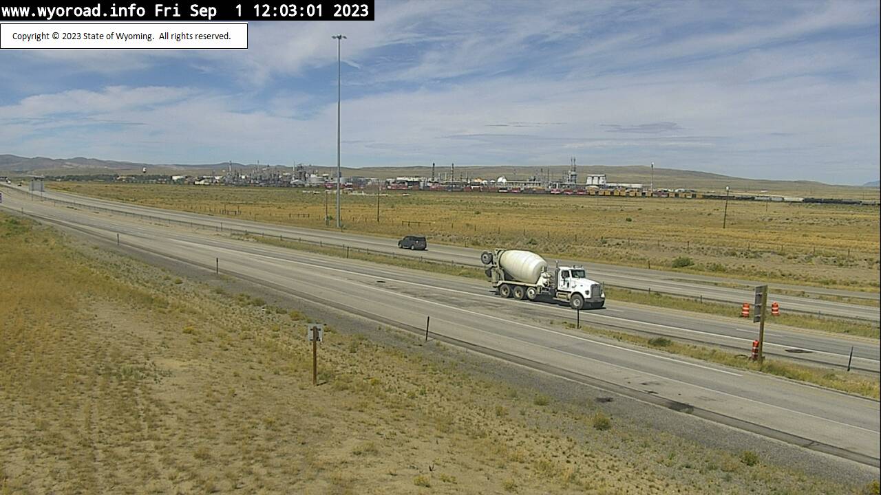
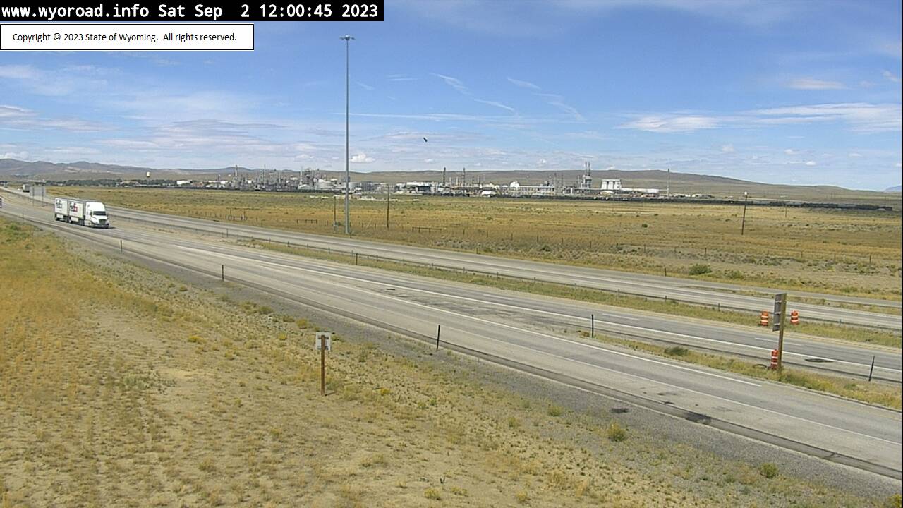
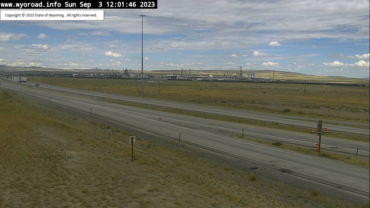
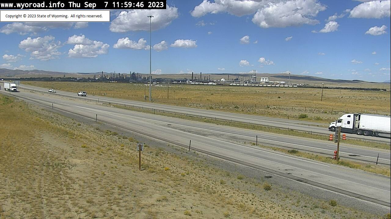
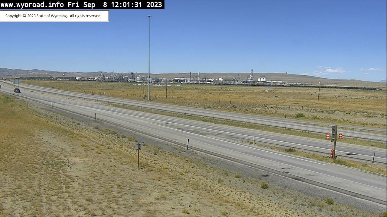
Sinclair, Wyoming, USA - 95.1 miles from Lay: Sinclair - Traffic and Weather - A view of the current traffic and weather situation.
Operator: WYDOT Travel Information Service
Operator: WYDOT Travel Information Service


Some other places in this country: Craig - Juniper Hot Springs - Mount Harris - Craig South Highlands - Bear River (historical) - McGregor - Milner - Iles Grove - Loyd - Axial