Webcams in the region of Runnymede Poultry Colony (historical), California, USA
The List of Webcams near Runnymede Poultry Colony (historical), California, USA:

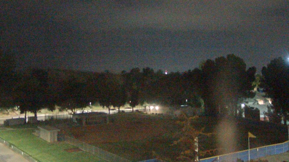
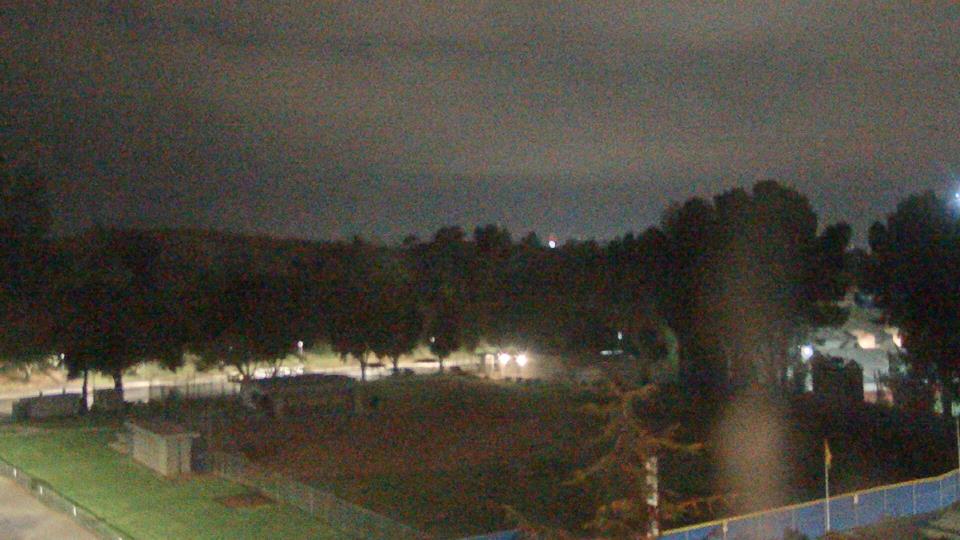
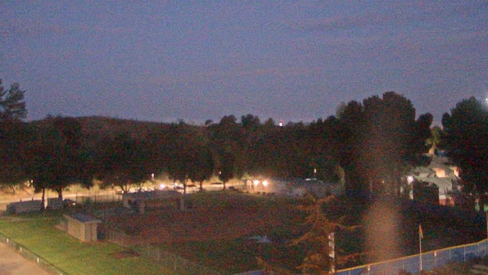
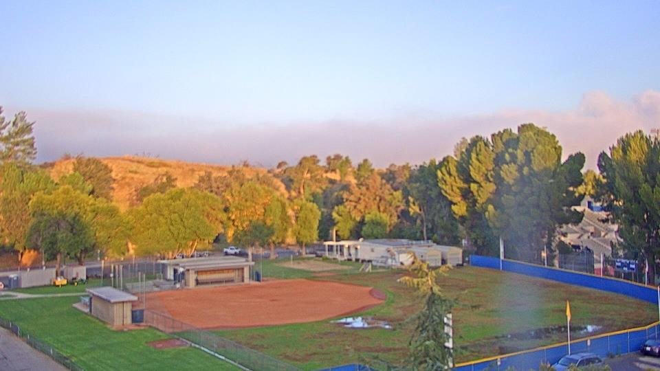
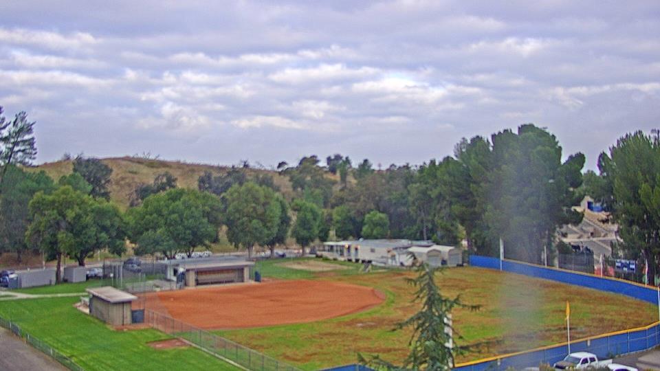
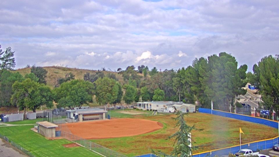
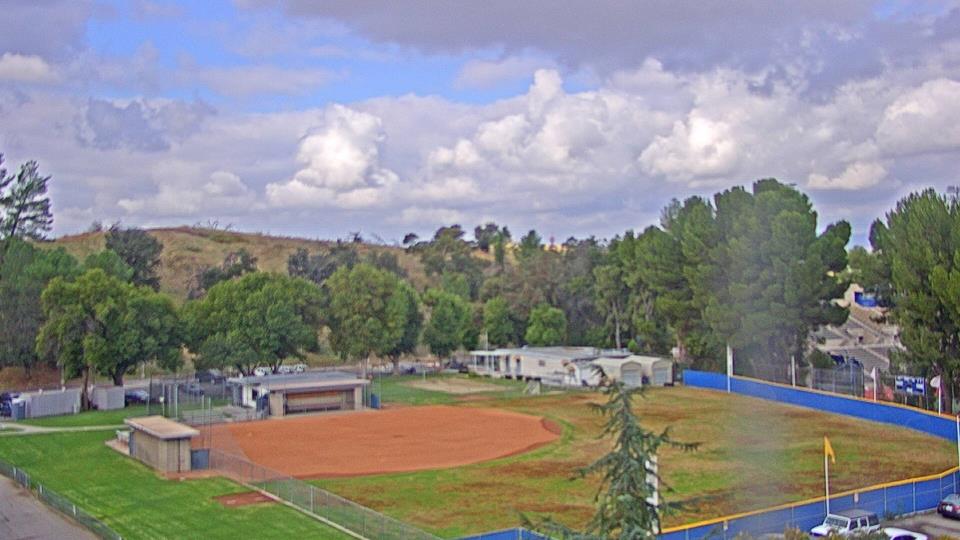
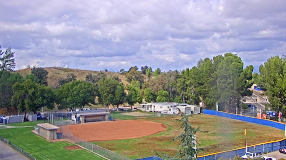
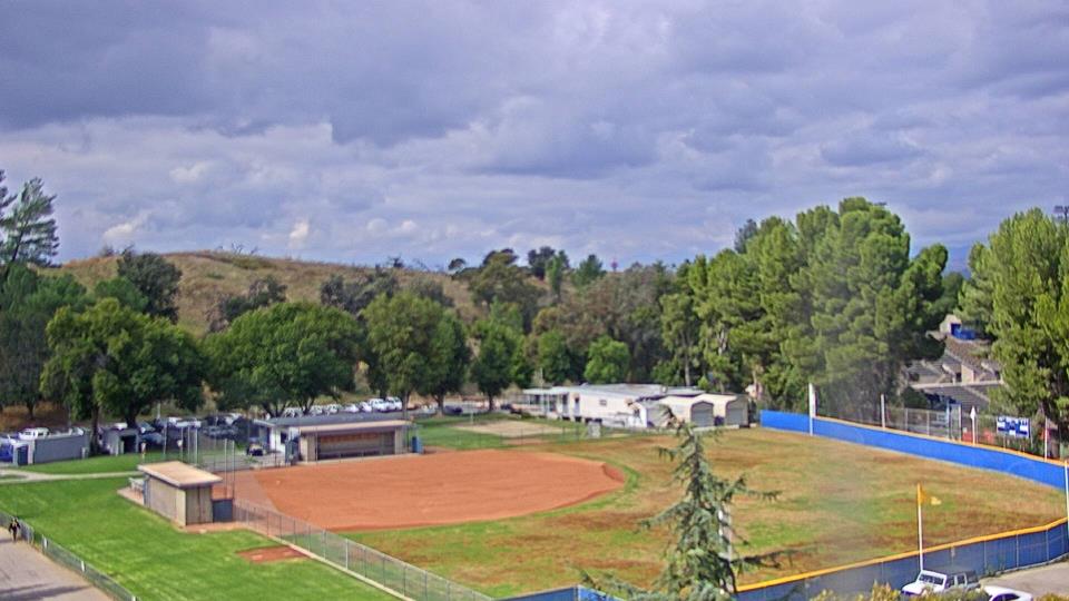
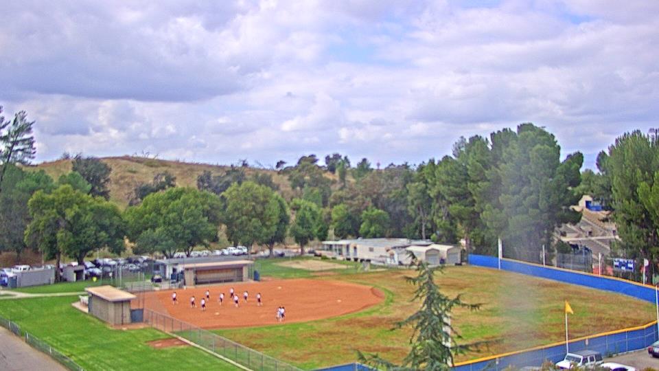
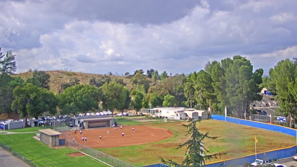
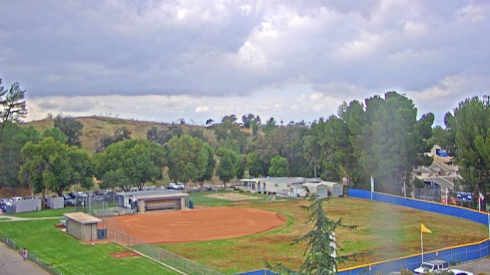
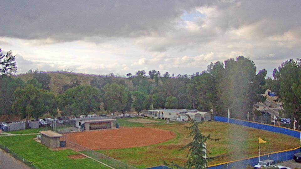
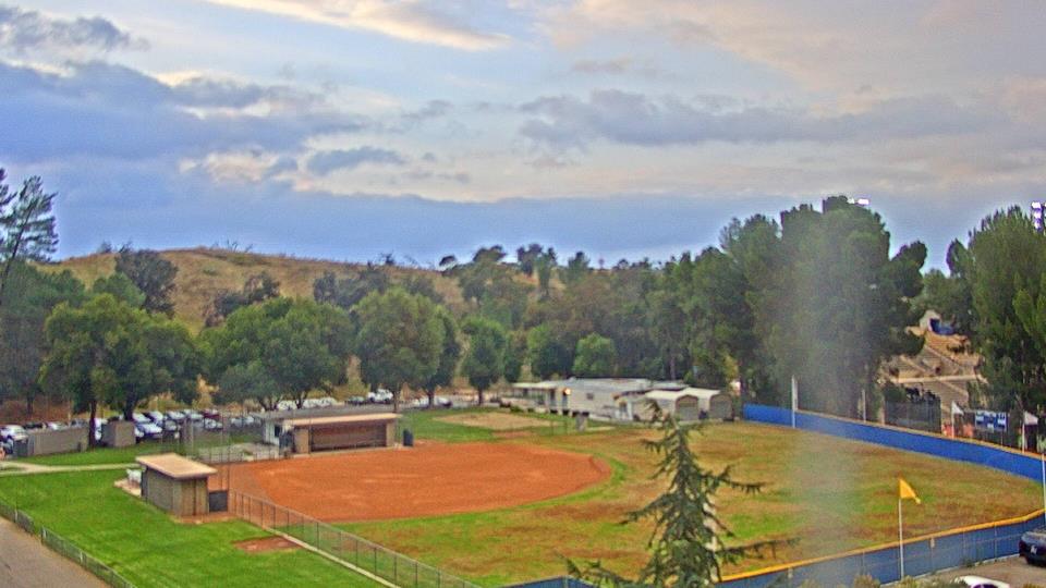
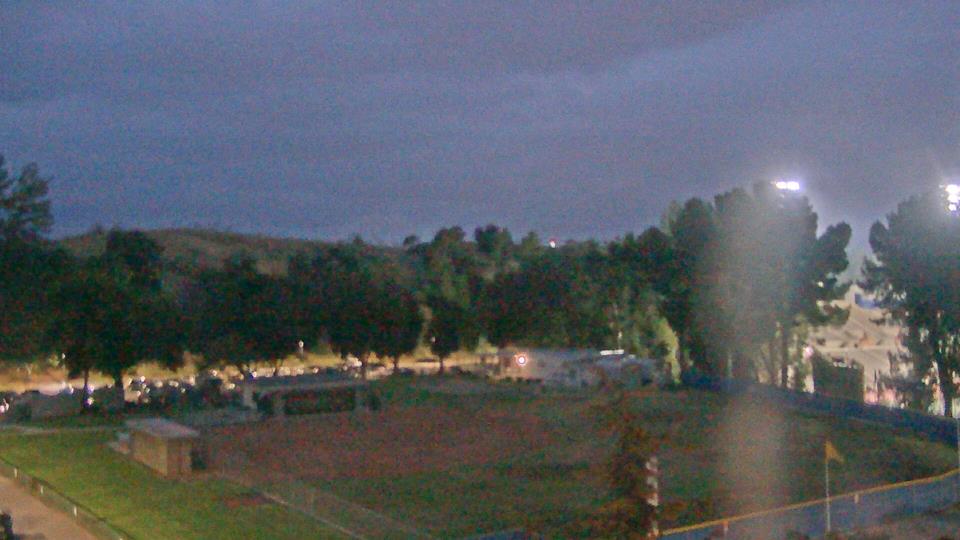
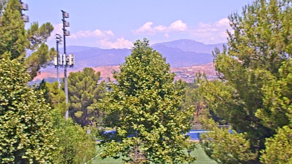
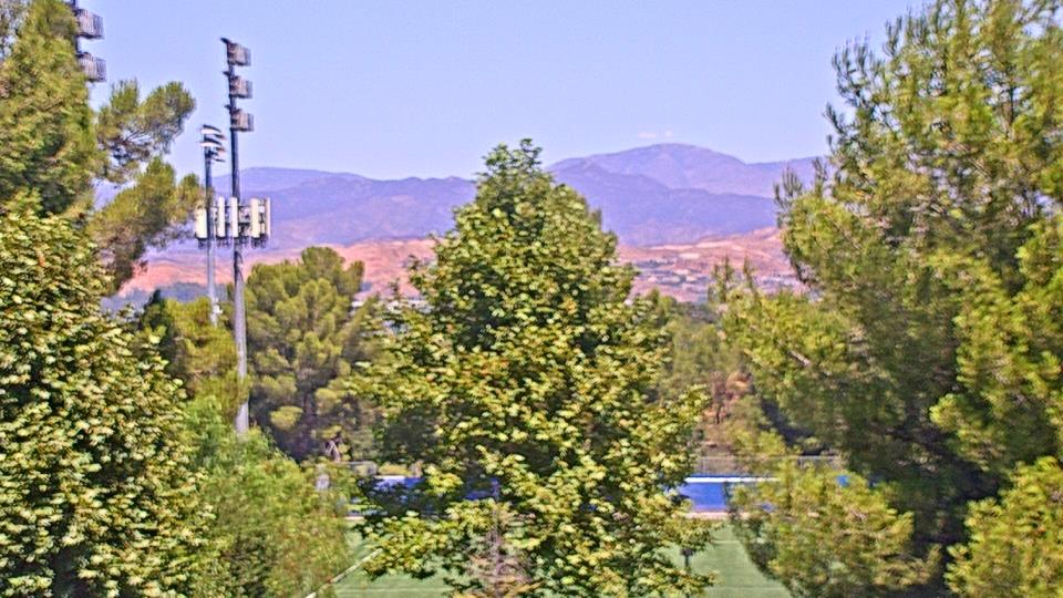
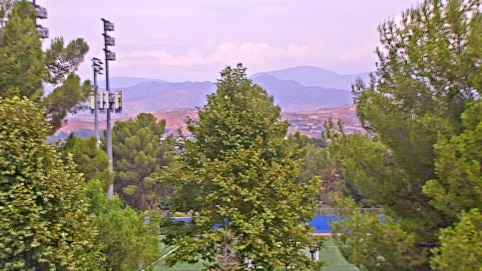
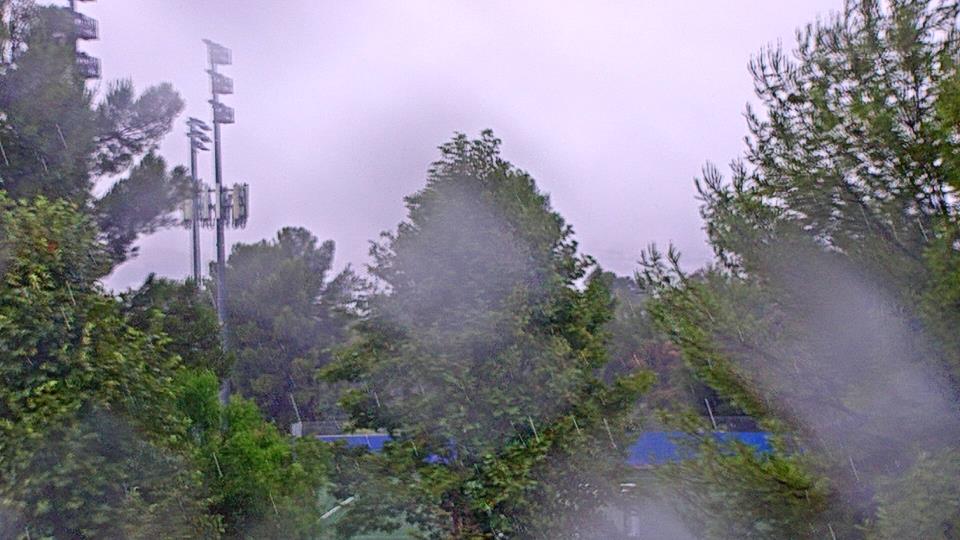
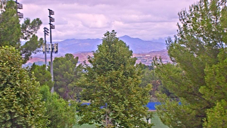
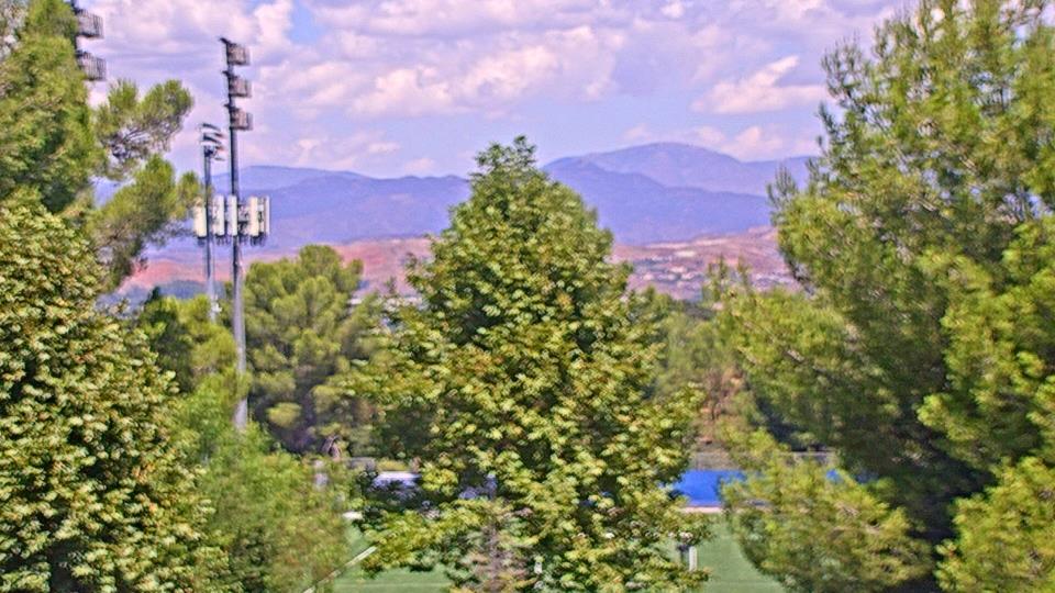
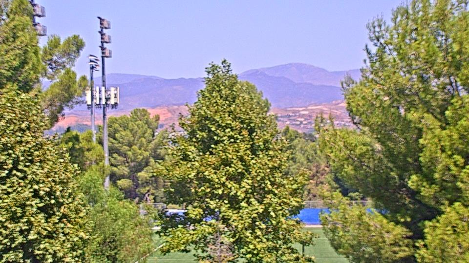
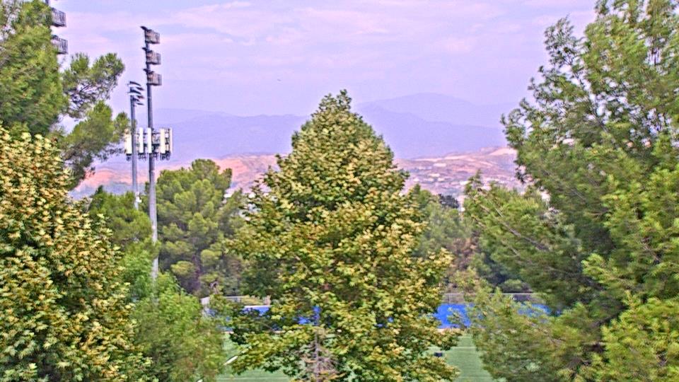
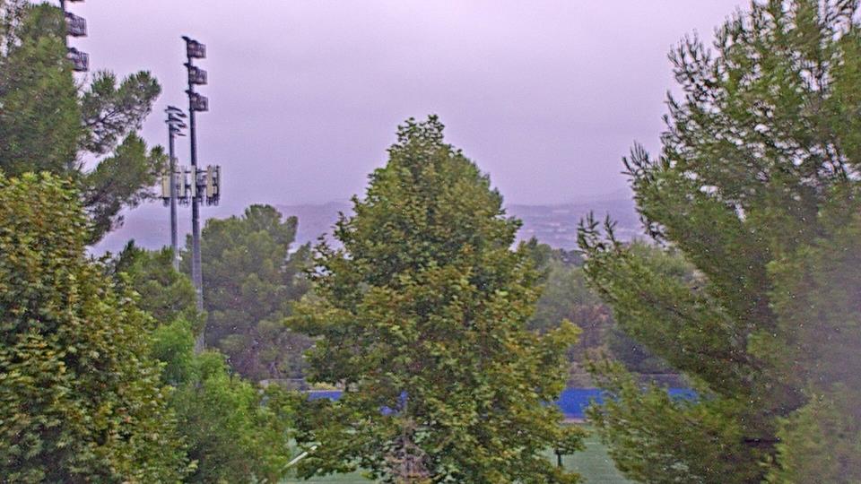
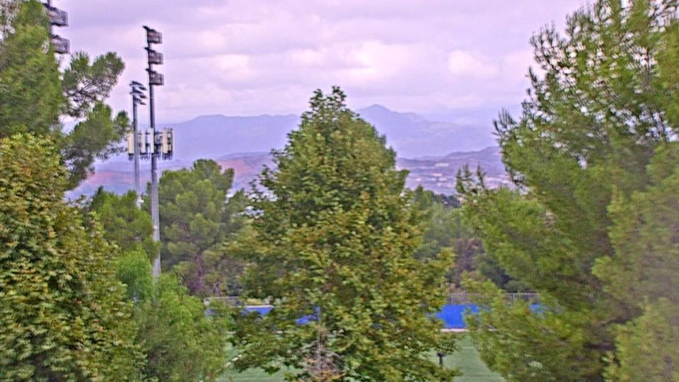
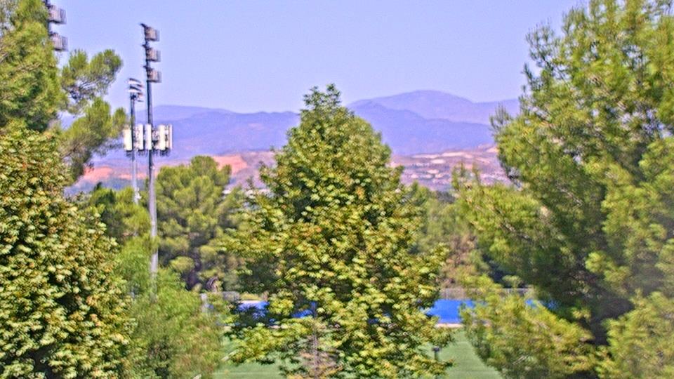
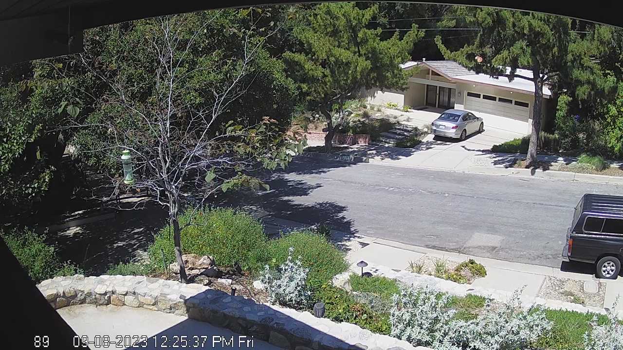
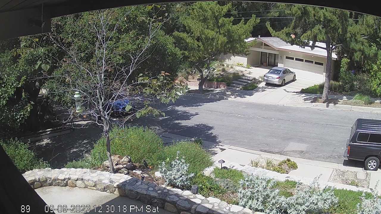
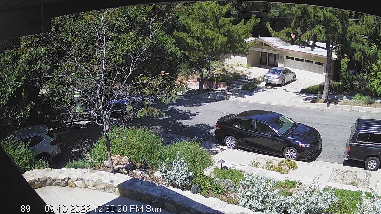
Canoga Park, California, USA - 4.3 miles from Runnymede Poultry Colony (historical): Canoga Park High School - Webcam and current weather data - camera location: Canoga Park High School.
Operator: WeatherBug
Operator: WeatherBug


Topanga Beach, California, USA - 12.4 miles from Runnymede Poultry Colony (historical): Live Surf Camera - Live streaming Surf camera for Topanga Point.
Operator: SwellMagnet.com
Operator: SwellMagnet.com

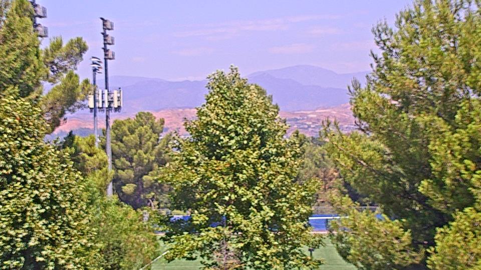
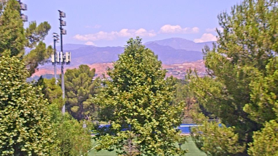
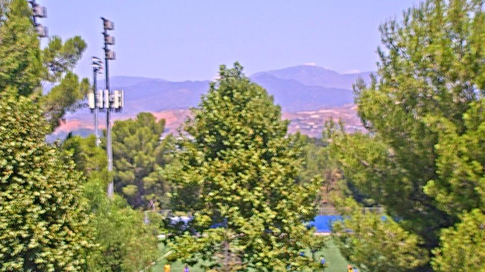
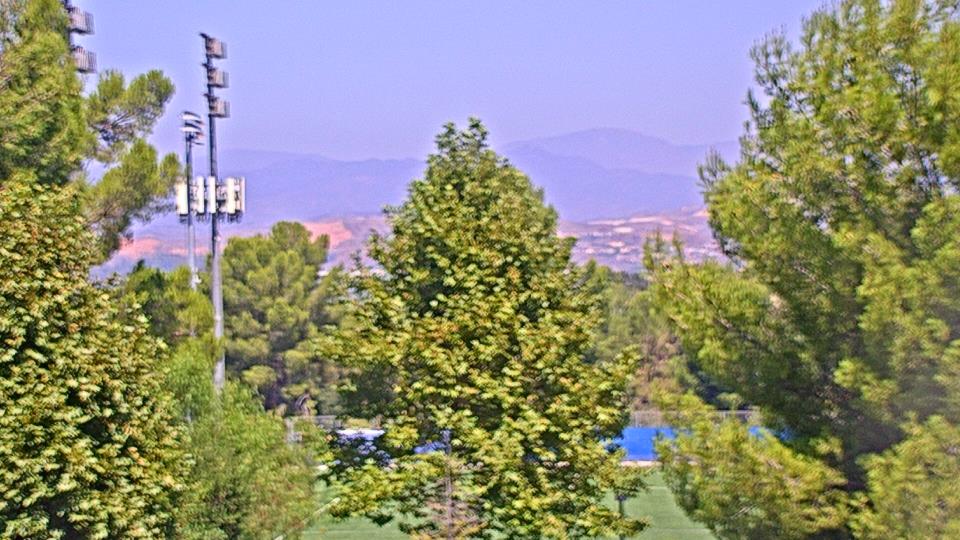
Valencia, California, USA - 12.4 miles from Runnymede Poultry Colony (historical): College of the Canyons - Webcam and current weather data - camera location: College of the Canyons.
Operator: WeatherBug
Operator: WeatherBug


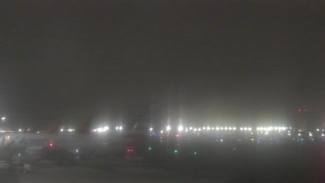
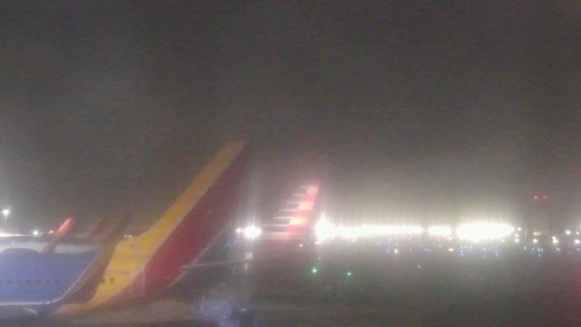
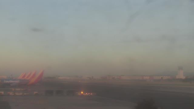
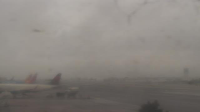
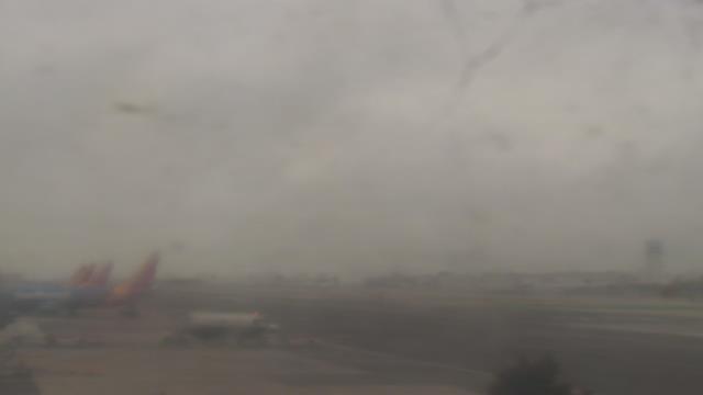
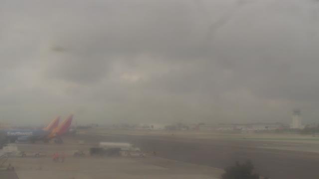
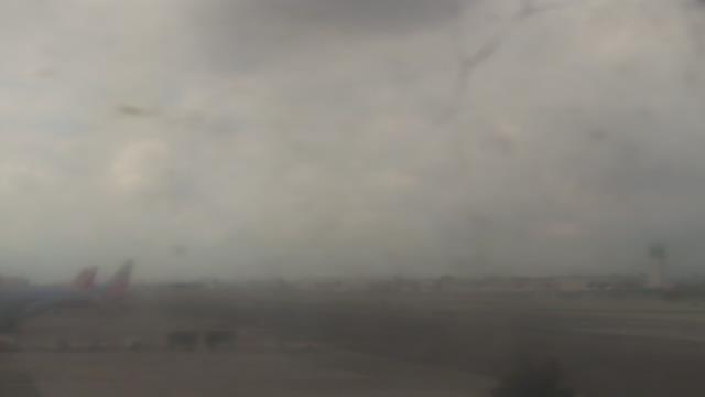
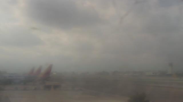
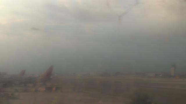
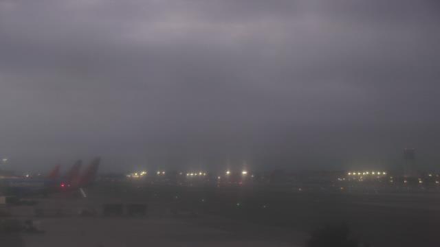
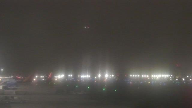
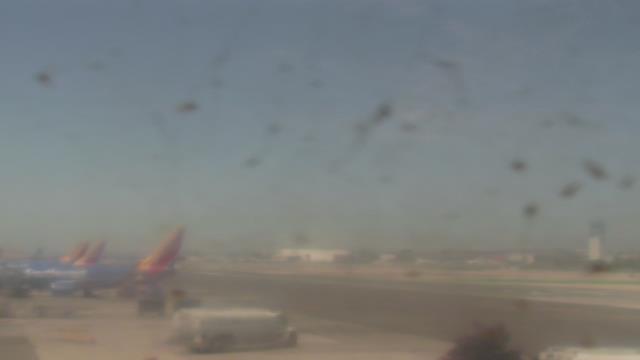
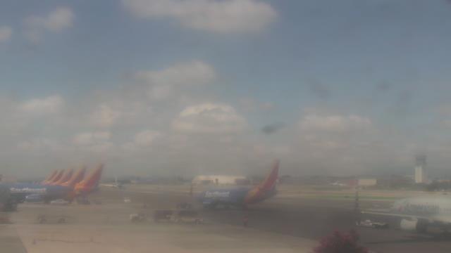
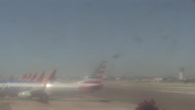
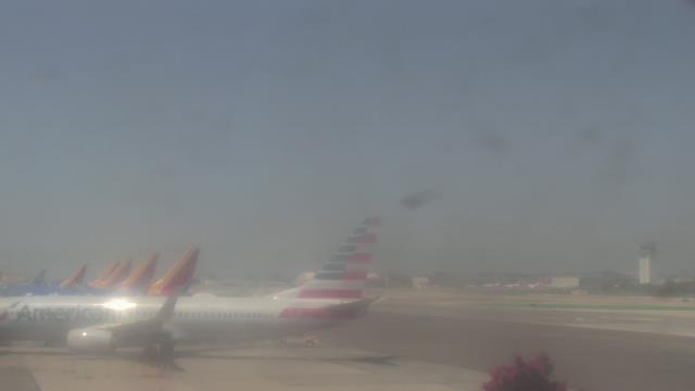
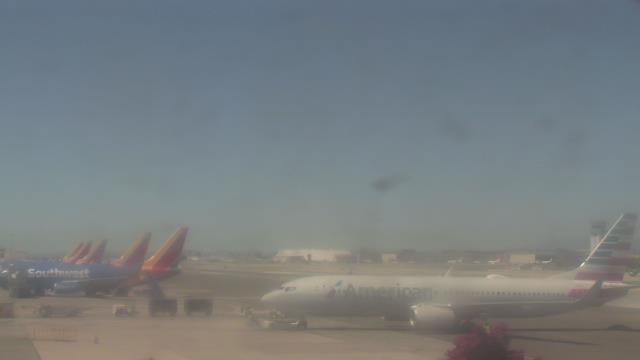
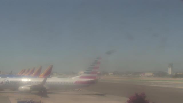
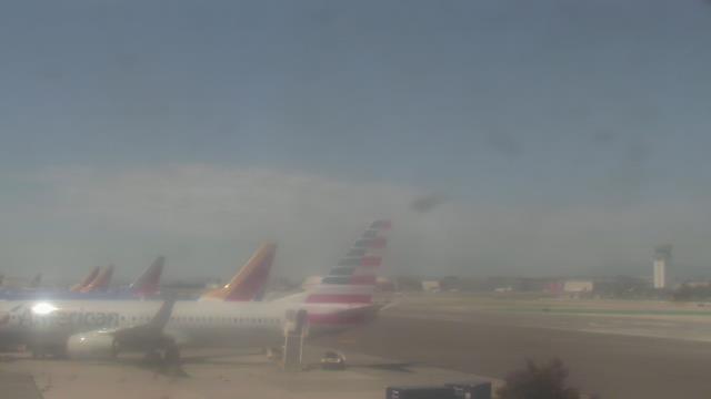
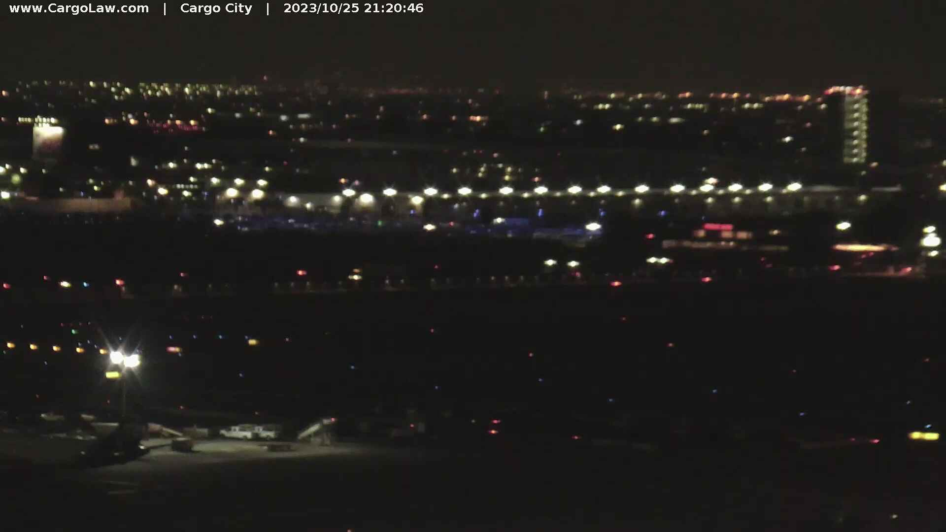
Burbank, California, USA - 12.5 miles from Runnymede Poultry Colony (historical): Bob Hope Airport (BUR) - A view of the apron.
Operator: WeatherBug
Operator: WeatherBug


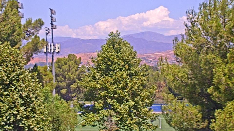
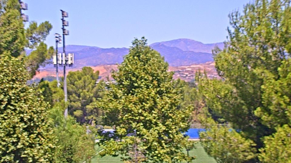
Saugus, California, USA - 13.8 miles from Runnymede Poultry Colony (historical): Valencia-Santa Clarita View - A view of Valencia/Six Flags Magic Mountain/Steveson Ranch areas within Santa Clarita from Saugus, CA.
Operator: Santa Clarita Cam
Operator: Santa Clarita Cam

Santa Monica, California, USA - 14.4 miles from Runnymede Poultry Colony (historical): Santa Monica Beach - This live streaming surf camera covers the best surf spot in Santa Monica, CA.
Operator: SwellMagnet.com
Operator: SwellMagnet.com

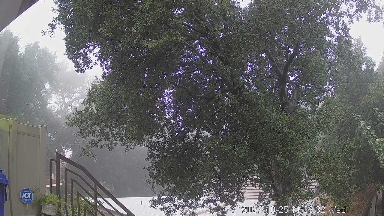
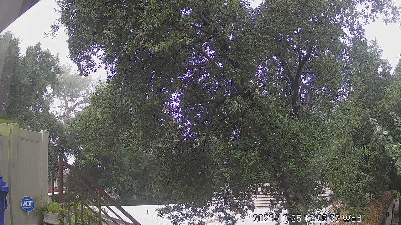
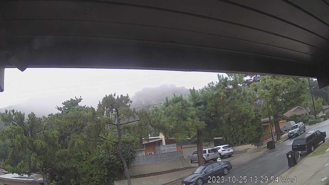
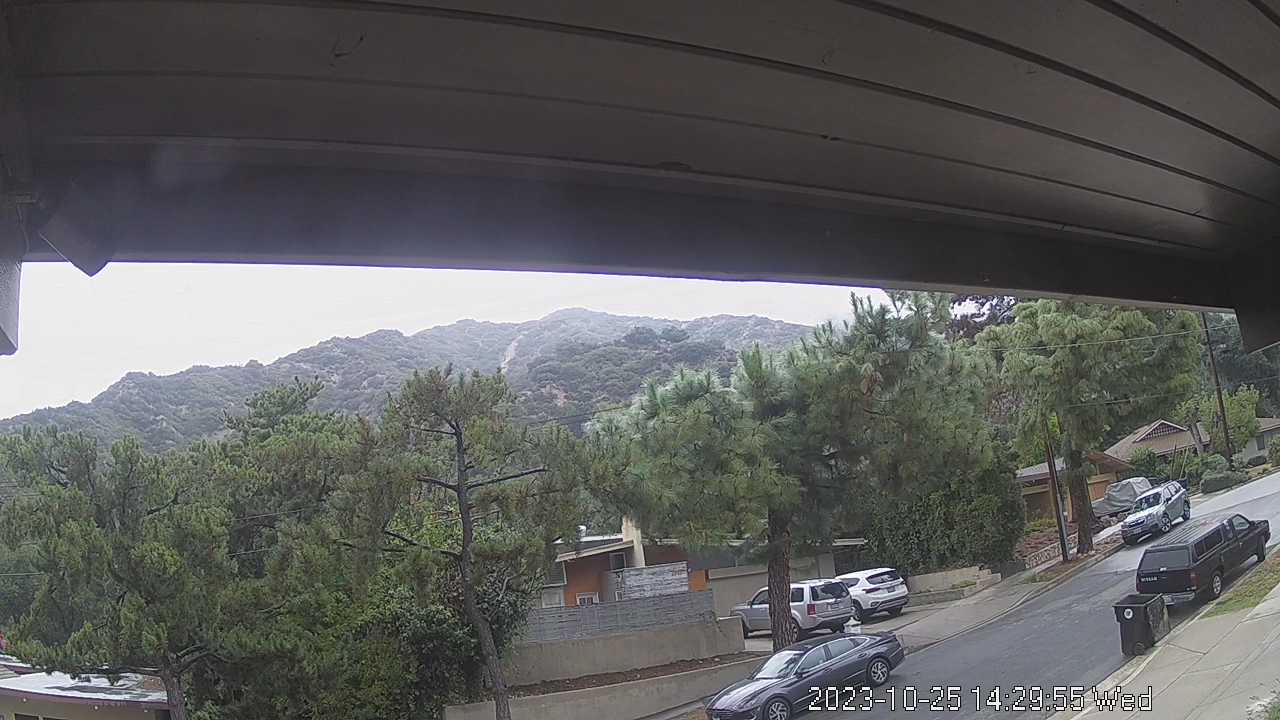
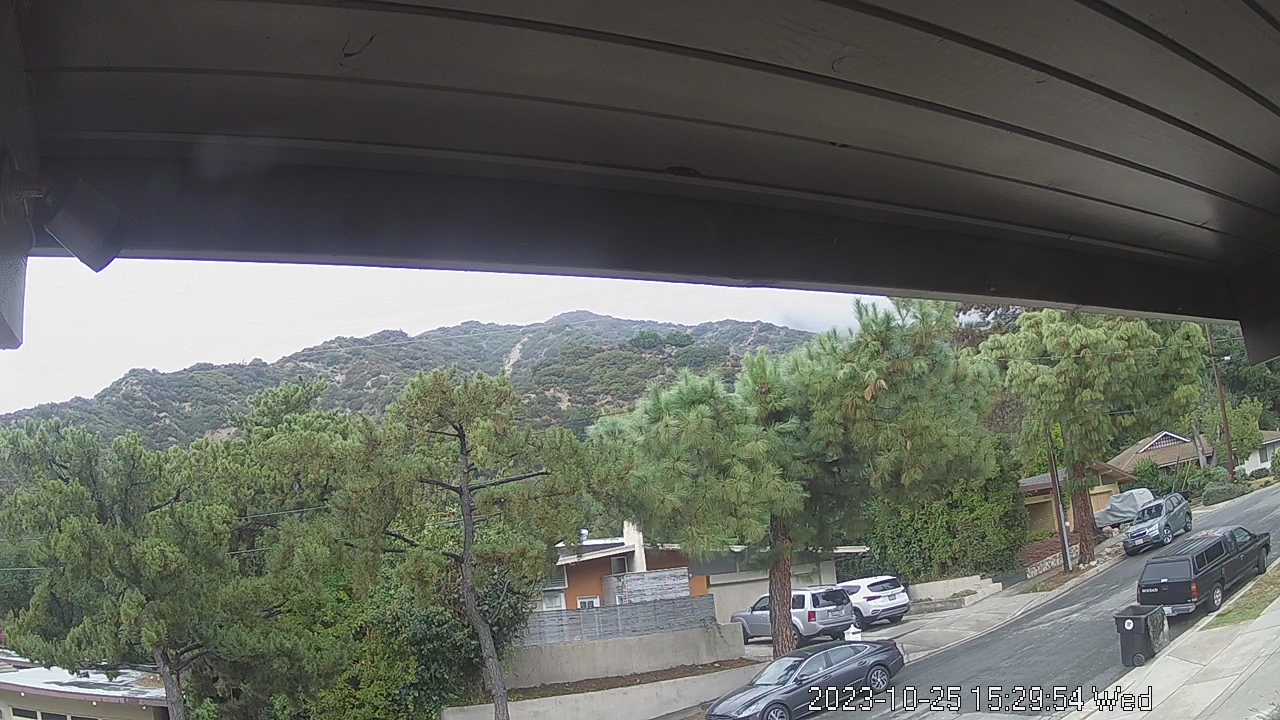
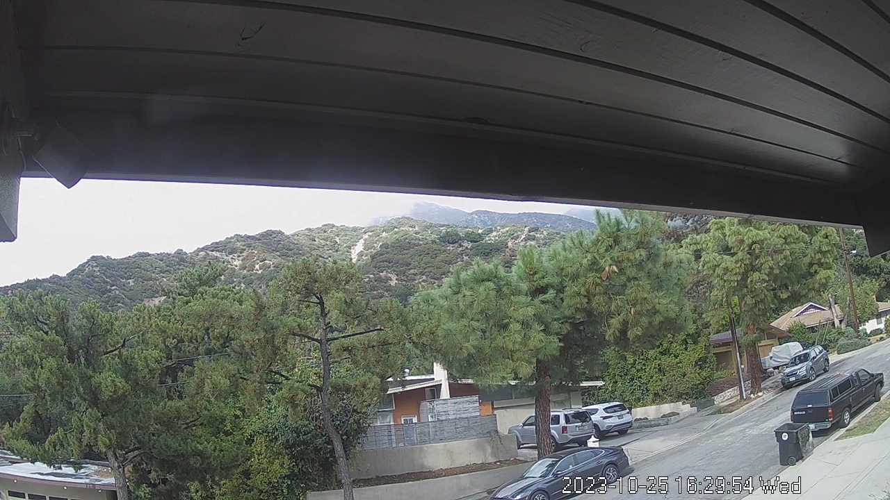
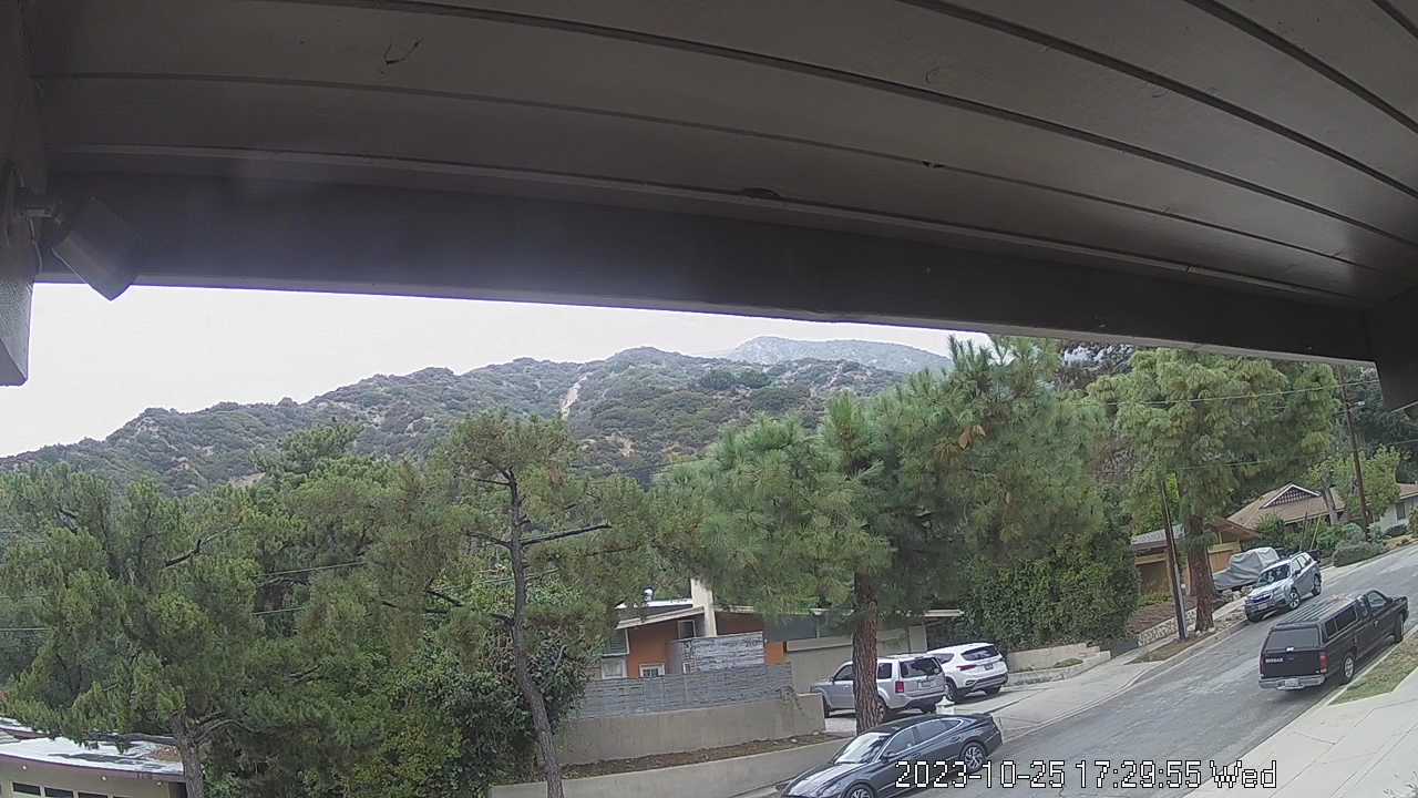
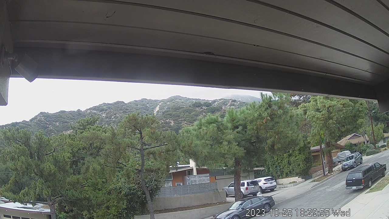
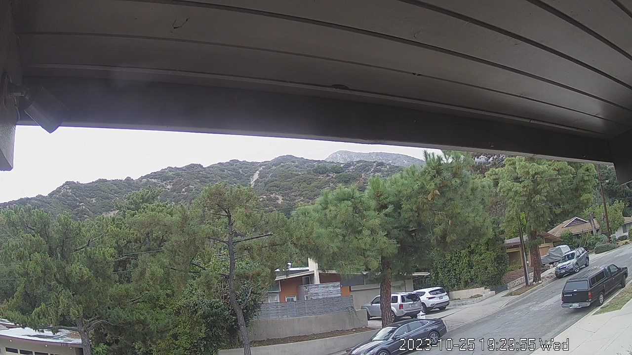
La Crescenta, California, USA - 16.3 miles from Runnymede Poultry Colony (historical): San Gabriel Mountains - Looking North towards the San Gabriel Mountains from the operator's backyard.
Operator: chuckvideo.com
Operator: chuckvideo.com


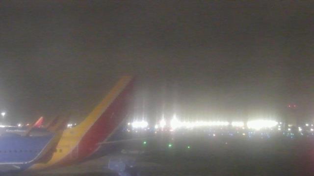
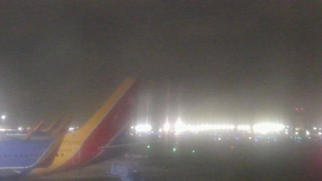
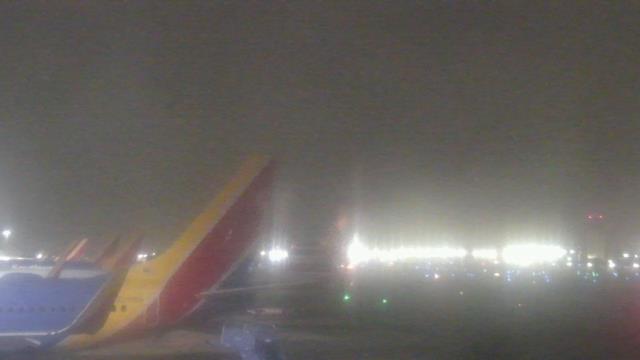
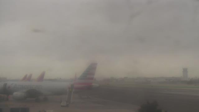
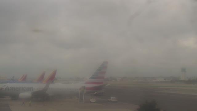
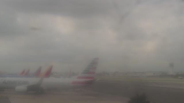
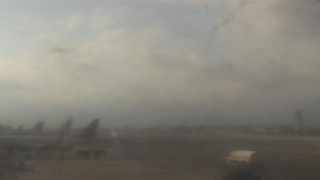
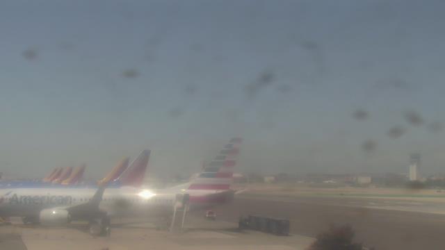
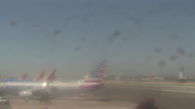
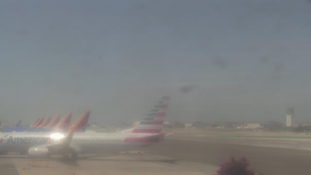
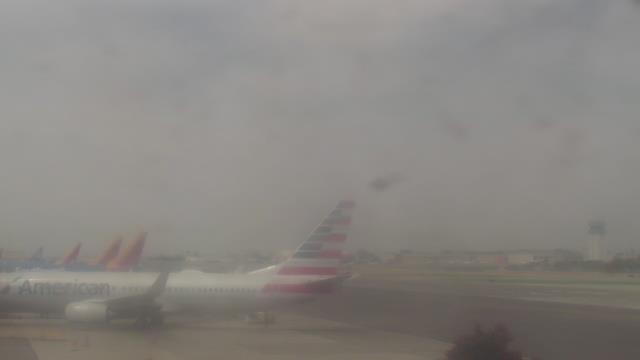
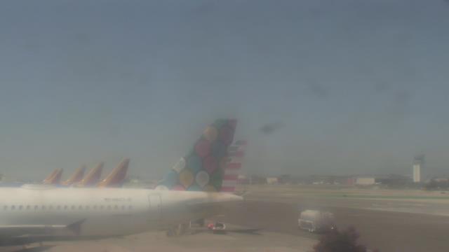
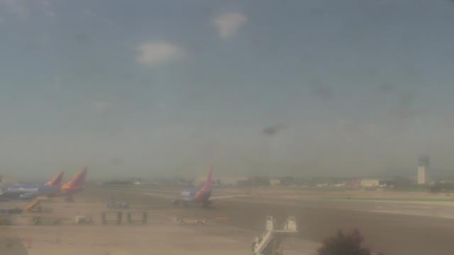
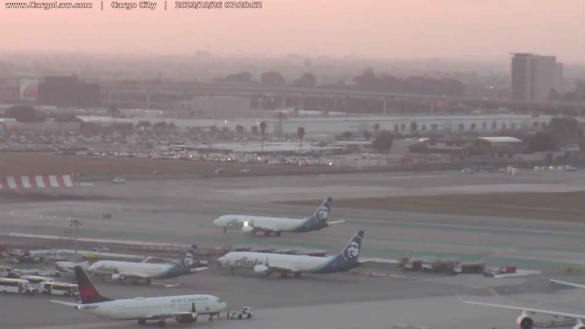
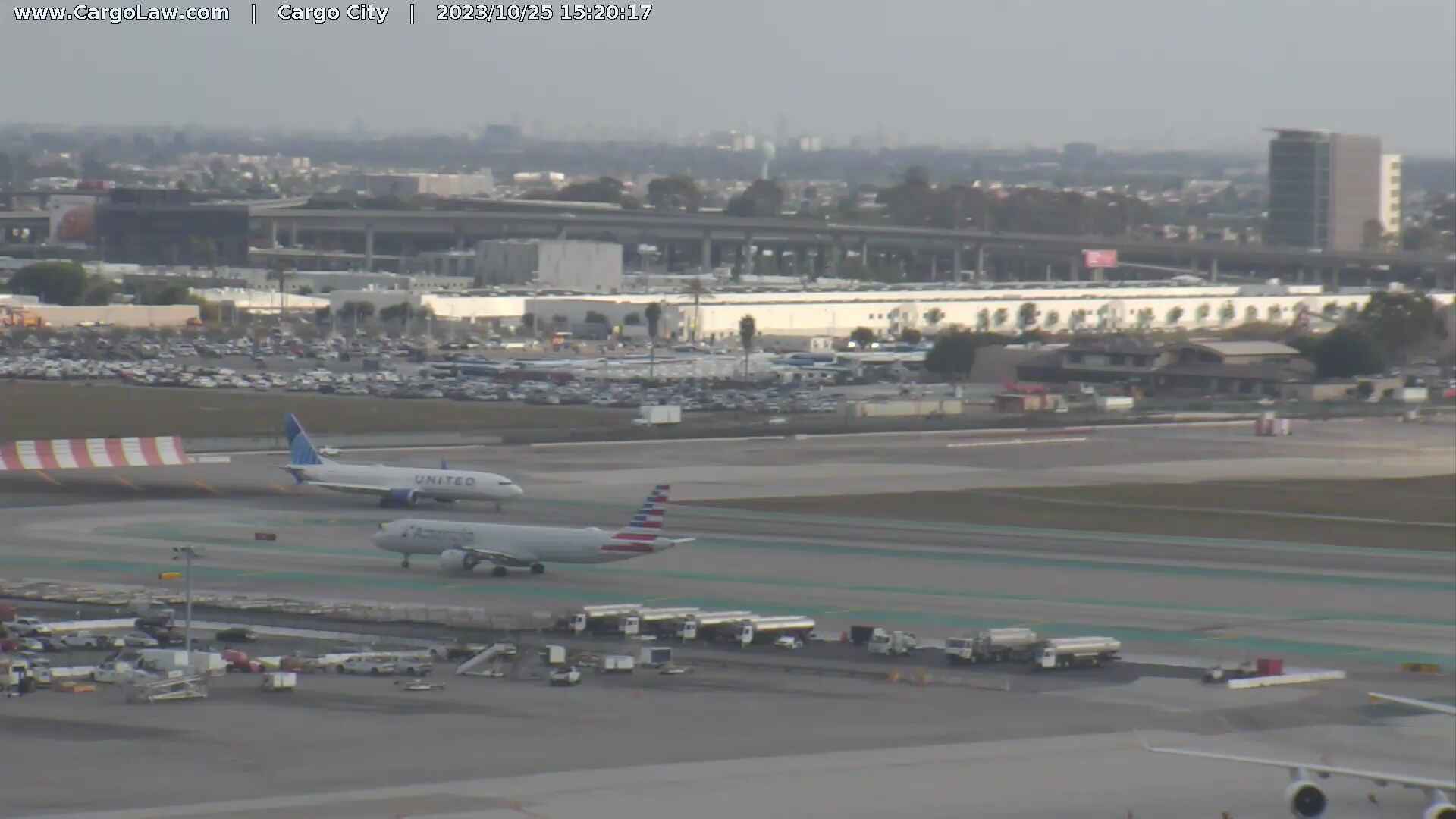
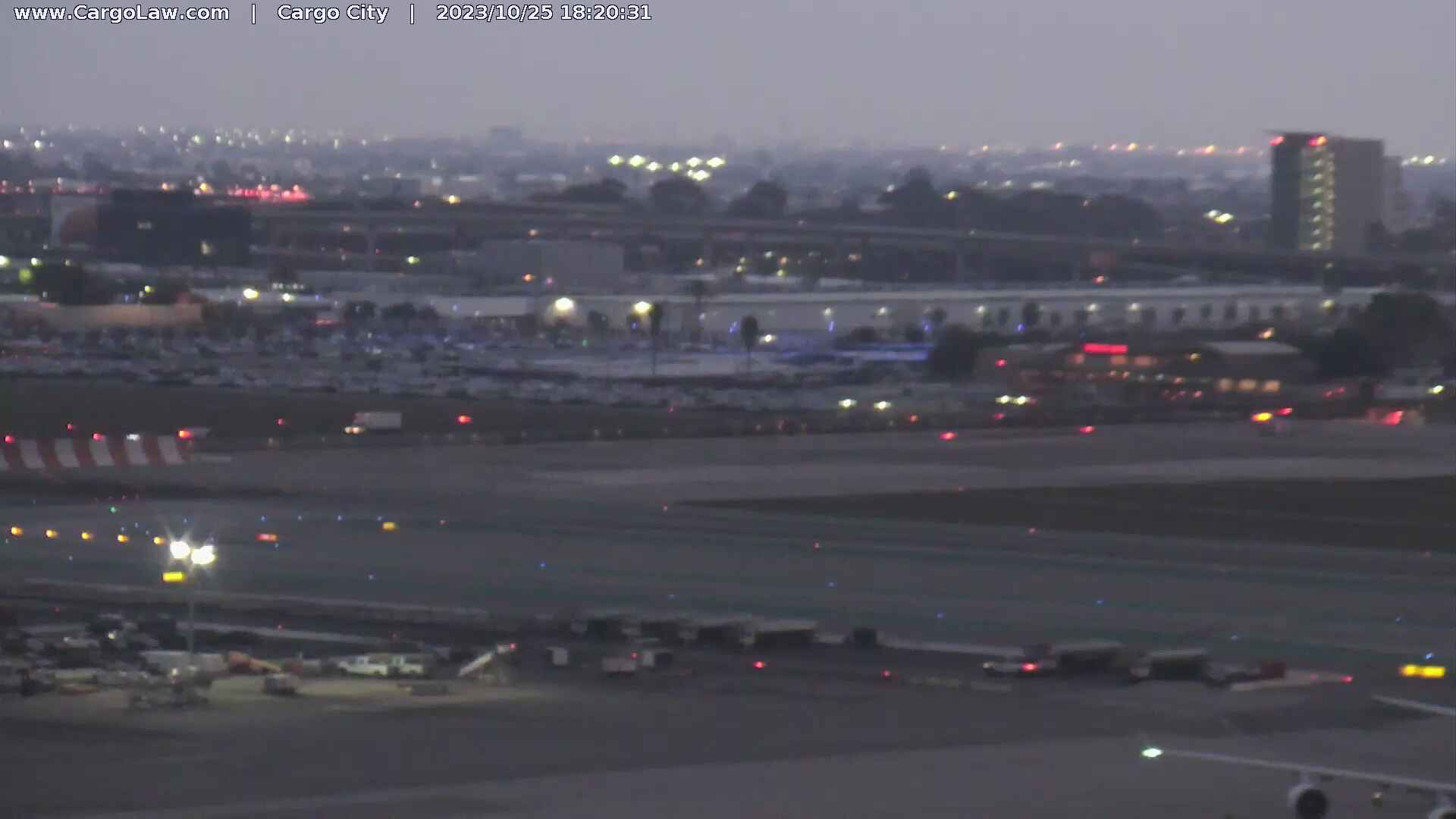
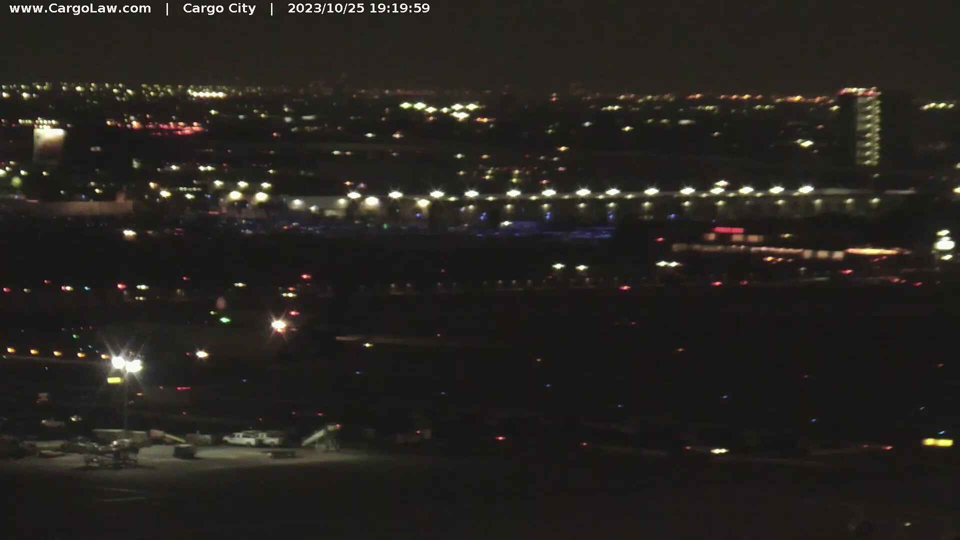
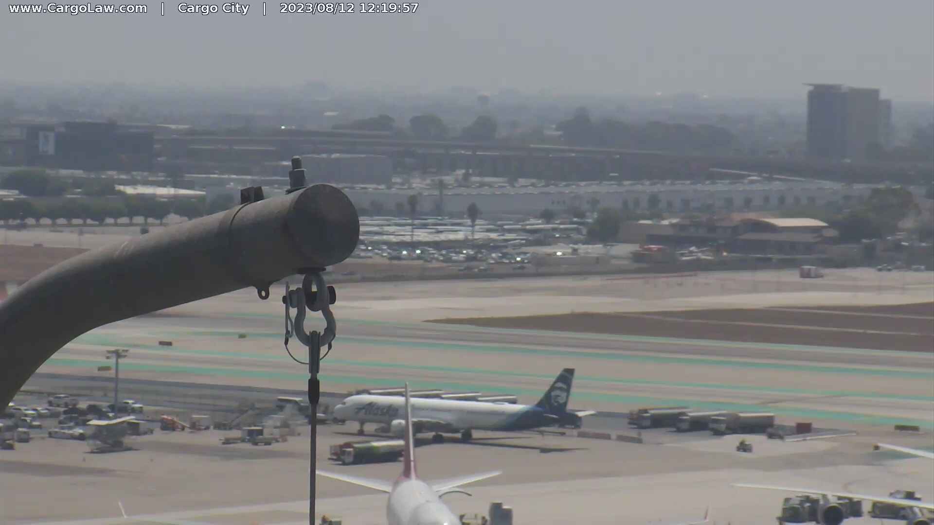
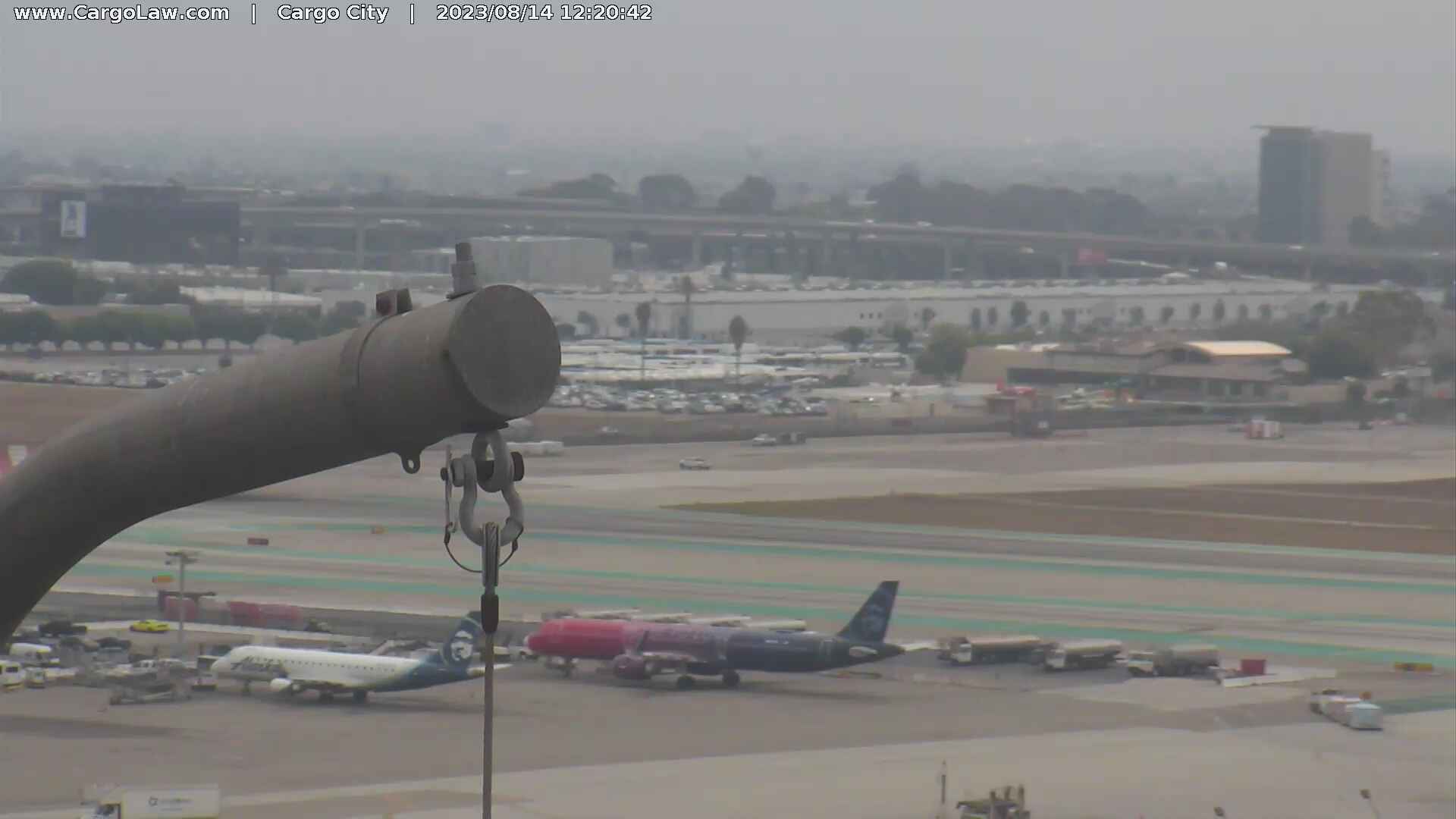
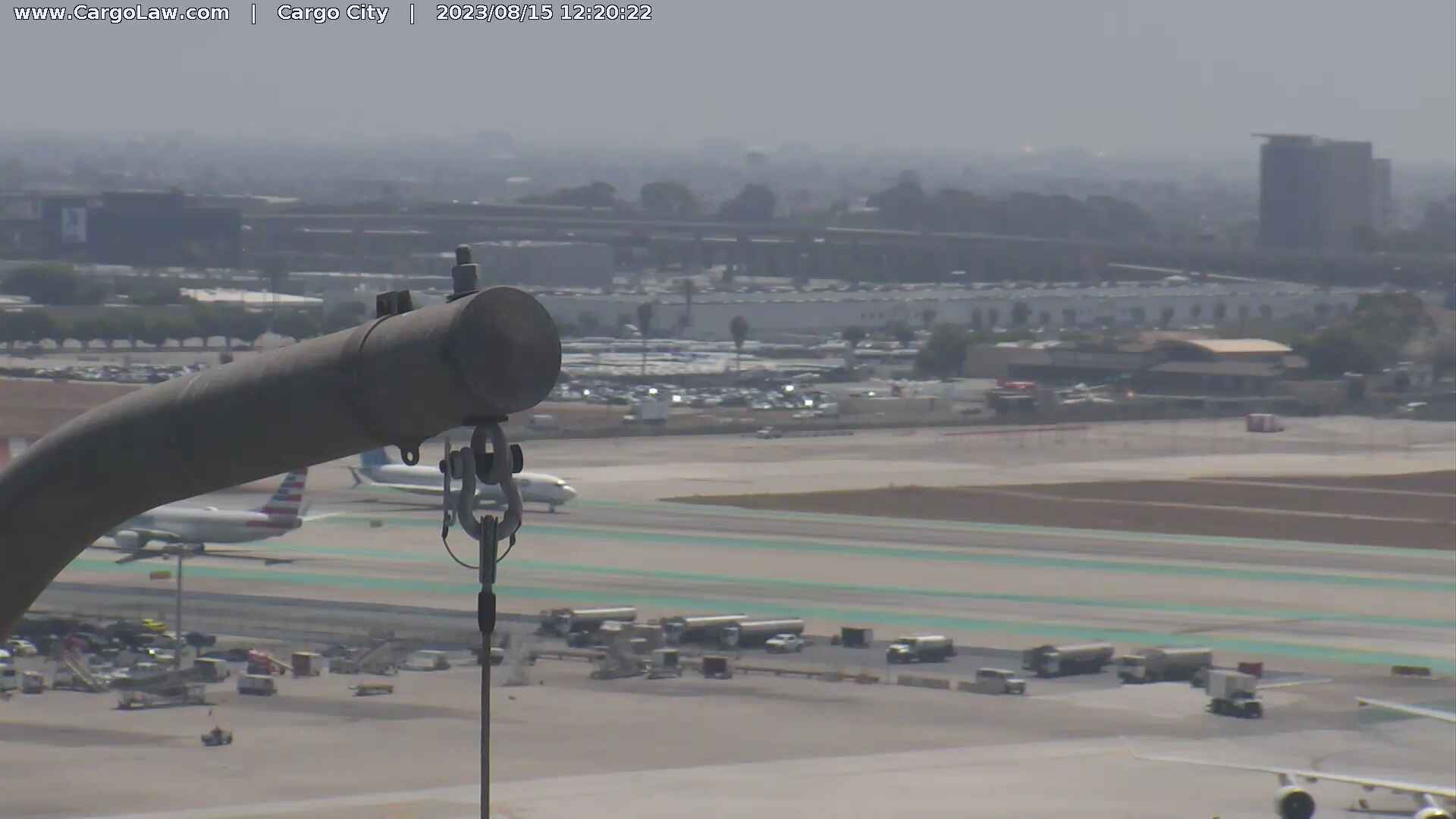
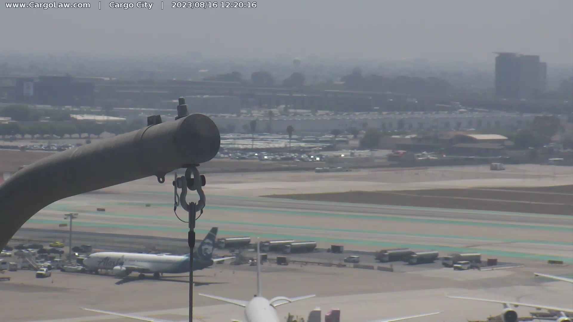
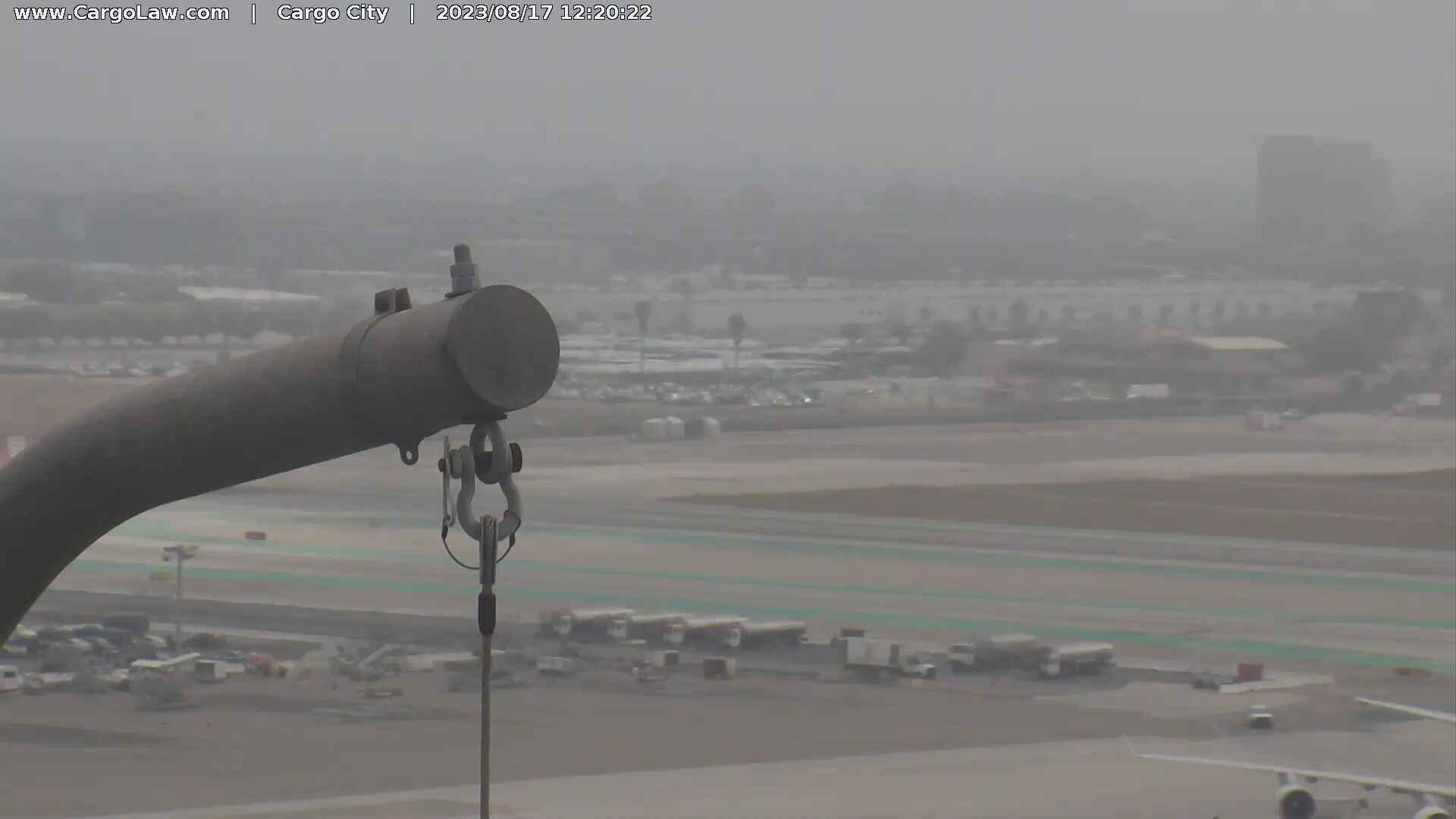
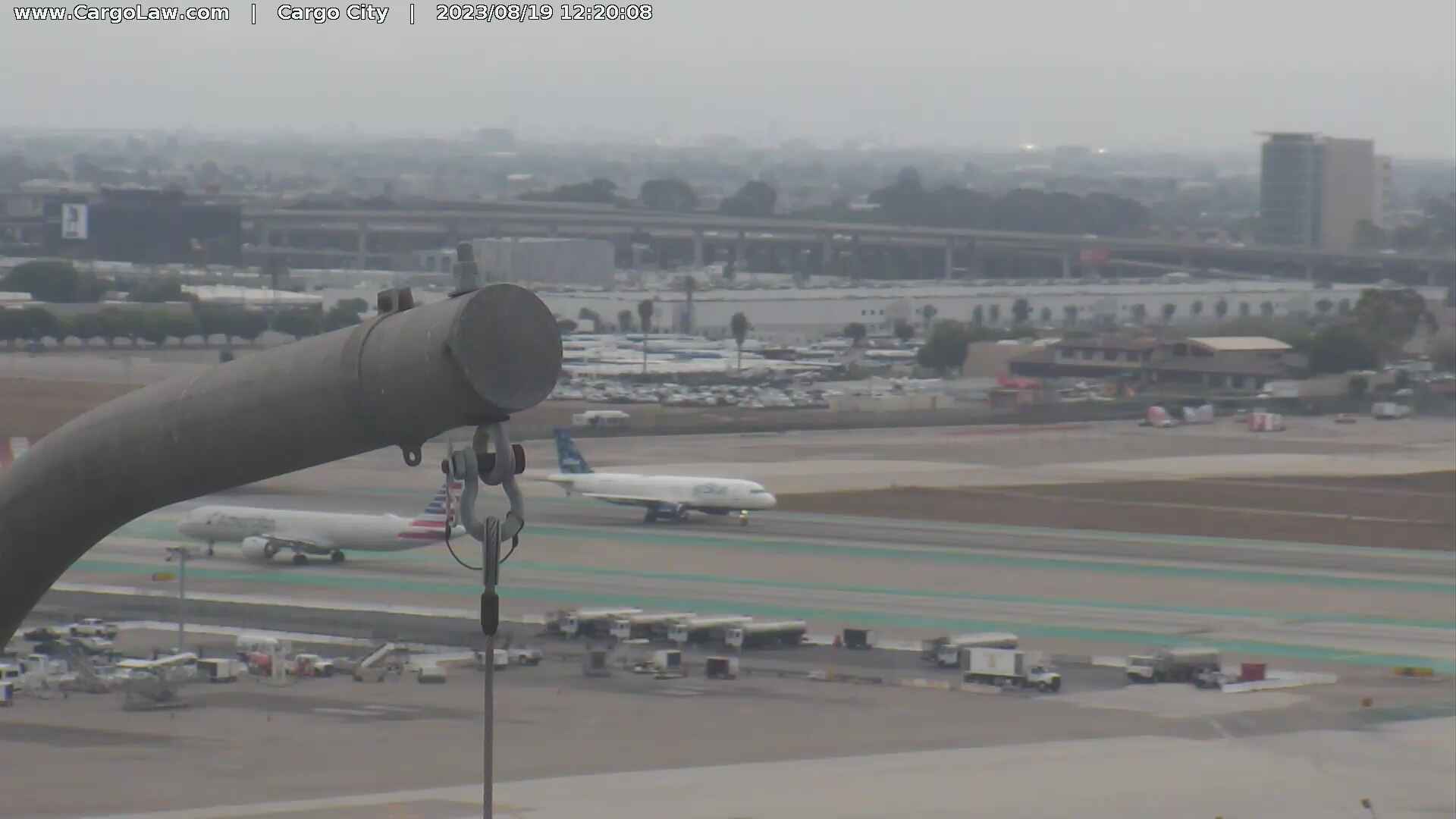
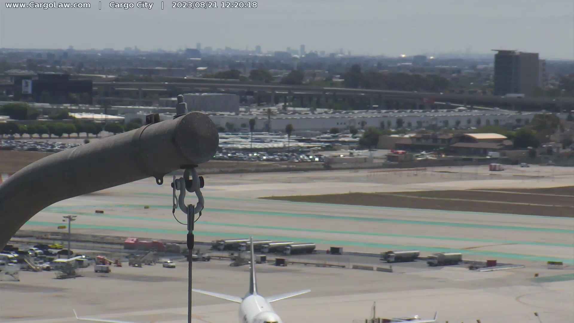
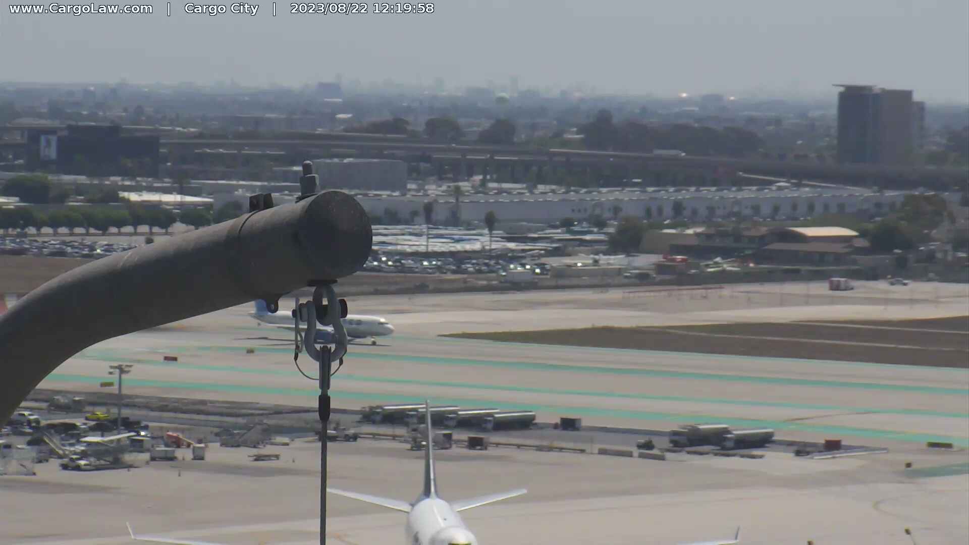
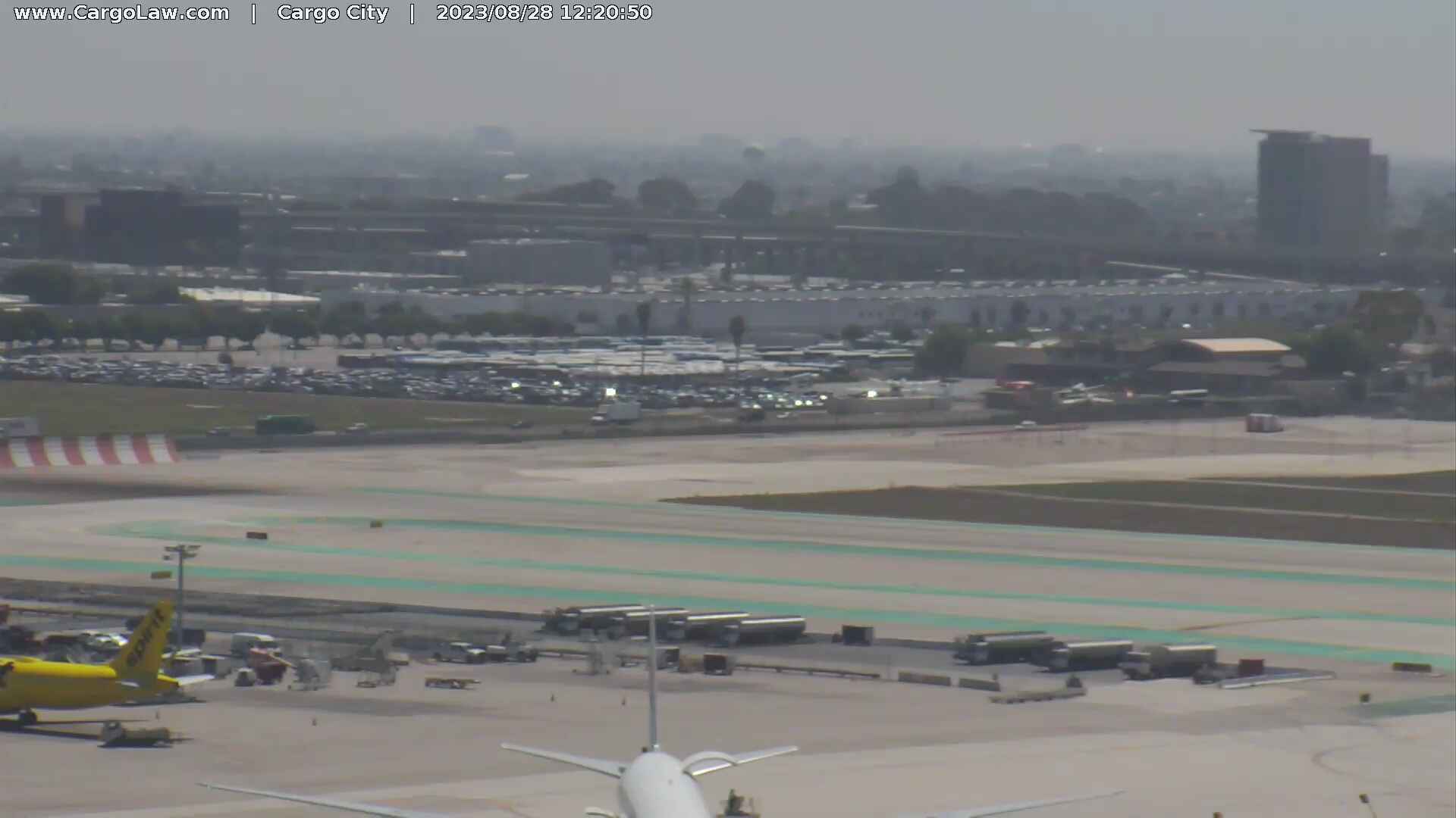
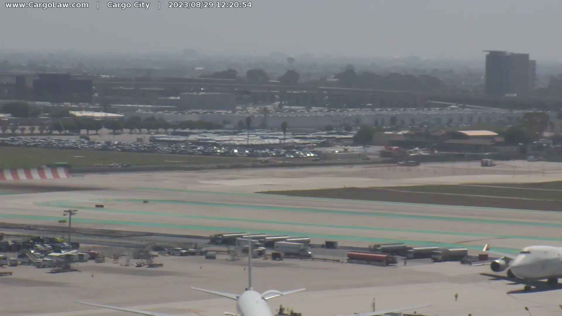
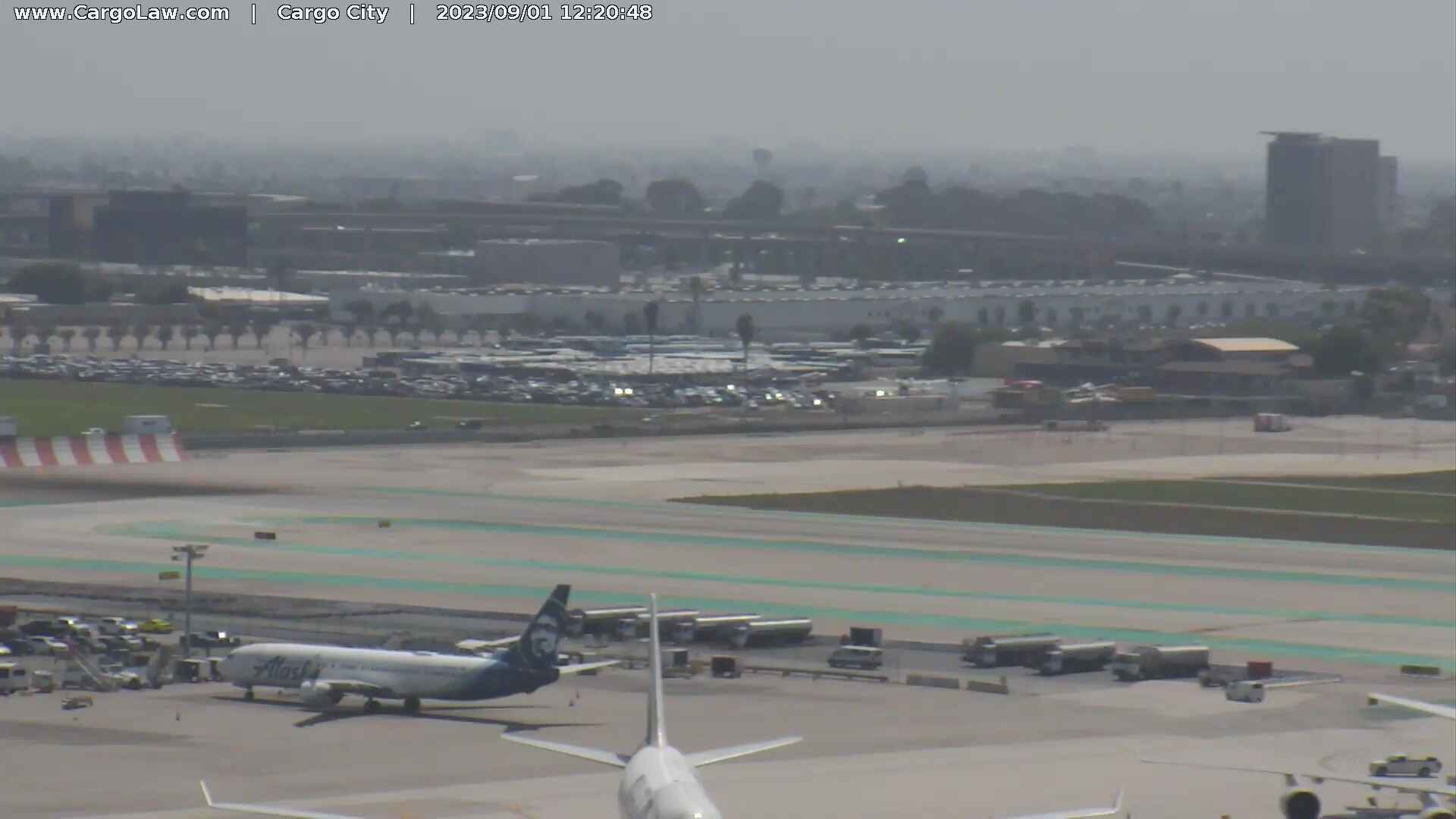
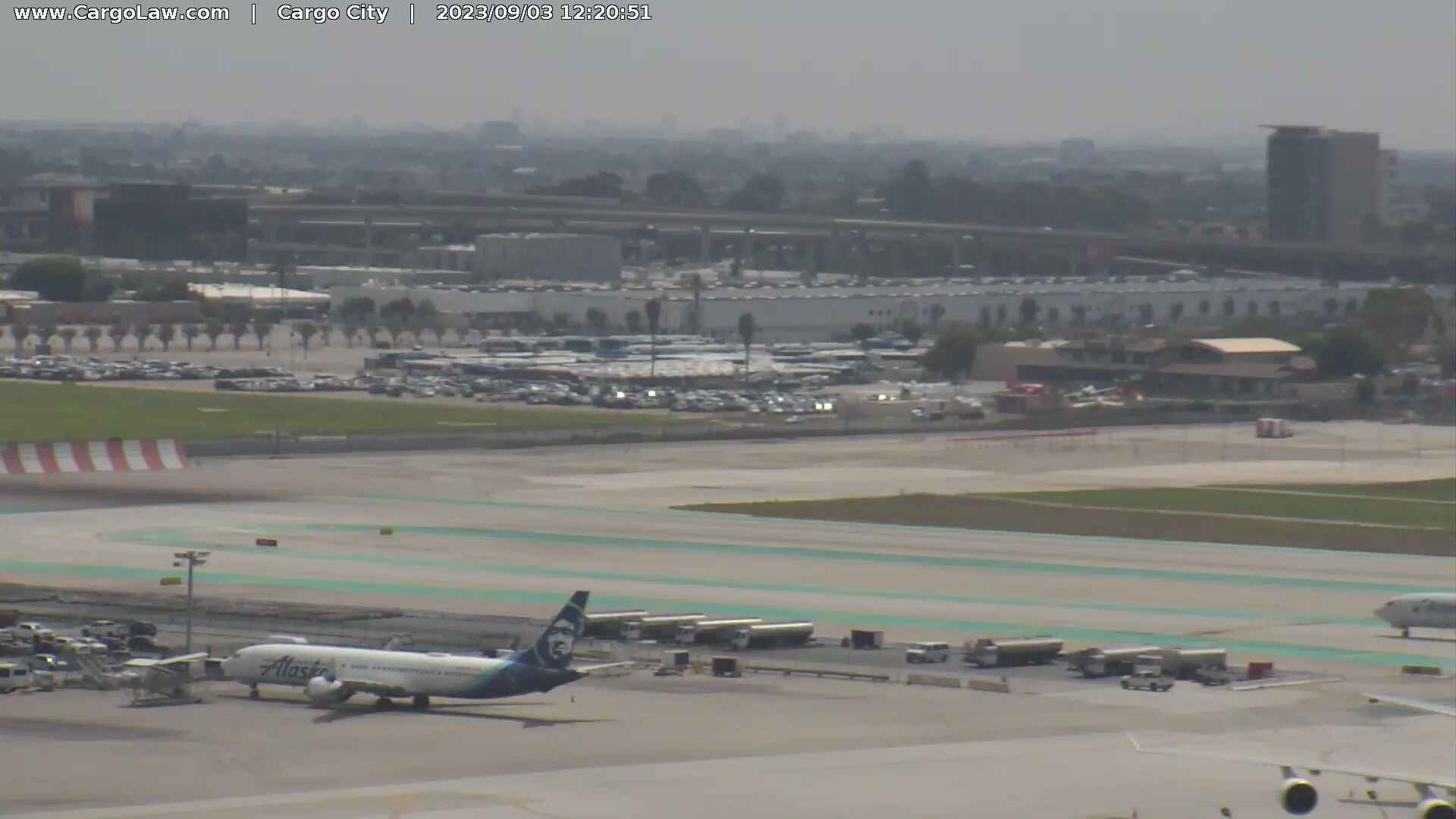
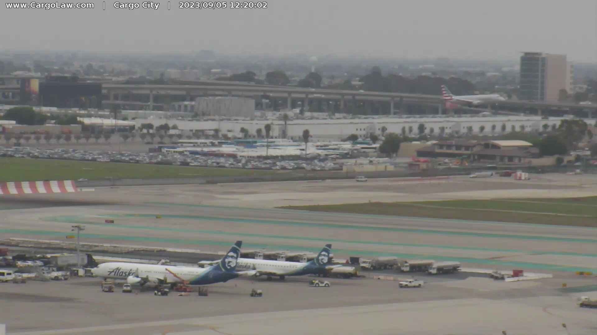
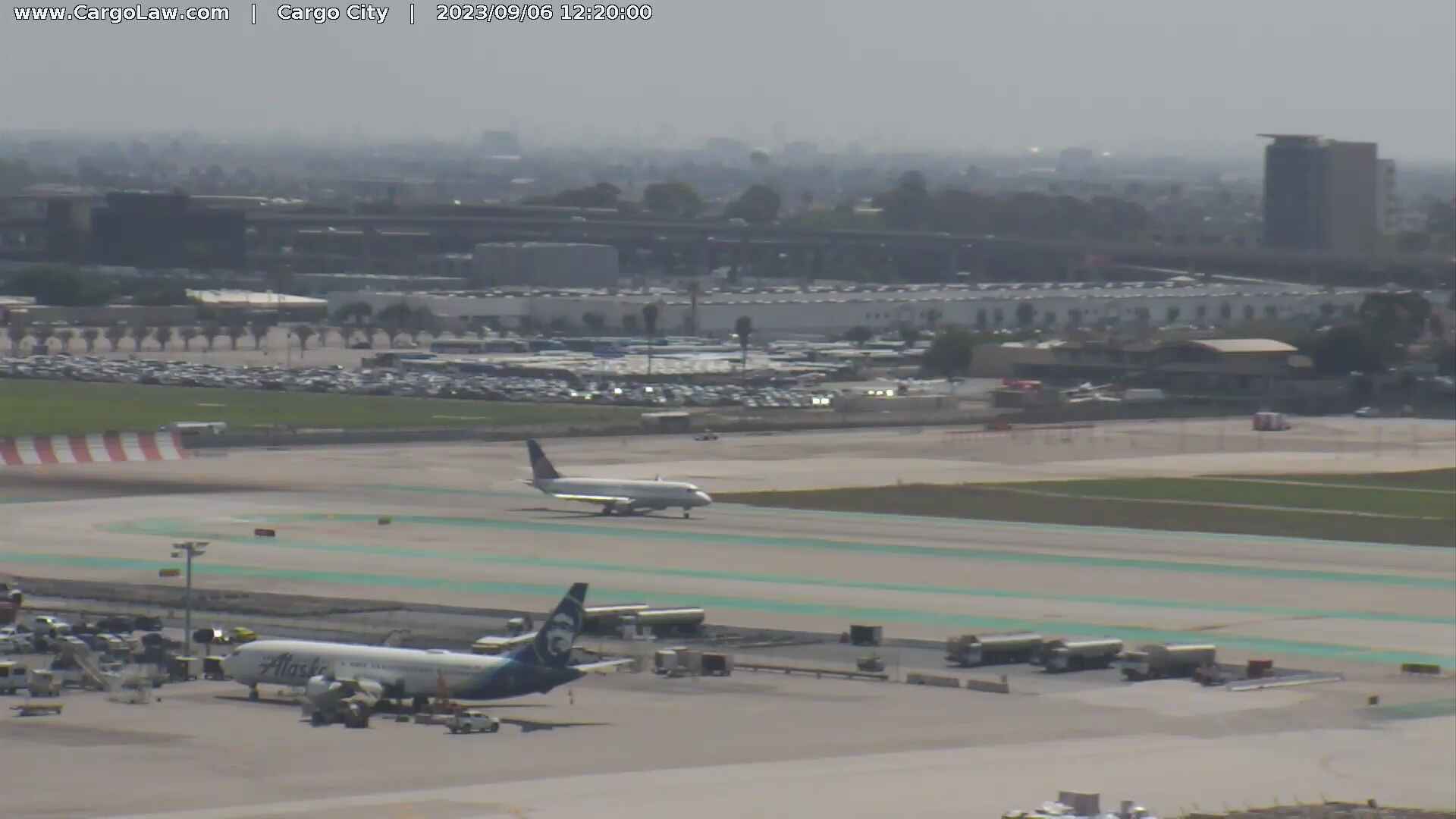
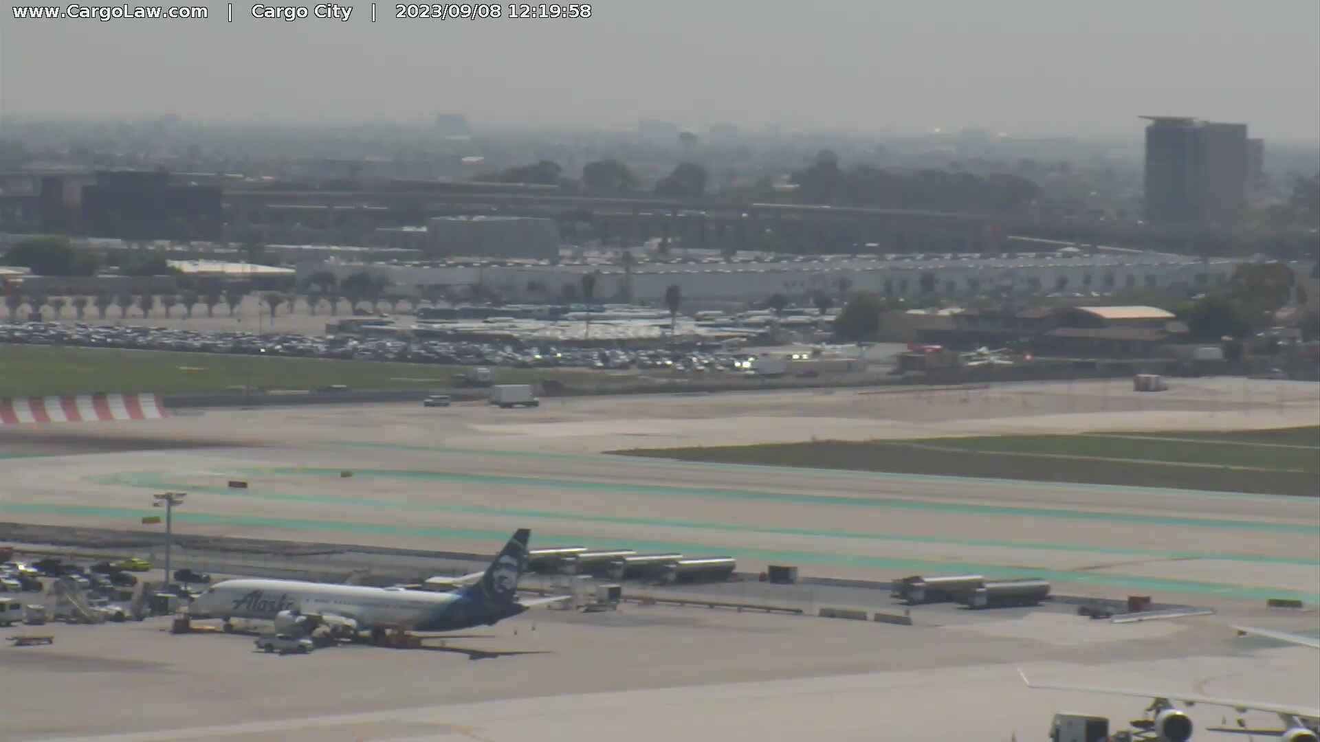
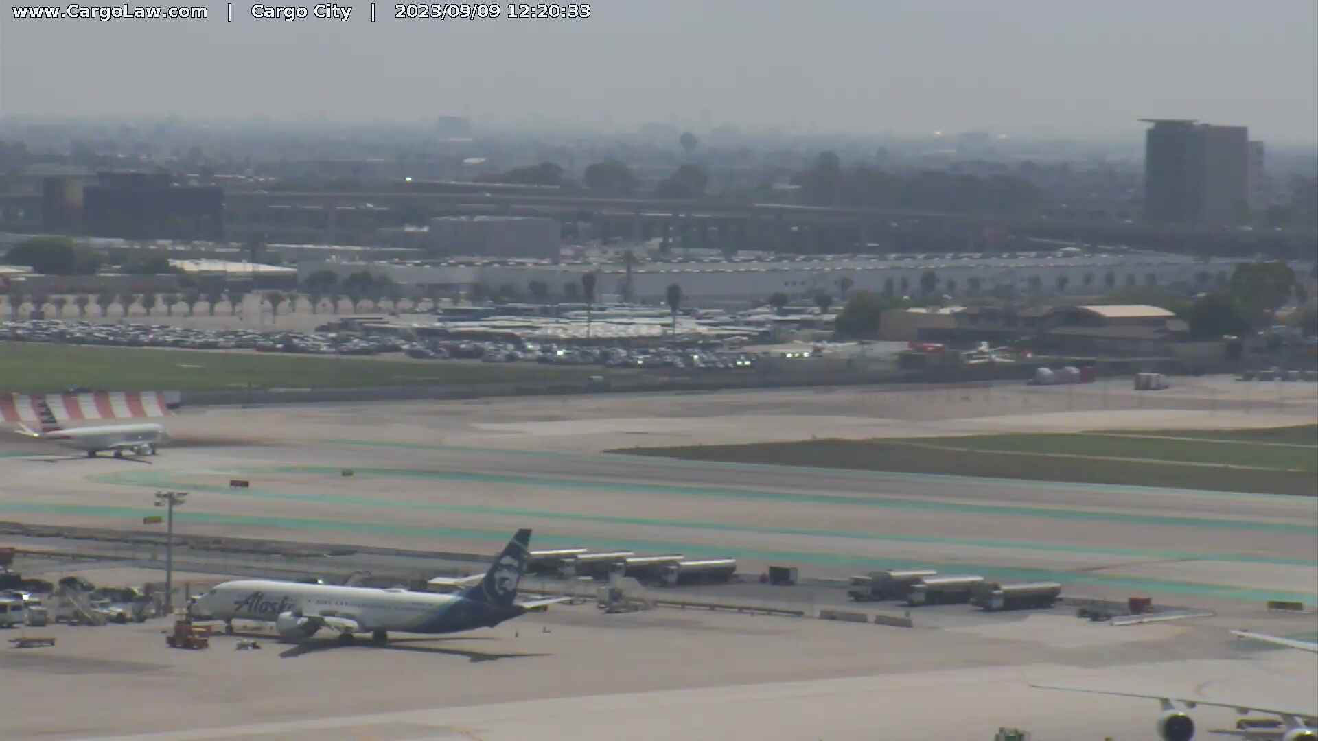
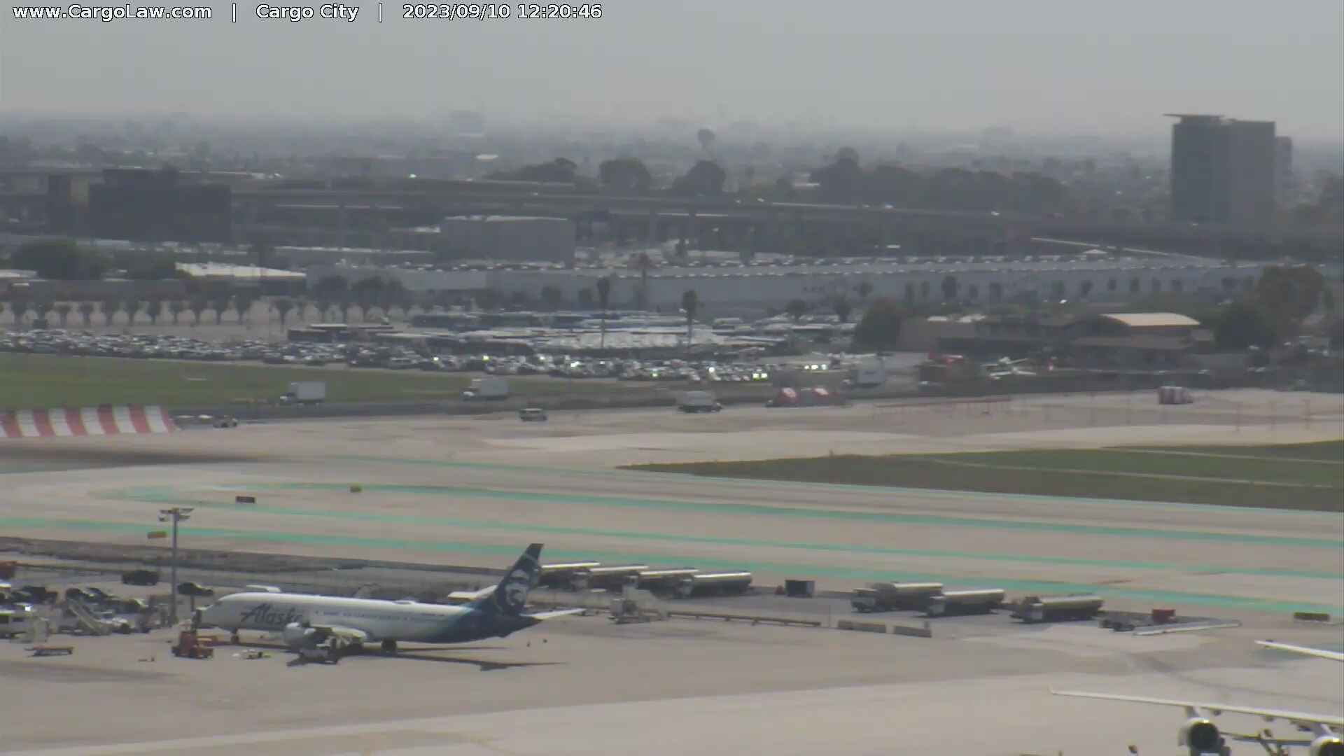
Los Angeles, California, USA - 19.6 miles from Runnymede Poultry Colony (historical): LAX Webcam - A current view of the Los Angeles Airport.
Operator: The Law Offices of Countryman & McDaniel
Operator: The Law Offices of Countryman & McDaniel

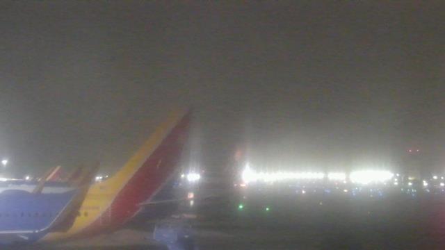
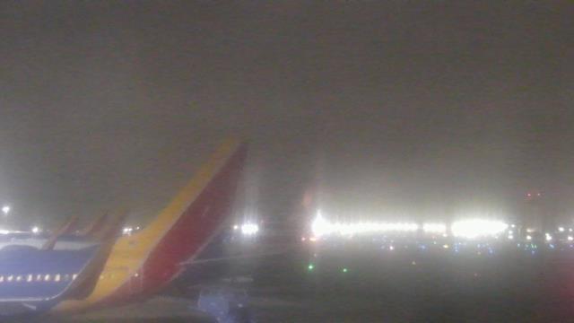
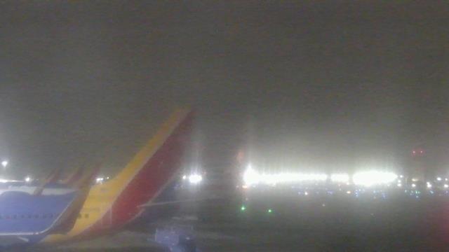
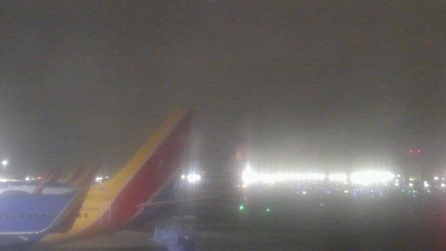
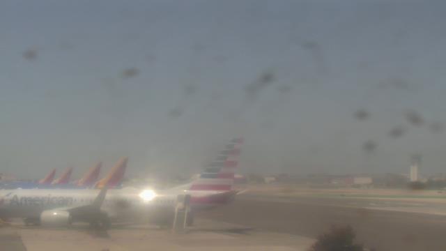
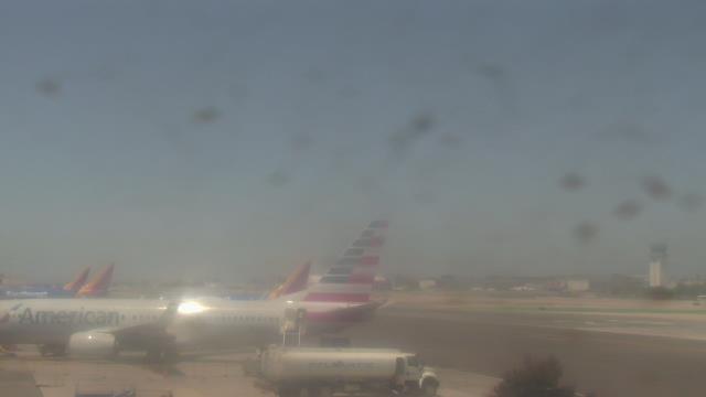
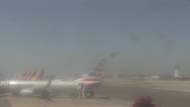
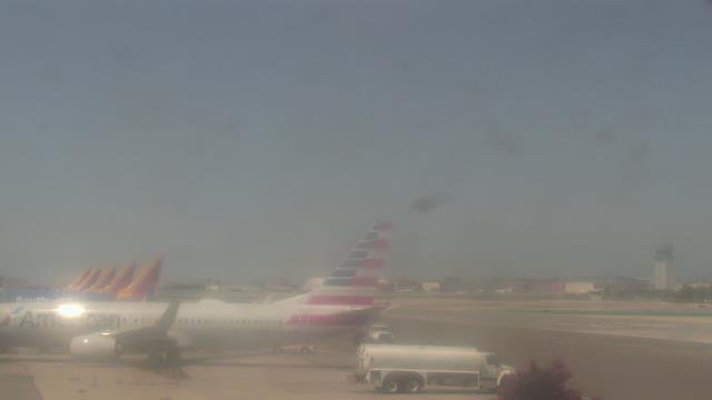
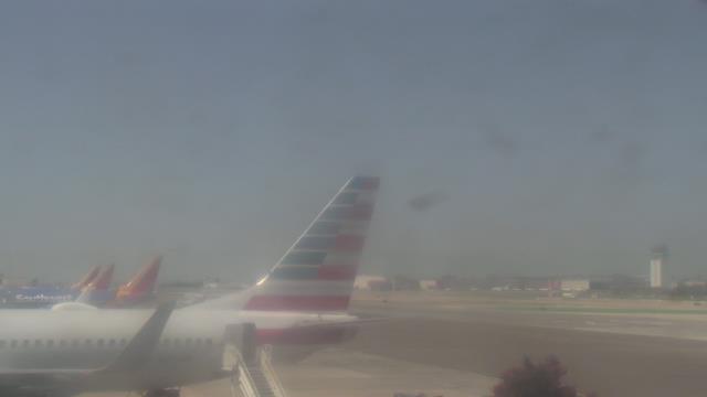
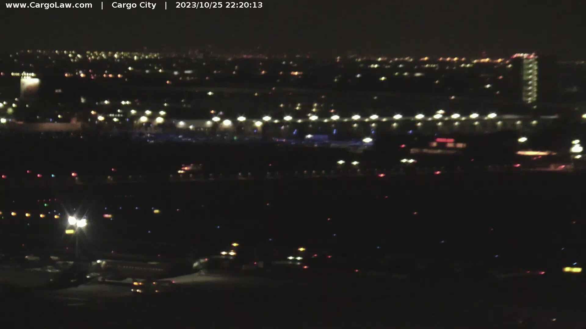
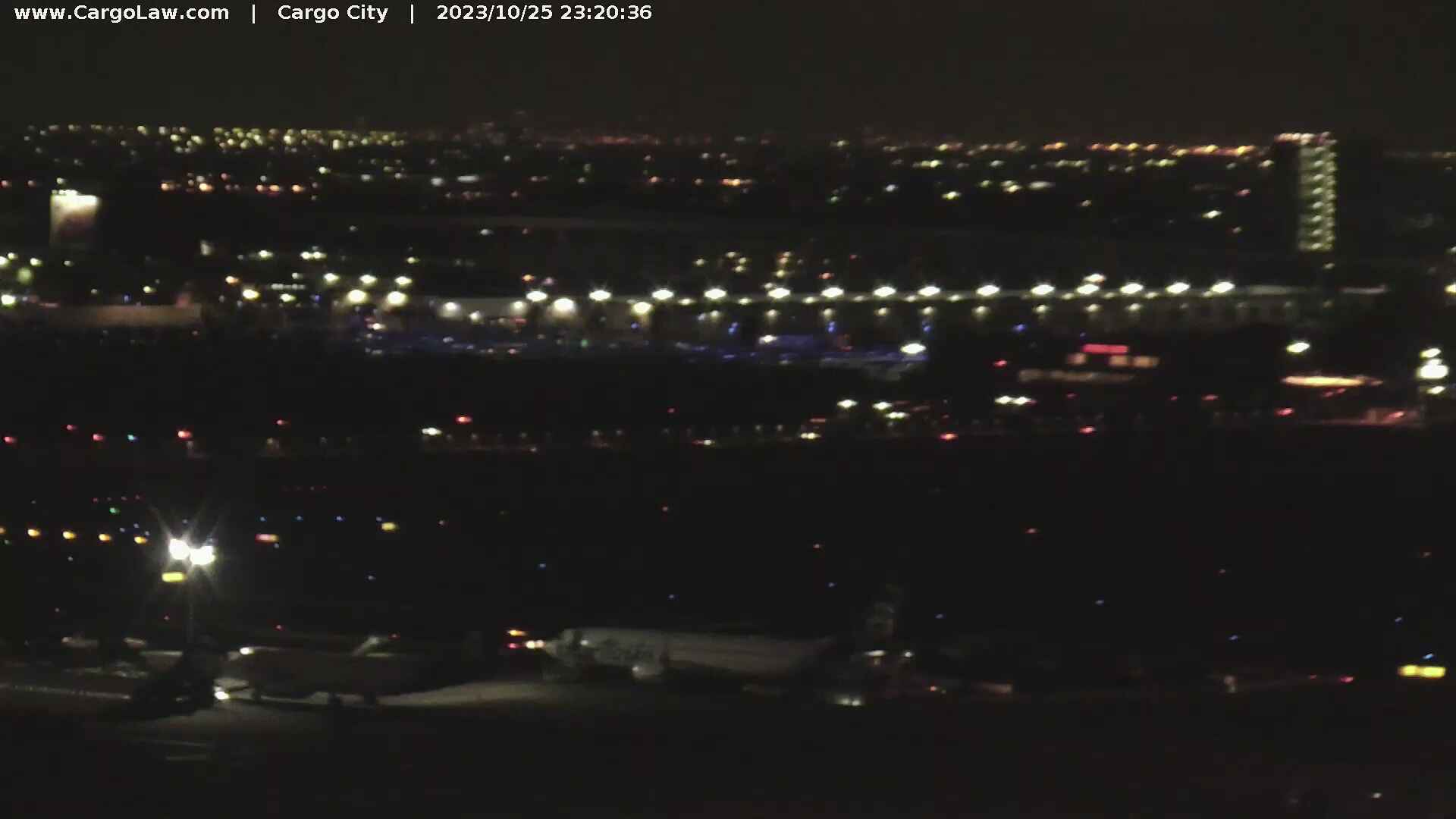
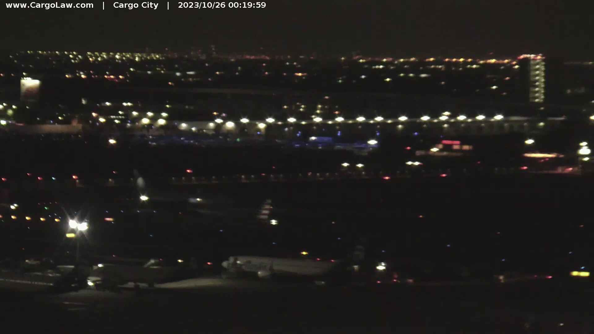
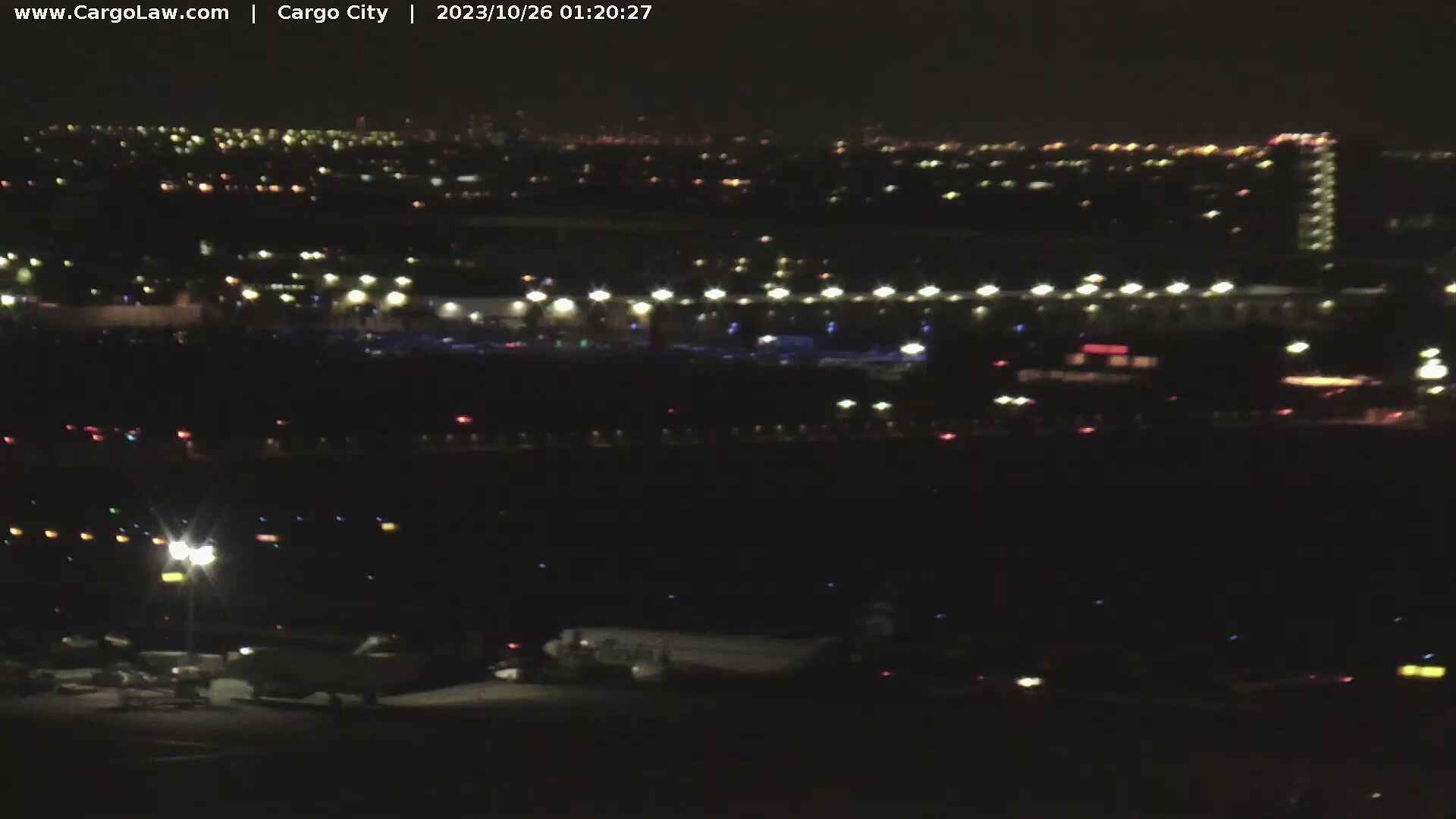
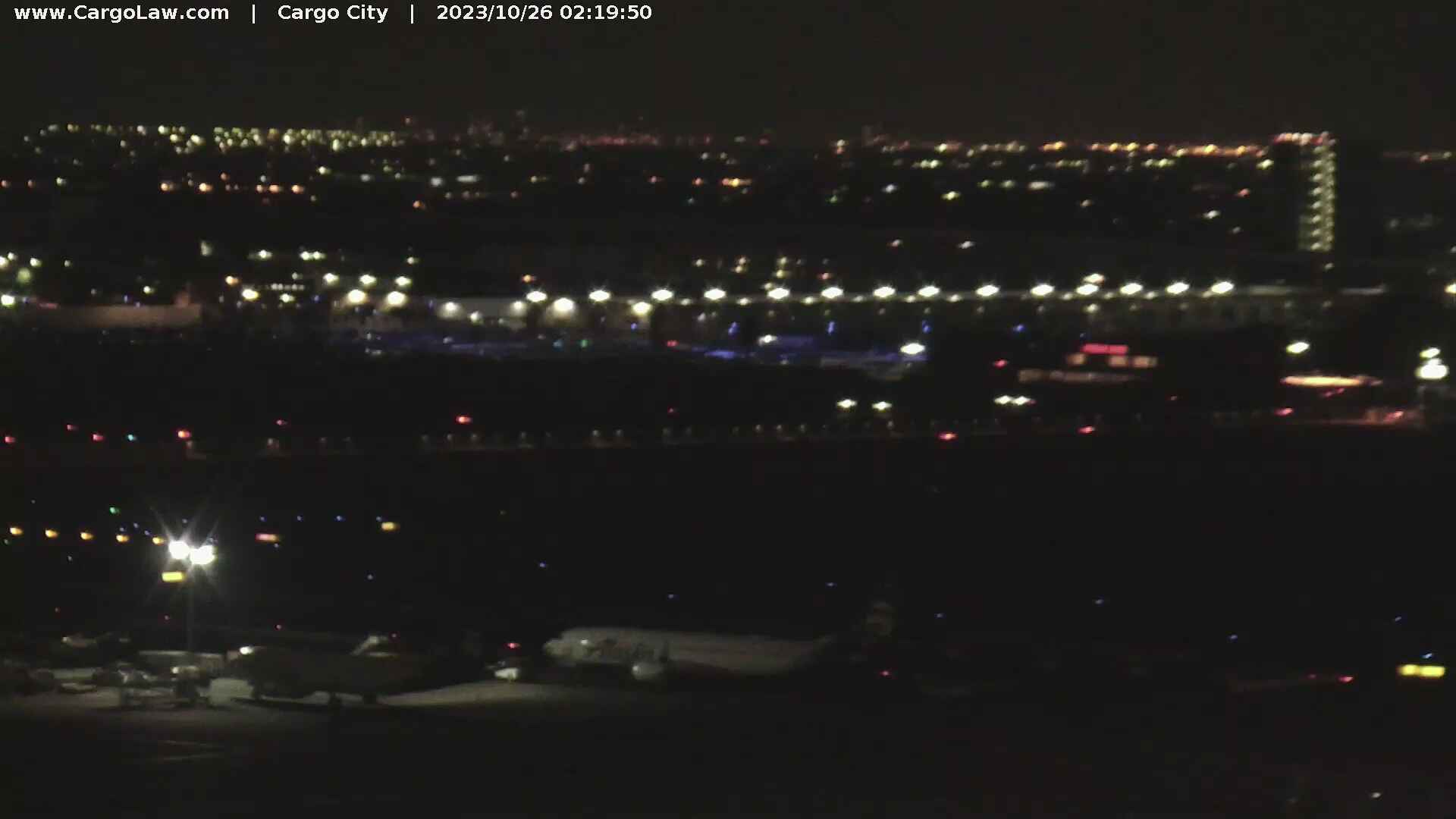
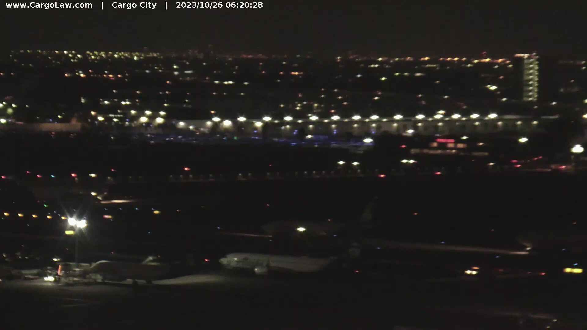
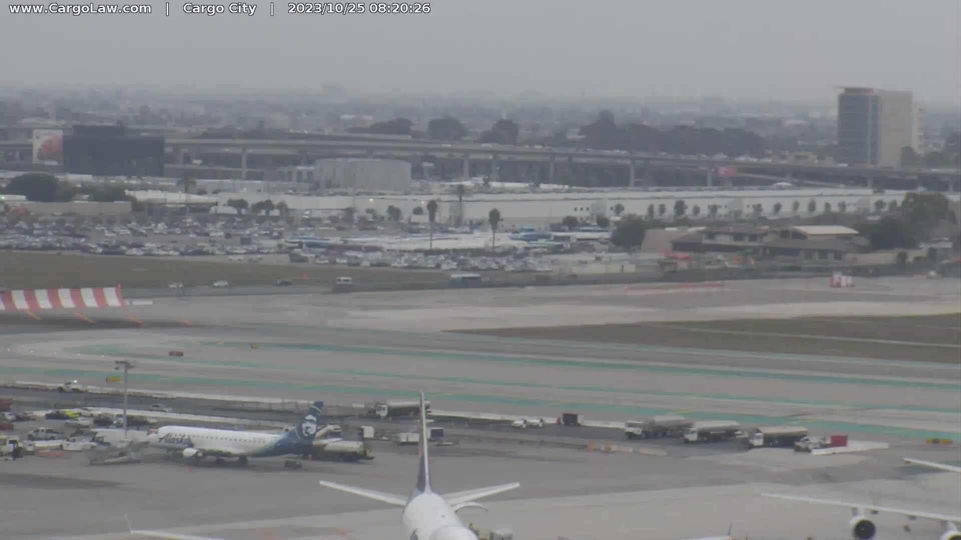
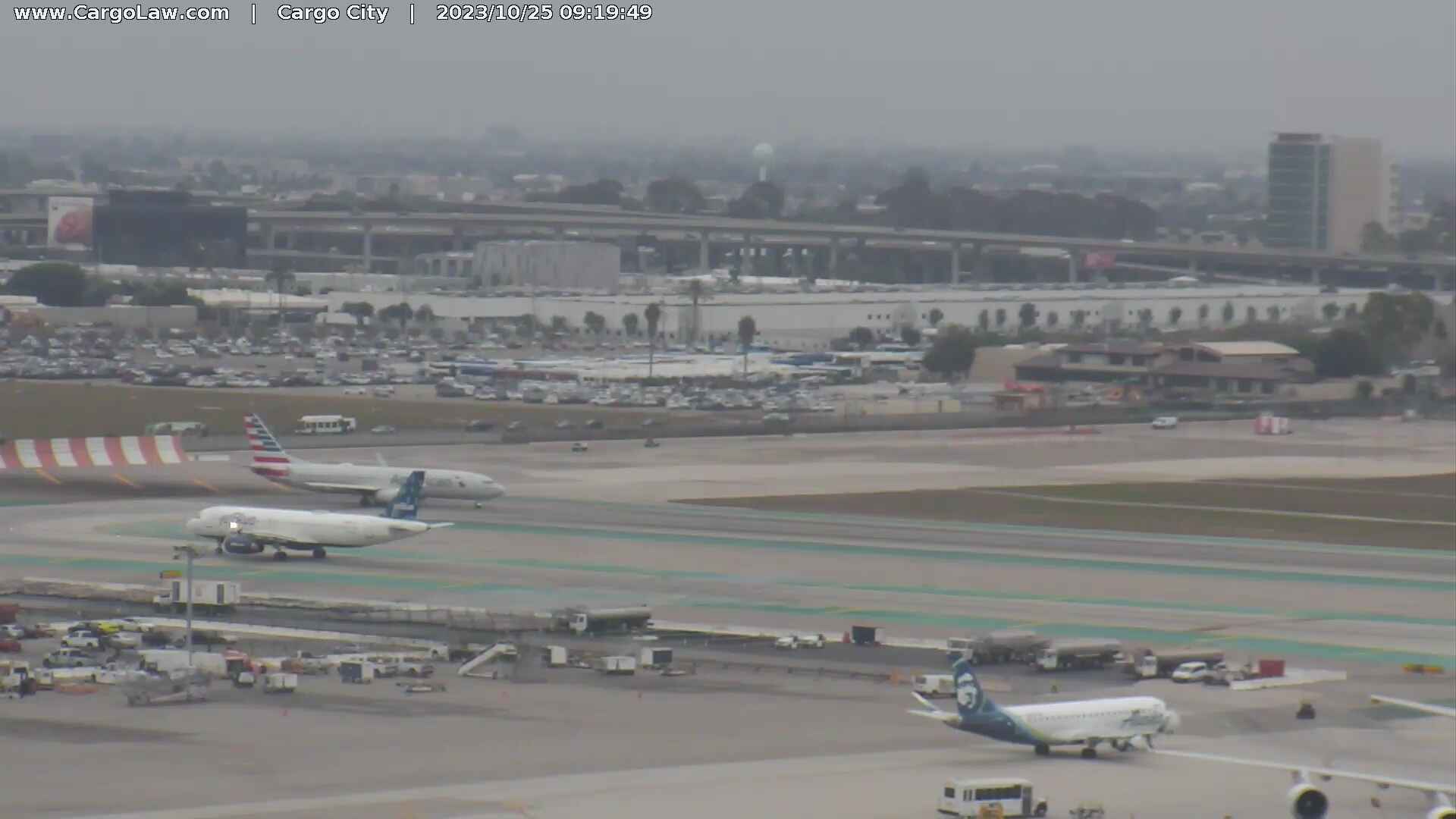
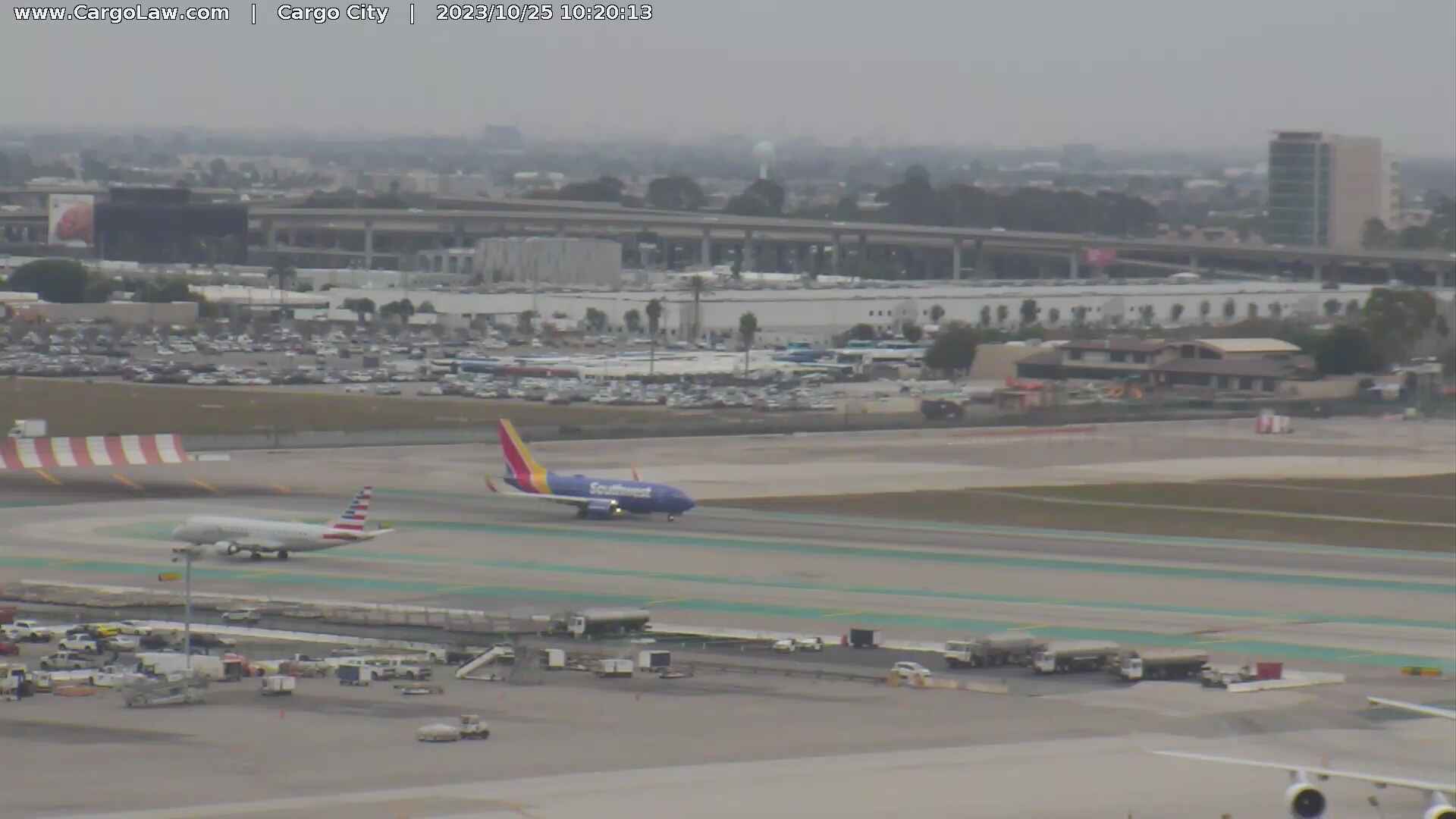
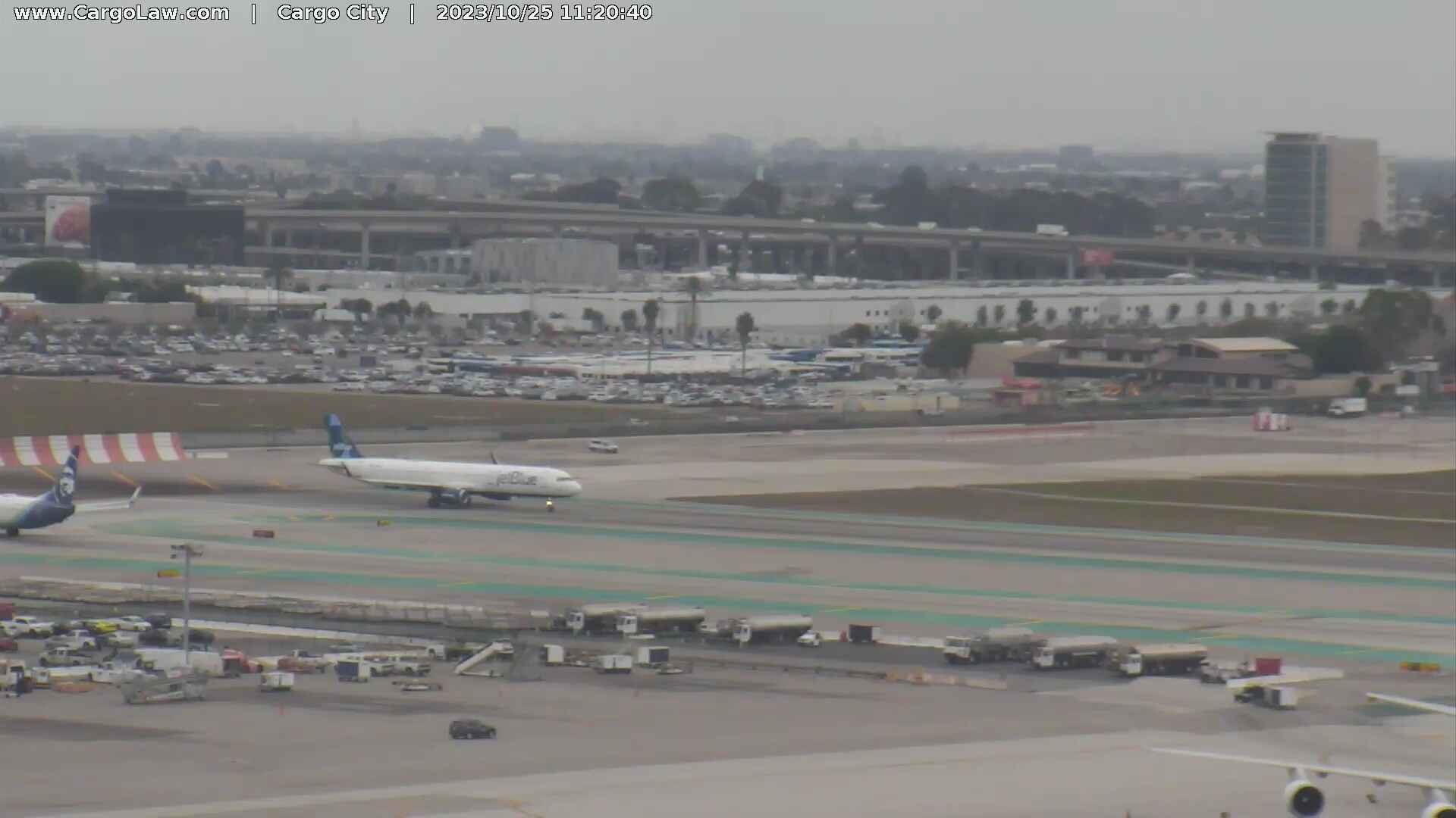
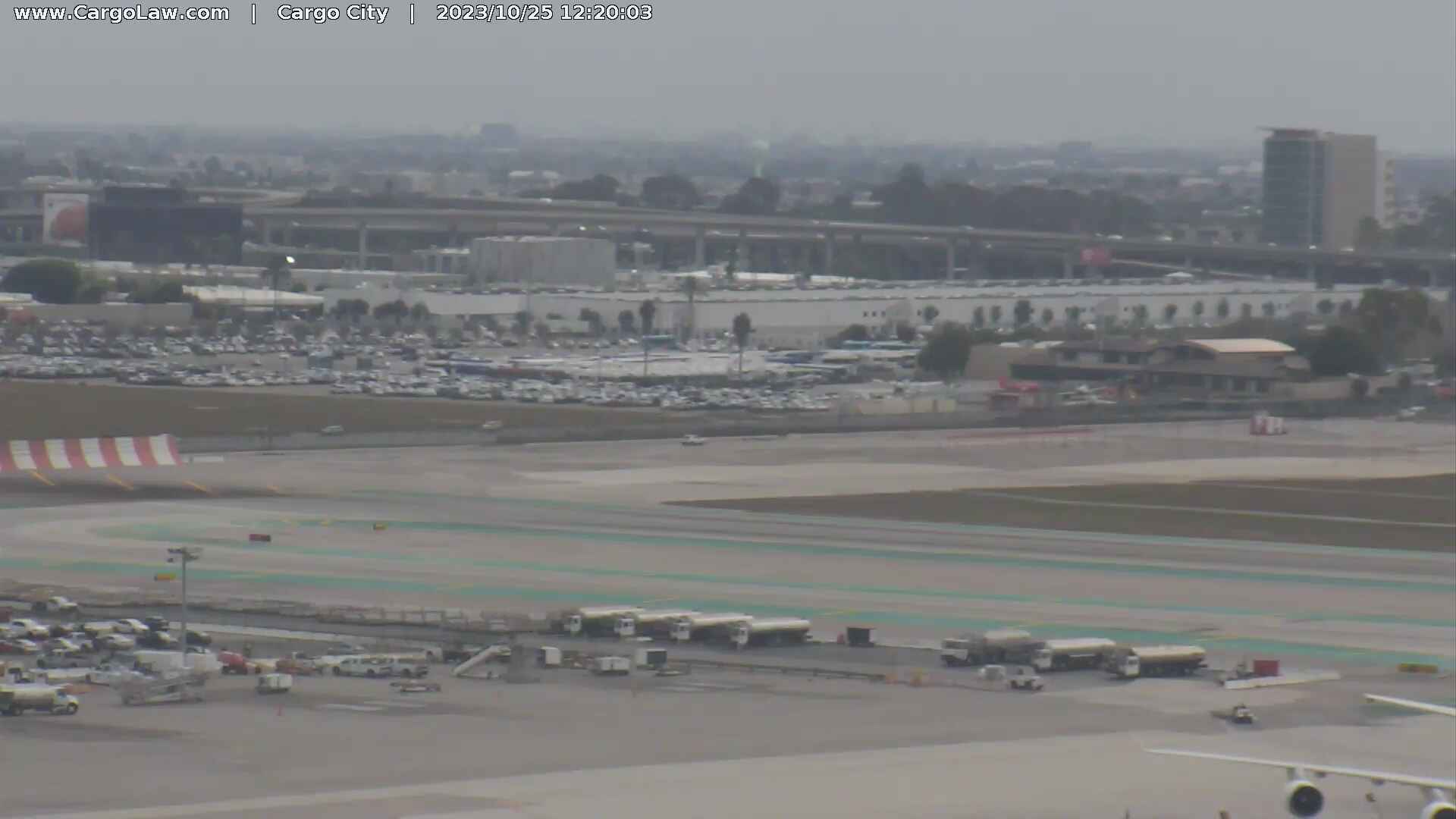
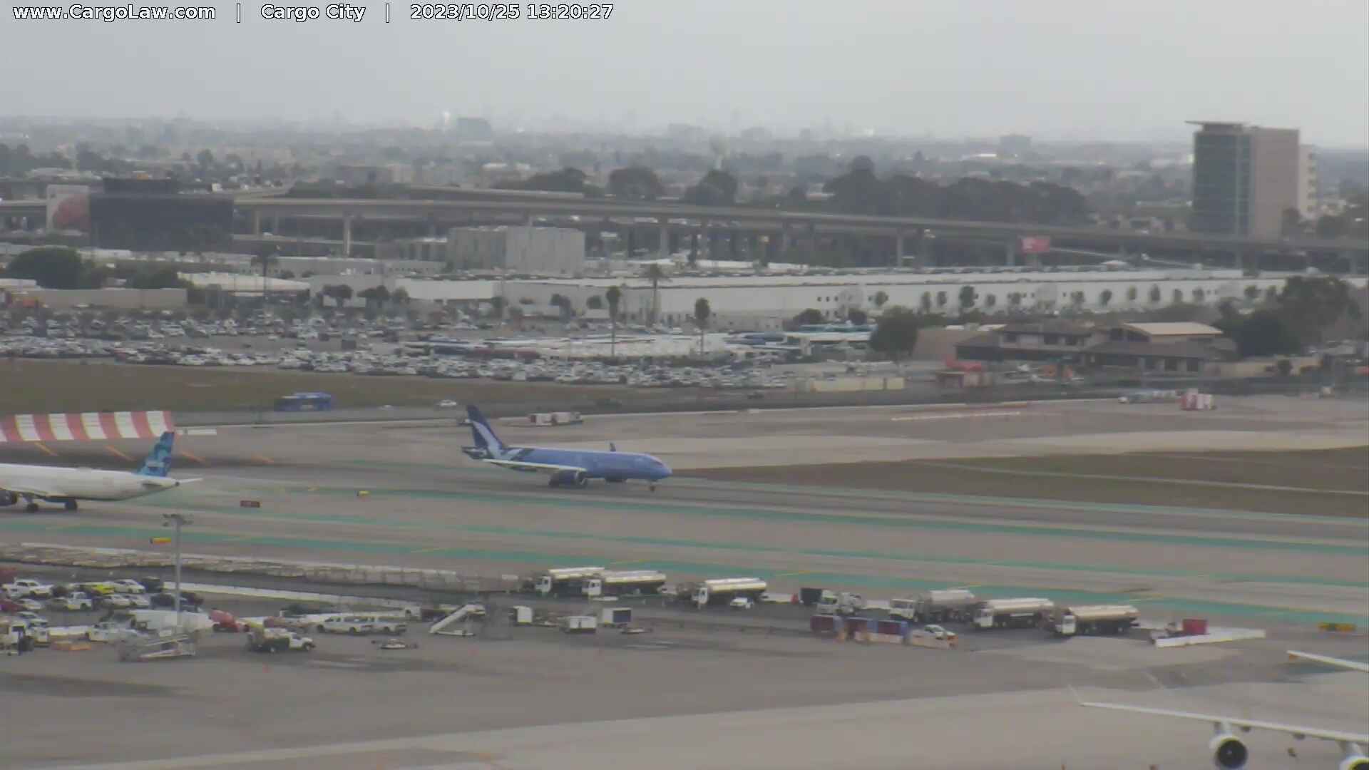
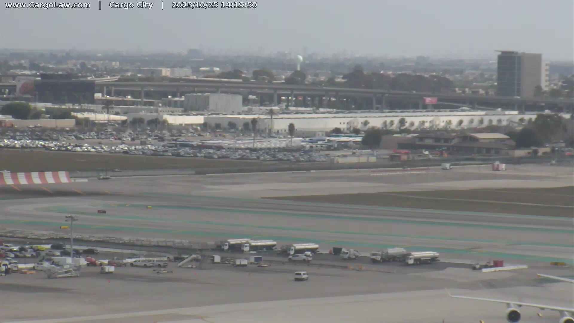
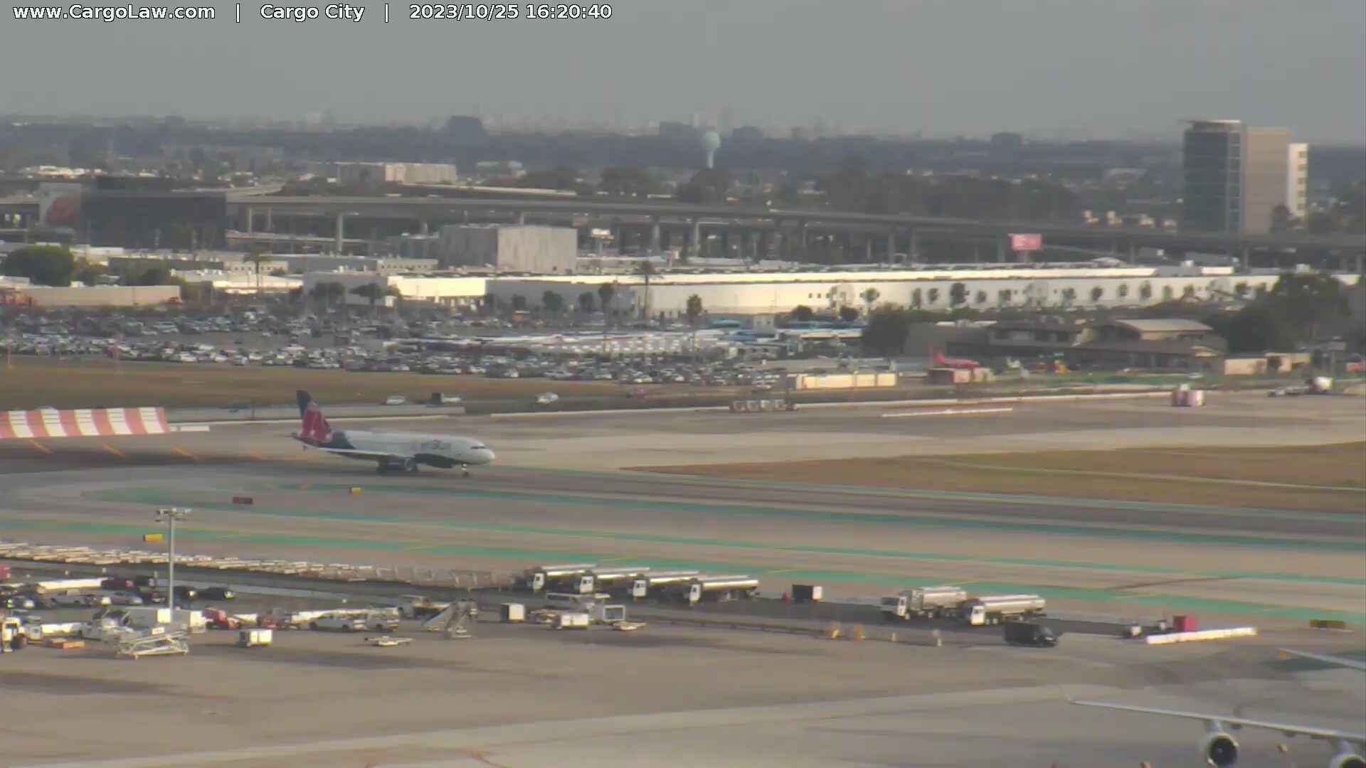
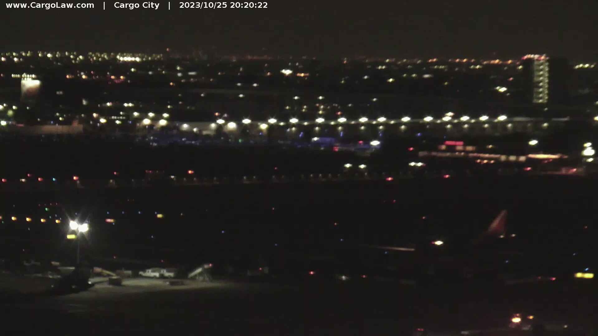
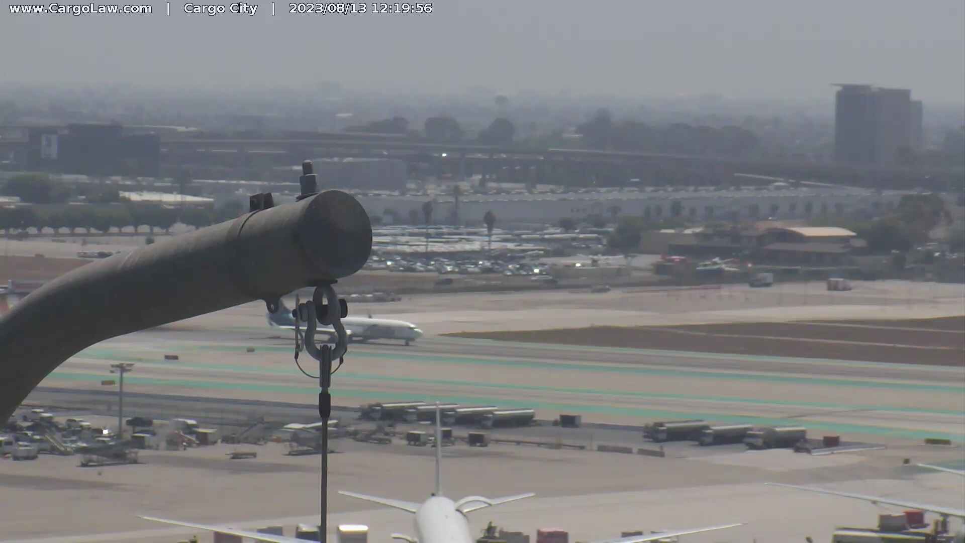
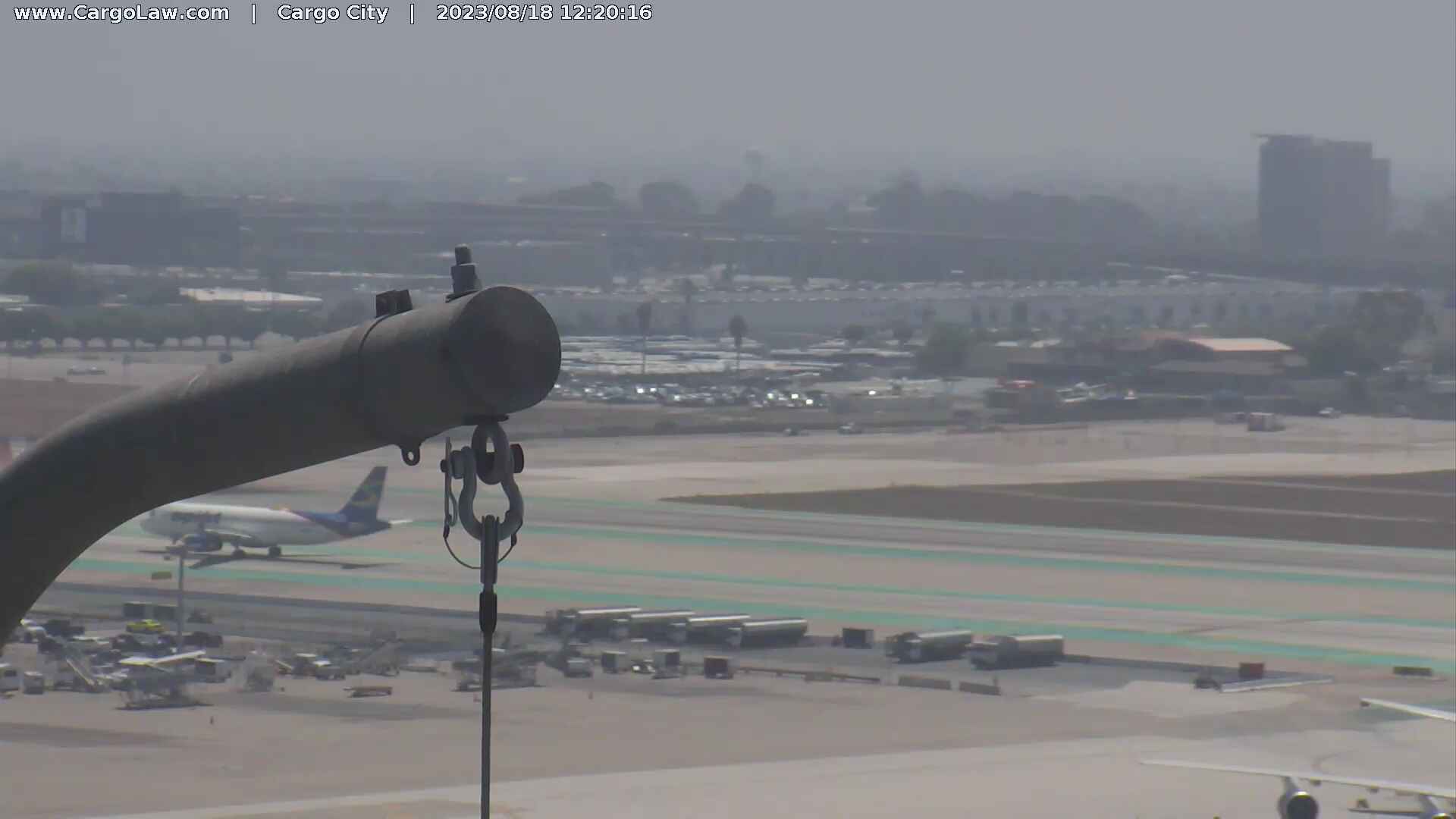
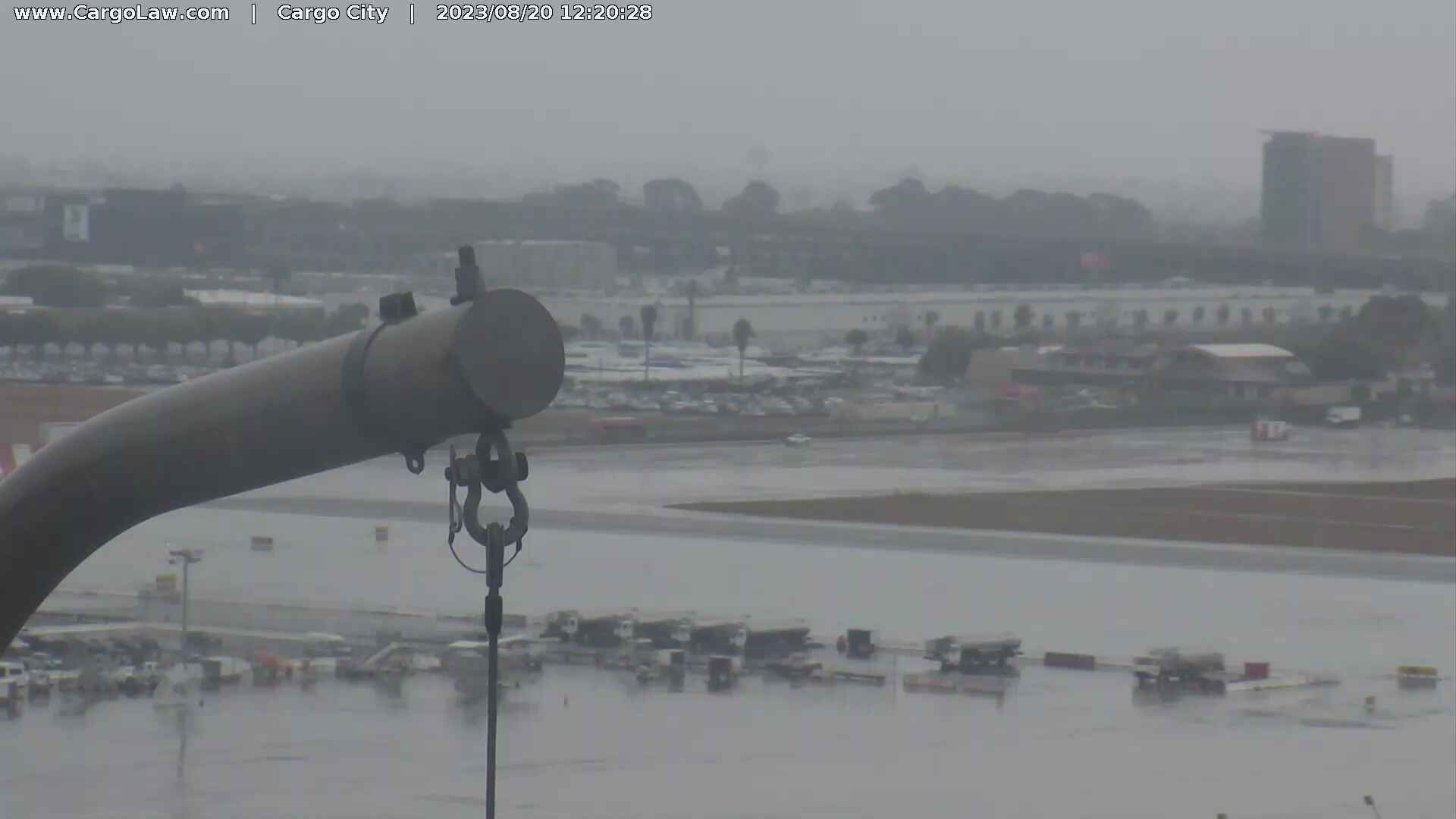
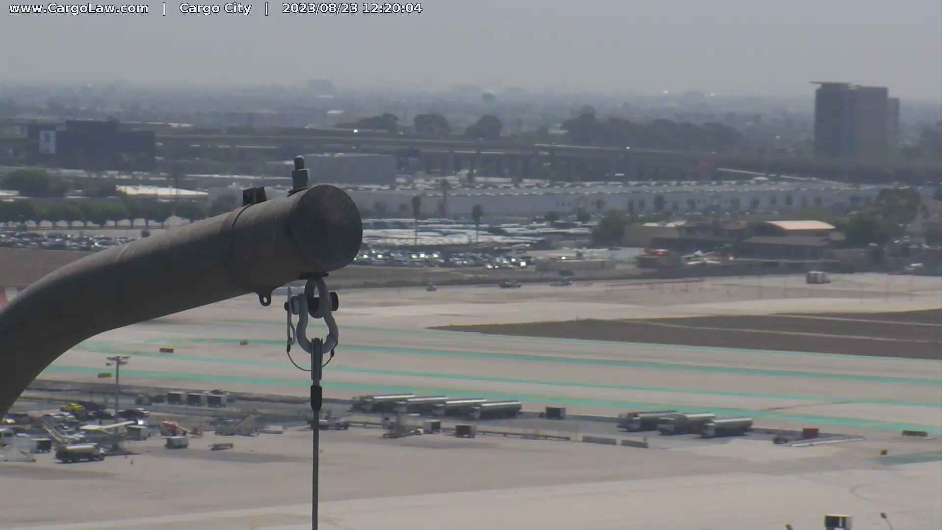
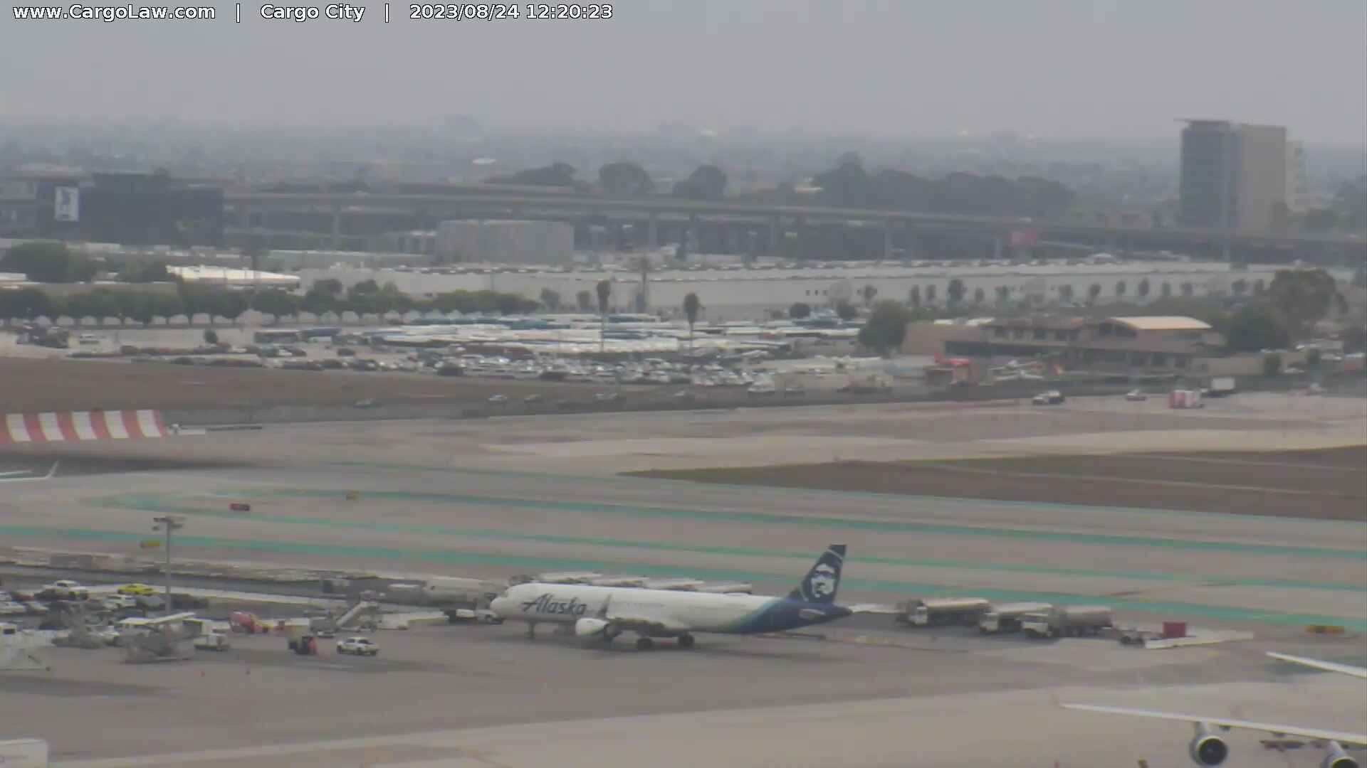
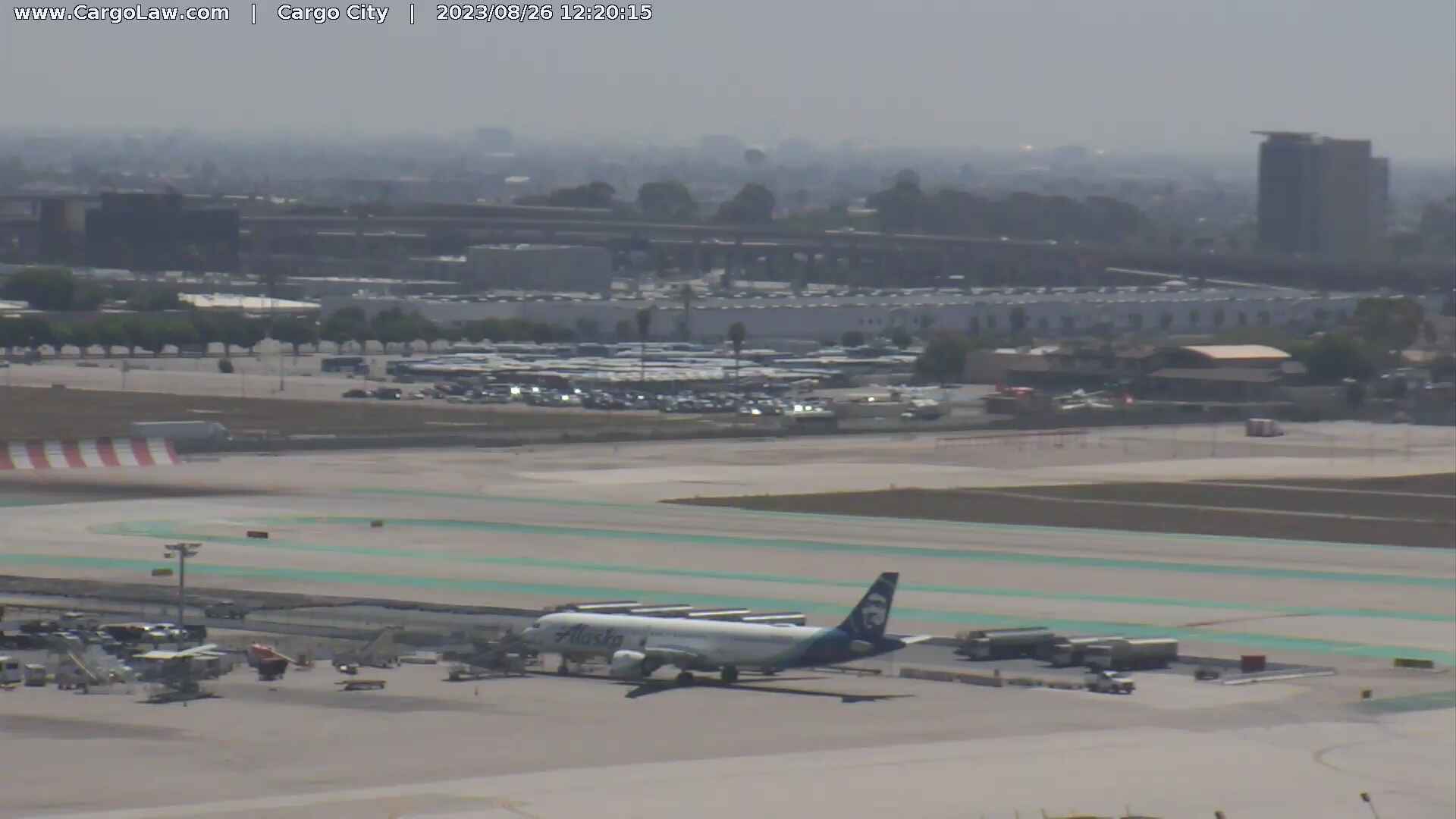
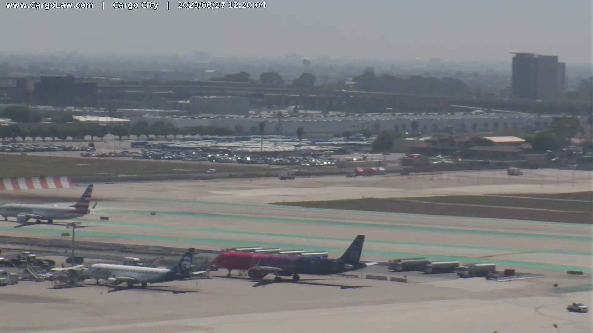
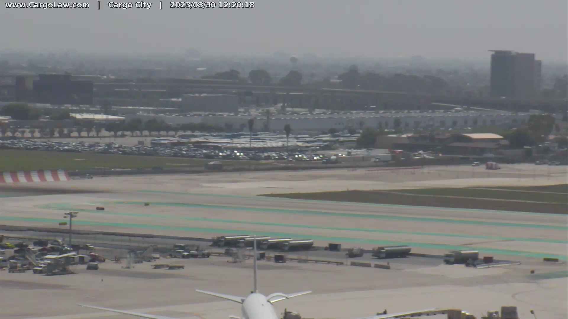
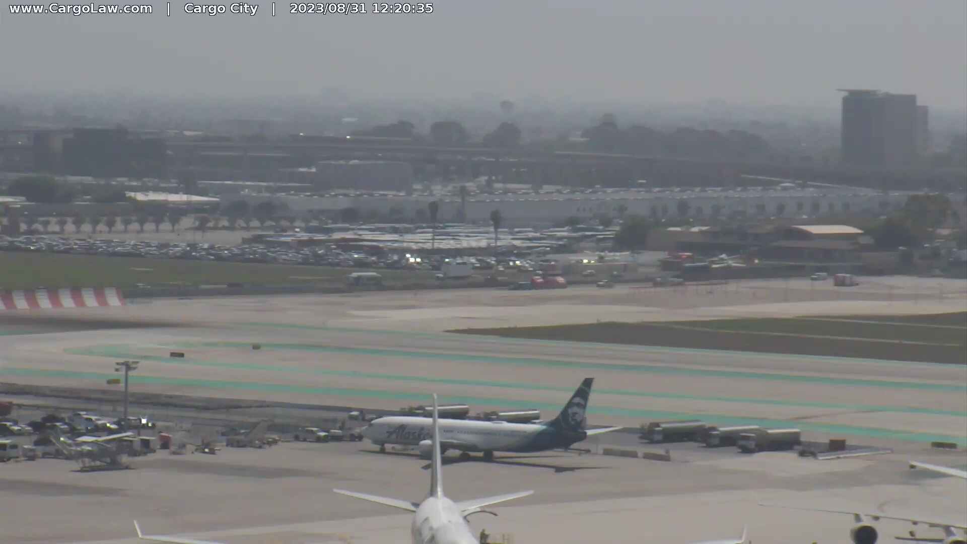
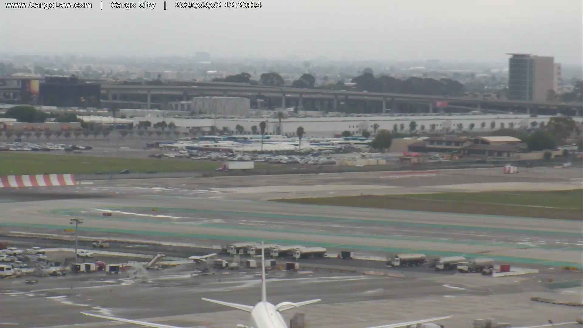
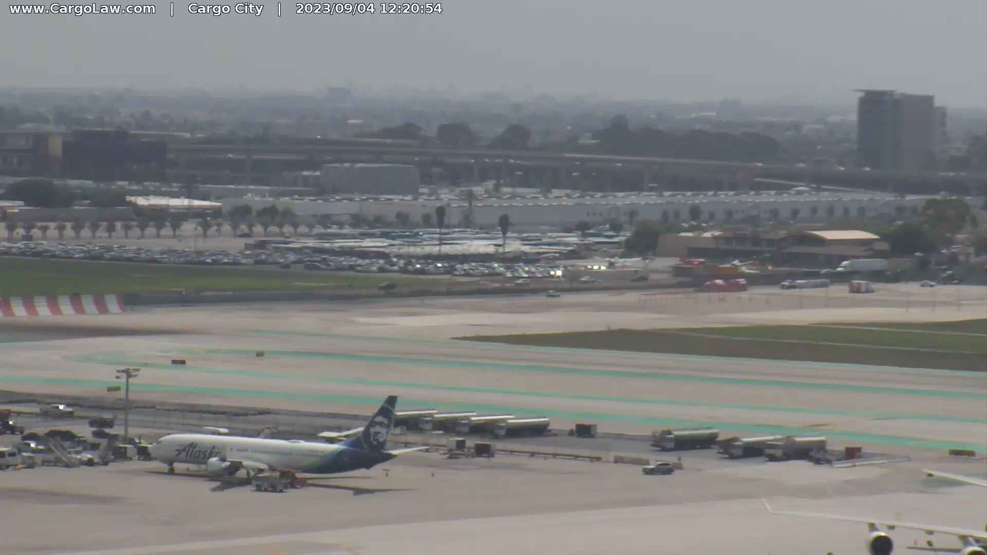
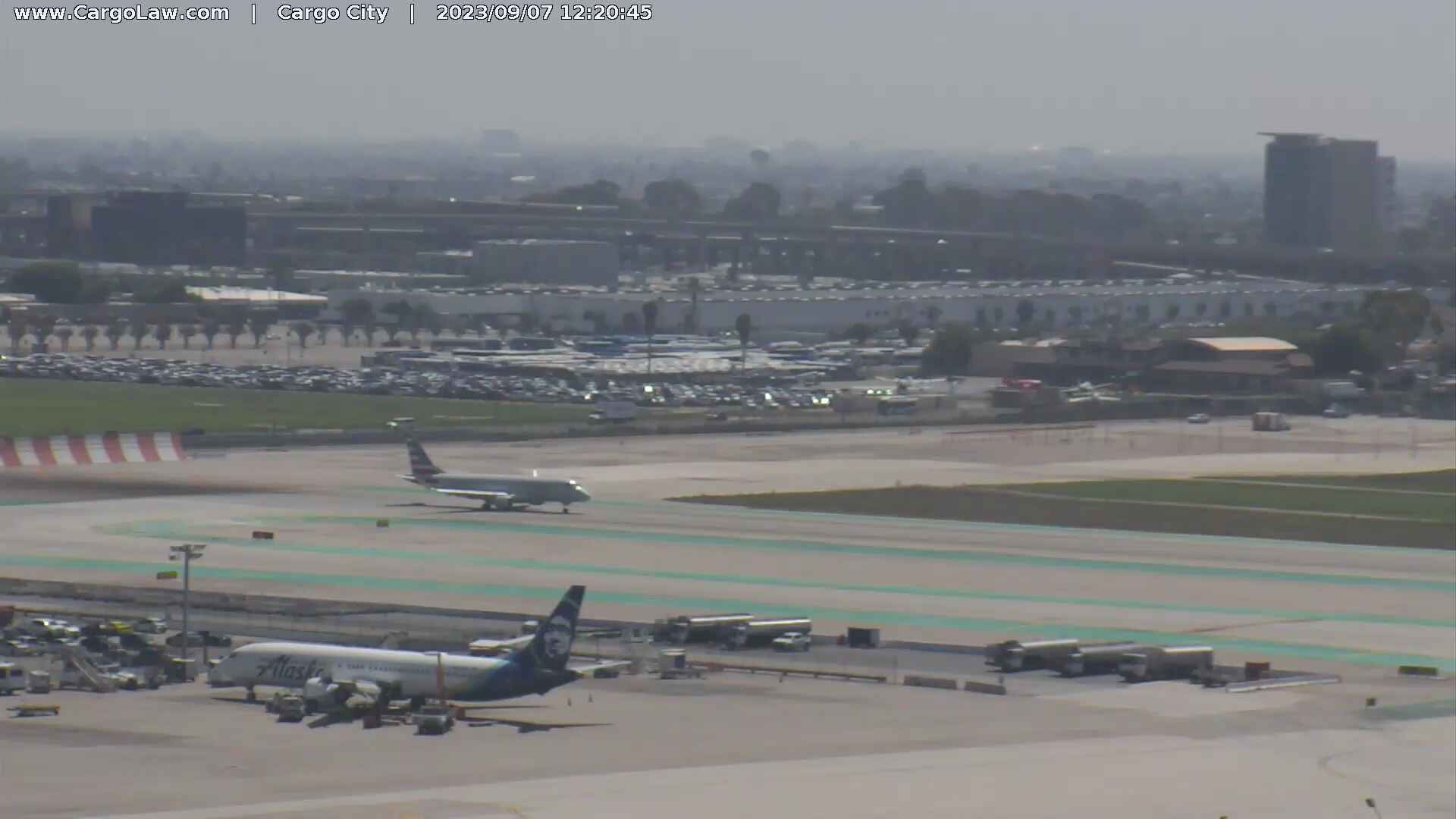
Los Angeles, California, USA - 19.6 miles from Runnymede Poultry Colony (historical): HD-Stream LAX International Airport - A view over the apron of the Los Angeles International Airport.
Operator: Countryman & McDaniel Law Offices
Operator: Countryman & McDaniel Law Offices


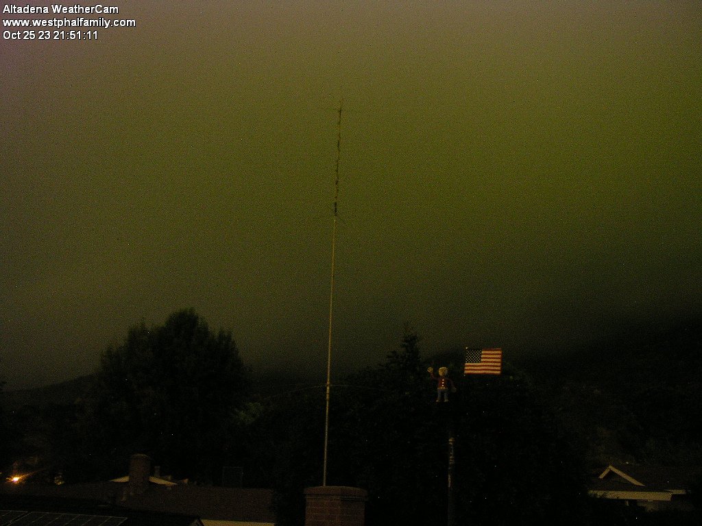
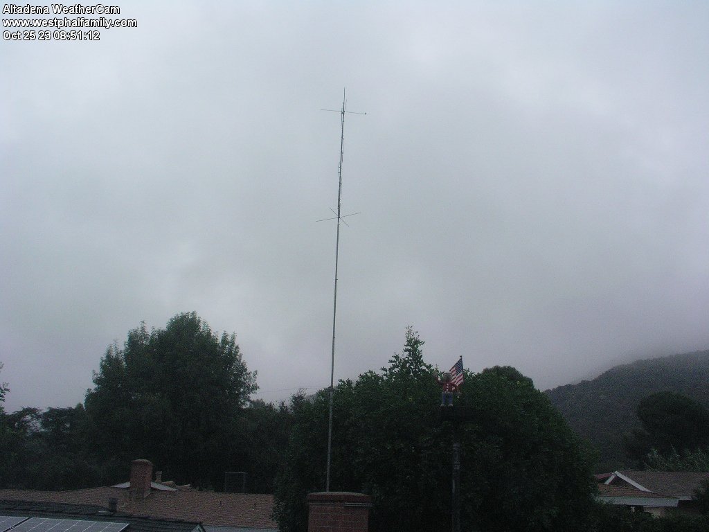
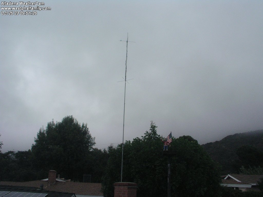
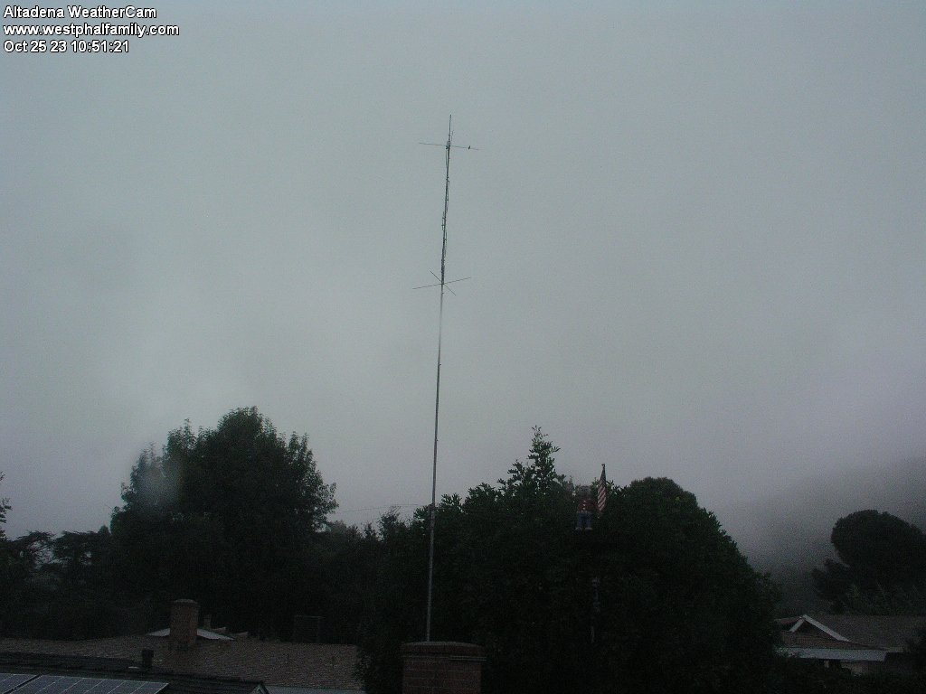
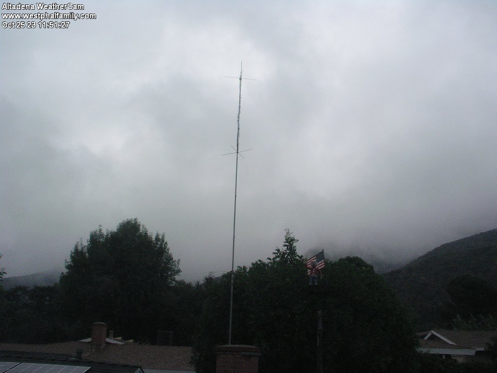
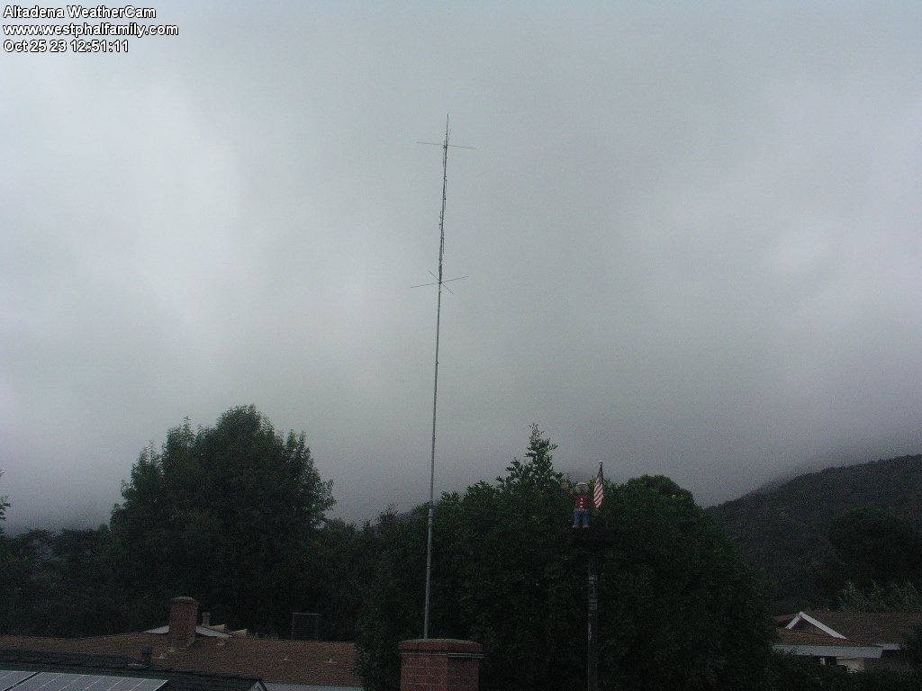
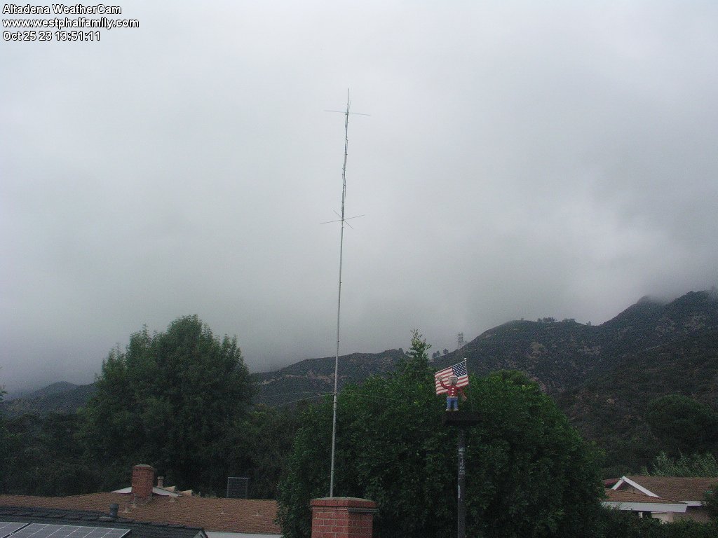
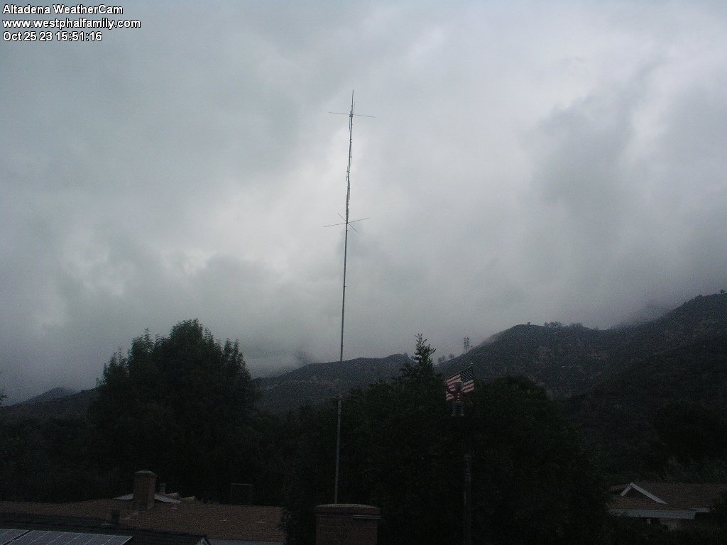
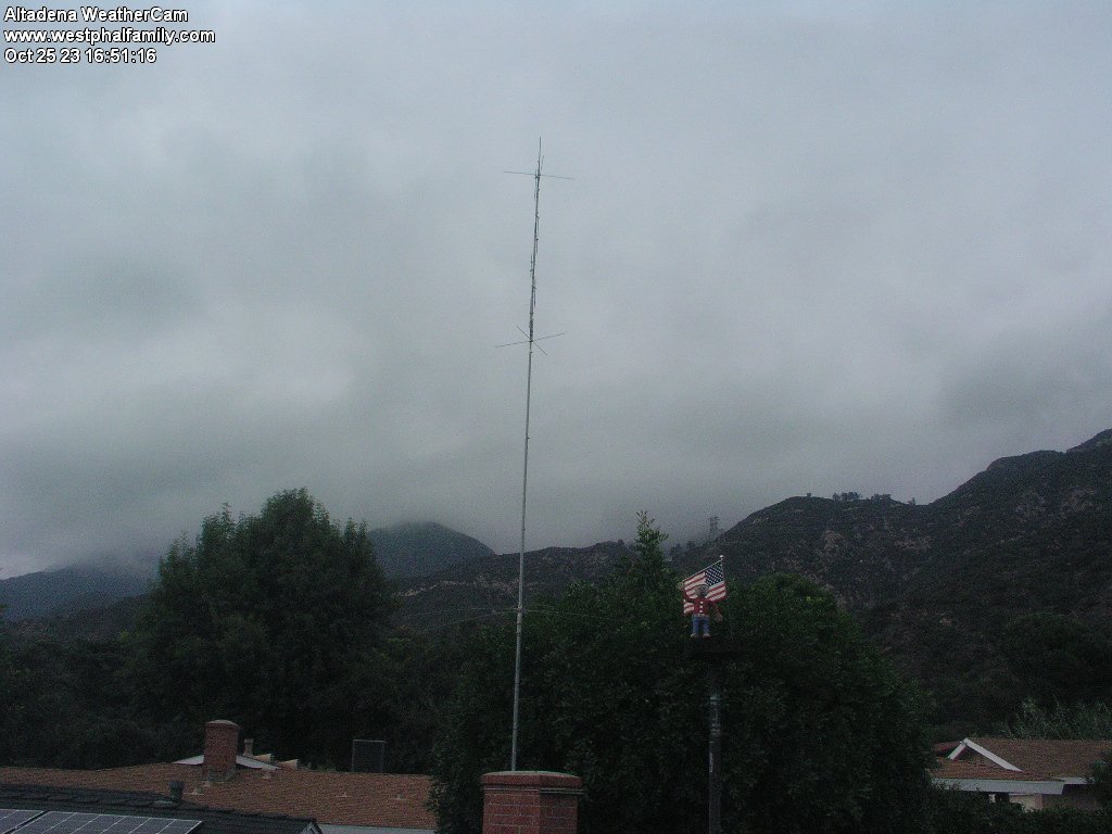
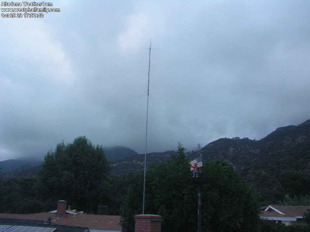
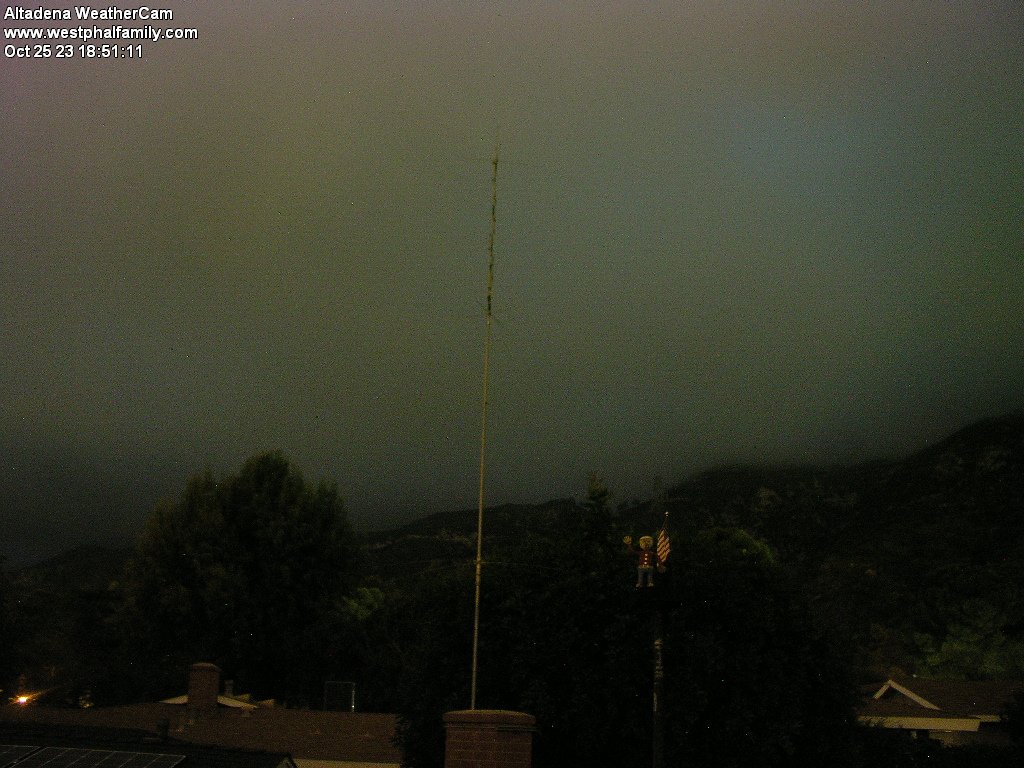
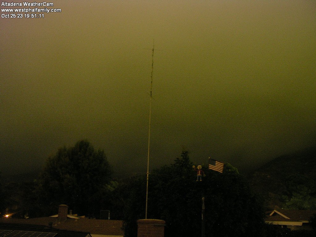
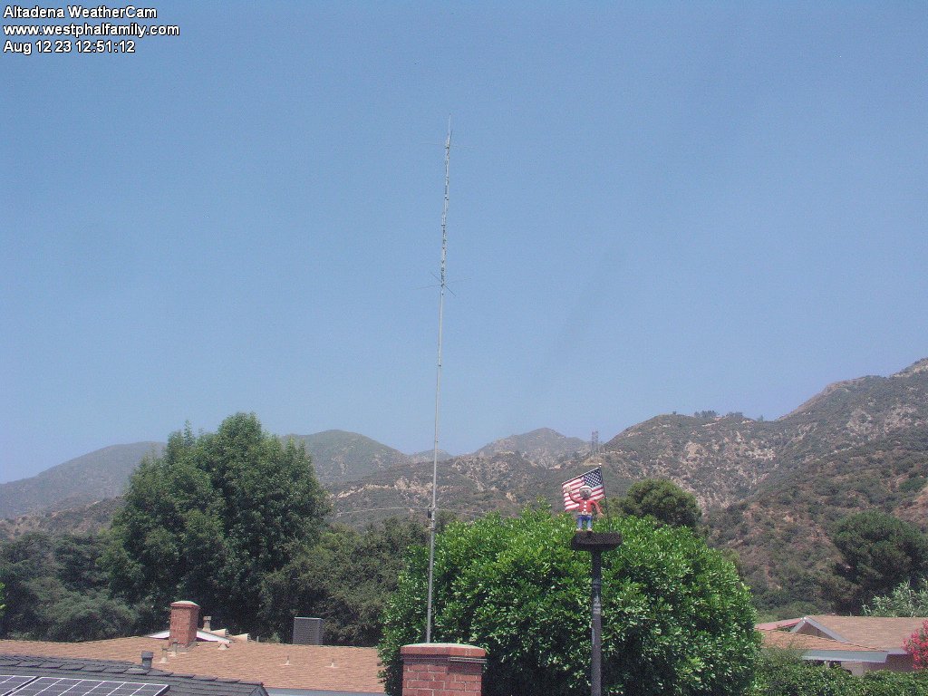
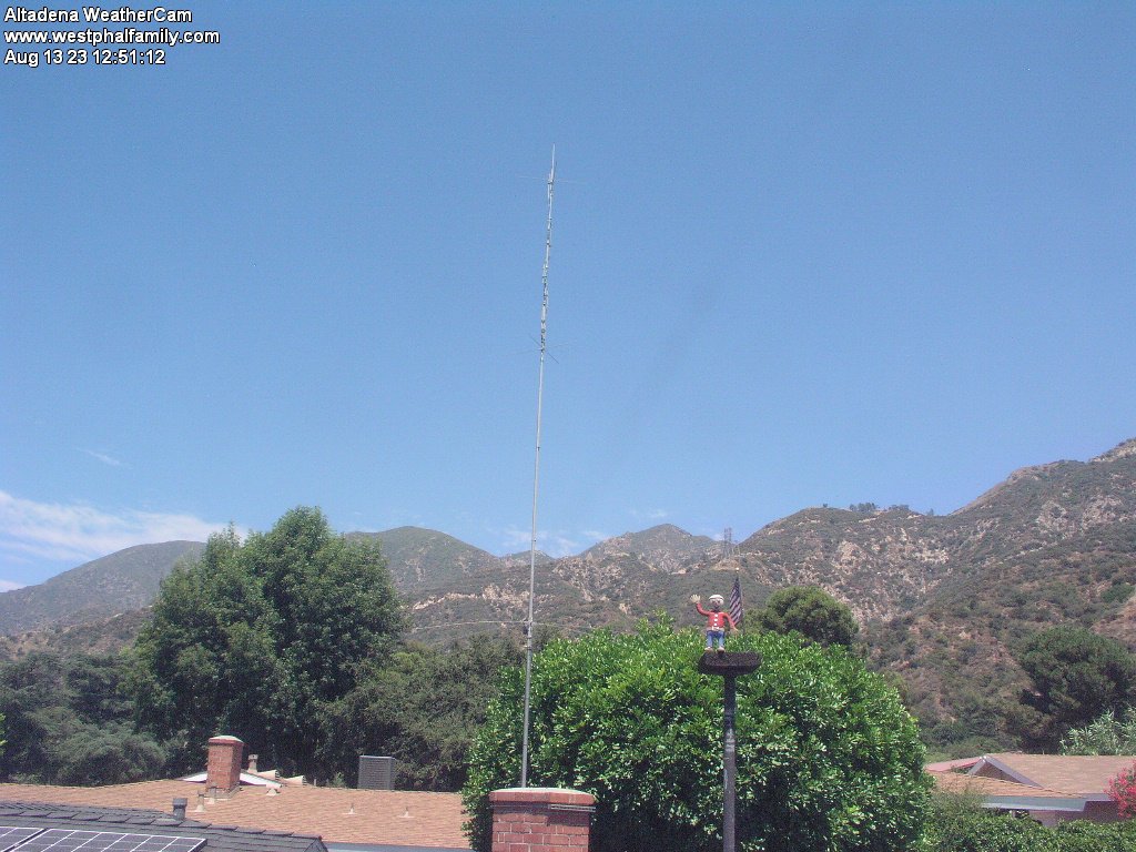
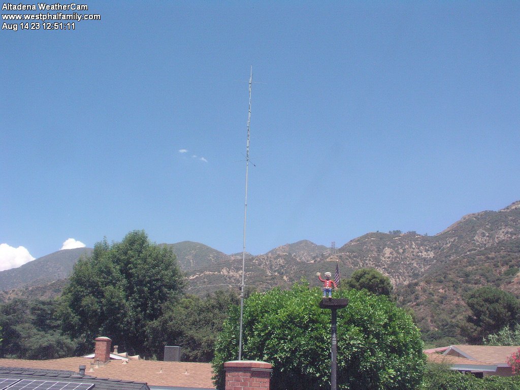
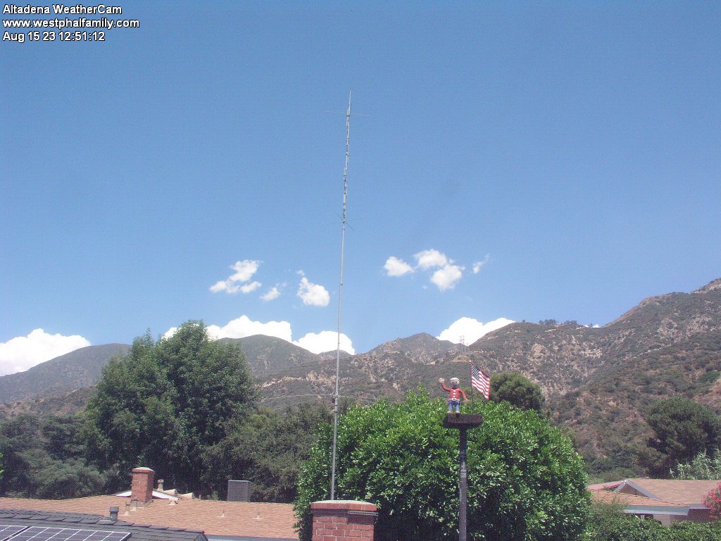
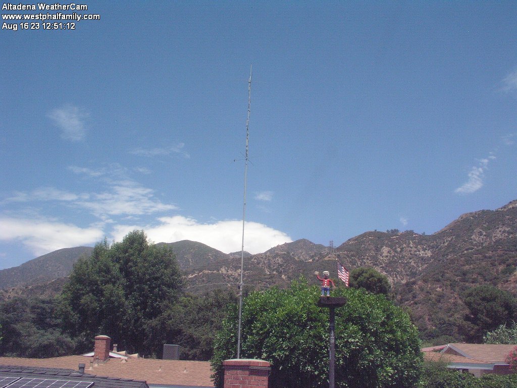
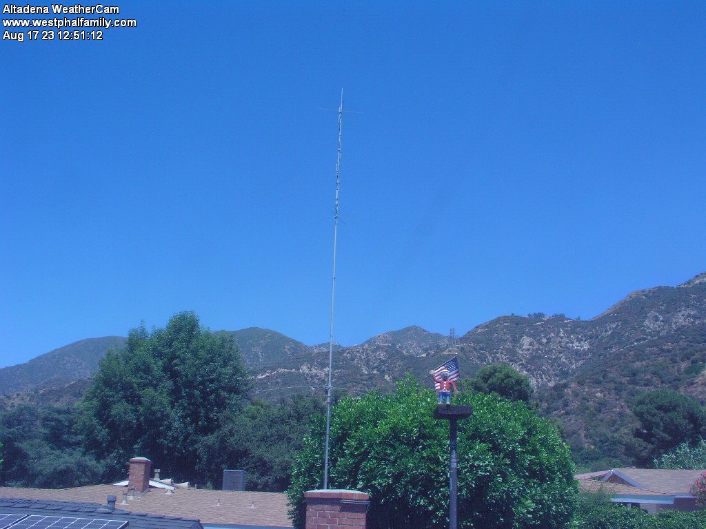
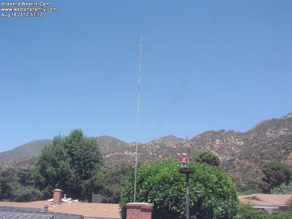
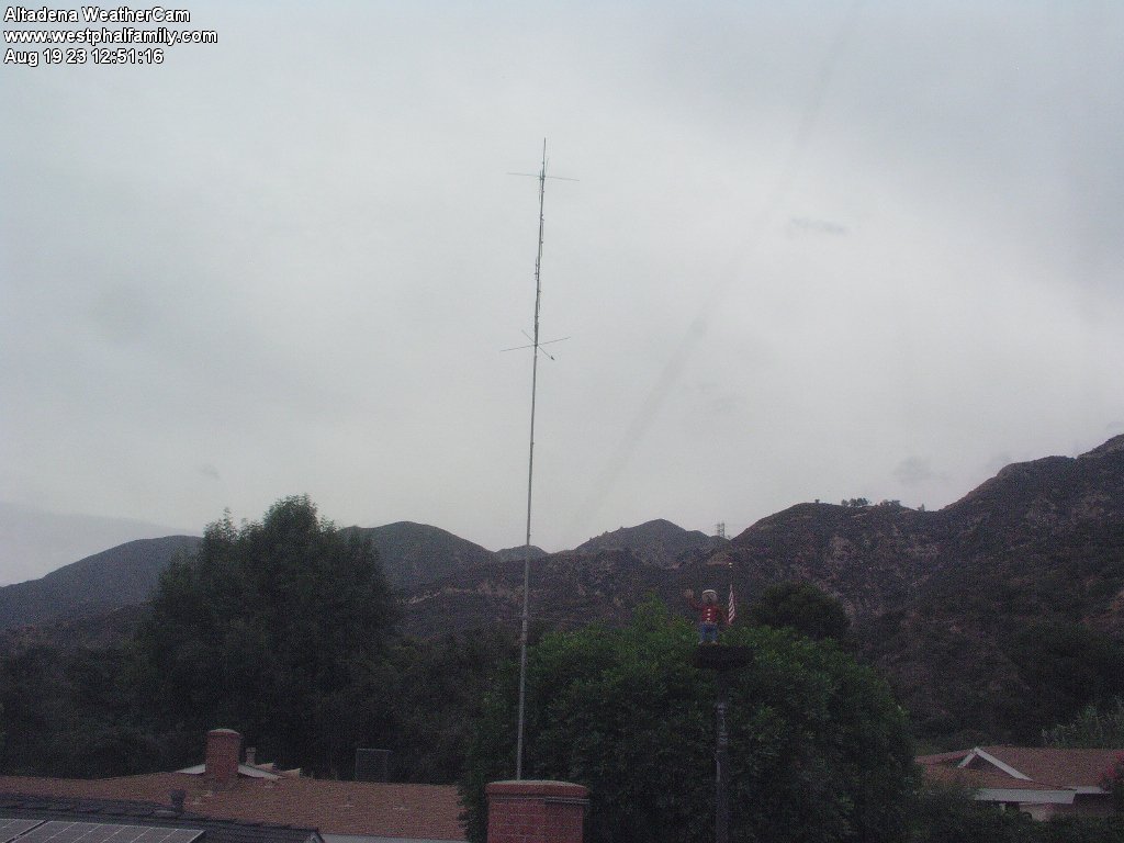
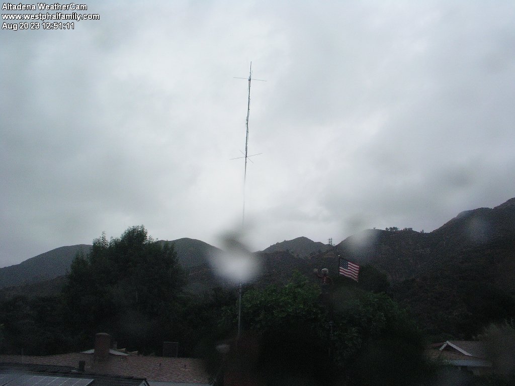
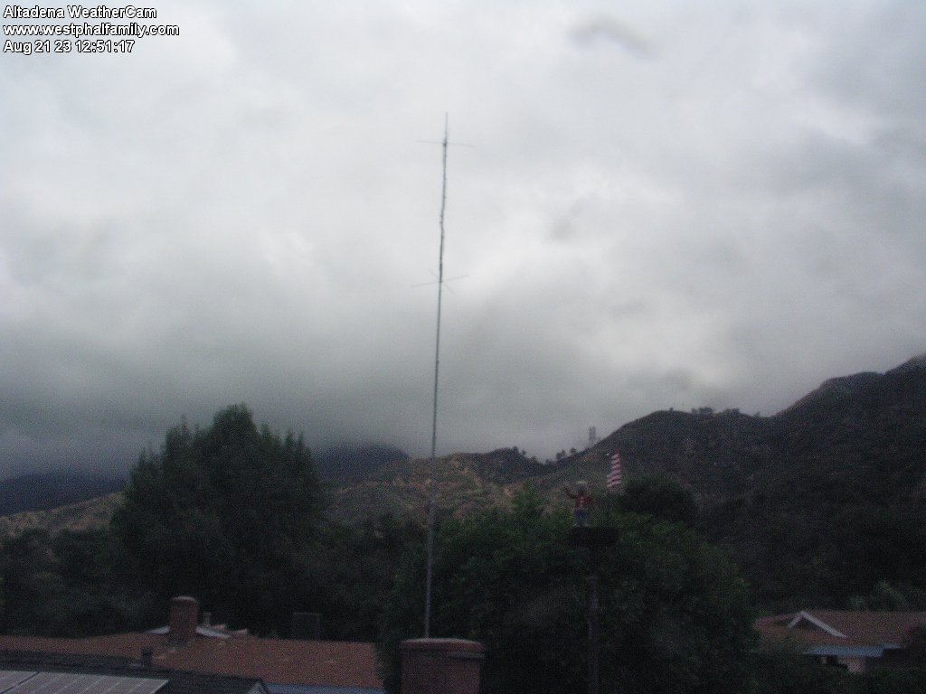
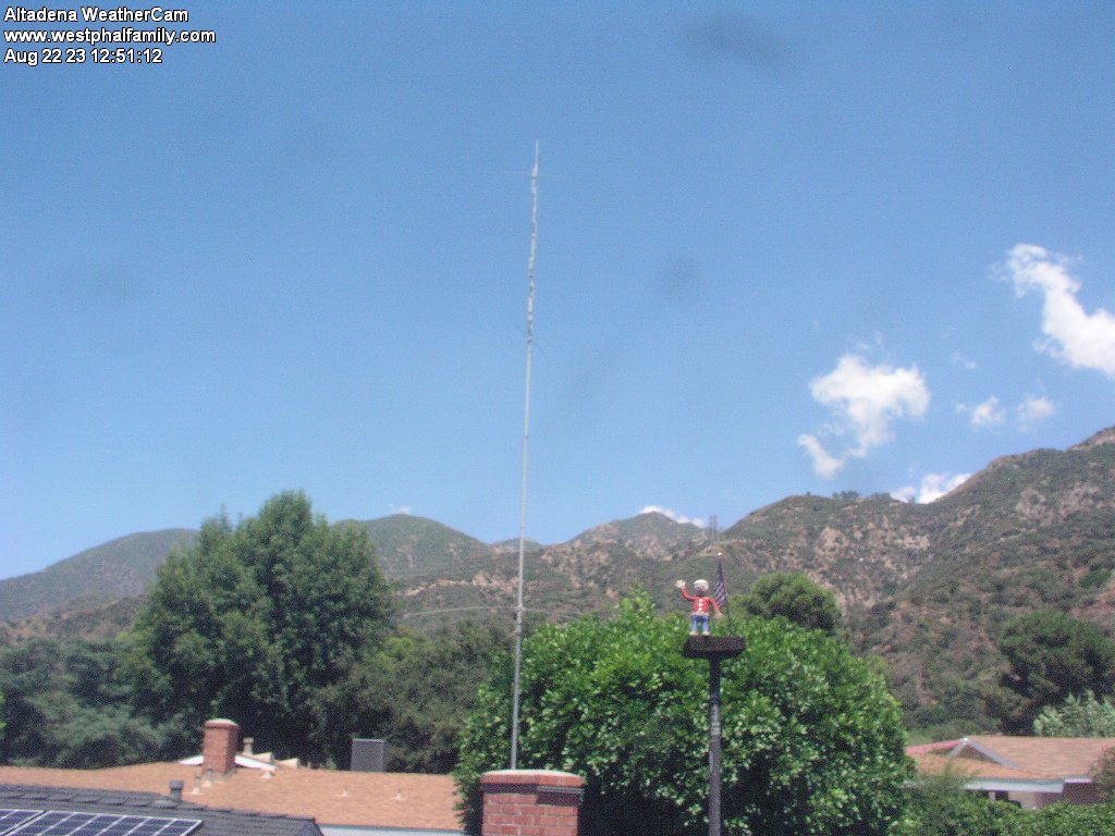
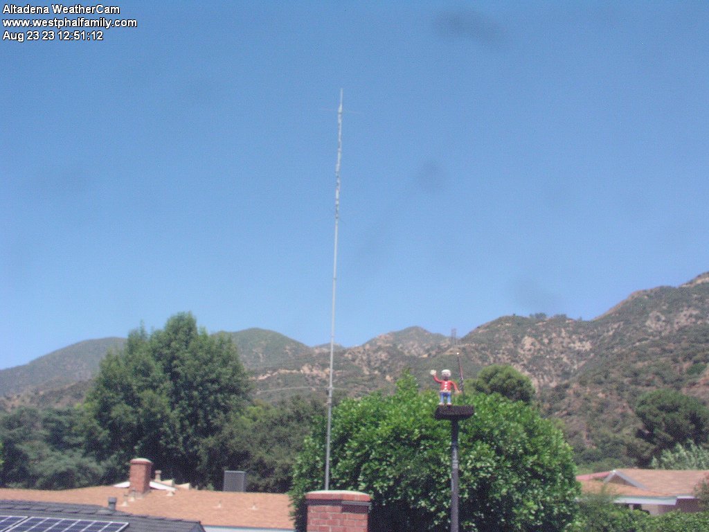
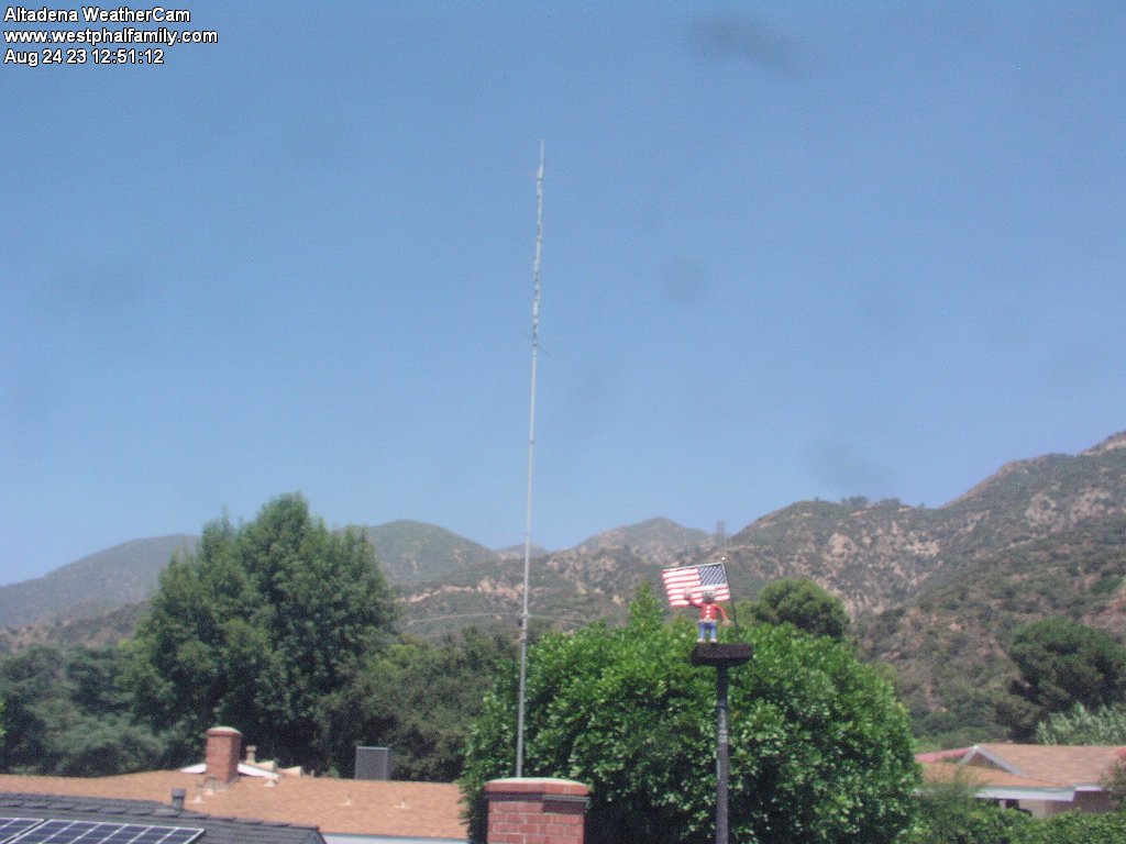
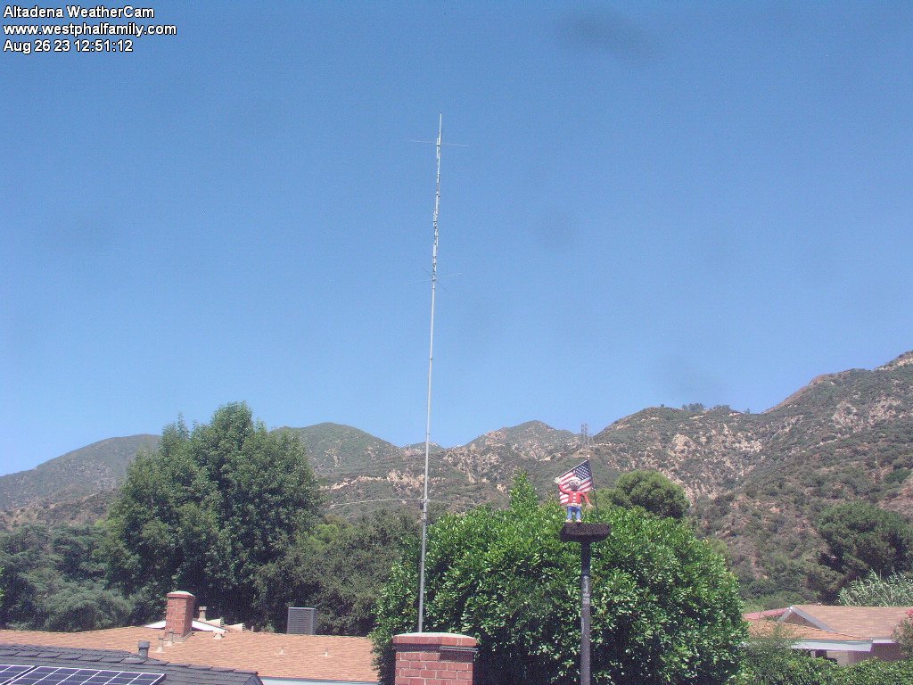
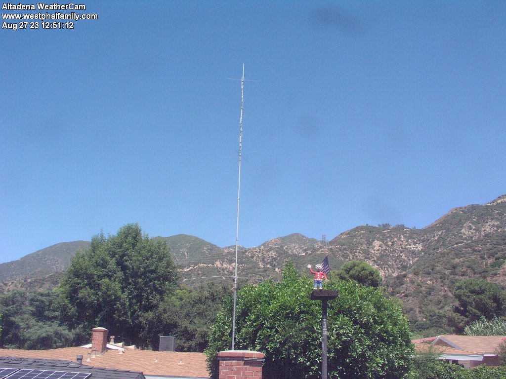
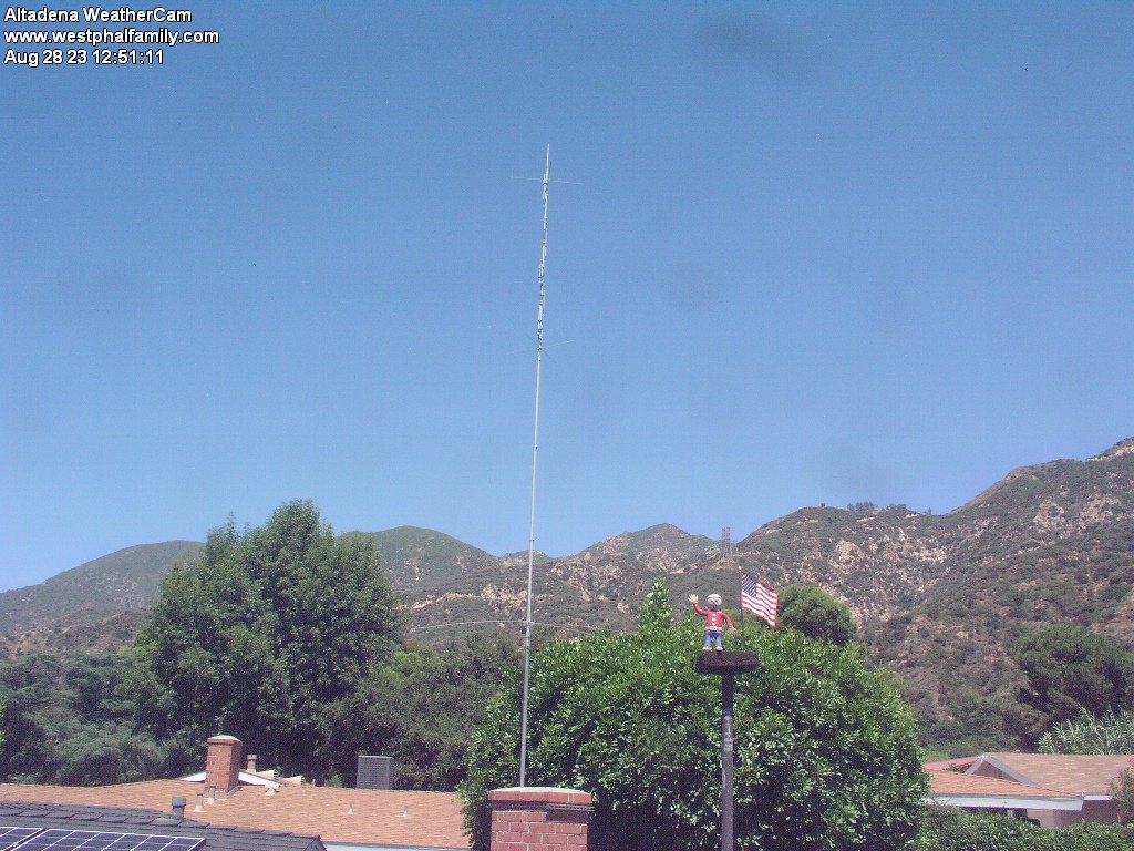
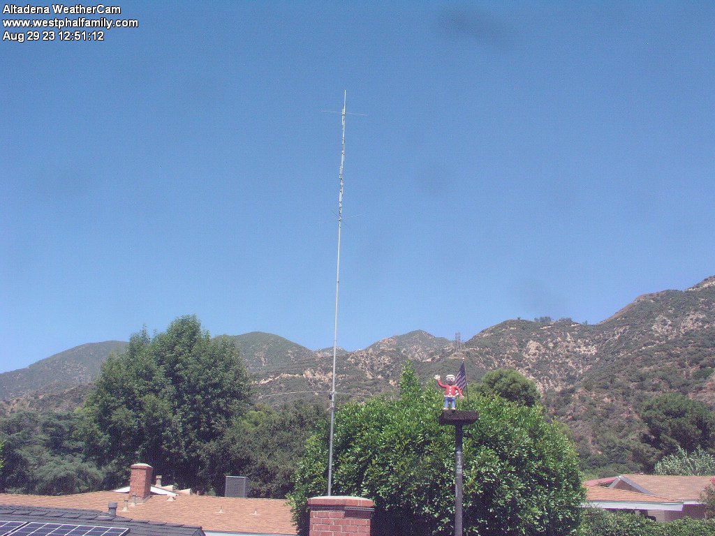
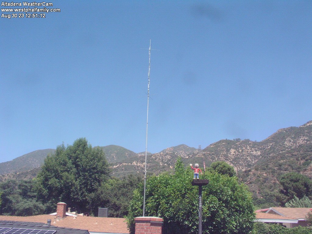
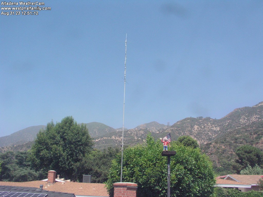
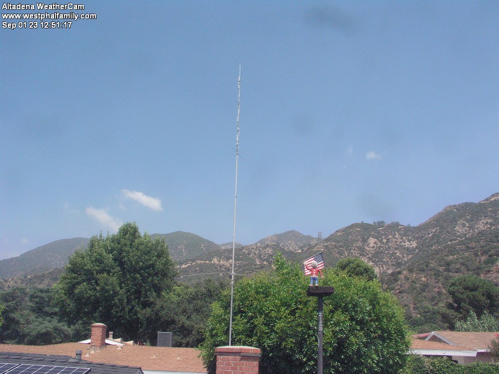
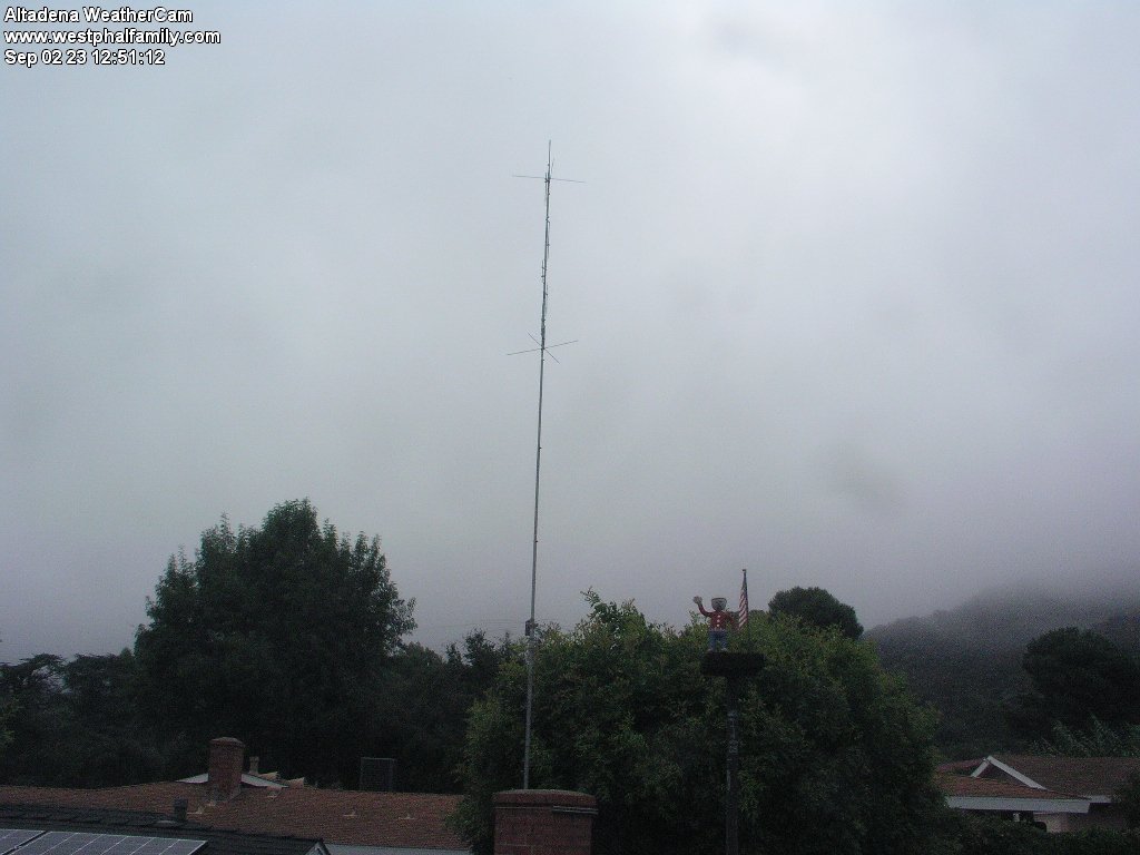
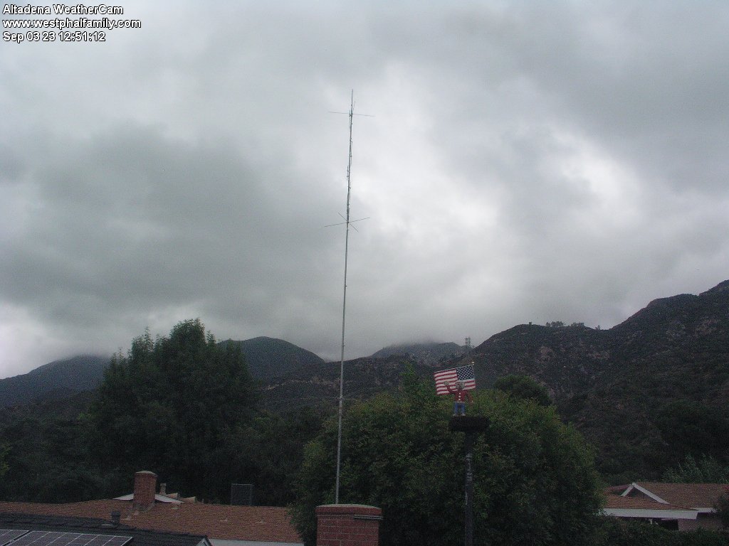
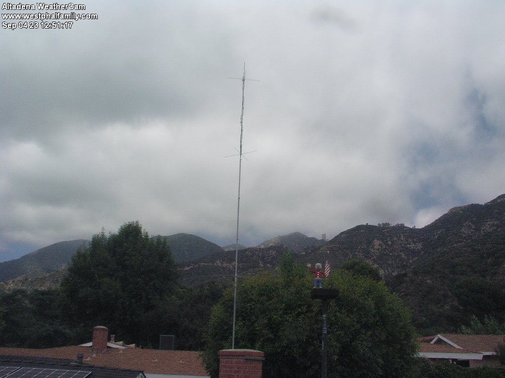
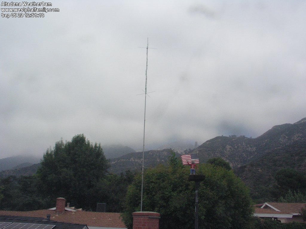
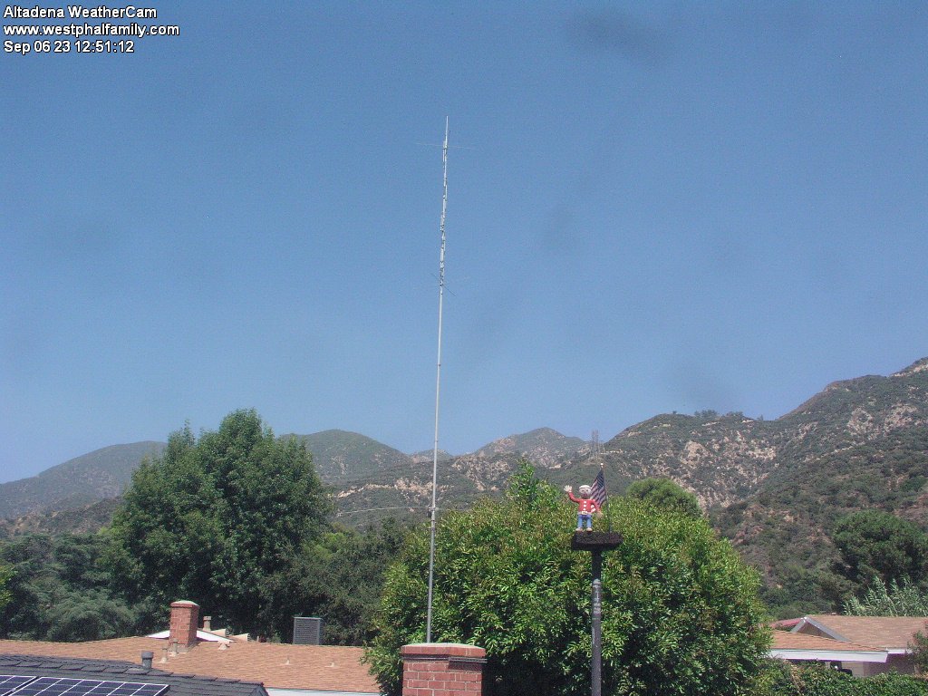
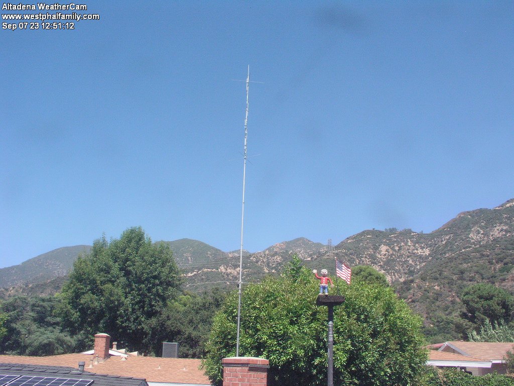
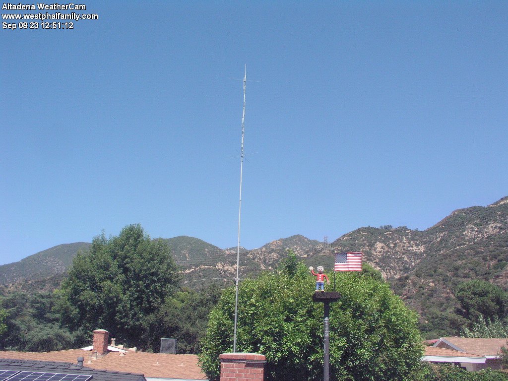
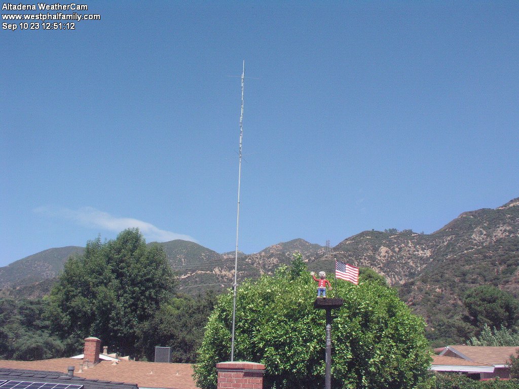
Altadena, California, USA - 22.6 miles from Runnymede Poultry Colony (historical): Altadena WeatherCam - A view of the sky above Altadena with current weather data.
Operator: Bill Westphal's Personal Home Page
Operator: Bill Westphal's Personal Home Page


Some other places in this country: Wahoo (historical) - Walker - Waltz - Weeks Poultry Colony (historical) - Bridgedale - Bangle - Clearwater - Dolley - Hermosillo - Moneta