Webcams in the region of Lake Forest, California, USA
The List of Webcams near Lake Forest, California, USA:

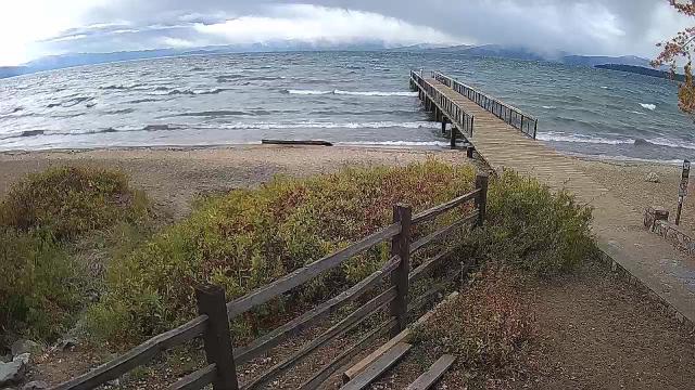
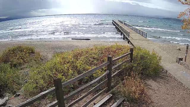
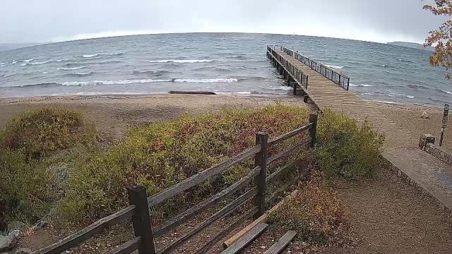
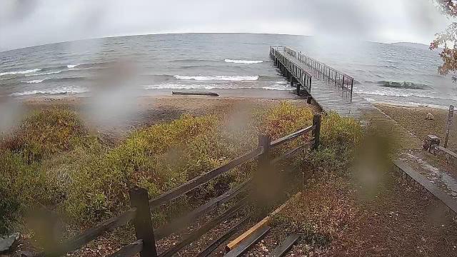
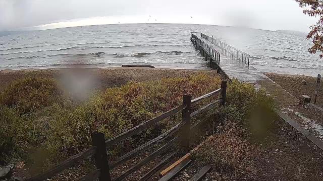
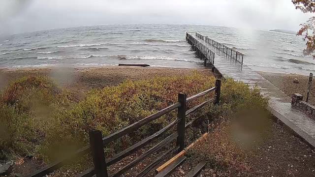
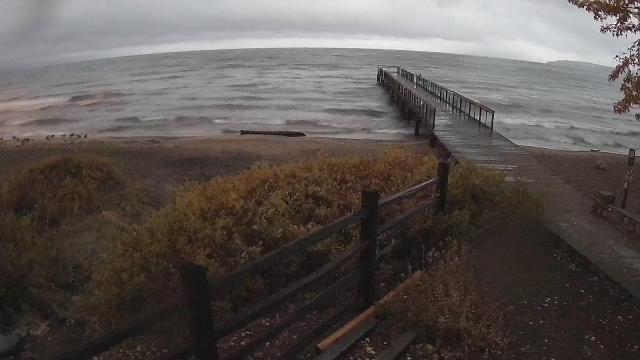
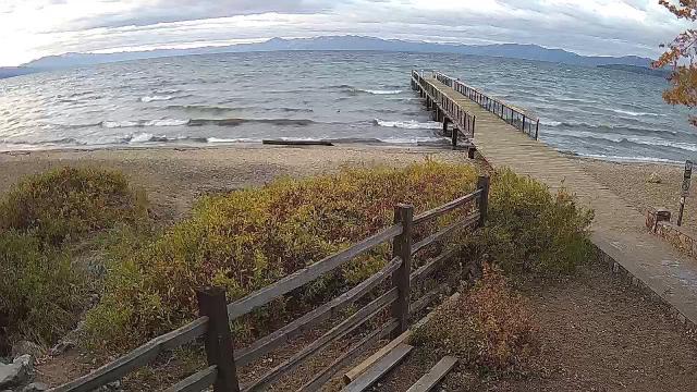
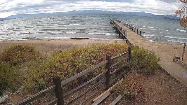
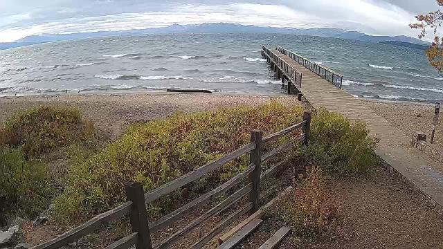
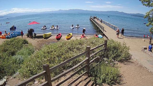
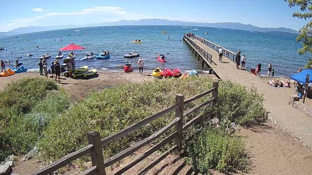
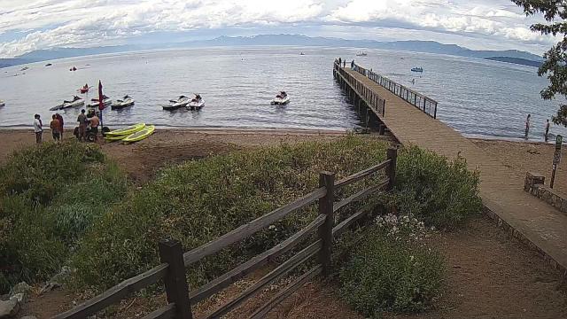
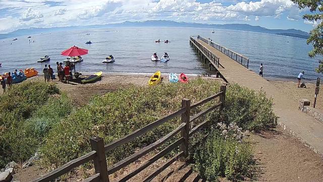
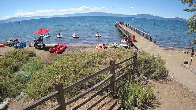
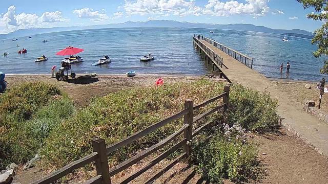
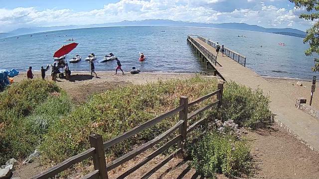
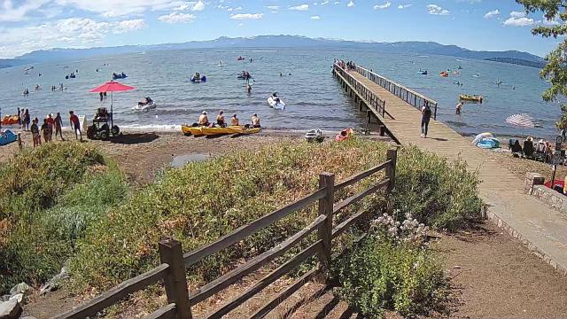
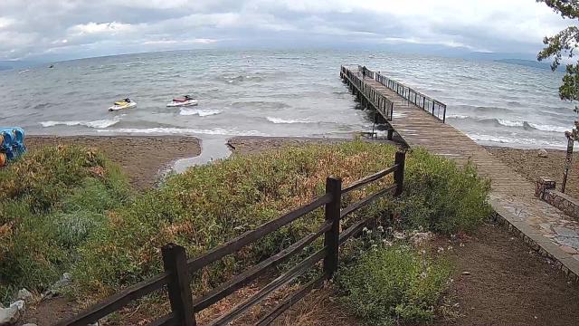
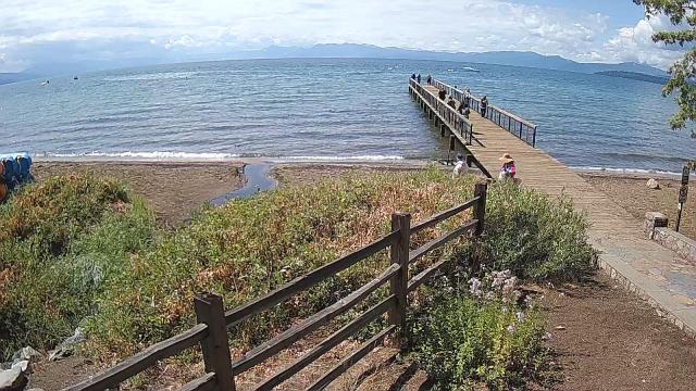
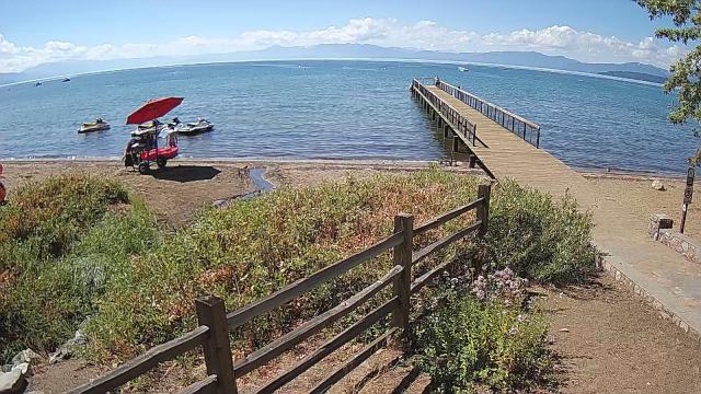
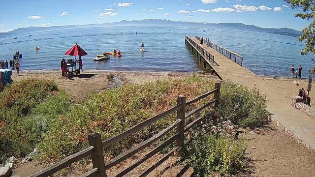
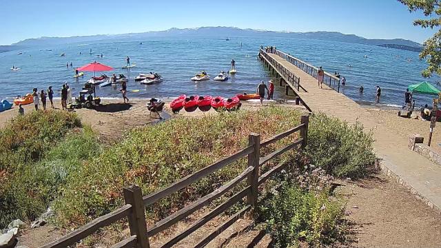
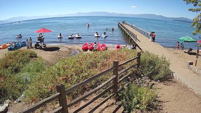
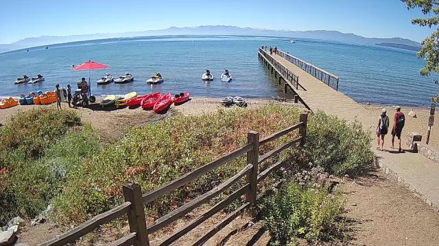
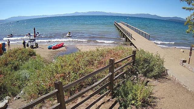
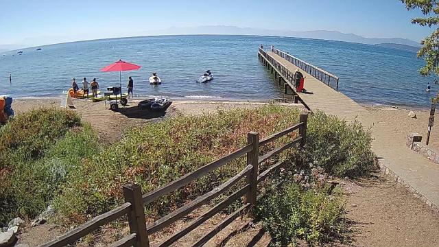
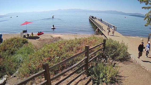
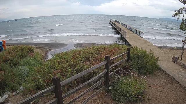
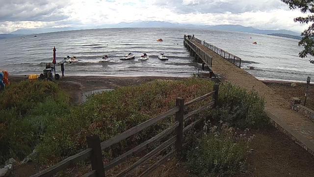
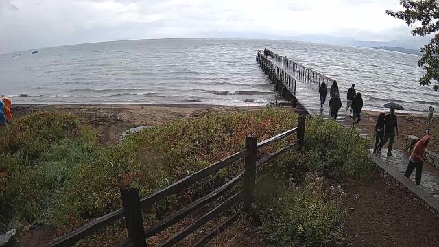
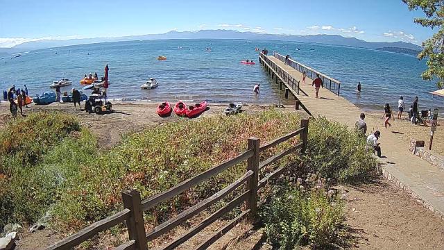
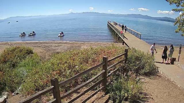
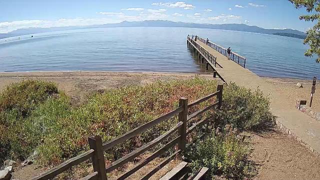
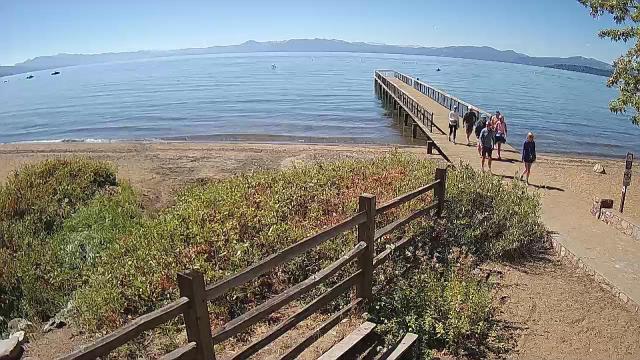
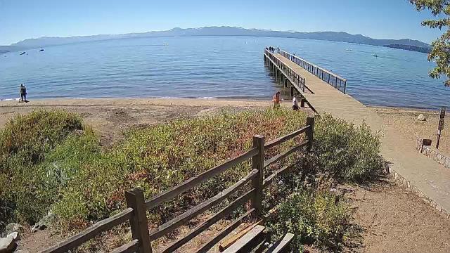
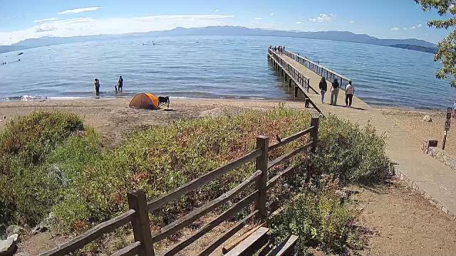
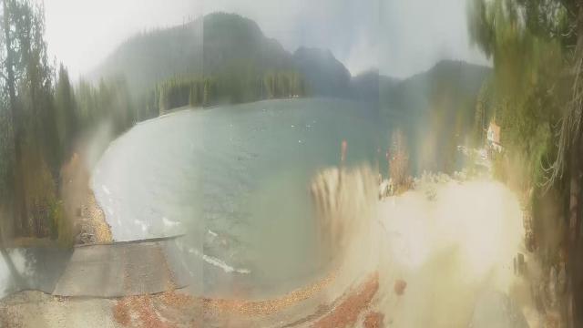
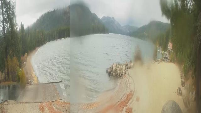
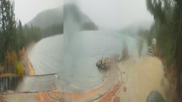
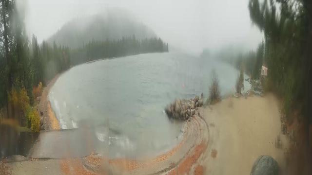
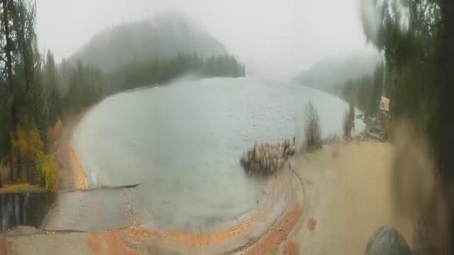
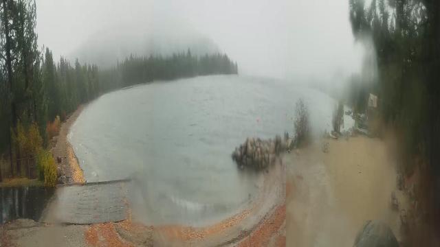
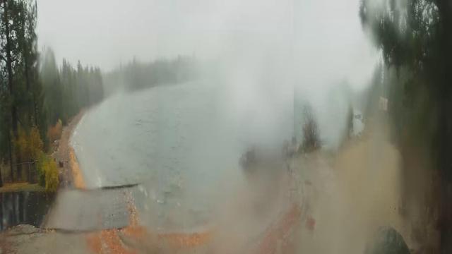
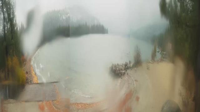
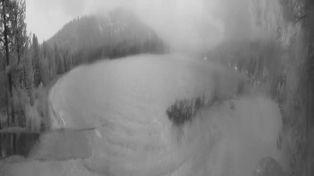
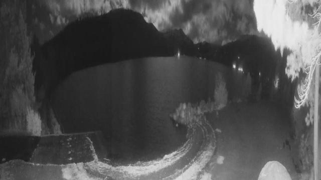
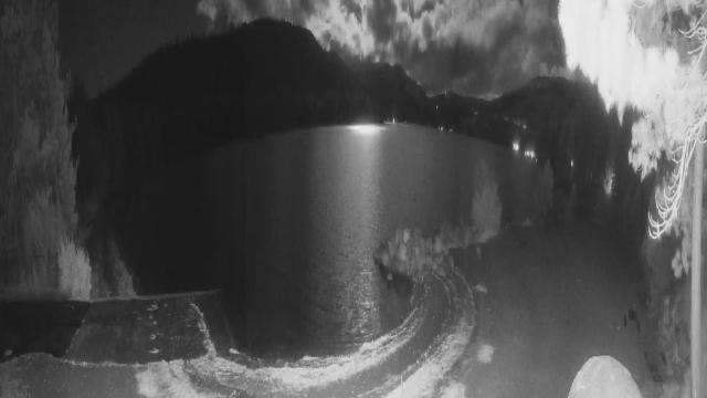
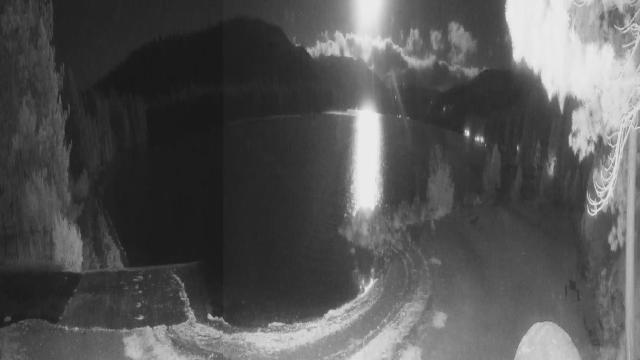
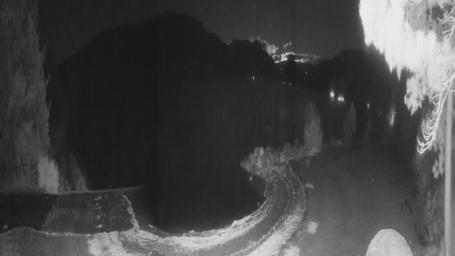
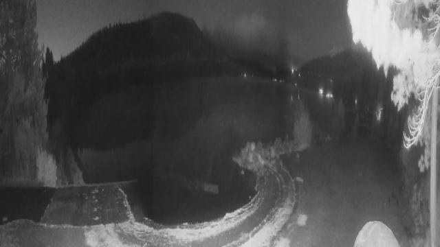
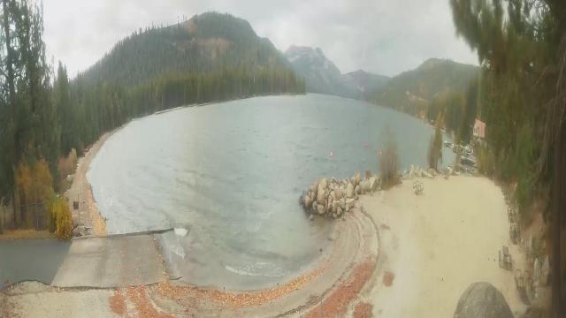
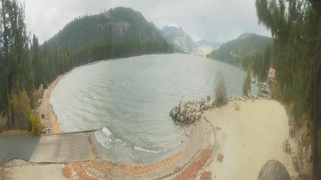
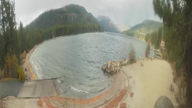
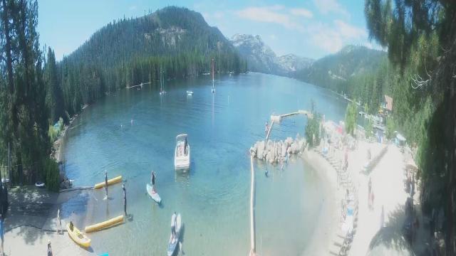
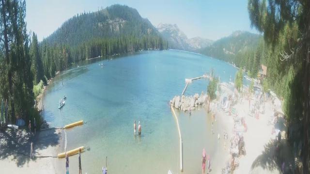
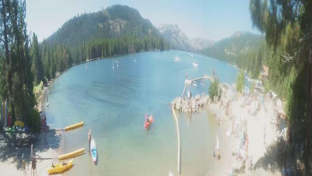
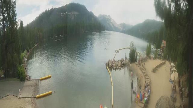
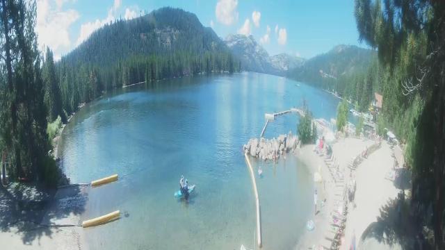
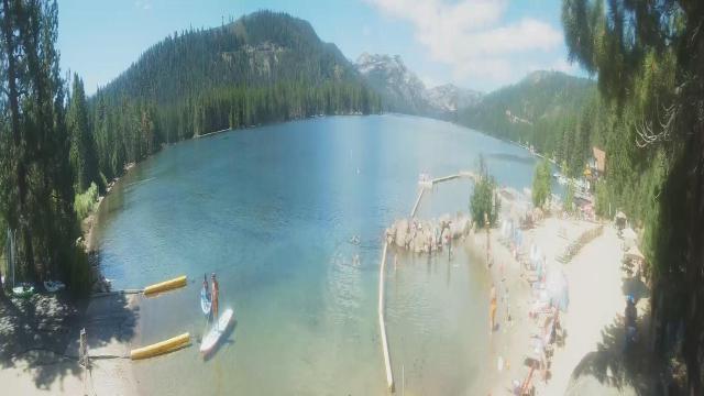
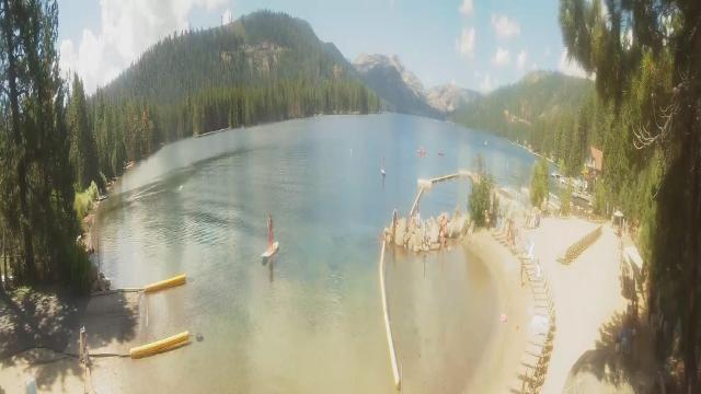
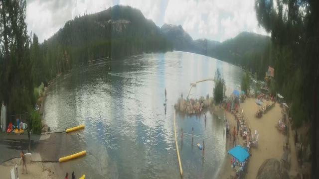
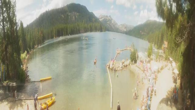
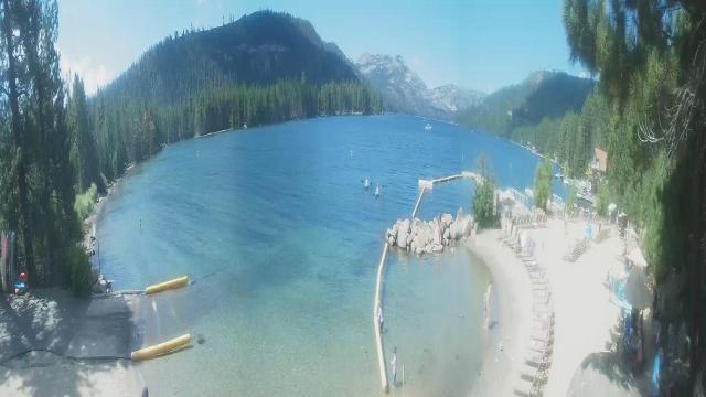
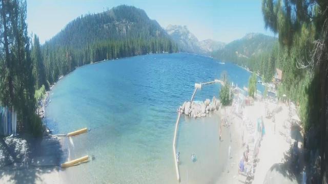
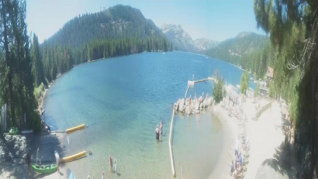
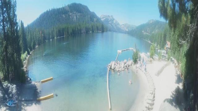
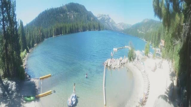
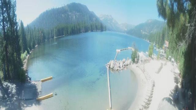
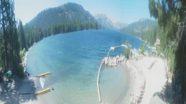
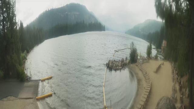
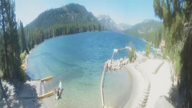
Kings Beach, California, USA - 6 miles from Lake Forest: Beachview - Sunny Kings Beach, Lake Tahoe
Operator: HDOnTap
Operator: HDOnTap


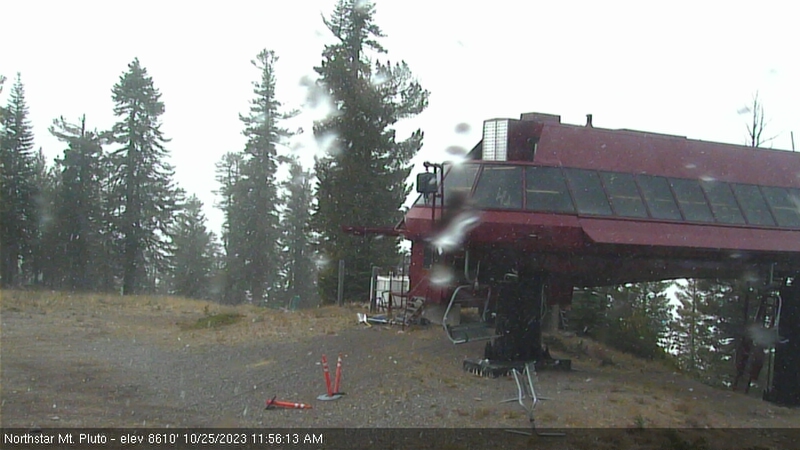
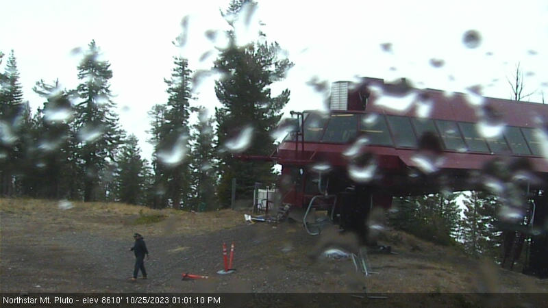
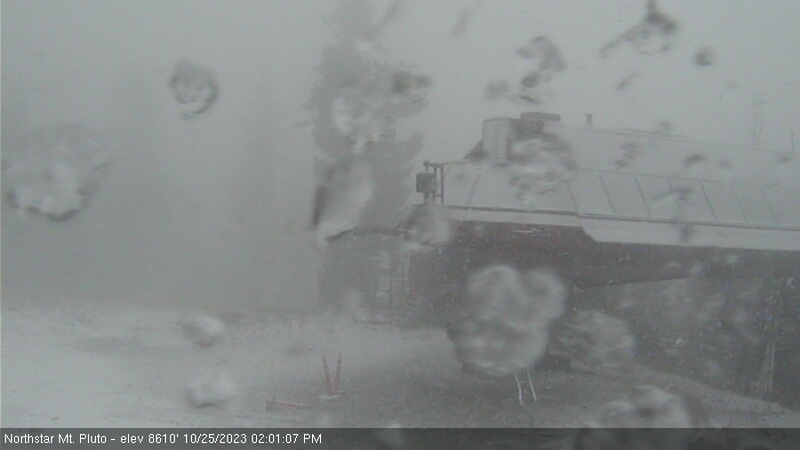
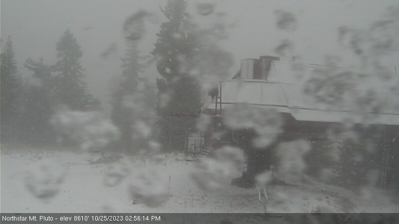
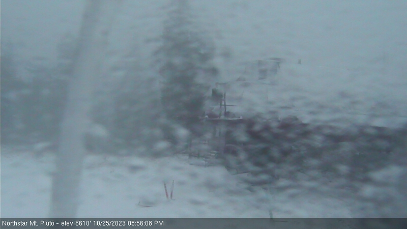
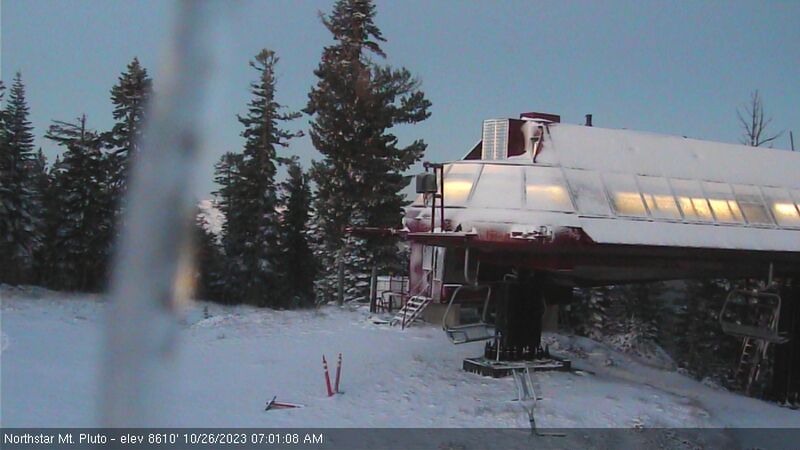
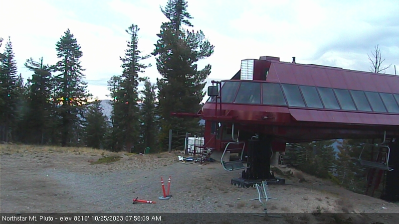
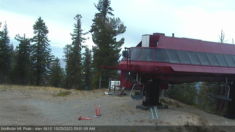
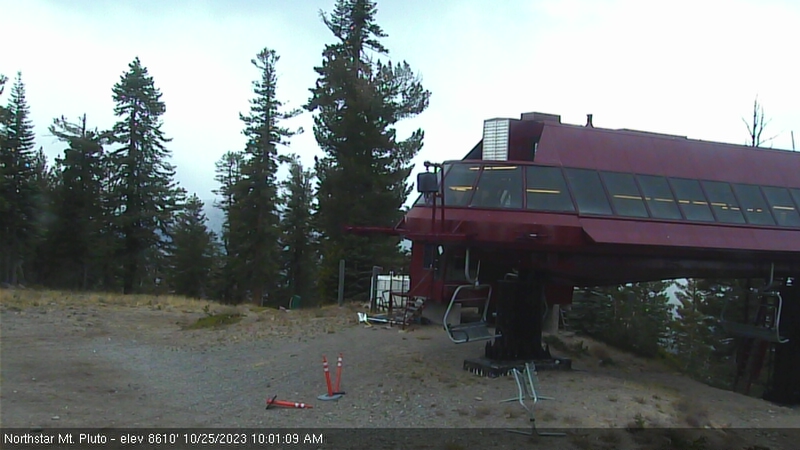
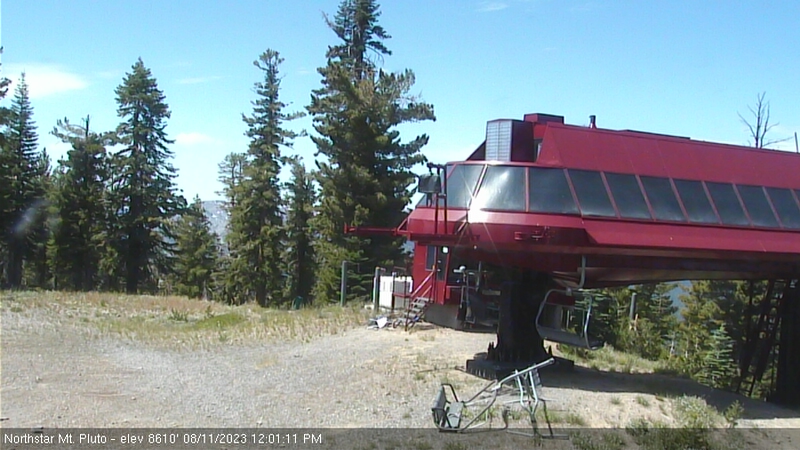
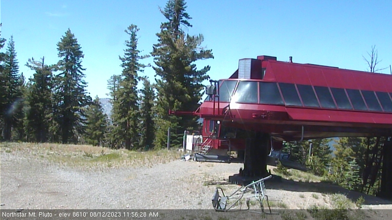
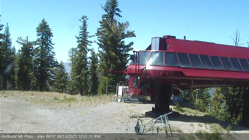
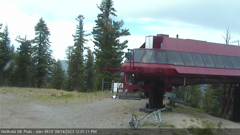
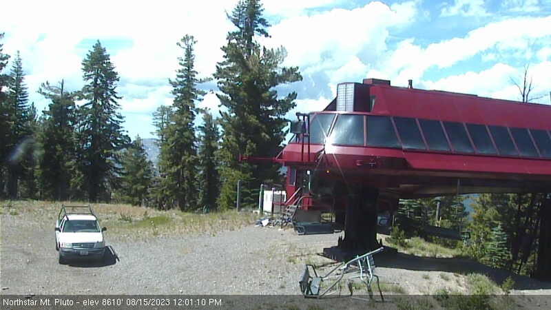
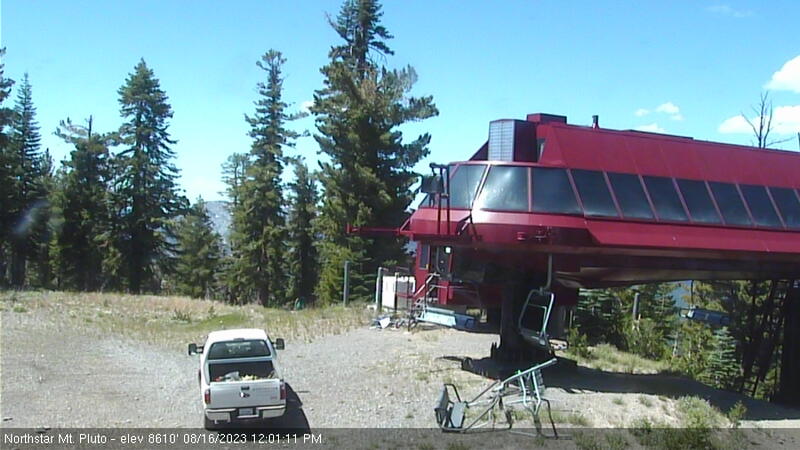
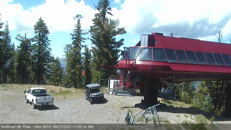
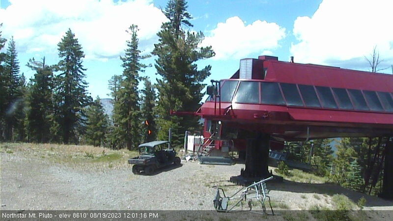
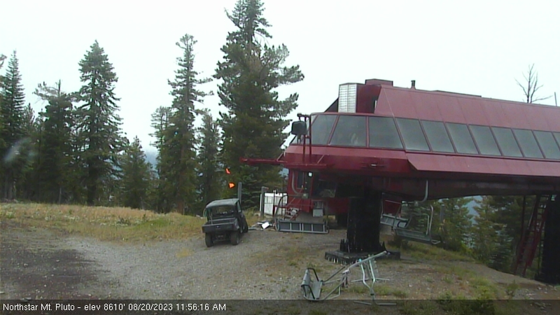
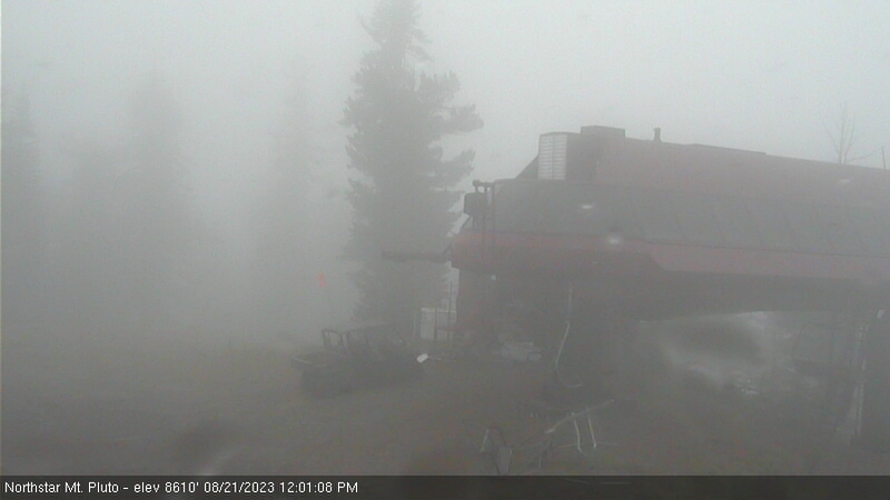
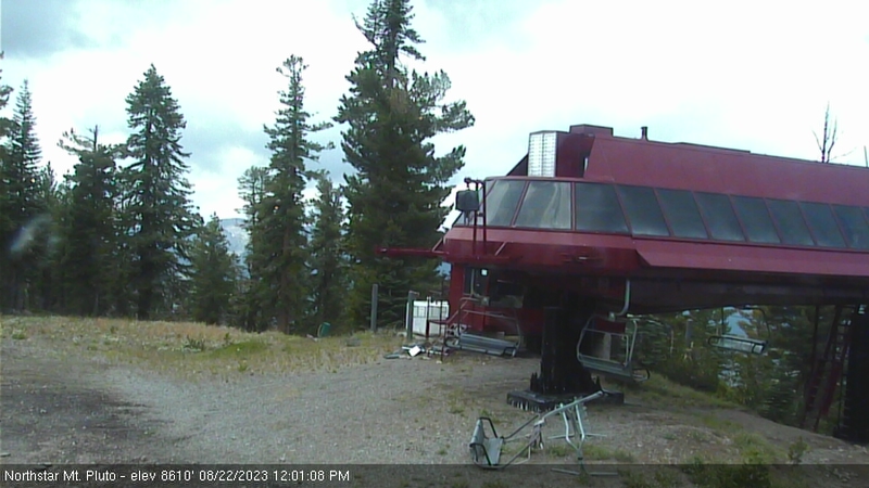
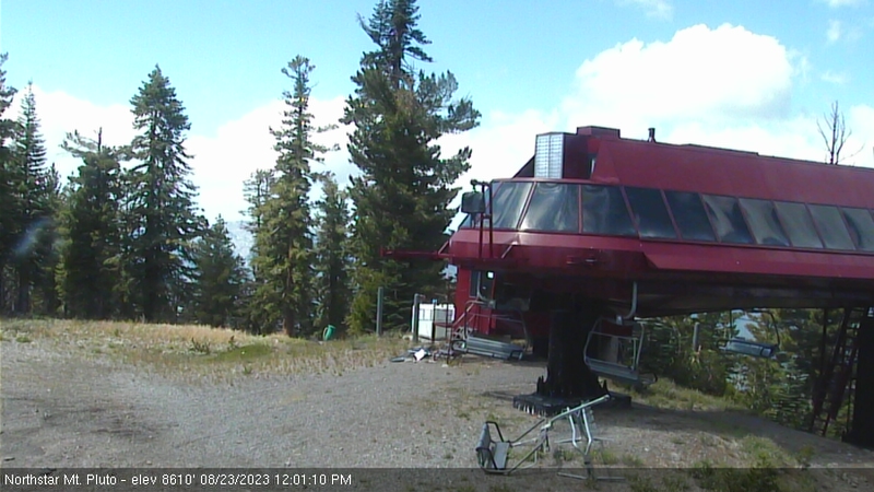
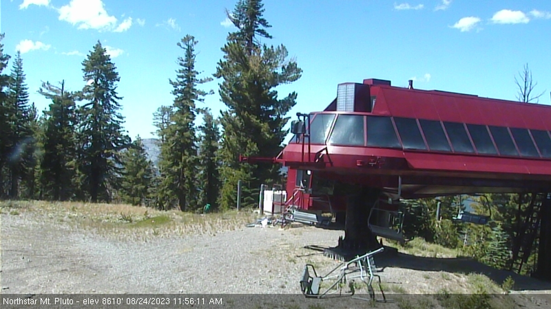
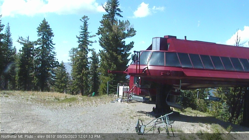
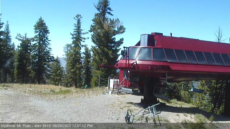
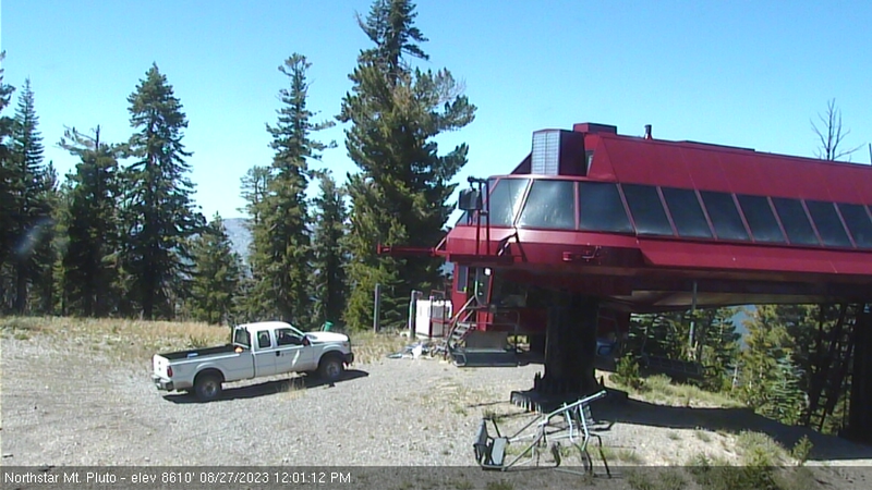
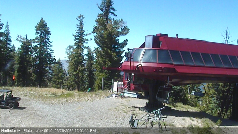
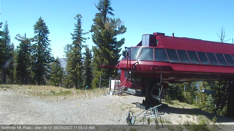
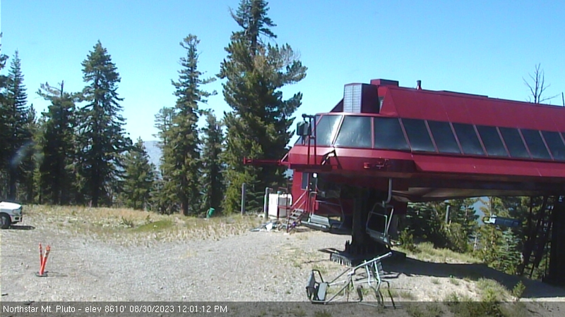
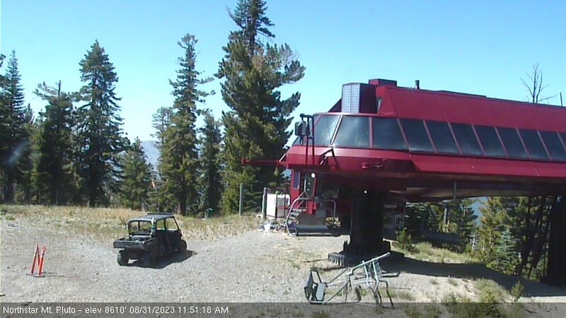
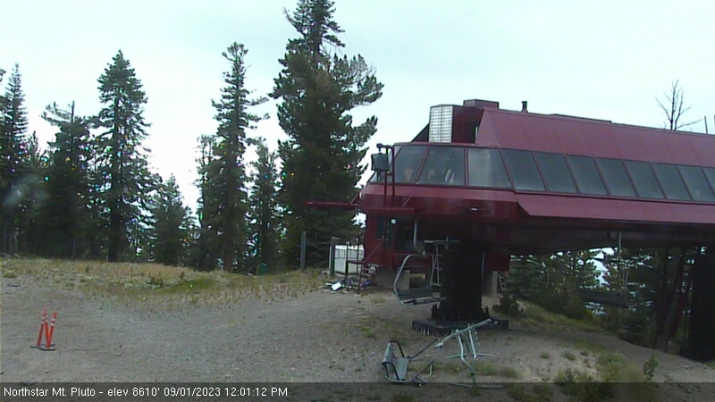
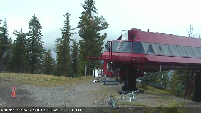
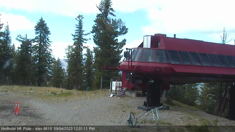
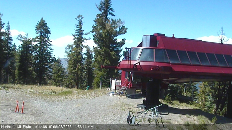
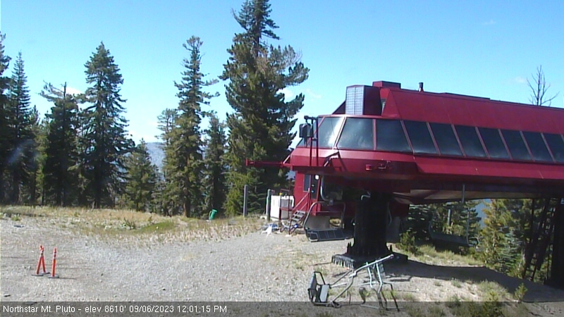
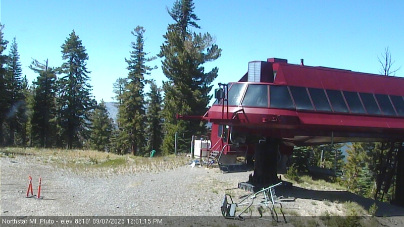
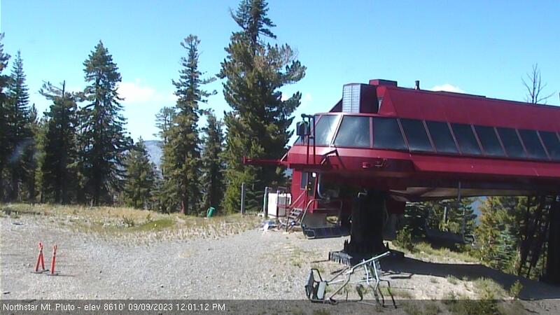
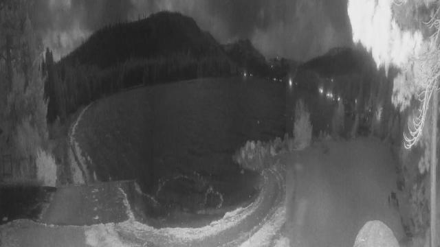
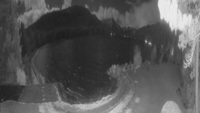
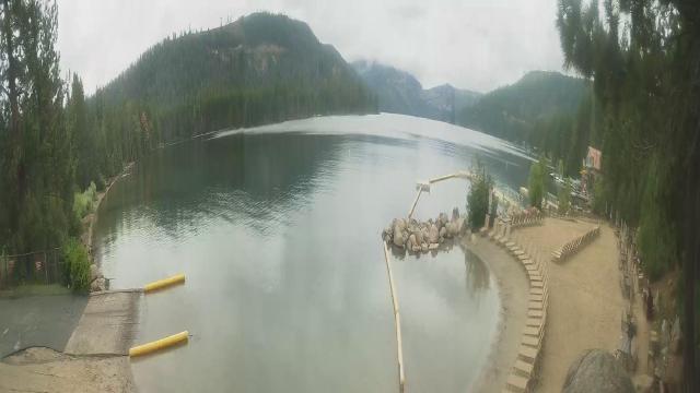
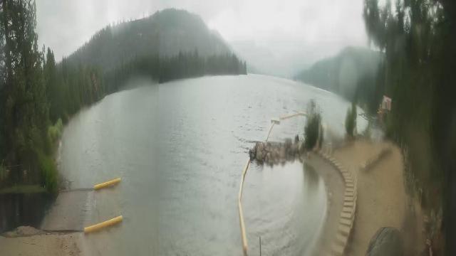
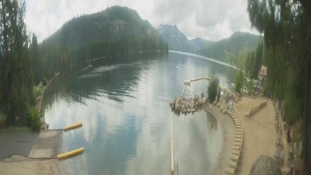
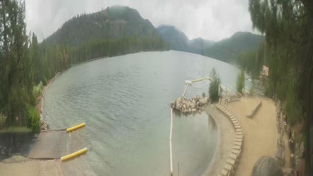
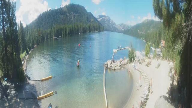
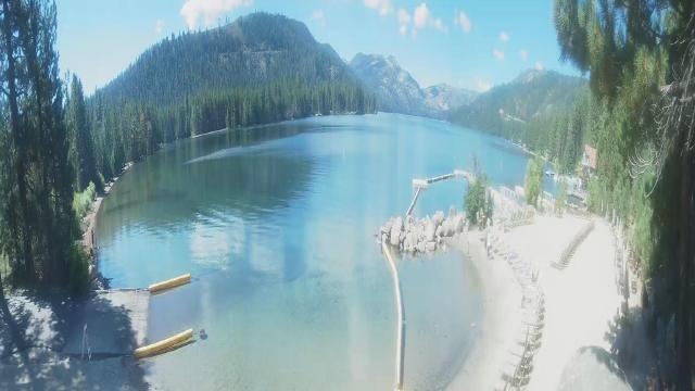
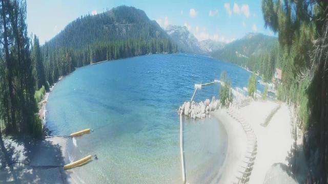
Northstar California Resort, USA - 6.2 miles from Lake Forest: Current Snow Conditions - Several webcams offer a view of the current snow situation at the Northstar California Resort.
Operator: Northstar California Resort
Operator: Northstar California Resort


Truckee, California, USA - 10.6 miles from Lake Forest: Lake View - Donner Lake in Truckee, California.
Operator: HDOnTap
Operator: HDOnTap


Norden, California, USA - 15.9 miles from Lake Forest: Sugar Bowl Ski Resort - Several views of the Sugar Bowl Ski Resort near Norden, California.
Operator: Sugar Bowl Ski Resort
Operator: Sugar Bowl Ski Resort

Boreal Mountain Resort, California, USA - 15.9 miles from Lake Forest: Current Snow Conditions - View of the current snow conditions at the Boreal Mountain Resort.
Operator: Boreal Mountain Resort
Operator: Boreal Mountain Resort

Virginia City, Nevada, USA - 26.3 miles from Lake Forest: View of the C Street
Operator: Skyline Webcams
Operator: Skyline Webcams


Pinecrest, California, USA - 69.1 miles from Lake Forest: Dodge Ridge Ski Resort - Base Cam - Controllable webcam at the Dodge Ridge Ski Resort showing the current snow conditions.
Operator: Dodge Ridge Ski Resort
Operator: Dodge Ridge Ski Resort

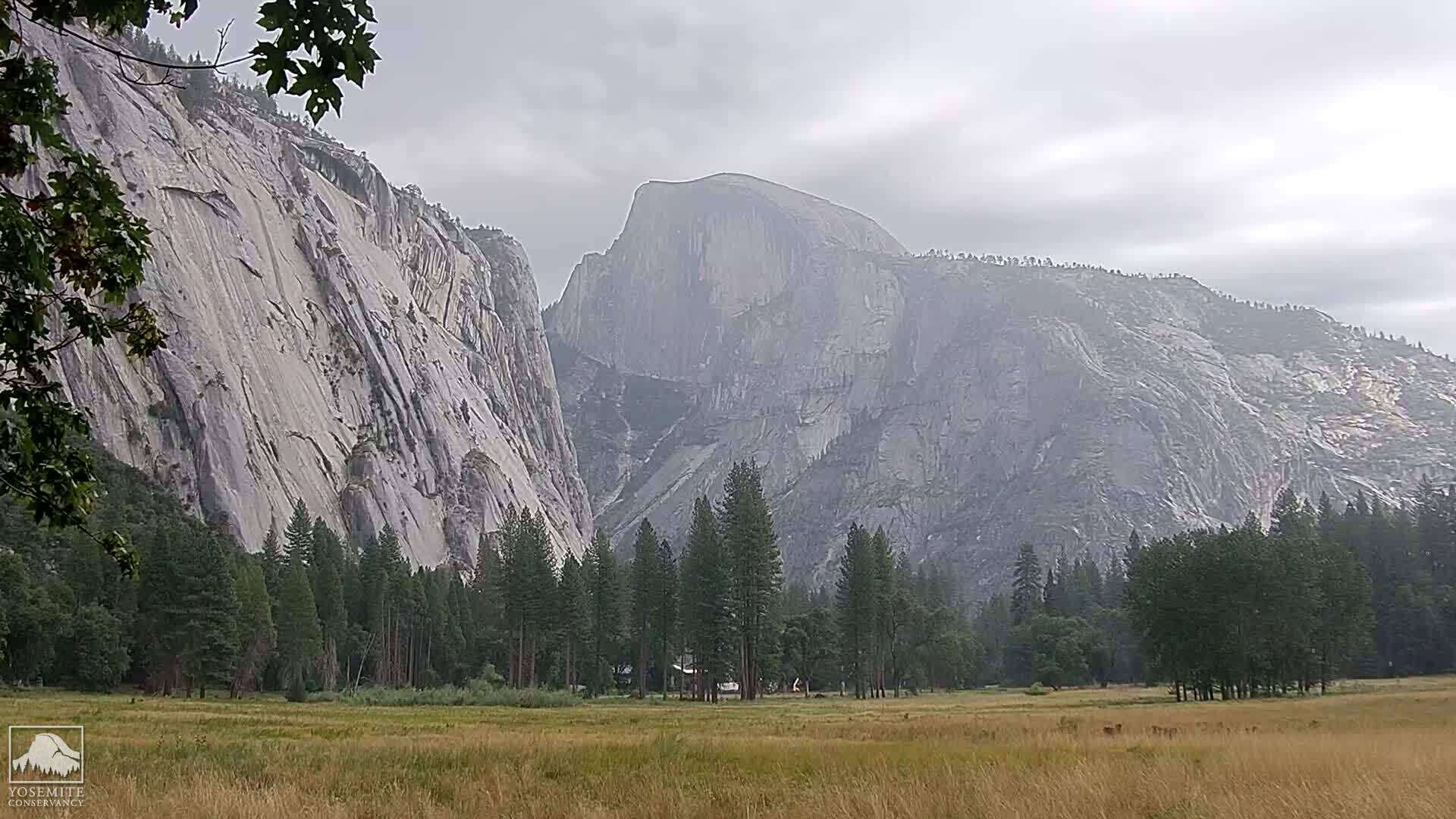
Yosemite National Park, California, USA - 103.3 miles from Lake Forest: Live Web Cam Views of Yosemite Valley - Several views.
Operator: The Yosemite Association
Operator: The Yosemite Association
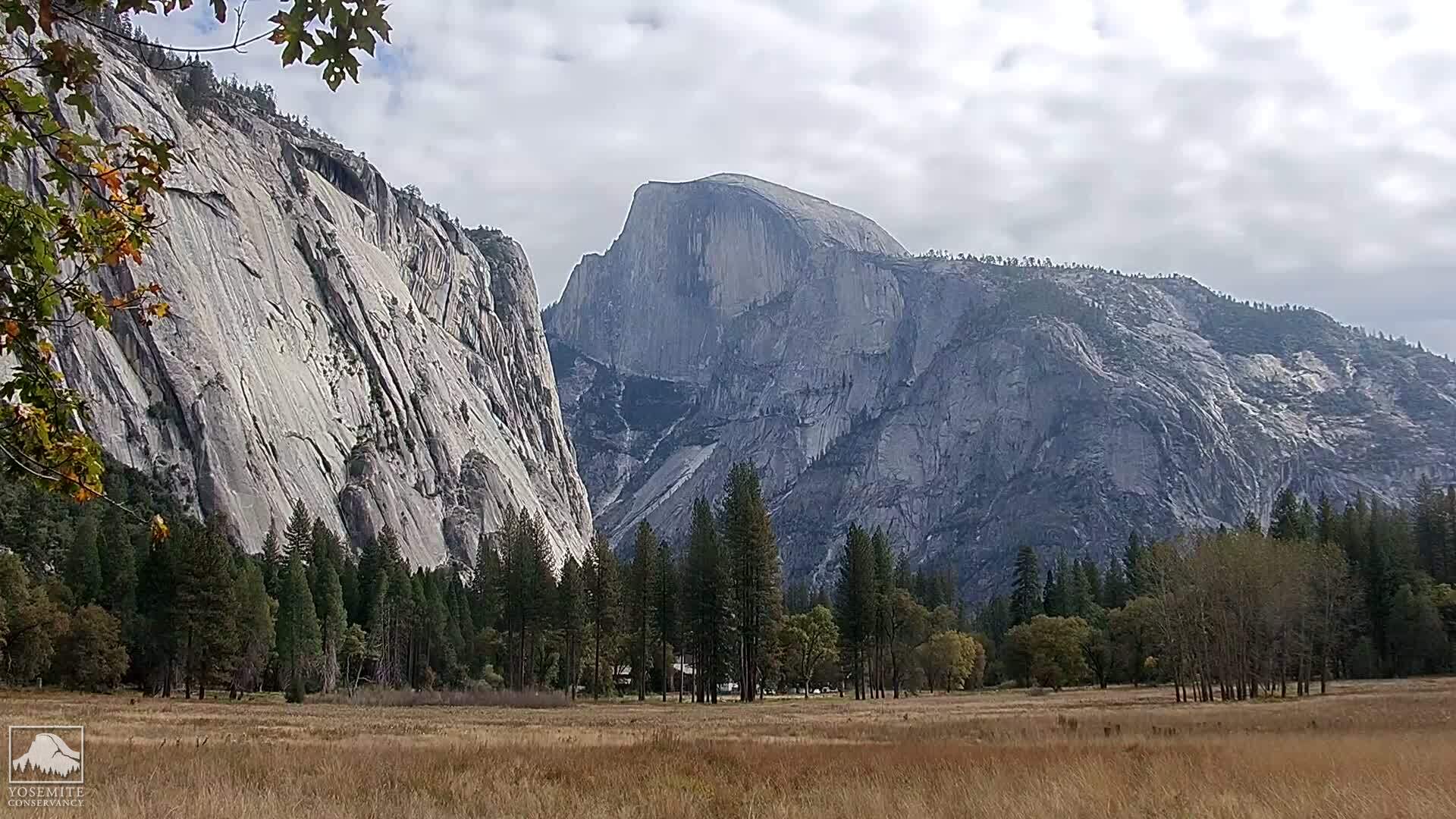
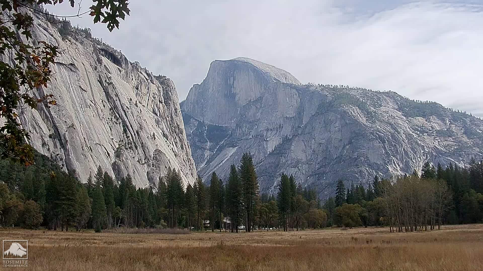
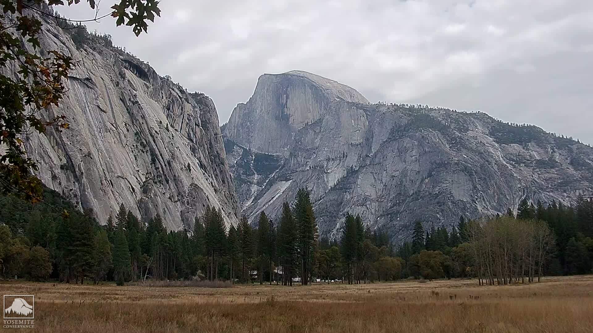
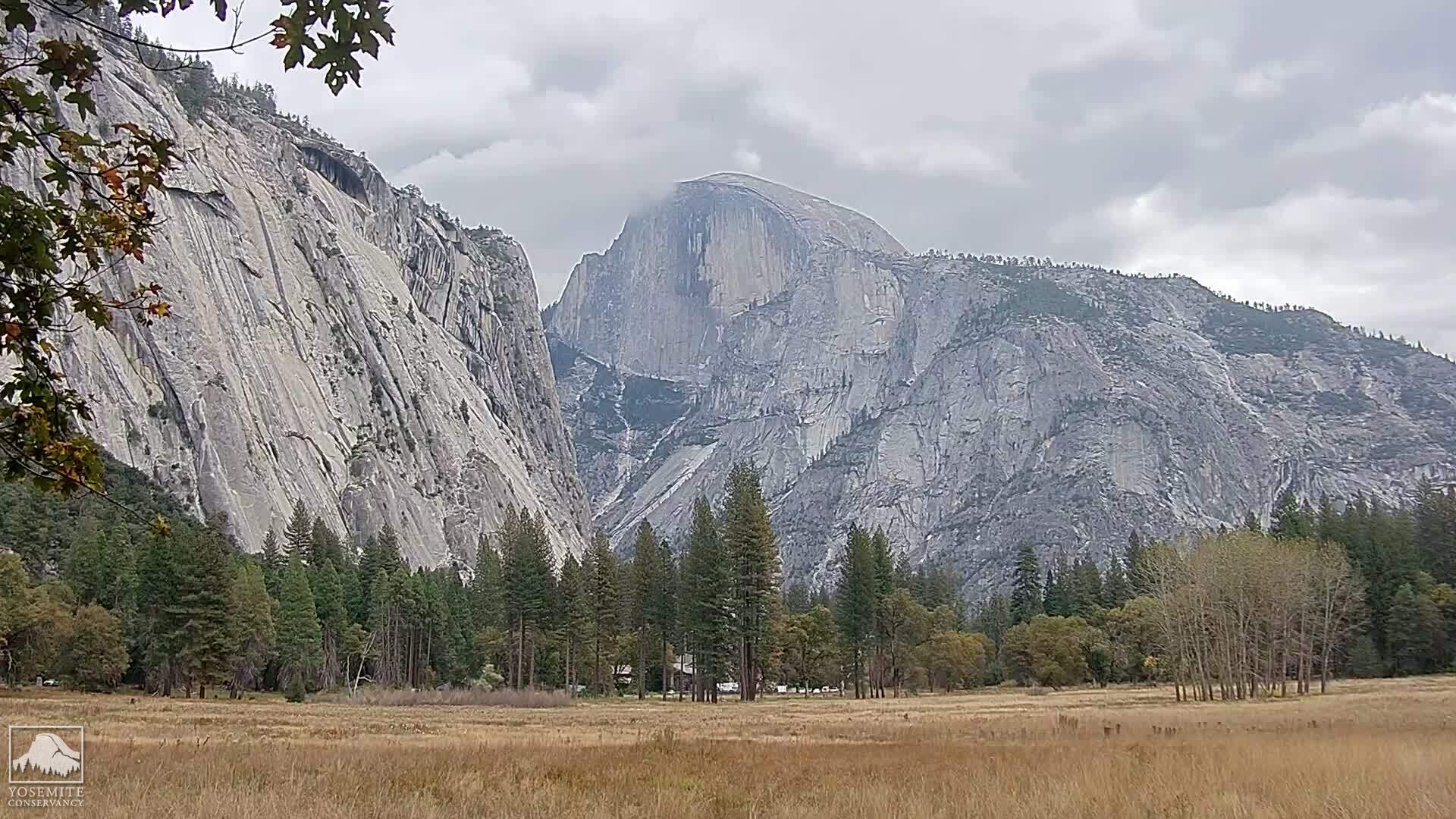

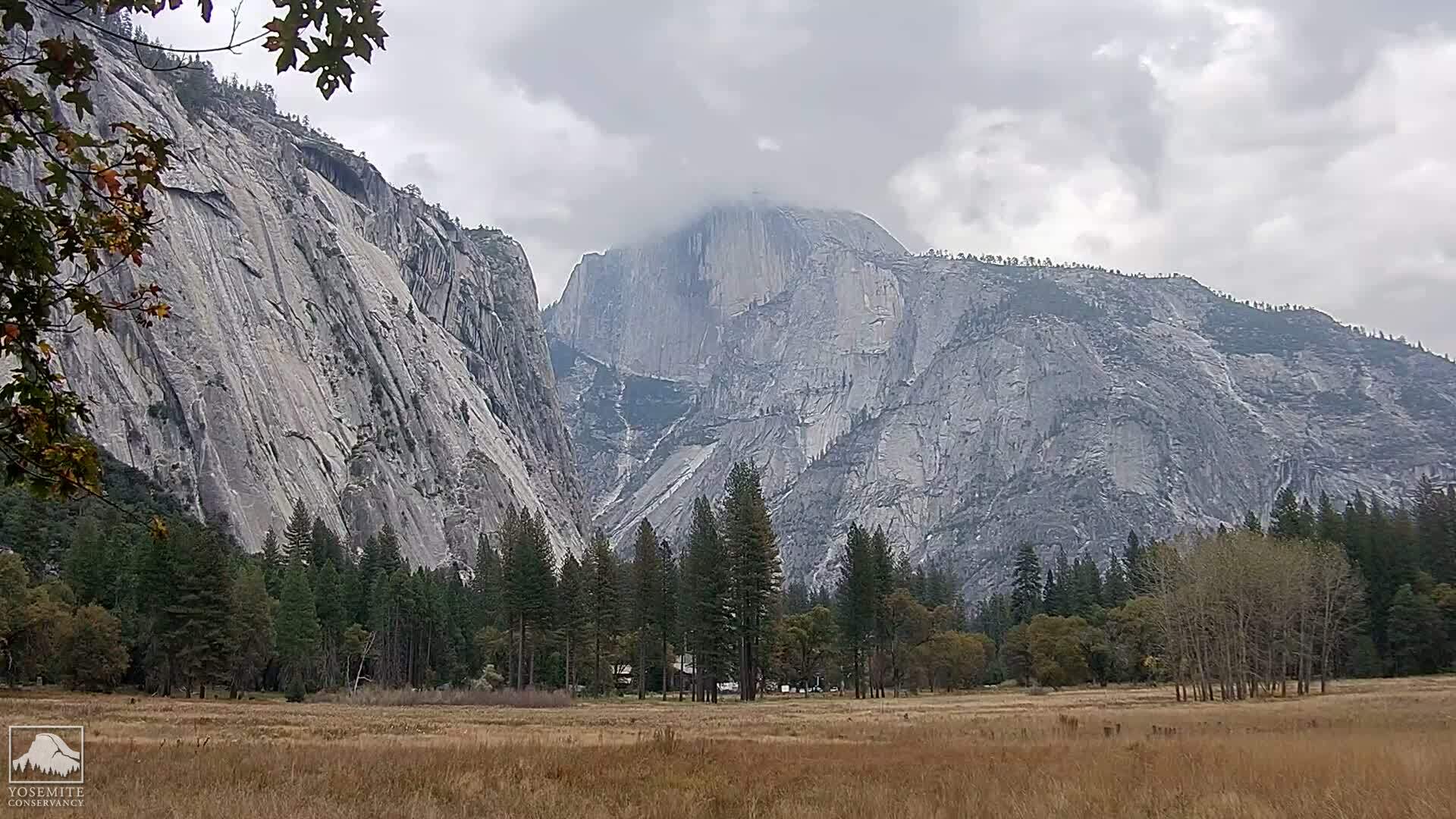
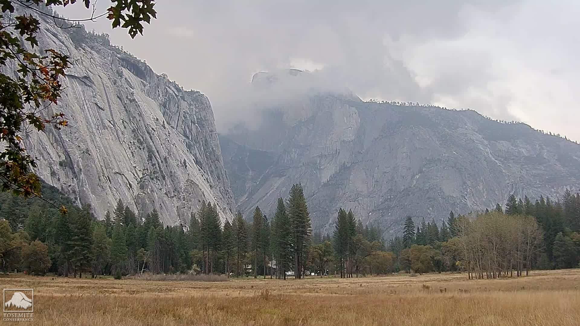


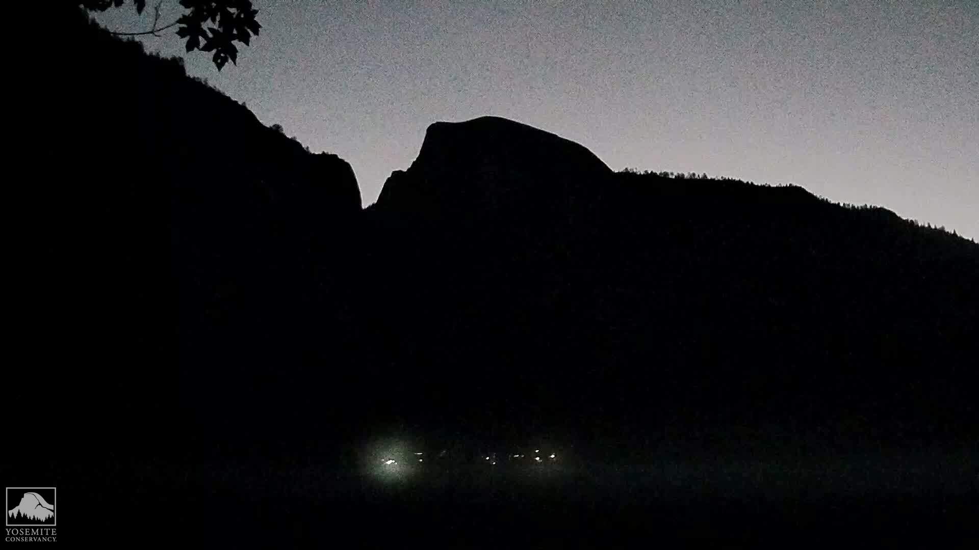
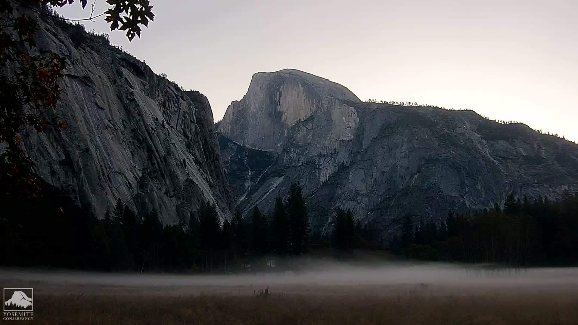

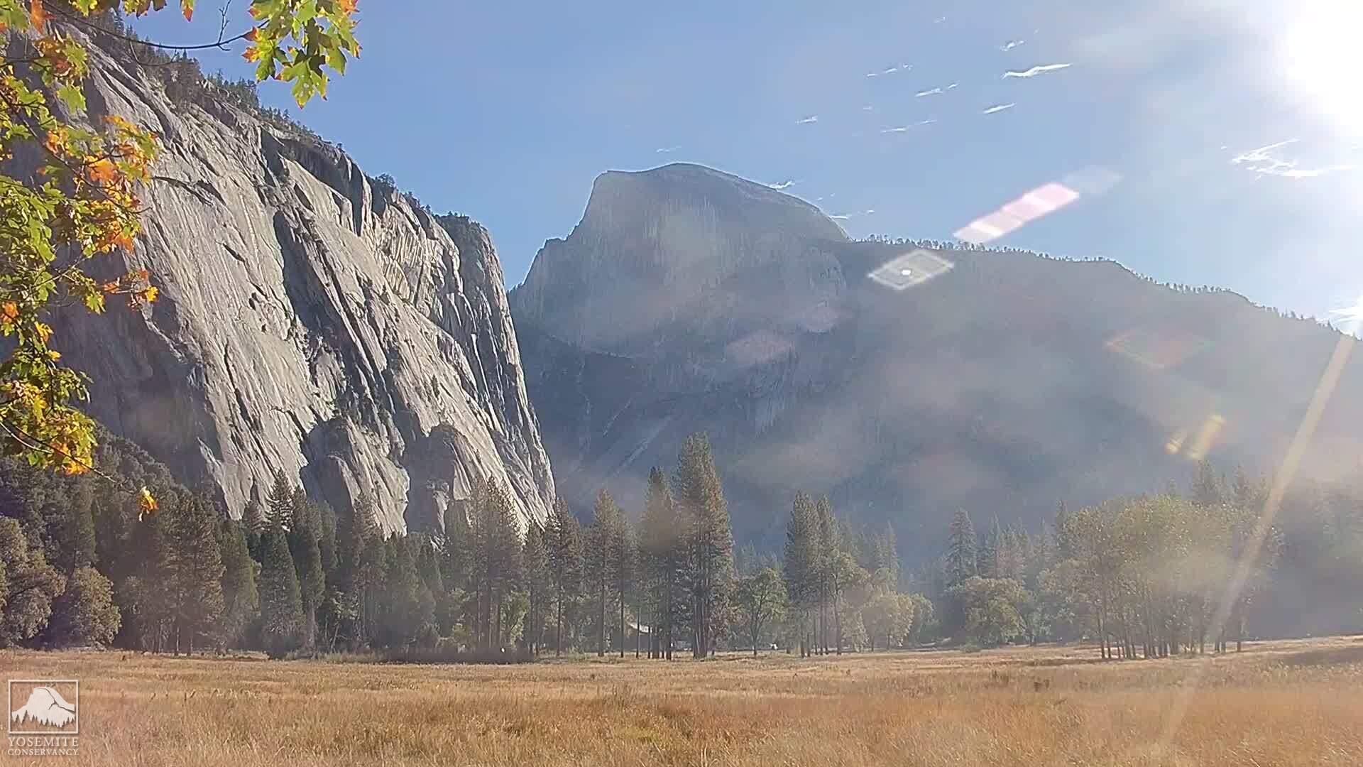
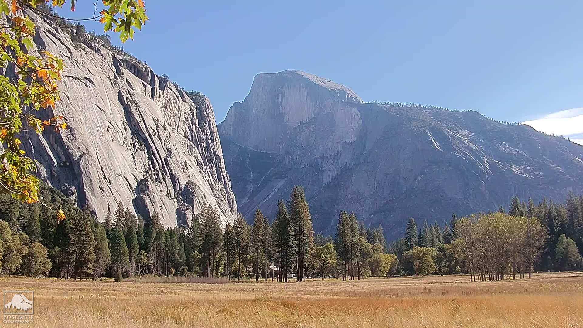
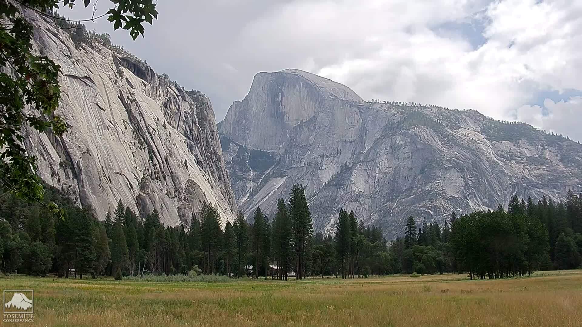
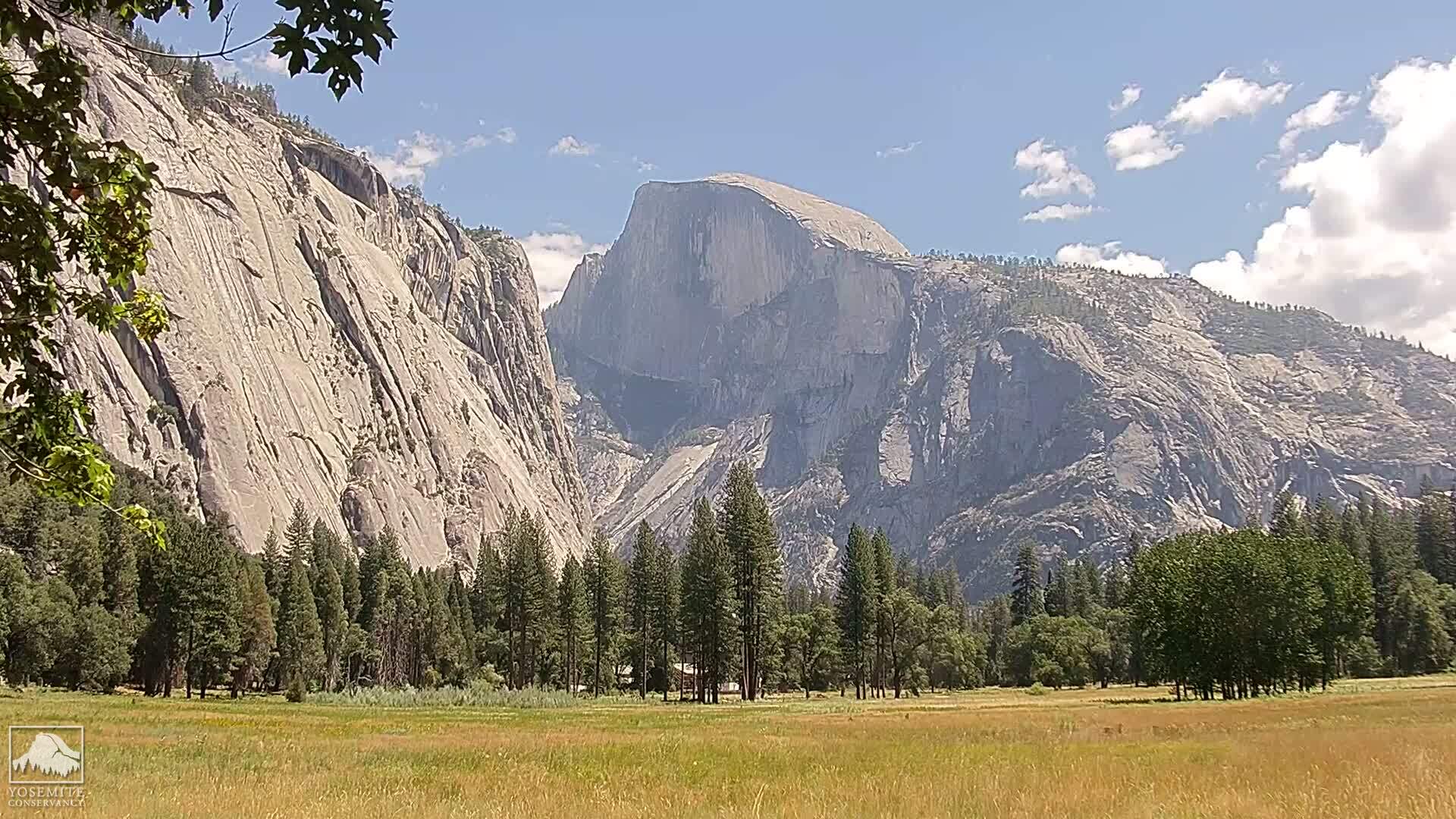
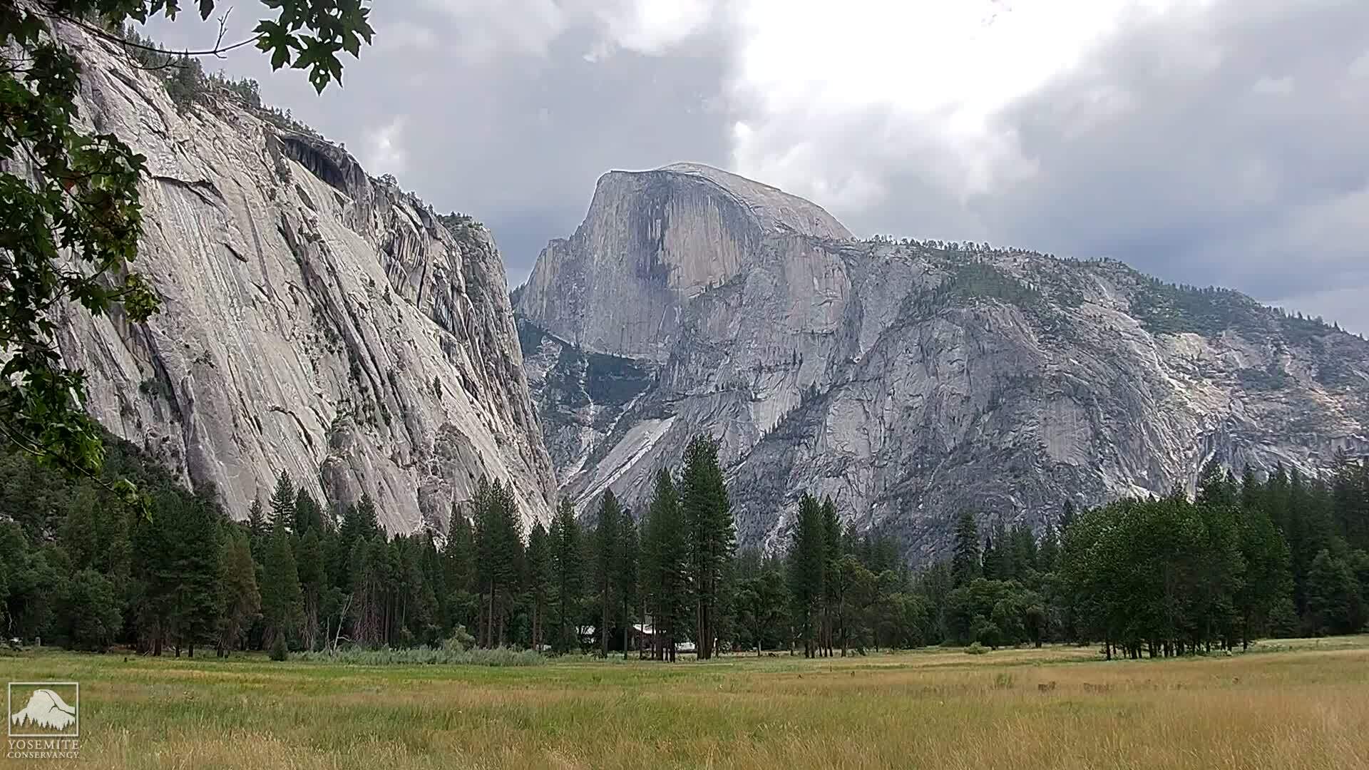
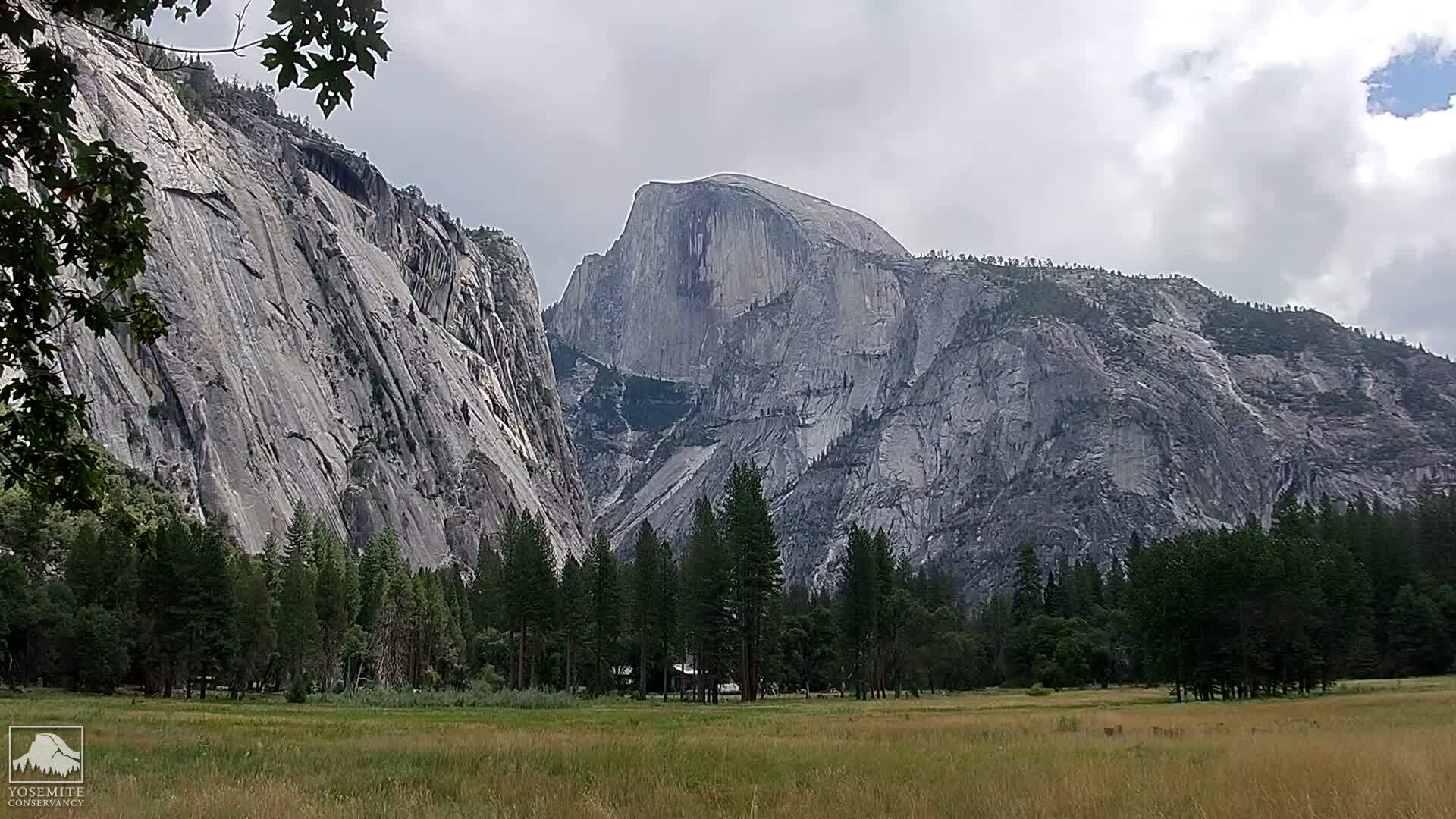
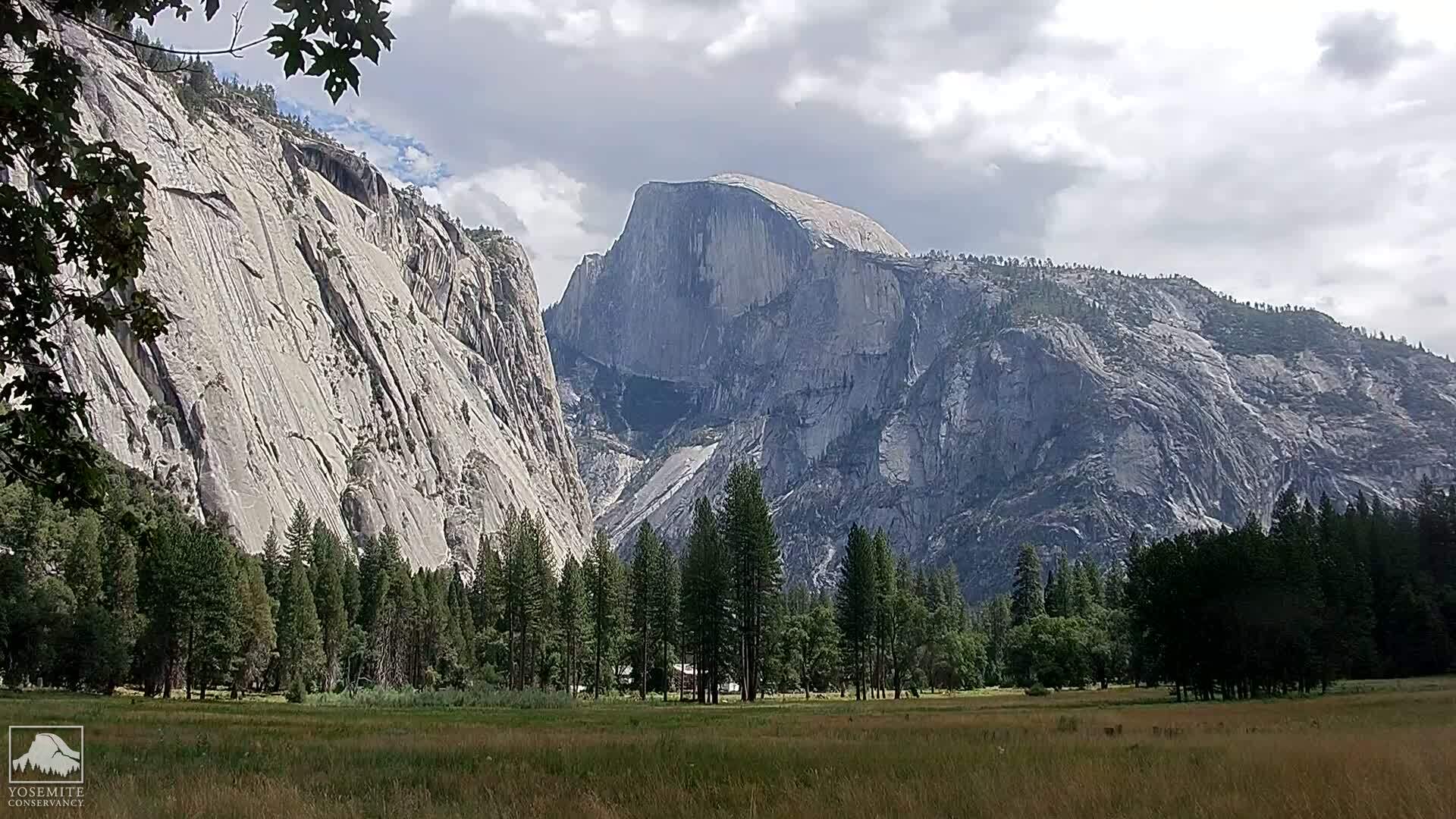
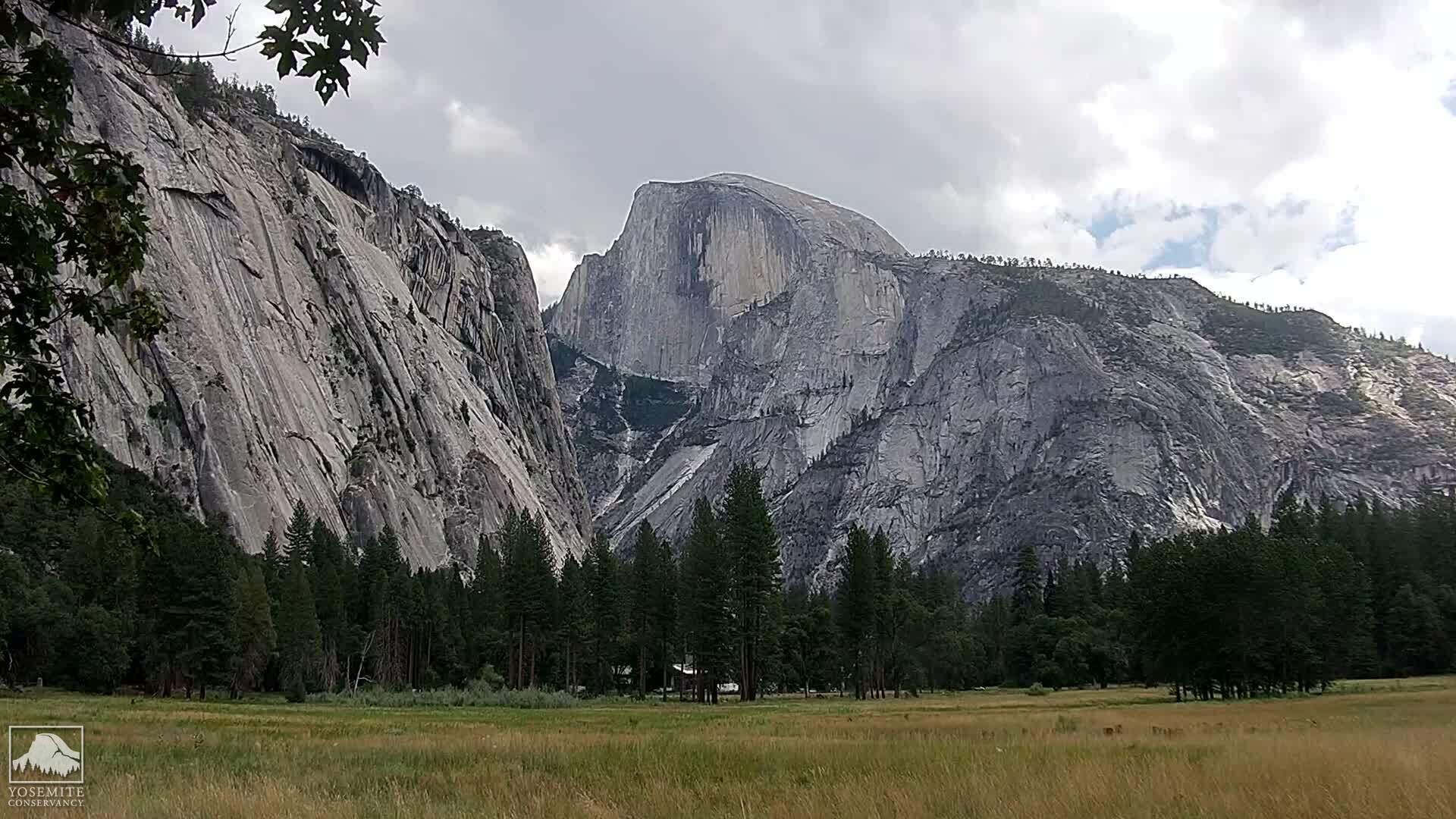
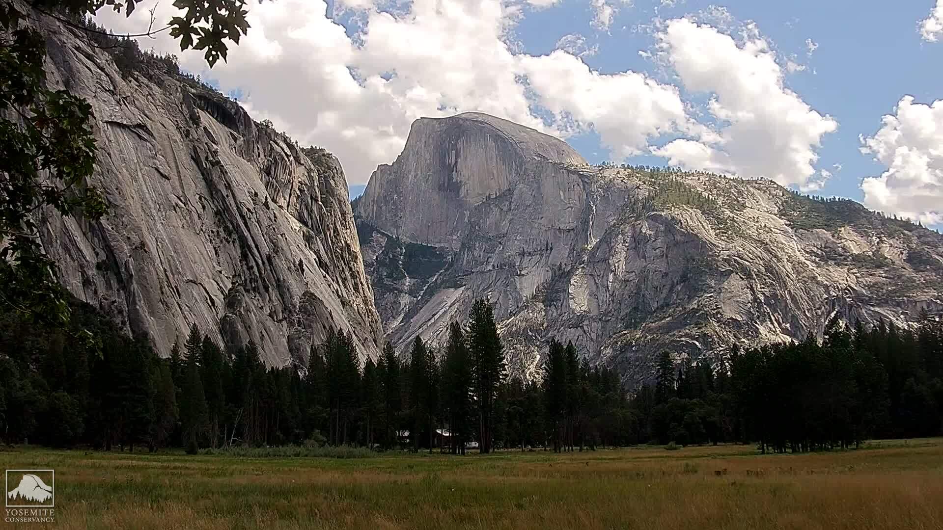

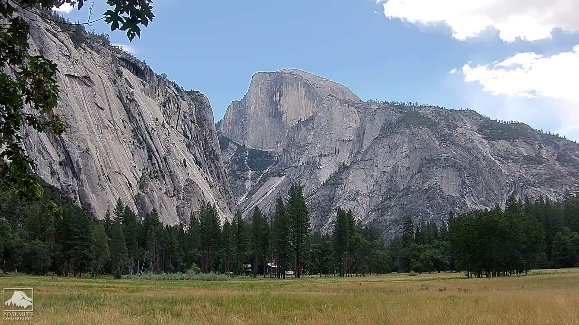
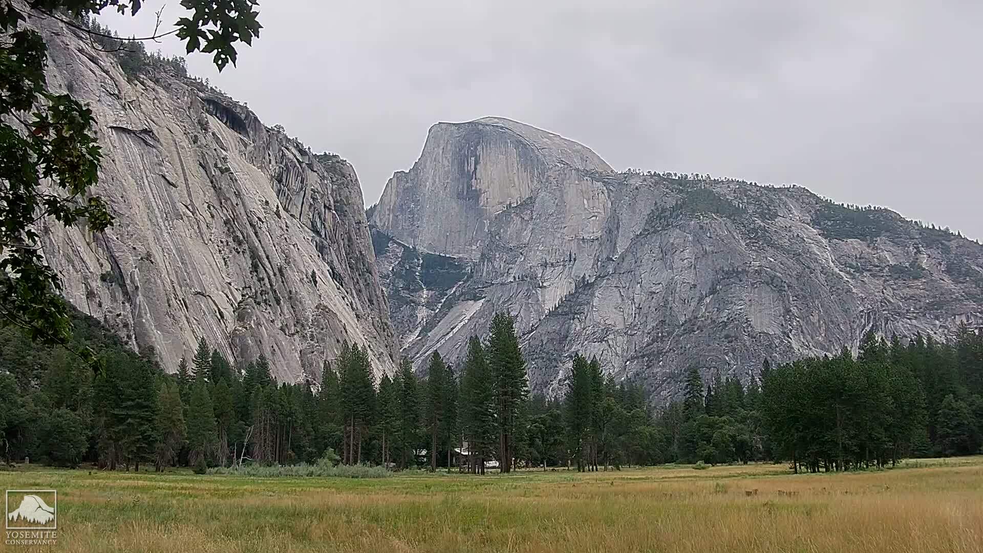
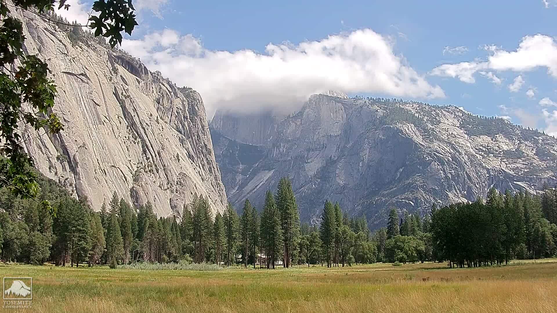
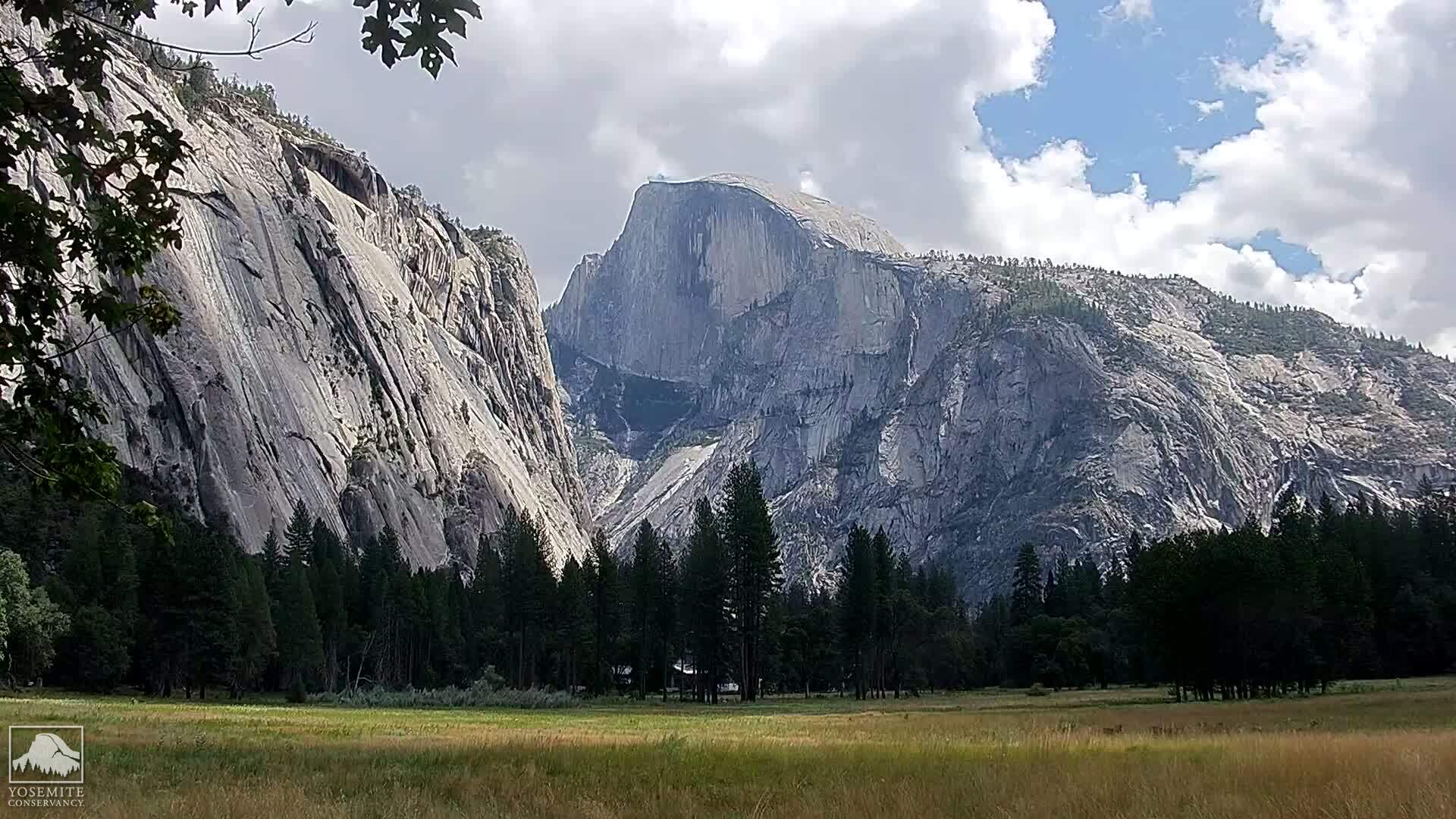
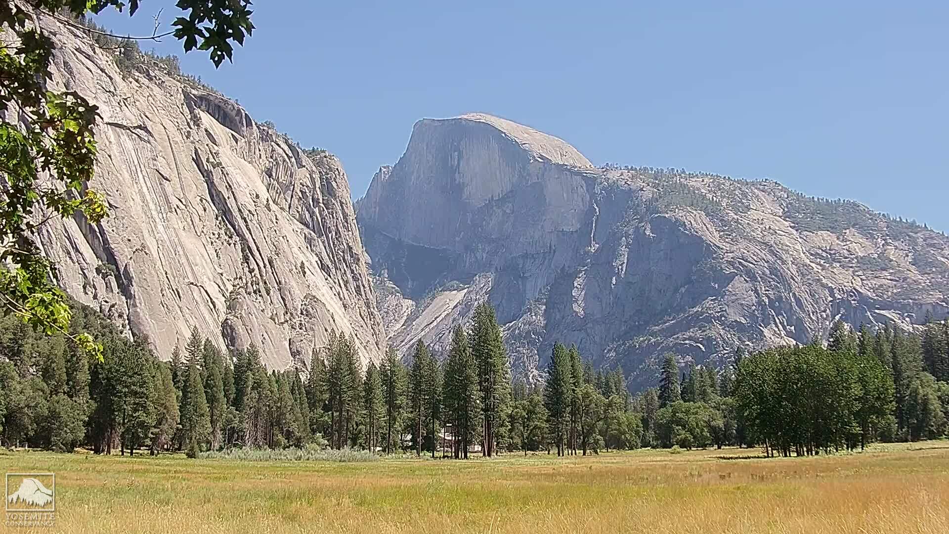
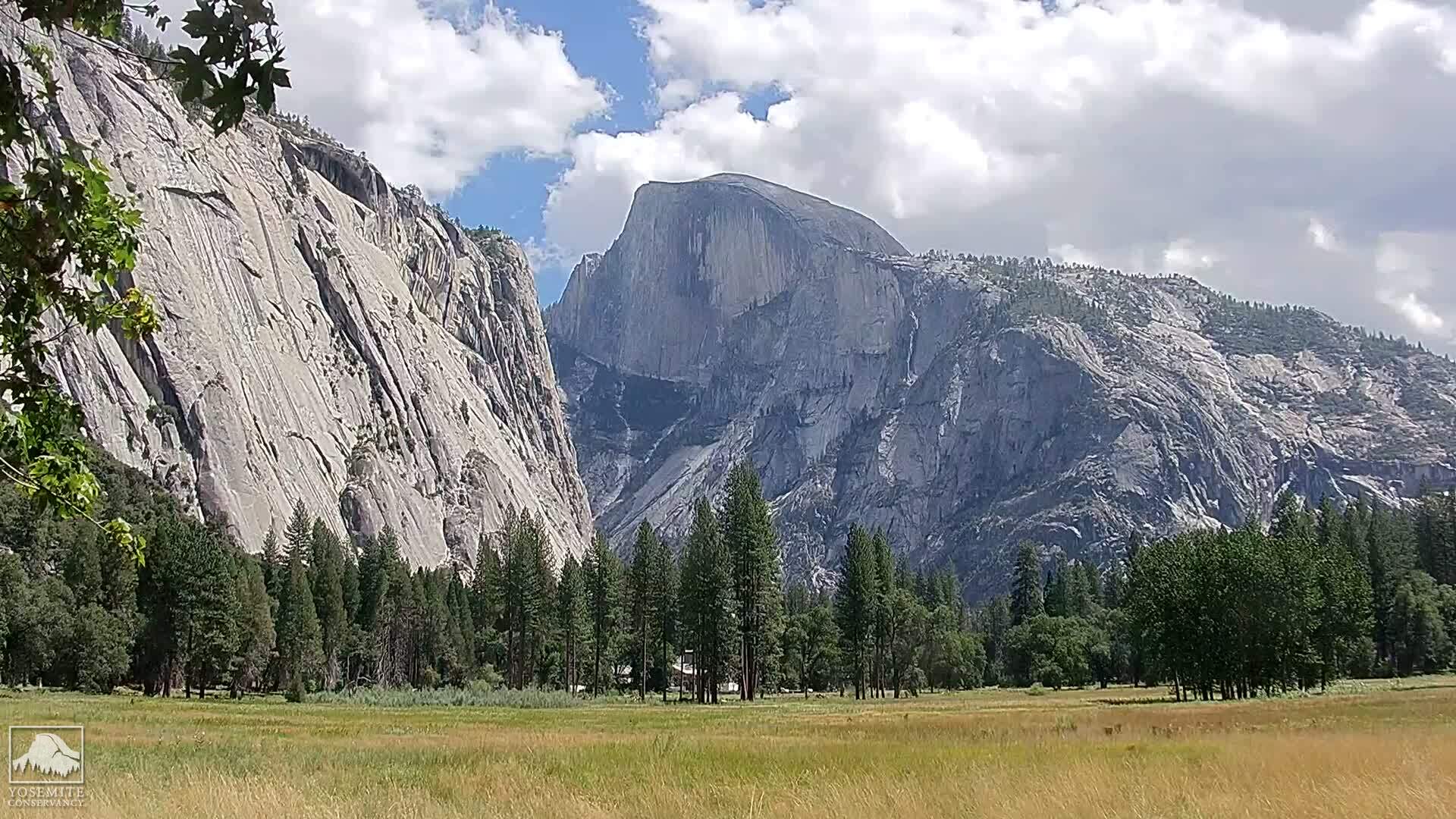
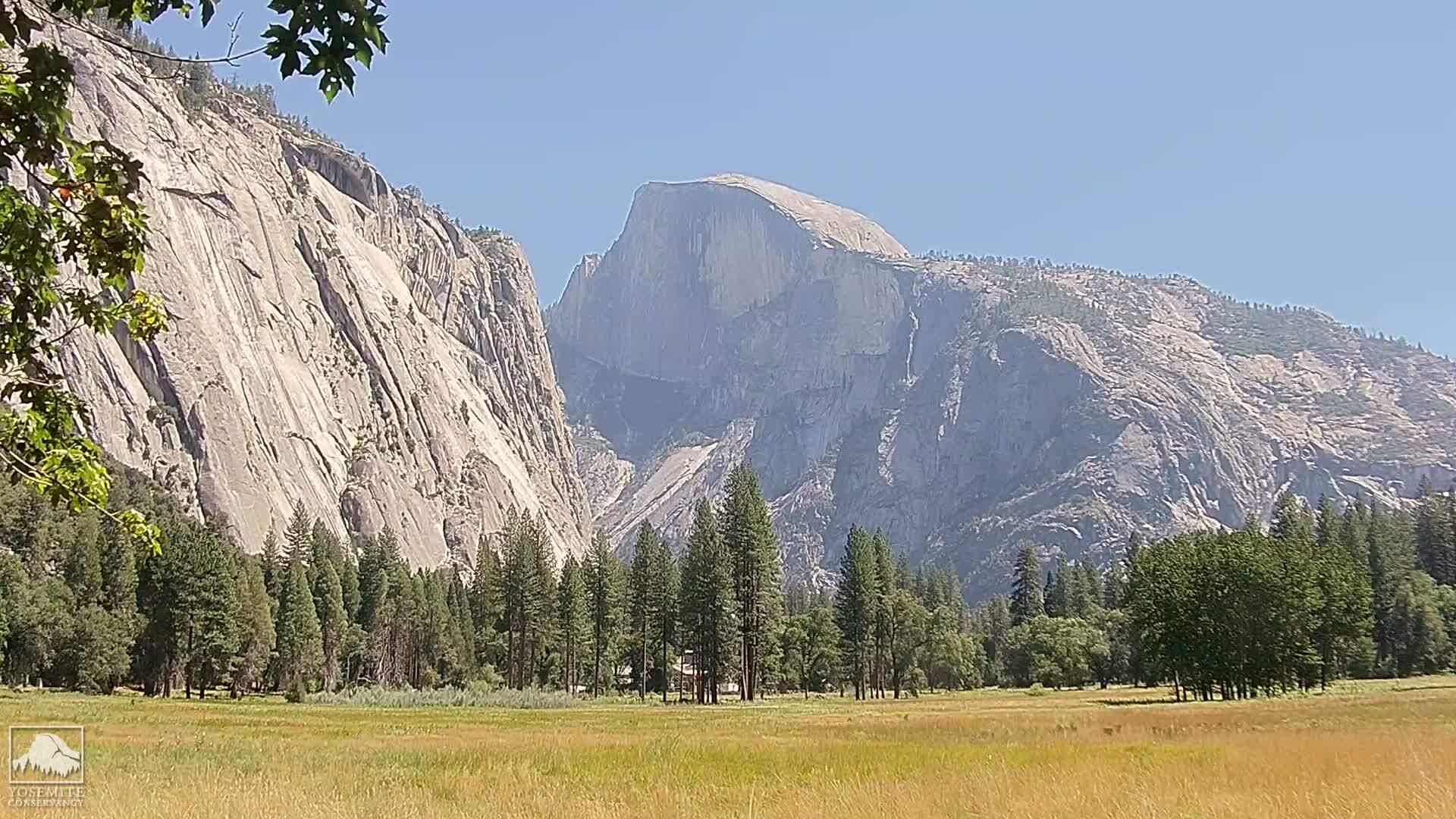
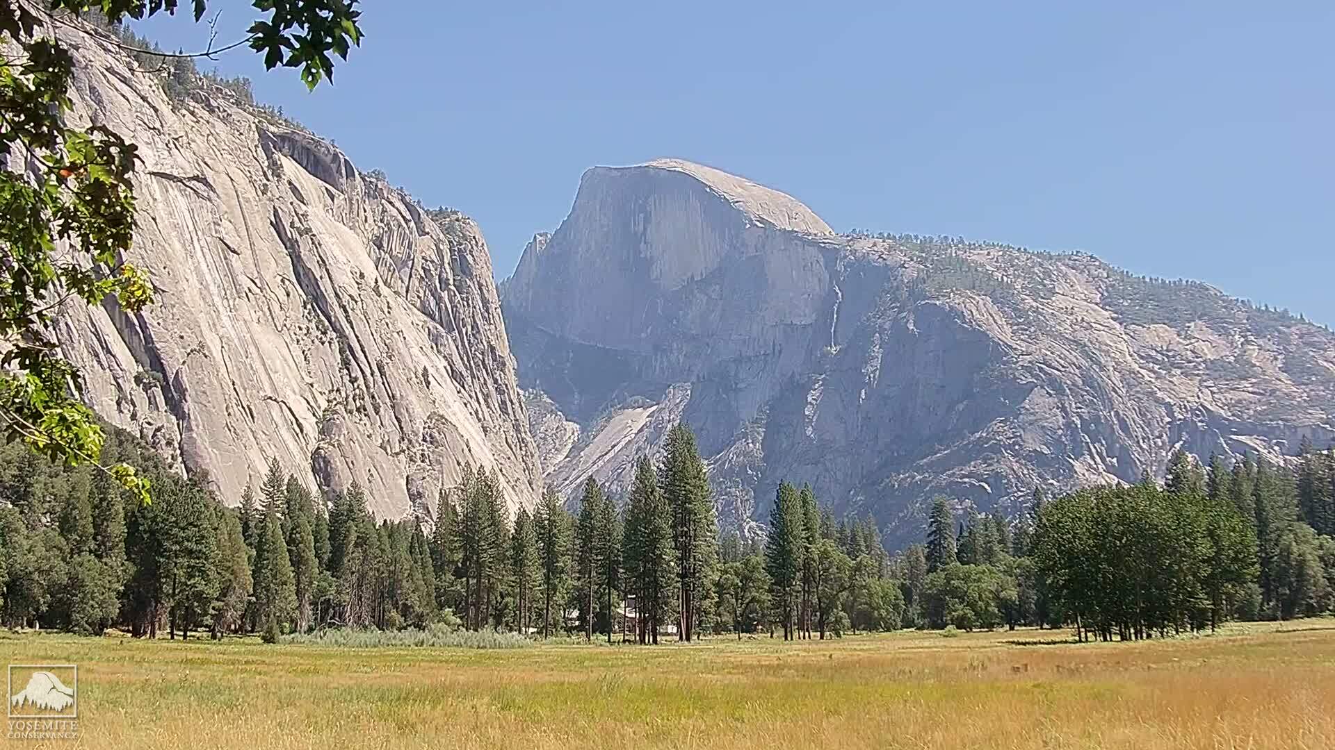

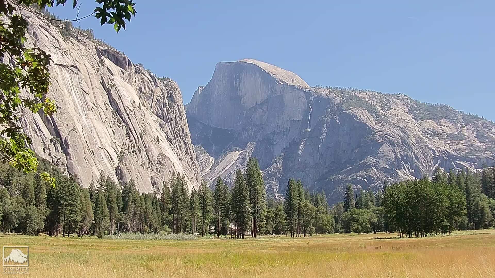
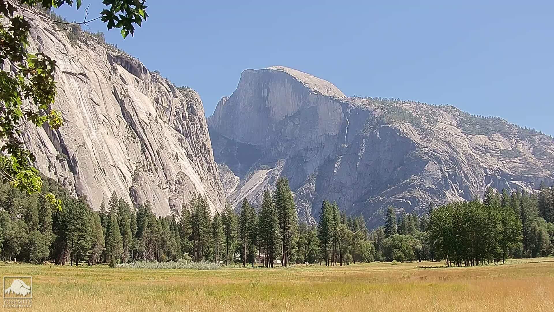
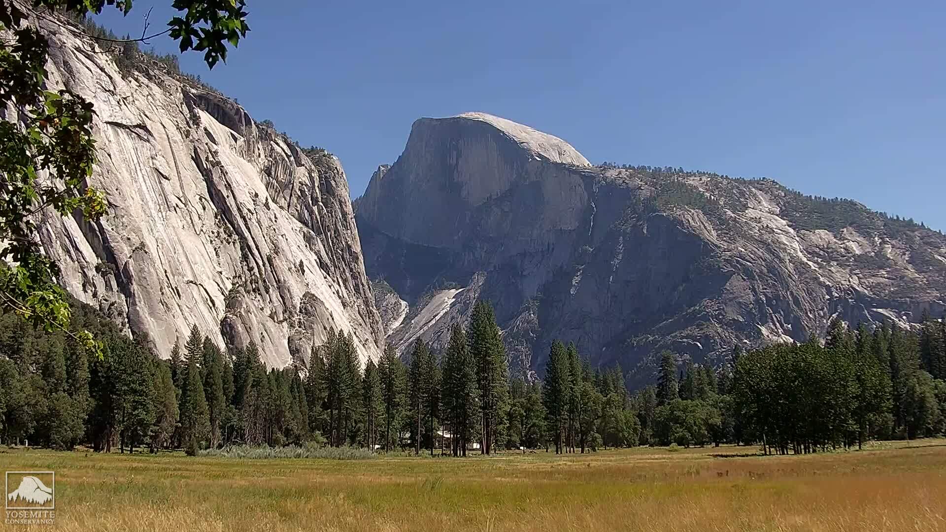
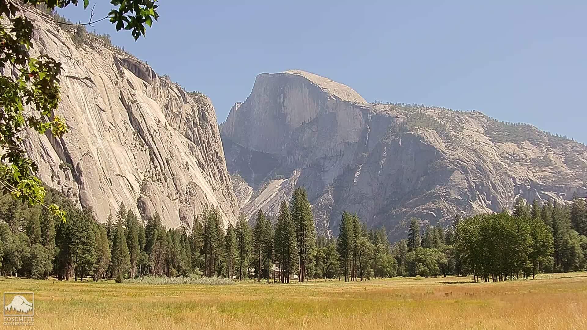
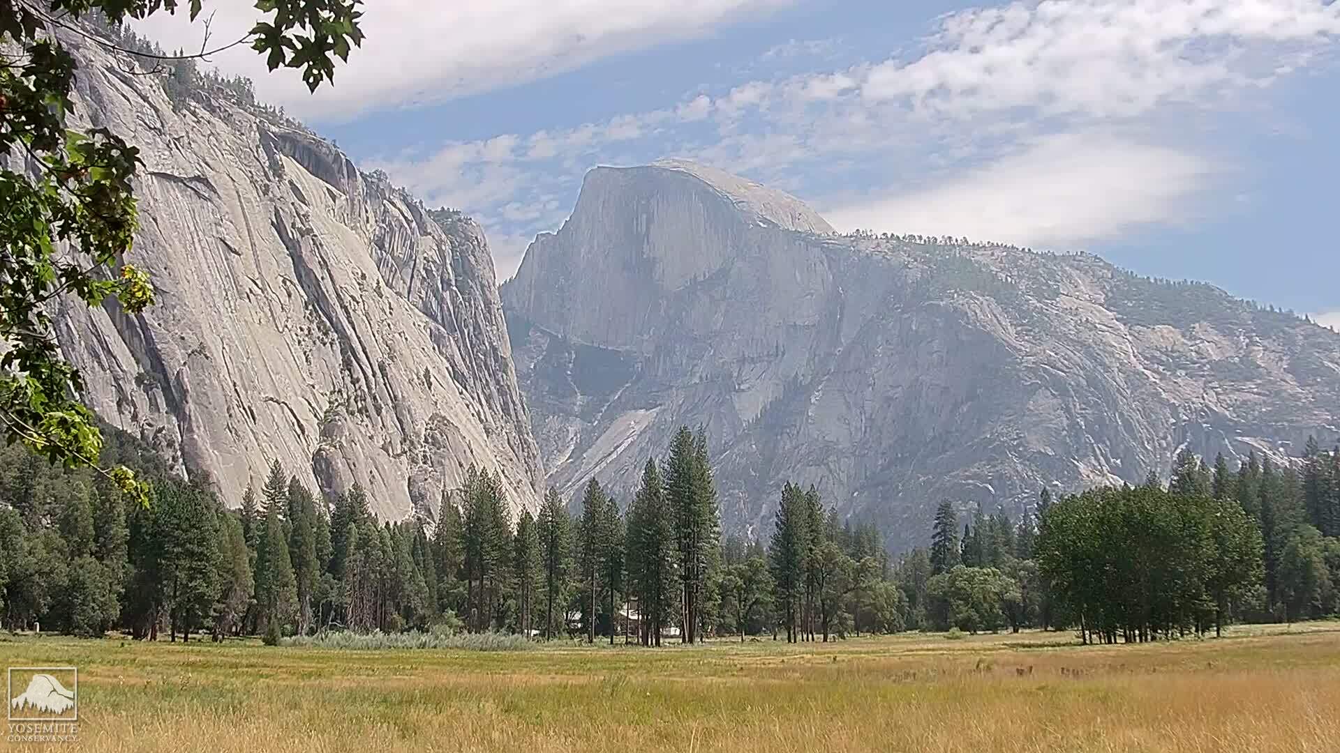
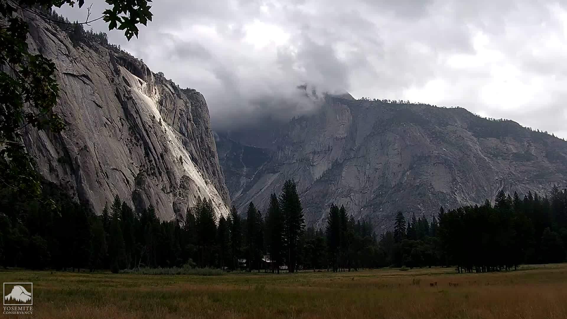
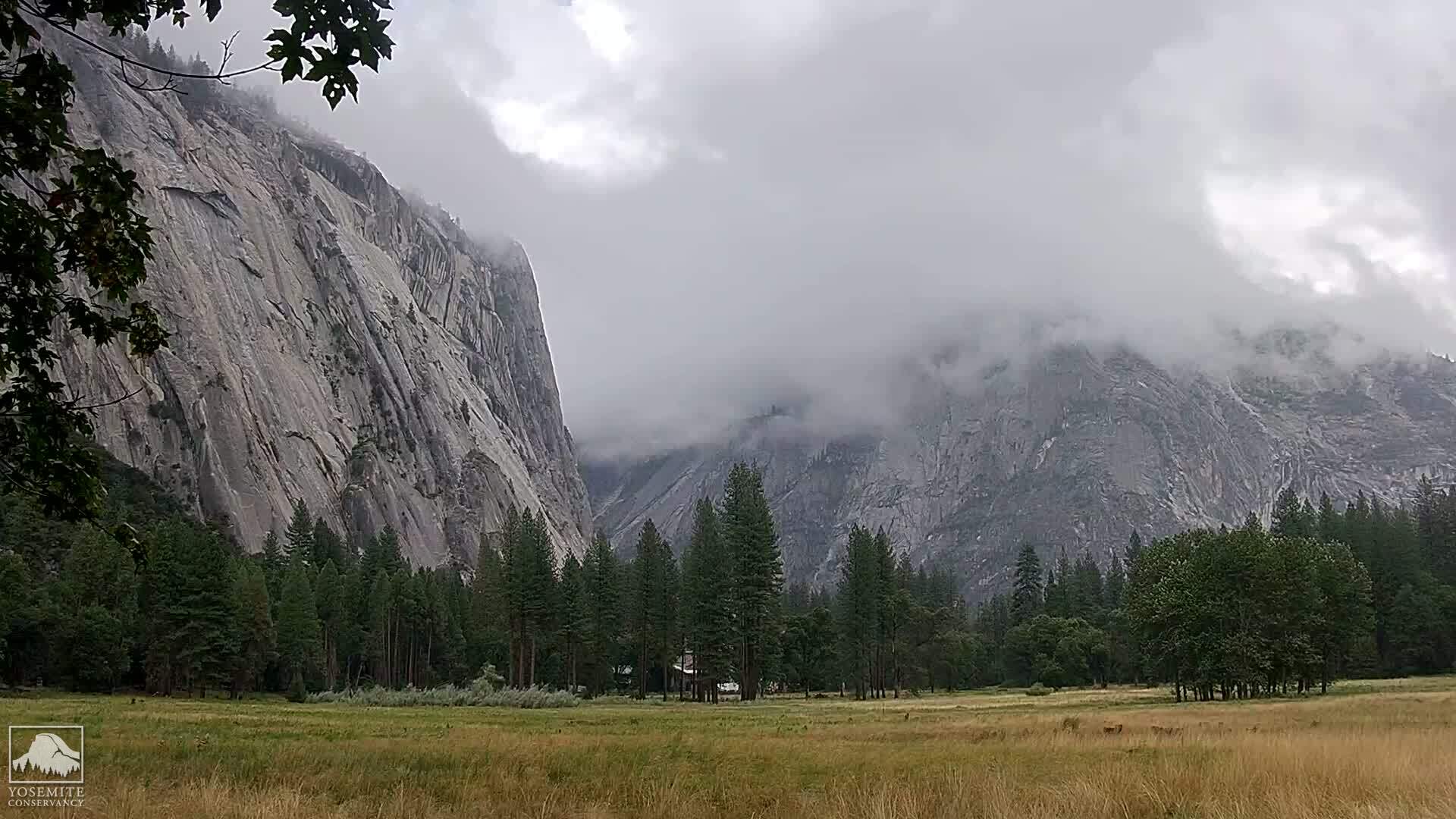
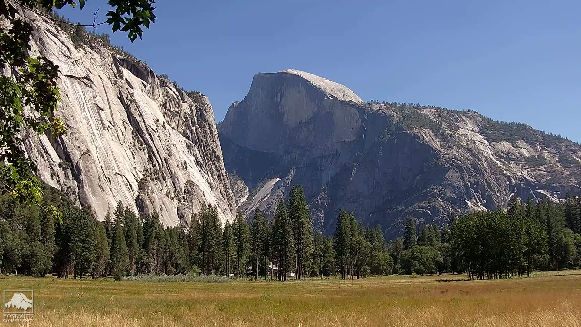
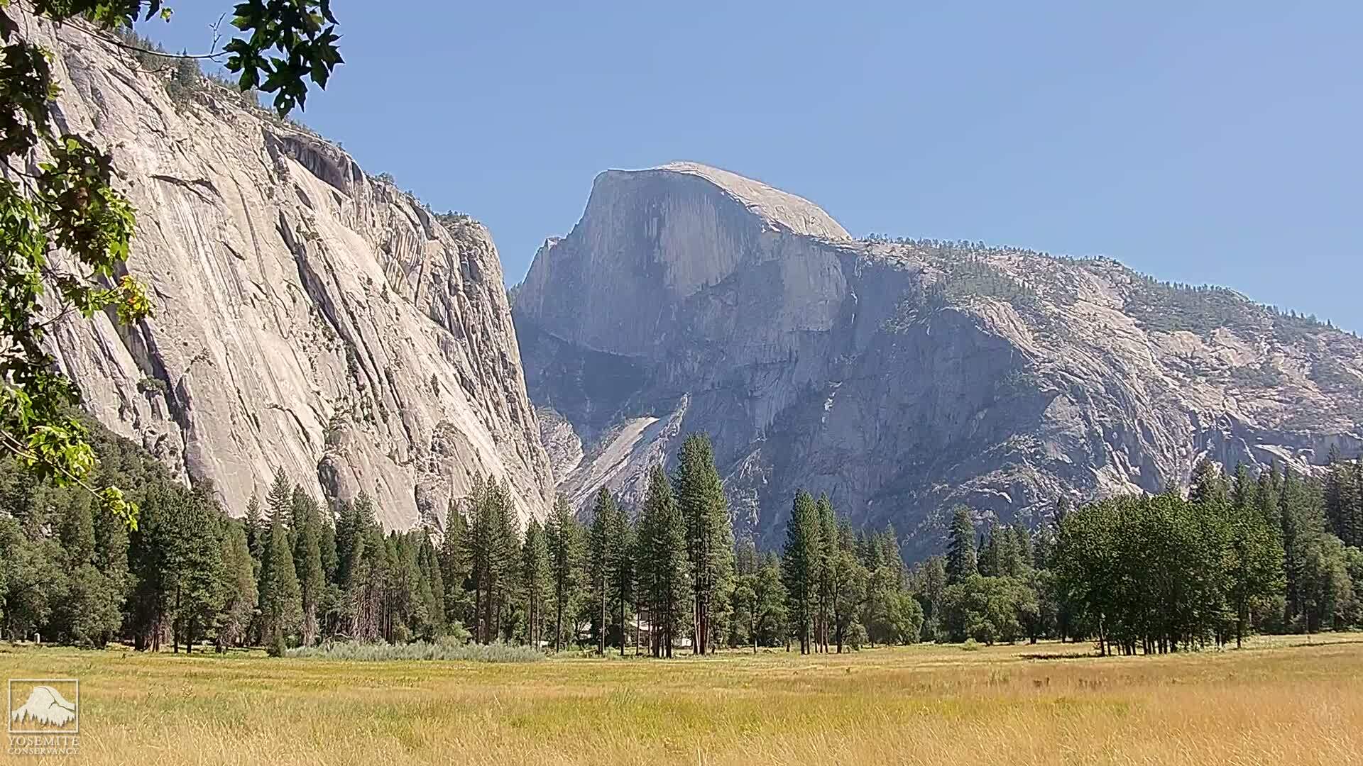

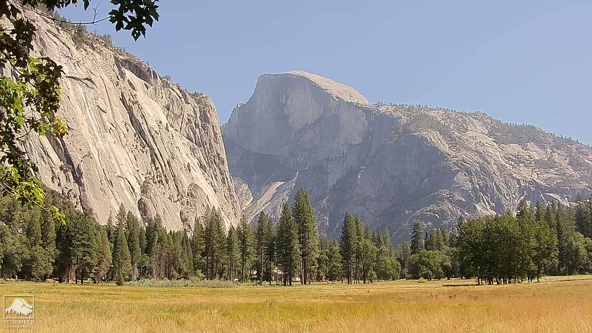
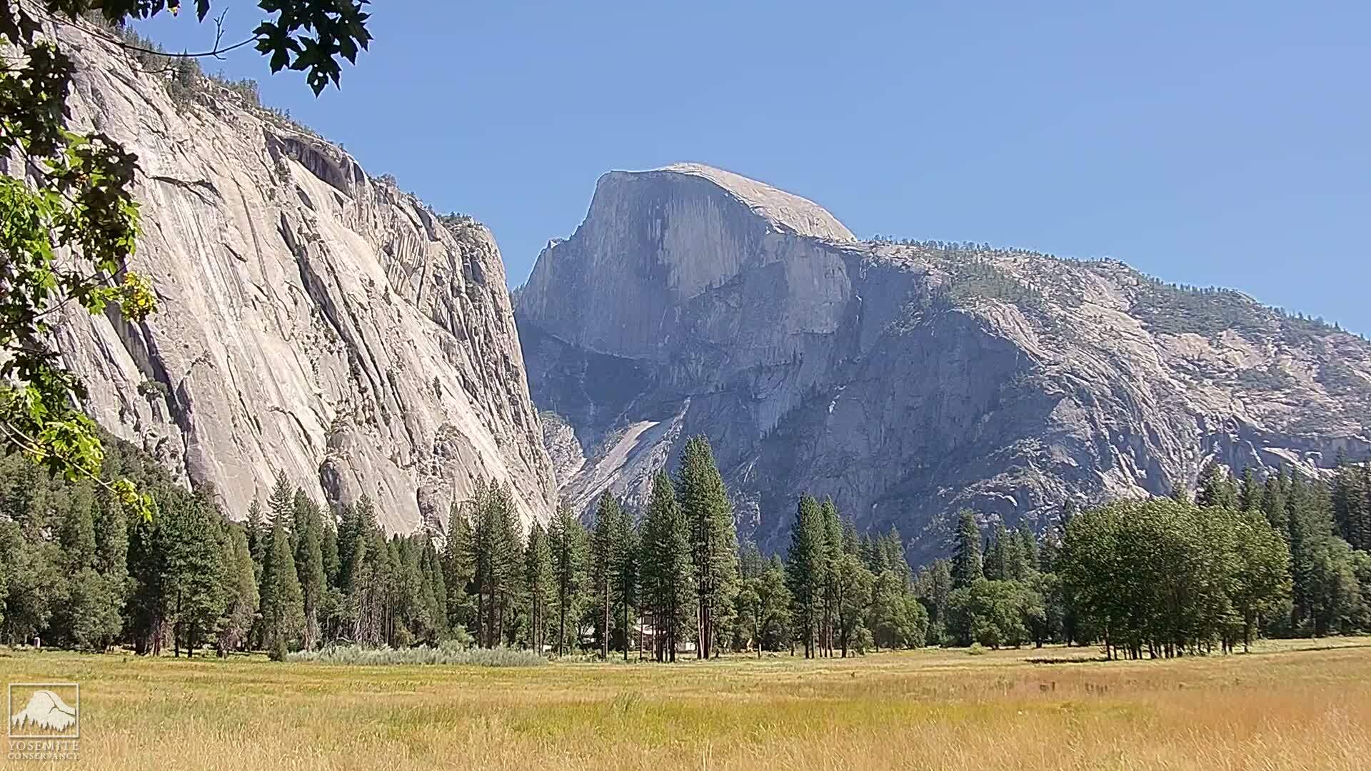

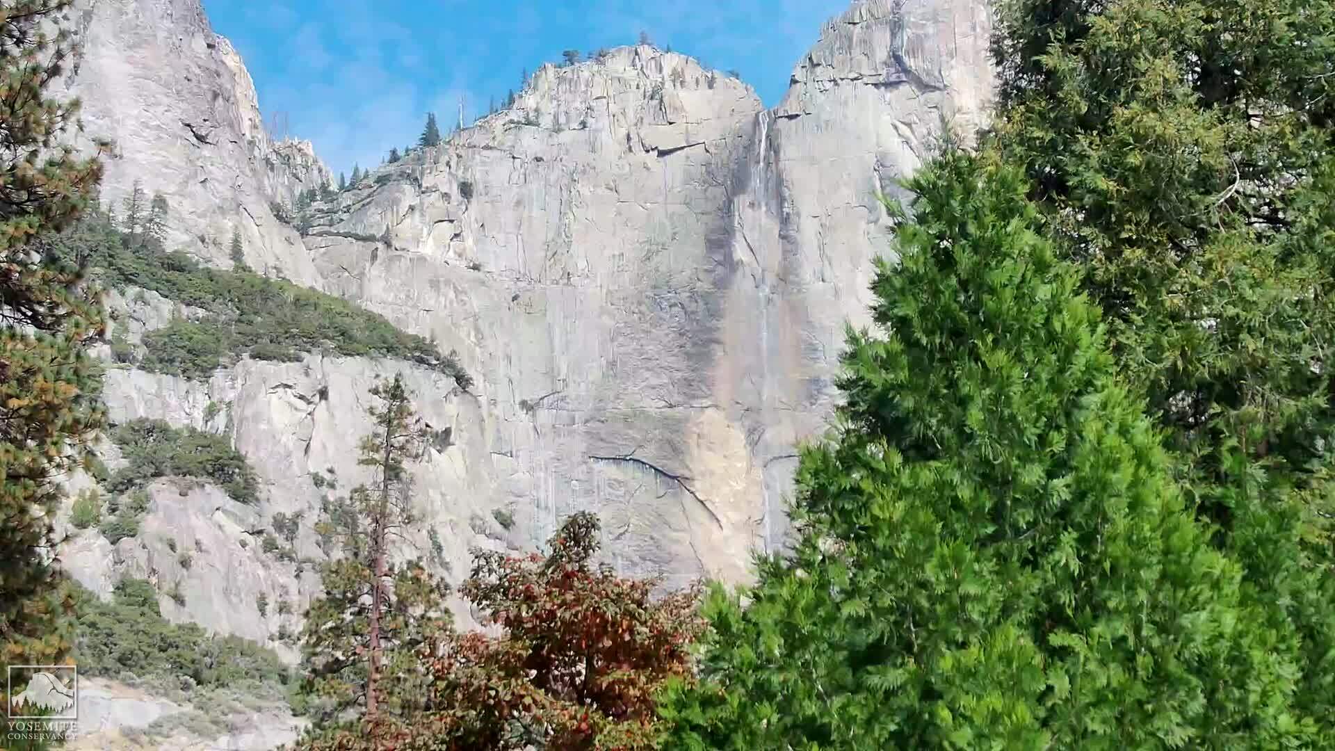
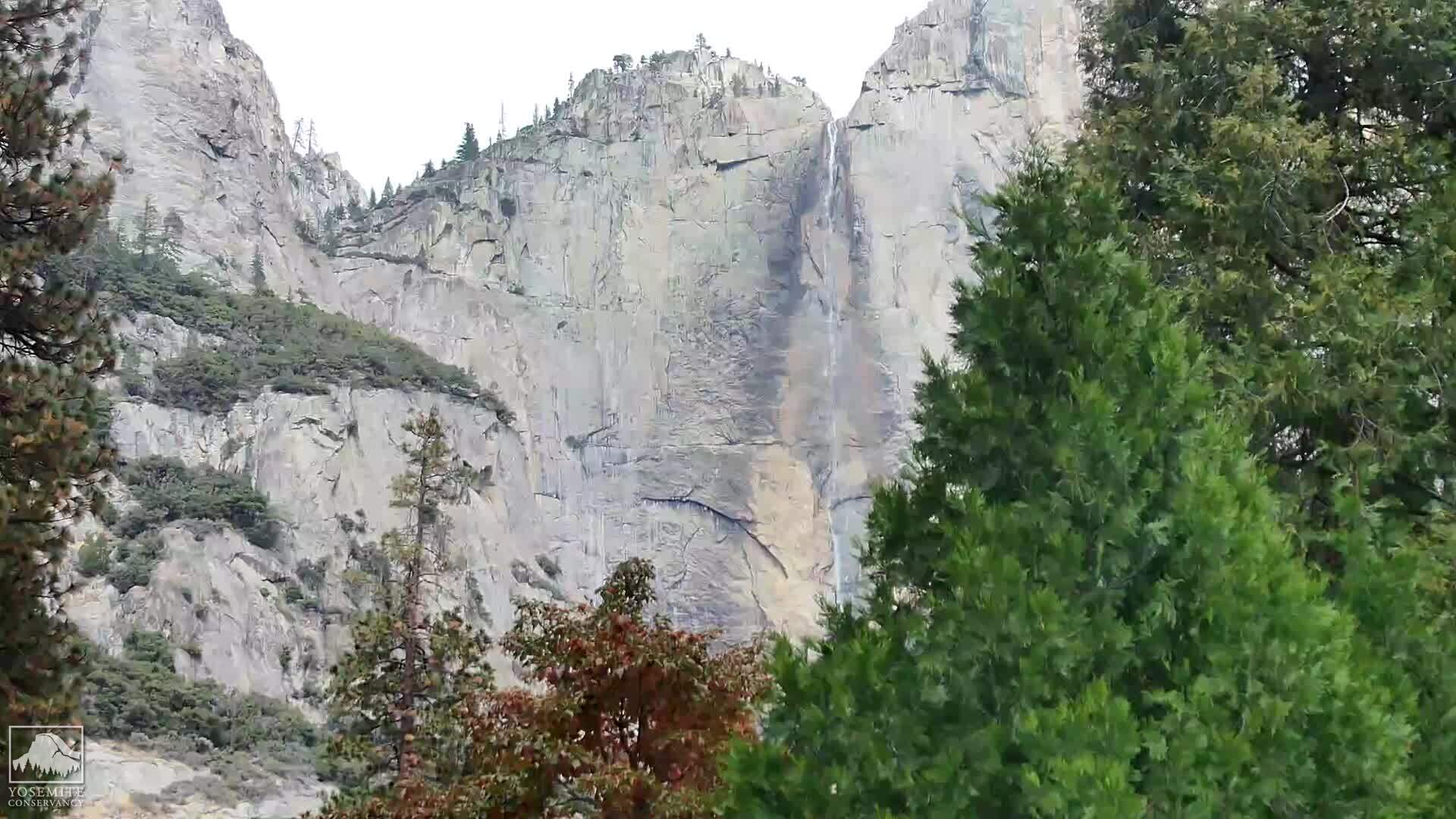
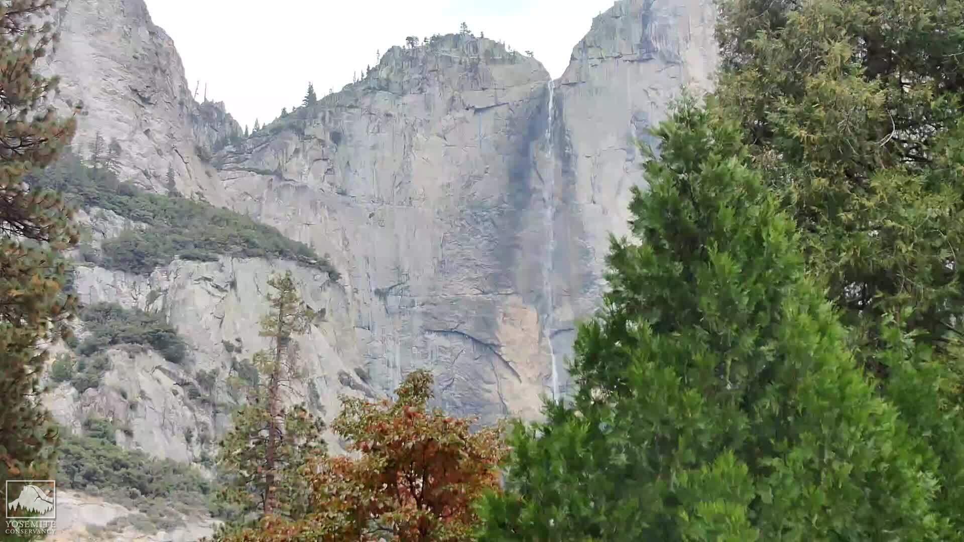
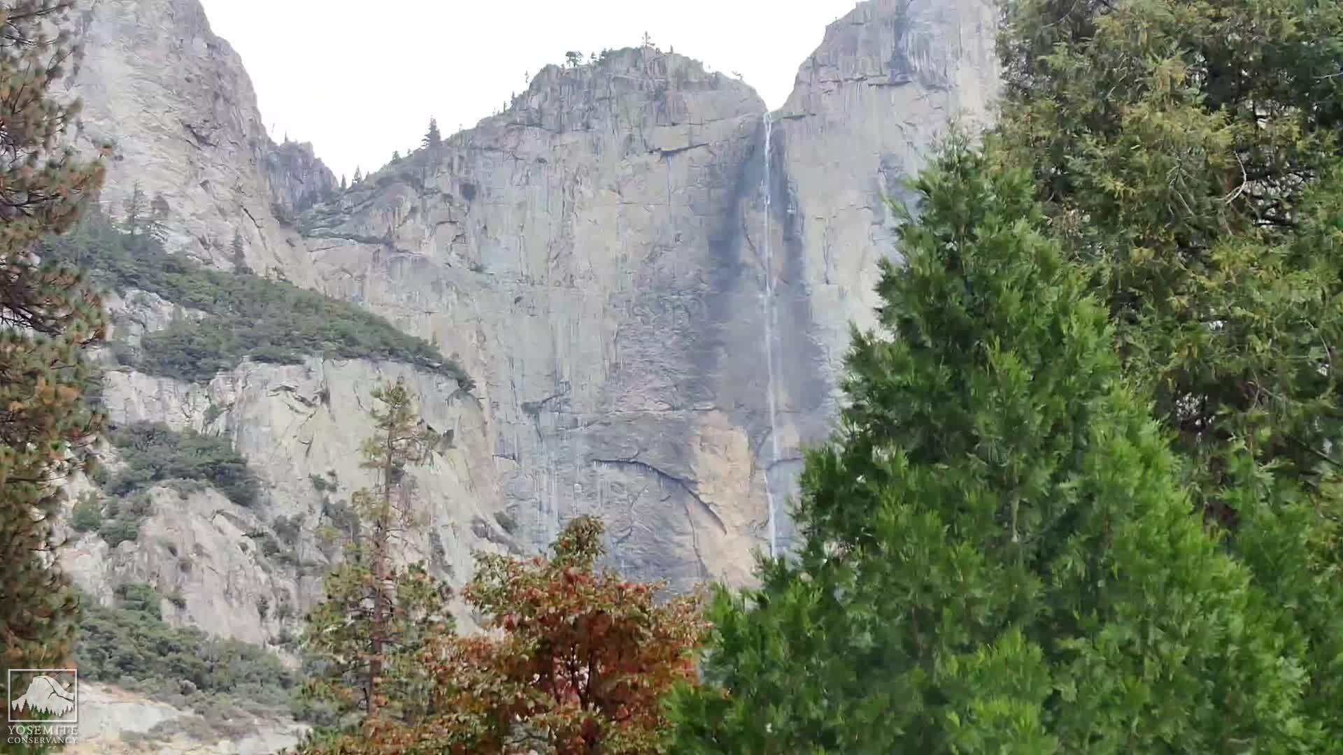
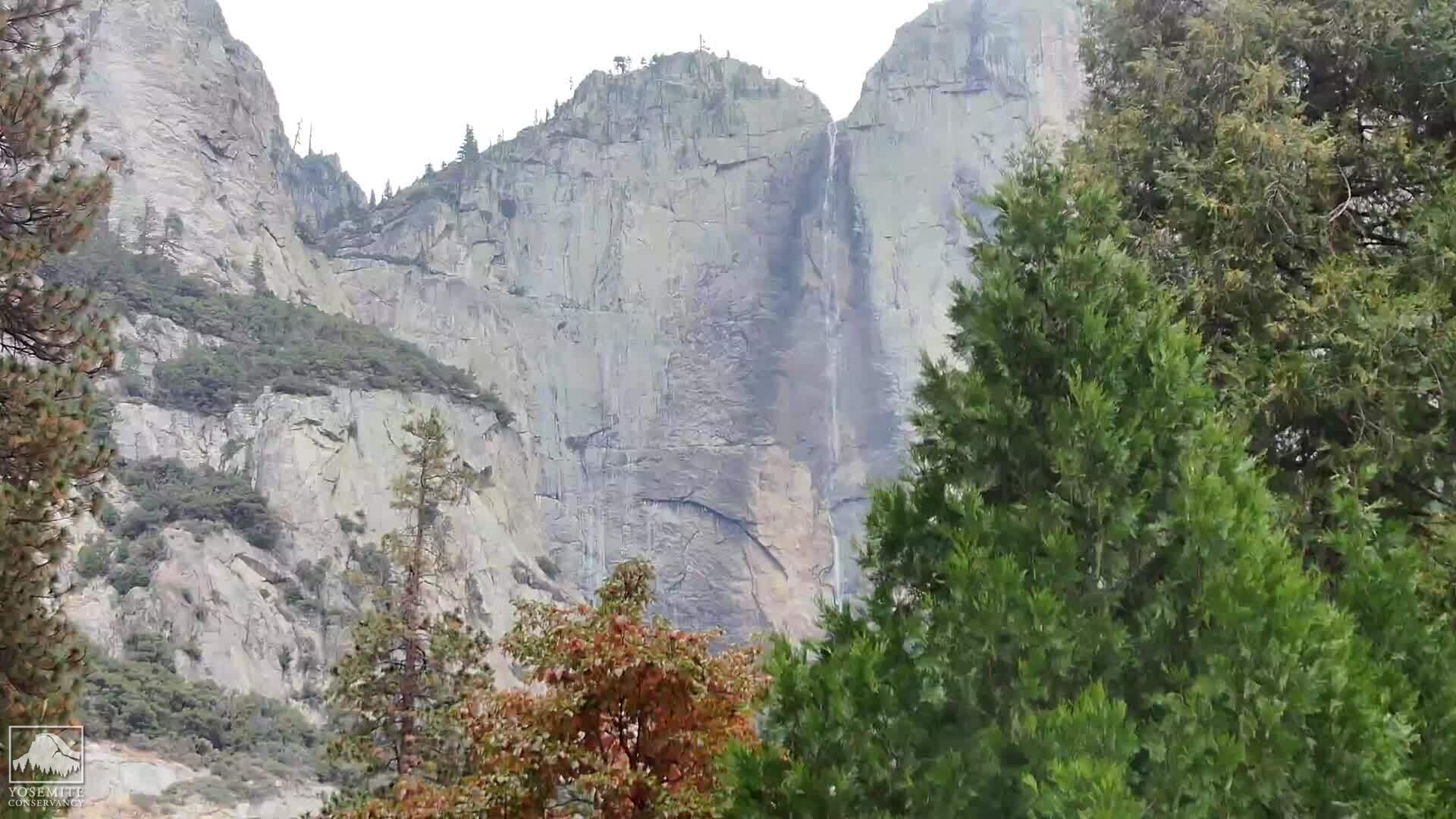
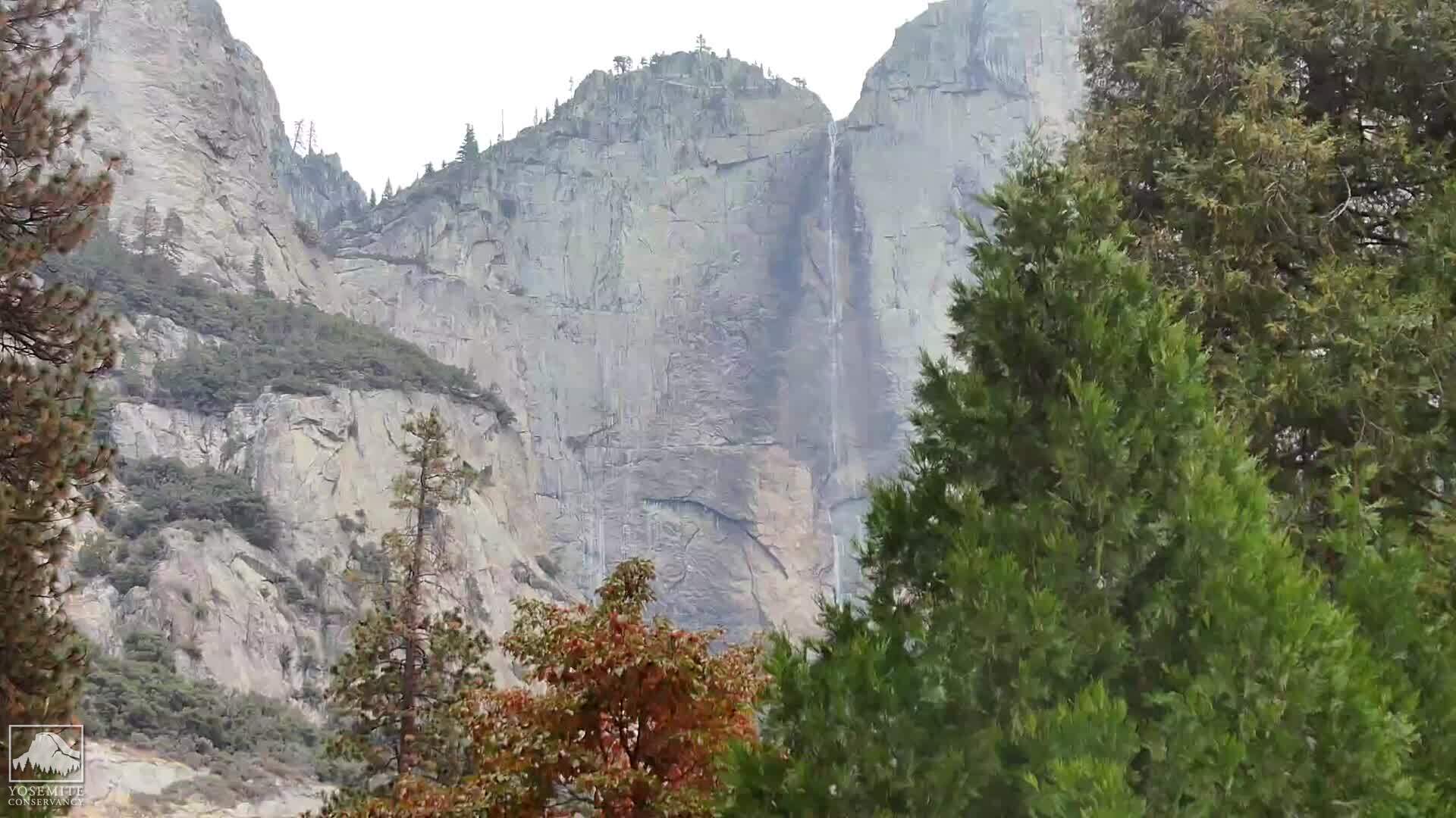
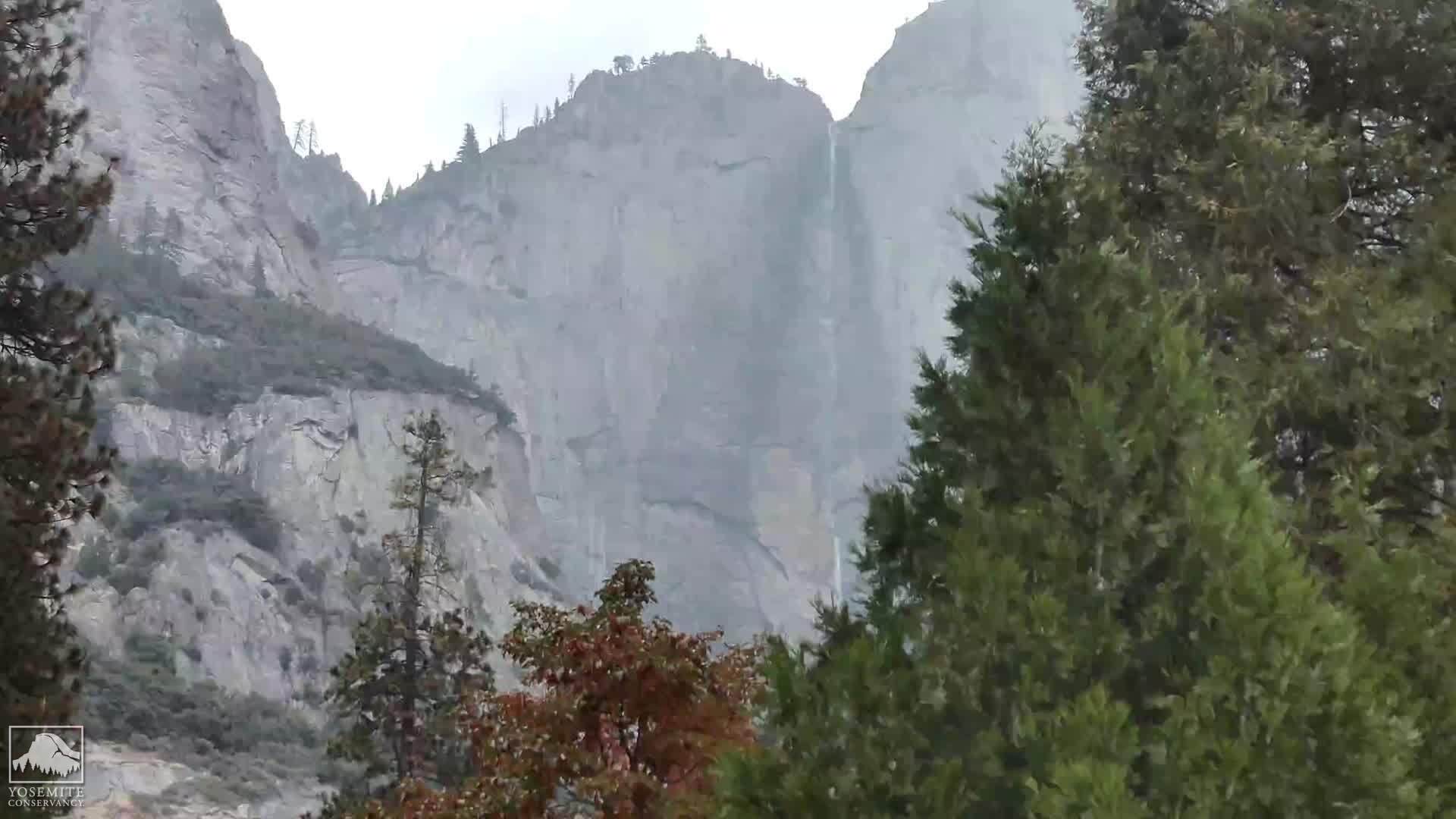
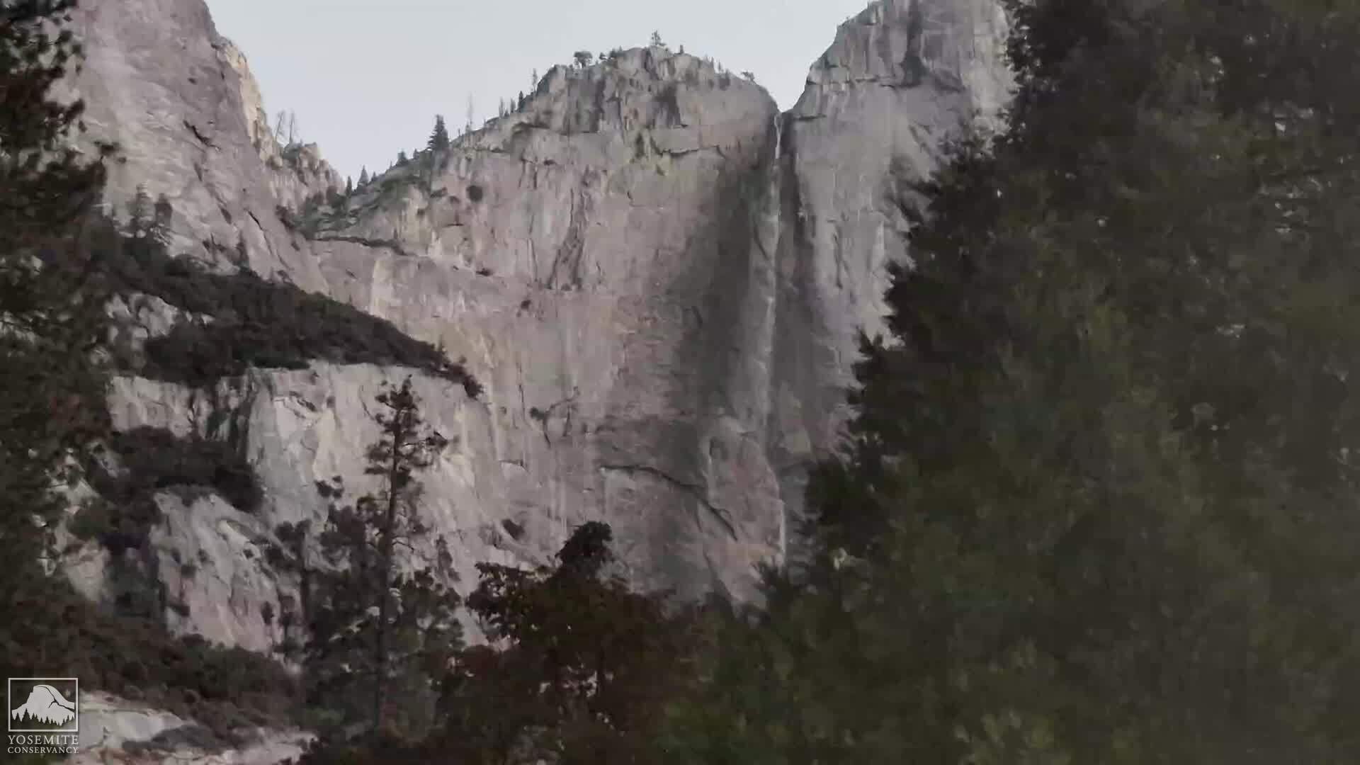
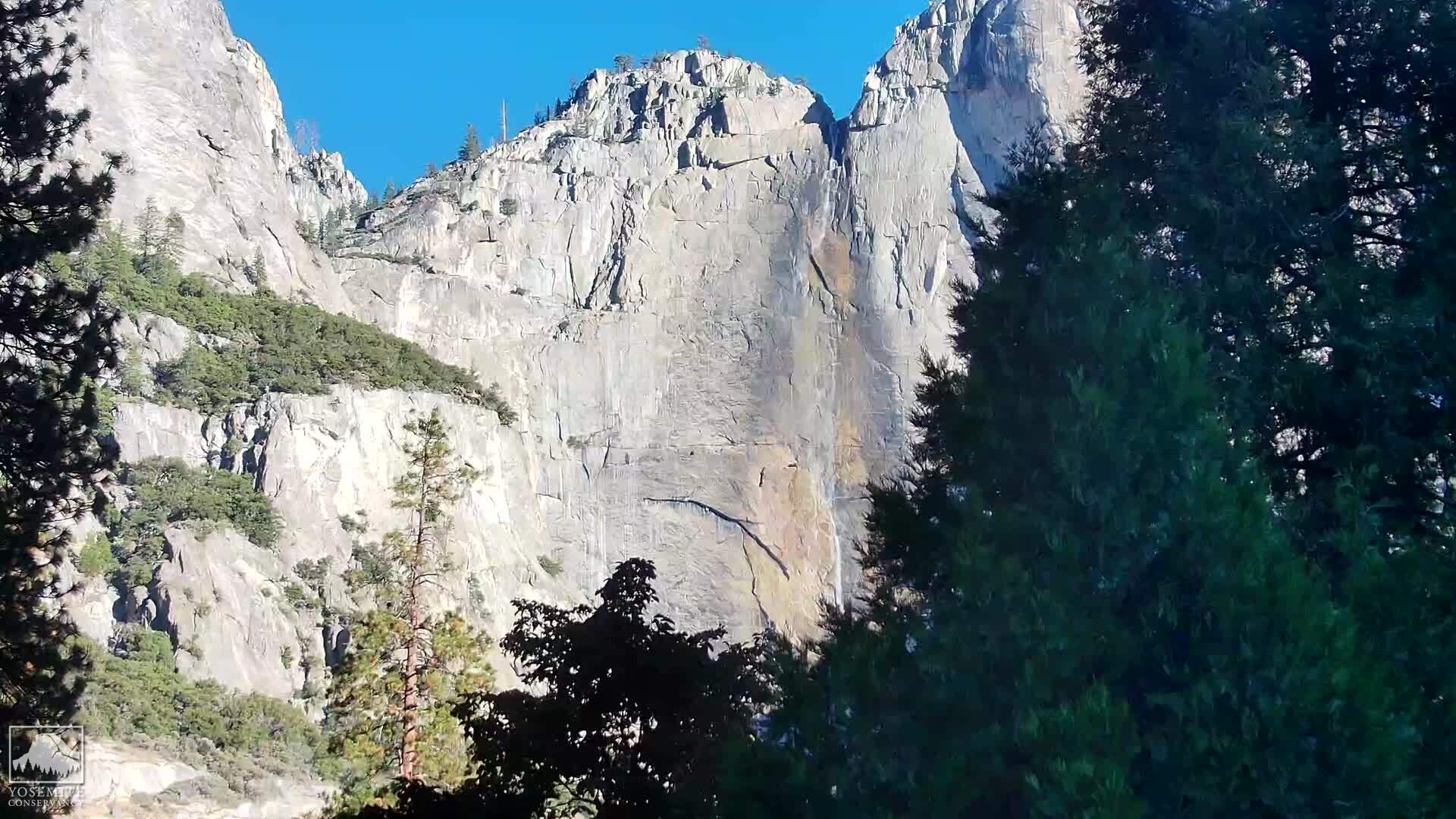
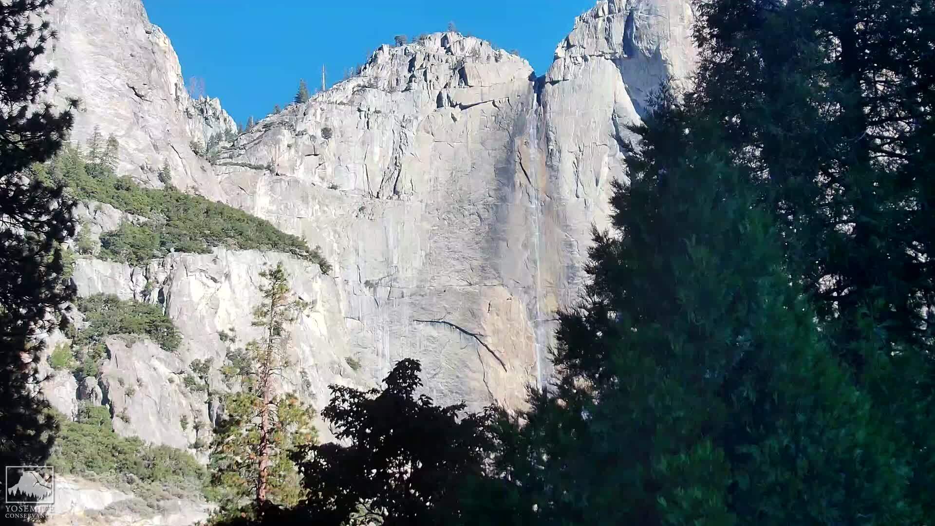
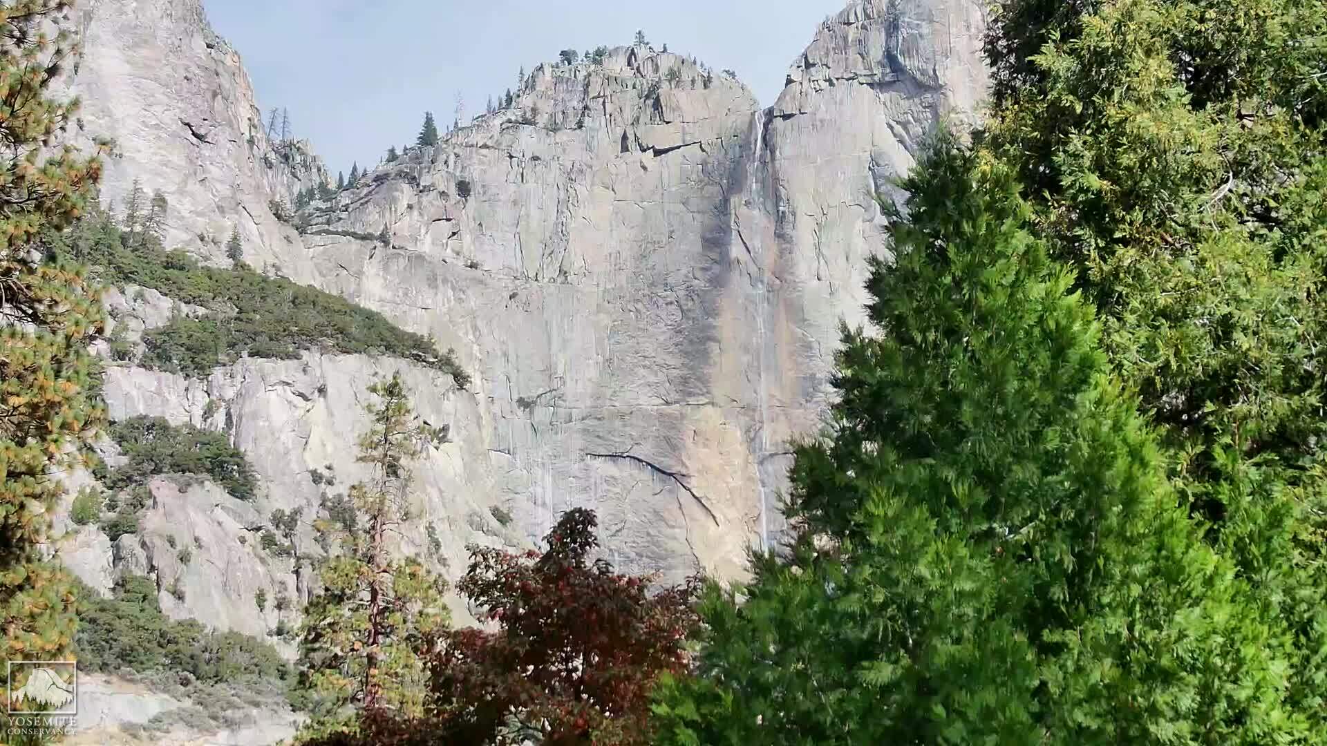
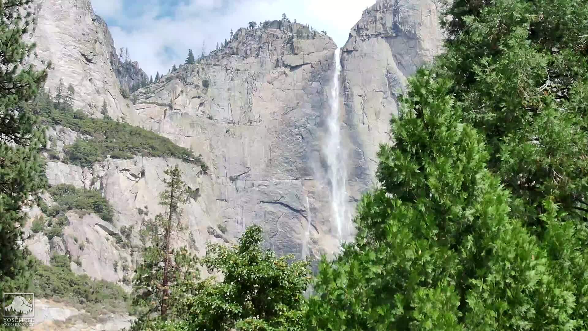
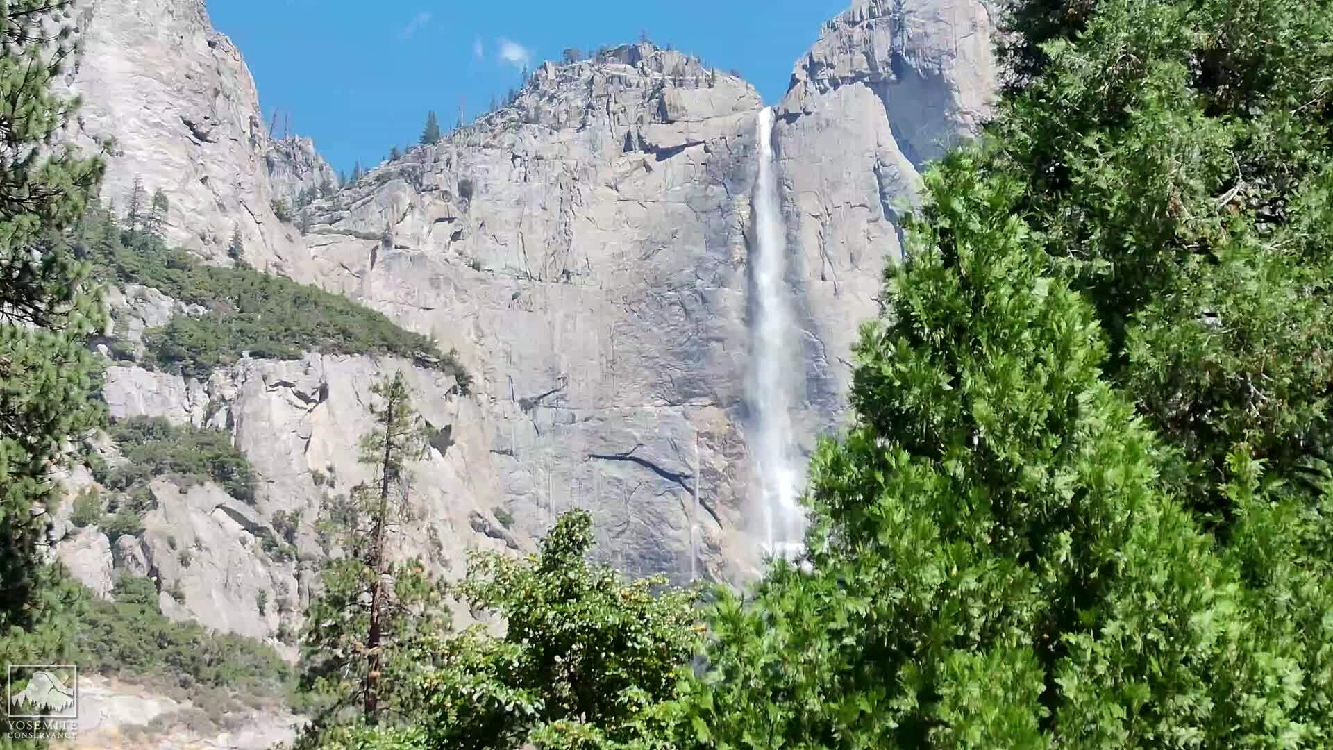
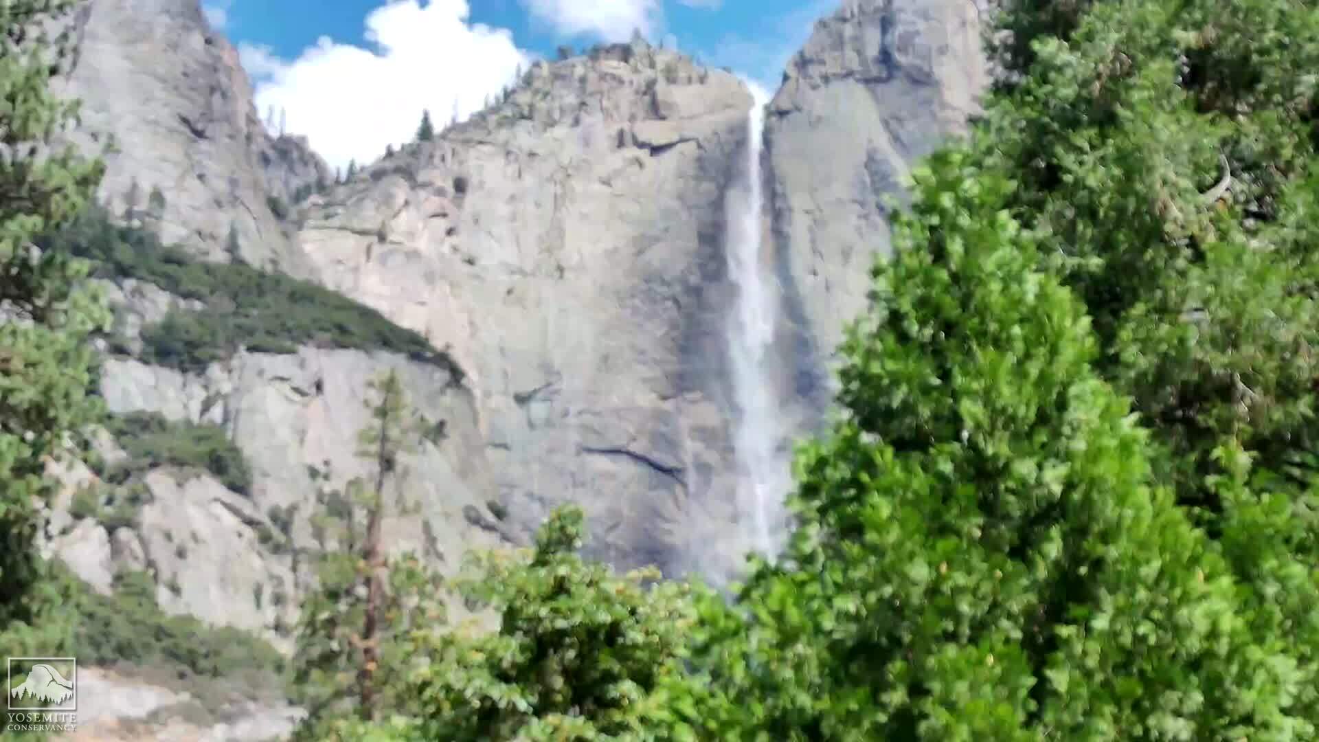
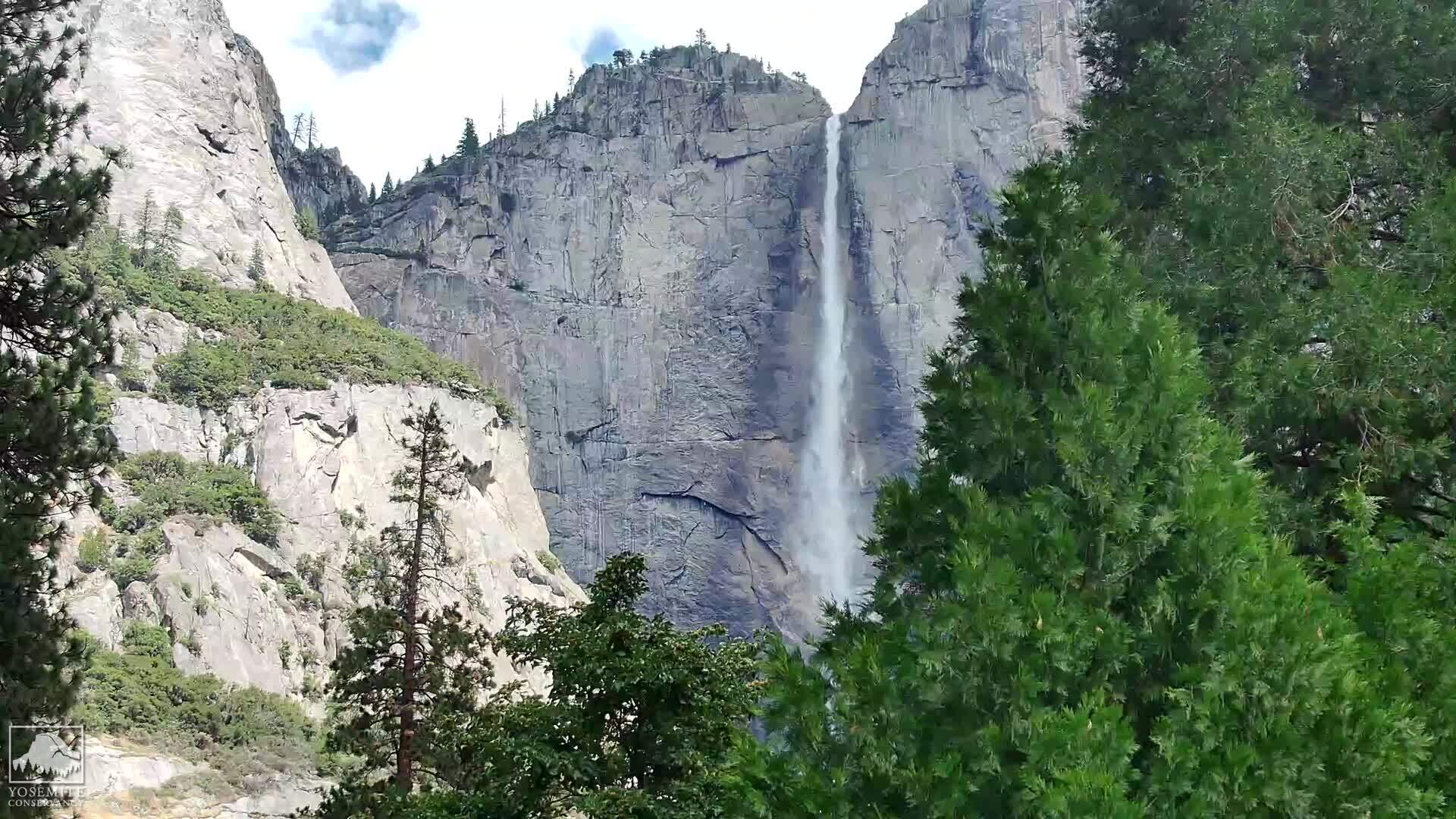
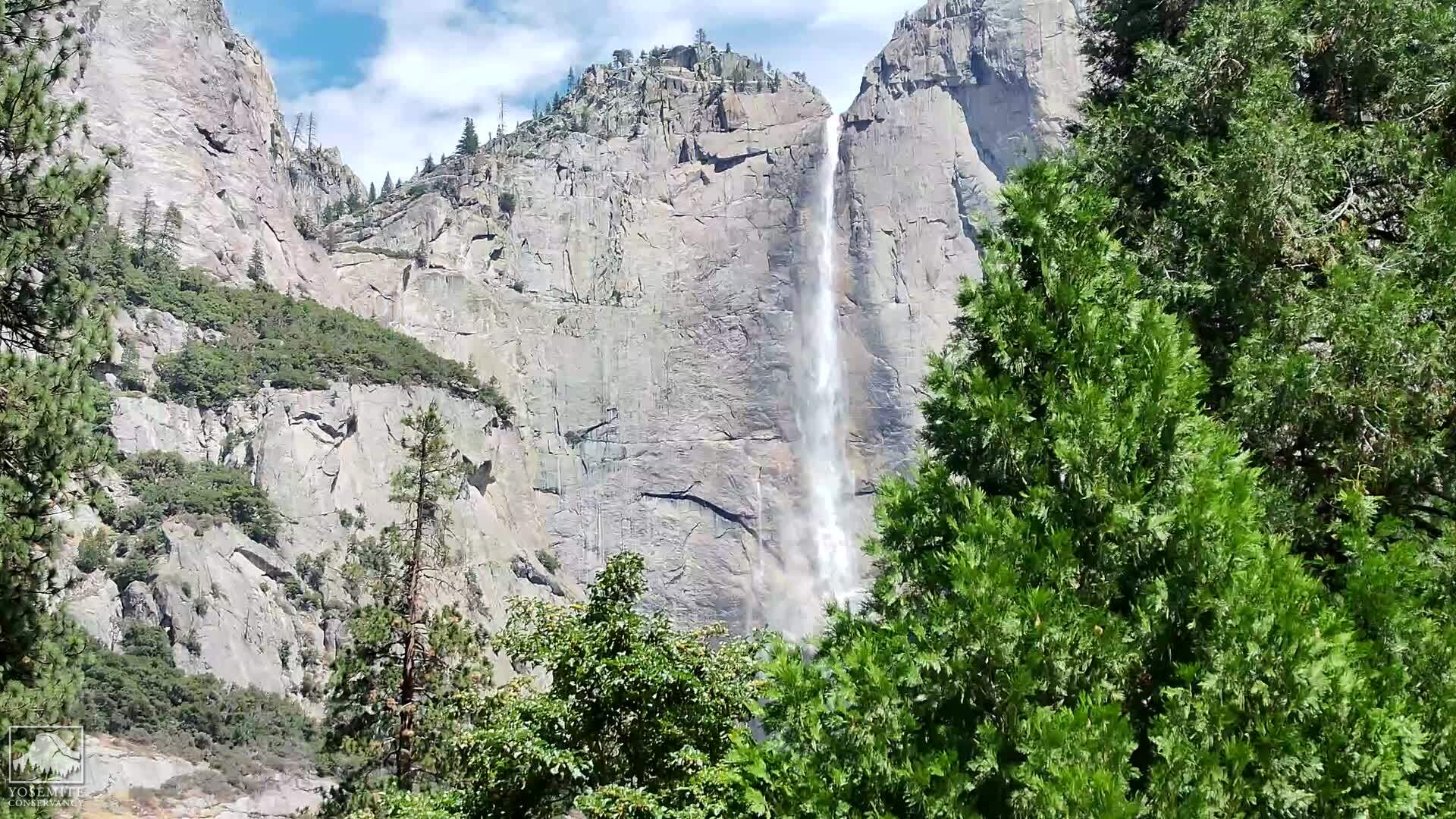
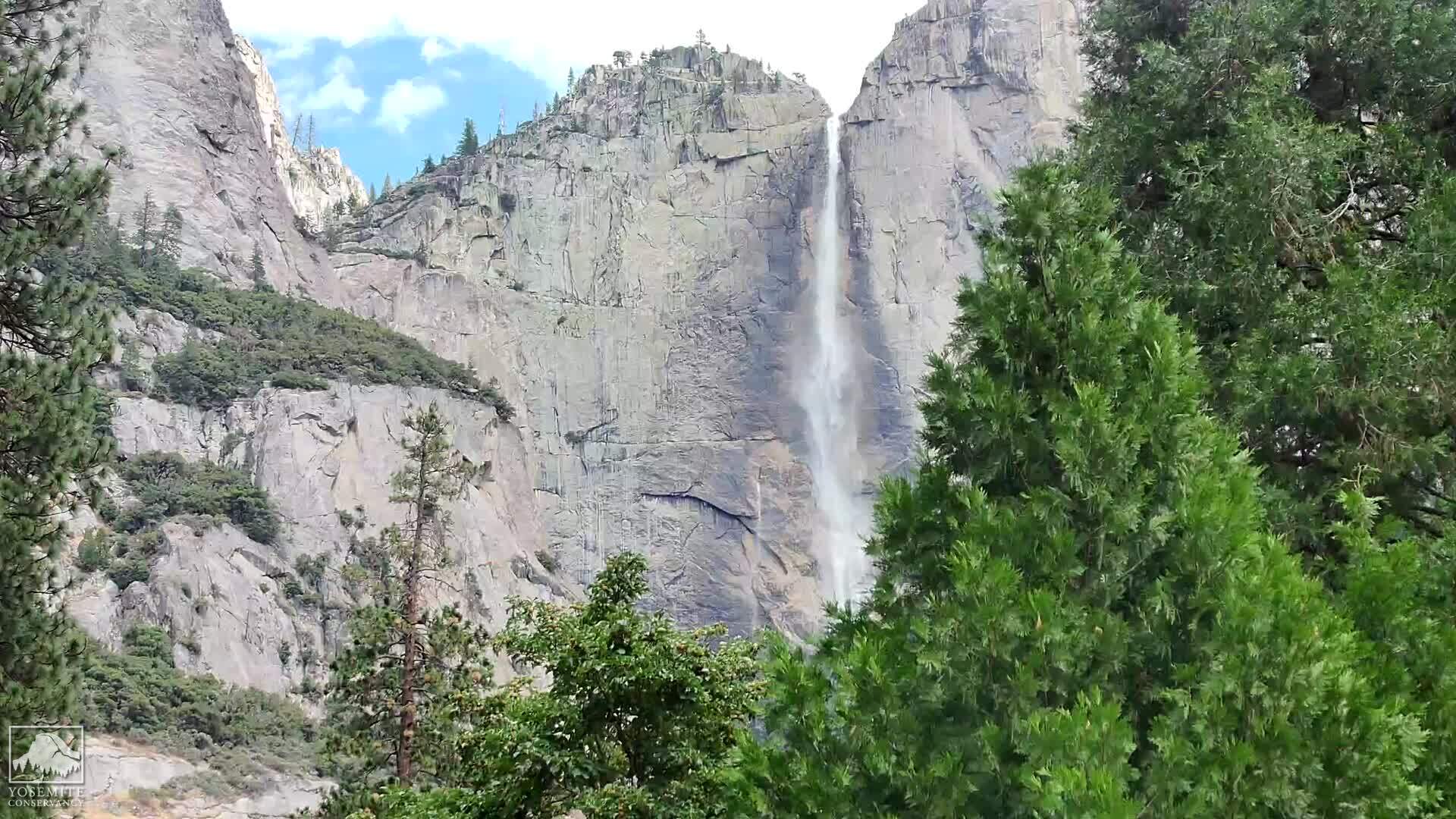
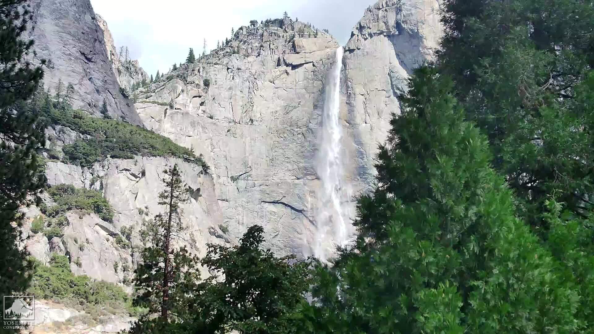
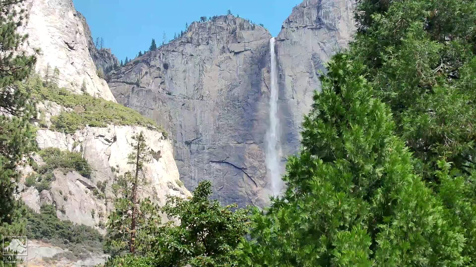
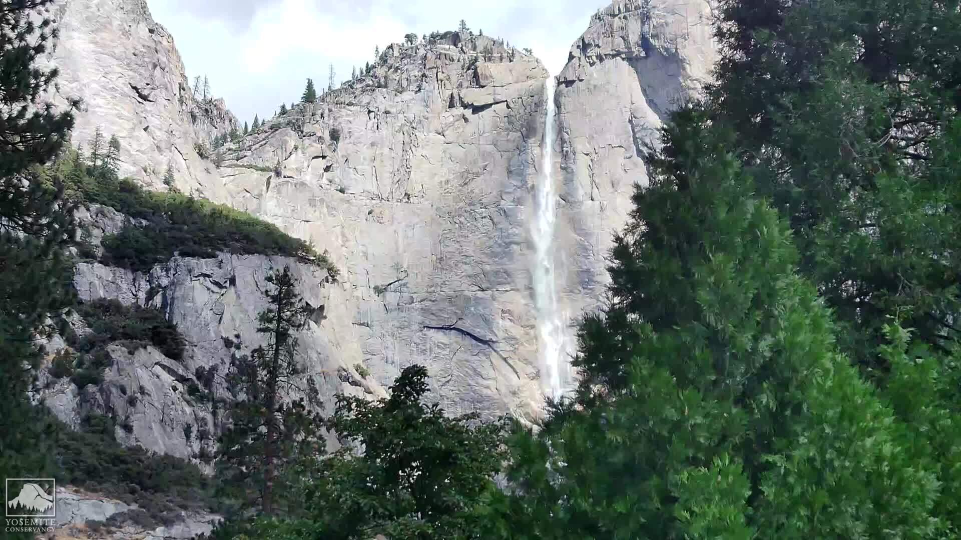
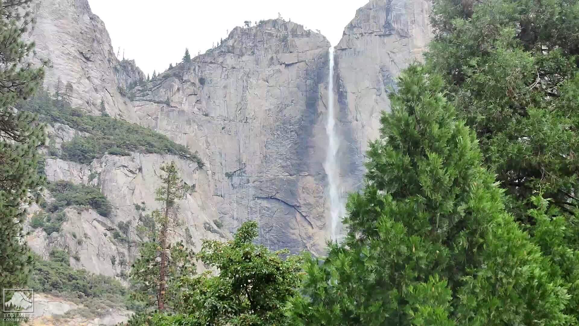
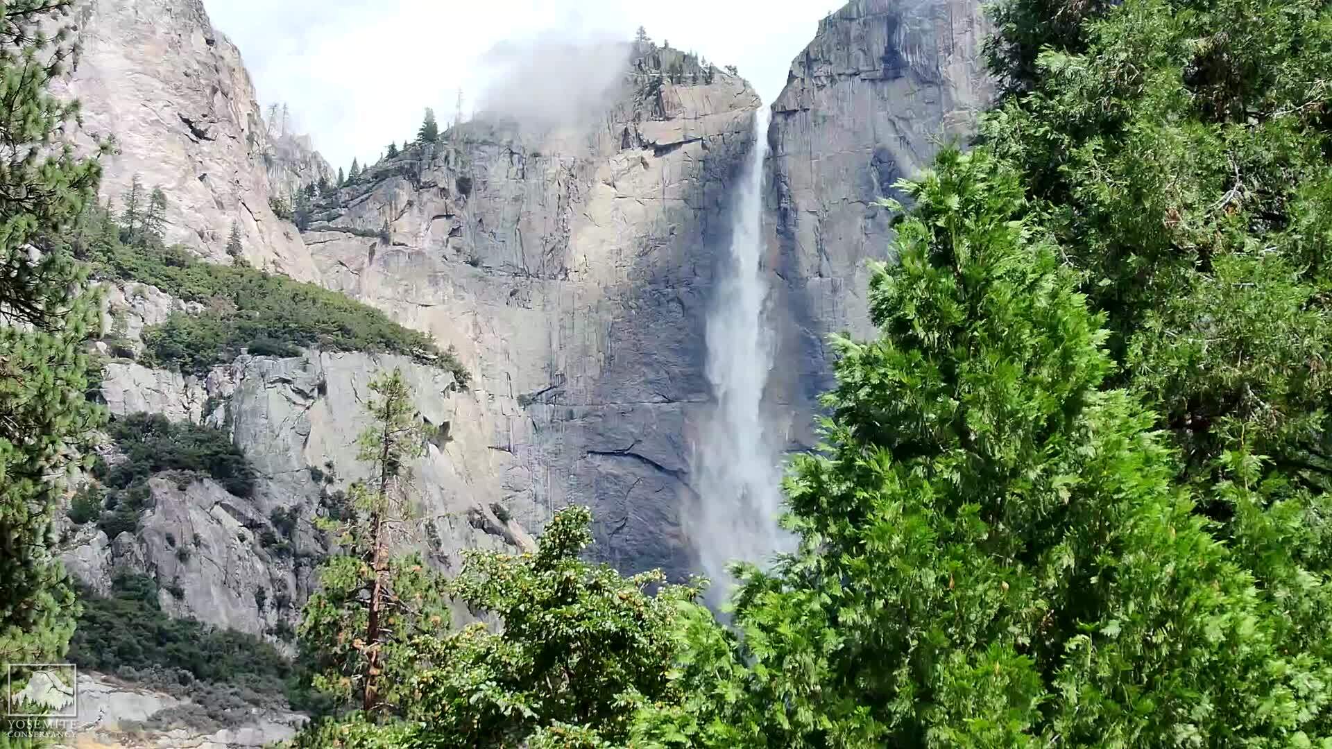
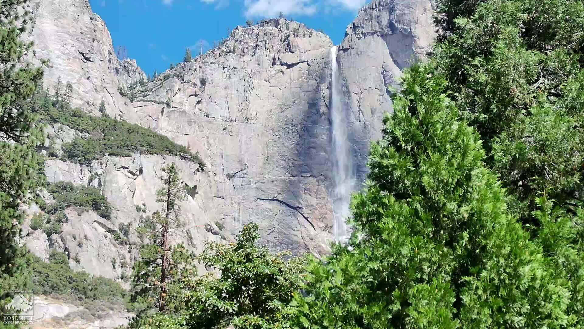
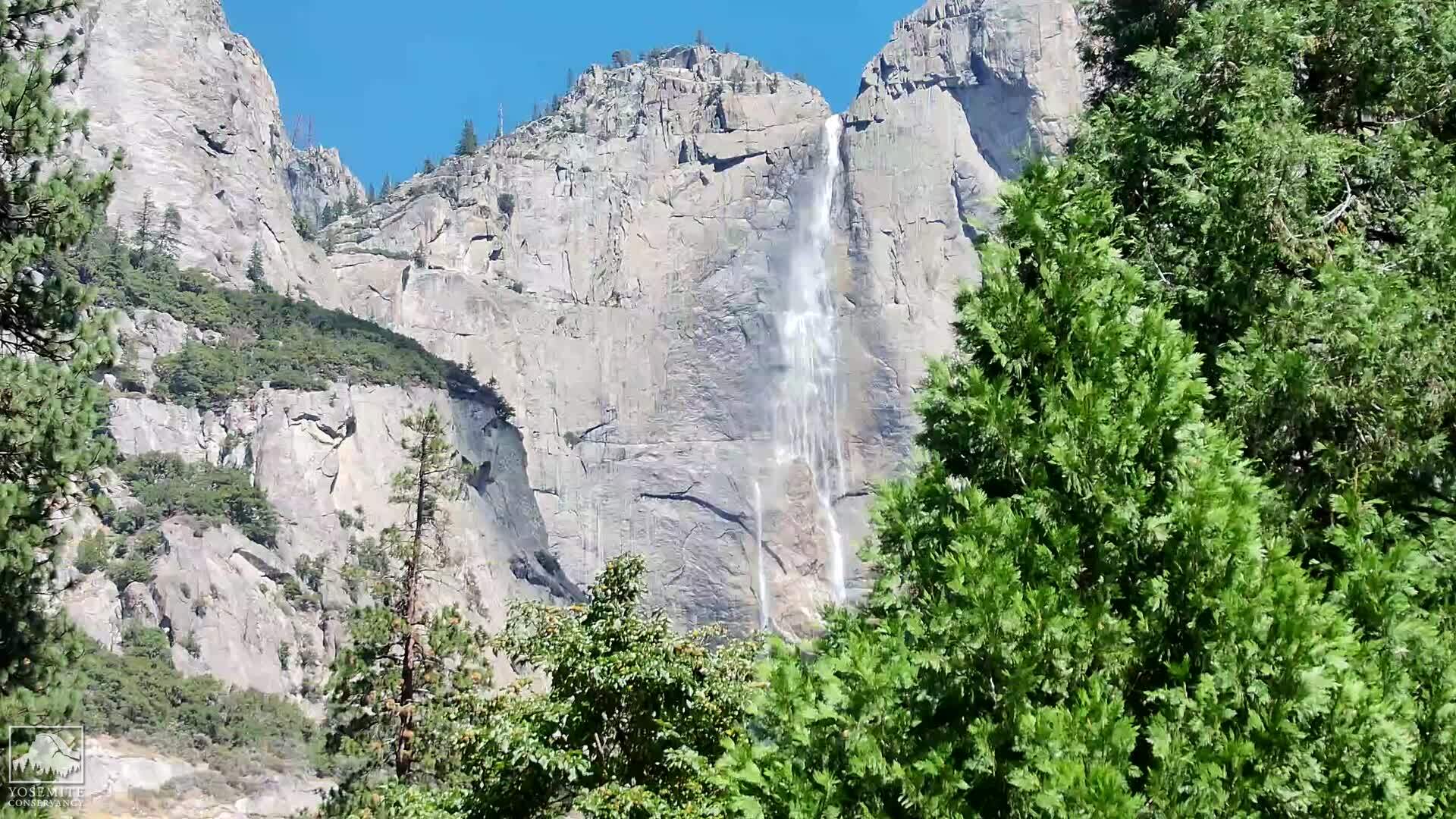
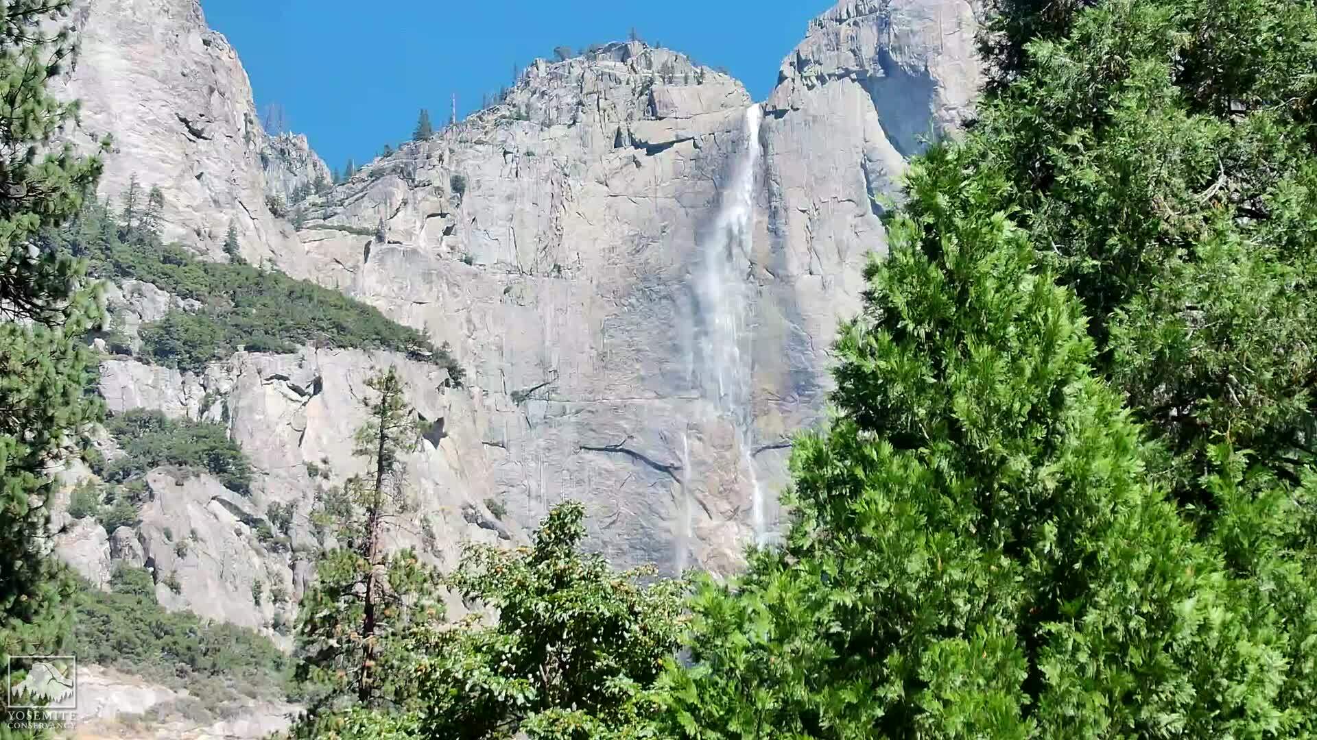
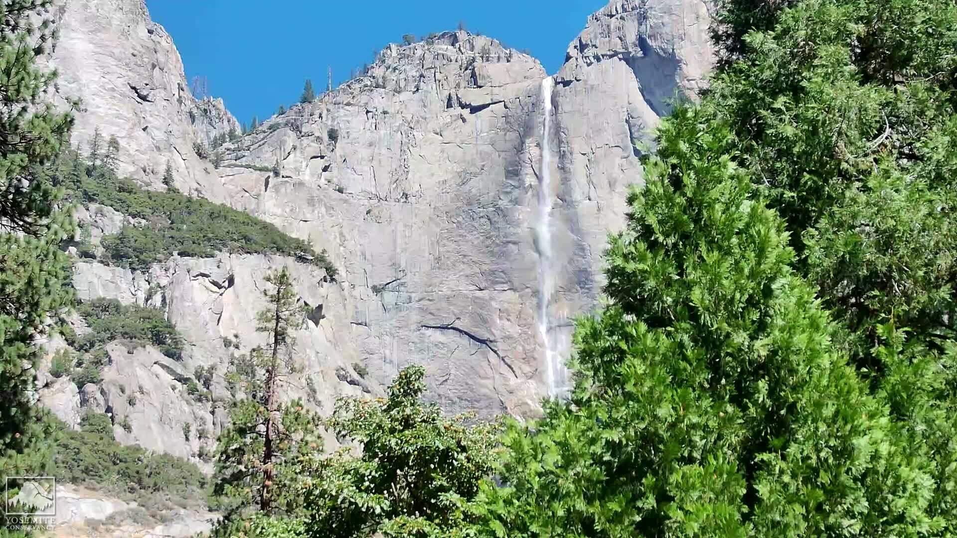
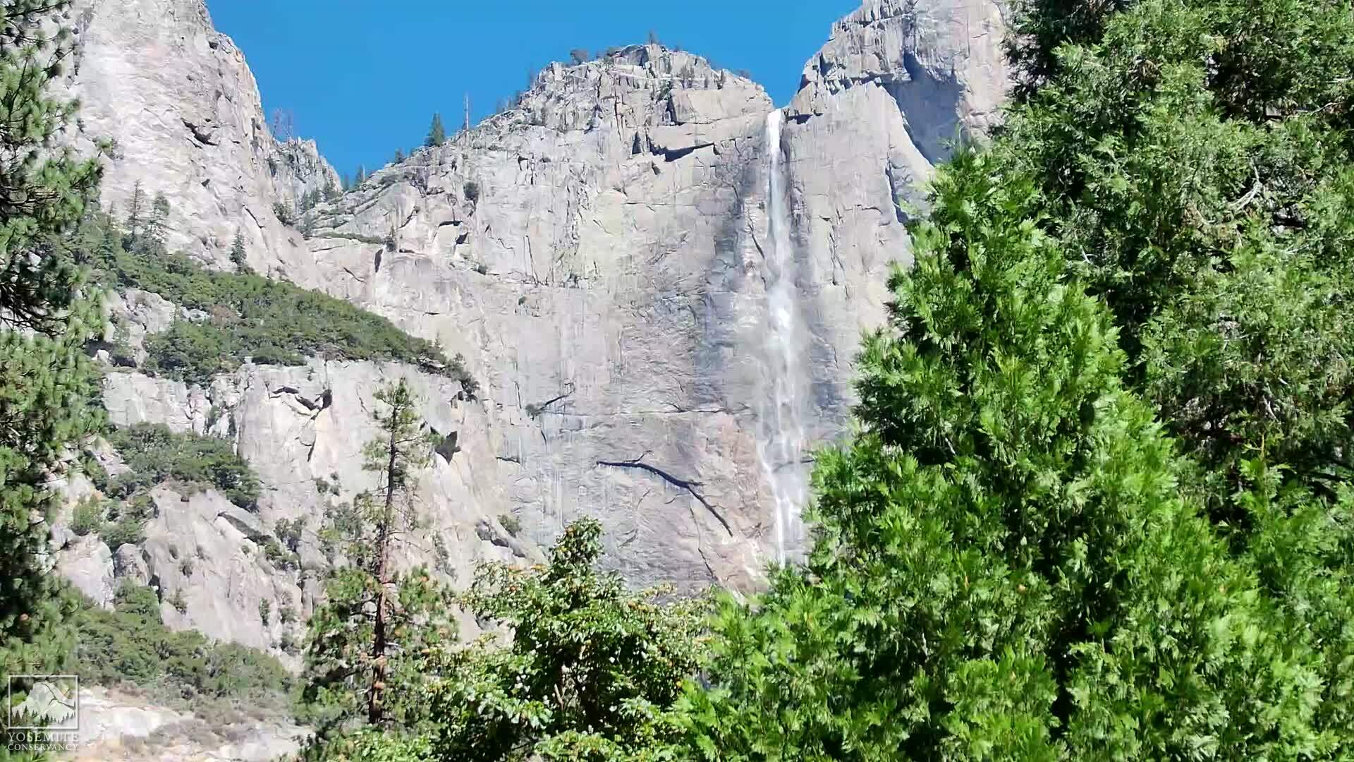
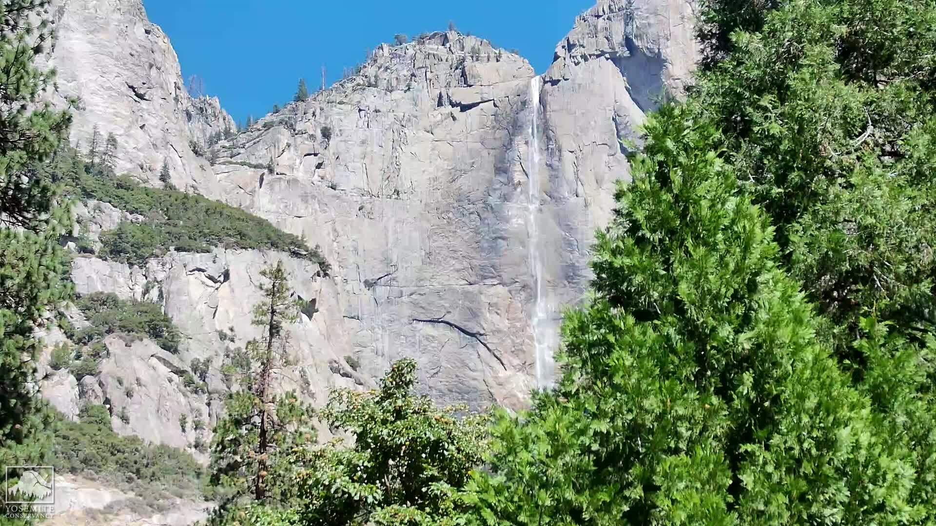
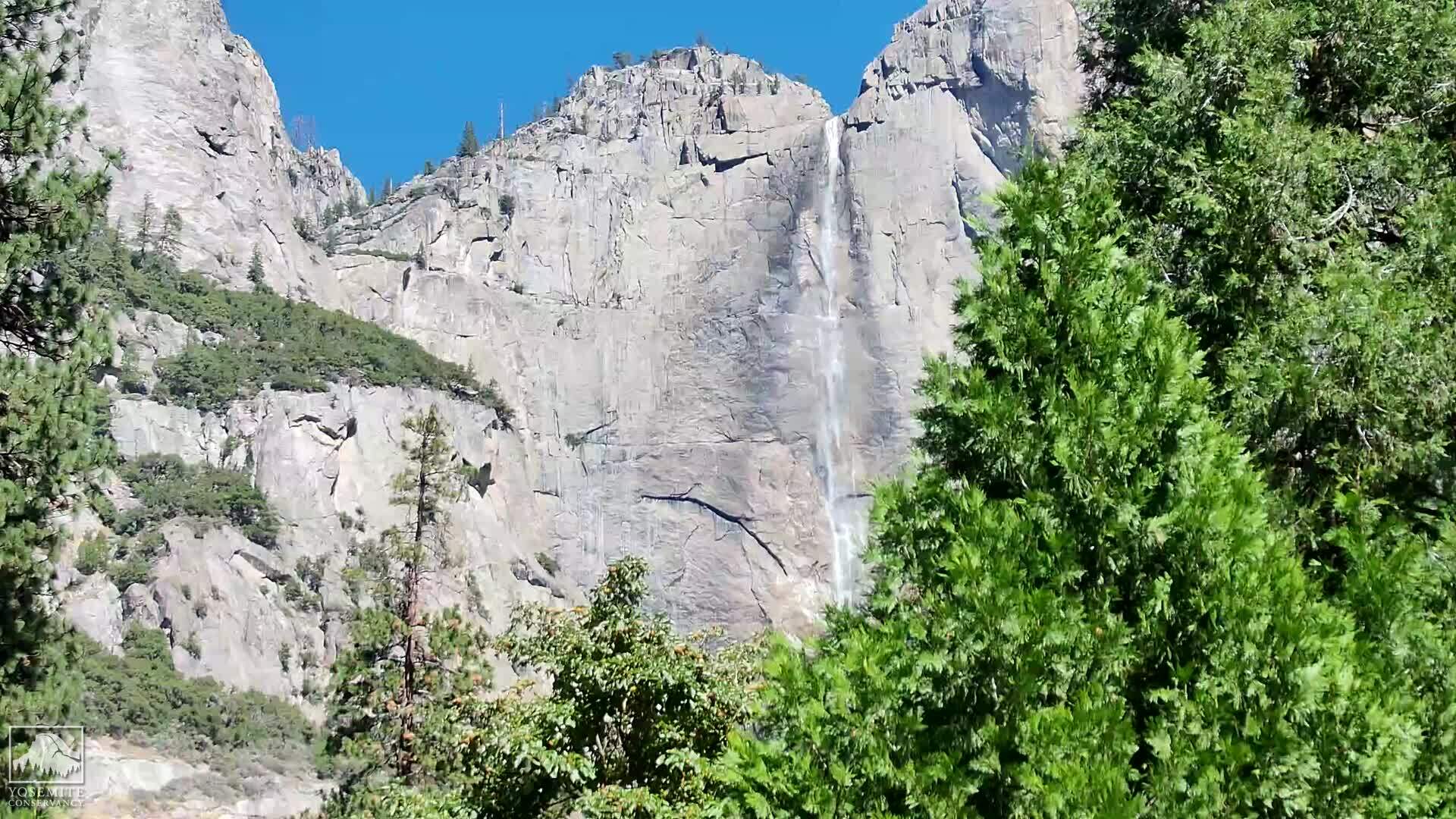
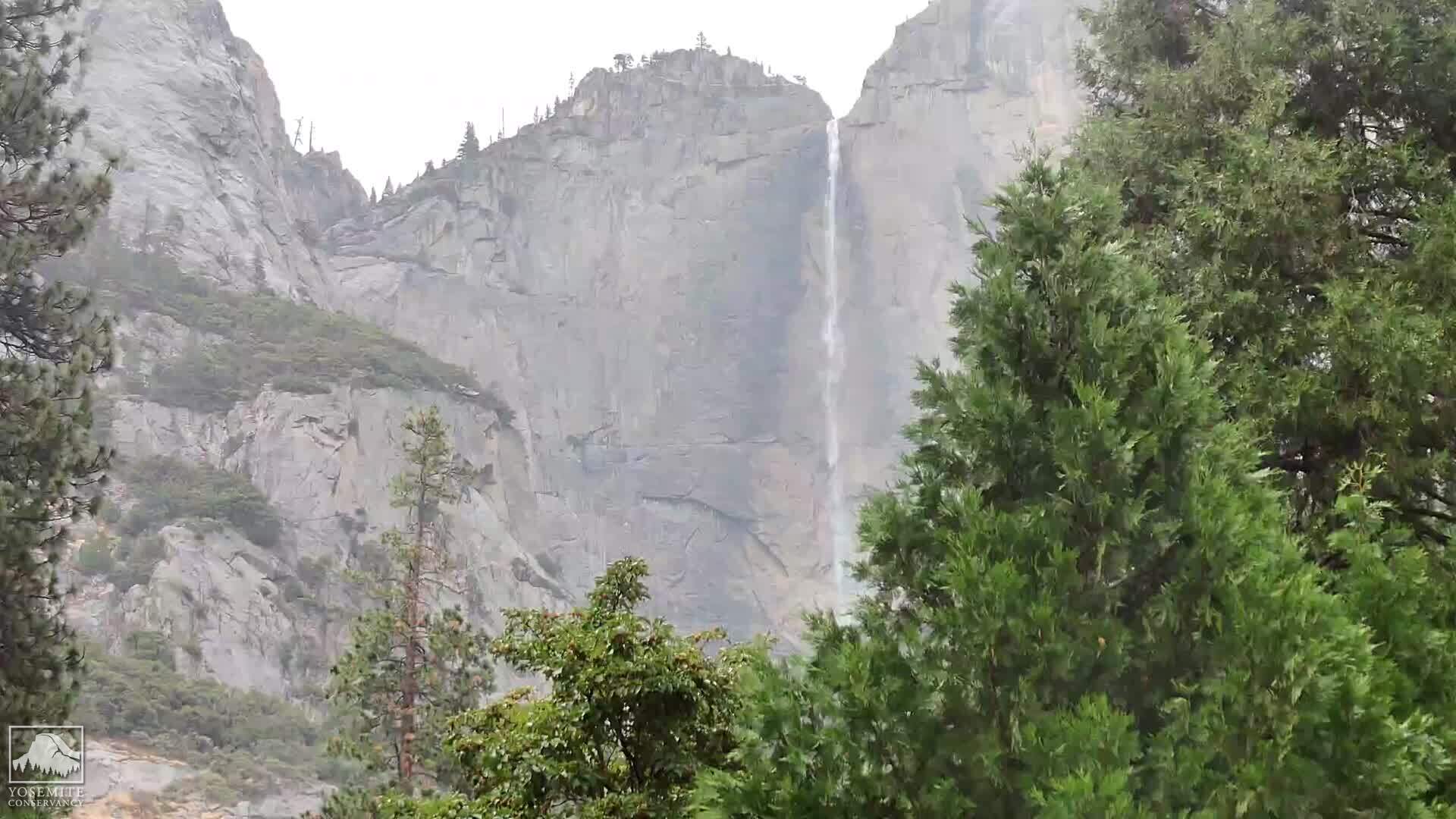
Yosemite Village, California, USA - 103.3 miles from Lake Forest: Yosemite Falls
Operator: Yosemite Conservancy
Operator: Yosemite Conservancy


Lassen Volcanic National Park, California, USA - 115.1 miles from Lake Forest: Kohm Yah-mah-nee Visitor Center - A view from the Kohm Yah-mah-nee Visitor Center in the Lassen Volcanic National Park towards Mt. Diller (left) und Pilot Pinnacle (right).
Operator: U.S. National Park Service
Operator: U.S. National Park Service


Some other places in this country: Shasta Lake - Kings Beach - Tahoe Vista - Los Berros - Los Angeles - Zzyzx - Santa Clarita - Huntington Harbour - Westlake Village - Greekstore