Webcams in the region of Butler (historical), California, USA
The List of Webcams near Butler (historical), California, USA:

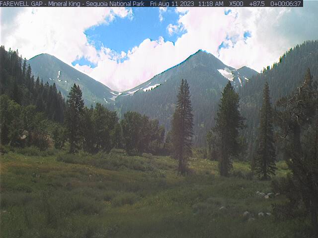
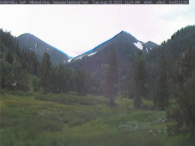
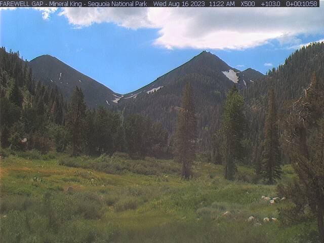
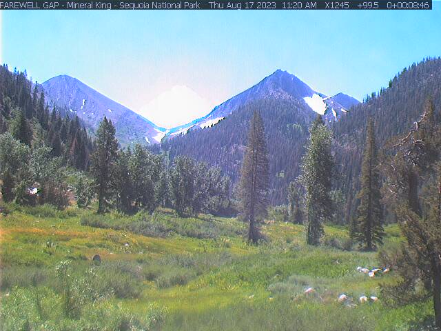
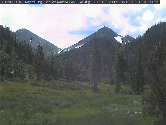
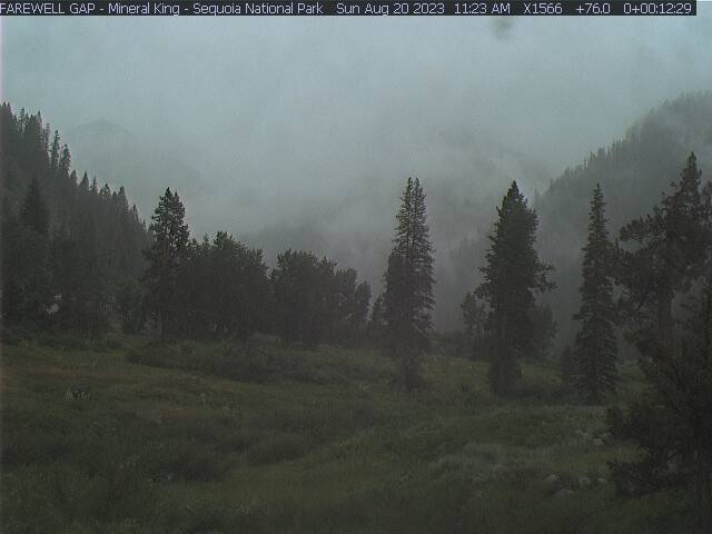
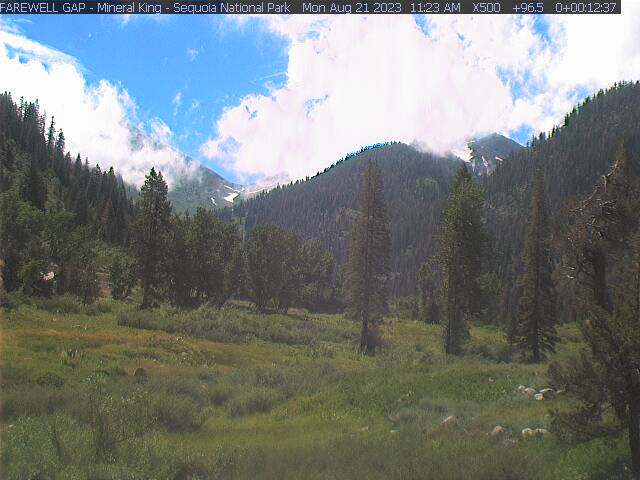
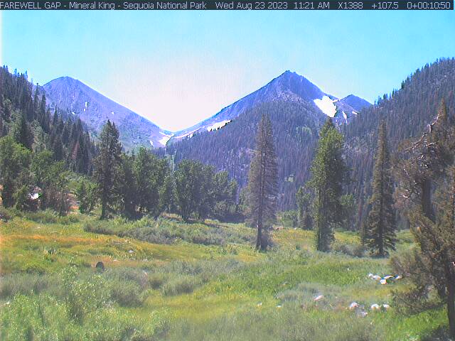
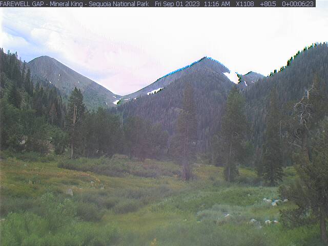
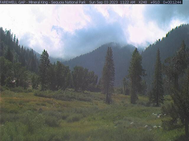
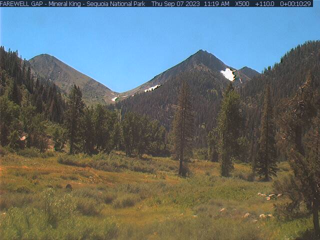
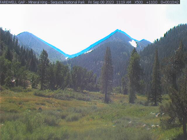
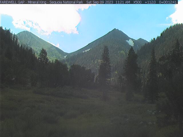
Mineral King, California, USA - 63.2 miles from Butler (historical): Mineral King - Farewell Gap - Mineral King Valley, Sequoia National Park, CA. USA. View looking south toward Farewell Gap.
Operator: Mineral King Webcam
Operator: Mineral King Webcam


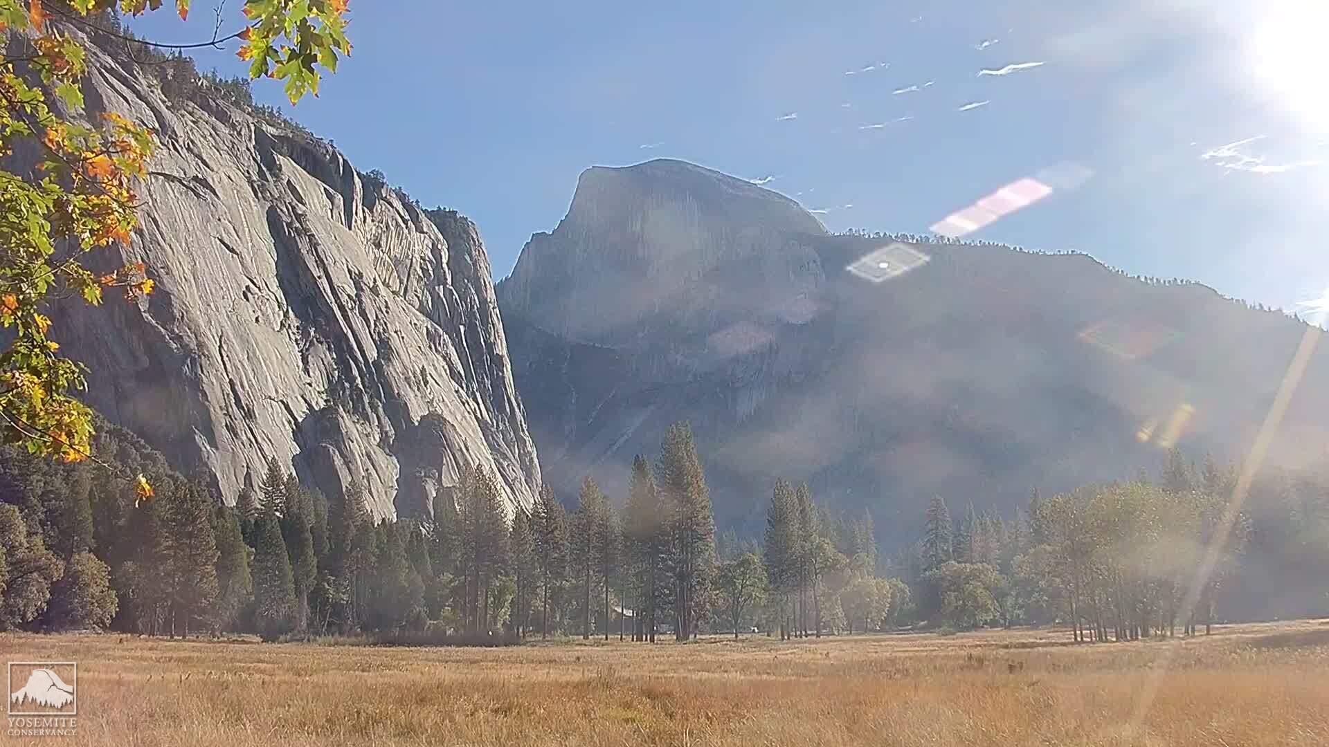
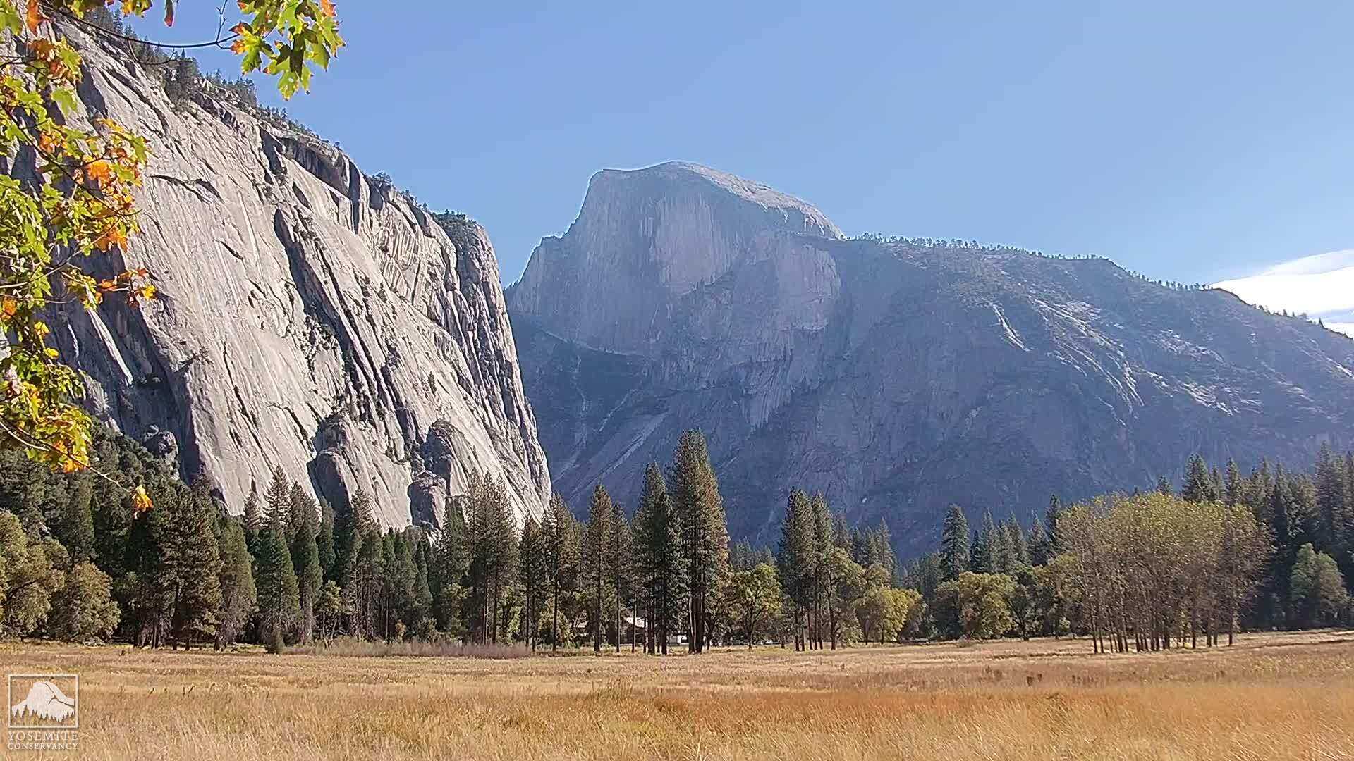
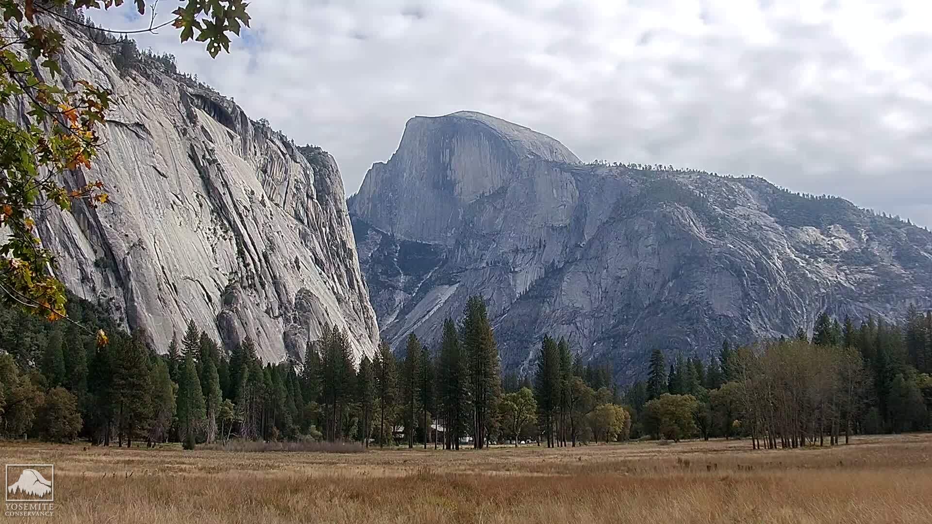
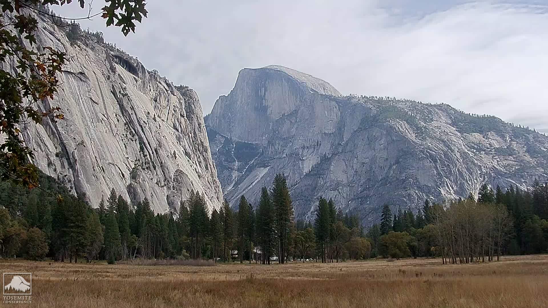
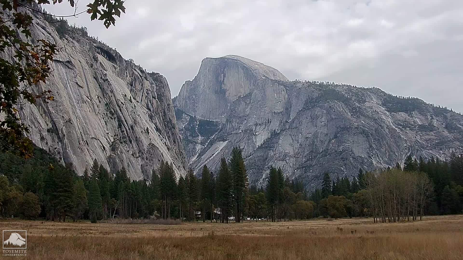
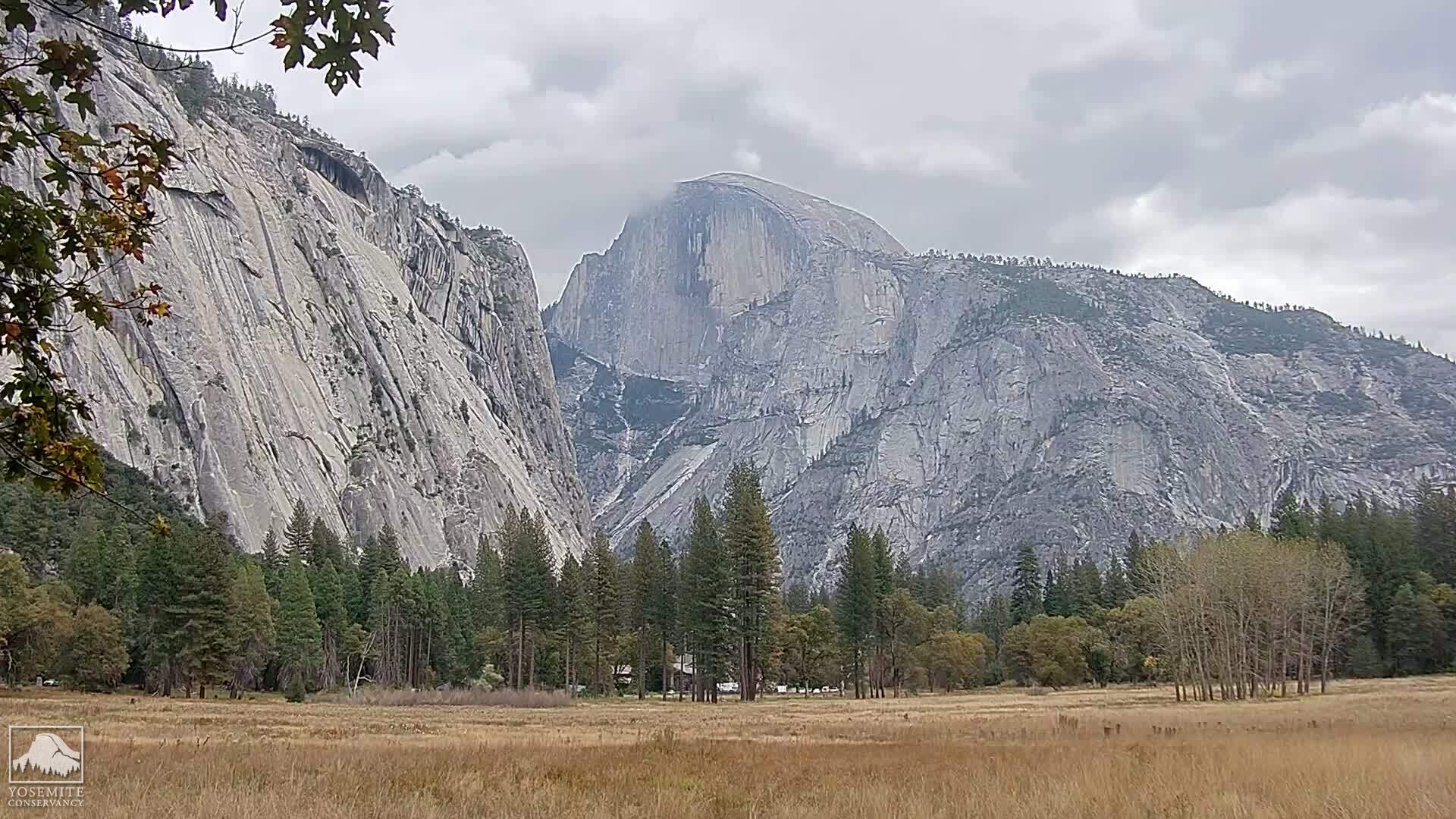
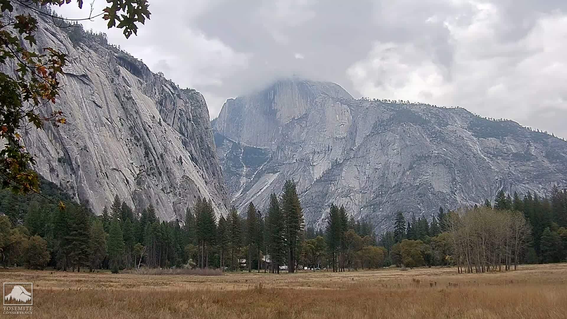
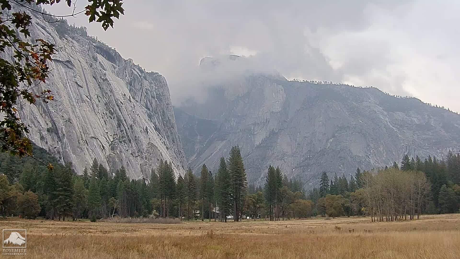
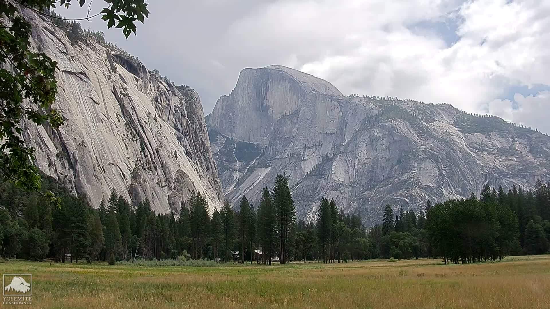
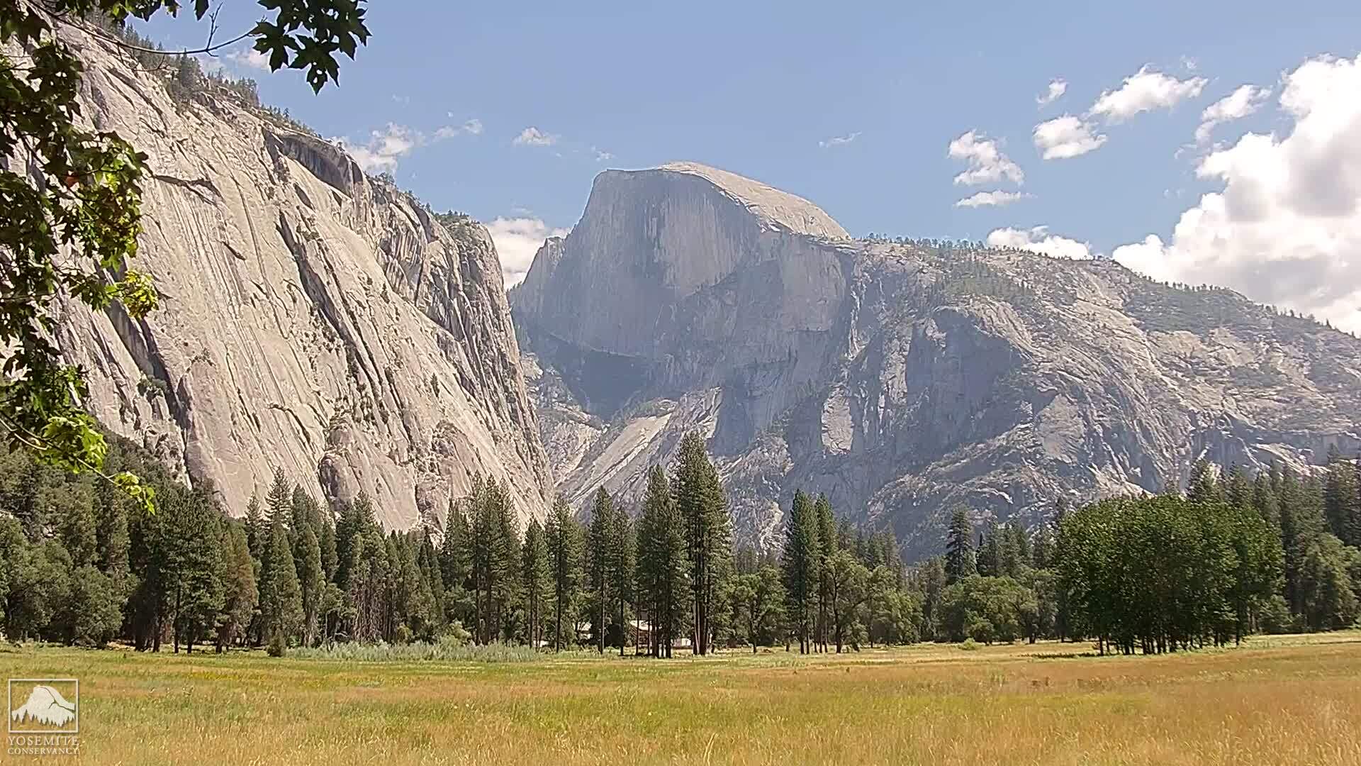
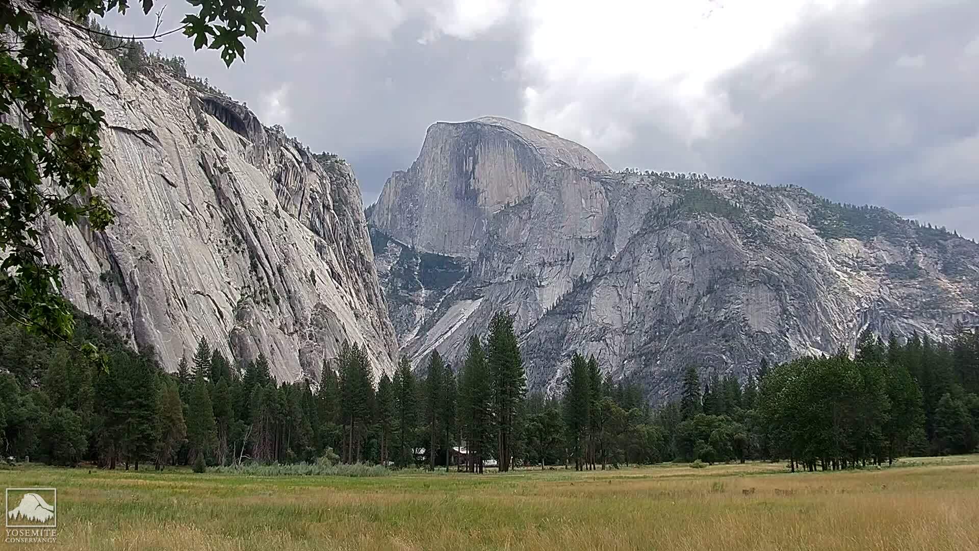
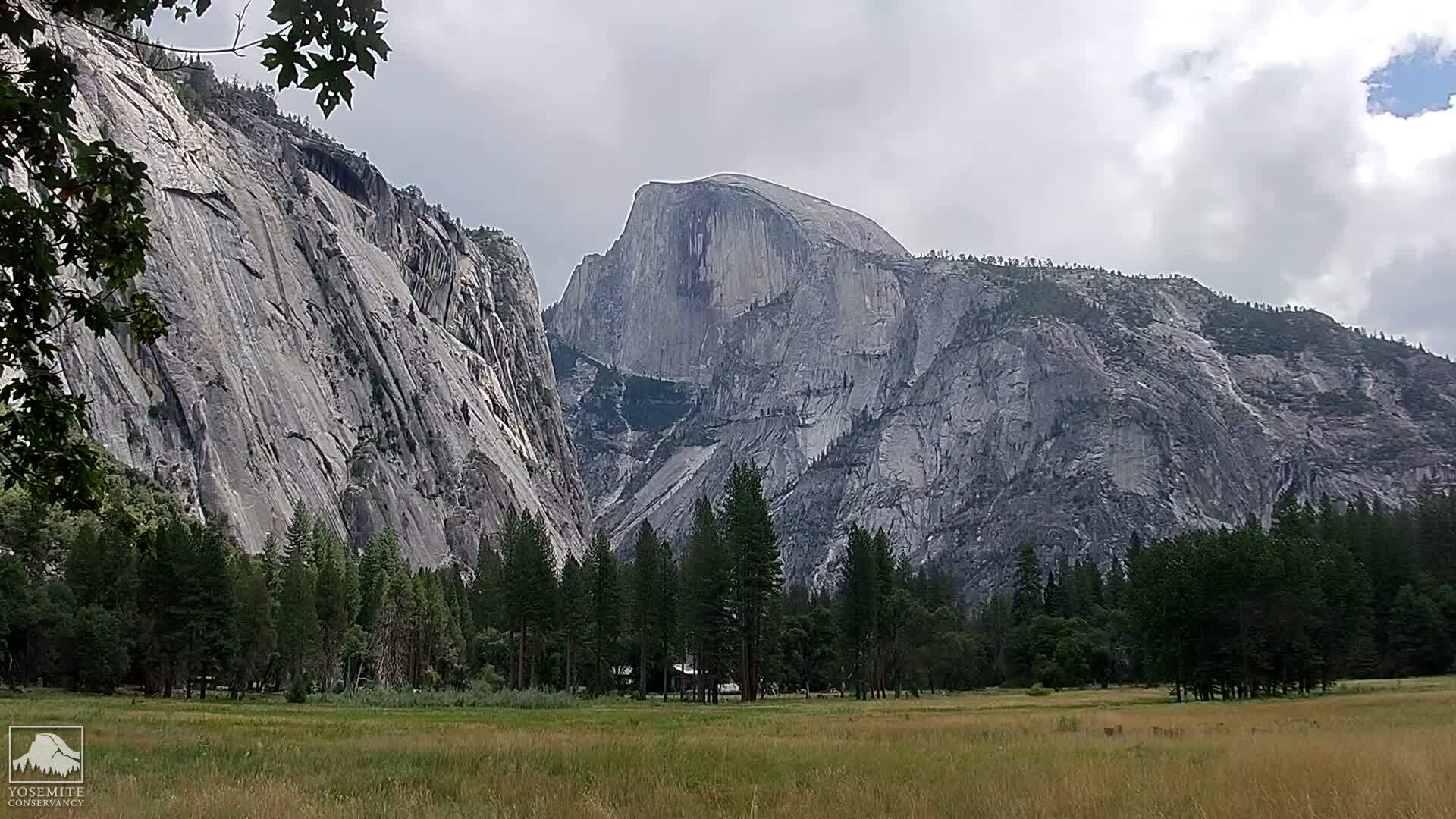
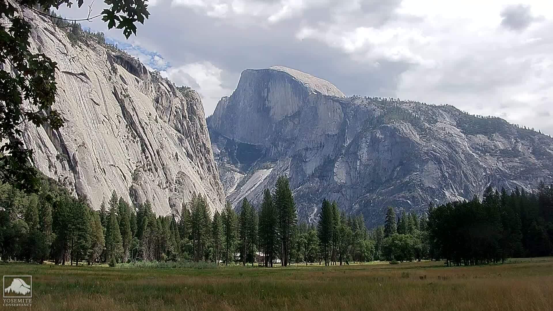
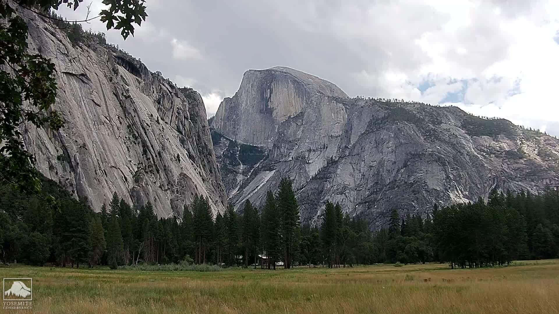
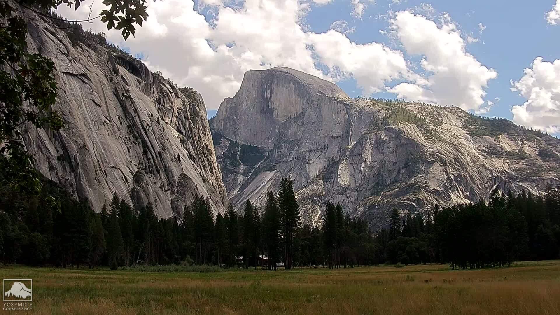
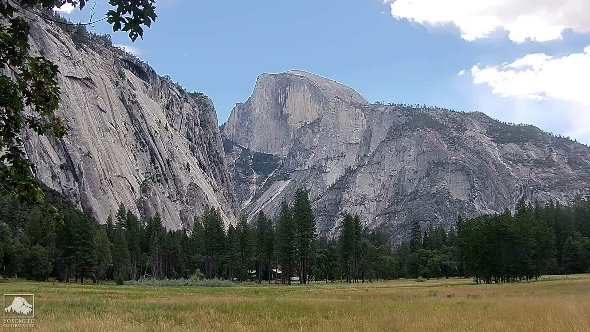
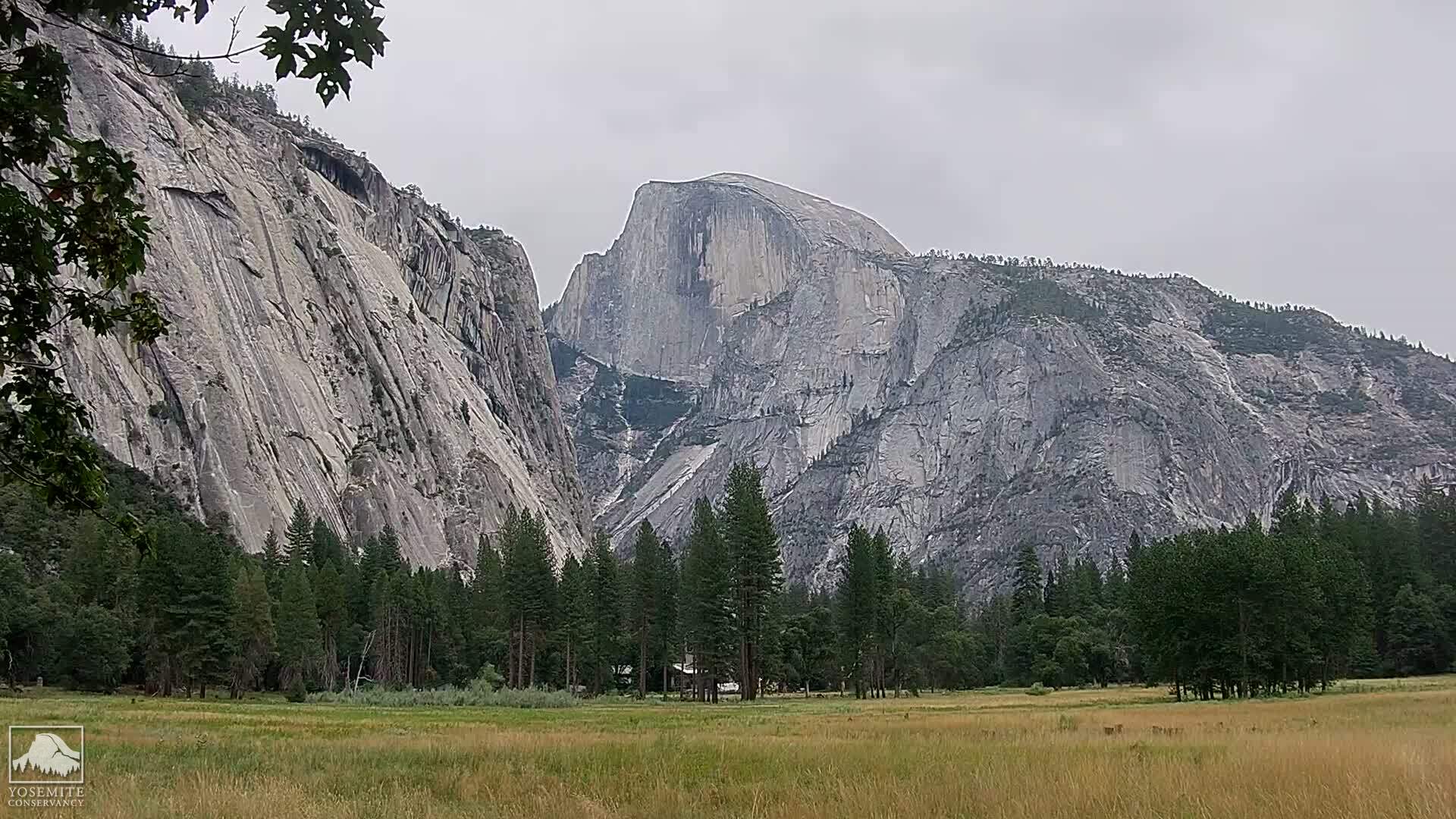
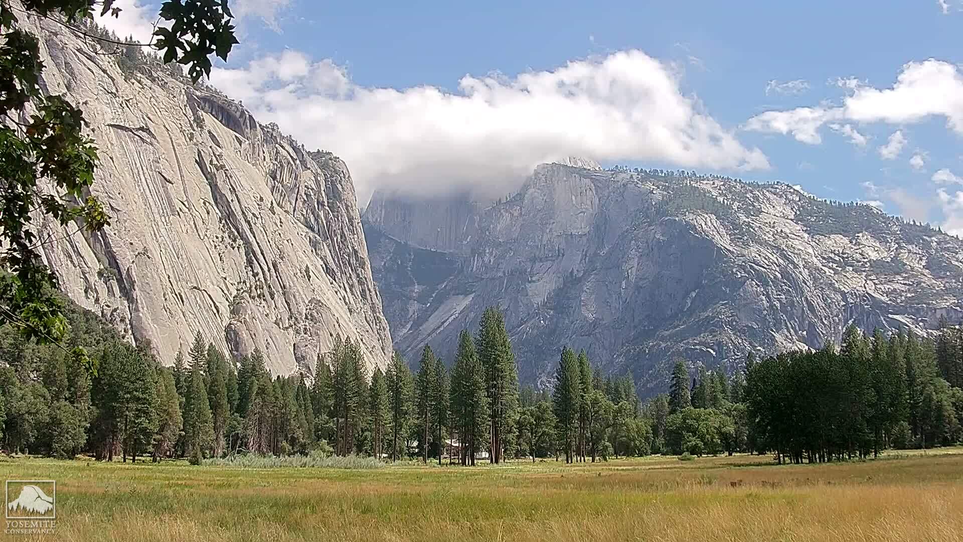
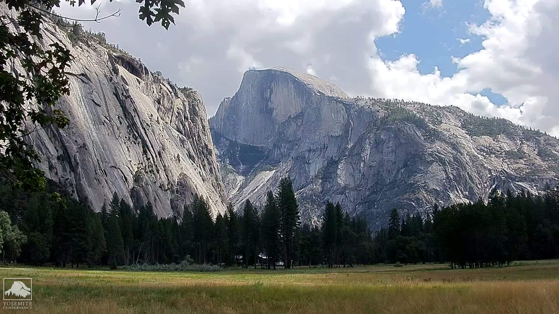
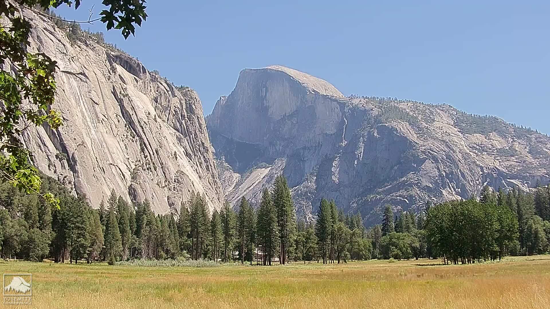
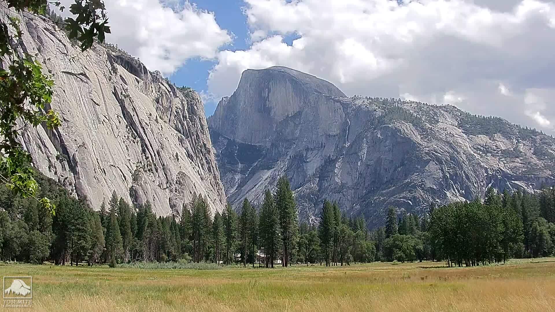
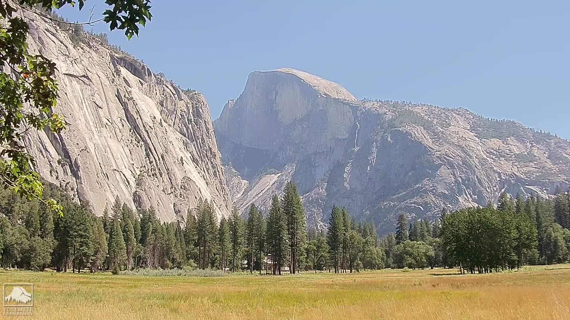
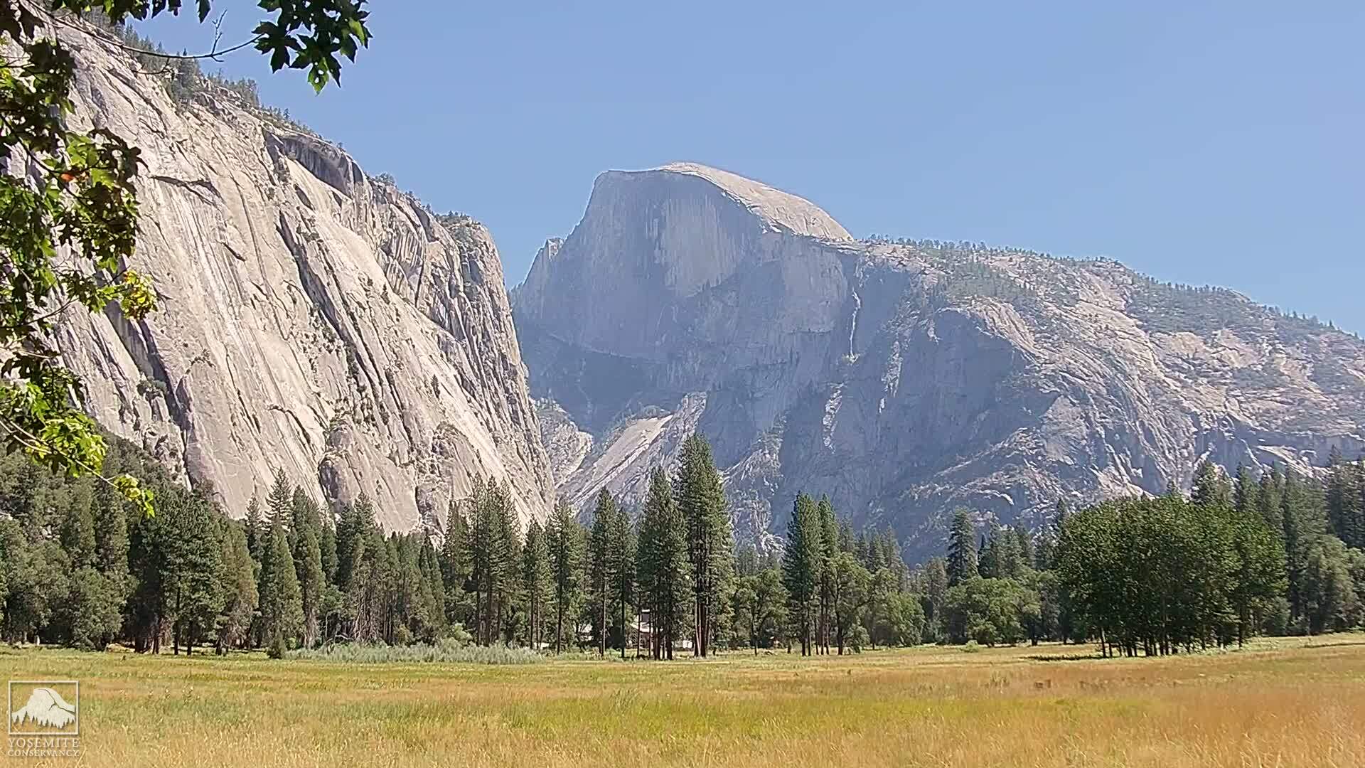
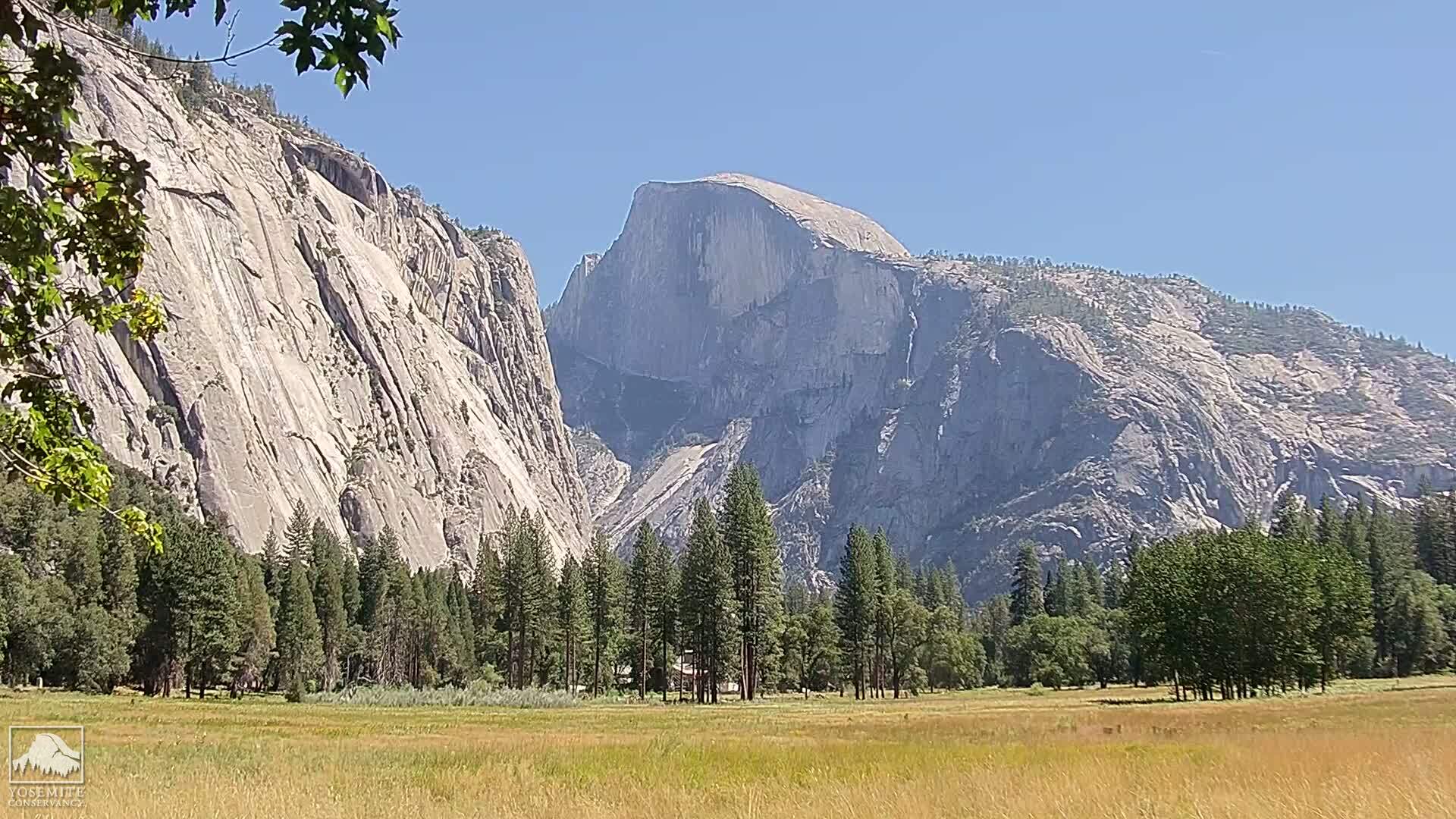
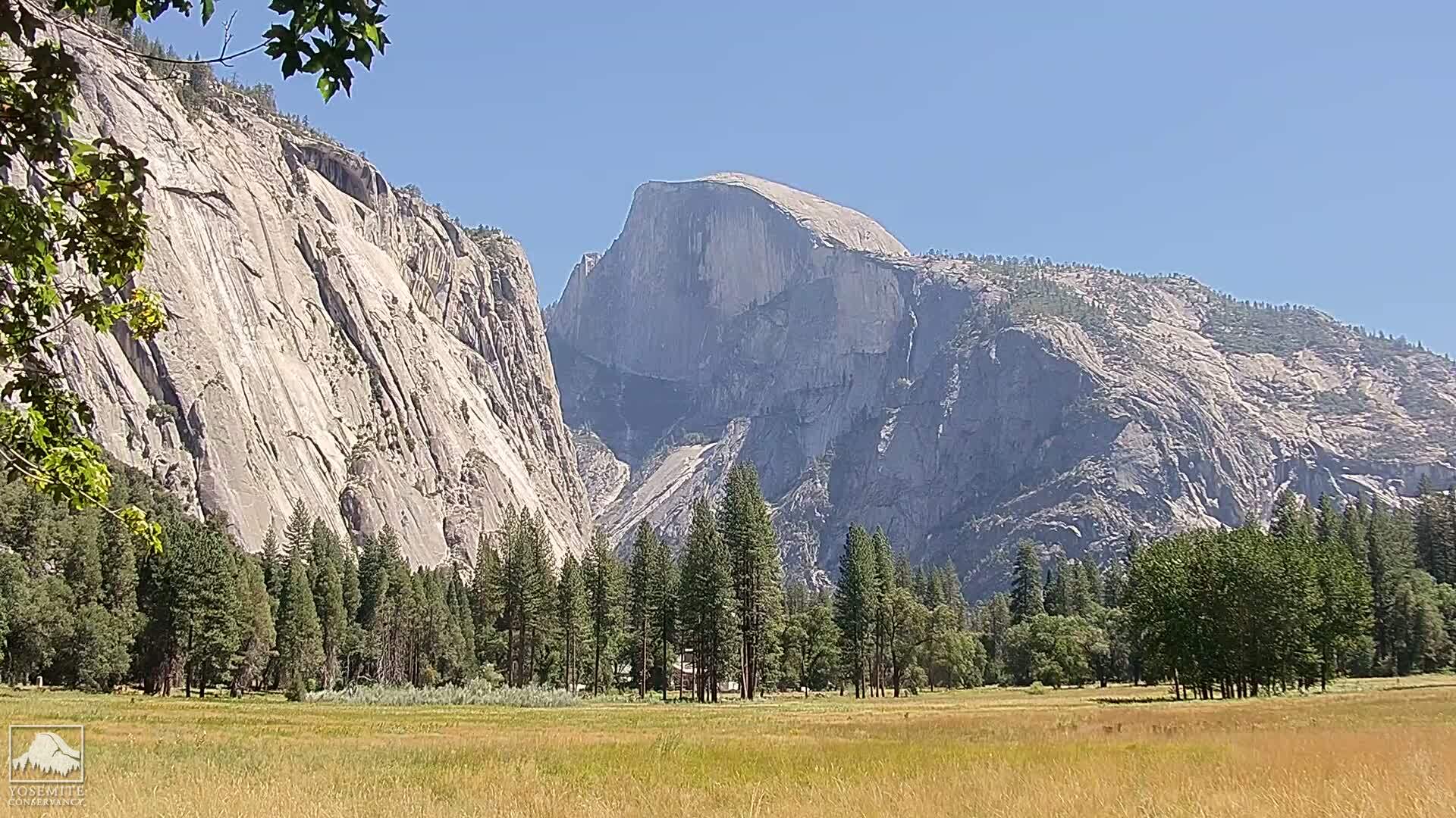
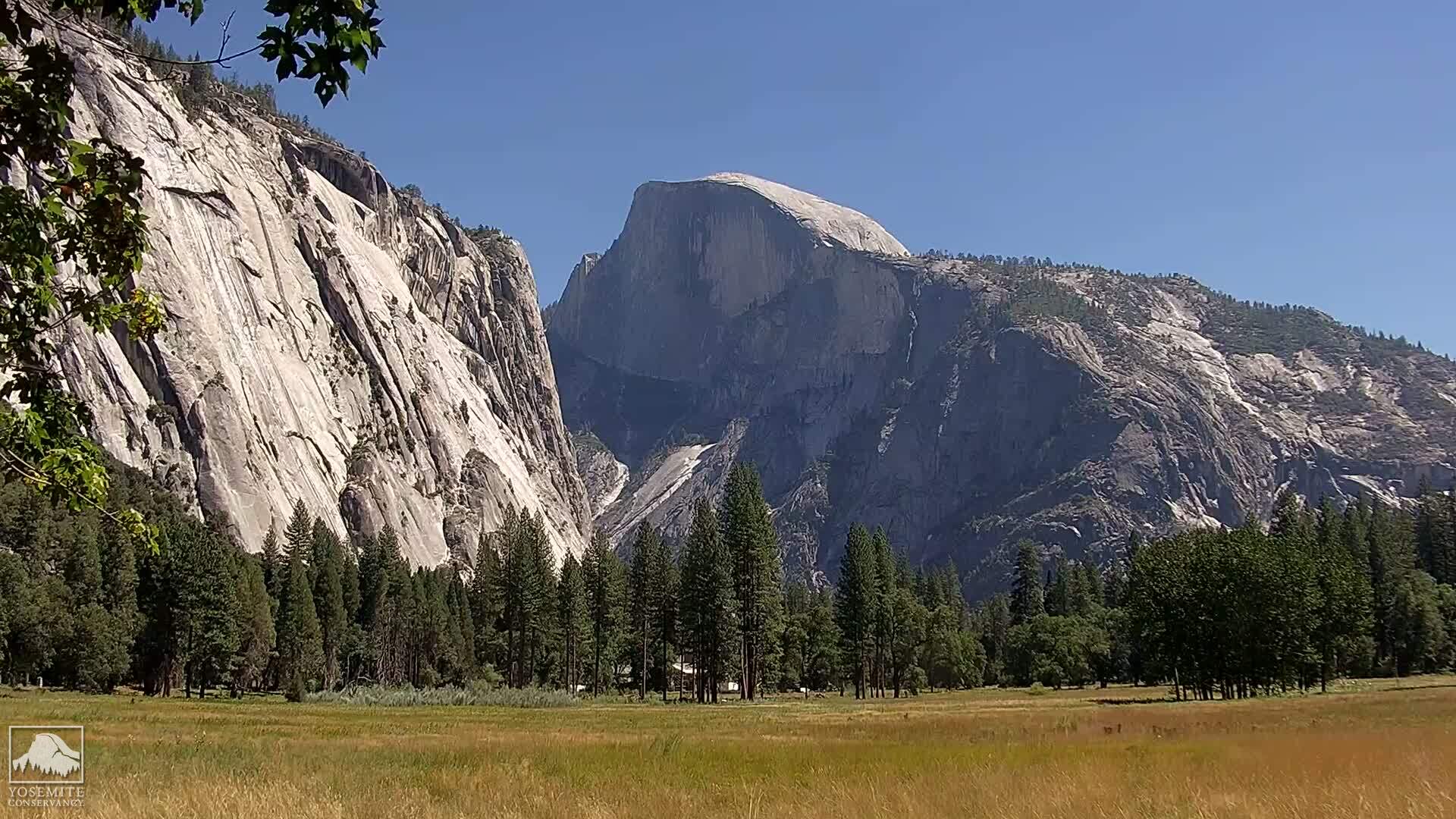
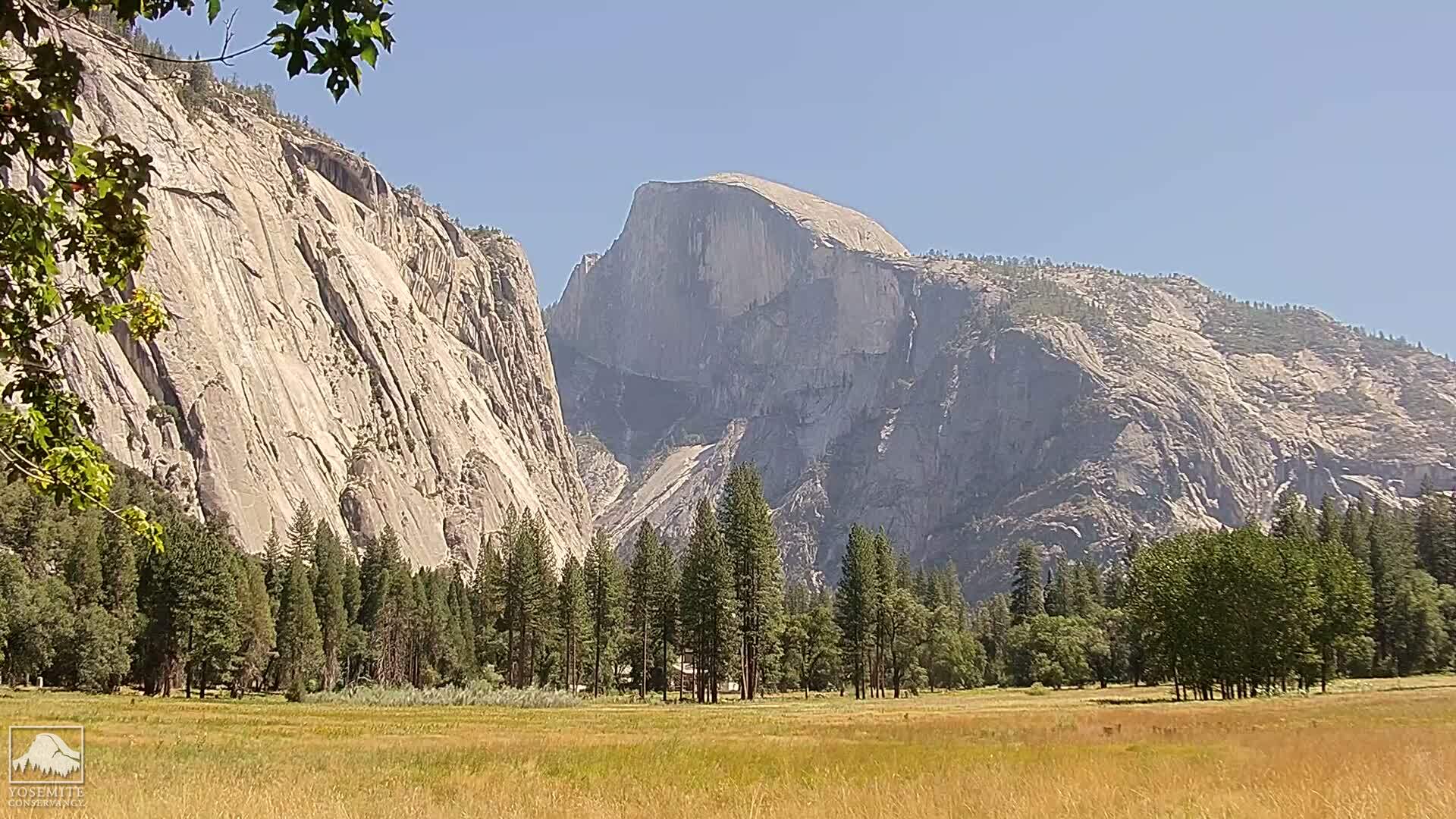
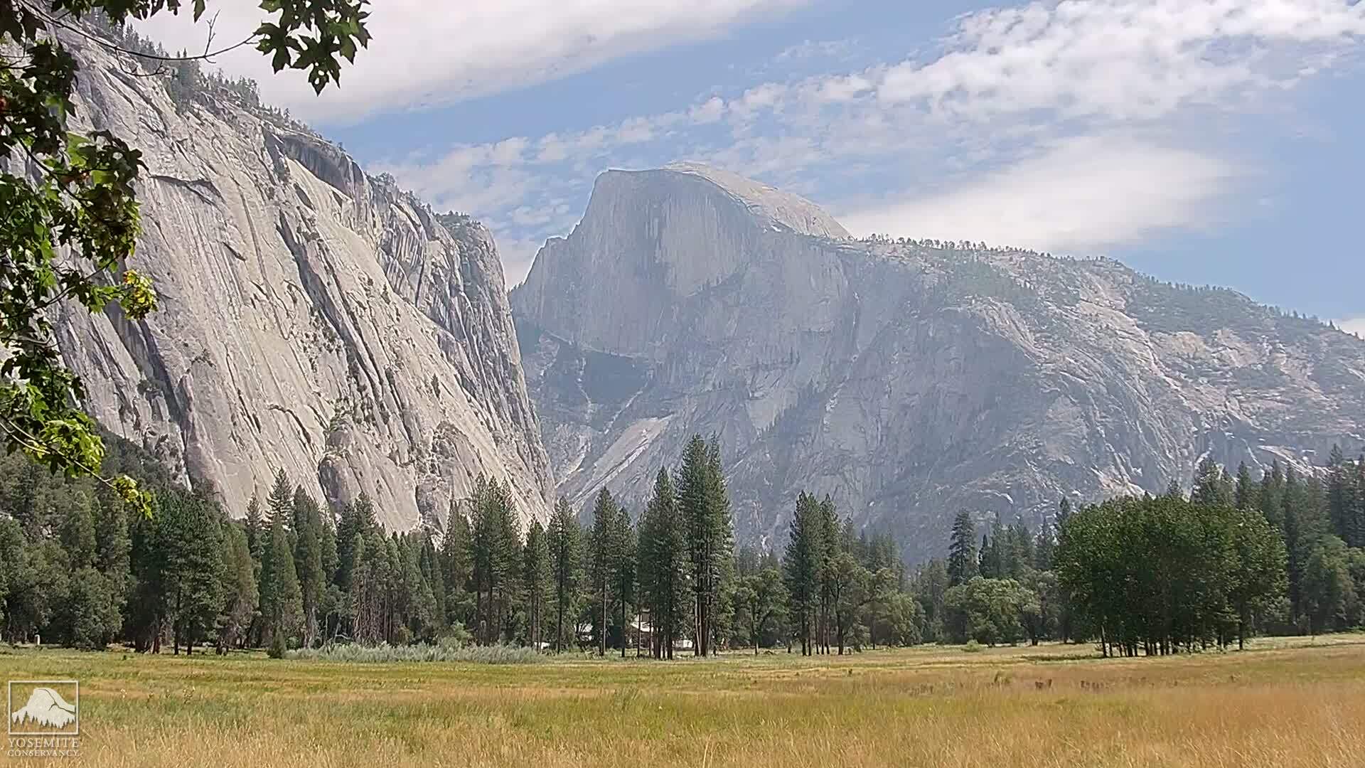
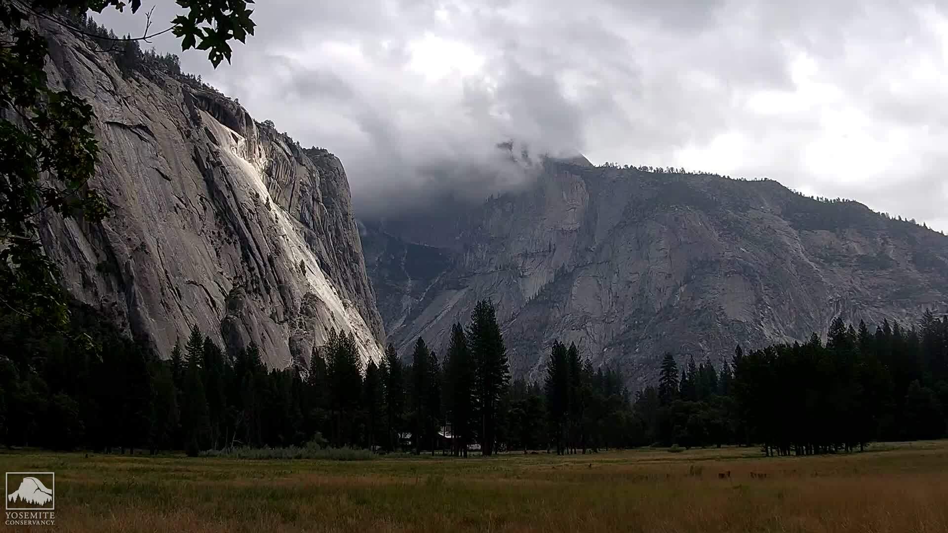
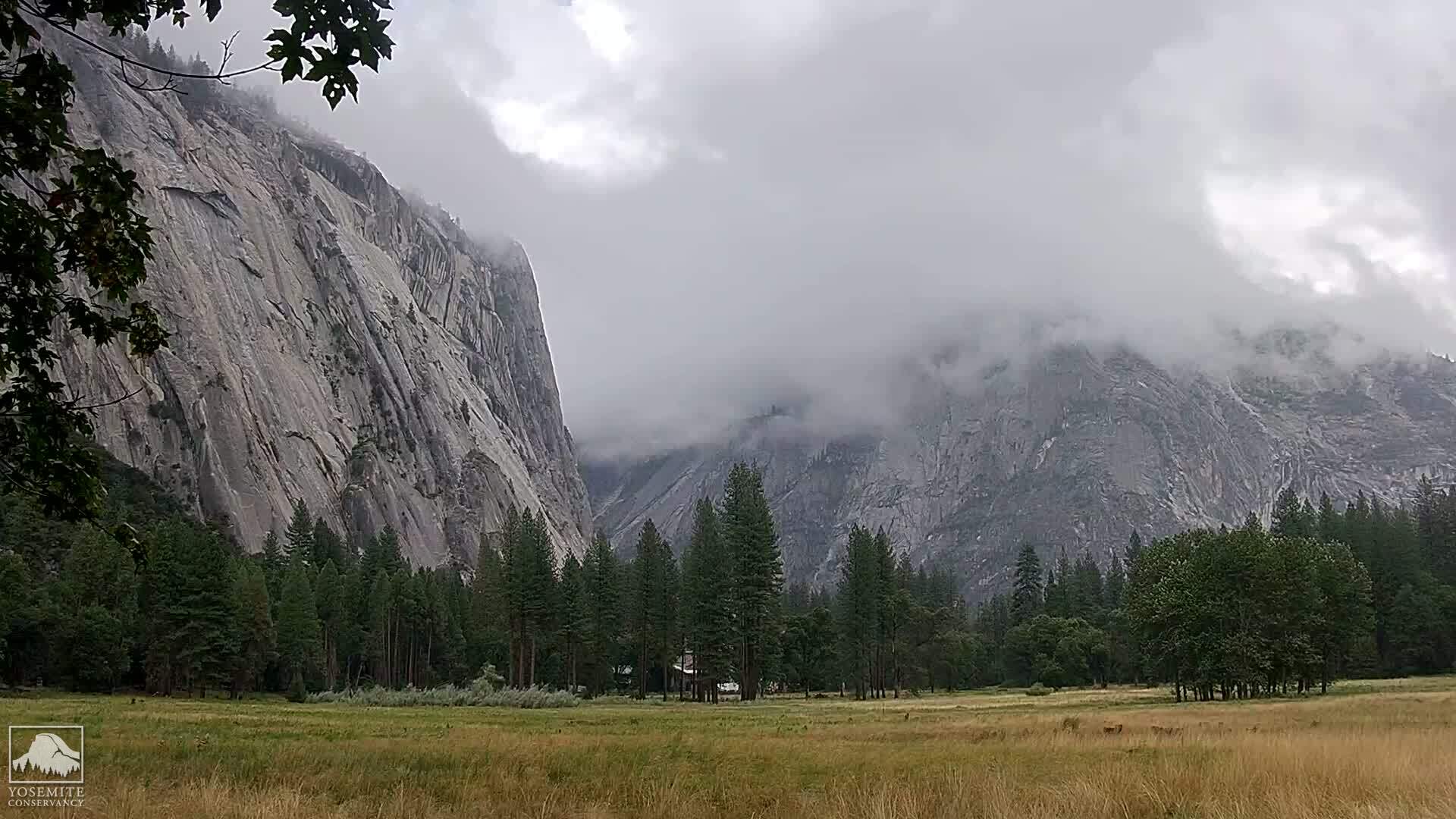
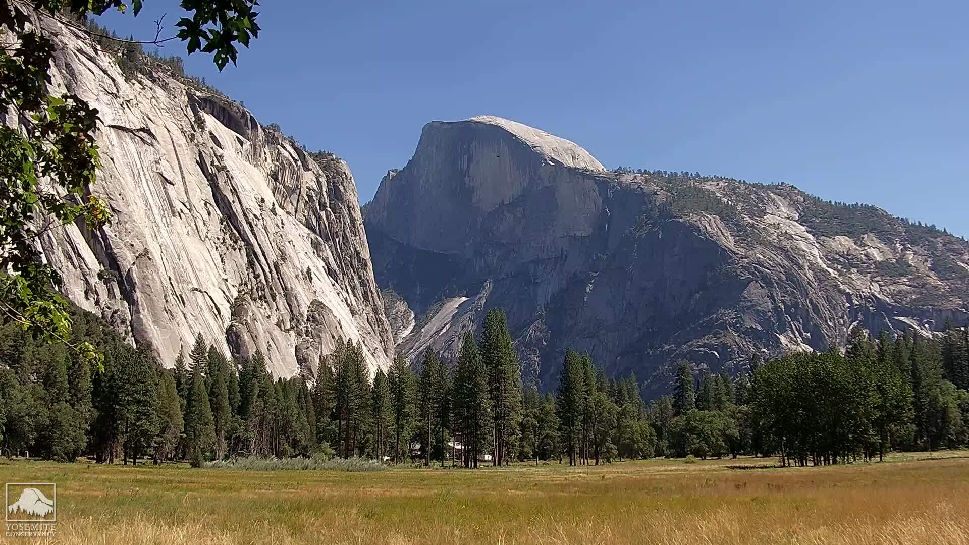
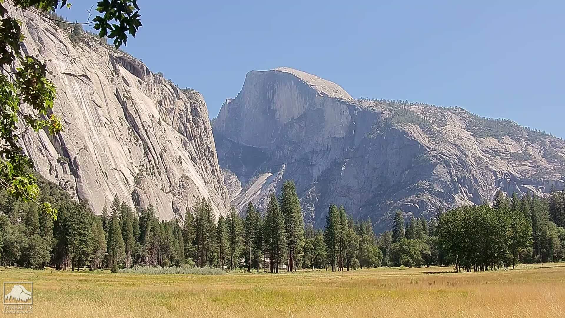
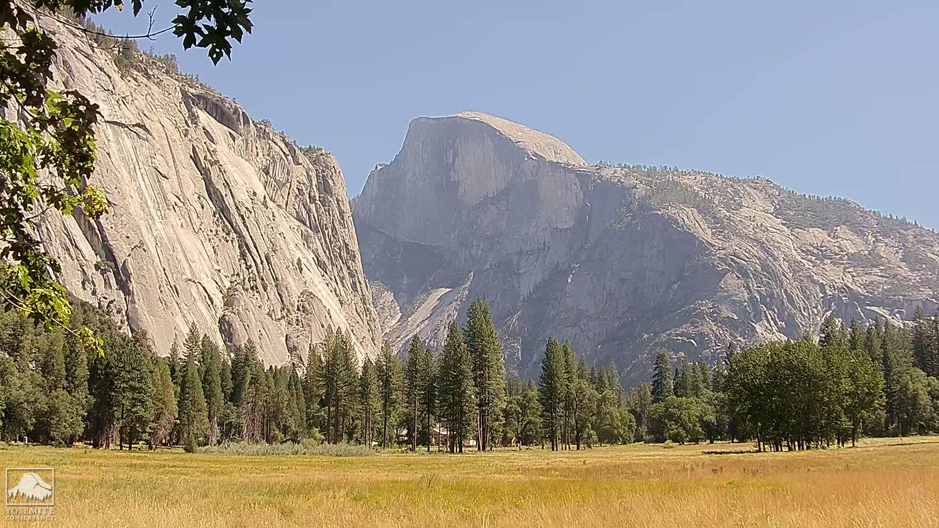
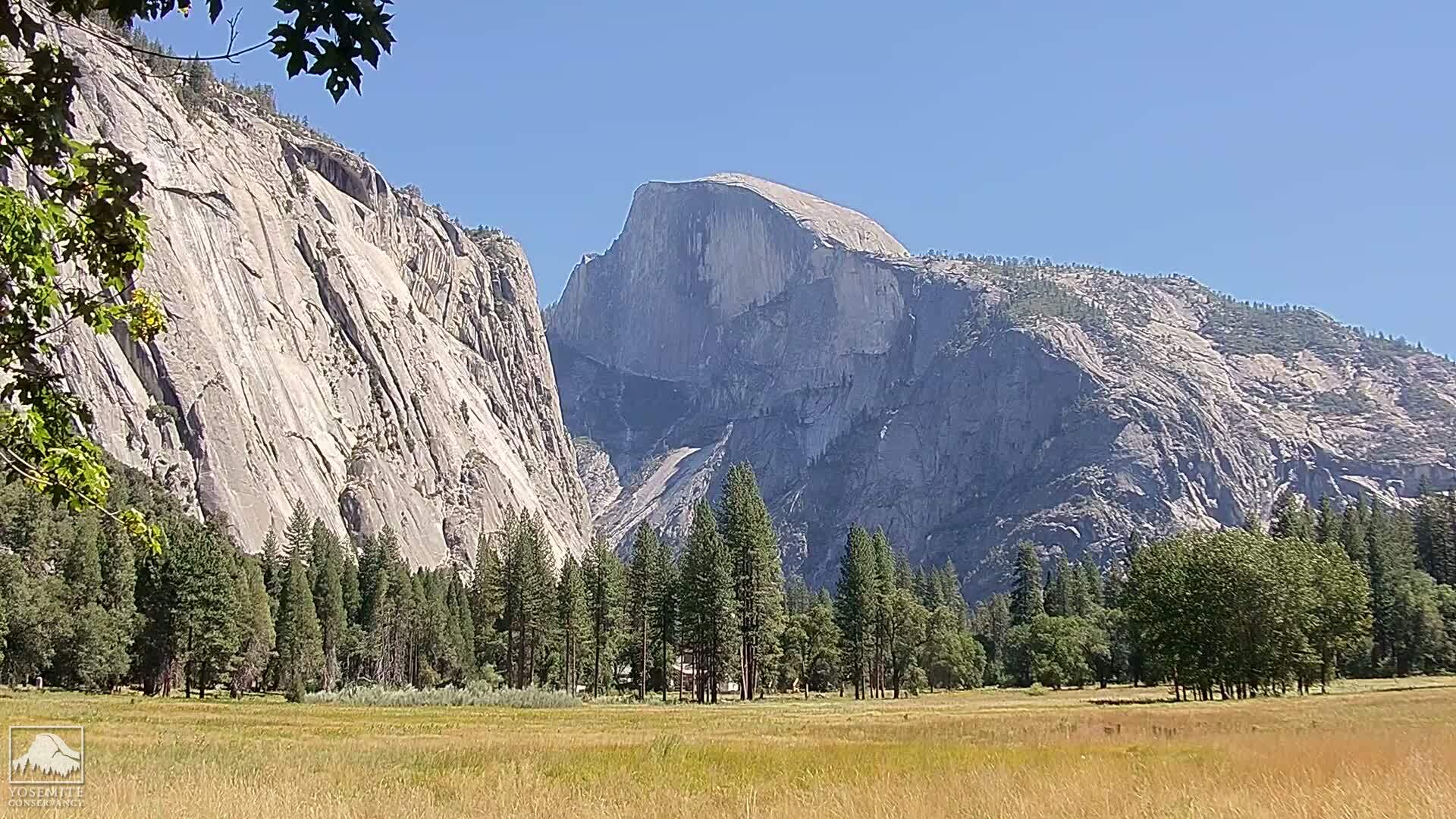
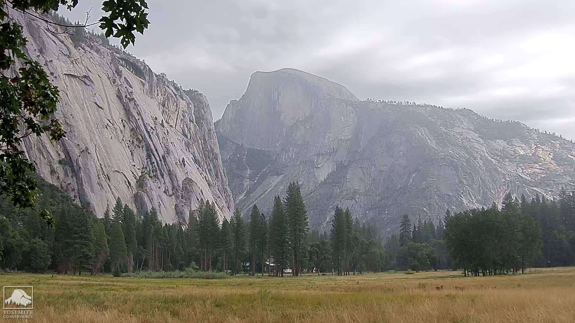
Yosemite National Park, California, USA - 70.9 miles from Butler (historical): Live Web Cam Views of Yosemite Valley - Several views.
Operator: The Yosemite Association
Operator: The Yosemite Association
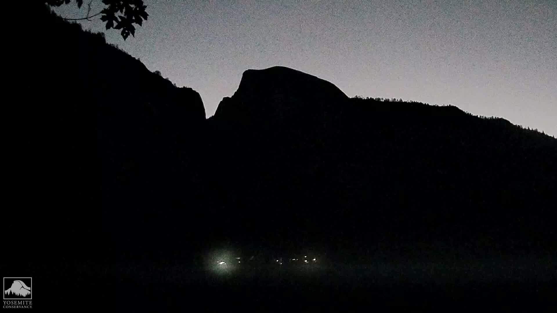
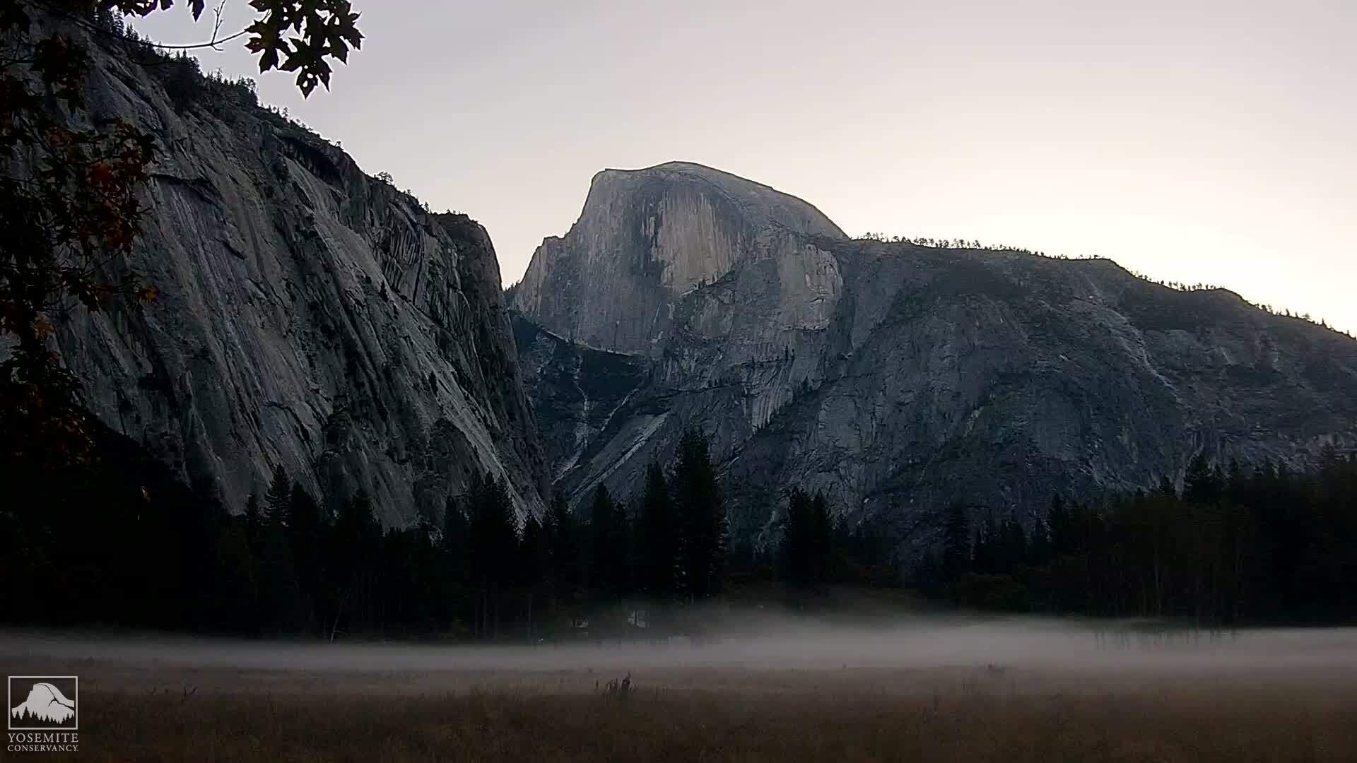


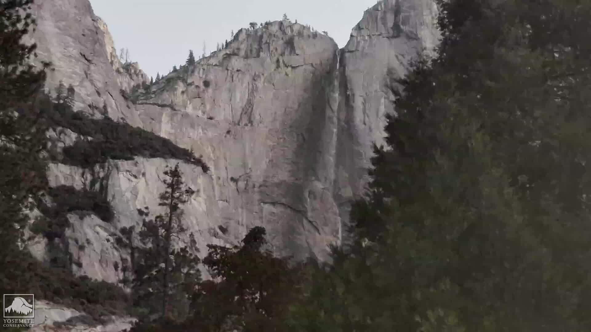
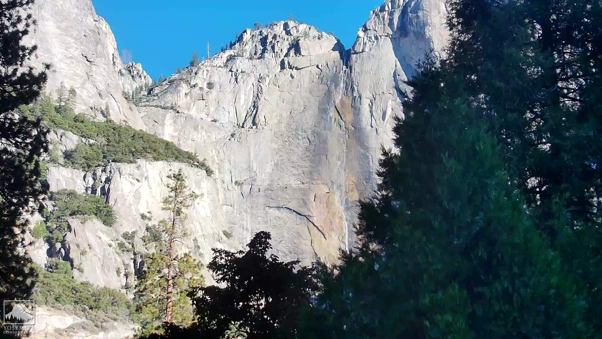
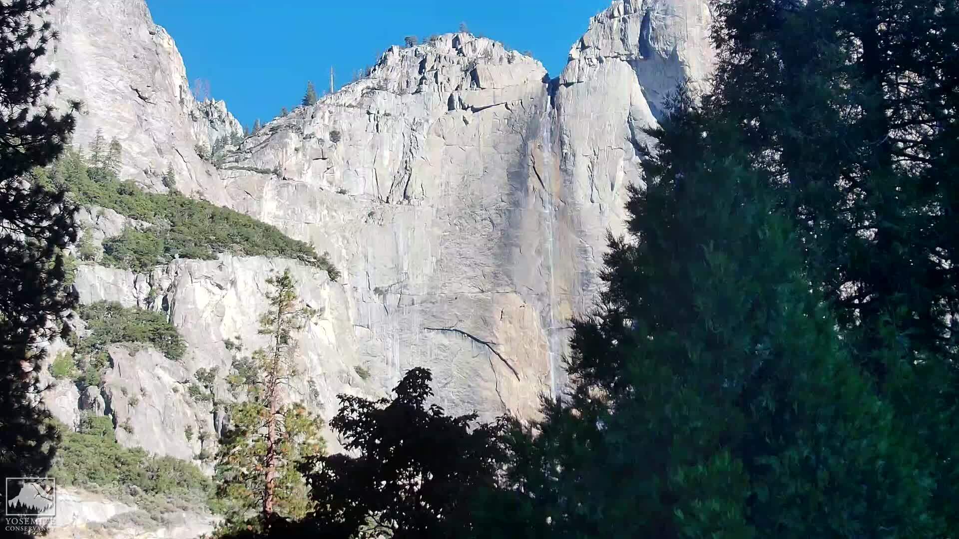
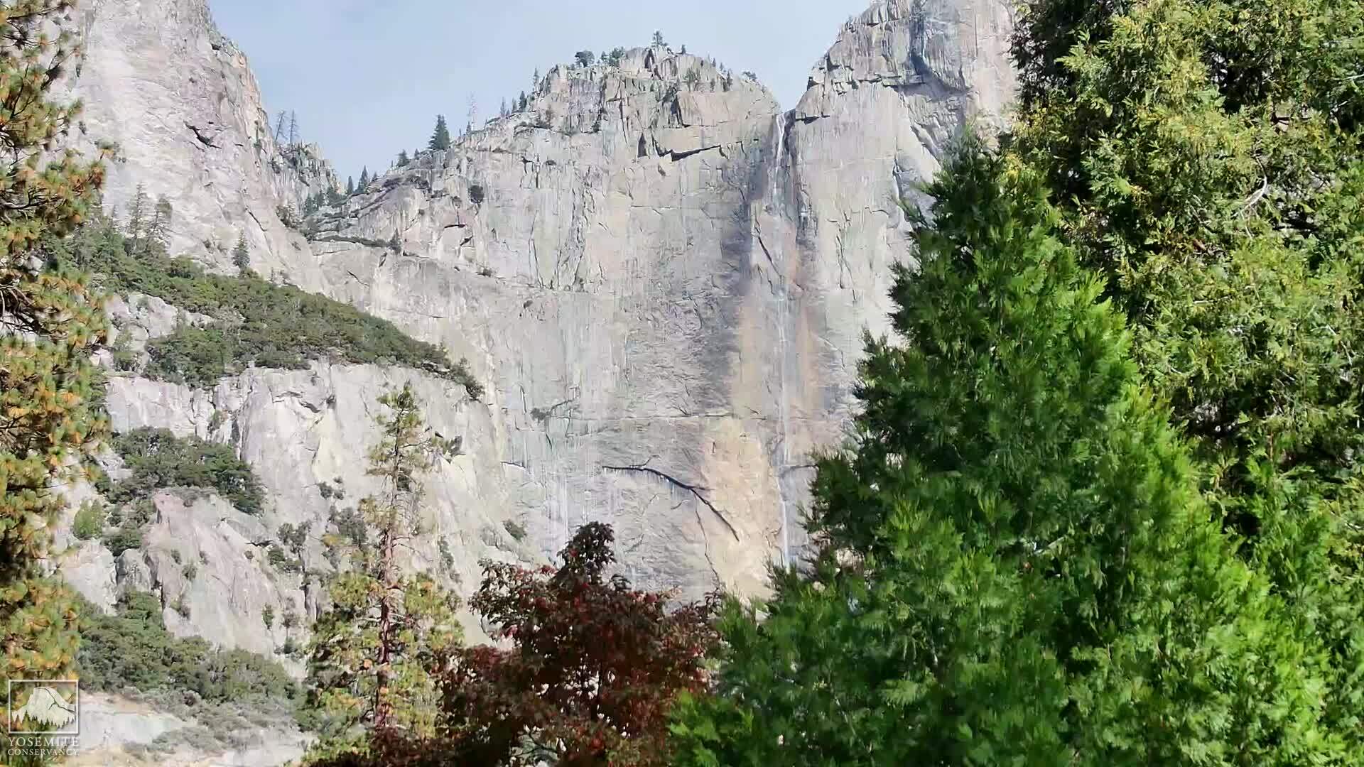
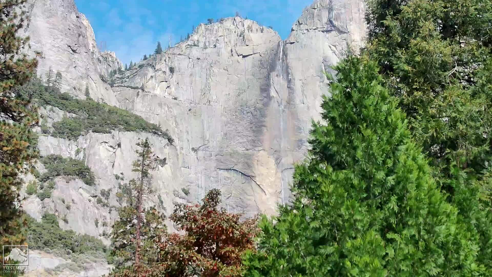
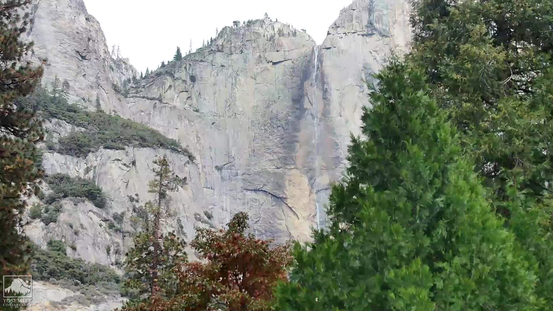
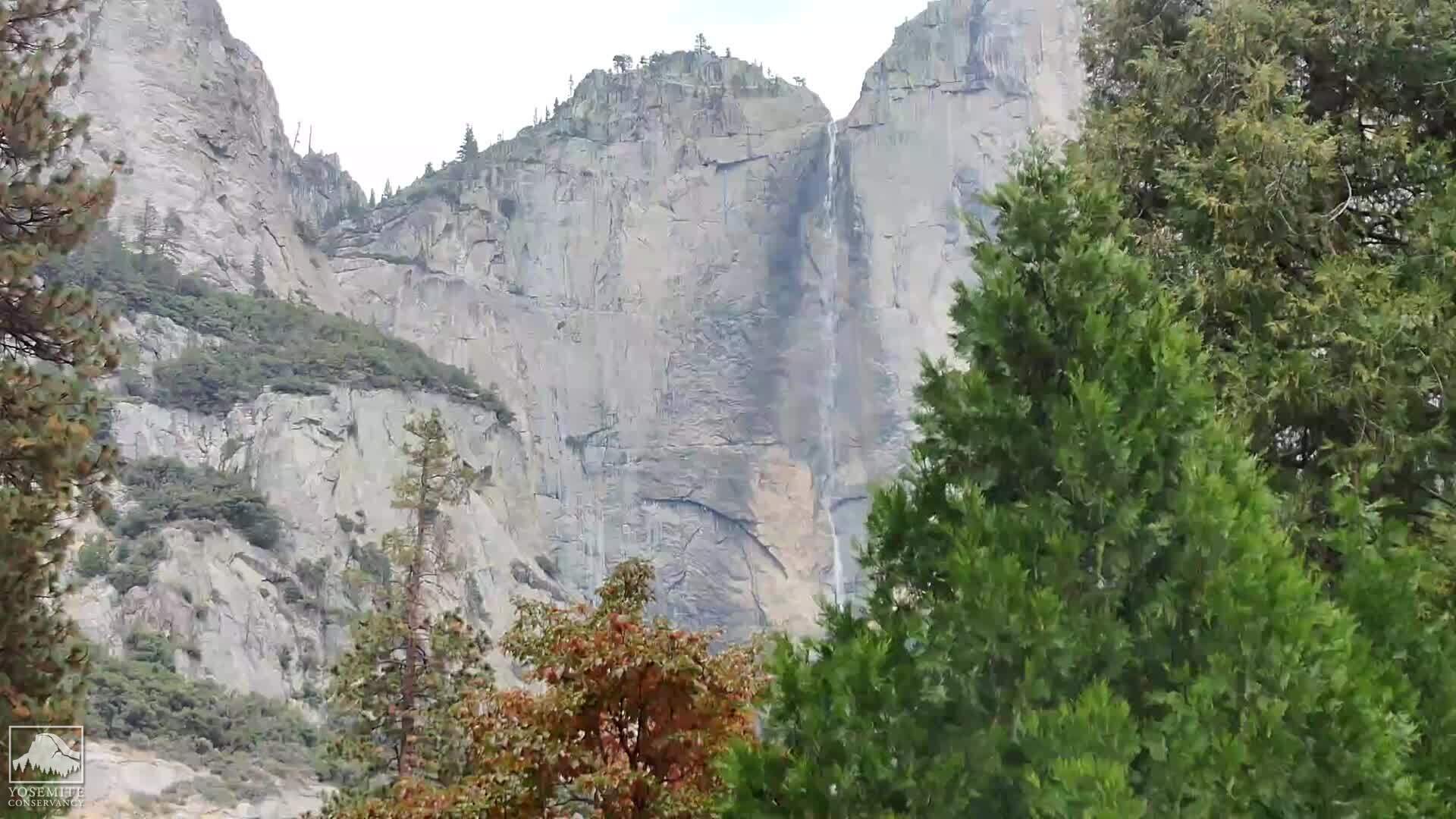
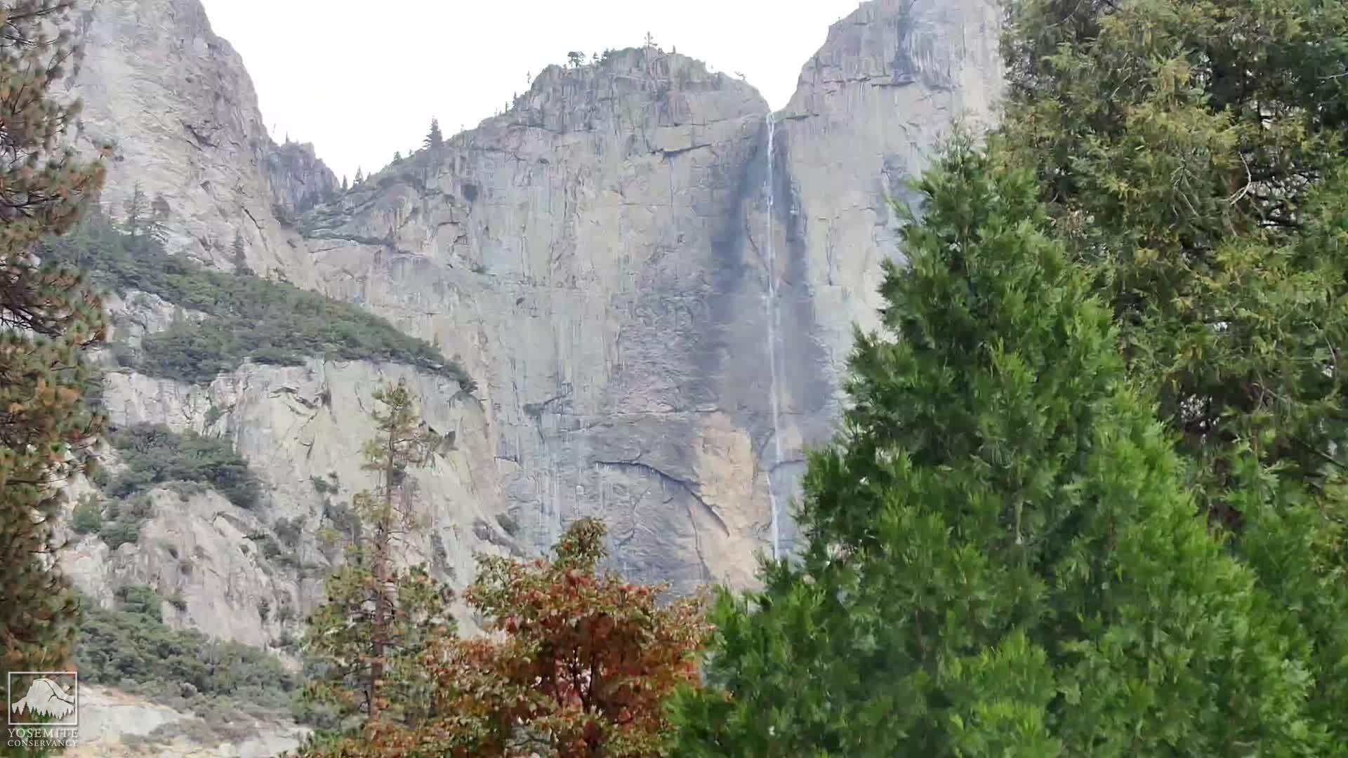
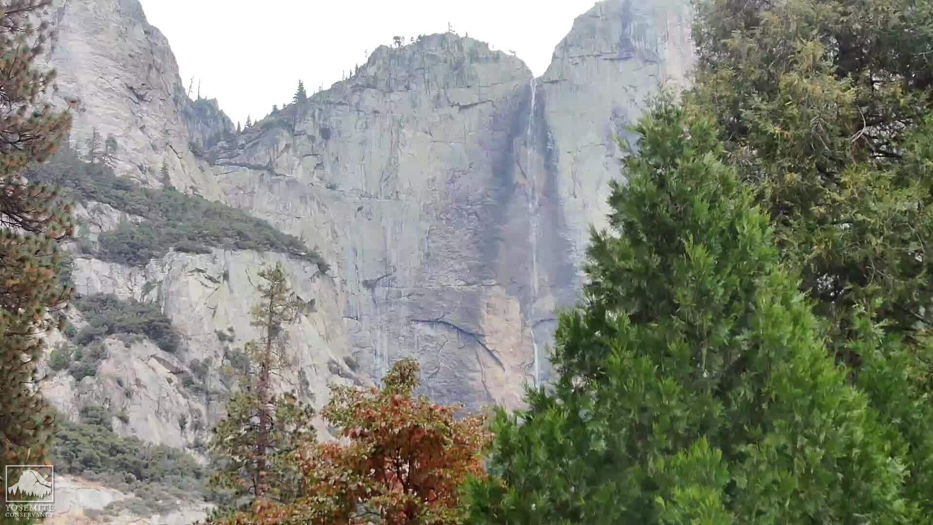
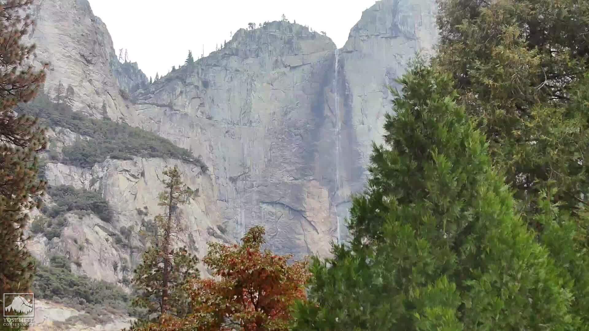
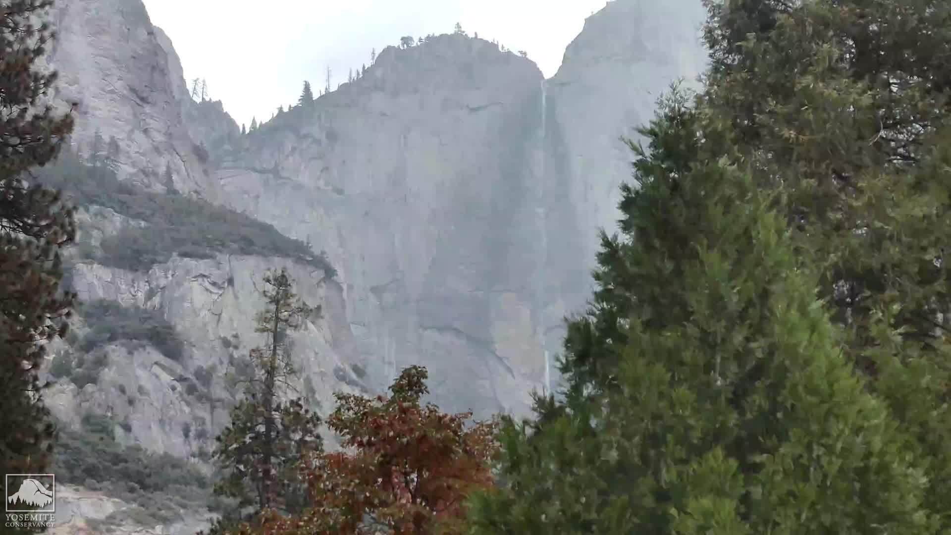
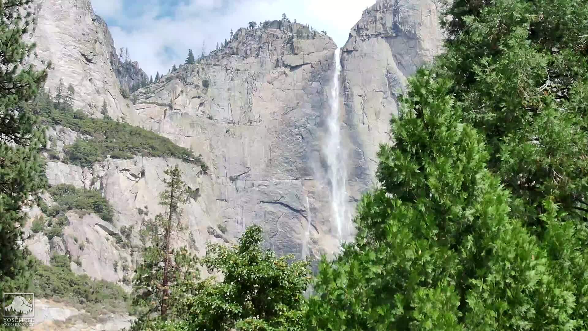
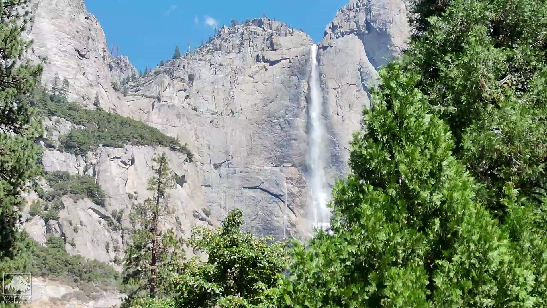
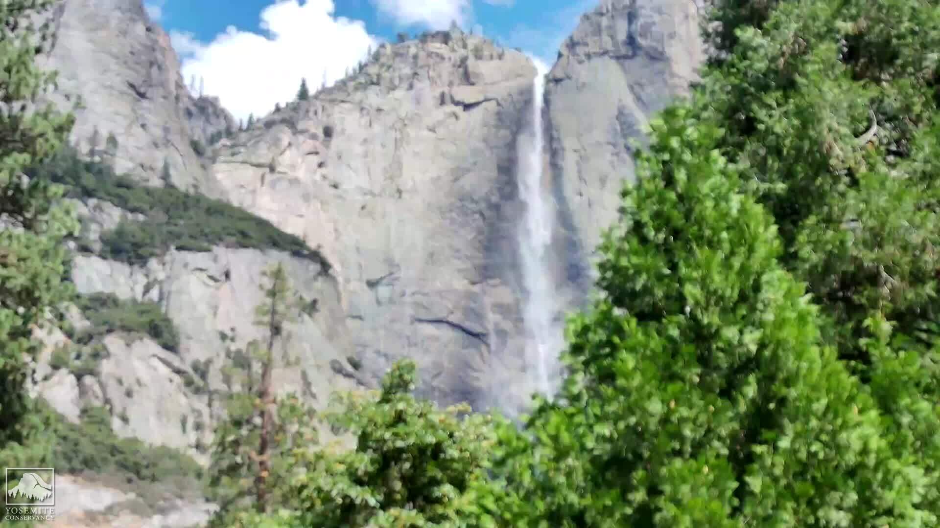
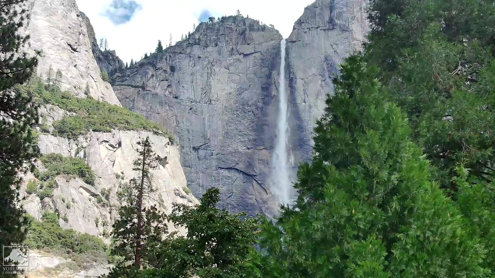
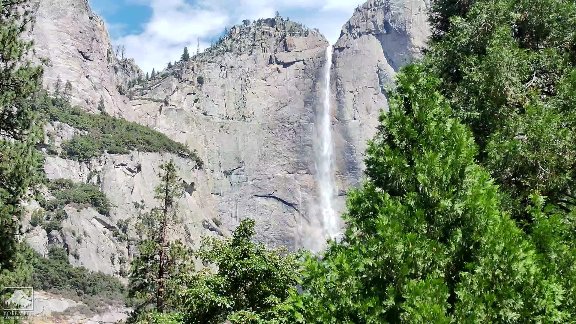
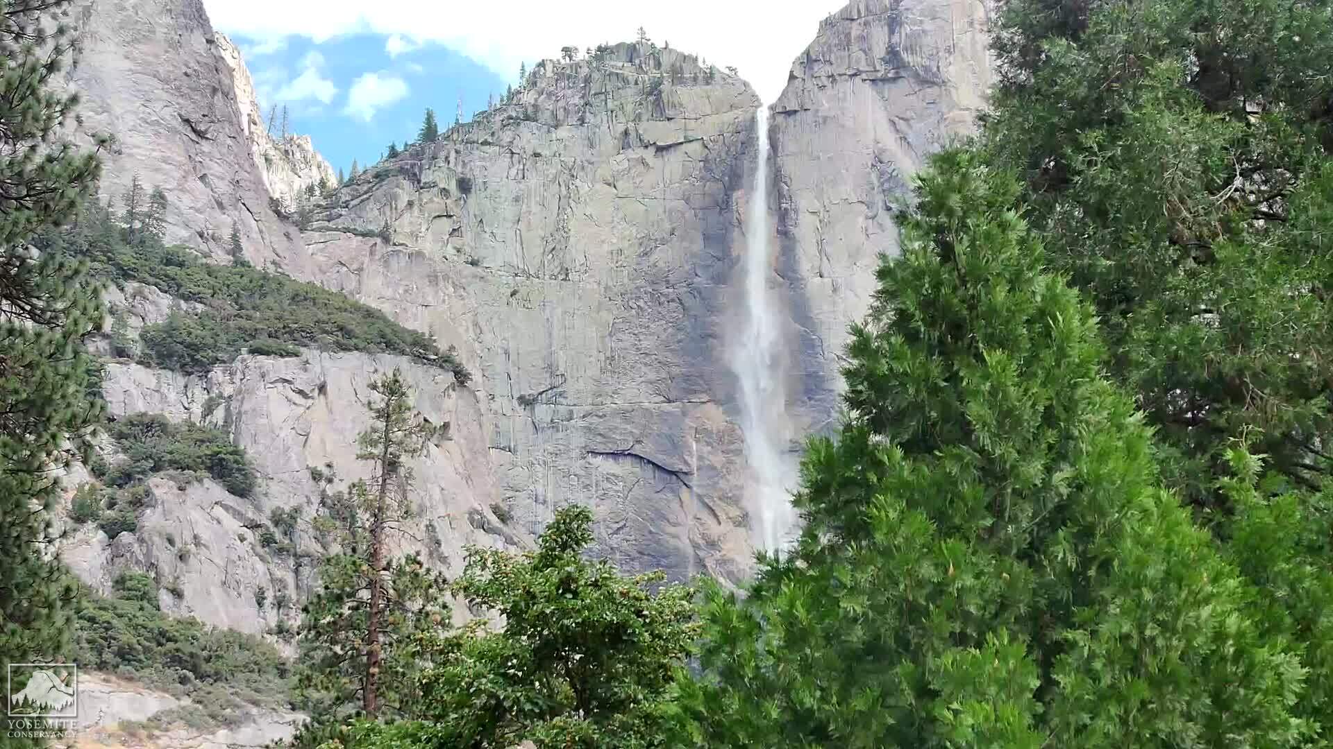
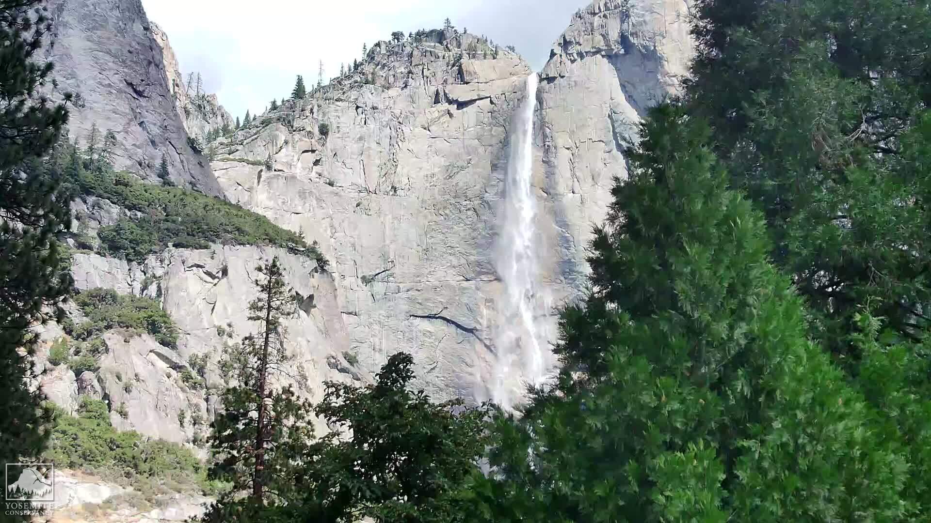
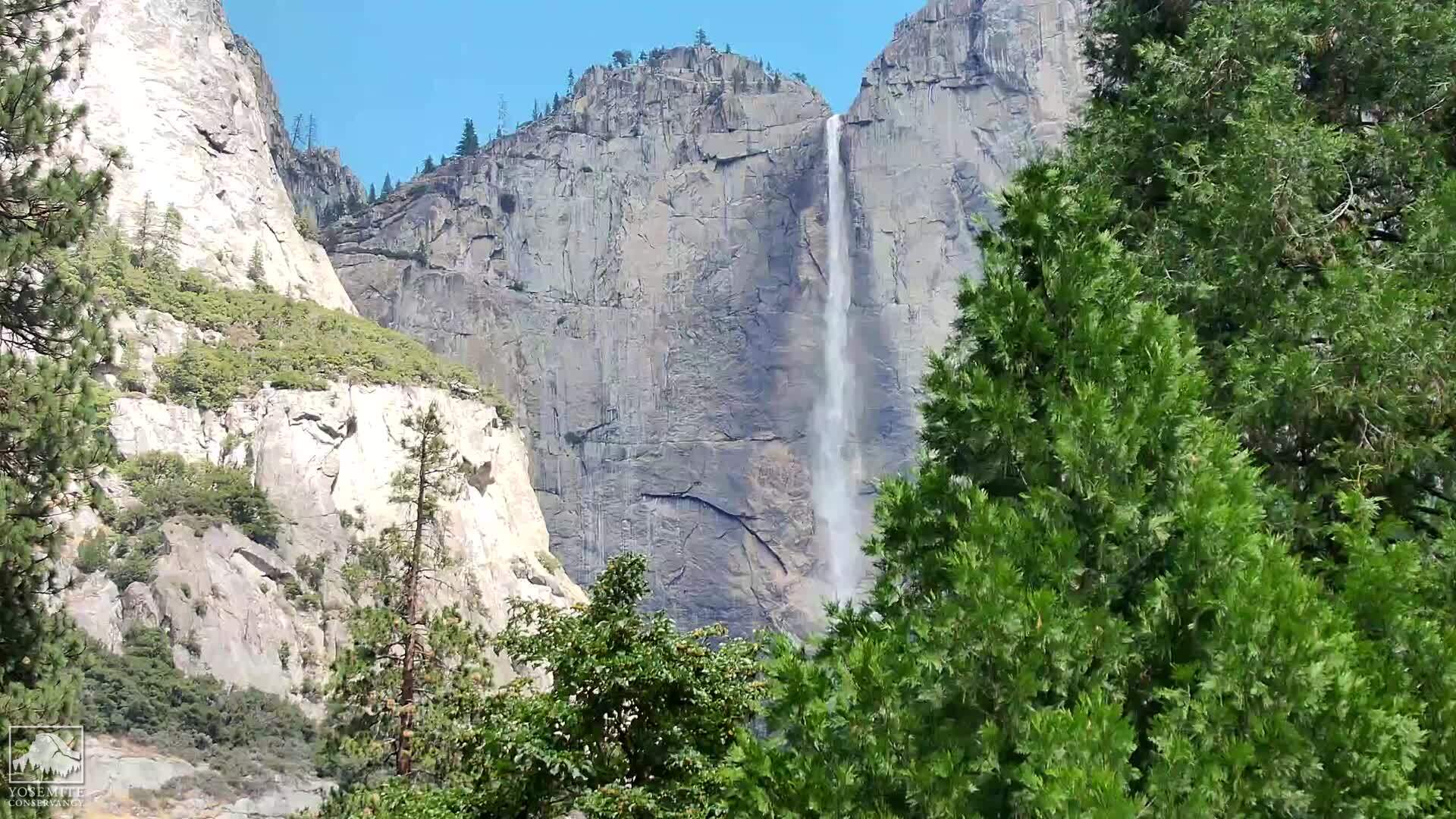
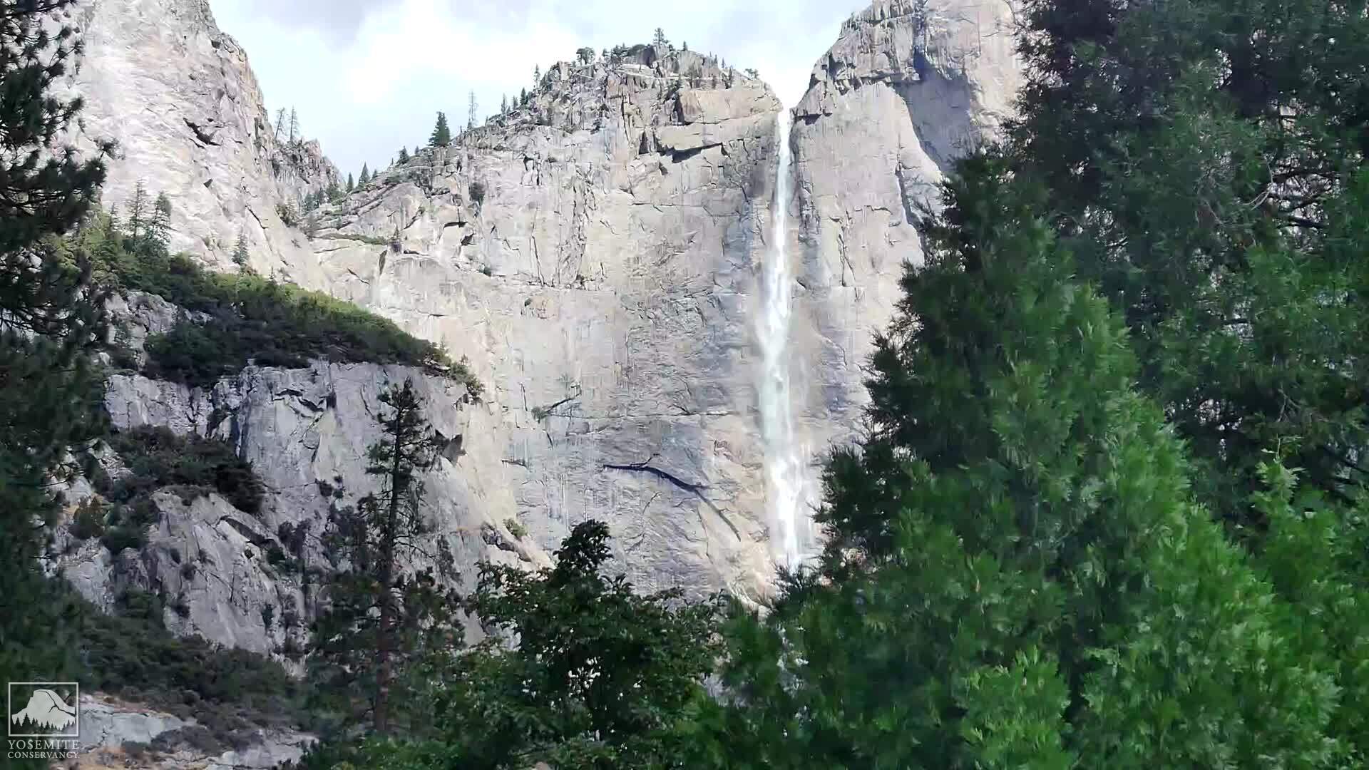
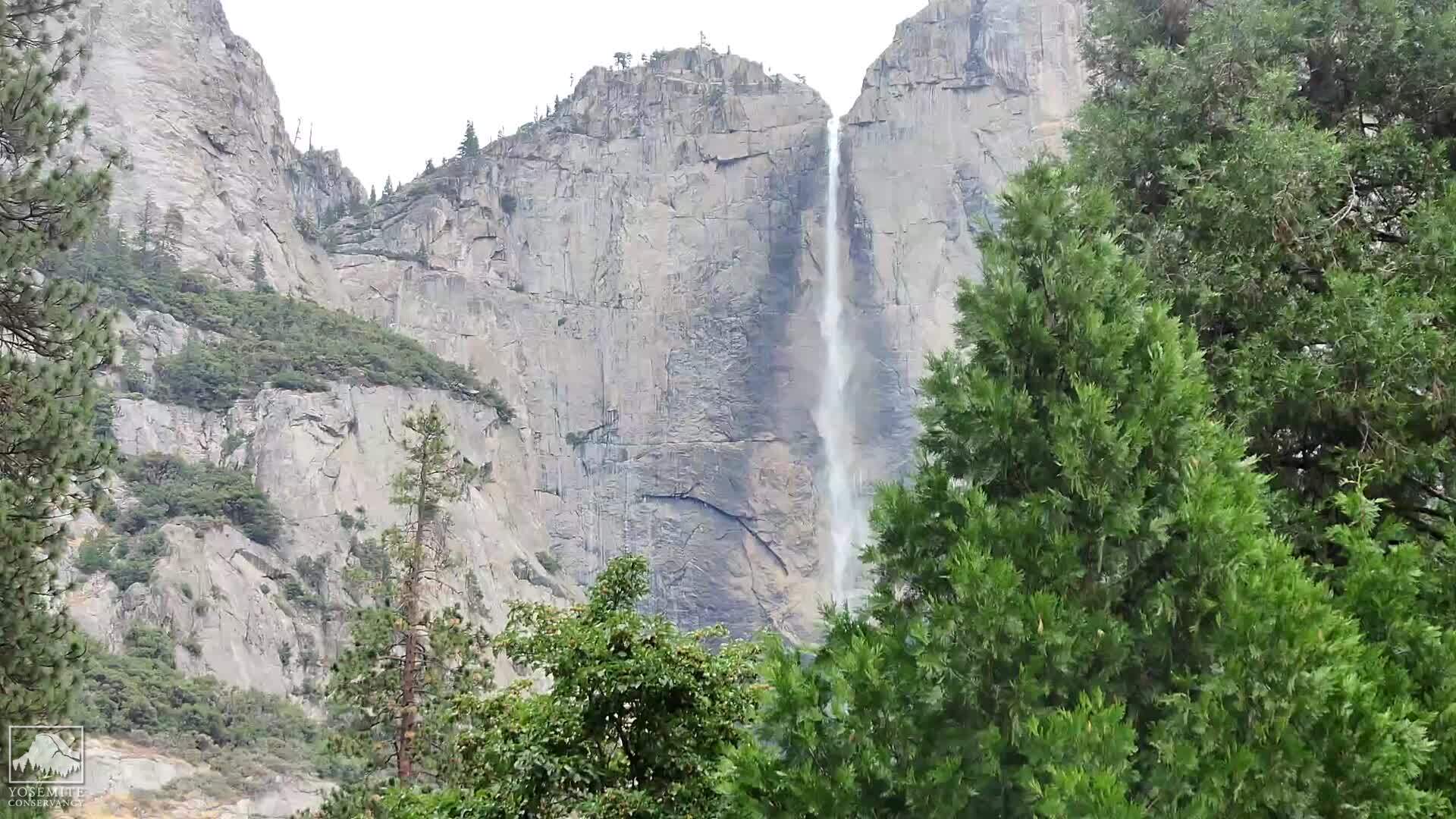
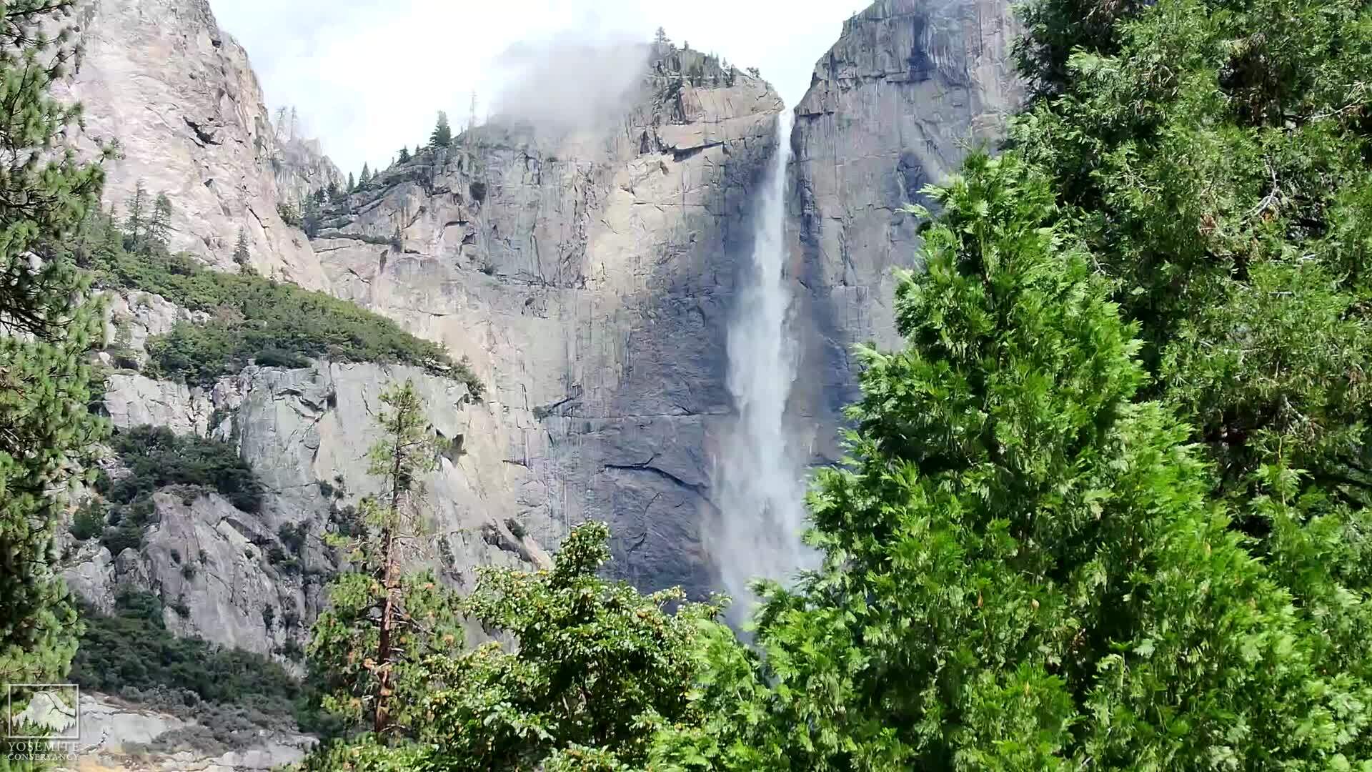
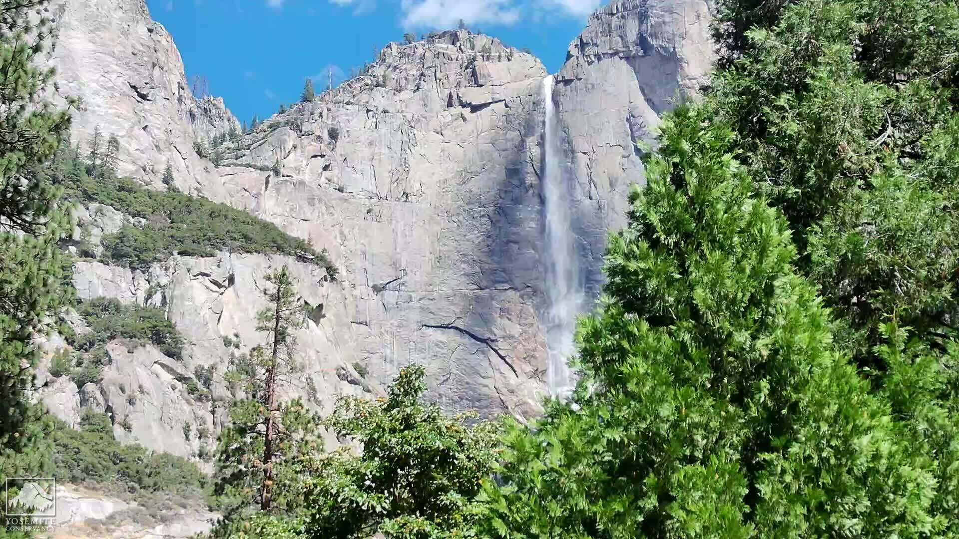
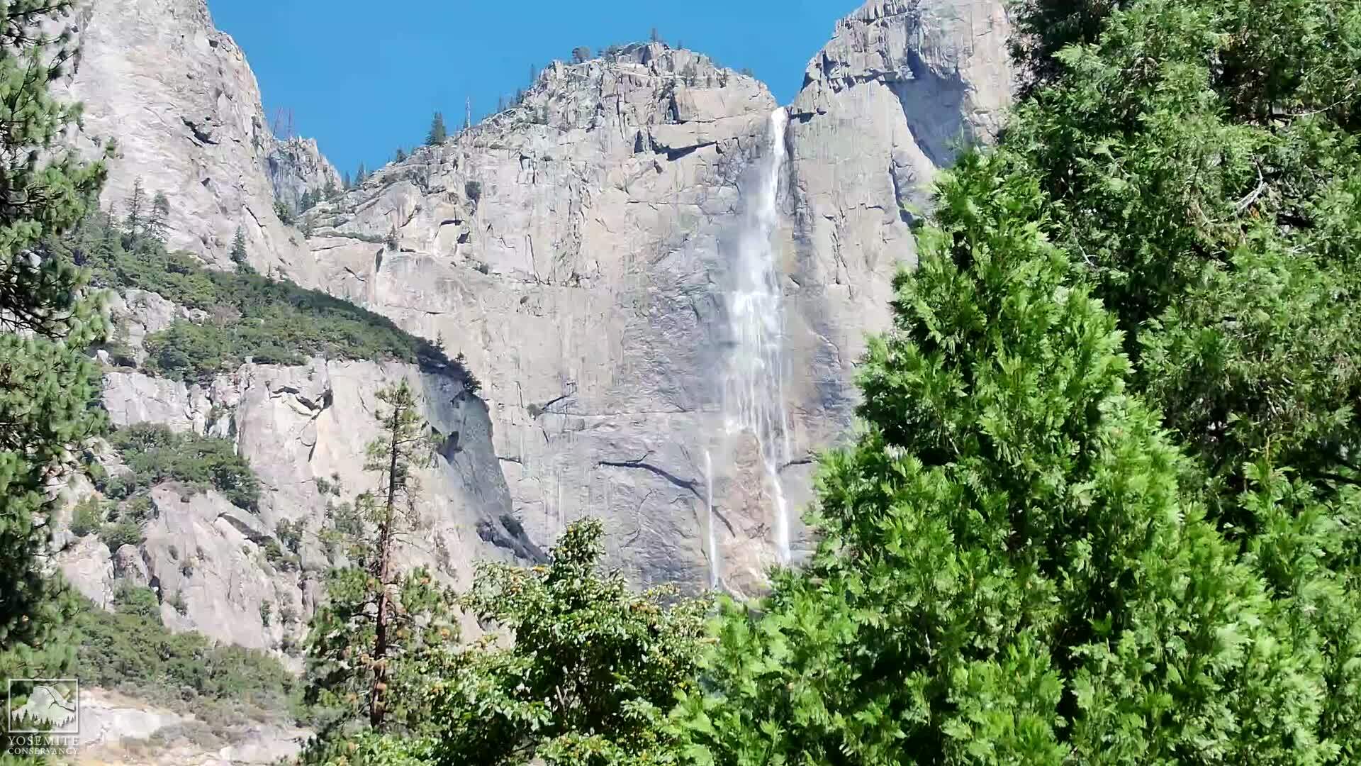
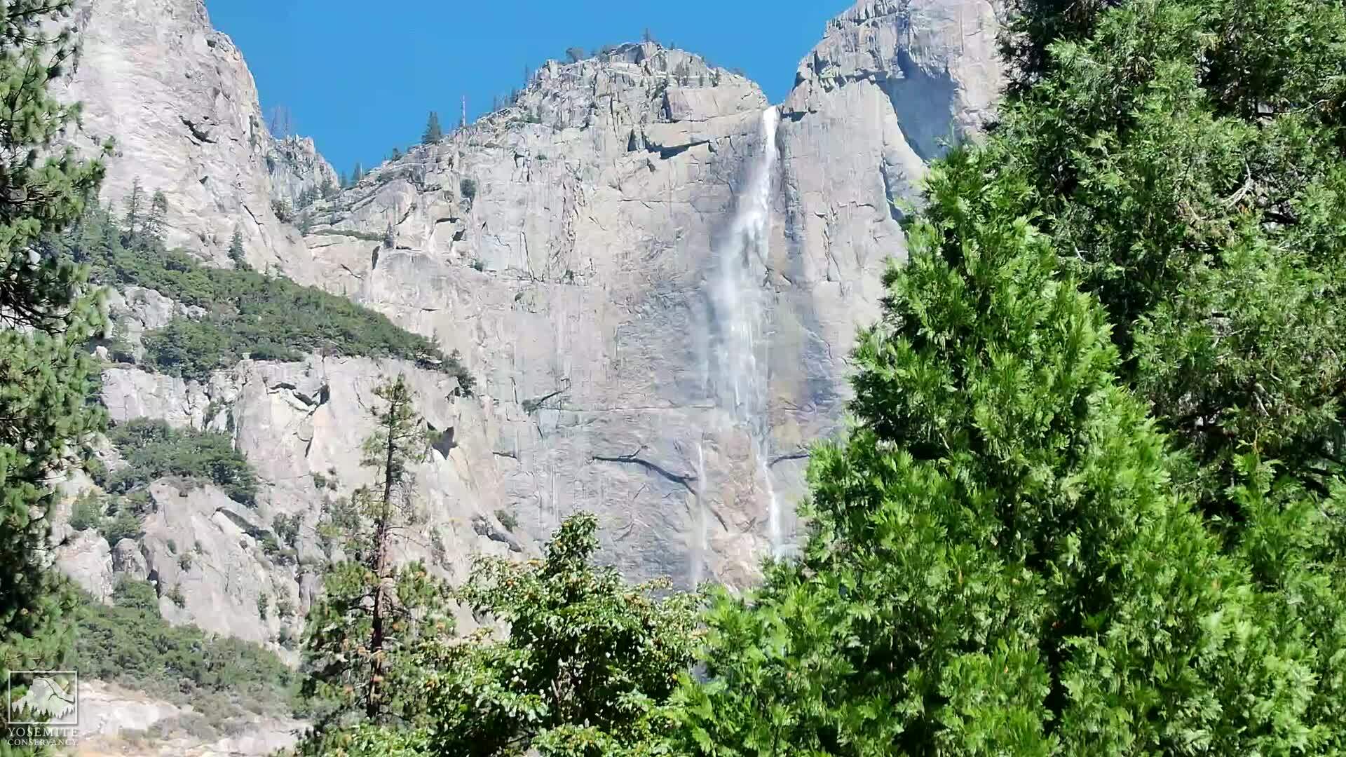
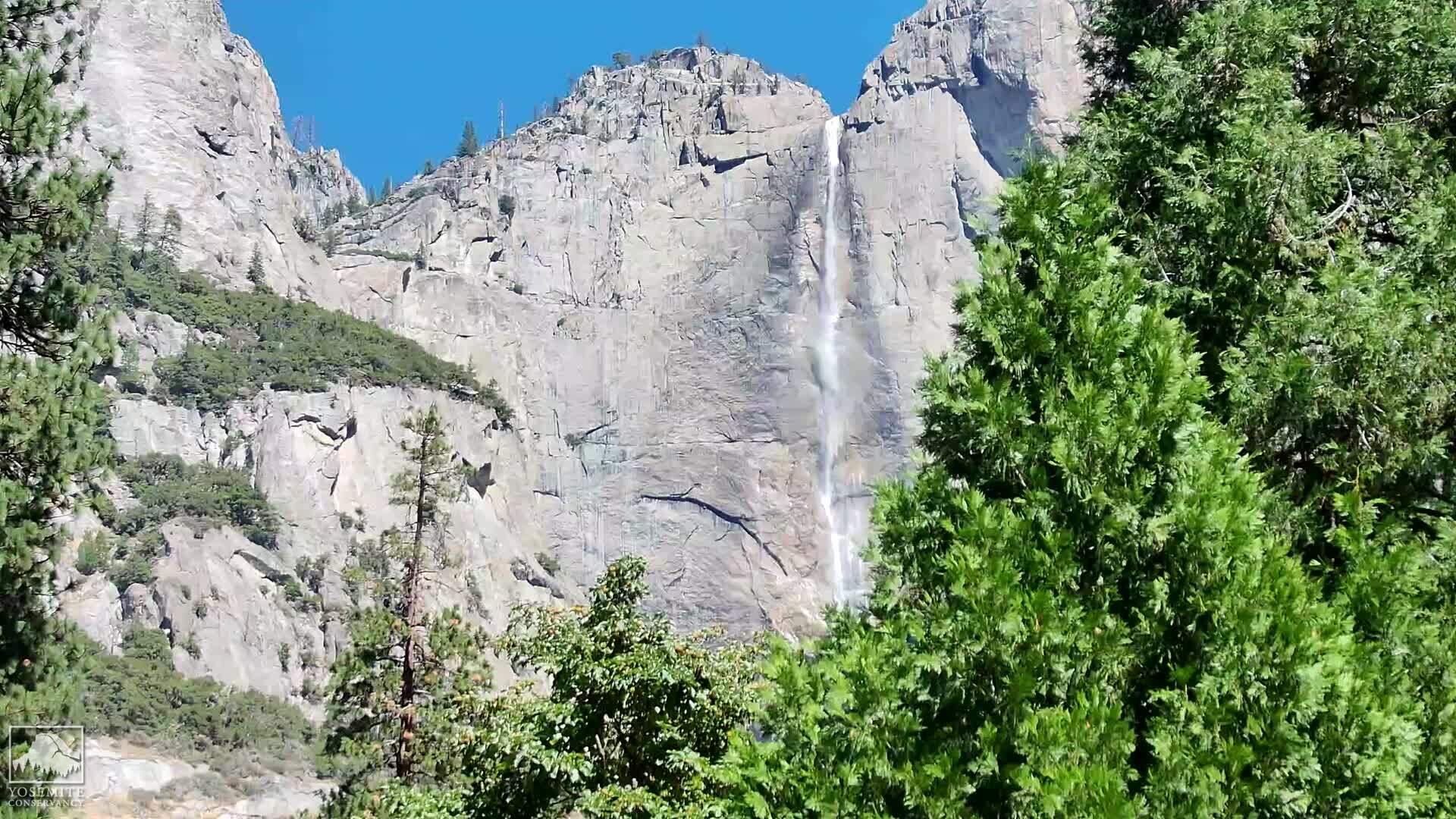
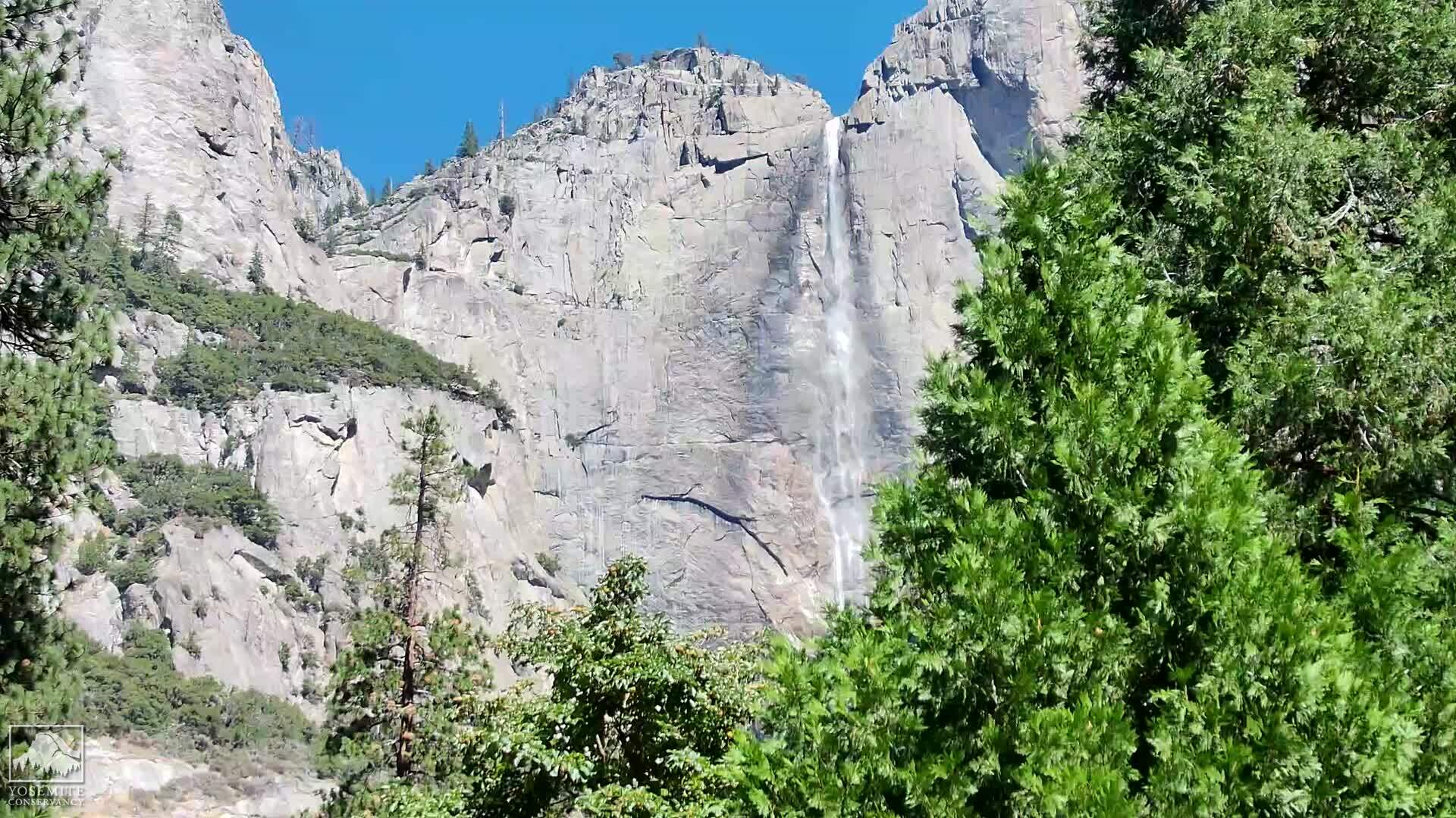
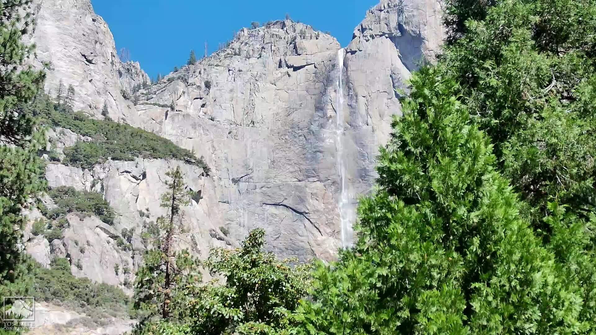
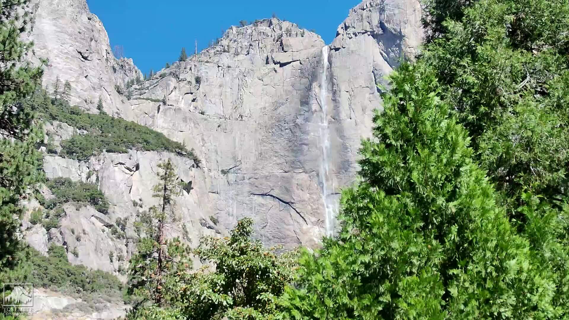
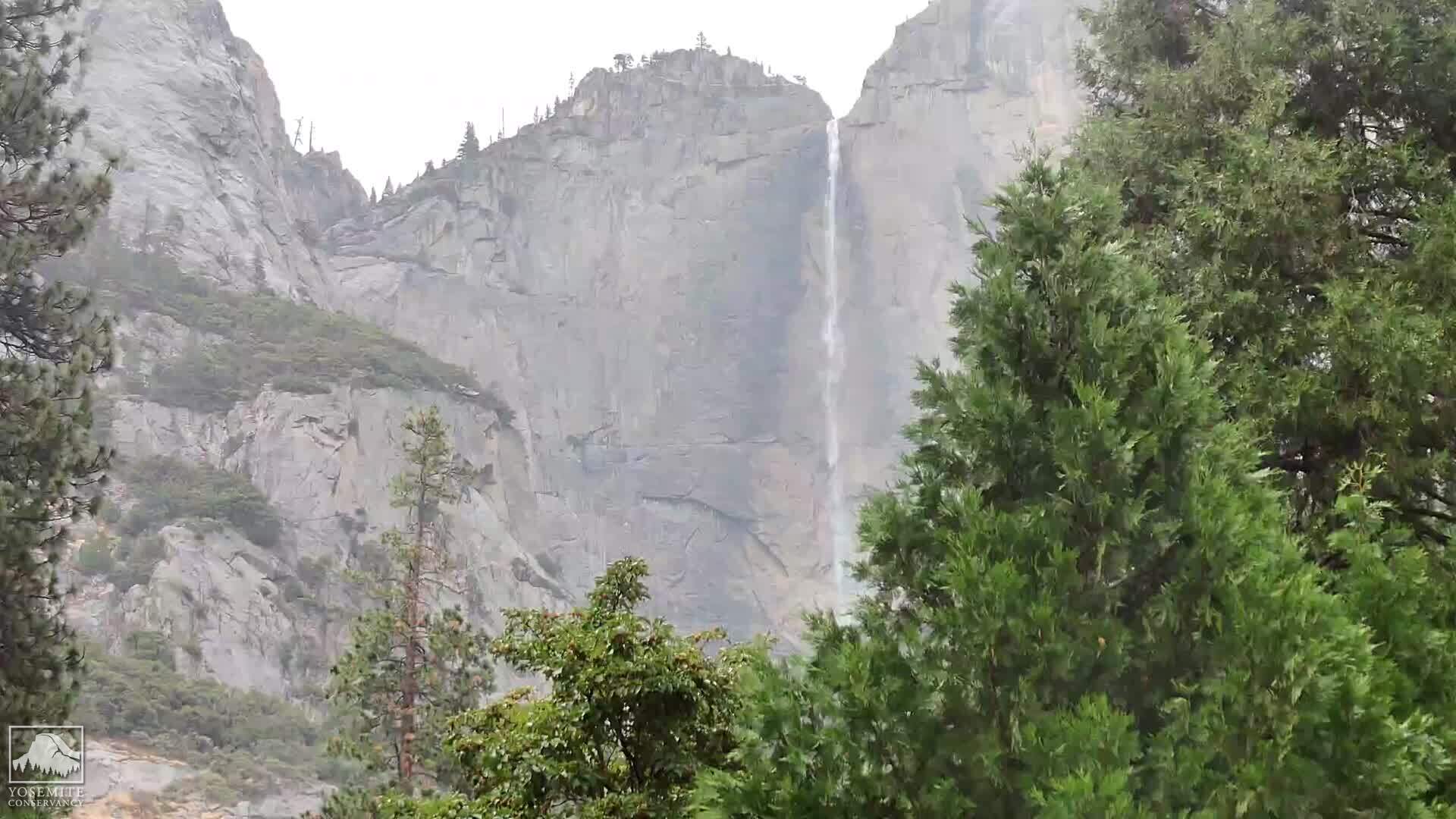
Yosemite Village, California, USA - 71.1 miles from Butler (historical): Yosemite Falls
Operator: Yosemite Conservancy
Operator: Yosemite Conservancy


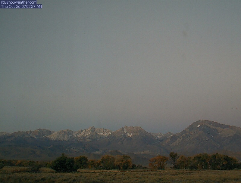
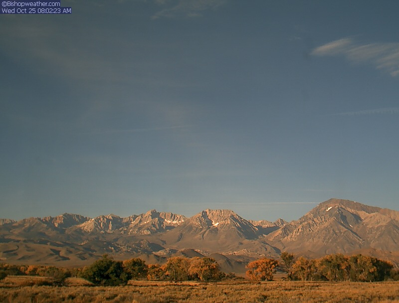
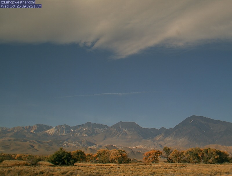
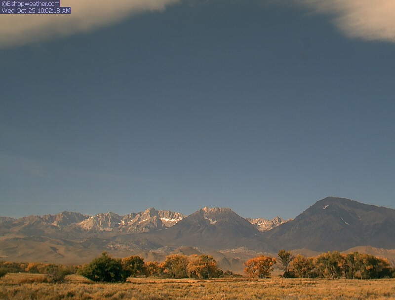
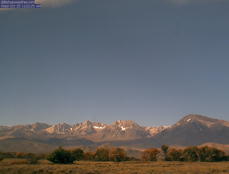
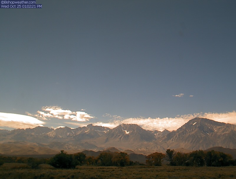
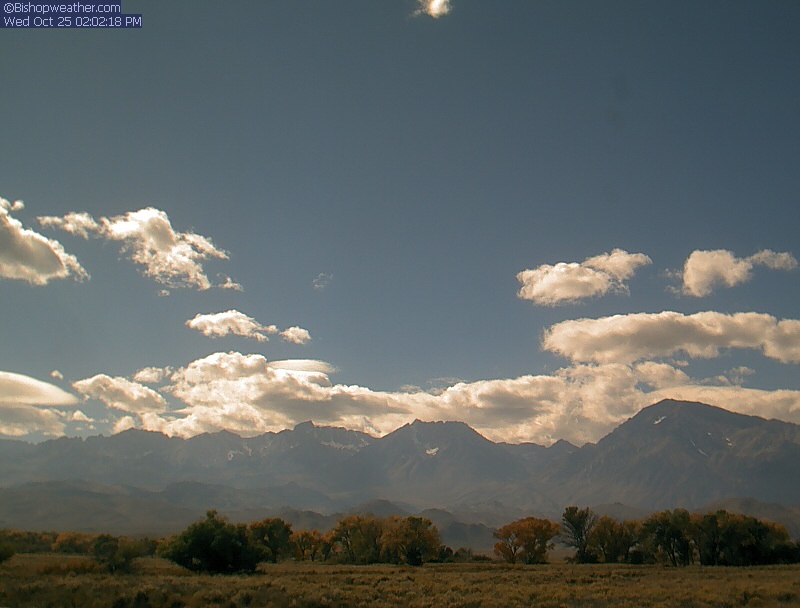
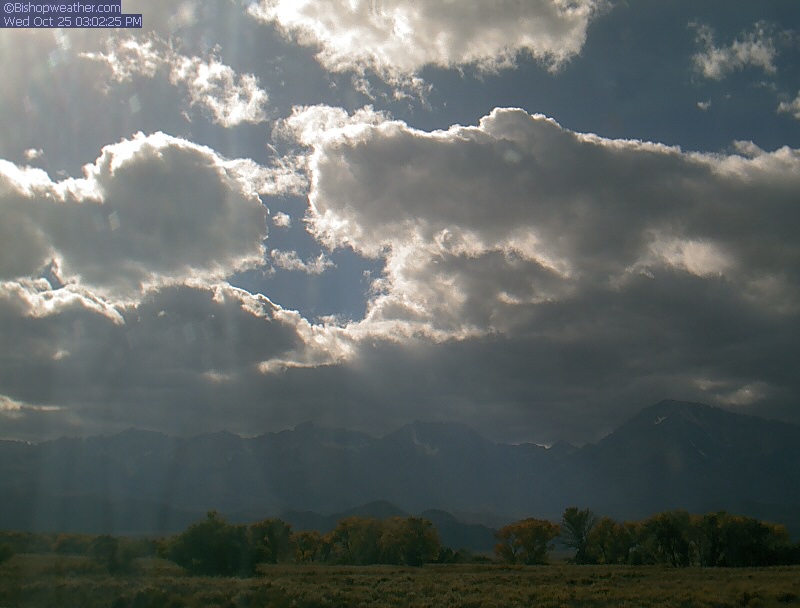
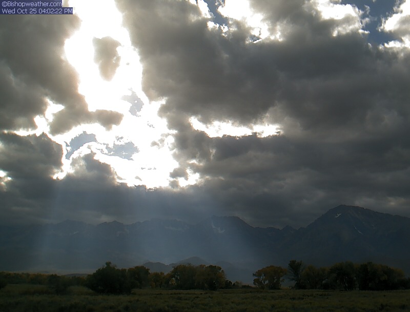
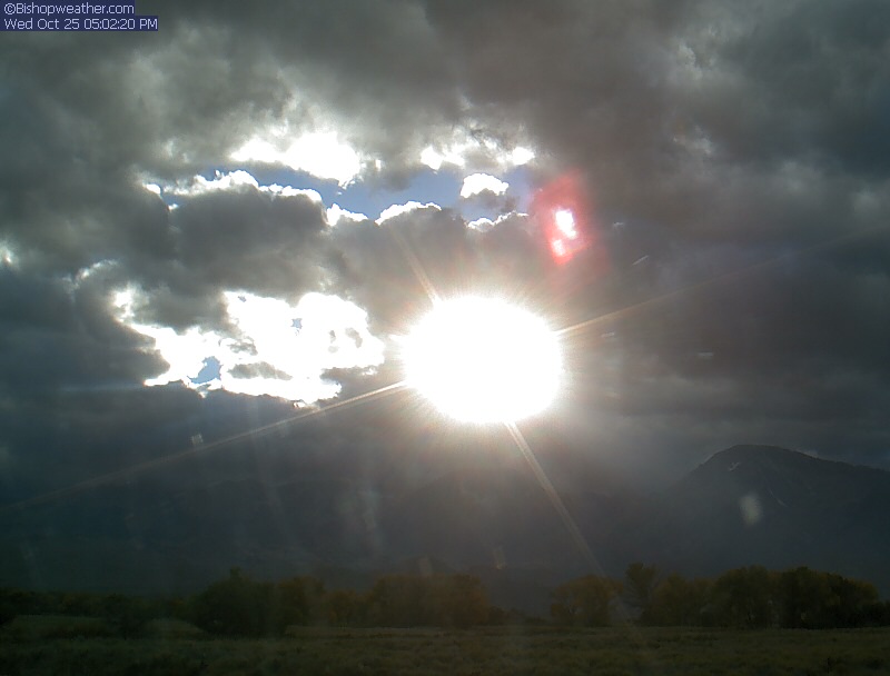
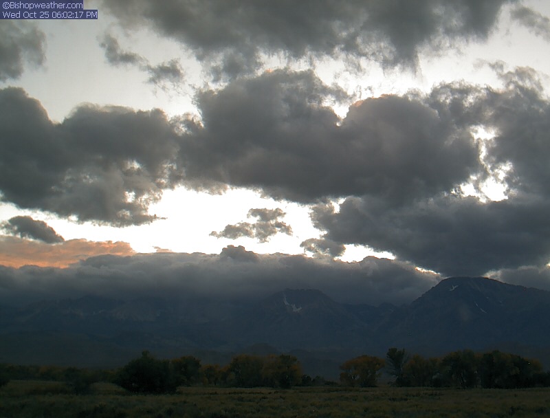
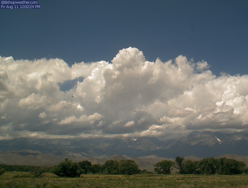
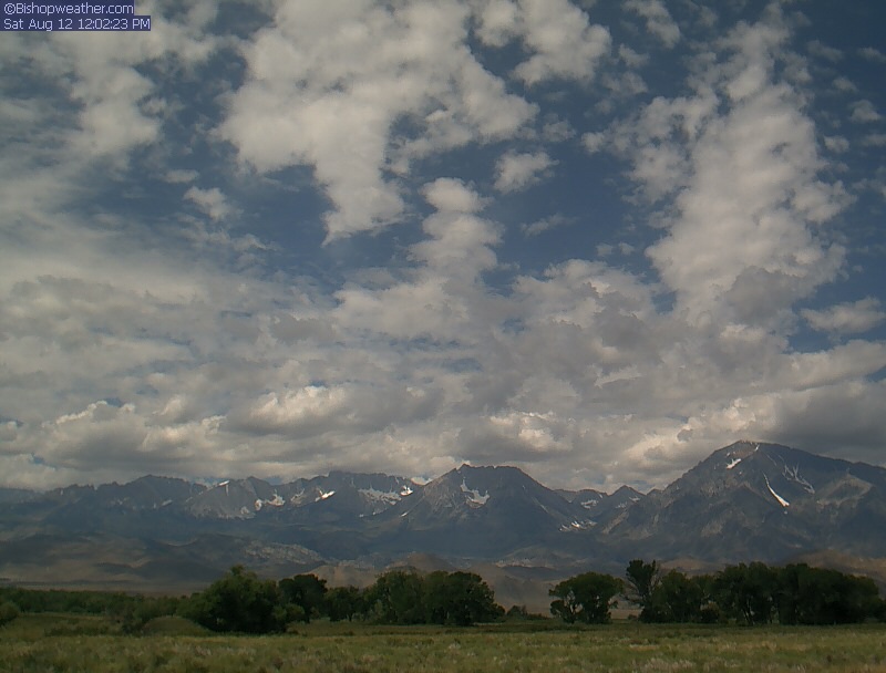
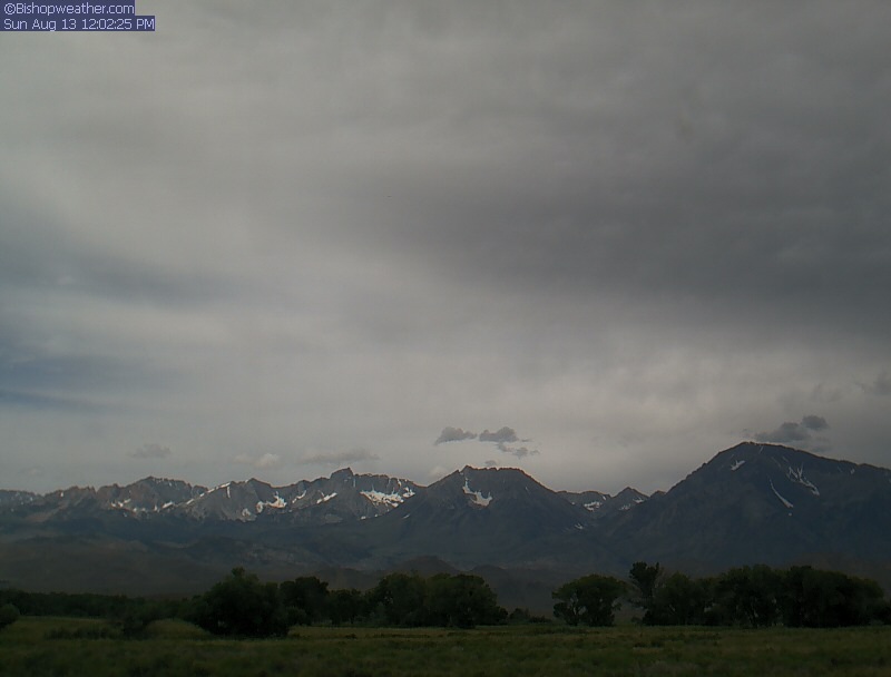
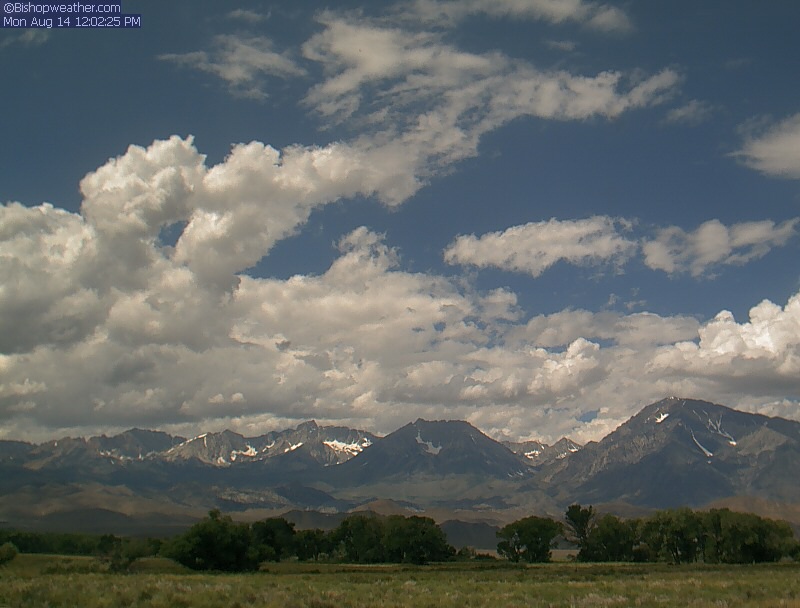
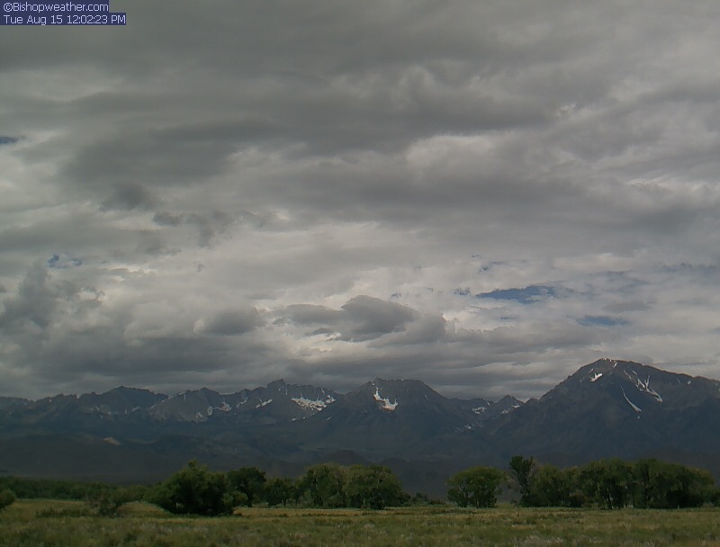
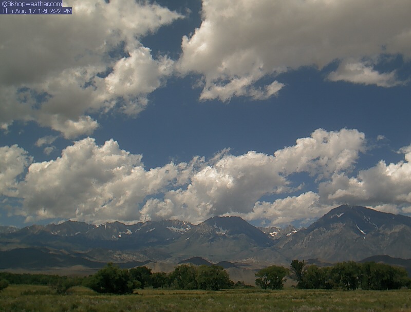
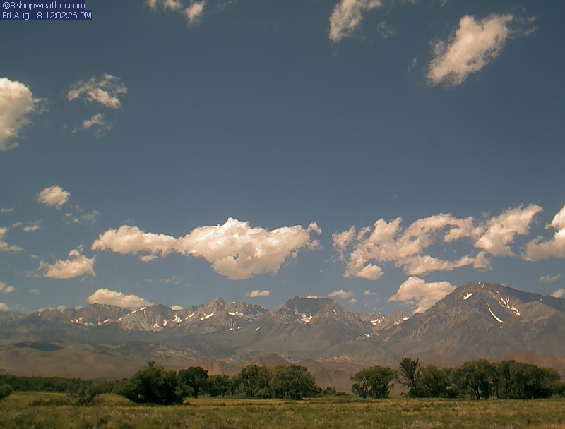
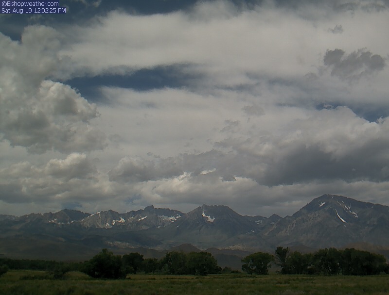
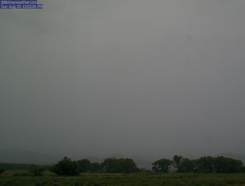
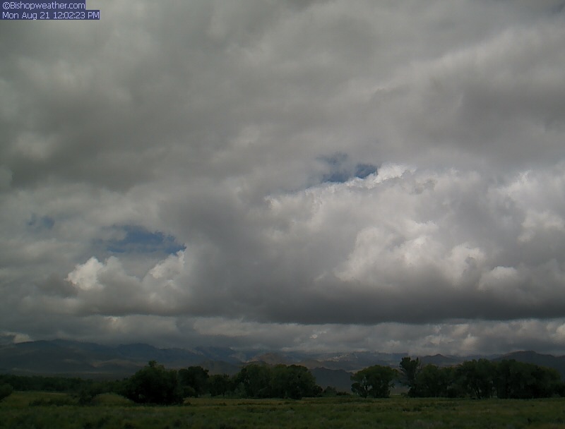
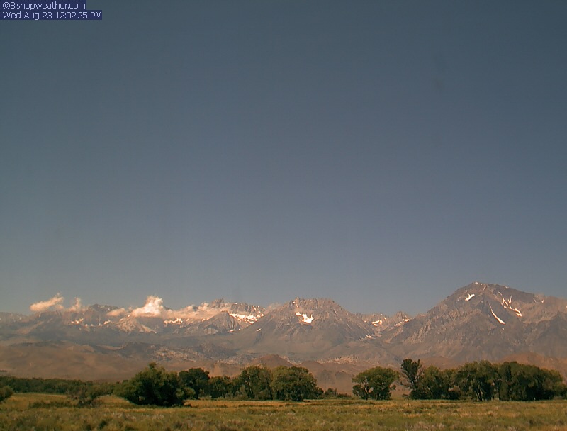
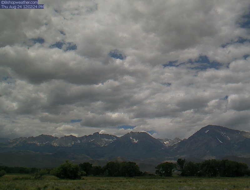
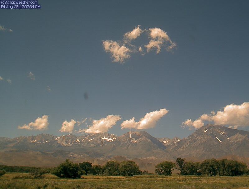
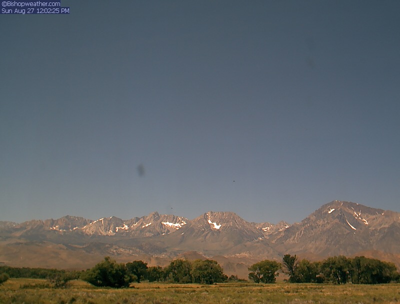
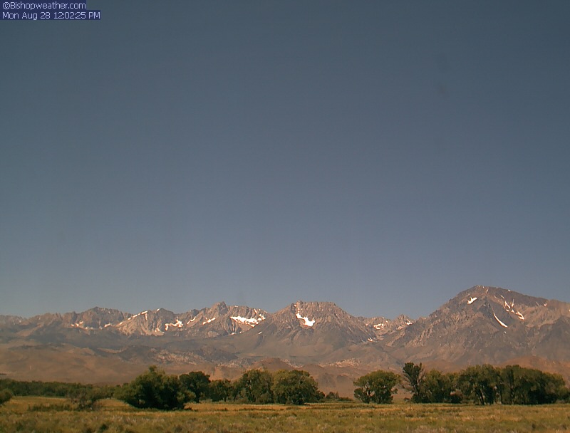
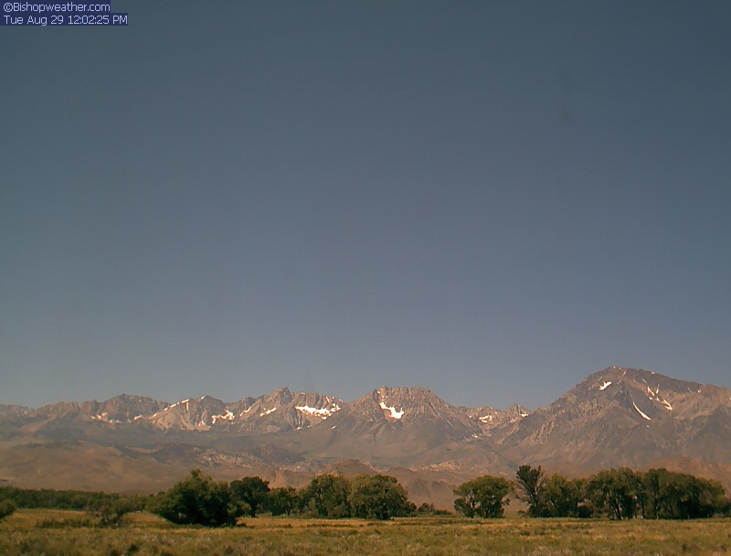
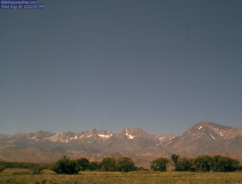
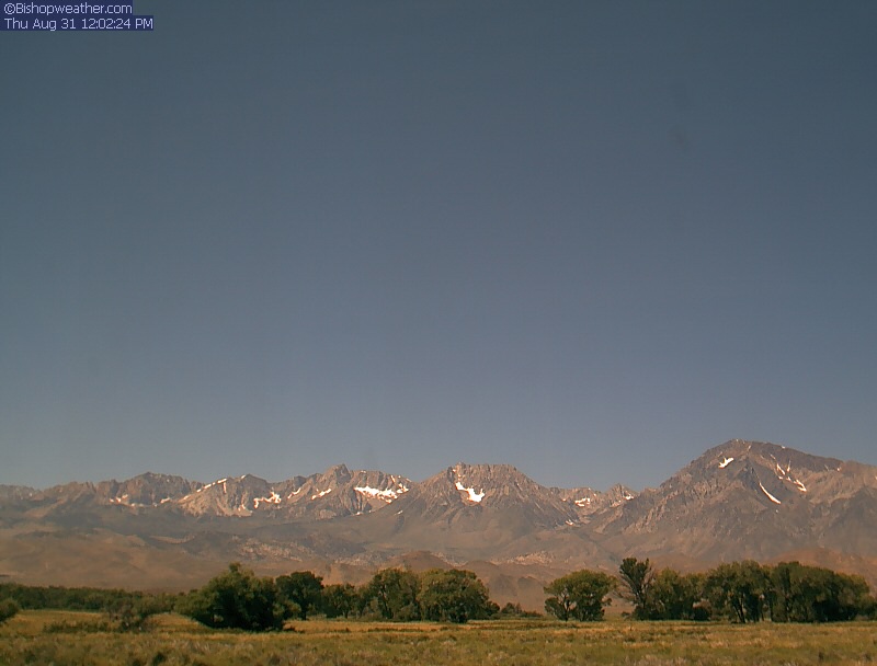
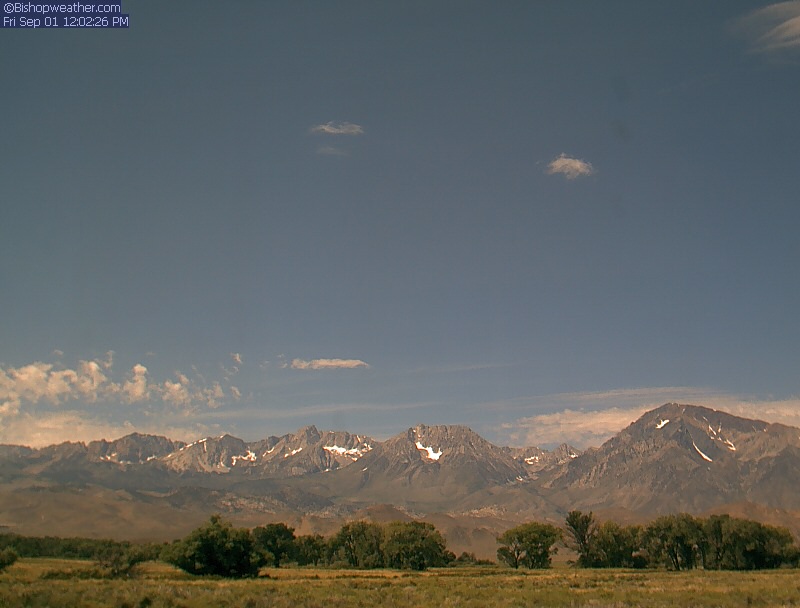
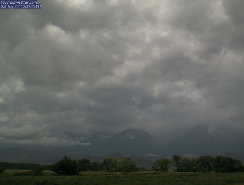
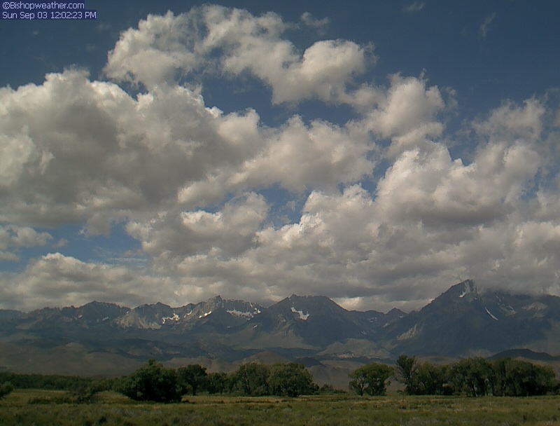
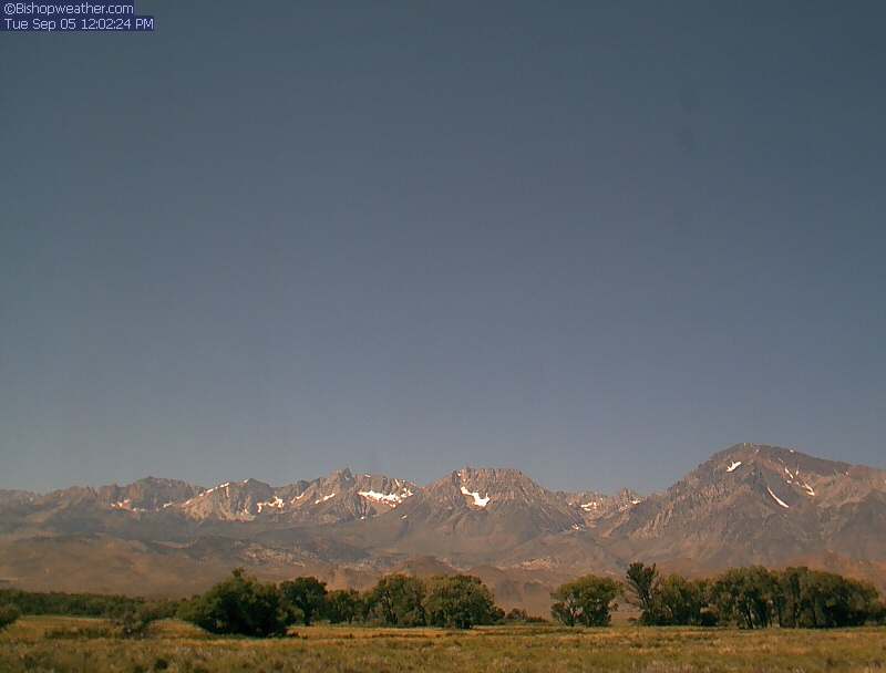
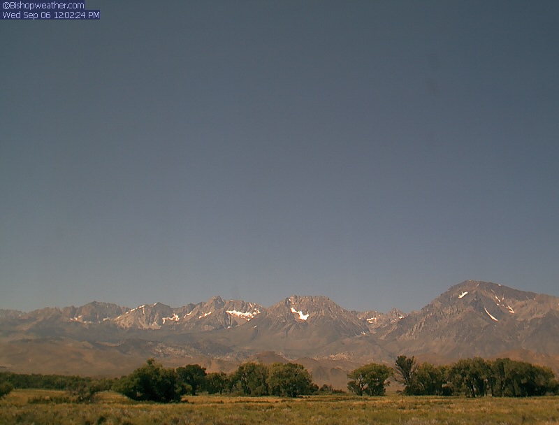
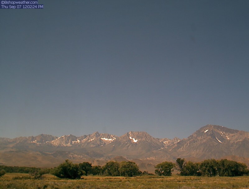
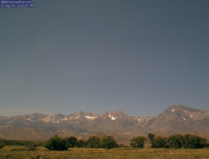
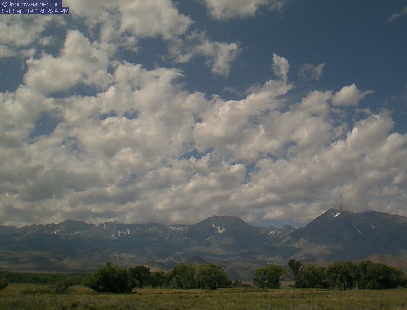
Bishop, California, USA - 83.7 miles from Butler (historical): Bishopweather - A nice panorama view of Mt. Humphreys, Basin Mountain, and Mt. Tom from Bishop, CA.
Operator: Bishopweather
Operator: Bishopweather


Pinecrest, California, USA - 102.7 miles from Butler (historical): Dodge Ridge Ski Resort - Base Cam - Controllable webcam at the Dodge Ridge Ski Resort showing the current snow conditions.
Operator: Dodge Ridge Ski Resort
Operator: Dodge Ridge Ski Resort

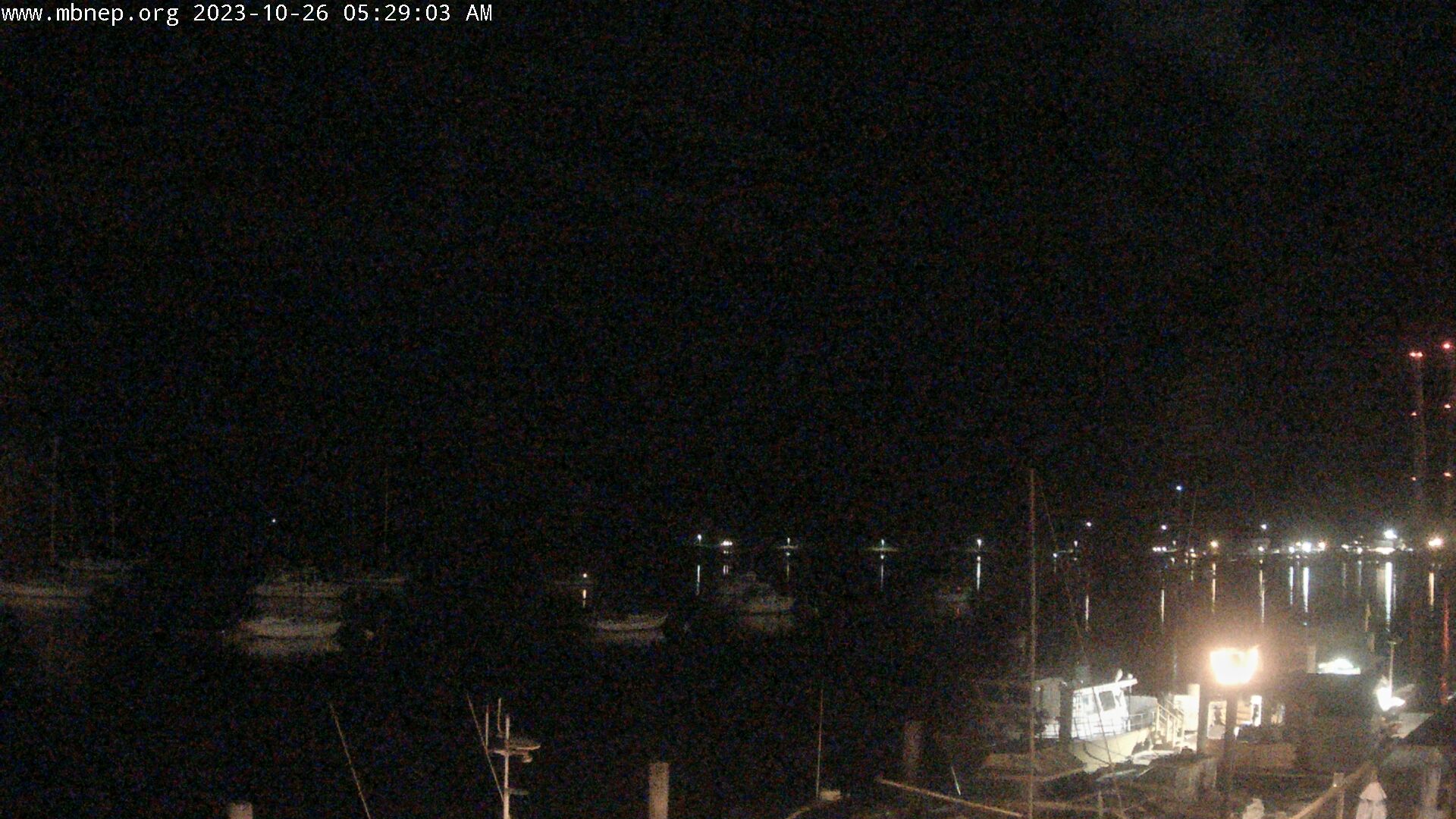
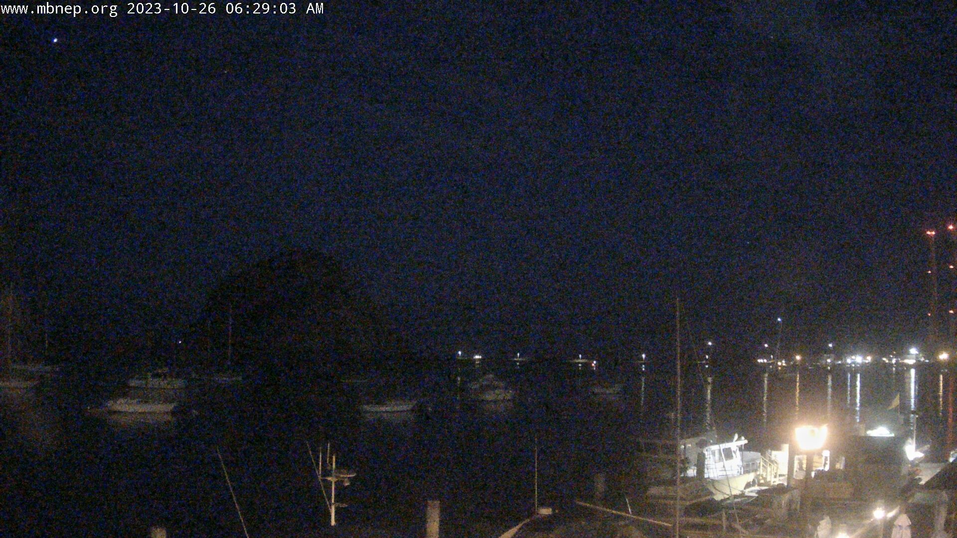
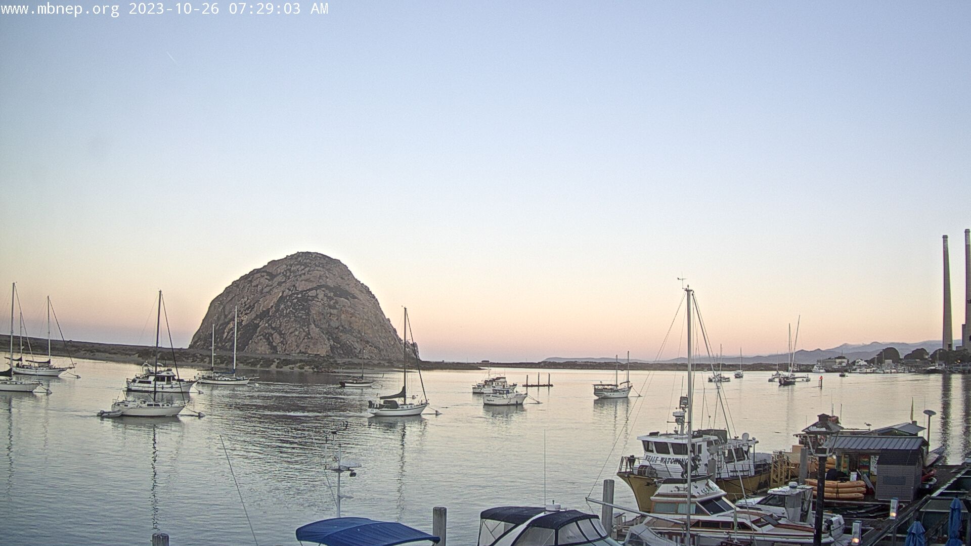
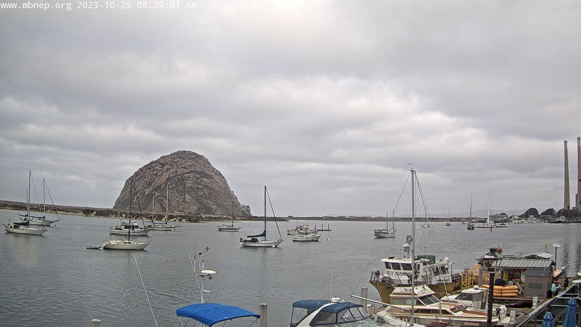
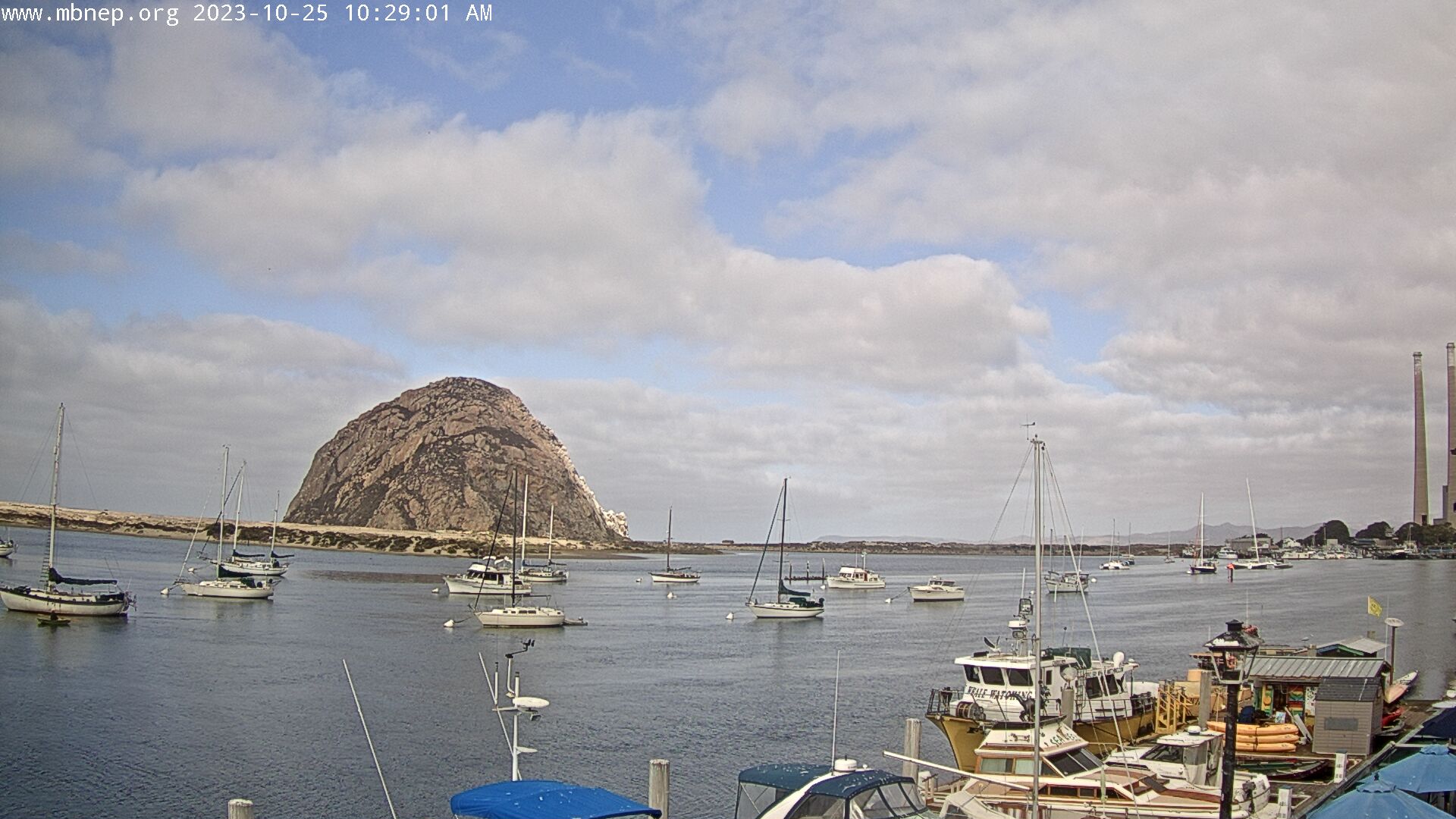
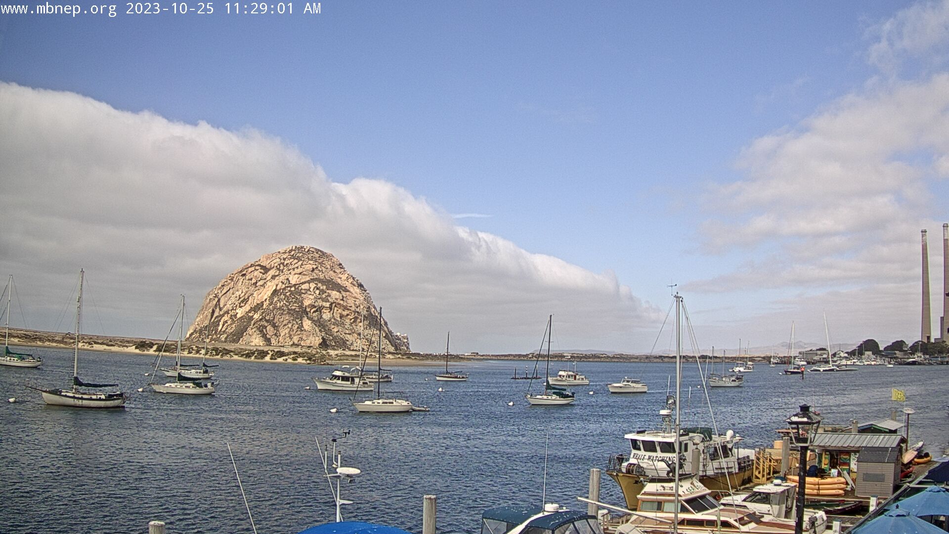
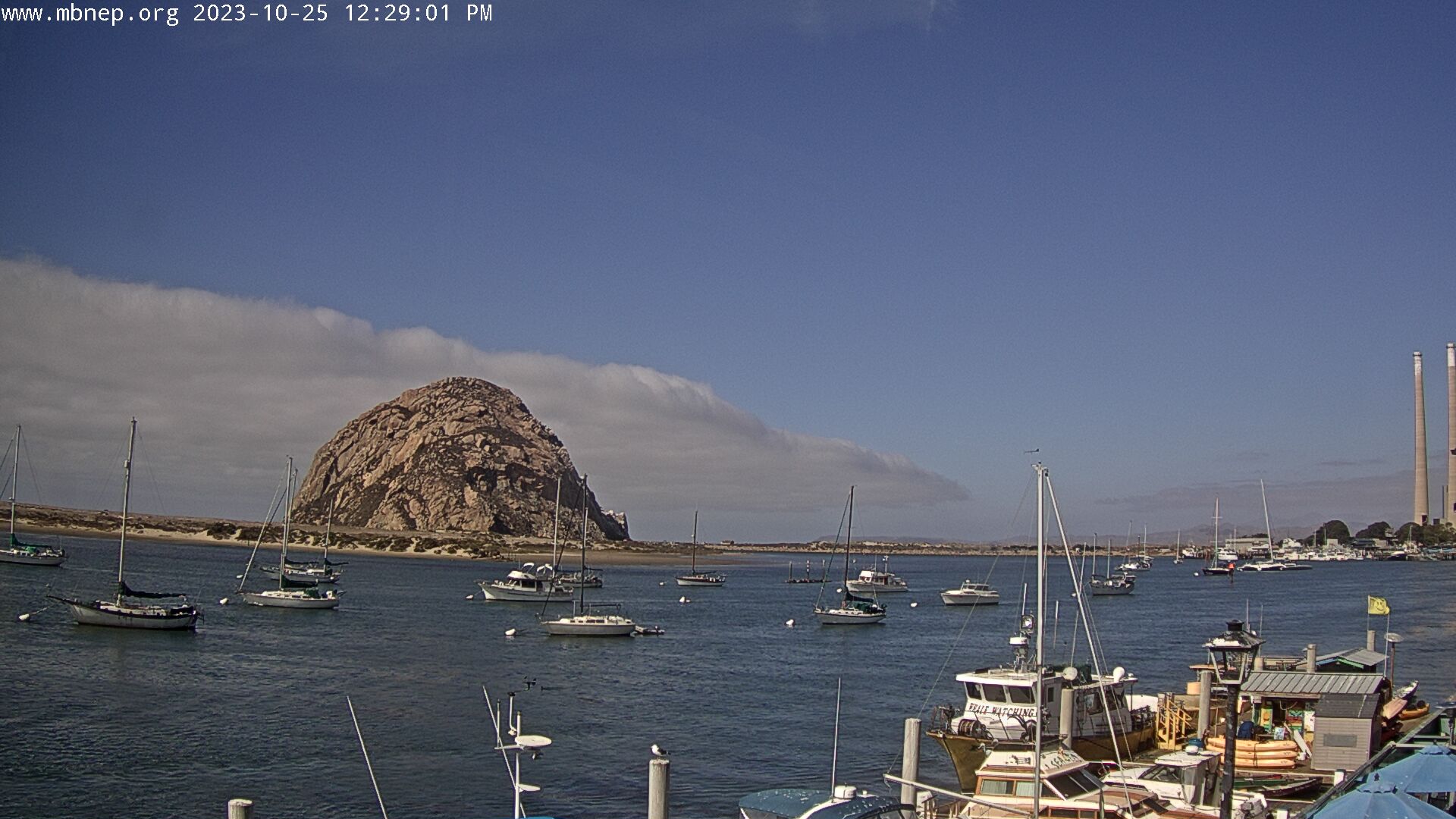
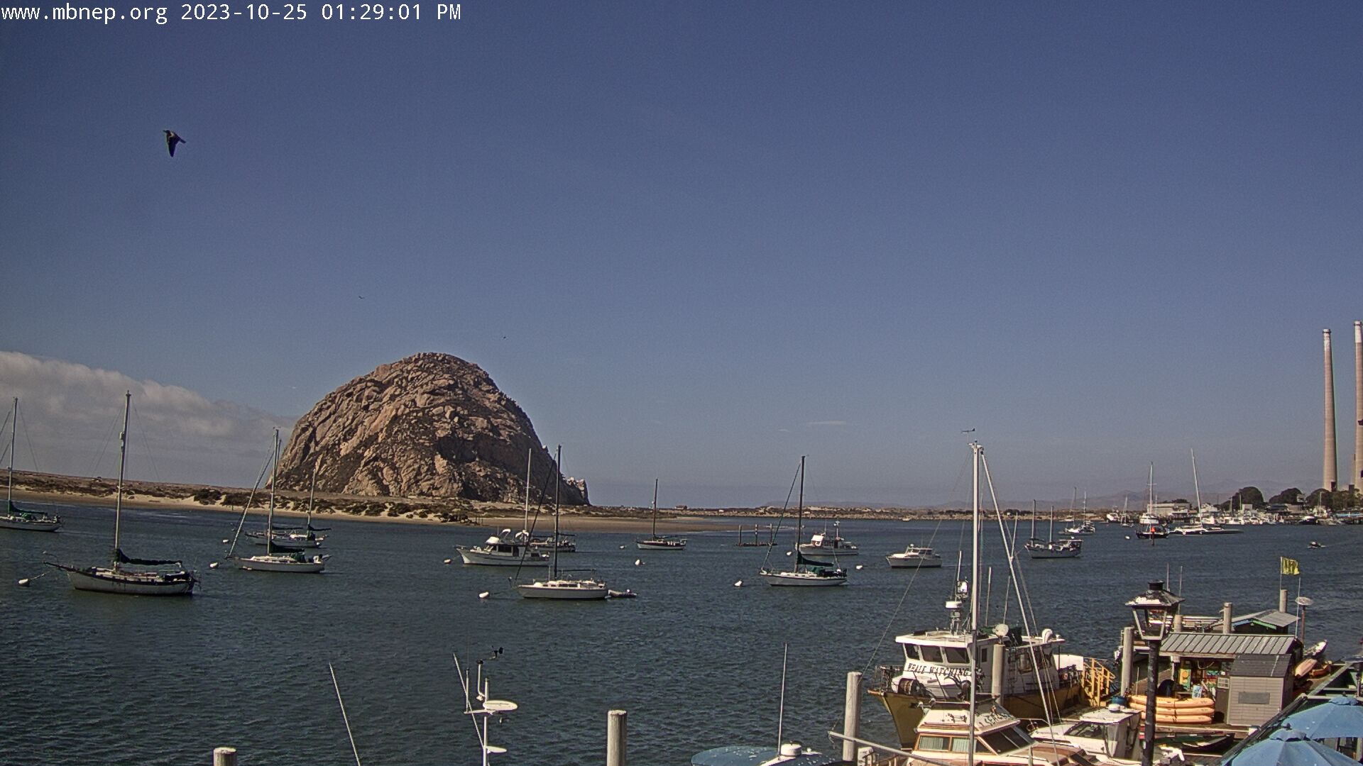
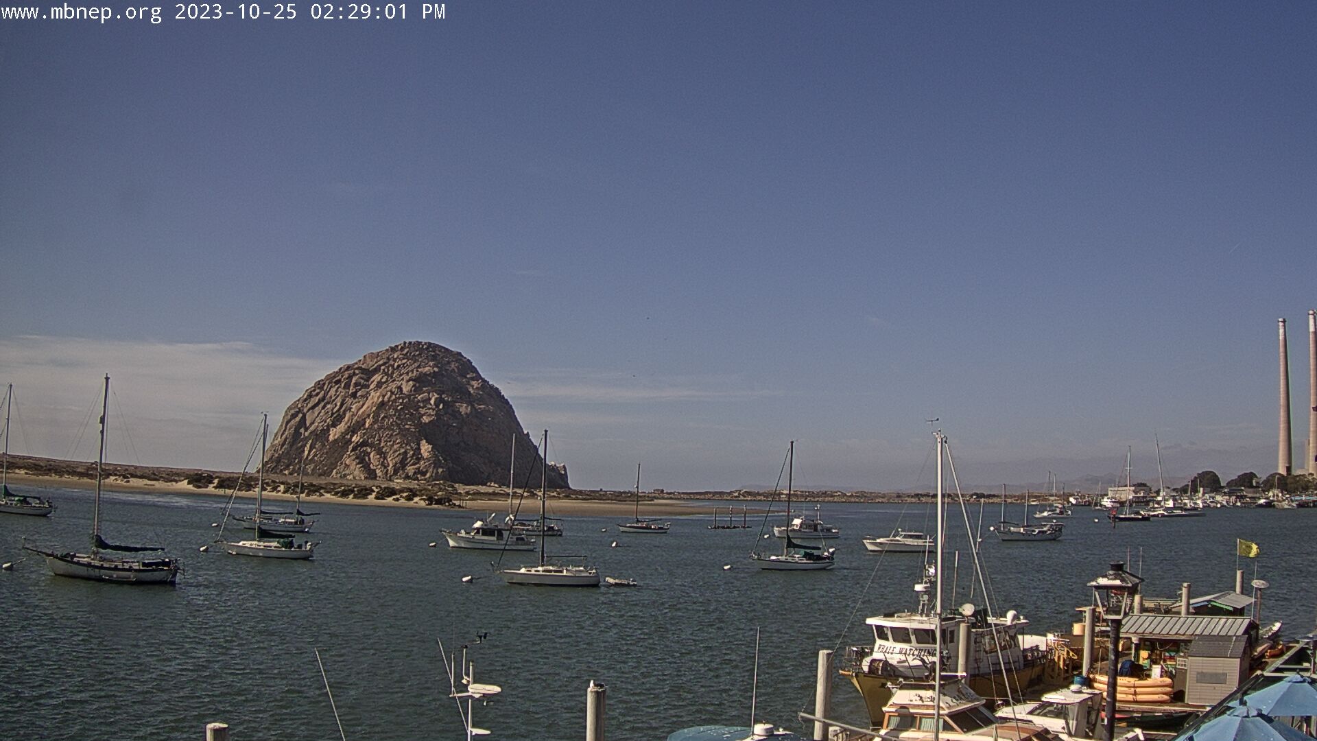
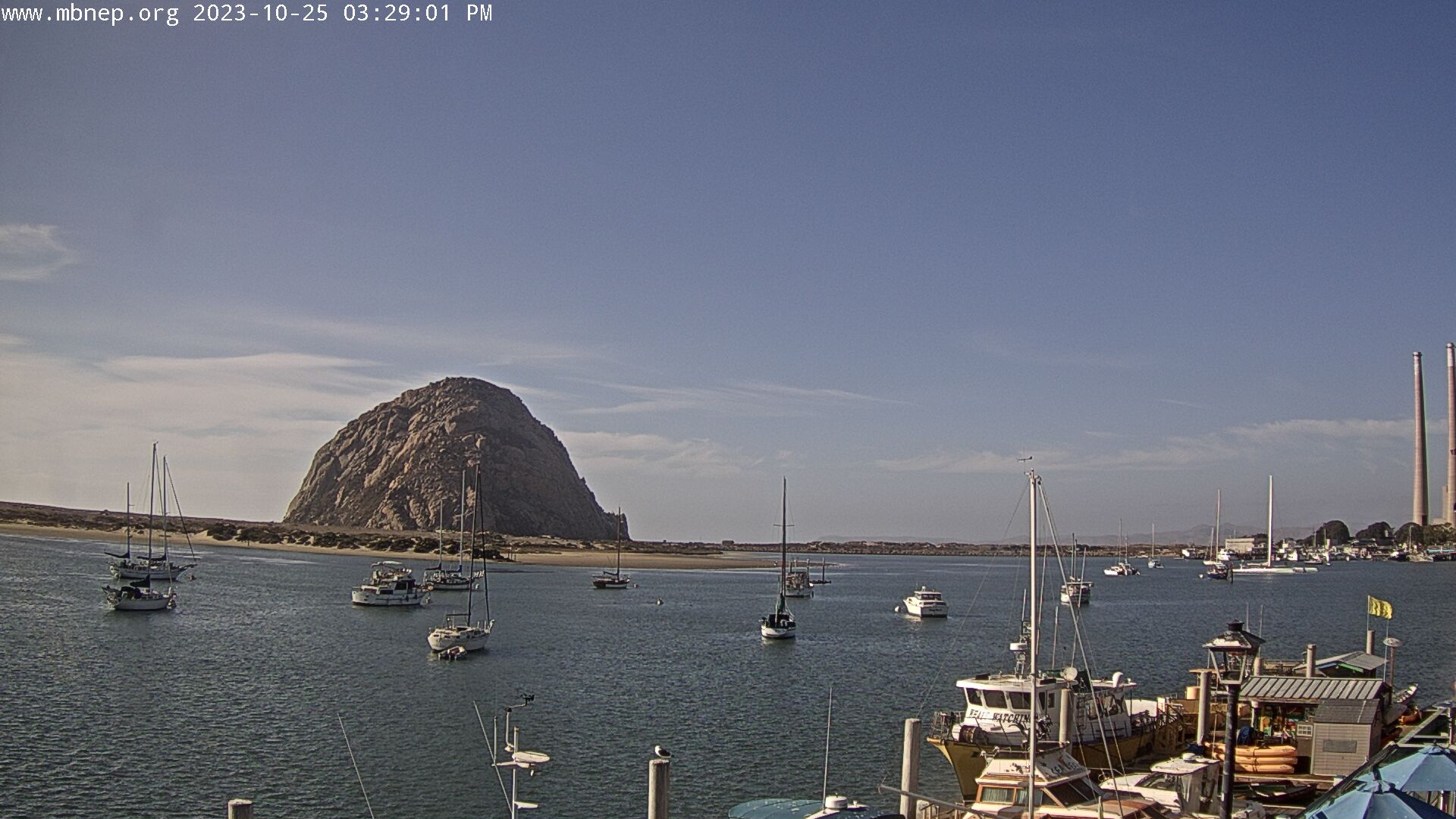
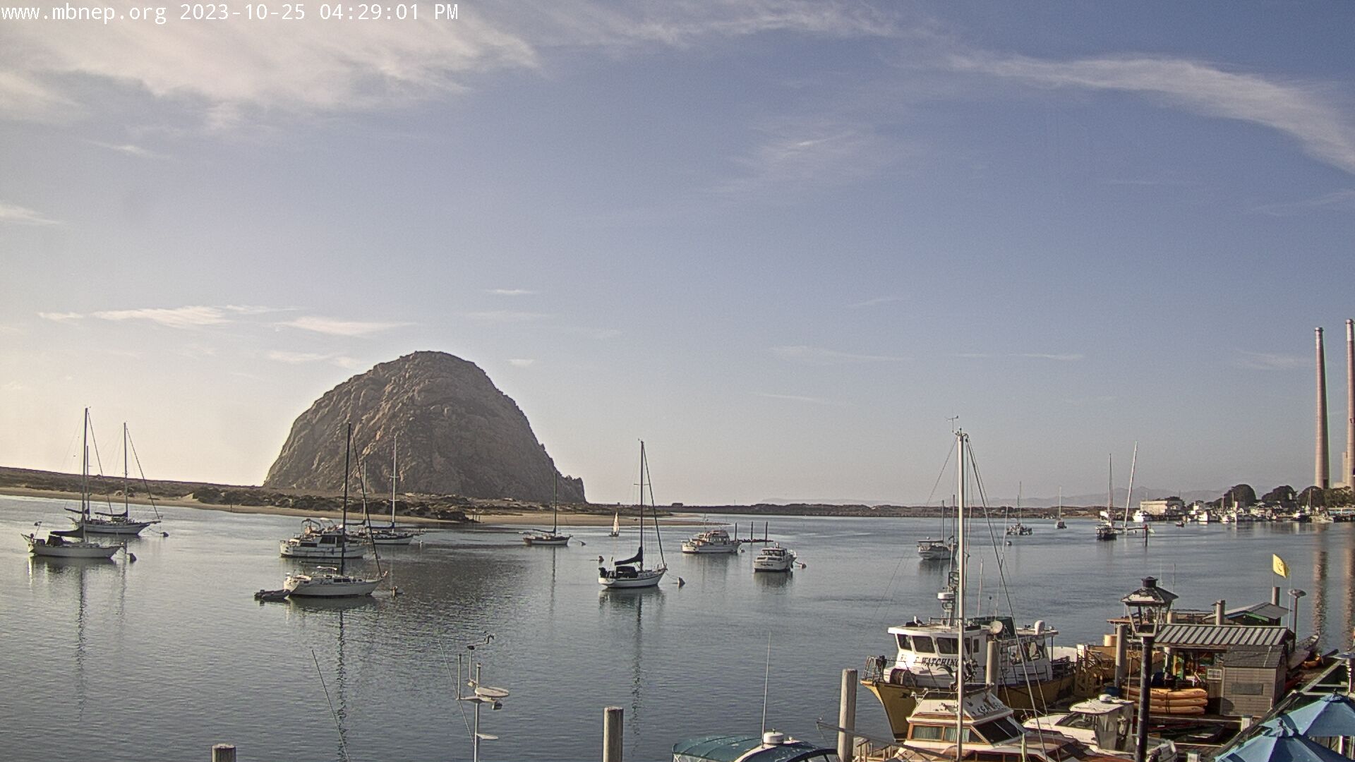
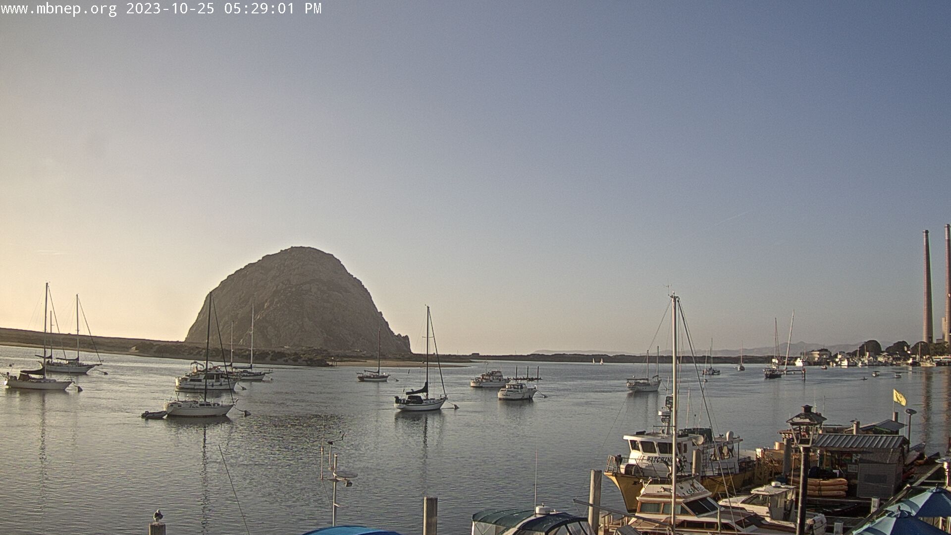
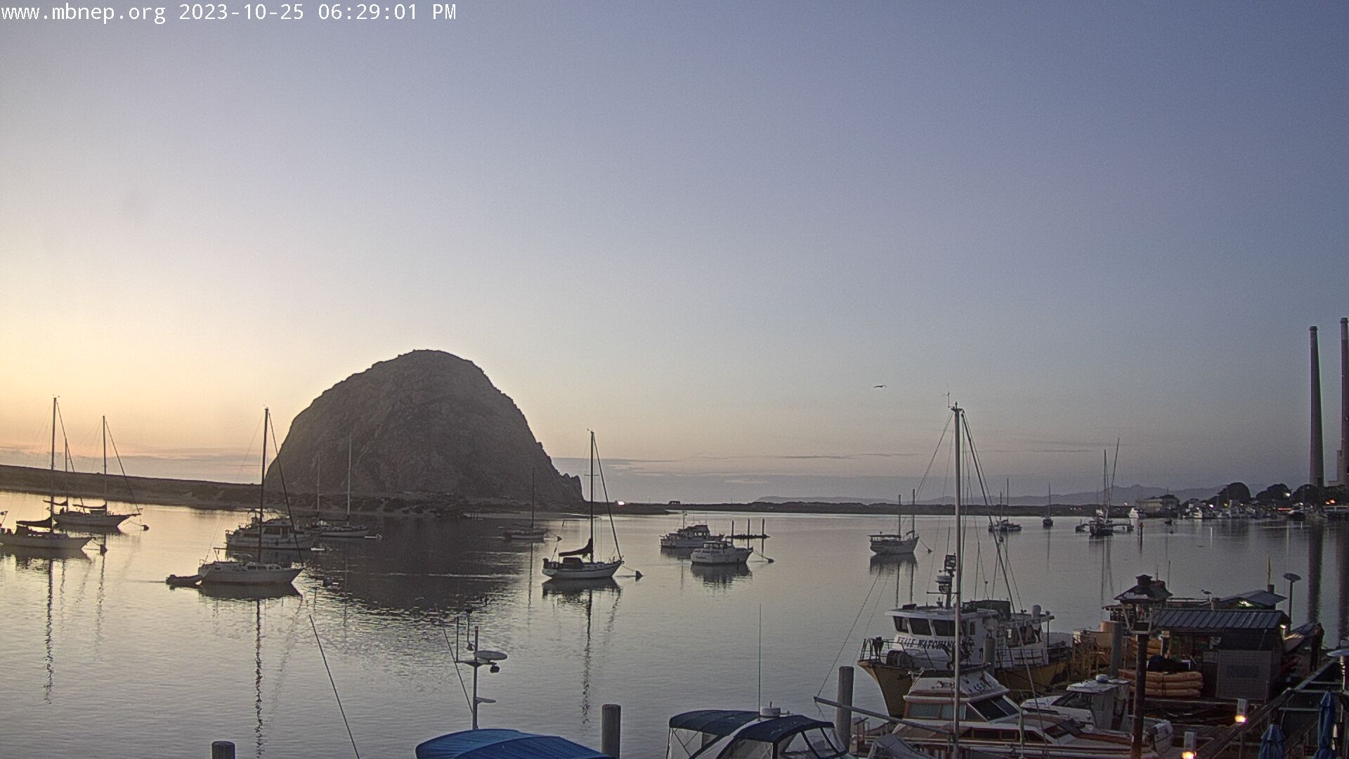
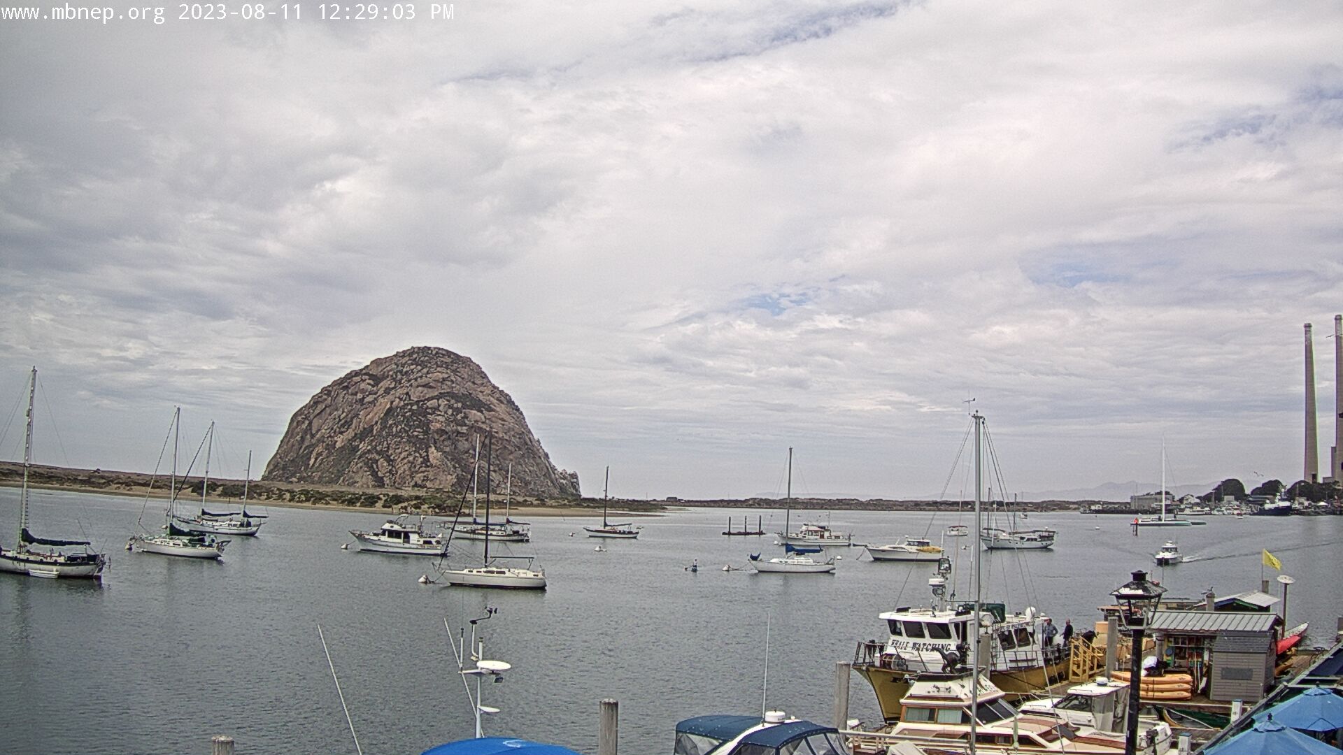
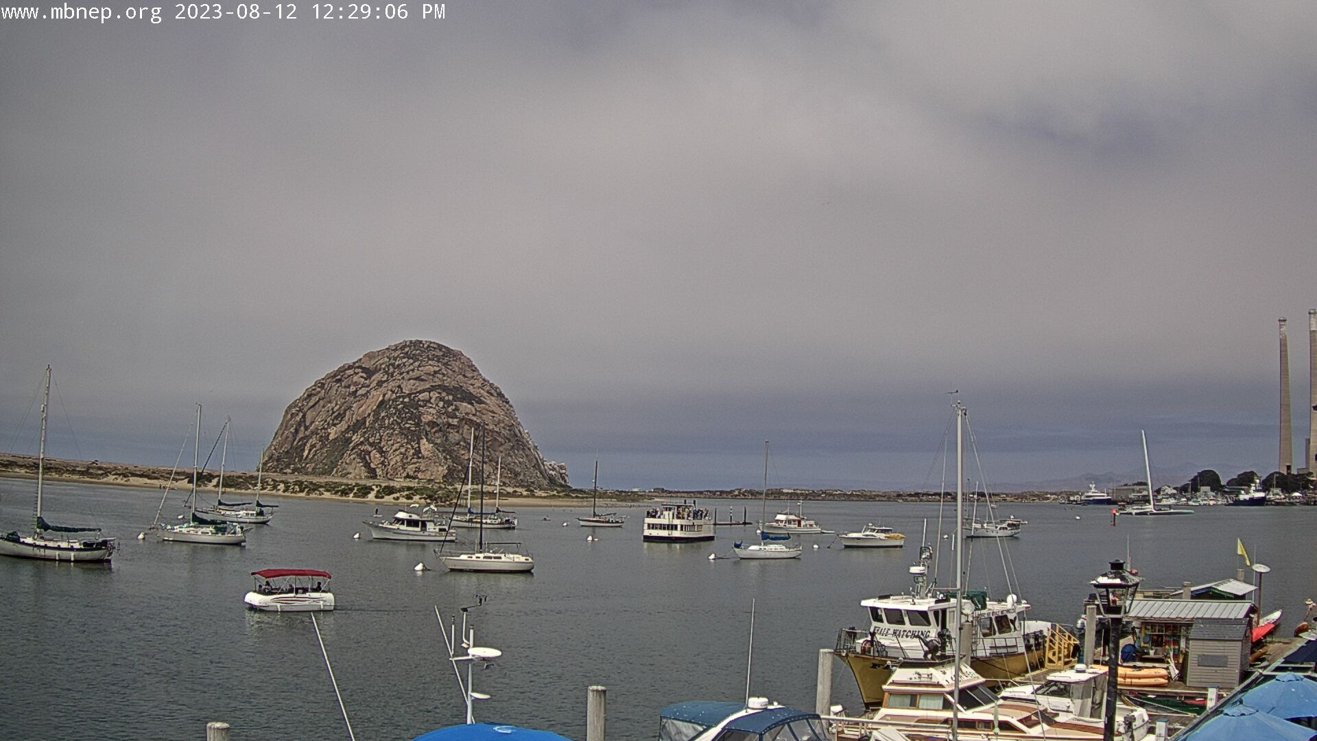
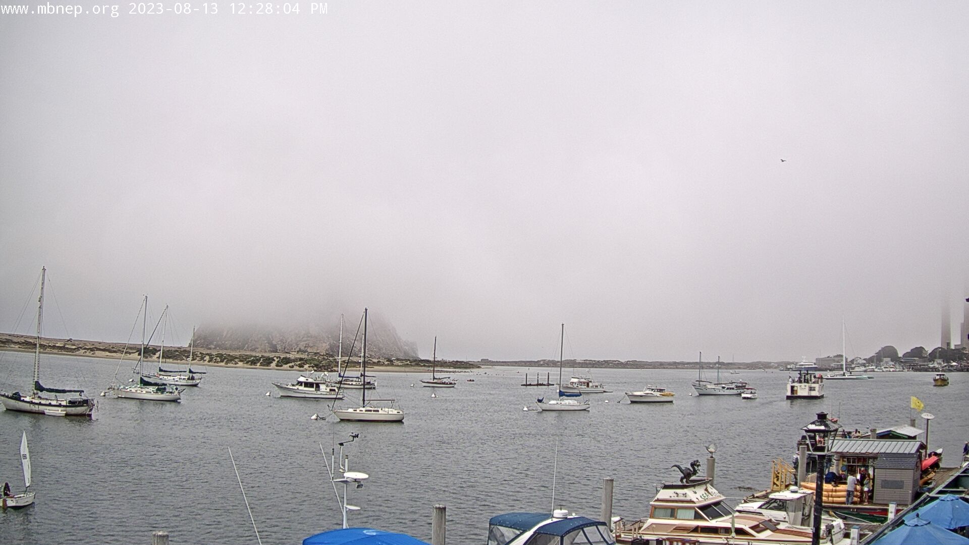
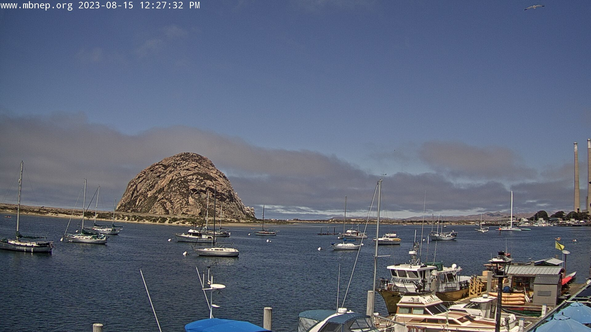
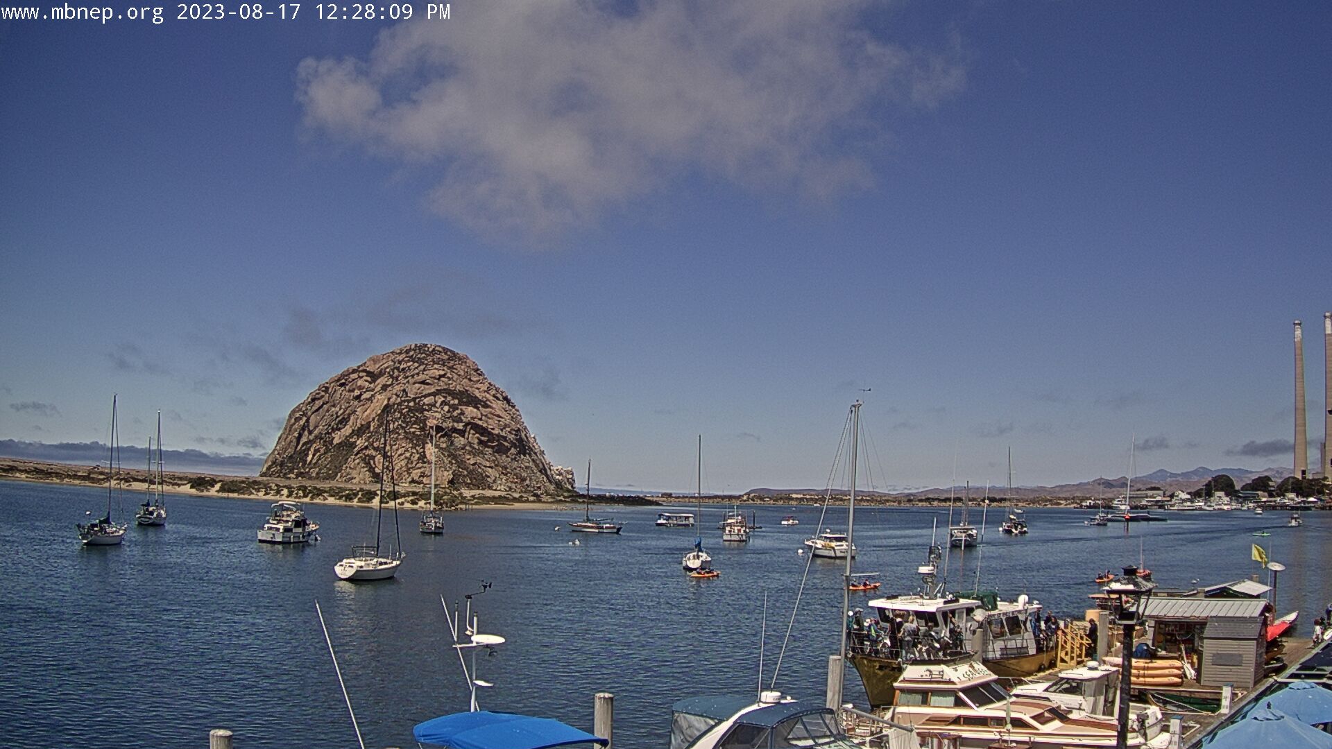
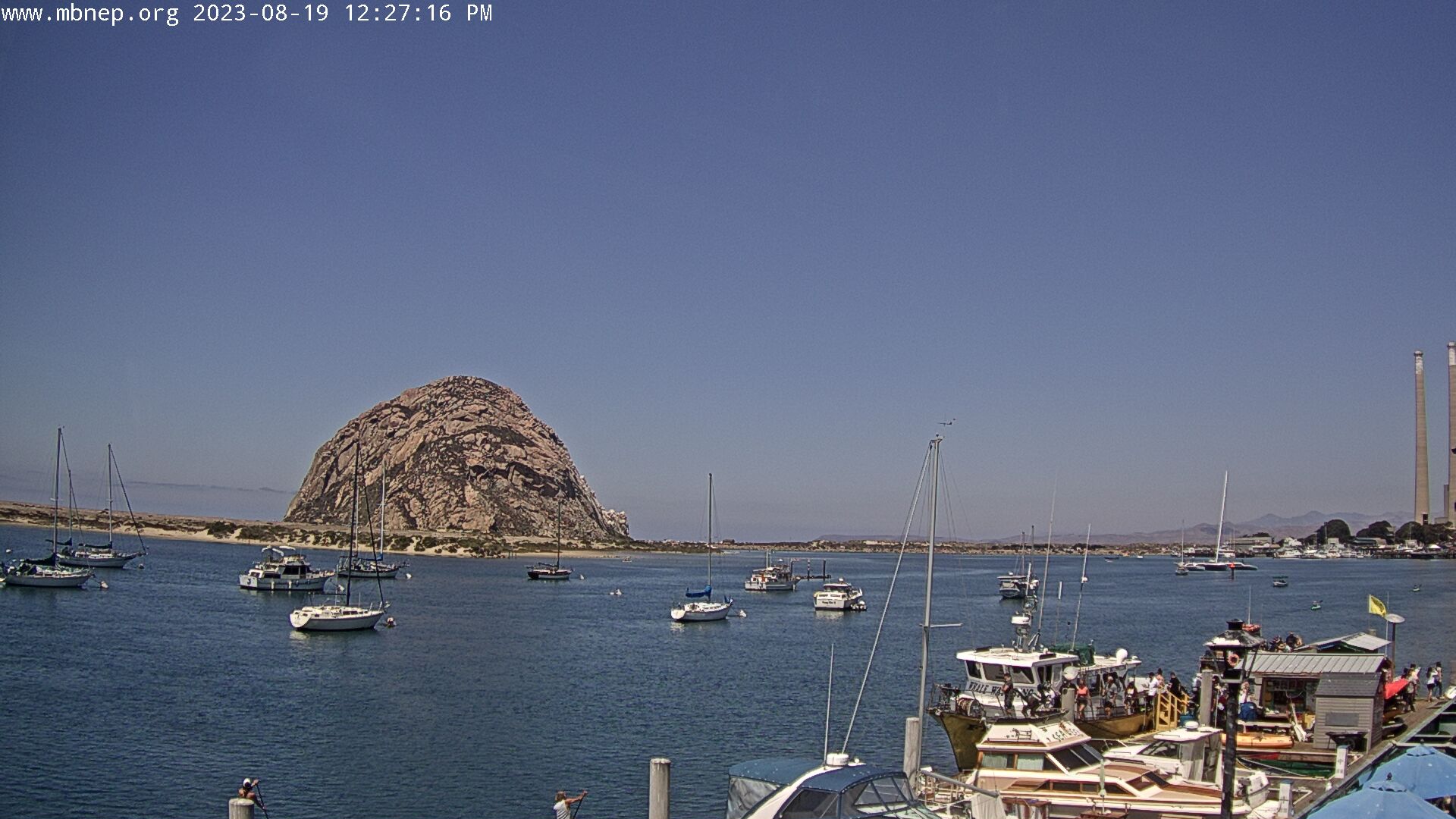
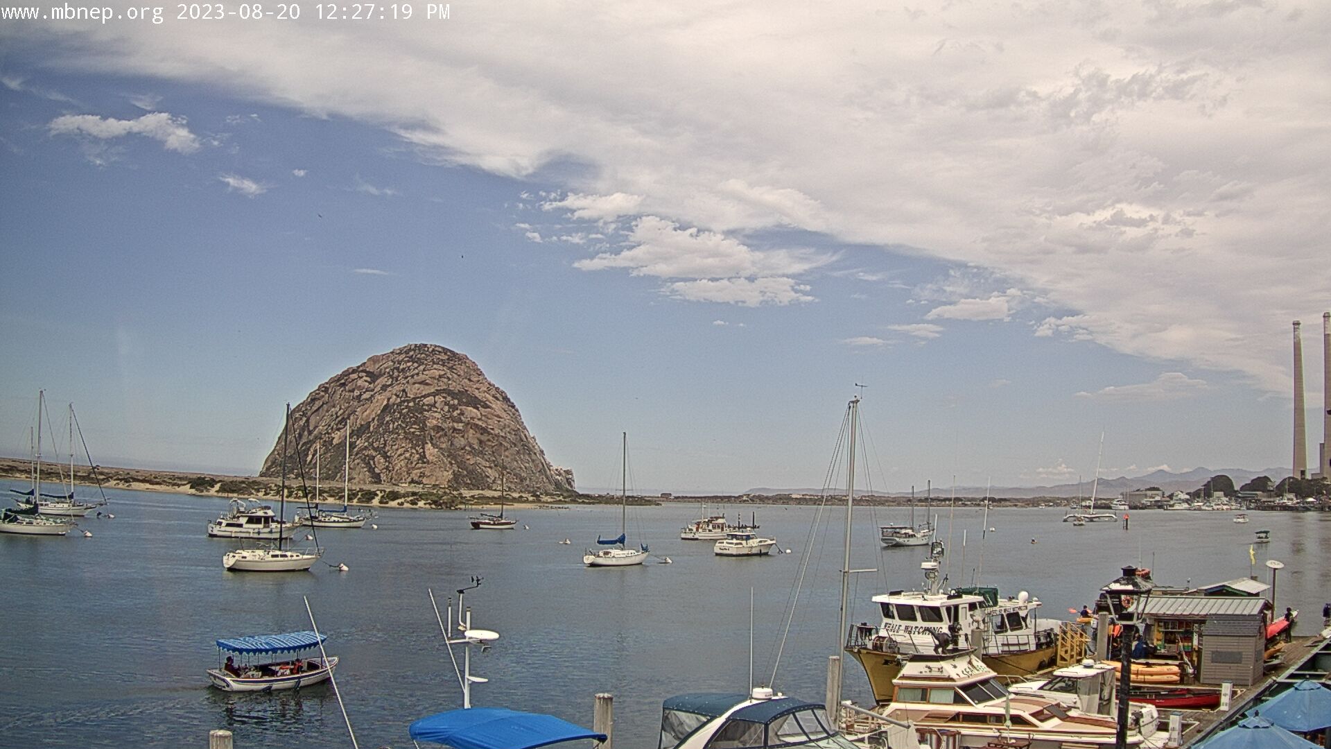
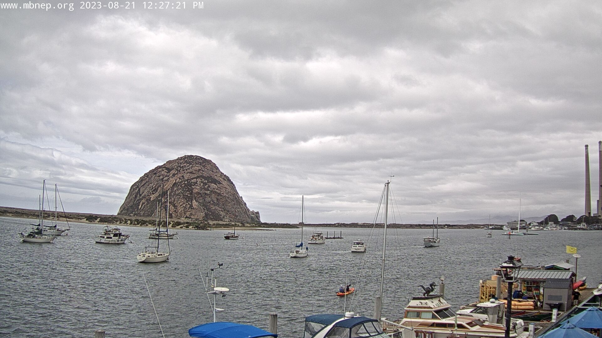
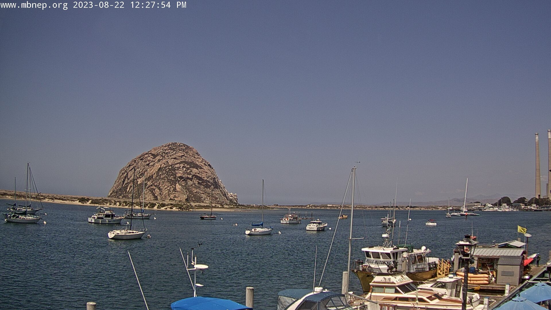
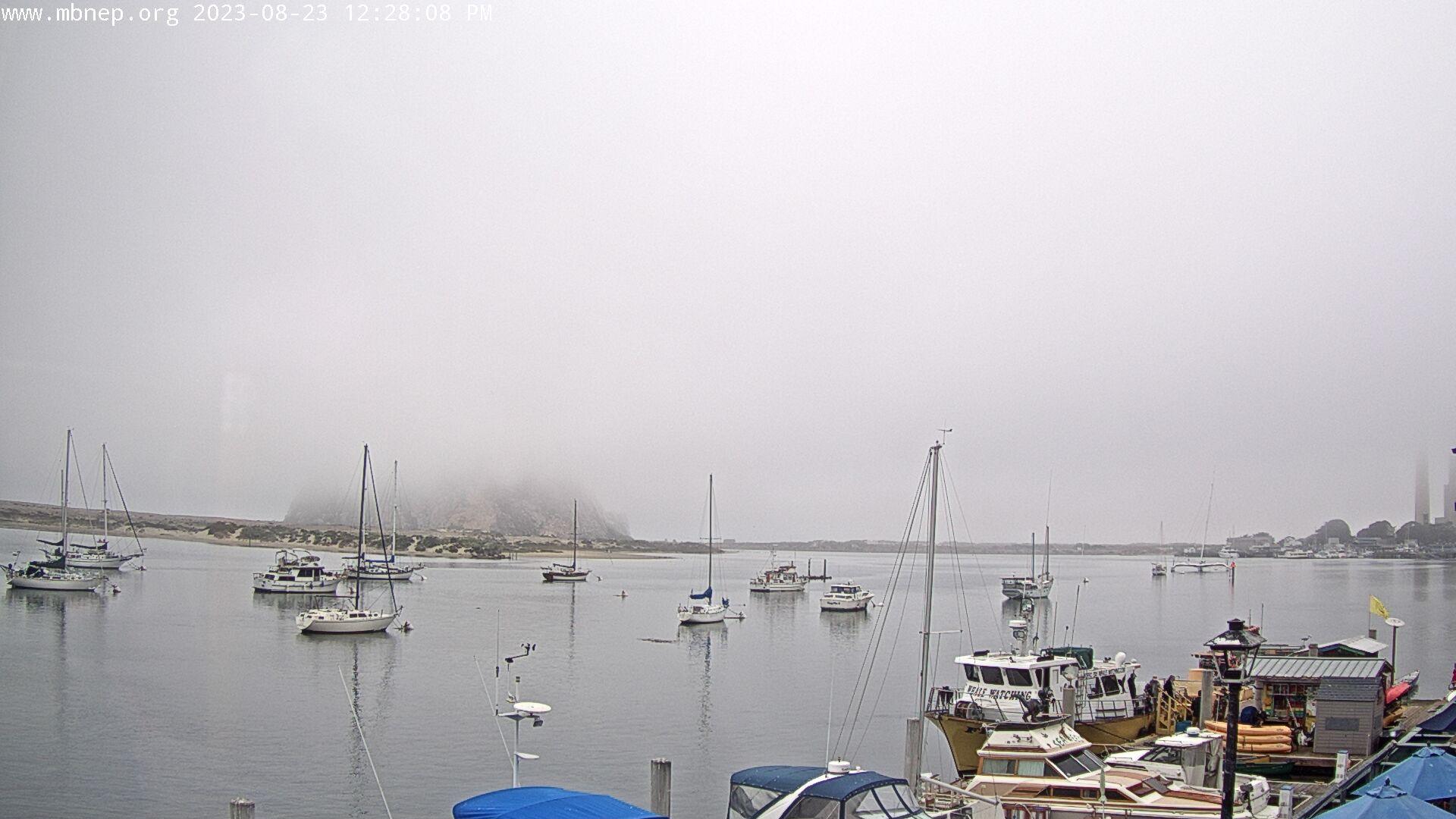
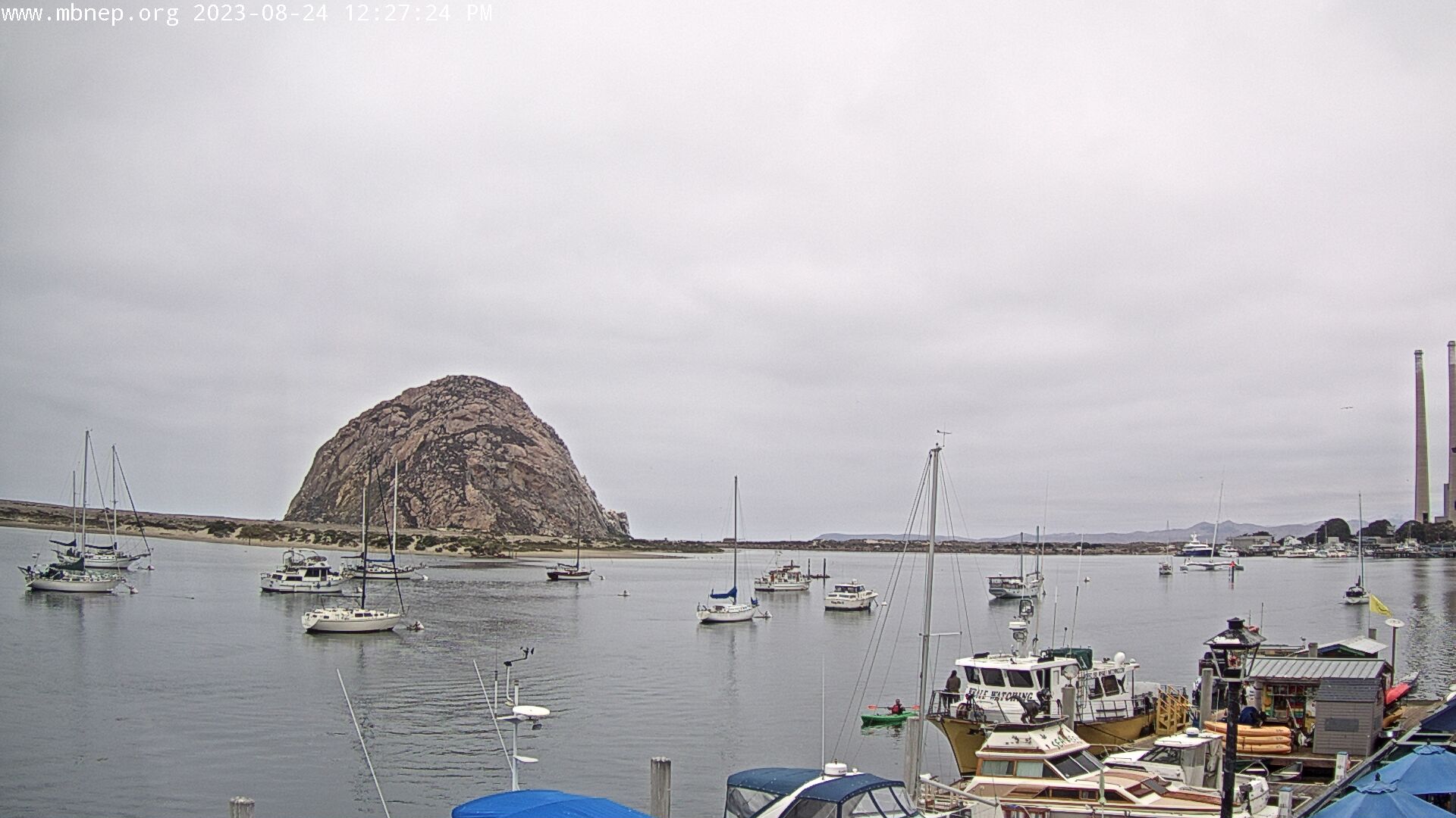
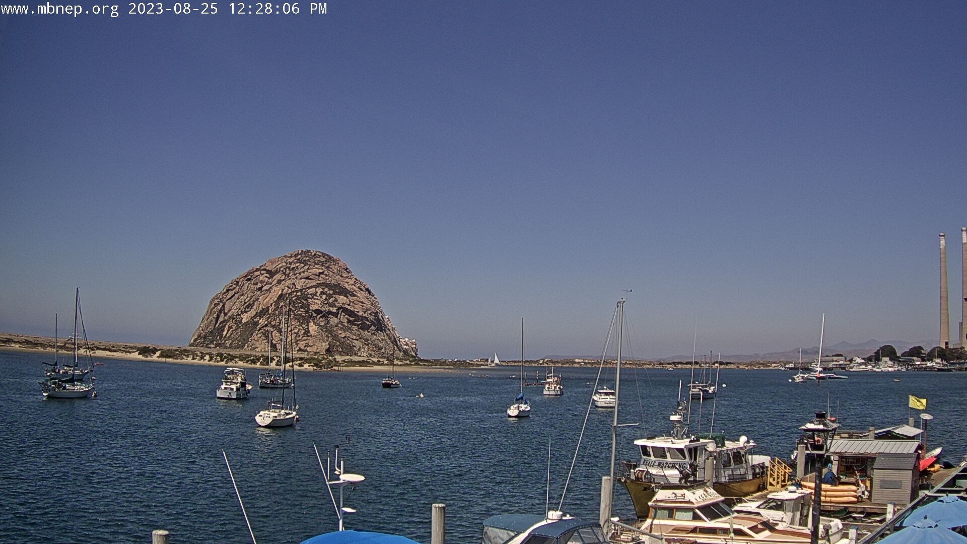
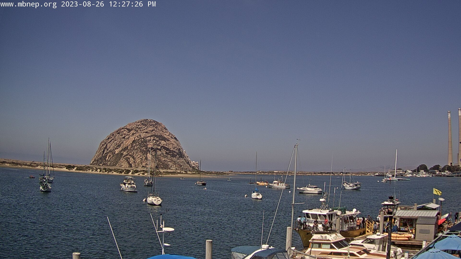
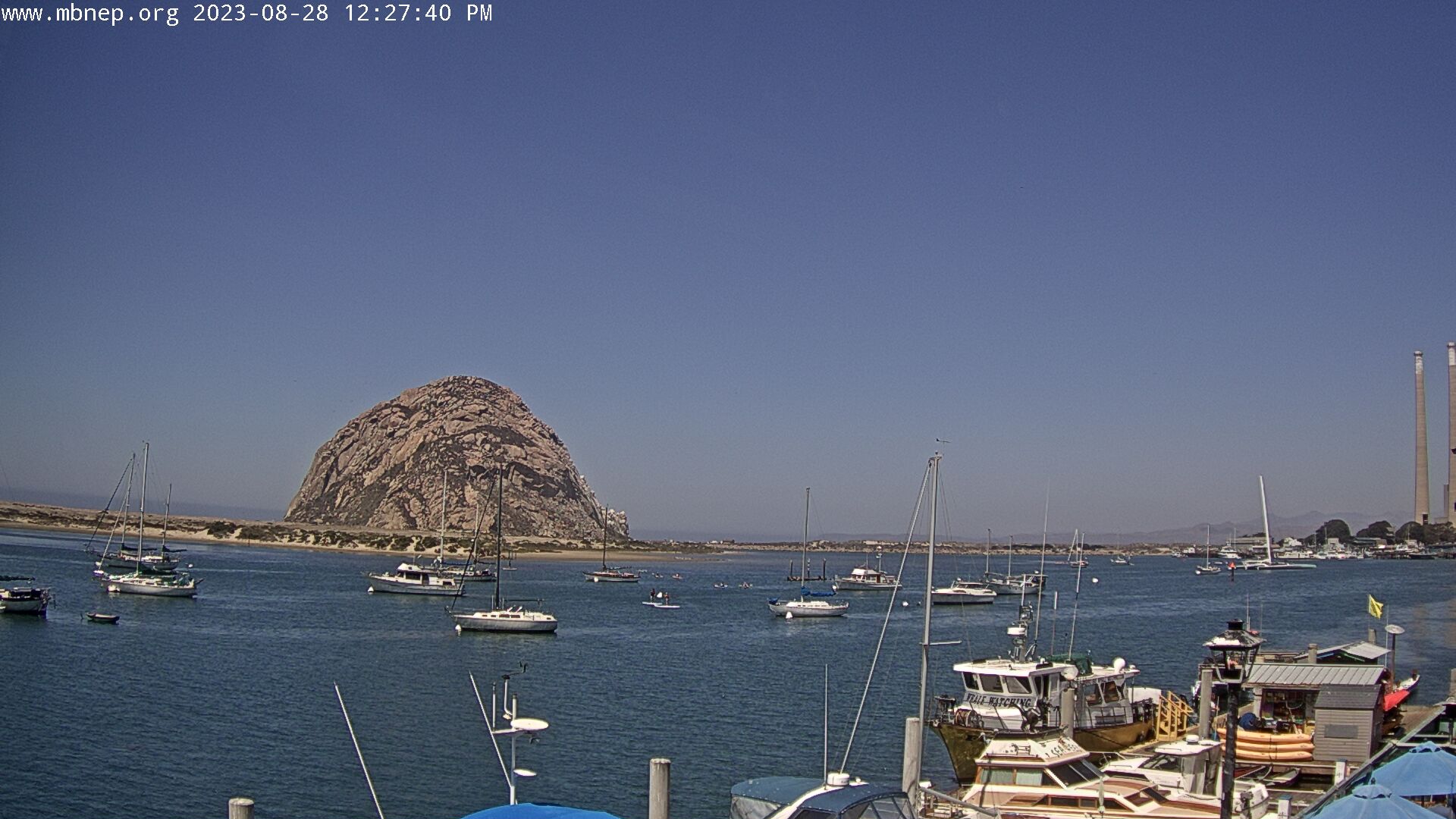
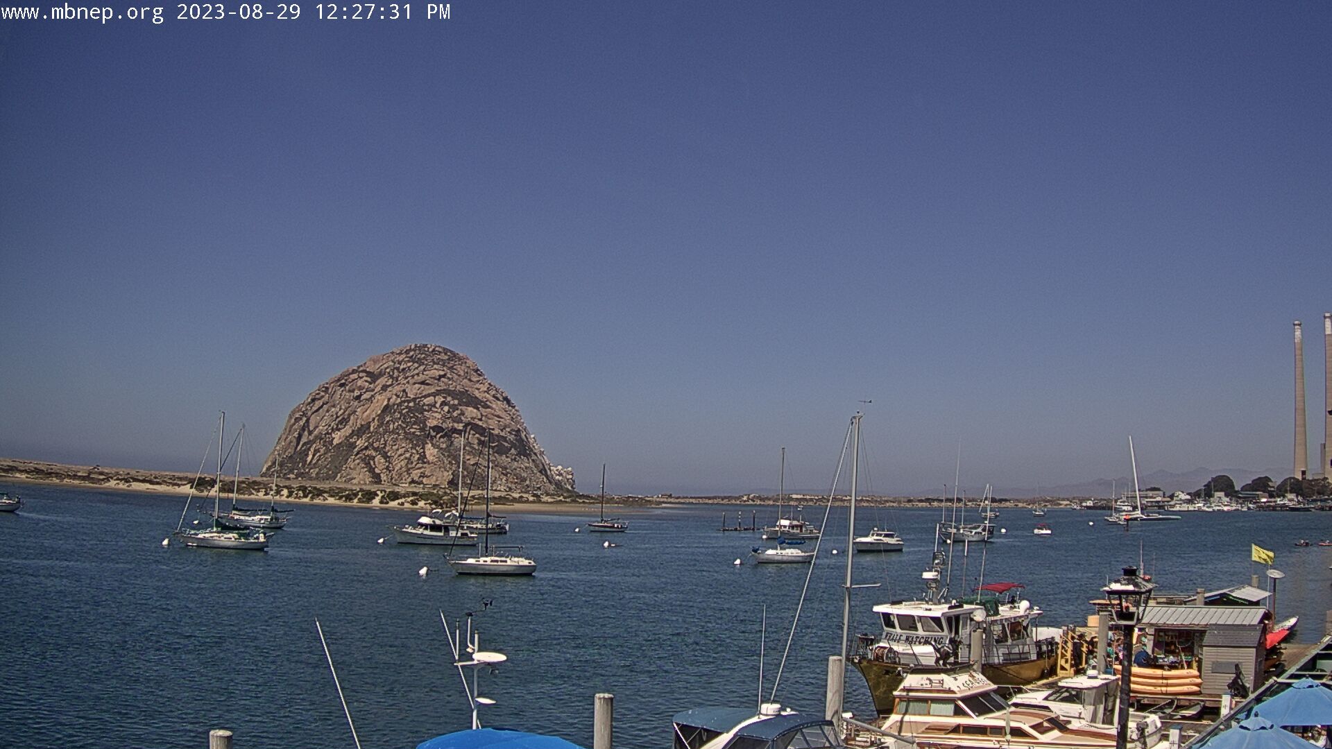
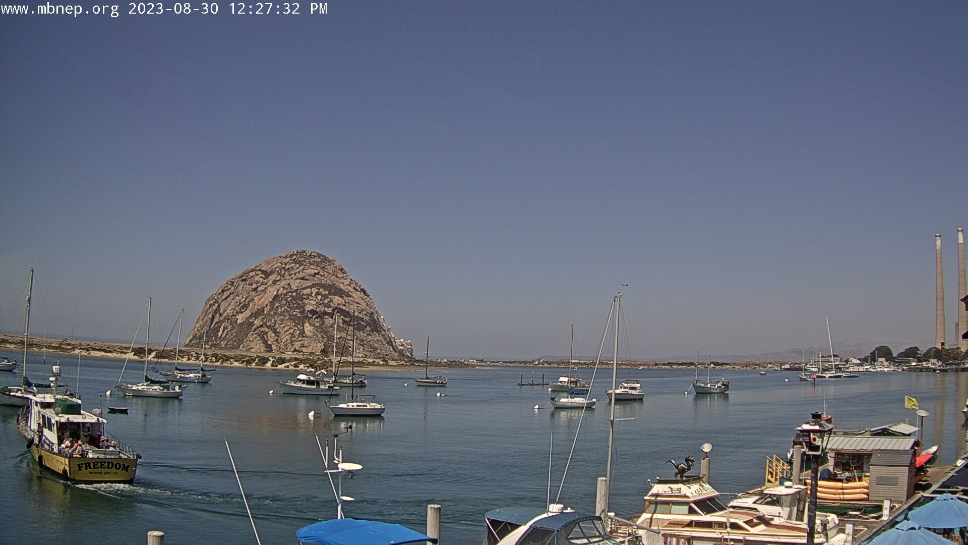
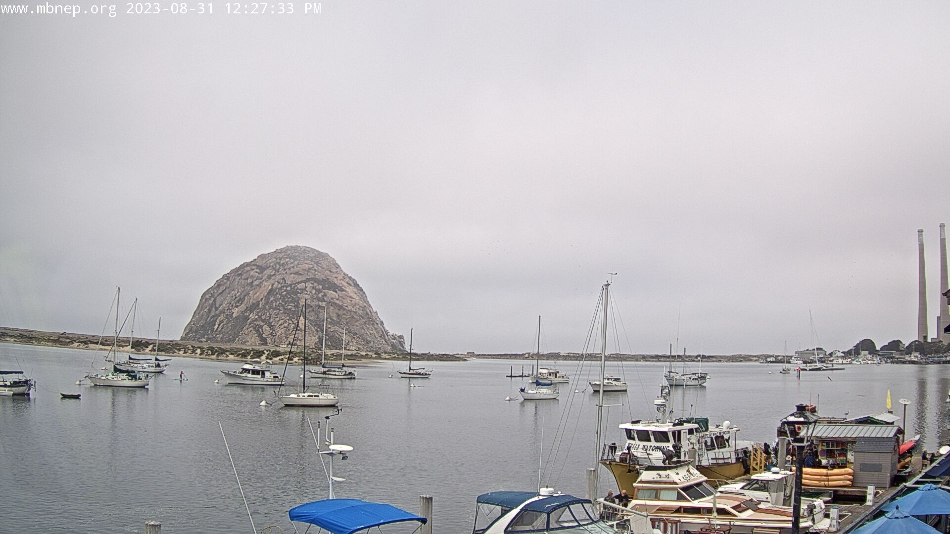
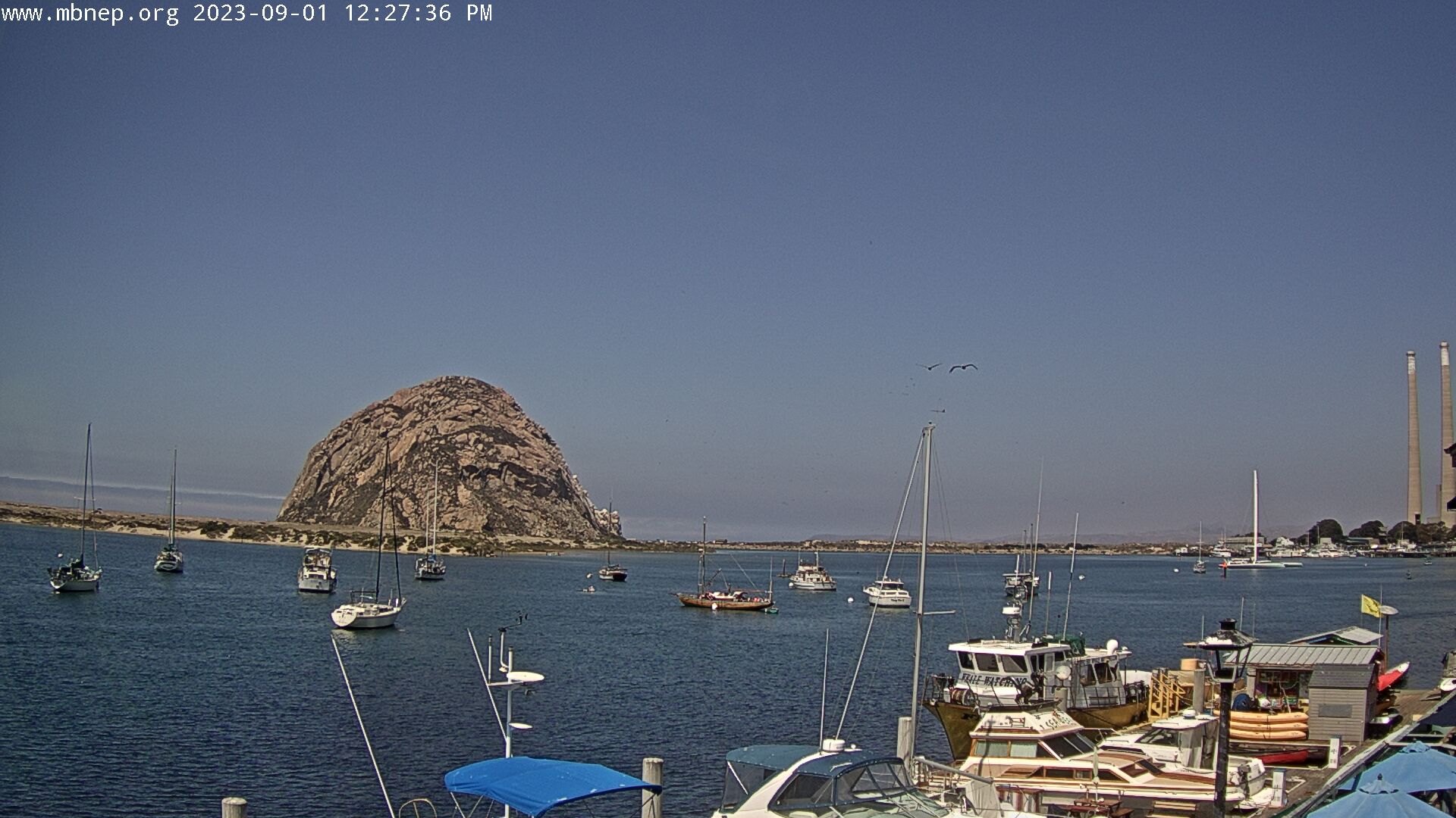
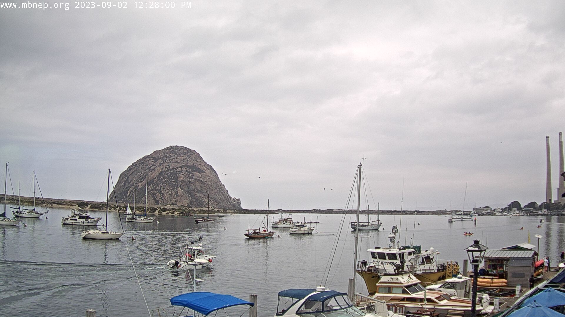
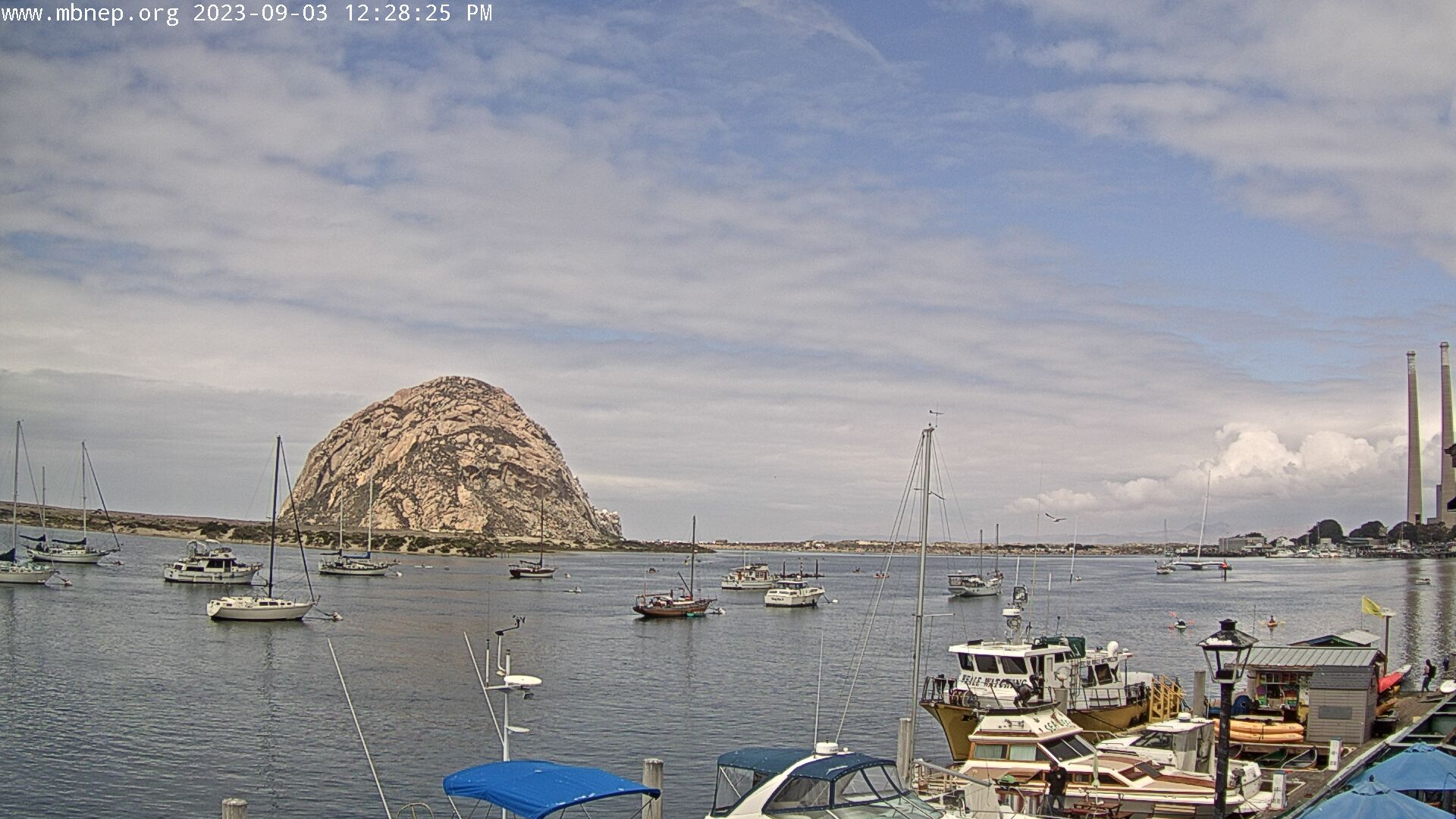
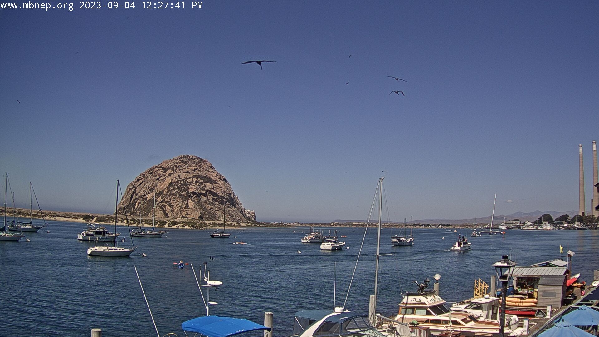
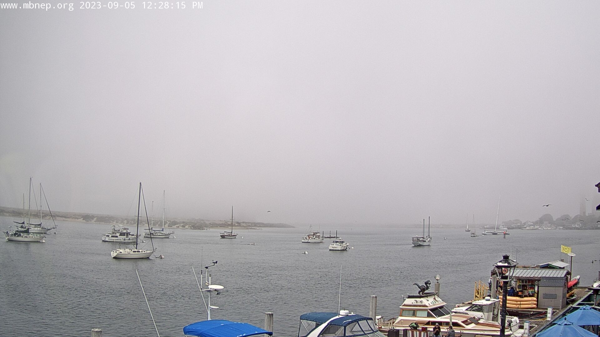
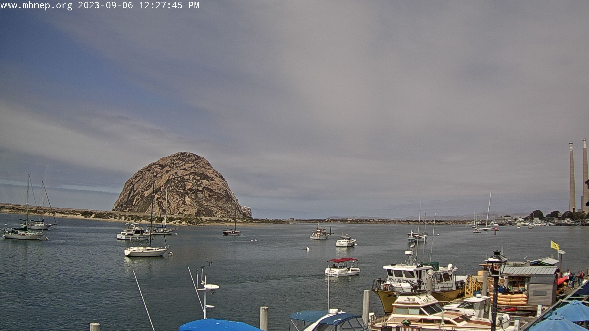
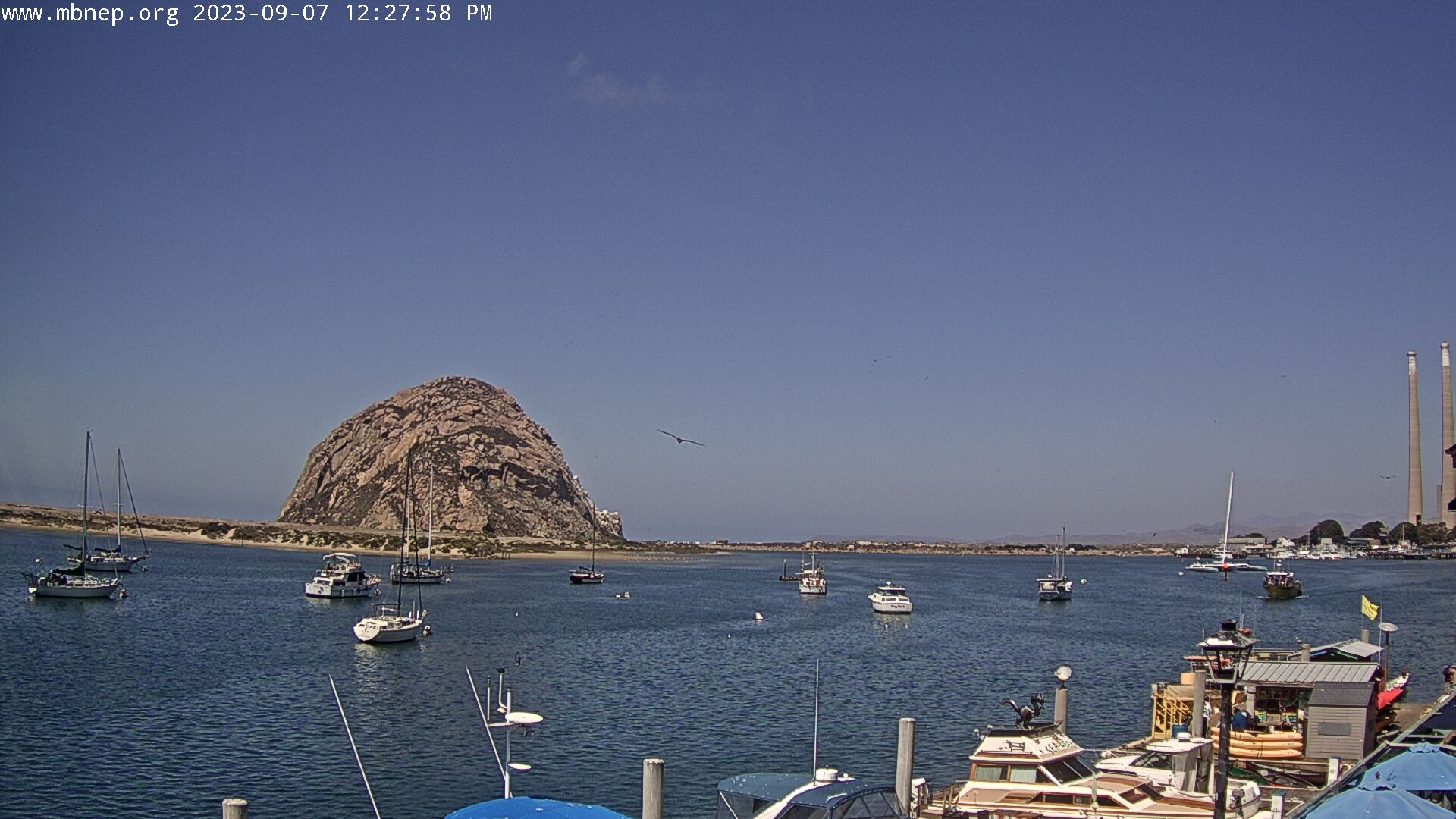
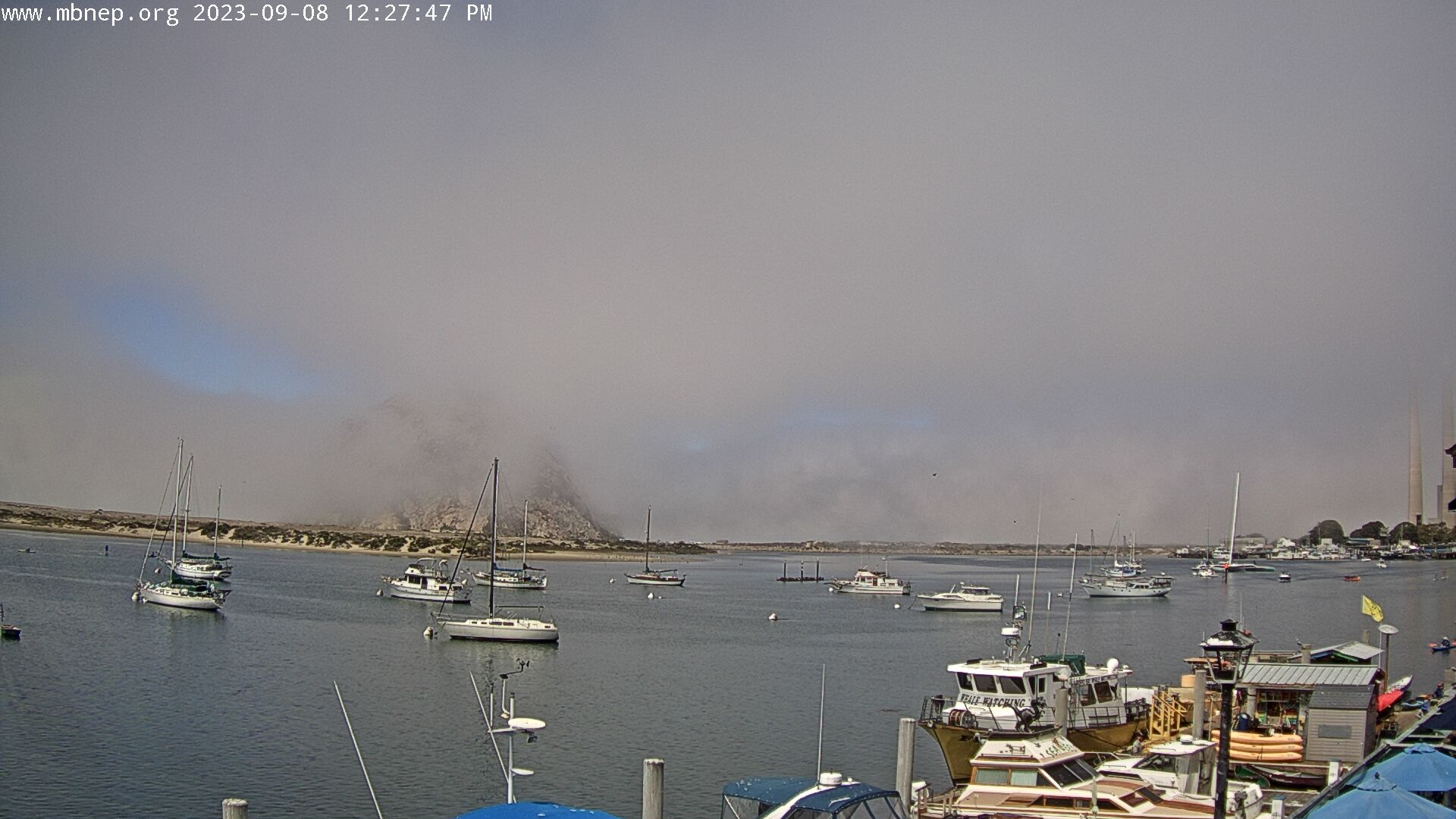
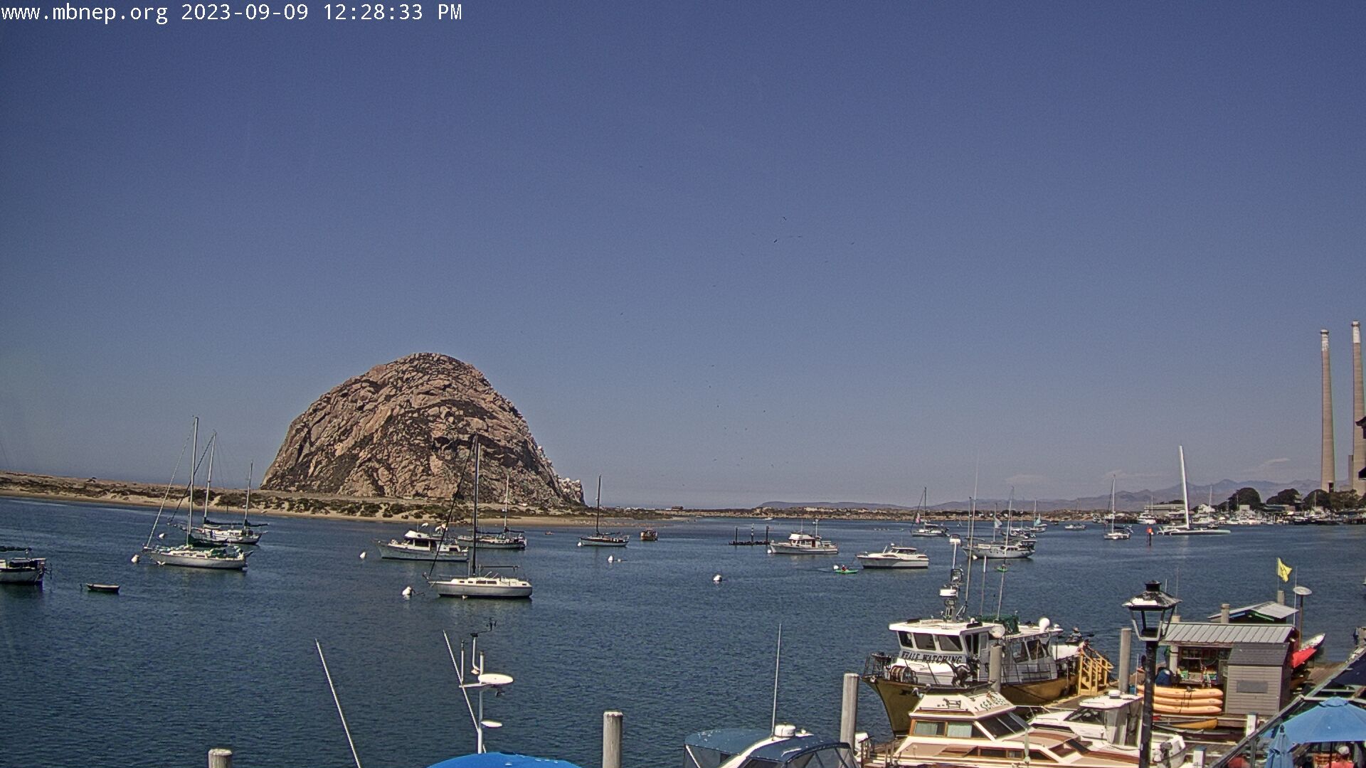
Morro Bay , California, USA - 114.2 miles from Butler (historical): Morro Bay Rock - A gorgeous view of Morro Bay Rock and the Morro Bay Harbor.
Operator: Morro Bay National Estuary Program
Operator: Morro Bay National Estuary Program


Pebble Beach, California, USA - 126 miles from Butler (historical): Pebble Beach Resorts - A view over the golf course of the Pebble Beach Resorts.
Operator: Pebble Beach Resorts
Operator: Pebble Beach Resorts

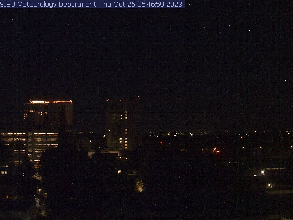
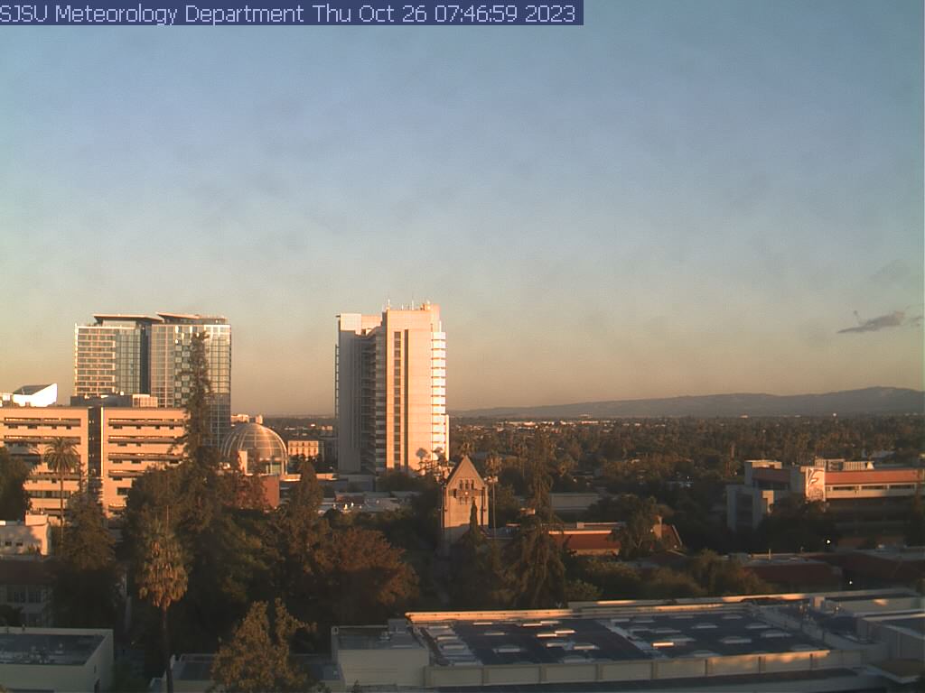
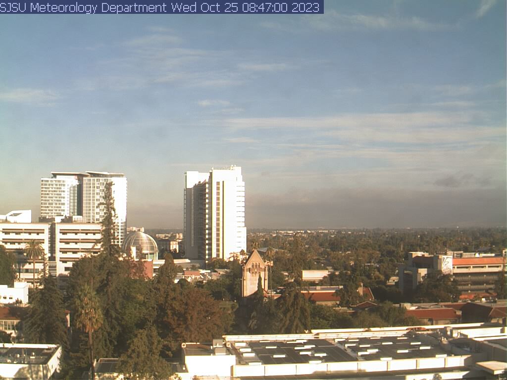
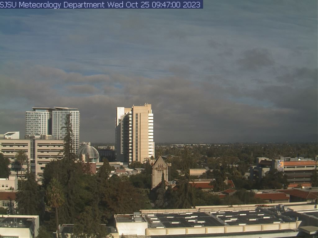
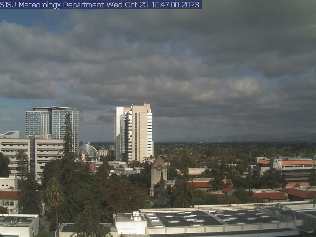
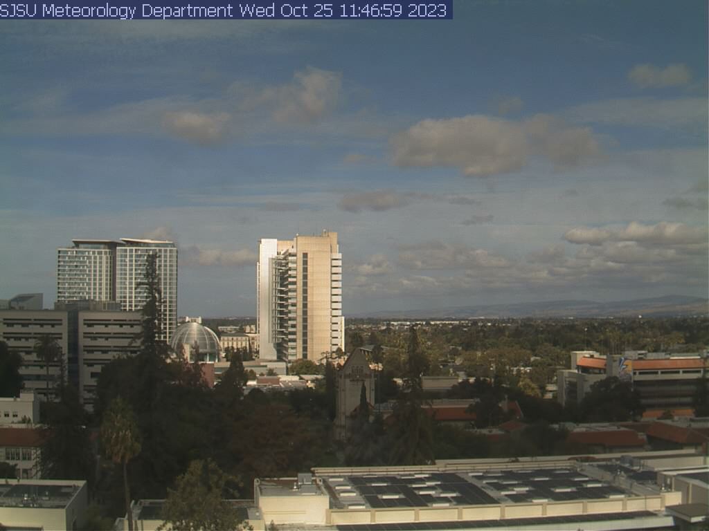
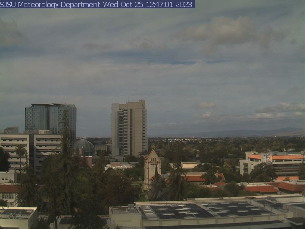
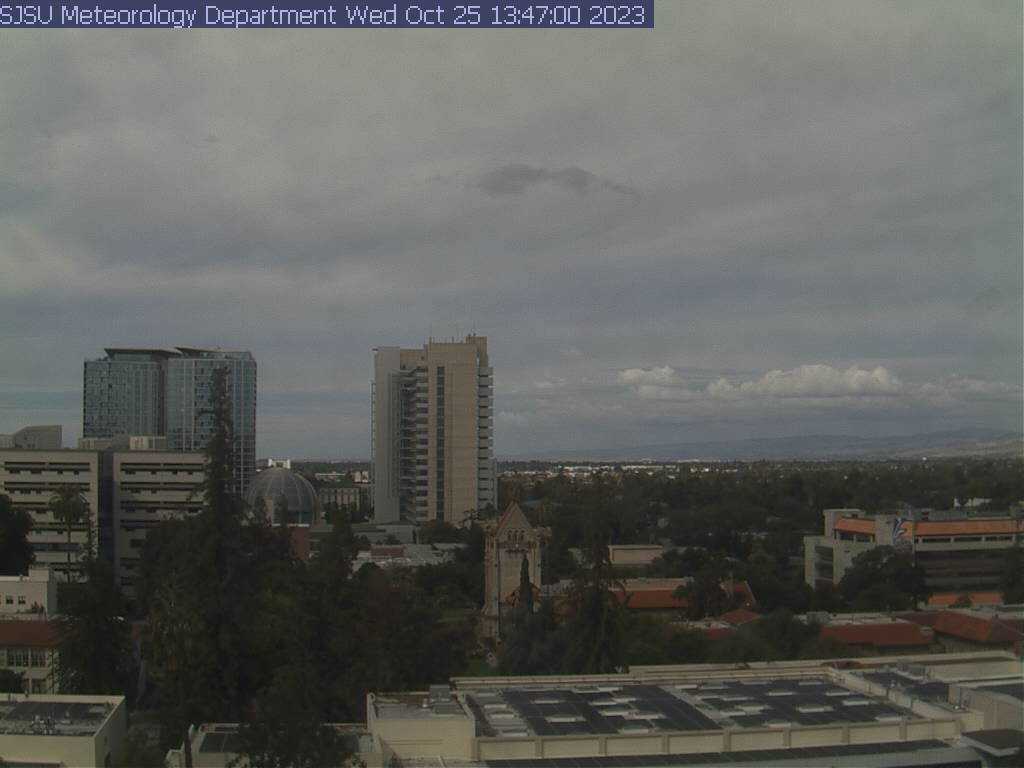
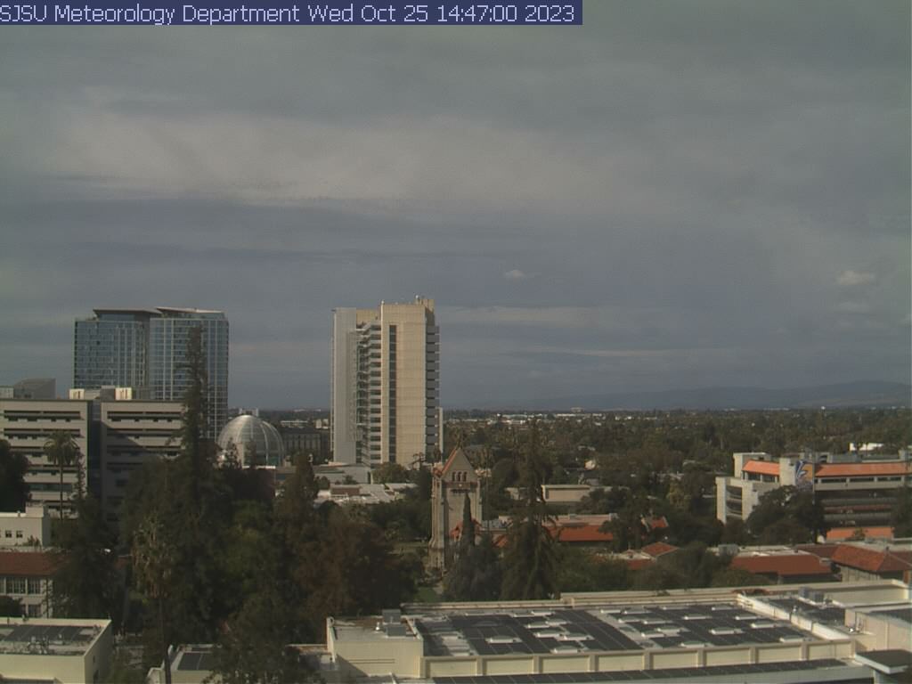
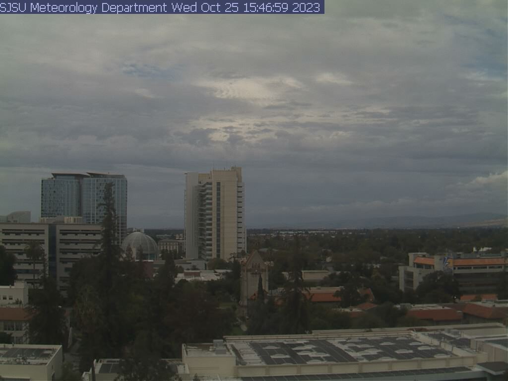
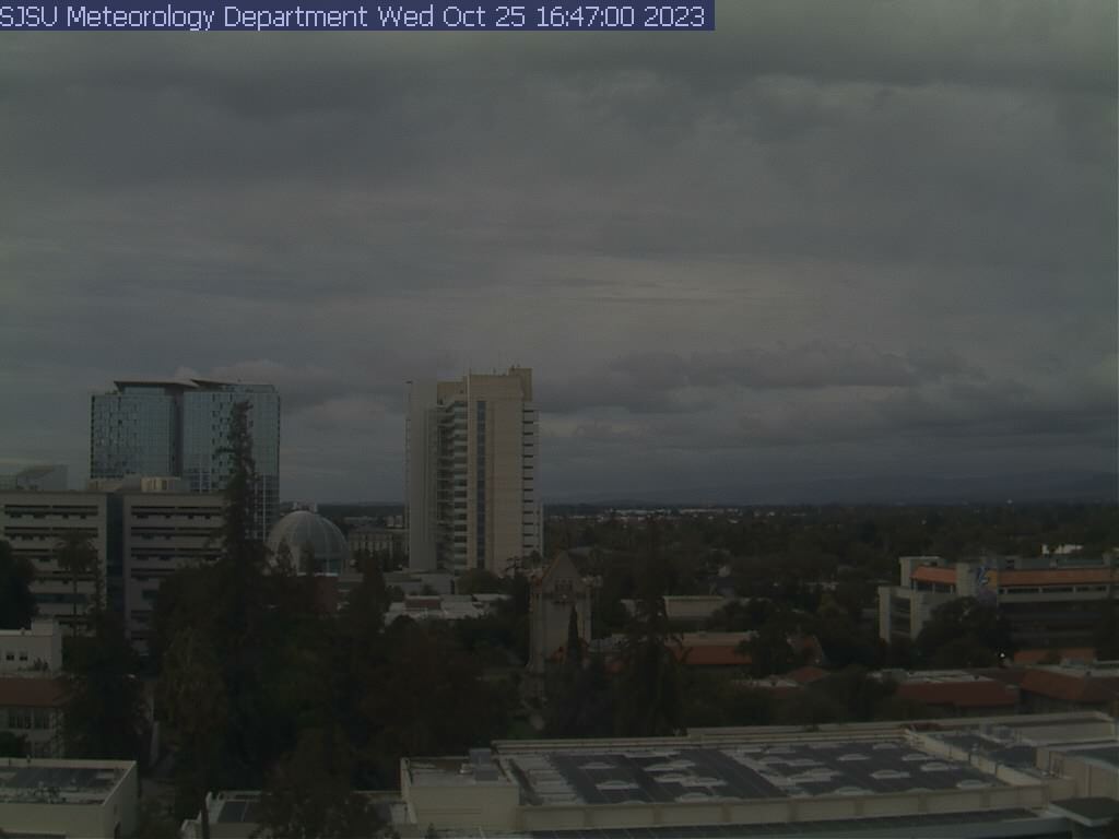
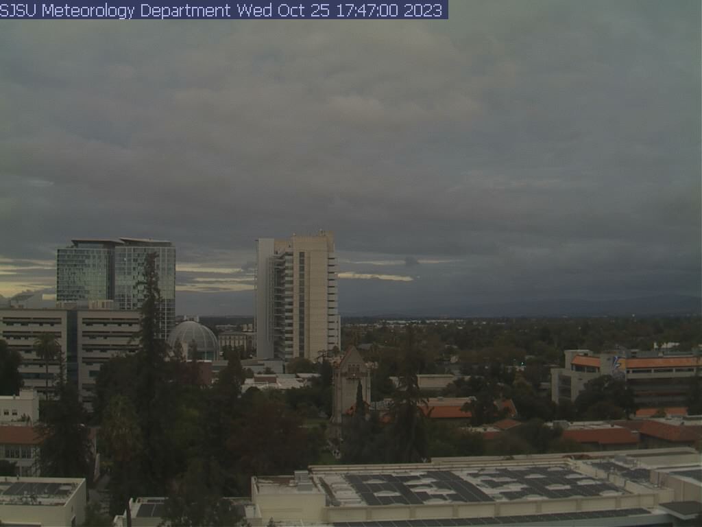
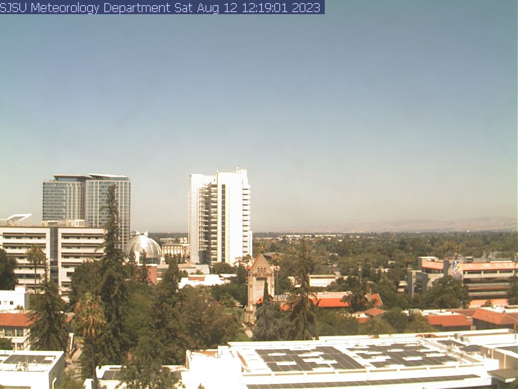
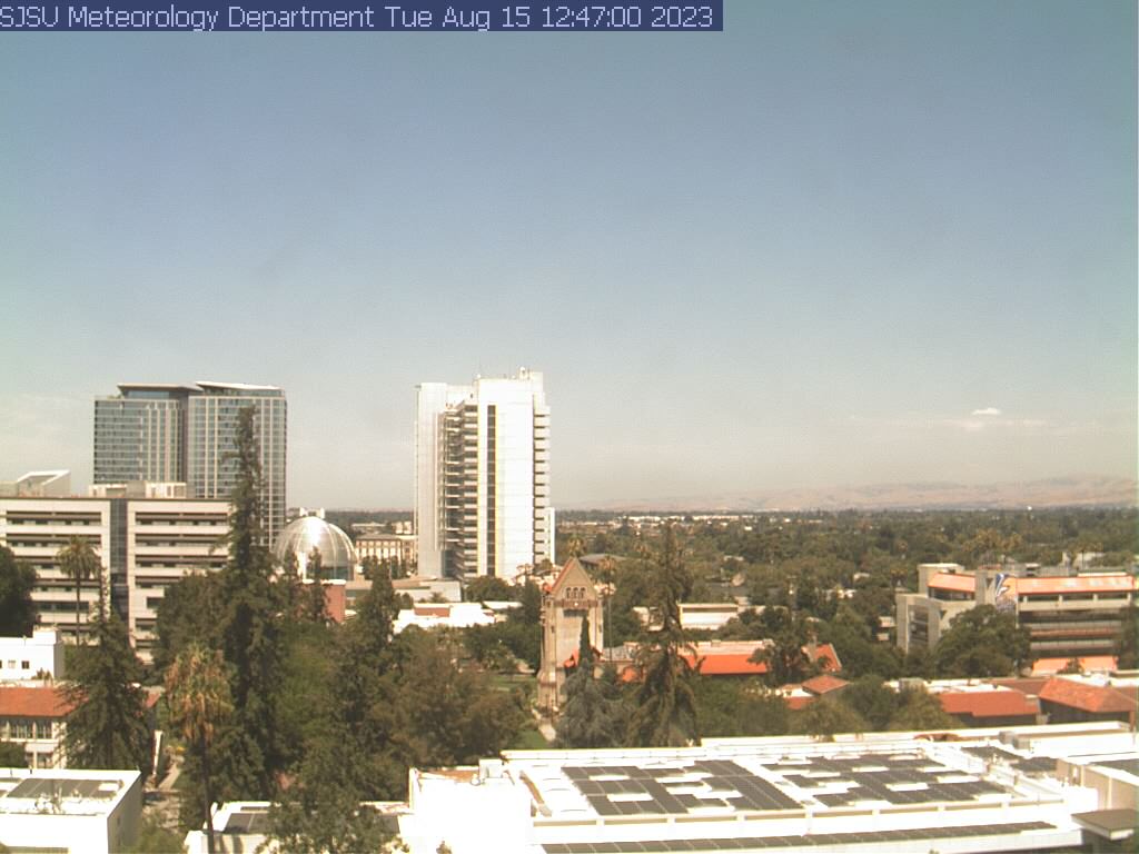
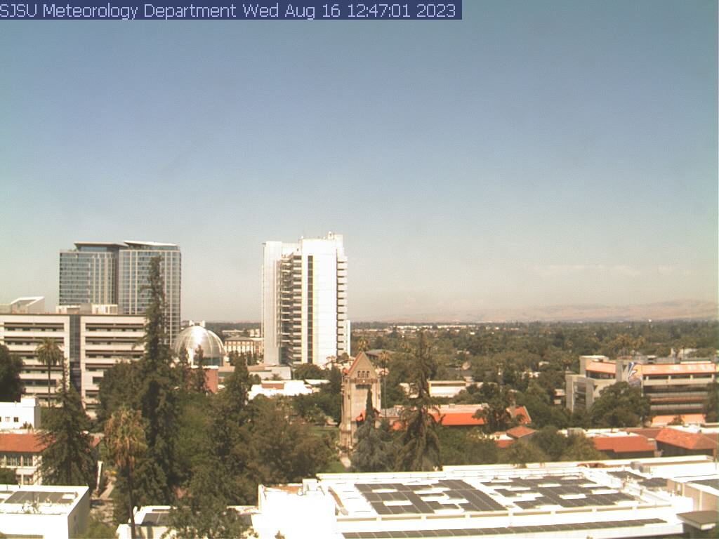
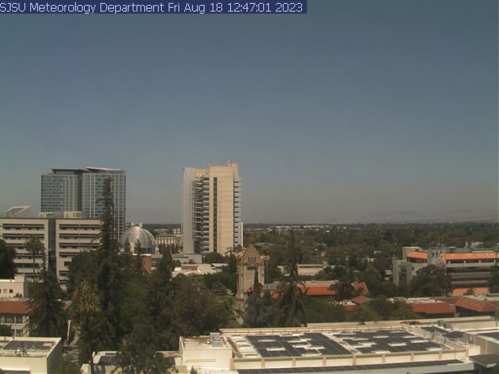
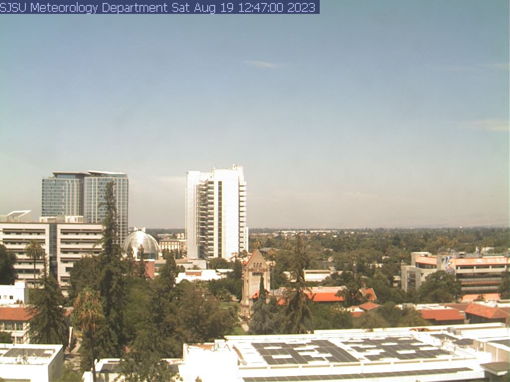
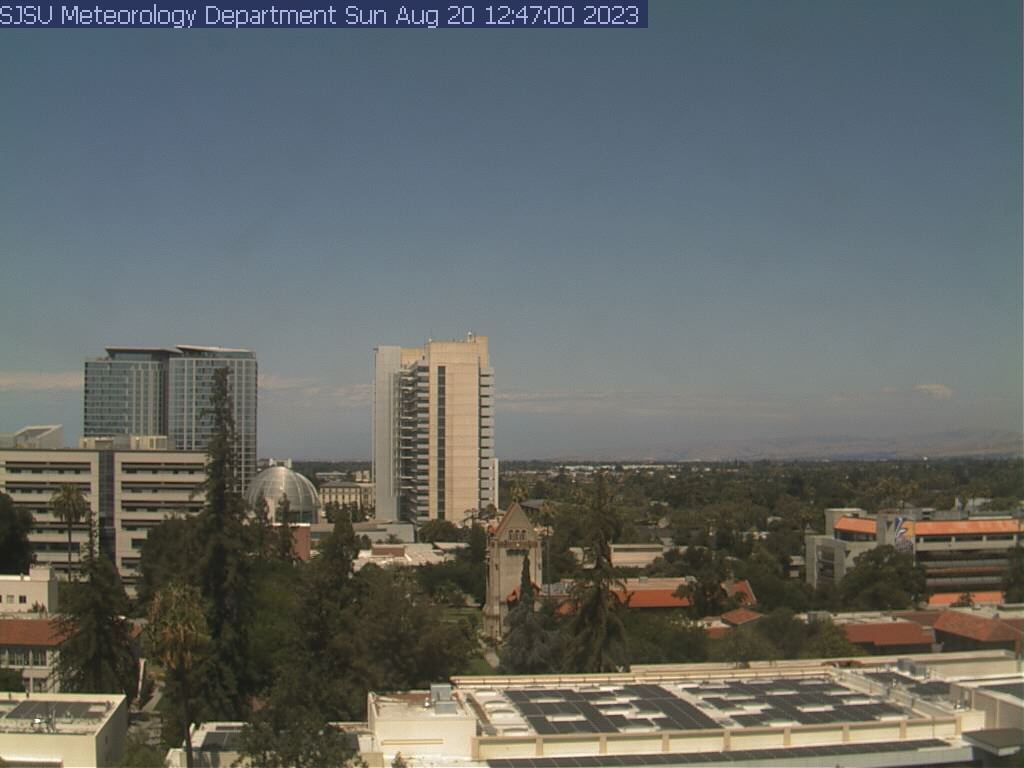
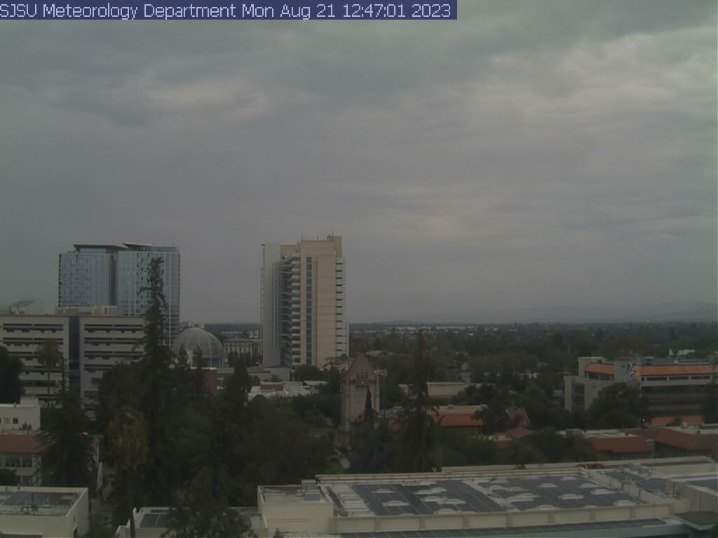
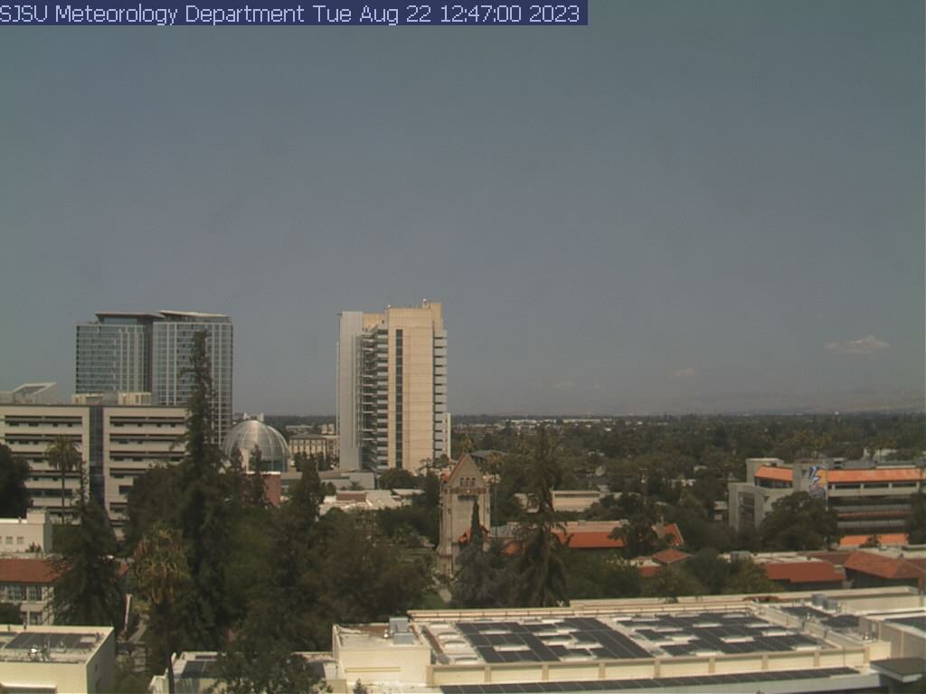
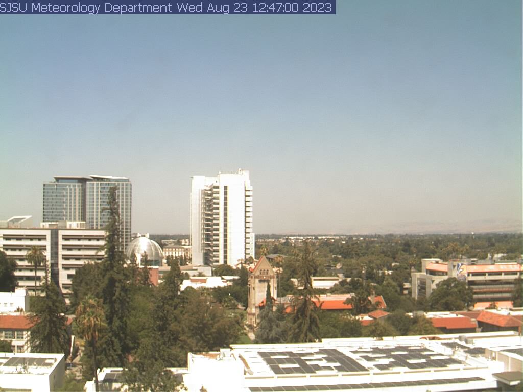
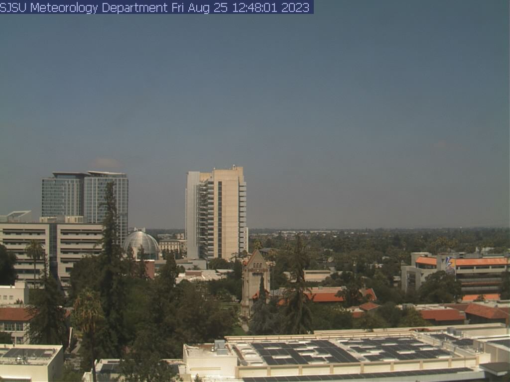
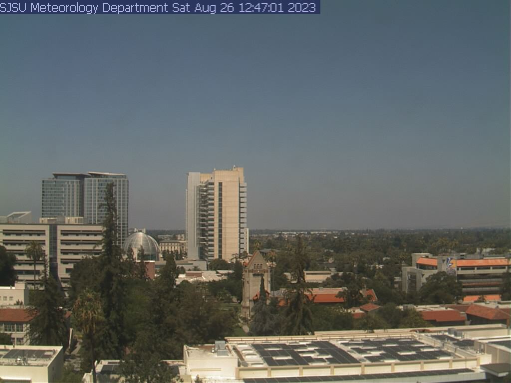
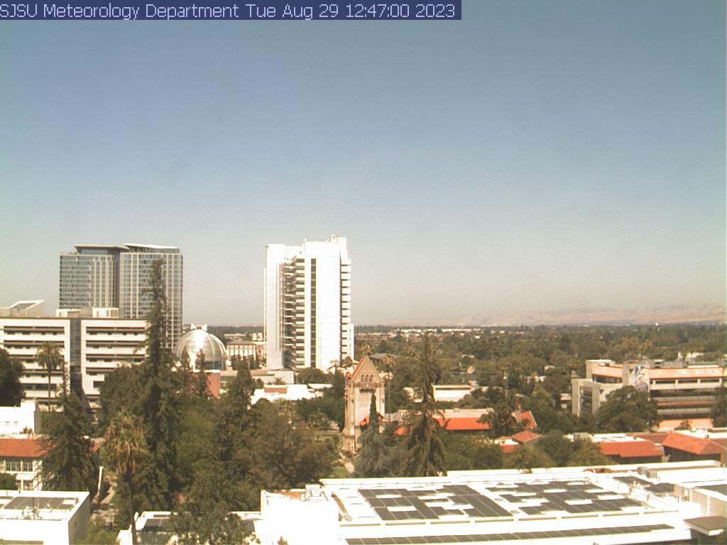
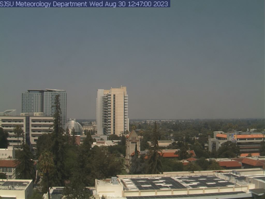
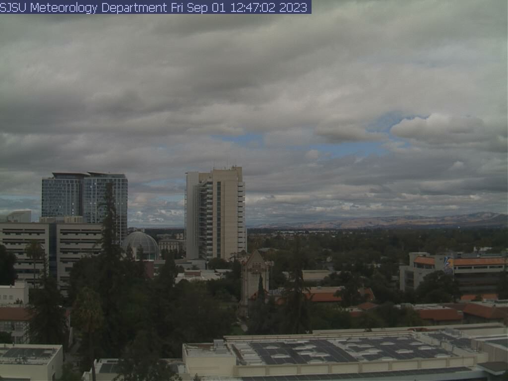
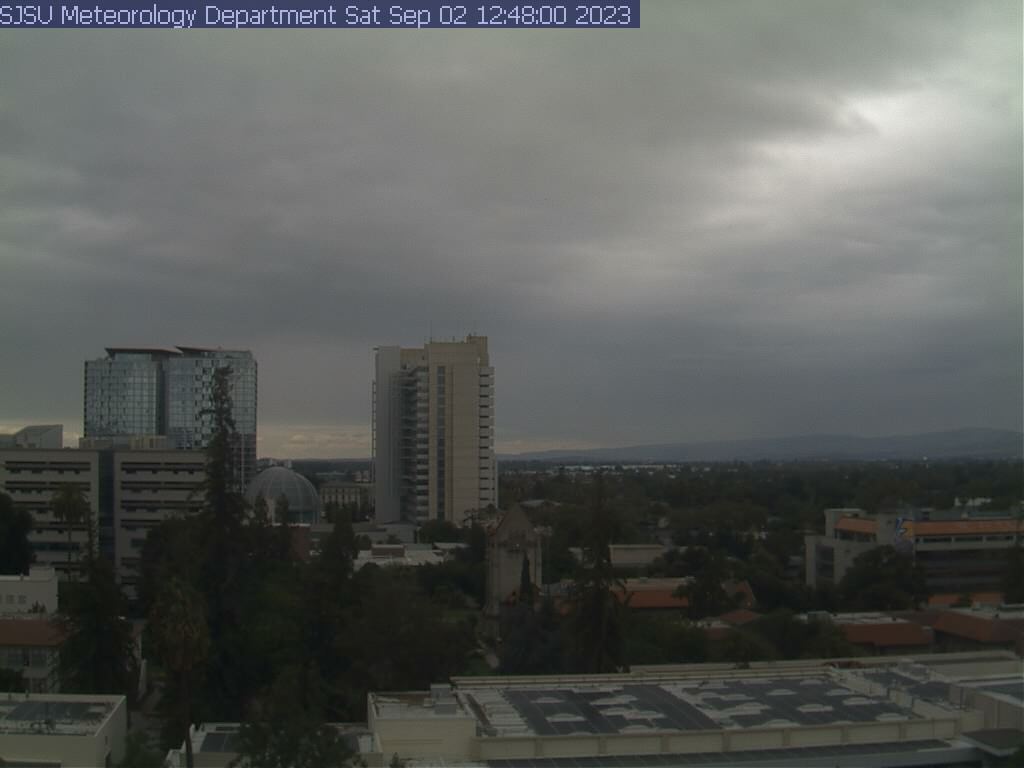
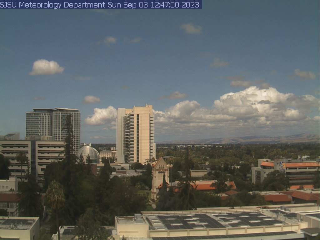
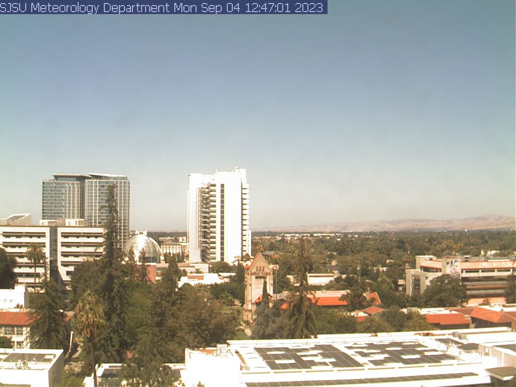
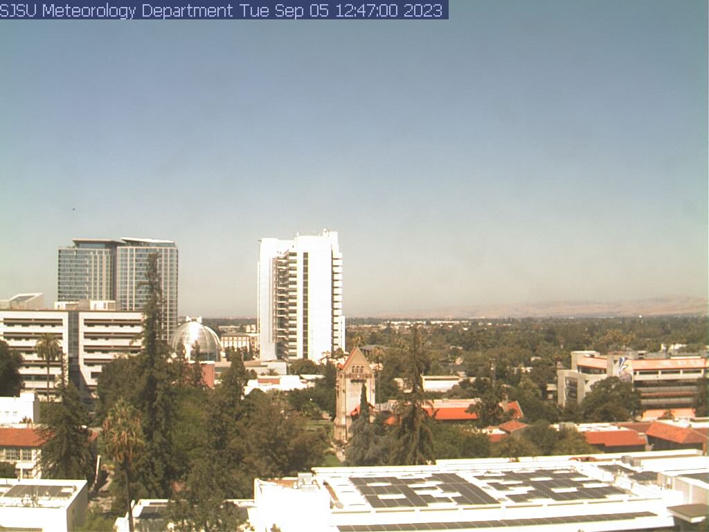
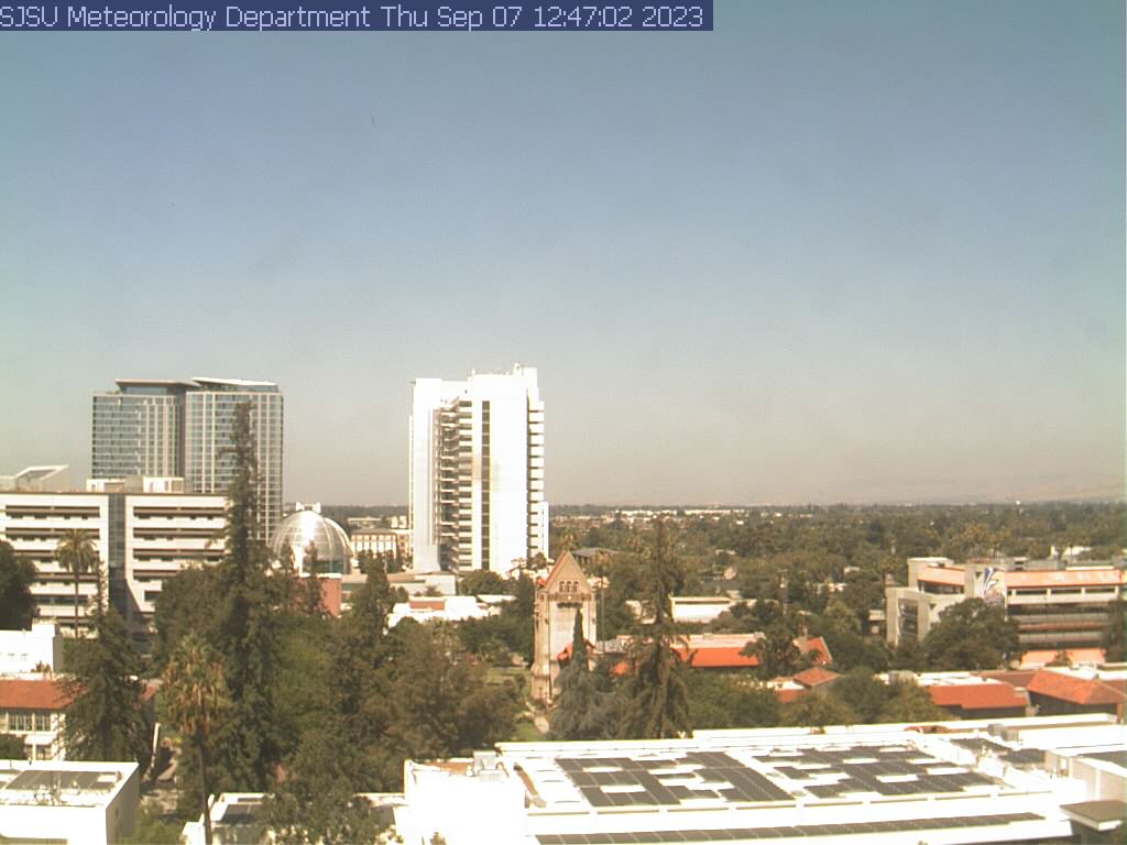
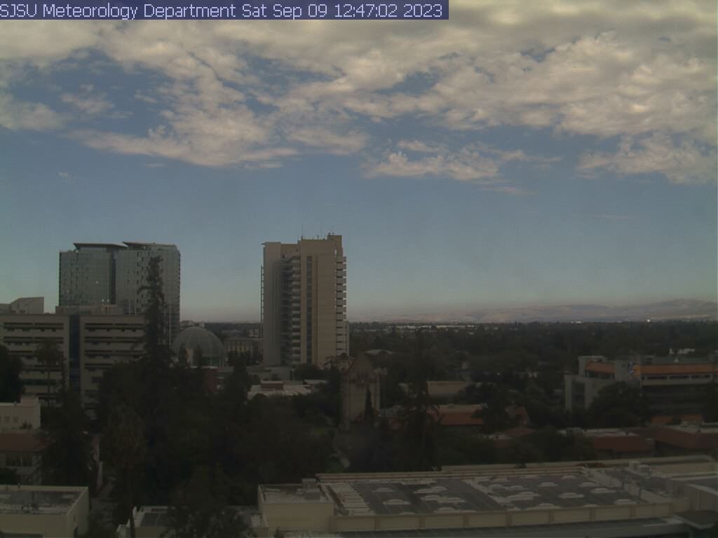
San Jose, California, USA - 128 miles from Butler (historical): View of the Skyline - A view of the skyline of San Jose, California, from the SJSU Meteorology Department.
Operator: San Jose State University, Department of Meteorology
Operator: San Jose State University, Department of Meteorology


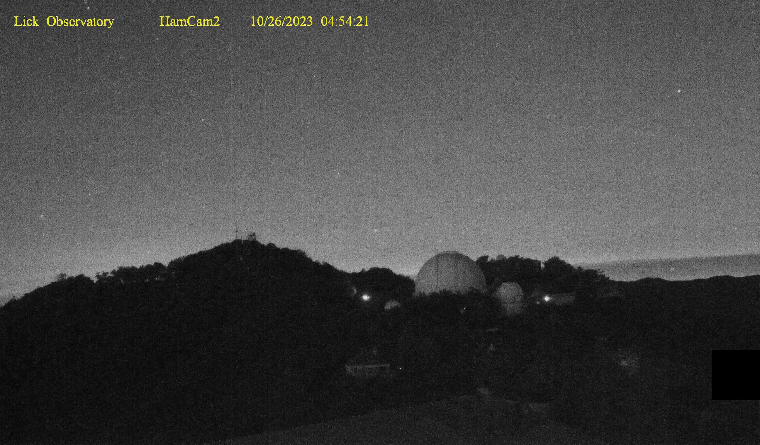
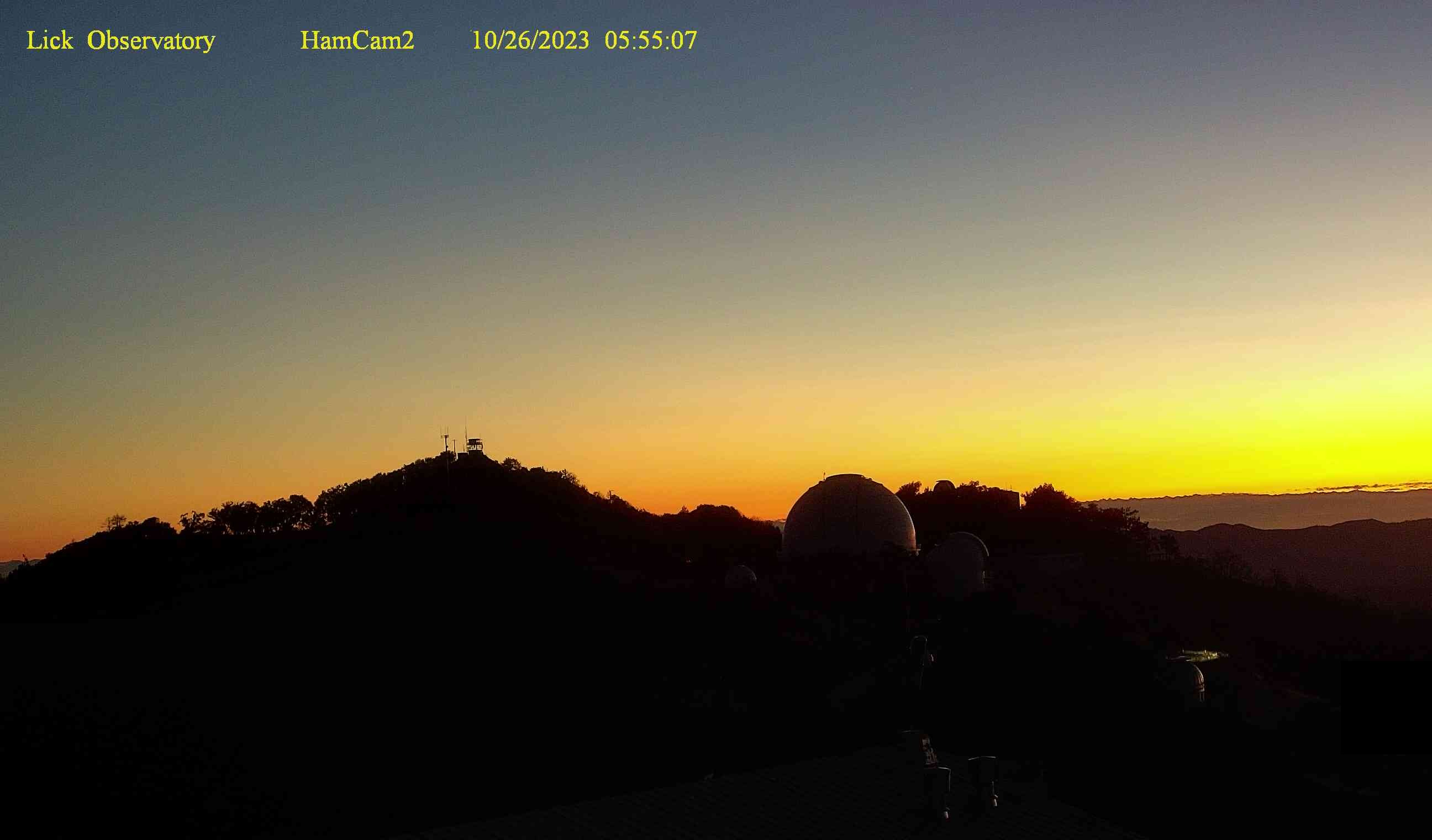
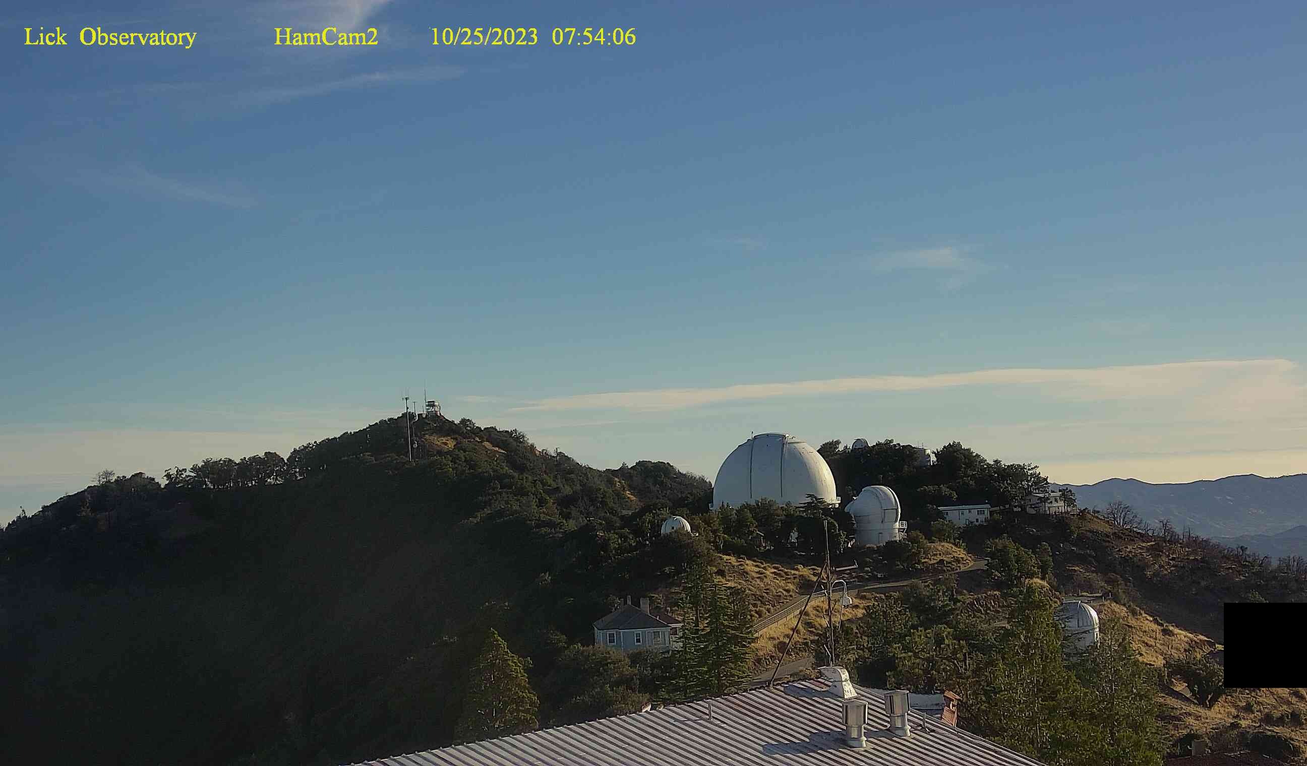
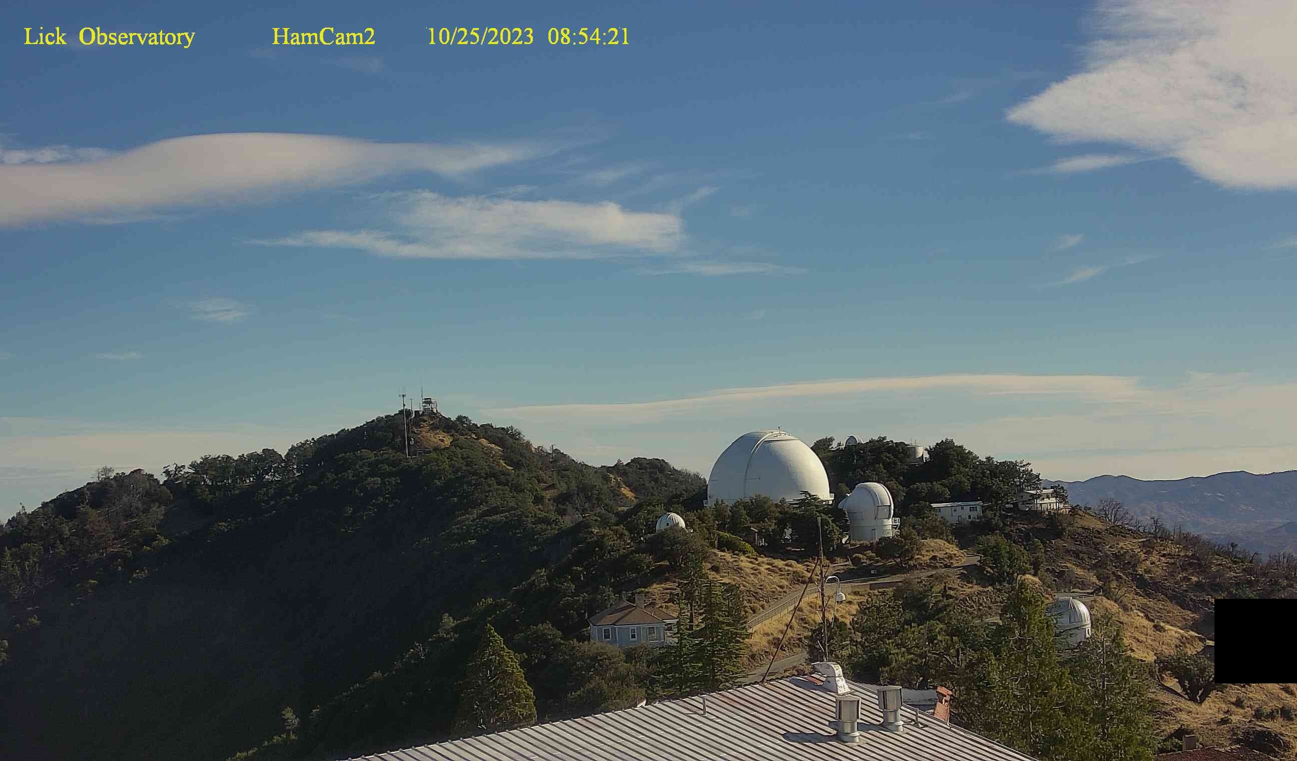
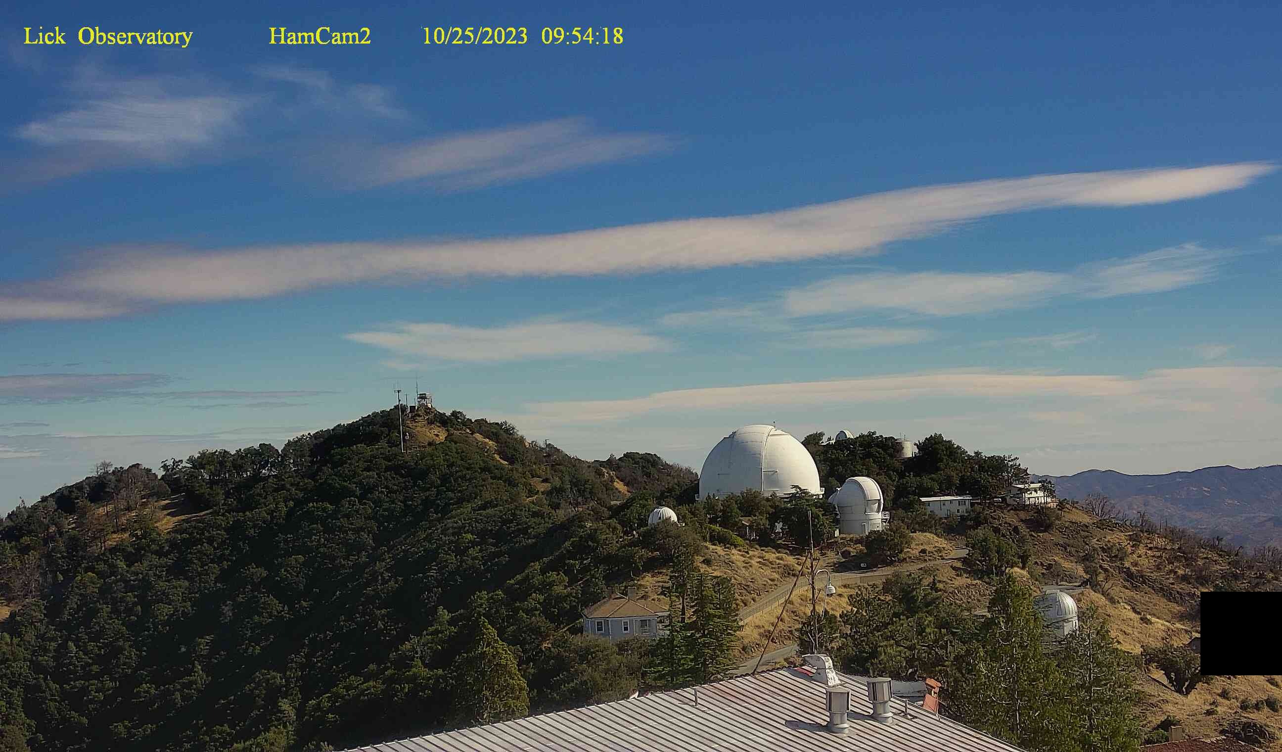
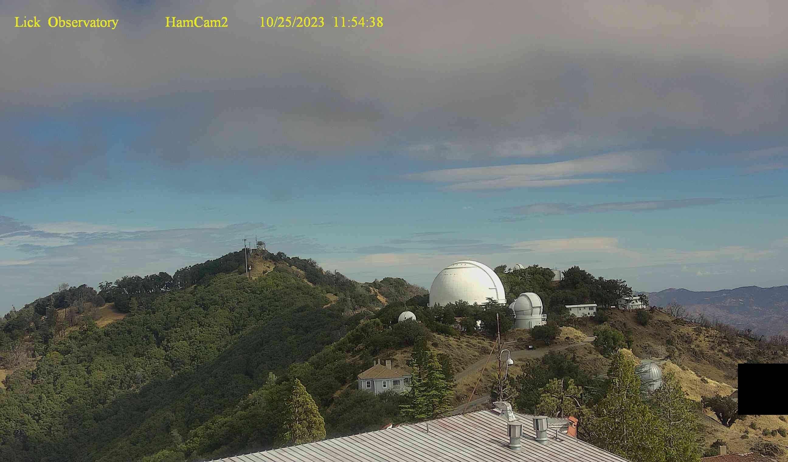
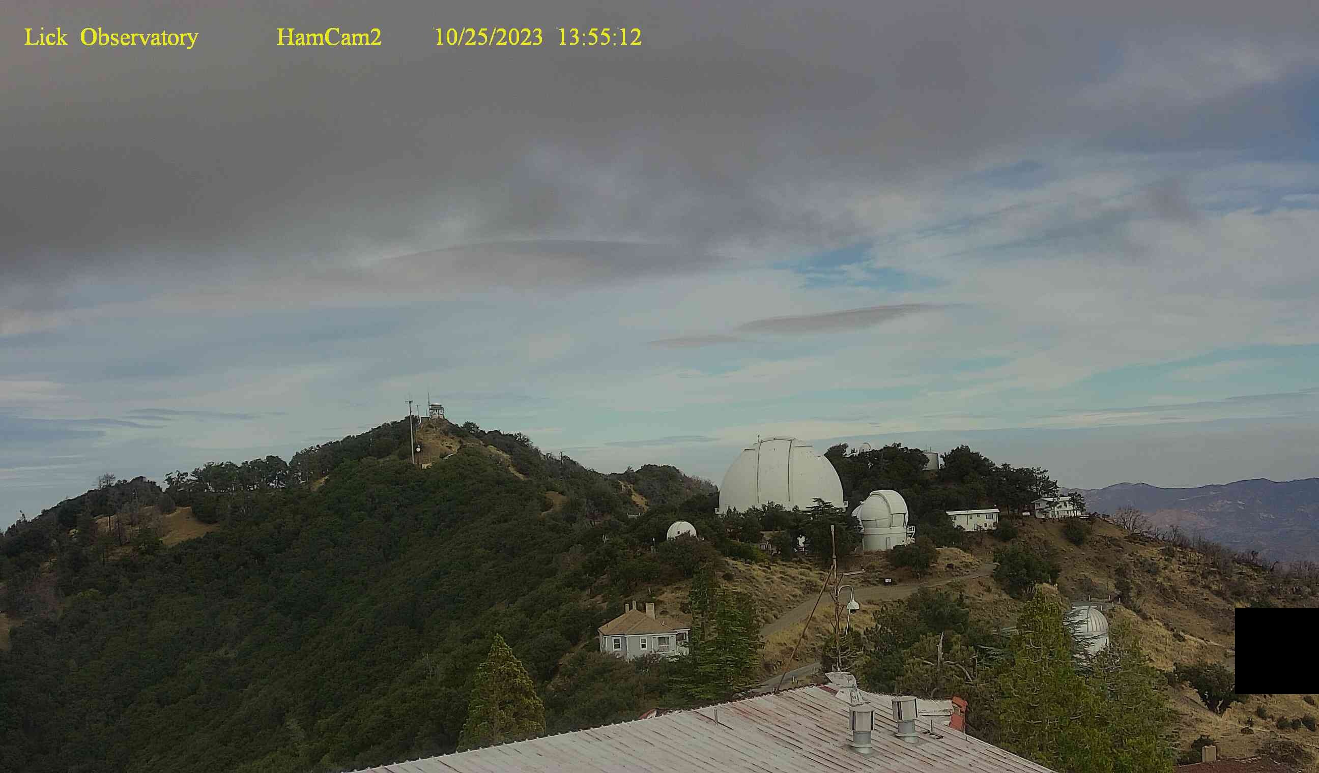
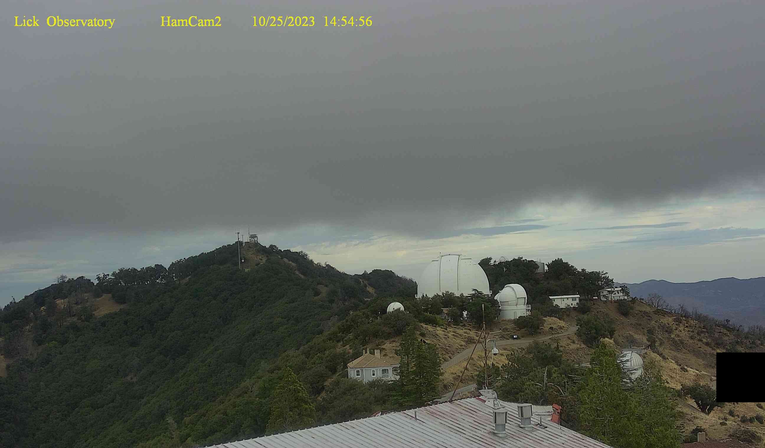
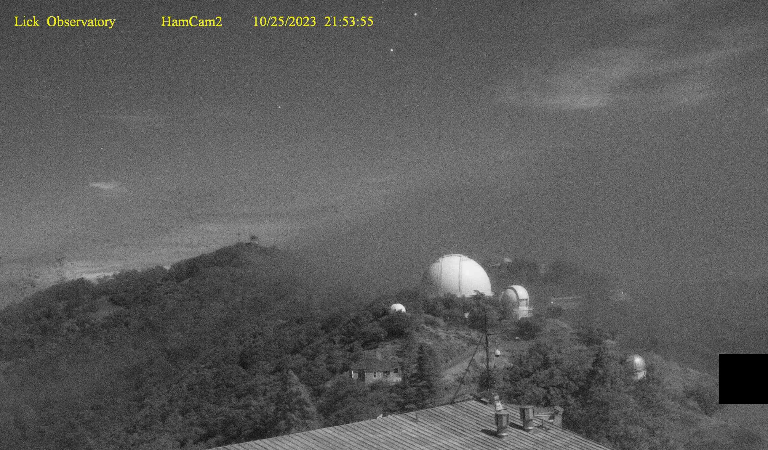
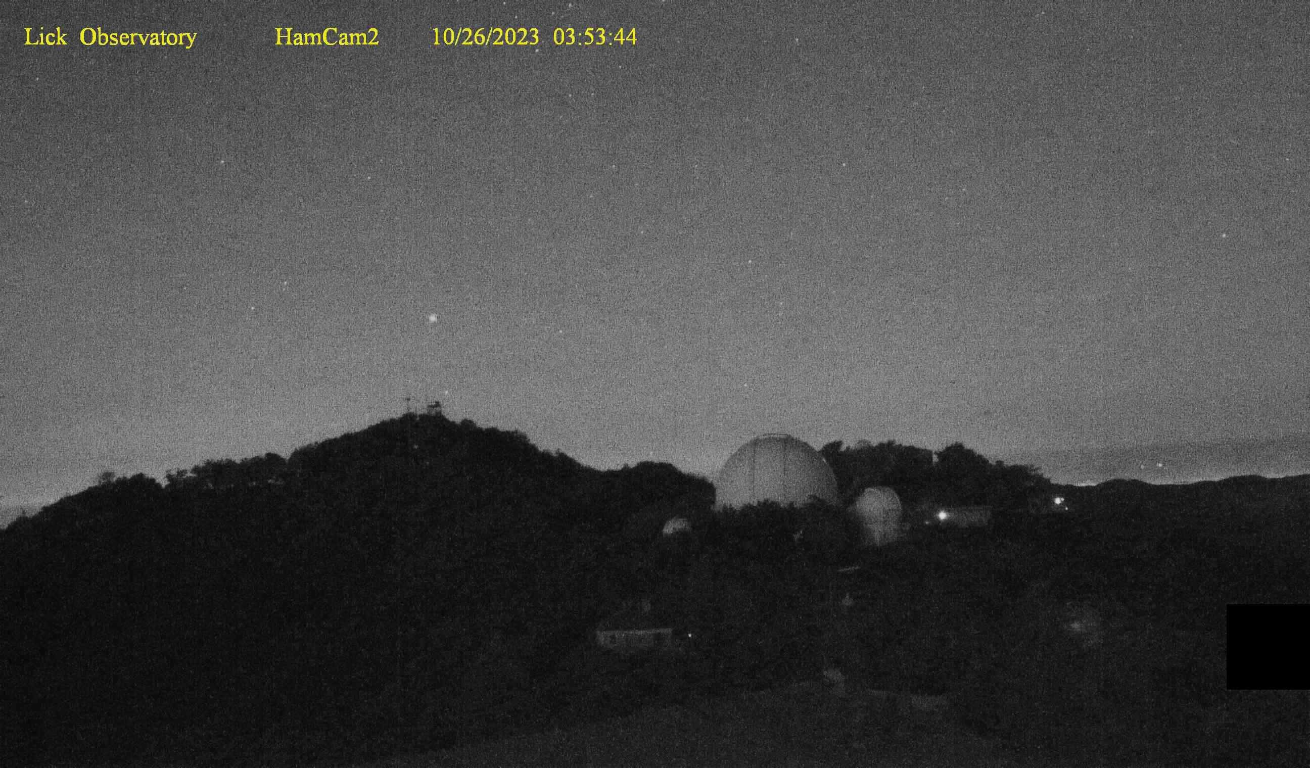
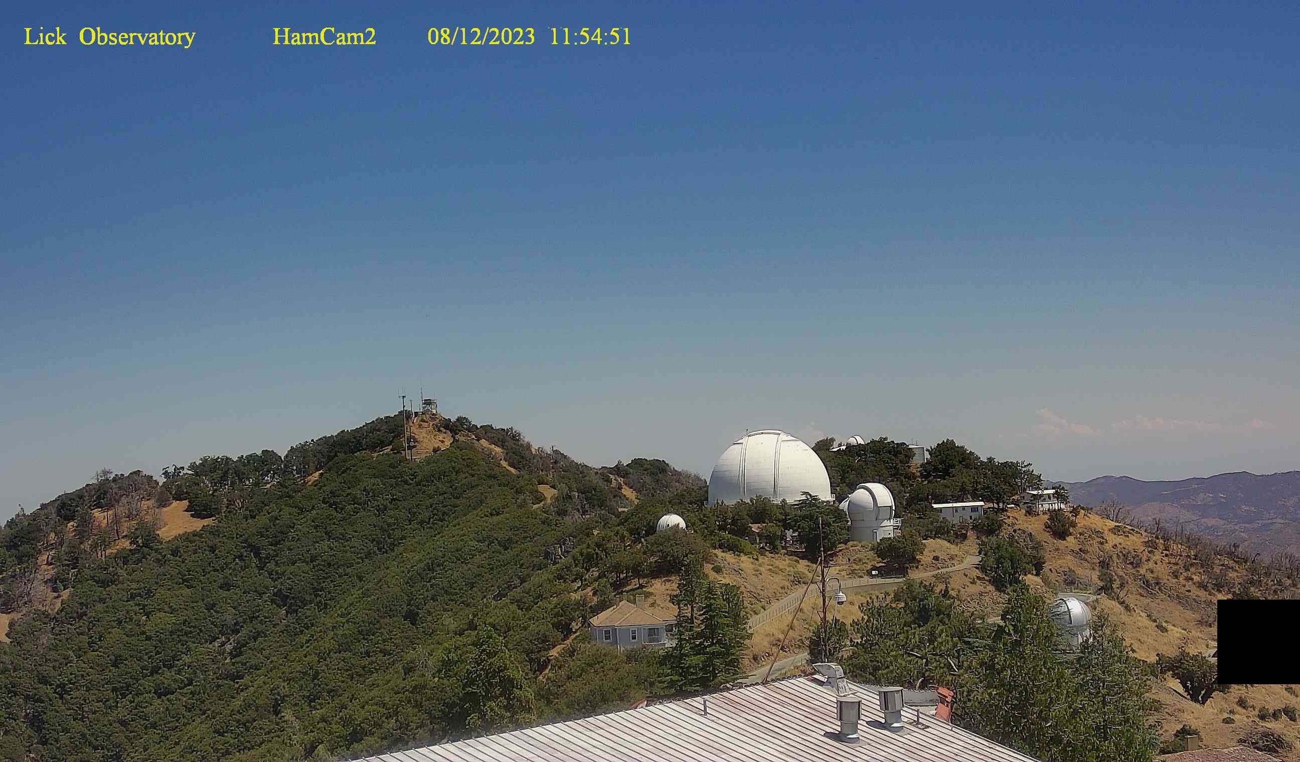
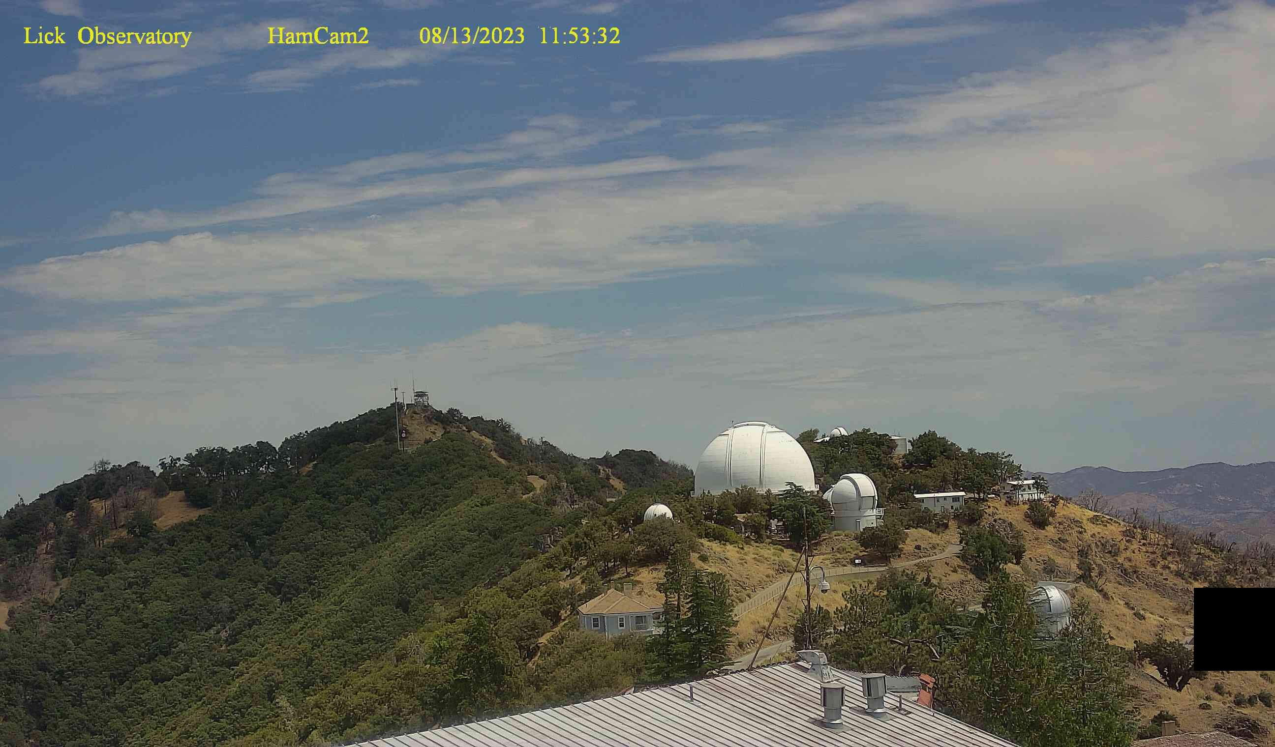
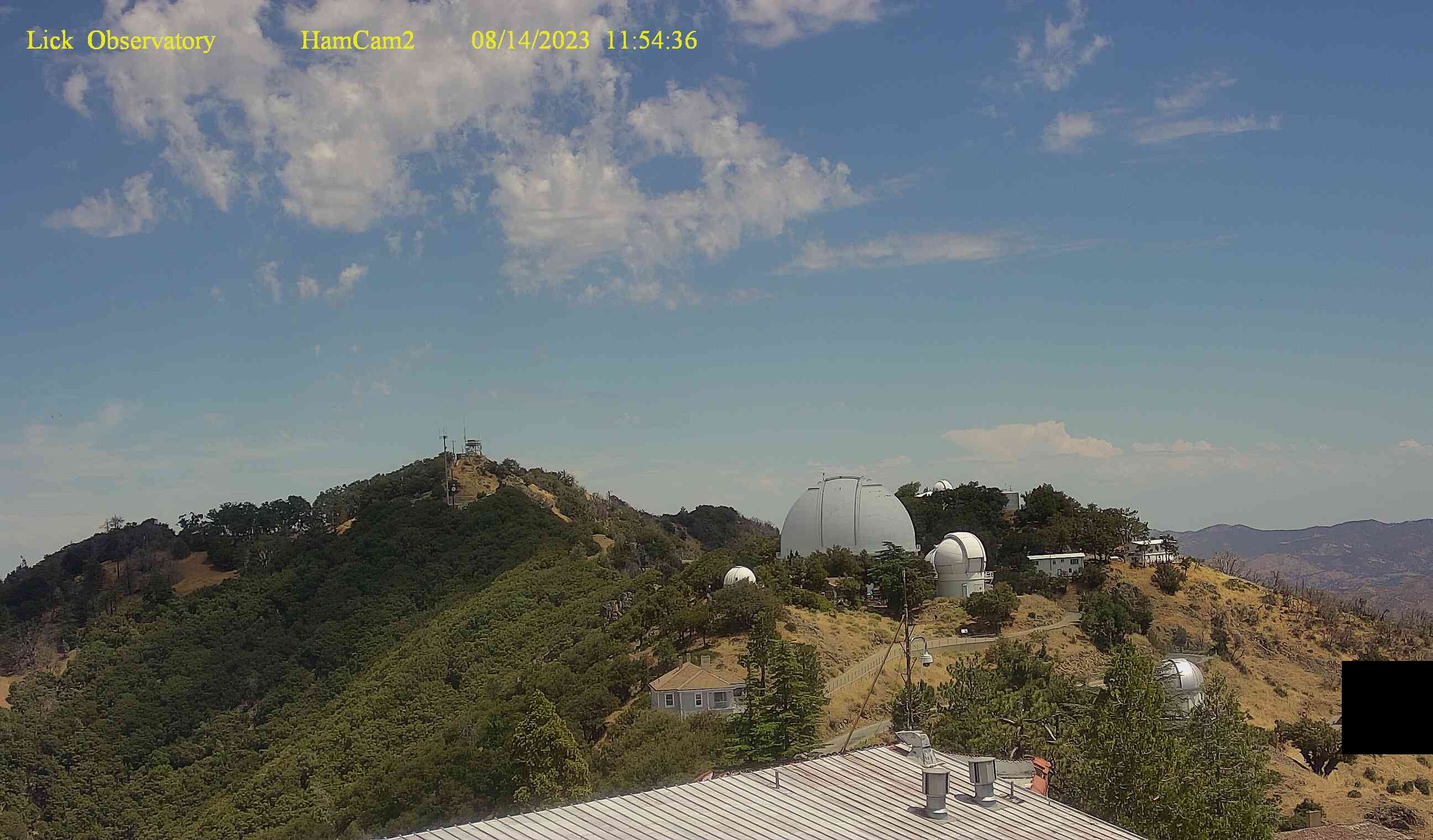
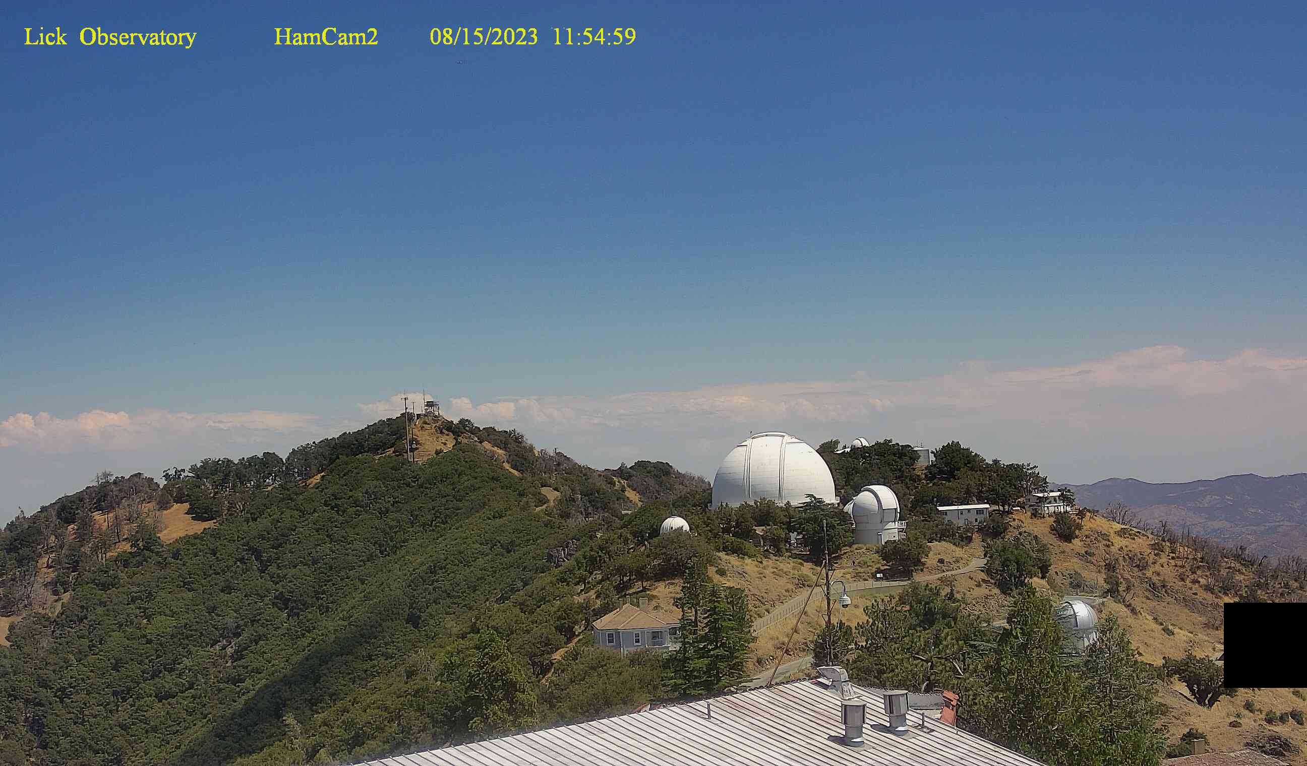
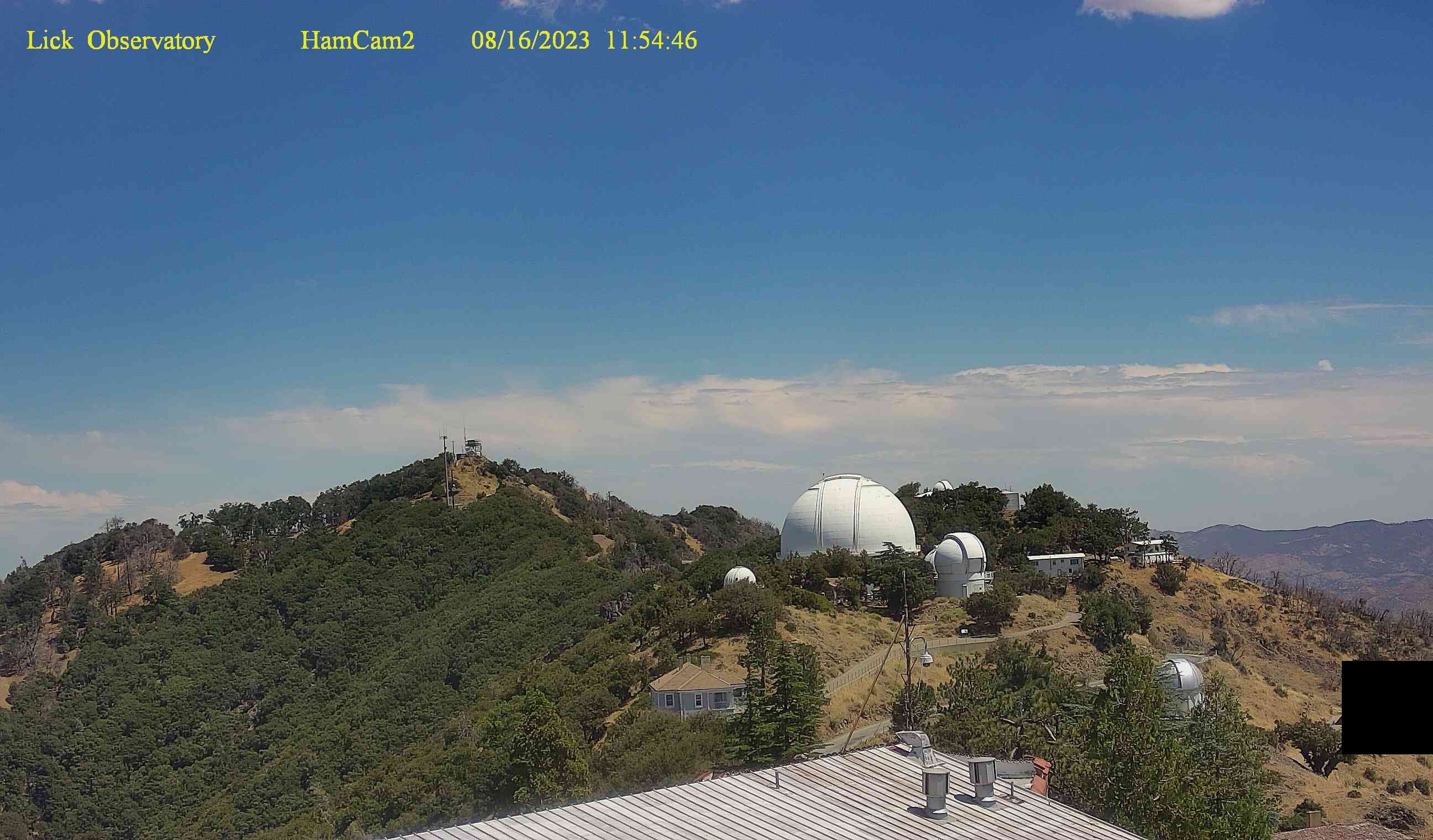
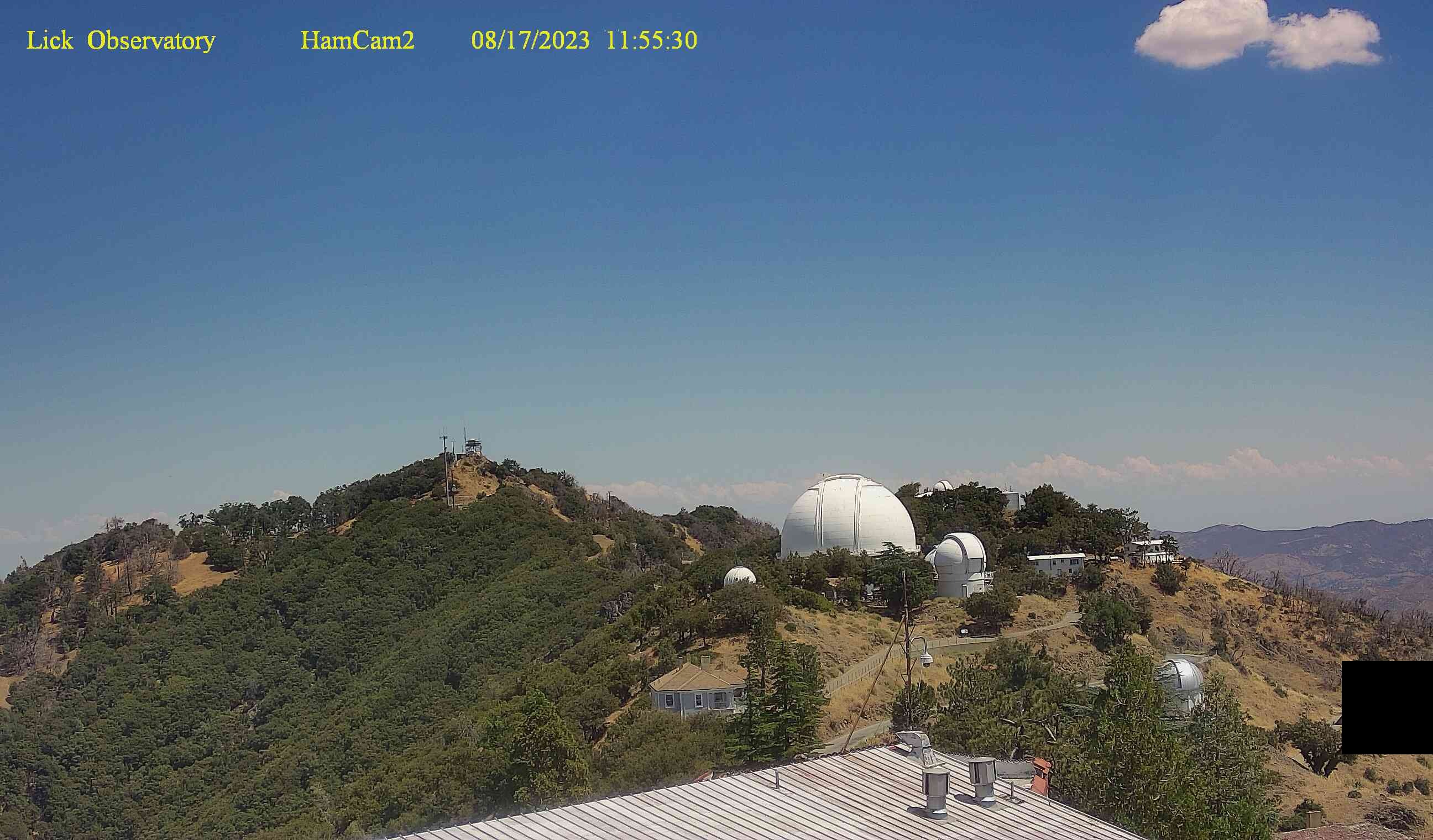
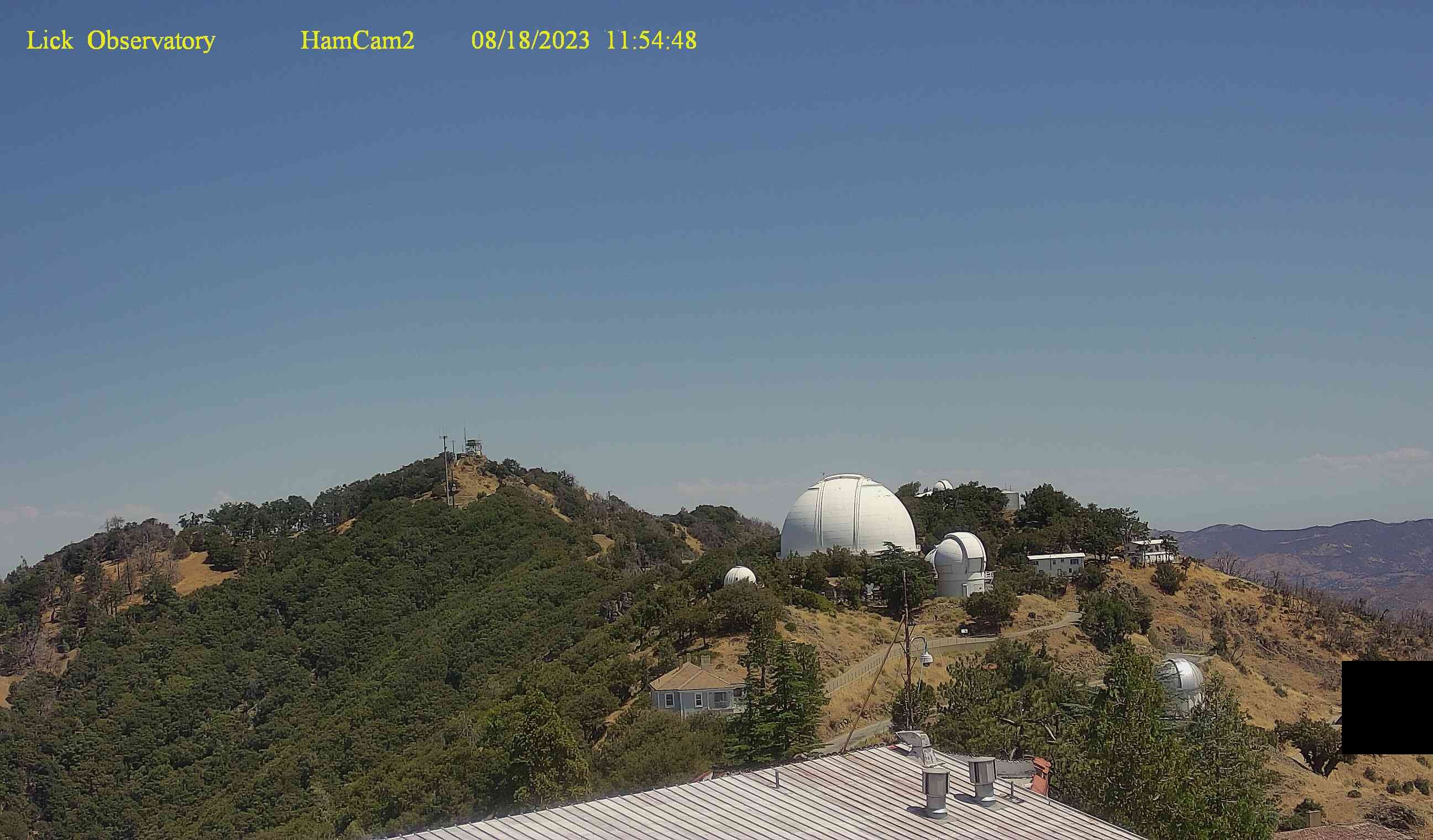
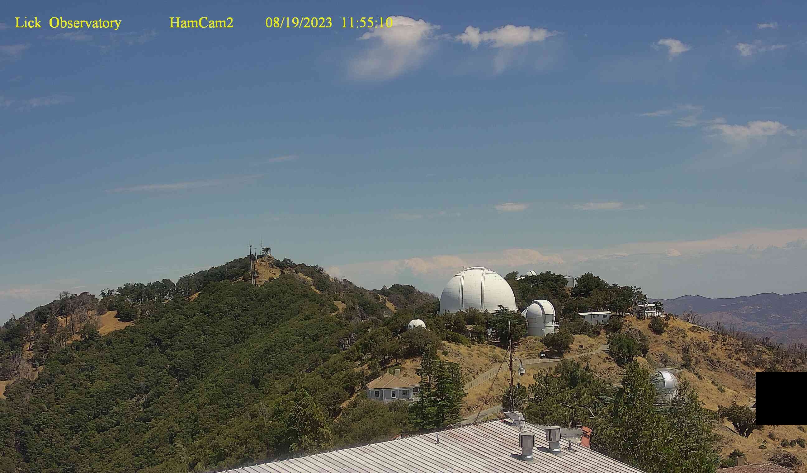
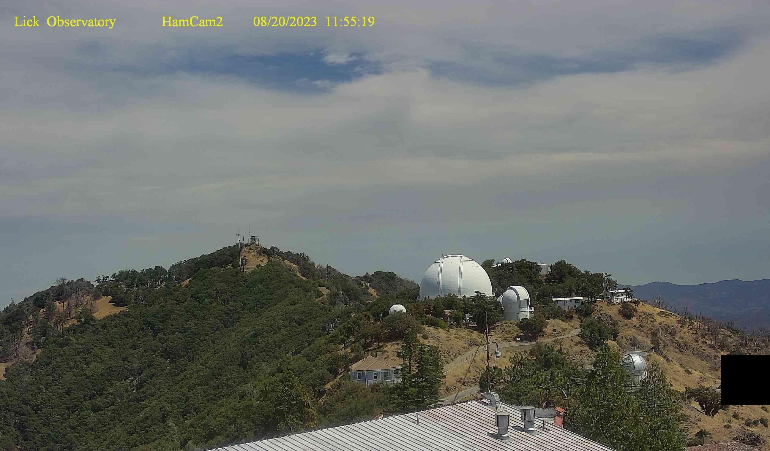
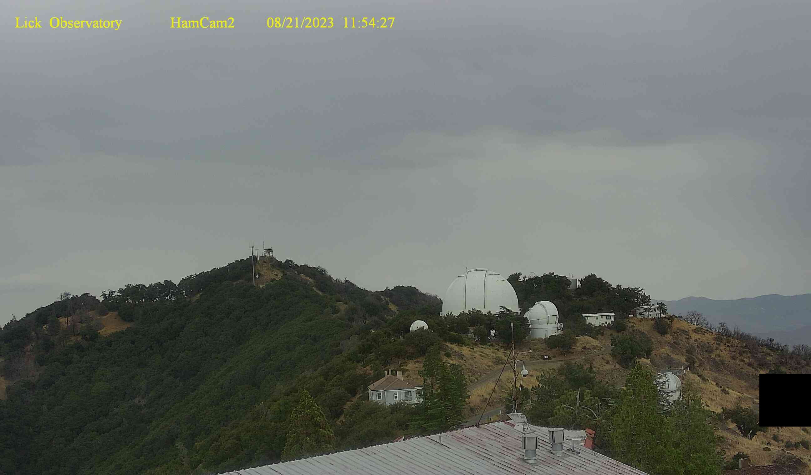
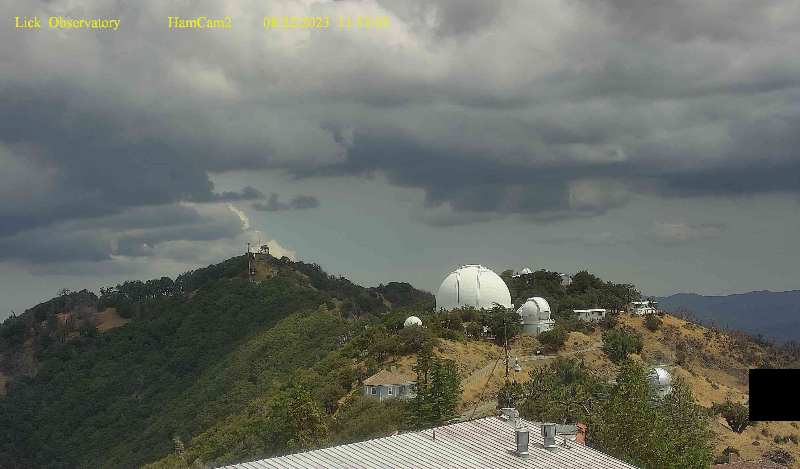
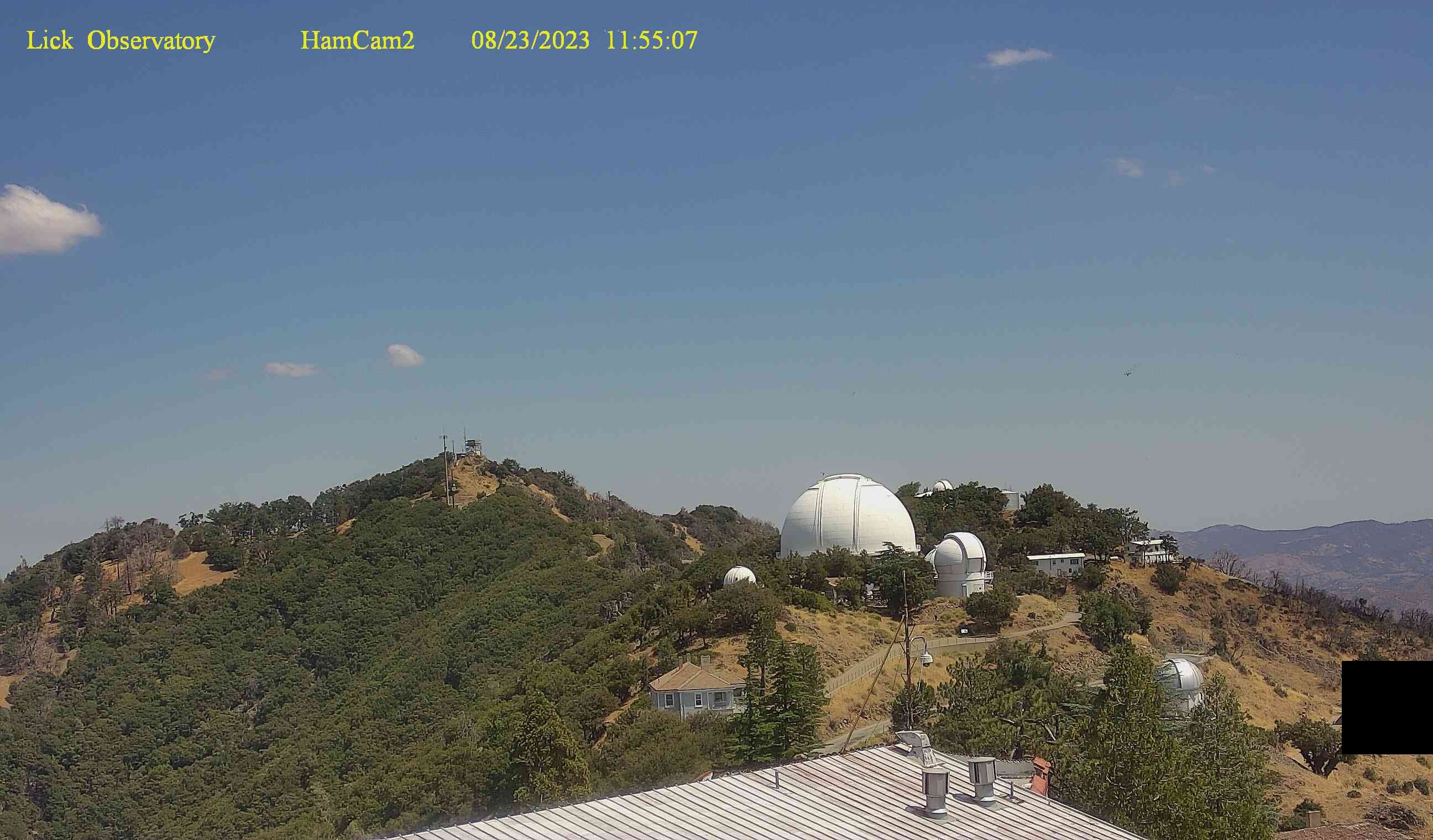
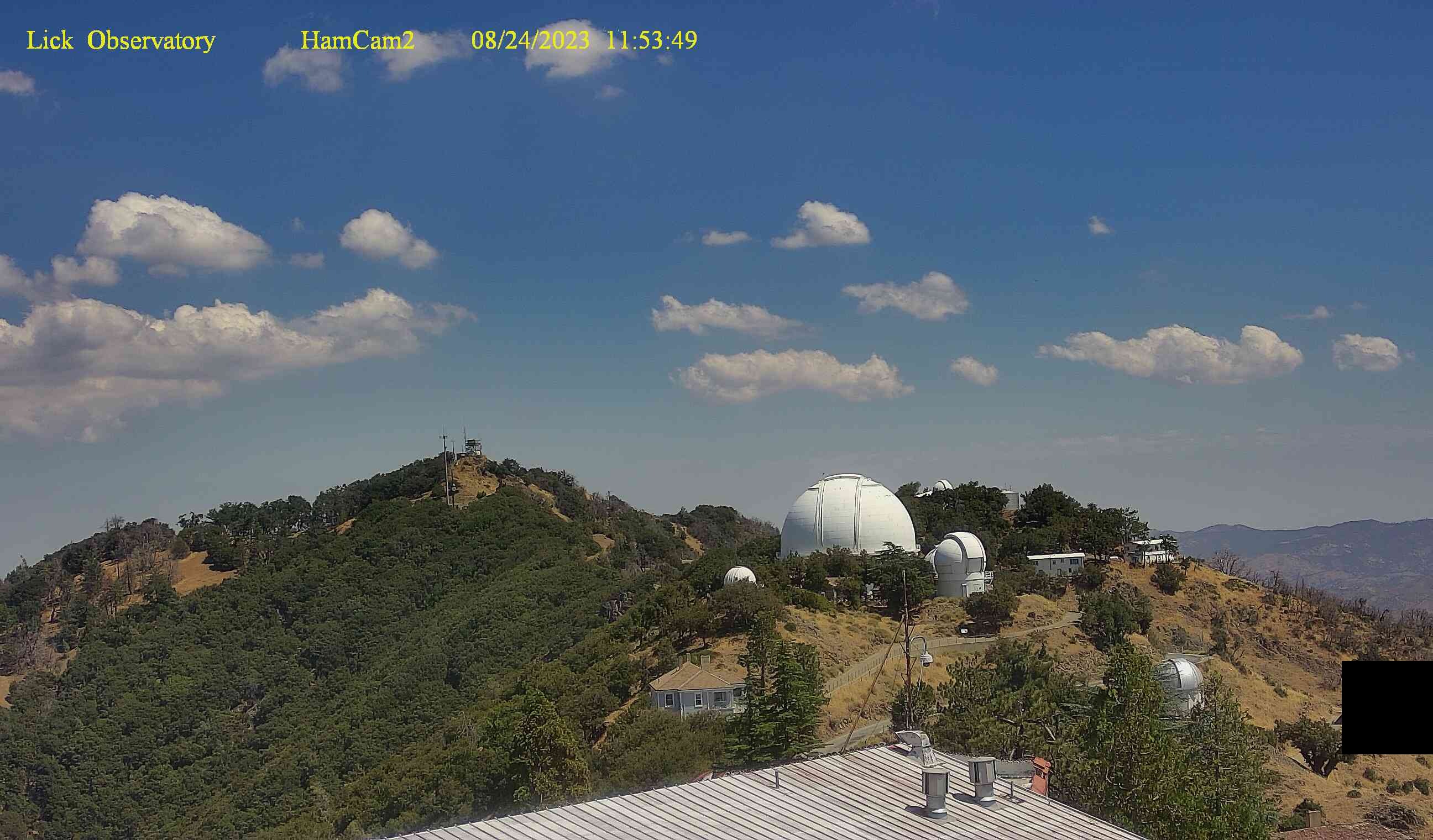
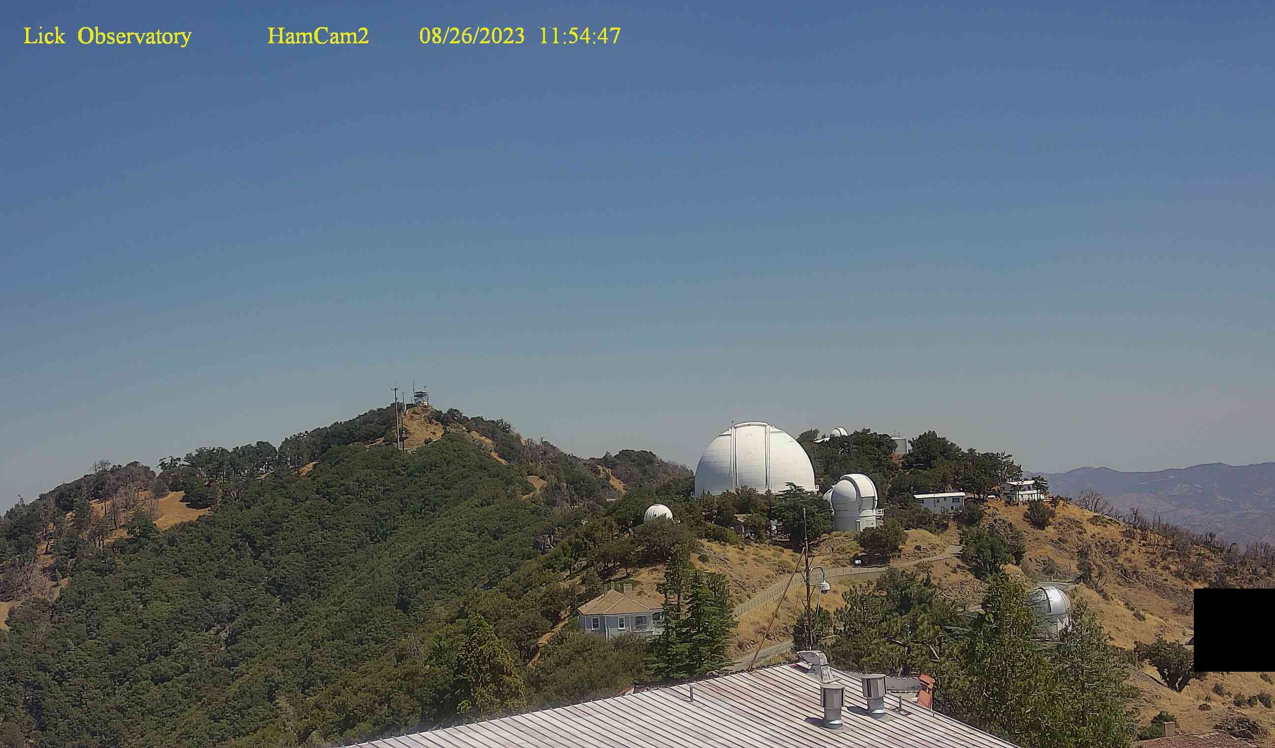
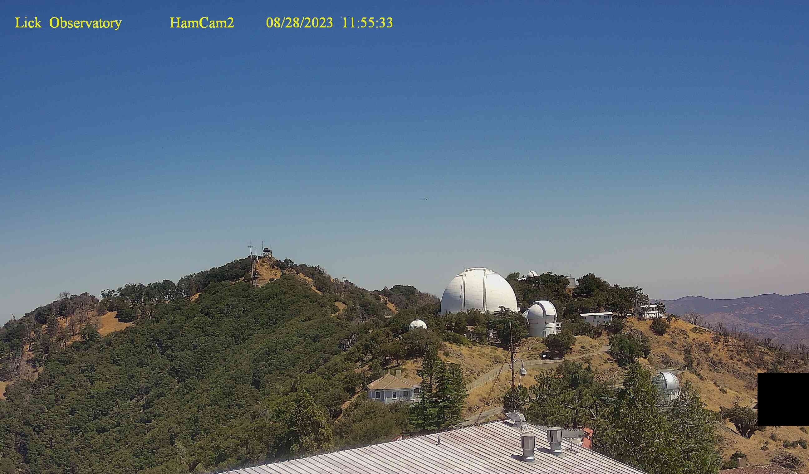
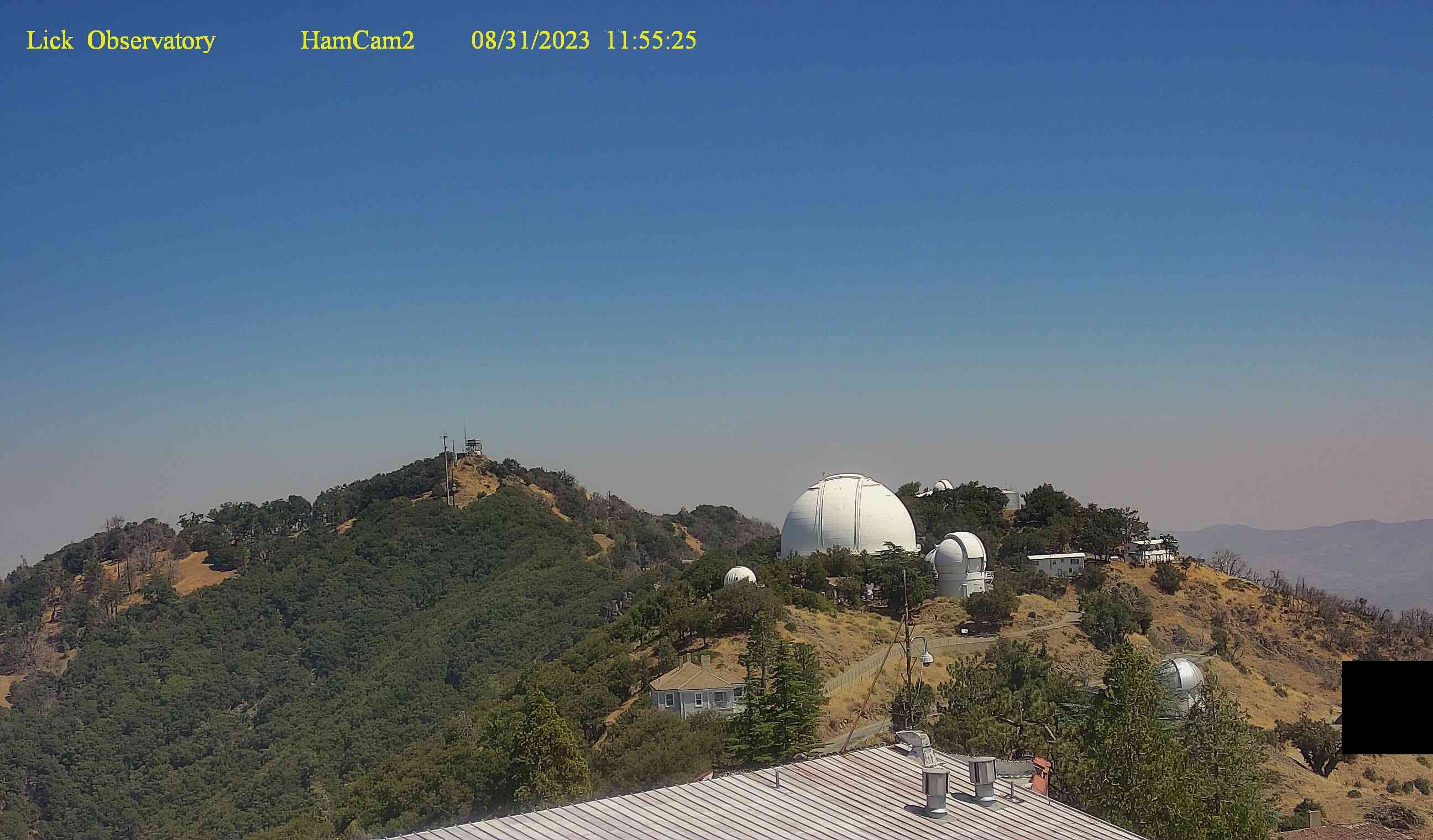
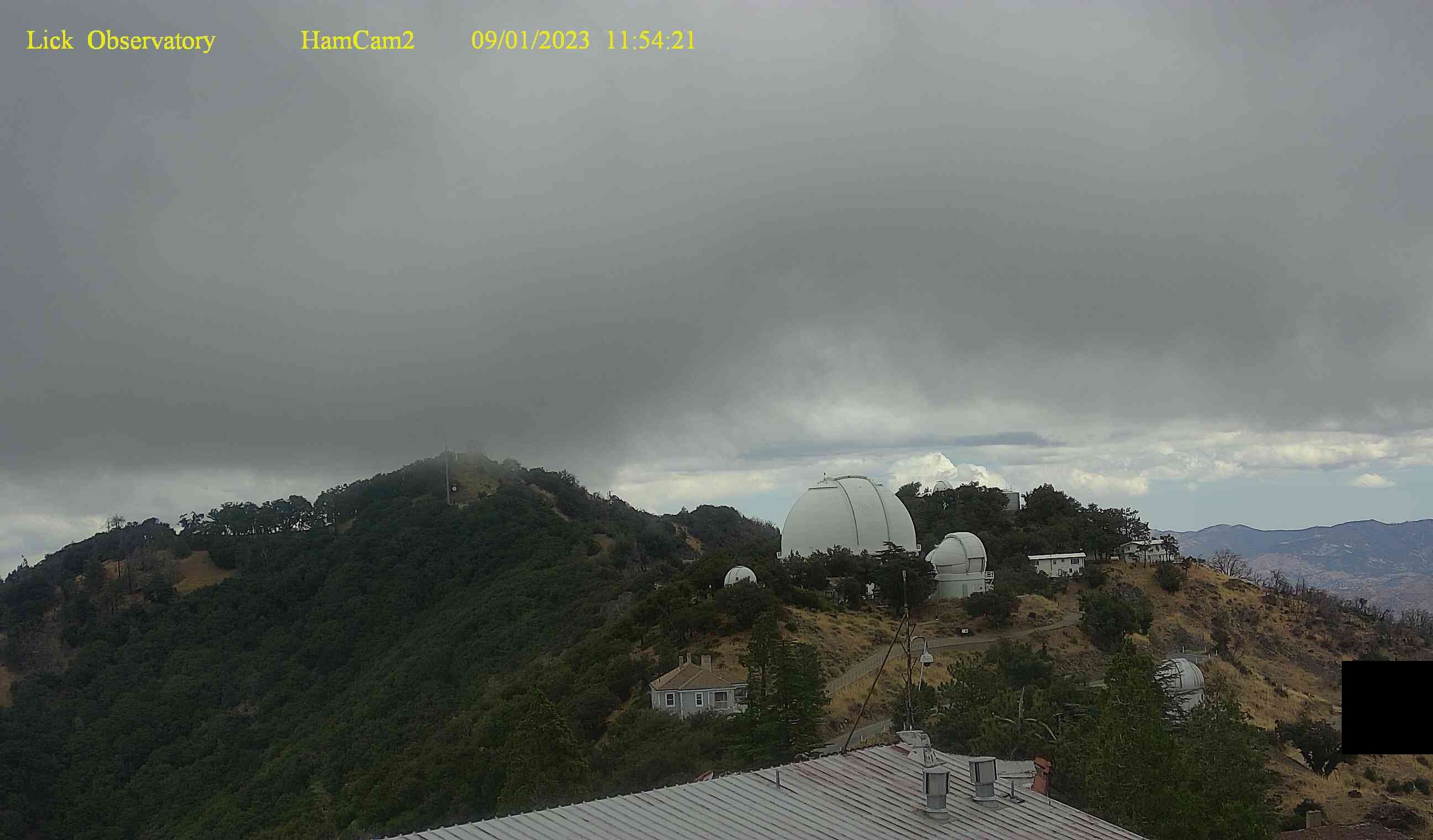
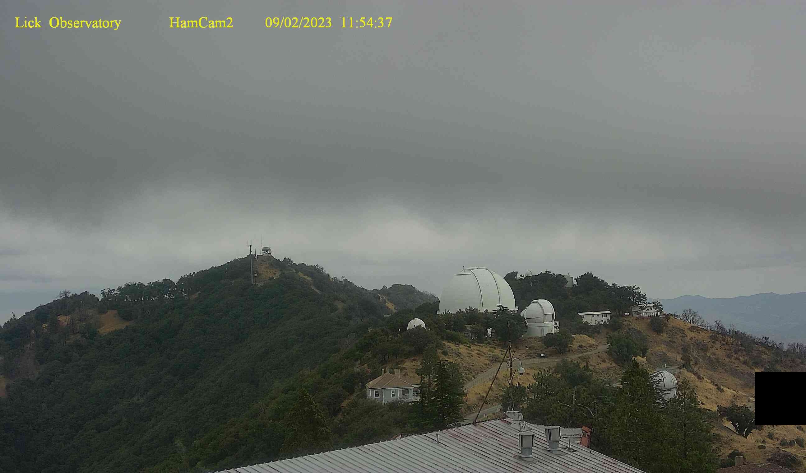
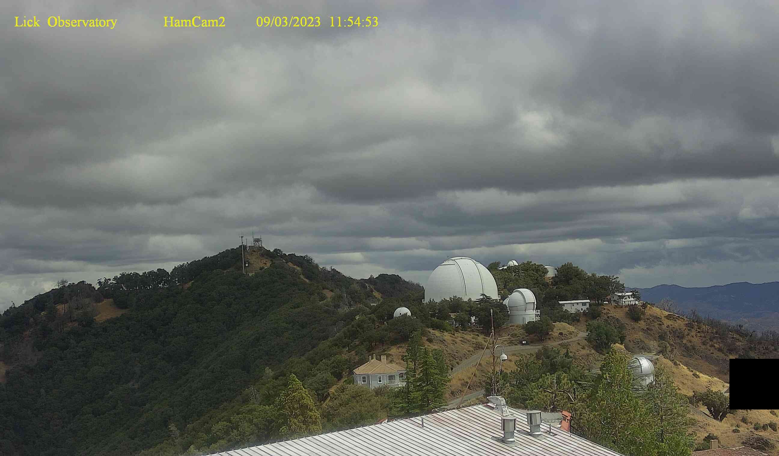
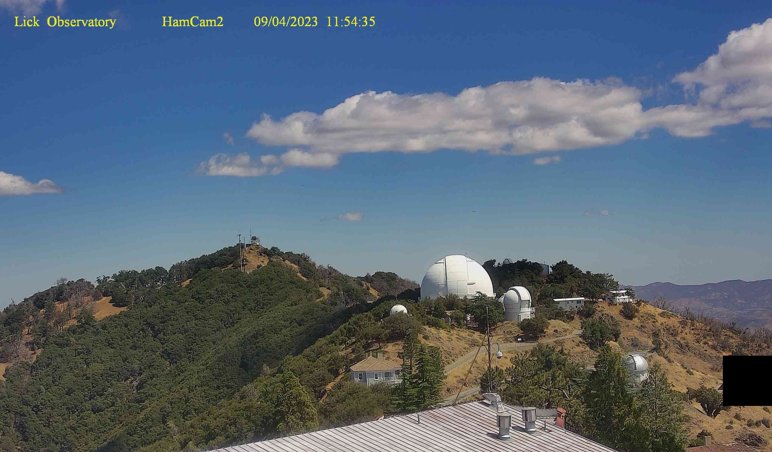
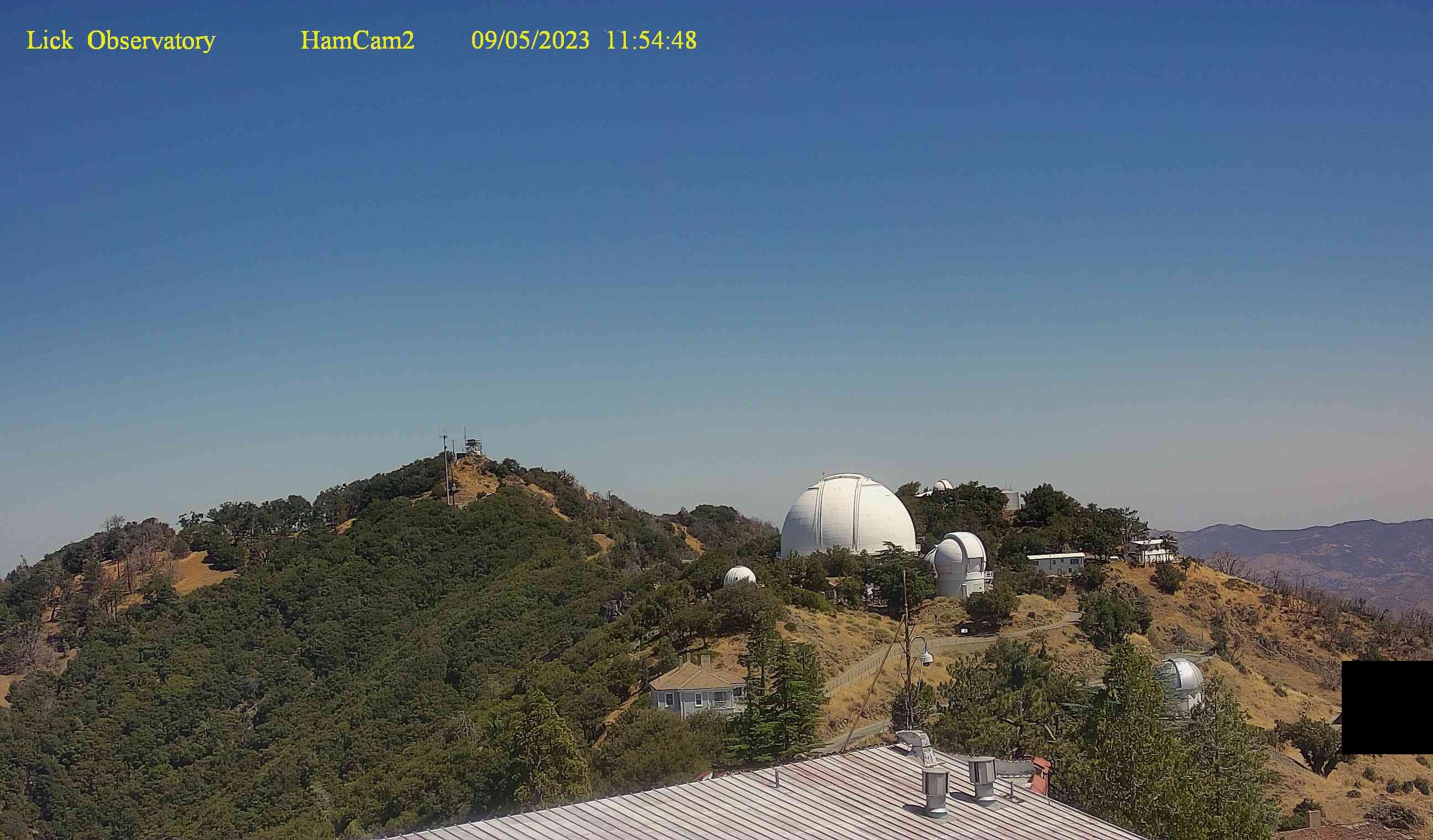
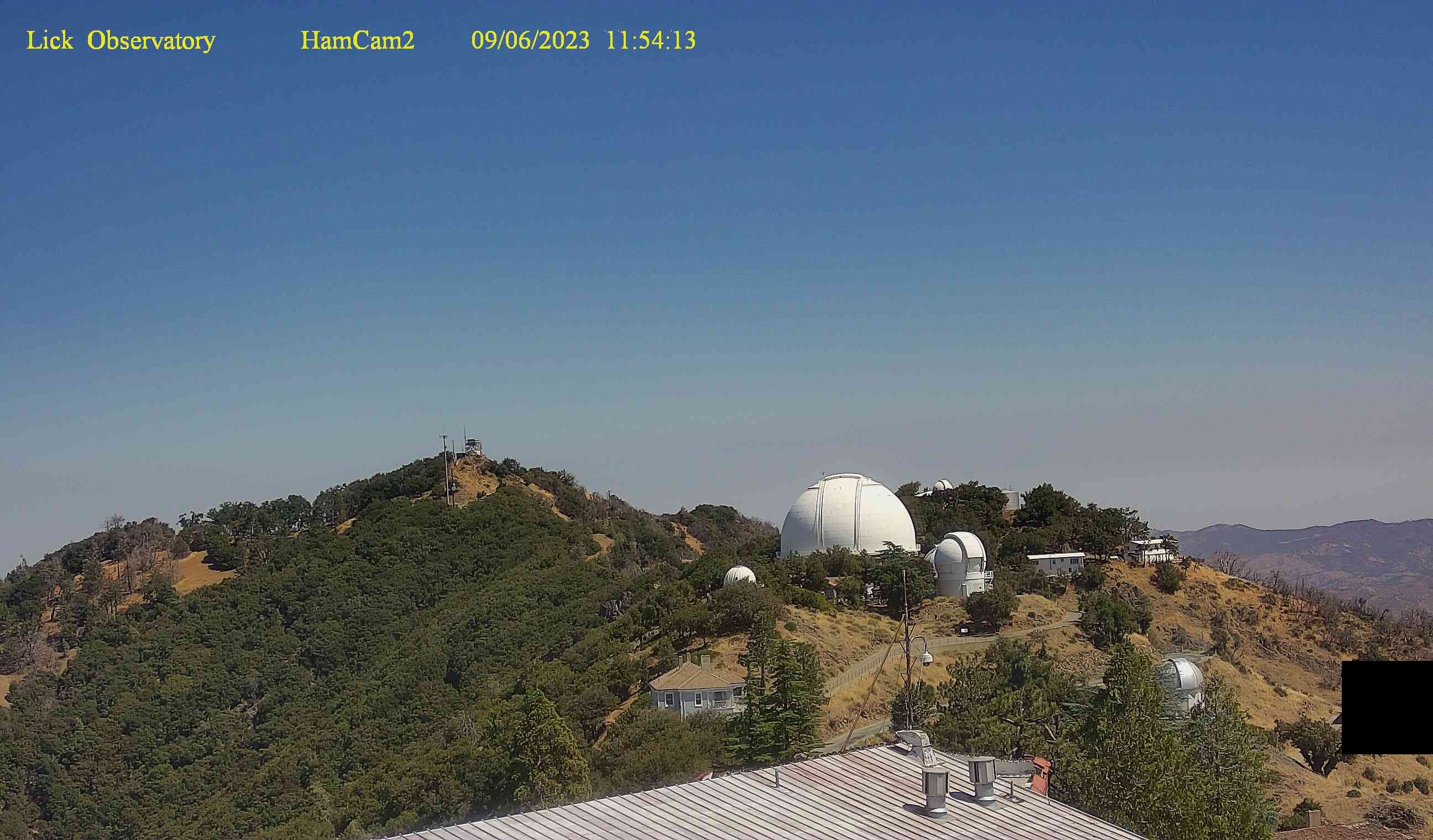
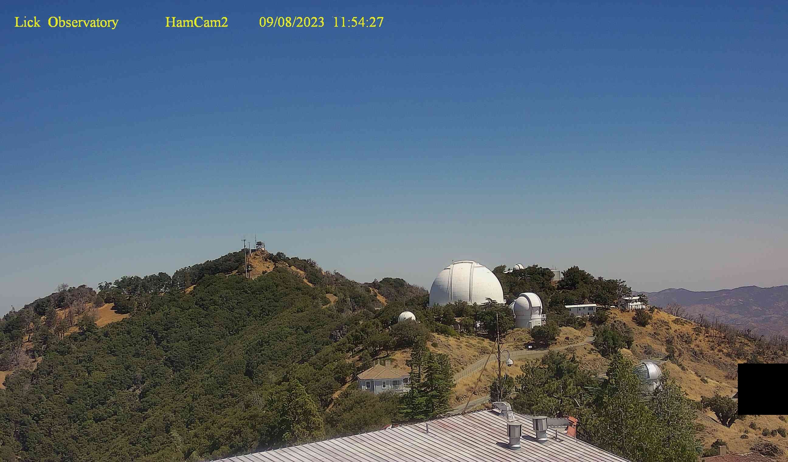
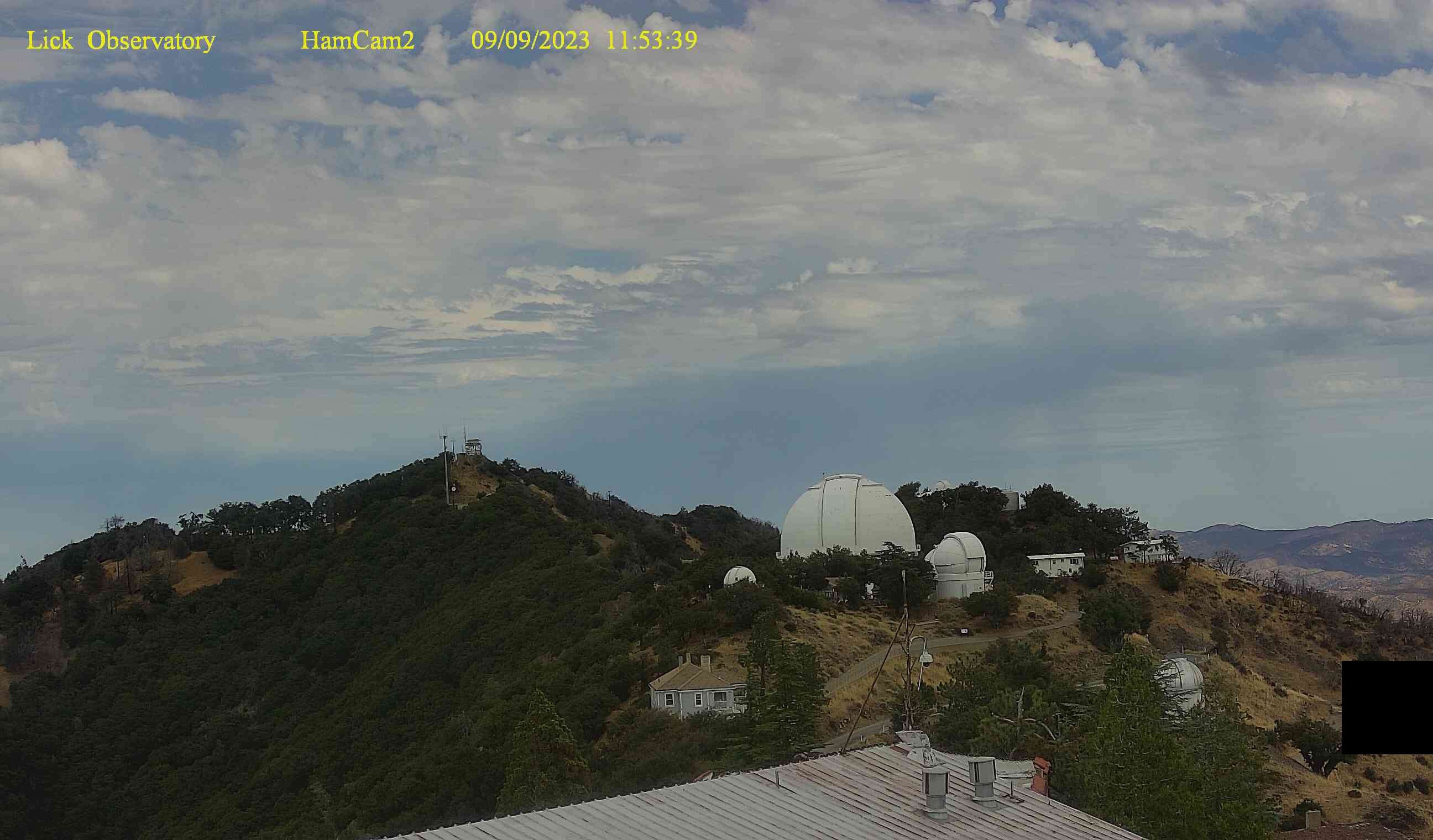
San Jose, California, USA - 128 miles from Butler (historical): Lick Observatory - Several webcams at the Lick Observatory, Mount Hamilton, San Jose.
Operator: Lick Observatory
Operator: Lick Observatory


Cupertino, California, USA - 136.1 miles from Butler (historical): Cupertino Civic Center Plaza
Operator: City of Cupertino
Operator: City of Cupertino


Some other places in this country: Tanoak (historical) - The Springs - Bender (historical) - Bronge (historical) - Caldwell (historical) - Collins (historical) - Dickerson (historical) - El Prado (historical) - Eshel (historical) - Fargo (historical)