Webcams in the region of Mount Pelion, Australia
The List of Webcams near Mount Pelion, Australia:

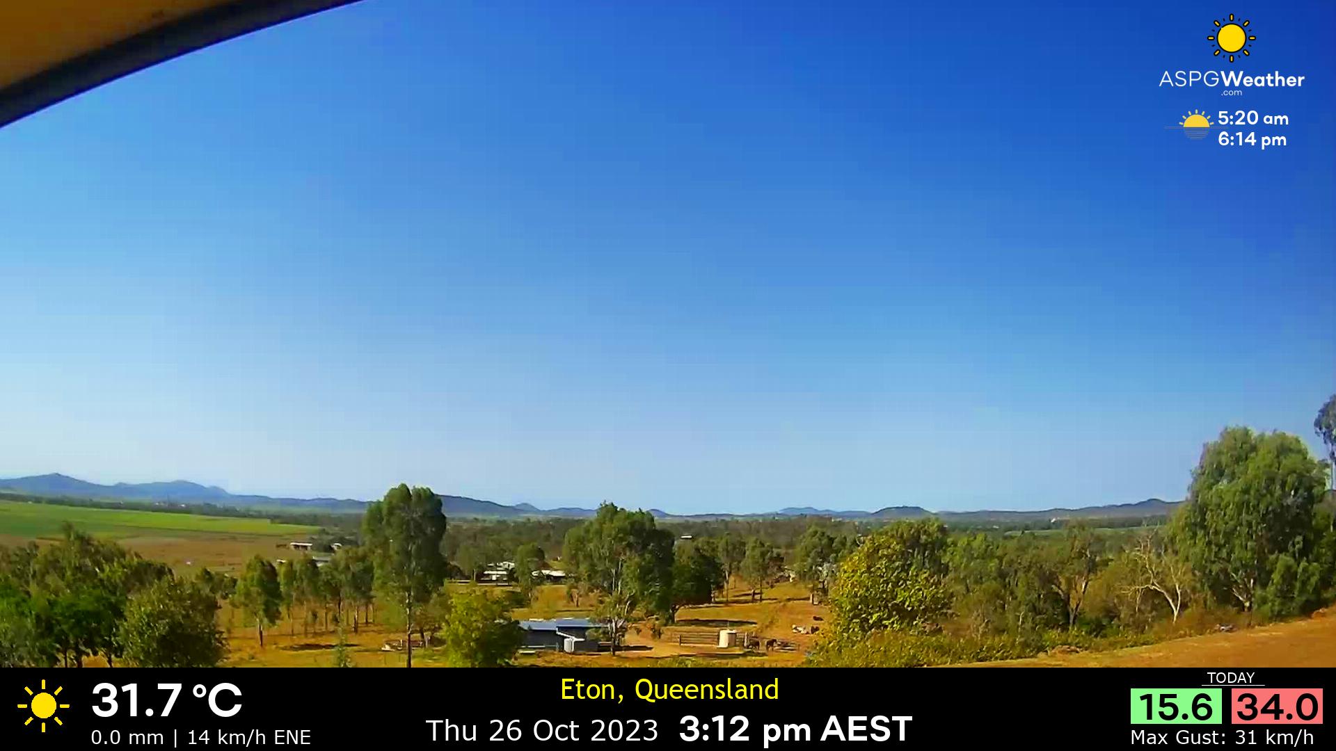
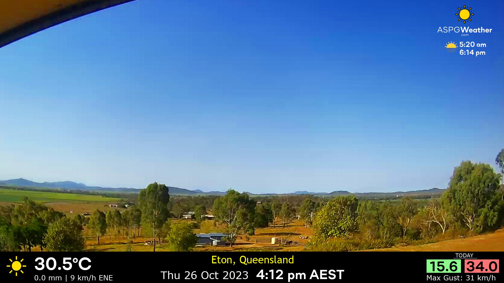
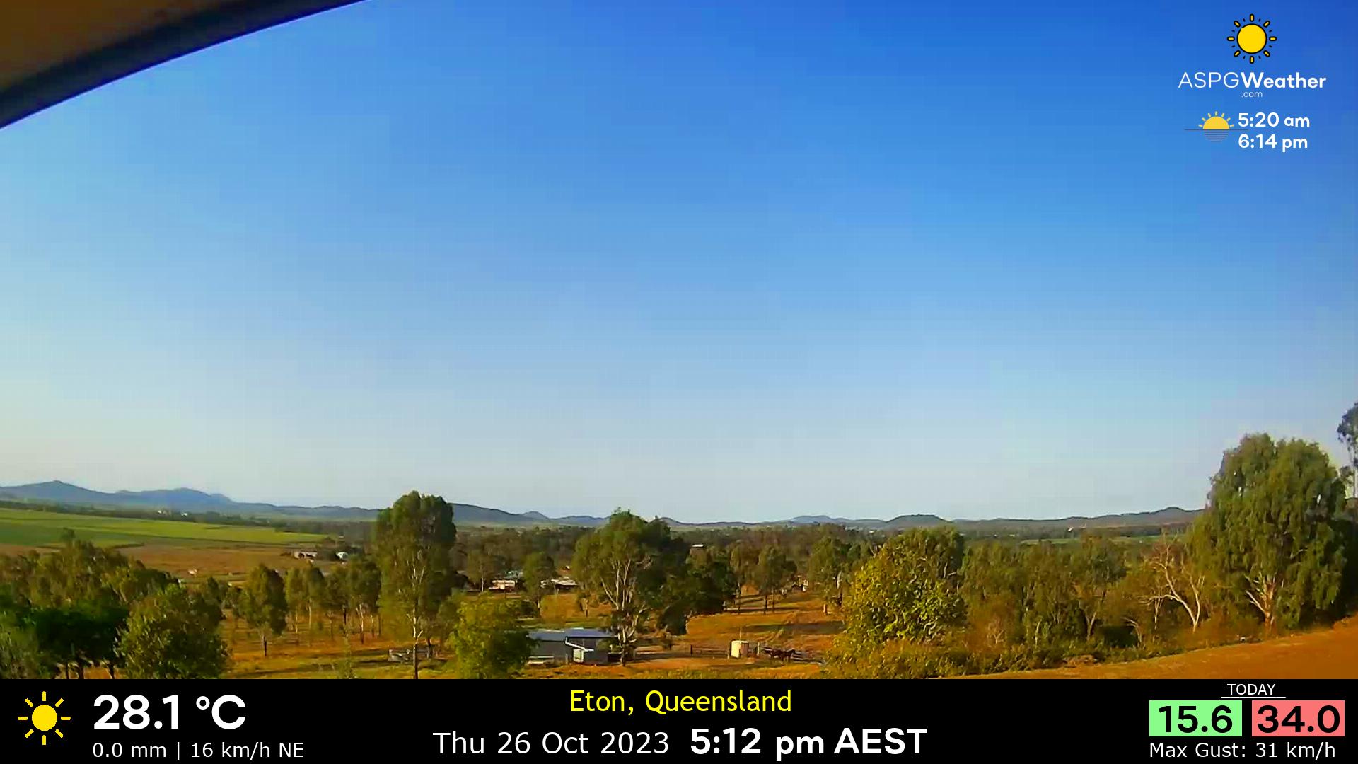
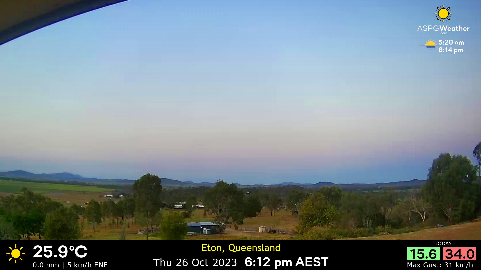
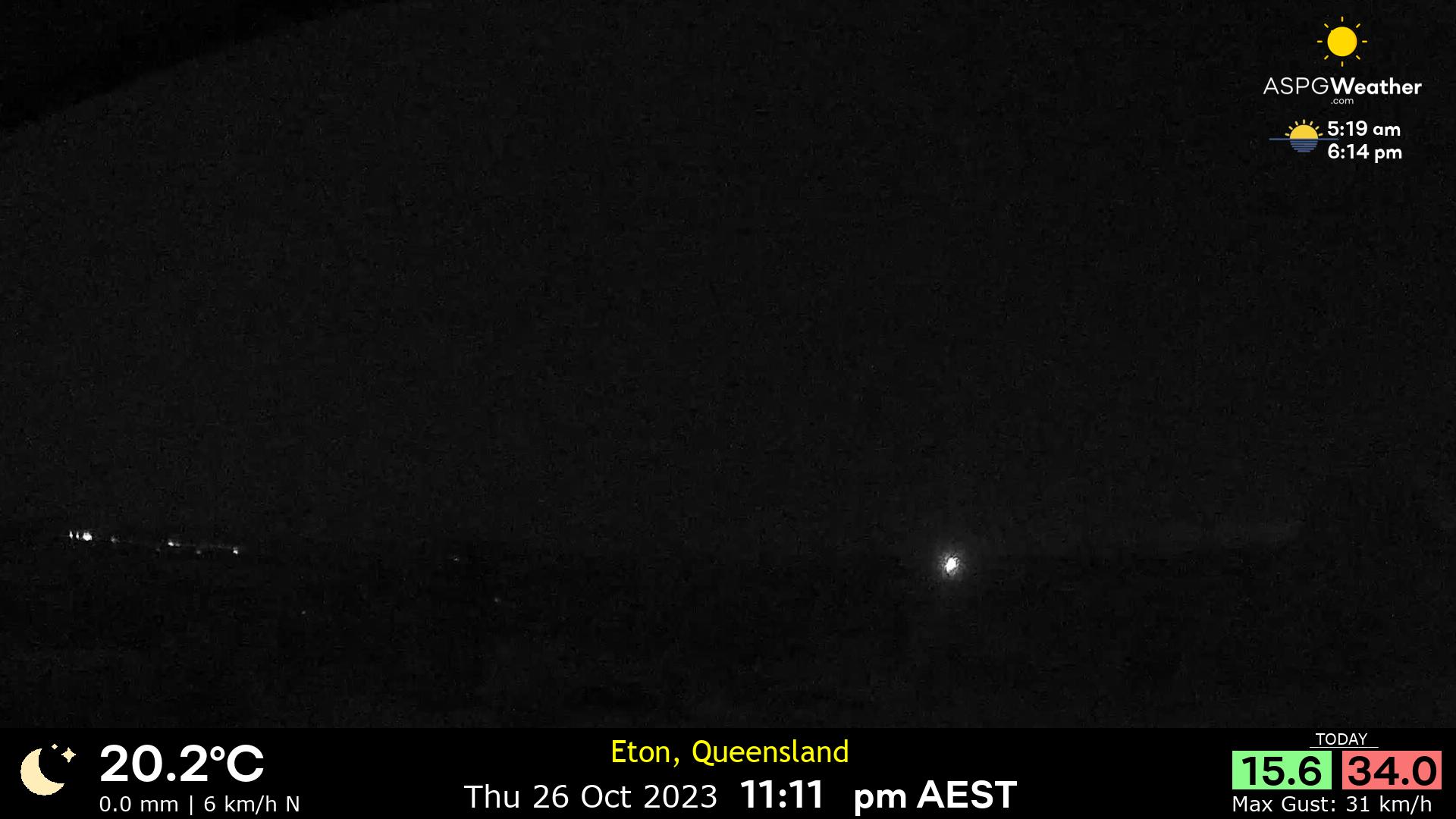
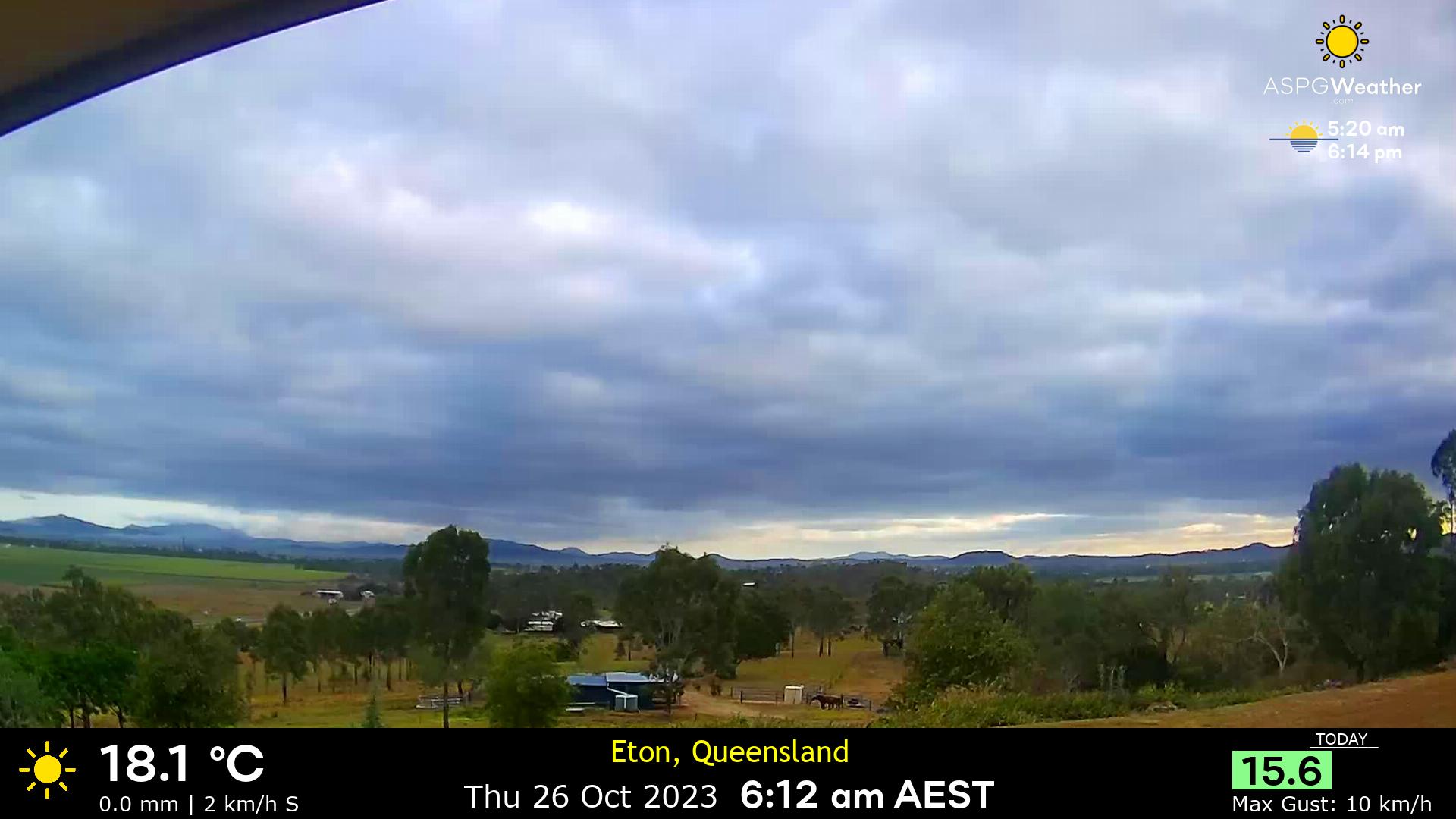
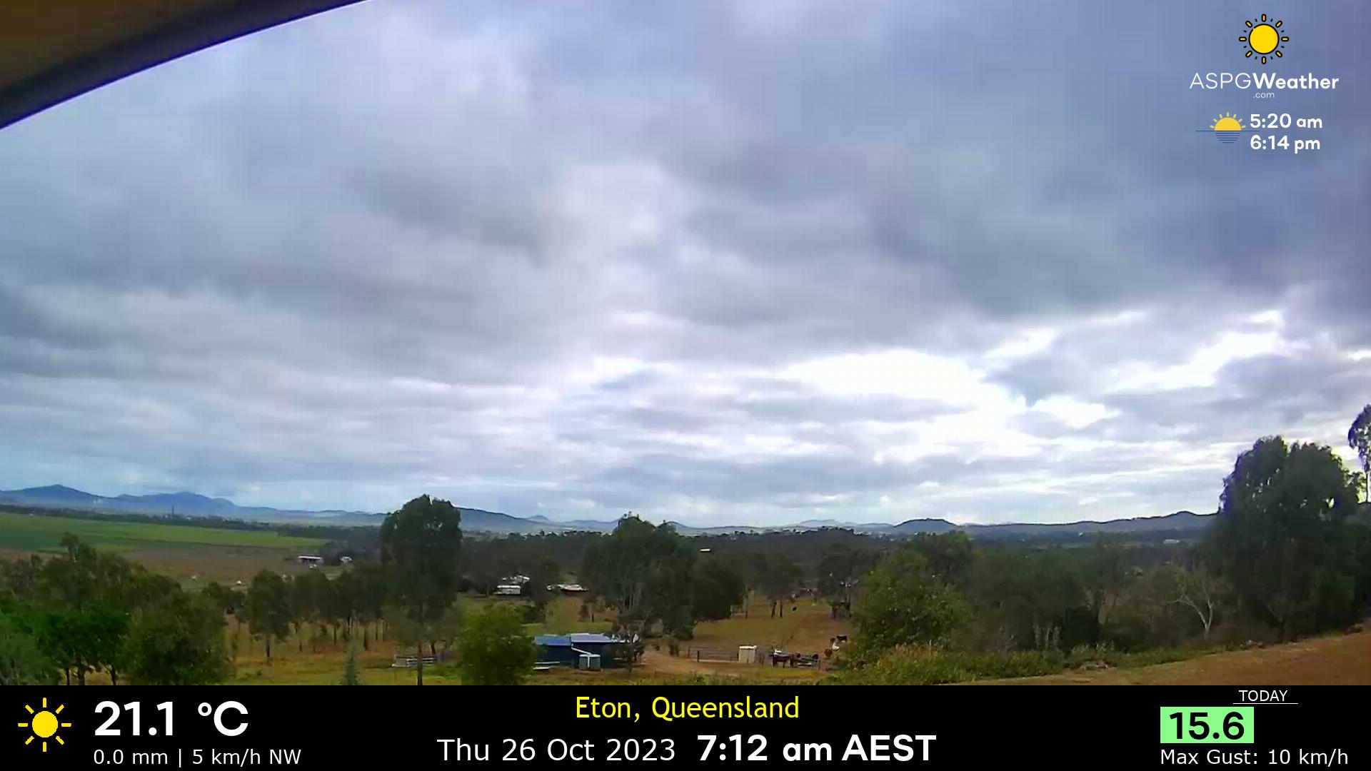
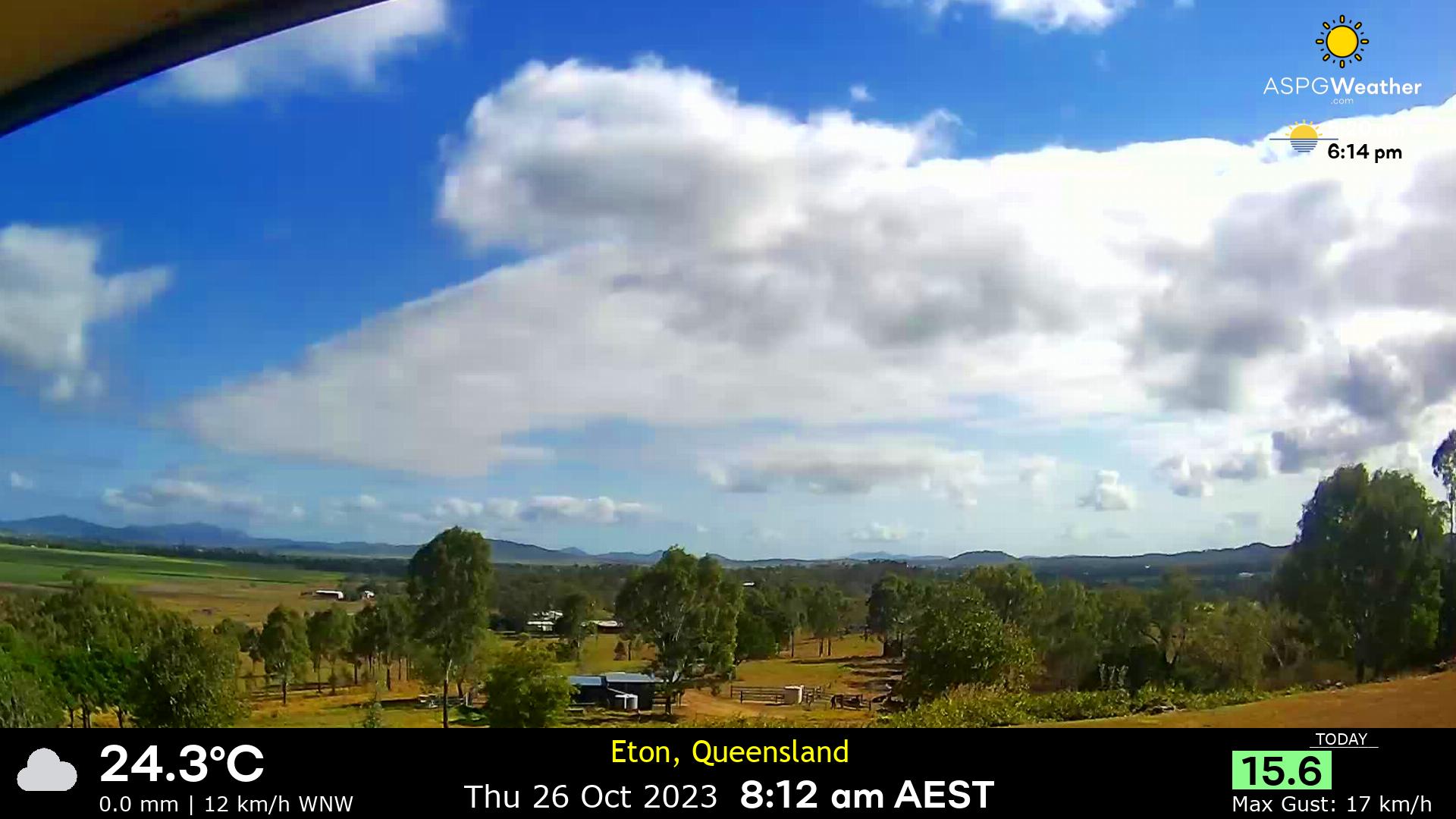
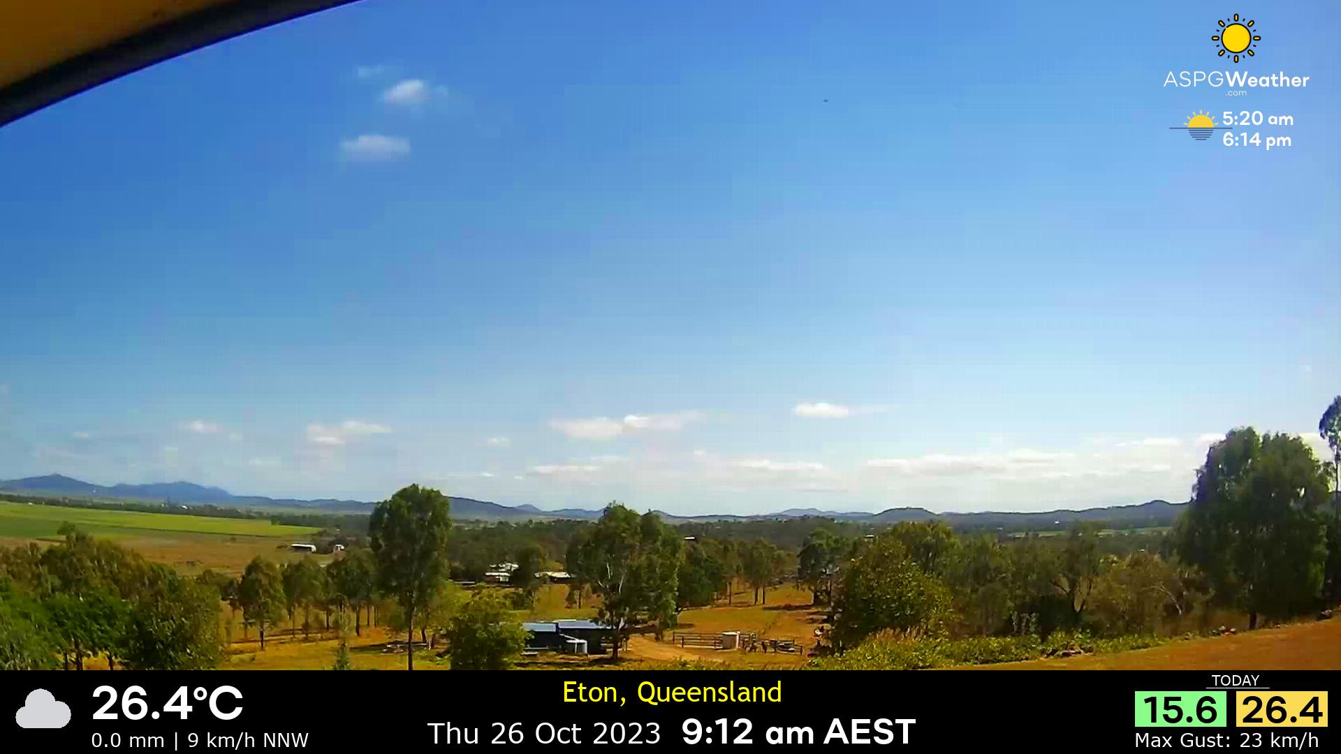
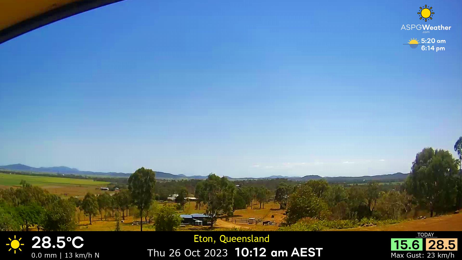
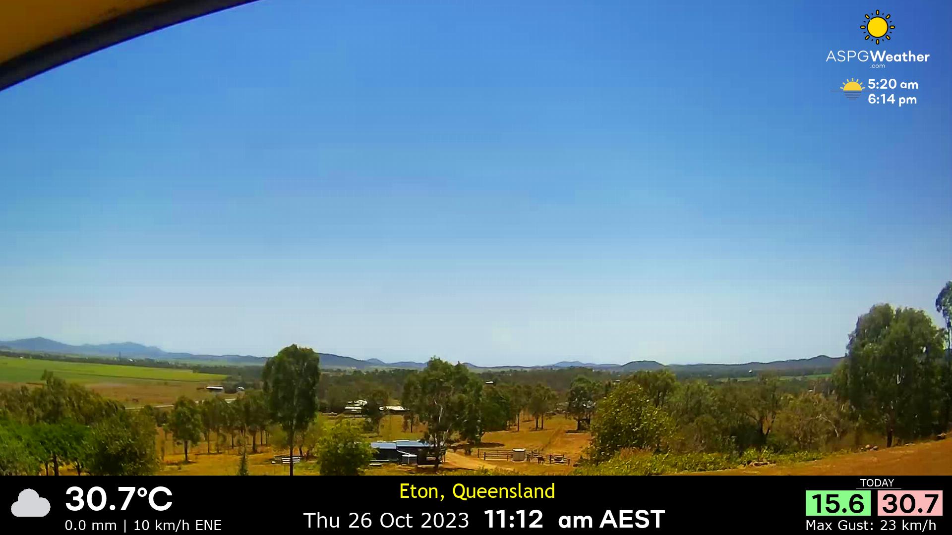
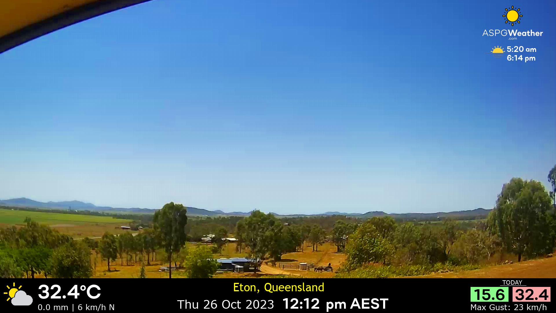
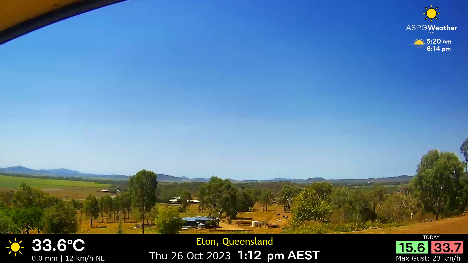
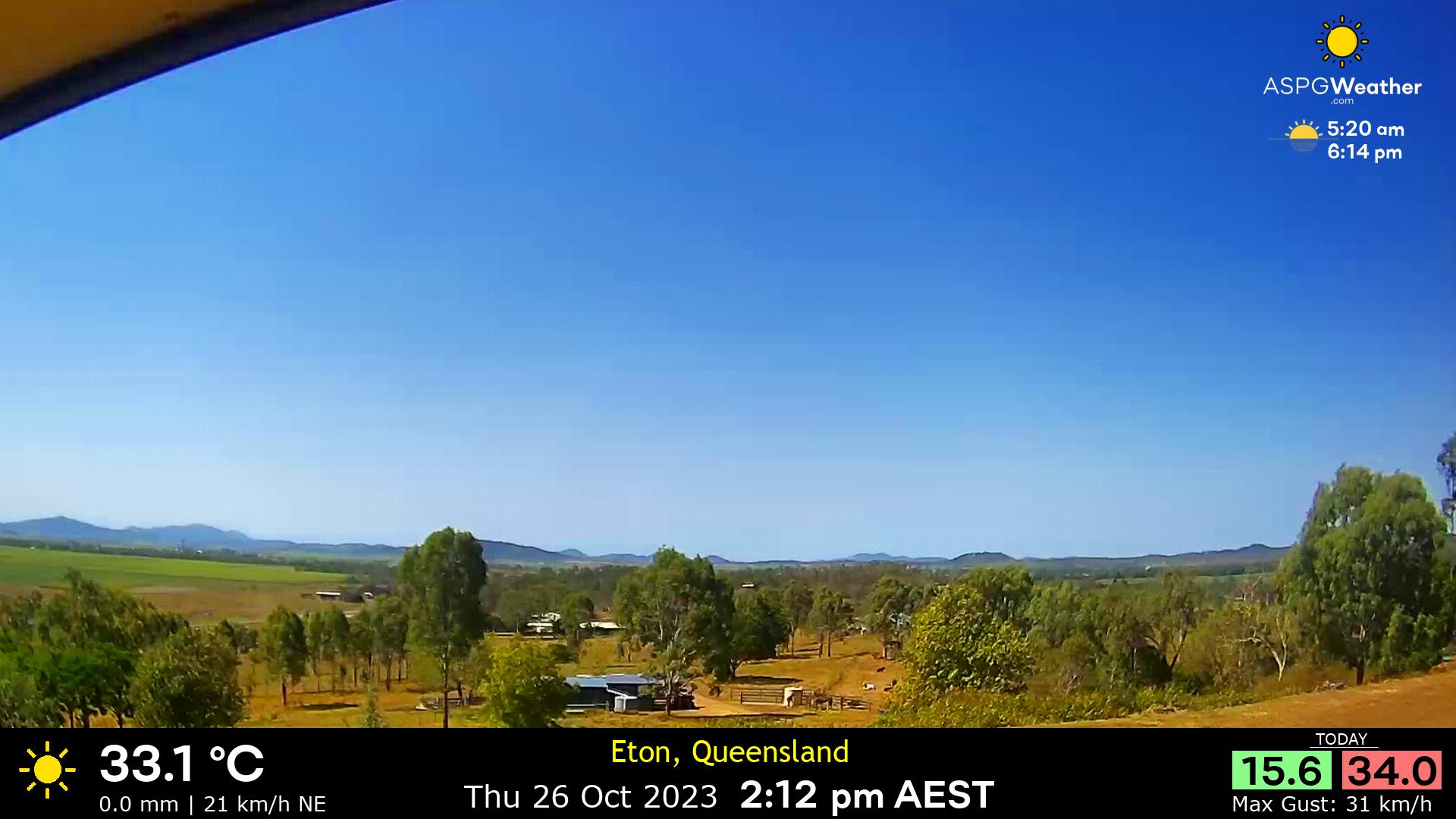
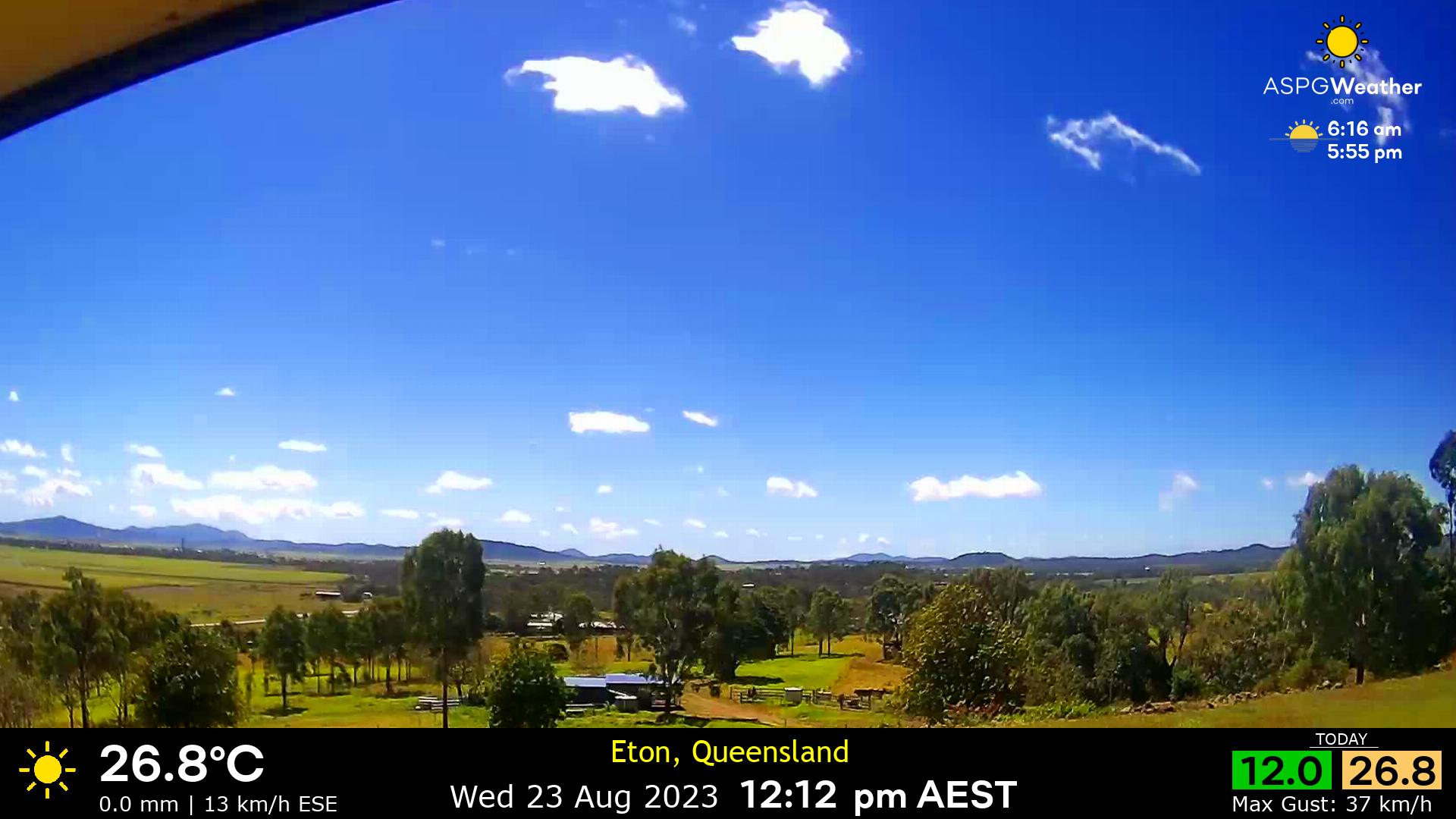
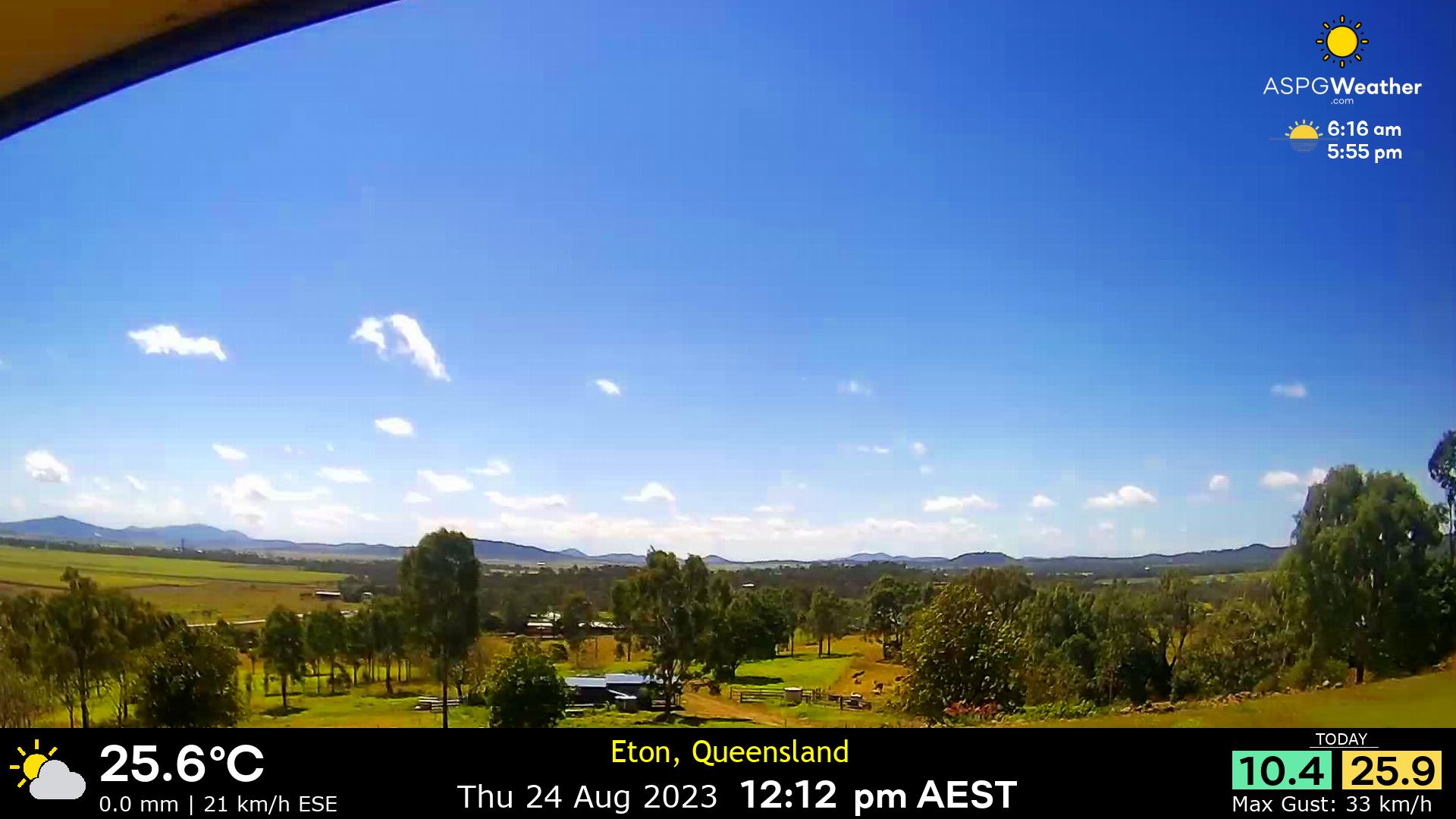
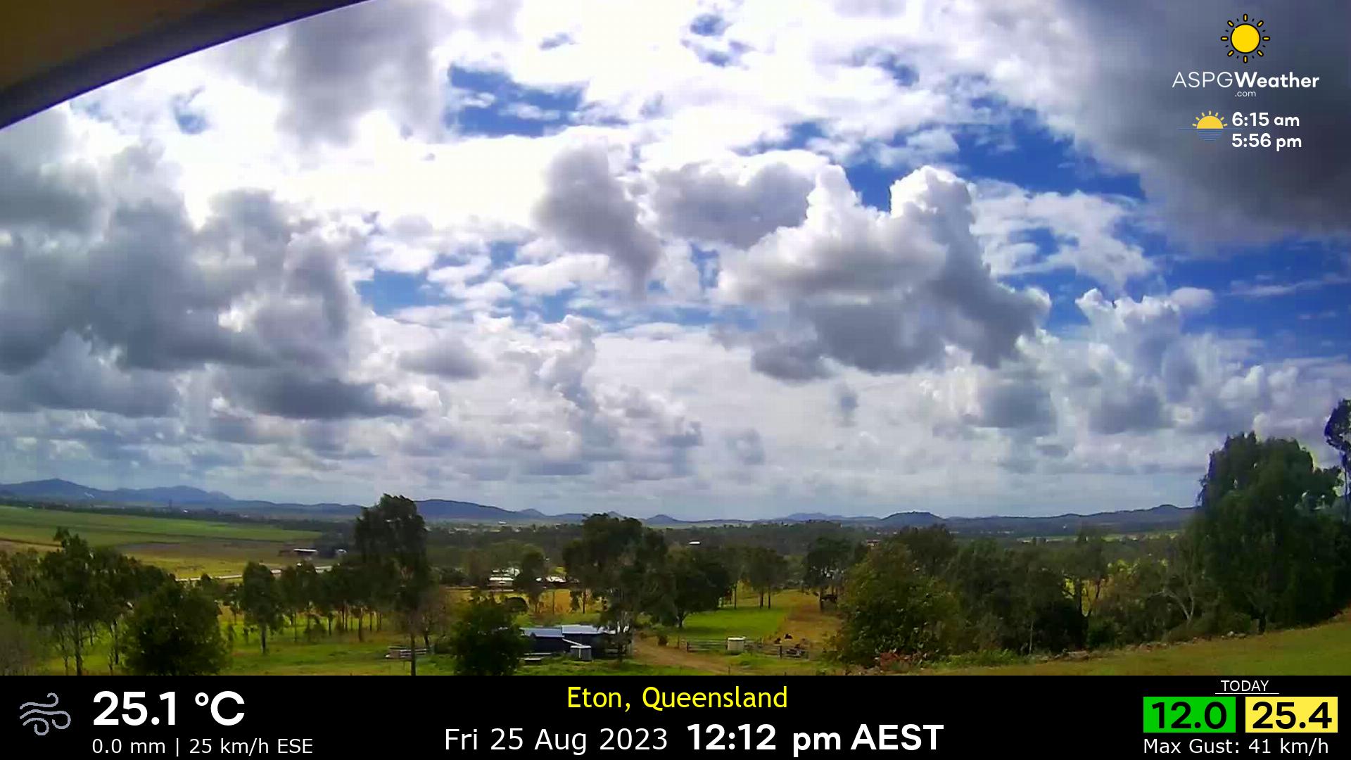
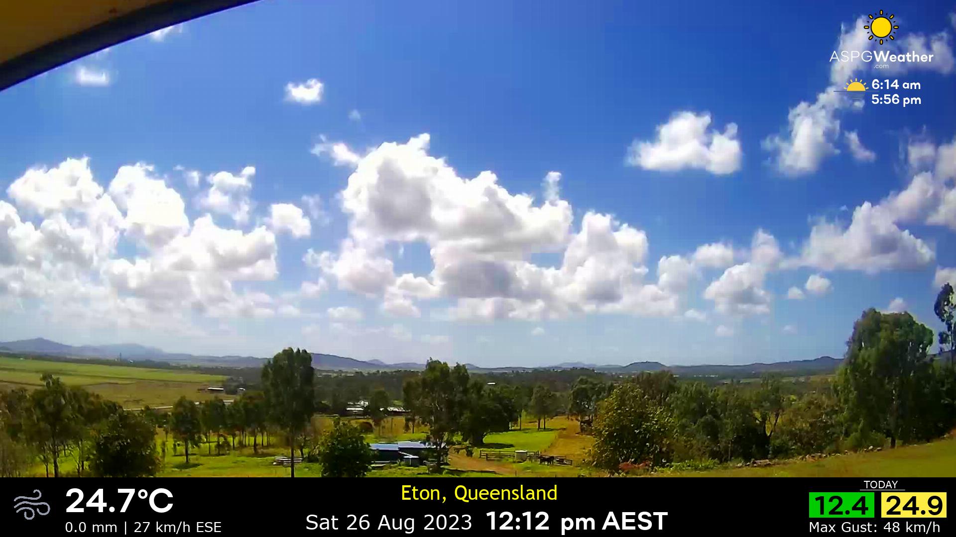
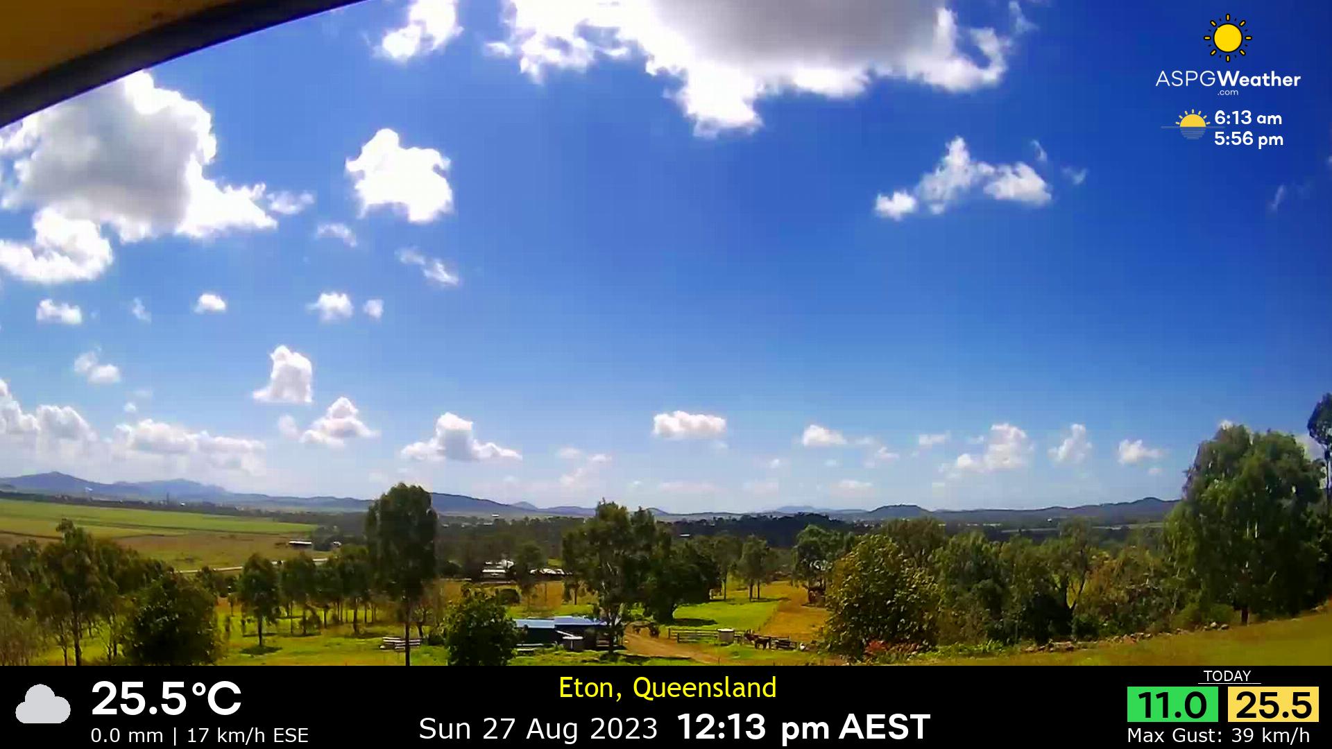
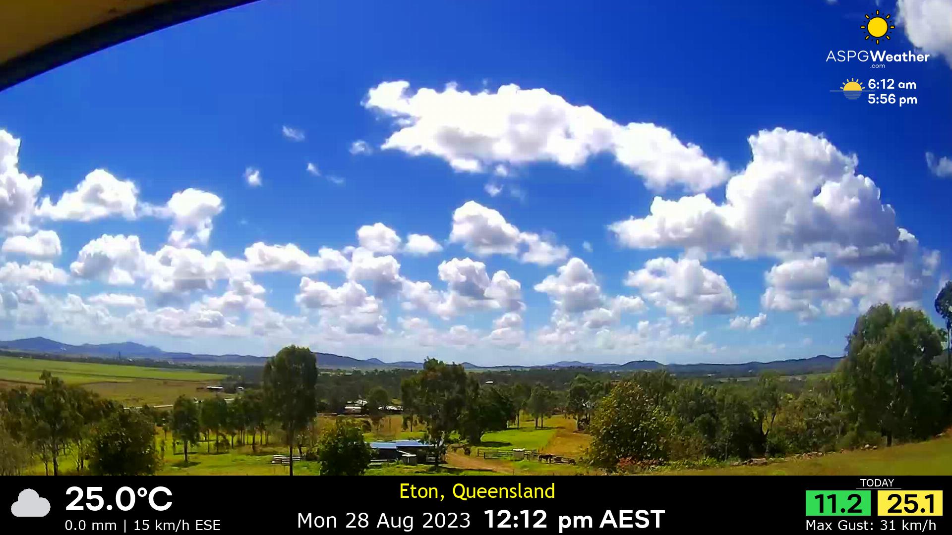
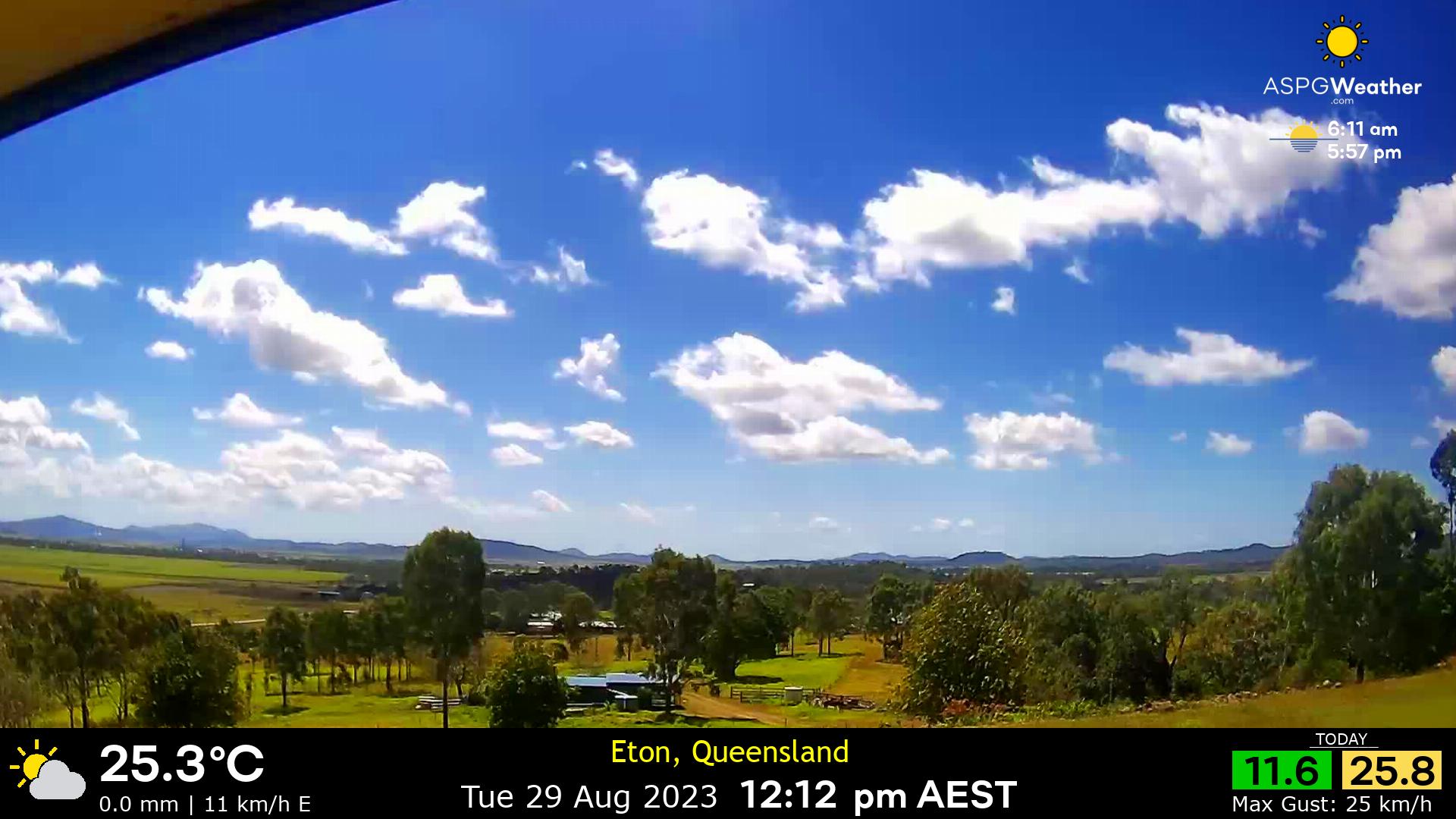
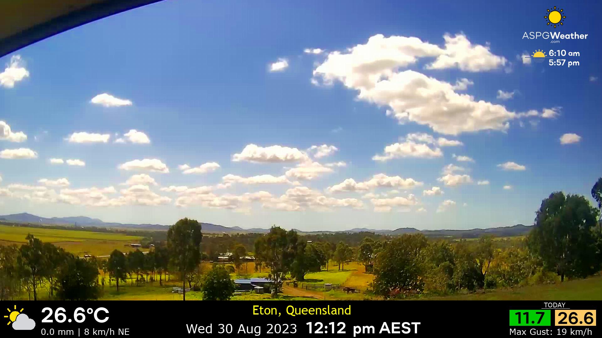
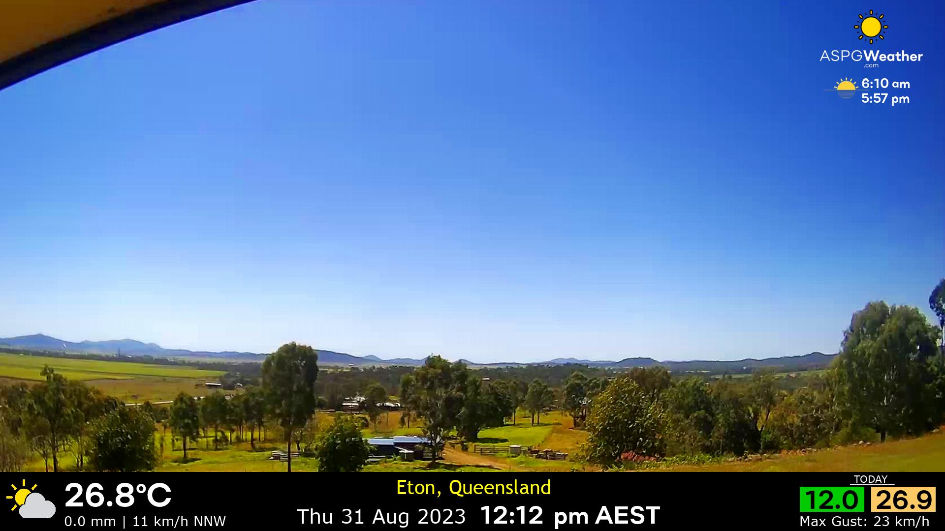
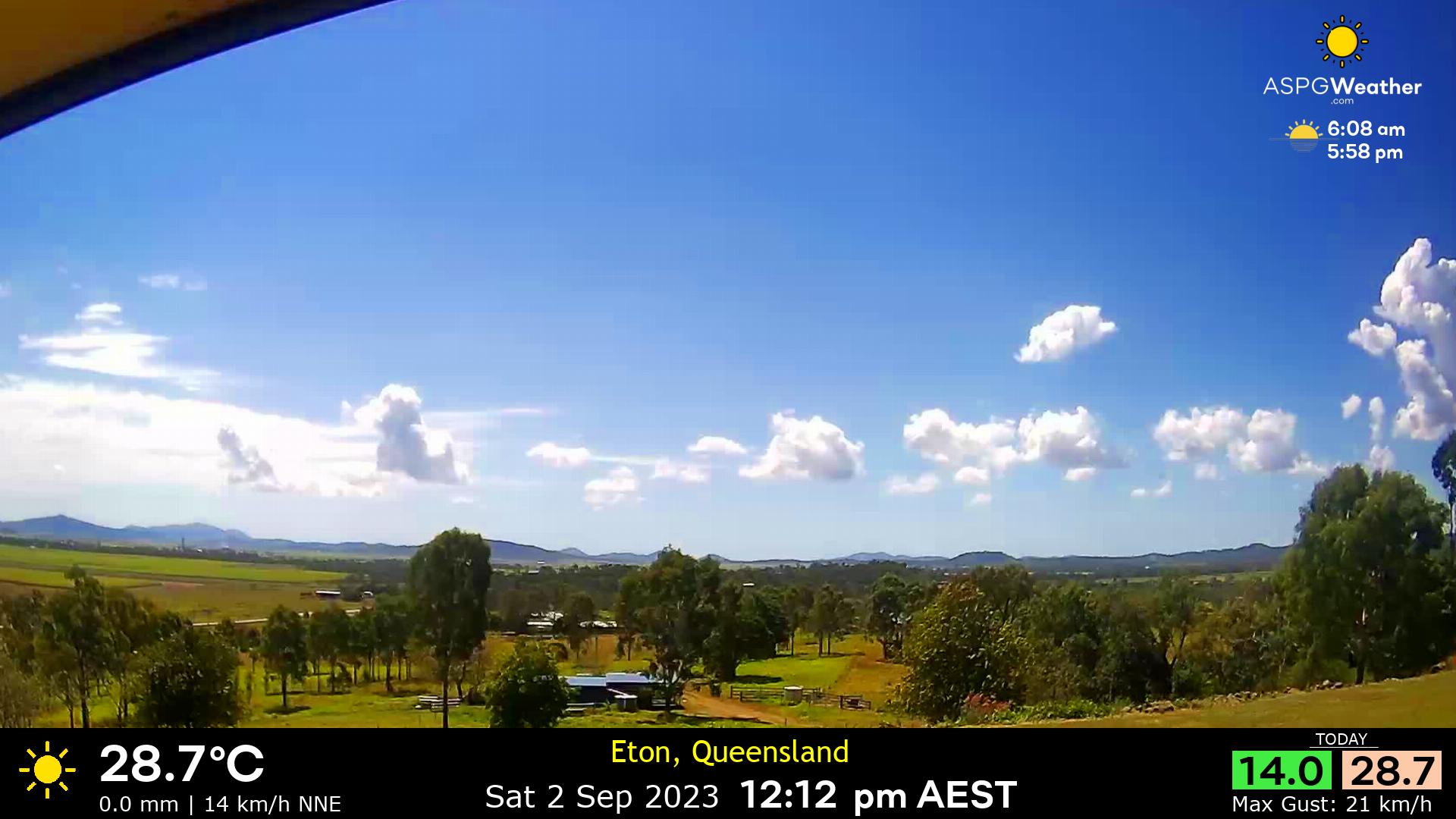
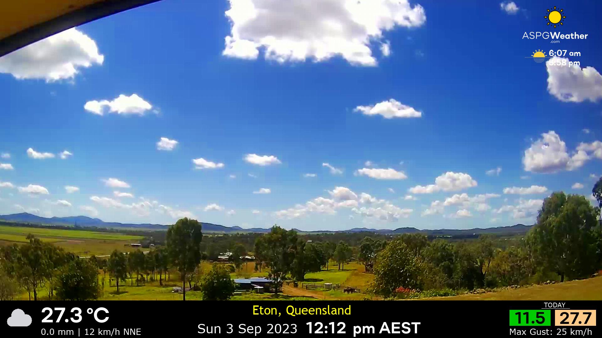
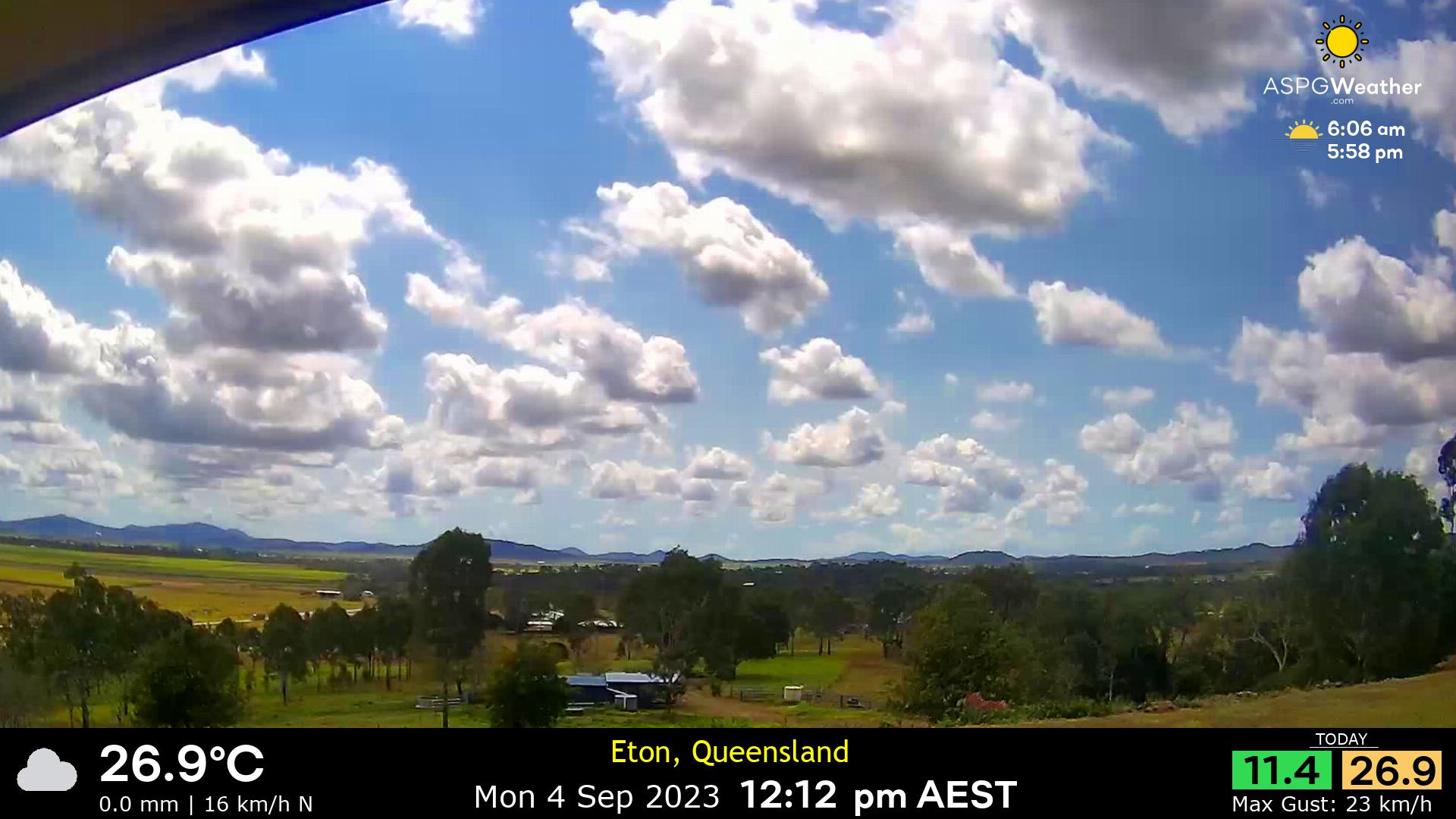
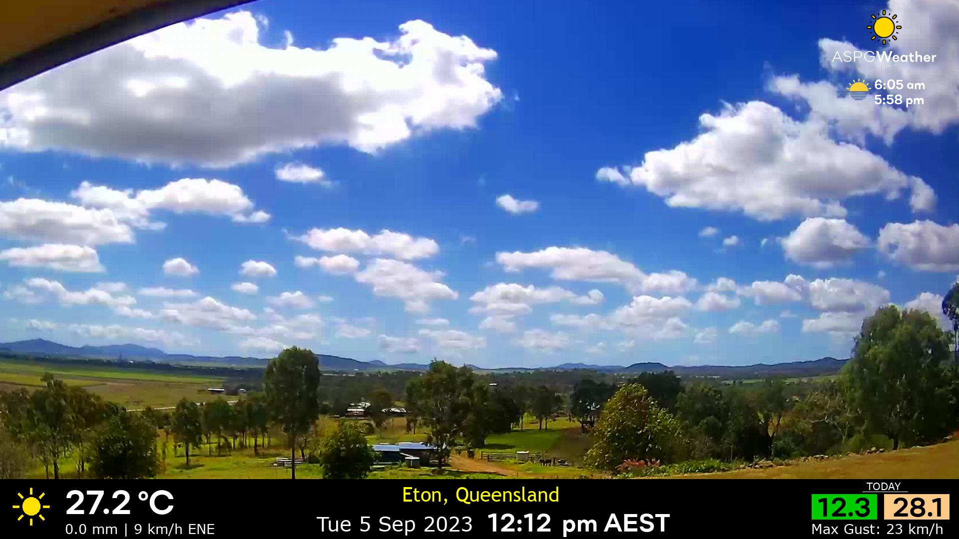
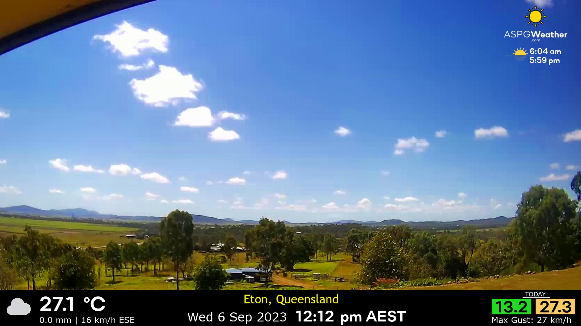
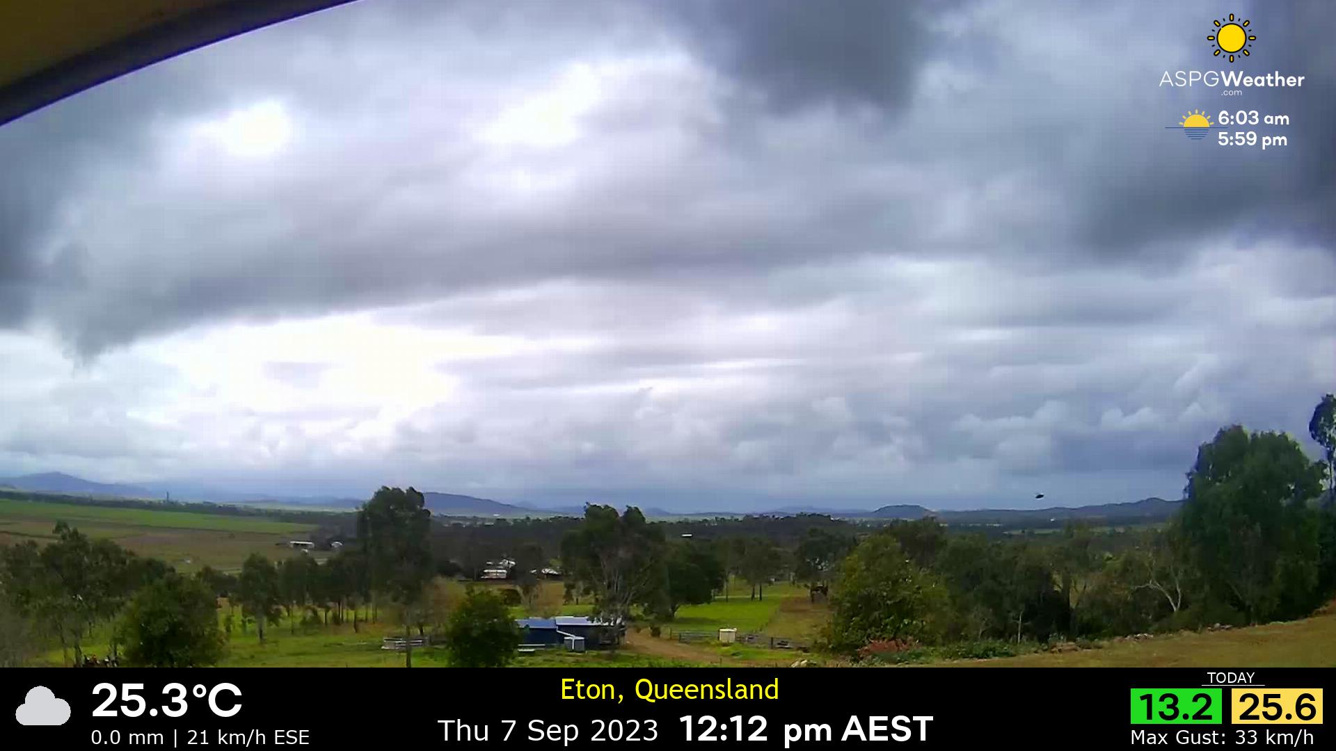
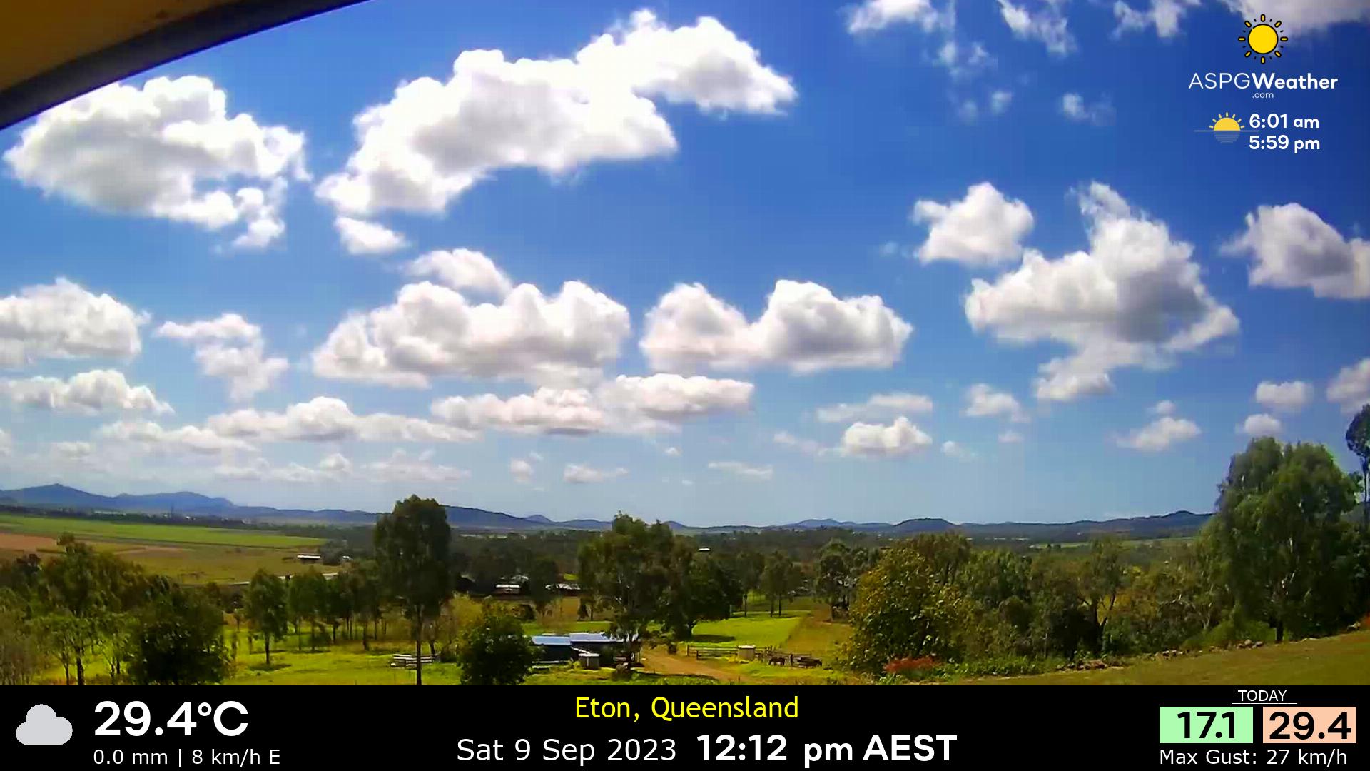
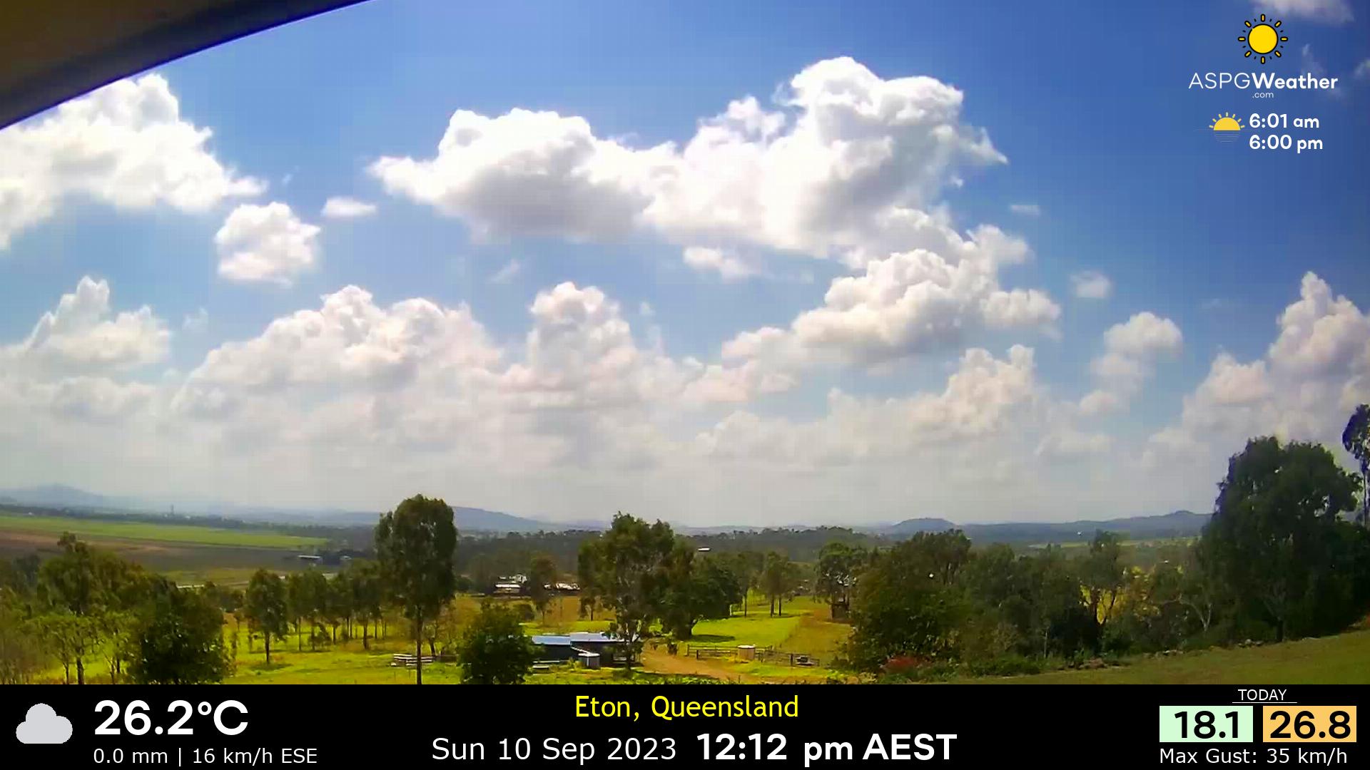
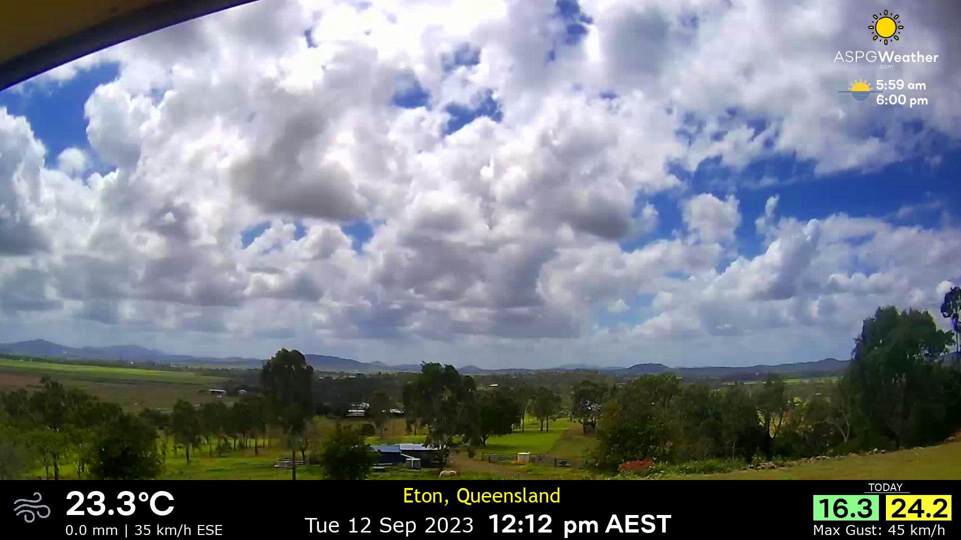
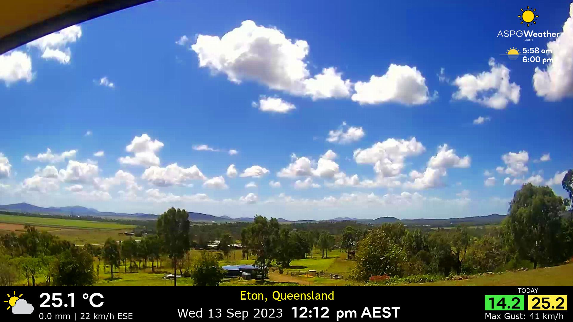
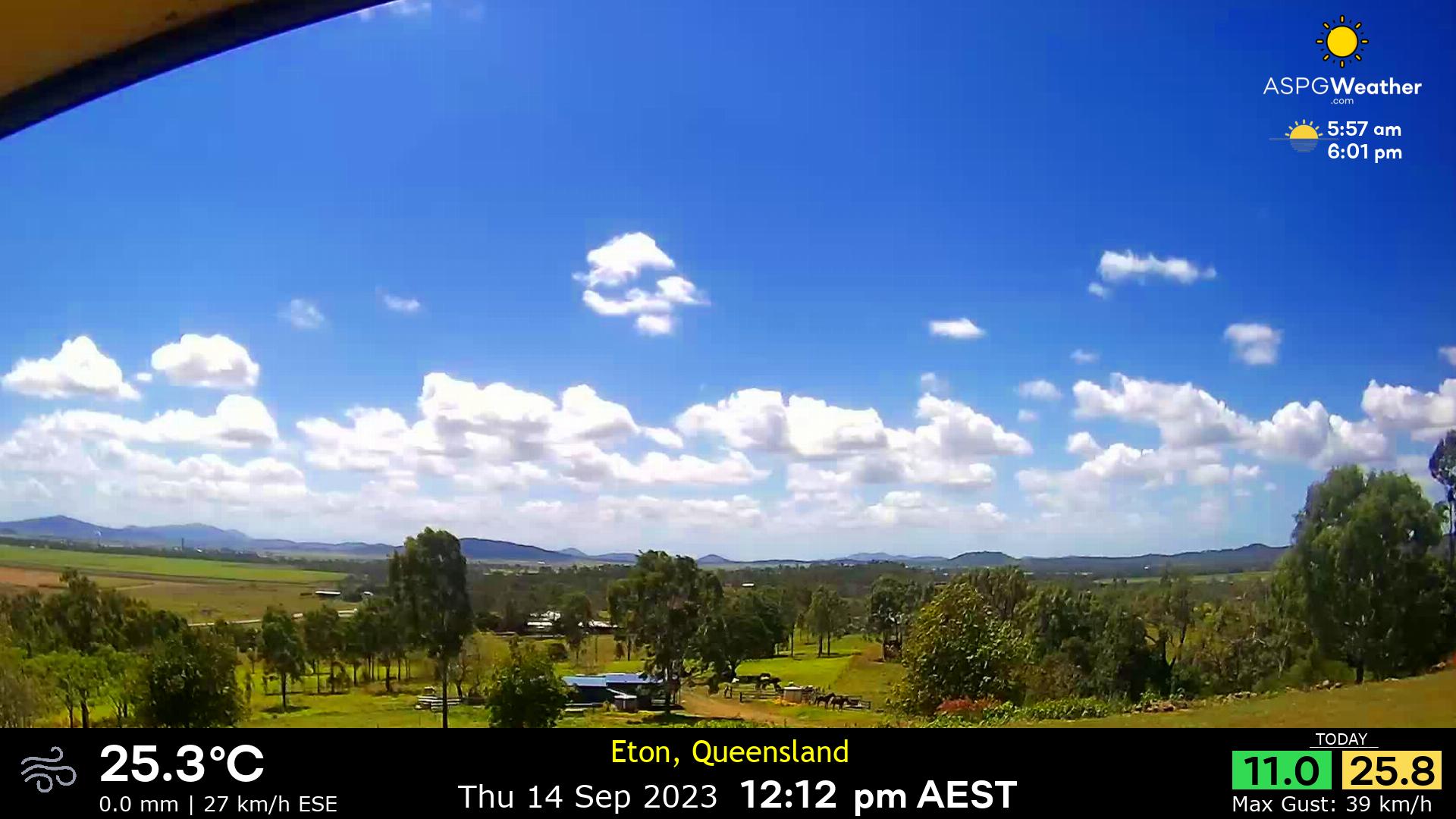
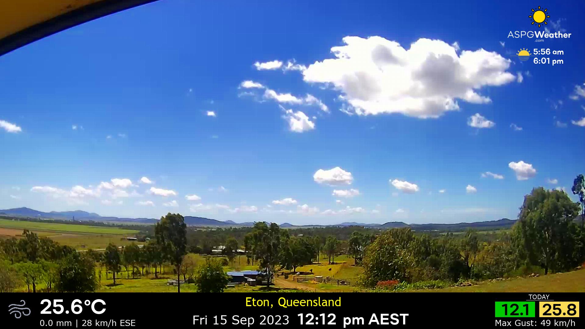
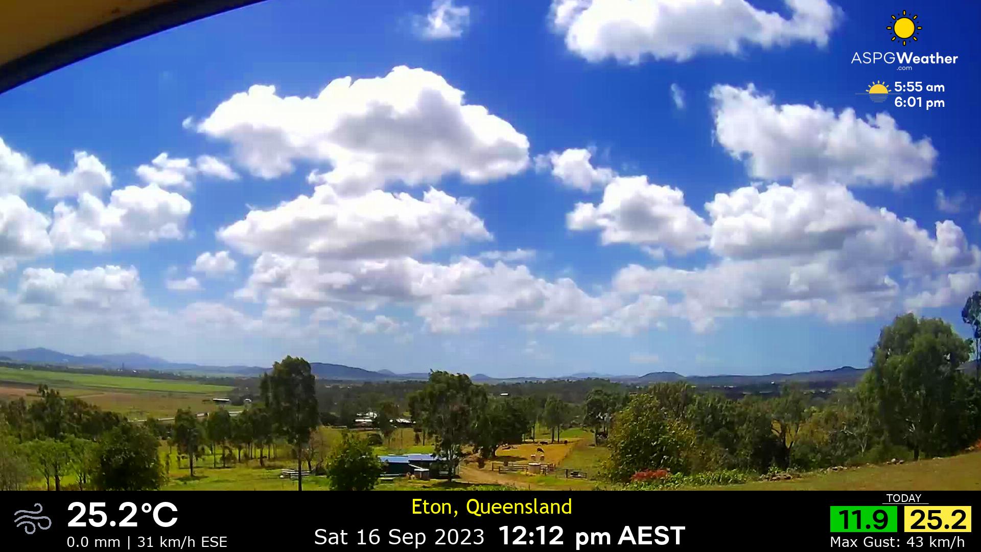
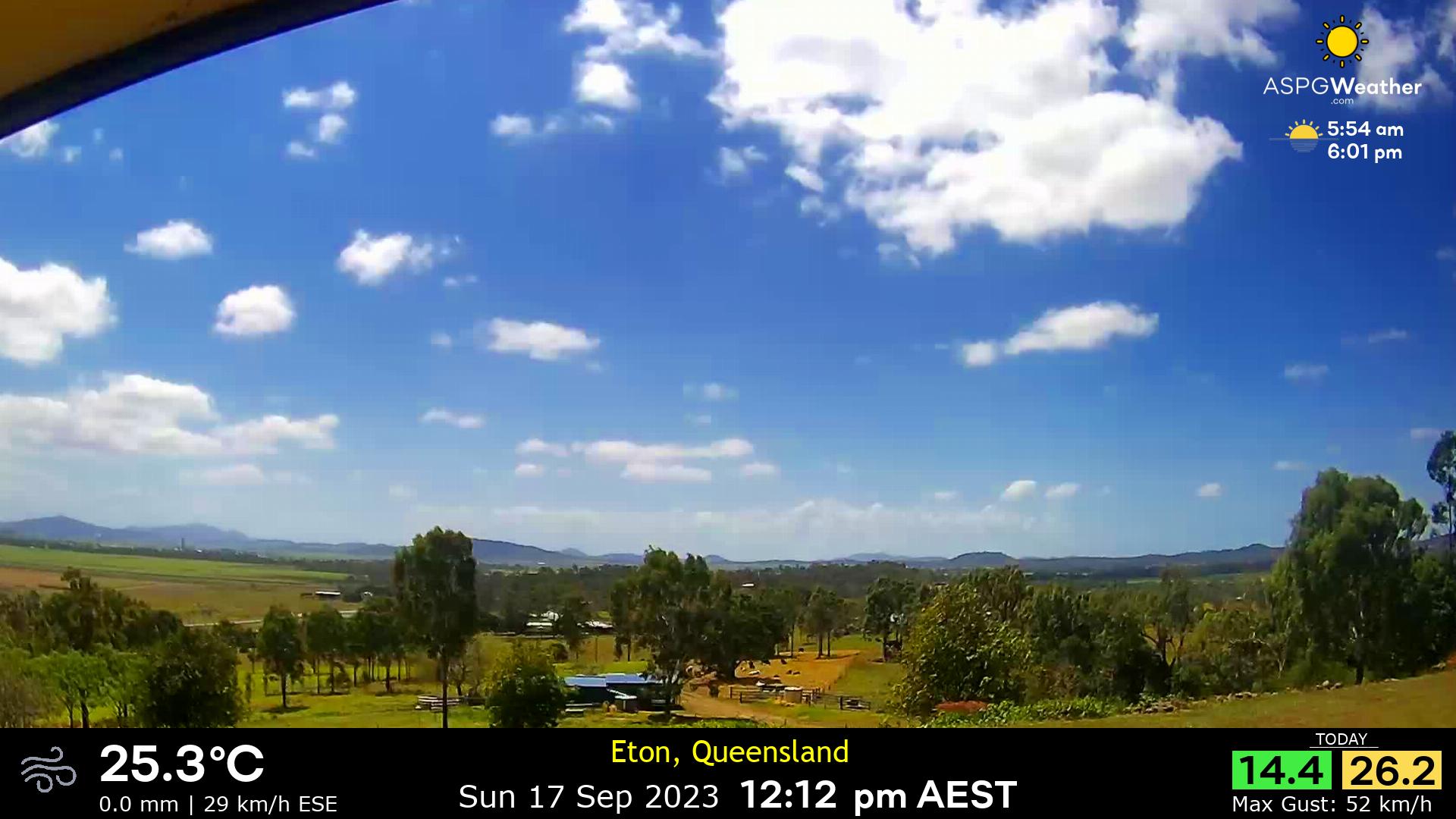
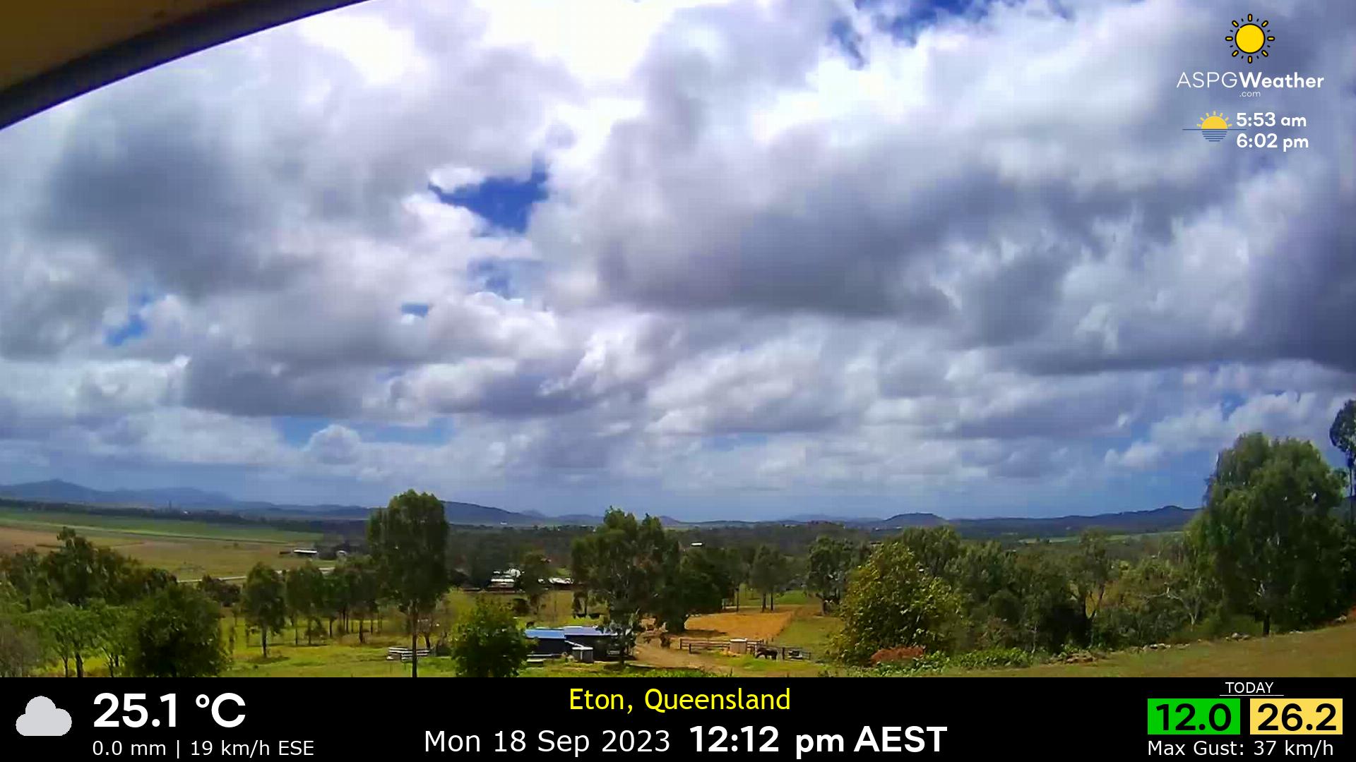
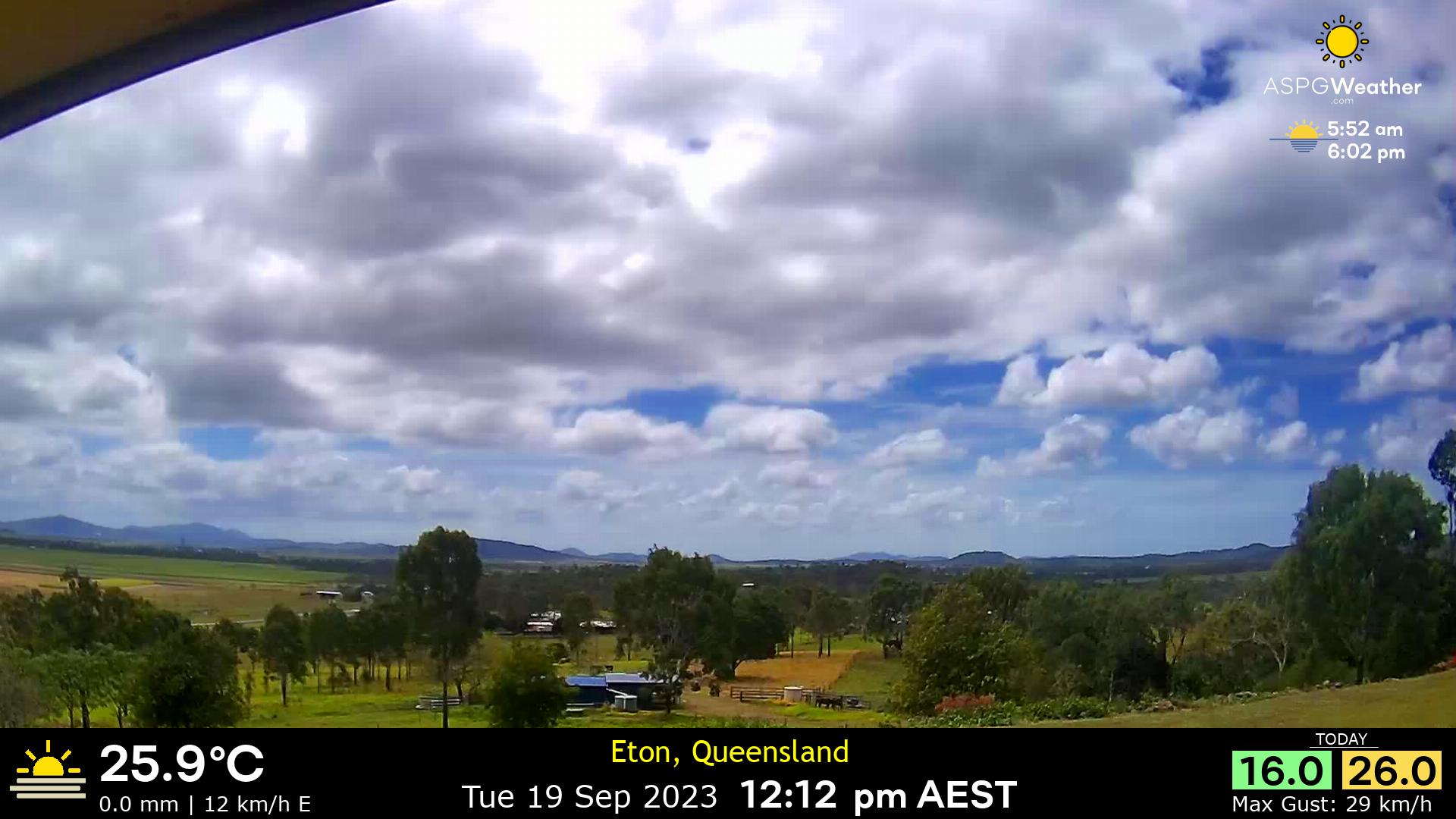
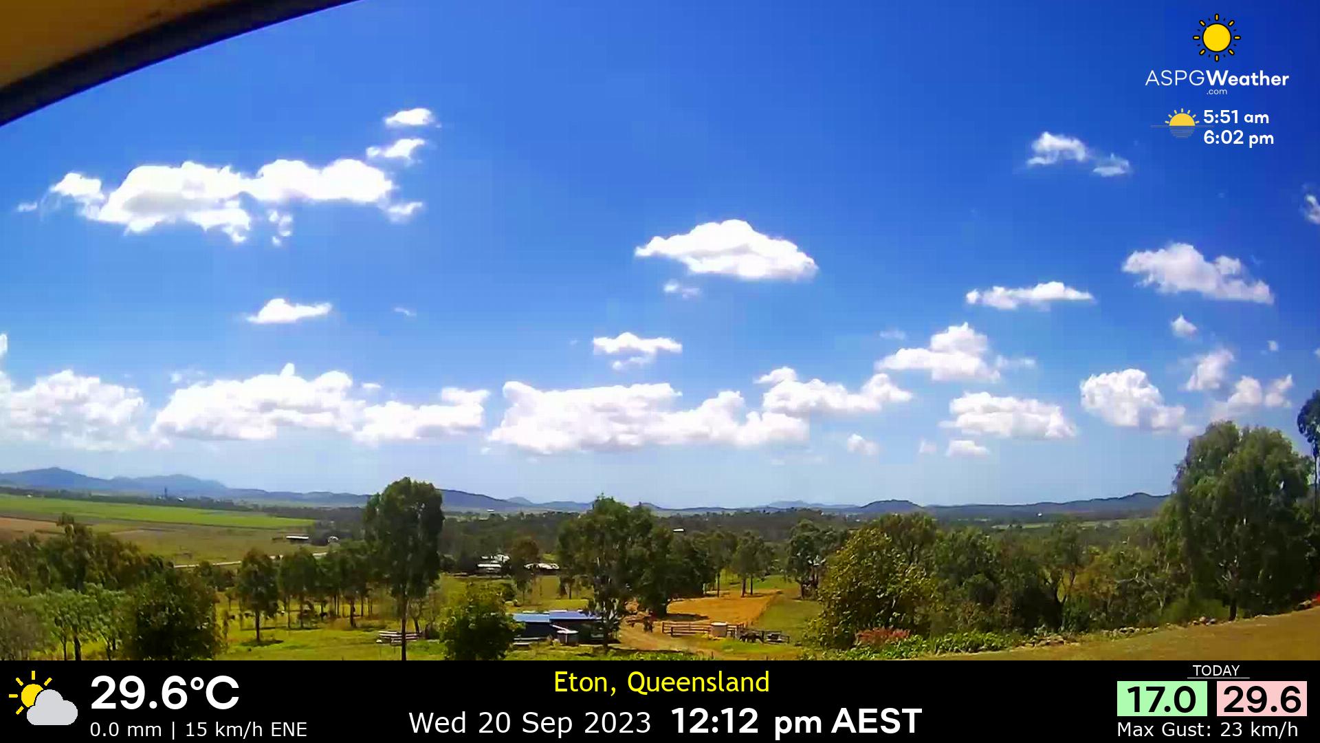
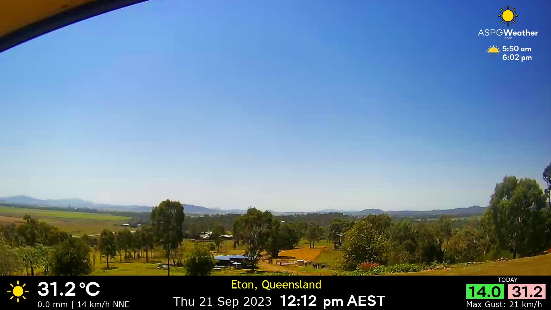
Eton, Australia - 25 miles from Mount Pelion: Eton, Queensland Weather - Views from Eton, Queensland with comprehensive weather data.
Operator: Eton, Queensland Weather
Operator: Eton, Queensland Weather


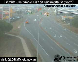
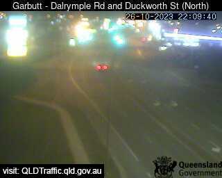
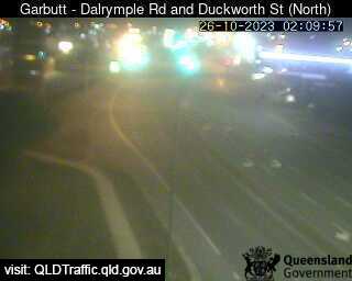
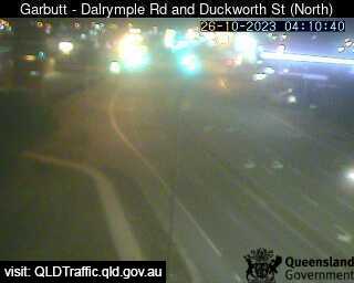
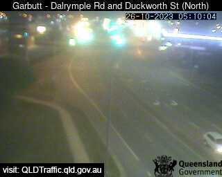
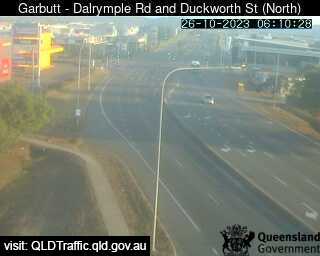
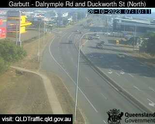
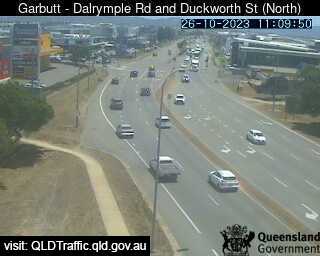
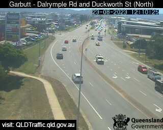
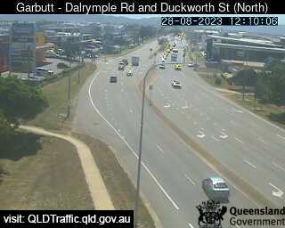
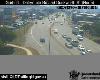
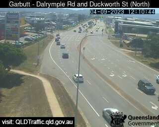
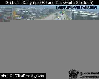
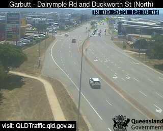
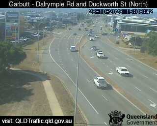
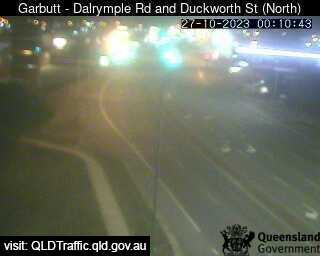
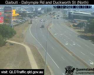
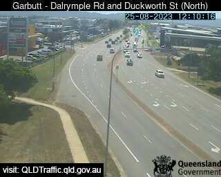
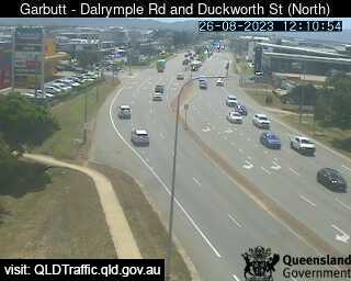
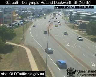
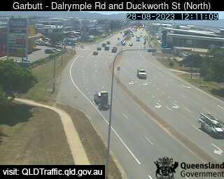
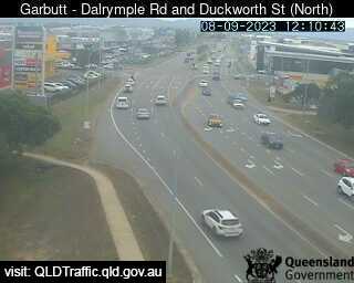
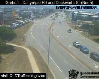
Garbutt, Australia - 175.1 miles from Mount Pelion: (North) Nathan St & Dalrymple Rd - A view of the current traffic conditions.
Operator: Queensland Government - Department of Transport and Main Roads
Operator: Queensland Government - Department of Transport and Main Roads


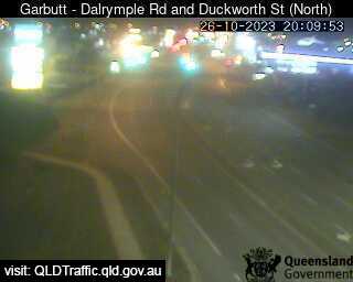


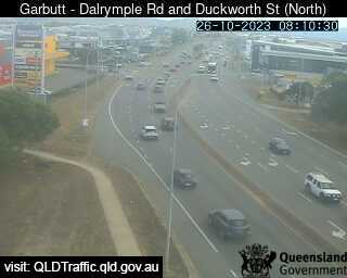

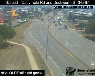


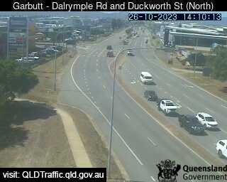


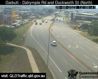

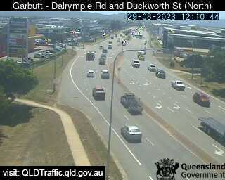


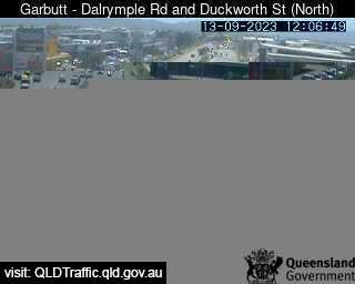
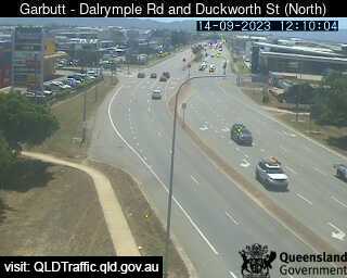
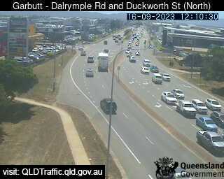


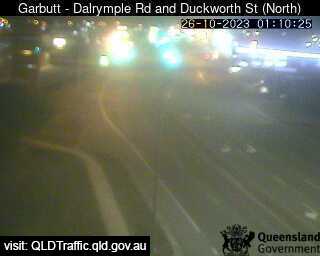
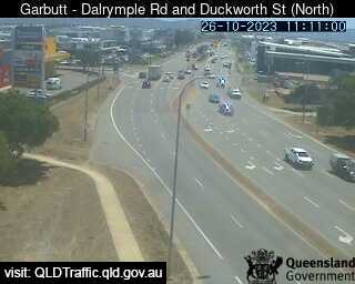
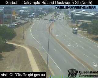
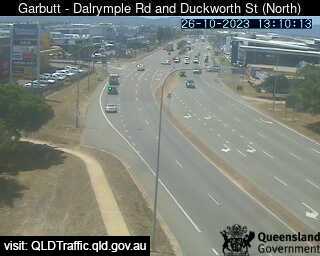
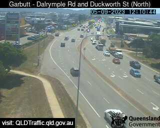
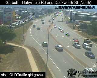
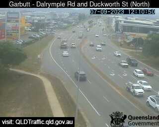
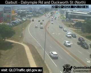
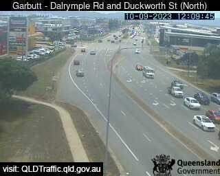
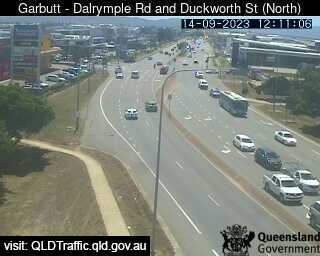
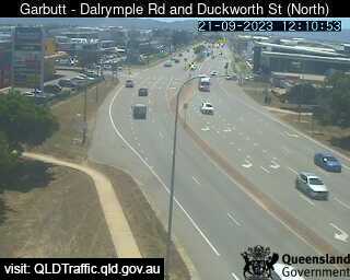
Garbutt, Australia - 175.1 miles from Mount Pelion: (North) Nathan St & Dalrymple Rd - A view of the current traffic conditions.
Operator: Queensland Government - Department of Transport and Main Roads
Operator: Queensland Government - Department of Transport and Main Roads


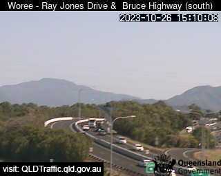
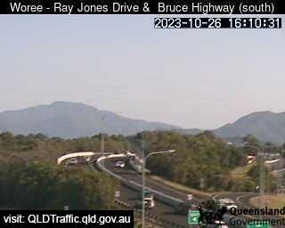
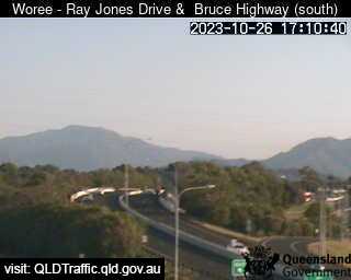
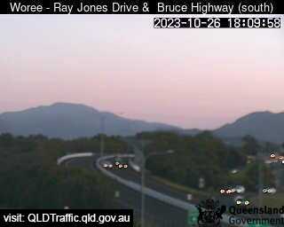
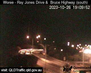
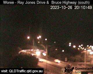
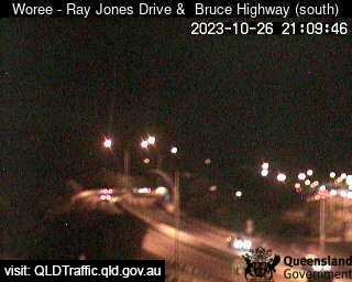
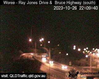
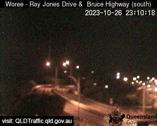
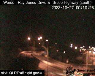
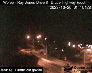
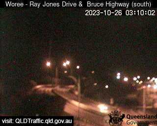
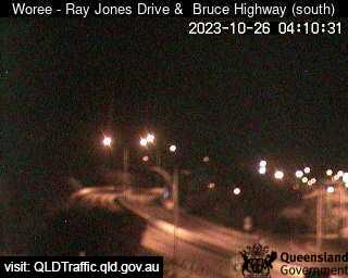
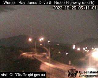
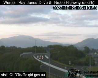
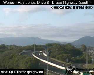
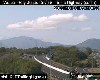
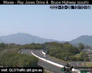
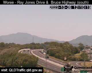
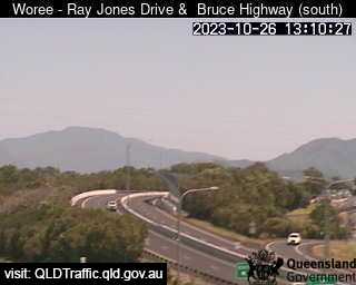
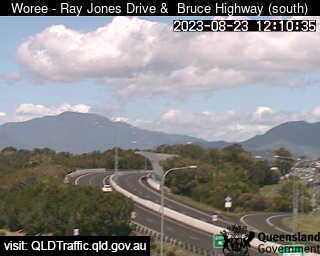
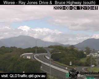
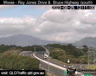
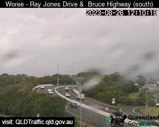
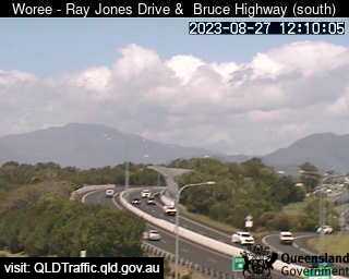
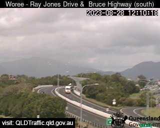
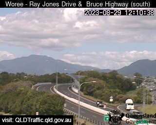
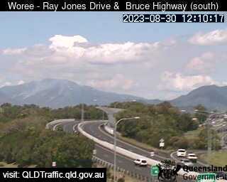
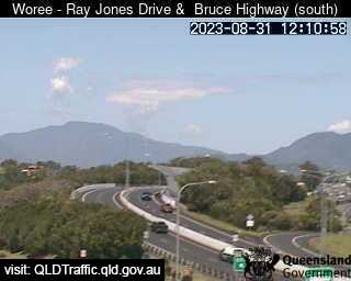
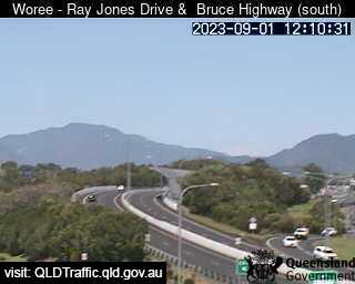
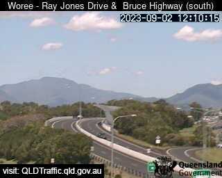
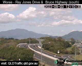
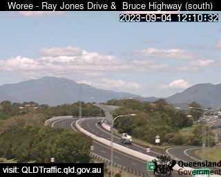
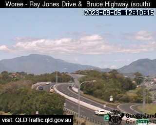
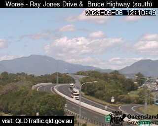
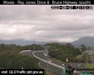
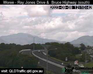
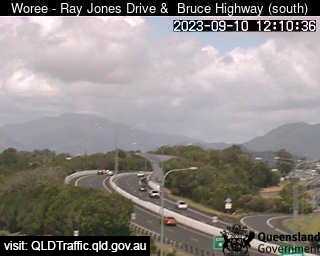
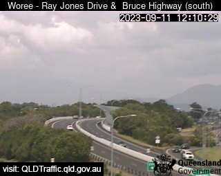
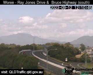
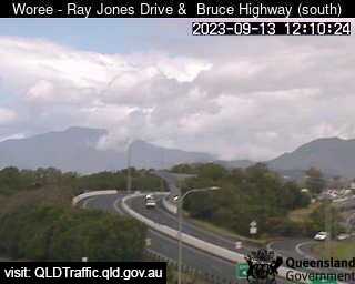
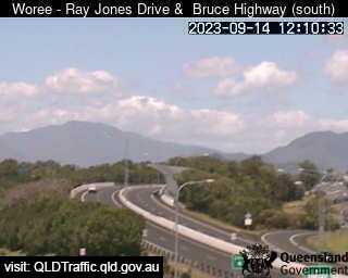
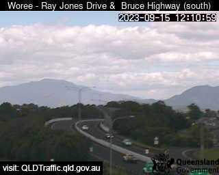
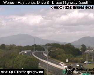
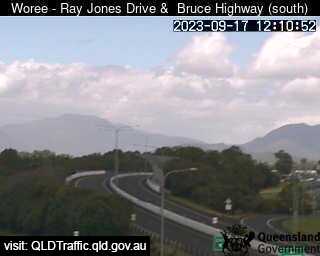
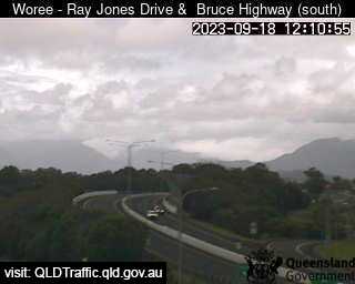
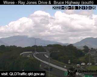
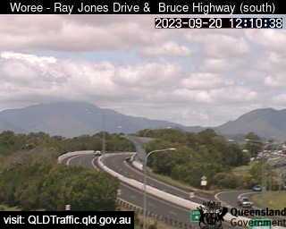
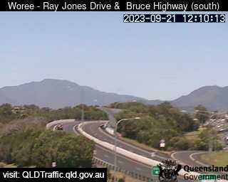
Woree, Australia - 340.4 miles from Mount Pelion: Ray Jones Drive and Mulgrave Road Intersection (south) - A view of the current traffic conditions.
Operator: Queensland Government - Department of Transport and Main Roads
Operator: Queensland Government - Department of Transport and Main Roads


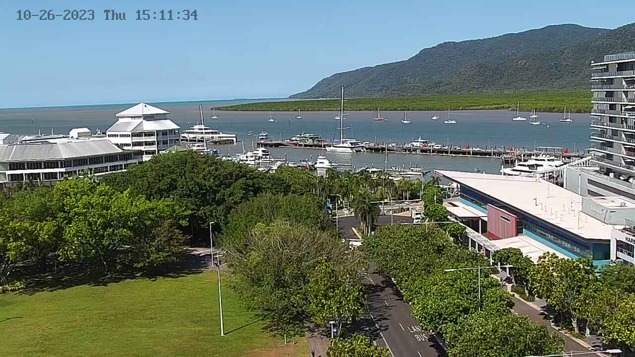
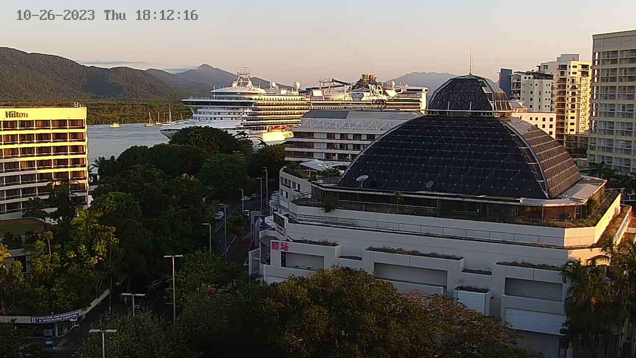
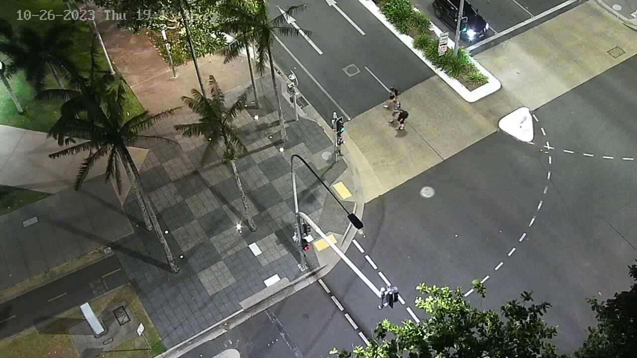
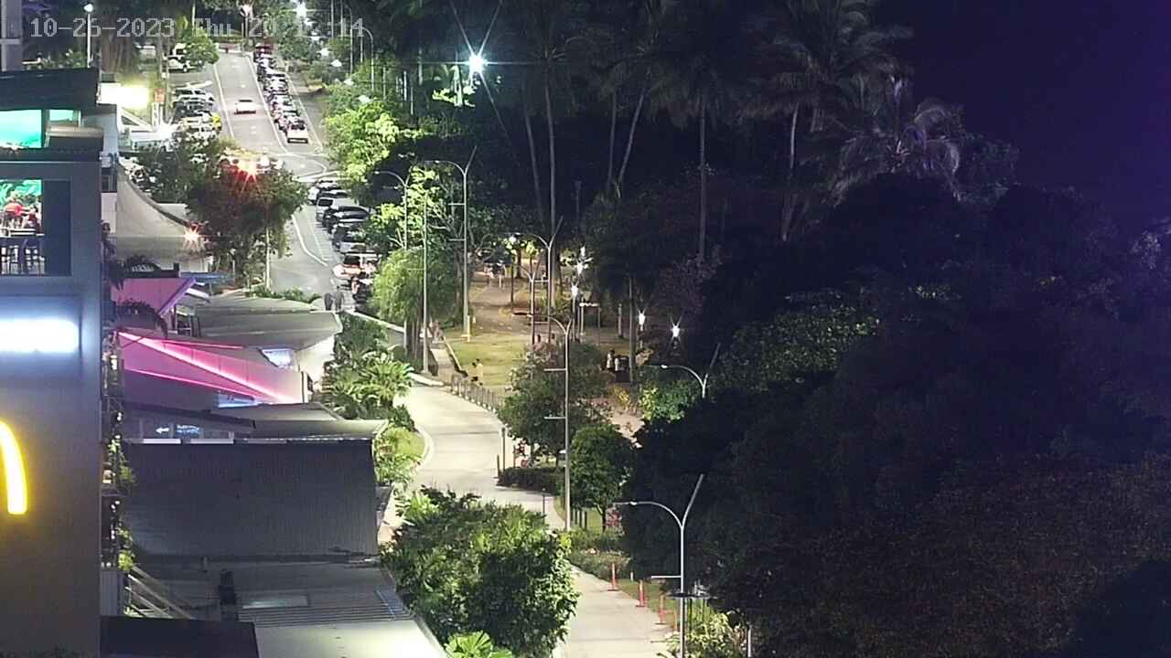
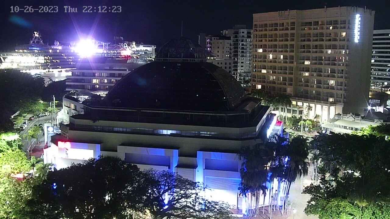
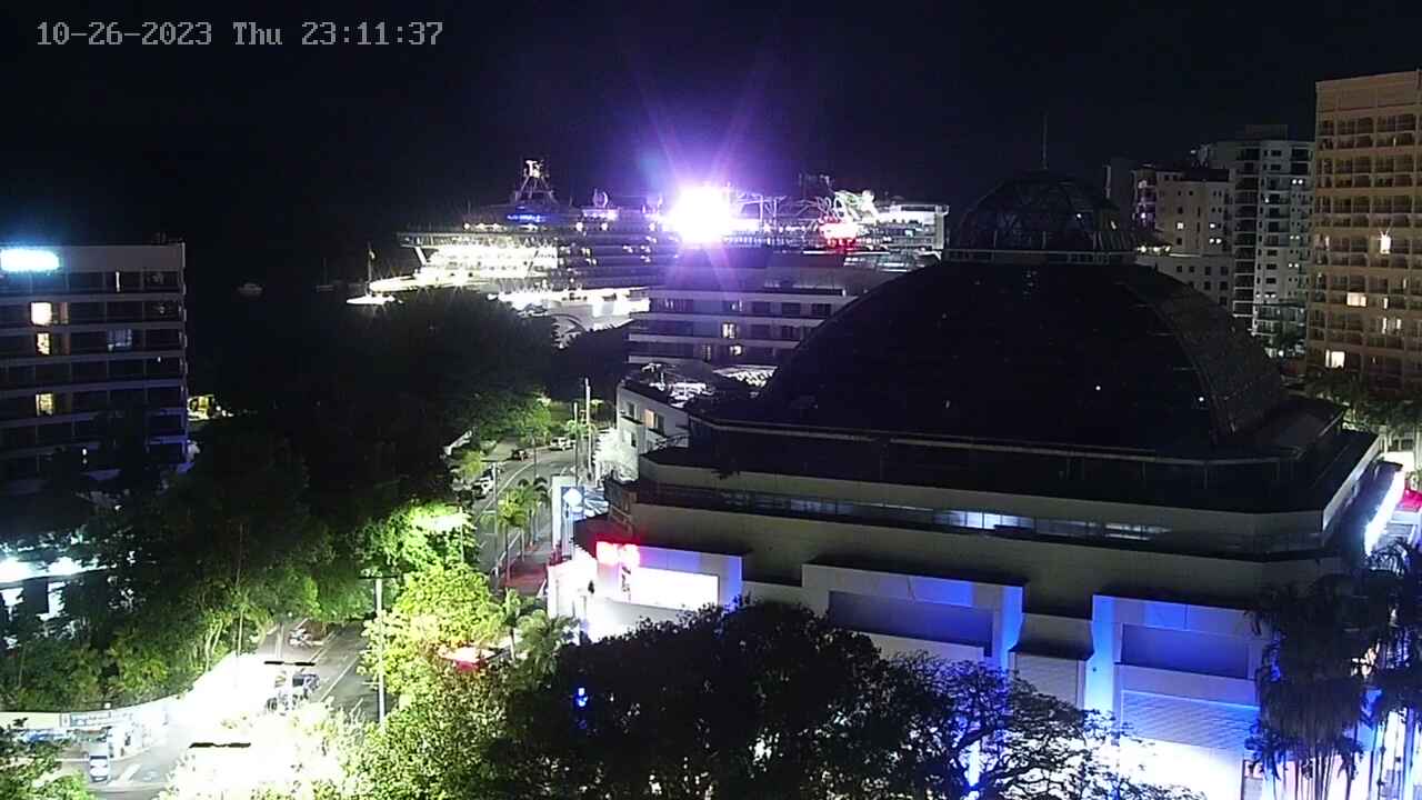
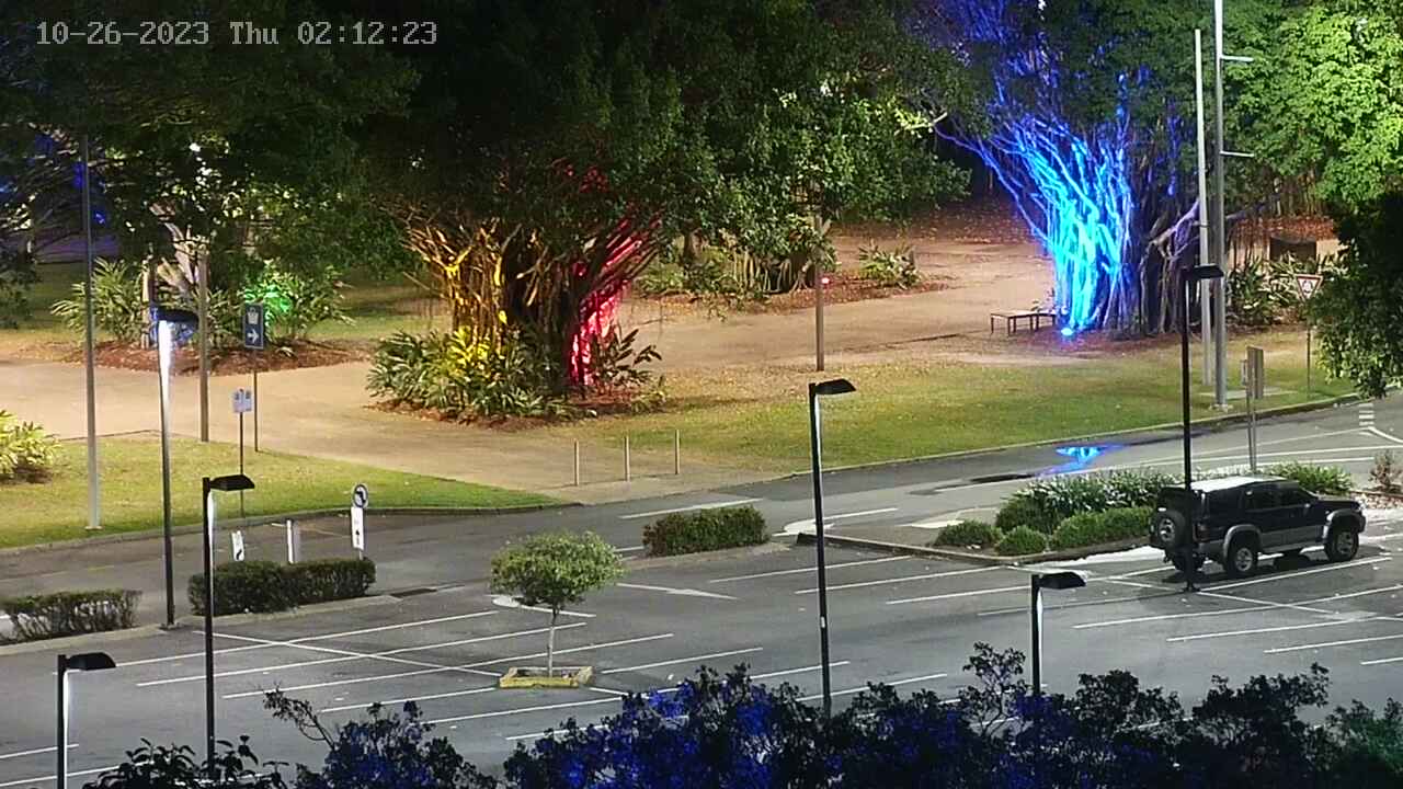
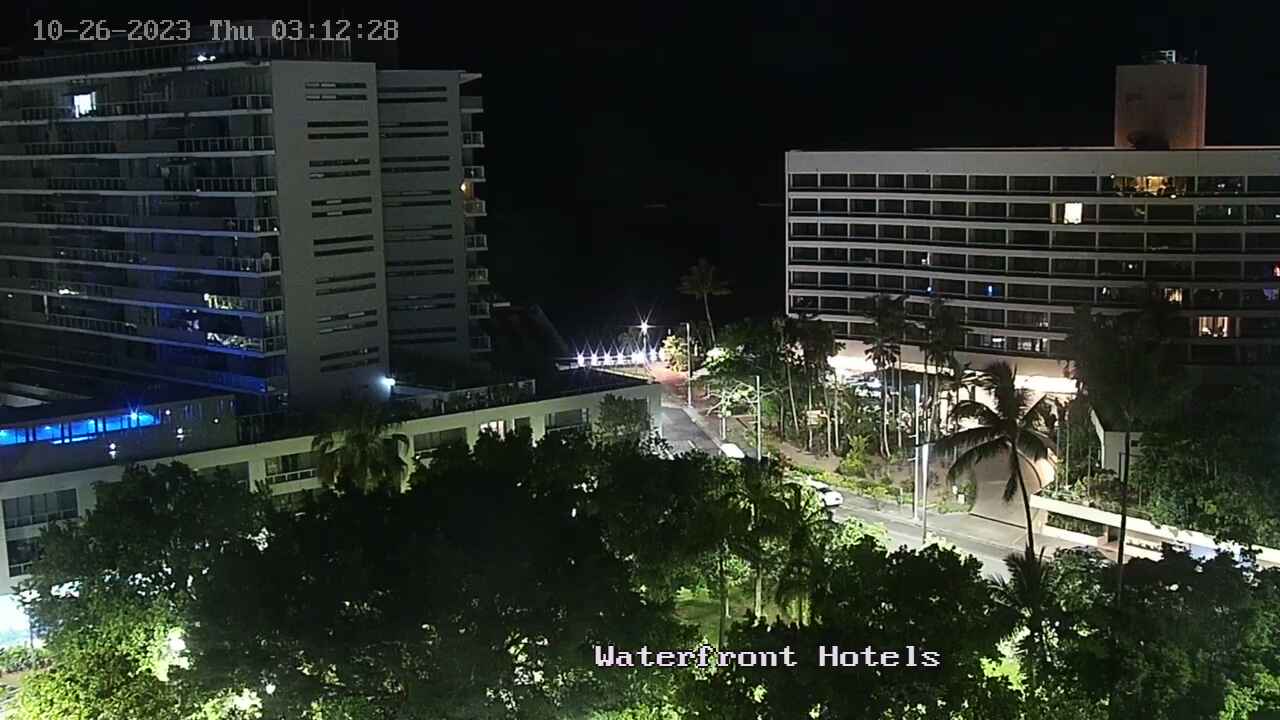
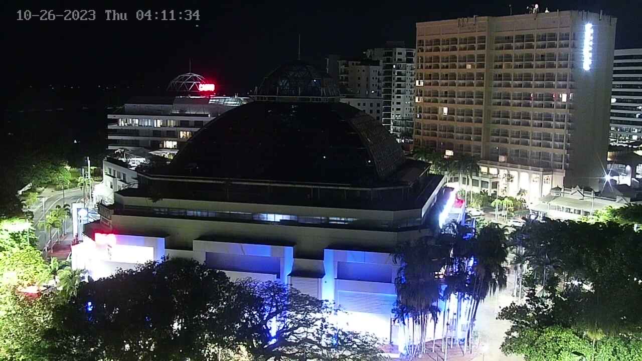
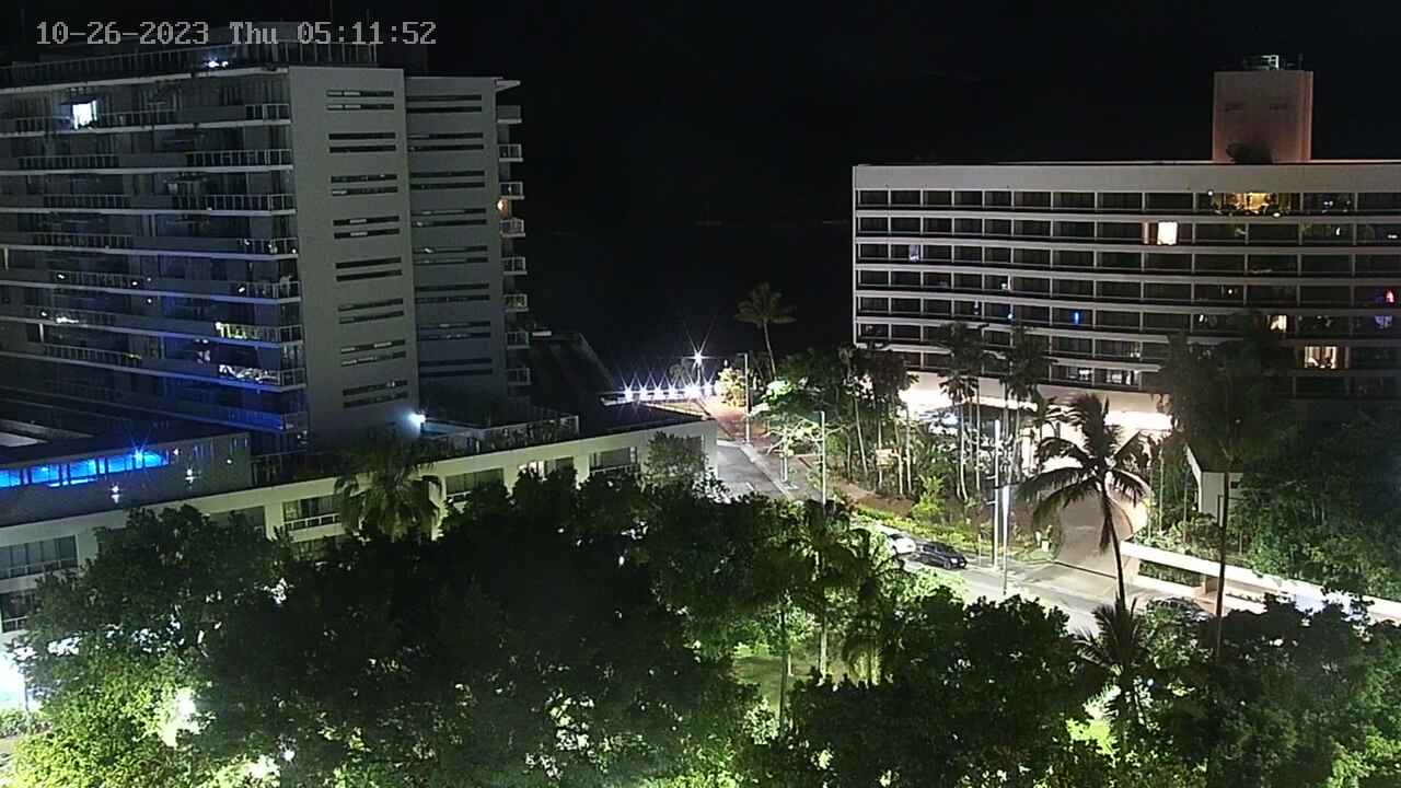
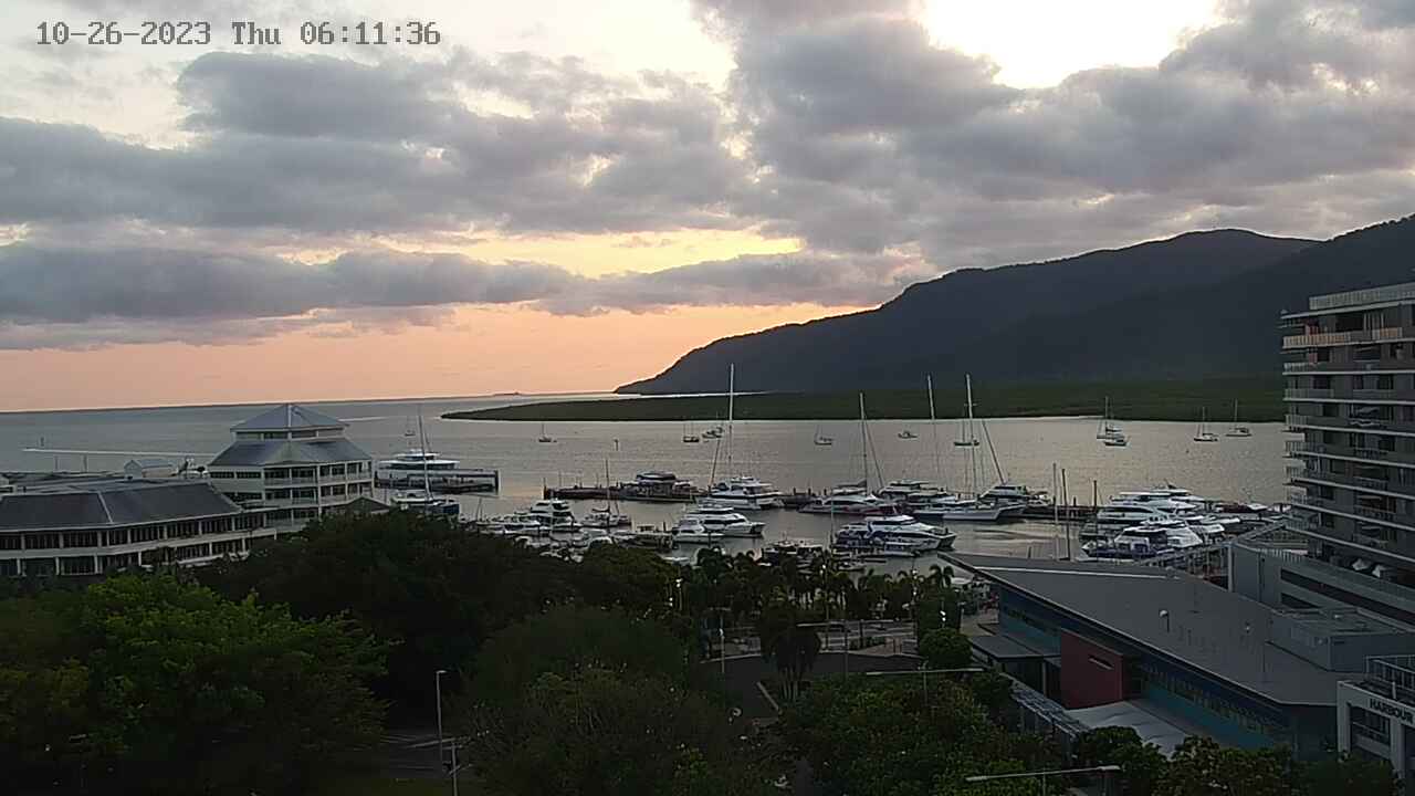
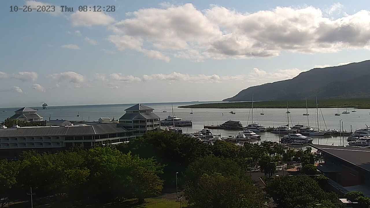
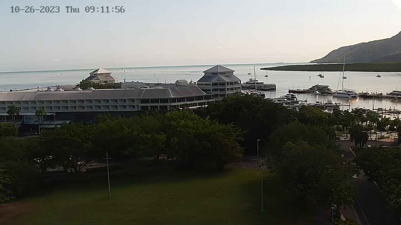
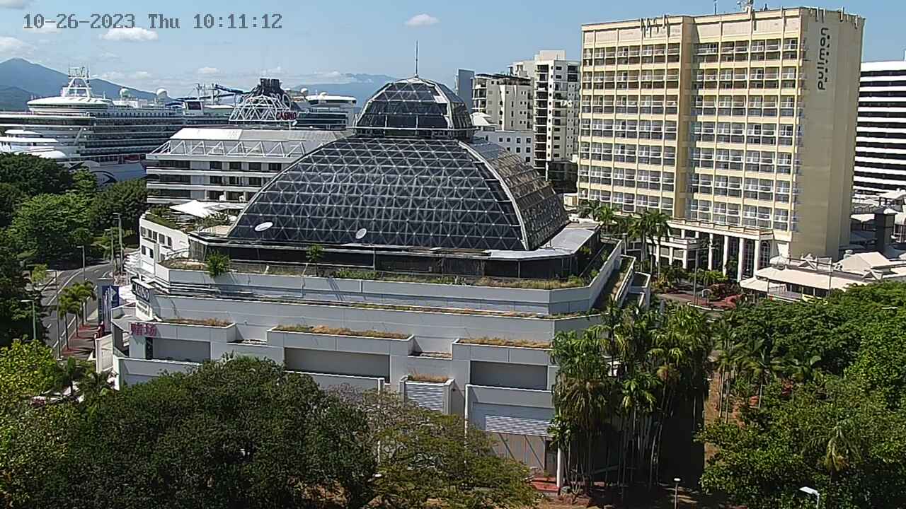
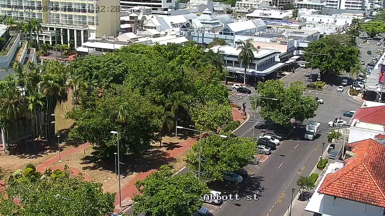
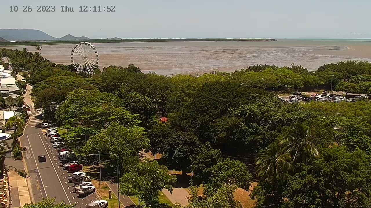
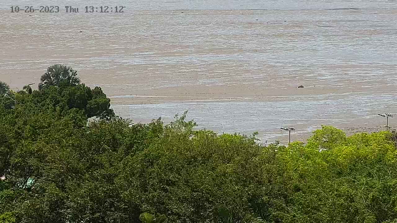
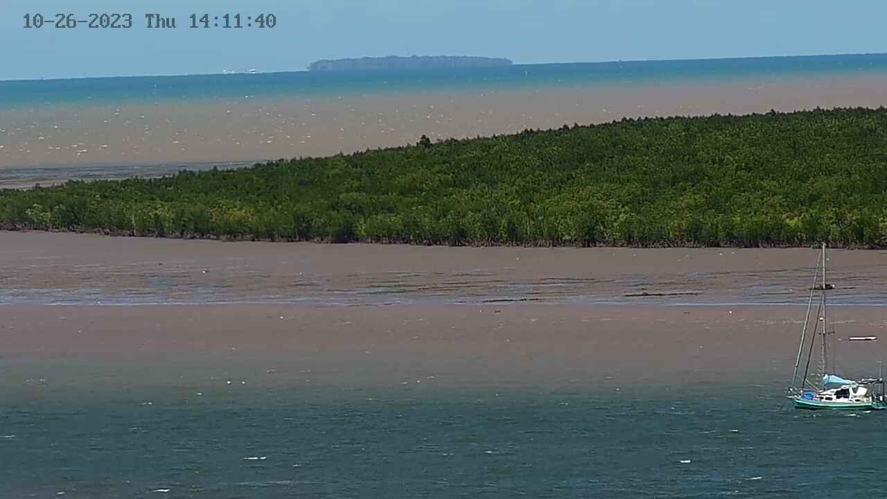
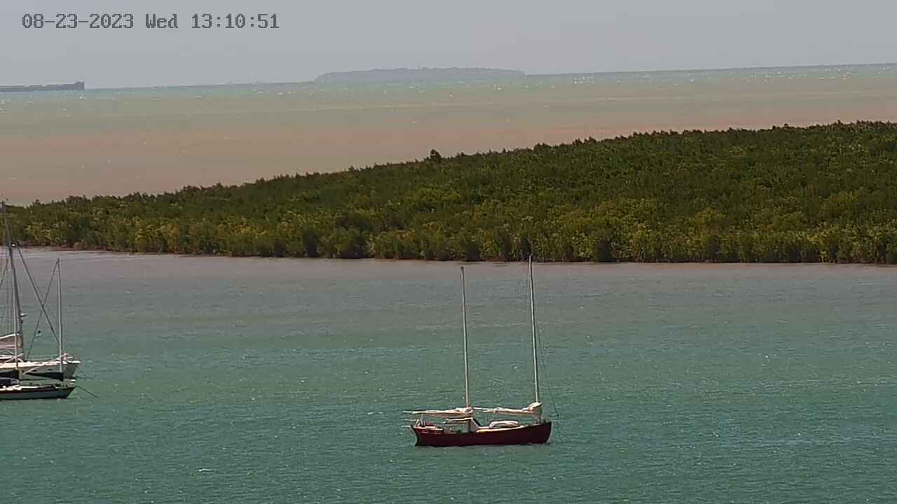
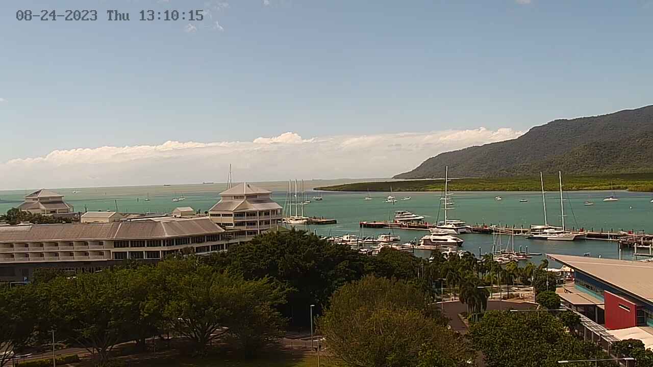
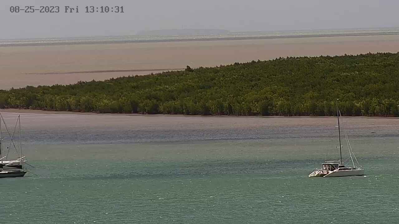
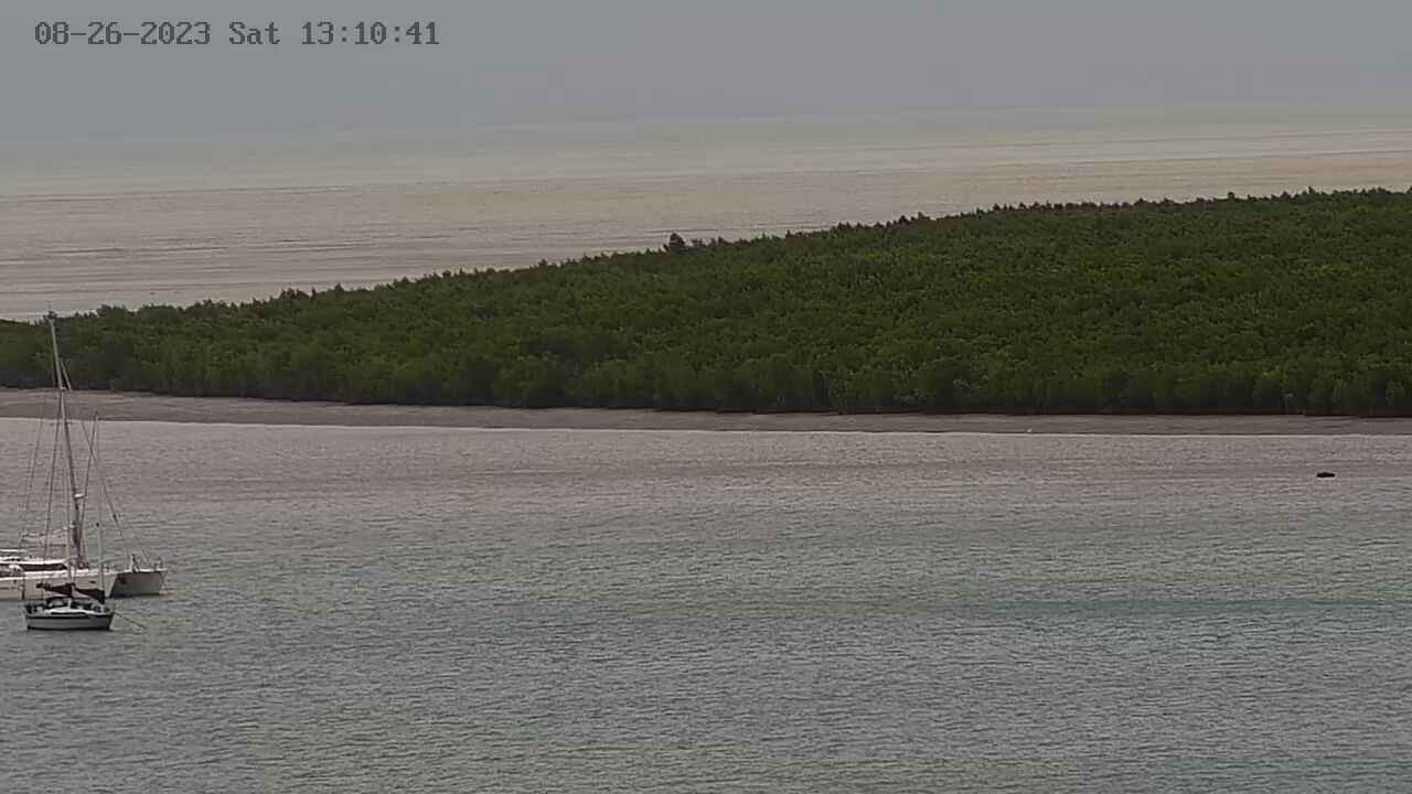
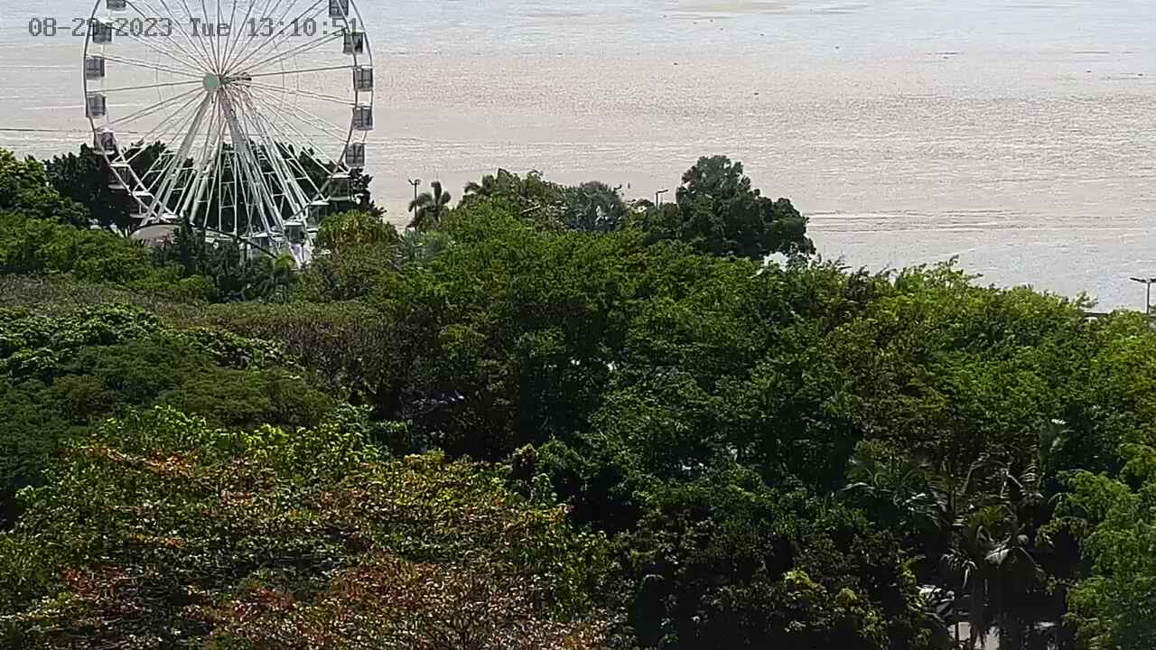
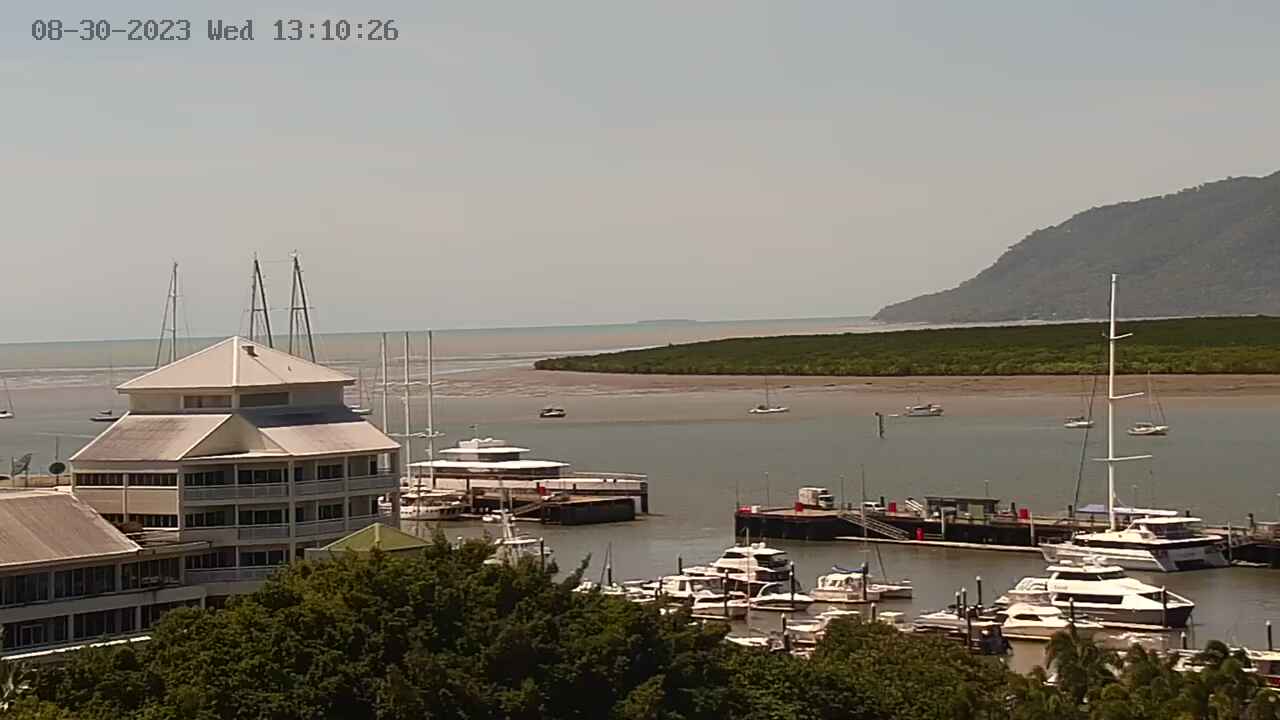
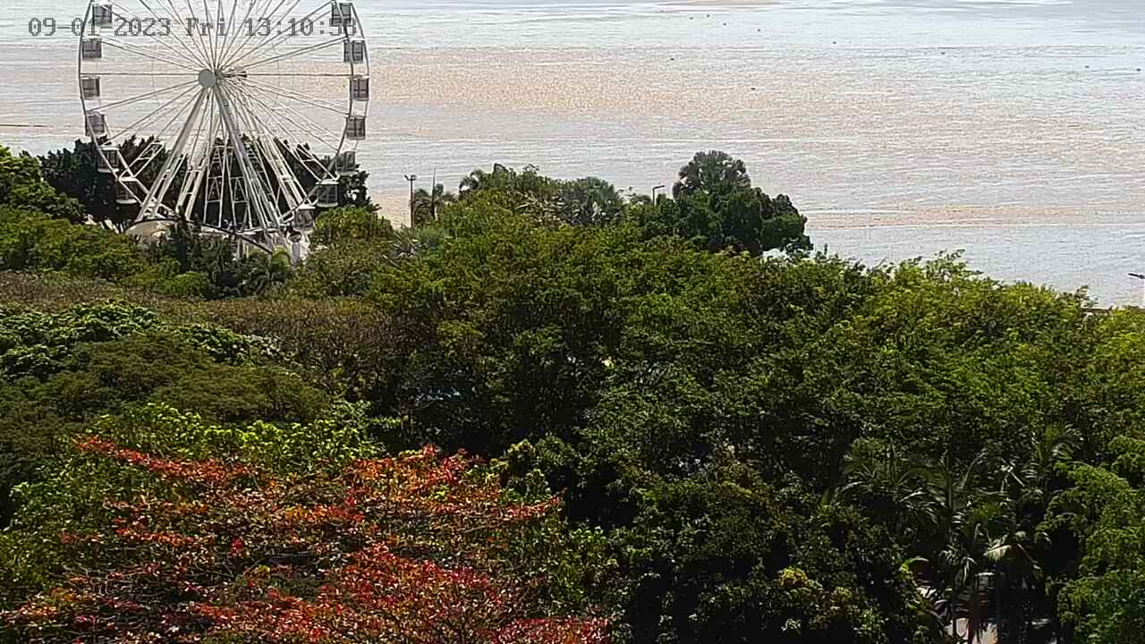
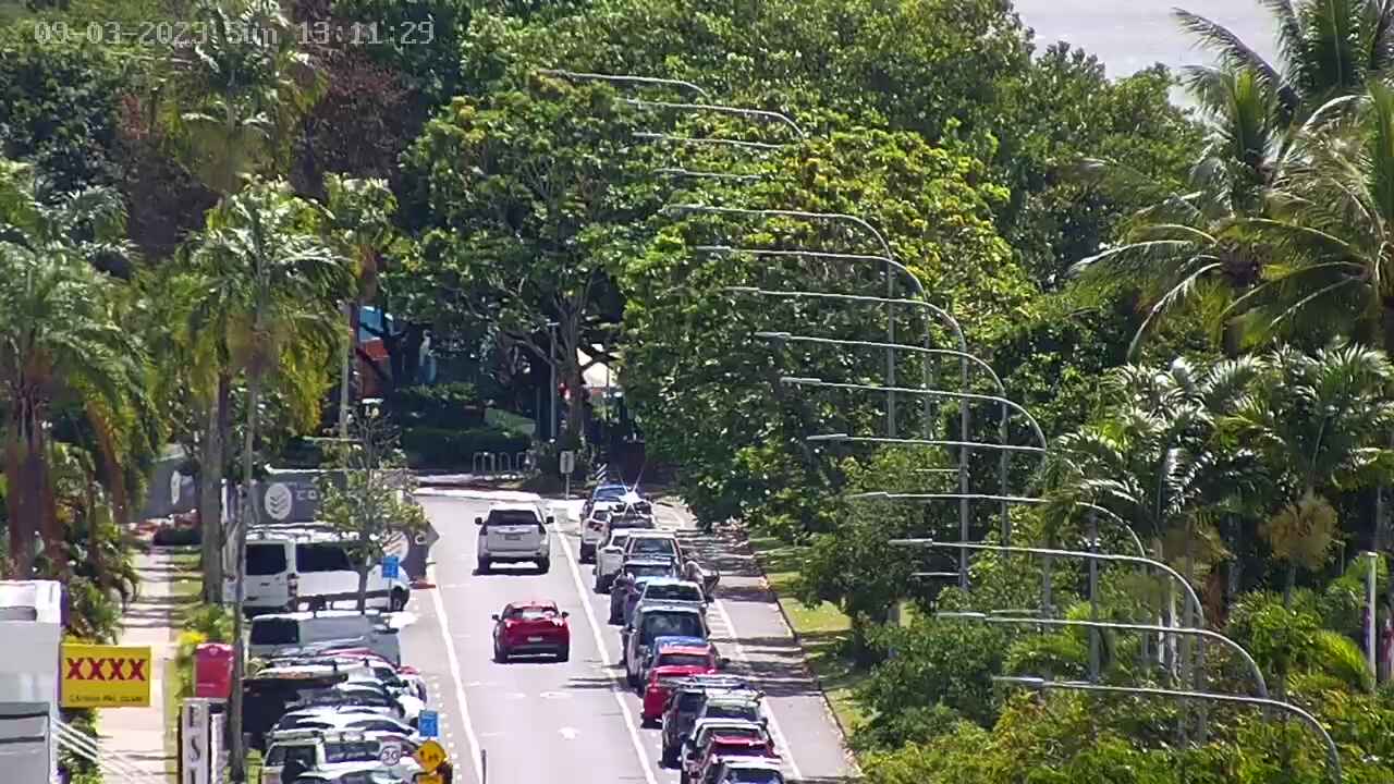
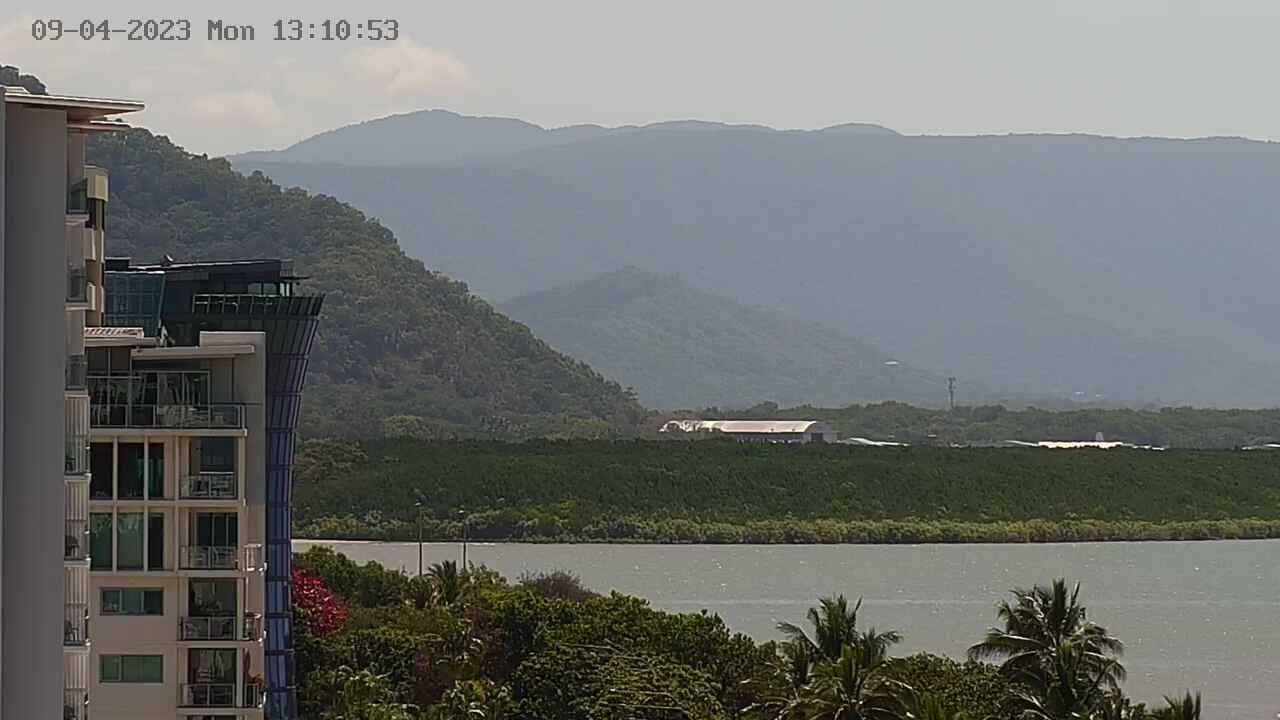
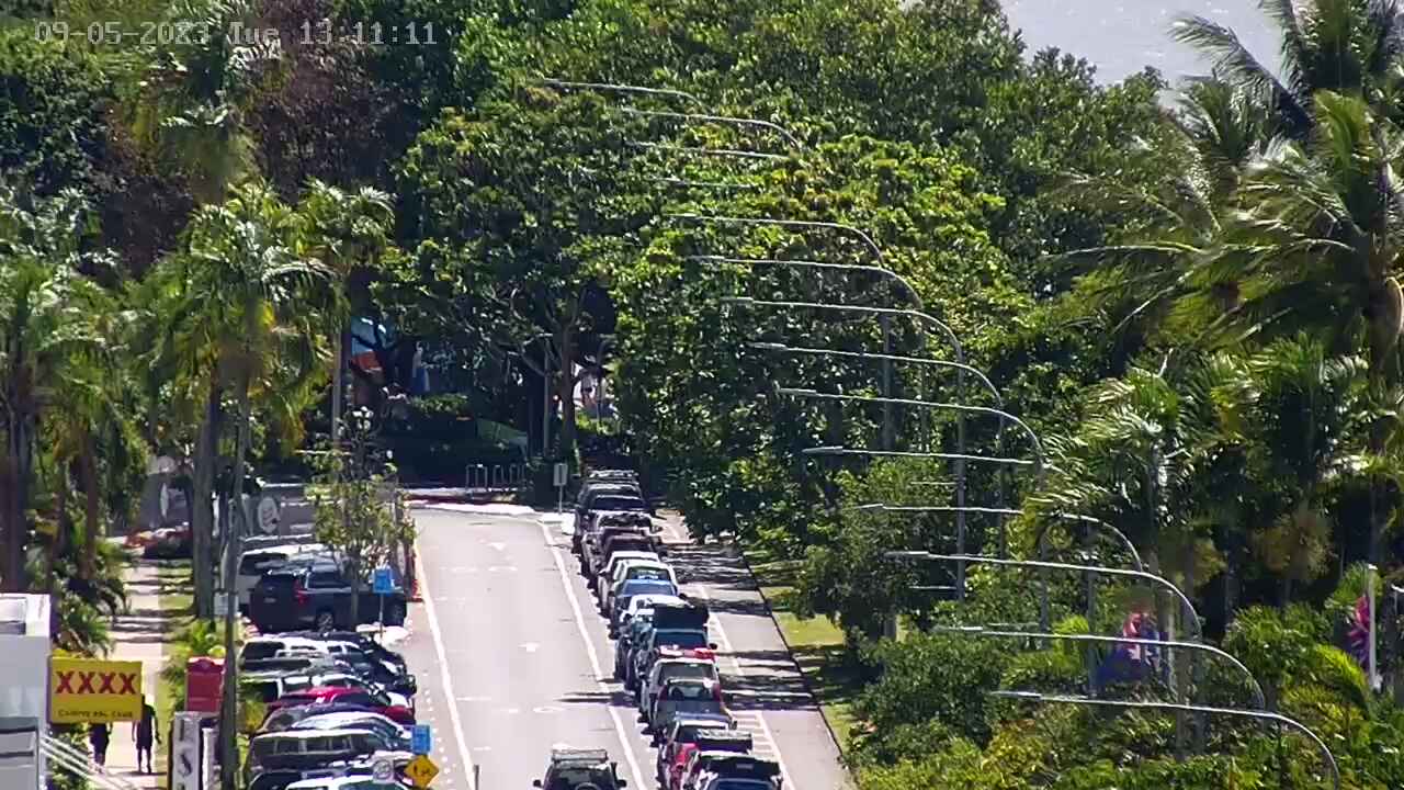
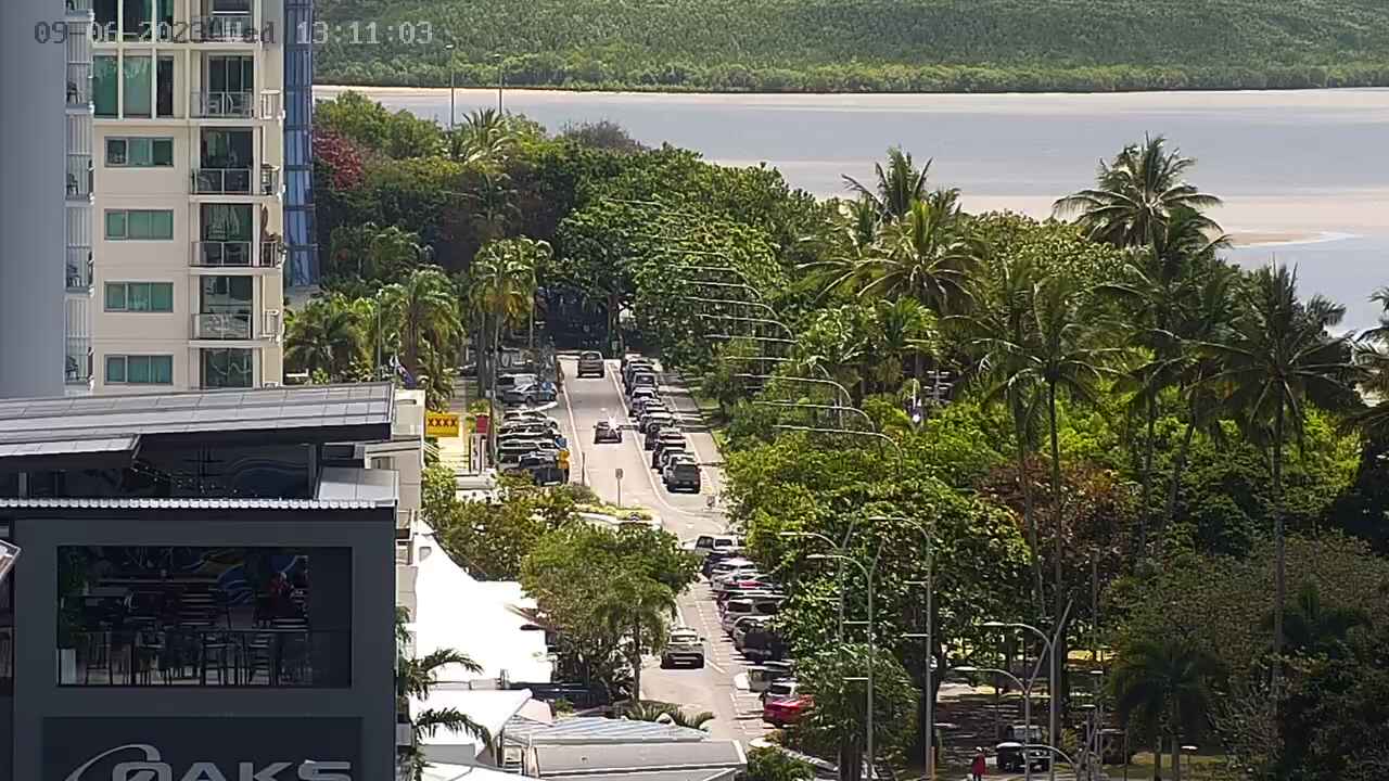
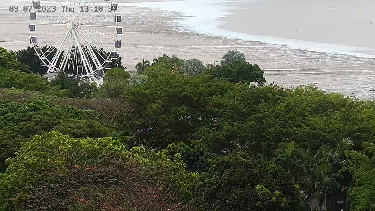
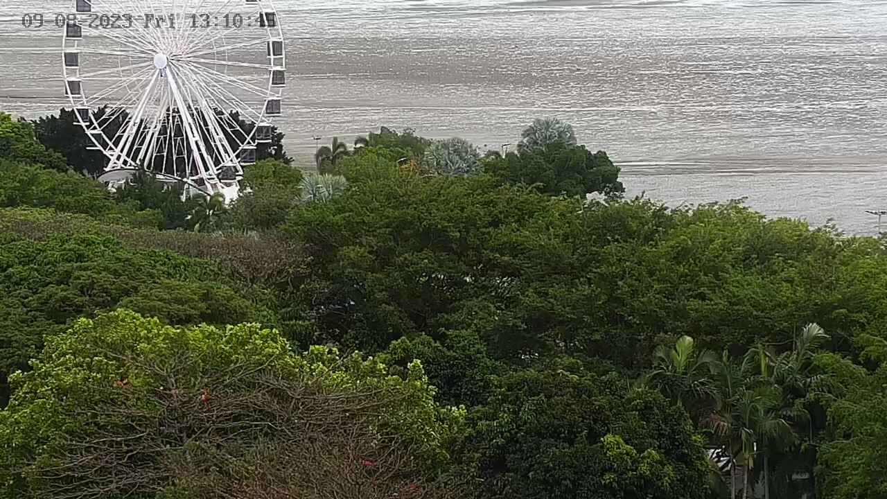
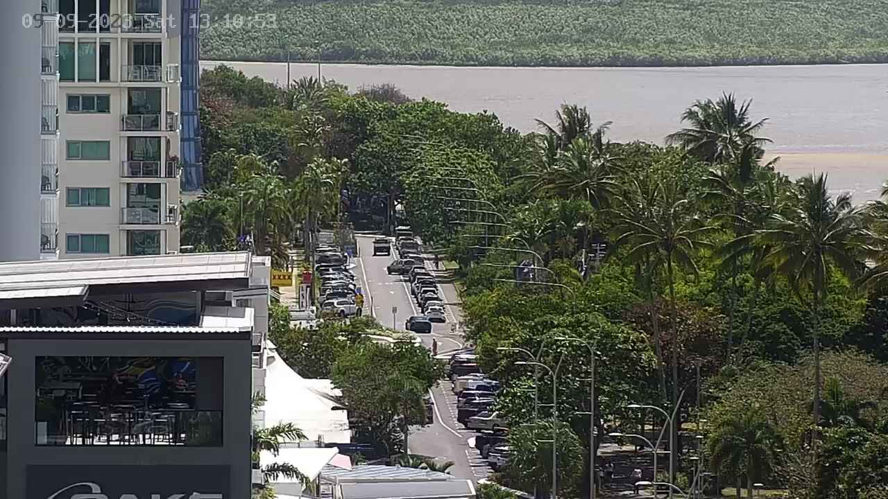
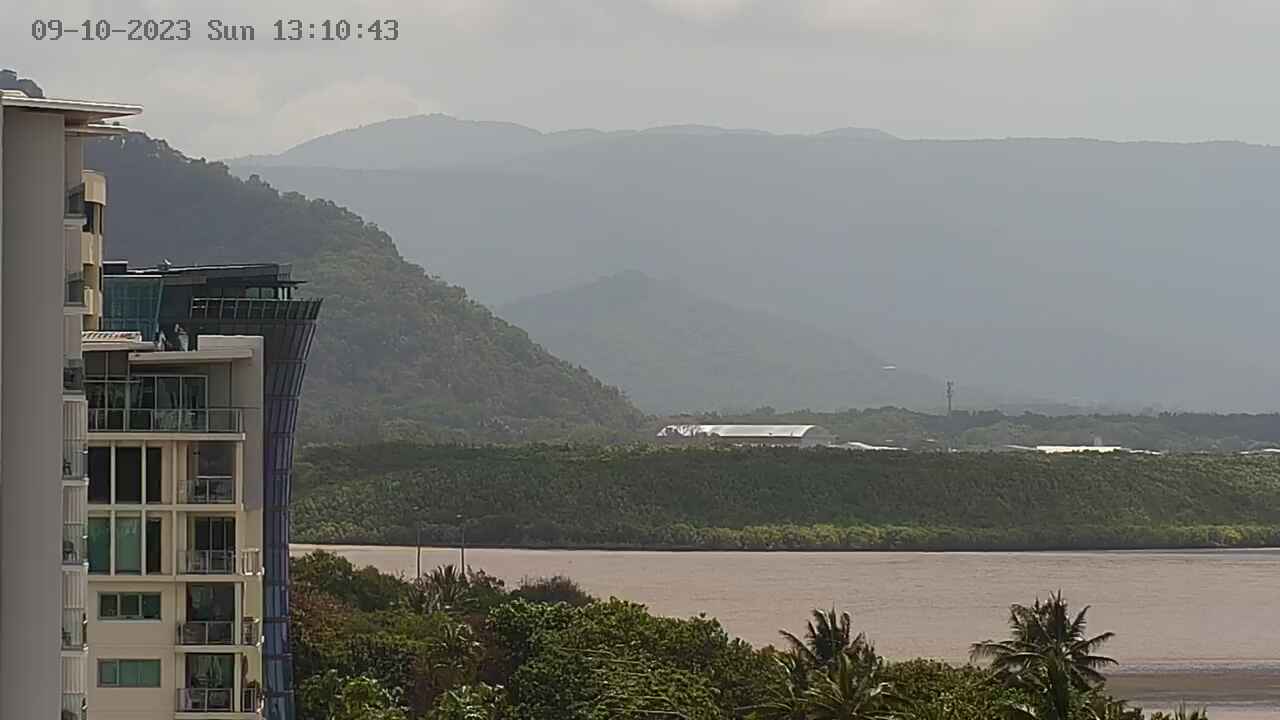
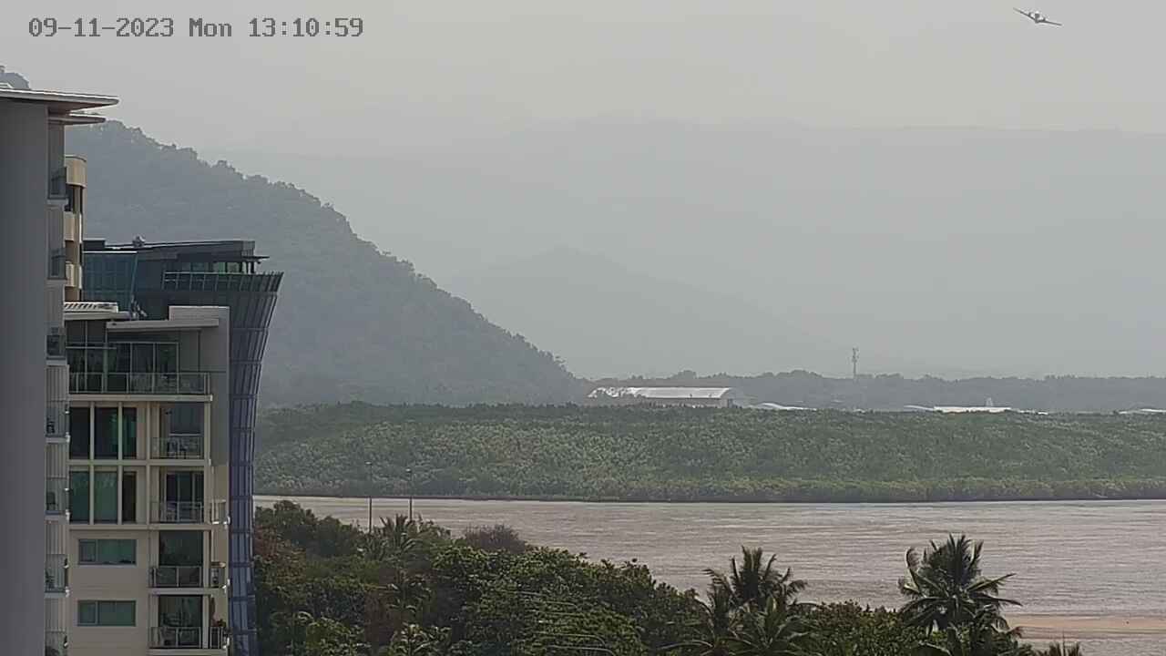
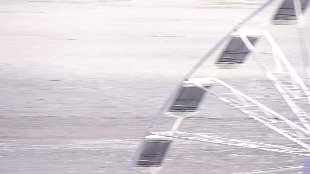
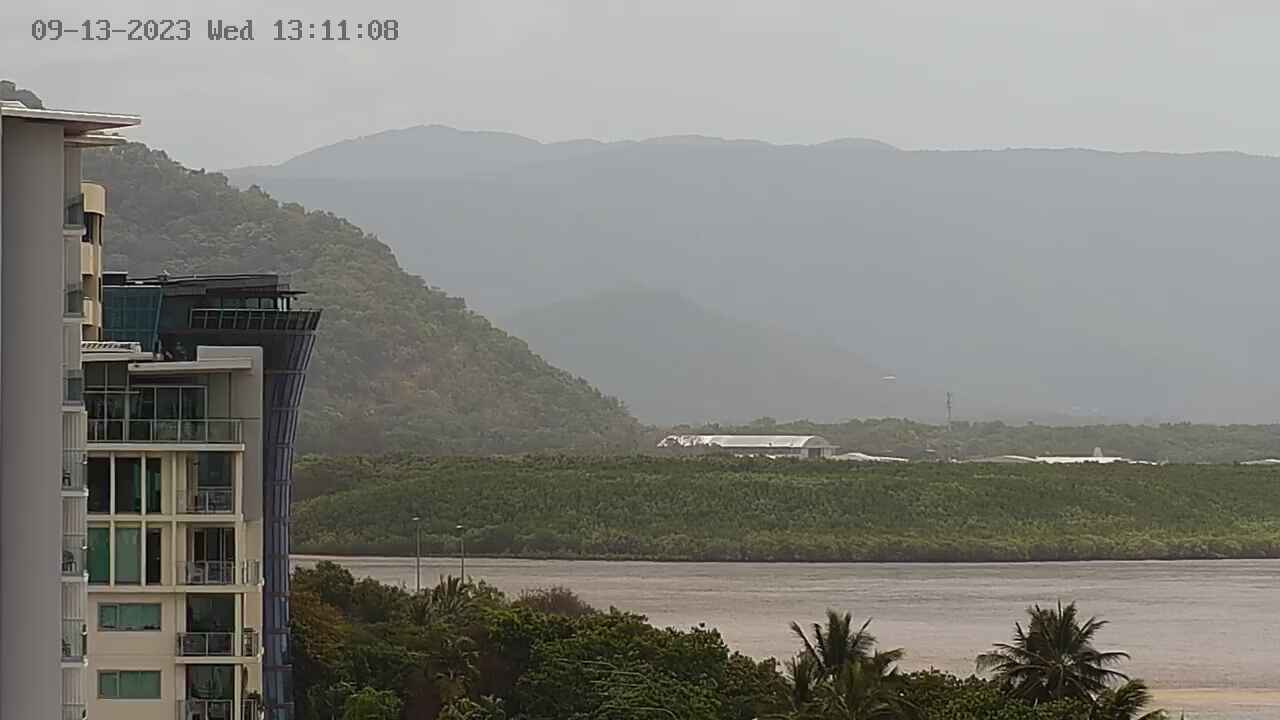
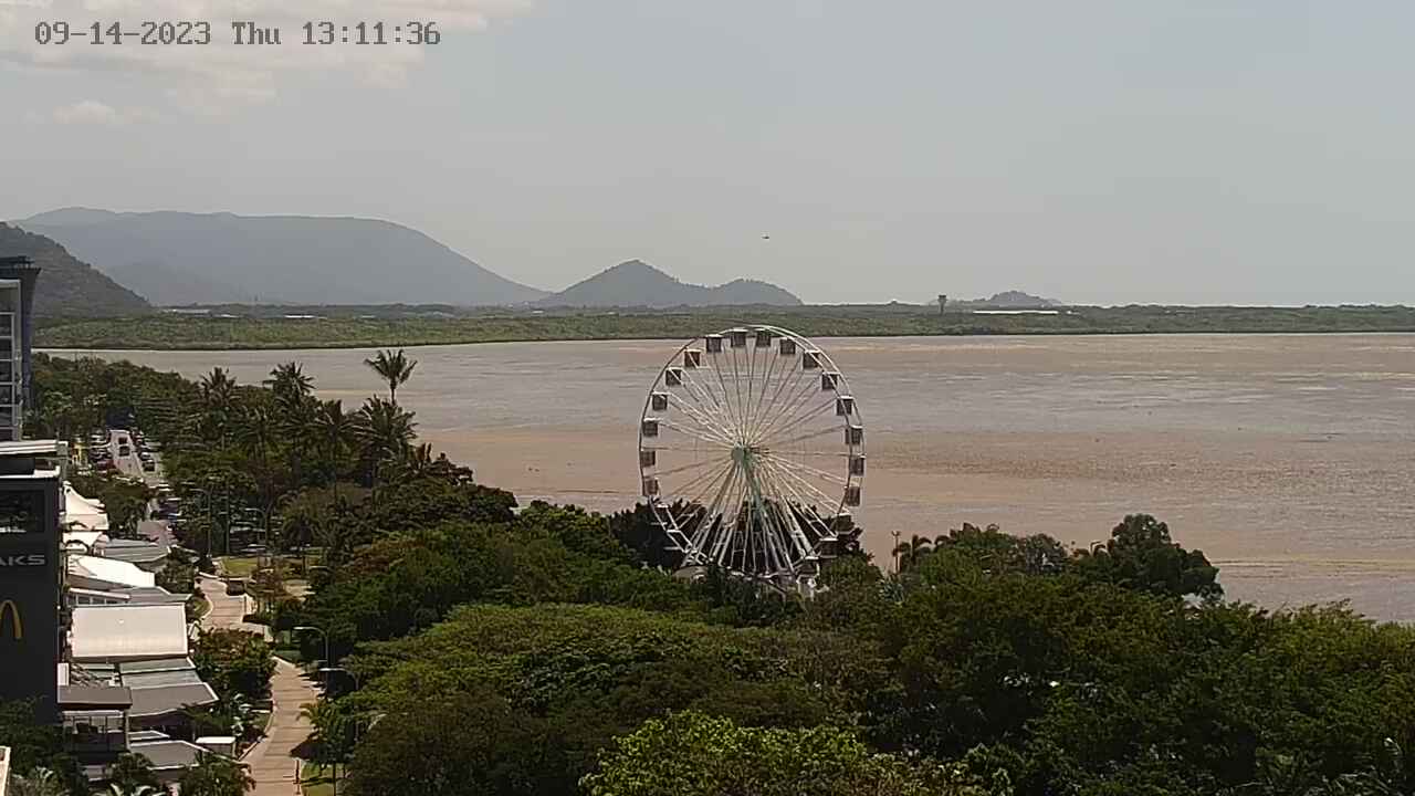
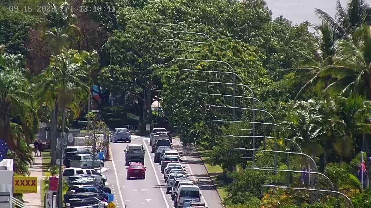
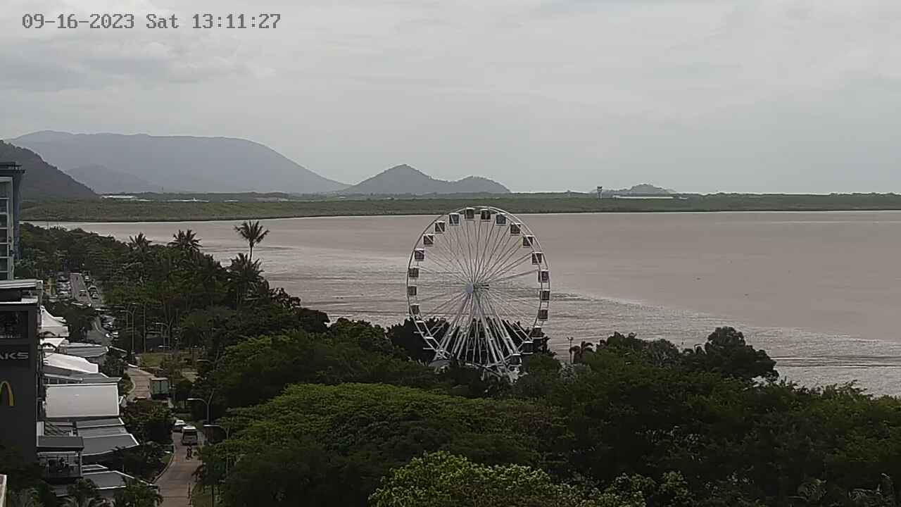
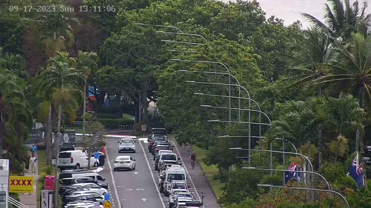
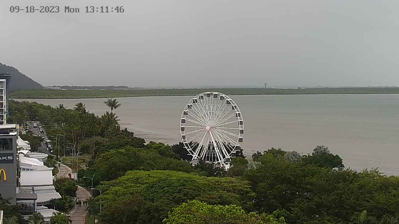
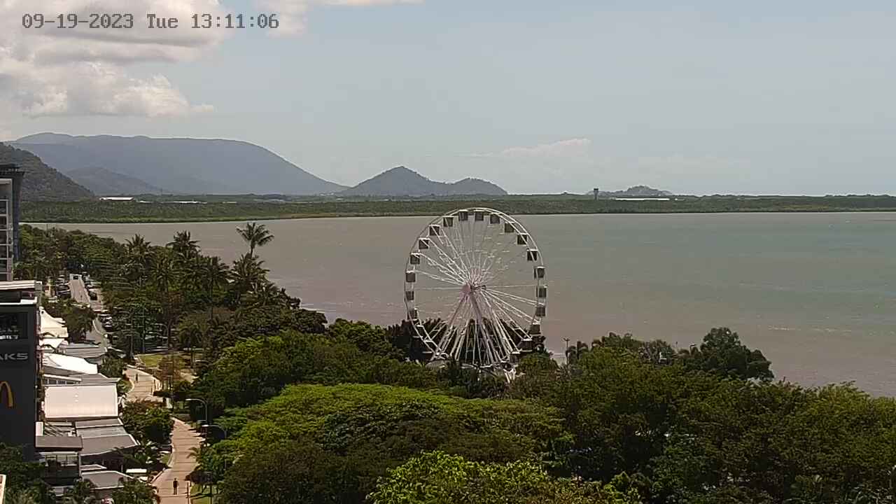
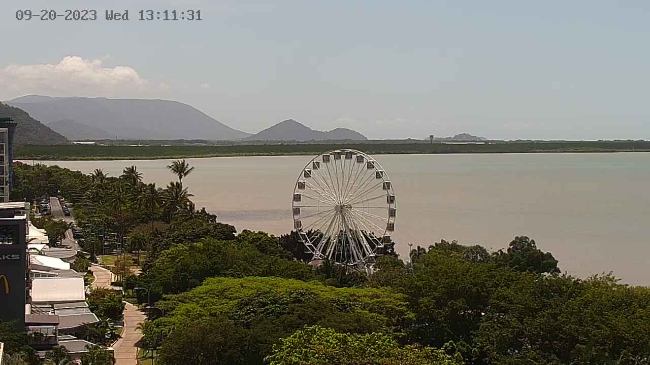
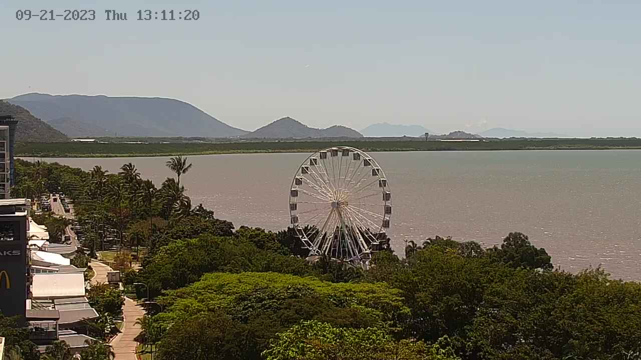
Cairns, Australia - 340.9 miles from Mount Pelion: Cairns City, Marina, Trinity Inlet - Changing views of the city of Cairns, it's marina and the harbour entrance.
Operator: CairnsInfo
Operator: CairnsInfo
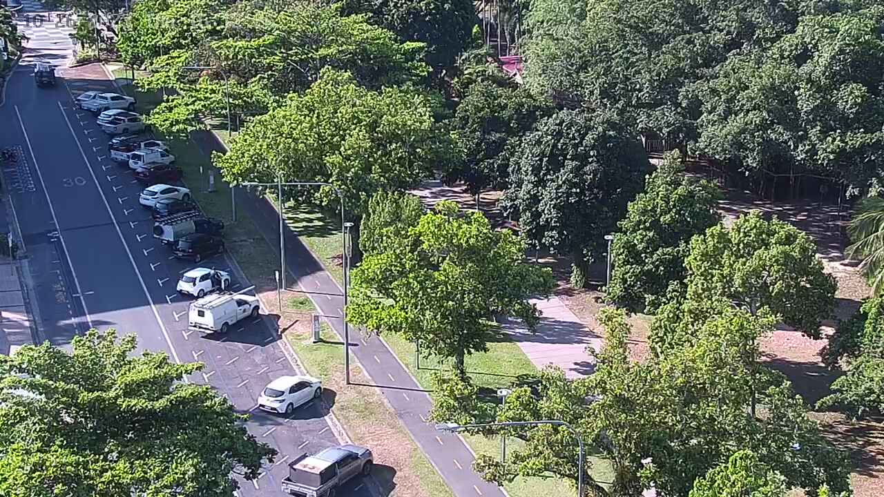


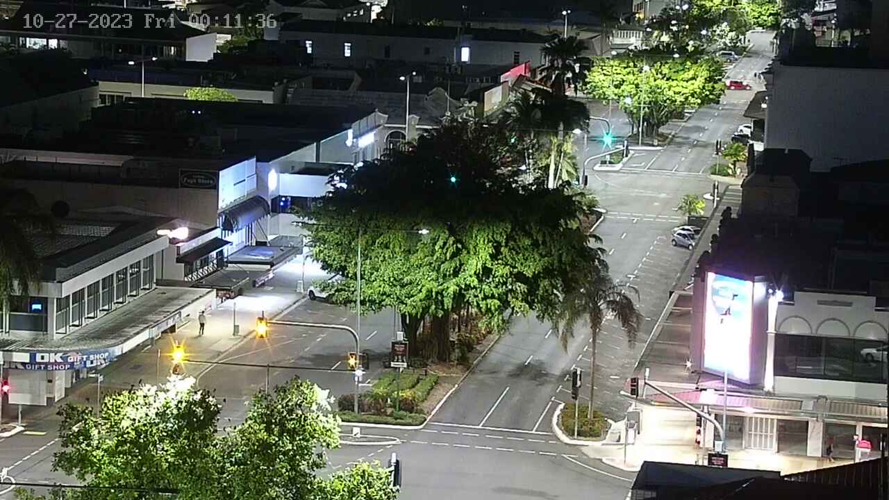


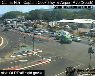
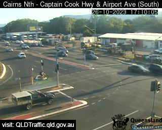
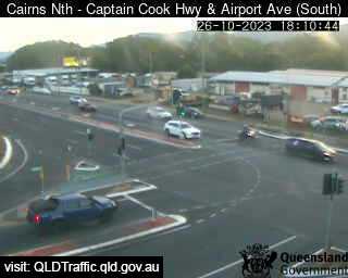
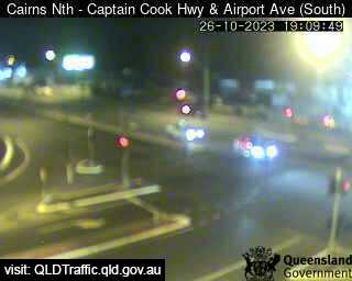
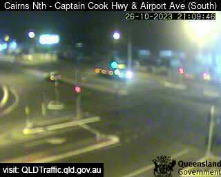
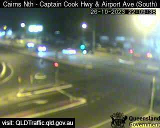
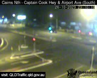
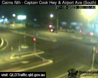
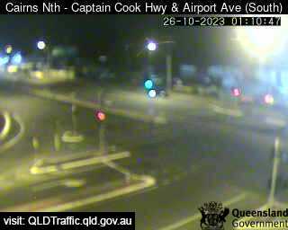
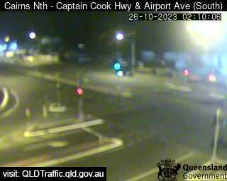
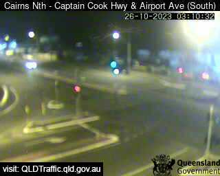
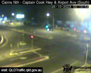
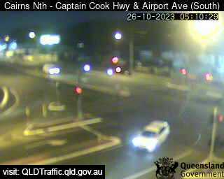
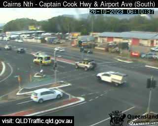
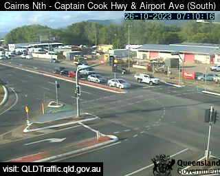
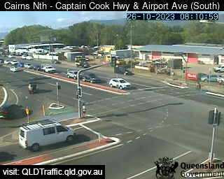
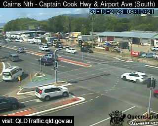
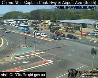
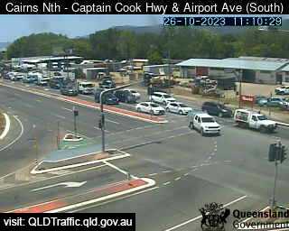
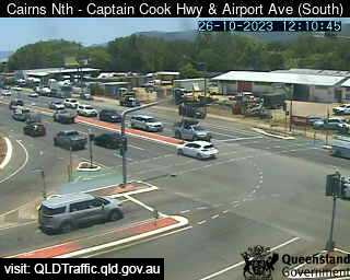
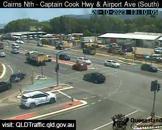
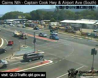
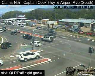
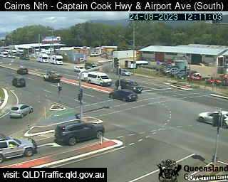
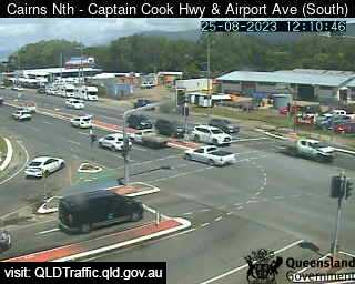
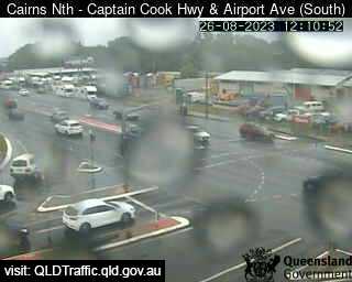
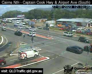
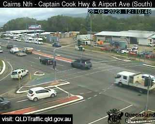
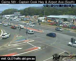
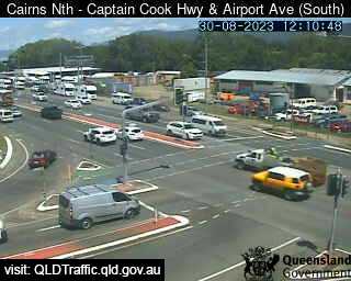
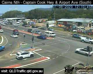
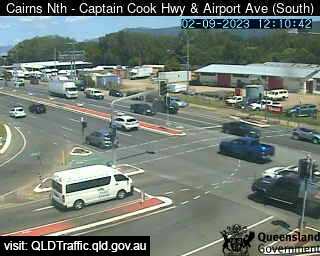
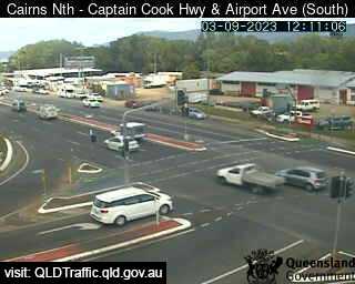
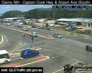
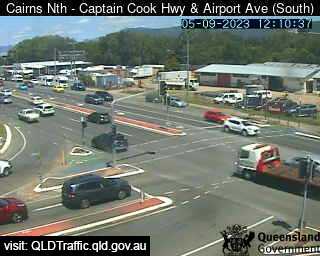
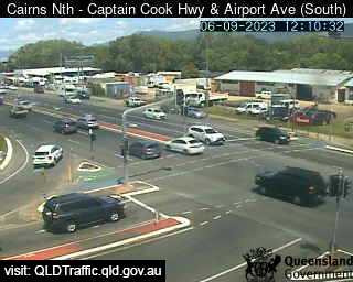
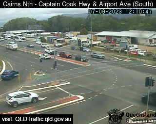
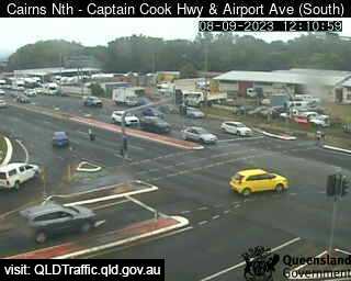
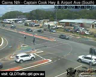
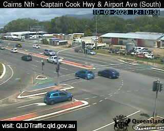
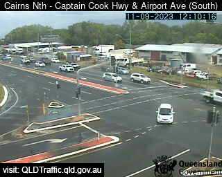
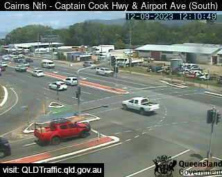
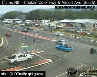
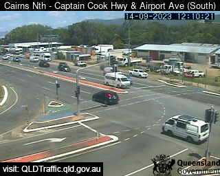
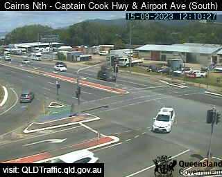
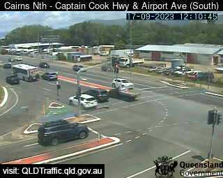
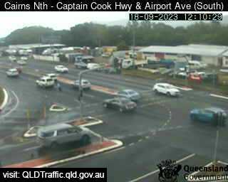
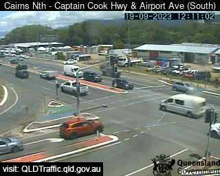
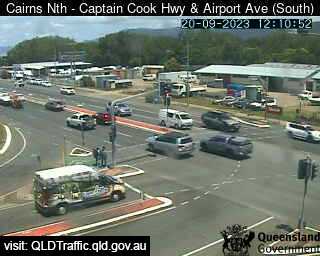
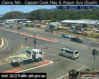
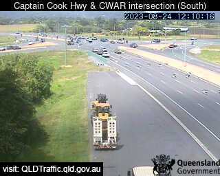
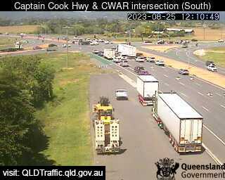
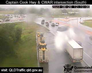
Cairns North, Australia - 342.5 miles from Mount Pelion: Captain Cook Highway and Airport Avenue (South) - A view of the current traffic conditions.
Operator: Queensland Government - Department of Transport and Main Roads
Operator: Queensland Government - Department of Transport and Main Roads


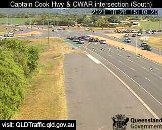
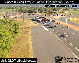
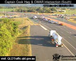
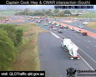
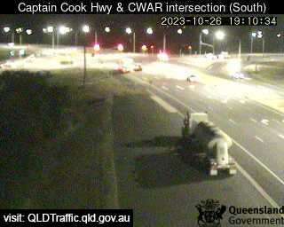
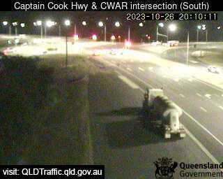
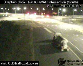
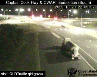
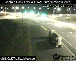
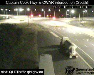
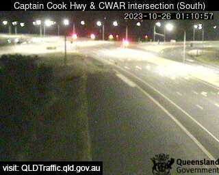
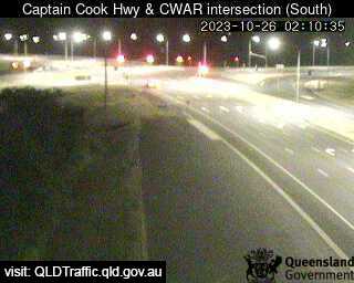
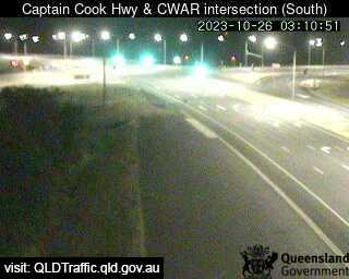
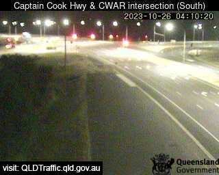
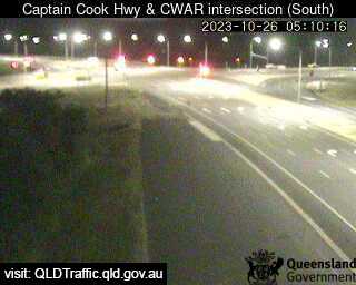
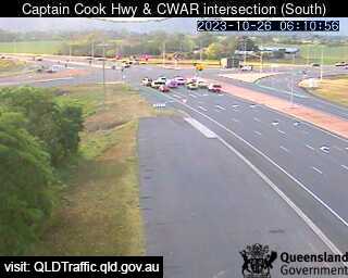
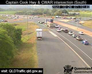
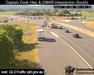
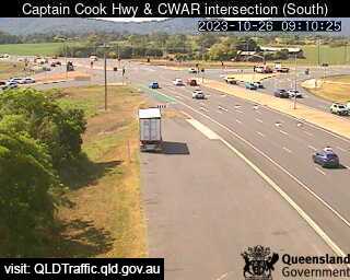
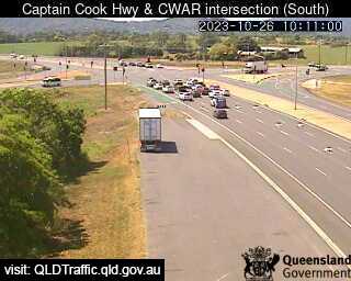
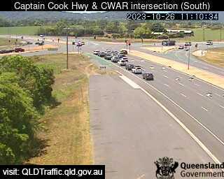
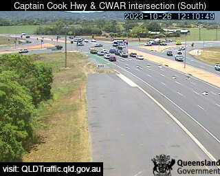
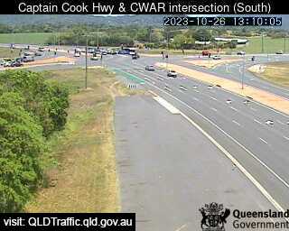
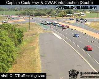
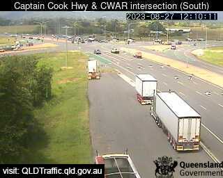
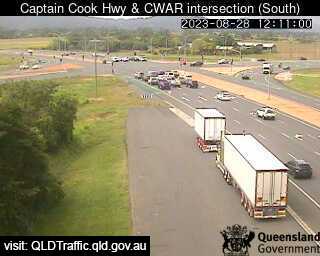
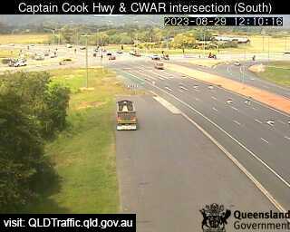
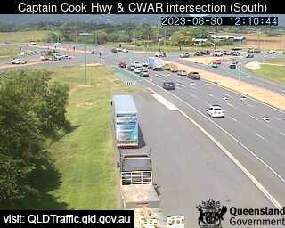
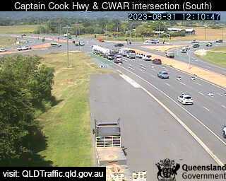
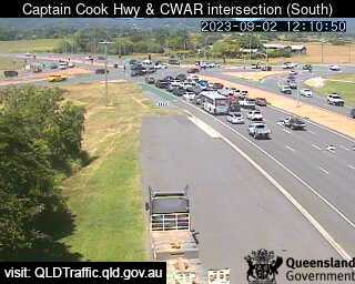
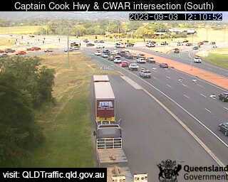
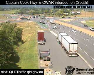
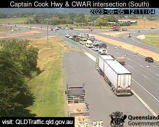
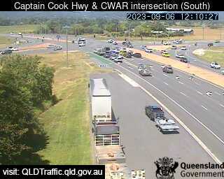
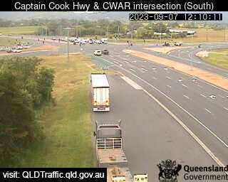
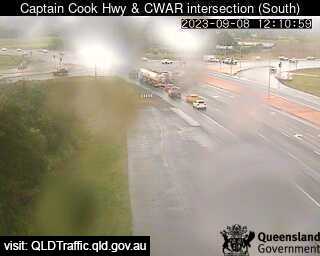
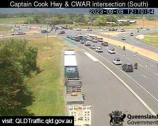
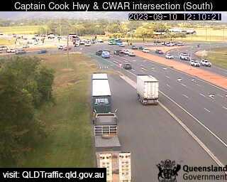
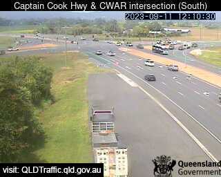
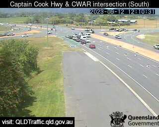
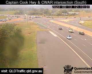
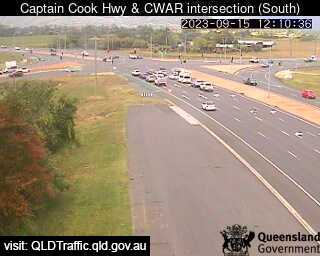
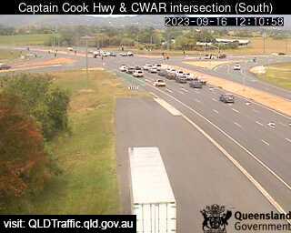
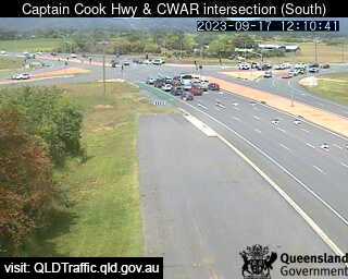
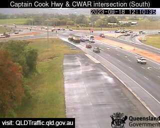
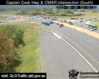
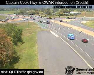
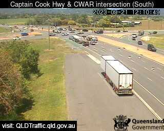
Caravonica, Australia - 347.6 miles from Mount Pelion: Caravonica Roundabout (South) - A view of the current traffic conditions.
Operator: Queensland Government - Department of Transport and Main Roads
Operator: Queensland Government - Department of Transport and Main Roads


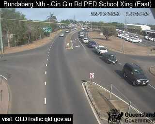
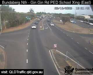
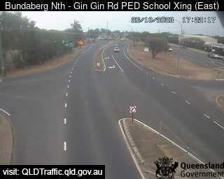
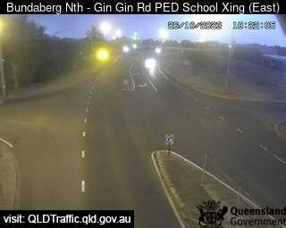
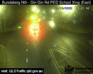
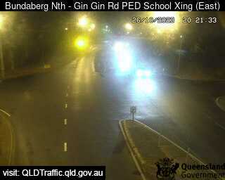
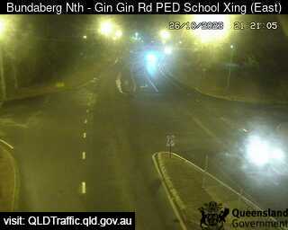
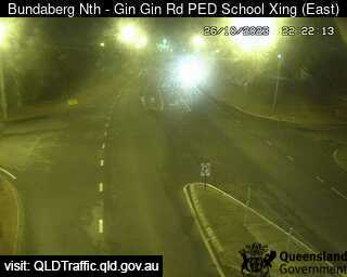
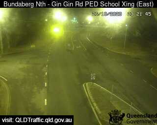
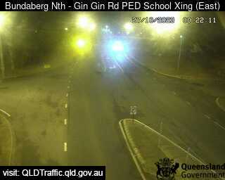
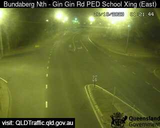
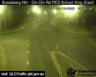
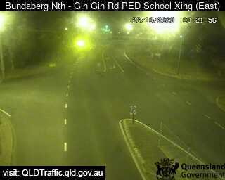
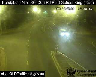
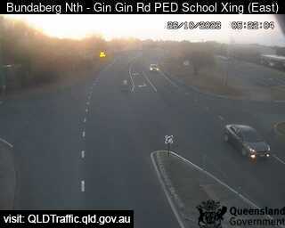
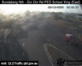
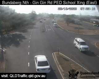
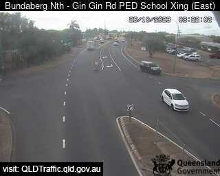
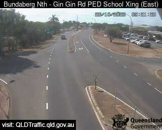
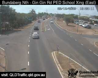
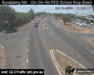
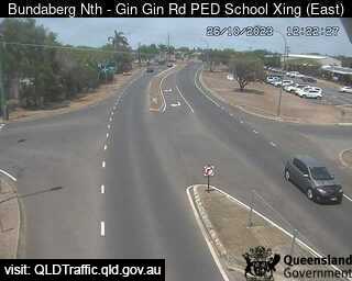
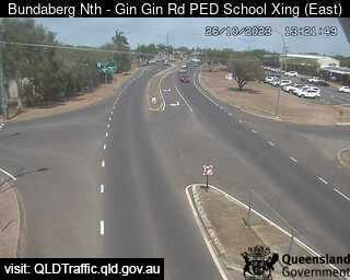
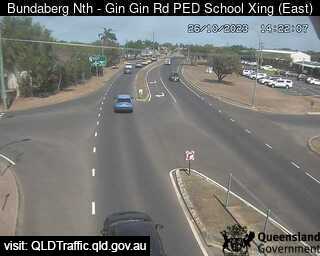
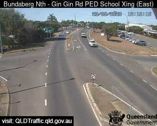
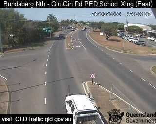
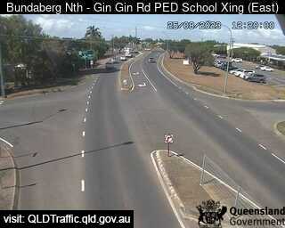
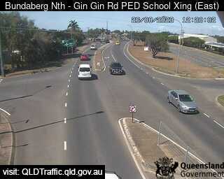
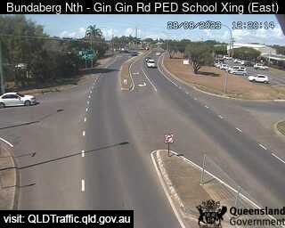
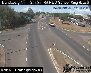
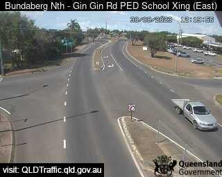
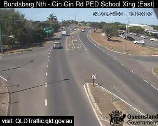
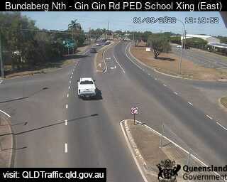
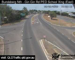
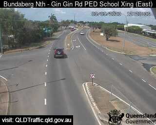
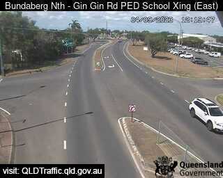
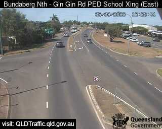
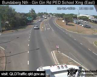
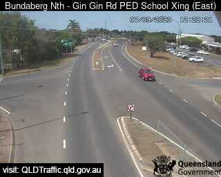
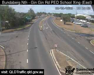
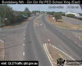
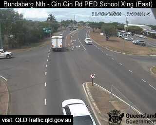
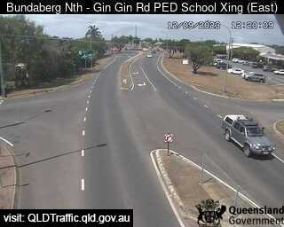
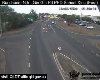
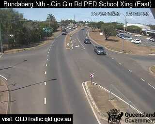
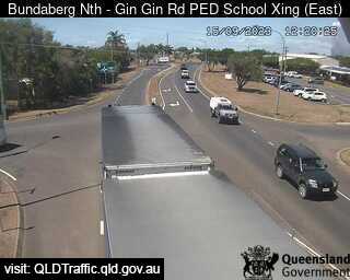
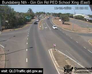
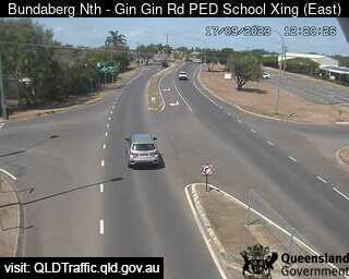
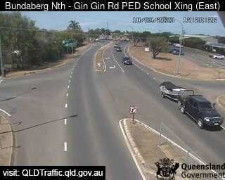
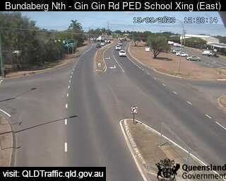
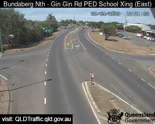
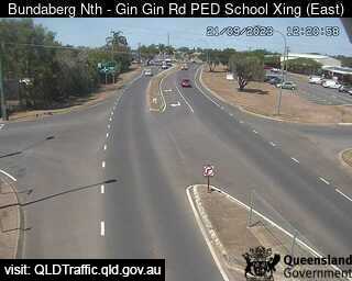
Bundaberg North, Australia - 352 miles from Mount Pelion: North School Pedestrian Crossing (looking east) - A view of the current traffic conditions.
Operator: Queensland Government - Department of Transport and Main Roads
Operator: Queensland Government - Department of Transport and Main Roads


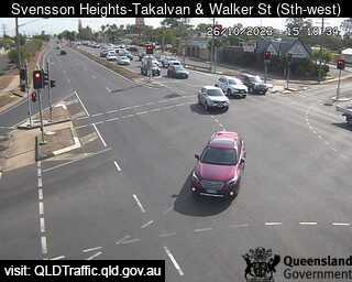
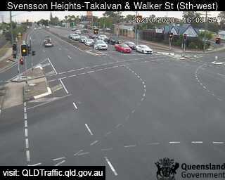
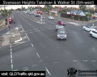
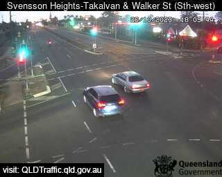
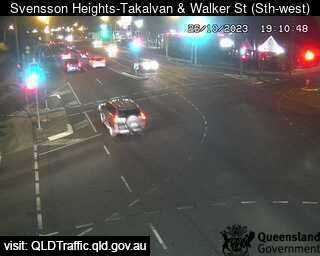
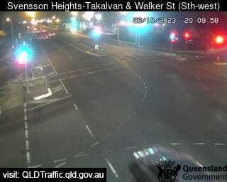
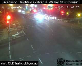
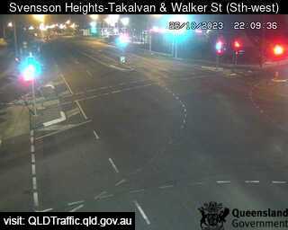
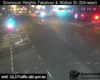
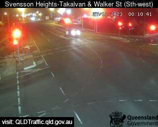
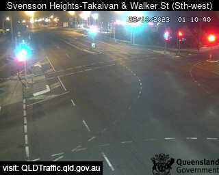
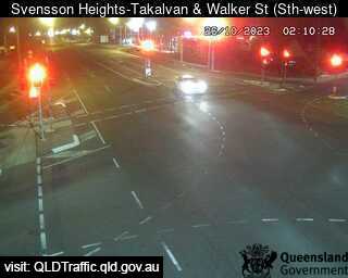
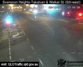
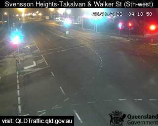
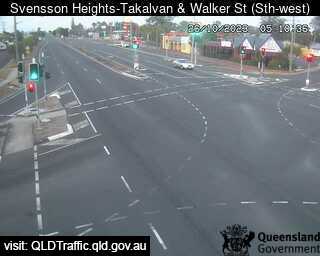
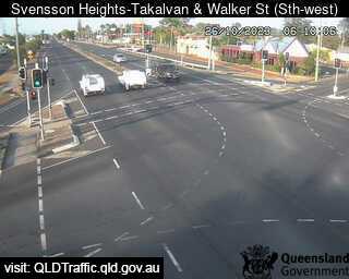
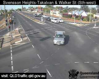
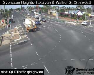
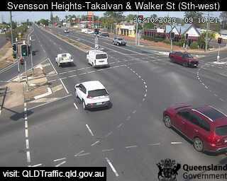
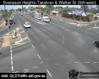
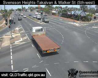
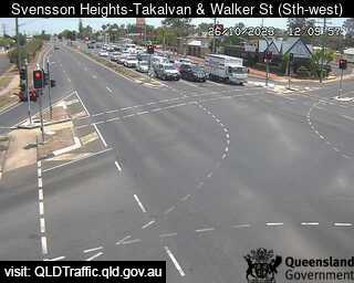
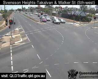
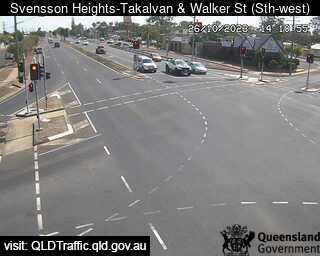
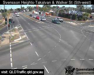
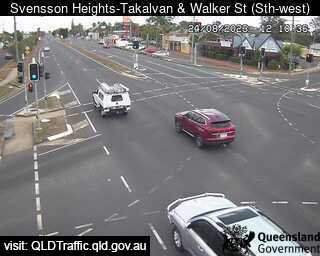
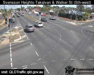
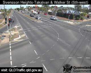
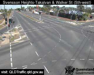
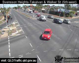
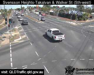
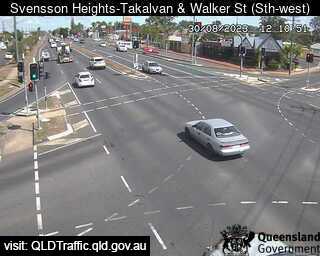
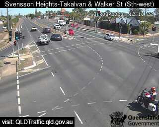
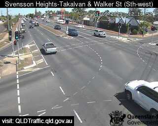
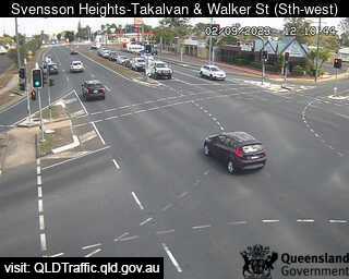
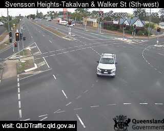
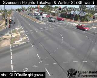
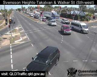
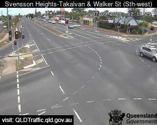
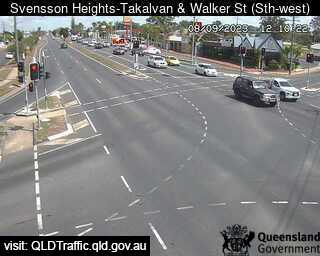
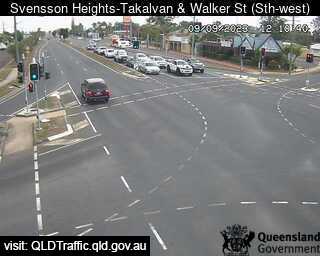
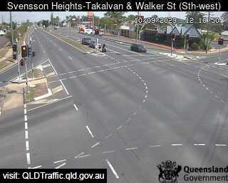
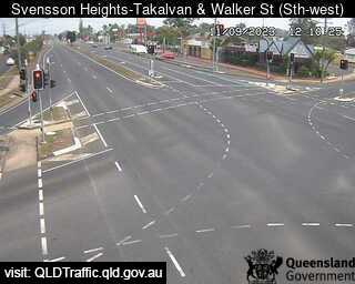
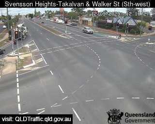
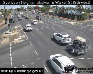
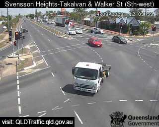
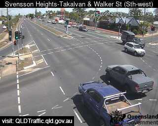
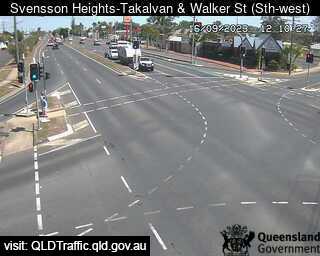
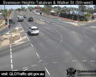
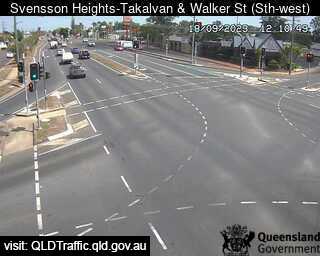
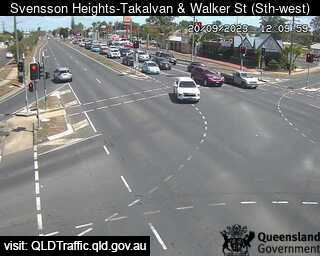
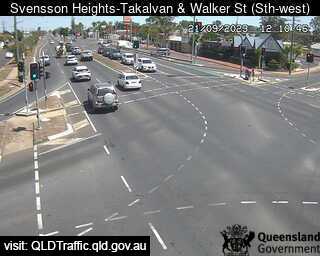
Bundaberg, Australia - 352.6 miles from Mount Pelion: Takalvan Street and Walker Street (looking south-east) - A view of the current traffic conditions.
Operator: Queensland Government - Department of Transport and Main Roads
Operator: Queensland Government - Department of Transport and Main Roads


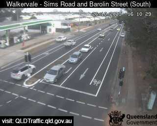
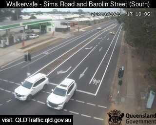
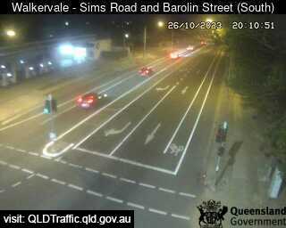
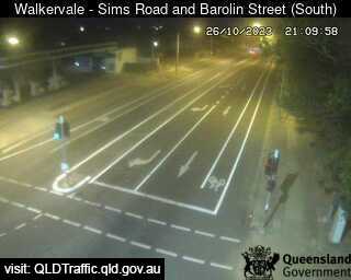
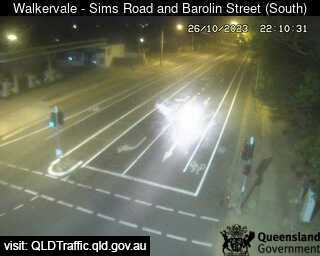
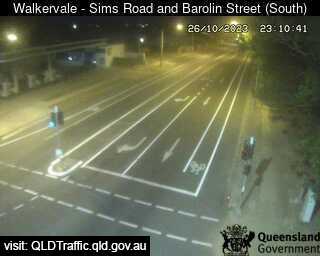
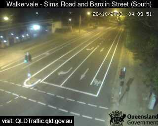
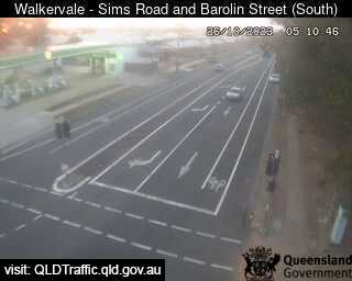
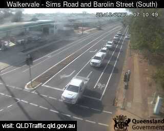
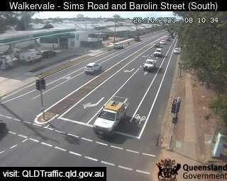
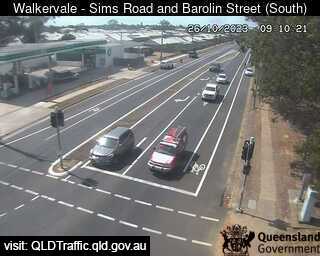
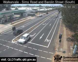
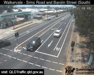
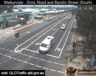
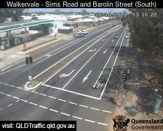
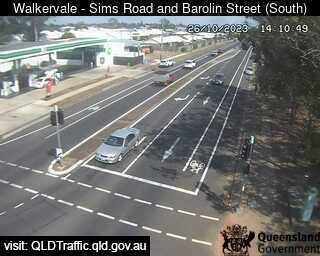
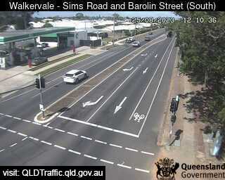
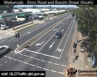
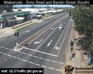
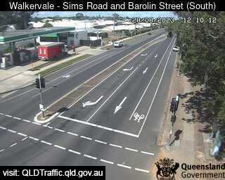
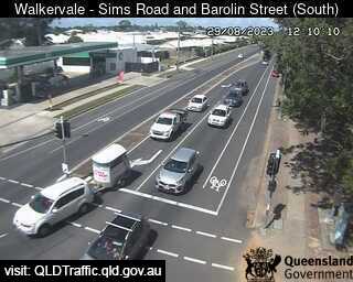
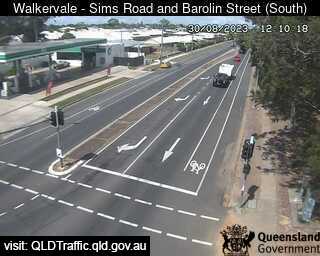
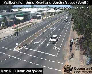
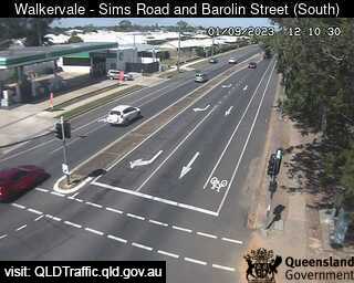
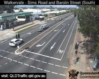
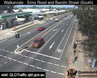
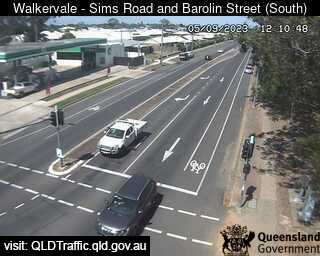
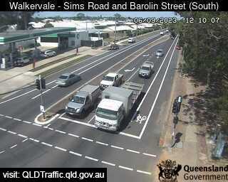
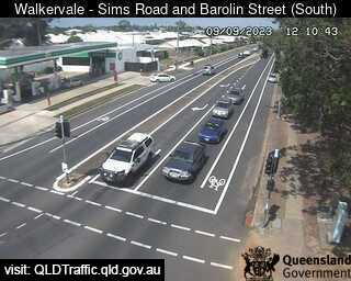
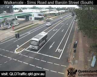
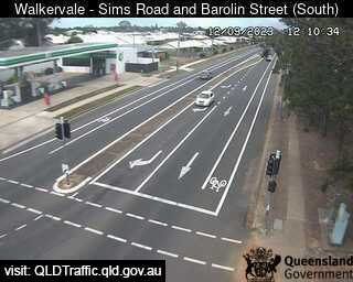
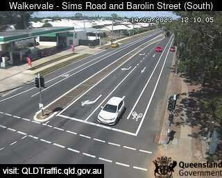
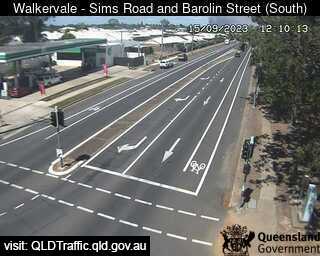
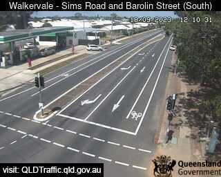
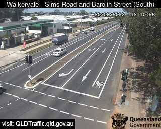
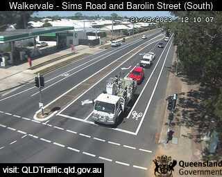
Bundaberg, Australia - 352.6 miles from Mount Pelion: Sims Road and Barolin Street - Walkervale (looking south) - A view of the current traffic conditions.
Operator: Queensland Government - Department of Transport and Main Roads
Operator: Queensland Government - Department of Transport and Main Roads


Some other places in this country: Mount Ossa - Mount Ousley - Mount Pleasant - Mount Pleasant - Mount Rat - Mount Rowan - Mount Saint Thomas - Mount Samson - Mount Seymour - Mount Sibley