Webcams in the region of Brooweena, Australia
The List of Webcams near Brooweena, Australia:

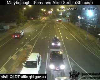
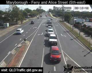
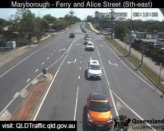
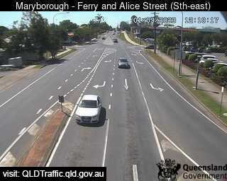
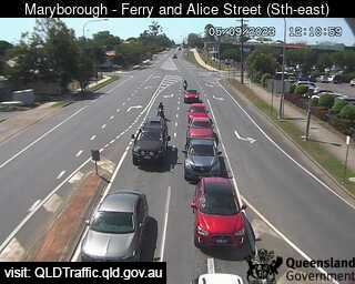
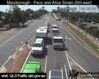
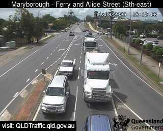
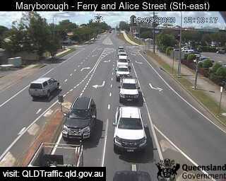
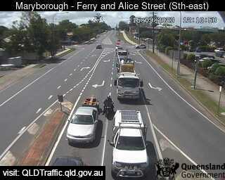
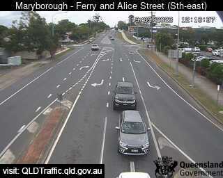
Maryborough, Australia - 27.4 miles from Brooweena: Ferry Street and Alice Street (looking East) - A view of the current traffic conditions.
Operator: Queensland Government - Department of Transport and Main Roads
Operator: Queensland Government - Department of Transport and Main Roads
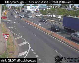
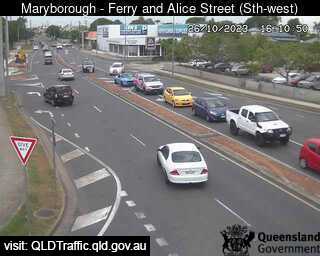
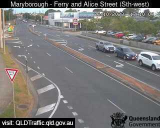
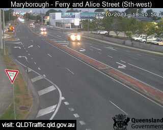
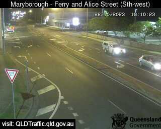
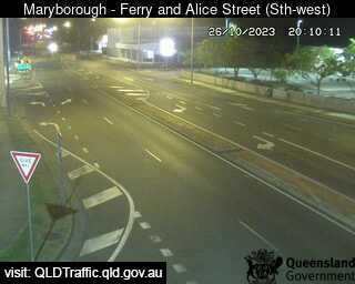
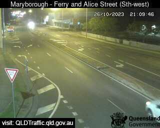

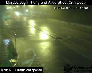
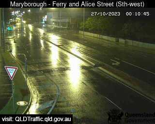
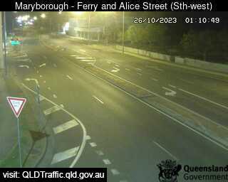
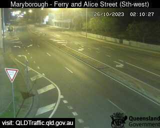
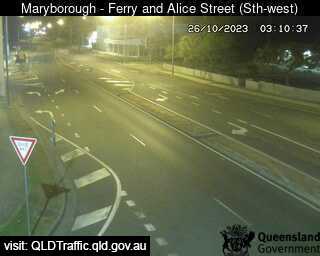
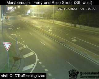
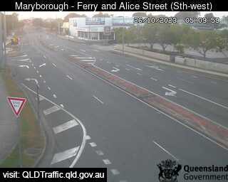
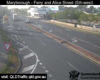
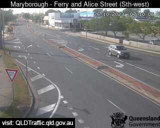
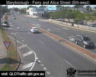
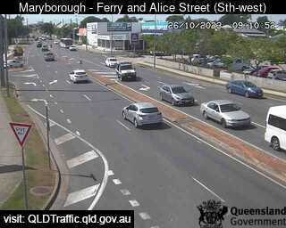
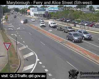
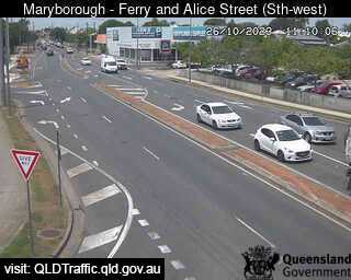
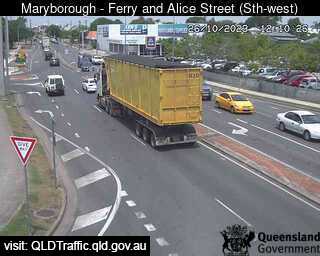
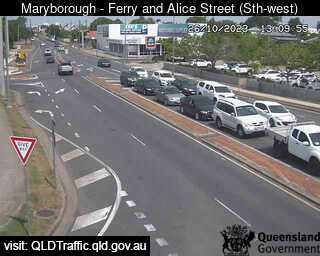
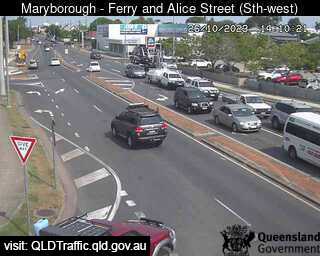
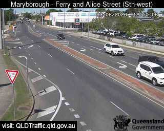
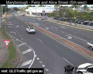
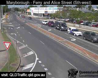
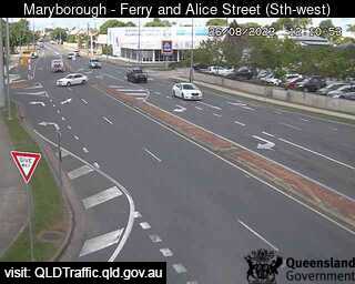
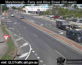
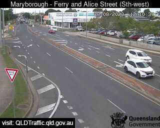
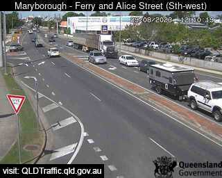
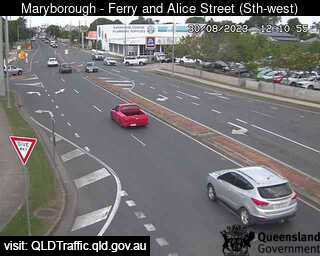
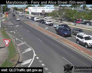
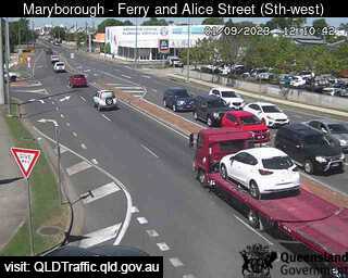
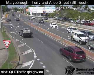
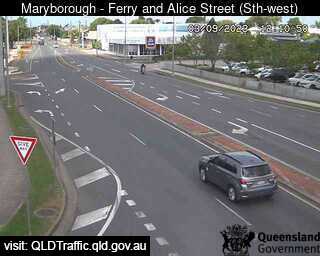
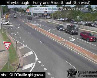
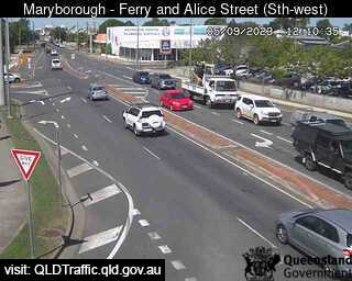
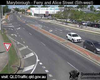
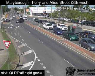
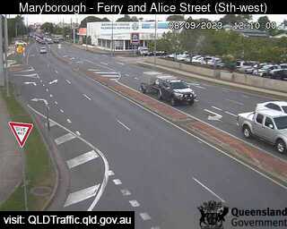
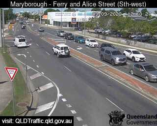
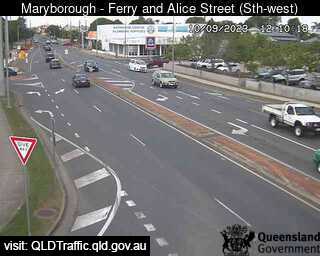
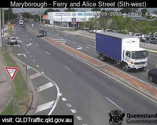
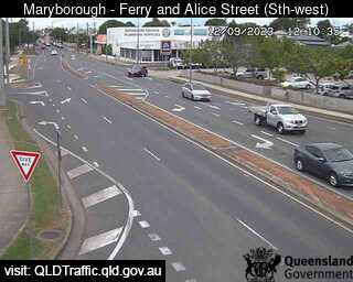
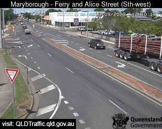
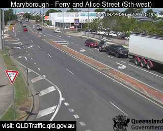

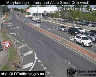
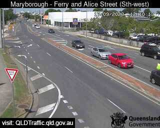
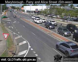
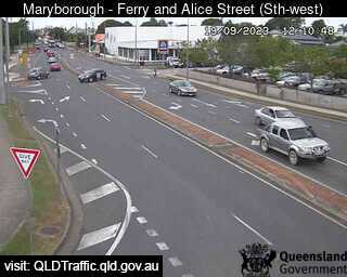
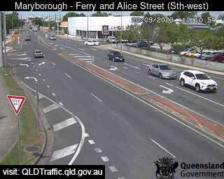
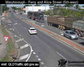

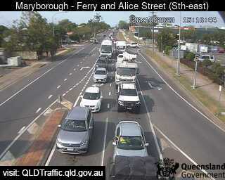
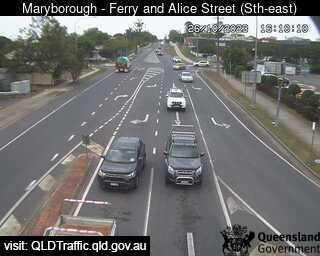
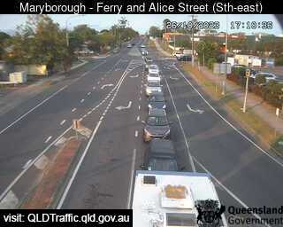
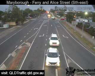
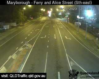
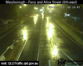
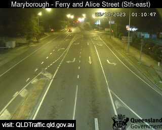
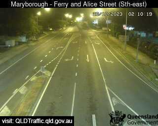
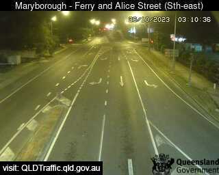
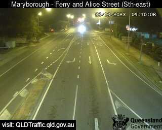
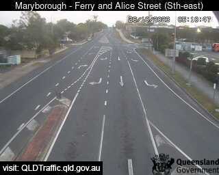
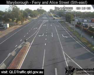
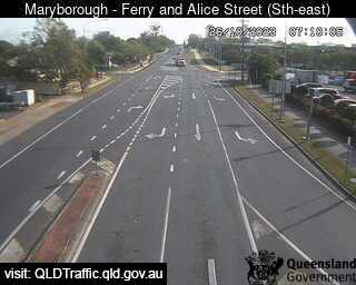
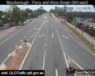
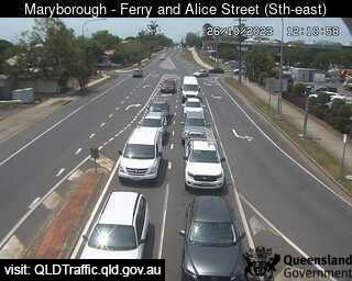
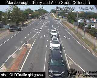
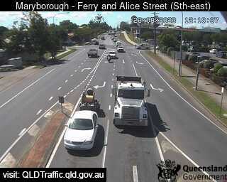
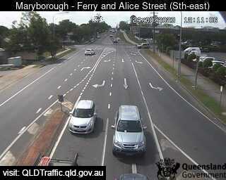
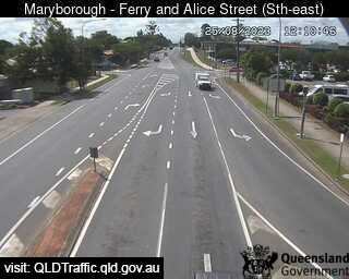
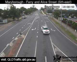
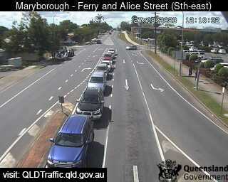
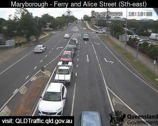
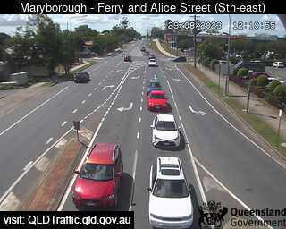
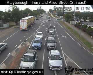
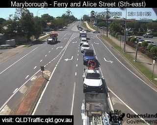
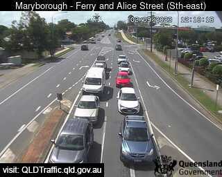
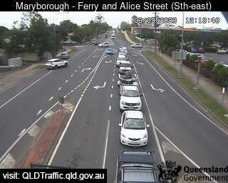
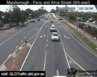
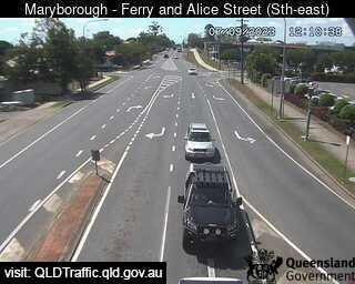
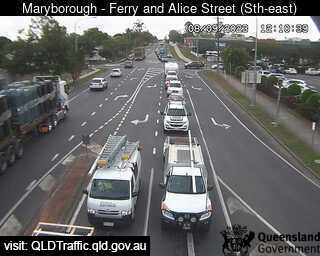
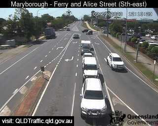
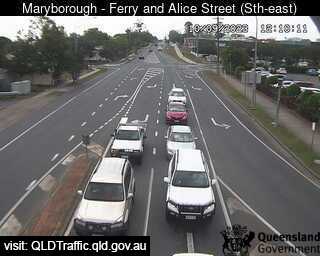
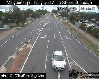
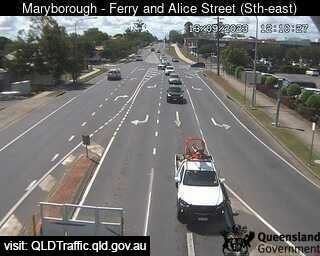
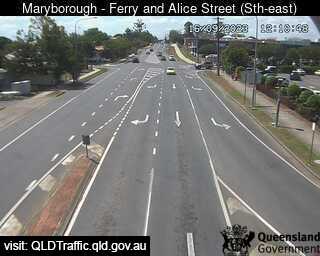
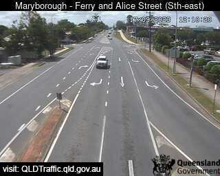
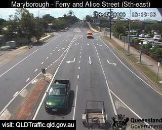
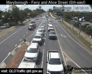
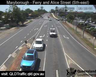
Maryborough, Australia - 27.4 miles from Brooweena: Ferry Street and Alice Street (looking South West) - A view of the current traffic conditions.
Operator: Queensland Government - Department of Transport and Main Roads
Operator: Queensland Government - Department of Transport and Main Roads


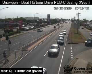
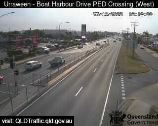
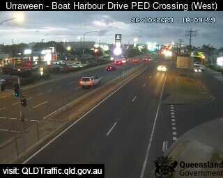
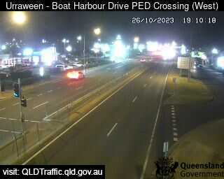
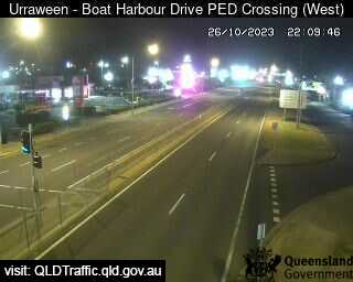
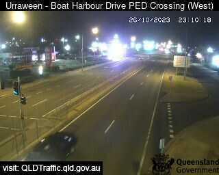
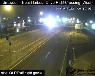
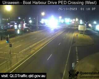
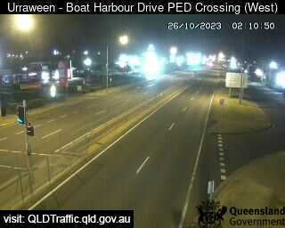
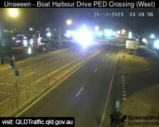
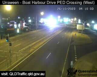
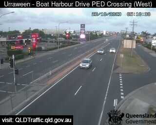
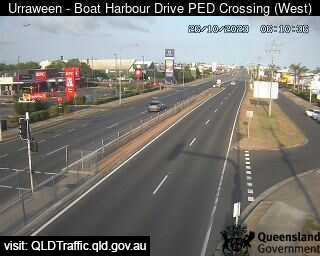
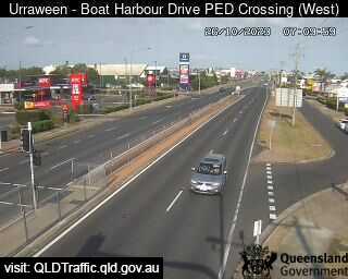
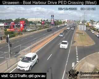
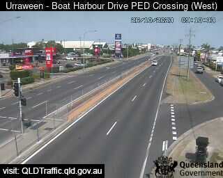
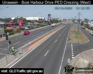
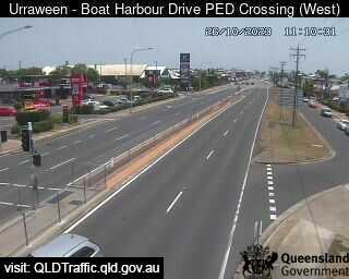
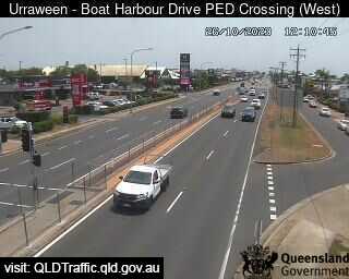
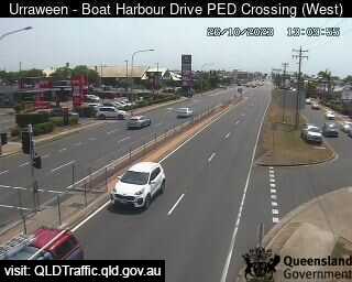
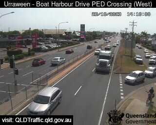
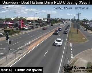
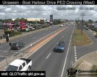
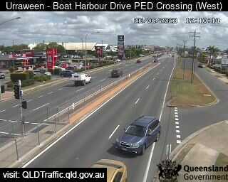
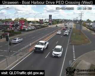
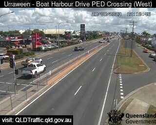
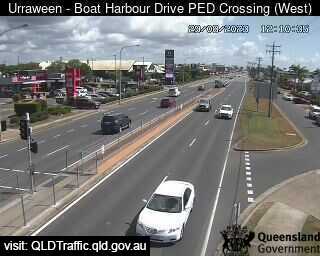
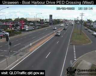
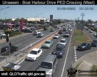
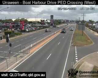
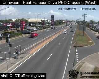
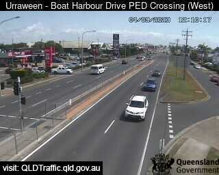
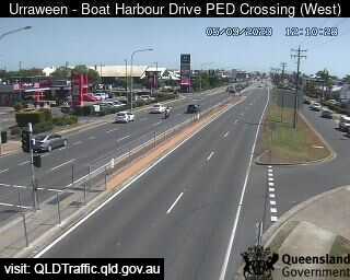
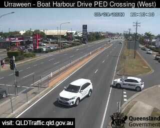
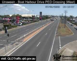
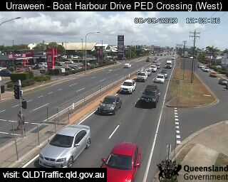
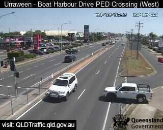
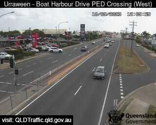
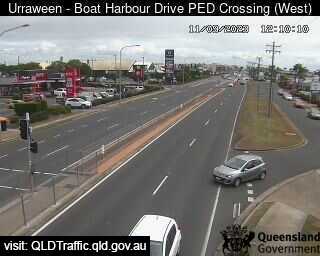
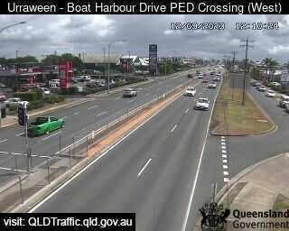
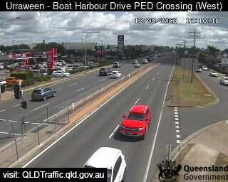
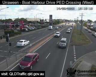
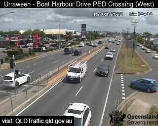
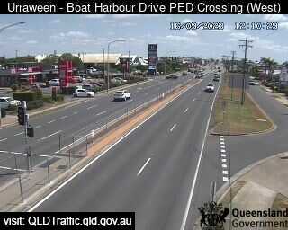
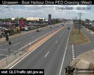
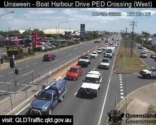
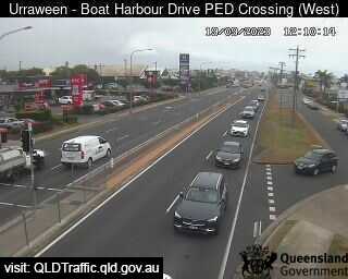
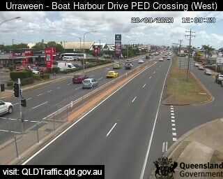
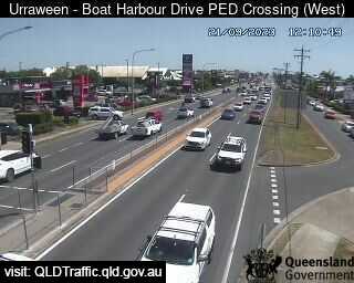
Urraween, Australia - 41.7 miles from Brooweena: Boat harbour Drive Pedestrian Crossing (looking west) - A view of the current traffic conditions.
Operator: Queensland Government - Department of Transport and Main Roads
Operator: Queensland Government - Department of Transport and Main Roads


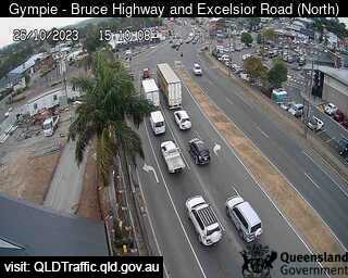
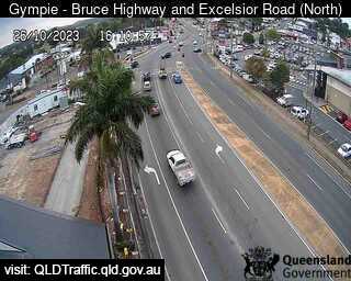
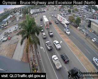
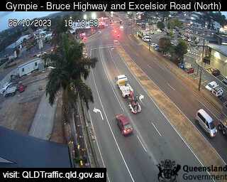
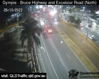
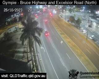
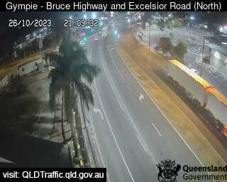
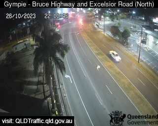
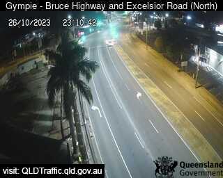
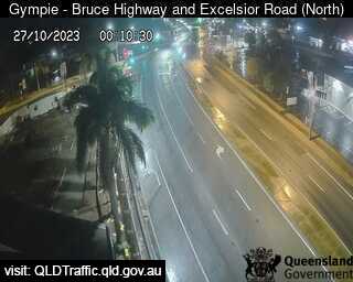
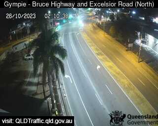
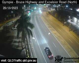
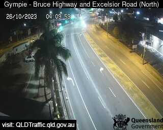
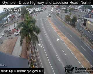
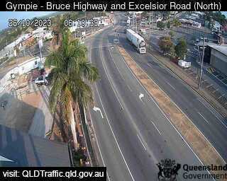
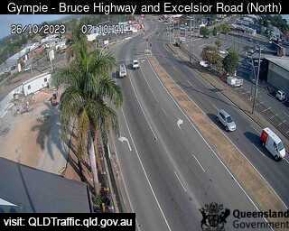
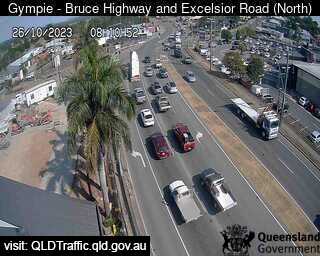
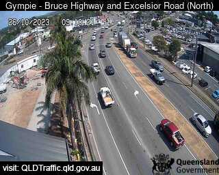
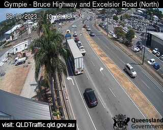
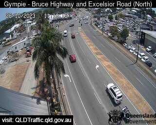
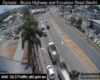
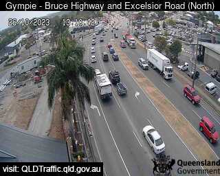
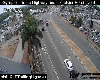
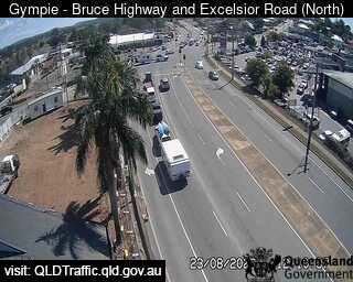
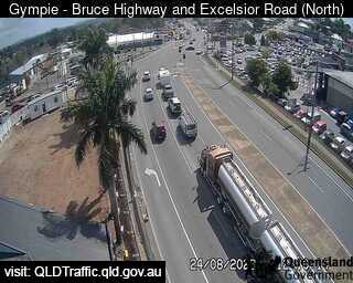
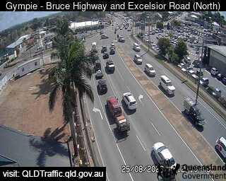
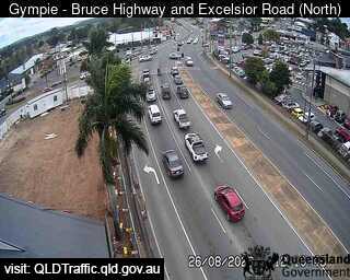
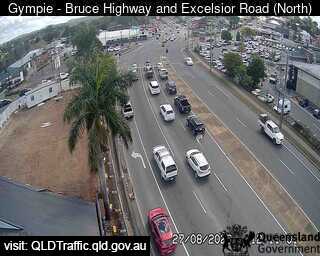
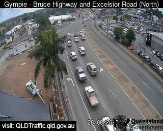
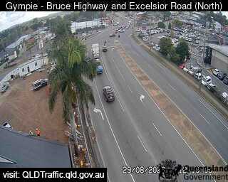
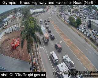
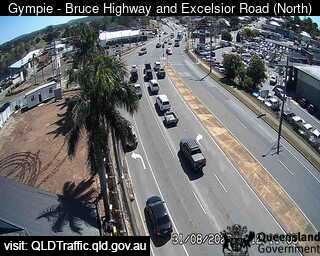
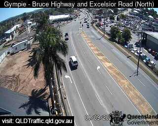
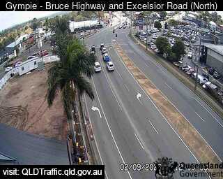
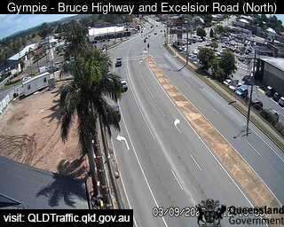
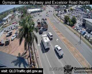
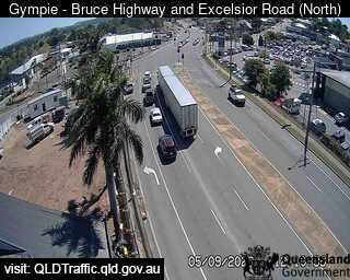
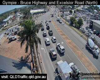
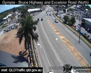
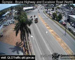
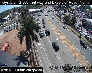
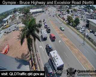
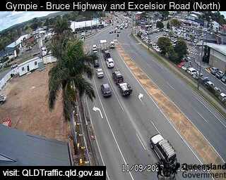
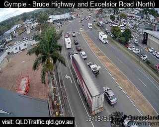
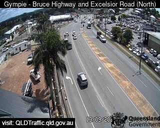
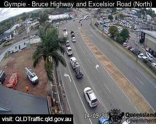
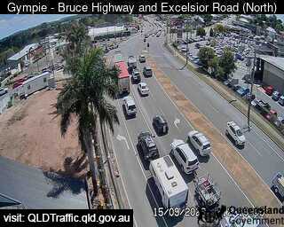
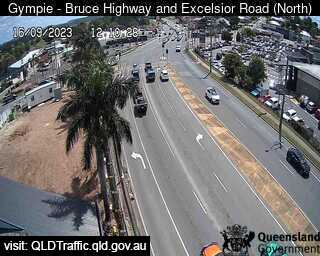
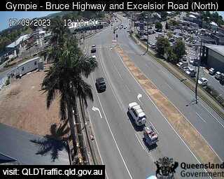
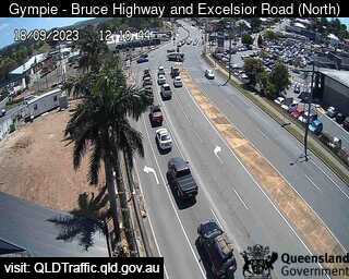
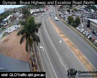
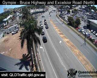
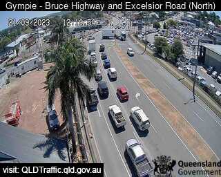
Gympie, Australia - 47.7 miles from Brooweena: Bruce Highway, Excelsior Road Intersection (looking North) - A view of the current traffic conditions.
Operator: Queensland Government - Department of Transport and Main Roads
Operator: Queensland Government - Department of Transport and Main Roads


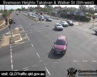
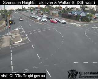
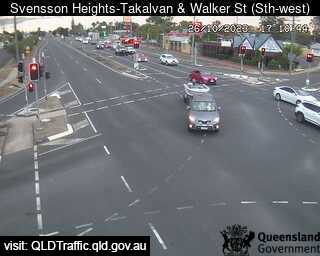
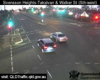
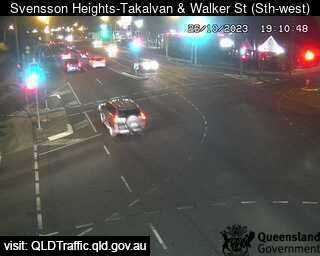
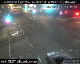
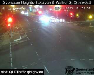
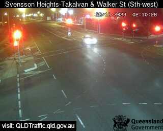
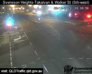
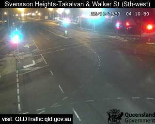
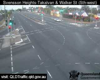
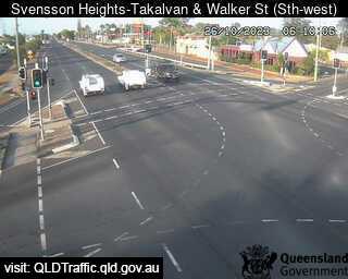
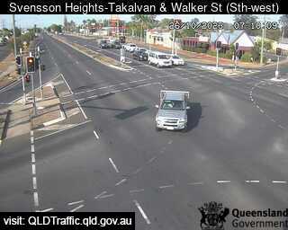
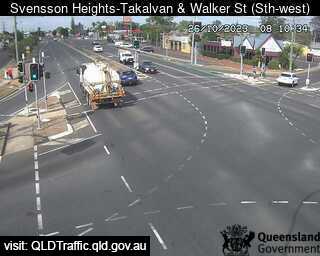
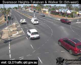
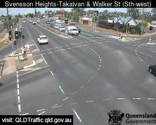
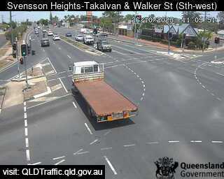
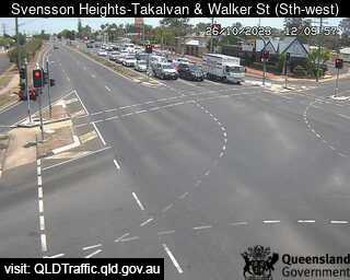
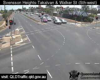
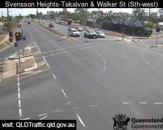
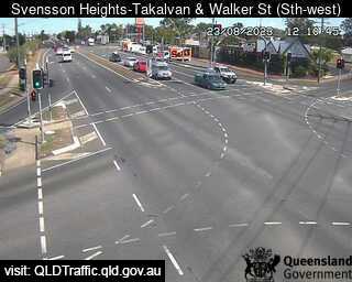
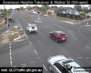
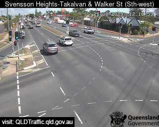
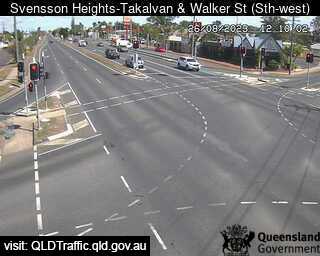
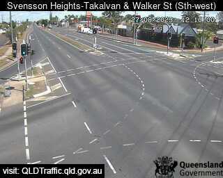
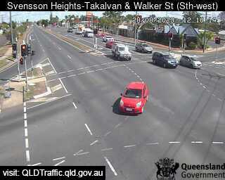
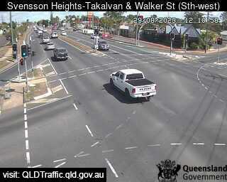
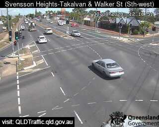
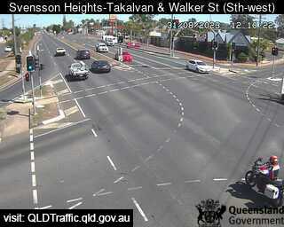
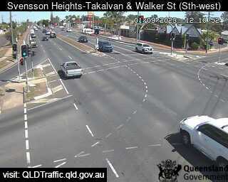
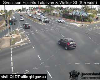
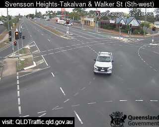
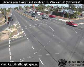
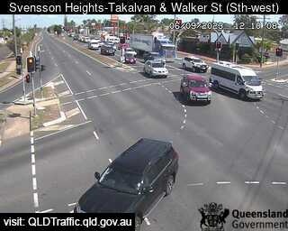
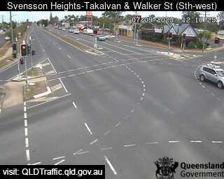
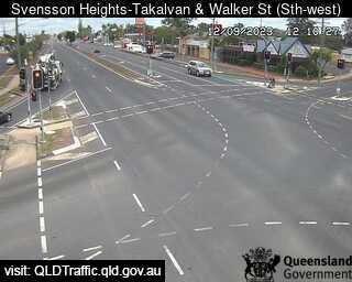
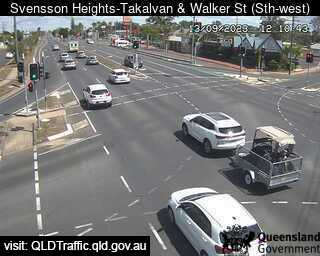
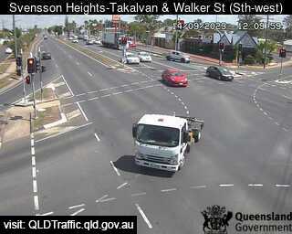
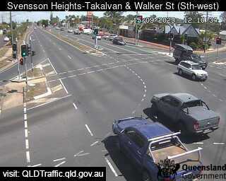
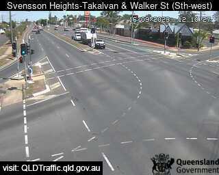
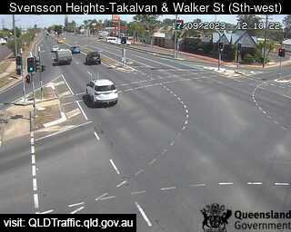
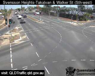
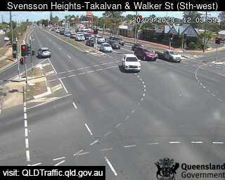
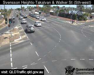
Bundaberg, Australia - 51 miles from Brooweena: Takalvan Street and Walker Street (looking south-east) - A view of the current traffic conditions.
Operator: Queensland Government - Department of Transport and Main Roads
Operator: Queensland Government - Department of Transport and Main Roads


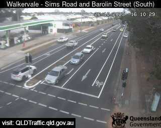
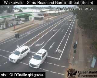
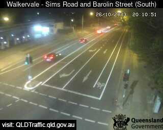
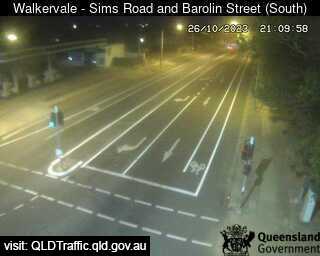
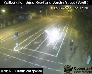
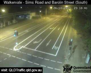
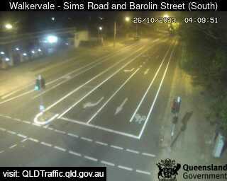
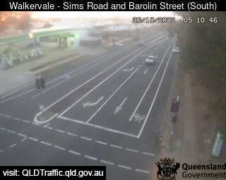
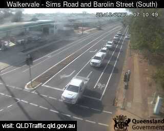
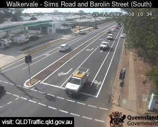
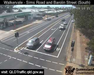
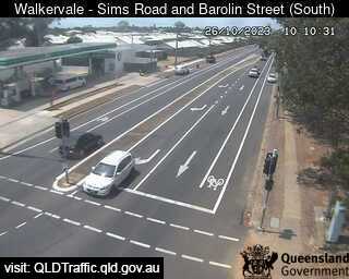
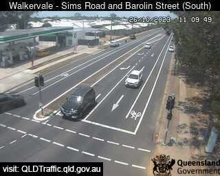
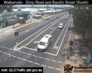
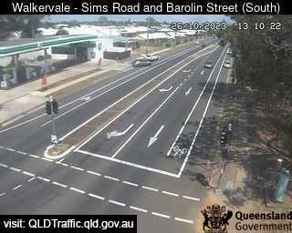
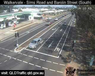
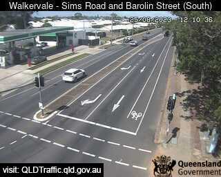
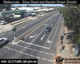
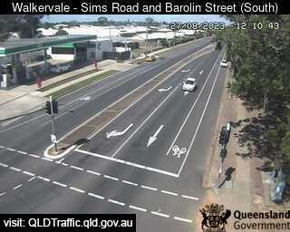
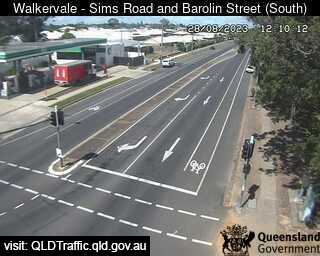
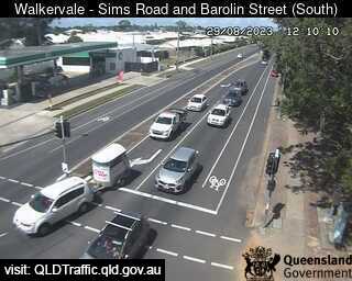
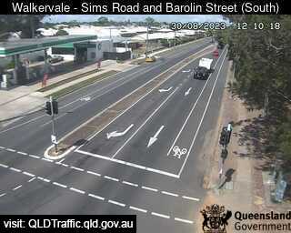
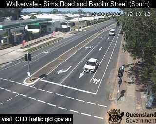
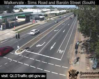
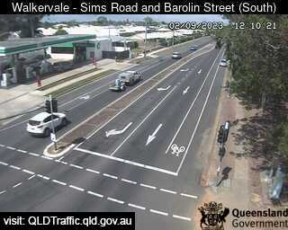
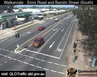
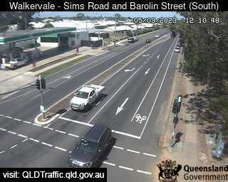
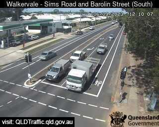
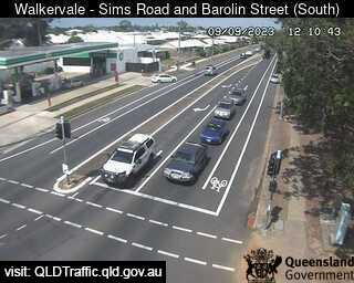
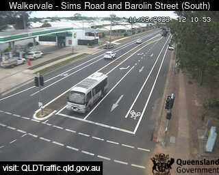
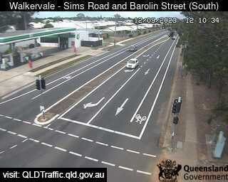
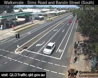
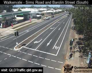
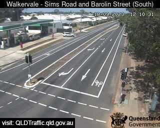
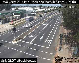
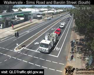
Bundaberg, Australia - 51 miles from Brooweena: Sims Road and Barolin Street - Walkervale (looking south) - A view of the current traffic conditions.
Operator: Queensland Government - Department of Transport and Main Roads
Operator: Queensland Government - Department of Transport and Main Roads


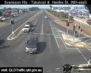
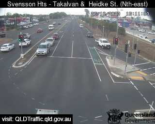
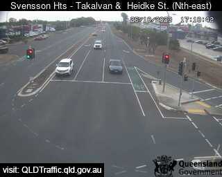
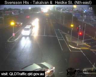
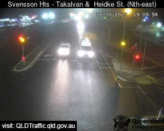
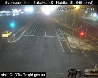
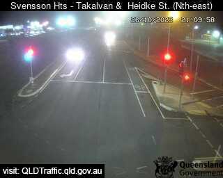
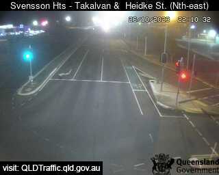
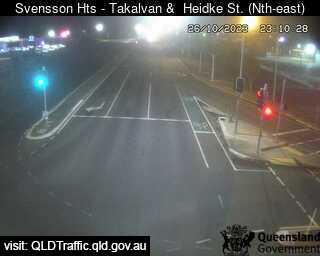
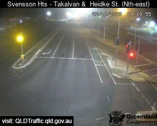
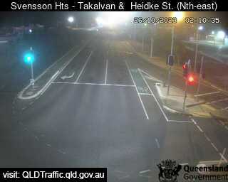
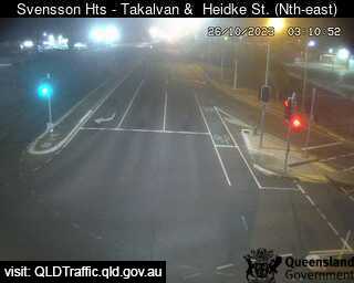
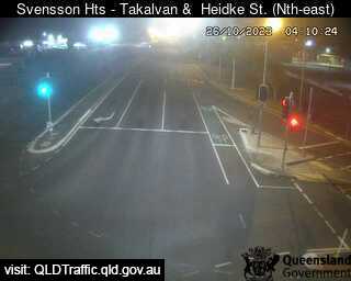
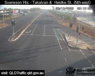
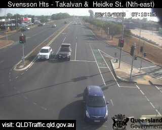
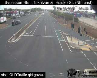
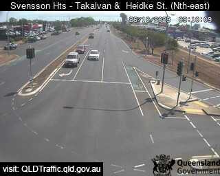
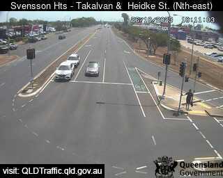
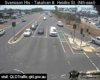
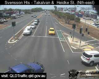
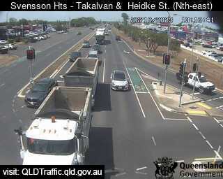
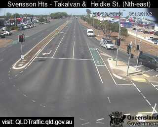
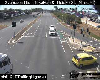
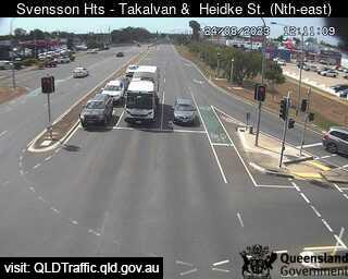
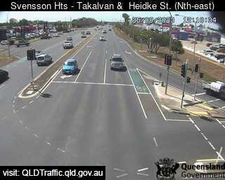
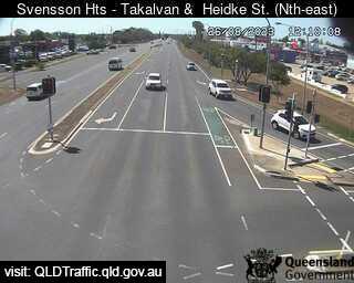
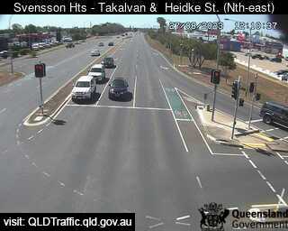
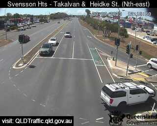
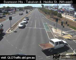
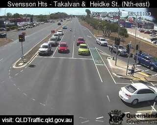
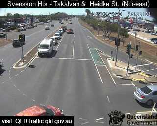
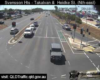
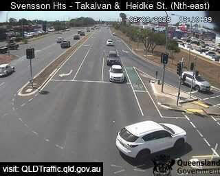
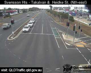
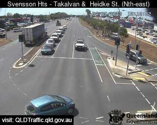
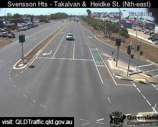
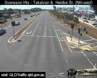
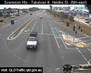
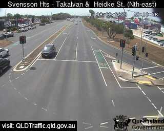
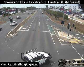
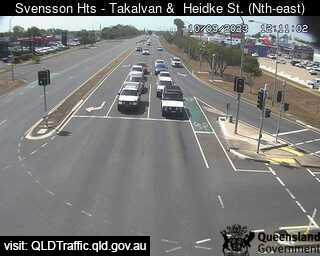
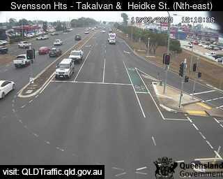
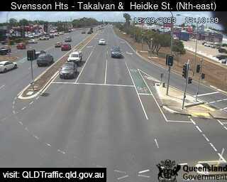
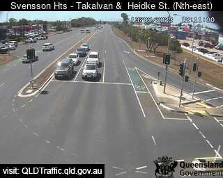
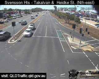
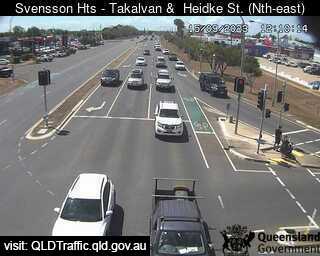
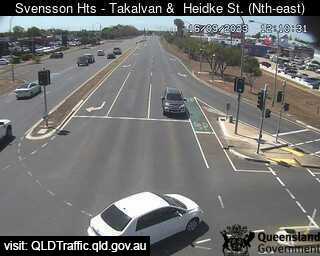
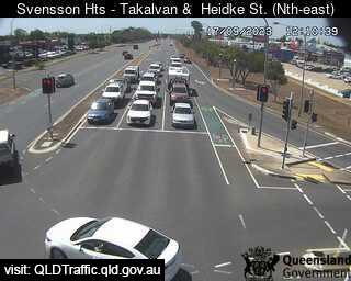
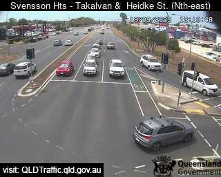
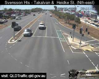
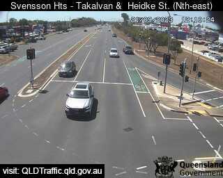
Bundaberg, Australia - 51 miles from Brooweena: Takalvan Street and Heidke Street - A view of the current traffic conditions.
Operator: Queensland Government - Department of Transport and Main Roads
Operator: Queensland Government - Department of Transport and Main Roads


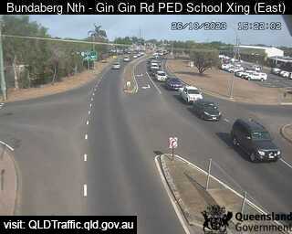
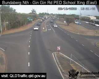
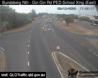
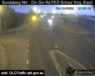
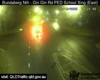
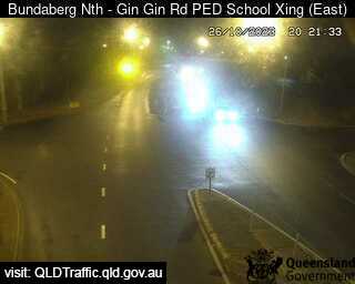
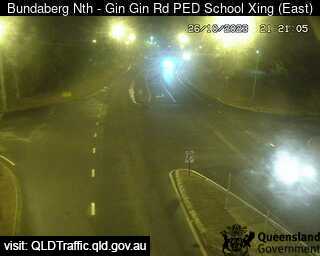
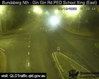
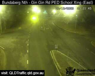
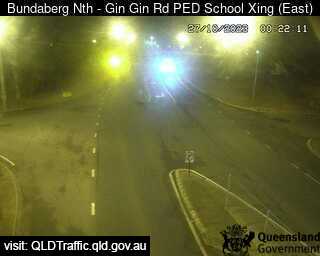
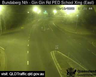
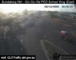
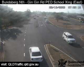
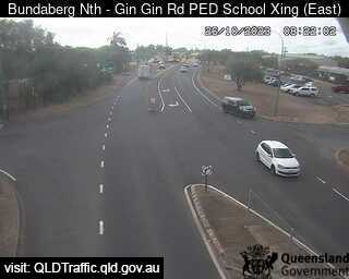
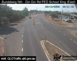
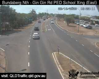
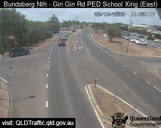
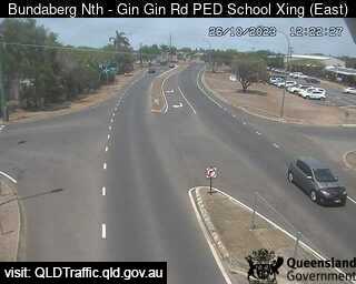
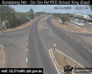
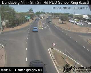
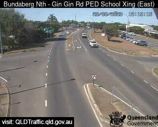
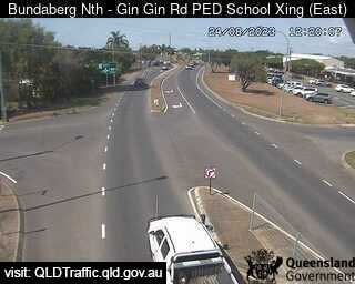
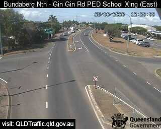
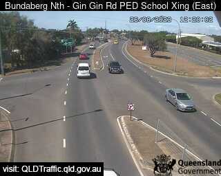
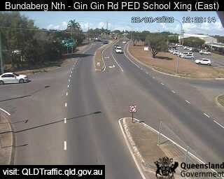
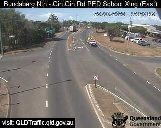
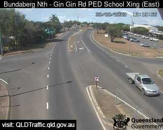
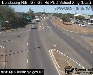
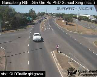
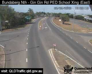
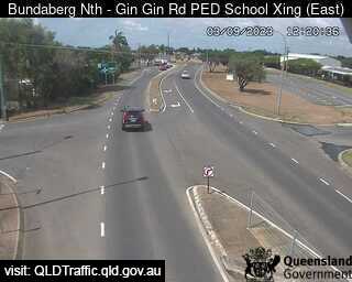
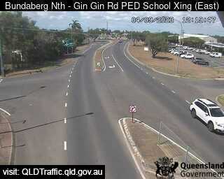
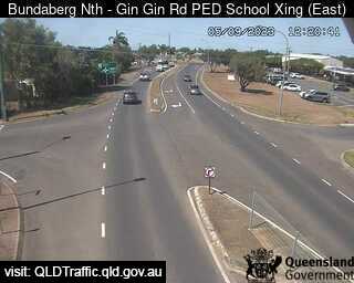
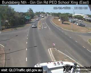
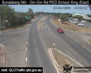
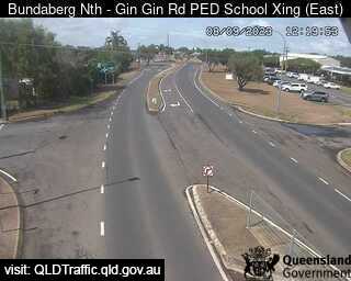
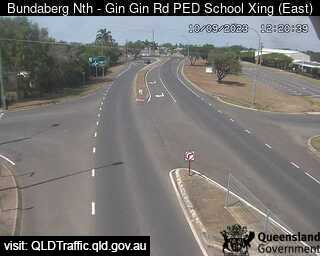
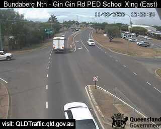
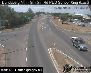
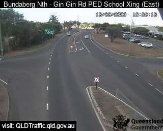
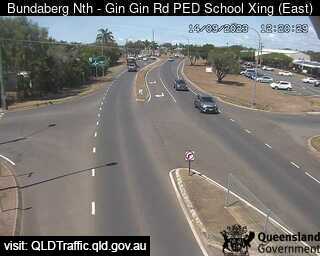
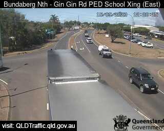
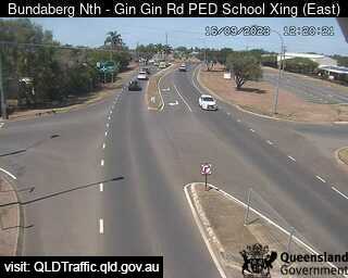
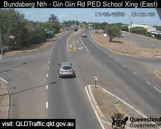
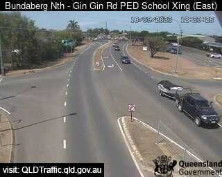
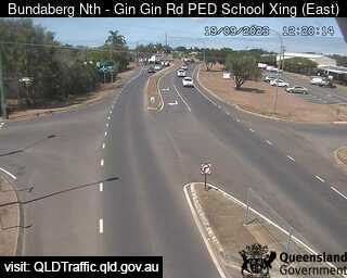
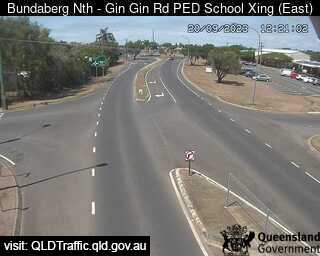
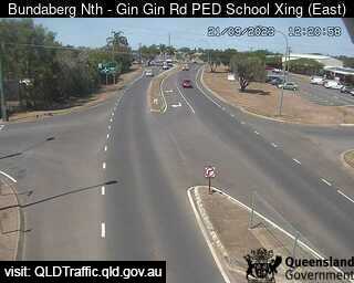
Bundaberg North, Australia - 51.5 miles from Brooweena: North School Pedestrian Crossing (looking east) - A view of the current traffic conditions.
Operator: Queensland Government - Department of Transport and Main Roads
Operator: Queensland Government - Department of Transport and Main Roads


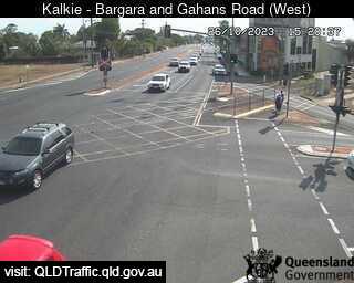
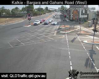
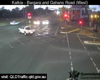
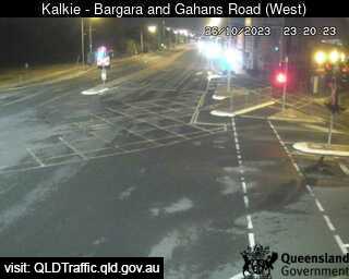
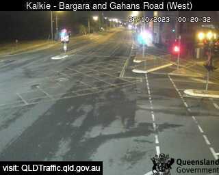
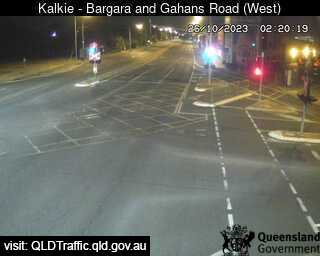
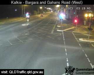
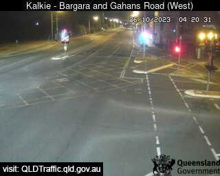
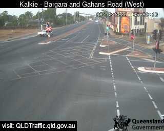
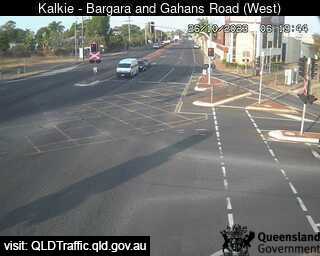
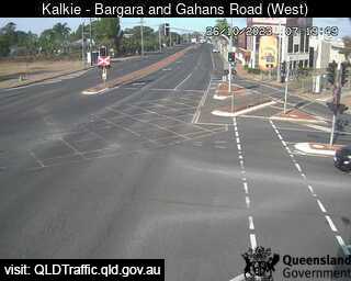
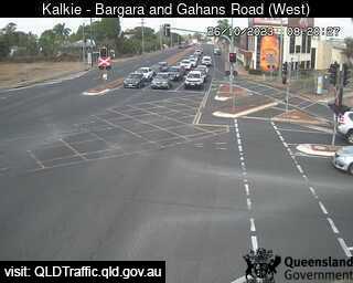
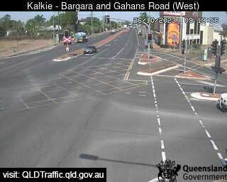
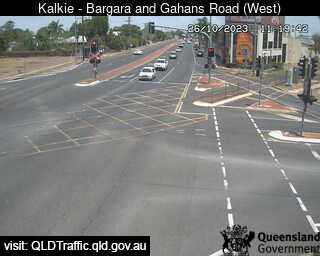
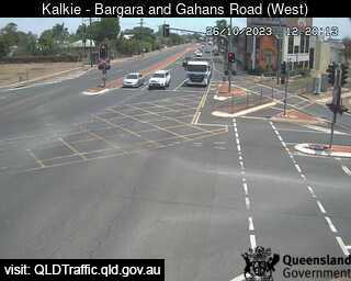
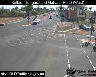
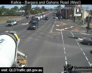
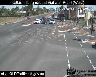
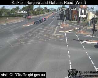
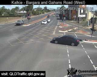
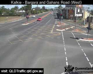
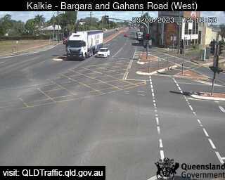
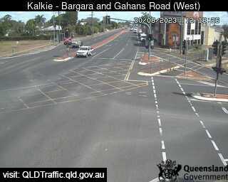
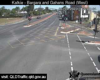
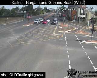
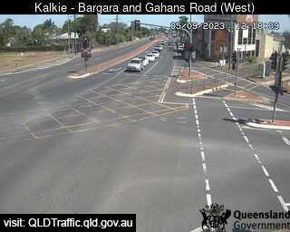
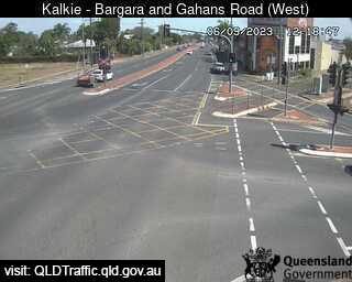
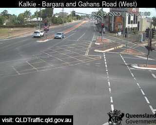
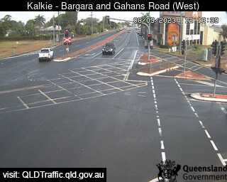
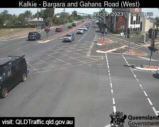
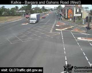
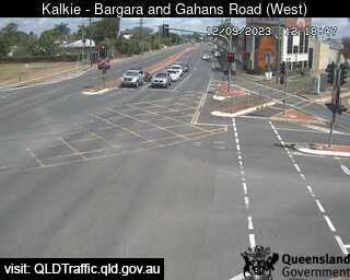
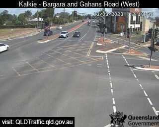
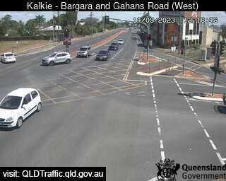
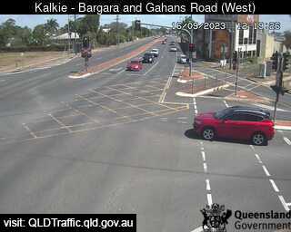
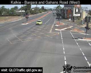
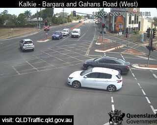
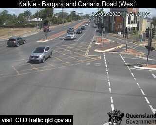
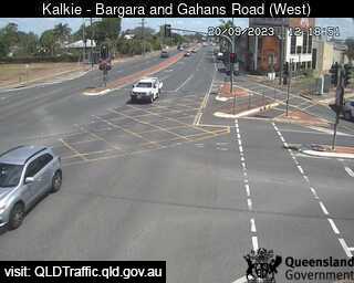
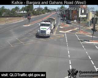
Kalkie, Australia - 52.3 miles from Brooweena: Bargara Road and Gahans Road (looking west) - A view of the current traffic conditions.
Operator: Queensland Government - Department of Transport and Main Roads
Operator: Queensland Government - Department of Transport and Main Roads


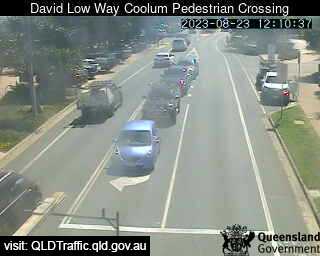
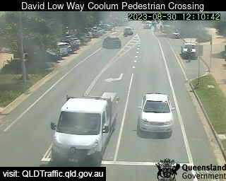
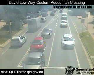
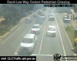
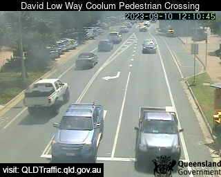
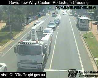
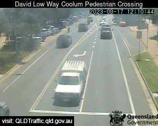
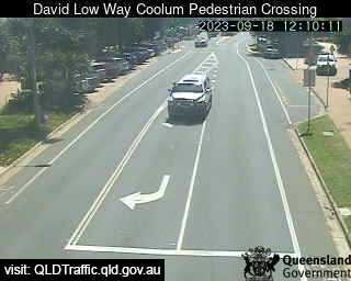
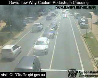
Coolum Beach, Australia - 82 miles from Brooweena: David Low Way Coolum Pedestrian Crossing (South) - A view of the current traffic conditions.
Operator: Queensland Government - Department of Transport and Main Roads
Operator: Queensland Government - Department of Transport and Main Roads


Some other places in this country: Broome - Brooyar - Broughton - Broughton - Broughton Vale - Broughton Village - Broula - Broulee - Brownlow - Brownlow Hill