Webcams in the region of Bromelton, Australia
The List of Webcams near Bromelton, Australia:

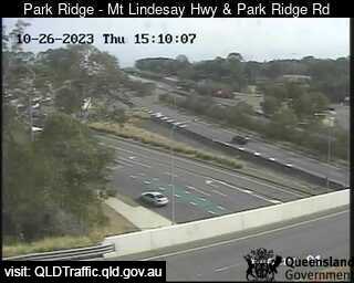
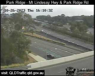
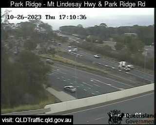
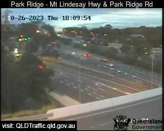
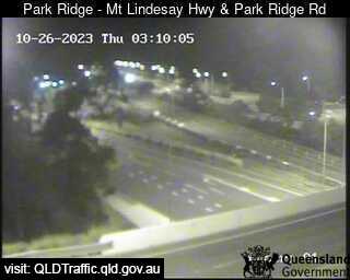
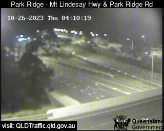
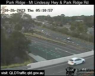
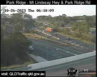
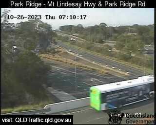
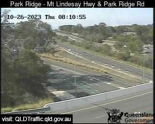
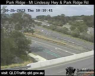
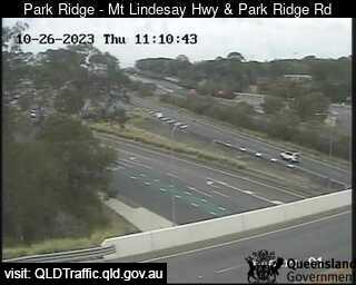
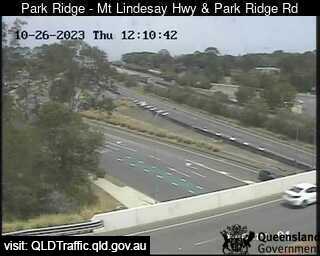
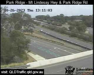
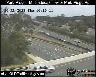
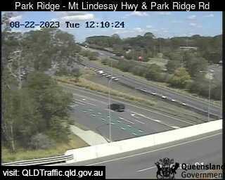
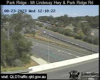
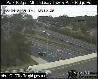
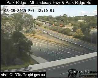
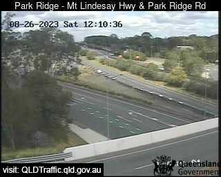
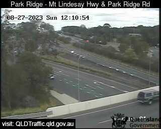
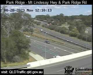
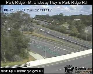
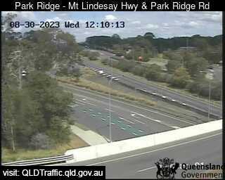
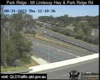
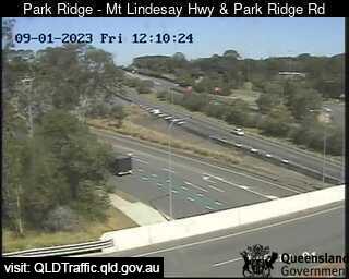
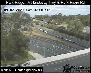
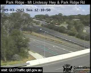
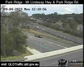
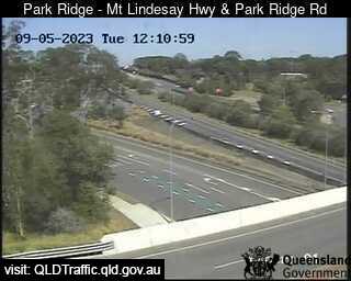
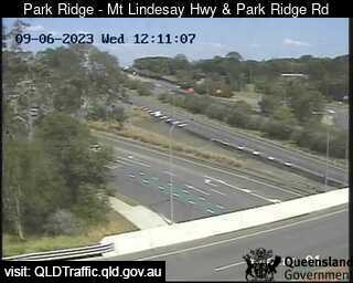
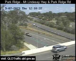
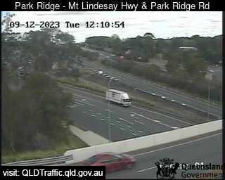
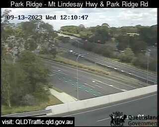
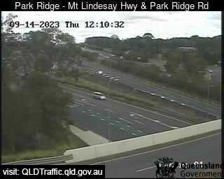
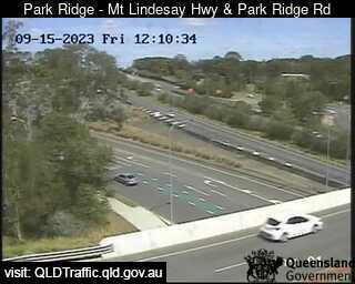
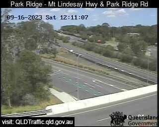
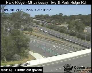
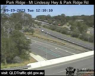
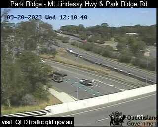
Park Ridge, Australia - 20.7 miles from Bromelton: Mount Lindesay Highway and Park Ridge Road Interchange (South) - A view of the current traffic conditions.
Operator: Queensland Government - Department of Transport and Main Roads
Operator: Queensland Government - Department of Transport and Main Roads


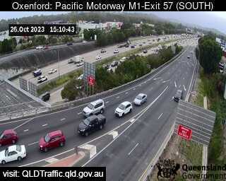
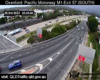
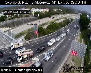
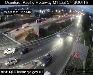
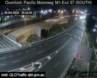
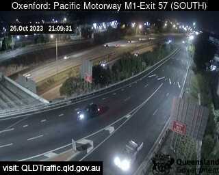
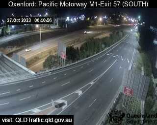
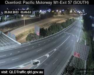
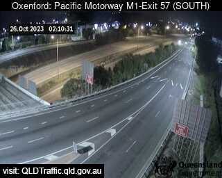
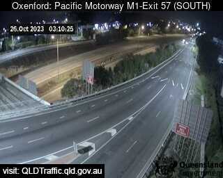
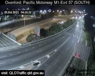
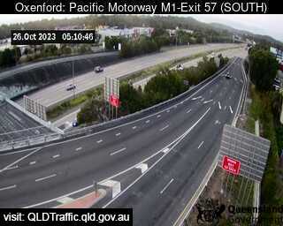
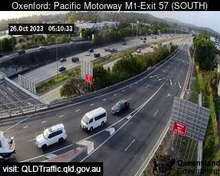
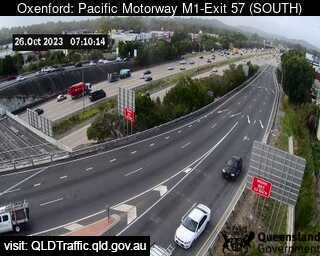
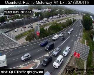
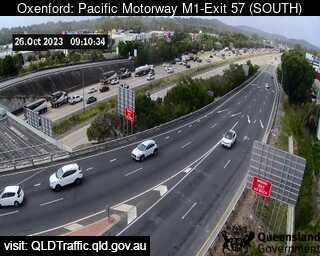
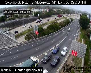
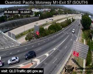
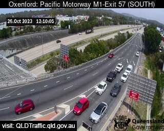
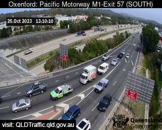
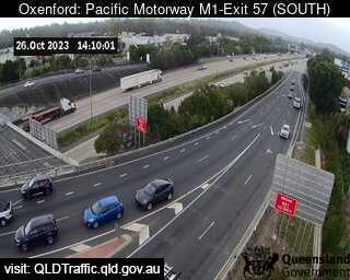
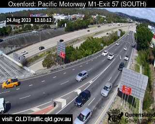
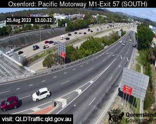
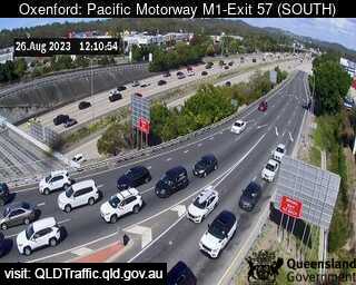
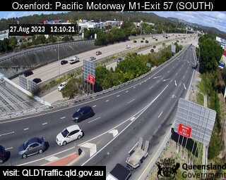
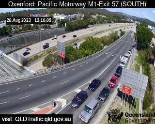
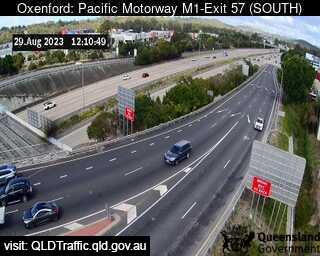
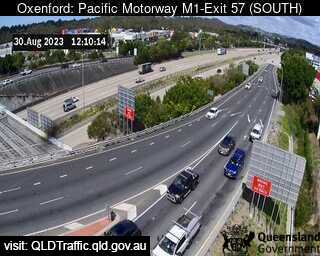
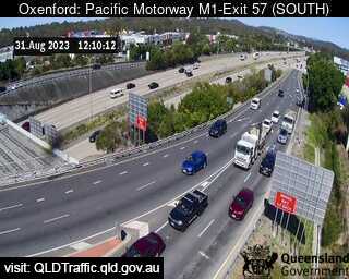
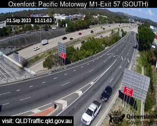
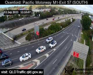
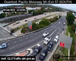
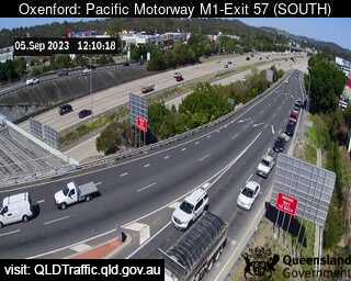
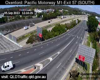
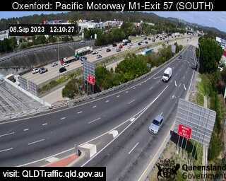
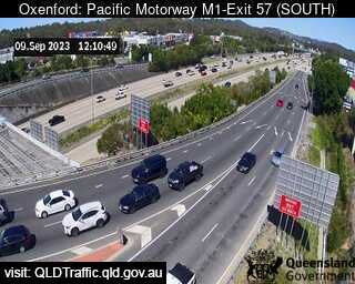
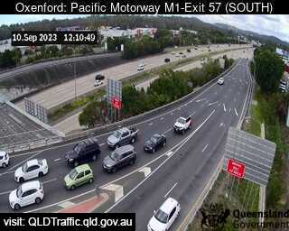
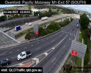
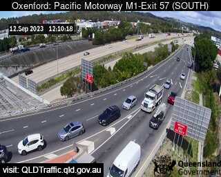
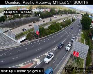
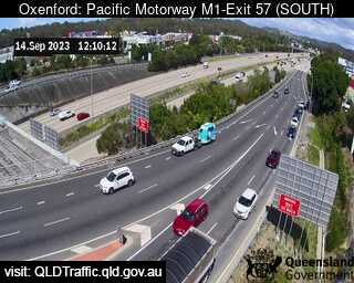
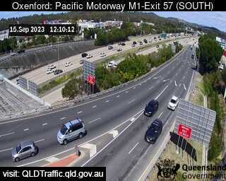
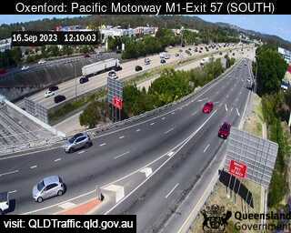
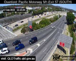
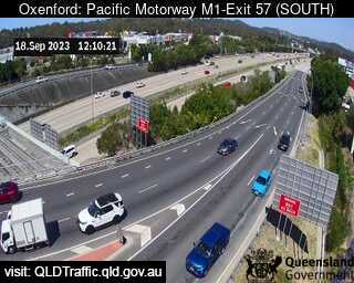
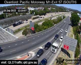
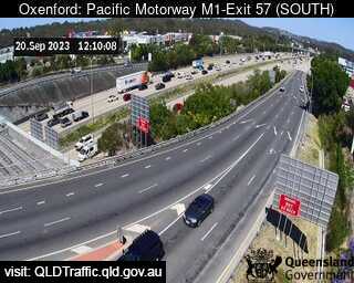
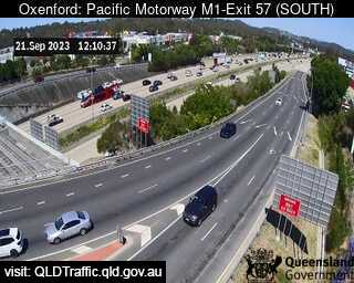
Oxenford, Australia - 24 miles from Bromelton: Pacific Motorway M1 - A view of the current traffic conditions.
Operator: Queensland Government - Department of Transport and Main Roads
Operator: Queensland Government - Department of Transport and Main Roads


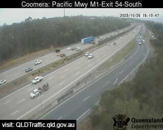
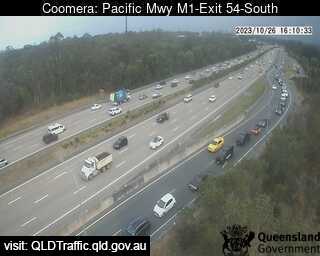
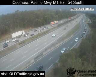
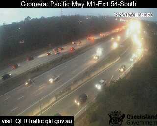
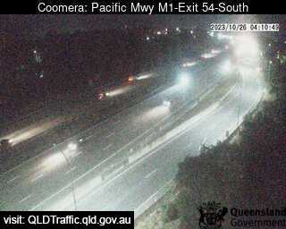
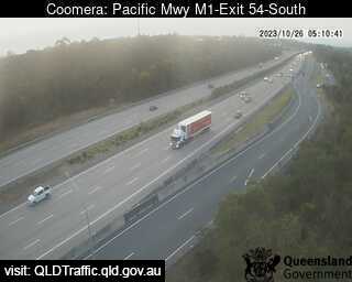
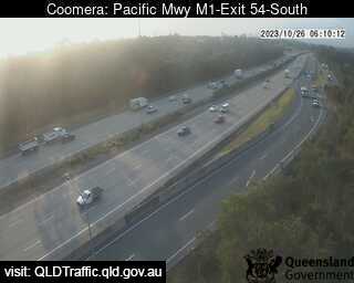
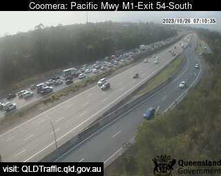
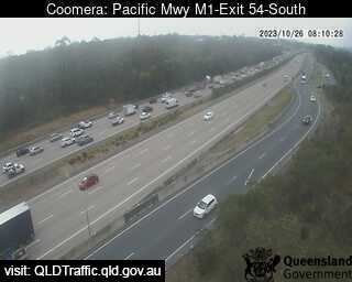
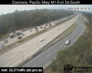
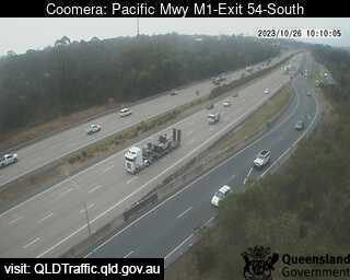
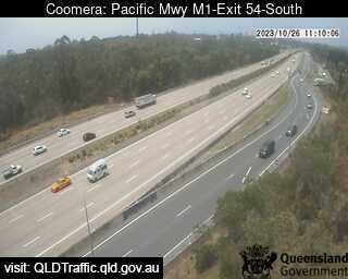
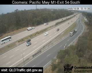
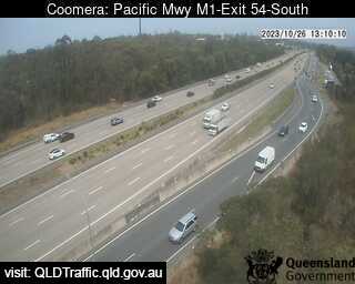
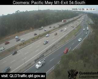
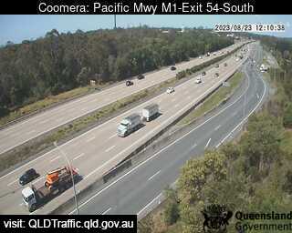
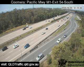
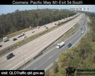
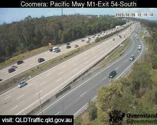
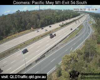
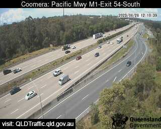
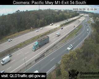
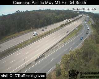
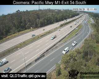
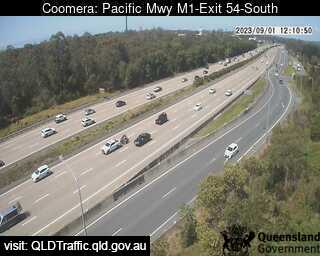
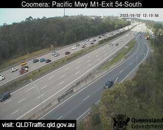
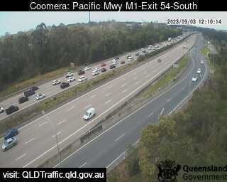
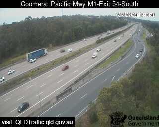
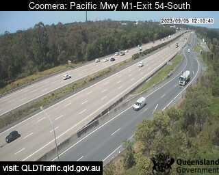
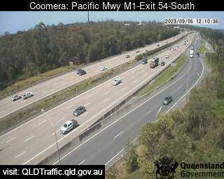
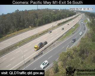
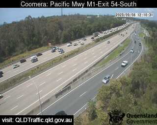
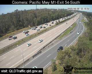
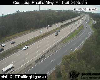
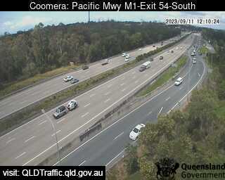
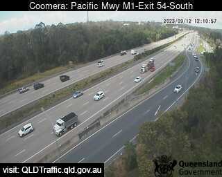
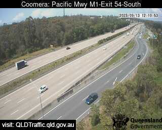
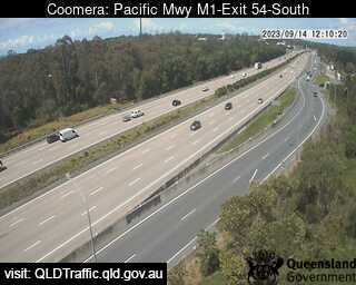
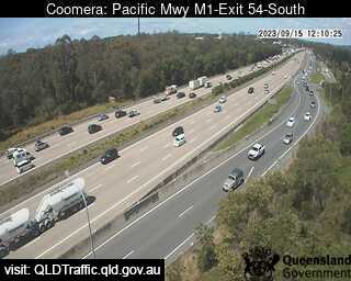
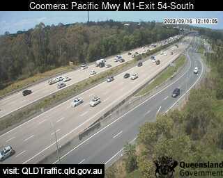
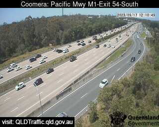
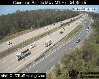
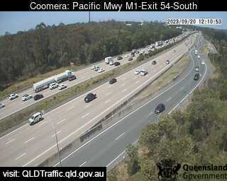
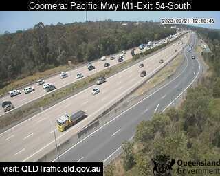
Coomera, Australia - 24.5 miles from Bromelton: Pacific Motorway M1 - A view of the current traffic conditions.
Operator: Queensland Government - Department of Transport and Main Roads
Operator: Queensland Government - Department of Transport and Main Roads


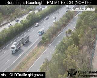
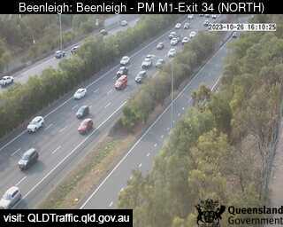
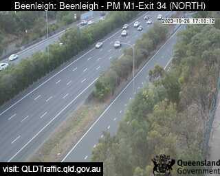
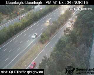
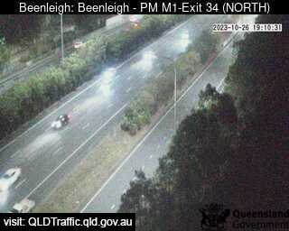
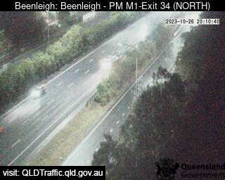
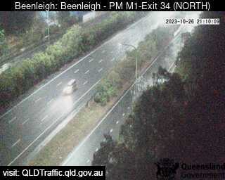
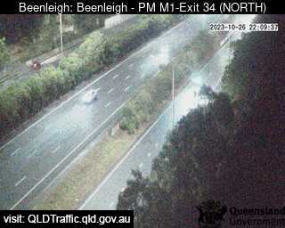
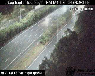
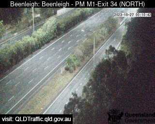
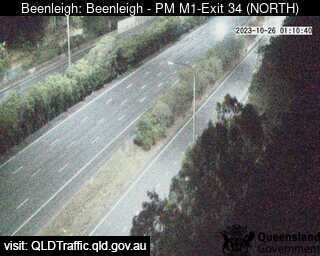
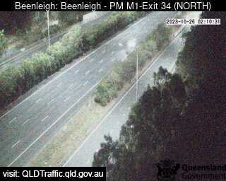
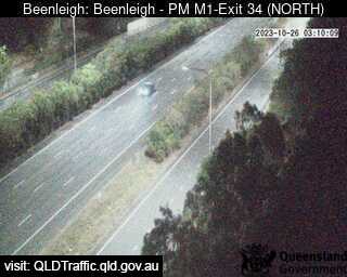
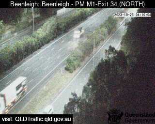
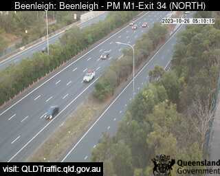
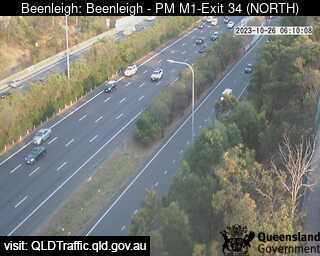
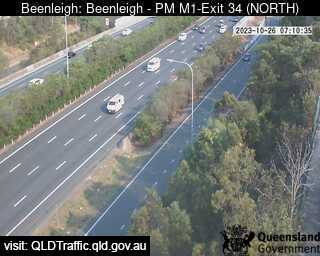
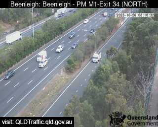
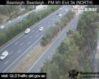
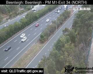
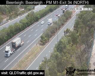
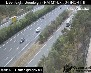
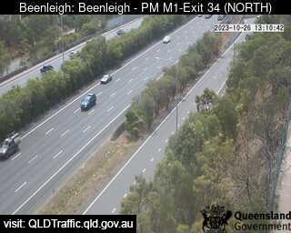
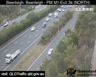
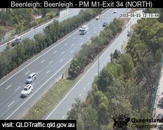
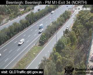
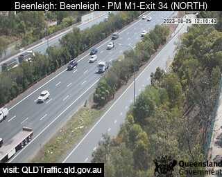
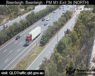
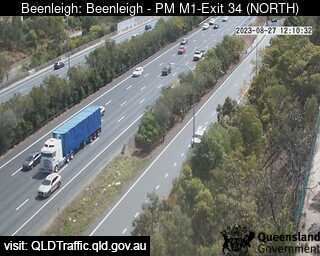
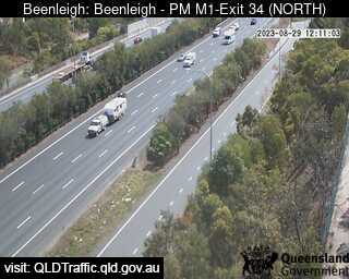
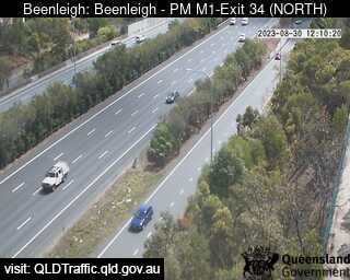
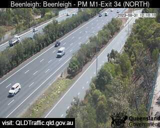
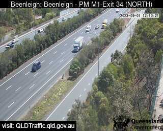
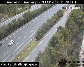
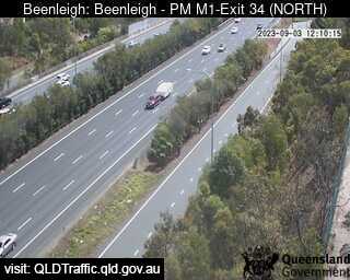
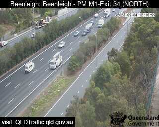
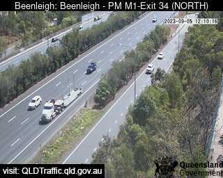
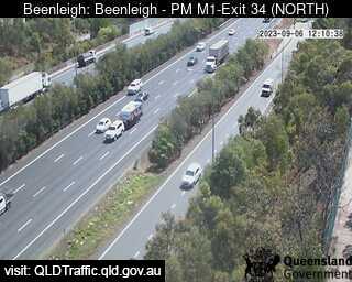
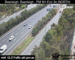
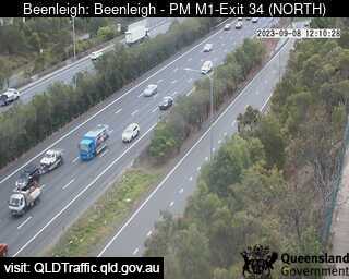
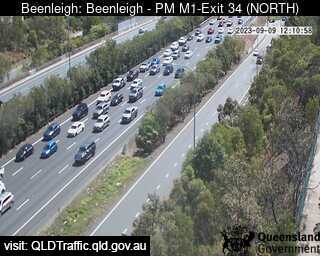
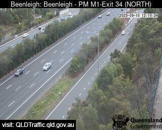
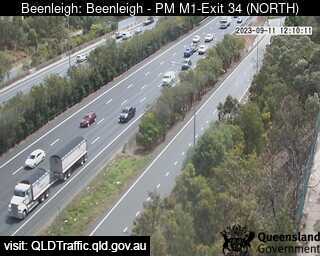
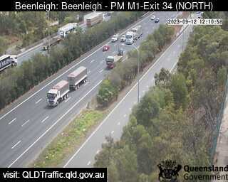
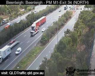
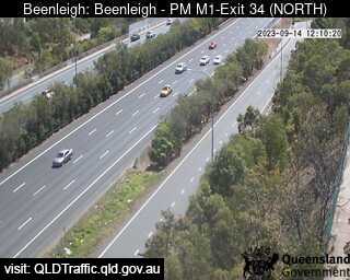
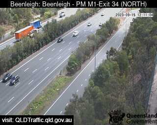
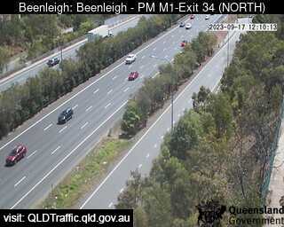
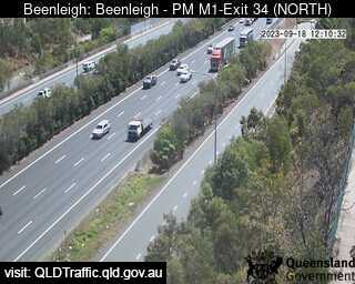
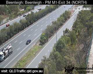
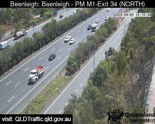
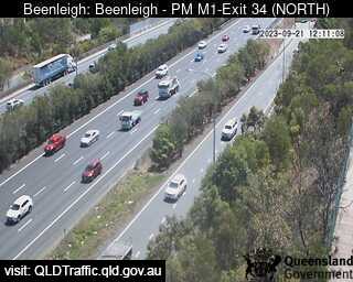
Beenleigh, Australia - 24.7 miles from Bromelton: Pacific Motorway M1 - Exit 34 - A view of the current traffic conditions.
Operator: Queensland Government - Department of Transport and Main Roads
Operator: Queensland Government - Department of Transport and Main Roads


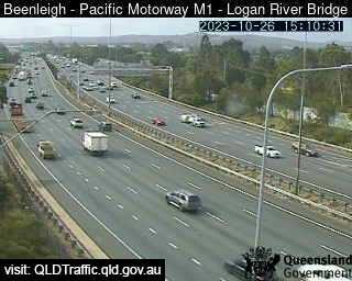
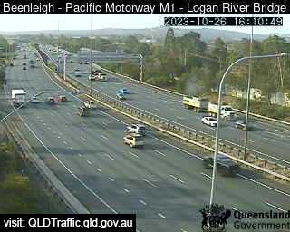
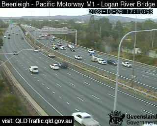
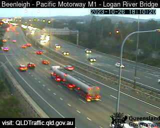
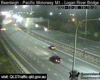
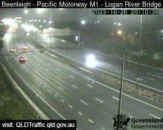
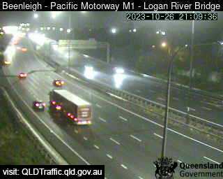
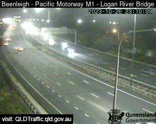
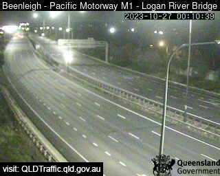
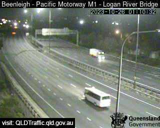
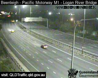
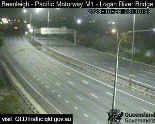
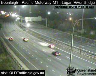
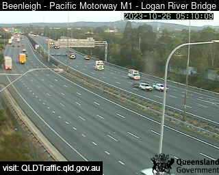
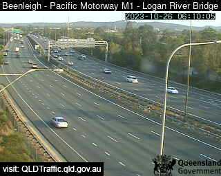
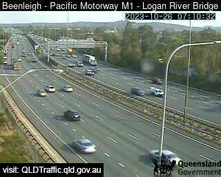
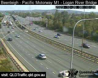
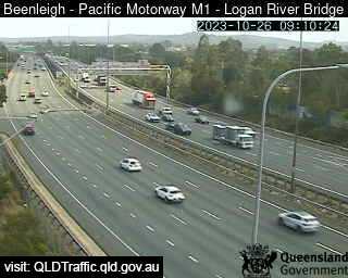
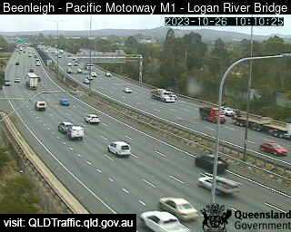
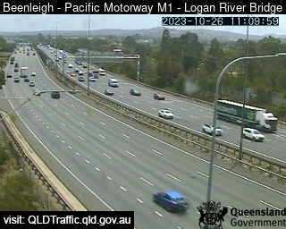
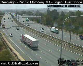
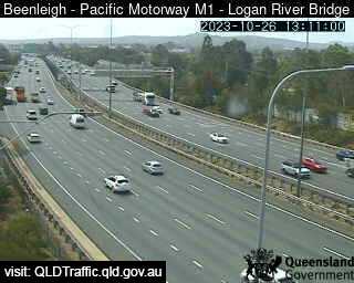
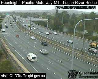
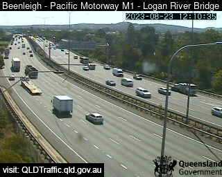
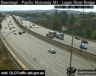
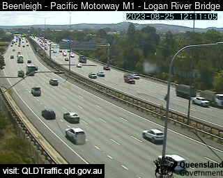
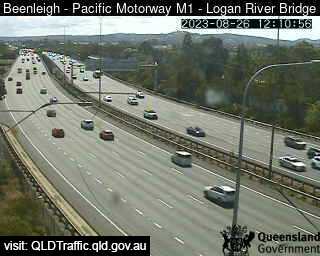
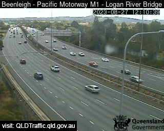
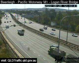
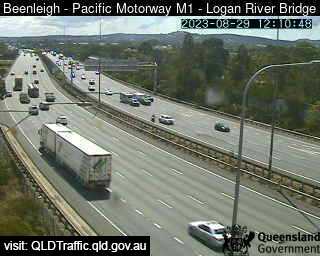
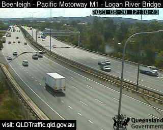
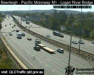
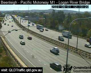
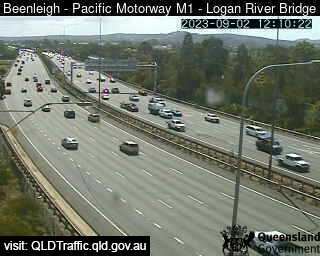
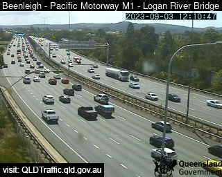
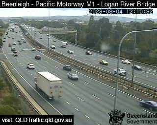
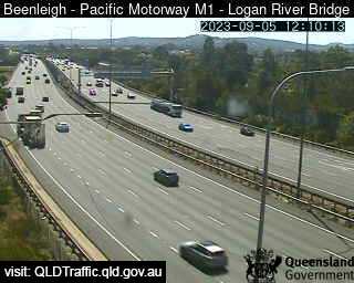
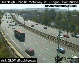
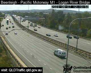
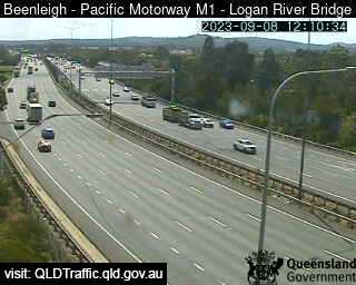
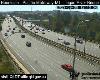
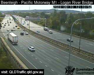
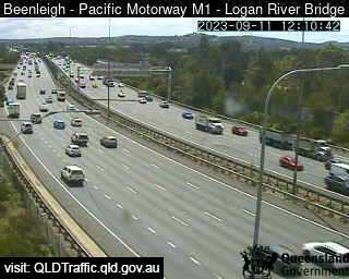
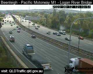
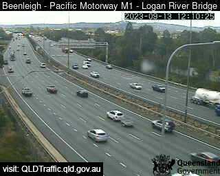
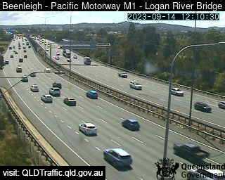
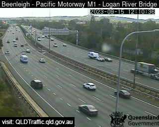
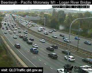
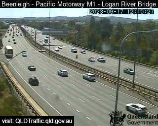
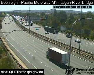
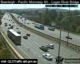
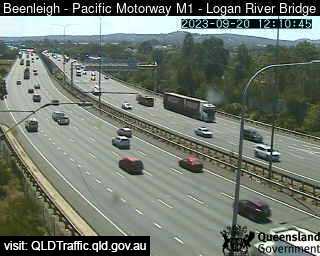
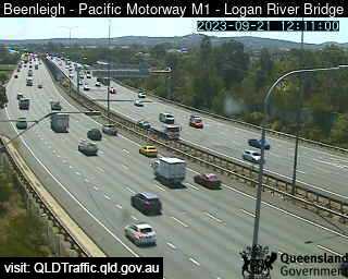
Beenleigh, Australia - 24.7 miles from Bromelton: Pacific Motorway M1 - Logan River Bridge (North) - A view of the current traffic conditions.
Operator: Queensland Government - Department of Transport and Main Roads
Operator: Queensland Government - Department of Transport and Main Roads


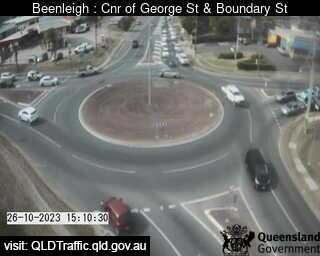
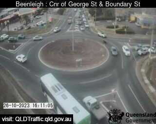
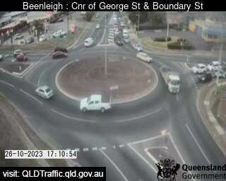
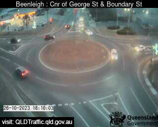
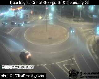
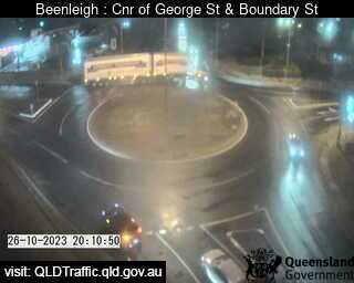
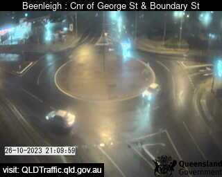
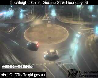
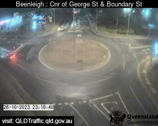
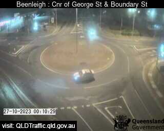
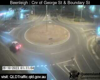
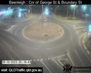
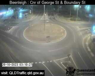
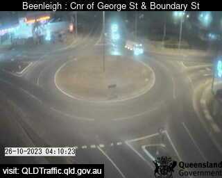
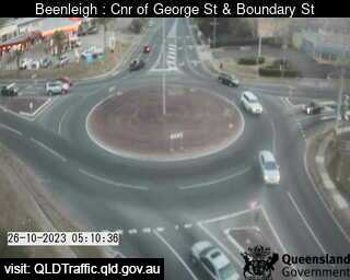
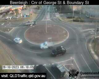
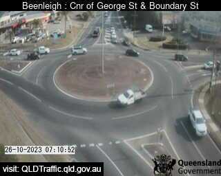
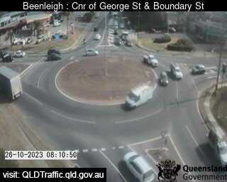
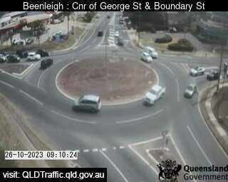
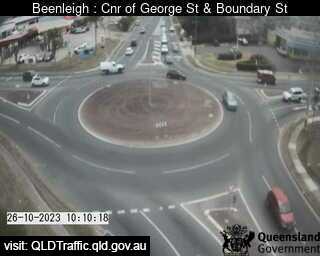
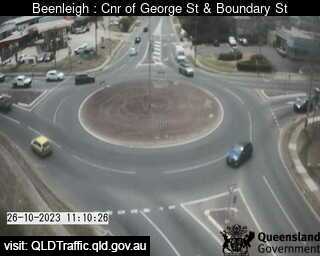
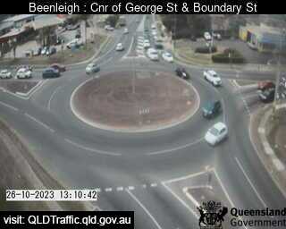
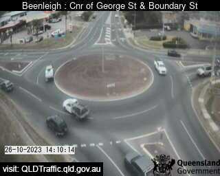
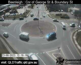
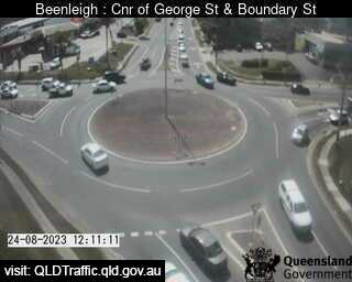
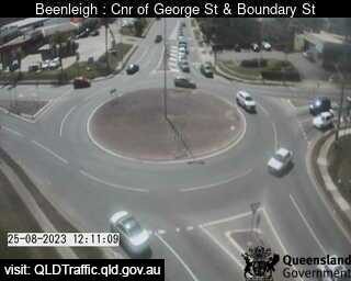
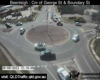
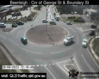
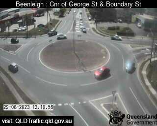
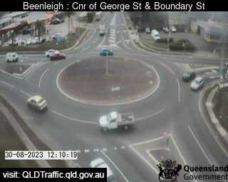
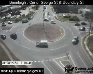
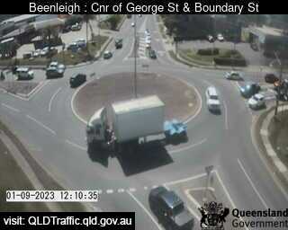
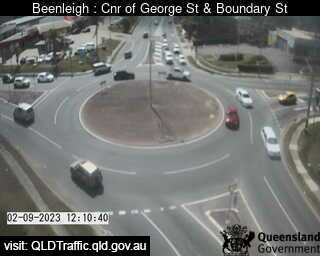
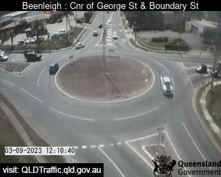
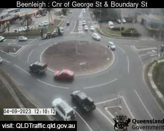
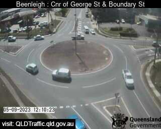
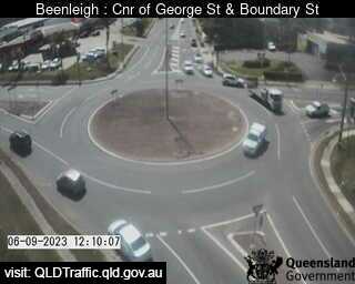
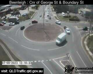
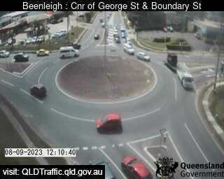
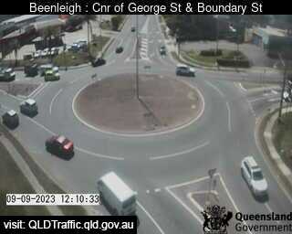
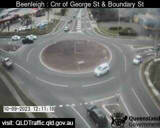
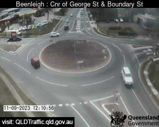
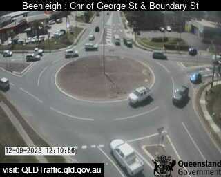
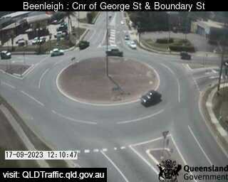
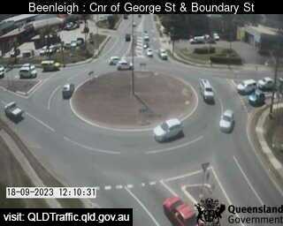
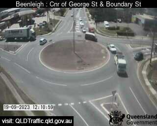
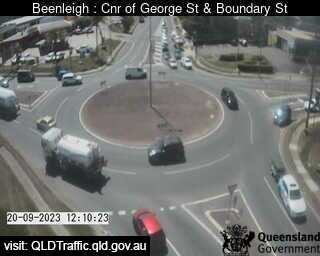
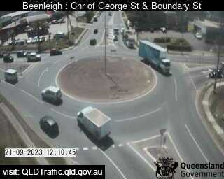
Beenleigh, Australia - 24.7 miles from Bromelton: George Street and Boundary Street (North) - A view of the current traffic conditions.
Operator: Queensland Government - Department of Transport and Main Roads
Operator: Queensland Government - Department of Transport and Main Roads


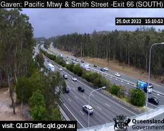
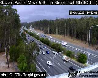
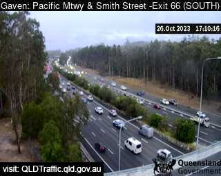
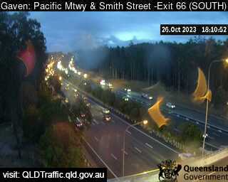
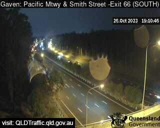
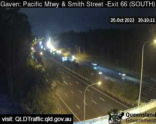
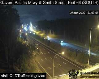
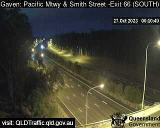
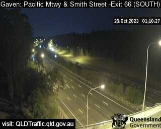
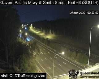
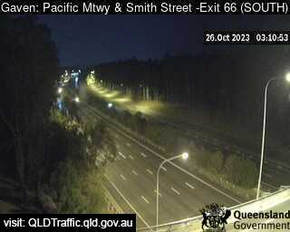
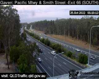
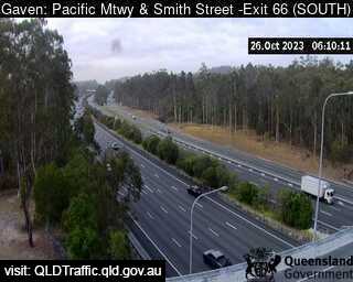
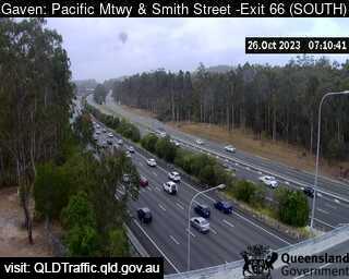
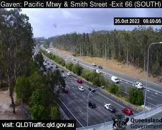
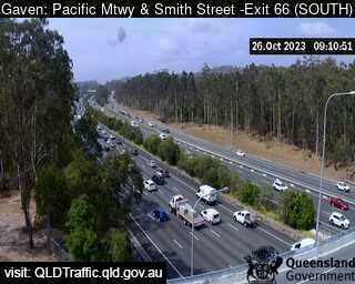
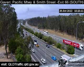
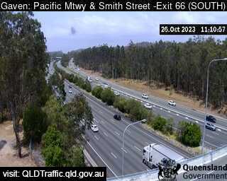
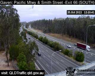
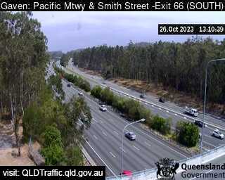
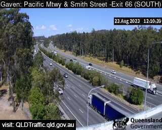
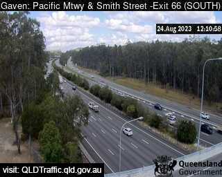
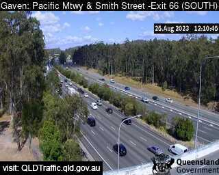
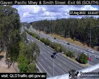
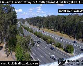
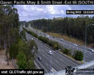
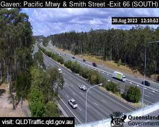
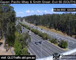
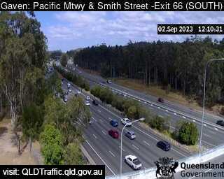
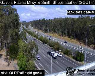
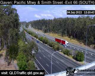
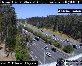
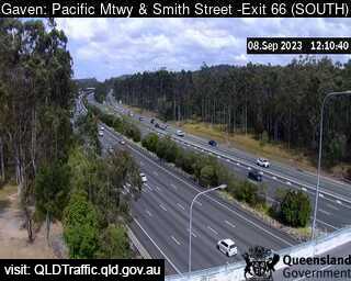
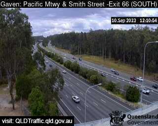
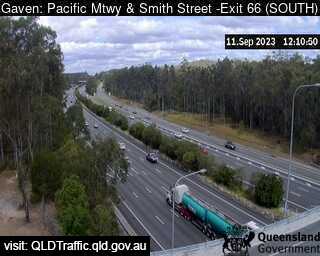
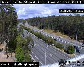
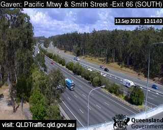
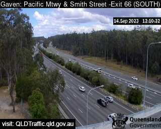
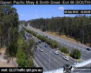
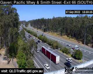
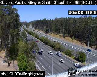
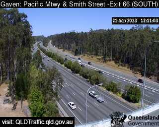
Gaven, Australia - 24.7 miles from Bromelton: Pacific Motorway and Smith Street Interchange (South) Exit 66 - A view of the current traffic conditions.
Operator: Queensland Government - Department of Transport and Main Roads
Operator: Queensland Government - Department of Transport and Main Roads


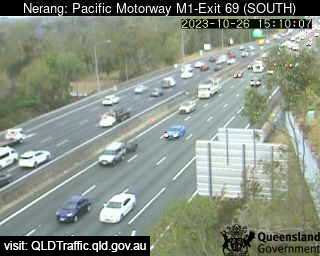
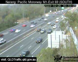
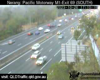
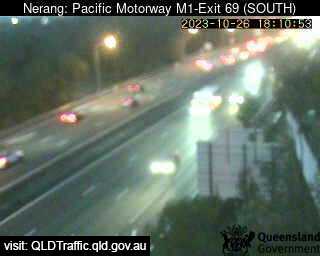
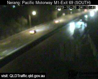
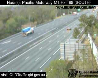
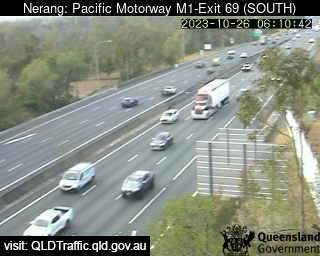
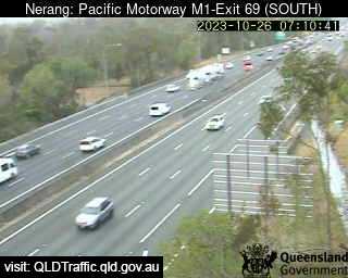
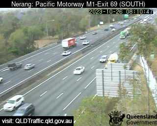
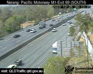
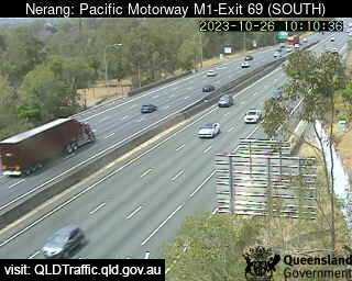
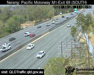
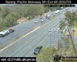
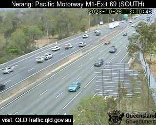
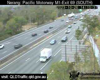
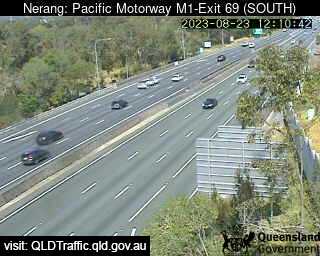
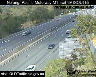
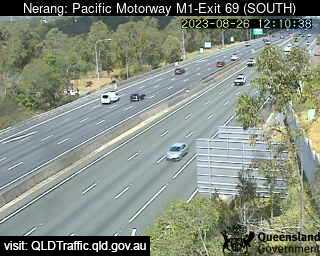
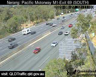
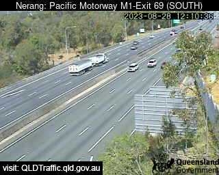
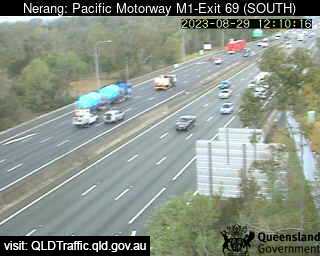
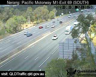
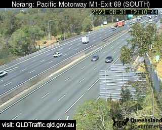
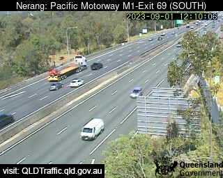
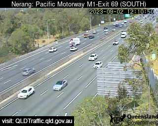
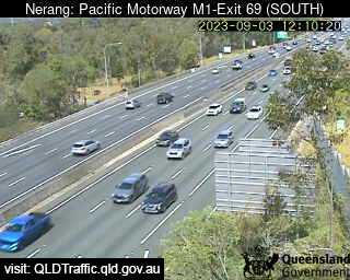
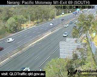
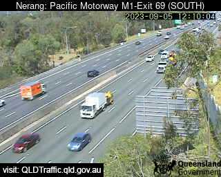
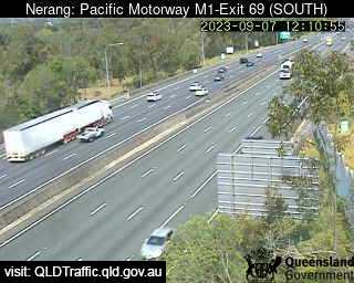
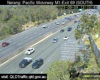
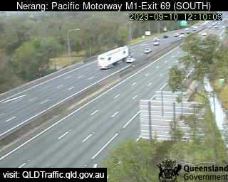
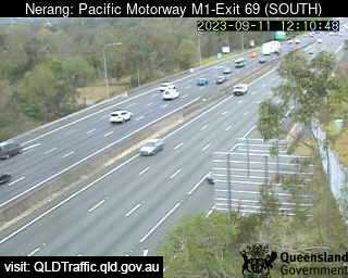
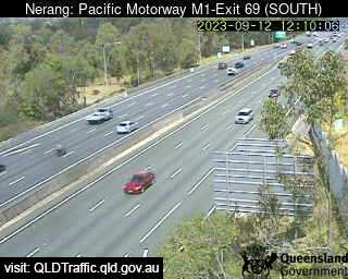
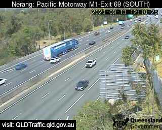
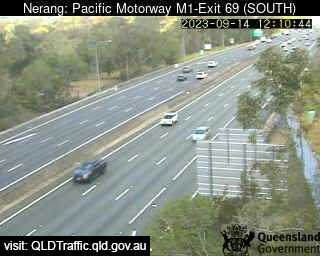
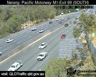
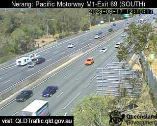
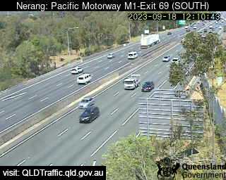
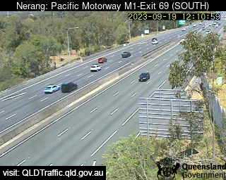
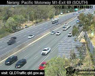
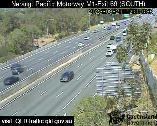
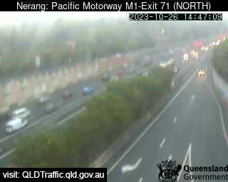
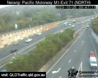
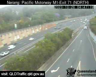
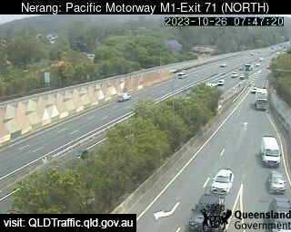
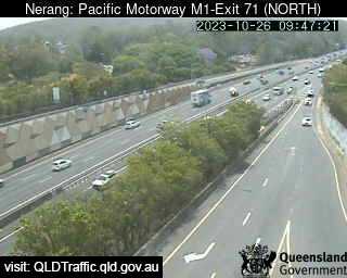
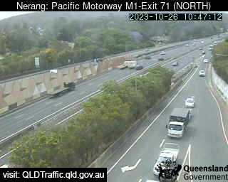
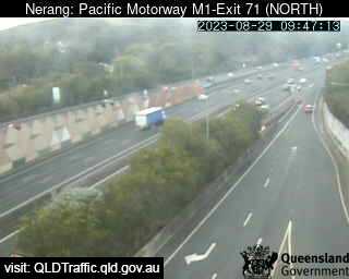
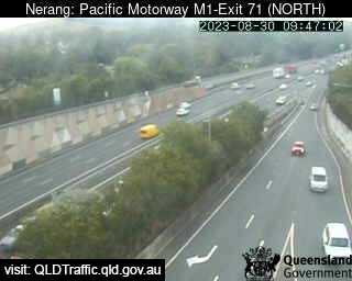
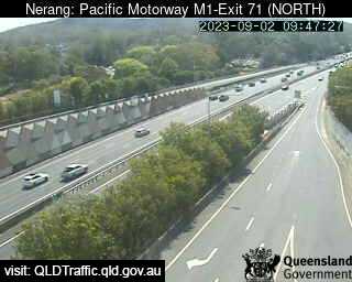
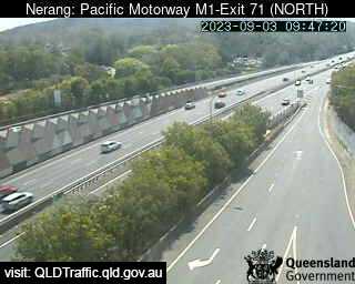
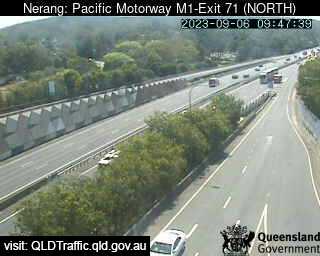
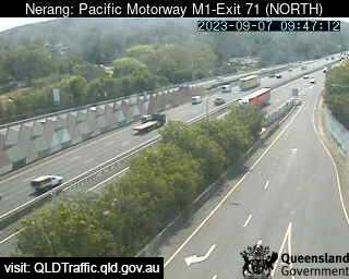
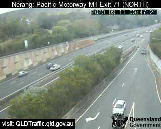
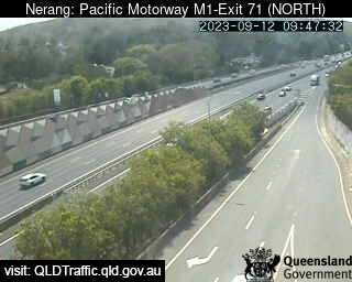
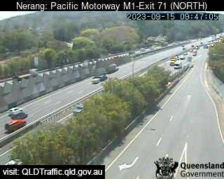
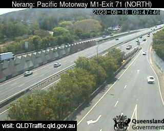
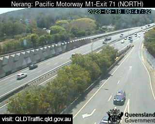
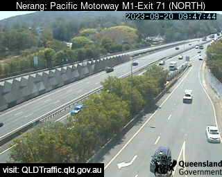
Nerang, Australia - 24.8 miles from Bromelton: Pacific Motorway M1 - A view of the current traffic conditions.
Operator: Queensland Government - Department of Transport and Main Roads
Operator: Queensland Government - Department of Transport and Main Roads


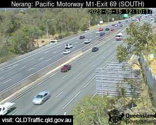

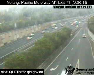
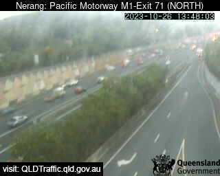
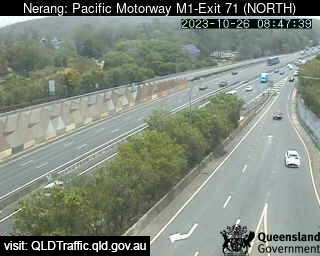
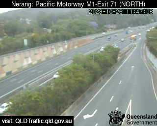
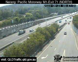
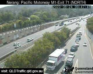
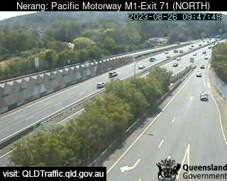
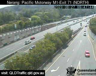
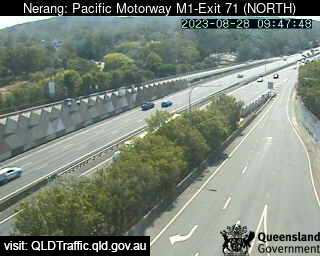
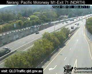
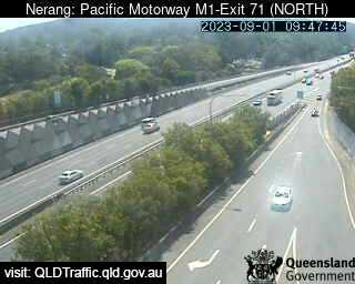
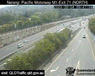
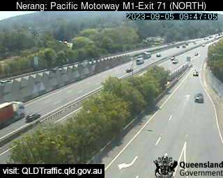
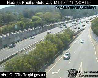
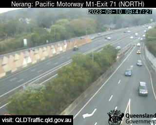
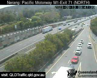
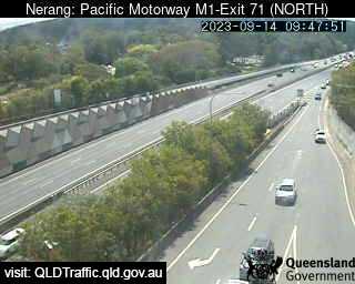
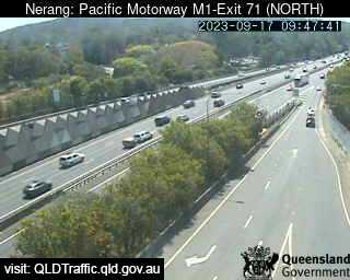
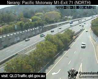
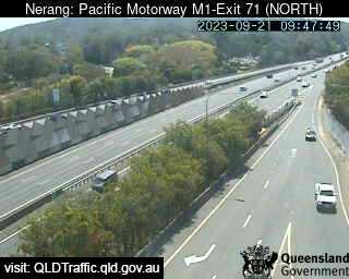
Nerang, Australia - 24.8 miles from Bromelton: Pacific Motorway M1 - Exit 71 (South) - A view of the current traffic conditions.
Operator: Queensland Government - Department of Transport and Main Roads
Operator: Queensland Government - Department of Transport and Main Roads


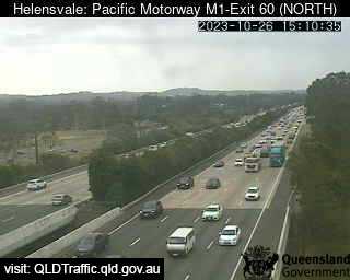
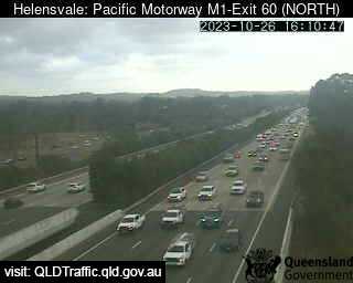
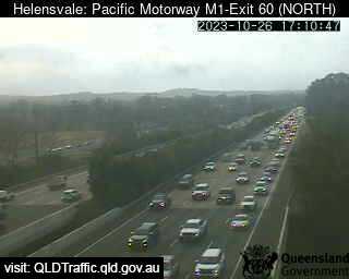
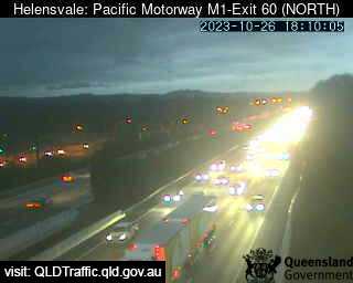
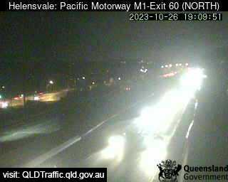
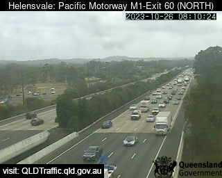
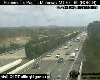
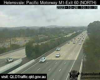
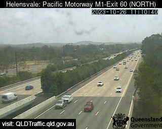
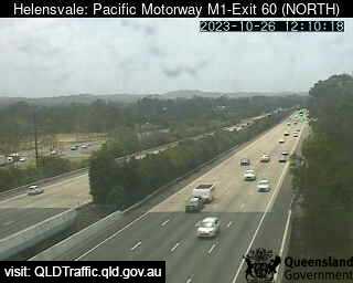
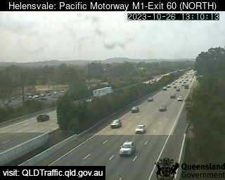
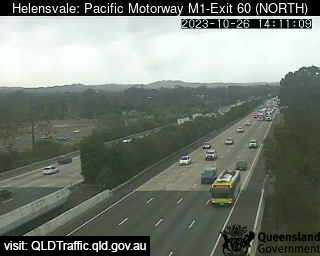
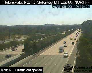
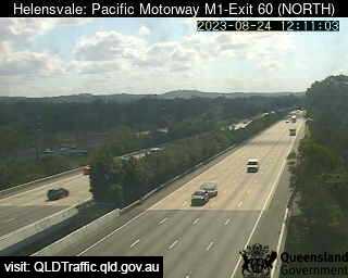
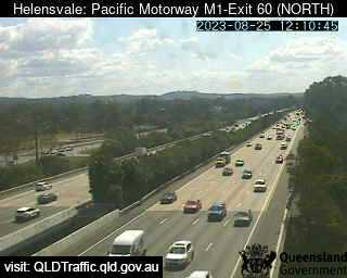
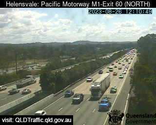
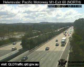
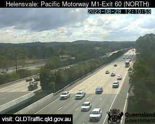
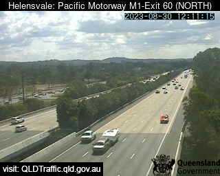
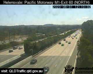
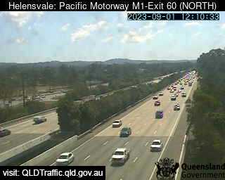
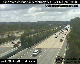
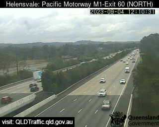
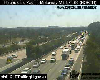
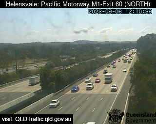
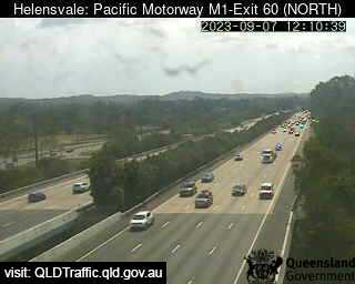
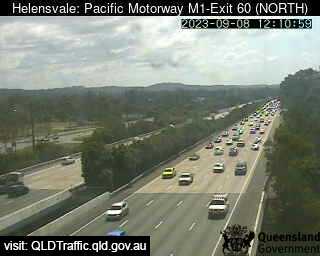
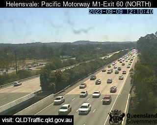
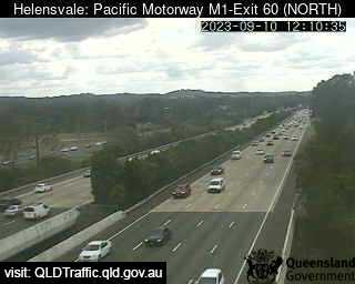
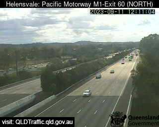
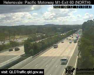
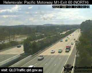
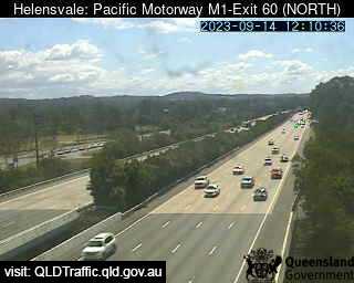
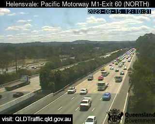
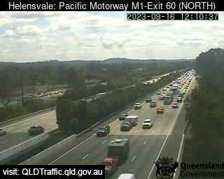
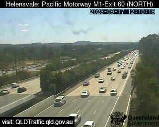
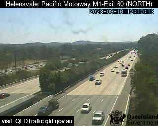
Helensvale, Australia - 25 miles from Bromelton: Pacific Motorway M1 - Exit 60 - A view of the current traffic conditions.
Operator: Queensland Government - Department of Transport and Main Roads
Operator: Queensland Government - Department of Transport and Main Roads


Some other places in this country: Brolgan - Brombin - Bromfleet - Bronte - Bronte - Bronte - Bronti - Brookdale - Brookfield - Brookhill