Webcams in the region of Biddleston, Australia
The List of Webcams near Biddleston, Australia:

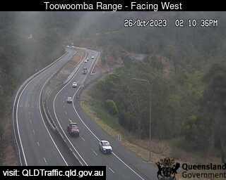
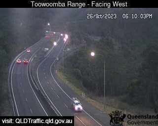
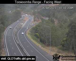
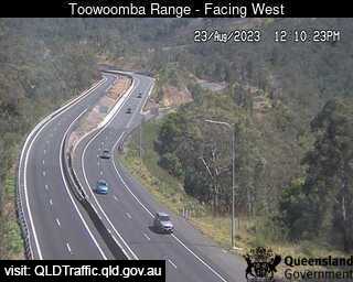
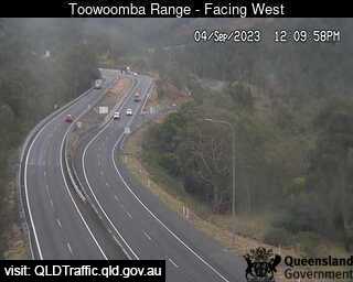
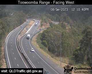
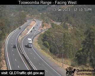
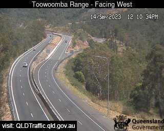
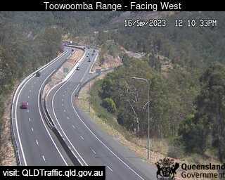
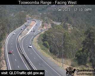
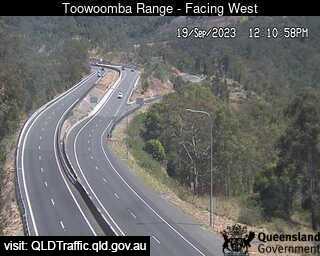
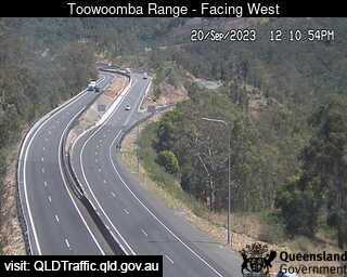
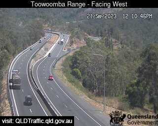
Toowoomba, Australia - 14.5 miles from Biddleston: Toowoomba Range - Saddle (West) - A view of the current traffic conditions.
Operator: Queensland Government - Department of Transport and Main Roads
Operator: Queensland Government - Department of Transport and Main Roads
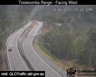
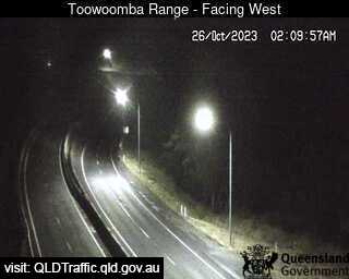
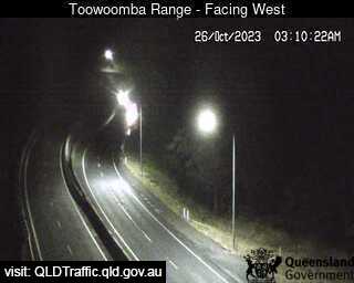
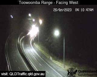
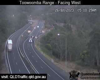
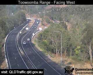
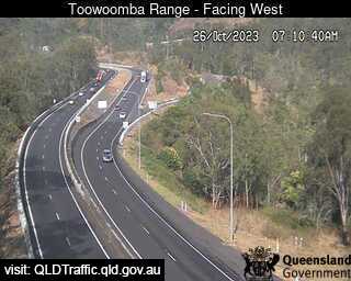
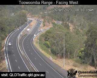
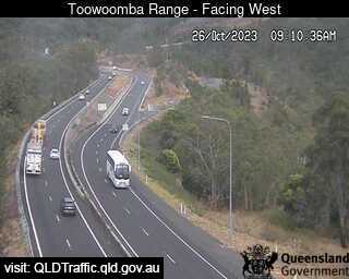
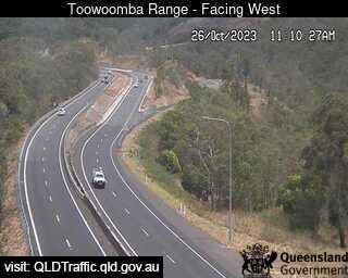
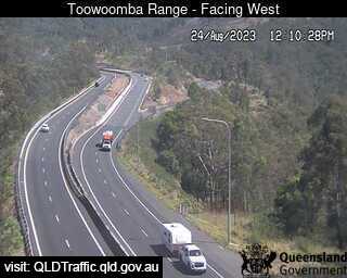
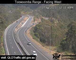
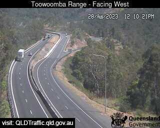
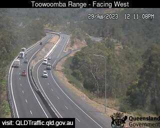
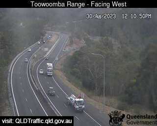
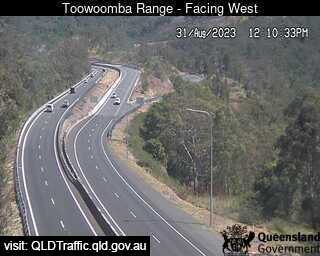
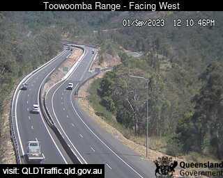
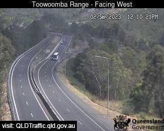
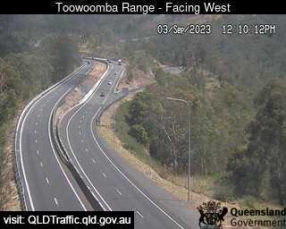
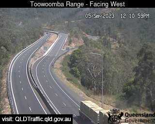
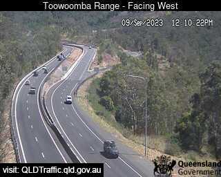


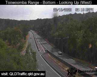
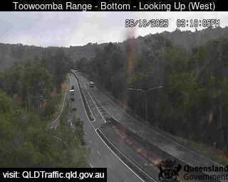
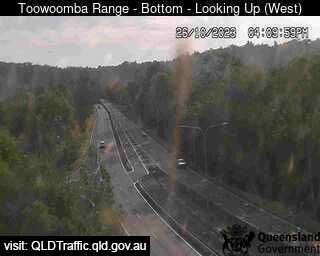
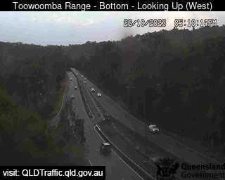
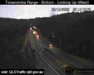
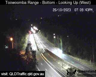
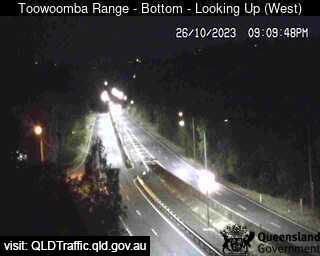
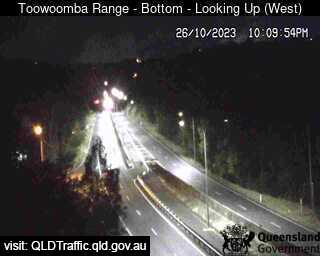
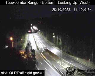
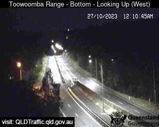
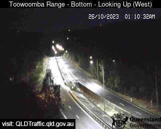
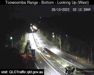
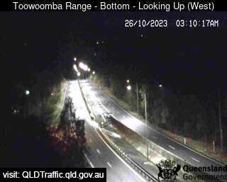
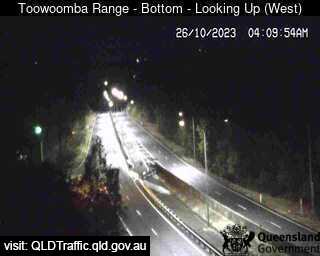
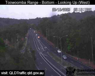
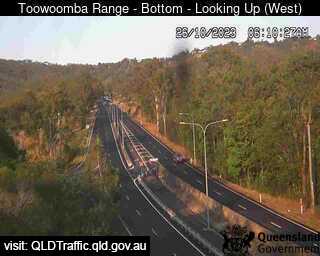
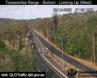
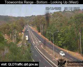
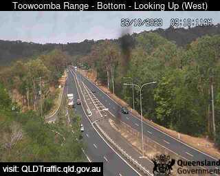
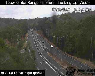
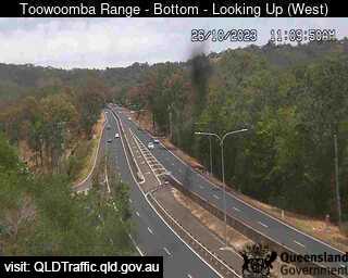
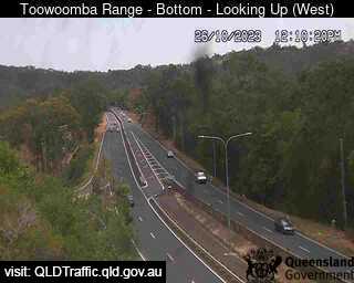
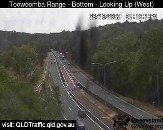
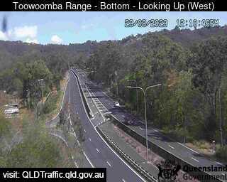
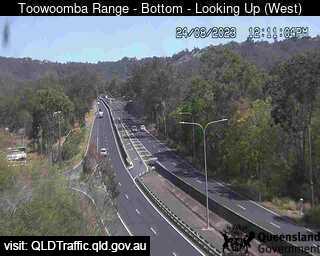
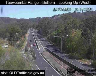
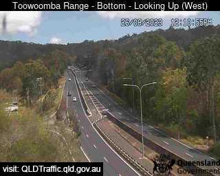
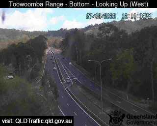
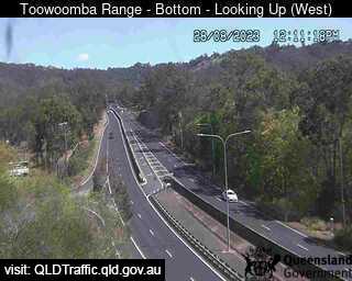
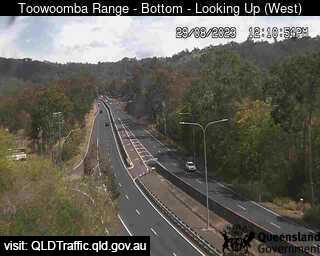
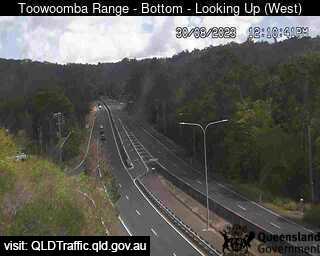
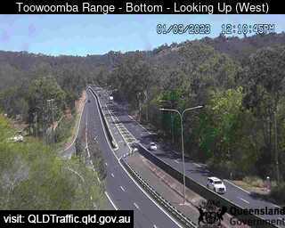
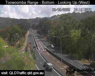
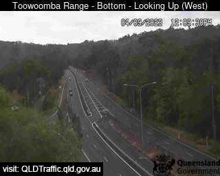
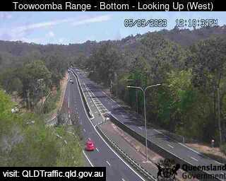
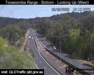
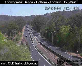
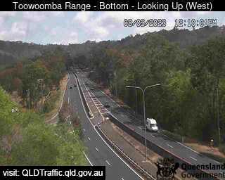
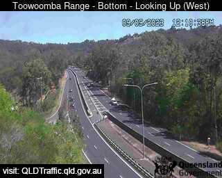
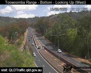
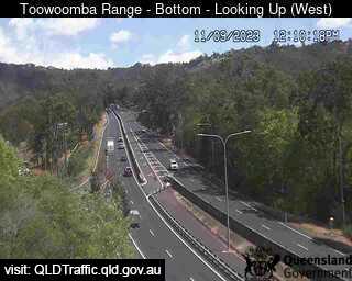
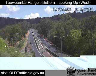
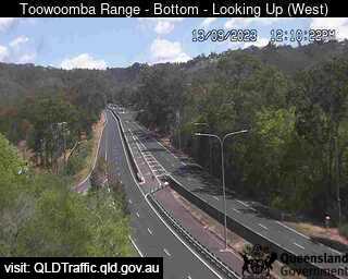
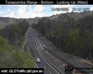
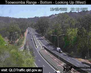
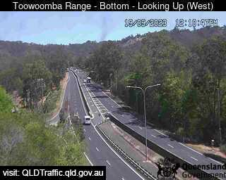
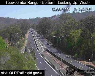
Toowoomba, Australia - 14.5 miles from Biddleston: Toowoomba Range - Bottom (Looking up - west) - A view of the current traffic conditions.
Operator: Queensland Government - Department of Transport and Main Roads
Operator: Queensland Government - Department of Transport and Main Roads


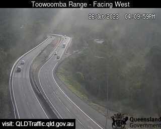
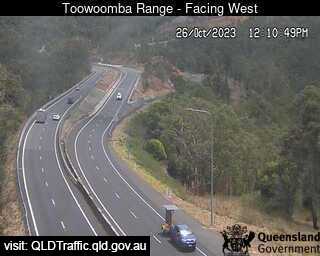
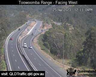
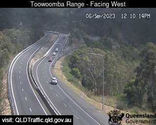
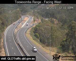
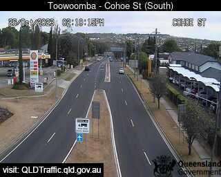
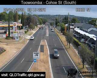
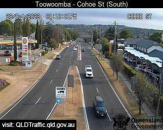
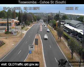
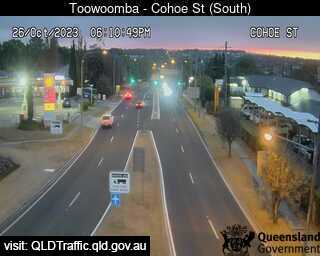
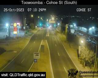
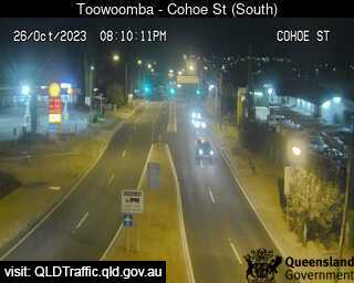
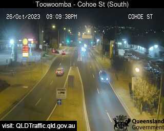
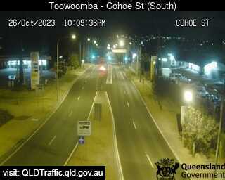
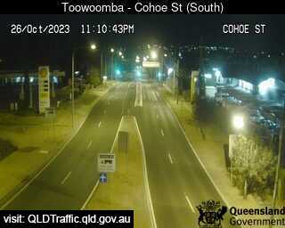
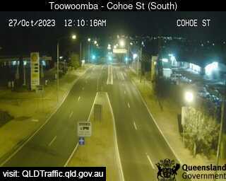
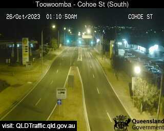
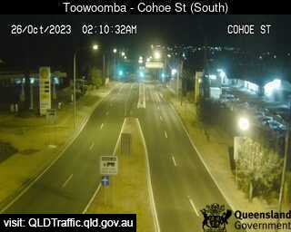
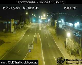
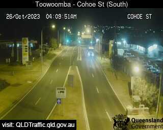
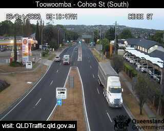
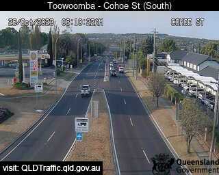
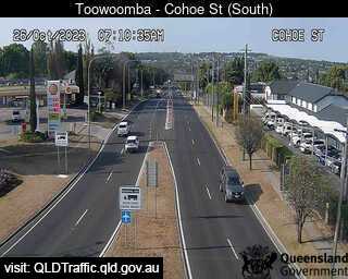
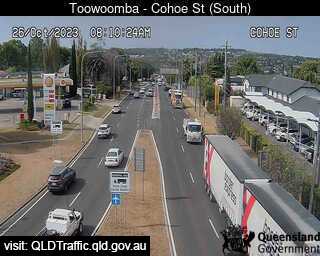
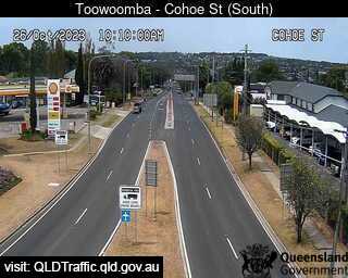
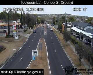
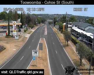
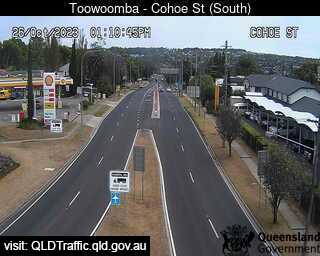
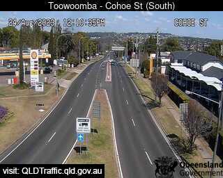
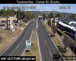
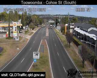
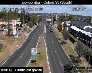
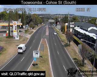
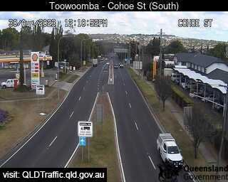
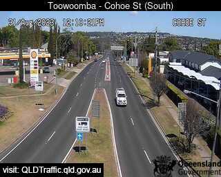
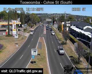
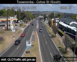
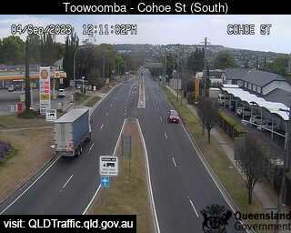
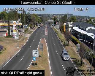
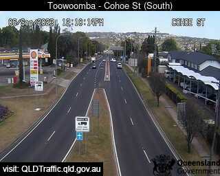
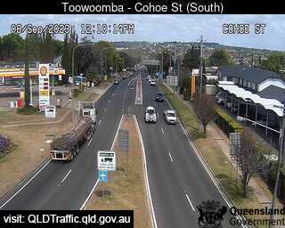
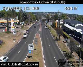
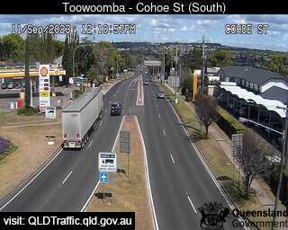
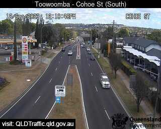
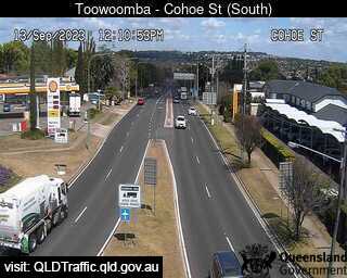
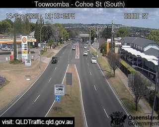
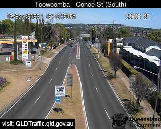
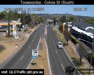
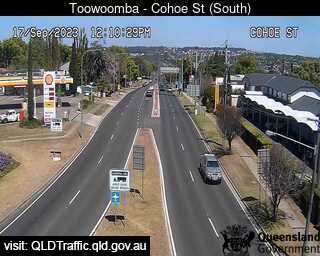
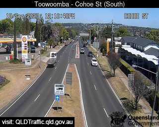
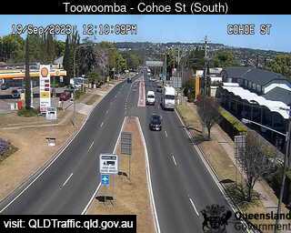
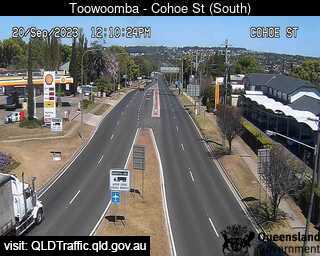
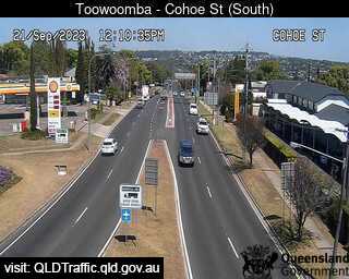
Toowoomba, Australia - 14.5 miles from Biddleston: Toowoomba Range - Top (South to Cohoe Street) - A view of the current traffic conditions.
Operator: Queensland Government - Department of Transport and Main Roads
Operator: Queensland Government - Department of Transport and Main Roads


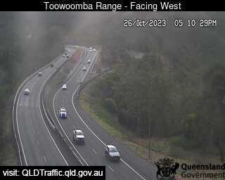
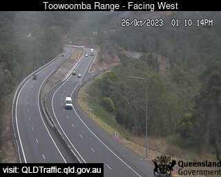
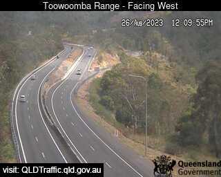
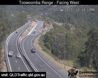
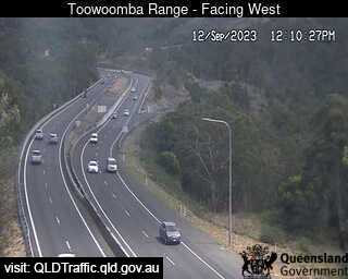
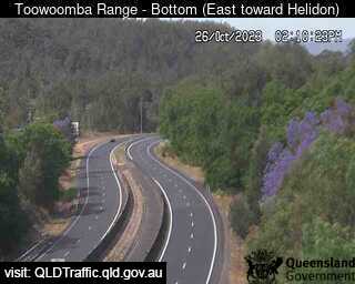
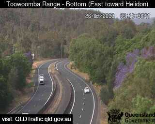
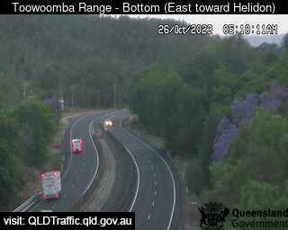
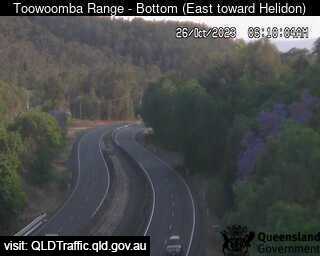
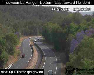
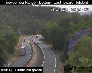
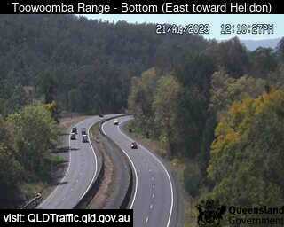
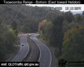
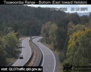
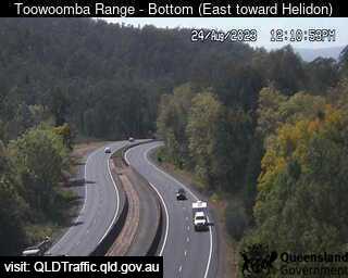
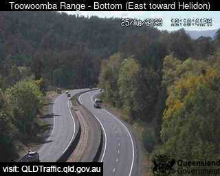
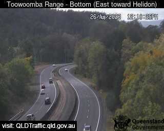
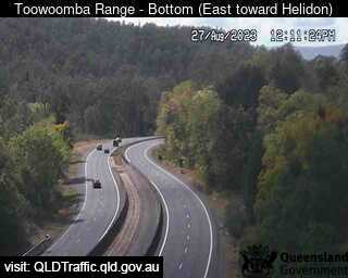
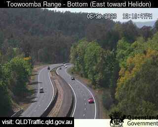
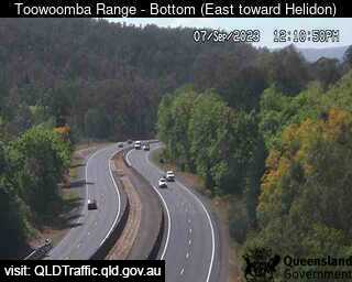
Toowoomba, Australia - 14.5 miles from Biddleston: Toowoomba Range - Bottom (East toward Helidon) - A view of the current traffic conditions.
Operator: Queensland Government - Department of Transport and Main Roads
Operator: Queensland Government - Department of Transport and Main Roads


Toowoomba, Australia - 14.5 miles from Biddleston: Toowoomba Range - Saddle (East) - A view of the current traffic conditions.
Operator: Queensland Government - Department of Transport and Main Roads
Operator: Queensland Government - Department of Transport and Main Roads
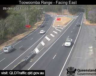
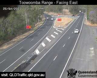
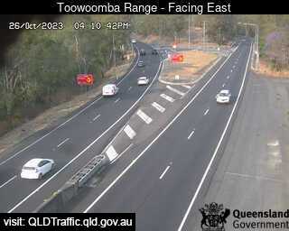

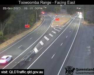
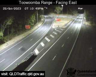
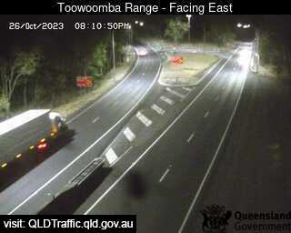
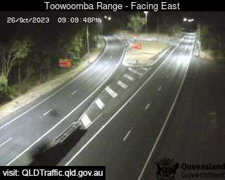
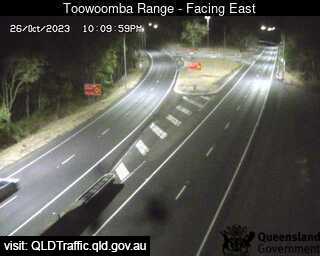
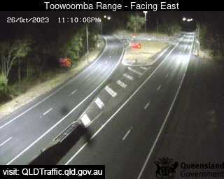
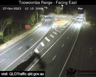
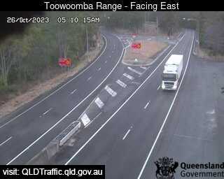
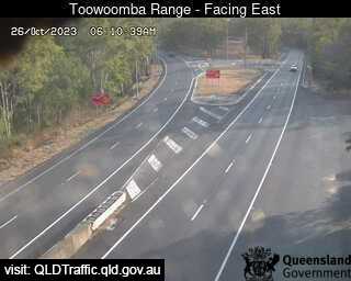

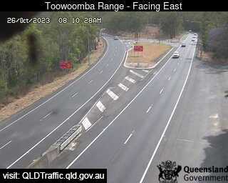

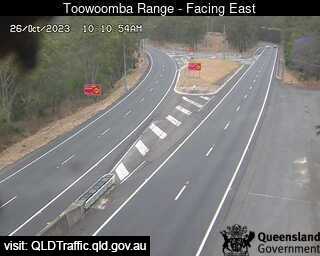
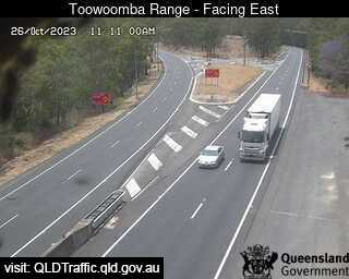
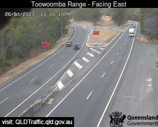
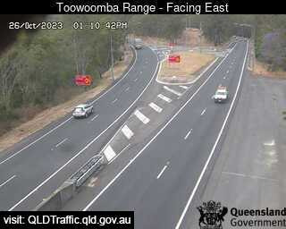
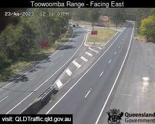
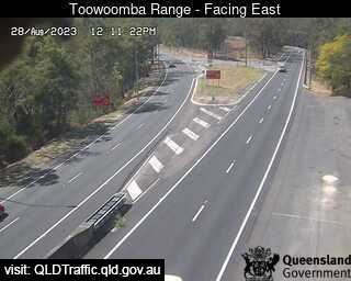
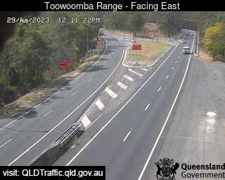
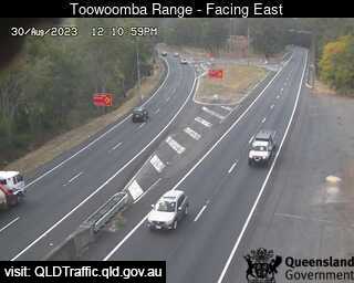

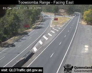
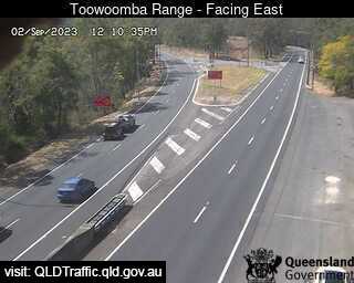
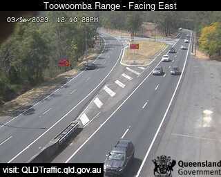
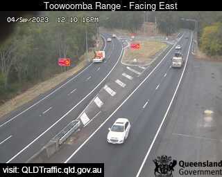
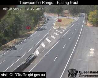
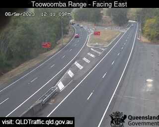
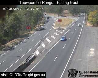
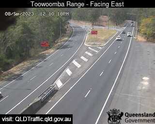
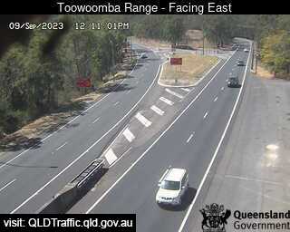
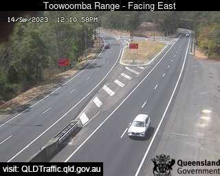
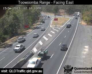
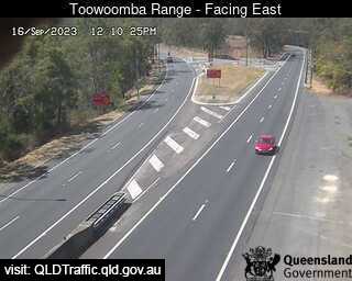
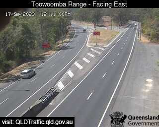

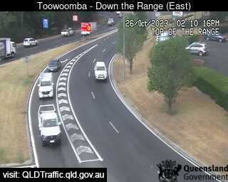
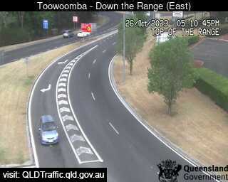
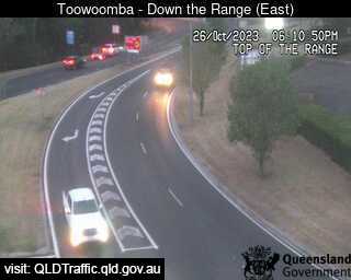
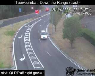
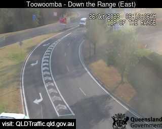
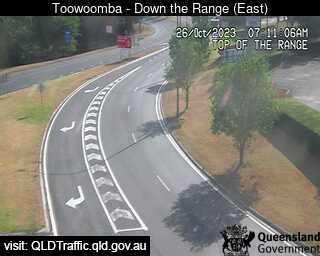
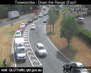
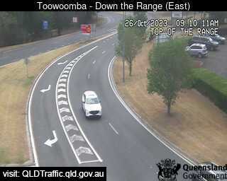
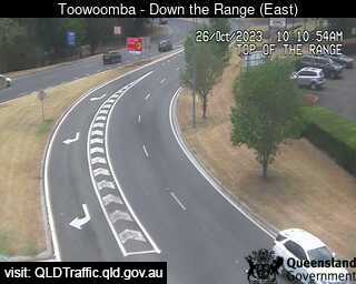
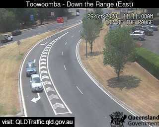
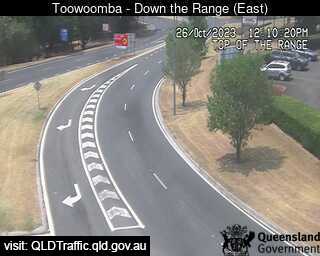
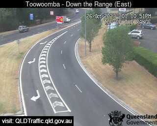
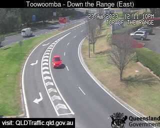
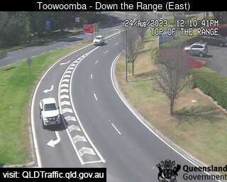
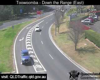
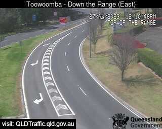
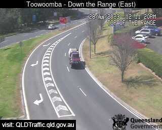
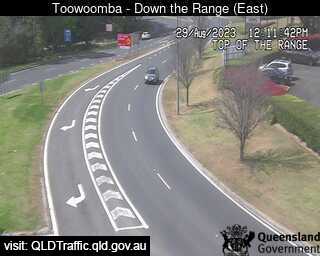
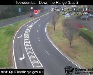
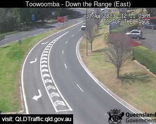
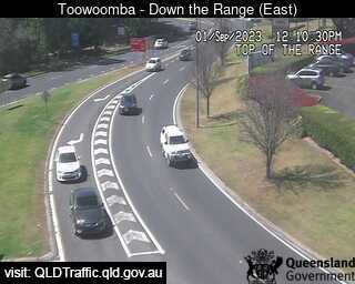
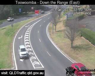
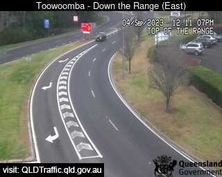
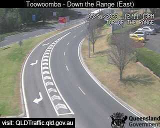
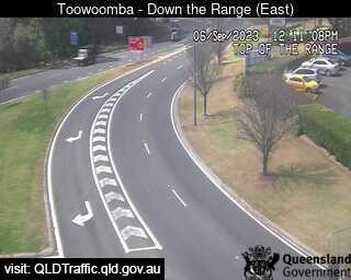
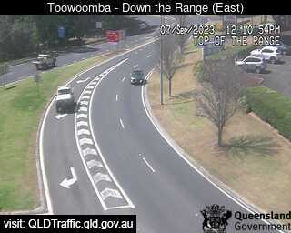
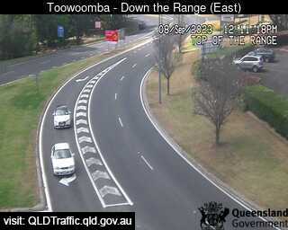
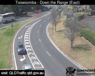
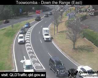
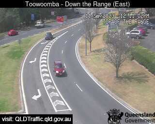
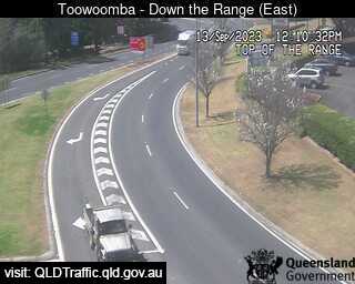
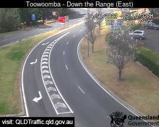
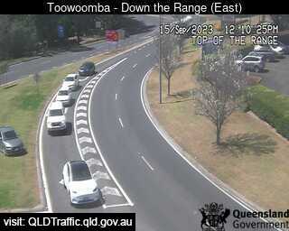
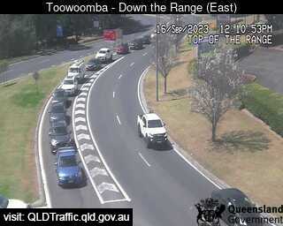
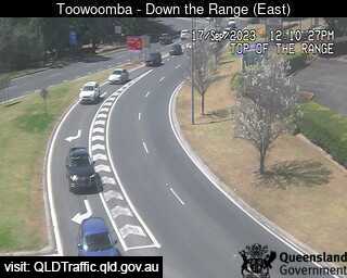
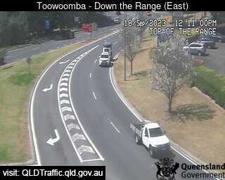
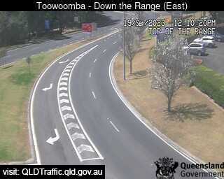
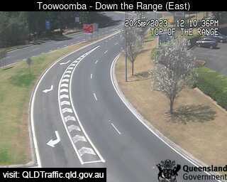
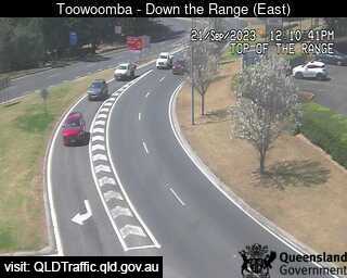
Toowoomba, Australia - 14.5 miles from Biddleston: Toowoomba Range - Top (East) - A view of the current traffic conditions.
Operator: Queensland Government - Department of Transport and Main Roads
Operator: Queensland Government - Department of Transport and Main Roads


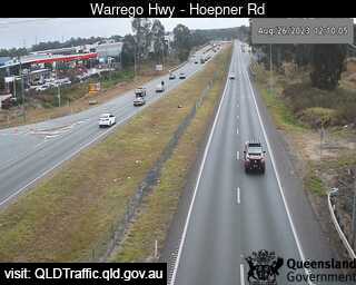
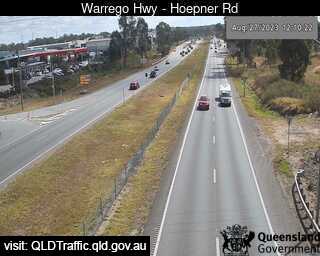
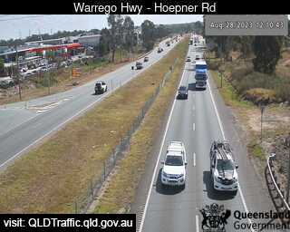
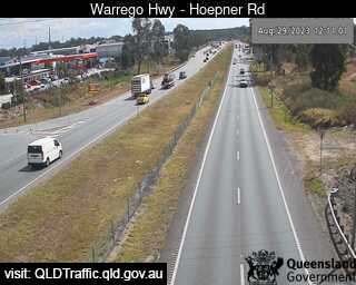
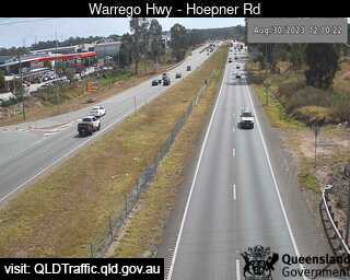
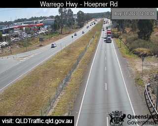
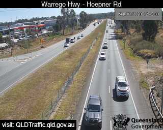
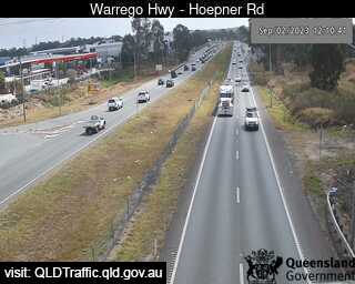
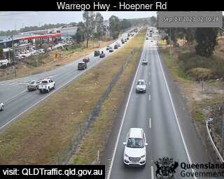
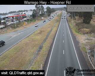
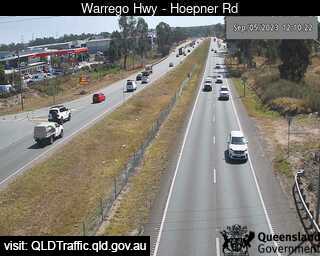
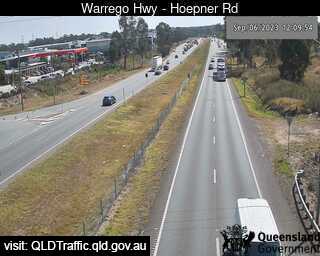
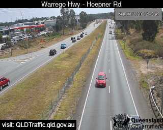
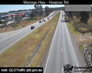
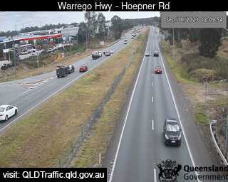
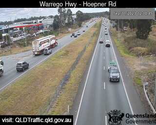
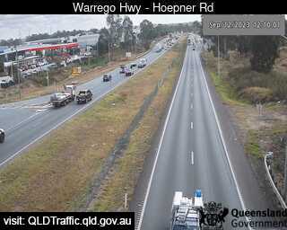
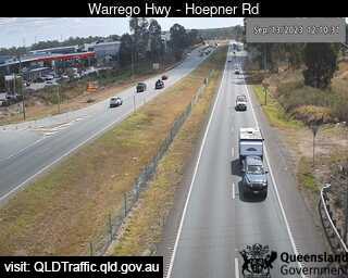
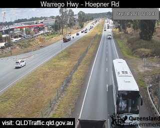
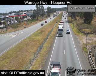
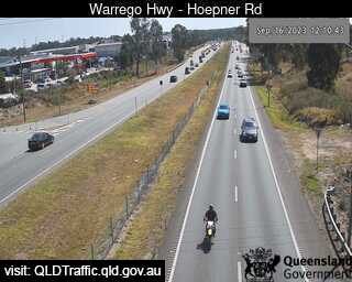
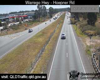
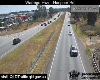
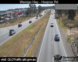
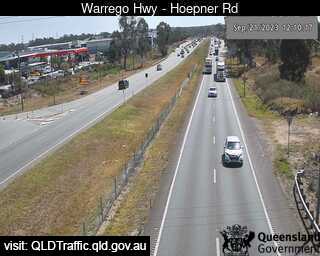
Bundamba, Australia - 67.1 miles from Biddleston: Warrego Hwy near Hoepner Rd - A view of the current traffic conditions.
Operator: Queensland Government - Department of Transport and Main Roads
Operator: Queensland Government - Department of Transport and Main Roads


Dinmore, Australia - 68.4 miles from Biddleston: Ipswich Motorway and Warrego Highway (East) - A view of the current traffic conditions.
Operator: Queensland Government - Department of Transport and Main Roads
Operator: Queensland Government - Department of Transport and Main Roads


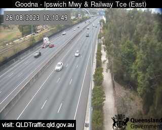
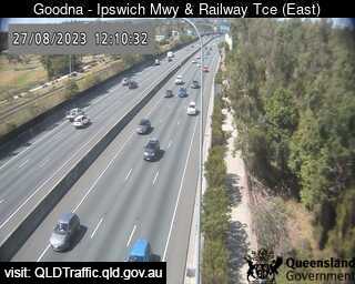
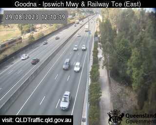
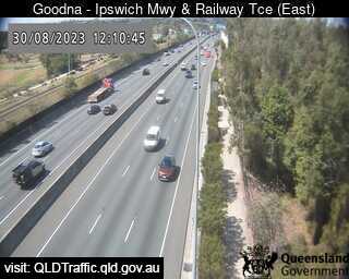
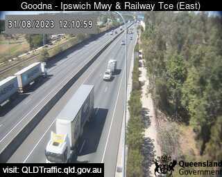
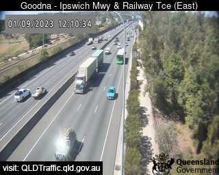
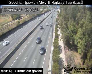
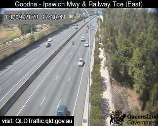
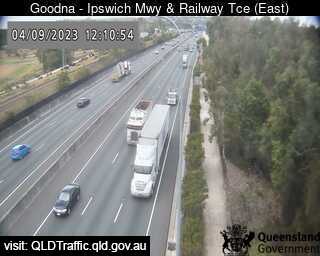
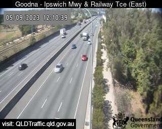
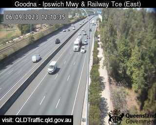
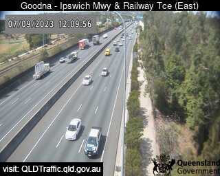
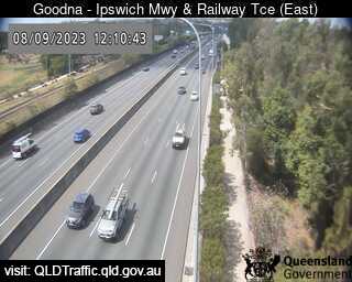
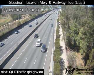
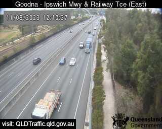
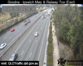
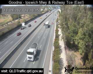
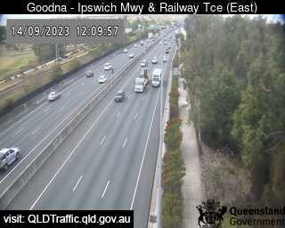
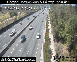
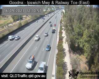
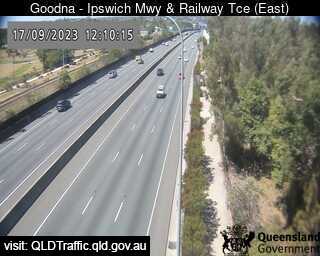
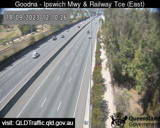
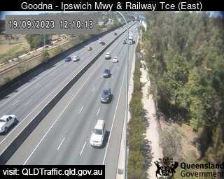
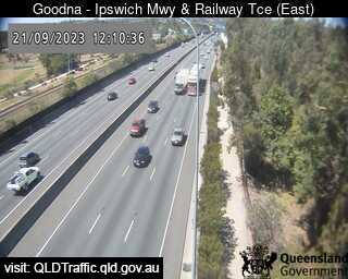
Goodna, Australia - 72.4 miles from Biddleston: Ipswich Motorway and Railway Terrace (East) - A view of the current traffic conditions.
Operator: Queensland Government - Department of Transport and Main Roads
Operator: Queensland Government - Department of Transport and Main Roads


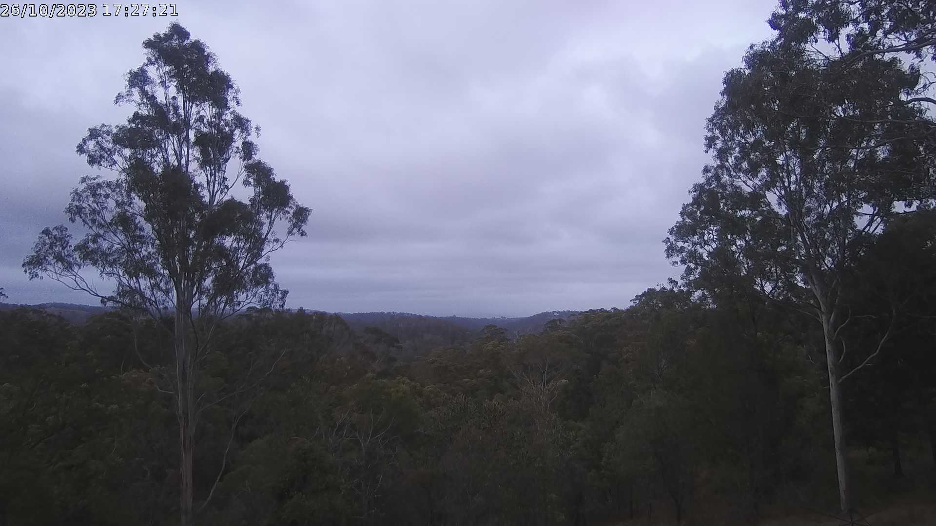
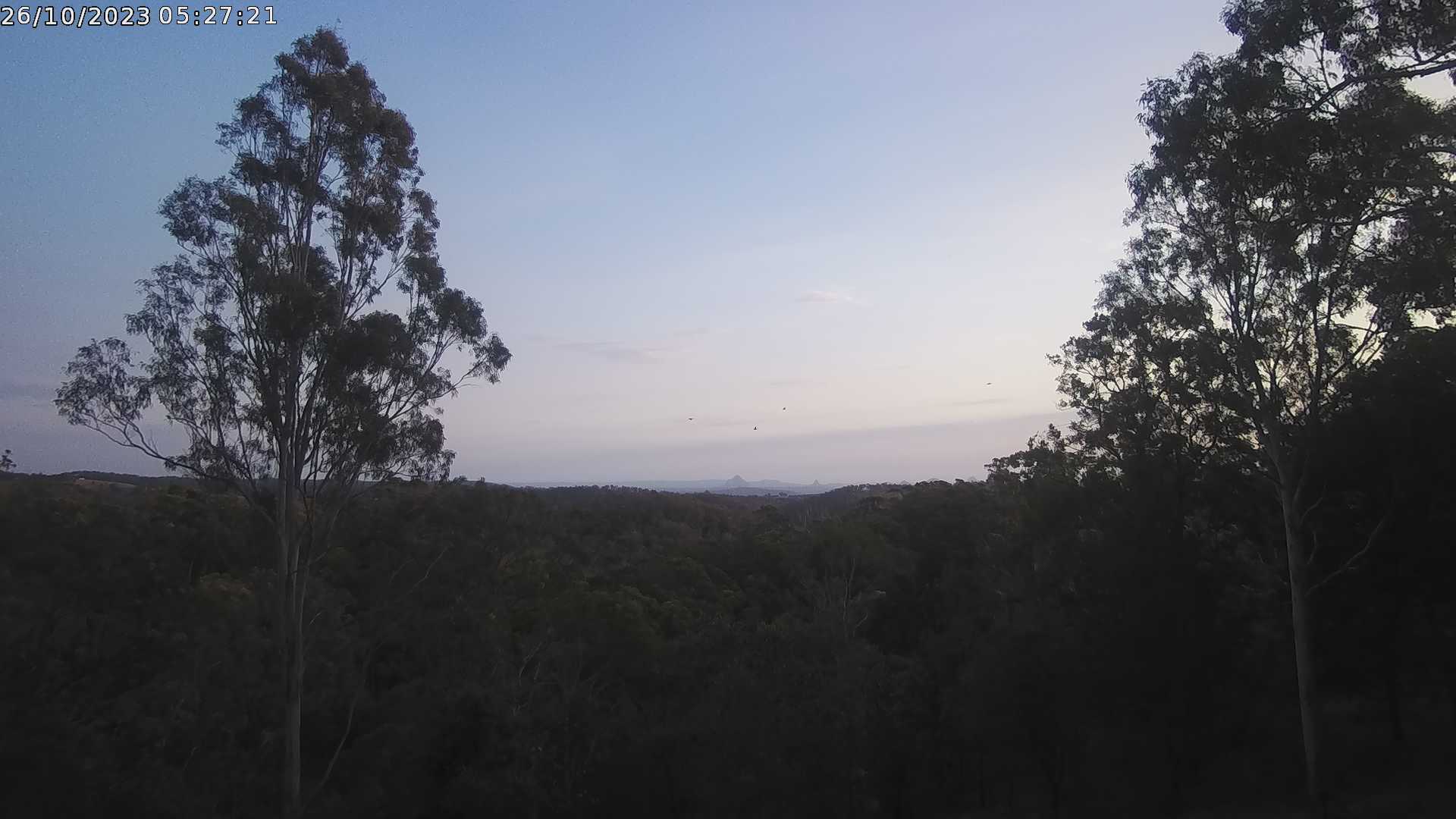
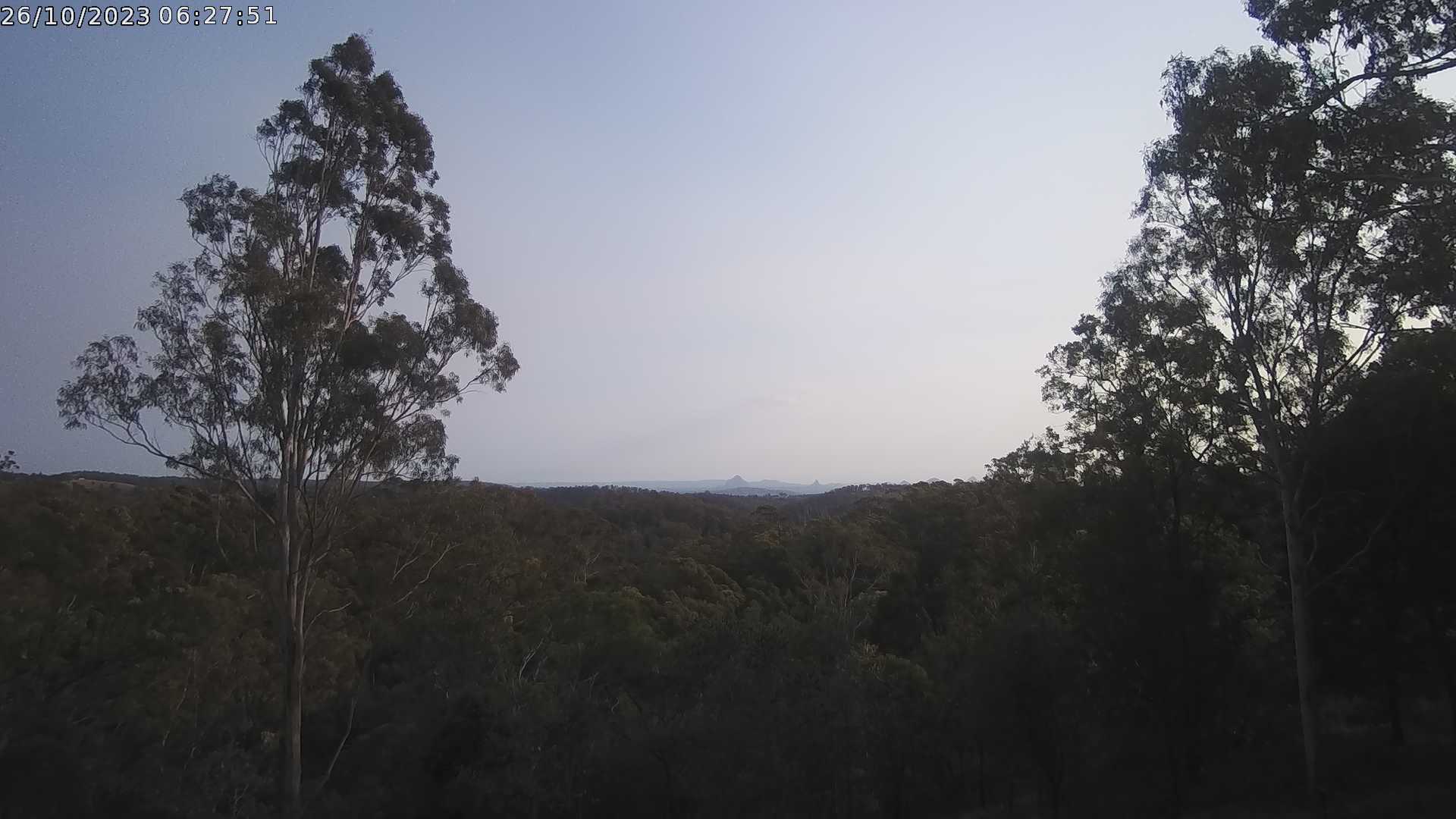
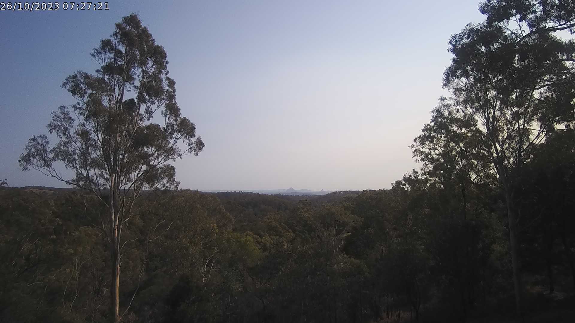
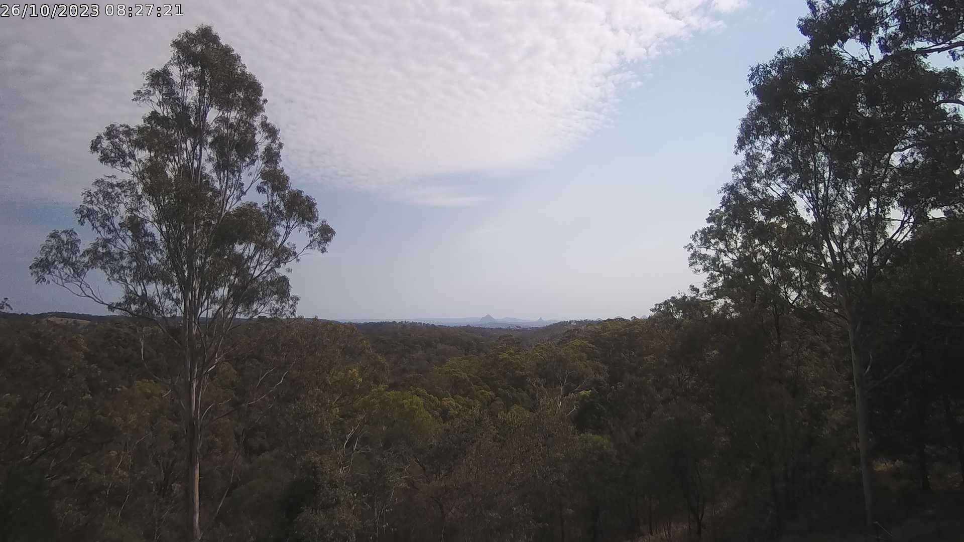
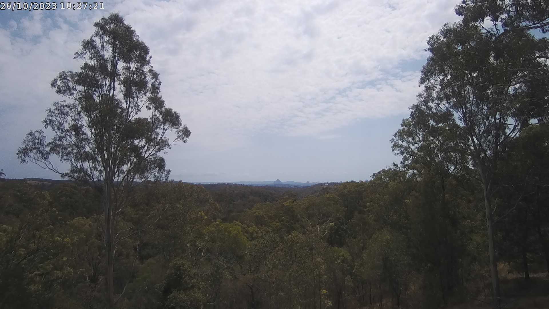
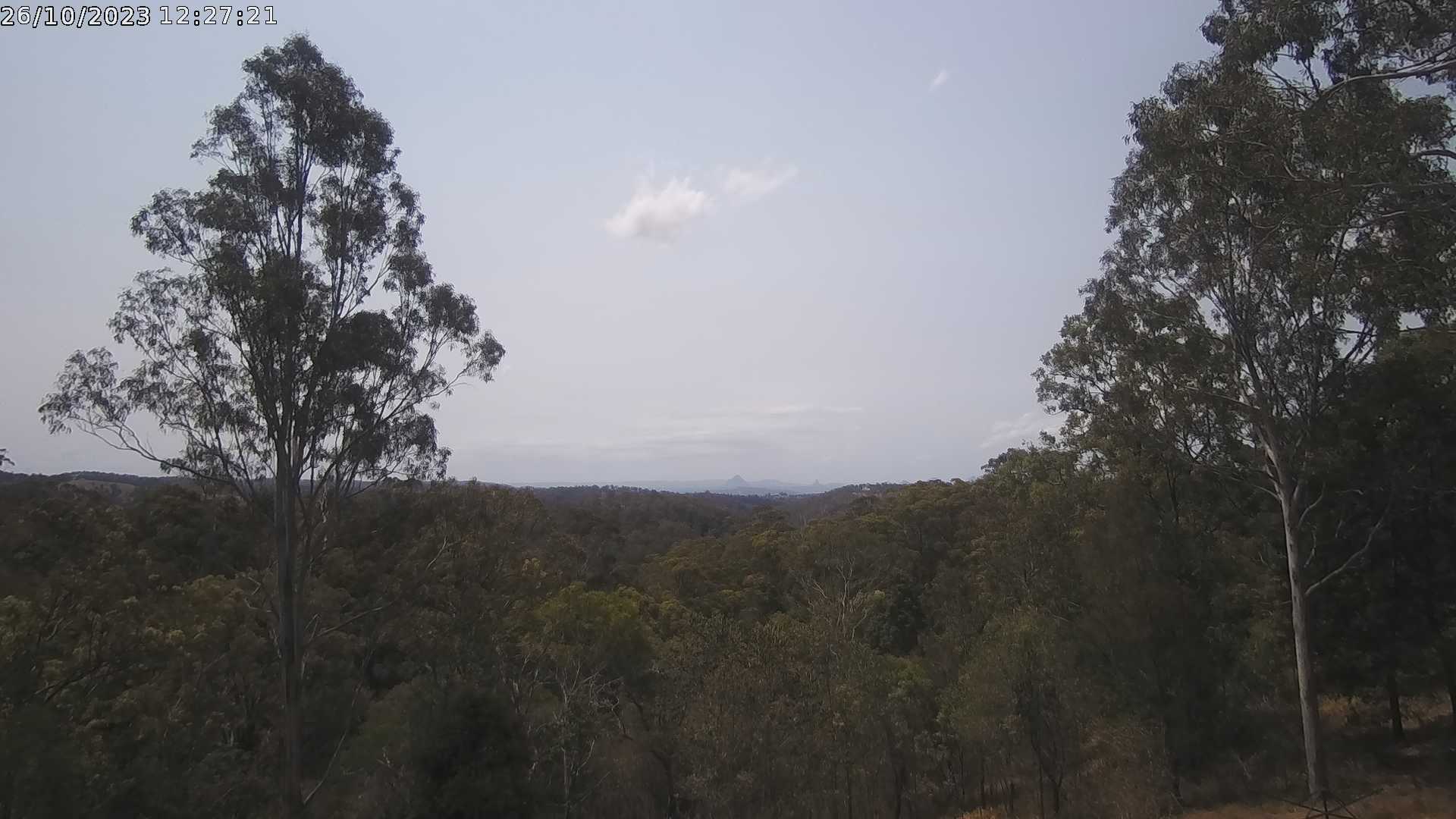
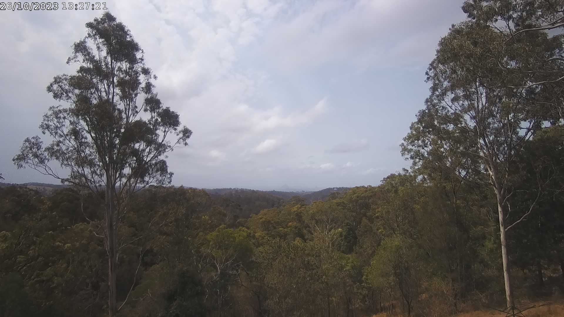
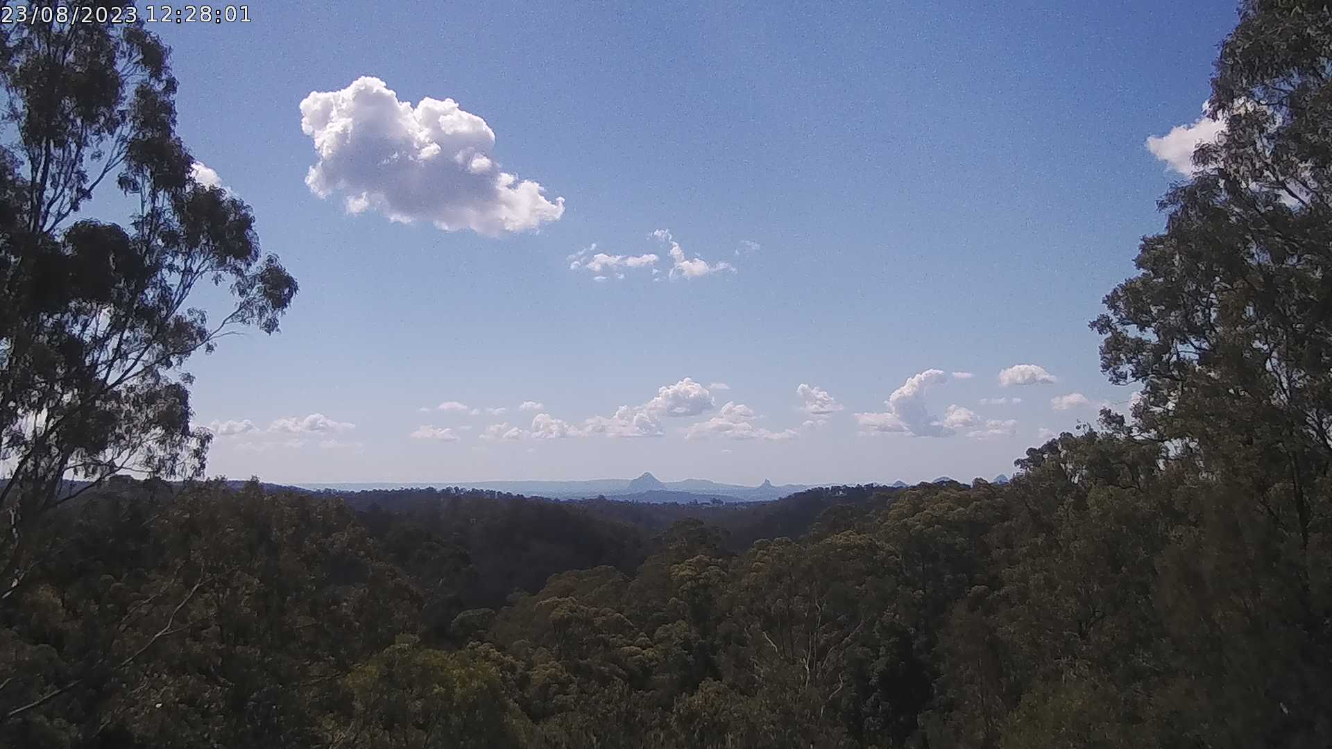
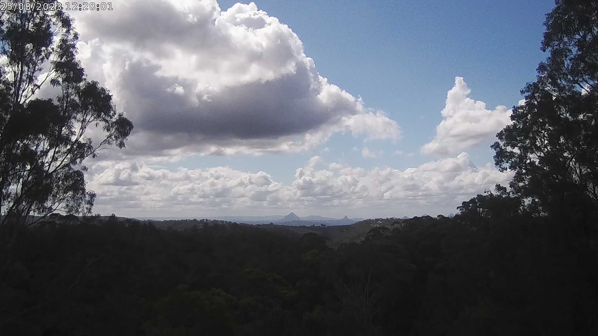
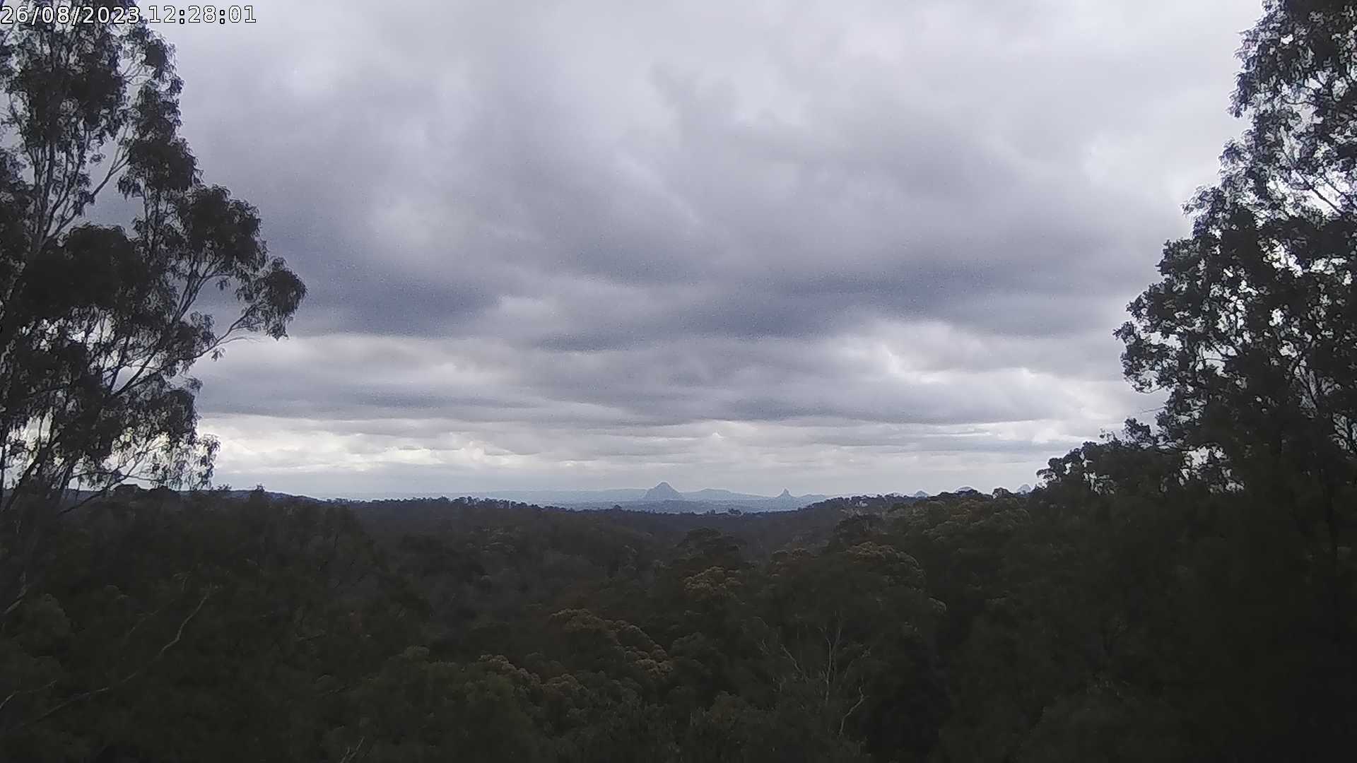
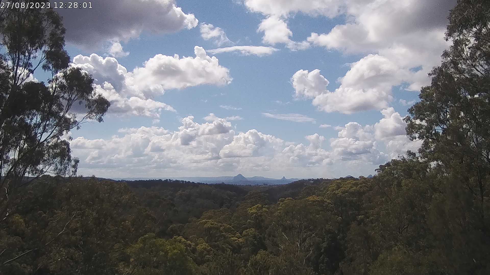
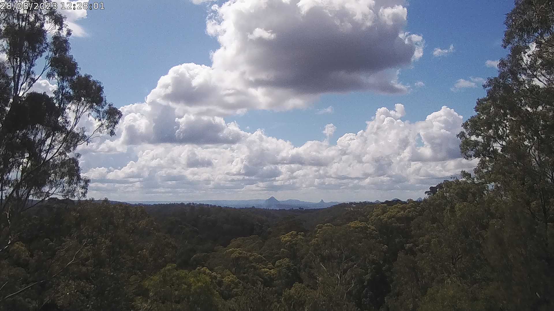
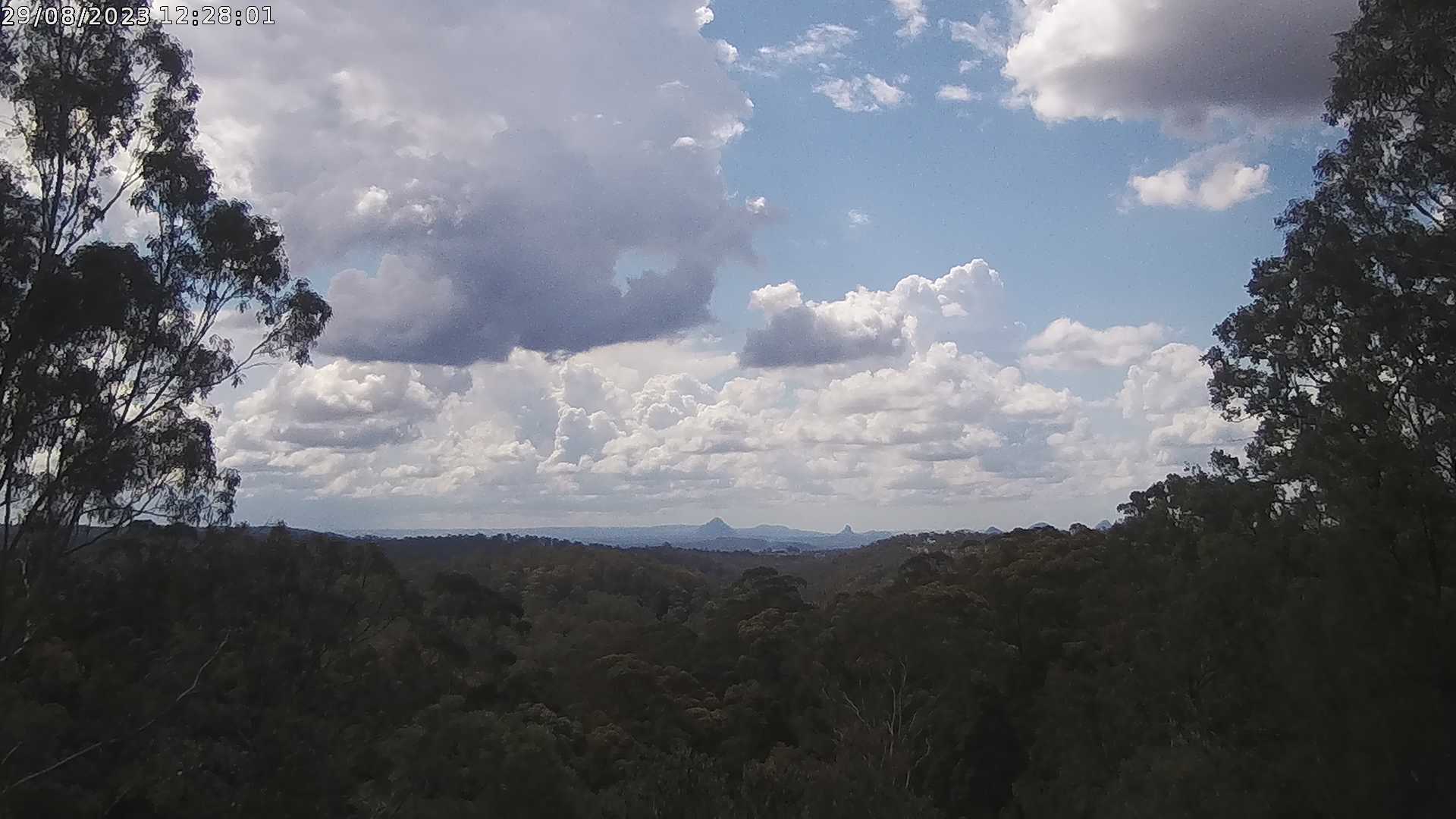
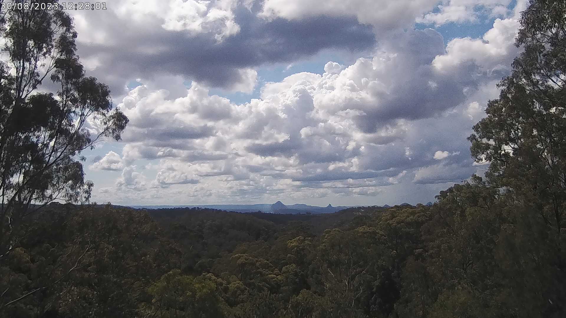
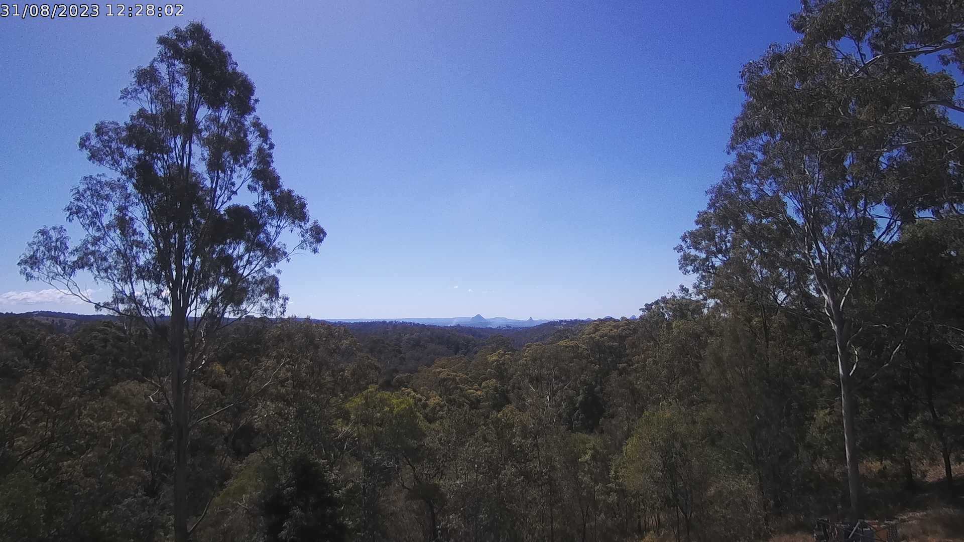
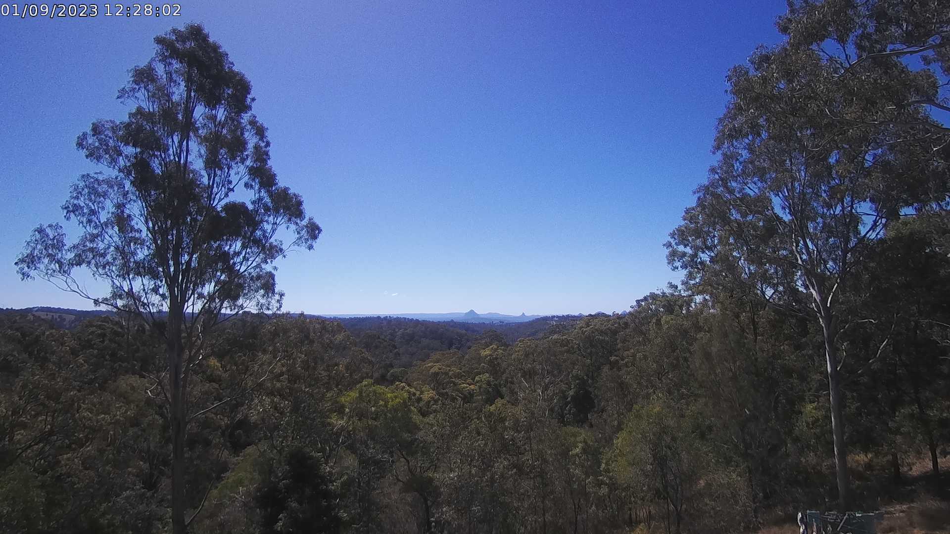
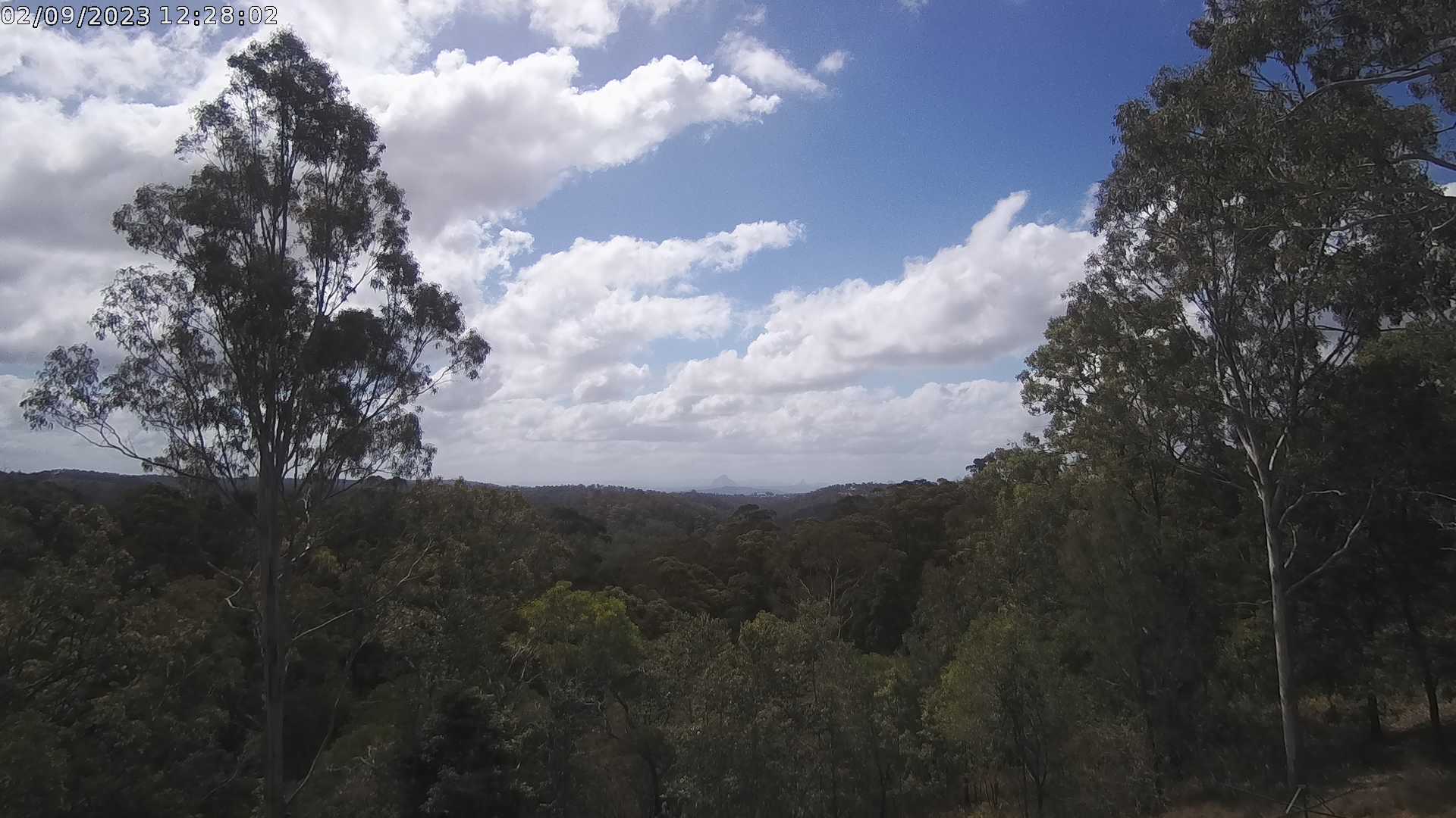
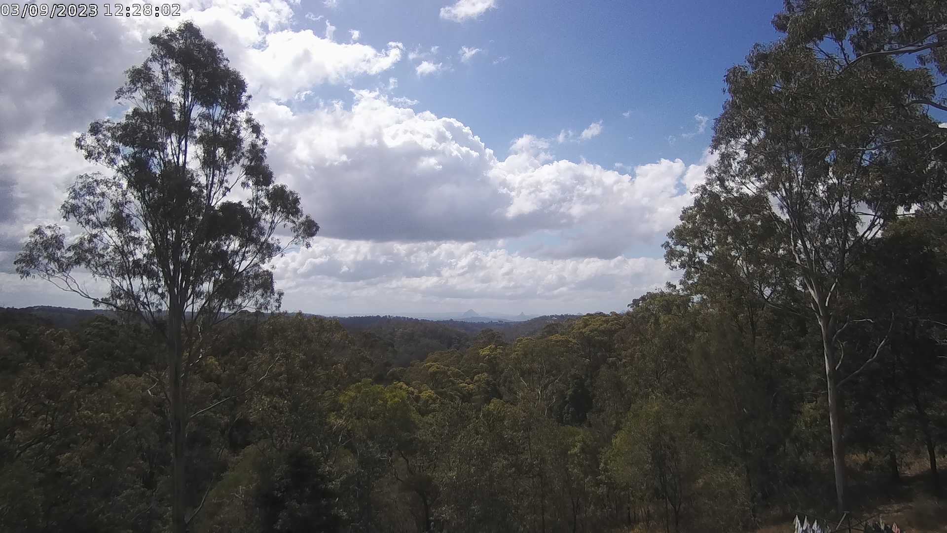
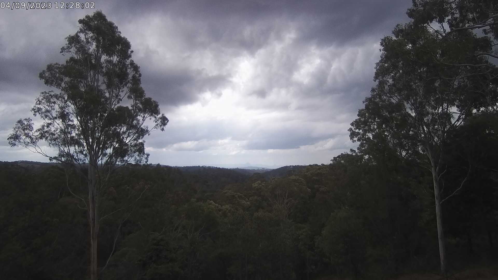
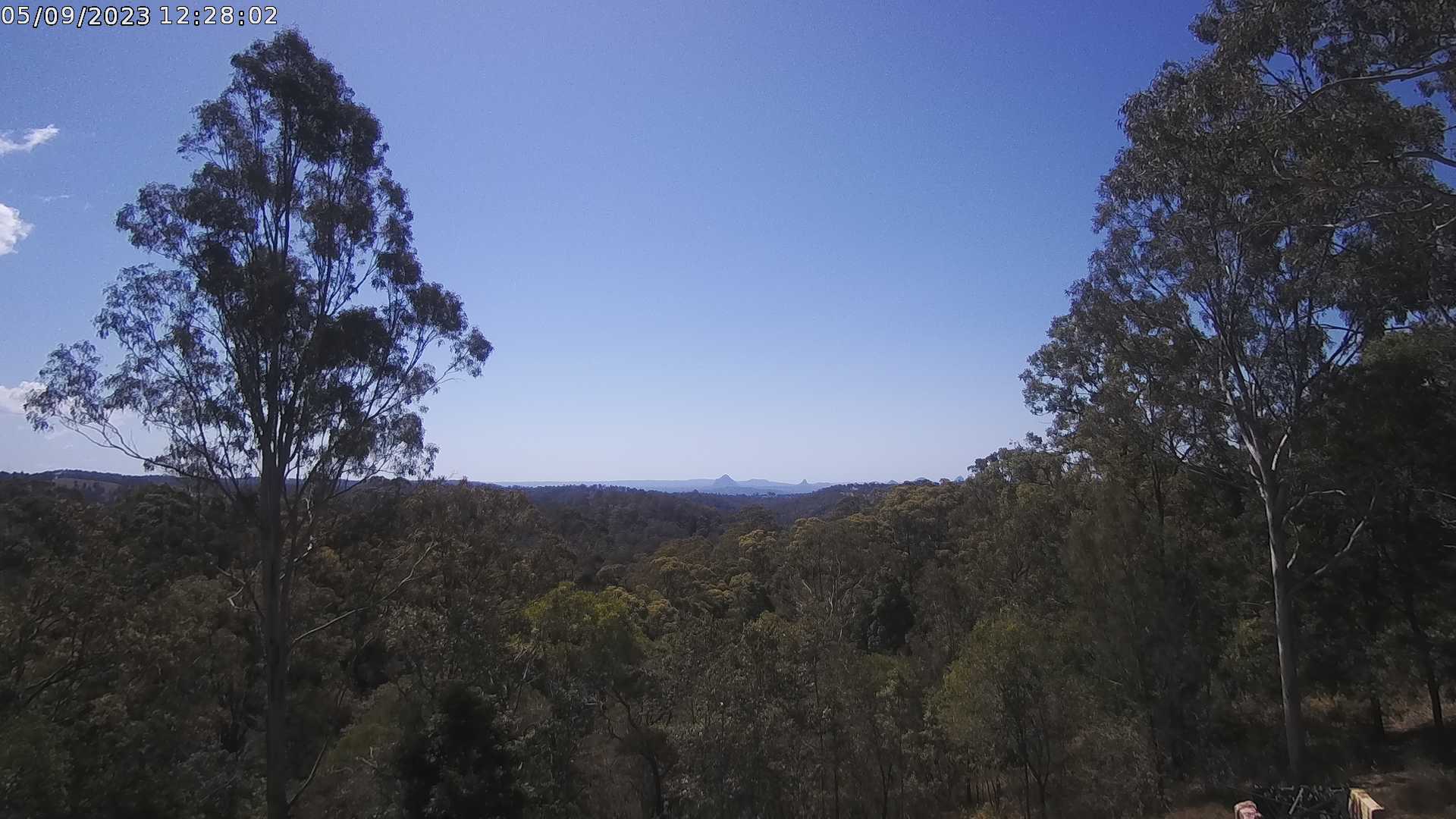
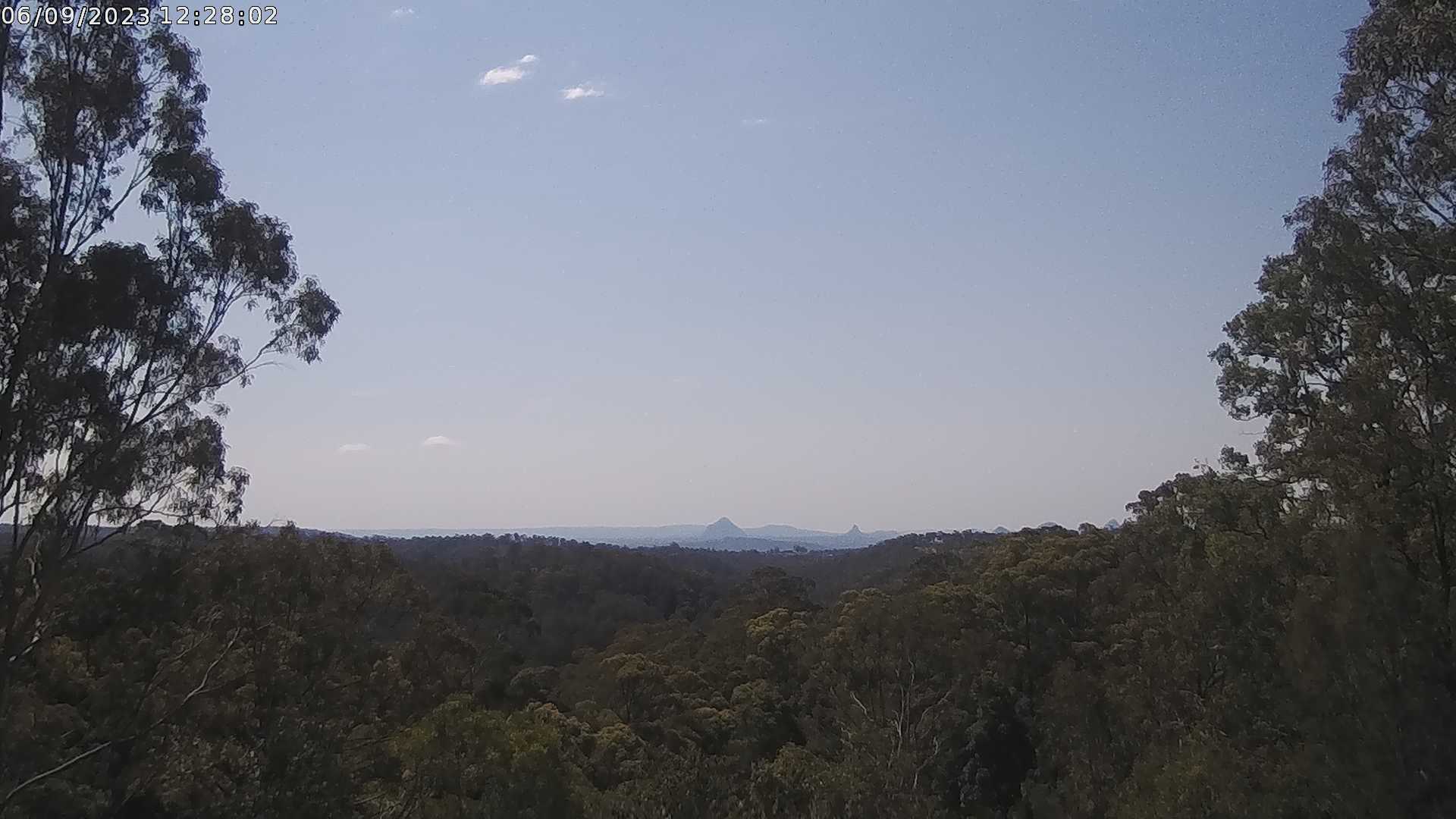
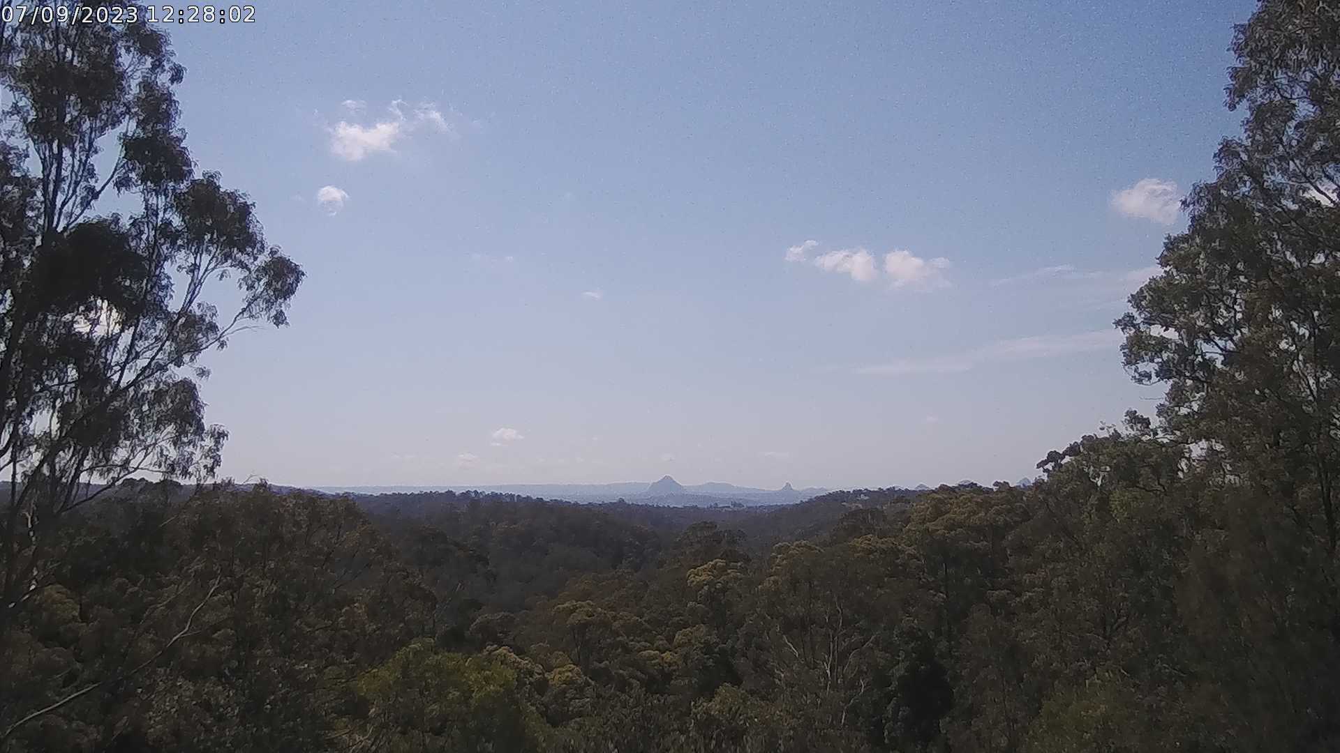
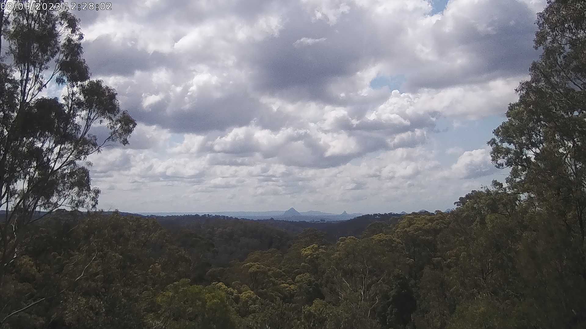
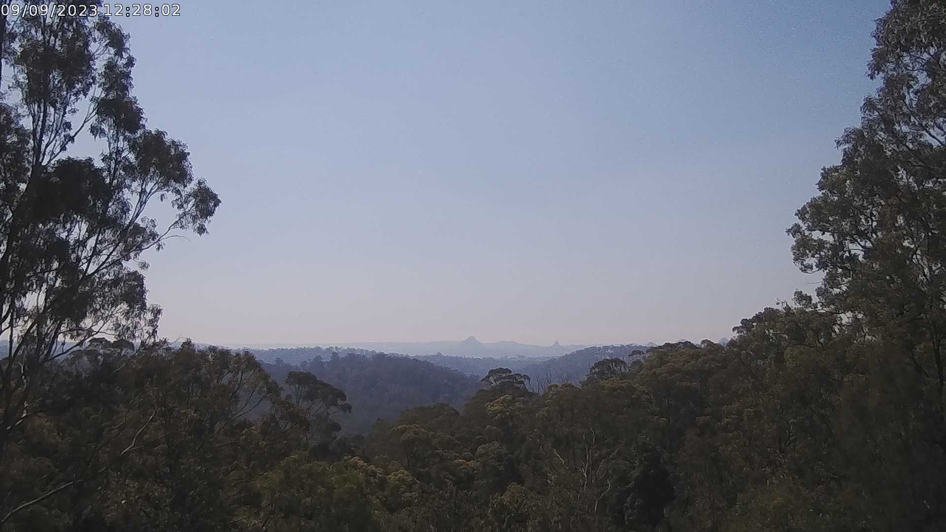
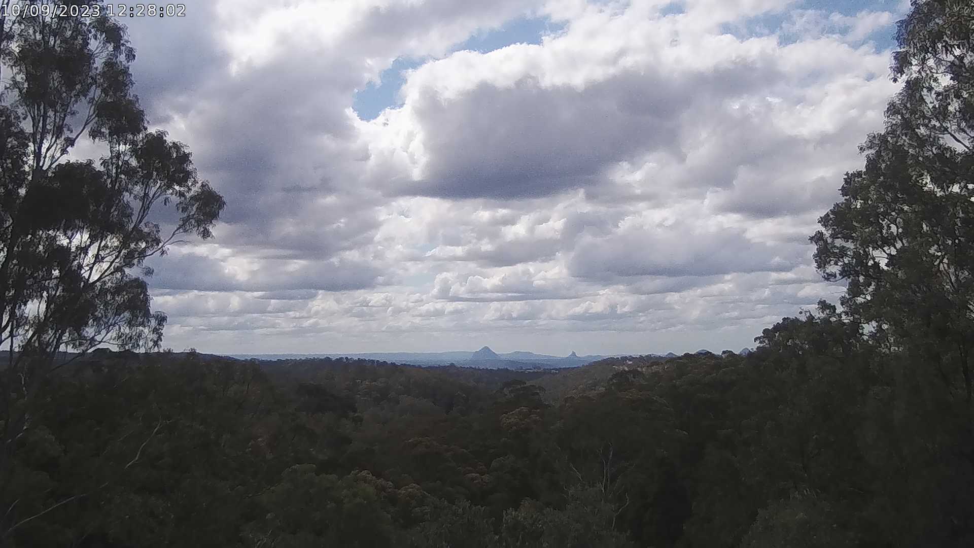
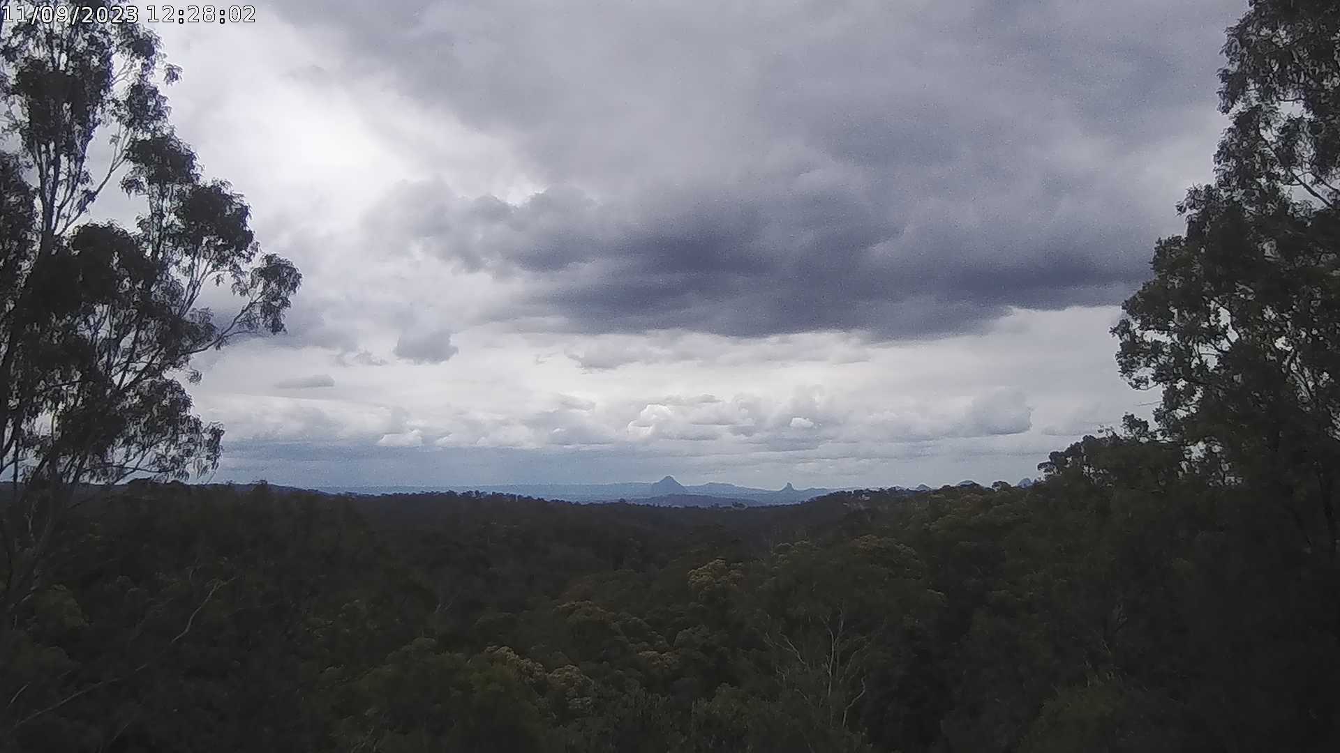
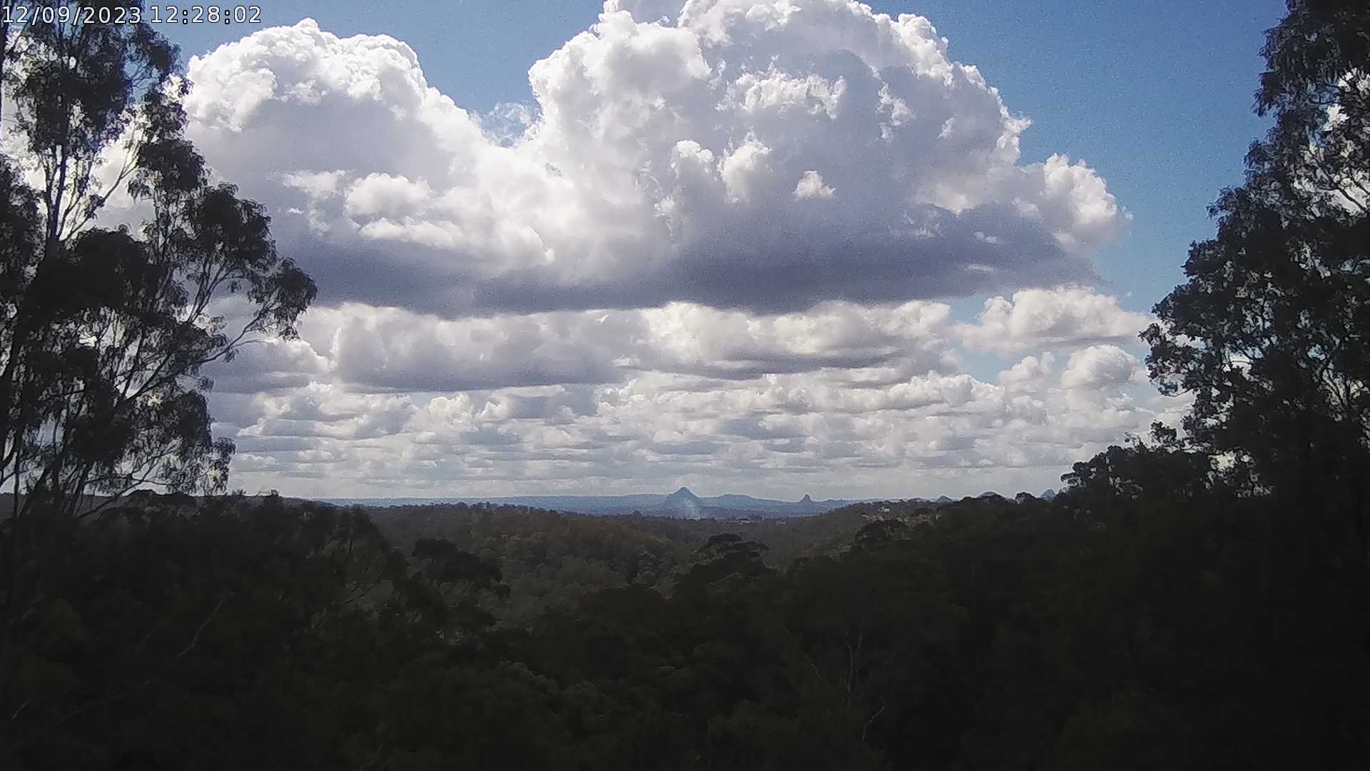
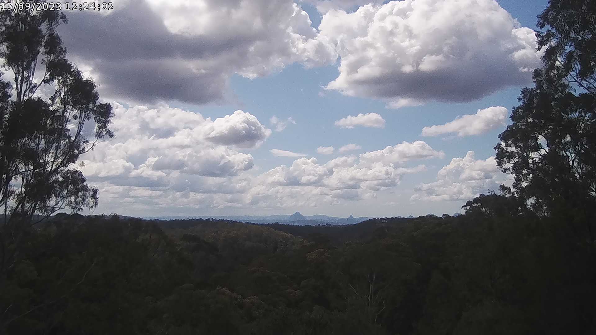
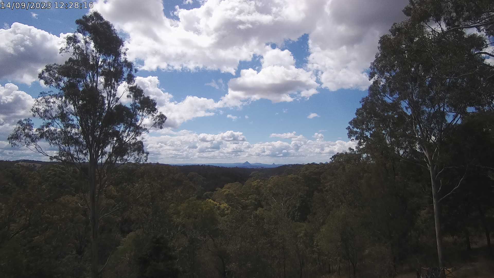
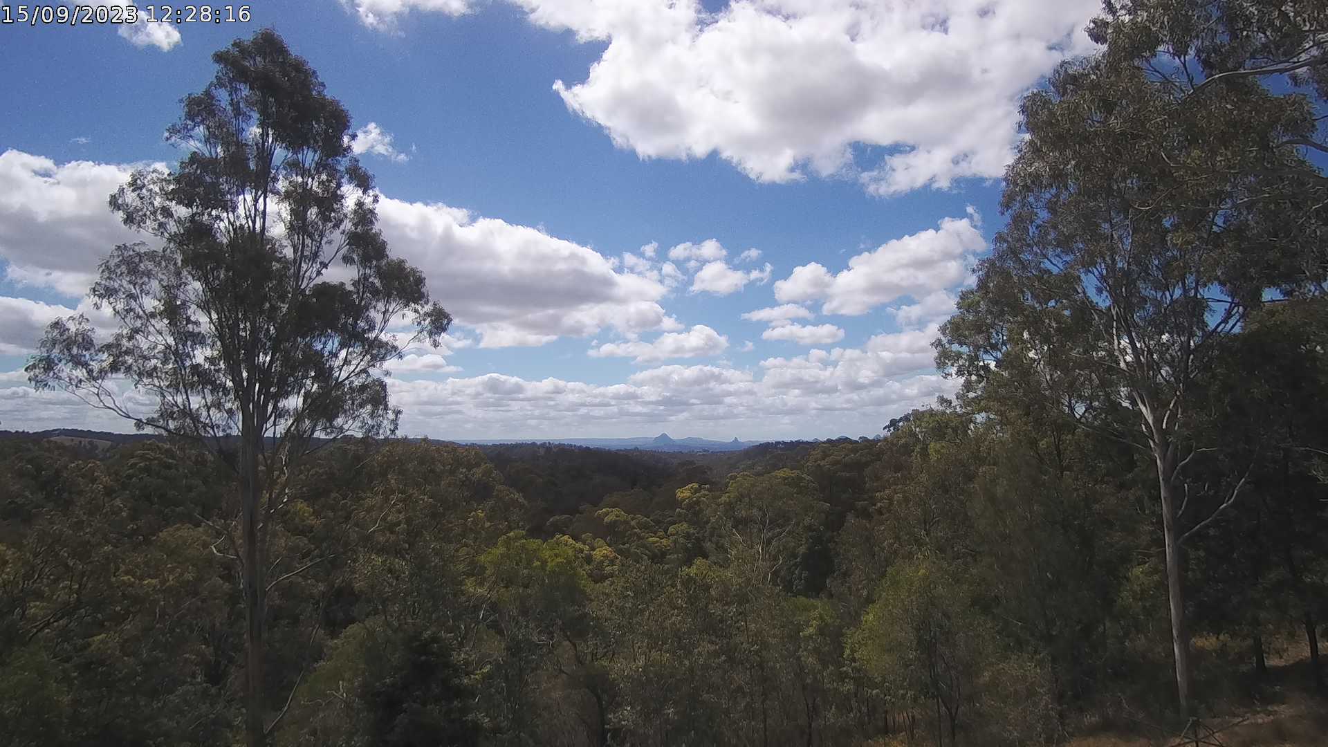
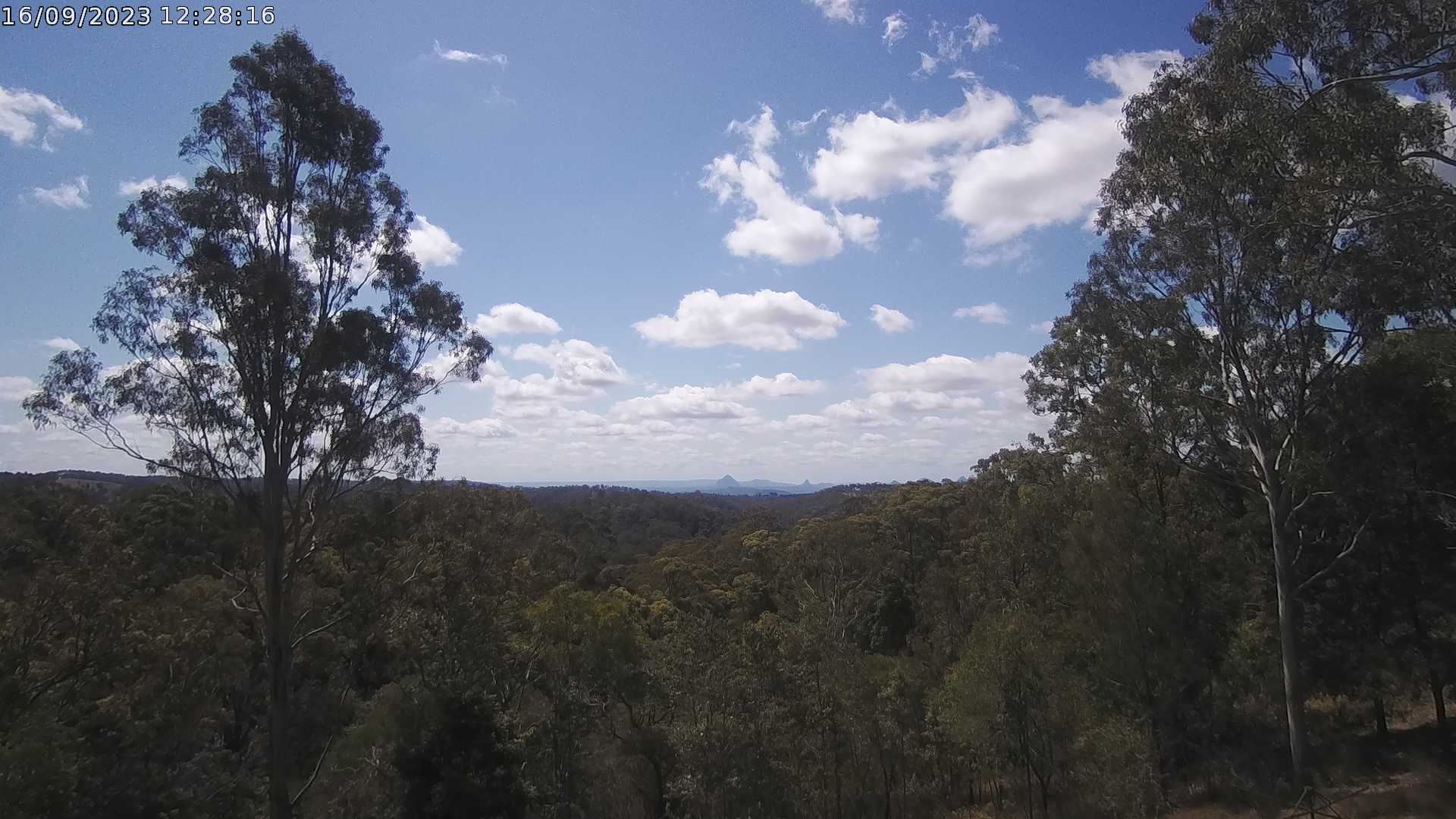
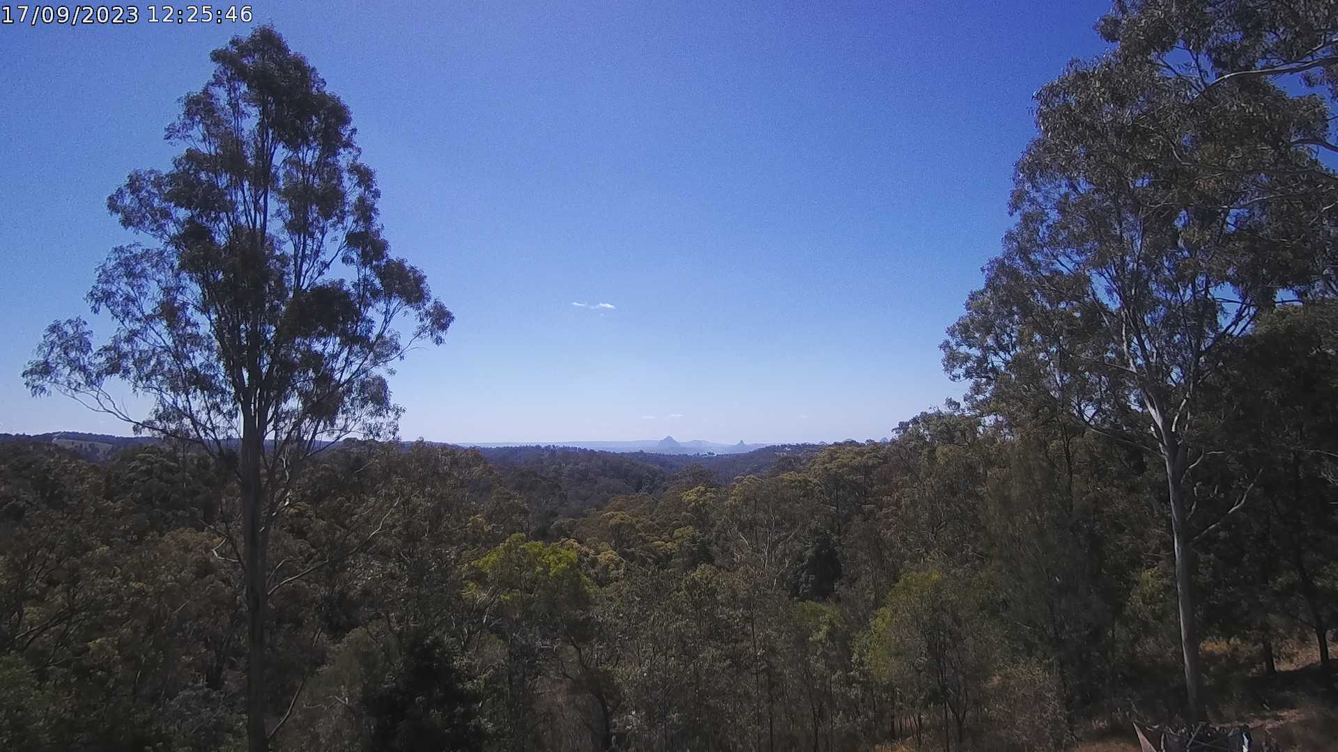
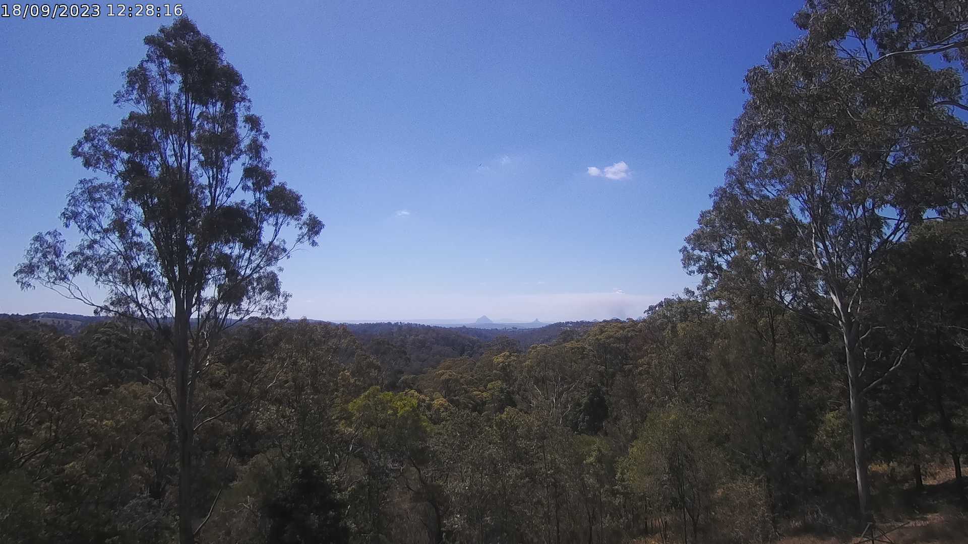
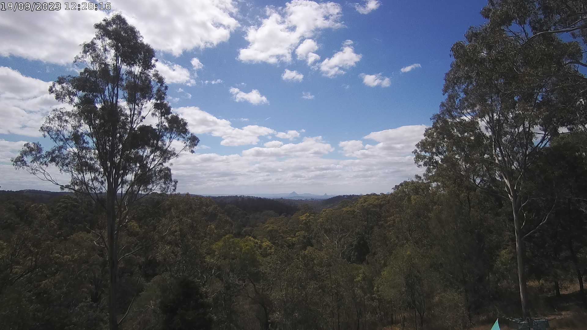
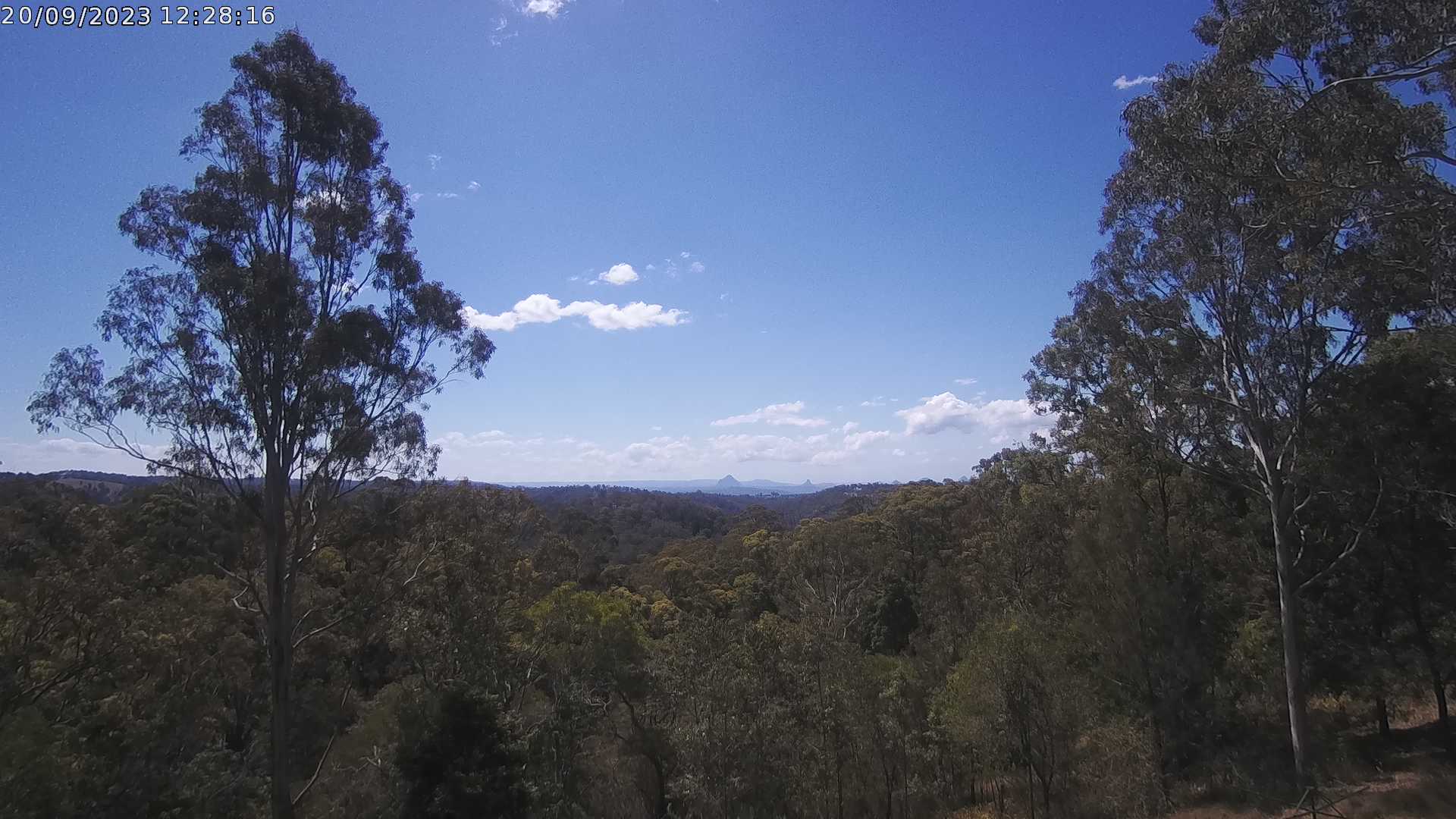
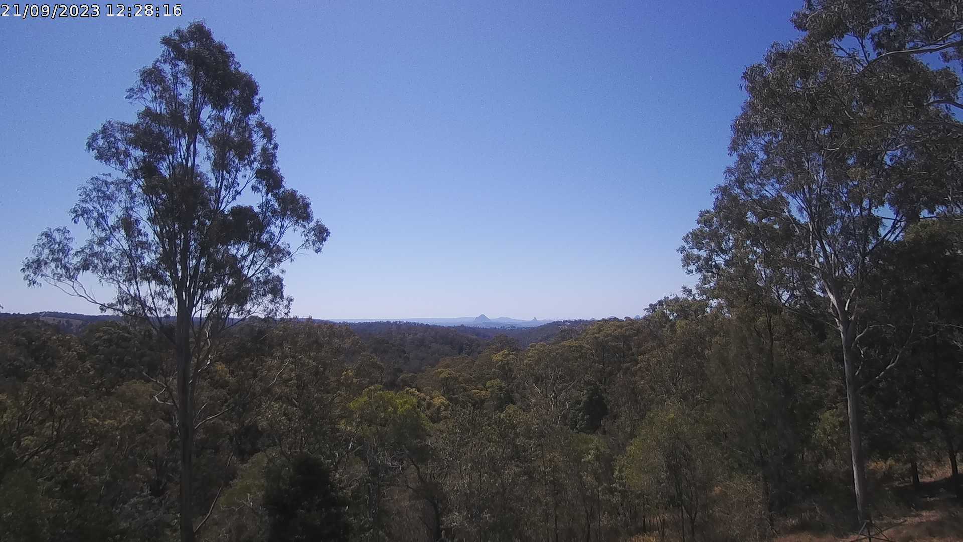
Ocean View, Australia - 74 miles from Biddleston: Glass House Mountains Weather Webcam - A view of the Glass House Mountains from Ocean View, QLD and looking north.
Operator: OceanViewWeather
Operator: OceanViewWeather


Some other places in this country: Bickley - Bicton - Biddeston - Biggs Flat - Big Pats Creek - Bigriggan - Bilambil - Bilinga - Billimari - Billinudgel