Webcams in the region of Bellevue, Australia
The List of Webcams near Bellevue, Australia:

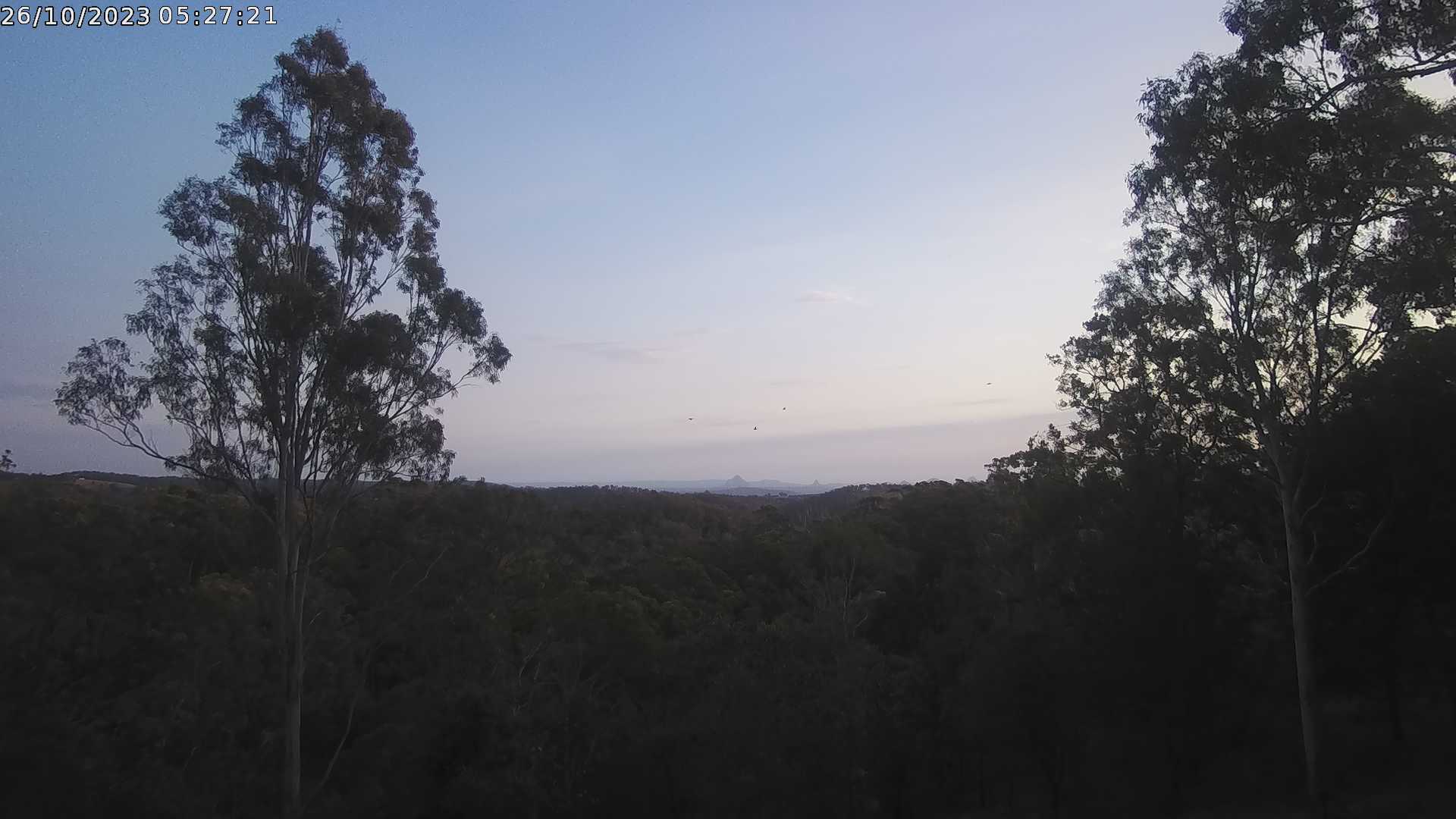
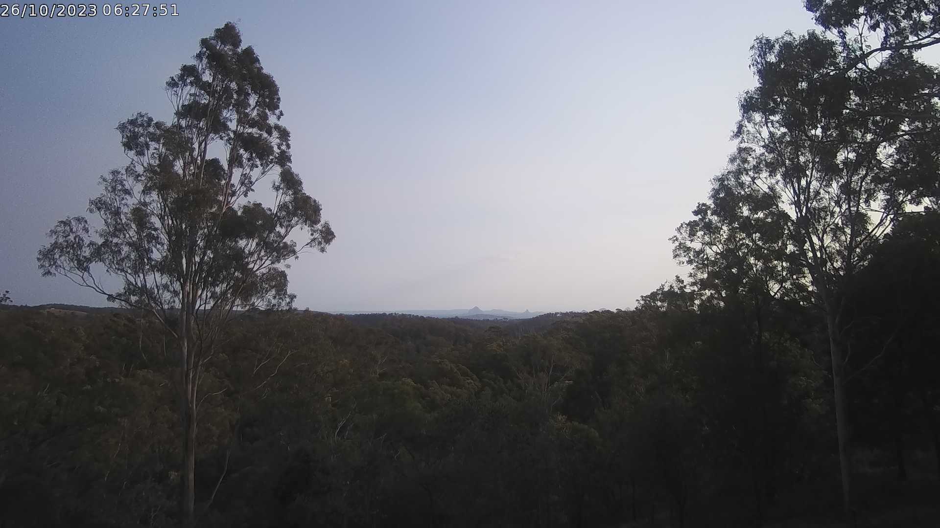
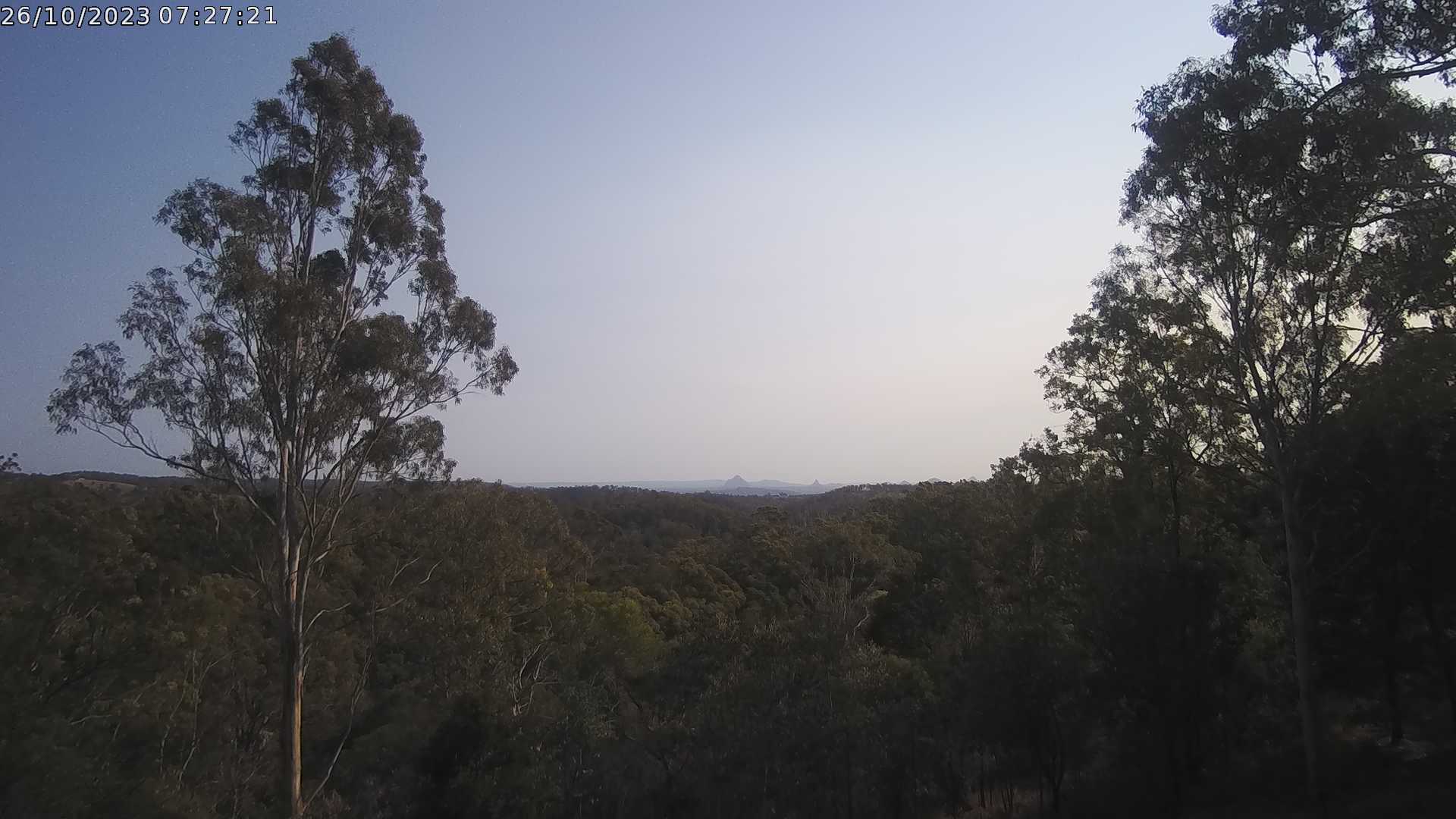
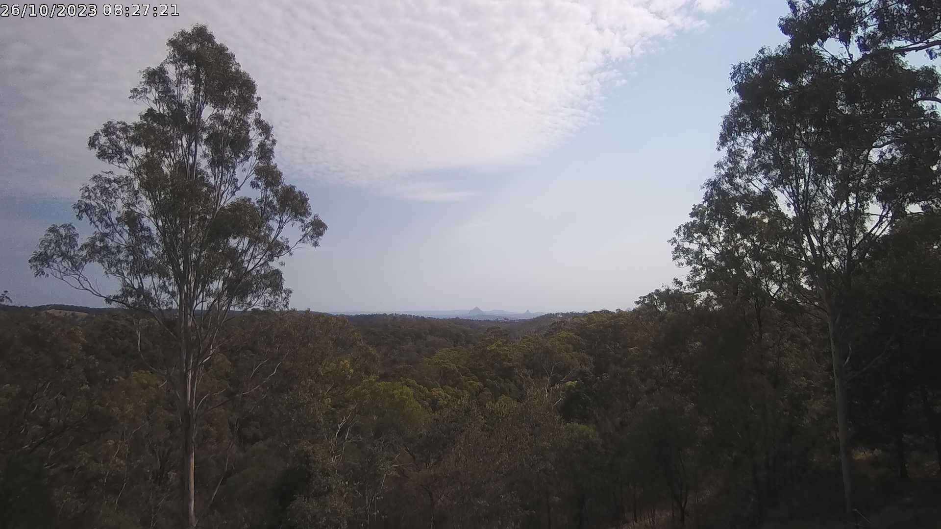
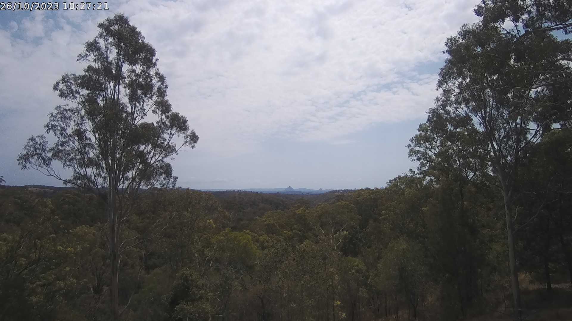
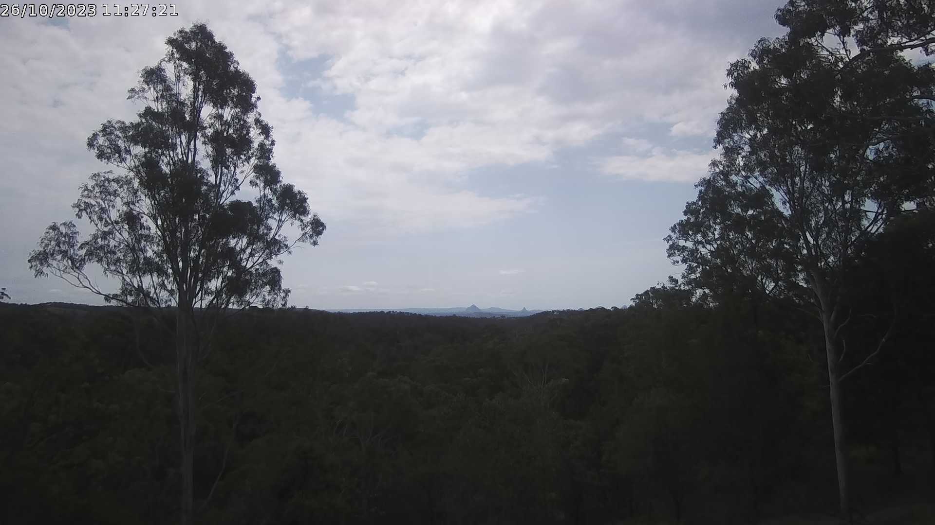
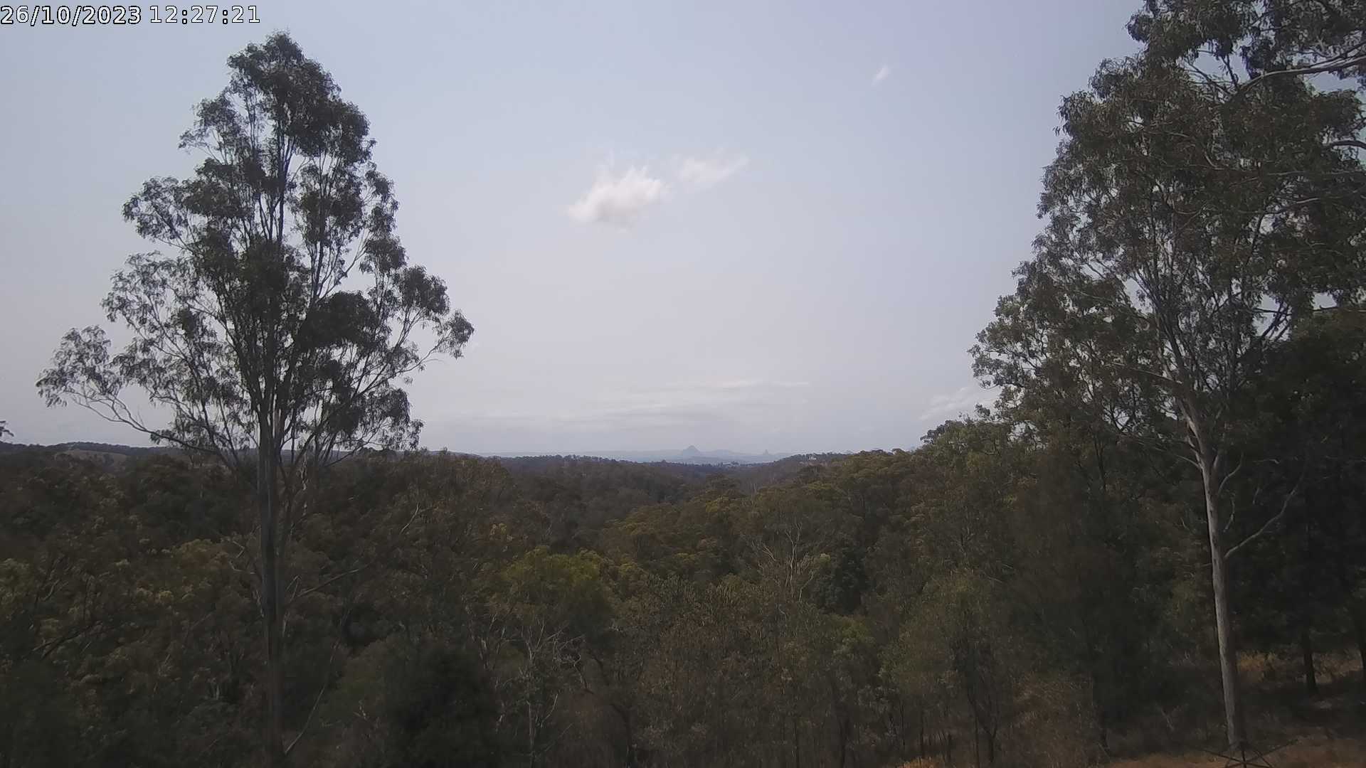
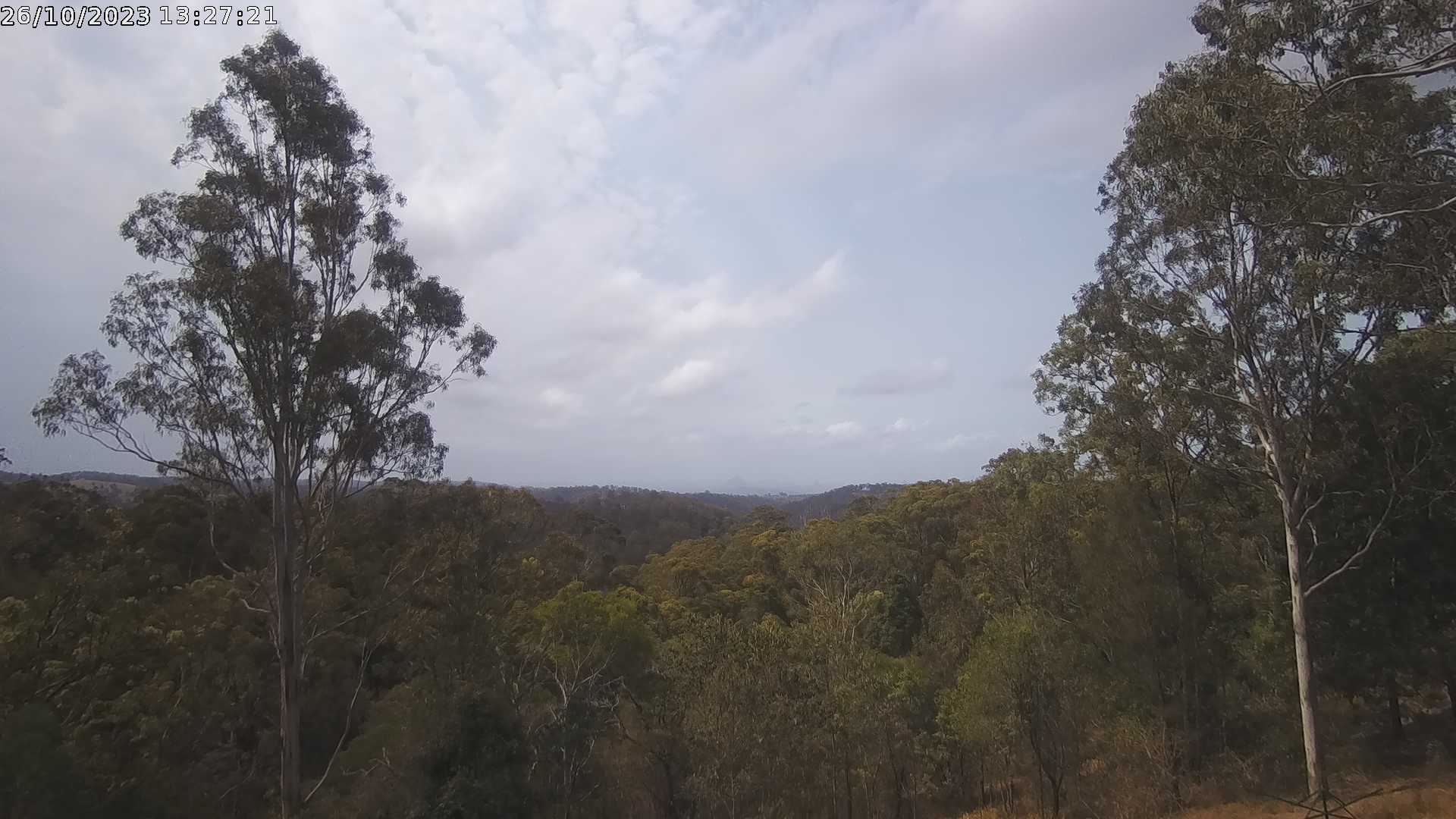
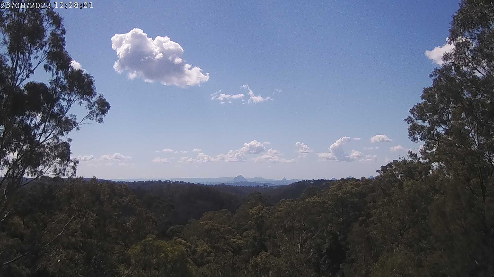
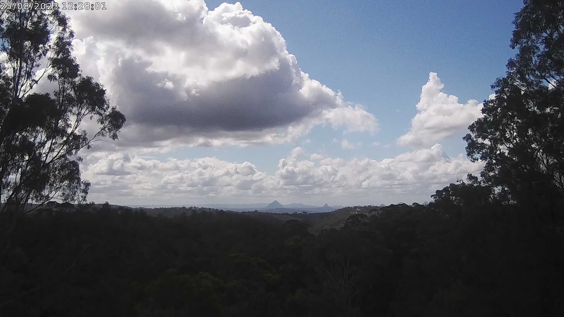
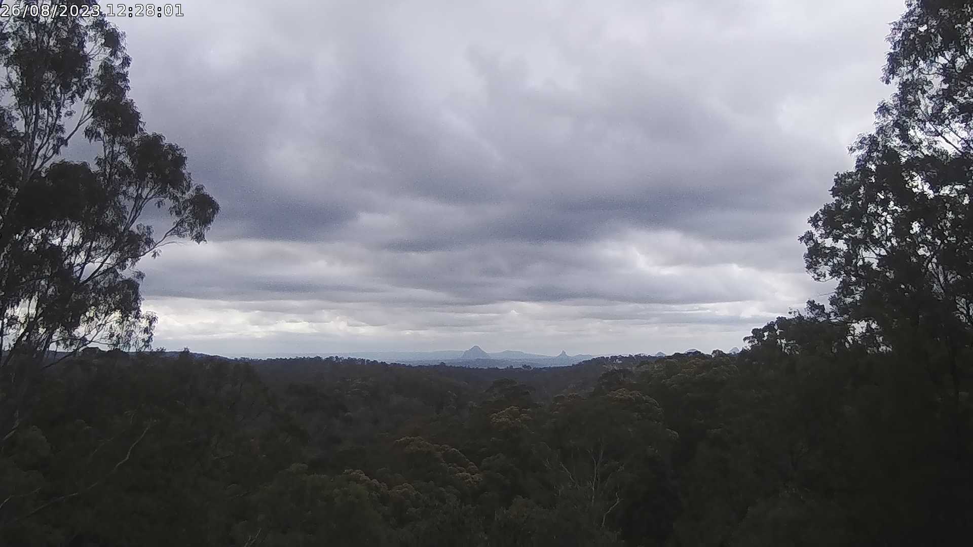
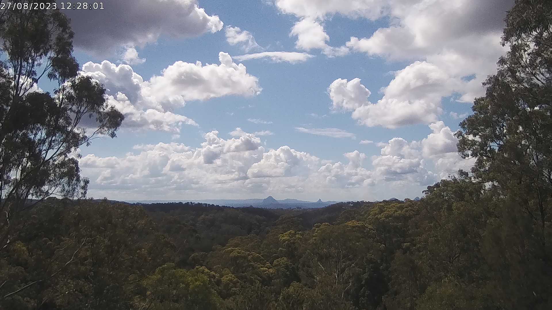
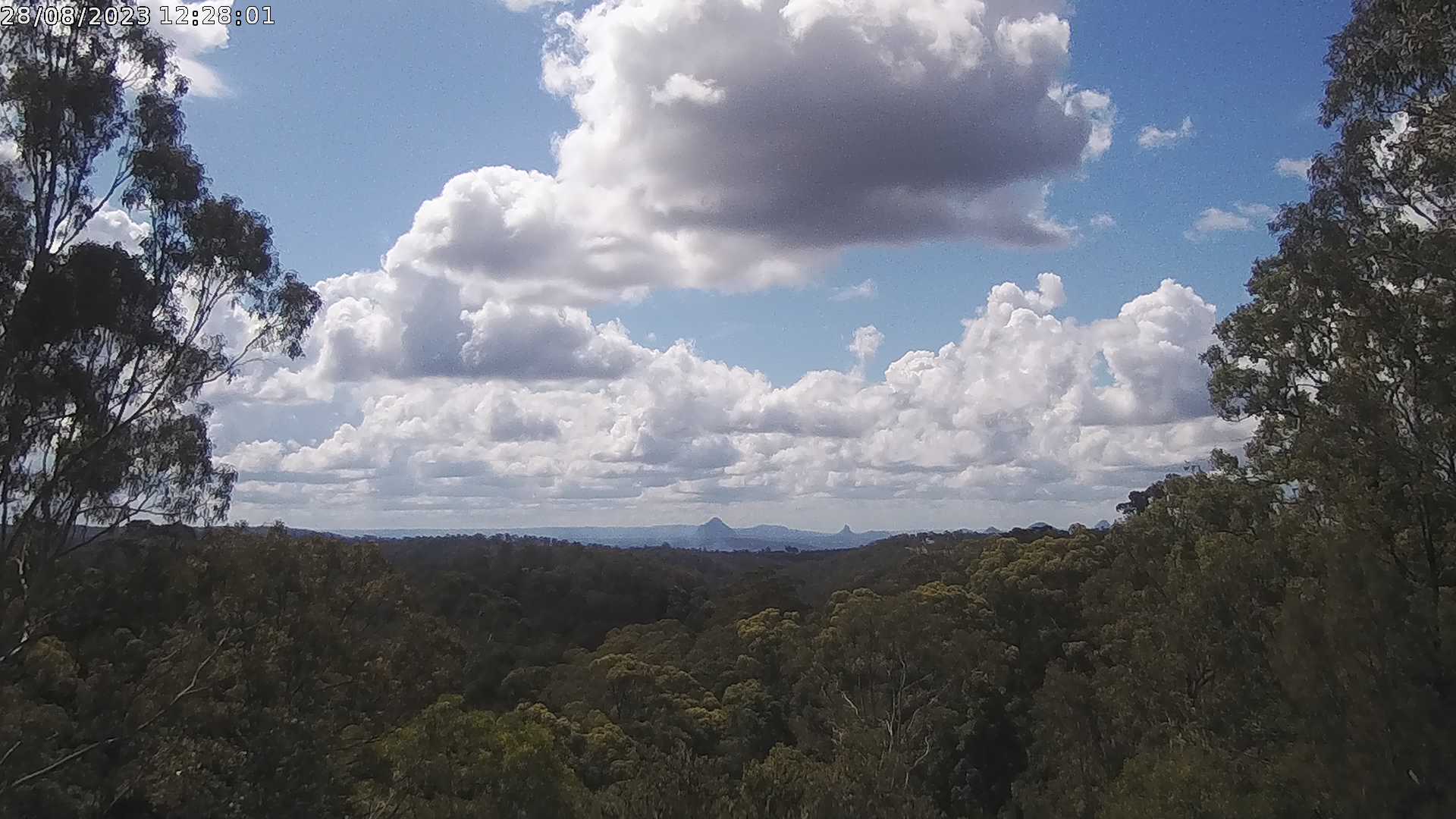
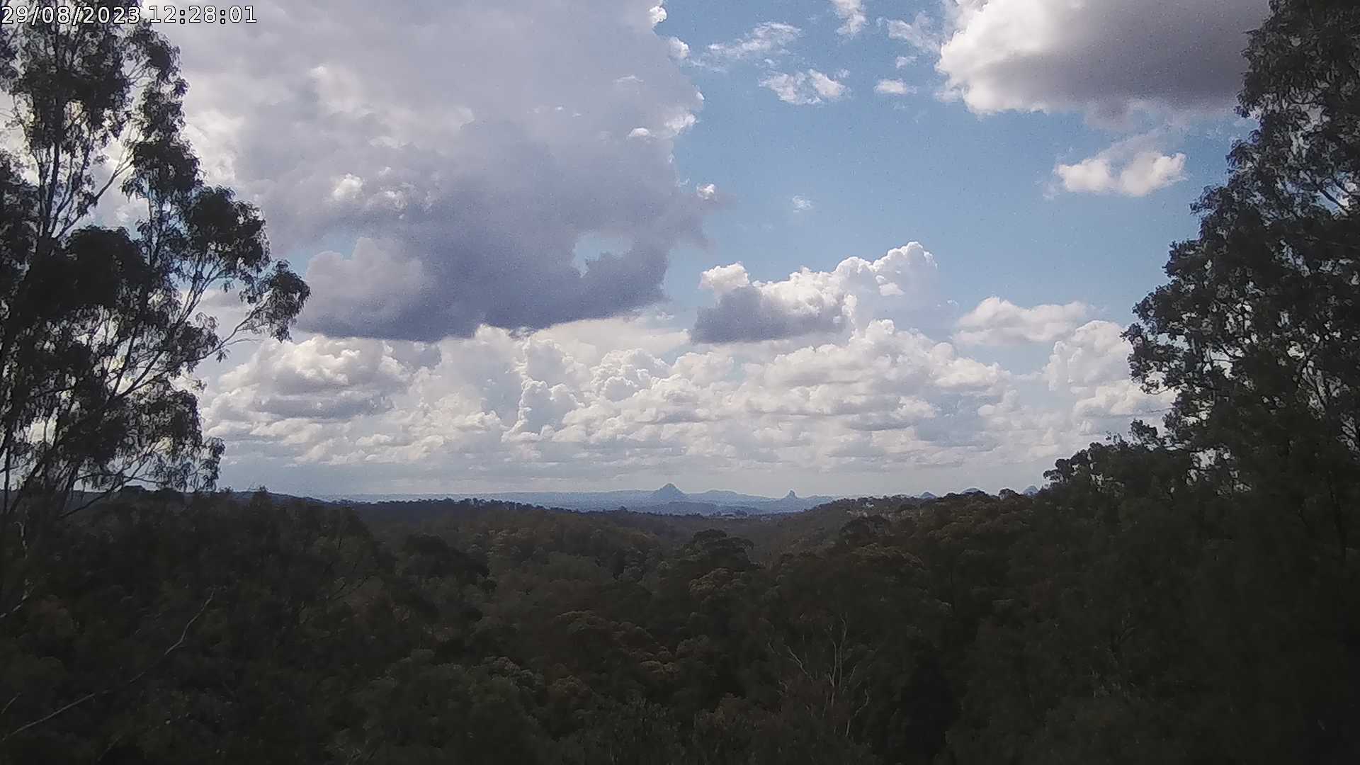
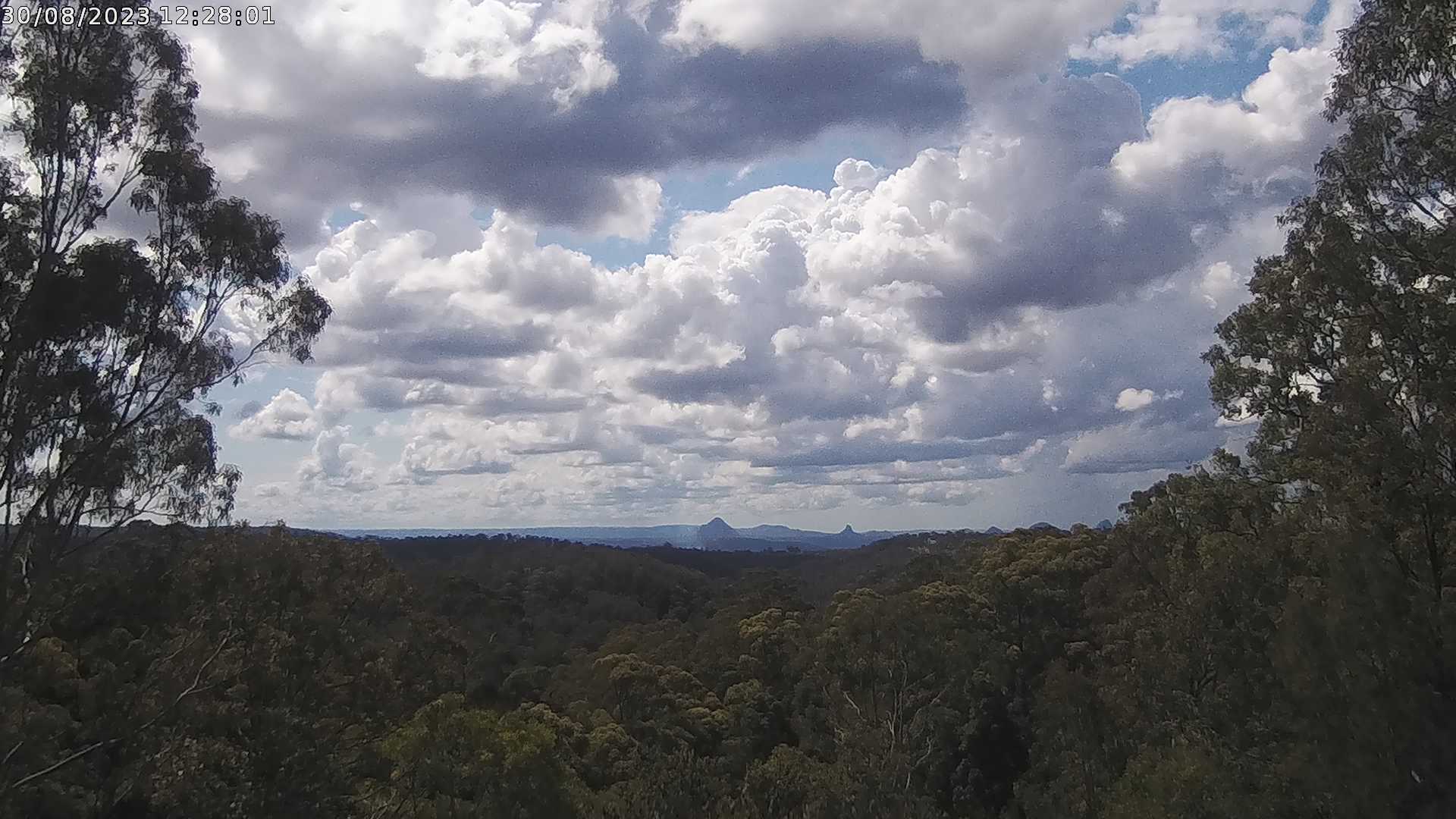
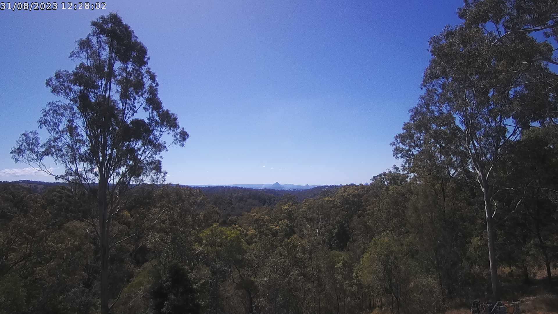
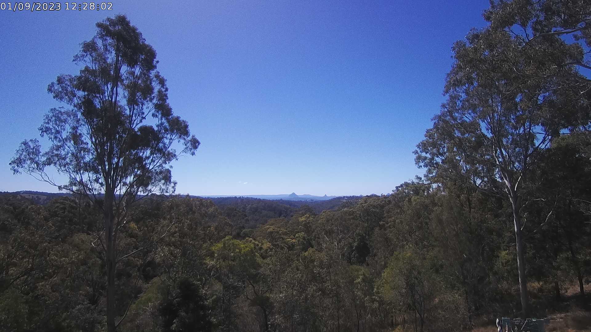
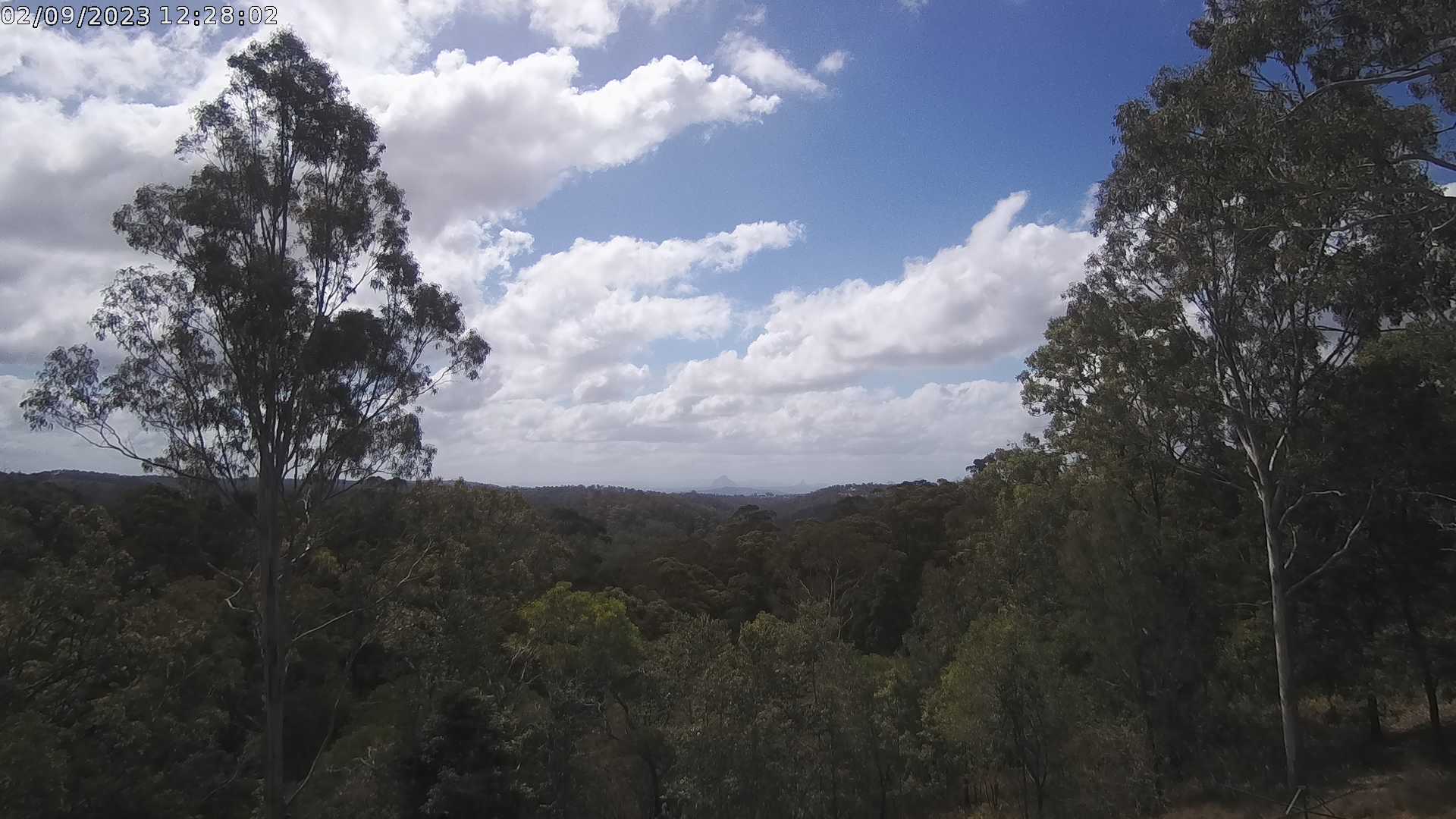
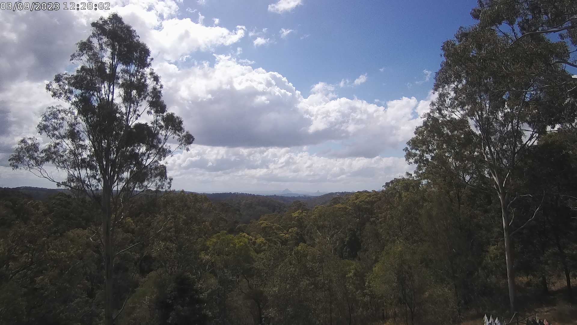
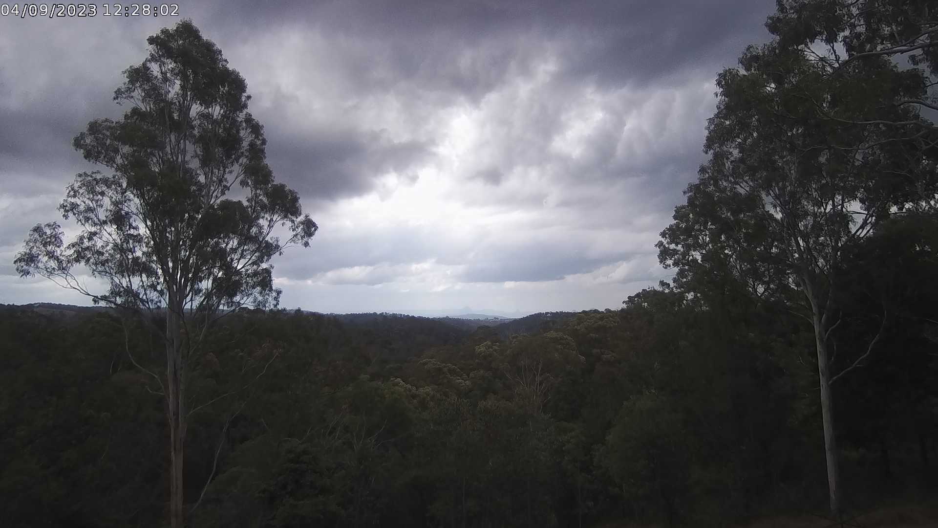
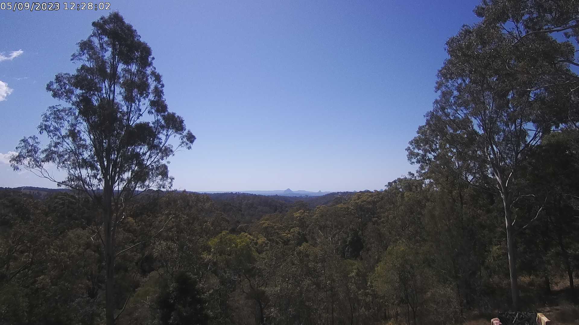
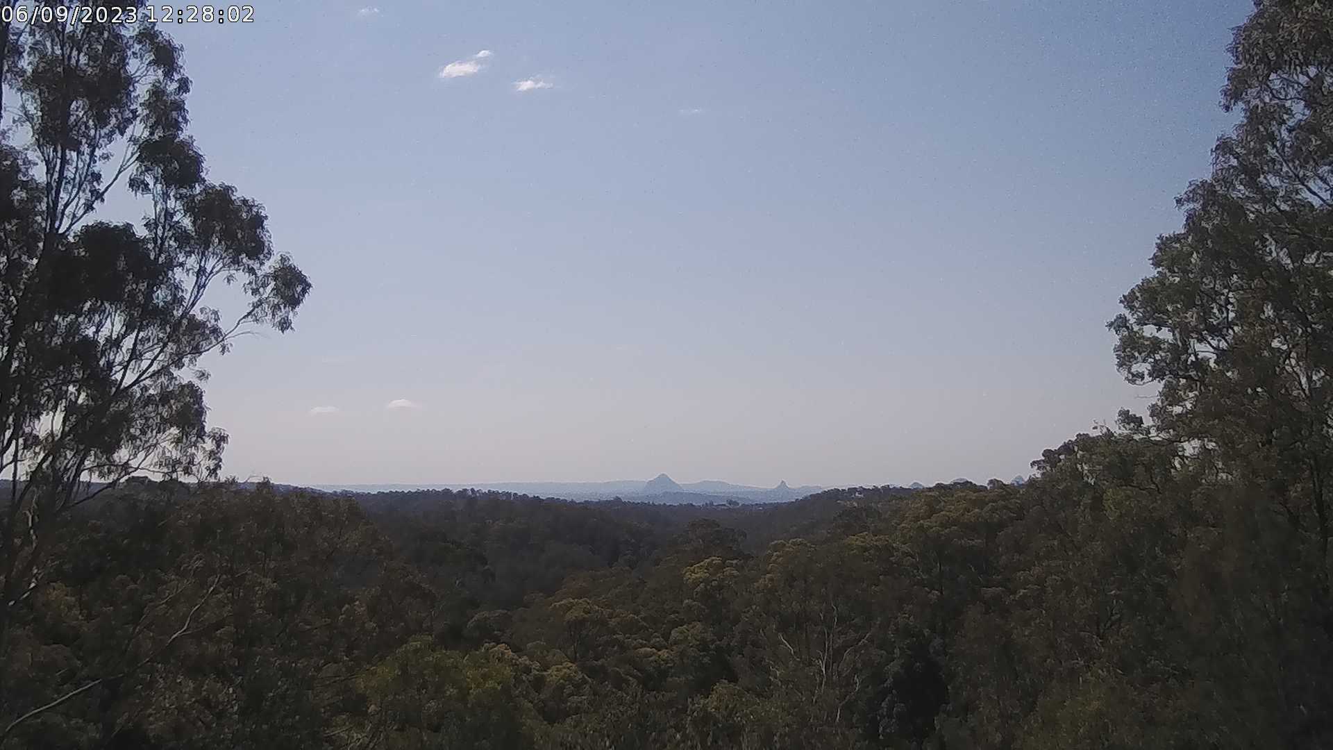
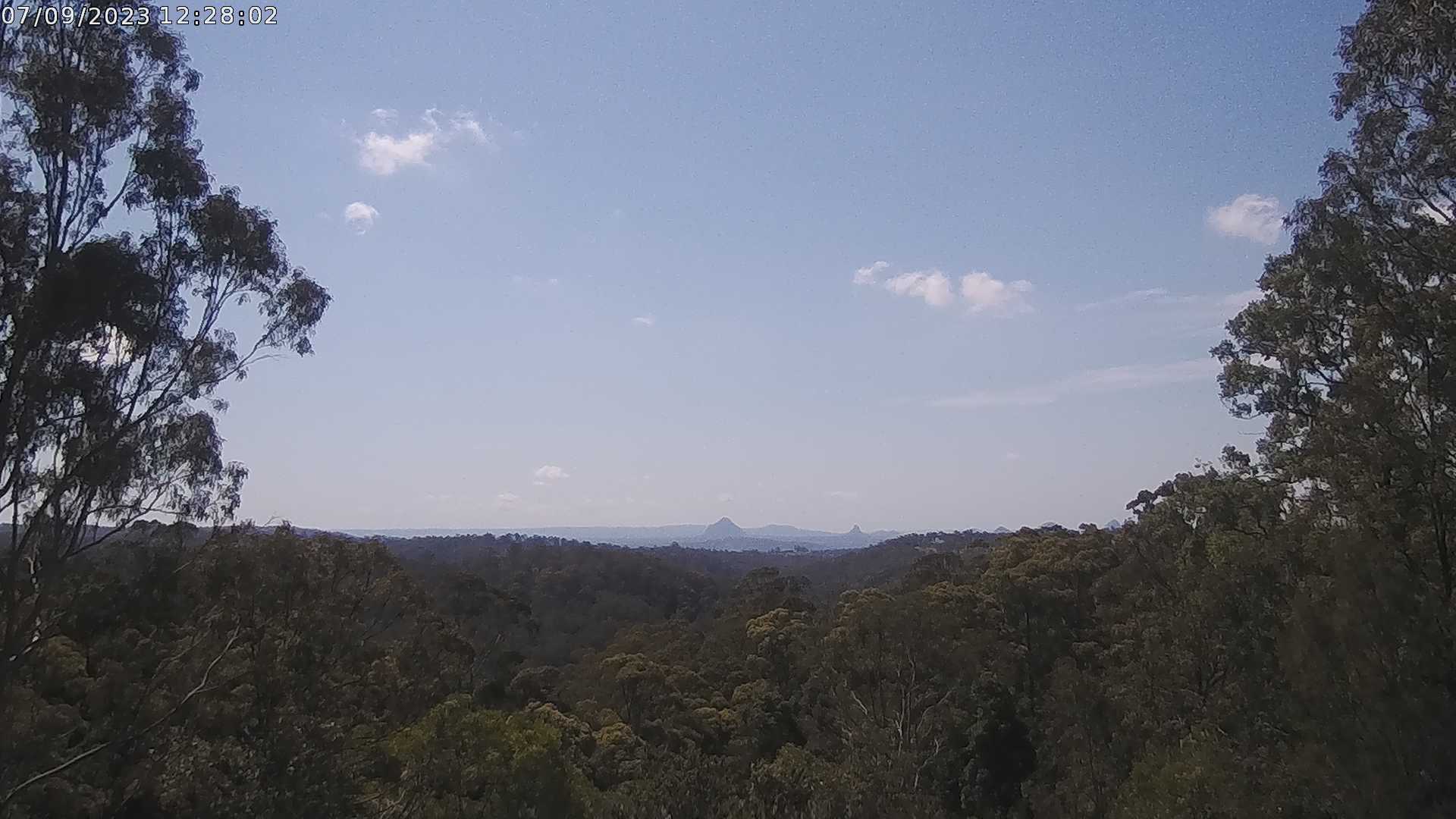
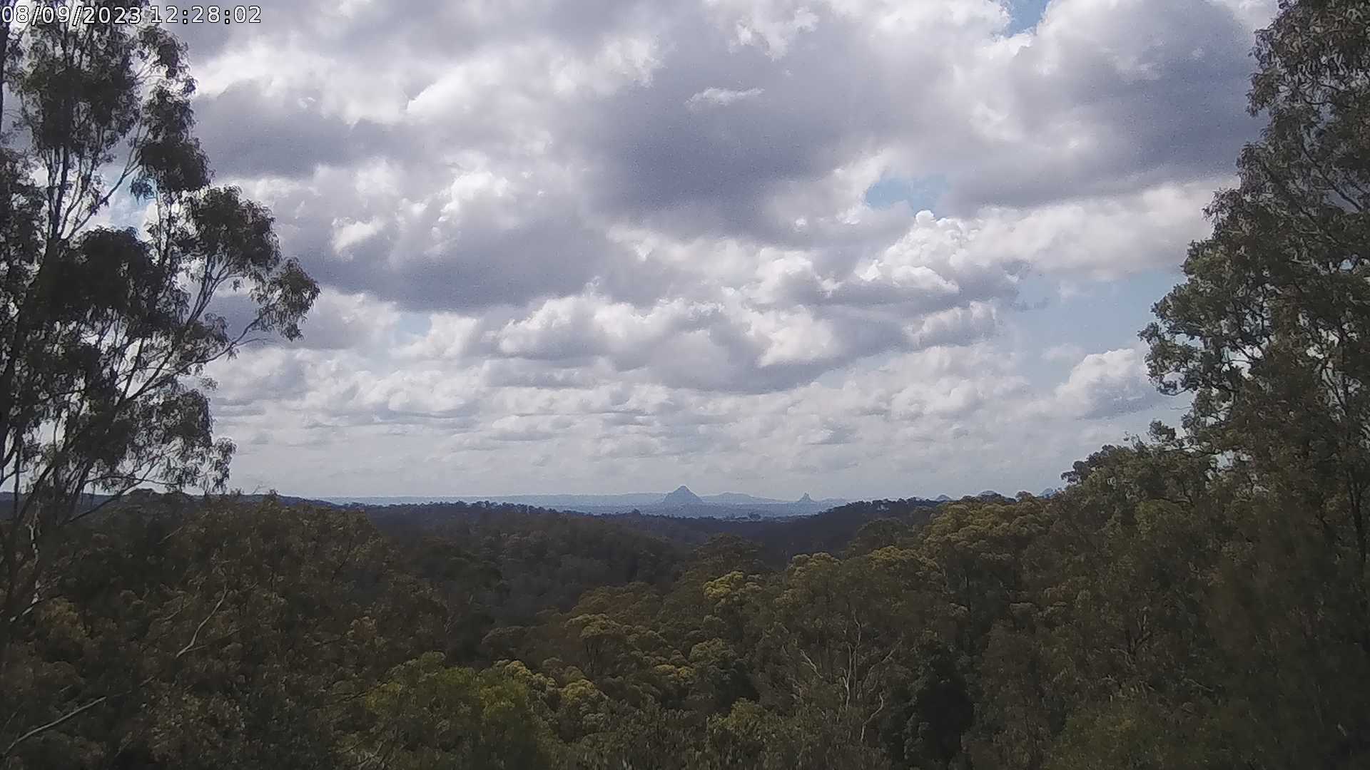
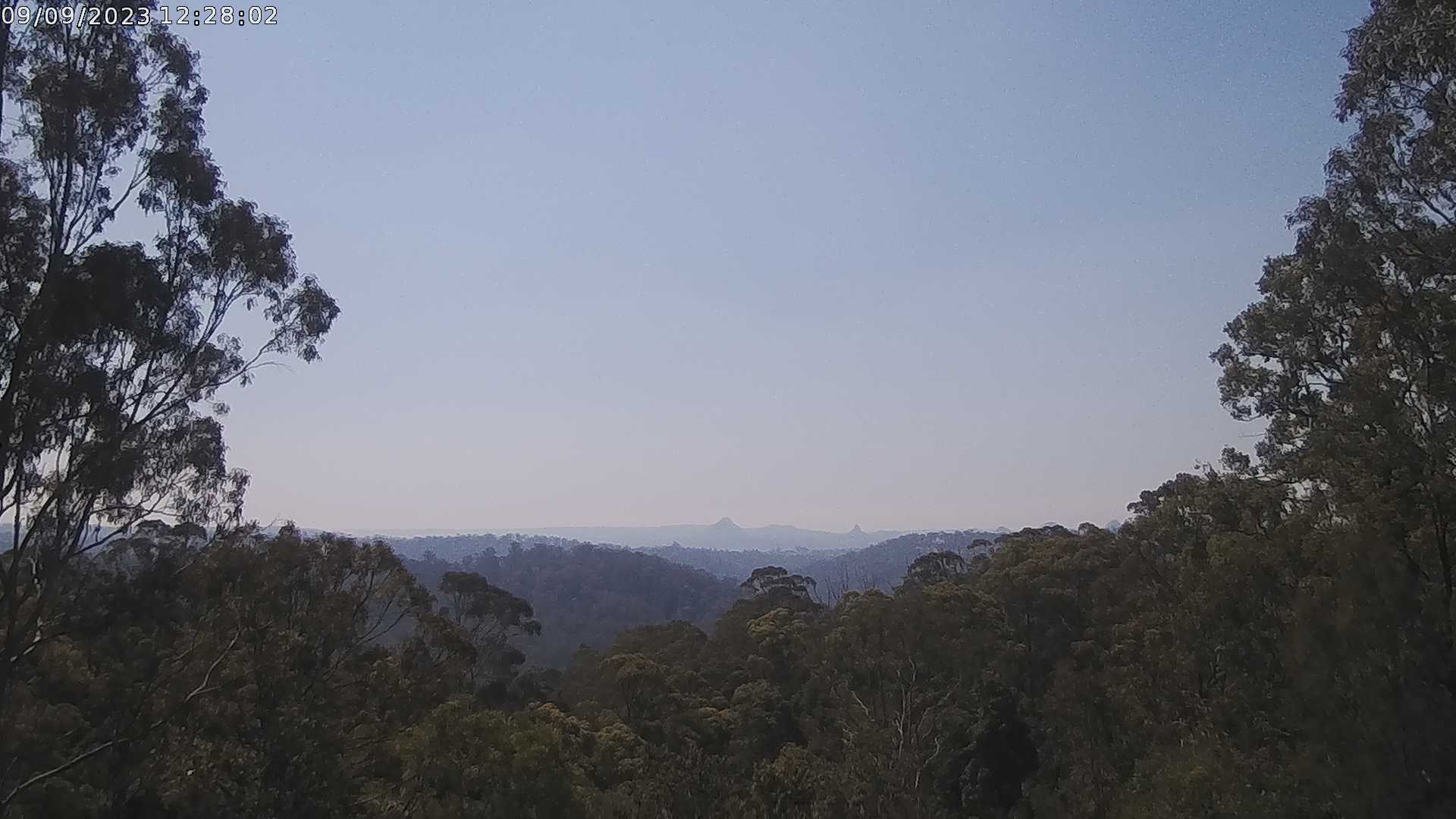
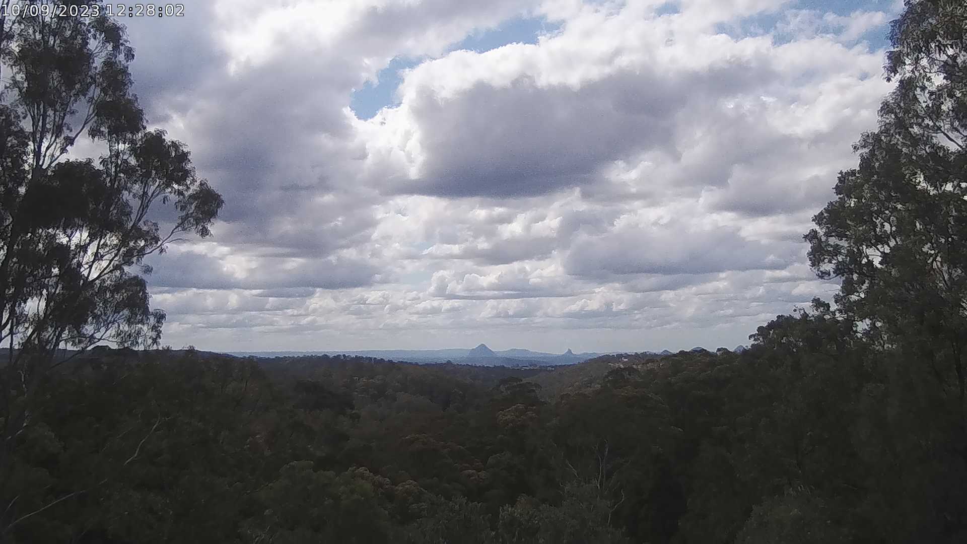
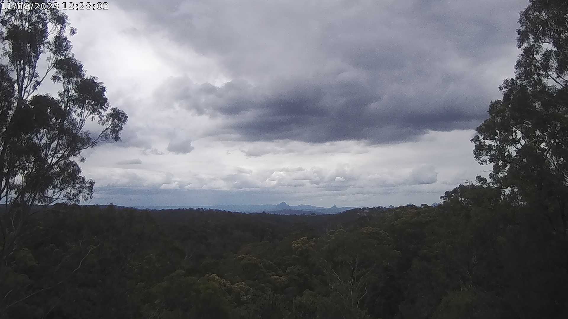
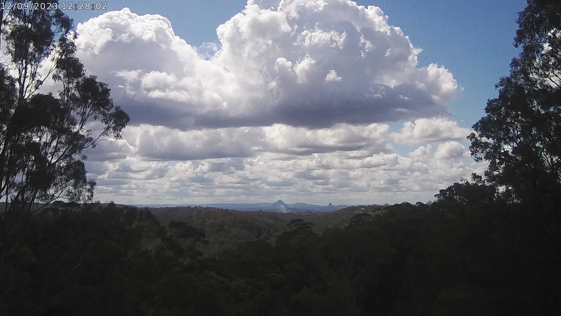
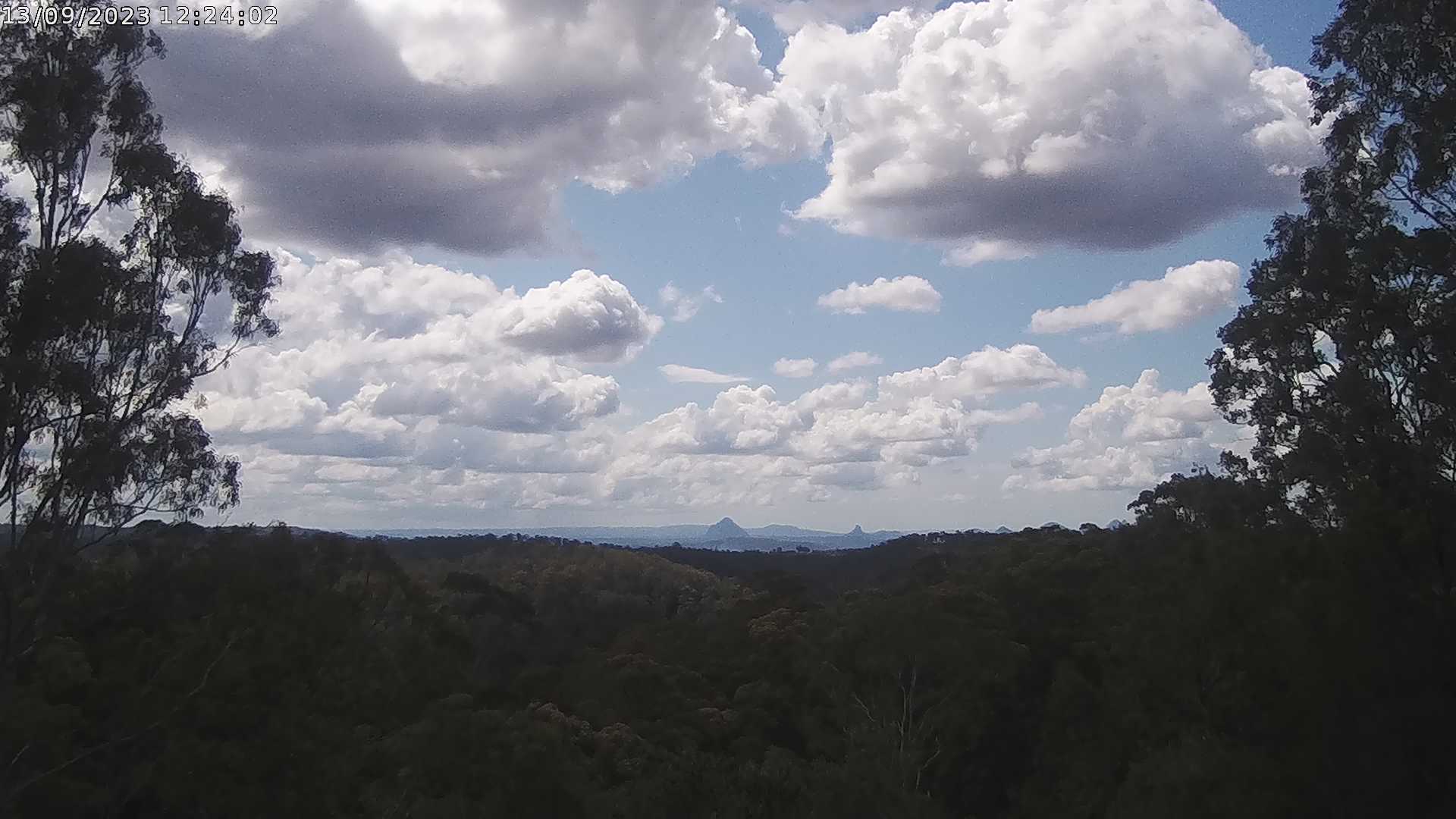
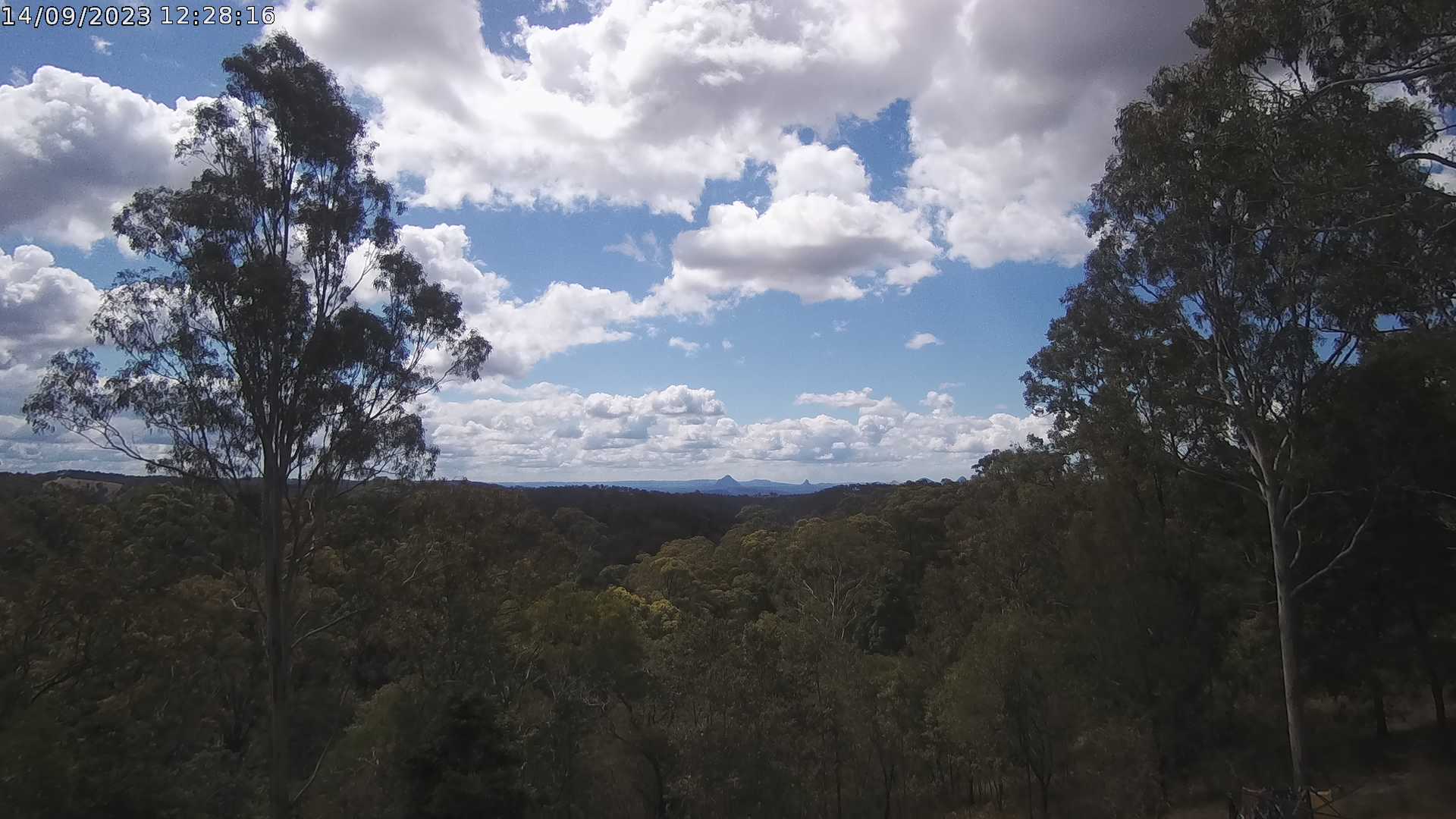
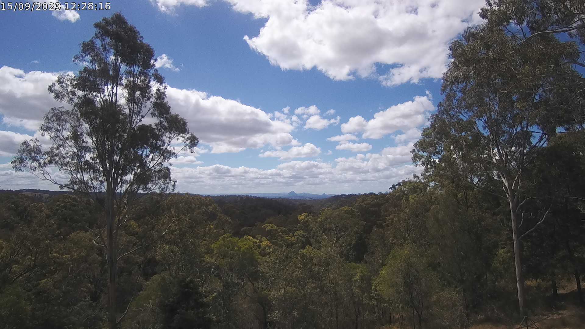
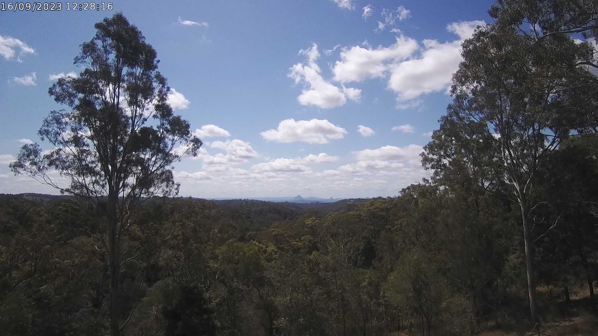
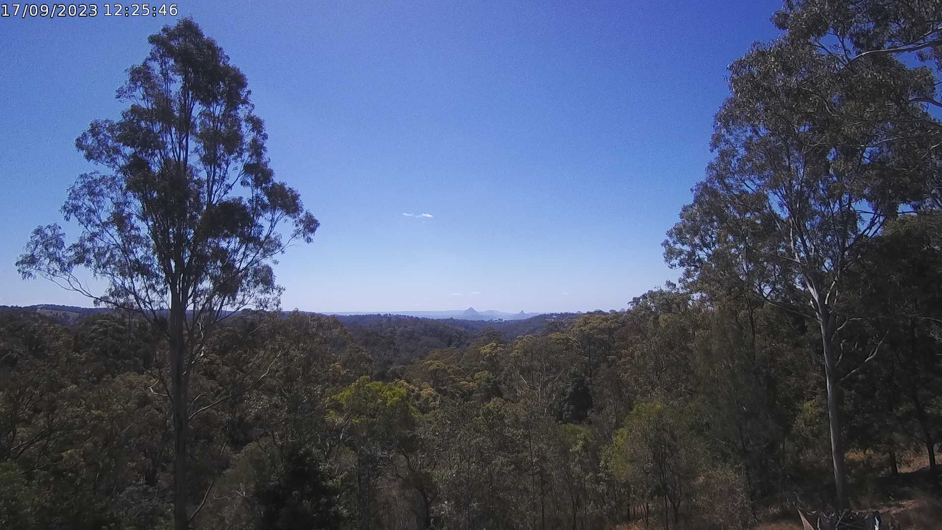
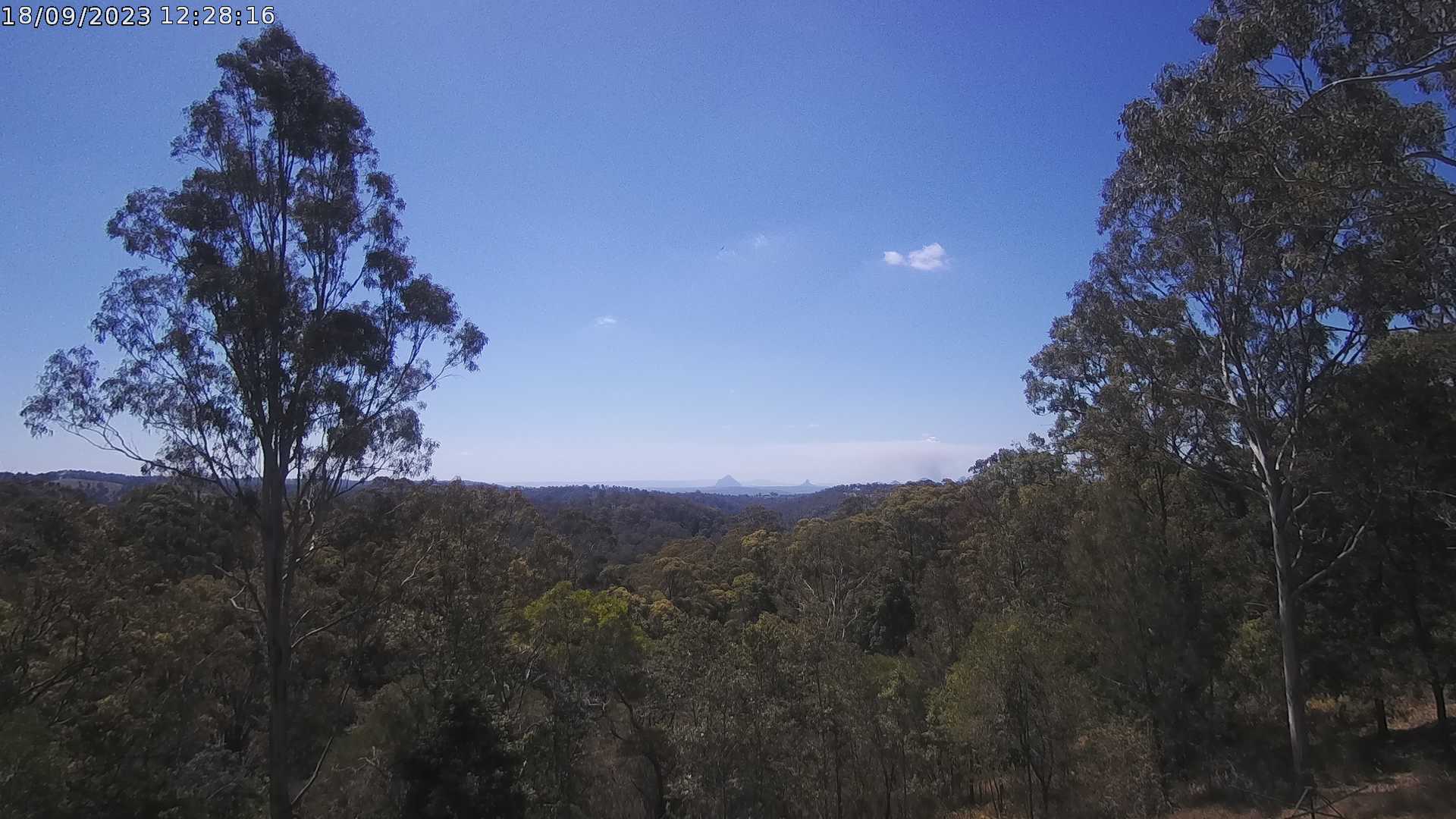
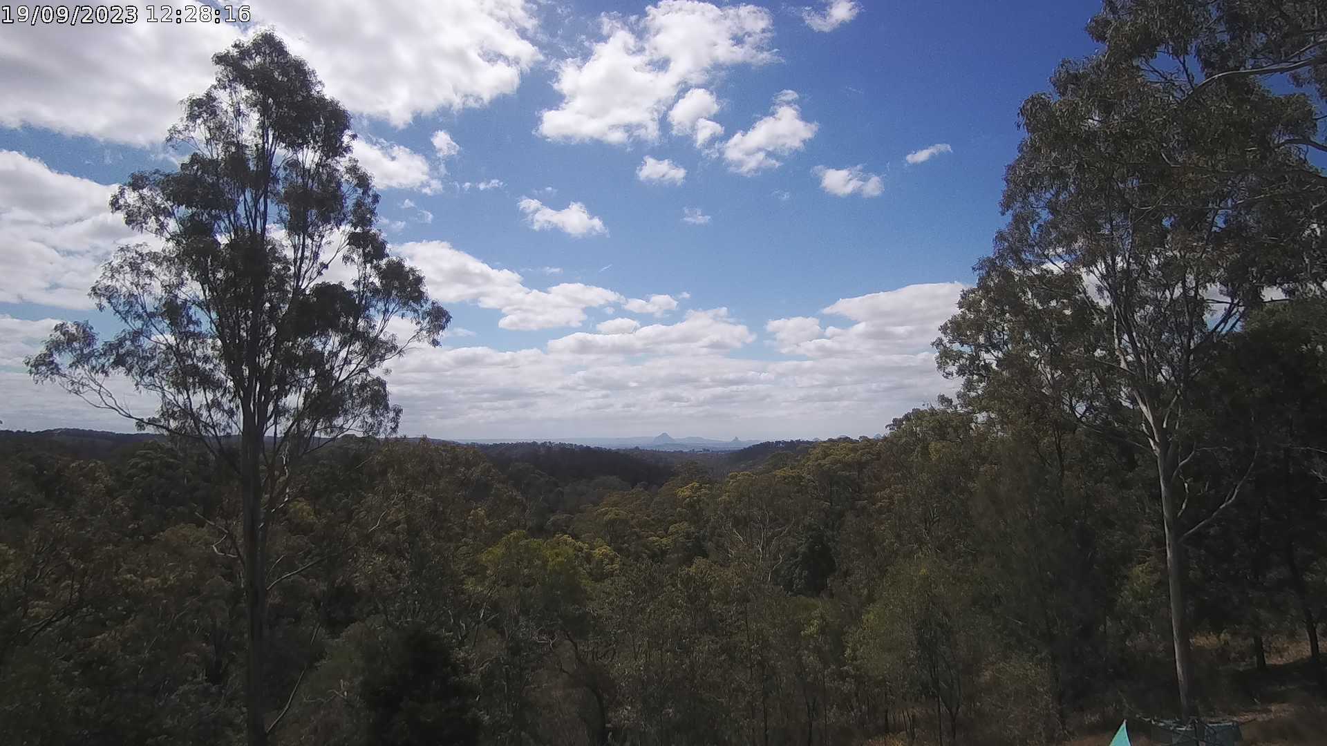
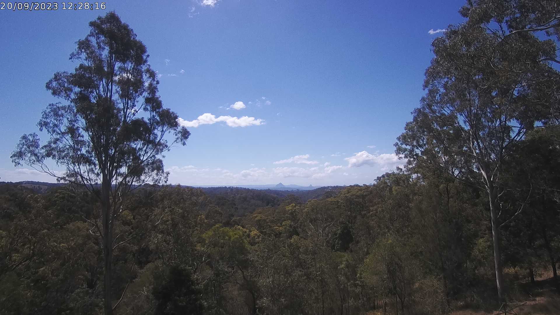
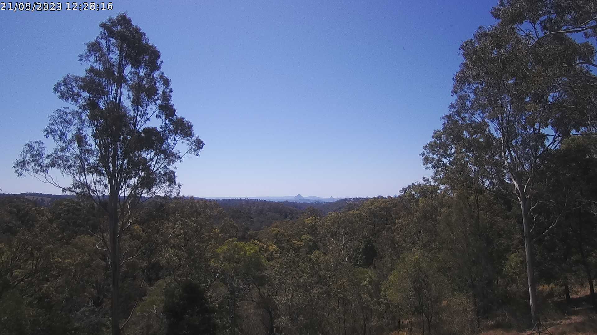
Ocean View, Australia - 21.6 miles from Bellevue: Glass House Mountains Weather Webcam - A view of the Glass House Mountains from Ocean View, QLD and looking north.
Operator: OceanViewWeather
Operator: OceanViewWeather


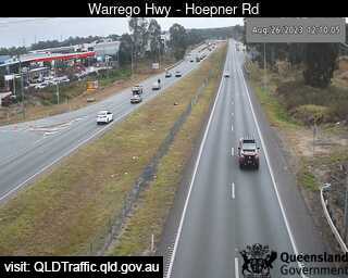
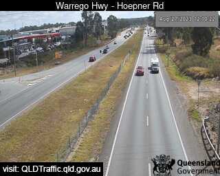
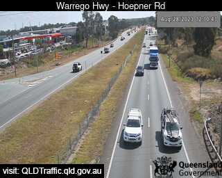
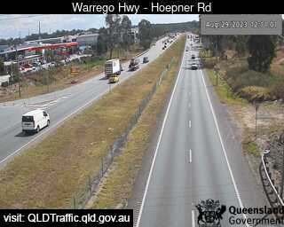
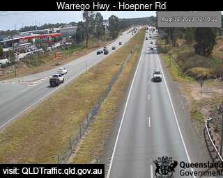
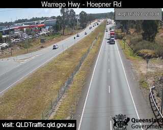
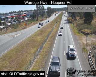
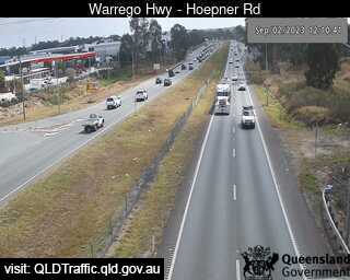
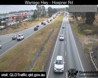
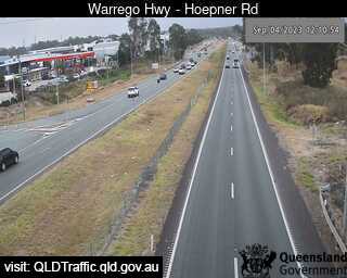
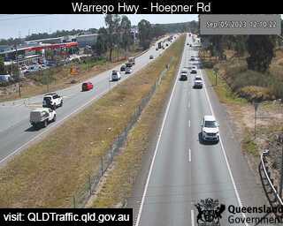
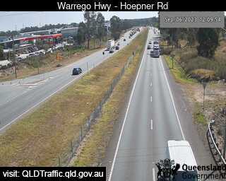
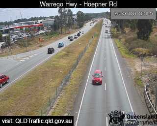
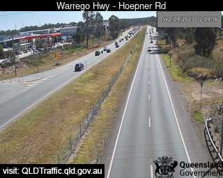
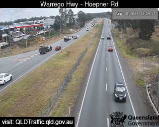
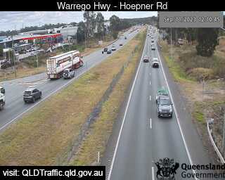
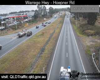
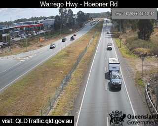
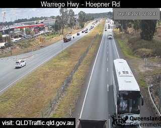
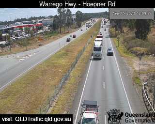
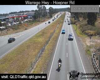
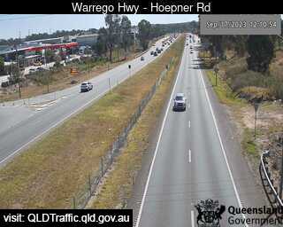
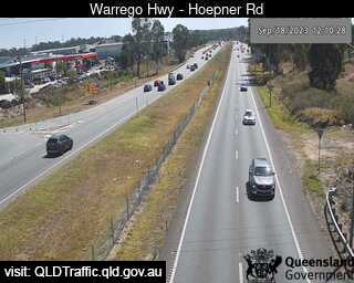
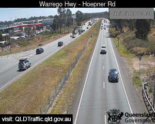
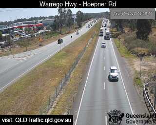
Bundamba, Australia - 24.9 miles from Bellevue: Warrego Hwy near Hoepner Rd - A view of the current traffic conditions.
Operator: Queensland Government - Department of Transport and Main Roads
Operator: Queensland Government - Department of Transport and Main Roads


Dinmore, Australia - 25 miles from Bellevue: Ipswich Motorway and Warrego Highway (East) - A view of the current traffic conditions.
Operator: Queensland Government - Department of Transport and Main Roads
Operator: Queensland Government - Department of Transport and Main Roads


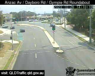
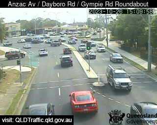
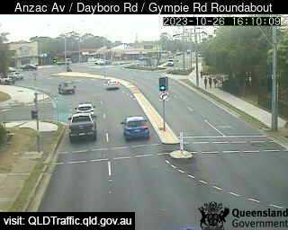
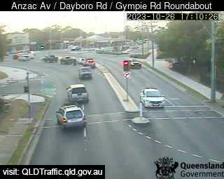
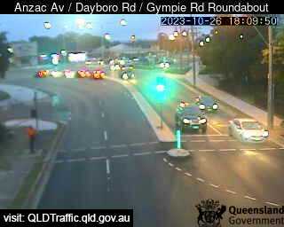
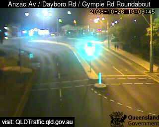
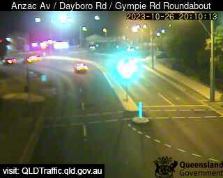
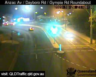
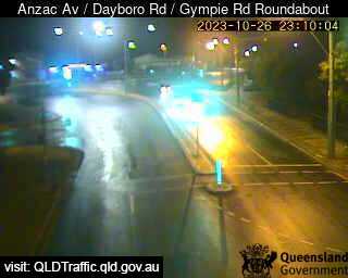
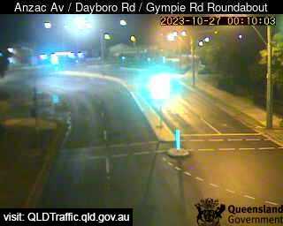
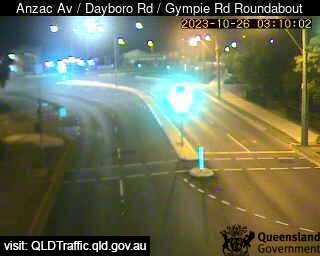
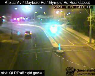
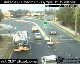
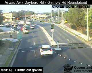
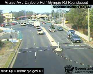
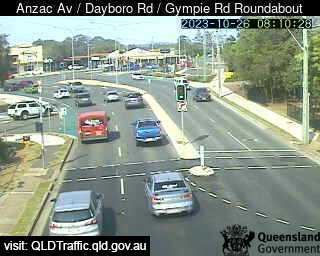
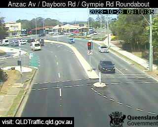
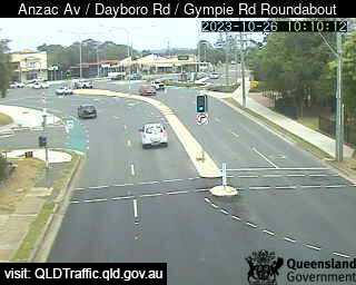
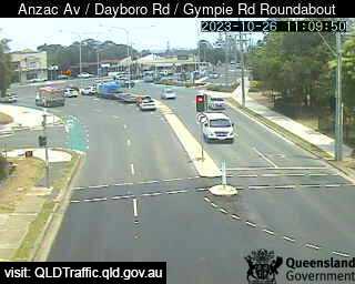
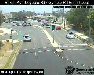
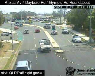
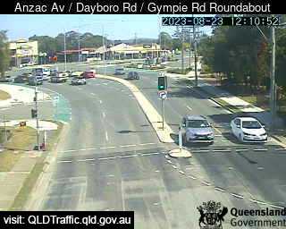
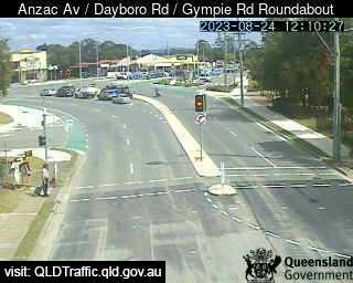
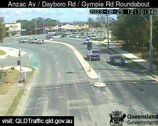
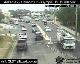
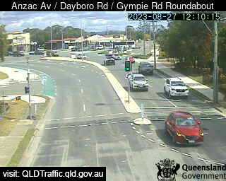
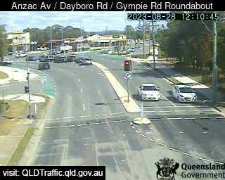
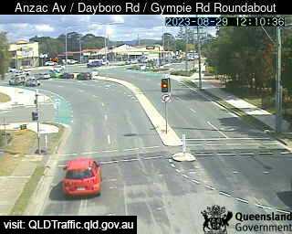
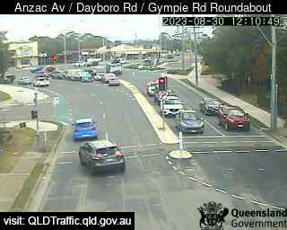
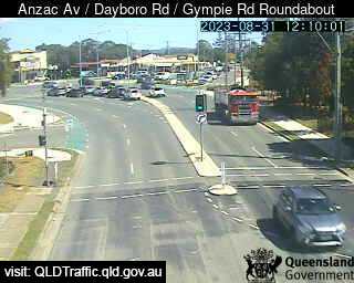
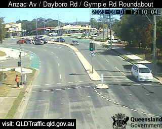
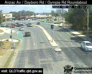
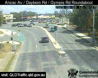
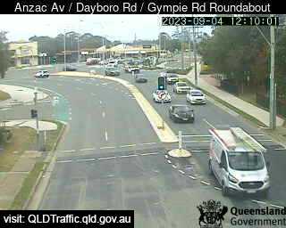
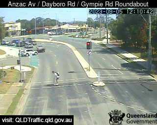
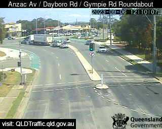
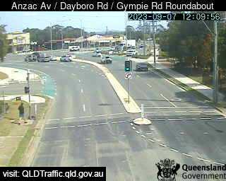
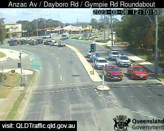
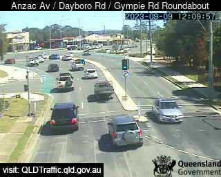
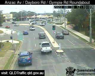
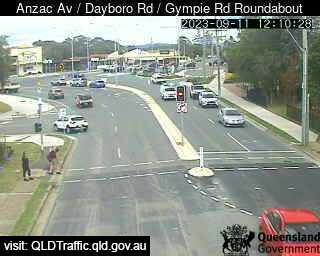
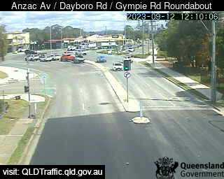
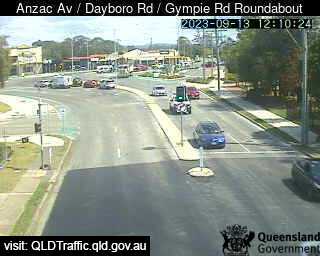
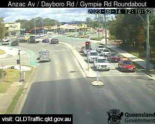
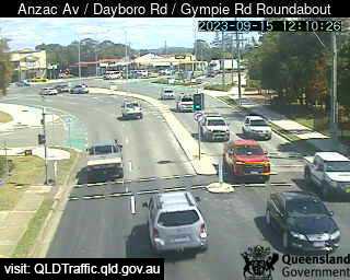
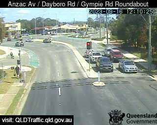
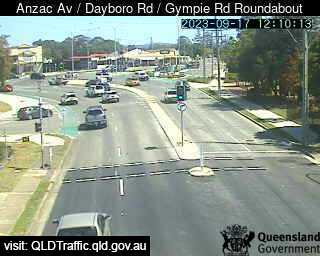
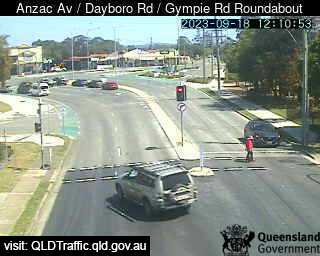
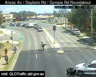
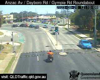
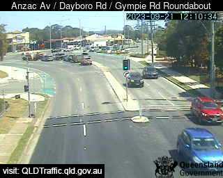
Petrie, Australia - 26.5 miles from Bellevue: Anzac Avenue / Dayboro Road / Gympie Road Roundabout (South-West) - A view of the current traffic conditions.
Operator: Queensland Government - Department of Transport and Main Roads
Operator: Queensland Government - Department of Transport and Main Roads


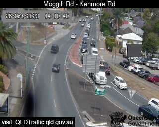
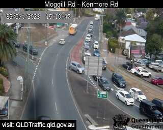
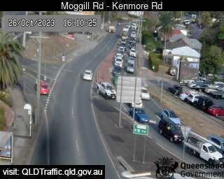
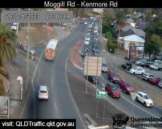
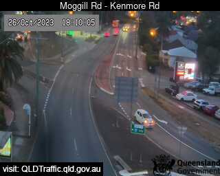
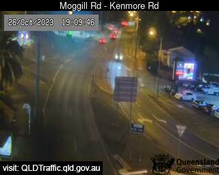
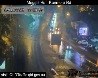
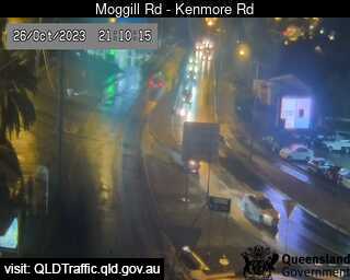
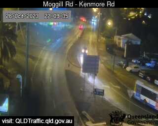
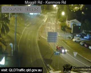
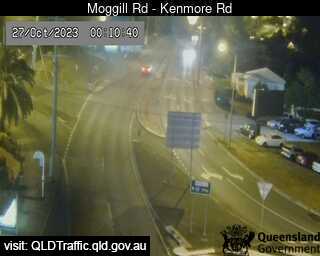
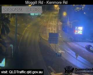
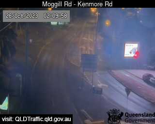
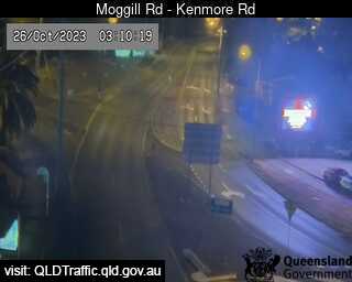
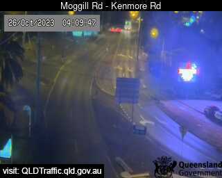
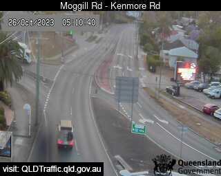
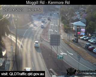
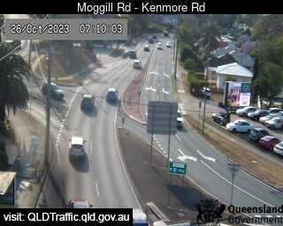
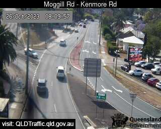
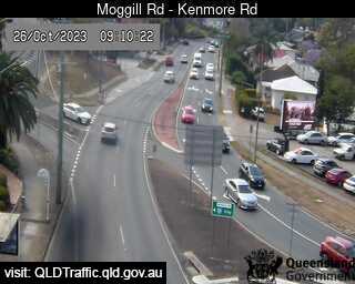
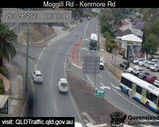
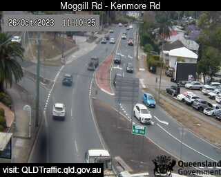
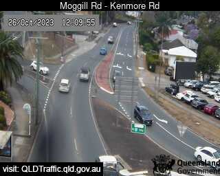
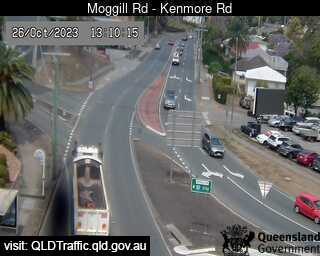
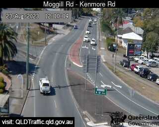
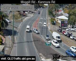
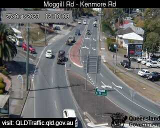
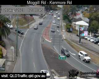
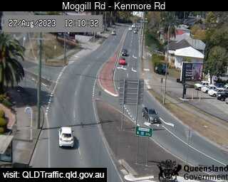
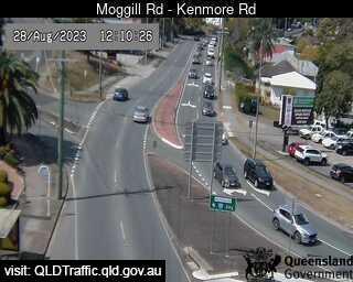
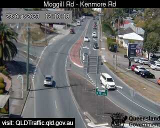
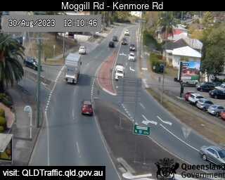
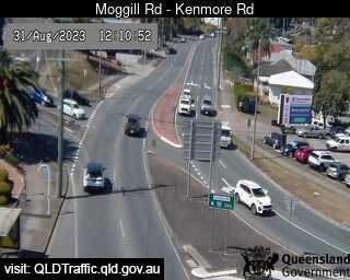
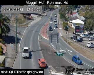
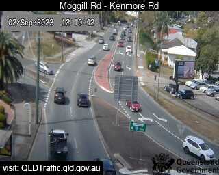
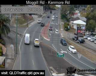
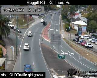
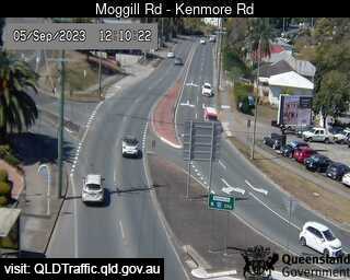
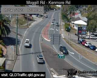
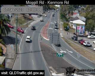
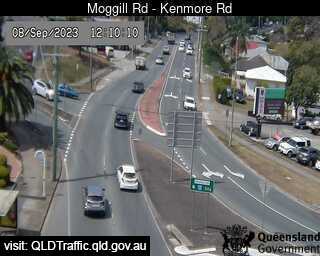
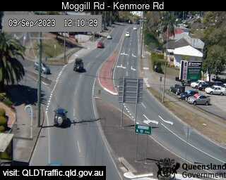
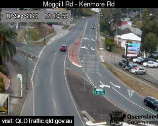
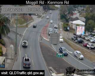
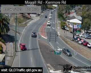
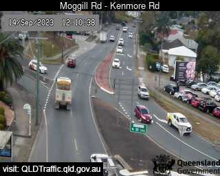
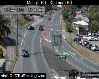
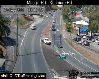
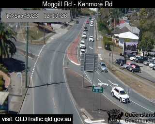
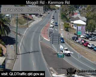
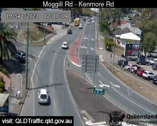
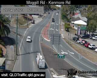
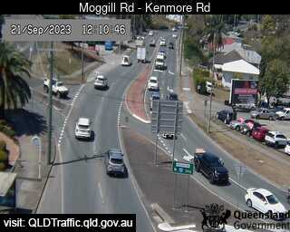
Kenmore, Australia - 26.7 miles from Bellevue: Moggill Road - A view of the current traffic conditions.
Operator: Queensland Government - Department of Transport and Main Roads
Operator: Queensland Government - Department of Transport and Main Roads


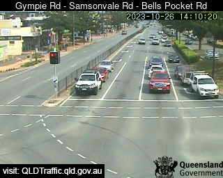
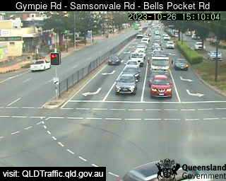
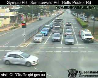
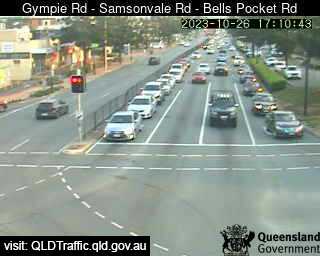
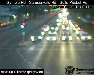
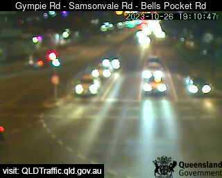
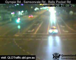
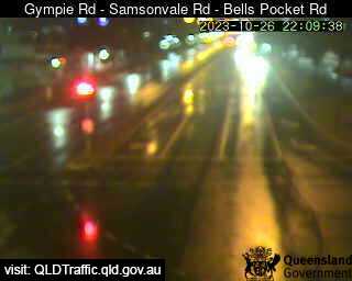
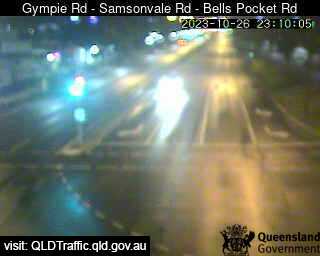
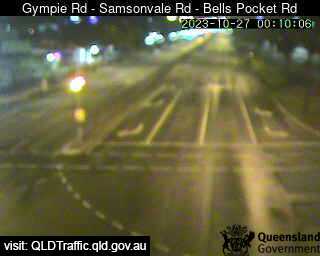
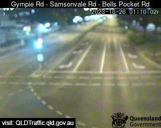
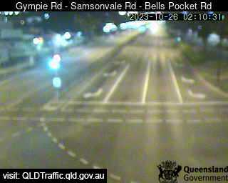
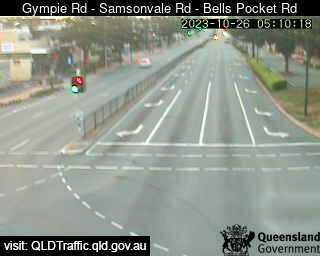
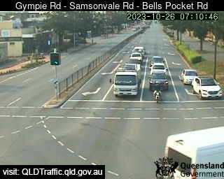
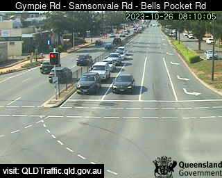
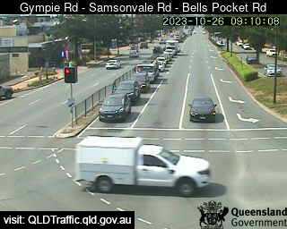
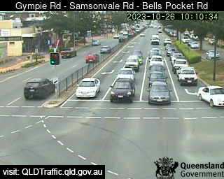
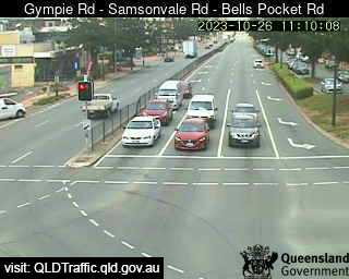
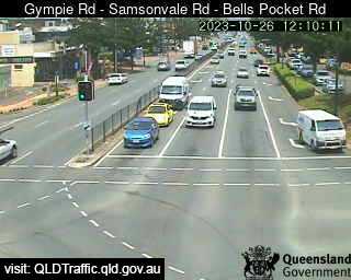
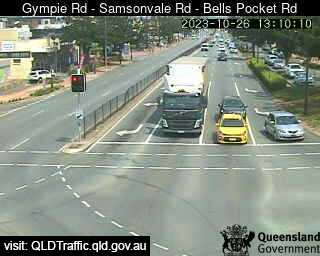
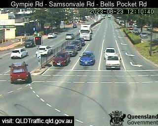
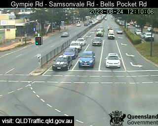
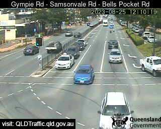
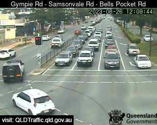
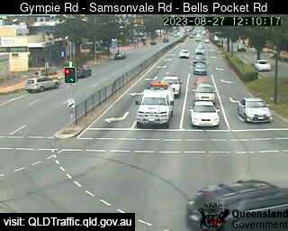
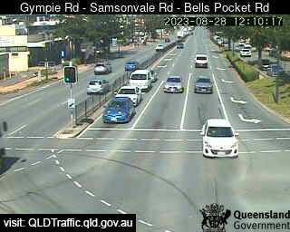
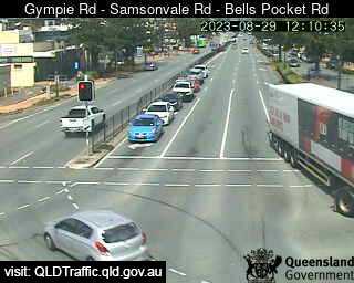
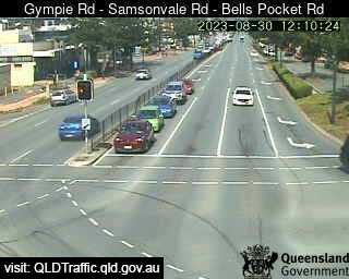
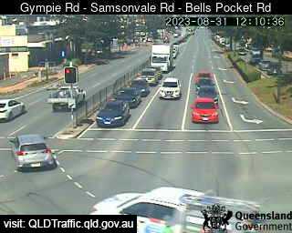
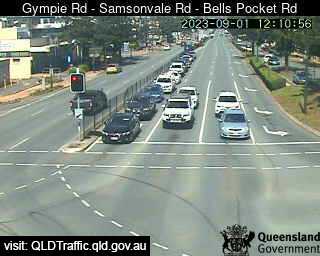
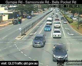
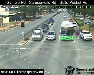
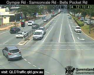
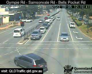
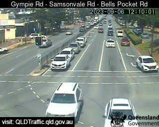
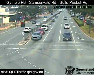
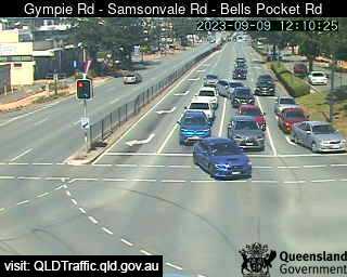
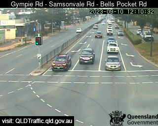
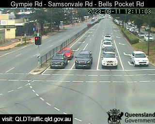
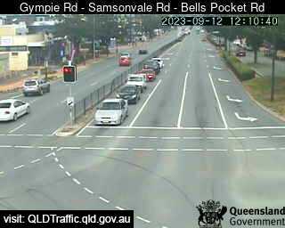
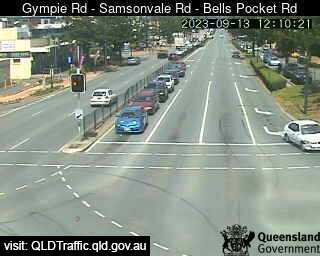
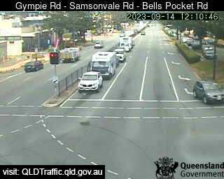
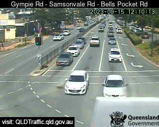
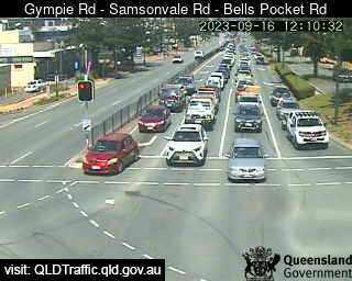
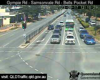
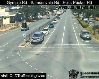
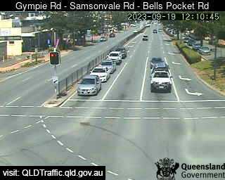
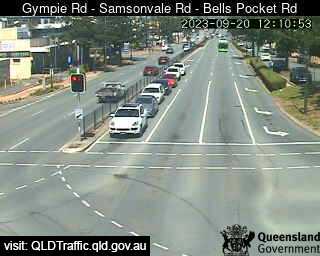
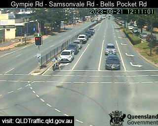
Strathpine, Australia - 27.1 miles from Bellevue: Gympie Road - Samsonvale Road - Bells Pocket Road (South) - A view of the current traffic conditions.
Operator: Queensland Government - Department of Transport and Main Roads
Operator: Queensland Government - Department of Transport and Main Roads


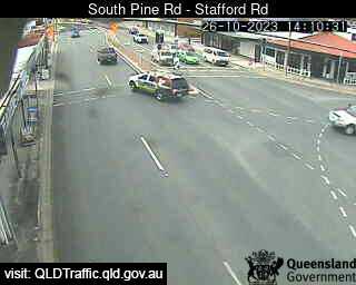
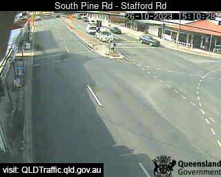
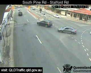
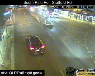
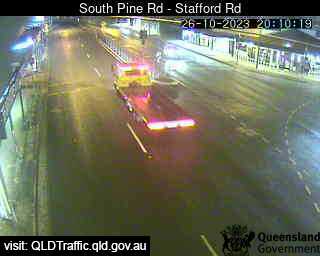
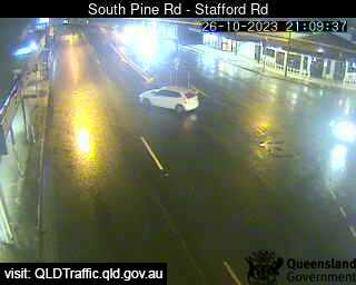
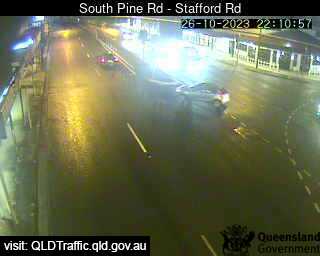
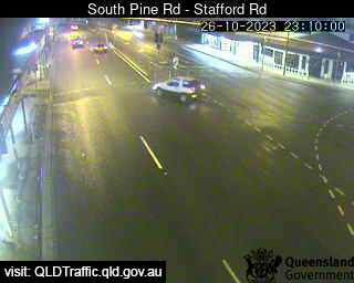
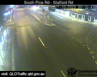
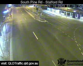
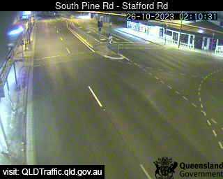
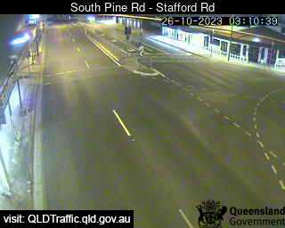
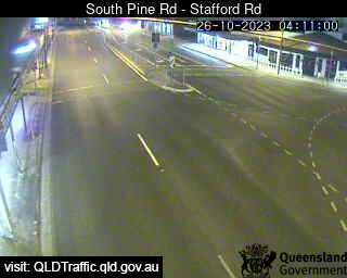
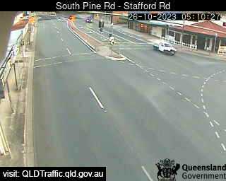
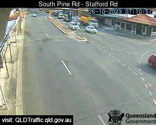
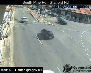
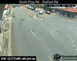
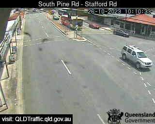
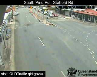
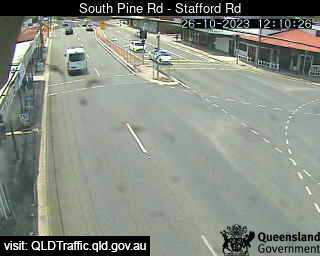
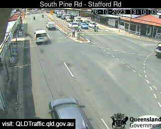
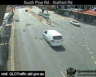
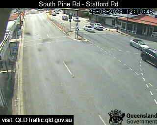
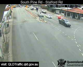
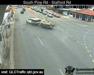
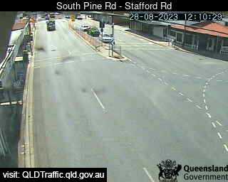
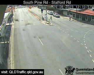
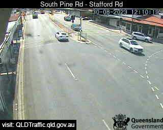
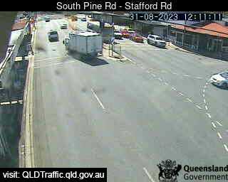
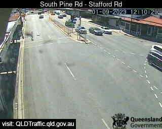
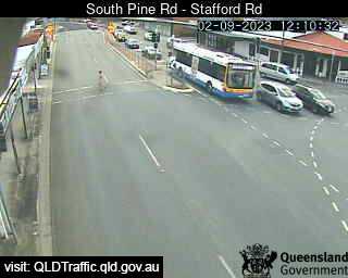
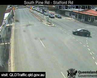
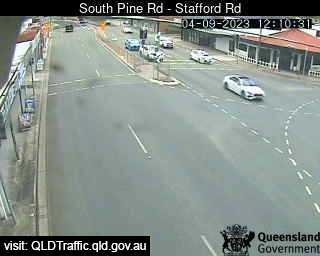
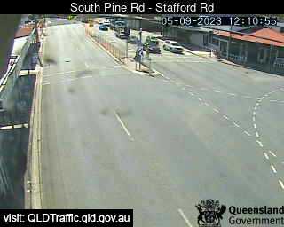
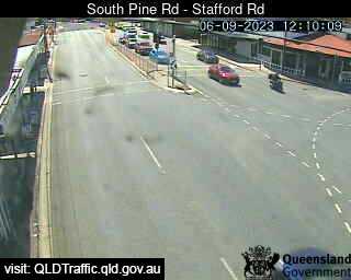
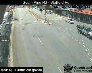
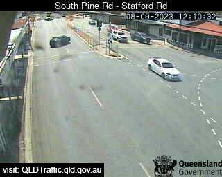
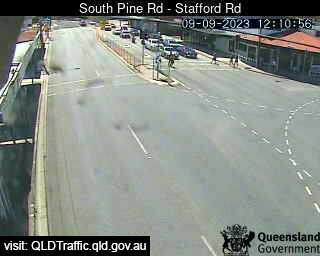
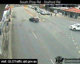
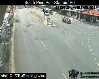
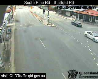
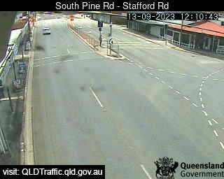
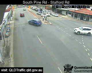
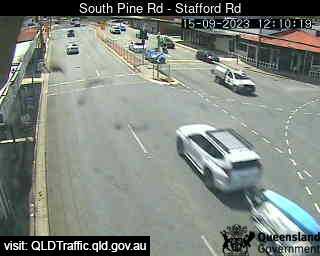
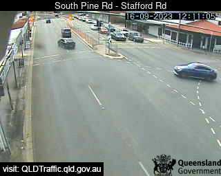
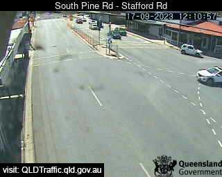
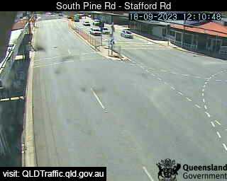
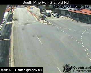
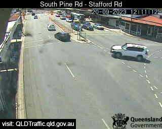
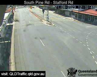
Everton Park, Australia - 27.5 miles from Bellevue: South Pine Road - Stafford Road (North) - A view of the current traffic conditions.
Operator: Queensland Government - Department of Transport and Main Roads
Operator: Queensland Government - Department of Transport and Main Roads


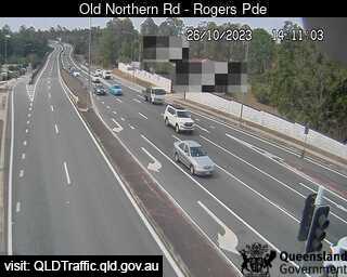
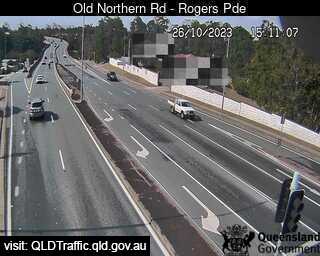
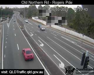
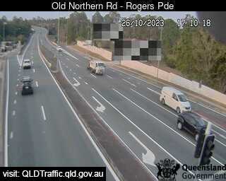
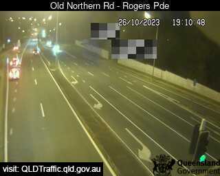
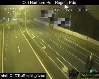
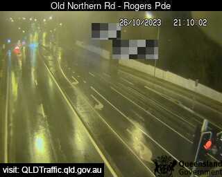
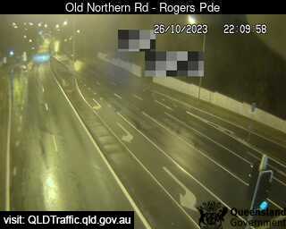
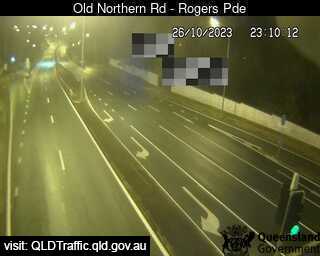
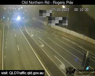
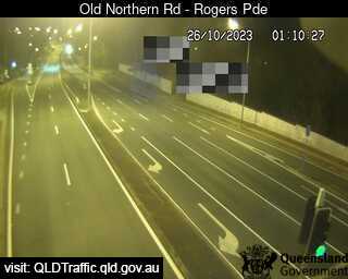
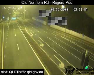
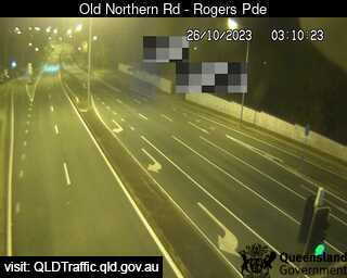
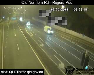
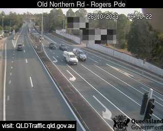
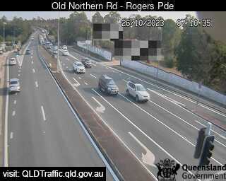
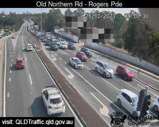
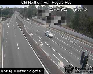
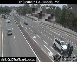
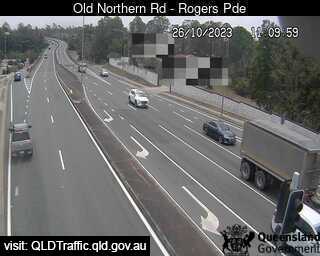
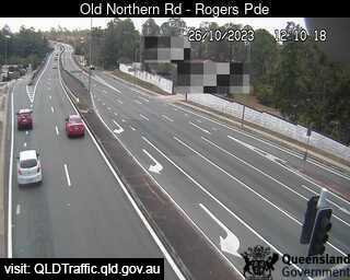
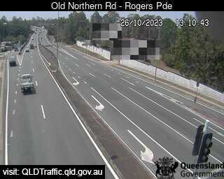
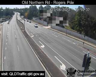
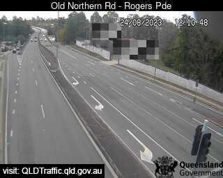
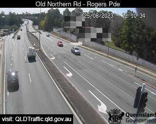
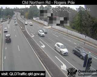
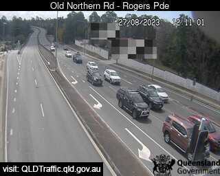
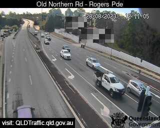
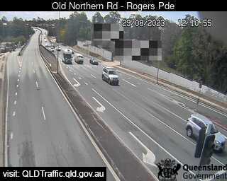
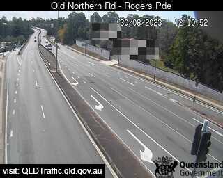
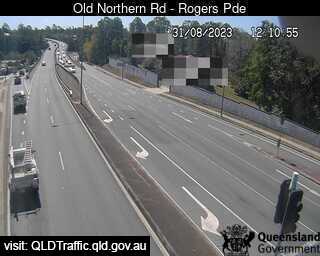
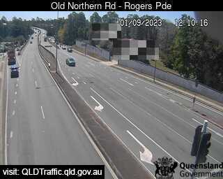
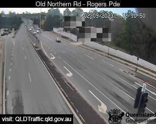
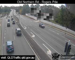
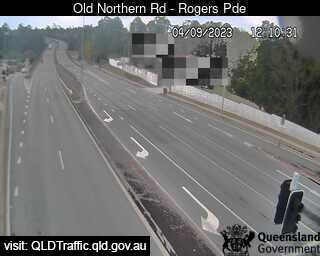
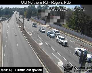
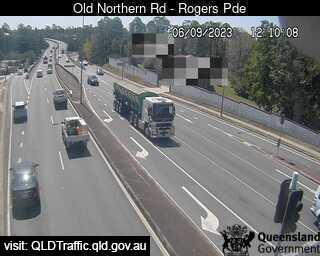
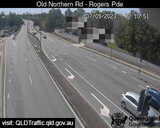
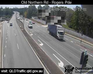
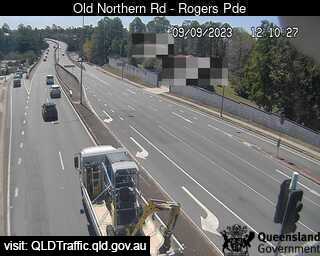
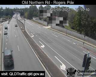
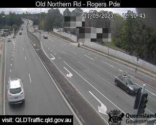
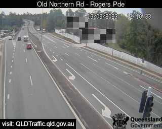
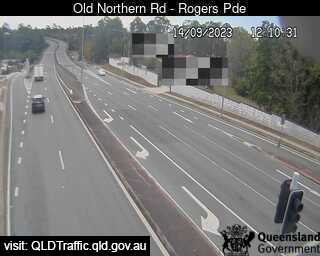
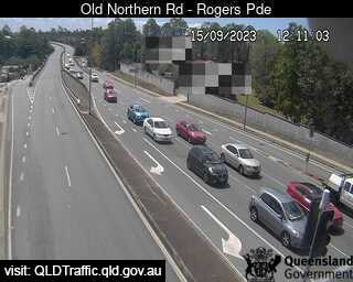
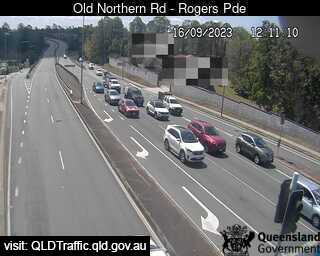
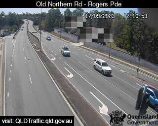
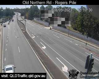
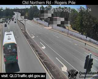
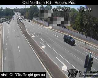
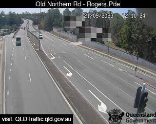
Everton Park, Australia - 27.5 miles from Bellevue: Old Northern Road - A view of the current traffic conditions.
Operator: Queensland Government - Department of Transport and Main Roads
Operator: Queensland Government - Department of Transport and Main Roads


Enoggera, Australia - 27.8 miles from Bellevue: Samford Road and Wardell Street (West) - A view of the current traffic conditions.
Operator: Queensland Government - Department of Transport and Main Roads
Operator: Queensland Government - Department of Transport and Main Roads
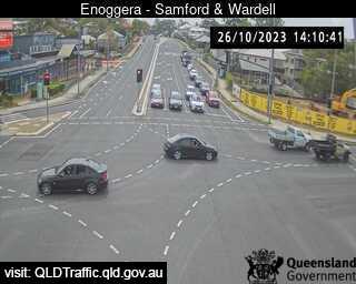
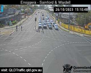
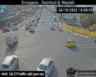
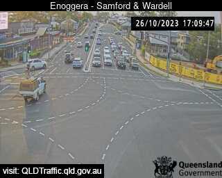


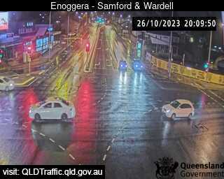
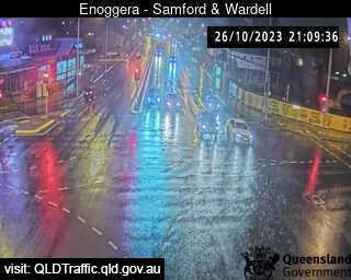


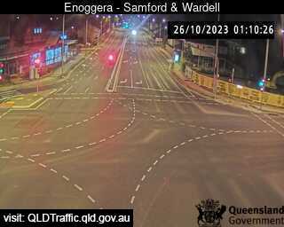
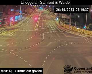
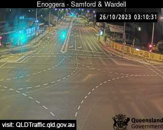
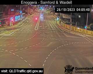
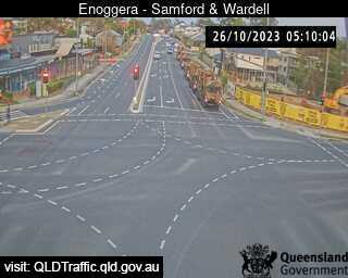
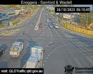
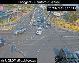
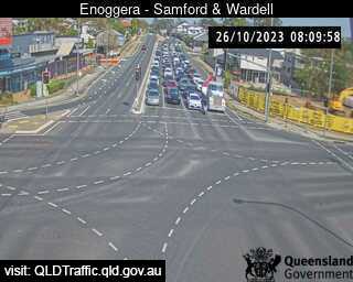

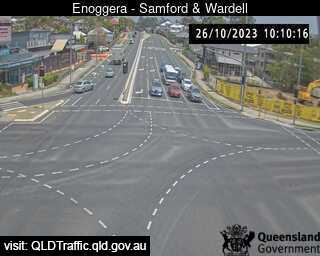


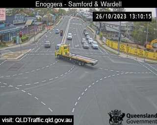
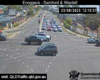
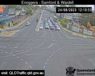
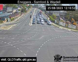
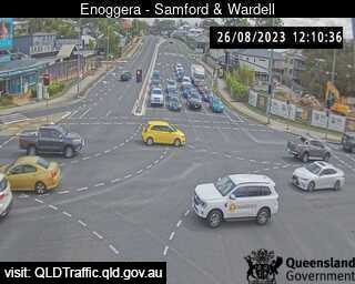
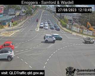
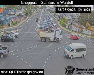
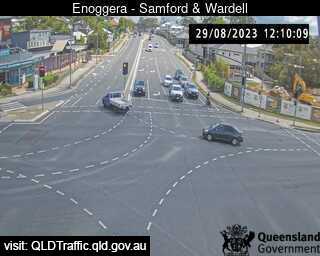
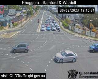
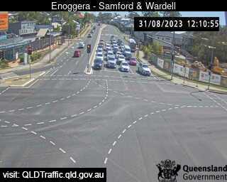
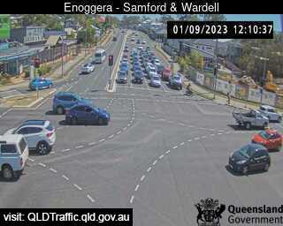

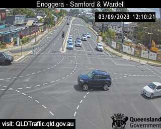
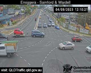
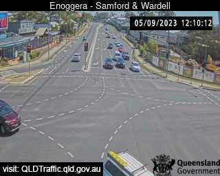
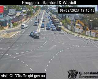

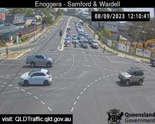
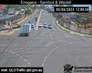

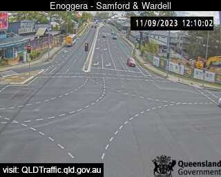
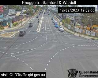
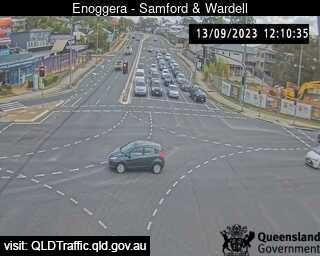
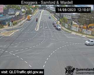

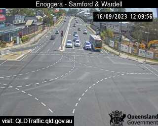
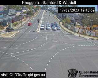


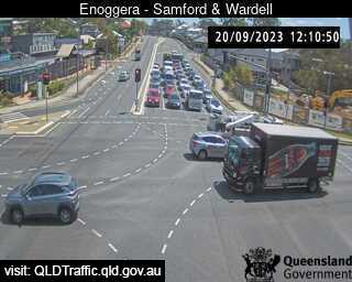
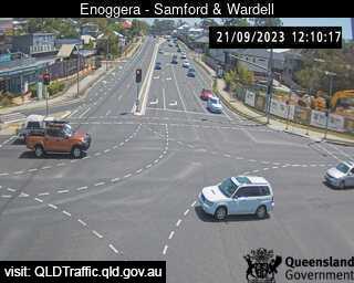

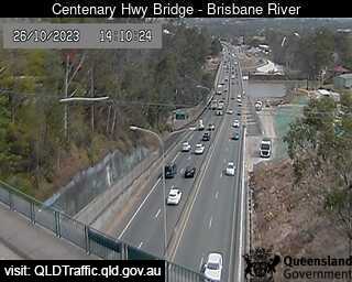
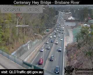
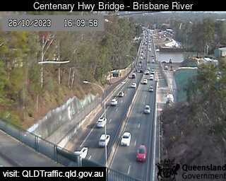
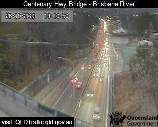
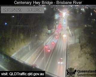
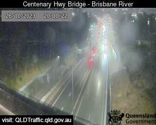
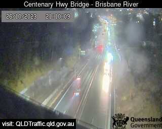
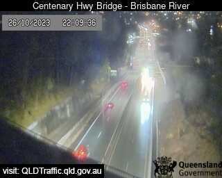
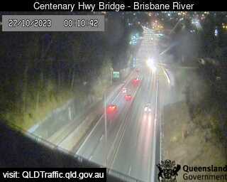
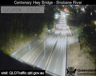
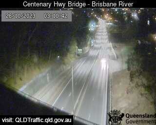
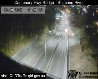
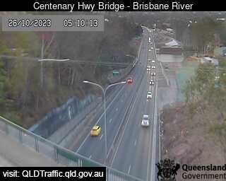
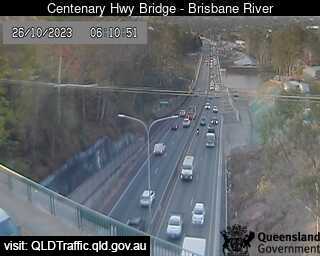
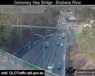
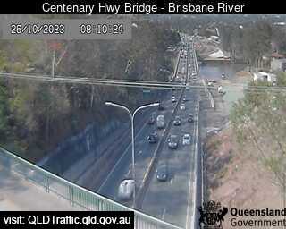
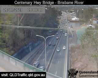
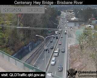
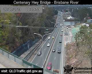
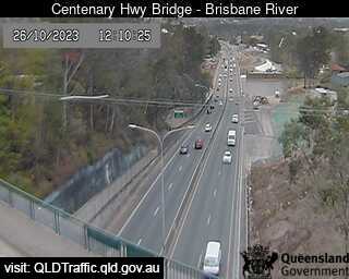
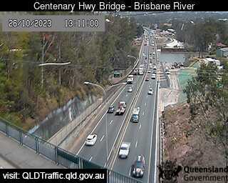
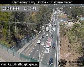
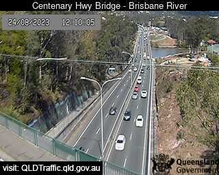
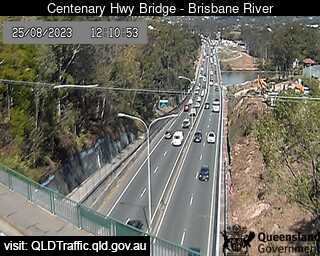
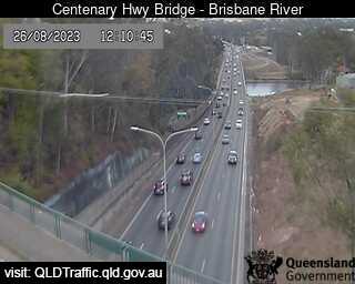
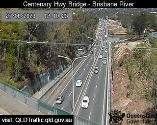
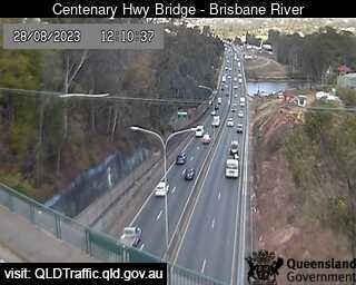
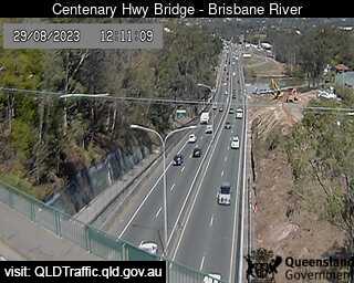
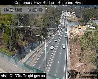
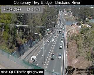
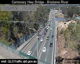
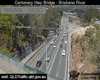
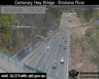
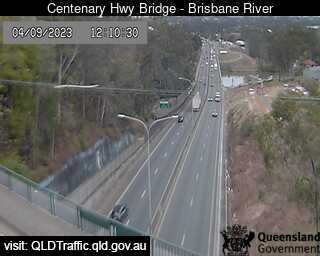
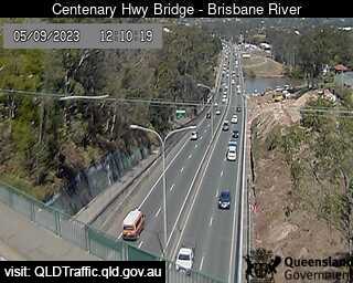
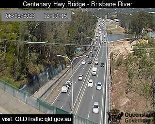
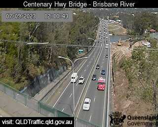
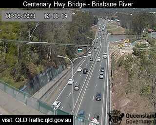
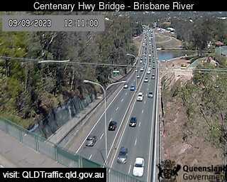
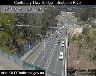
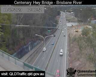
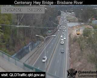
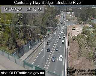
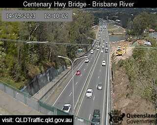
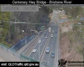
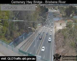
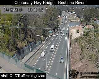
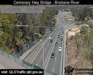
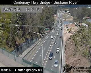
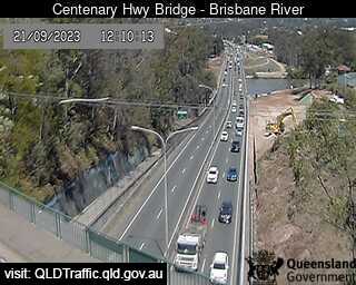
Fig Tree Pocket, Australia - 28.2 miles from Bellevue: Centenary Highway Bridge - Brisbane River (South) - A view of the current traffic conditions.
Operator: Queensland Government - Department of Transport and Main Roads
Operator: Queensland Government - Department of Transport and Main Roads


Some other places in this country: Bellbrae - Bellbrook - Bellenden Ker - Bellerive - Bellevue - Bellevue Hill - Bellimbopinni - Belmont - Belmont - Belmont