Webcams in the region of Beerwah, Australia
The List of Webcams near Beerwah, Australia:

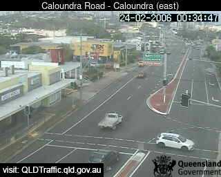
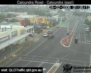
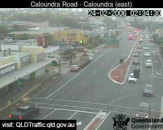
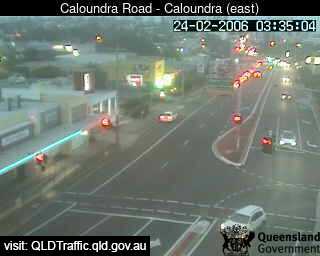
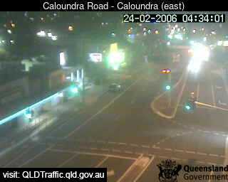
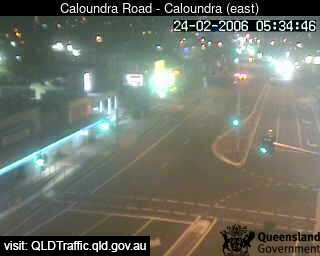
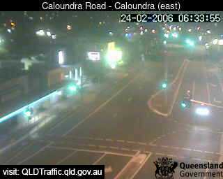
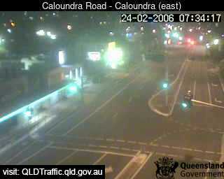
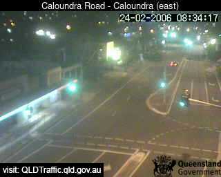
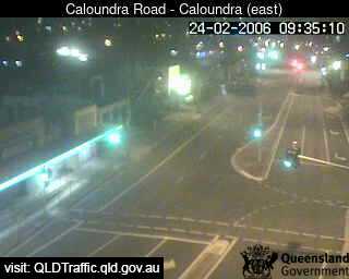
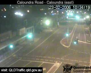
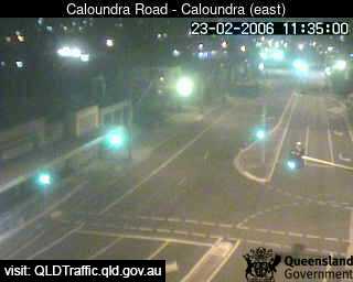
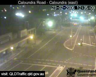
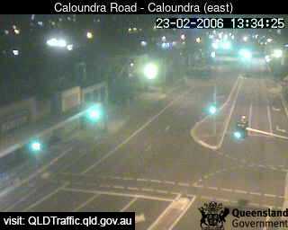
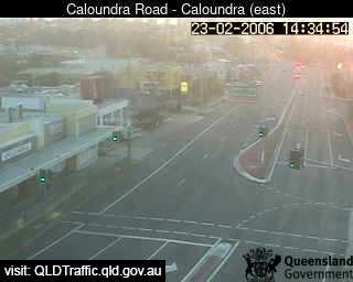
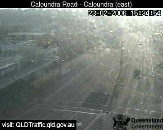
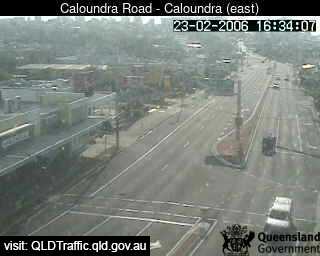
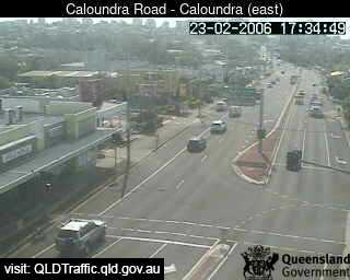
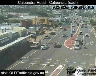
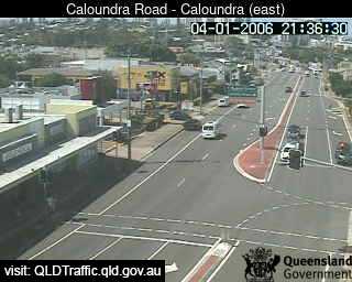
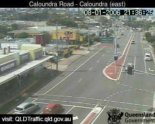
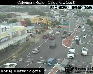
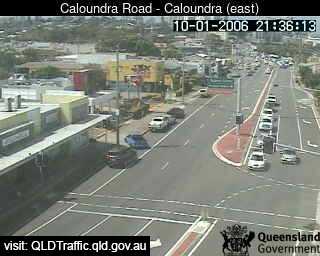
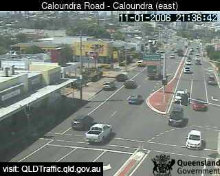
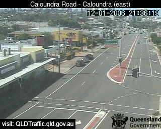
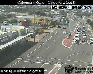
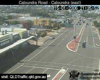
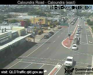
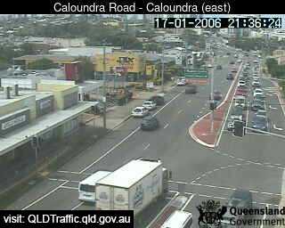
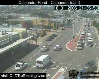
Caloundra, Australia - 10.7 miles from Beerwah: Forth Avenue intersection (looking East) - A view of the current traffic conditions.
Operator: Queensland Government - Department of Transport and Main Roads
Operator: Queensland Government - Department of Transport and Main Roads


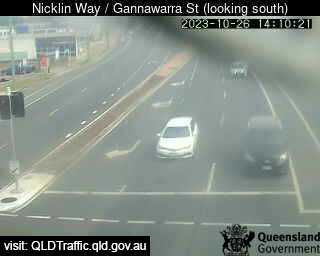
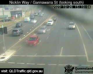
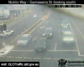
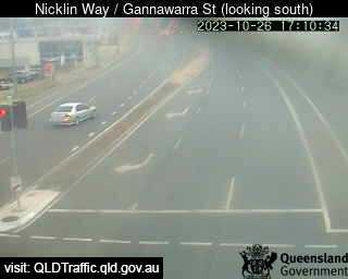
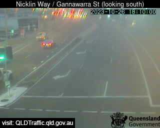
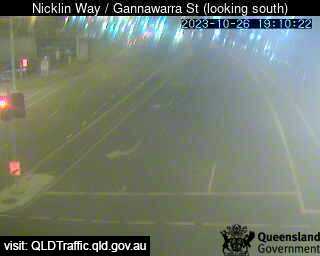
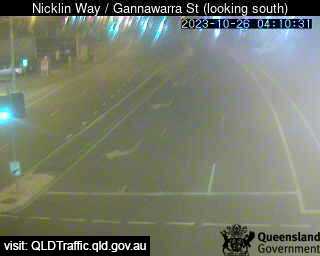
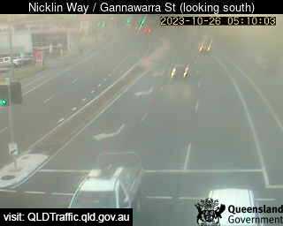
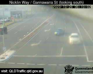
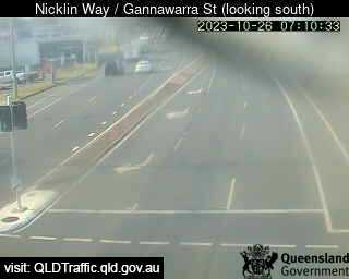
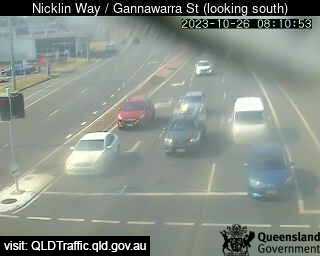
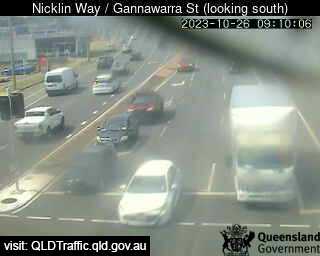
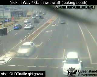
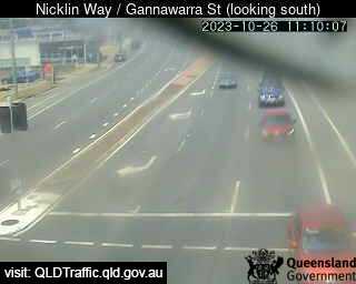
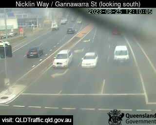
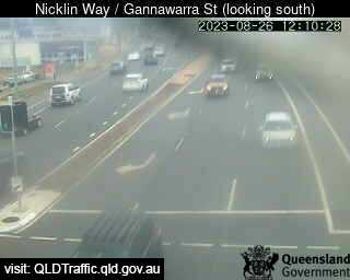
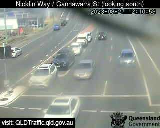
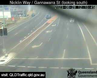
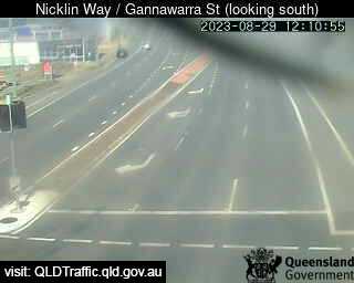
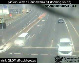
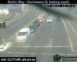
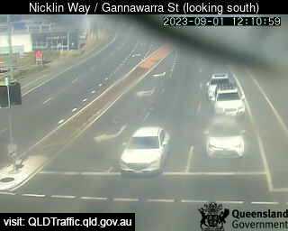
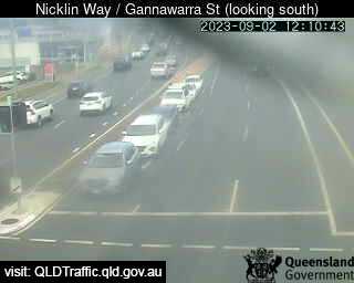
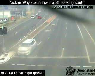
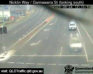
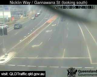
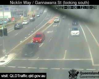
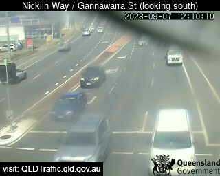
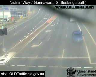
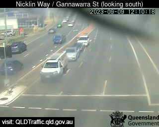
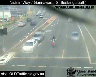
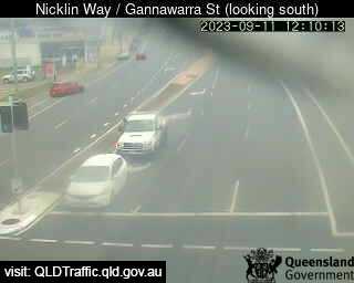
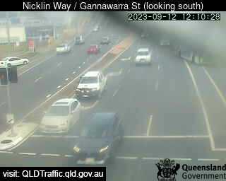
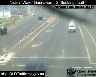
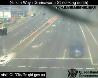
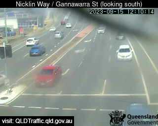
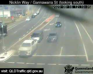
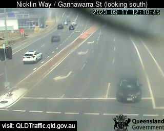
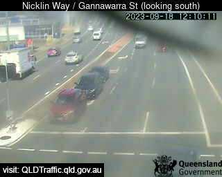
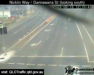
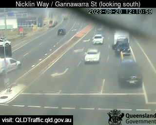
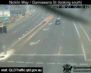
Currimundi, Australia - 11.1 miles from Beerwah: Nicklin Way / Gannawarra Street (looking south) ( South) - A view of the current traffic conditions.
Operator: Queensland Government - Department of Transport and Main Roads
Operator: Queensland Government - Department of Transport and Main Roads

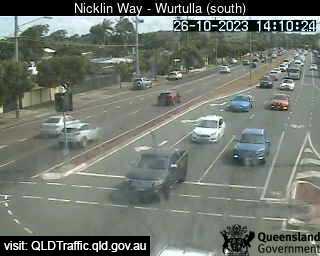
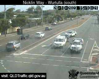
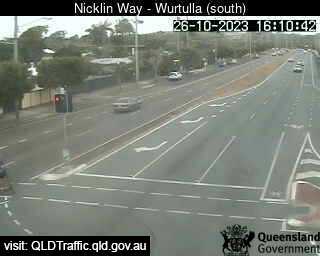
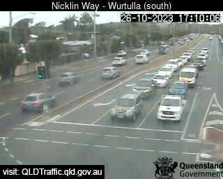
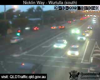
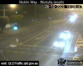
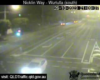
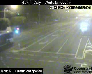
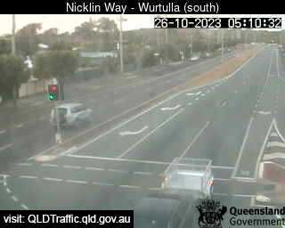
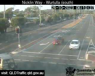
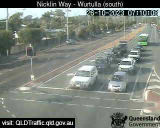
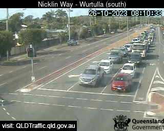
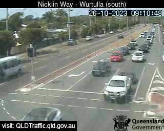
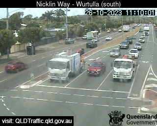
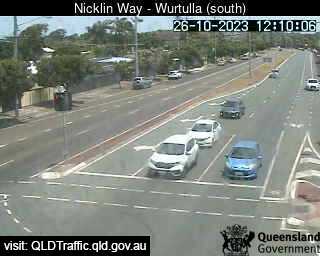
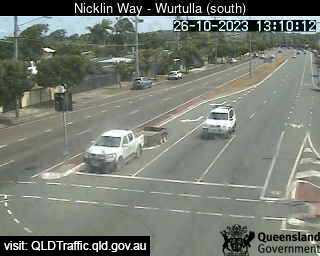
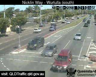
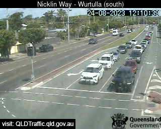
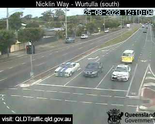
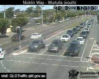
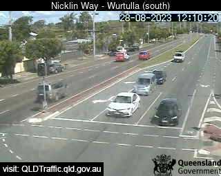
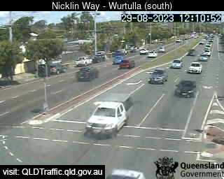
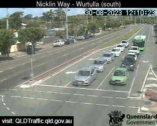
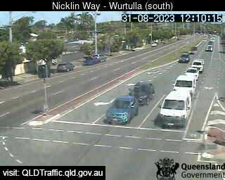
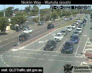
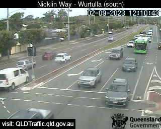
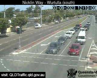
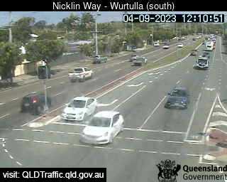
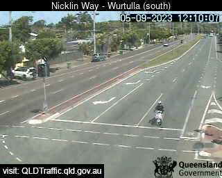
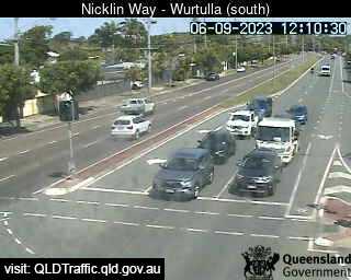
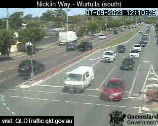
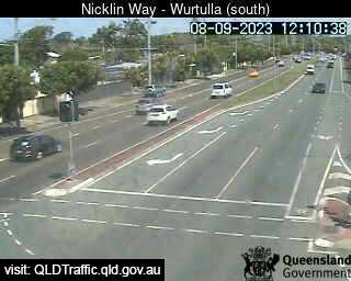
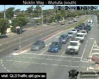
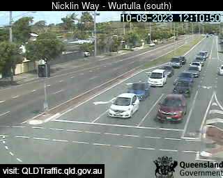
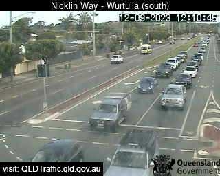
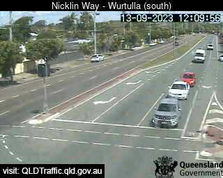
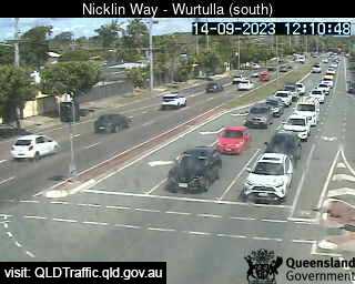
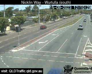
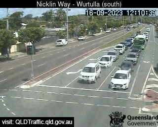
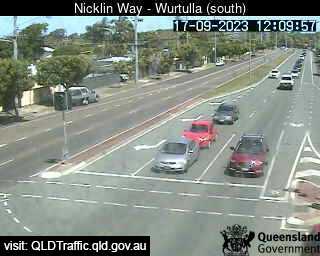
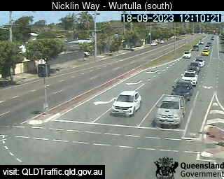
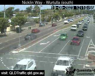
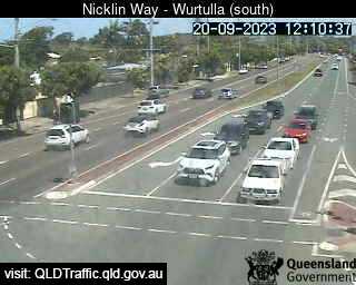
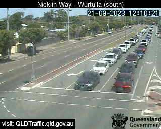
Wurtulla, Australia - 11.6 miles from Beerwah: Nicklin Way, Pringa Street intersection (looking South) - A view of the current traffic conditions.
Operator: Queensland Government - Department of Transport and Main Roads
Operator: Queensland Government - Department of Transport and Main Roads


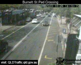
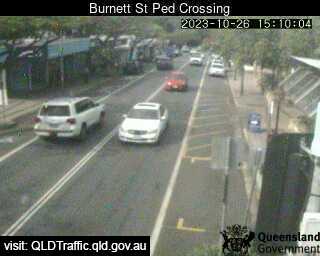
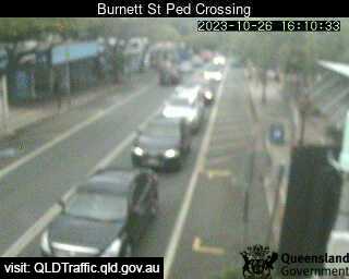
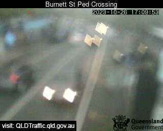
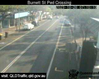
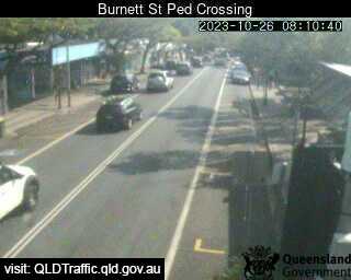
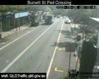
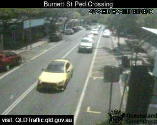
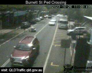
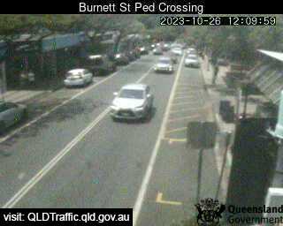
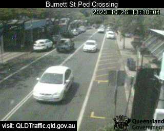
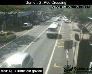
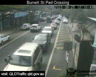
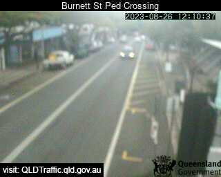
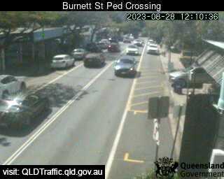
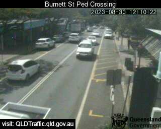
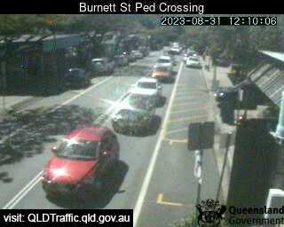
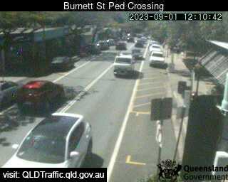
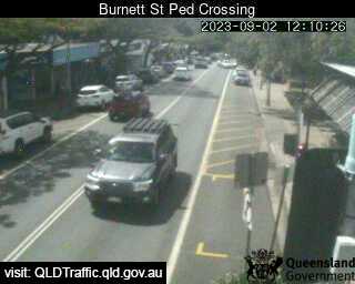
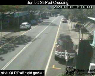
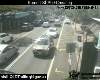
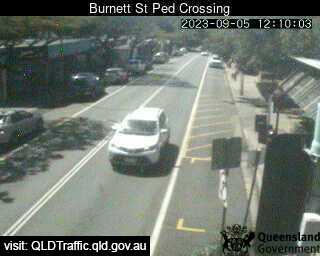
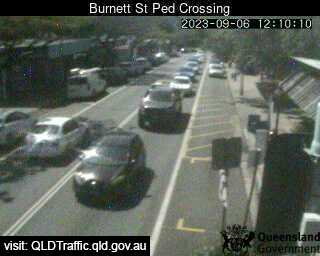
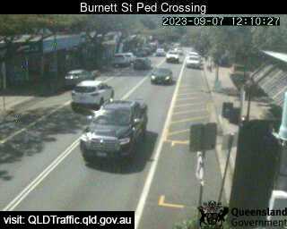
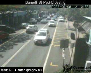
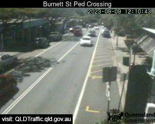
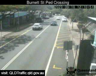
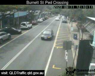
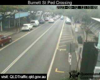
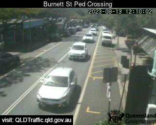
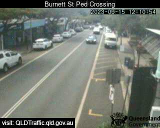
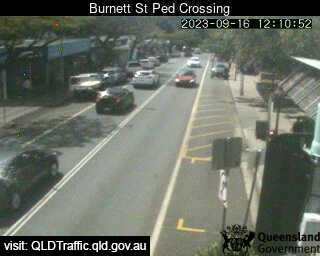
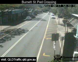
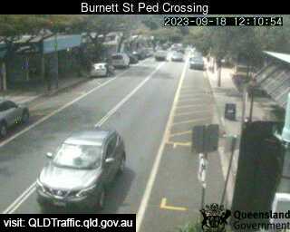
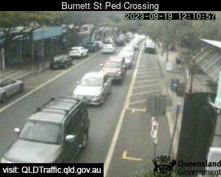
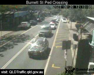
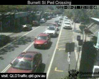
Buderim, Australia - 12.6 miles from Beerwah: Burnett Street Pedestrian Crossing (West) - A view of the current traffic conditions.
Operator: Queensland Government - Department of Transport and Main Roads
Operator: Queensland Government - Department of Transport and Main Roads


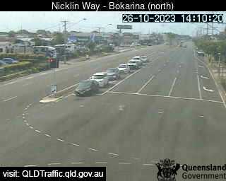
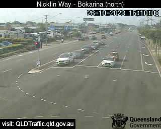
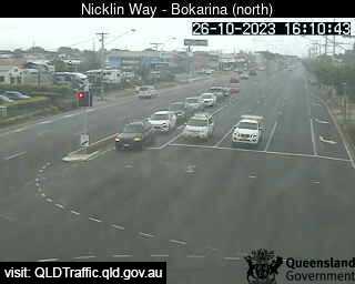
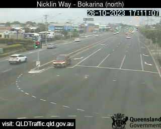
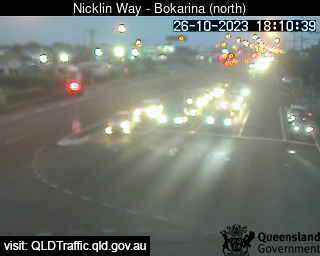
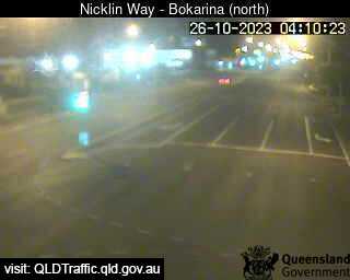
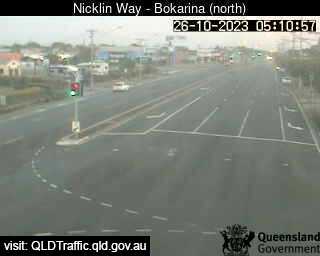
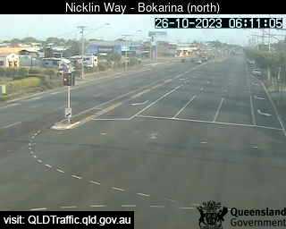
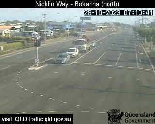
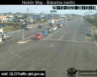
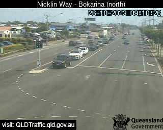
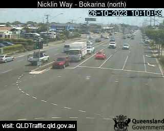
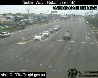
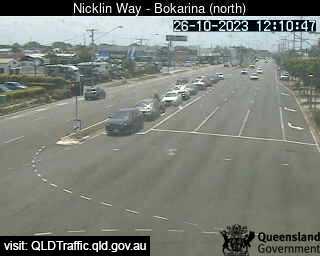
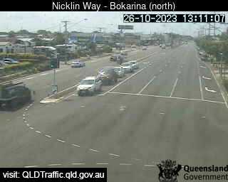
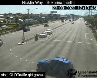
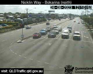
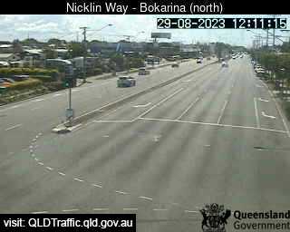
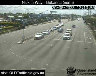
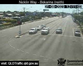
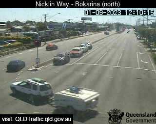
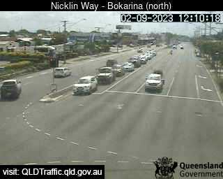
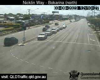
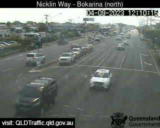
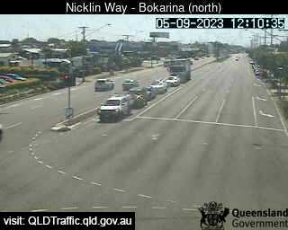
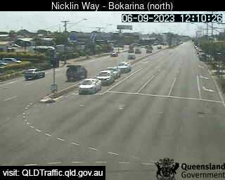
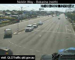
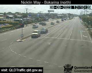
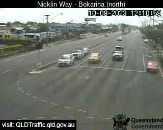
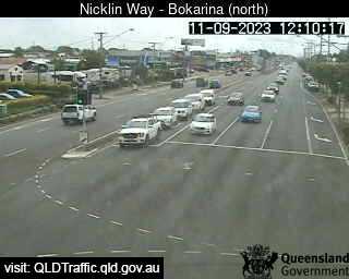
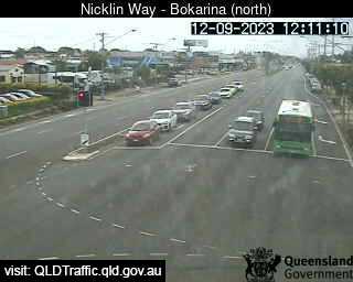
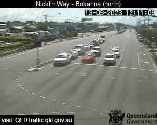
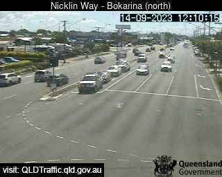
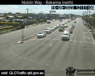
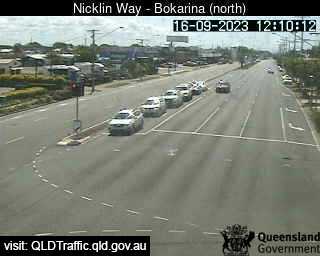
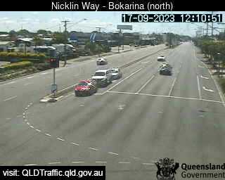
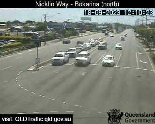
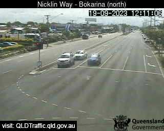
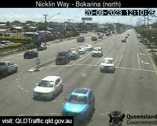
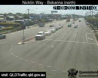
Bokarina, Australia - 12.8 miles from Beerwah: Nicklin Way, Main Drive intersection (looking North) - A view of the current traffic conditions.
Operator: Queensland Government - Department of Transport and Main Roads
Operator: Queensland Government - Department of Transport and Main Roads


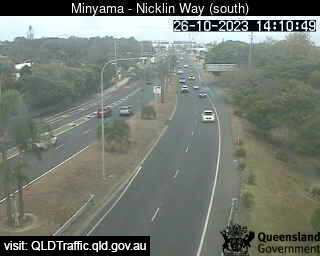
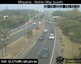
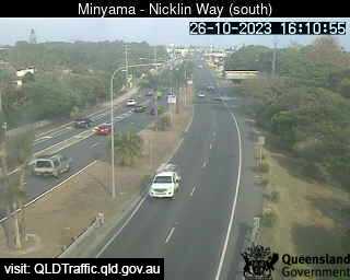
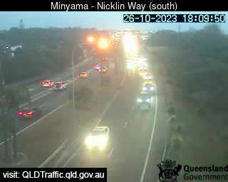
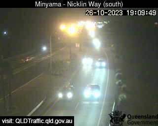
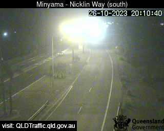
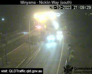
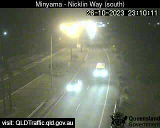
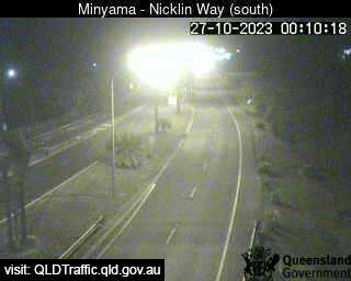
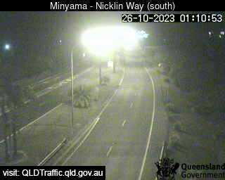
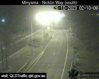
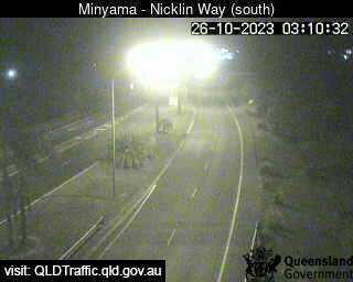
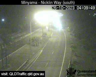
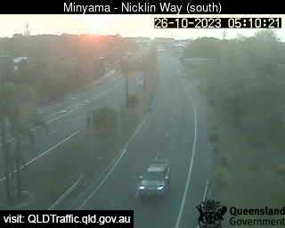
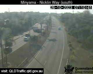
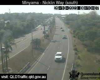
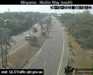
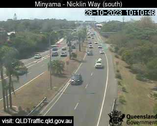
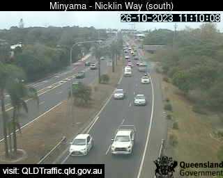
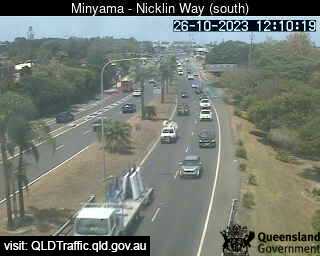
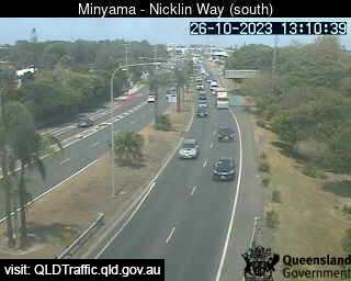
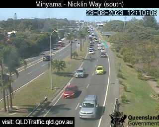
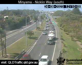
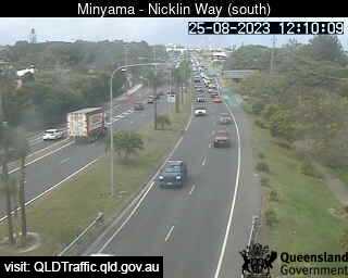
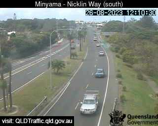
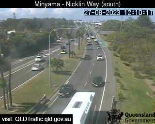
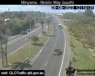
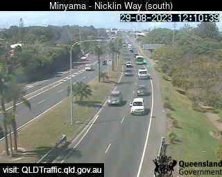
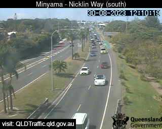
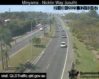
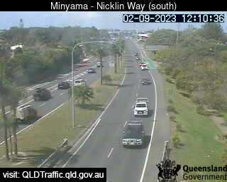
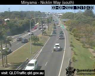
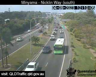
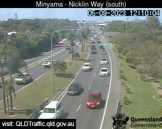
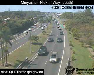
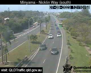
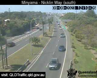
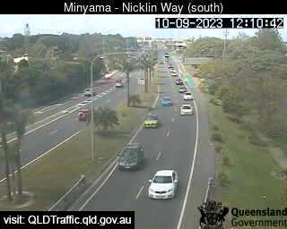
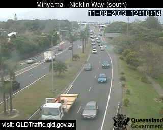
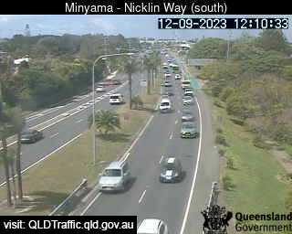
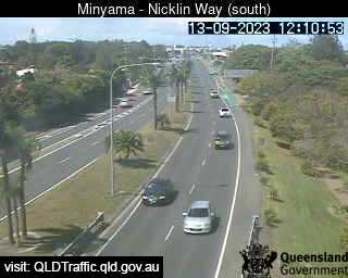
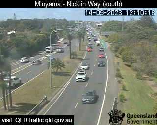
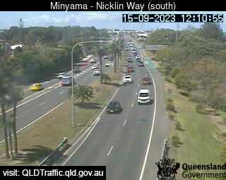
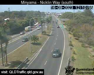
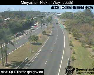
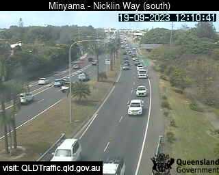
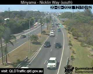
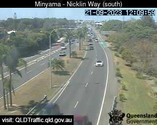
Minyama, Australia - 14.2 miles from Beerwah: Nicklin Way, looking south towards Jessica Boulevard - A view of the current traffic conditions.
Operator: Queensland Government - Department of Transport and Main Roads
Operator: Queensland Government - Department of Transport and Main Roads


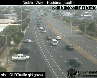
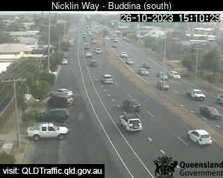
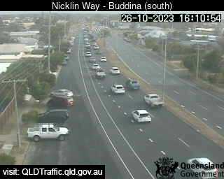
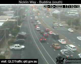
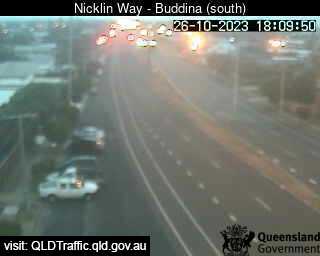
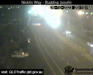
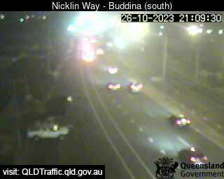
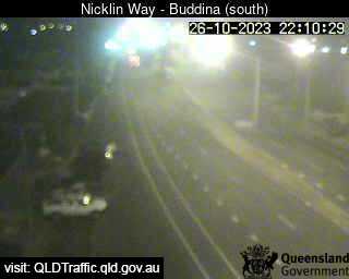
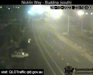
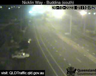
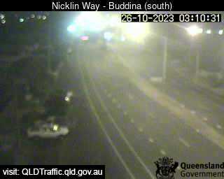
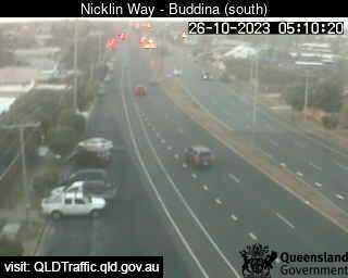
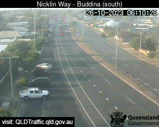
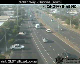
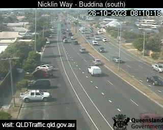
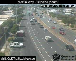
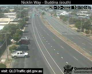
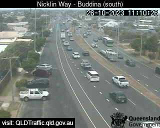
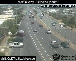
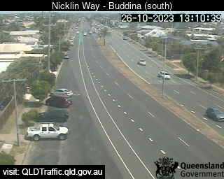
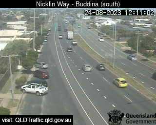
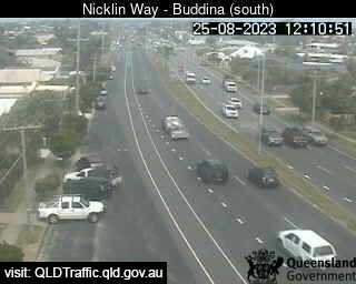
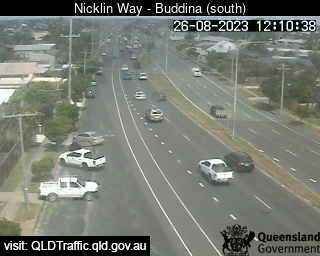
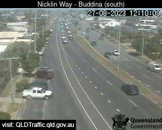
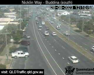
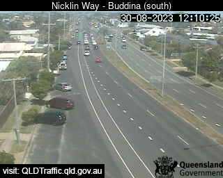
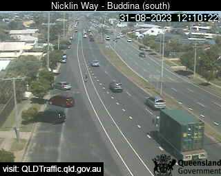
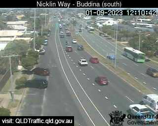
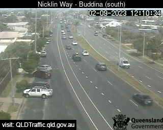
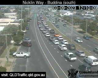
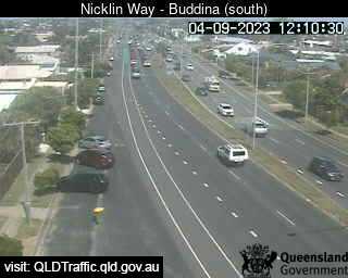
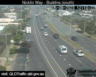
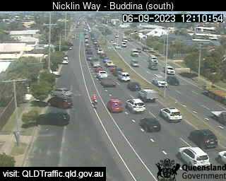
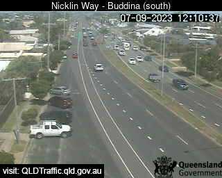
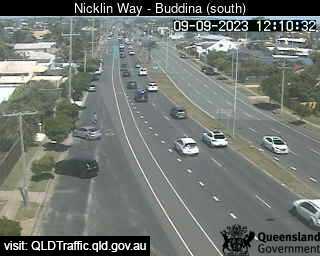
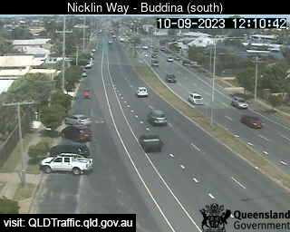
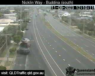
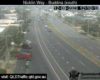
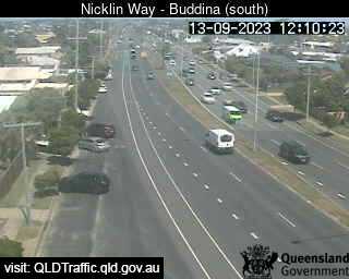
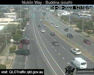
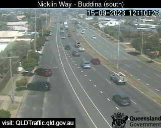
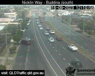
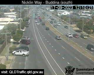
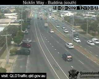
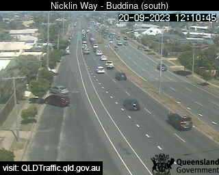
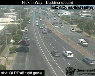
Buddina, Australia - 14.3 miles from Beerwah: Nicklin Way, Lutana Street intersection (looking north) - A view of the current traffic conditions.
Operator: Queensland Government - Department of Transport and Main Roads
Operator: Queensland Government - Department of Transport and Main Roads


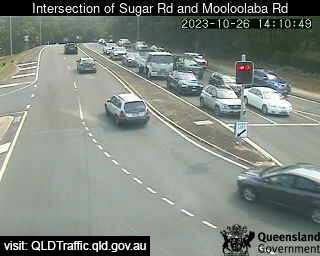
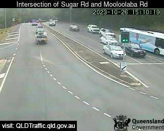
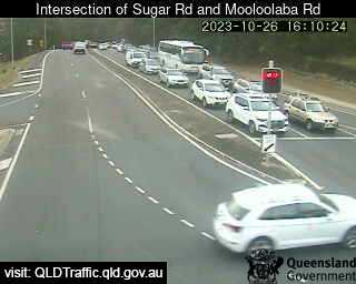
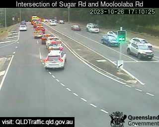
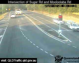
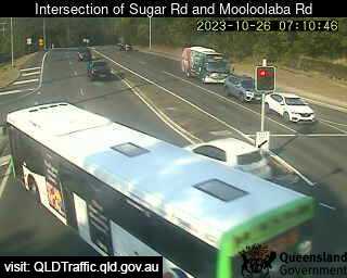
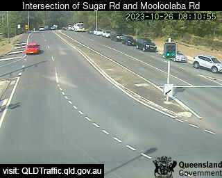
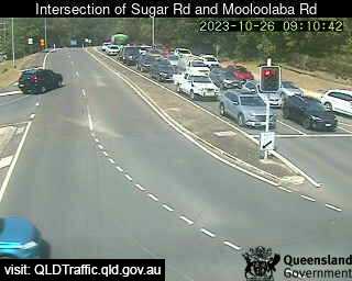
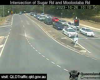
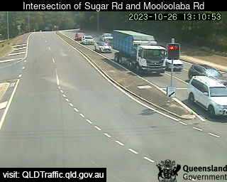
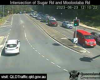
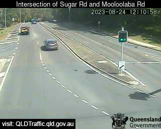
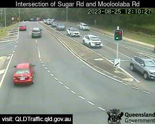
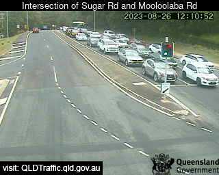
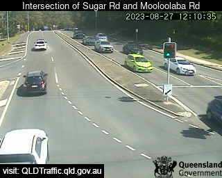
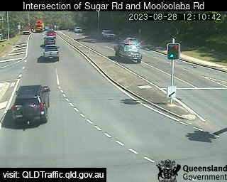
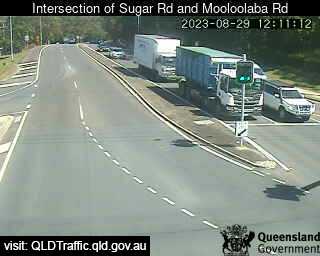
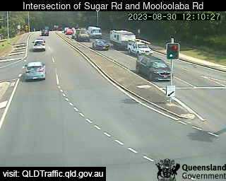
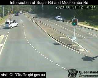
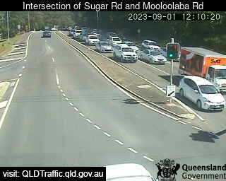
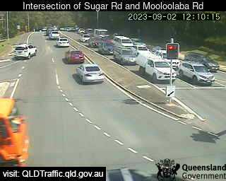
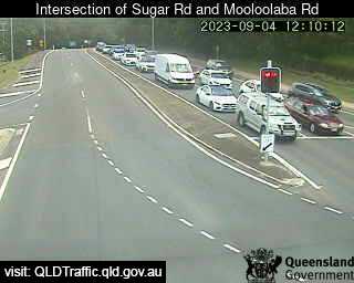
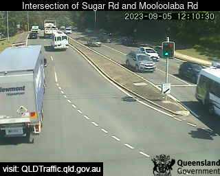
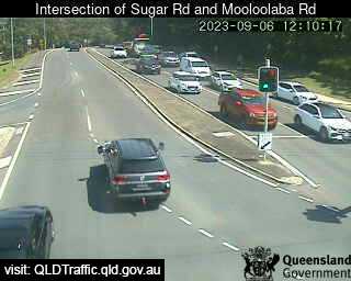
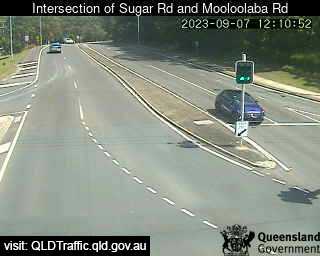
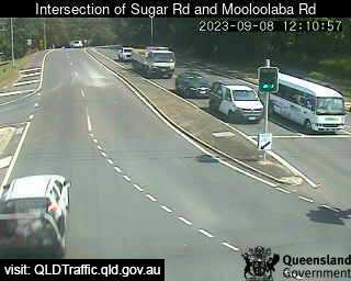
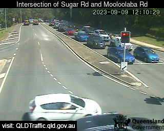
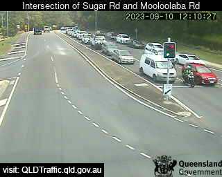
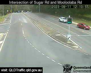
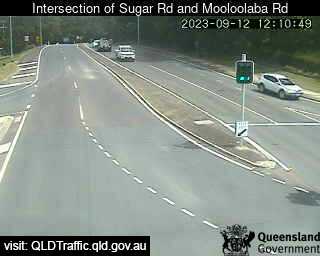
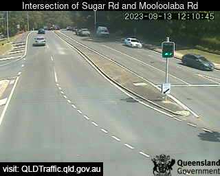
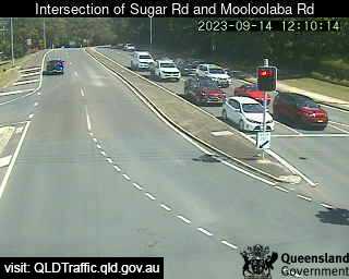
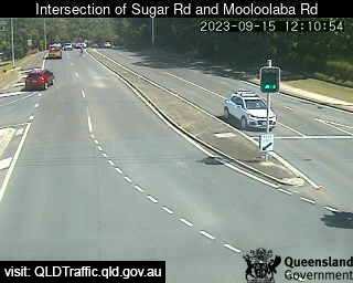
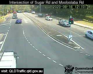
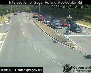
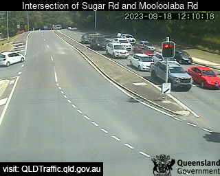
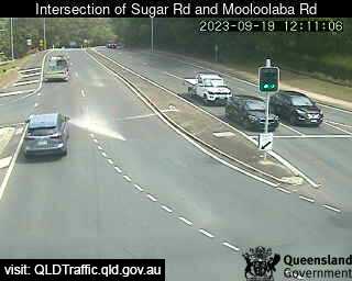
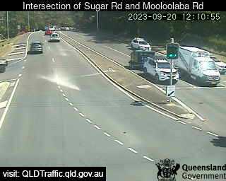
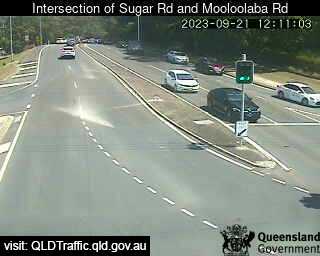
Alexandra Headland, Australia - 15.3 miles from Beerwah: Intersection of Sugar Road and Mooloolaba Road (North-East) - A view of the current traffic conditions.
Operator: Queensland Government - Department of Transport and Main Roads
Operator: Queensland Government - Department of Transport and Main Roads


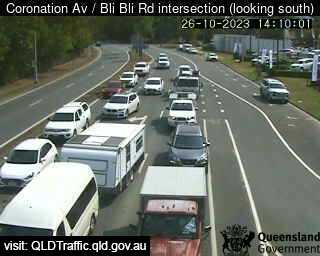
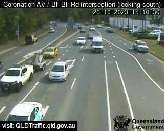
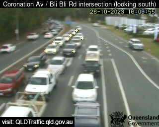
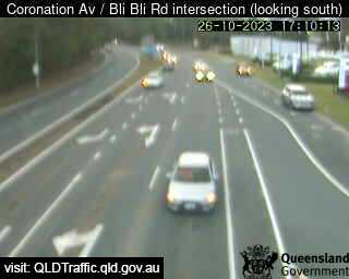
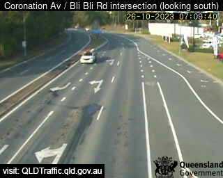
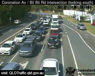
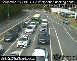
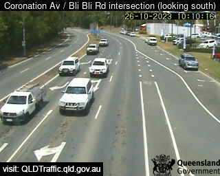
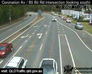
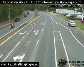
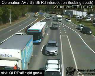
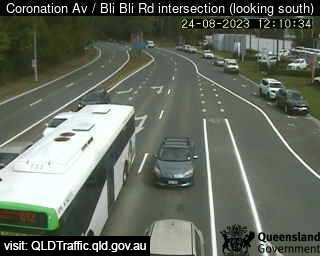
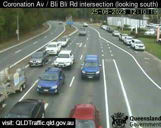
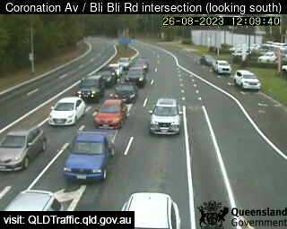
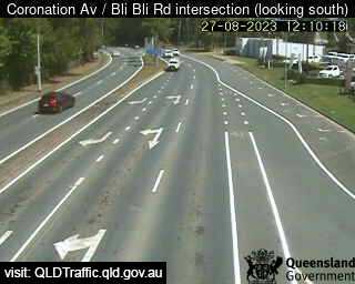
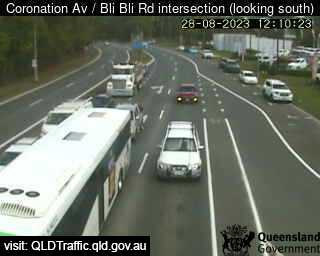
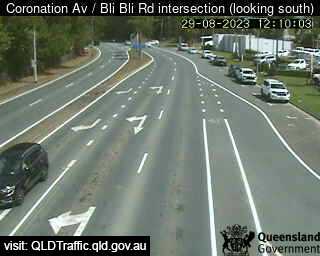
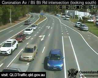
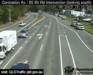
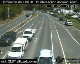
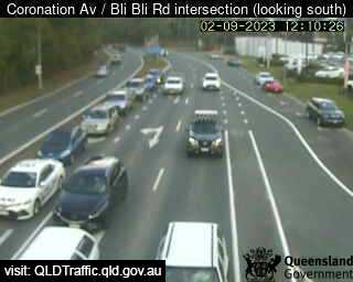
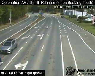
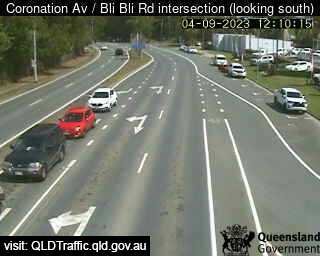
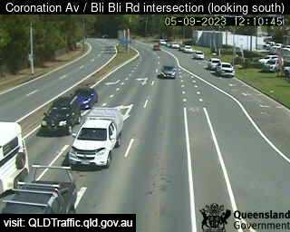
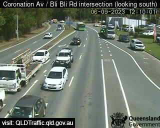
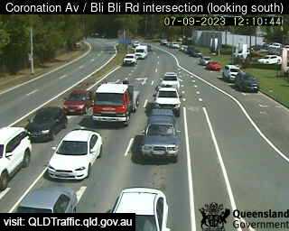
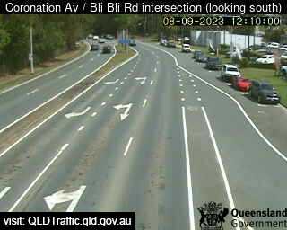
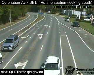
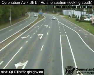
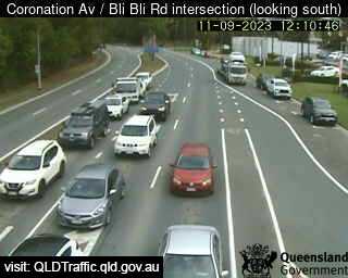
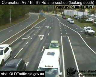
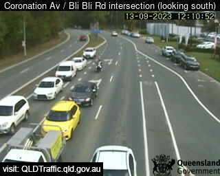
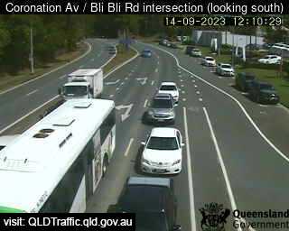
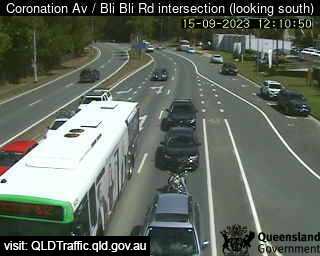
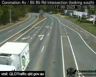
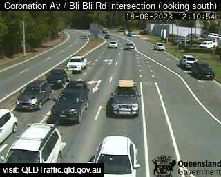
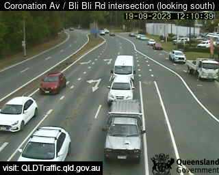
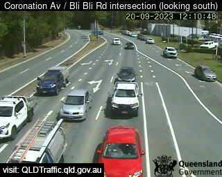
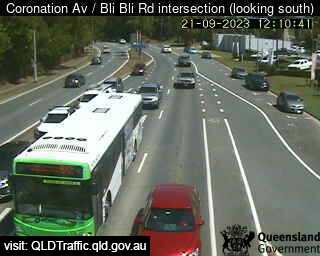
Nambour, Australia - 15.5 miles from Beerwah: Coronation Avenue / Bli Bli Road intersection (South) - A view of the current traffic conditions.
Operator: Queensland Government - Department of Transport and Main Roads
Operator: Queensland Government - Department of Transport and Main Roads


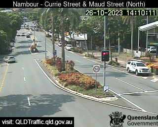
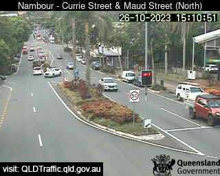
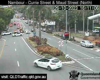
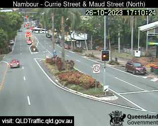
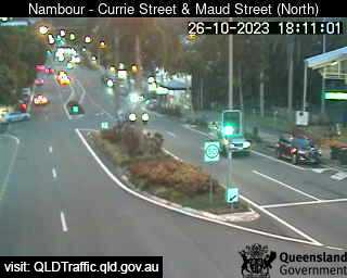
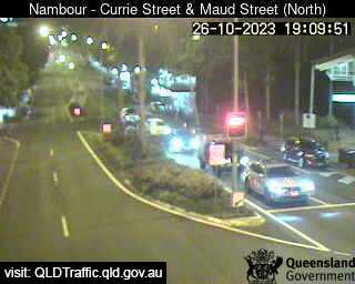
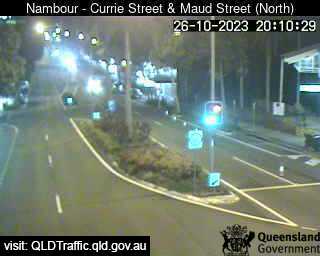
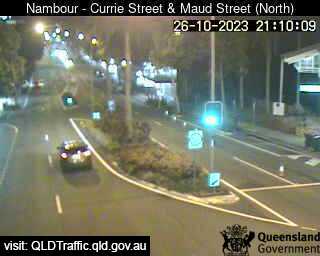
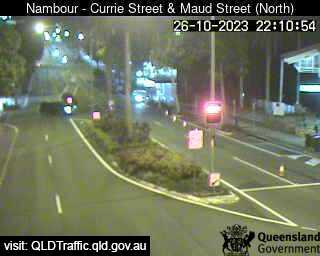
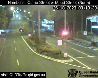
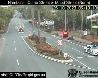
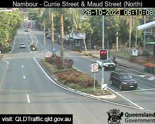
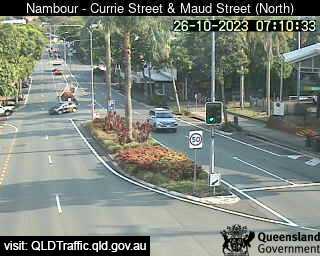
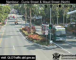
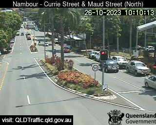
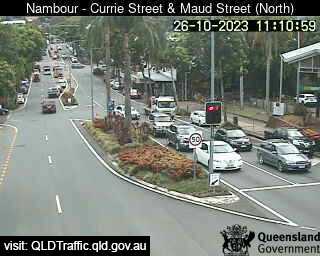
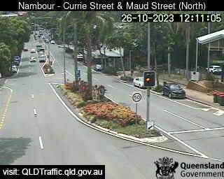
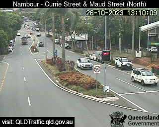
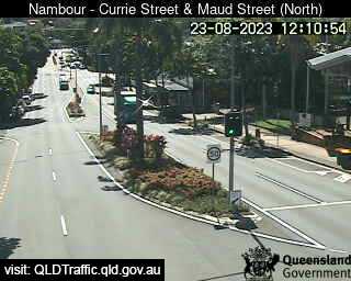
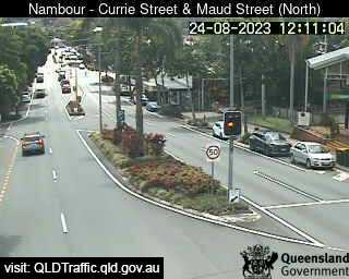
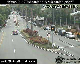
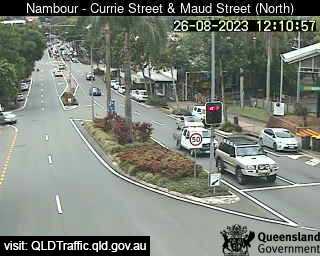
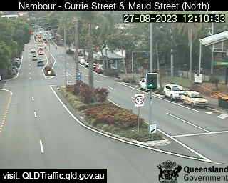
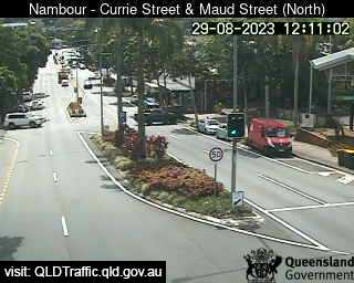
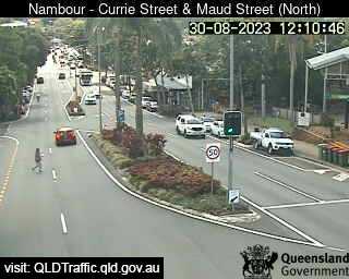
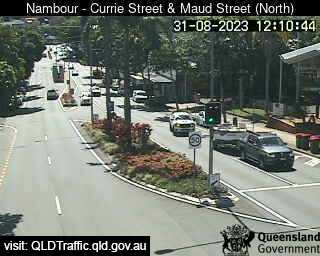
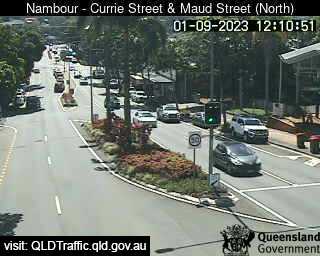
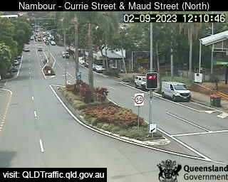
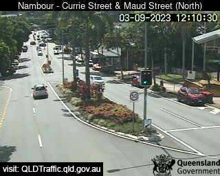
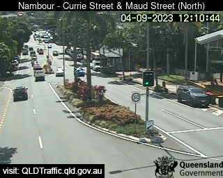
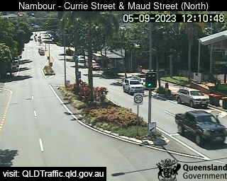
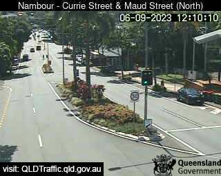
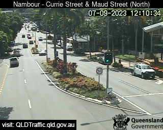
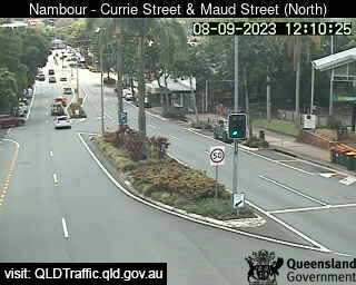
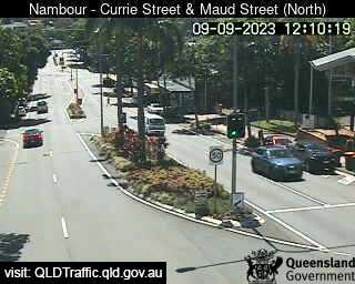
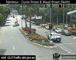
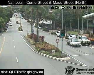
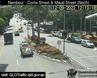
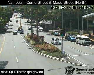
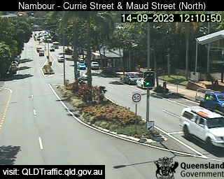
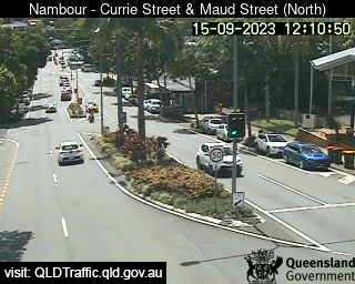
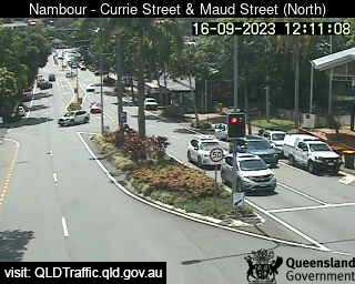
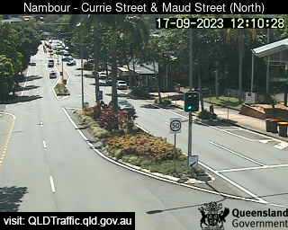
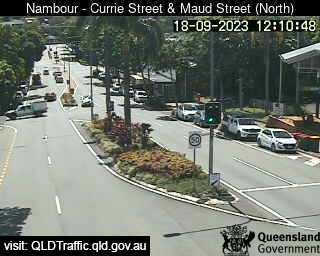
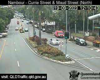
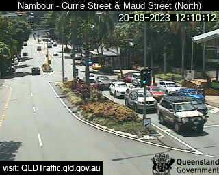
Nambour, Australia - 15.5 miles from Beerwah: Currie Street and Maud Street (looking north) - A view of the current traffic conditions.
Operator: Queensland Government - Department of Transport and Main Roads
Operator: Queensland Government - Department of Transport and Main Roads


Some other places in this country: Beenleigh - Beerburrum - Beermullah - Beetaloo Valley - Beggan Beggan - Bejoording - Belair - Belbora - Belconnen - Belgian Gardens