Webcams in the region of Aratula, Australia
The List of Webcams near Aratula, Australia:

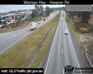
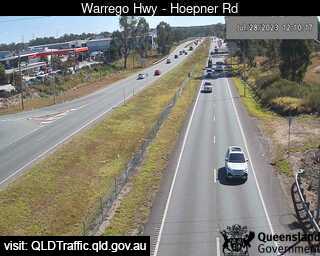
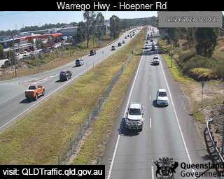
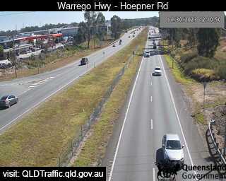
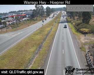
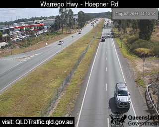
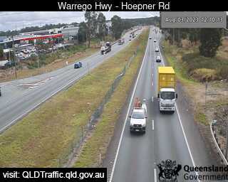
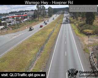
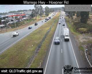
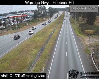
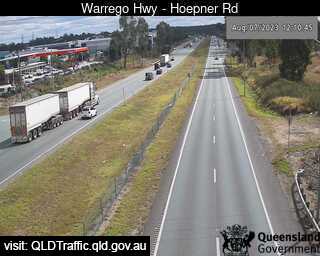
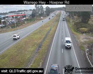
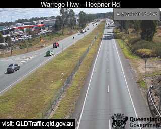
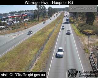
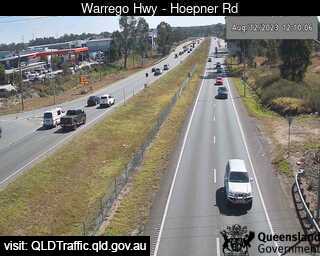
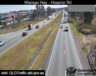
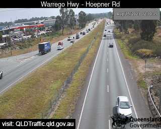
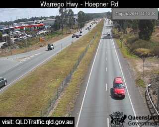
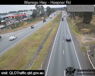
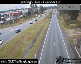
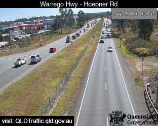
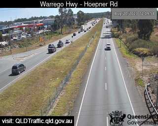
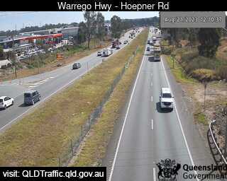
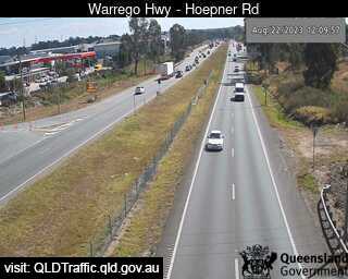
Bundamba, Australia - 31 miles from Aratula: Warrego Hwy near Hoepner Rd - A view of the current traffic conditions.
Operator: Queensland Government - Department of Transport and Main Roads
Operator: Queensland Government - Department of Transport and Main Roads


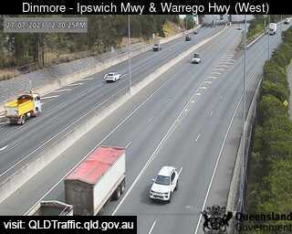
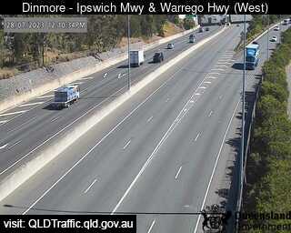
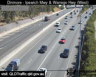
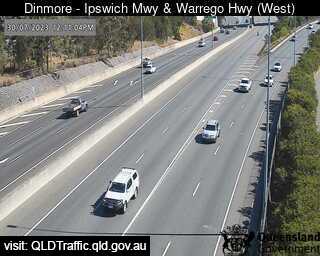
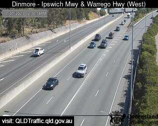
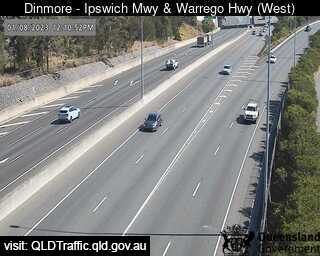
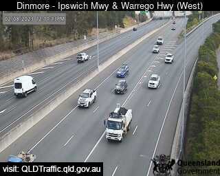
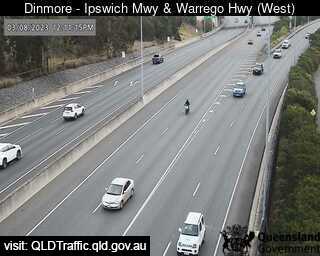
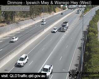
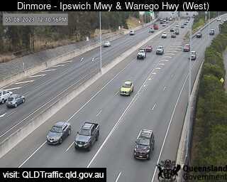
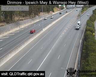
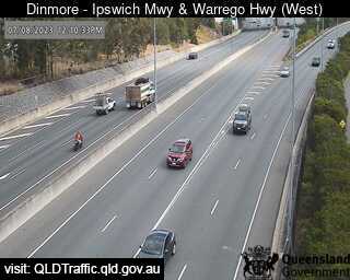
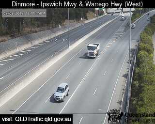
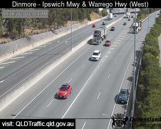
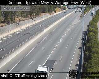
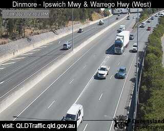
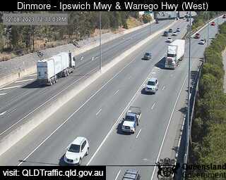
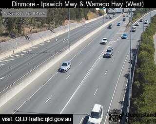
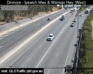
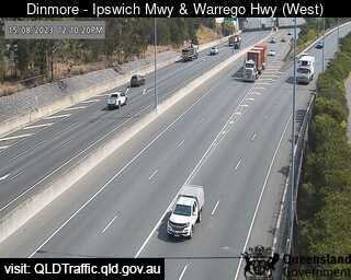
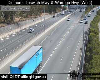
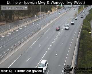
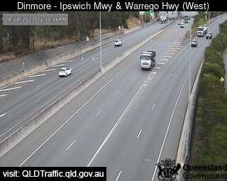
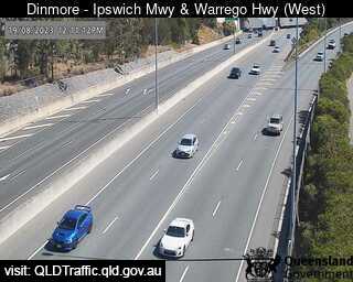
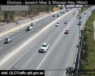
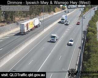
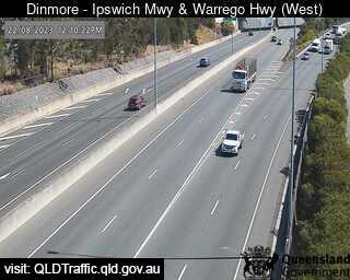
Dinmore, Australia - 32.5 miles from Aratula: Ipswich Motorway and Warrego Highway (East) - A view of the current traffic conditions.
Operator: Queensland Government - Department of Transport and Main Roads
Operator: Queensland Government - Department of Transport and Main Roads


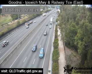
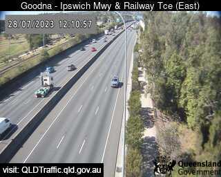
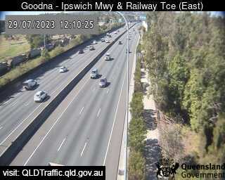
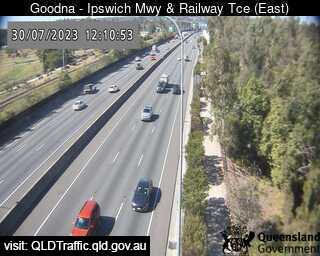
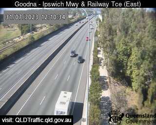
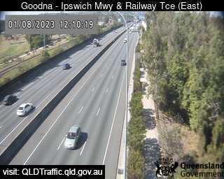
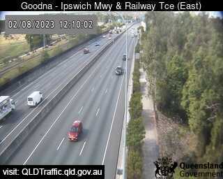
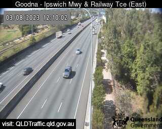
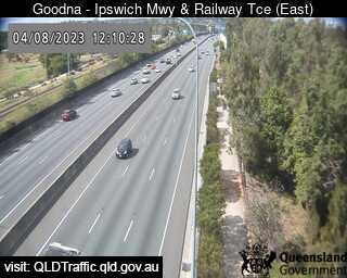
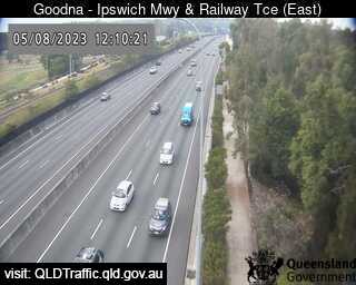
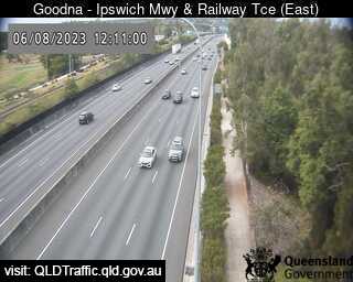
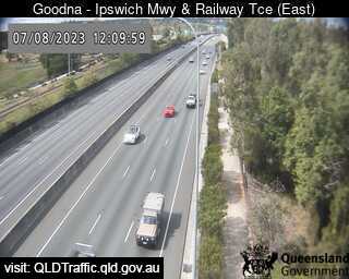
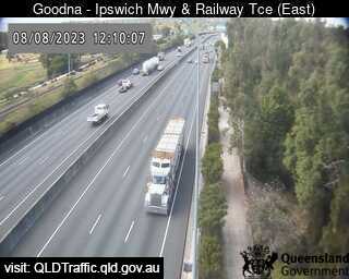
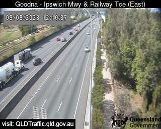
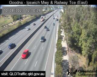
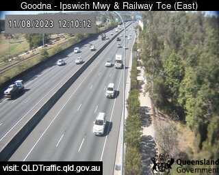
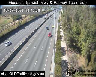
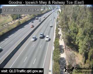
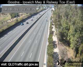
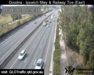
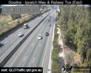
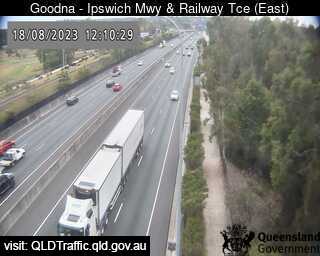
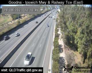
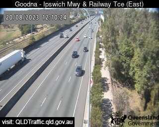
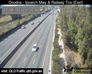
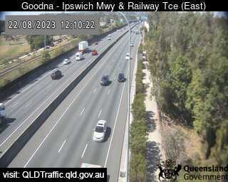
Goodna, Australia - 34.1 miles from Aratula: Ipswich Motorway and Railway Terrace (East) - A view of the current traffic conditions.
Operator: Queensland Government - Department of Transport and Main Roads
Operator: Queensland Government - Department of Transport and Main Roads


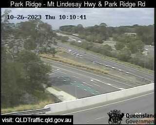
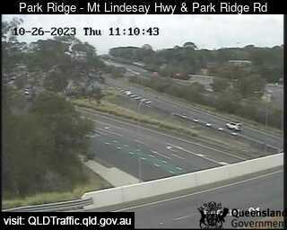
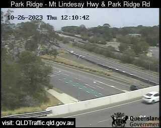
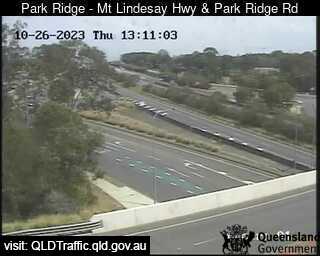
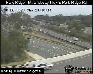
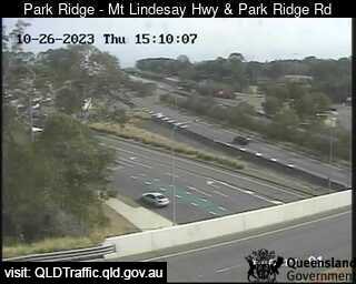
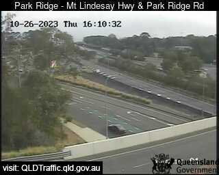
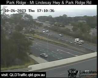
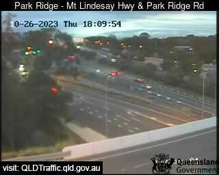
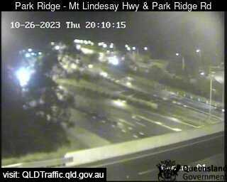
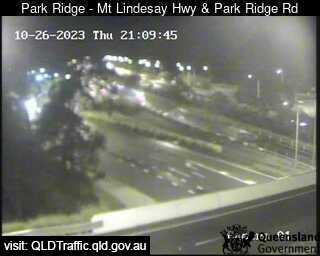
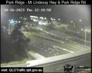
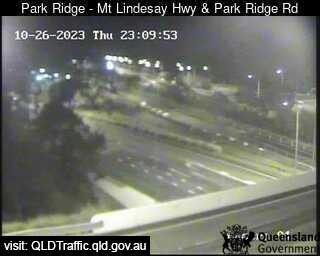
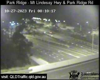
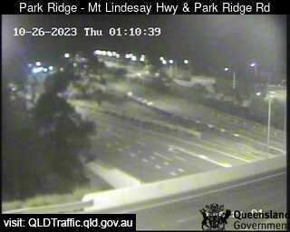
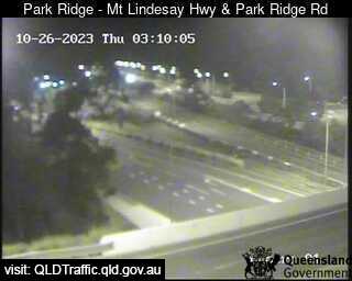
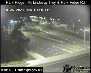
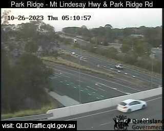
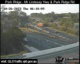
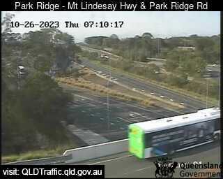
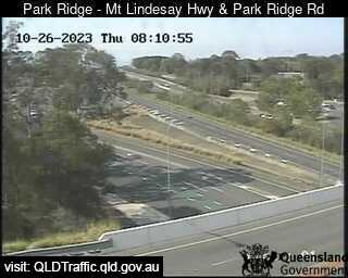
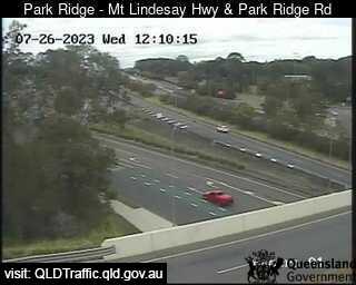
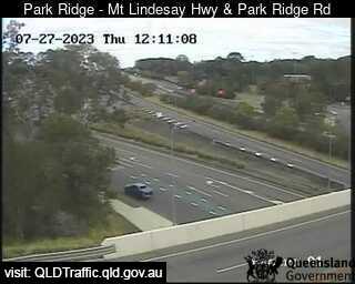
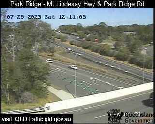
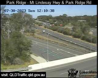
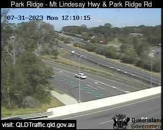
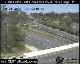
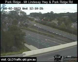
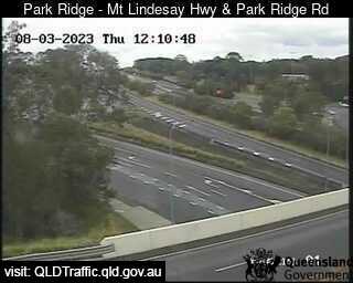
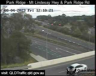
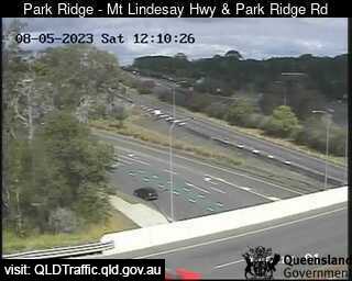
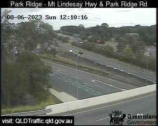
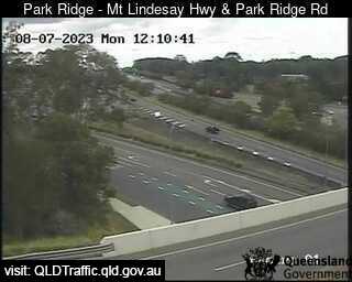
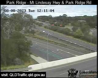
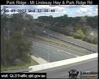
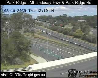
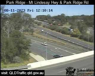
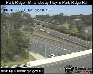
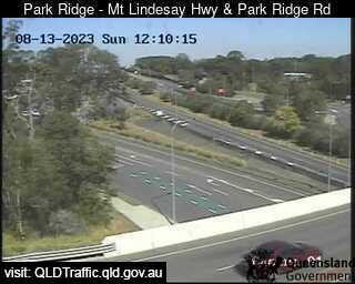
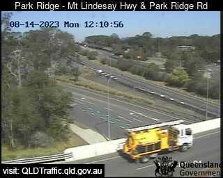
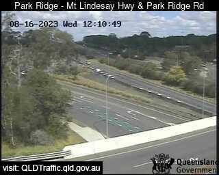
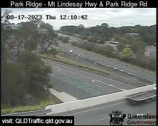
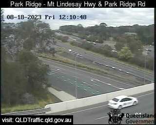
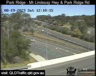
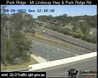
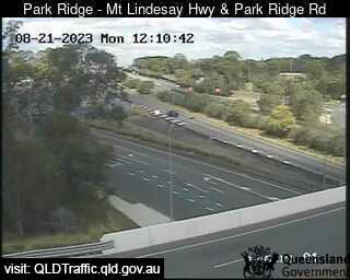
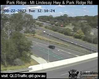
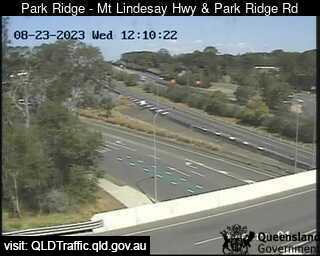
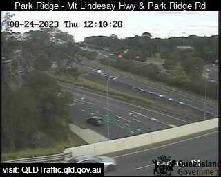
Park Ridge, Australia - 36.6 miles from Aratula: Mount Lindesay Highway and Park Ridge Road Interchange (South) - A view of the current traffic conditions.
Operator: Queensland Government - Department of Transport and Main Roads
Operator: Queensland Government - Department of Transport and Main Roads


Darra, Australia - 38.5 miles from Aratula: Centenary Motorway - Ipswich Motorway (North) - A view of the current traffic conditions.
Operator: Queensland Government - Department of Transport and Main Roads
Operator: Queensland Government - Department of Transport and Main Roads
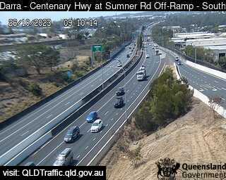
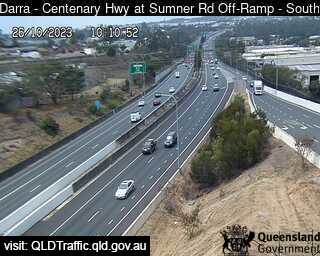
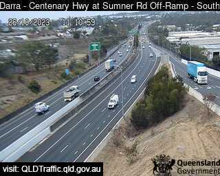
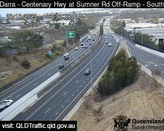
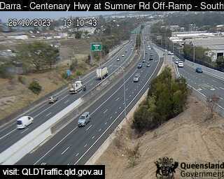
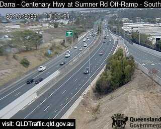
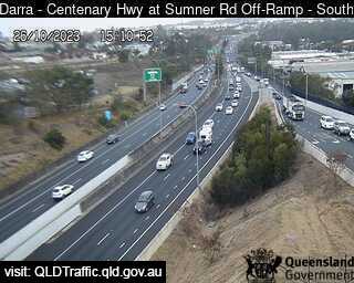
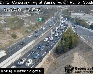
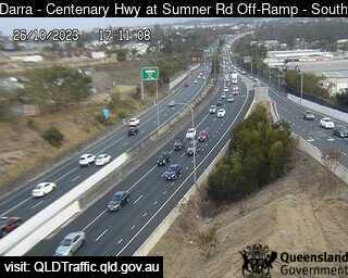
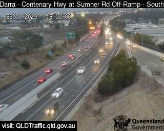

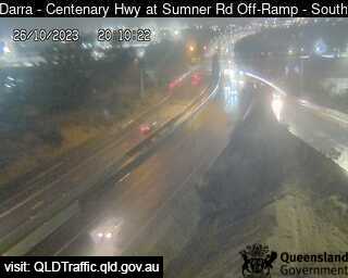
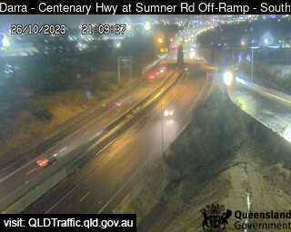
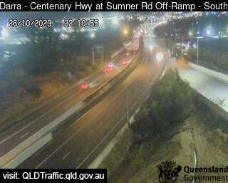
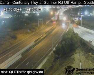
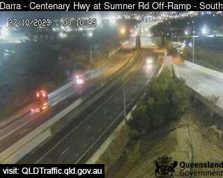
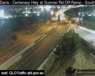
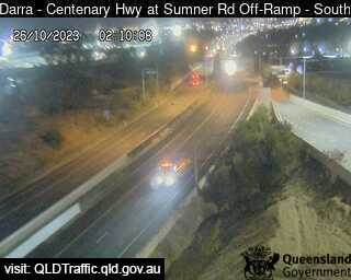
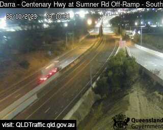
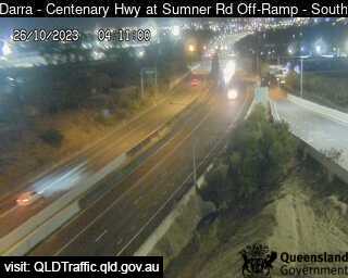
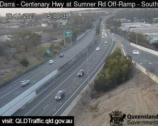
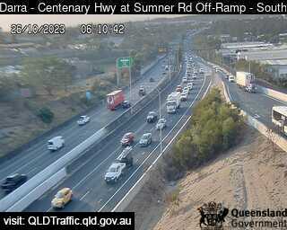
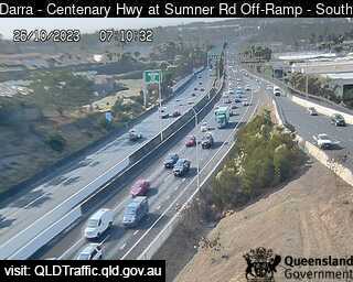
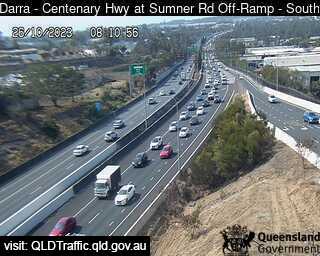
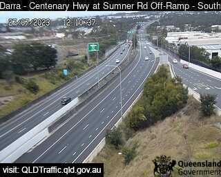
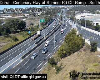
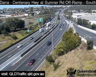
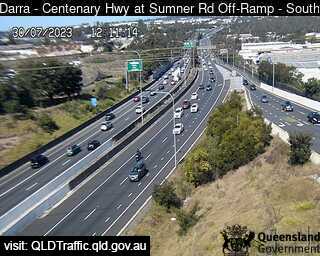
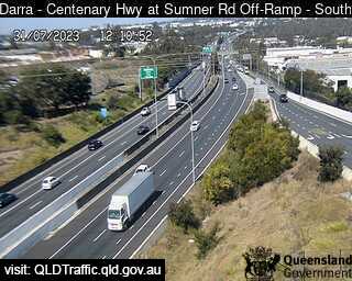
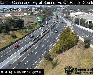
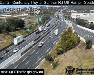
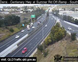
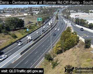
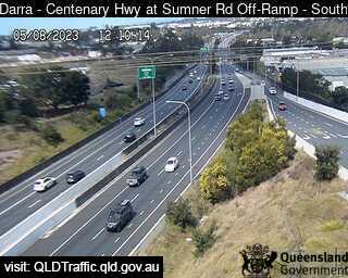
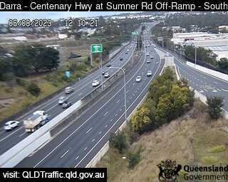
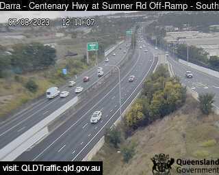
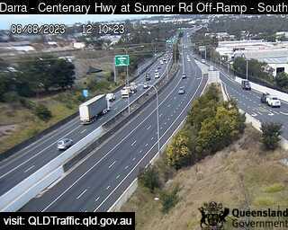
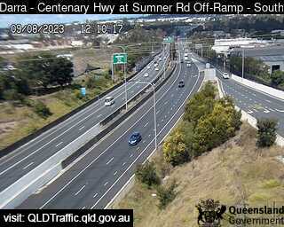
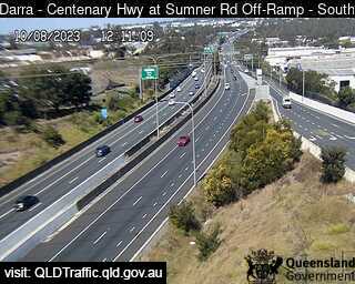
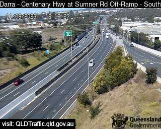
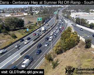
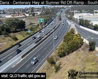
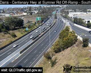
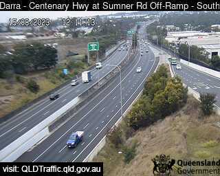
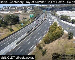
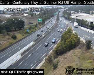
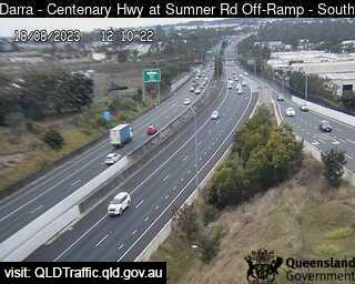
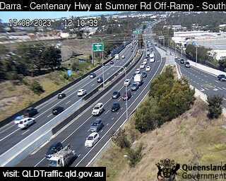
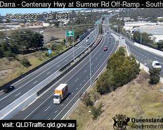
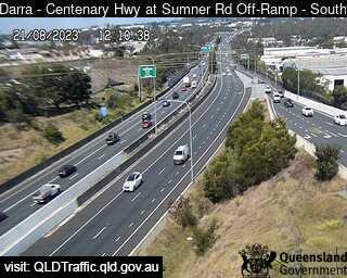
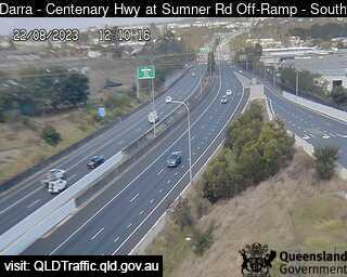
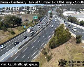
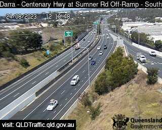
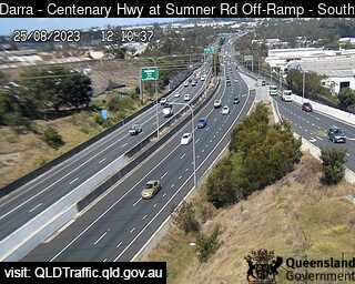

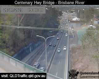
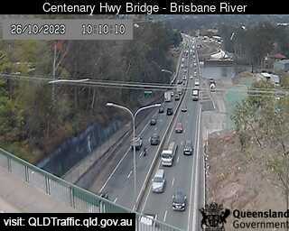
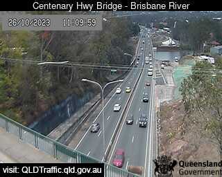
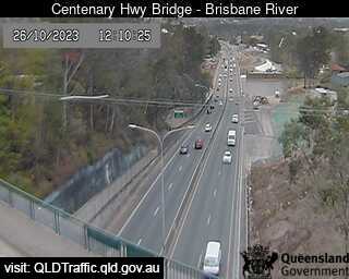
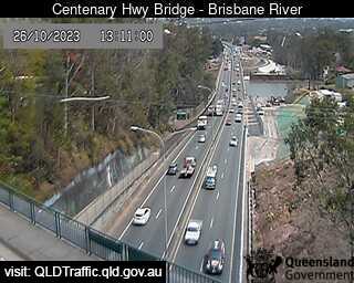
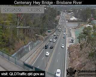
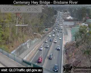
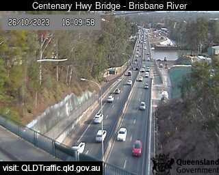
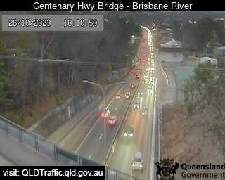
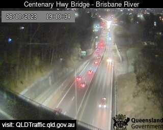
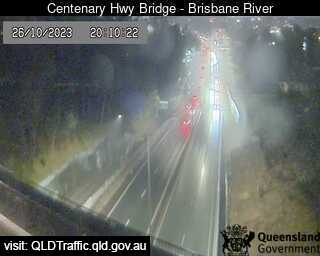
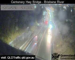
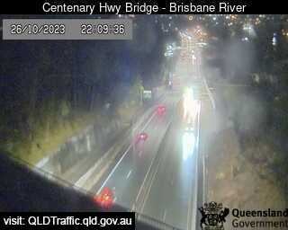
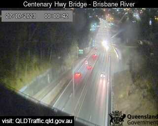
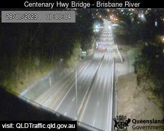
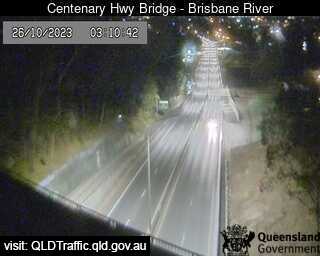
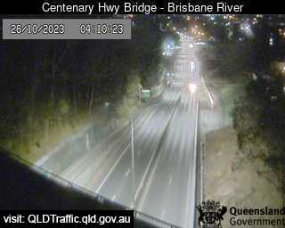
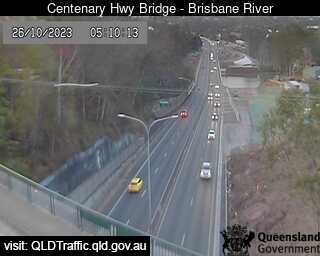
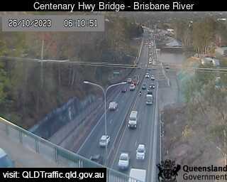
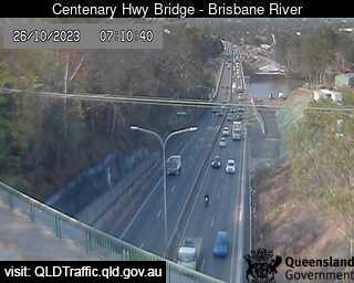
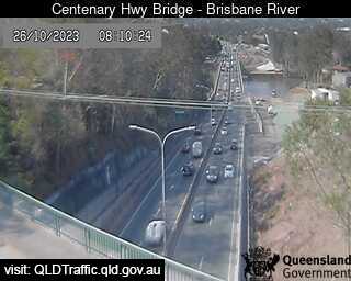
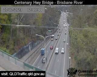
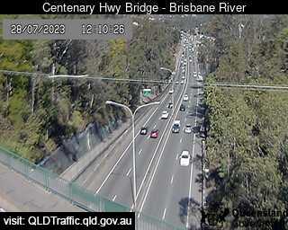
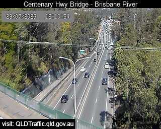
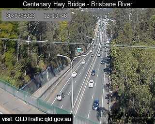
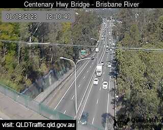
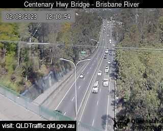
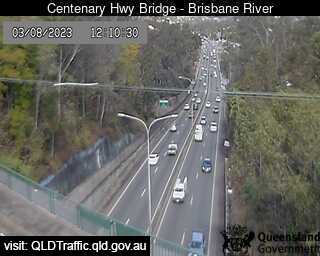
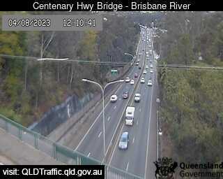
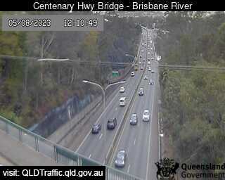
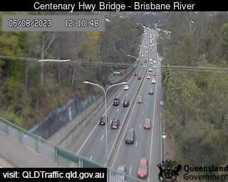
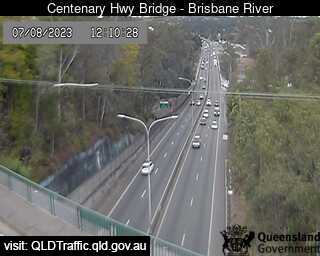
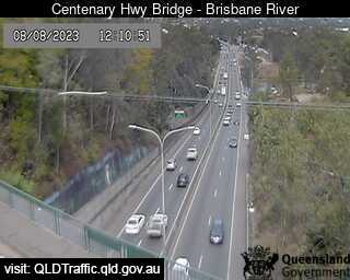
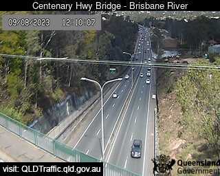
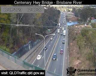
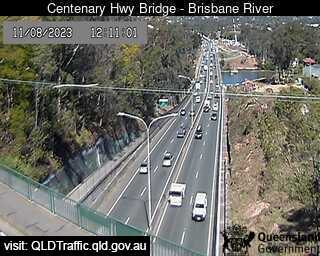
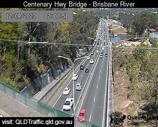
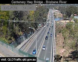
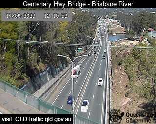
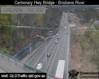
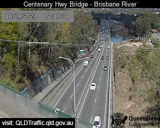
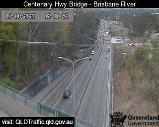
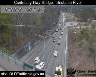
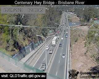
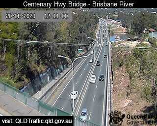
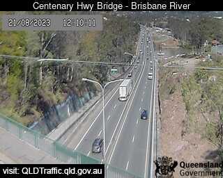
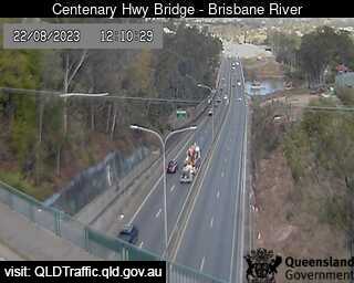
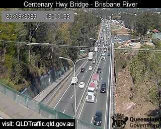
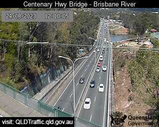
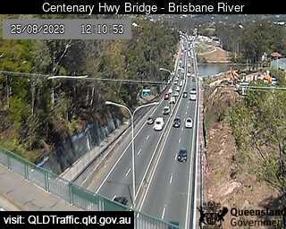
Fig Tree Pocket, Australia - 40.9 miles from Aratula: Centenary Highway Bridge - Brisbane River (South) - A view of the current traffic conditions.
Operator: Queensland Government - Department of Transport and Main Roads
Operator: Queensland Government - Department of Transport and Main Roads


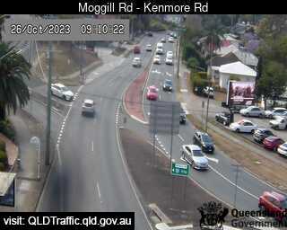
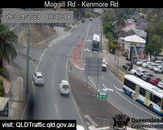
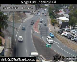
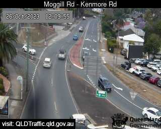
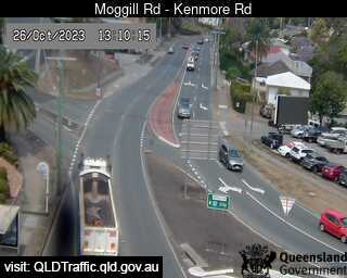
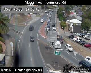
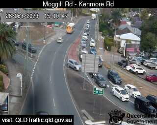
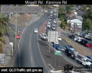
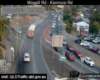
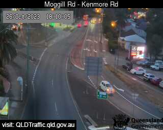
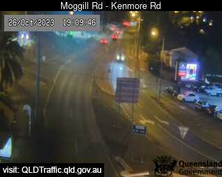
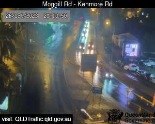
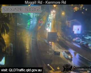
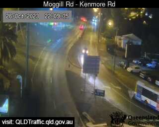
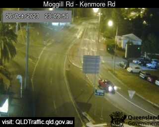
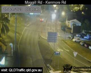
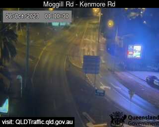
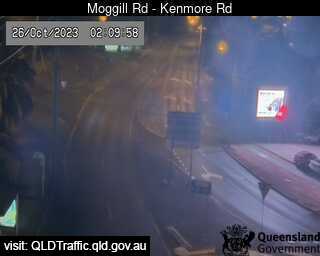
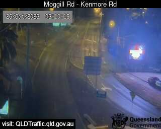
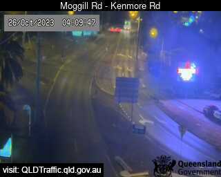
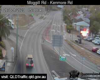
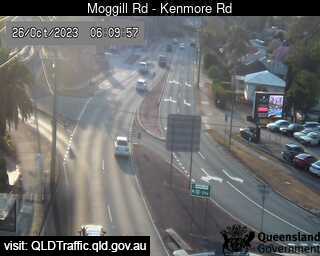
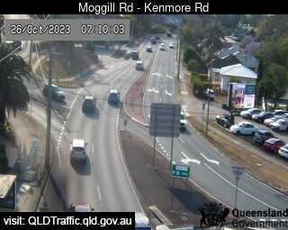
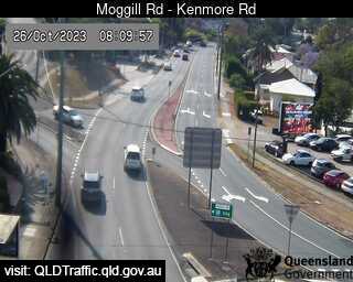
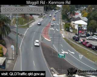
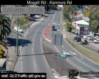
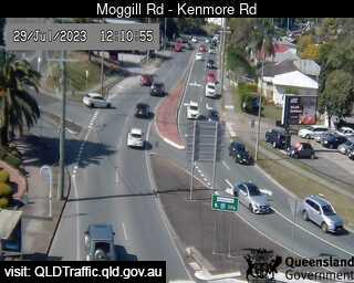
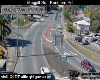
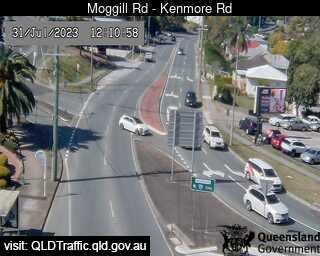
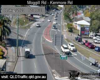
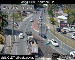
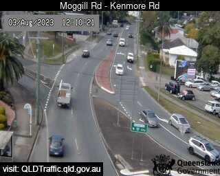
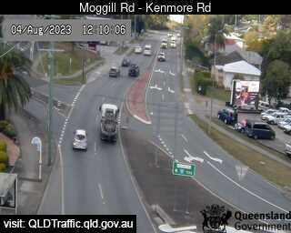
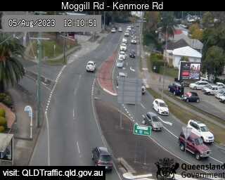
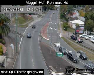
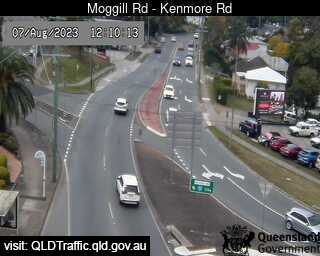
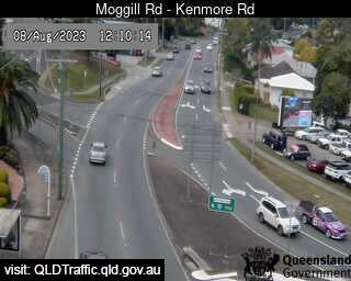
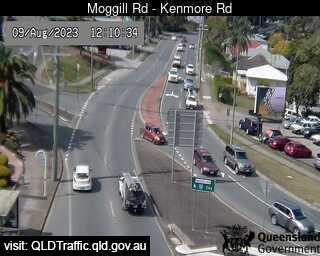
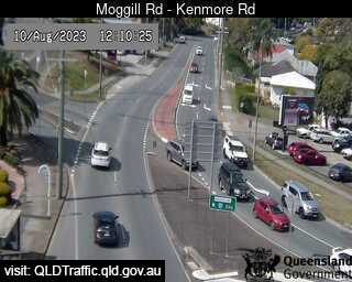
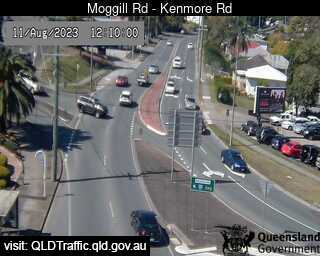
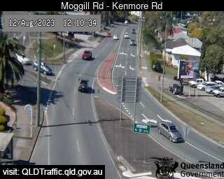
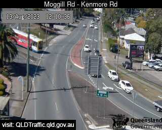
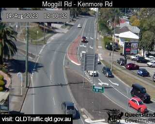
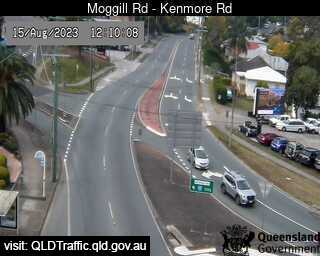
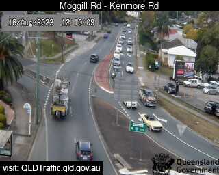
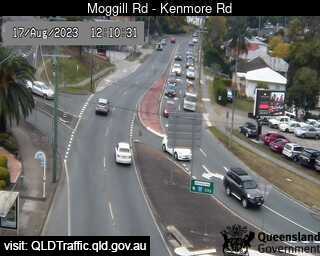
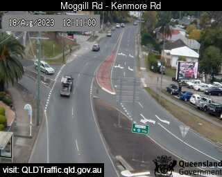
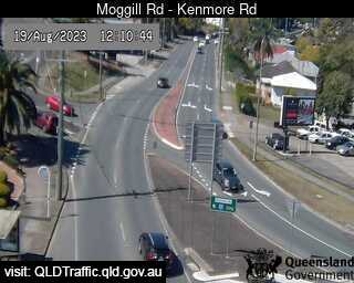
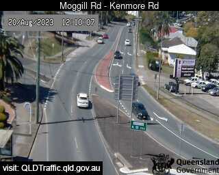
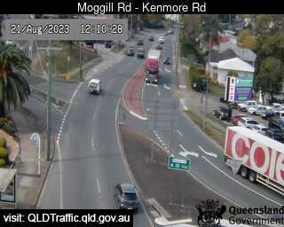
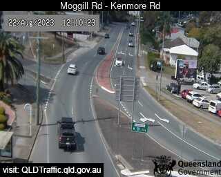
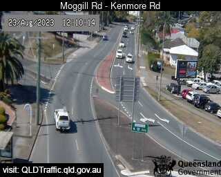
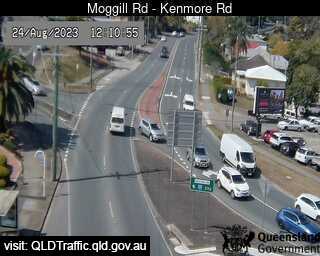
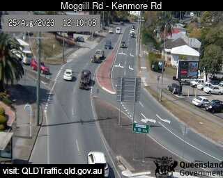
Kenmore, Australia - 41.2 miles from Aratula: Moggill Road - A view of the current traffic conditions.
Operator: Queensland Government - Department of Transport and Main Roads
Operator: Queensland Government - Department of Transport and Main Roads

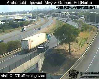
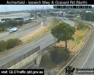
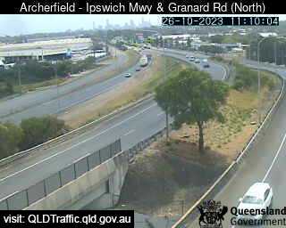
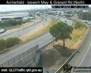
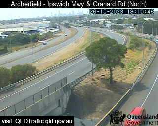
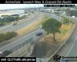
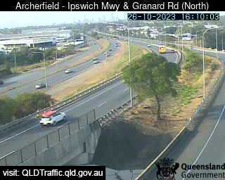
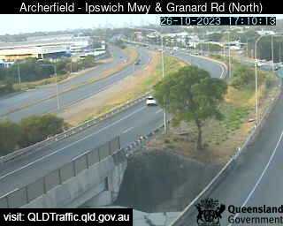
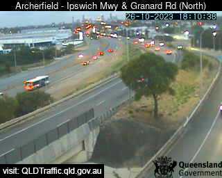
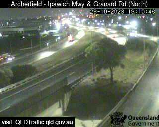
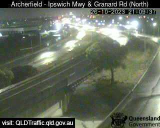
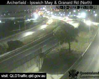
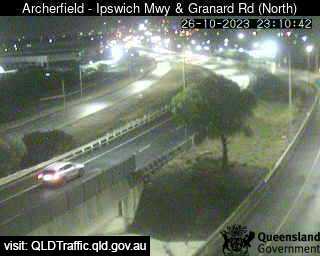
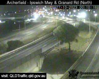
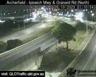
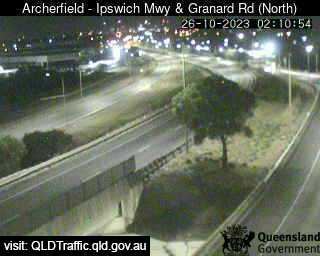
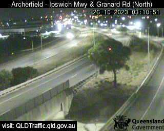
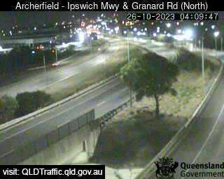
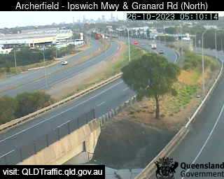
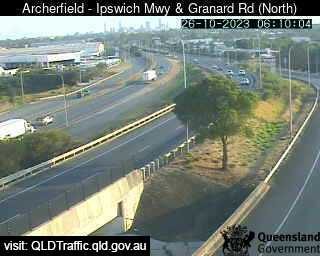
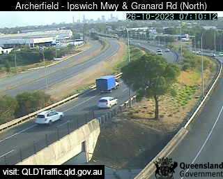
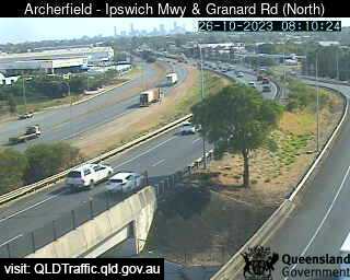
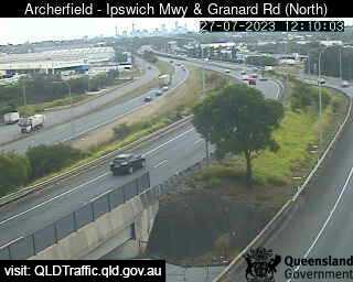
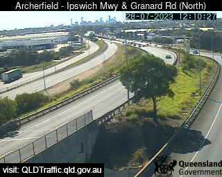
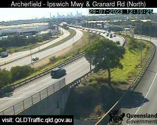
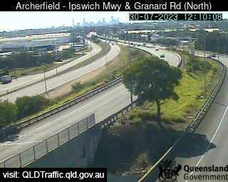
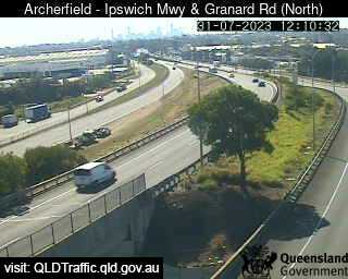
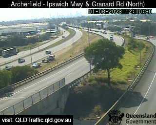
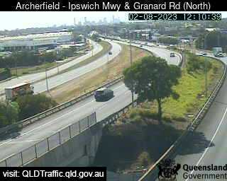
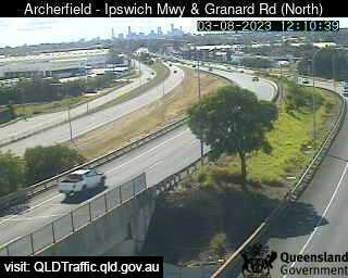
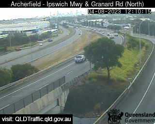
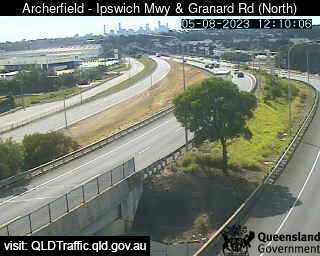
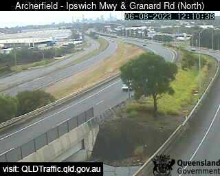
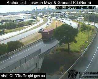
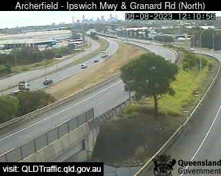
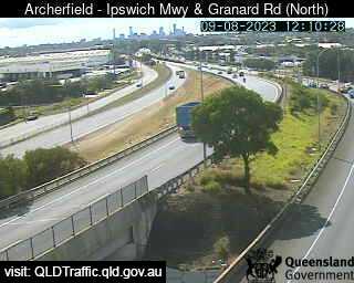
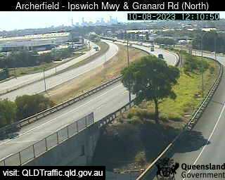
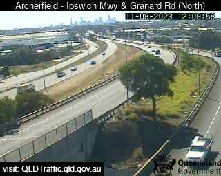
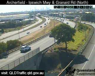
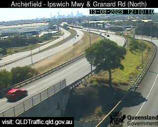
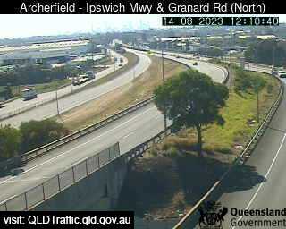
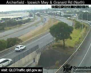
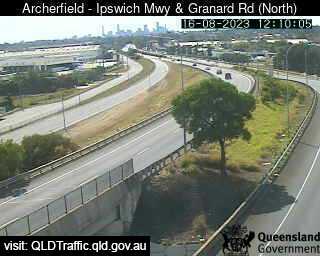
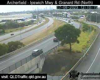
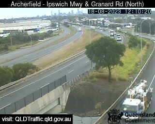
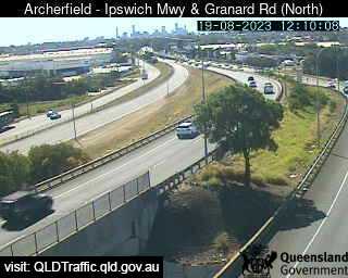
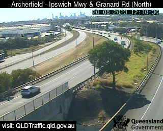
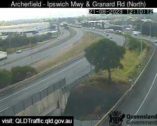
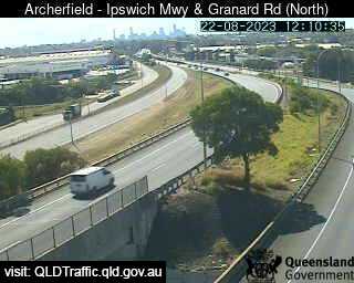
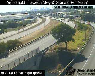
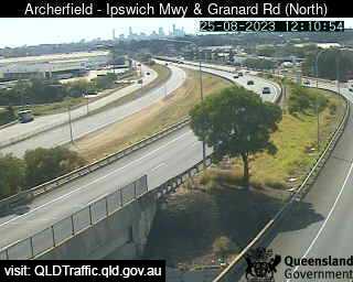
Archerfield, Australia - 41.2 miles from Aratula: Granard Road and Ipswich Motorway (North) - A view of the current traffic conditions.
Operator: Queensland Government - Department of Transport and Main Roads
Operator: Queensland Government - Department of Transport and Main Roads


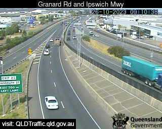
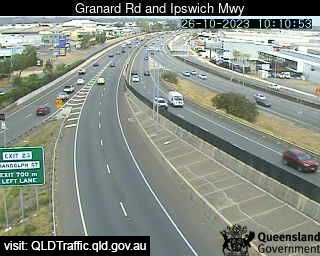
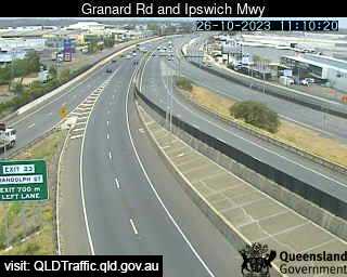
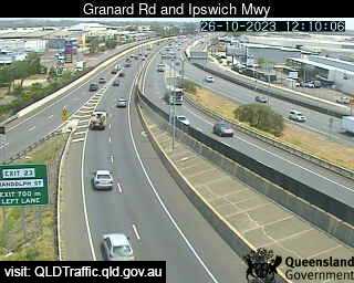
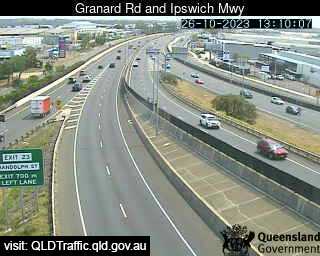
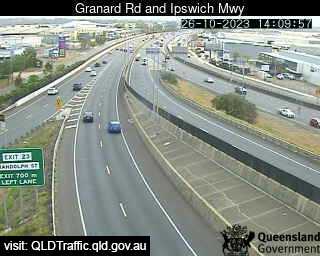
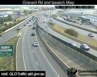
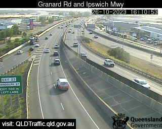
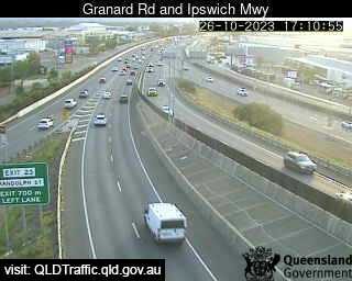
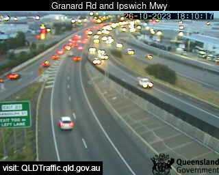
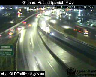
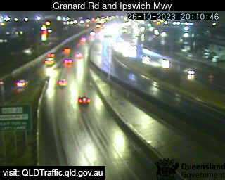
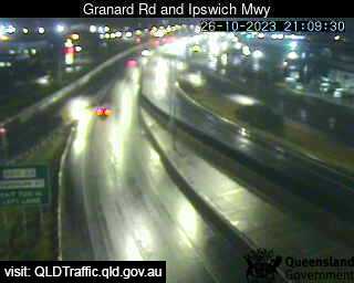
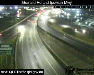
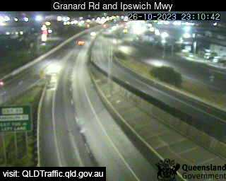
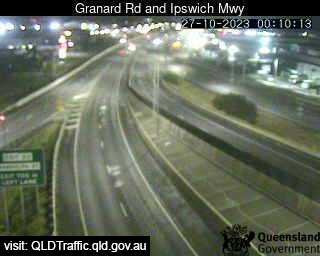
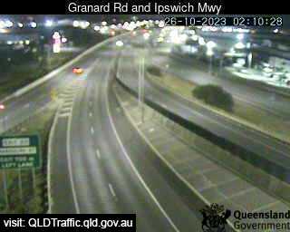
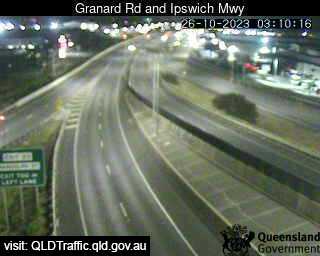
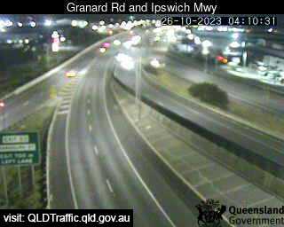
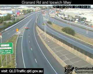
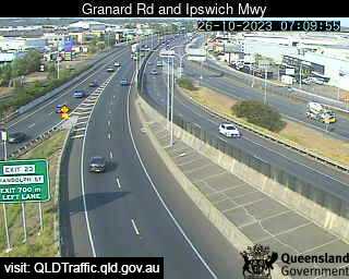
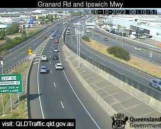
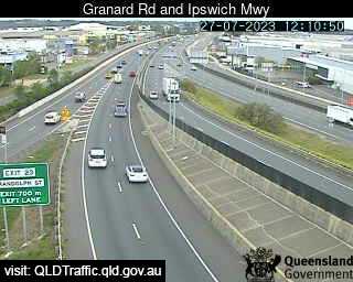
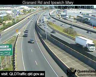
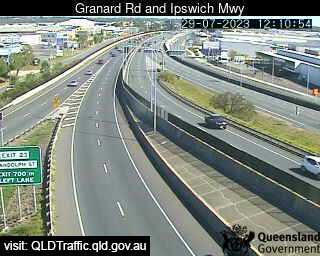
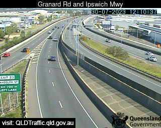
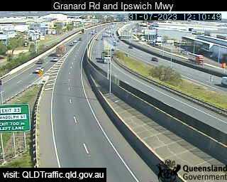
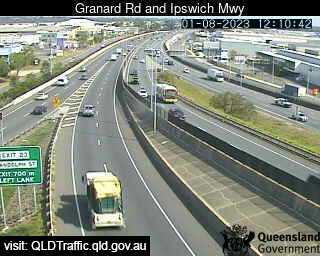
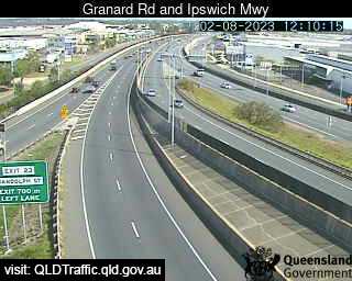
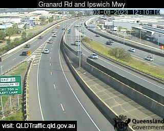
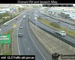
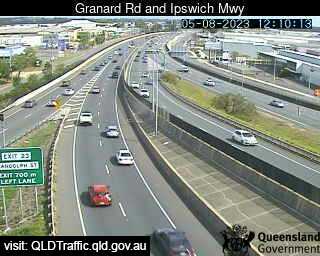
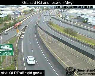
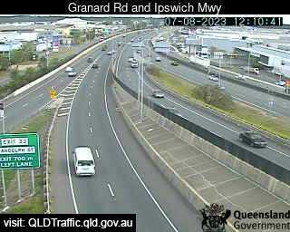
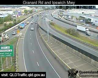
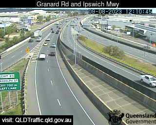
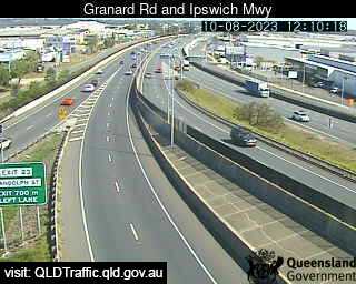
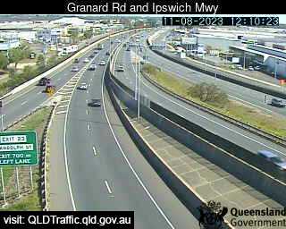
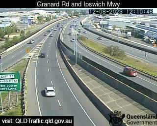
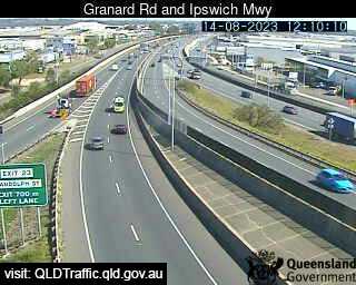
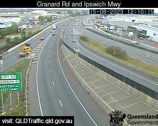
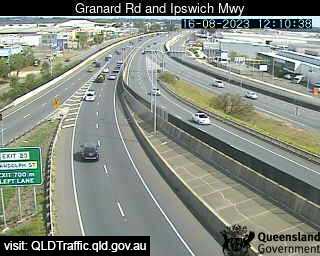
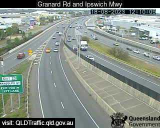
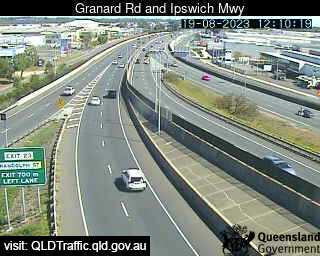
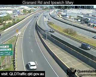
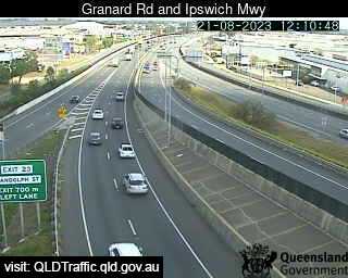
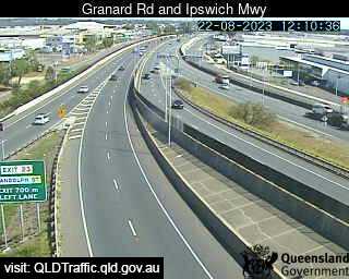
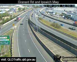
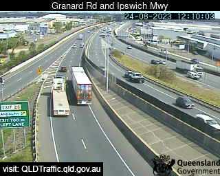
Archerfield, Australia - 41.2 miles from Aratula: Granard Rd & Ipswich Mwy (South) - A view of the current traffic conditions.
Operator: Queensland Government - Department of Transport and Main Roads
Operator: Queensland Government - Department of Transport and Main Roads


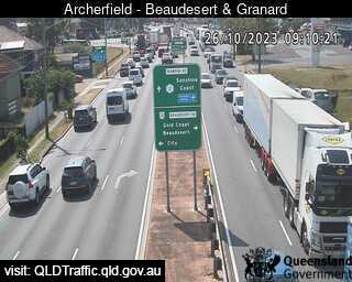
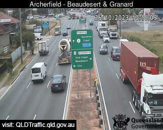
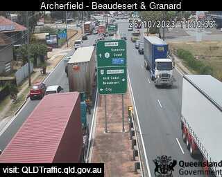
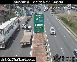
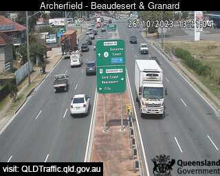
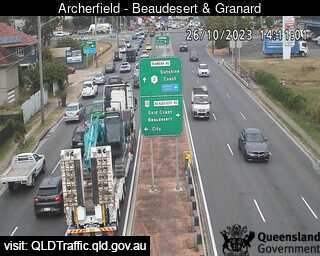
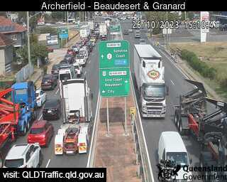
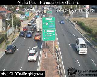
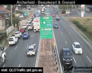
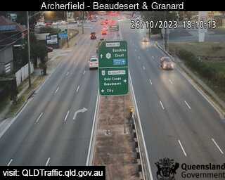
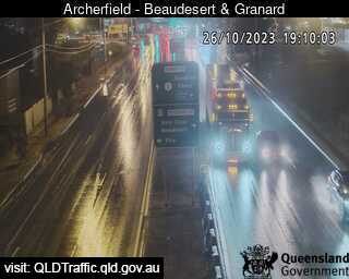
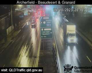
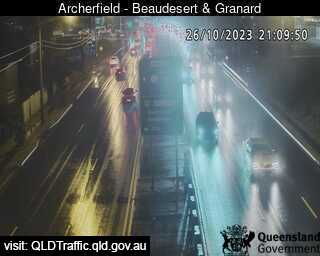
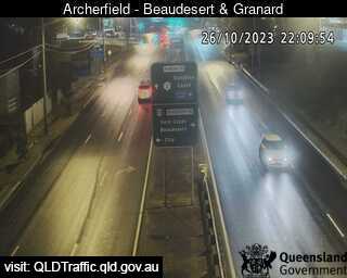
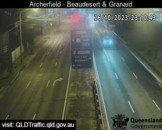
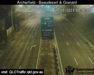
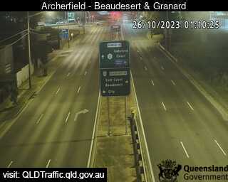
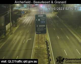
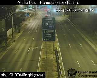
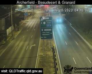
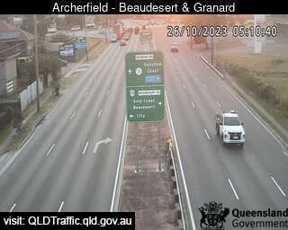
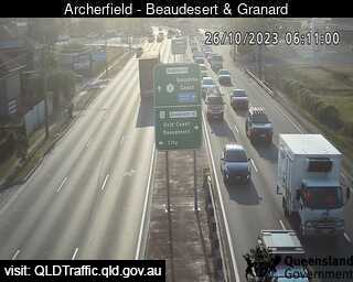
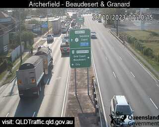
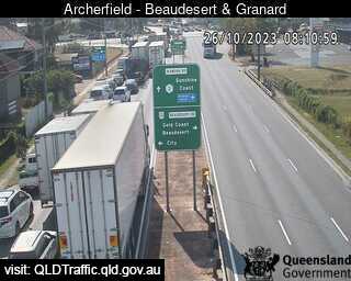
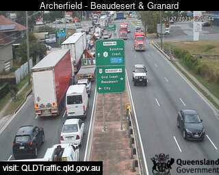
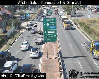
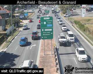
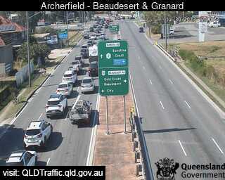
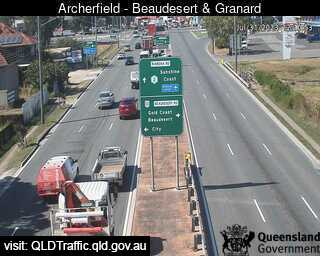
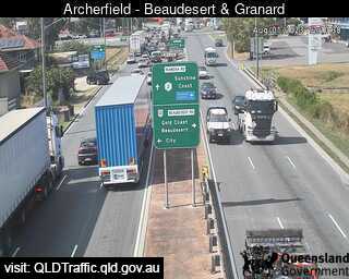
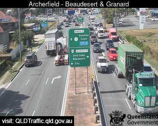
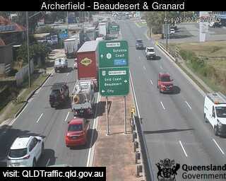
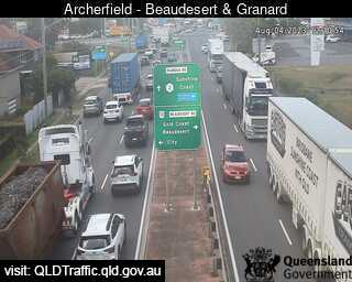
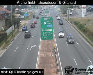
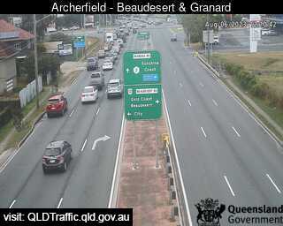
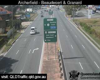
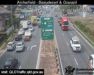
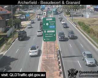
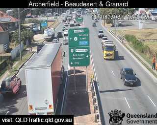
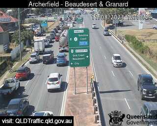
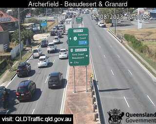
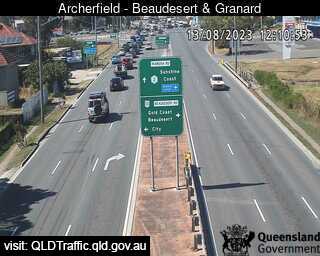
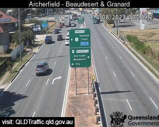
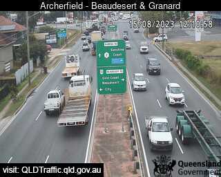
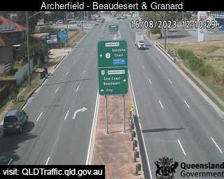
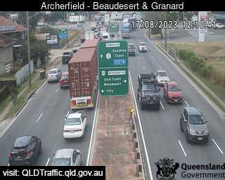
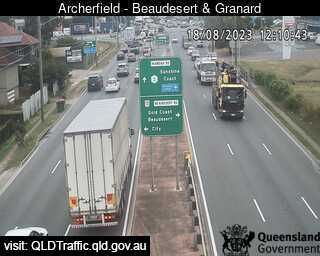
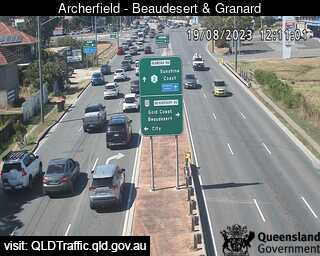
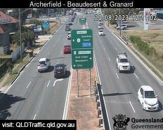
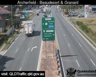
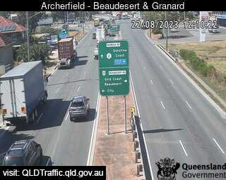
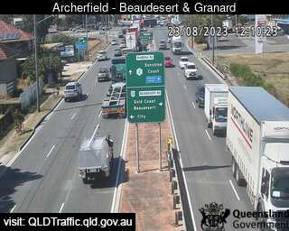
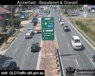
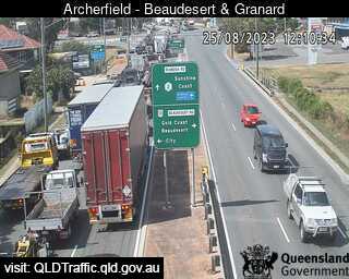
Archerfield, Australia - 41.2 miles from Aratula: Beaudesert Road and Granard Road (East) - A view of the current traffic conditions.
Operator: Queensland Government - Department of Transport and Main Roads
Operator: Queensland Government - Department of Transport and Main Roads
Some other places in this country: Aramara - Arawata - Arcadia - Arcadia - Archerton - Archies Creek - Ardrossan - Argalong - Argents Hill - Argyle