Webcams in the region of Slaterville, Alaska, USA
The List of Webcams near Slaterville, Alaska, USA:

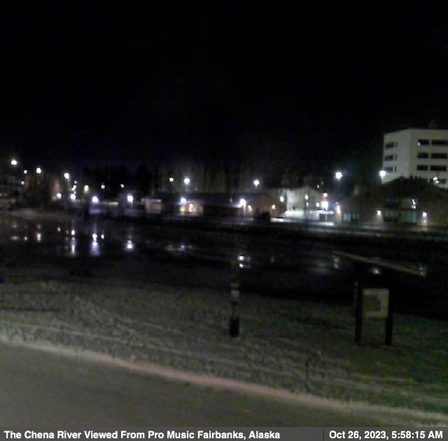
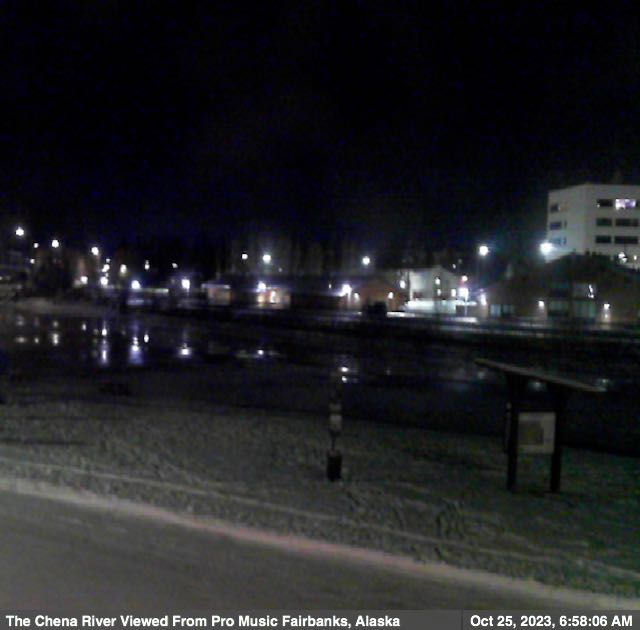
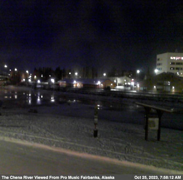
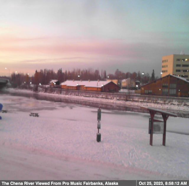
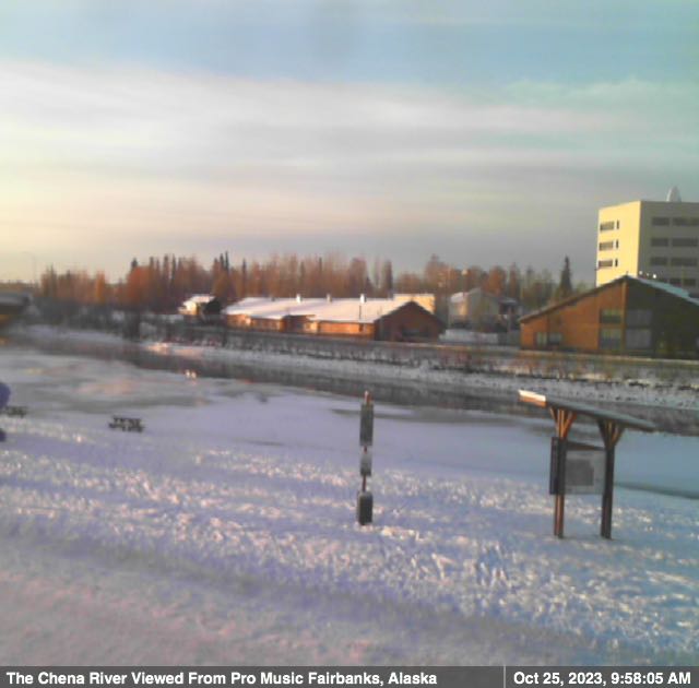
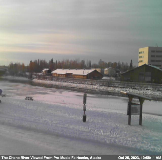
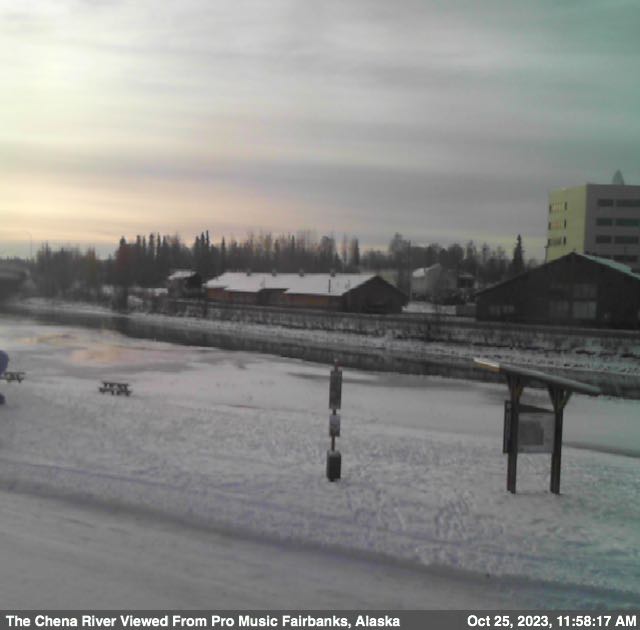
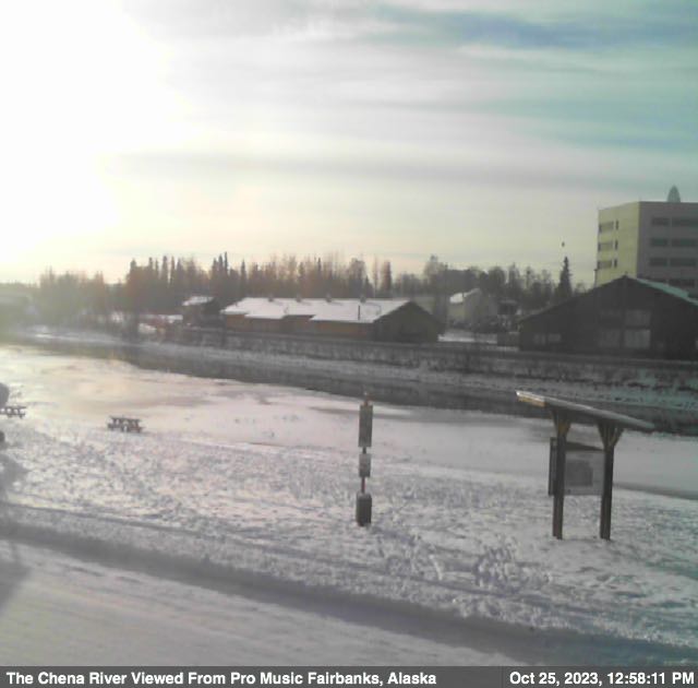
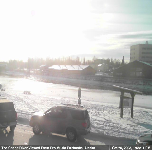
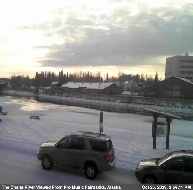
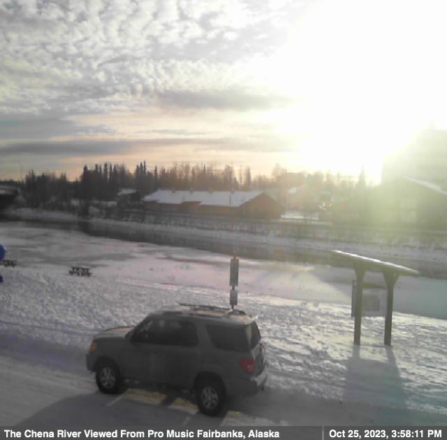
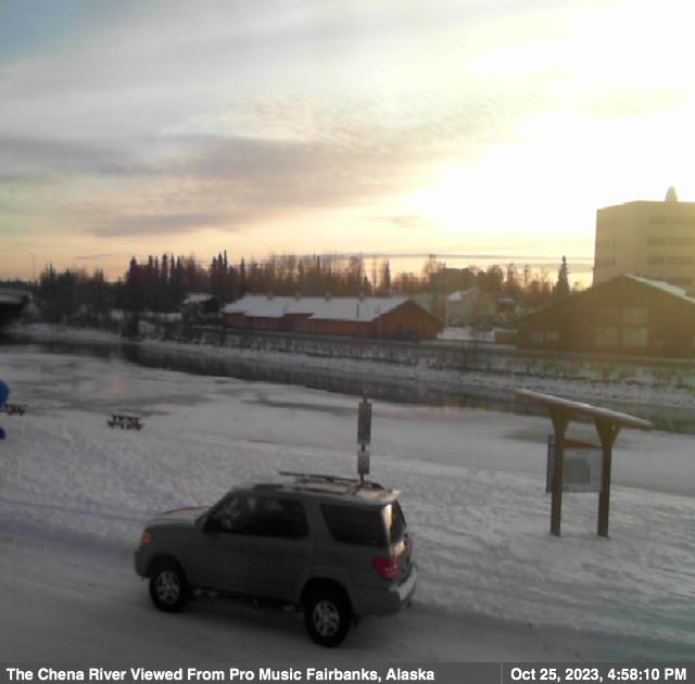
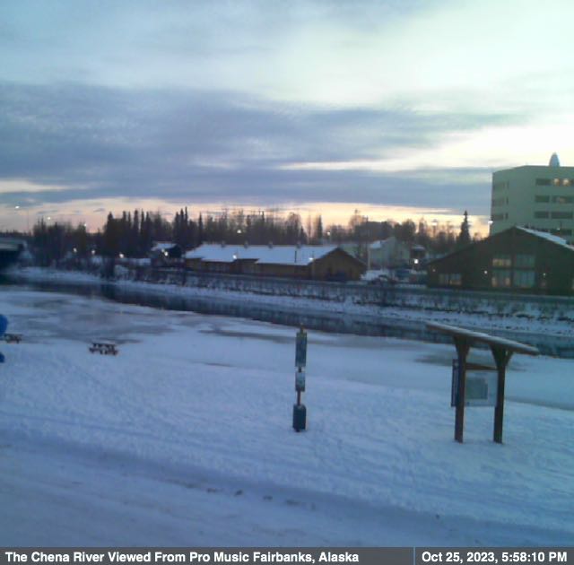
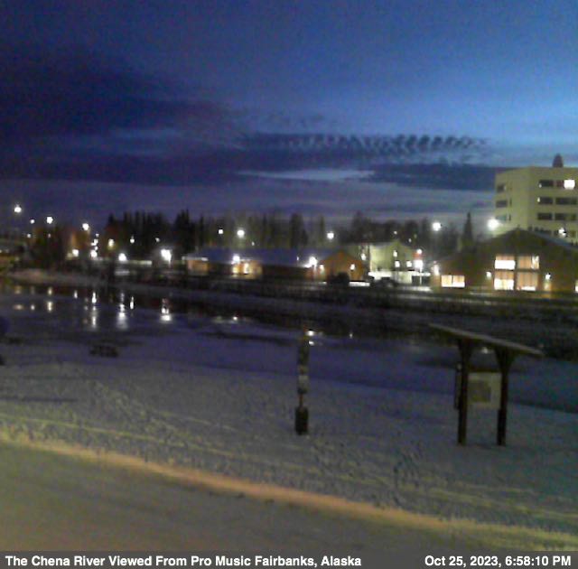
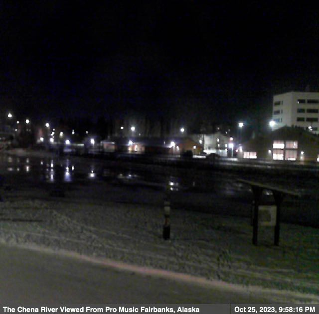
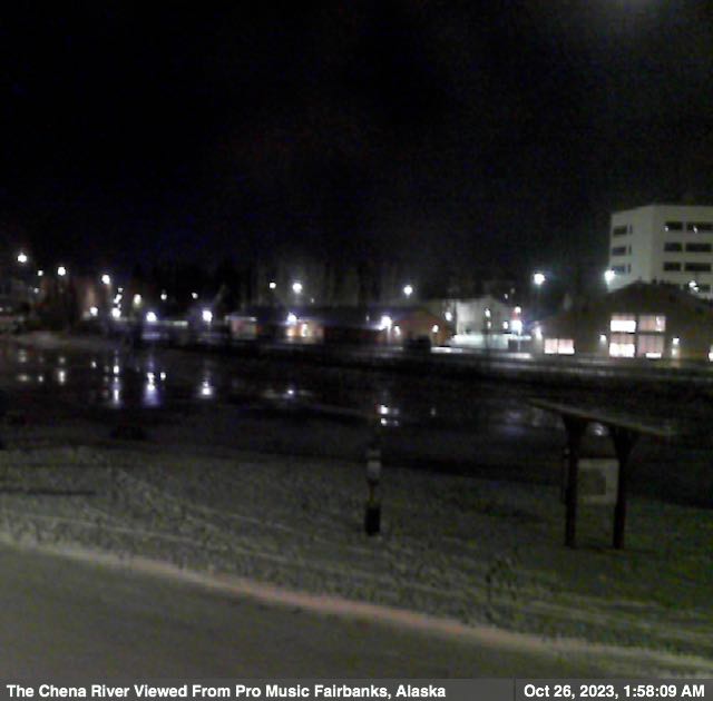
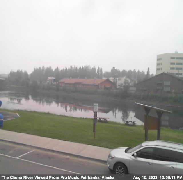
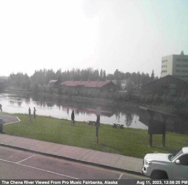
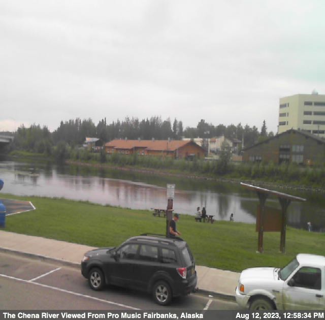
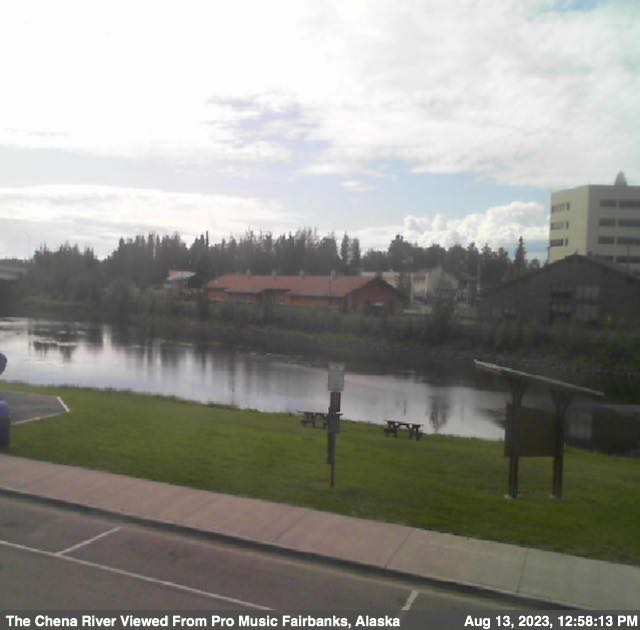
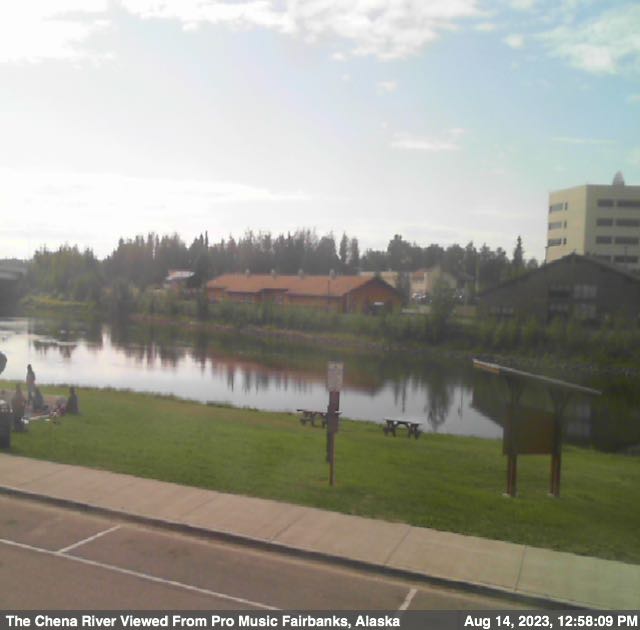
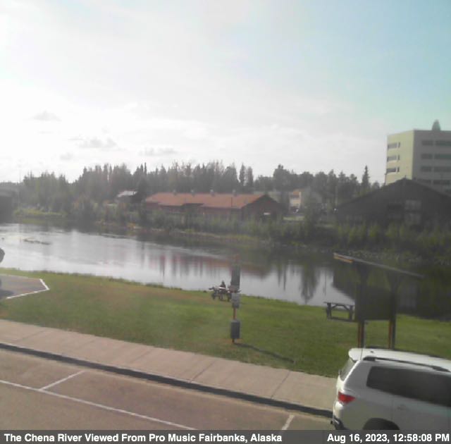
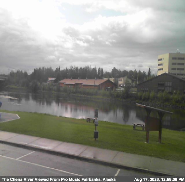
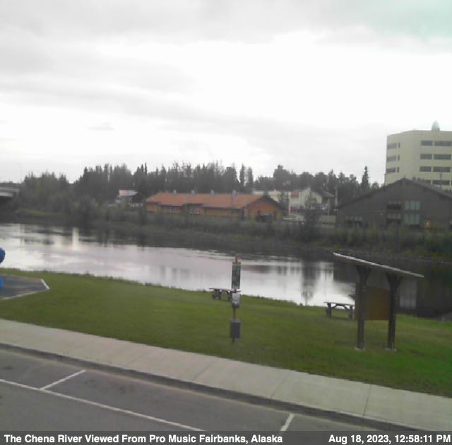
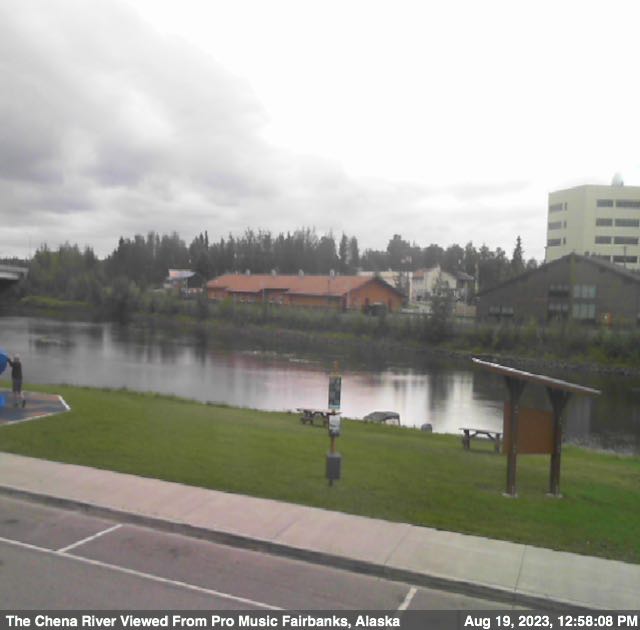
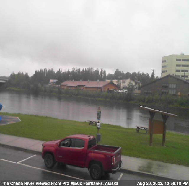
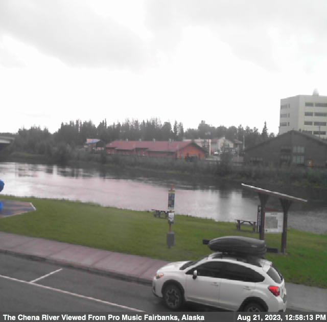
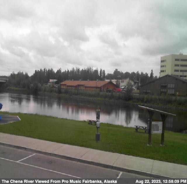
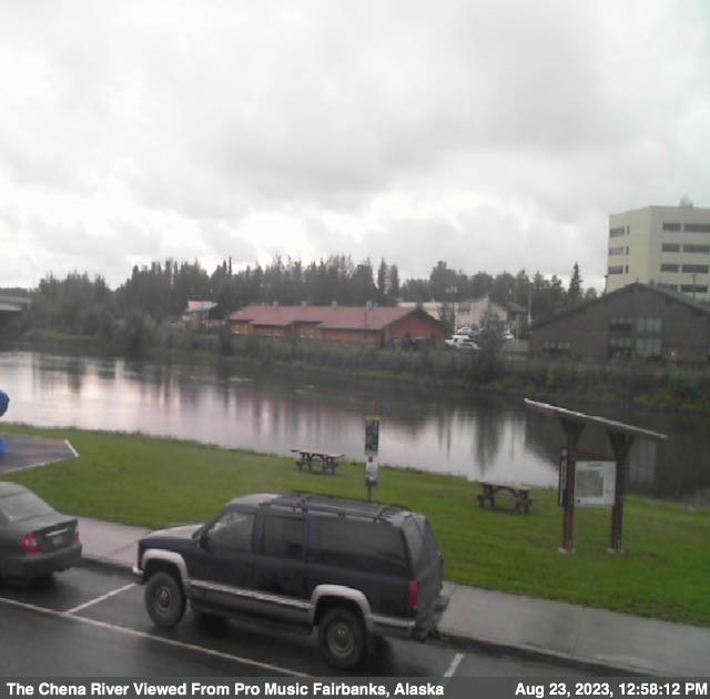
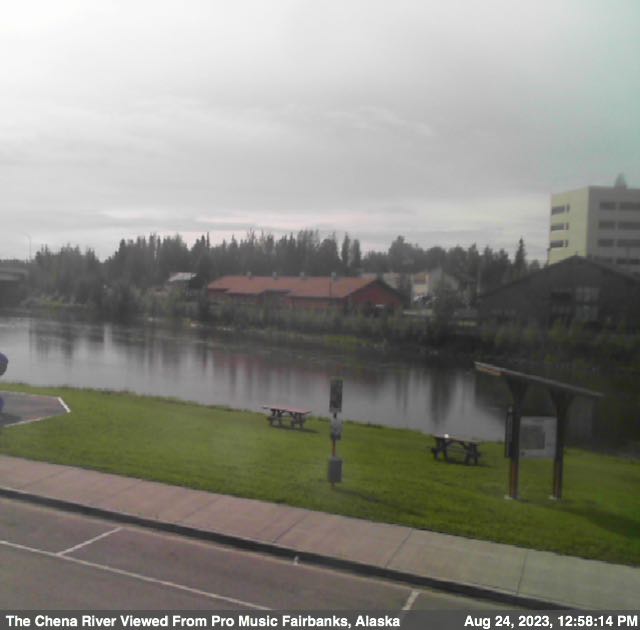
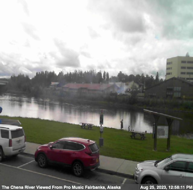
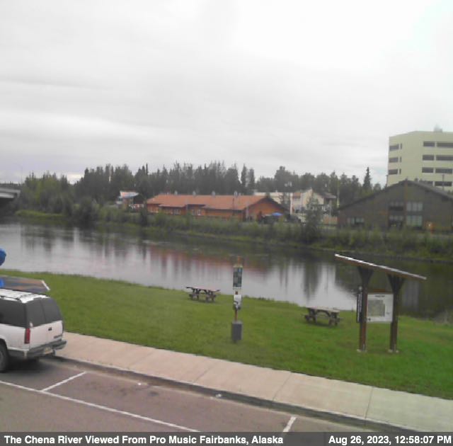
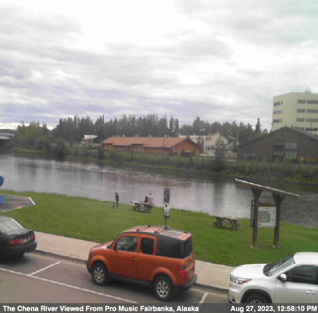
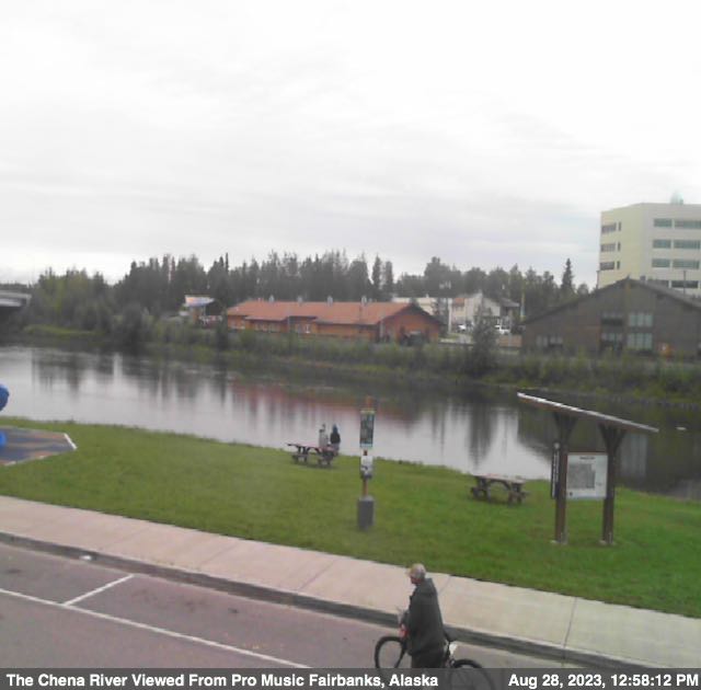
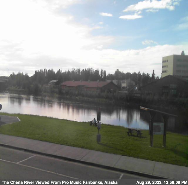
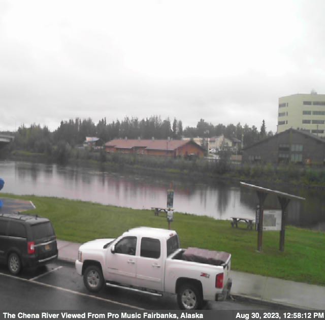
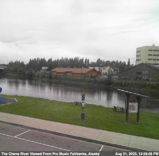
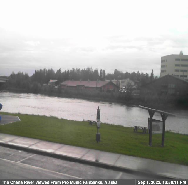
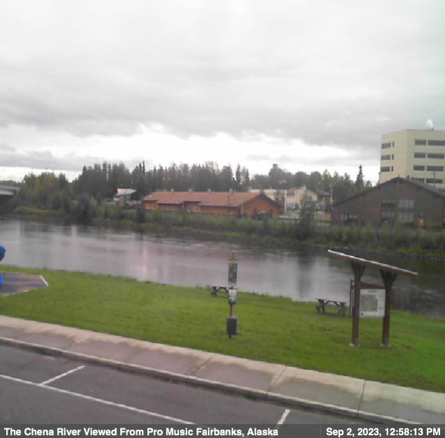
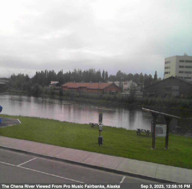
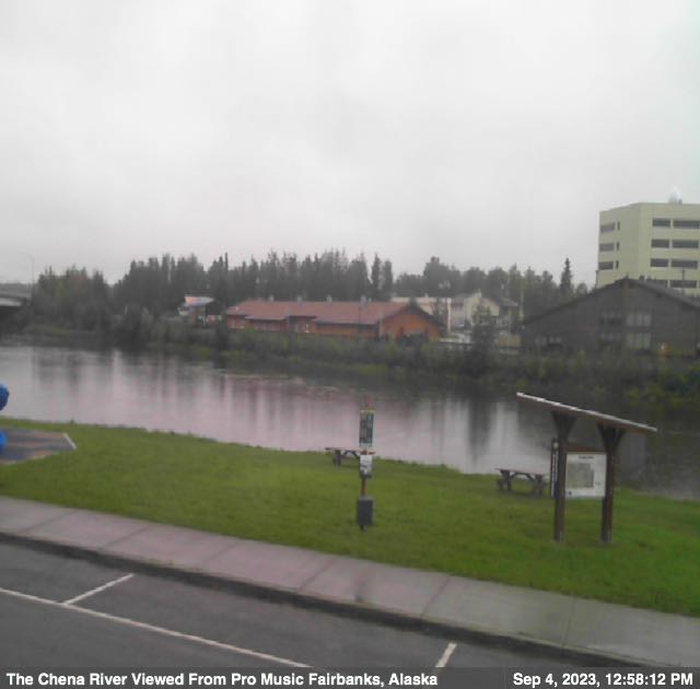
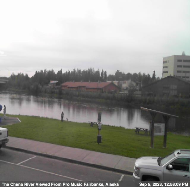
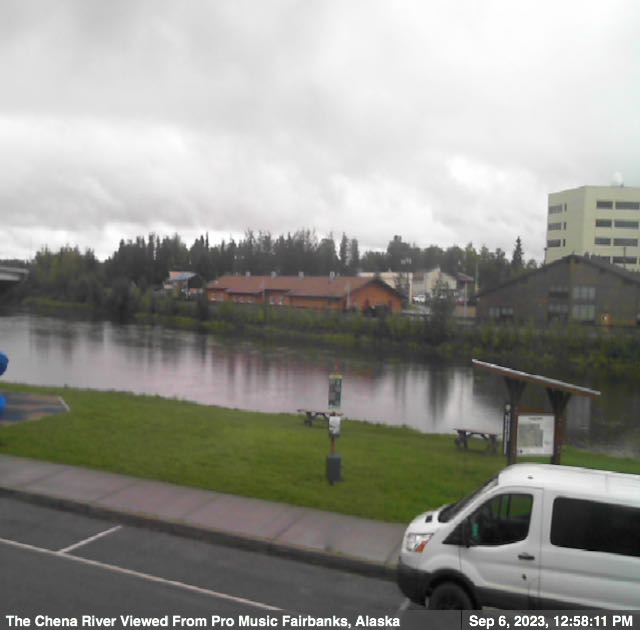
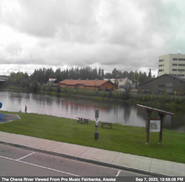
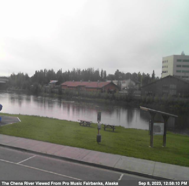
Fairbanks, Alaska, USA - 1 miles from Slaterville: Chena River - A view of the Chena River from Pro Music.
Operator: ProMusicAlaska.com
Operator: ProMusicAlaska.com


Ester Dome, Alaska, USA - 10.3 miles from Slaterville: Ester Dome Airfield (PAFA), View in Northern Direction
Operator: Federal Aviation Administration of the U.S. Department of Transportation
Operator: Federal Aviation Administration of the U.S. Department of Transportation

Ester Dome, Alaska, USA - 10.3 miles from Slaterville: Ester Dome Airfield (PAFA), View in SouthEastern Direction
Operator: Federal Aviation Administration of the U.S. Department of Transportation
Operator: Federal Aviation Administration of the U.S. Department of Transportation

Ester Dome, Alaska, USA - 10.3 miles from Slaterville: Ester Dome Airfield (PAFA), View in SouthWestern Direction
Operator: Federal Aviation Administration of the U.S. Department of Transportation
Operator: Federal Aviation Administration of the U.S. Department of Transportation

Ester Dome, Alaska, USA - 10.3 miles from Slaterville: Ester Dome Airfield (PAFA), View in Western Direction
Operator: Federal Aviation Administration of the U.S. Department of Transportation
Operator: Federal Aviation Administration of the U.S. Department of Transportation

Nenana, Alaska, USA - 44.9 miles from Slaterville: Nenana Airfield (PANN), View in NorthEastern Direction
Operator: Federal Aviation Administration of the U.S. Department of Transportation
Operator: Federal Aviation Administration of the U.S. Department of Transportation

Nenana, Alaska, USA - 44.9 miles from Slaterville: Nenana Airfield (PANN), View in Southern Direction
Operator: Federal Aviation Administration of the U.S. Department of Transportation
Operator: Federal Aviation Administration of the U.S. Department of Transportation

Nenana, Alaska, USA - 44.9 miles from Slaterville: Nenana Airfield (PANN), View in SouthWestern Direction
Operator: Federal Aviation Administration of the U.S. Department of Transportation
Operator: Federal Aviation Administration of the U.S. Department of Transportation

Nenana, Alaska, USA - 44.9 miles from Slaterville: Nenana Airfield (PANN), View in NorthWestern Direction
Operator: Federal Aviation Administration of the U.S. Department of Transportation
Operator: Federal Aviation Administration of the U.S. Department of Transportation

Livengood, Alaska, USA - 51.1 miles from Slaterville: Livengood Airfield, View in NorthEastern Direction
Operator: Federal Aviation Administration of the U.S. Department of Transportation
Operator: Federal Aviation Administration of the U.S. Department of Transportation
Some other places in this country: Solomon - Spenard - Standard - Strelna - Sullivan Camp - Sunshine - Suntrana - Susitna - Sutton - Takotna