Webcams in the region of Soda Butte (historical), Wyoming, USA
The List of Webcams near Soda Butte (historical), Wyoming, USA:

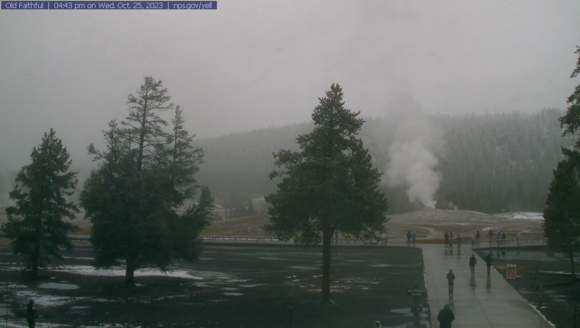
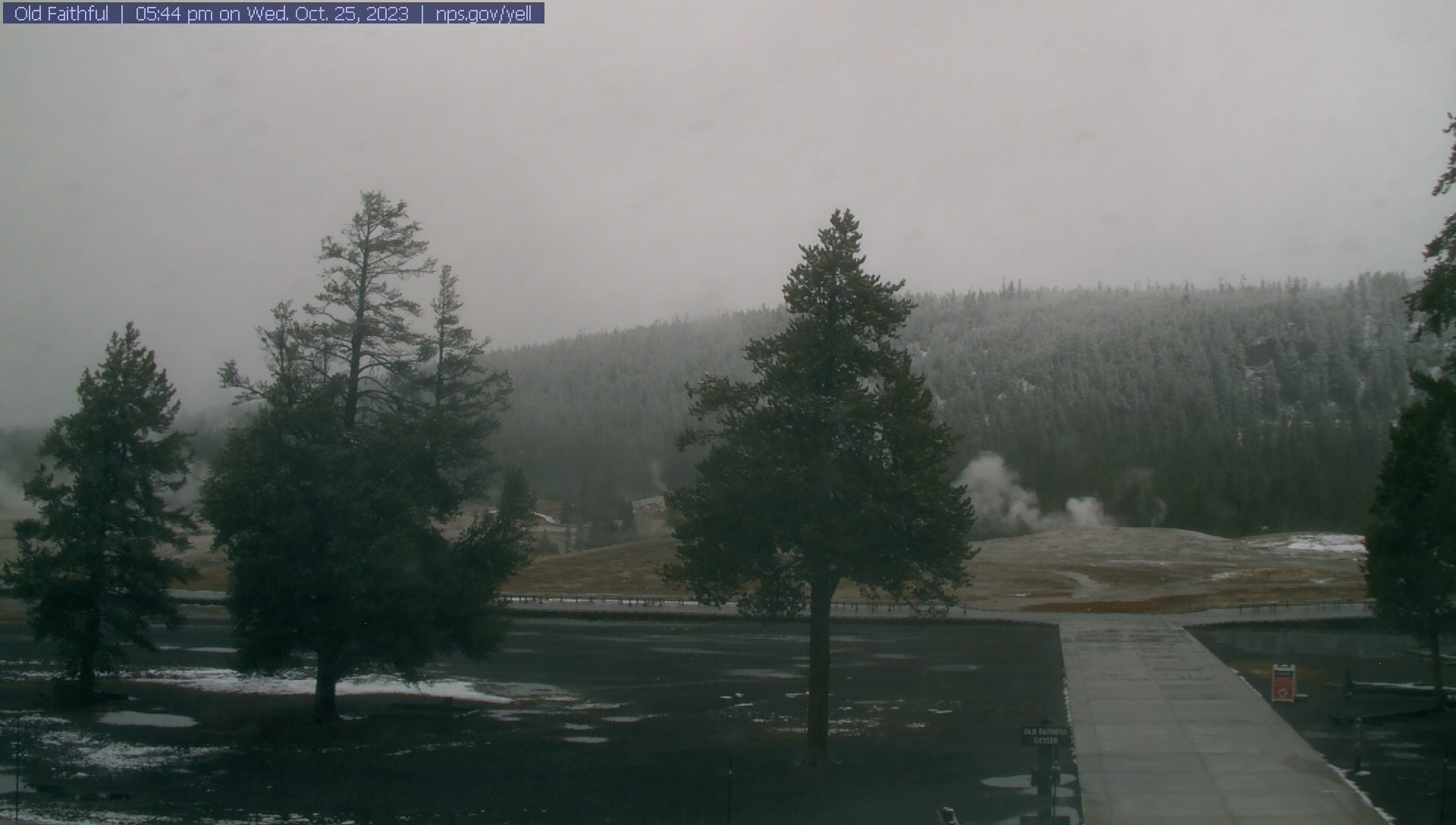
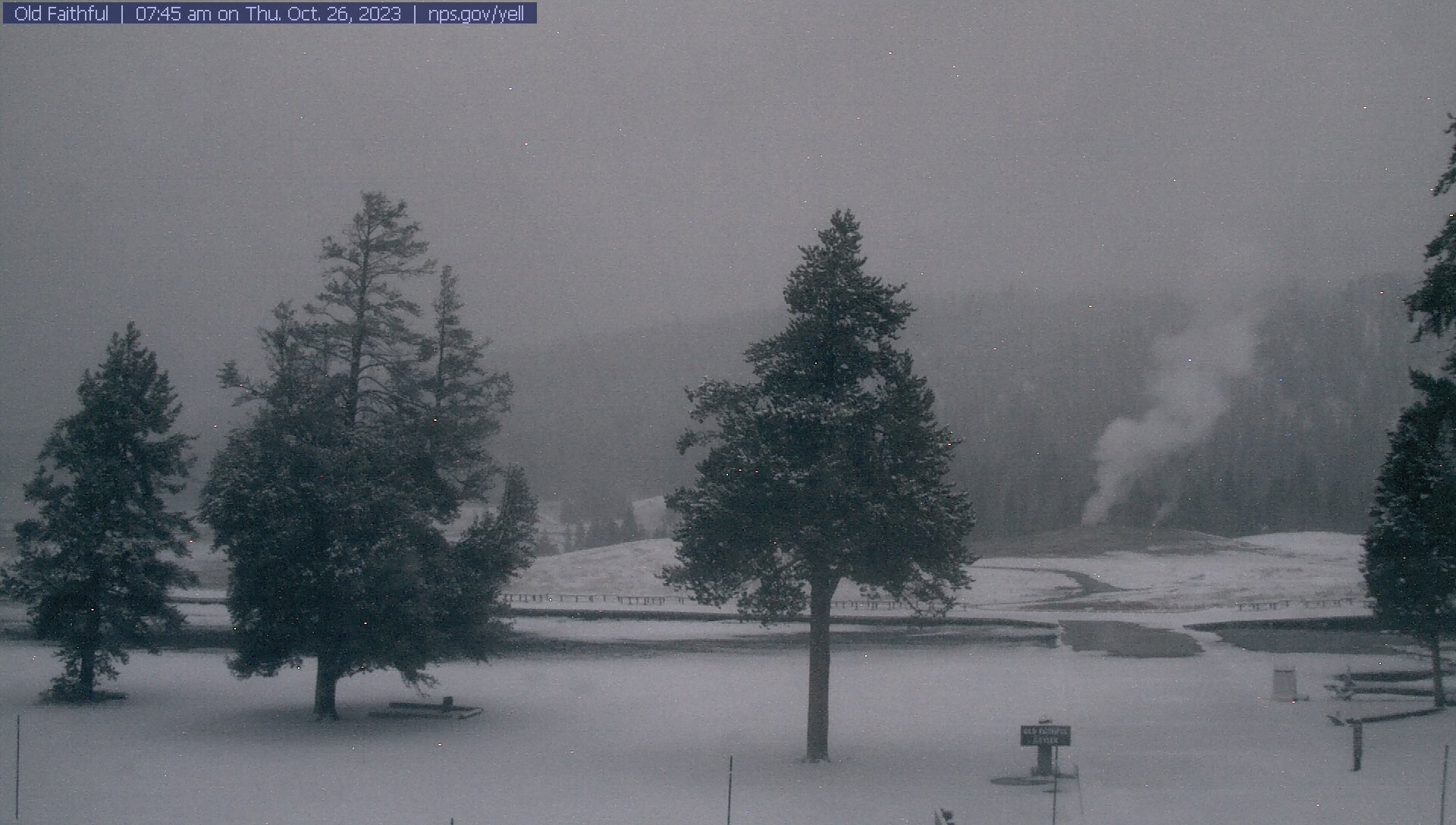
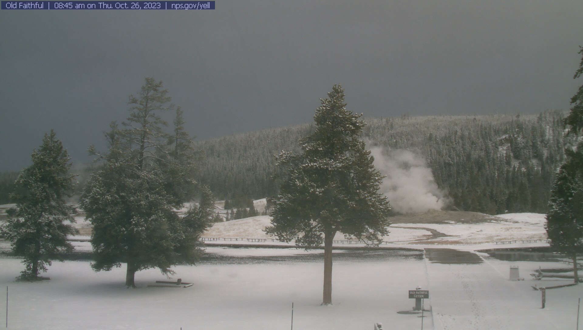
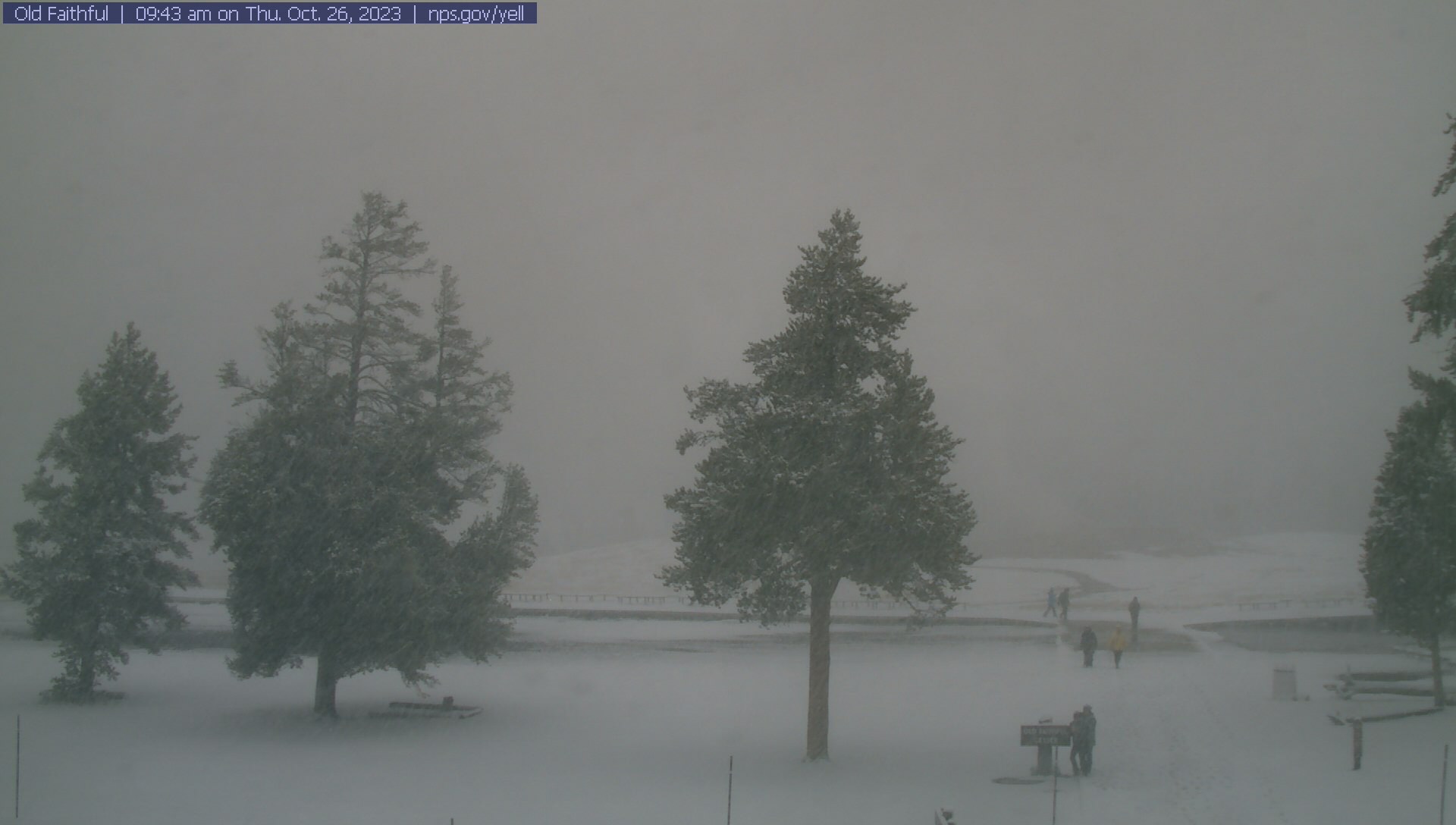
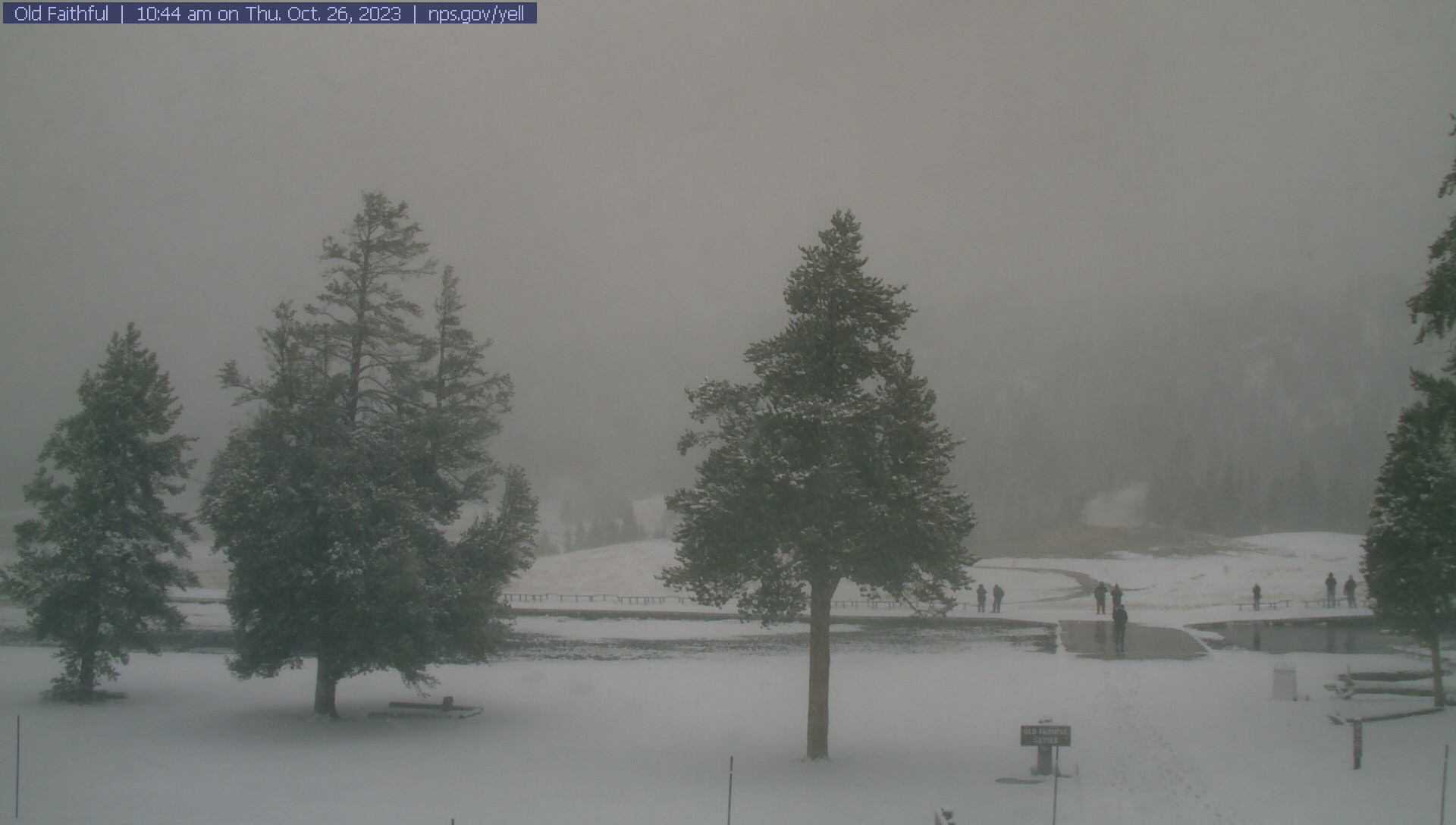
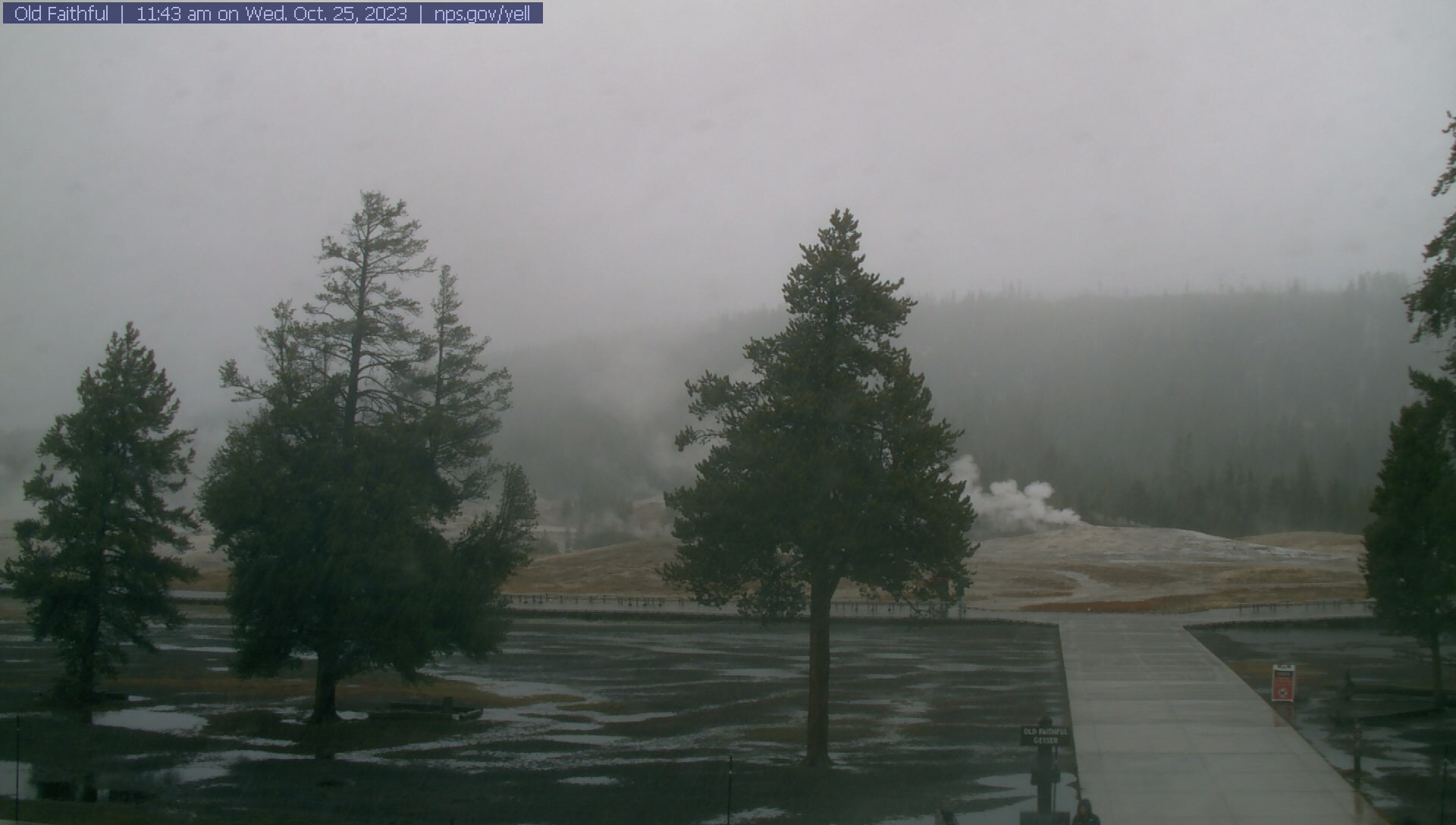
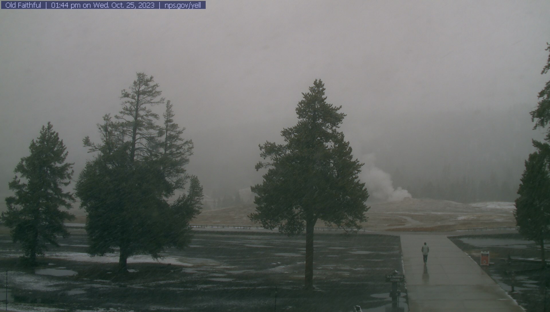
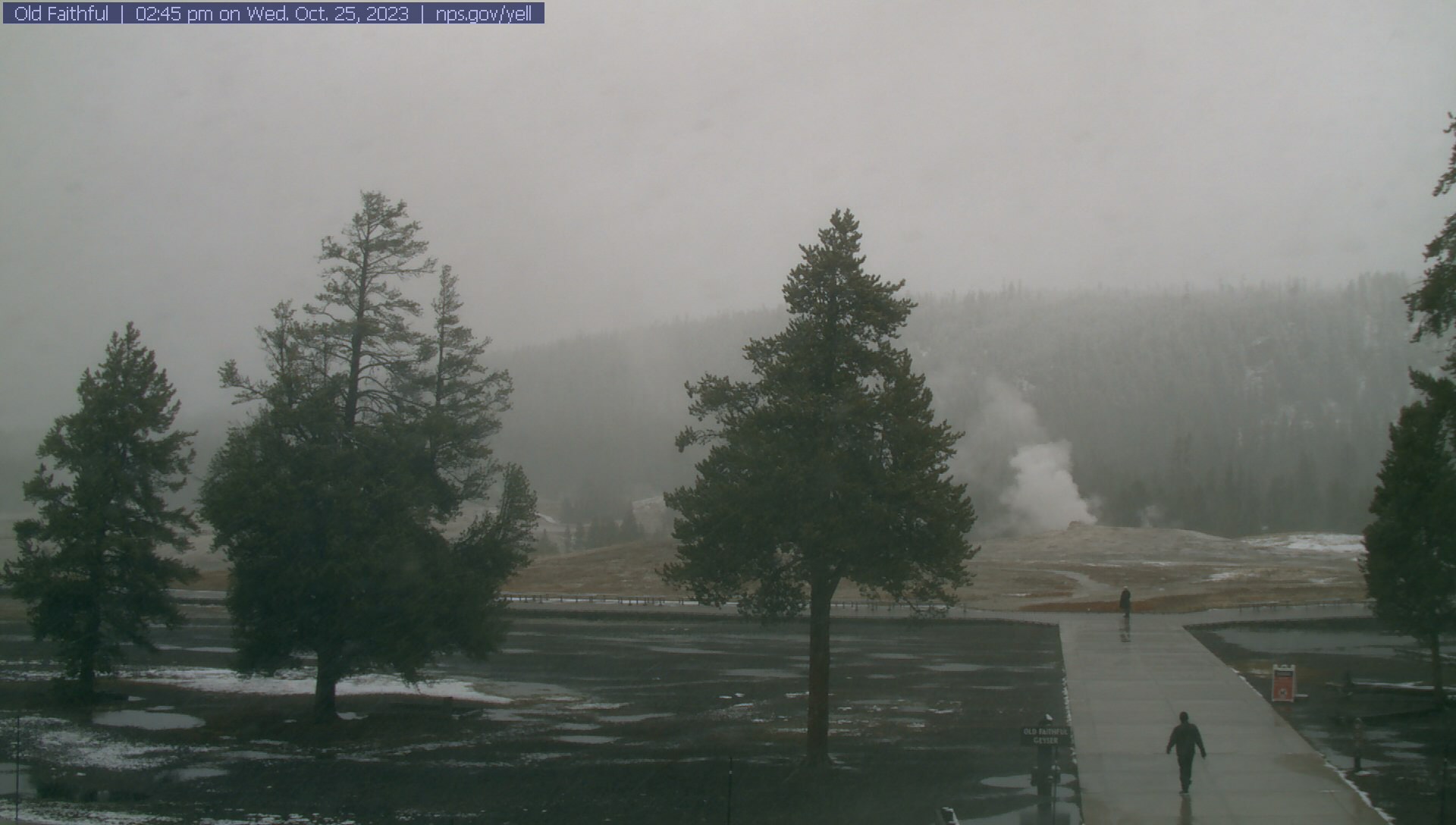
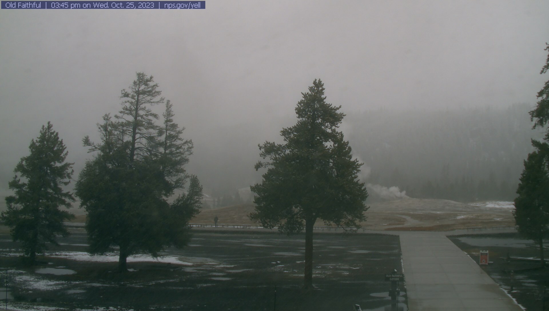
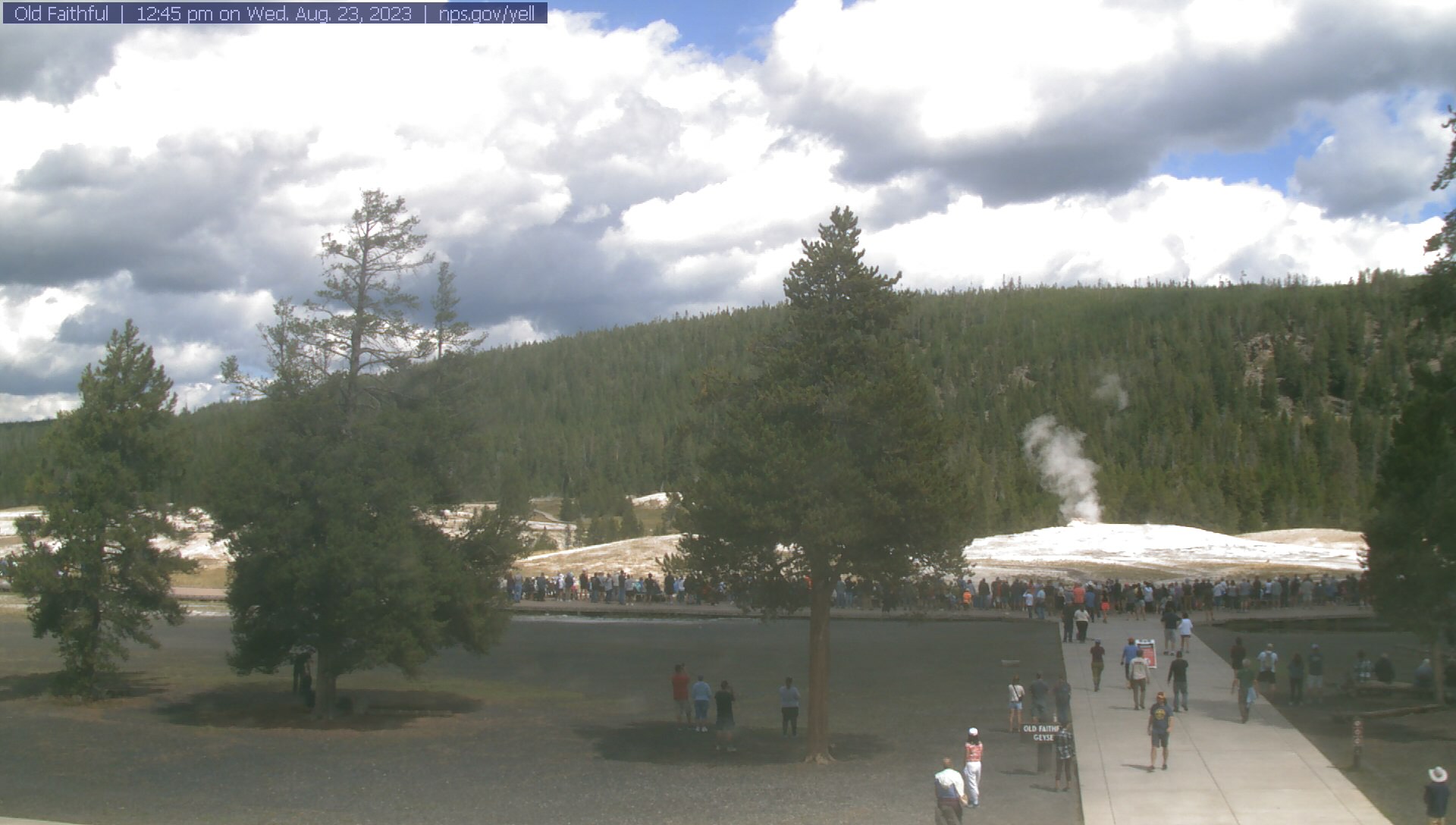
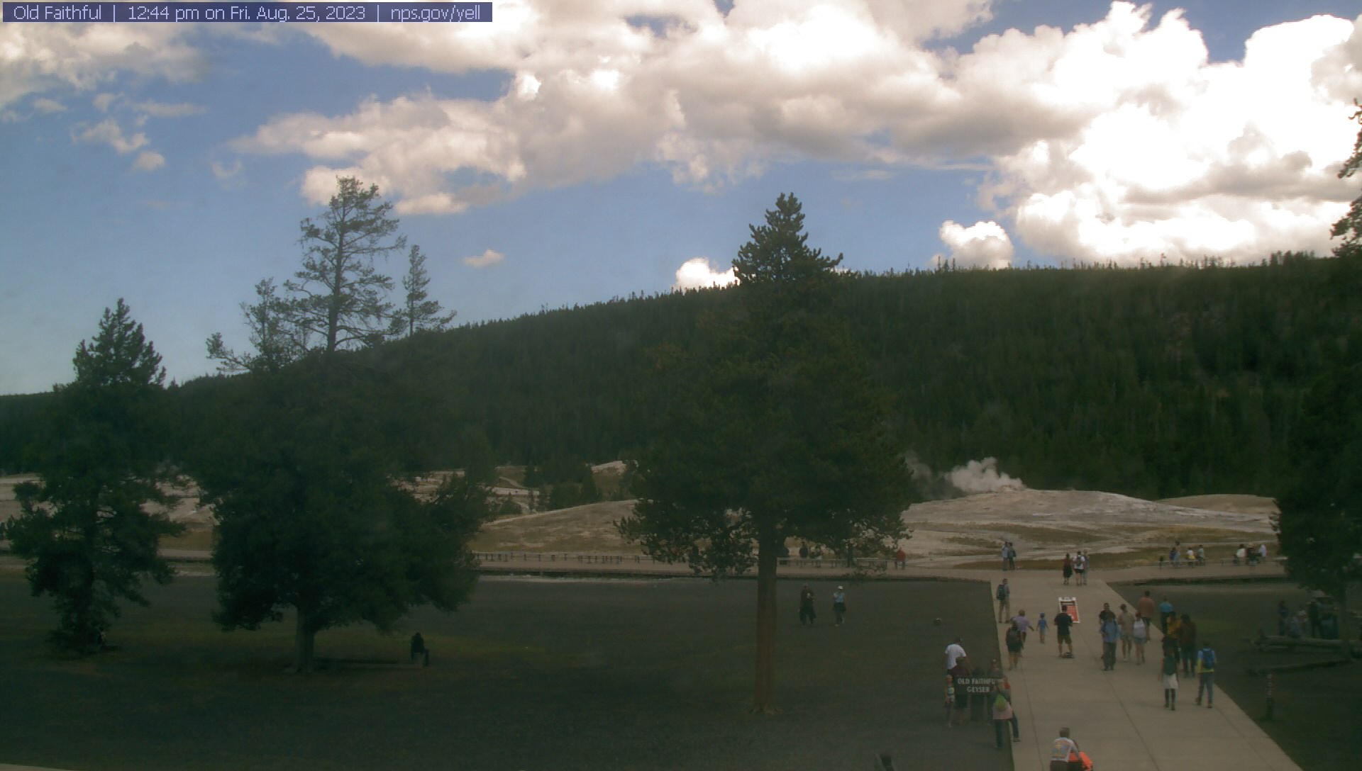
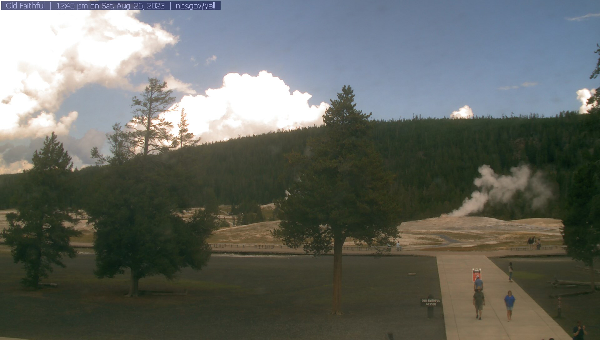
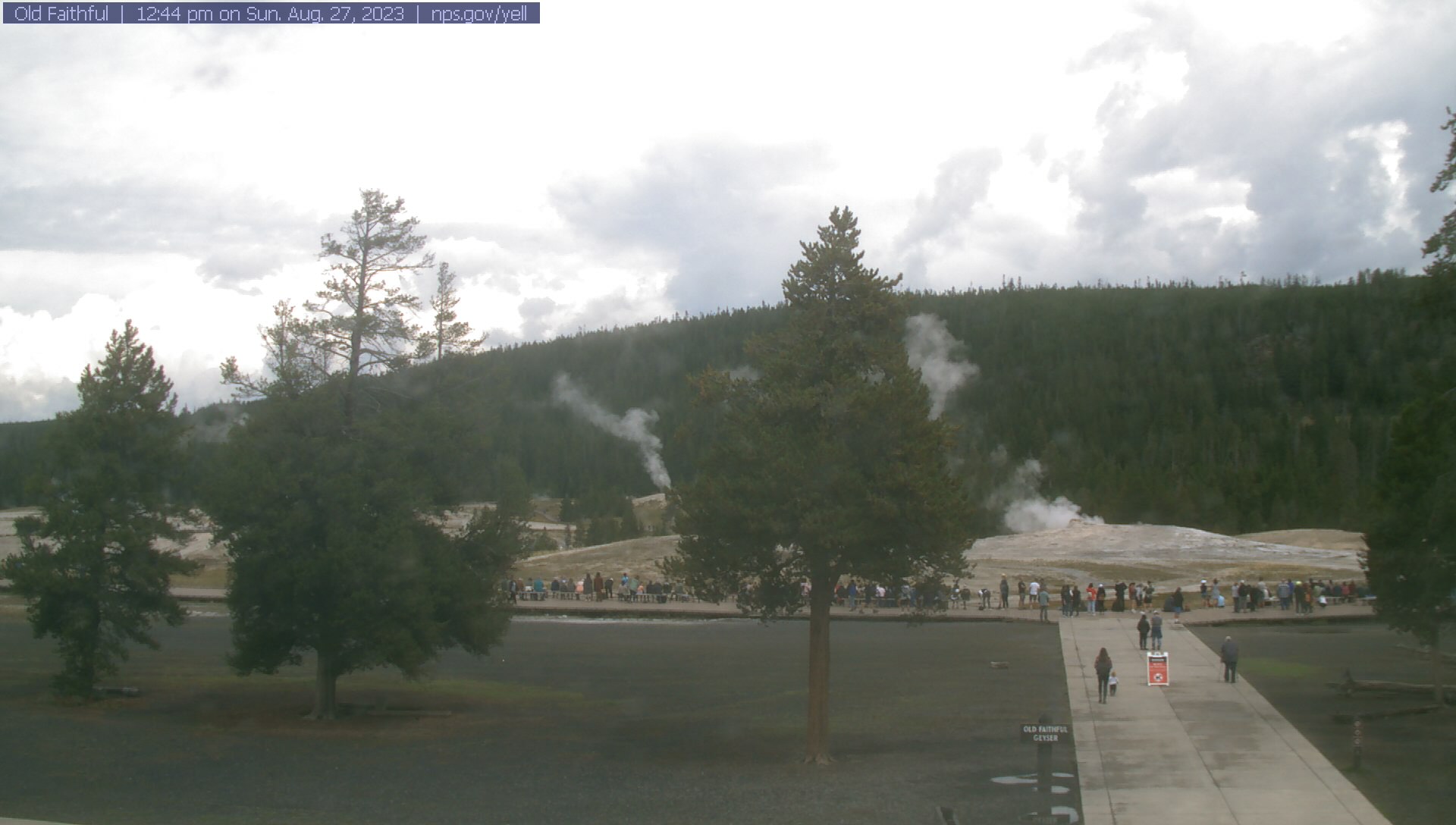
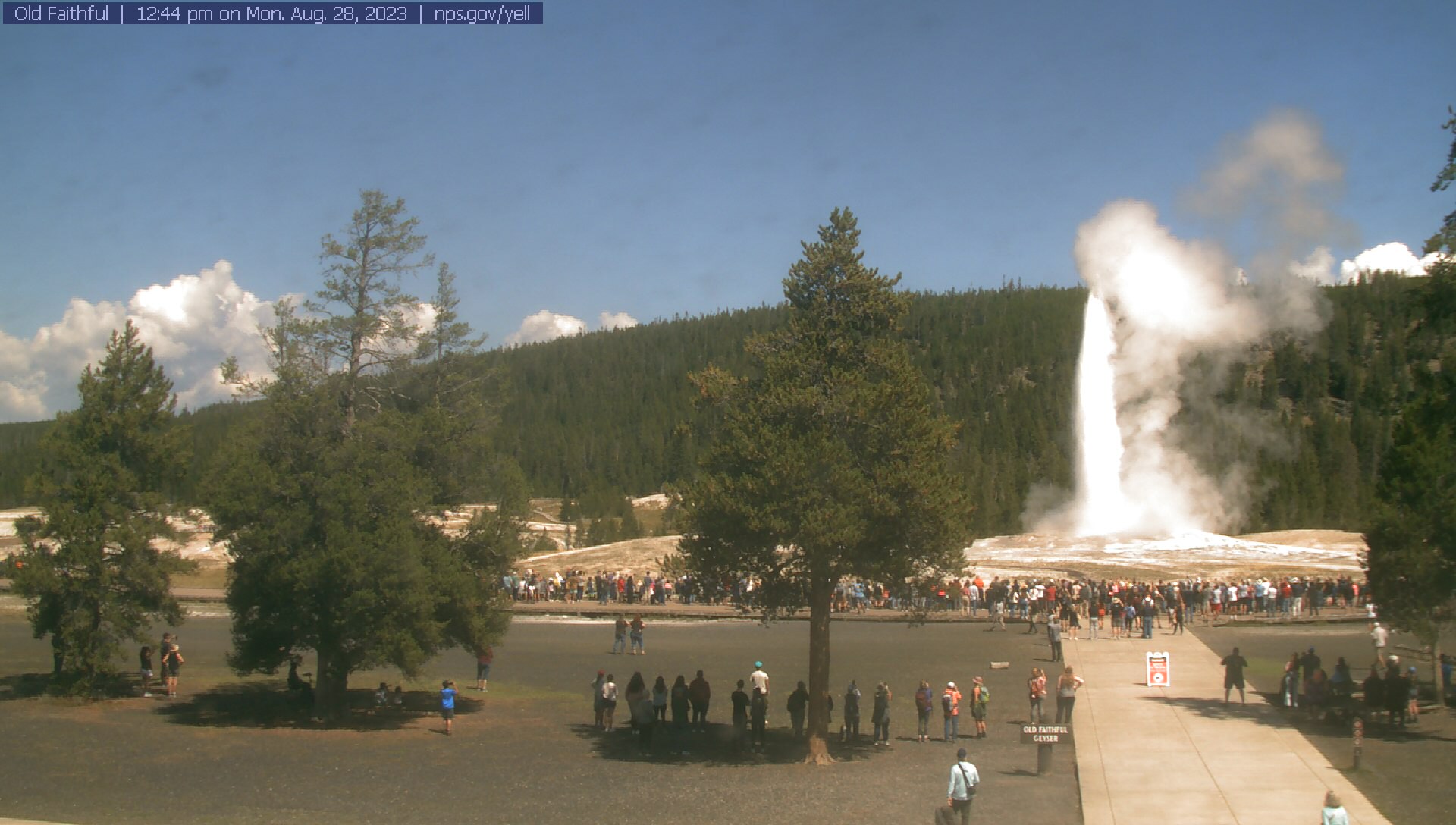
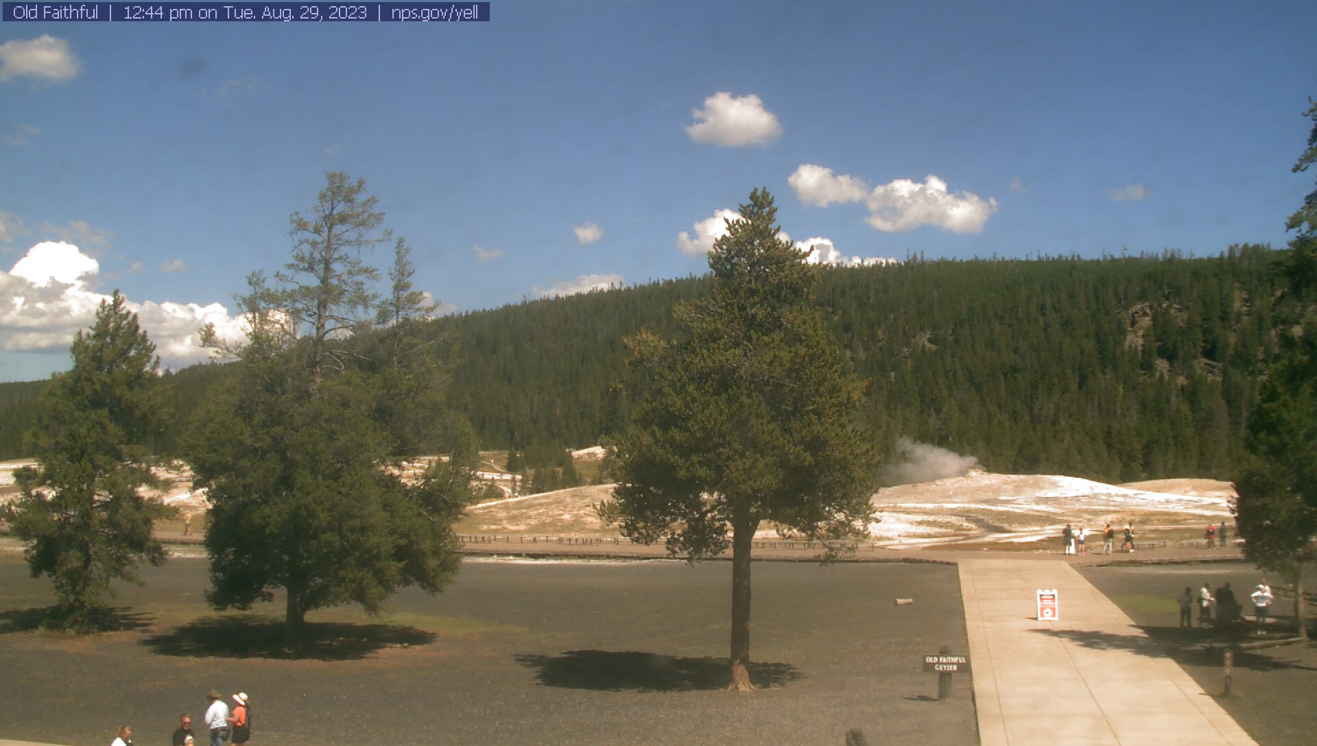
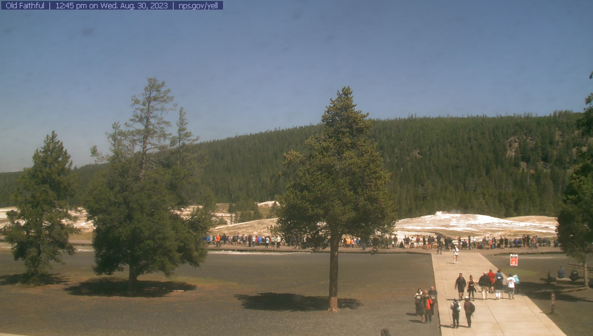
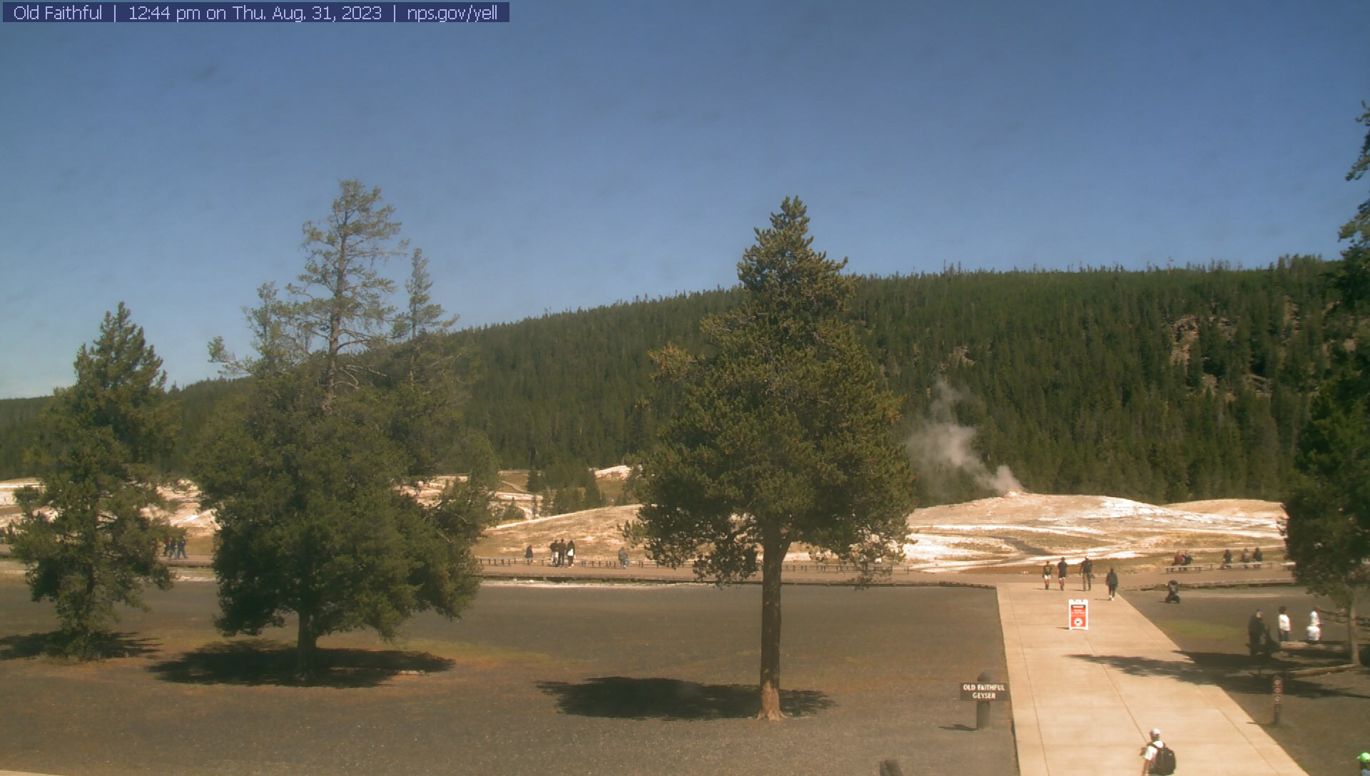
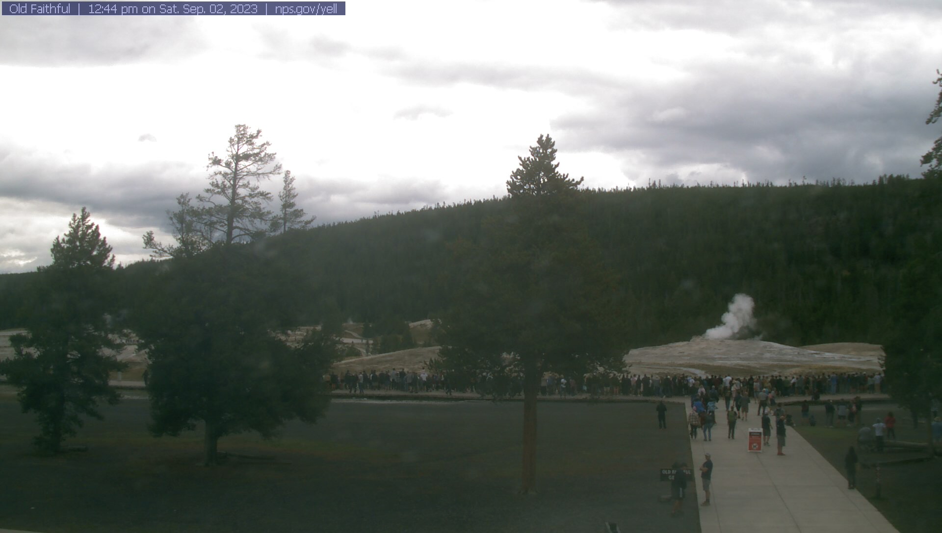
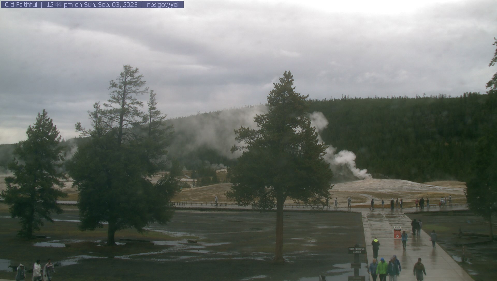
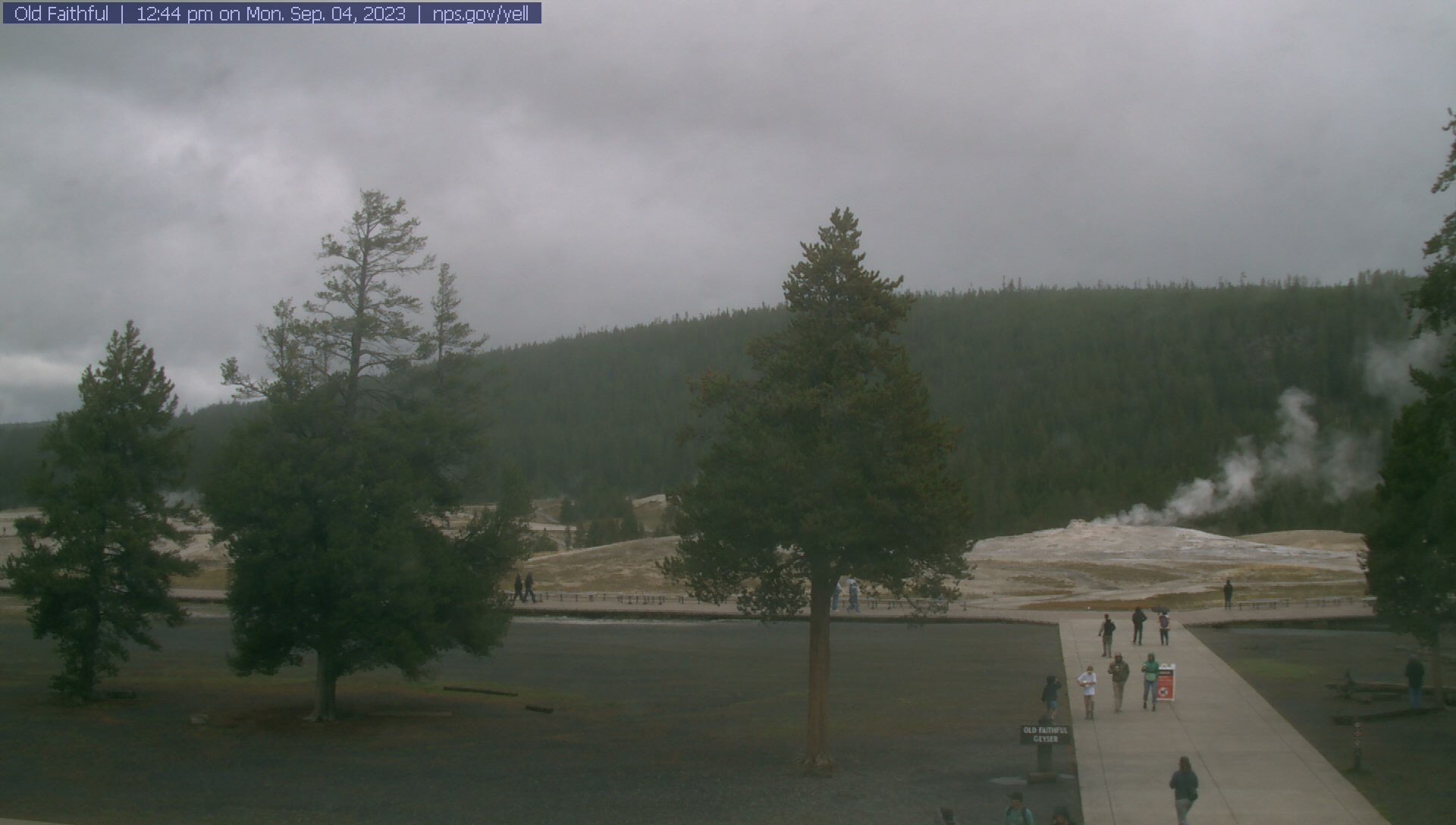
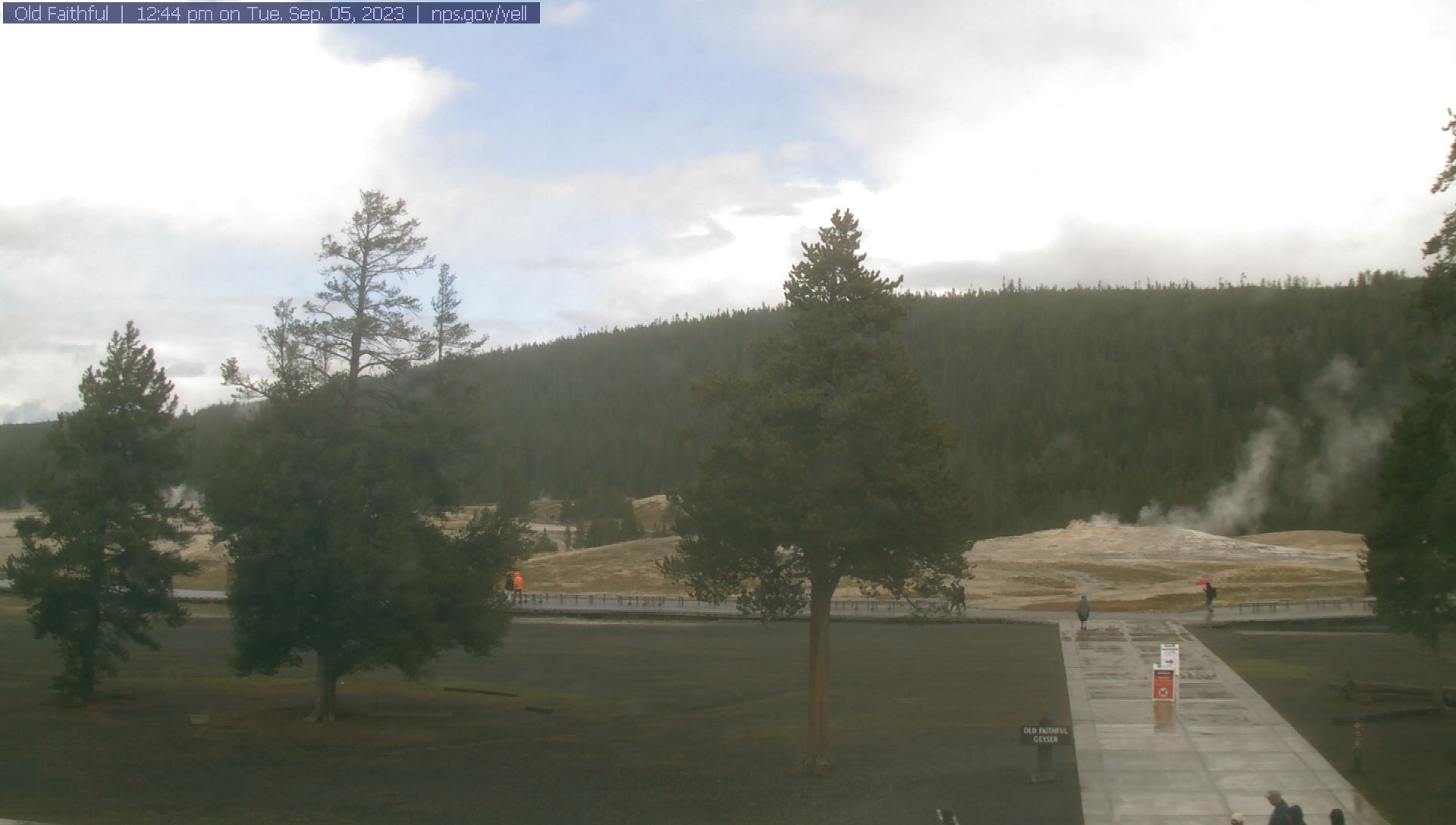
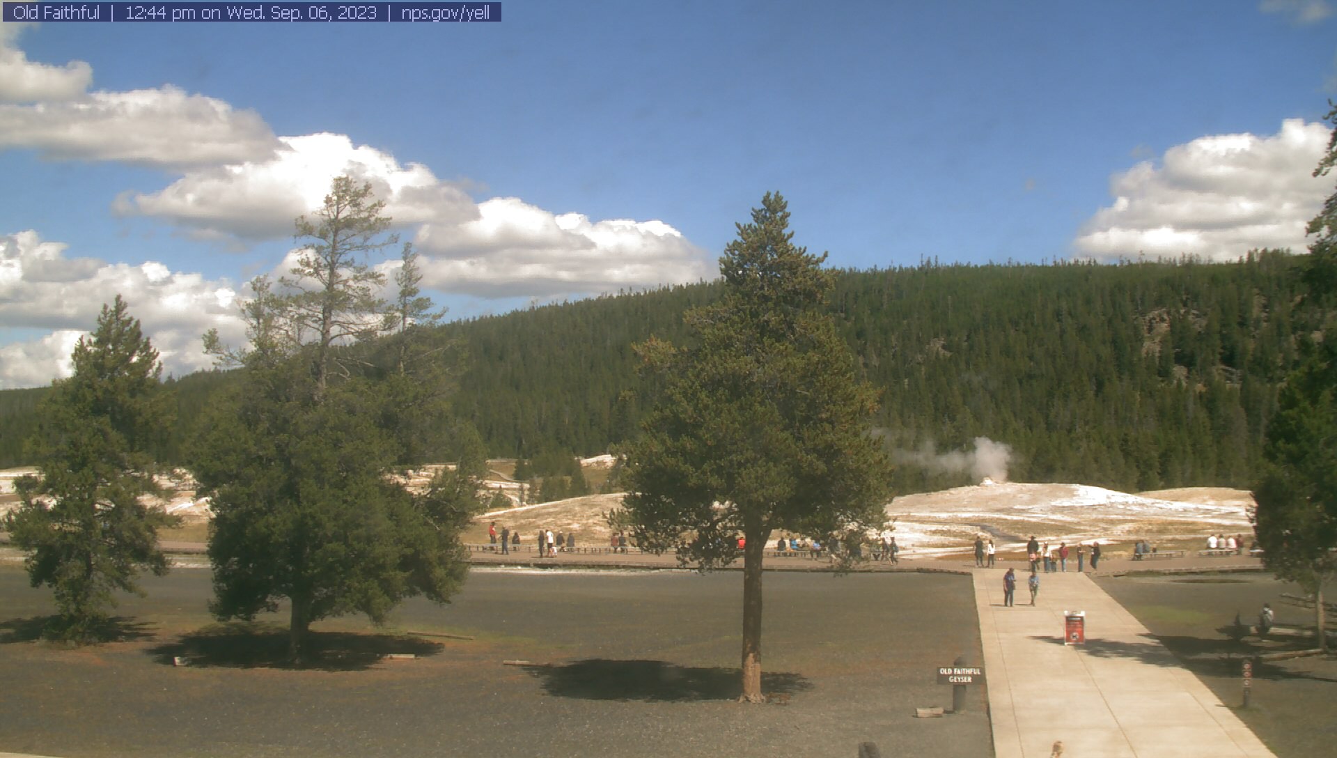
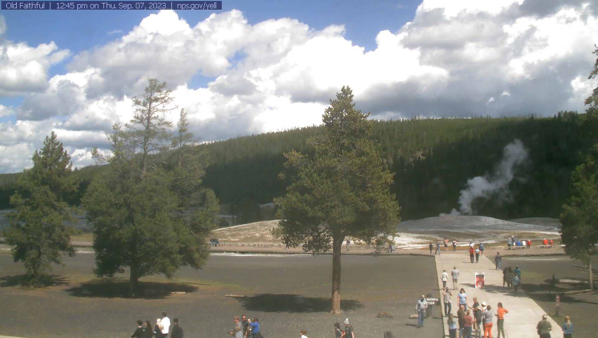
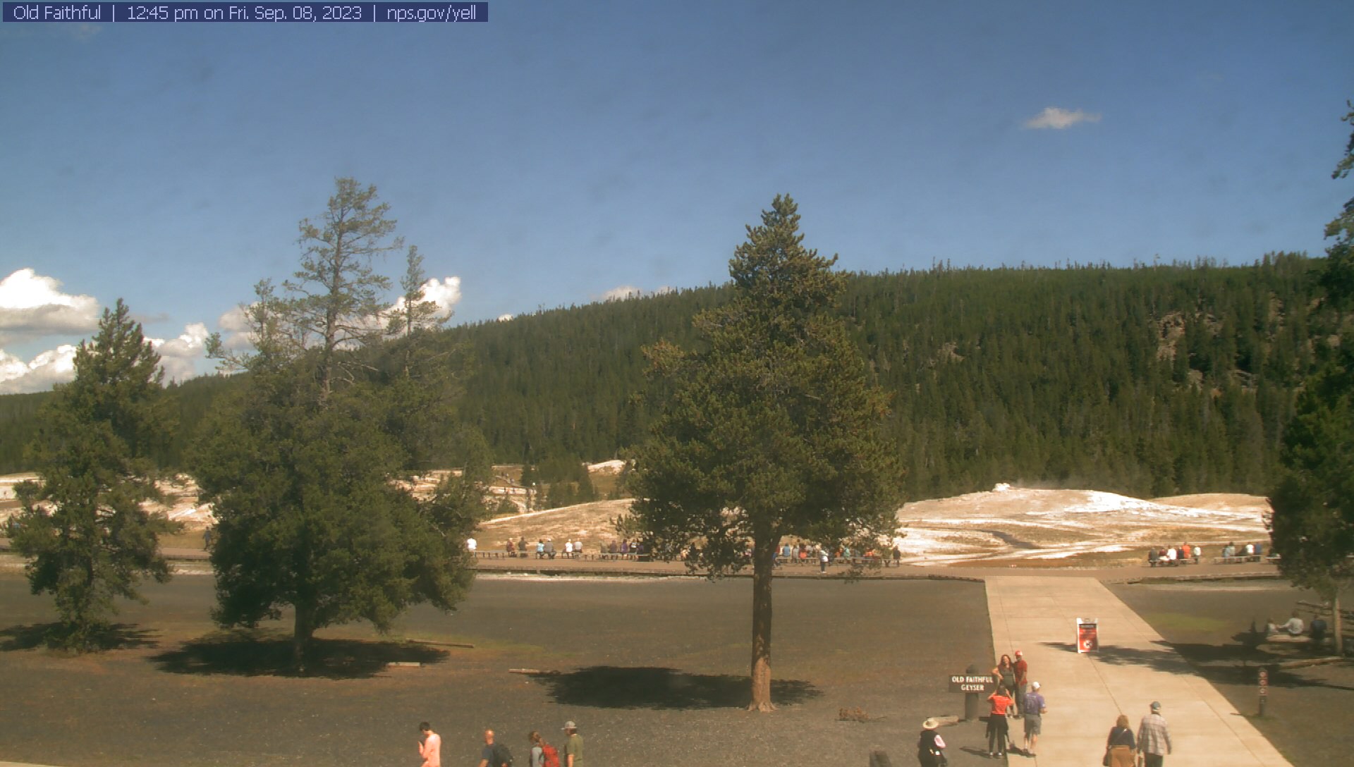
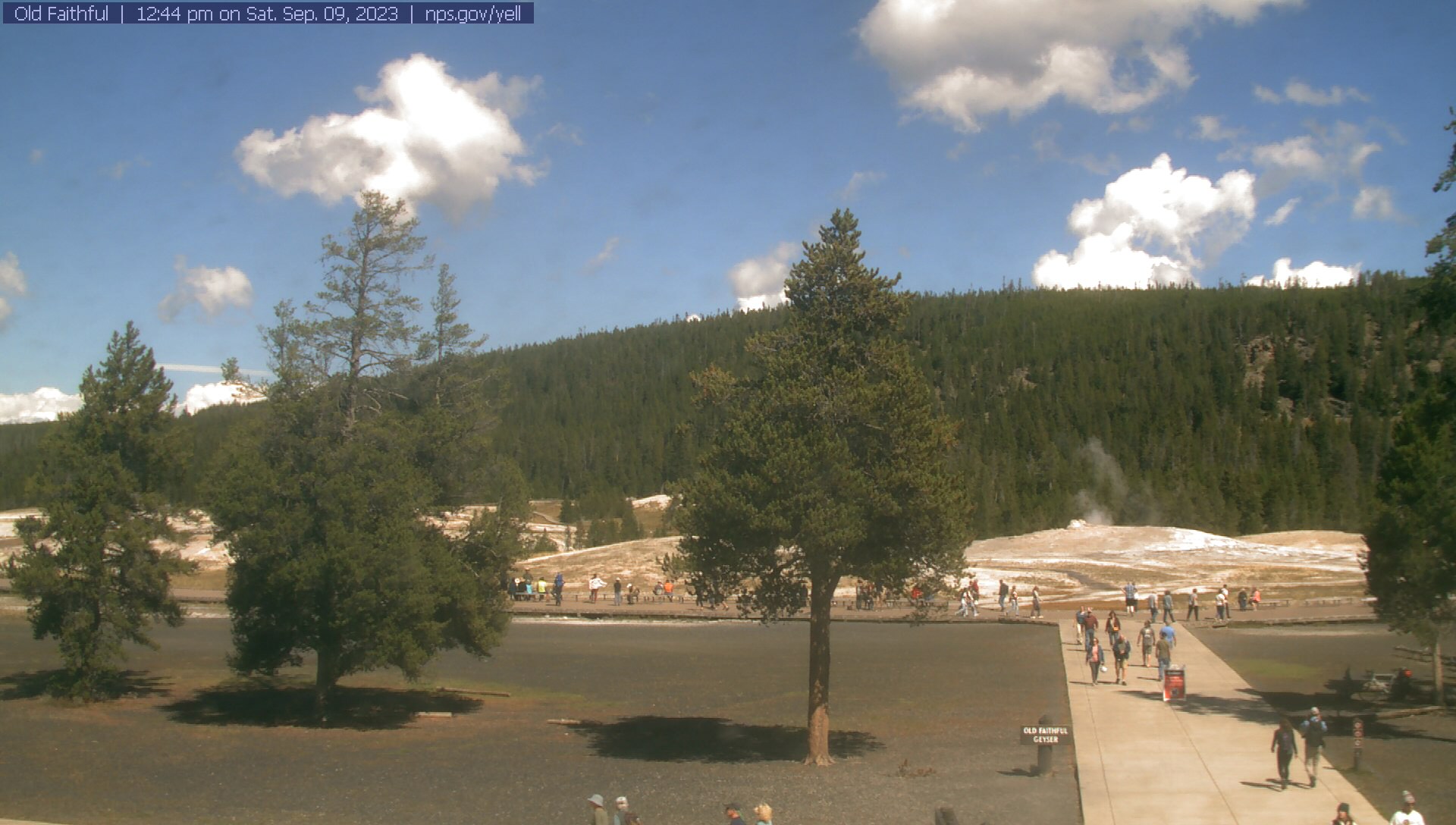
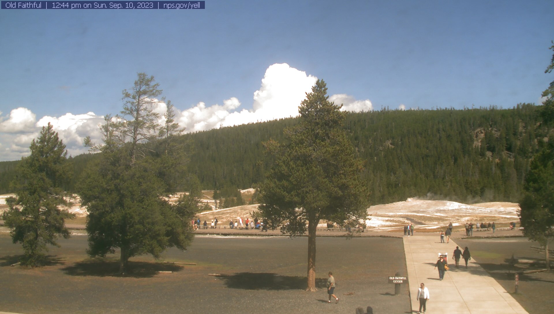
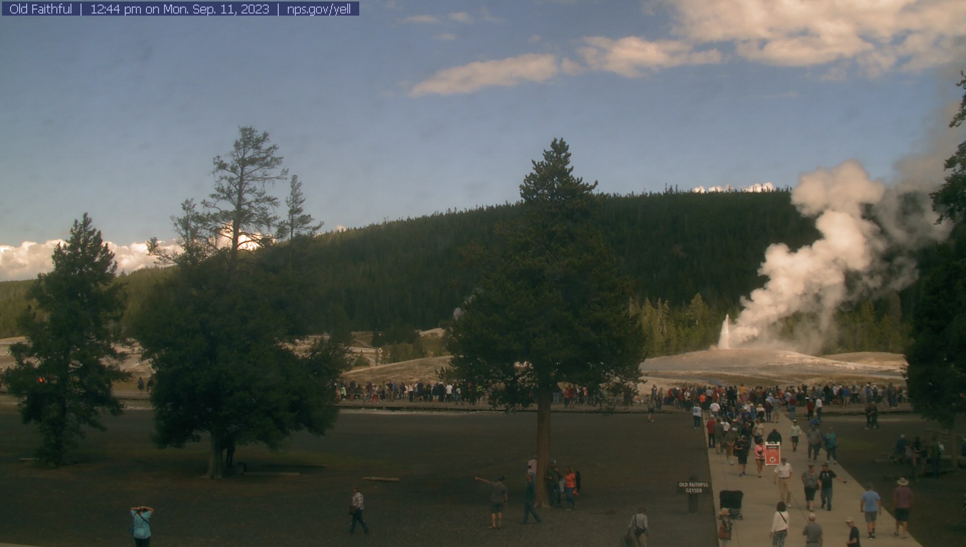
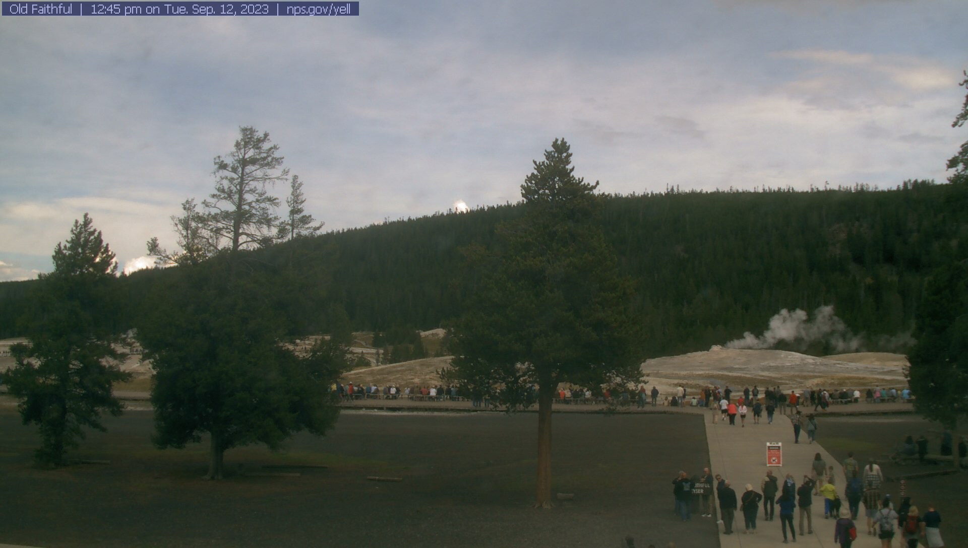
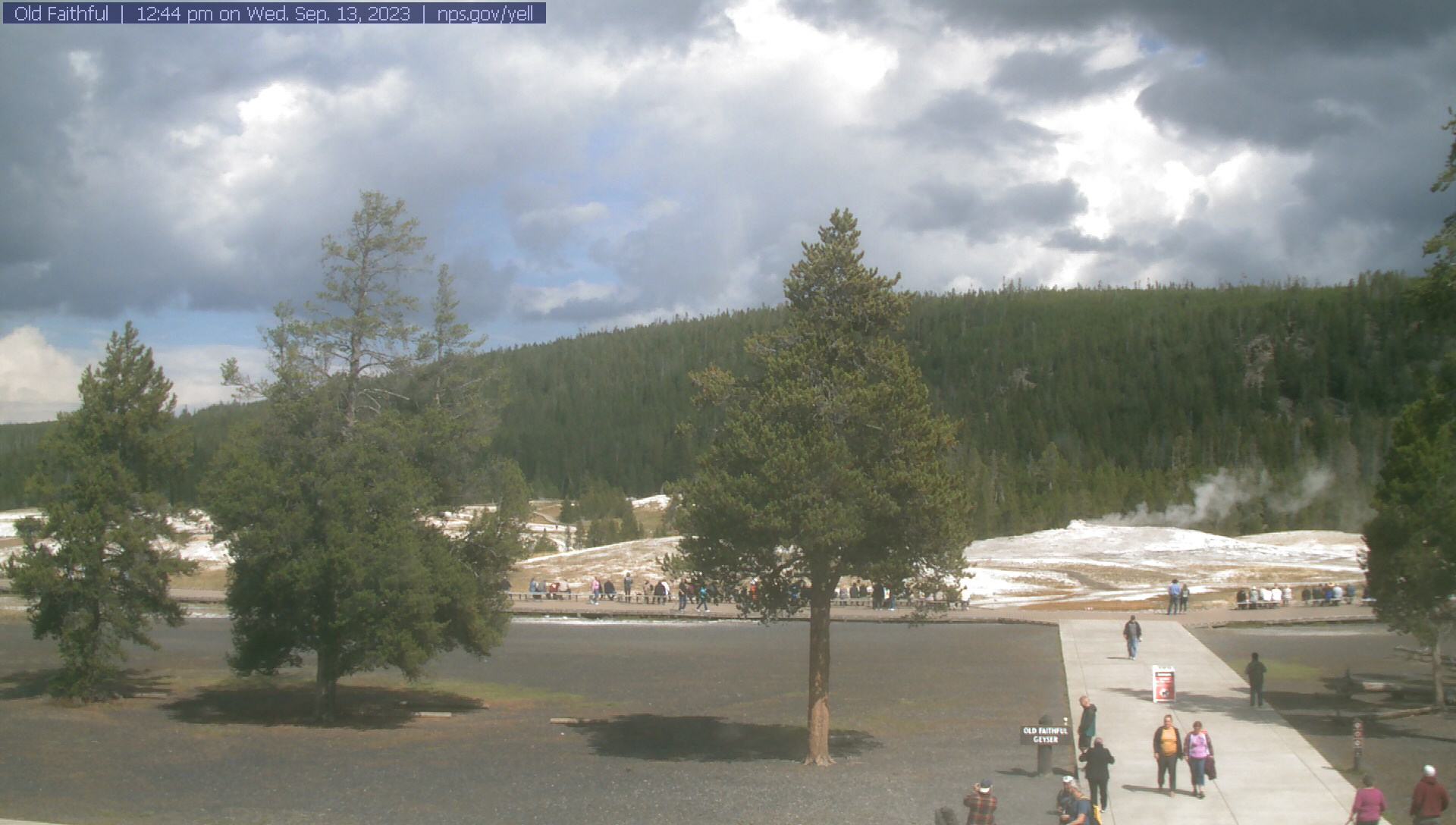
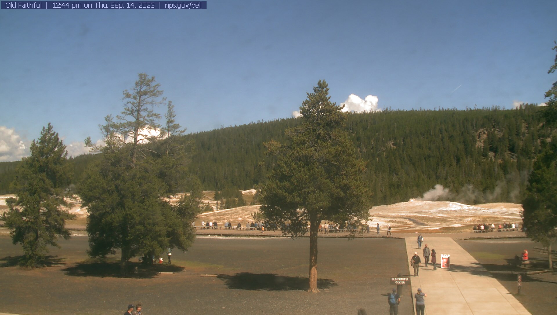
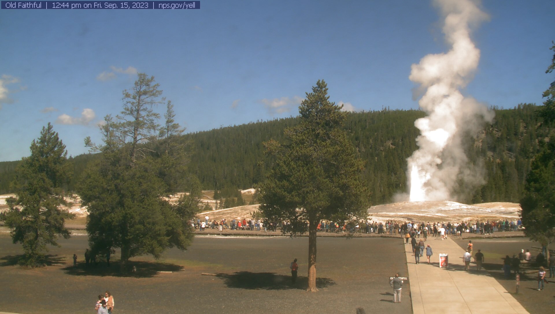
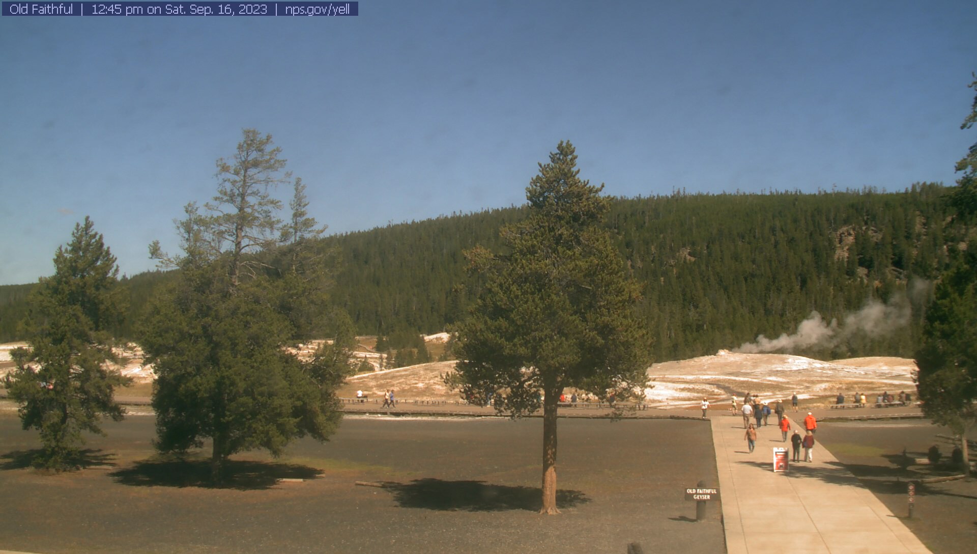
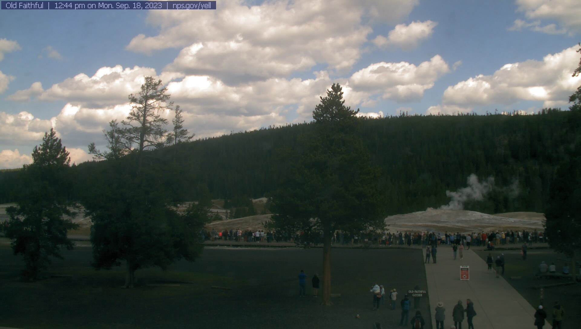
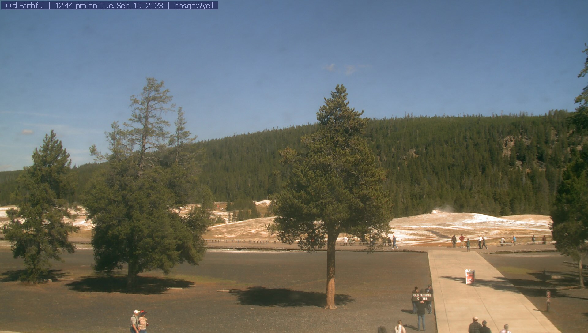
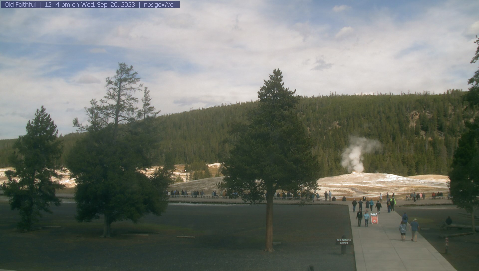
Old Faithful, Wyoming, USA - 43.9 miles from Soda Butte (historical): Old Faithful Geyser - The Old Faithful WebCam sends a new real-time photo of Old Faithful Geyser in the Yellowstone National Park approximately every 30 seconds.
Operator: Yellowstone National Park
Operator: Yellowstone National Park


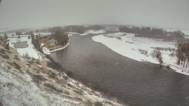
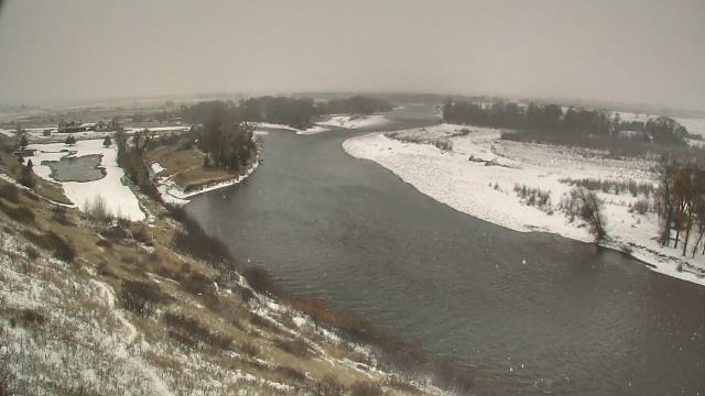
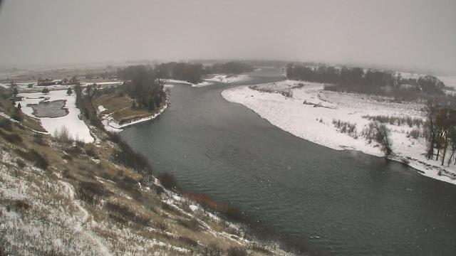
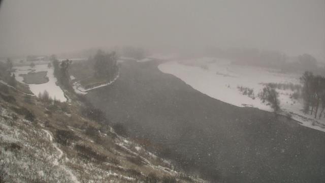
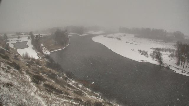
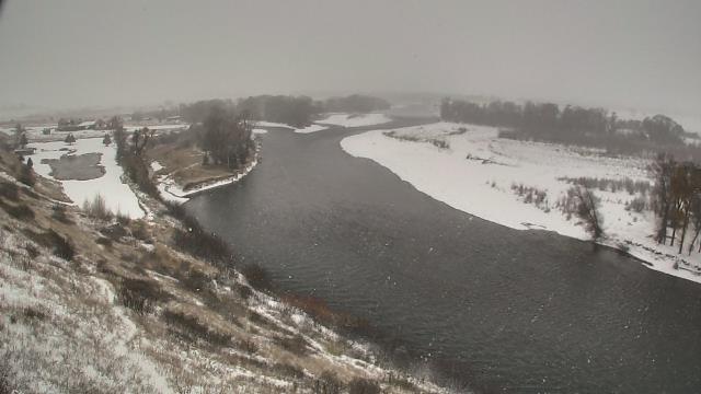
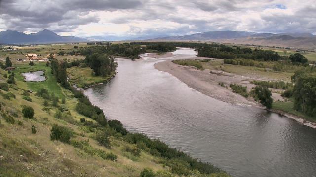
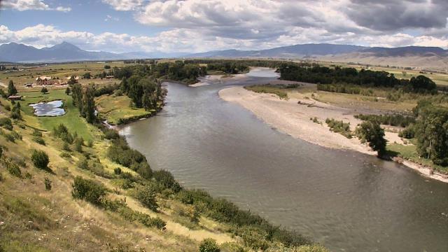
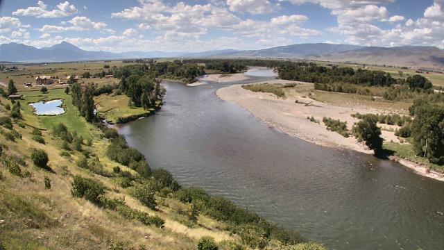
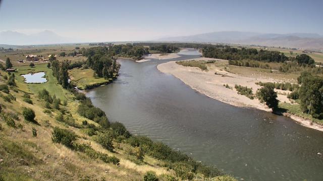
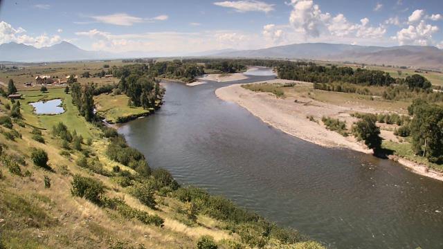
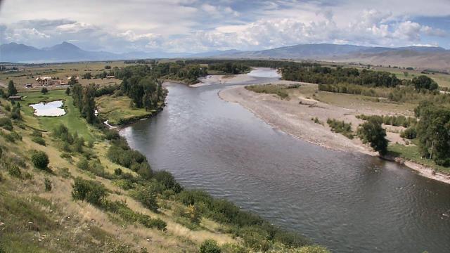
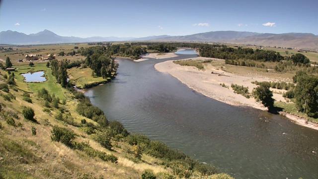
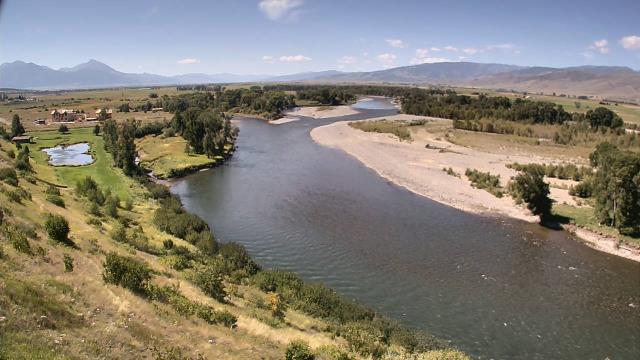
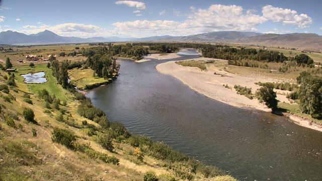
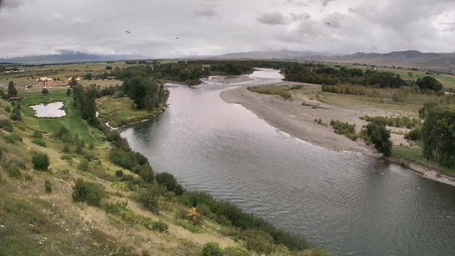
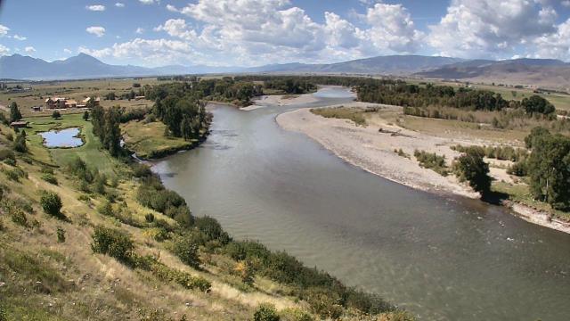
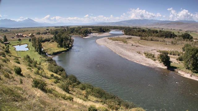
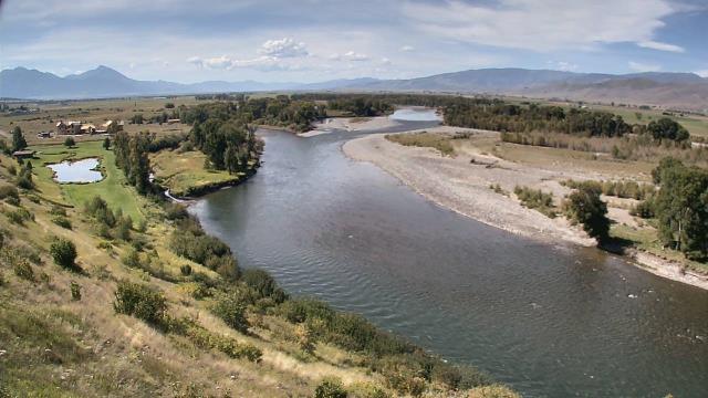
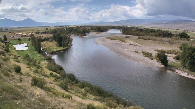
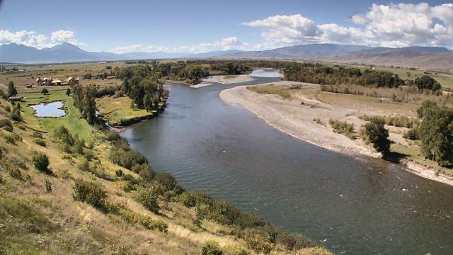
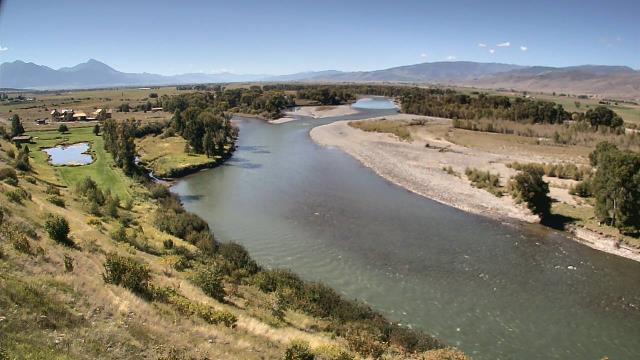
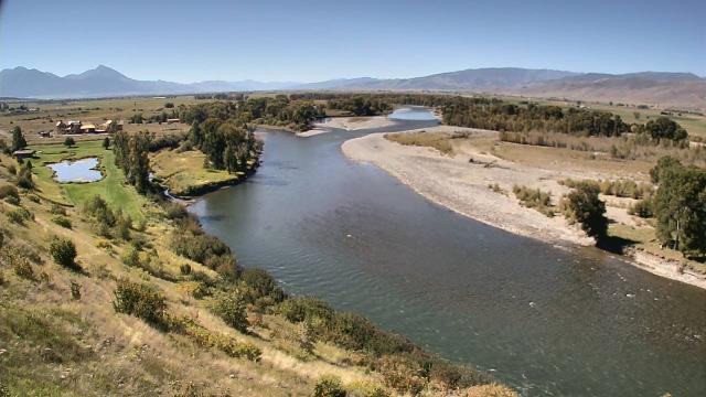
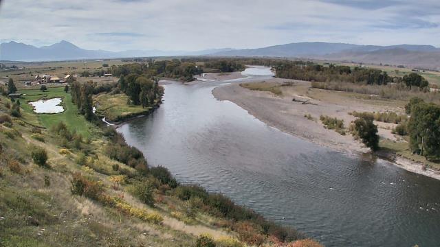
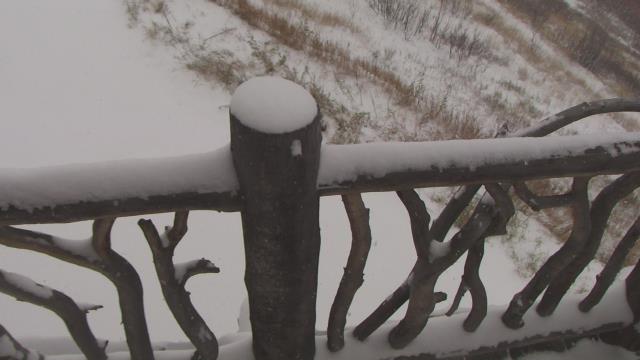
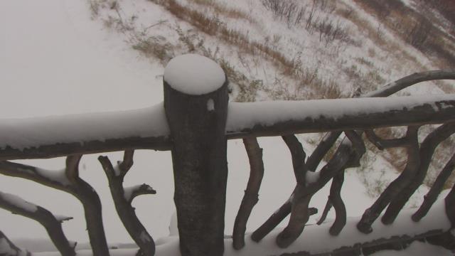
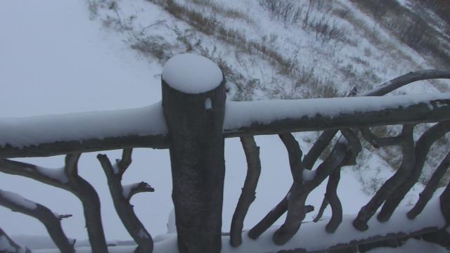
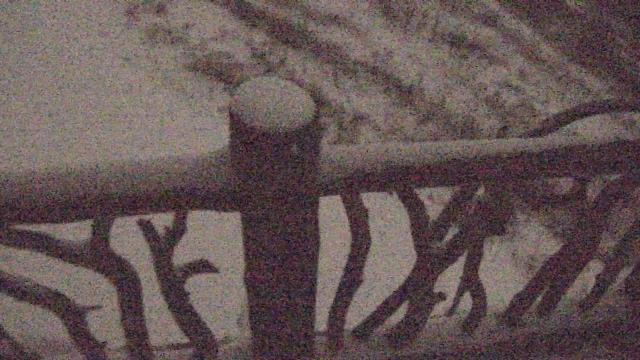
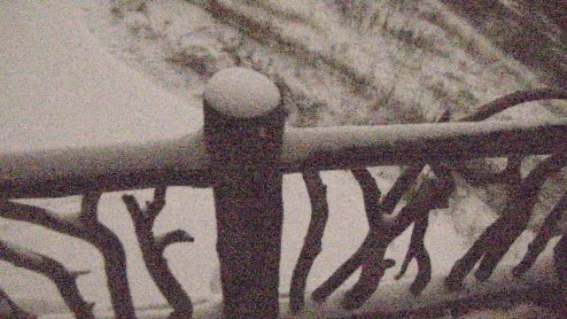
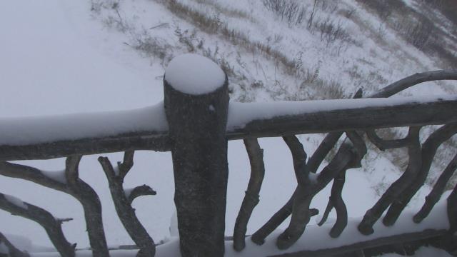
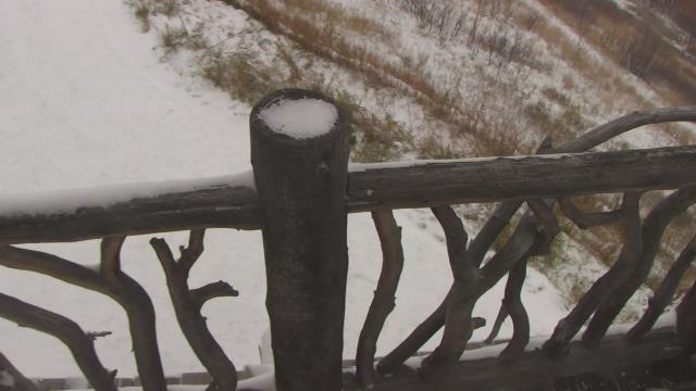
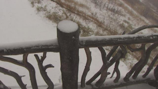
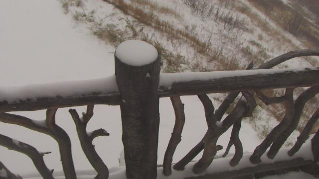
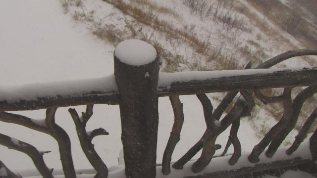
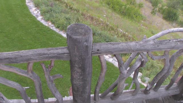
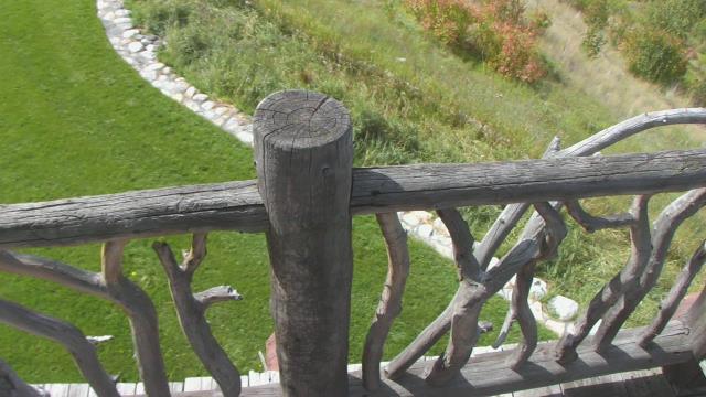
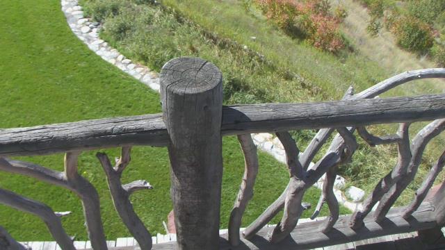
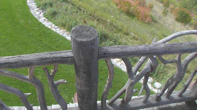
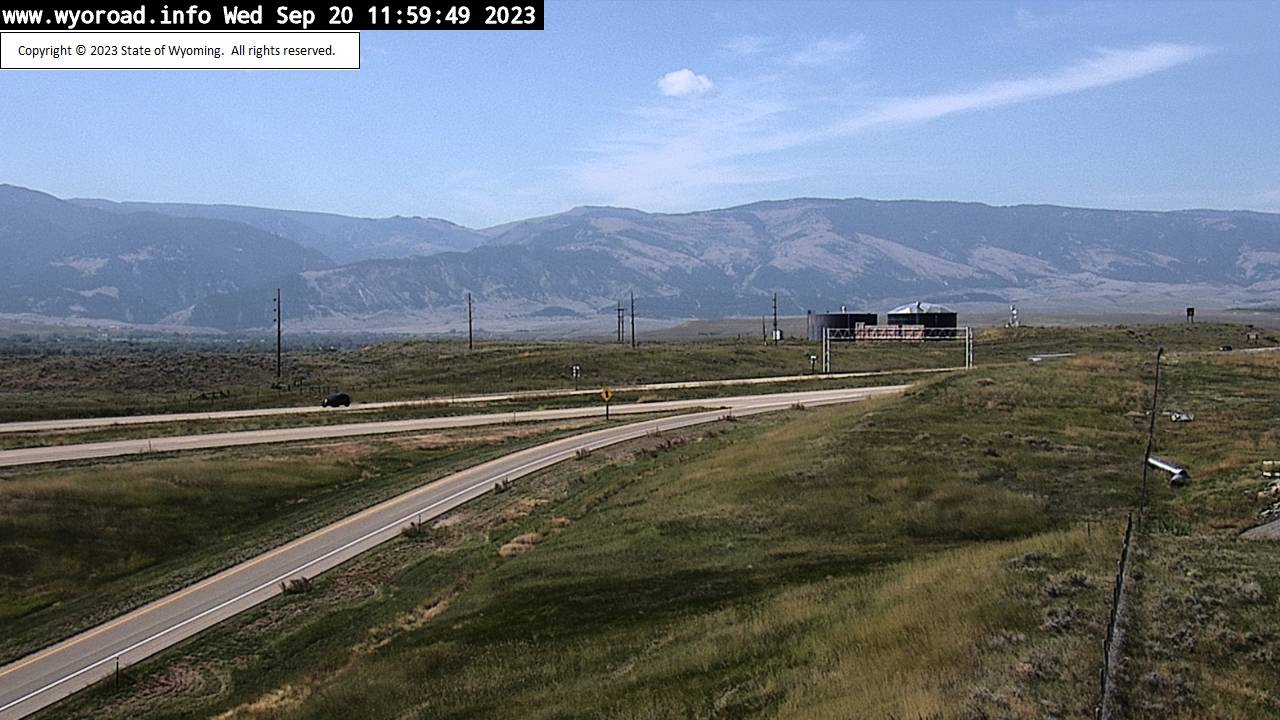
Livingston, Montana, USA - 57.5 miles from Soda Butte (historical): Lone Tree Ranch - A webcam in Livingston, Montana - camera location: Lone Tree Ranch.
Operator: WeatherBug
Operator: WeatherBug
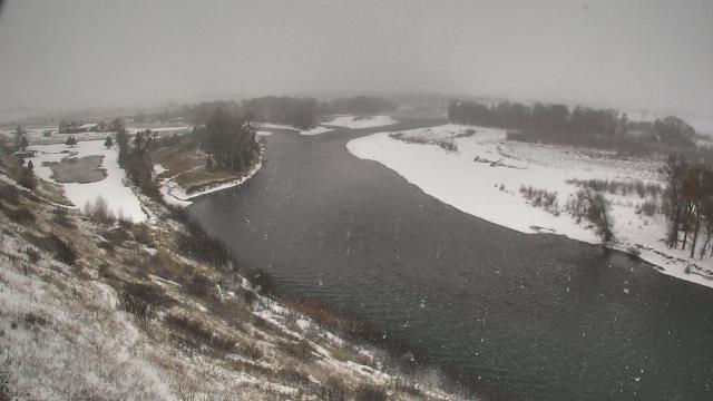
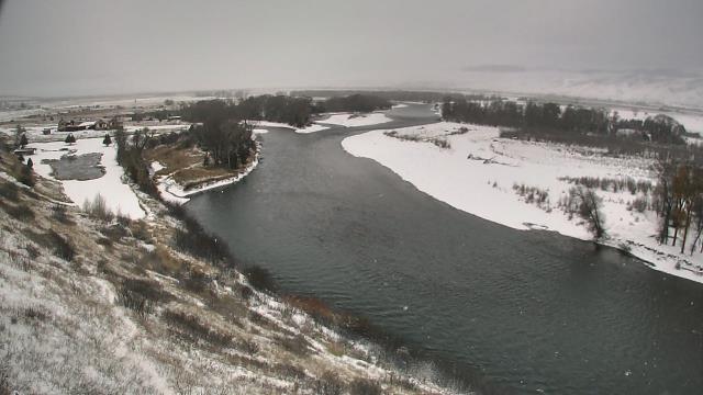
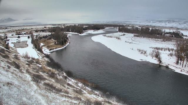


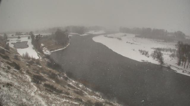

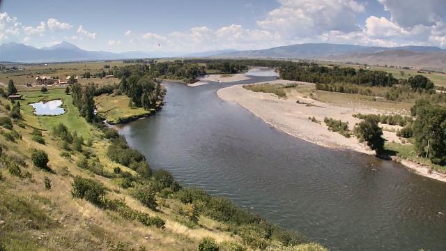
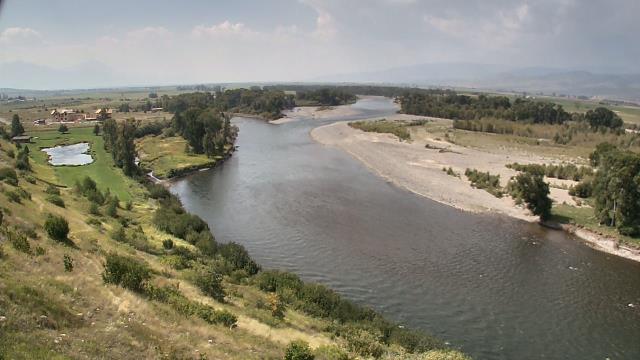
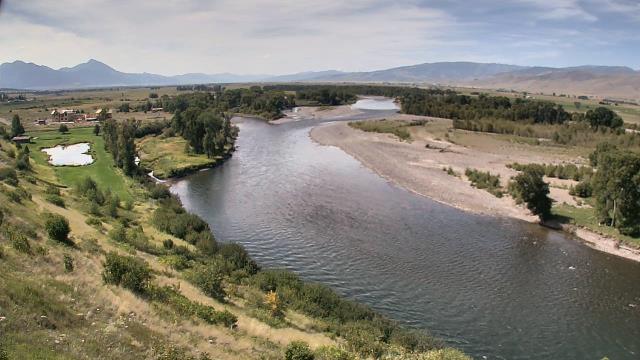
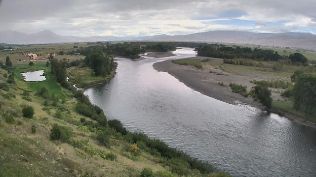
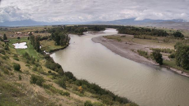
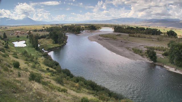
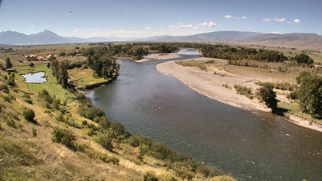
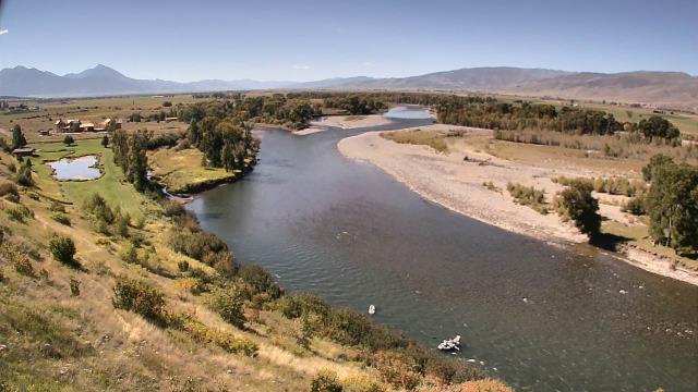

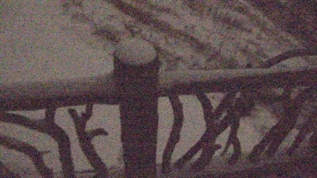
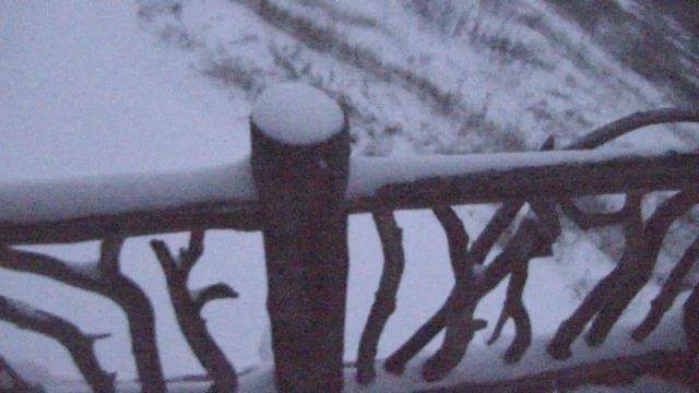
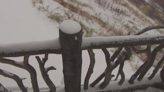
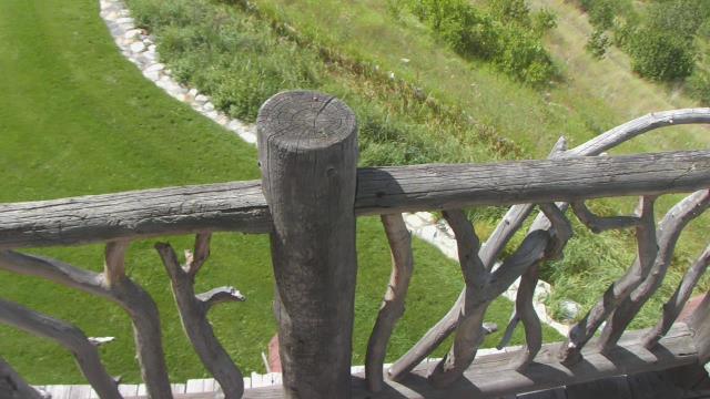
Livingston, Montana, USA - 57.5 miles from Soda Butte (historical): Lone Tree Ranch - A webcam in Livingston, Montana - camera location: Lone Tree Ranch.
Operator: WeatherBug
Operator: WeatherBug


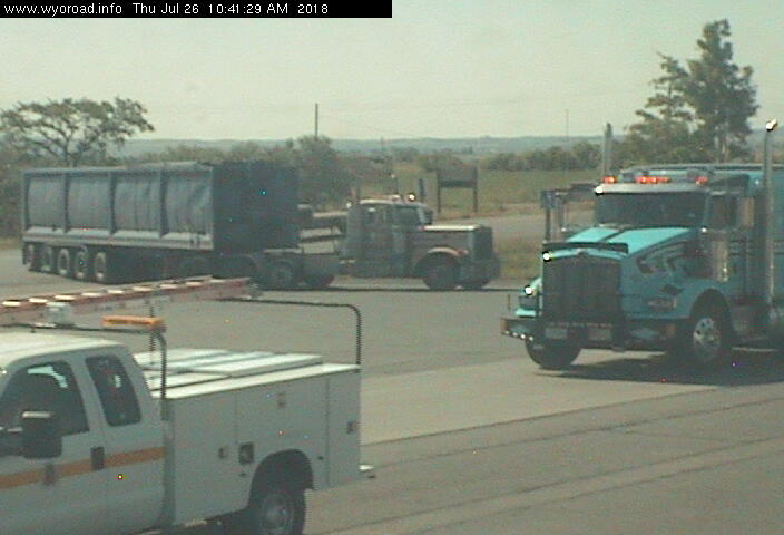
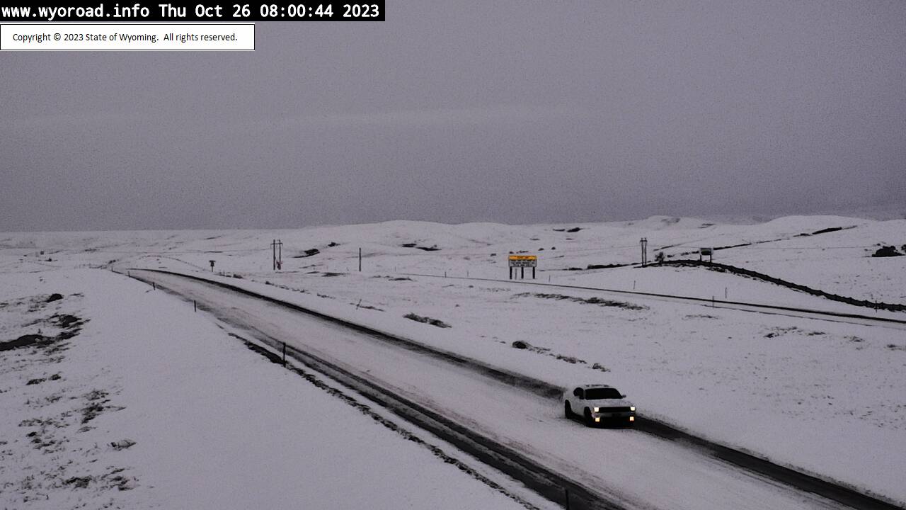
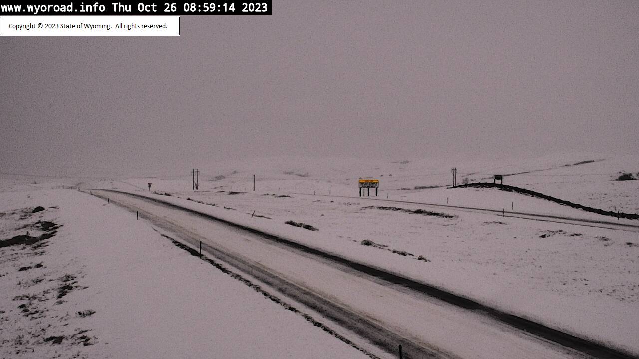
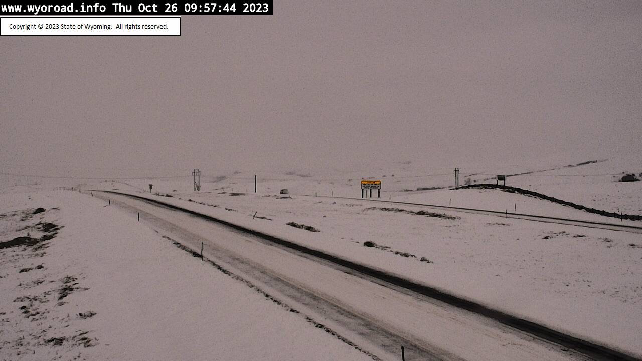
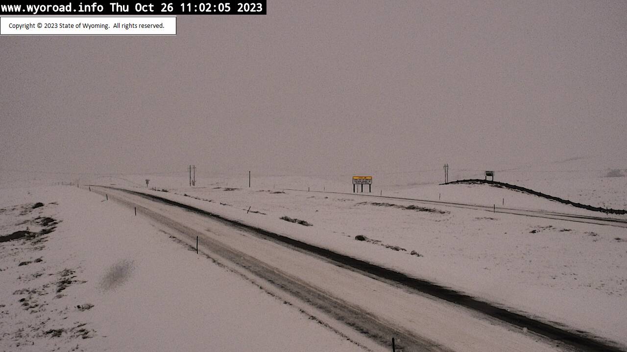
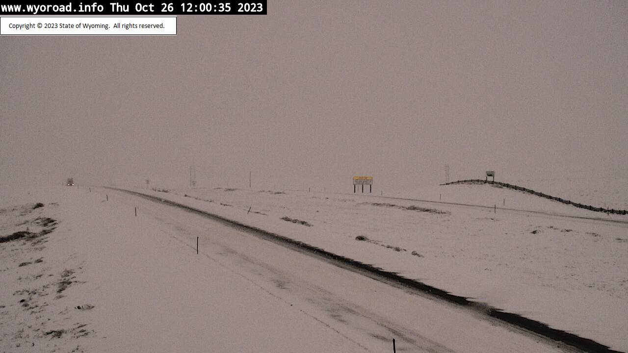
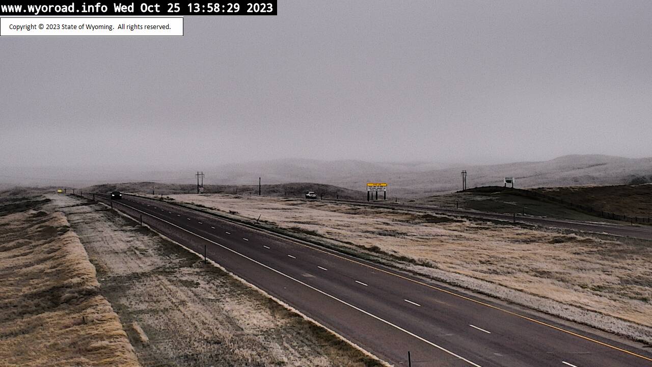
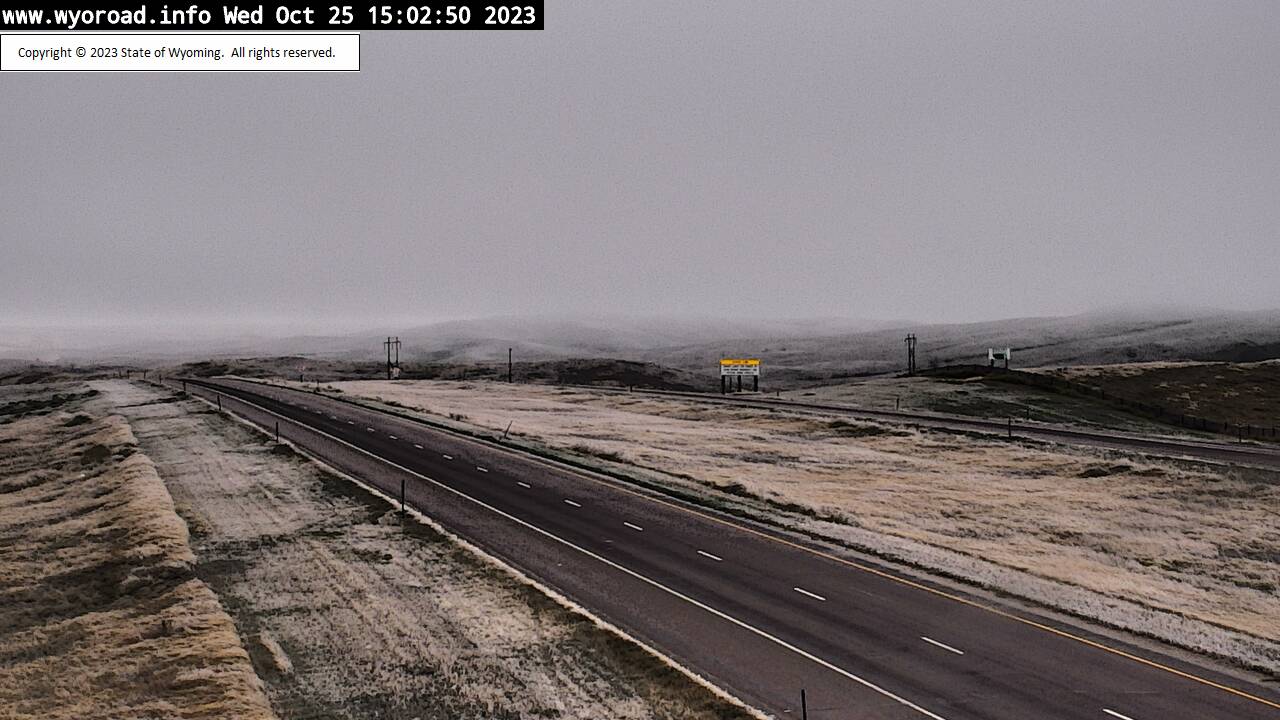
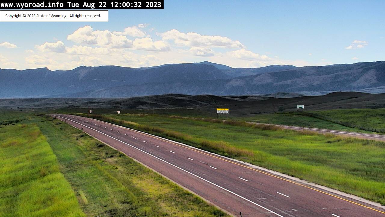
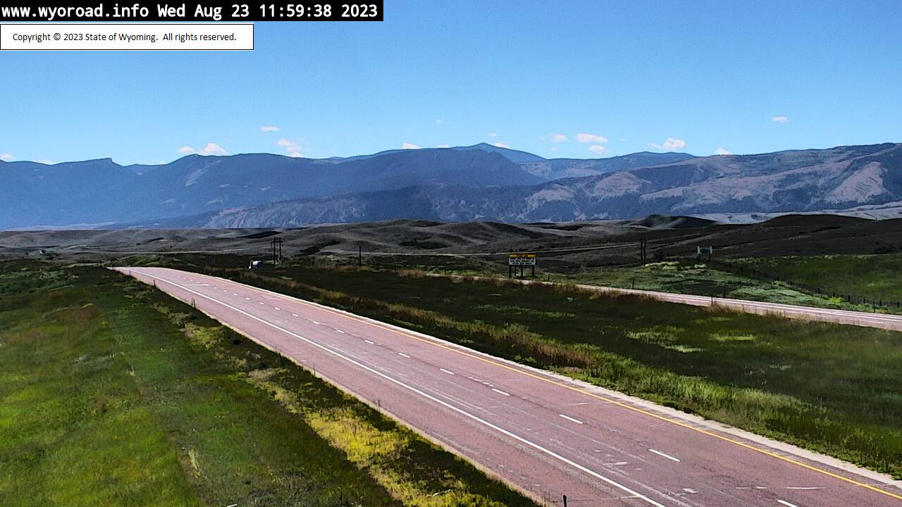
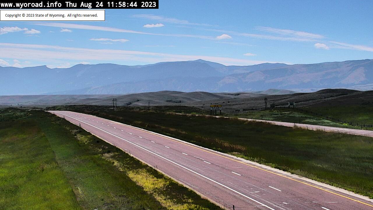
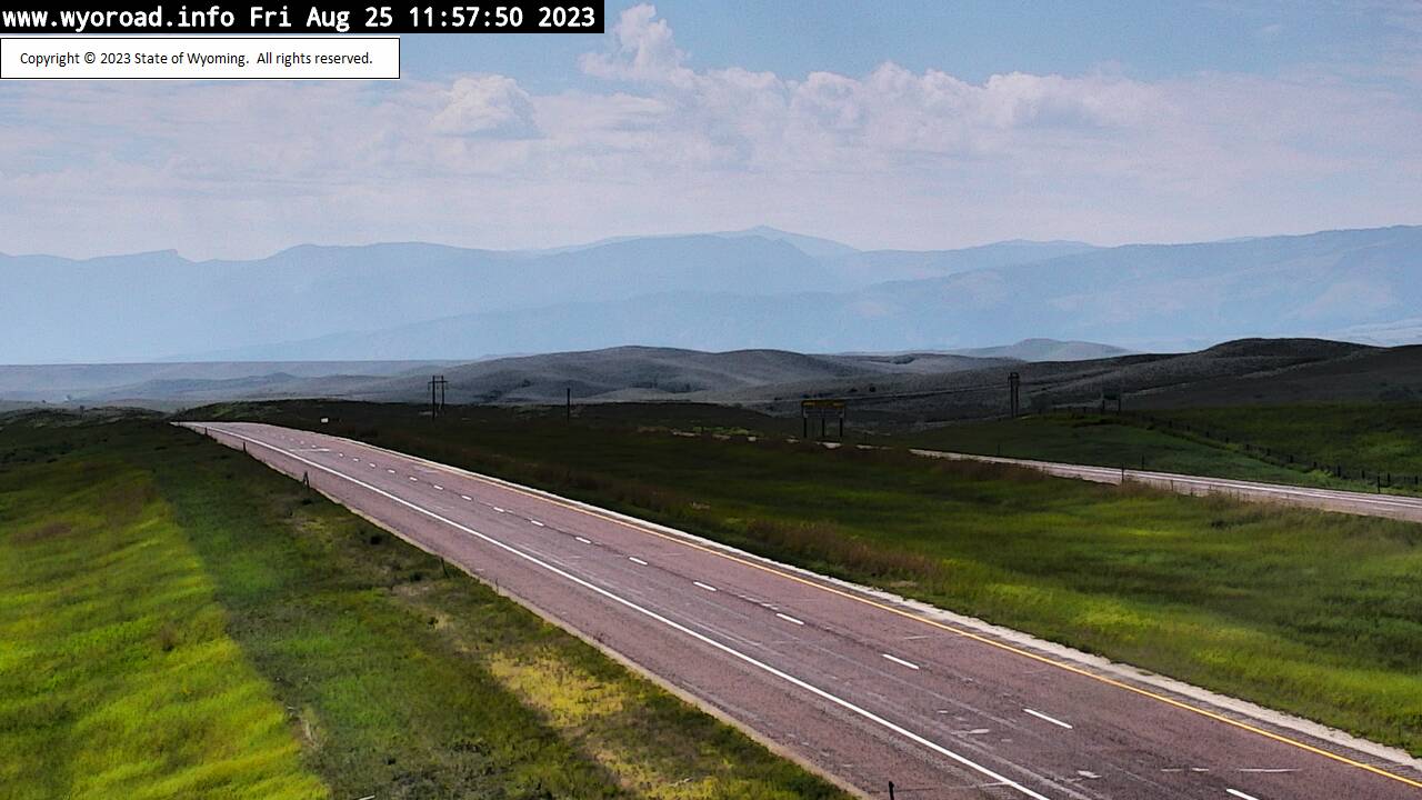
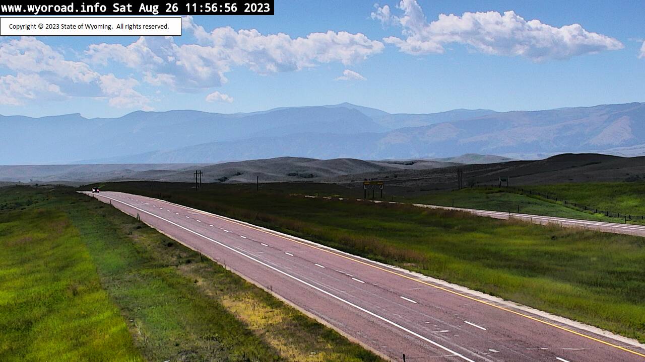
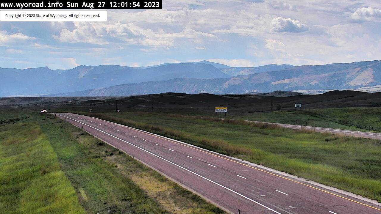
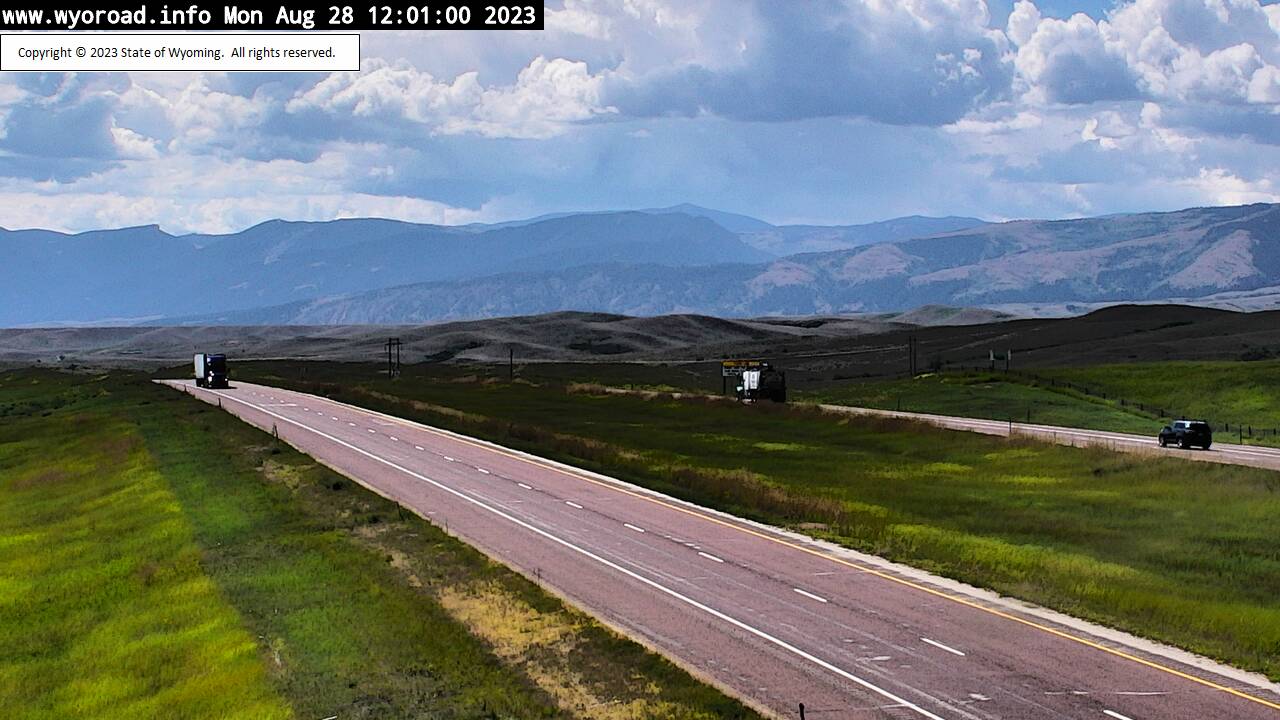
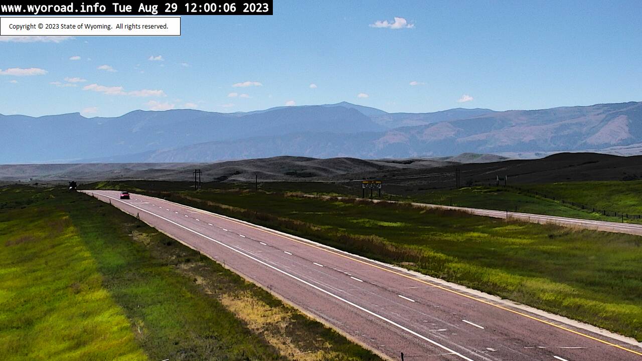
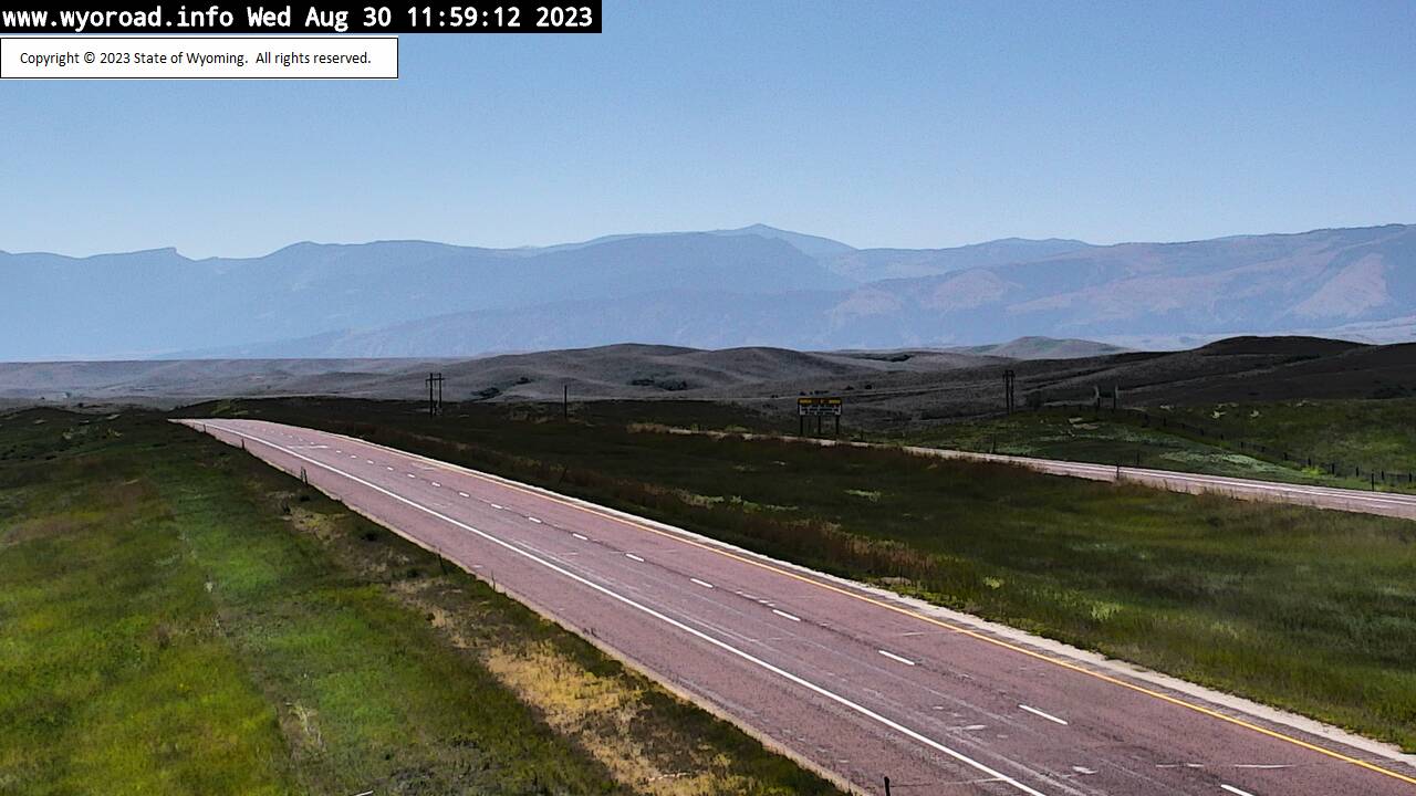
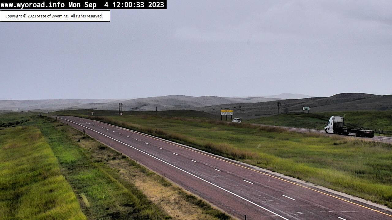
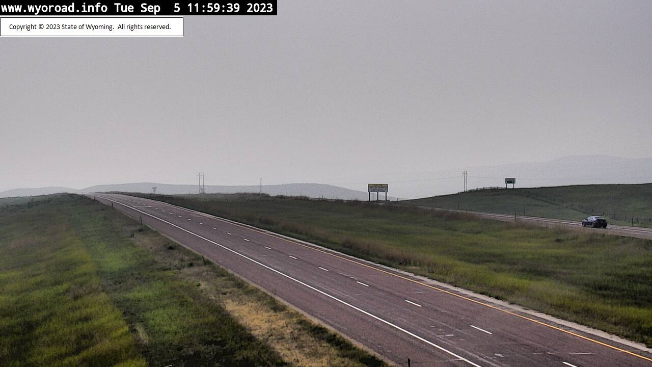
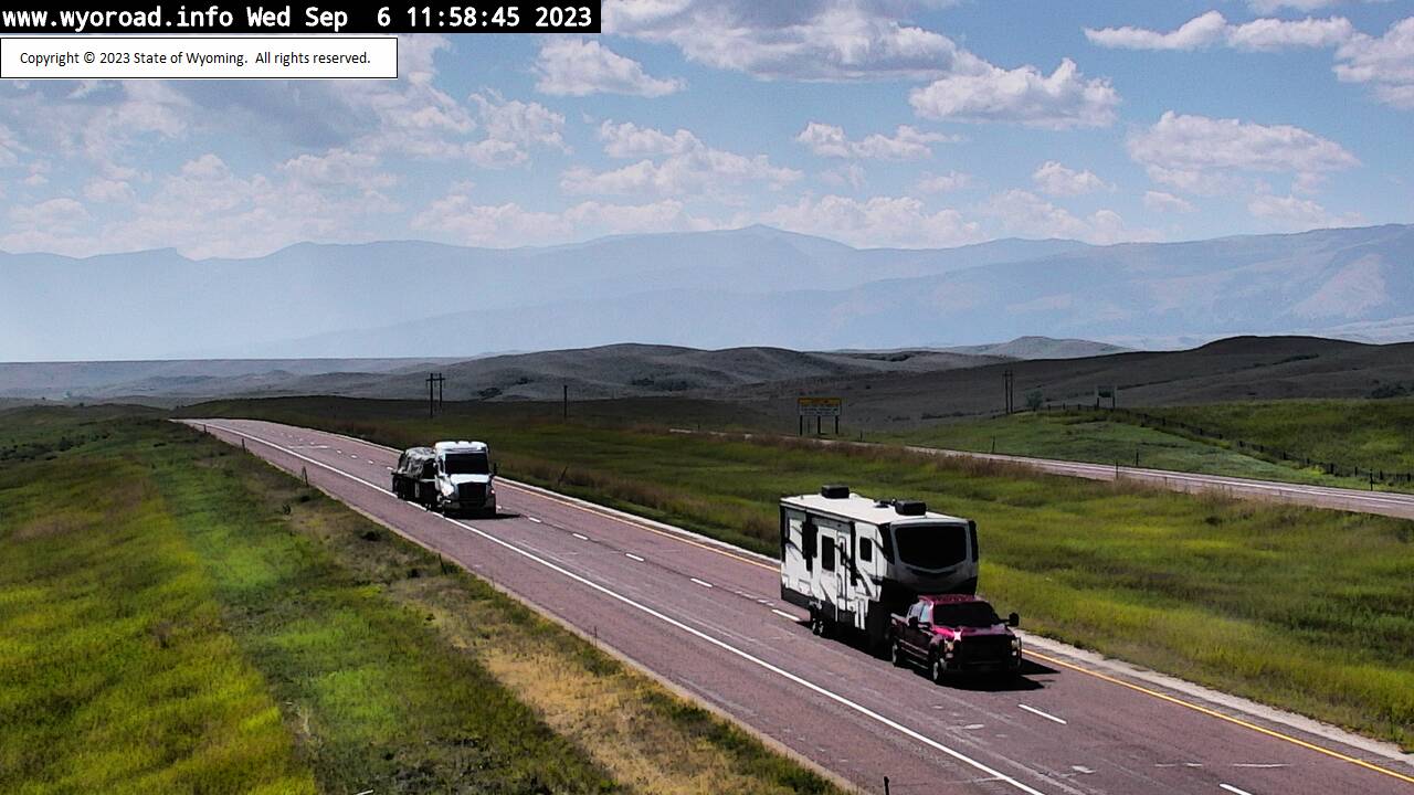
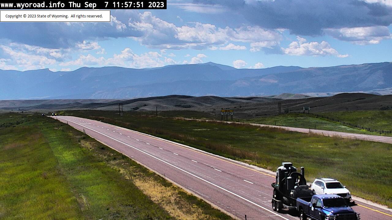
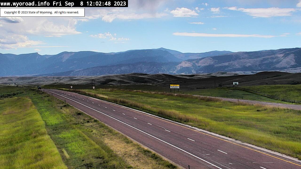
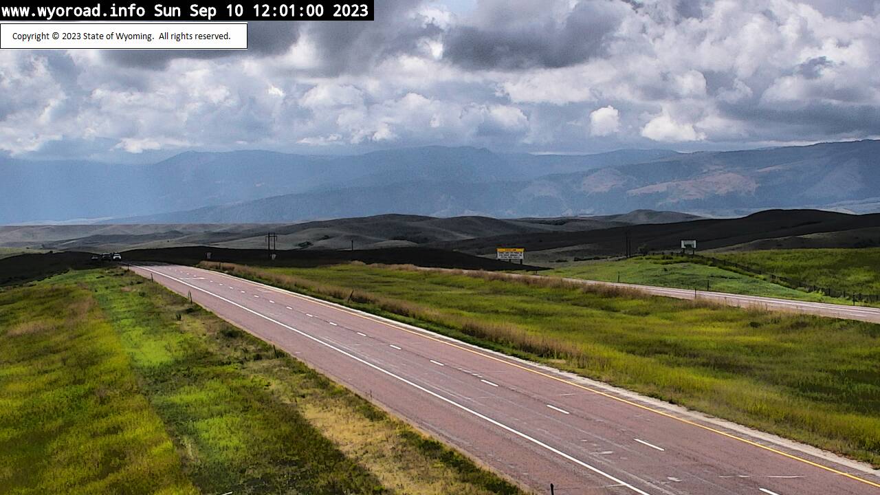
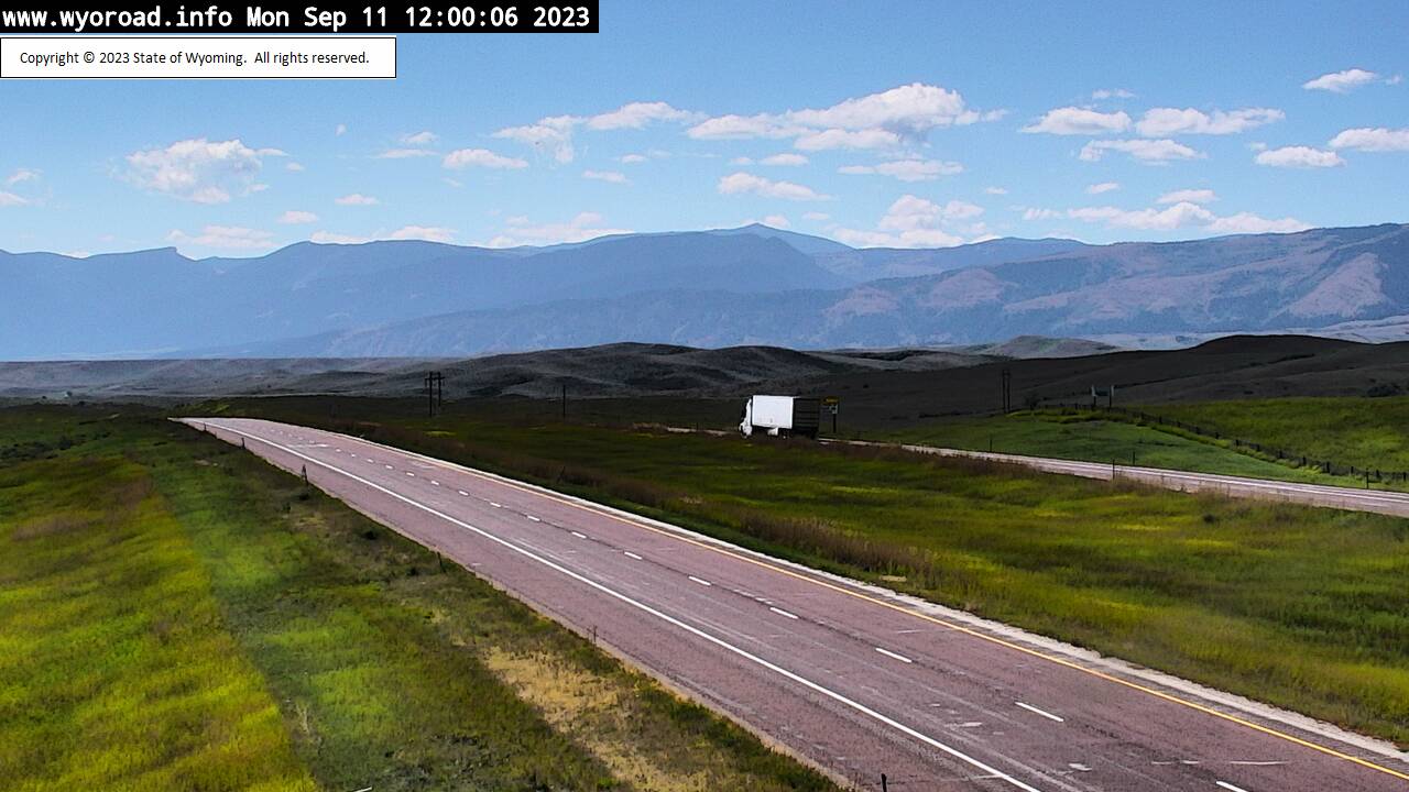
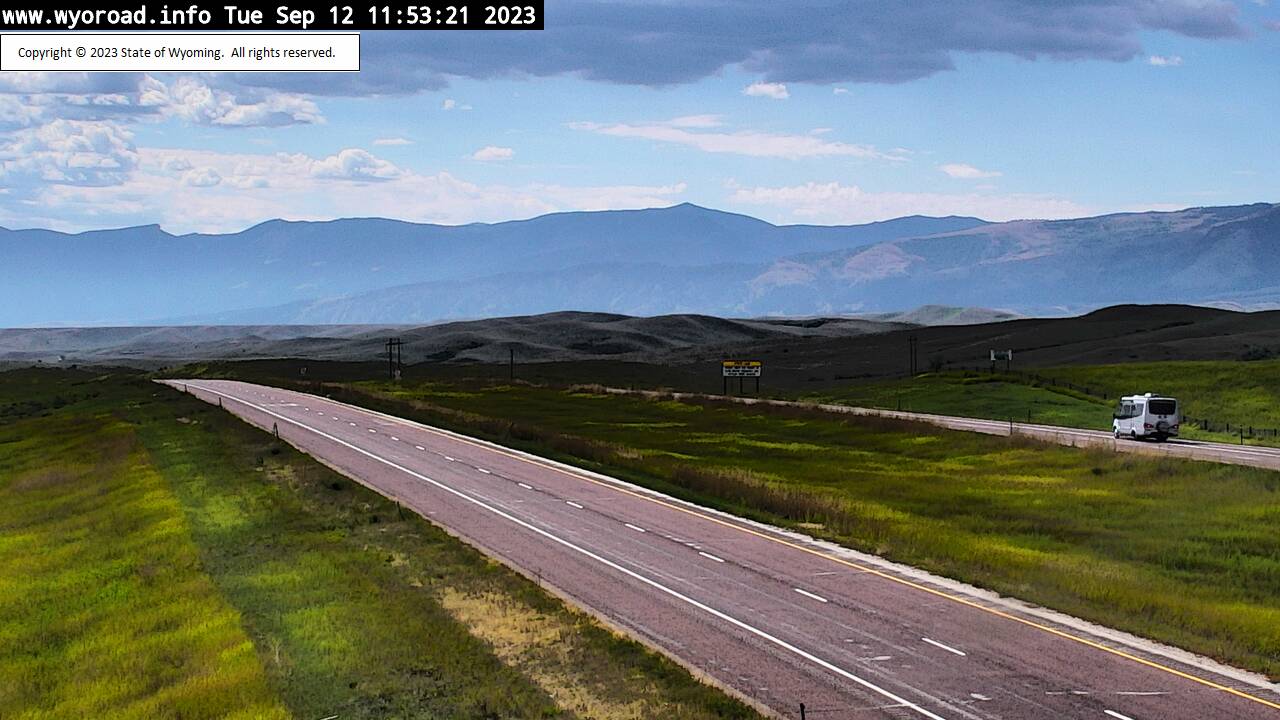
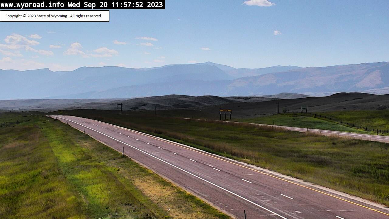
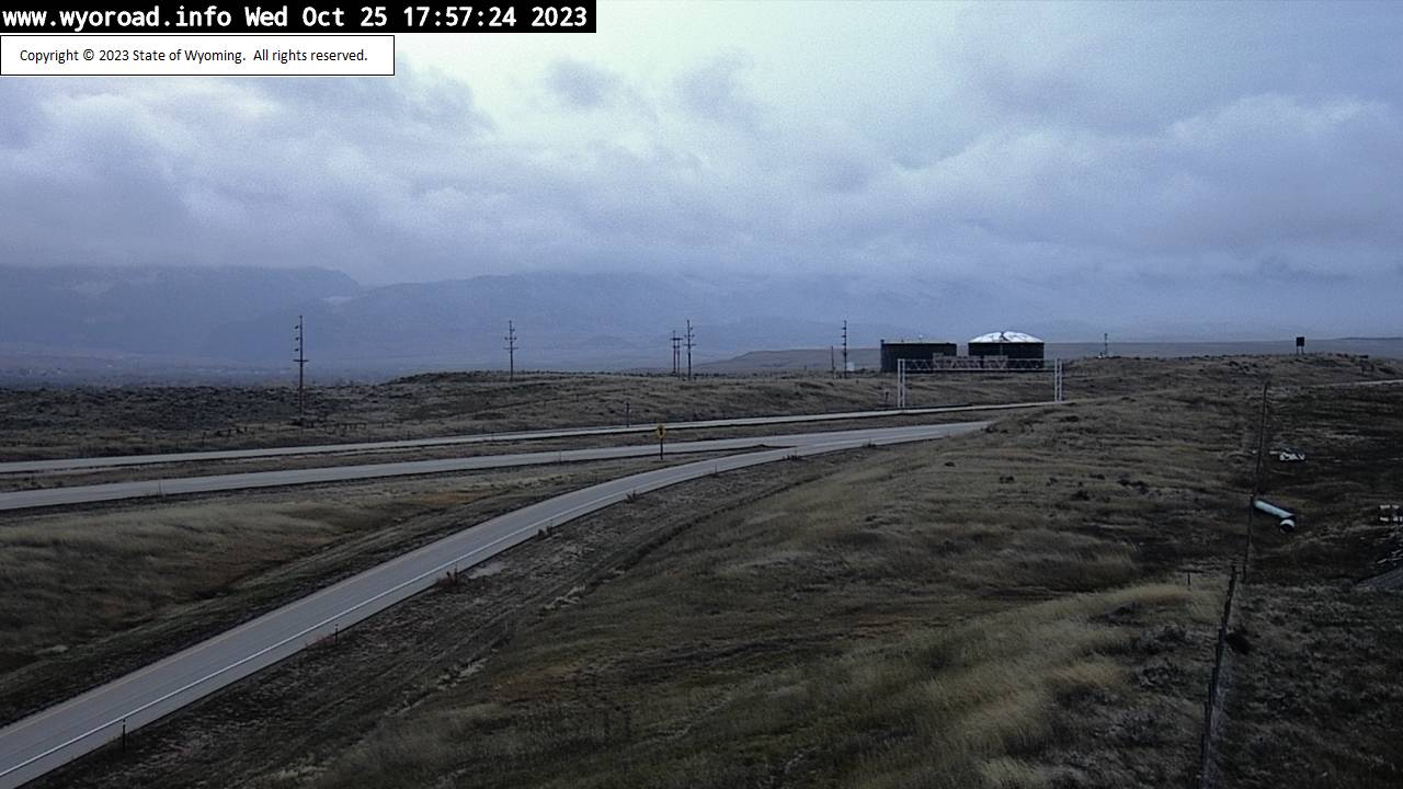
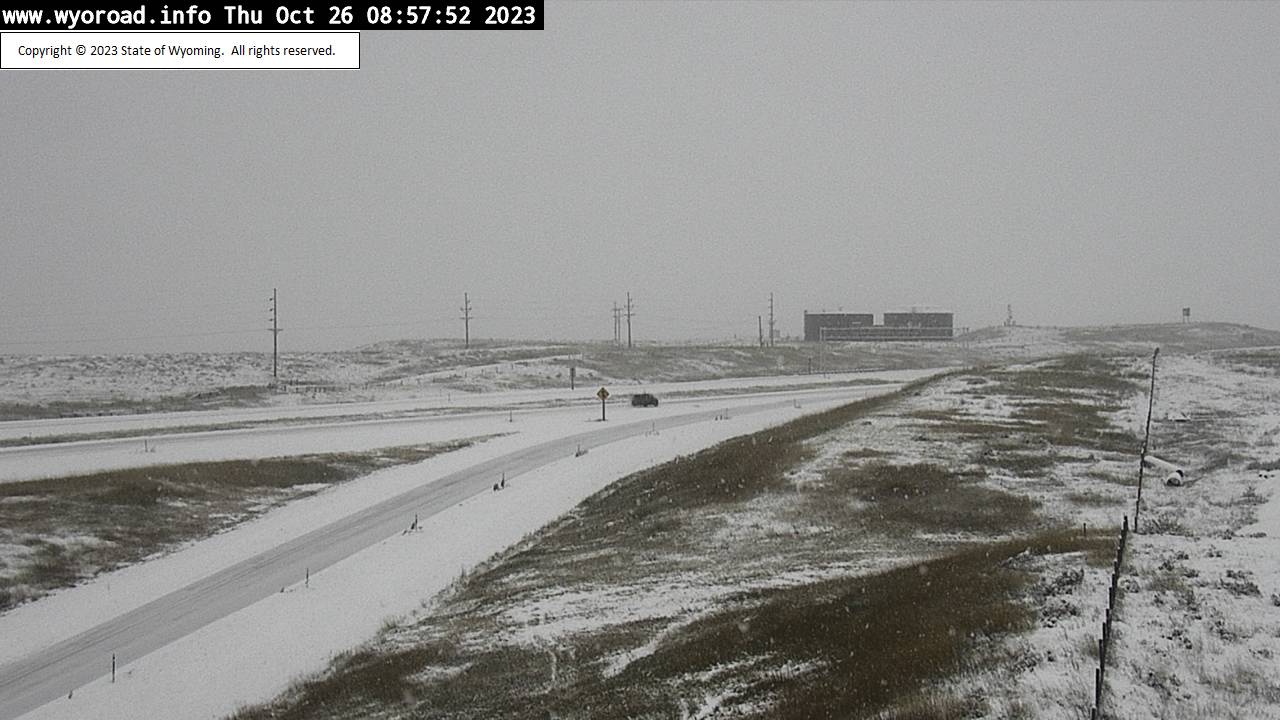
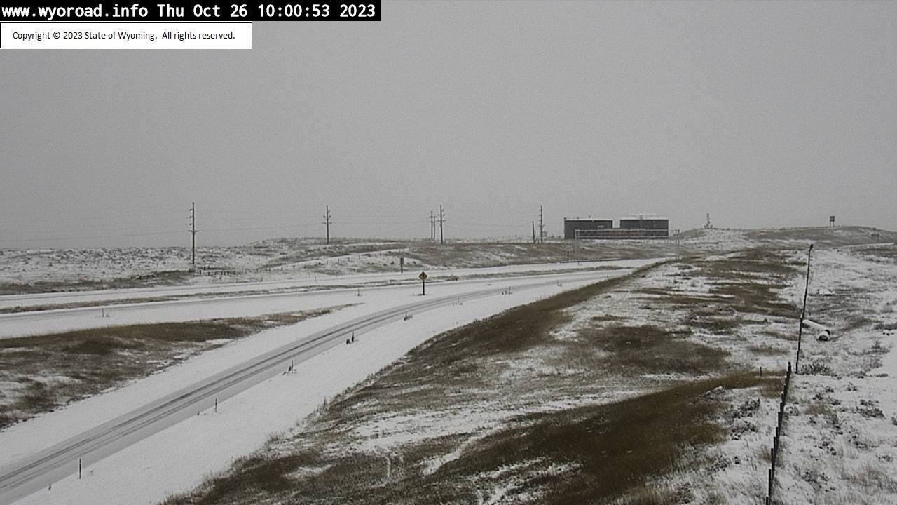
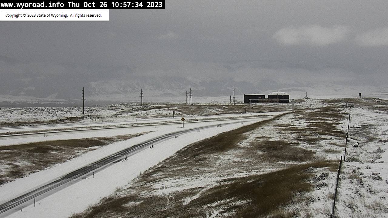
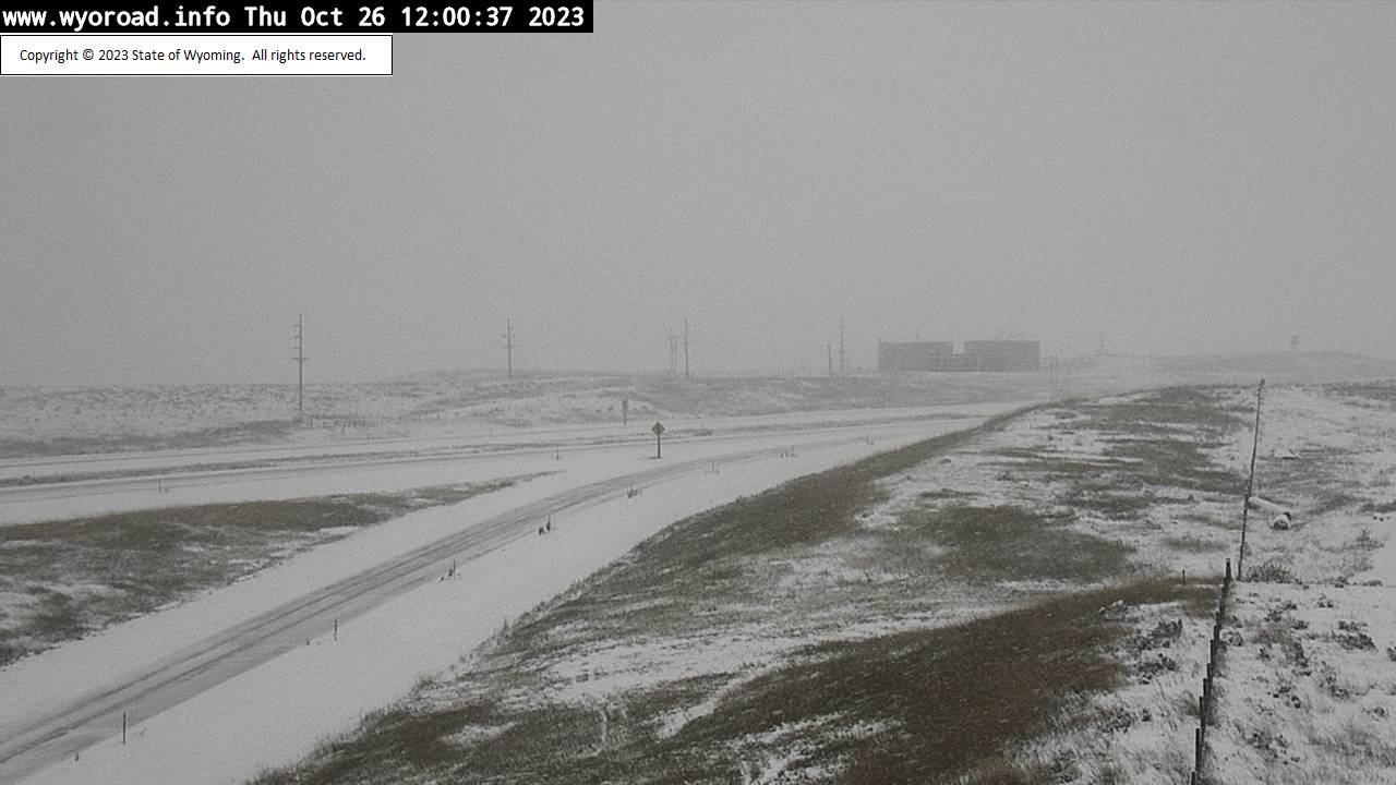
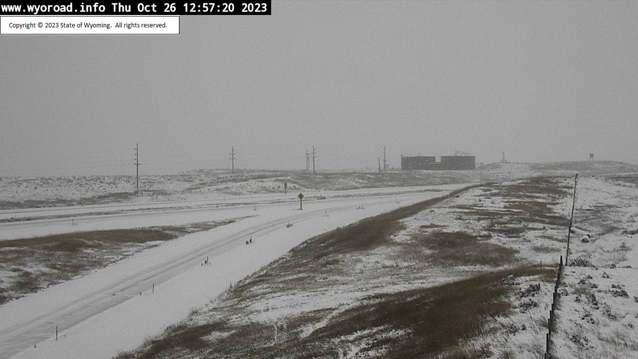
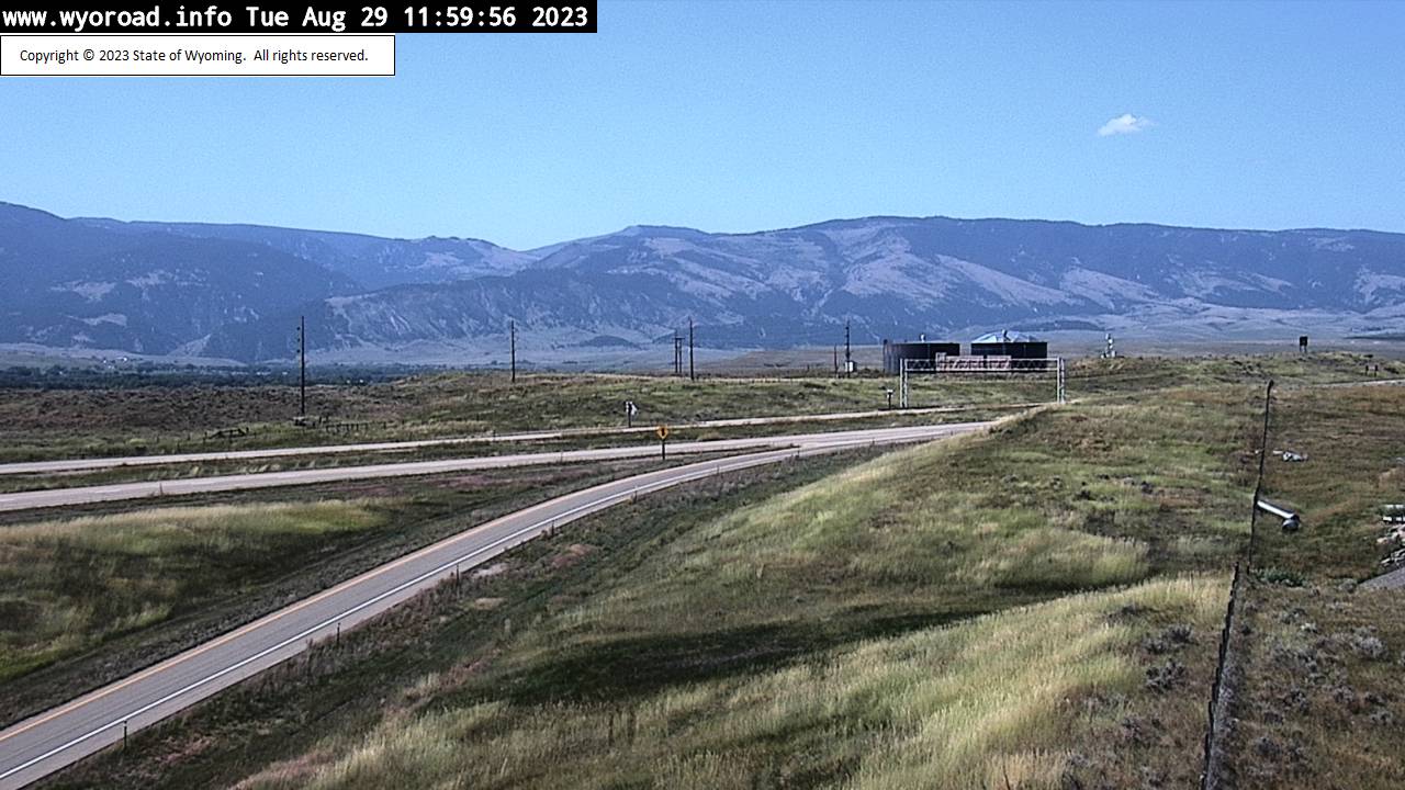
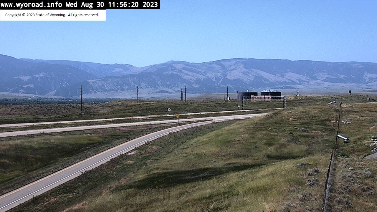
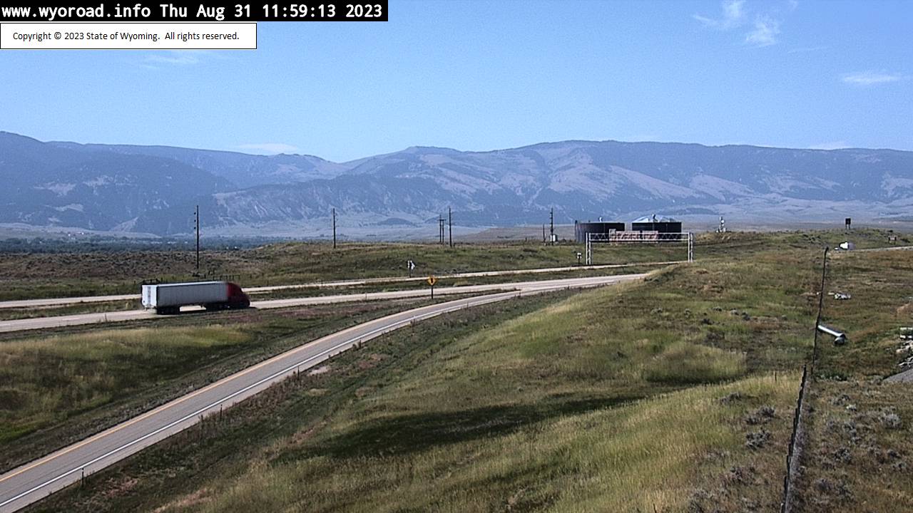
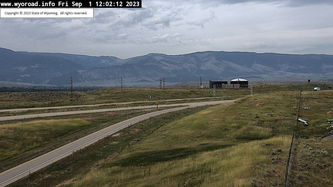
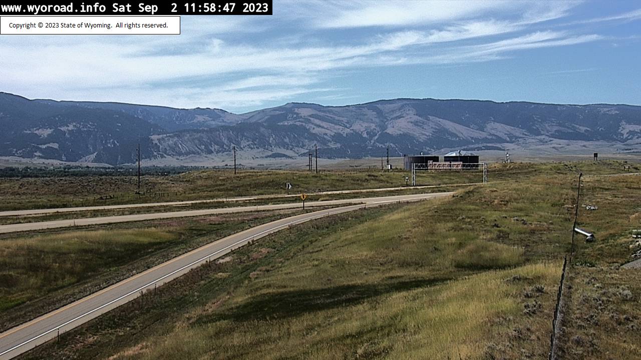
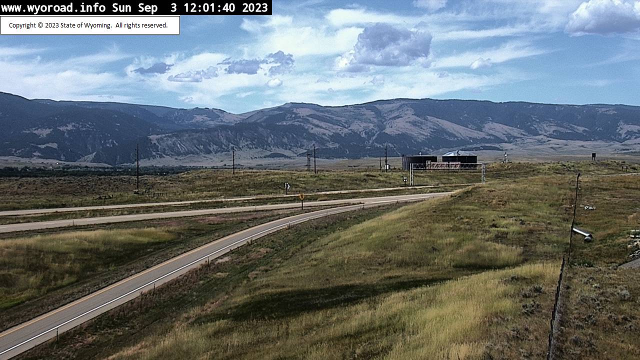
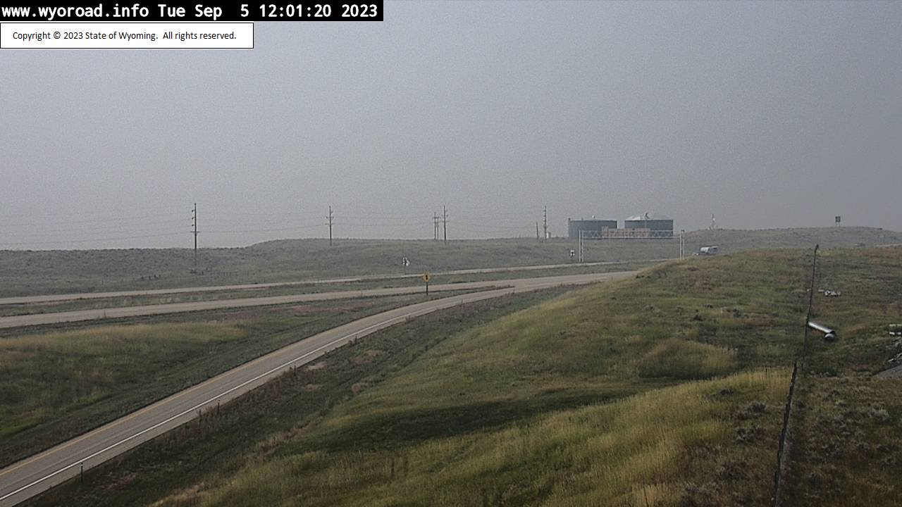
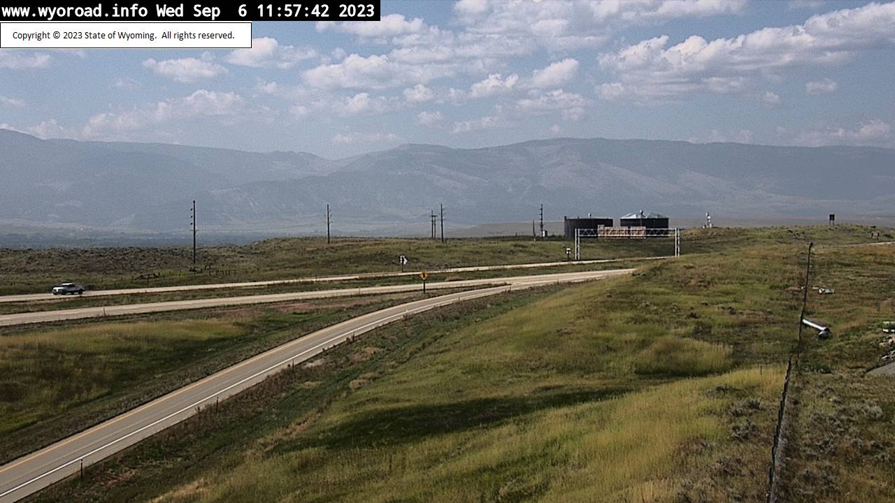
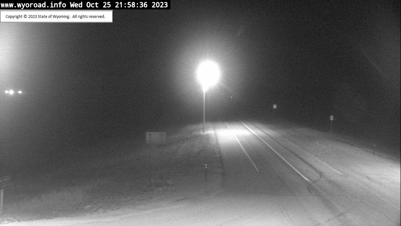
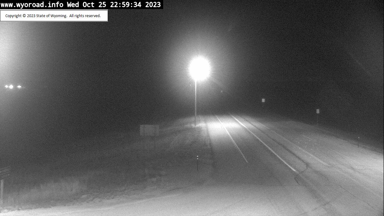
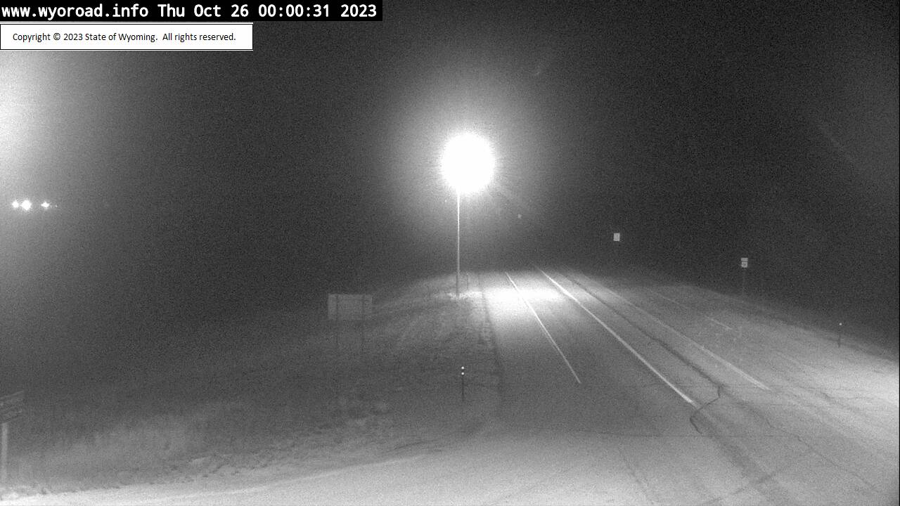
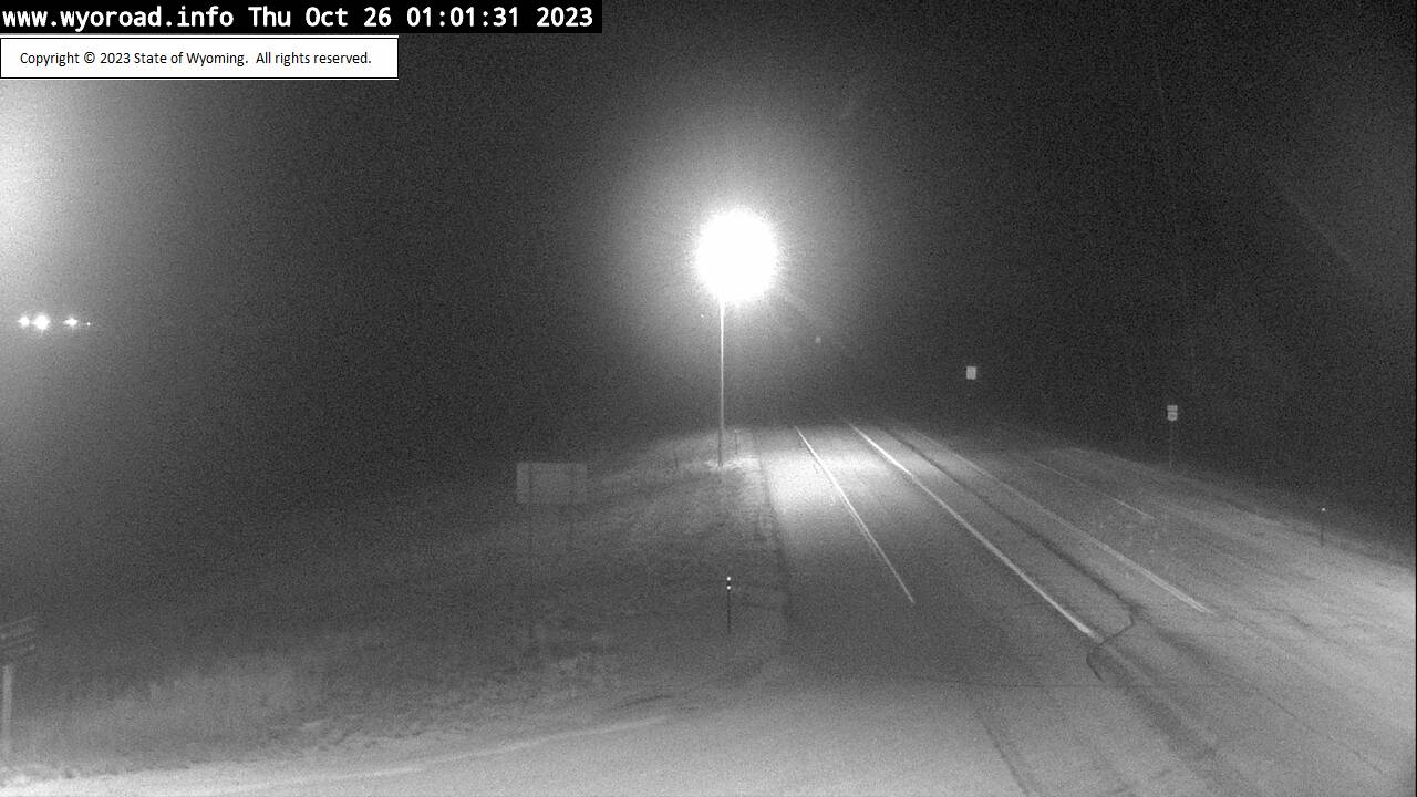
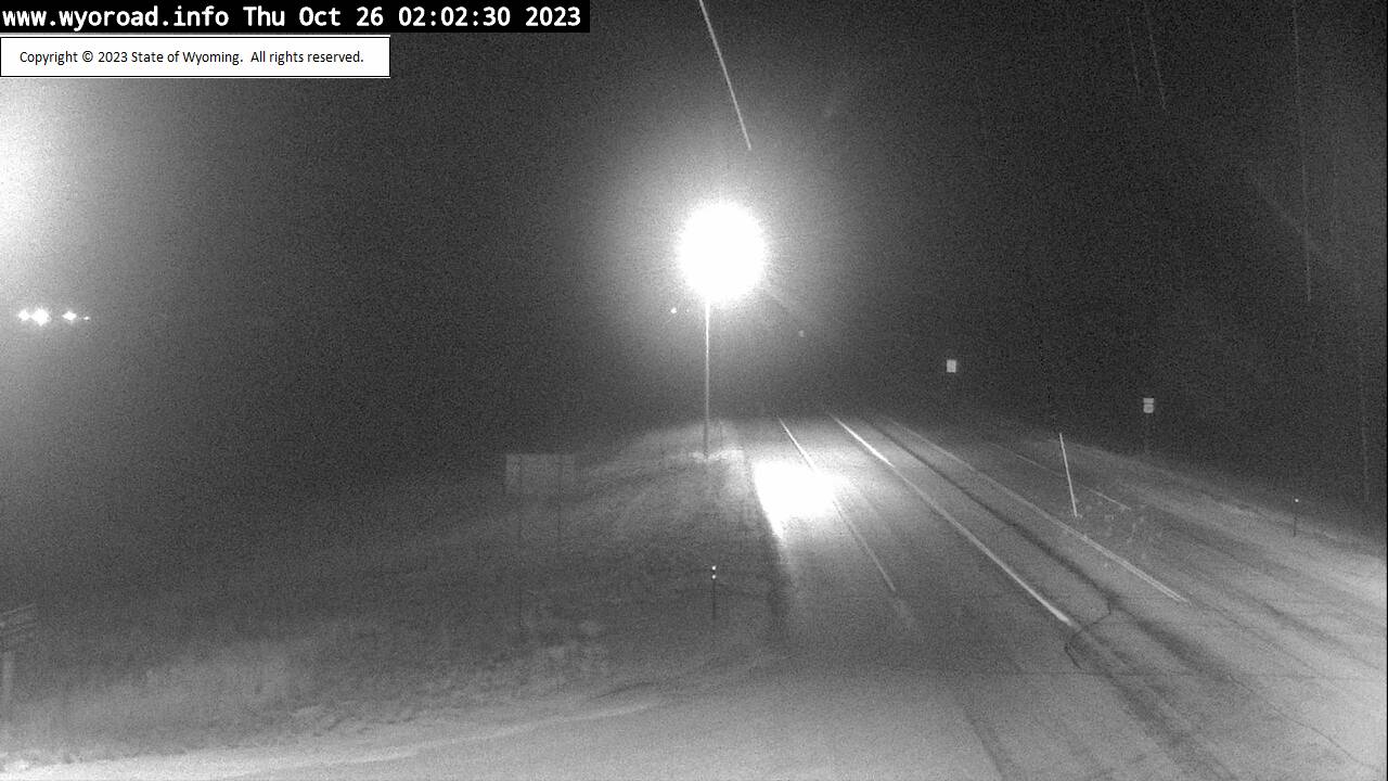
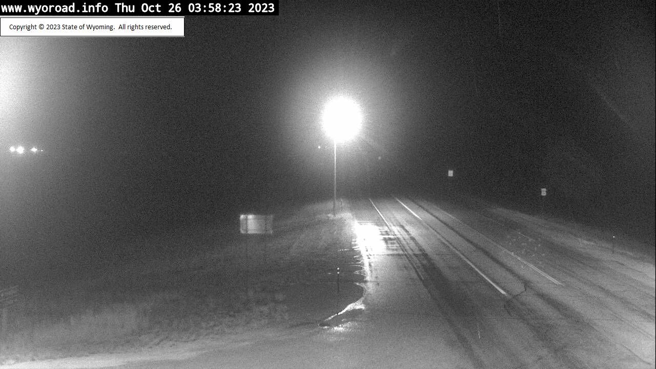
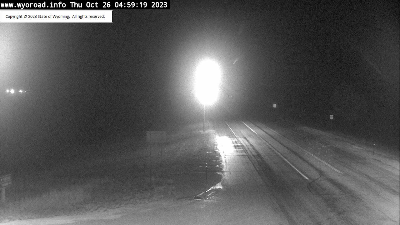
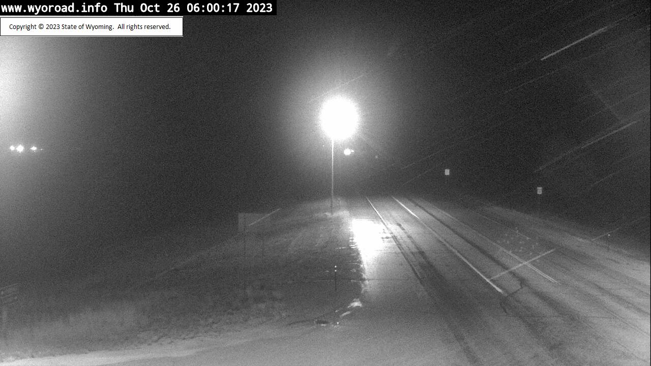
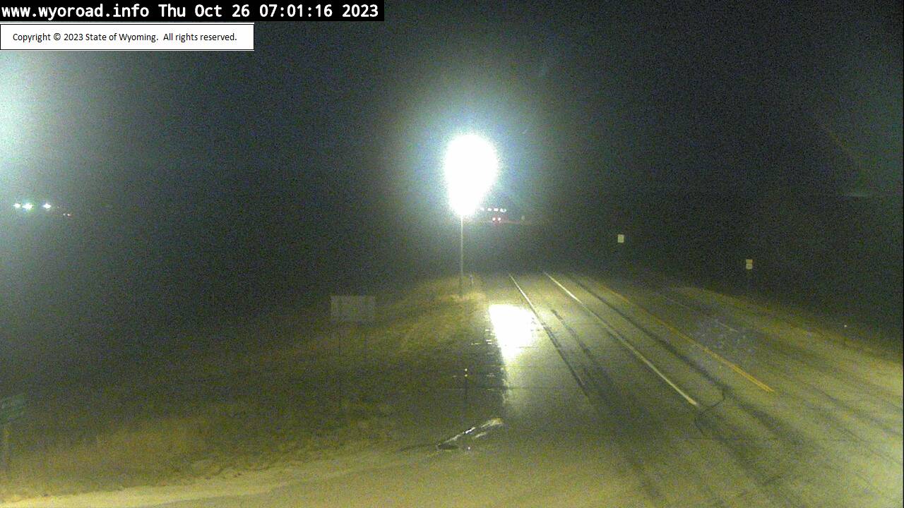
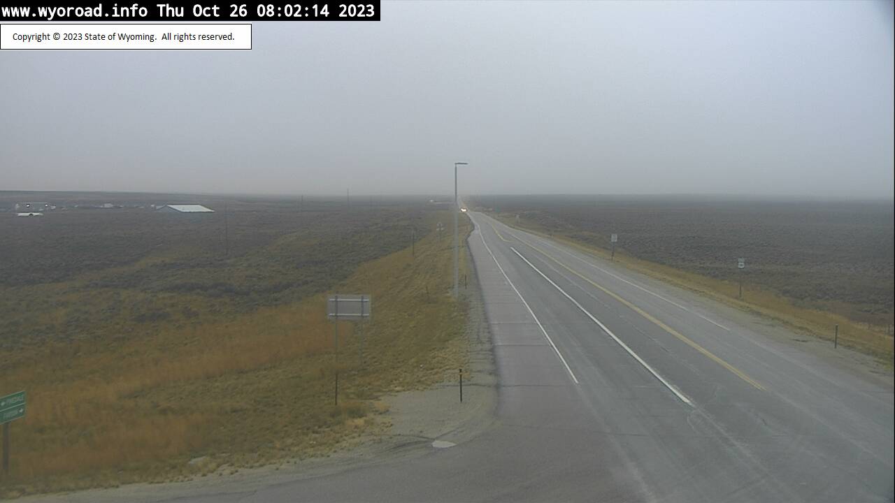
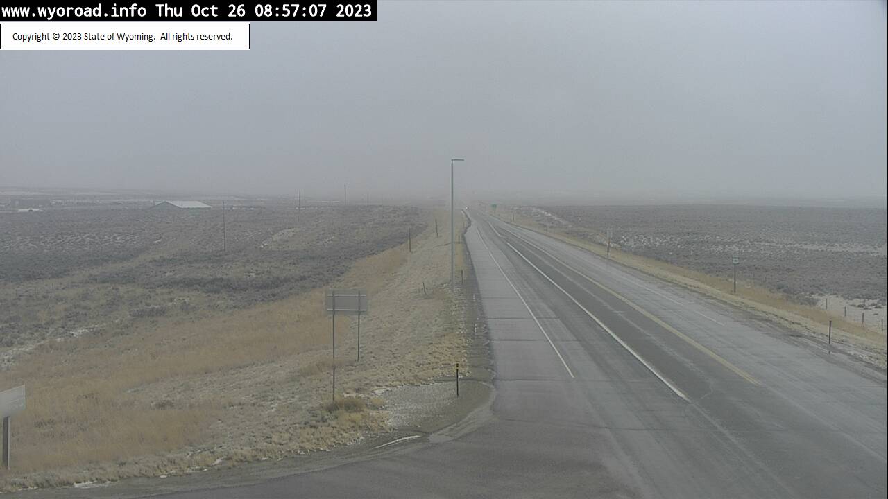
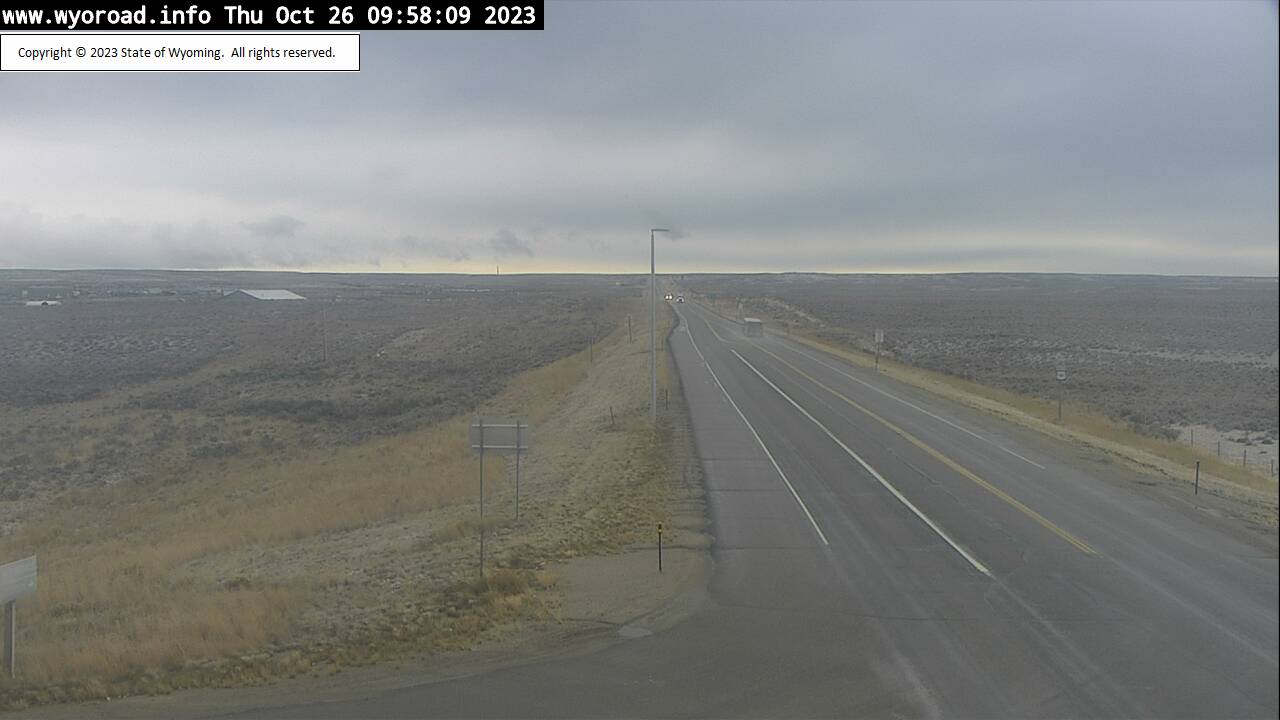
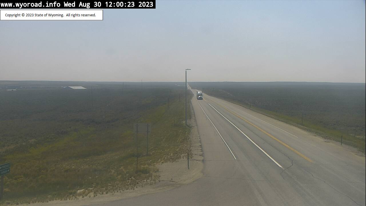
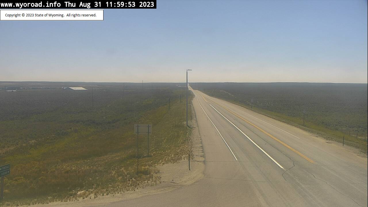
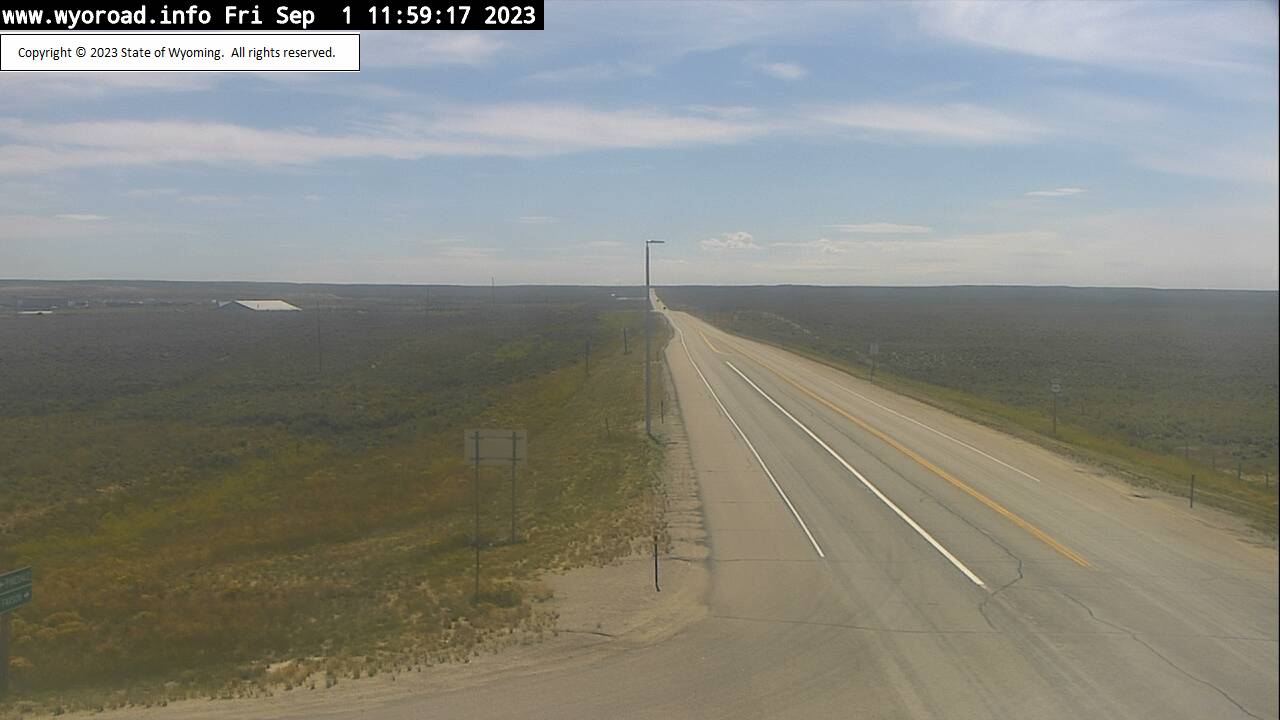
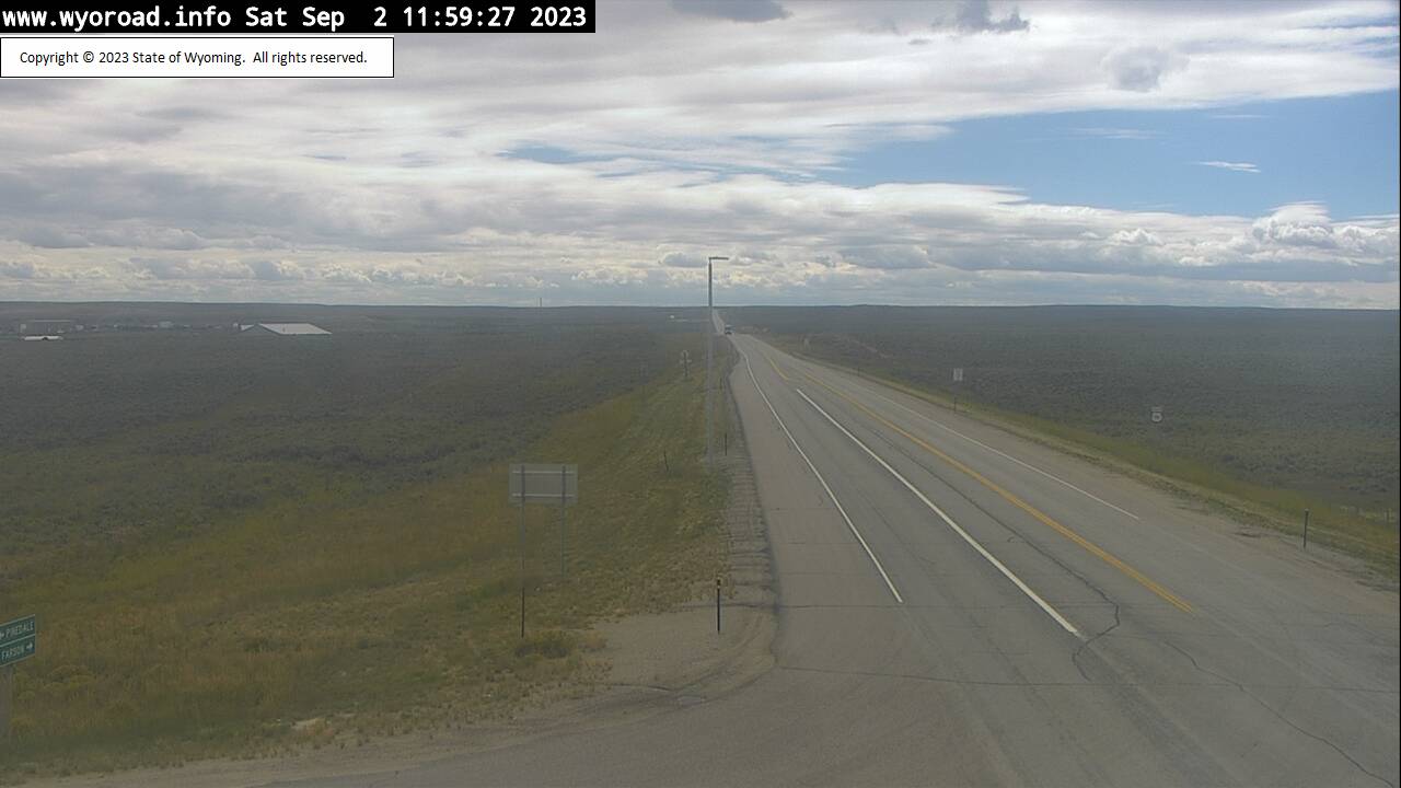
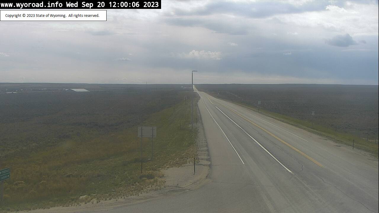
Frannie, Wyoming, USA - 75.2 miles from Soda Butte (historical): Frannie POE - Traffic and Weather - A view of the current traffic and weather situation.
Operator: WYDOT Travel Information Service
Operator: WYDOT Travel Information Service


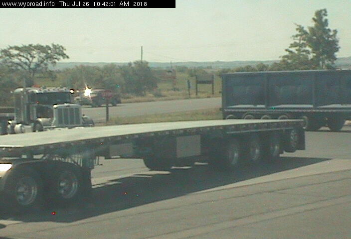


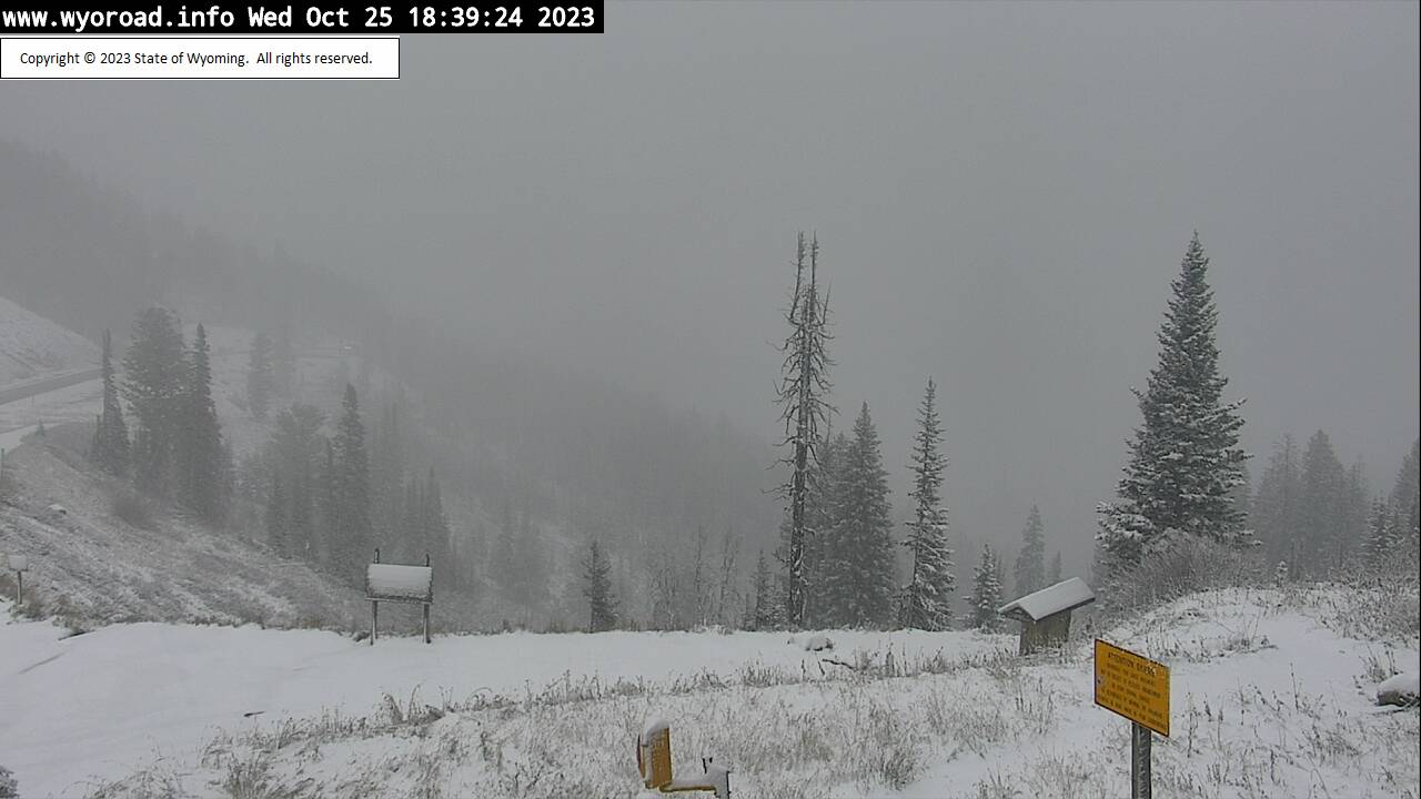
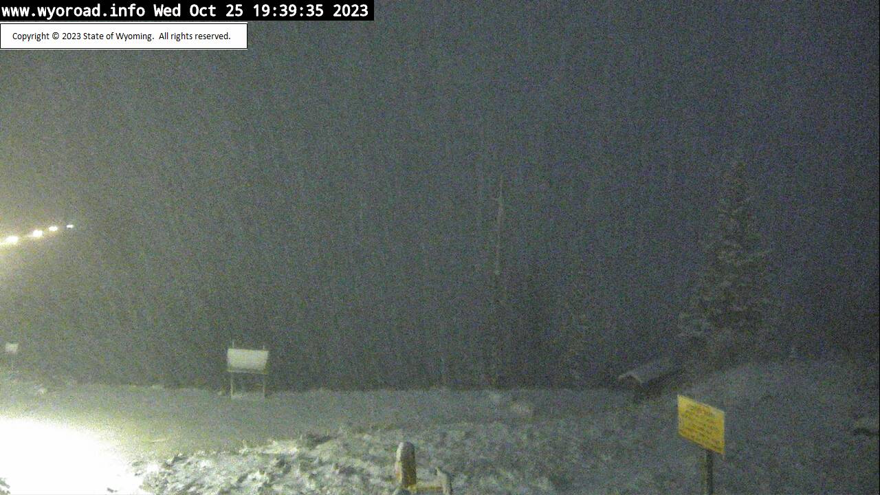
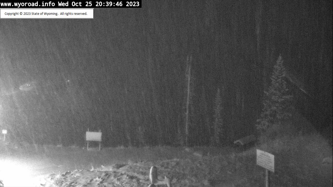
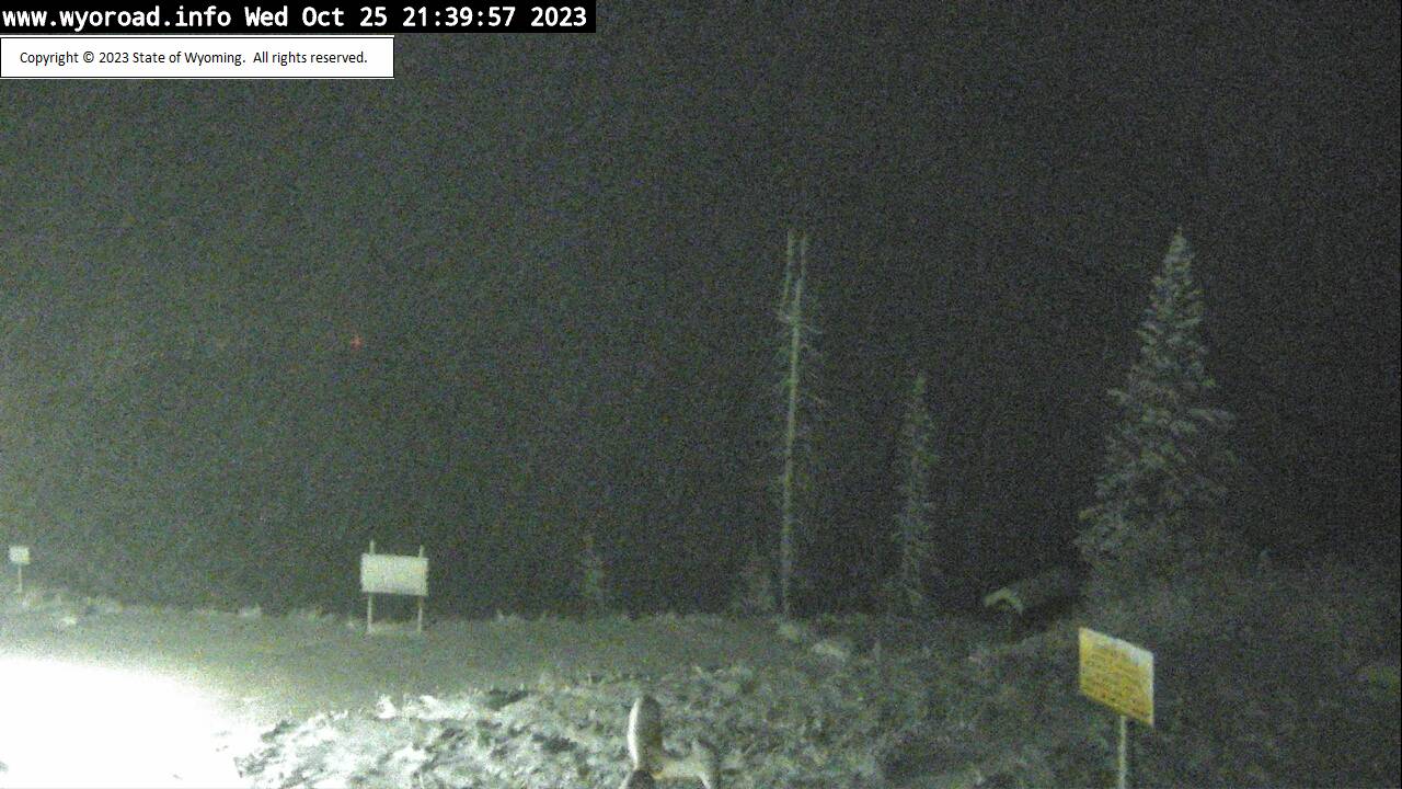
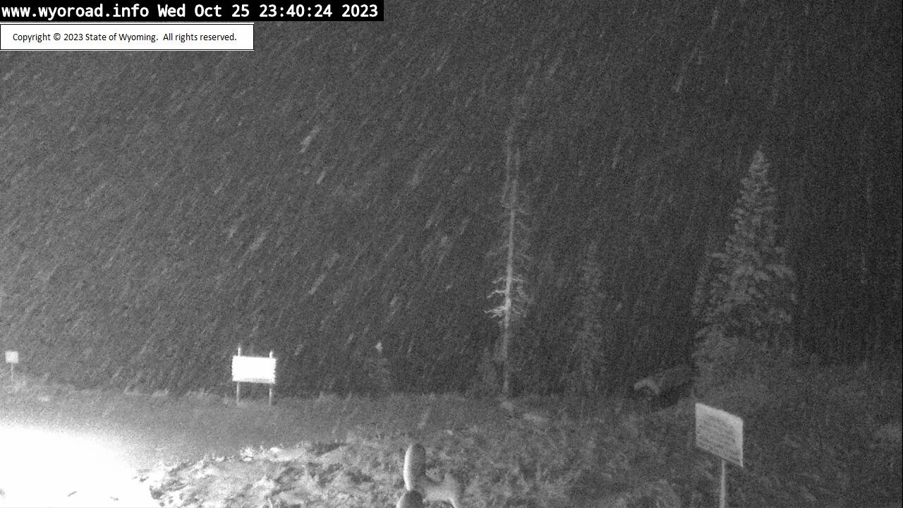
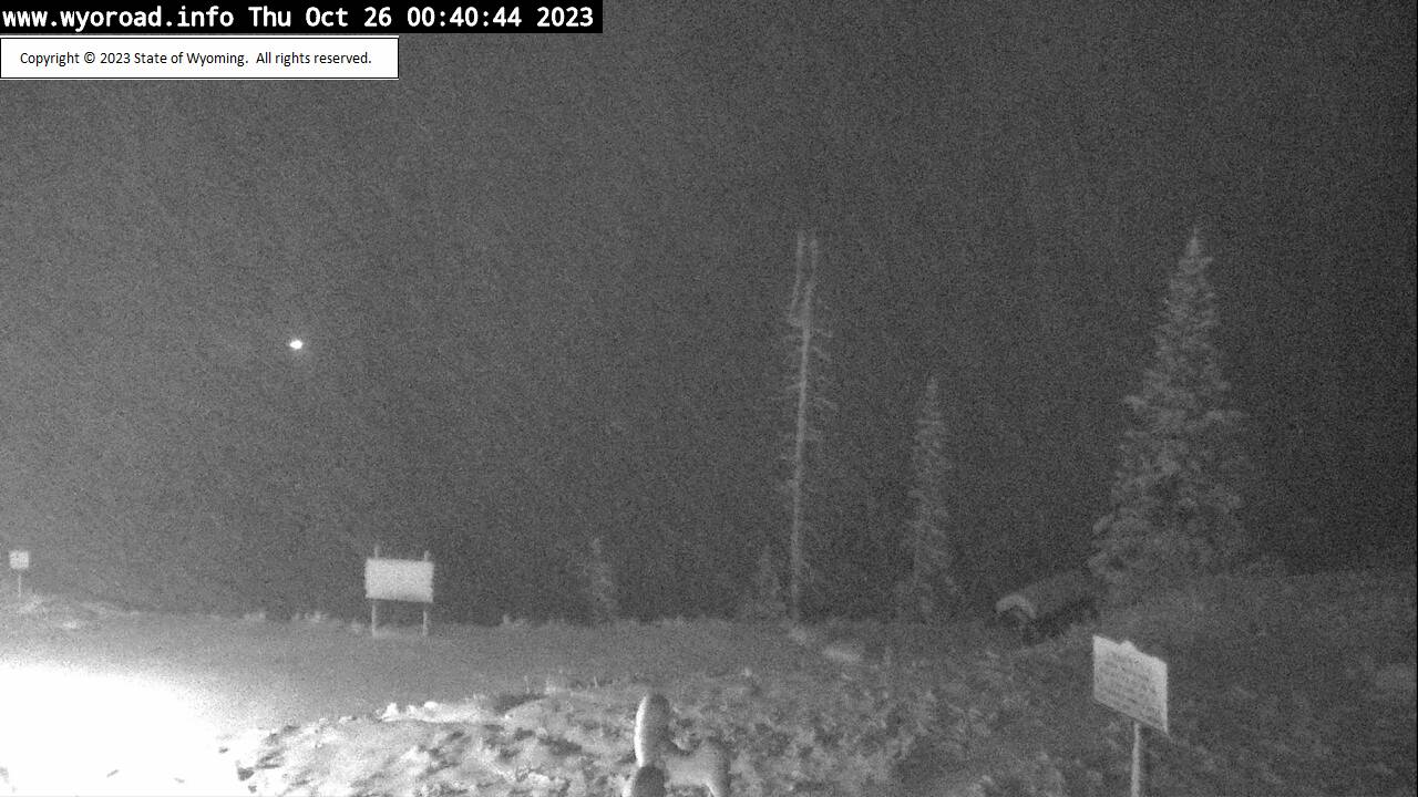
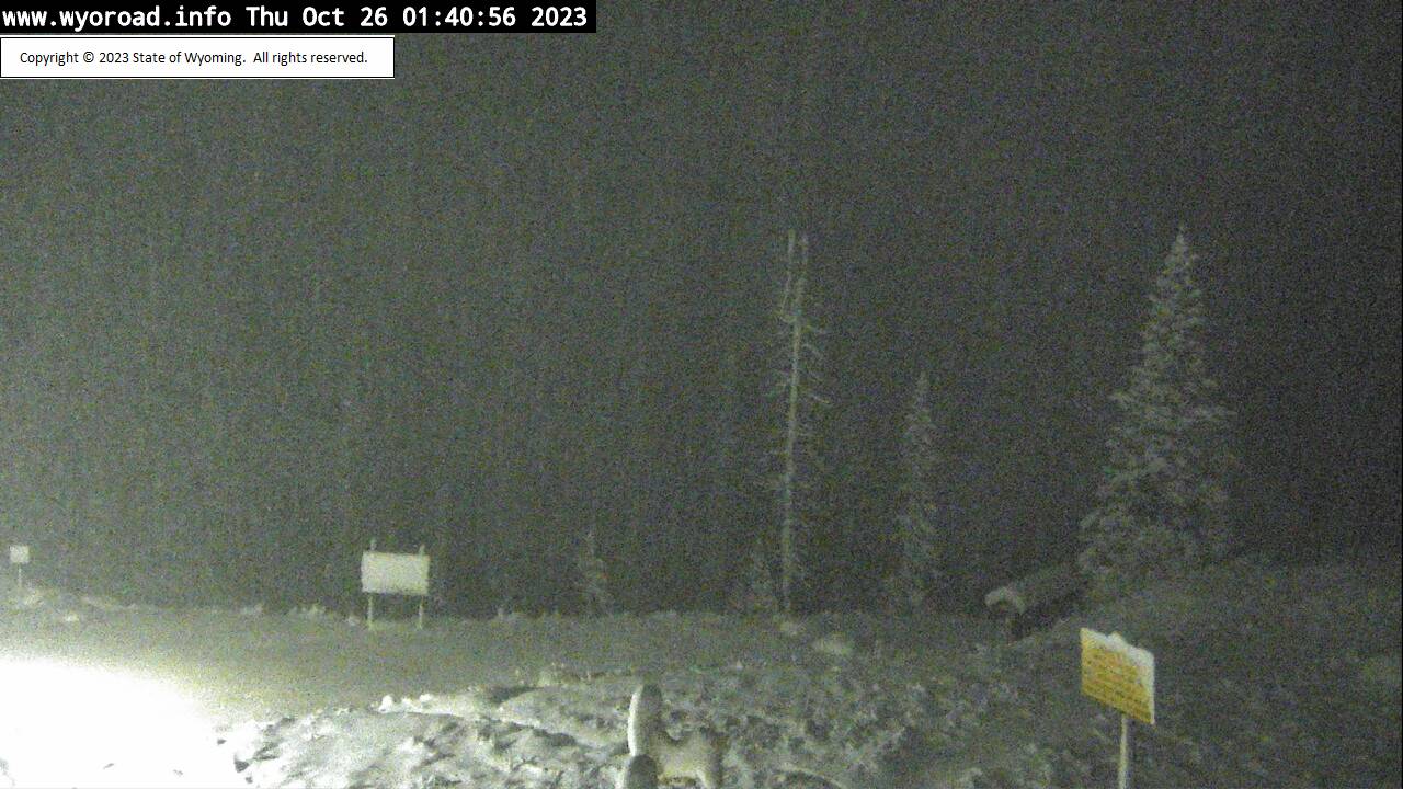
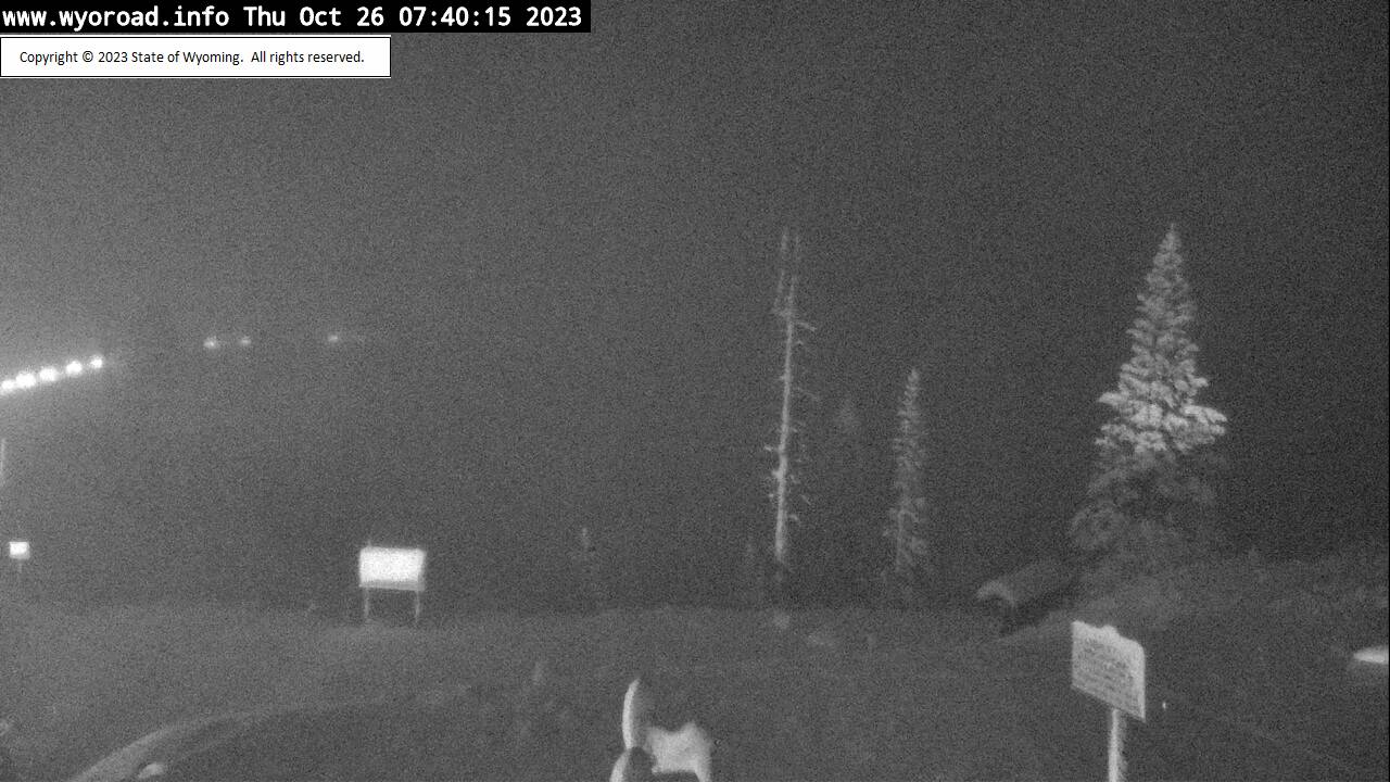
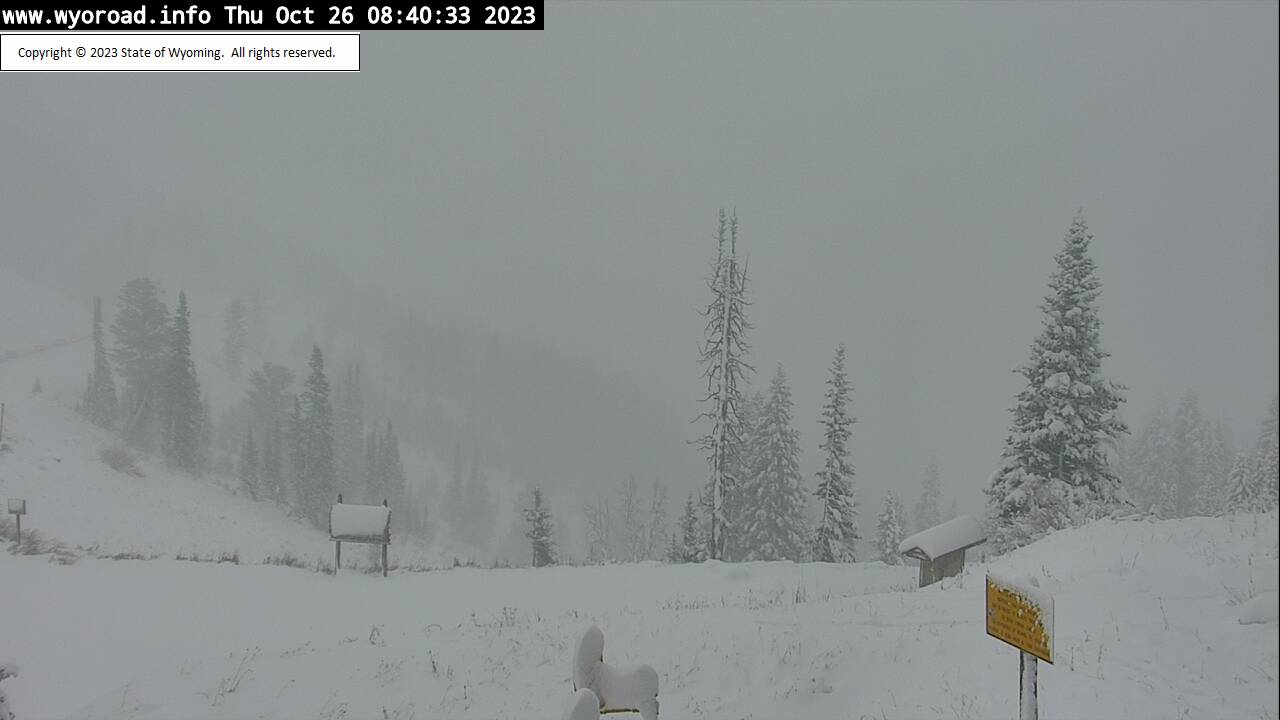
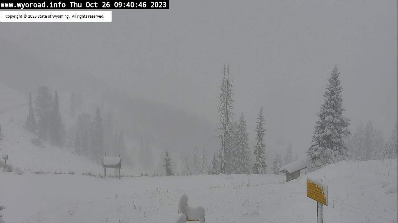
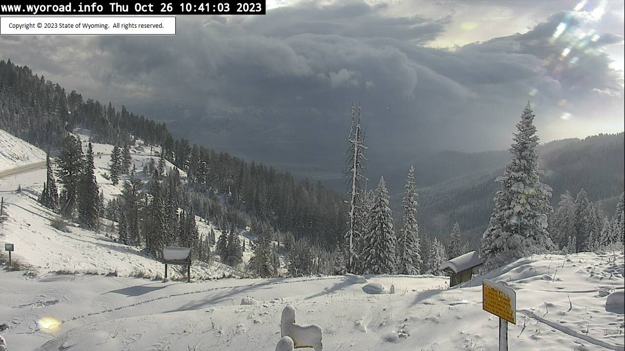
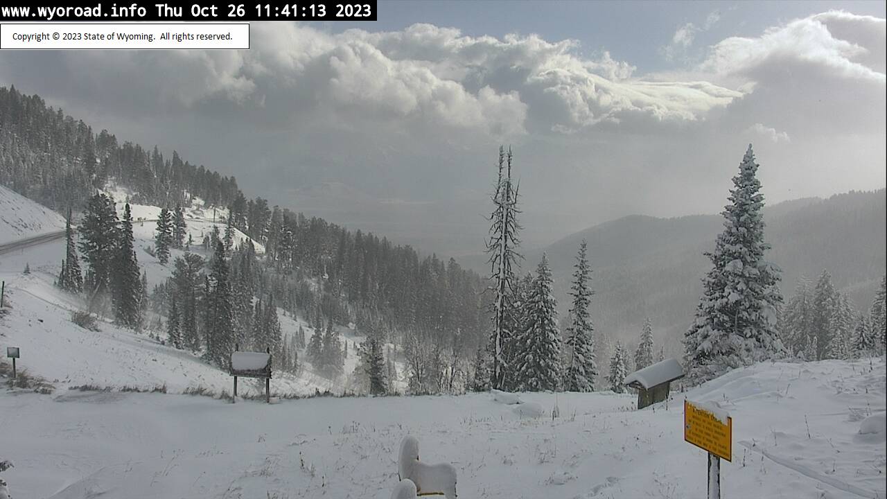
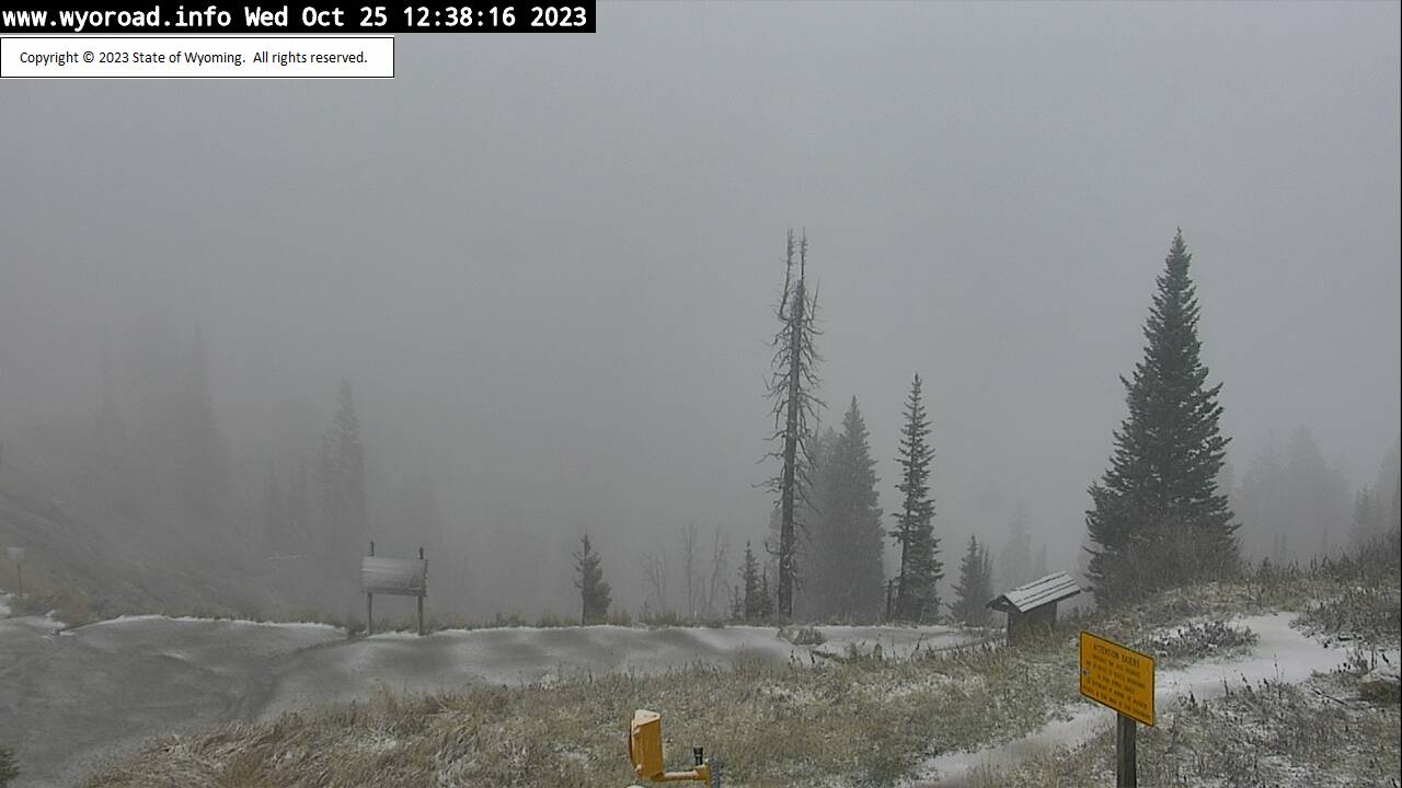
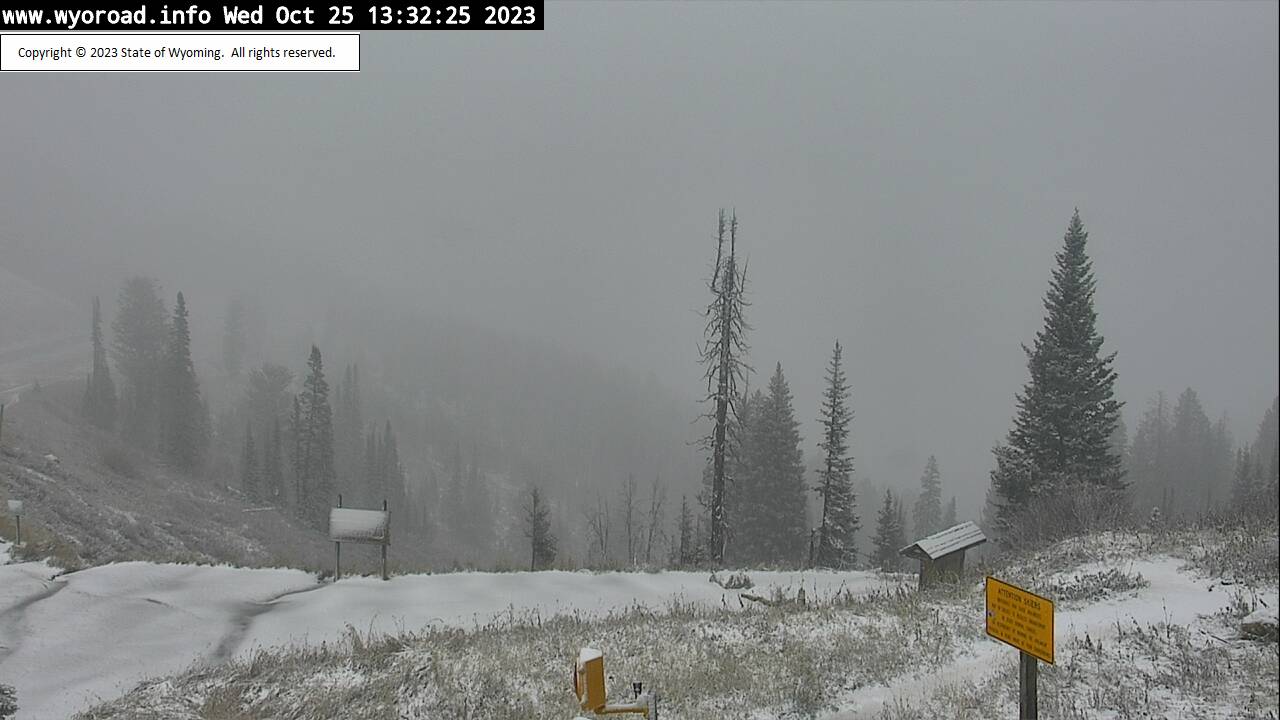
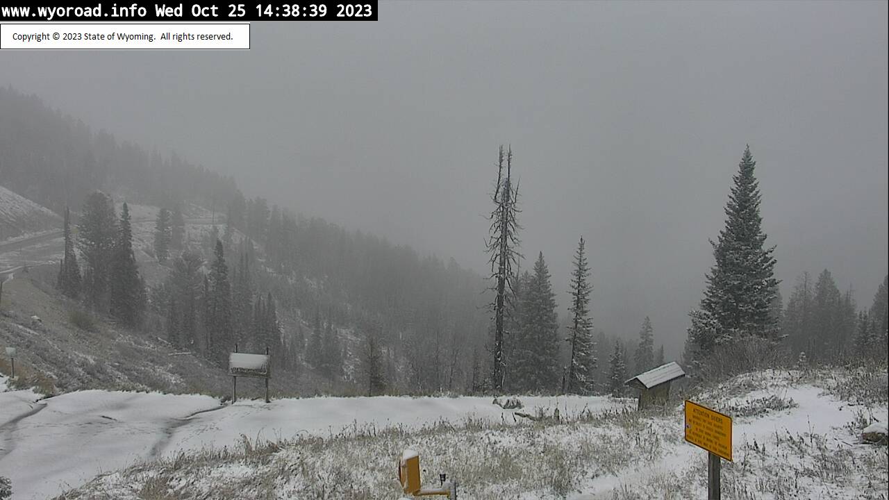
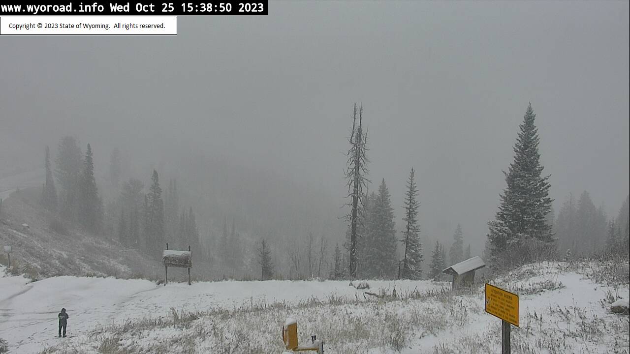
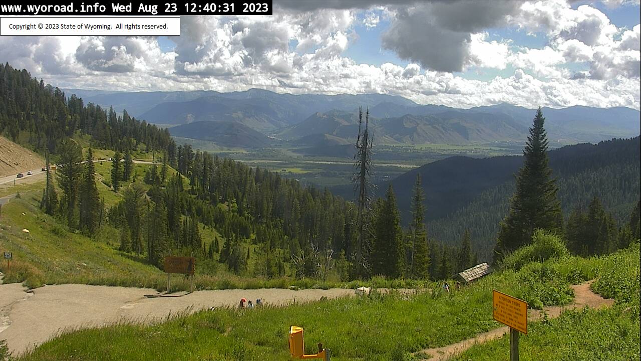
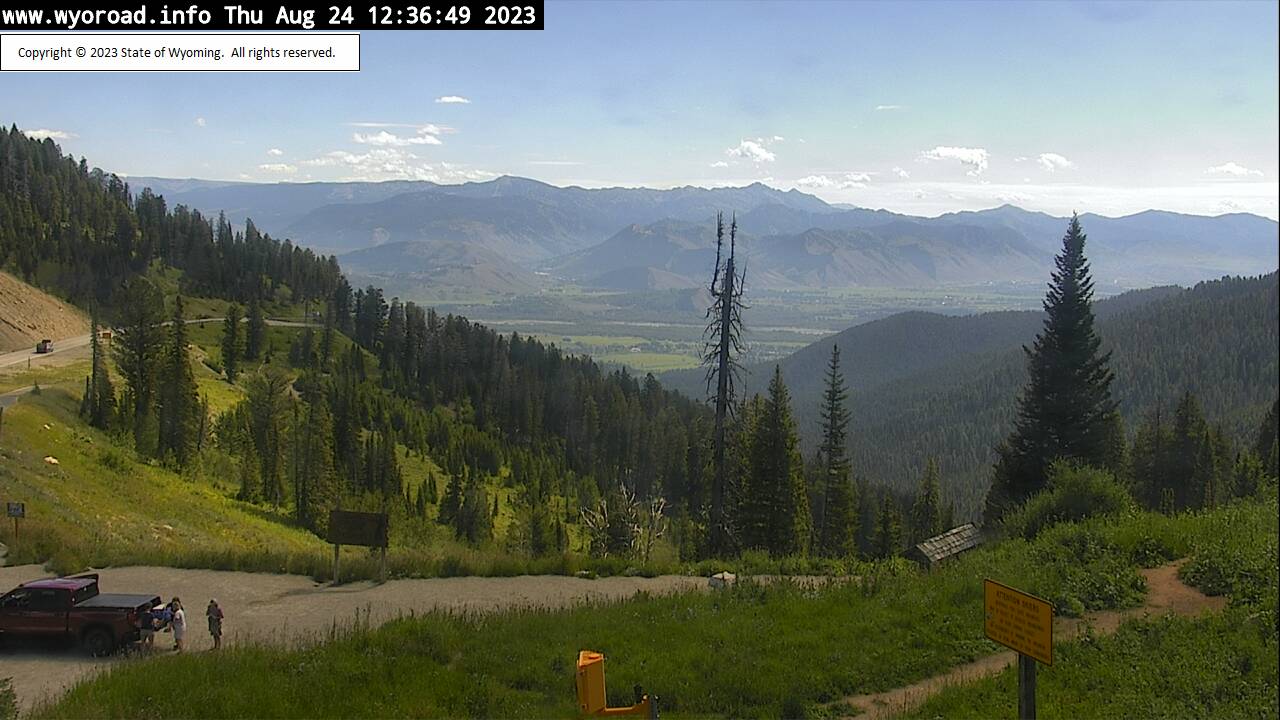
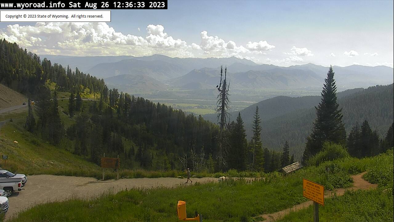
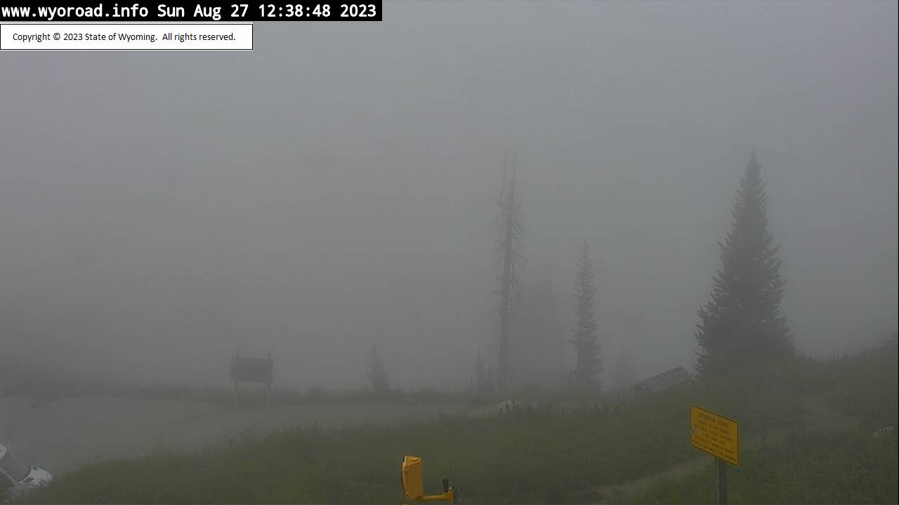
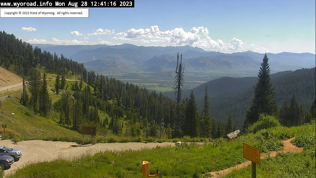
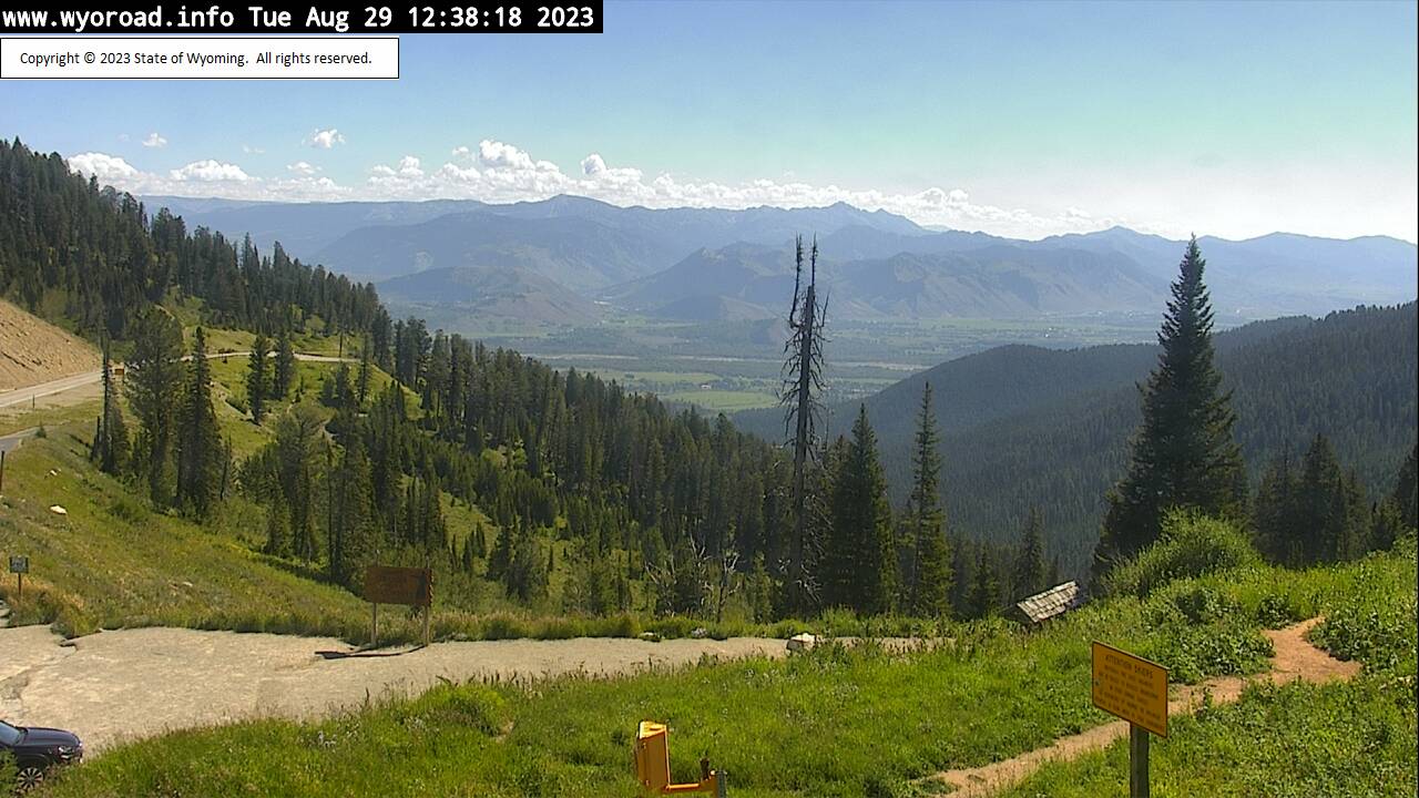
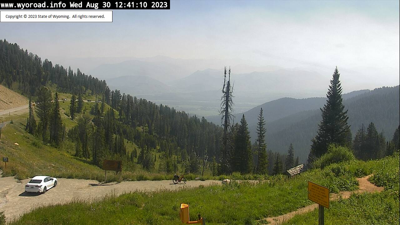
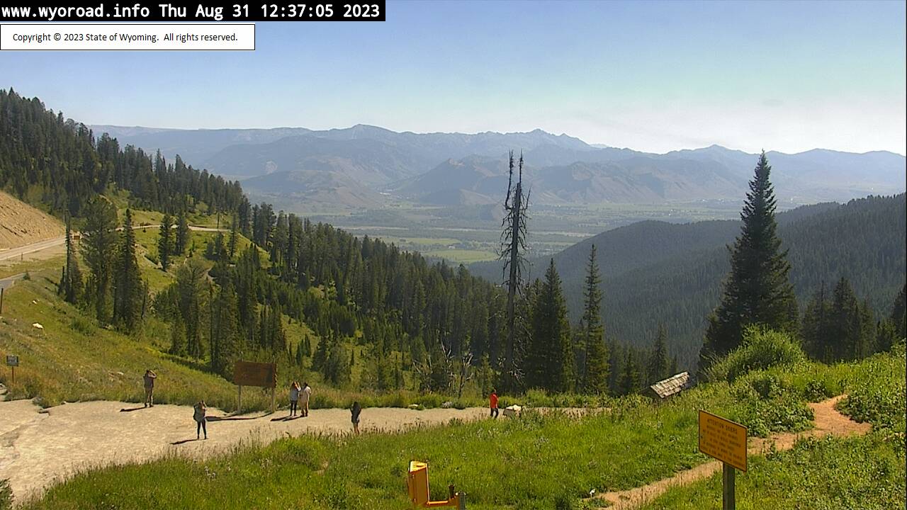
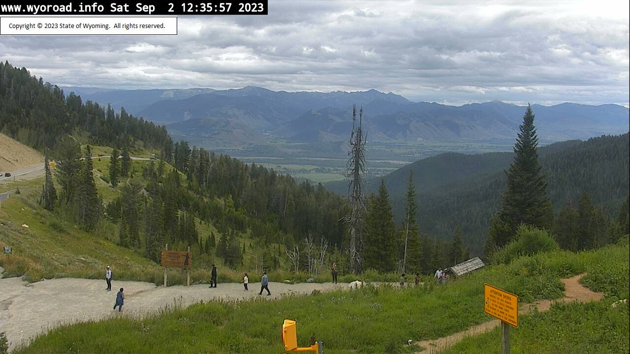
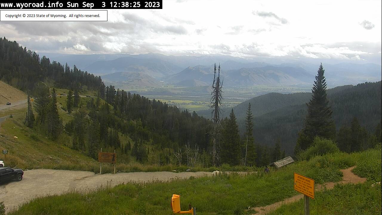
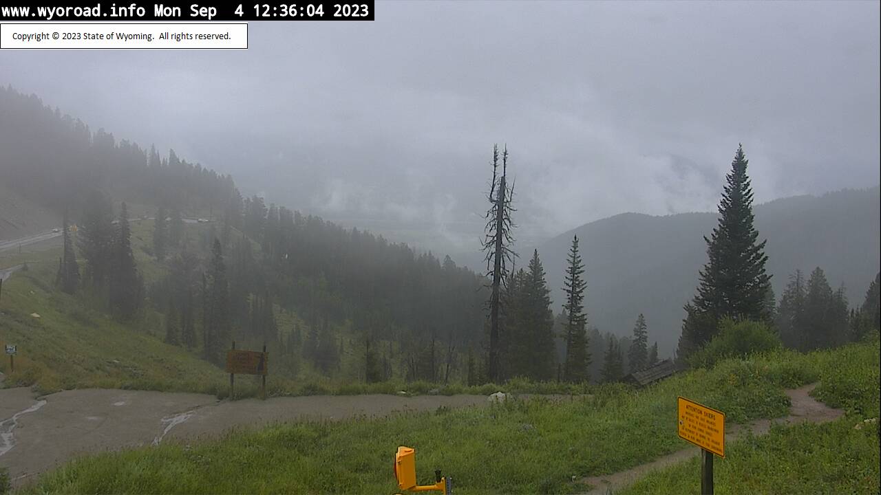
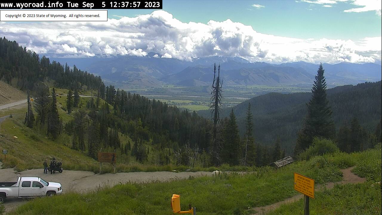
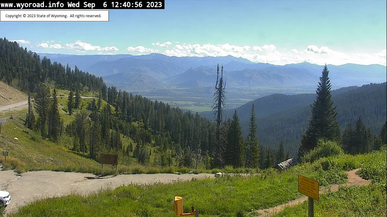
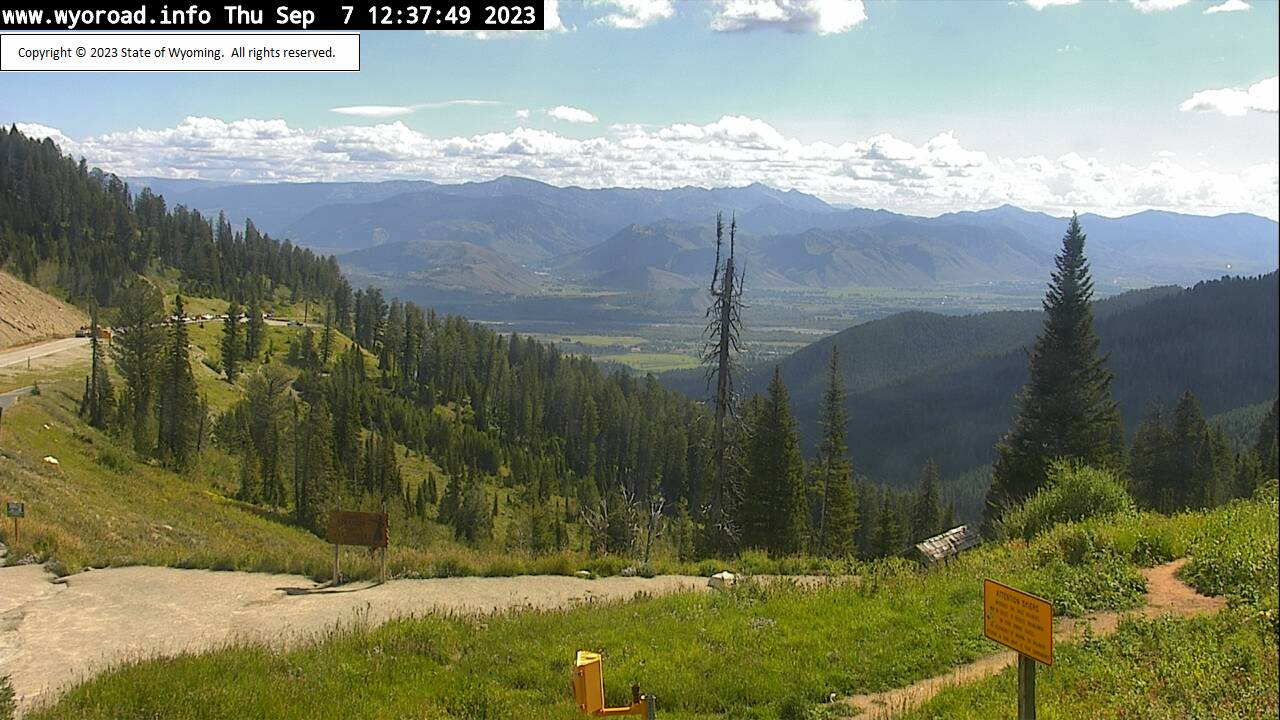
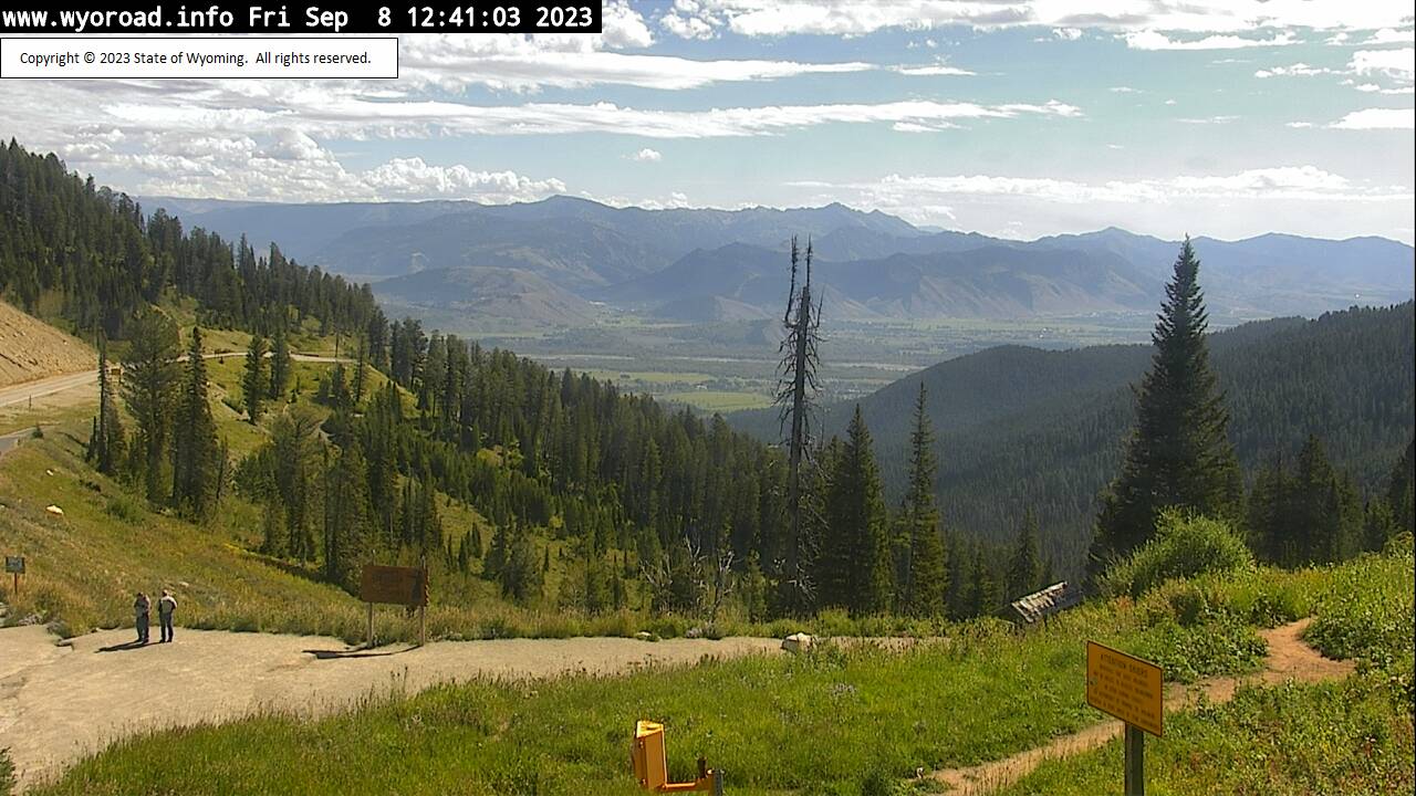
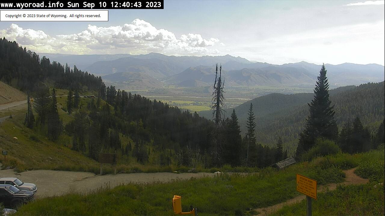
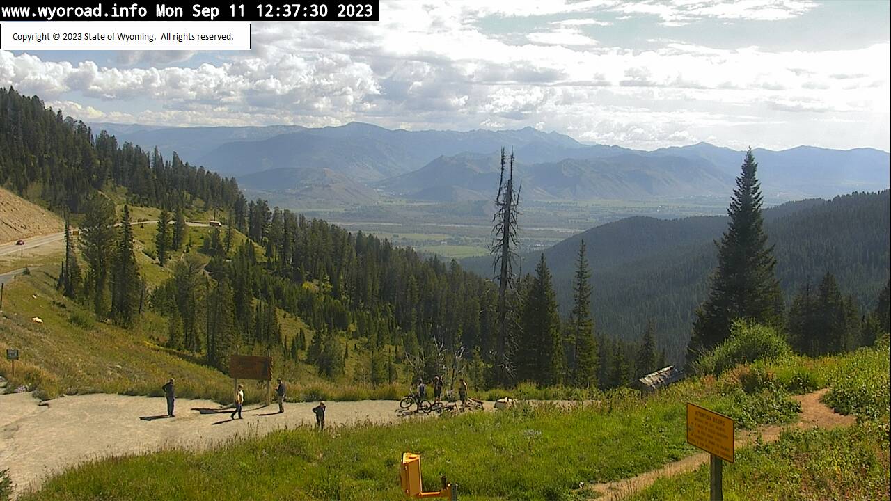
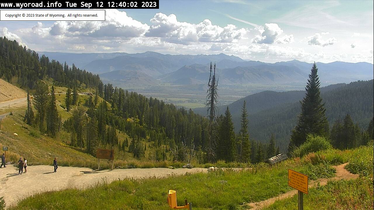
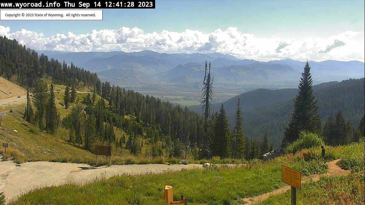
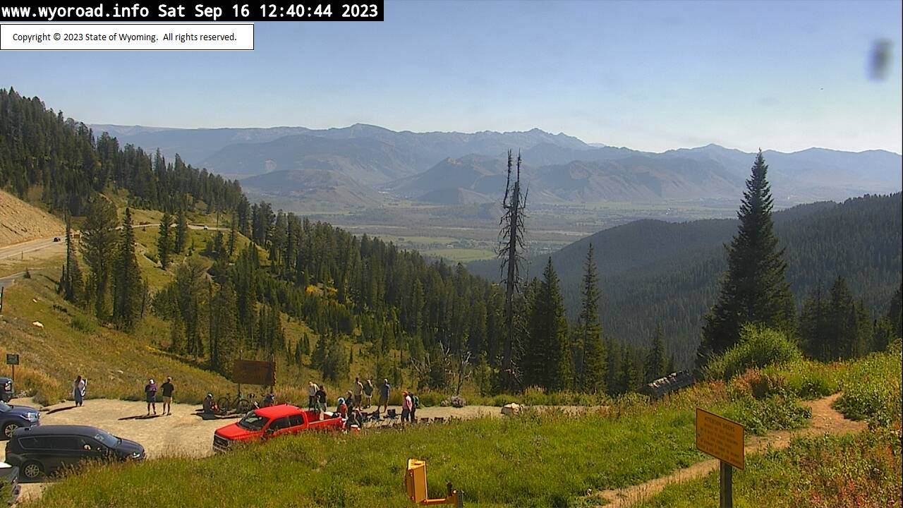
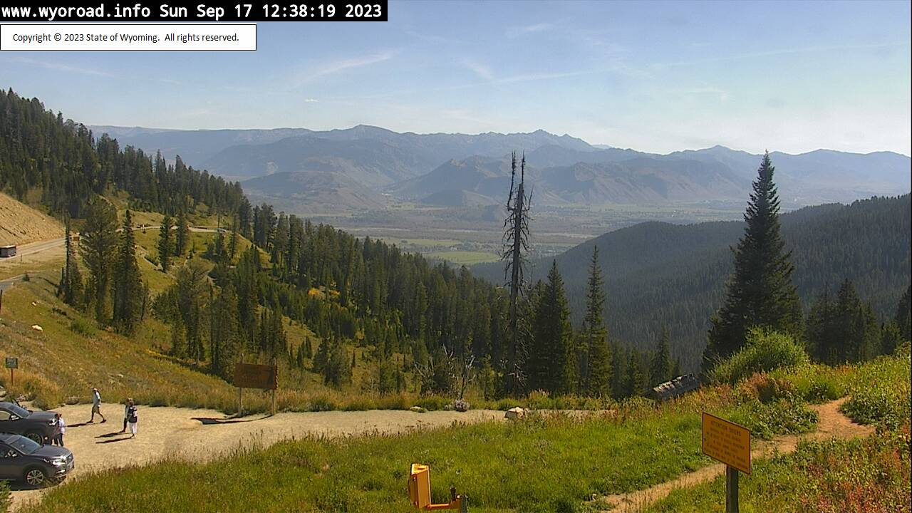
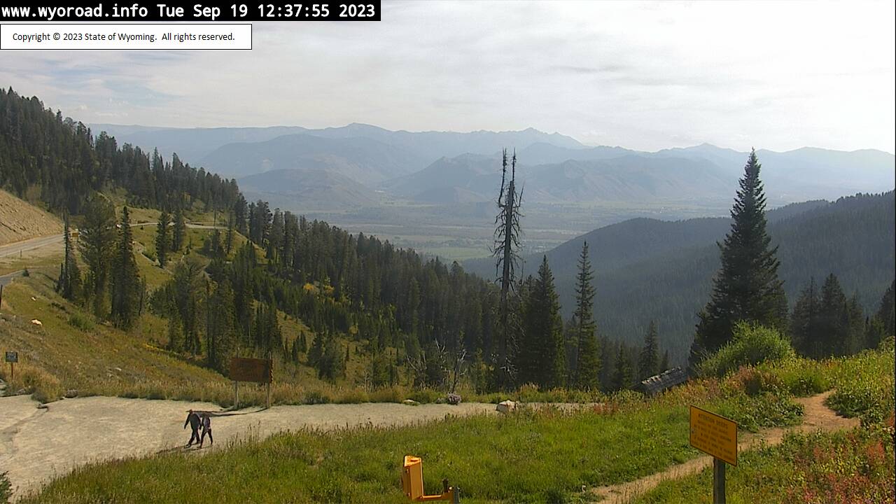
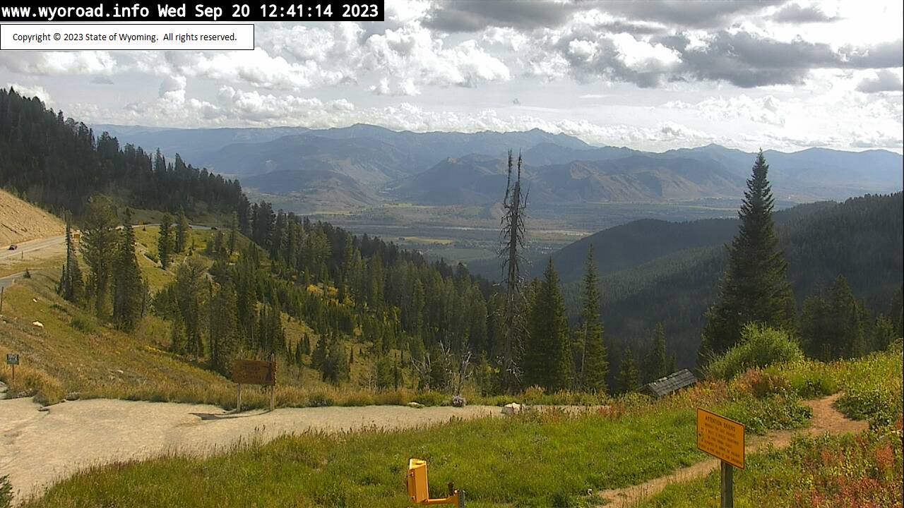
Wilson, Wyoming, USA - 101.6 miles from Soda Butte (historical): Teton Pass - Traffic and Weather - A view of the current traffic and weather situation.
Operator: WYDOT Travel Information Service
Operator: WYDOT Travel Information Service


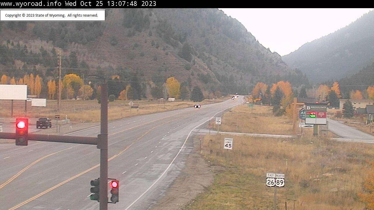
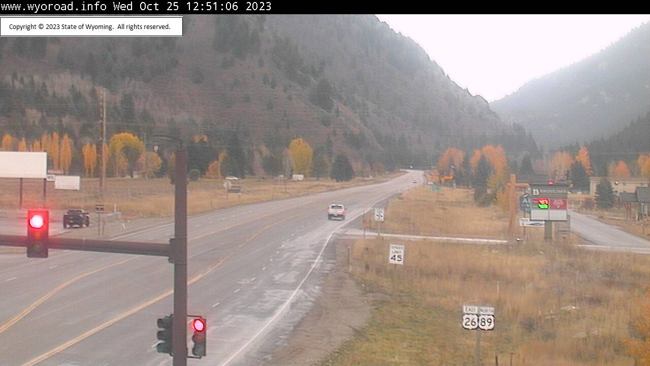
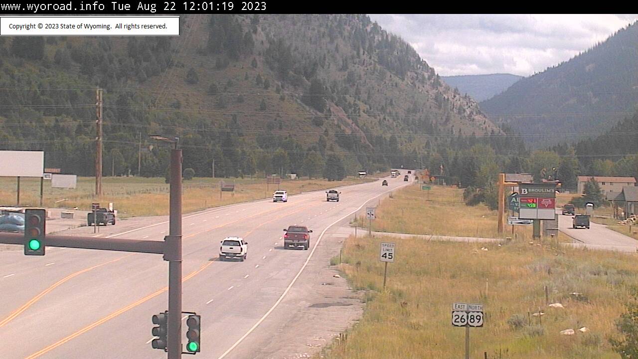
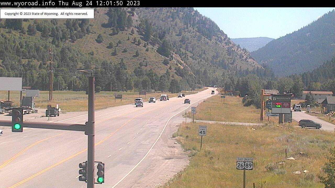
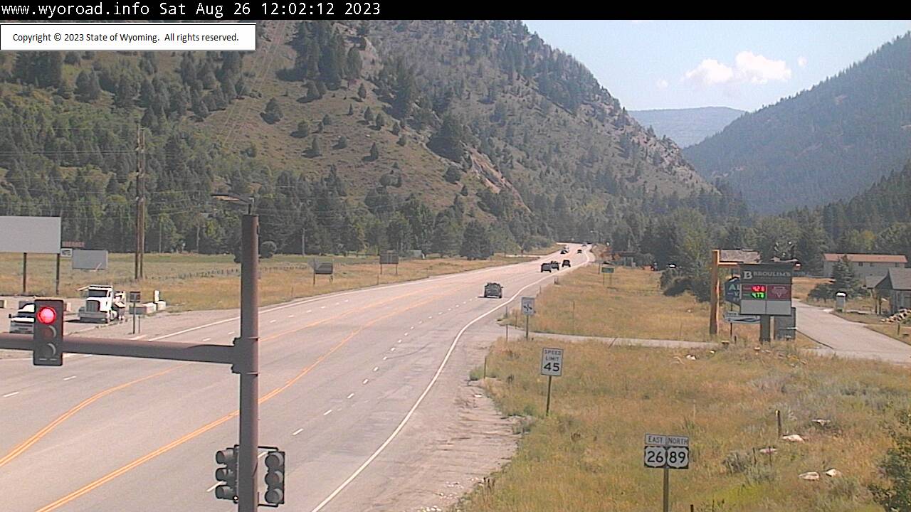
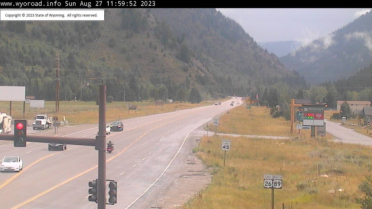
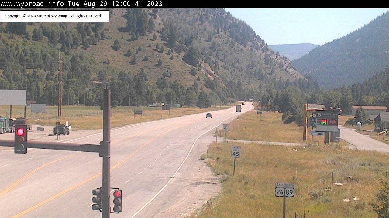
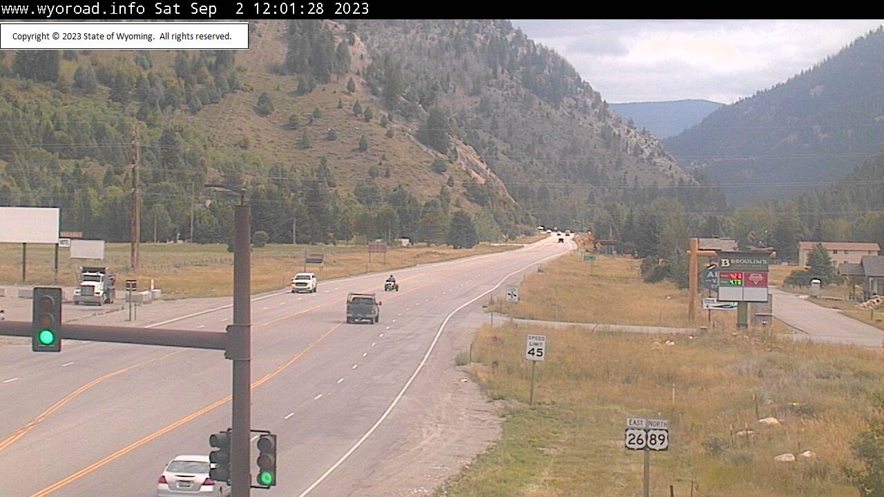
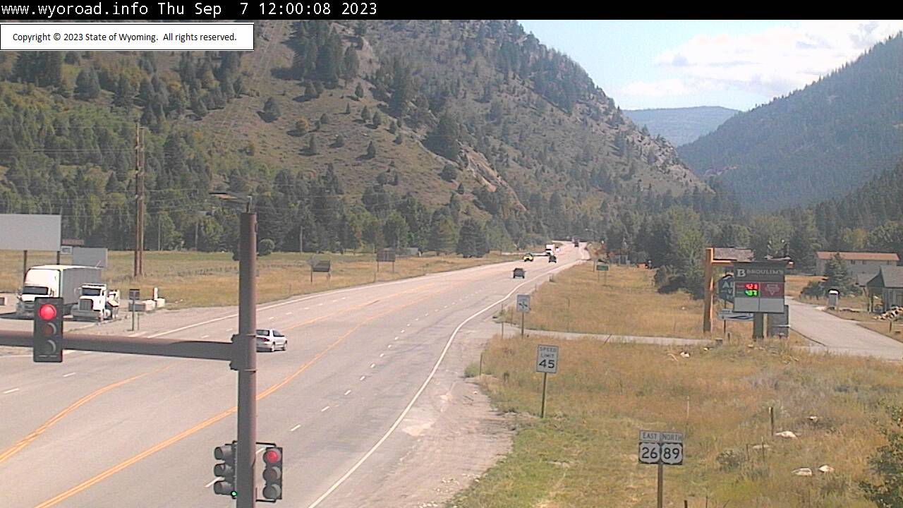
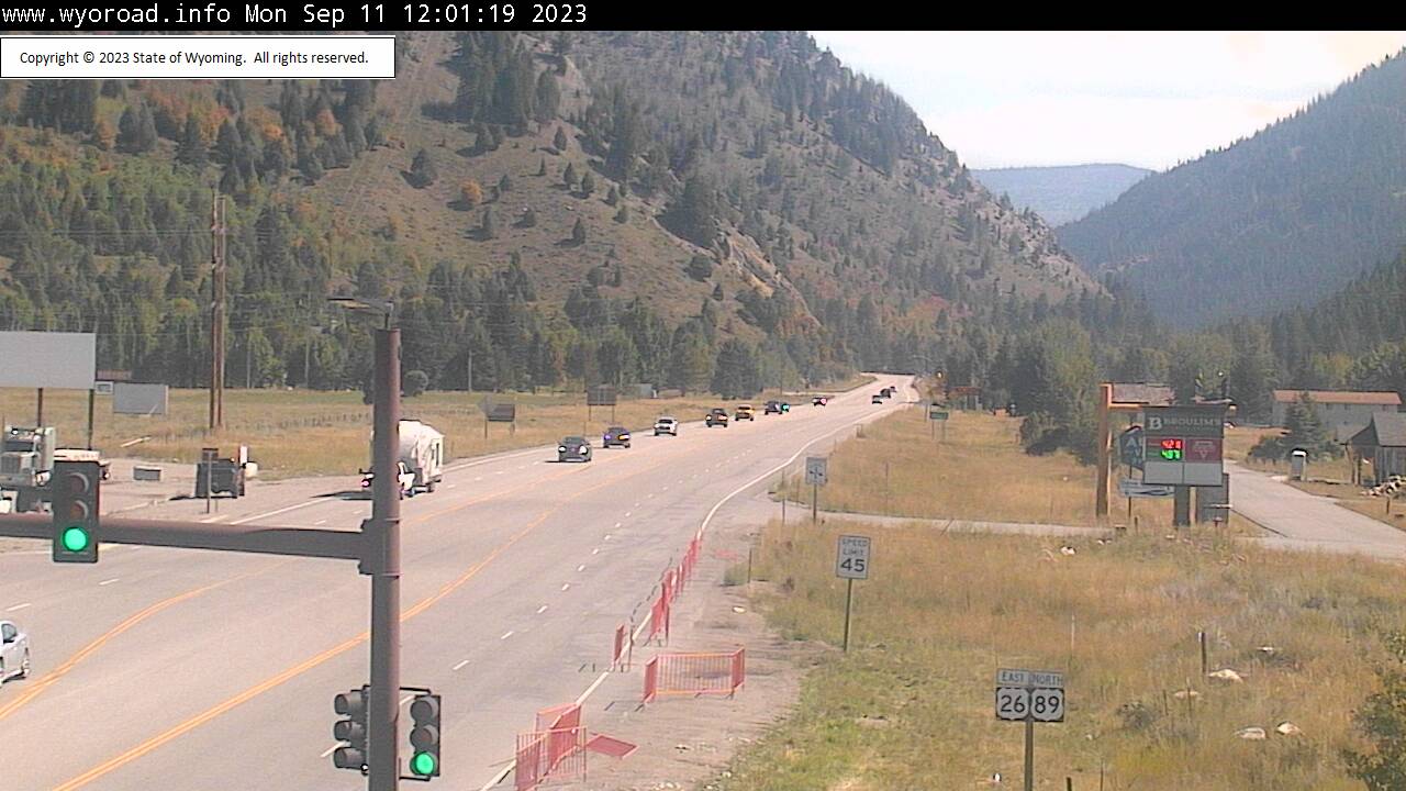
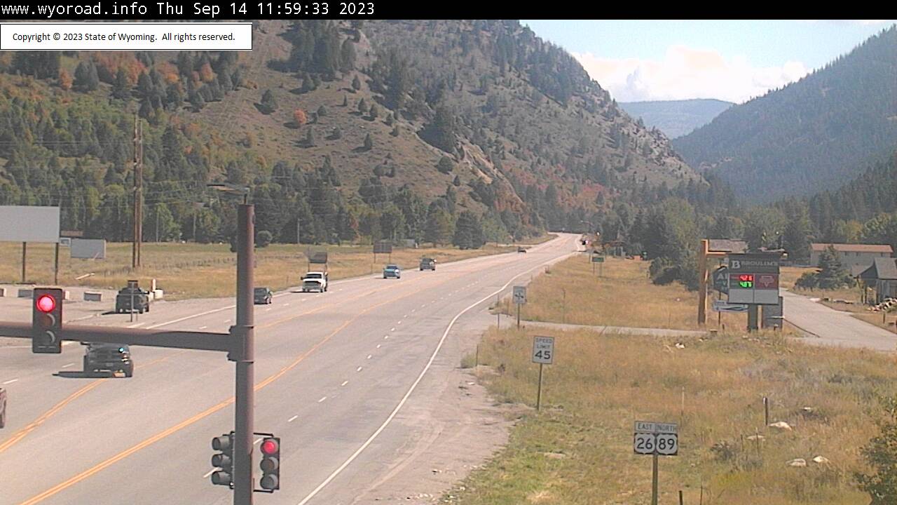
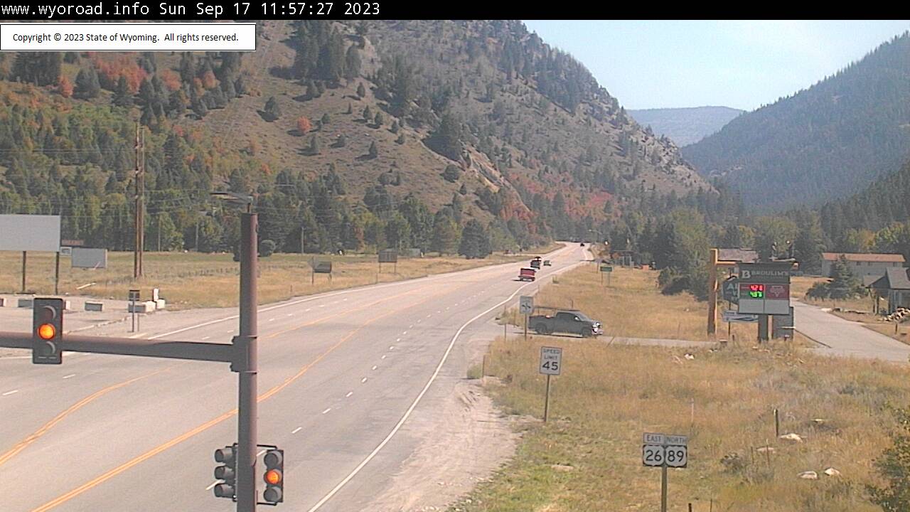
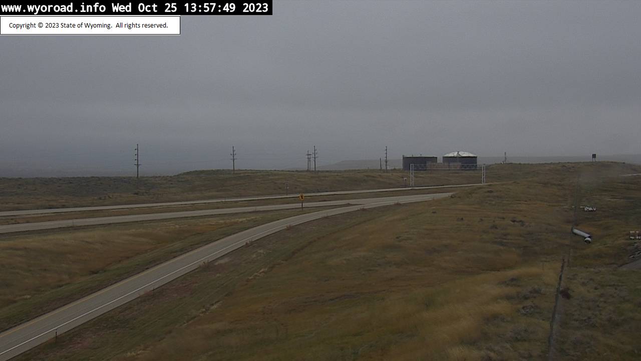
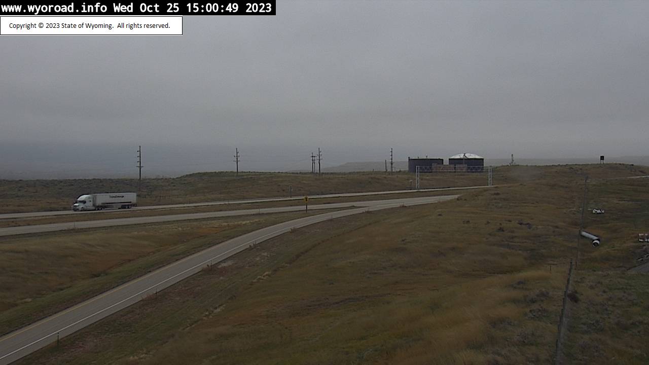
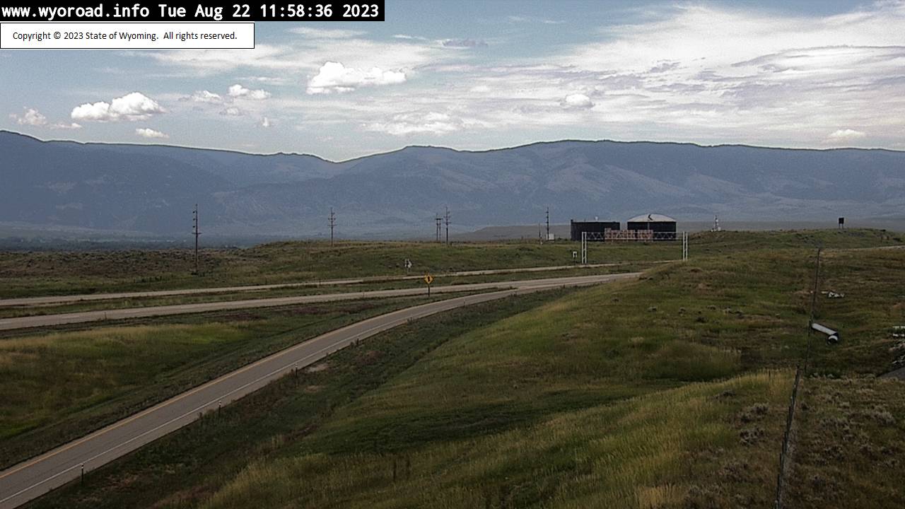
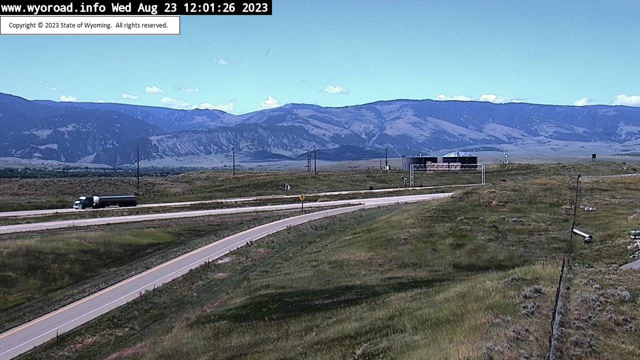
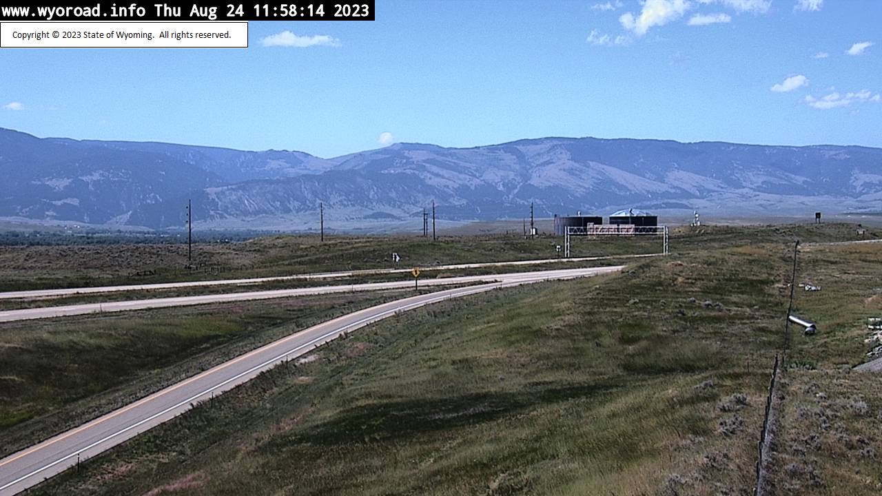
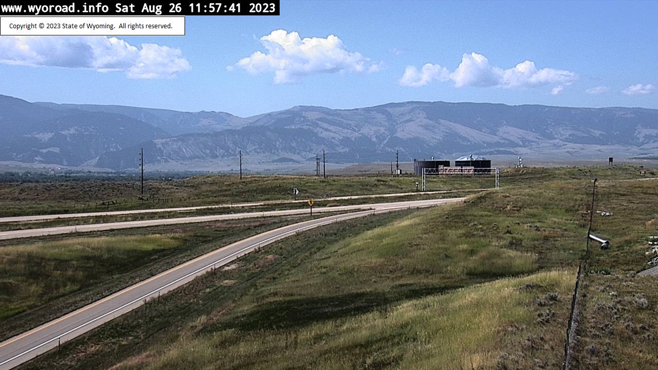
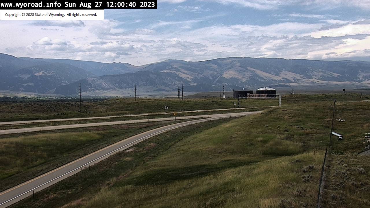
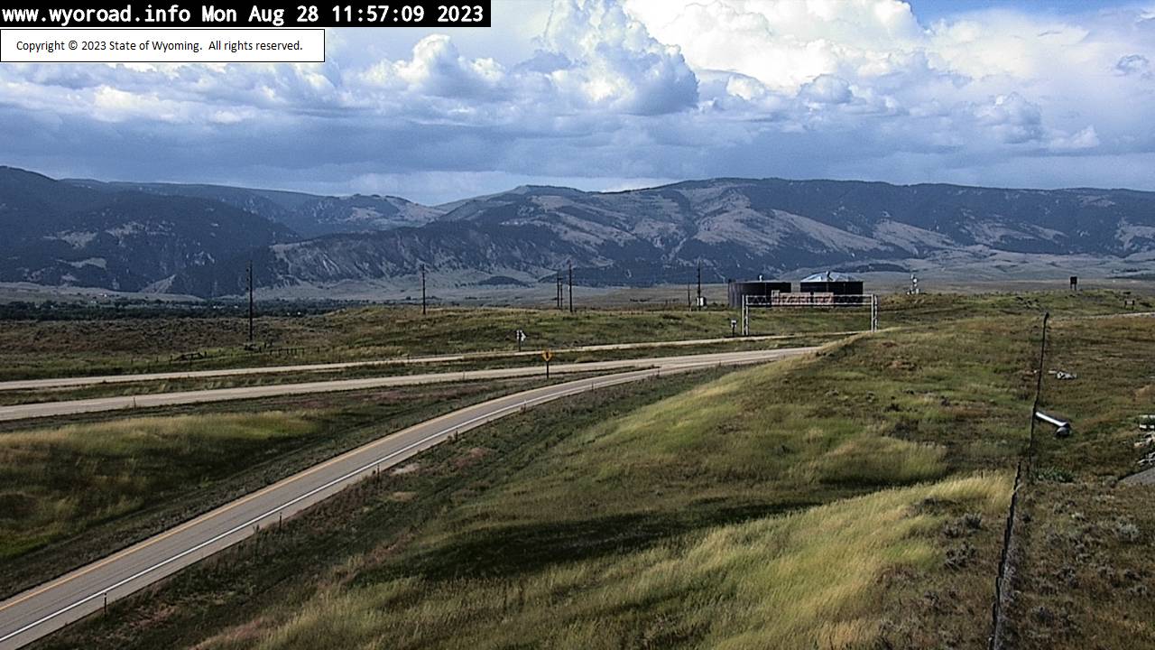
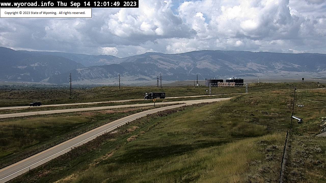
Alpine Junction, Wyoming, USA - 125.4 miles from Soda Butte (historical): Traffic and Weather Alpine Junction - A view of the current traffic and weather situation.
Operator: WYDOT Travel Information Service
Operator: WYDOT Travel Information Service


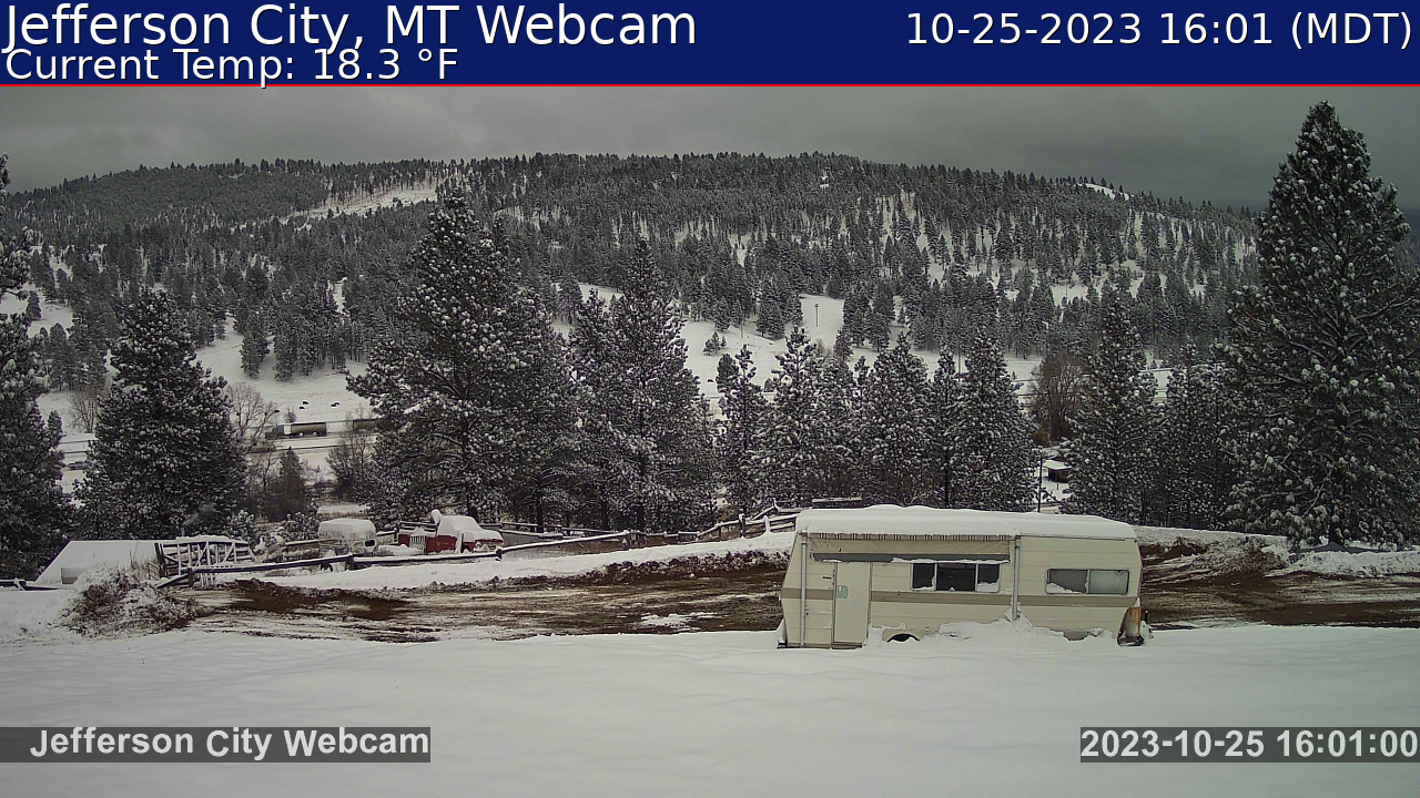
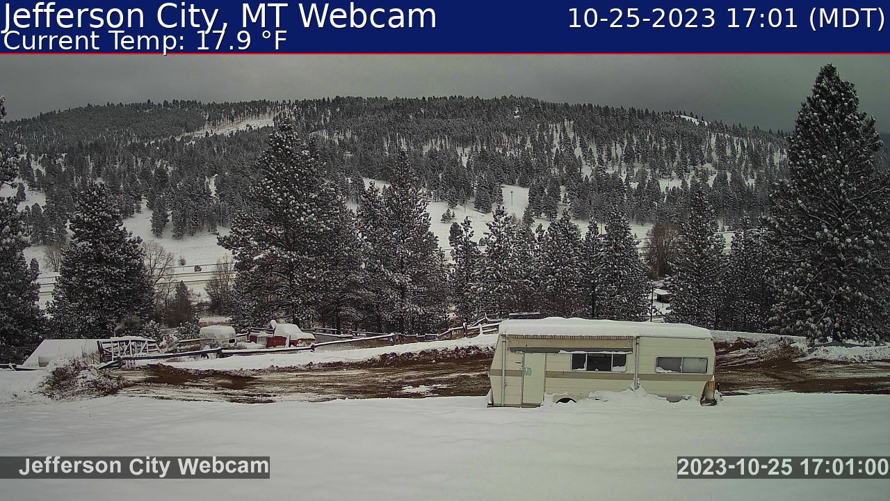
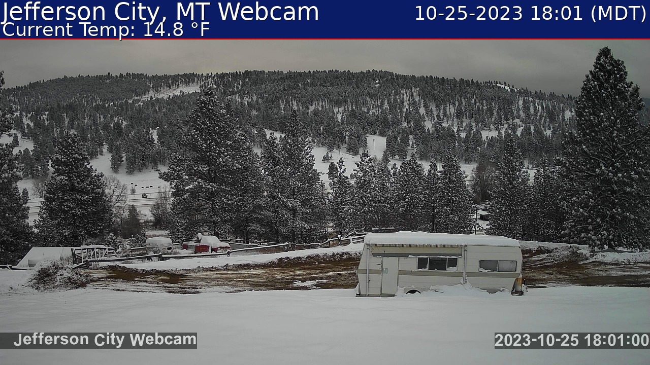
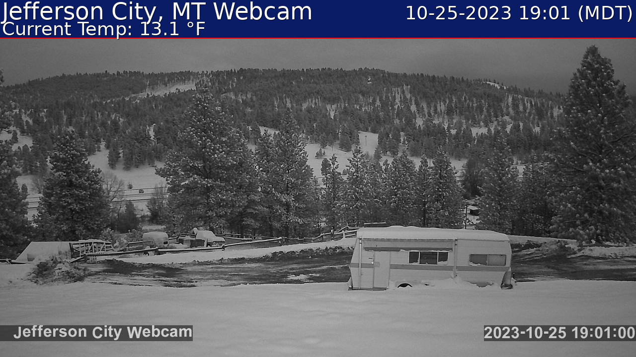
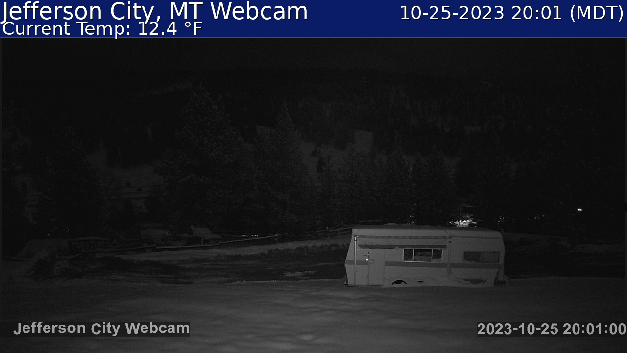
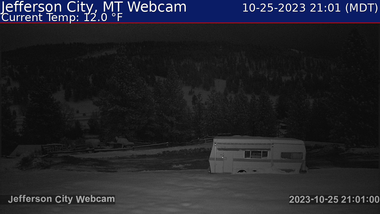
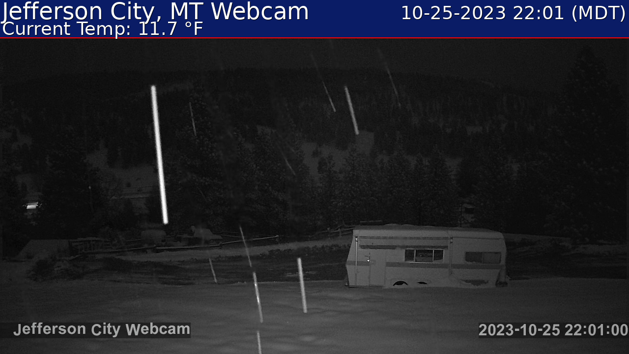
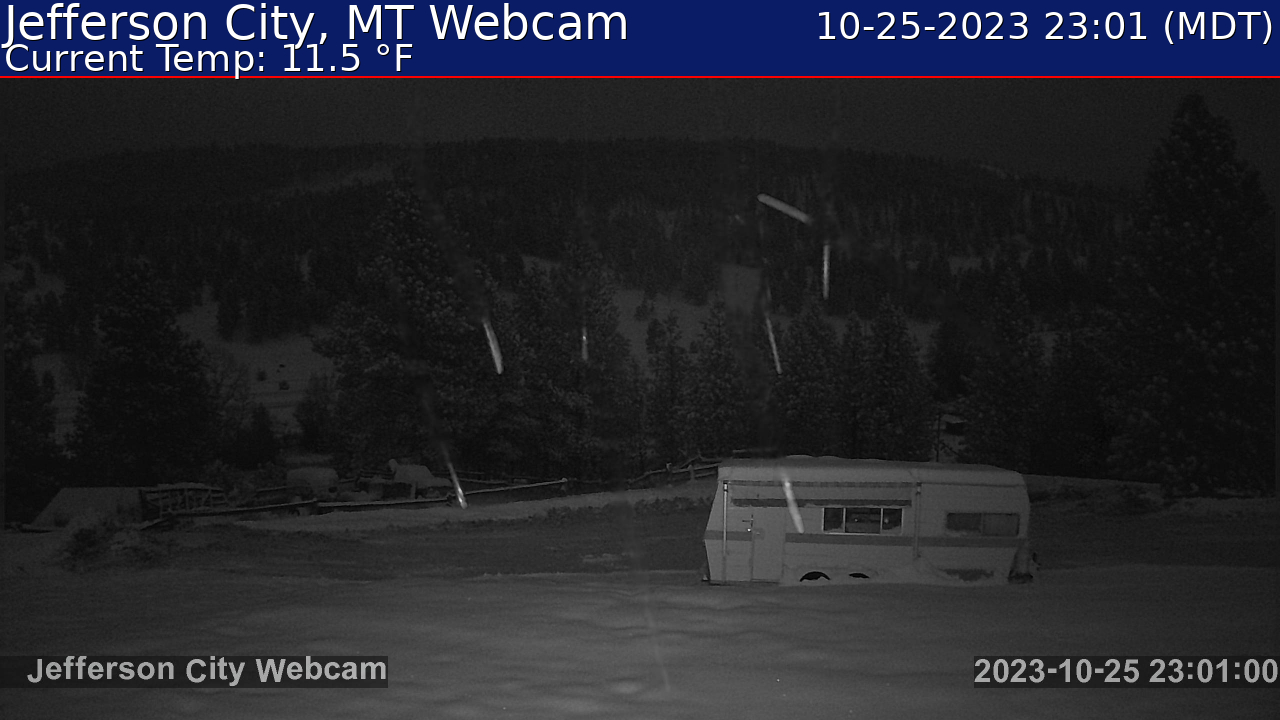
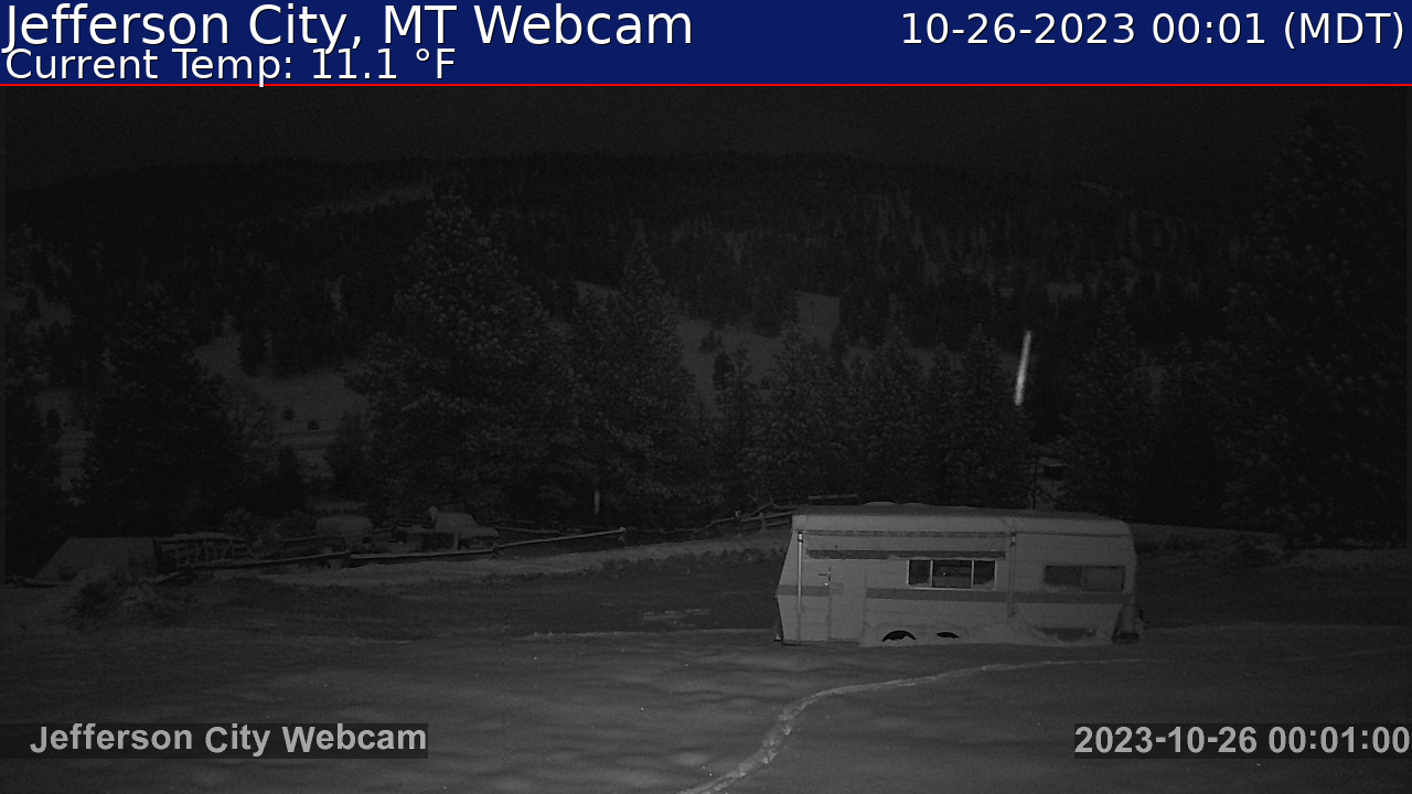
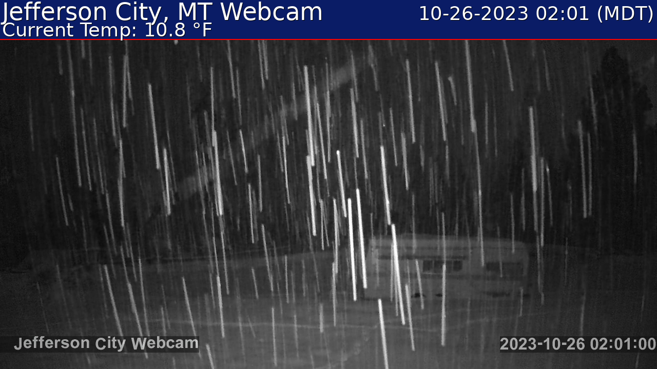
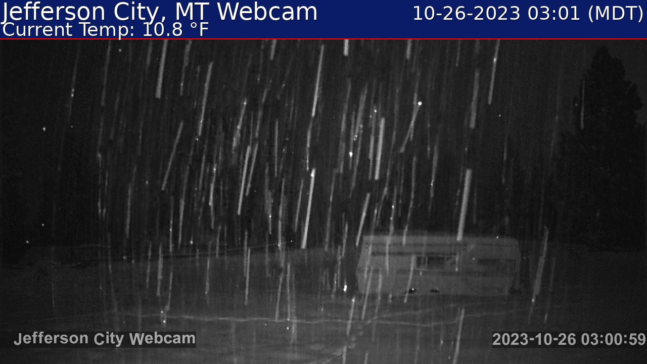
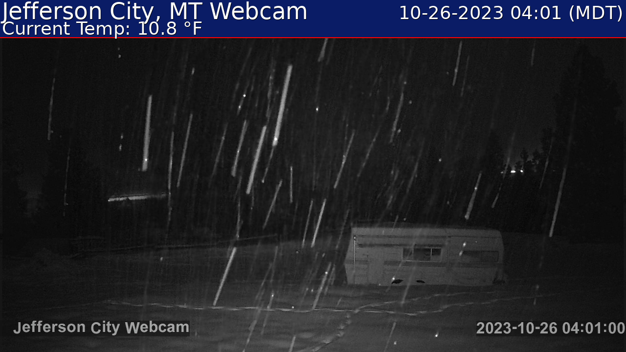
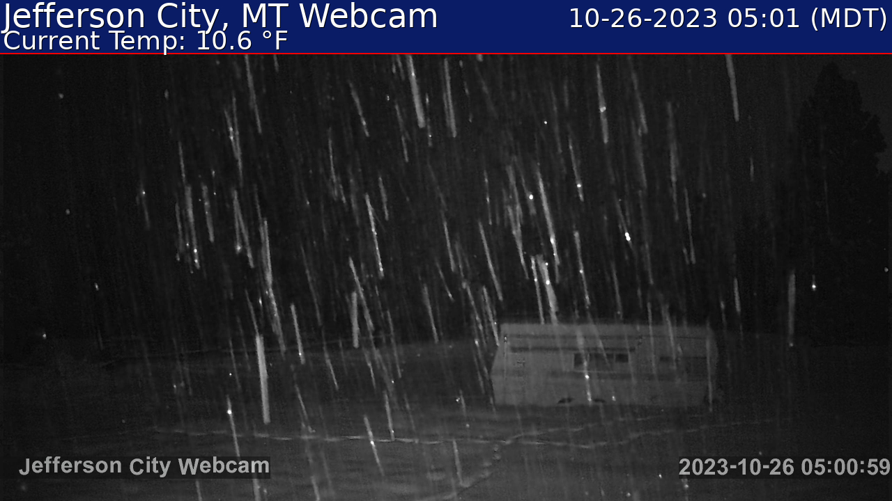
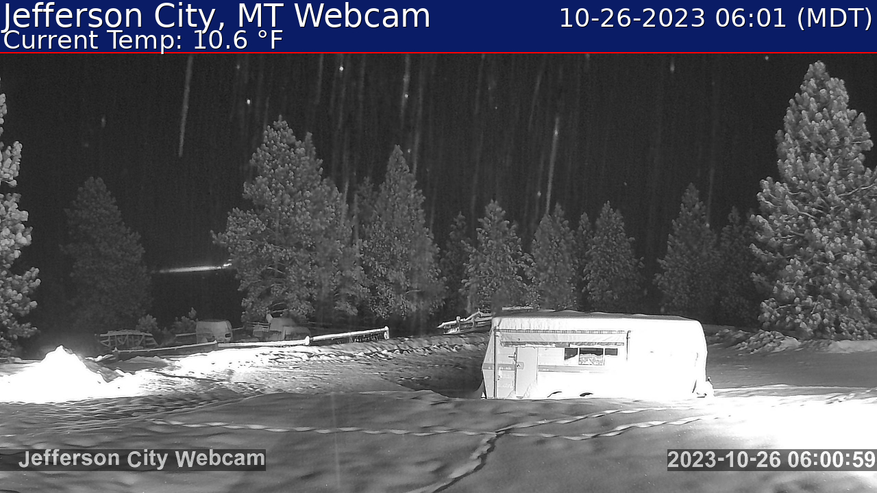
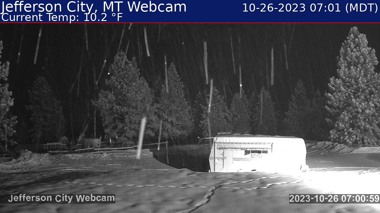
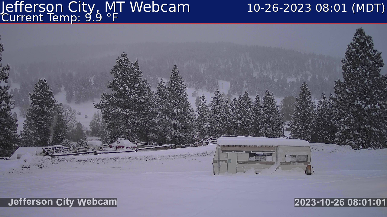
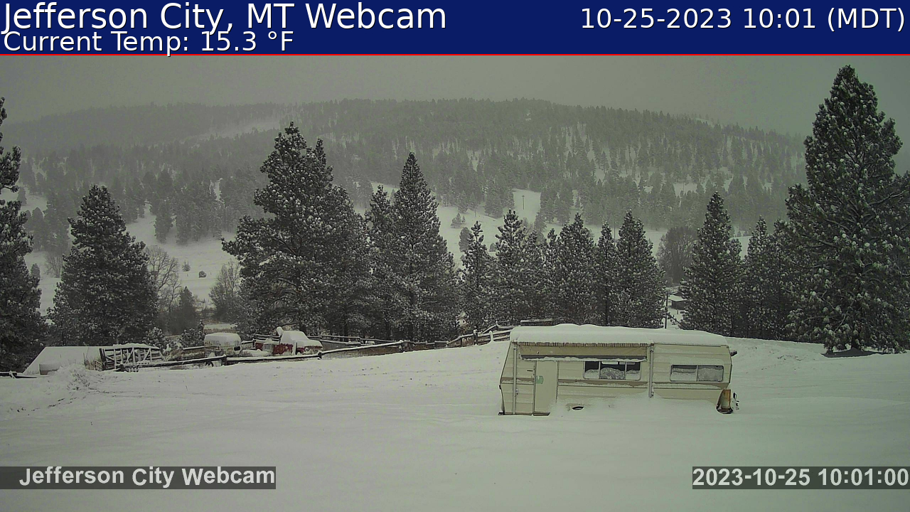
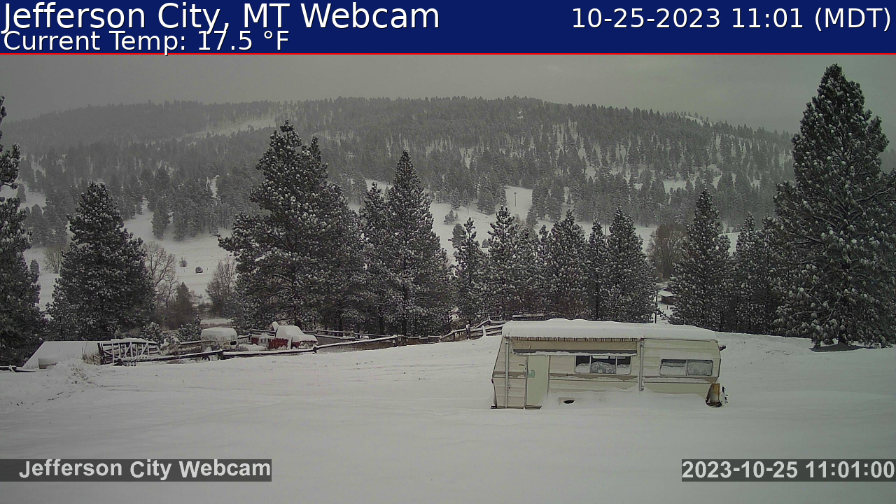
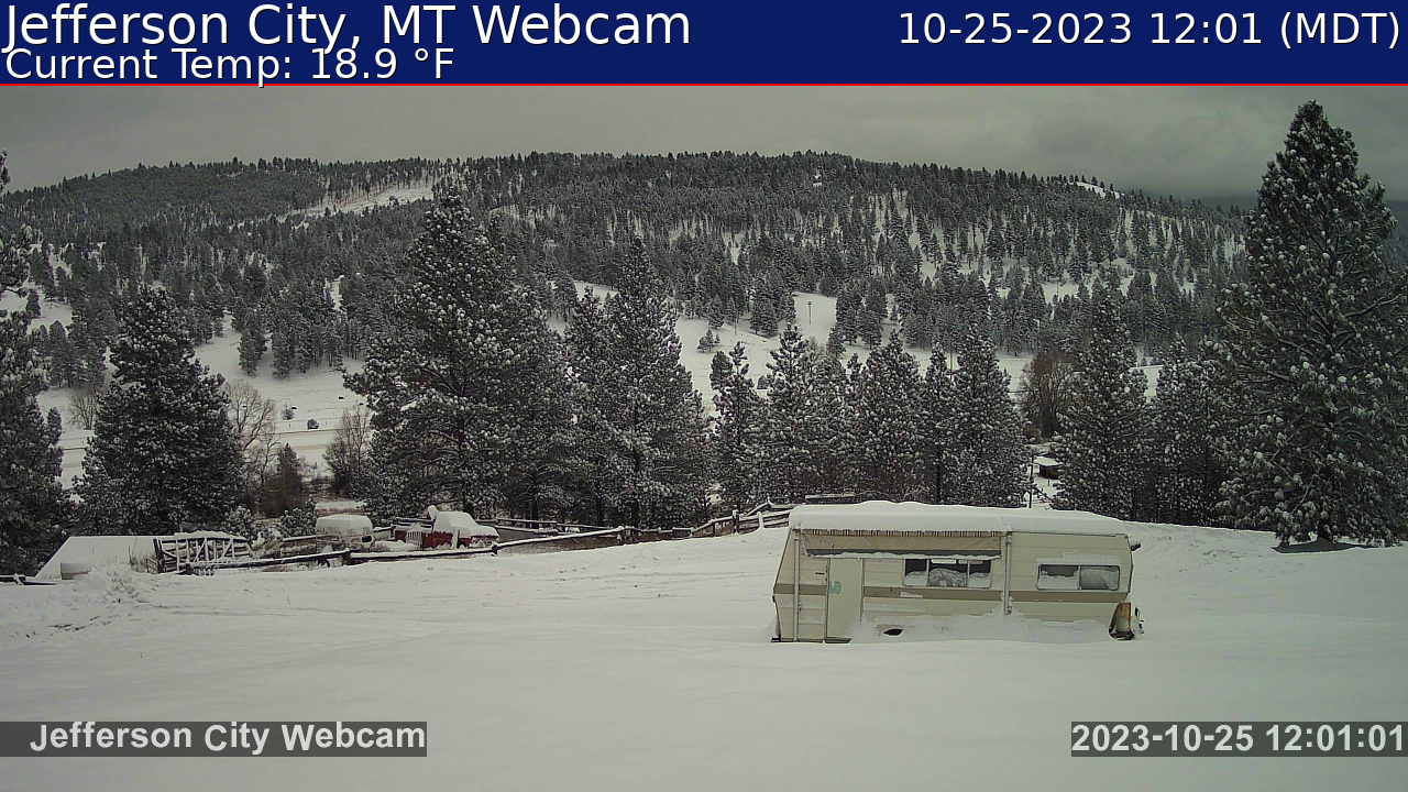
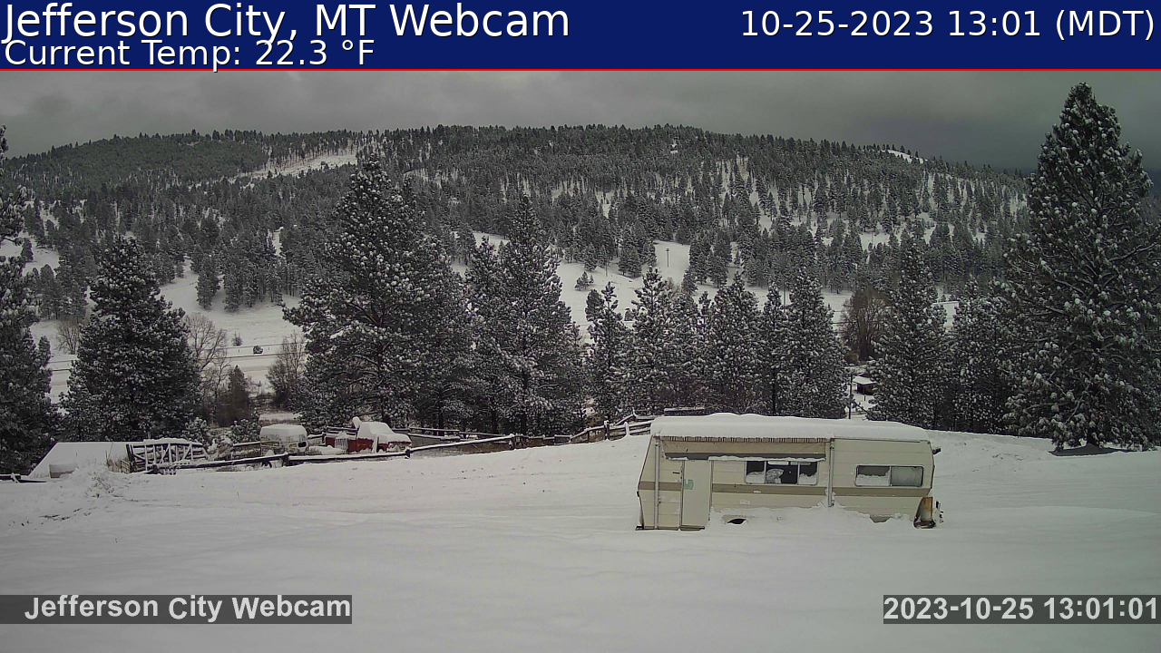
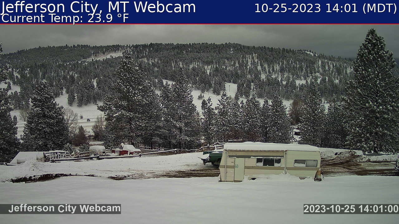
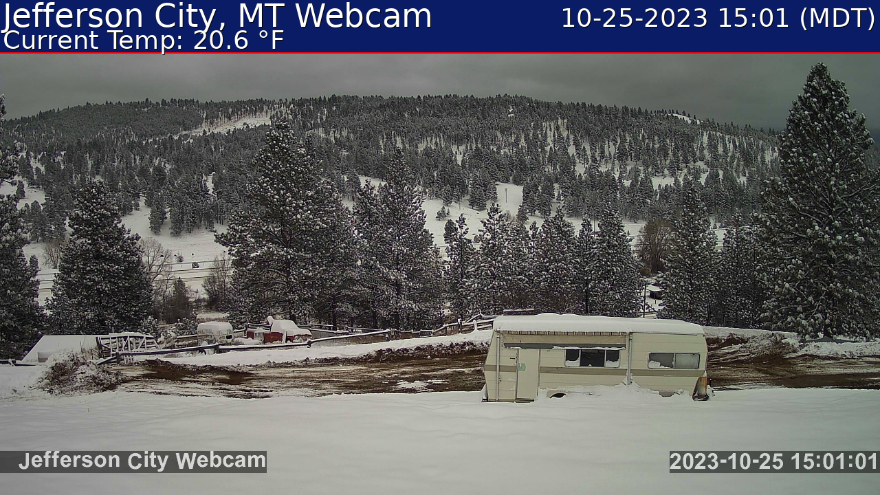
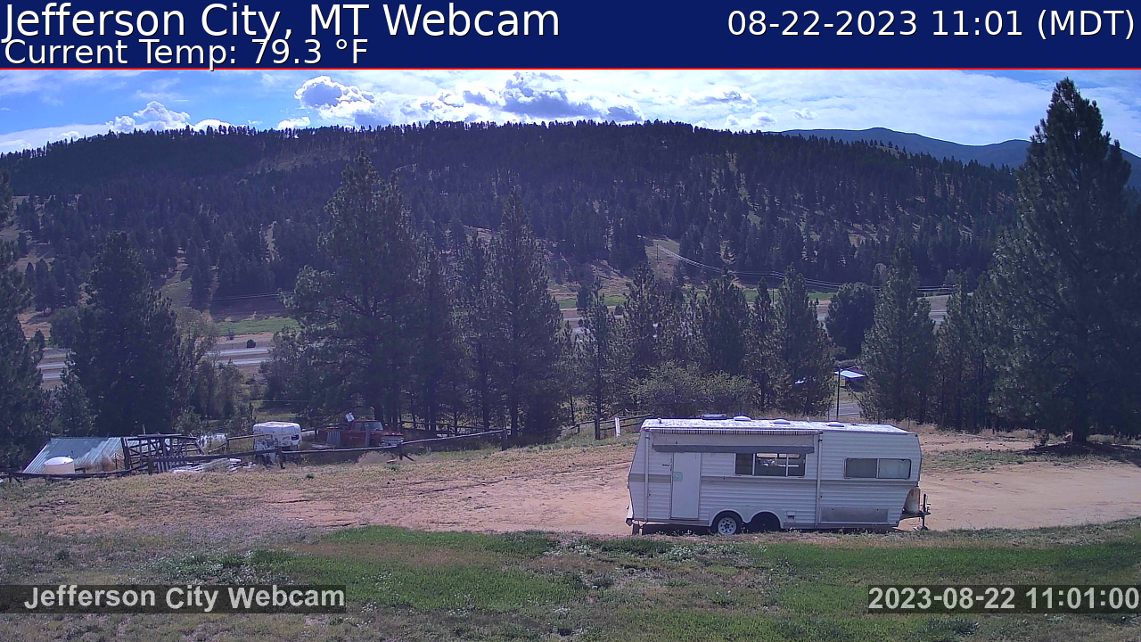
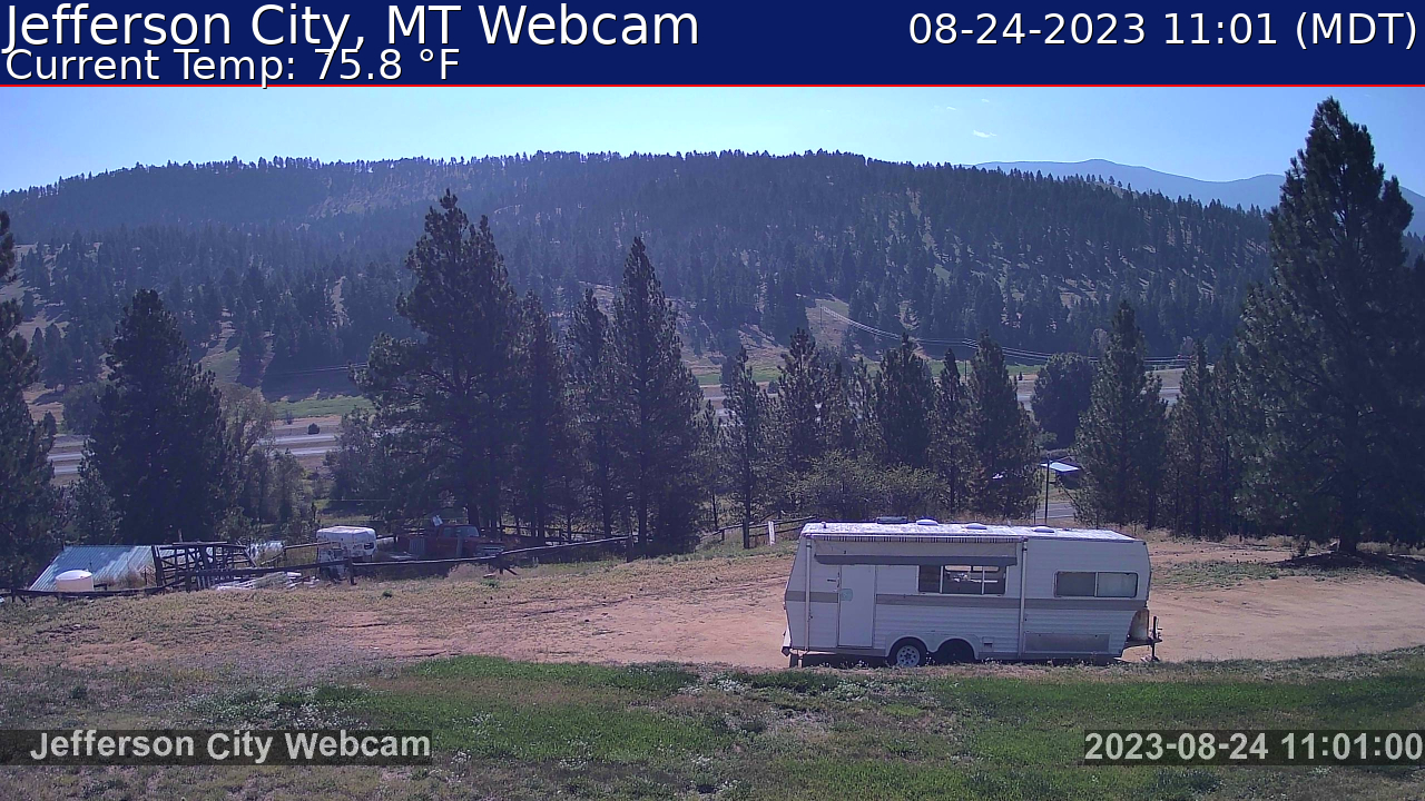
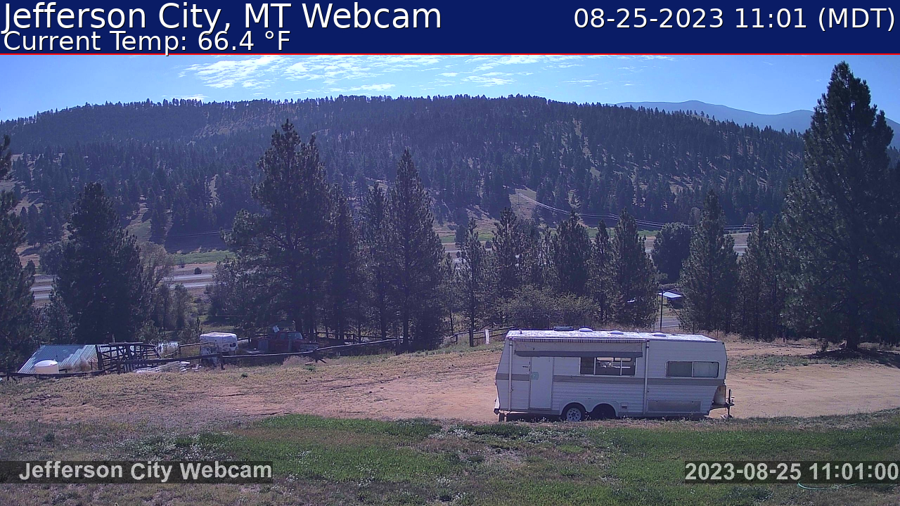
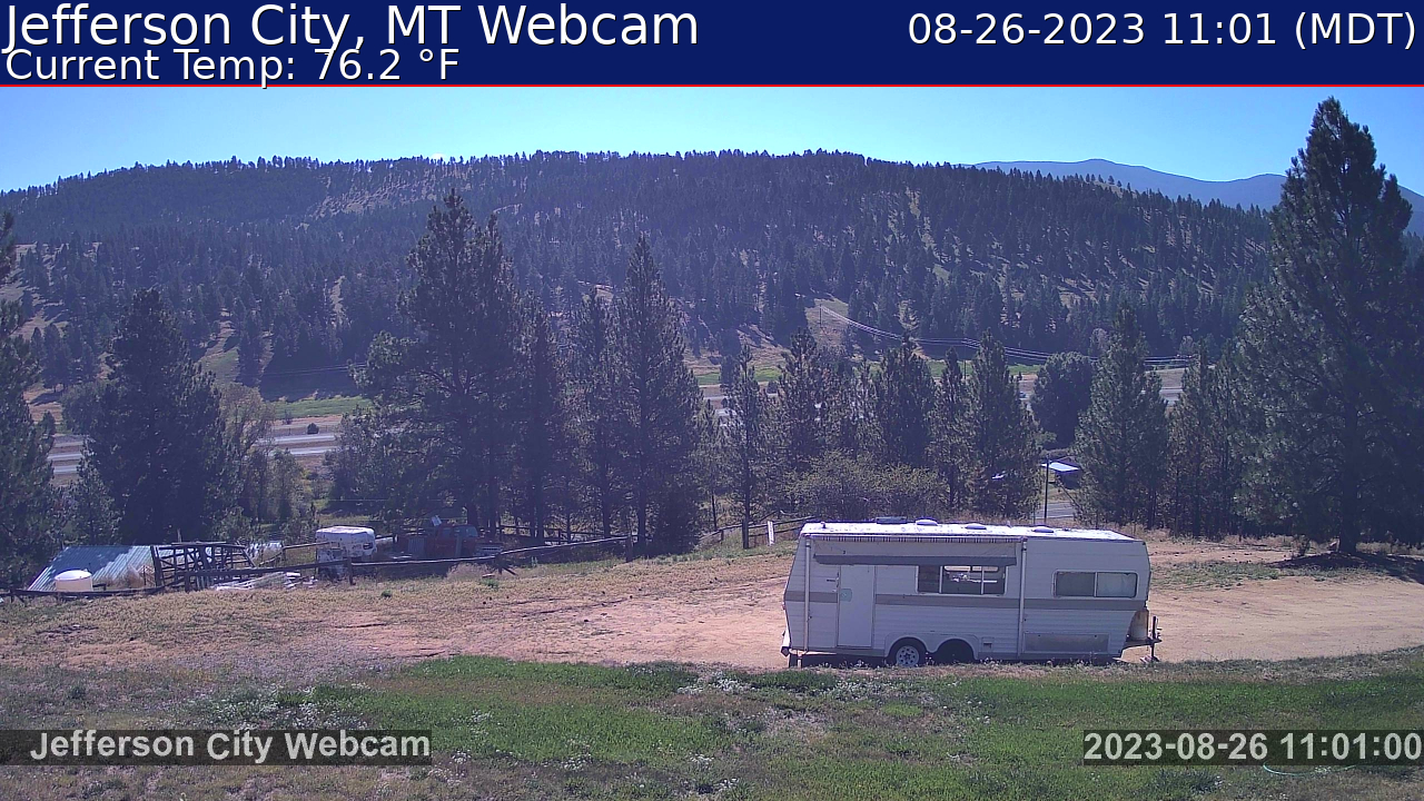
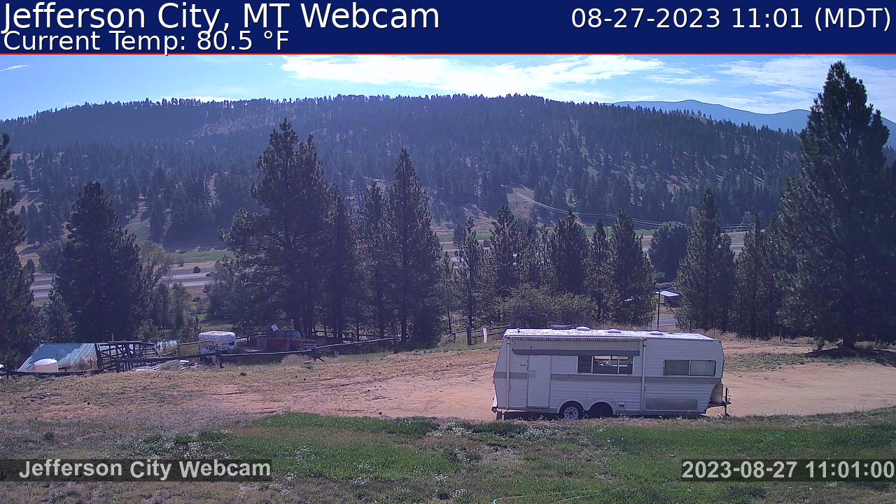
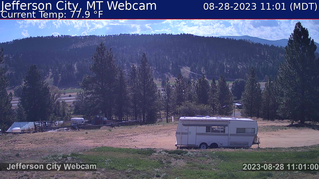
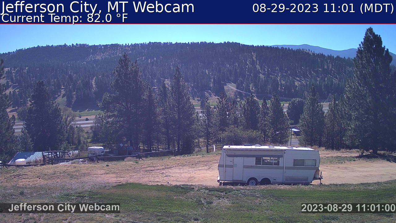
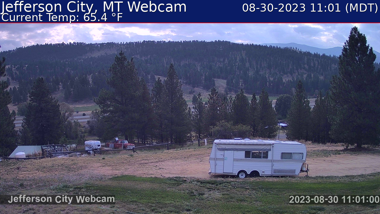
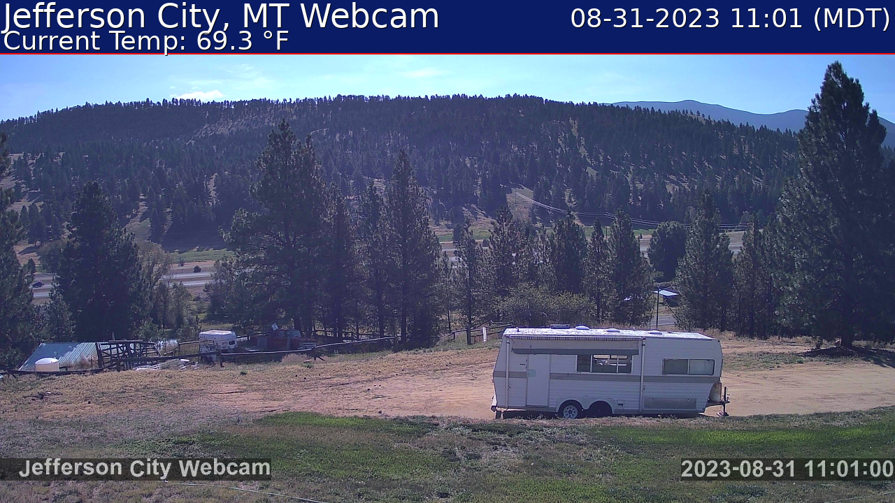
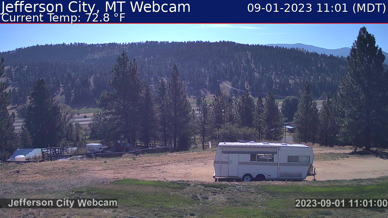
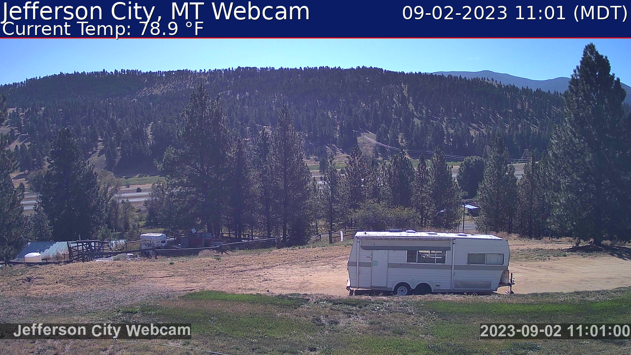
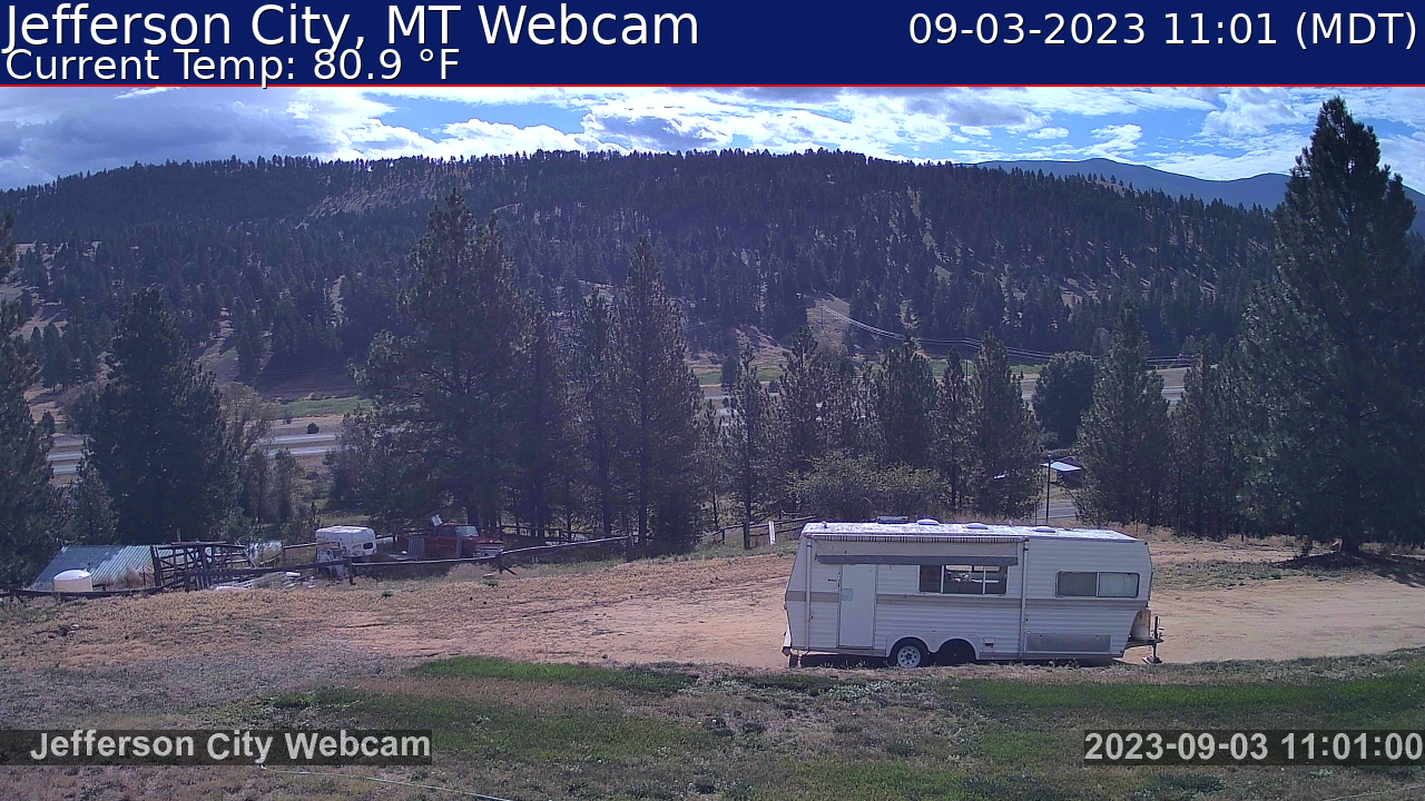
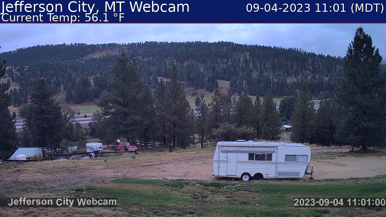
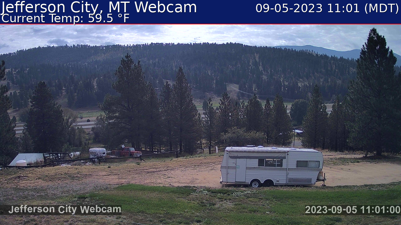
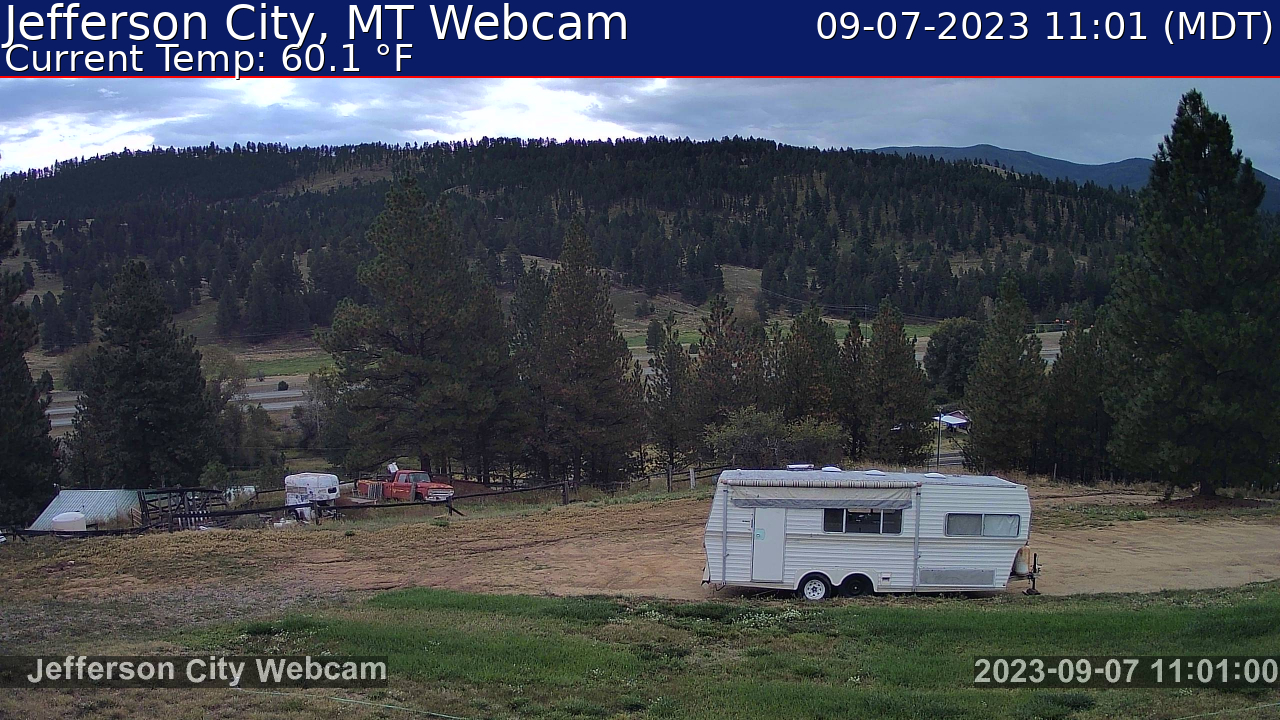
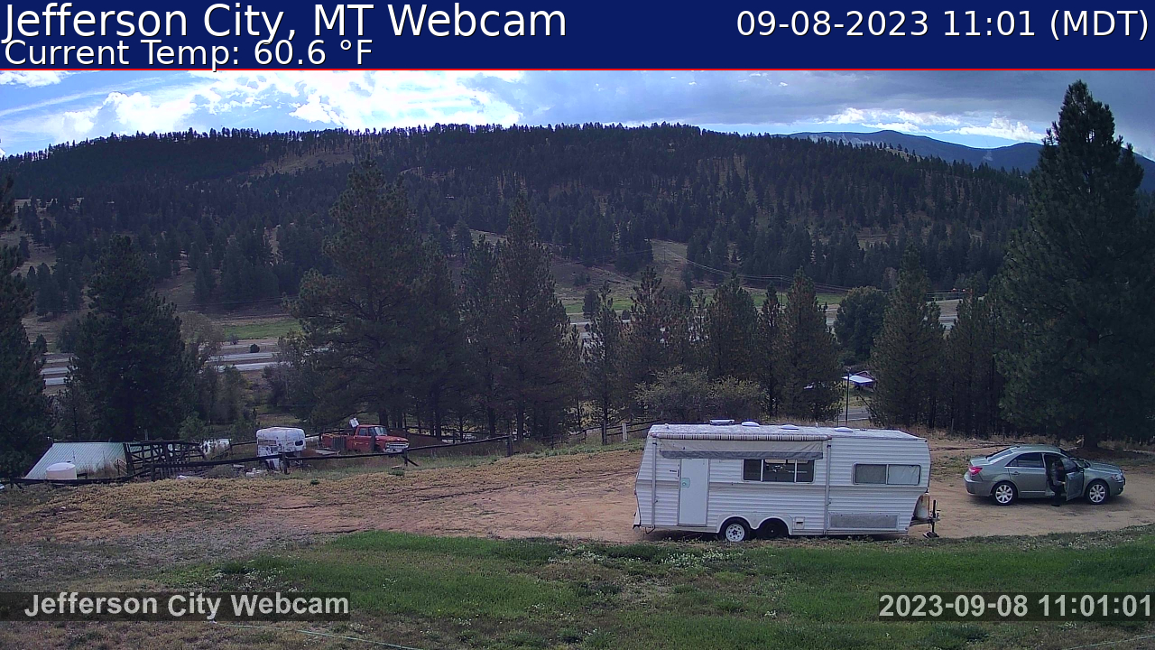
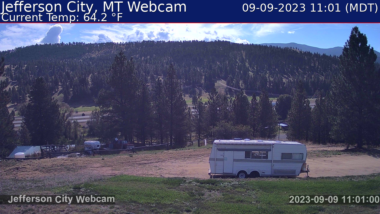
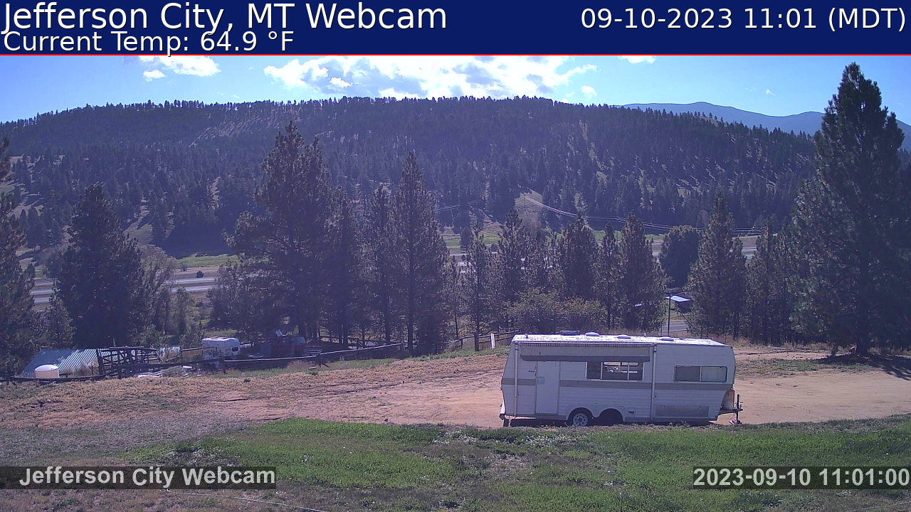
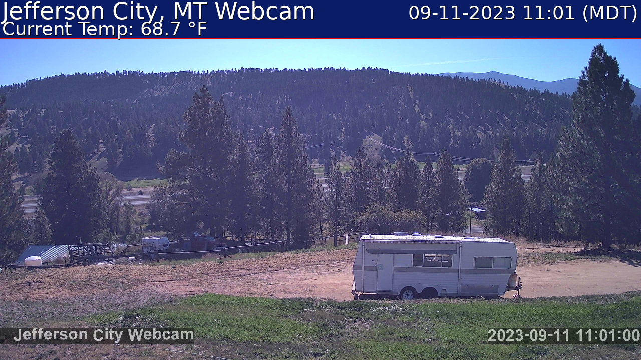
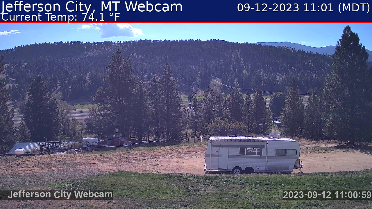
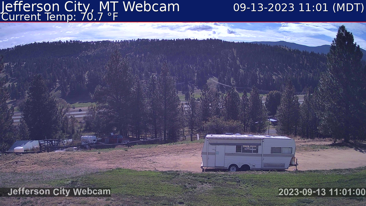
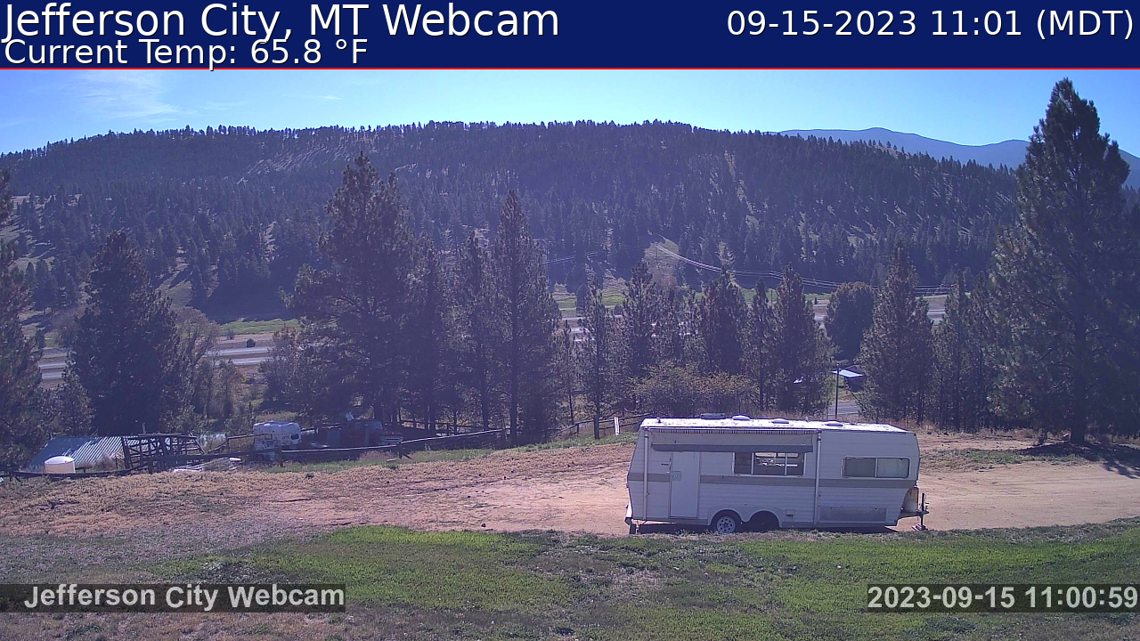
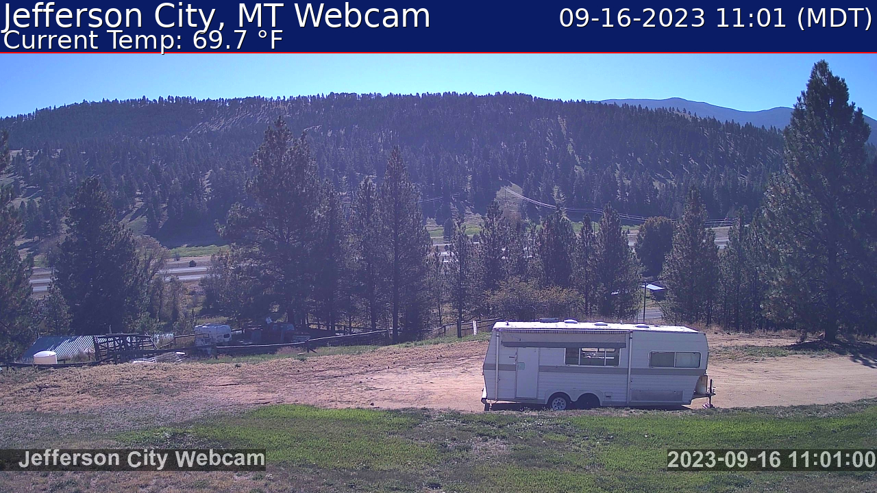
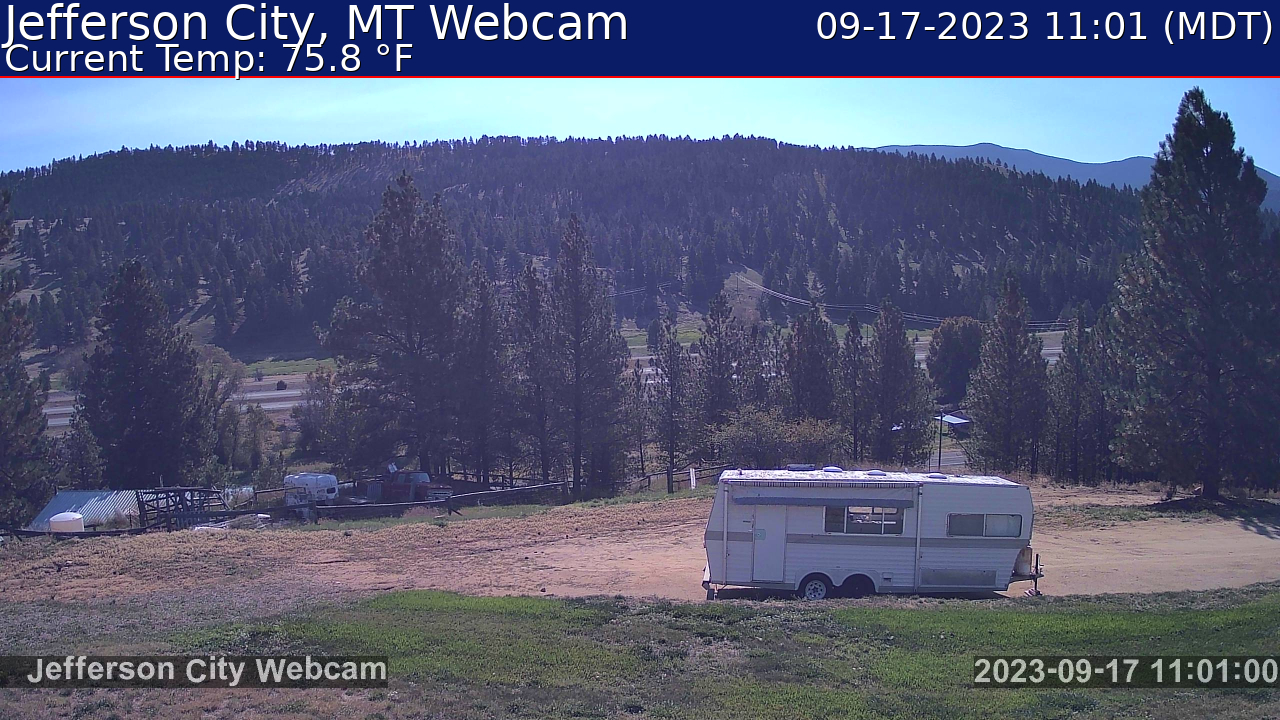
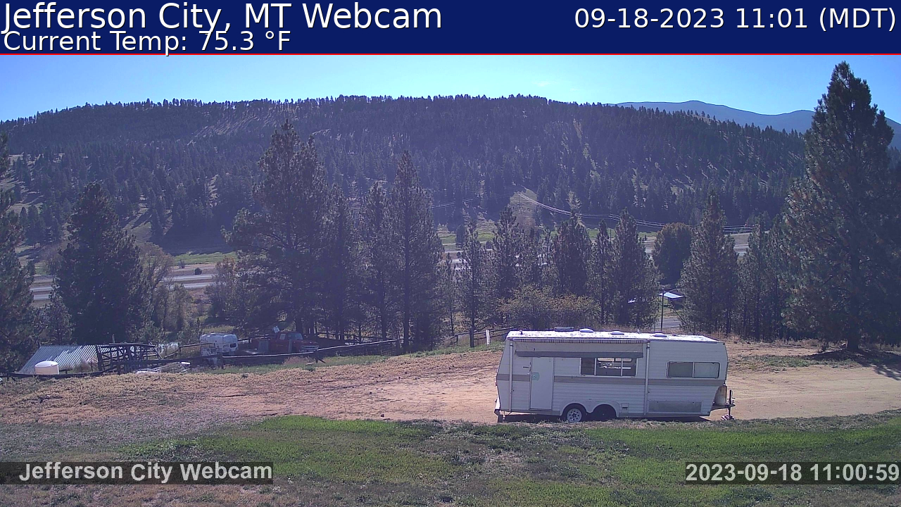
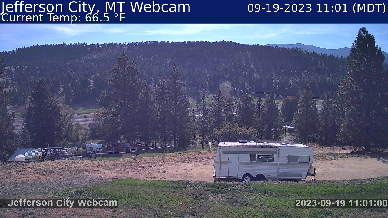
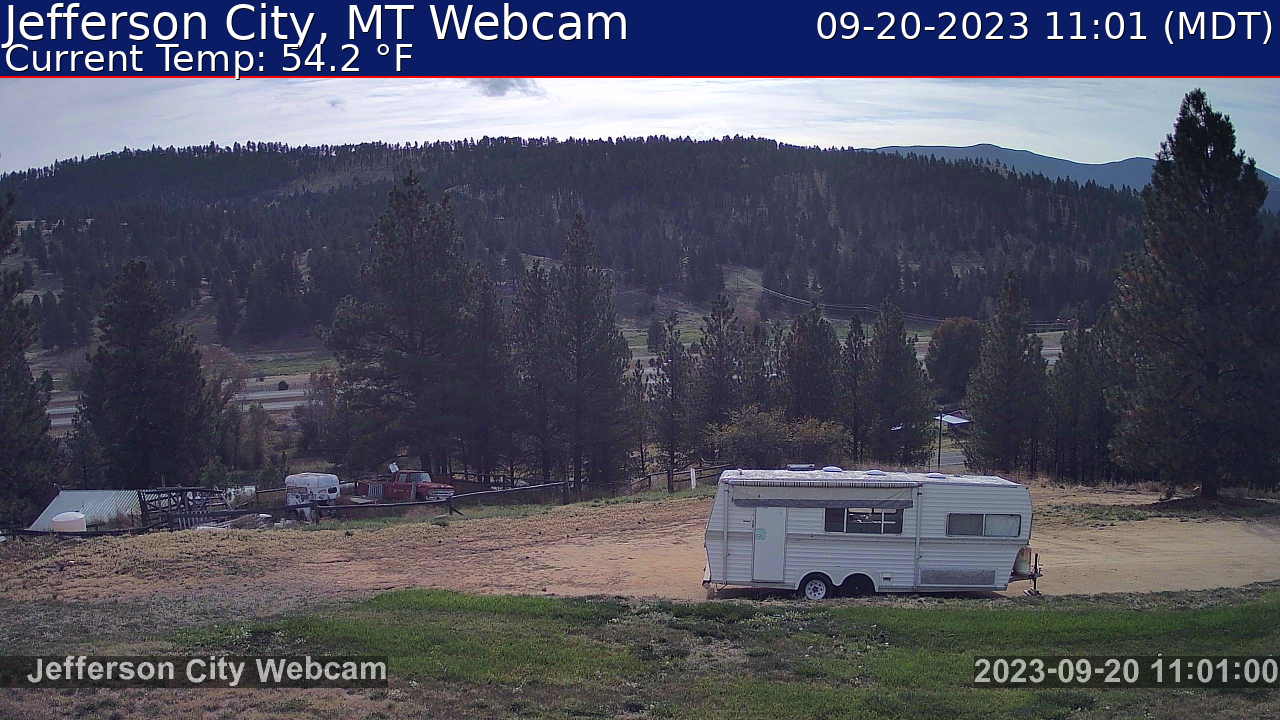
Jefferson City, Montana, USA - 138.2 miles from Soda Butte (historical): Weathercam - Jefferson City MT Webcam and weather.
Operator: Ham Radio Blog of Amateur Radio Station K7JM
Operator: Ham Radio Blog of Amateur Radio Station K7JM


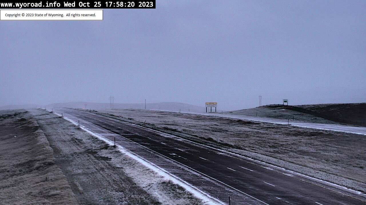
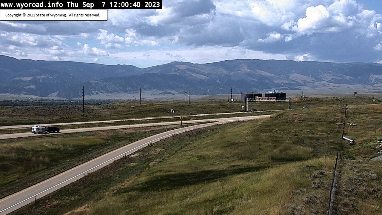
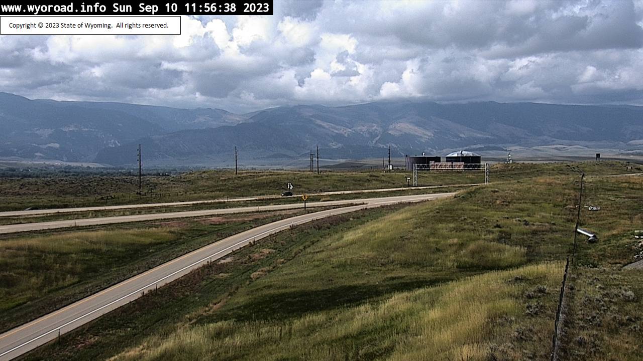
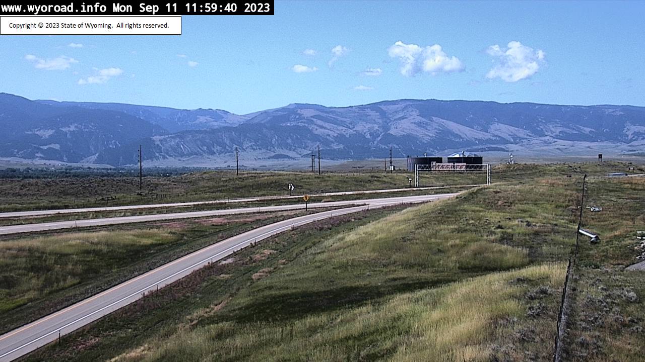
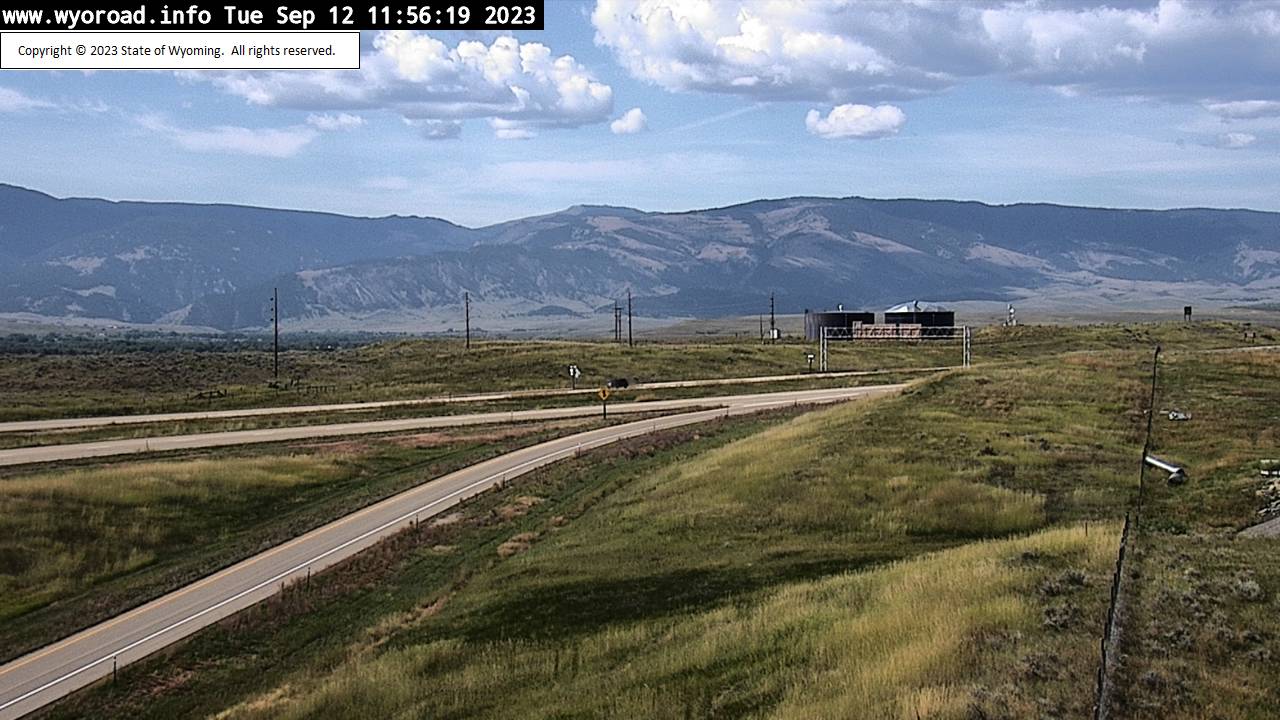
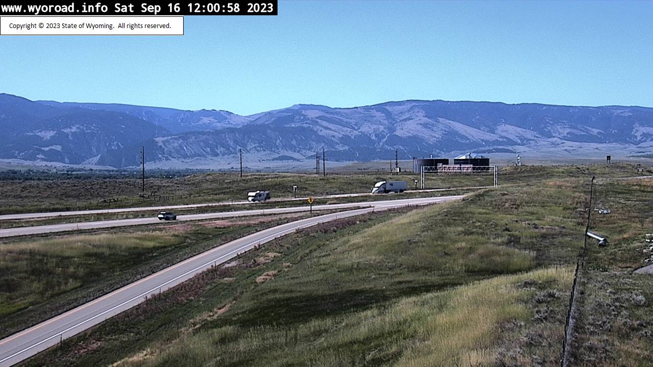
Parkman, Wyoming, USA - 138.5 miles from Soda Butte (historical): Montana Line - Traffic and Weather - A view of the current traffic and weather situation.
Operator: WYDOT Travel Information Service
Operator: WYDOT Travel Information Service


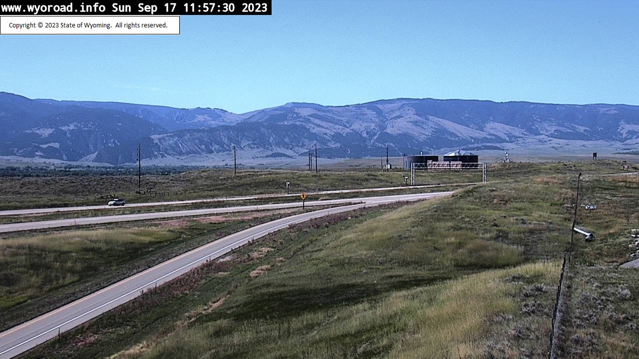
Ranchester, Wyoming, USA - 146.4 miles from Soda Butte (historical): Ranchester Interchange - Traffic and Weather - A view of the current traffic and weather situation.
Operator: WYDOT Travel Information Service
Operator: WYDOT Travel Information Service


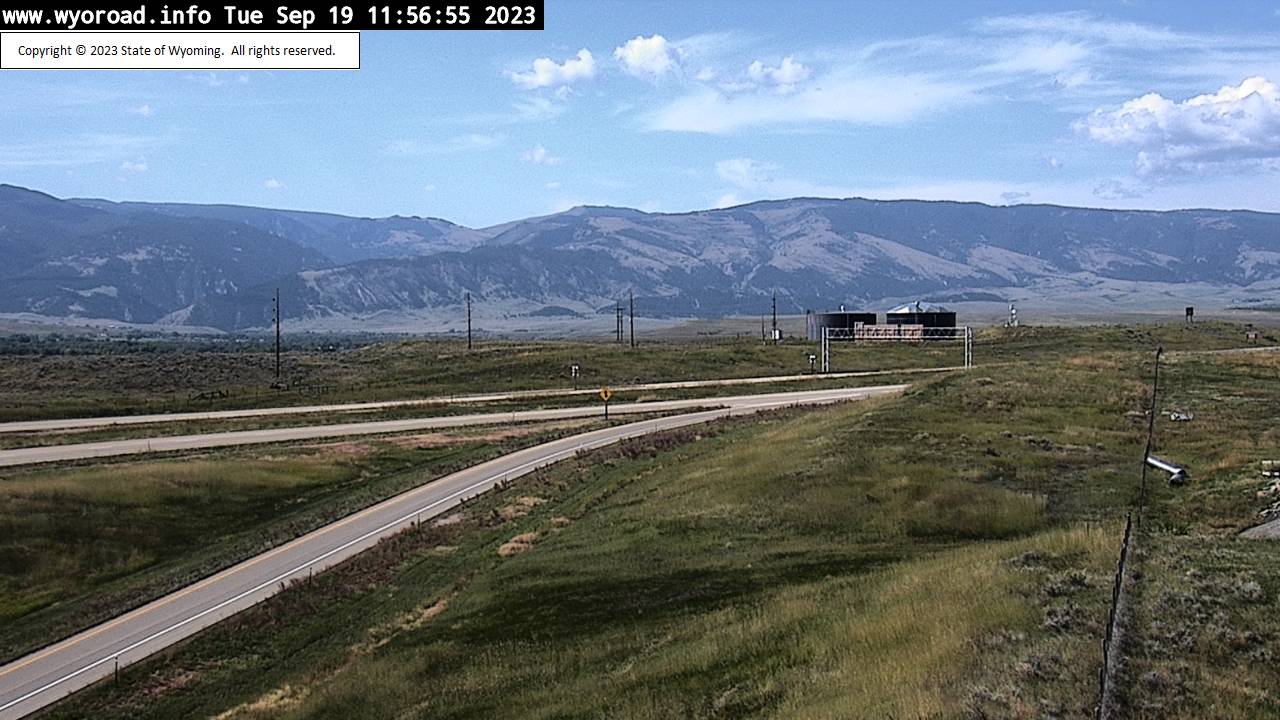

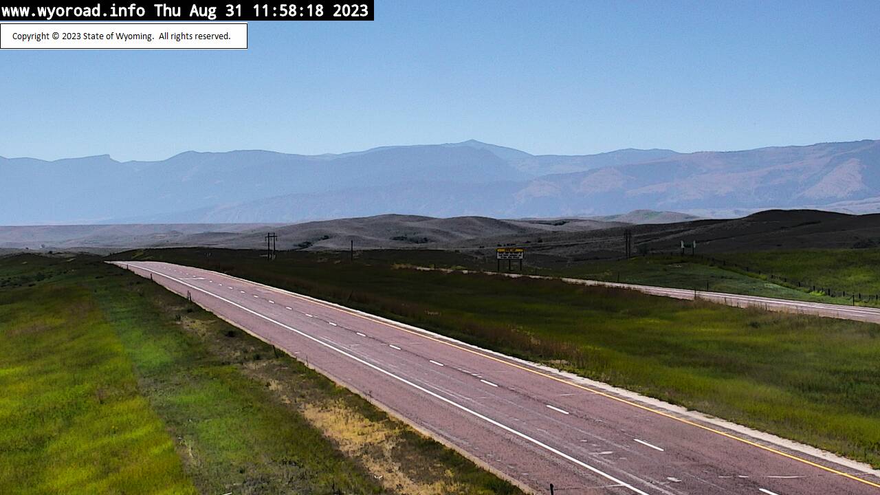
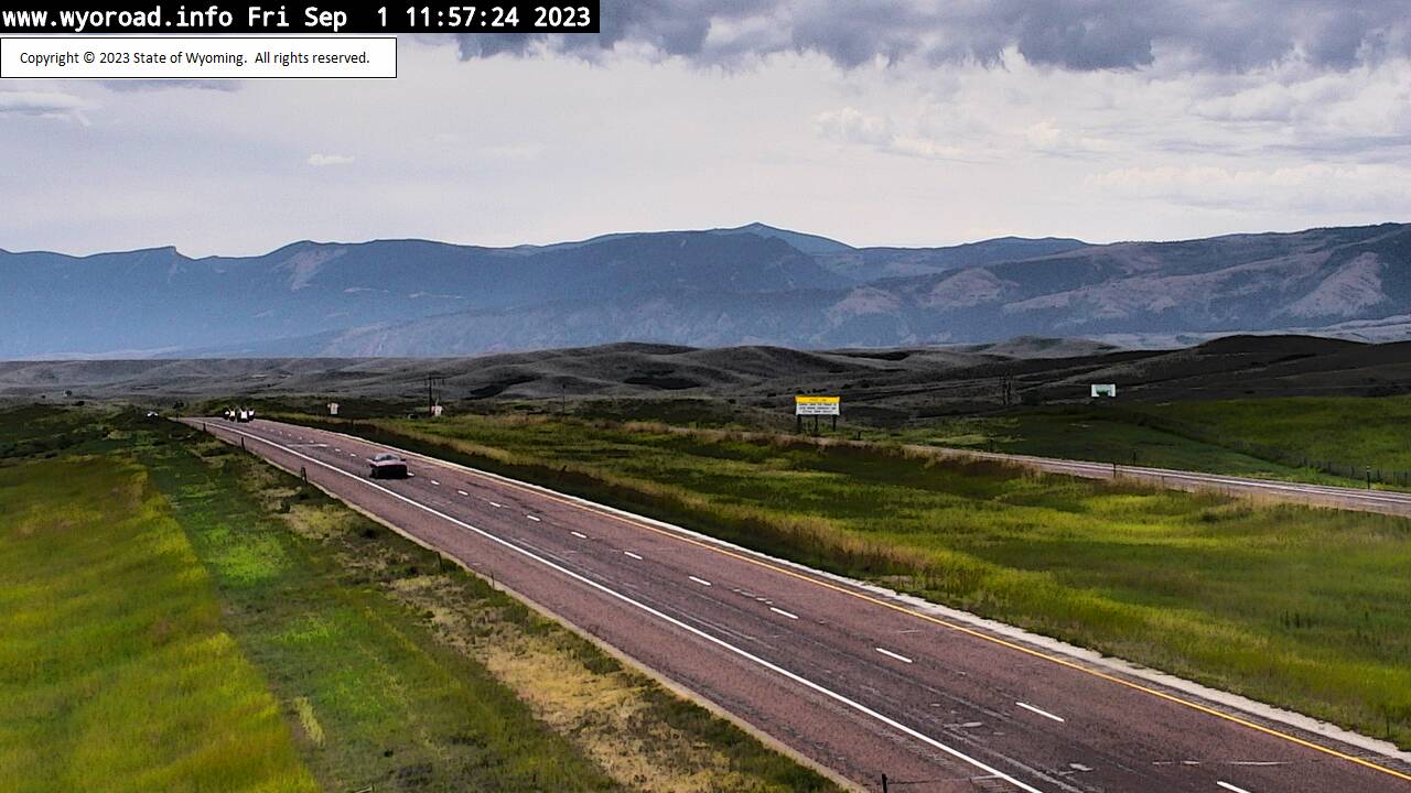
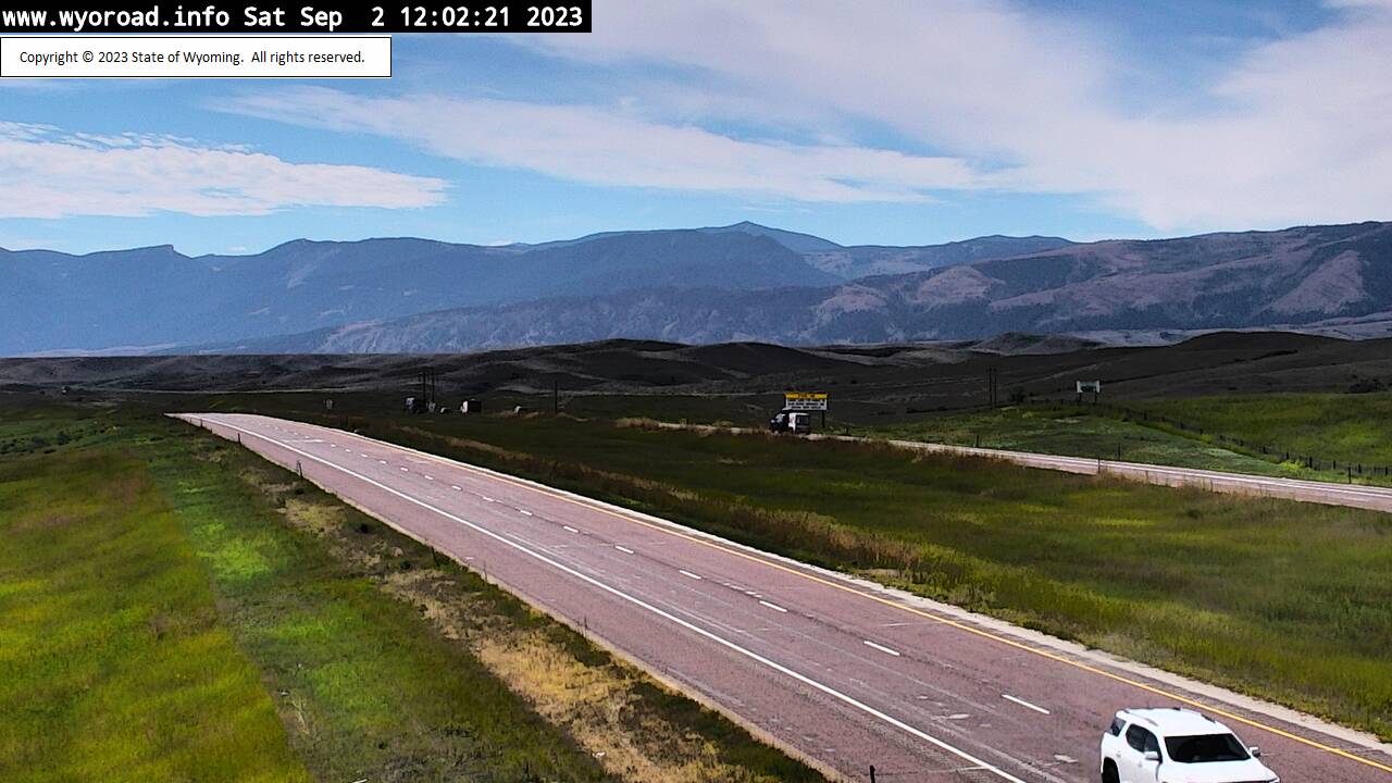
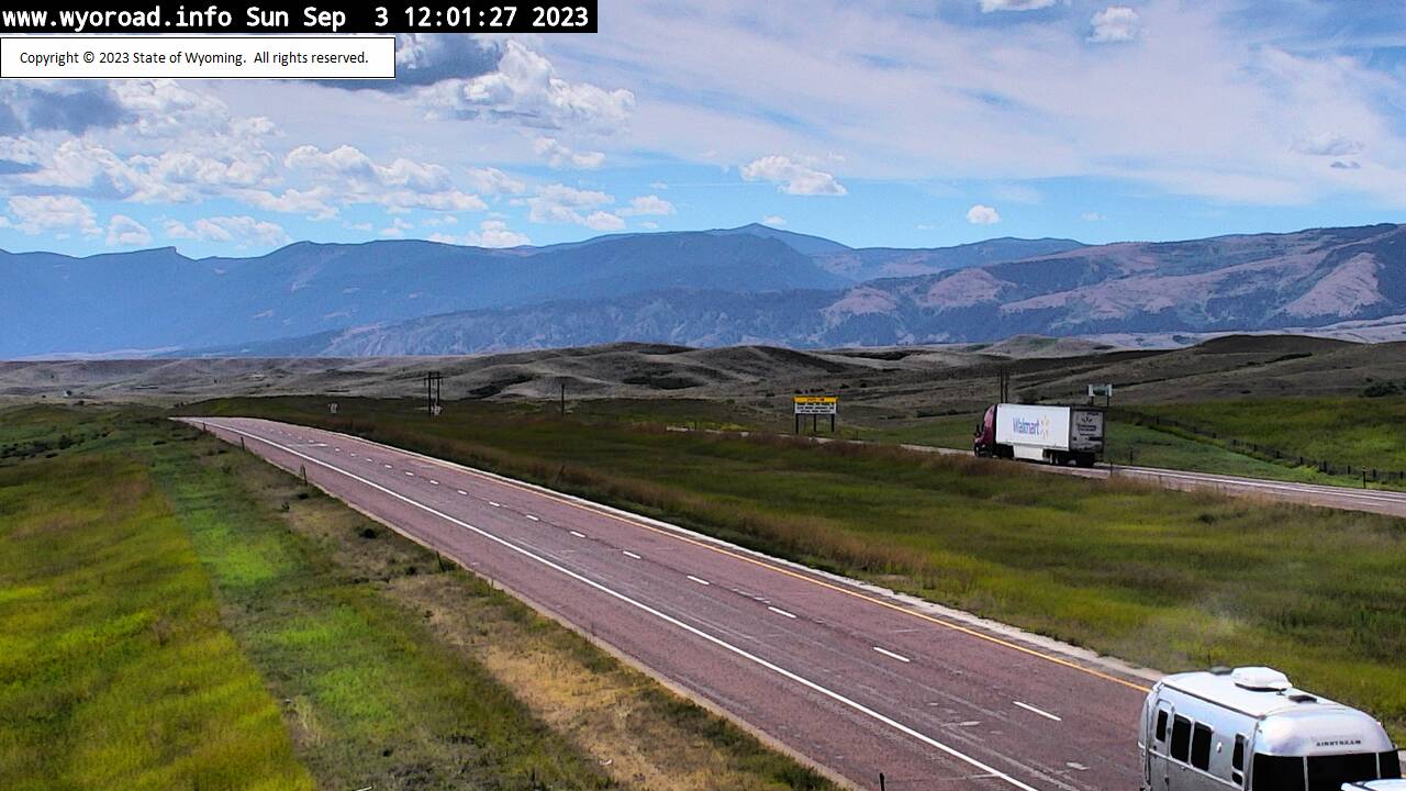
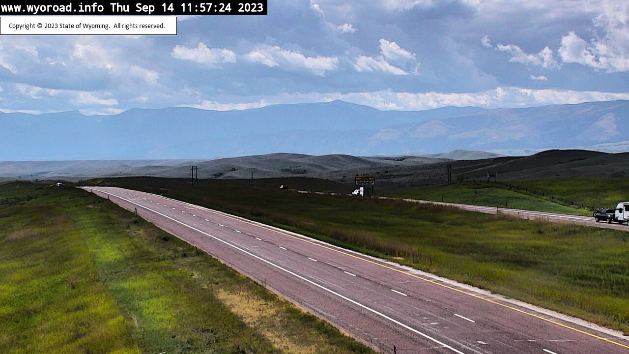
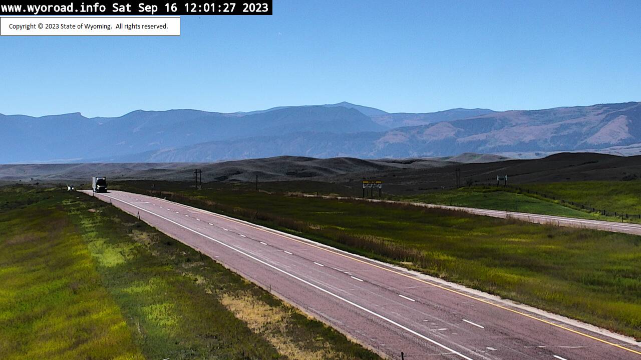
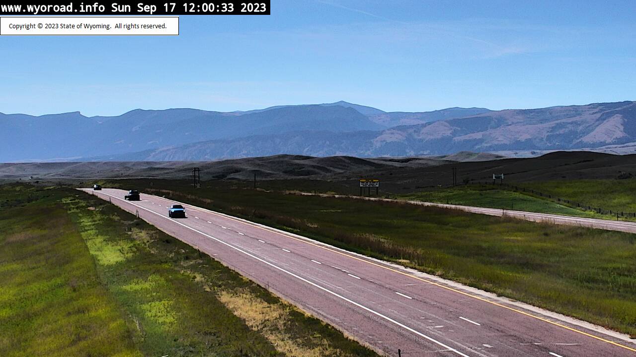
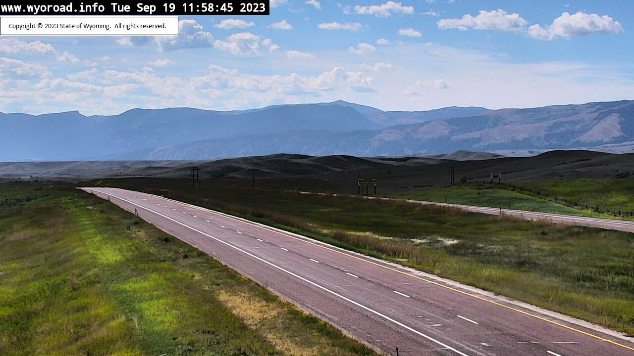
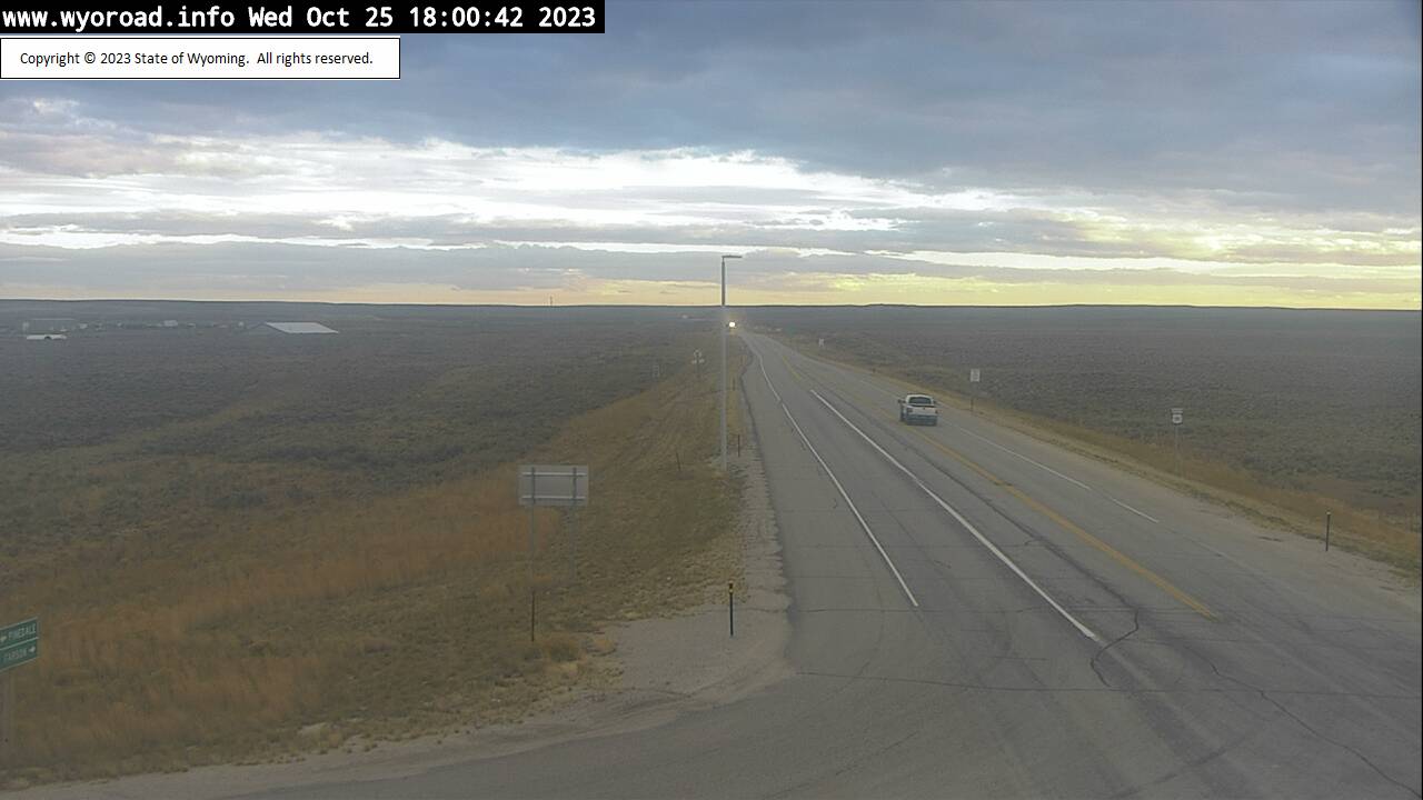
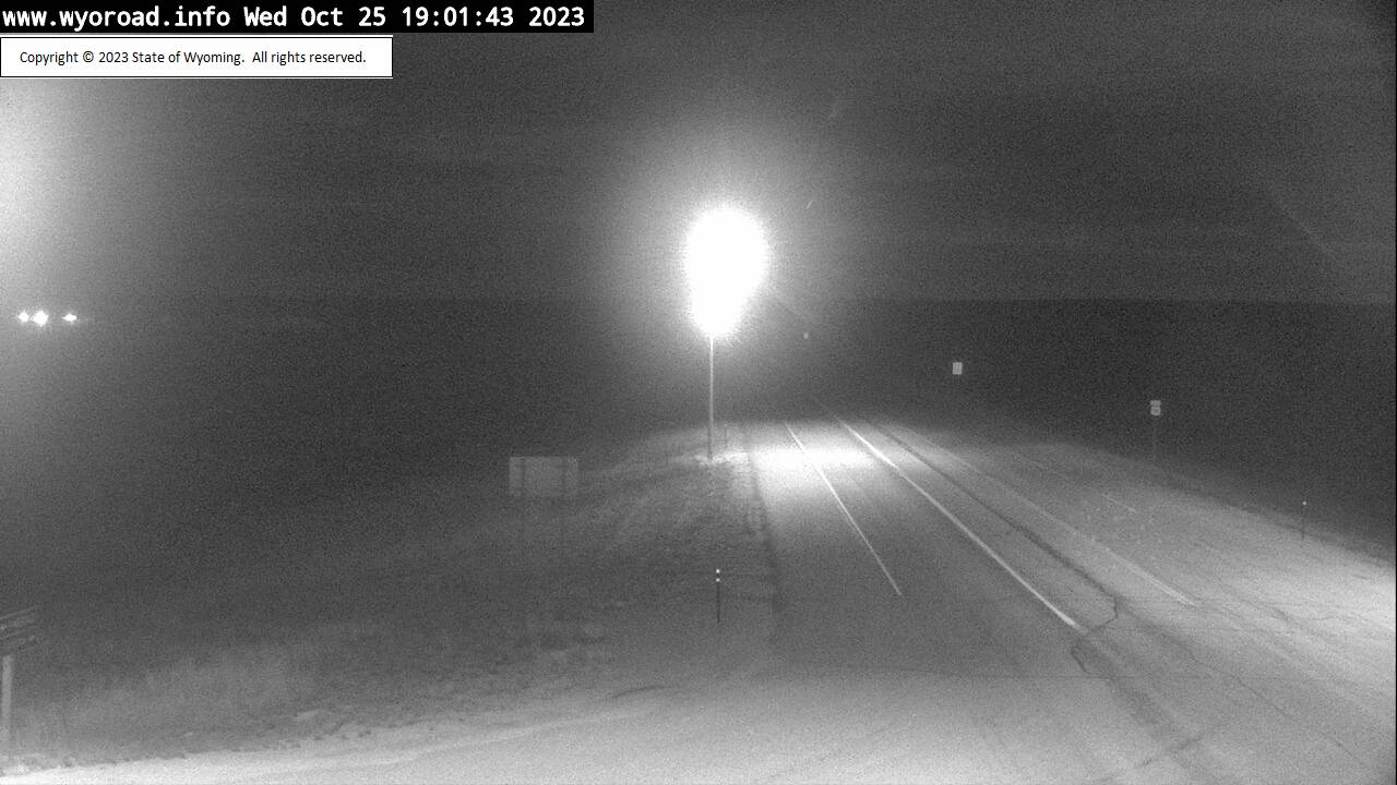
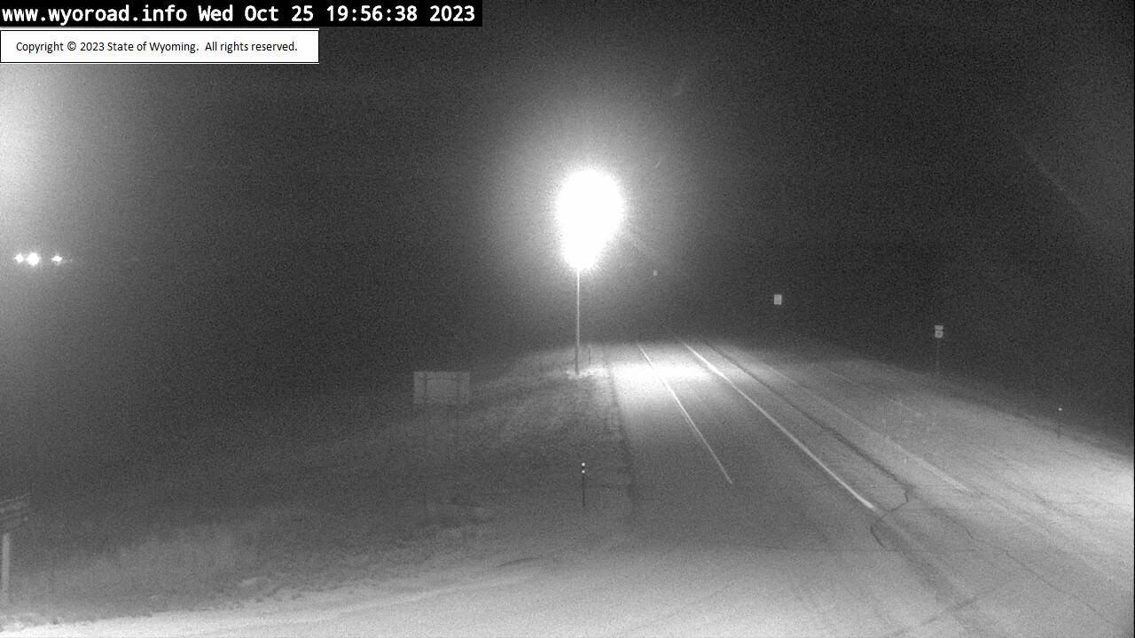
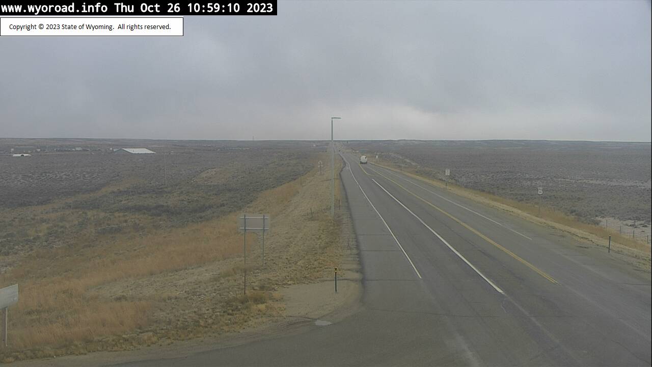
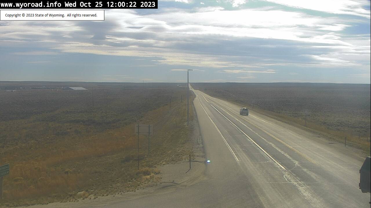
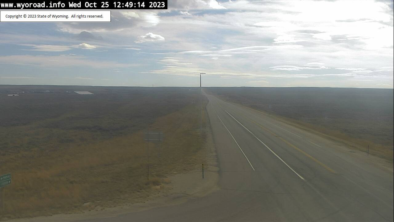
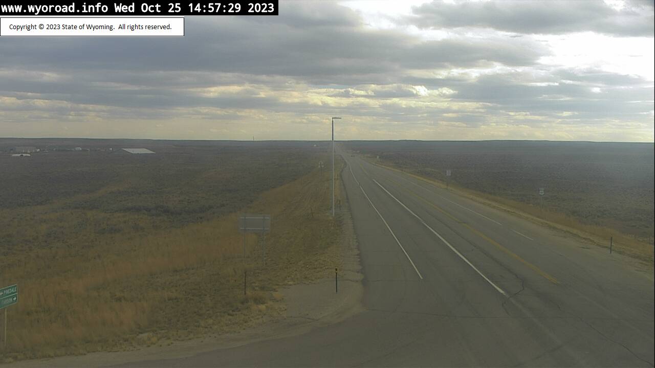
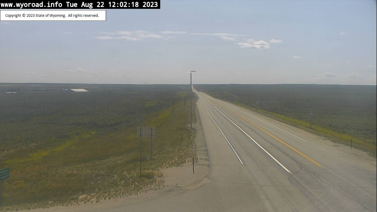
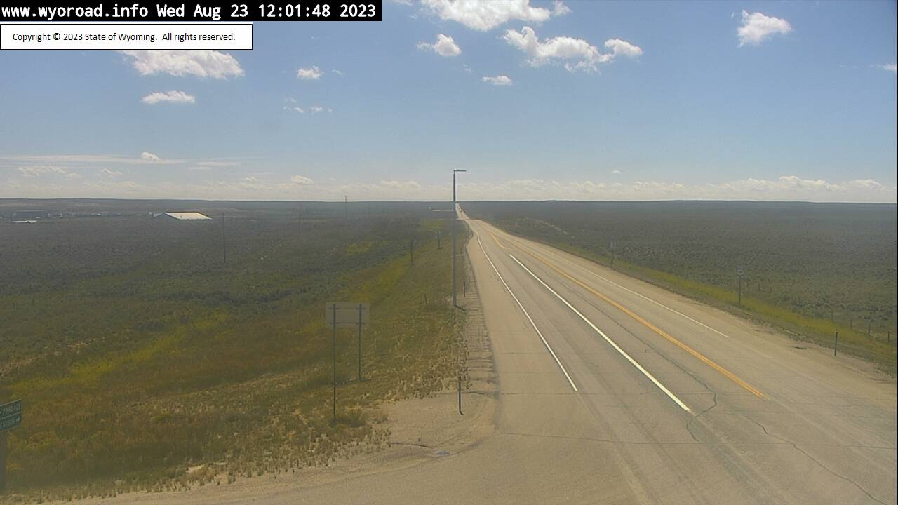
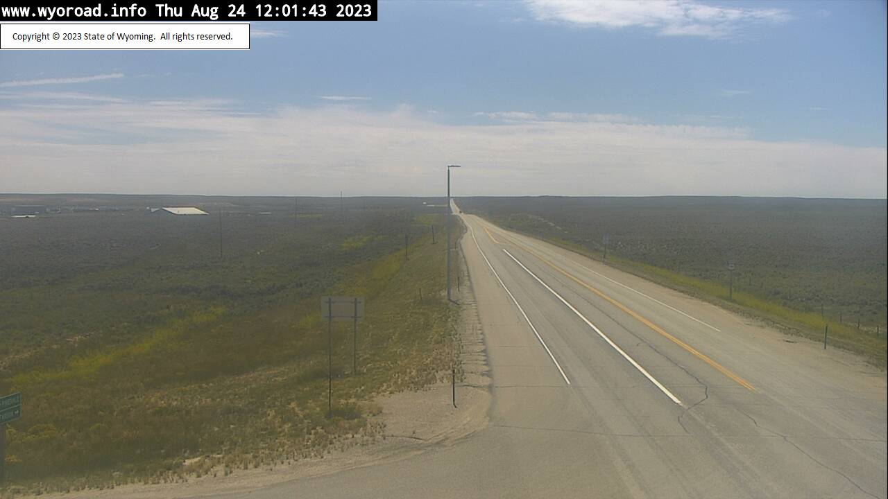
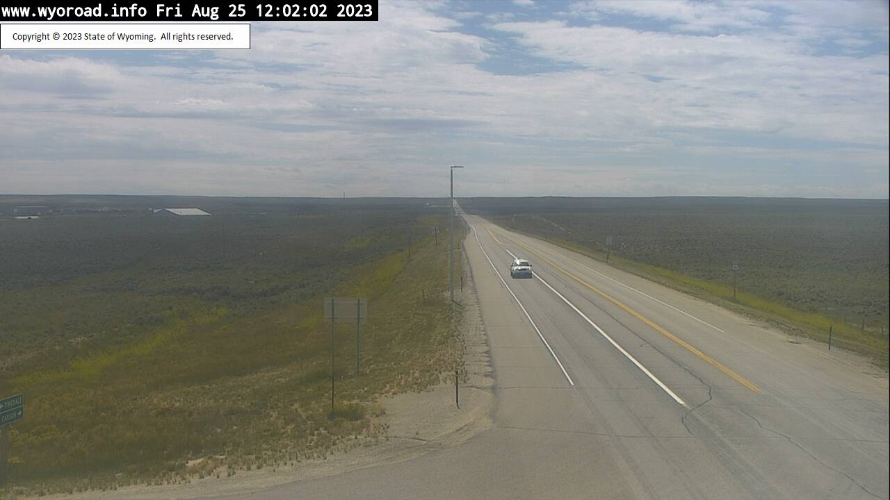
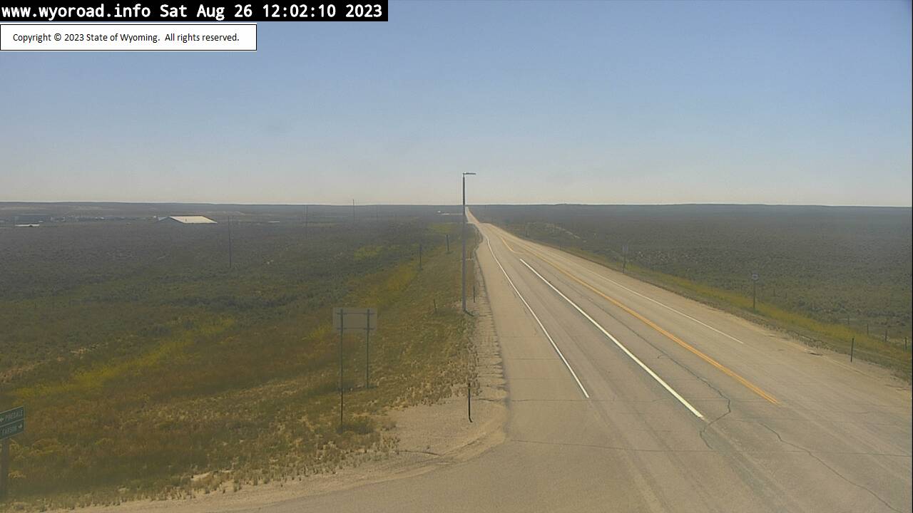
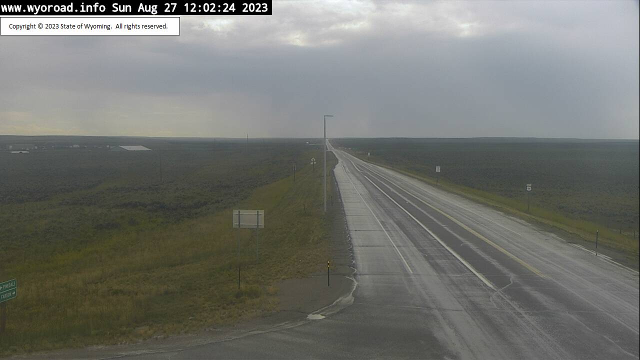
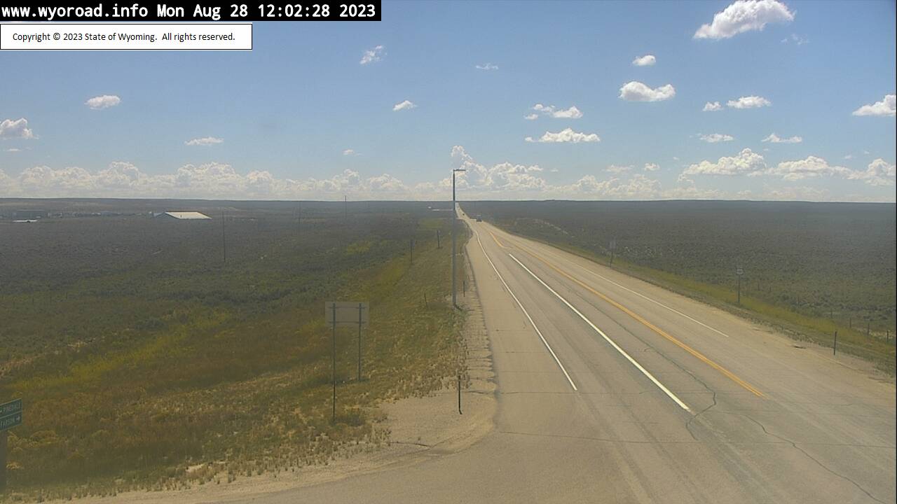
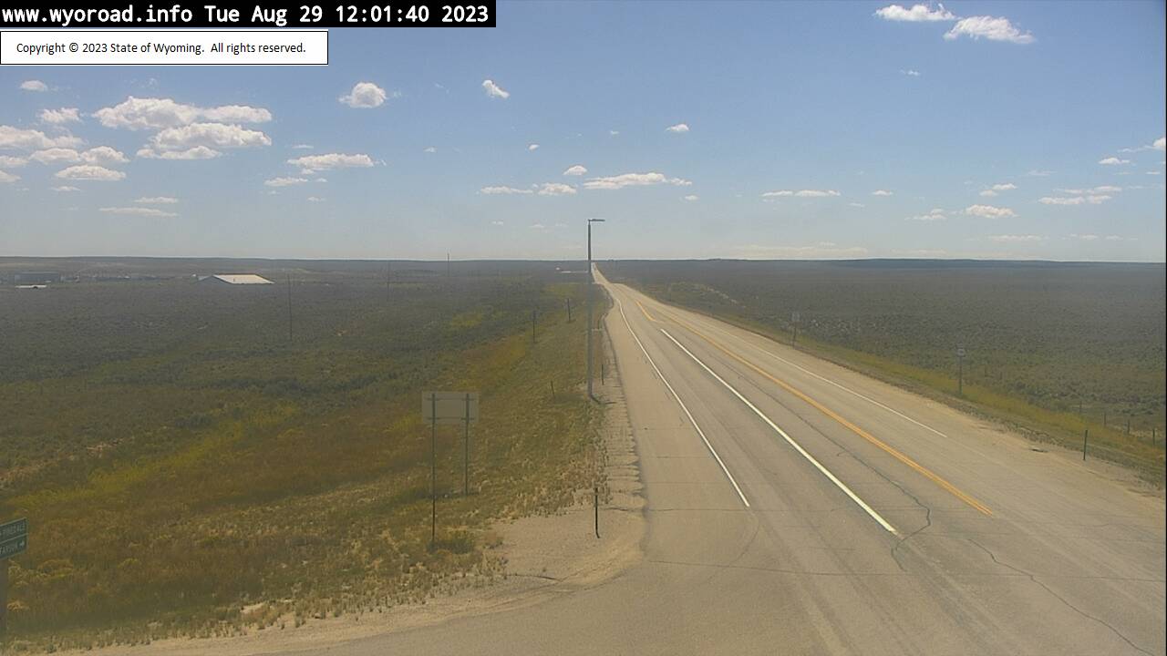
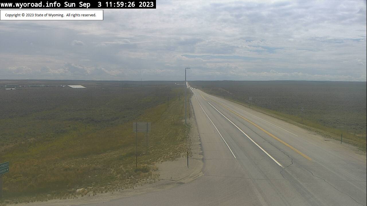
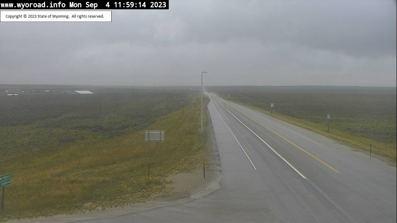
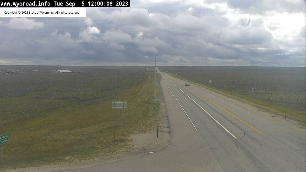
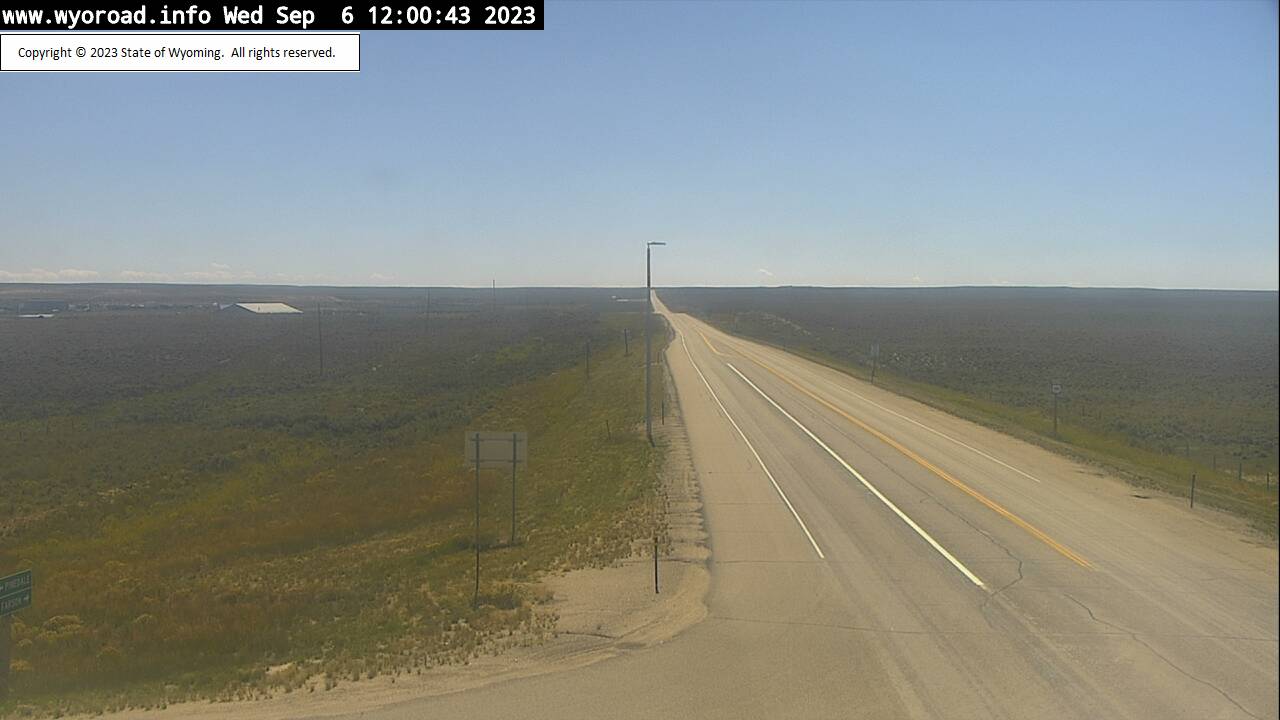
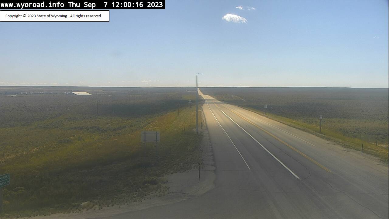
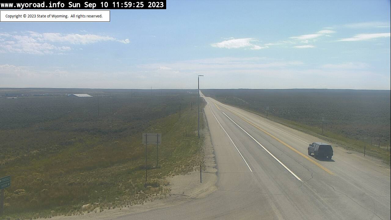
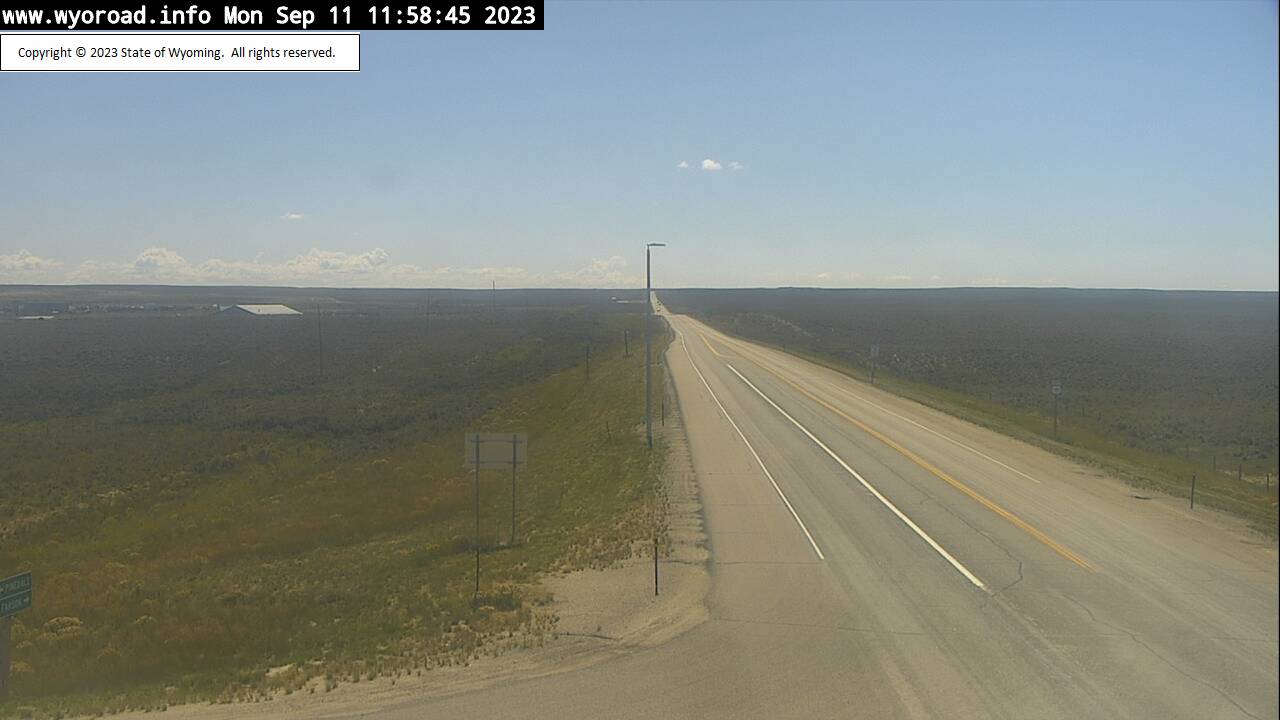
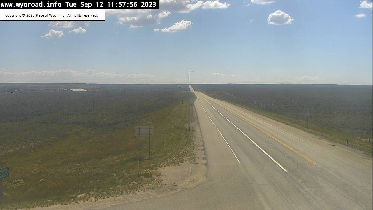
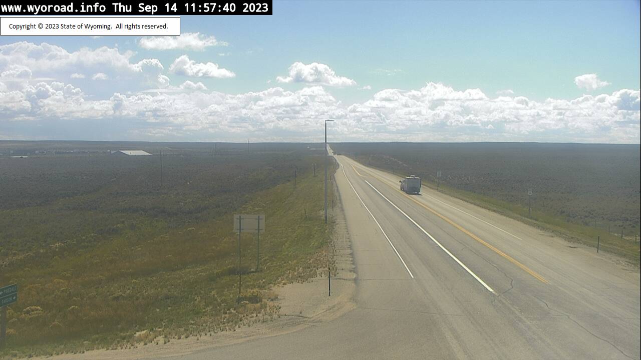
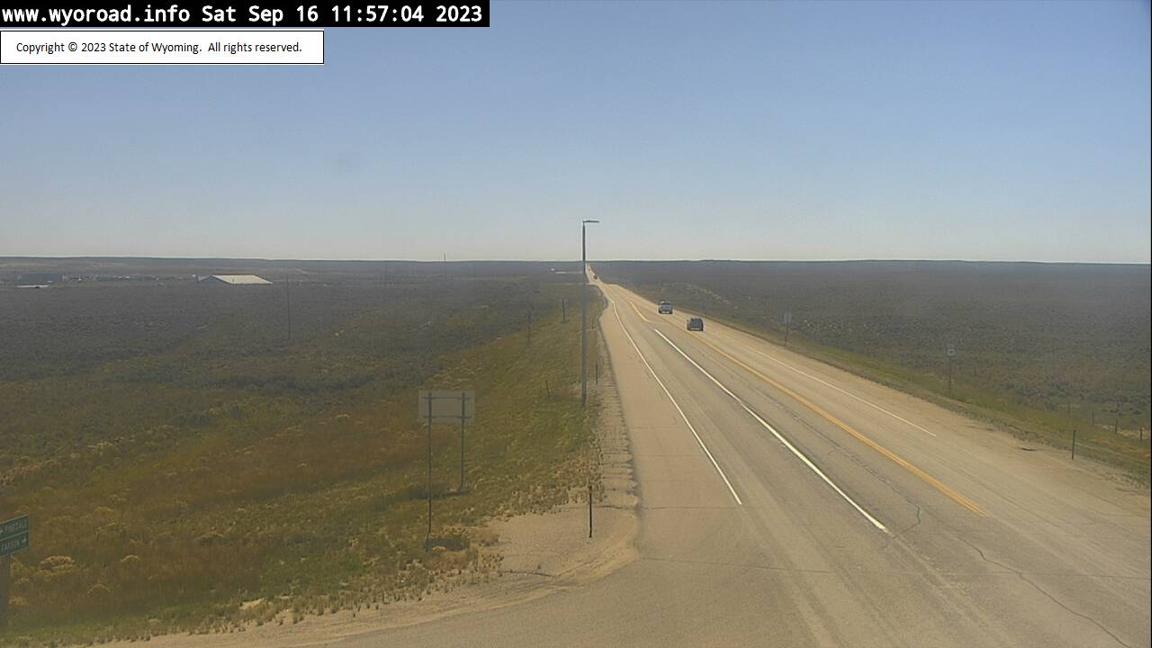
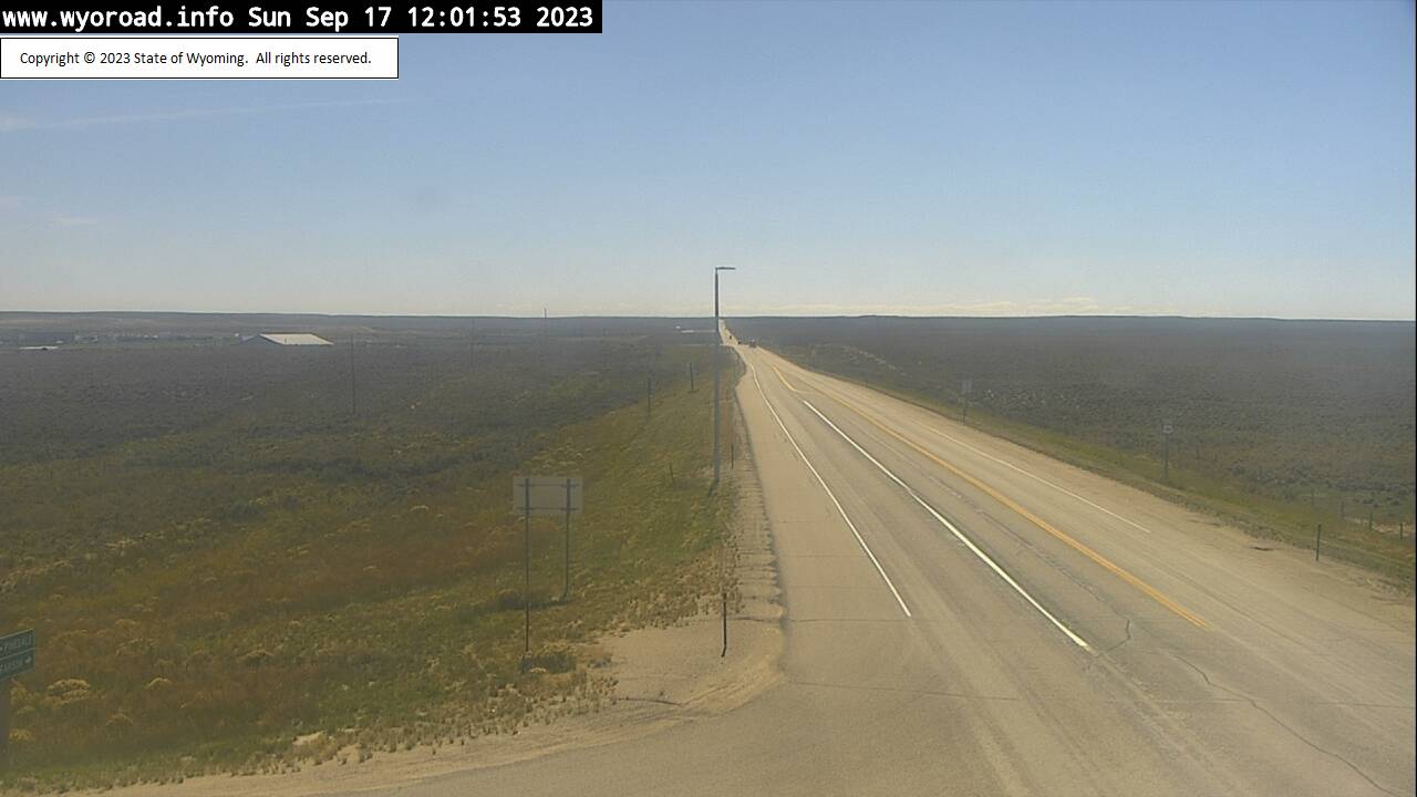
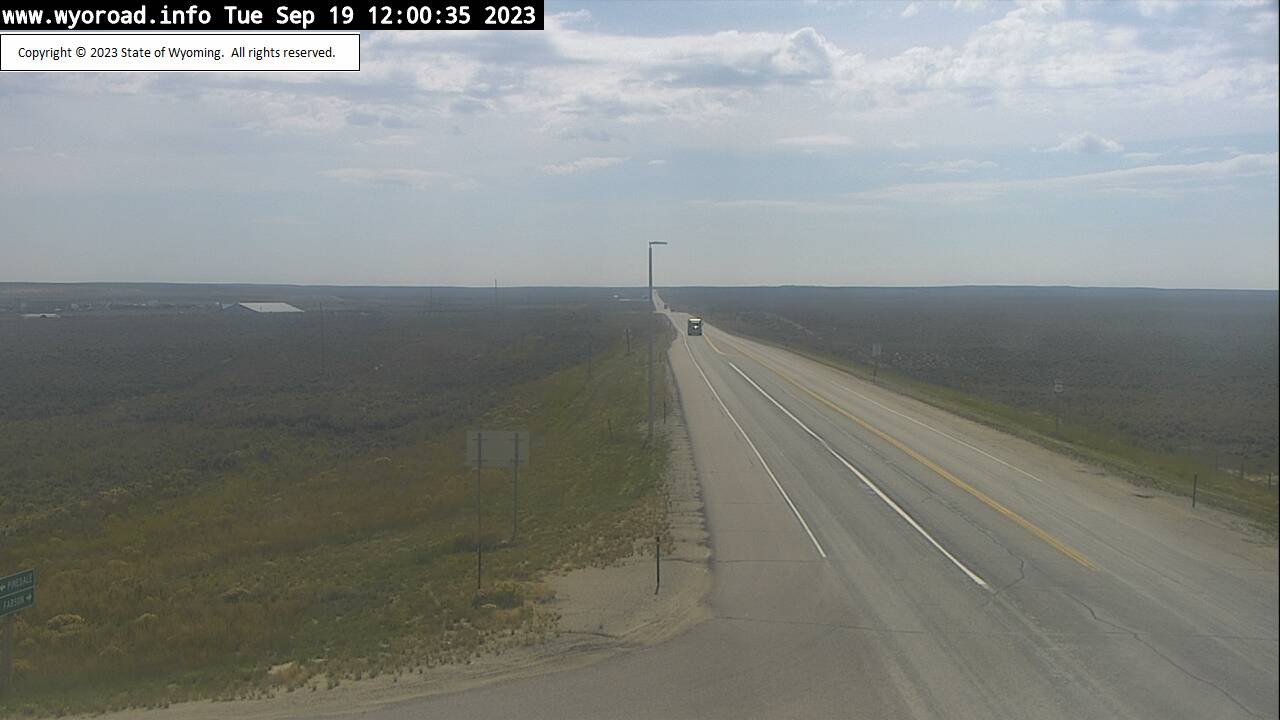
Boulder, Wyoming, USA - 148.7 miles from Soda Butte (historical): Sand Draw - Traffic and Weather - A view of the current traffic and weather situation.
Operator: WYDOT Travel Information Service
Operator: WYDOT Travel Information Service


Some other places in this country: Sibylee - Silver Tip - Skull Creek - Snyder Place - South Baxter - Spotted Horse - Stansbury - Strouds - Sunshine - Sussex