Webcams in the region of Altvan, Wyoming, USA
The List of Webcams near Altvan, Wyoming, USA:

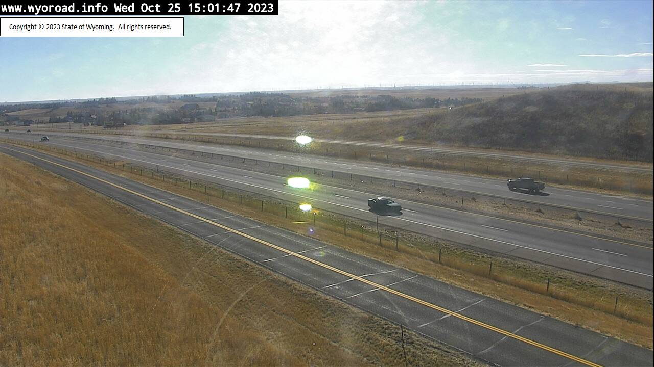
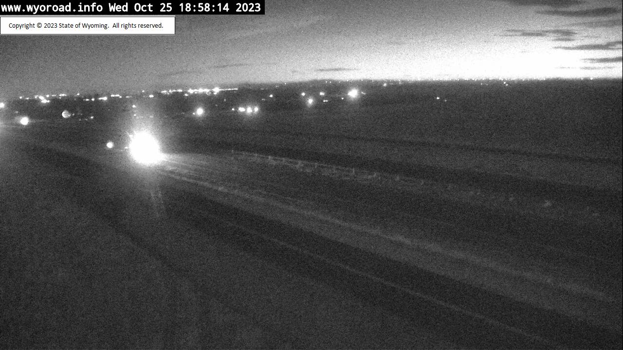
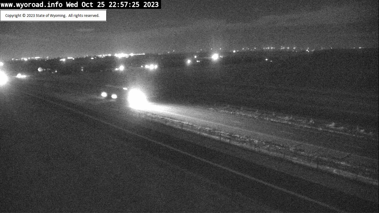
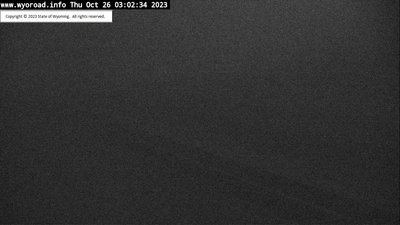
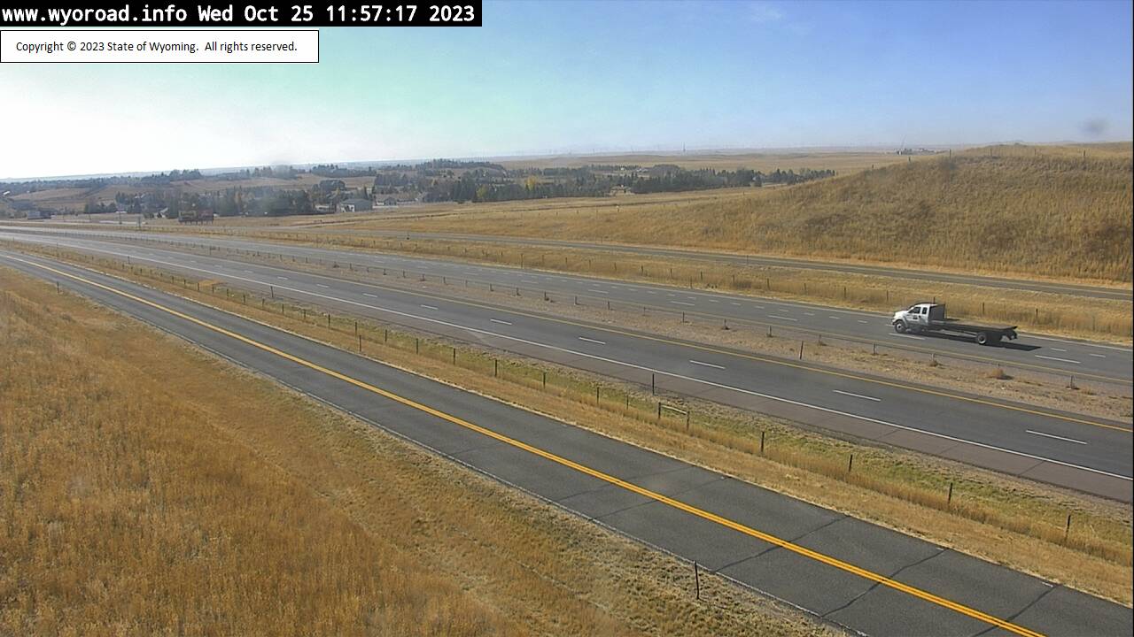
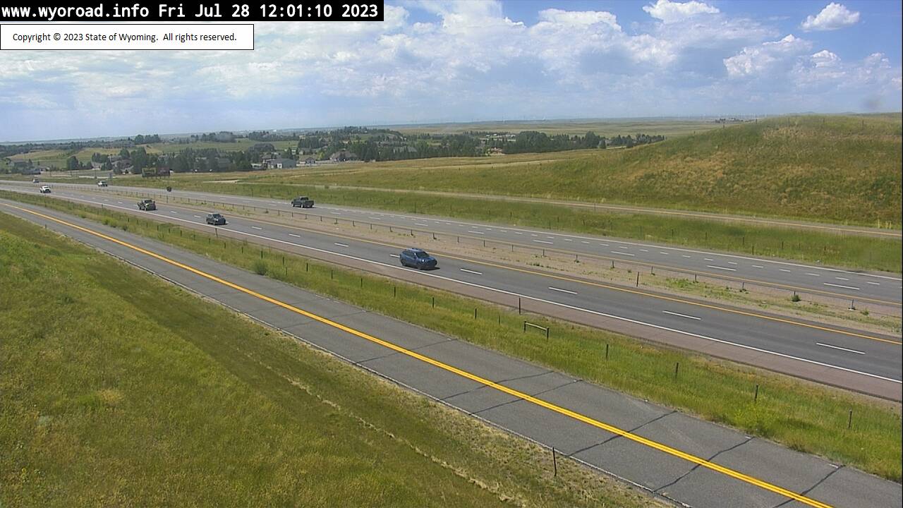
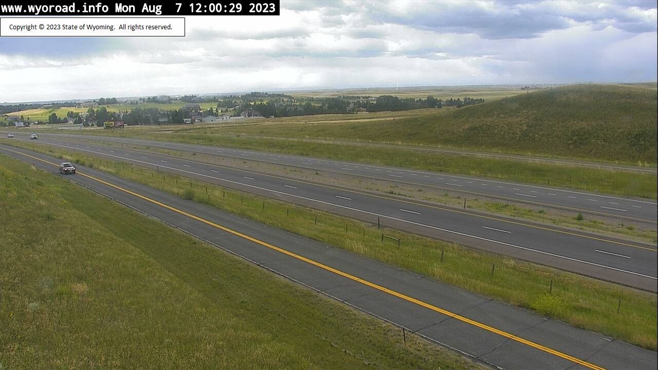
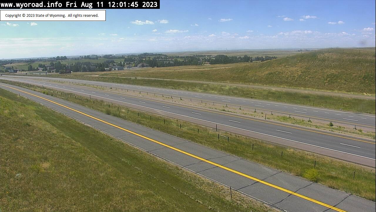
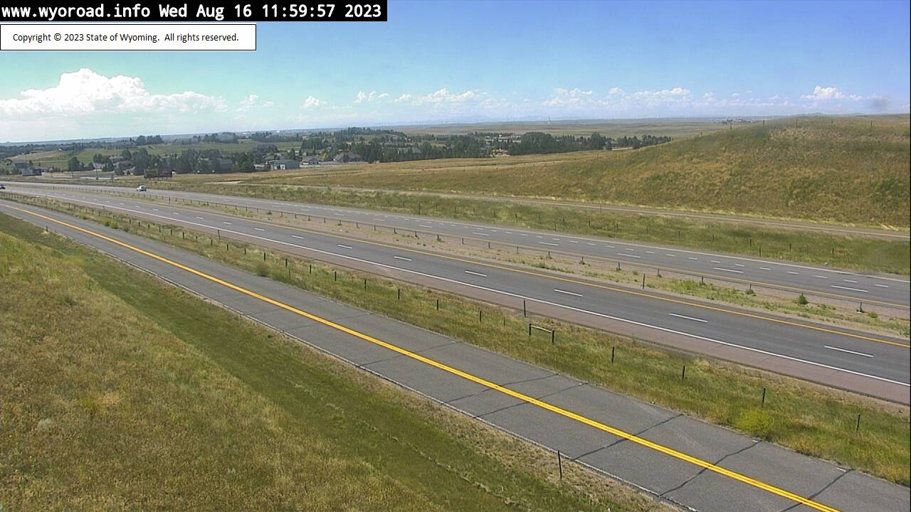
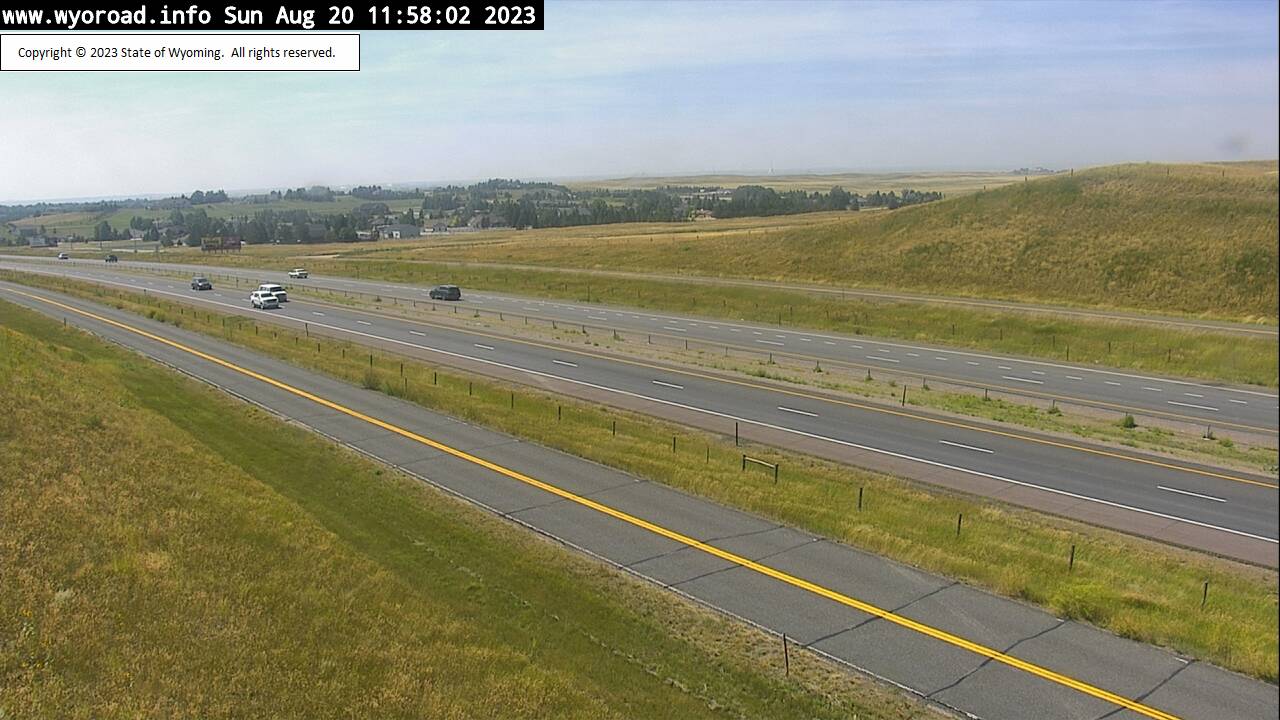
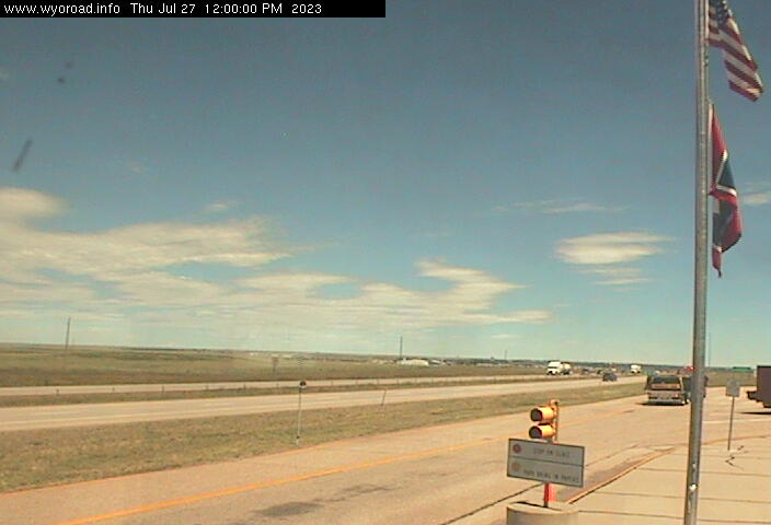
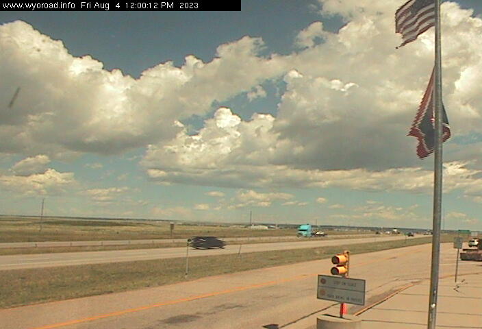
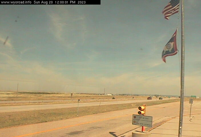
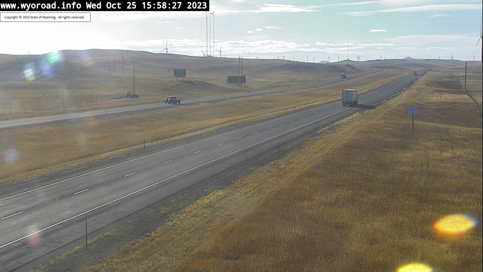
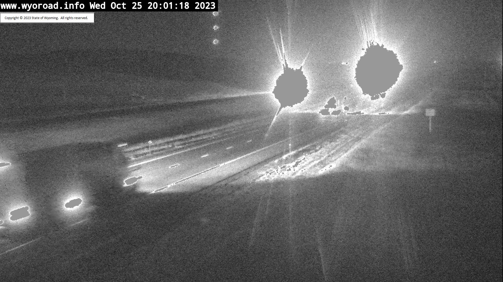
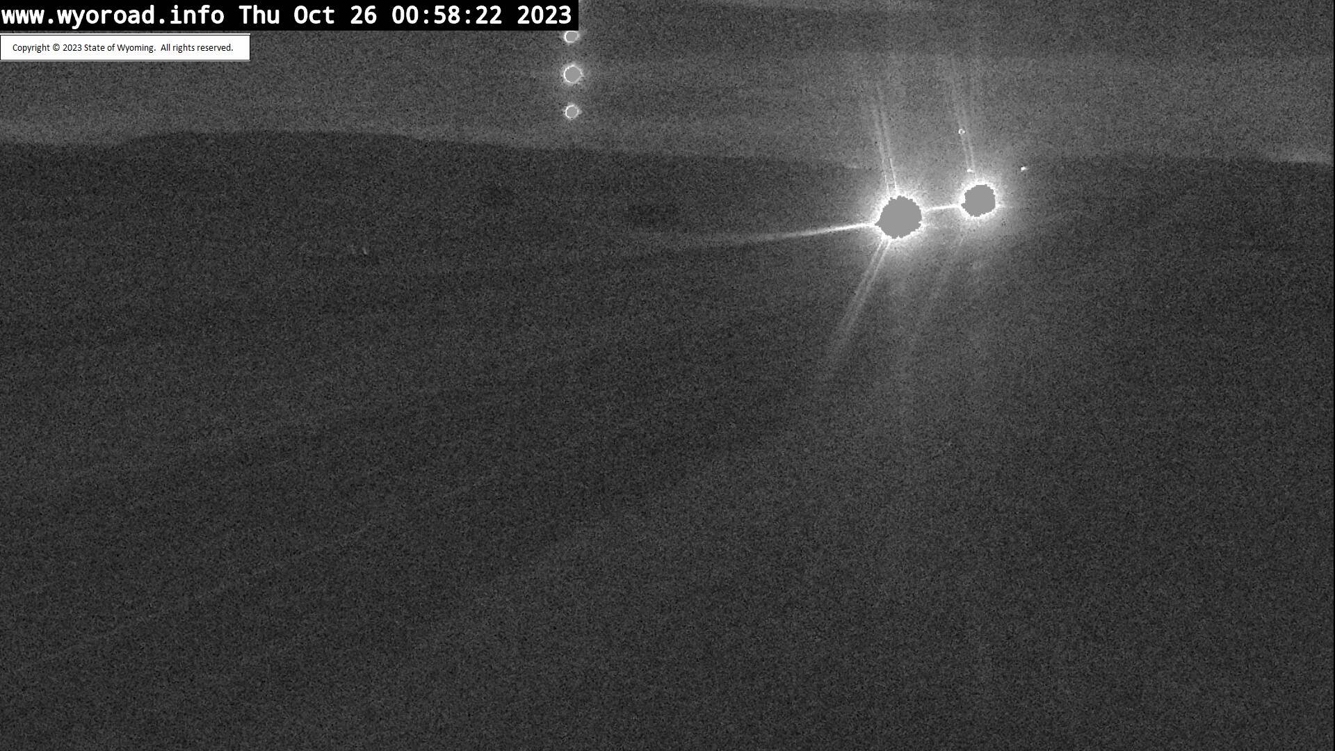
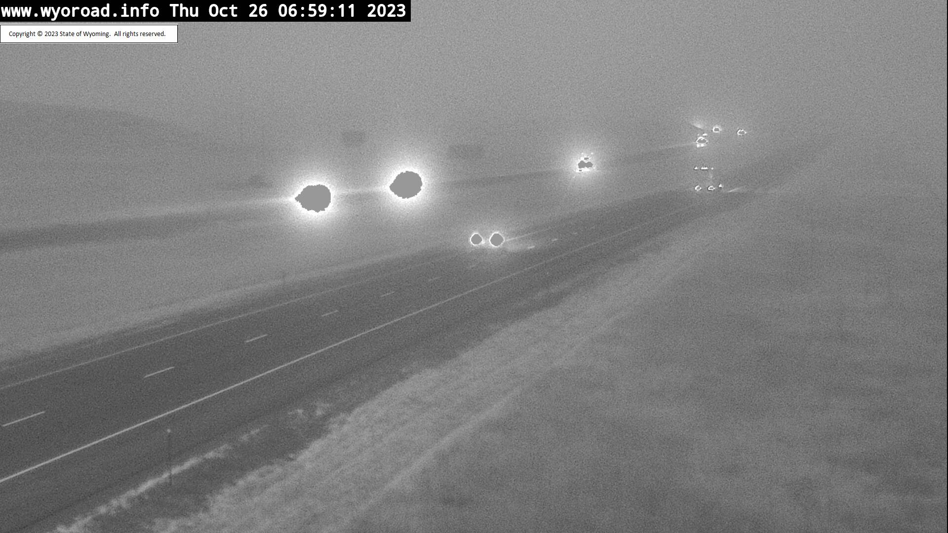
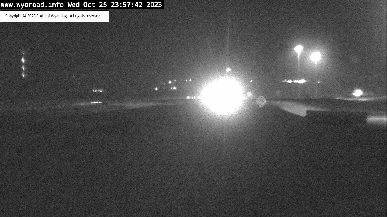
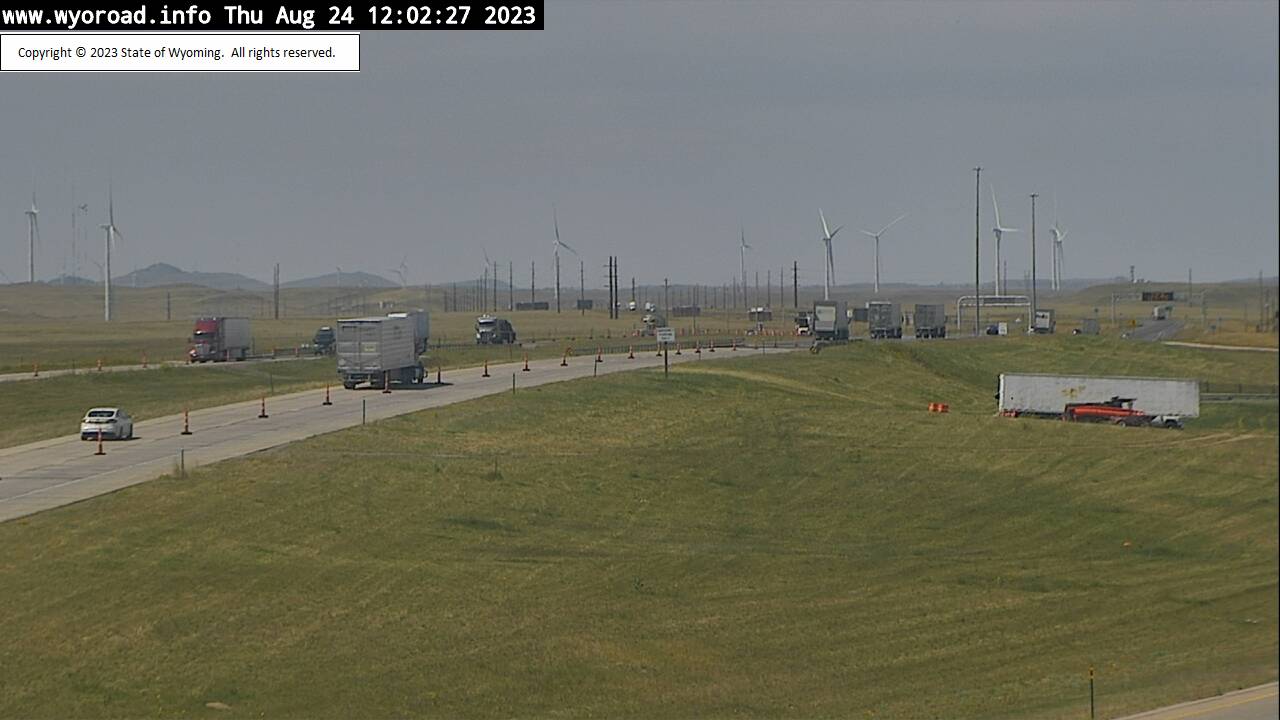
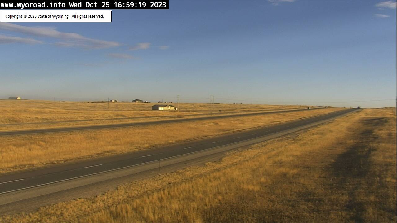
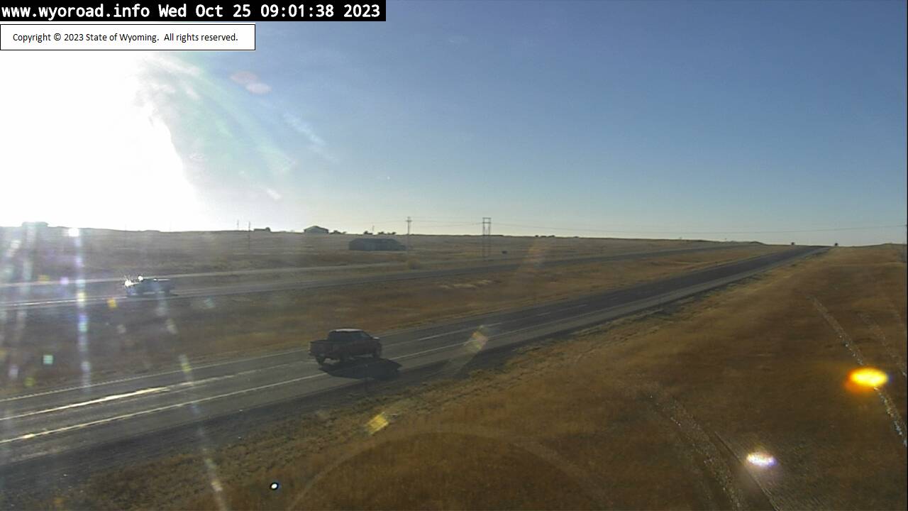
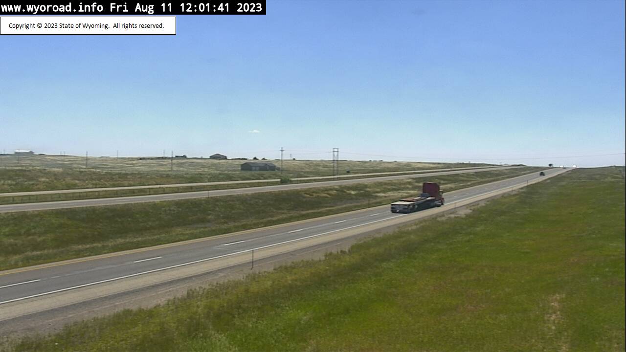
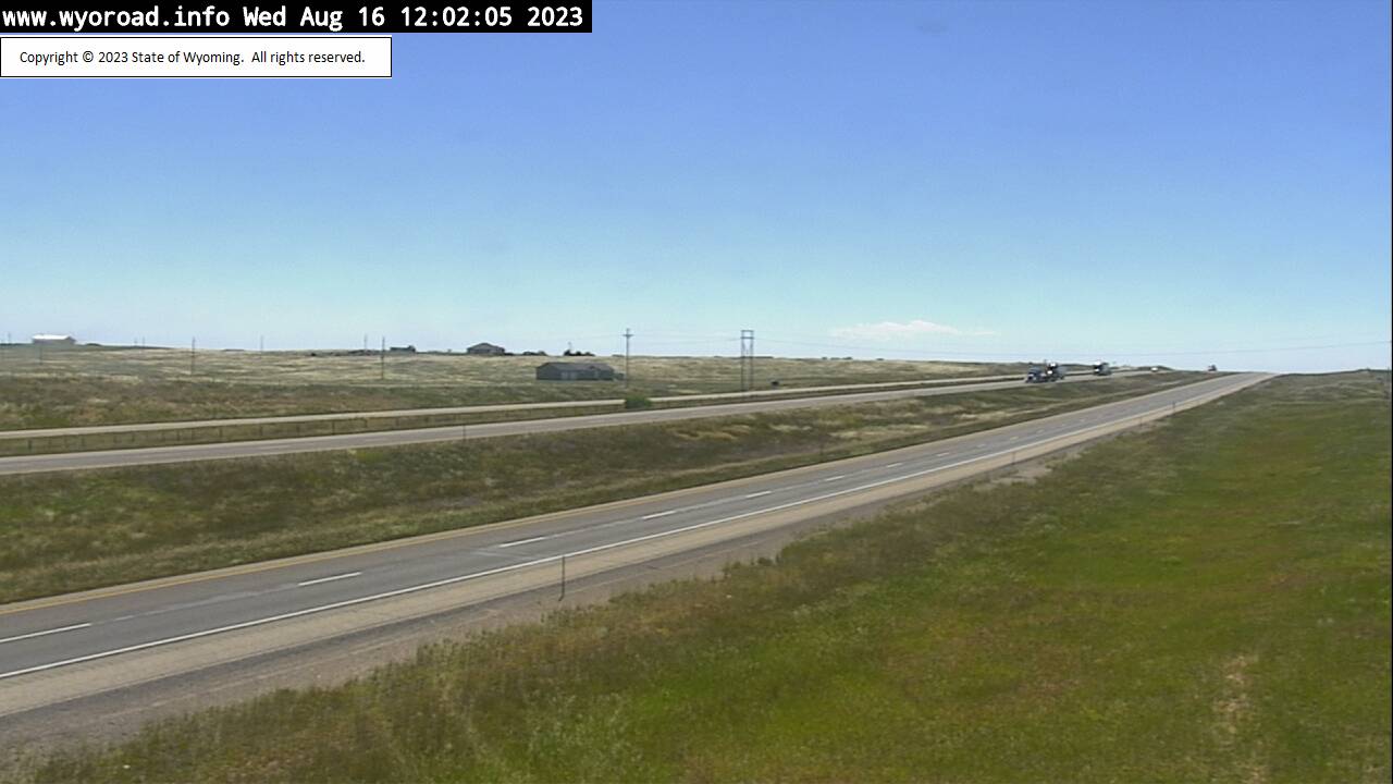
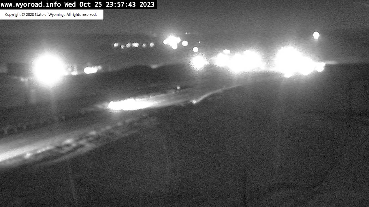
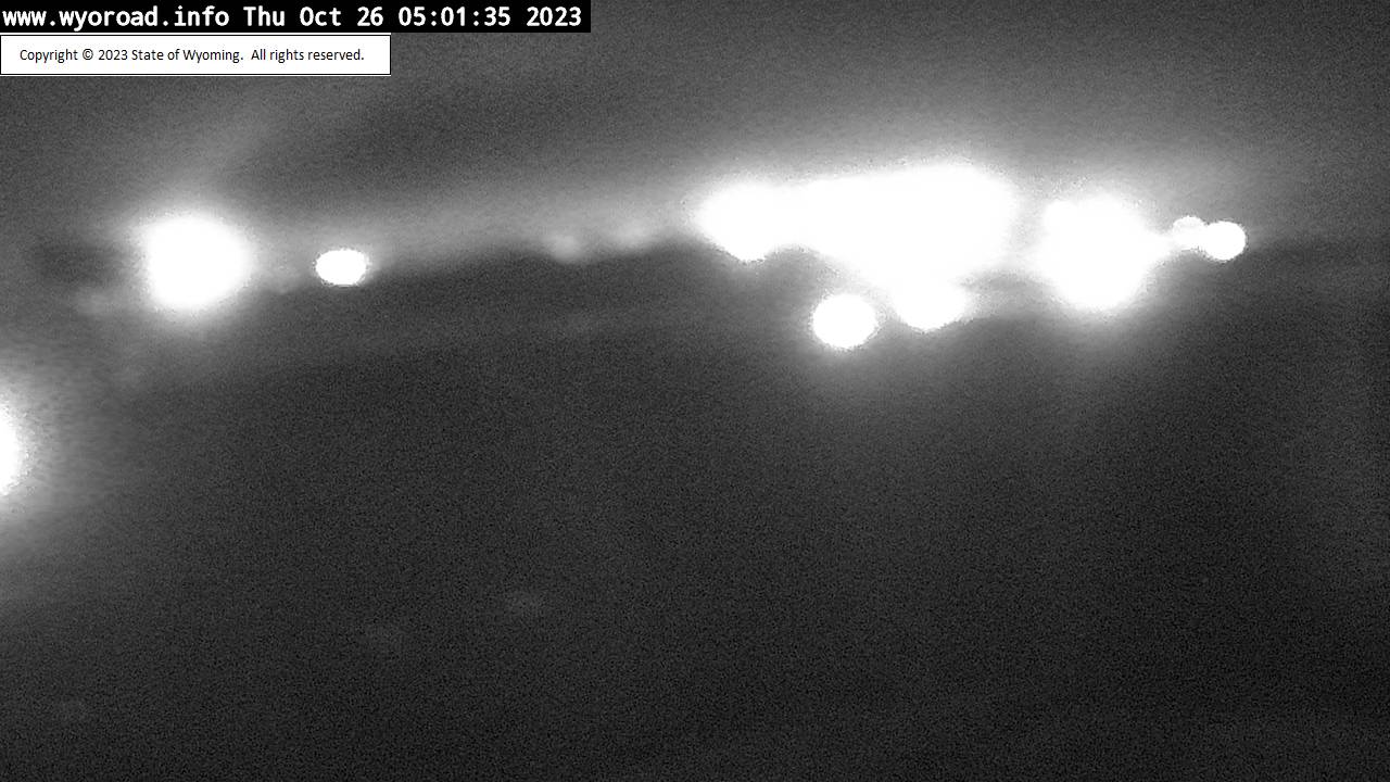
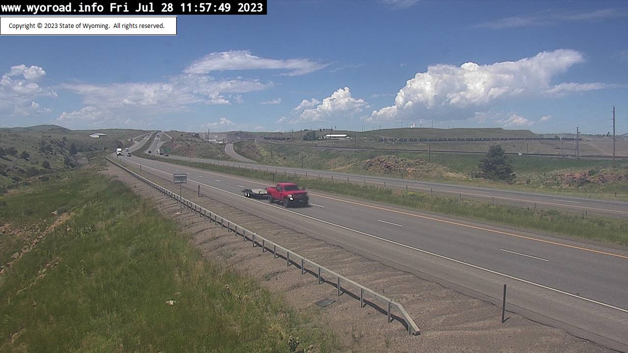
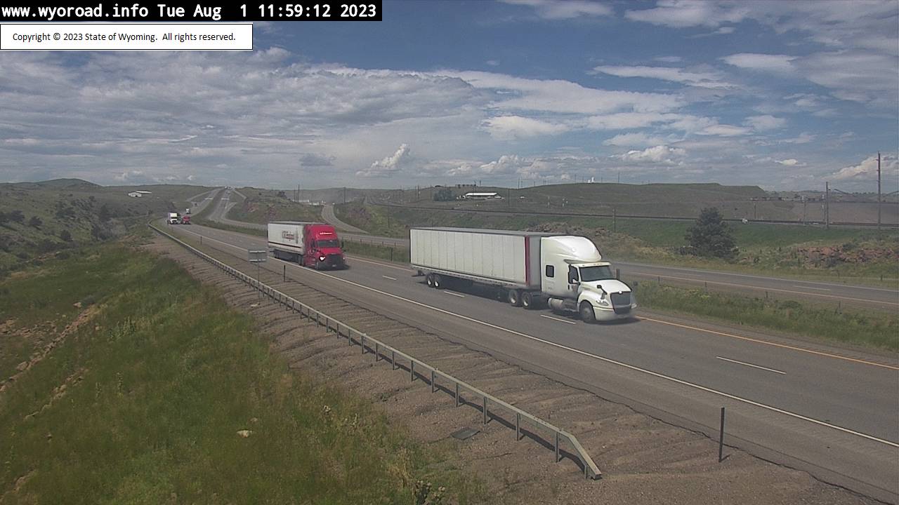
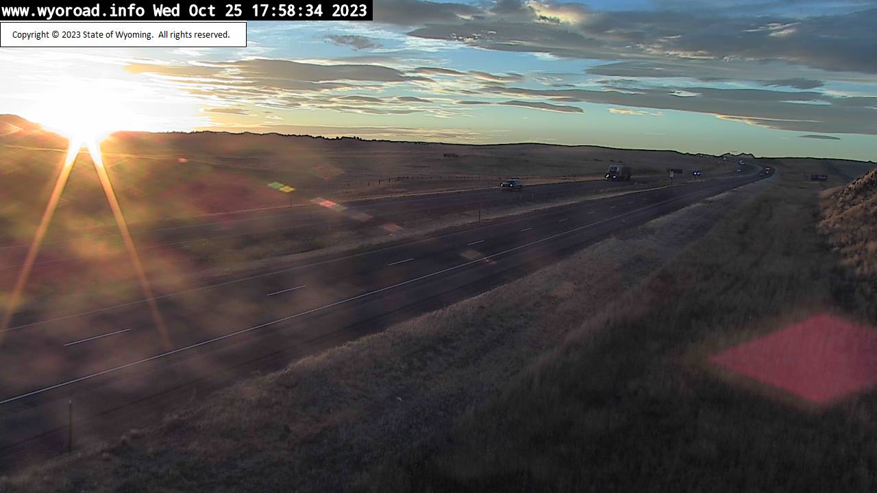
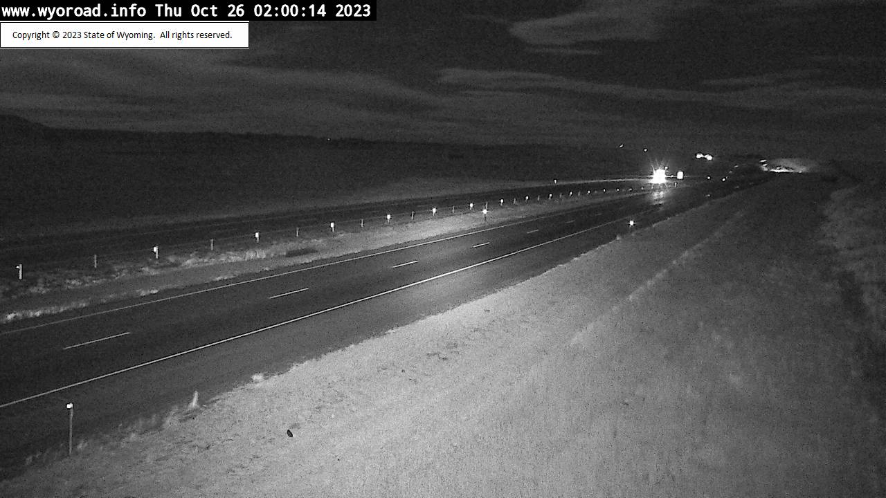
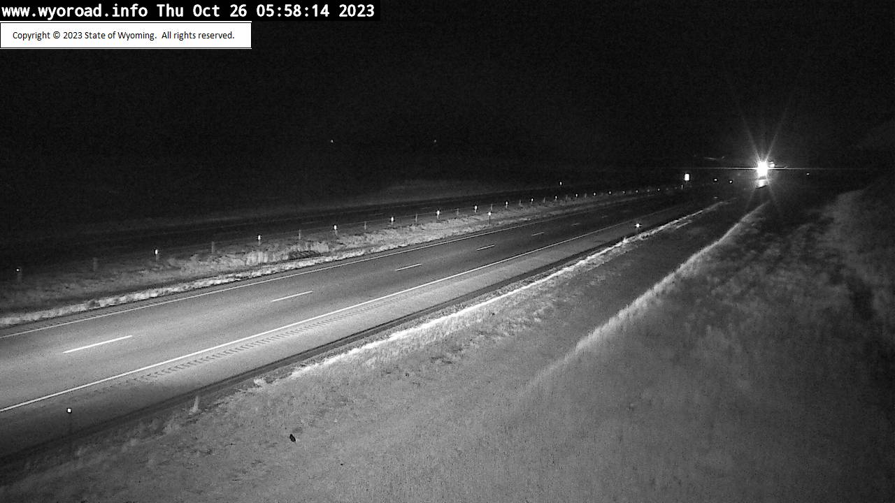
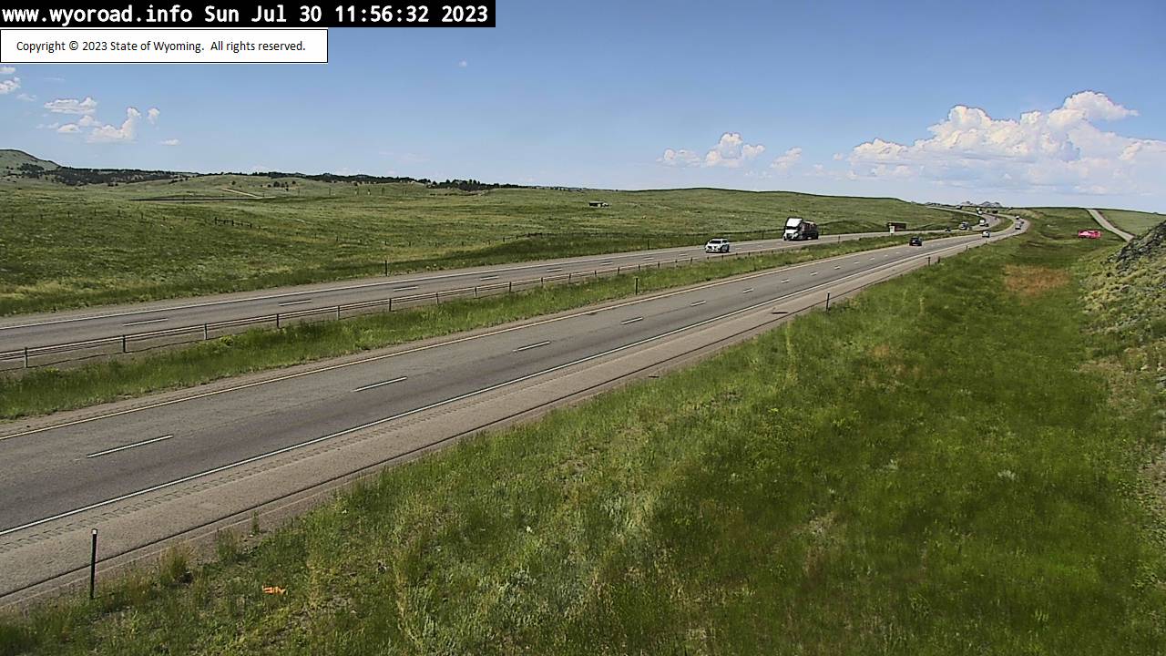
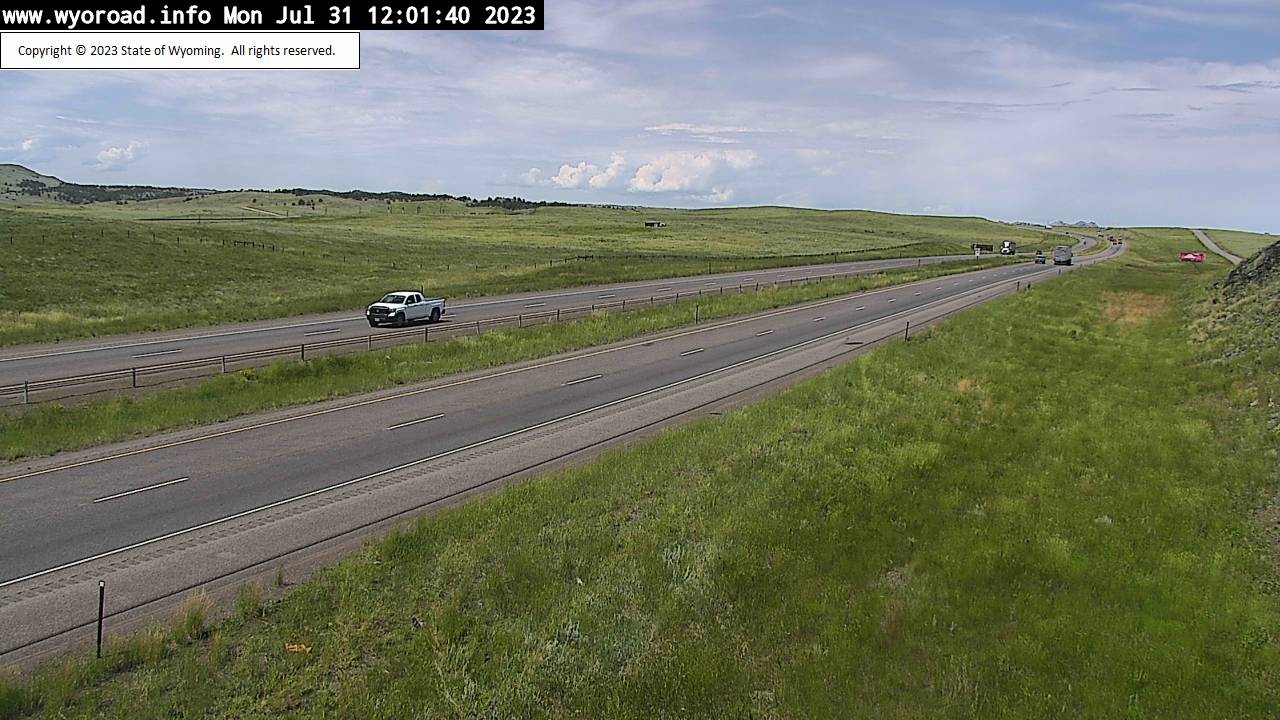
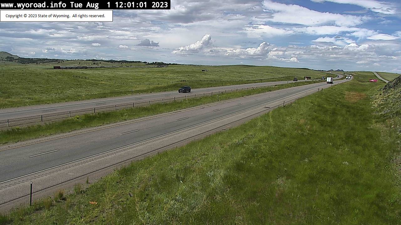
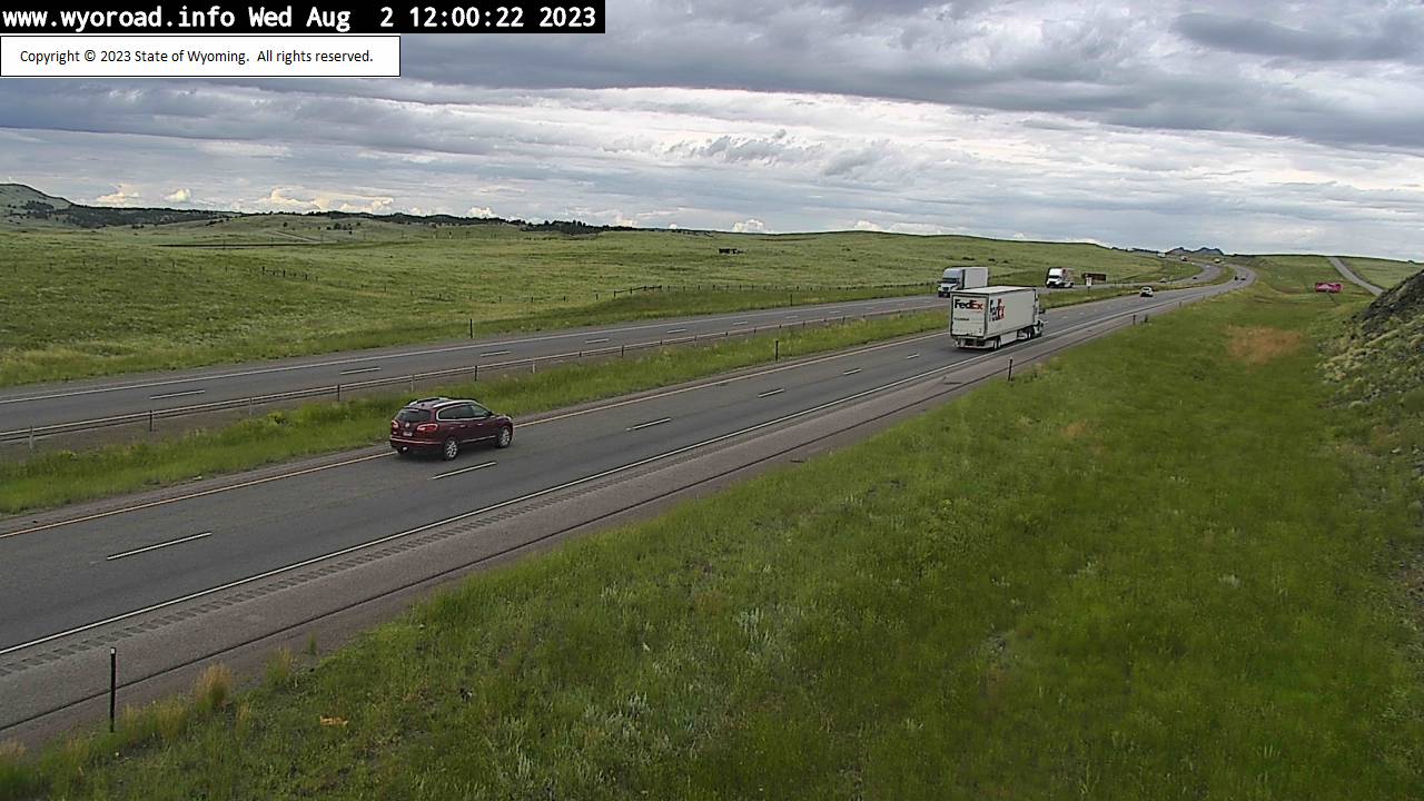
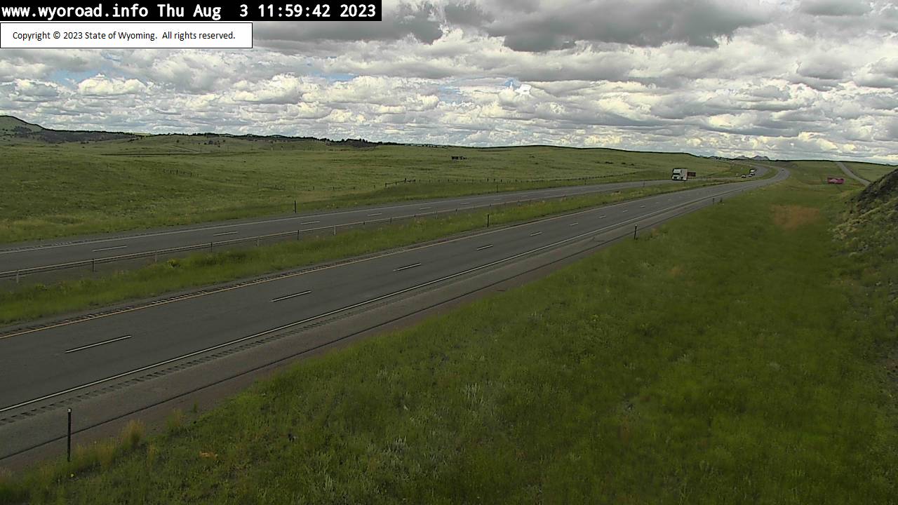
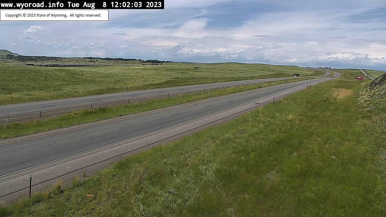
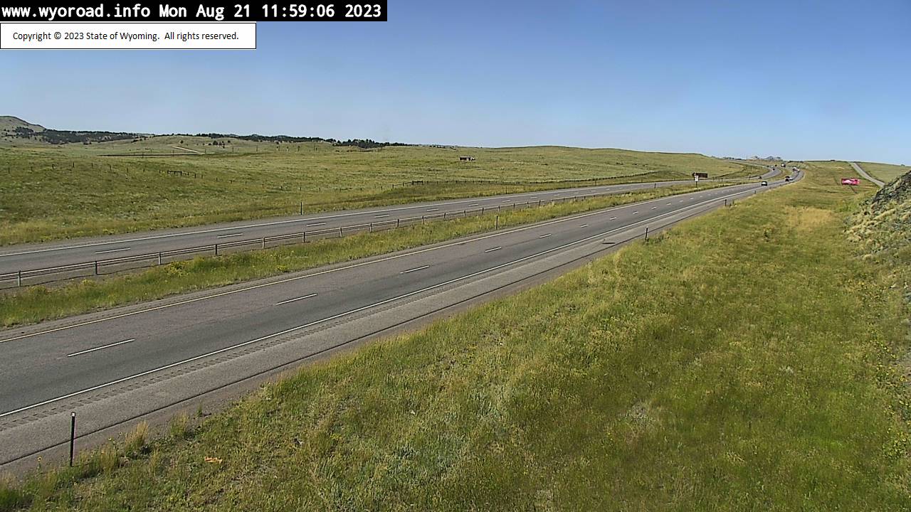
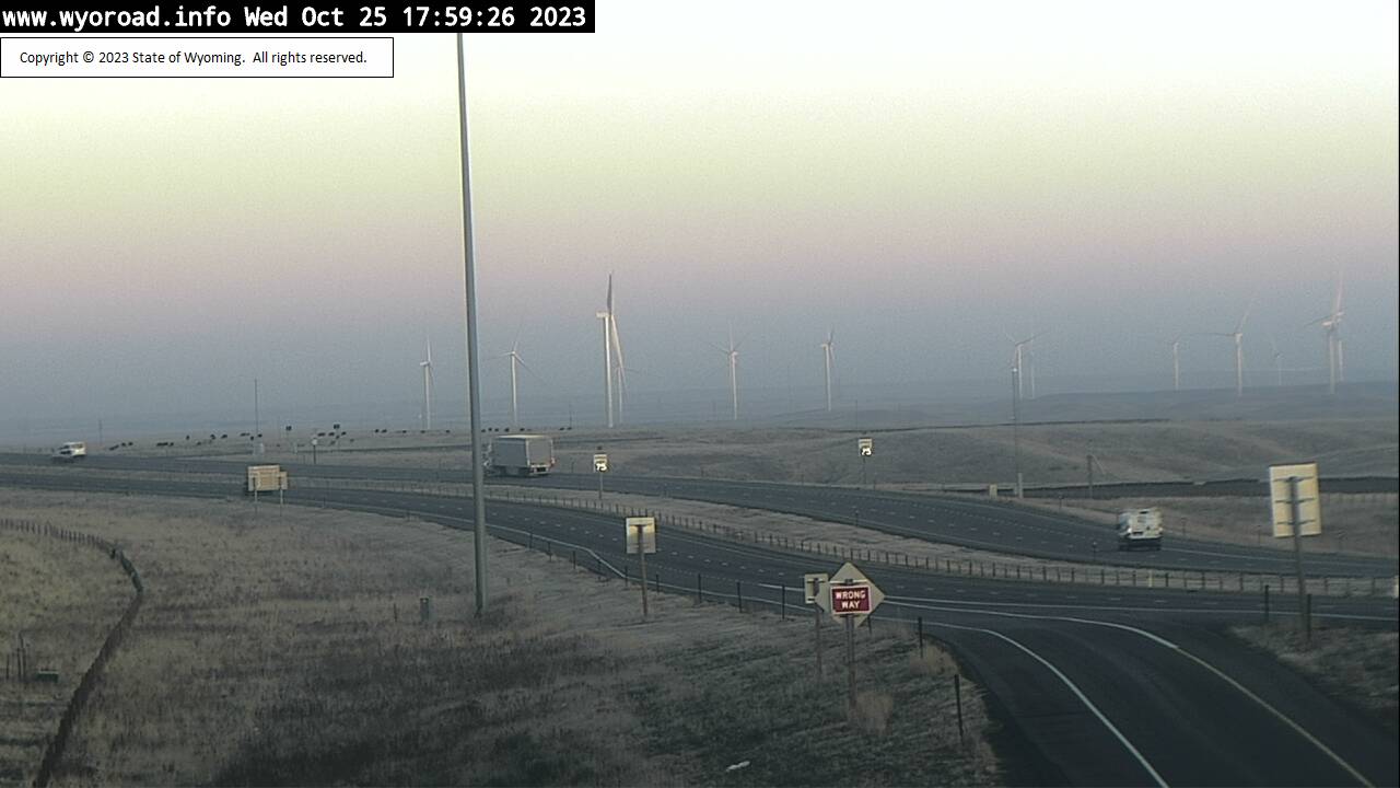
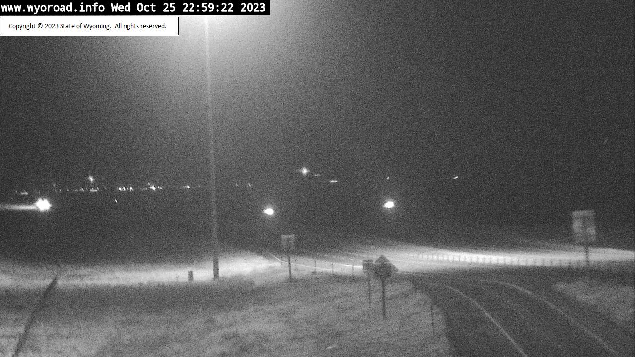
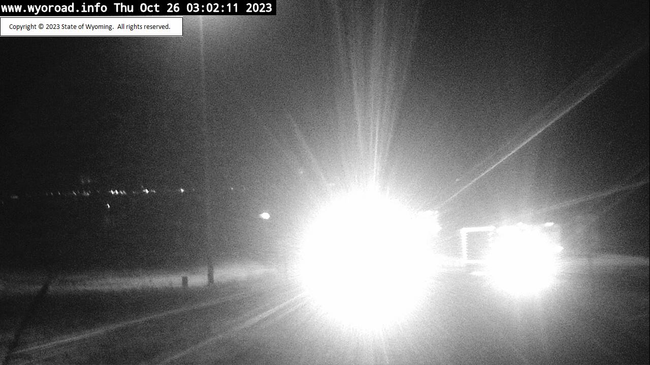
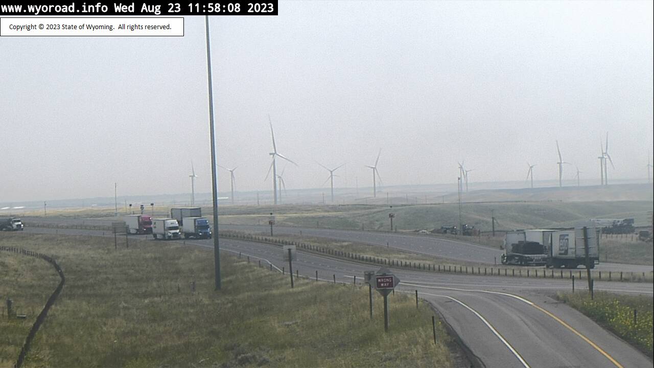
Cheyenne, Wyoming, USA - 6.1 miles from Altvan: Cheyenne North - Traffic and Weather - A view of the current traffic and weather situation.
Operator: WYDOT Travel Information Service
Operator: WYDOT Travel Information Service
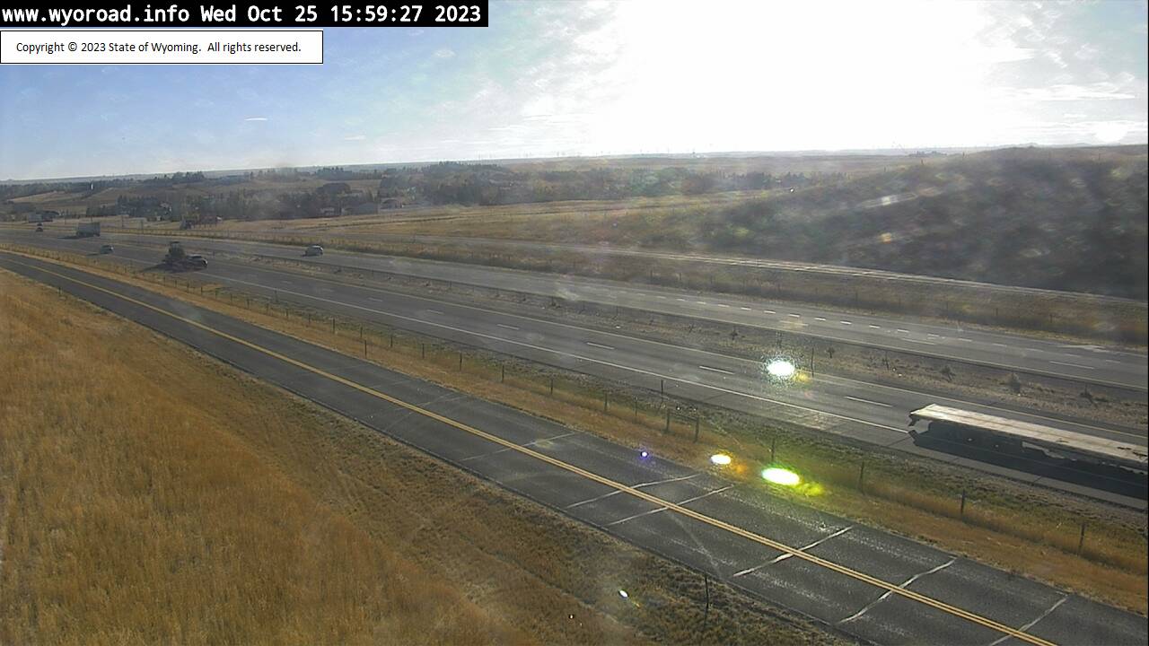
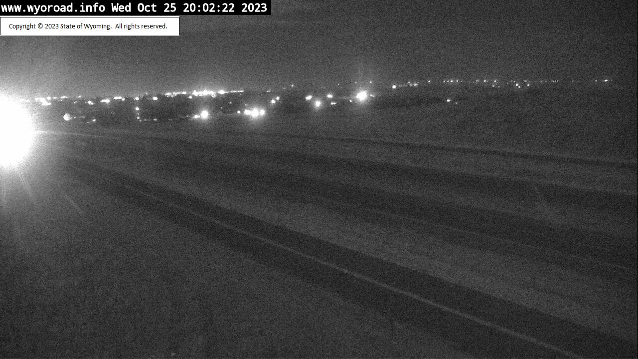
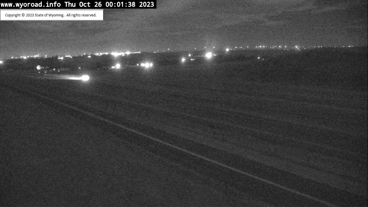
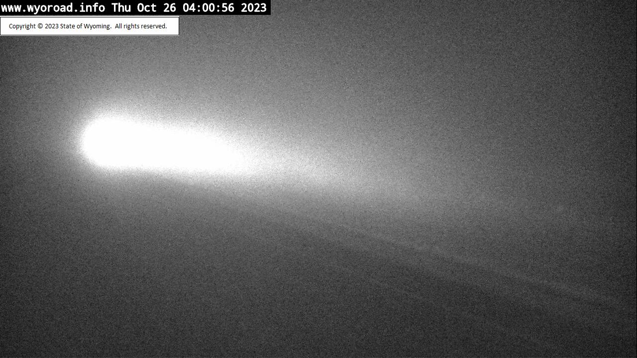

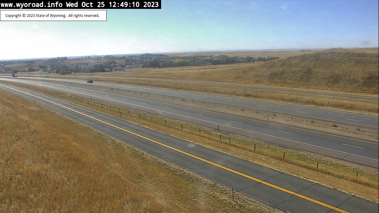
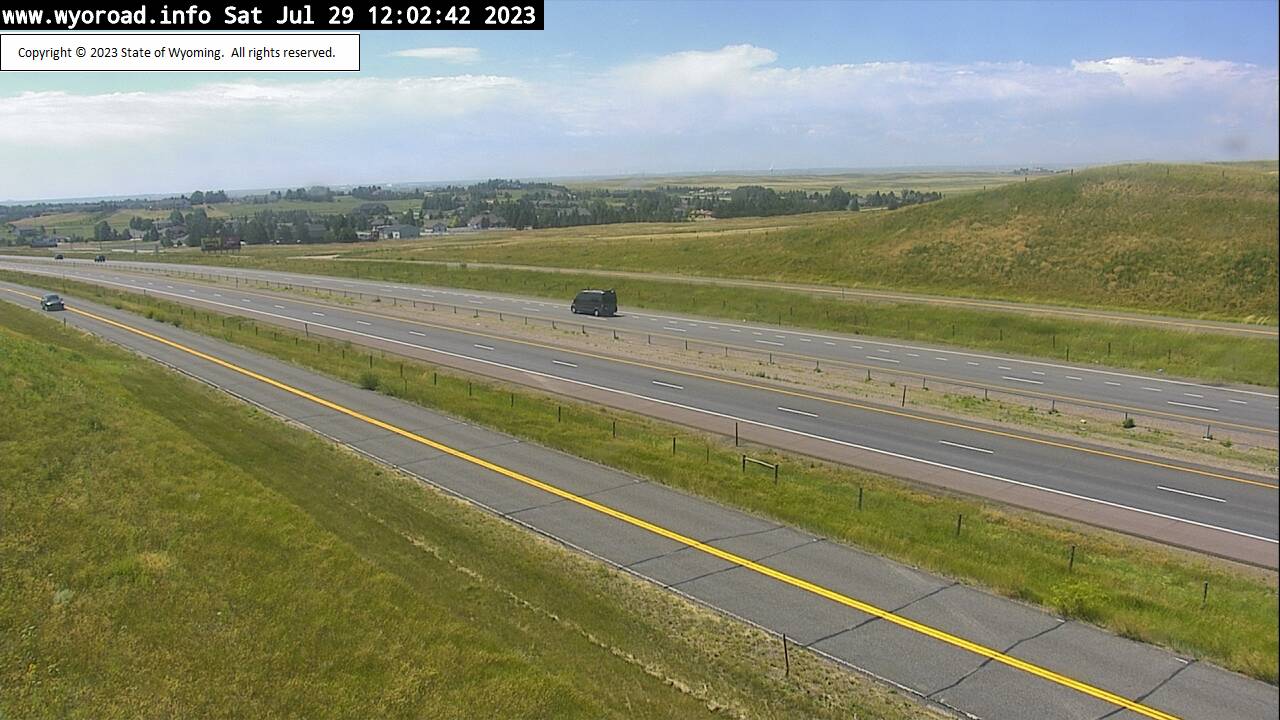


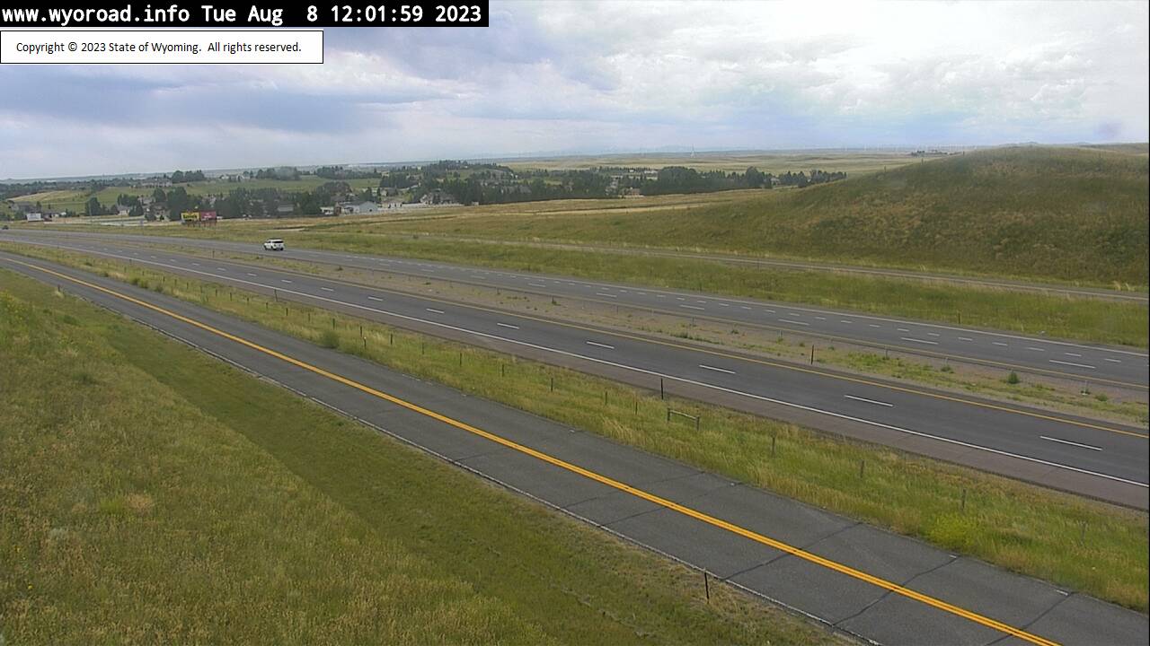
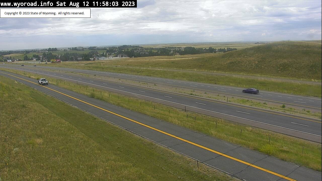

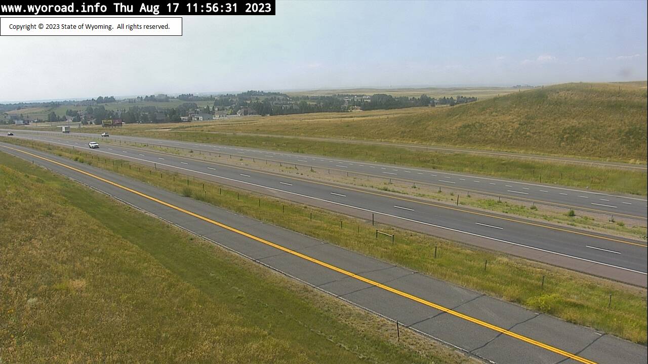
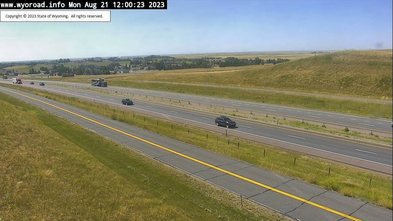


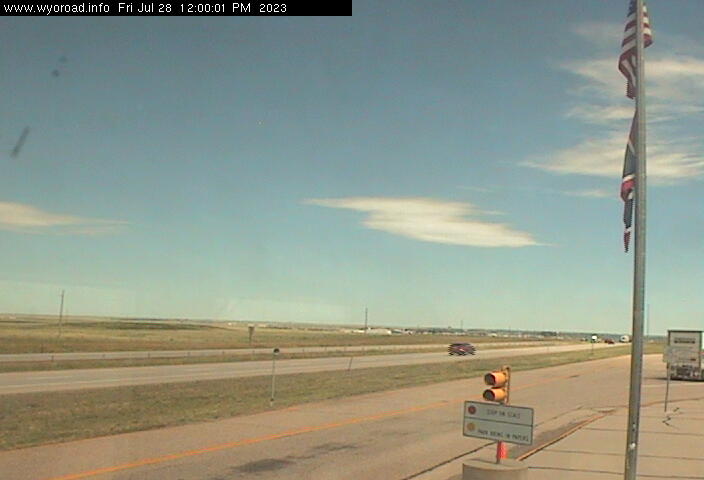
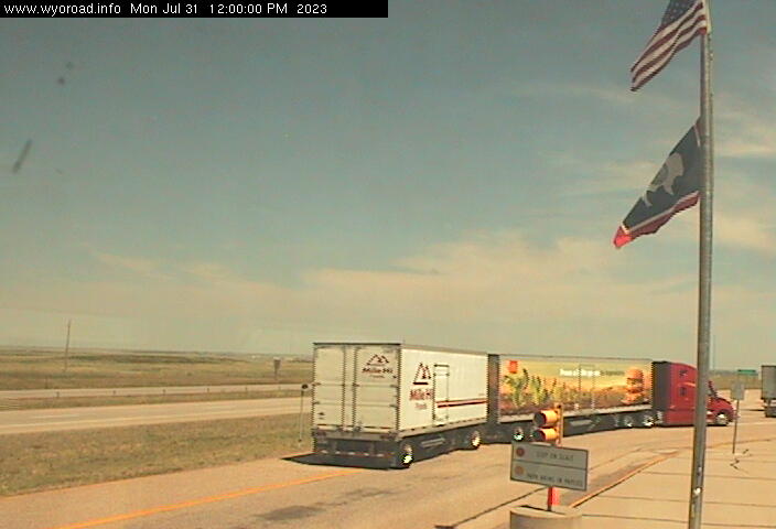
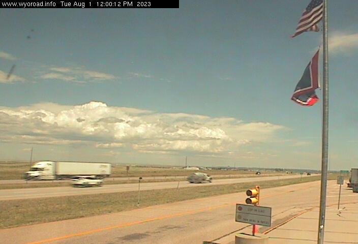
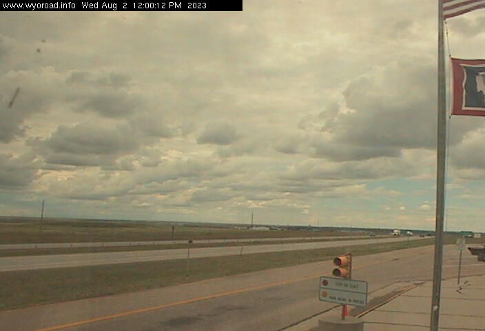
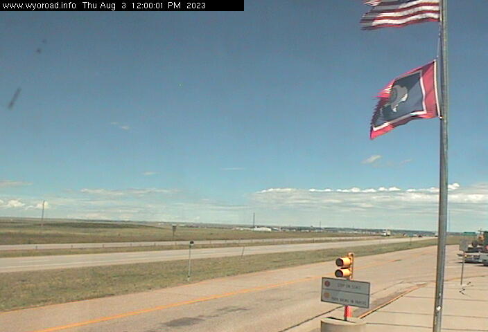
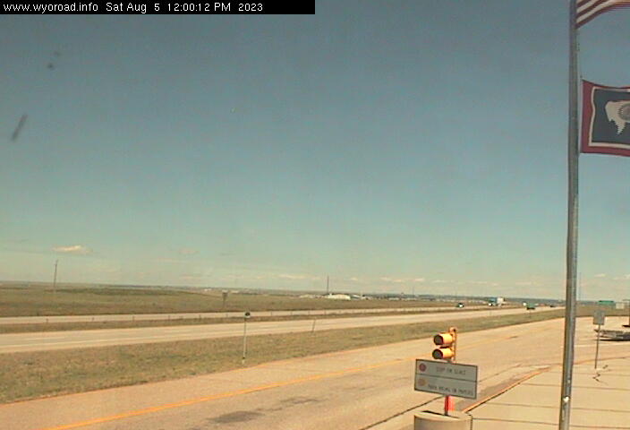
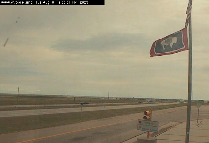
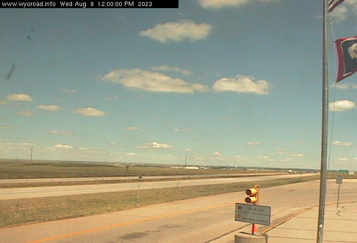
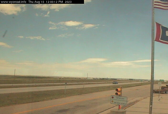
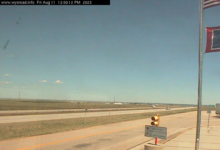
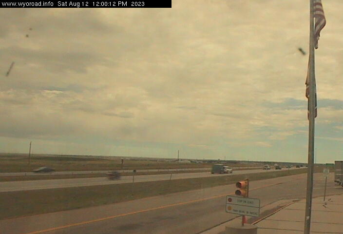
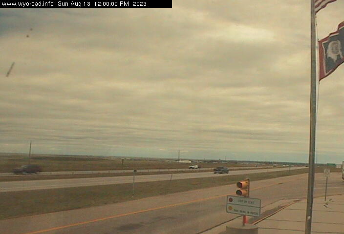
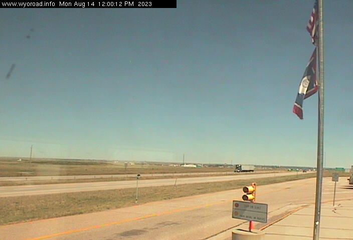
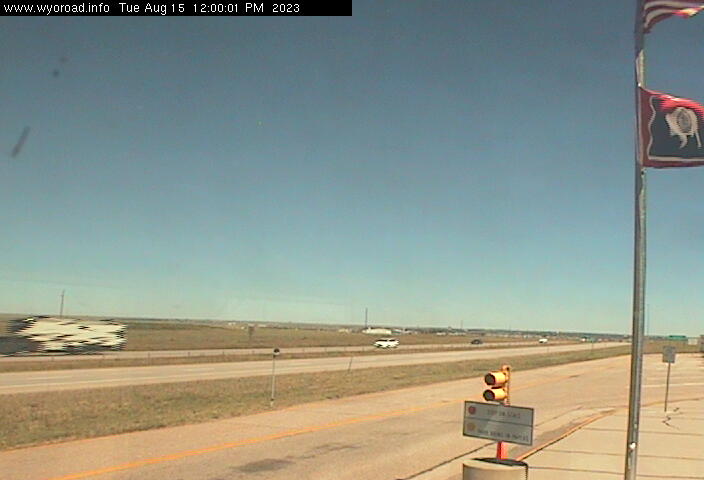
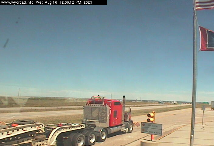
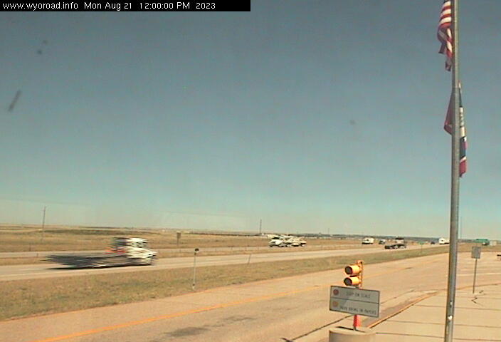
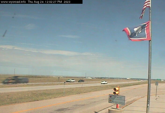
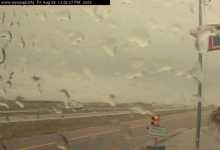
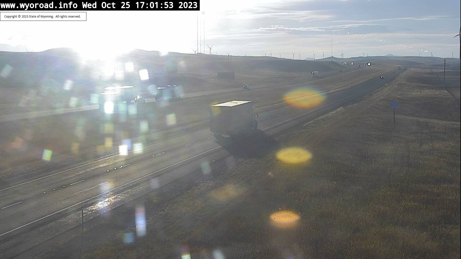
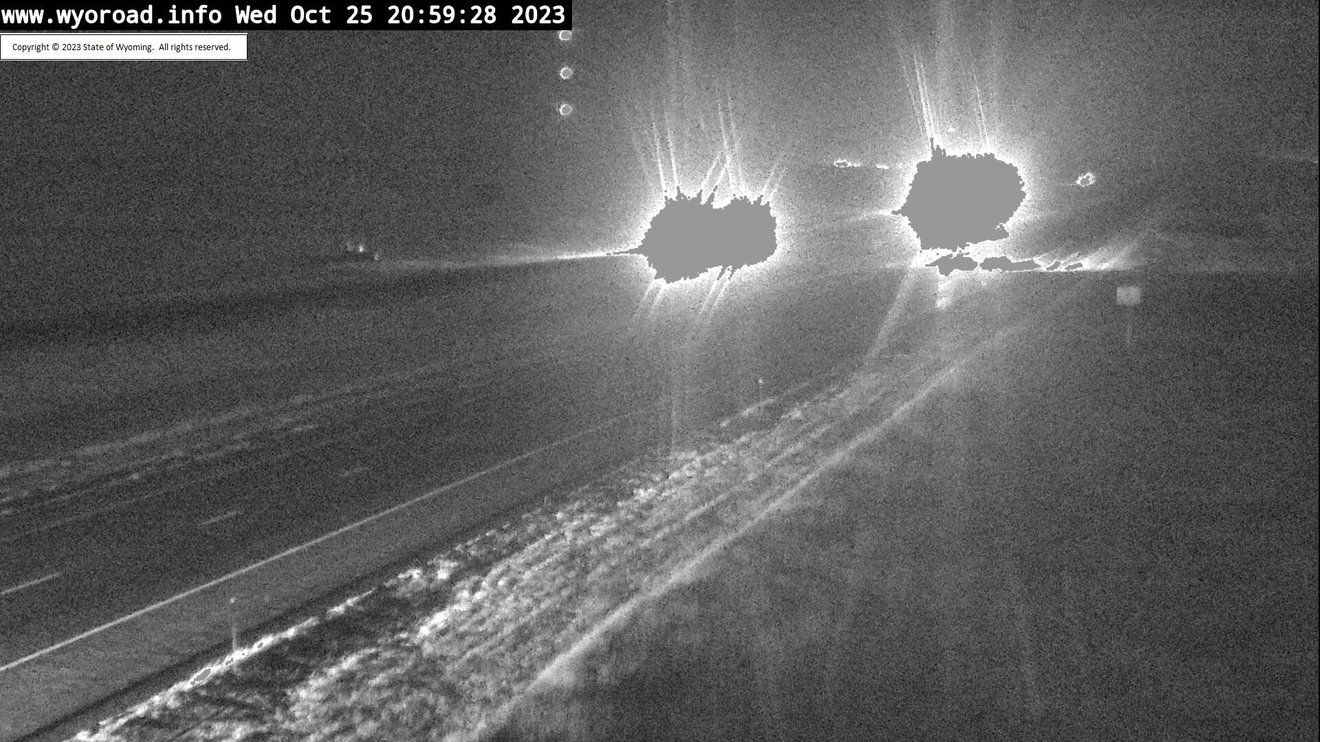
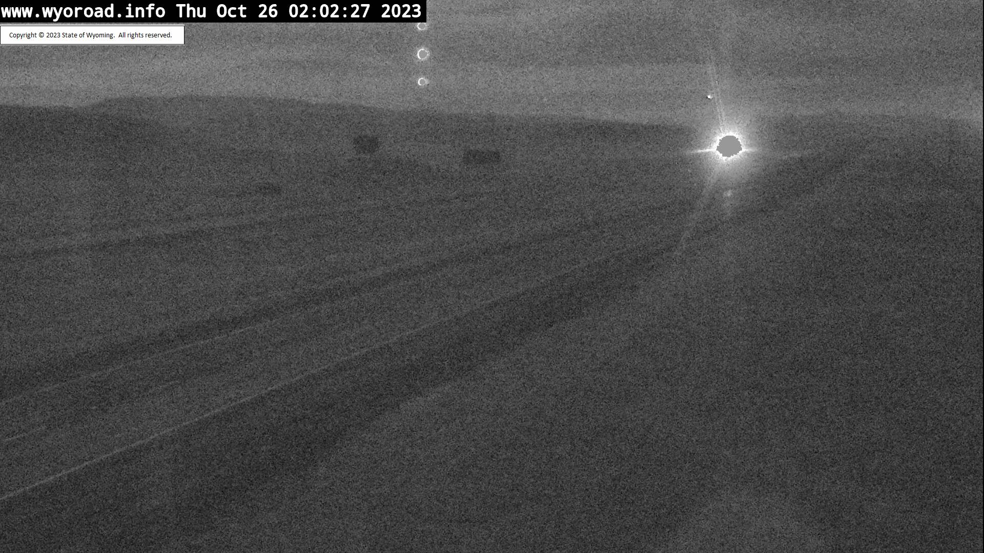
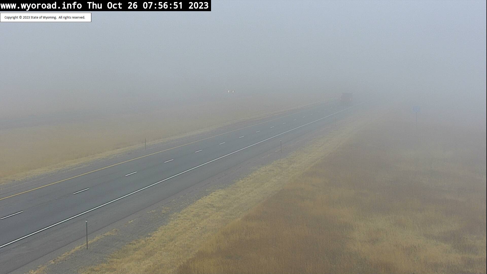
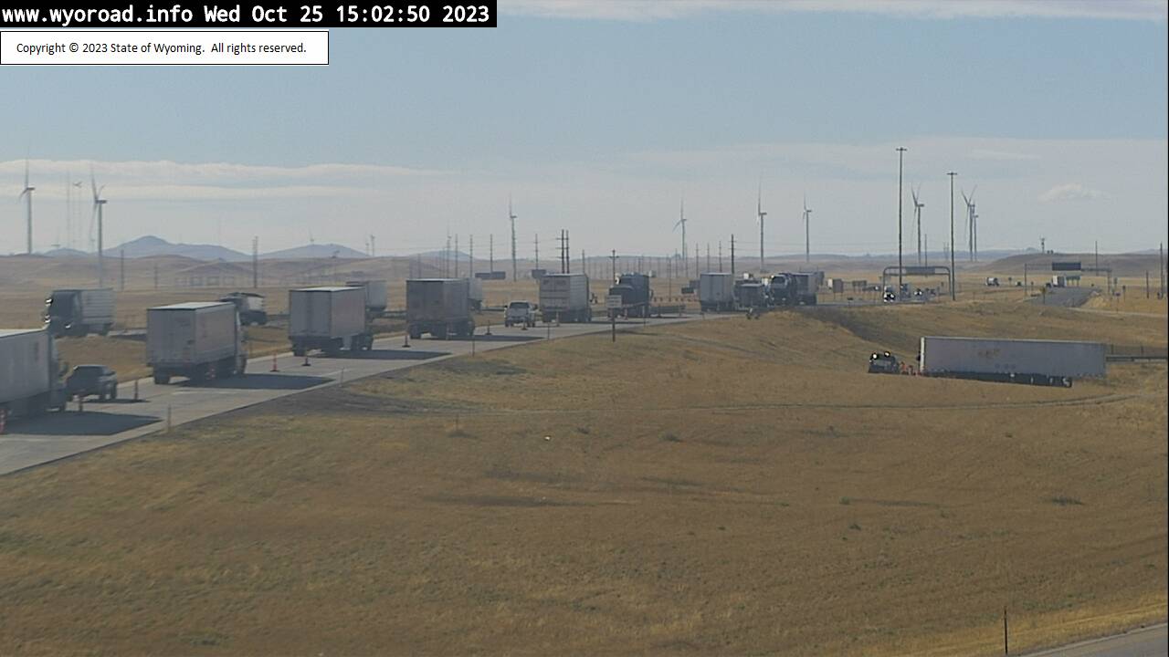
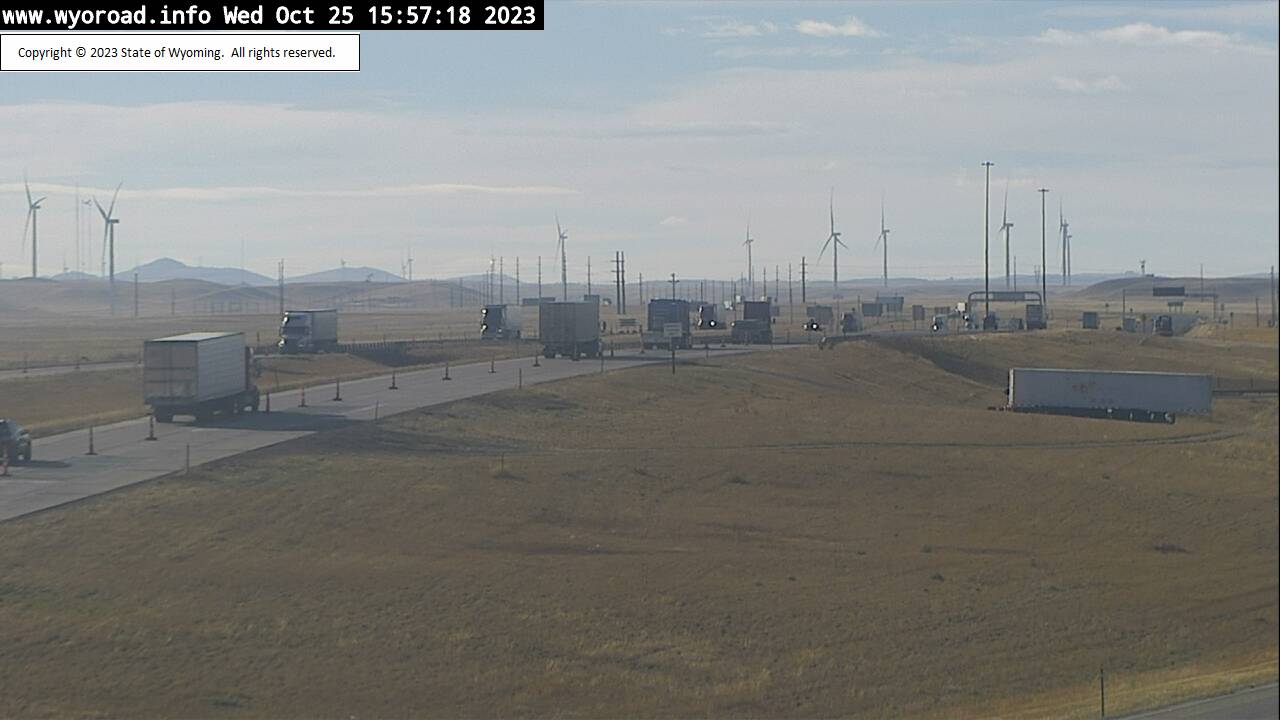
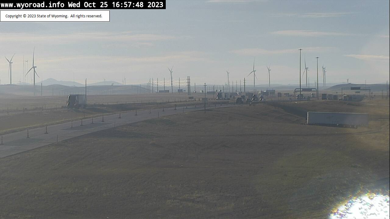
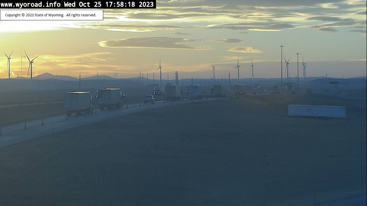
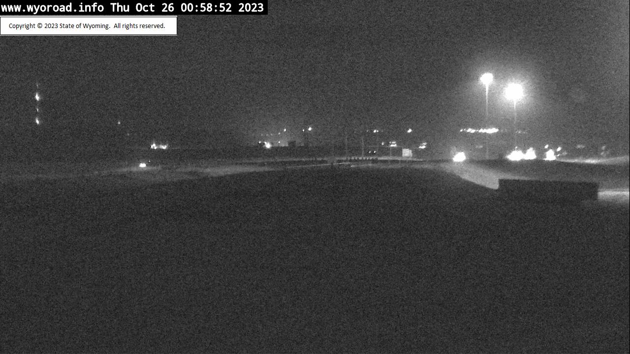
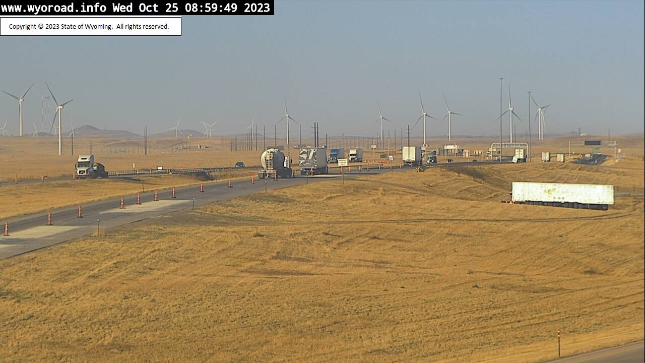
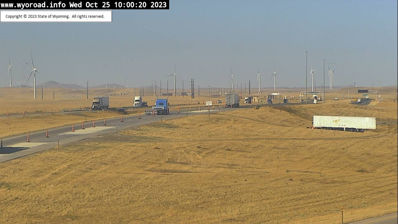
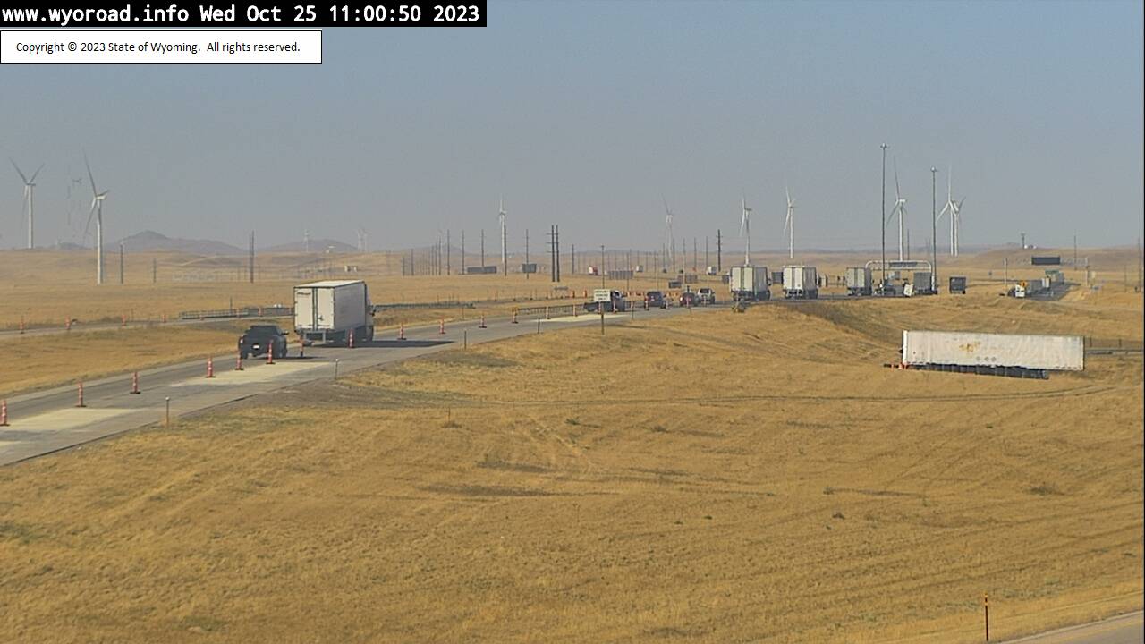
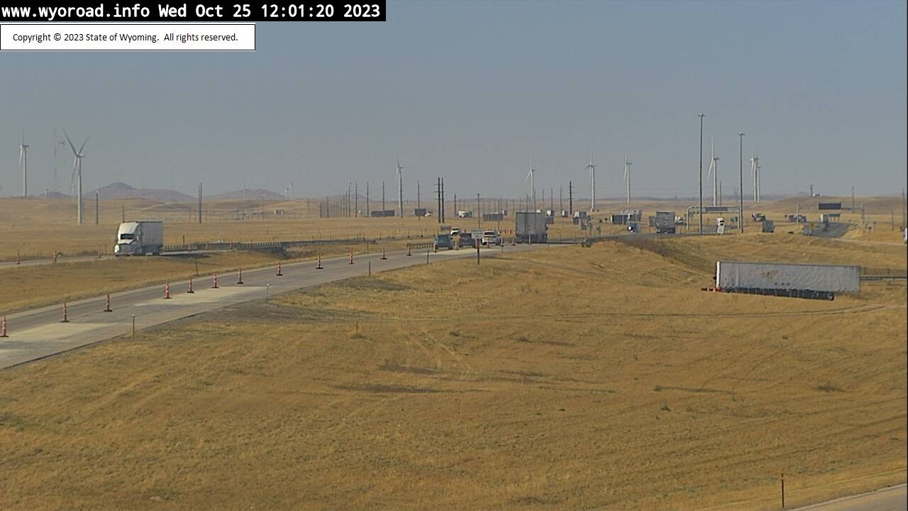
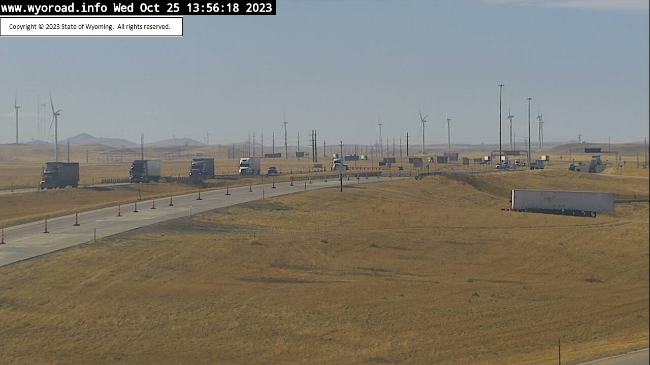
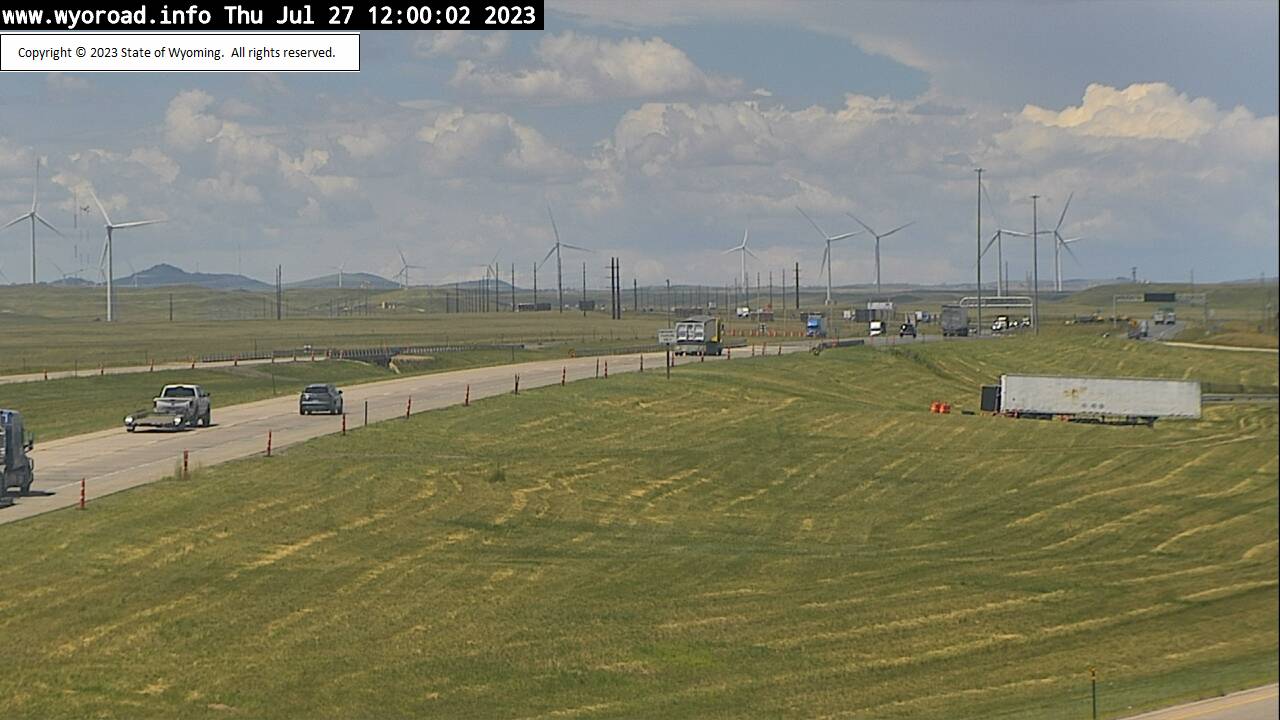
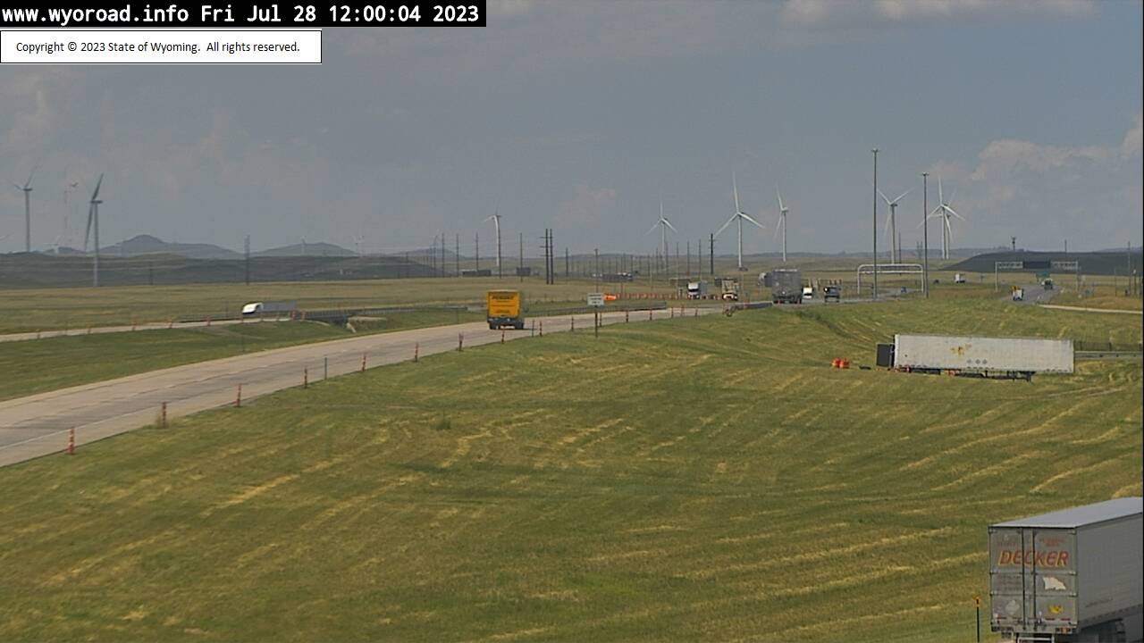
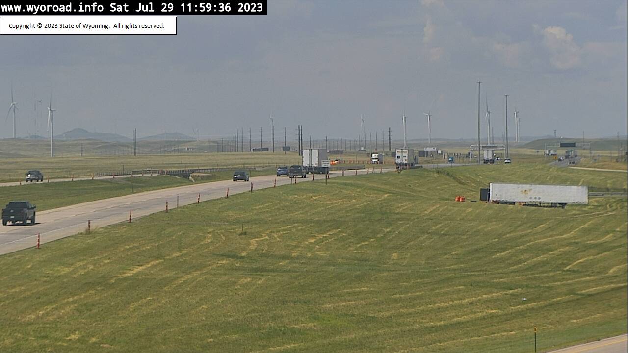
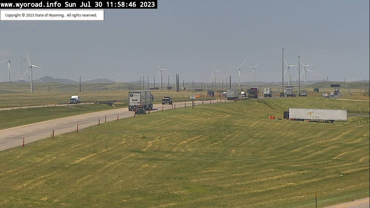
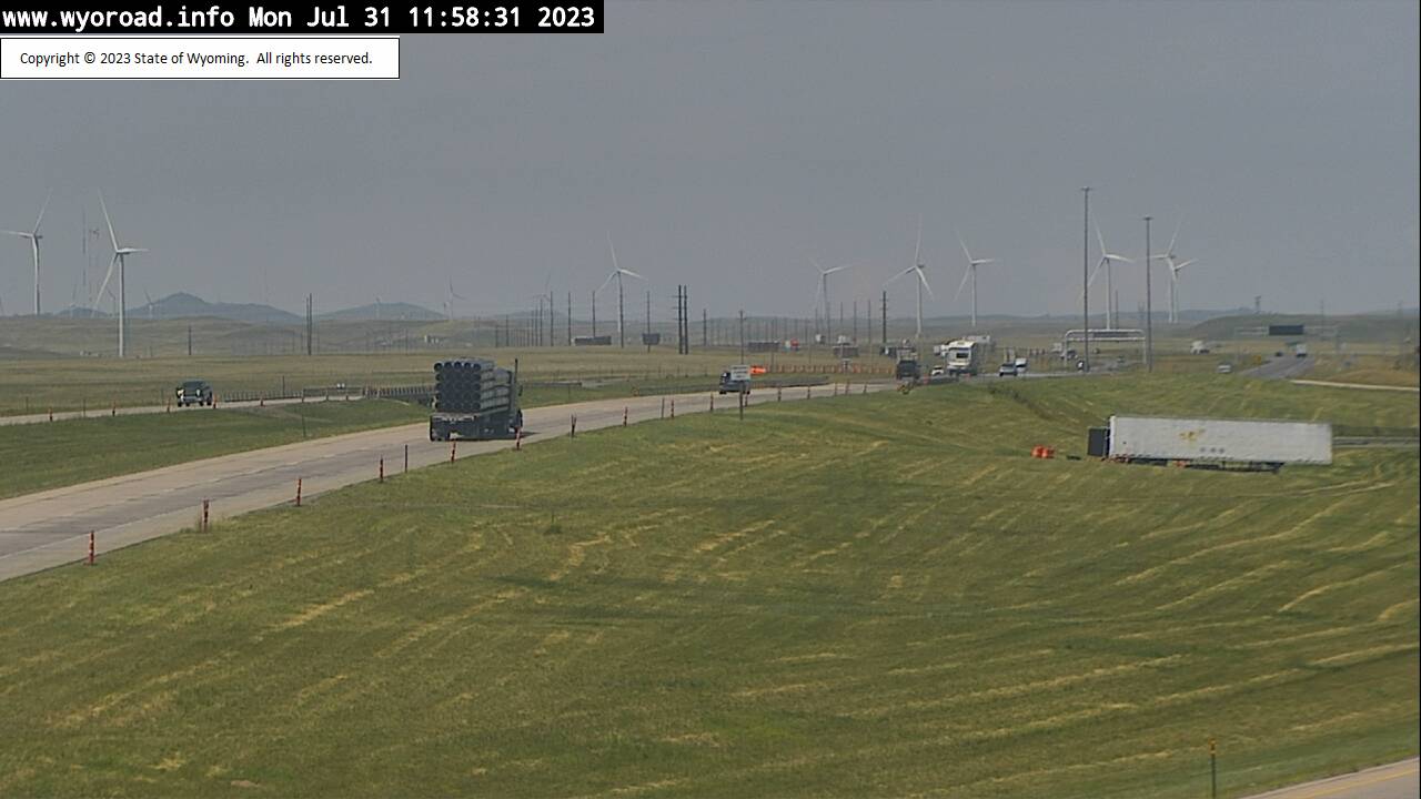
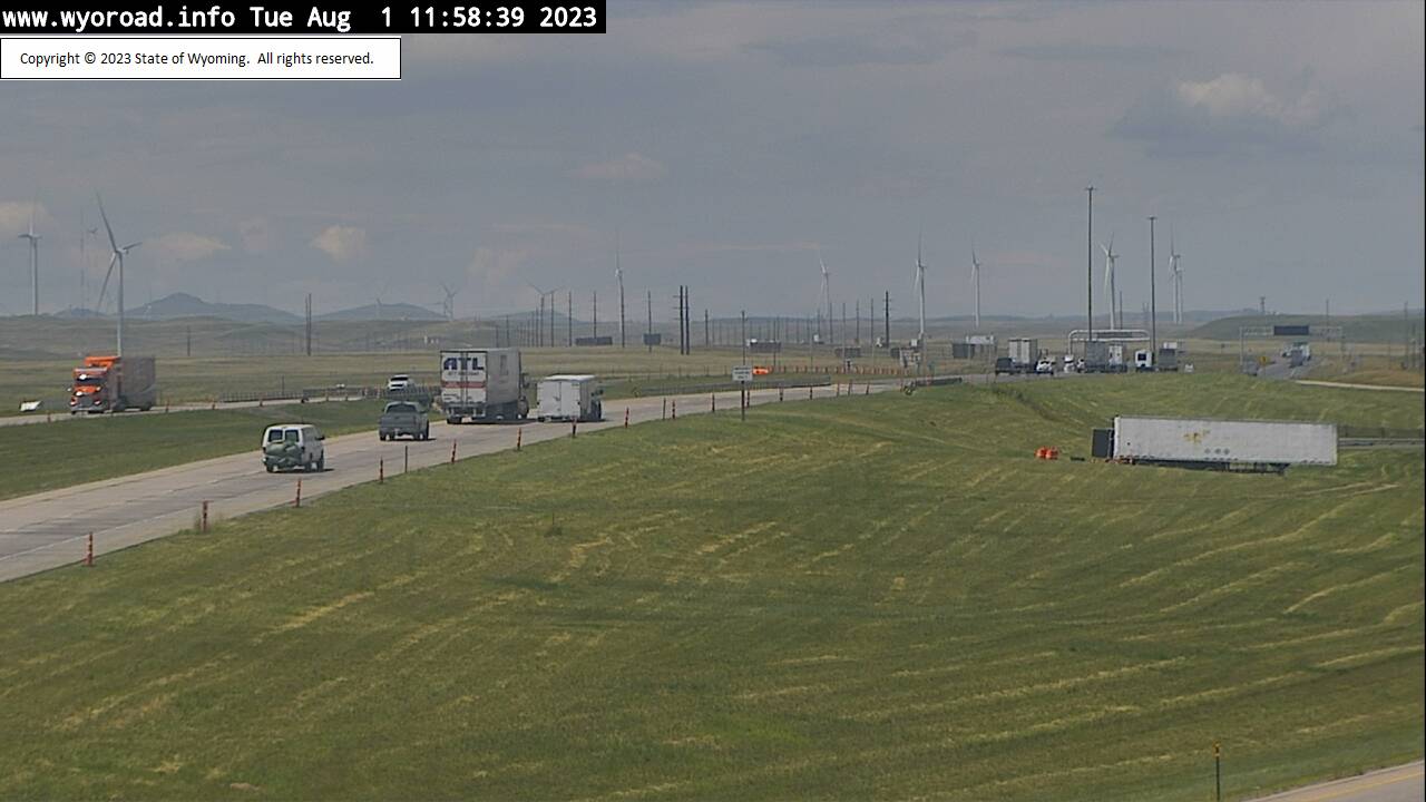
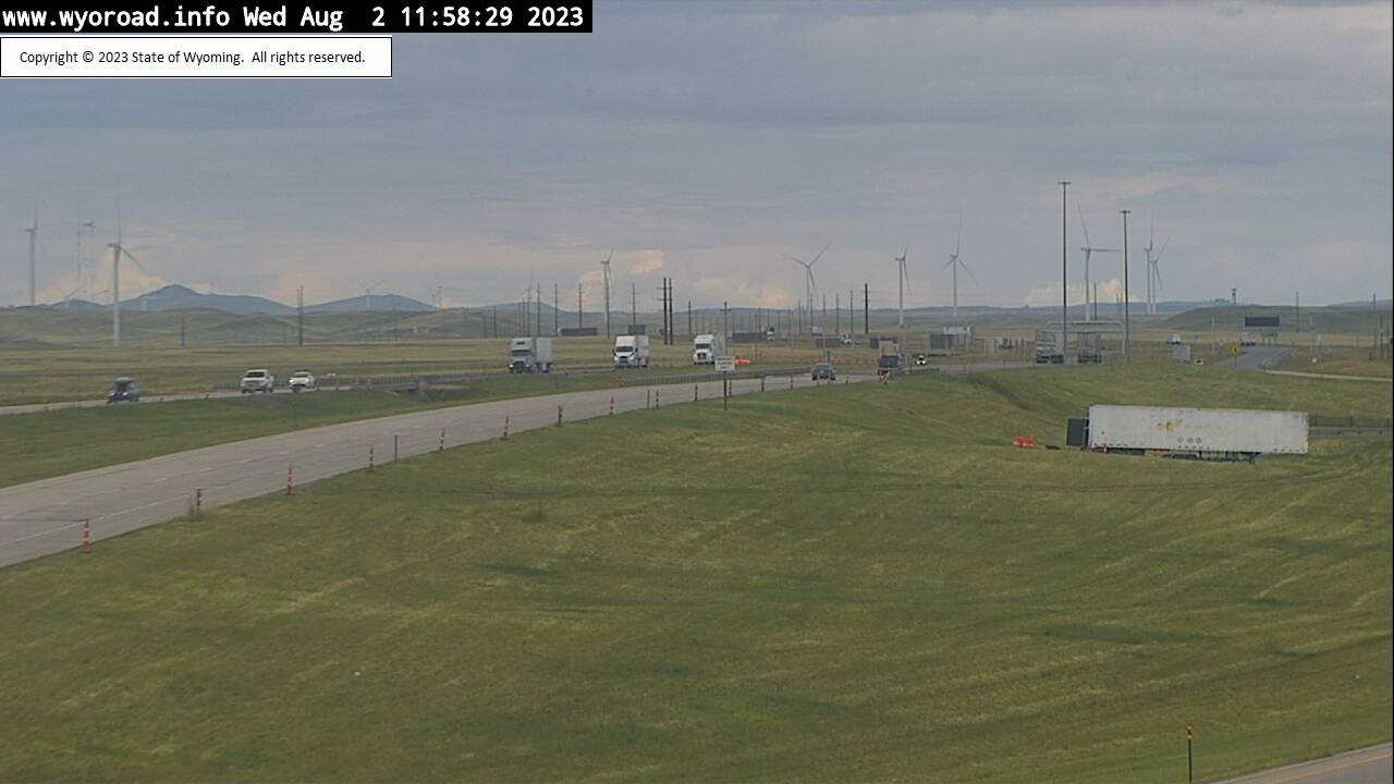
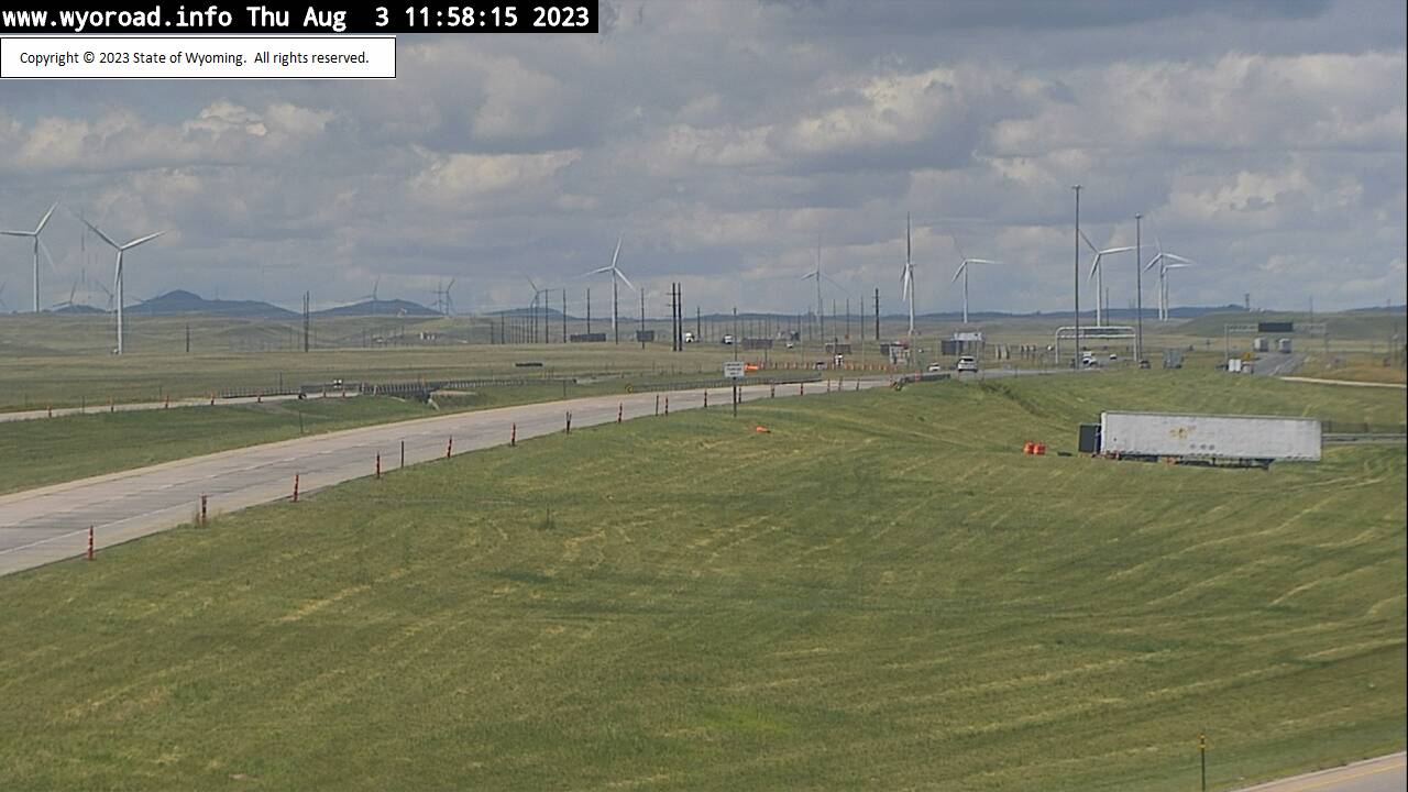
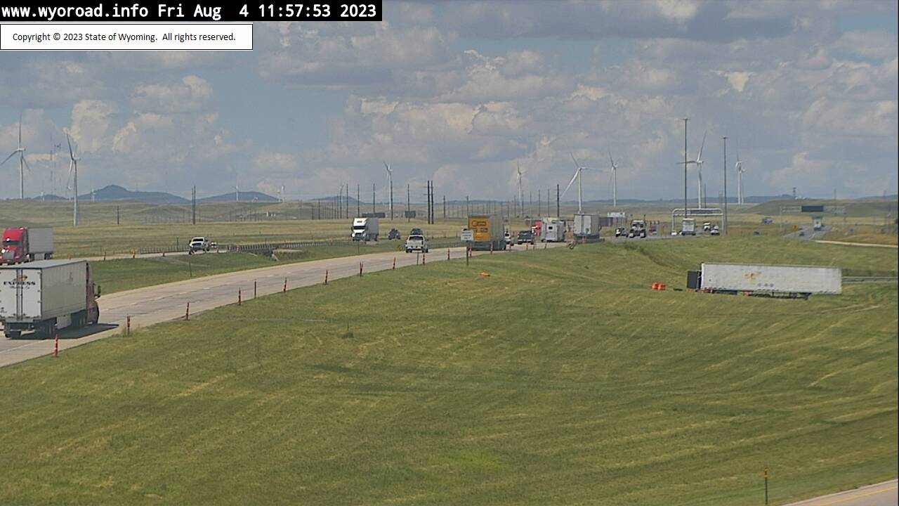
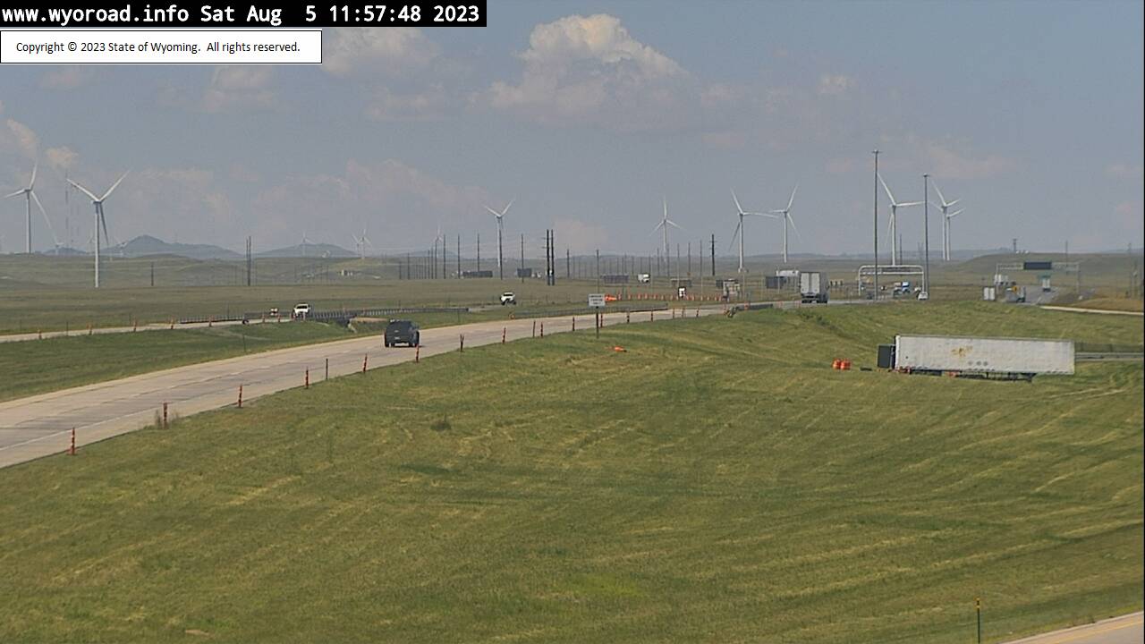
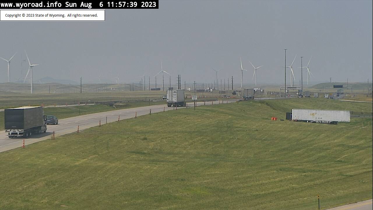
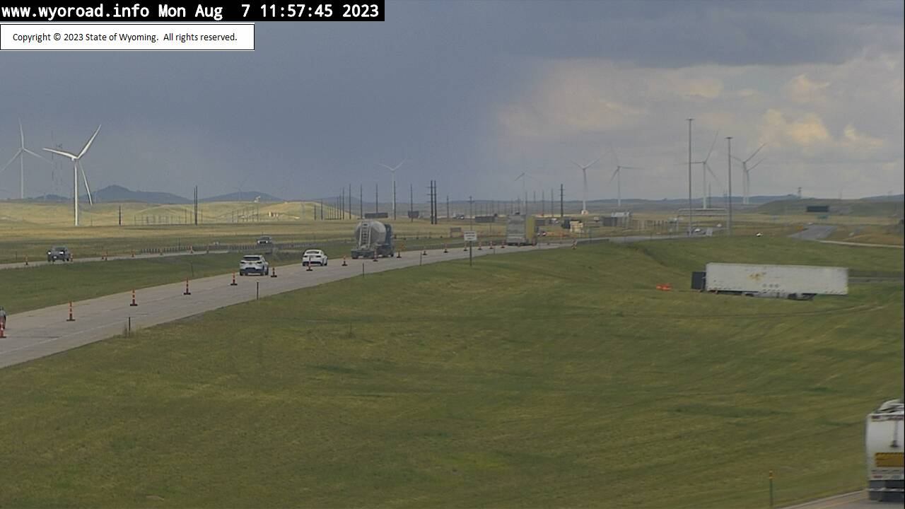
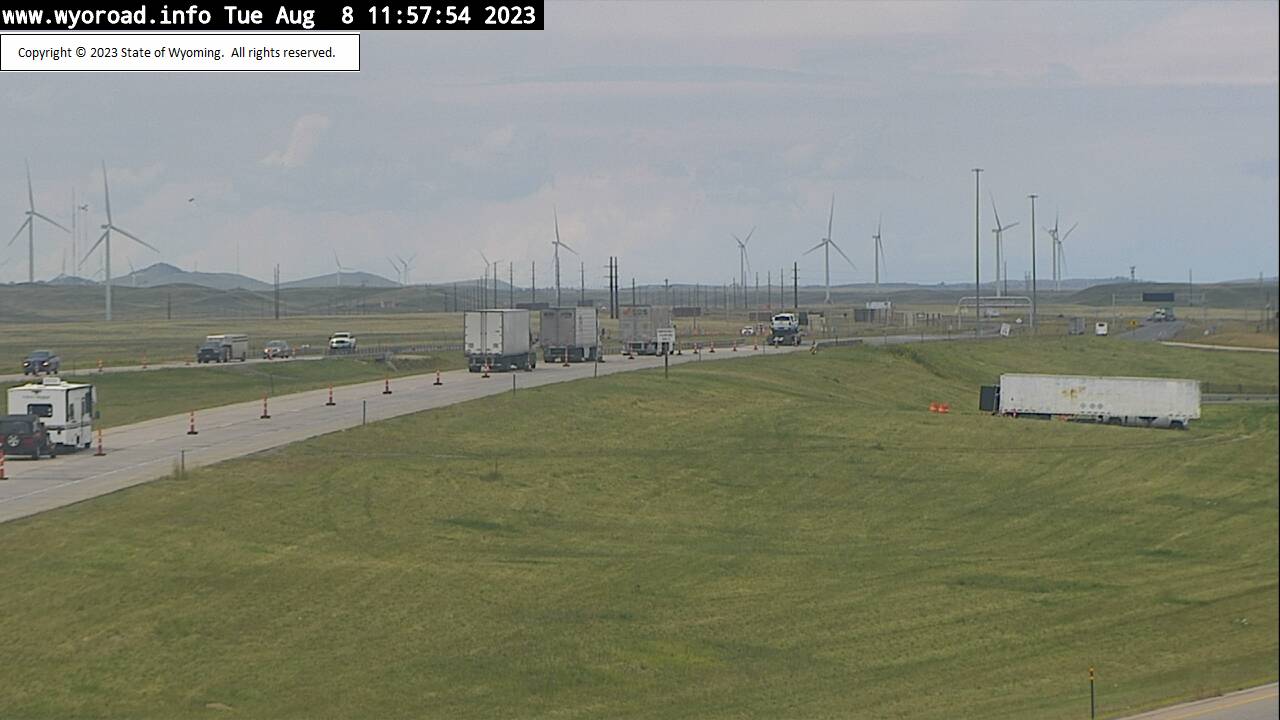
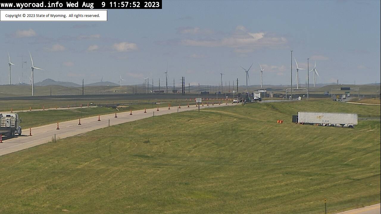
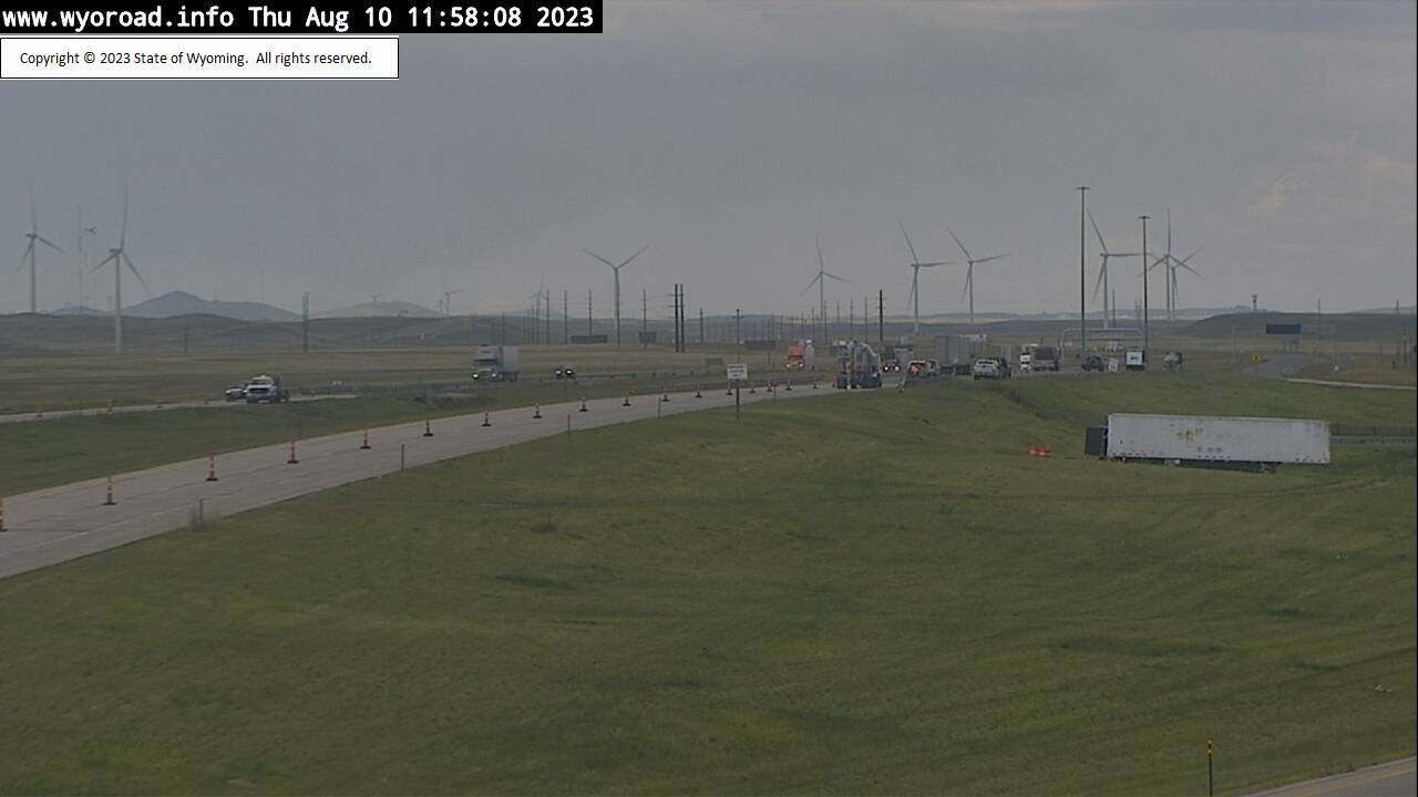
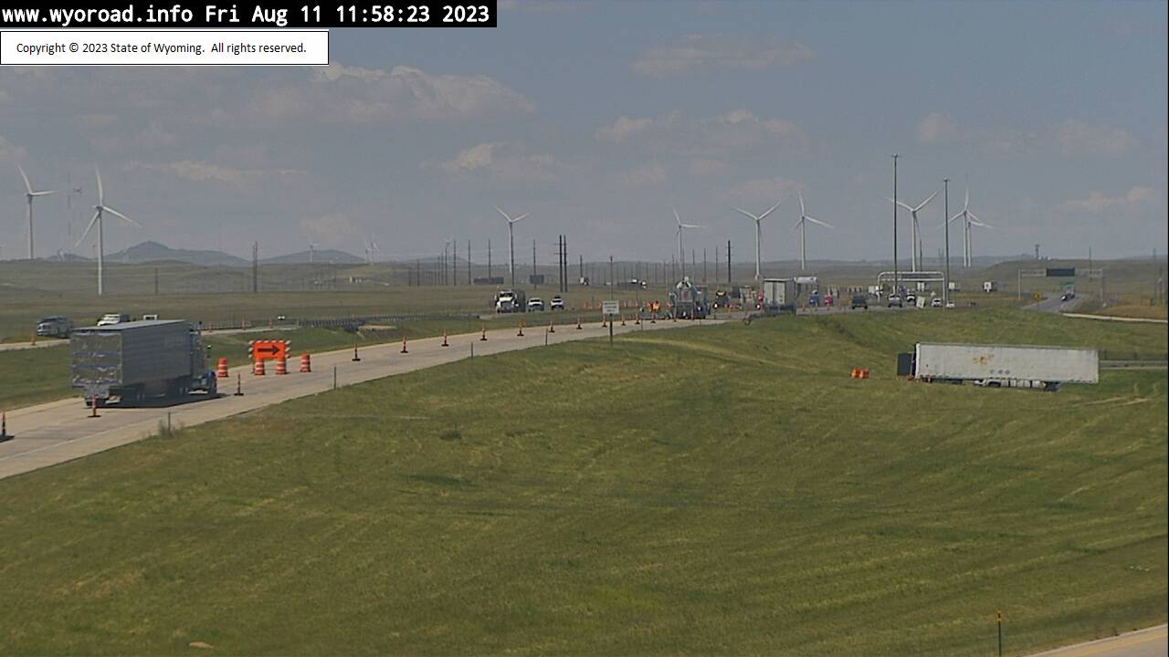
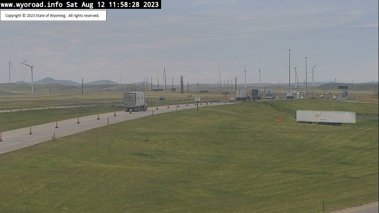
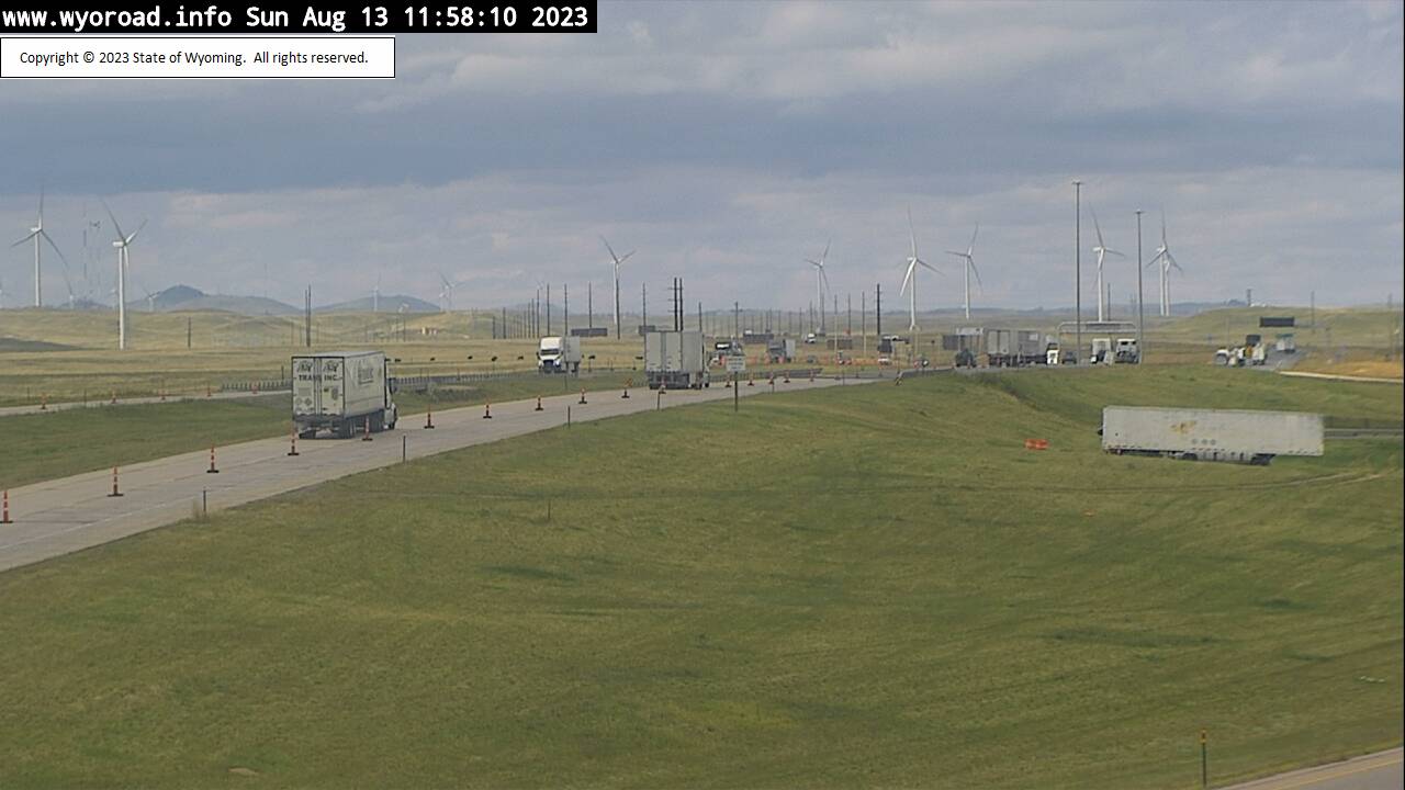
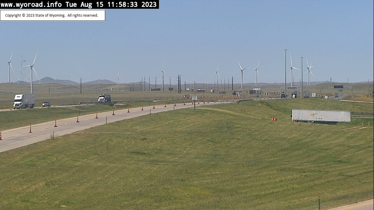
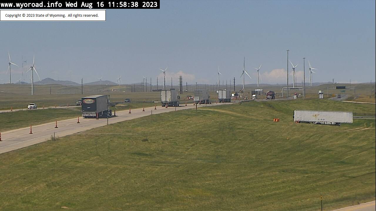
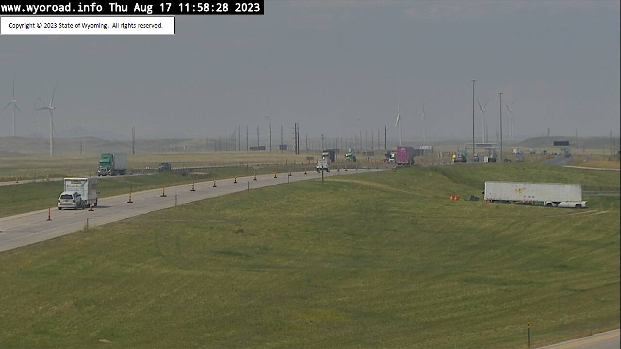
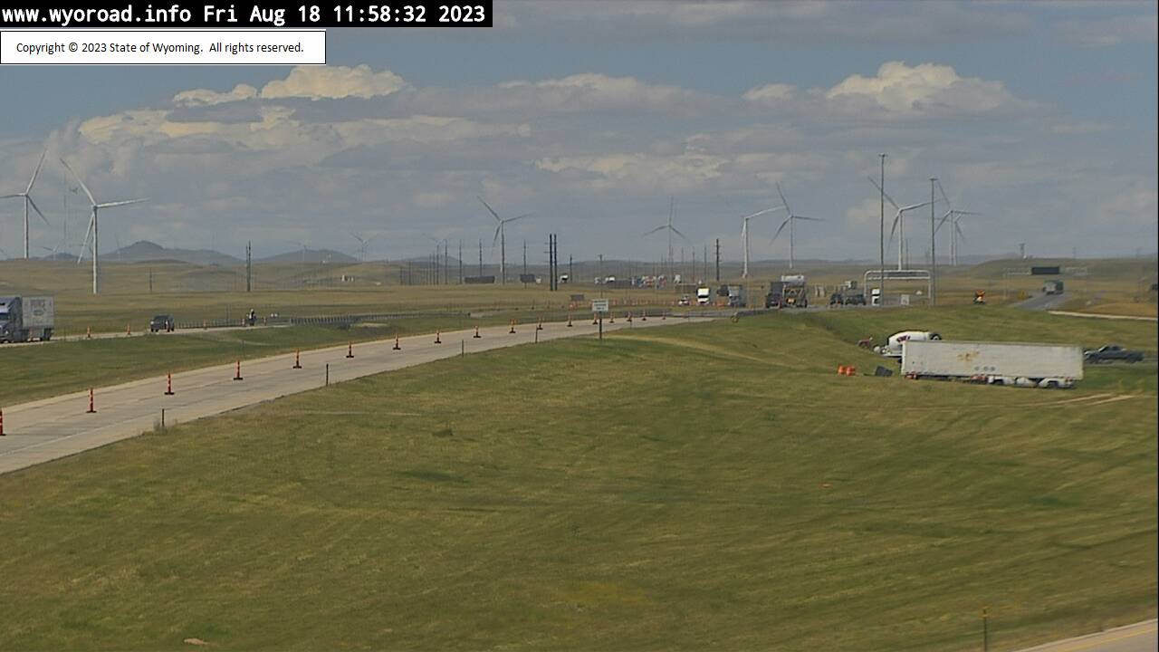
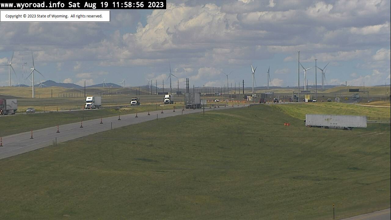
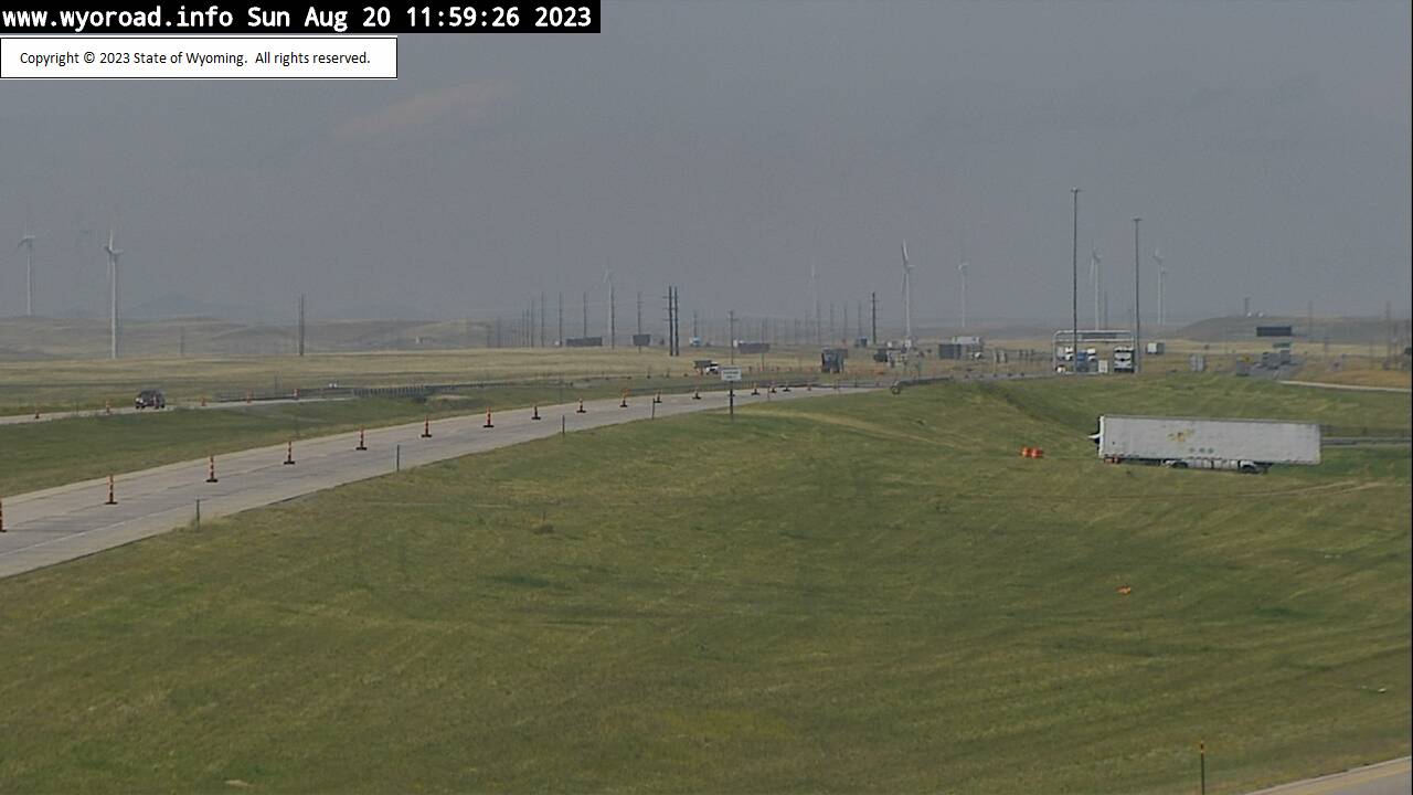
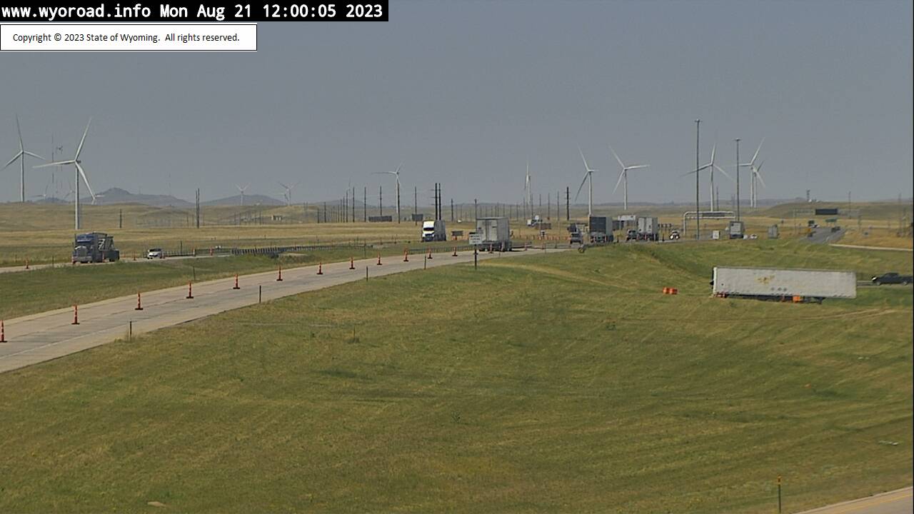
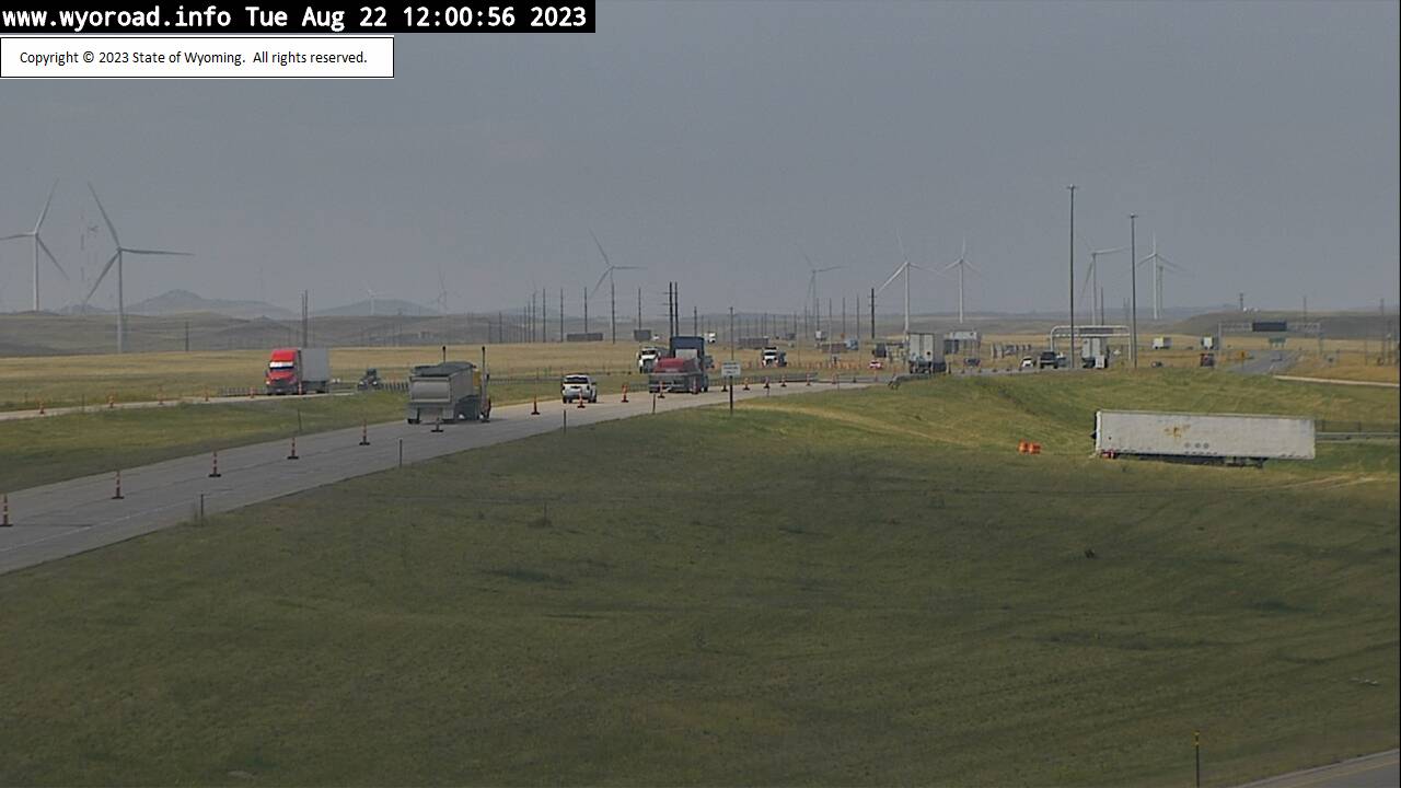
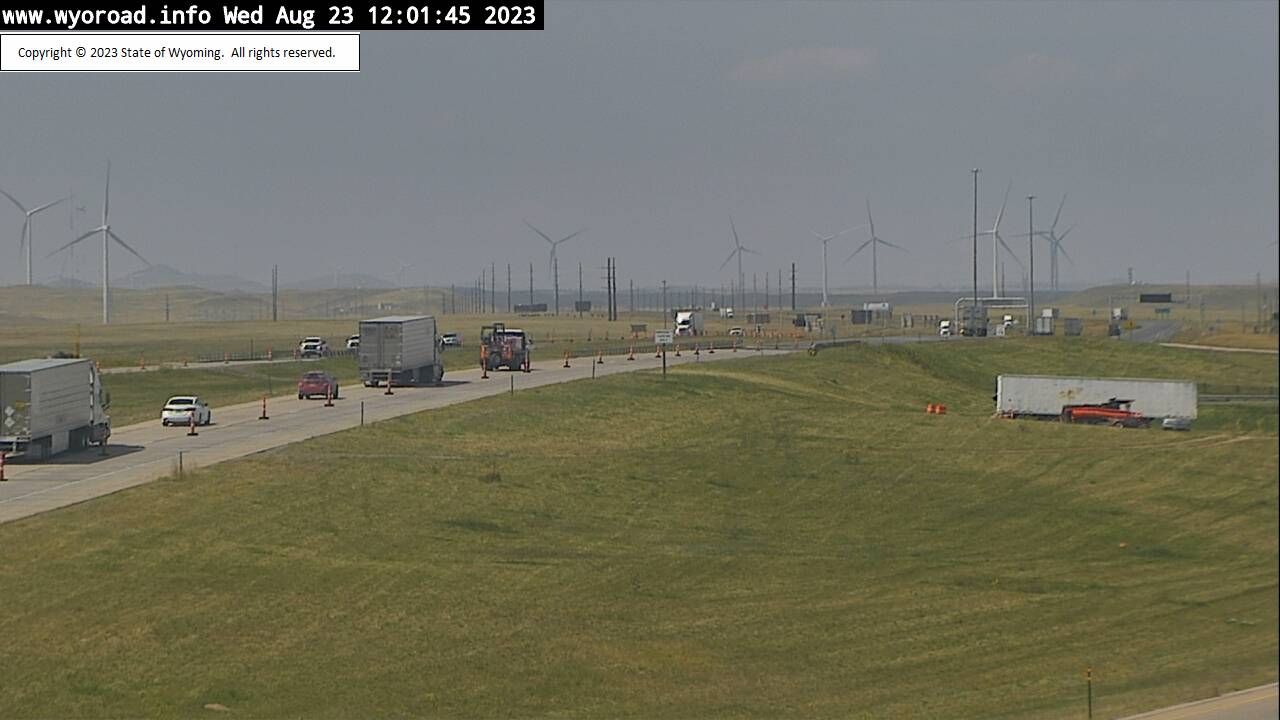
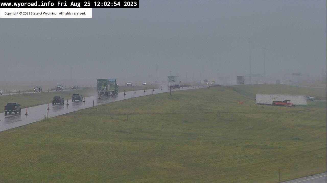
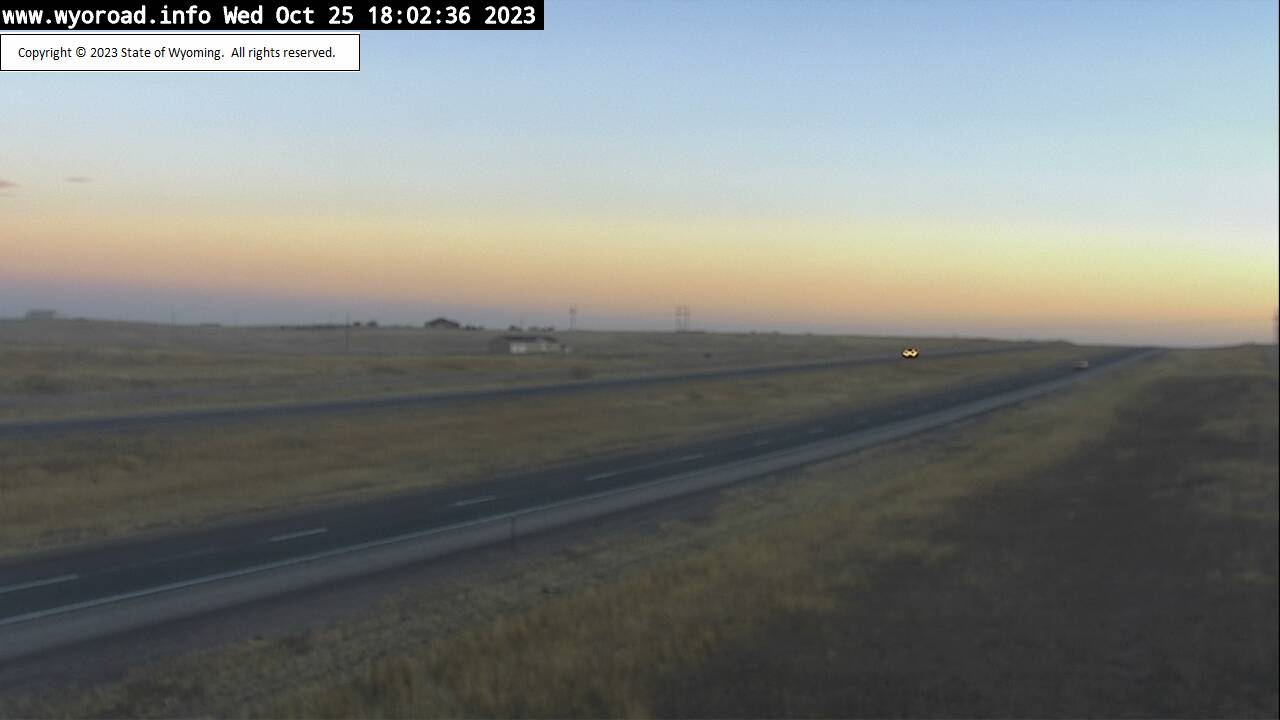
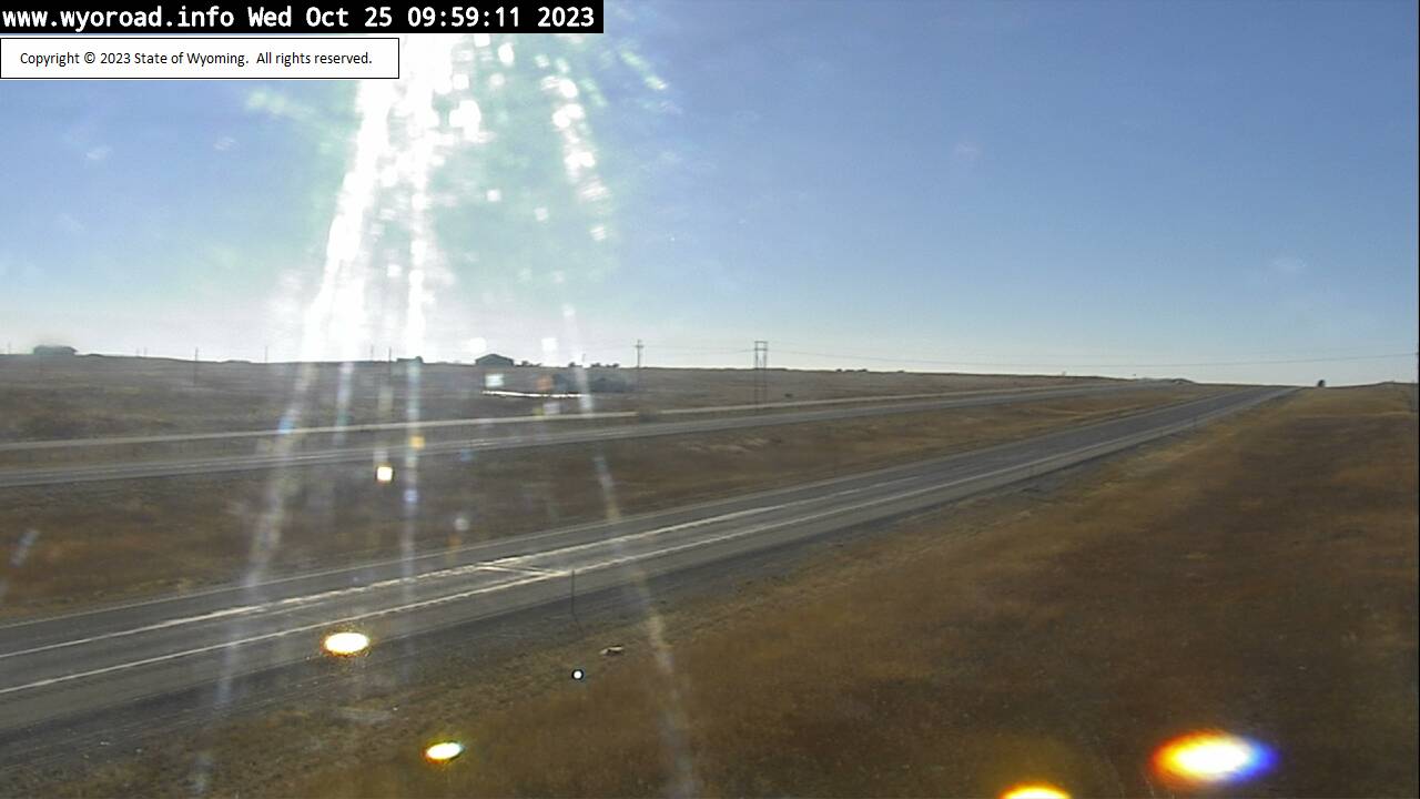
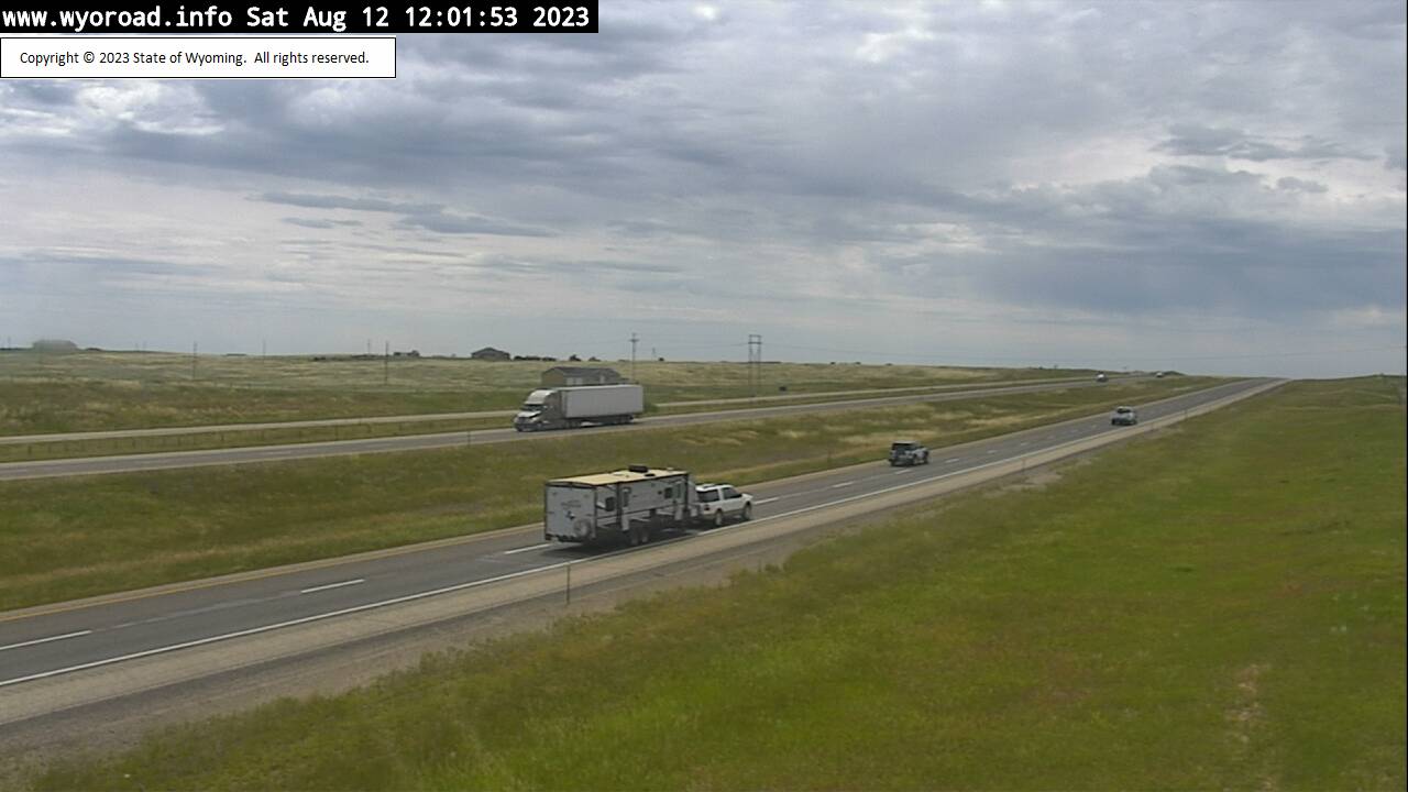
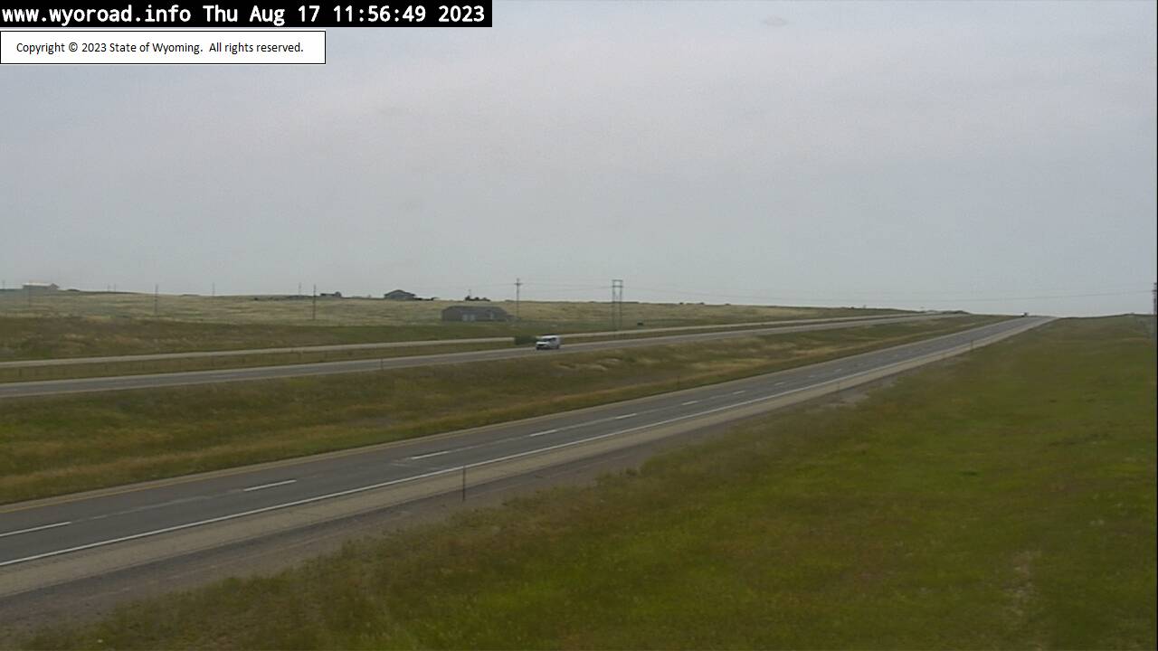
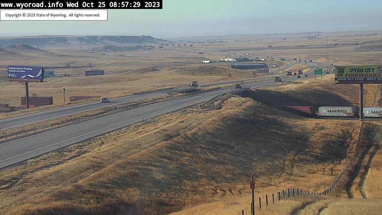
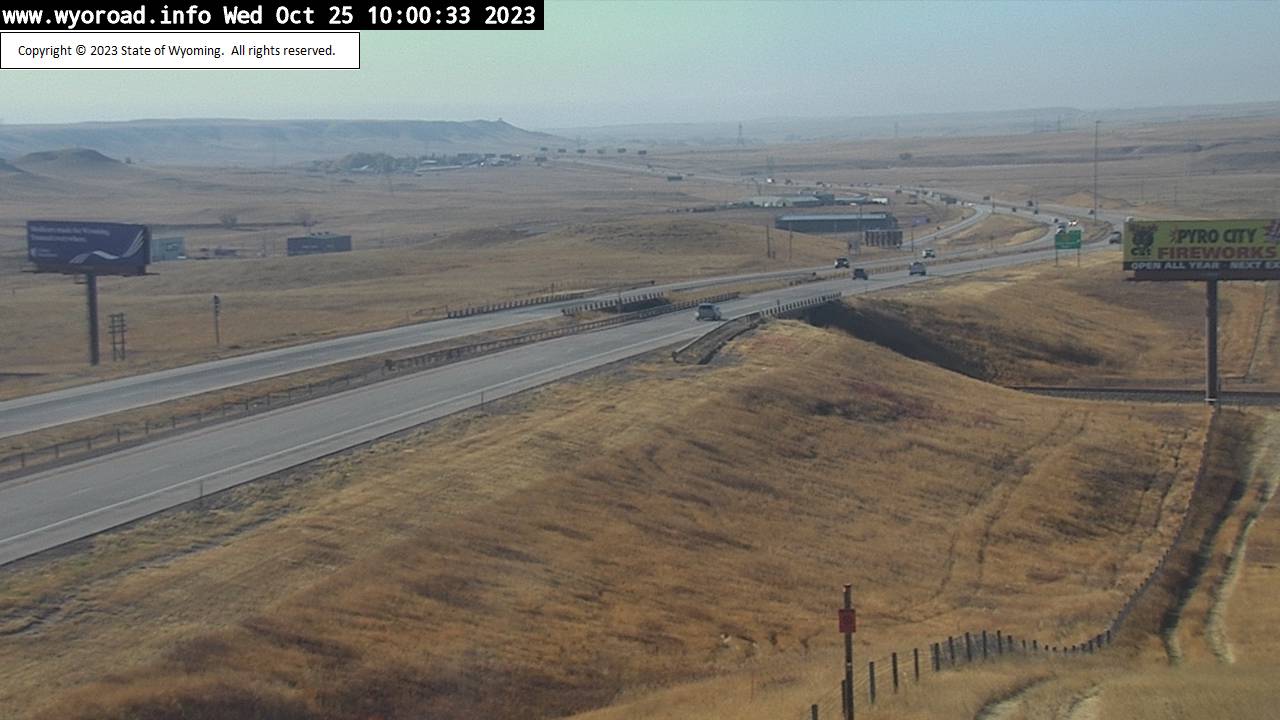
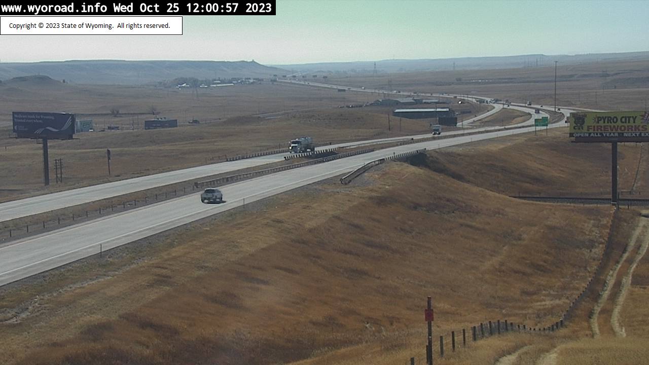
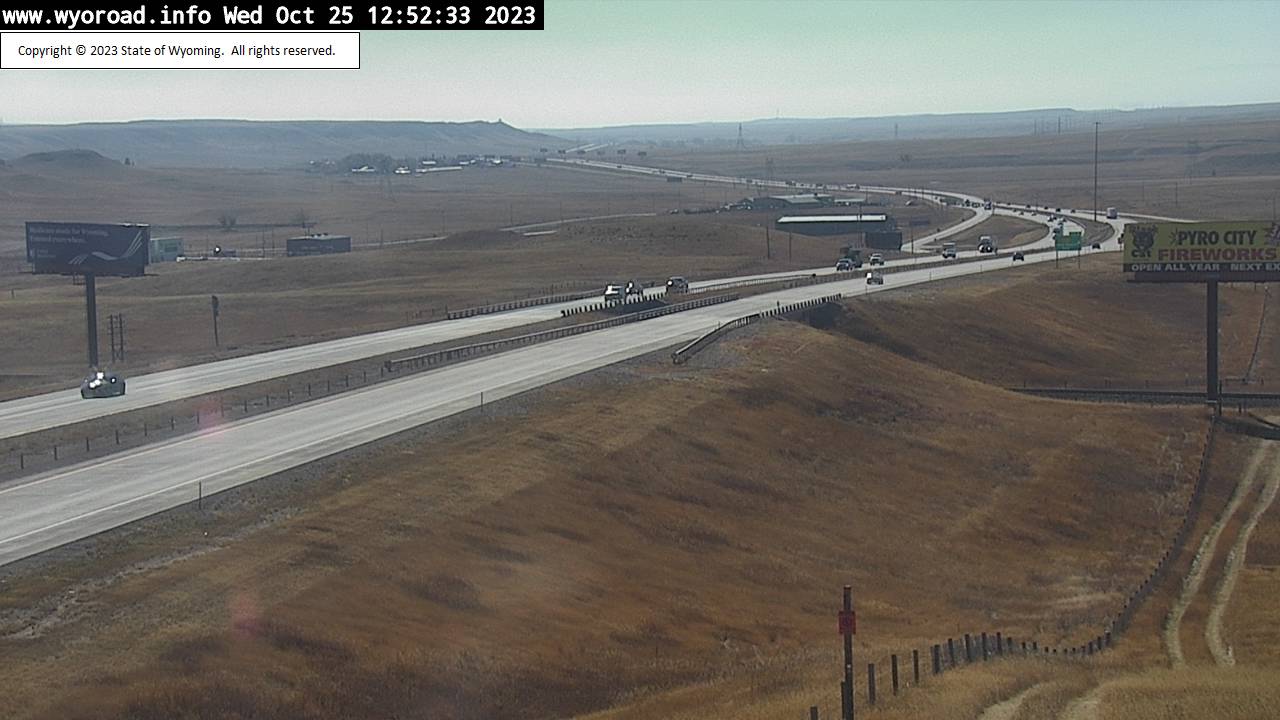
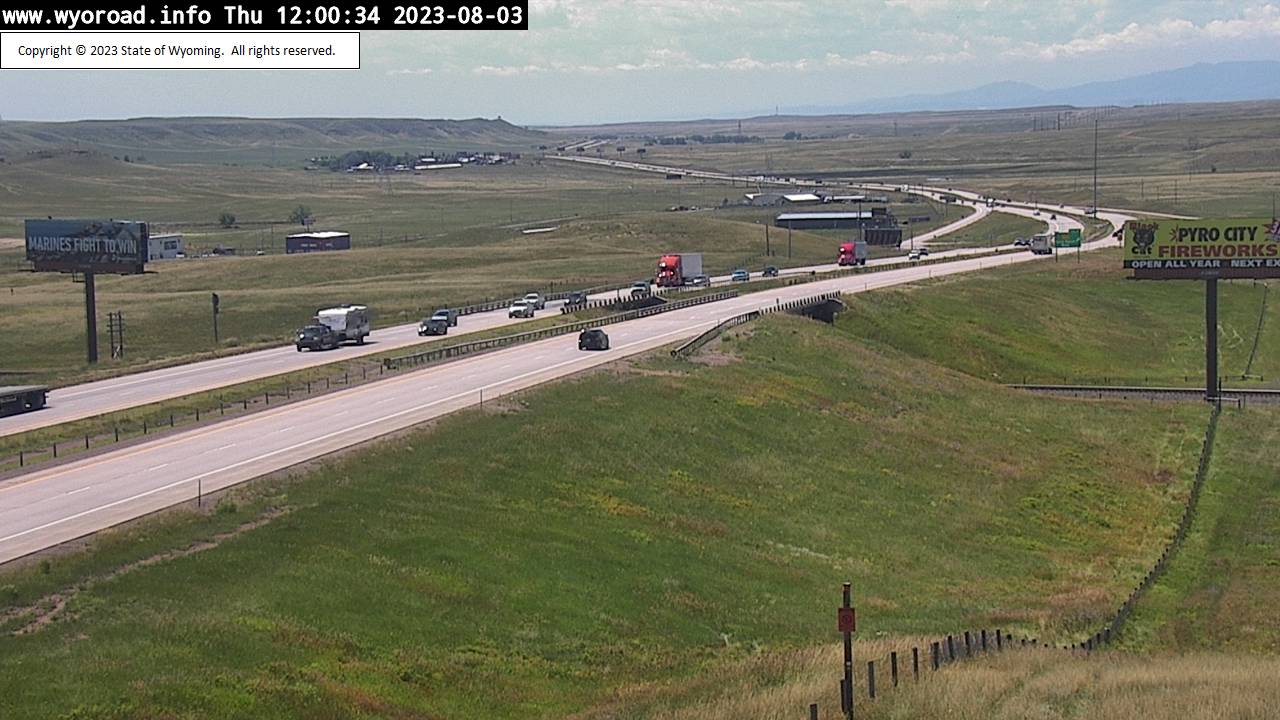
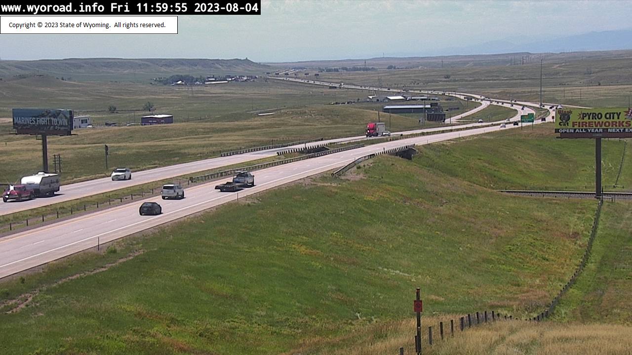
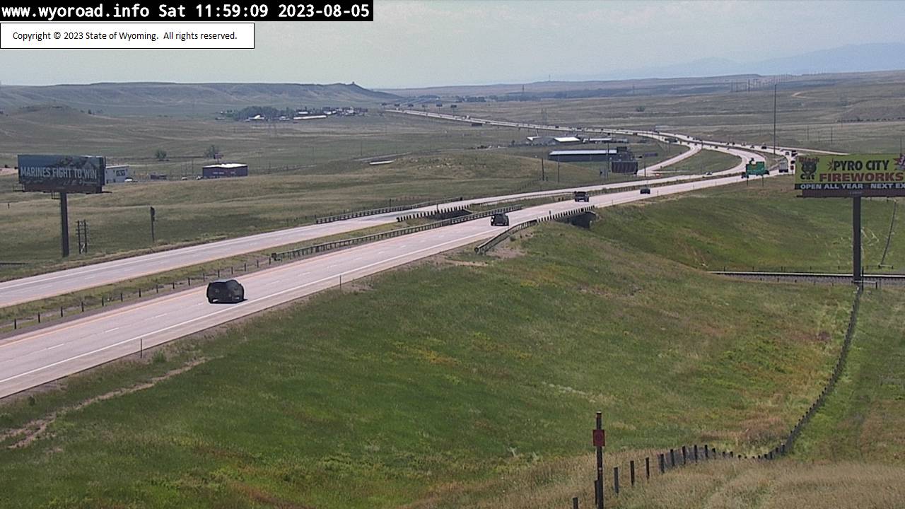
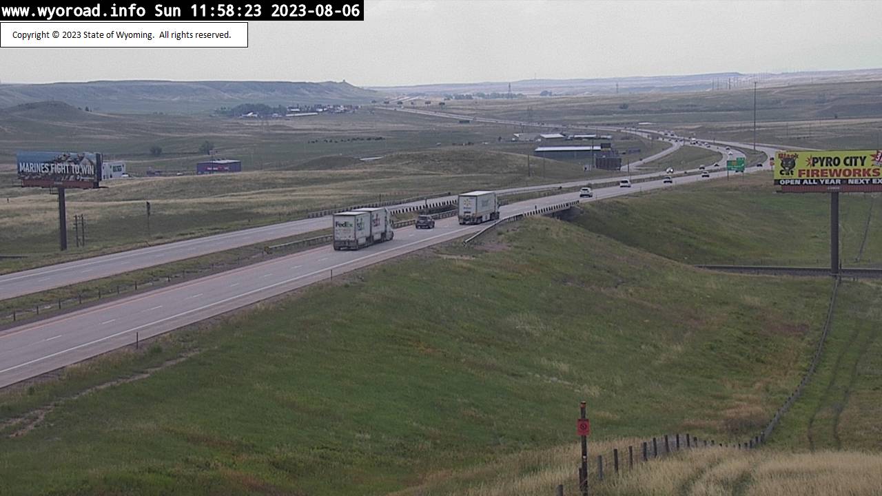
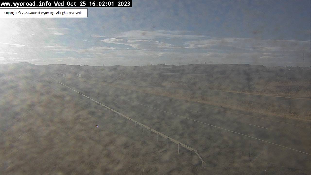
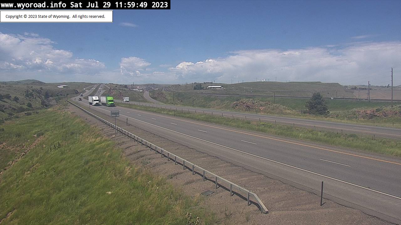
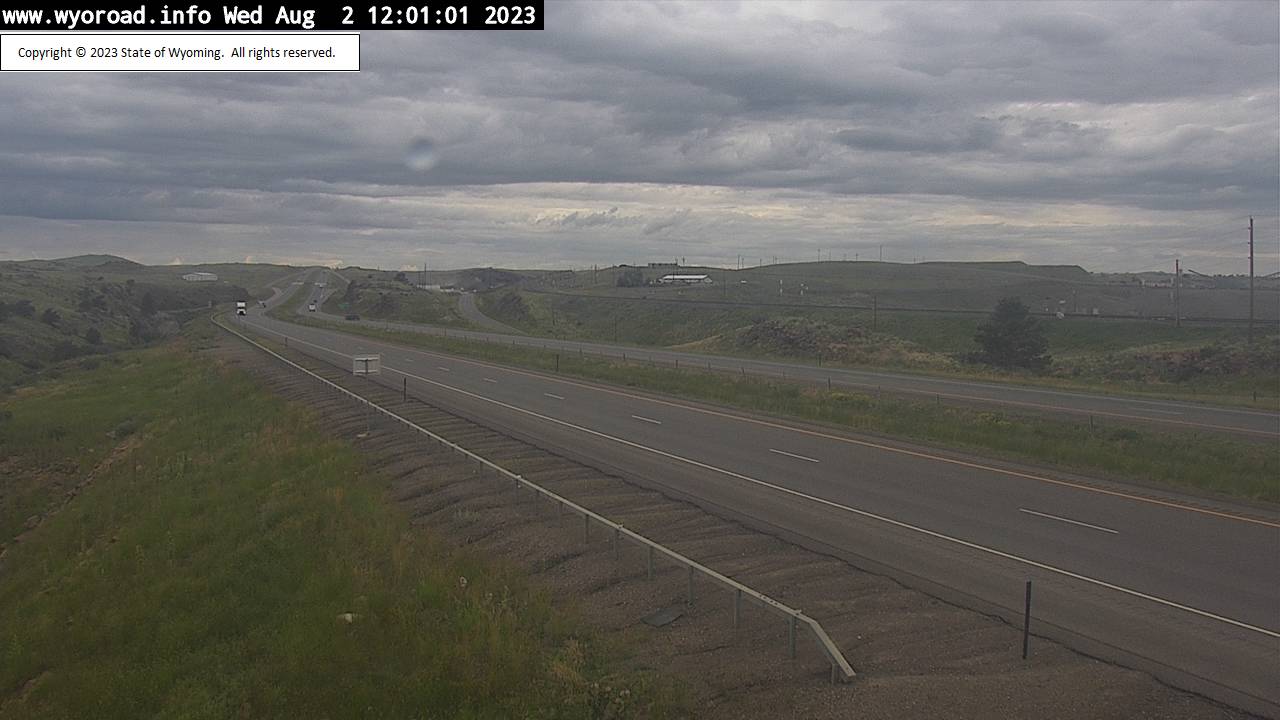
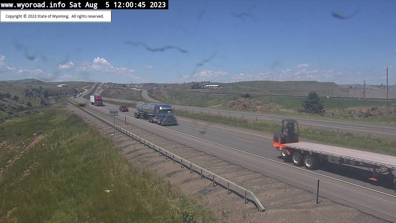
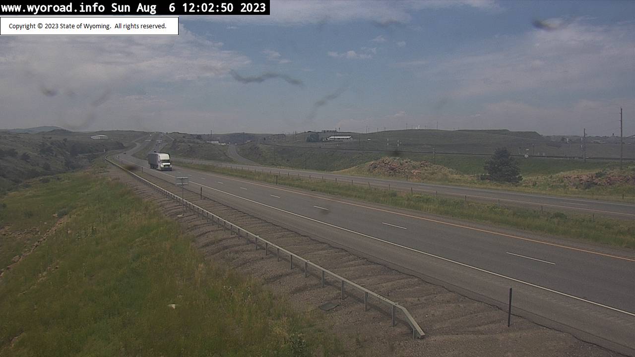
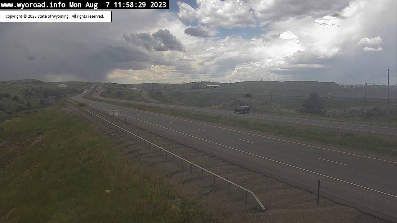
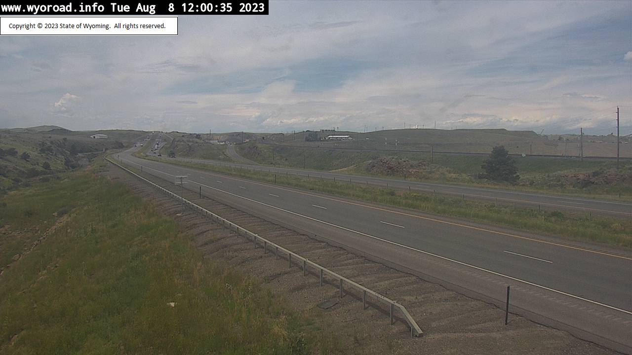
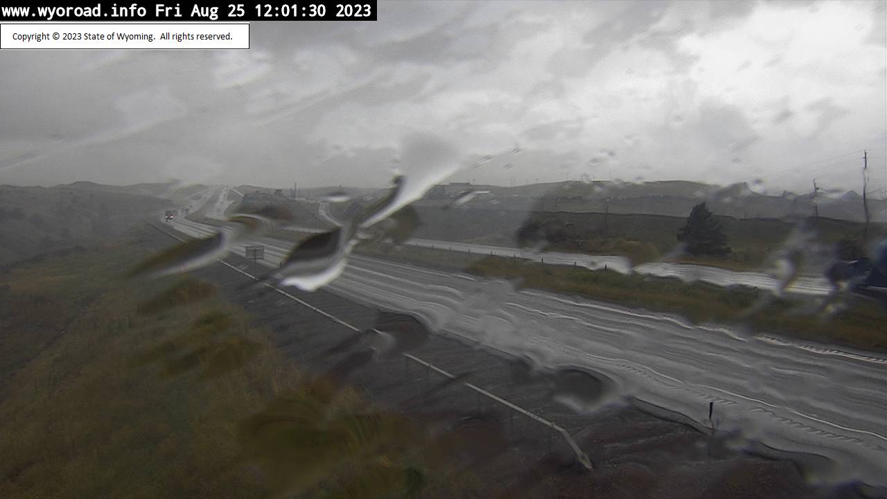
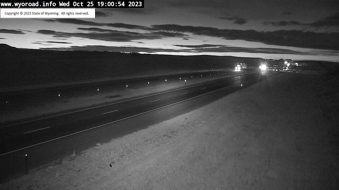
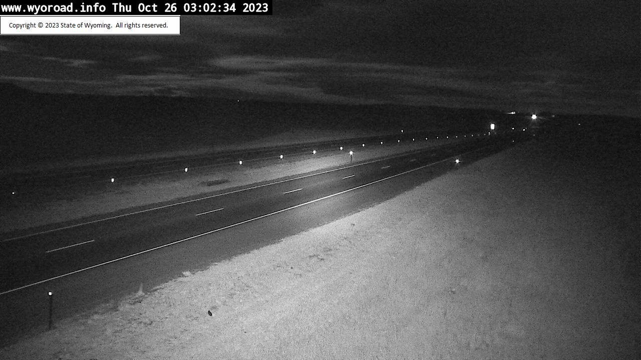
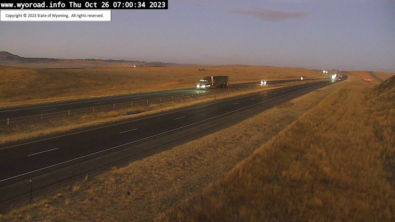
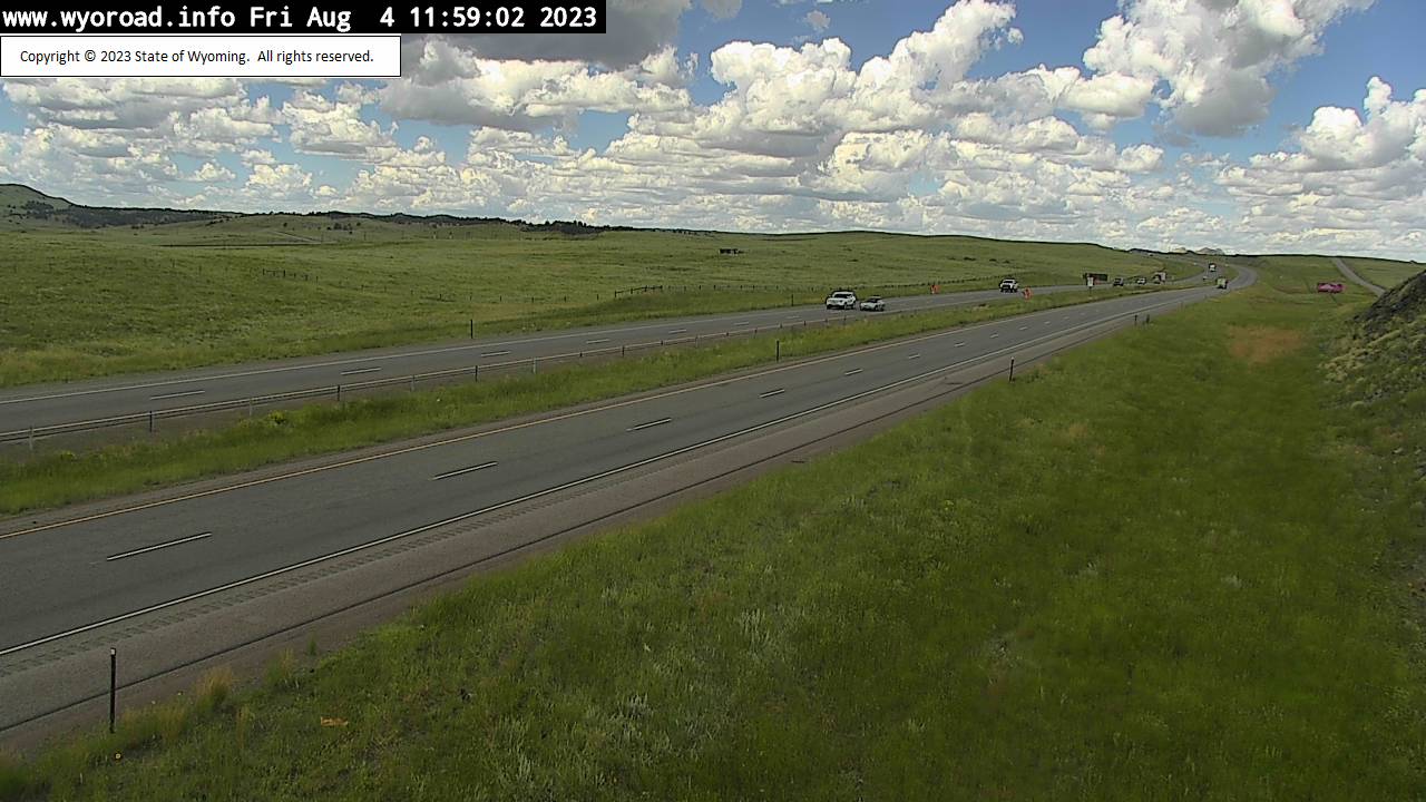
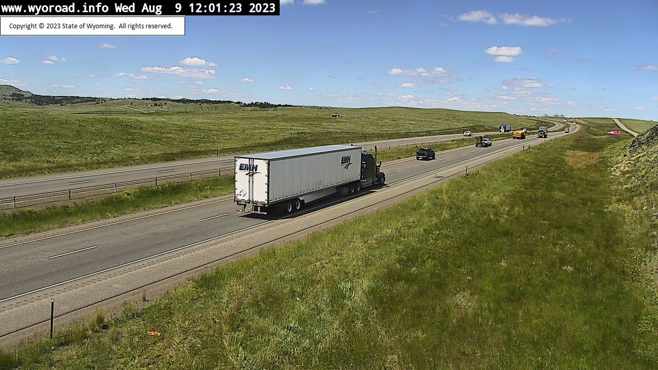
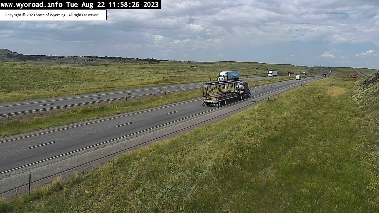
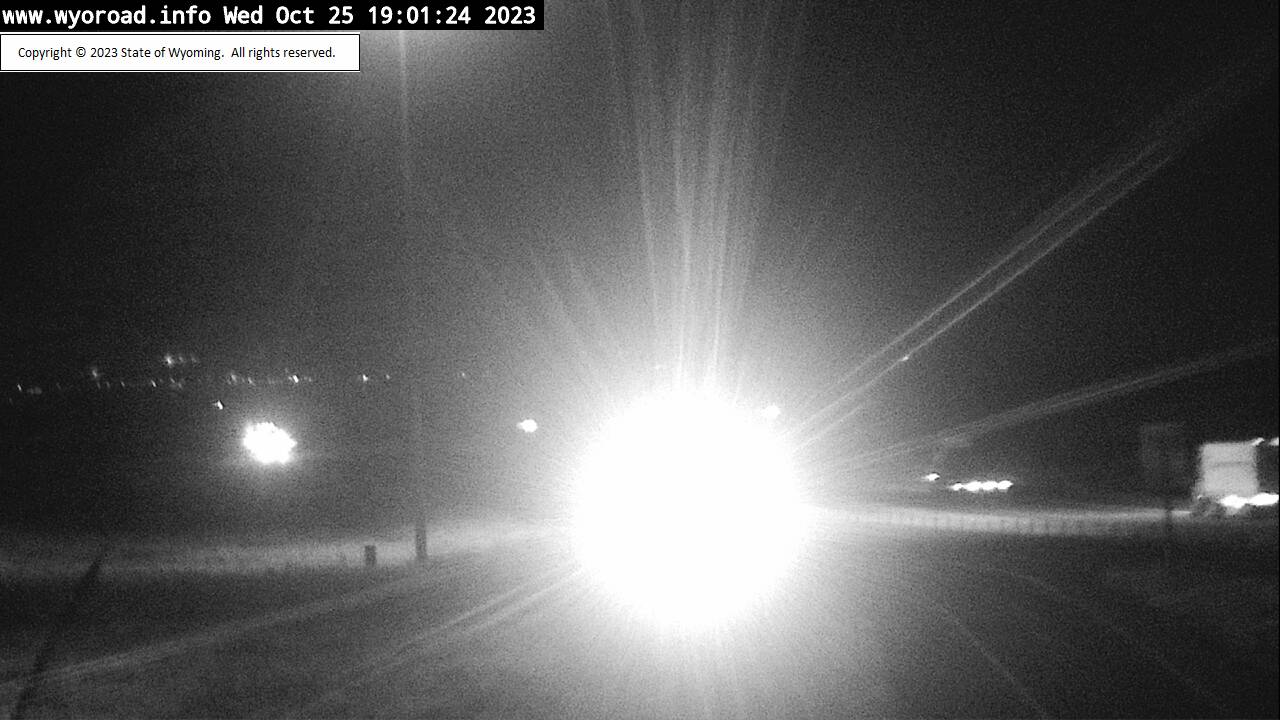
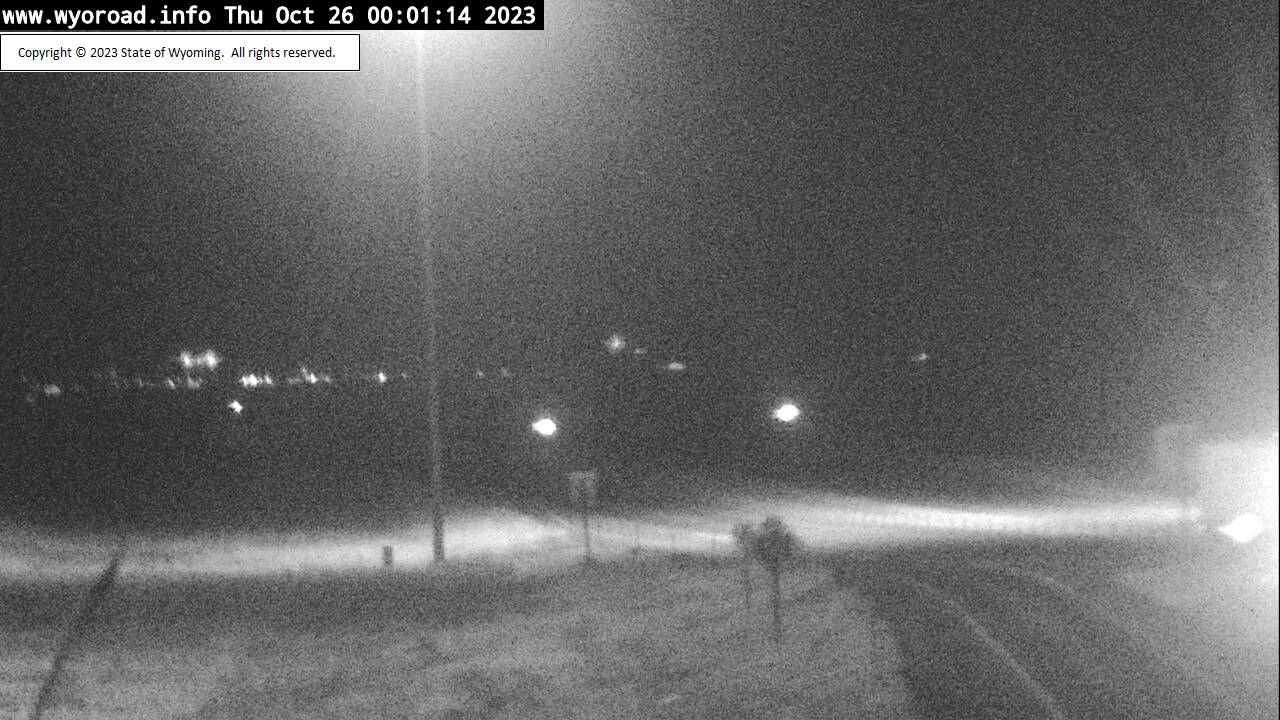
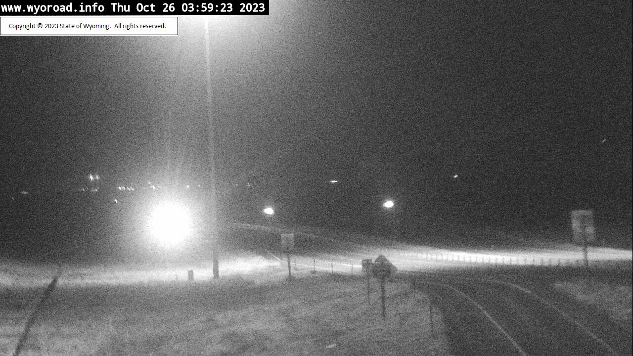
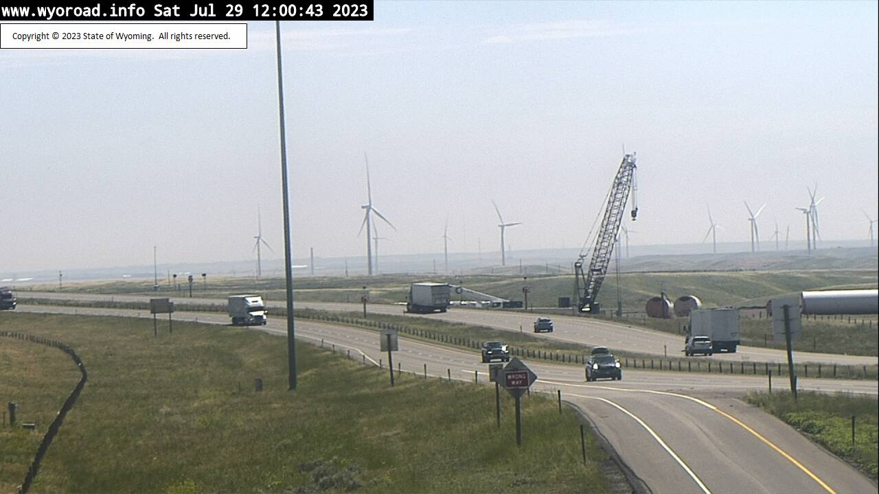
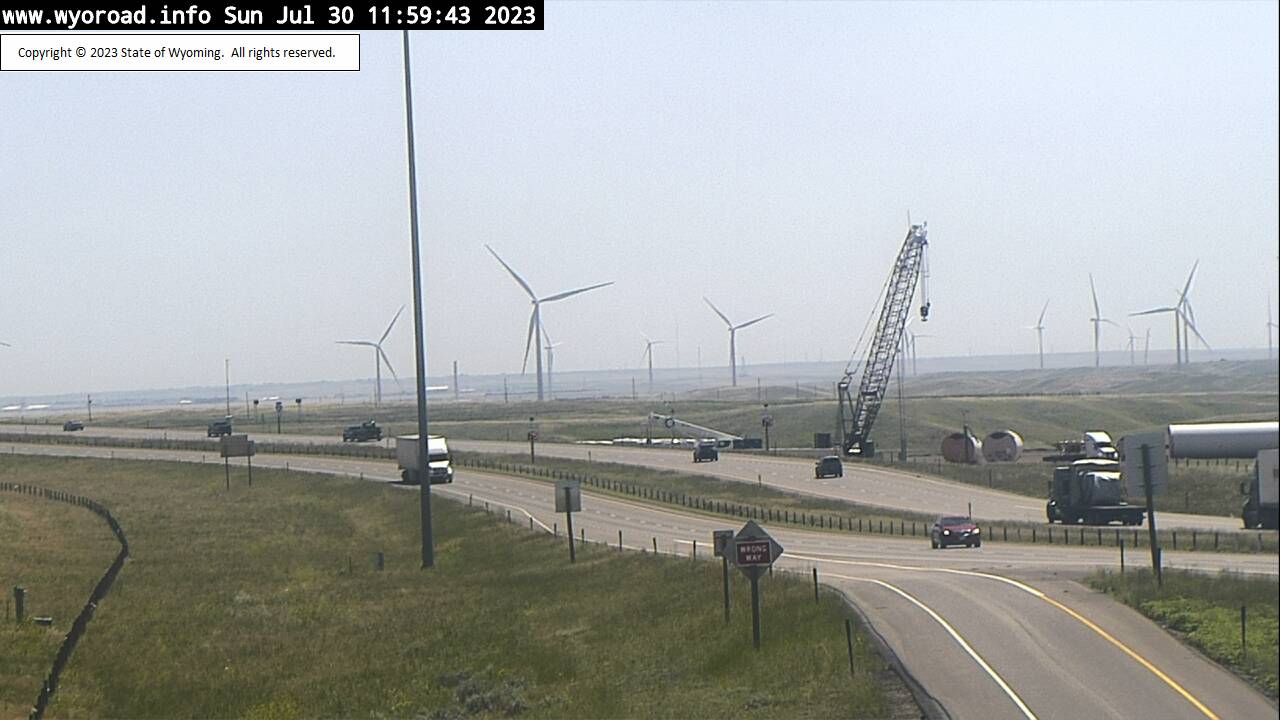
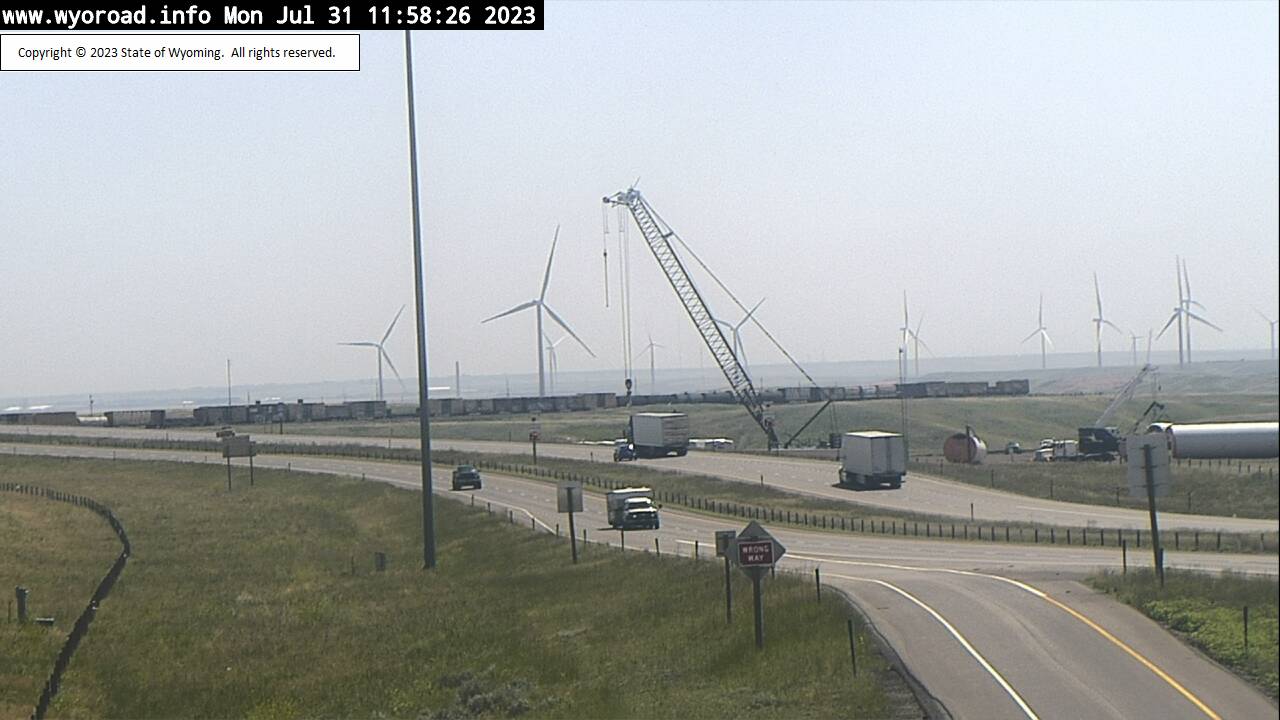
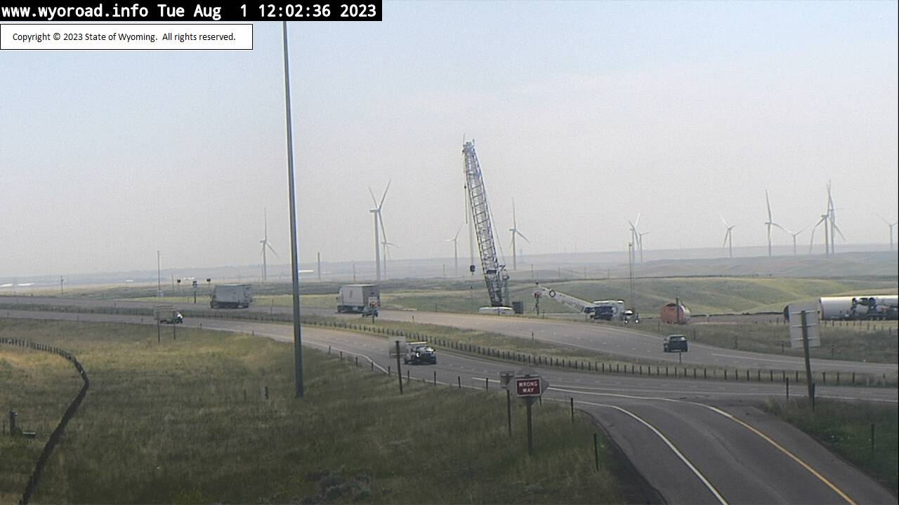
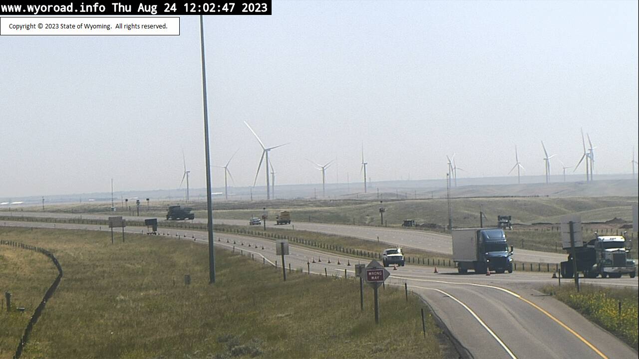
Cheyenne, Wyoming, USA - 6.1 miles from Altvan: Cheyenne South POE - Traffic and Weather - A view of the current traffic and weather situation.
Operator: WYDOT Travel Information Service
Operator: WYDOT Travel Information Service


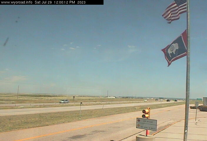
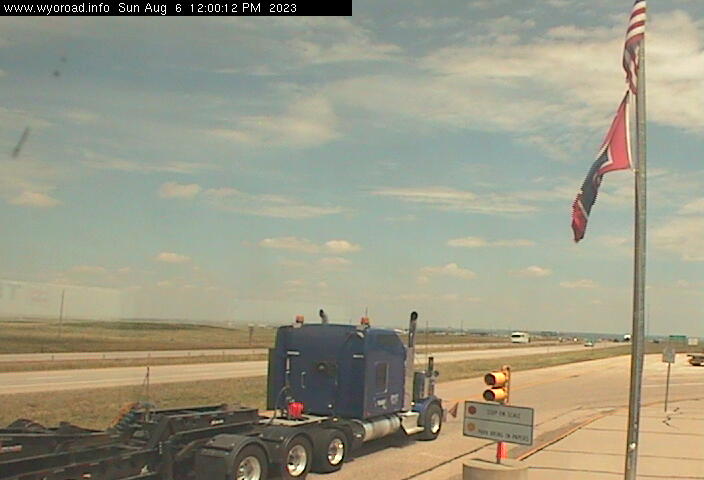
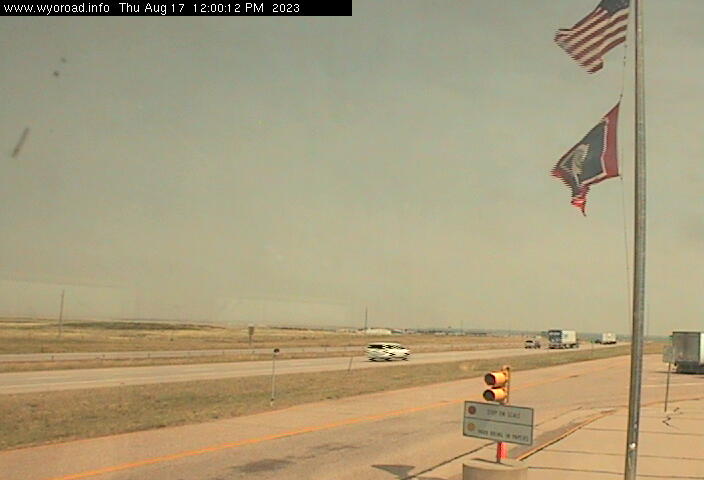
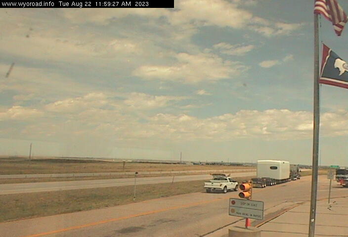

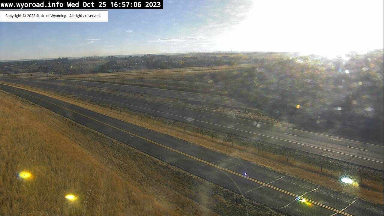
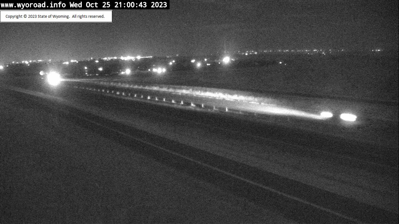
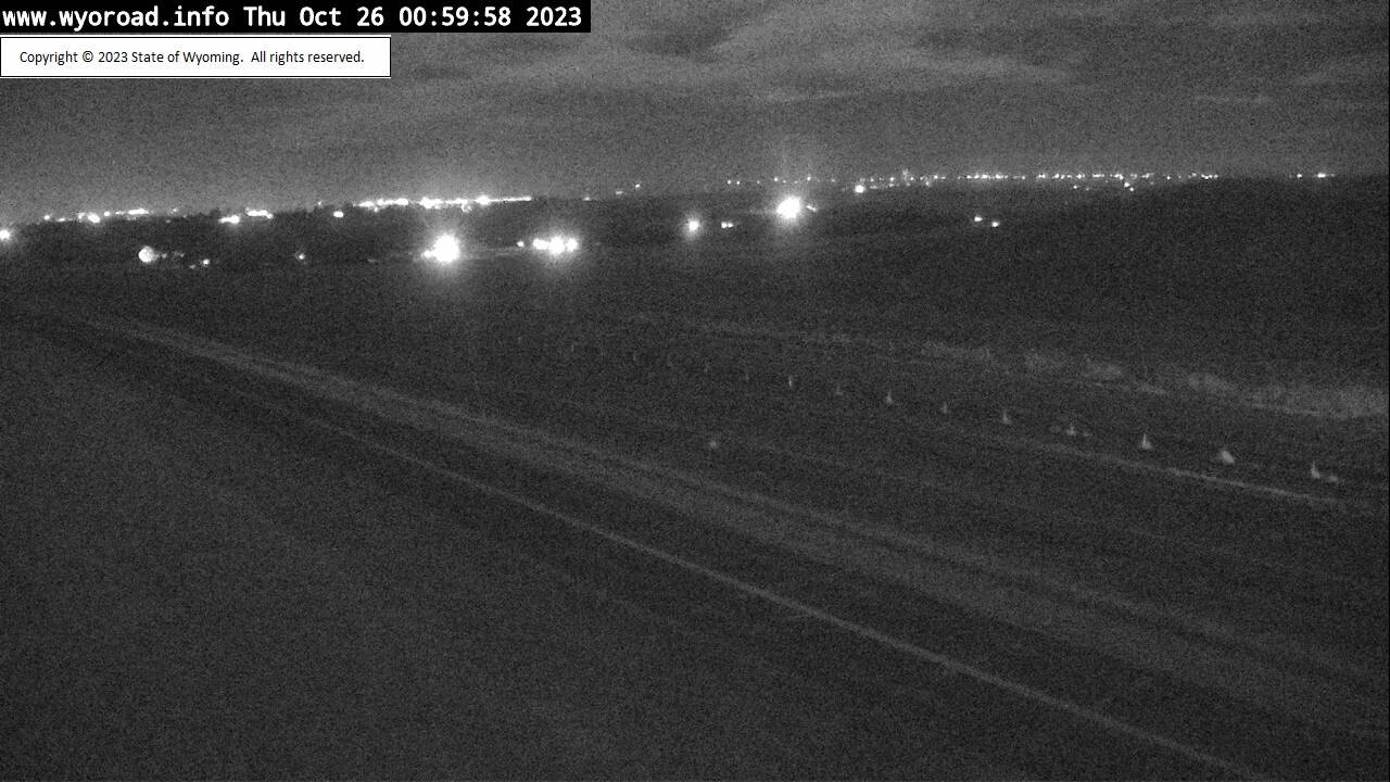
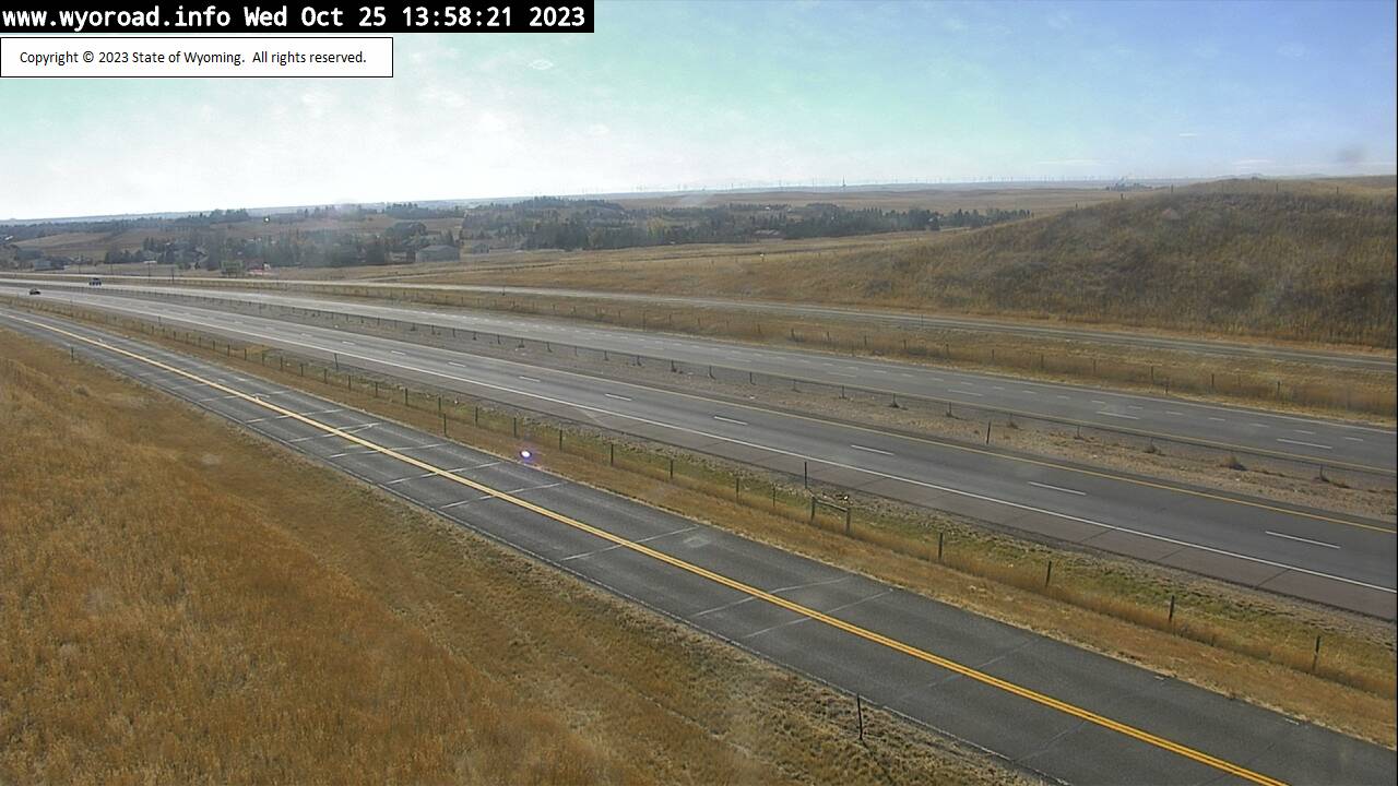
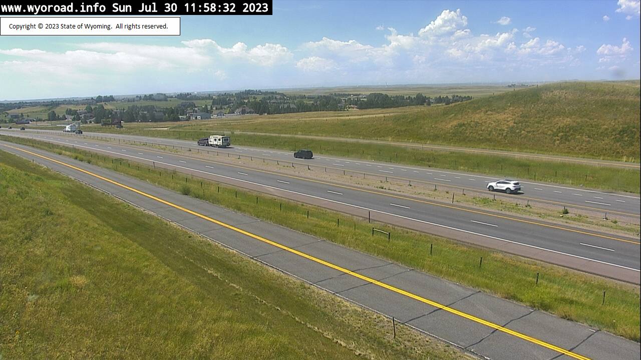
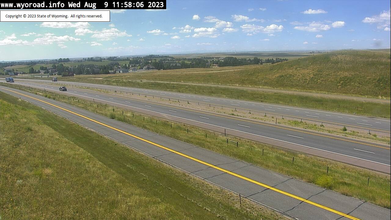
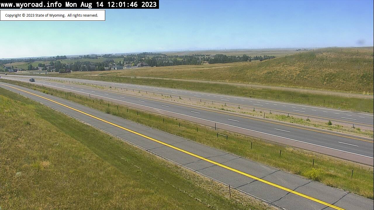
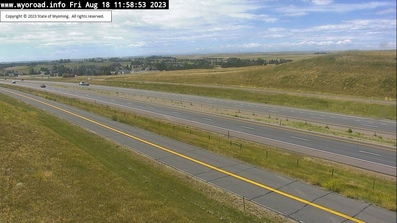
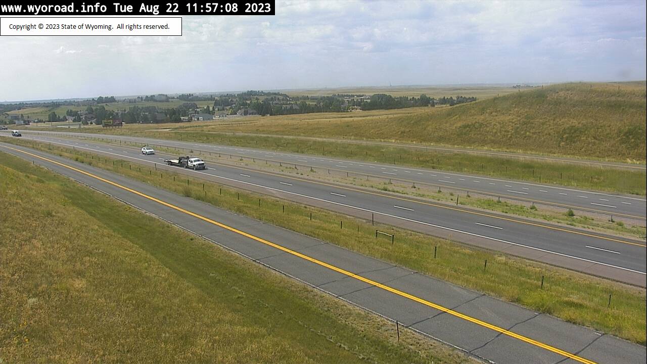
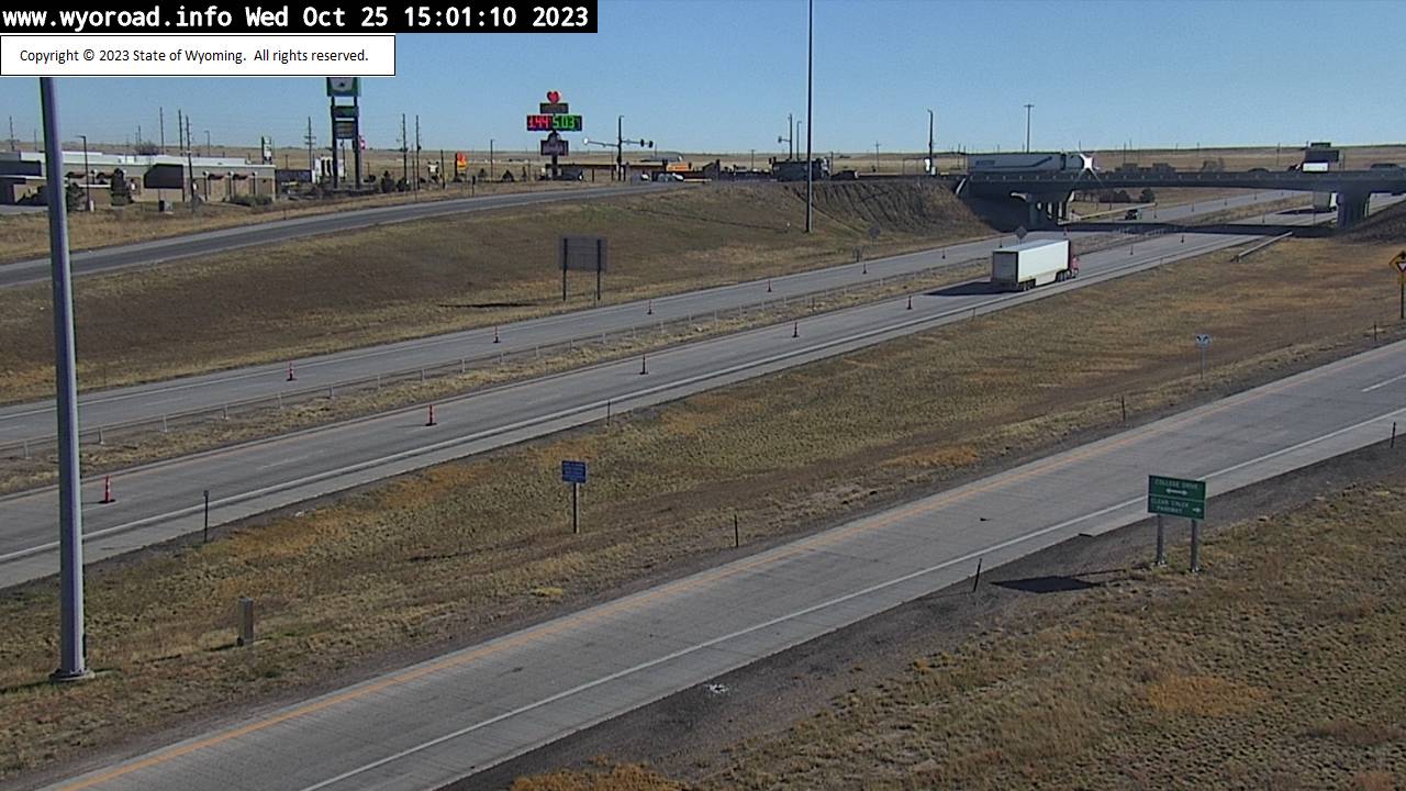
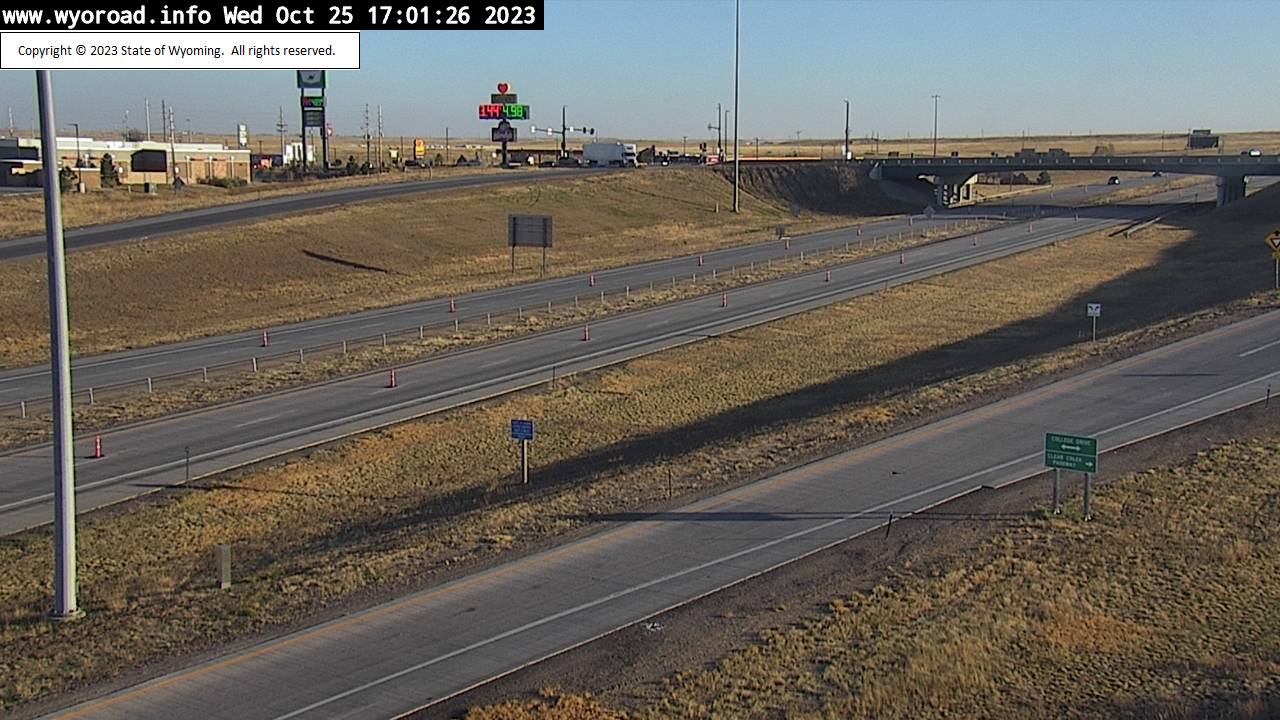
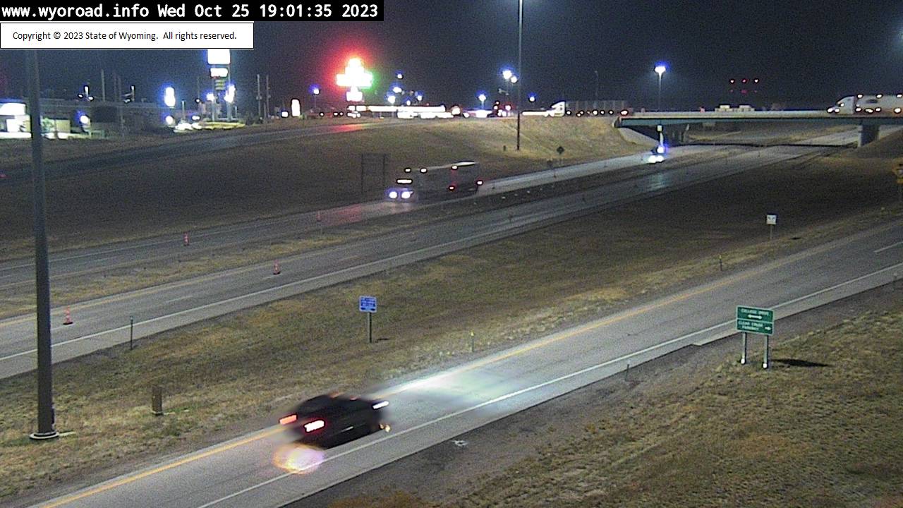
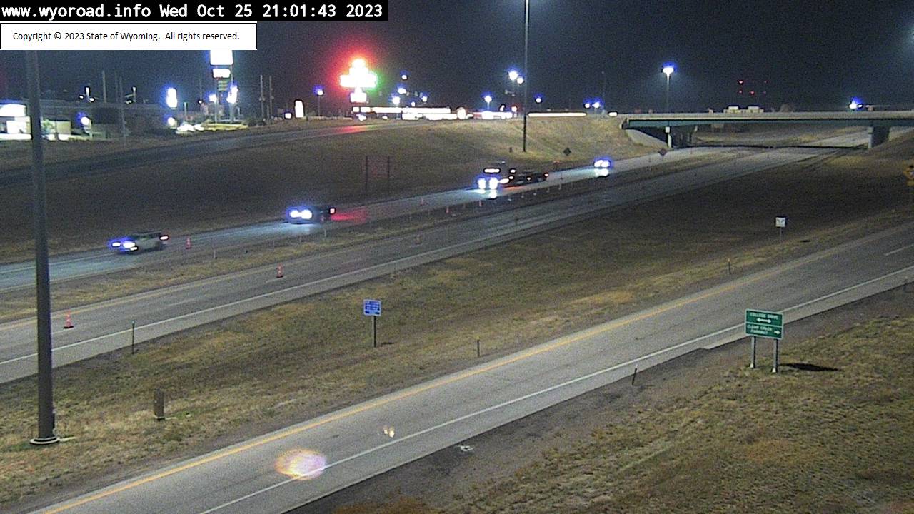
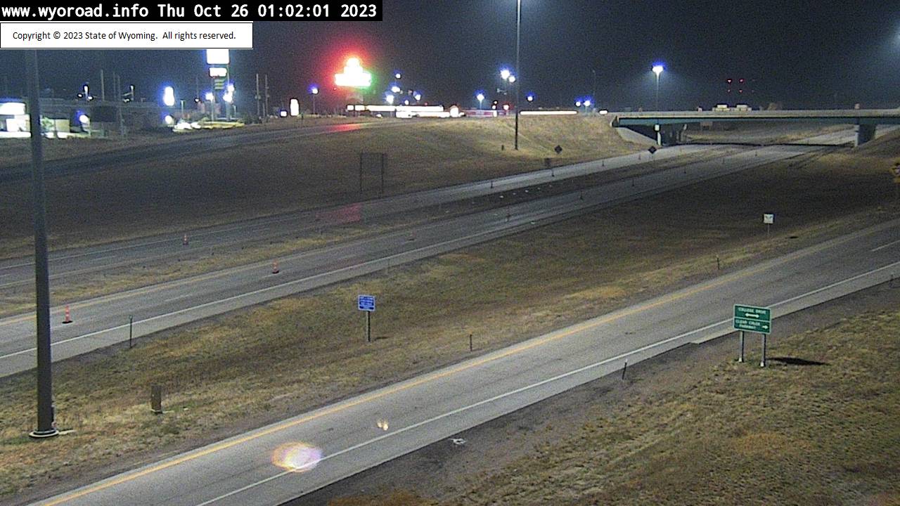
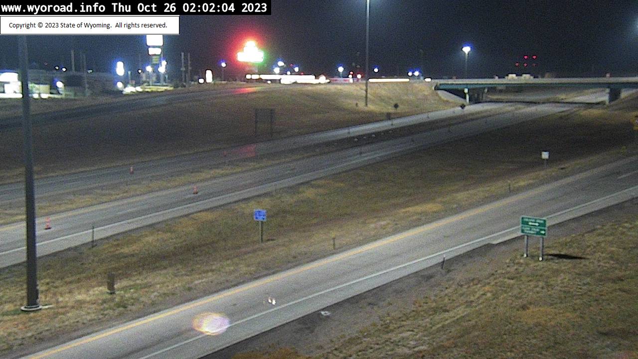
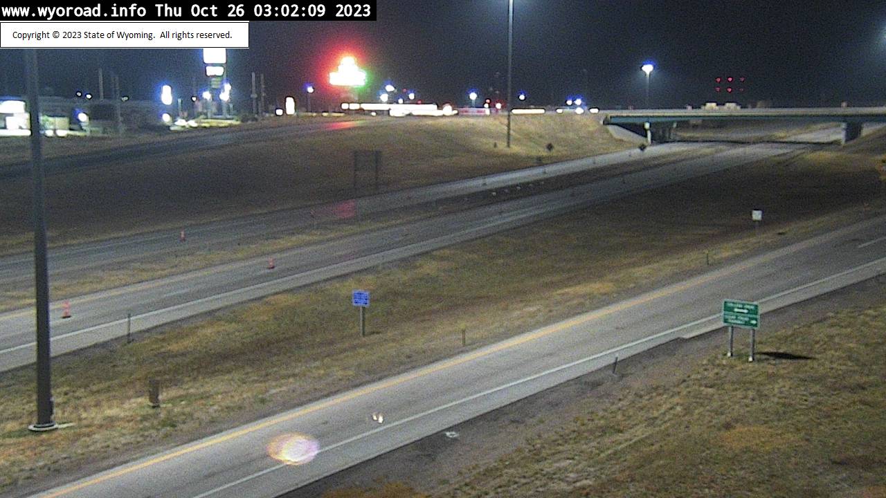
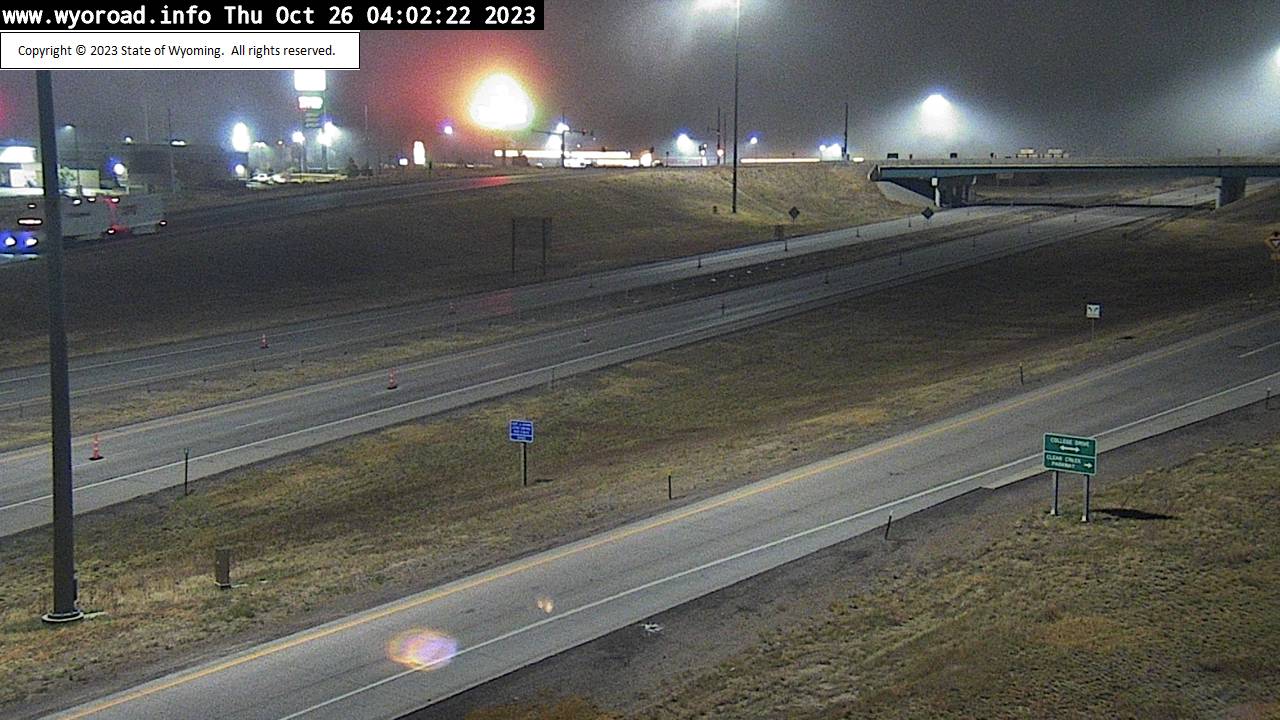
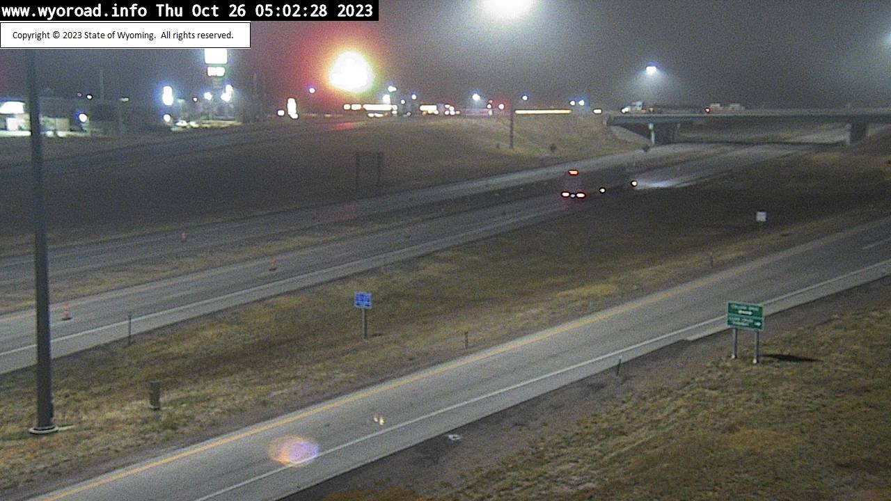
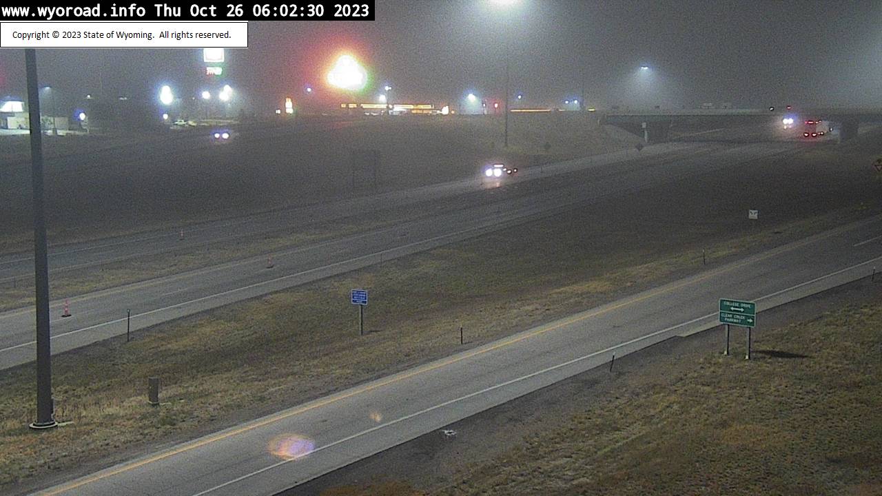
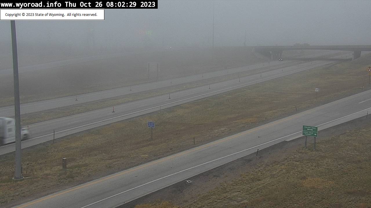
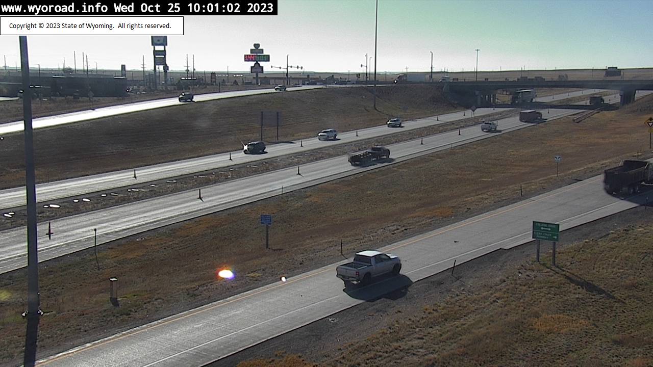
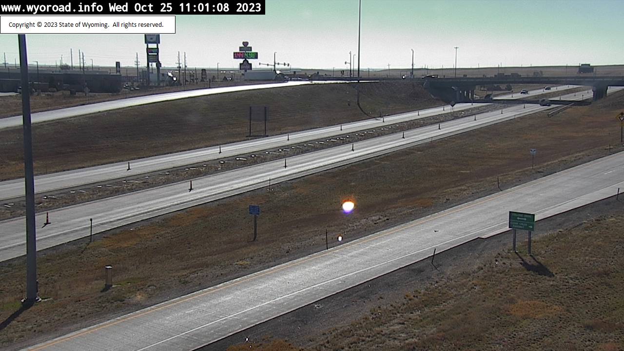
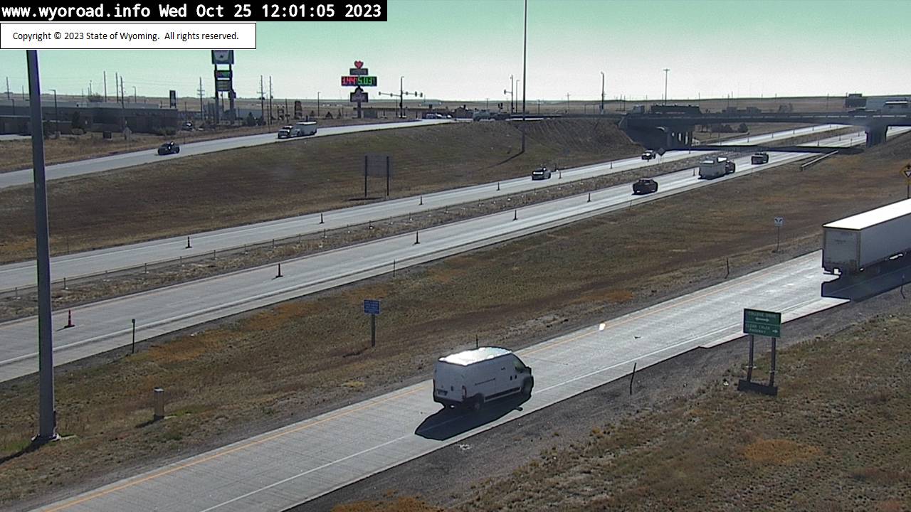
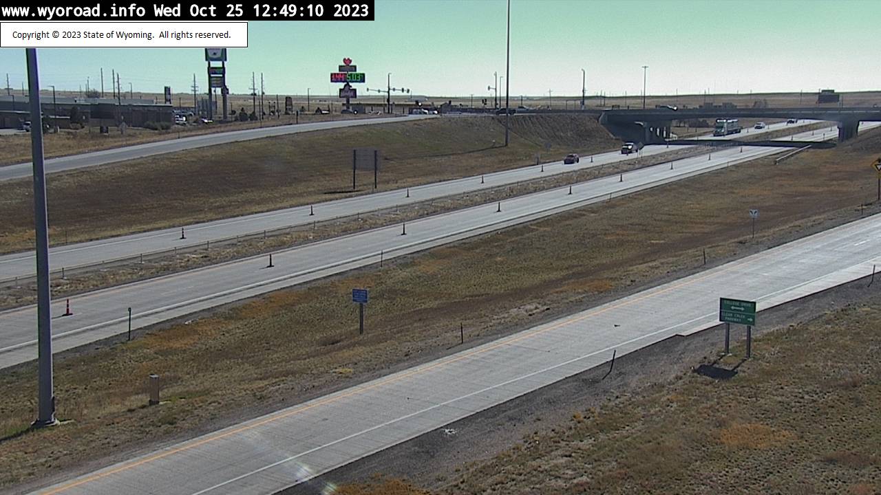
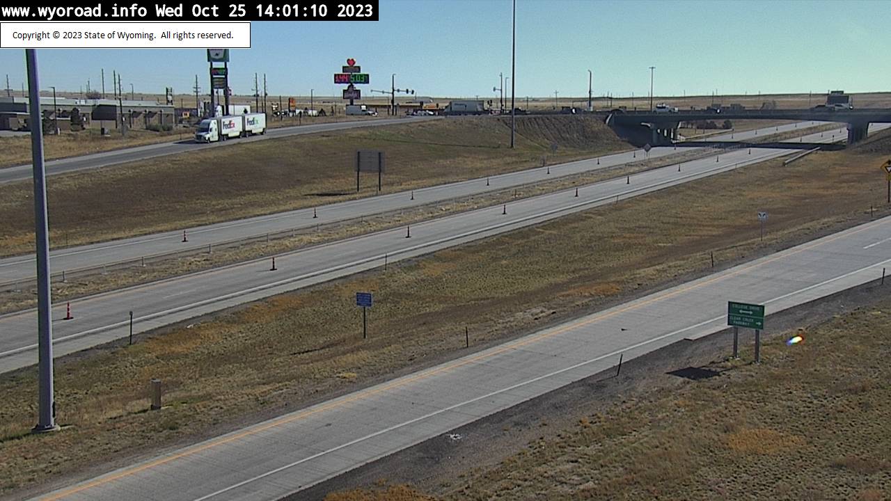
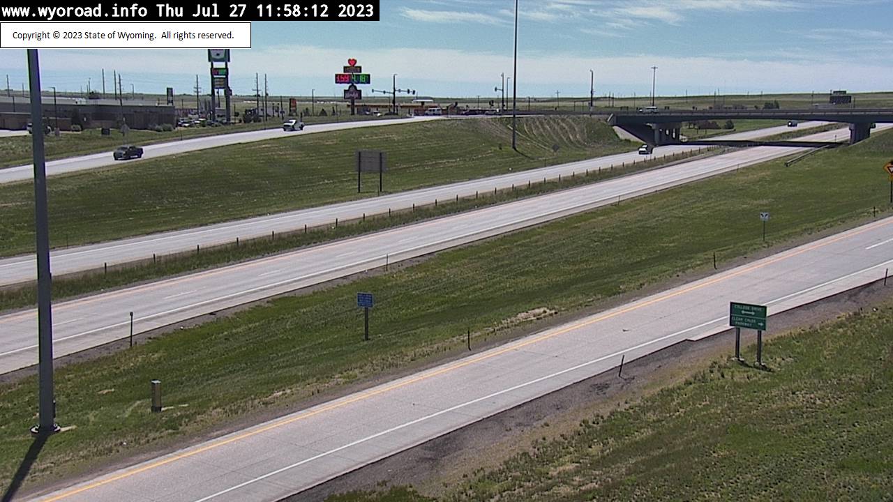
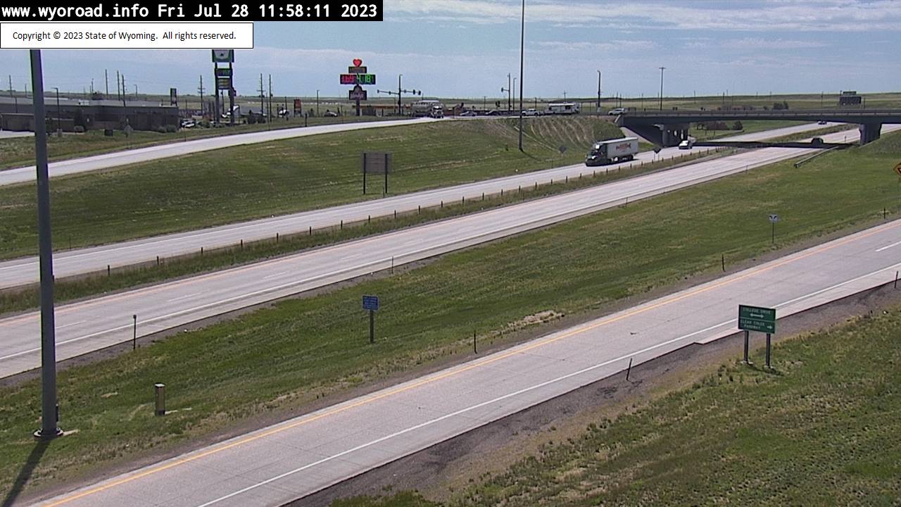
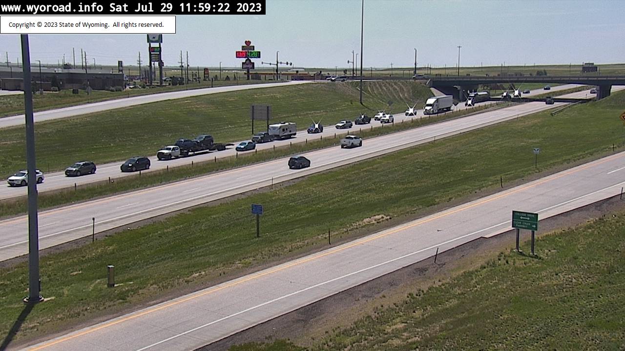
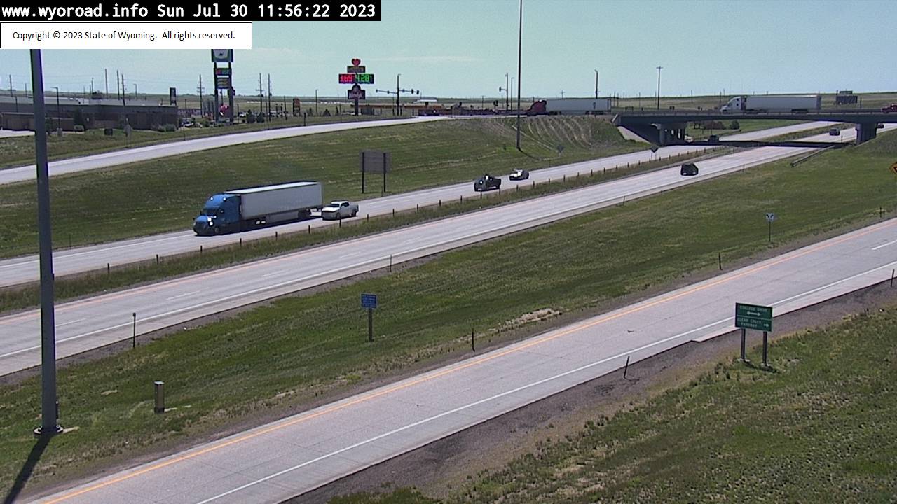
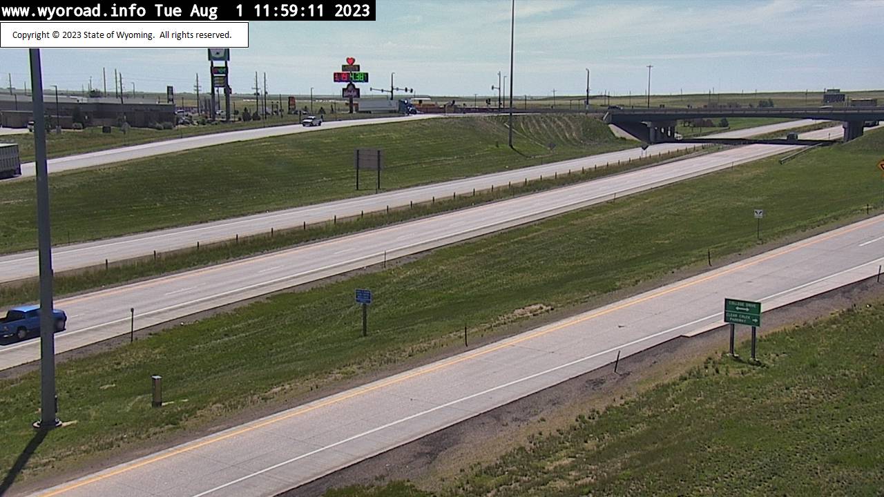
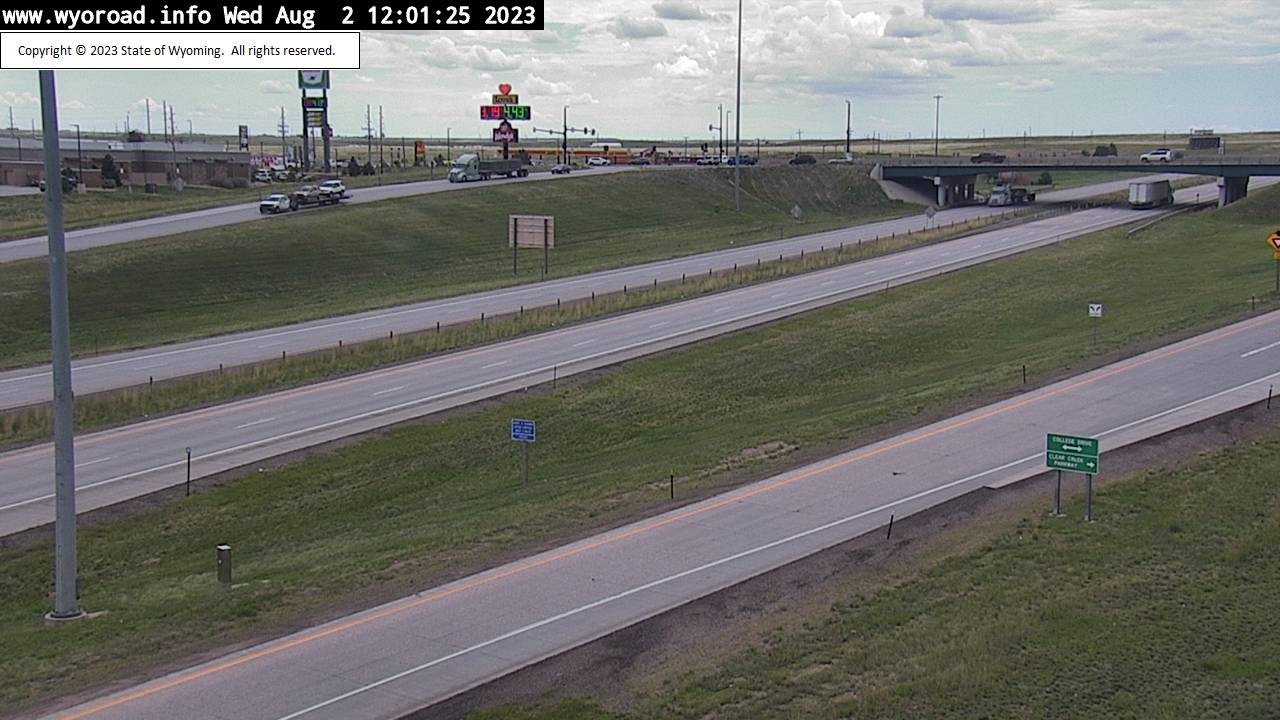
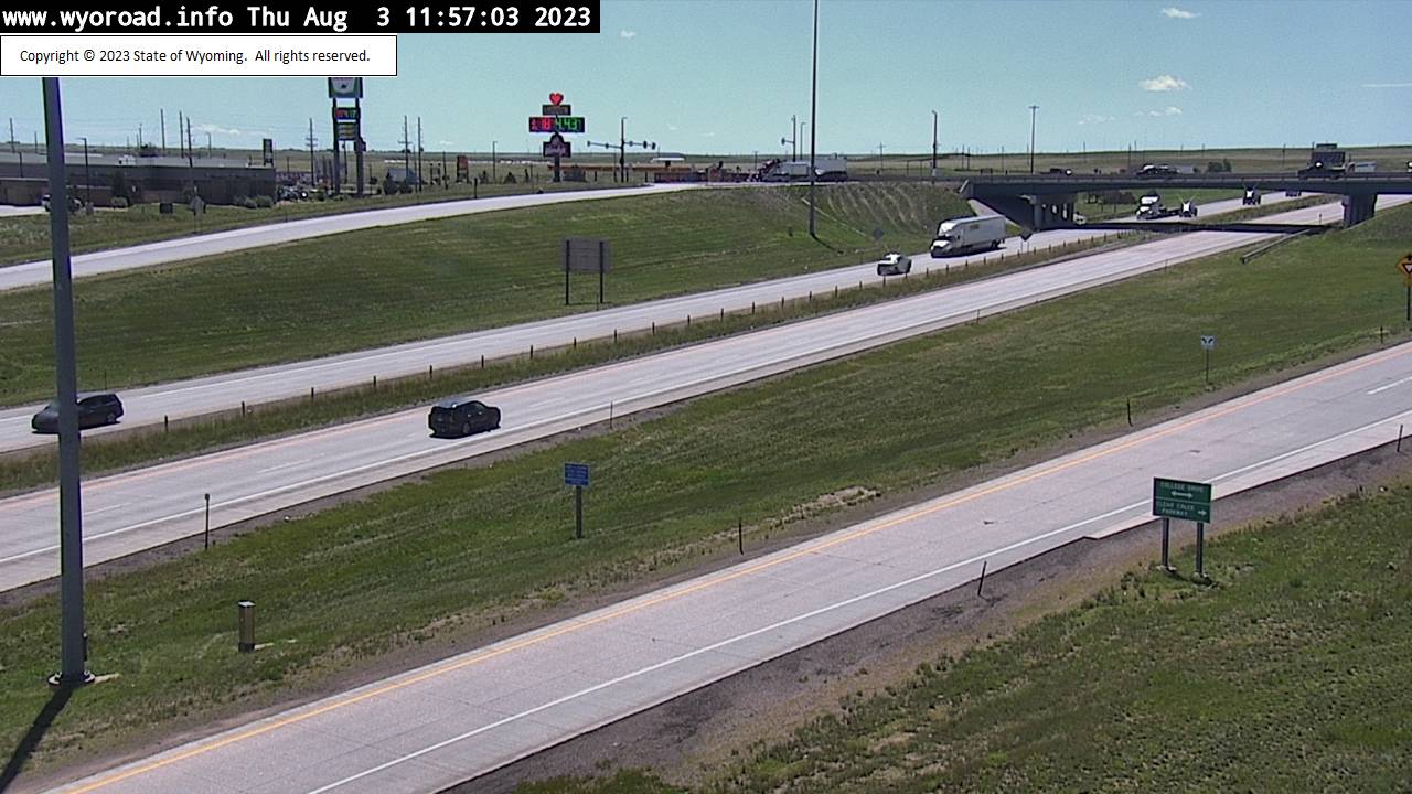
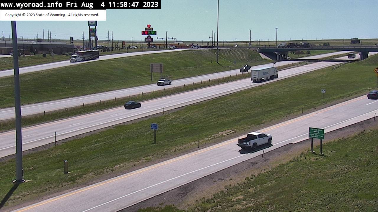
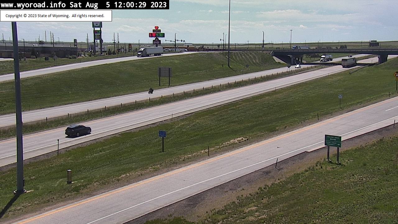
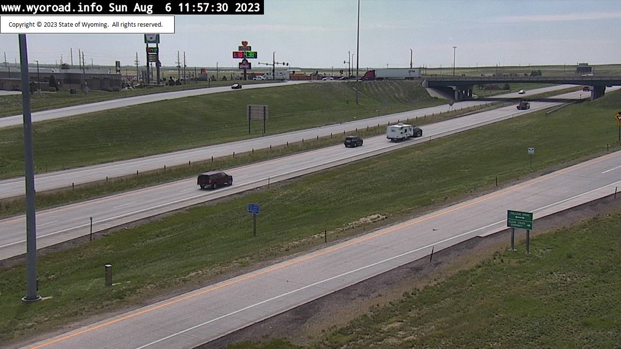
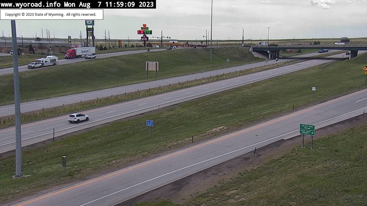
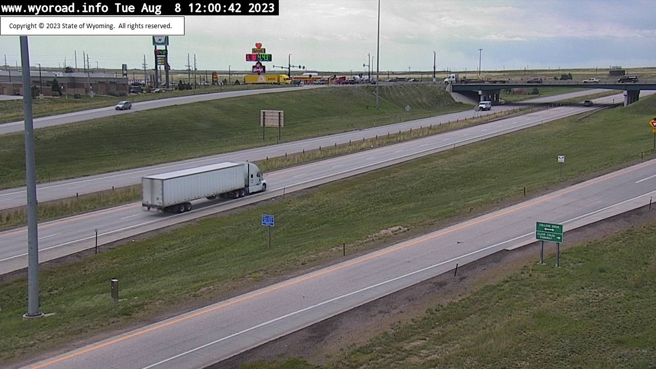
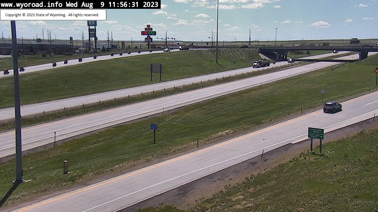
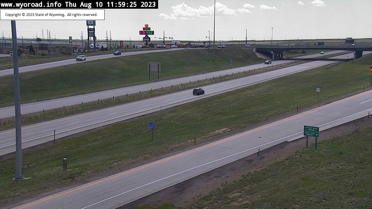
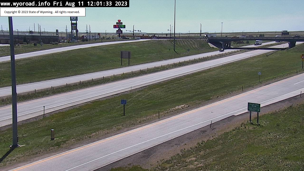
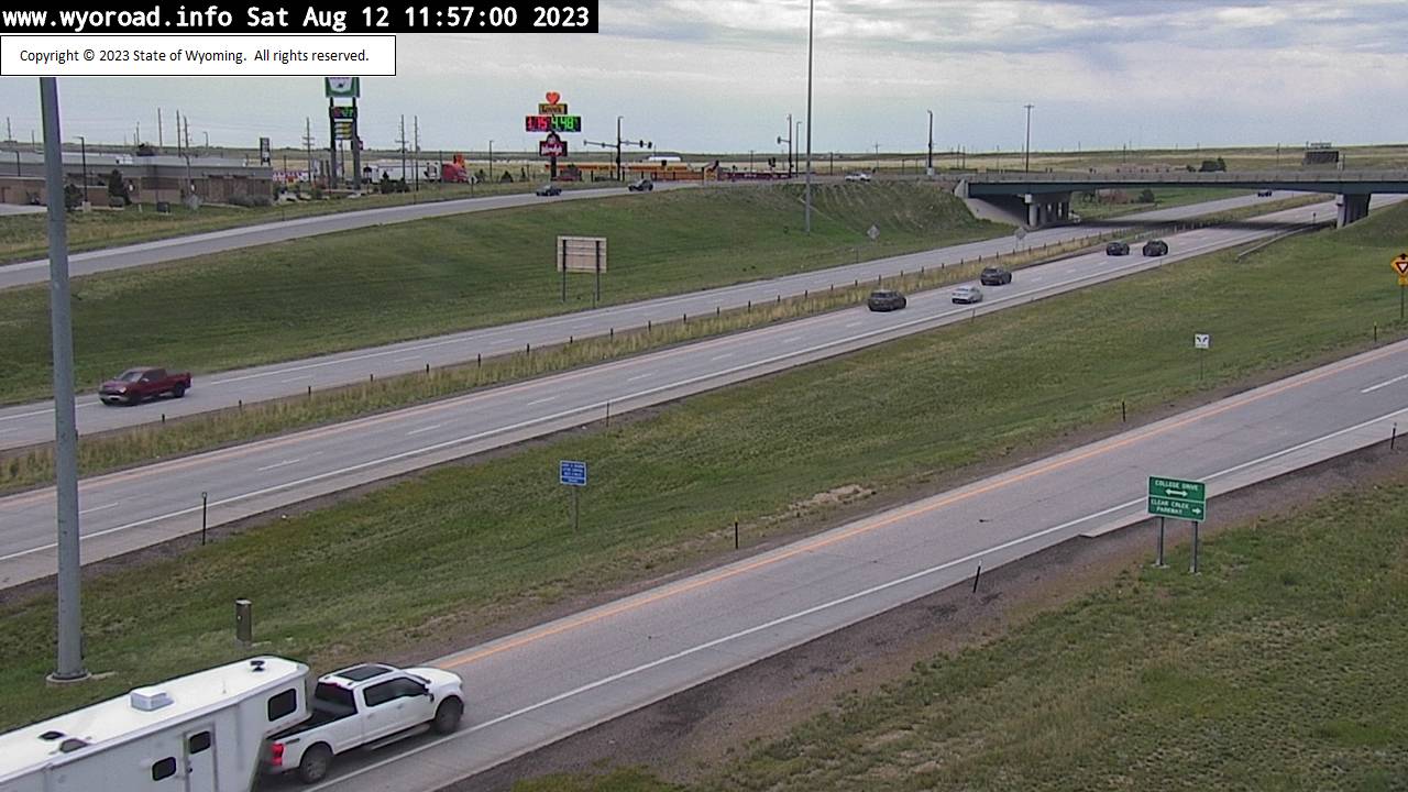
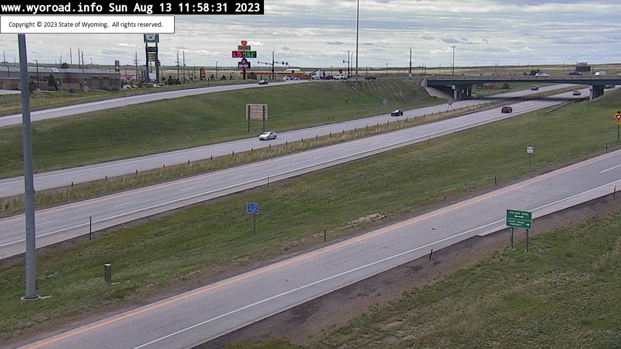
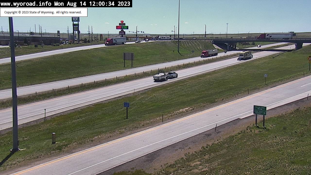
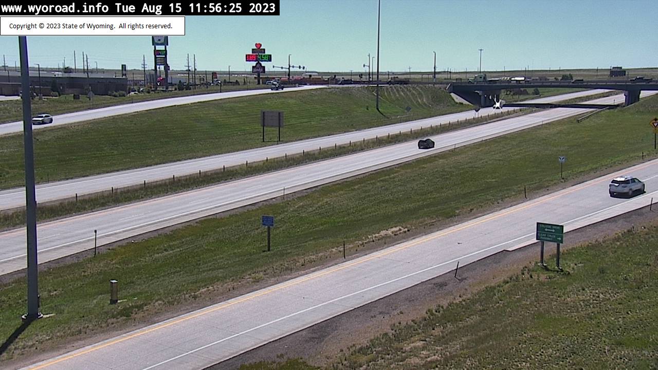
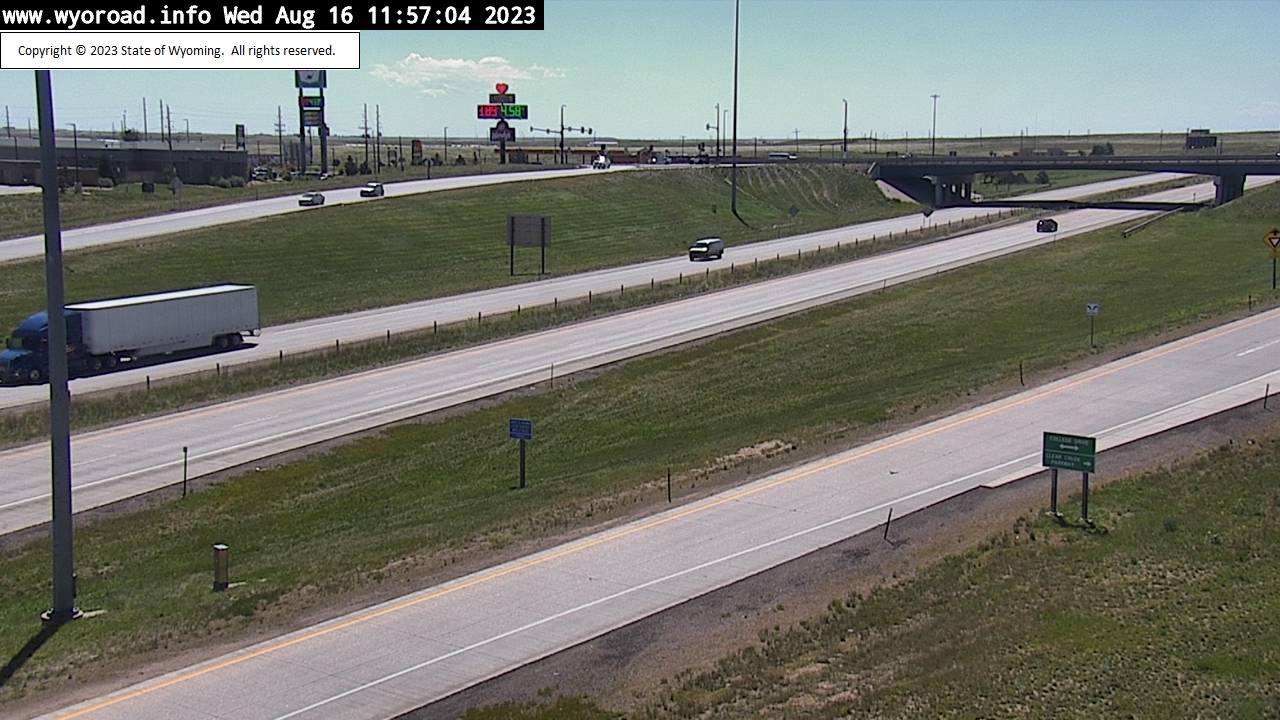
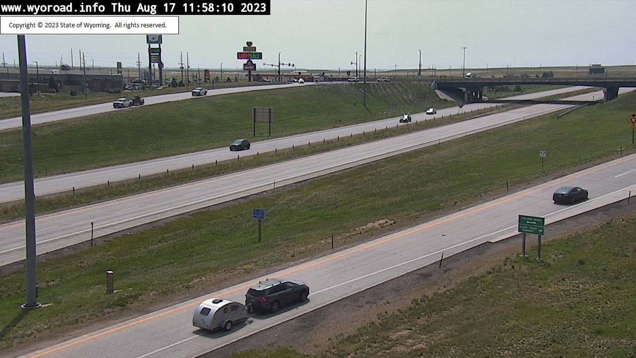
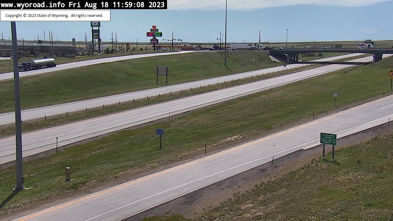
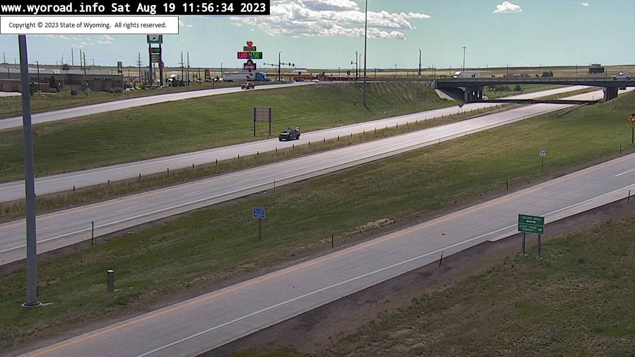
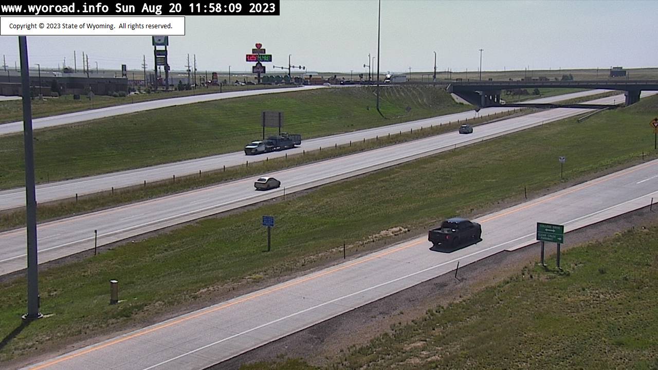
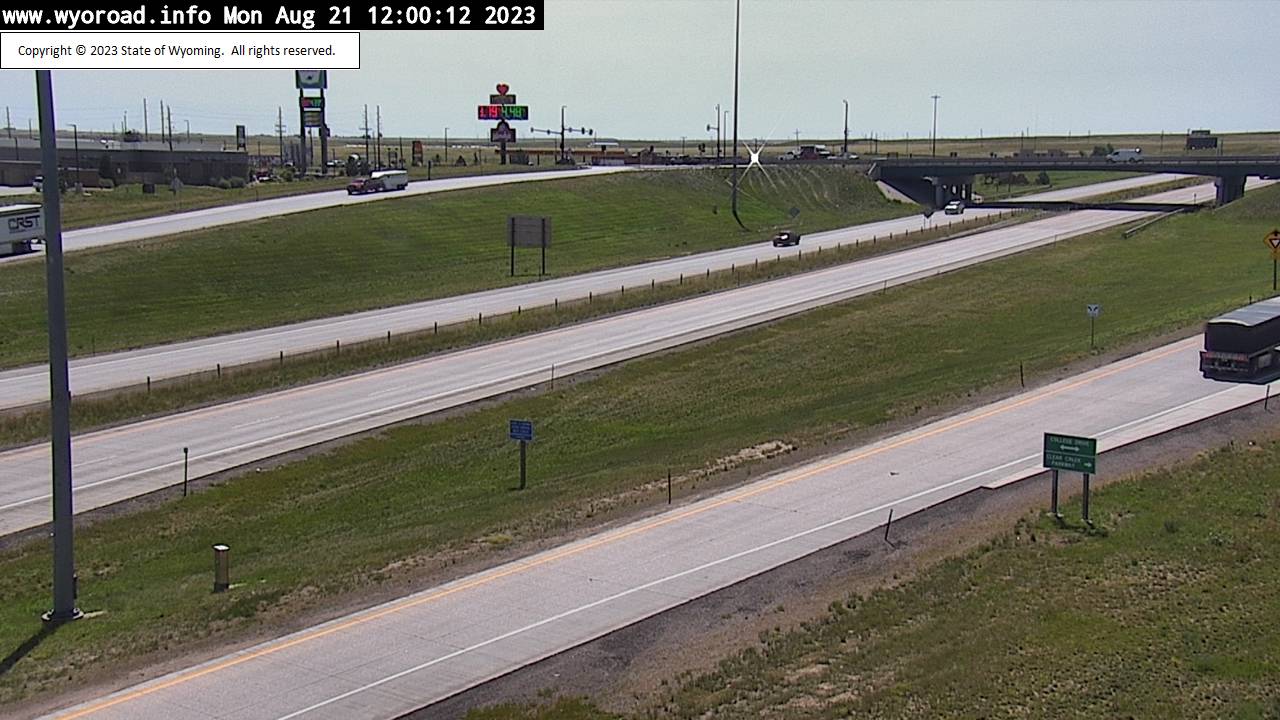
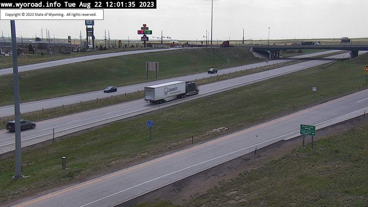
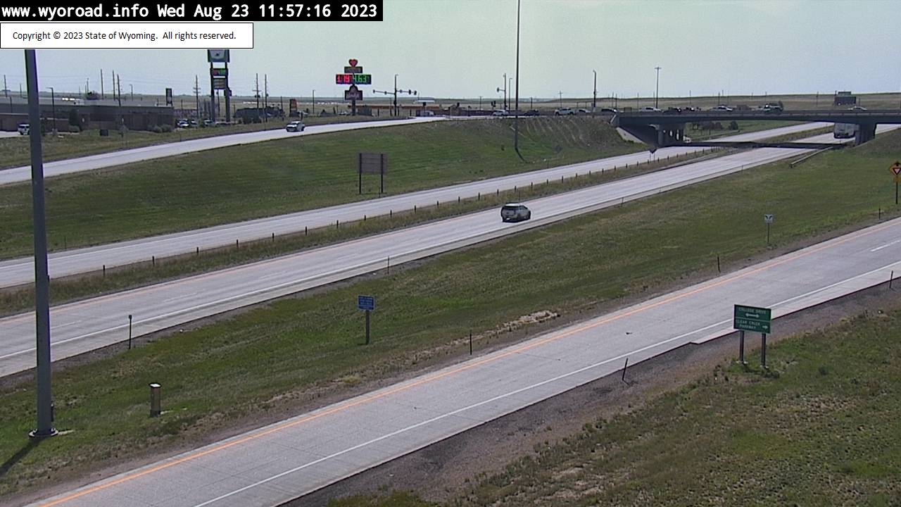
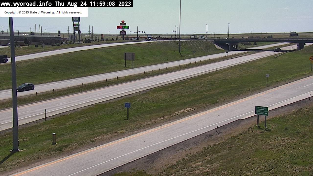
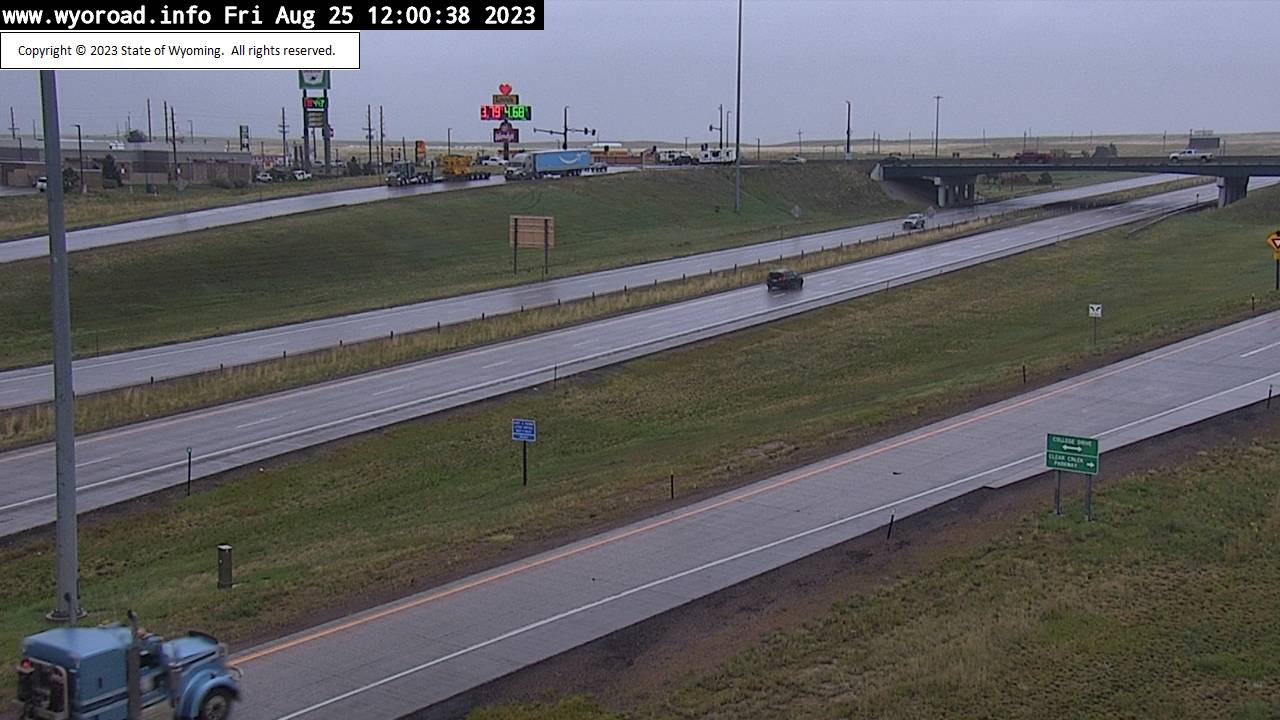
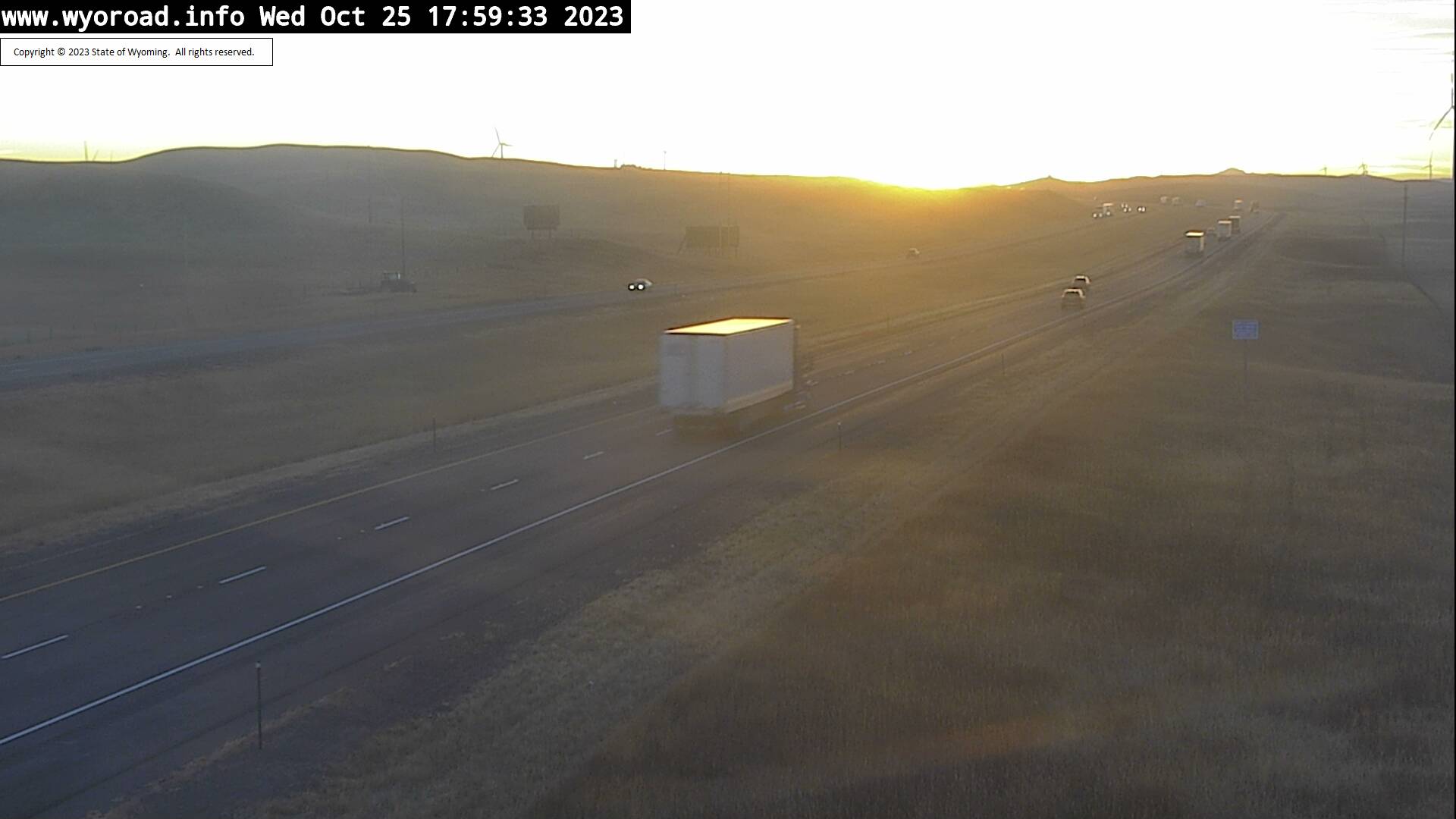
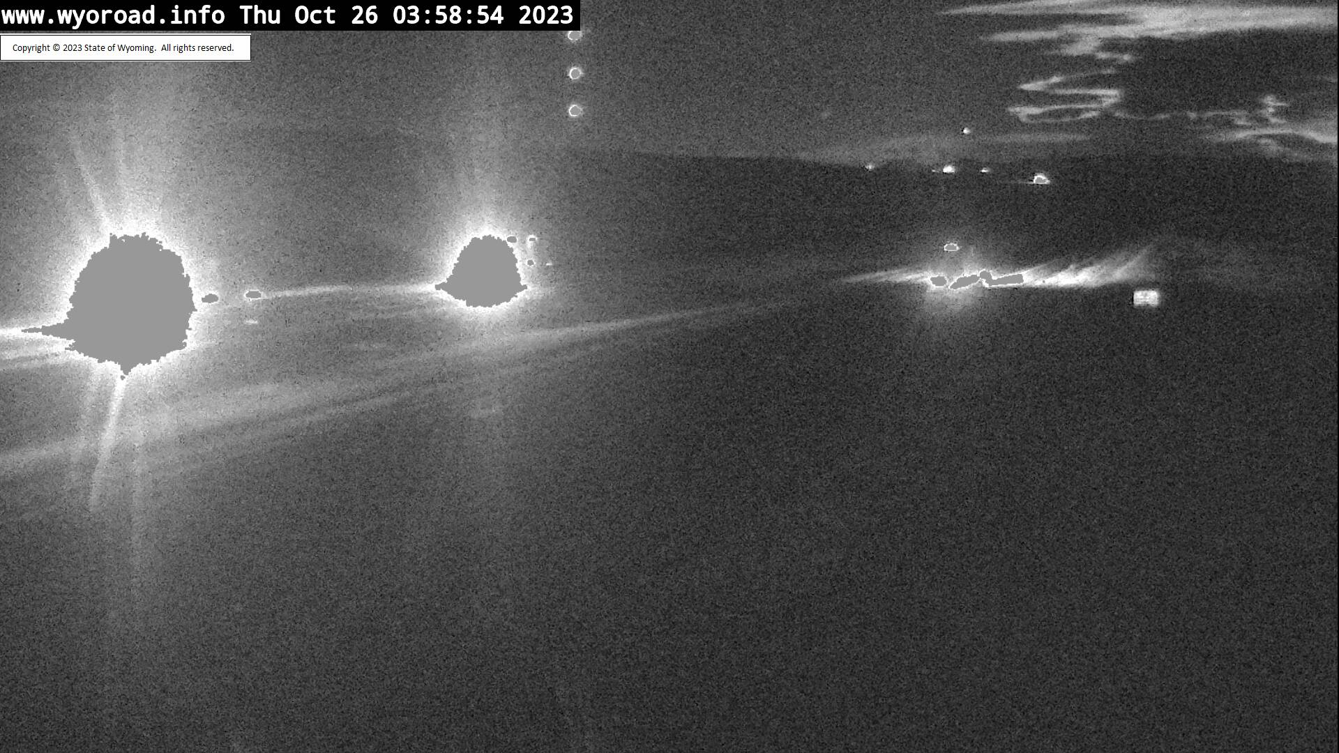
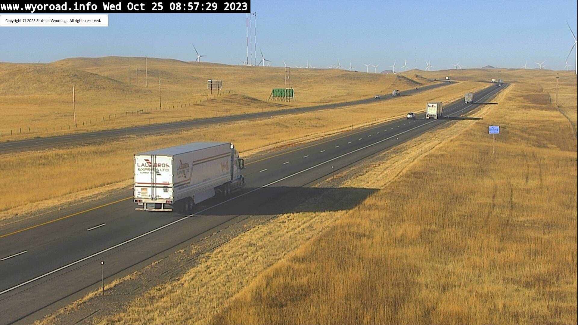
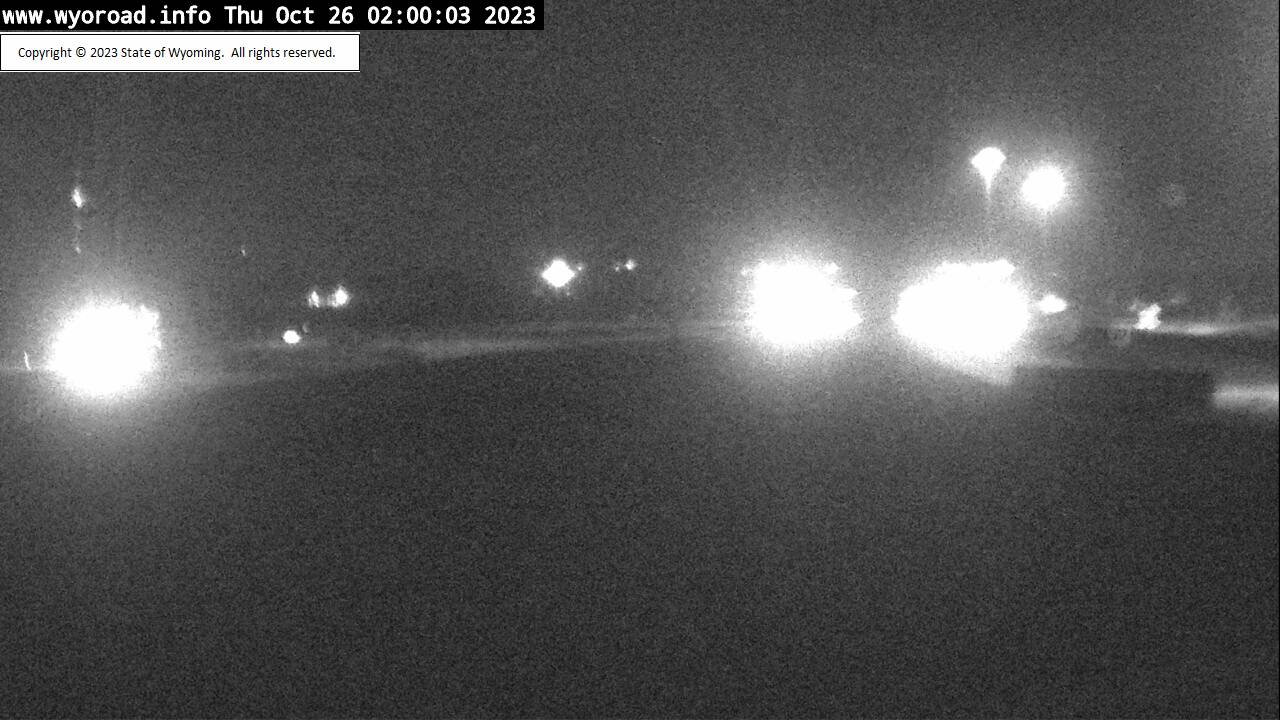
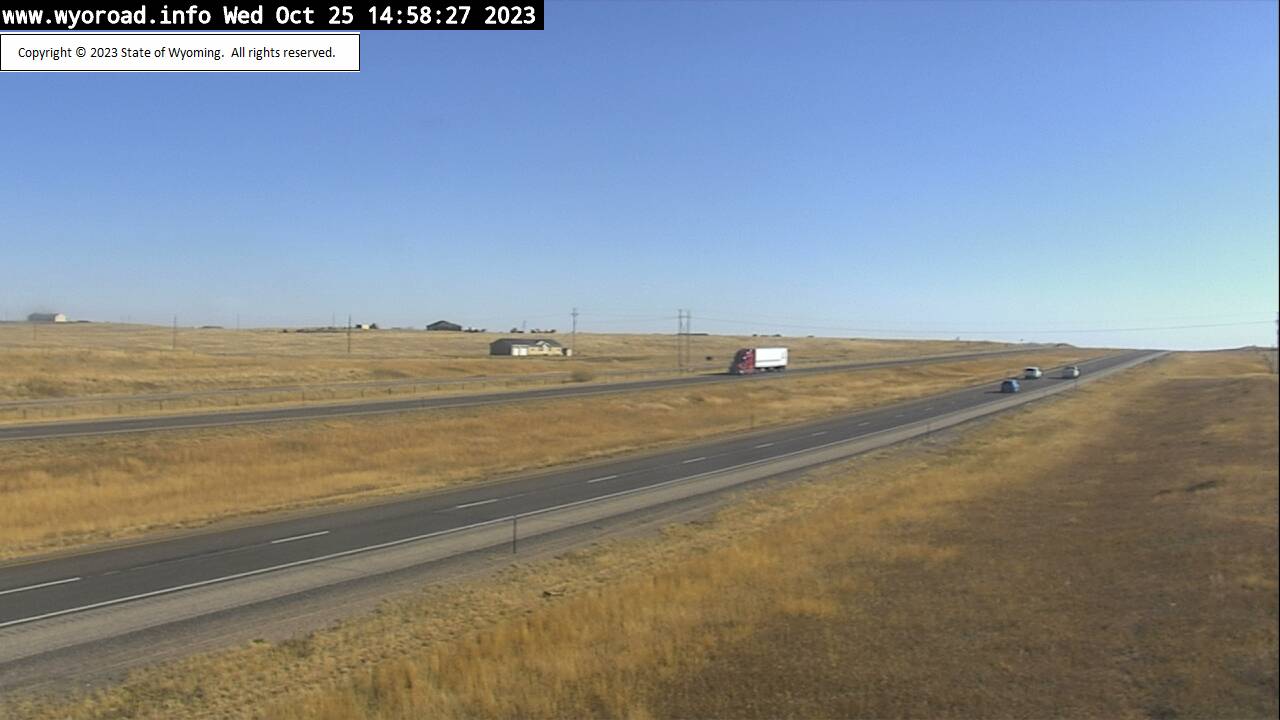
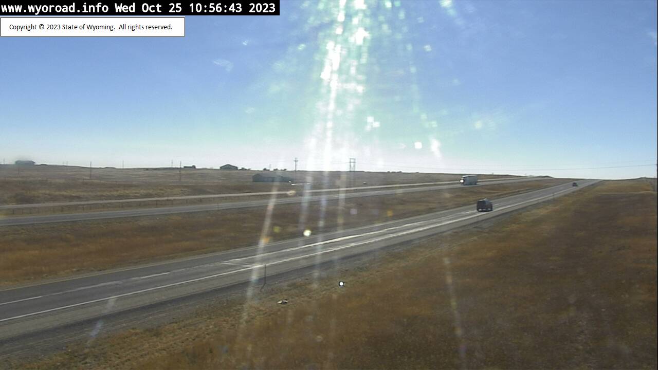
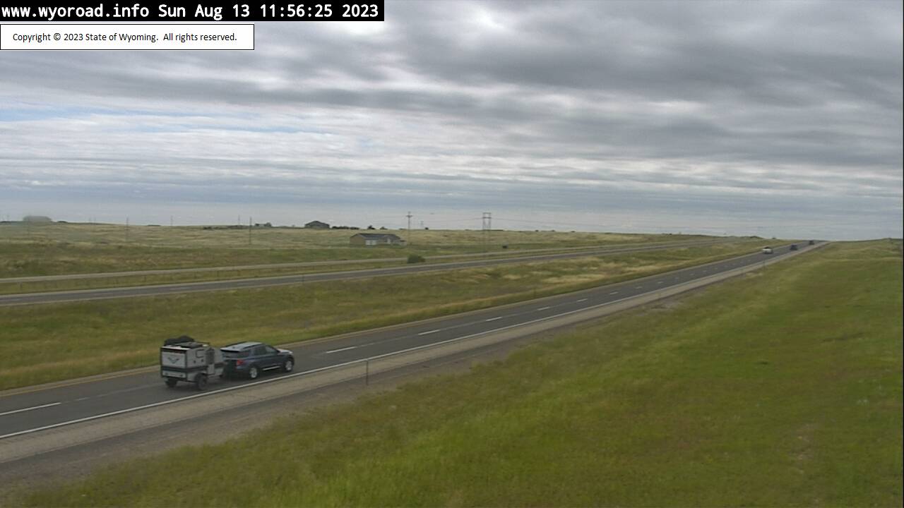
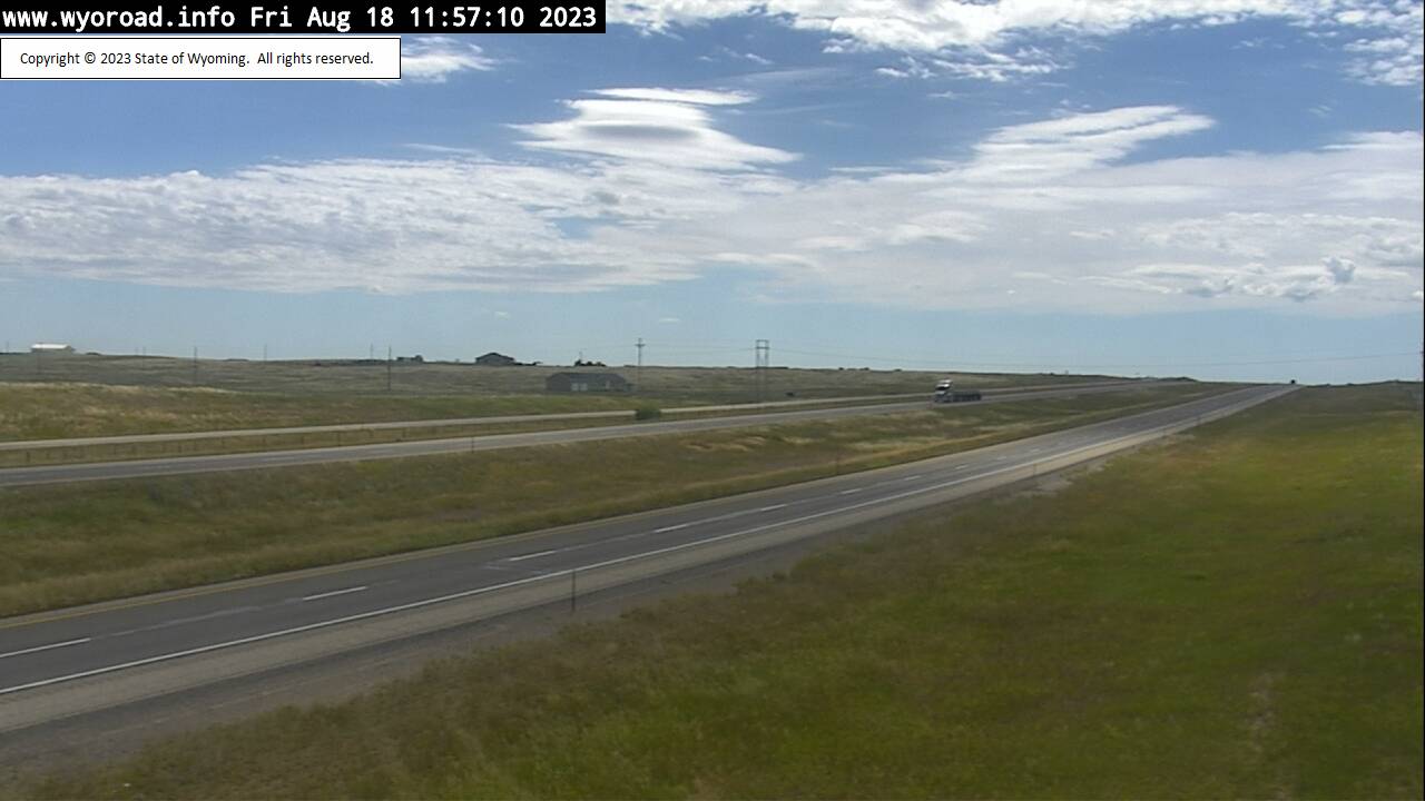
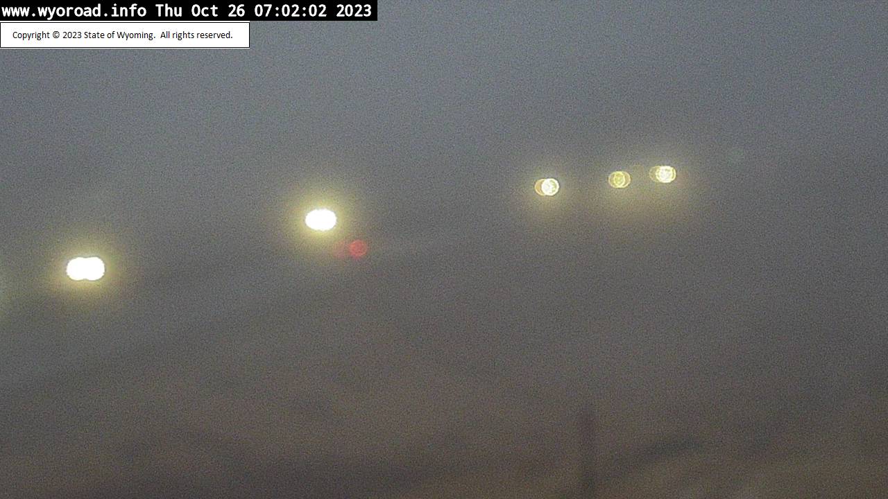
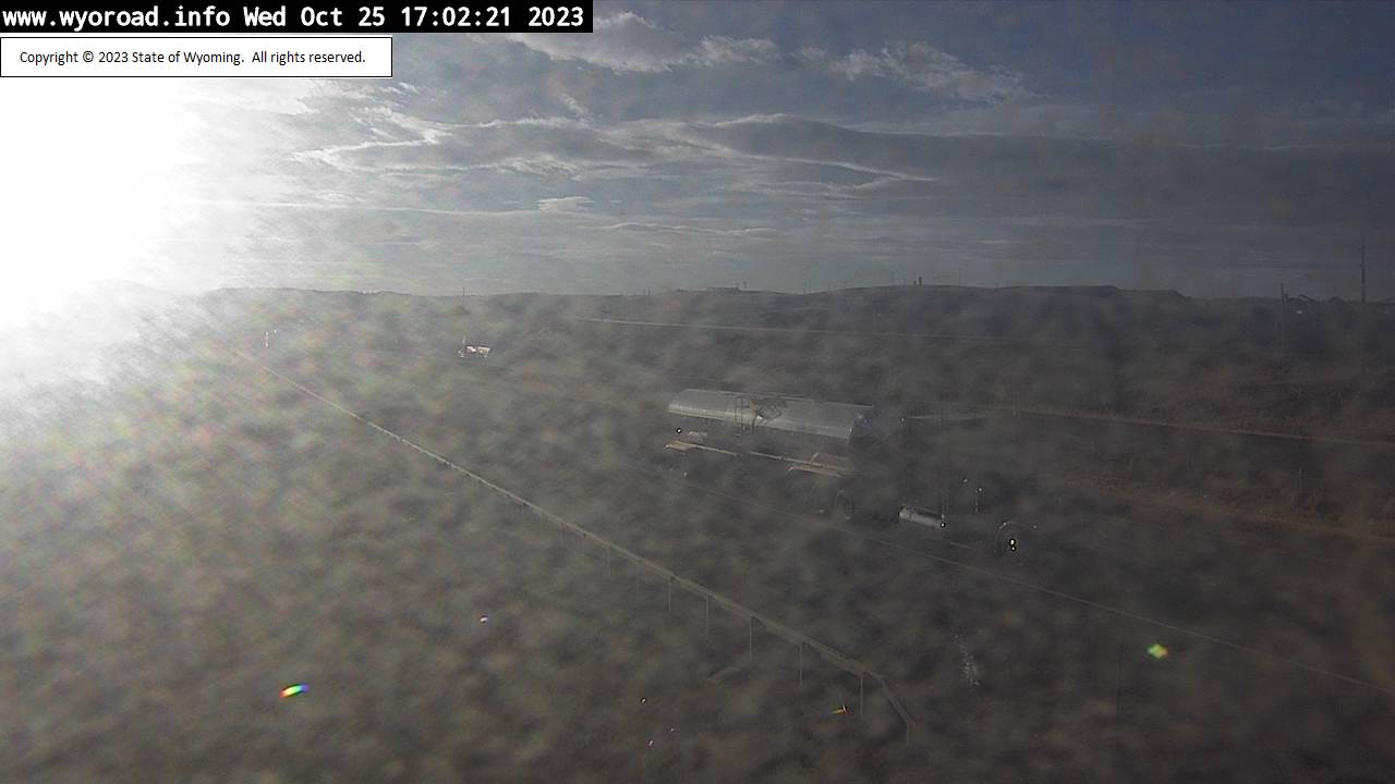
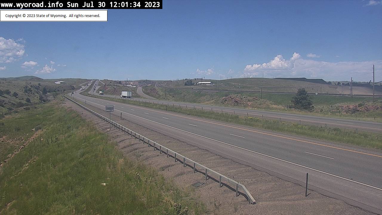
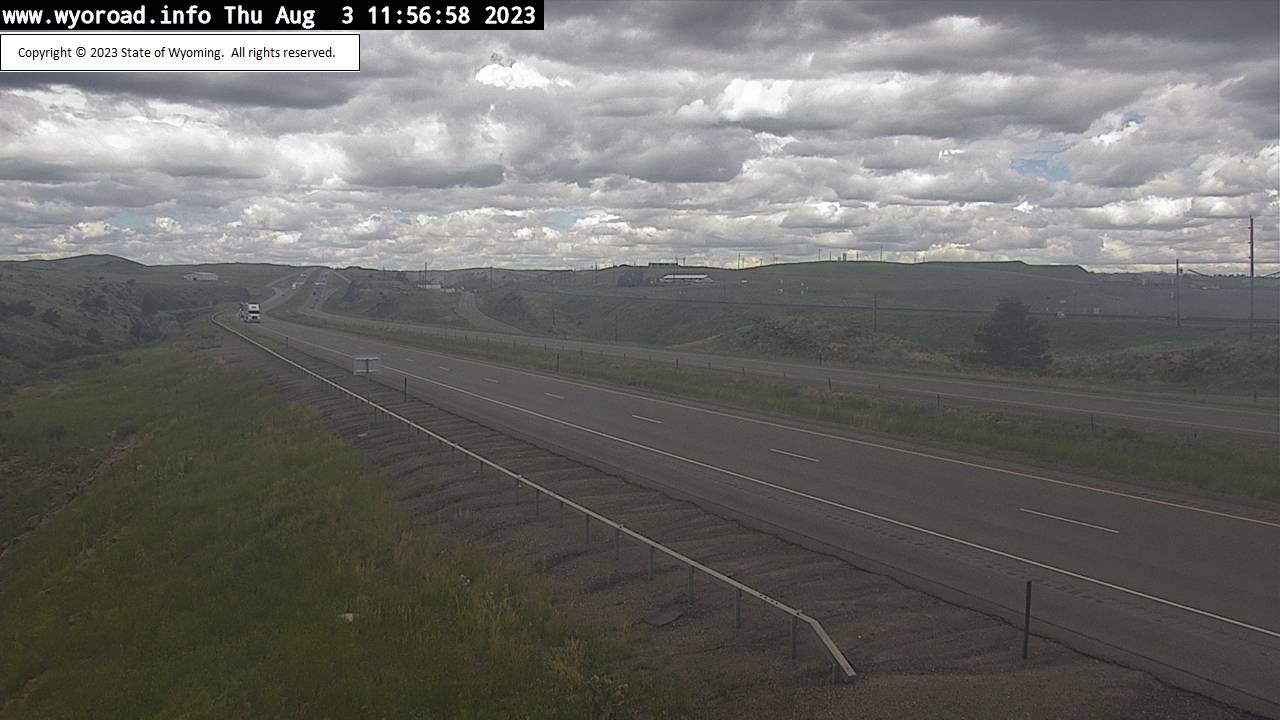
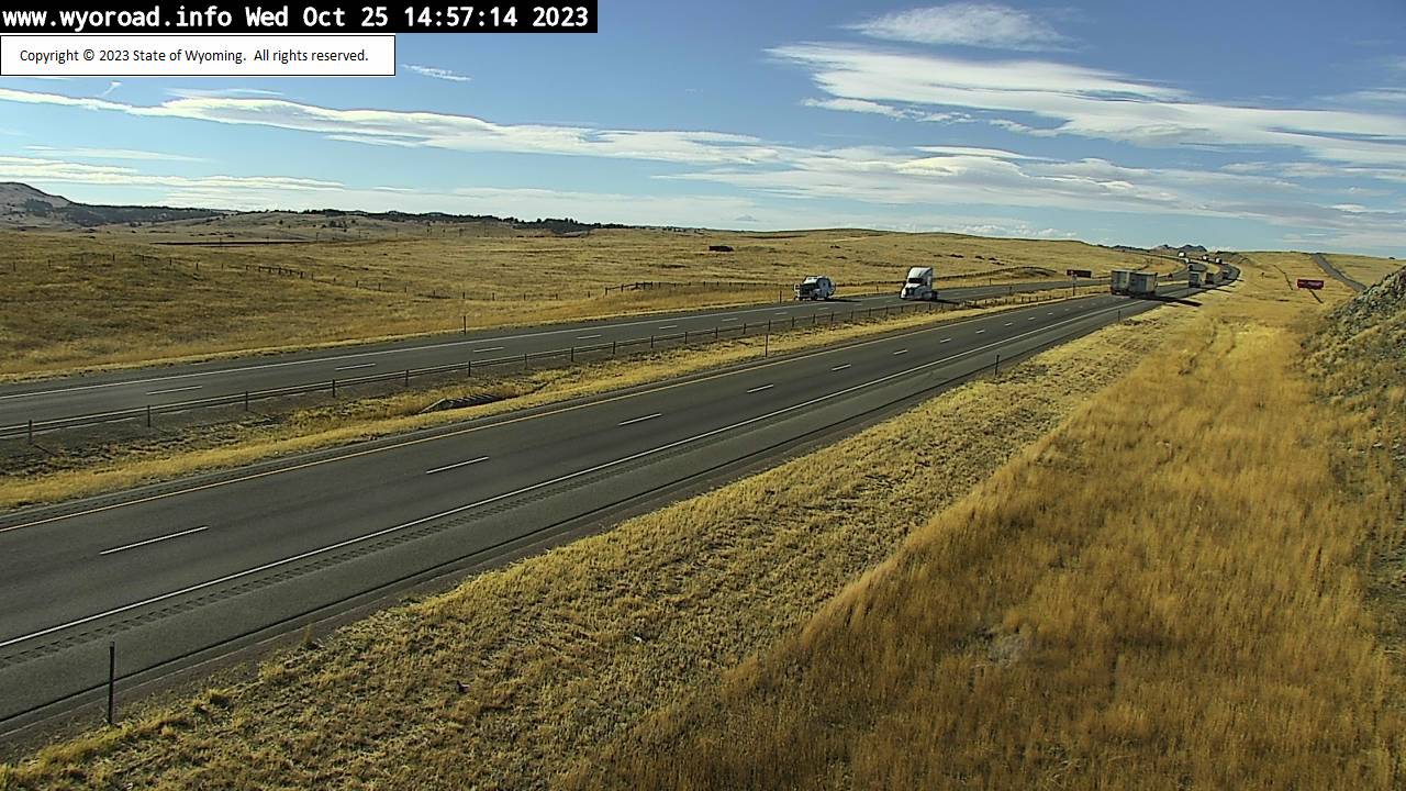
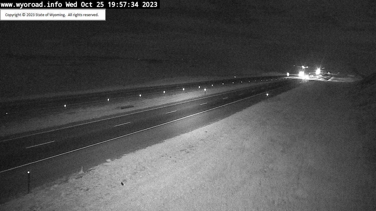
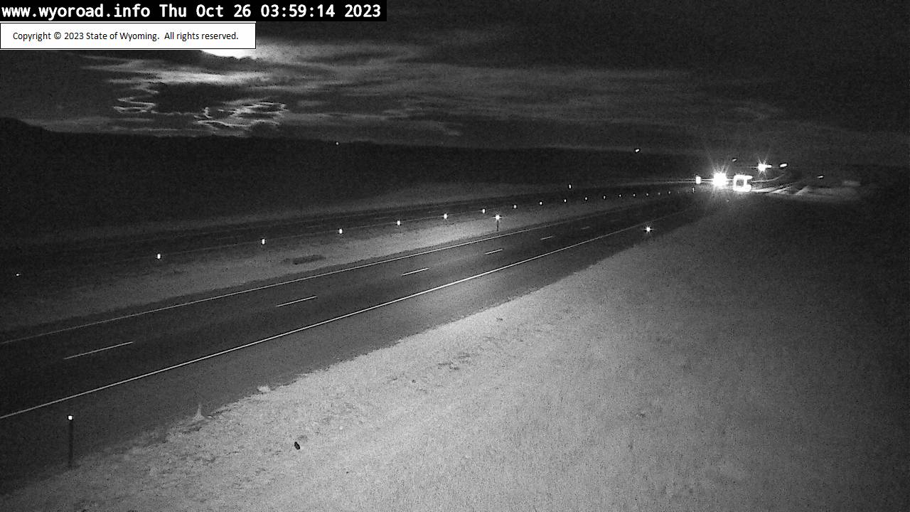
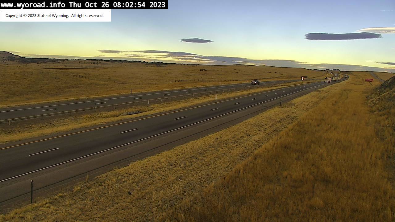
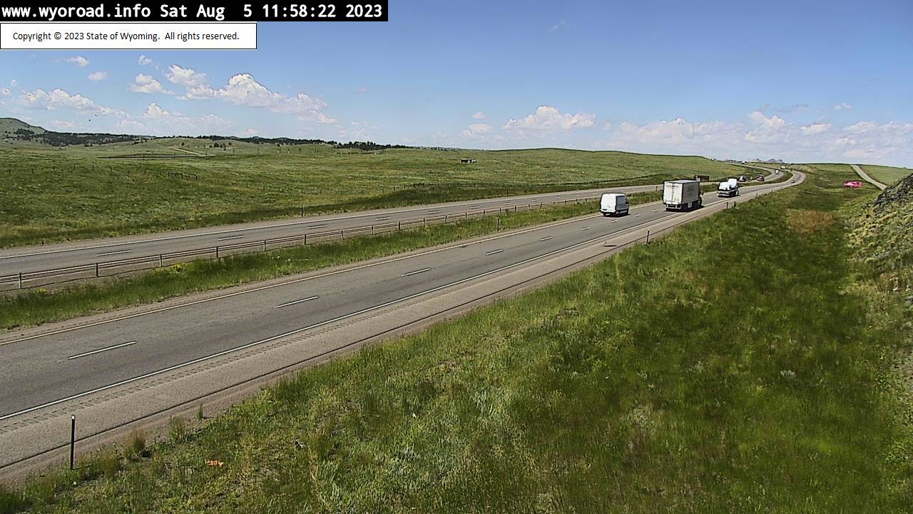
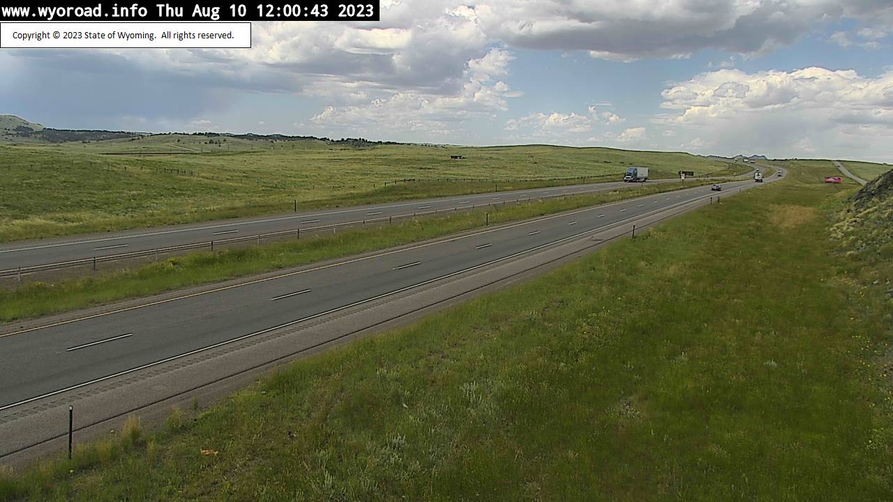
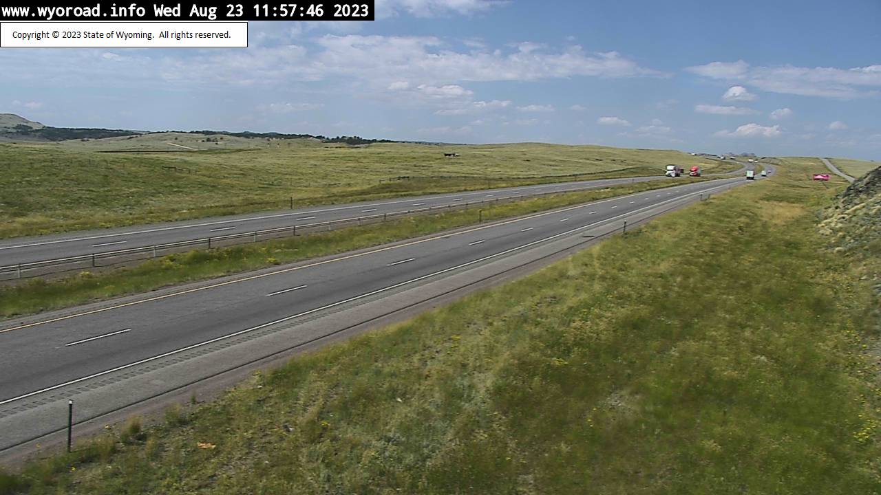
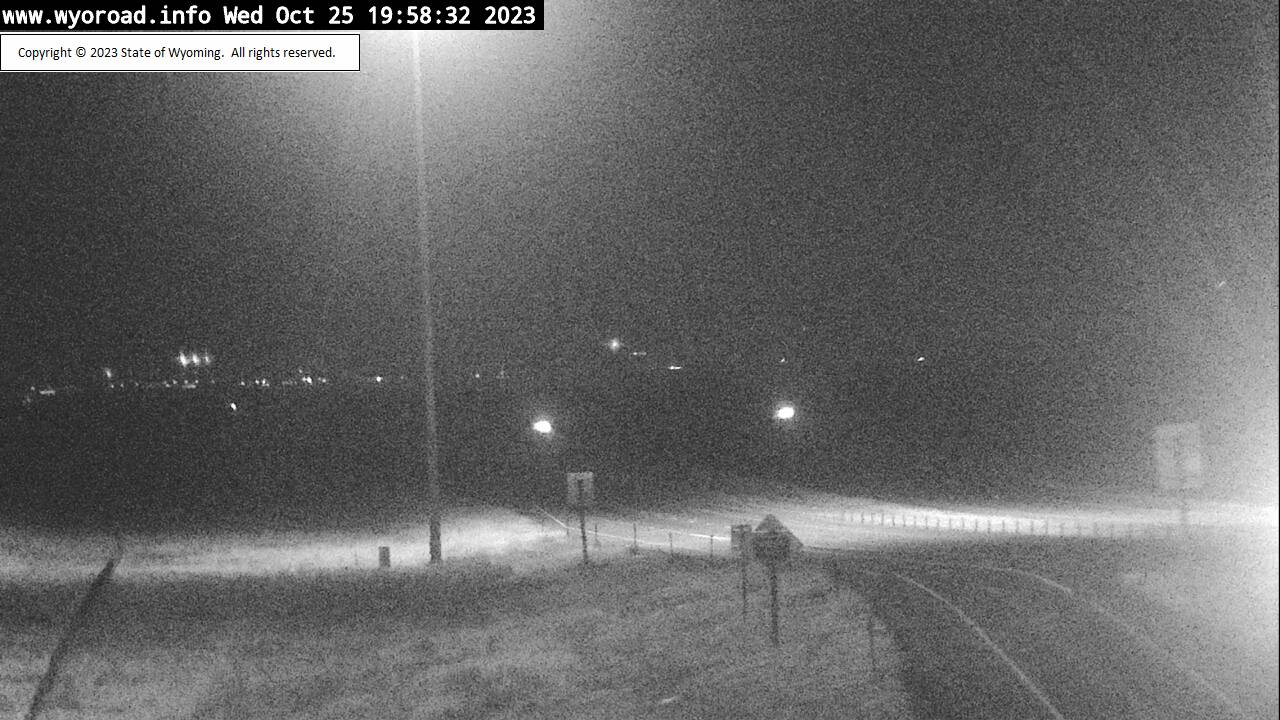
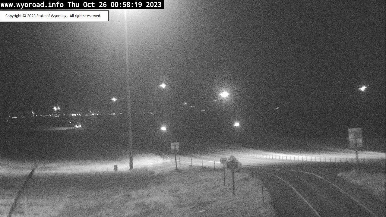
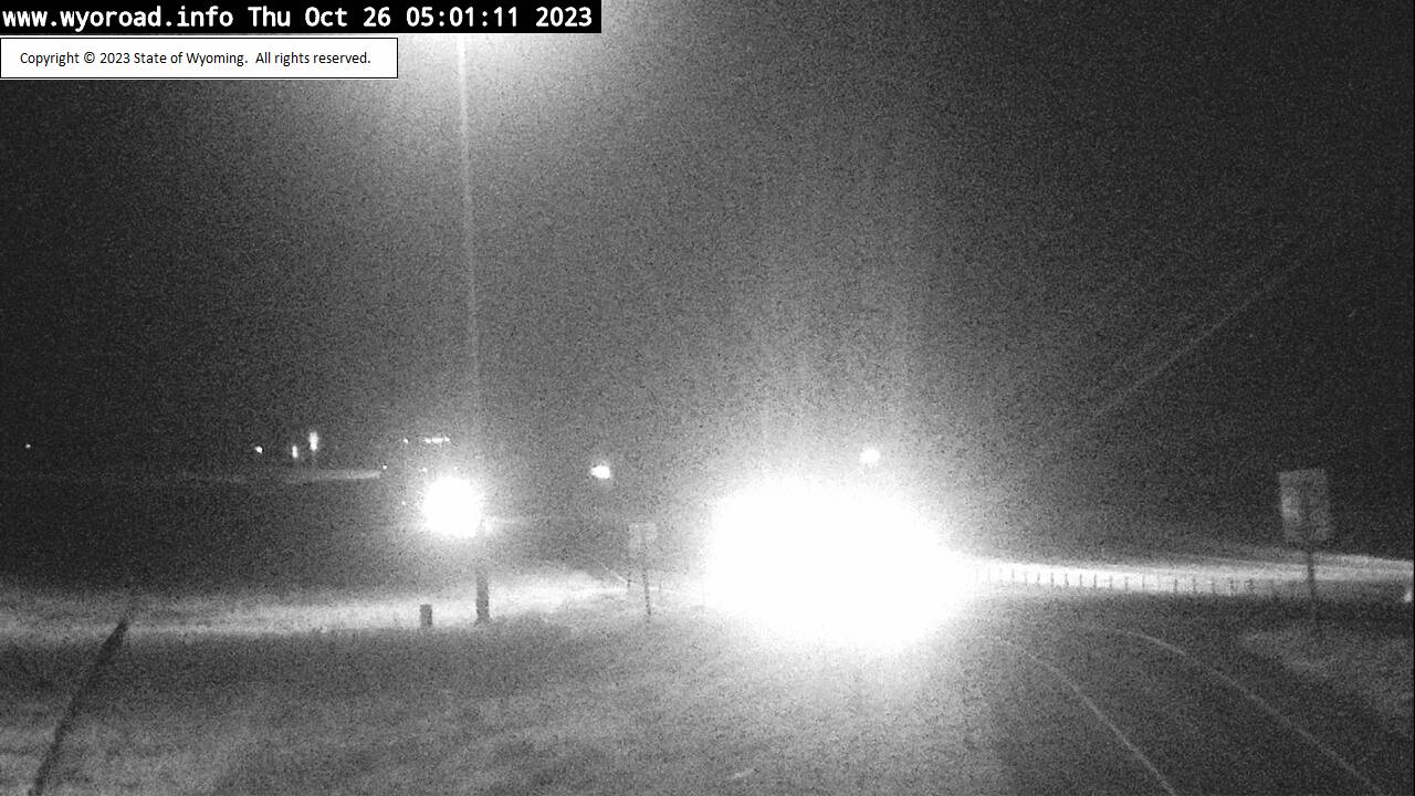
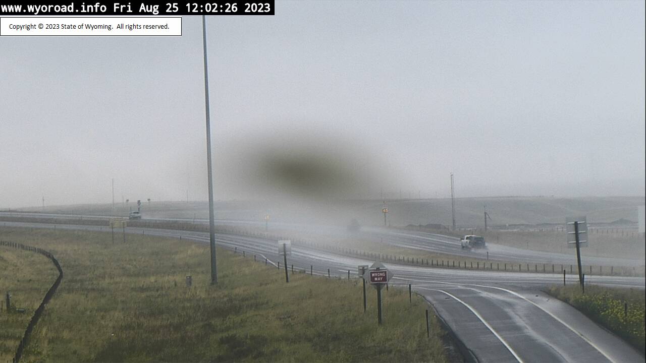
Cheyenne, Wyoming, USA - 6.1 miles from Altvan: College Drive - Traffic and Weather - A view of the current traffic and weather situation.
Operator: WYDOT Travel Information Service
Operator: WYDOT Travel Information Service


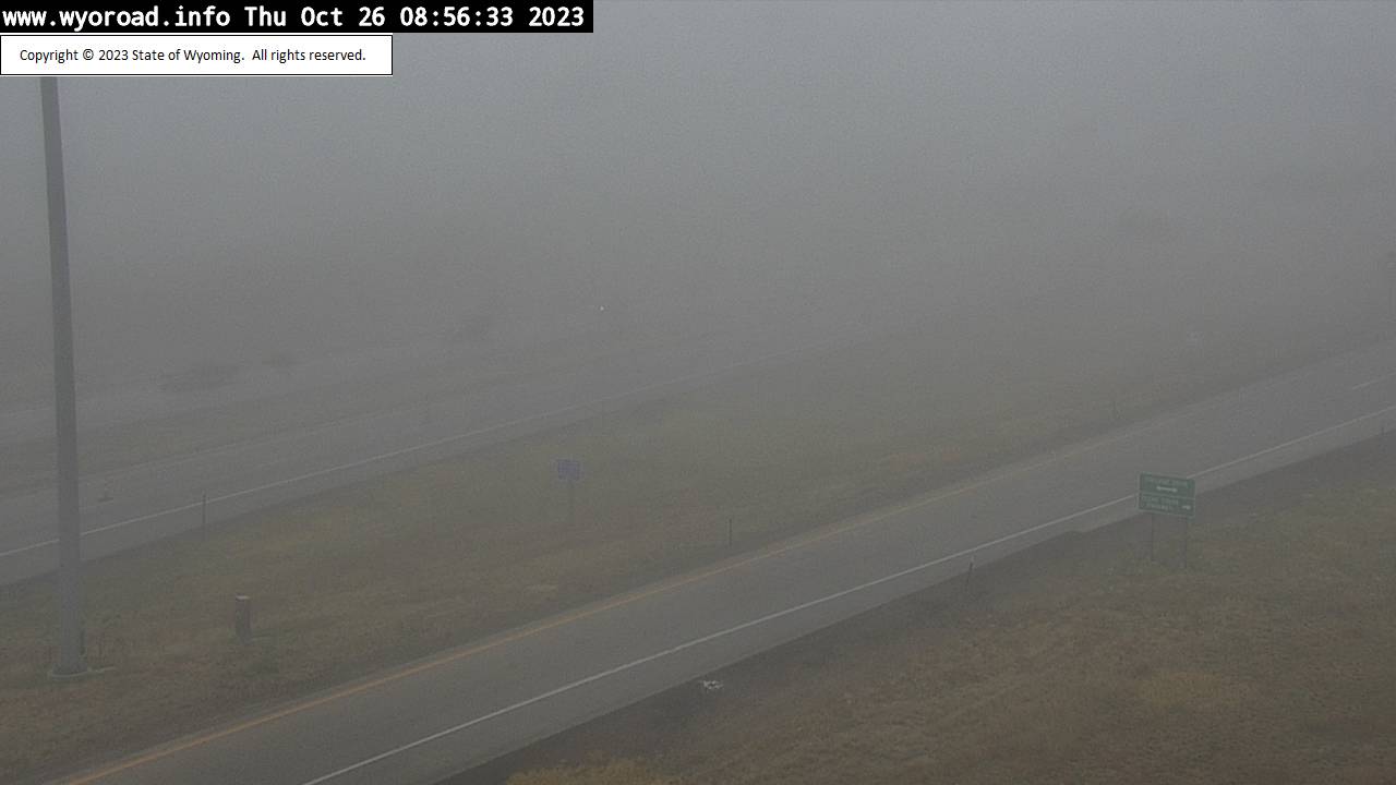


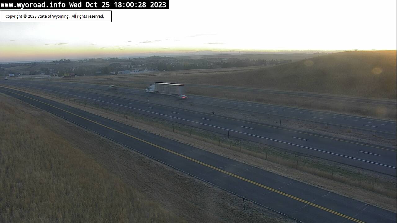
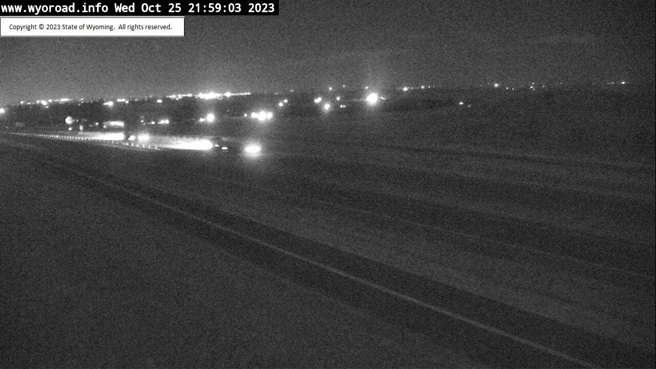
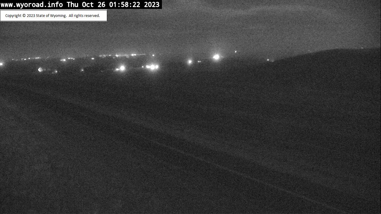
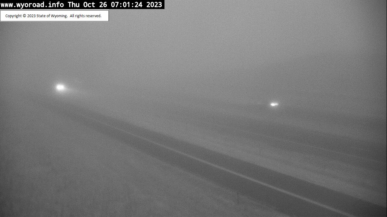
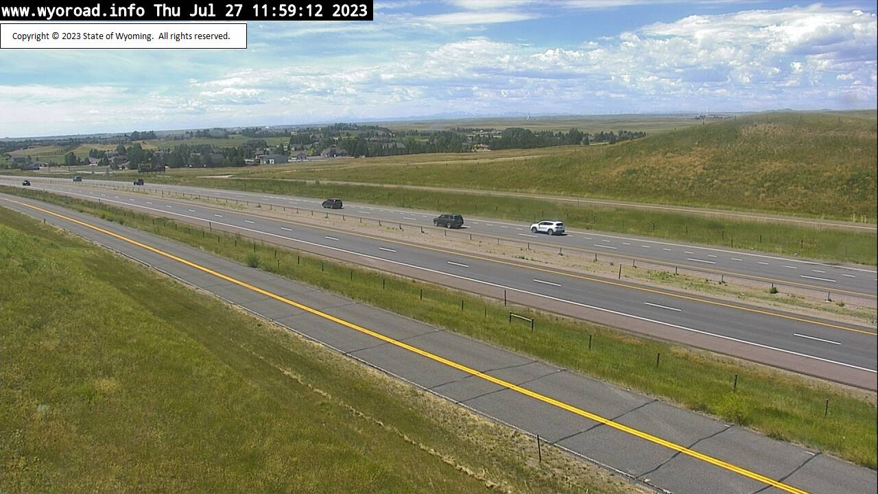
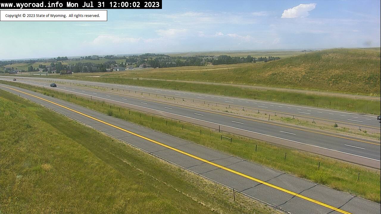
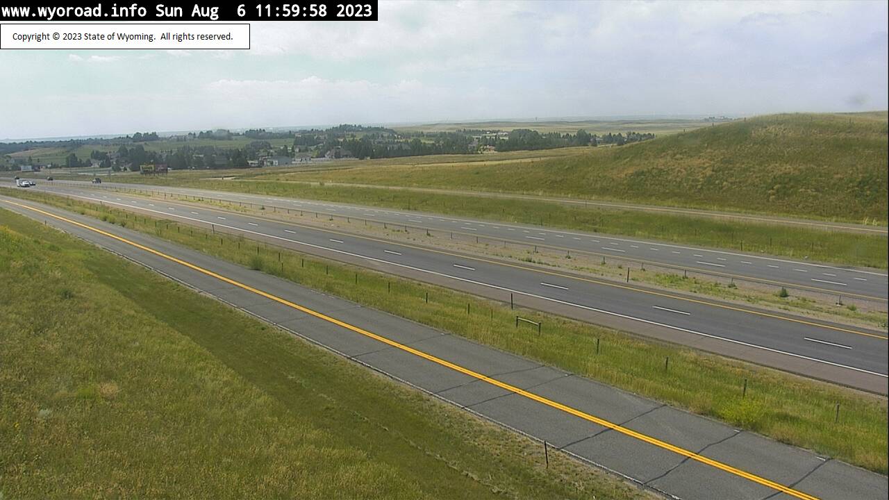
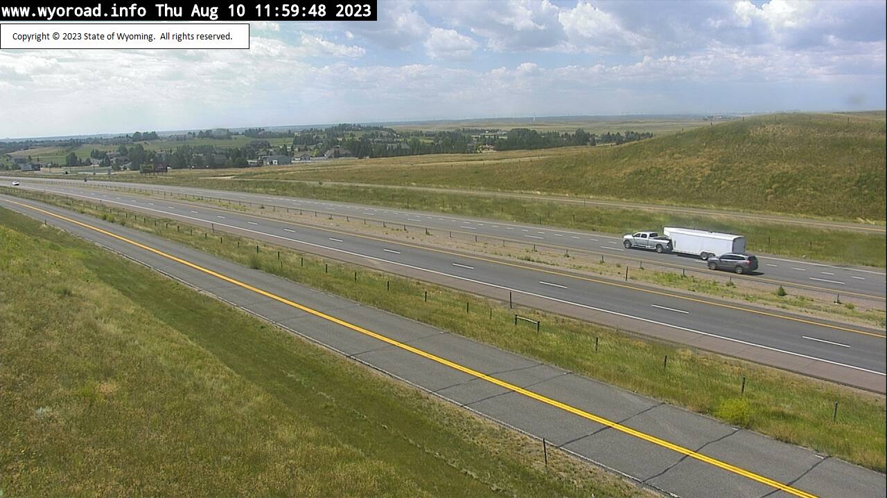
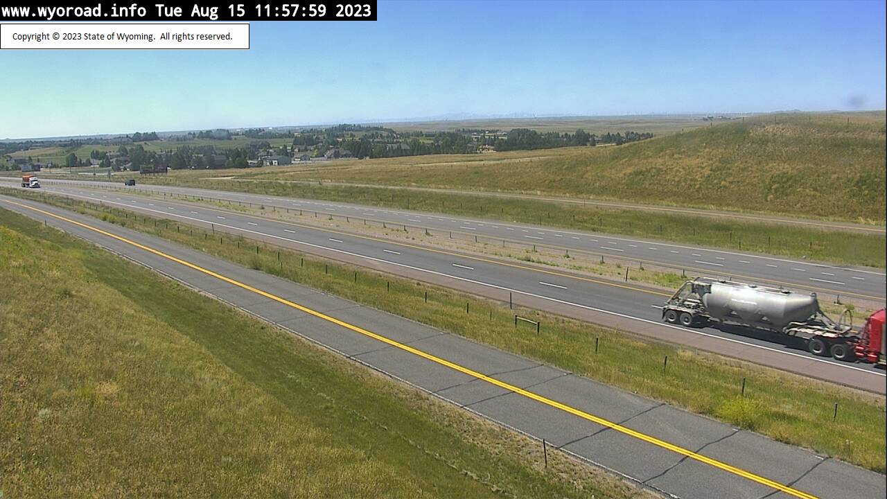
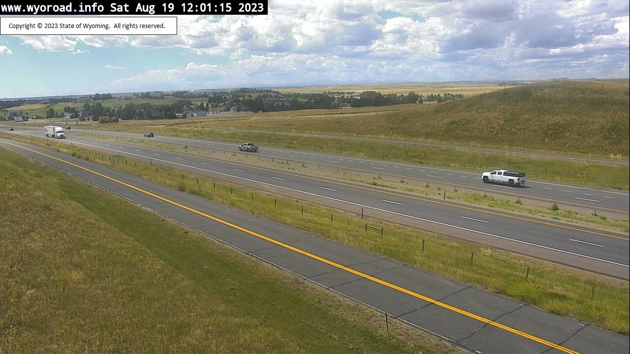
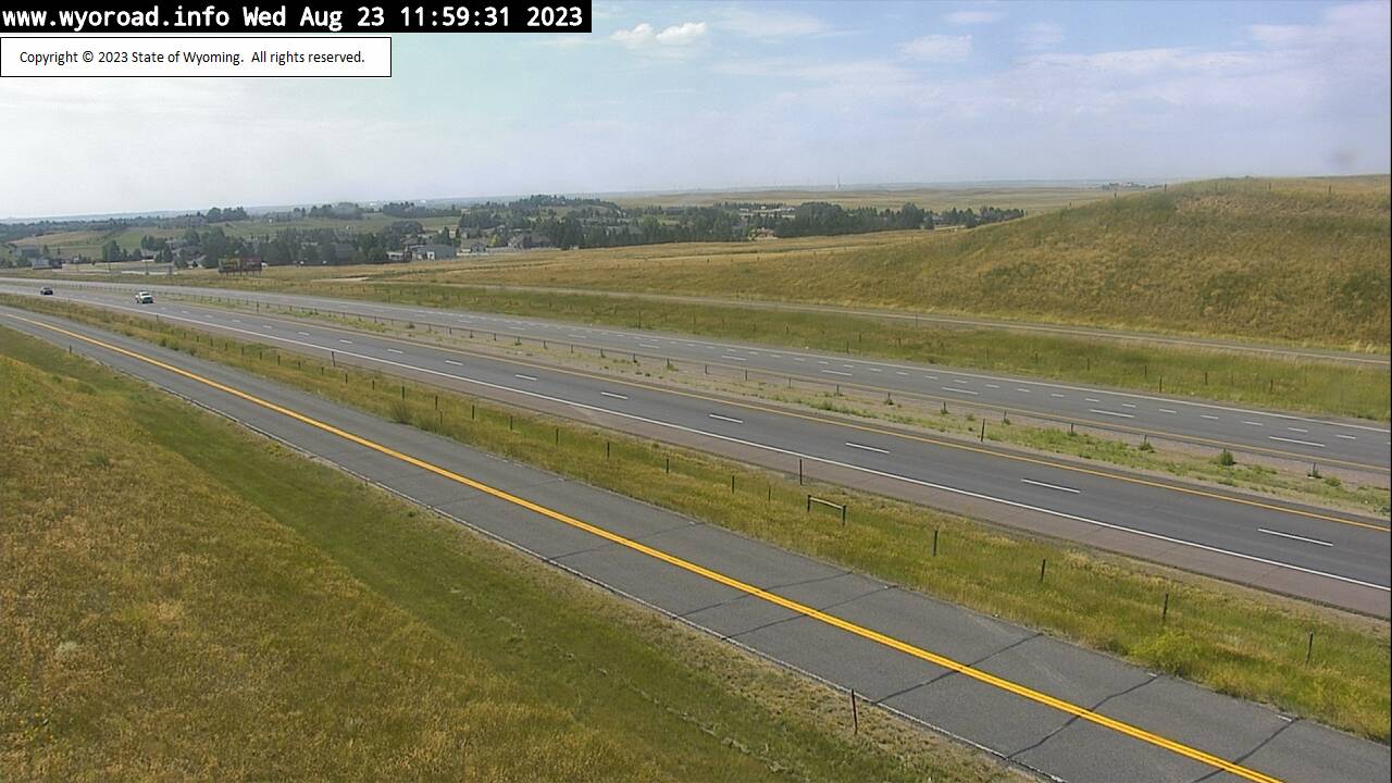
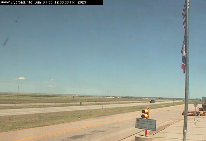
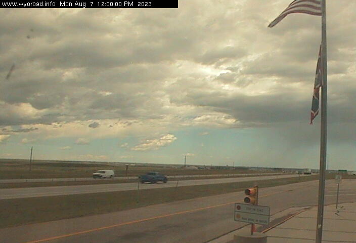
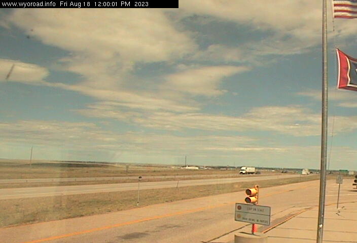
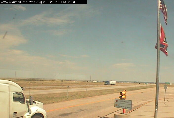
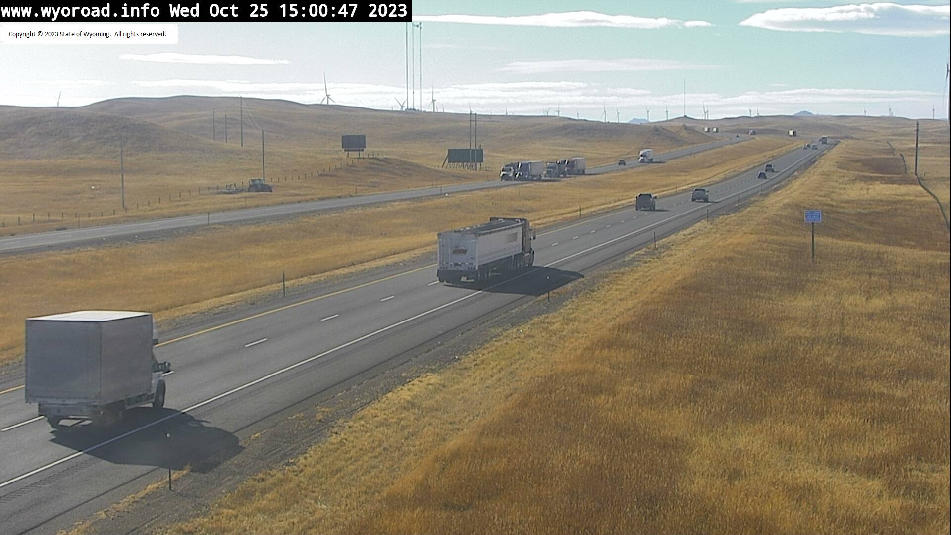
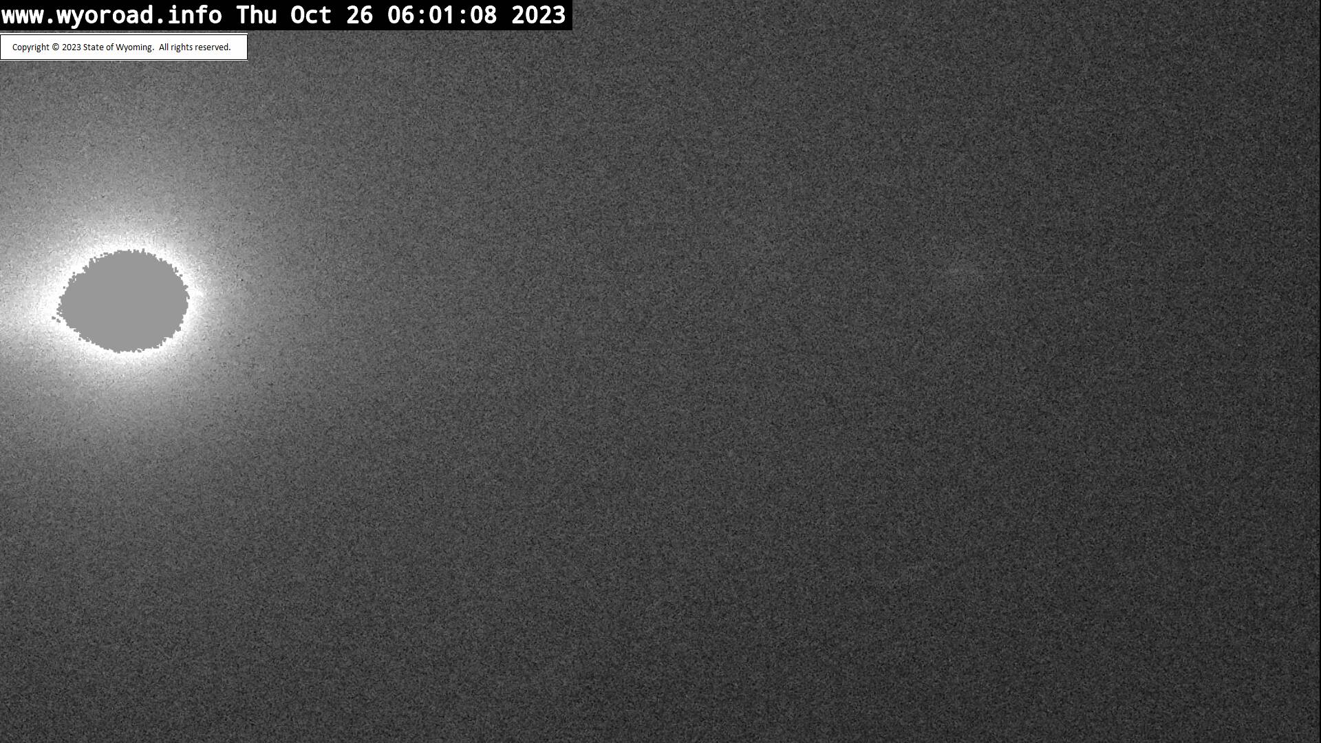
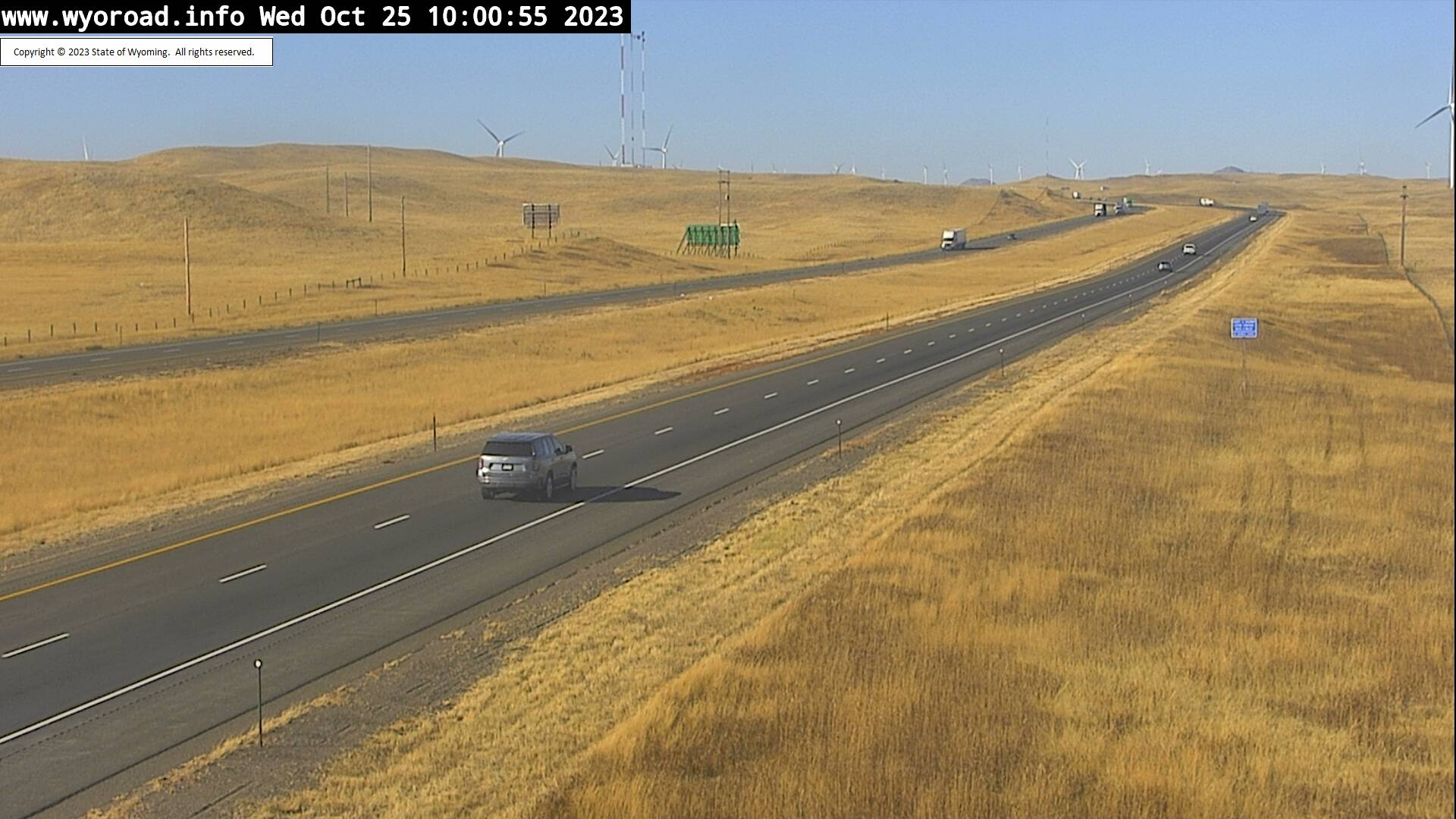
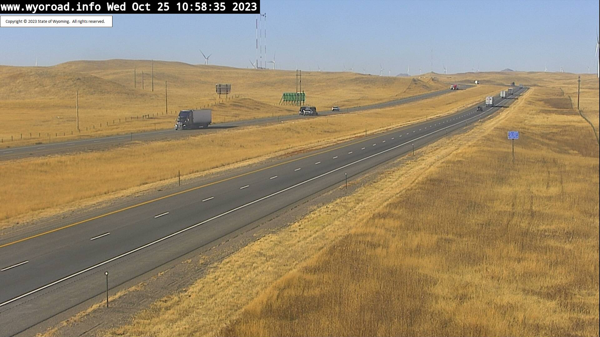
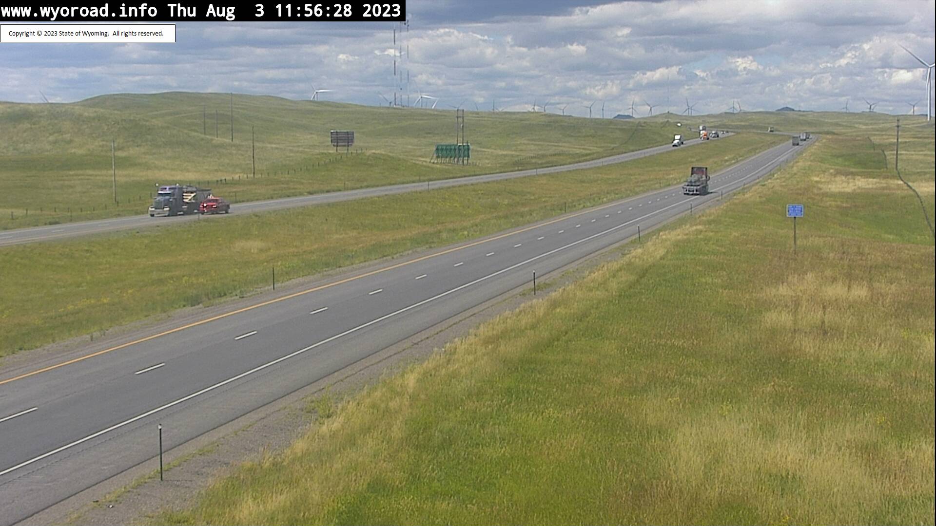
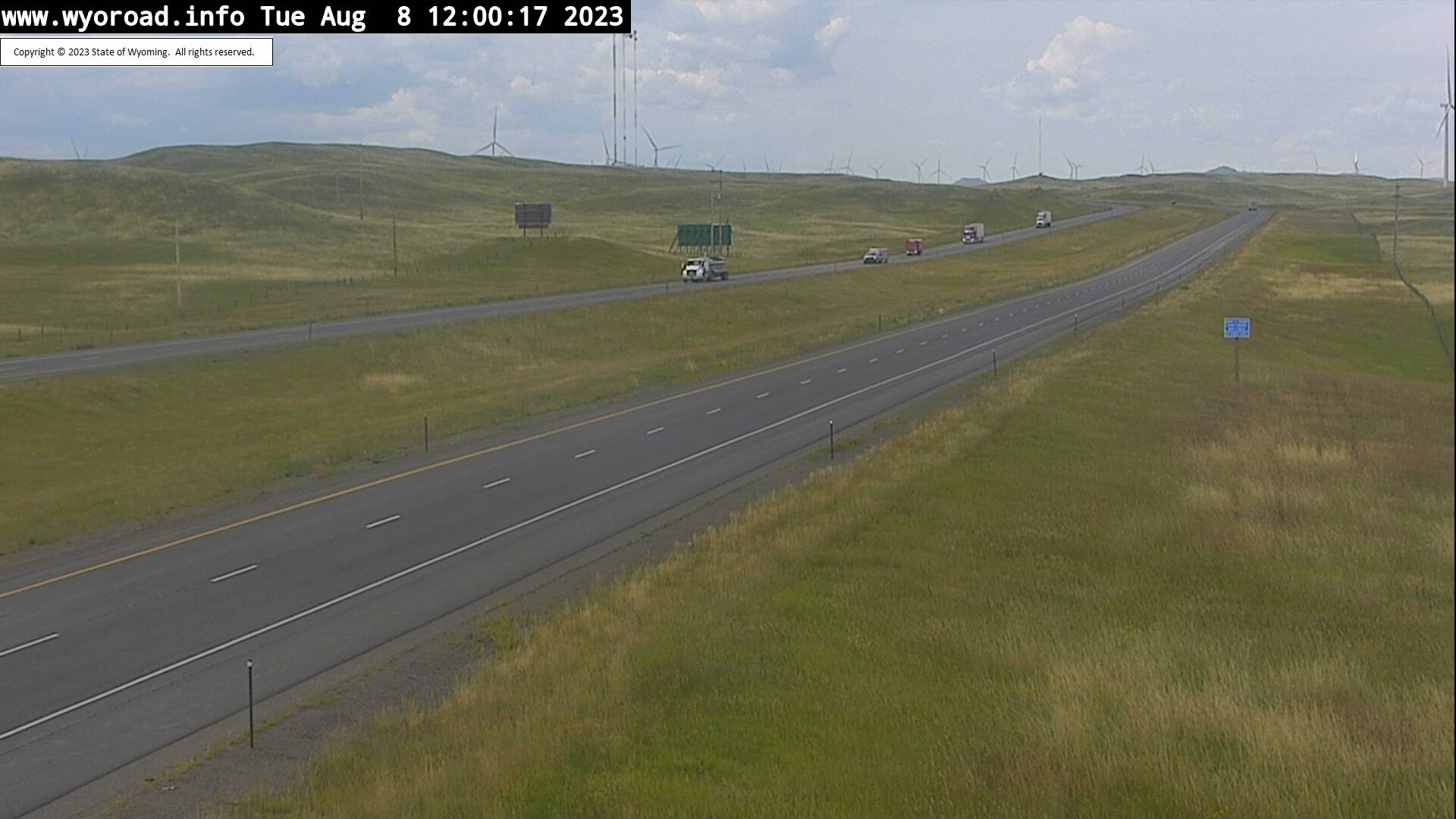
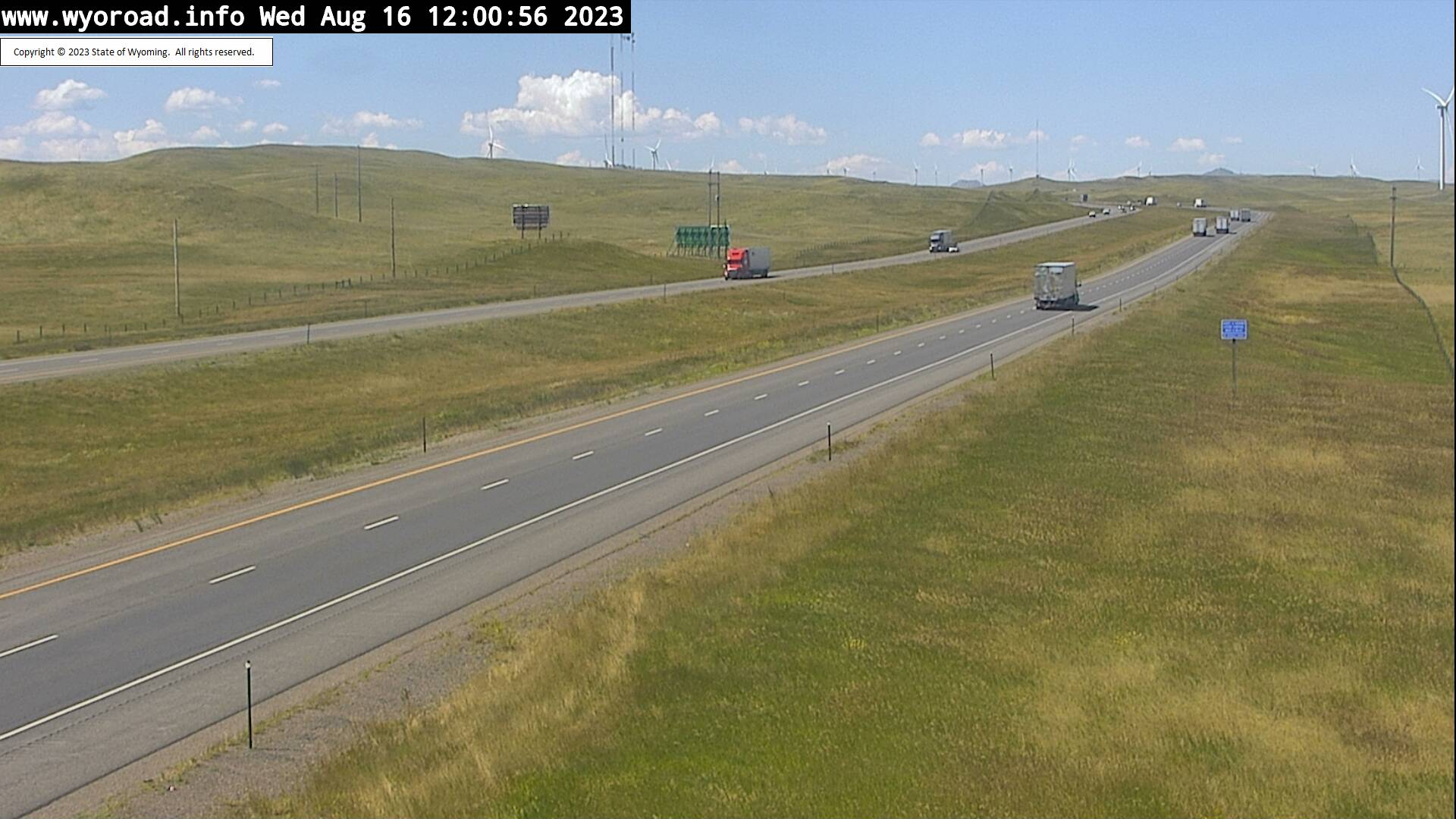
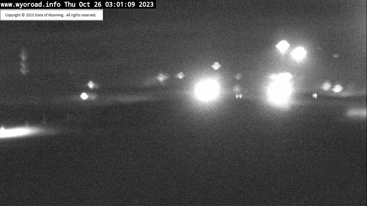
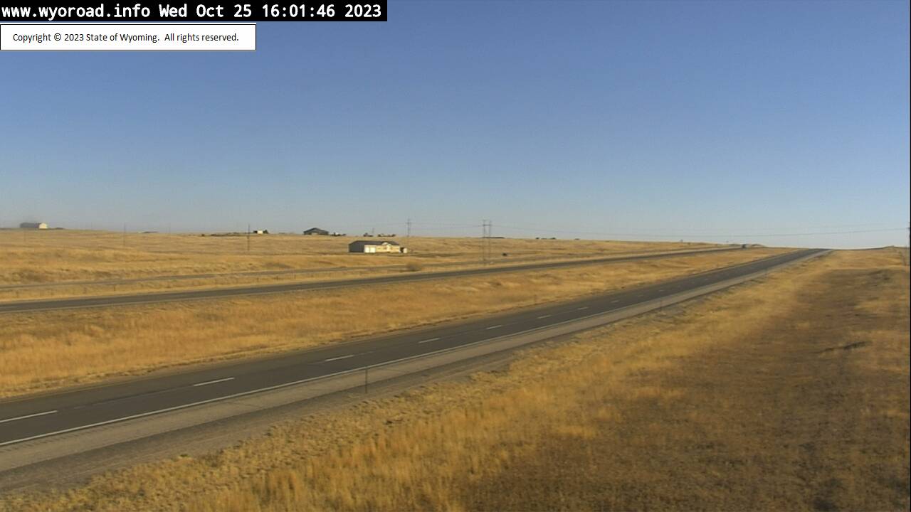
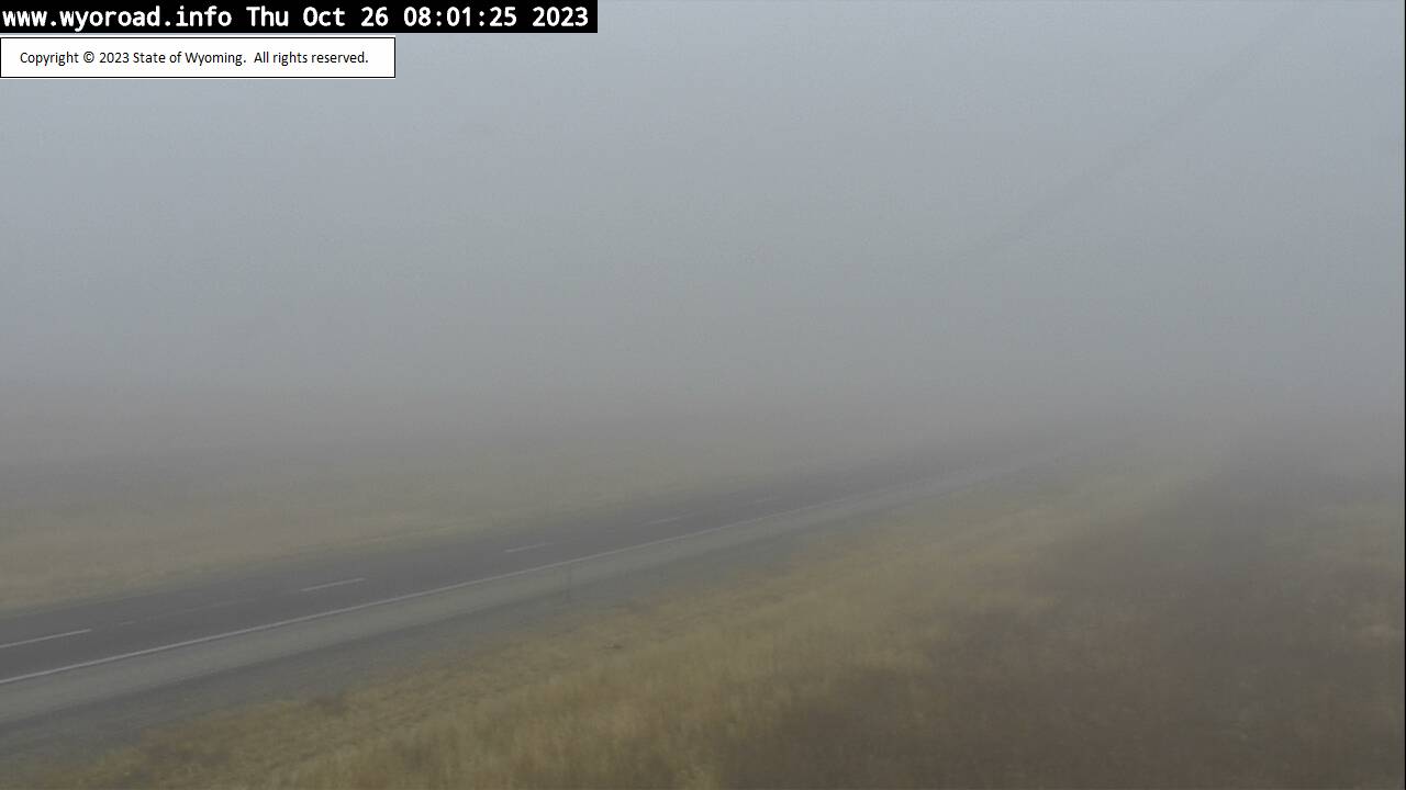
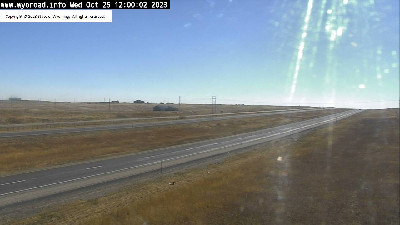
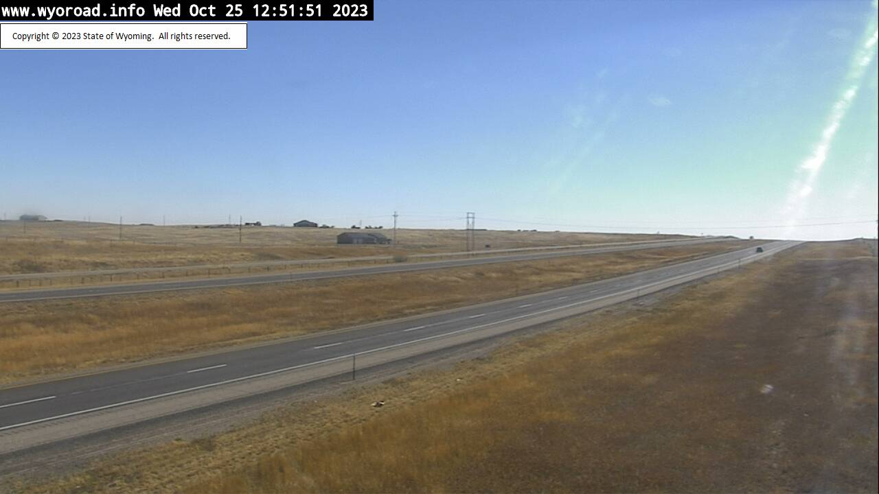
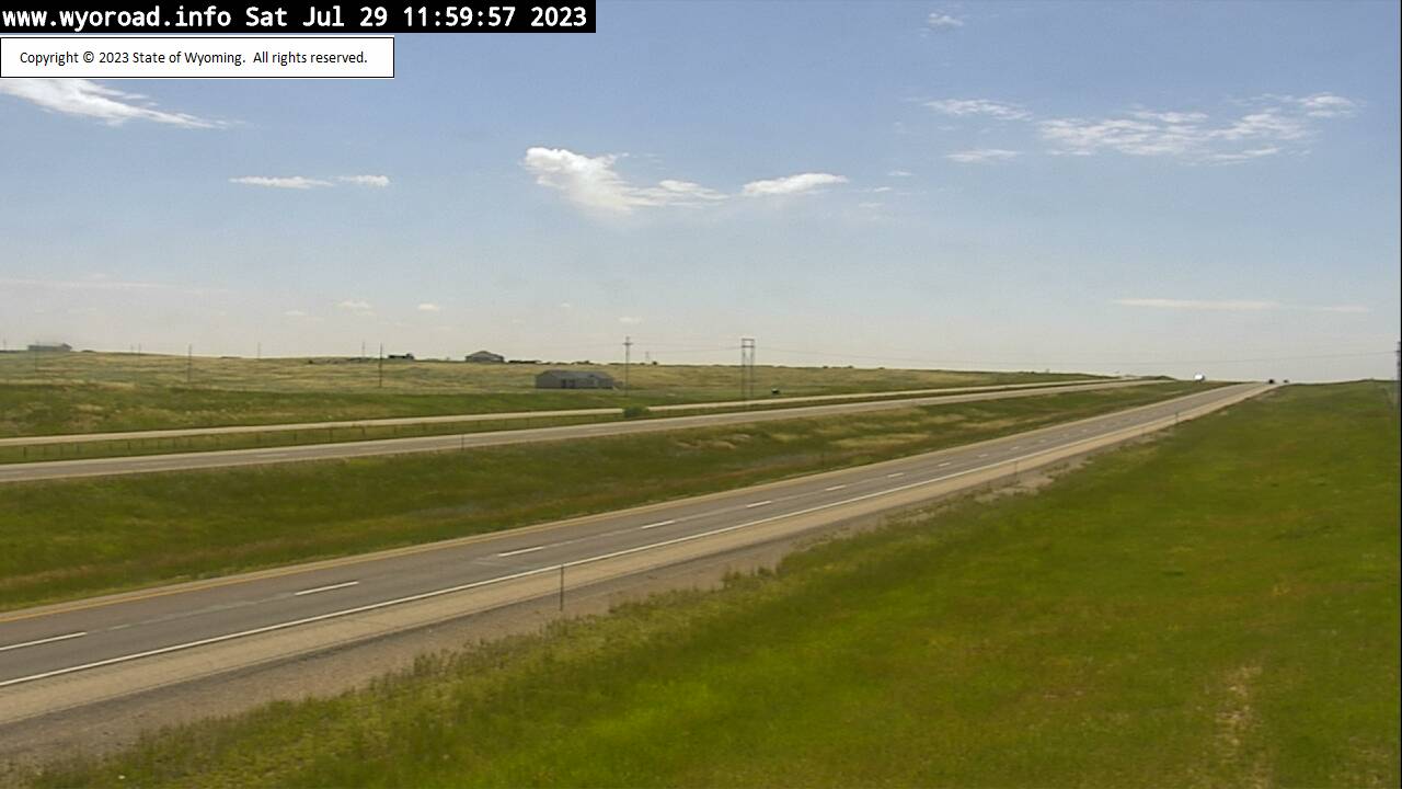
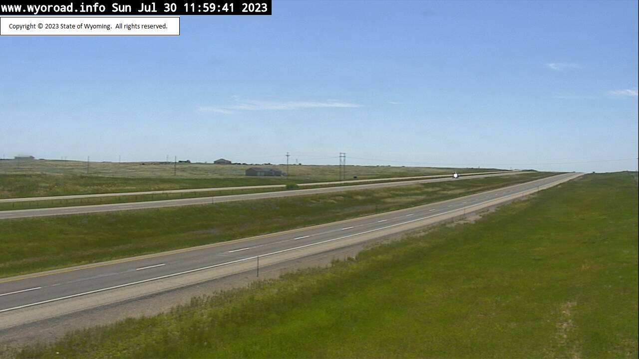
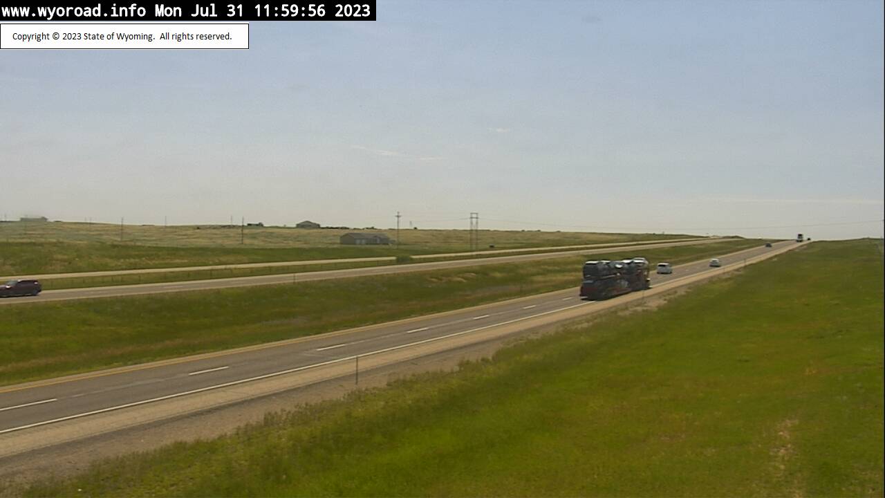
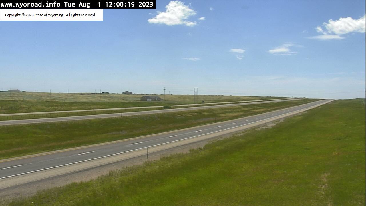
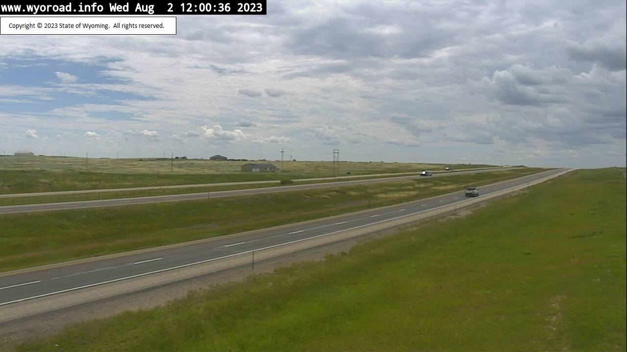
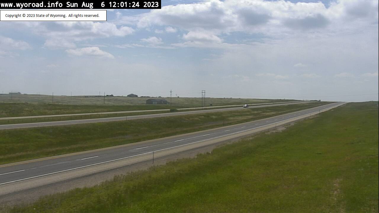
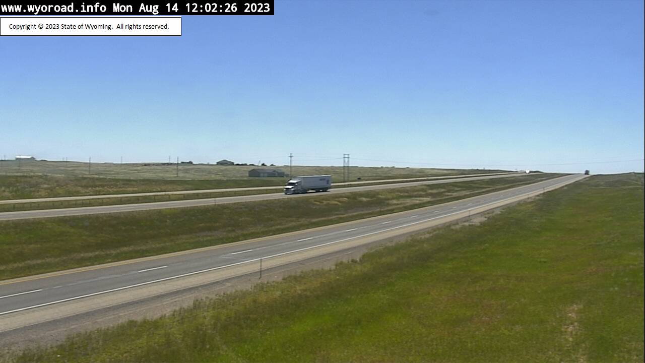
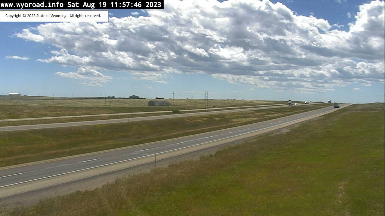
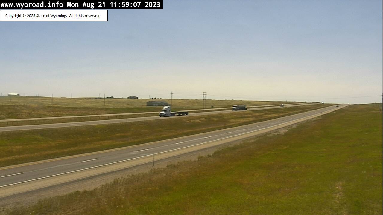
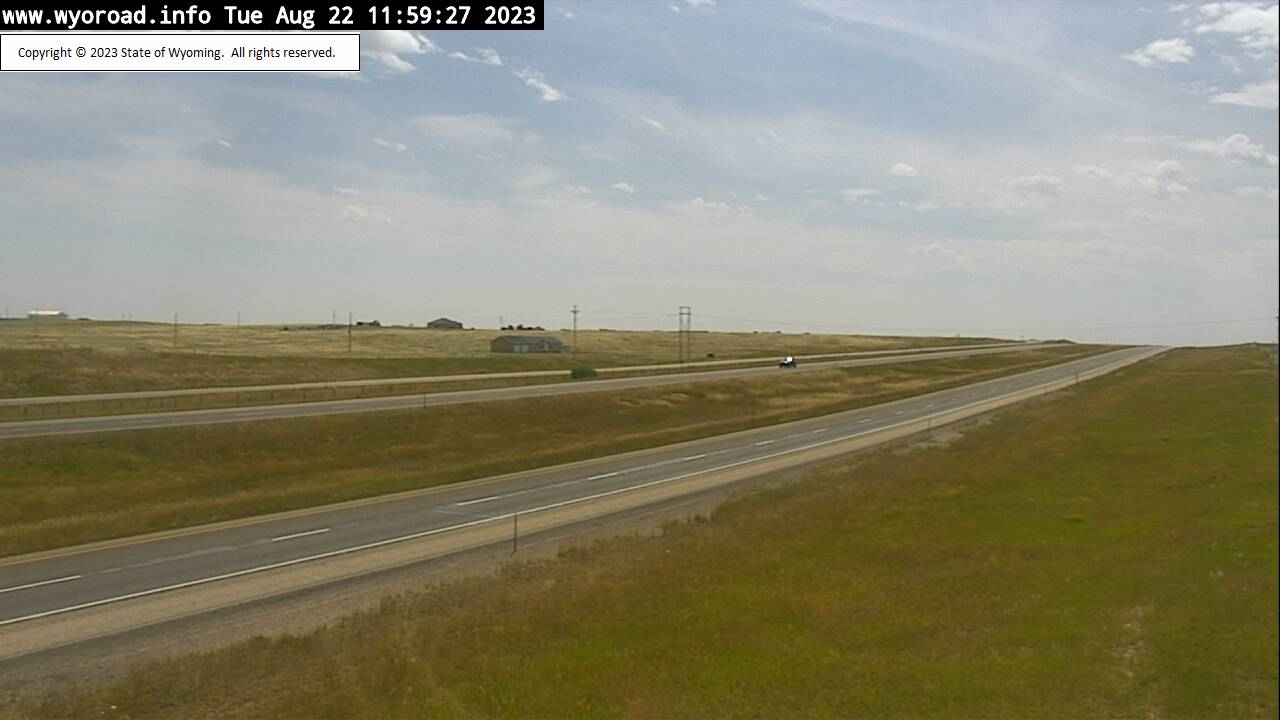
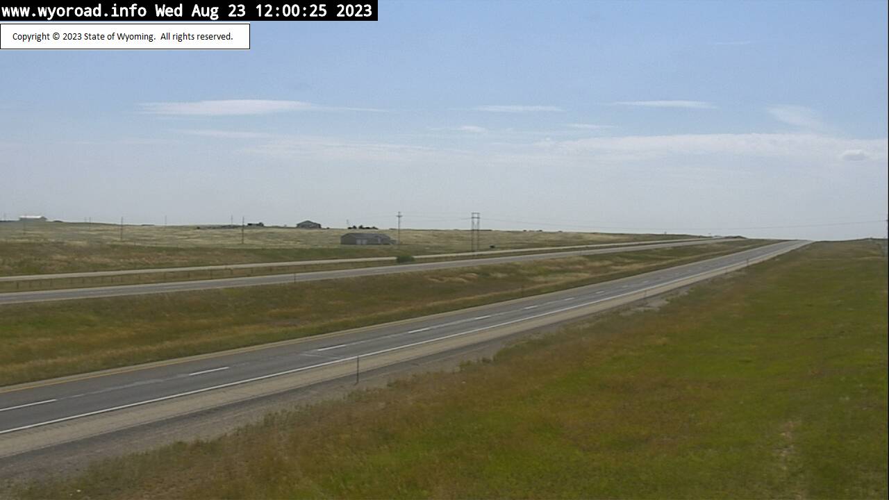
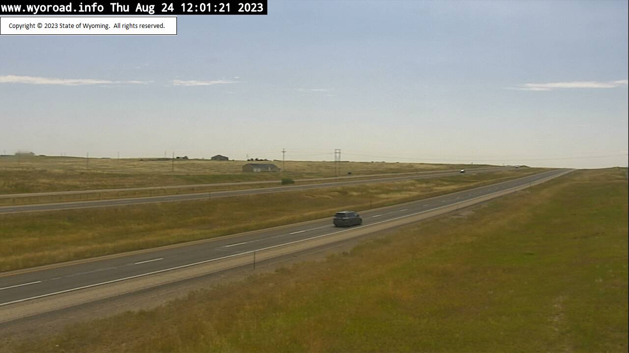
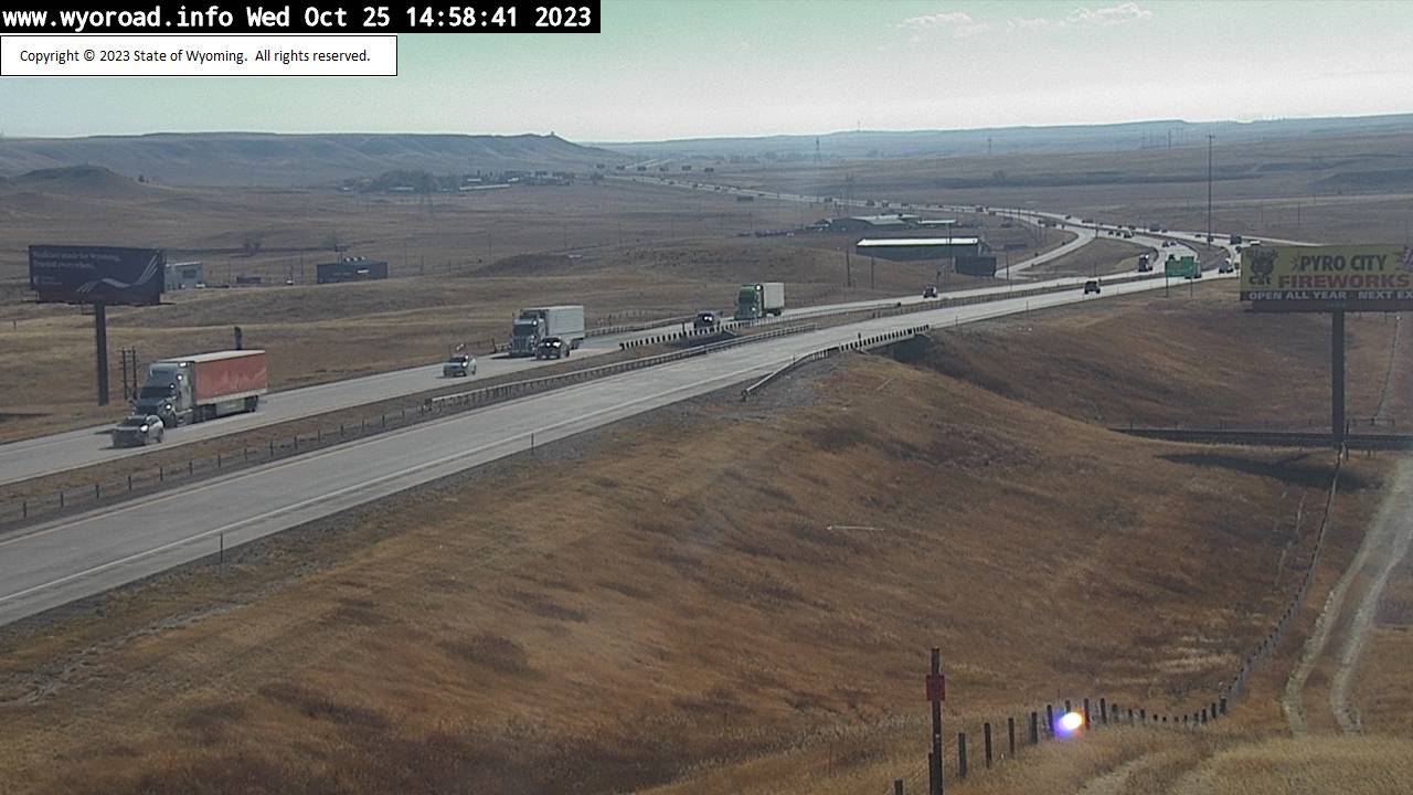
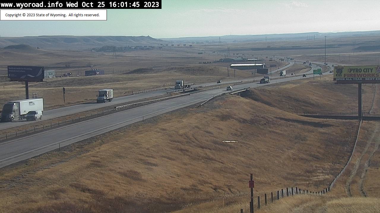
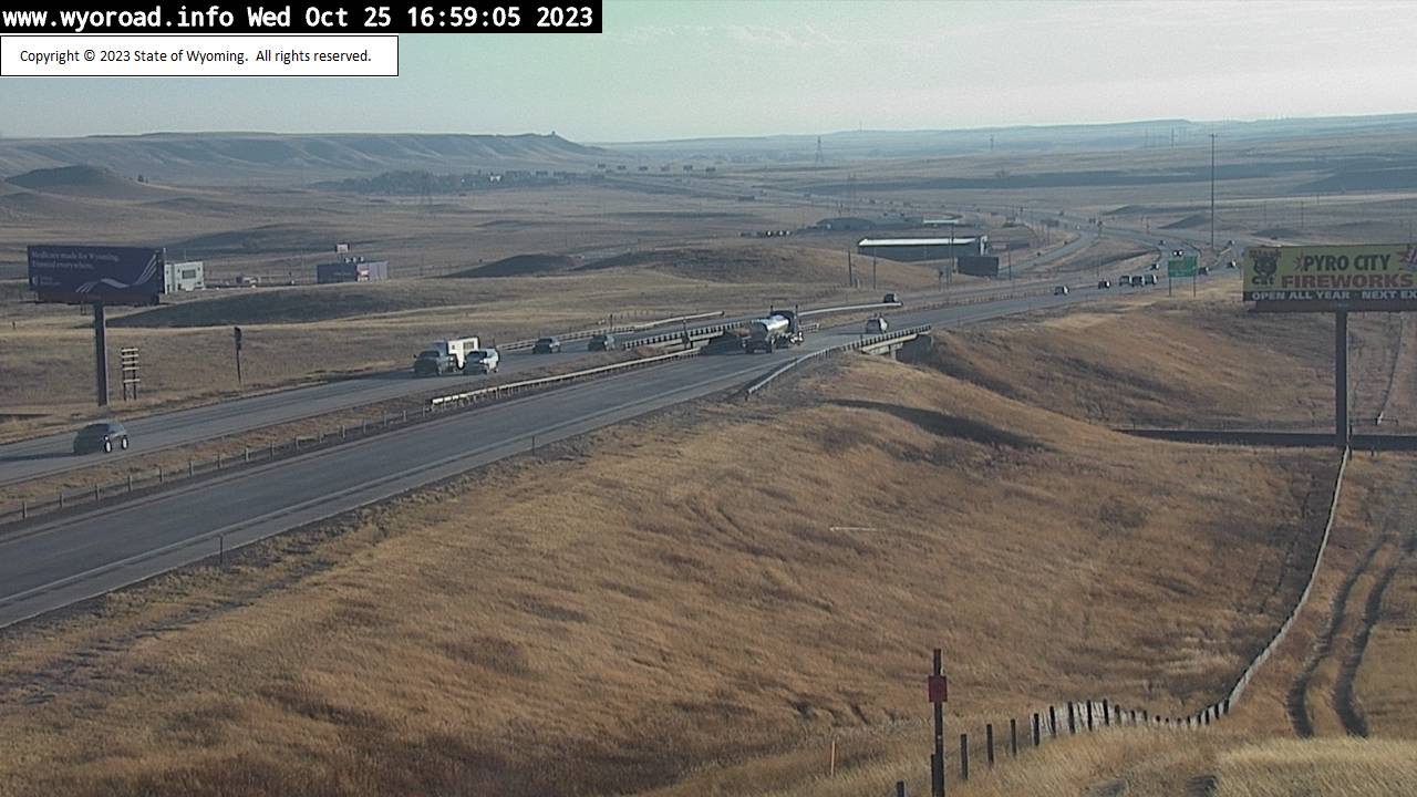
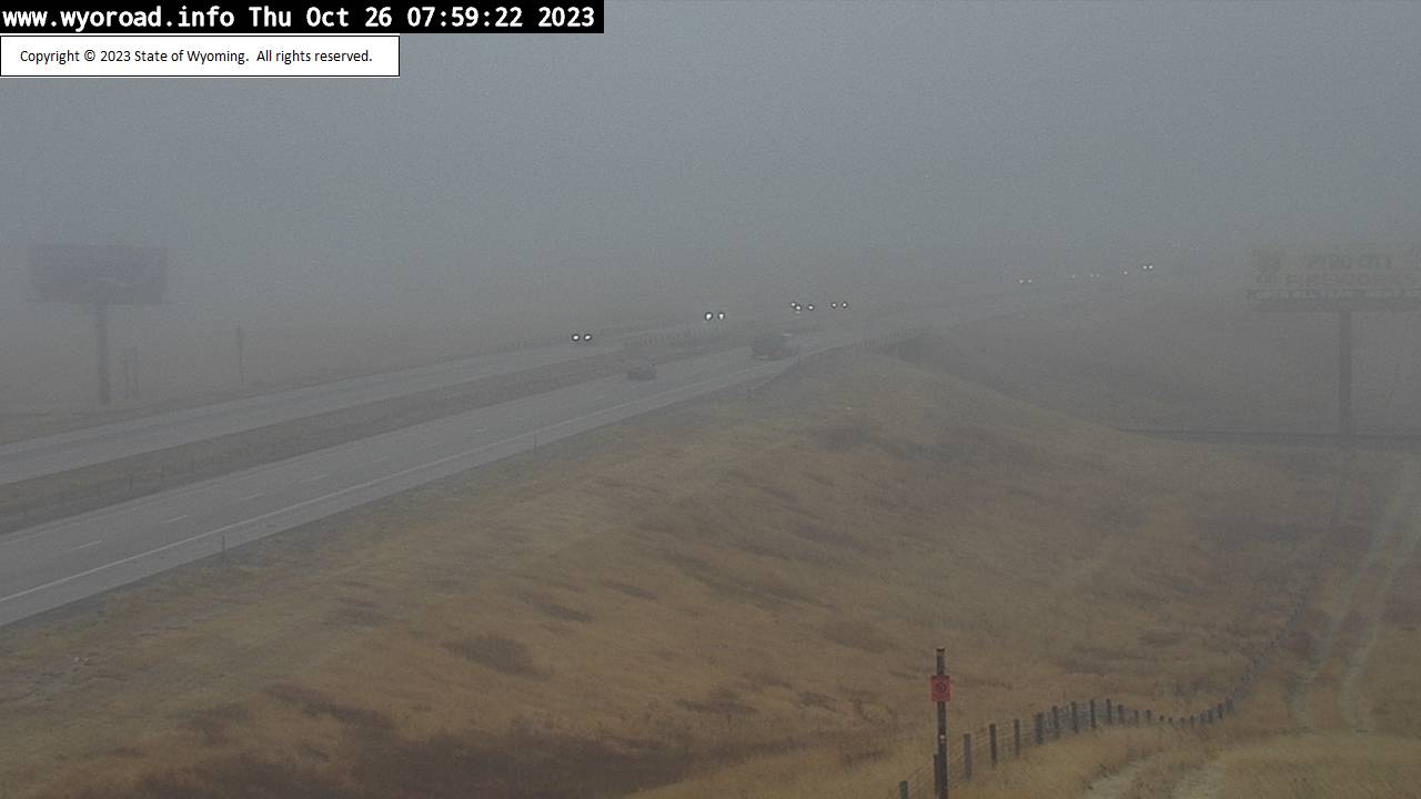
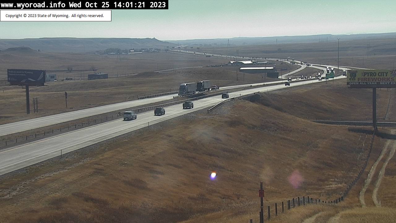
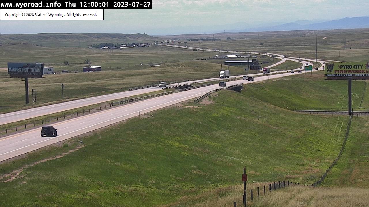
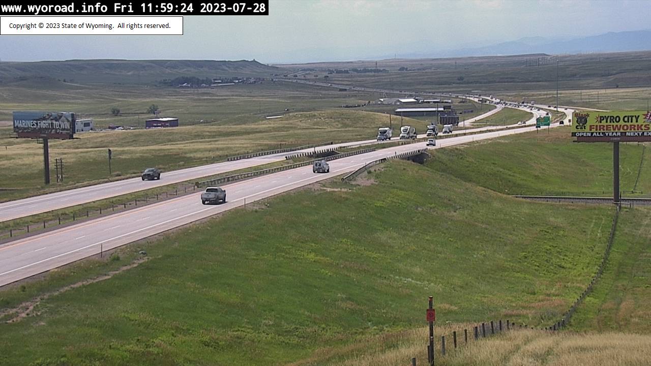
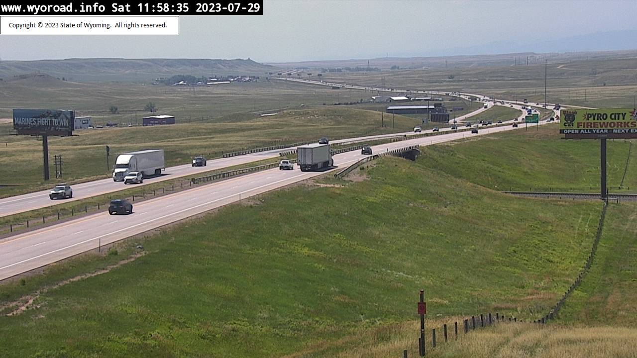
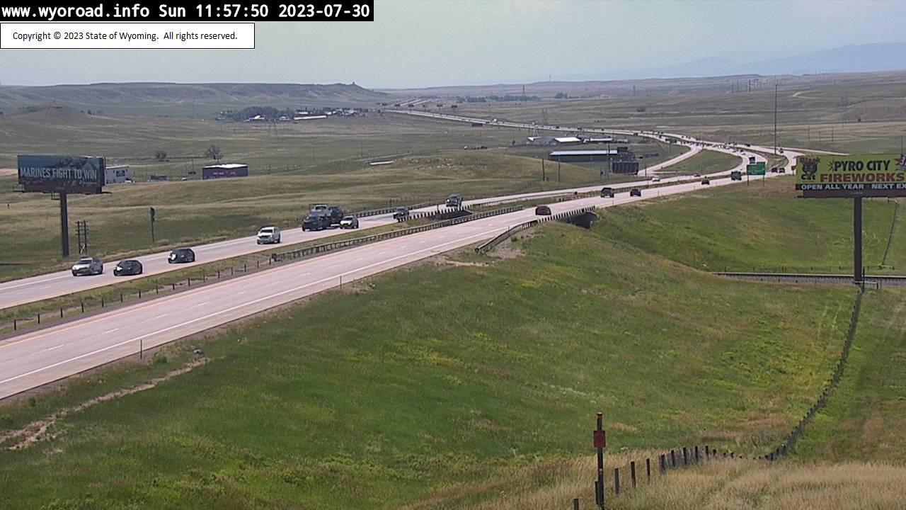
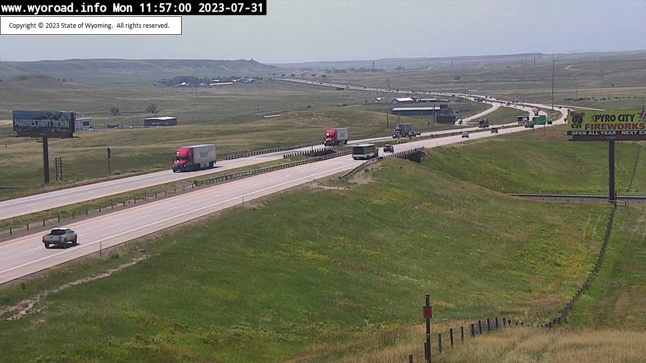
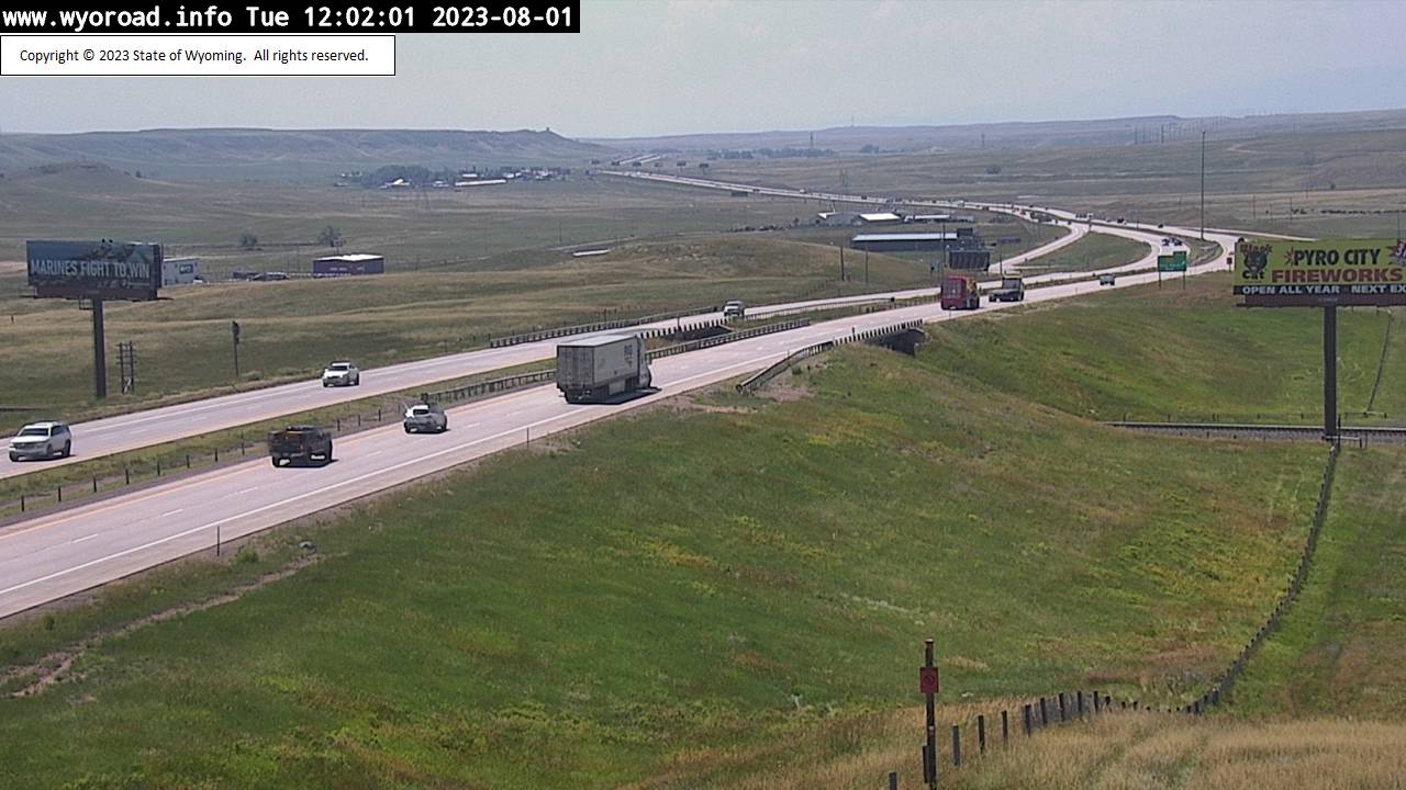
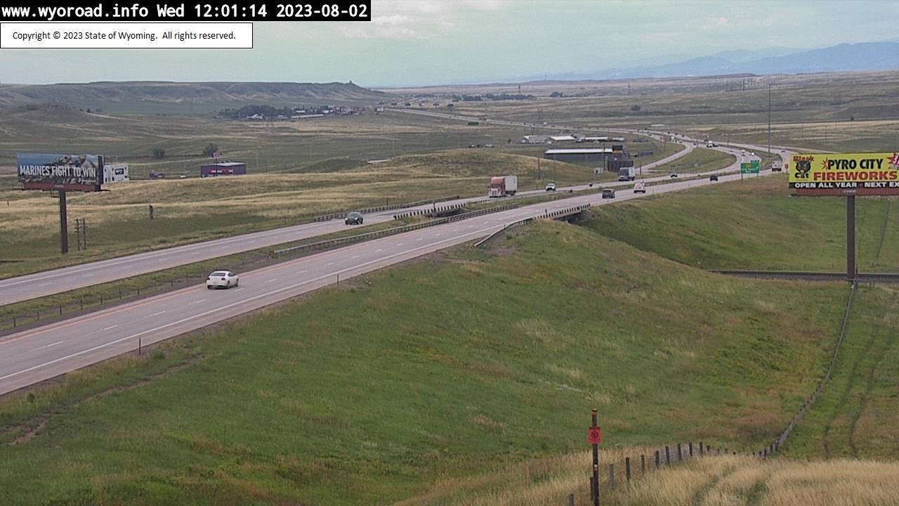
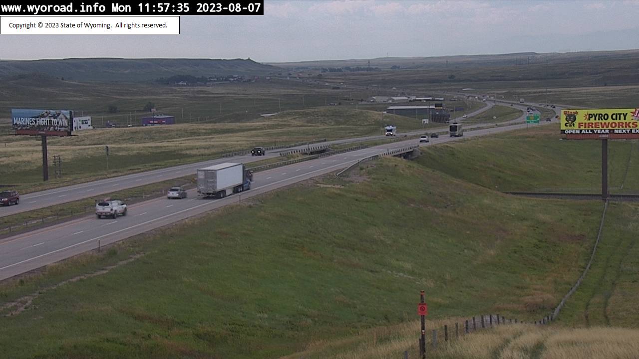
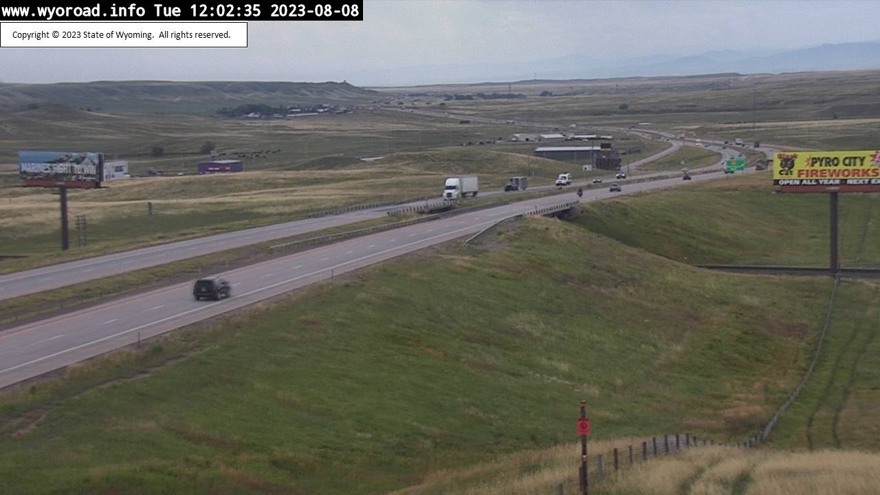
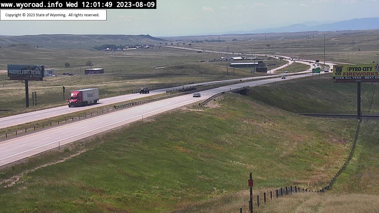
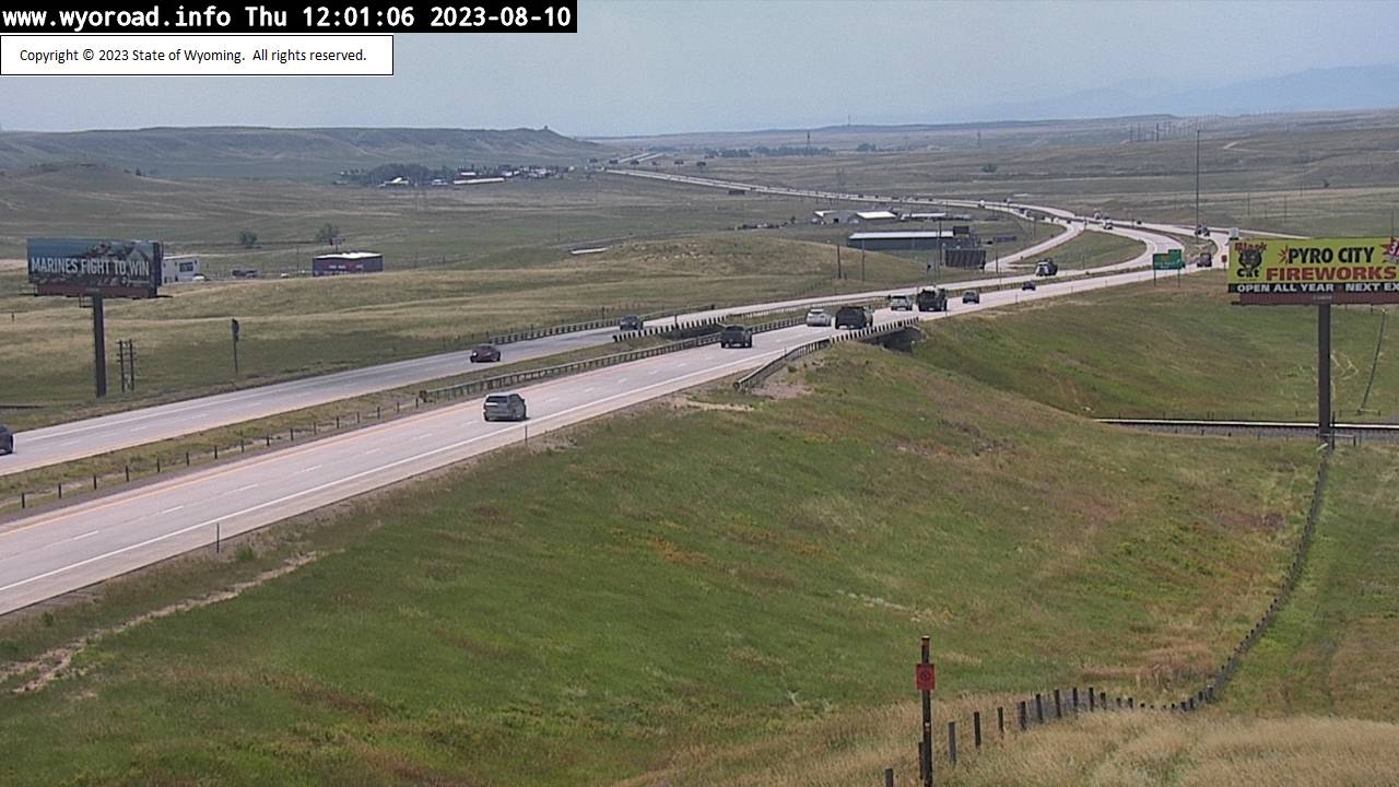
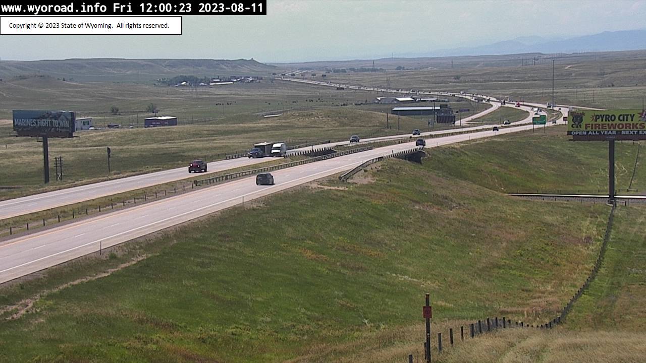
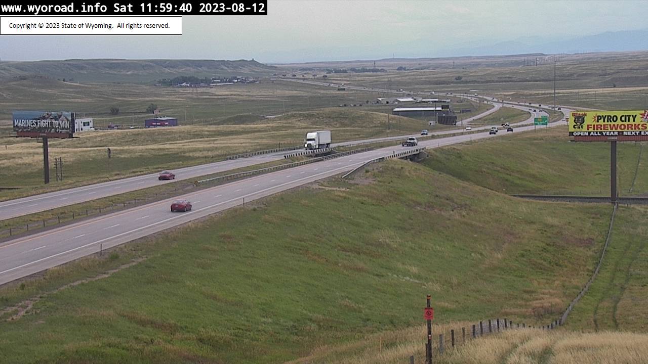
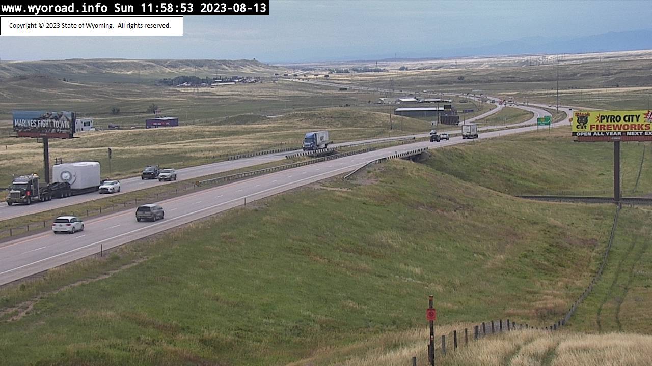
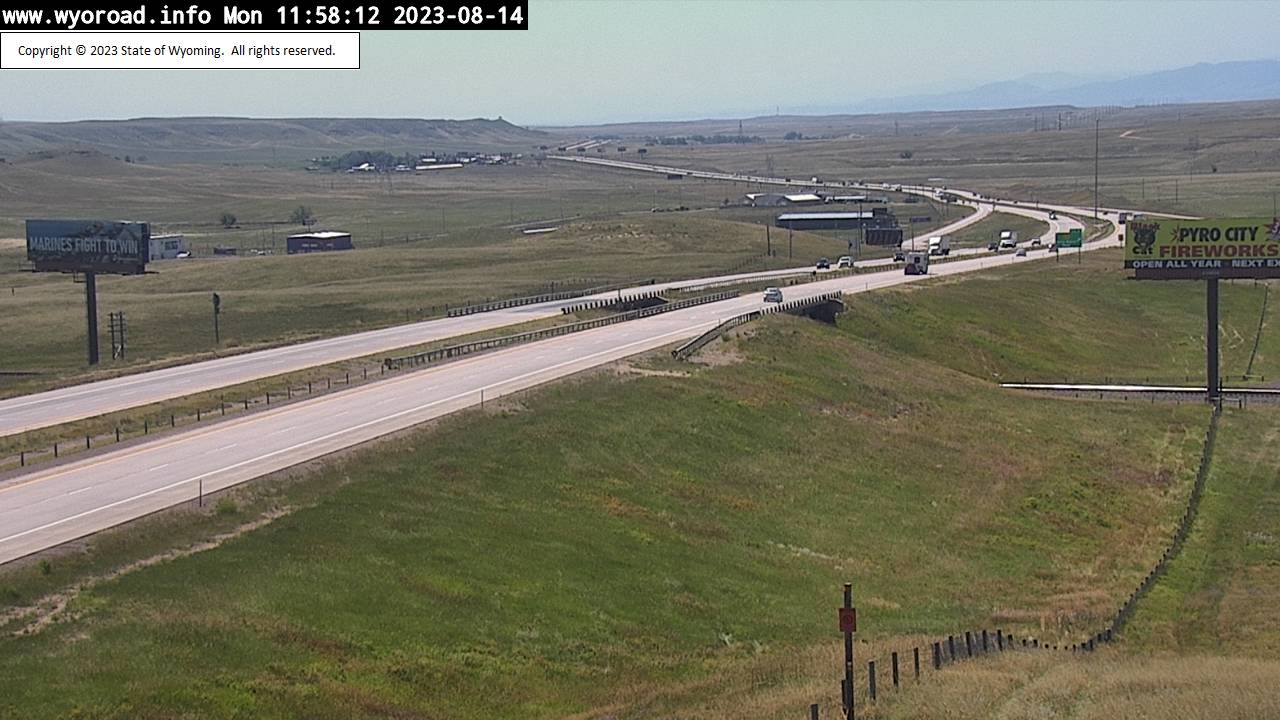
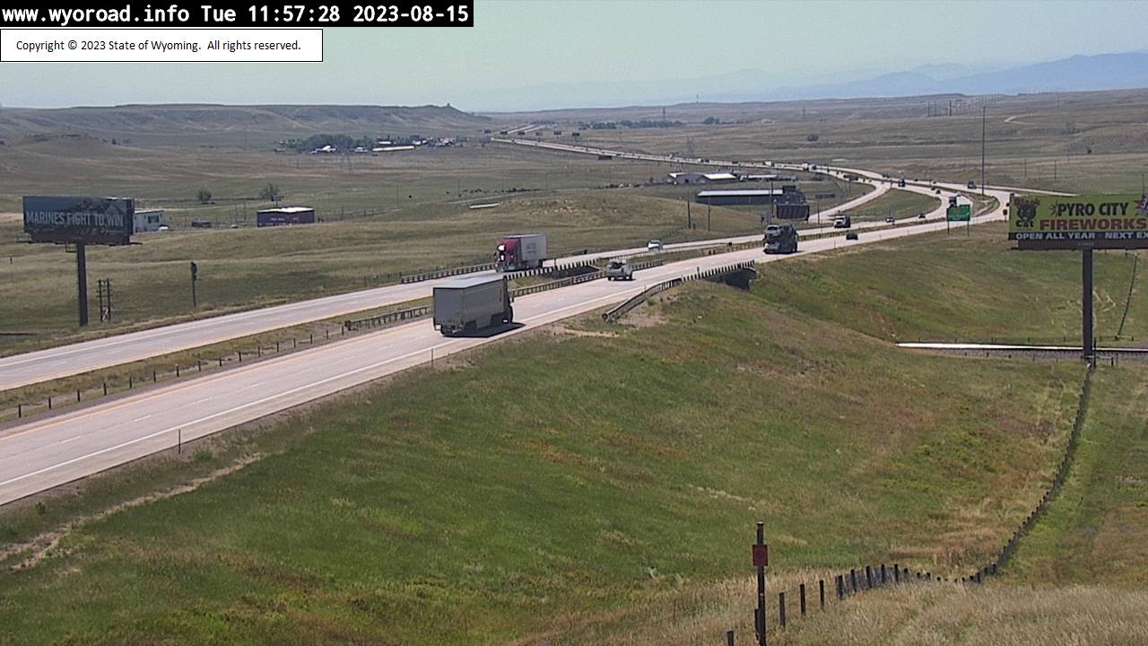
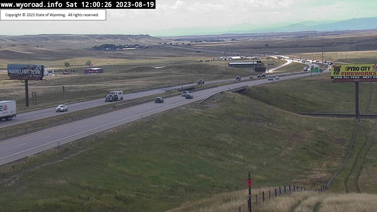
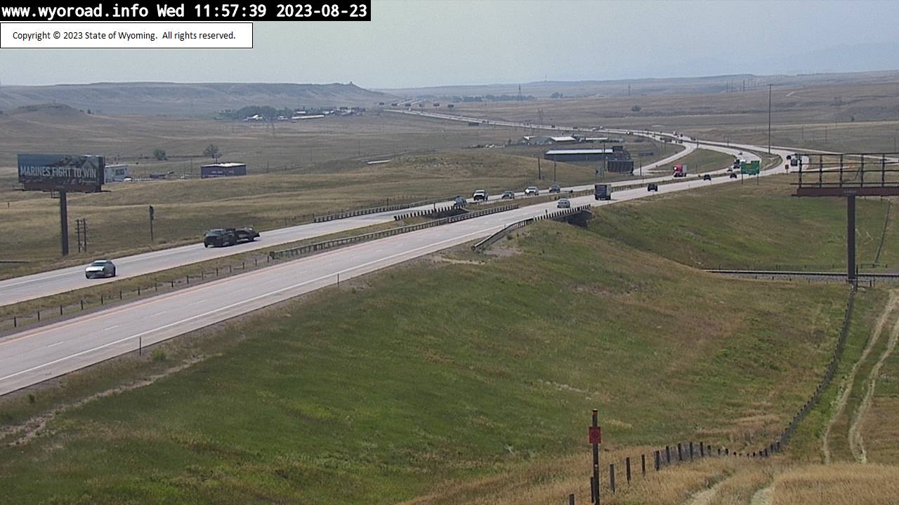
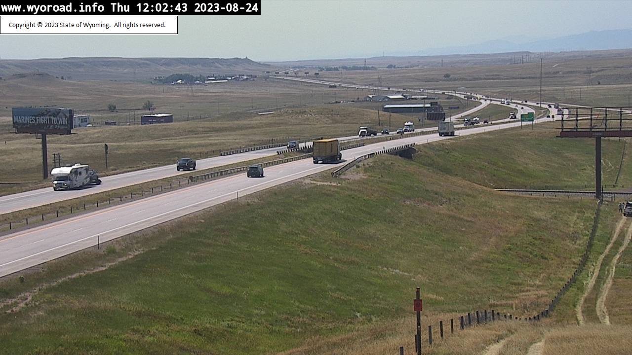
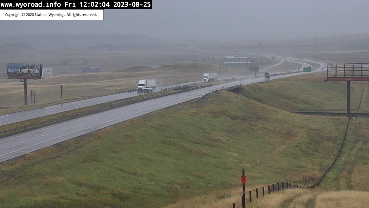
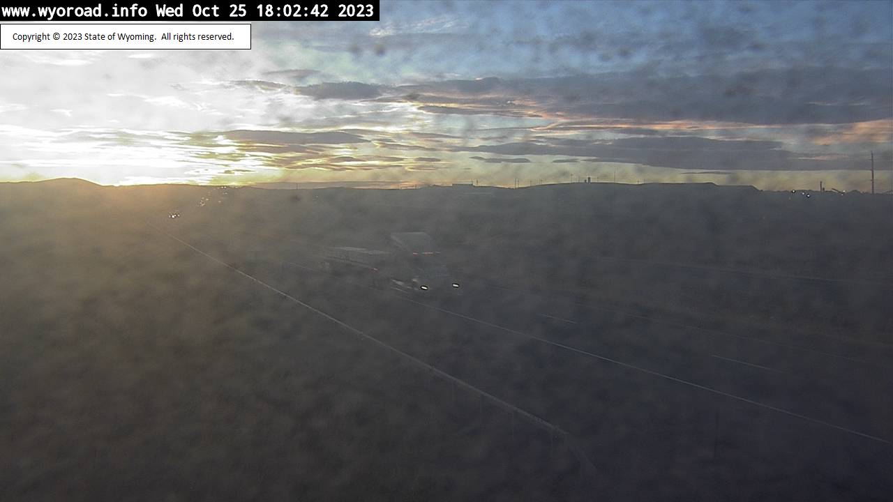
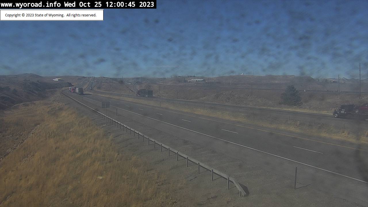
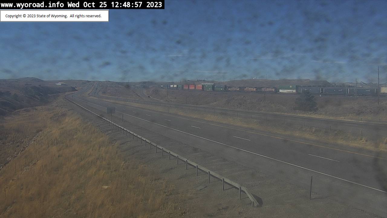
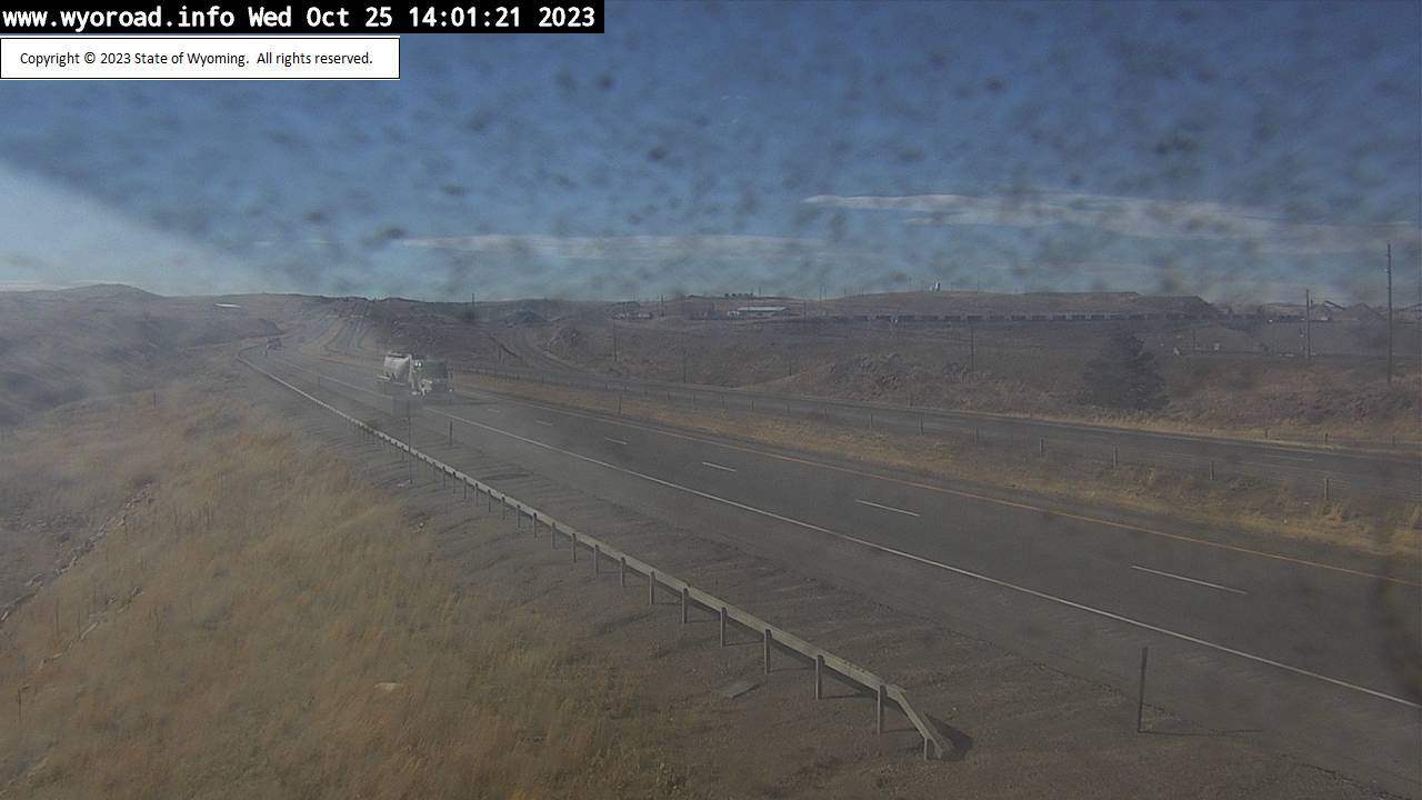
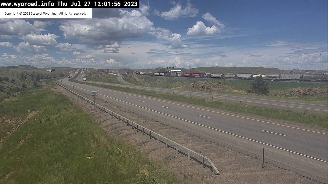
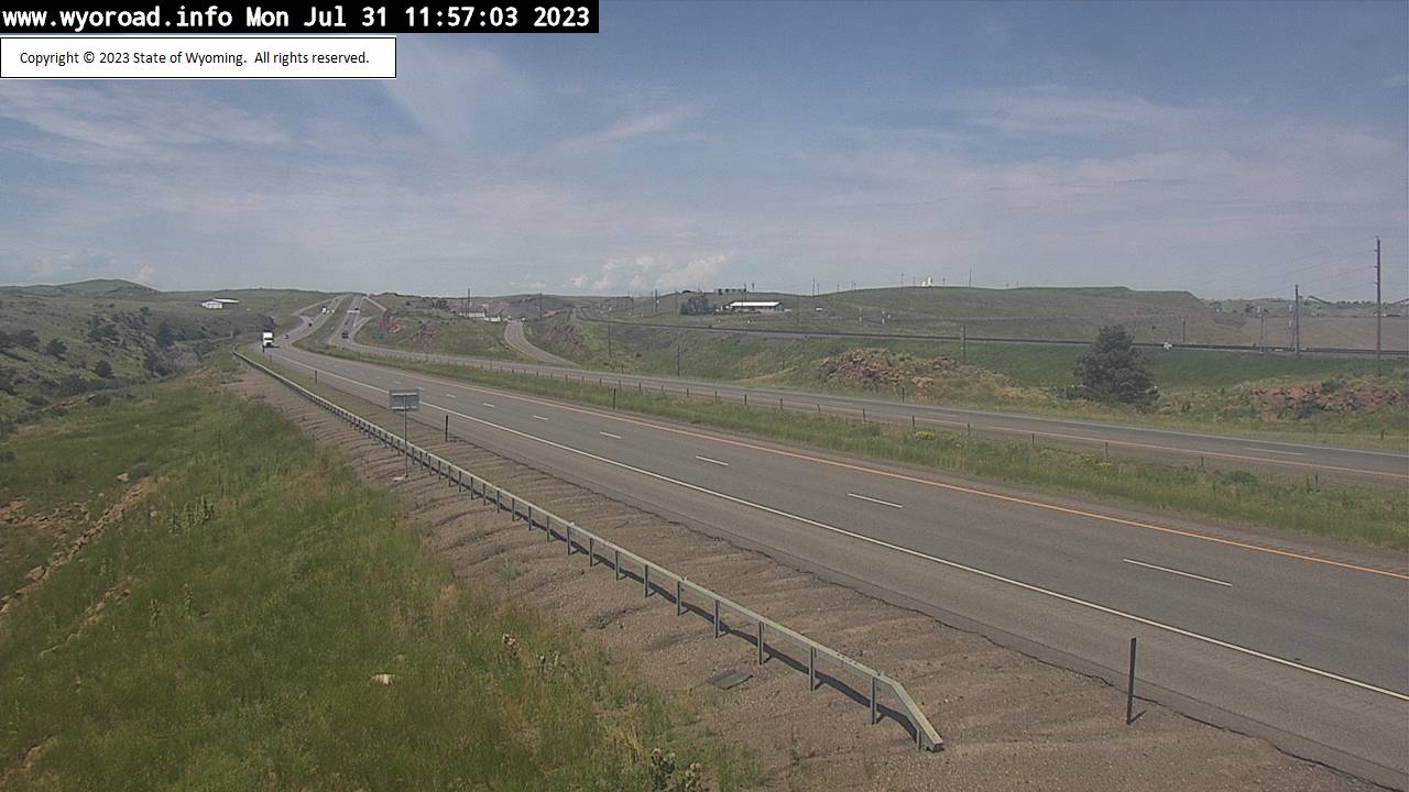
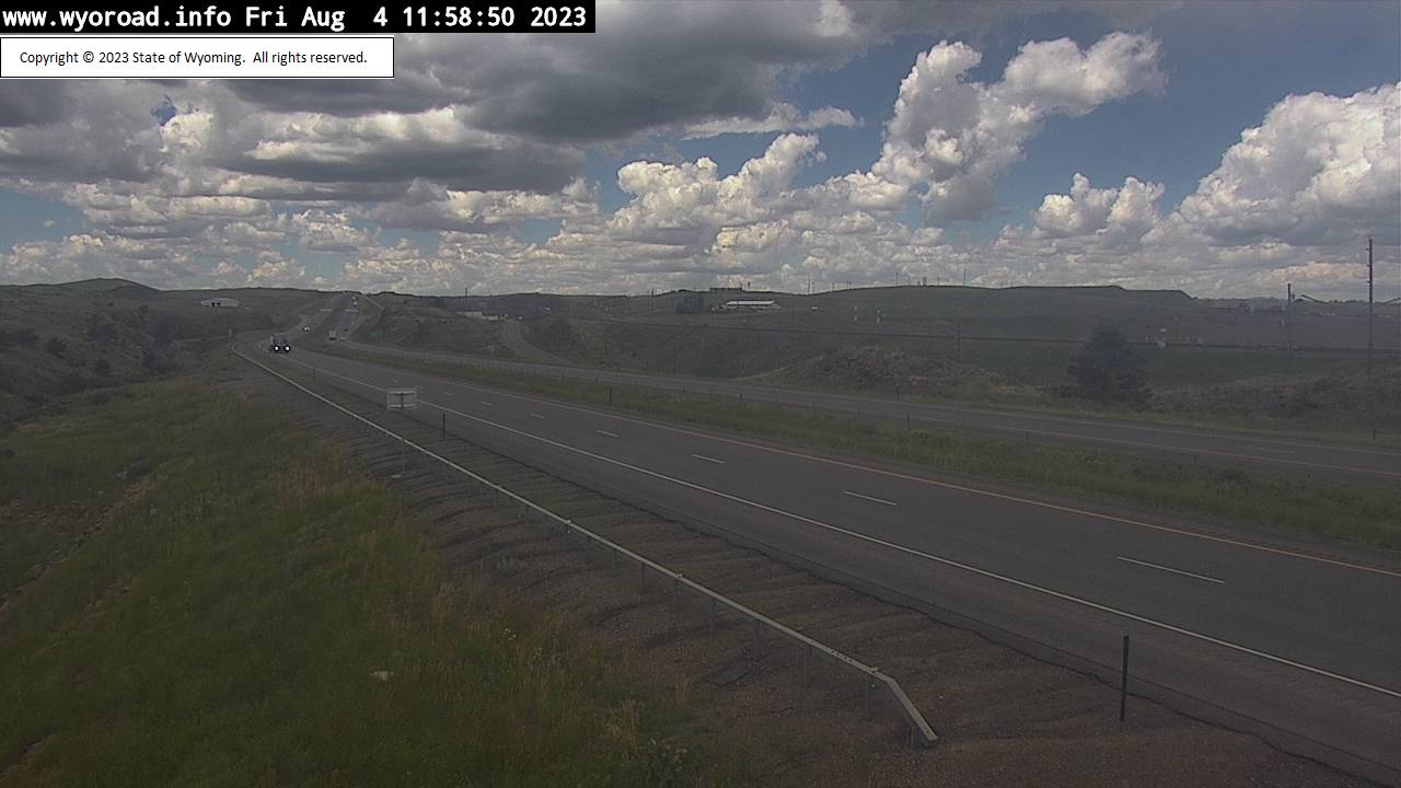
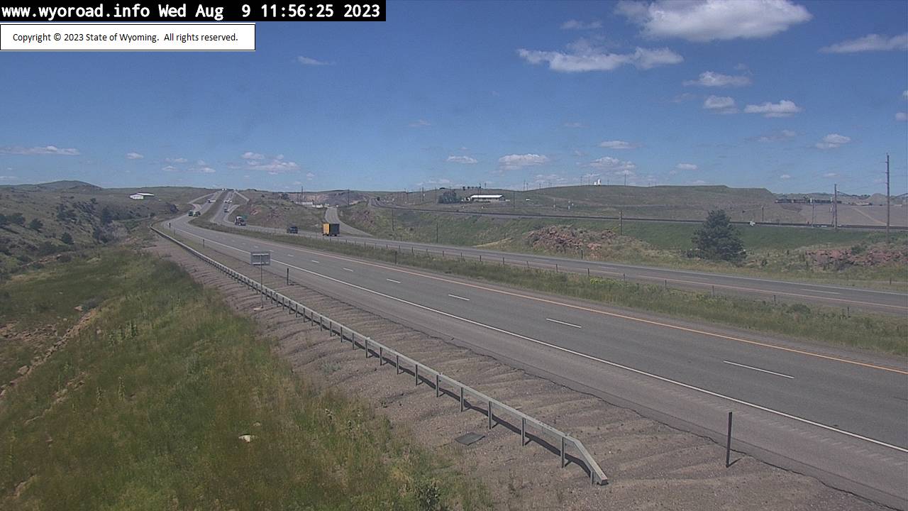
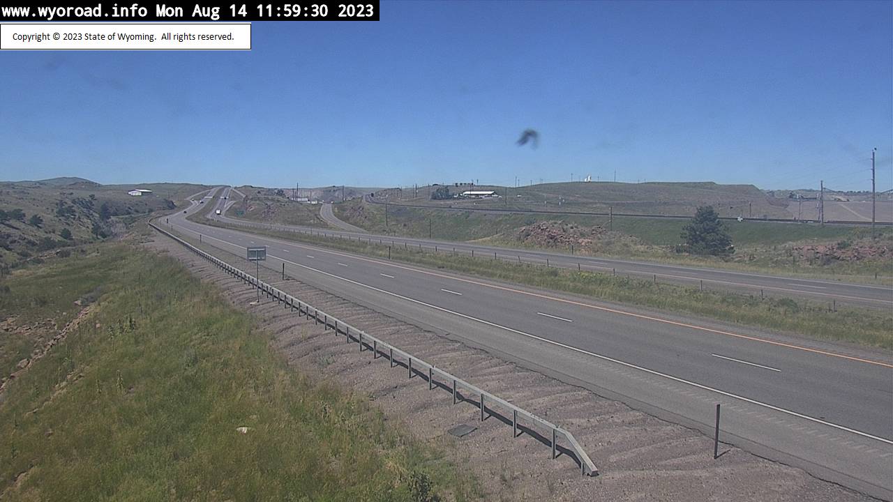
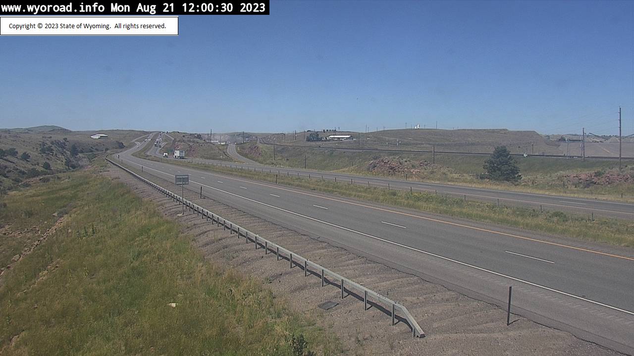
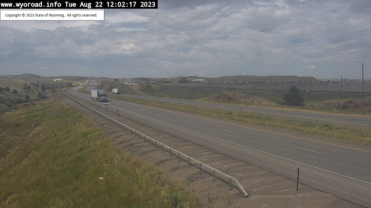
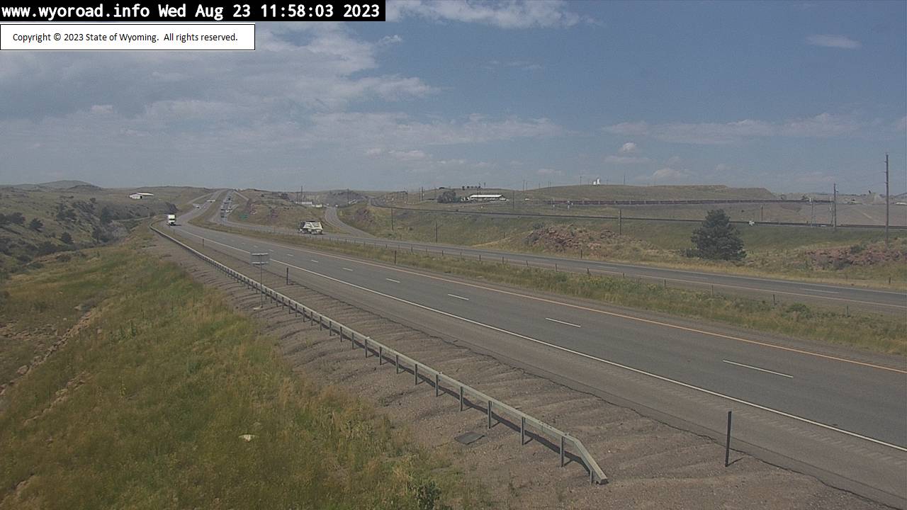
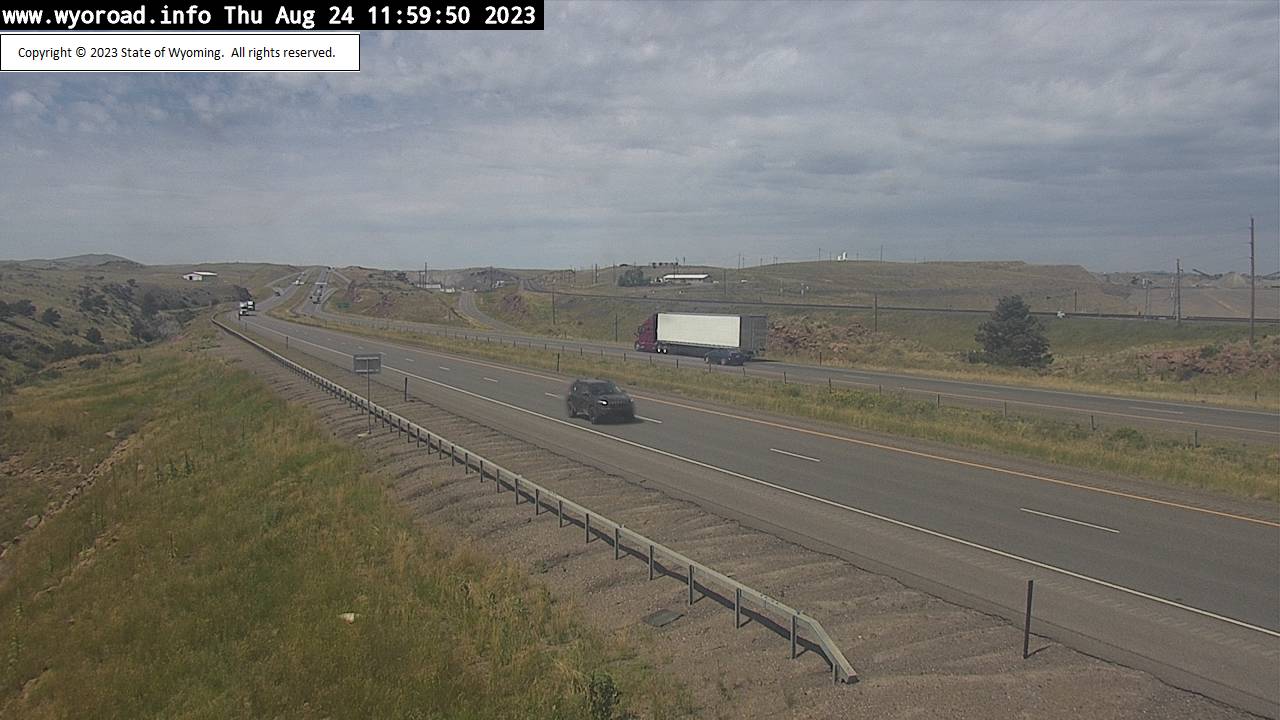
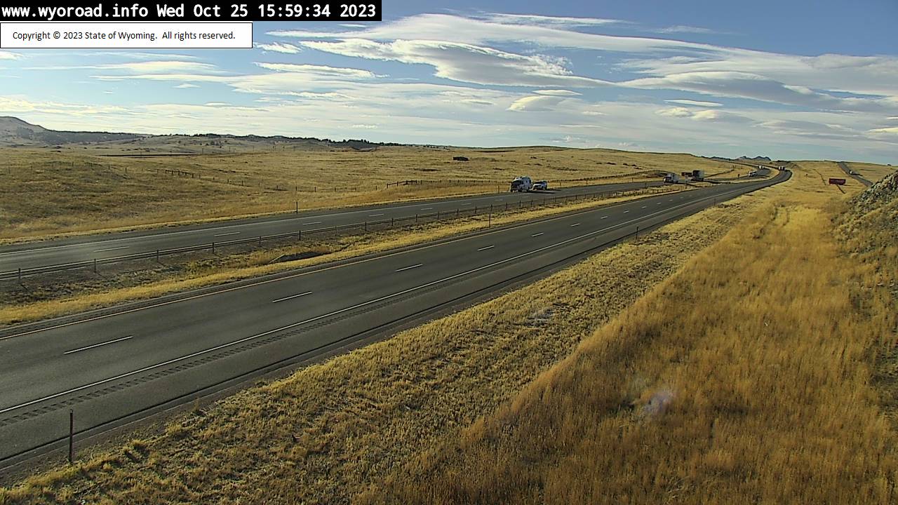
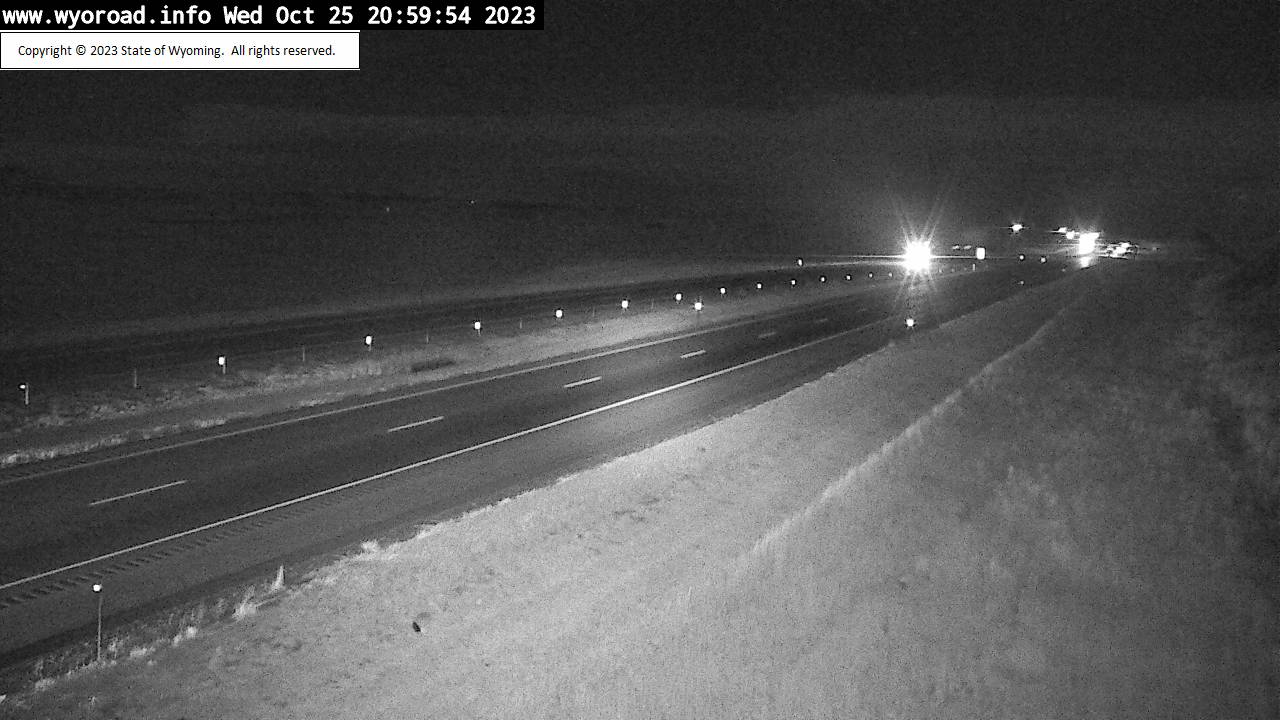
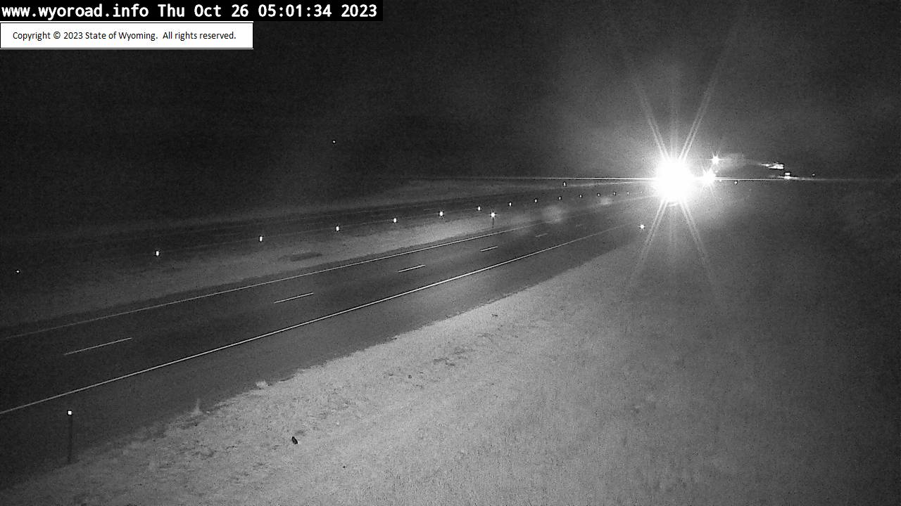
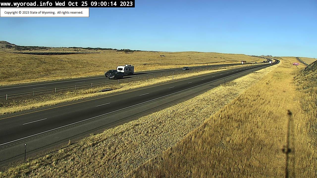
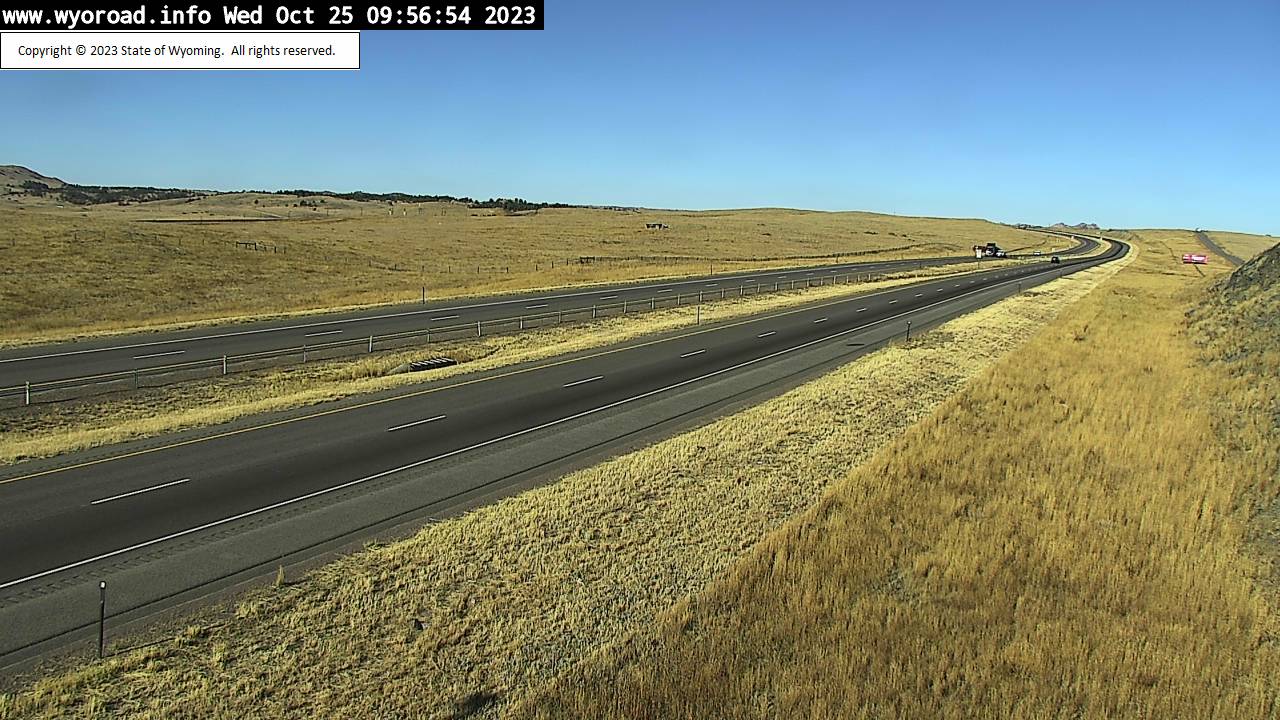
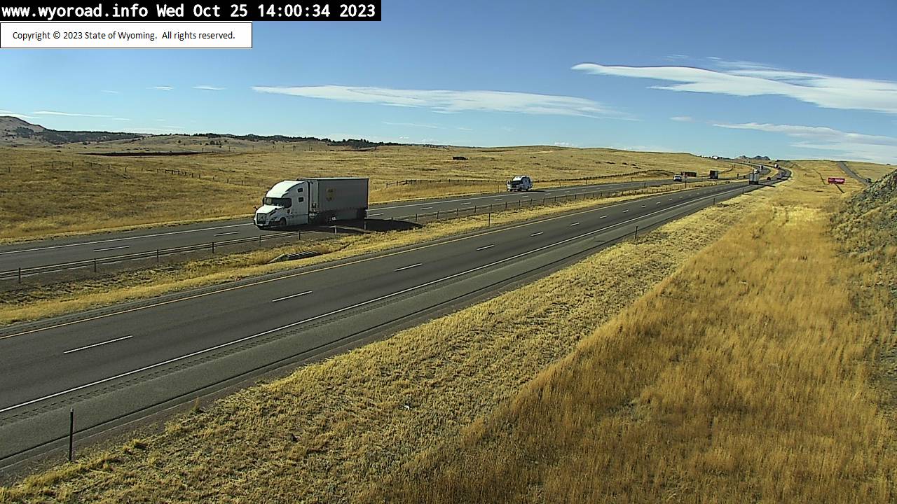
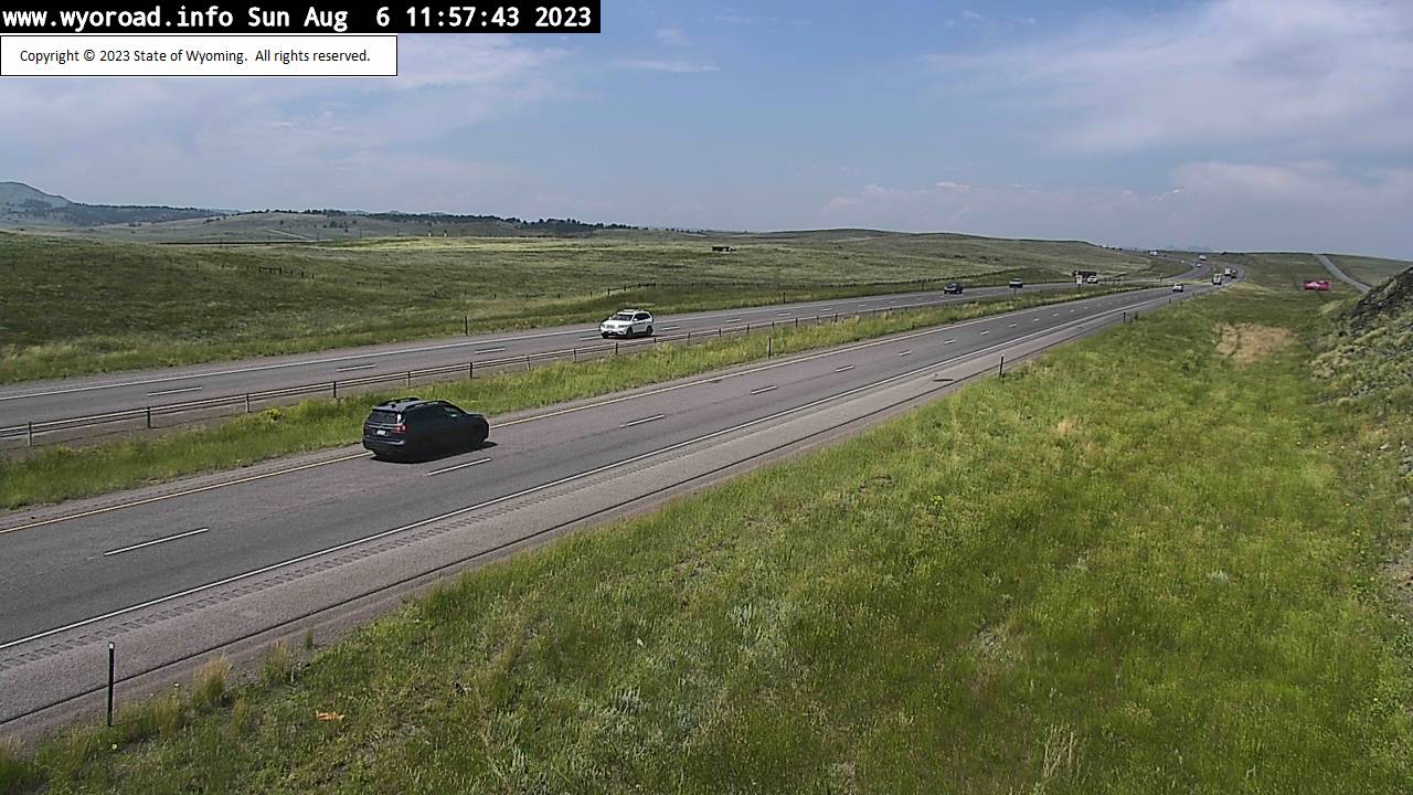
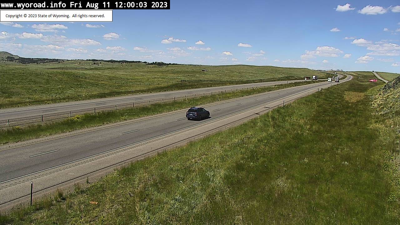
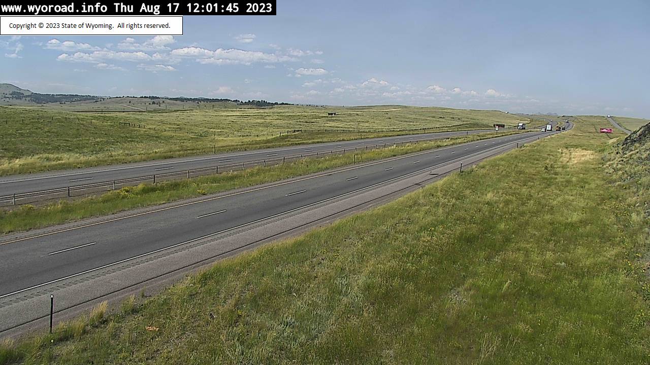
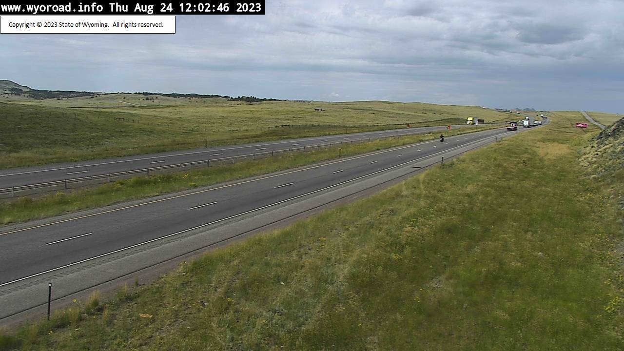
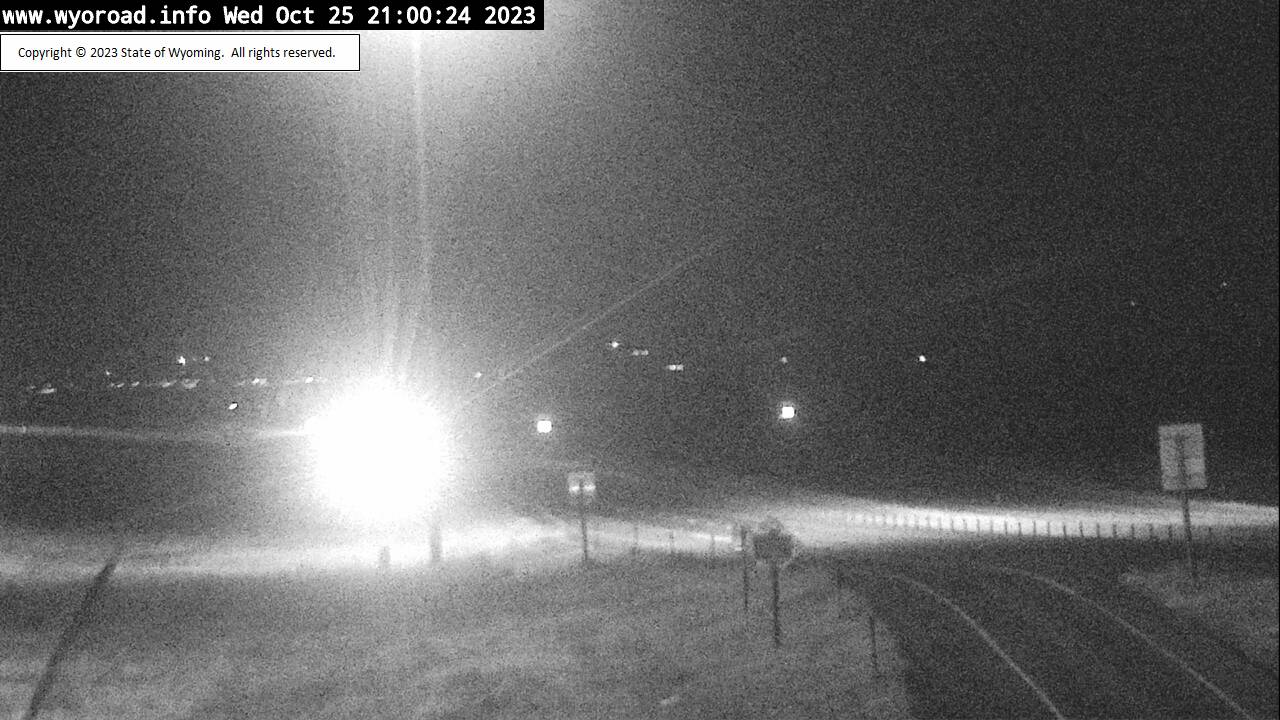
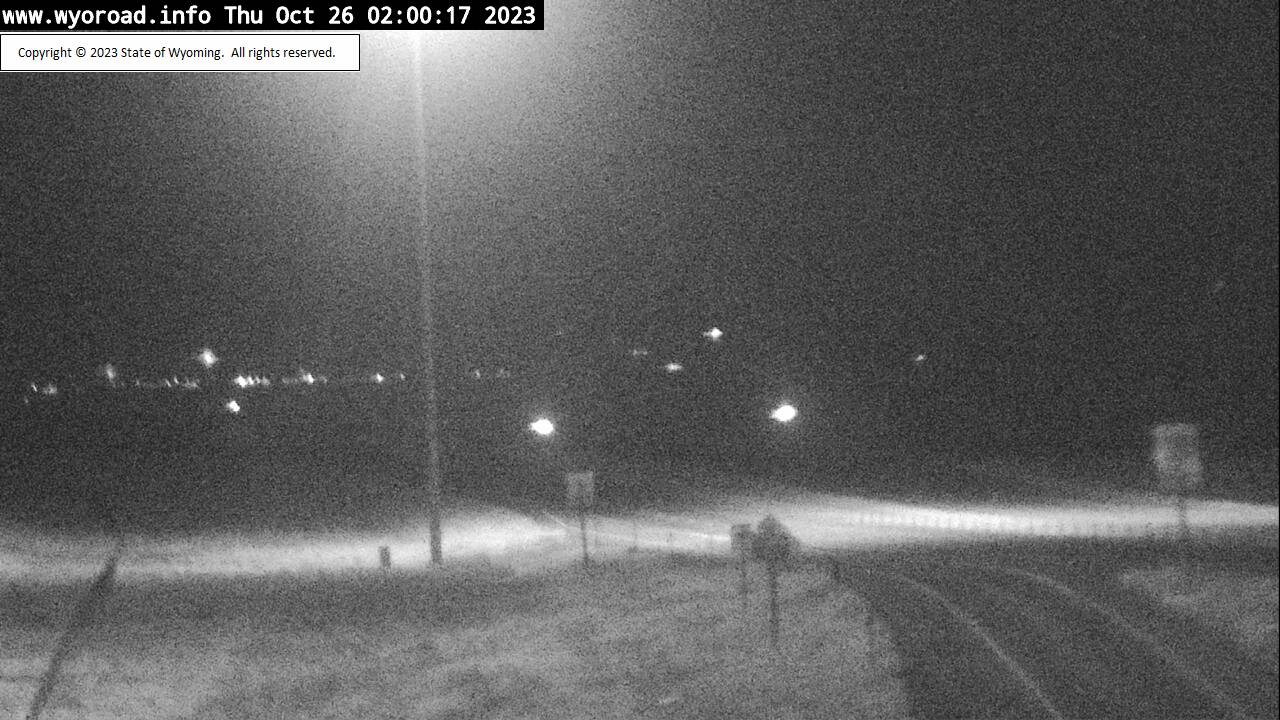
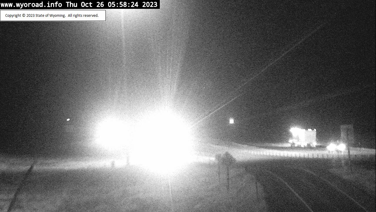
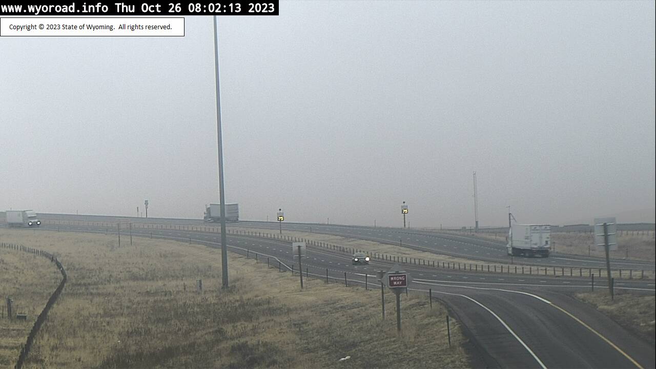
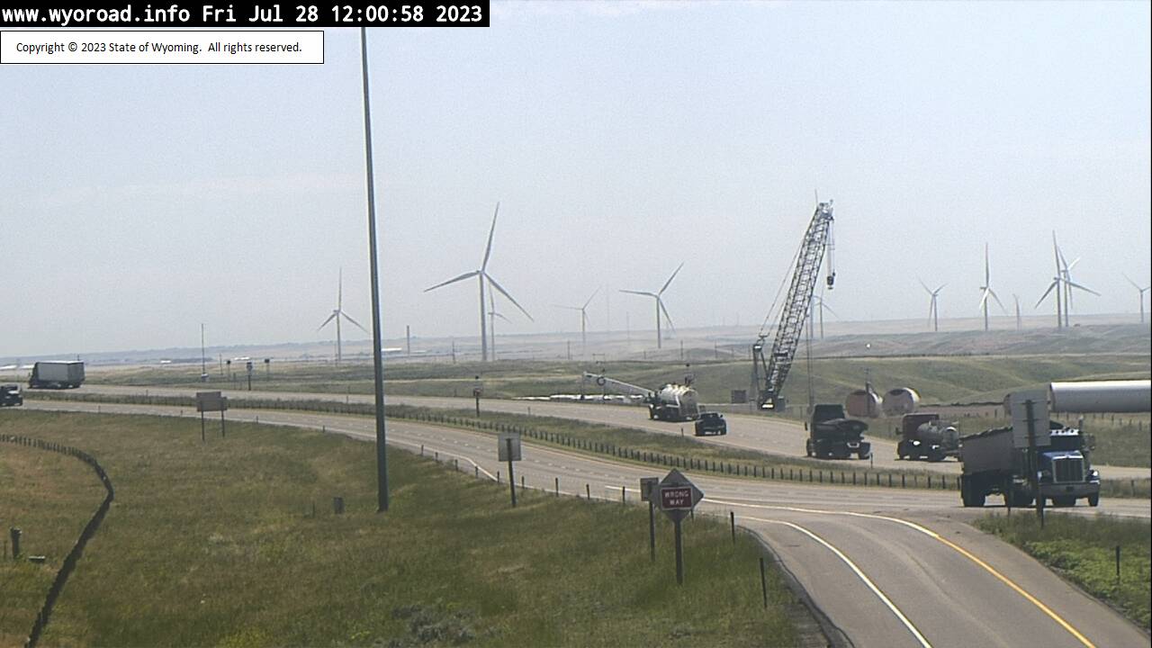
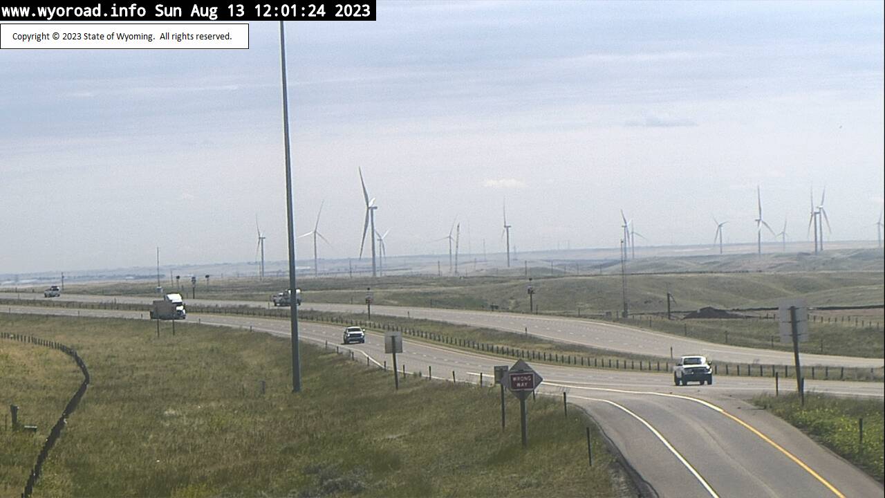
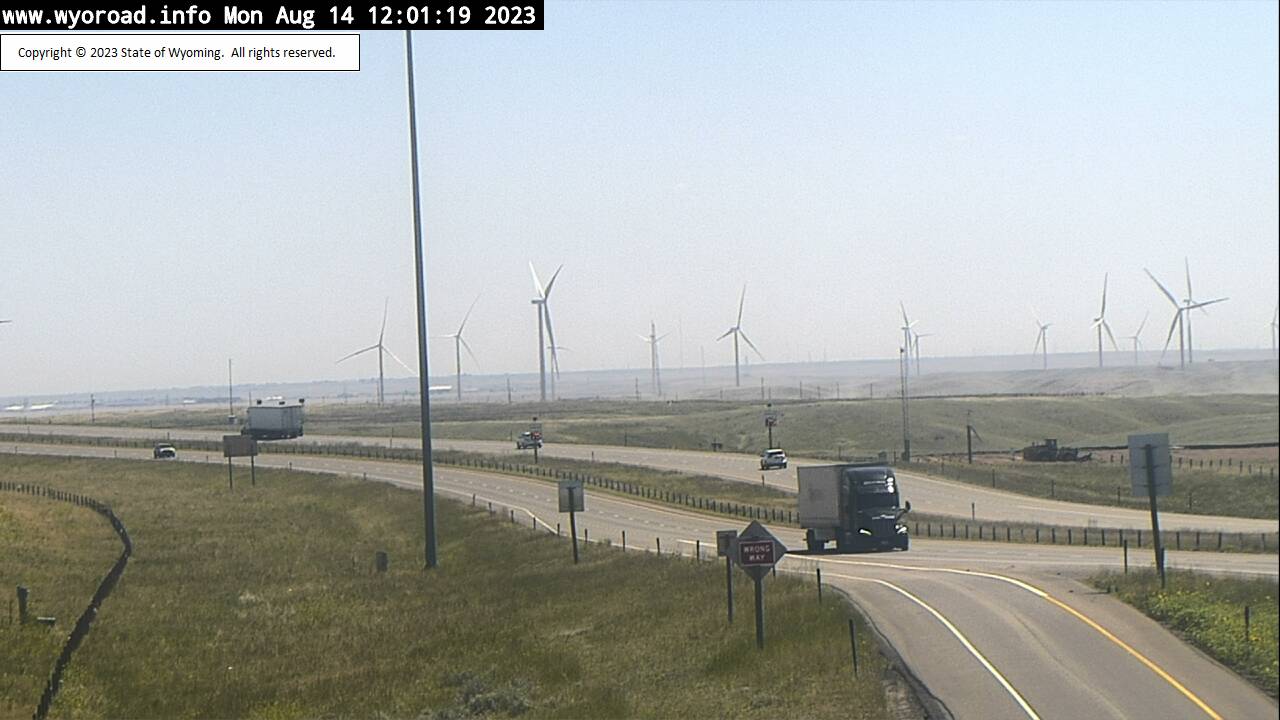
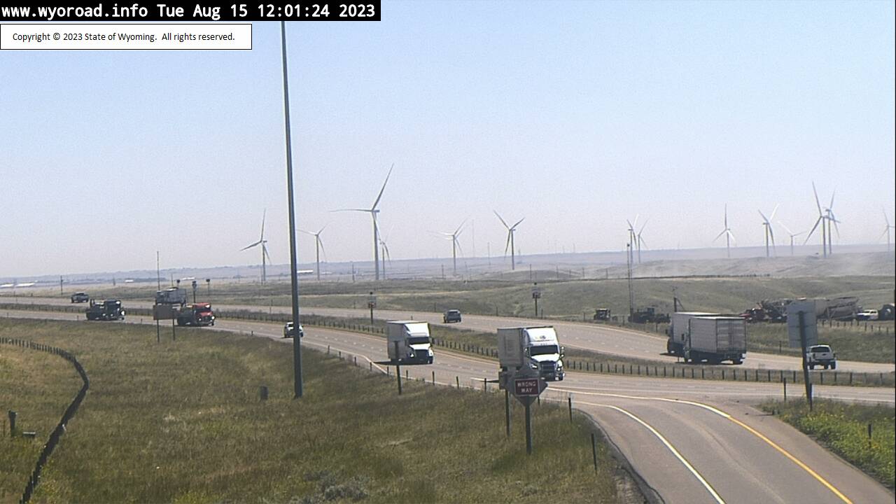
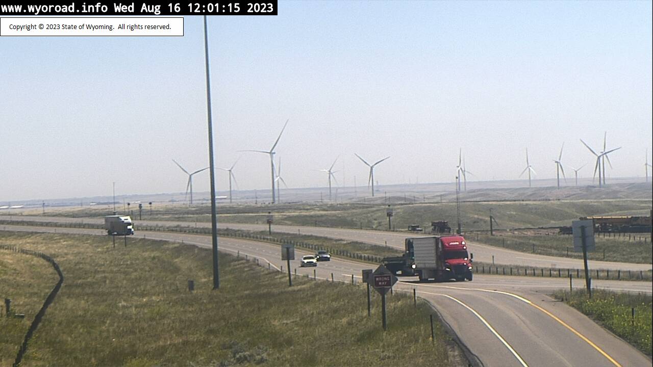
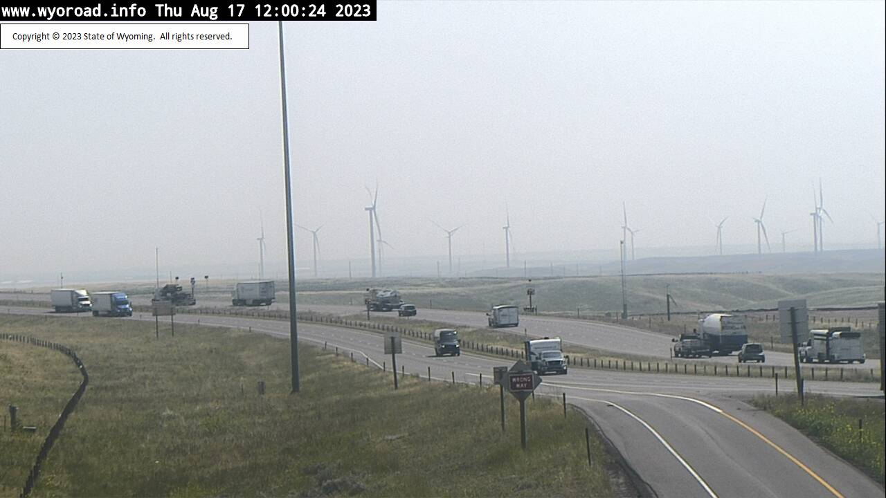
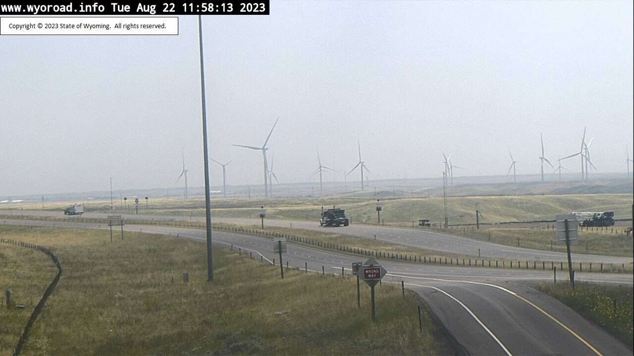
Cheyenne, Wyoming, USA - 6.1 miles from Altvan: MP 353.0 - Traffic and Weather - A view of the current traffic and weather situation.
Operator: WYDOT Travel Information Service
Operator: WYDOT Travel Information Service


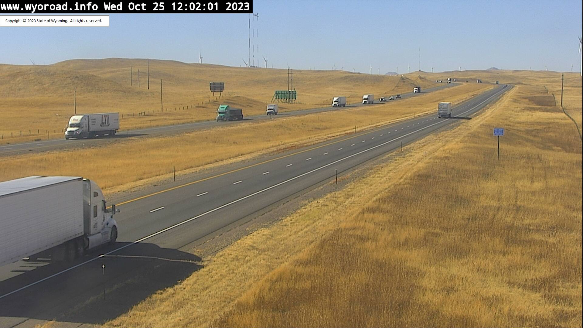
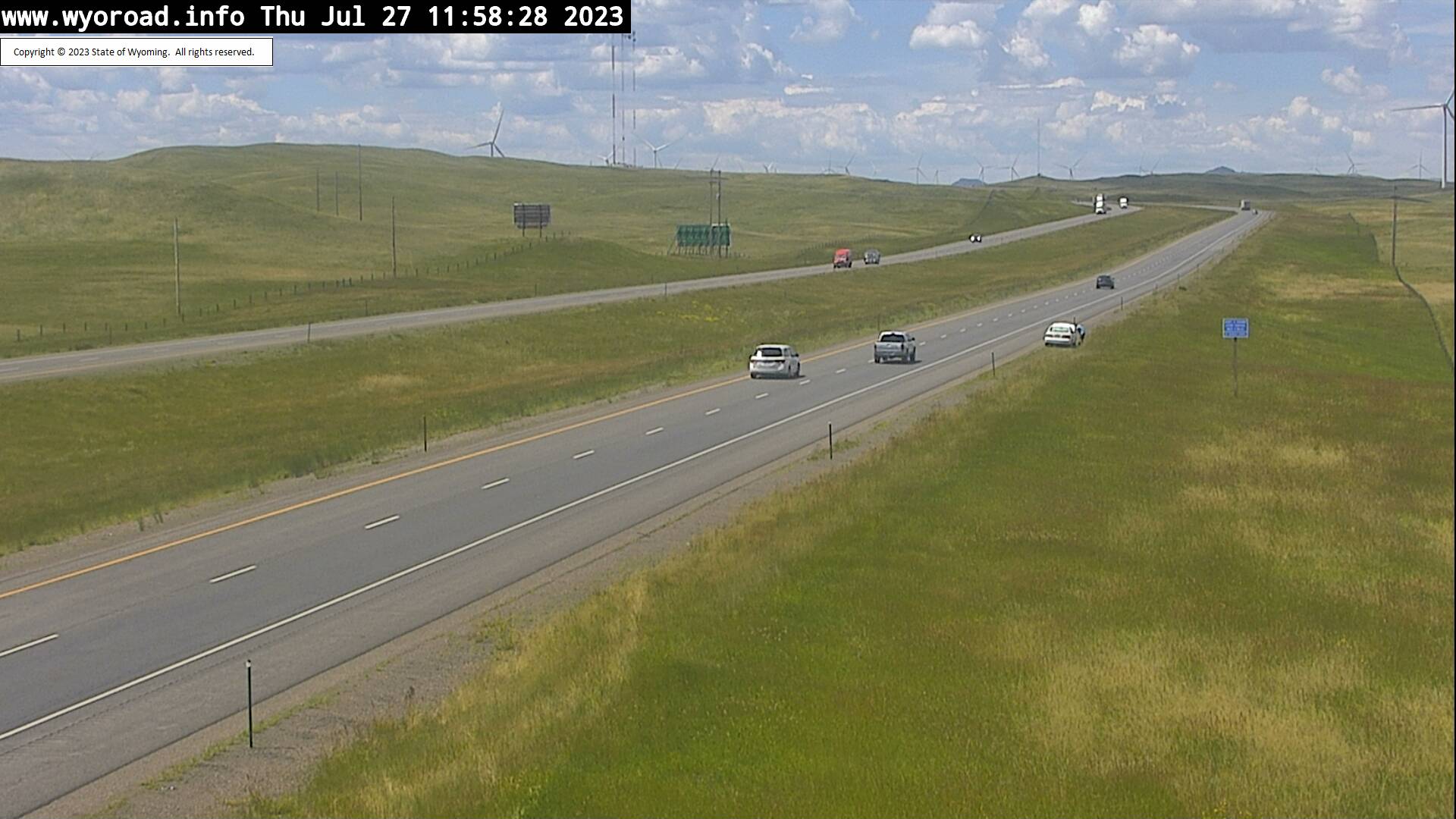
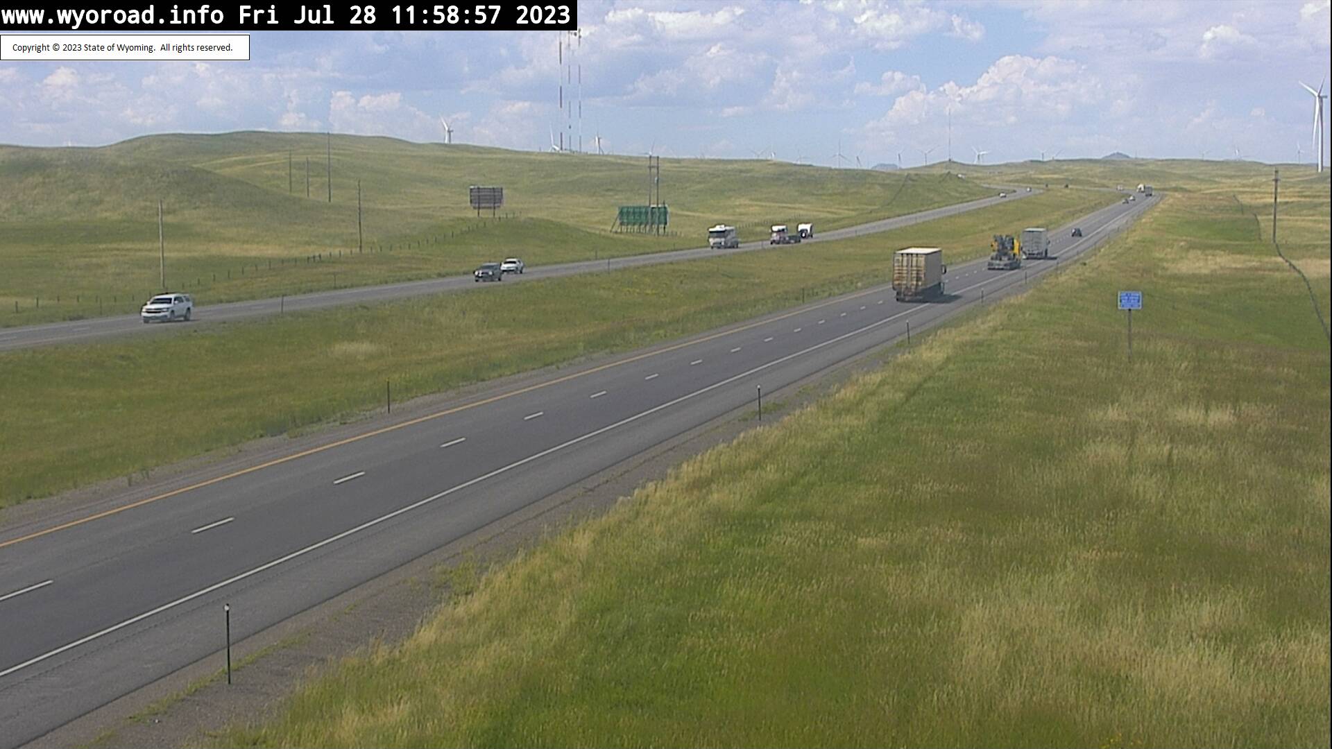
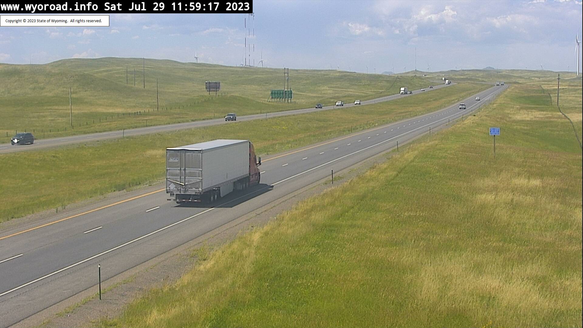
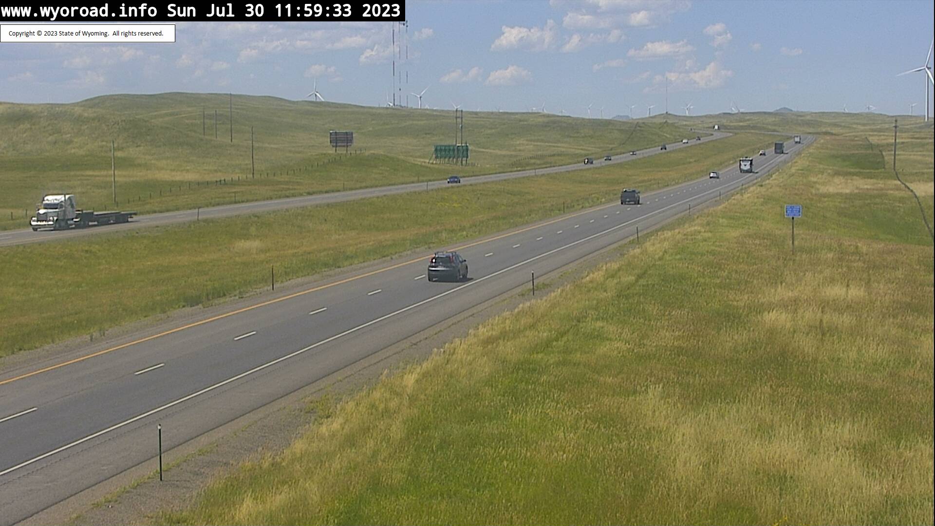
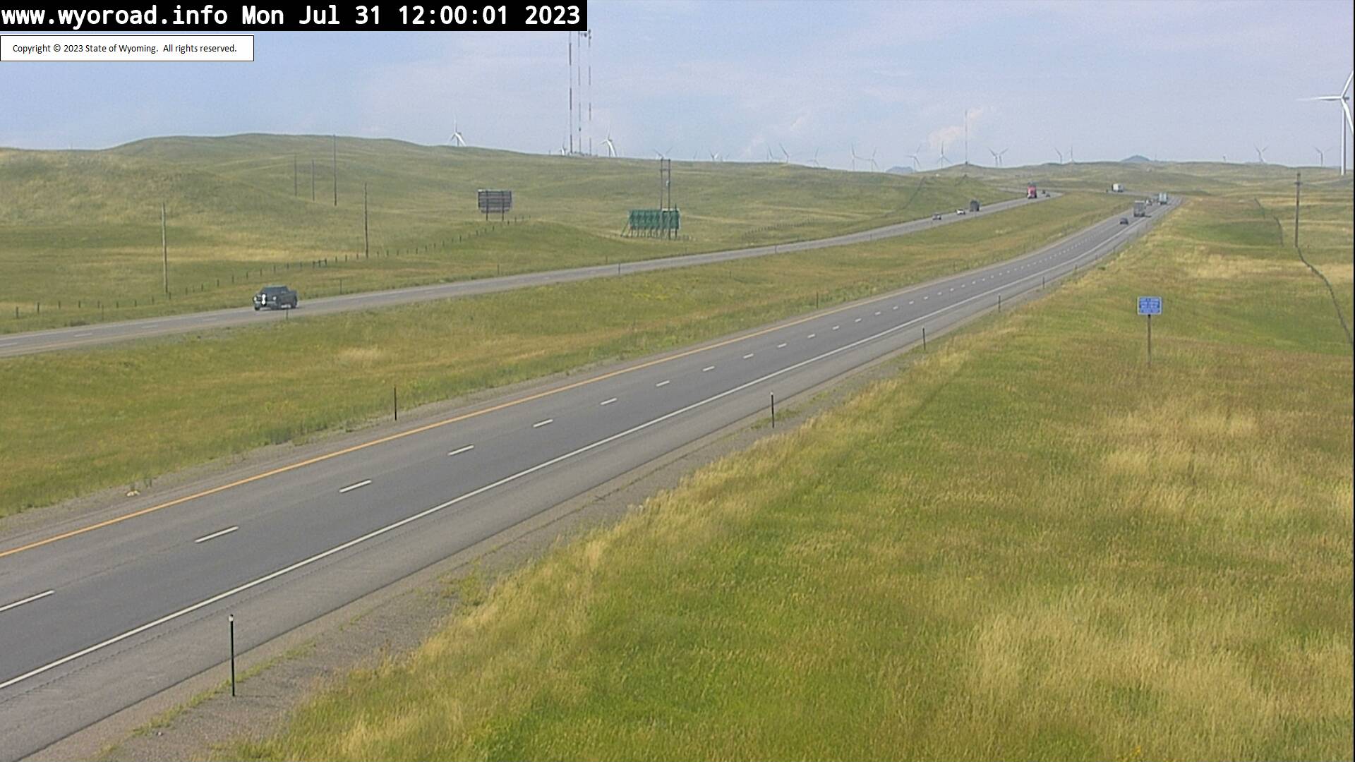
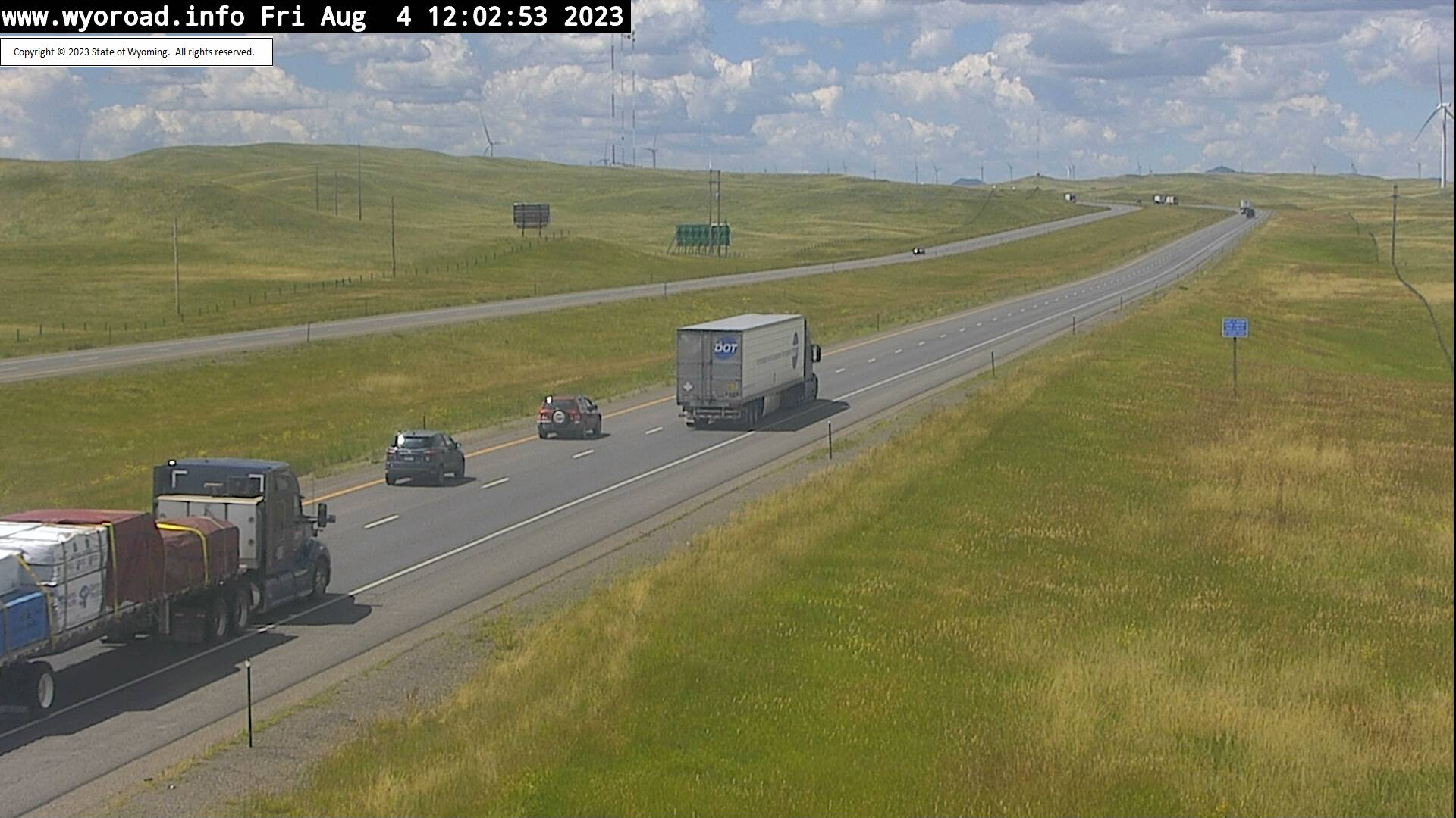
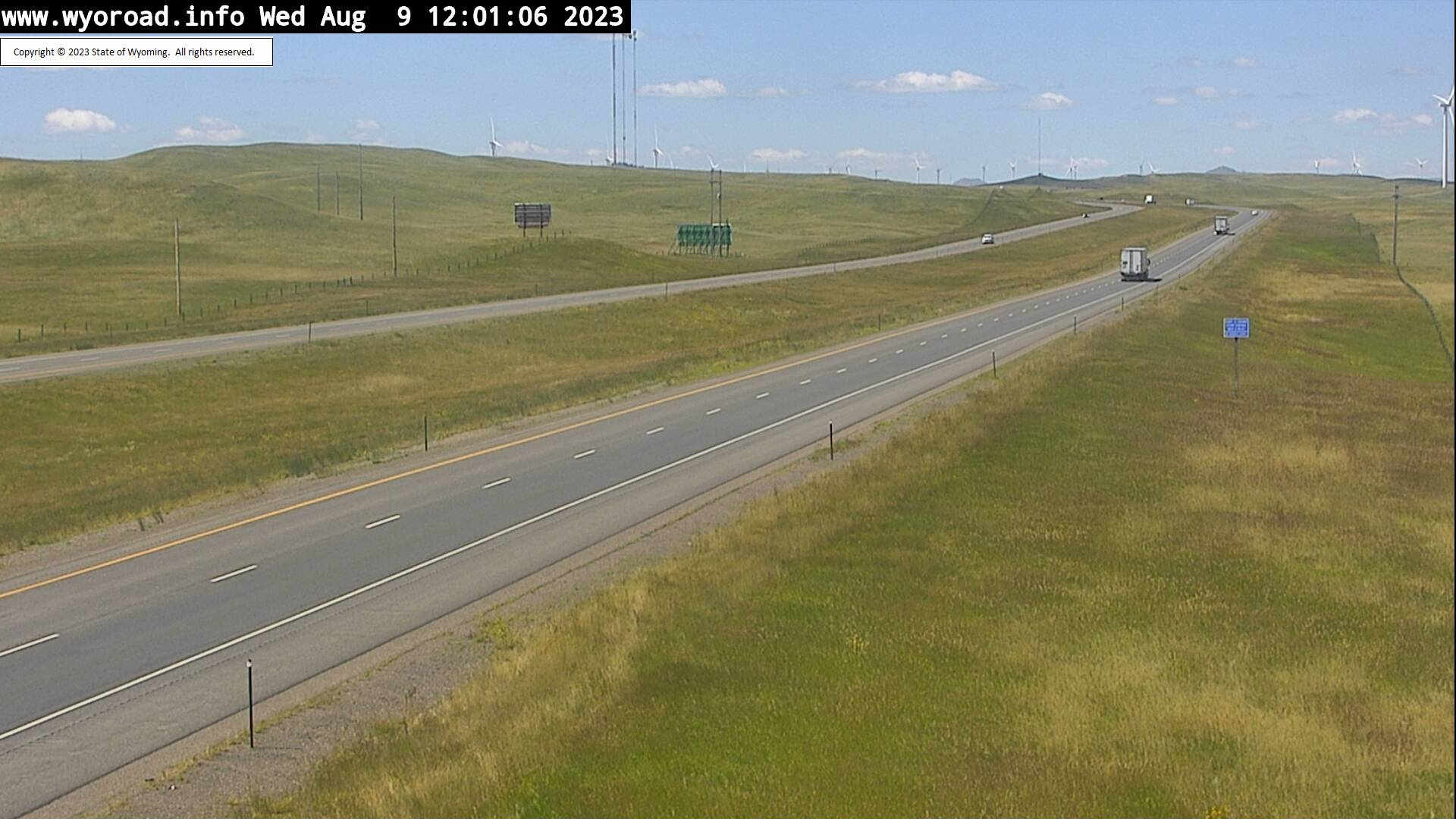
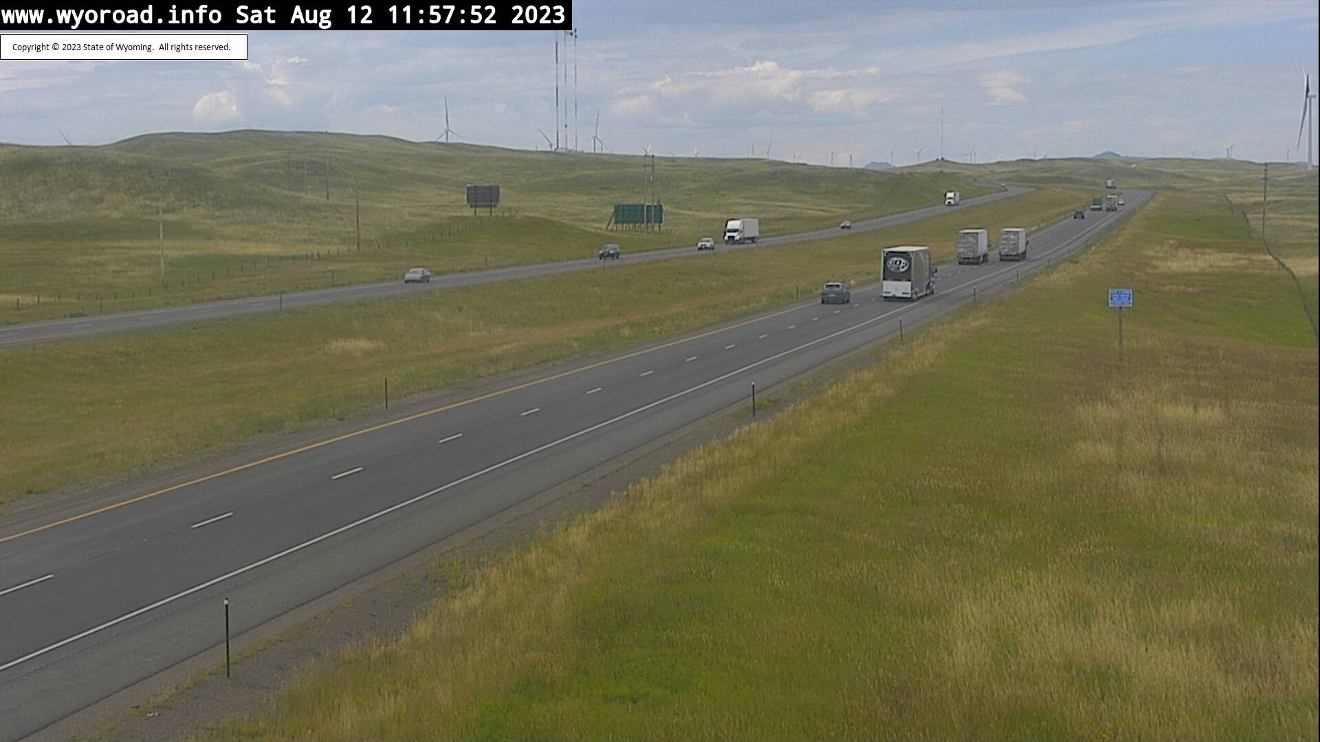
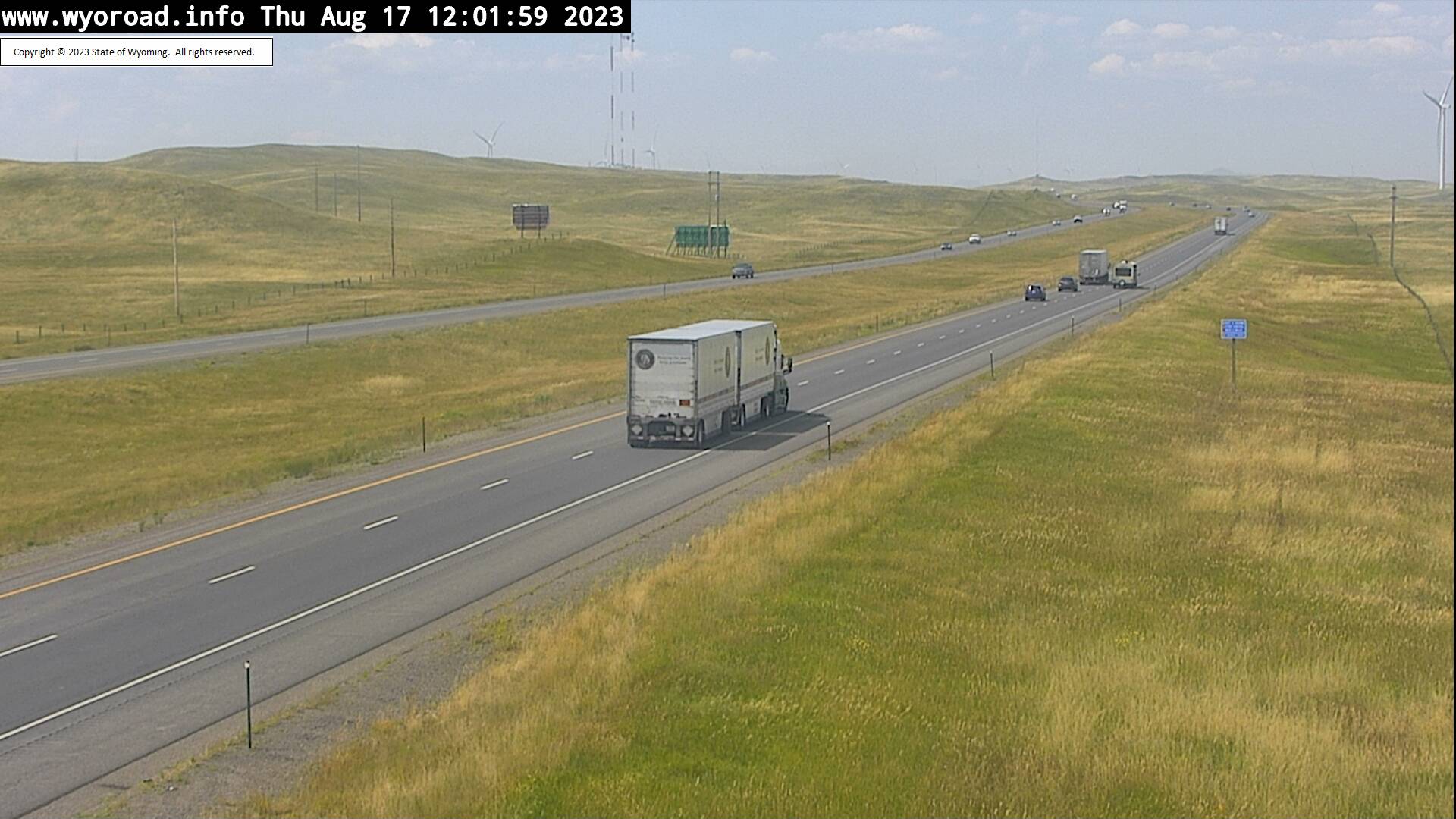


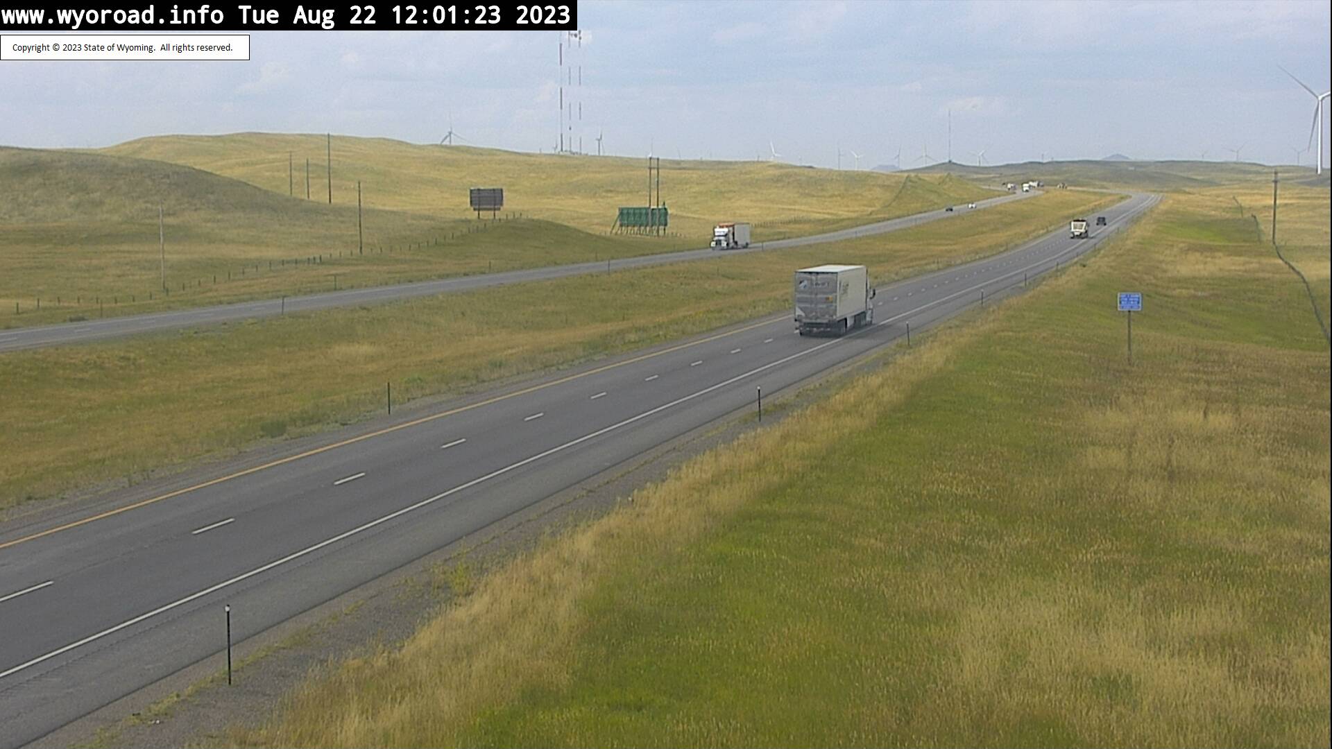

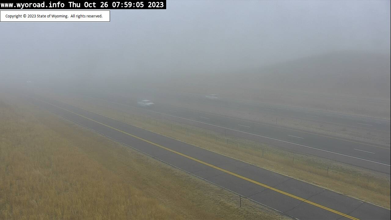
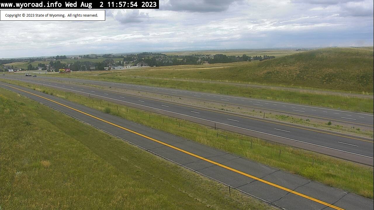
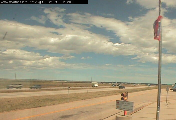
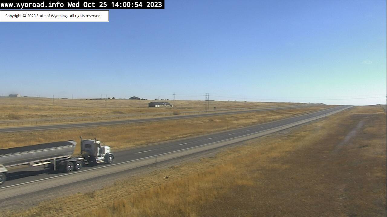
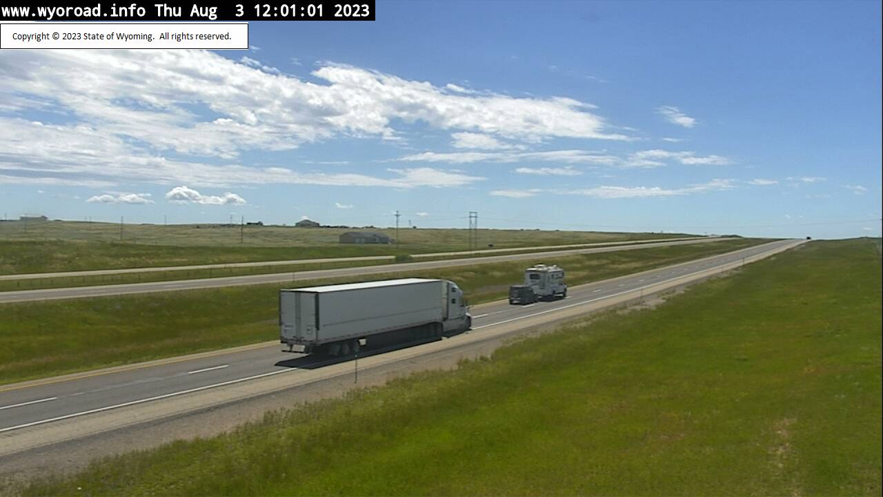
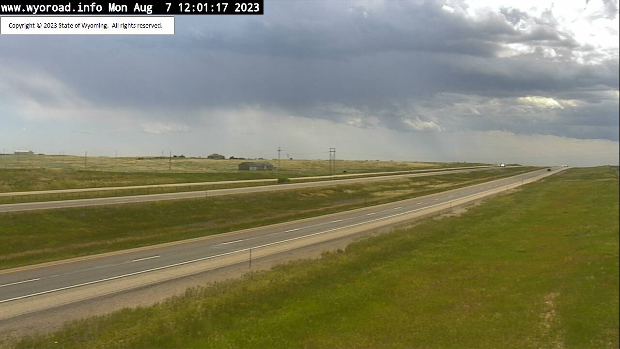
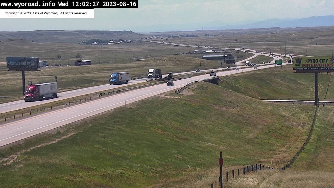
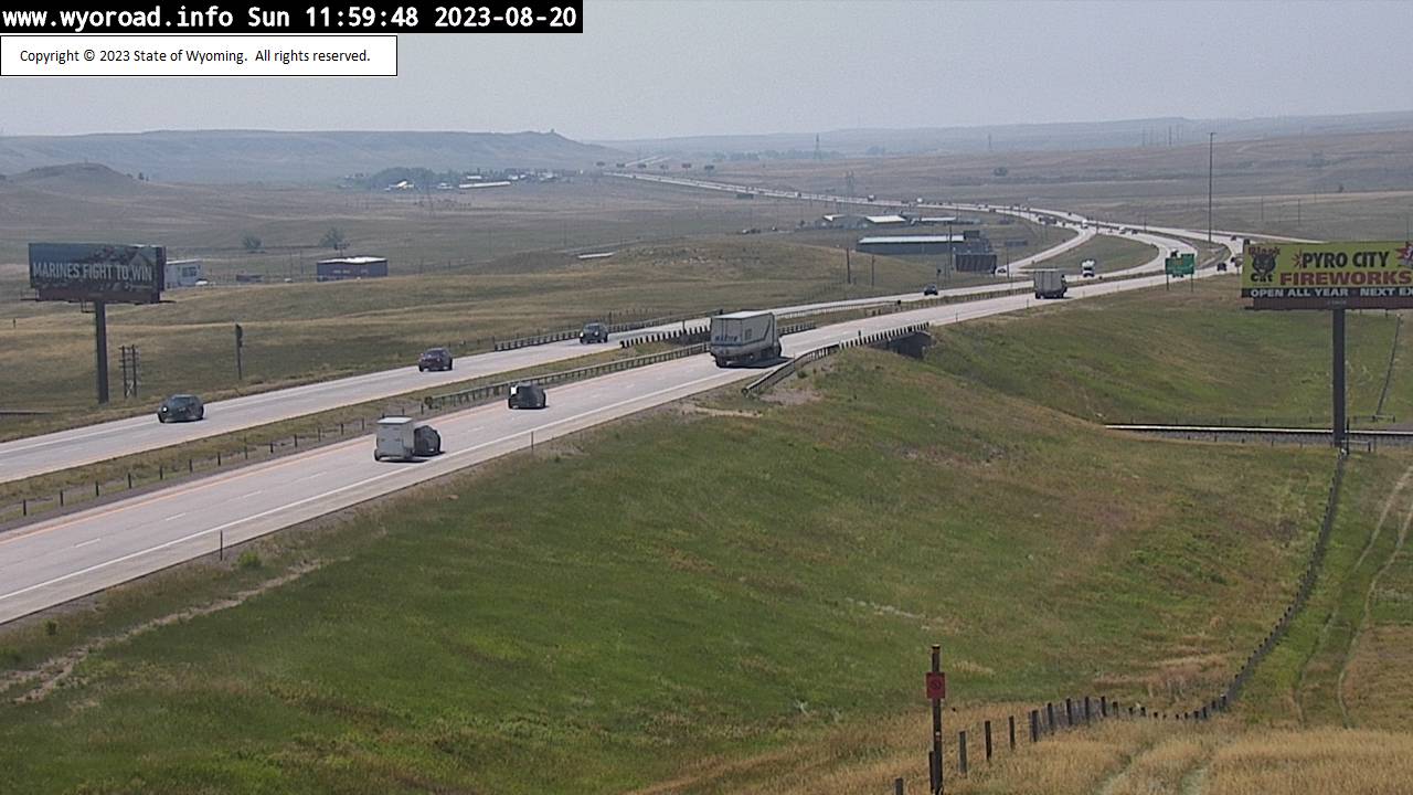
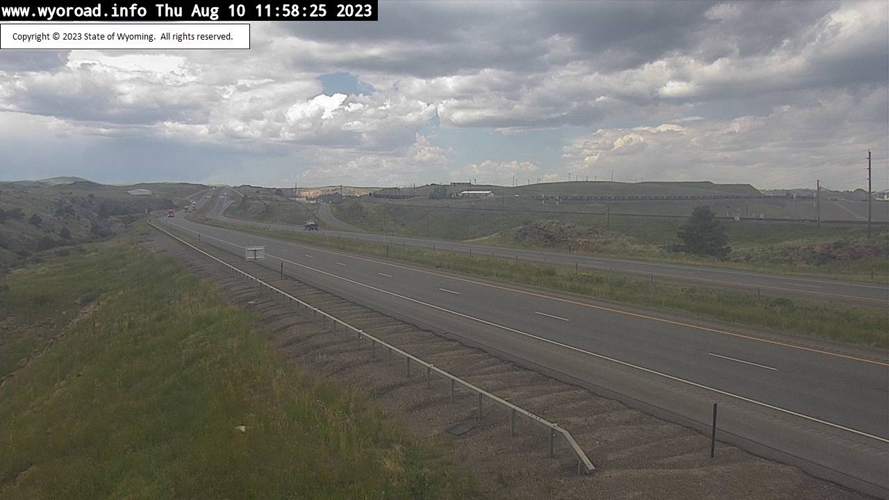
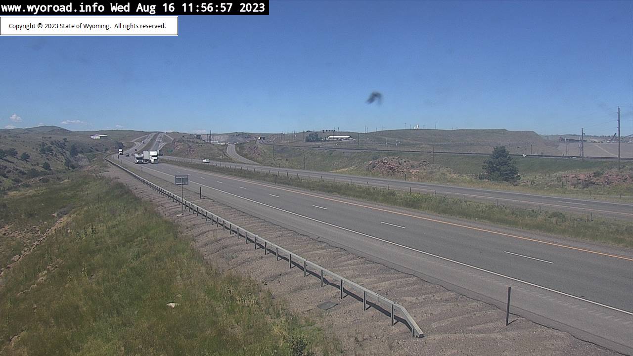
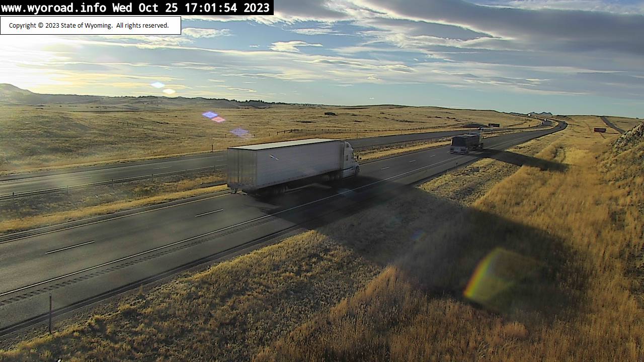
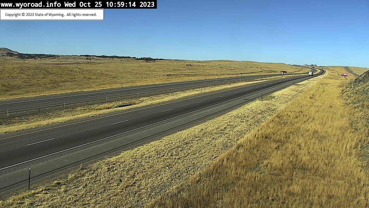
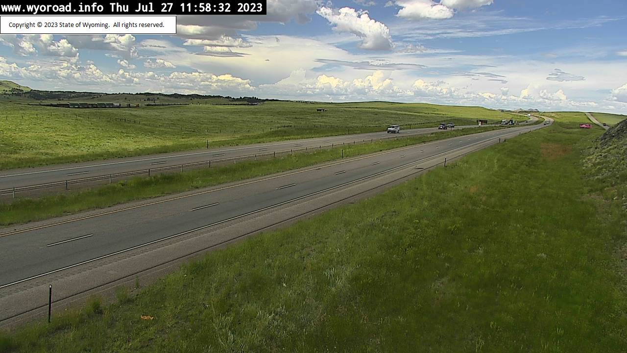
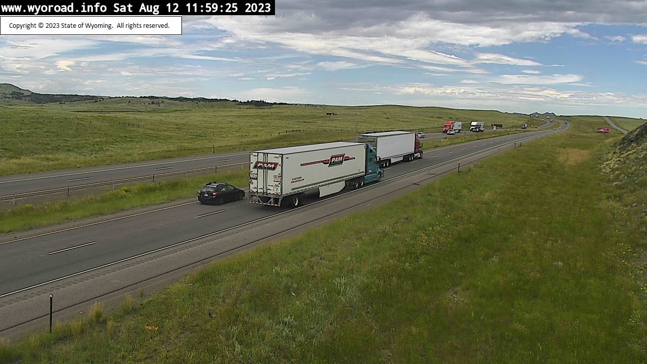
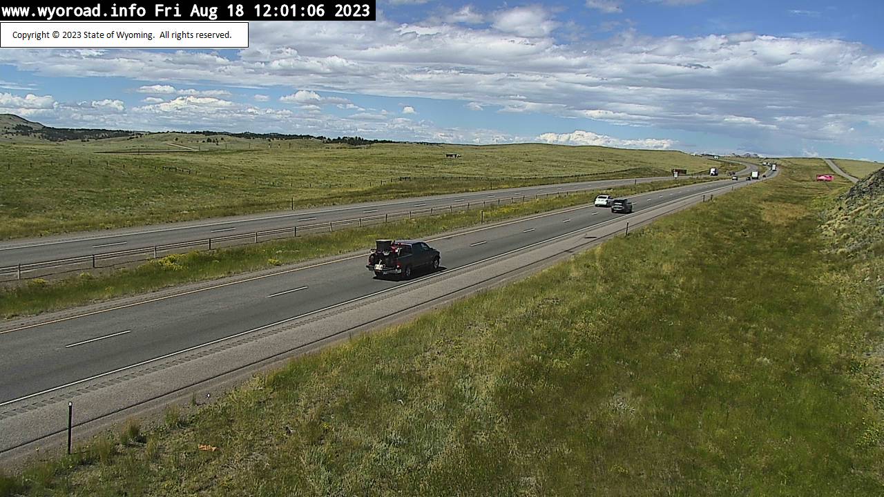
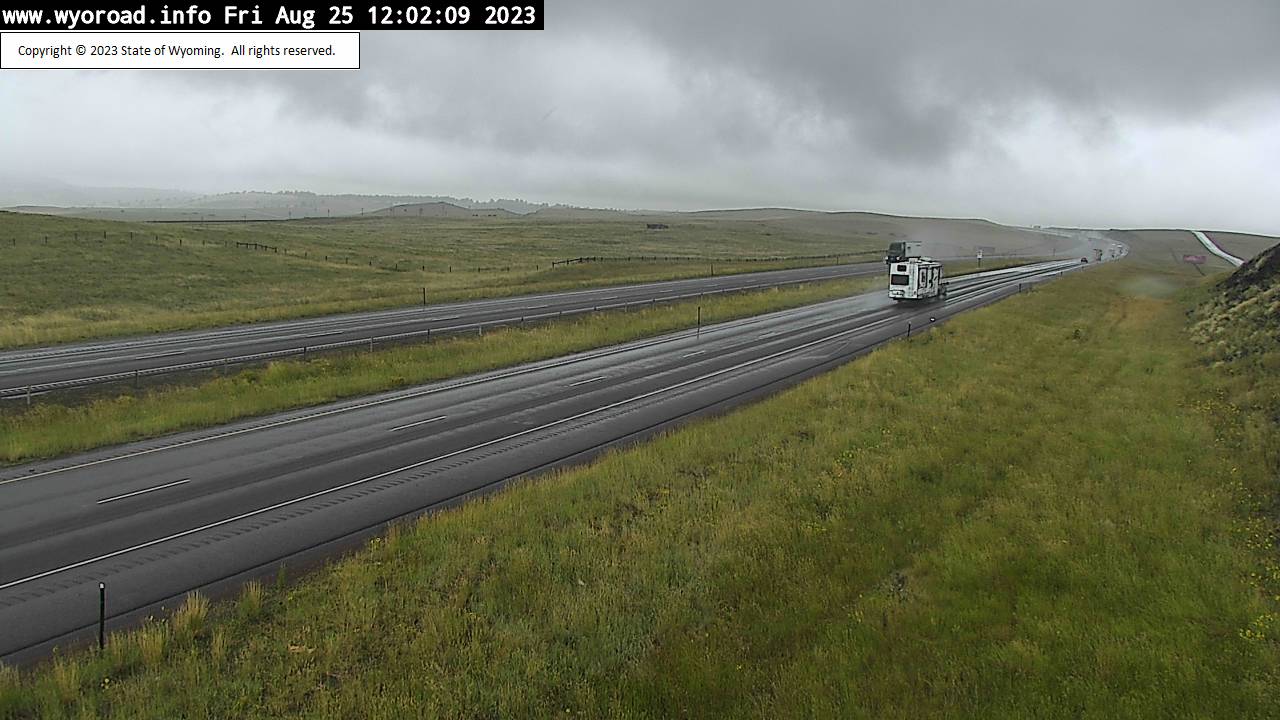
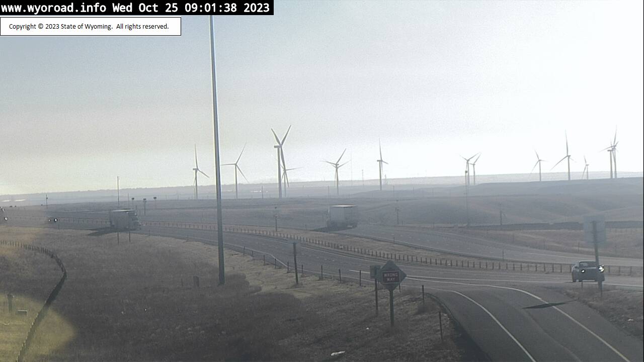
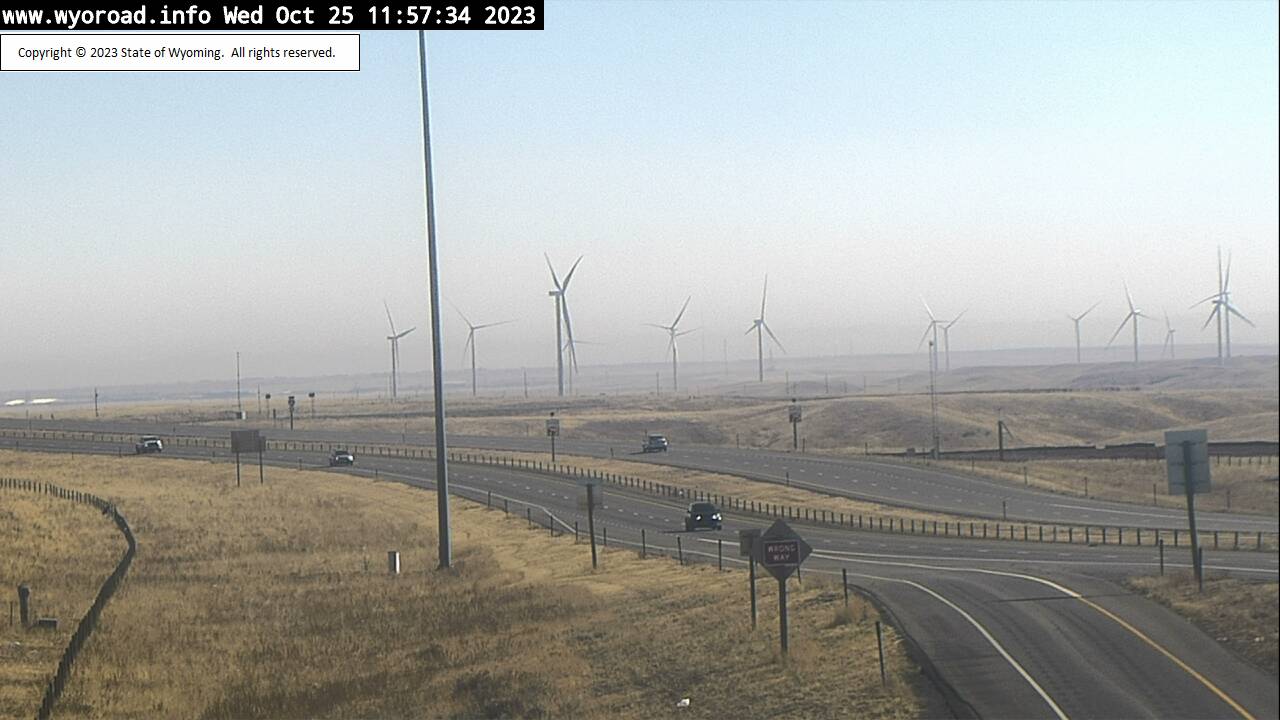
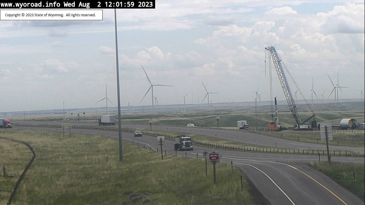
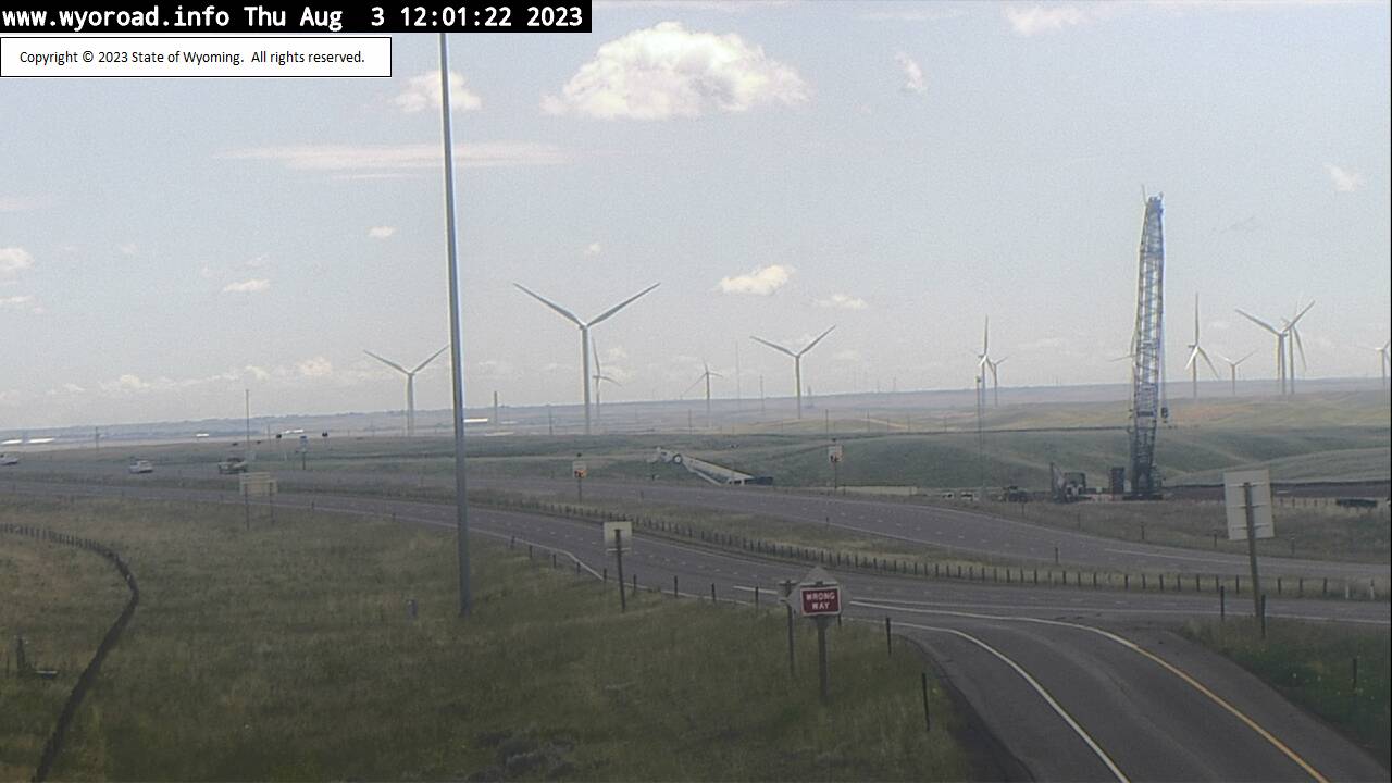
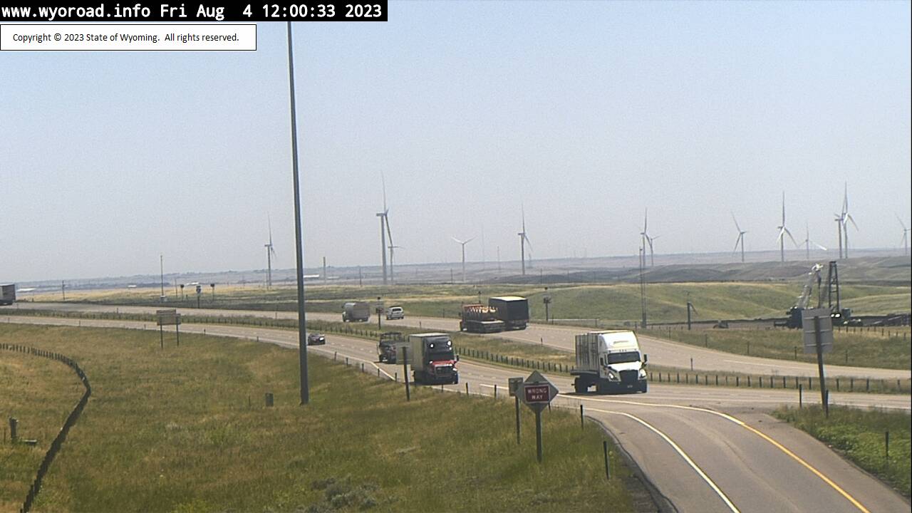
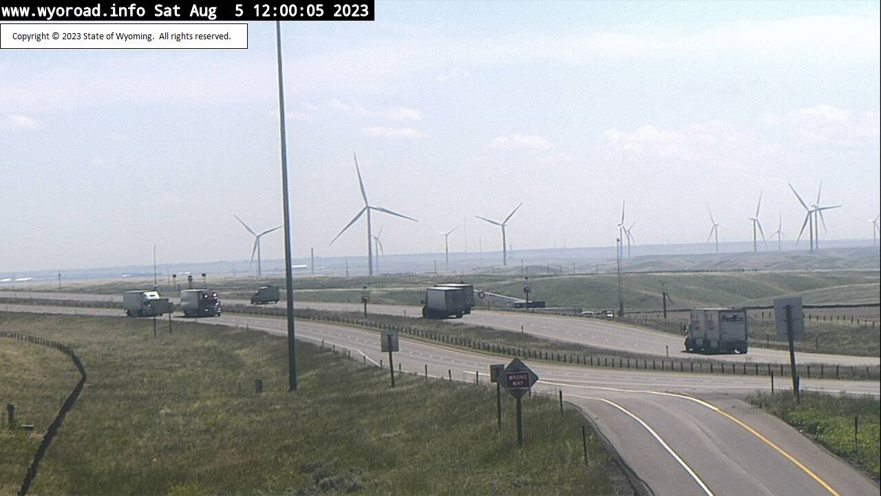
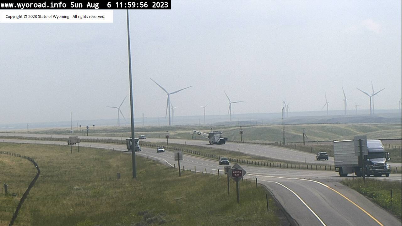
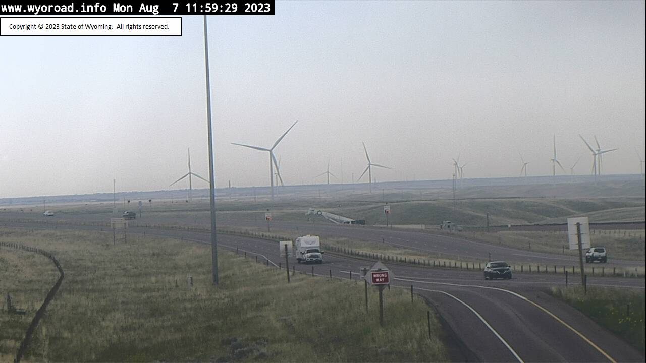
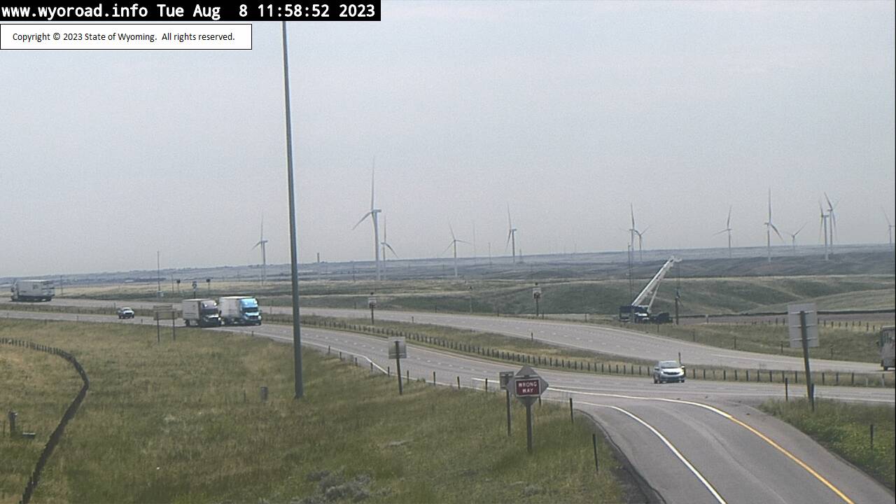
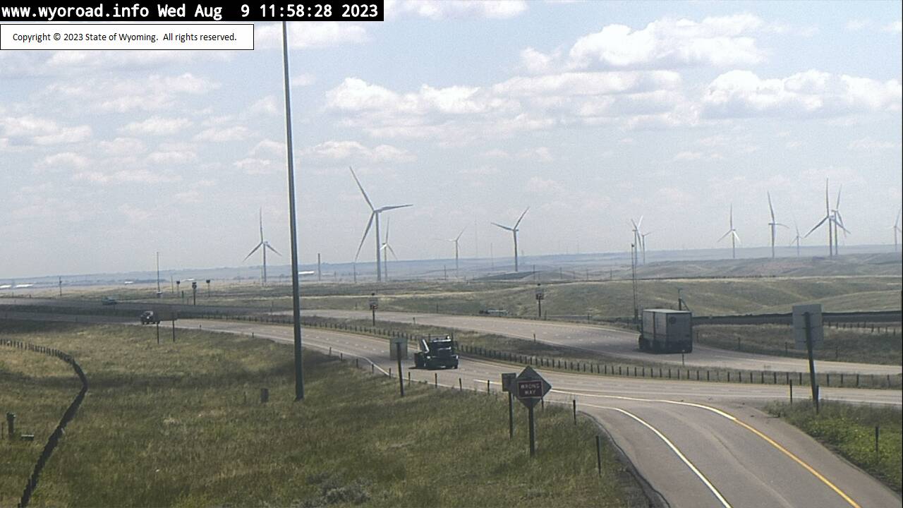
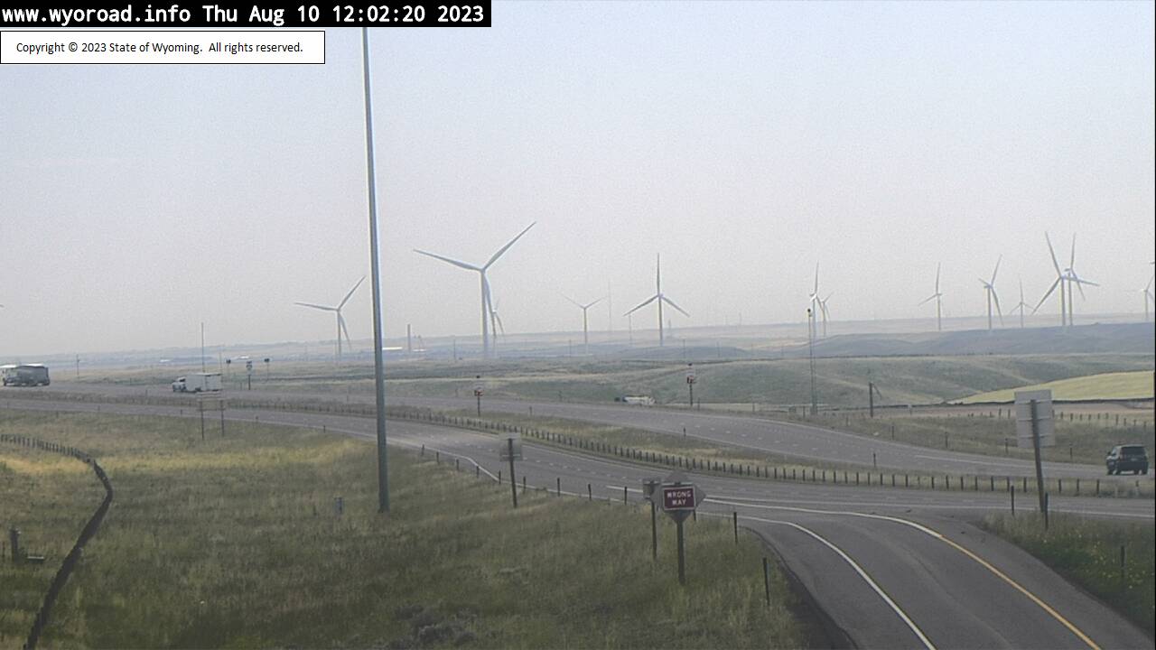
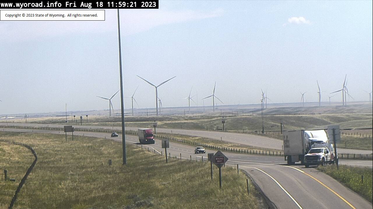
Cheyenne, Wyoming, USA - 6.1 miles from Altvan: Roundtop - Traffic and Weather - A view of the current traffic and weather situation.
Operator: WYDOT Travel Information Service
Operator: WYDOT Travel Information Service


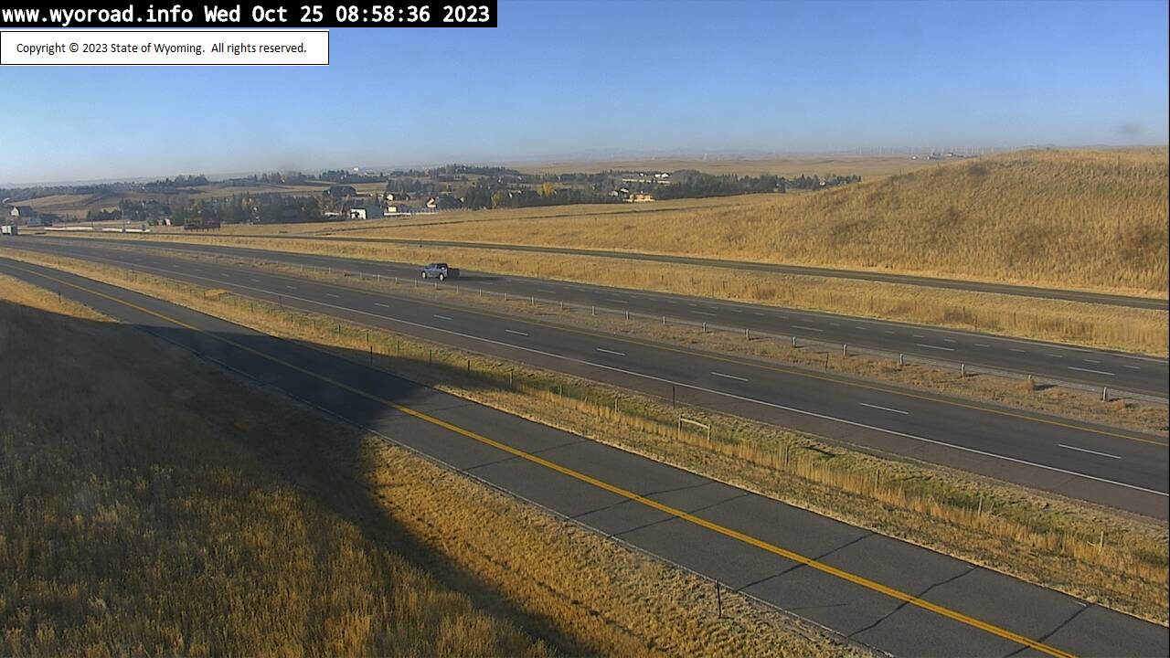
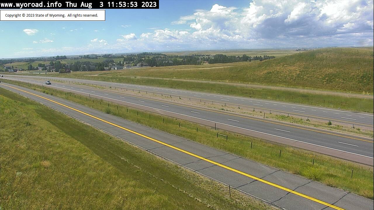
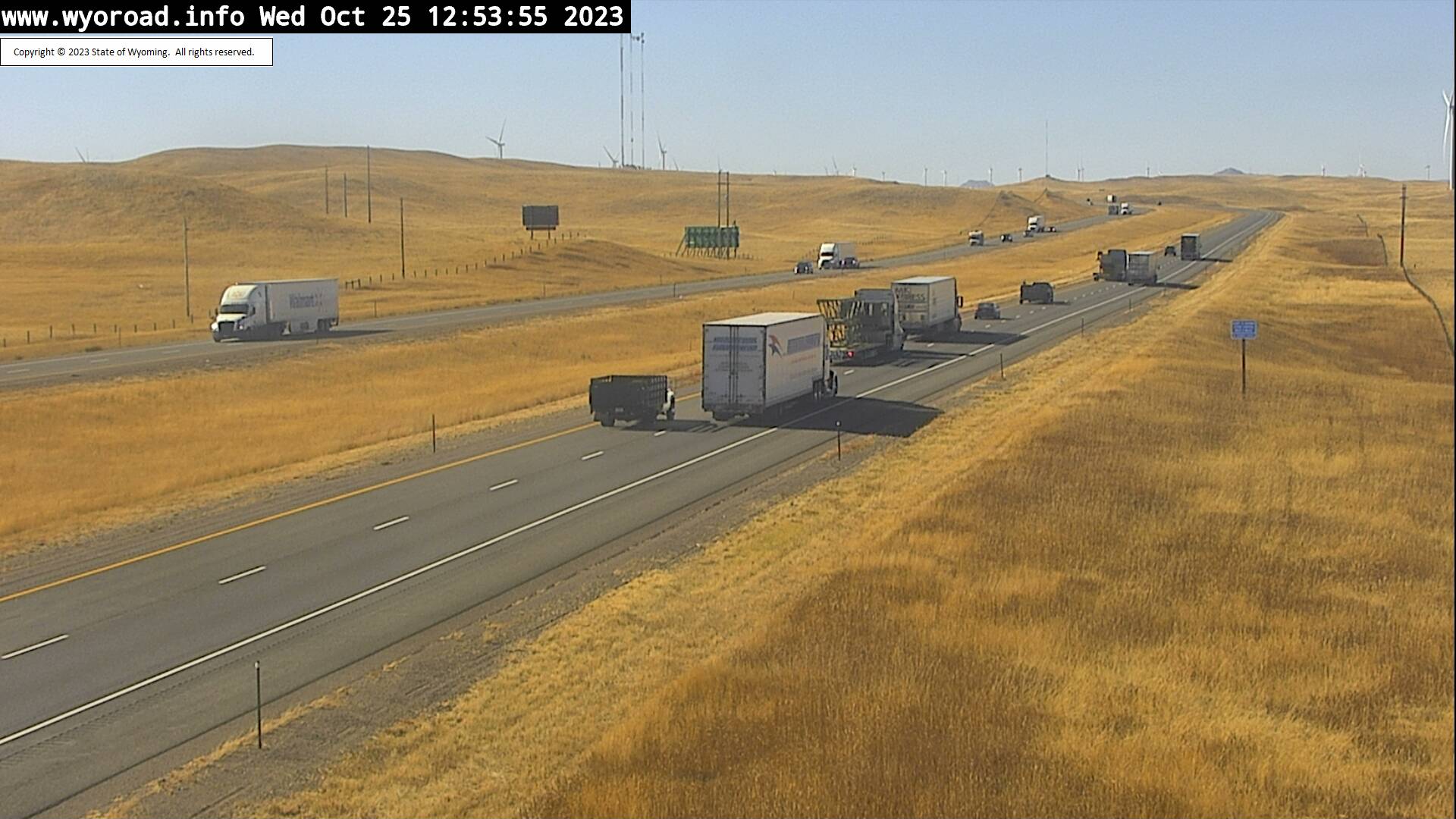
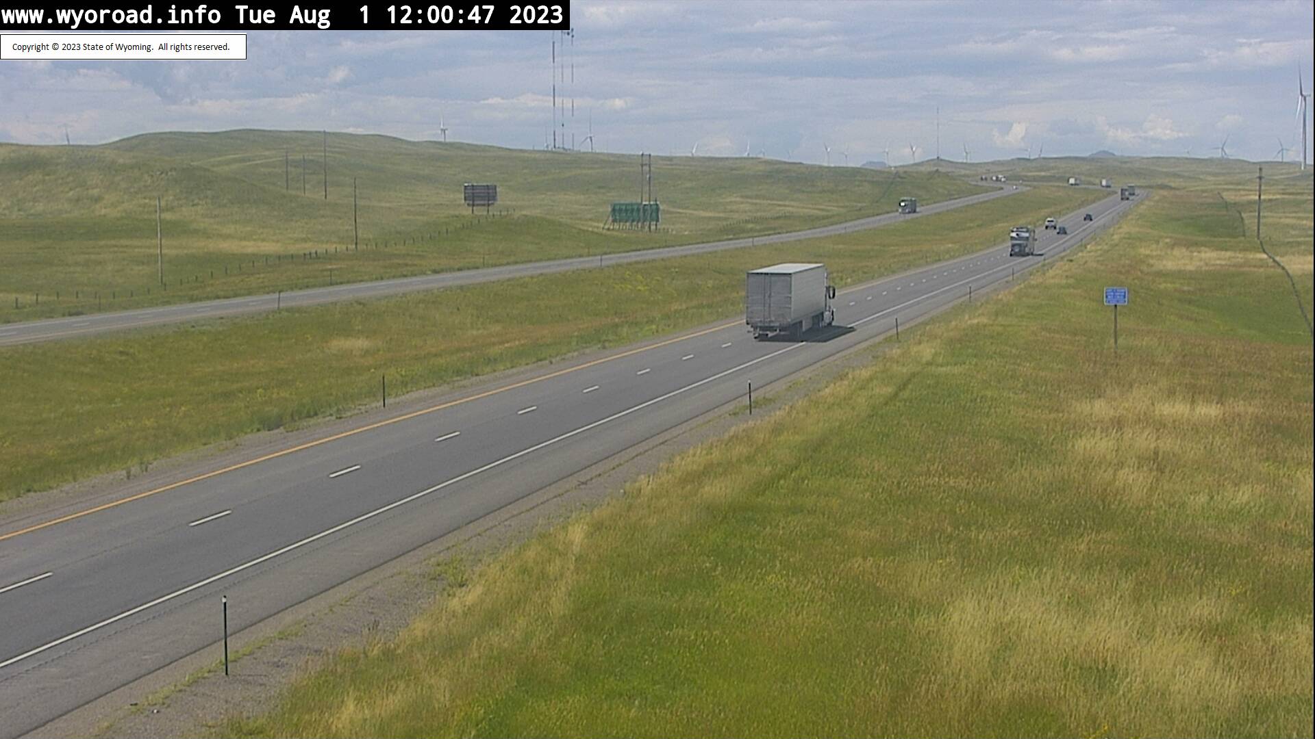
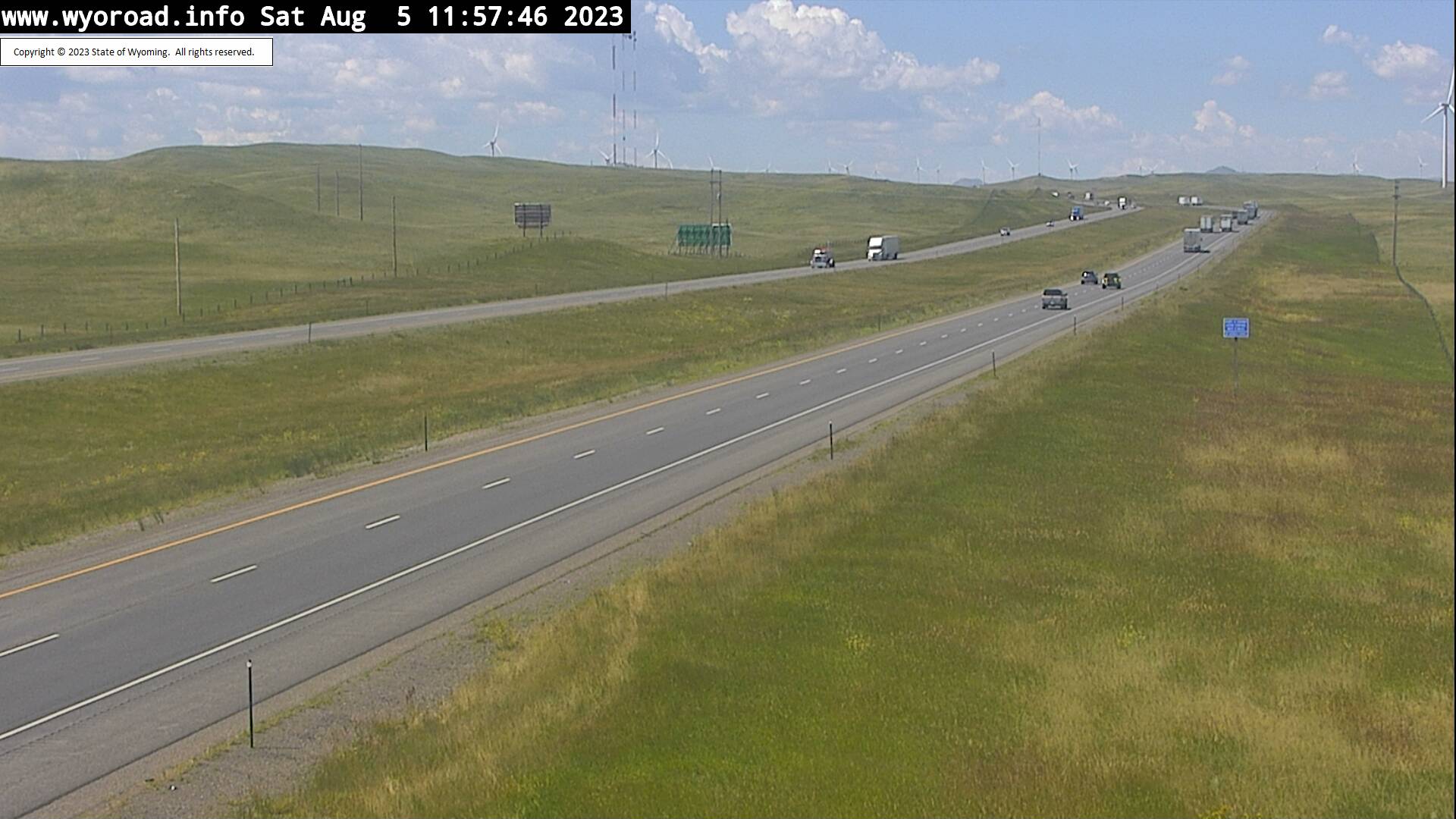
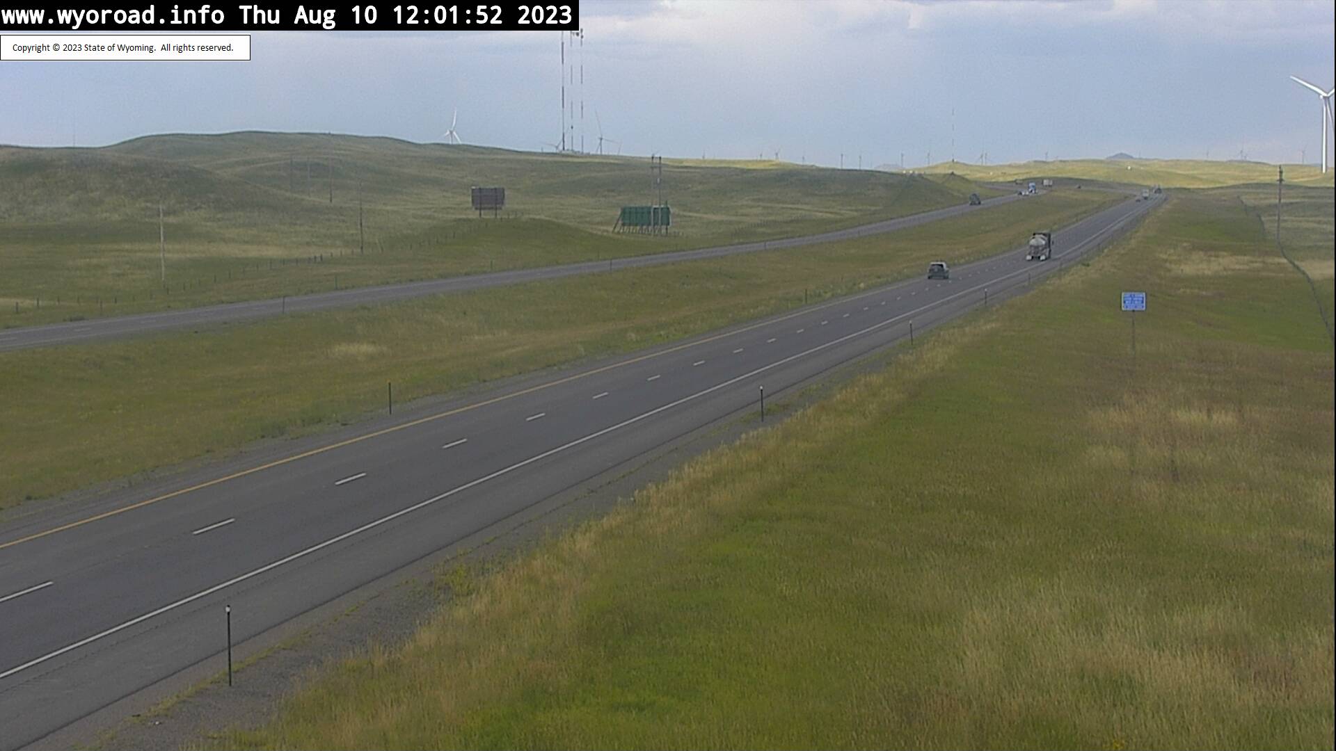
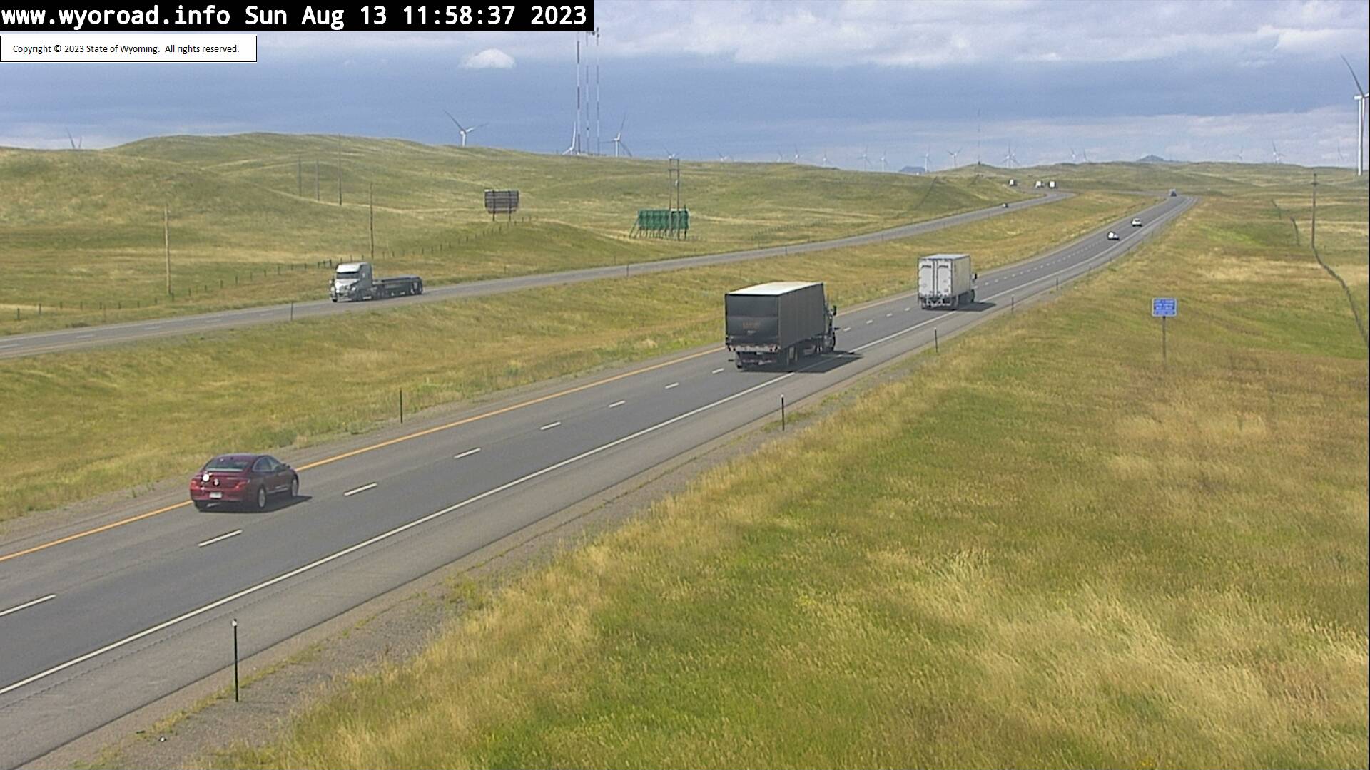
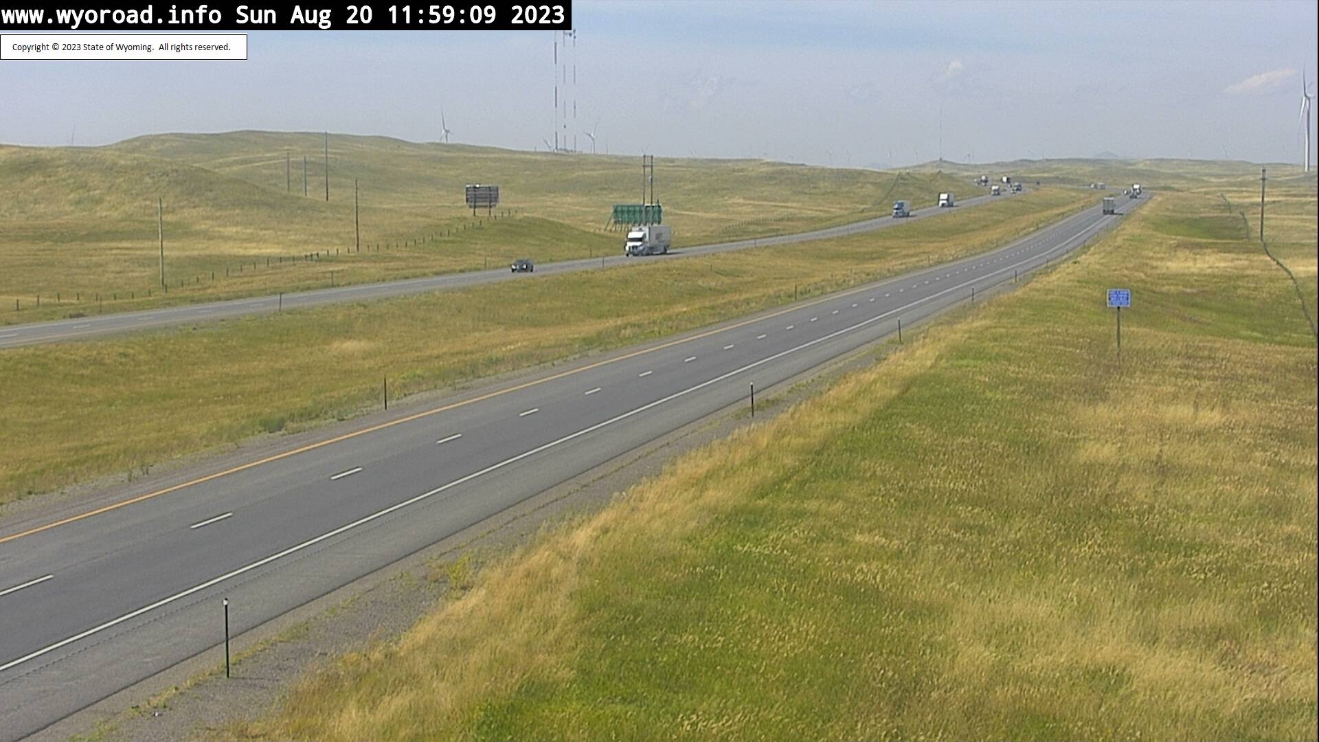
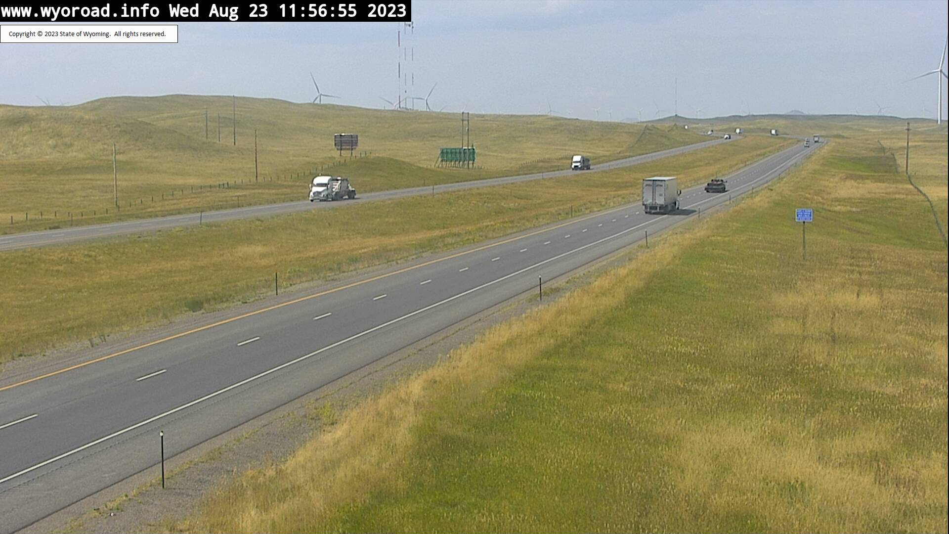
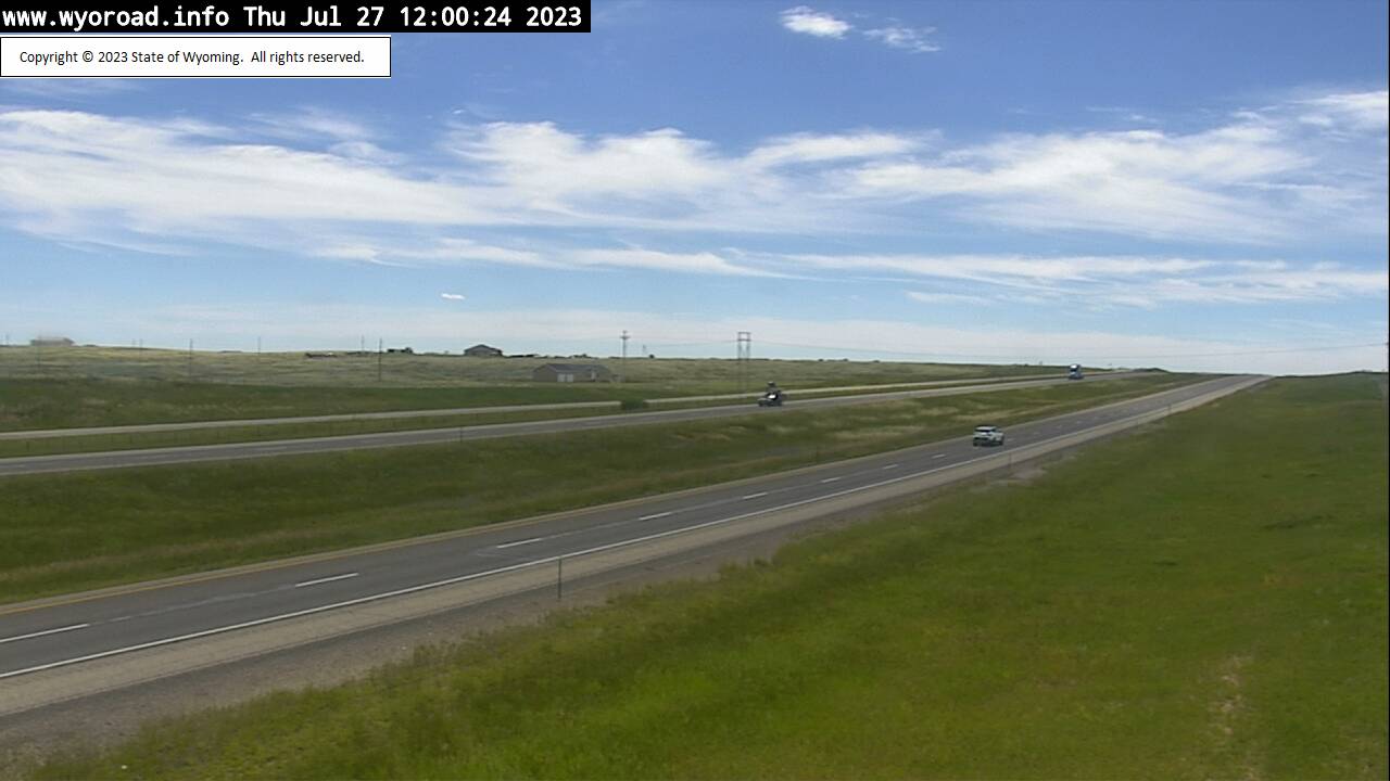
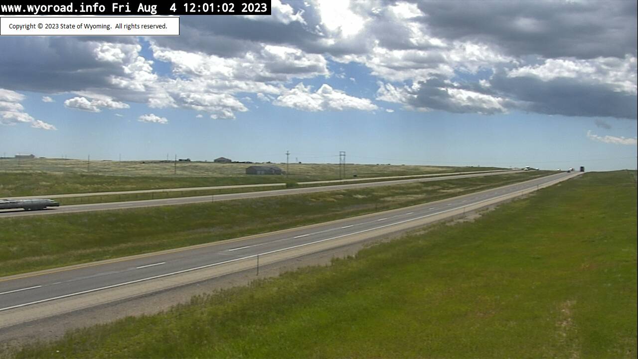
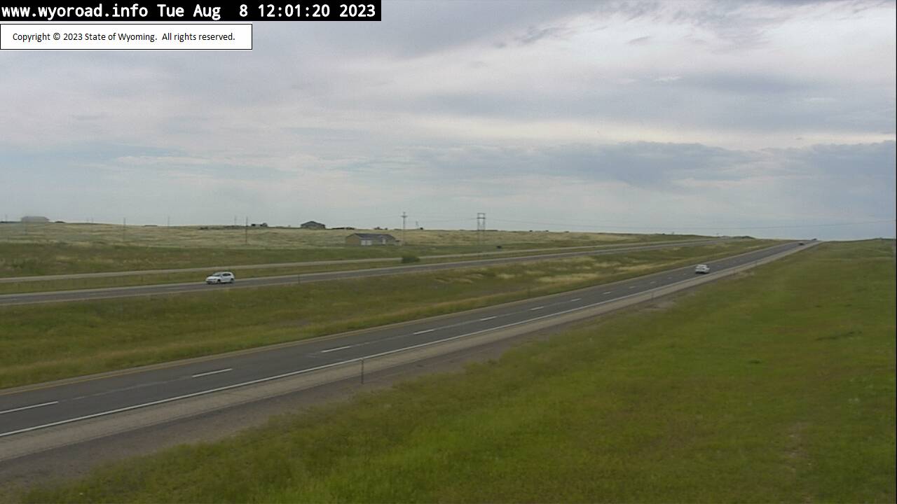
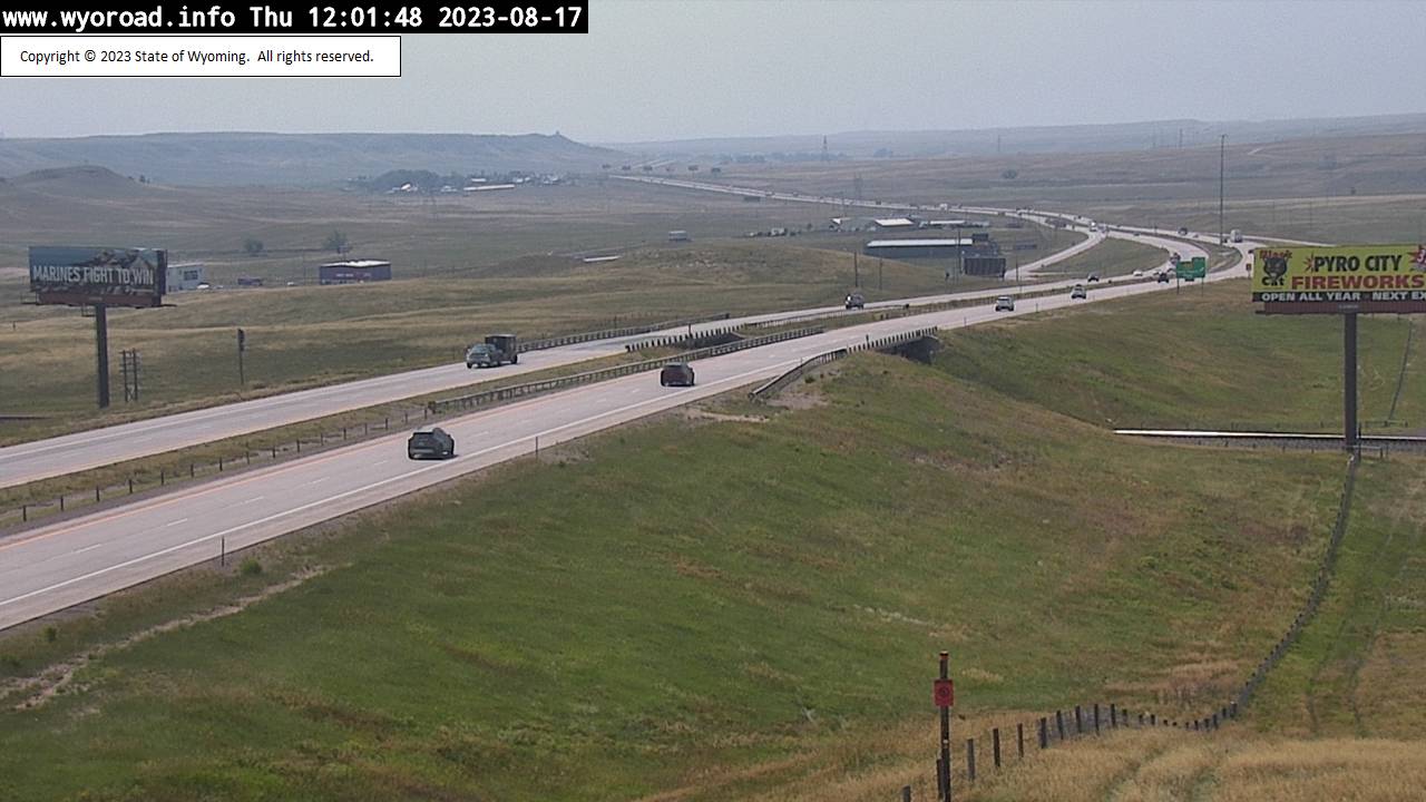
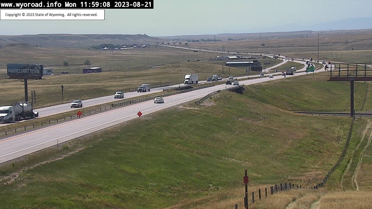
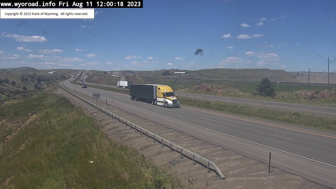
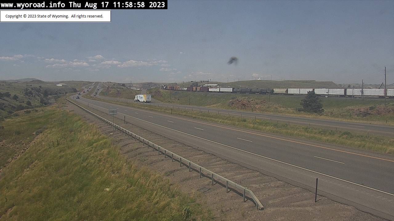
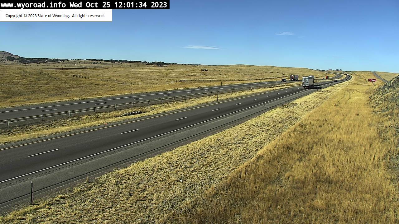
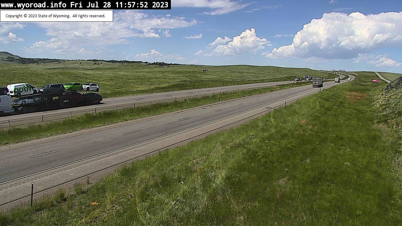
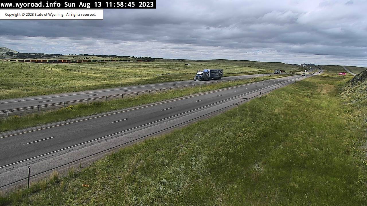
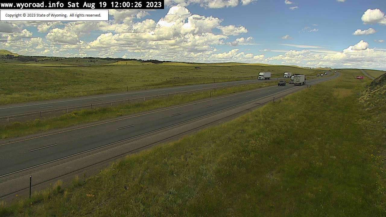
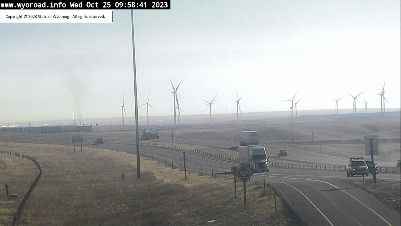
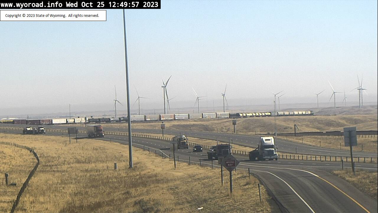
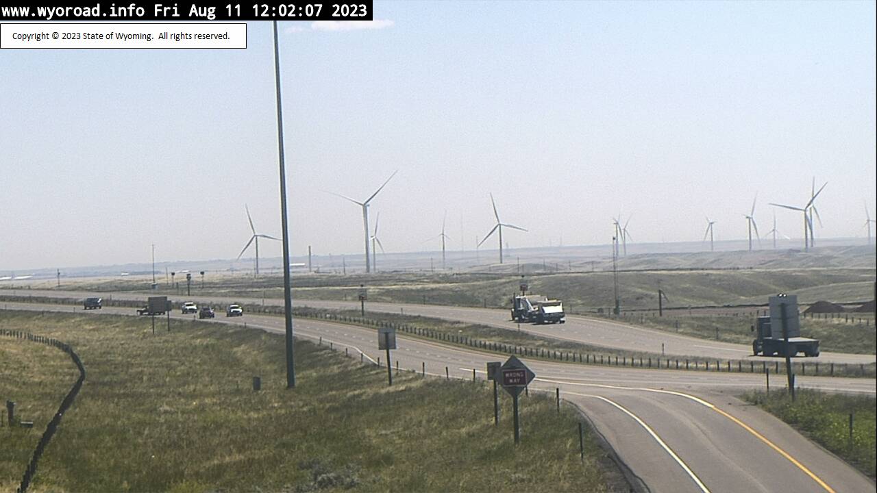
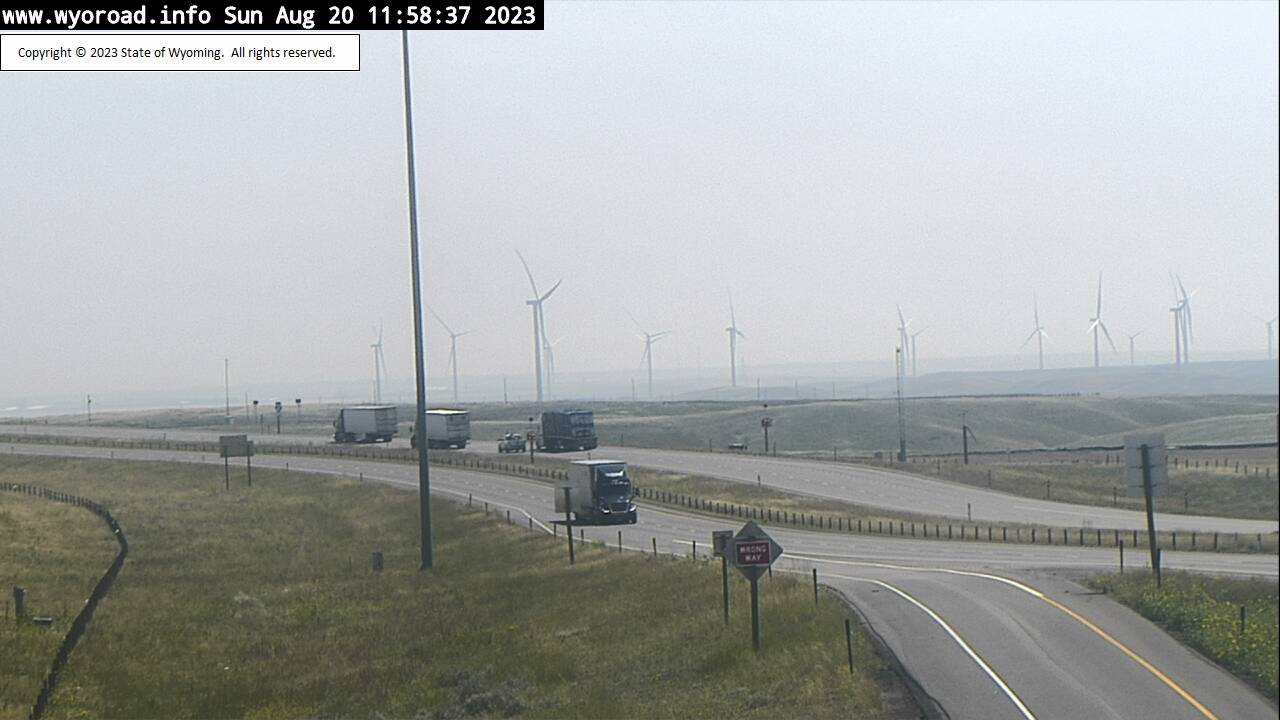
Cheyenne, Wyoming, USA - 6.1 miles from Altvan: Whitaker - Traffic and Weather - A view of the current traffic and weather situation.
Operator: WYDOT Travel Information Service
Operator: WYDOT Travel Information Service


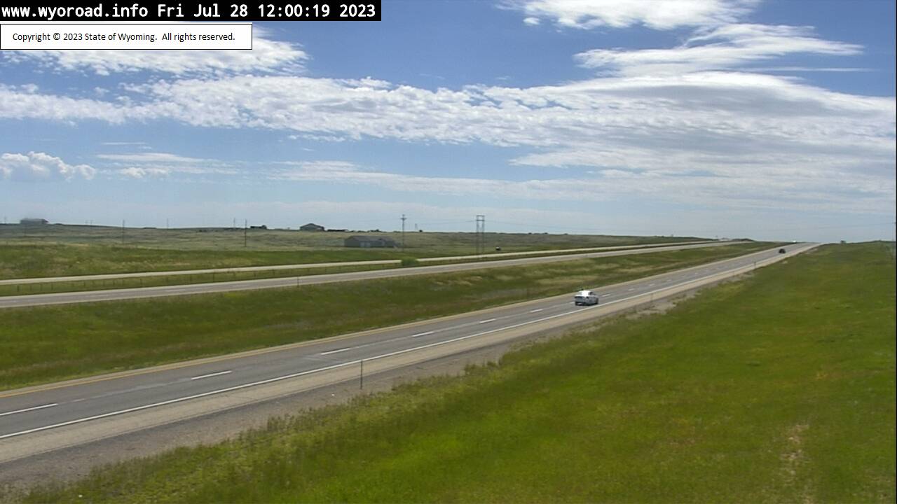
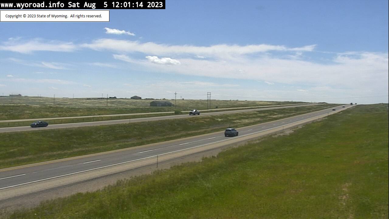

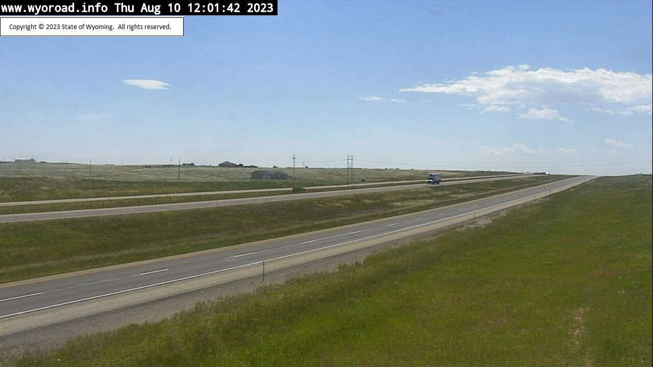


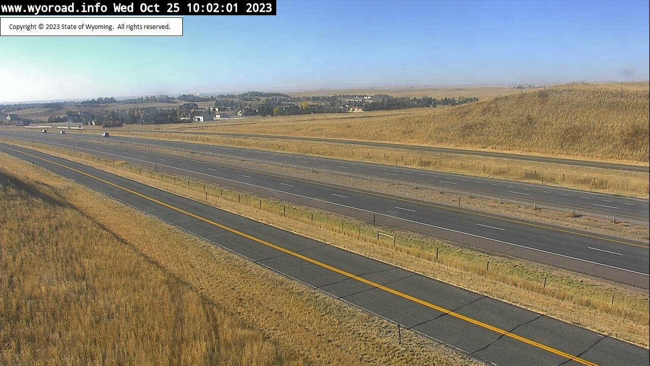
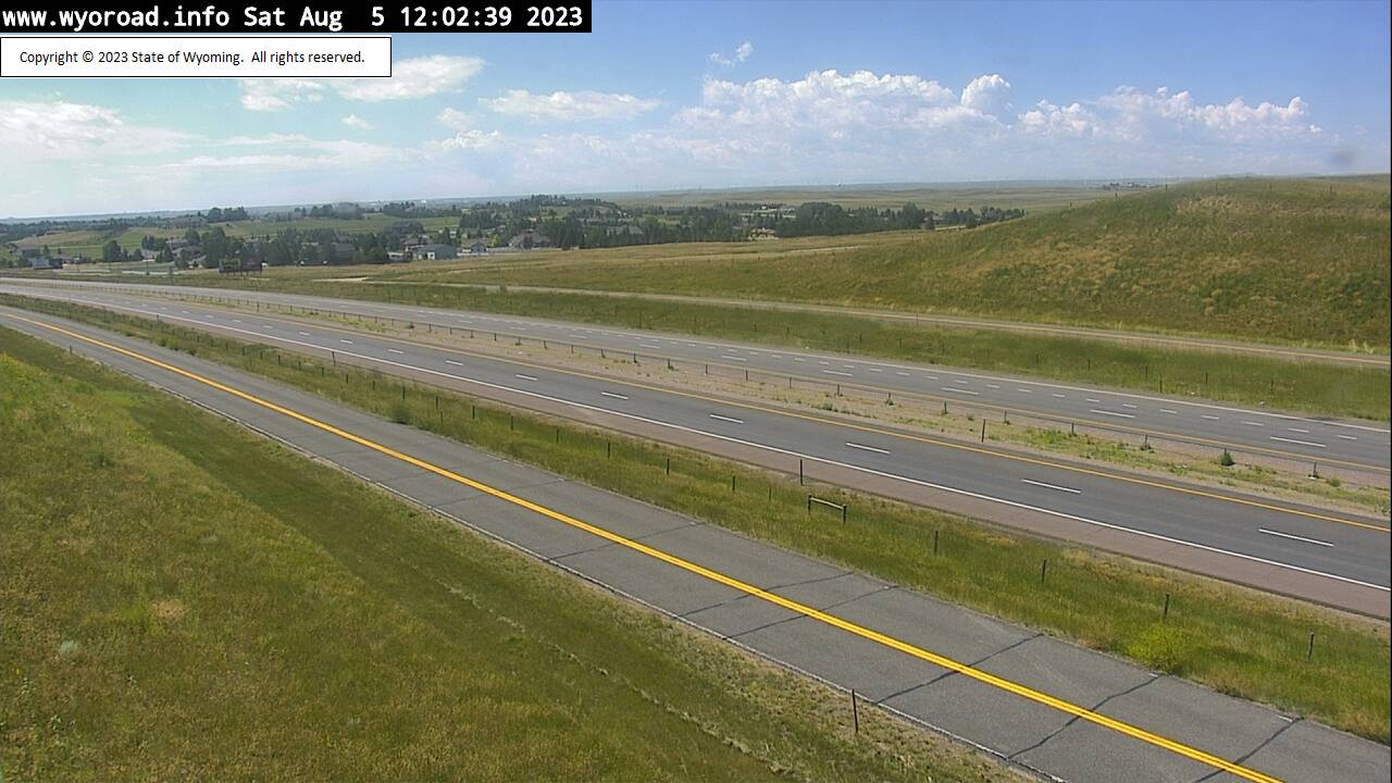
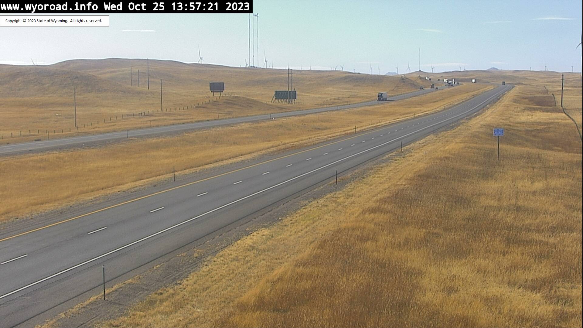
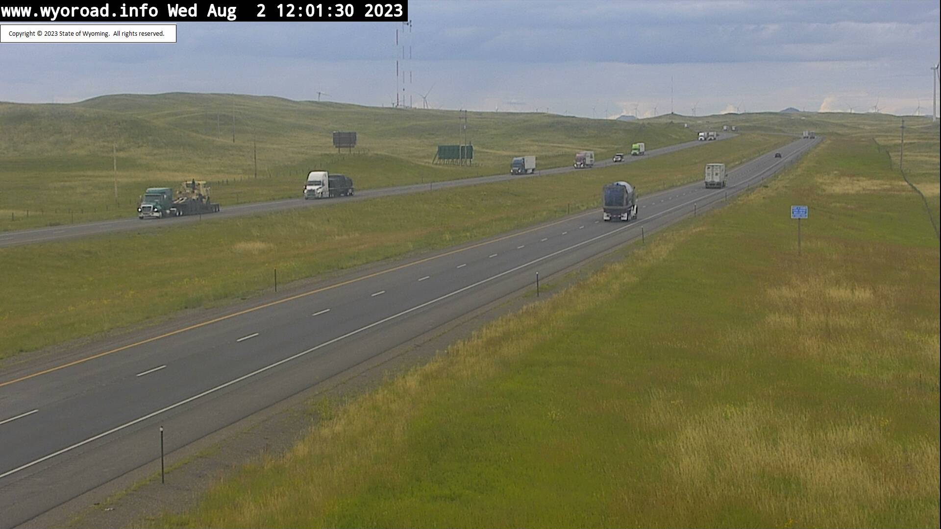
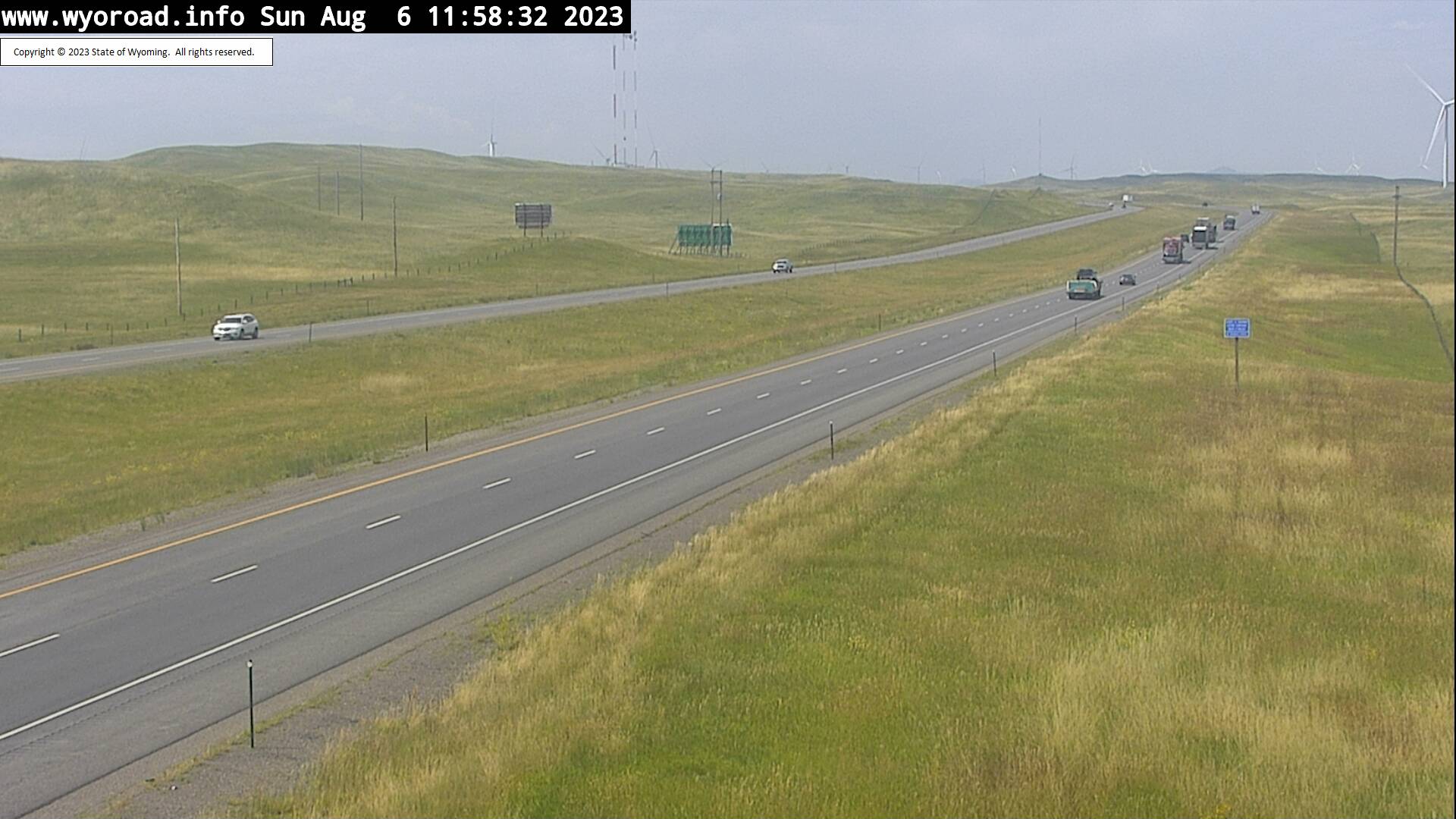
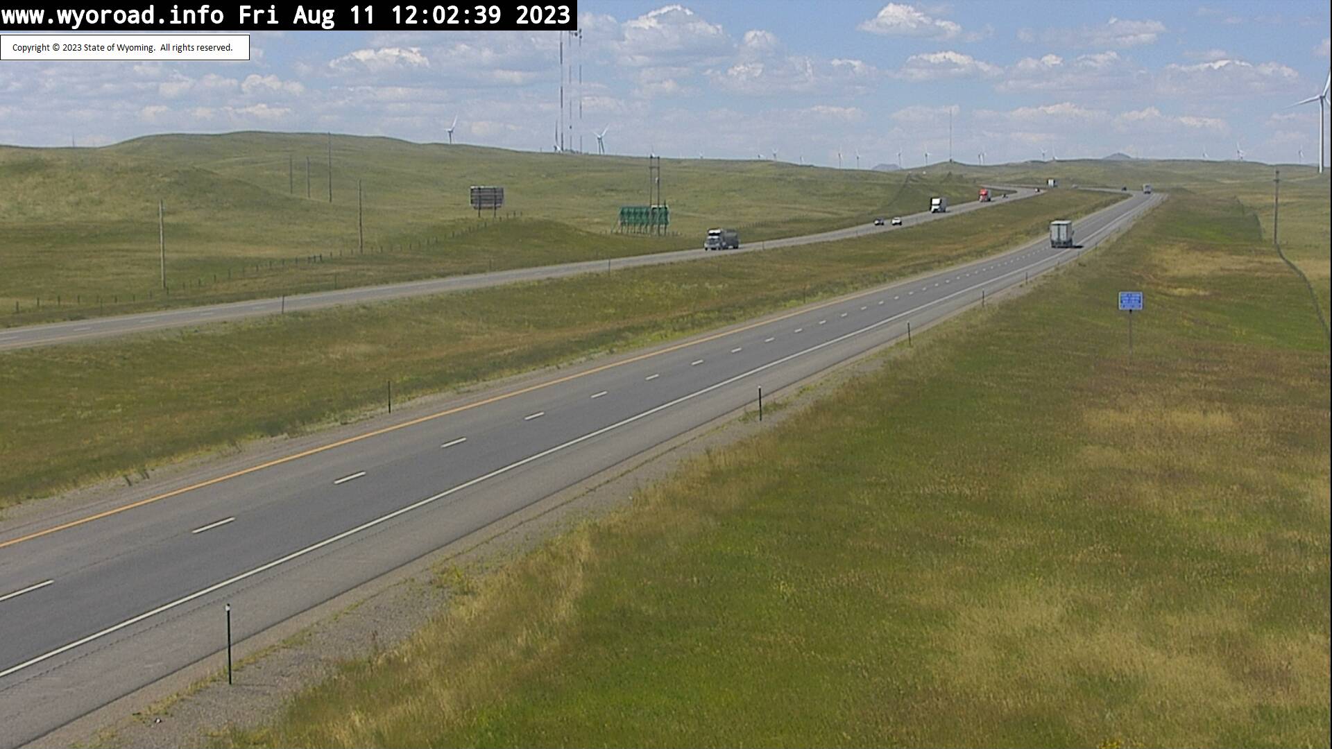
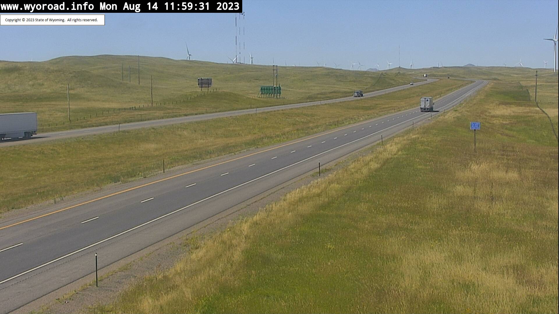
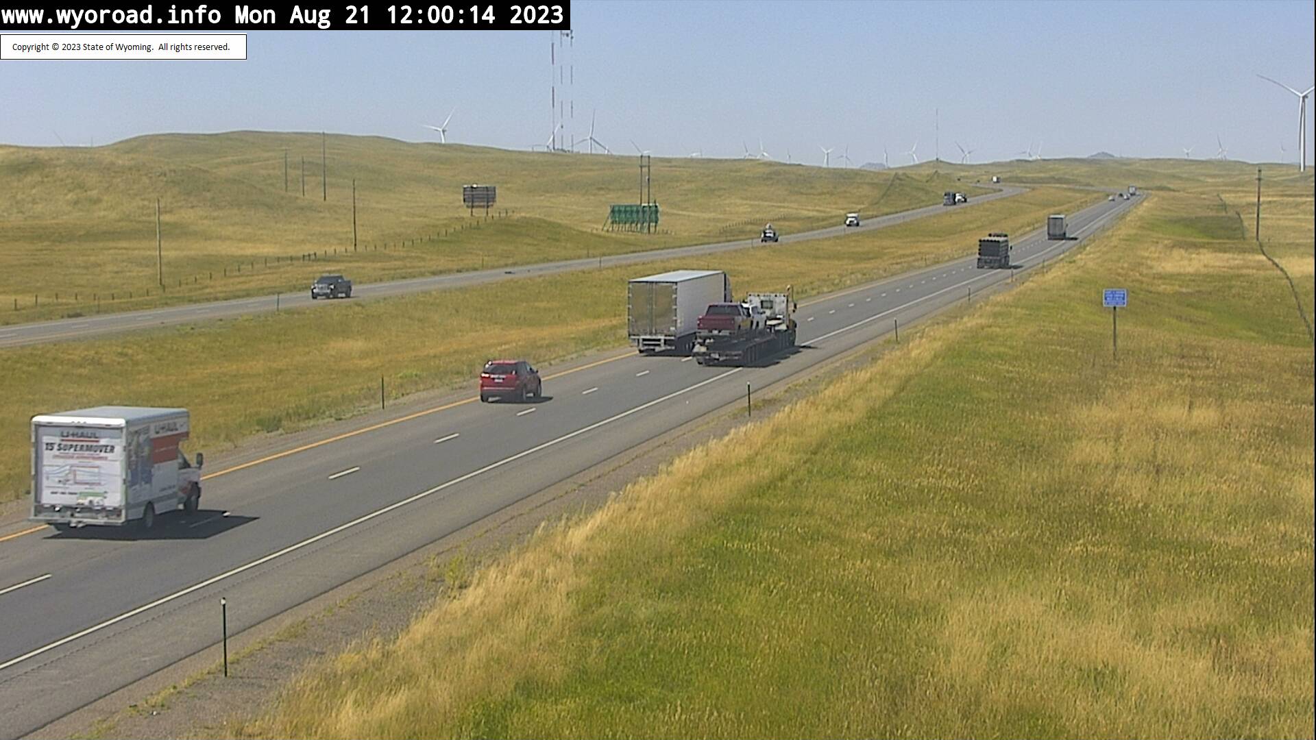
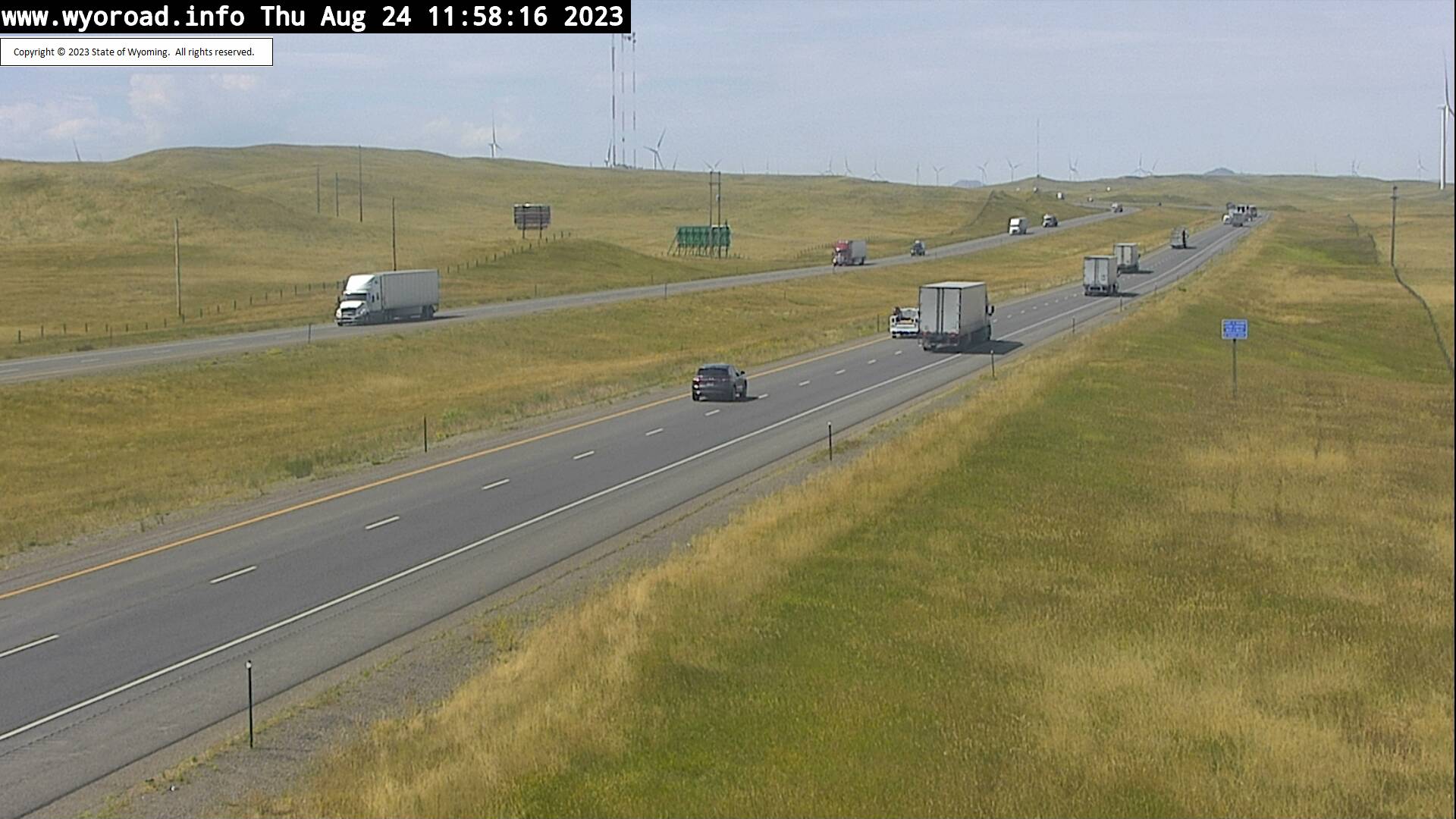
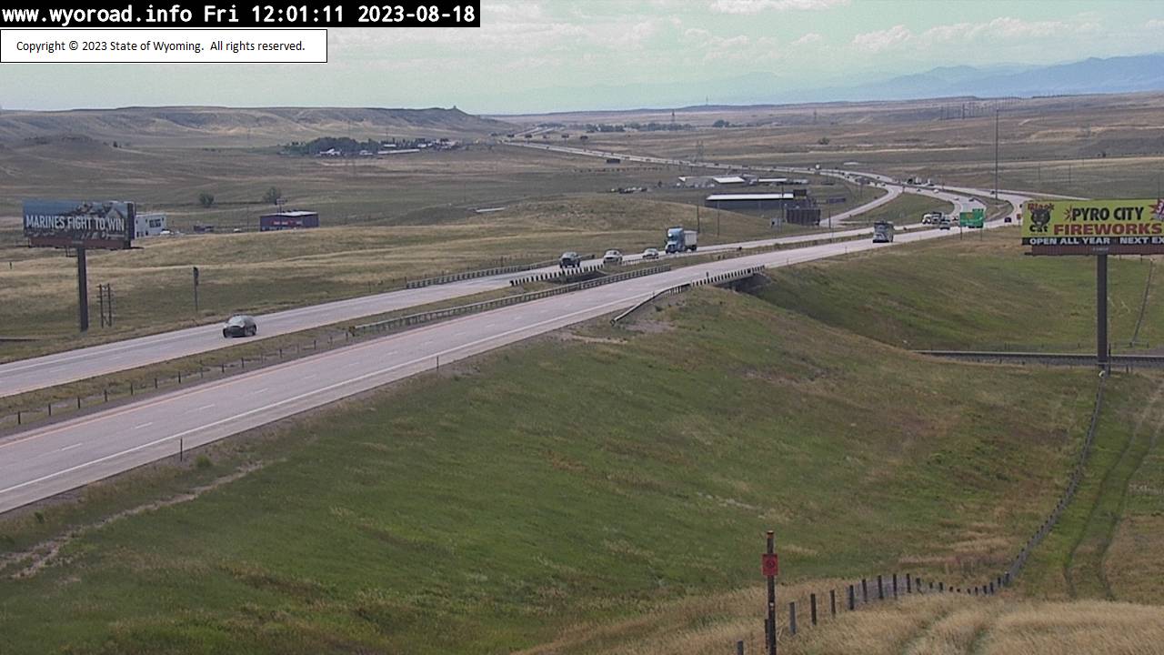
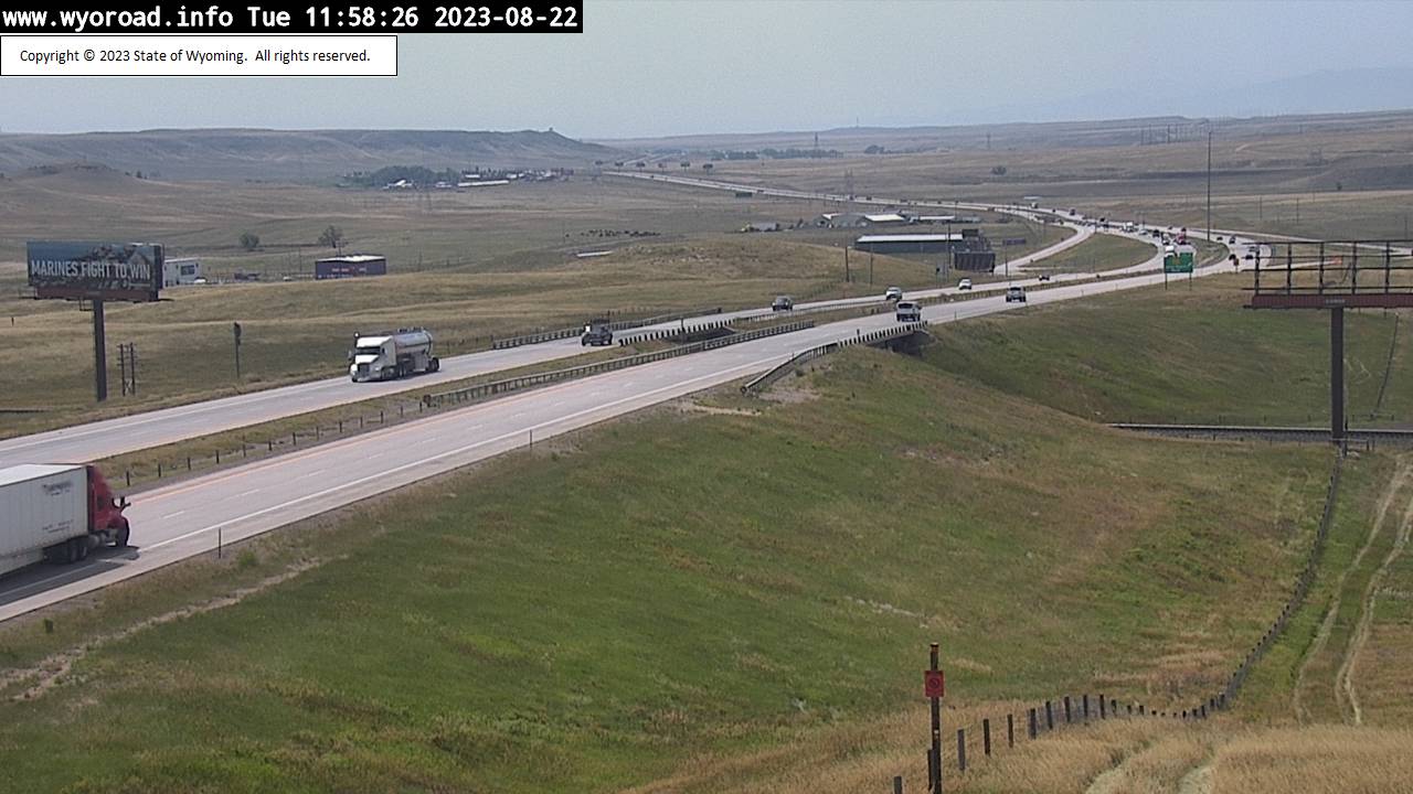
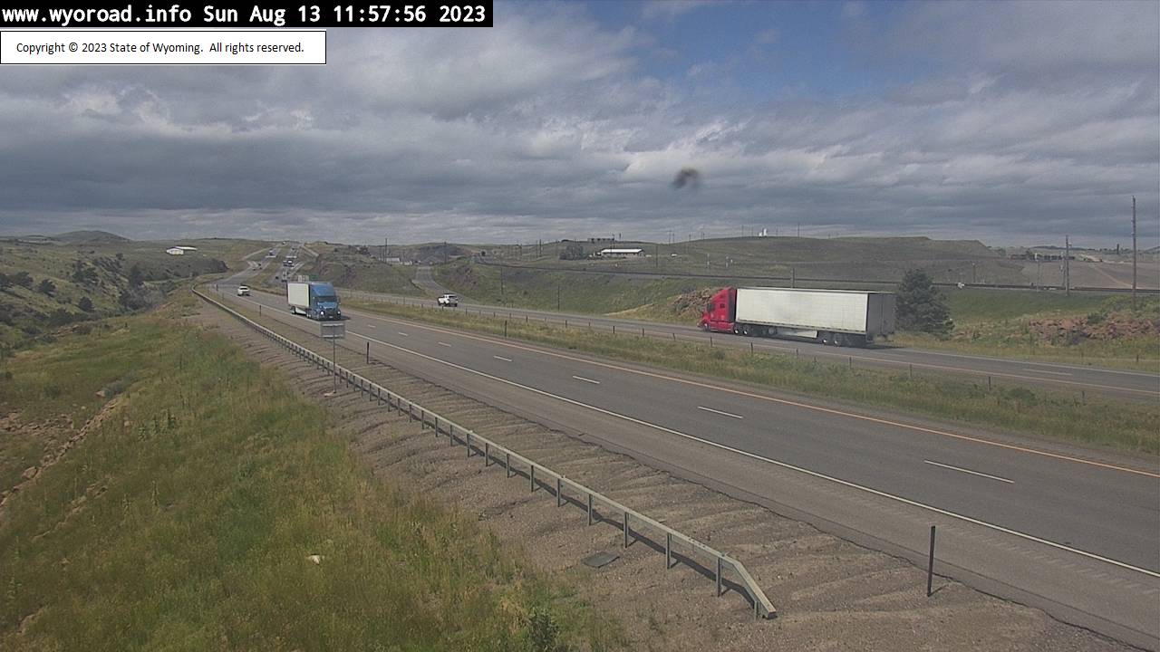
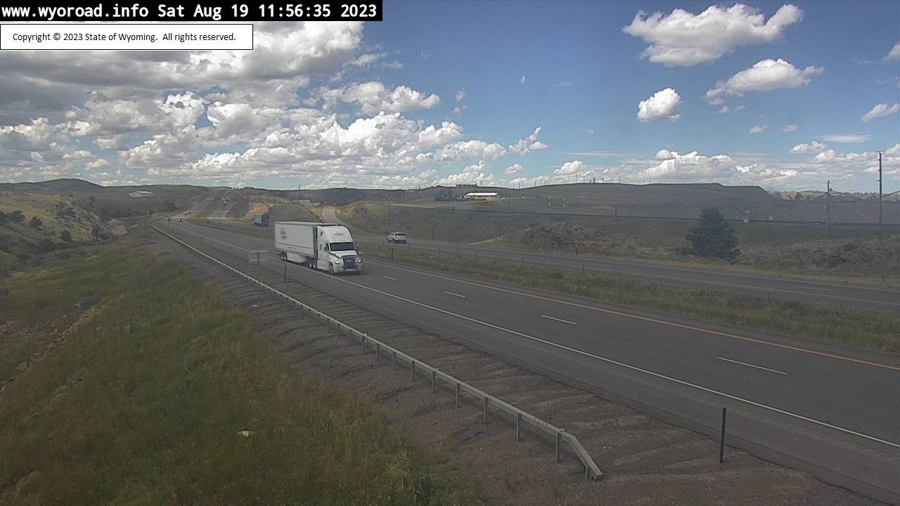
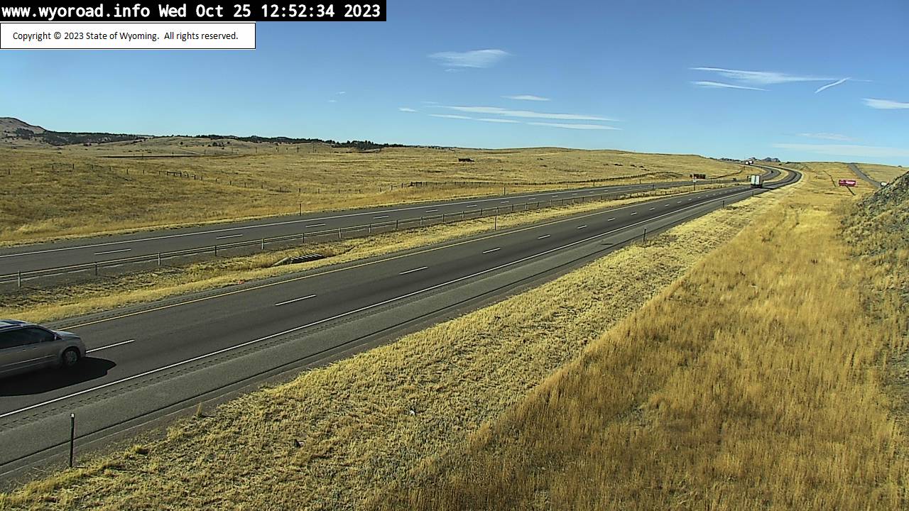
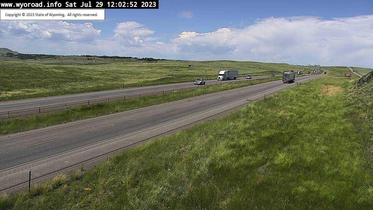
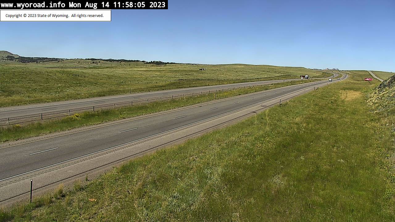
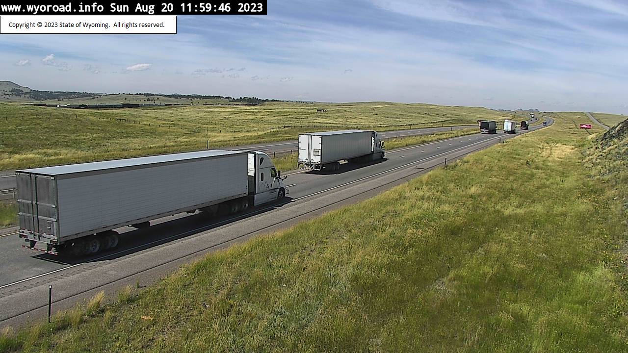
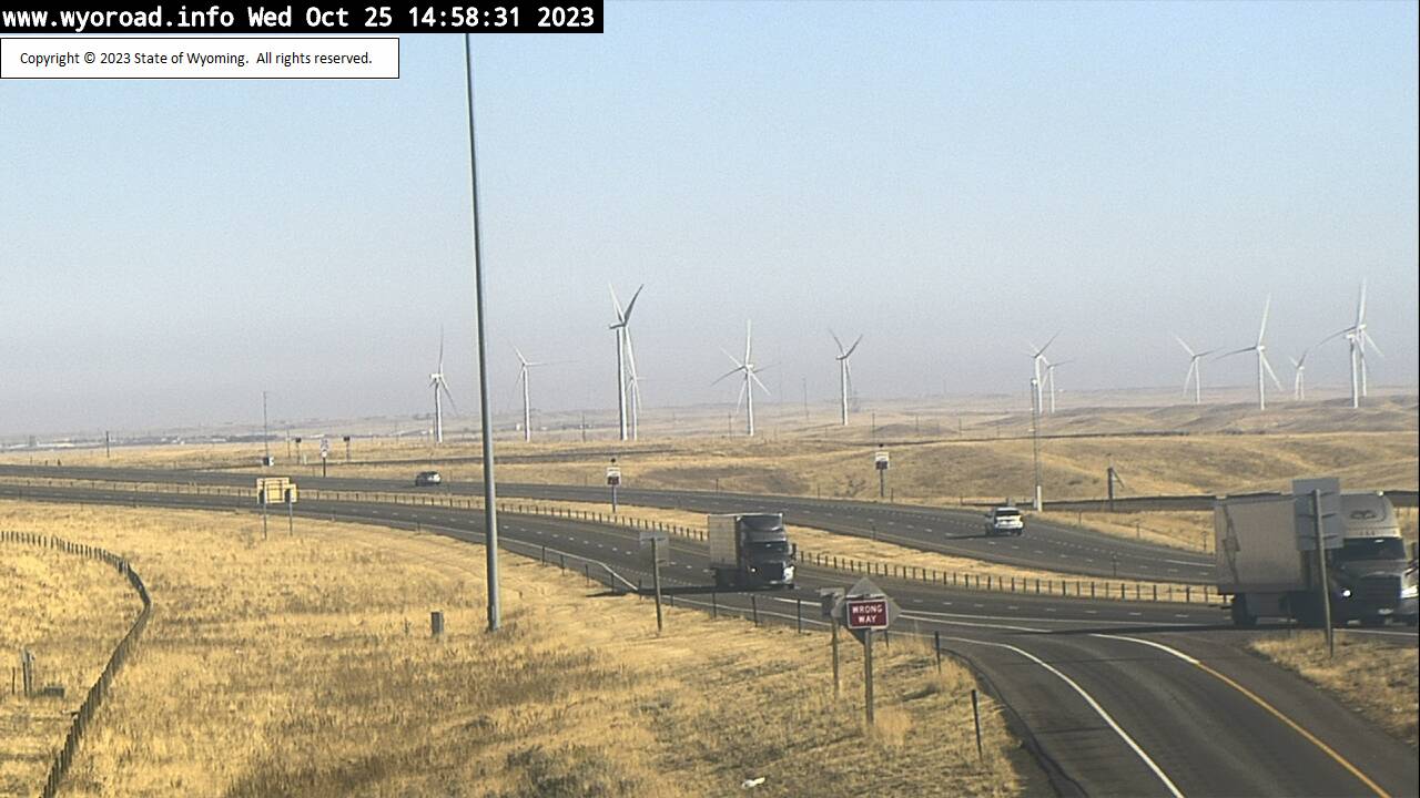
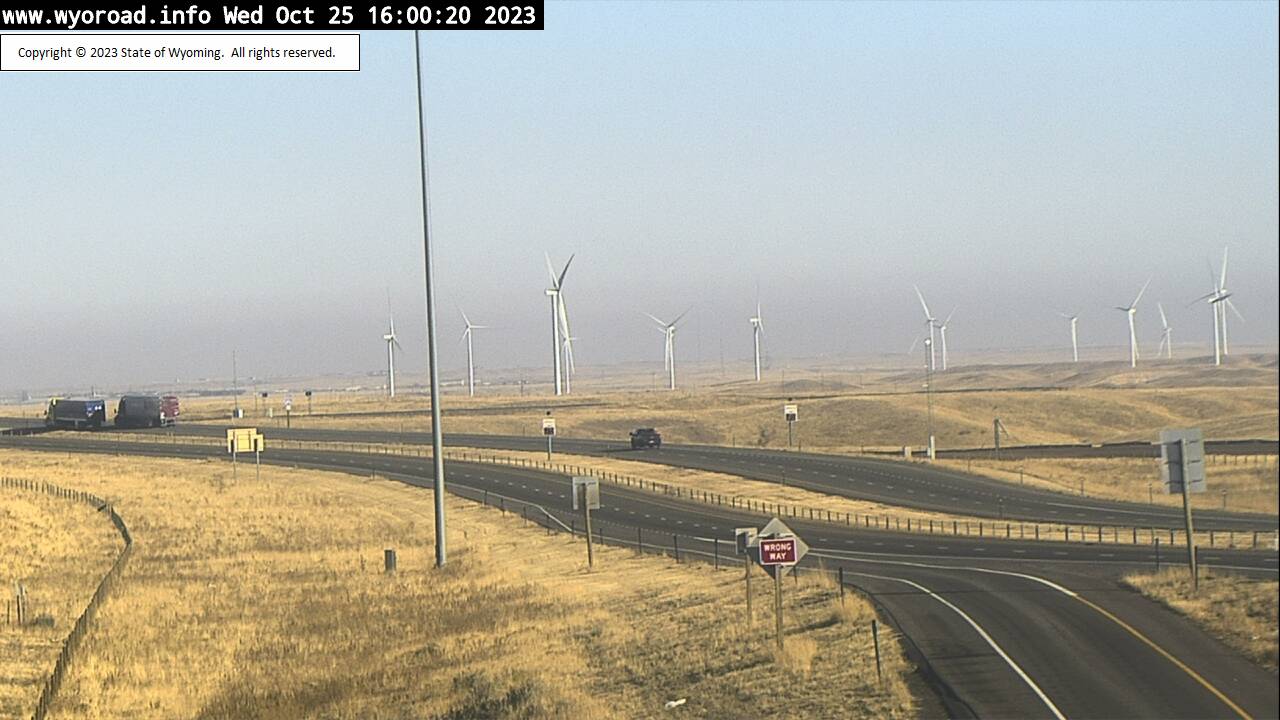
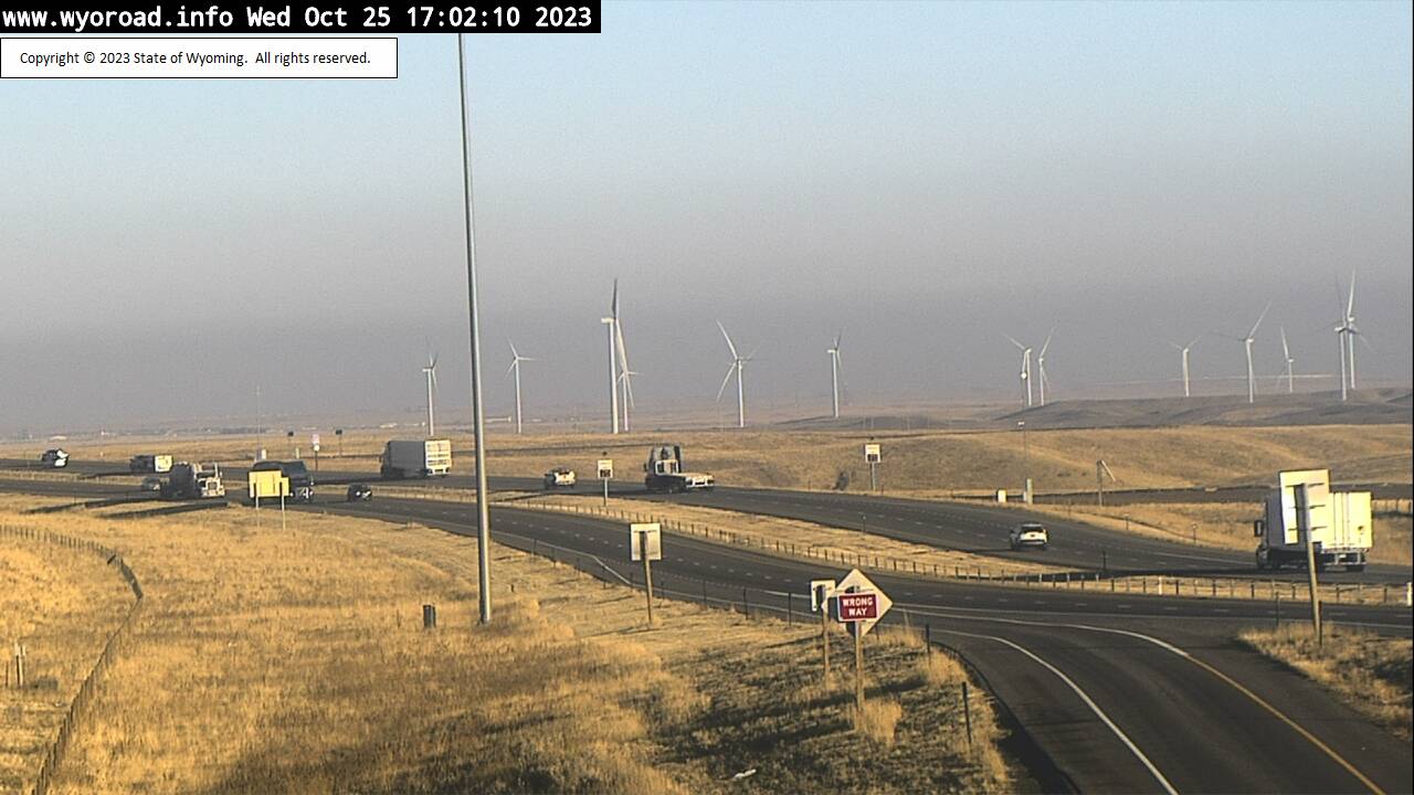
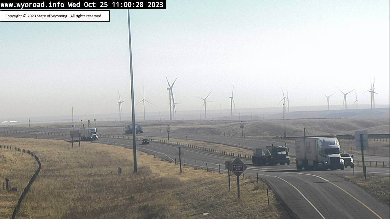
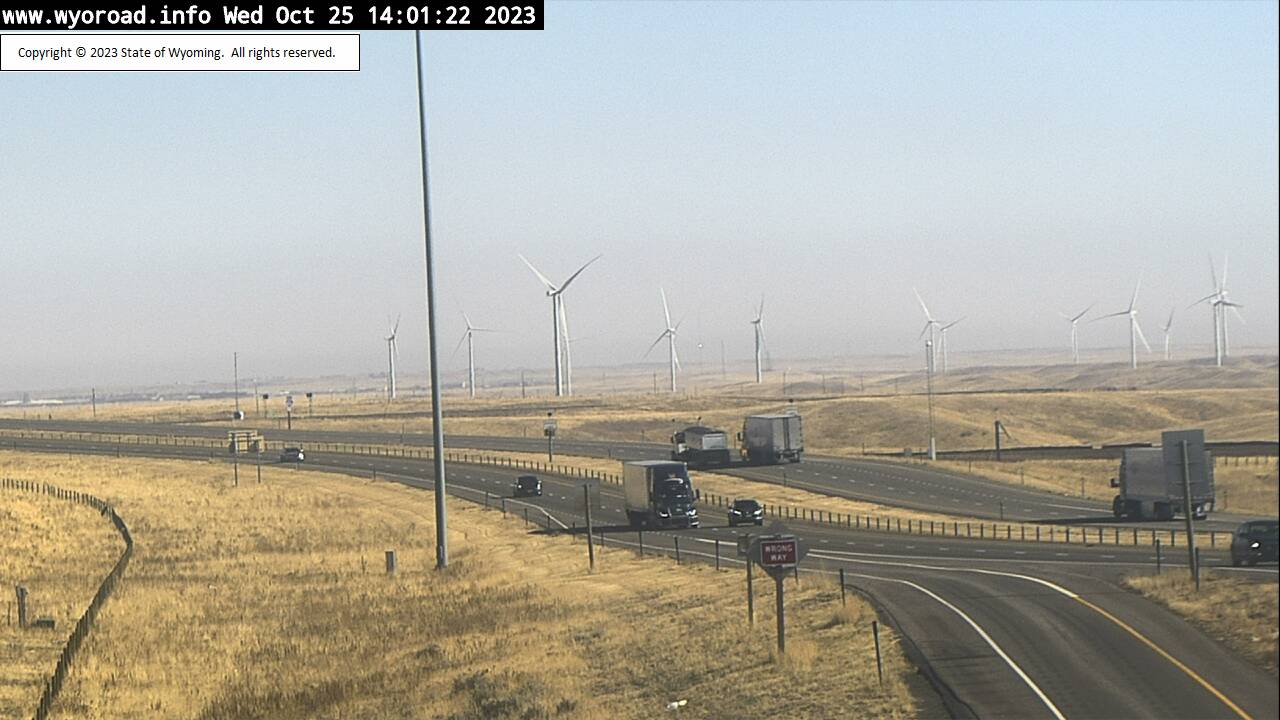
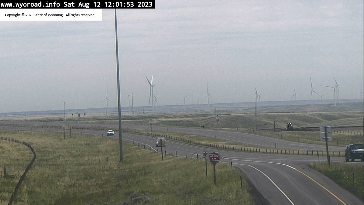
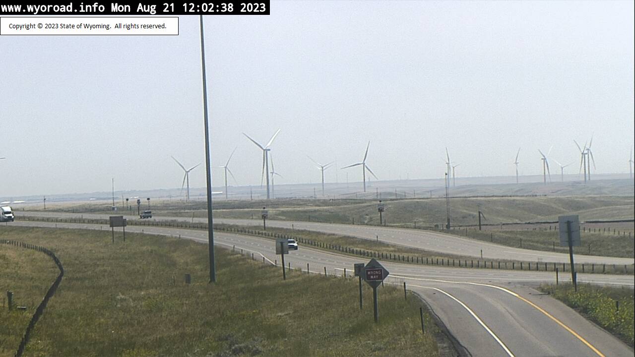
Cheyenne, Wyoming, USA - 6.1 miles from Altvan: Wyo Hill - Traffic and Weather - A view of the current traffic and weather situation.
Operator: WYDOT Travel Information Service
Operator: WYDOT Travel Information Service


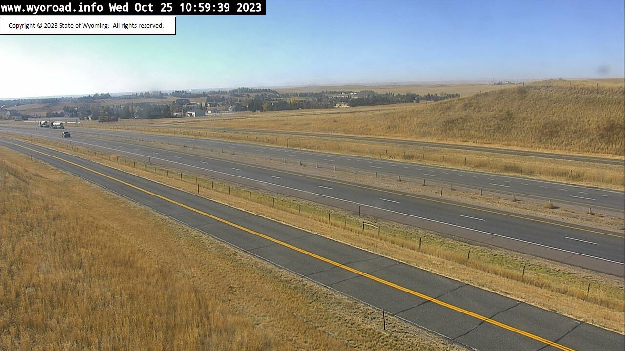
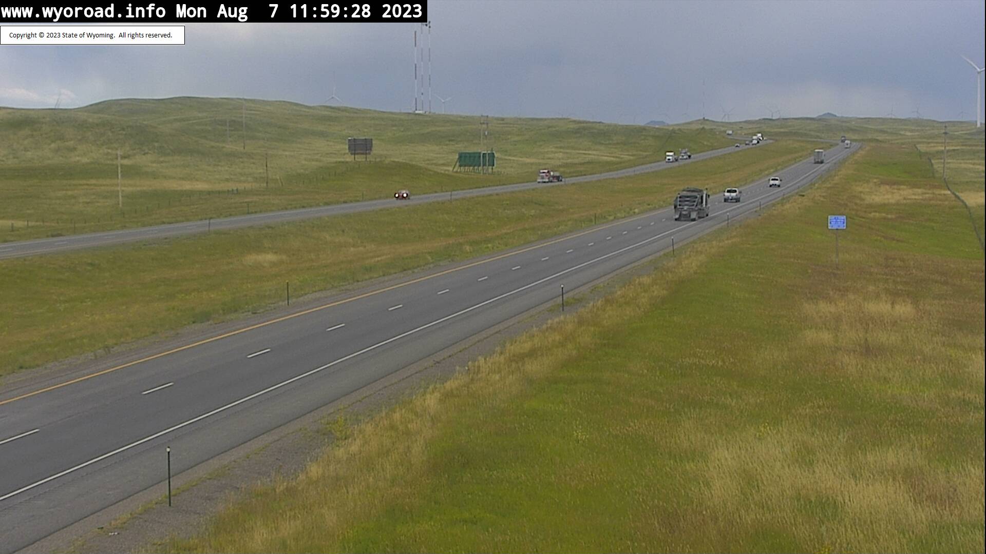
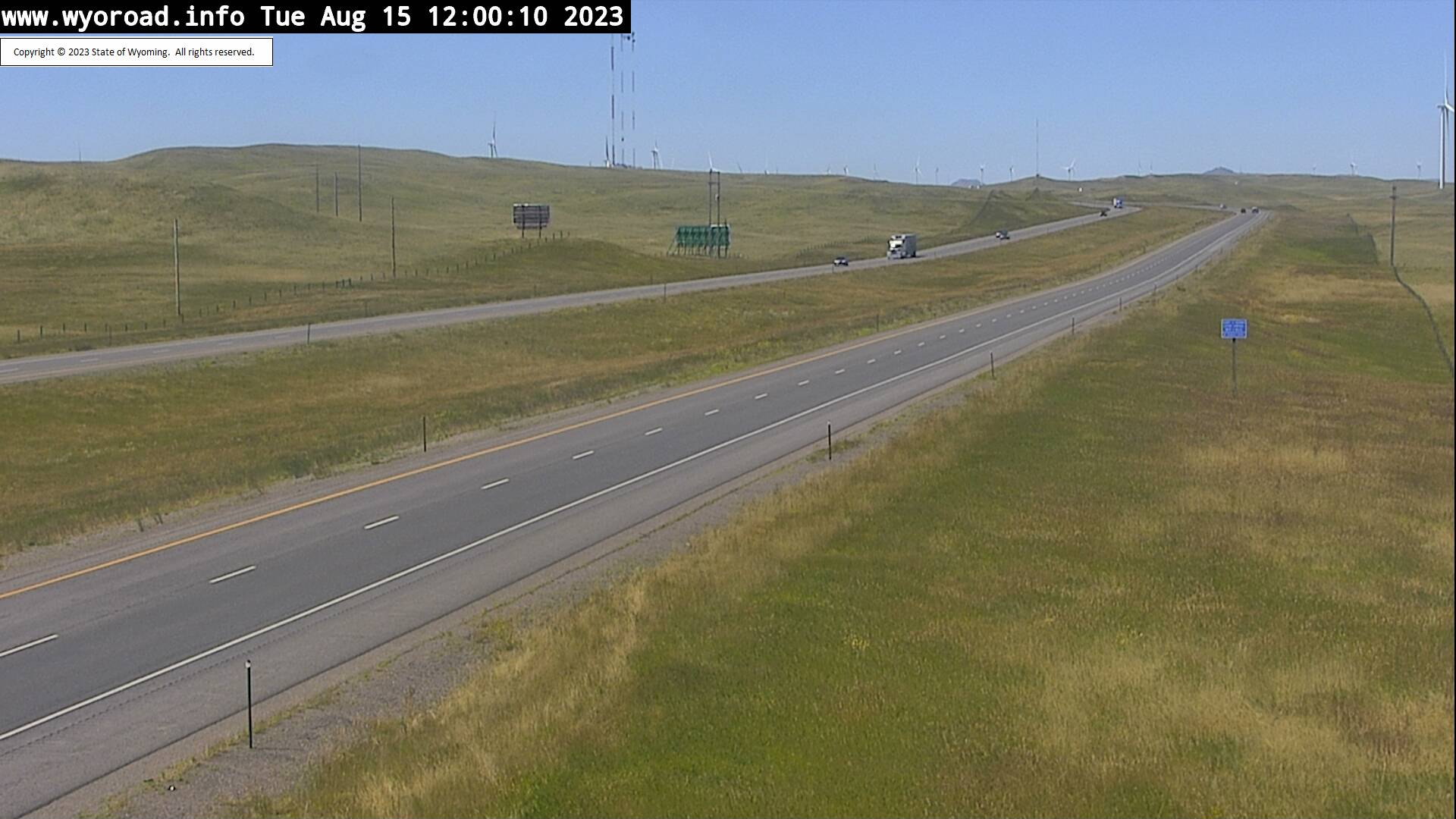
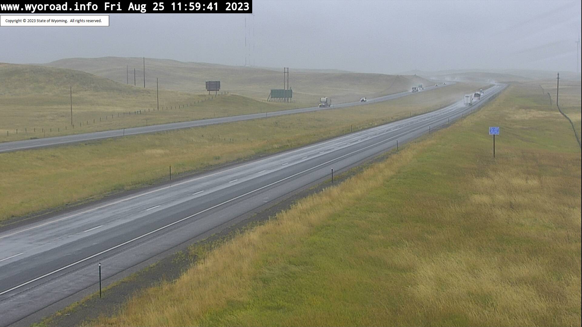
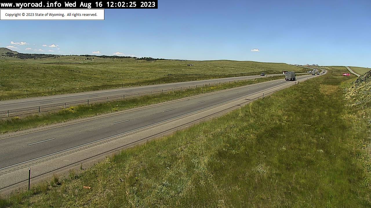
Granite, Wyoming, USA - 18.6 miles from Altvan: Harriman - Traffic and Weather - A view of the current traffic and weather situation.
Operator: WYDOT Travel Information Service
Operator: WYDOT Travel Information Service


Granite, Wyoming, USA - 18.6 miles from Altvan: Remount - Traffic and Weather - A view of the current traffic and weather situation.
Operator: WYDOT Travel Information Service
Operator: WYDOT Travel Information Service


Granite, Wyoming, USA - 18.6 miles from Altvan: Warren Interchange - Traffic and Weather - A view of the current traffic and weather situation.
Operator: WYDOT Travel Information Service
Operator: WYDOT Travel Information Service


Some other places in this country: Albin - Alcova - Allendale - Almy - Arapahoe - Arminto - Aspen - Atlantic City - Baggs - Bairoil