Webcams in the region of Ambridge, Wisconsin, USA
The List of Webcams near Ambridge, Wisconsin, USA:

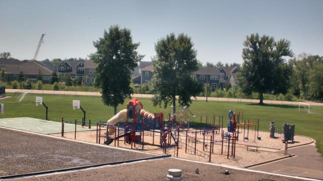
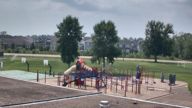
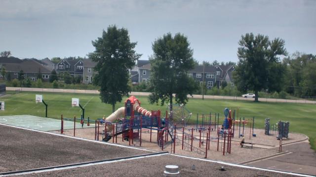
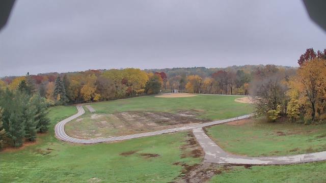
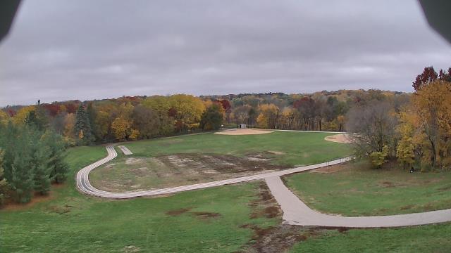
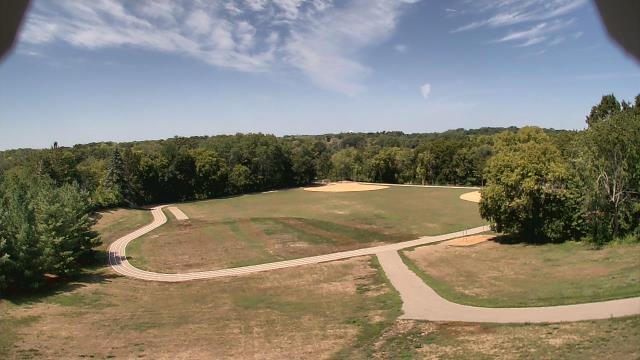
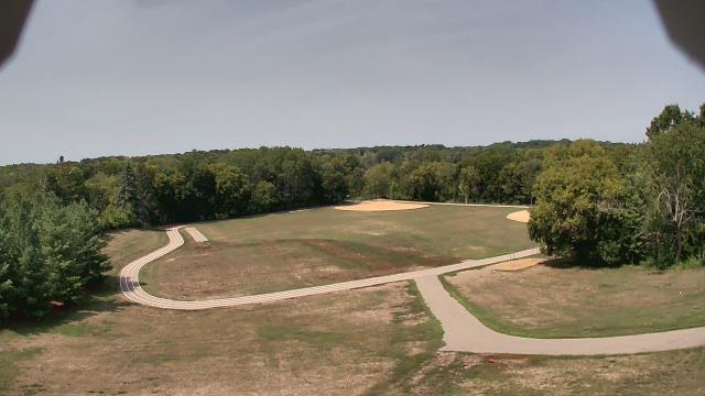
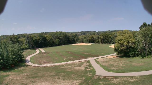
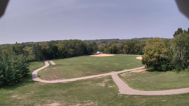
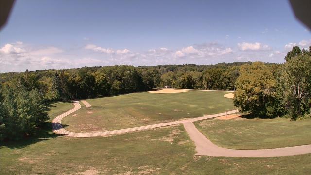
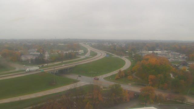
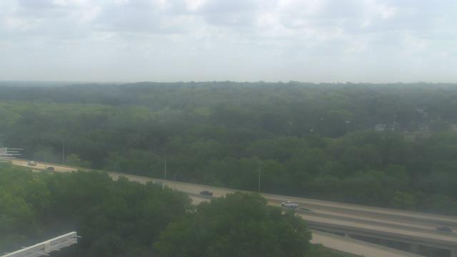
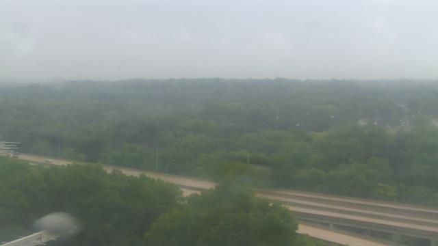
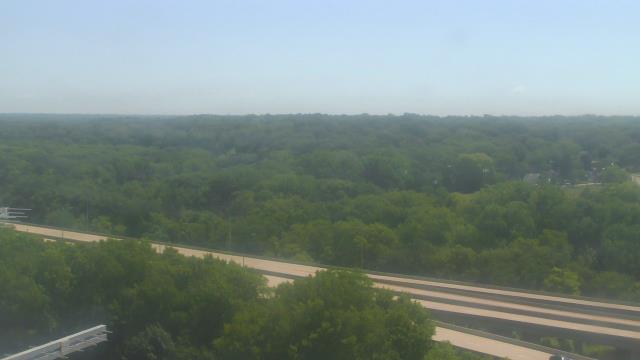
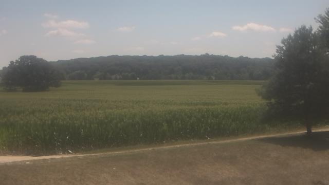
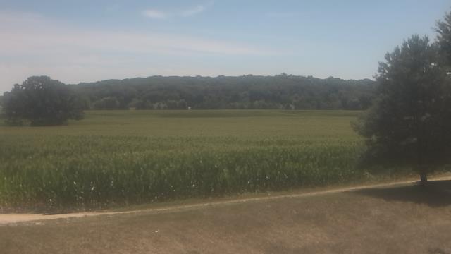
Long Lake, Minnesota, USA - 135 miles from Ambridge: Orono Intermediate School - A webcam in Long Lake, Minnesota - camera location: Orono Intermediate School.
Operator: WeatherBug
Operator: WeatherBug
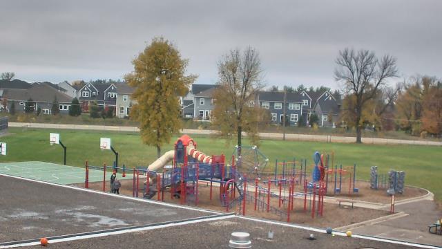
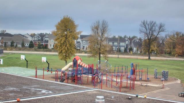
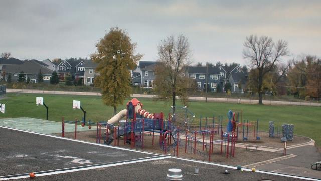
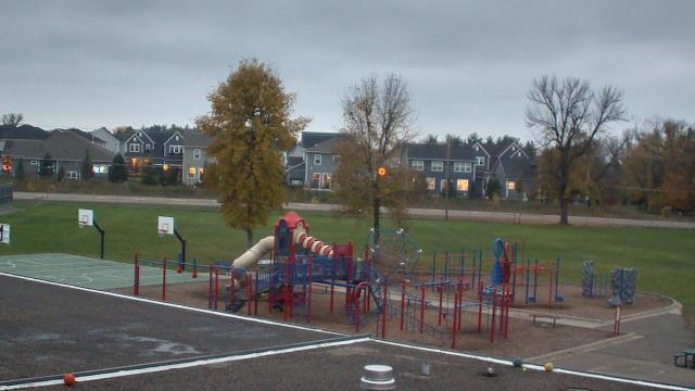


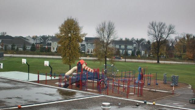
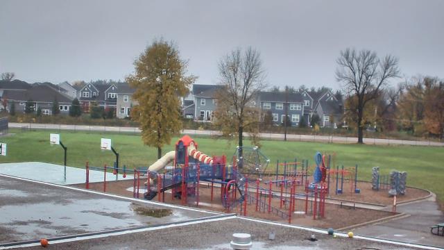
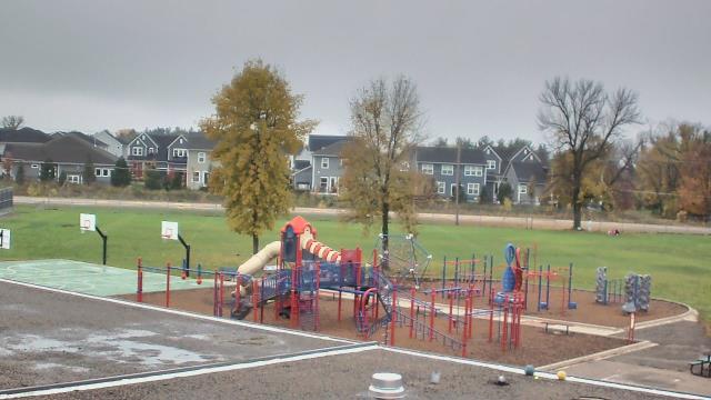
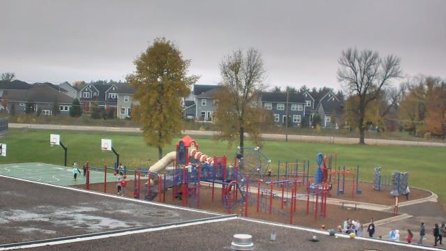
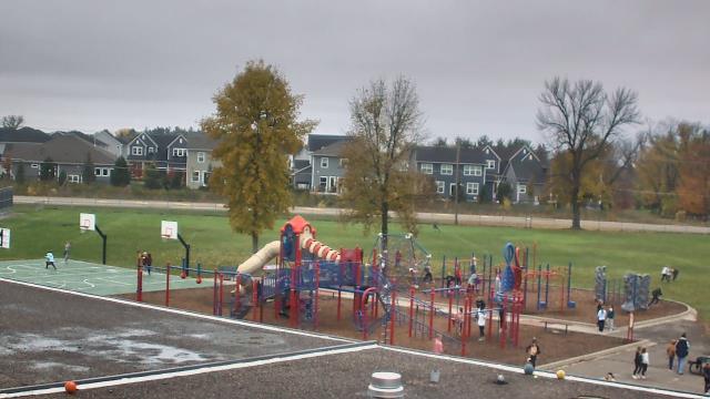
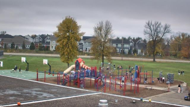
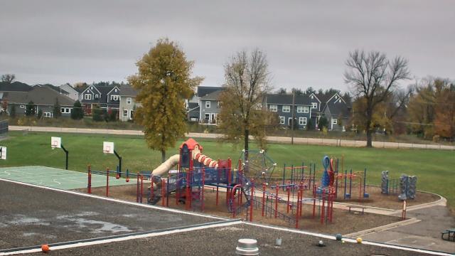
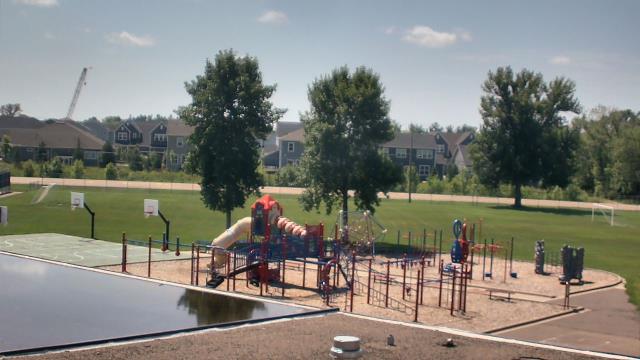
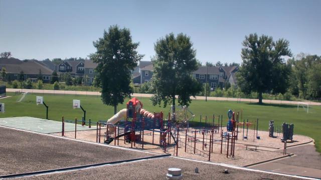
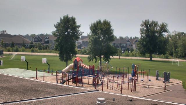
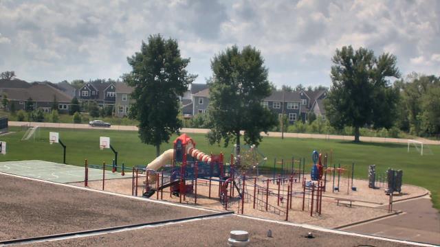

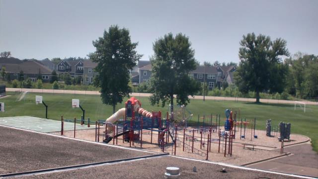
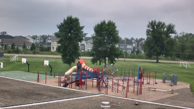
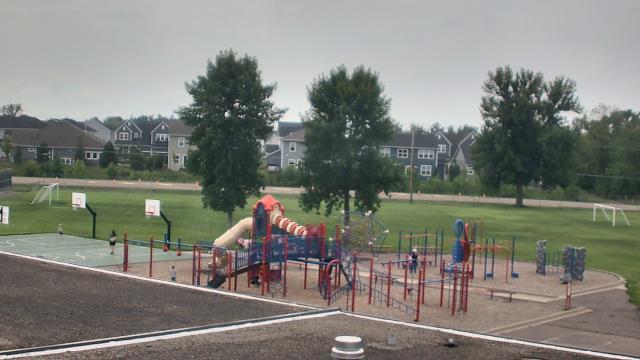
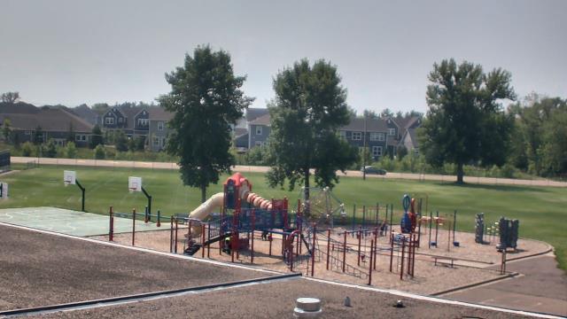
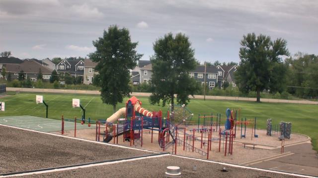
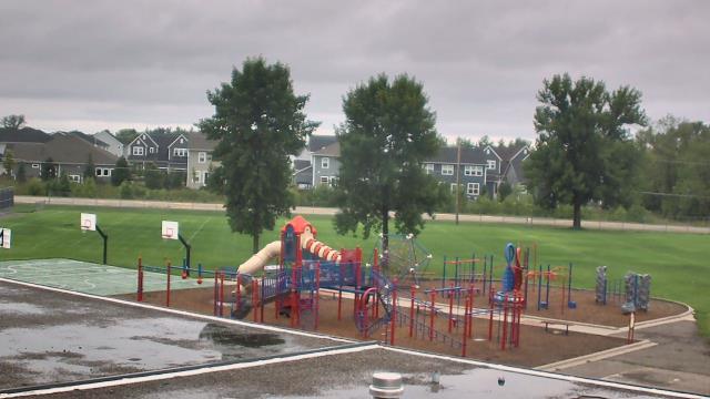
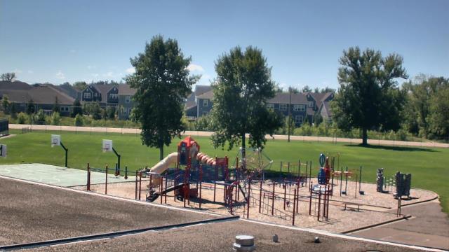
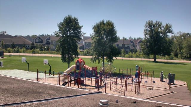
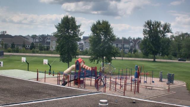
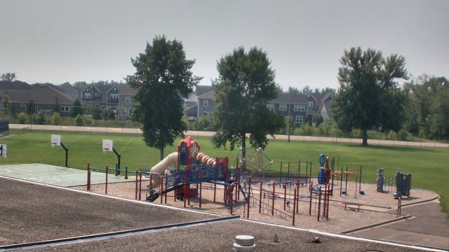

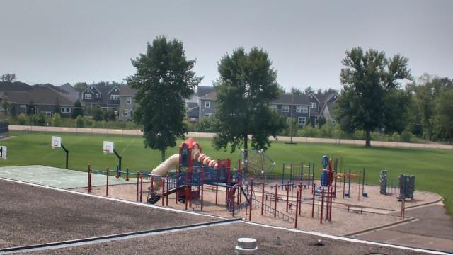

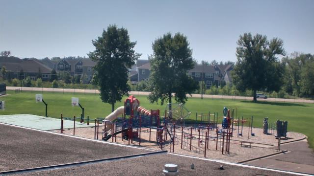

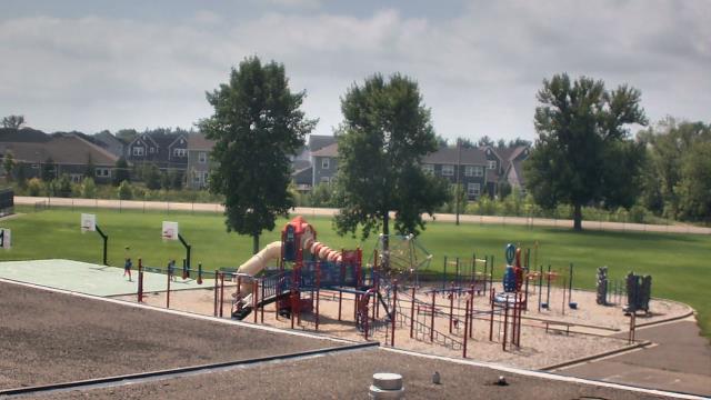
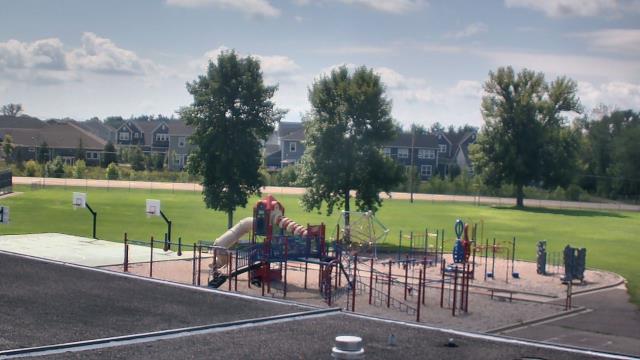

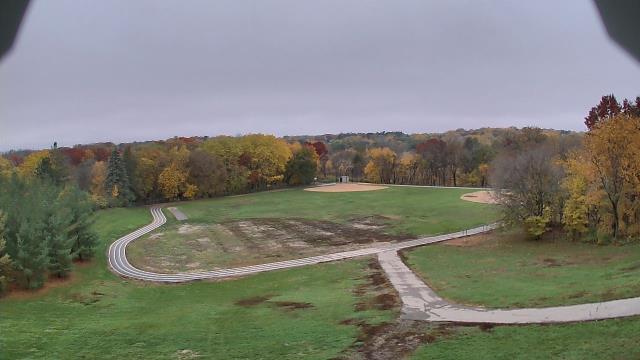
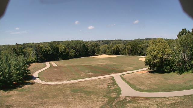
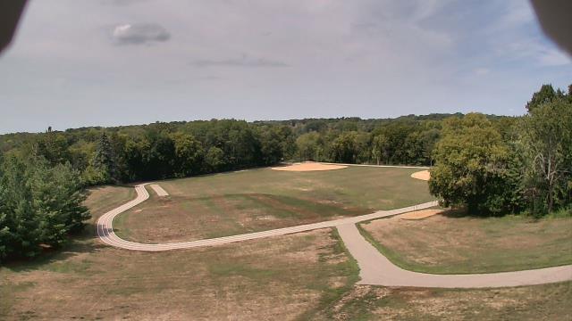
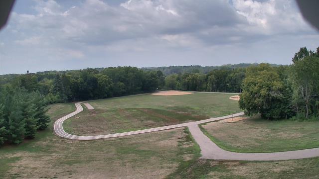
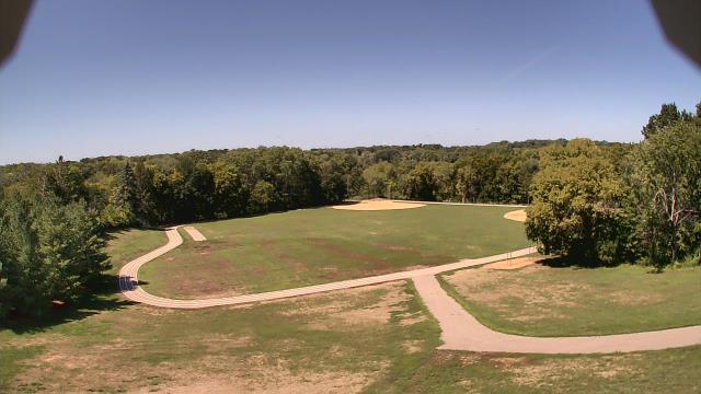
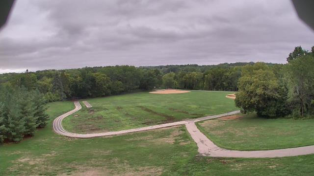
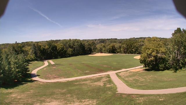
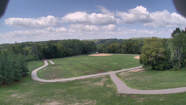
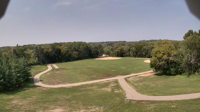
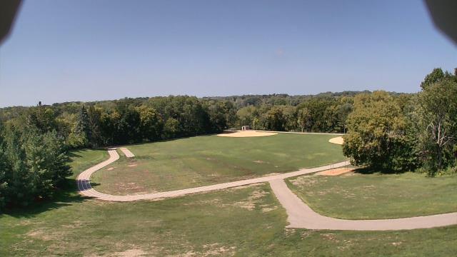
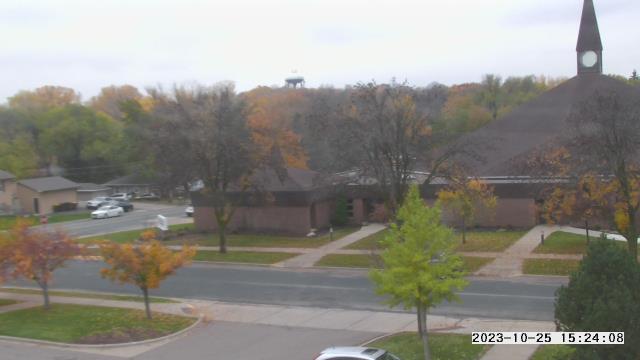
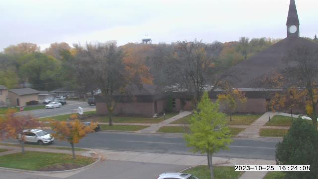
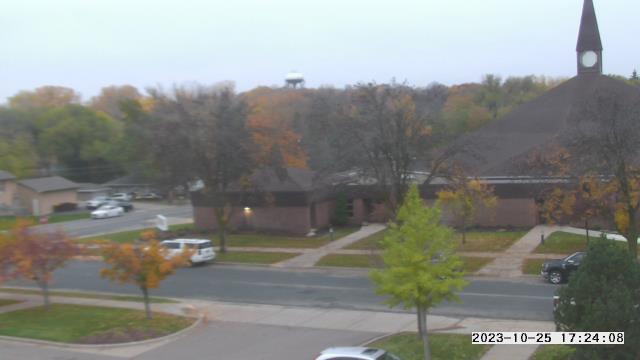
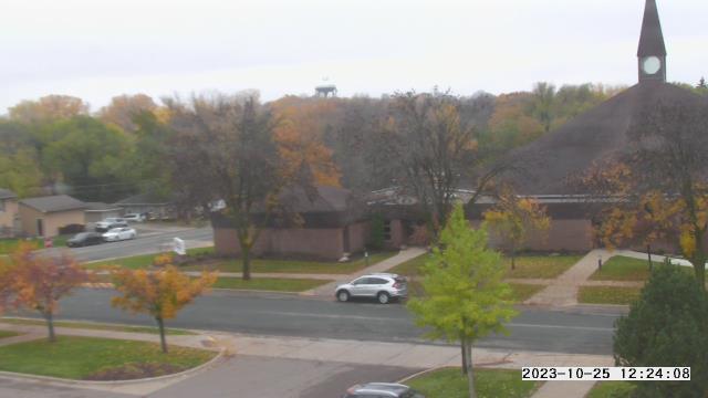
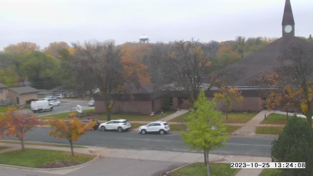
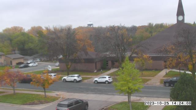
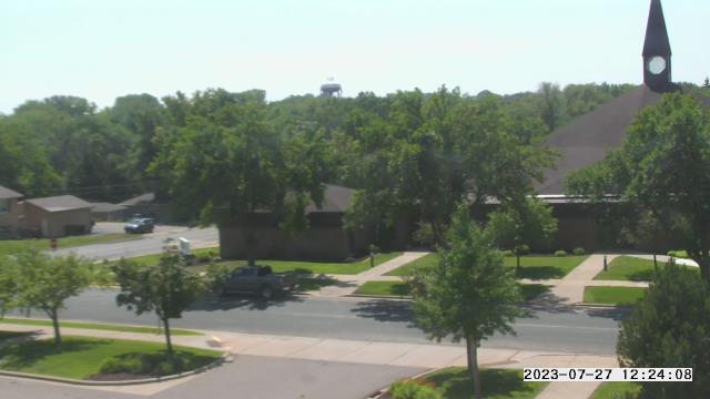
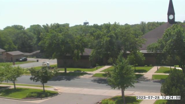
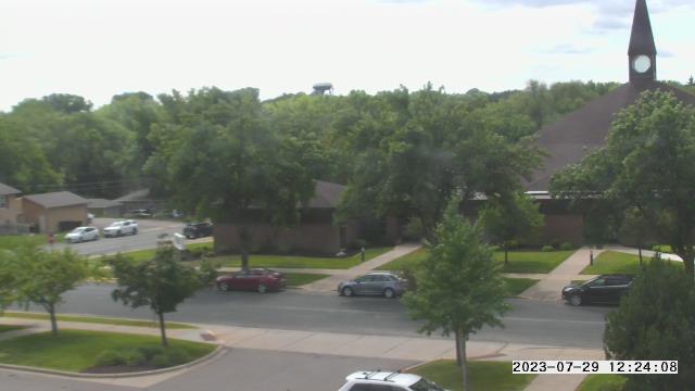
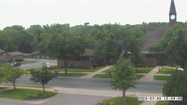
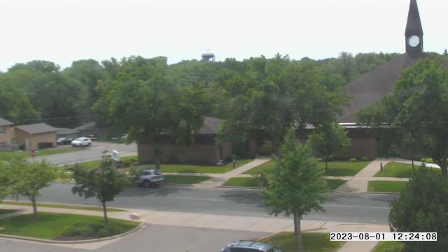
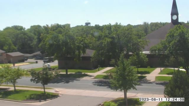
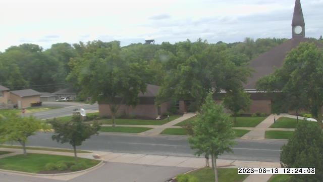
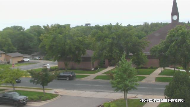
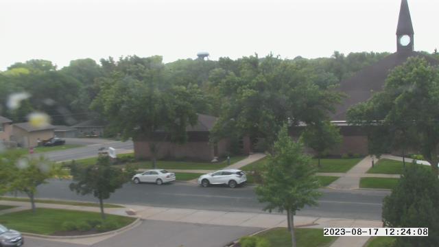
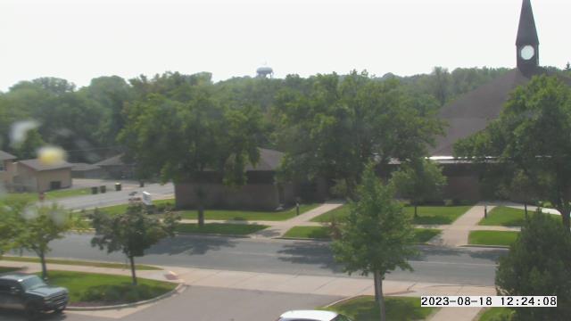
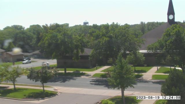
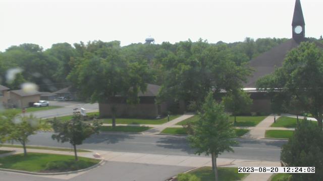
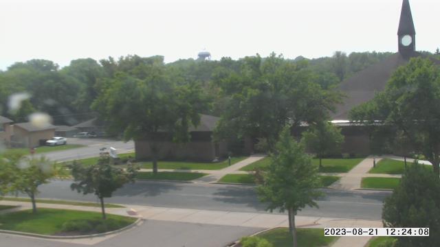
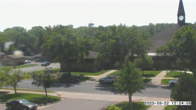
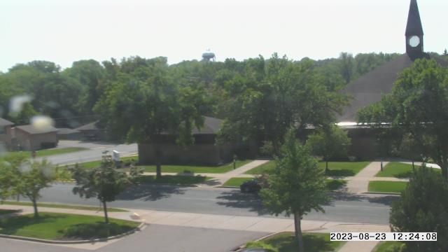
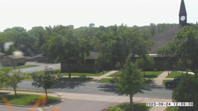
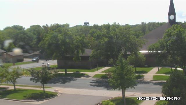
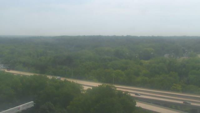
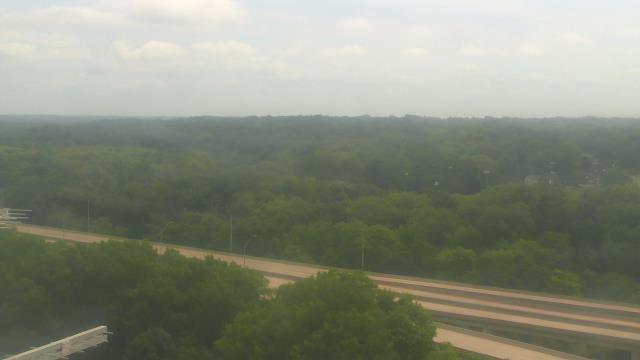
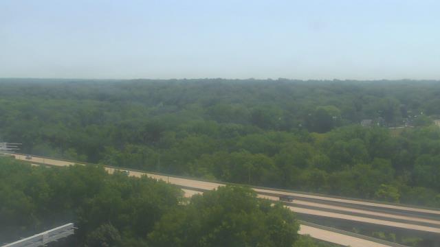
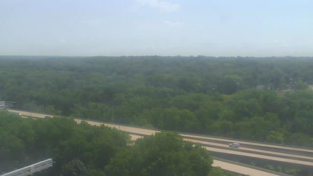
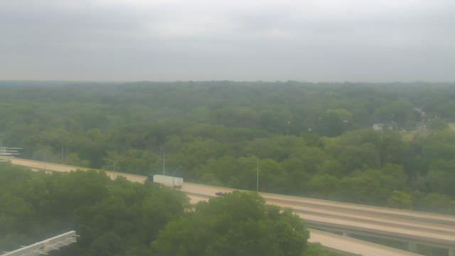
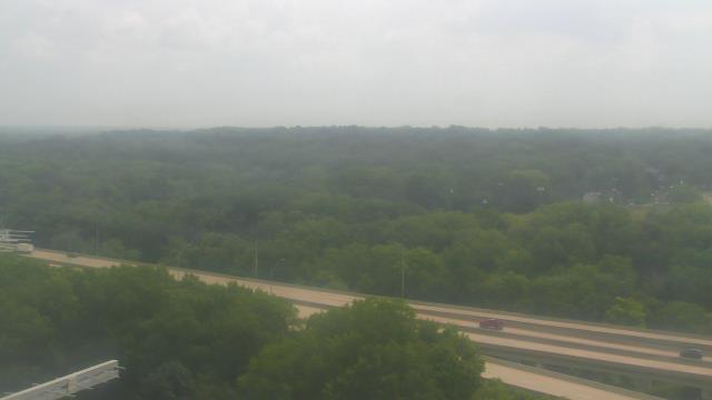
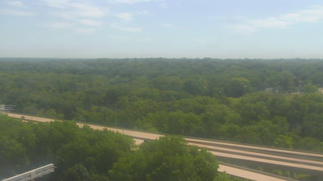
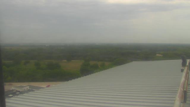
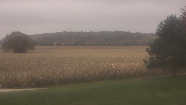
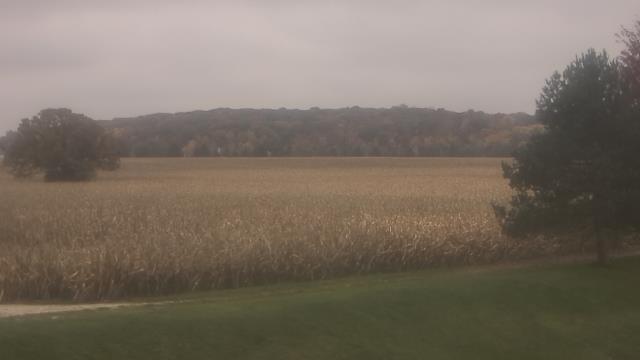
Minnetonka, Minnesota, USA - 137.2 miles from Ambridge: Scenic Heights Elementary School - A webcam in Minnetonka, Minnesota - camera location: Scenic Heights Elementary School.
Operator: WeatherBug
Operator: WeatherBug


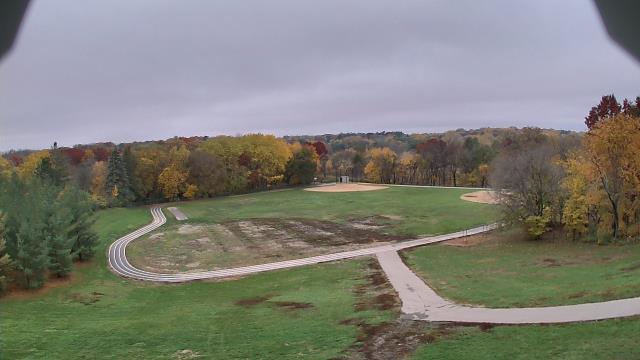

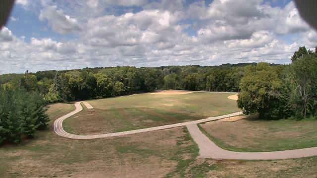
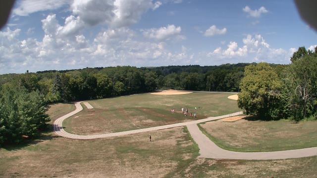
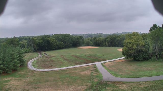


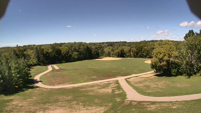


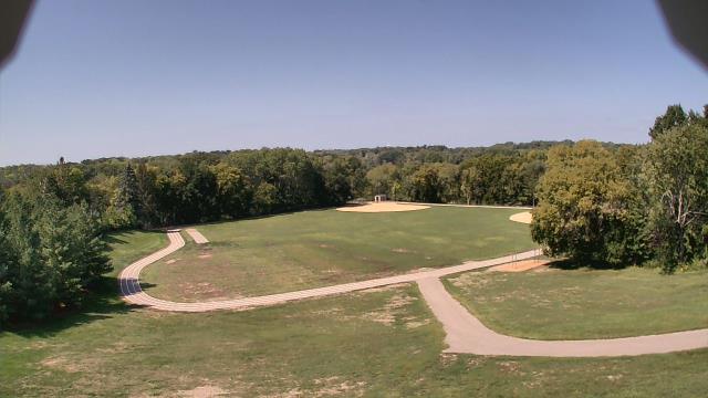

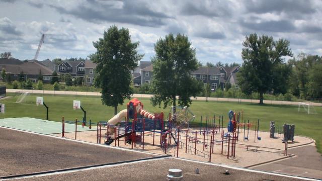
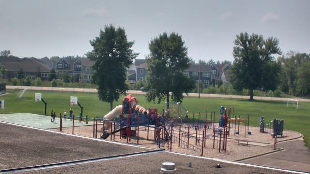
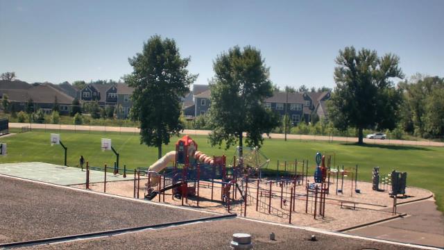
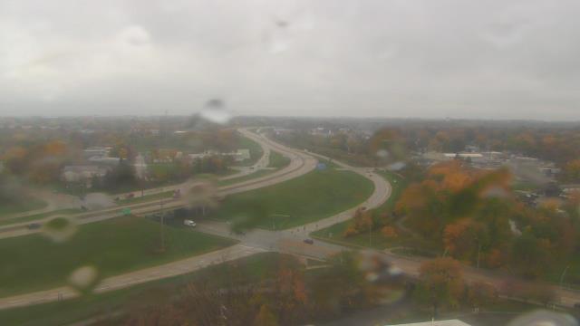
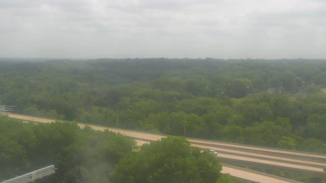
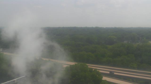
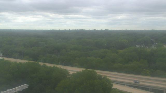
Prior Lake, Minnesota, USA - 148.1 miles from Ambridge: St. Michael Catholic School - A webcam in Prior Lake, Minnesota - camera location: St. Michael Catholic School.
Operator: WeatherBug
Operator: WeatherBug


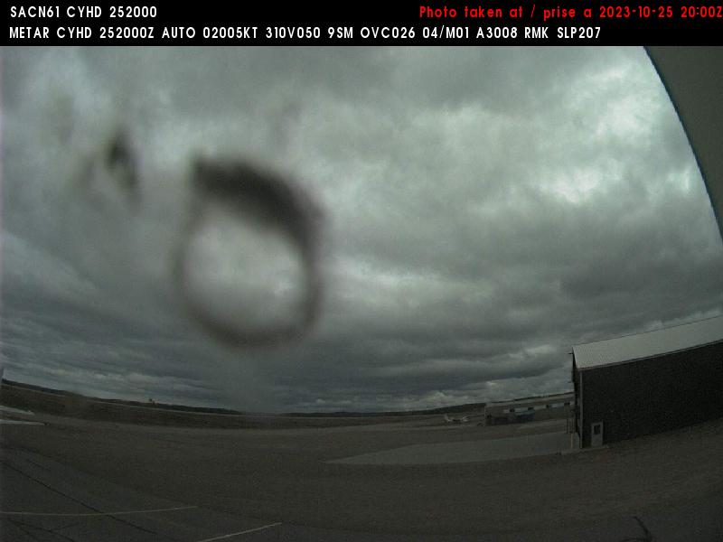
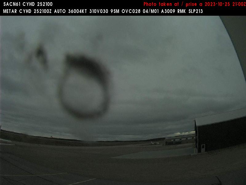
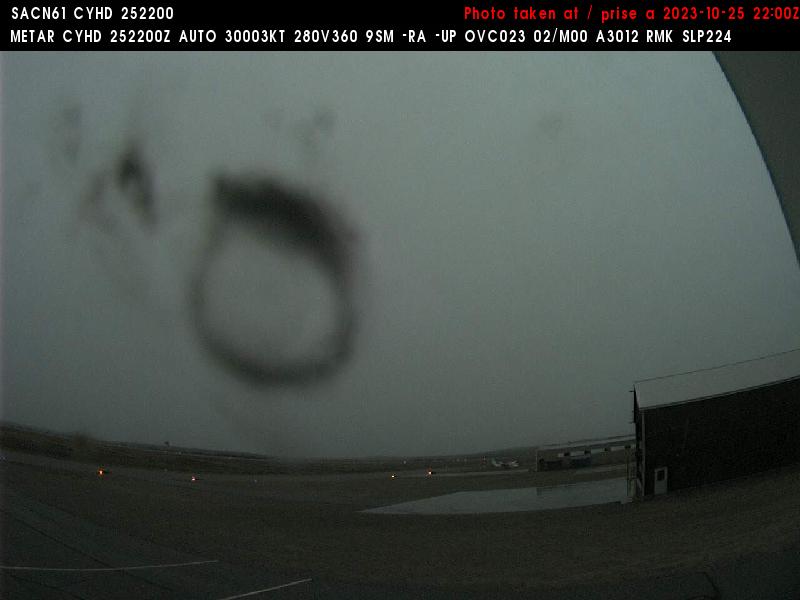
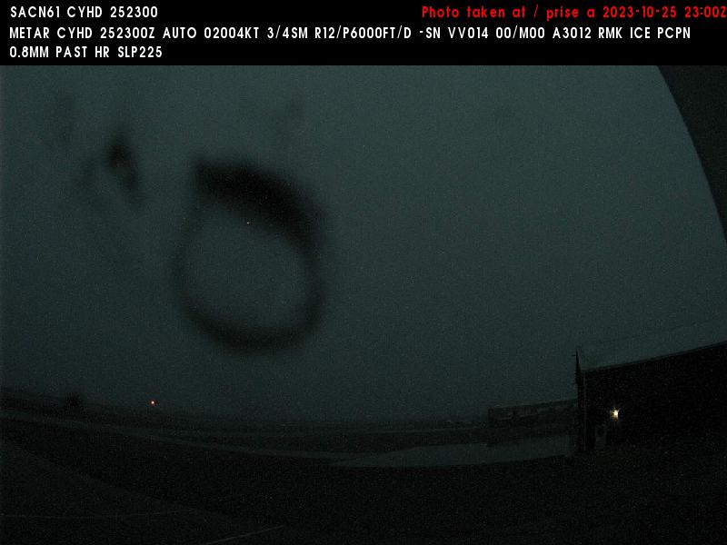
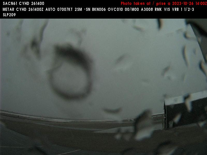
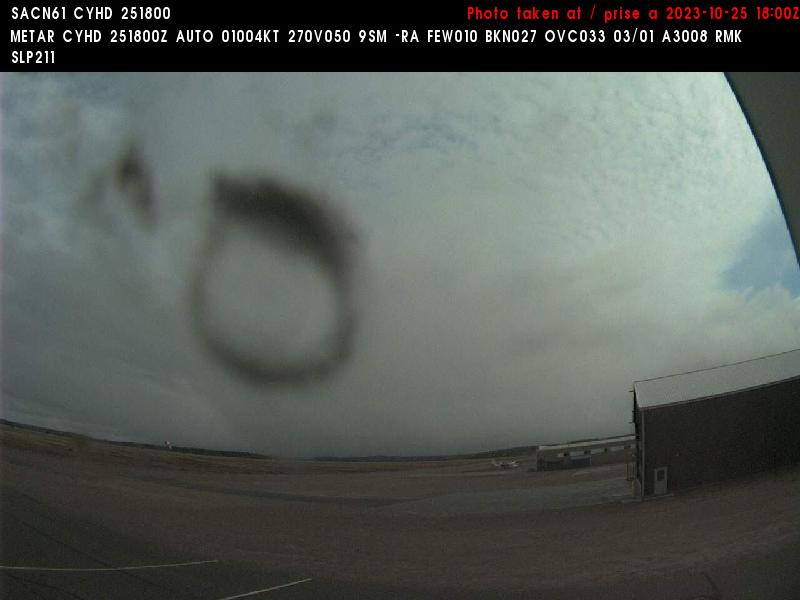
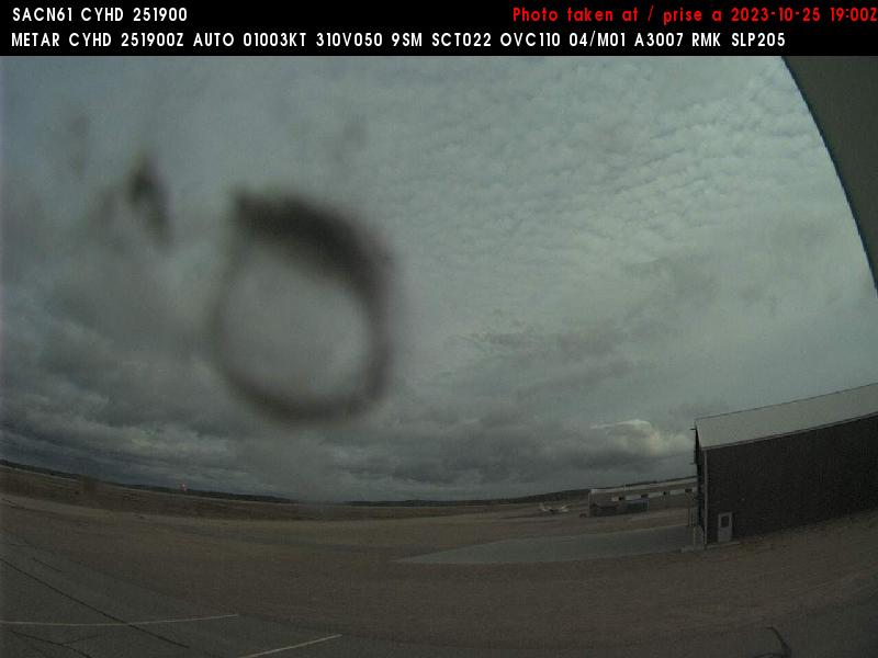
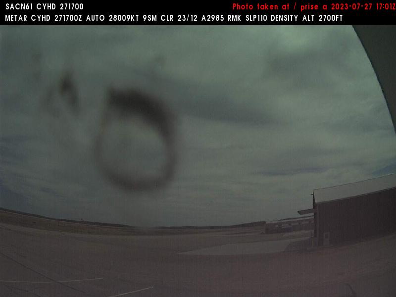
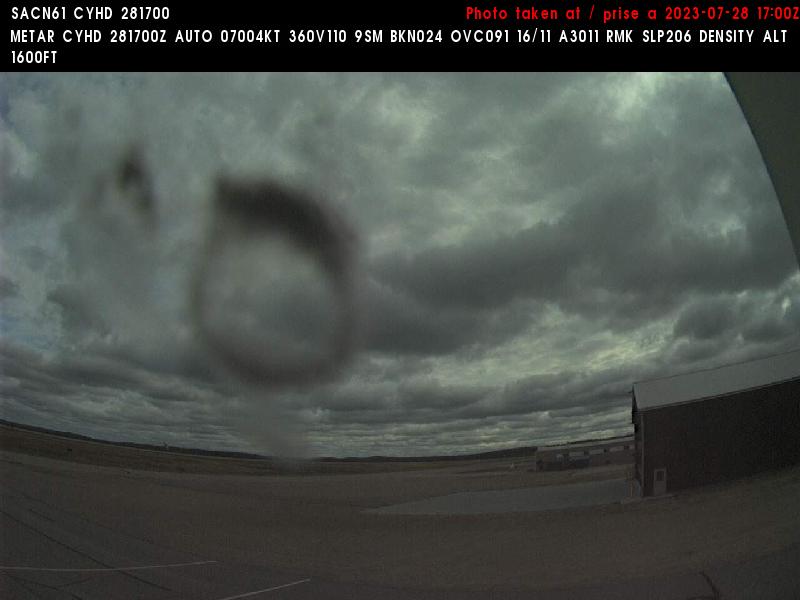
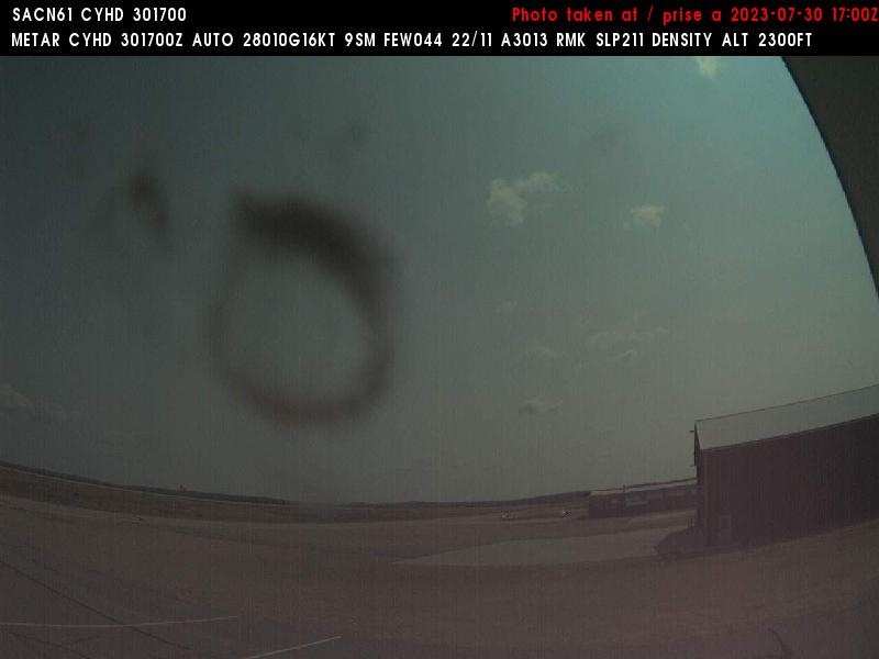
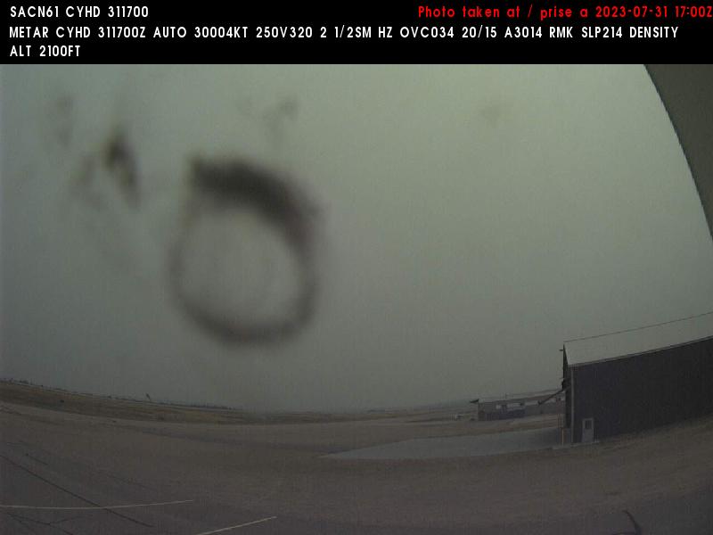
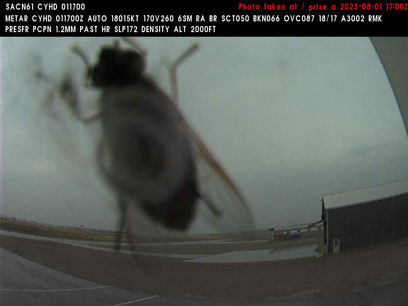
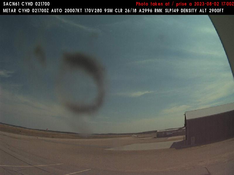
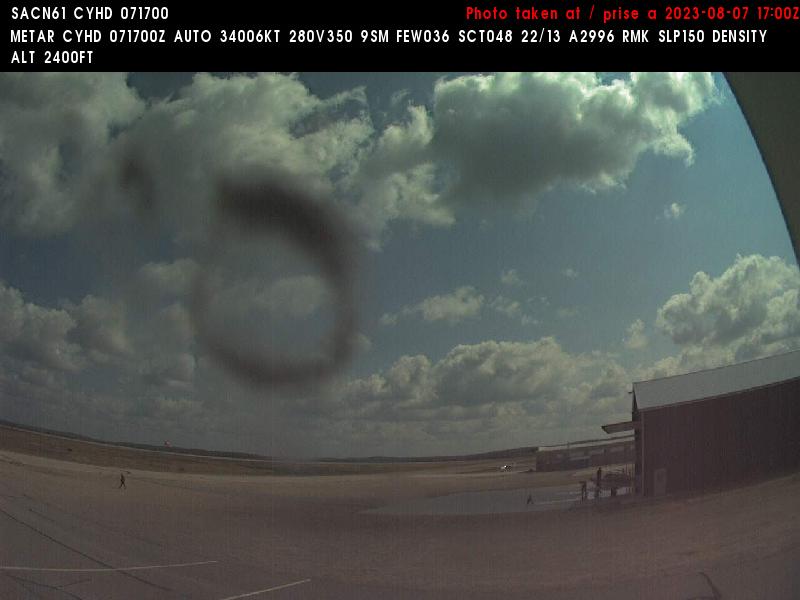
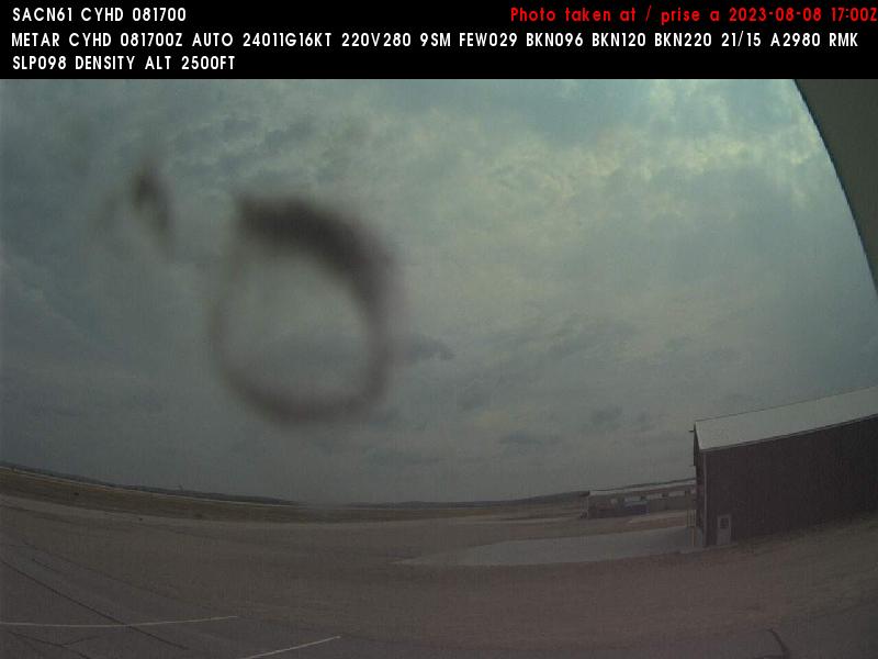
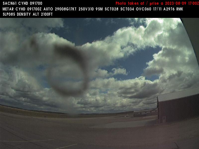
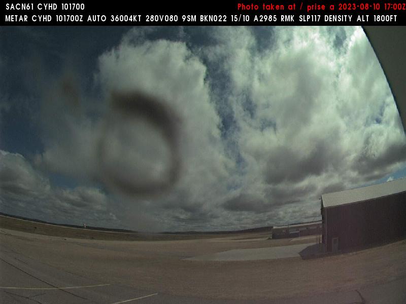
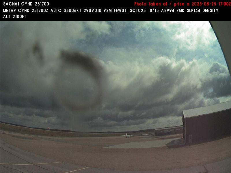
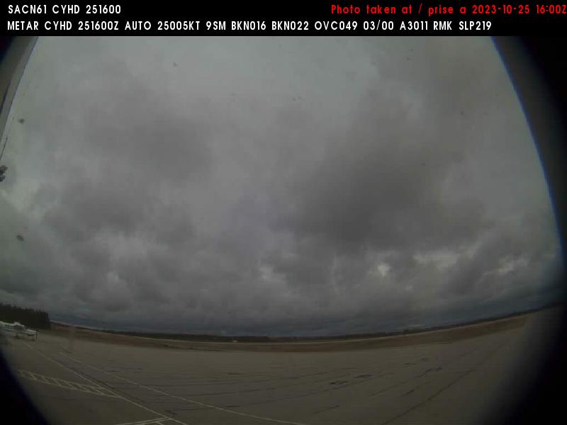
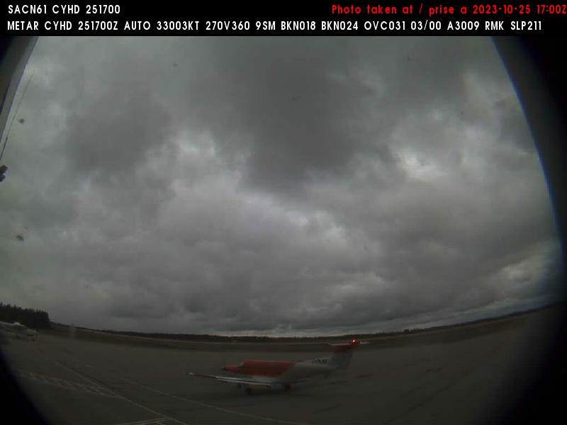
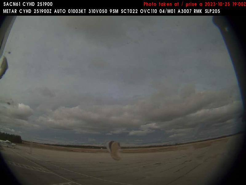
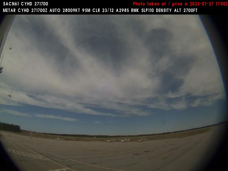
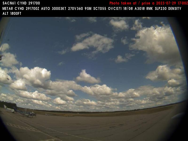
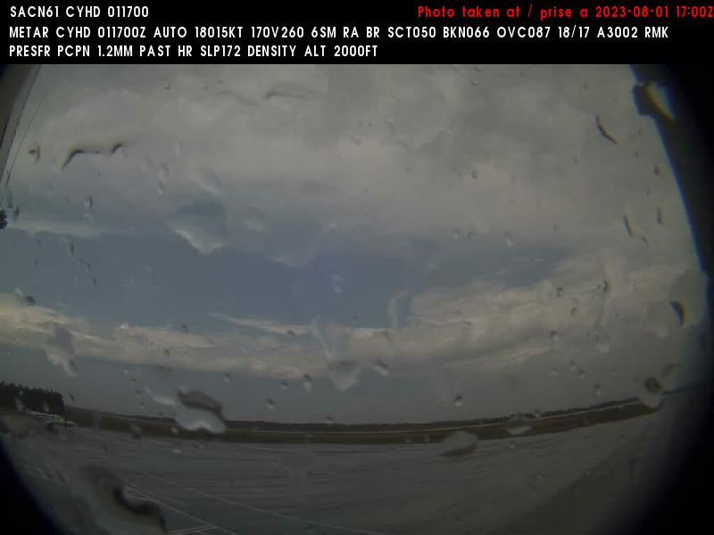
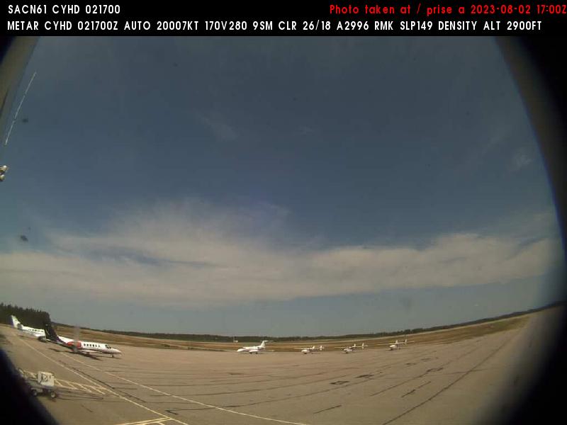
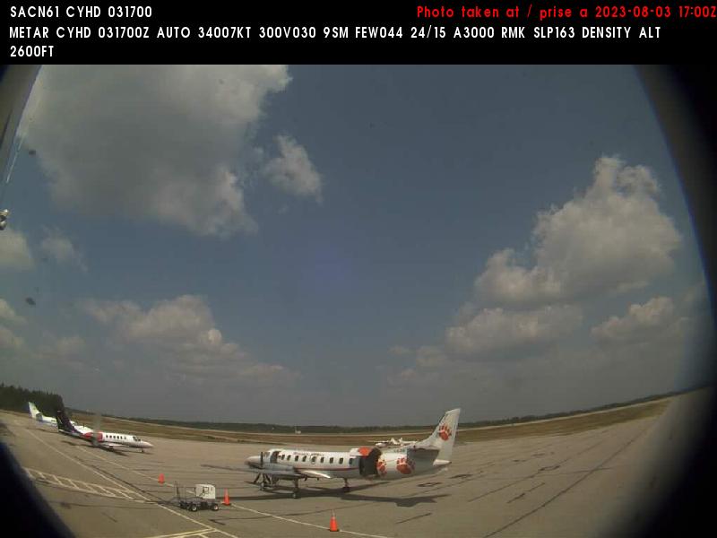
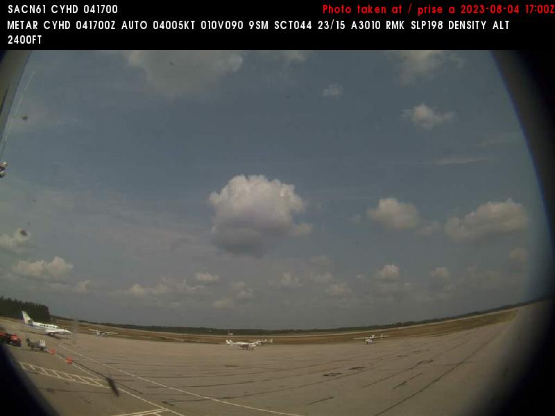
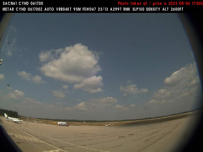
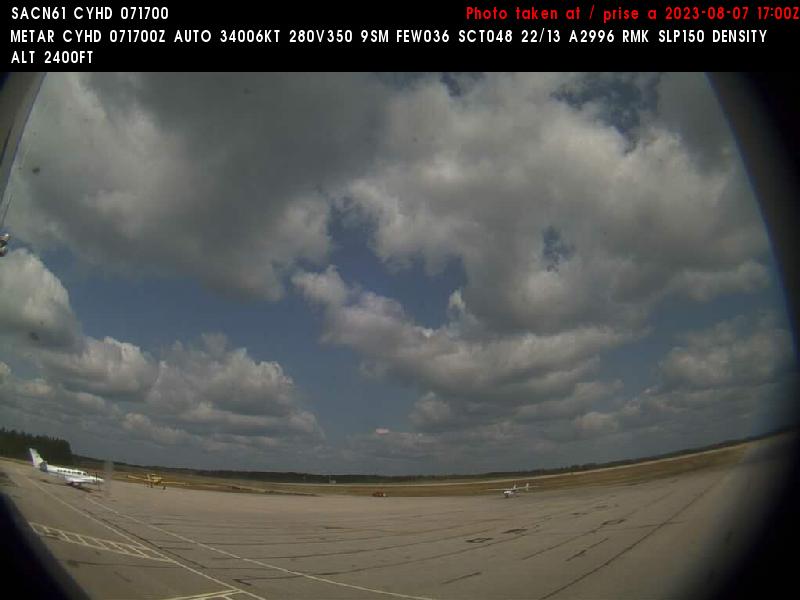
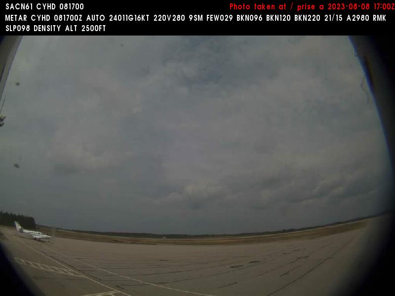
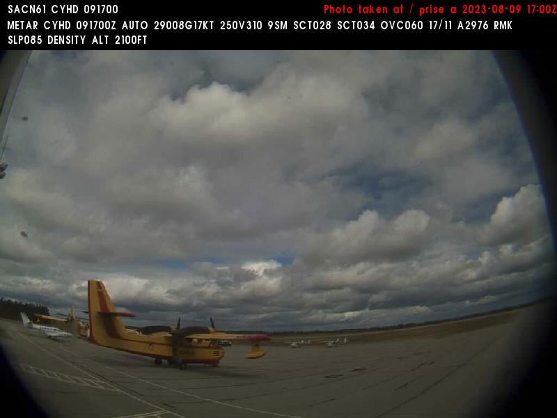
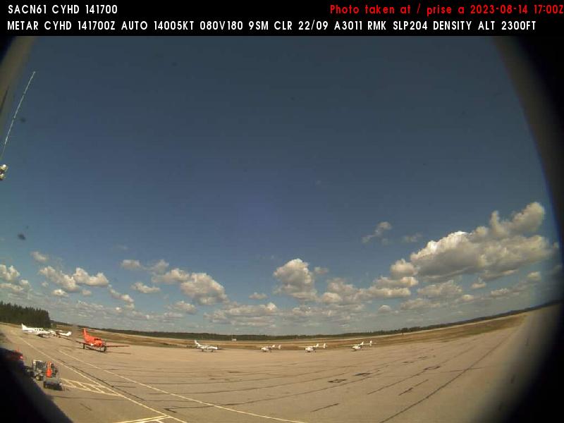
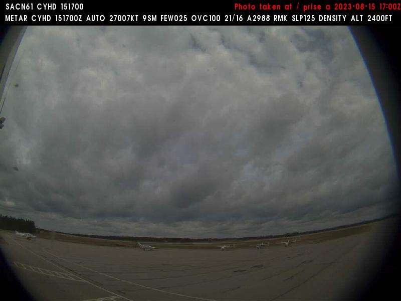
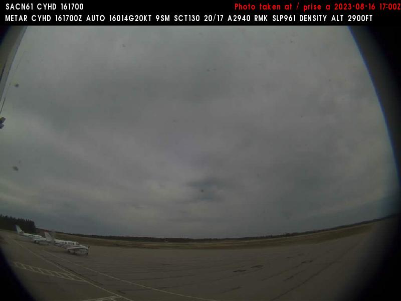
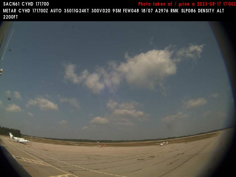
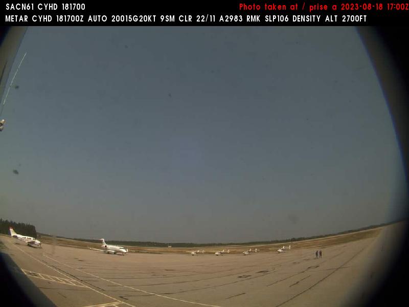
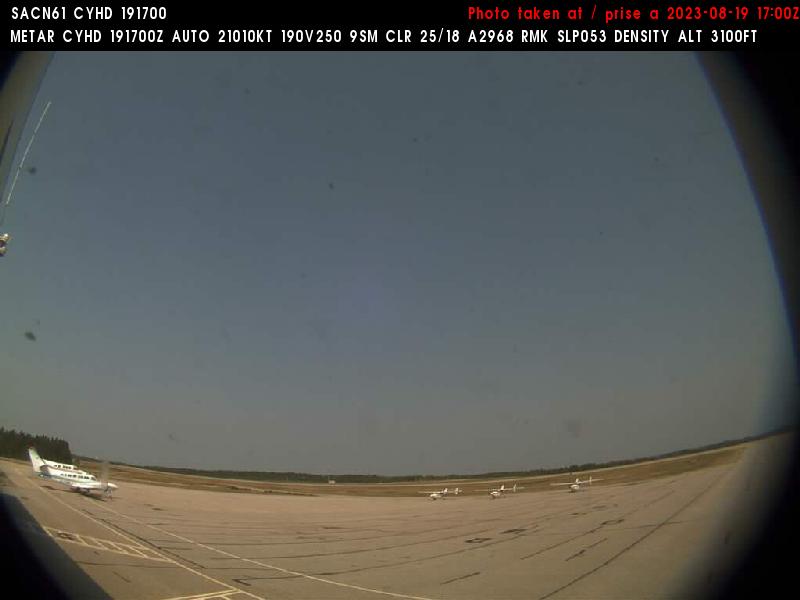
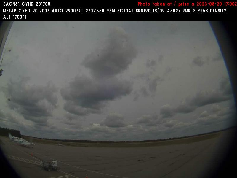
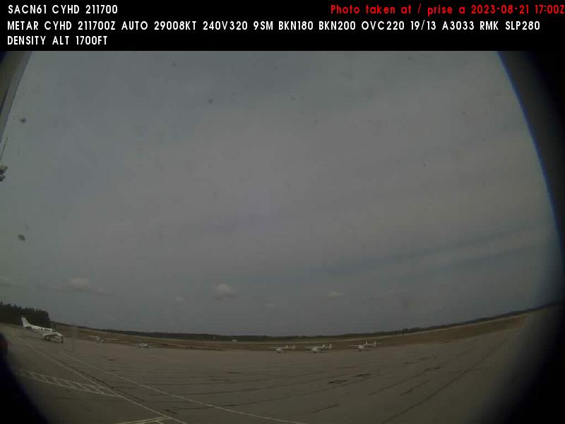
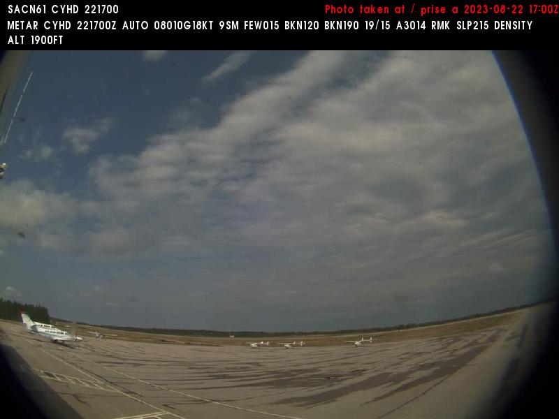
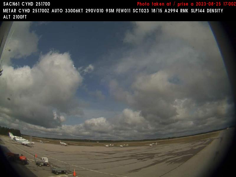
Dryden, Canada - 220 miles from Ambridge: Dryden Regional Airport (CYHD) - A view in eastern direction.
Operator: NAV CANADA
Operator: NAV CANADA


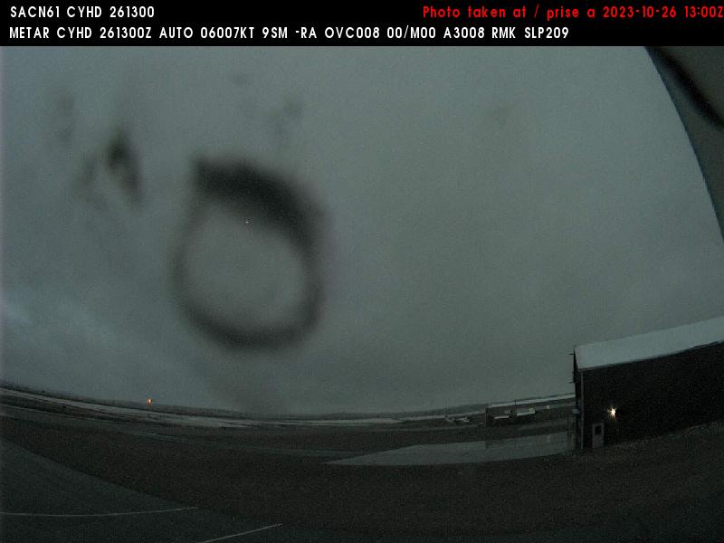
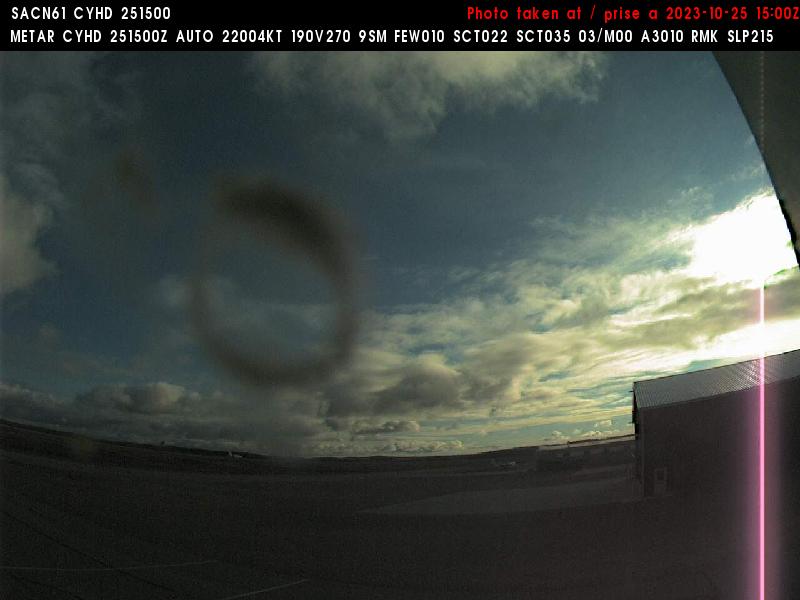
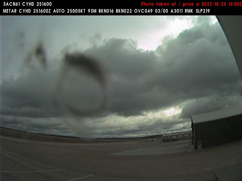
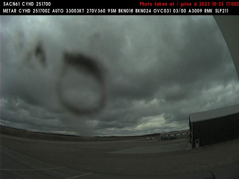

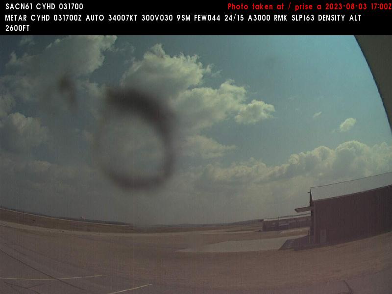
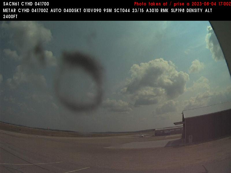
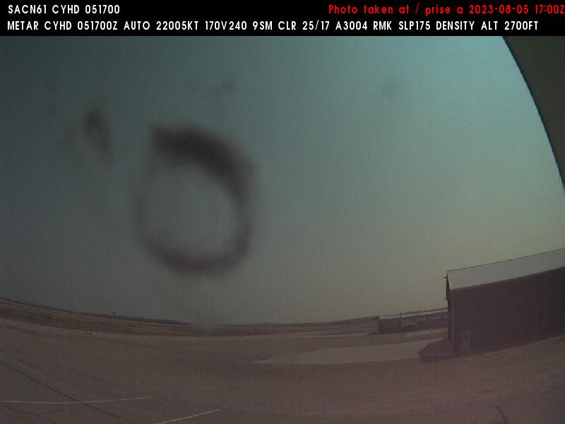
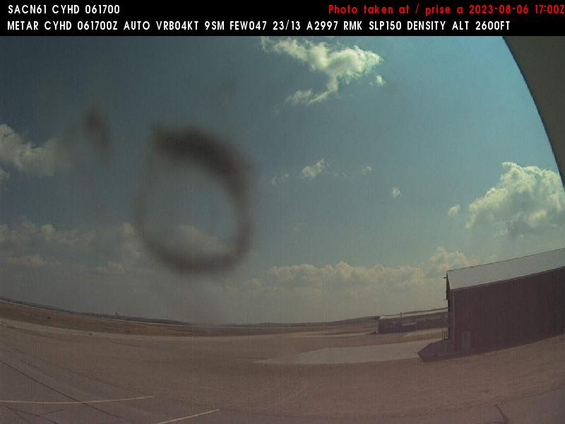

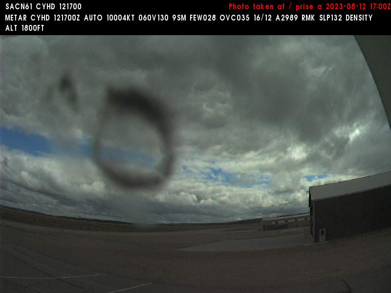
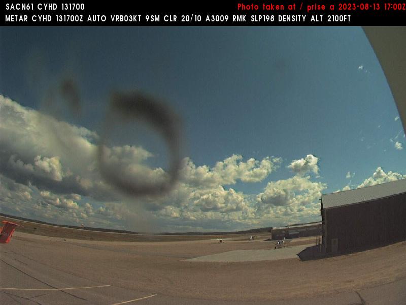

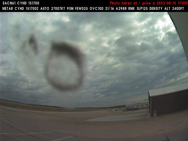
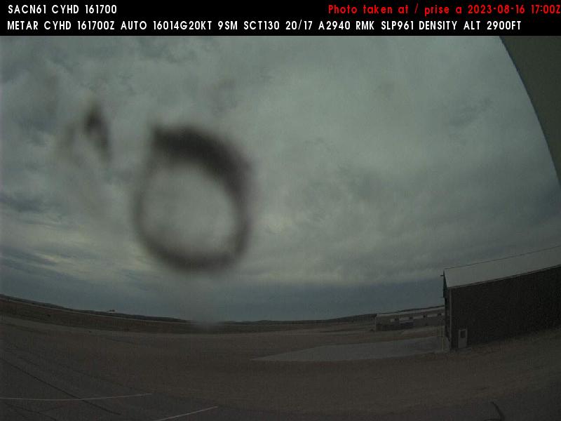
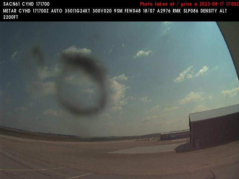
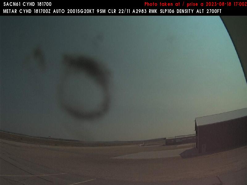
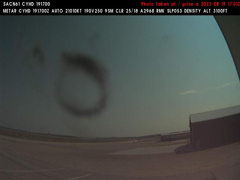
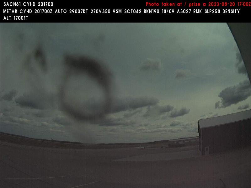
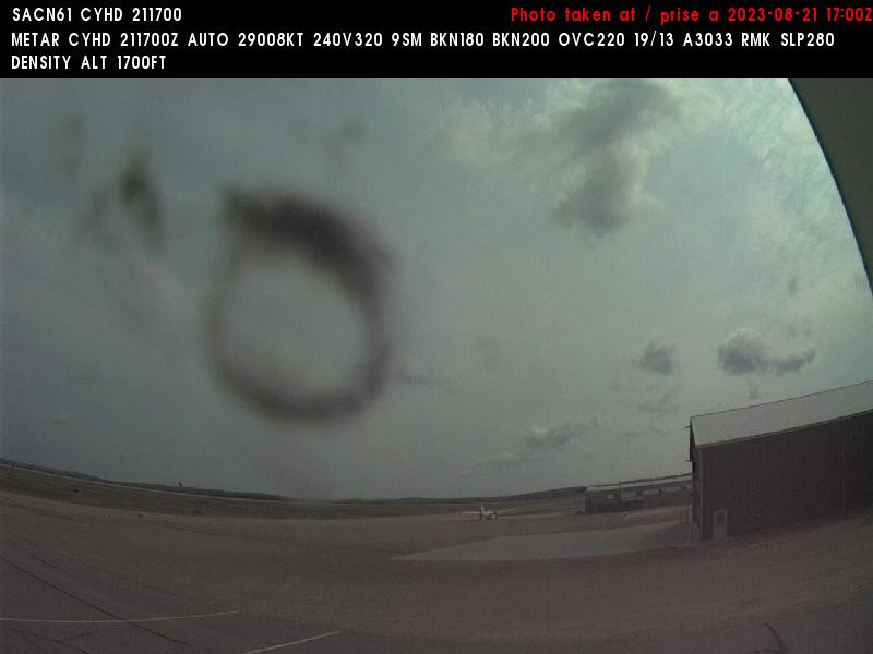
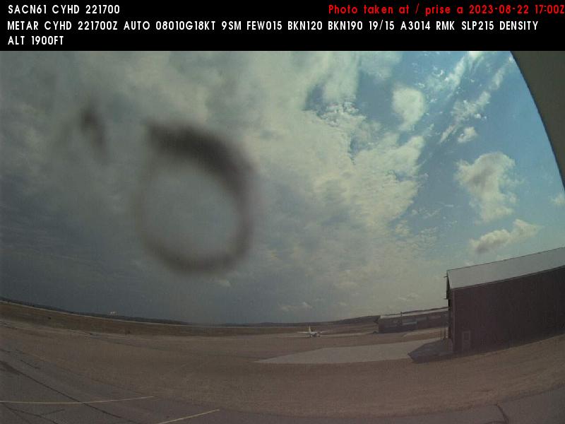
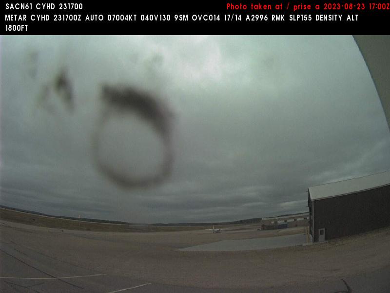
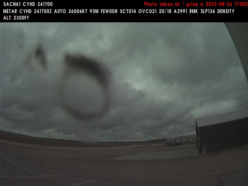

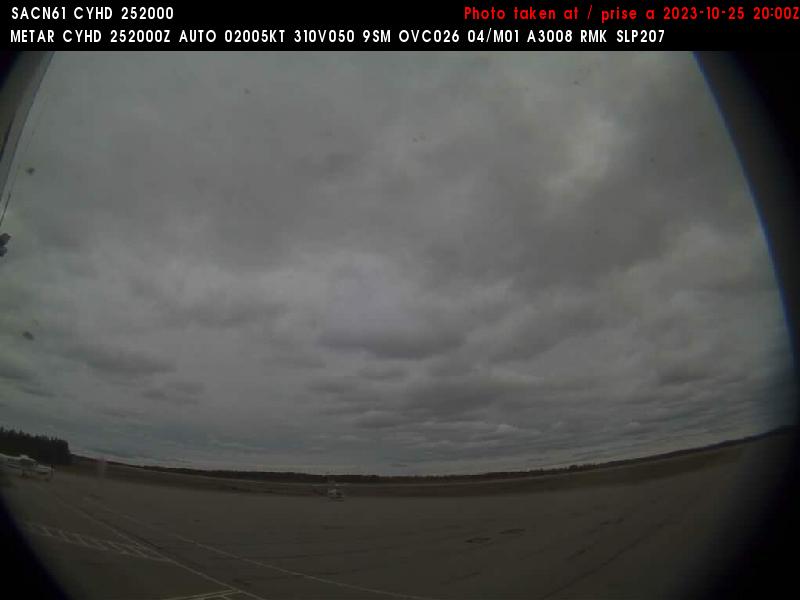
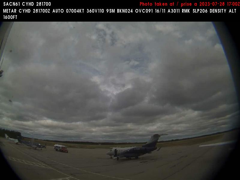
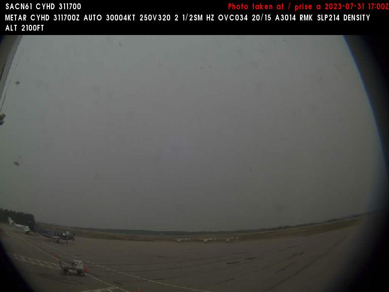
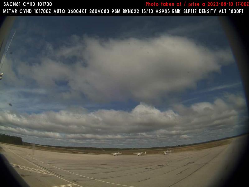
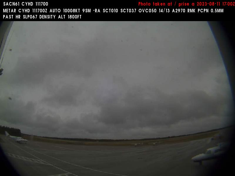
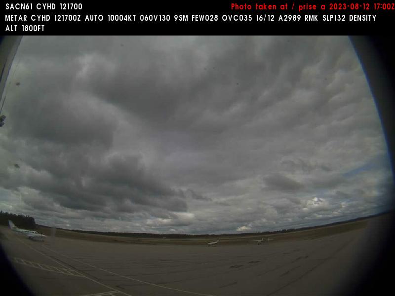
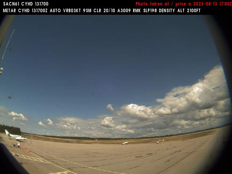
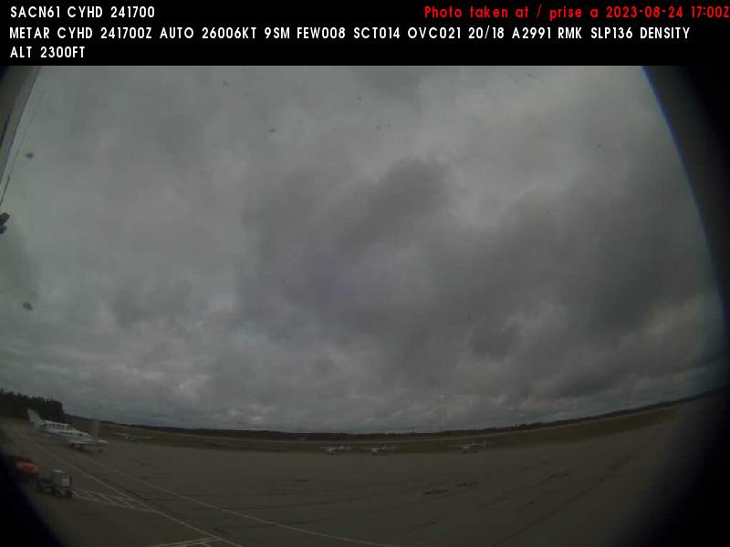
Dryden, Canada - 220 miles from Ambridge: Dryden Regional Airport (CYHD) - A view in northern direction.
Operator: NAV CANADA
Operator: NAV CANADA


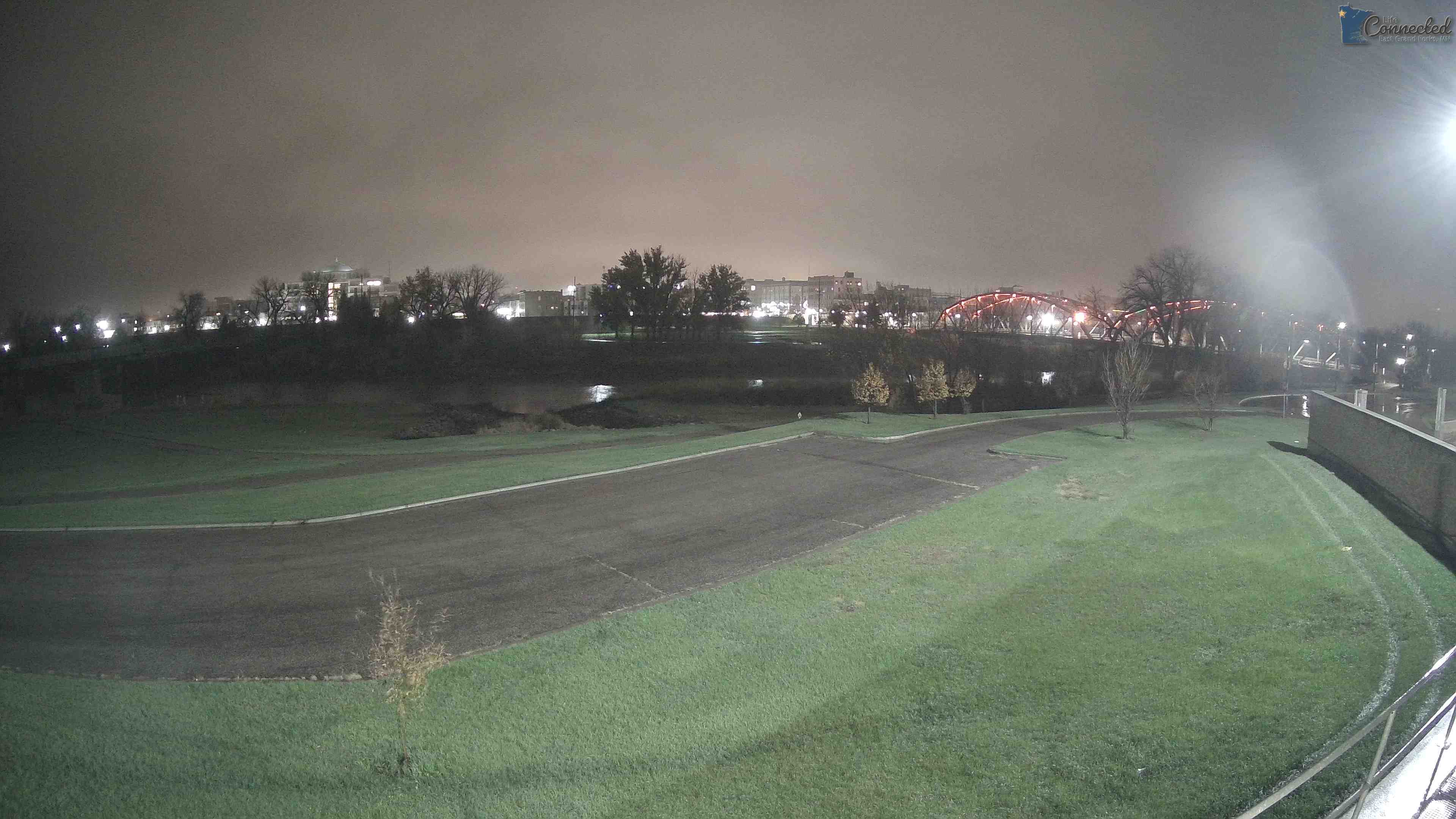
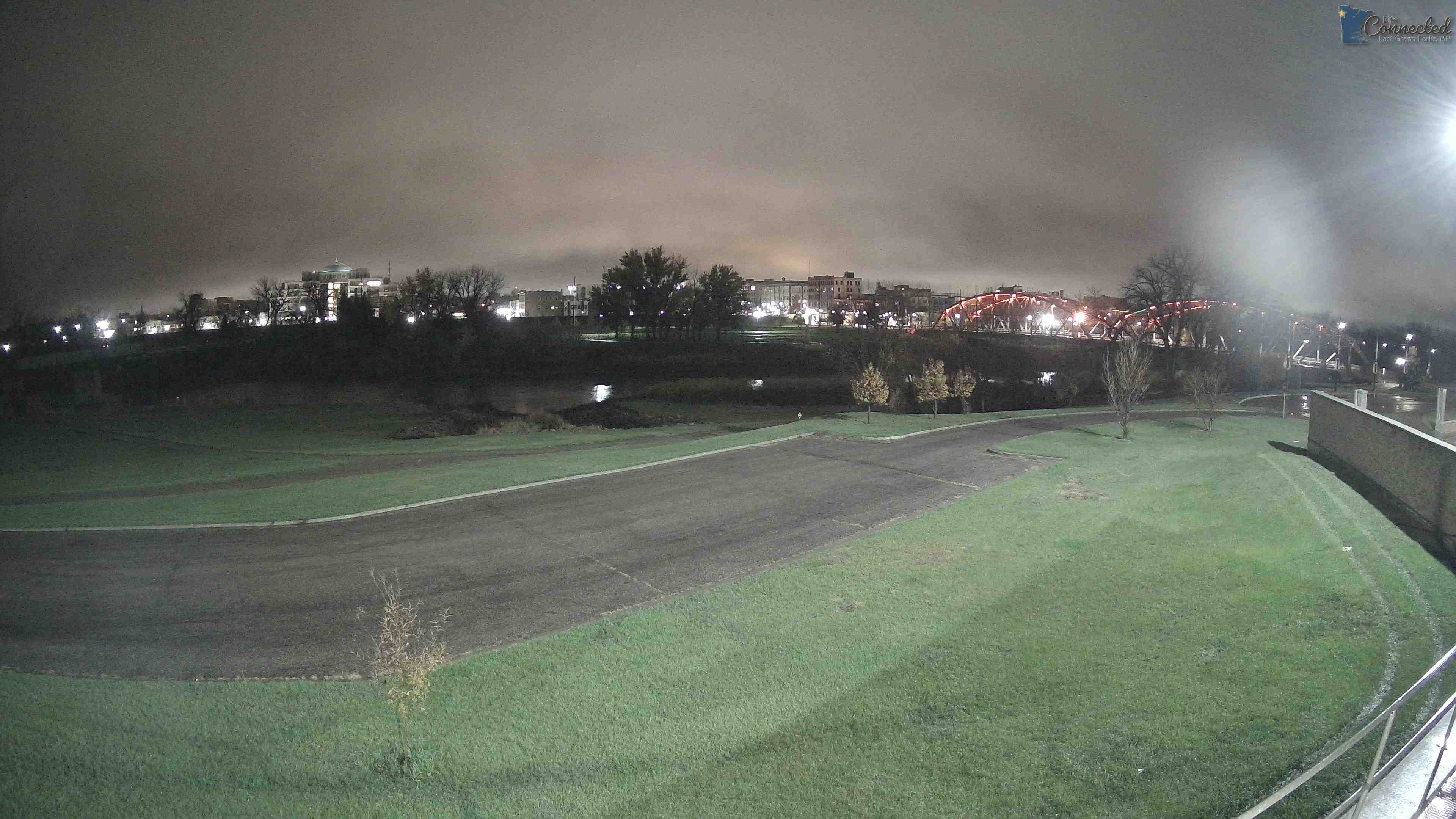
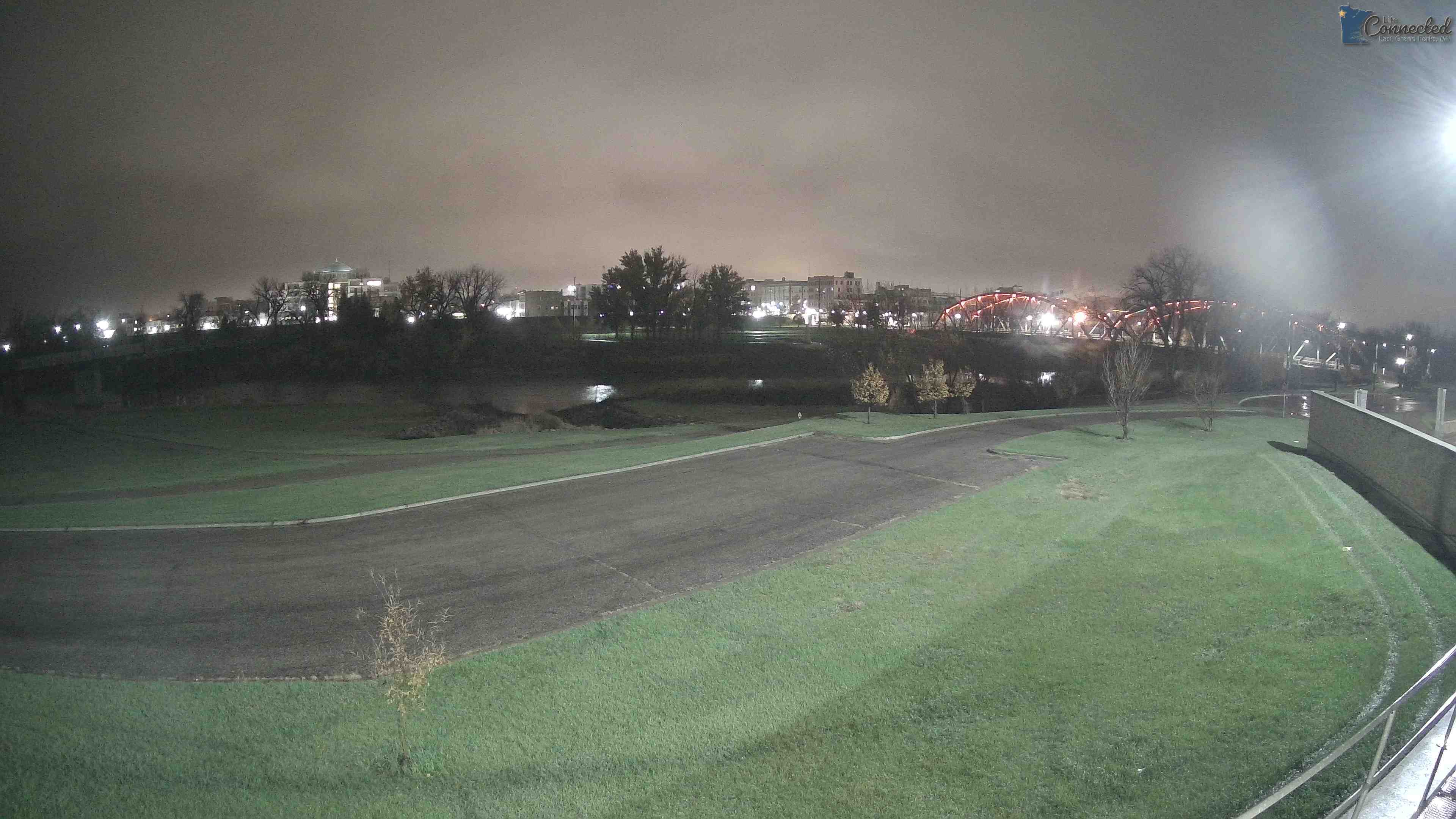
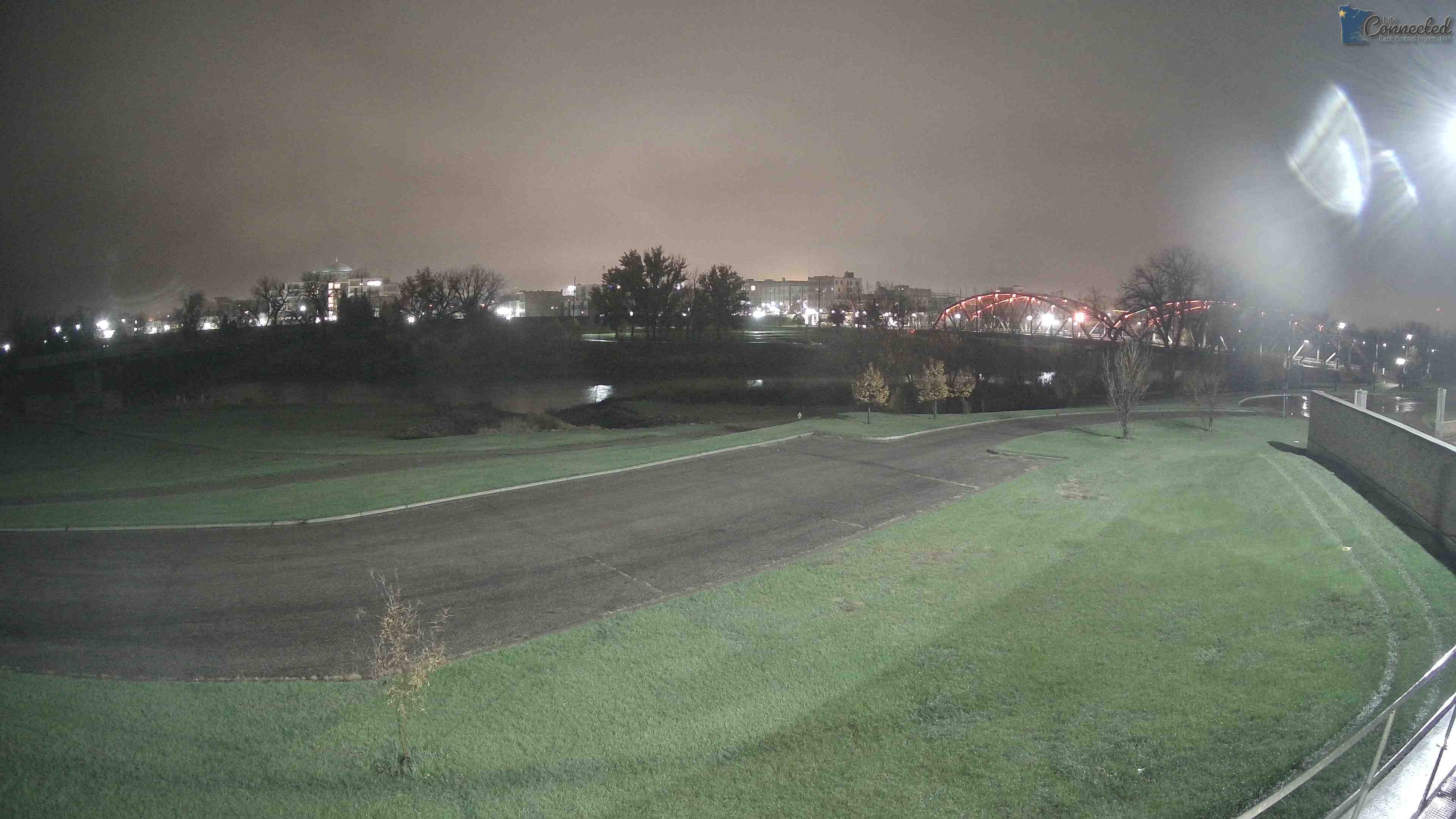
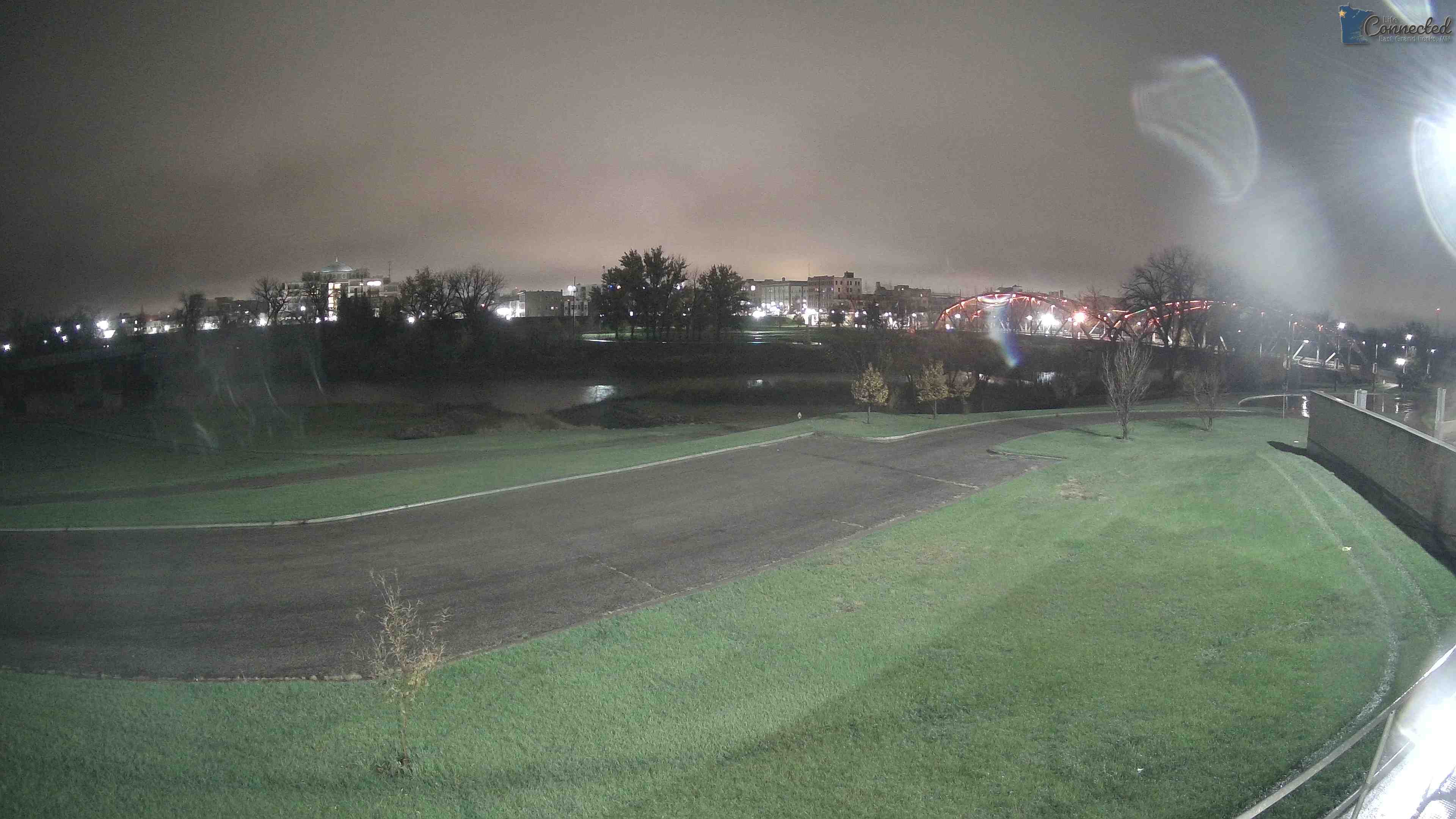
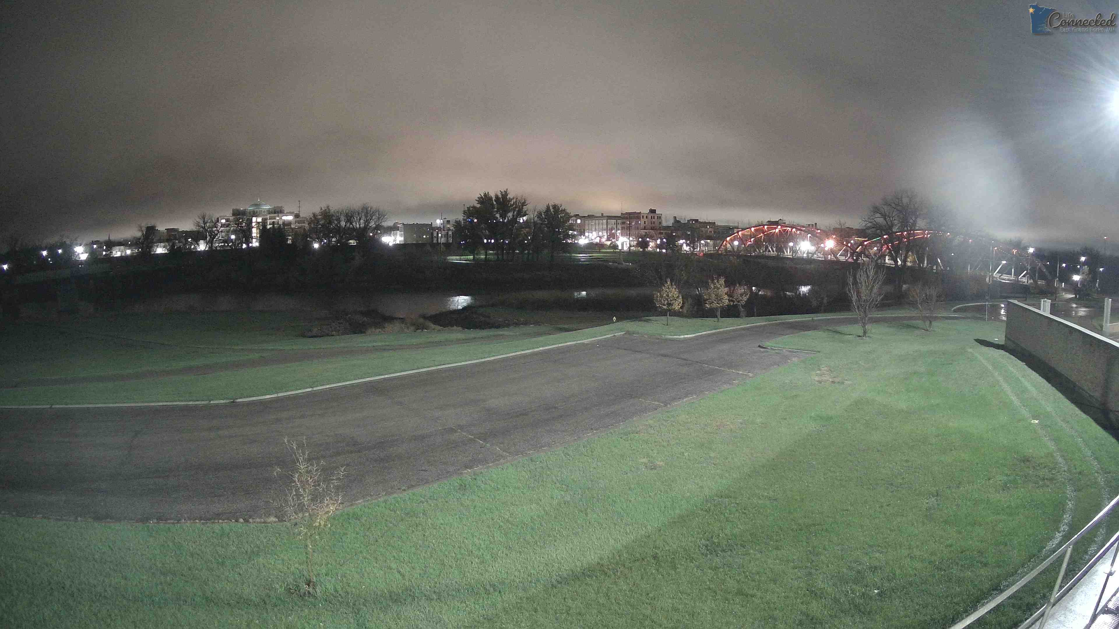
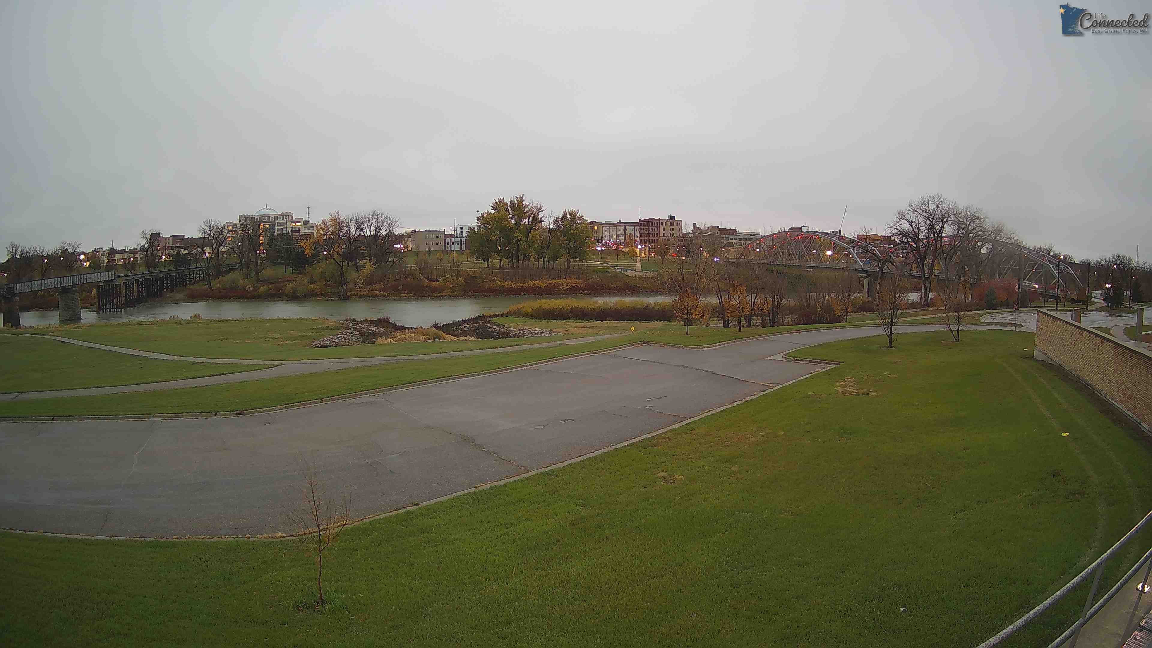
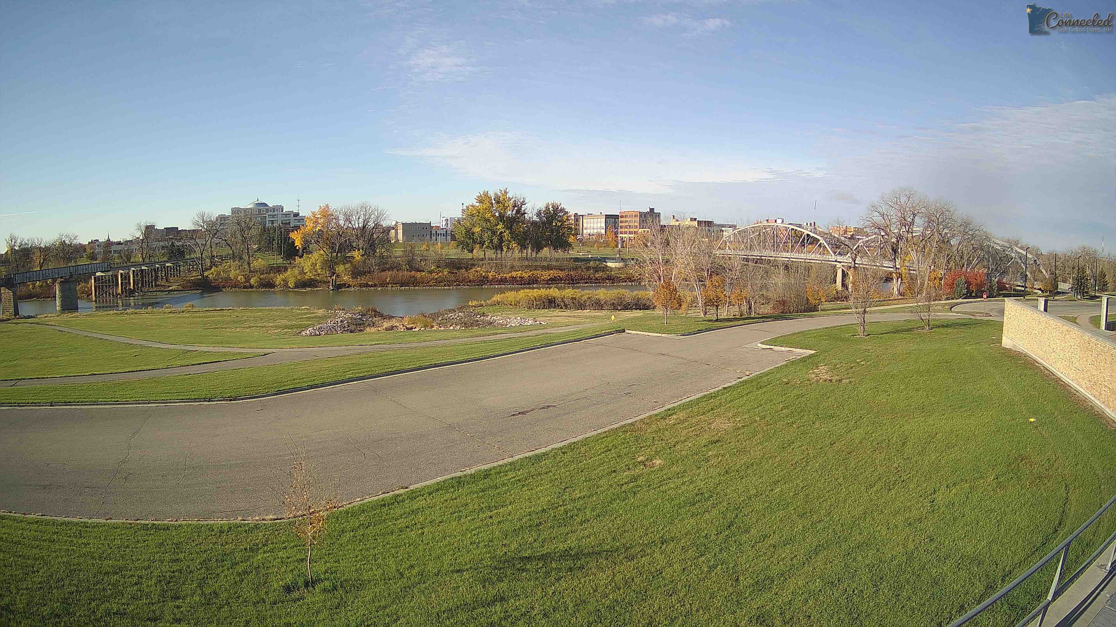
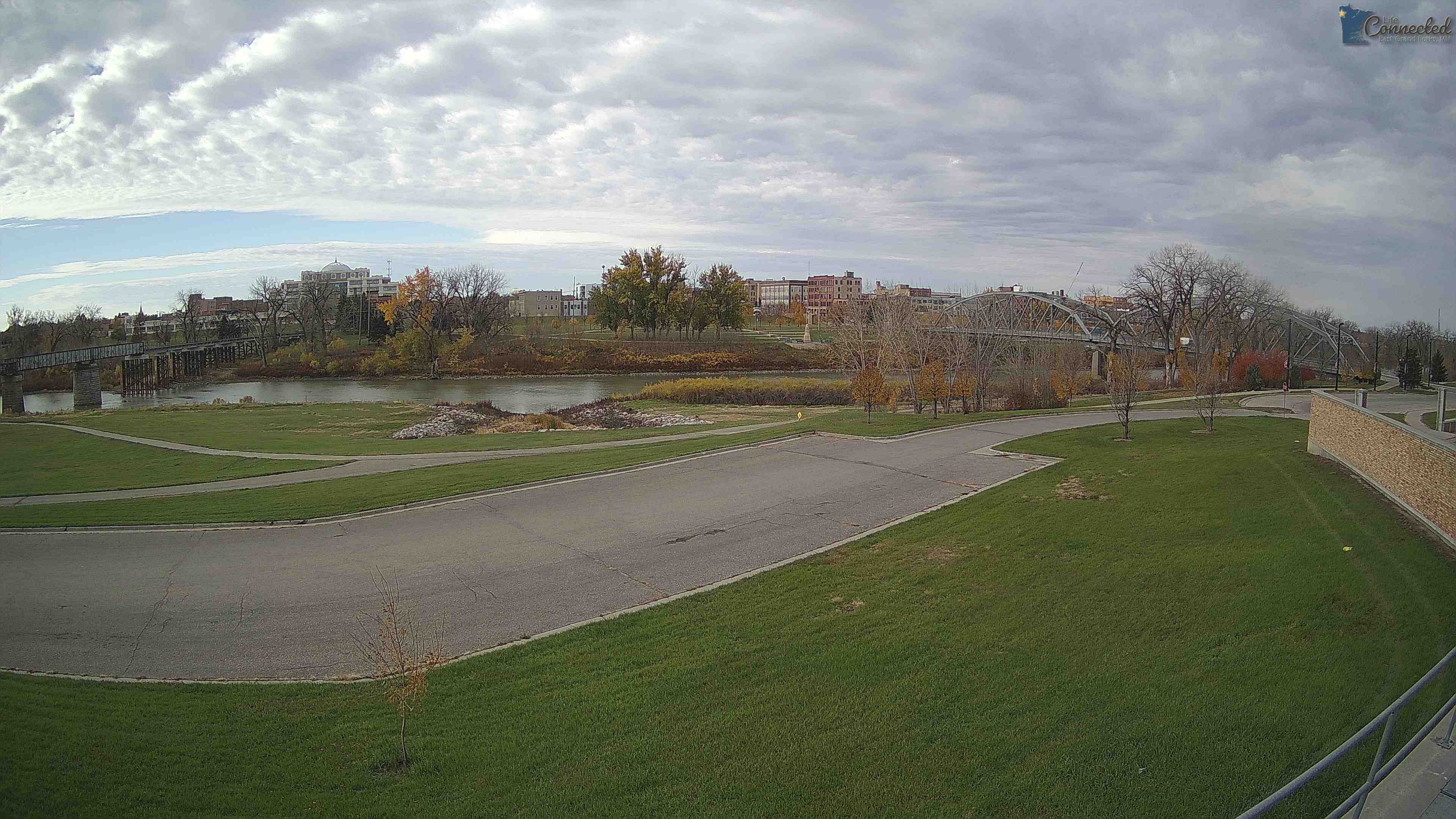
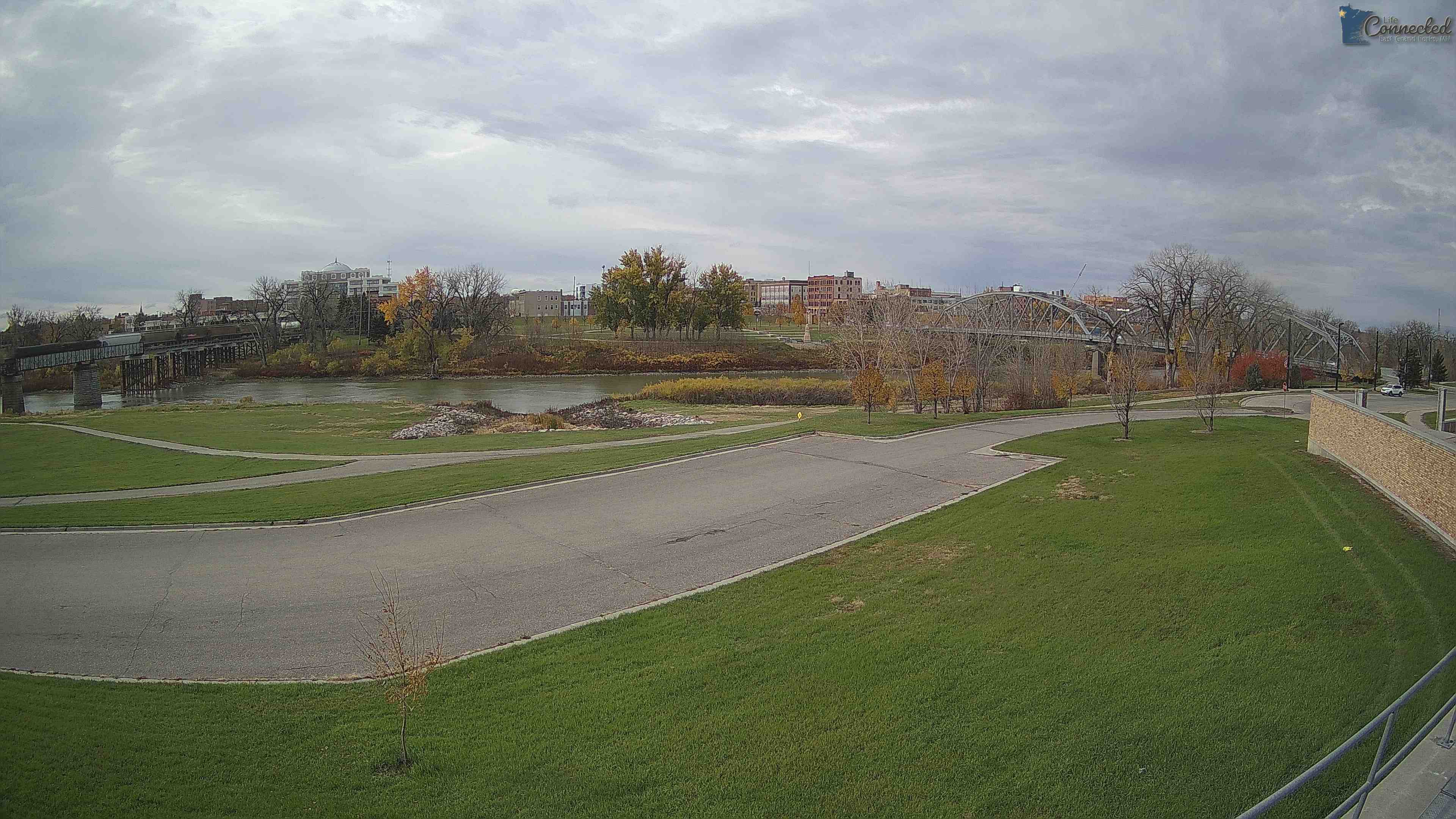
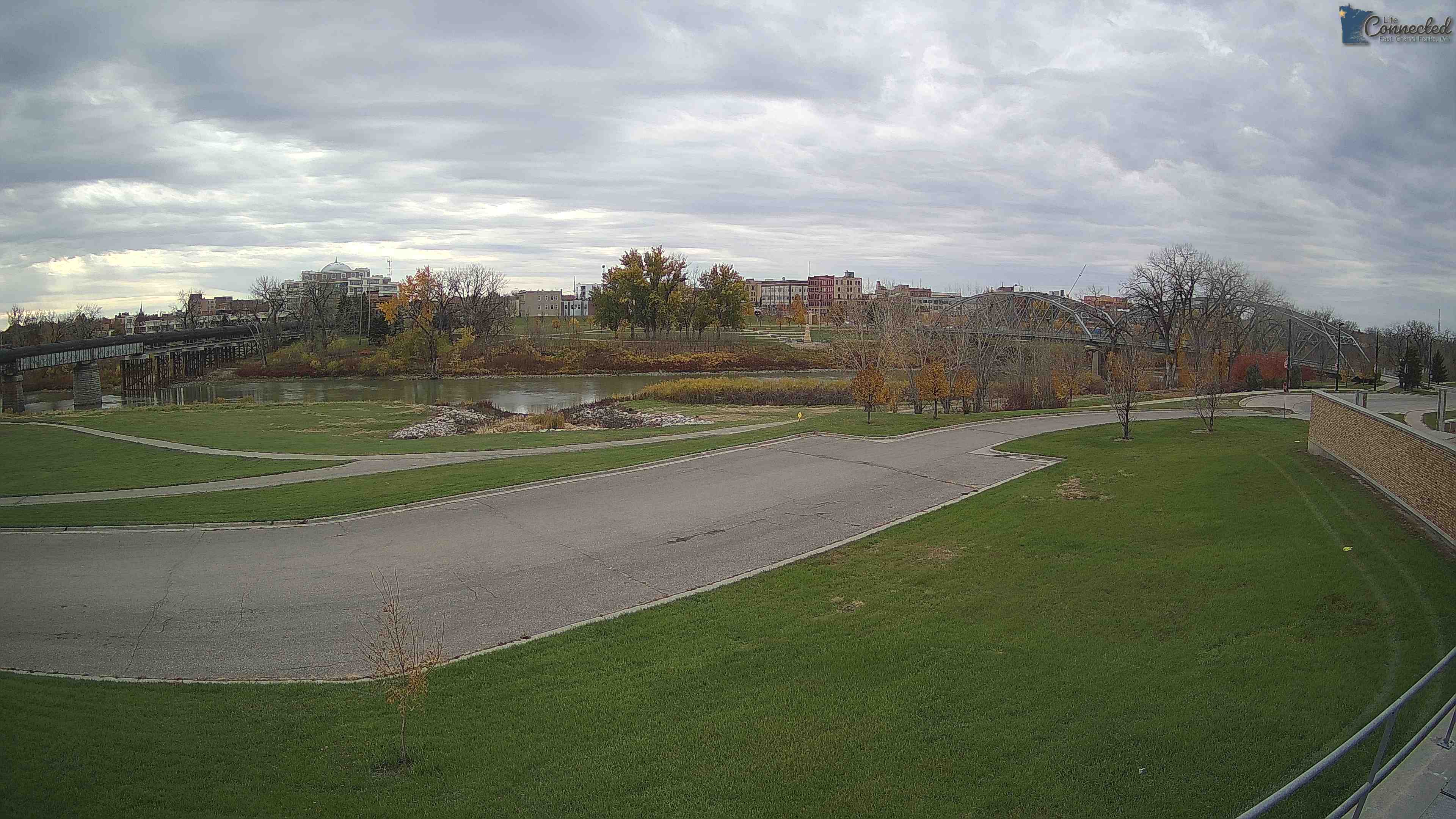
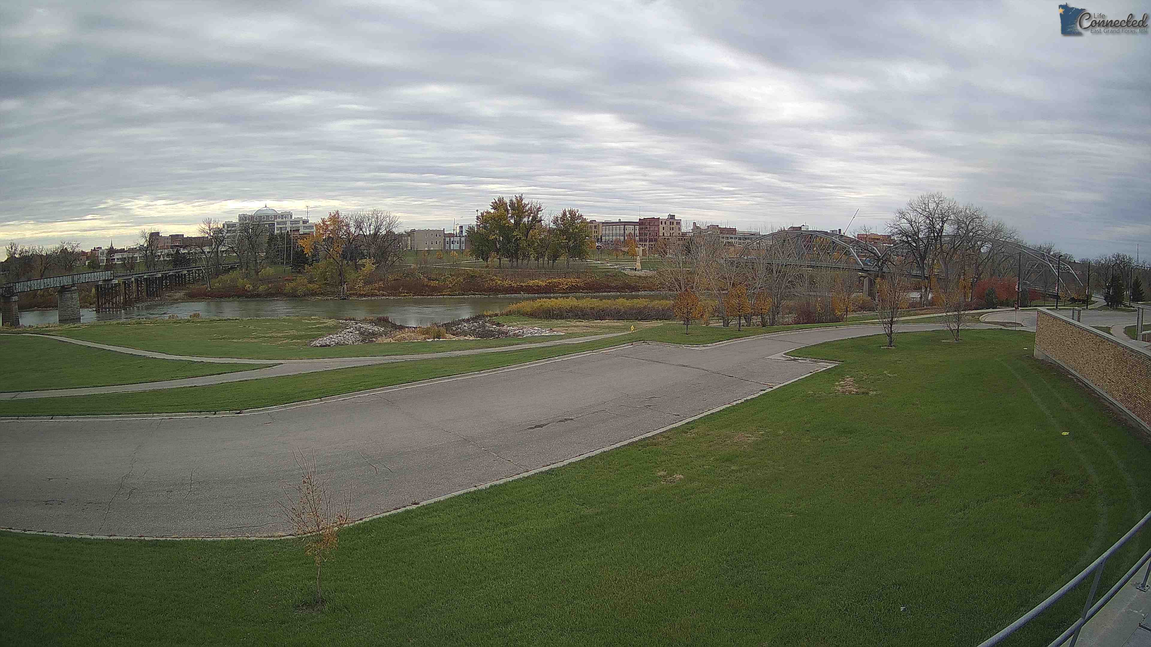
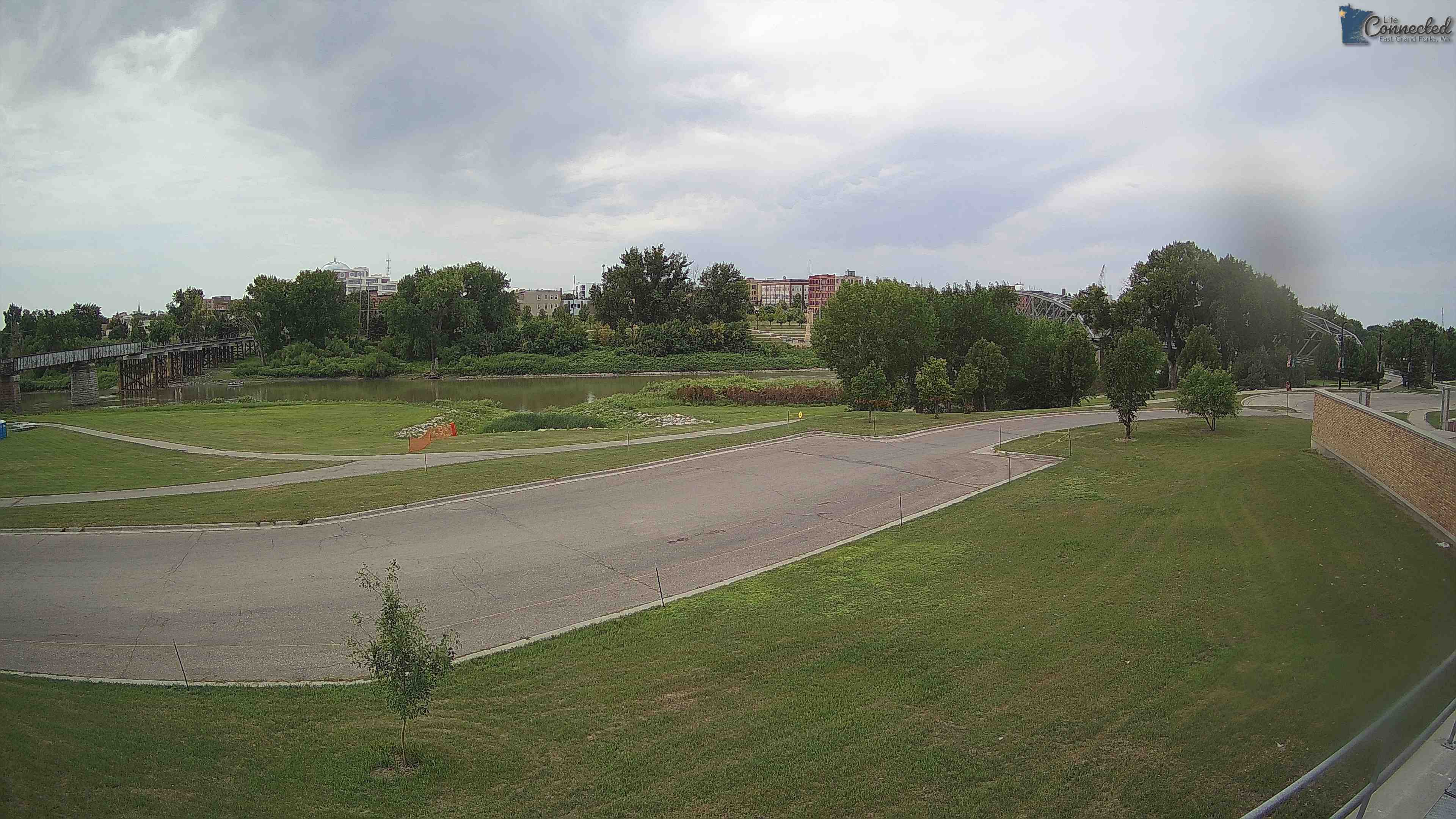
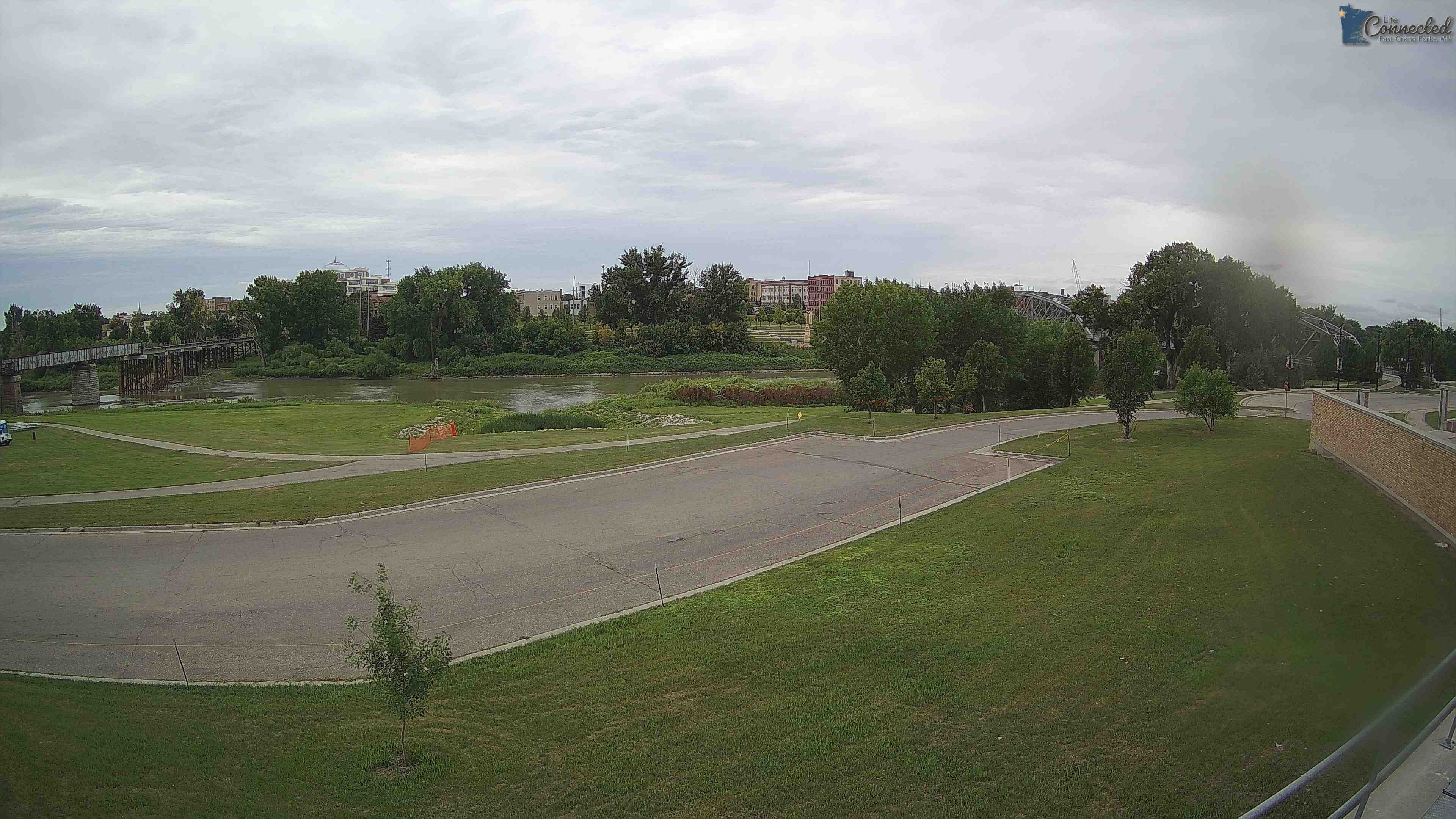
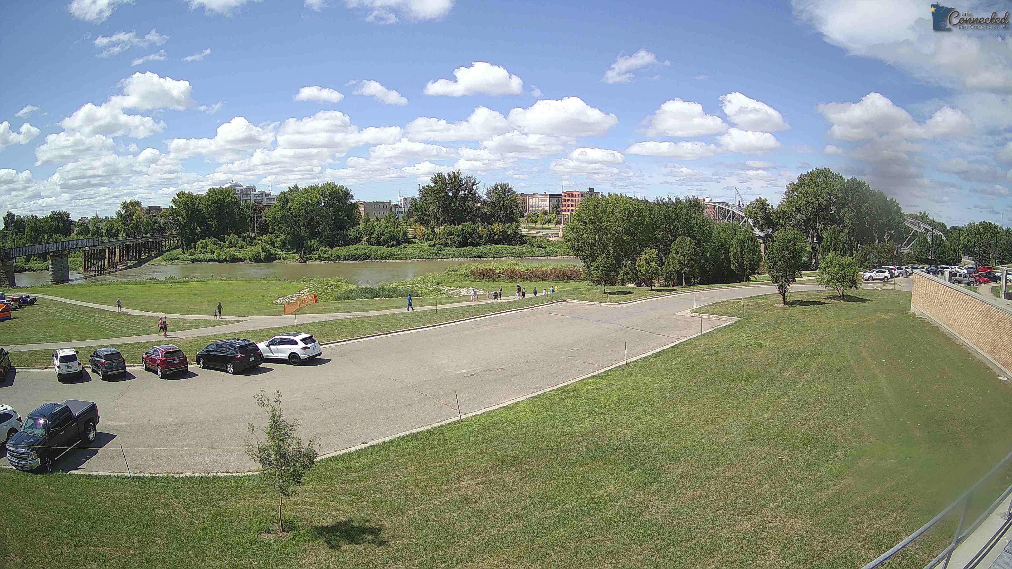
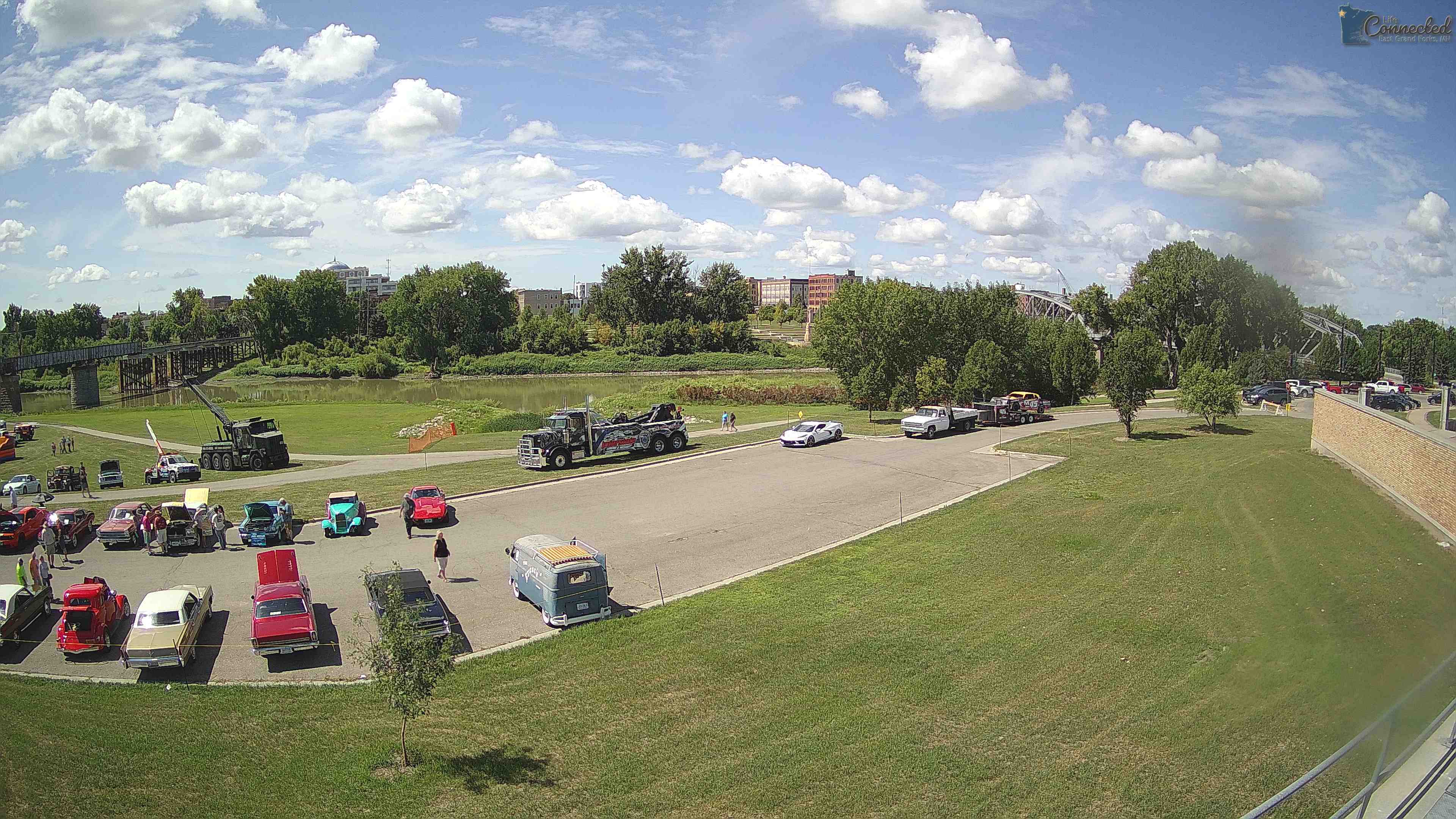
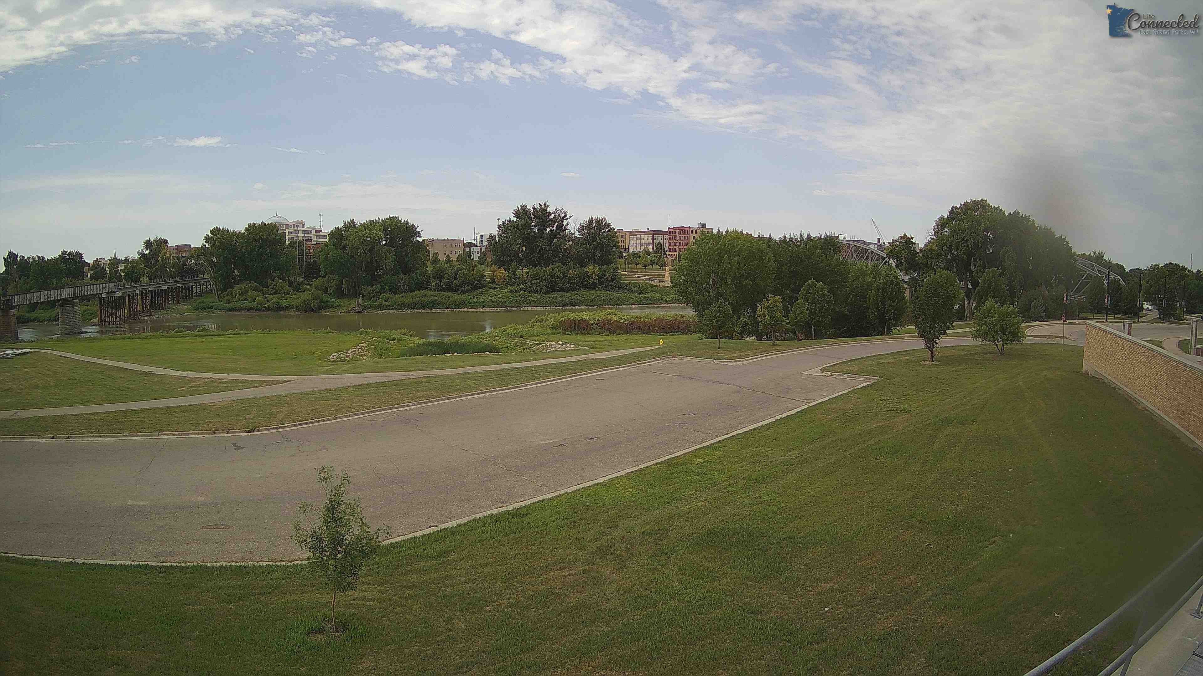
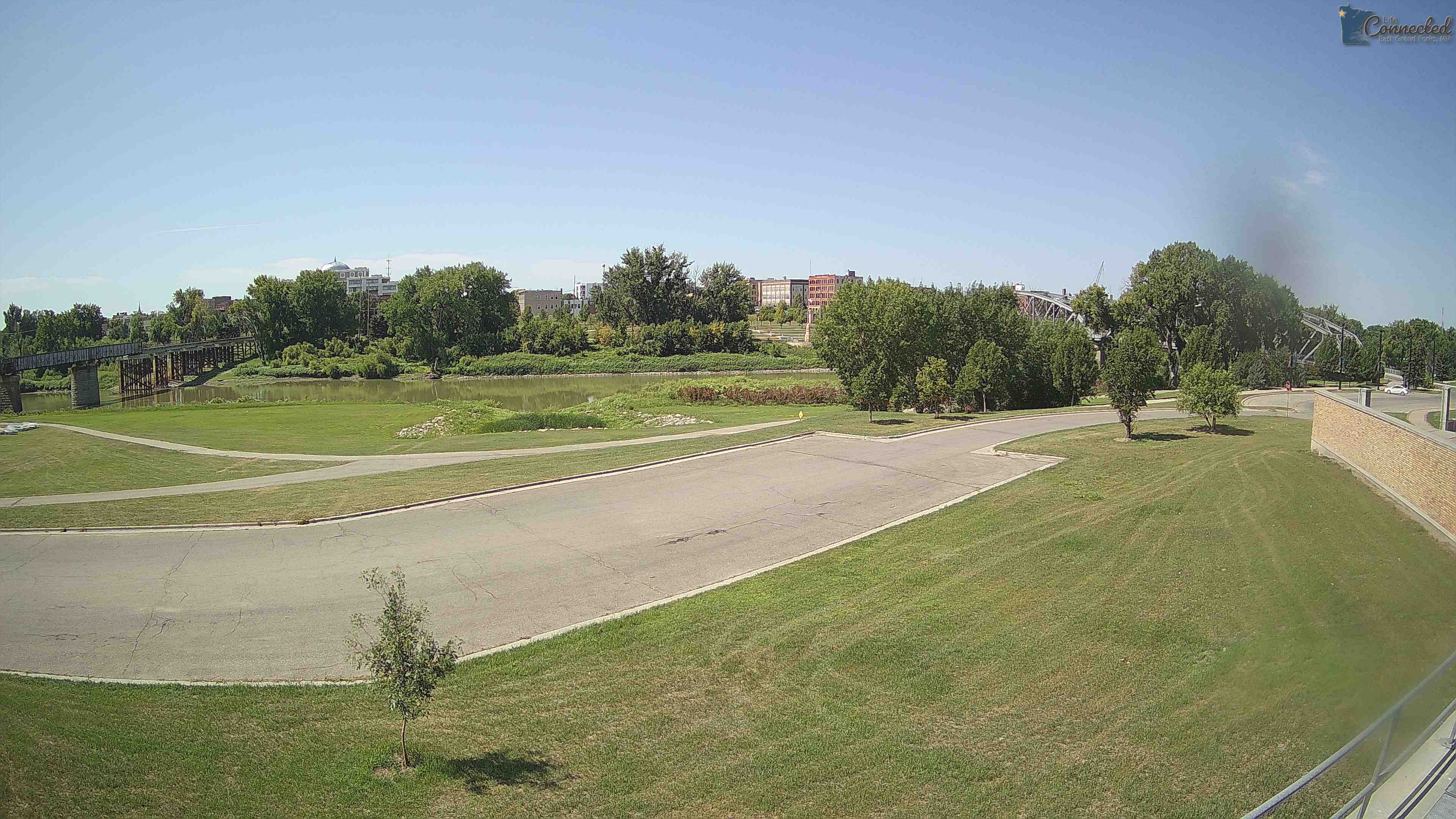
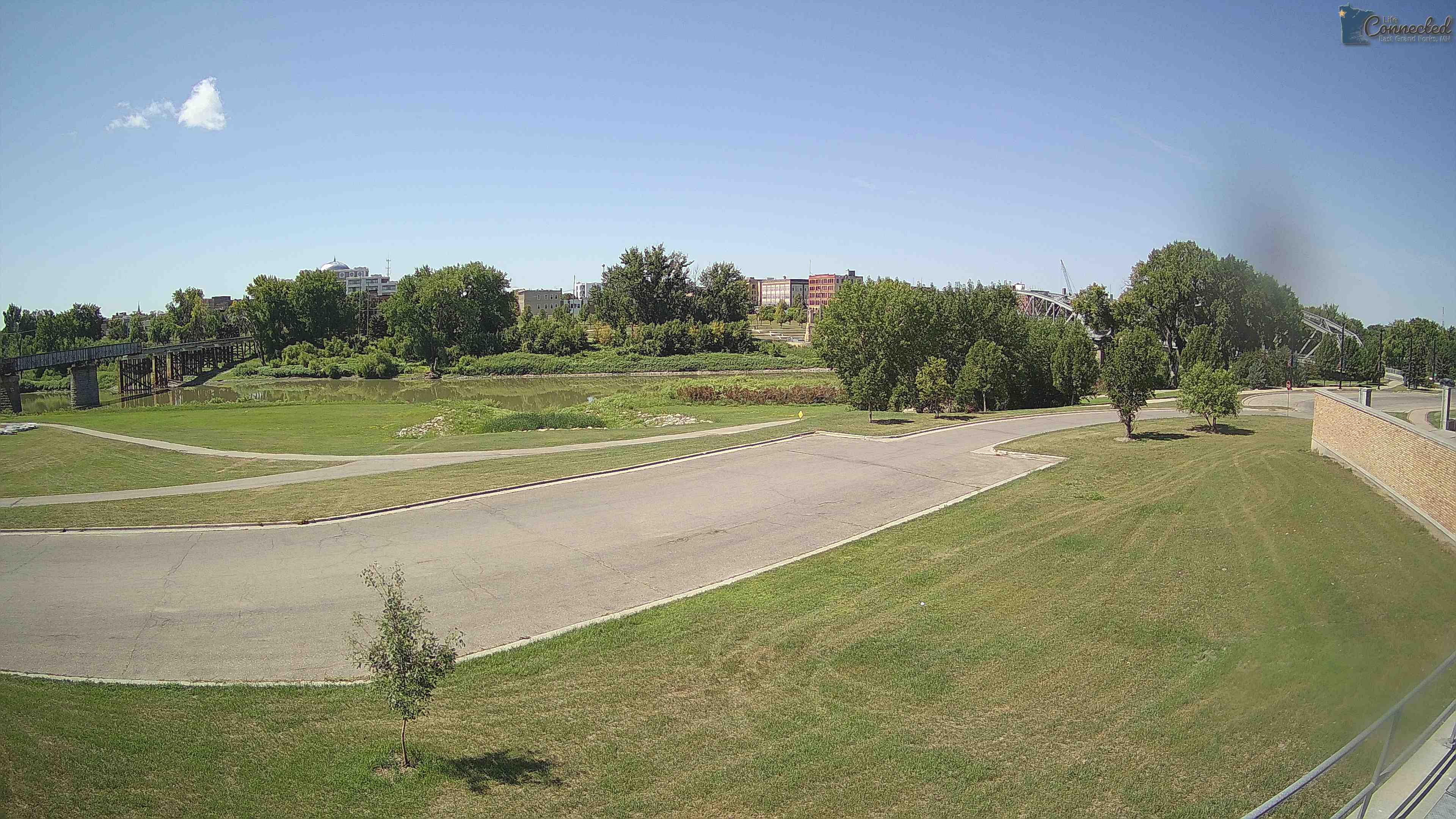
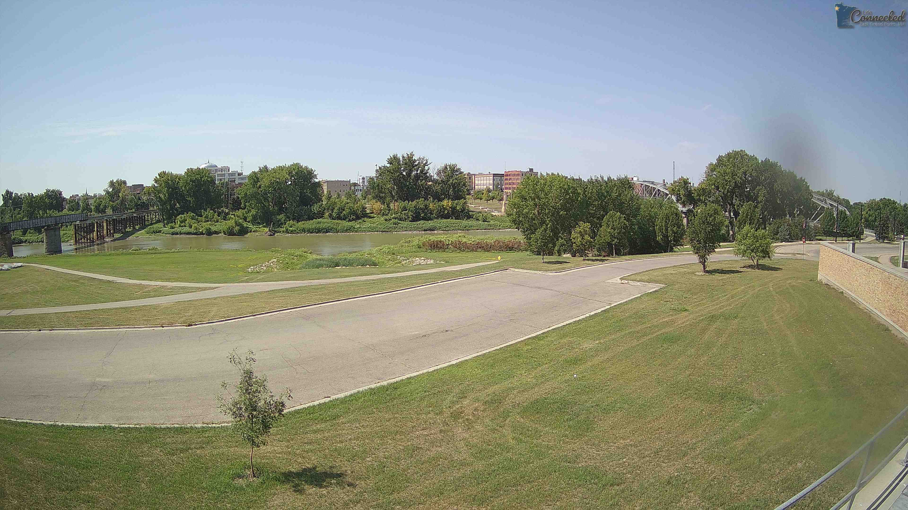
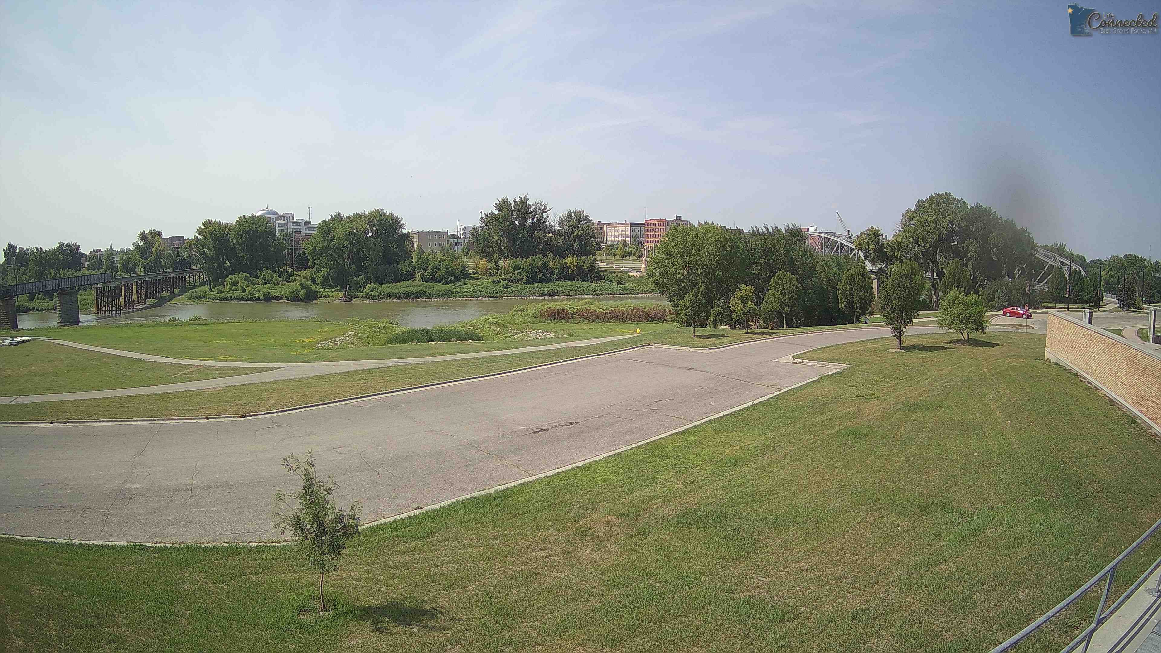
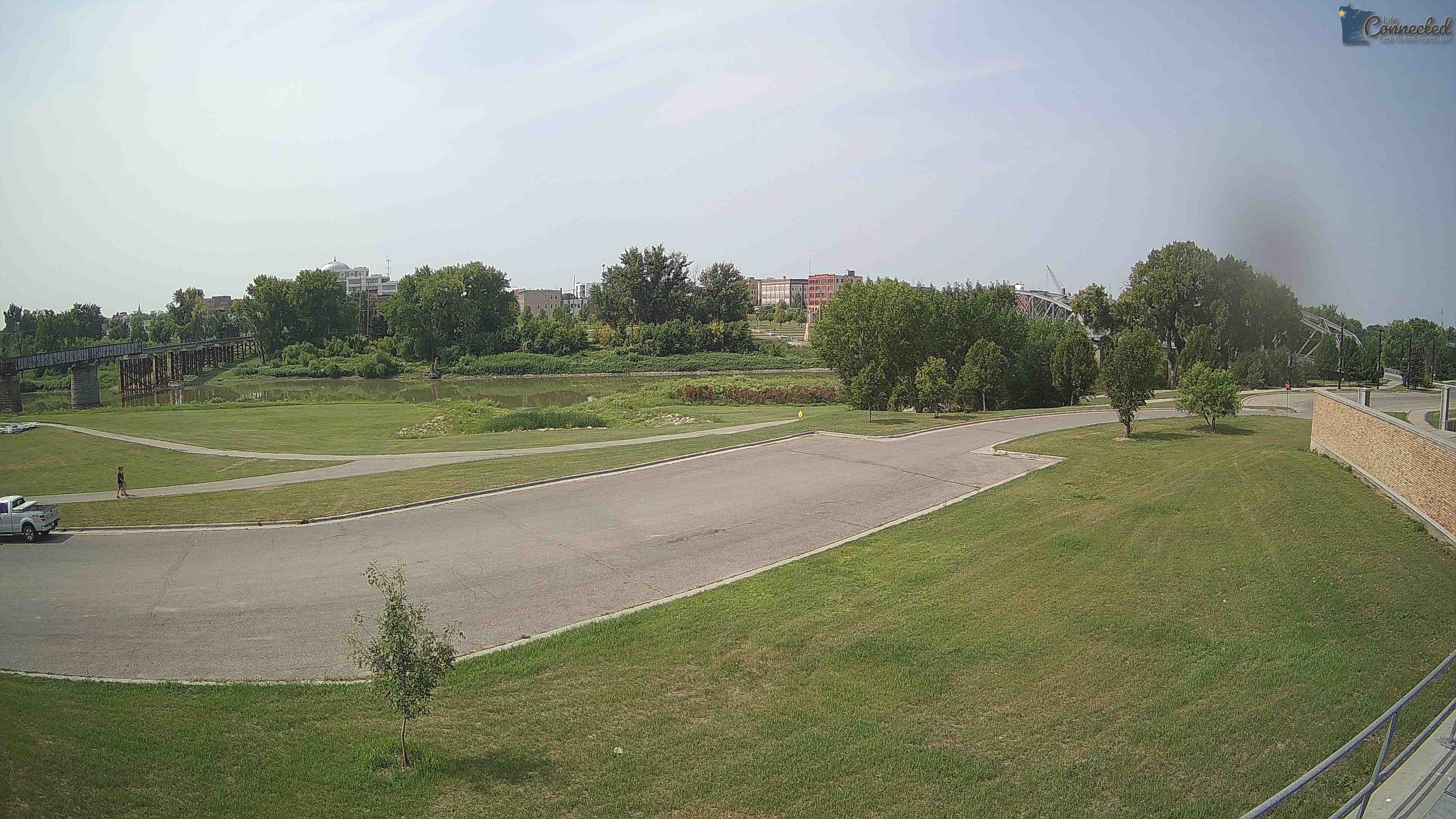
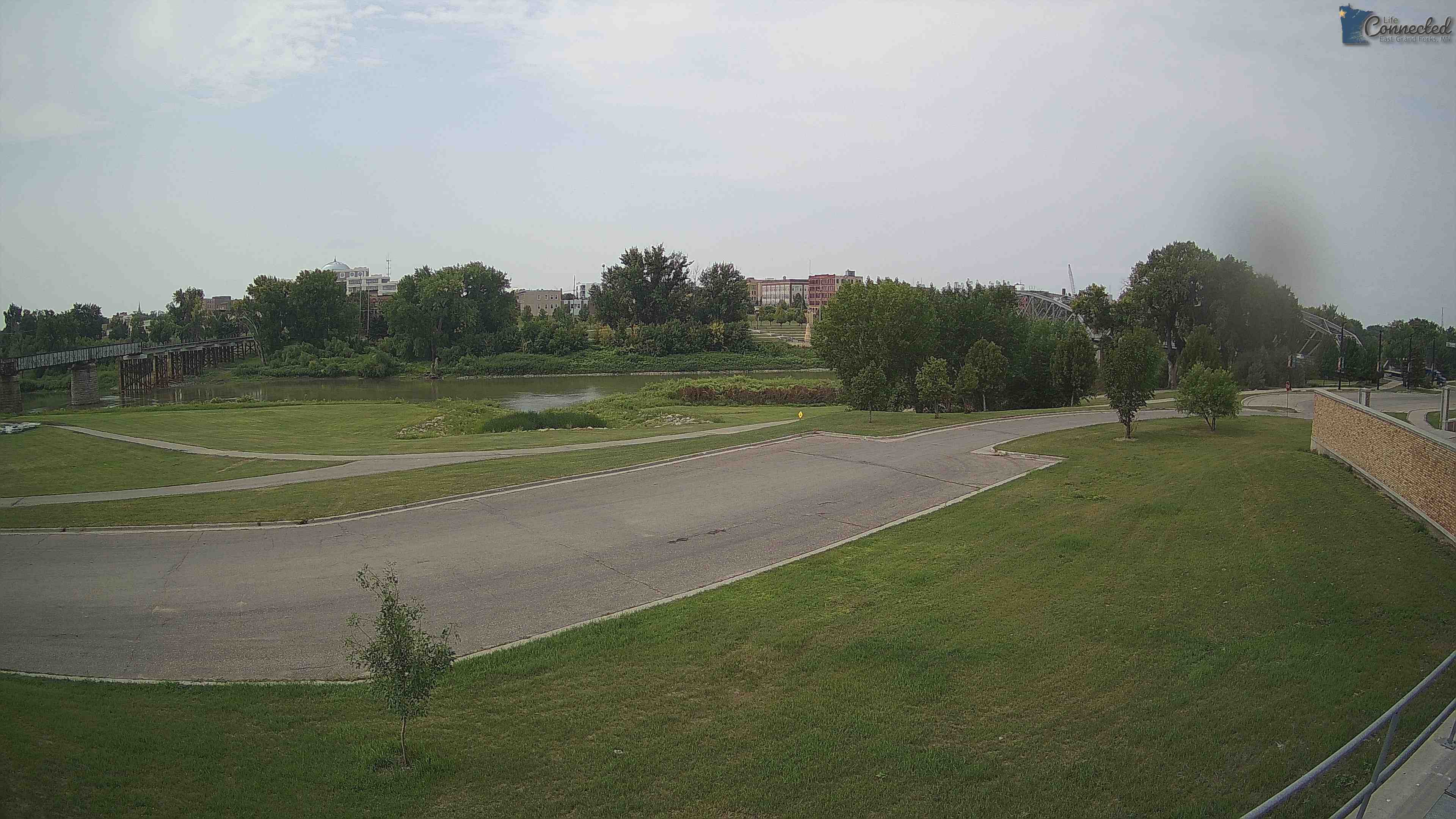
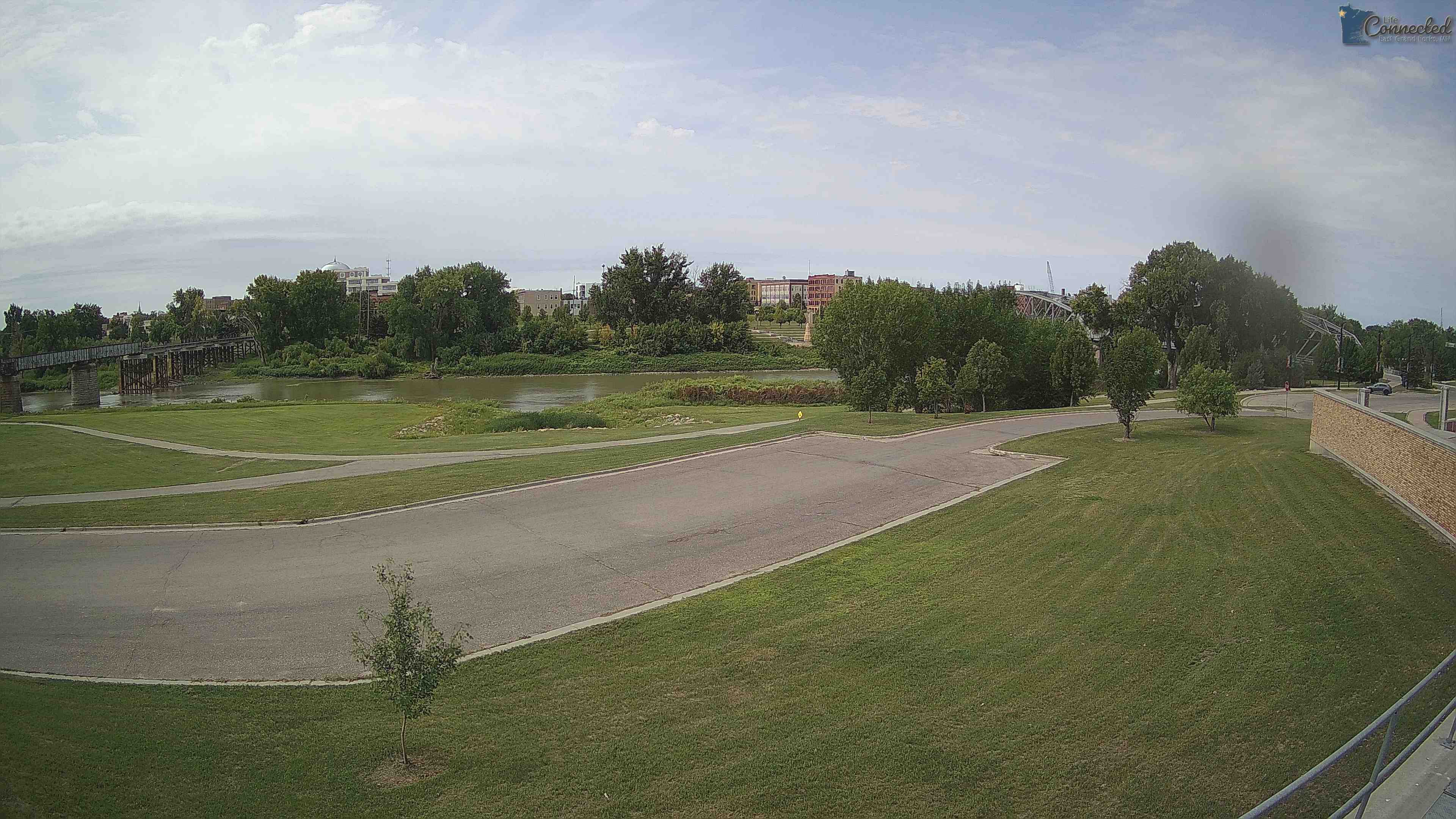
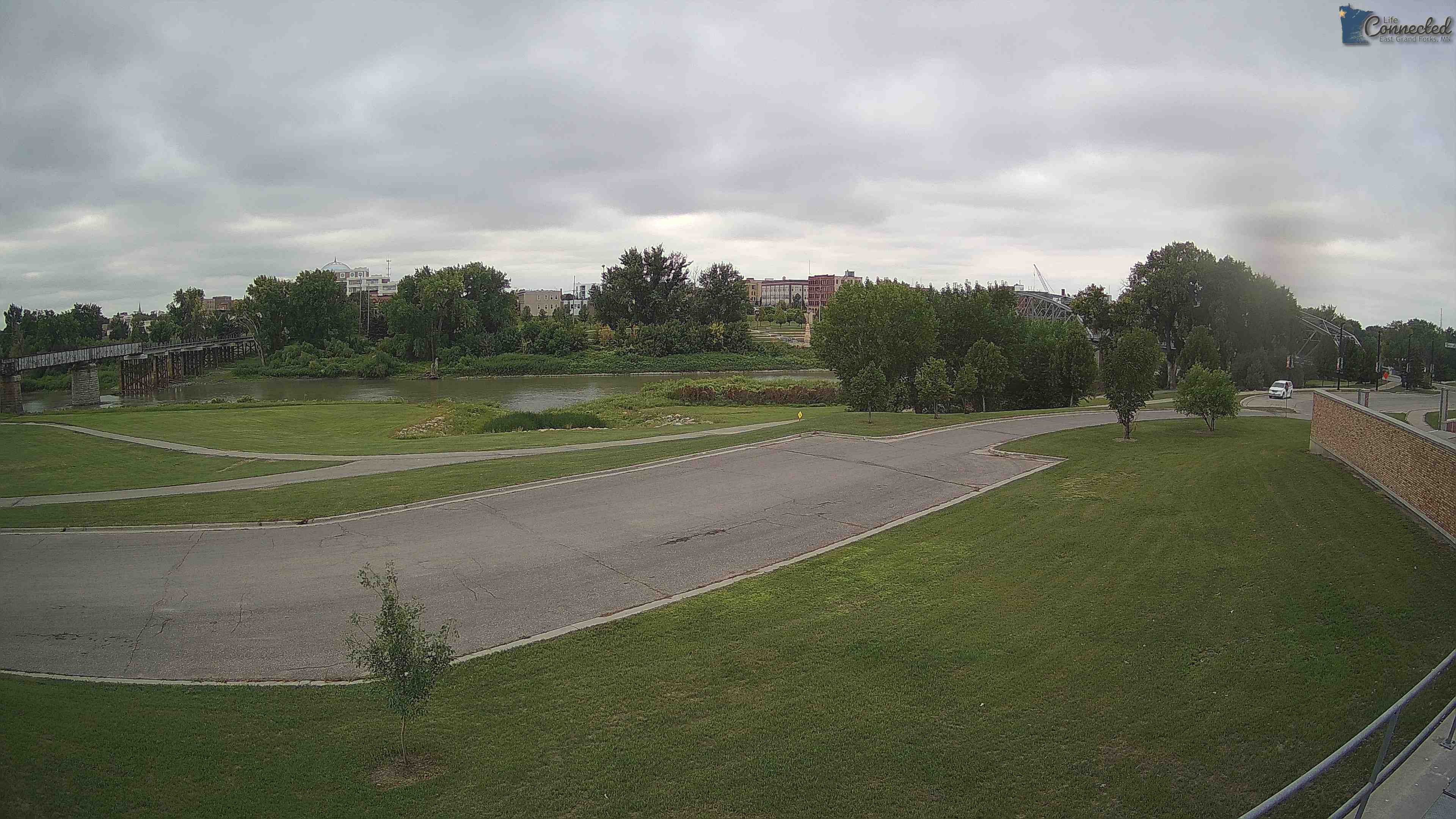
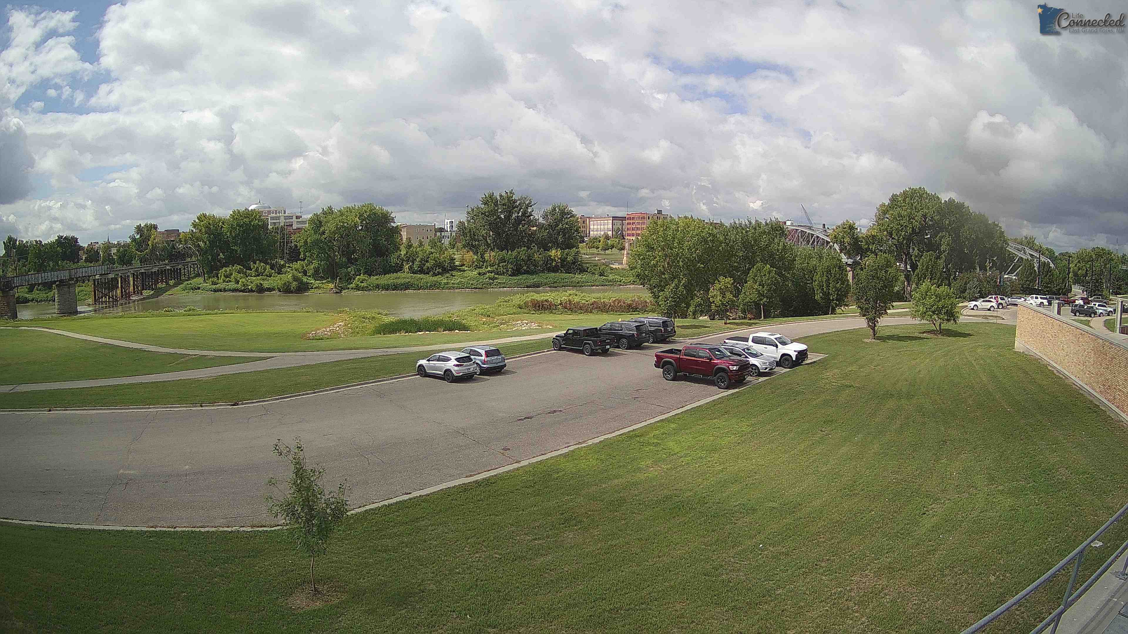
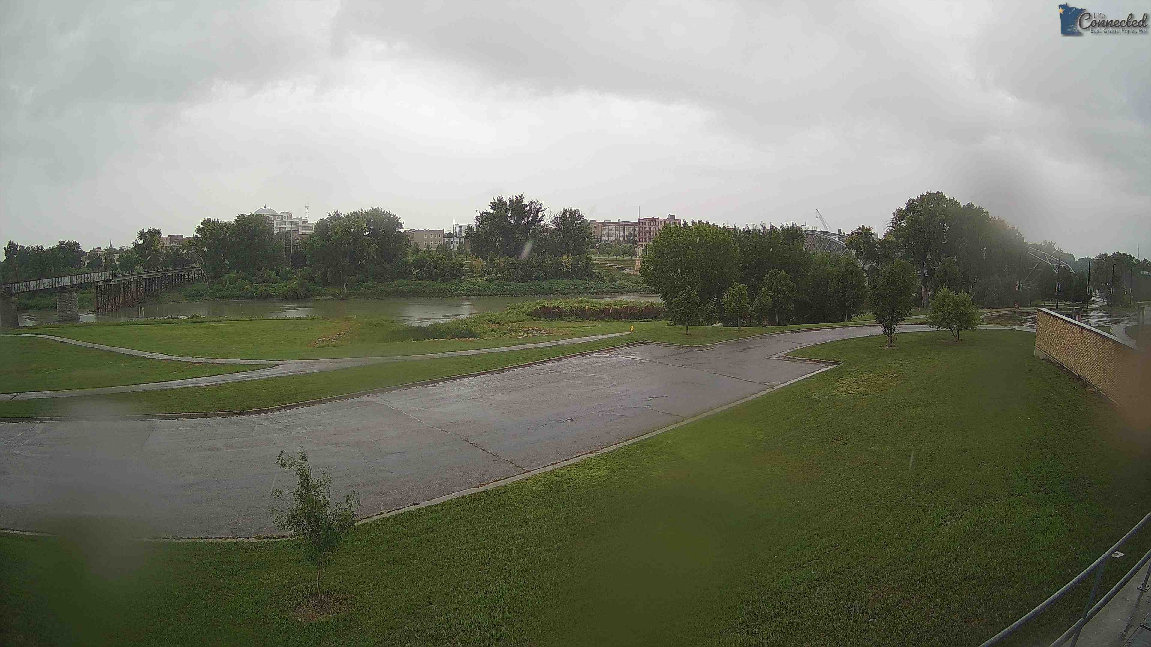
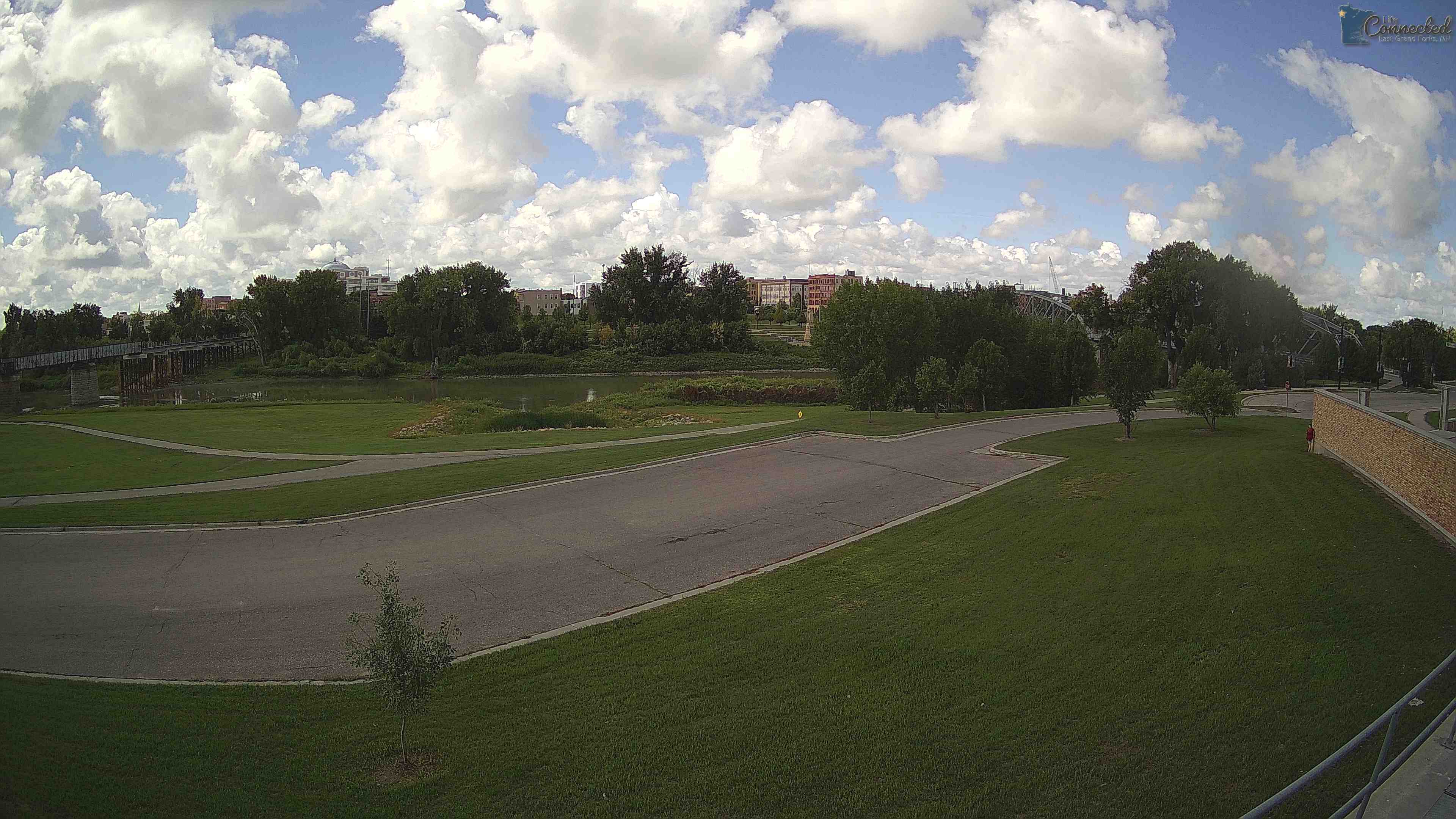
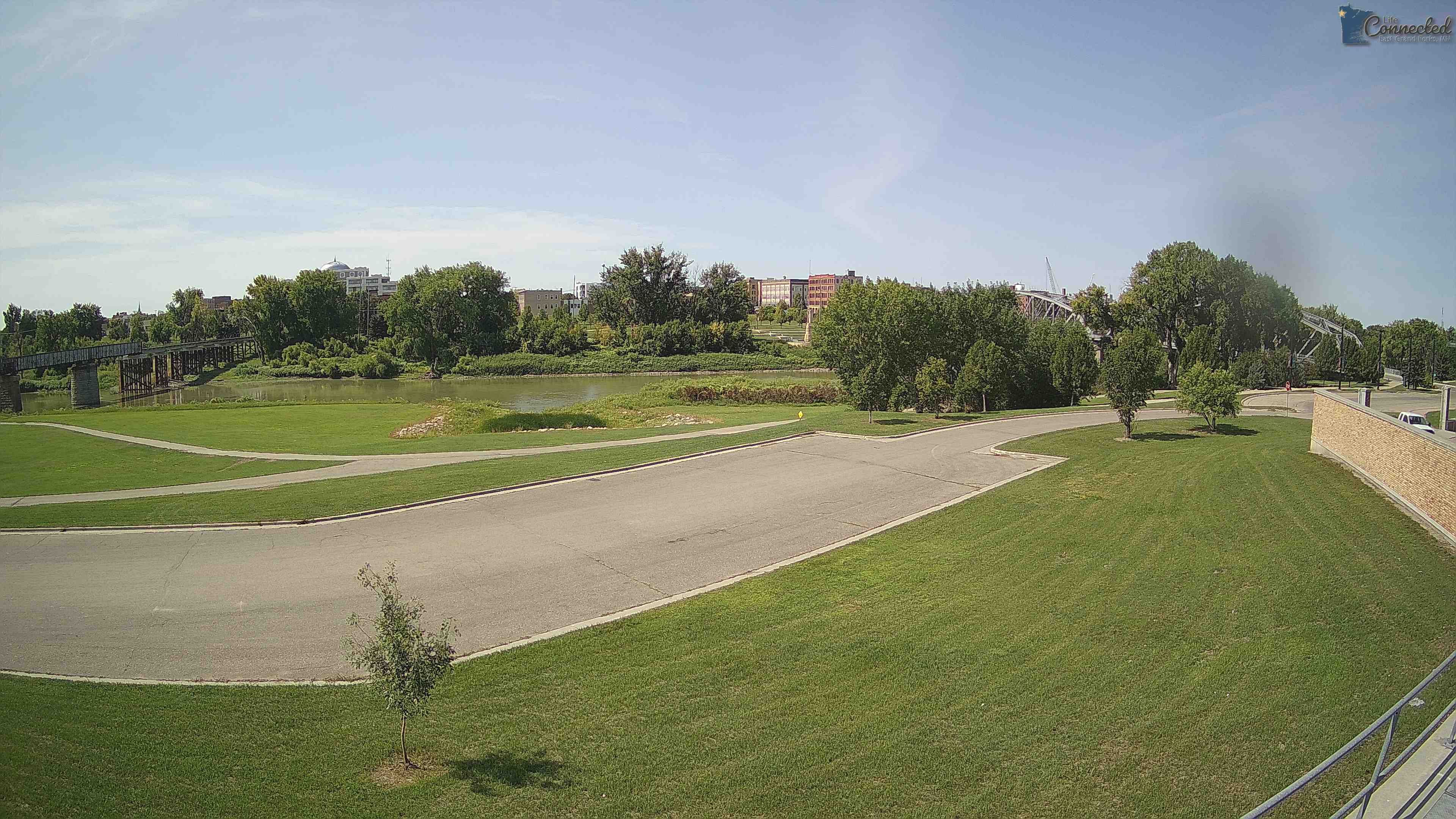
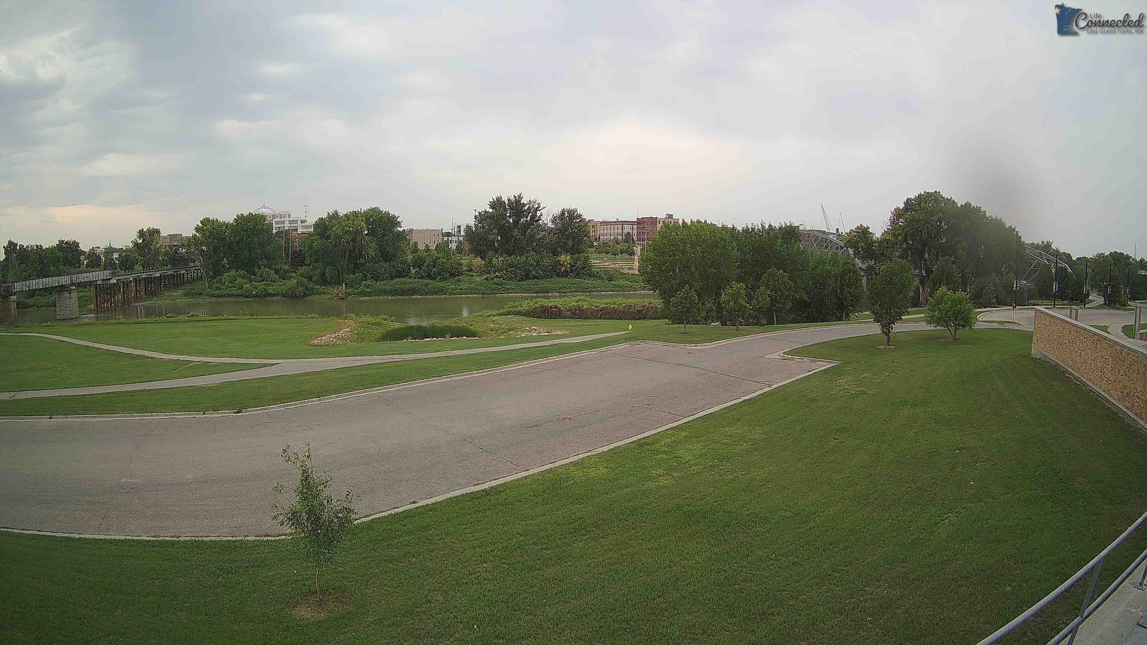
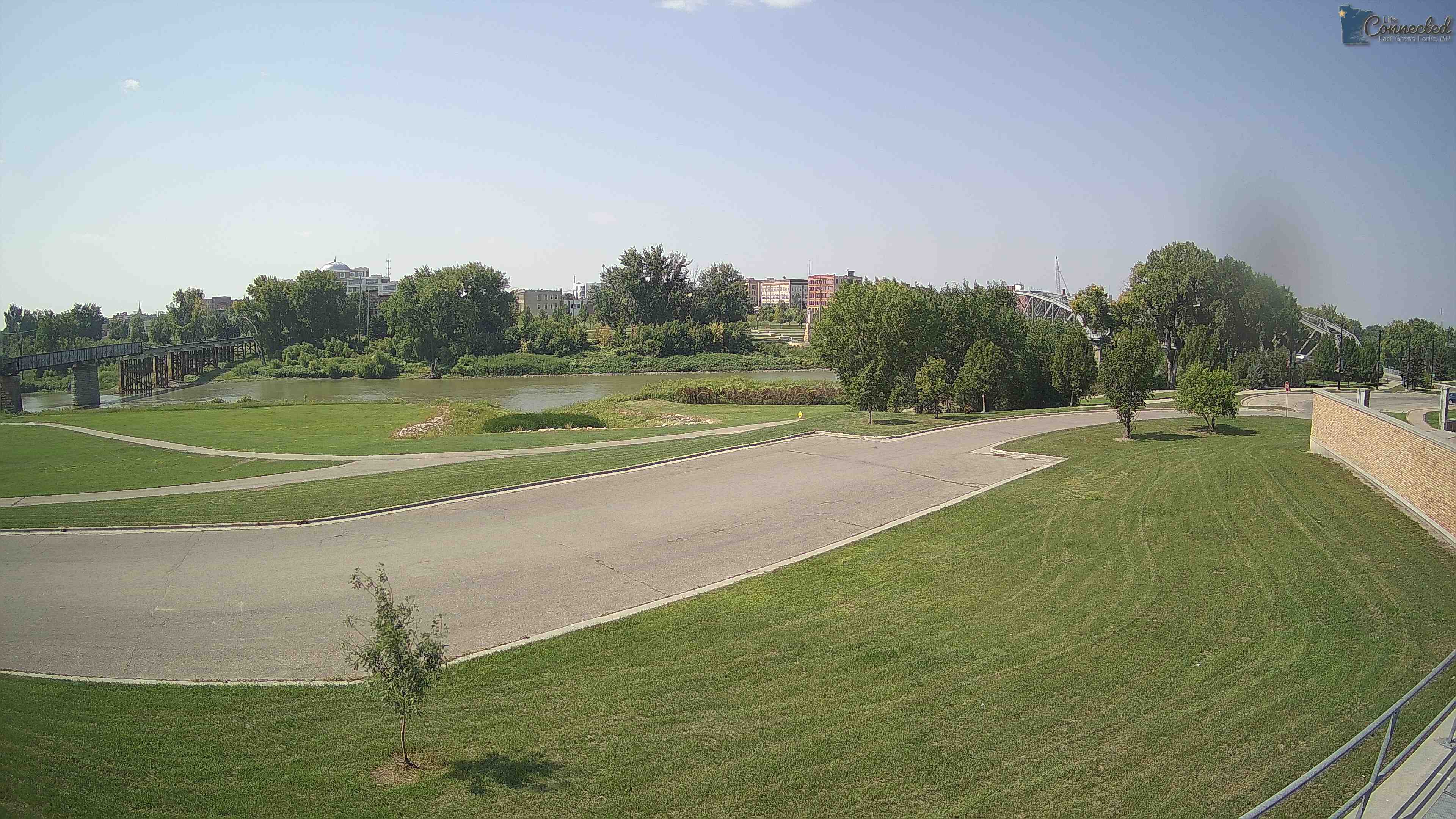
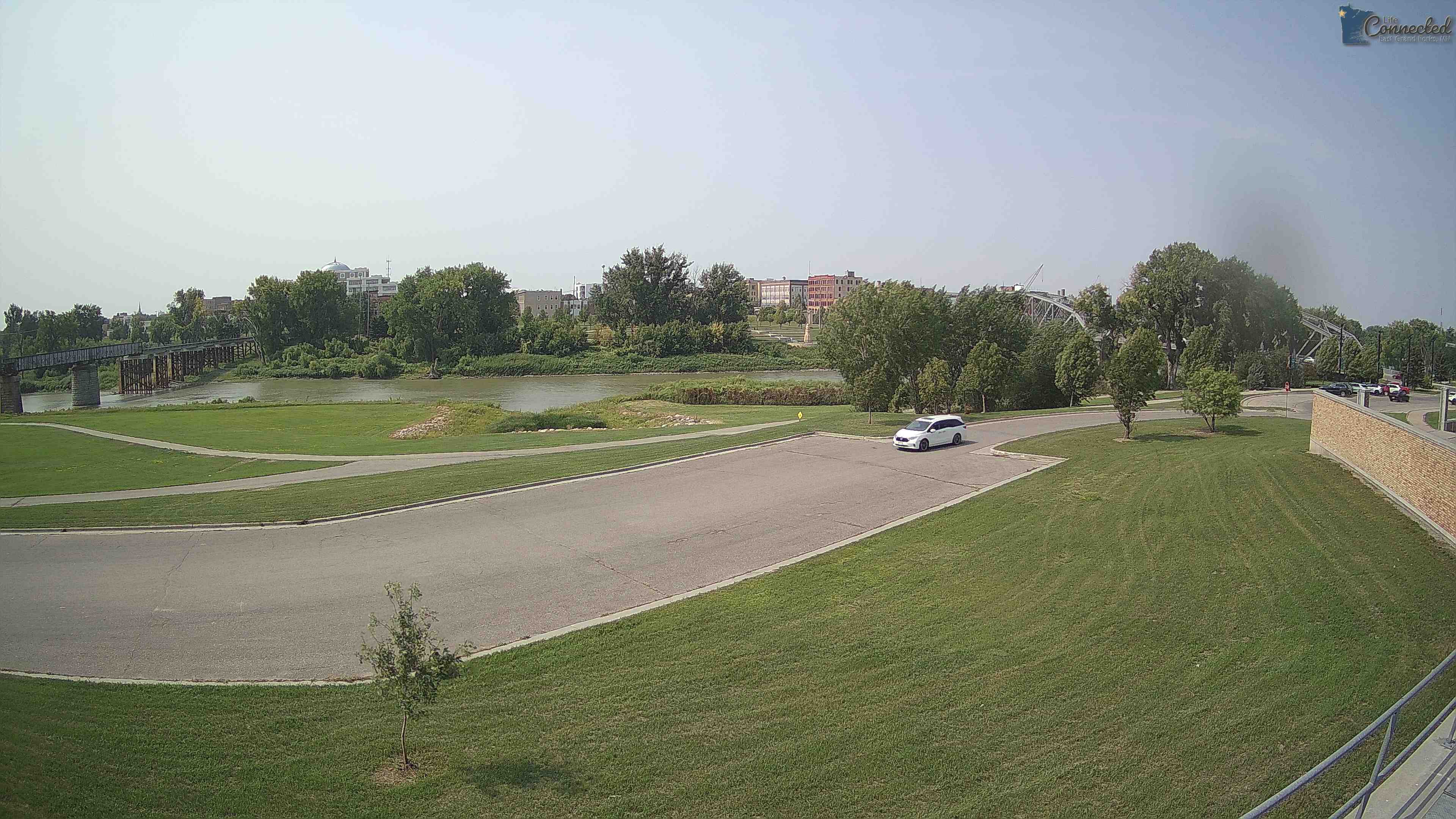
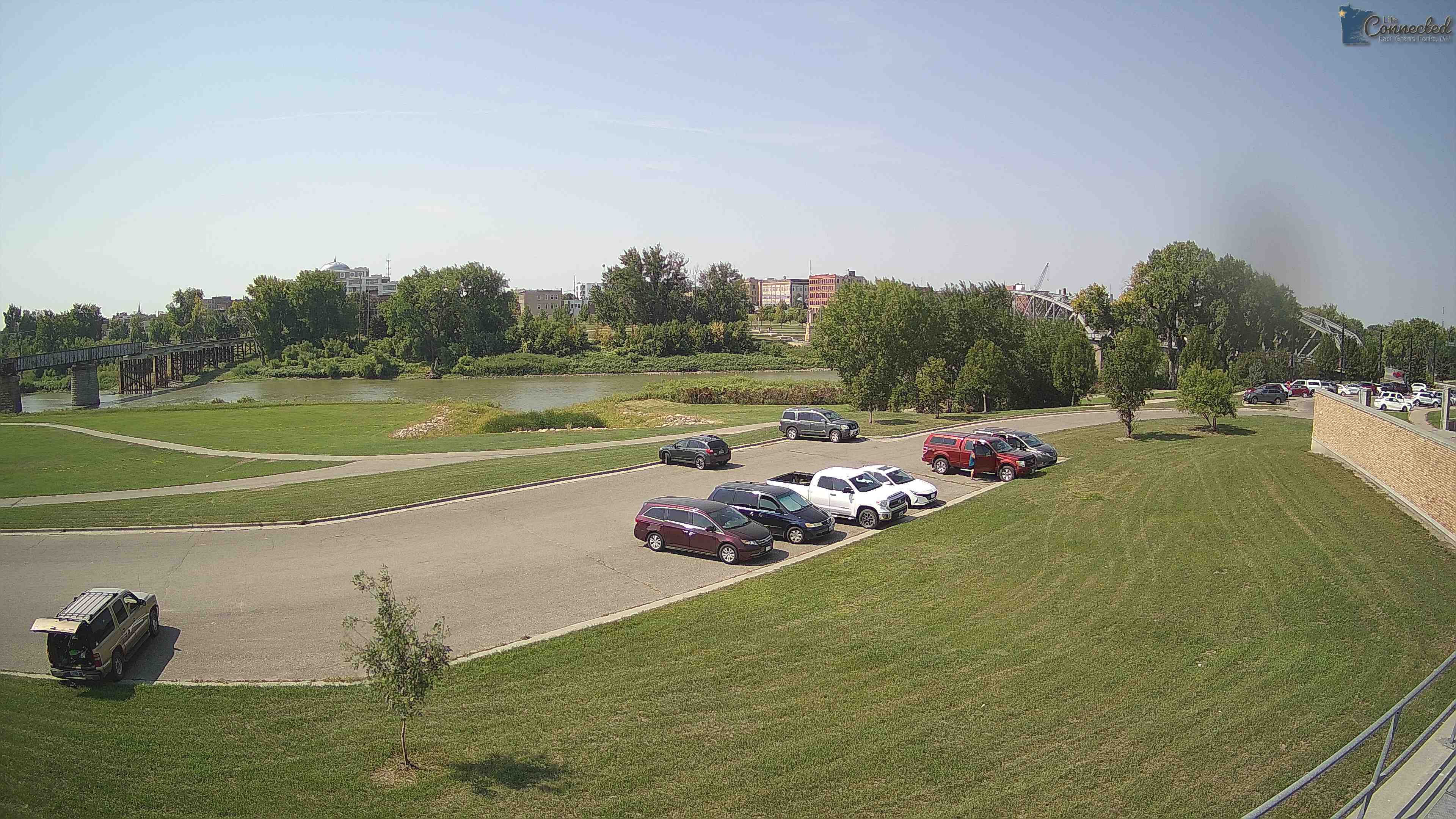
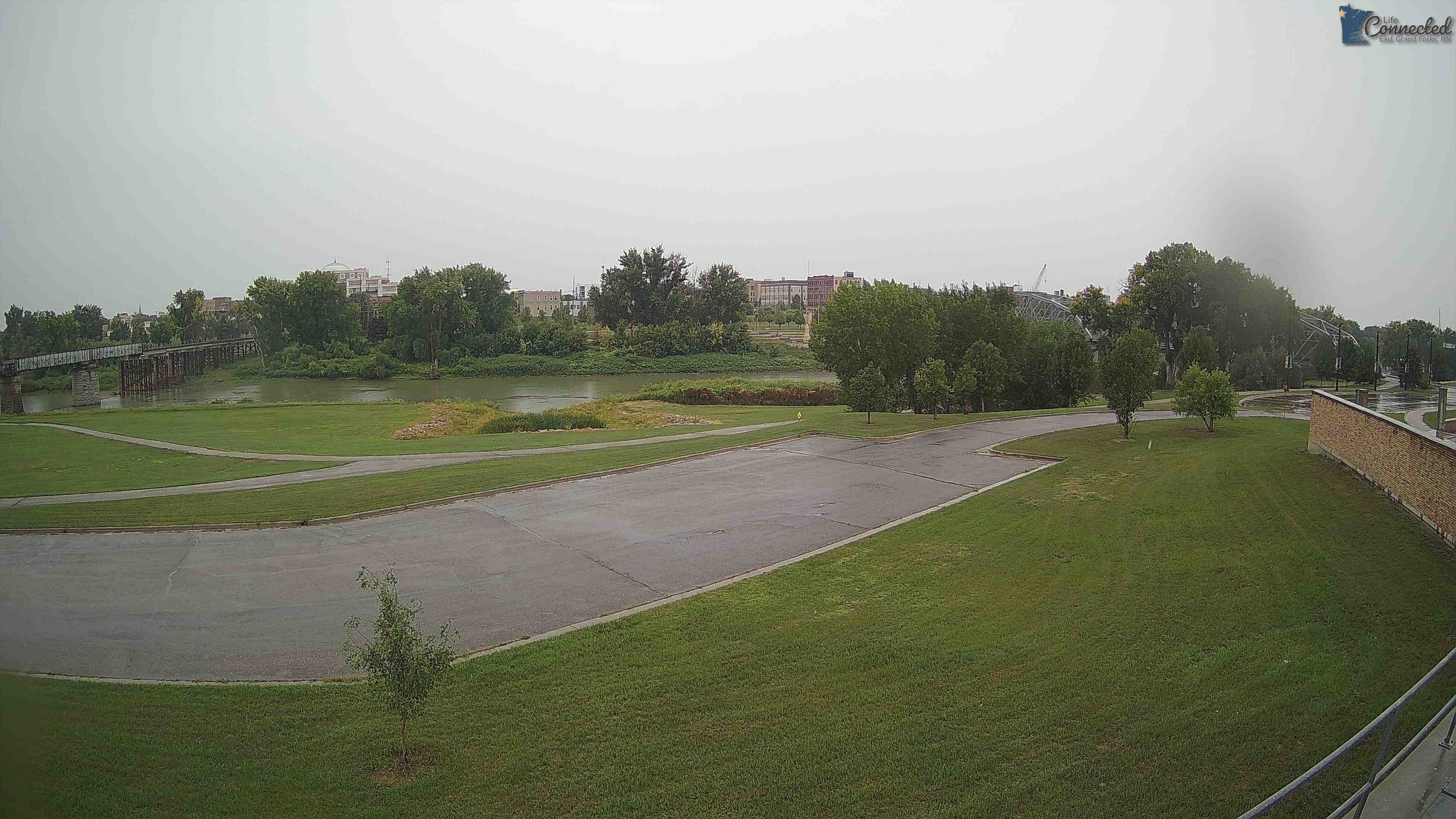
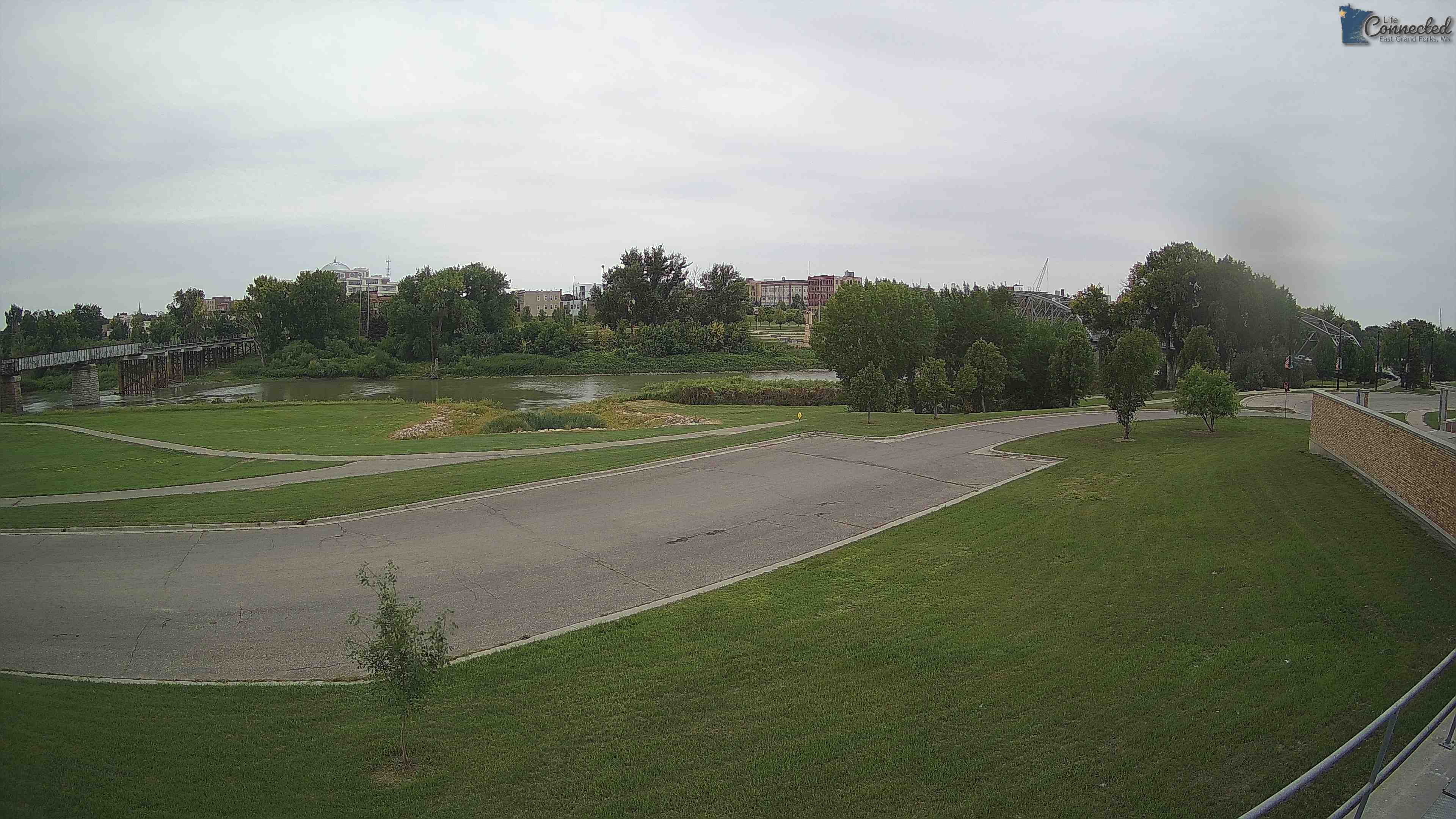
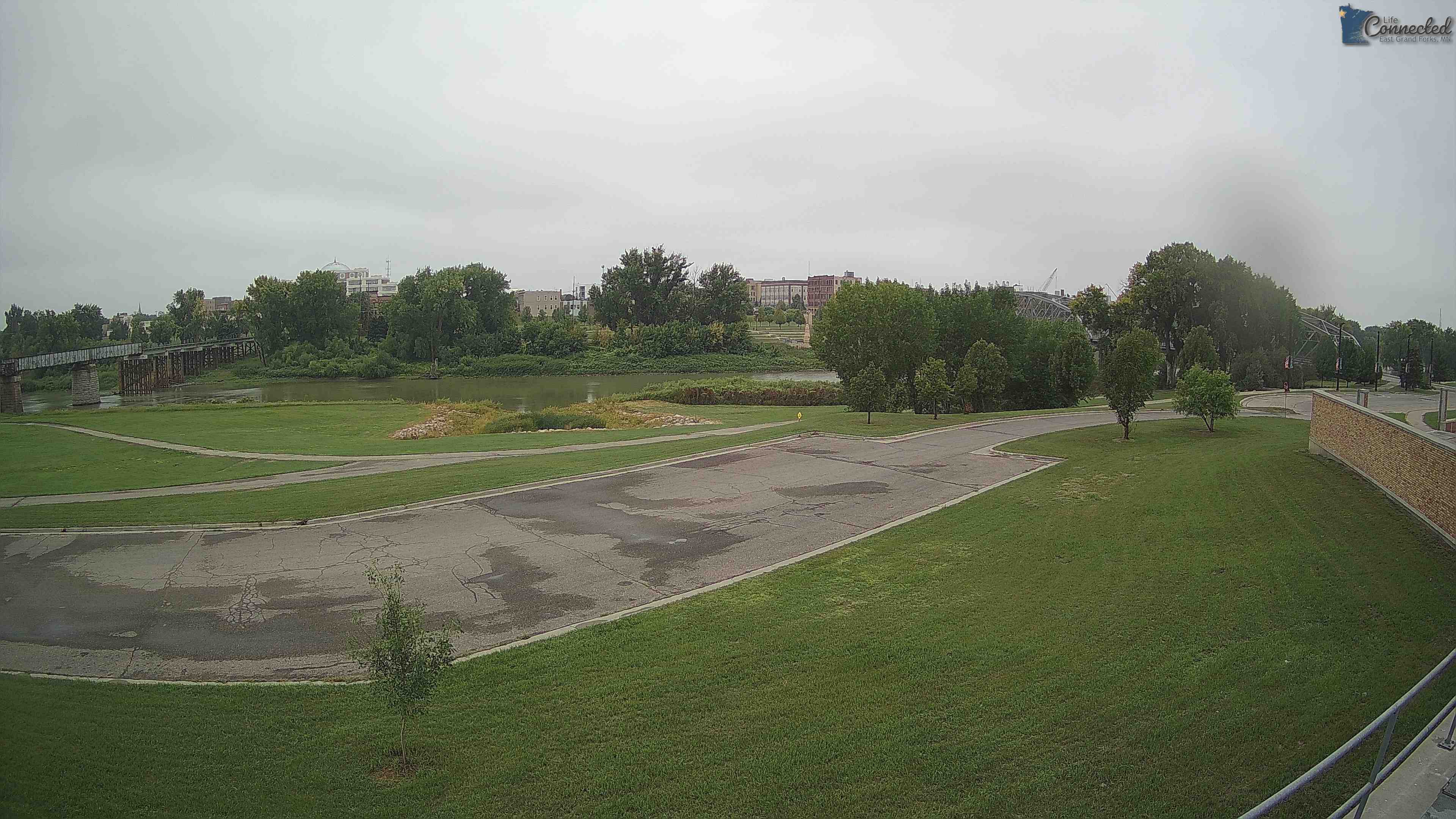
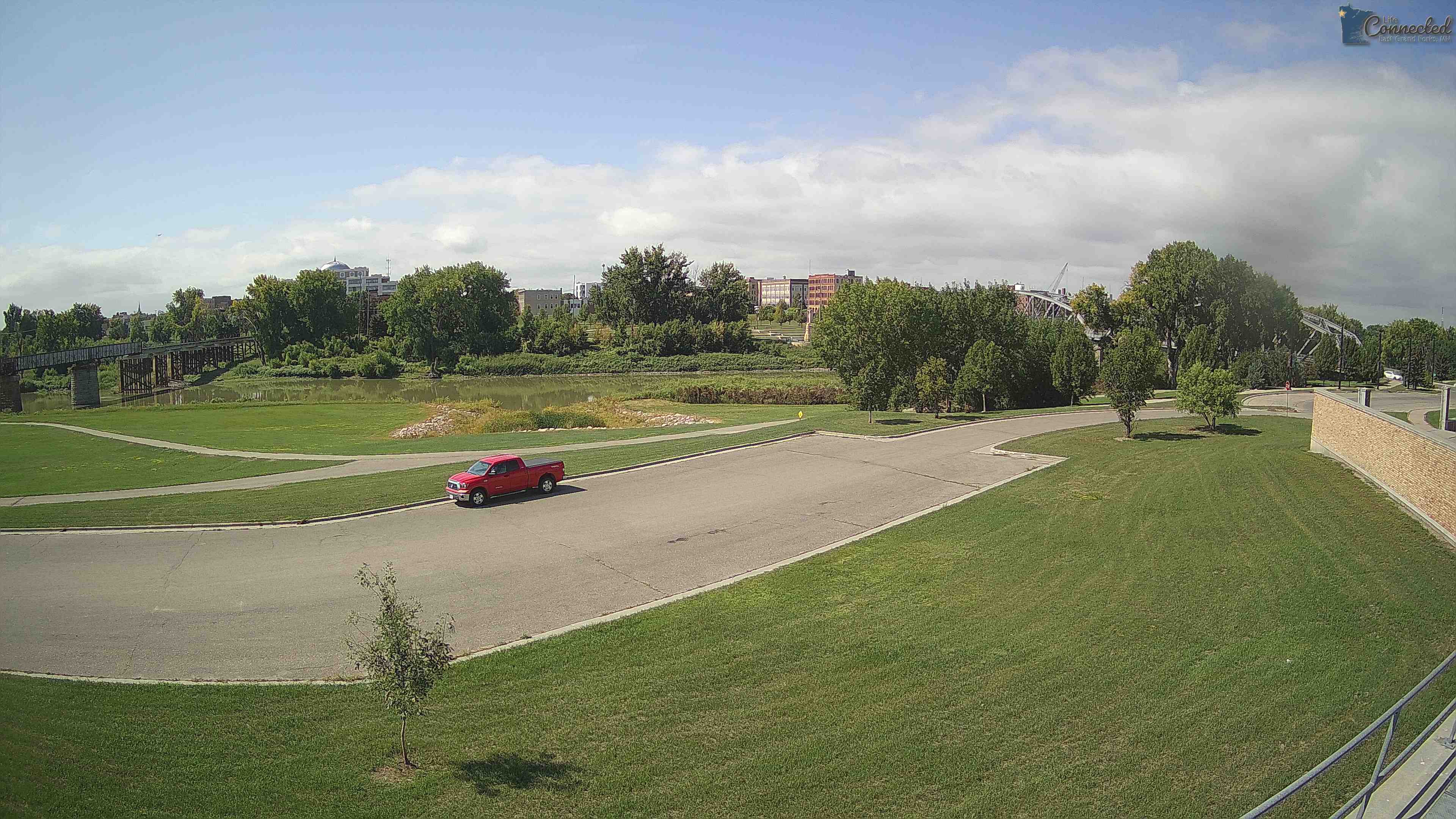
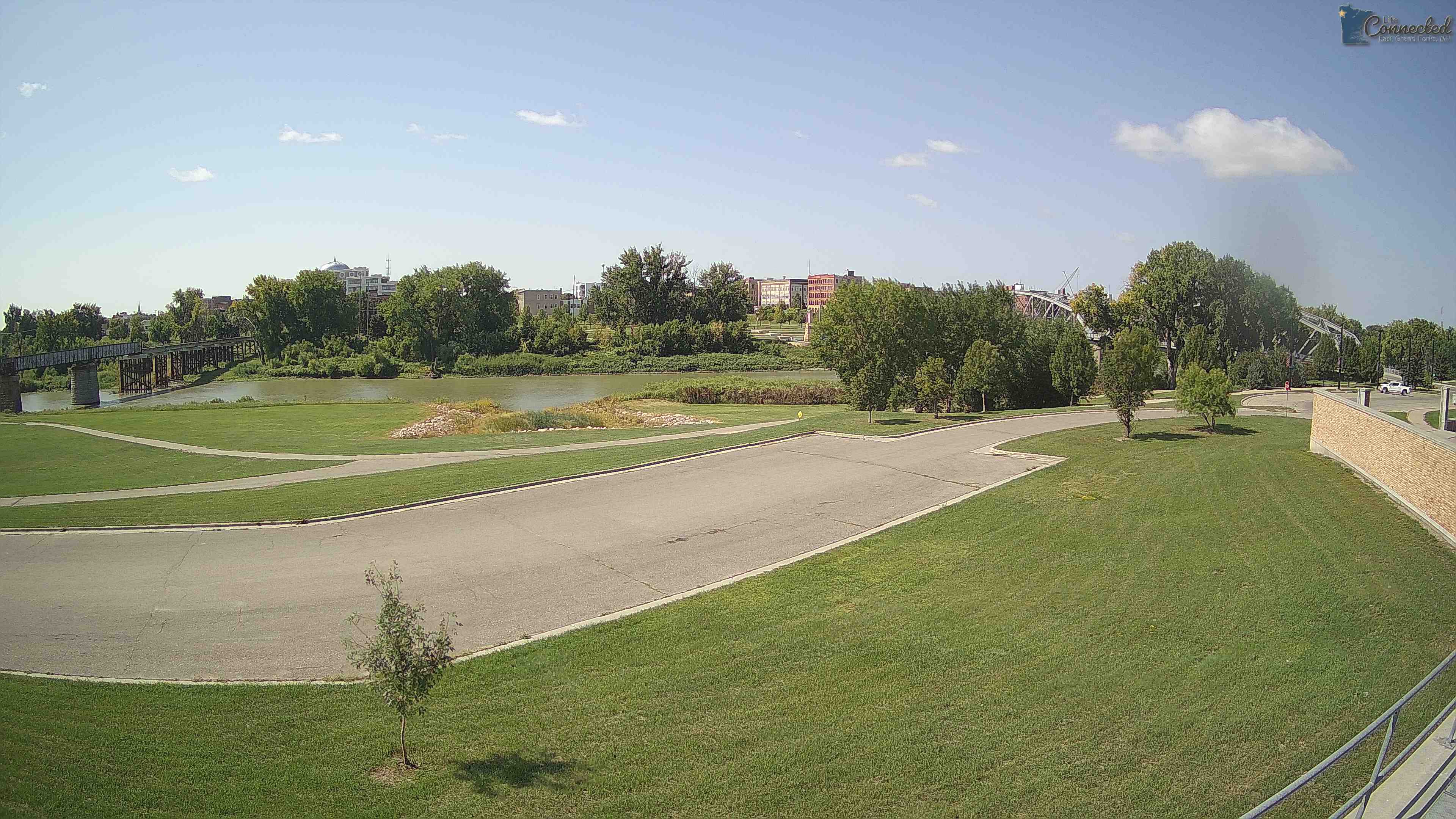
East Grand Forks, Minnesota, USA - 248.4 miles from Ambridge: Sorlie Bridge - Sorlie Bridge over the Red River of the North, connecting East Grand Forks, MN with Grand Forks, ND.
Operator: City of East Grand Forks
Operator: City of East Grand Forks


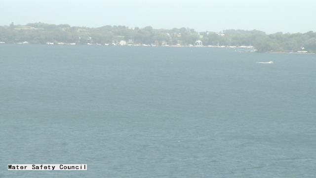
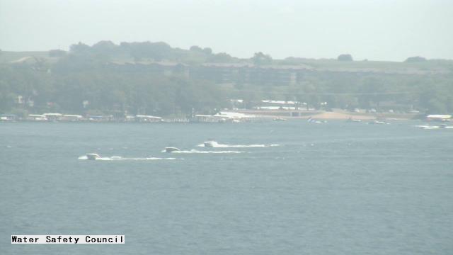
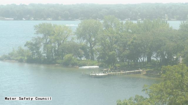
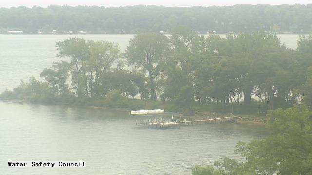
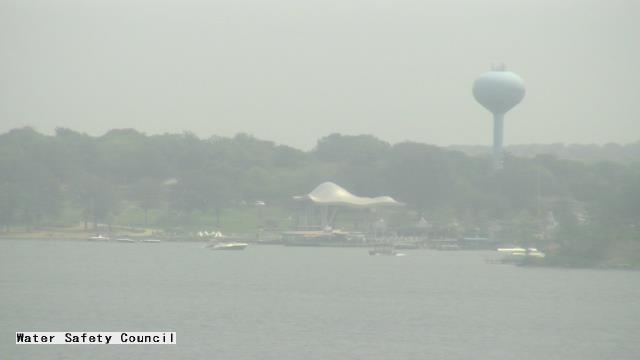
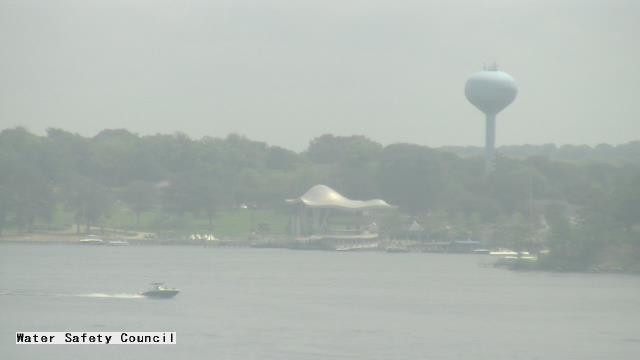
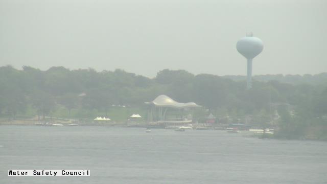
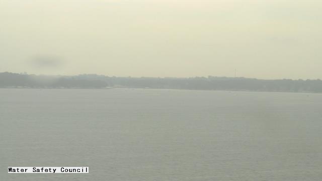
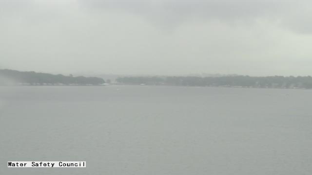
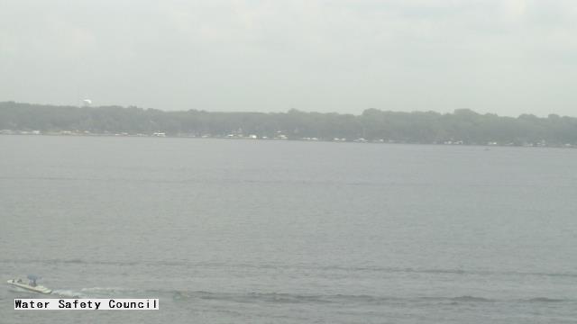
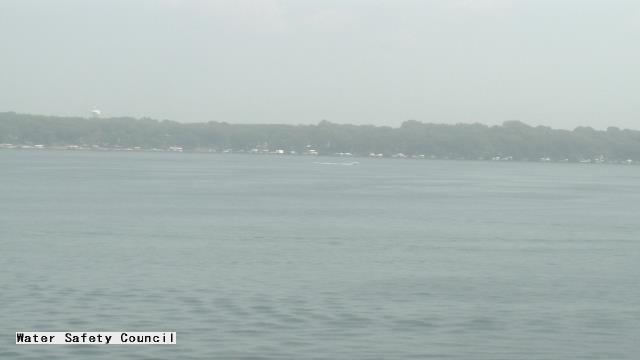
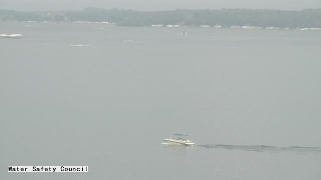
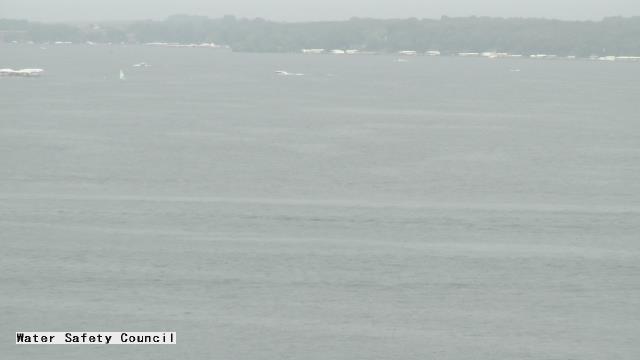
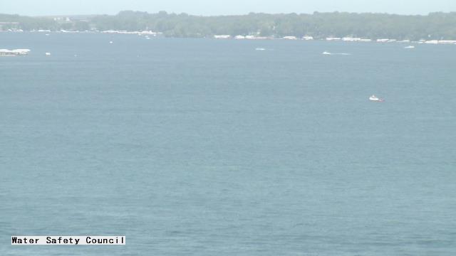
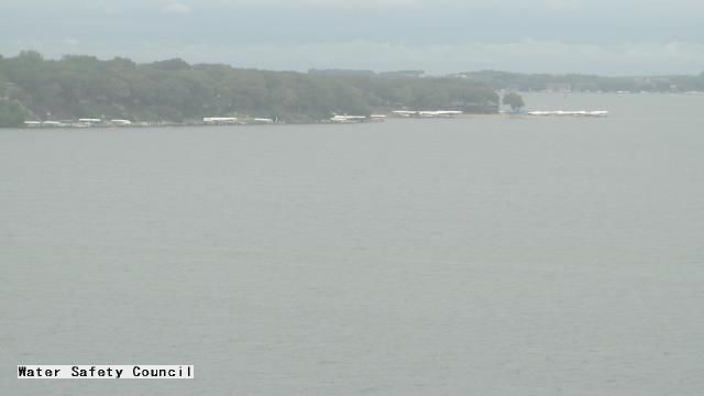
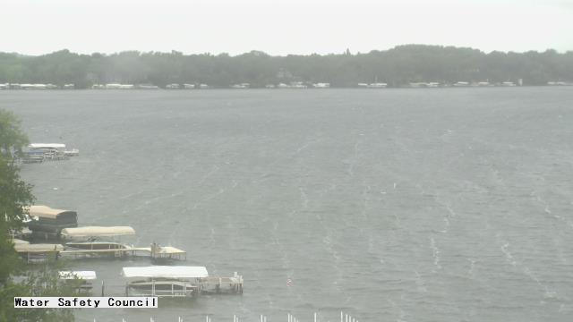
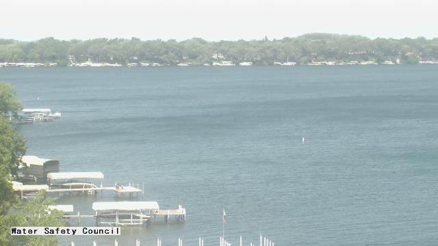
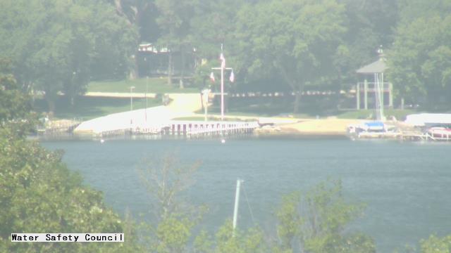
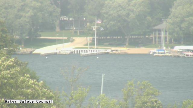
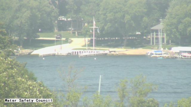
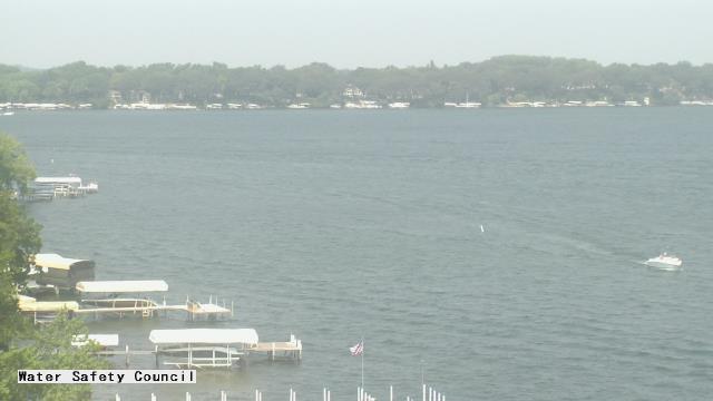
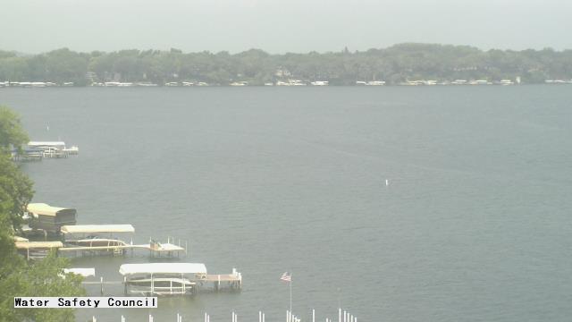
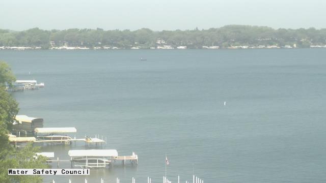
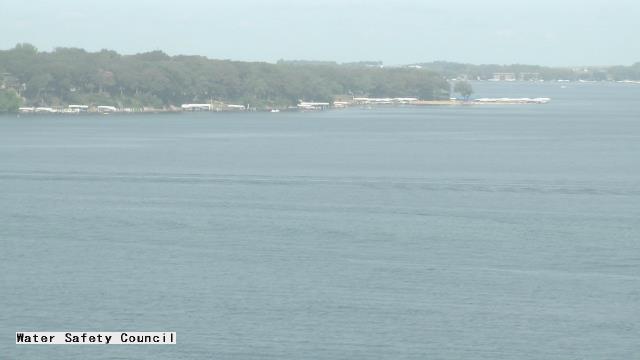
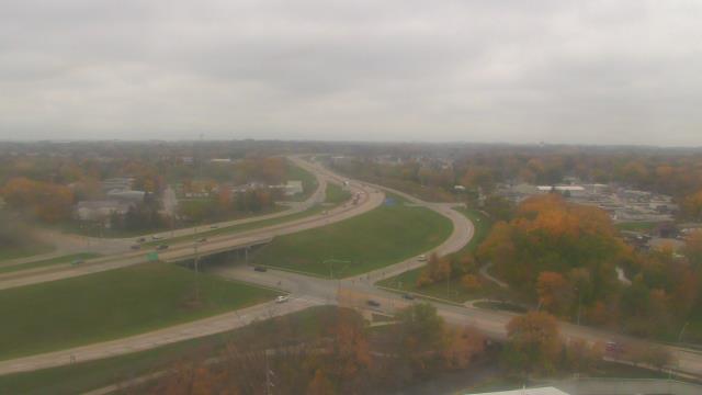
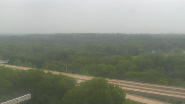
Okoboji, Iowa, USA - 270.2 miles from Ambridge: Iowa Great Lakes Water Safety Council - A webcam in Okoboji, Iowa - camera location: Iowa Great Lakes Water Safety Council.
Operator: WeatherBug
Operator: WeatherBug


Cedar Falls, Iowa, USA - 284.1 miles from Ambridge: Cedar Falls Utilities - A webcam in Cedar Falls, Iowa - camera location: Cedar Falls Utilities.
Operator: WeatherBug
Operator: WeatherBug


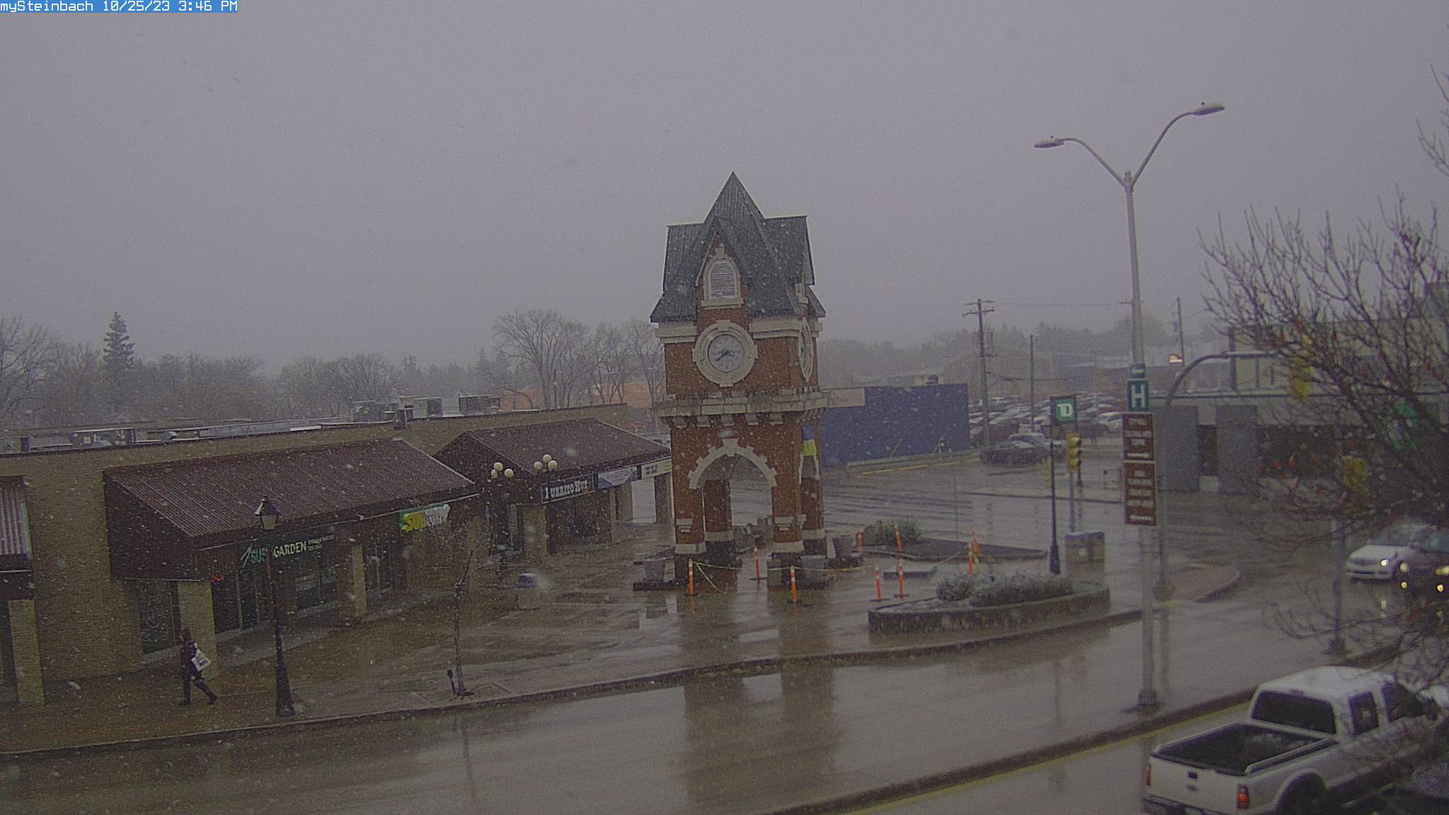
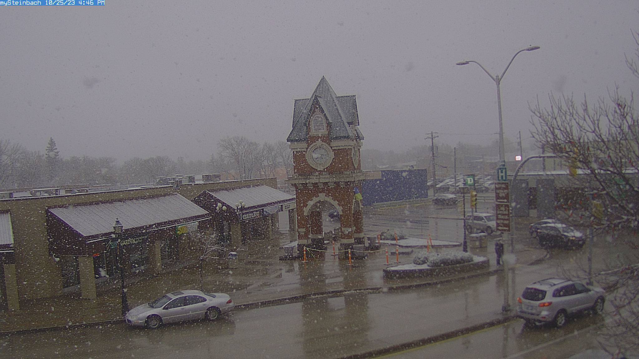
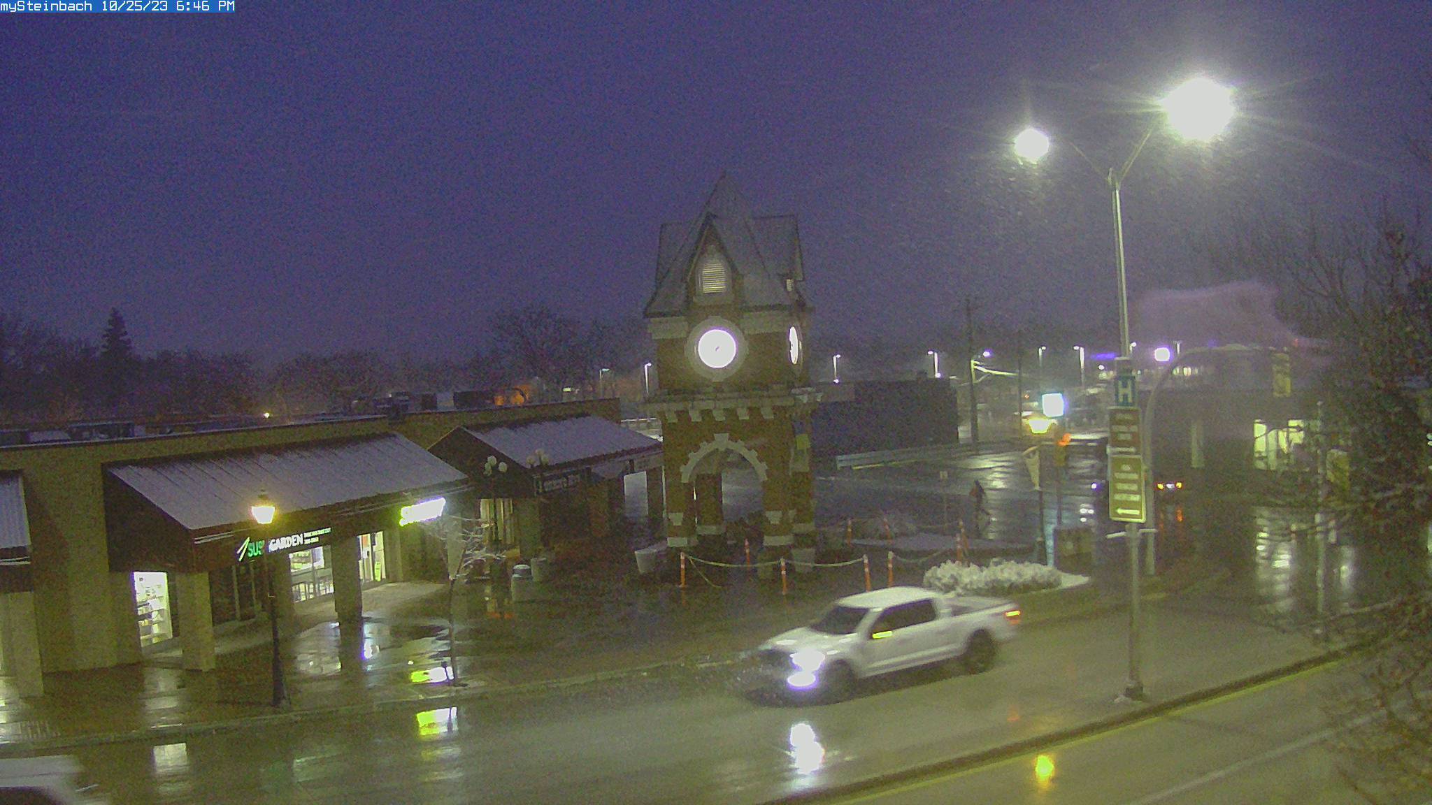
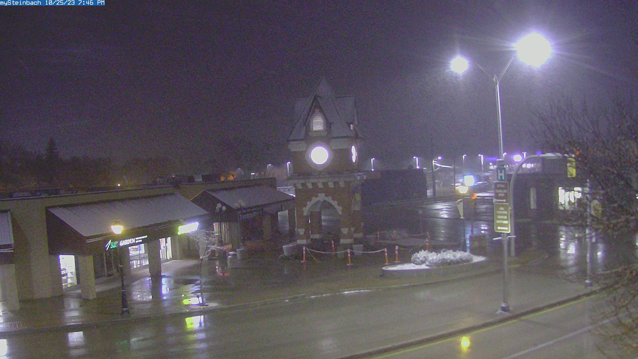
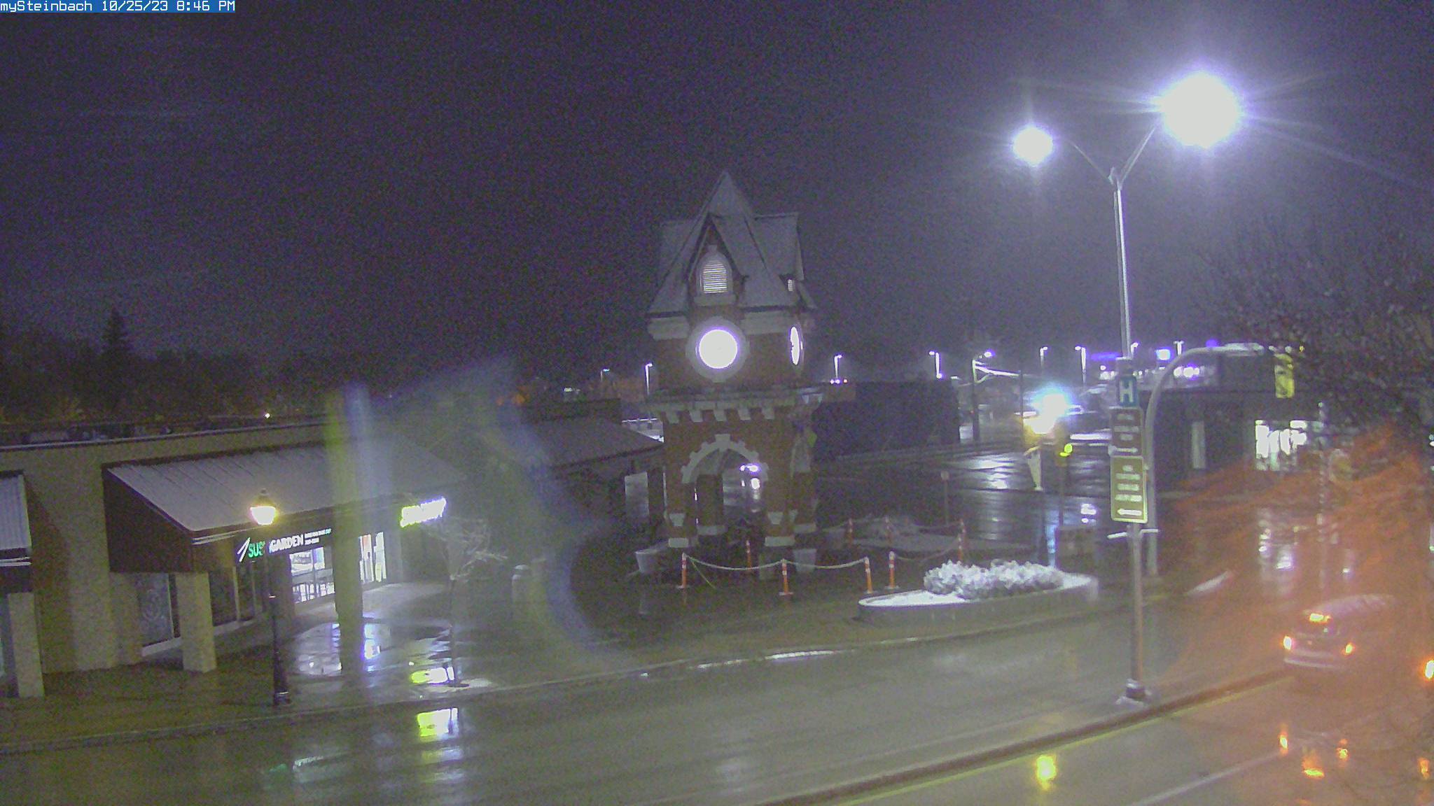
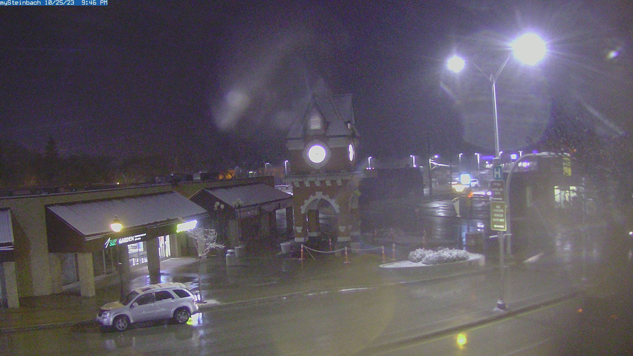
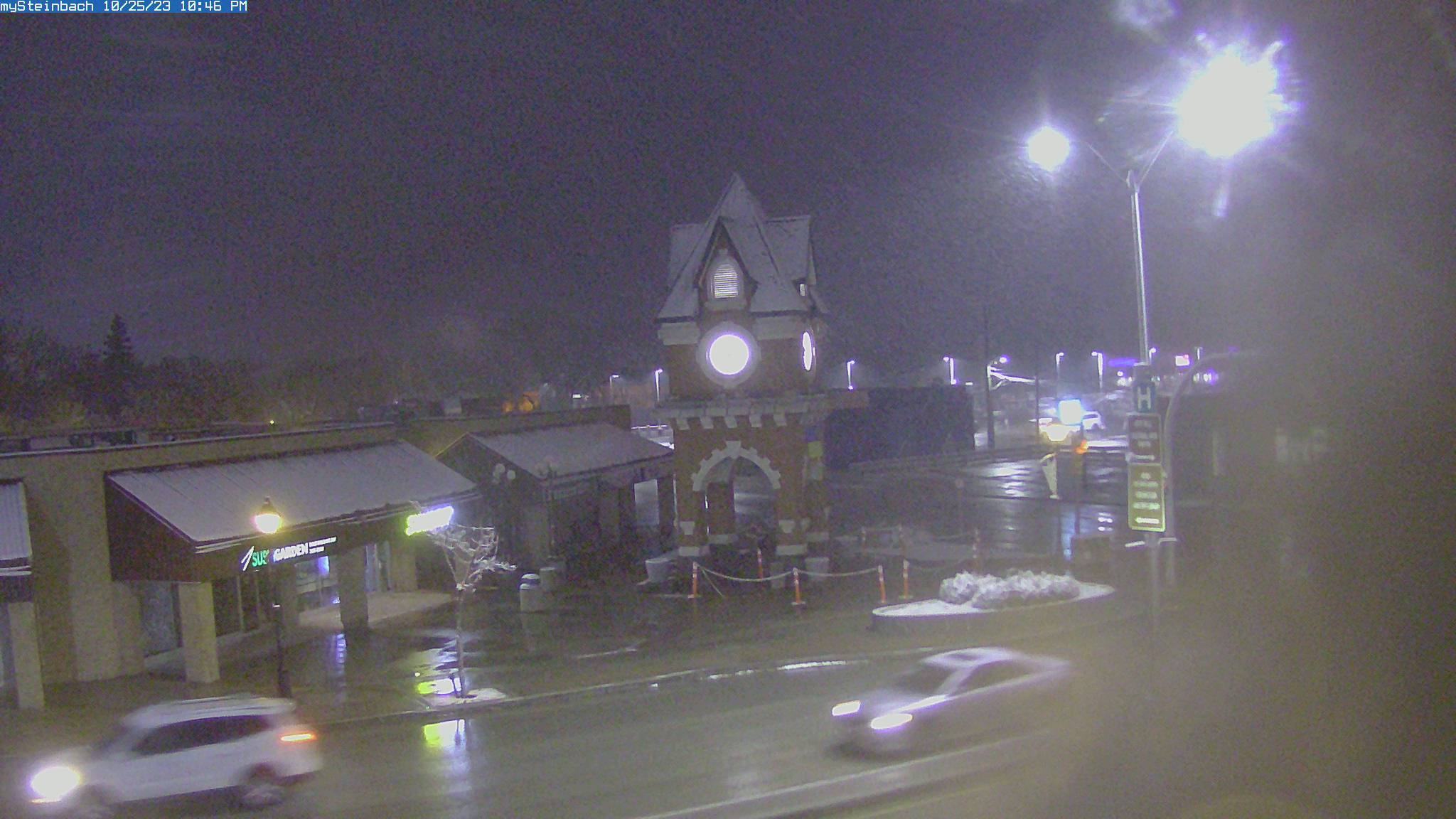
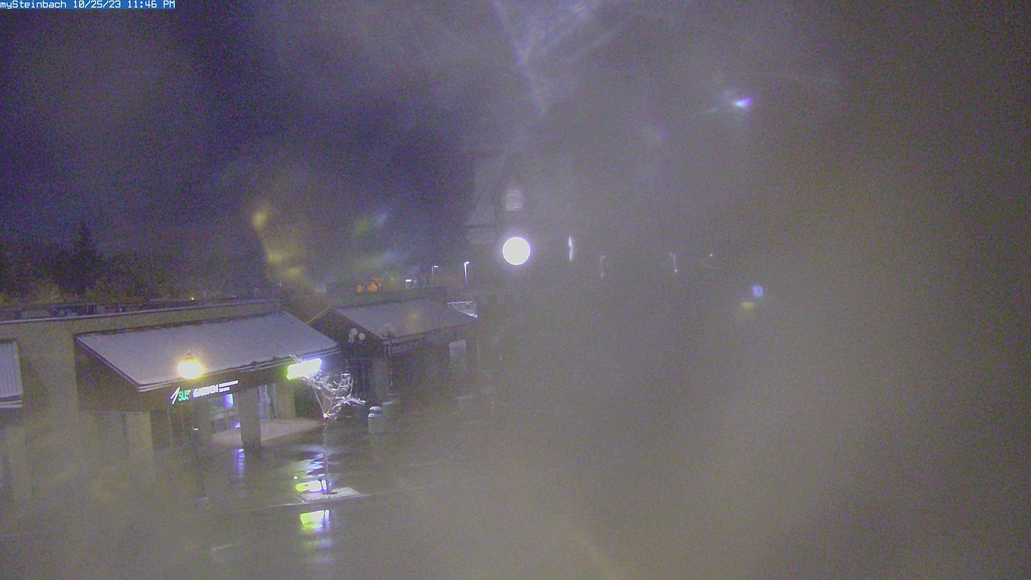
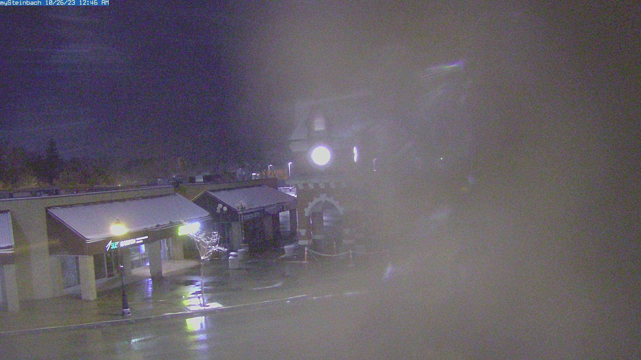
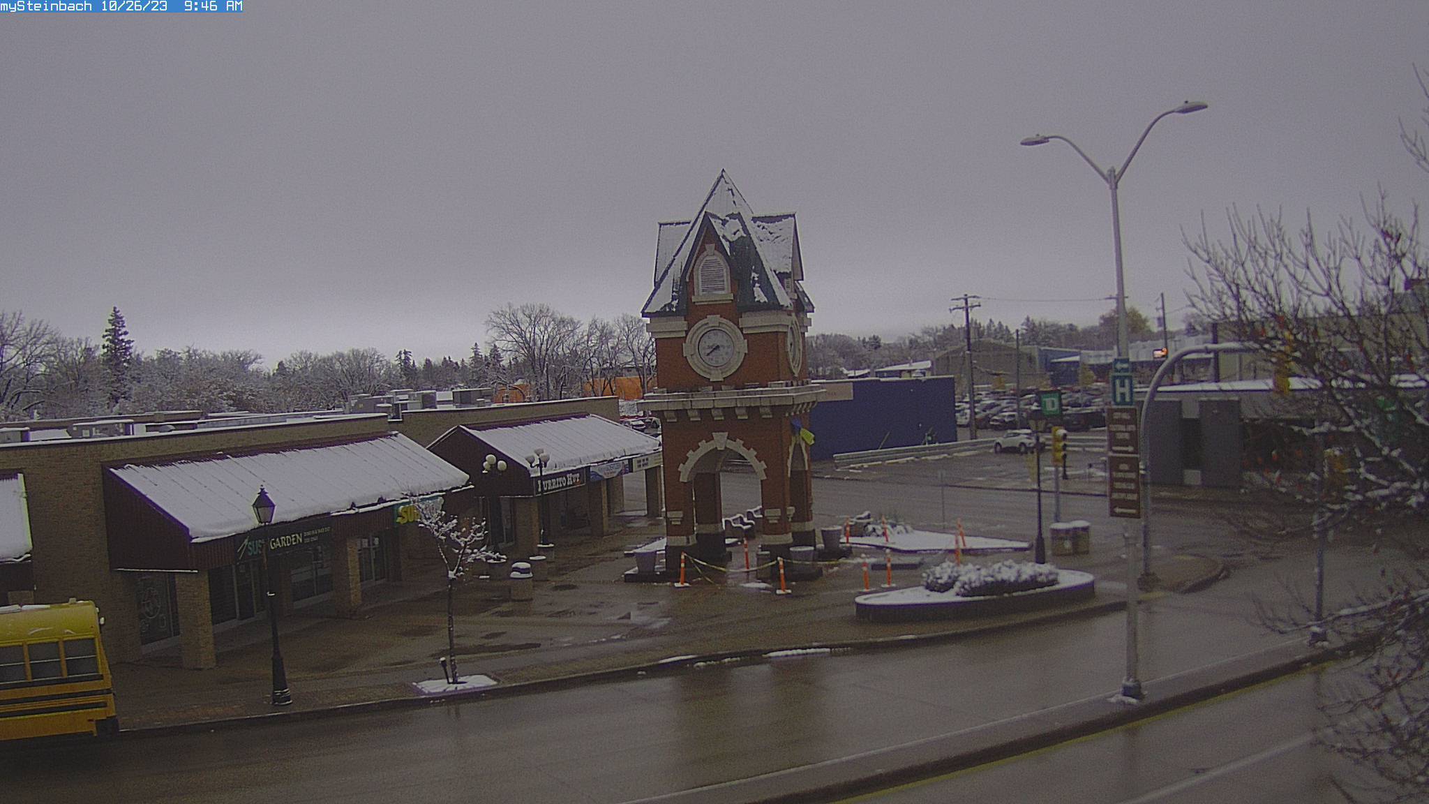
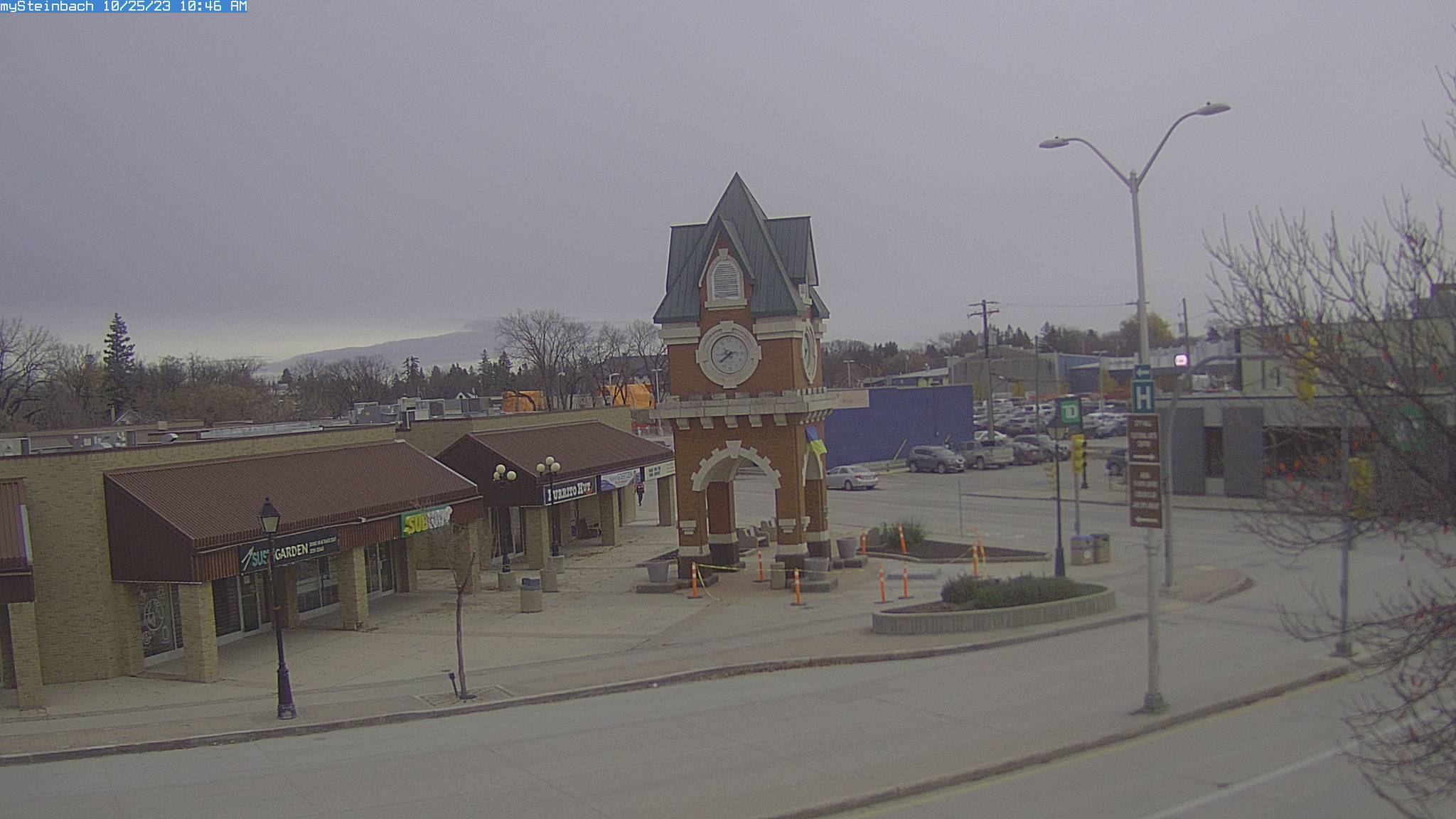
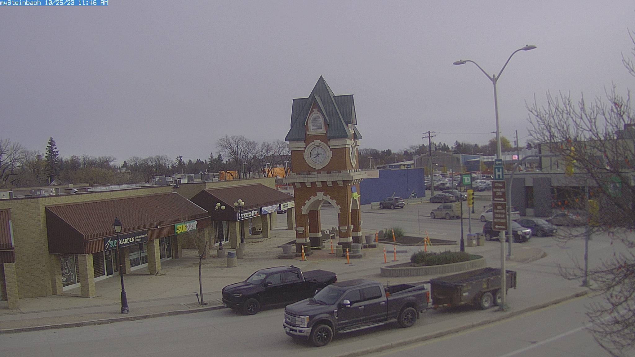
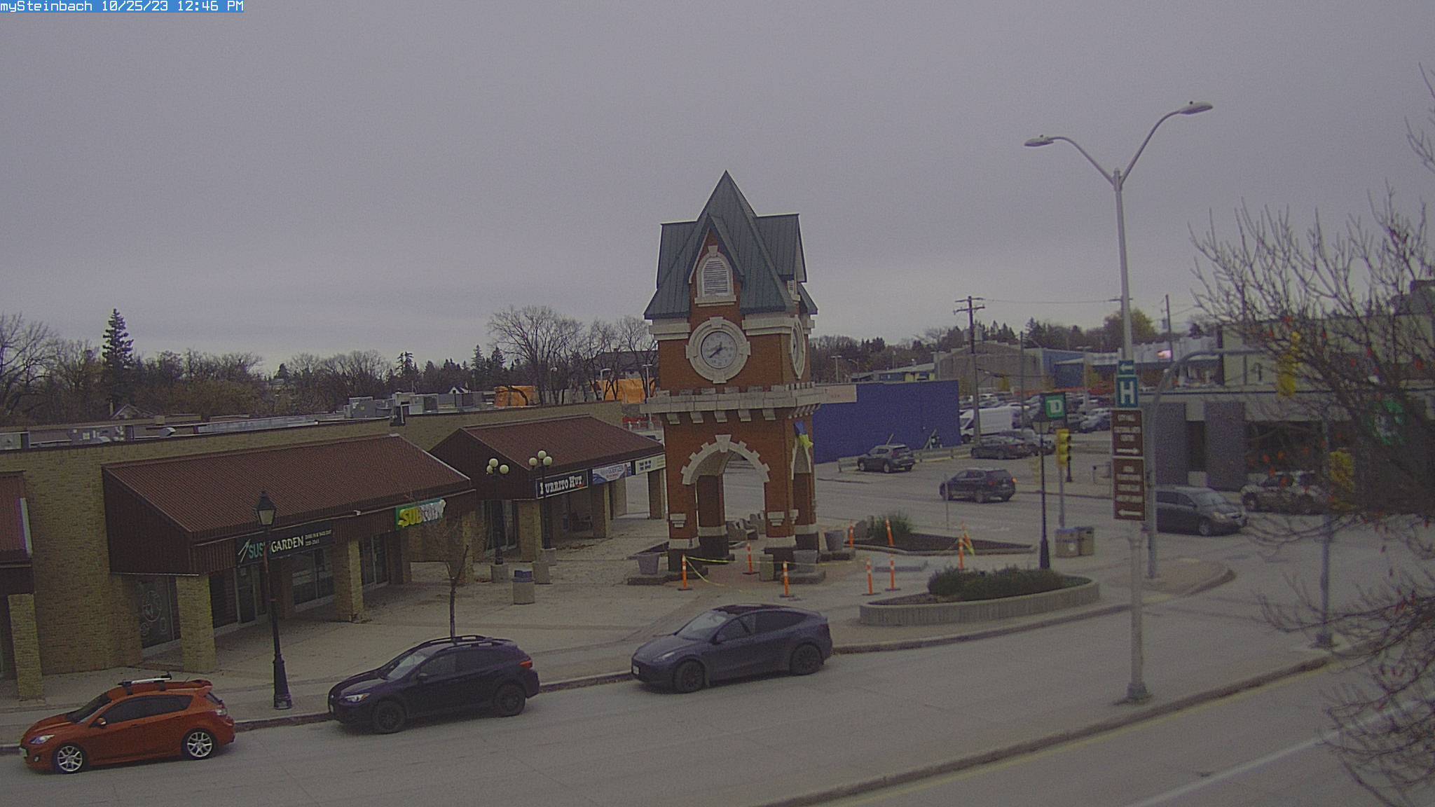
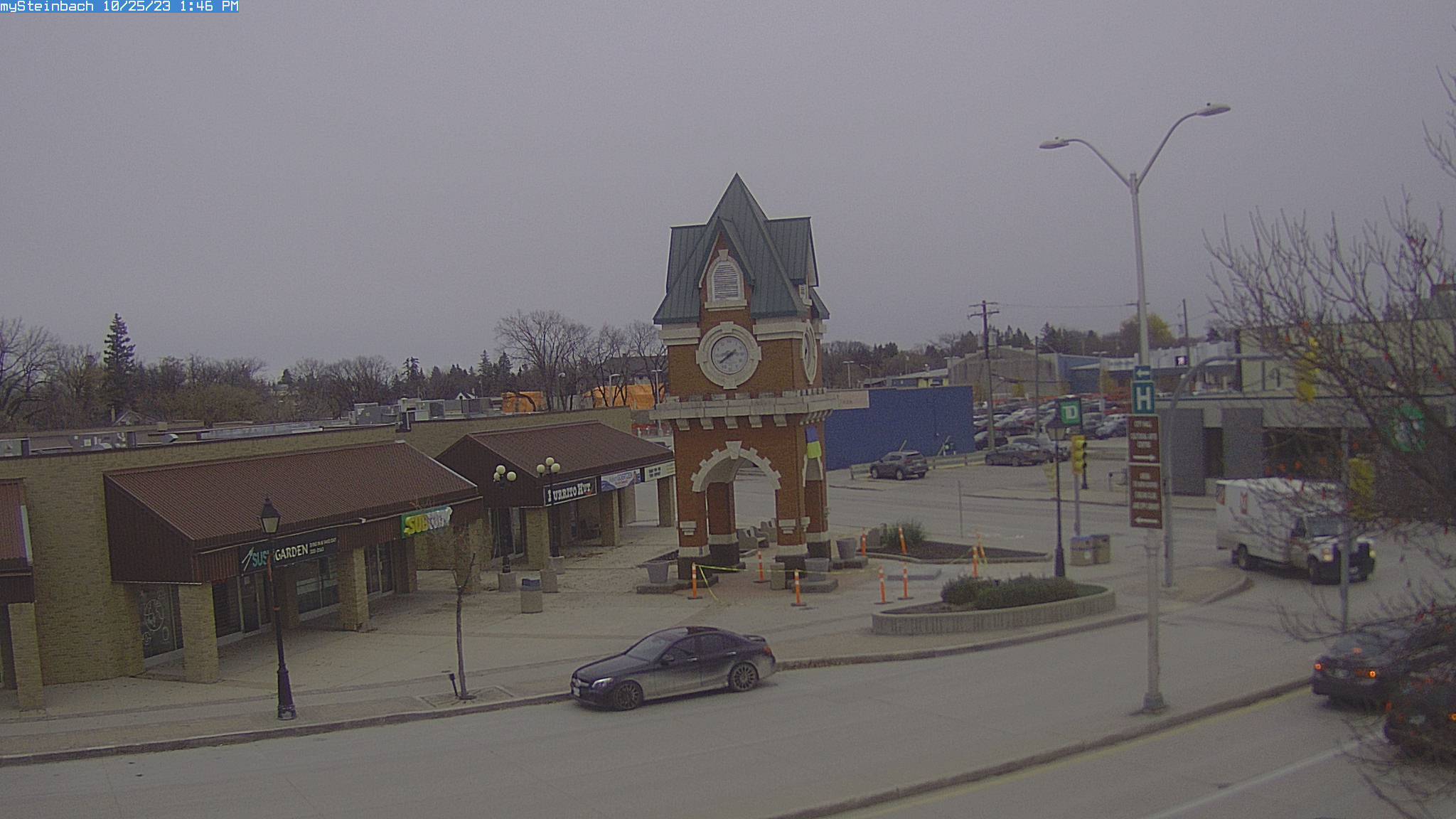
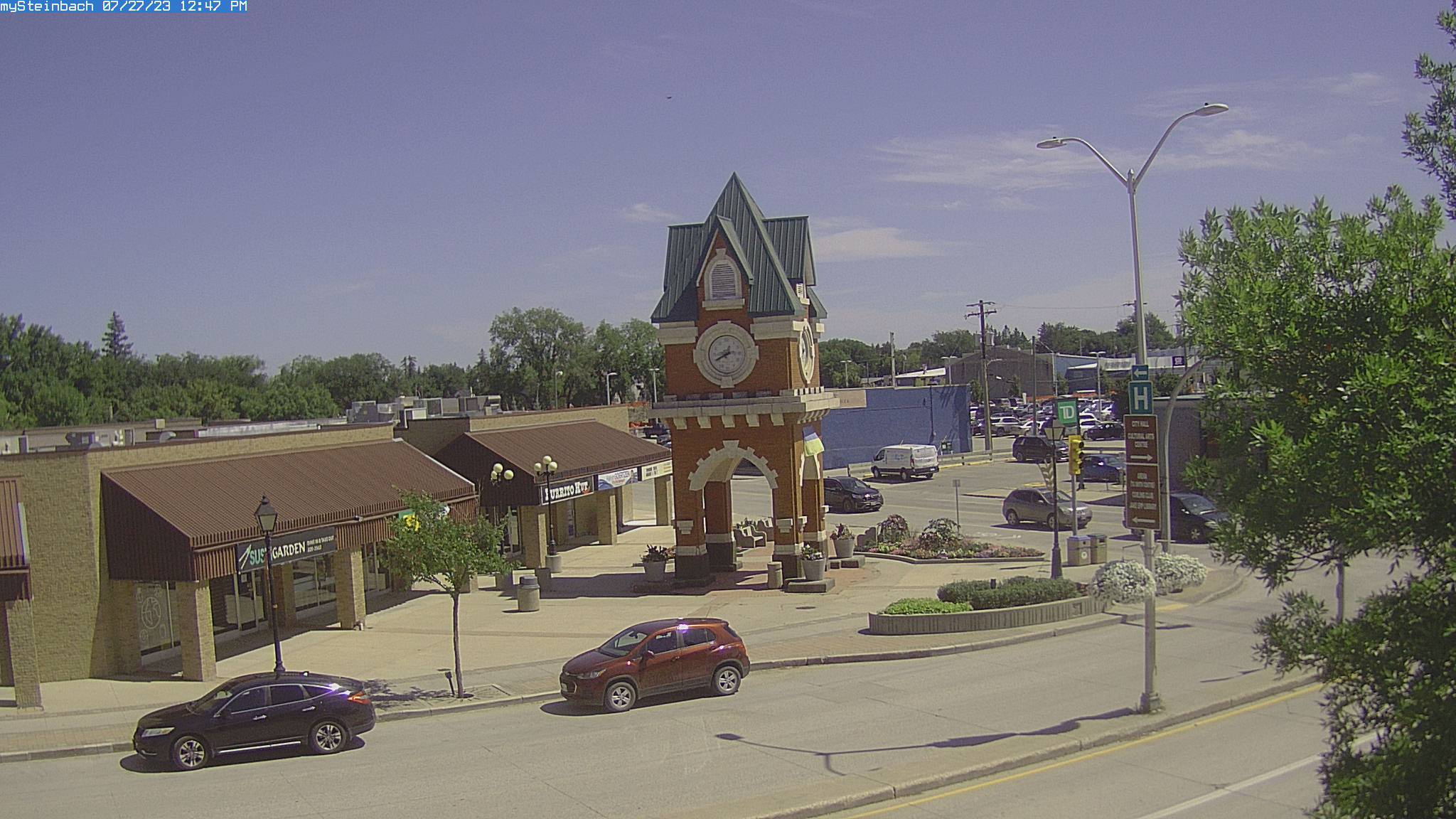
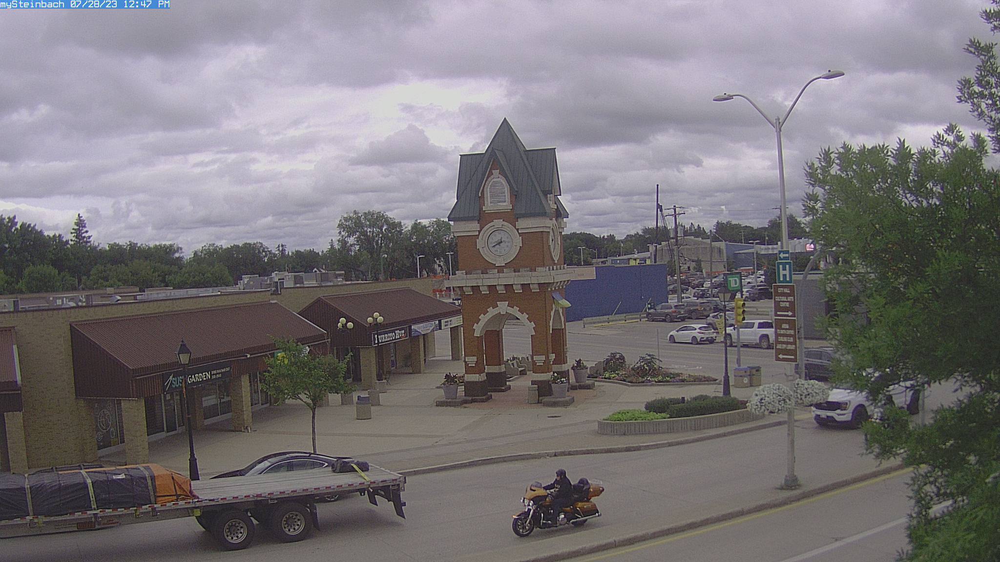
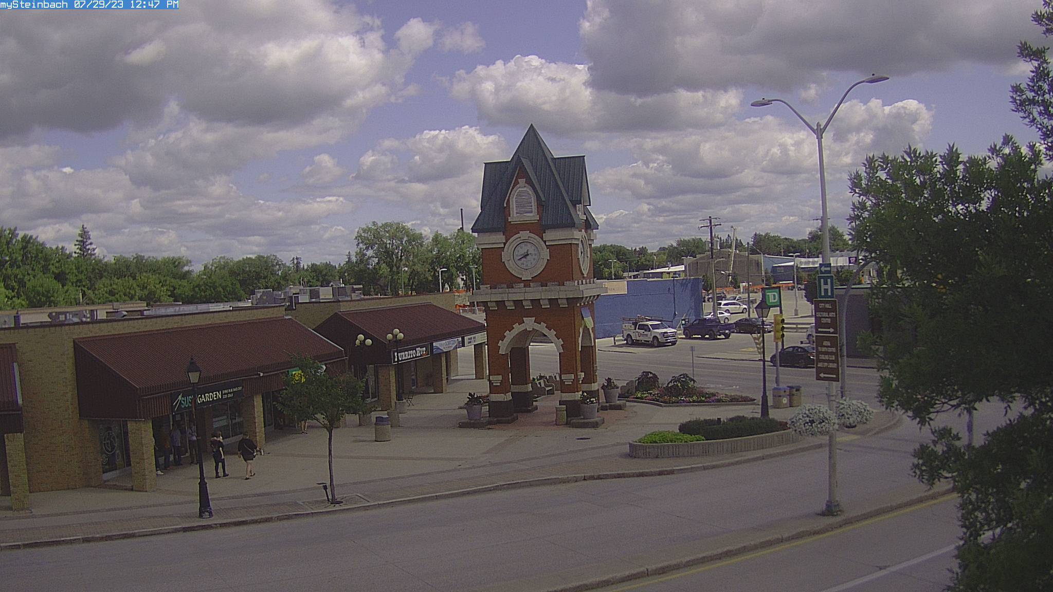
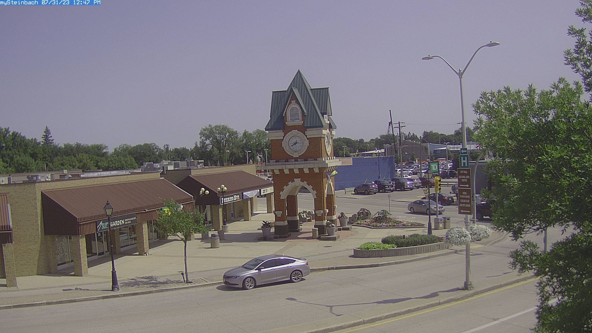
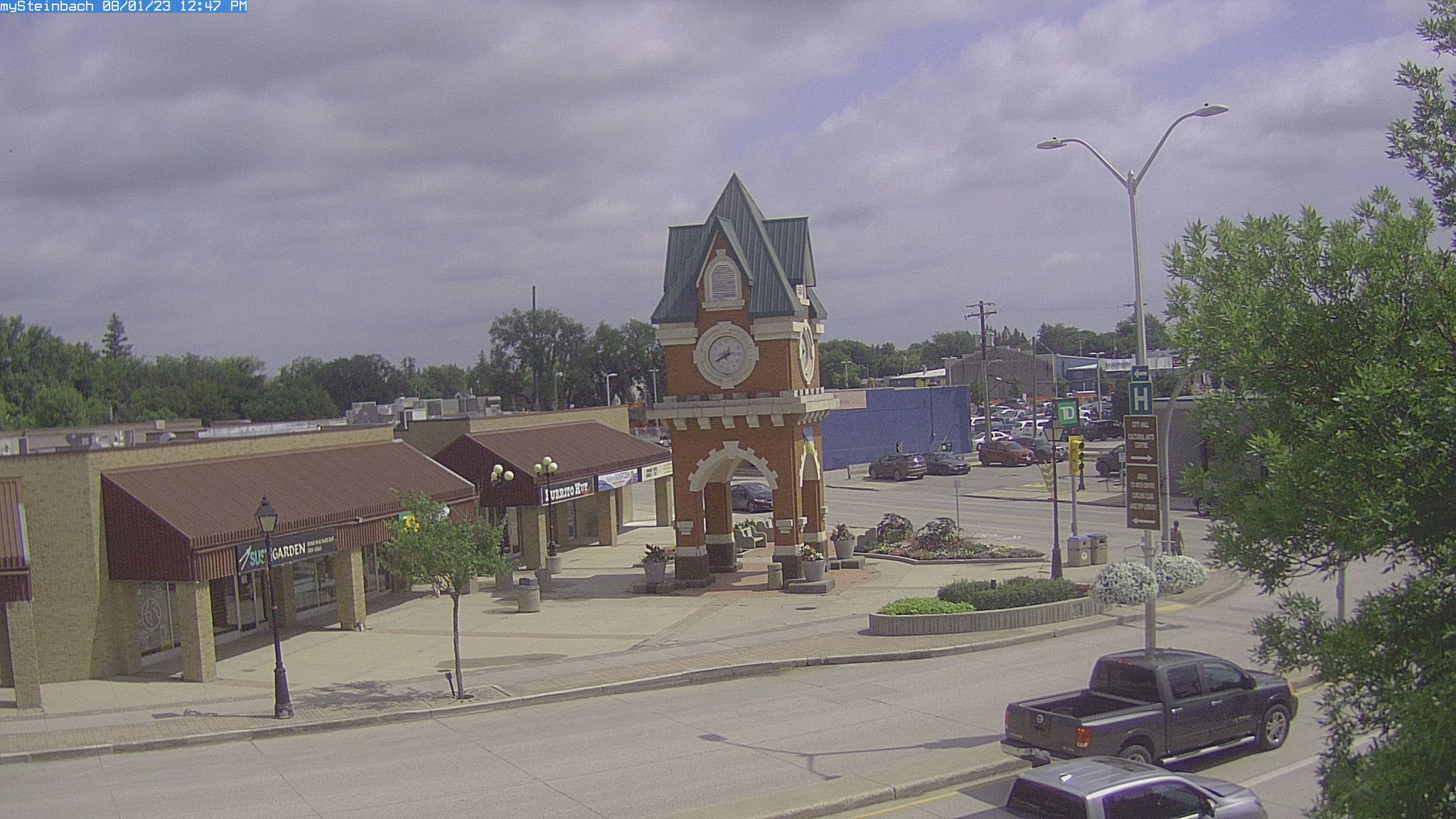
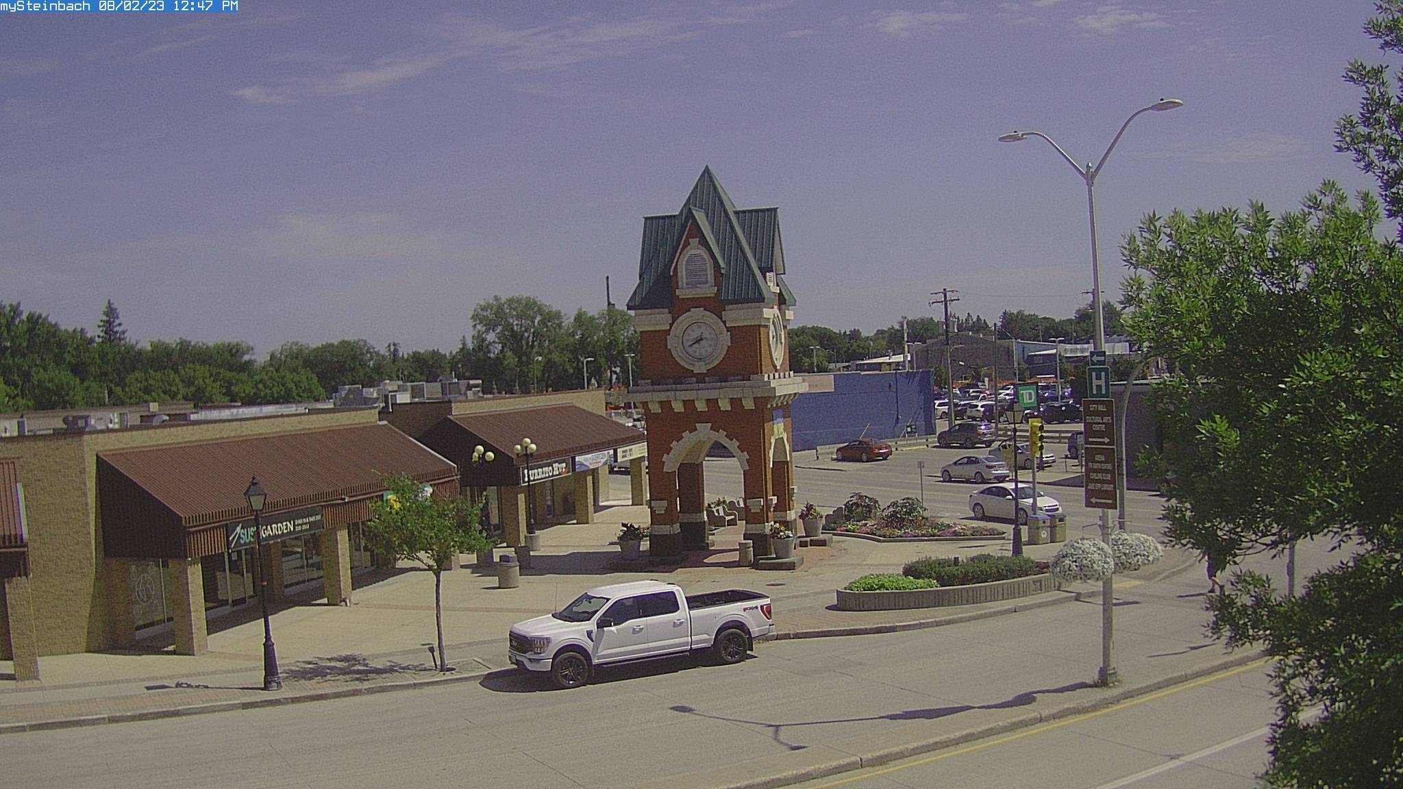
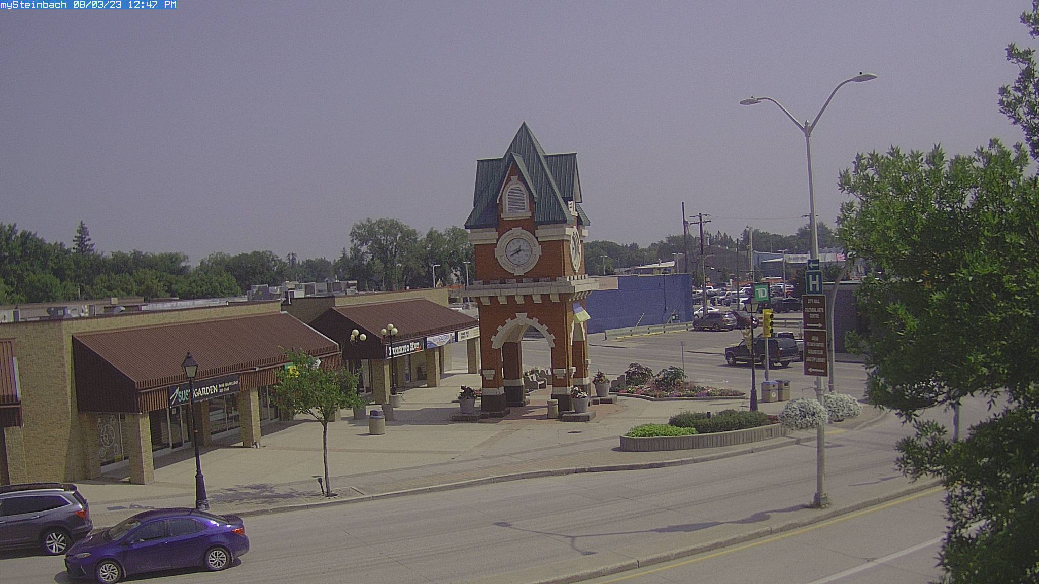
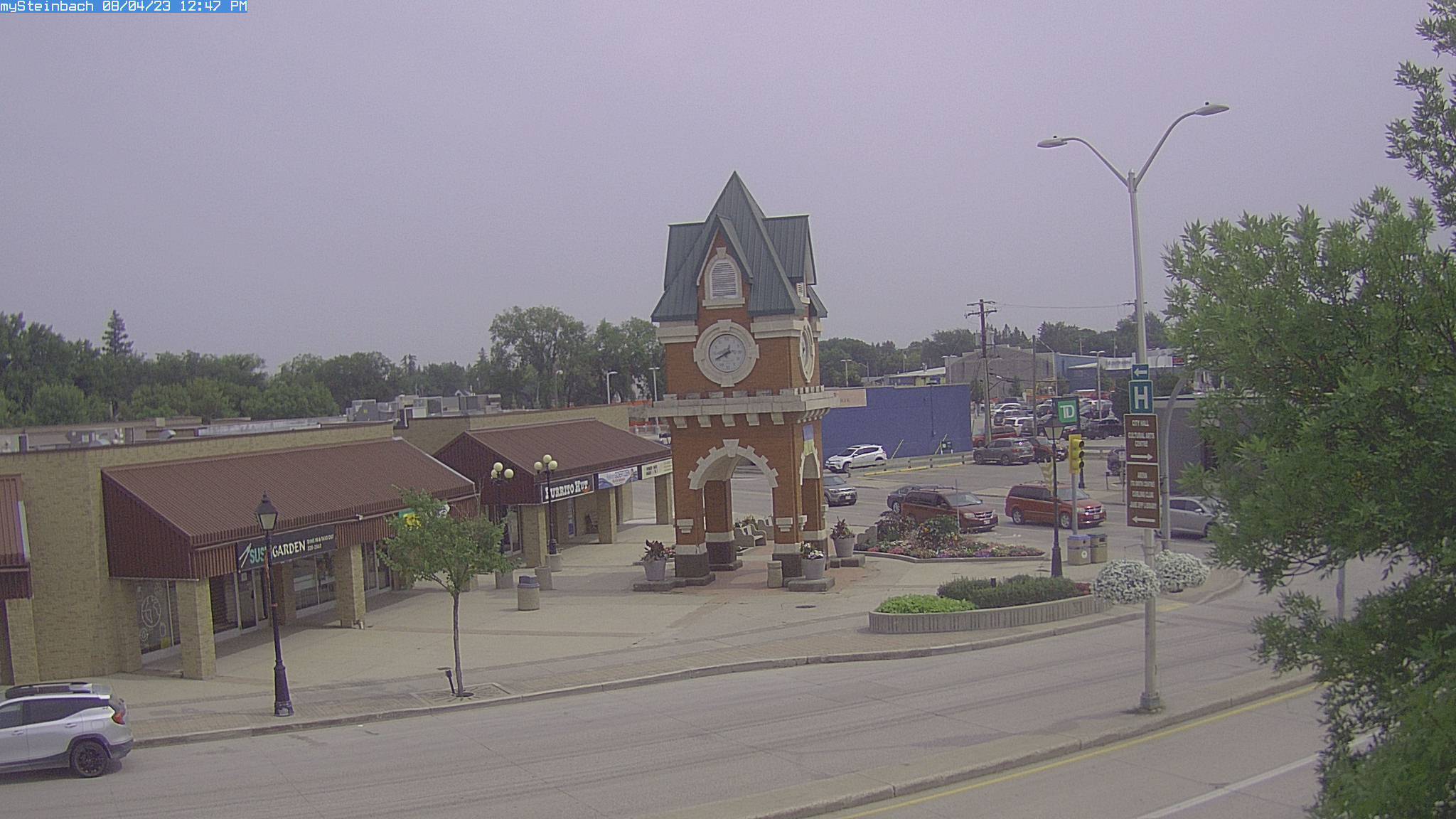
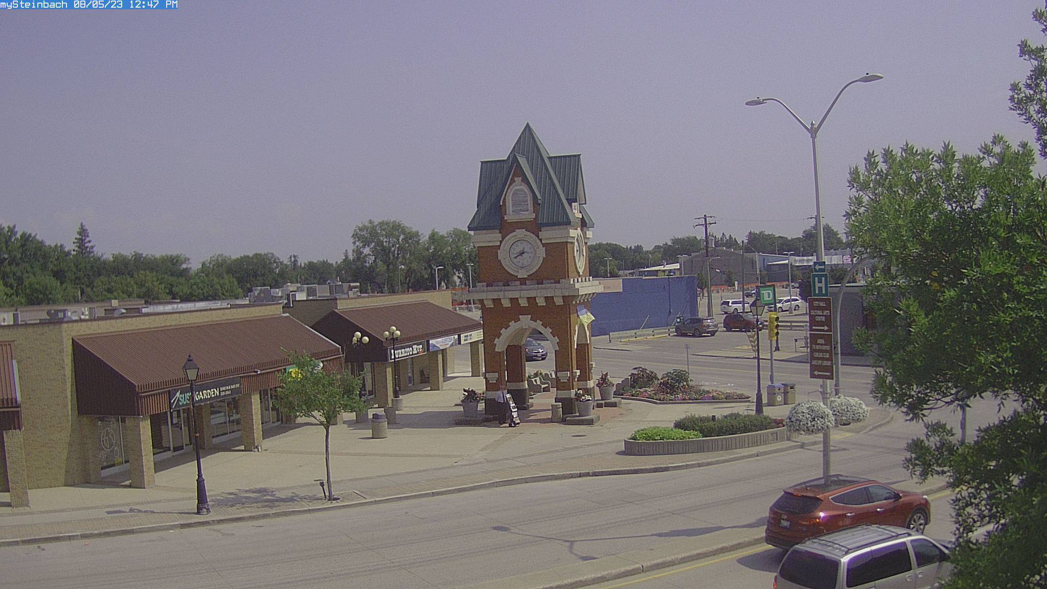
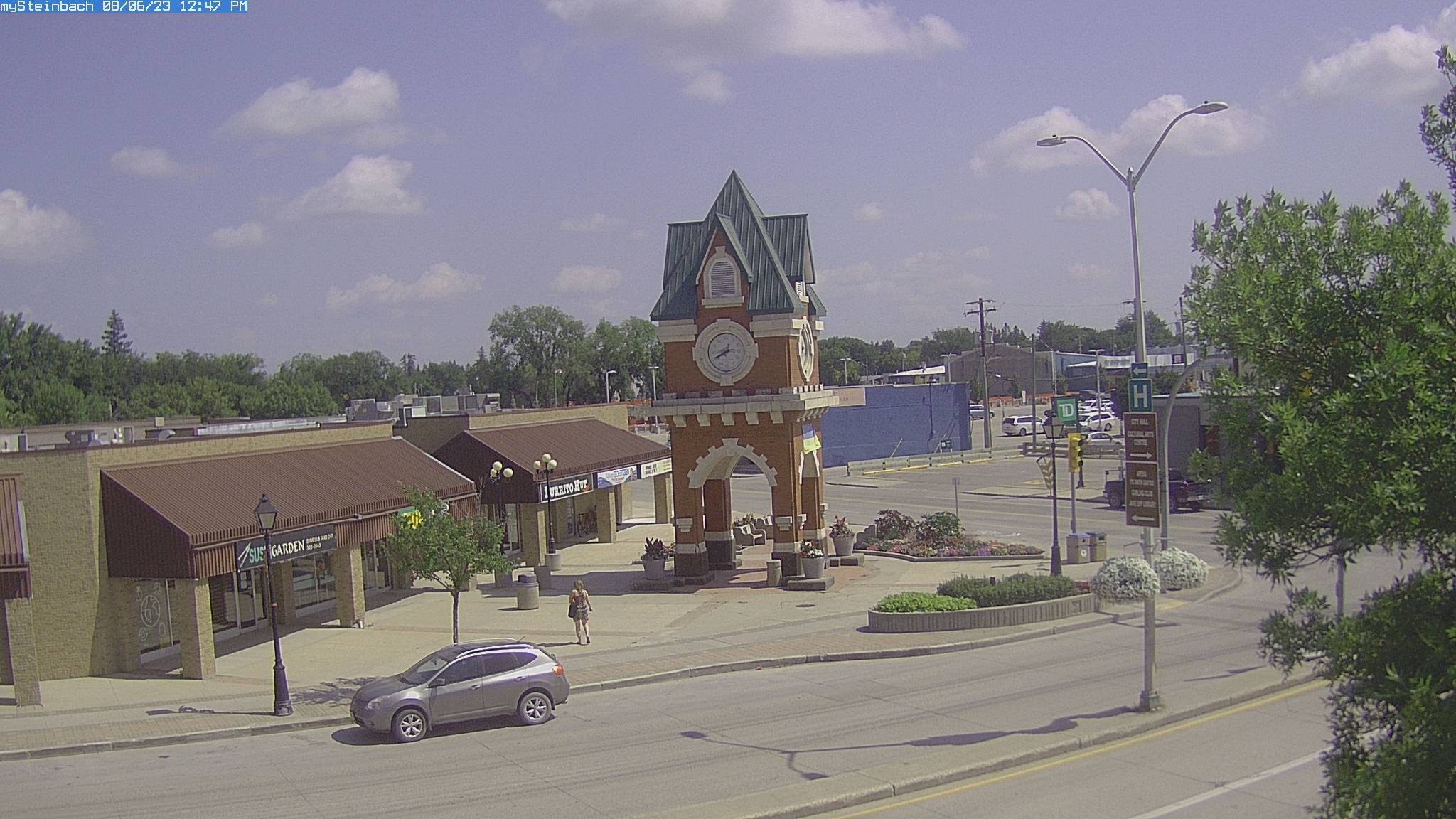
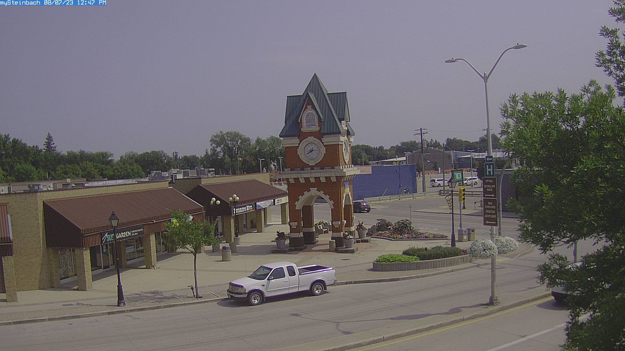
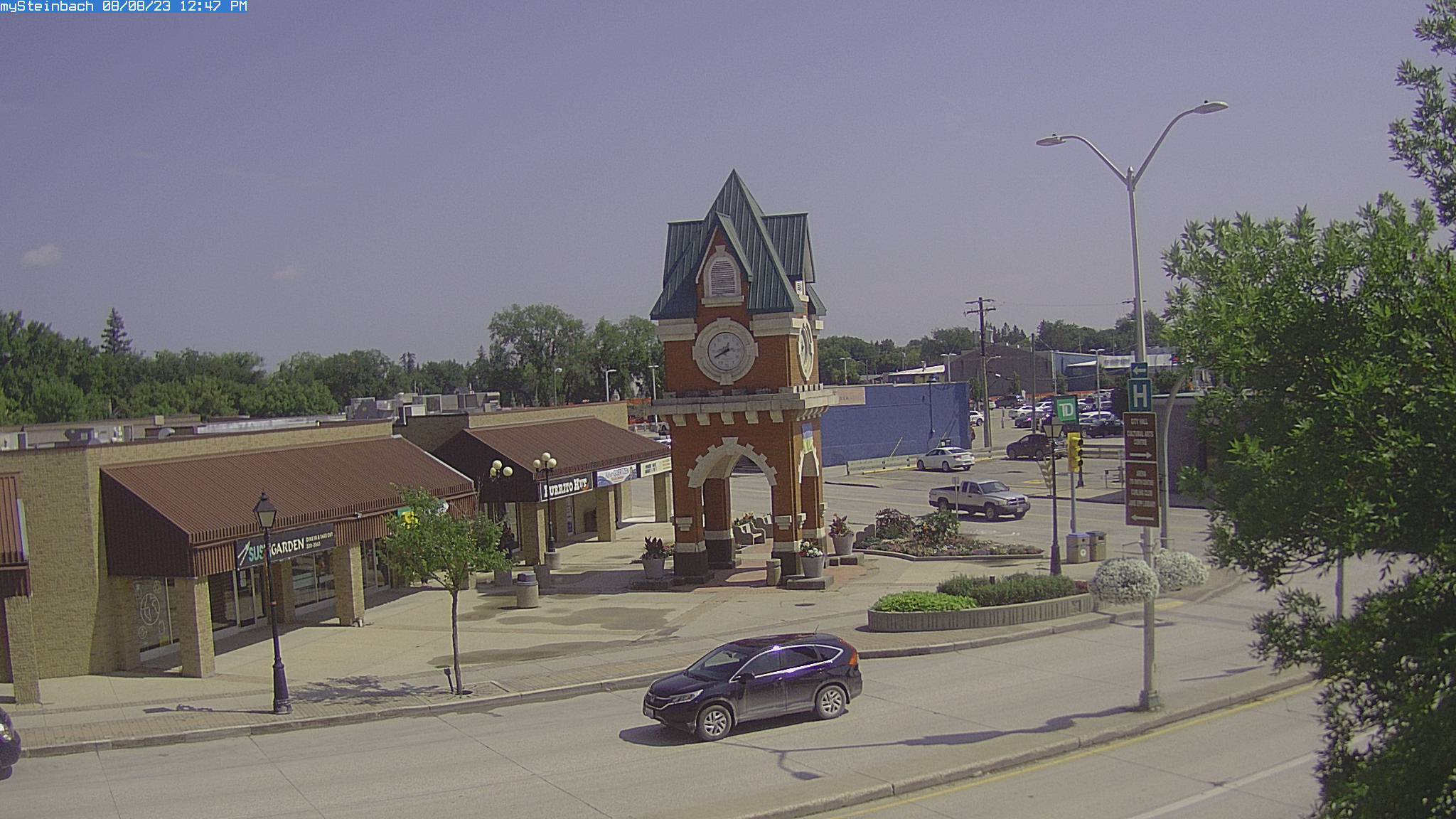
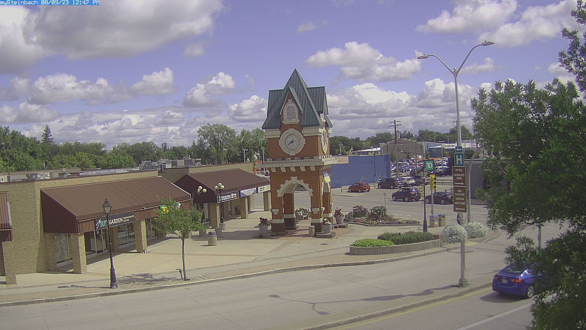
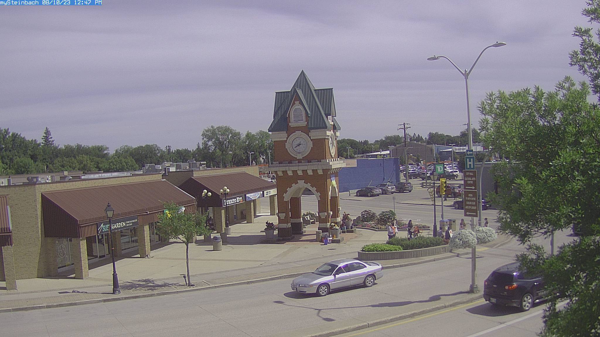
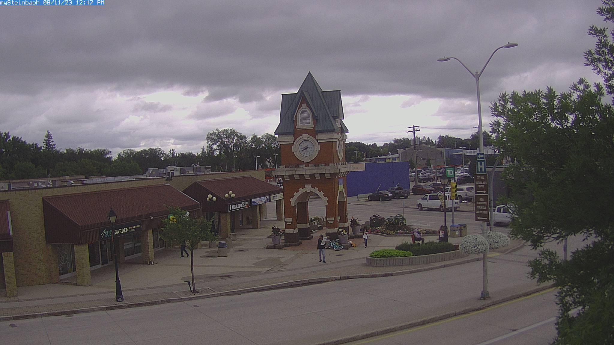
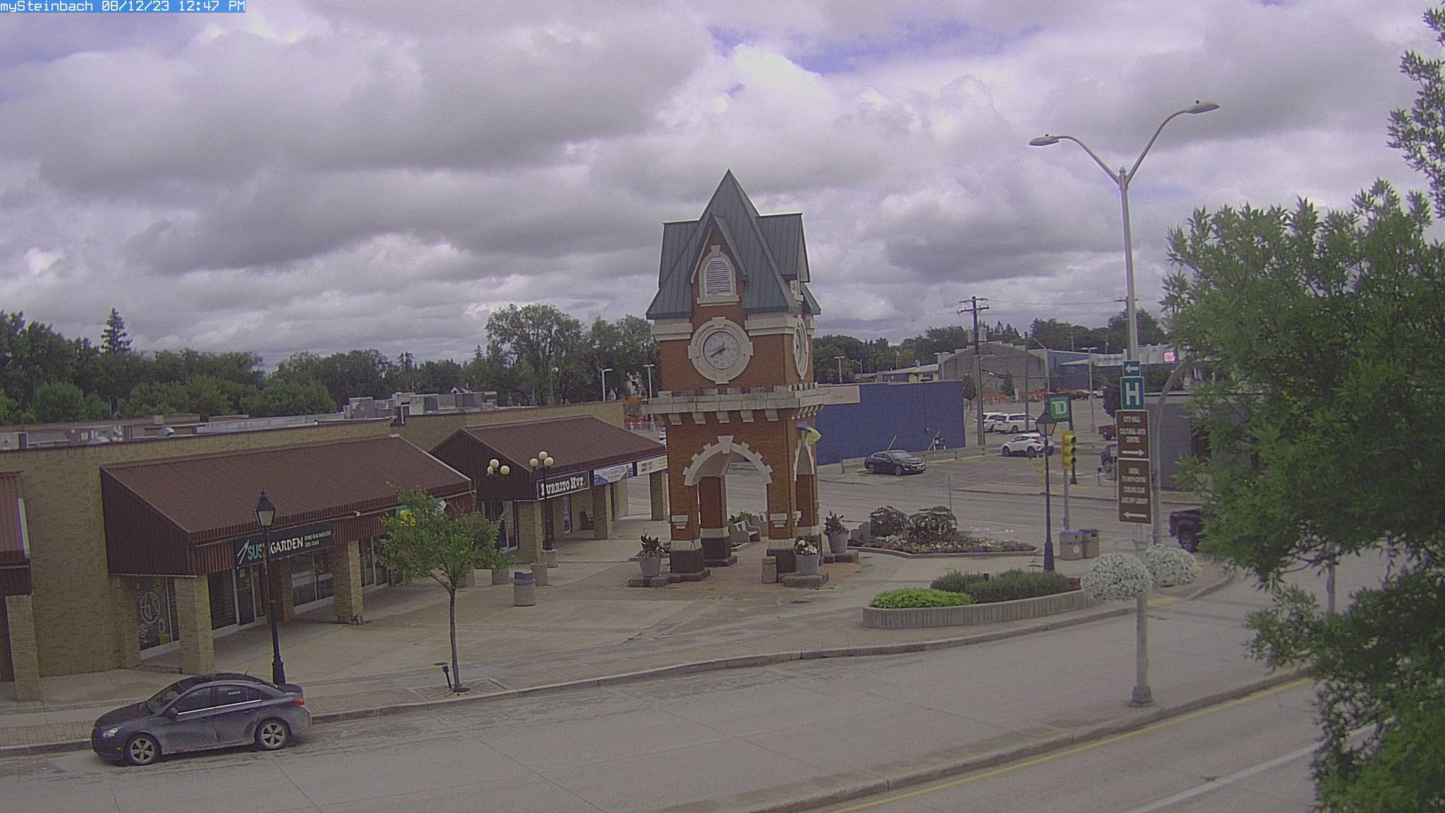
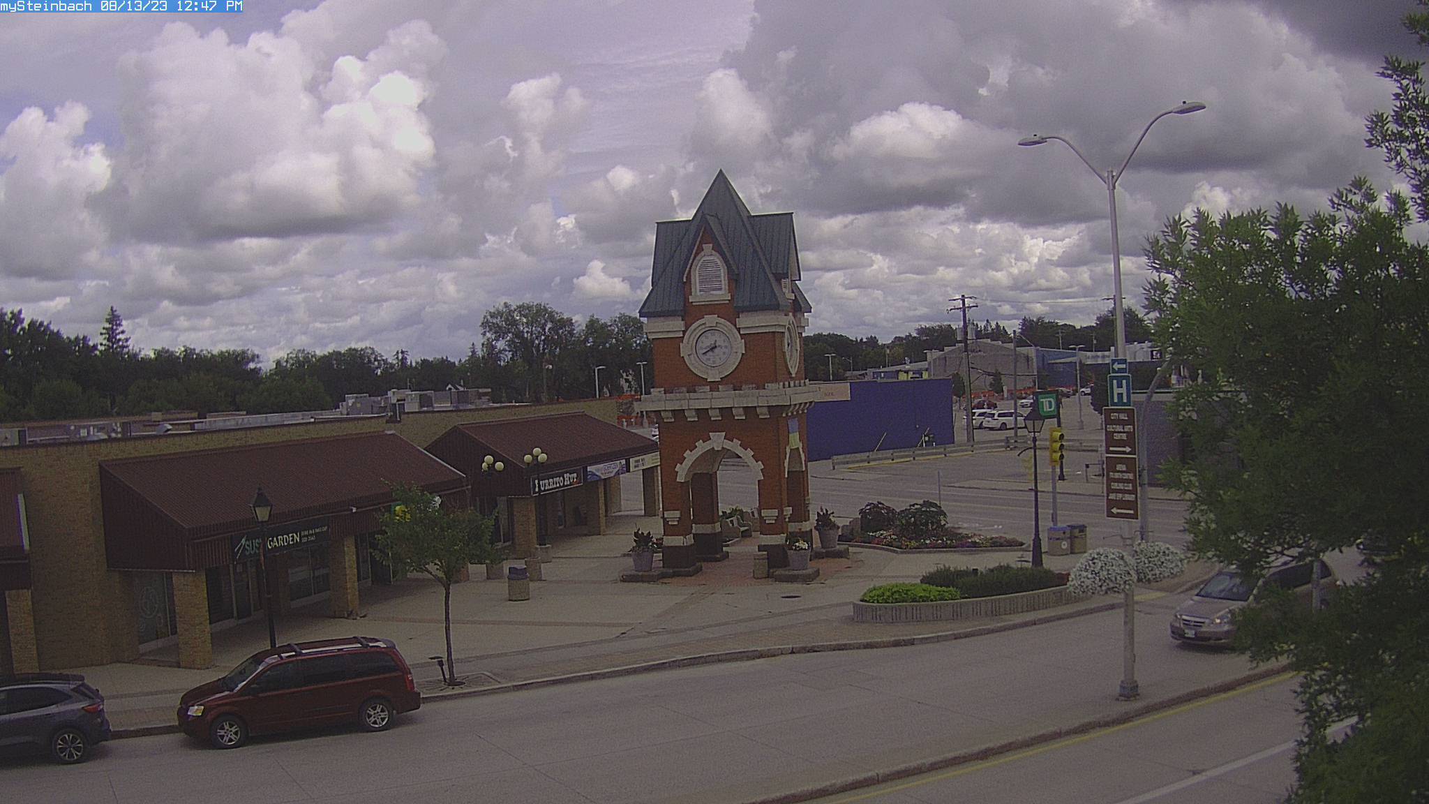
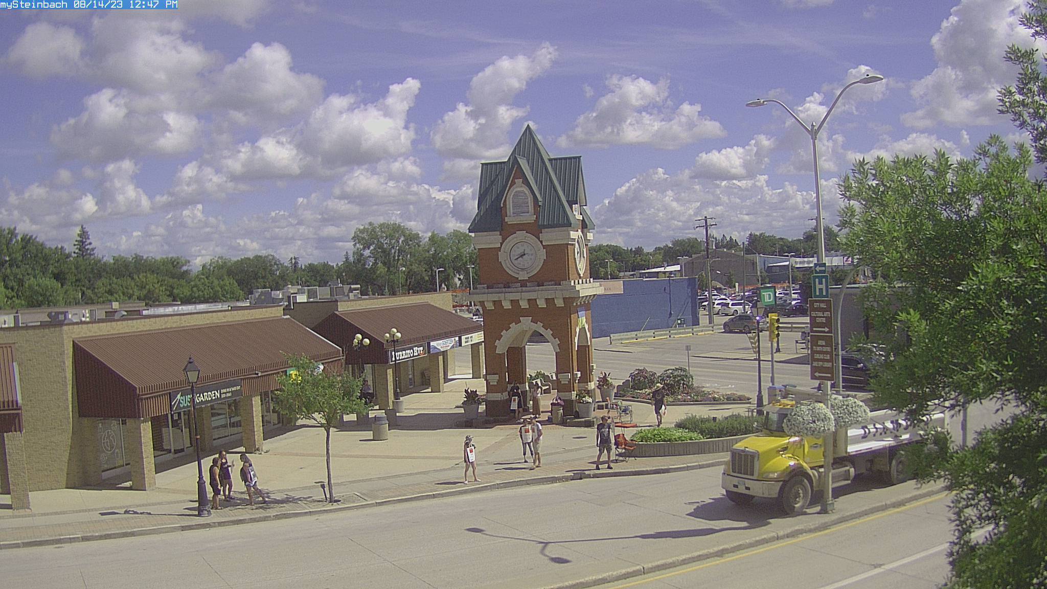
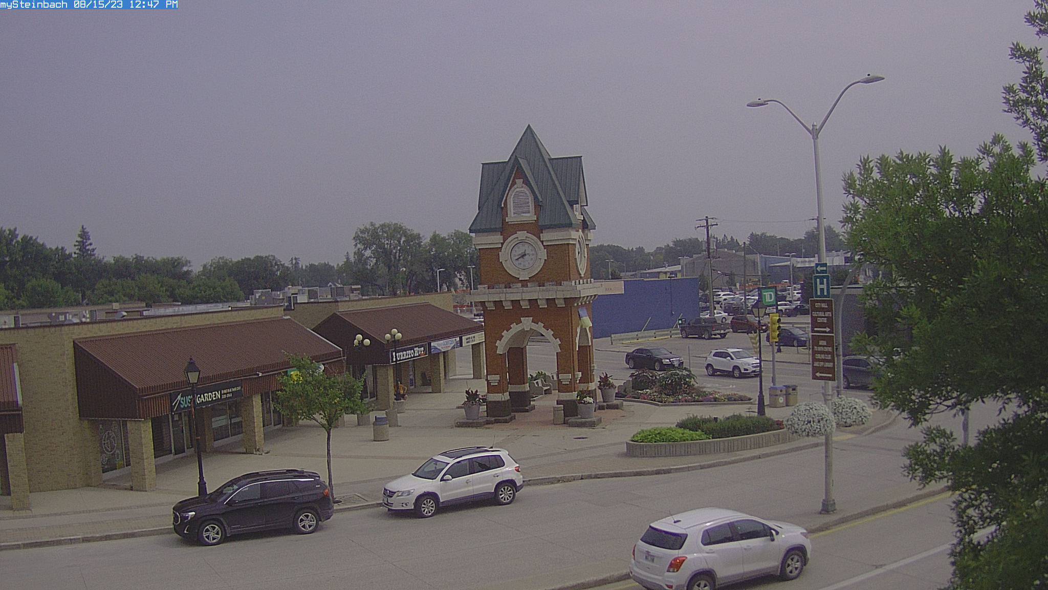
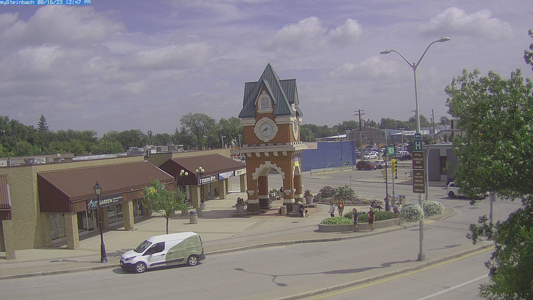
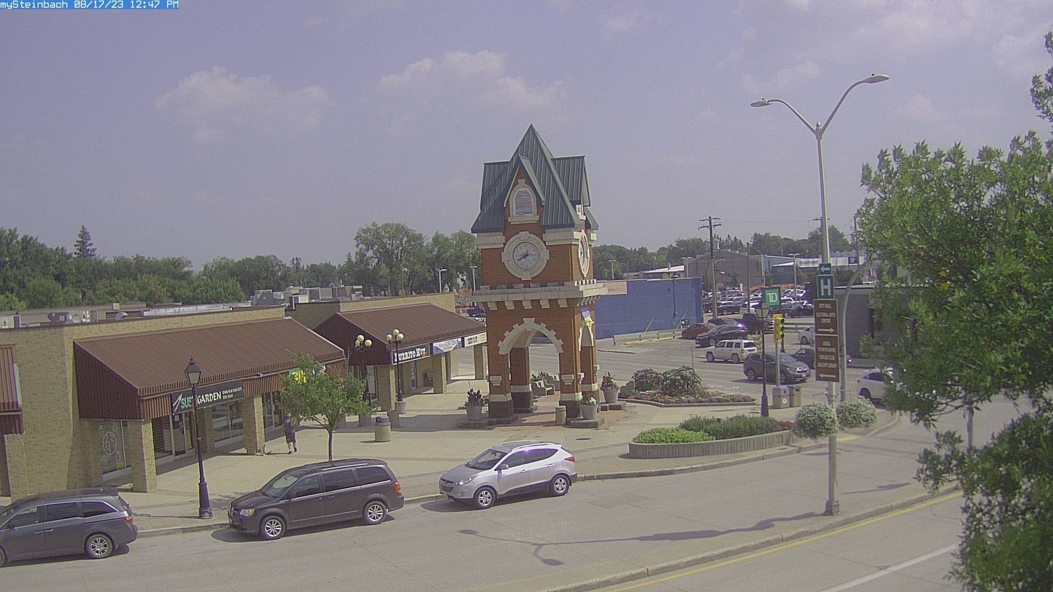
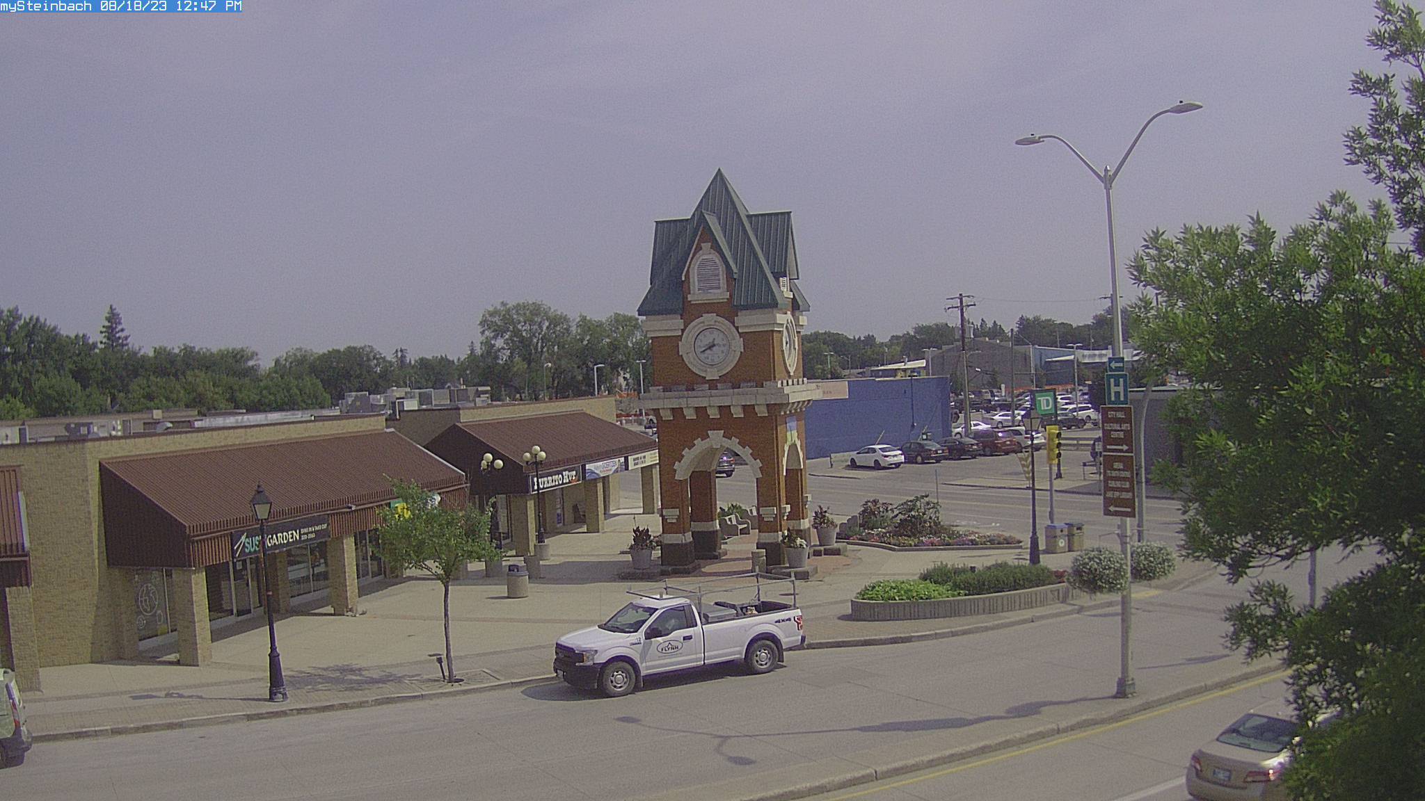
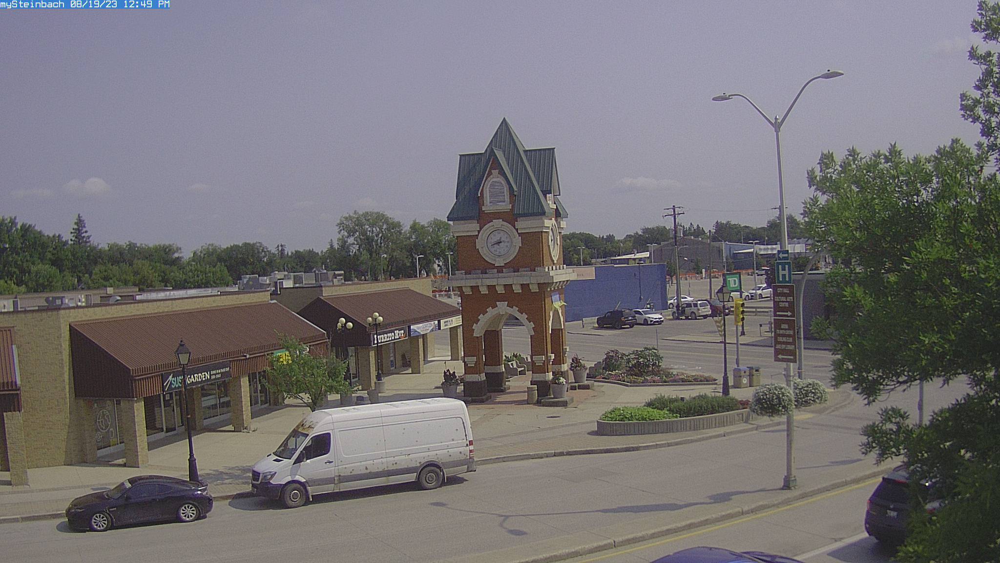
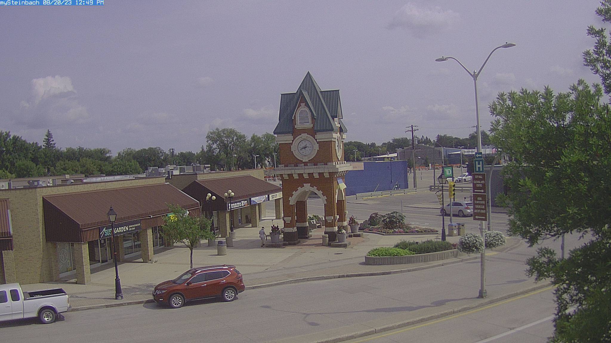
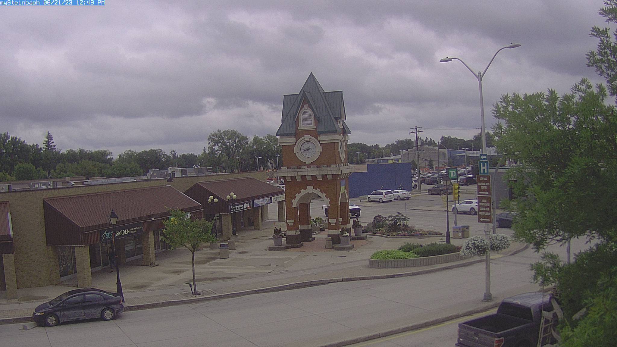
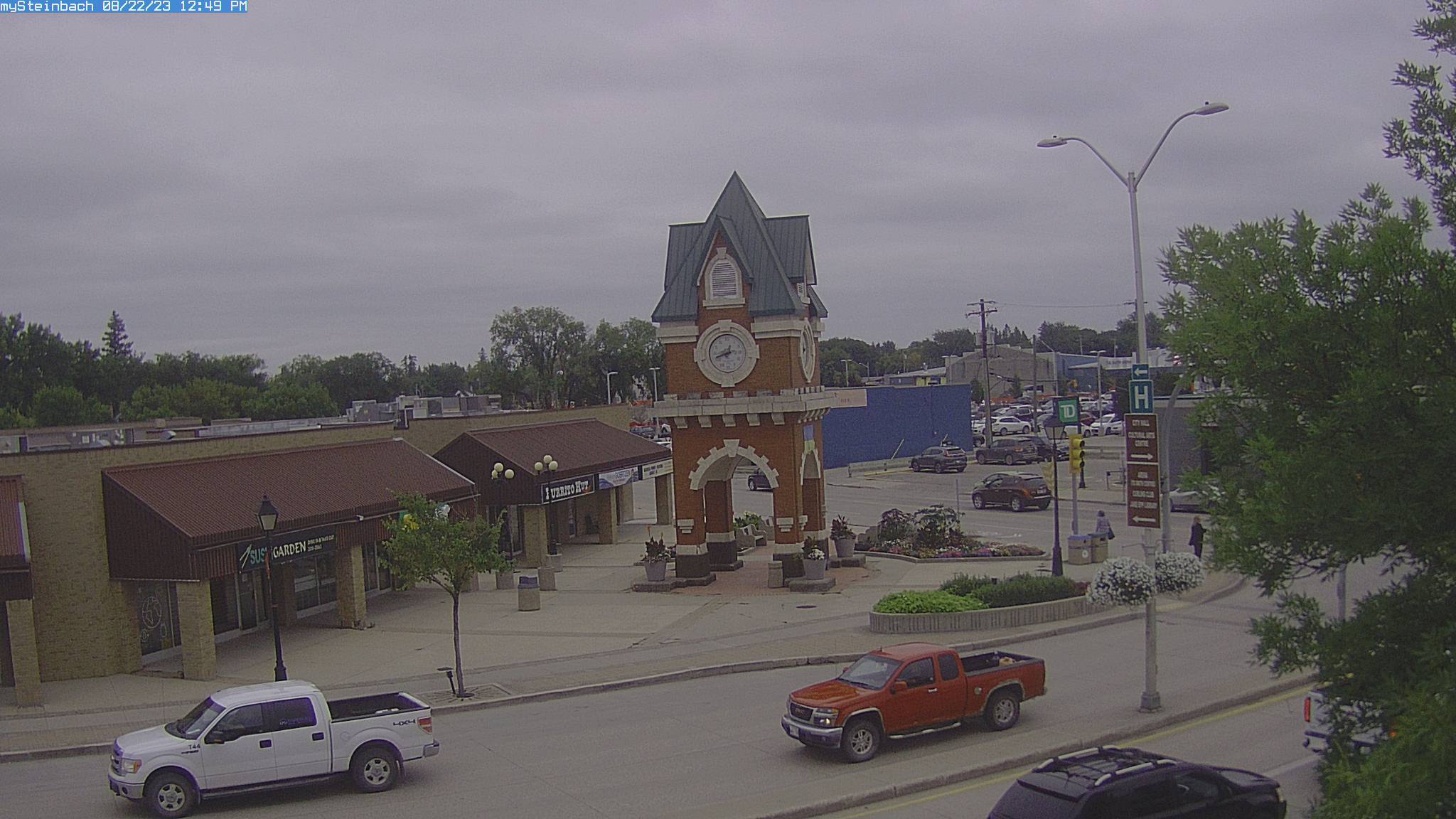
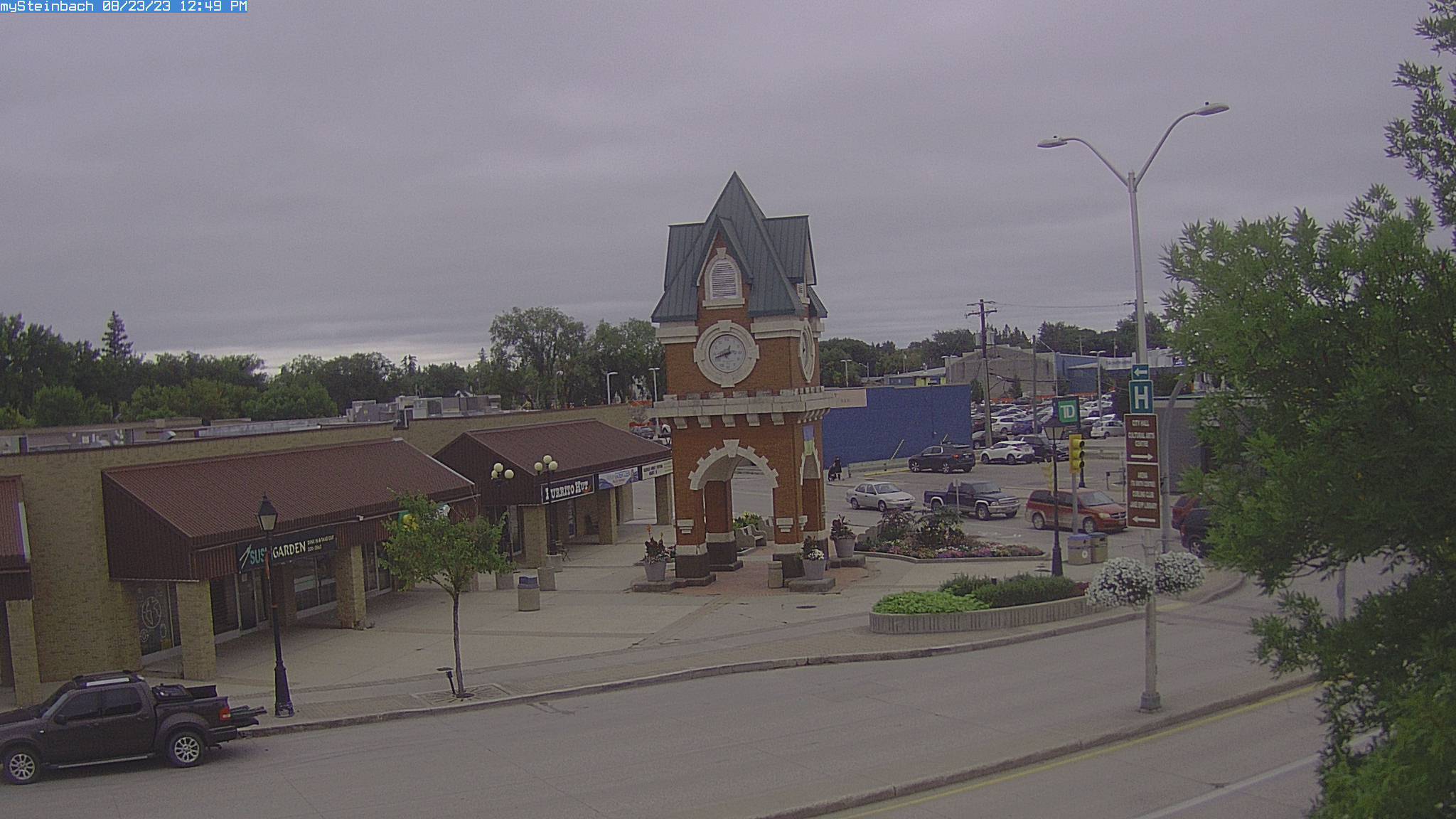
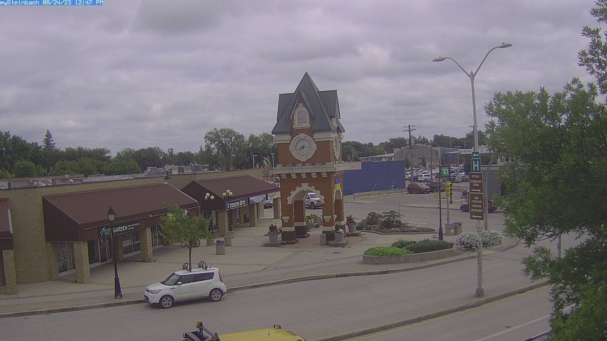
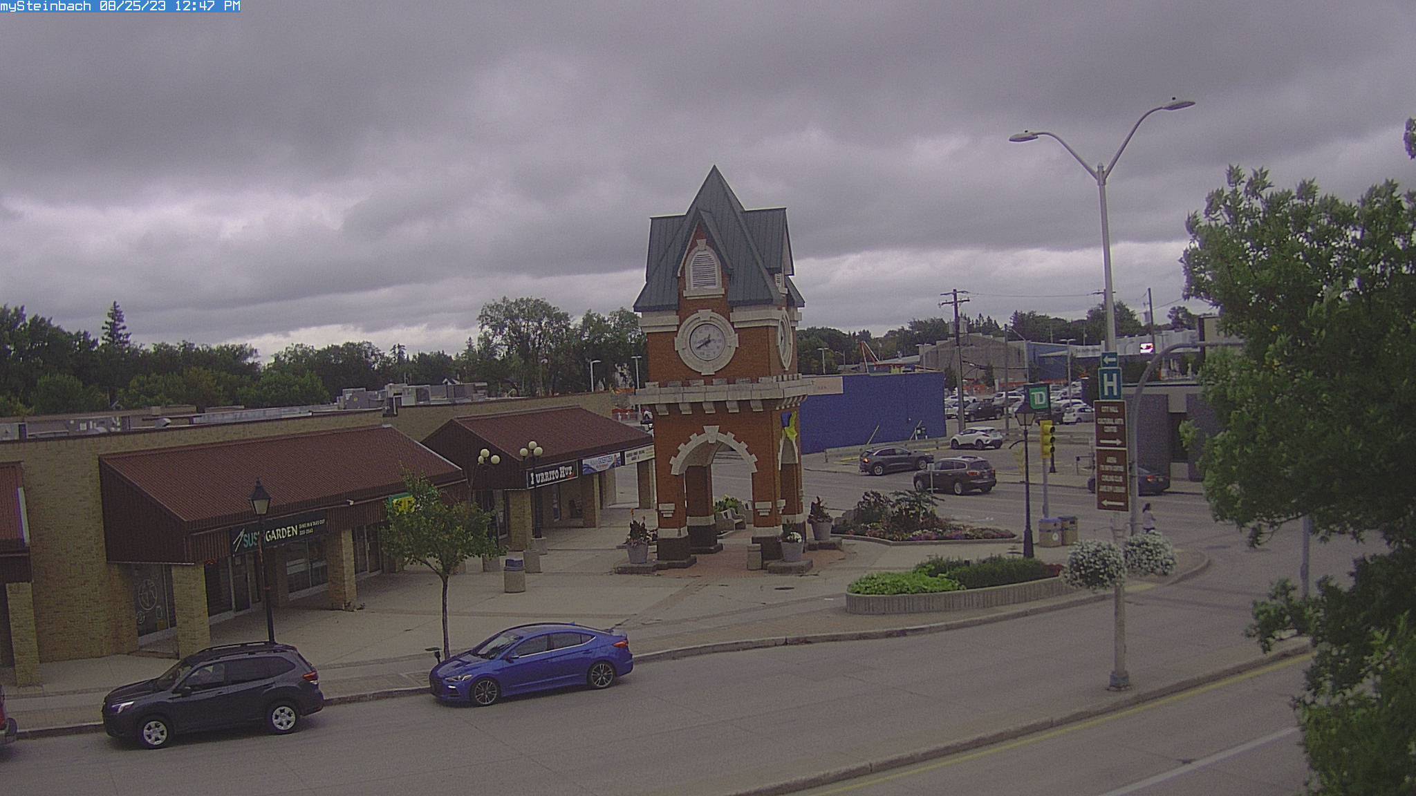
Steinbach, Canada - 292 miles from Ambridge: mySteinbach Web Cam - View of downtown Steinbach, Manitoba, Canada.
Operator: mySteinbach.ca
Operator: mySteinbach.ca


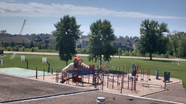
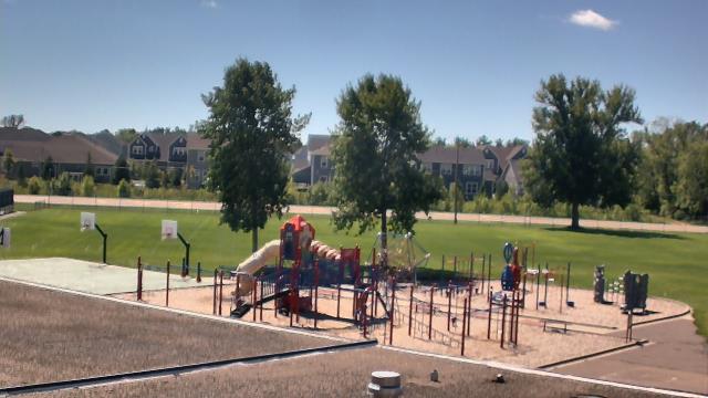
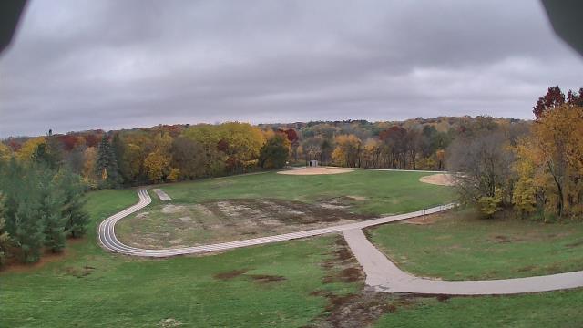
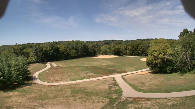
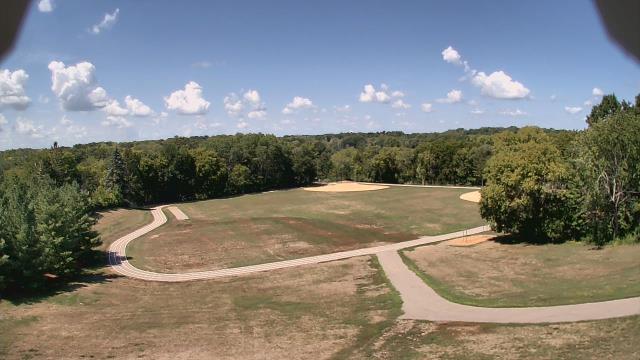
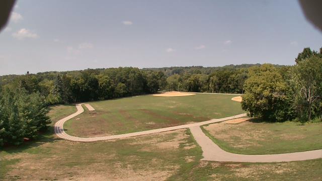
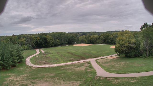
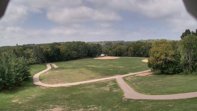
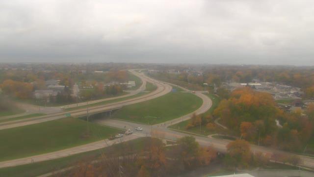
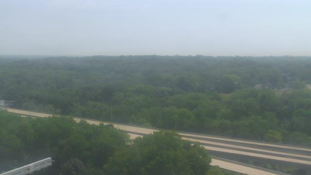
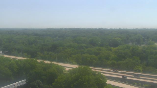
North Lake, Wisconsin, USA - 301 miles from Ambridge: North Lake School District - A webcam in North Lake, Wisconsin - camera location: North Lake School District.
Operator: WeatherBug
Operator: WeatherBug


Some other places in this country: Ella - Ashwaubenon - Cheeseville - Alverno - Amnicon Falls - Anacker - Anderson - Anton - Armstrong - Arnold