Webcams in the region of Windom (historical), West Virginia, USA
The List of Webcams near Windom (historical), West Virginia, USA:

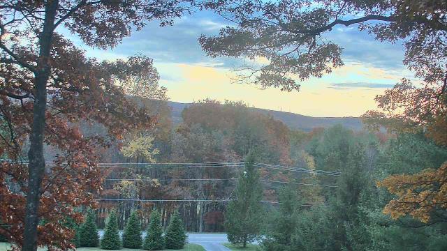
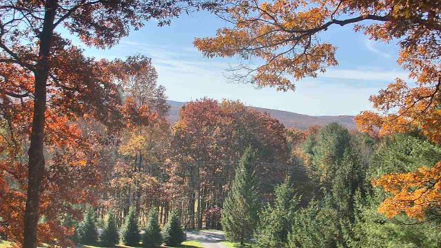
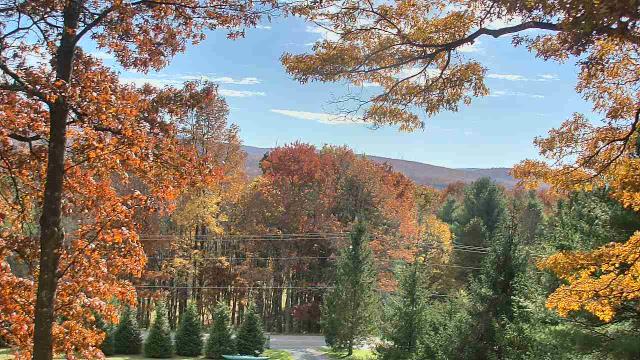
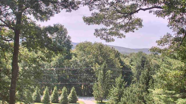
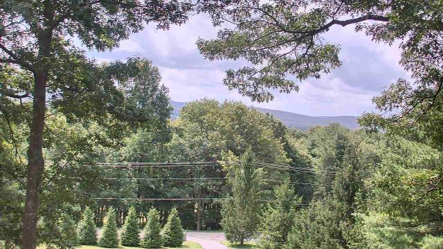
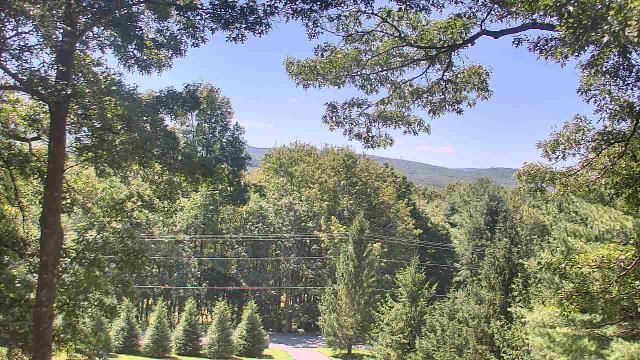
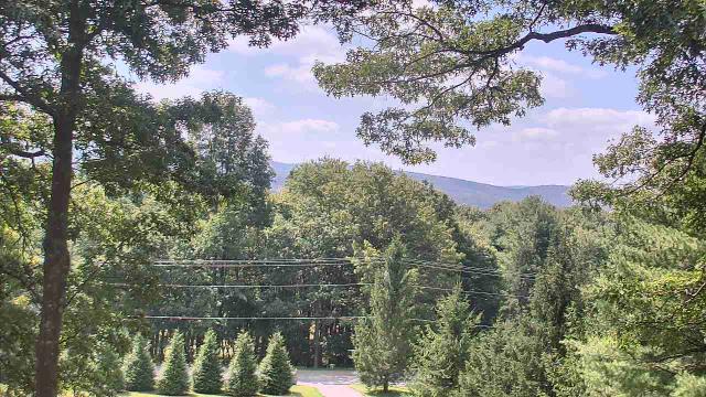
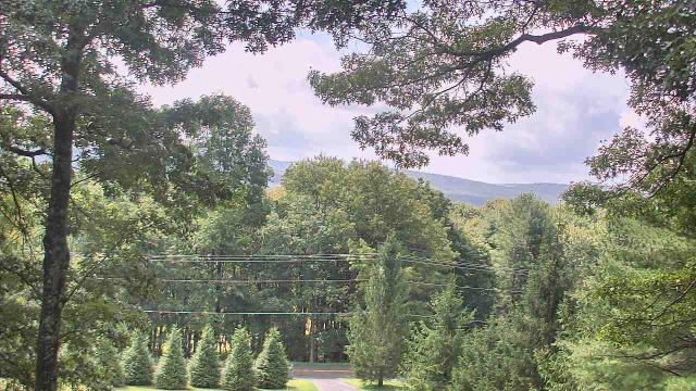
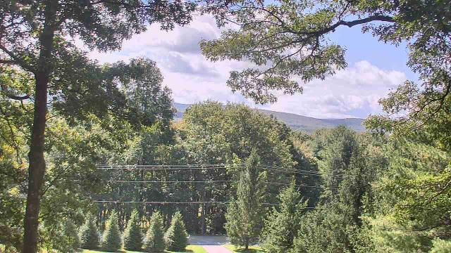
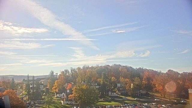
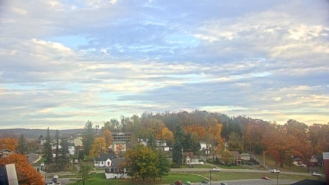
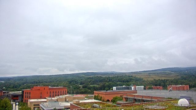
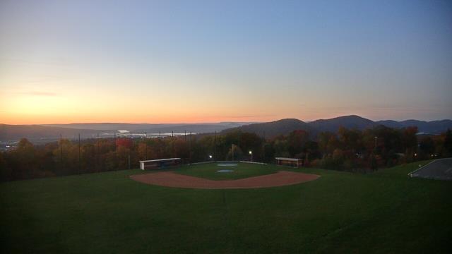
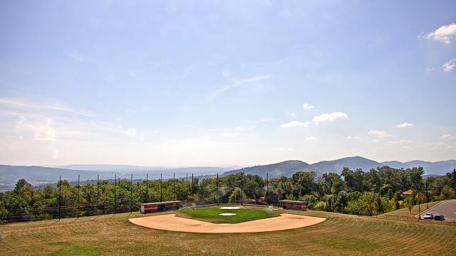
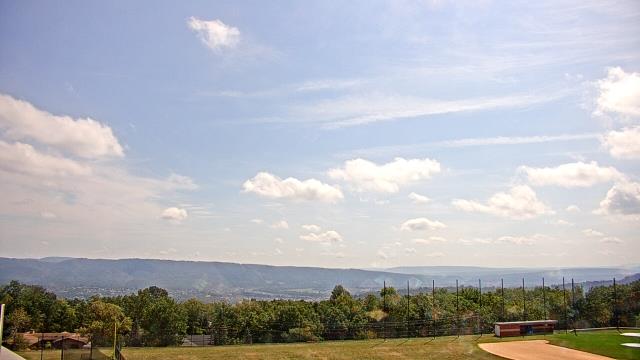
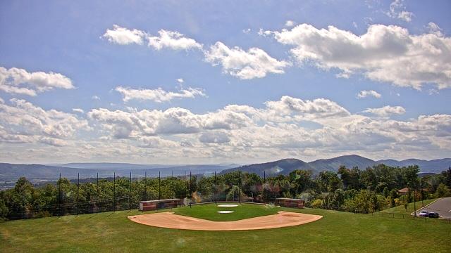
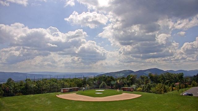
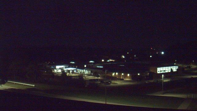
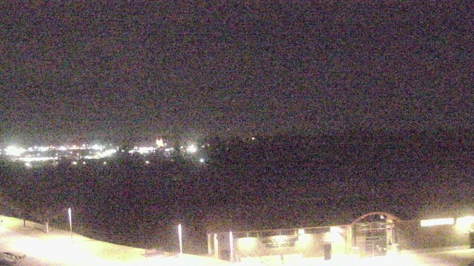
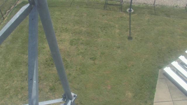
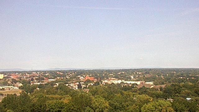
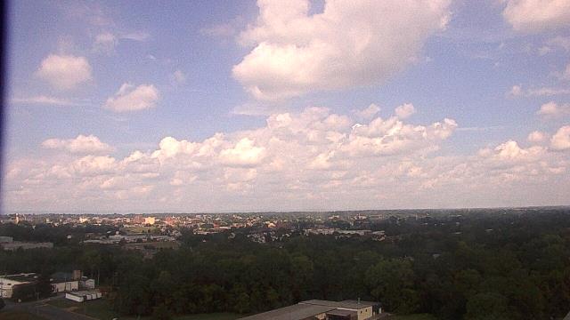
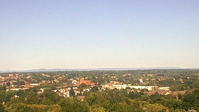
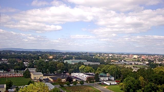
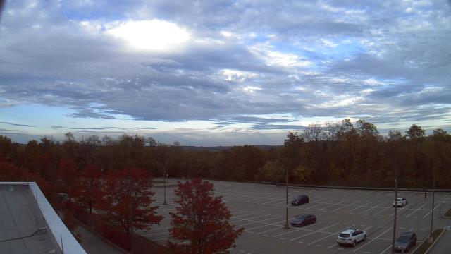
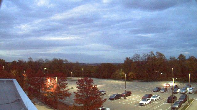
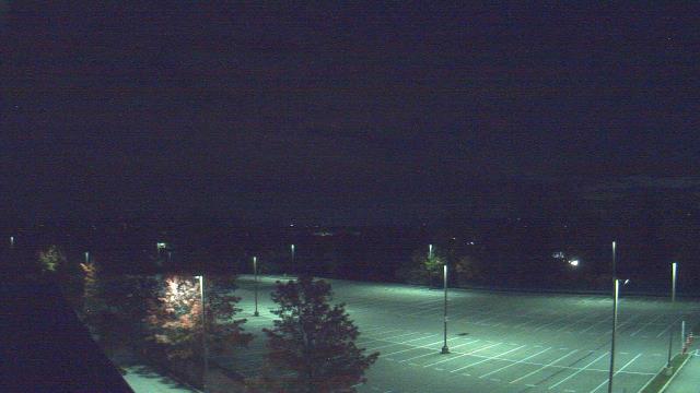
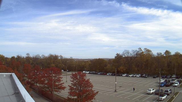
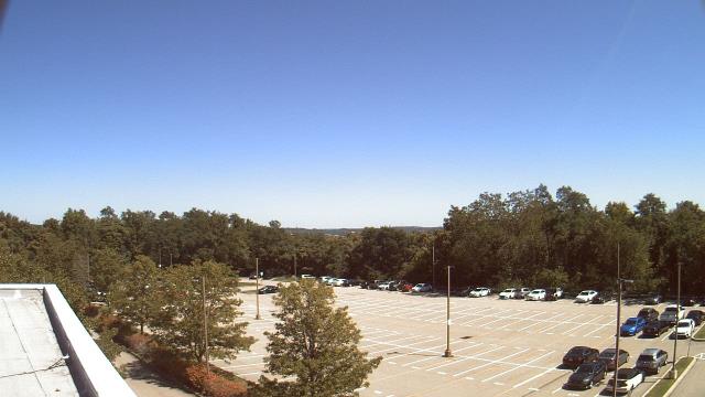
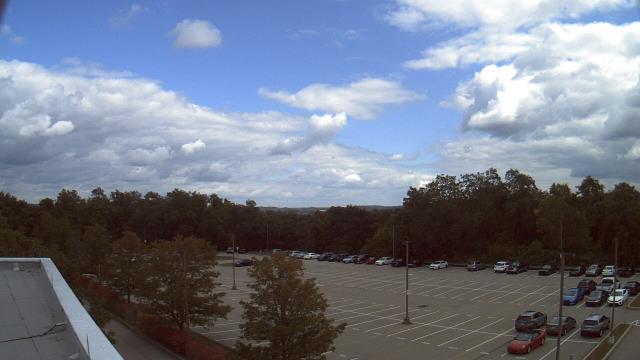
Swanton, Maryland, USA - 6.9 miles from Windom (historical): Sky Valley Lodge - A webcam in Swanton, Maryland - camera location: Sky Valley Lodge.
Operator: WeatherBug
Operator: WeatherBug


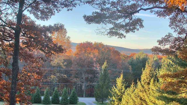
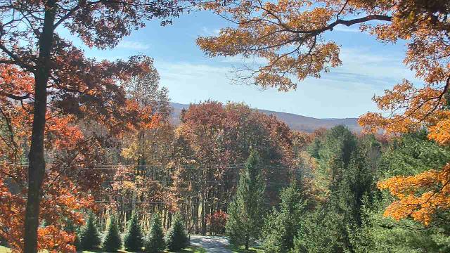
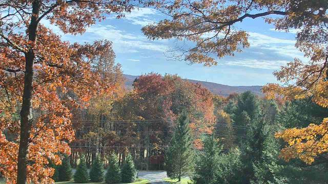
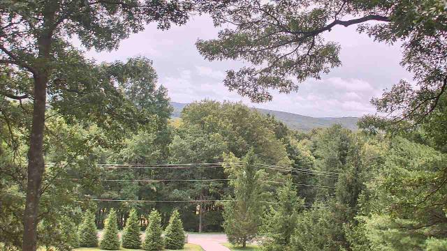
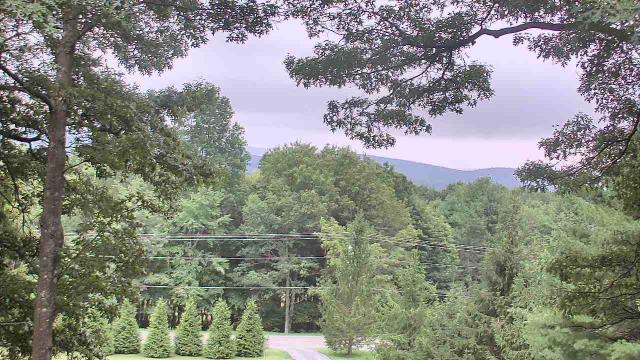
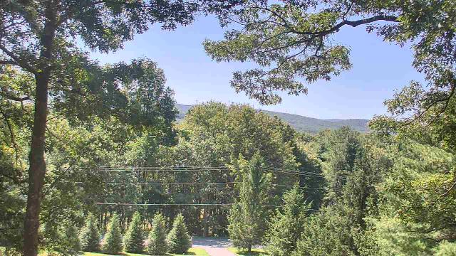

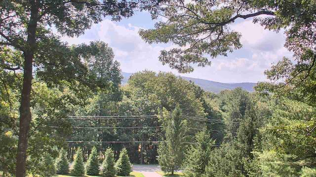
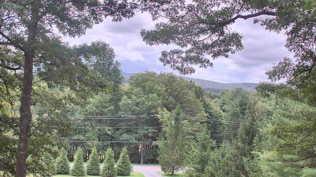
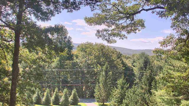


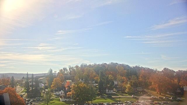
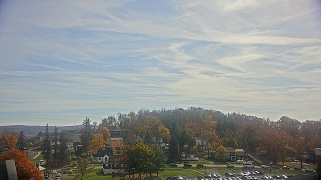
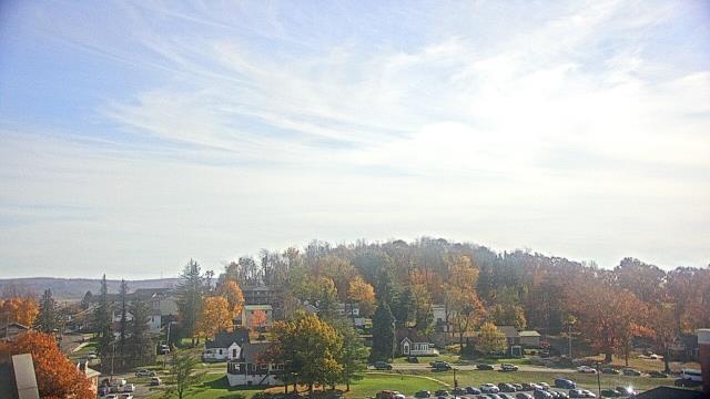
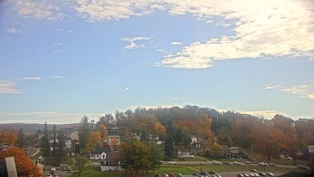
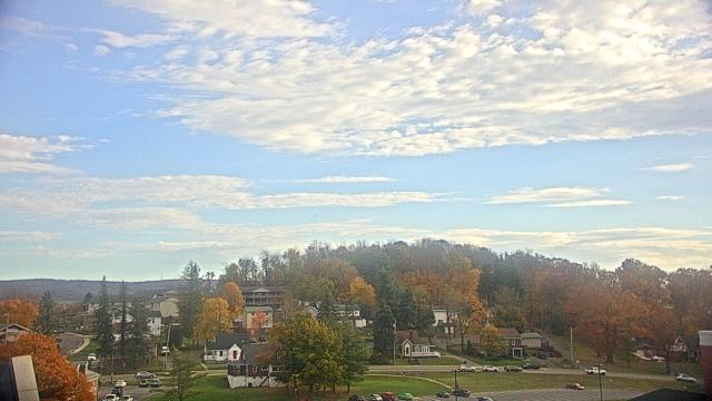
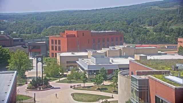
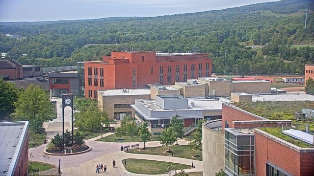
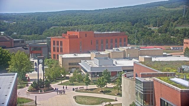
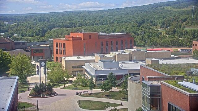
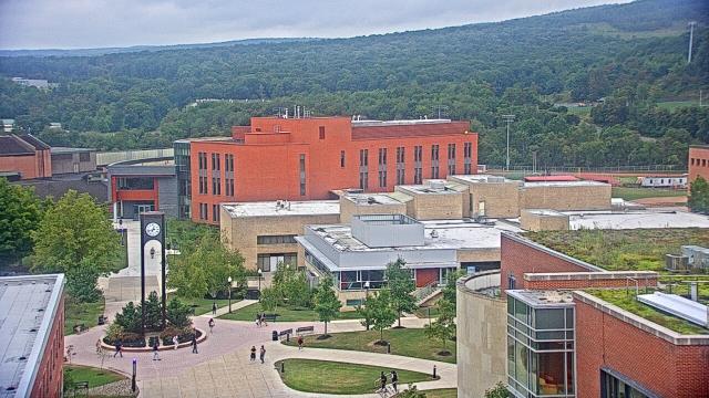
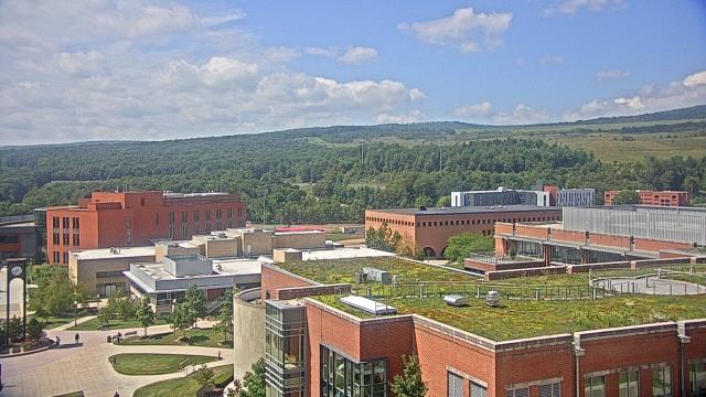
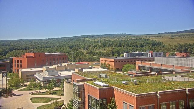
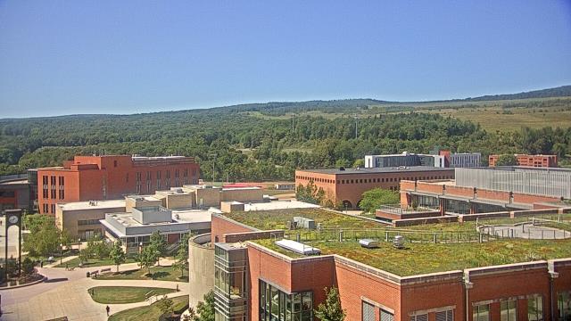
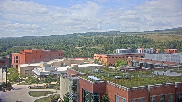
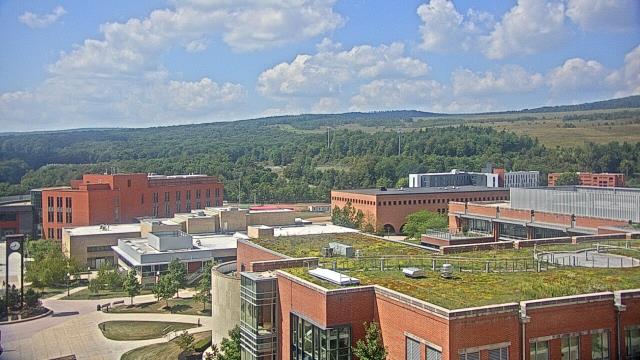
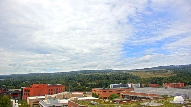
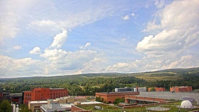
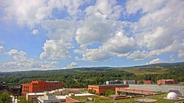
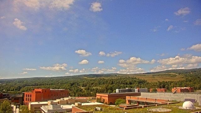
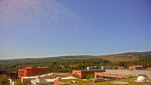
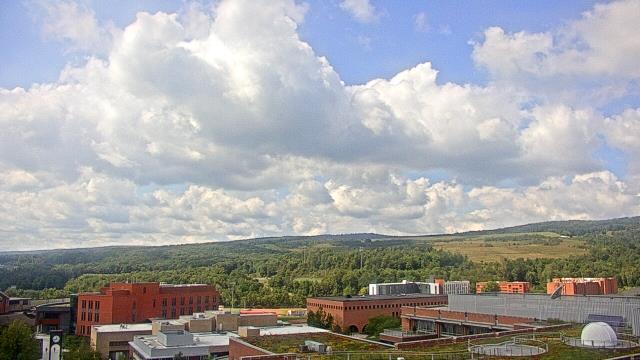
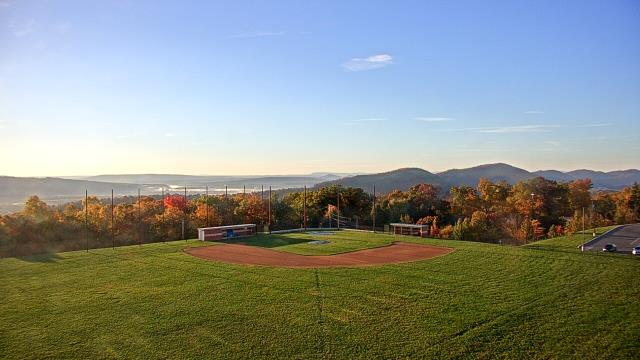
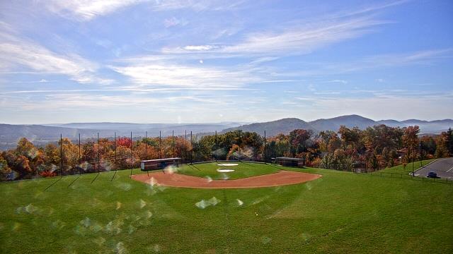
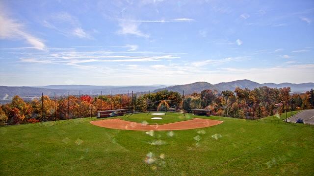
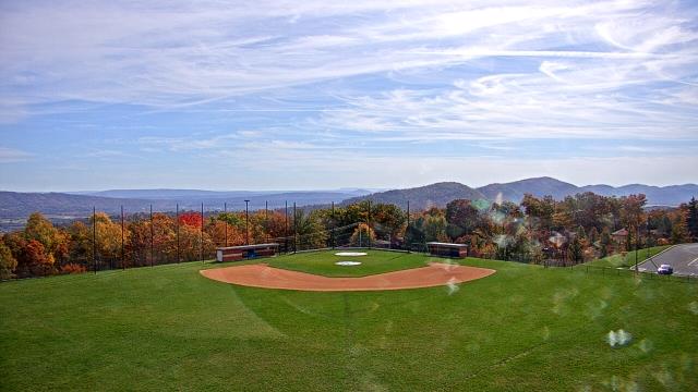
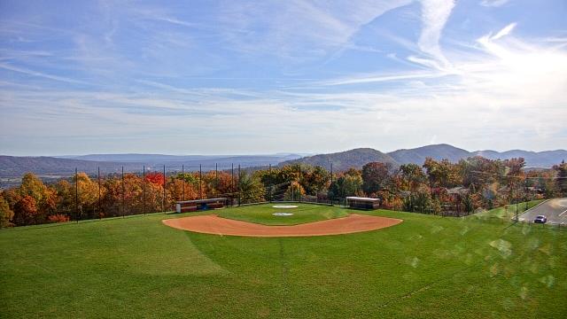
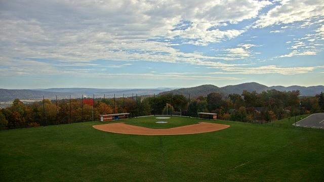
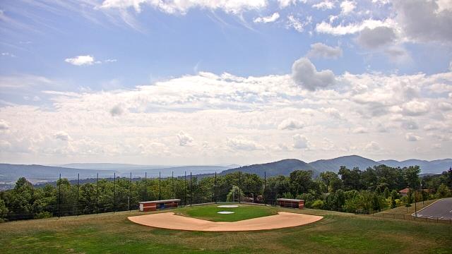
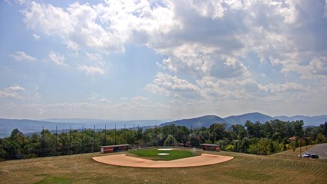
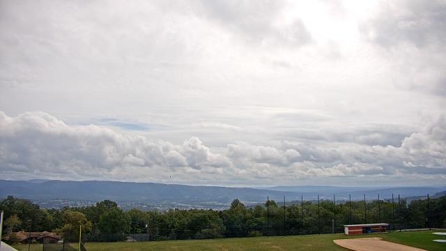
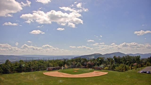
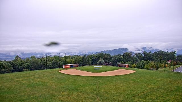
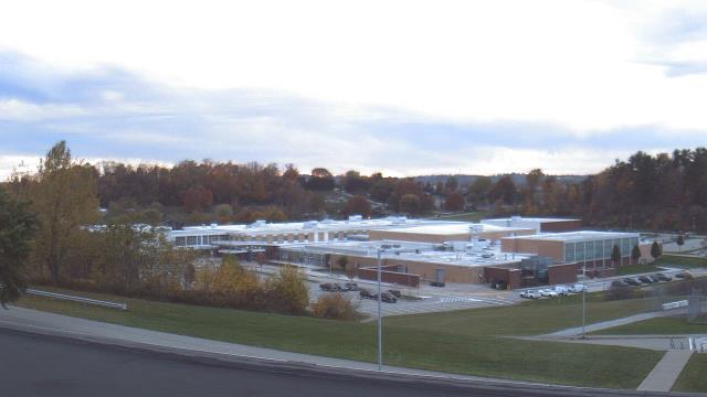
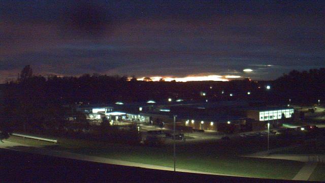
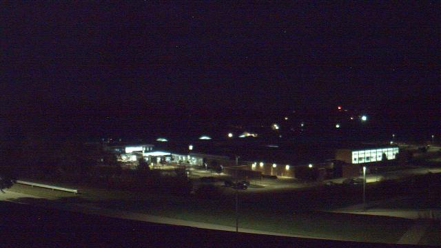
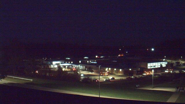
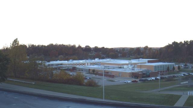
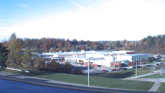
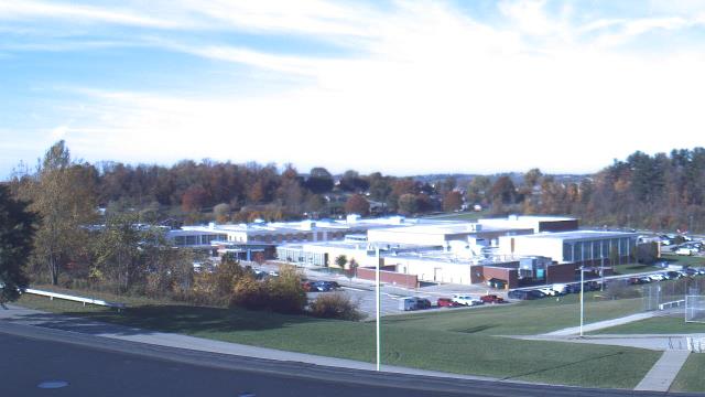
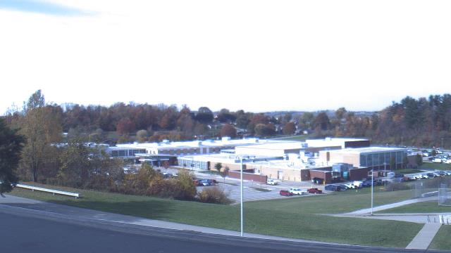
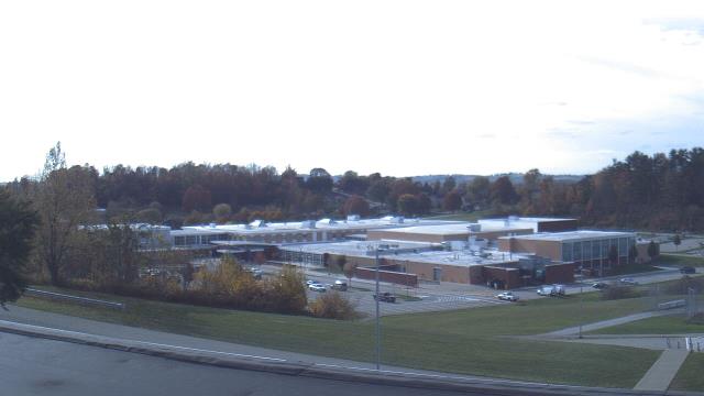
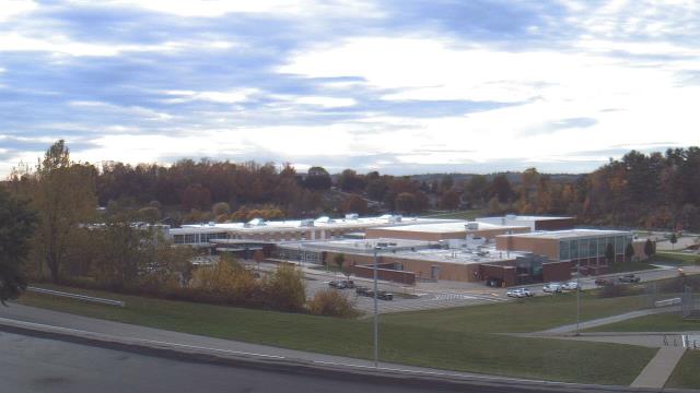
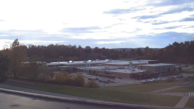
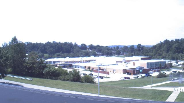
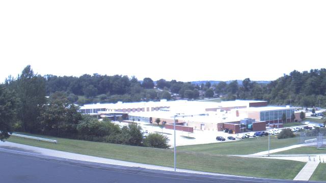
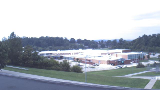
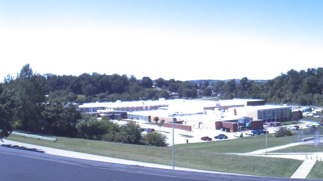
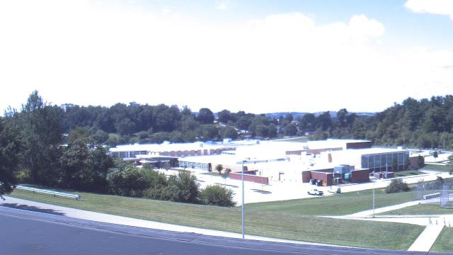
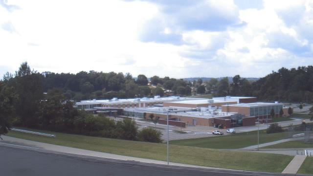
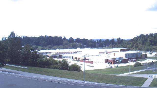
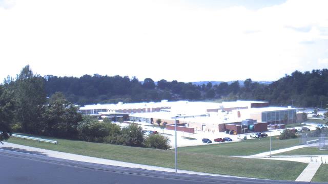
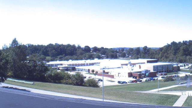
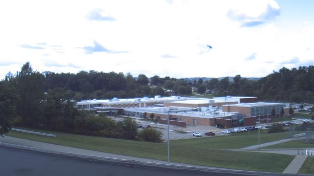
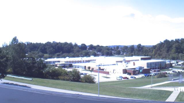
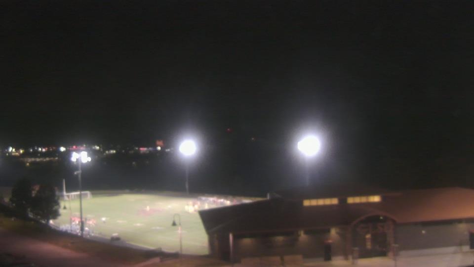
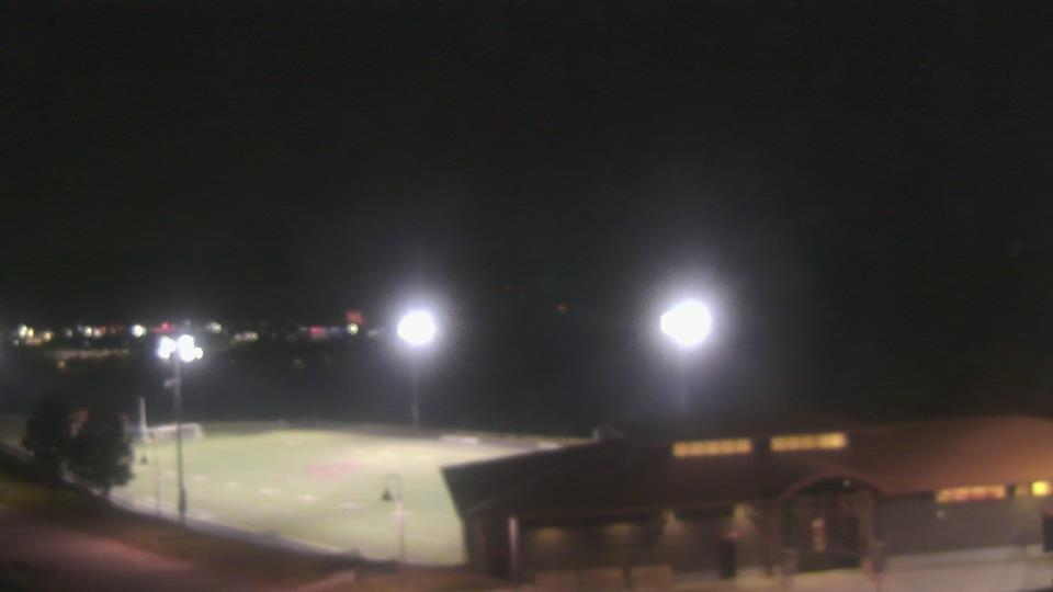
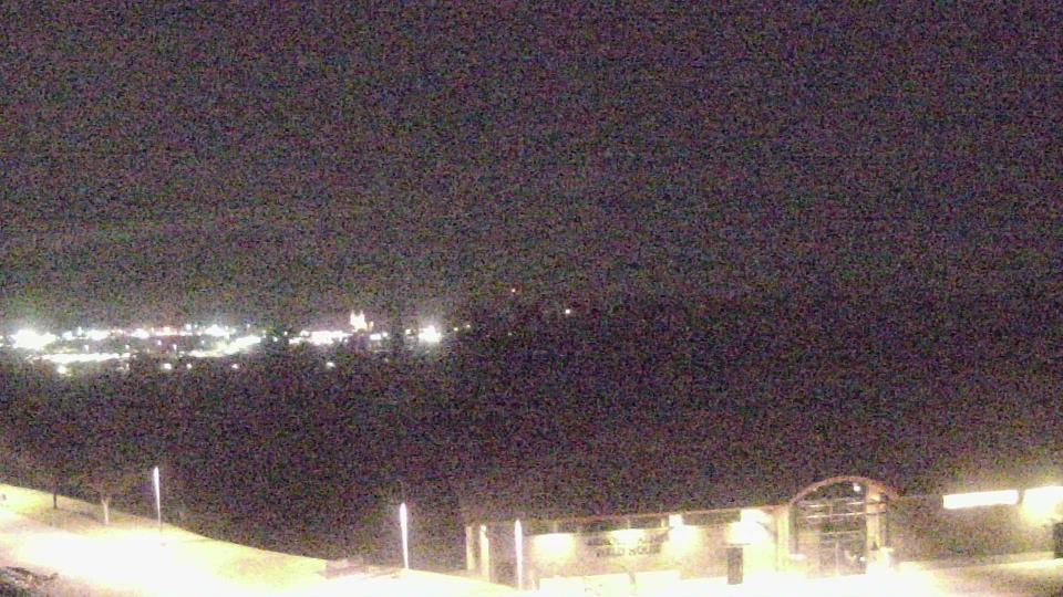
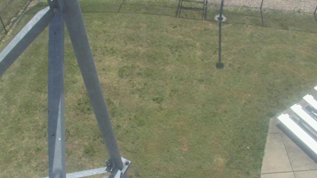
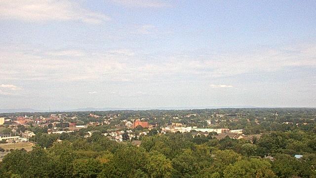
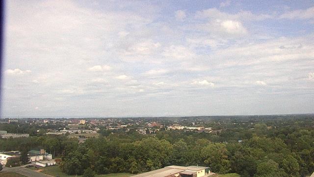
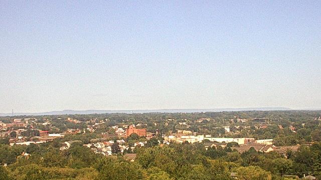
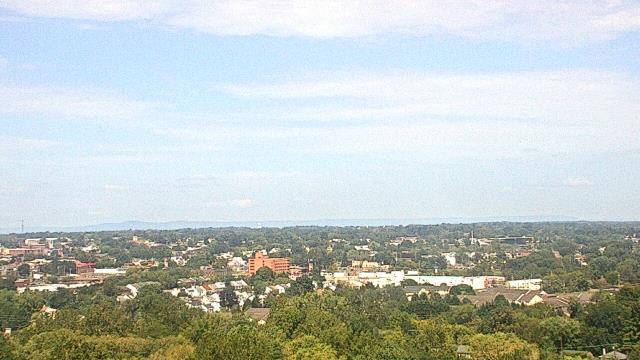
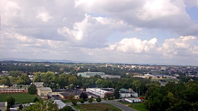
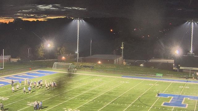
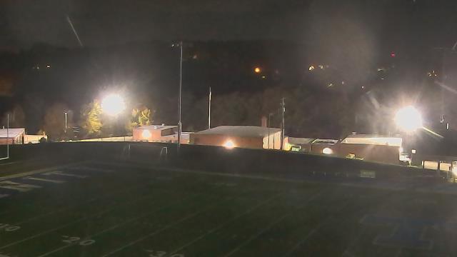
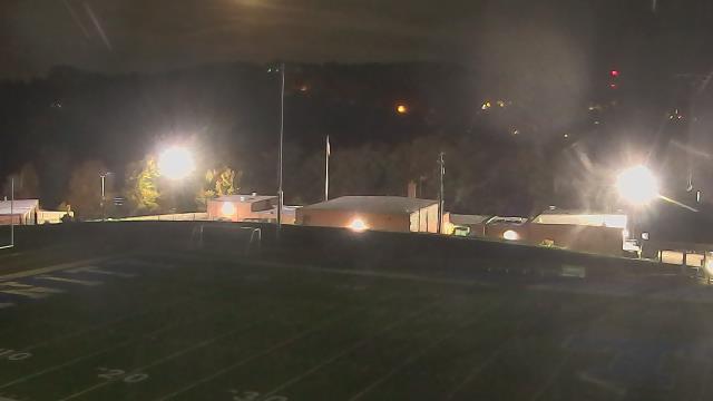
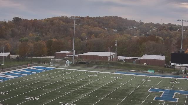
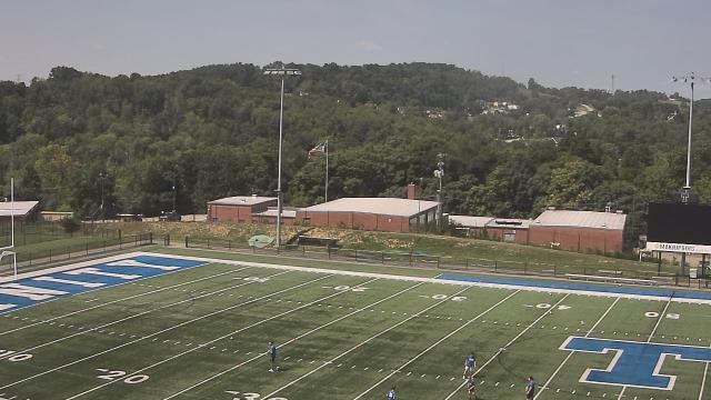
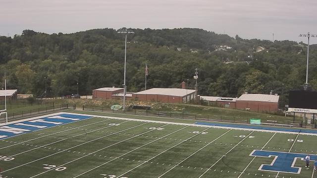
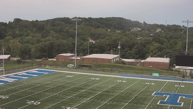
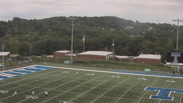
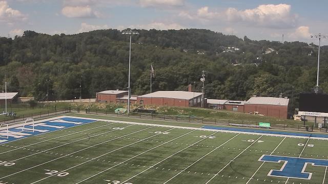
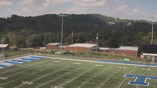
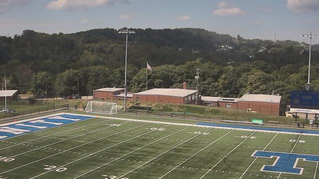
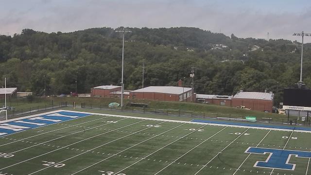
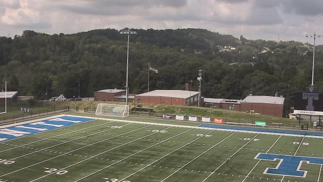
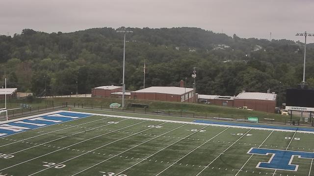
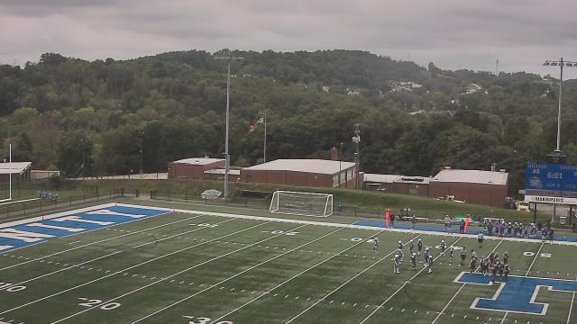
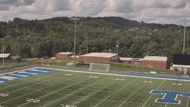
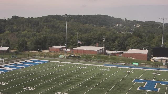
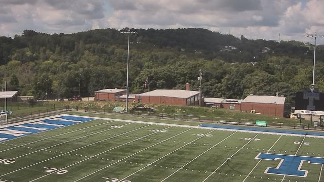
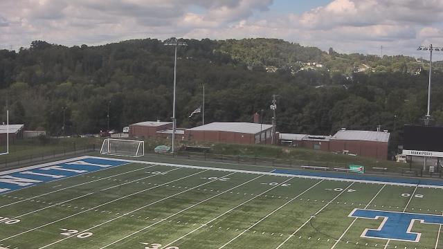
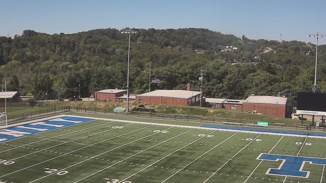
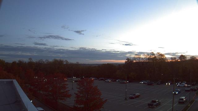
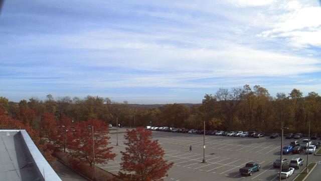
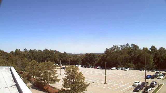
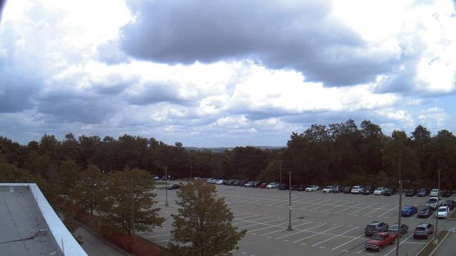
Frostburg, Maryland, USA - 16.9 miles from Windom (historical): Frostburg State University - A webcam in Frostburg, Maryland - camera location: Frostburg State University.
Operator: WeatherBug
Operator: WeatherBug


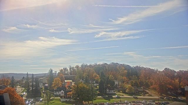


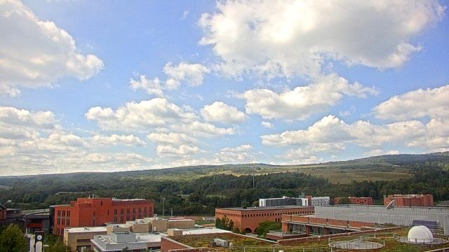

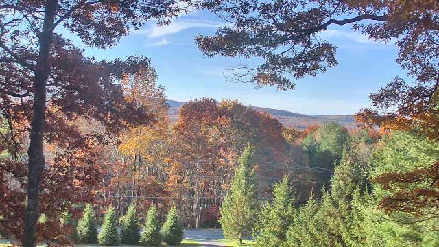
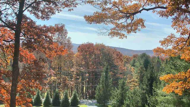
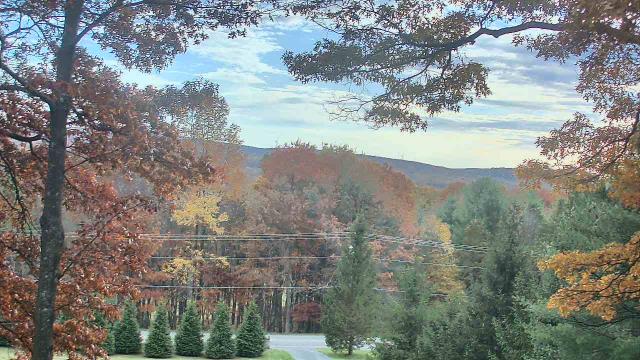
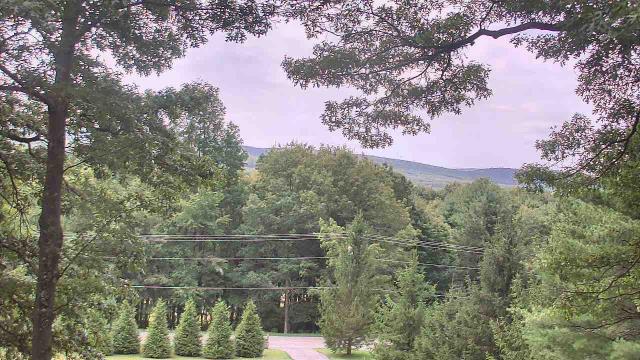
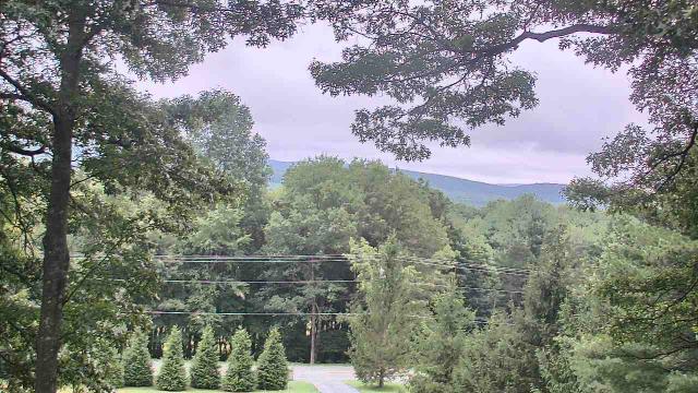
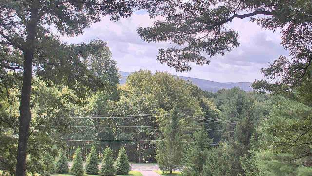
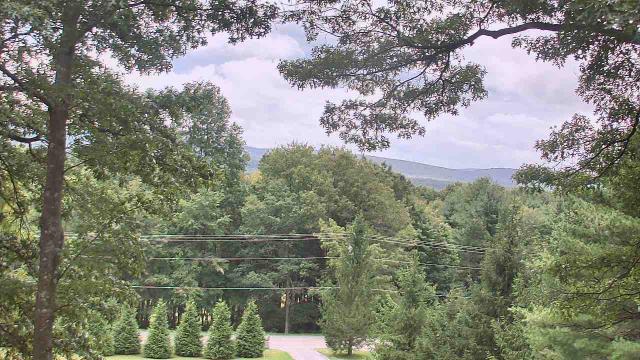
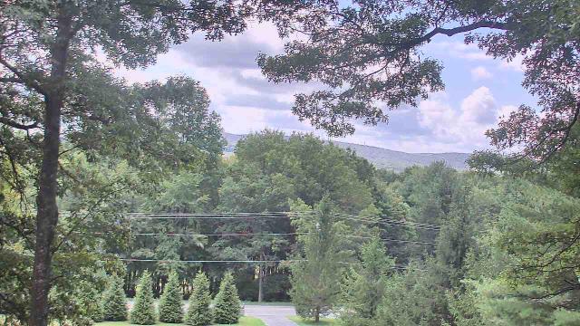
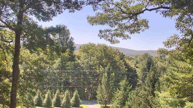
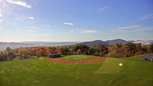
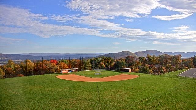
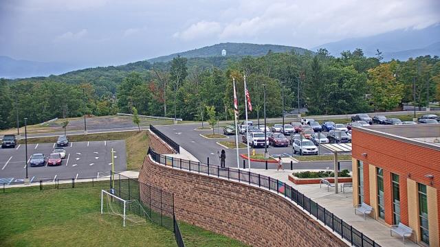
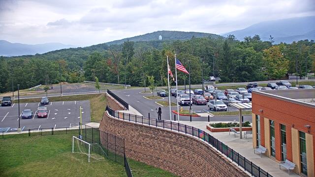
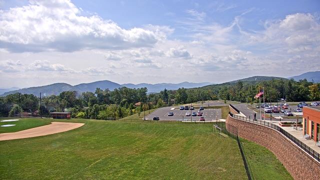
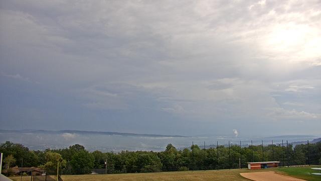
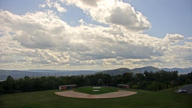
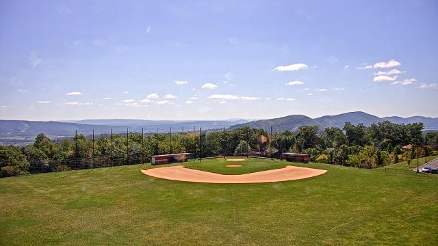
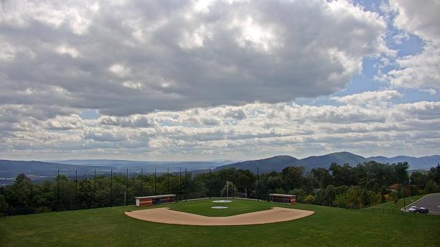
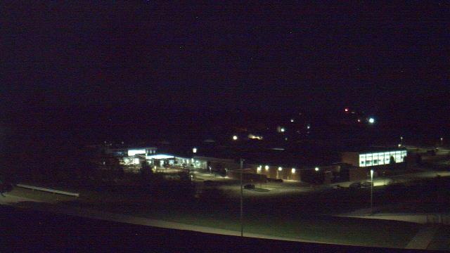
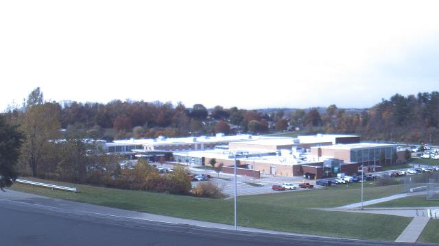
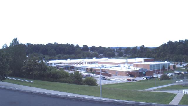
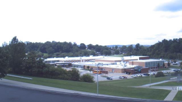
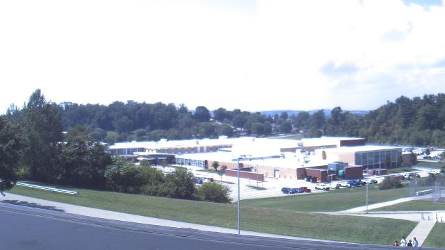
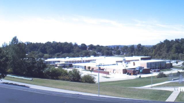
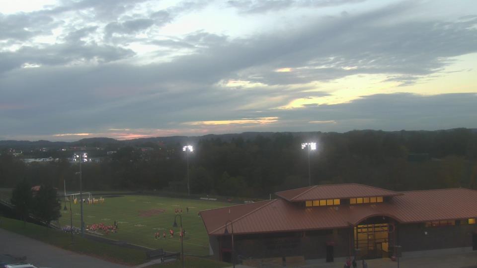
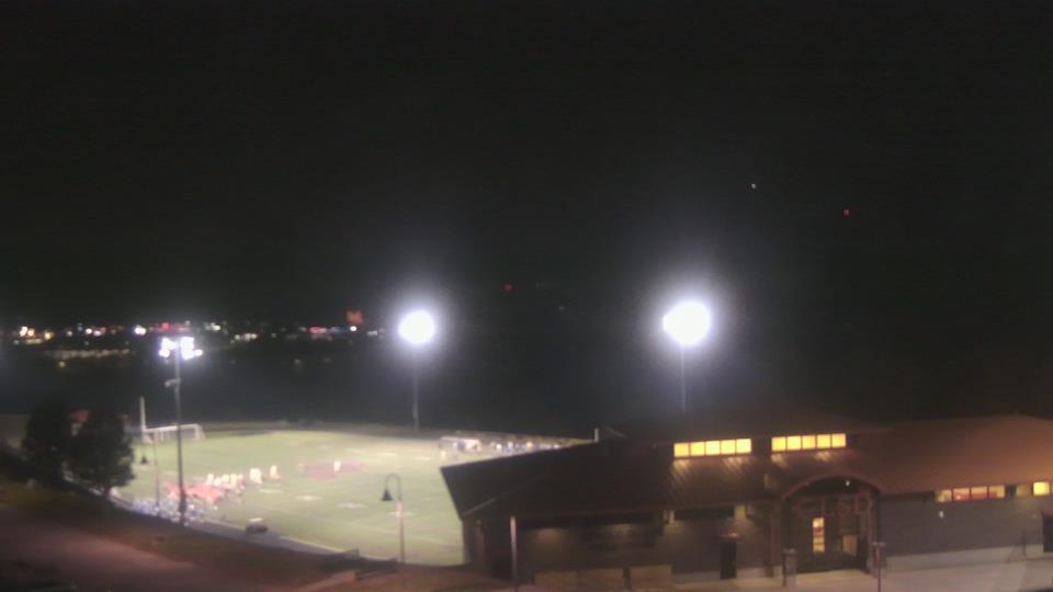
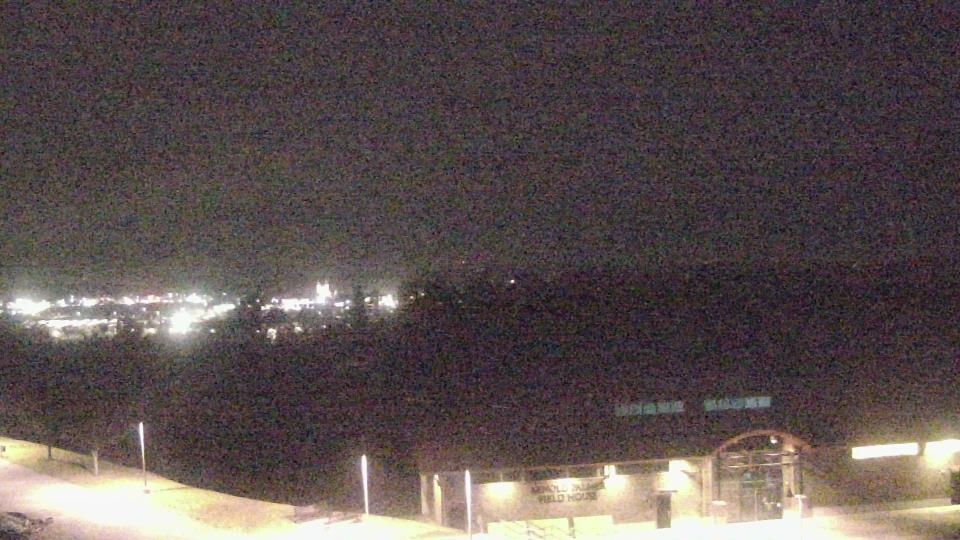
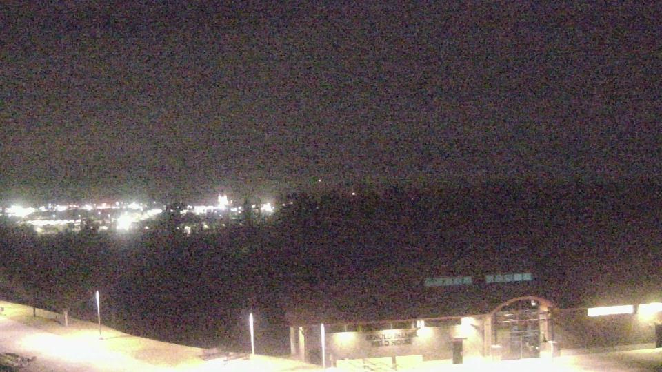
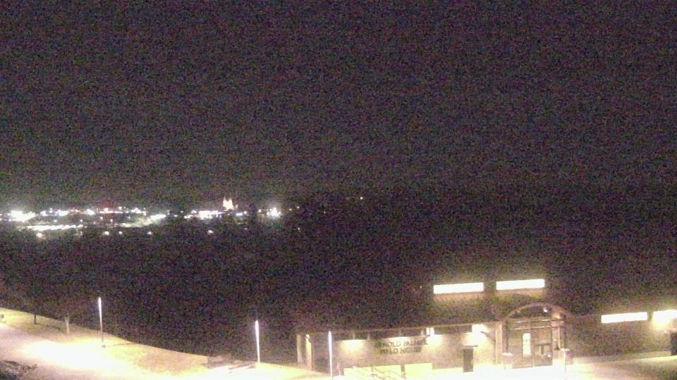
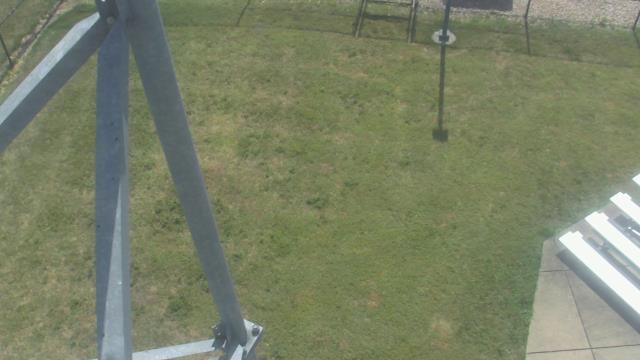
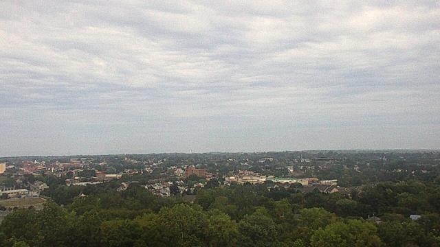
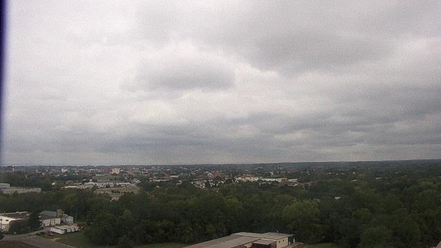
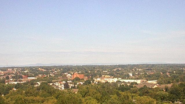
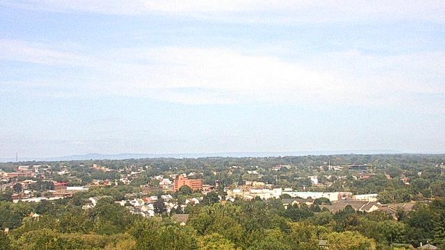
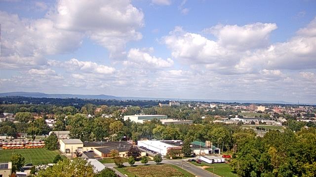
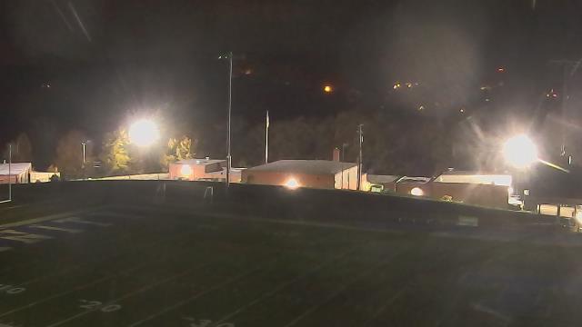
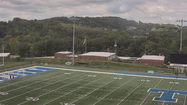
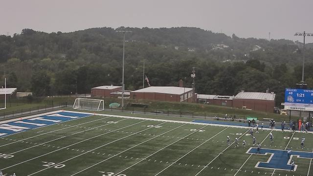
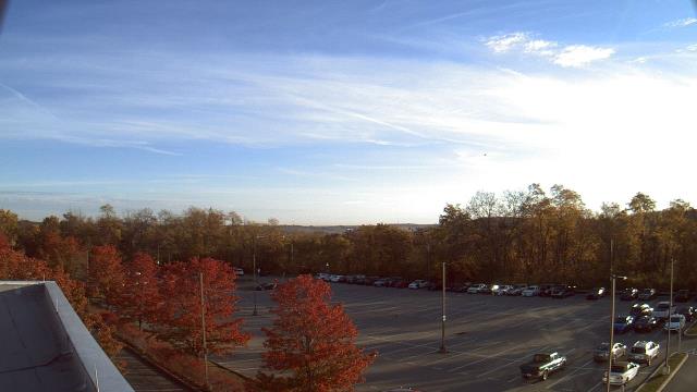
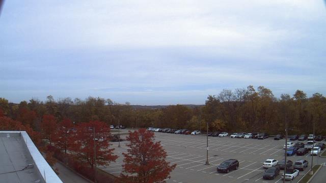
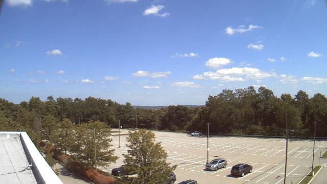
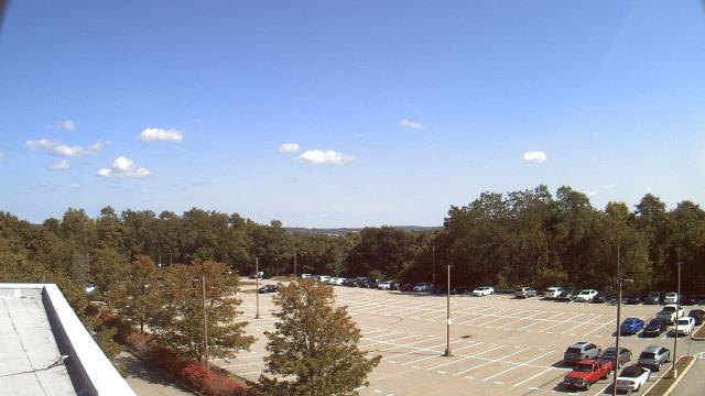
Cumberland, Maryland, USA - 22.6 miles from Windom (historical): Allegany High School - A webcam in Cumberland, Maryland - camera location: Allegany High School.
Operator: WeatherBug
Operator: WeatherBug
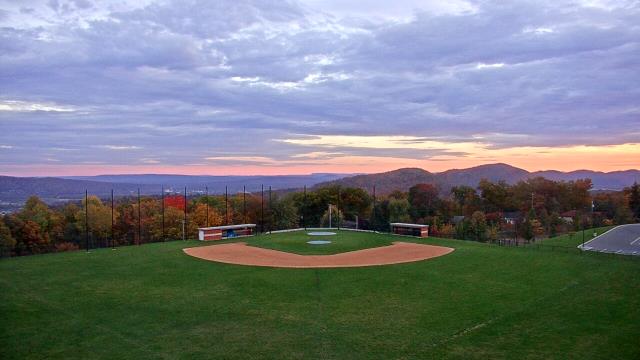


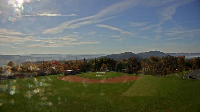
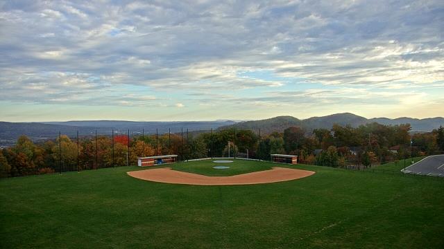

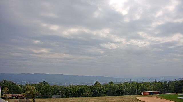
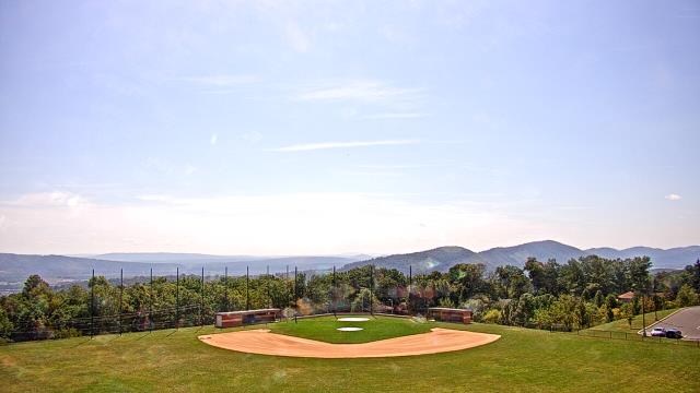
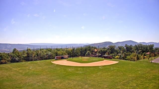
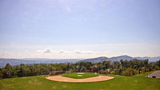

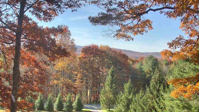
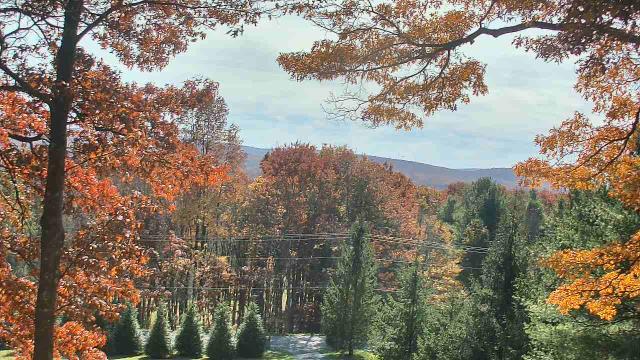
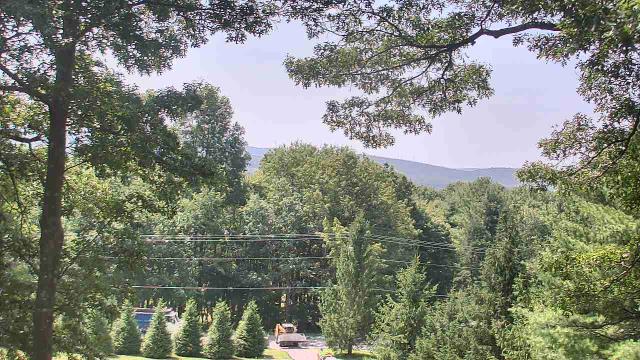
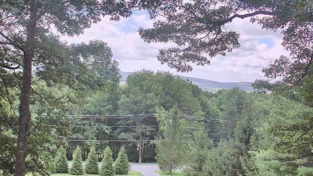
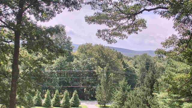
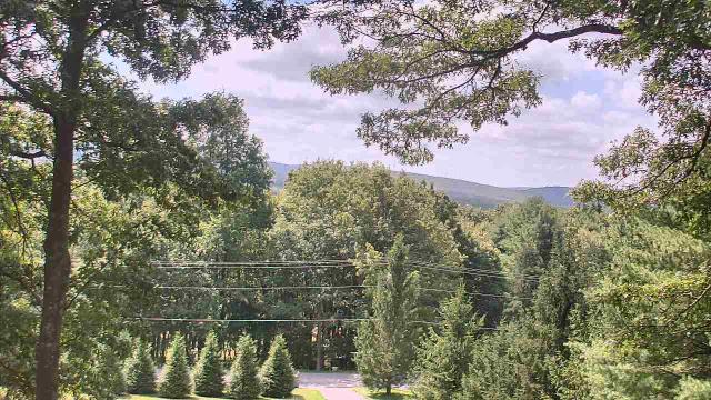
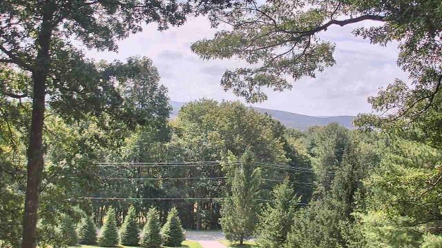
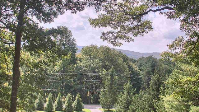
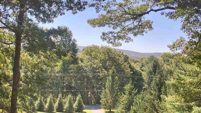
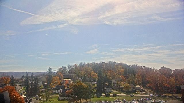
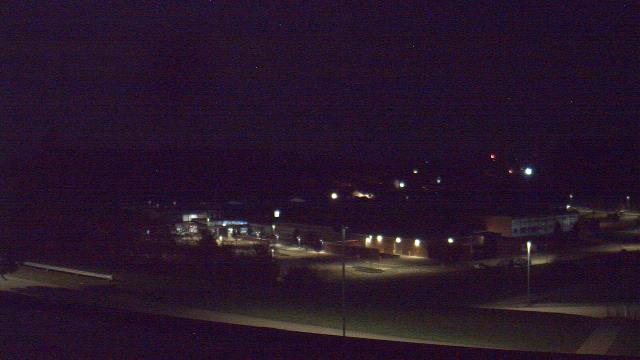
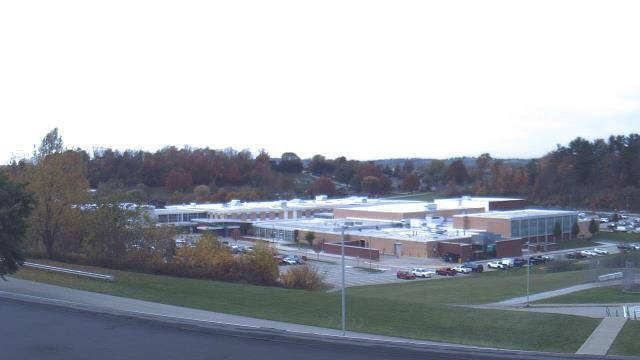
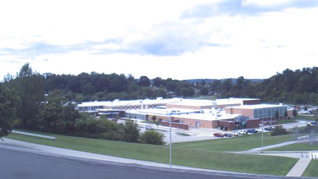
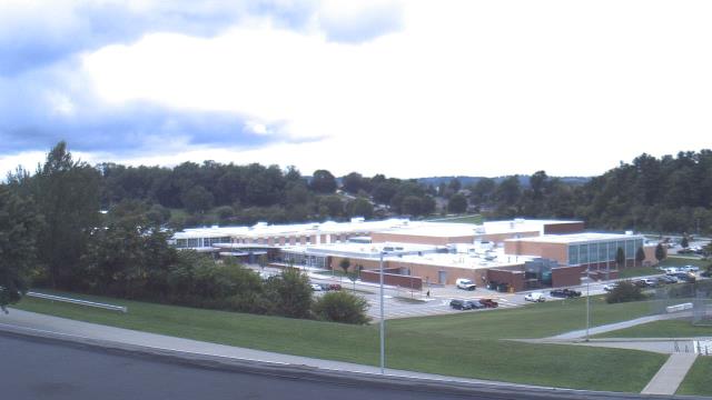
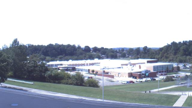
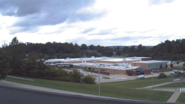
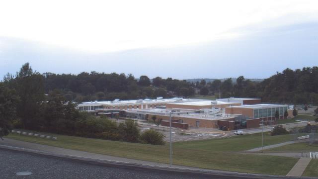
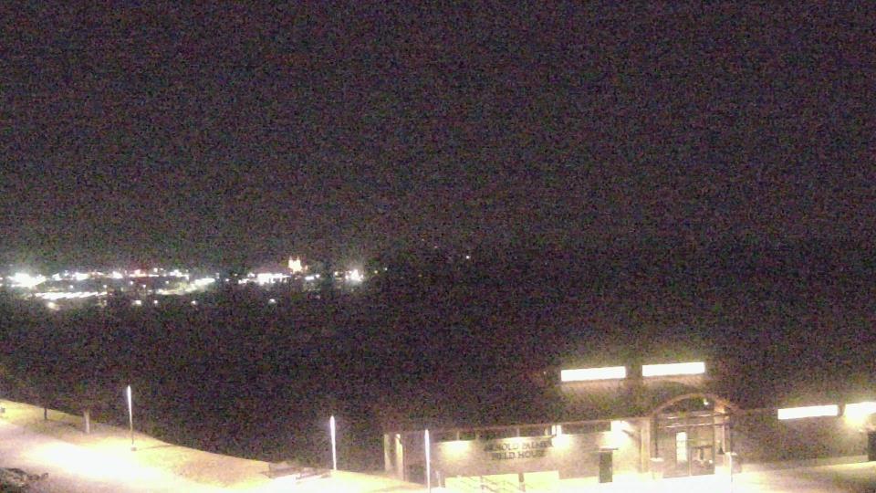
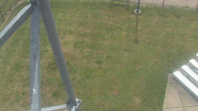
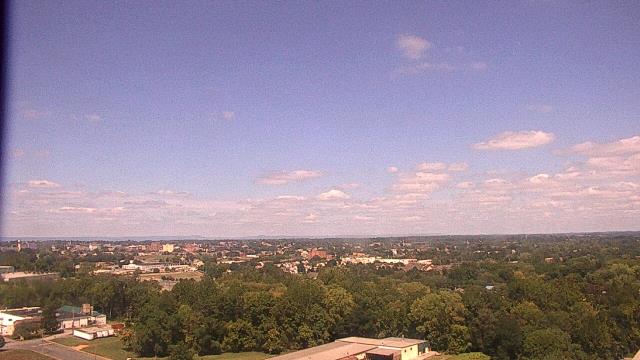
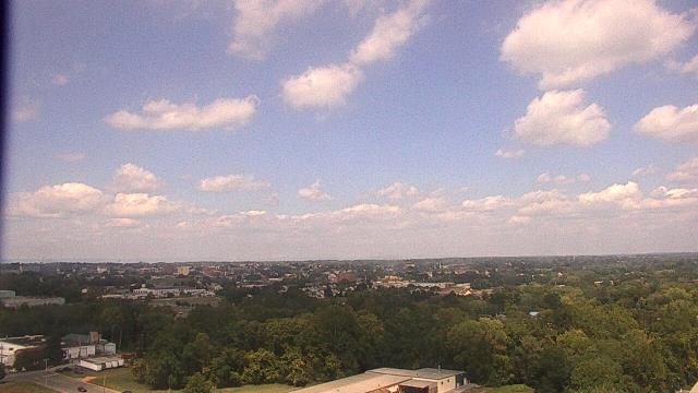
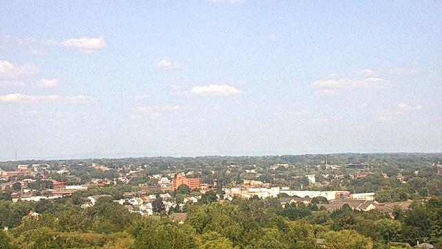
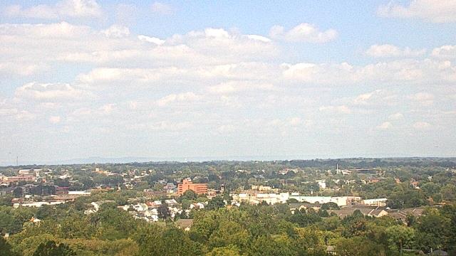
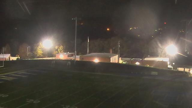
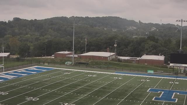
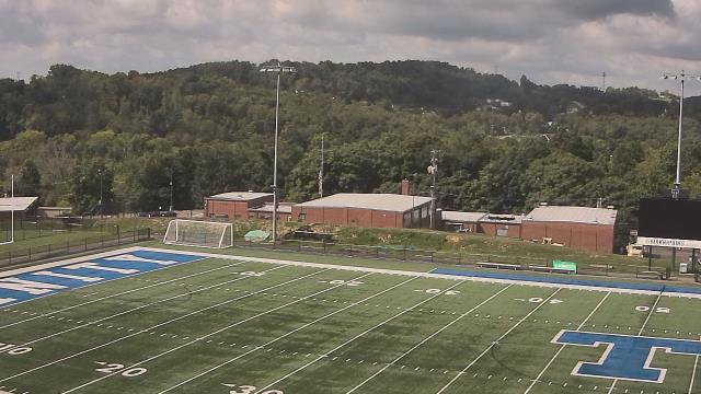
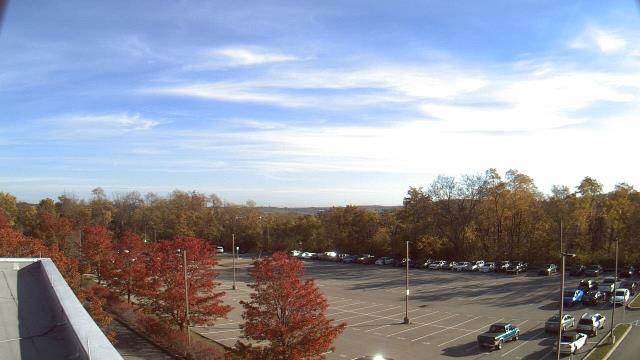
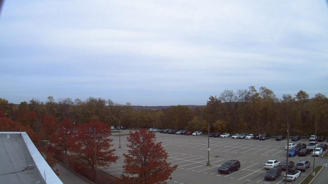
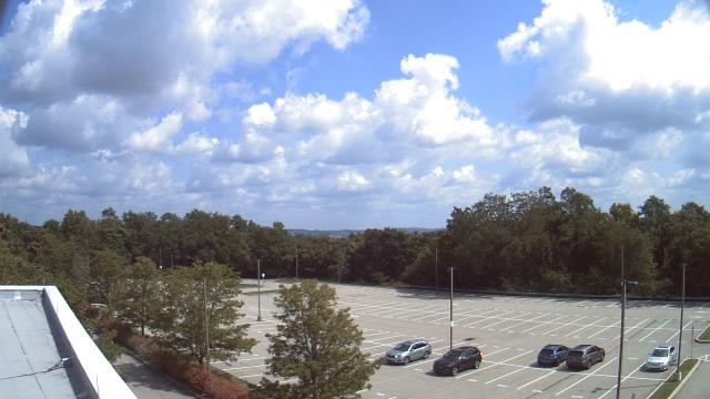
Connellsville, Pennsylvania, USA - 46.8 miles from Windom (historical): Connellsville Career Technical Center - A webcam in Connellsville, Pennsylvania - camera location: Connellsville Career Technical Center.
Operator: WeatherBug
Operator: WeatherBug

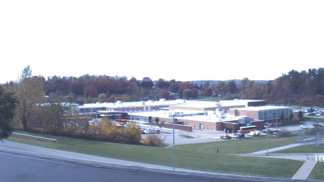
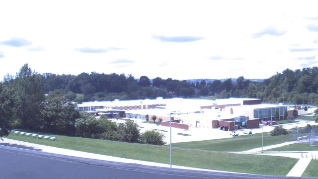
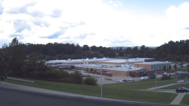

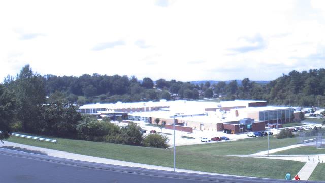

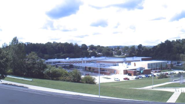

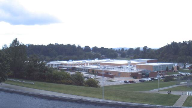

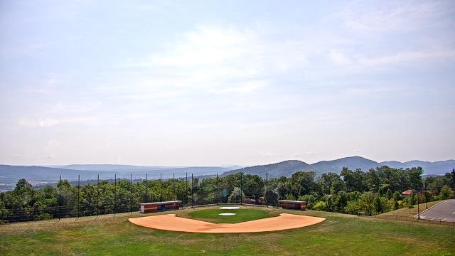
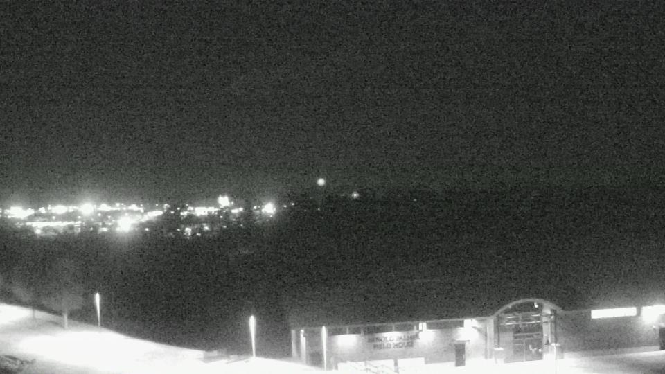
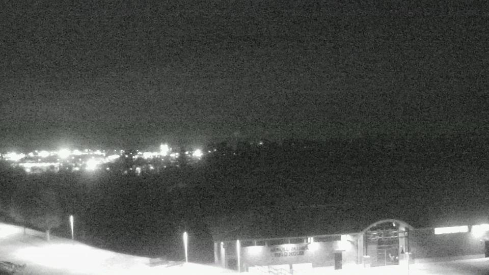
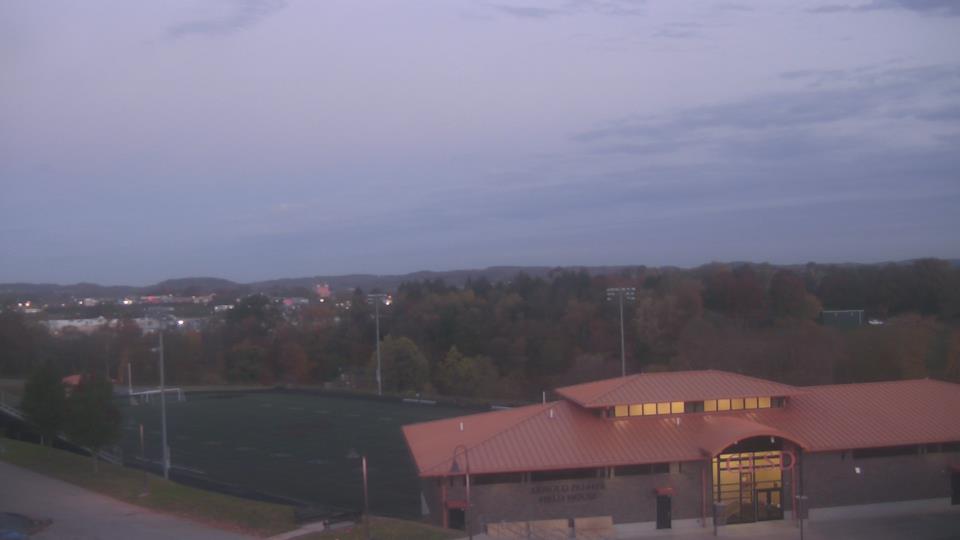
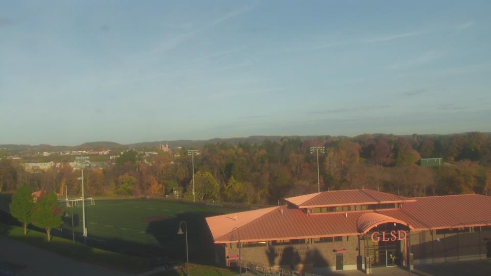
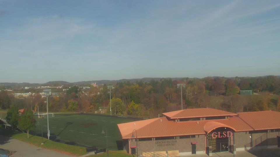
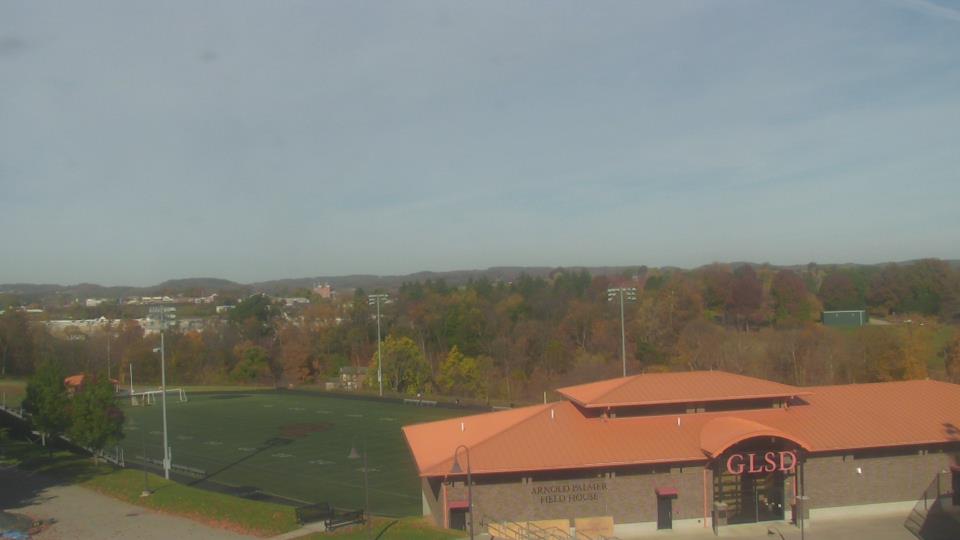
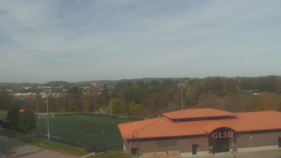
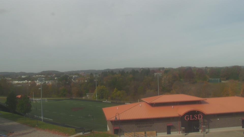
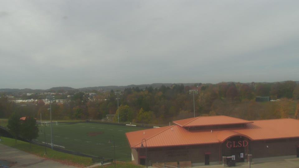
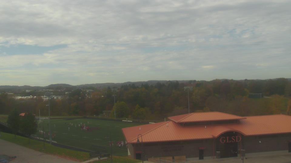
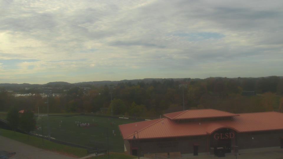
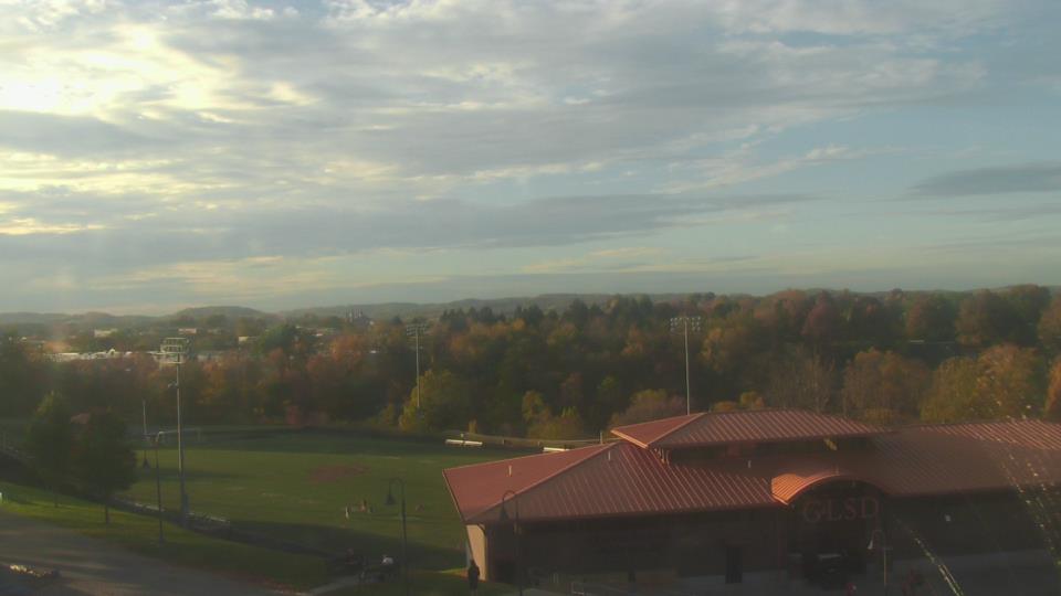
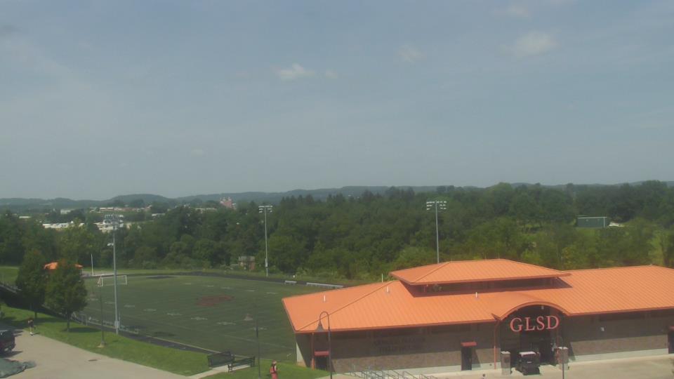
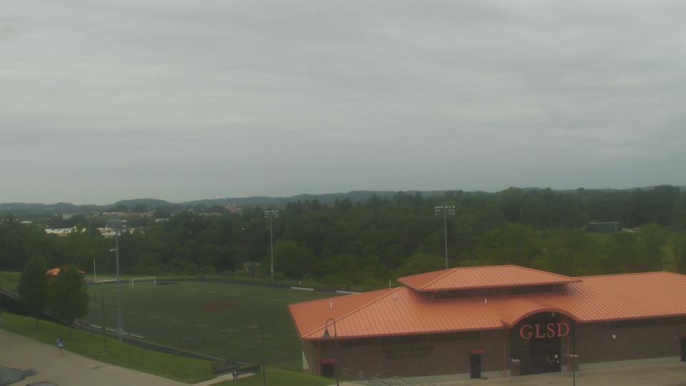
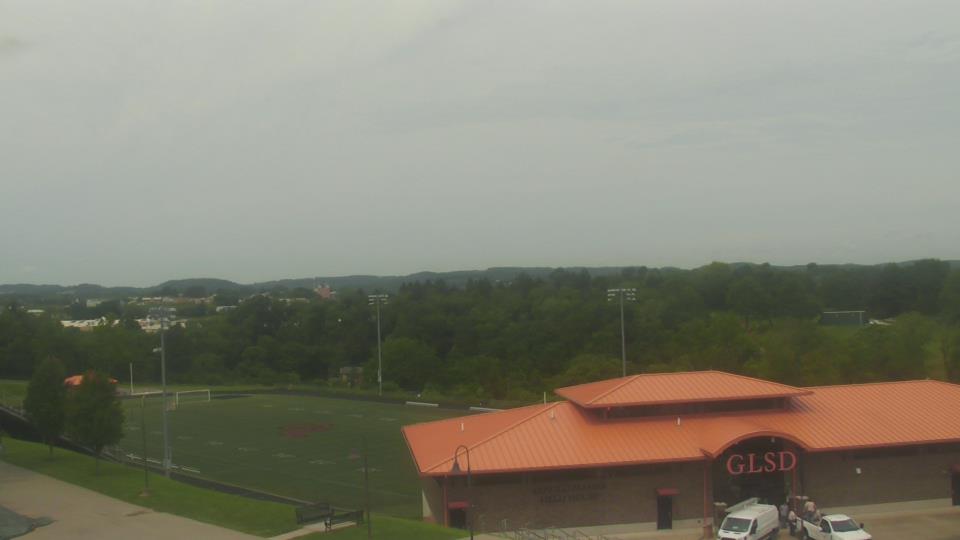
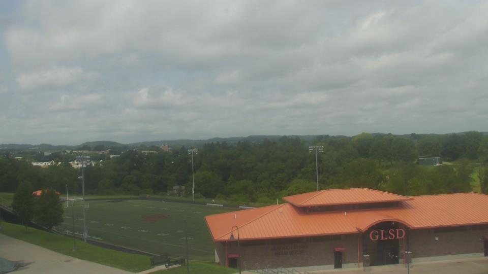
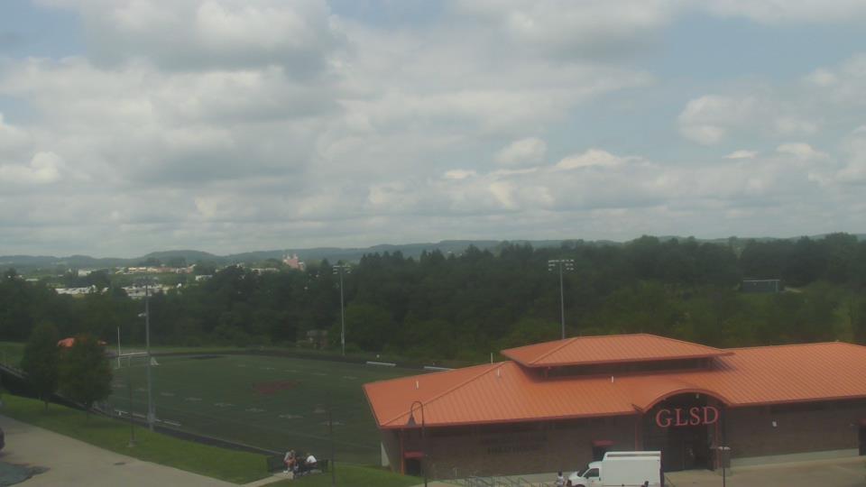
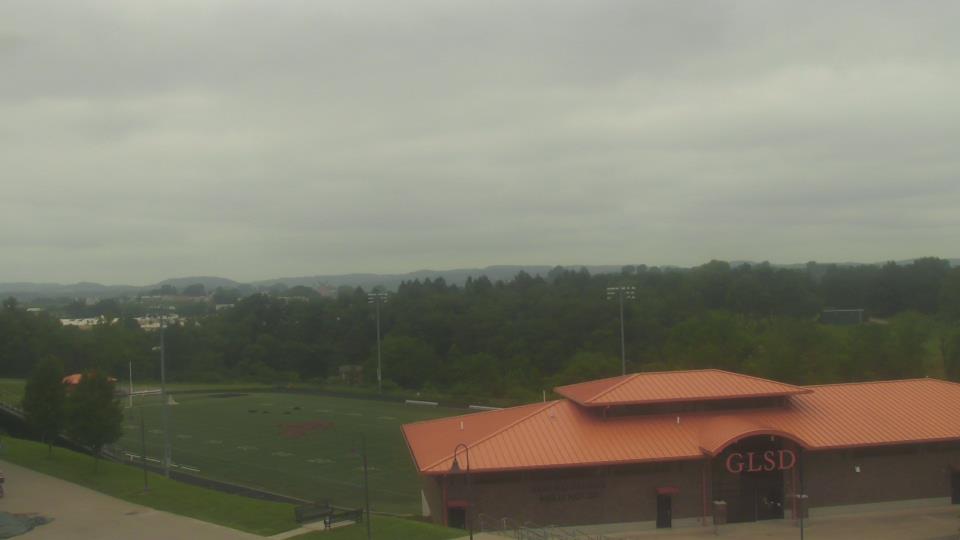
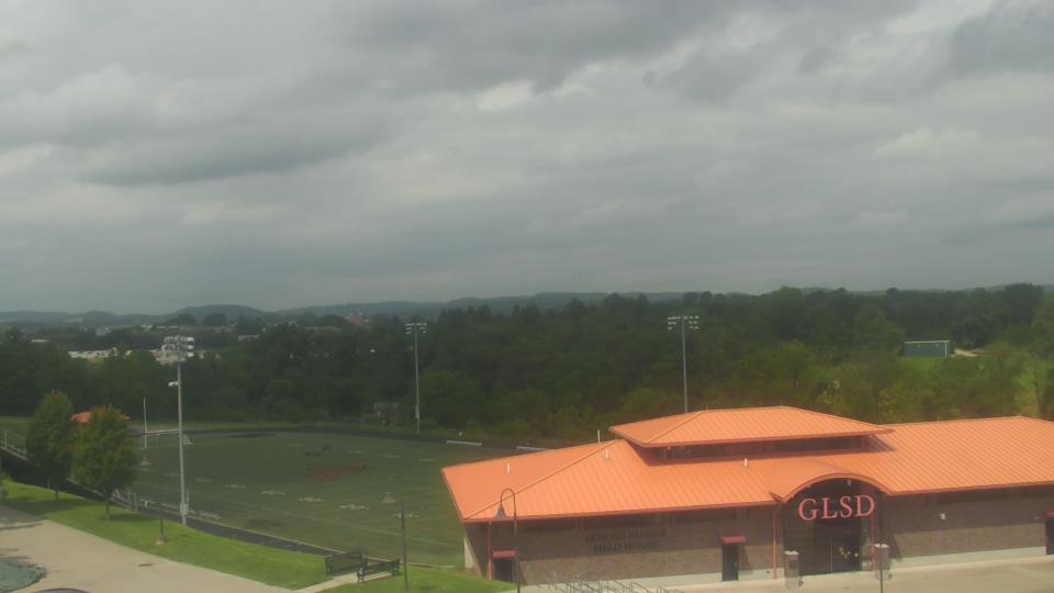
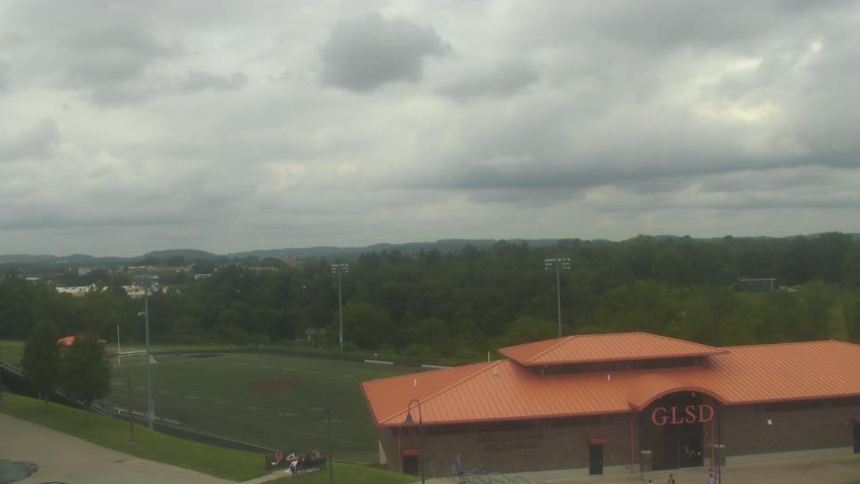
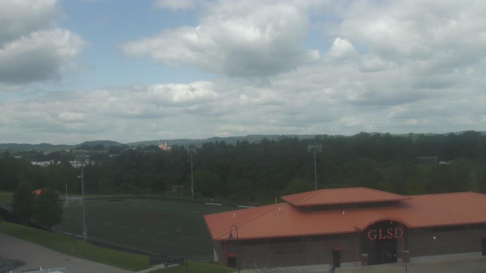
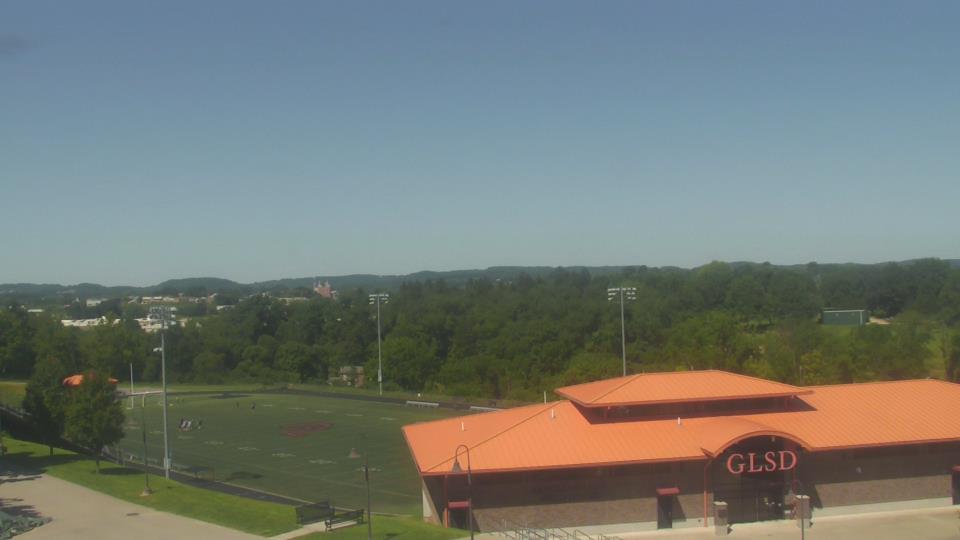
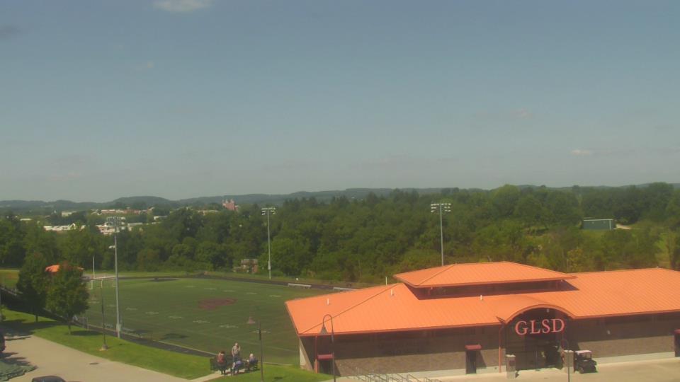
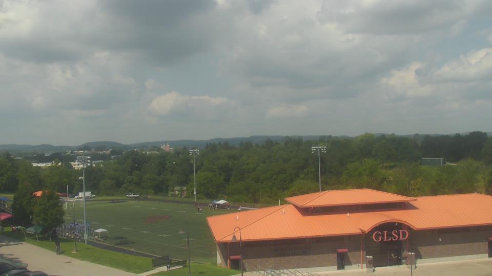
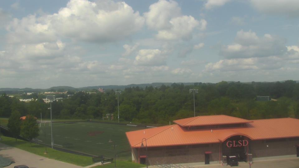
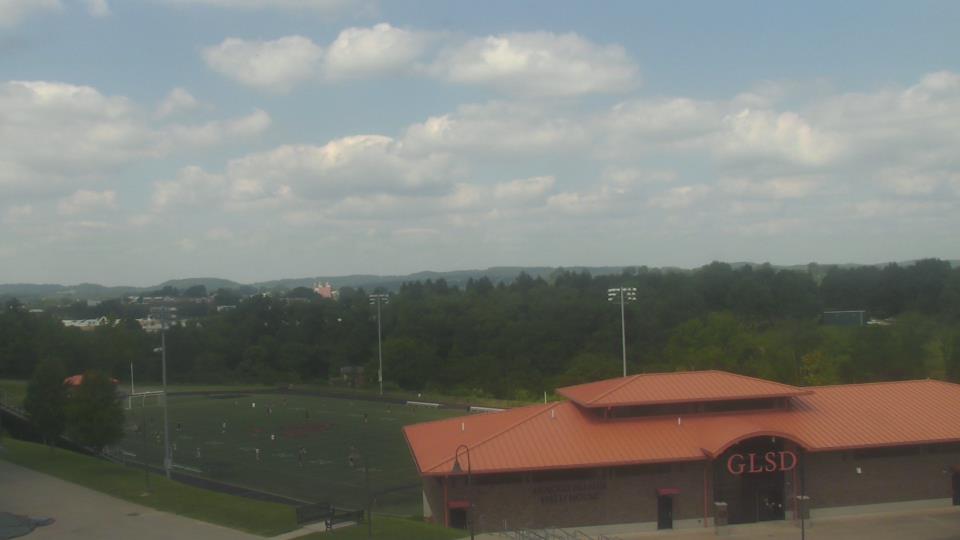
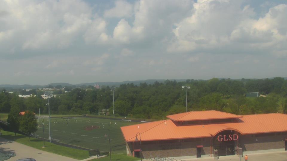
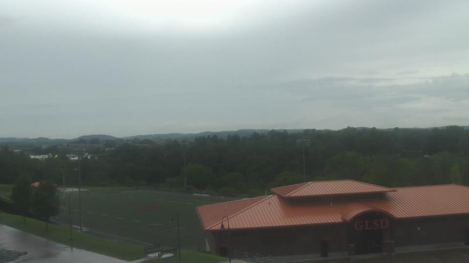
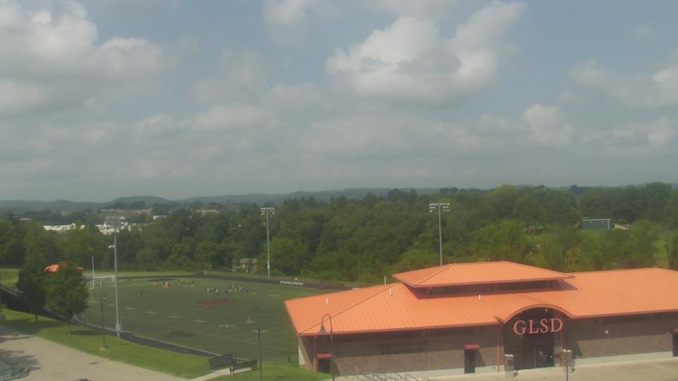
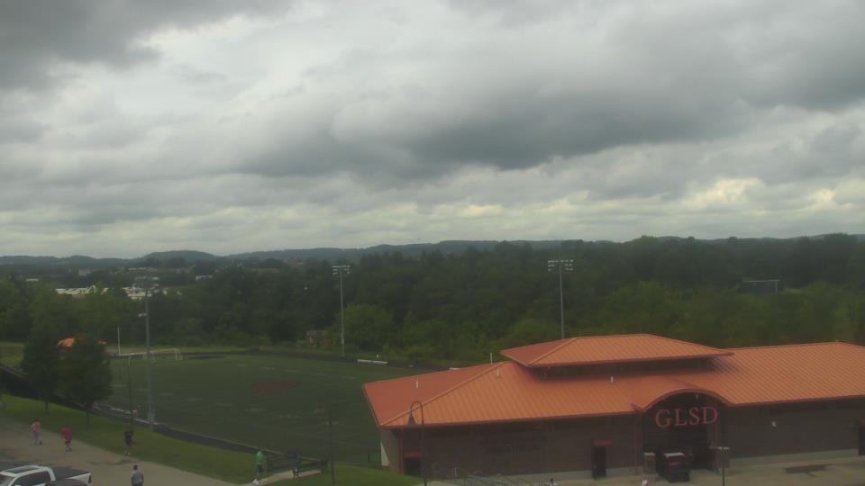
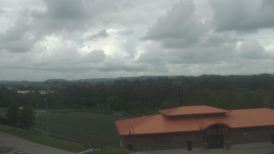
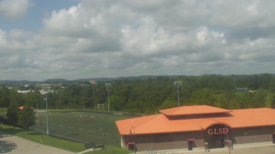
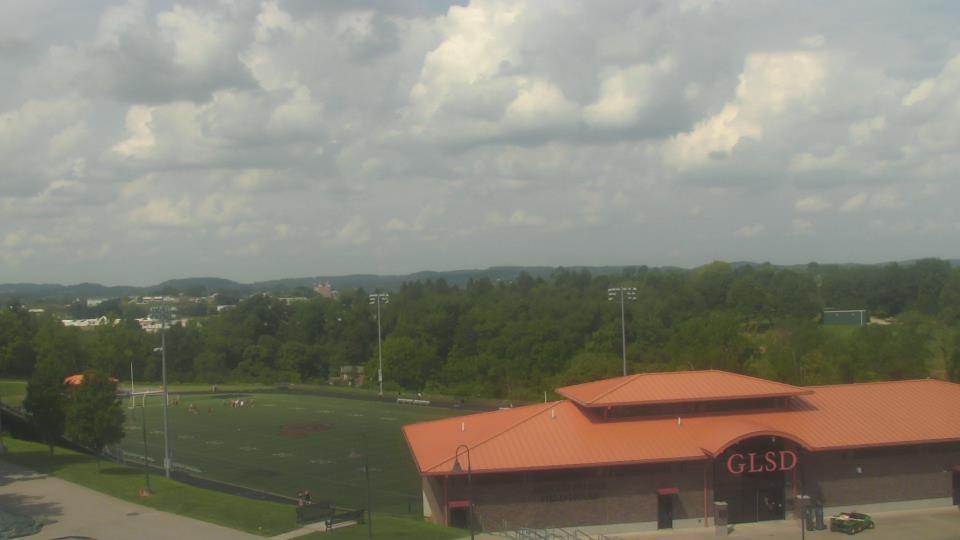
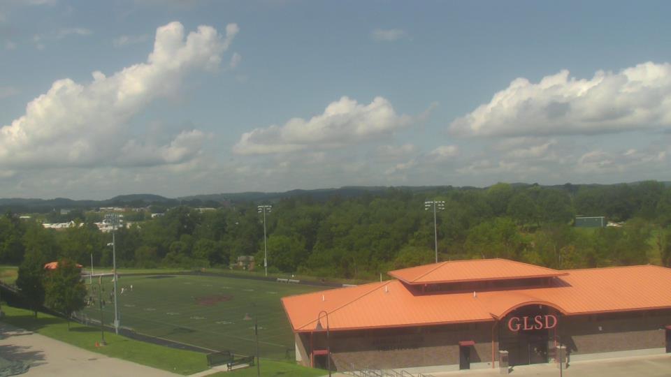
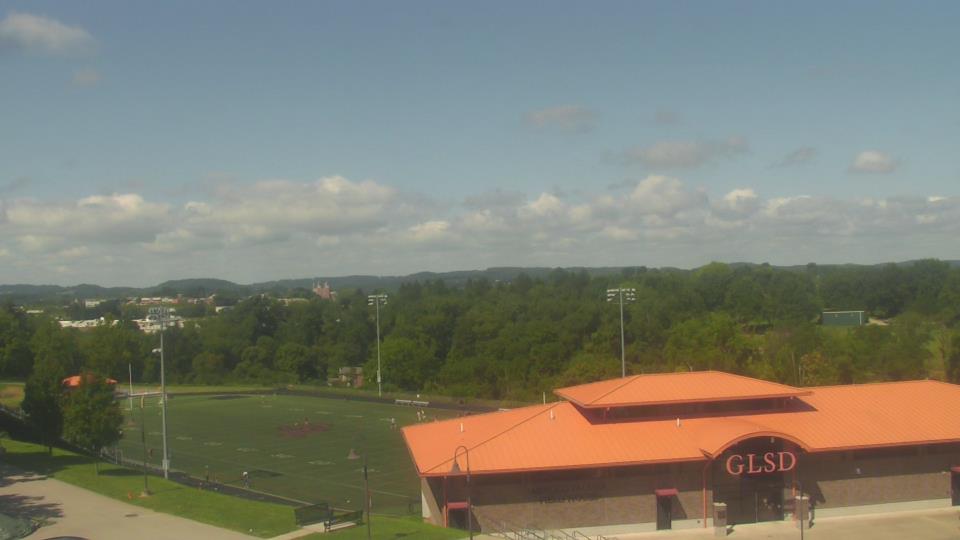
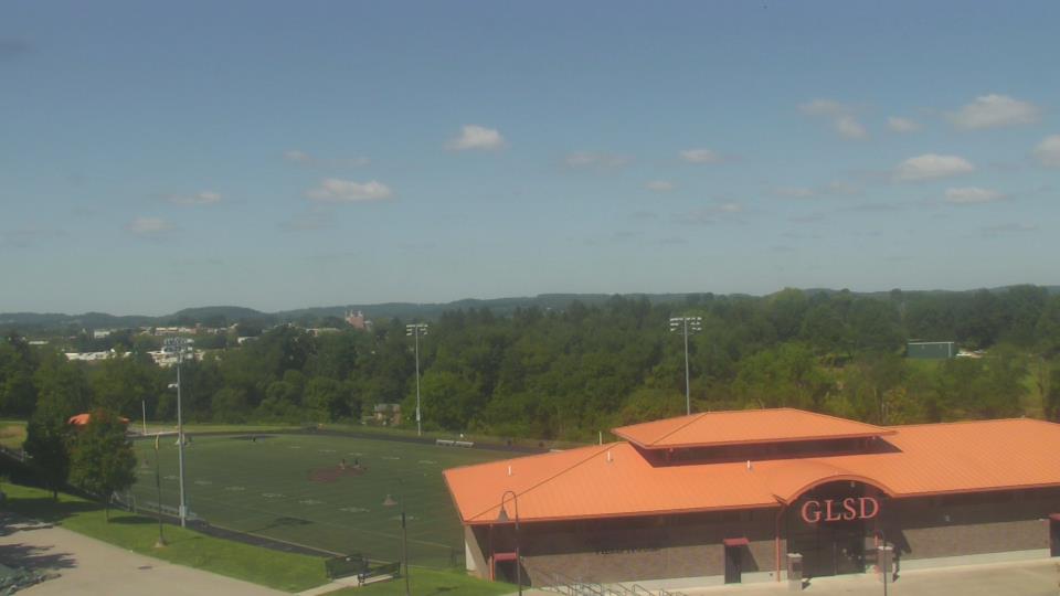
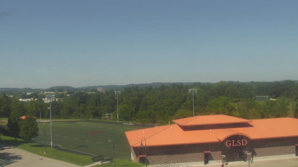
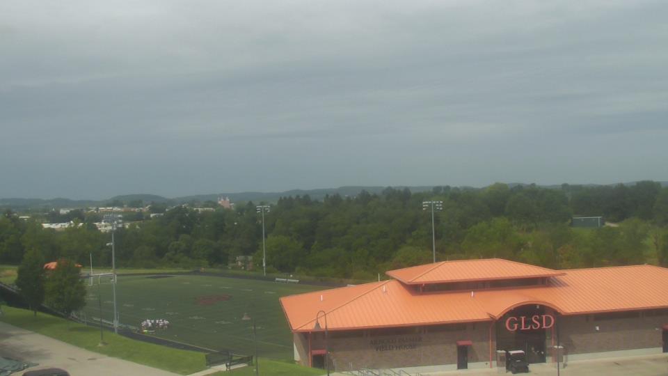
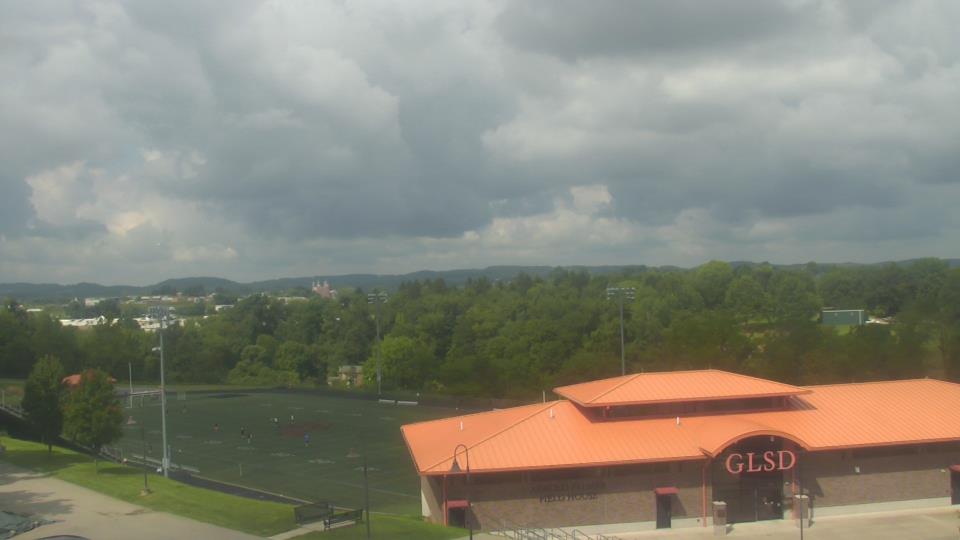
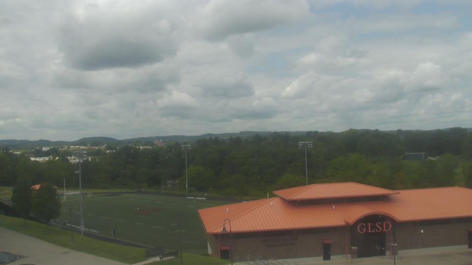
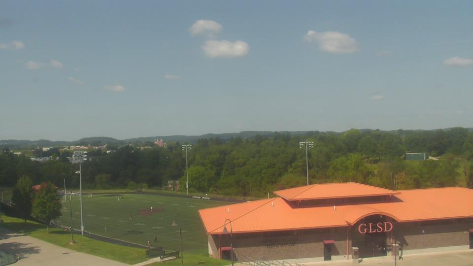
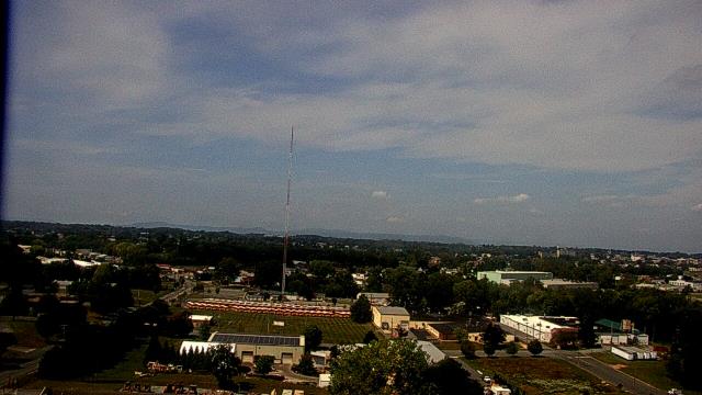
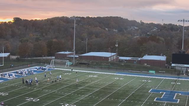
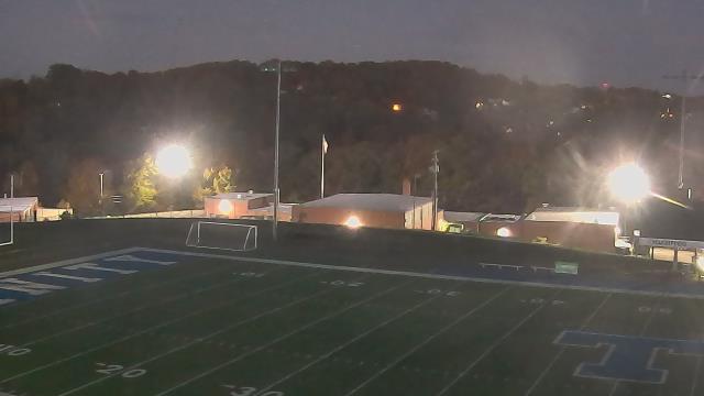
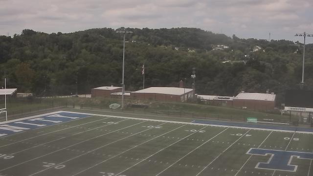
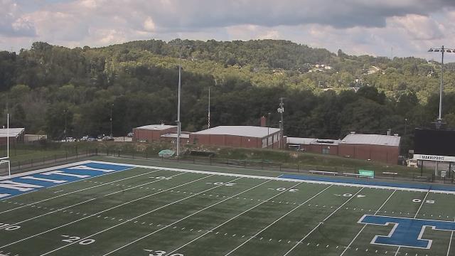
Latrobe, Pennsylvania, USA - 61.7 miles from Windom (historical): Greater Latrobe Jr/Sr High School - A webcam in Latrobe, Pennsylvania - camera location: Greater Latrobe Jr/Sr High School.
Operator: WeatherBug
Operator: WeatherBug


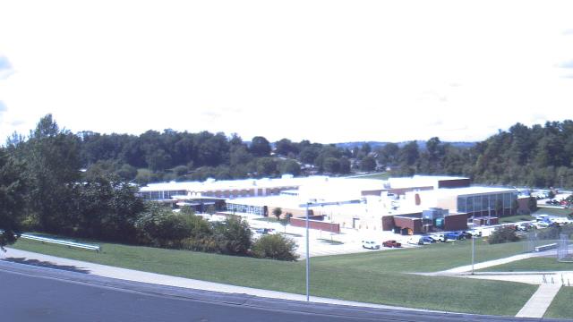
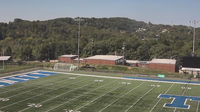
Greensburg, Pennsylvania, USA - 63 miles from Windom (historical): Mountain View Elem School - A webcam in Greensburg, Pennsylvania - camera location: Mountain View Elem School.
Operator: WeatherBug
Operator: WeatherBug


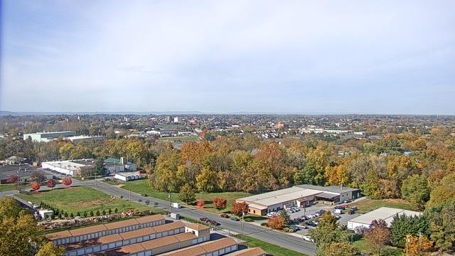
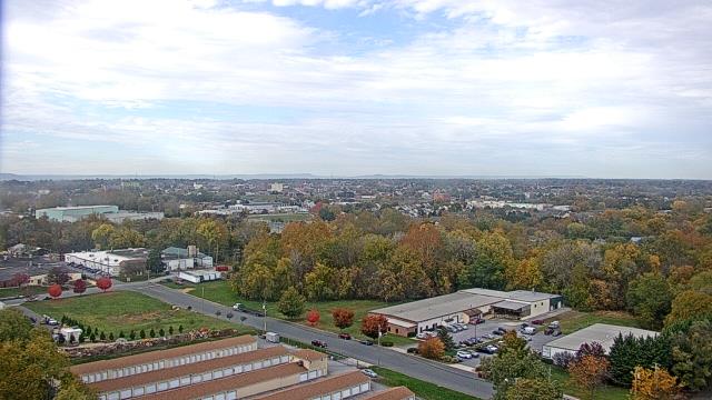
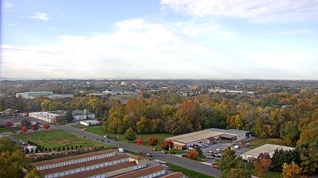
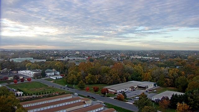
Harrisonburg, Virginia, USA - 70.5 miles from Windom (historical): James Madison University - A webcam in Harrisonburg, Virginia - camera location: James Madison University.
Operator: WeatherBug
Operator: WeatherBug


Hagerstown, Maryland, USA - 74.8 miles from Windom (historical): Antietam Cable Television Inc - A webcam in Hagerstown, Maryland - camera location: Antietam Cable Television Inc.
Operator: WeatherBug
Operator: WeatherBug


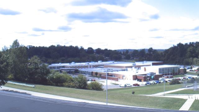
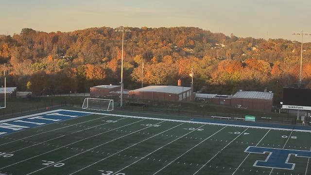
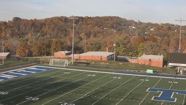
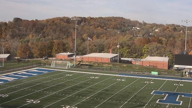
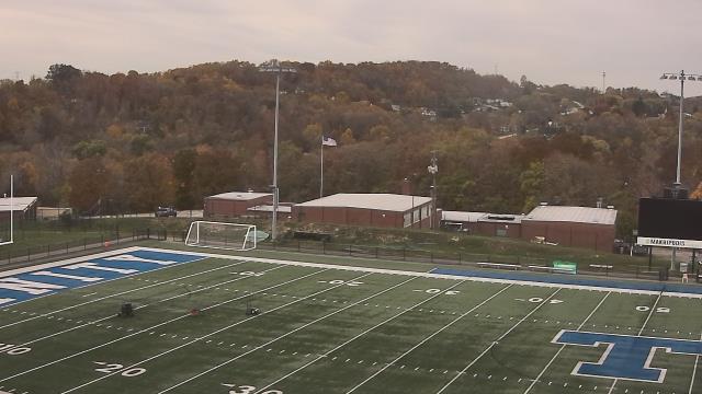
Washington, Pennsylvania, USA - 78.5 miles from Windom (historical): Trinity Middle School - A webcam in Washington, Pennsylvania - camera location: Trinity Middle School.
Operator: WeatherBug
Operator: WeatherBug


Canonsburg, Pennsylvania, USA - 80.2 miles from Windom (historical): Canon McMillan High School - A webcam in Canonsburg, Pennsylvania - camera location: Canon McMillan High School.
Operator: WeatherBug
Operator: WeatherBug


Some other places in this country: Hiser (historical) - Gleason (historical) - Noswad (historical) - Wabash (historical) - Fowler Knob - Ophelia (historical) - Sparks (historical) - Tolbert - Vinton (historical) - Algonquin (historical)