Webcams in the region of Virginius (historical), West Virginia, USA
The List of Webcams near Virginius (historical), West Virginia, USA:

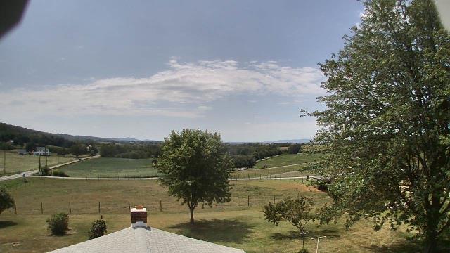
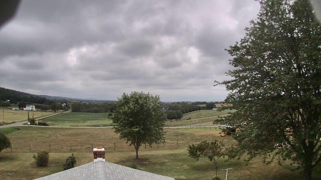
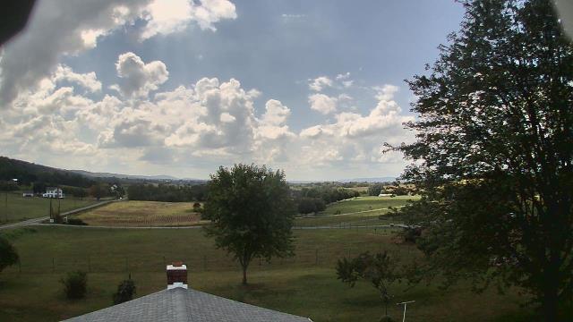
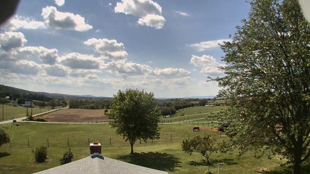
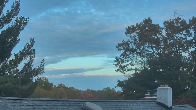
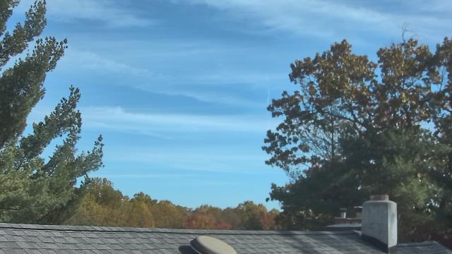
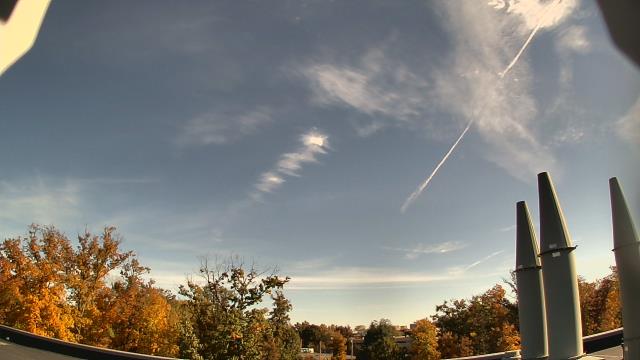
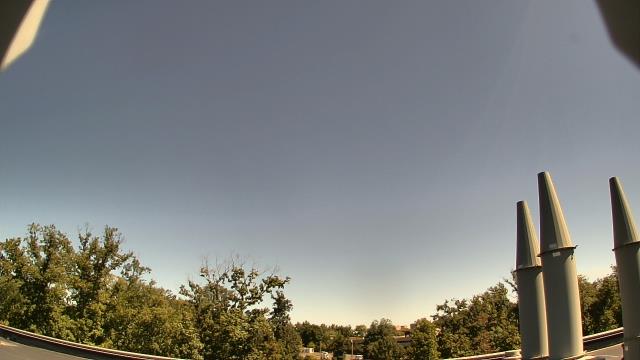
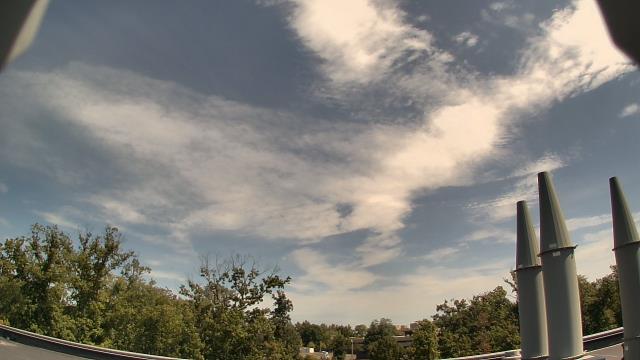
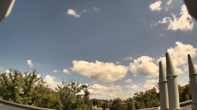
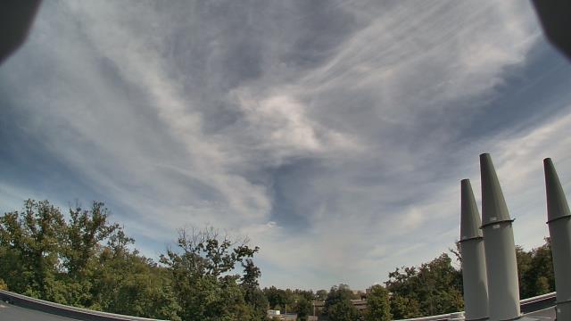
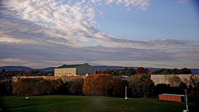
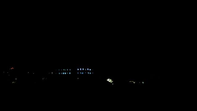
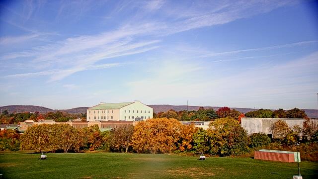
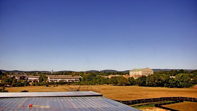
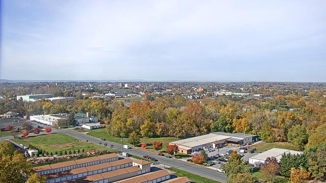
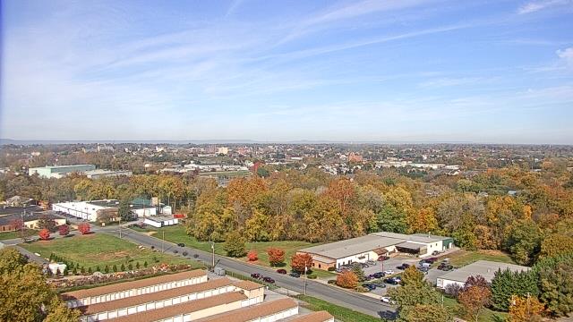
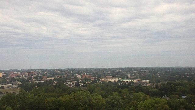
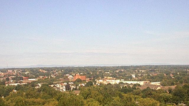
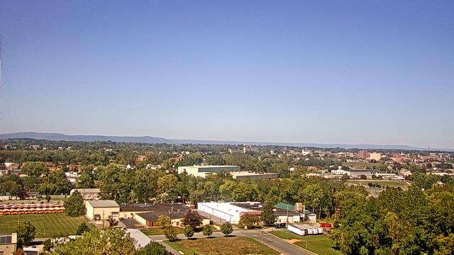
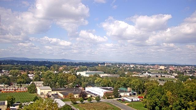
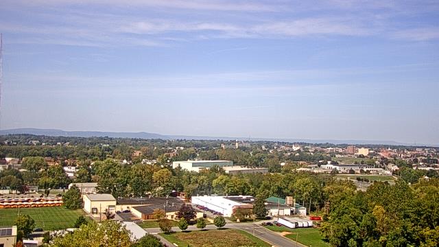
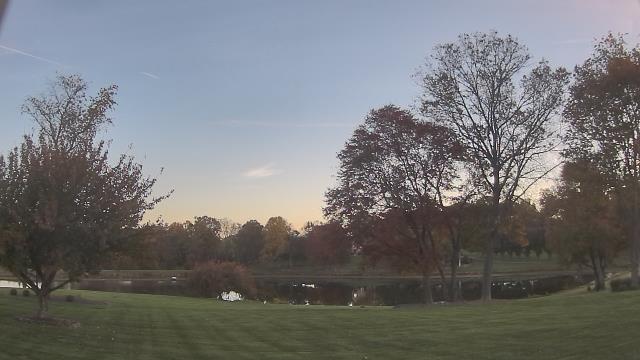
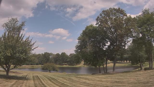
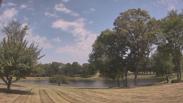
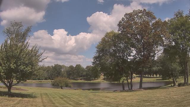
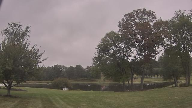
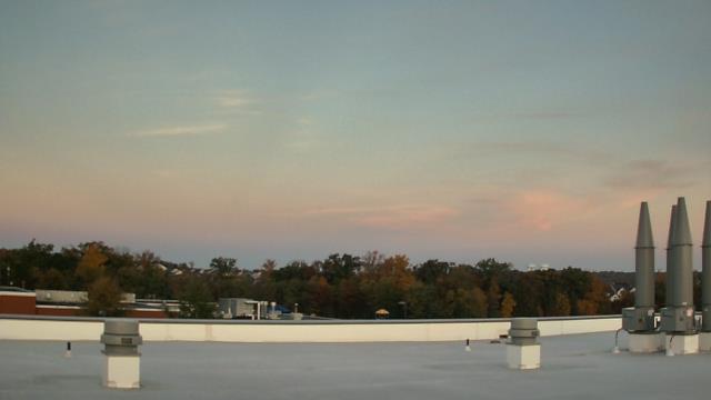
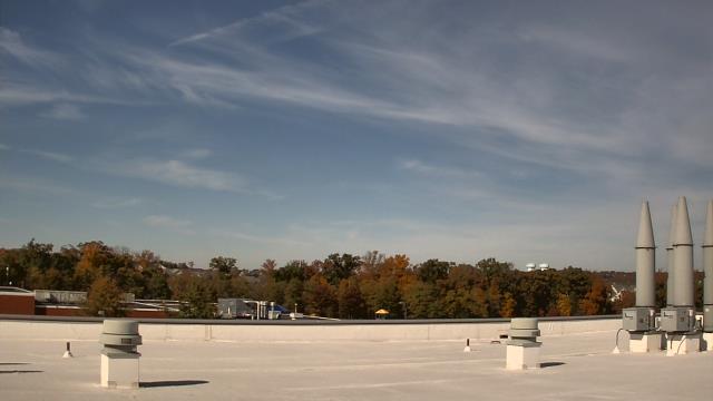
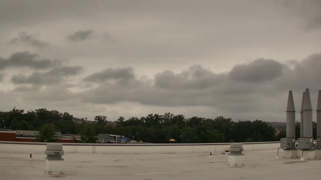
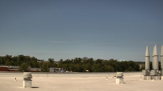
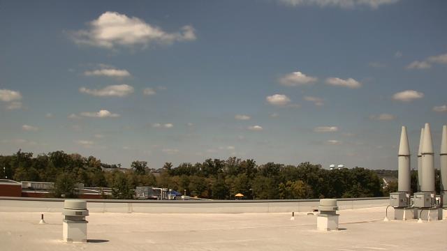
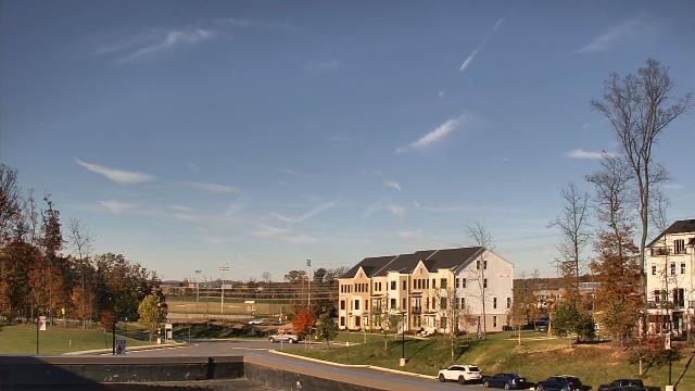
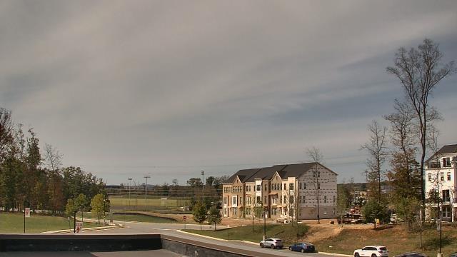
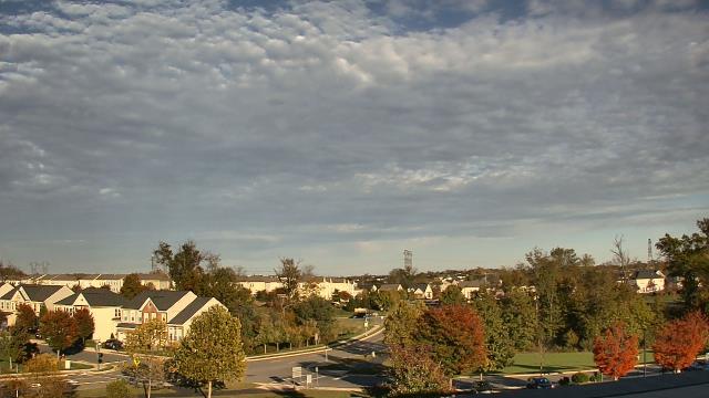
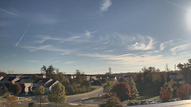
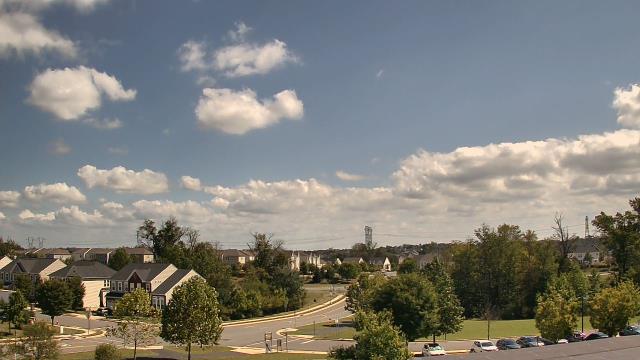
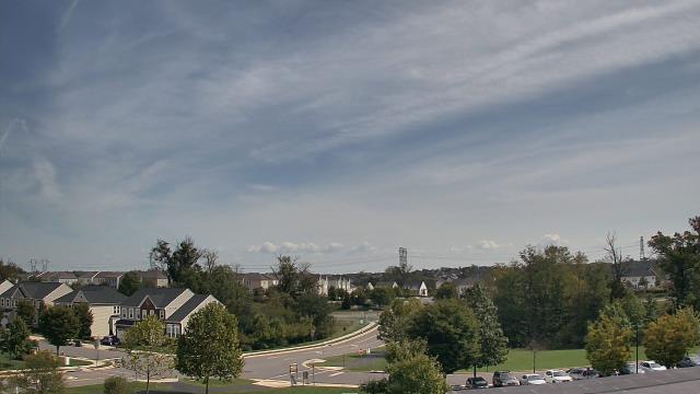
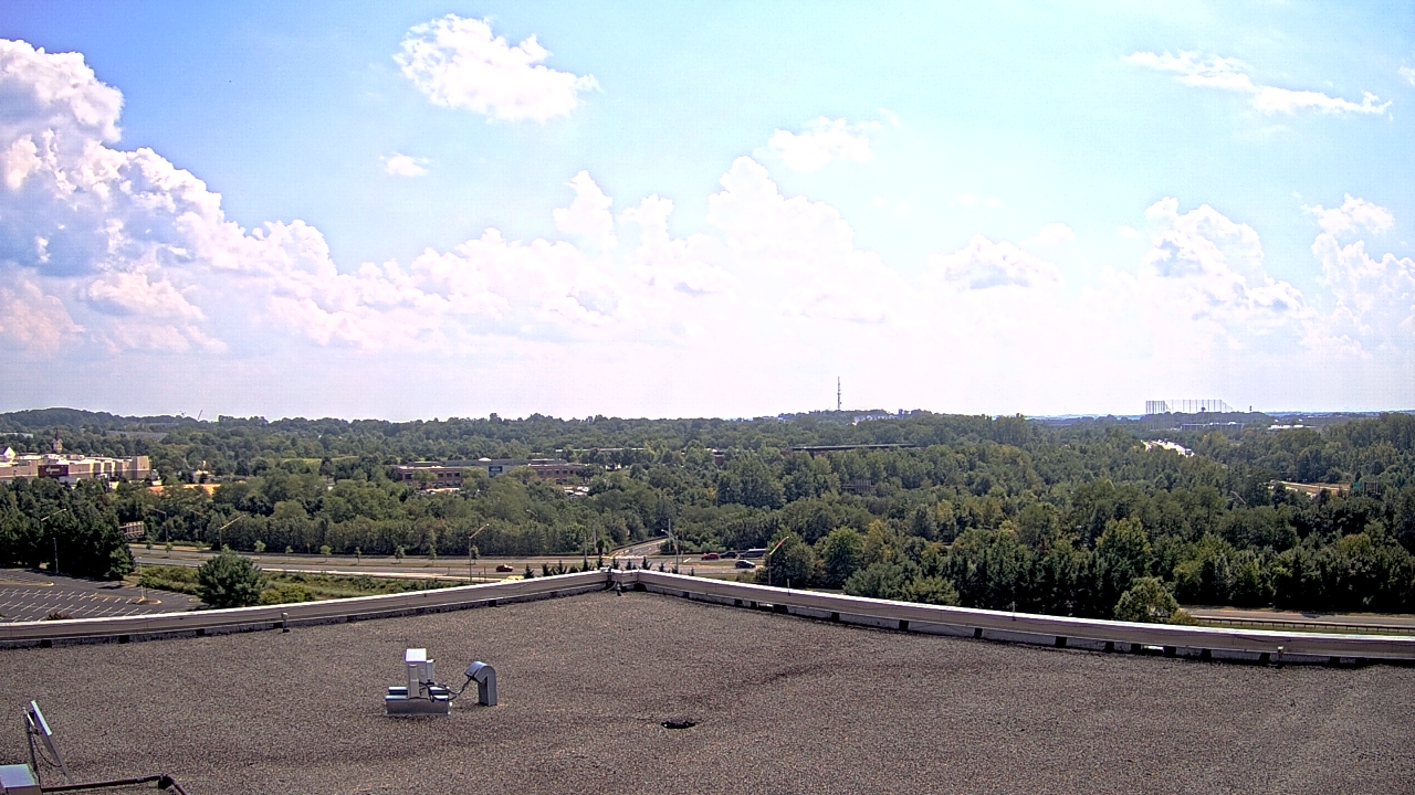
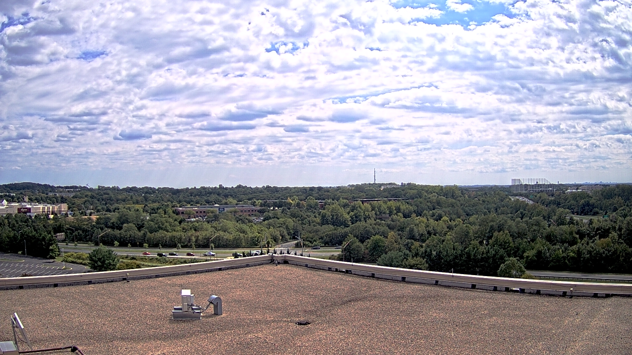
Middletown, Maryland, USA - 13.4 miles from Virginius (historical): Middletown Valley - A webcam in Middletown, Maryland - camera location: Middletown Valley.
Operator: WeatherBug
Operator: WeatherBug


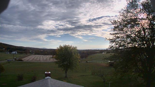


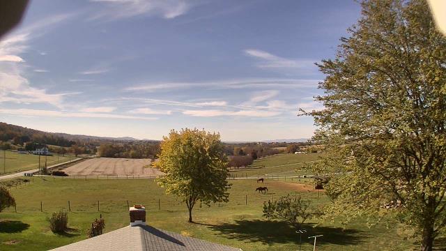
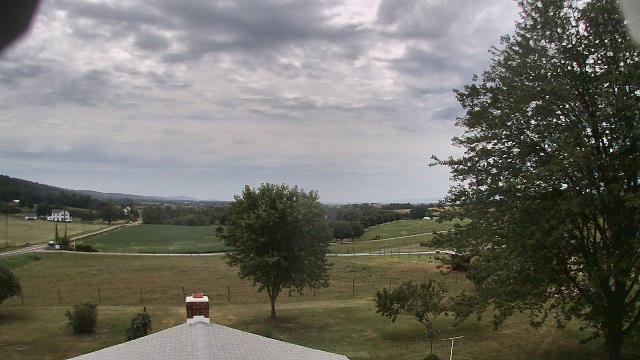


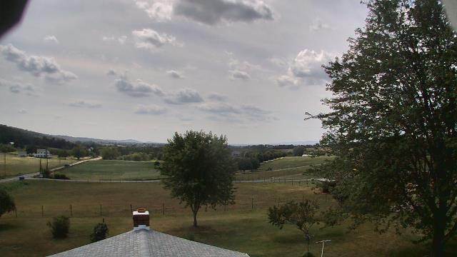
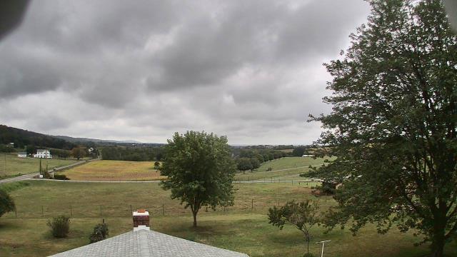


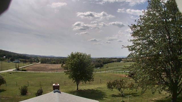

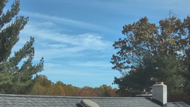
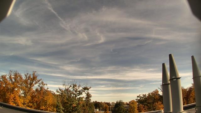
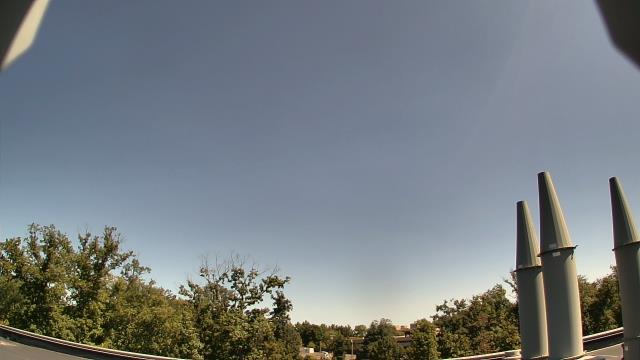
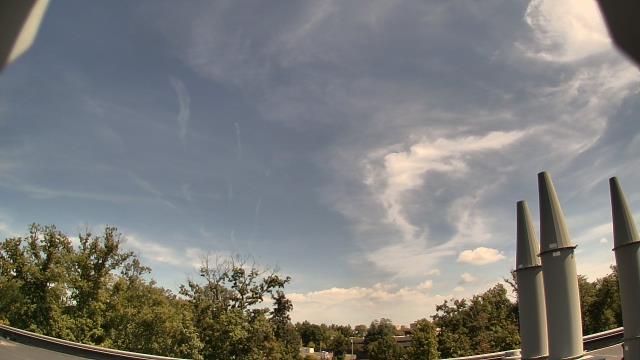
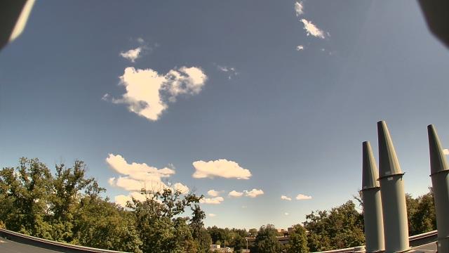
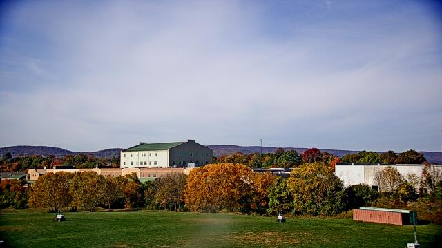
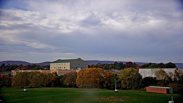
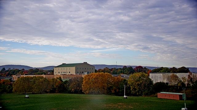
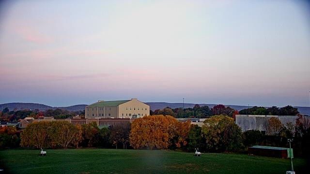
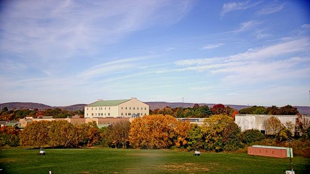
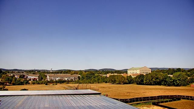
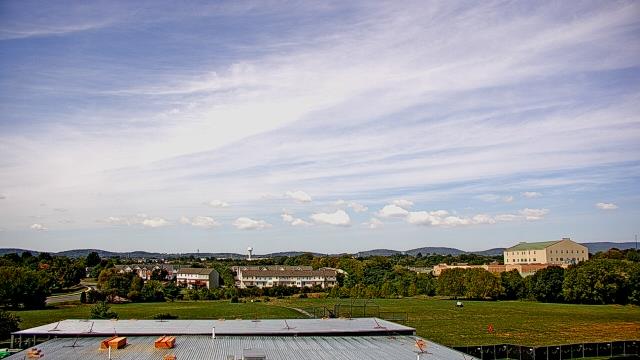
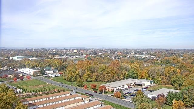
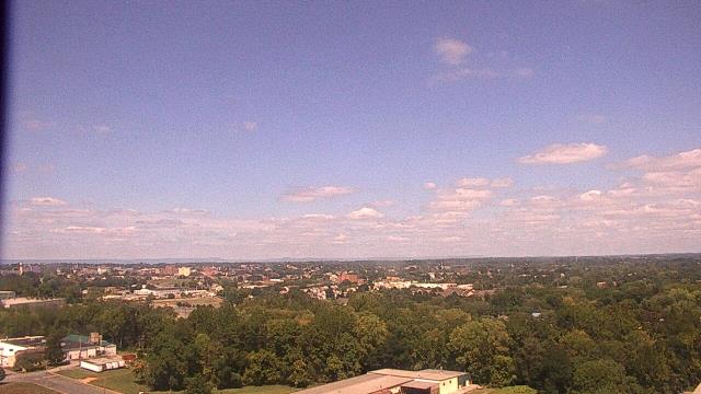
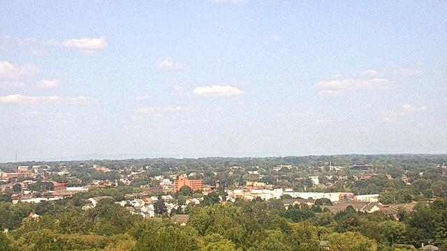
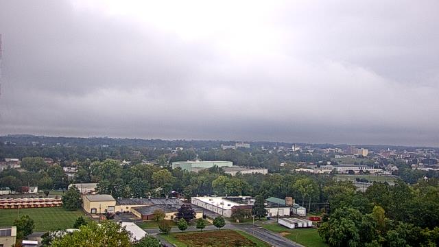
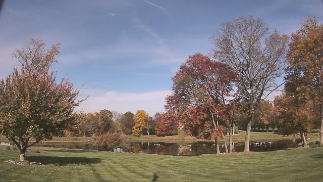
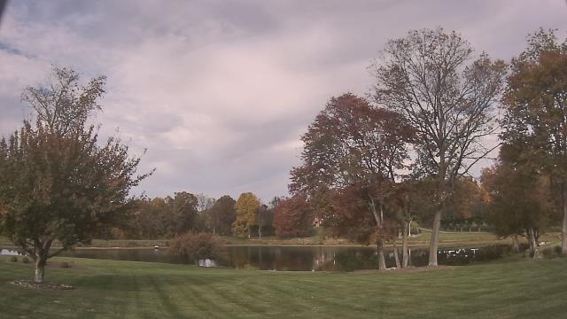
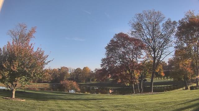
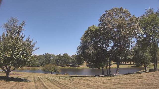
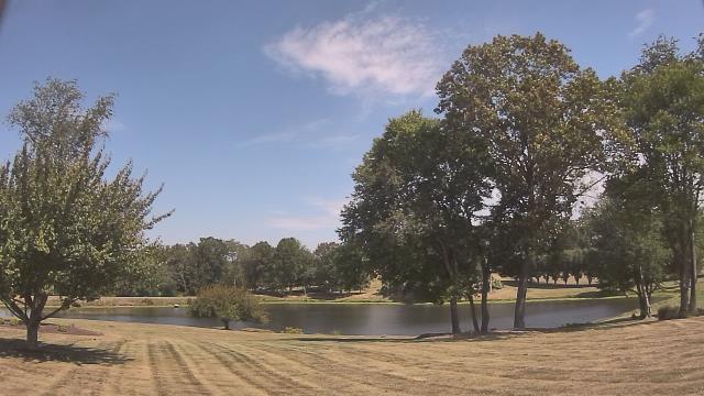
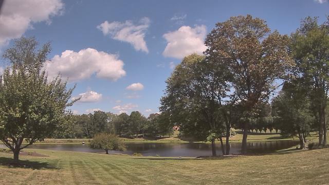
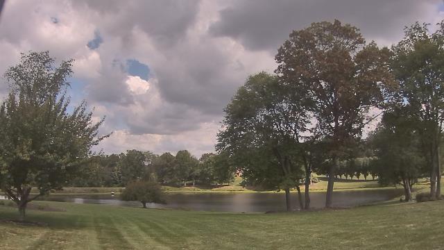
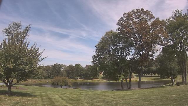
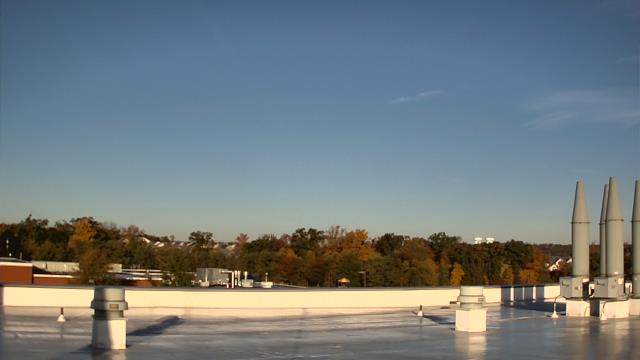
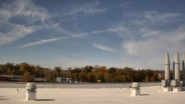
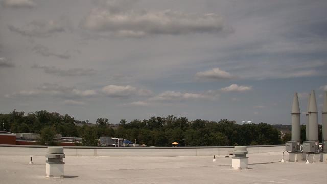
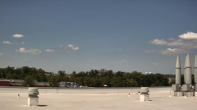
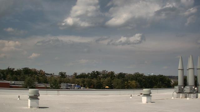
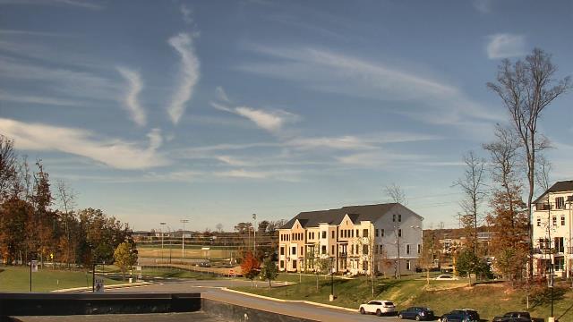
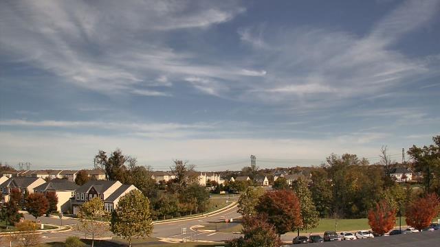
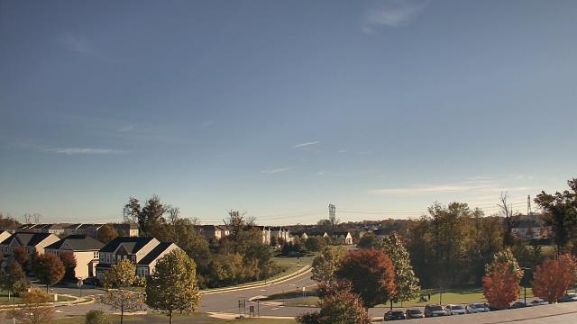
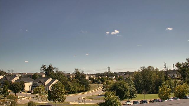
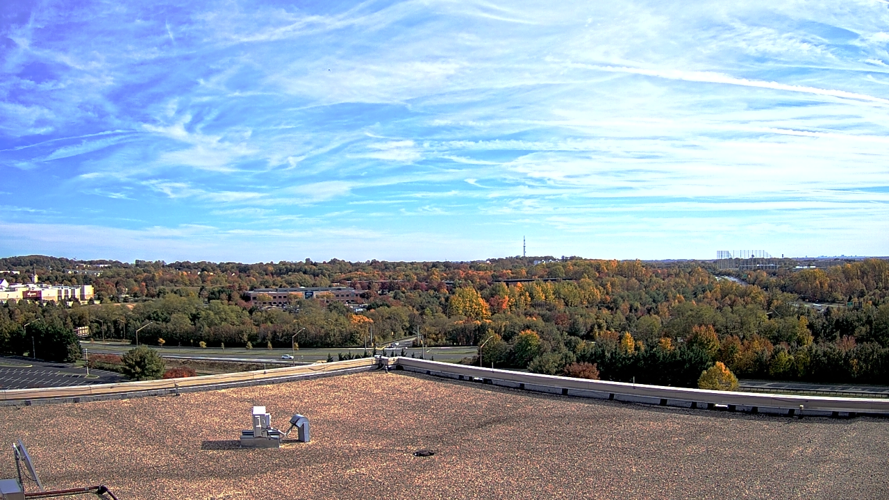
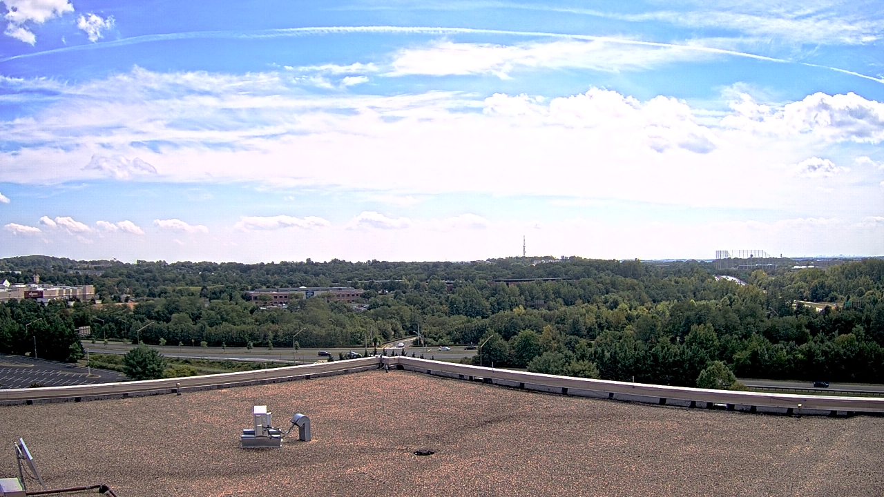
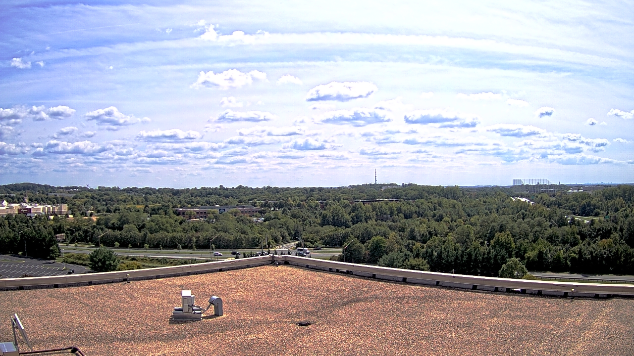
Myersville, Maryland, USA - 15.7 miles from Virginius (historical): Appalachian Trail - A webcam in Myersville, Maryland - camera location: Appalachian Trail.
Operator: WeatherBug
Operator: WeatherBug

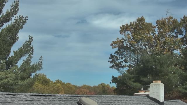


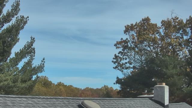


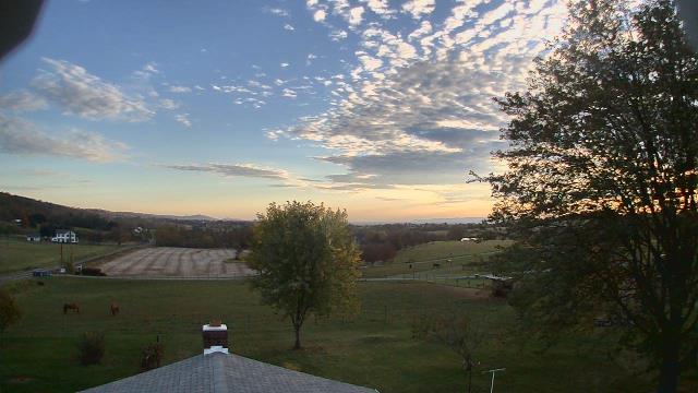
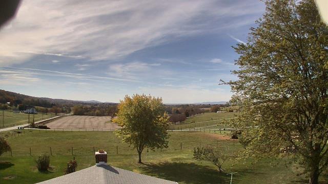
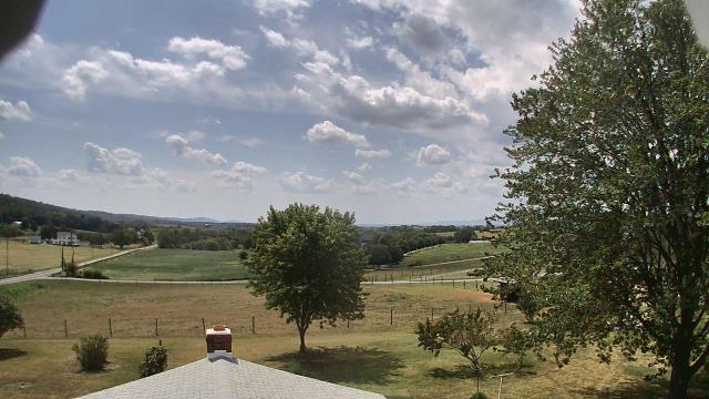
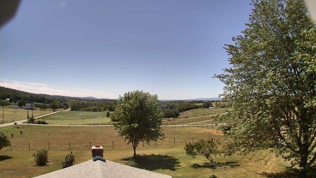
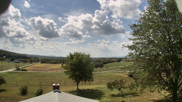
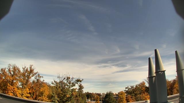
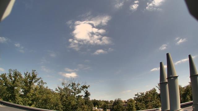
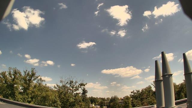
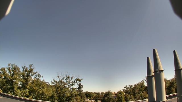
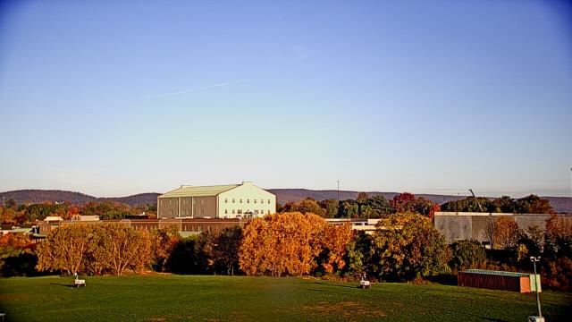
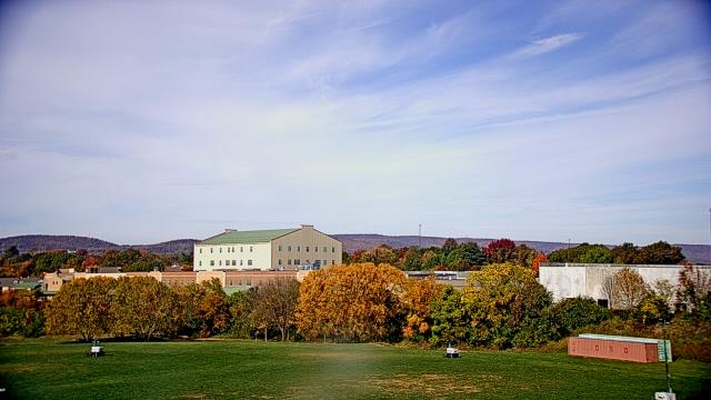
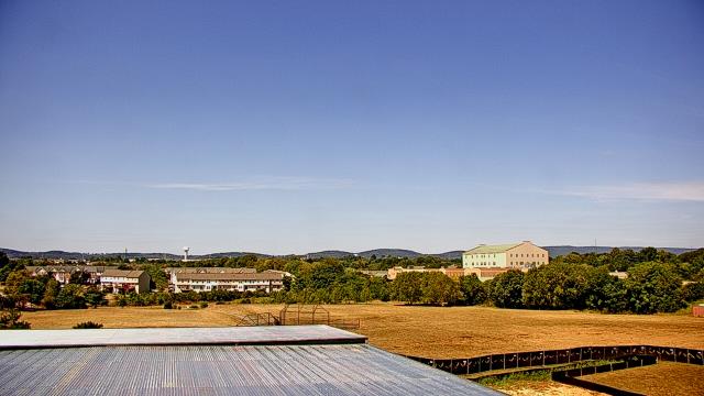
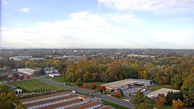
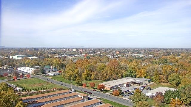
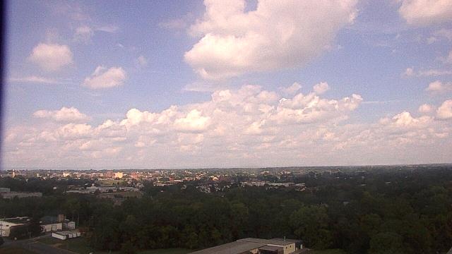
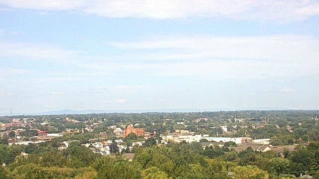
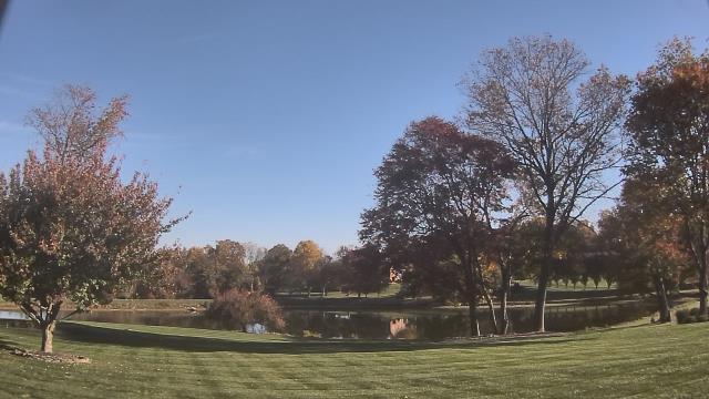
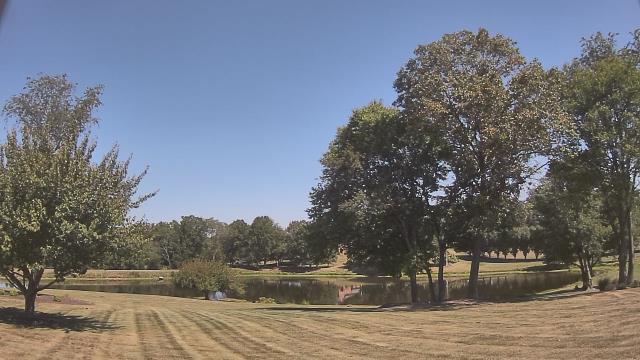
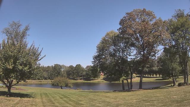
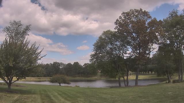
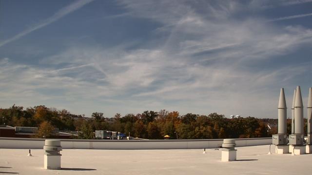
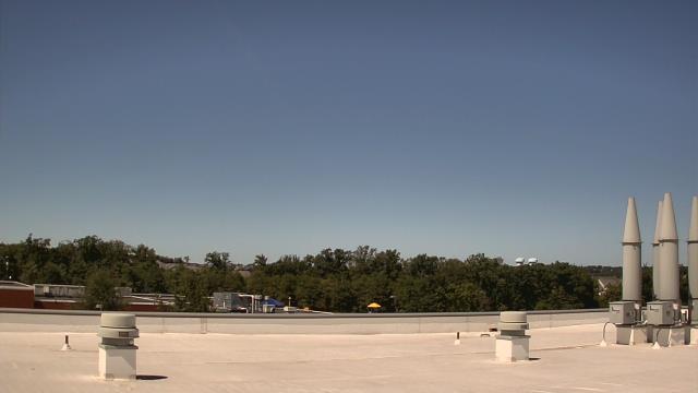
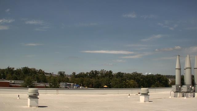
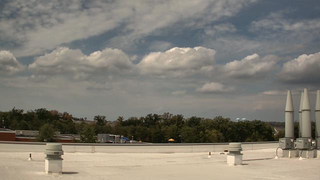
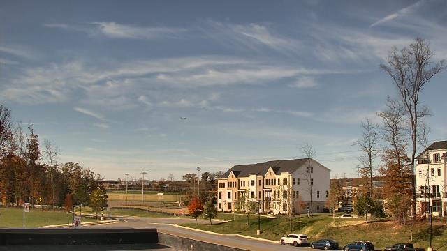
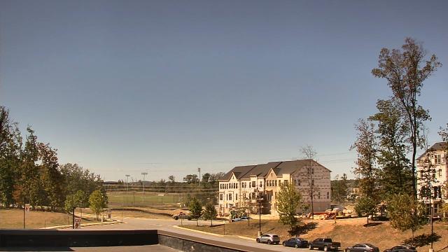
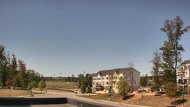
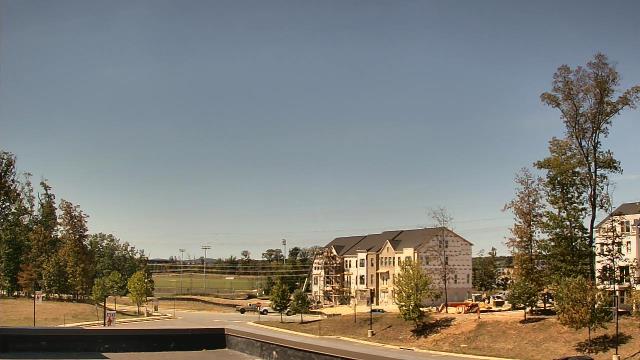
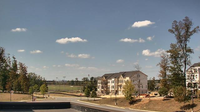
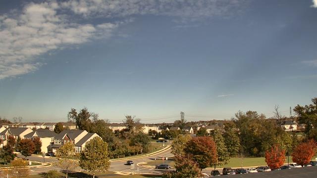
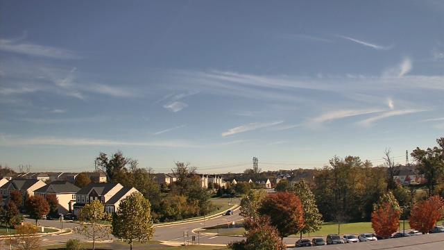
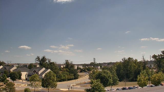
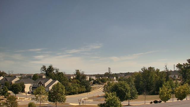
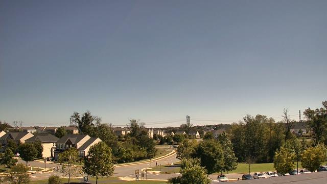
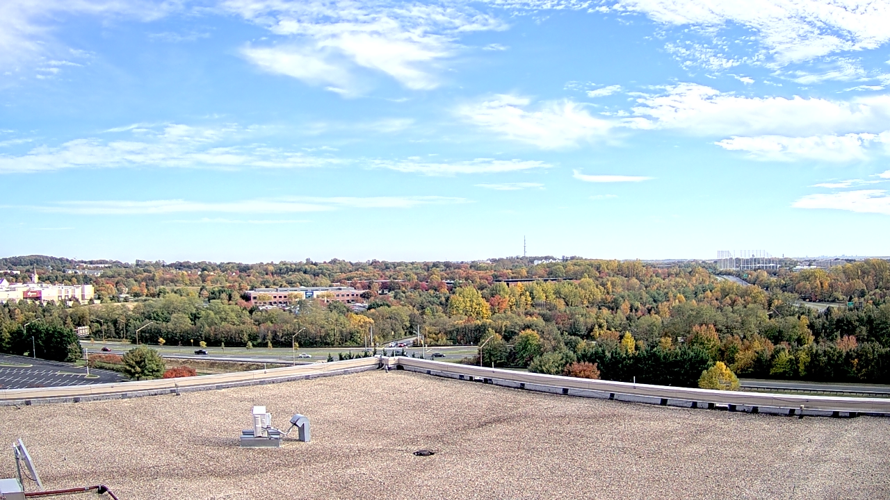
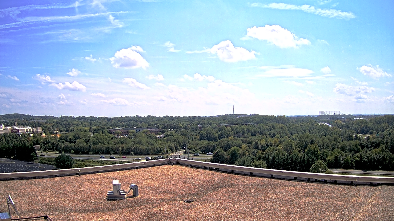
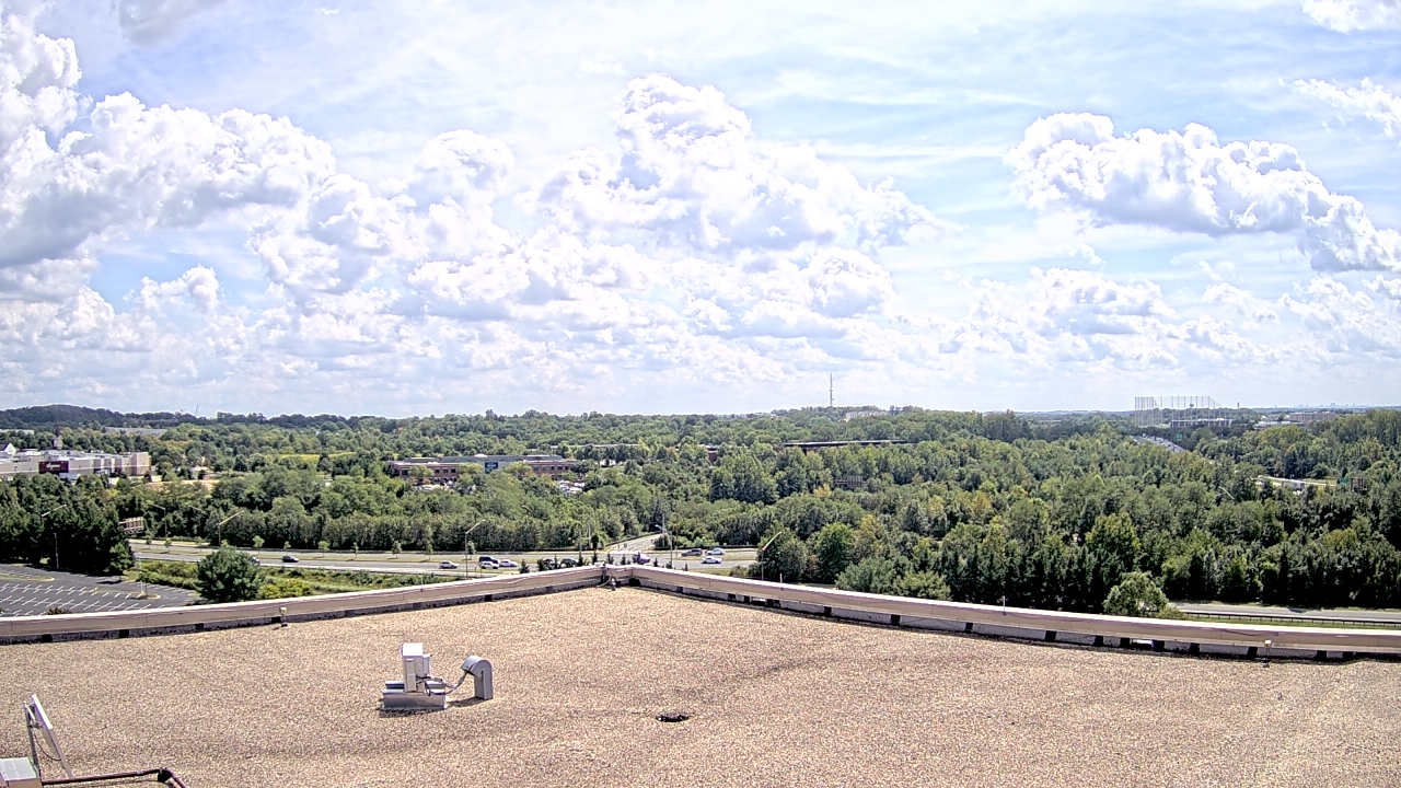
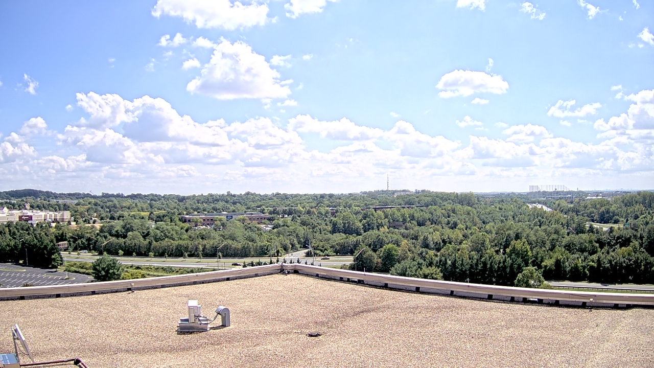
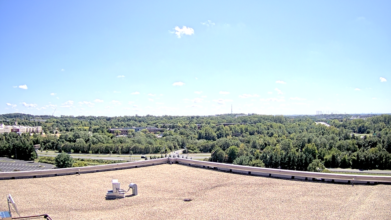
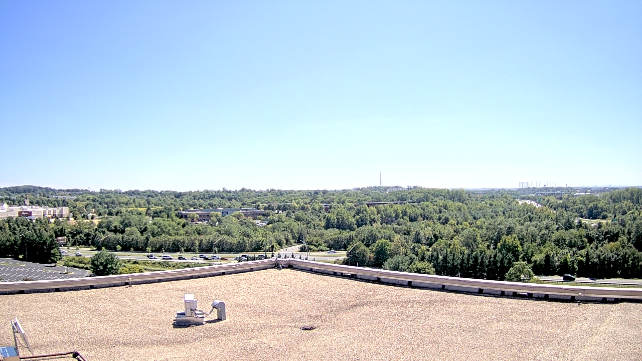
Leesburg, Virginia, USA - 17.1 miles from Virginius (historical): Riverside High School - A webcam in Leesburg, Virginia - camera location: Riverside High School.
Operator: WeatherBug
Operator: WeatherBug


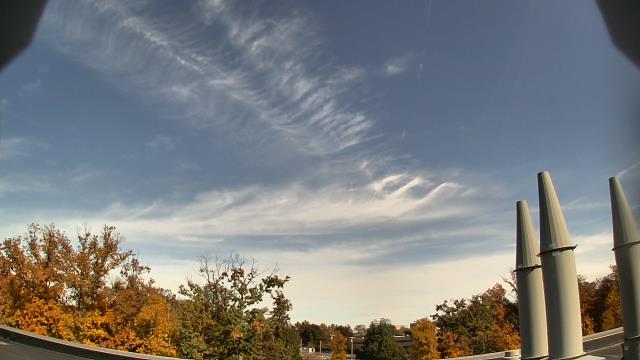
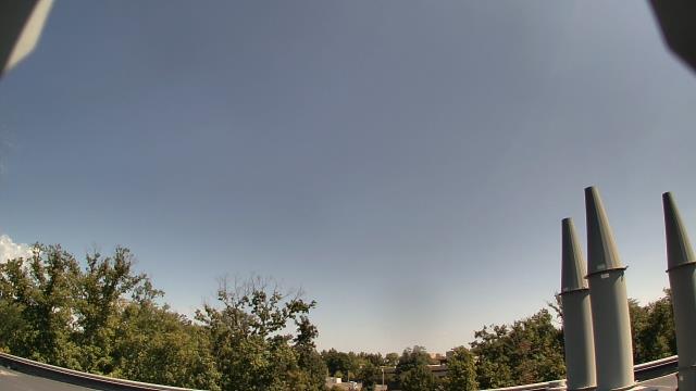

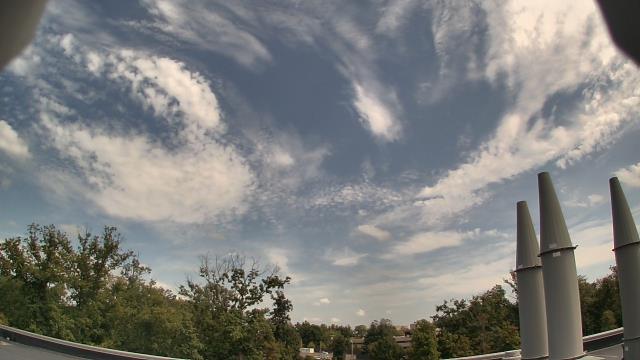
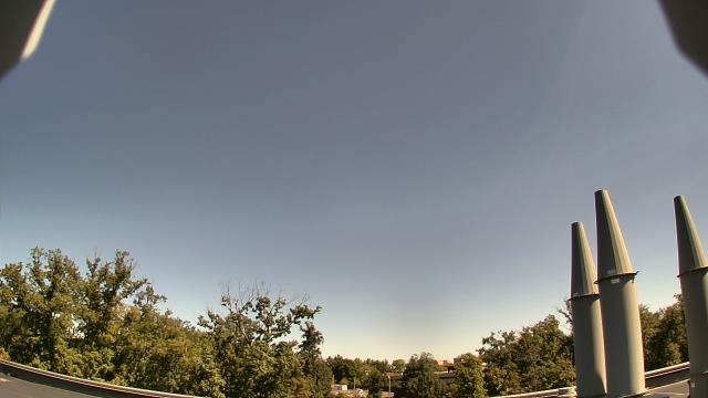

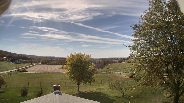
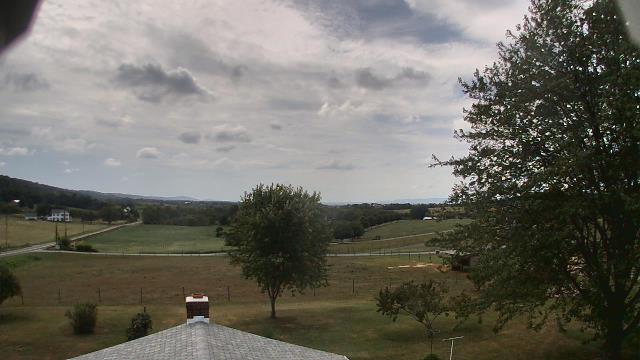
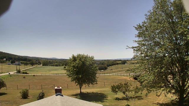
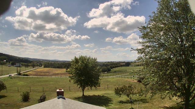
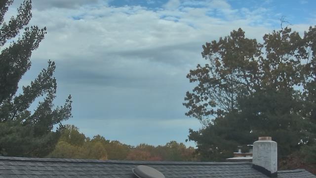
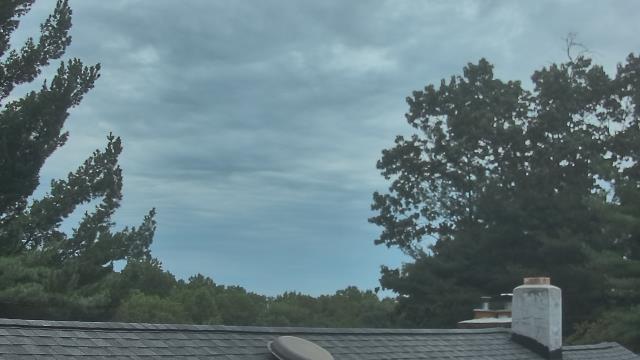
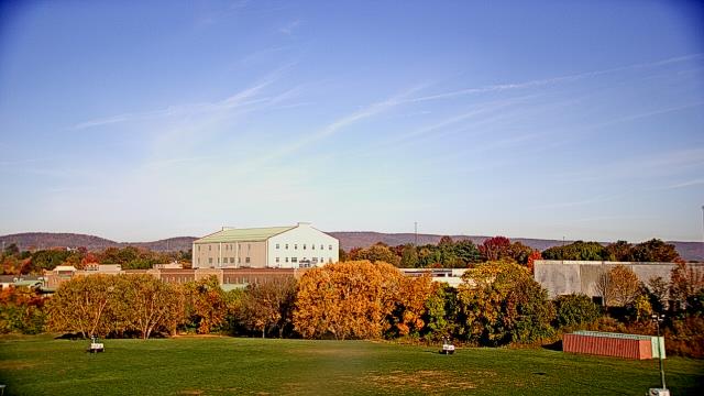
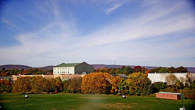
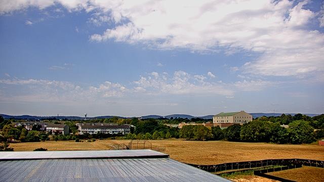
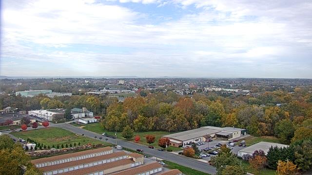
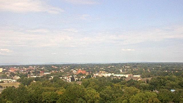
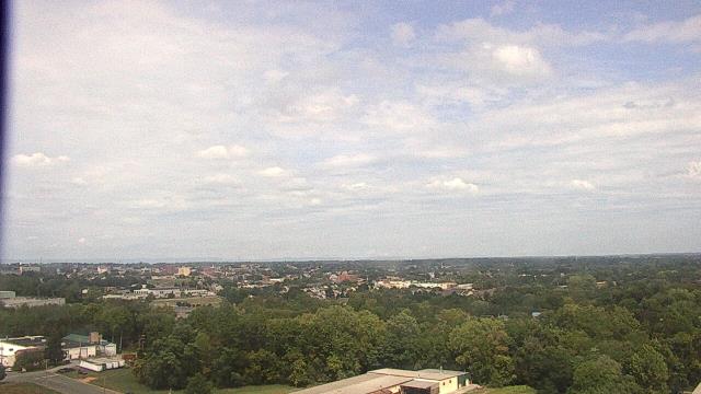
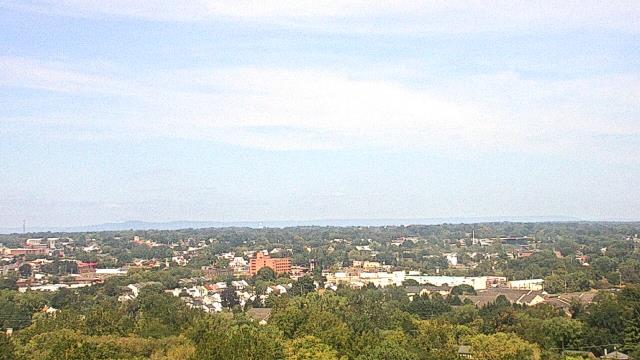
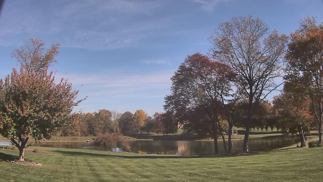
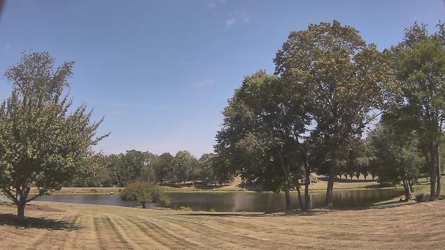
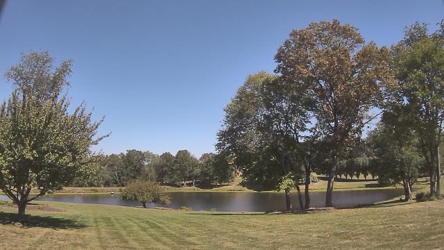
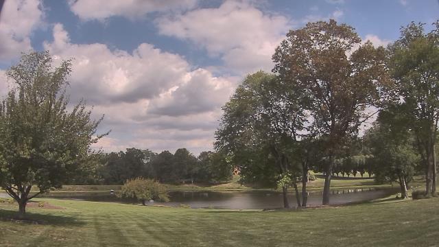
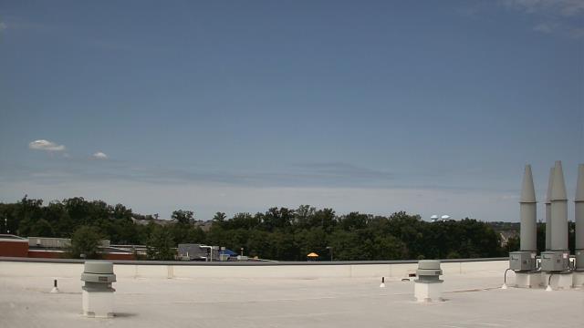
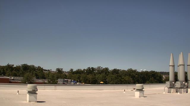
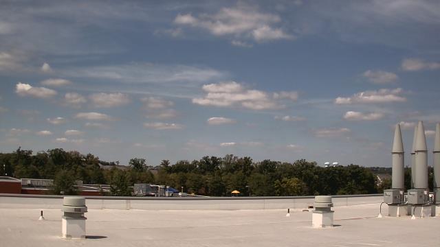
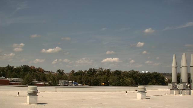
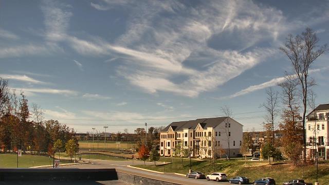
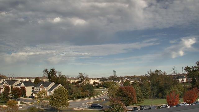
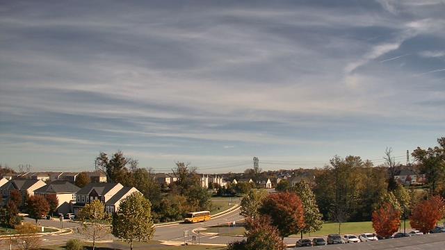
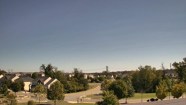
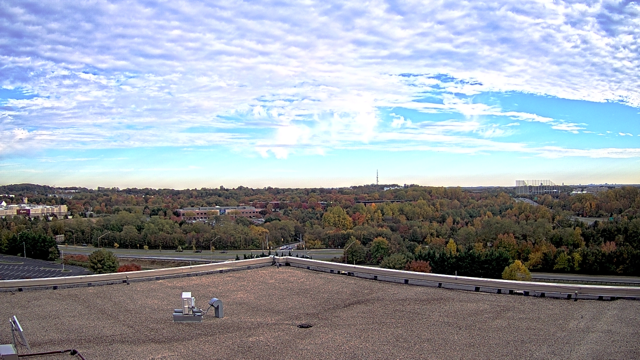
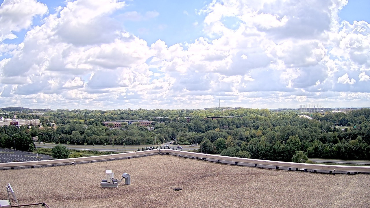
Frederick, Maryland, USA - 18.7 miles from Virginius (historical): Crestwood Middle School - A webcam in Frederick, Maryland - camera location: Crestwood Middle School.
Operator: WeatherBug
Operator: WeatherBug


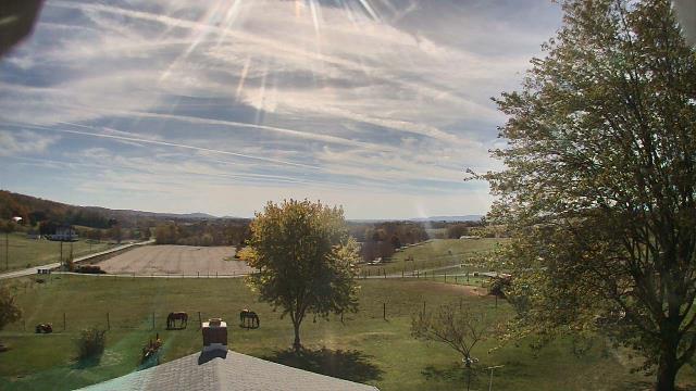
Hagerstown, Maryland, USA - 22.2 miles from Virginius (historical): Antietam Cable Television Inc - A webcam in Hagerstown, Maryland - camera location: Antietam Cable Television Inc.
Operator: WeatherBug
Operator: WeatherBug


Ijamsville, Maryland, USA - 22.4 miles from Virginius (historical): The Greens - A webcam in Ijamsville, Maryland - camera location: The Greens.
Operator: WeatherBug
Operator: WeatherBug


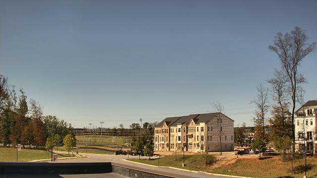
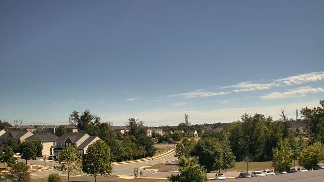
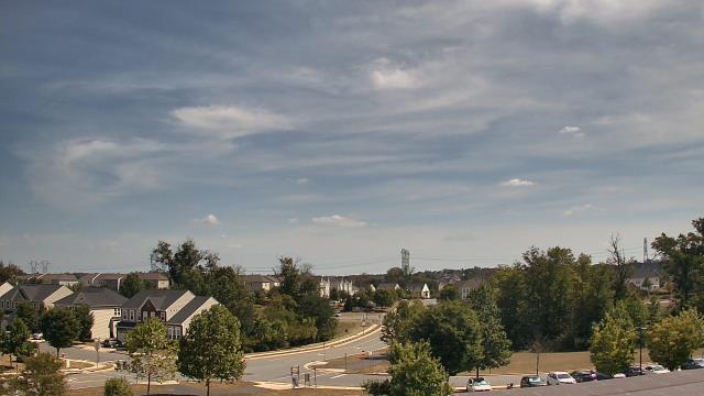
Ashburn, Virginia, USA - 23.5 miles from Virginius (historical): Rock Ridge High School - A webcam in Ashburn, Virginia - camera location: Rock Ridge High School.
Operator: WeatherBug
Operator: WeatherBug


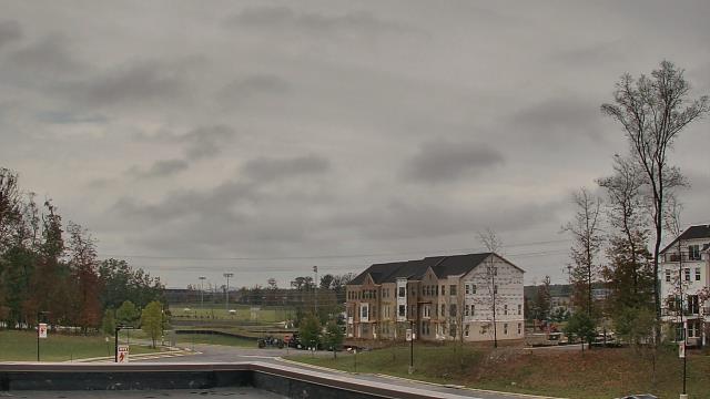
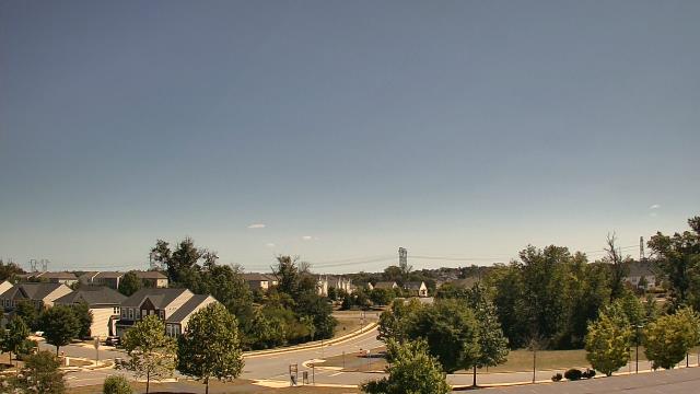
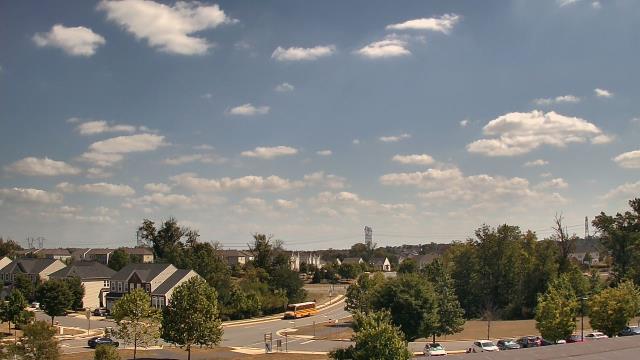
Ashburn, Virginia, USA - 23.5 miles from Virginius (historical): Madison Trust Elementary School - A webcam in Ashburn, Virginia - camera location: Madison Trust Elementary School.
Operator: WeatherBug
Operator: WeatherBug


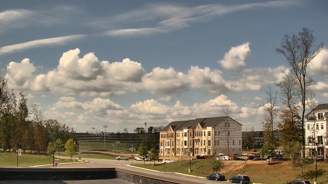


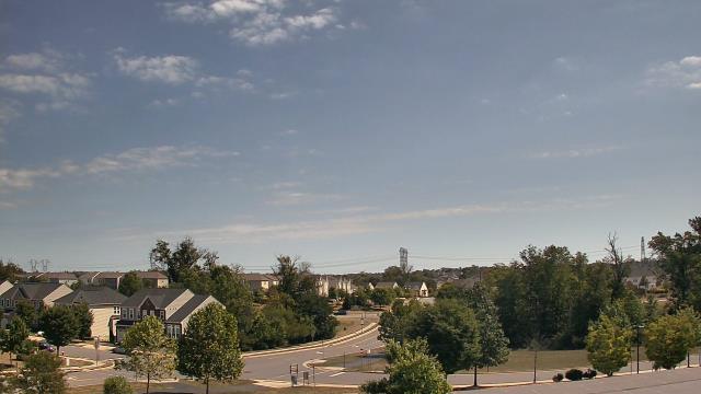
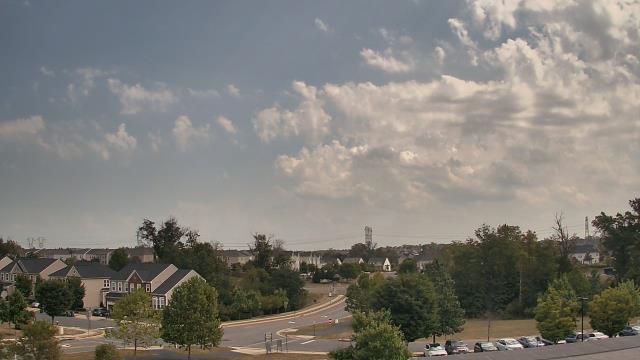
Aldie, Virginia, USA - 24.5 miles from Virginius (historical): John Champe High School - A webcam in Aldie, Virginia - camera location: John Champe High School.
Operator: WeatherBug
Operator: WeatherBug


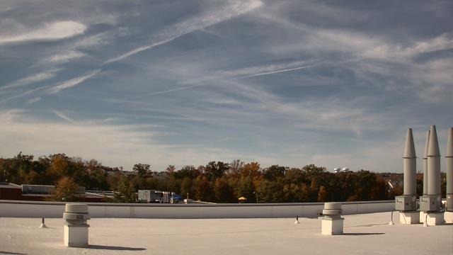
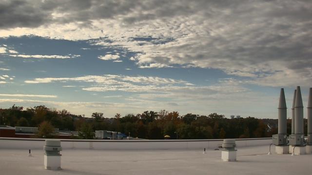
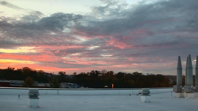
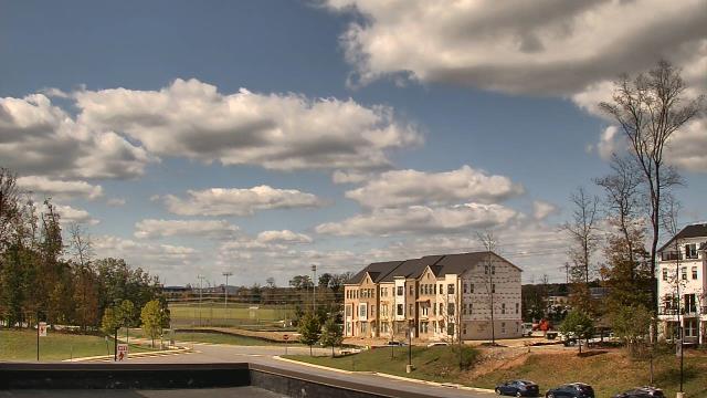
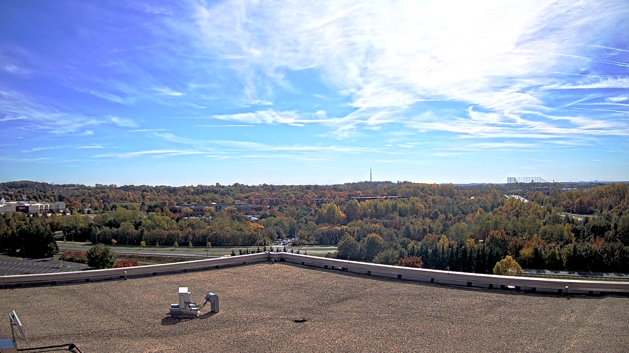
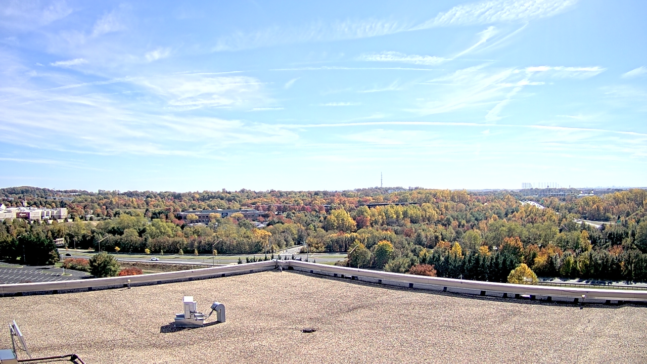
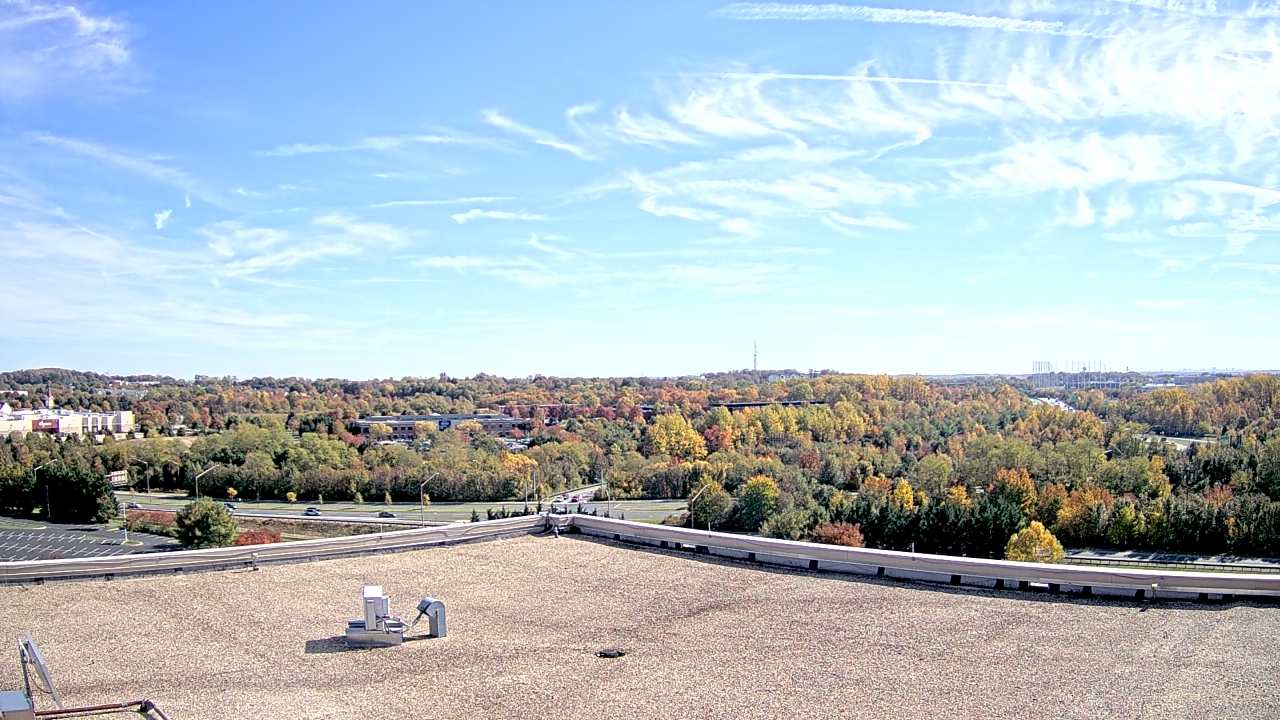
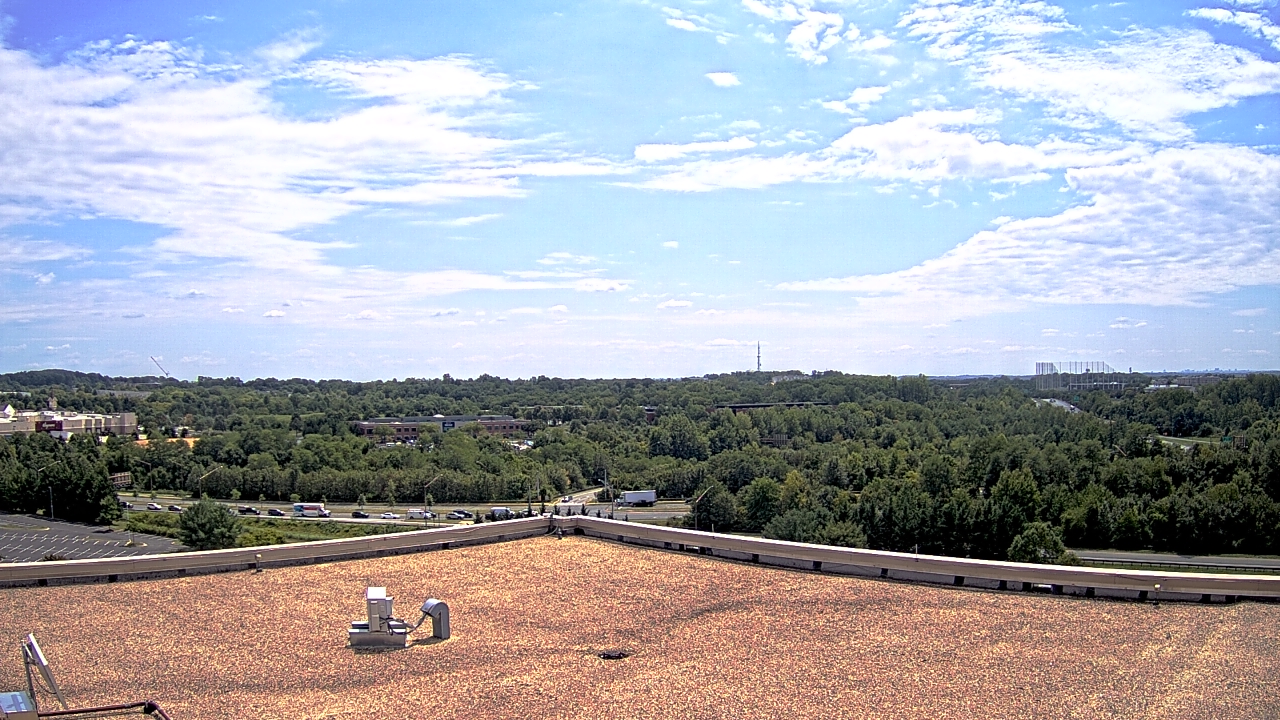
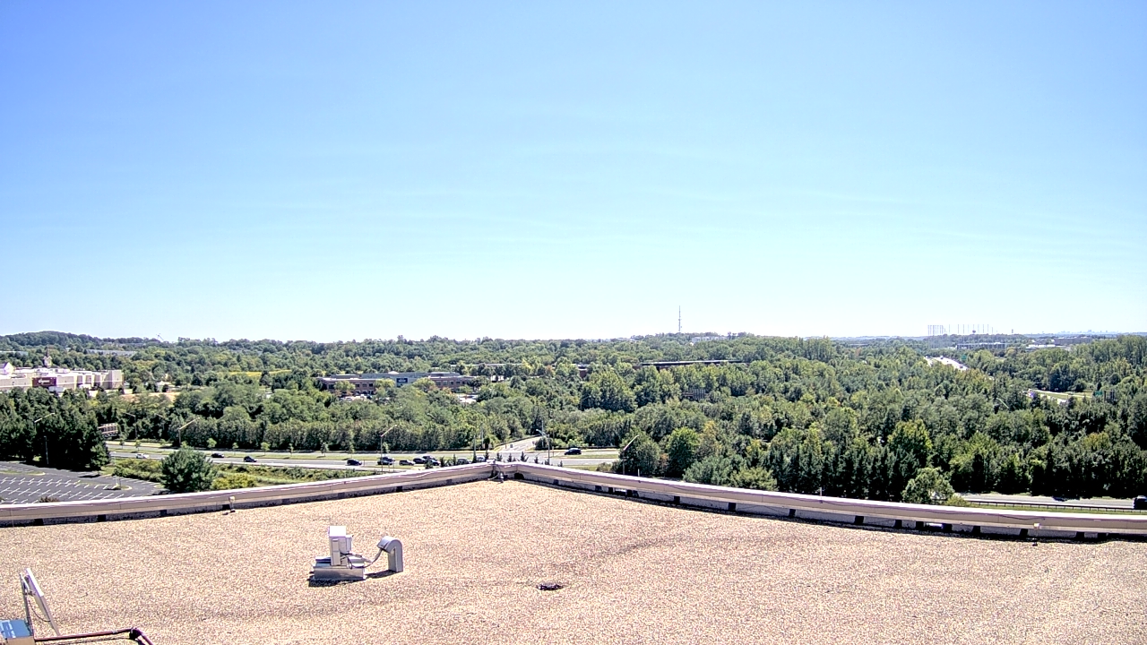
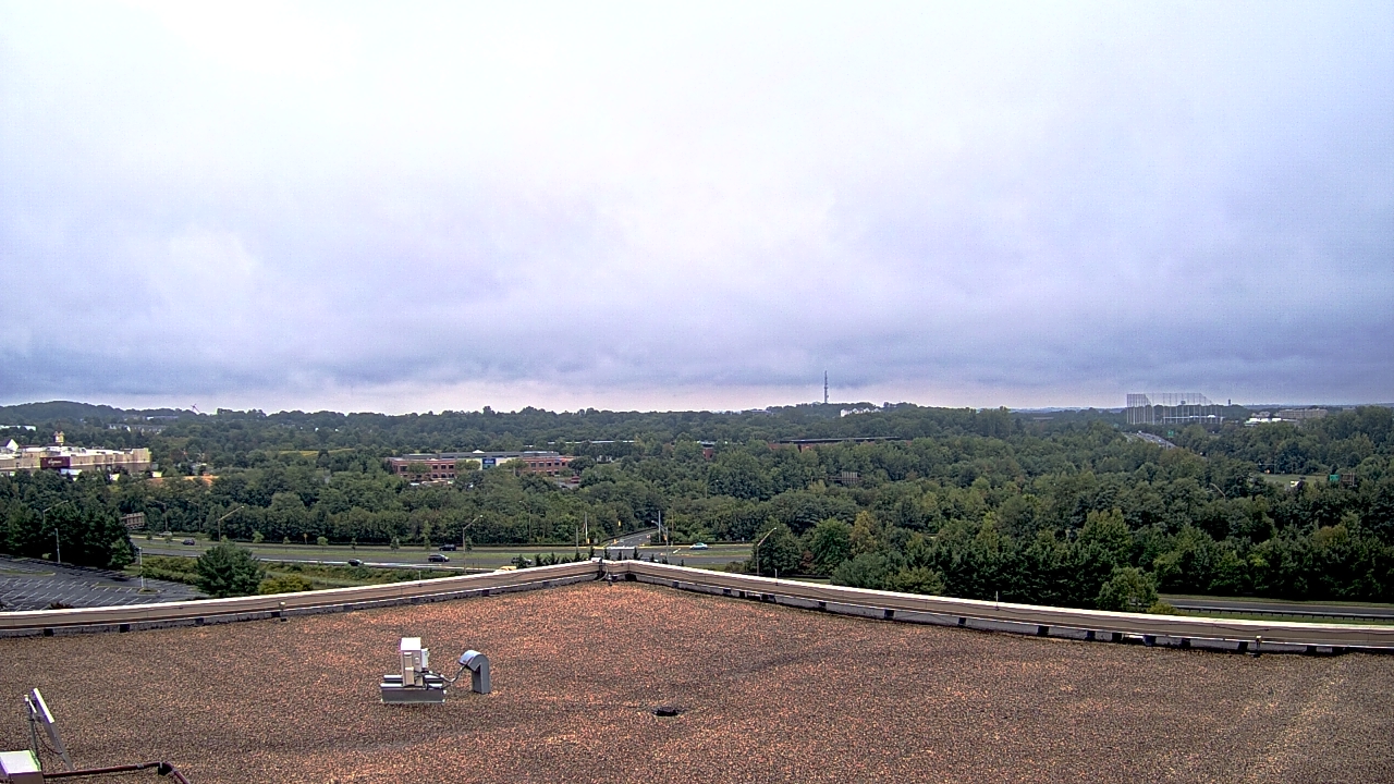
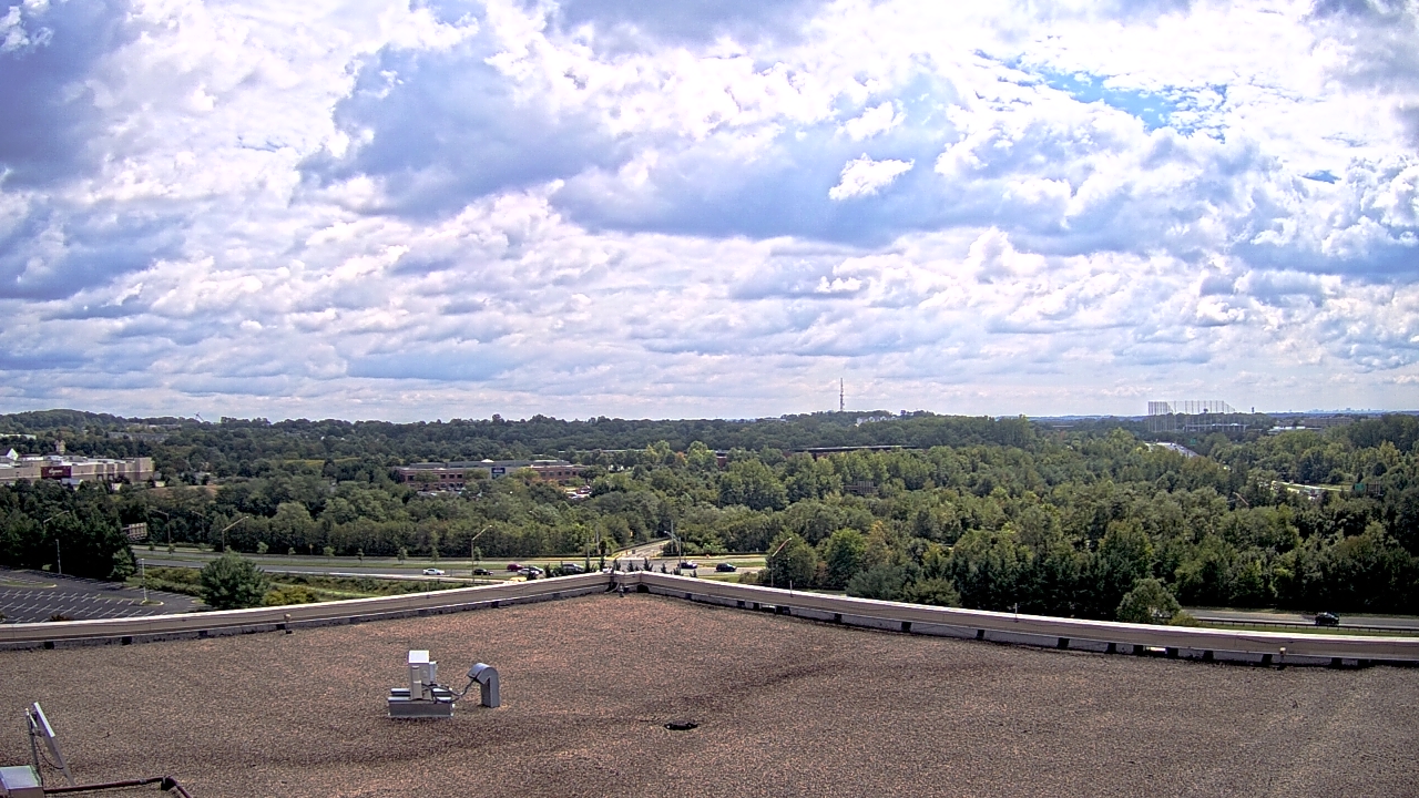
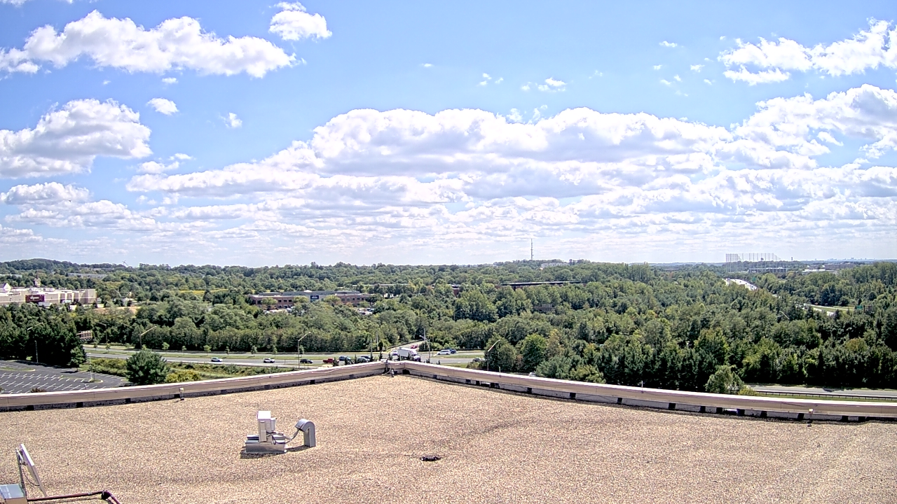
Germantown, Maryland, USA - 27.5 miles from Virginius (historical): WeatherBug Headquarters - A webcam in Germantown, Maryland - camera location: WeatherBug Headquarters.
Operator: WeatherBug
Operator: WeatherBug


Some other places in this country: Keyes Ferry Acres - Lower Town - Mount Pleasant - Rose Hill - Walpers Cross-Roads - Wynkoop Spring - Defoe (historical) - Mayton (historical) - Penbro (historical) - Skyles (historical)