Webcams in the region of Varneytown, West Virginia, USA
The List of Webcams near Varneytown, West Virginia, USA:

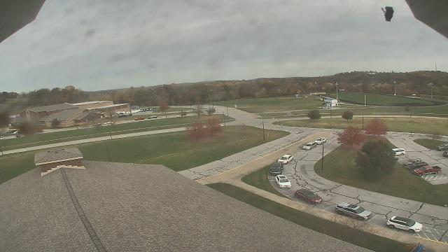
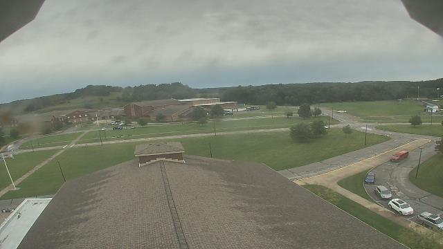
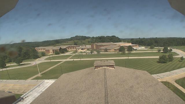
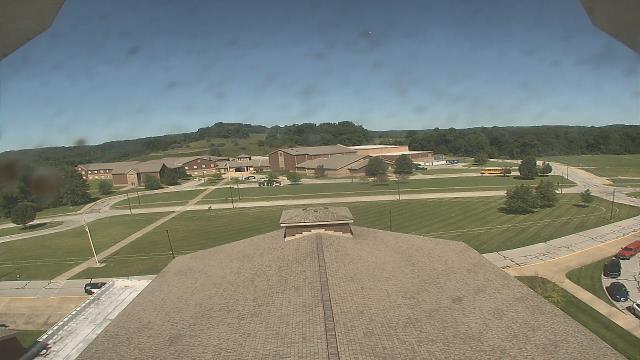
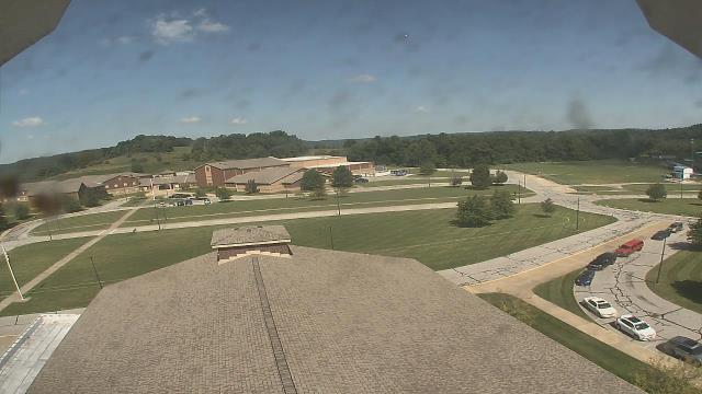
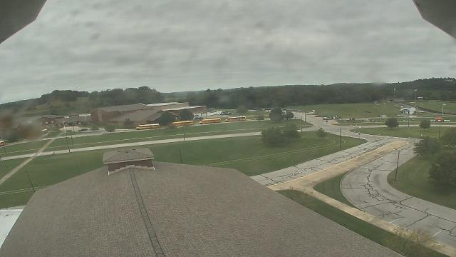
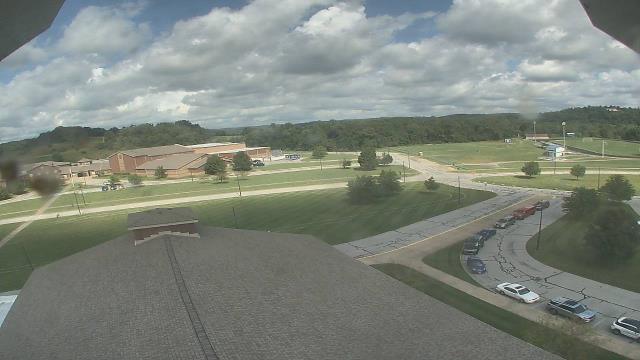
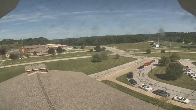
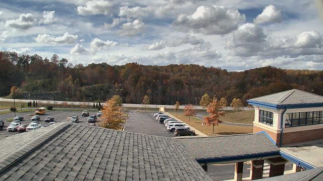
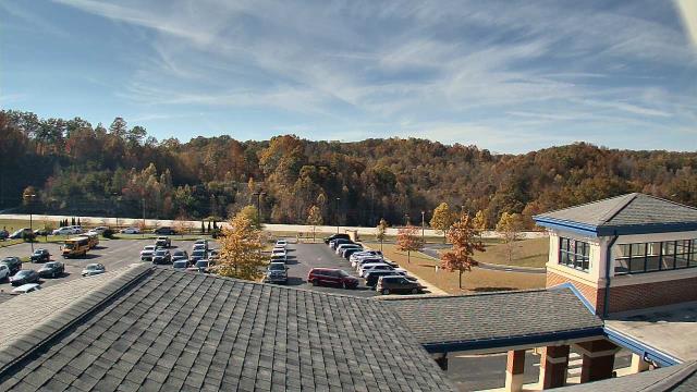
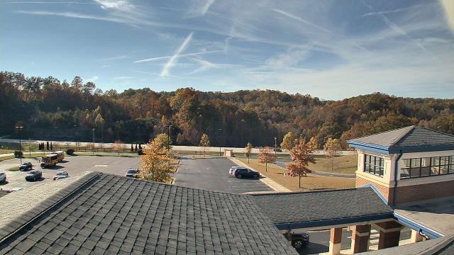
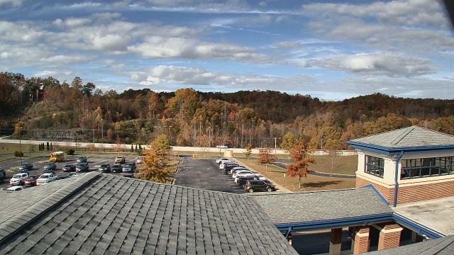
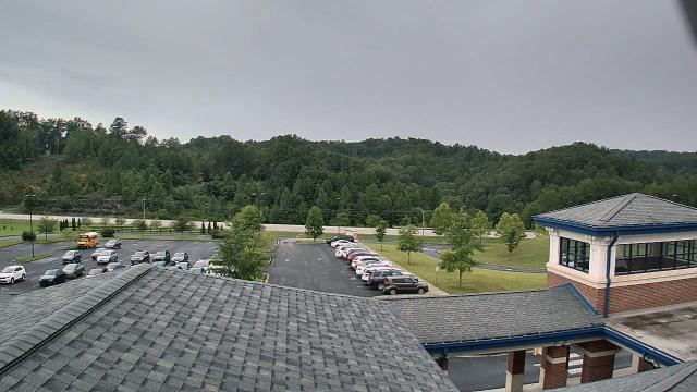
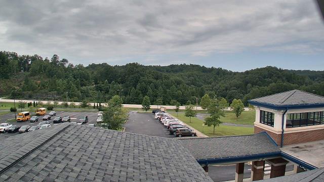
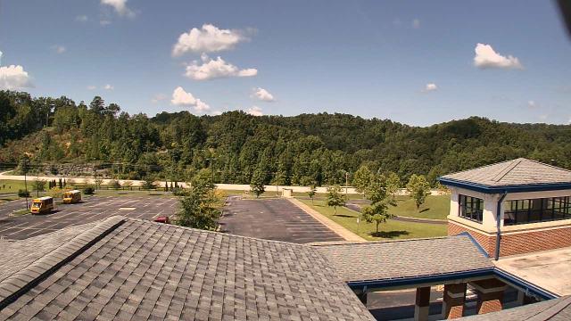
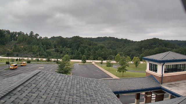
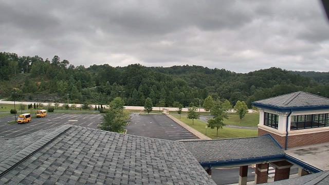
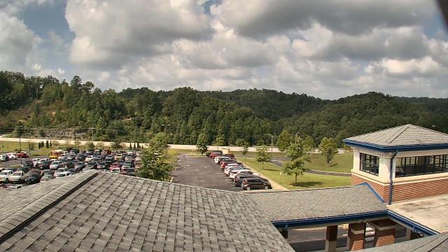
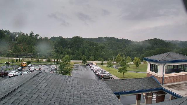
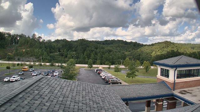
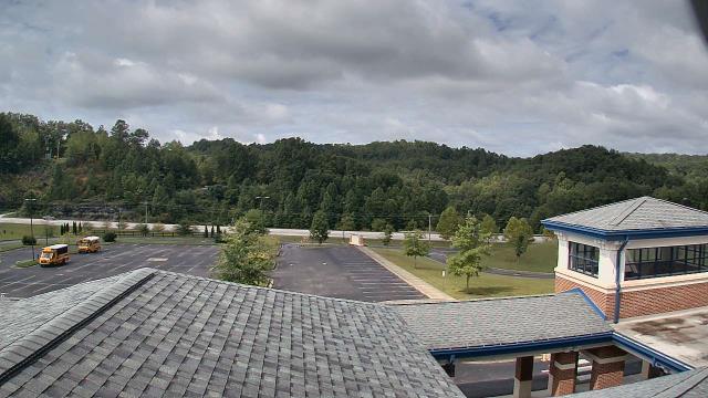
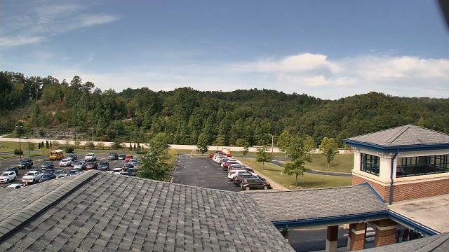
Buchanan, Virginia, USA - 101.5 miles from Varneytown: James River High School - A webcam in Buchanan, Virginia - camera location: James River High School.
Operator: WeatherBug
Operator: WeatherBug


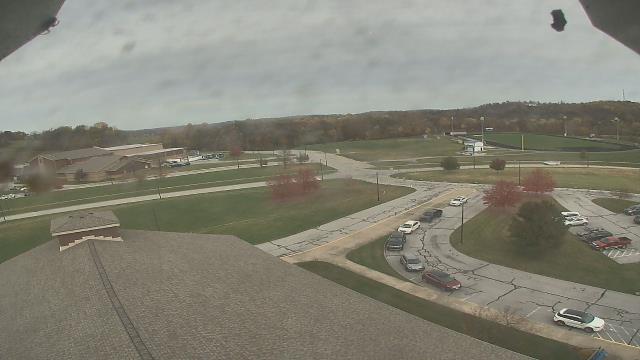
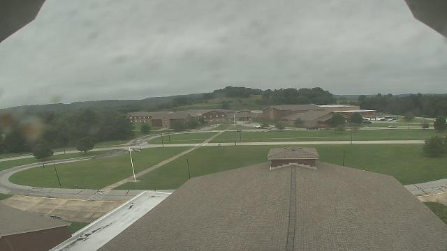
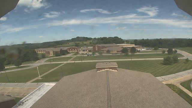
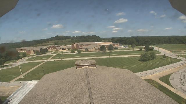
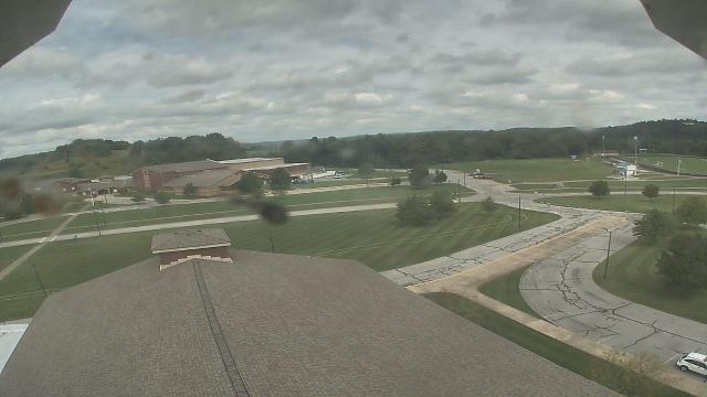
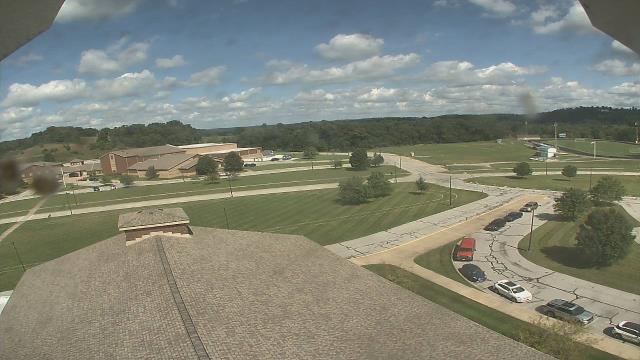
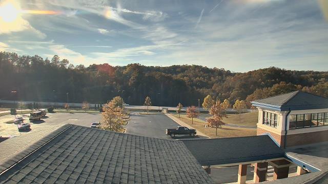
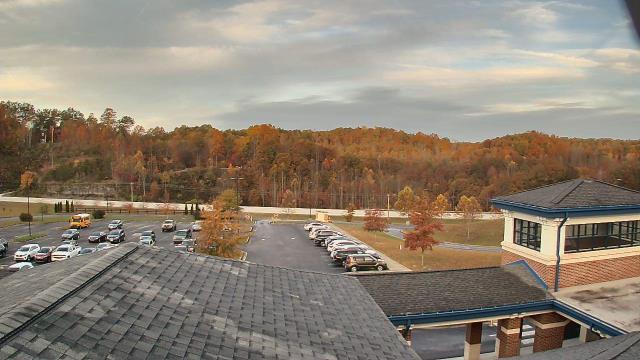
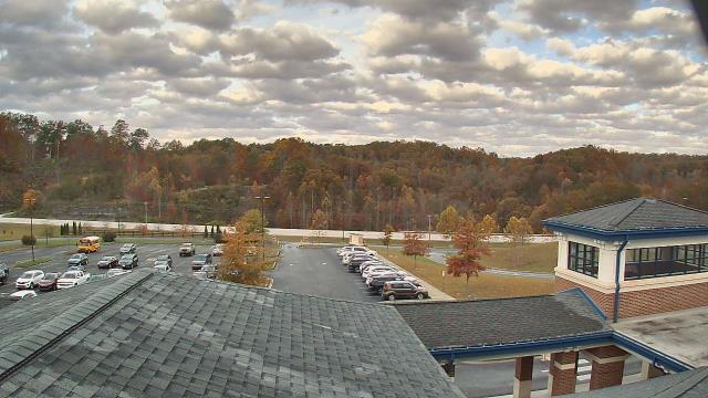
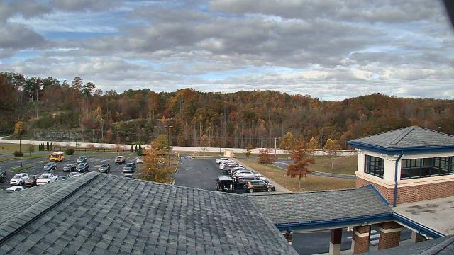
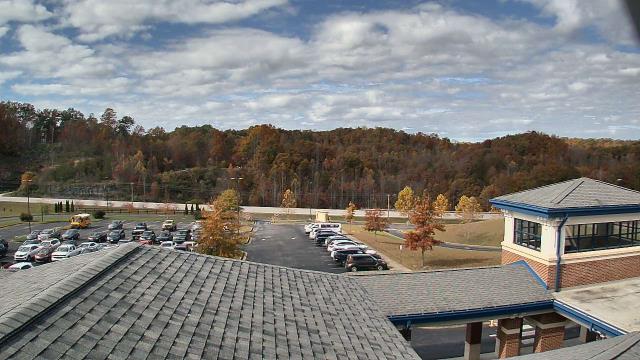
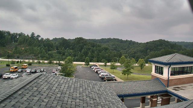
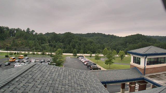
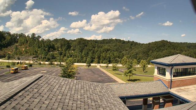
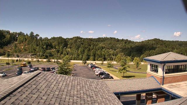
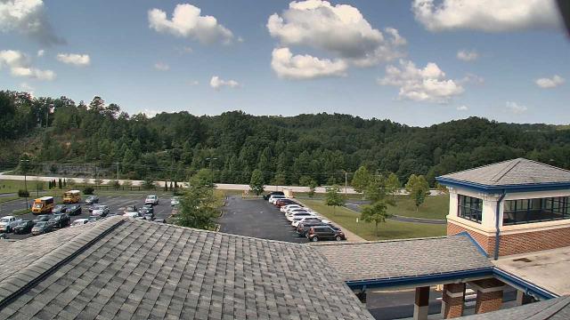
Salem, Virginia, USA - 101.7 miles from Varneytown: City of Salem Civic Center - A webcam in Salem, Virginia - camera location: City of Salem Civic Center.
Operator: WeatherBug
Operator: WeatherBug


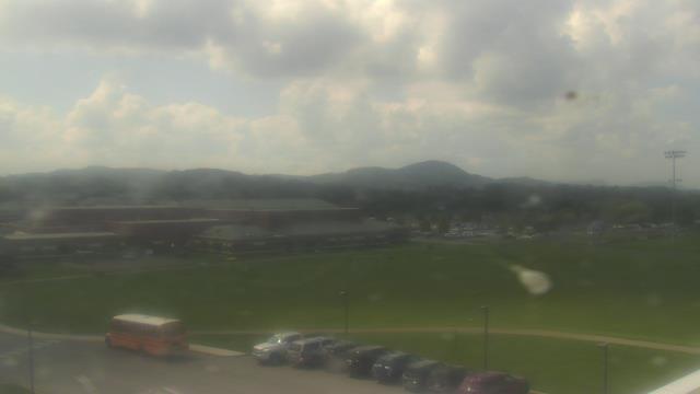
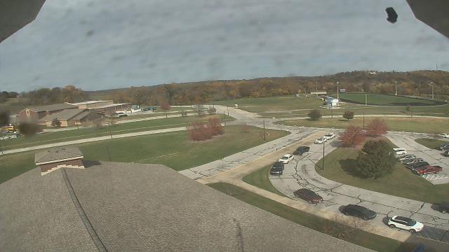
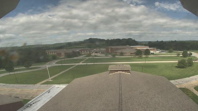
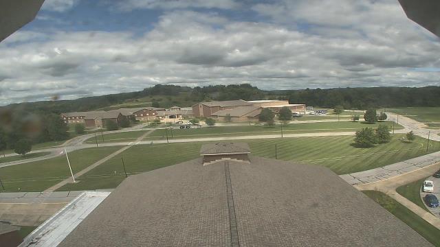
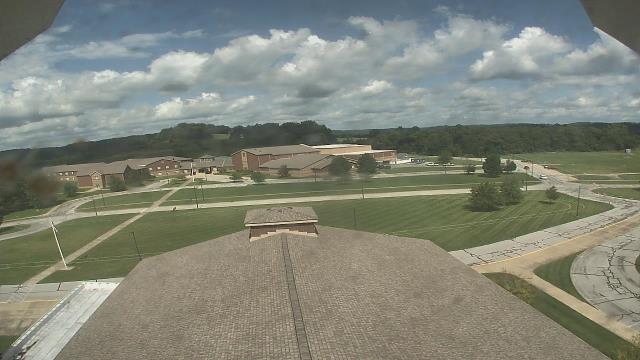
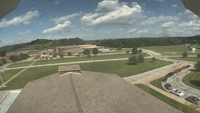
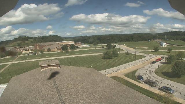
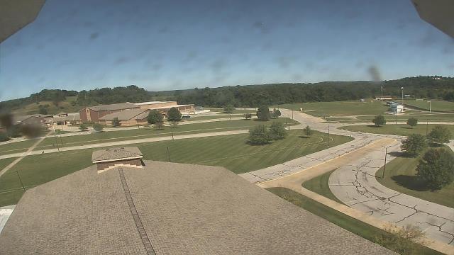
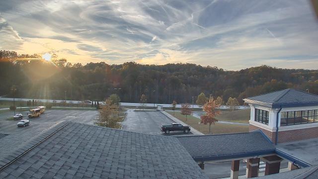
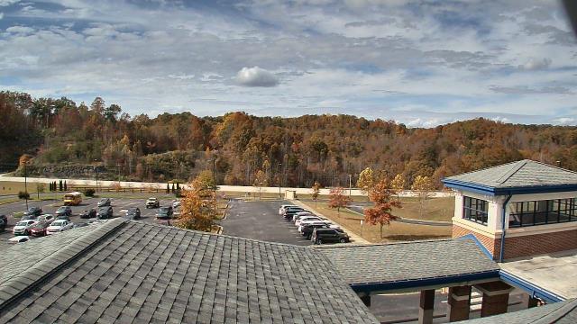
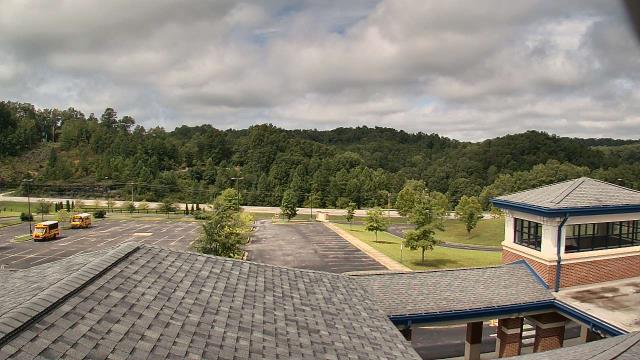
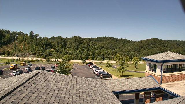
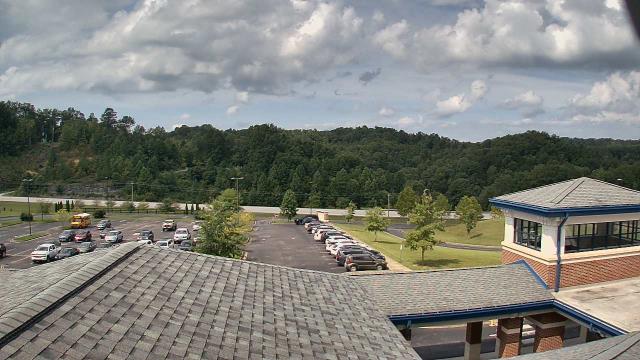
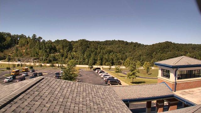
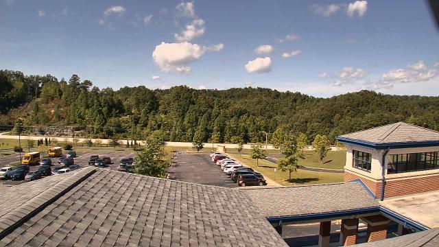
Riner, Virginia, USA - 105.5 miles from Varneytown: Auburn Middle School - A webcam in Riner, Virginia - camera location: Auburn Middle School.
Operator: WeatherBug
Operator: WeatherBug


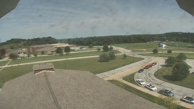
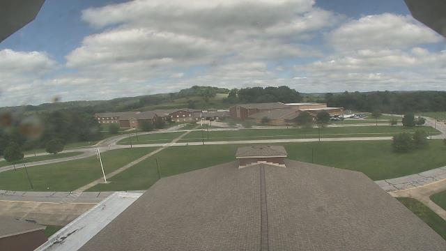
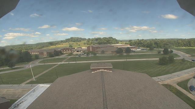
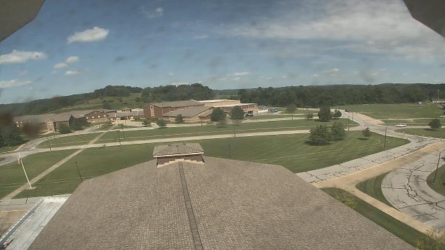
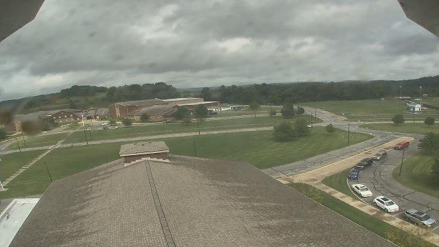
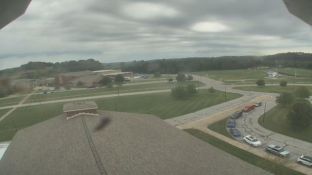
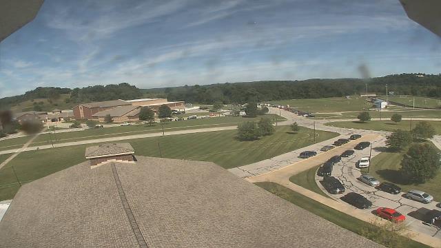
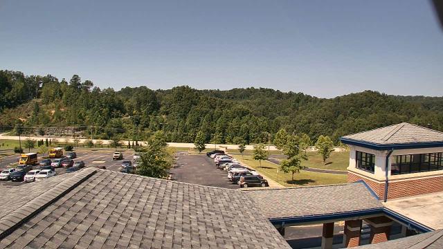
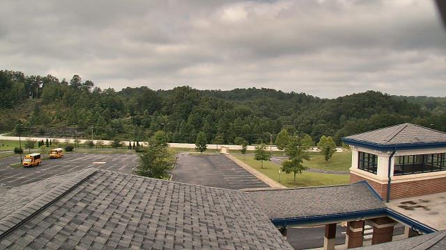
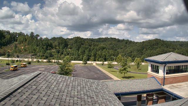
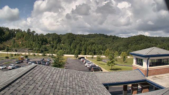
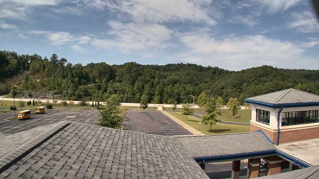
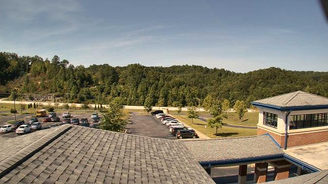
Roanoke, Virginia, USA - 106.7 miles from Varneytown: Roanoke Catholic School - A webcam in Roanoke, Virginia - camera location: Roanoke Catholic School.
Operator: WeatherBug
Operator: WeatherBug


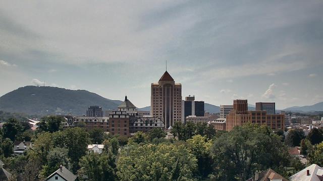

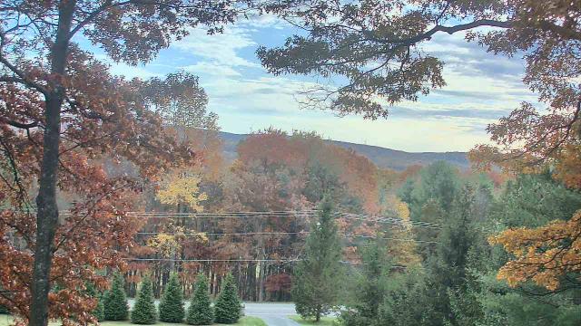
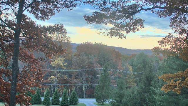
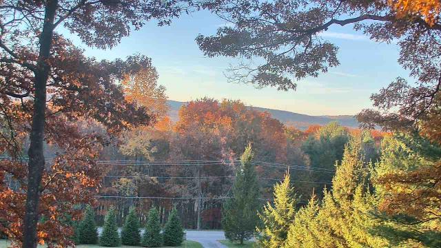
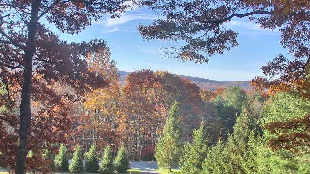
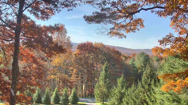
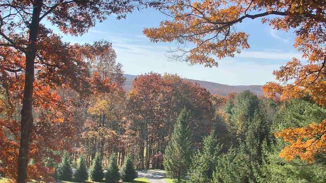
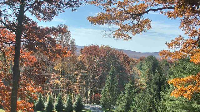
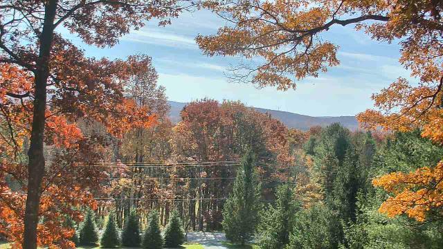
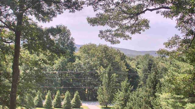
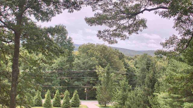
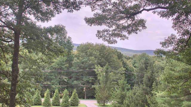
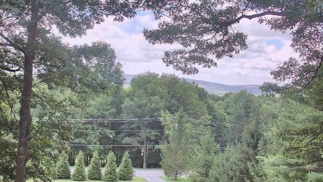
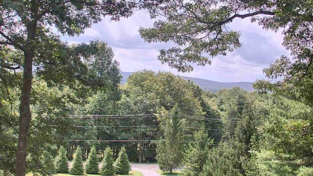
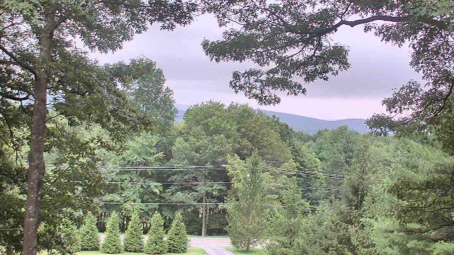
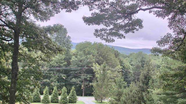
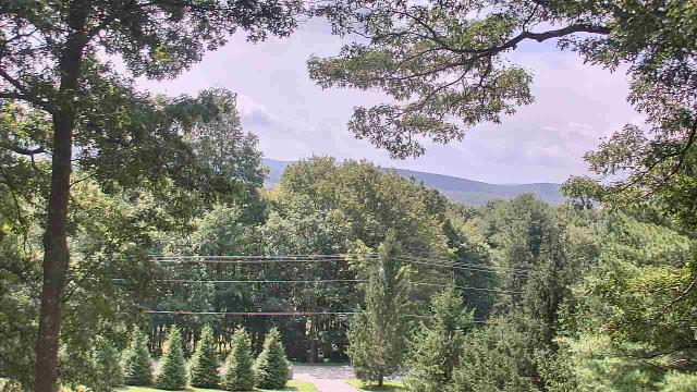
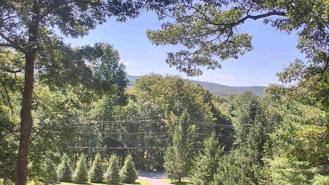
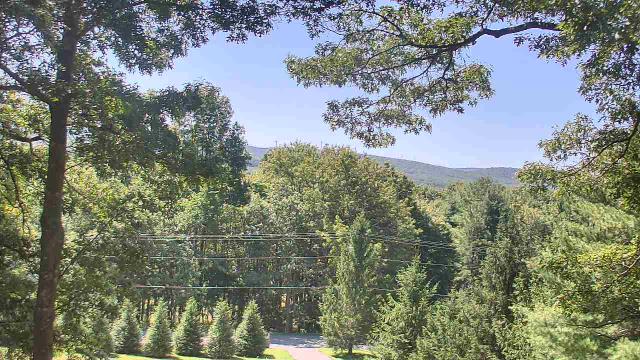
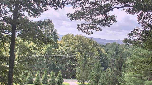
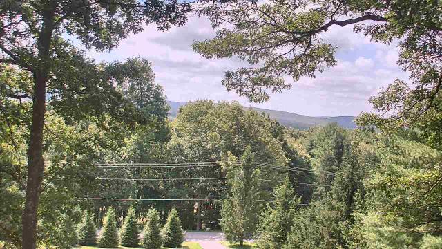
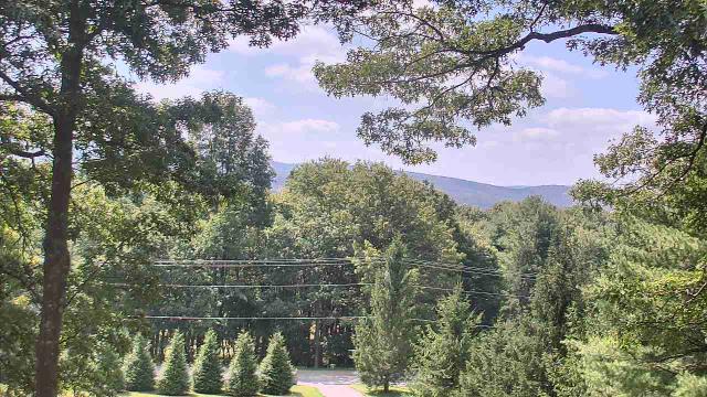
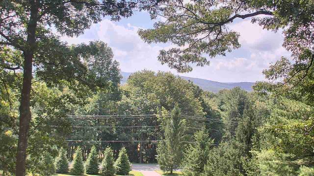
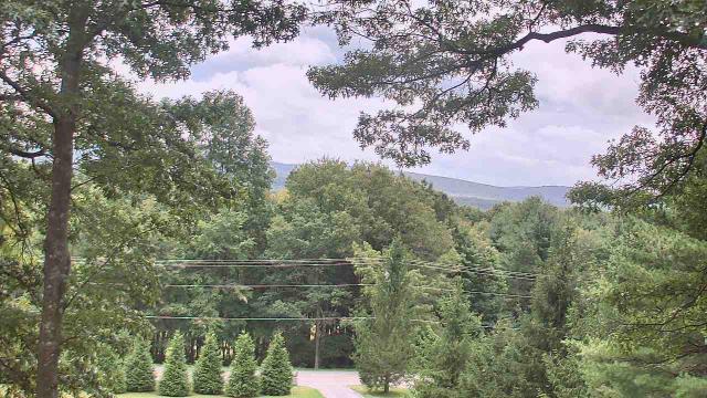
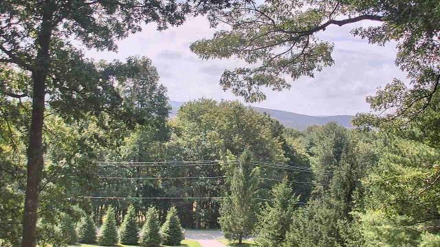
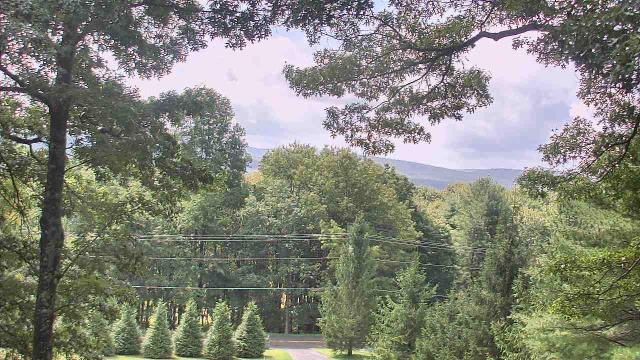
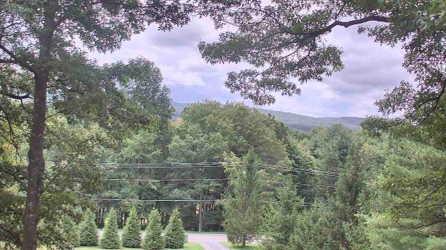
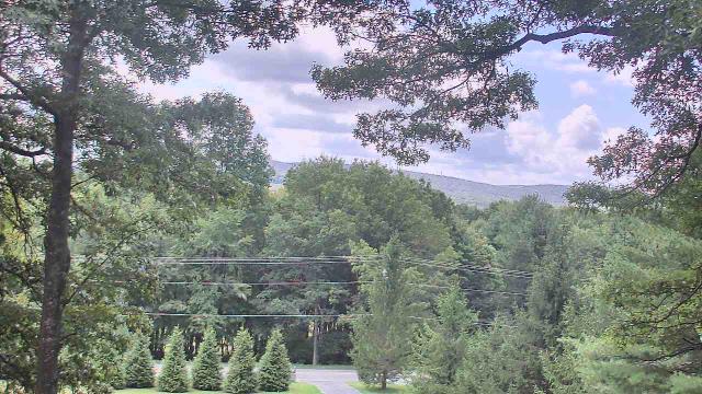
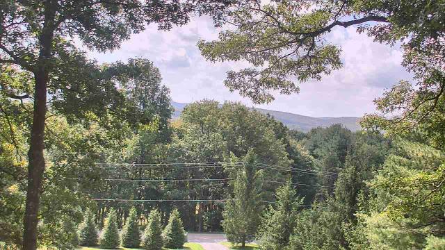
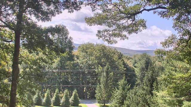
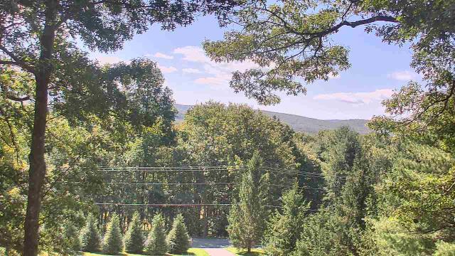
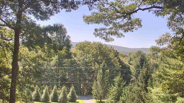
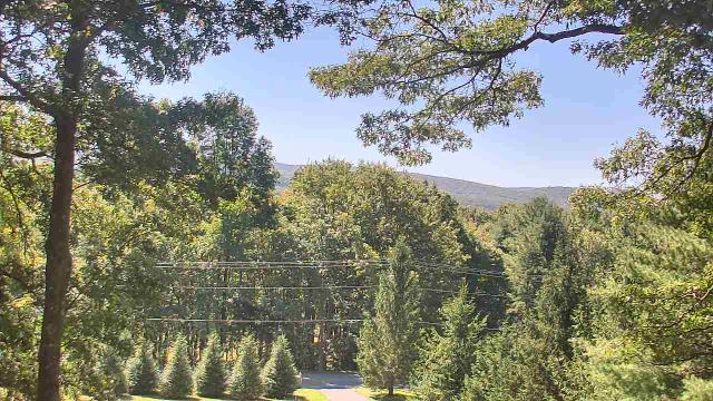
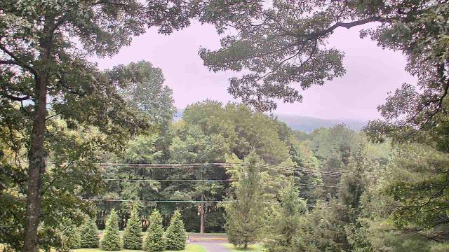
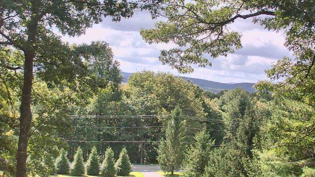
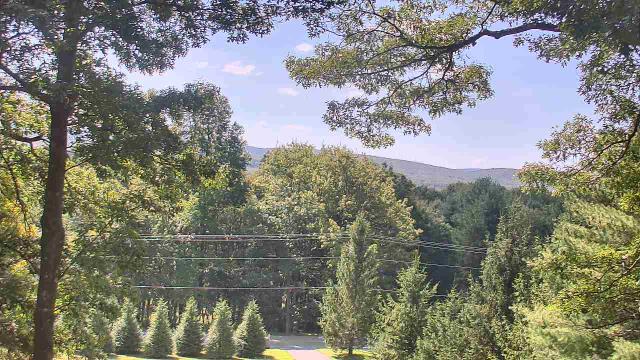
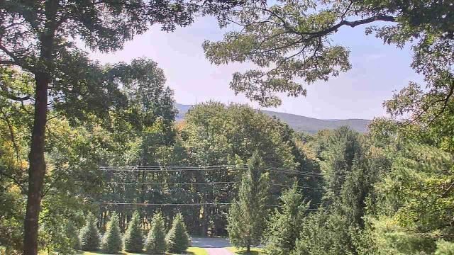
Roanoke, Virginia, USA - 106.7 miles from Varneytown: Mountain View - Looking SW over Appalachians near Blue Ridge Pkwy.
Operator: Roanoke Weather Page
Operator: Roanoke Weather Page


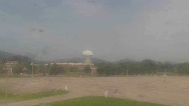
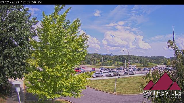
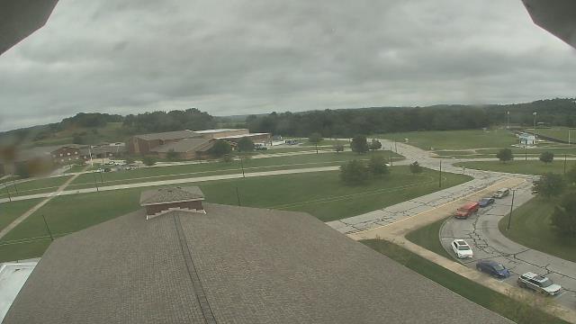
Wytheville, Virginia, USA - 106.9 miles from Varneytown: Wytheville Community College - A webcam in Wytheville, Virginia - camera location: Wytheville Community College.
Operator: WeatherBug
Operator: WeatherBug


Cambridge, Ohio, USA - 109.3 miles from Varneytown: Central Elementary School - A webcam in Cambridge, Ohio - camera location: Central Elementary School.
Operator: WeatherBug
Operator: WeatherBug


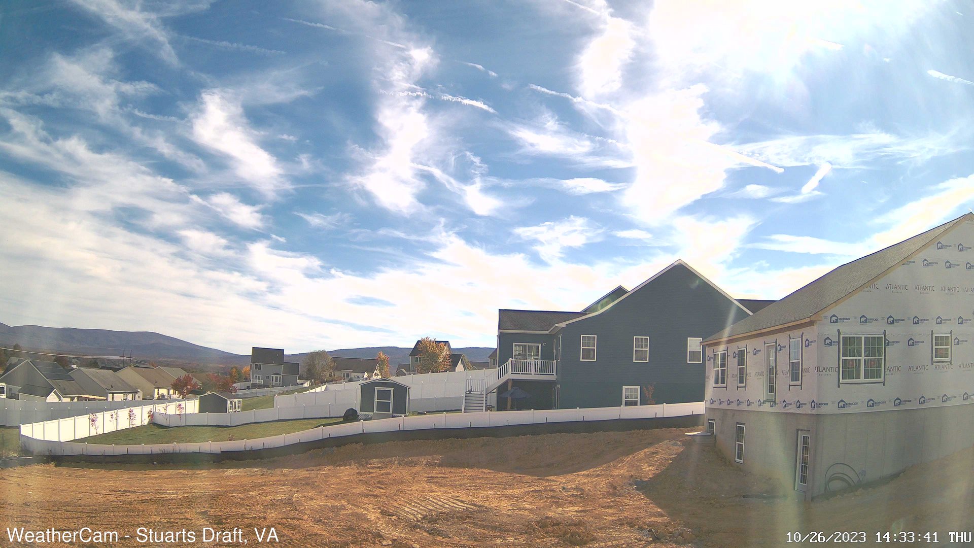
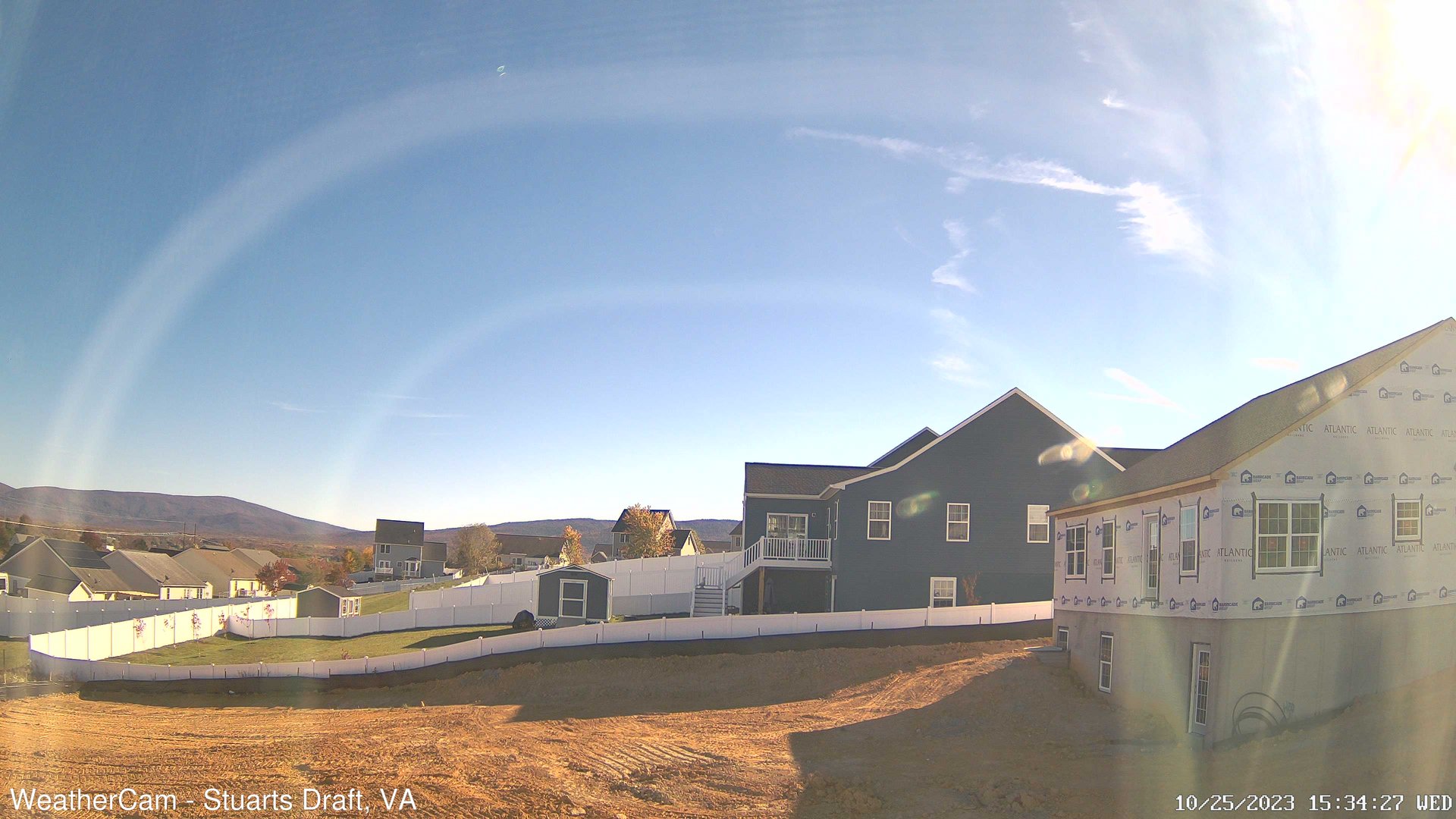
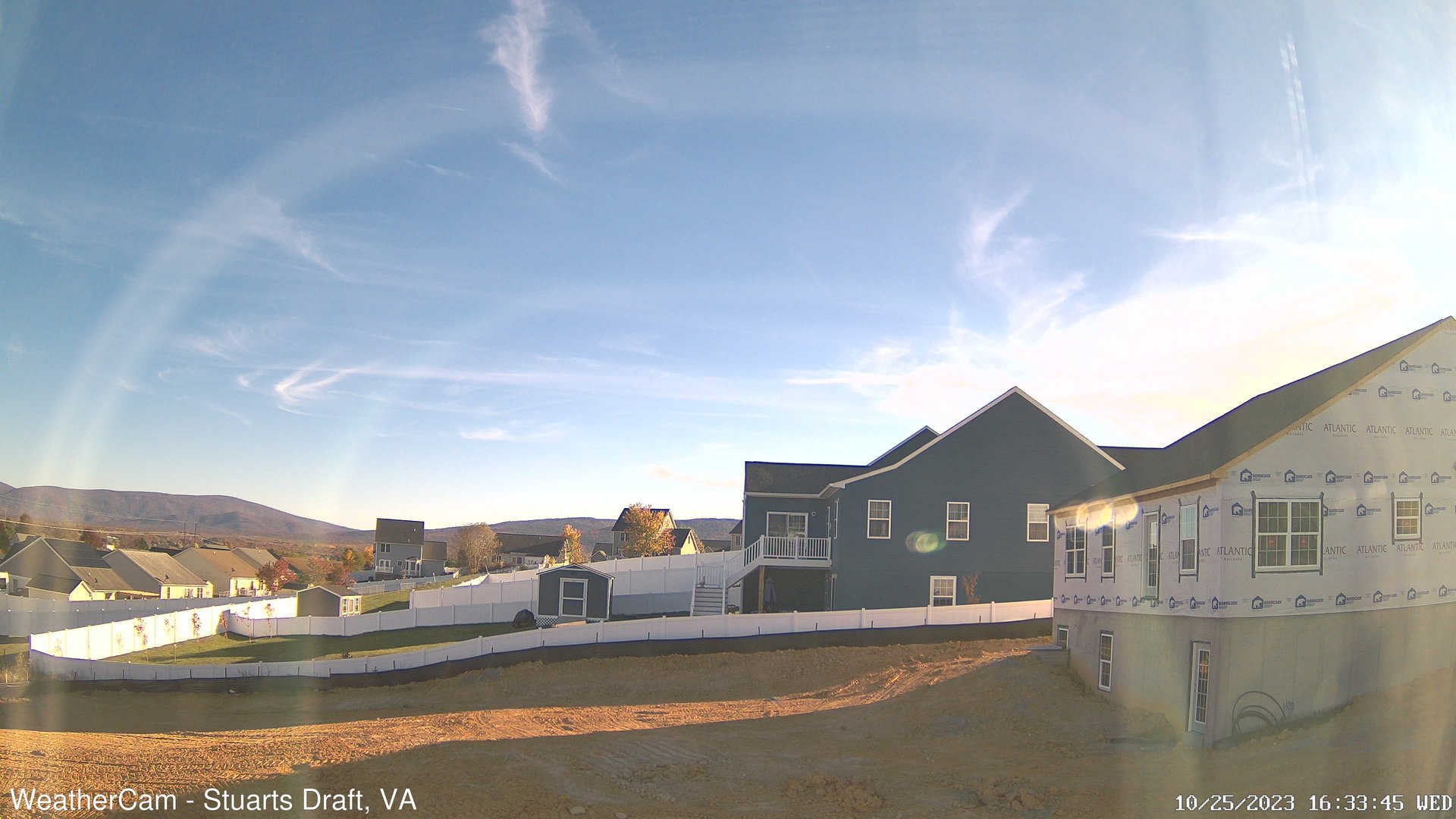
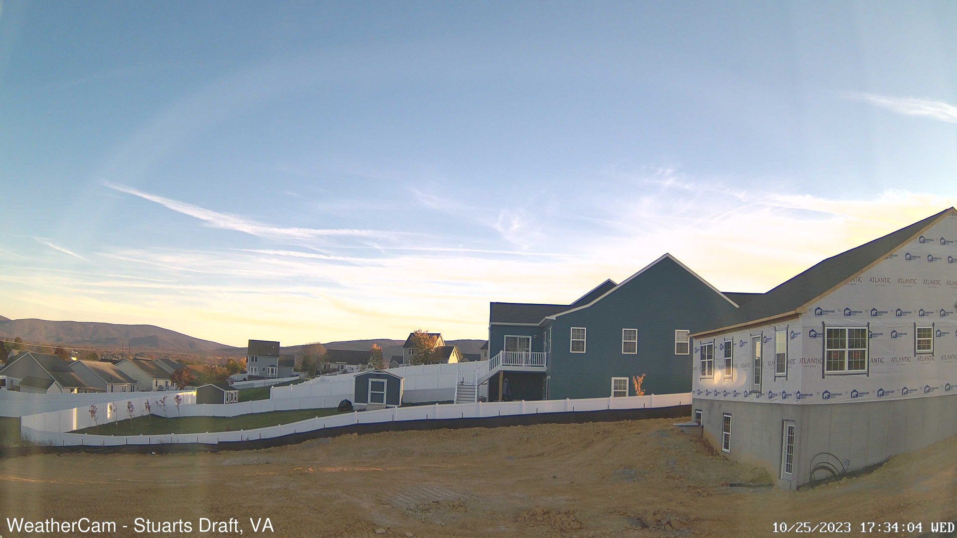
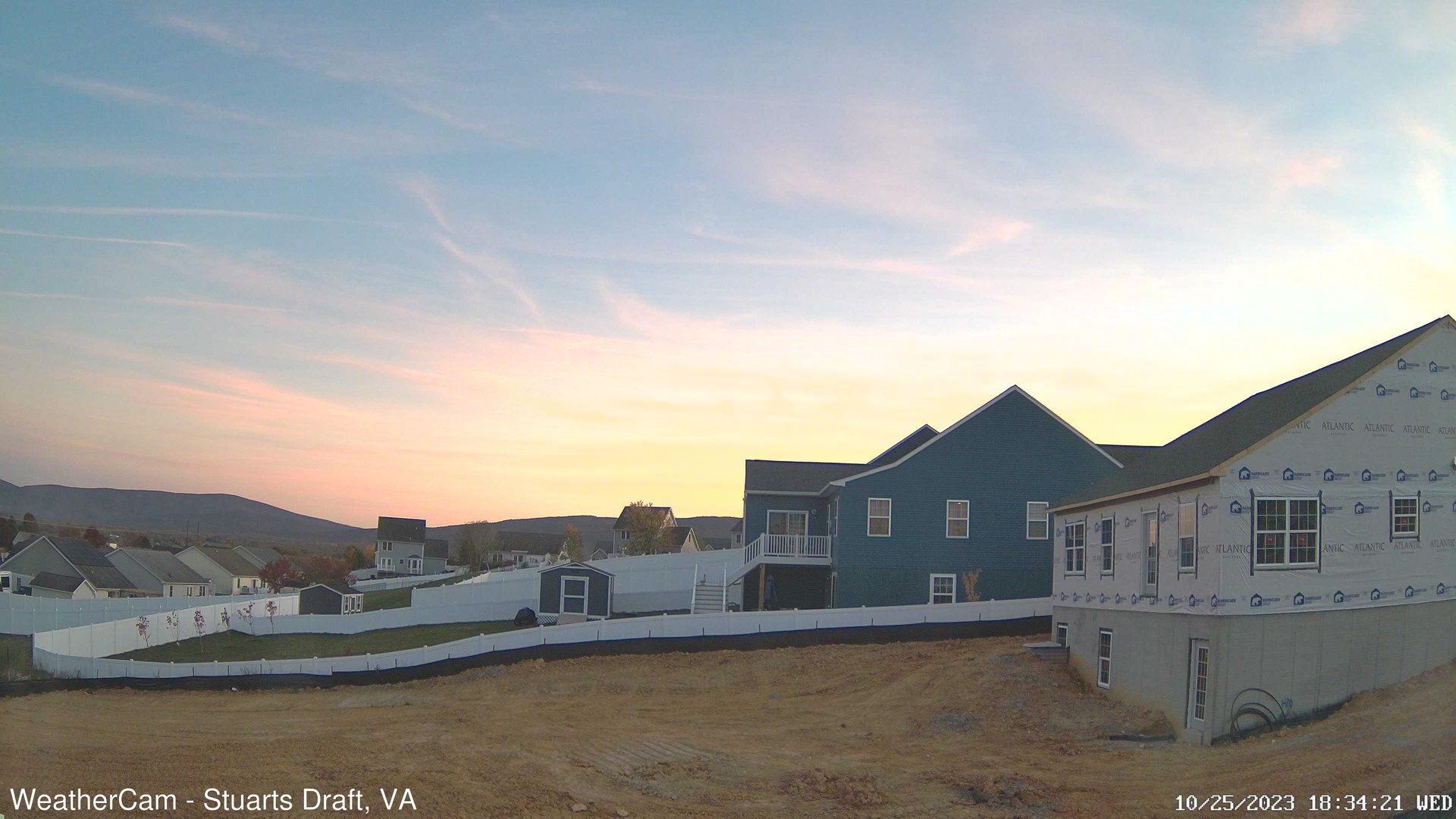
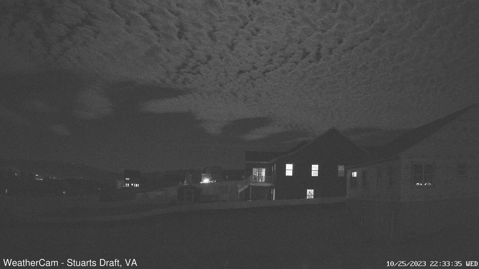
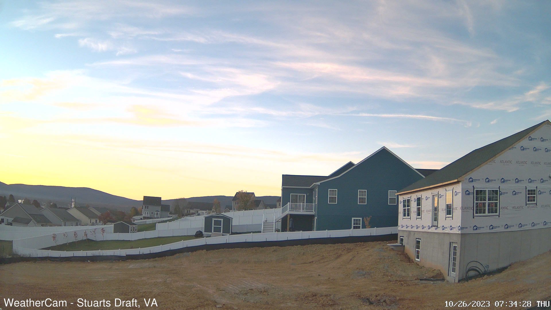
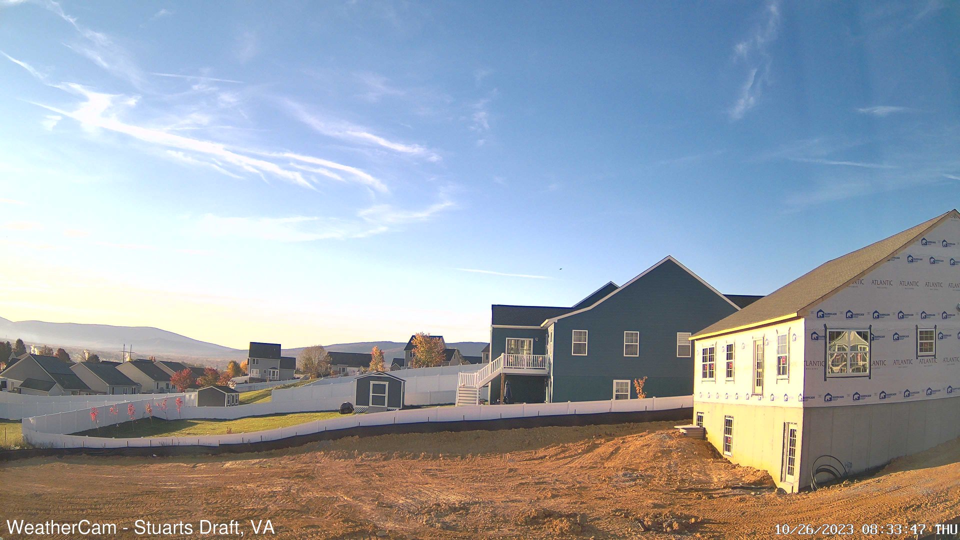
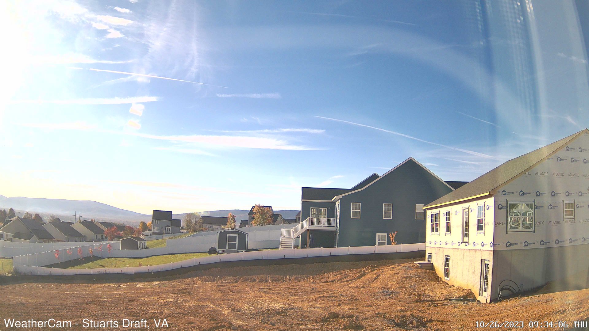
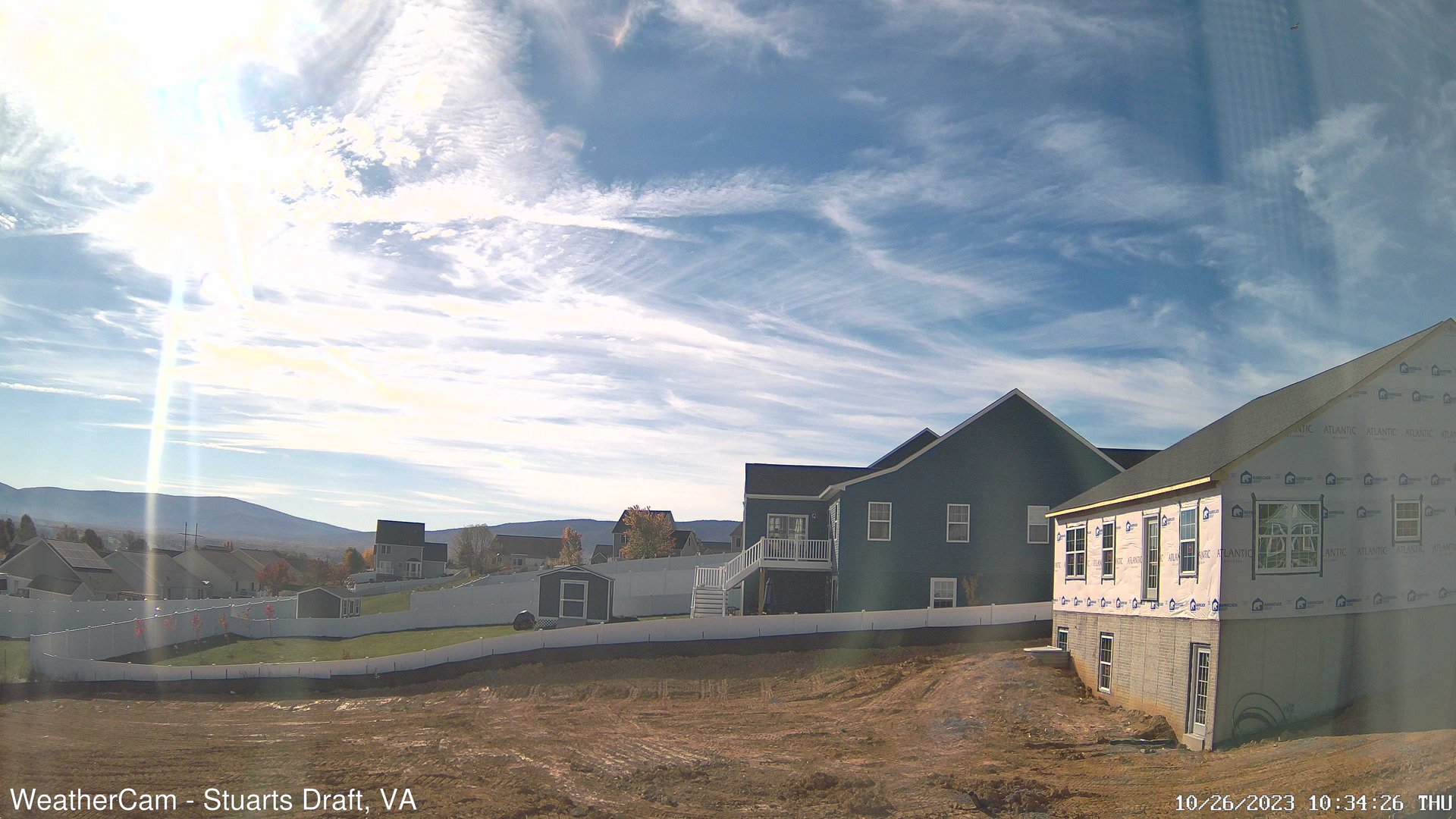
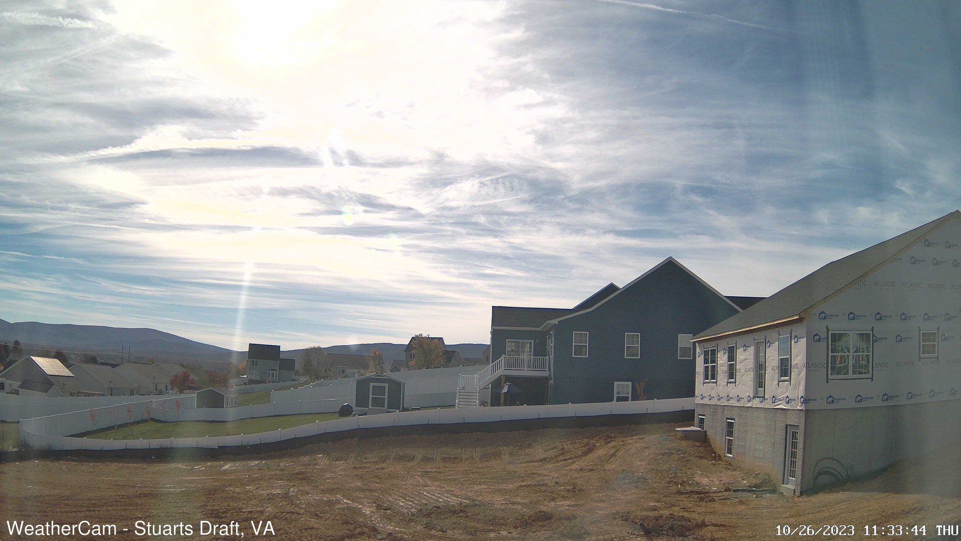
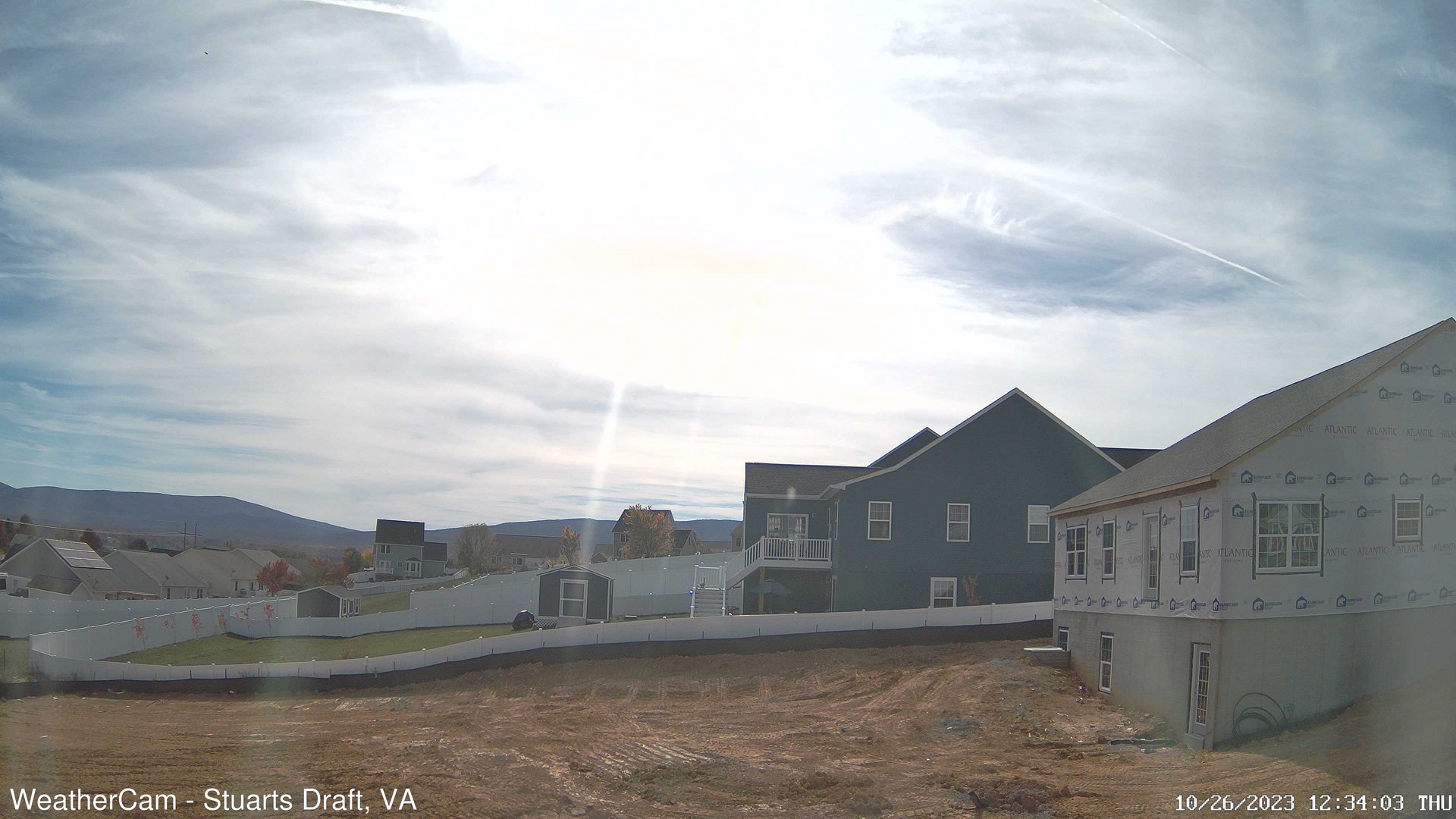
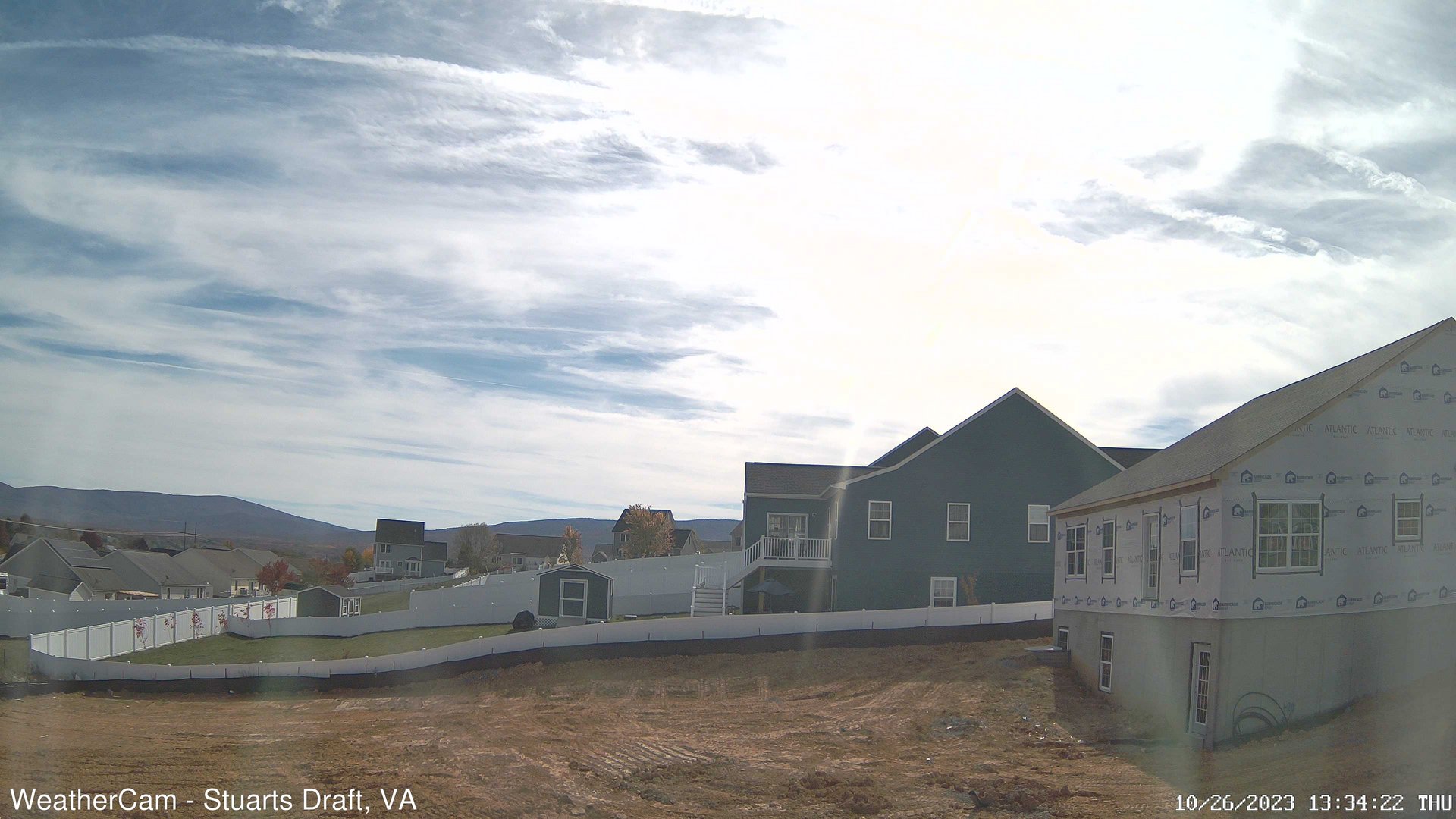
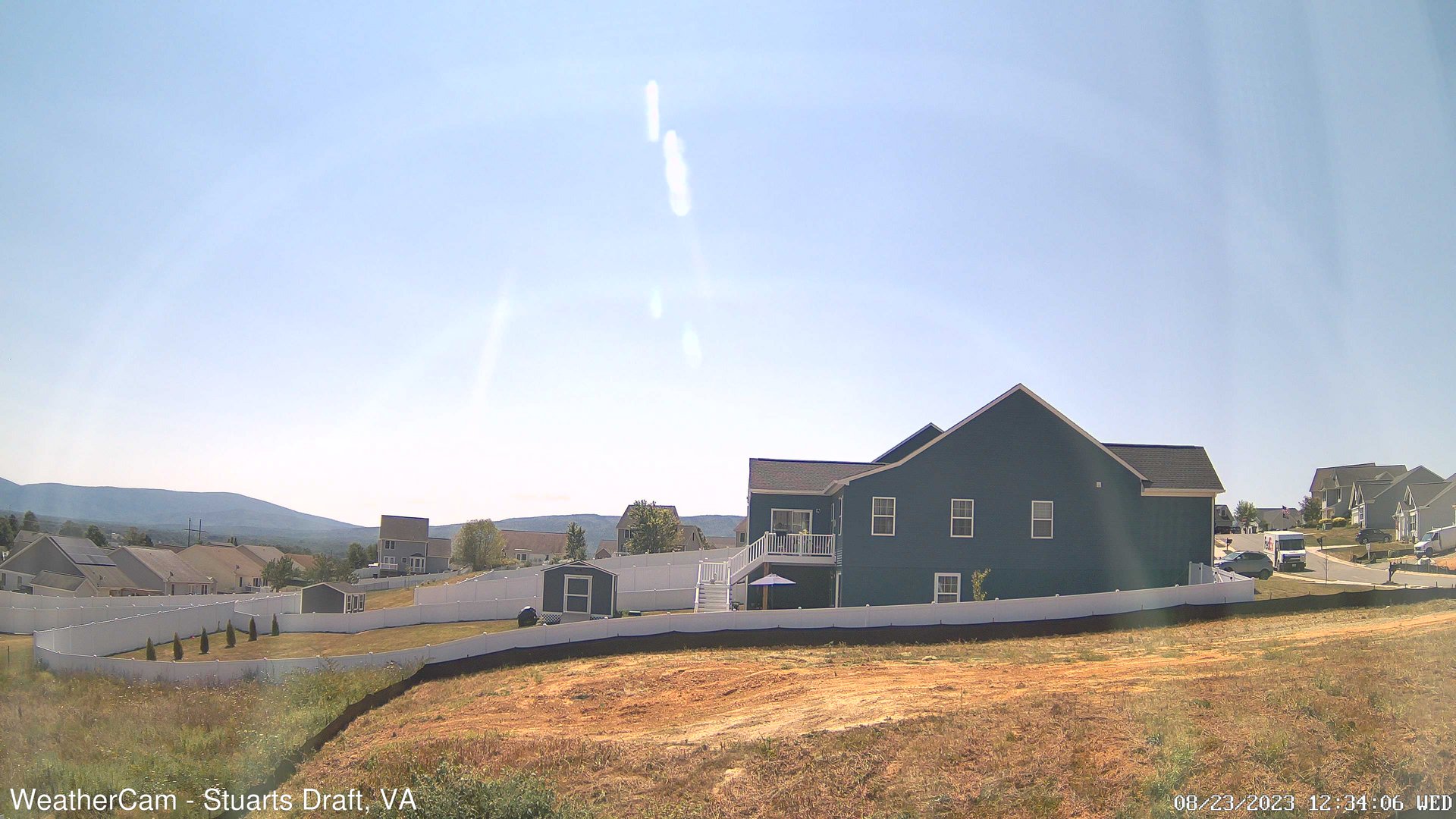
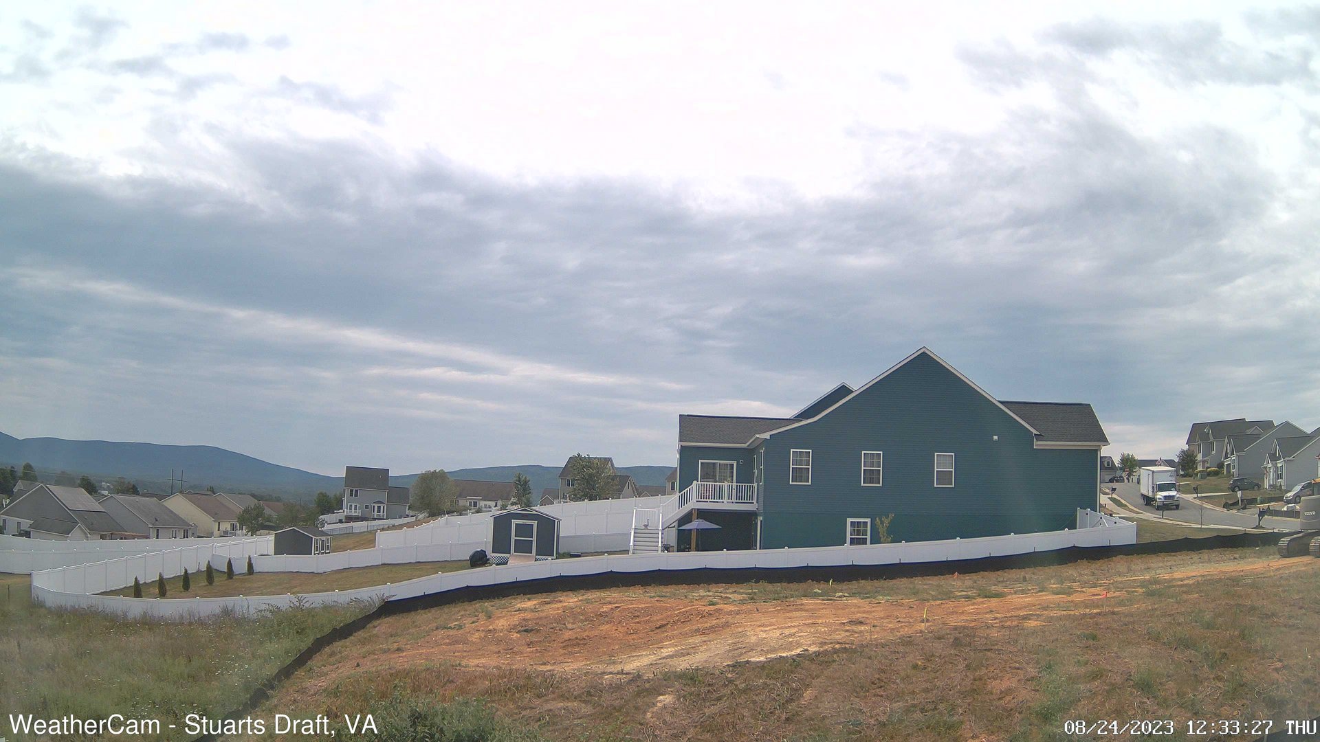
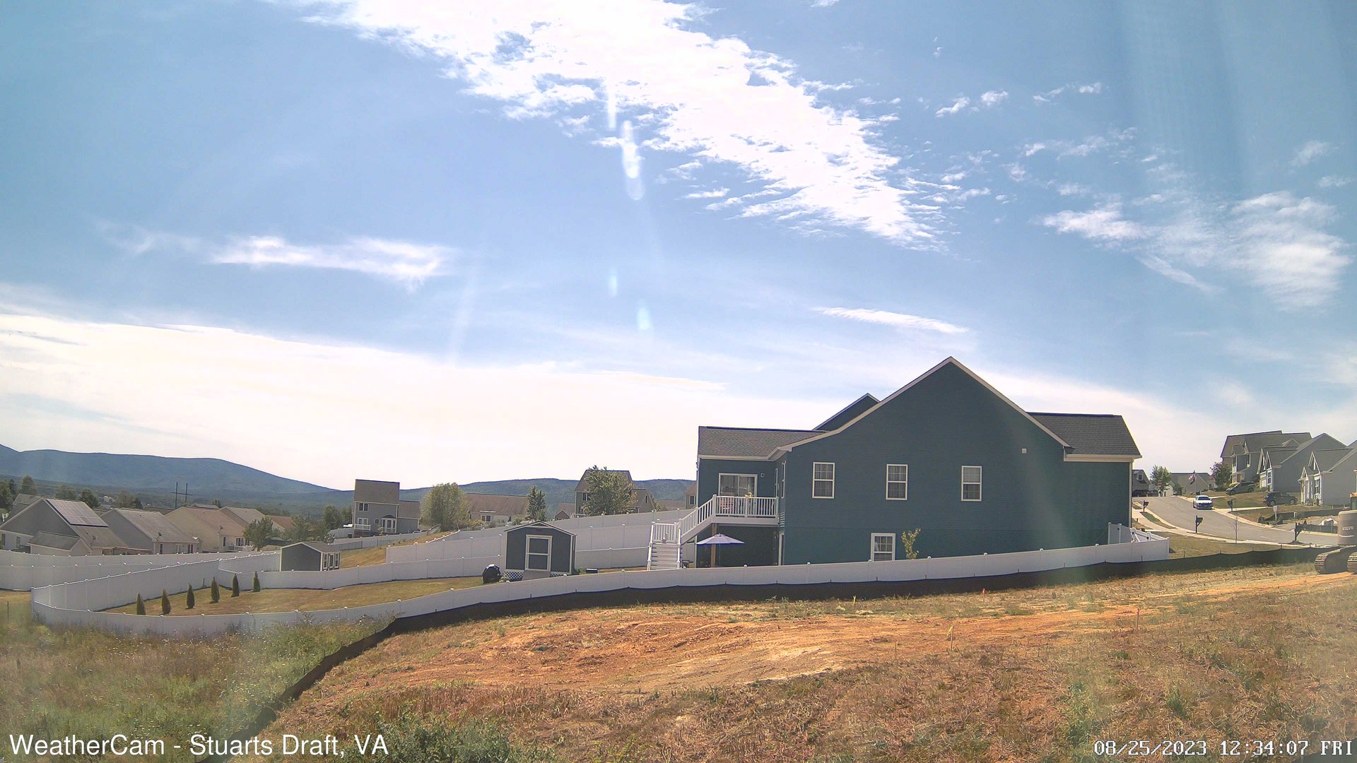
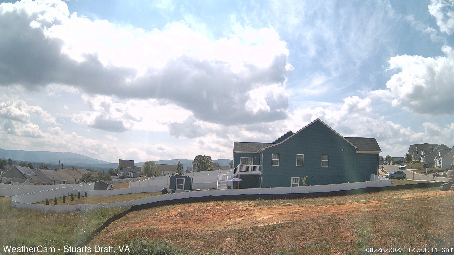
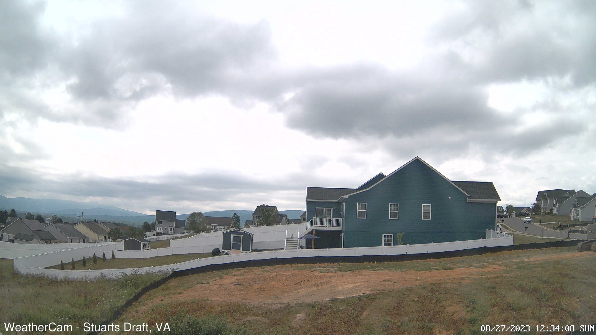
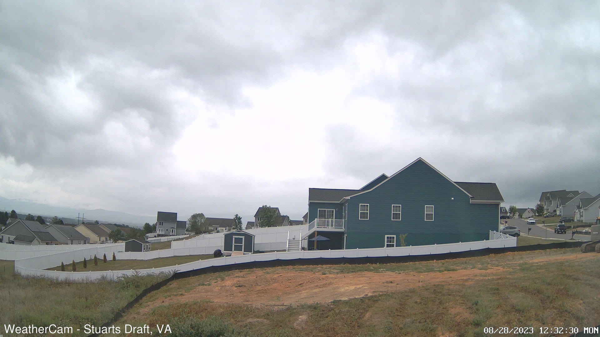
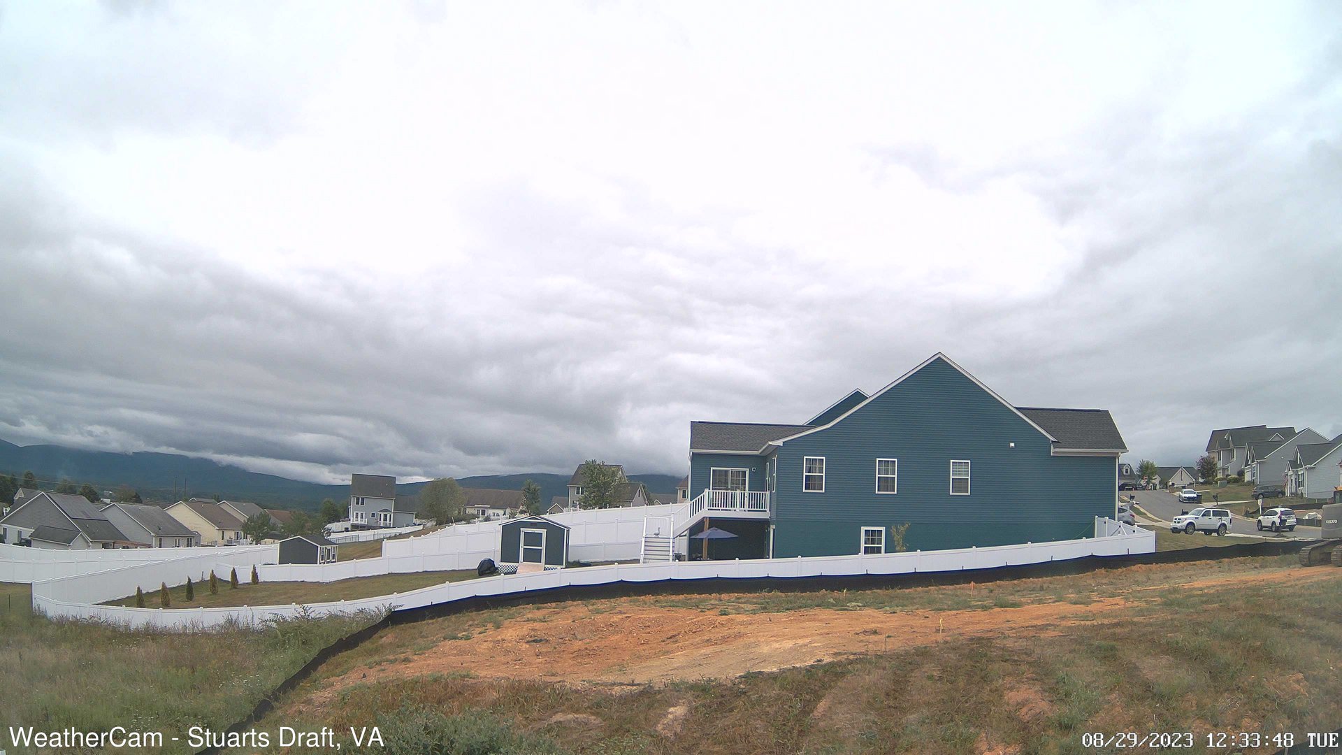
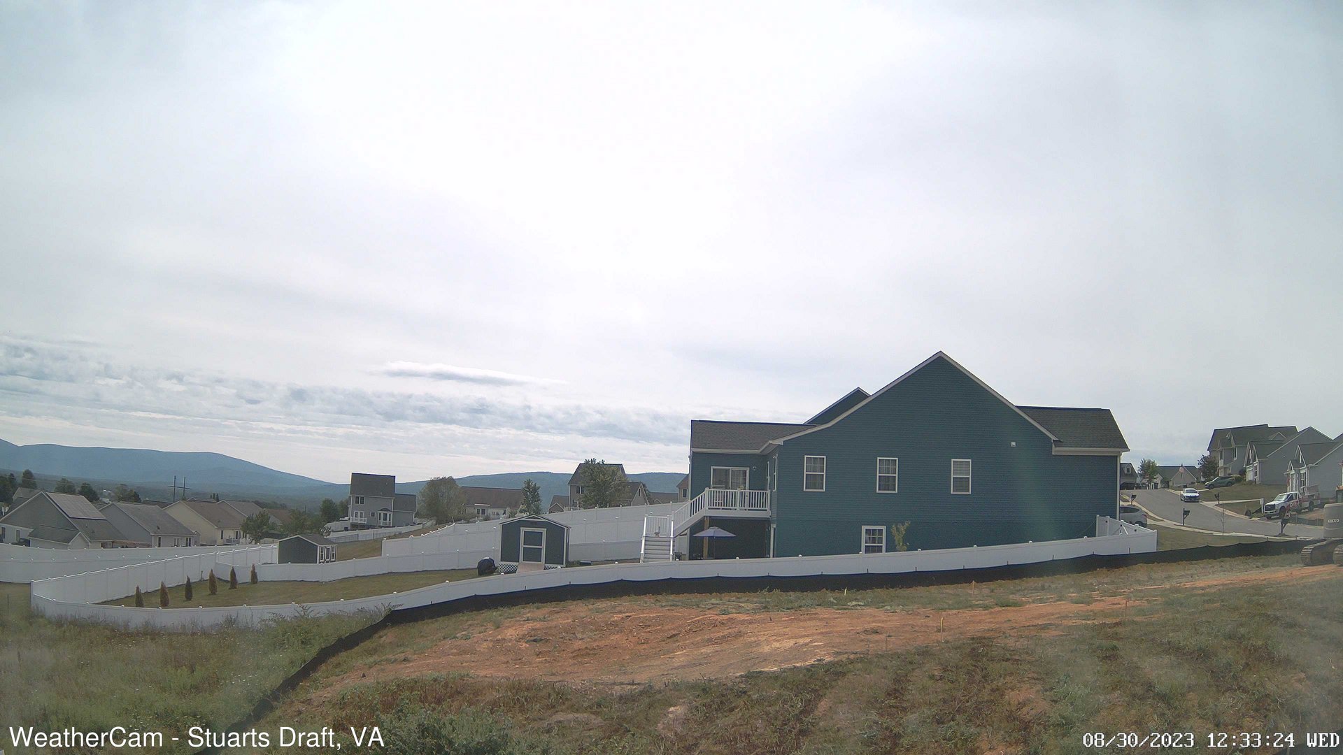
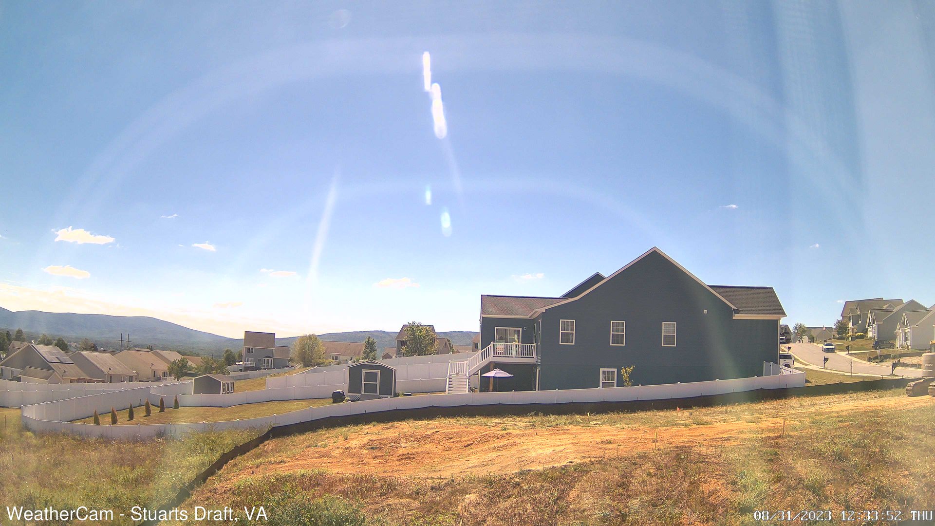
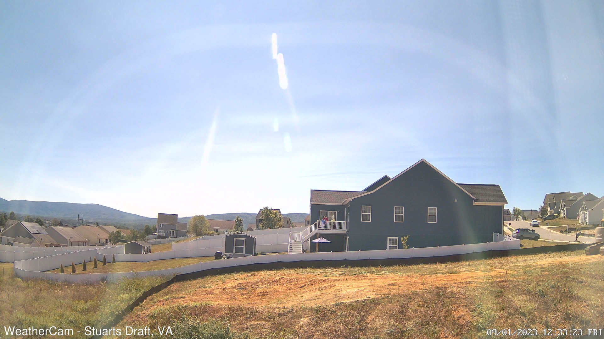
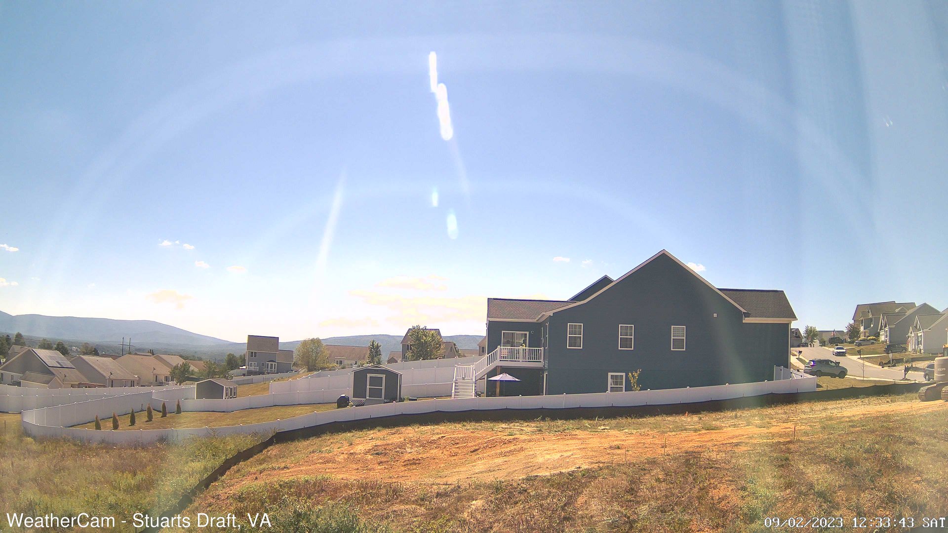
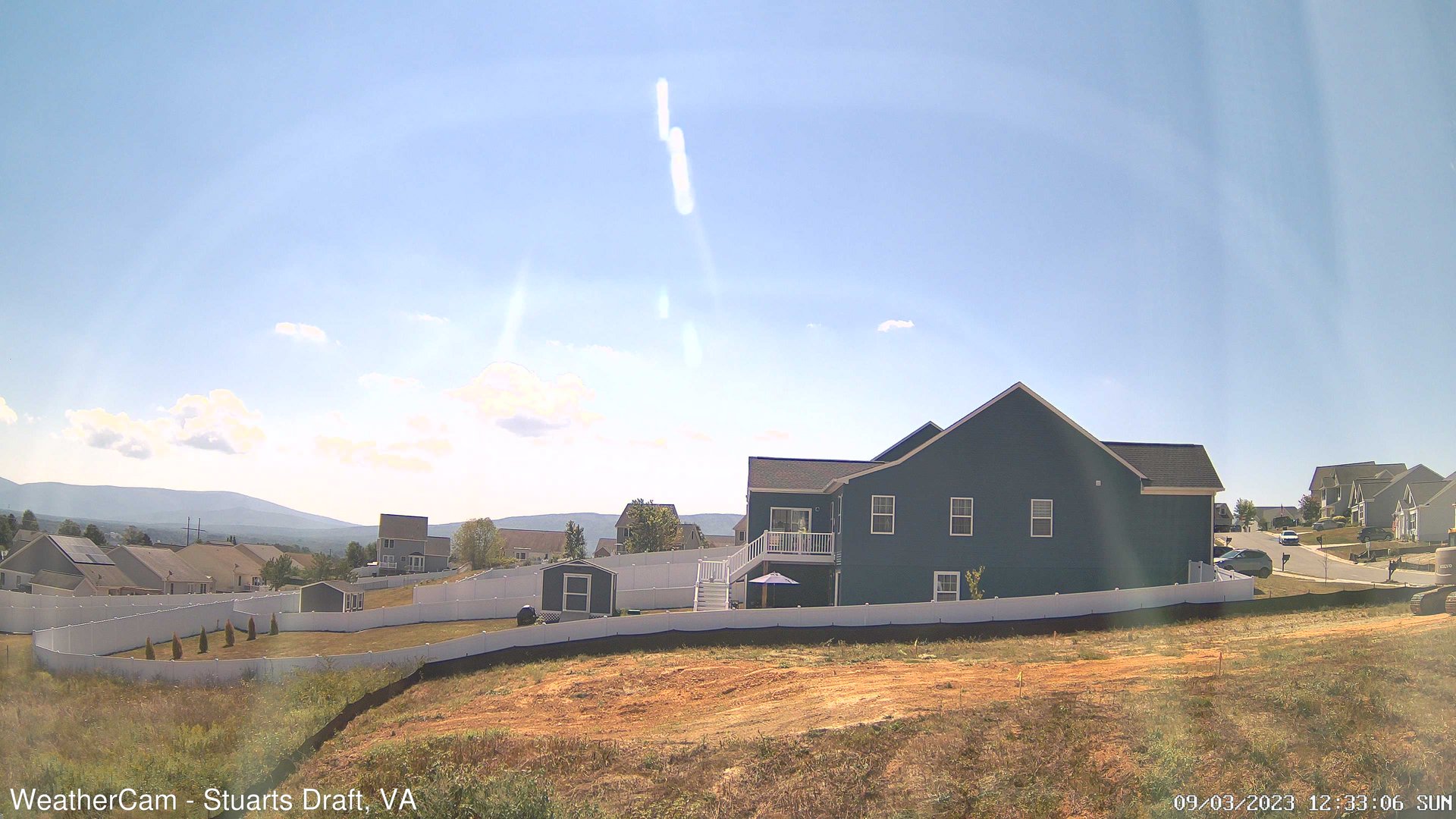
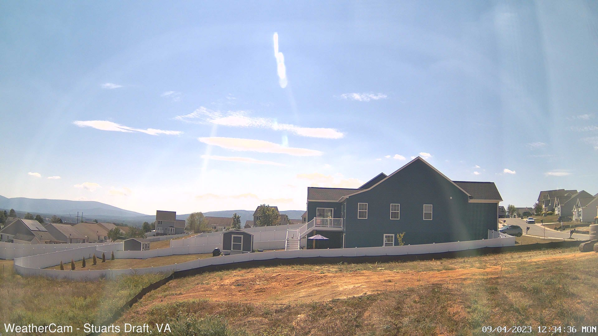
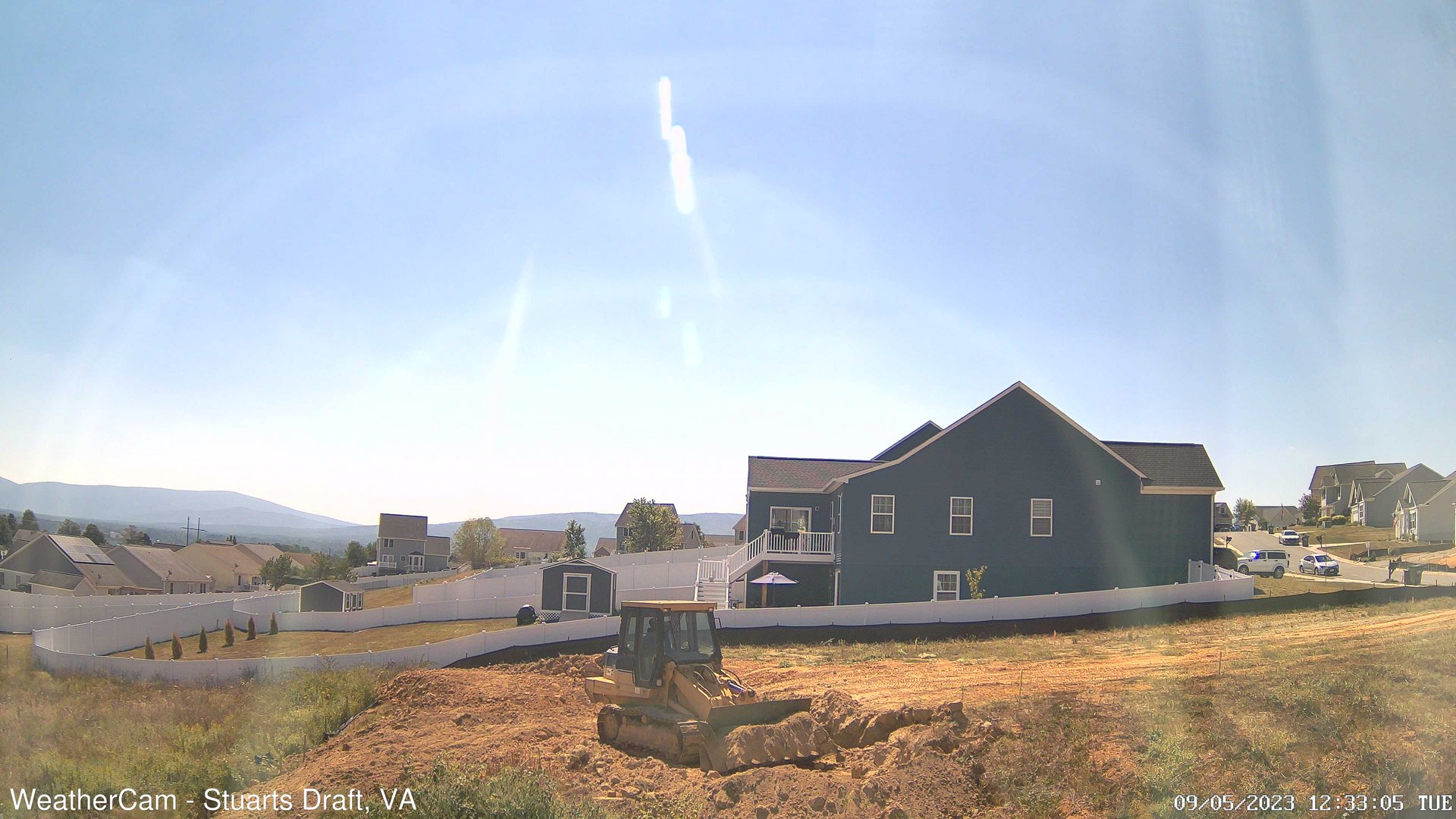
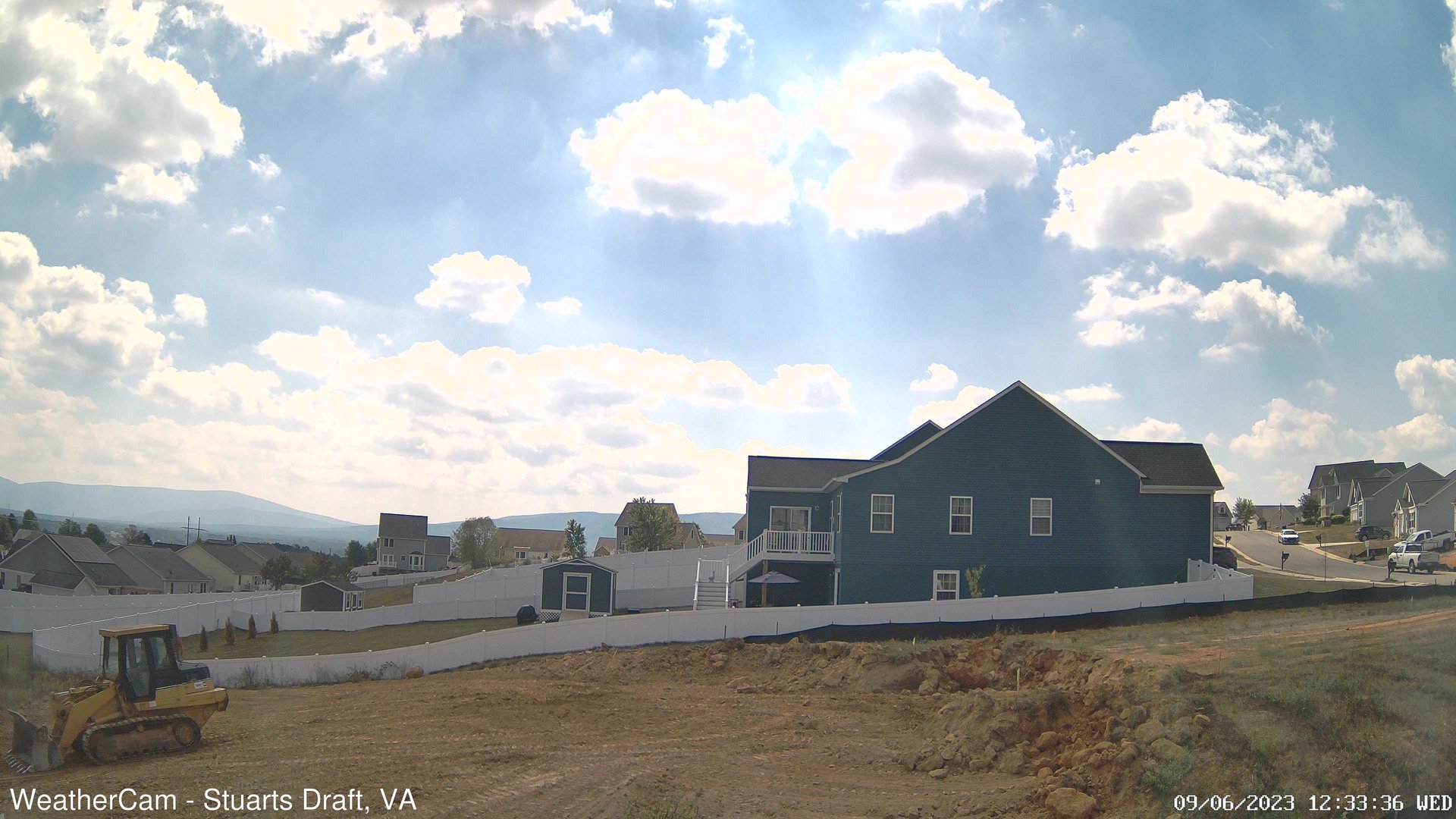
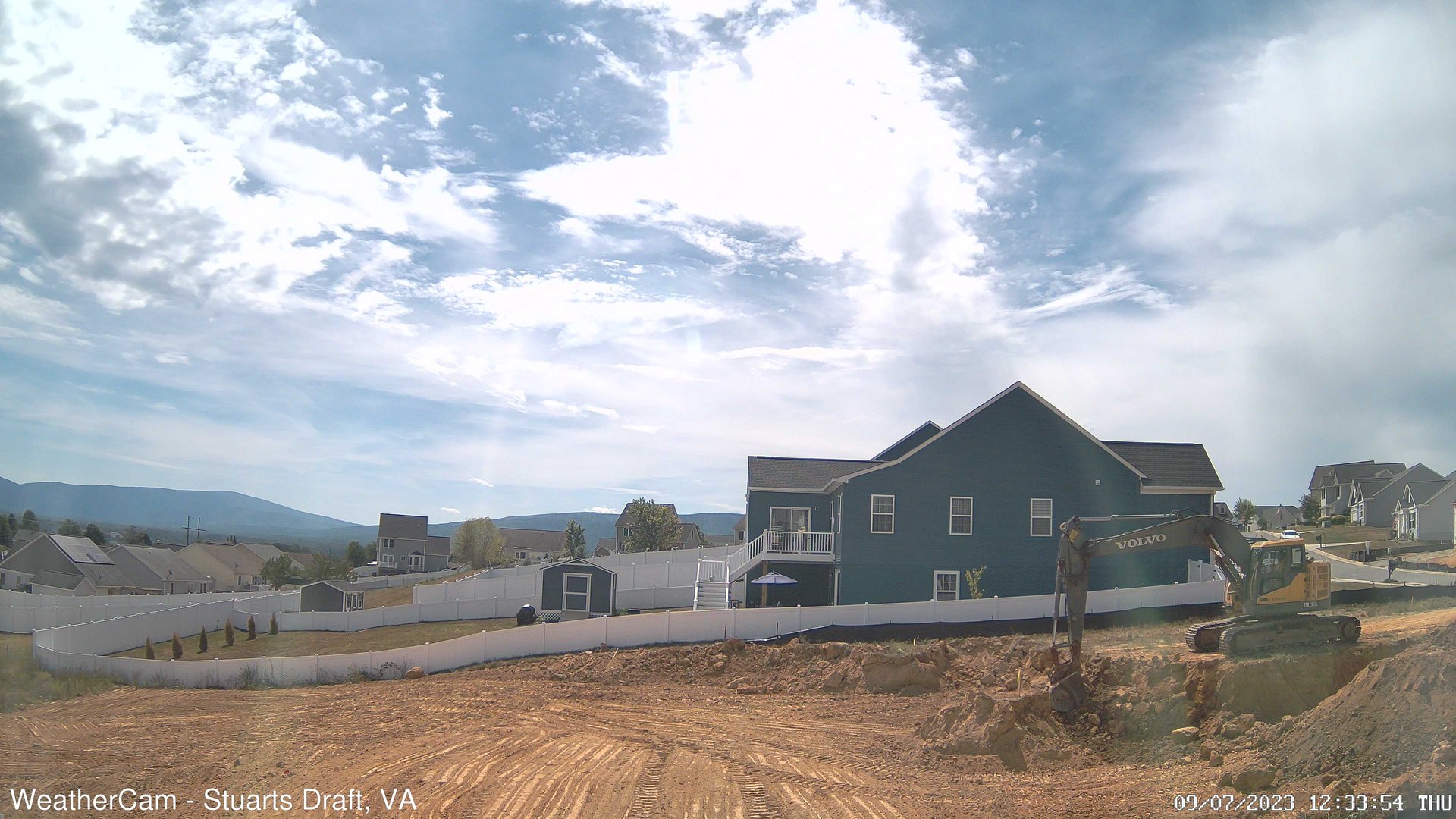
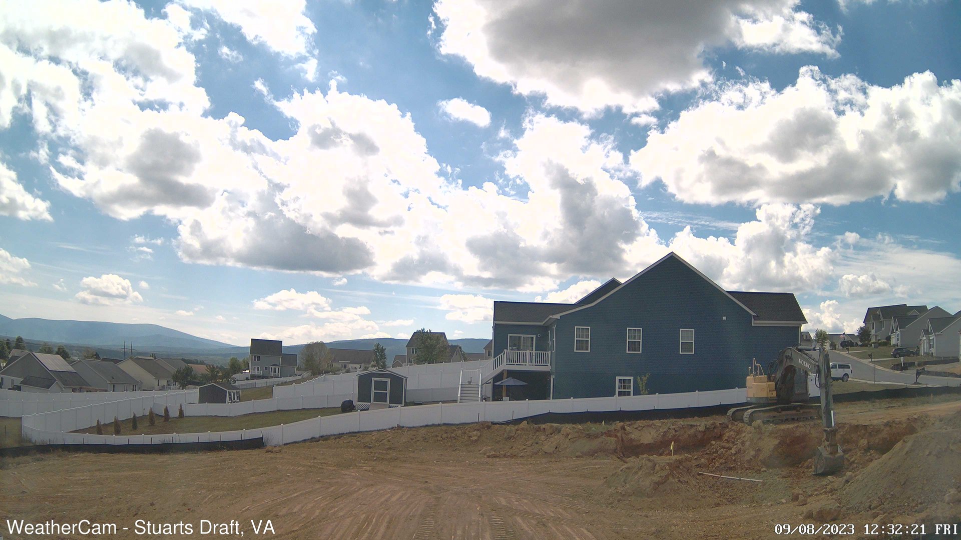
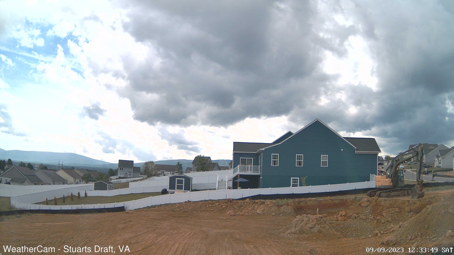
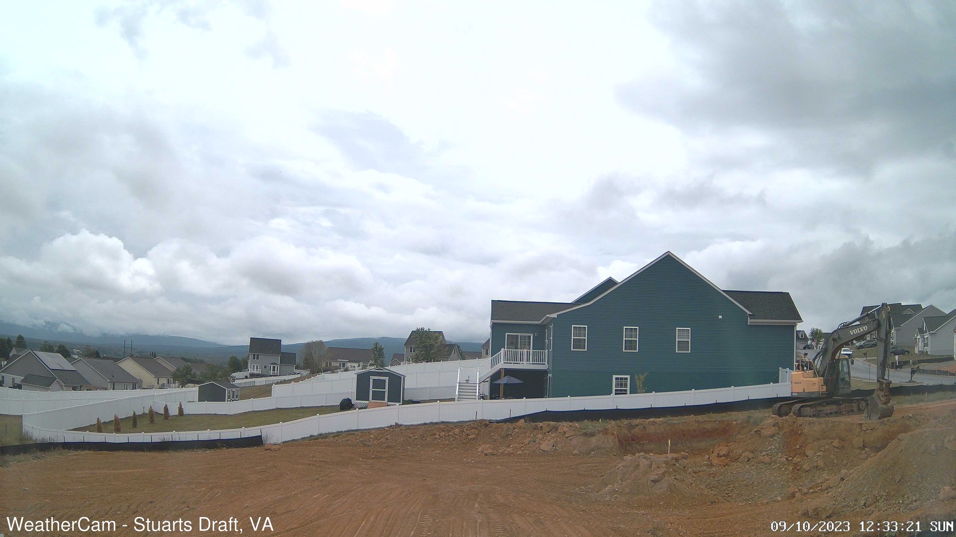
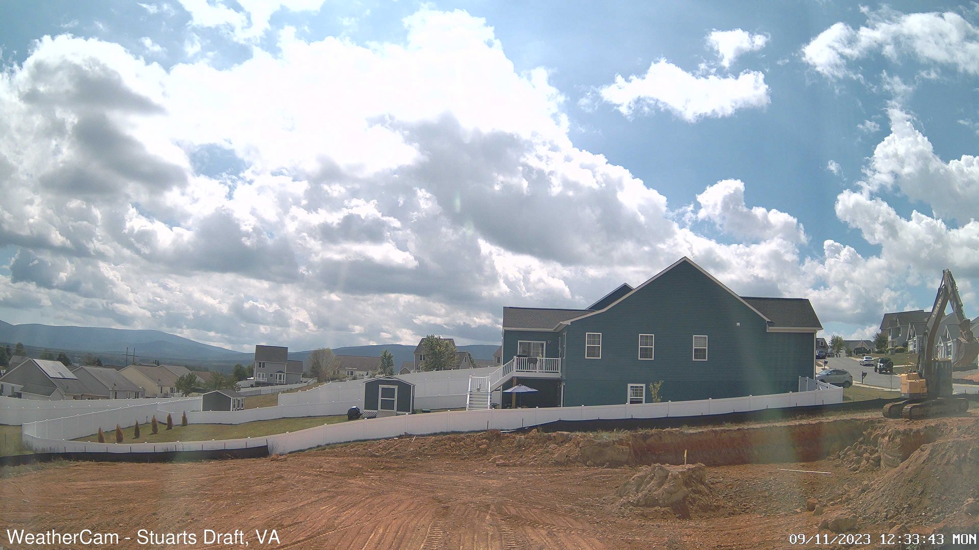
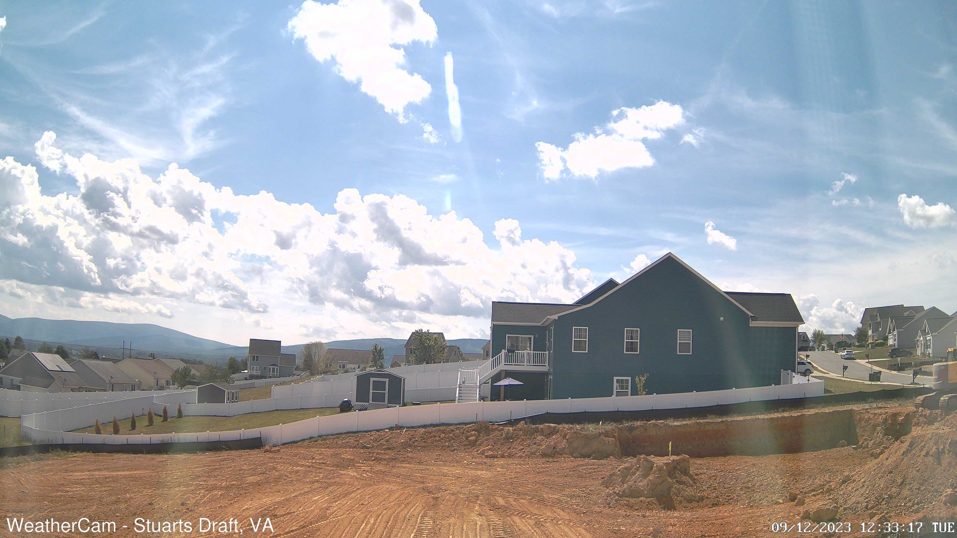
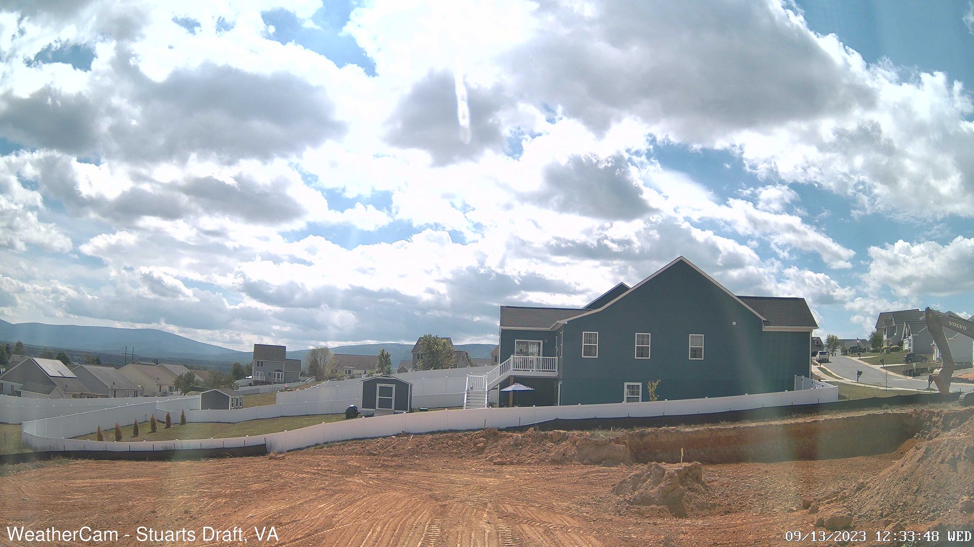
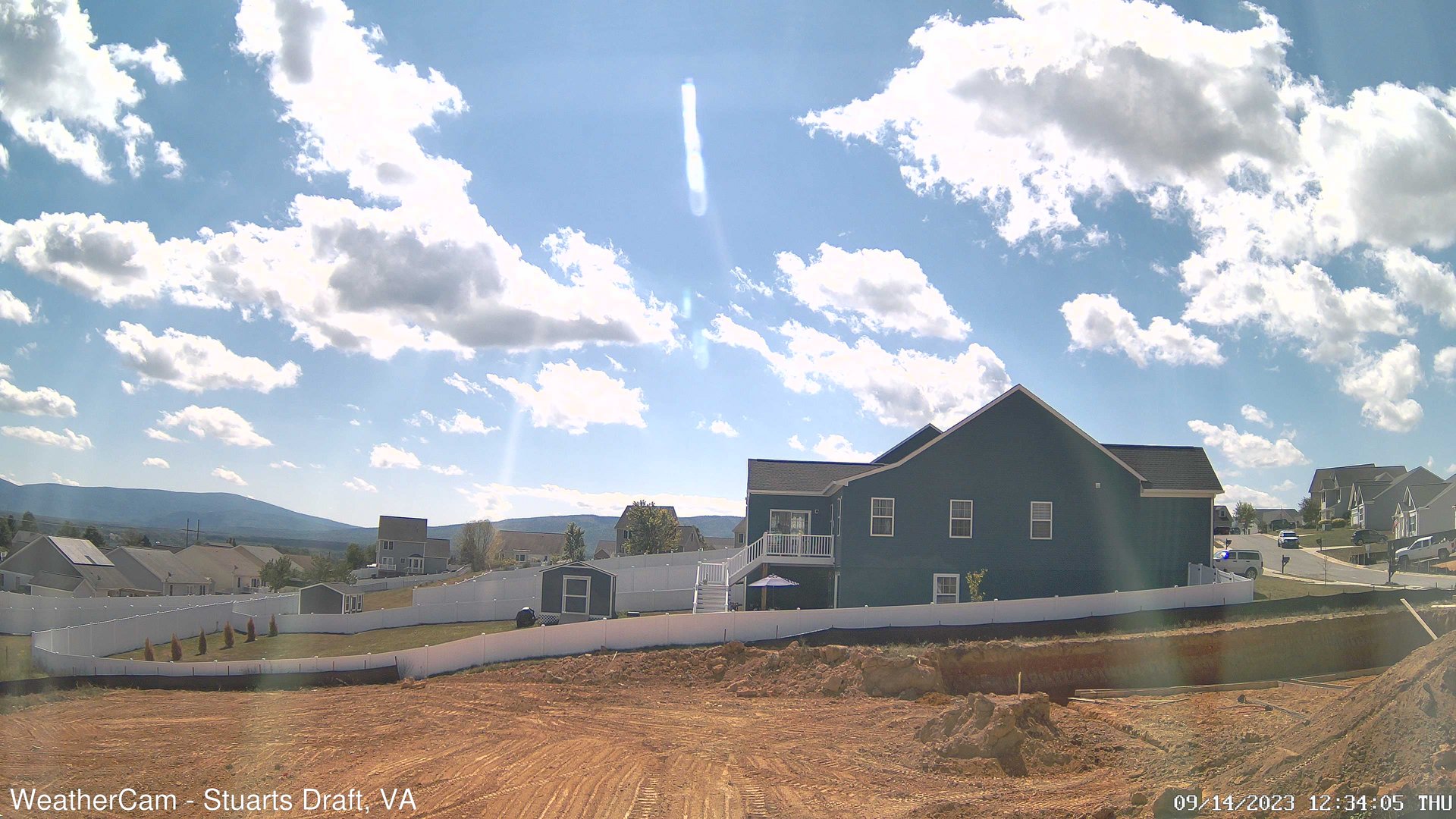
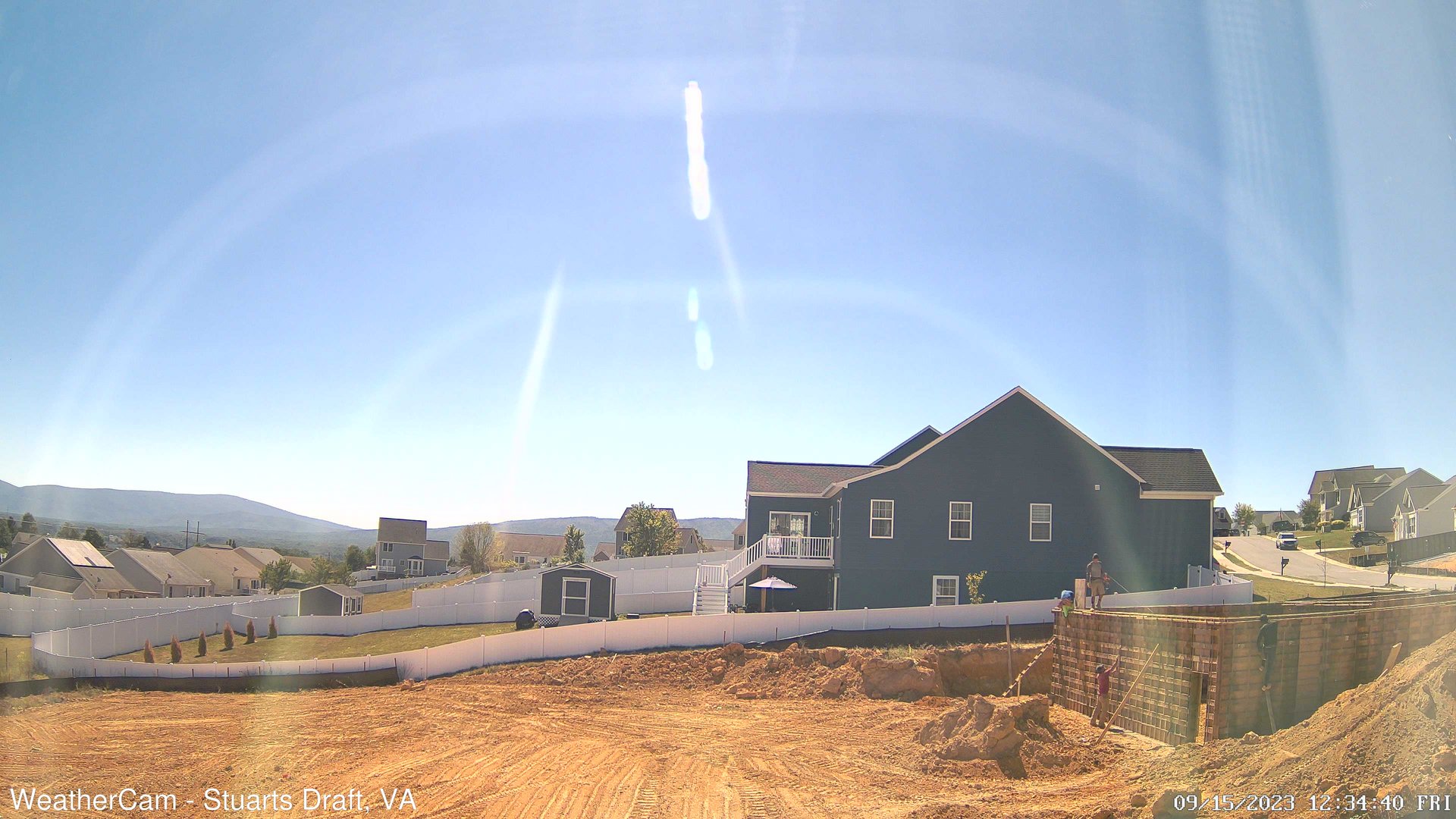
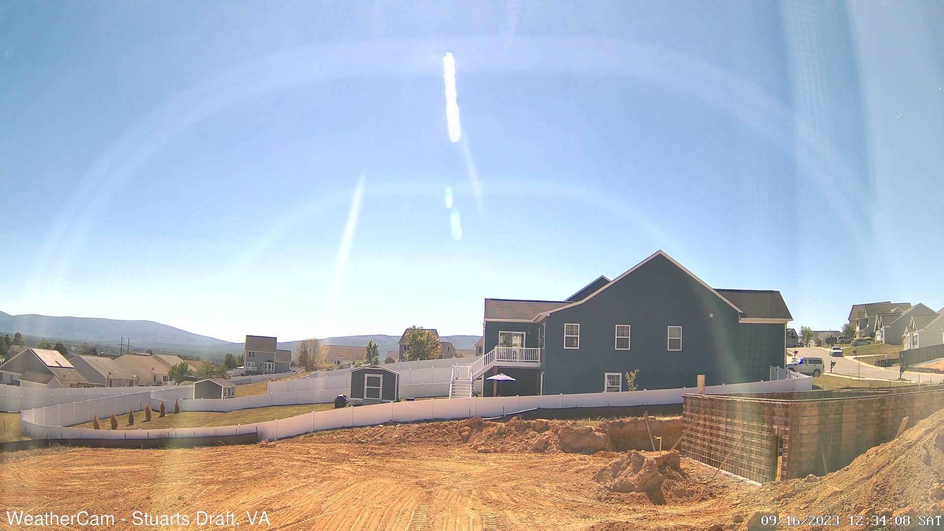
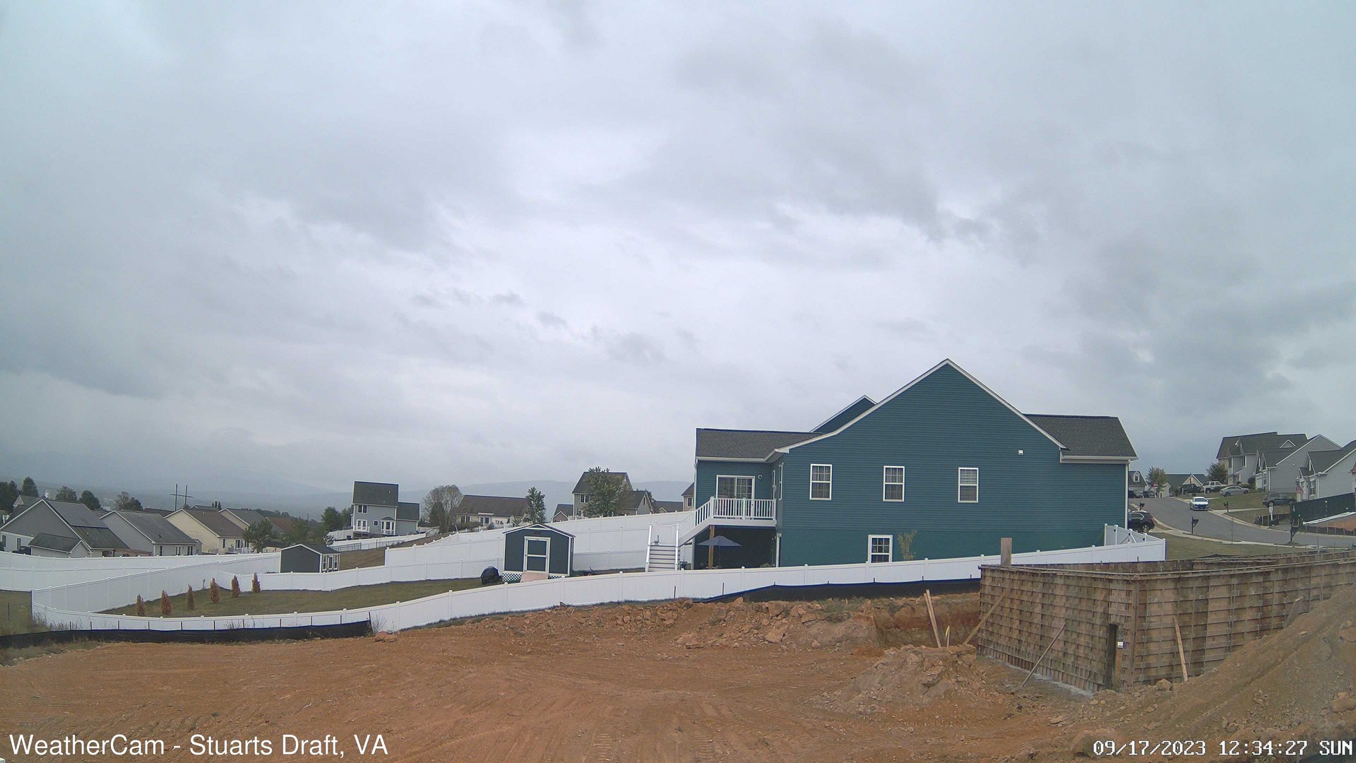
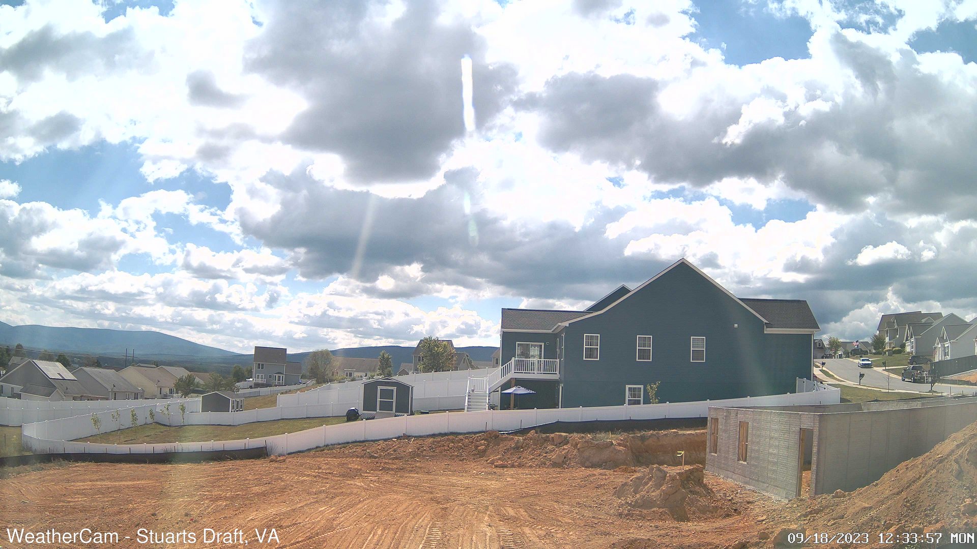
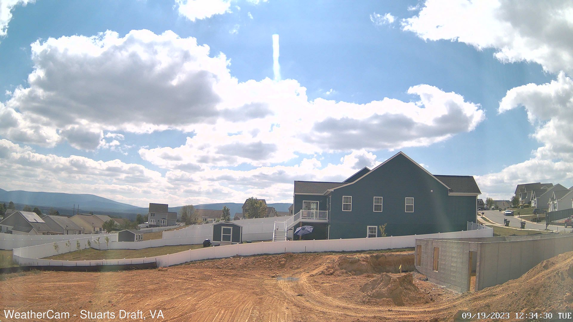
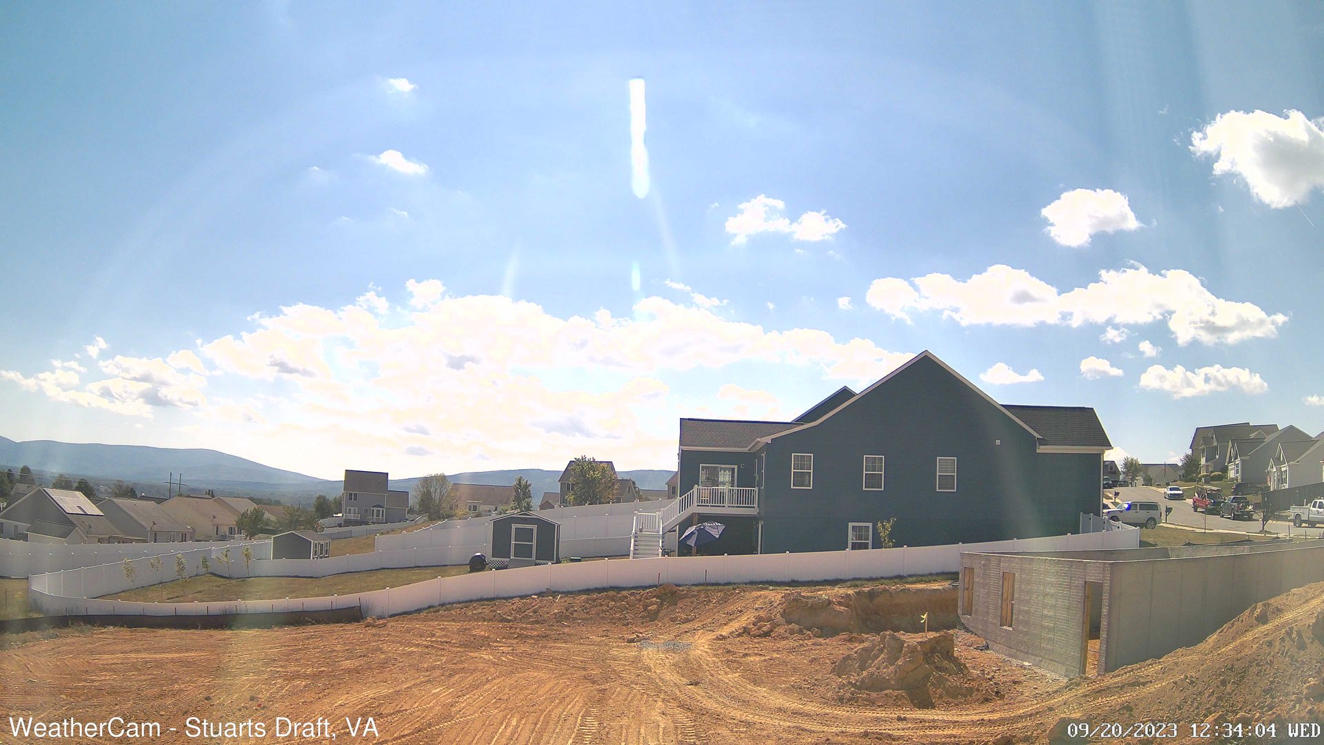
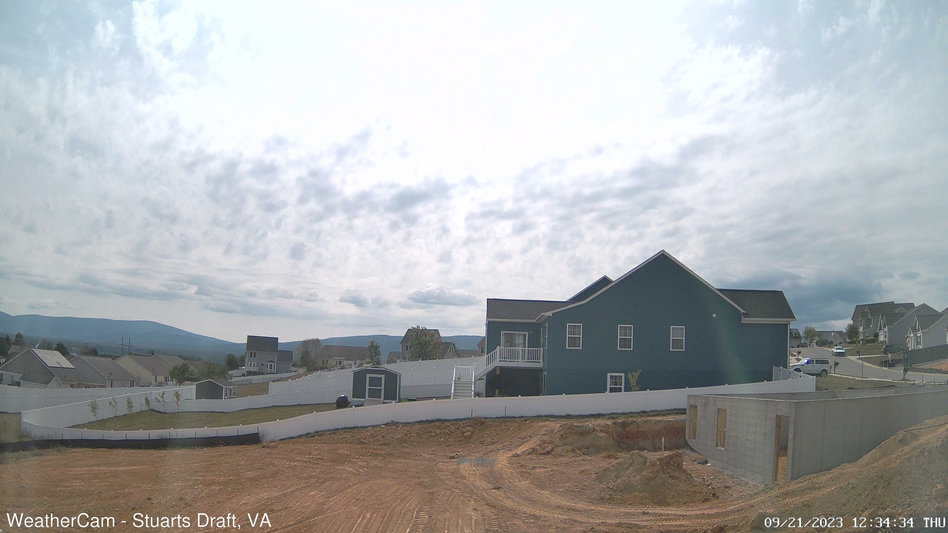
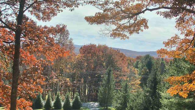
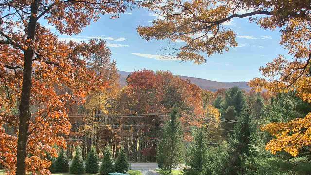
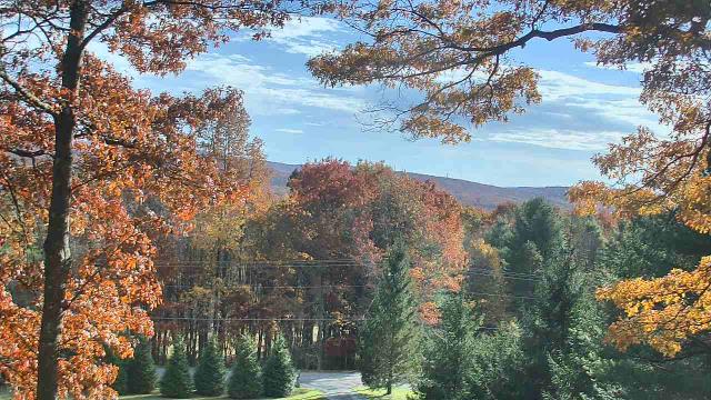
Stuarts Draft, Virginia, USA - 118.9 miles from Varneytown: Blue Ridge Mountains - A view from Stuarts Draft, VA of the Blue Ridge Mountains in the distance.
Operator: J. Kristopher Photography
Operator: J. Kristopher Photography


West Liberty, Kentucky, USA - 121.2 miles from Varneytown: West Liberty Elementary School - A webcam in West Liberty, Kentucky - camera location: West Liberty Elementary School.
Operator: WeatherBug
Operator: WeatherBug


Swanton, Maryland, USA - 122.9 miles from Varneytown: Sky Valley Lodge - A webcam in Swanton, Maryland - camera location: Sky Valley Lodge.
Operator: WeatherBug
Operator: WeatherBug


Some other places in this country: Van Clevesville - Vandalia - Vanetta - Varner - Vaucluse - Vegan - Venus - Vernon - Veto - Victor