Webcams in the region of Sarah Ann, West Virginia, USA
The List of Webcams near Sarah Ann, West Virginia, USA:

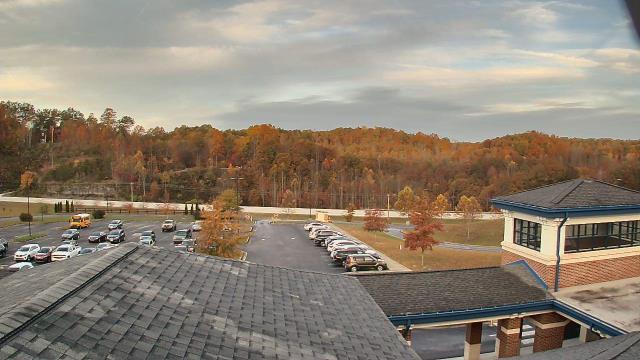
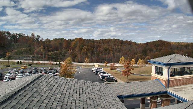
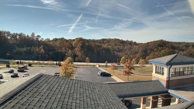
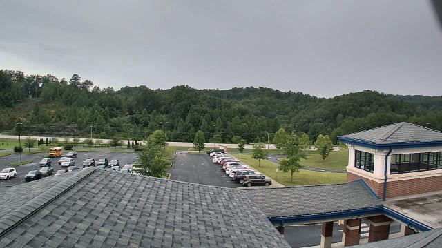
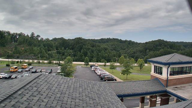
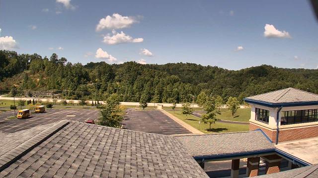
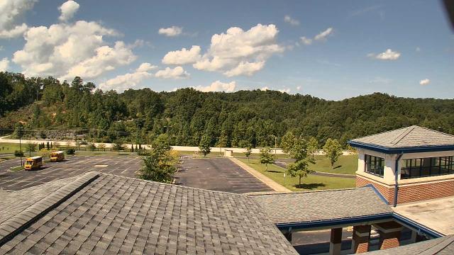
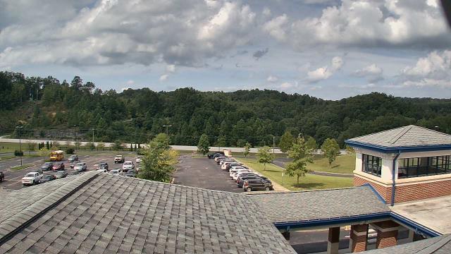
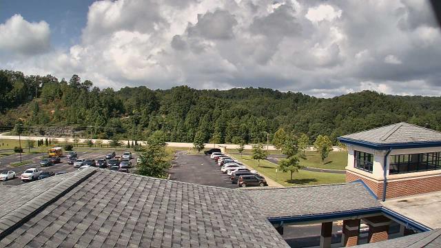
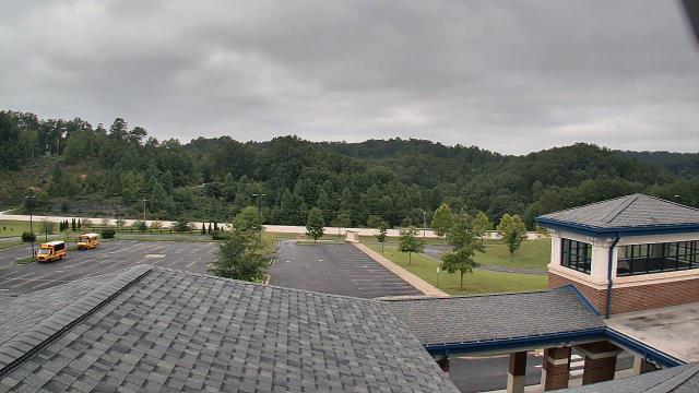
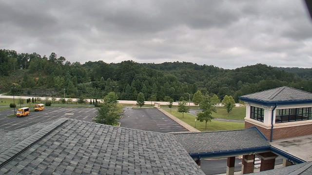
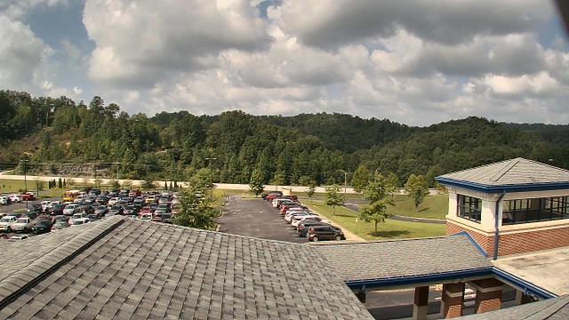
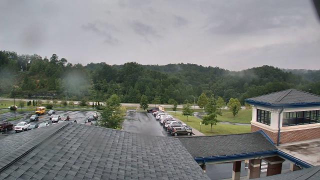
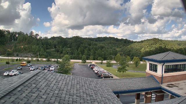
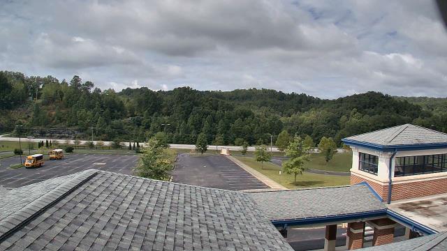
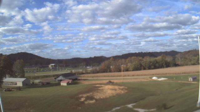
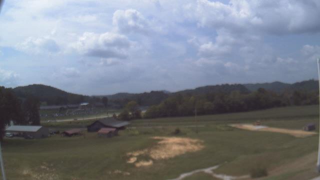
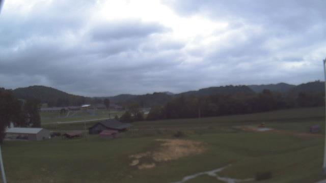
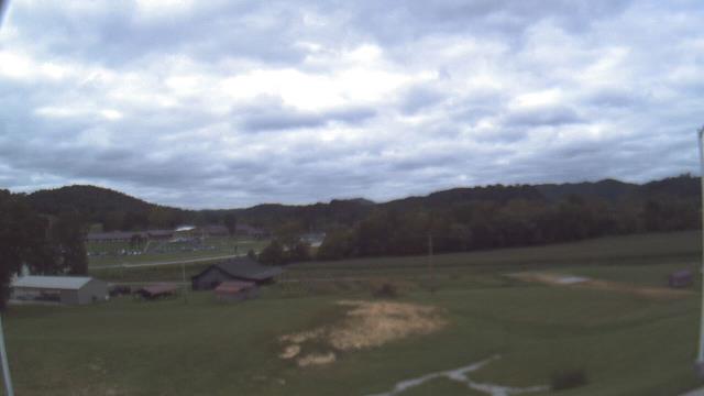
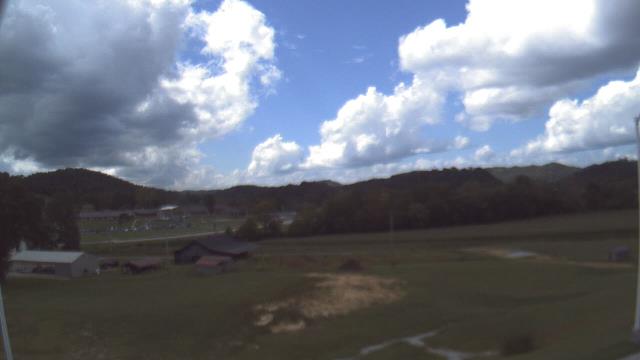
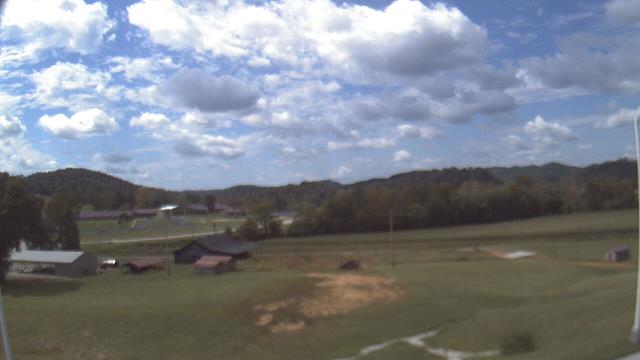
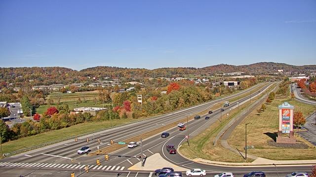
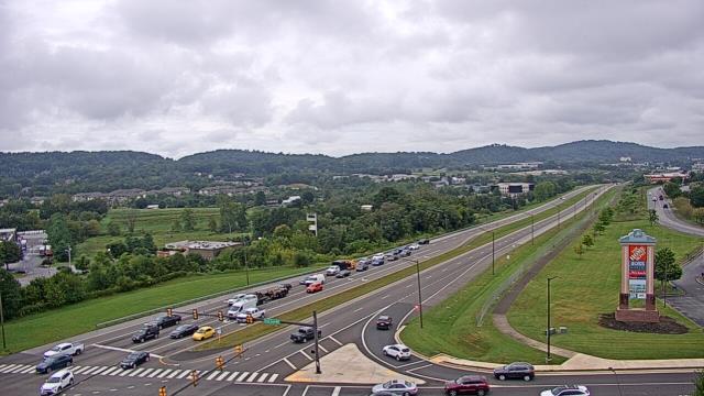
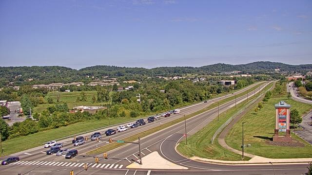
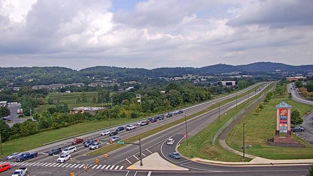
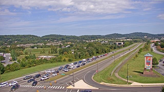
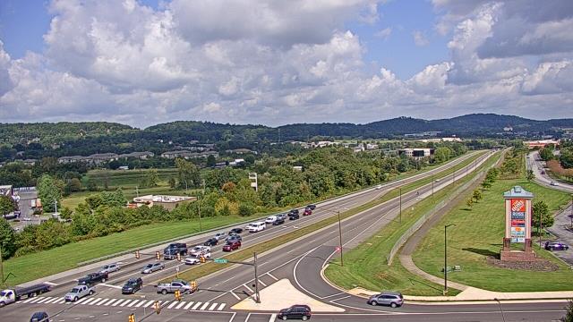
Abingdon, Virginia, USA - 69.2 miles from Sarah Ann: Watauga Elementary School - A webcam in Abingdon, Virginia - camera location: Watauga Elementary School.
Operator: WeatherBug
Operator: WeatherBug


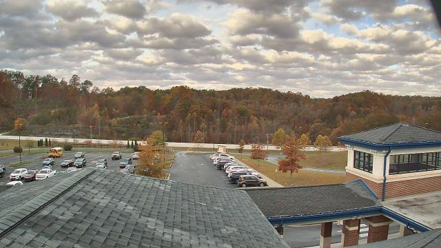
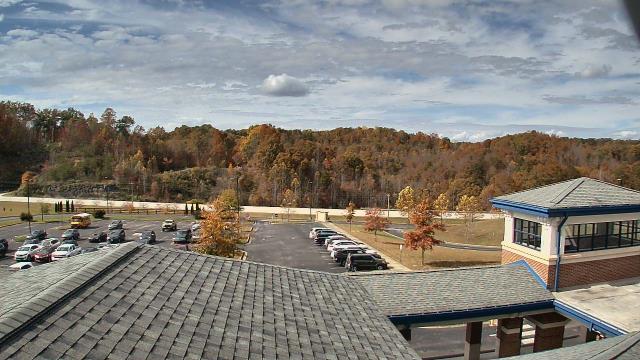
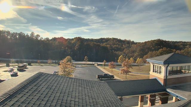
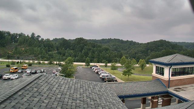
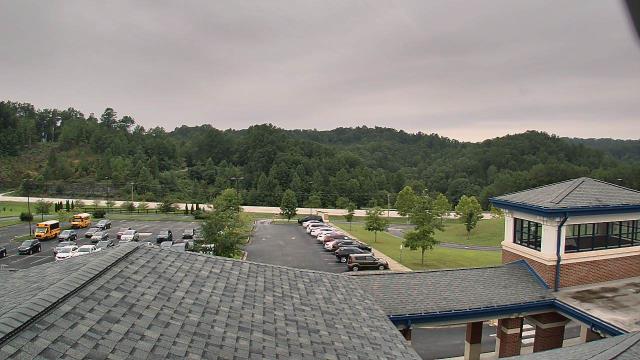
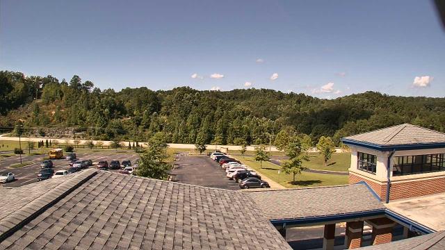
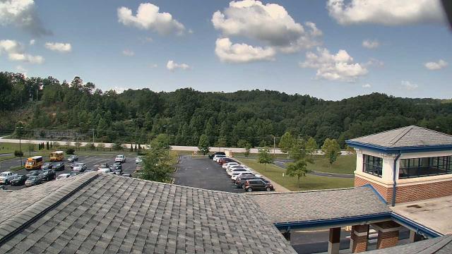
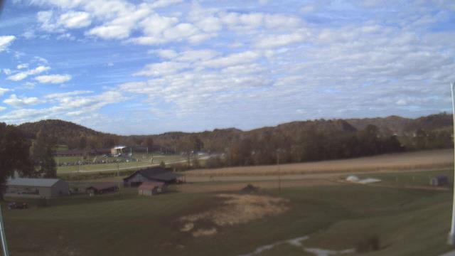
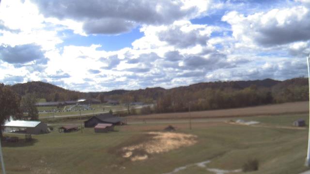
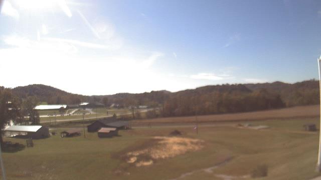
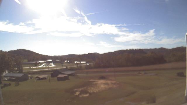
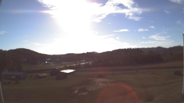
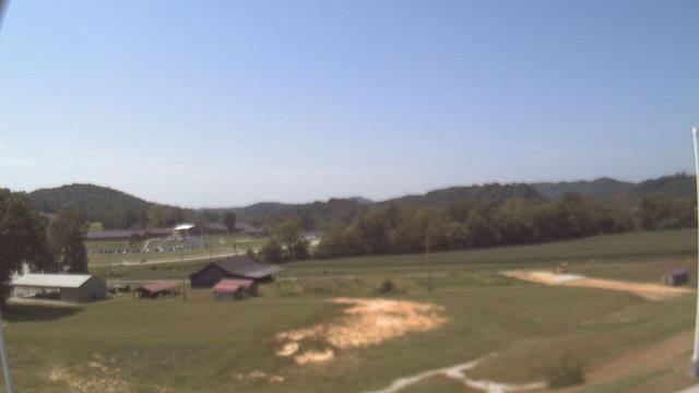
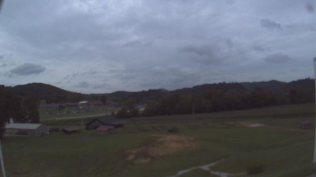
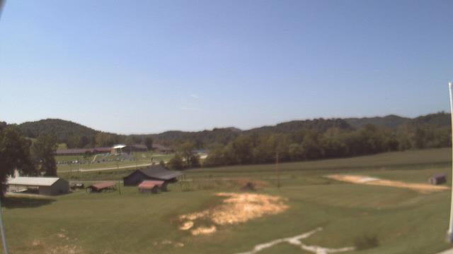
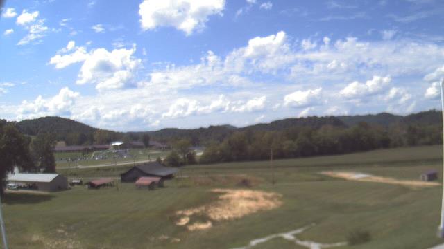
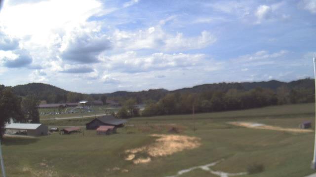
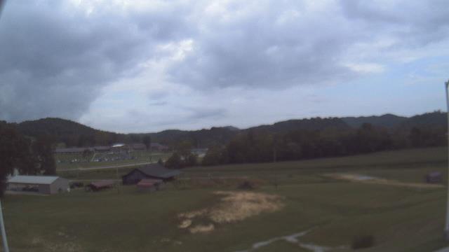
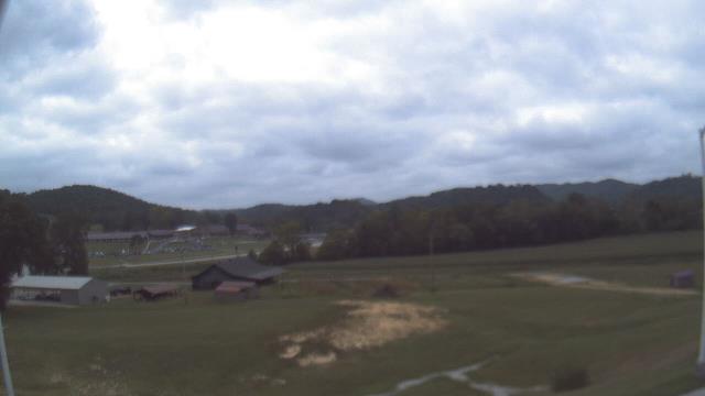
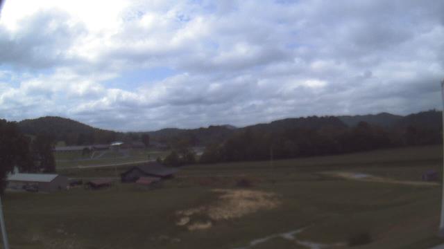
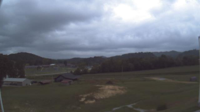
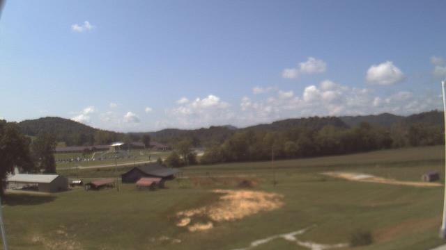
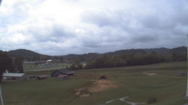
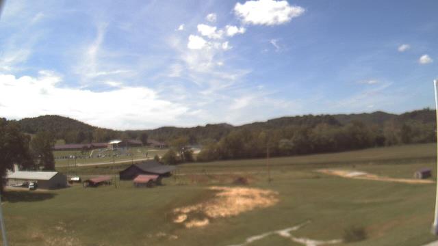
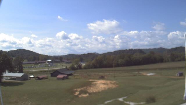
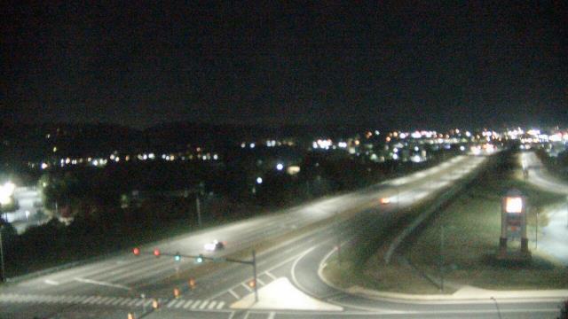
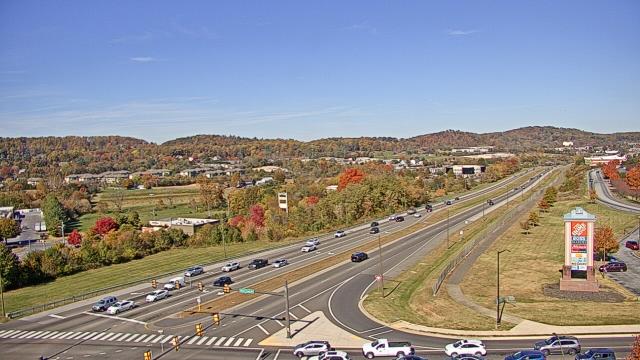
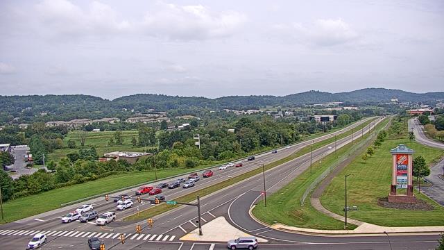
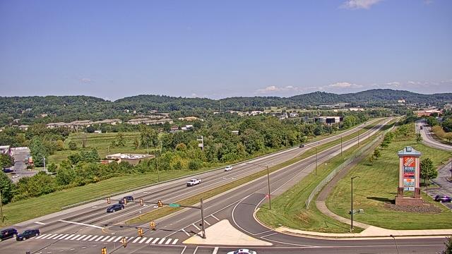
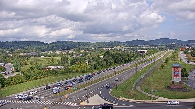
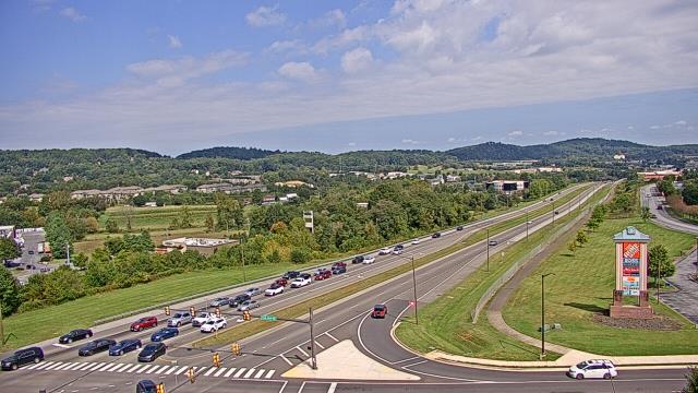
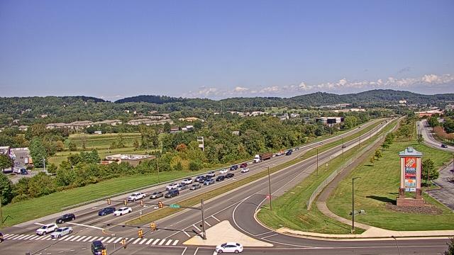
West Liberty, Kentucky, USA - 71 miles from Sarah Ann: West Liberty Elementary School - A webcam in West Liberty, Kentucky - camera location: West Liberty Elementary School.
Operator: WeatherBug
Operator: WeatherBug


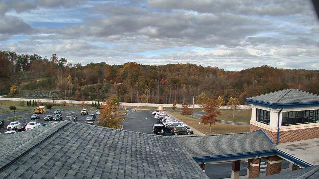
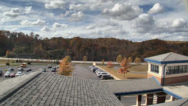
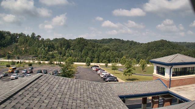
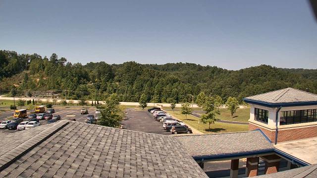
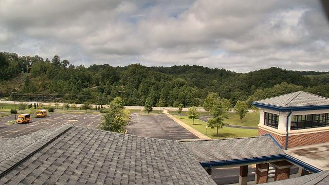


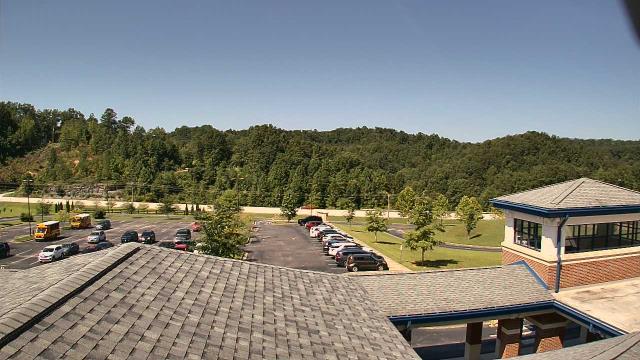


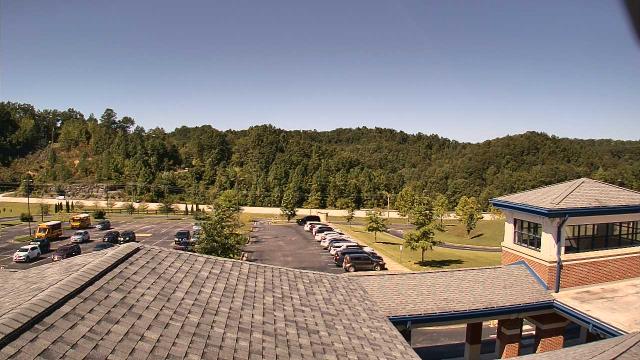
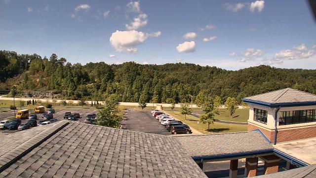

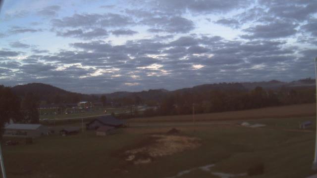
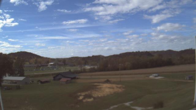
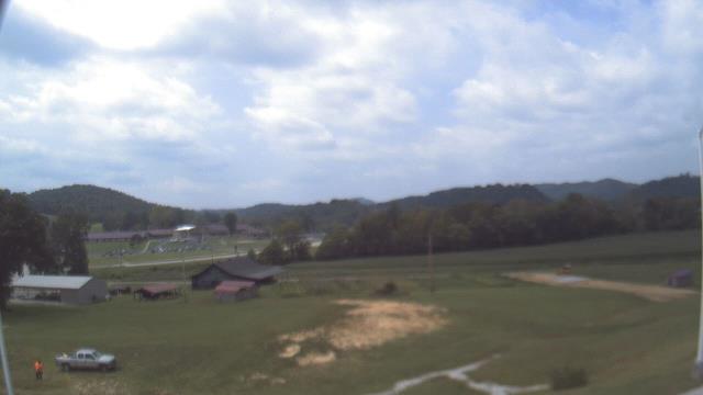
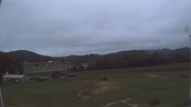
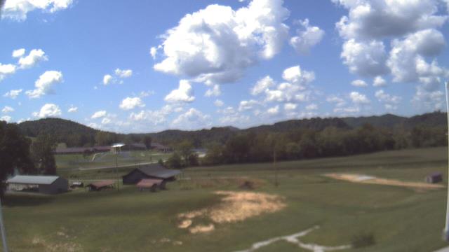
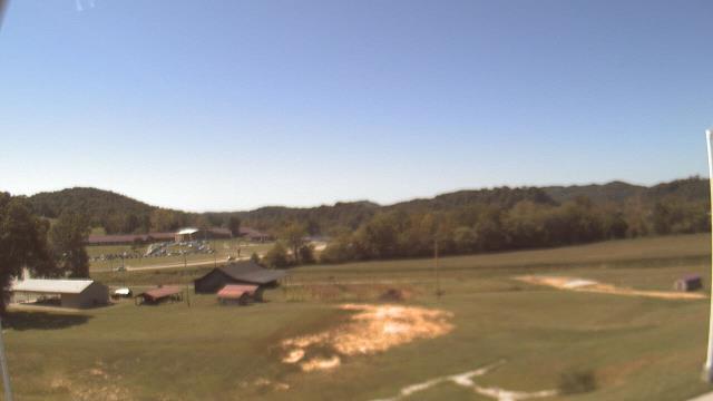
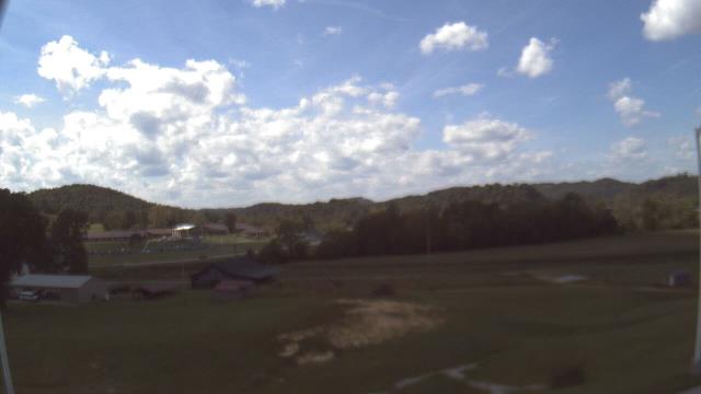
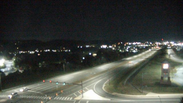
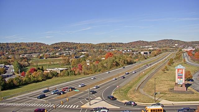
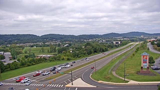
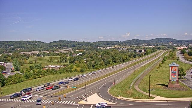
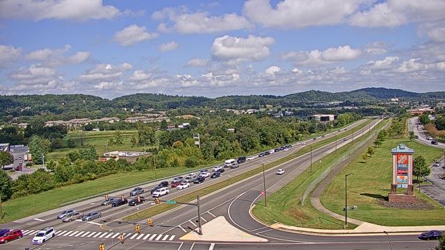
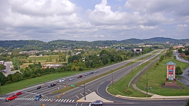
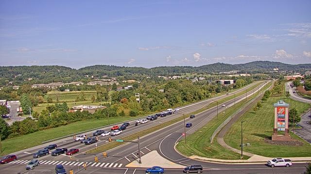
Wytheville, Virginia, USA - 72.4 miles from Sarah Ann: Wytheville Community College - A webcam in Wytheville, Virginia - camera location: Wytheville Community College.
Operator: WeatherBug
Operator: WeatherBug


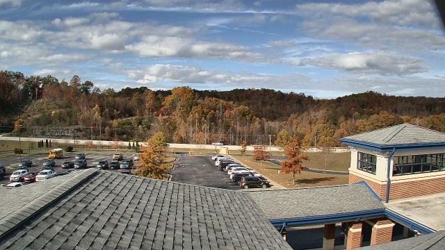
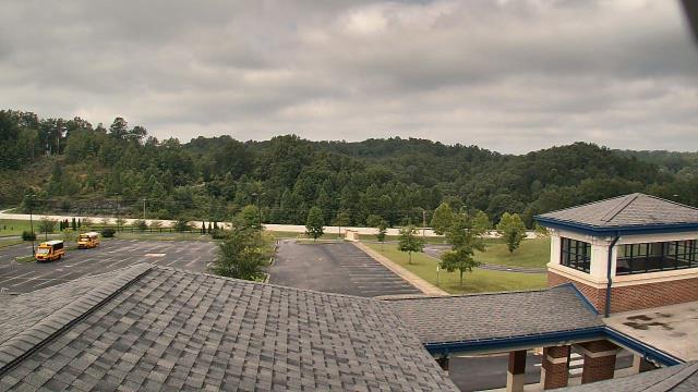
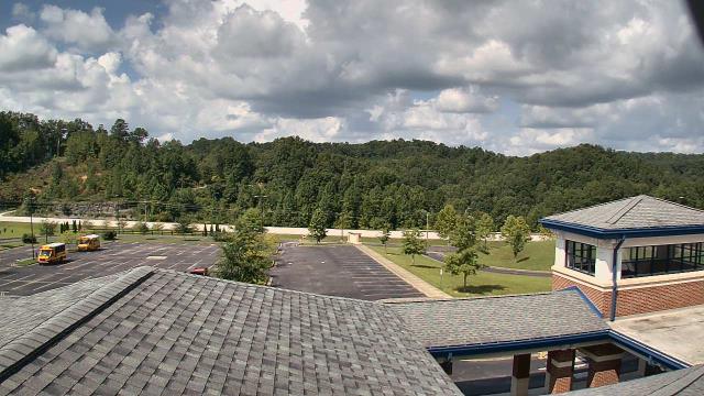
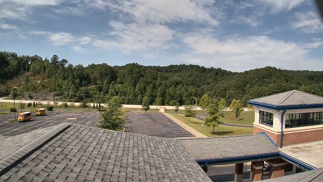
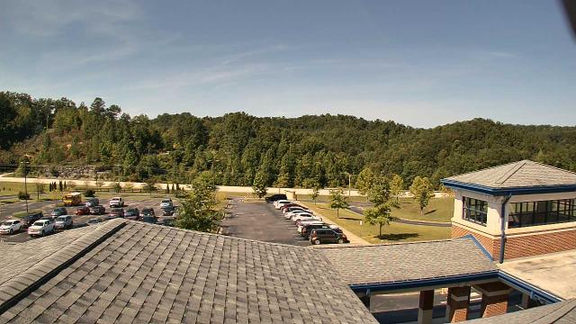
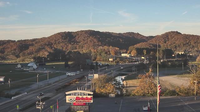
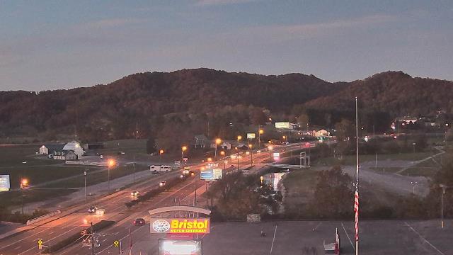
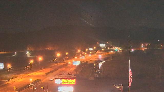
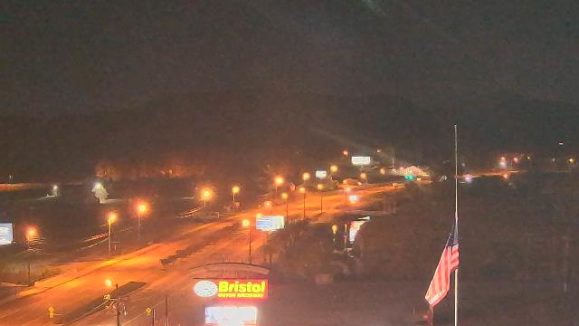
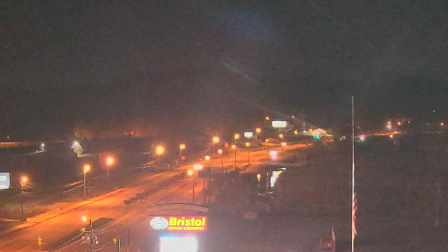
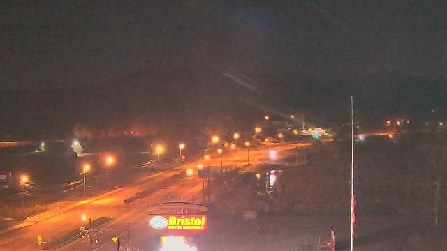
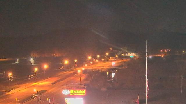
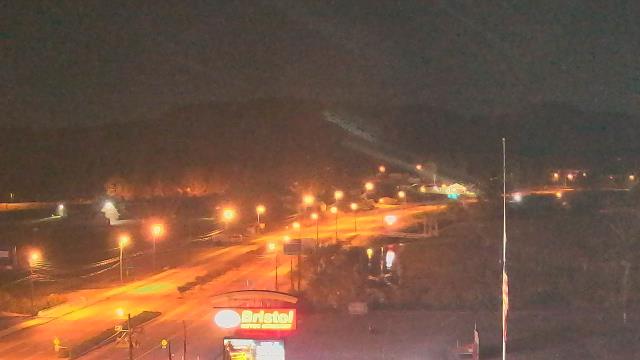
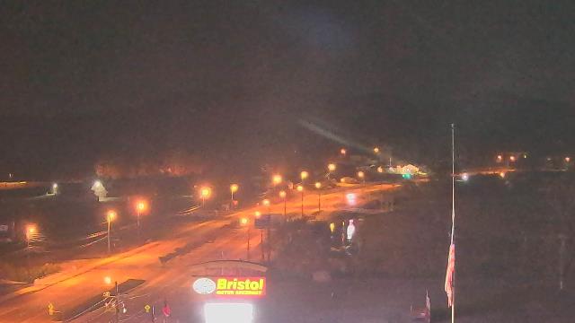
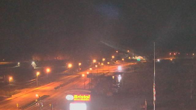
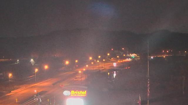
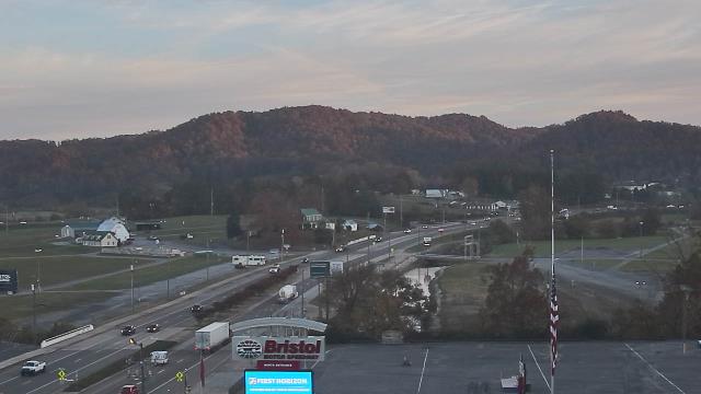
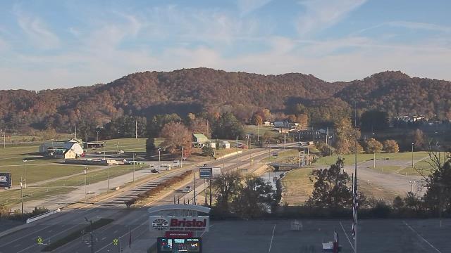
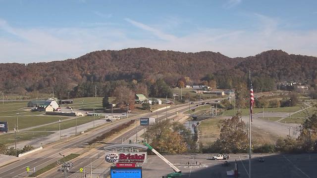
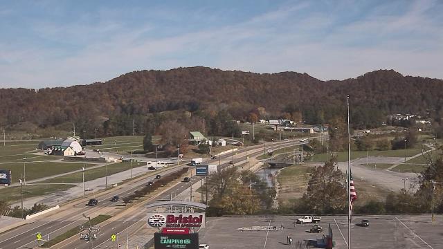
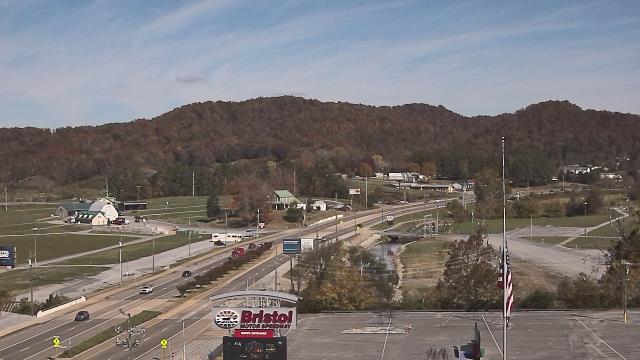
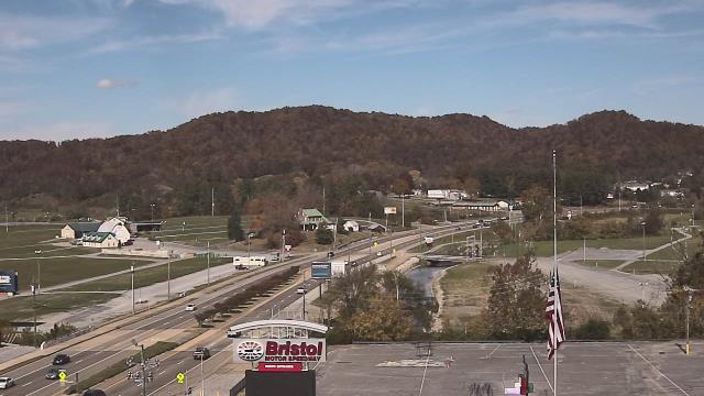
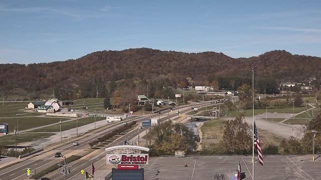
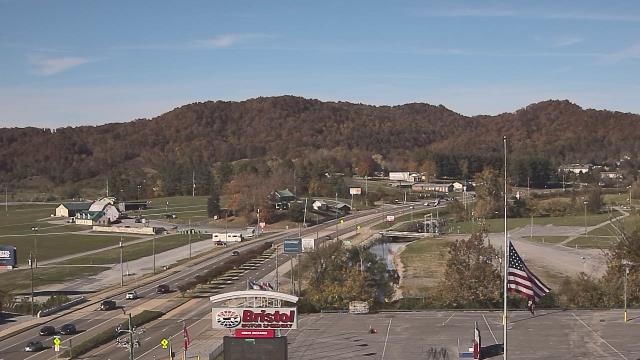
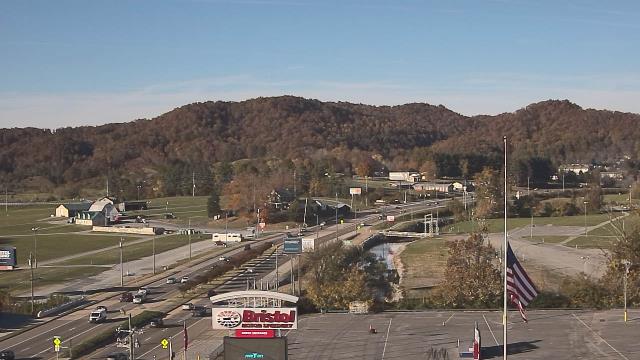
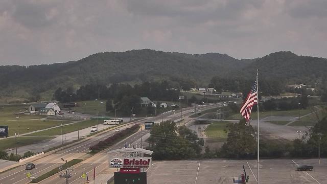
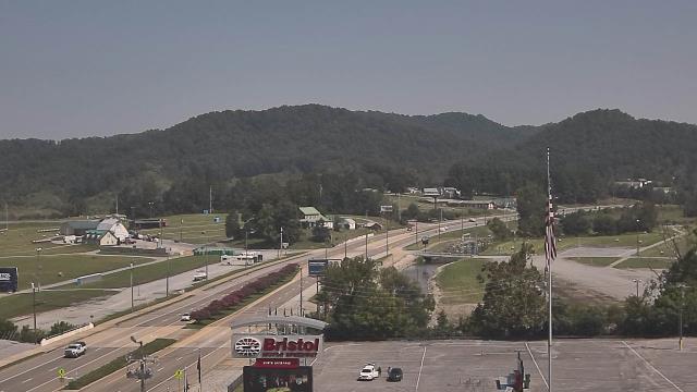
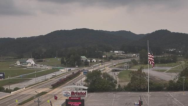
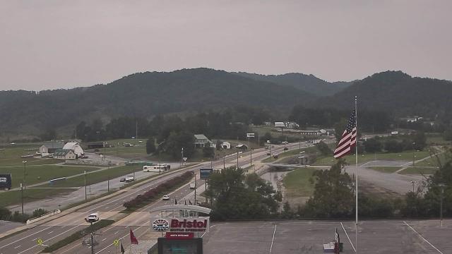
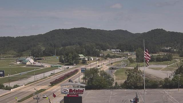
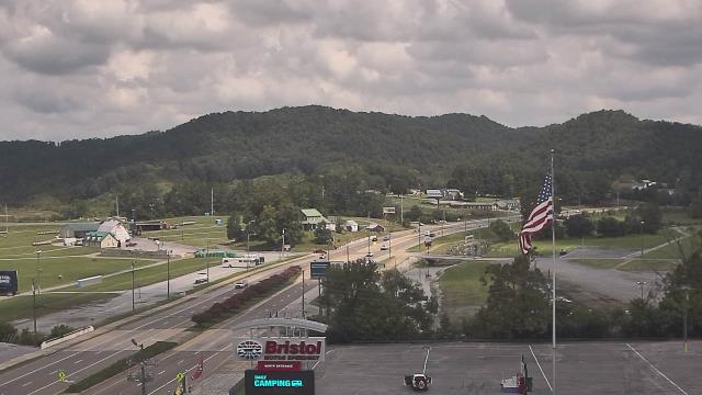
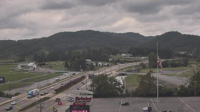
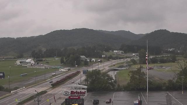
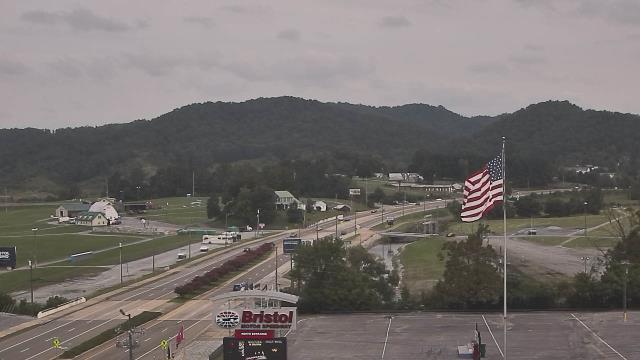
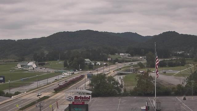
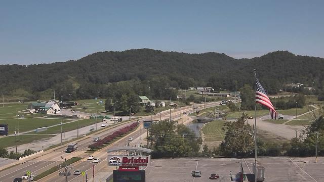
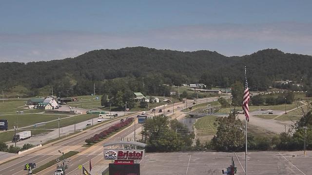
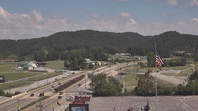
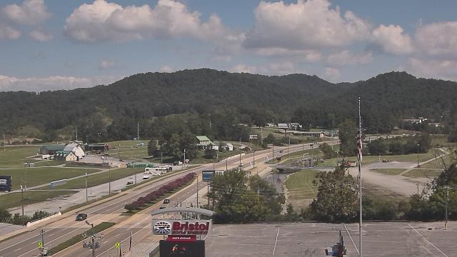
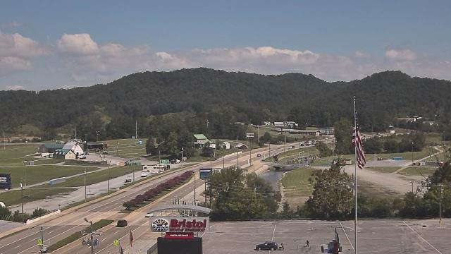
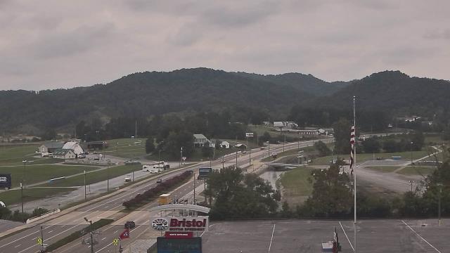
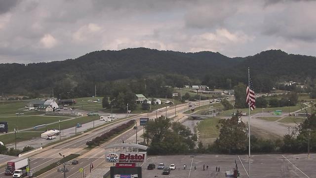
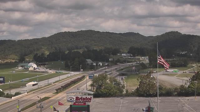
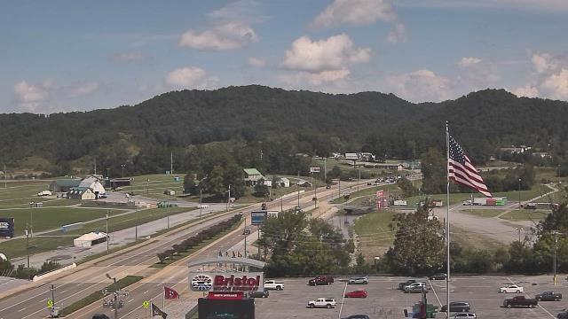
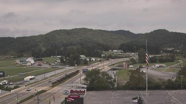
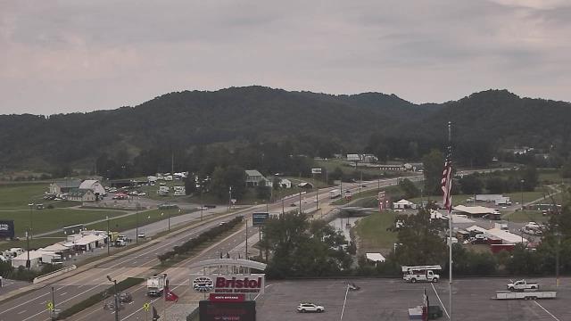
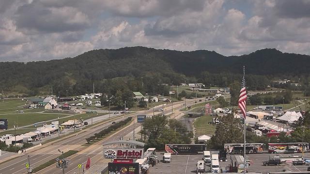
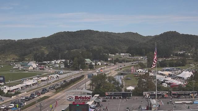
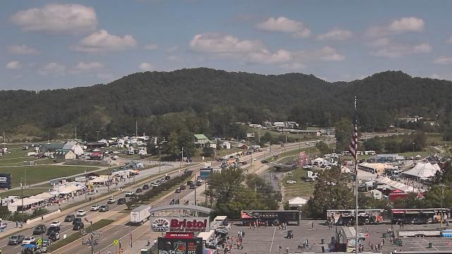
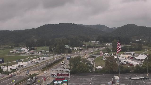
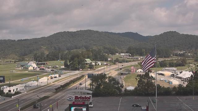
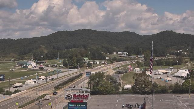
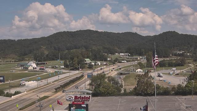
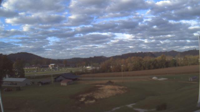
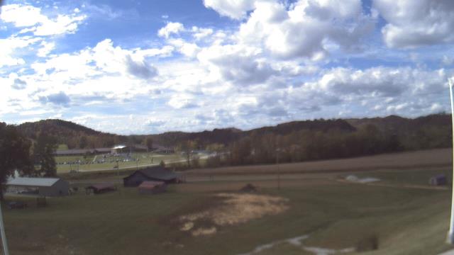
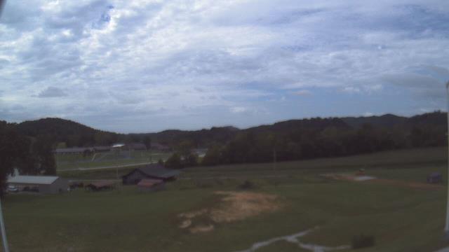
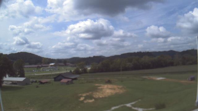
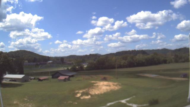
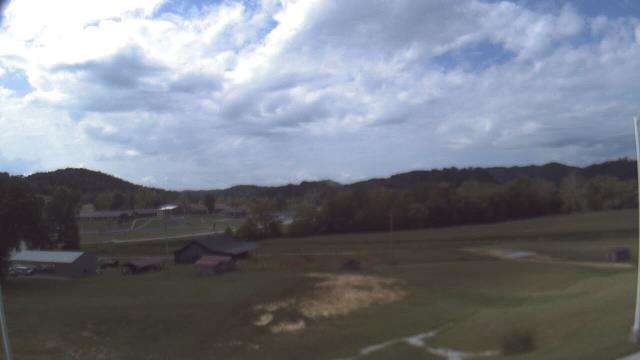
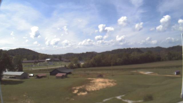
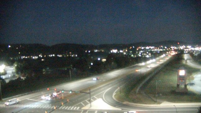
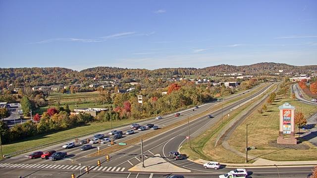
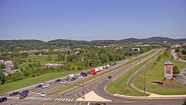
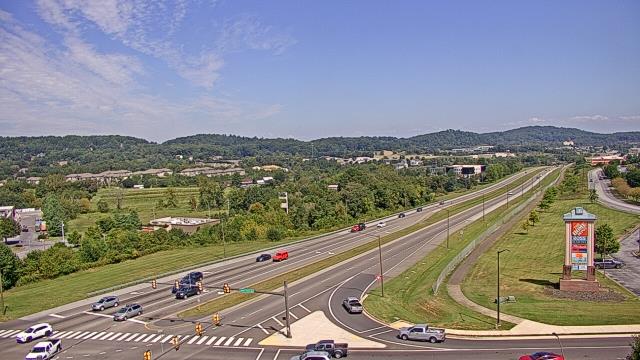
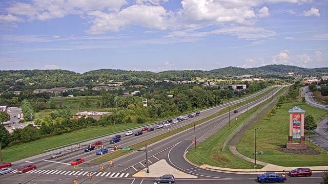
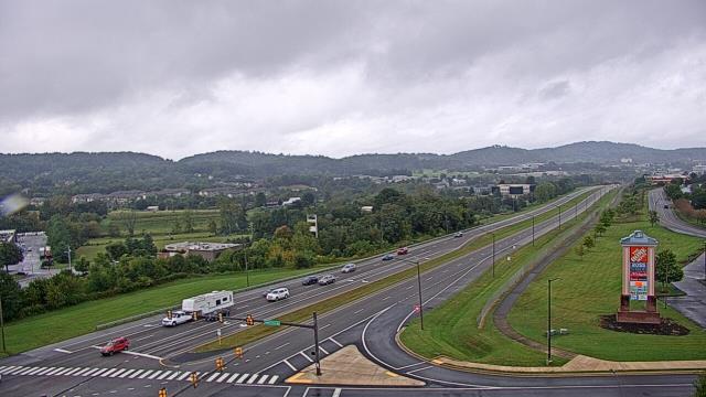
Bristol, Tennessee, USA - 78 miles from Sarah Ann: Bristol Motor Speedway - A webcam in Bristol, Tennessee - camera location: Bristol Motor Speedway.
Operator: WeatherBug
Operator: WeatherBug


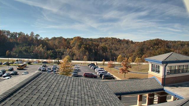
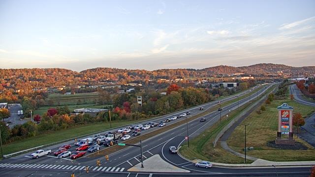
Booneville, Kentucky, USA - 93.8 miles from Sarah Ann: Owsley Co Jr Sr High School - A webcam in Booneville, Kentucky - camera location: Owsley Co Jr Sr High School.
Operator: WeatherBug
Operator: WeatherBug


Riner, Virginia, USA - 95.9 miles from Sarah Ann: Auburn Middle School - A webcam in Riner, Virginia - camera location: Auburn Middle School.
Operator: WeatherBug
Operator: WeatherBug


Johnson City, Tennessee, USA - 98.7 miles from Sarah Ann: Bank of Tennessee - A webcam in Johnson City, Tennessee - camera location: Bank of Tennessee.
Operator: WeatherBug
Operator: WeatherBug


Salem, Virginia, USA - 109.8 miles from Sarah Ann: City of Salem Civic Center - A webcam in Salem, Virginia - camera location: City of Salem Civic Center.
Operator: WeatherBug
Operator: WeatherBug


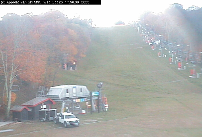
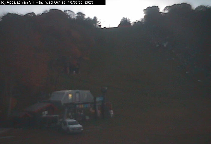
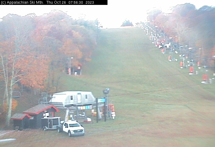
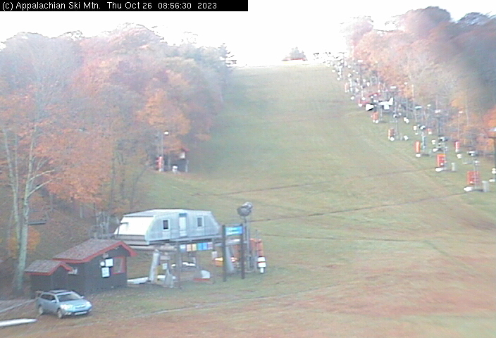
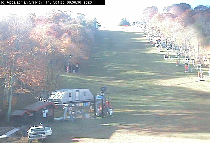
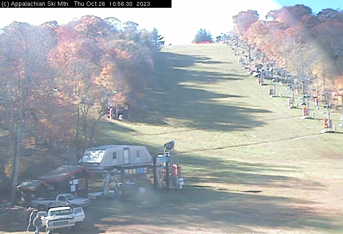
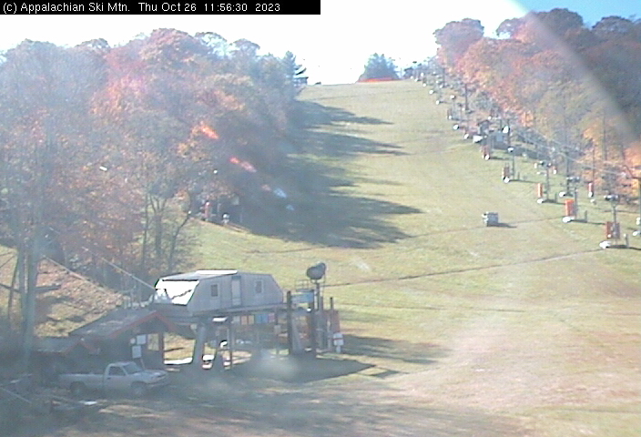
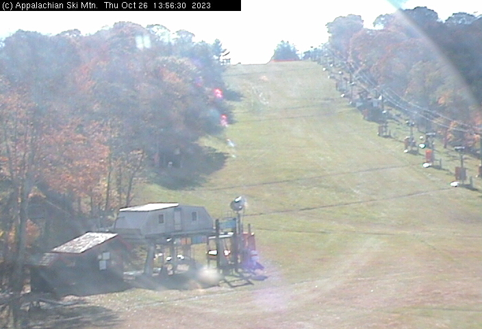
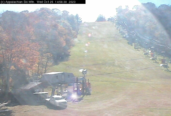
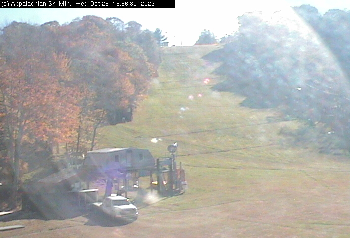
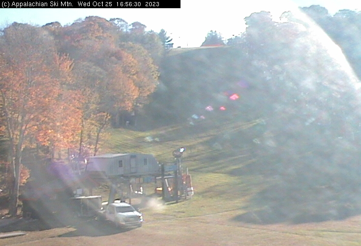
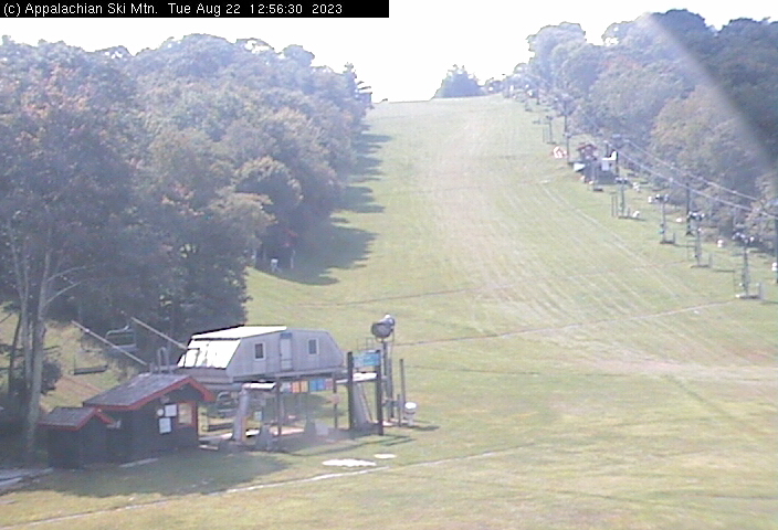
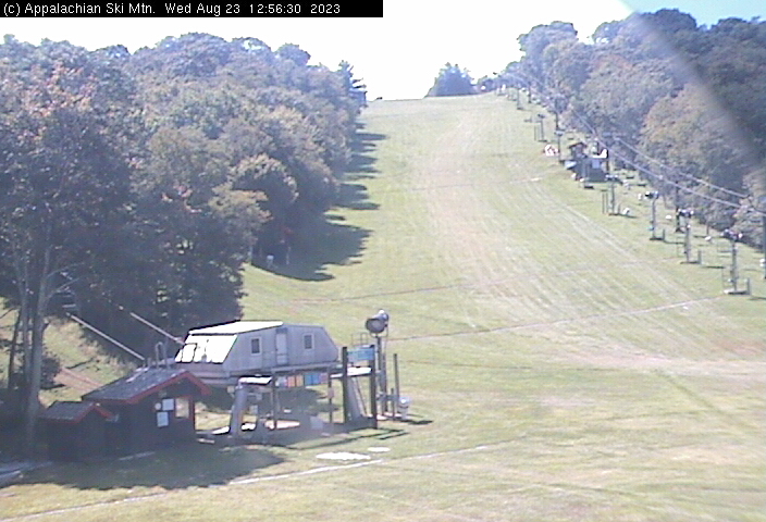
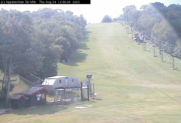
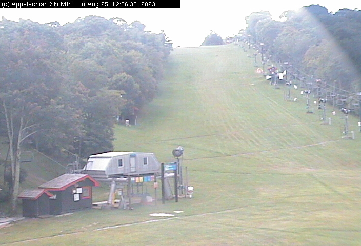
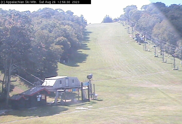
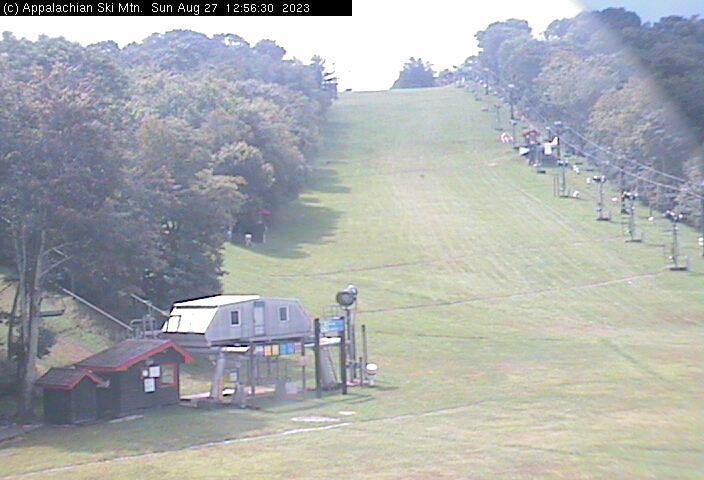
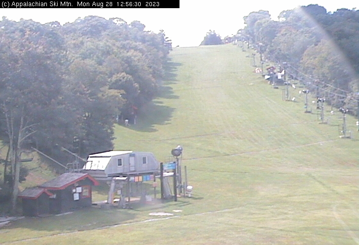
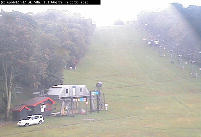
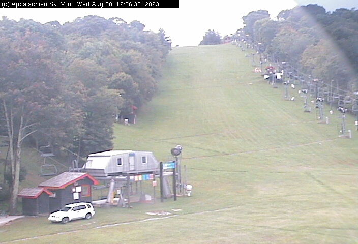
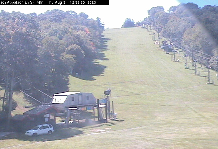
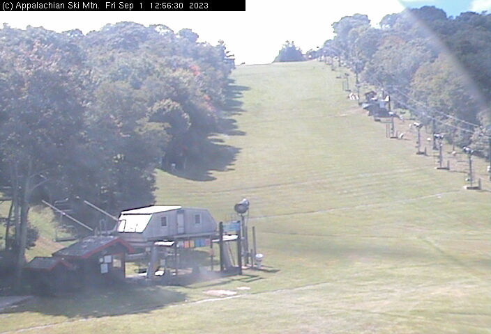
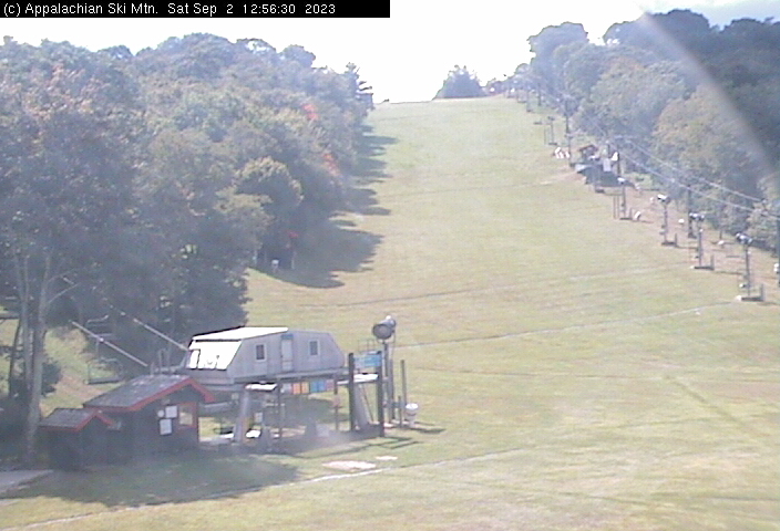
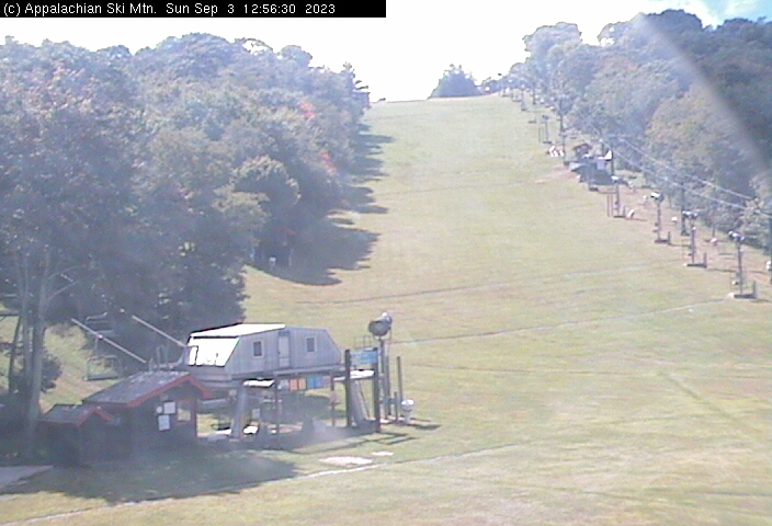
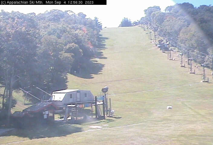
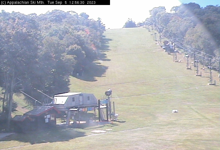
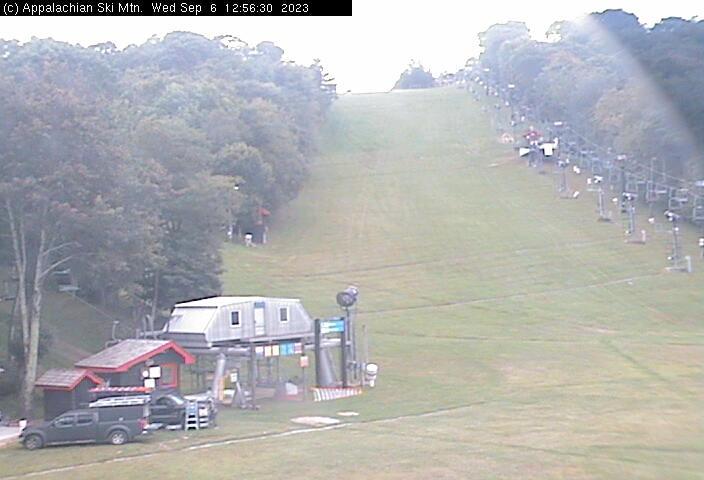
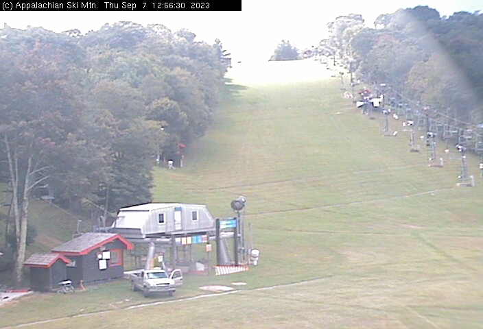
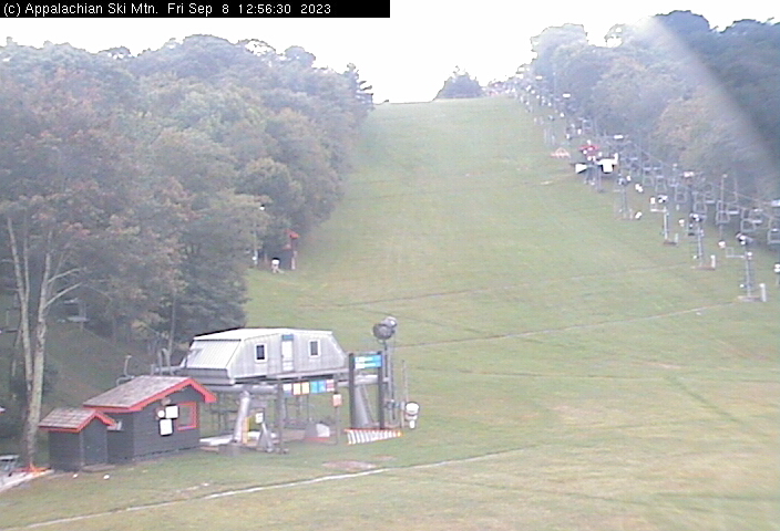
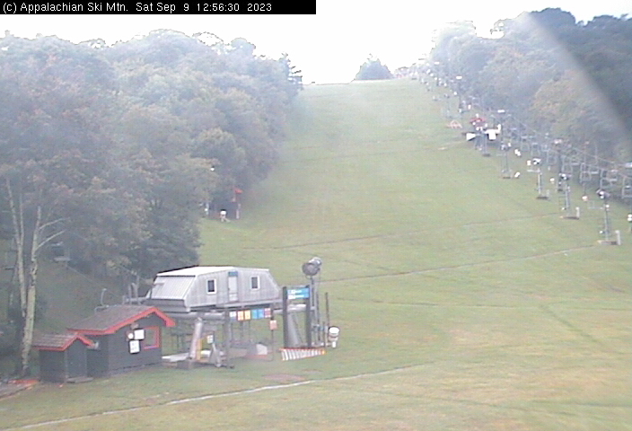
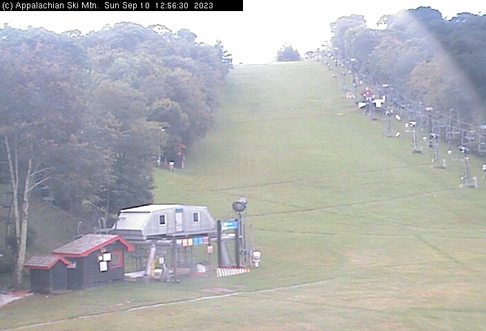
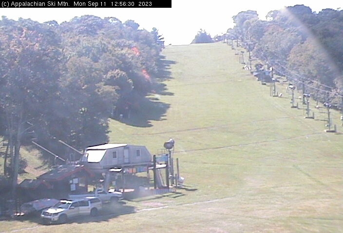
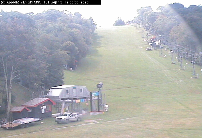
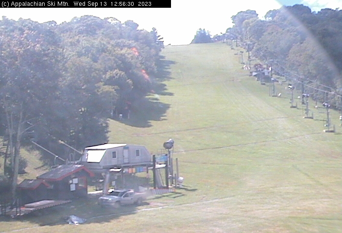
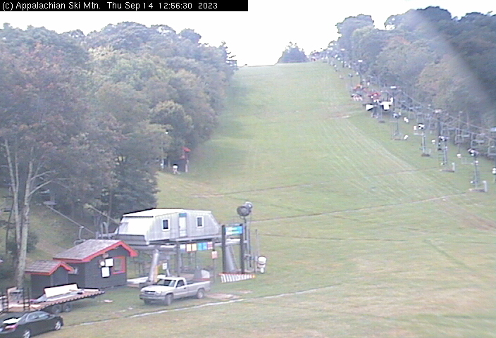
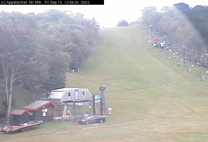
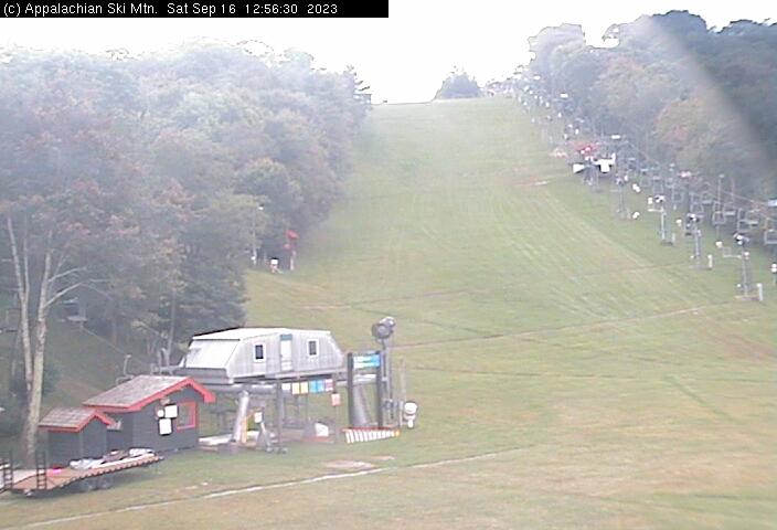
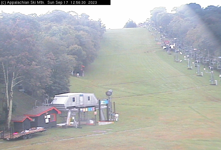
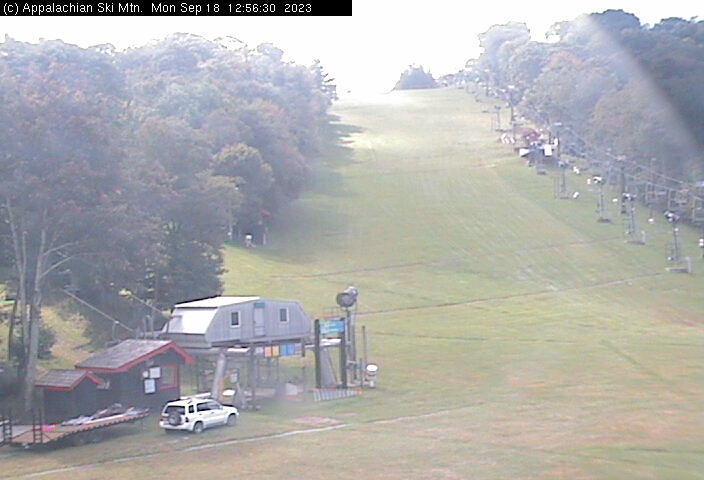
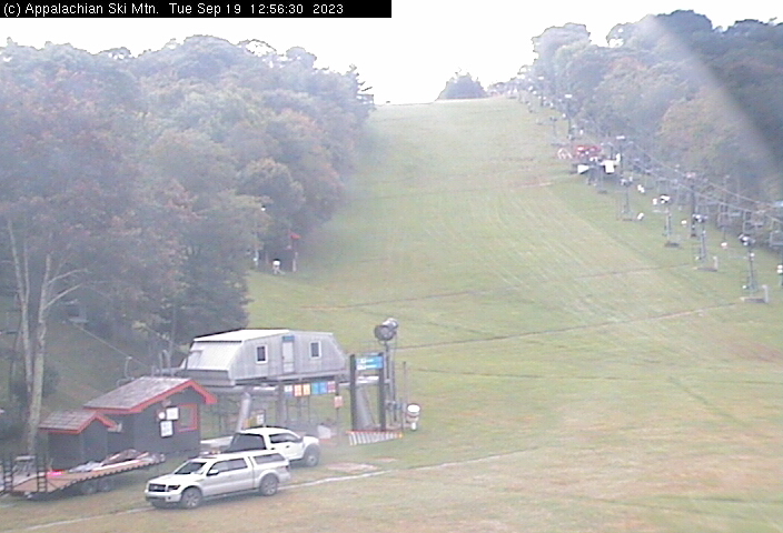
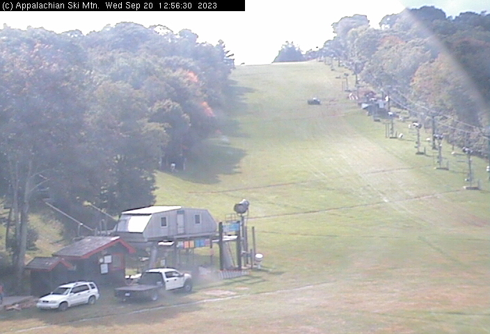
Blowing Rock, North Carolina, USA - 110.2 miles from Sarah Ann: Appalachian Ski Mtn., Inc. - A webcam in Blowing Rock, North Carolina - camera location: Appalachian Ski Mtn., Inc..
Operator: Appalachian Ski Mtn.
Operator: Appalachian Ski Mtn.


Roanoke, Virginia, USA - 116.2 miles from Sarah Ann: Roanoke Catholic School - A webcam in Roanoke, Virginia - camera location: Roanoke Catholic School.
Operator: WeatherBug
Operator: WeatherBug


Some other places in this country: Sandy Summit - Sanford - Sanger - Santown - Sarton - Saulsbury - Saunders - Saxman - Saxon - Scarbro