Webcams in the region of Ruth (historical), West Virginia, USA
The List of Webcams near Ruth (historical), West Virginia, USA:

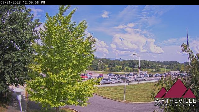
Wytheville, Virginia, USA - 30.7 miles from Ruth (historical): Wytheville Community College - A webcam in Wytheville, Virginia - camera location: Wytheville Community College.
Operator: WeatherBug
Operator: WeatherBug


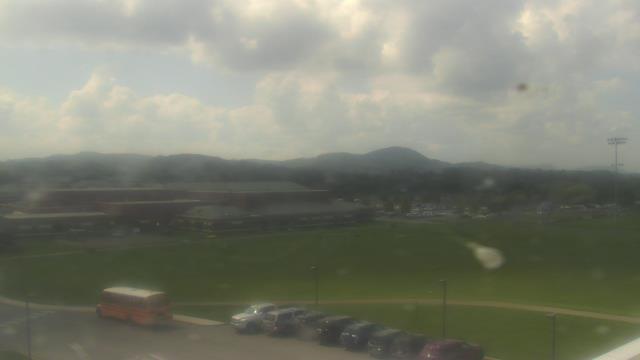
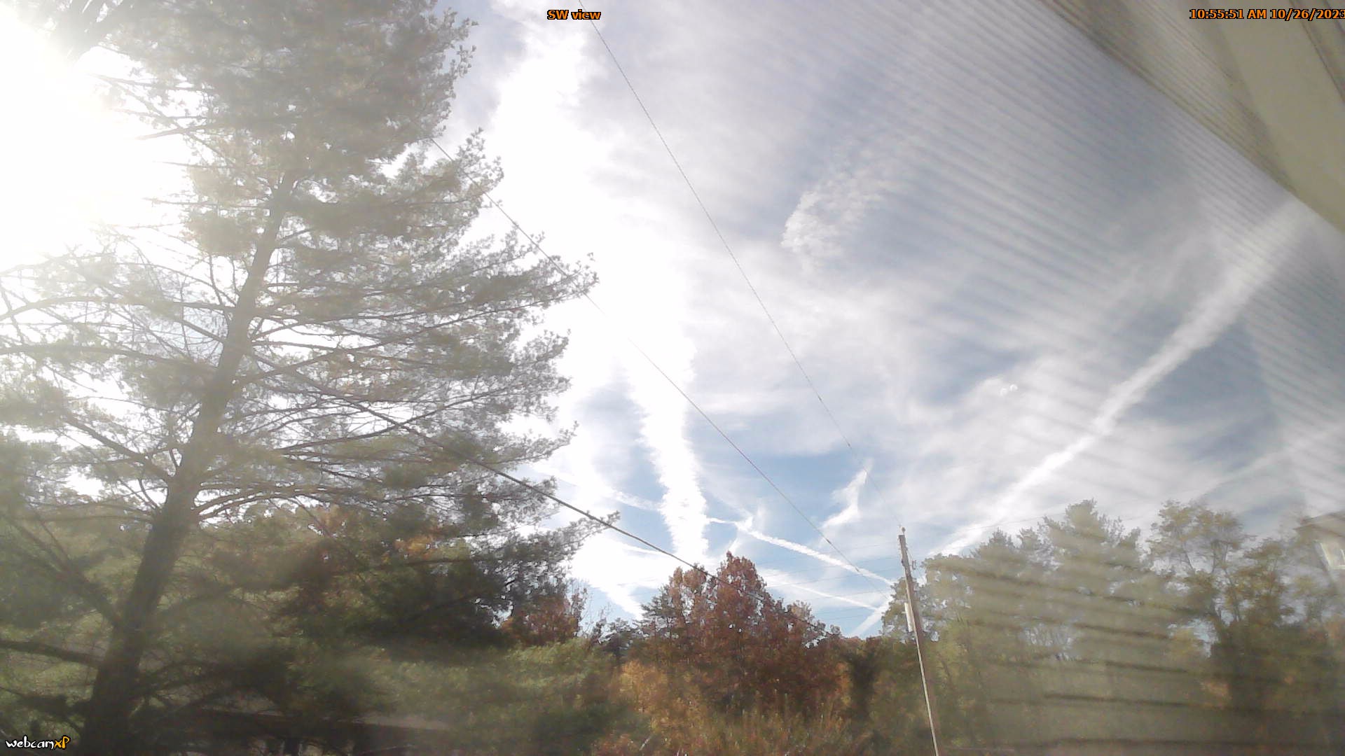
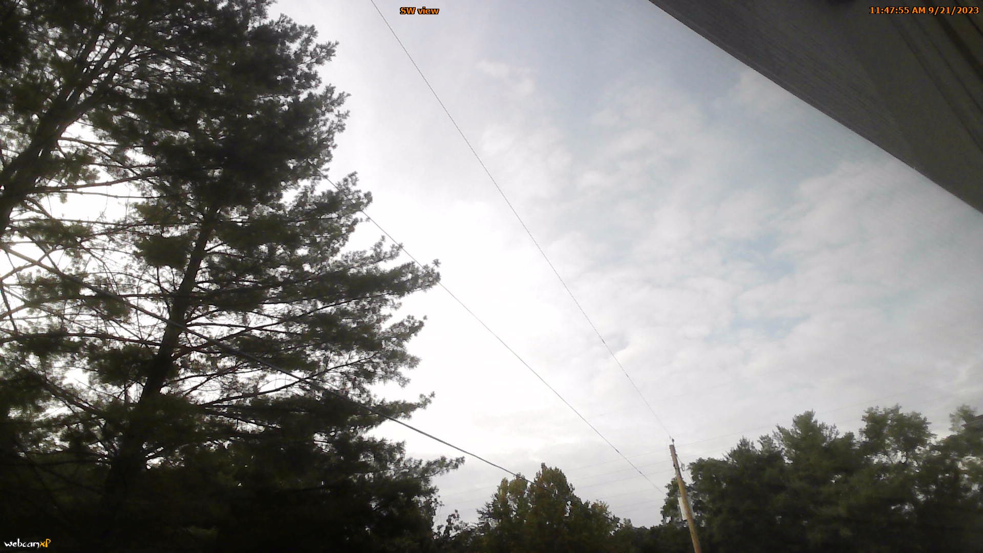
Riner, Virginia, USA - 53 miles from Ruth (historical): Auburn Middle School - A webcam in Riner, Virginia - camera location: Auburn Middle School.
Operator: WeatherBug
Operator: WeatherBug


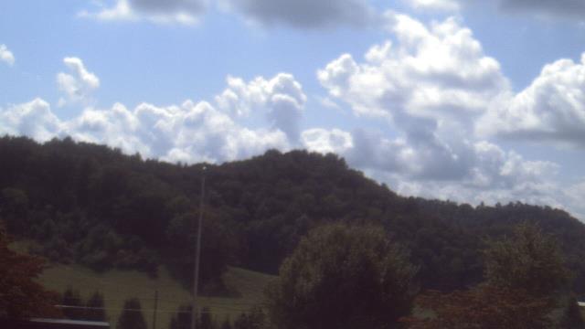
Abingdon, Virginia, USA - 55.8 miles from Ruth (historical): Watauga Elementary School - A webcam in Abingdon, Virginia - camera location: Watauga Elementary School.
Operator: WeatherBug
Operator: WeatherBug


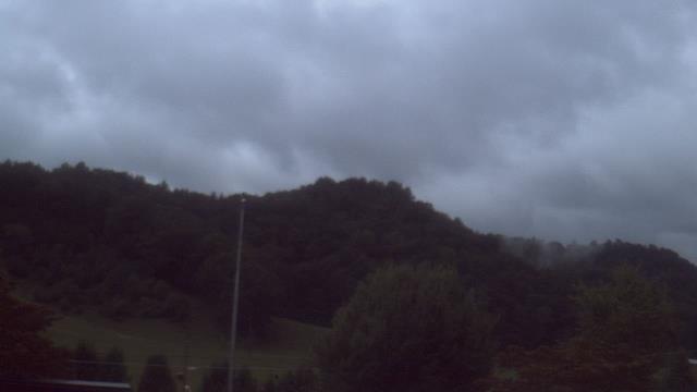

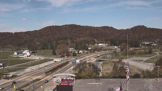
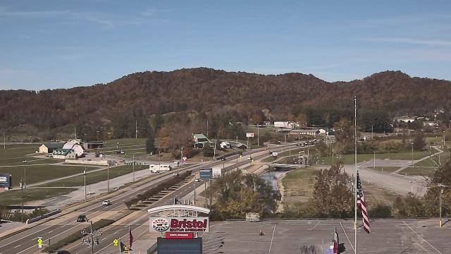
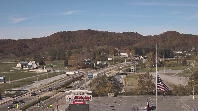
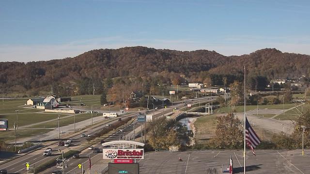
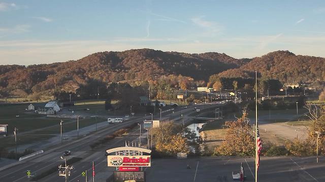
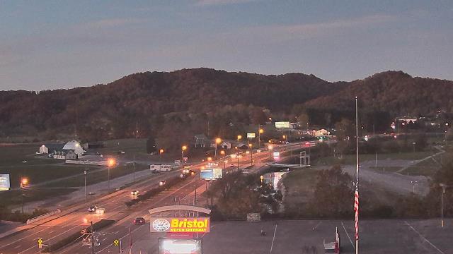
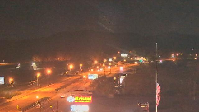
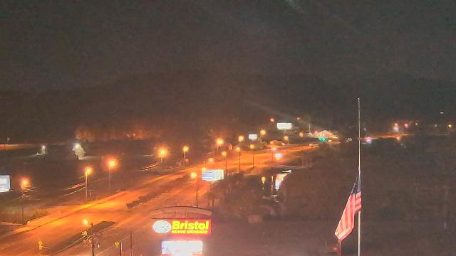
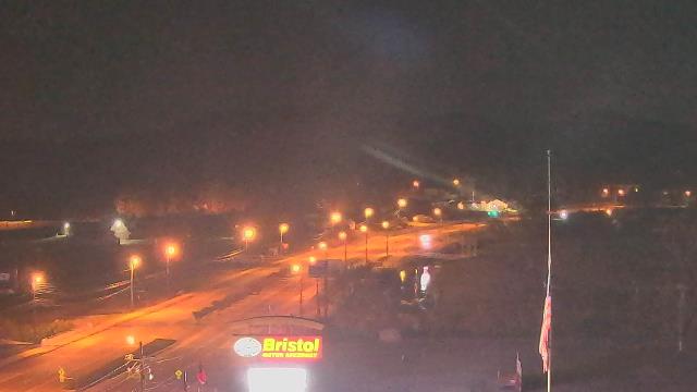
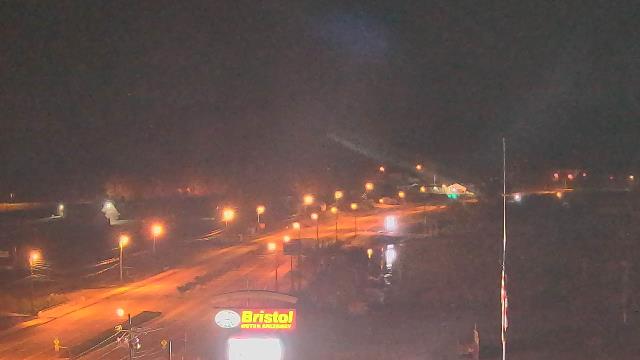
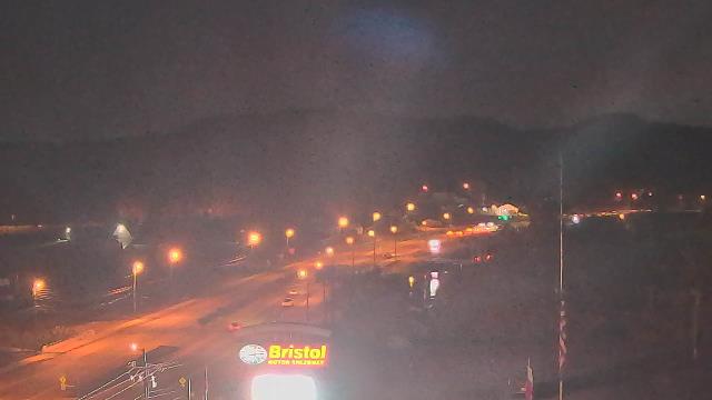
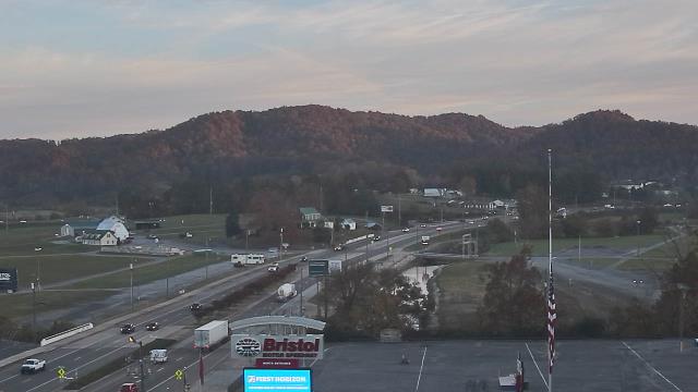
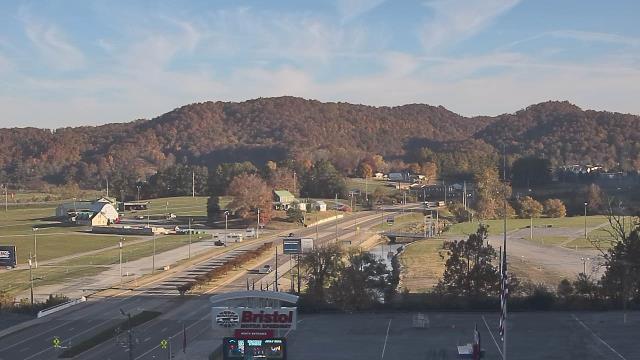
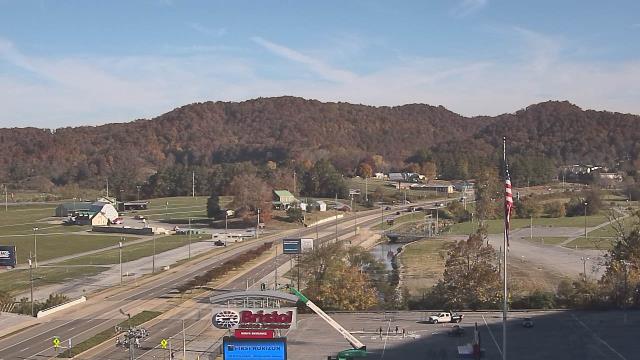
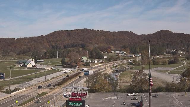
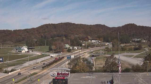
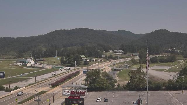
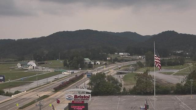
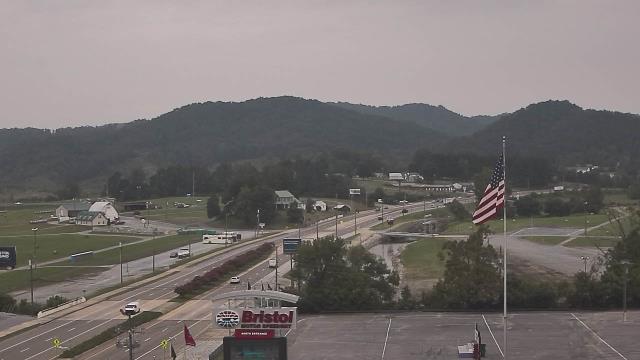
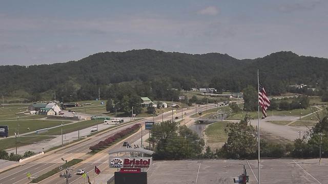
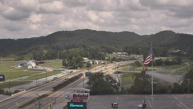
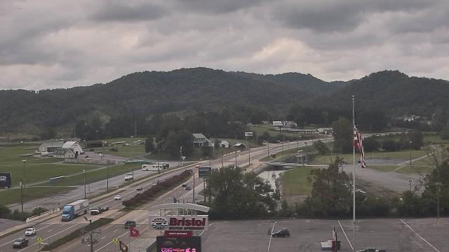
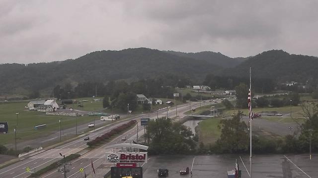
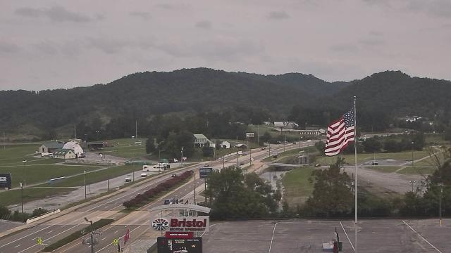
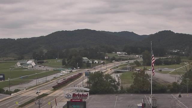
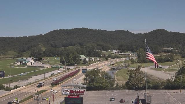
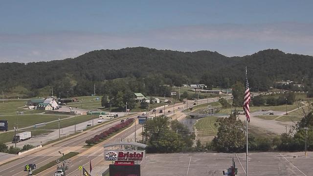
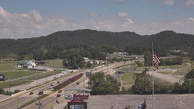
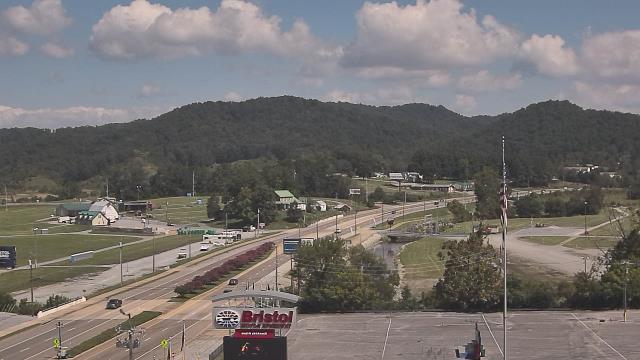
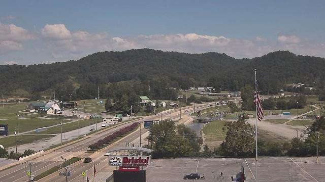
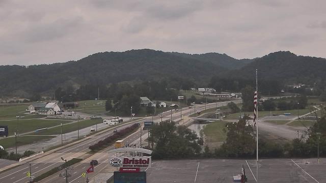
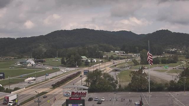
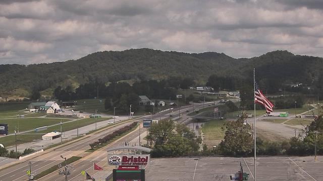
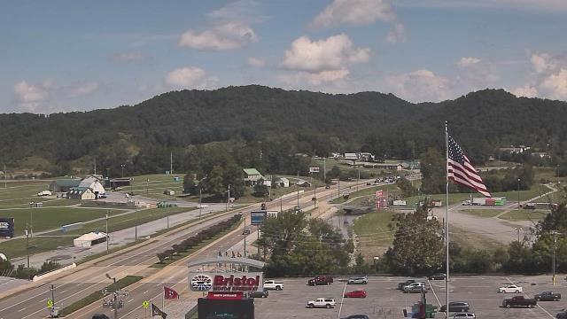
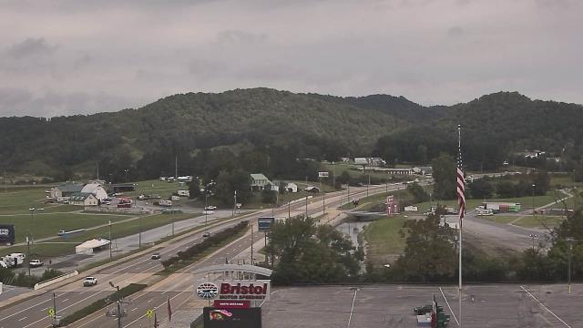
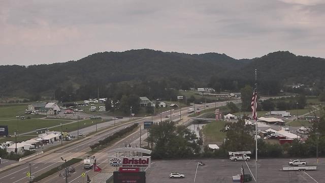
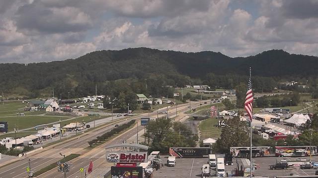
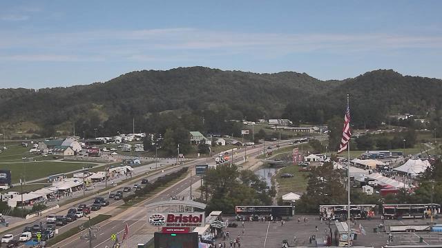
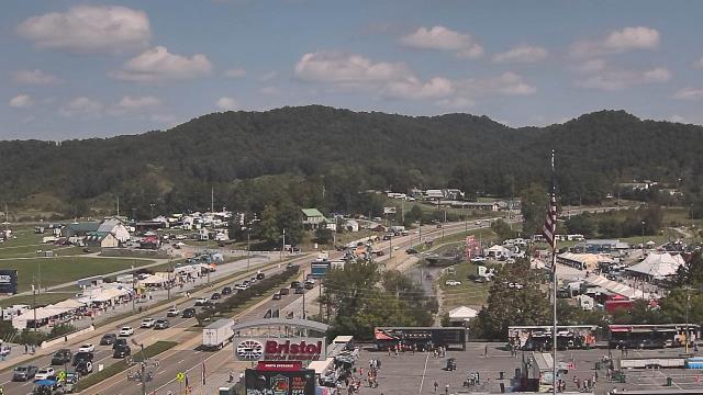
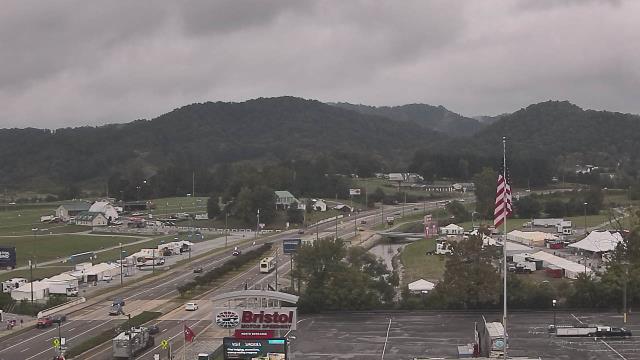
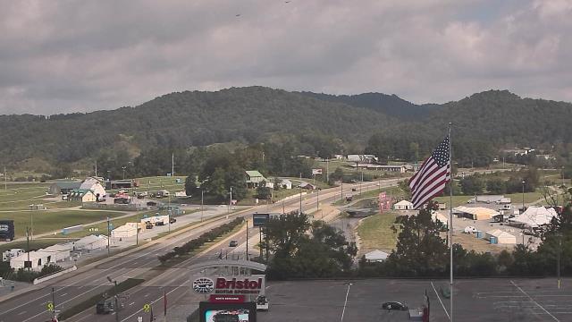
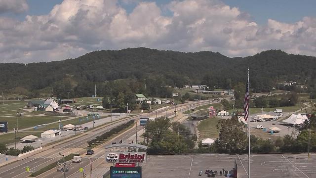
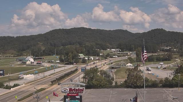
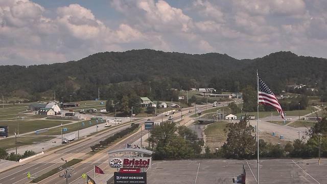
Bristol, Tennessee, USA - 69.5 miles from Ruth (historical): Bristol Motor Speedway - A webcam in Bristol, Tennessee - camera location: Bristol Motor Speedway.
Operator: WeatherBug
Operator: WeatherBug


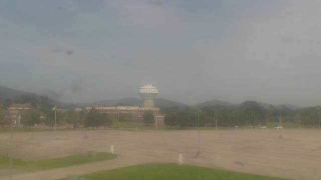
Salem, Virginia, USA - 70.8 miles from Ruth (historical): City of Salem Civic Center - A webcam in Salem, Virginia - camera location: City of Salem Civic Center.
Operator: WeatherBug
Operator: WeatherBug


Roanoke, Virginia, USA - 77.1 miles from Ruth (historical): Roanoke Catholic School - A webcam in Roanoke, Virginia - camera location: Roanoke Catholic School.
Operator: WeatherBug
Operator: WeatherBug


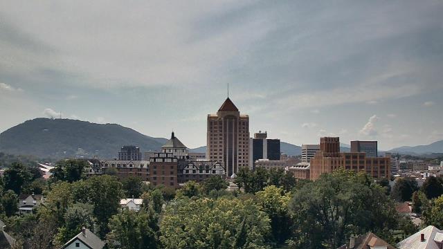

Roanoke, Virginia, USA - 77.1 miles from Ruth (historical): Mountain View - Looking SW over Appalachians near Blue Ridge Pkwy.
Operator: Roanoke Weather Page
Operator: Roanoke Weather Page


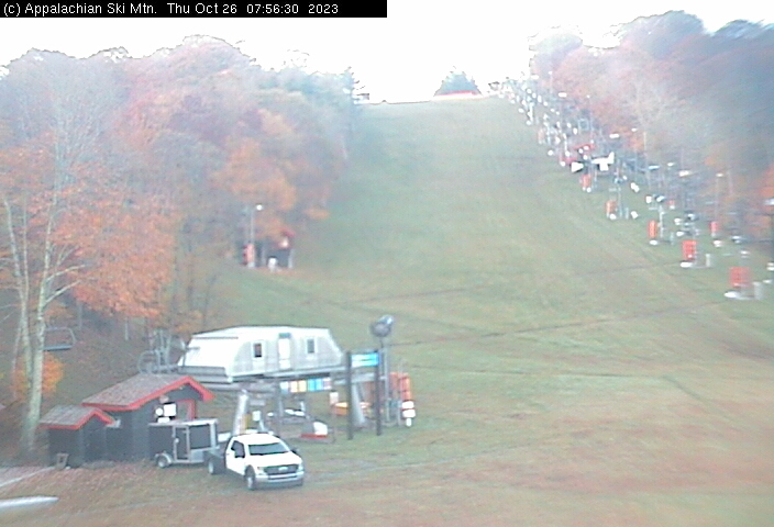
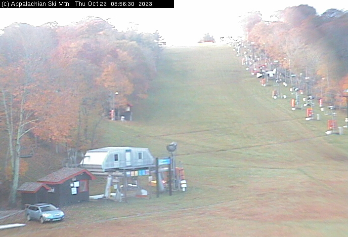
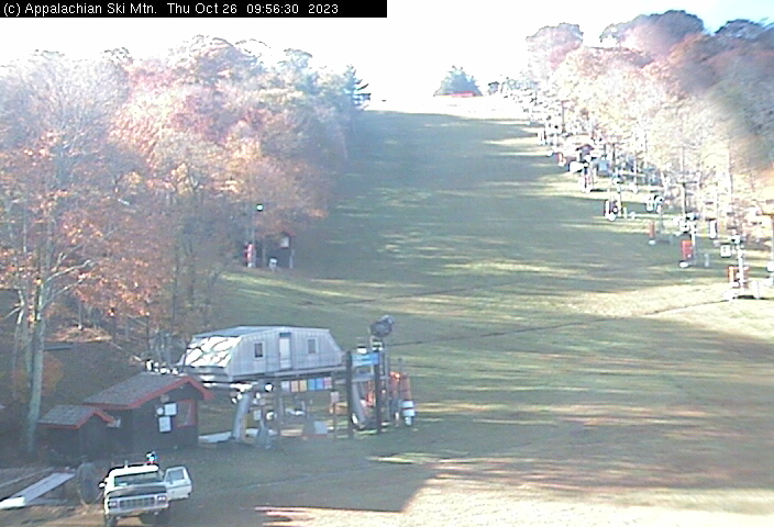
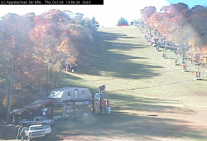
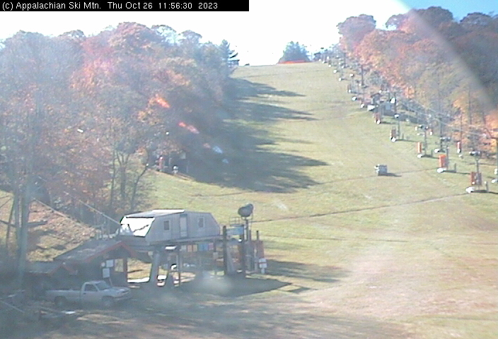
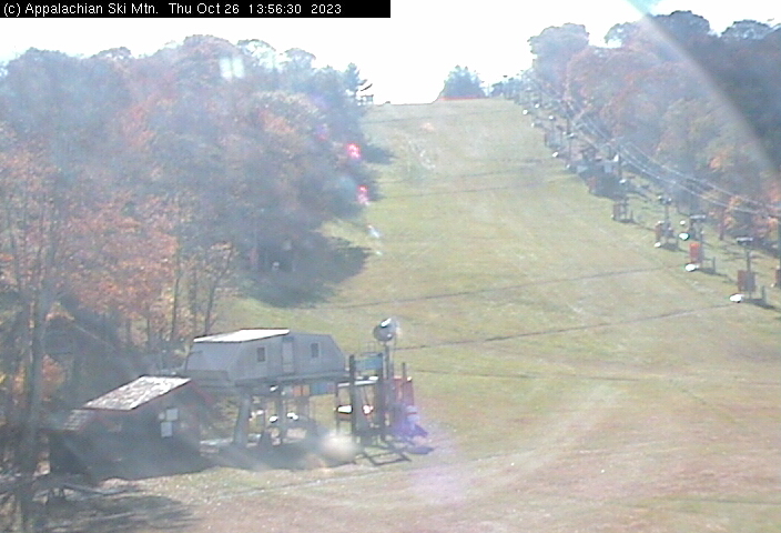
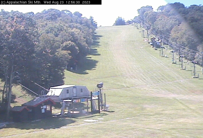
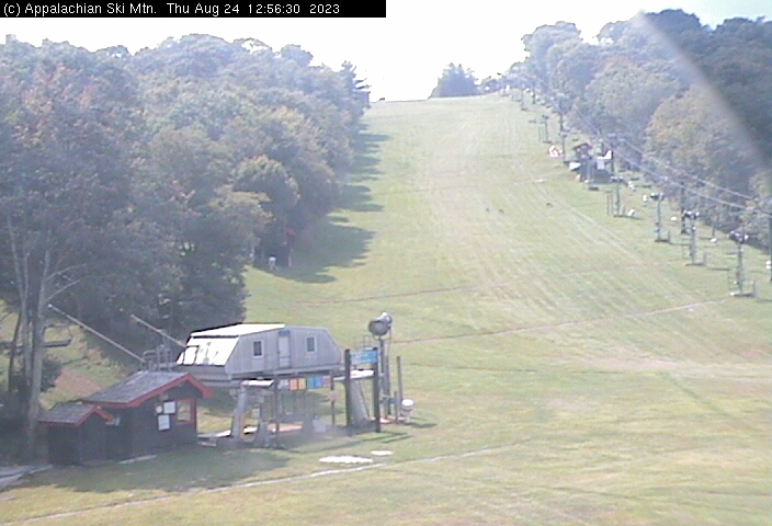
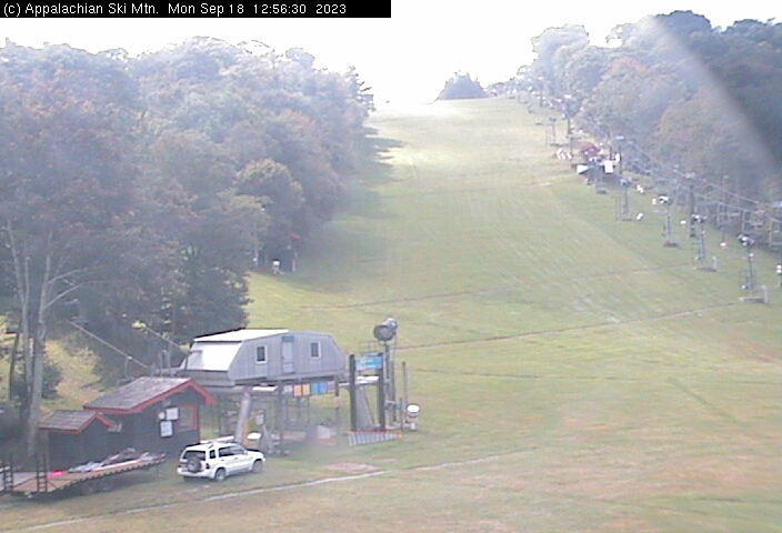
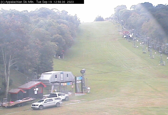
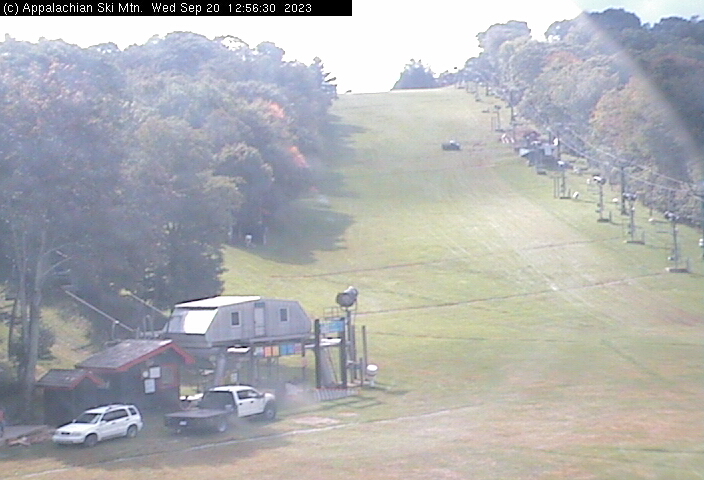
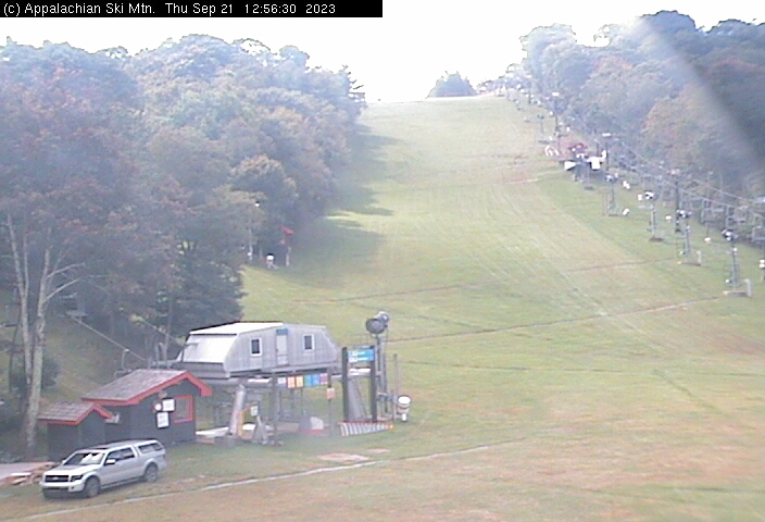
Blowing Rock, North Carolina, USA - 85.2 miles from Ruth (historical): Appalachian Ski Mtn., Inc. - A webcam in Blowing Rock, North Carolina - camera location: Appalachian Ski Mtn., Inc..
Operator: Appalachian Ski Mtn.
Operator: Appalachian Ski Mtn.


Johnson City, Tennessee, USA - 90.2 miles from Ruth (historical): Bank of Tennessee - A webcam in Johnson City, Tennessee - camera location: Bank of Tennessee.
Operator: WeatherBug
Operator: WeatherBug


Buchanan, Virginia, USA - 90.5 miles from Ruth (historical): James River High School - A webcam in Buchanan, Virginia - camera location: James River High School.
Operator: WeatherBug
Operator: WeatherBug


Some other places in this country: El Centro (historical) - Johnston Town - Lake Shawnee - Lowe (historical) - Stengel (historical) - Widemouth (historical) - Lando Mines - Laura Lee Mine - Lead Mine - Consol Number 9