Webcams in the region of Rodes (historical), West Virginia, USA
The List of Webcams near Rodes (historical), West Virginia, USA:

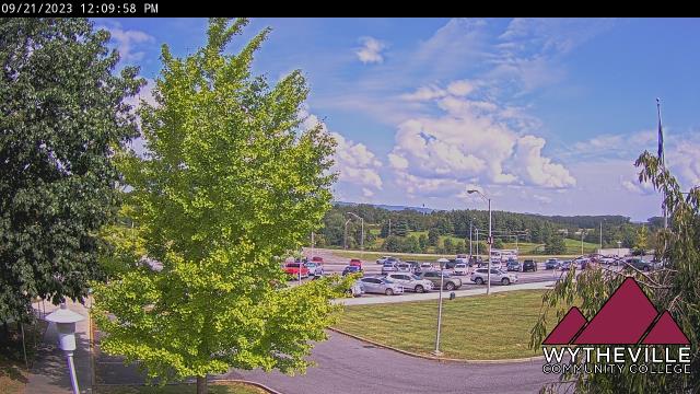
Wytheville, Virginia, USA - 57.6 miles from Rodes (historical): Wytheville Community College - A webcam in Wytheville, Virginia - camera location: Wytheville Community College.
Operator: WeatherBug
Operator: WeatherBug


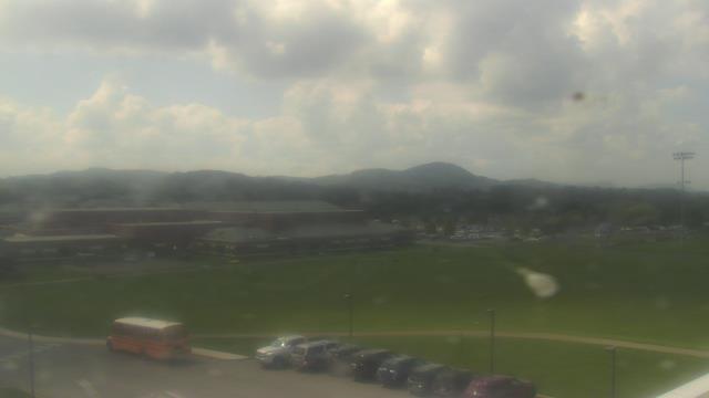
Riner, Virginia, USA - 62 miles from Rodes (historical): Auburn Middle School - A webcam in Riner, Virginia - camera location: Auburn Middle School.
Operator: WeatherBug
Operator: WeatherBug


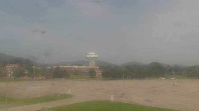
Salem, Virginia, USA - 67.9 miles from Rodes (historical): City of Salem Civic Center - A webcam in Salem, Virginia - camera location: City of Salem Civic Center.
Operator: WeatherBug
Operator: WeatherBug


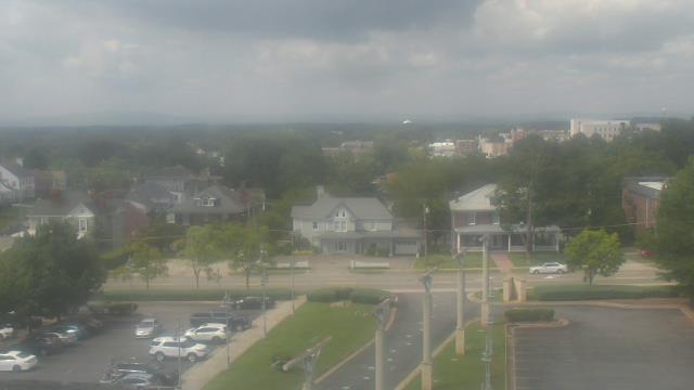
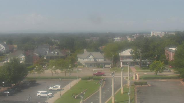
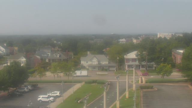
Roanoke, Virginia, USA - 74.1 miles from Rodes (historical): Roanoke Catholic School - A webcam in Roanoke, Virginia - camera location: Roanoke Catholic School.
Operator: WeatherBug
Operator: WeatherBug


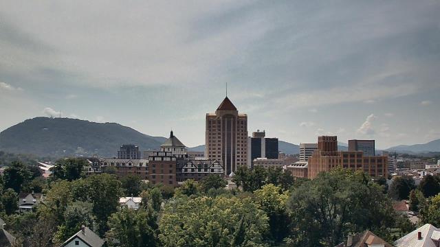

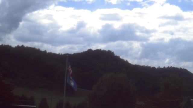
Roanoke, Virginia, USA - 74.1 miles from Rodes (historical): Mountain View - Looking SW over Appalachians near Blue Ridge Pkwy.
Operator: Roanoke Weather Page
Operator: Roanoke Weather Page


Buchanan, Virginia, USA - 79.5 miles from Rodes (historical): James River High School - A webcam in Buchanan, Virginia - camera location: James River High School.
Operator: WeatherBug
Operator: WeatherBug


Abingdon, Virginia, USA - 86.8 miles from Rodes (historical): Watauga Elementary School - A webcam in Abingdon, Virginia - camera location: Watauga Elementary School.
Operator: WeatherBug
Operator: WeatherBug


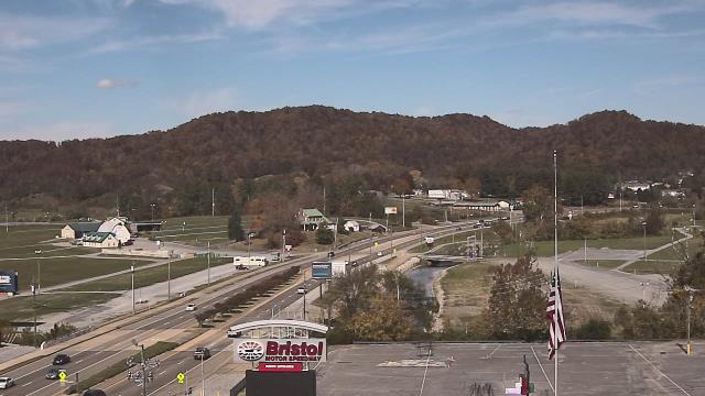
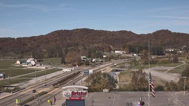
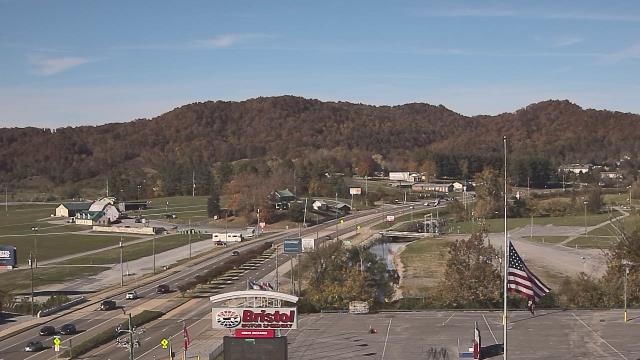
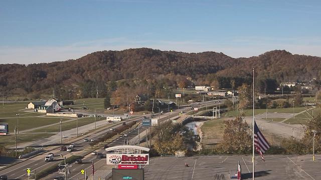
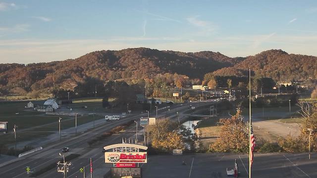
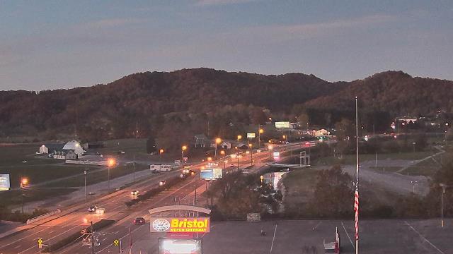
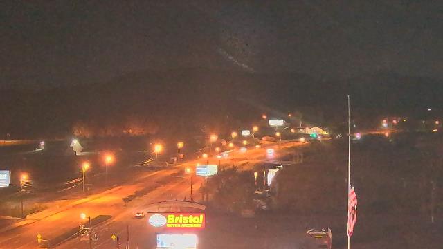
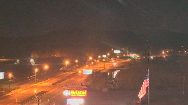
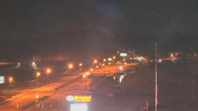
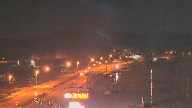
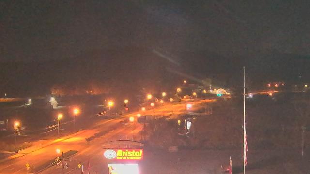
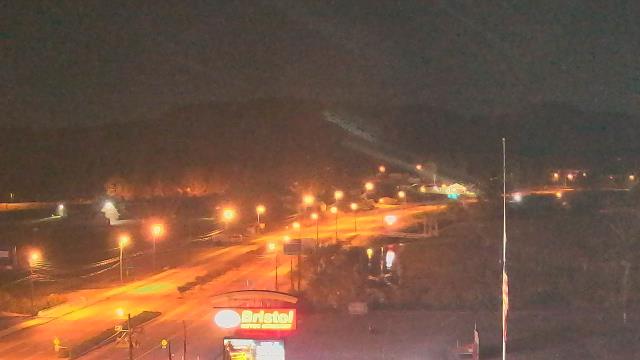
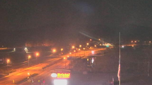
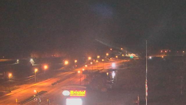
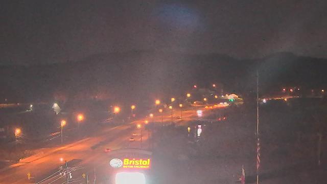
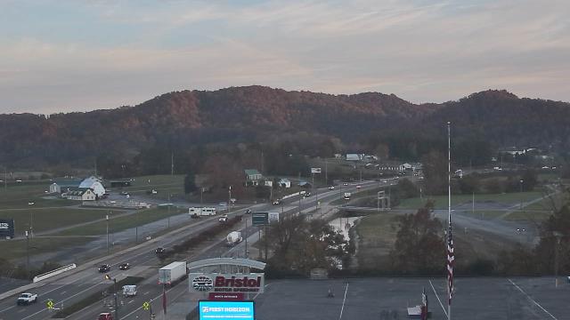
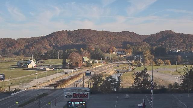
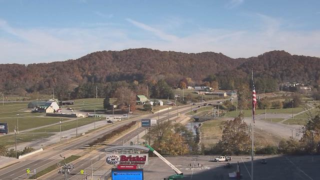
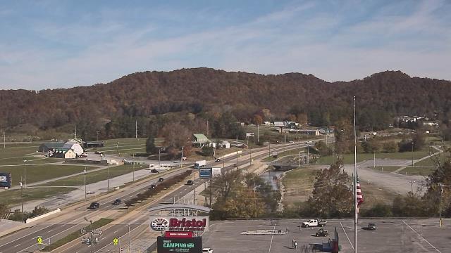
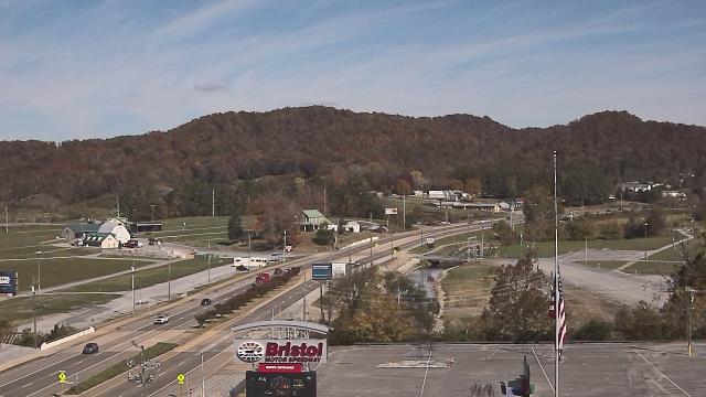
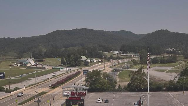
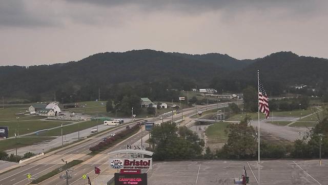
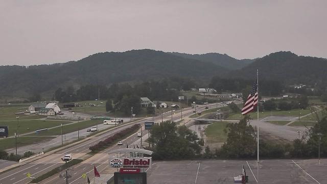
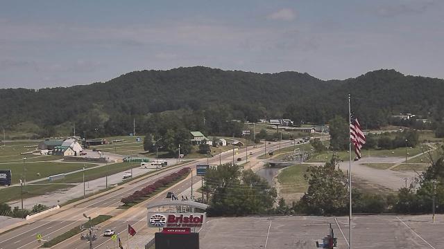
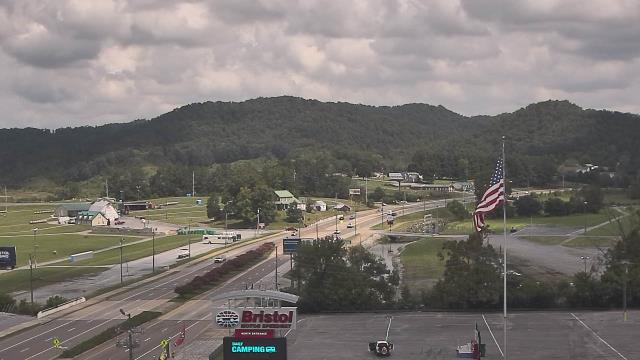
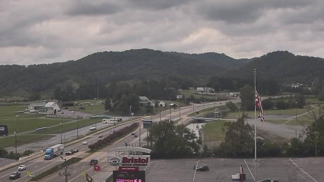
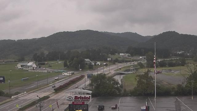
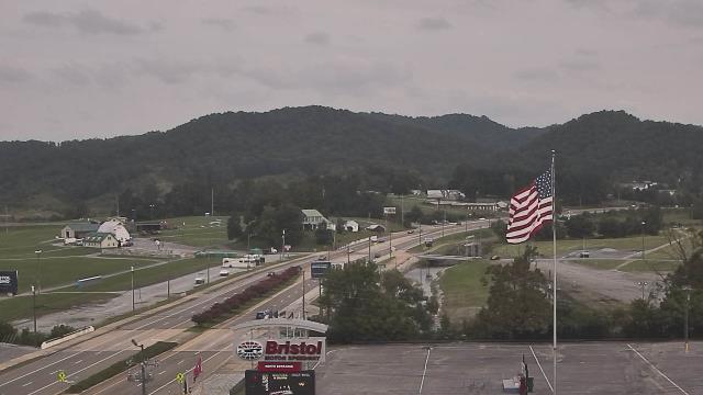
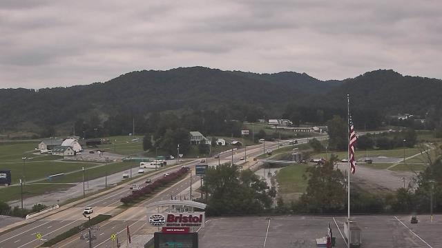
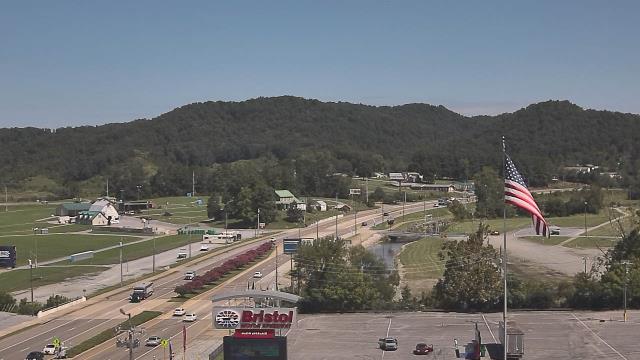
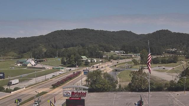
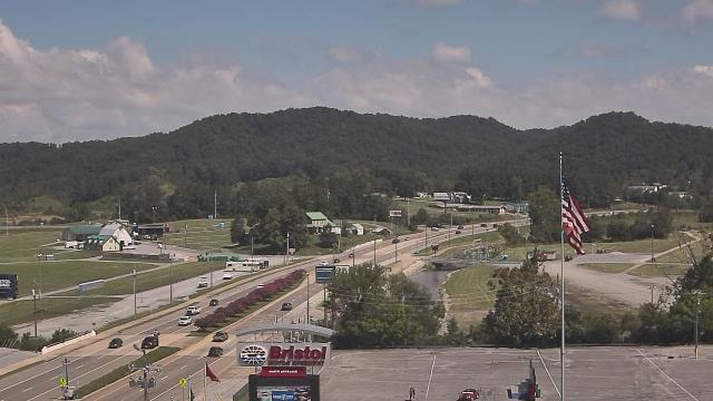
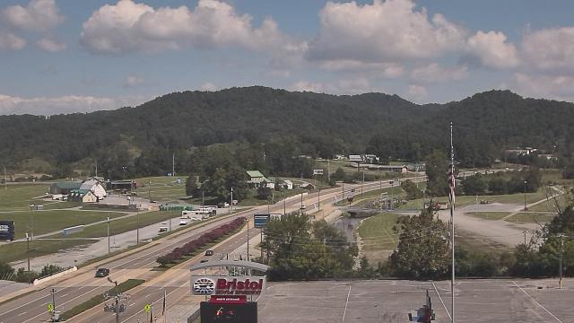
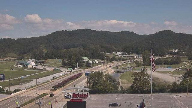
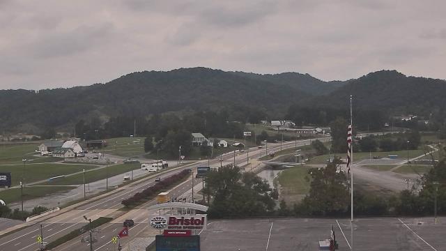
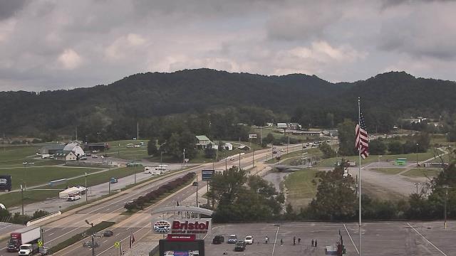
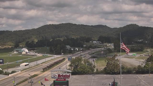
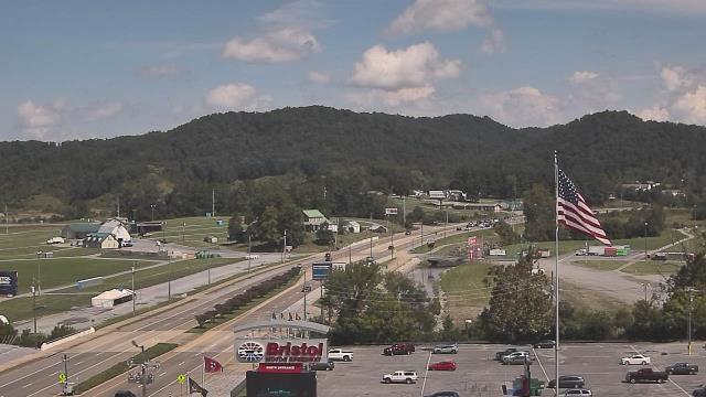
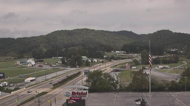
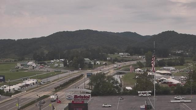
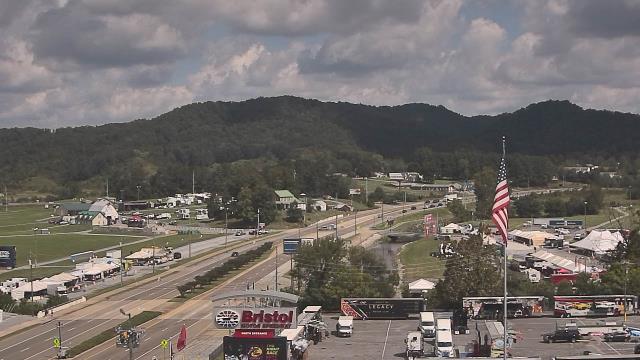
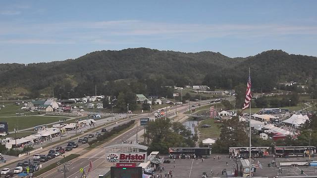
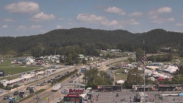
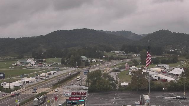
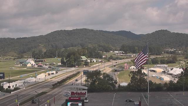
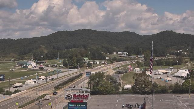
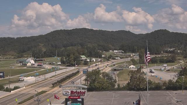
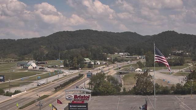
Bristol, Tennessee, USA - 99.9 miles from Rodes (historical): Bristol Motor Speedway - A webcam in Bristol, Tennessee - camera location: Bristol Motor Speedway.
Operator: WeatherBug
Operator: WeatherBug


Martinsville, Virginia, USA - 102.1 miles from Rodes (historical): Virginia Museum of Natural History - A webcam in Martinsville, Virginia - camera location: Virginia Museum of Natural History.
Operator: WeatherBug
Operator: WeatherBug


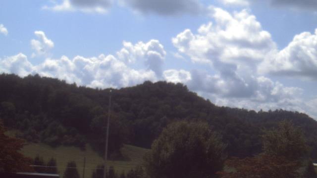
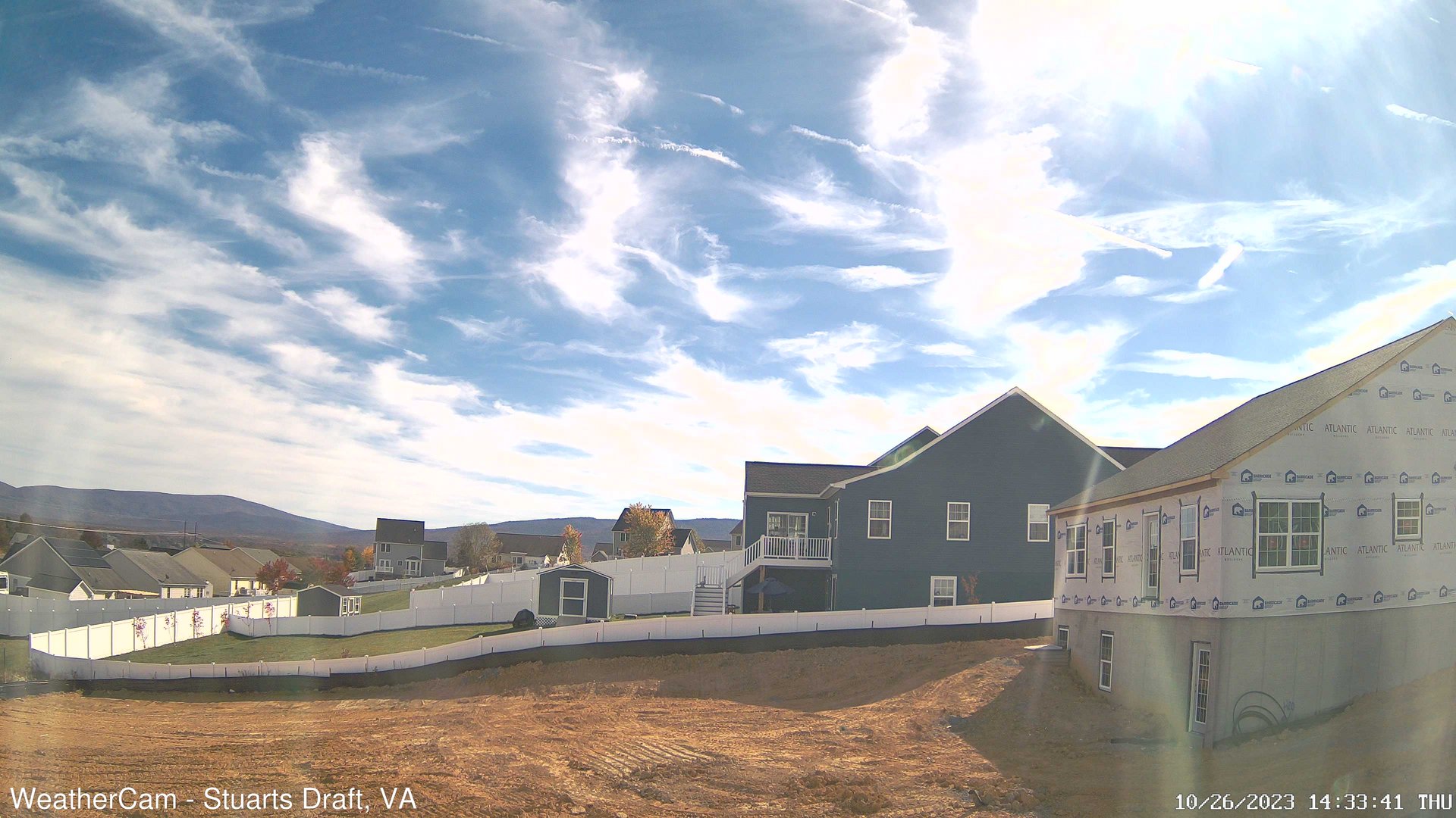
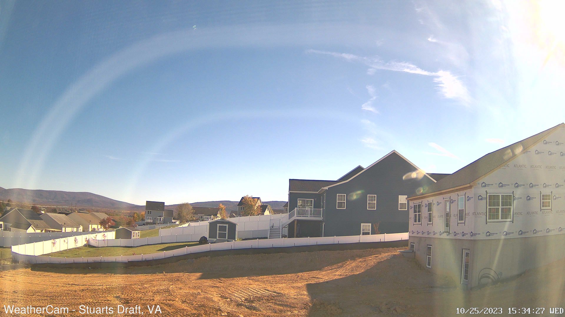
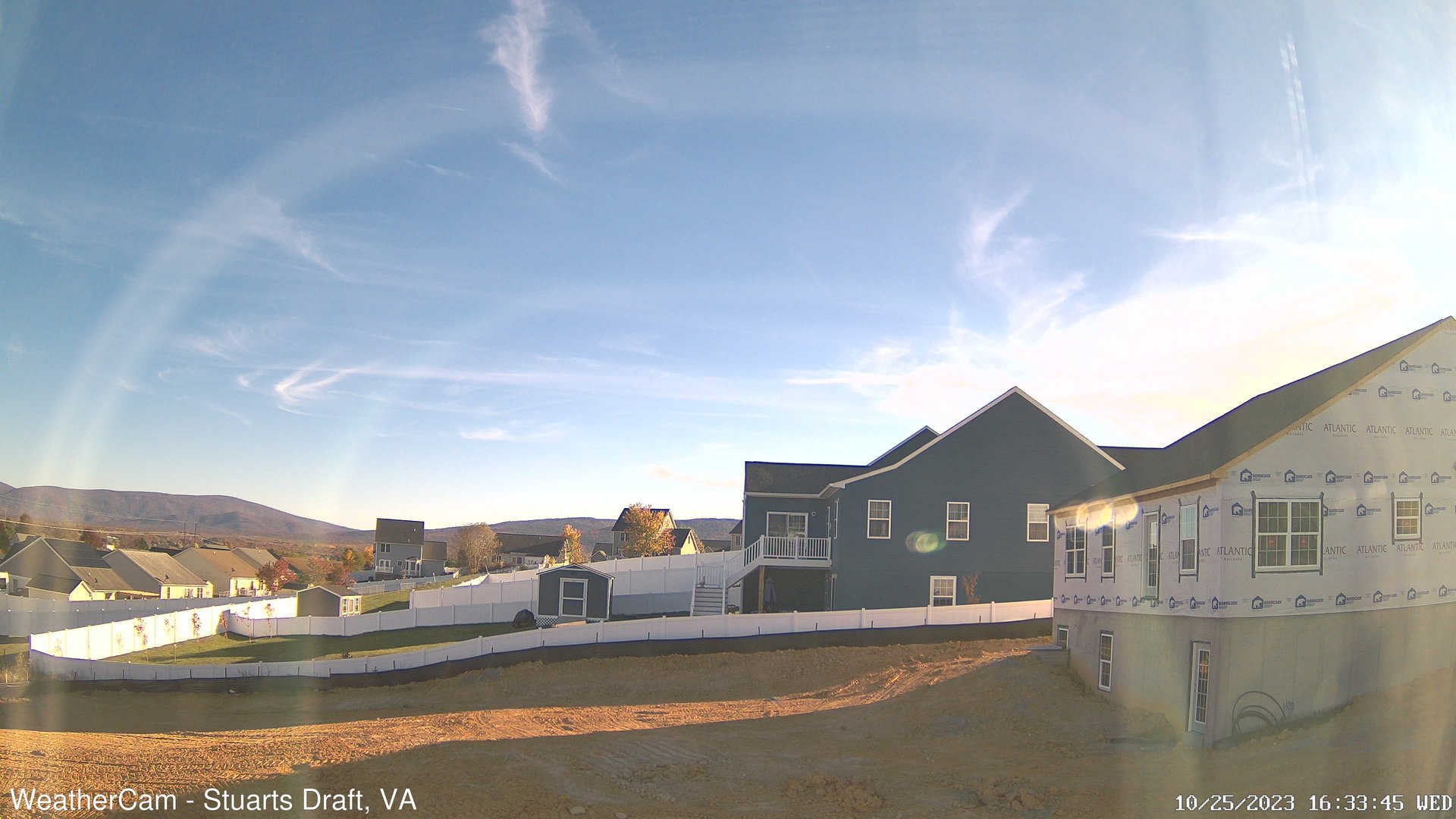
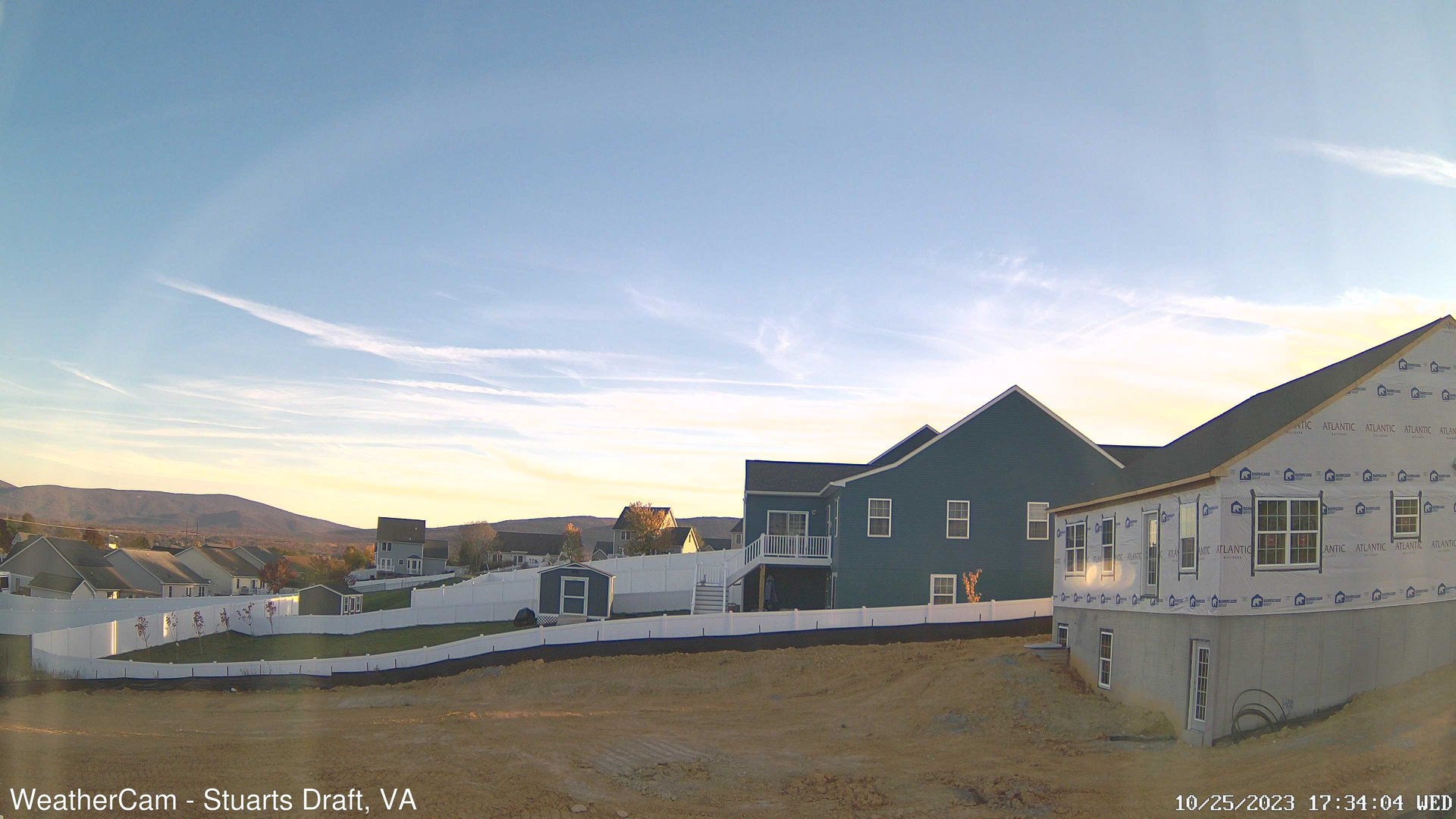
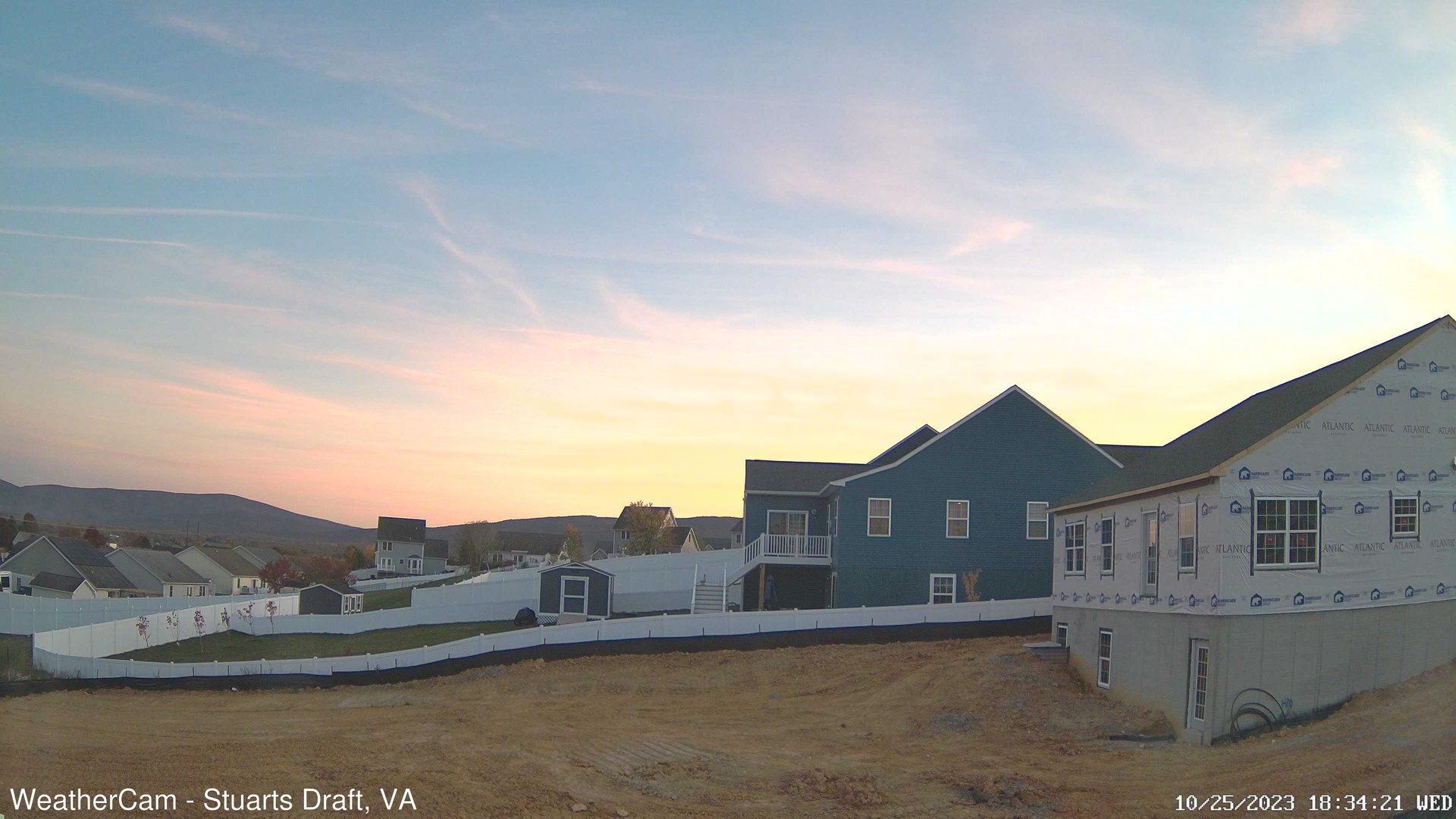
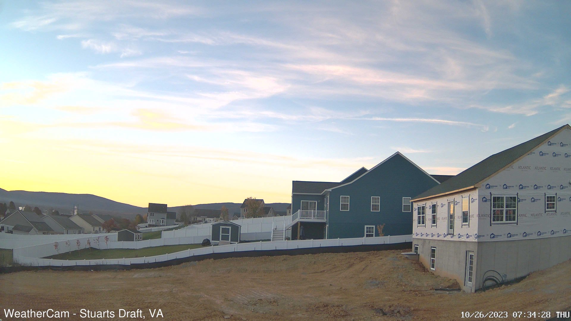
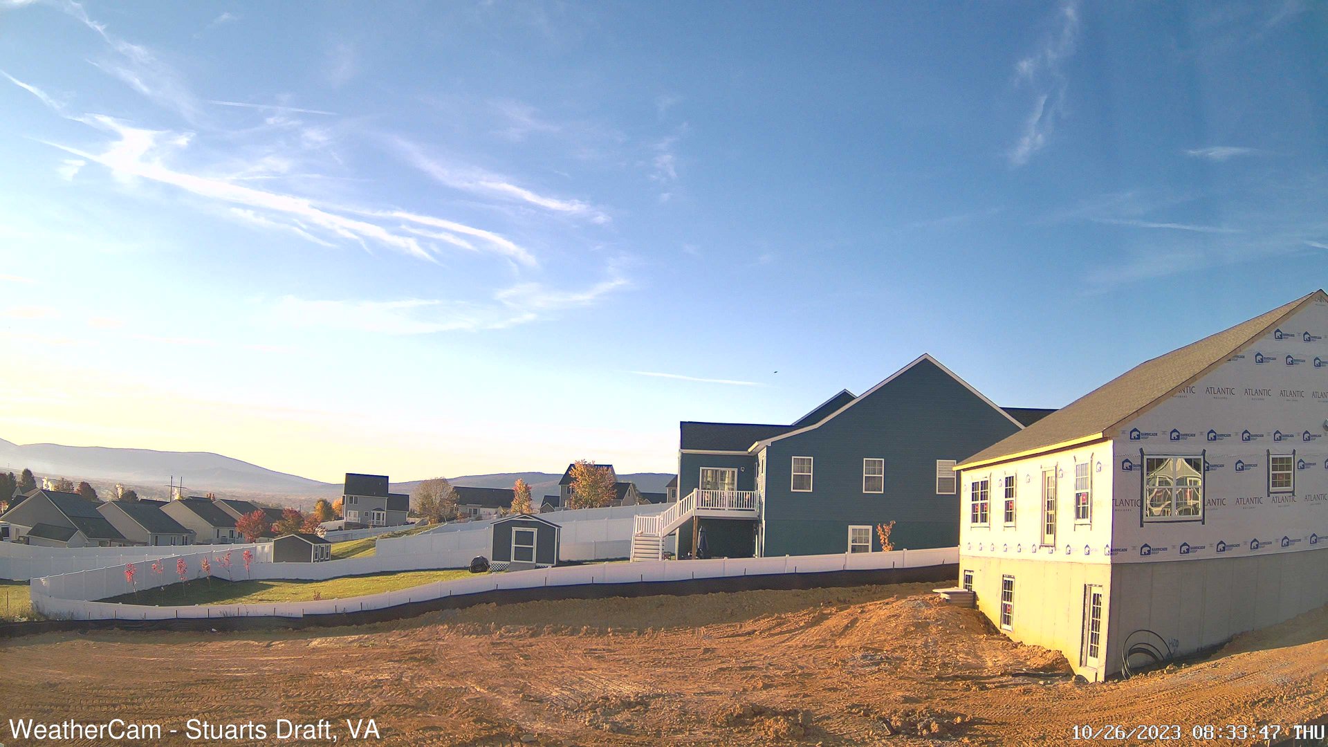
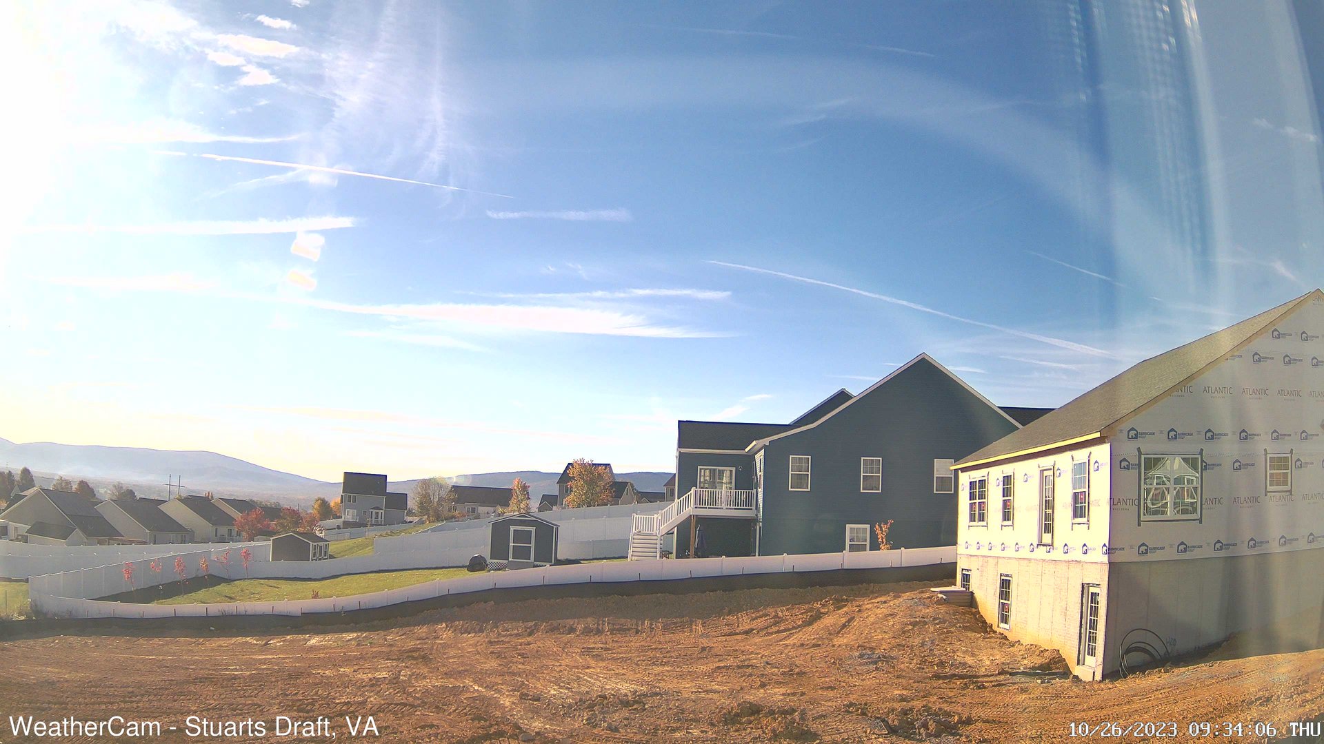
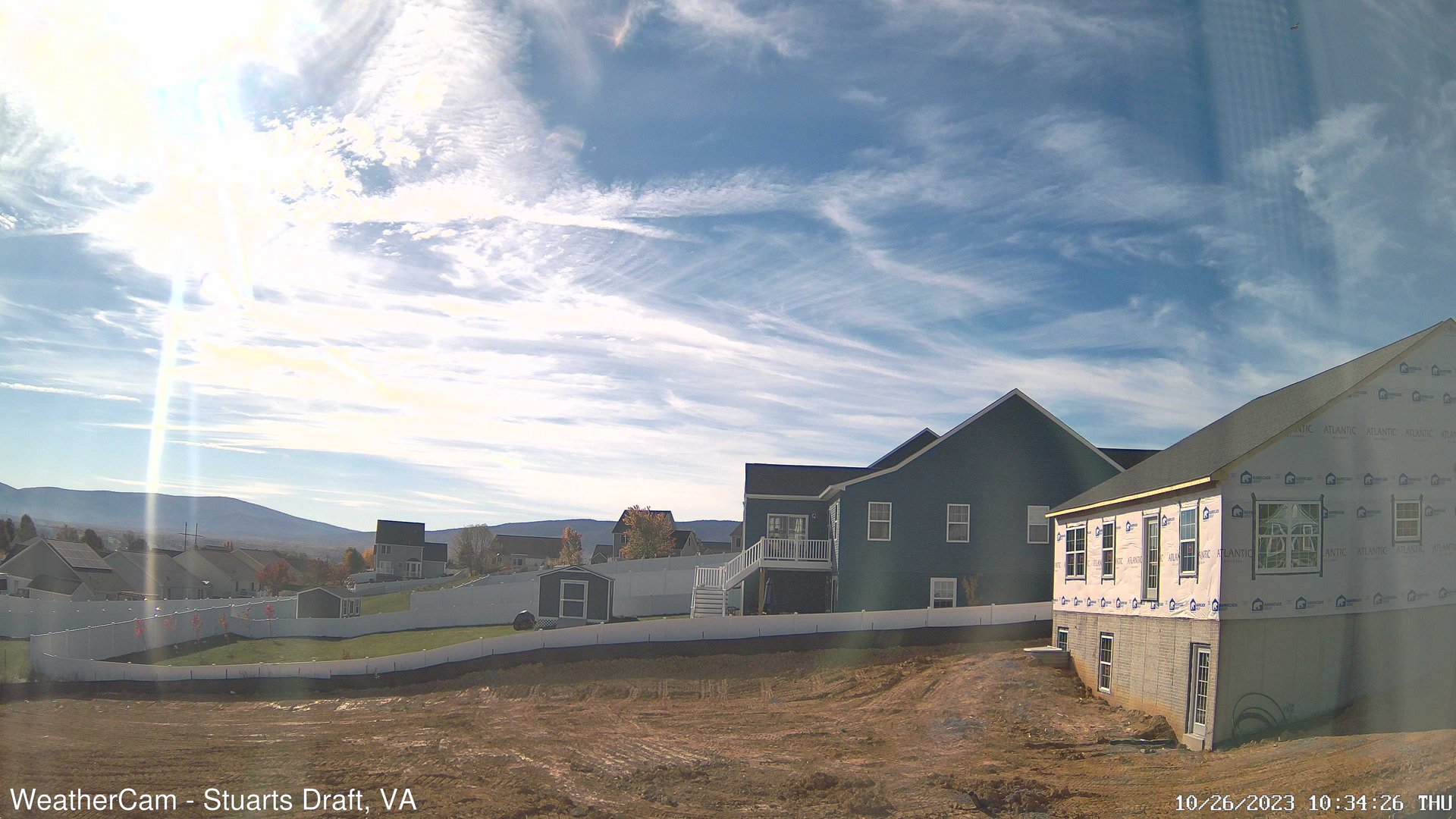
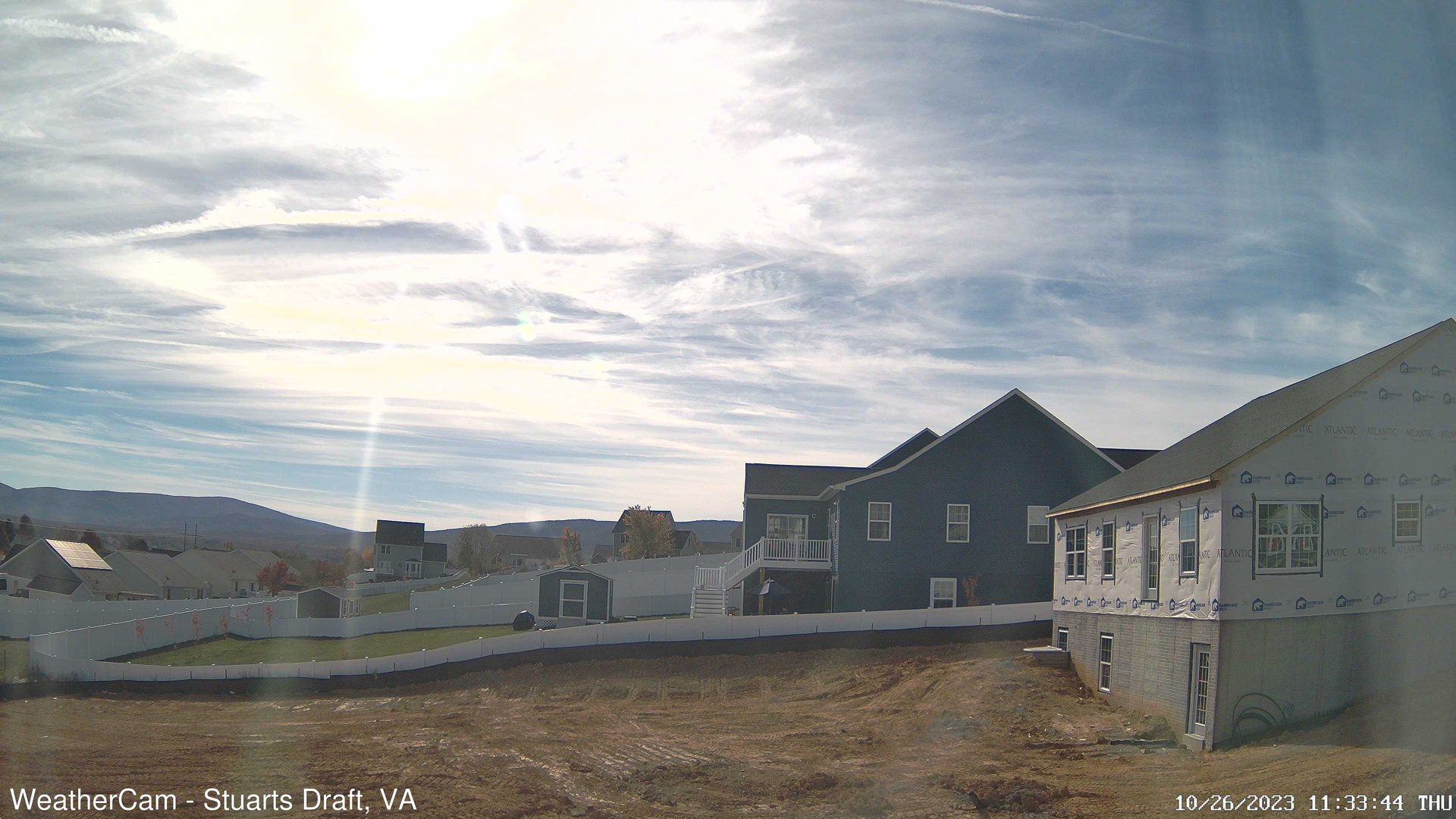
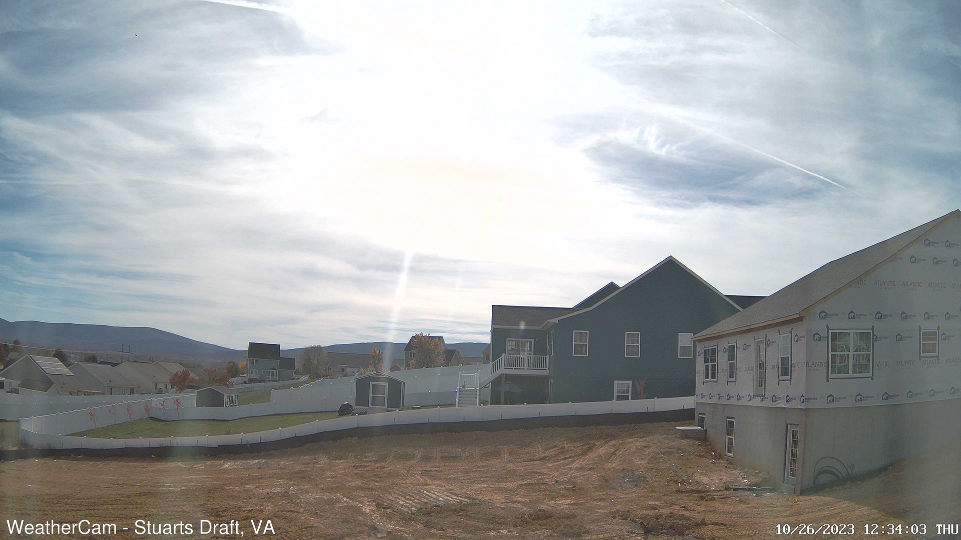
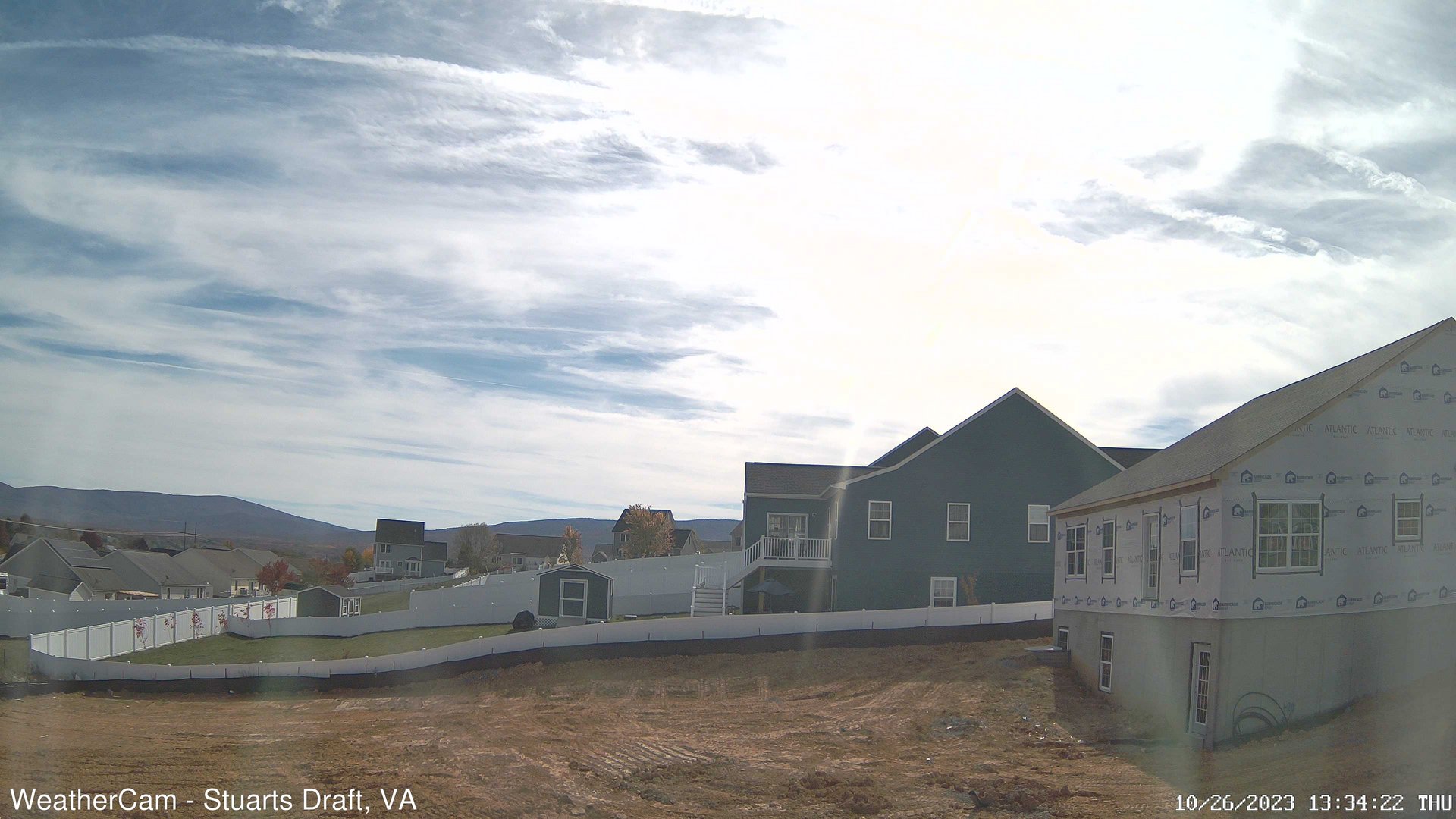
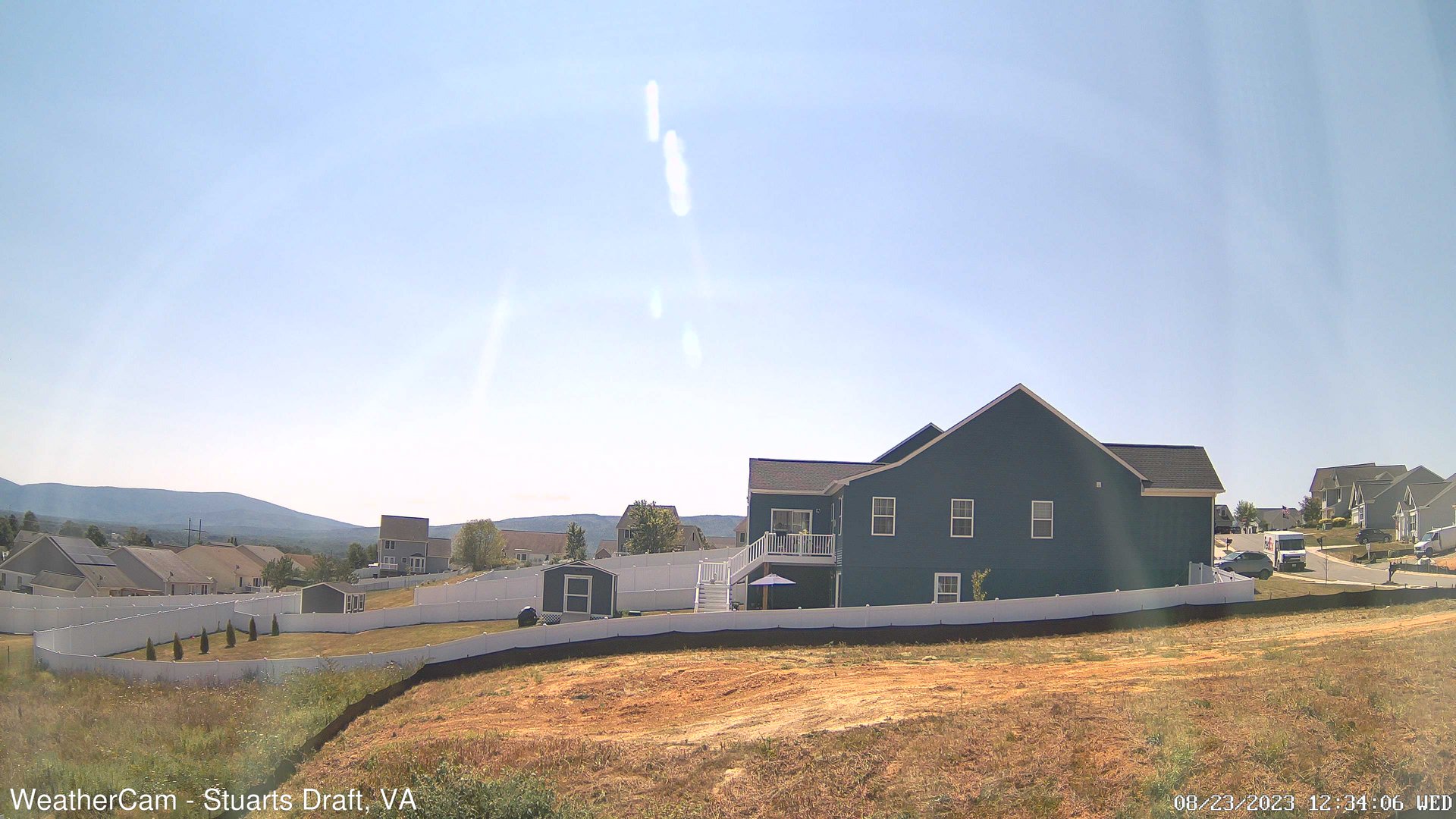
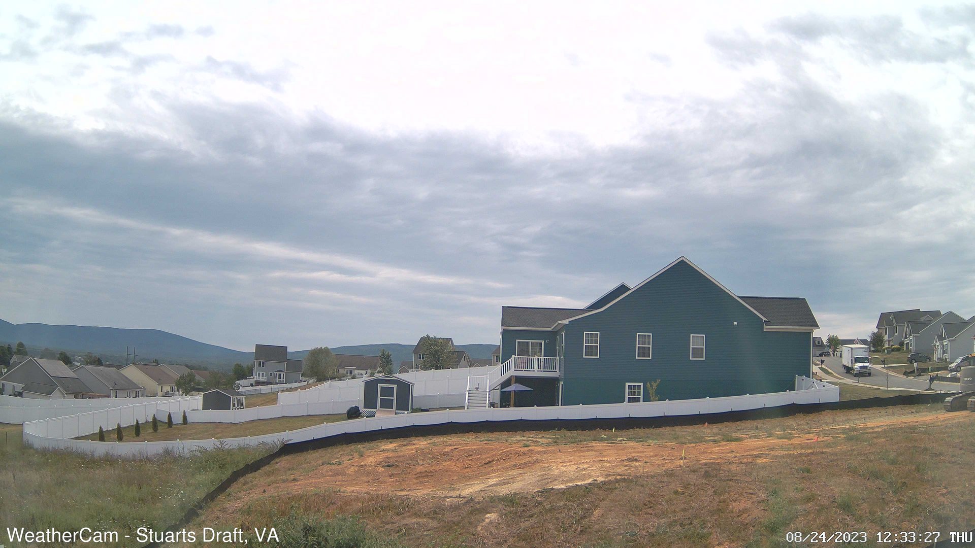
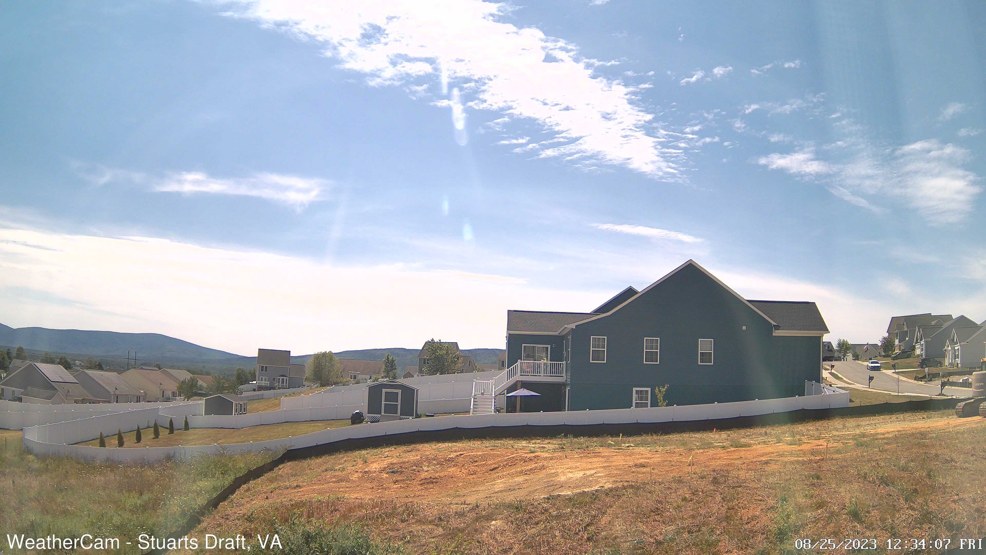
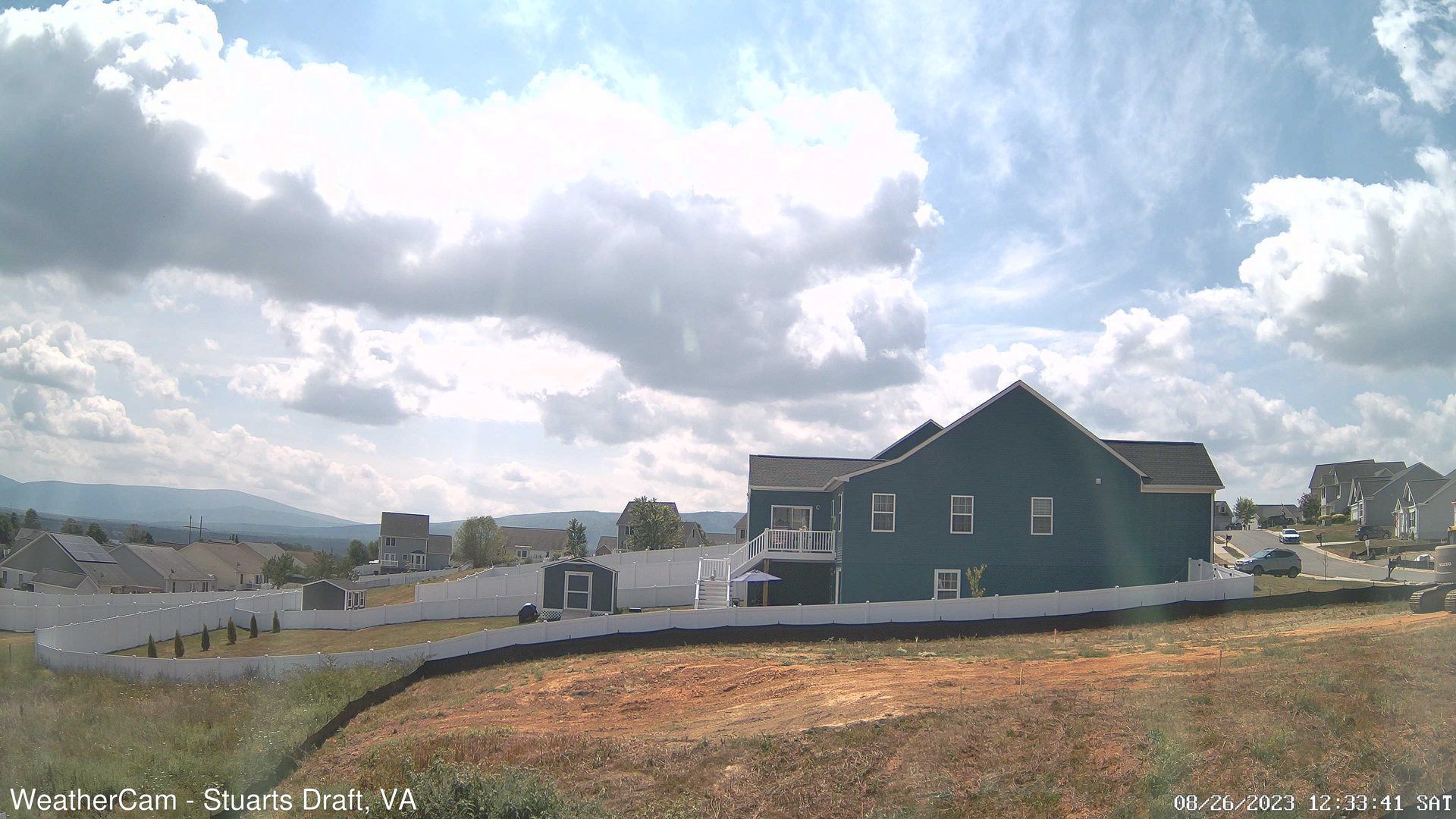
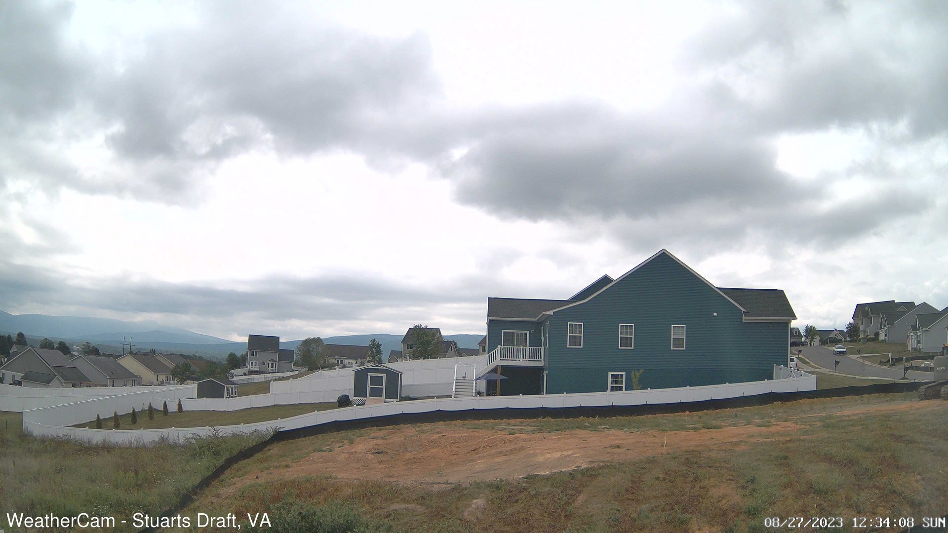
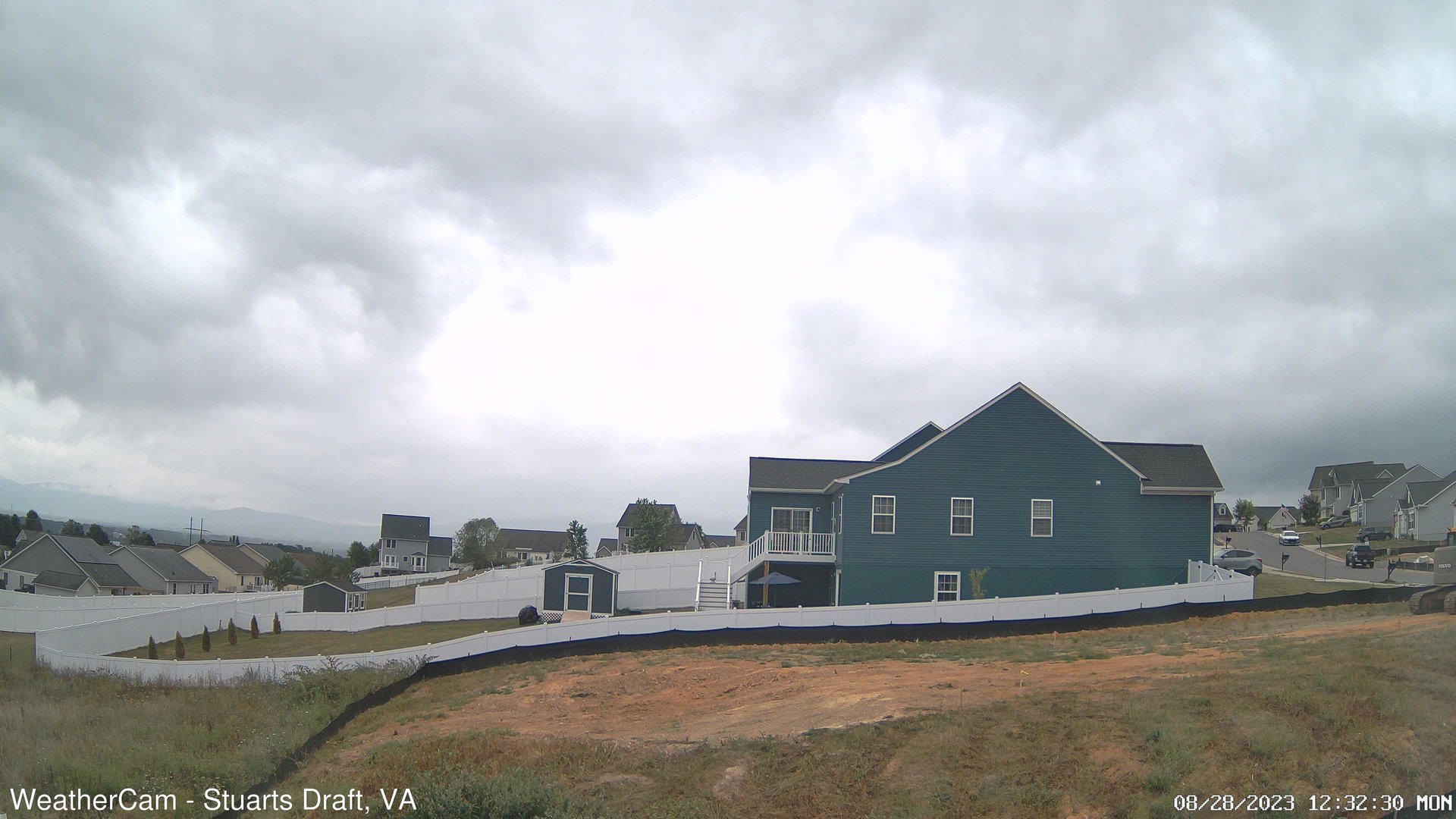
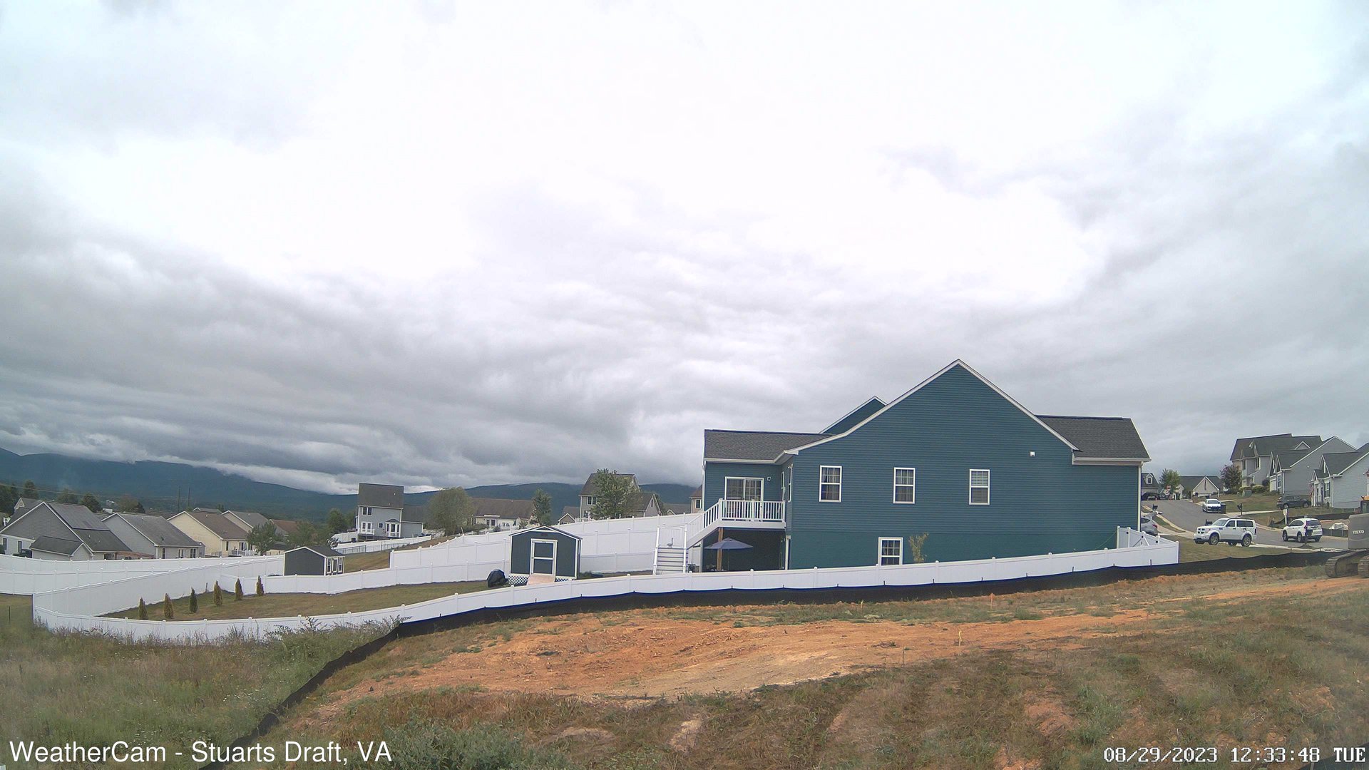
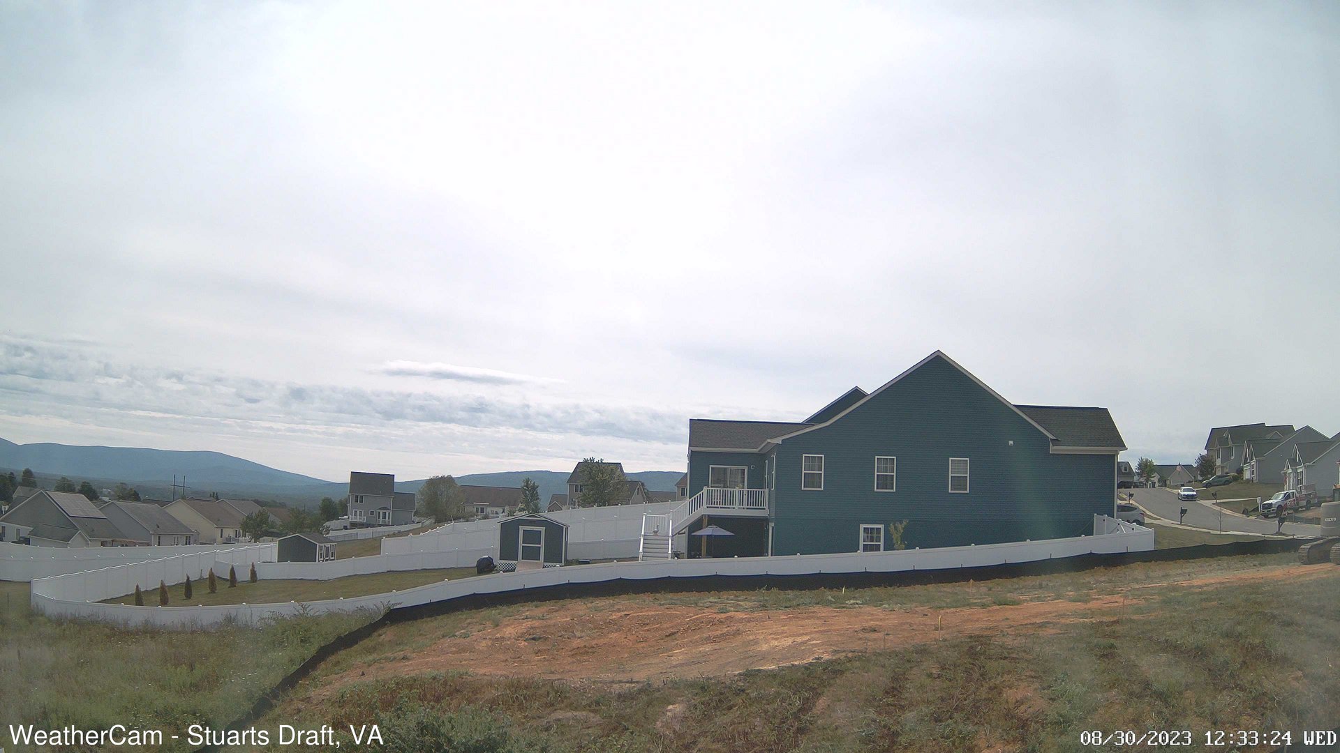
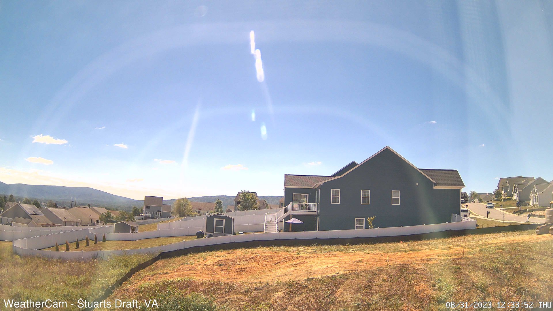
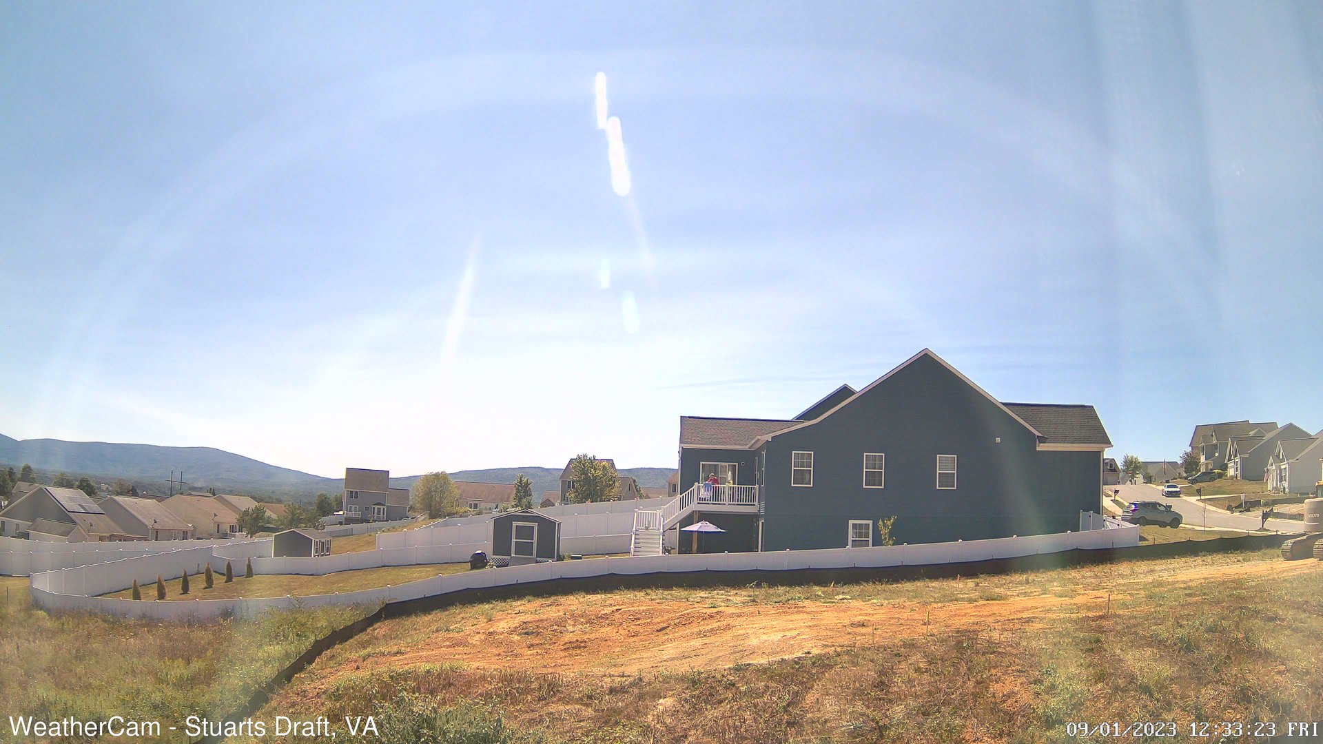
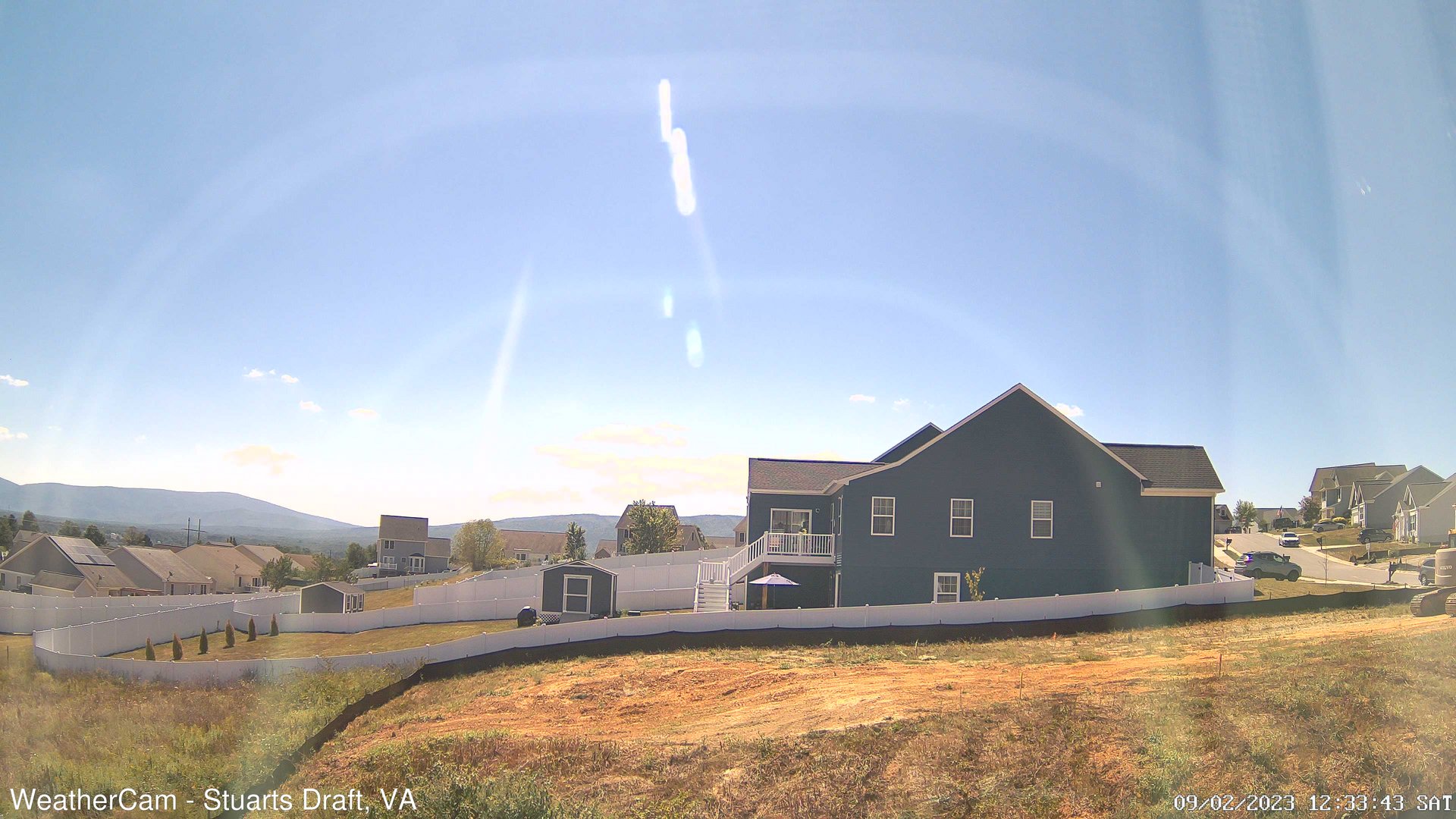
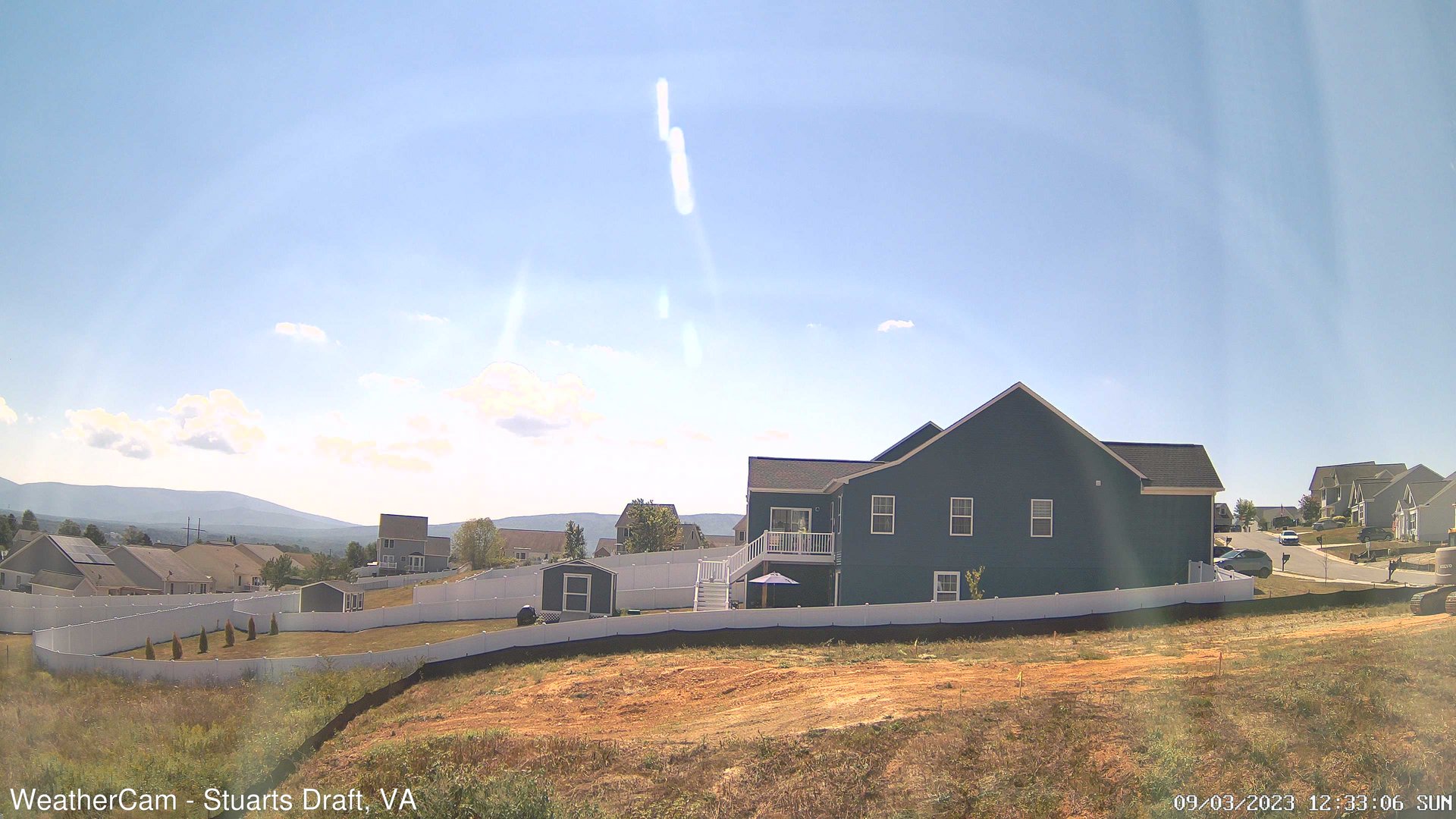
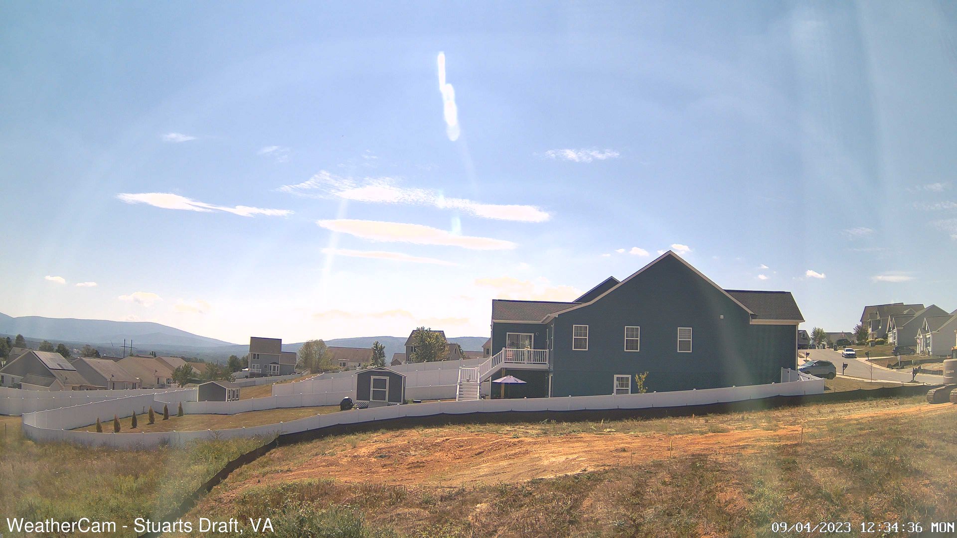
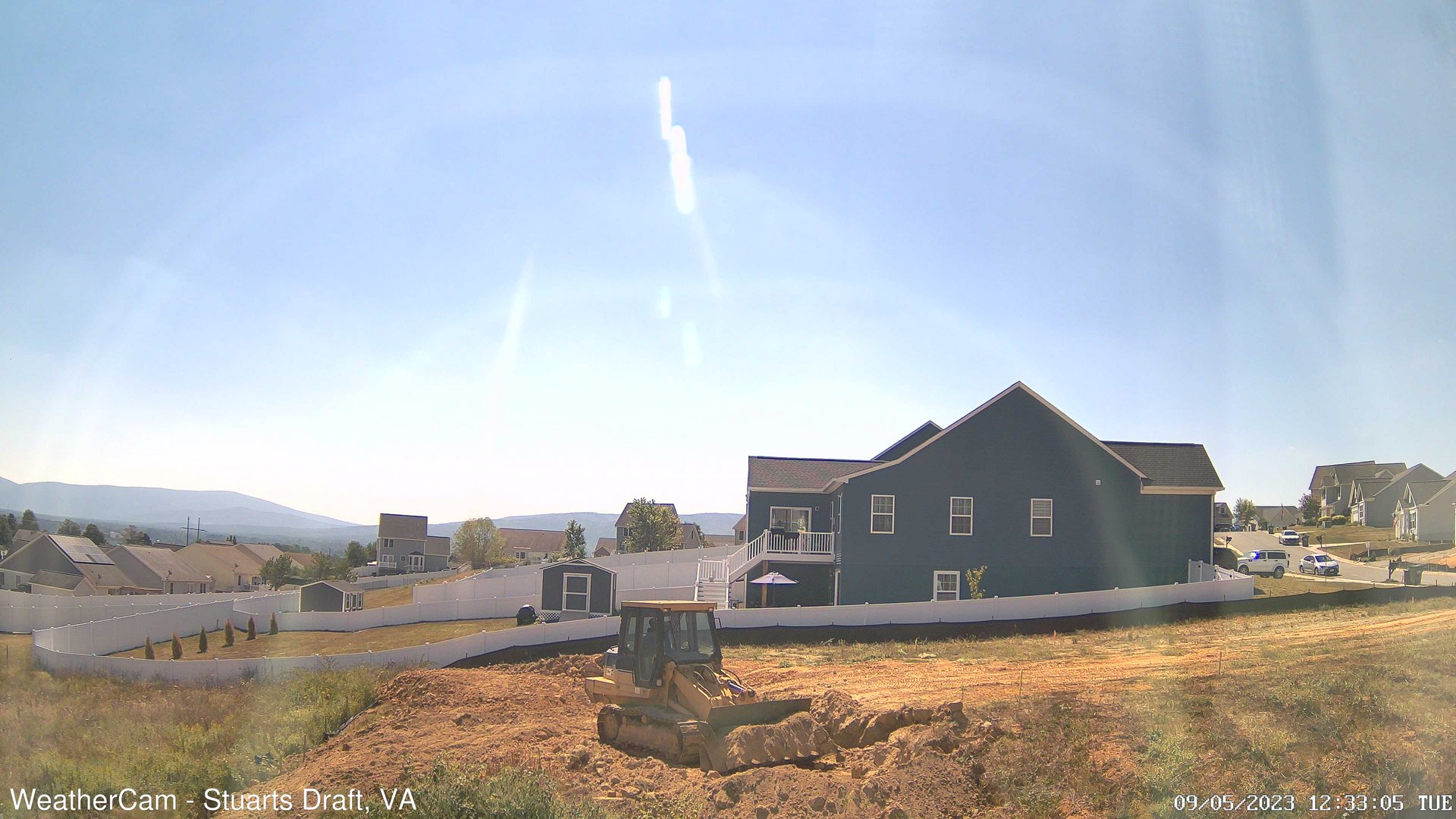
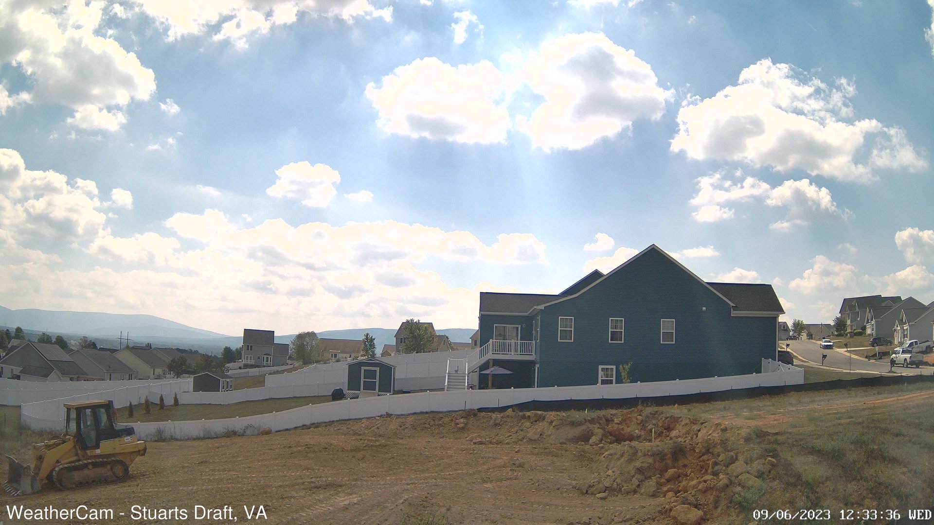
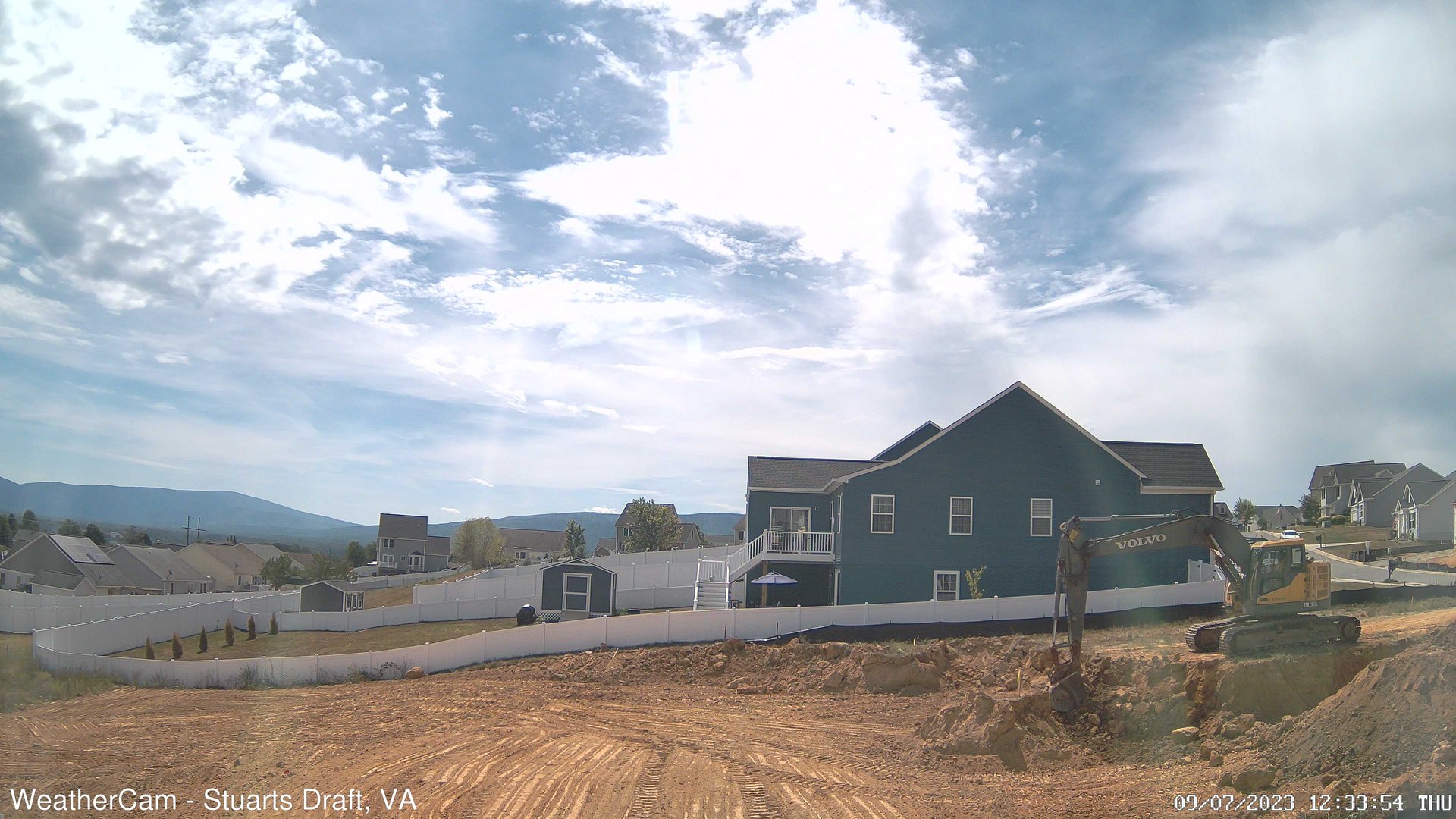
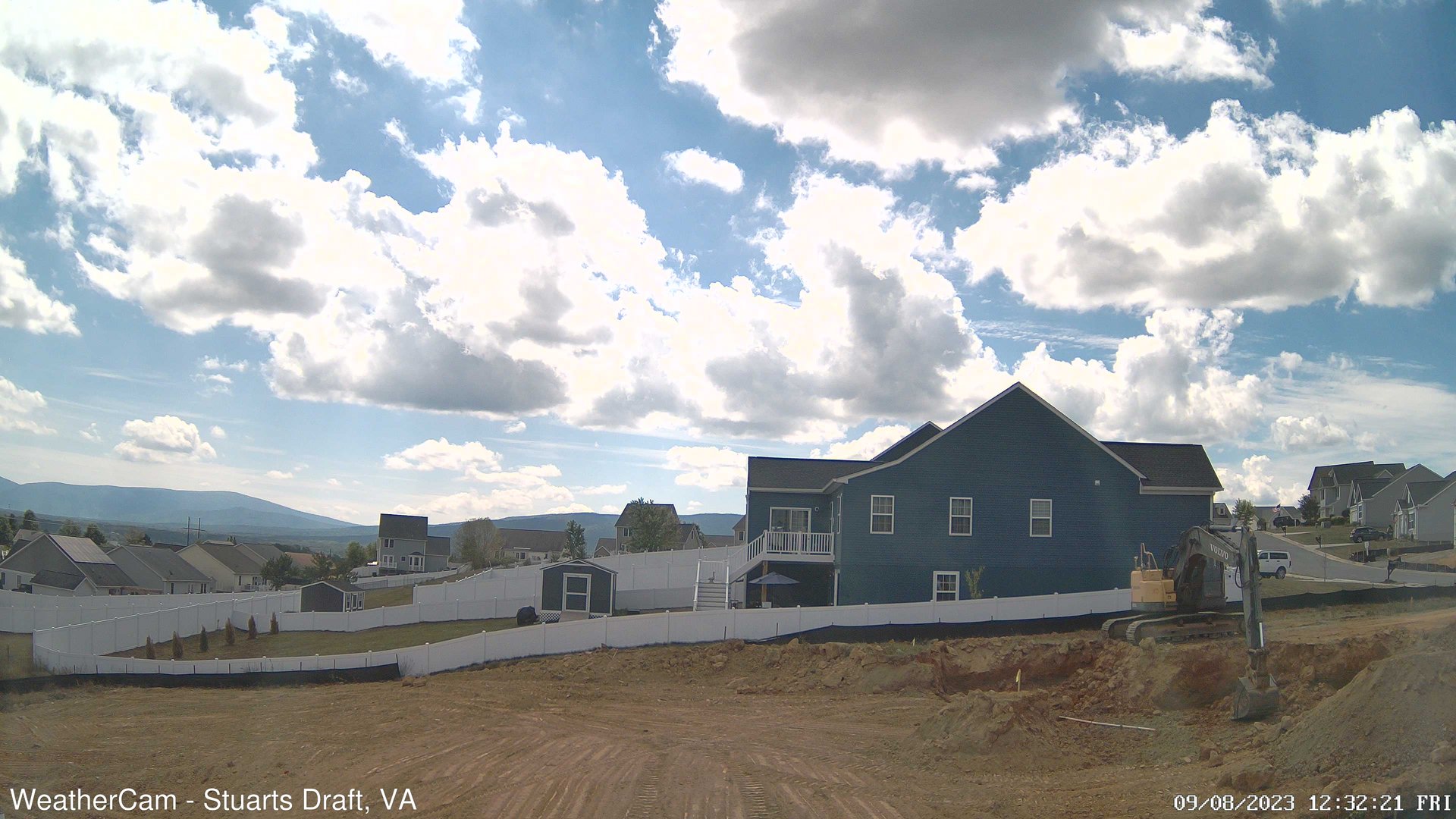
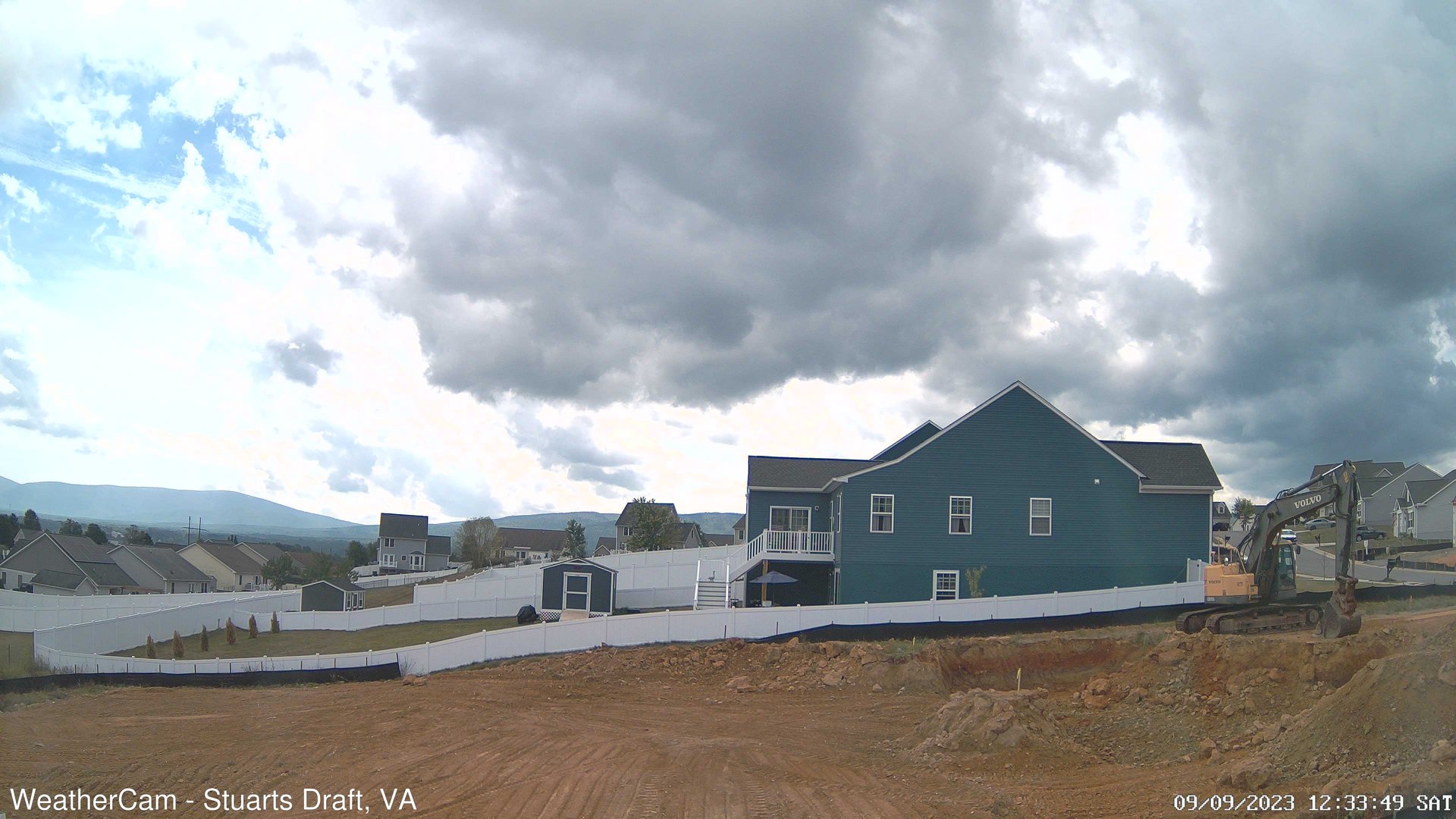
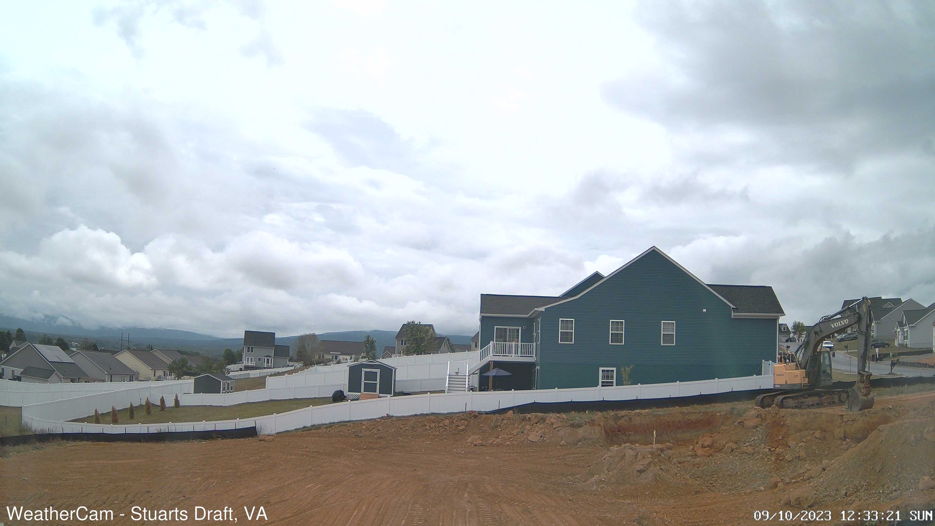
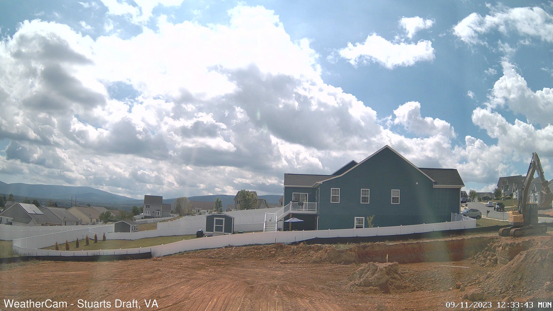
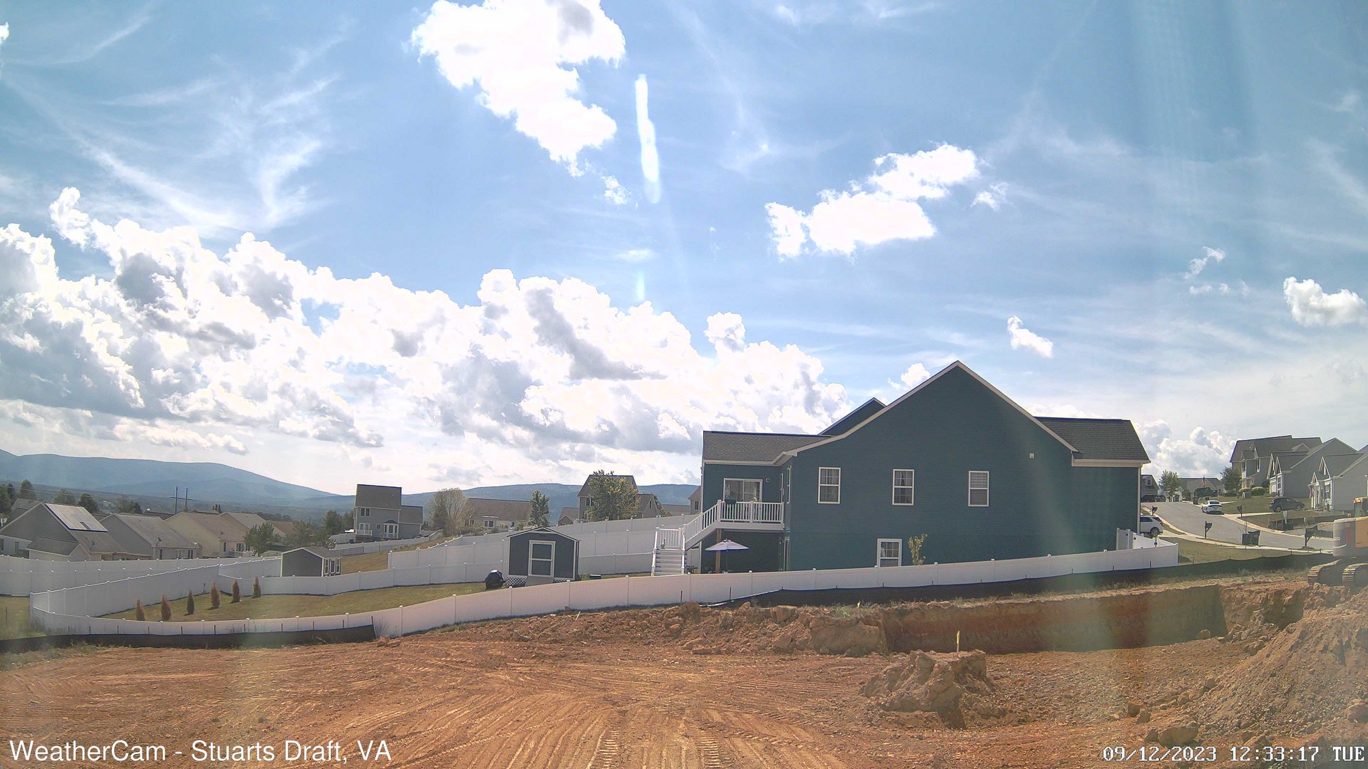
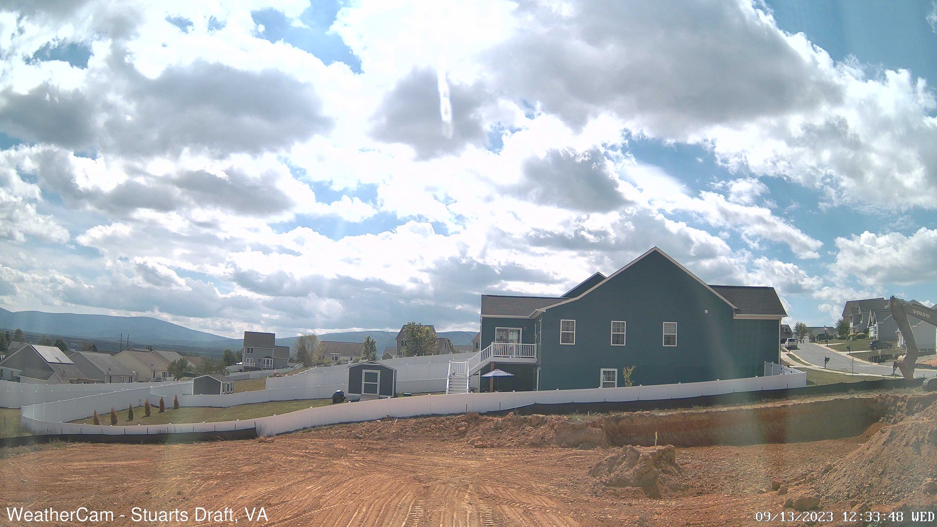
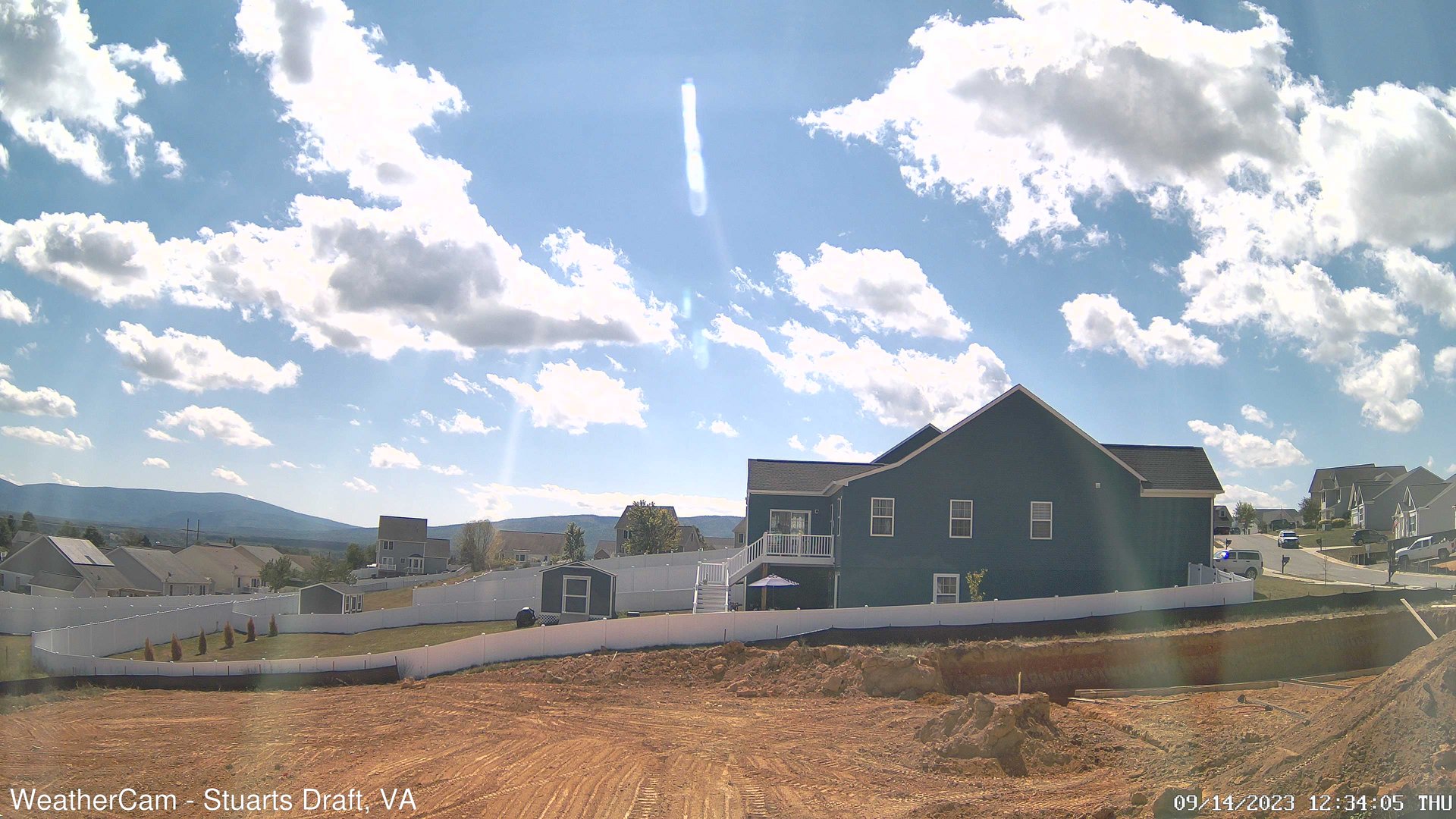
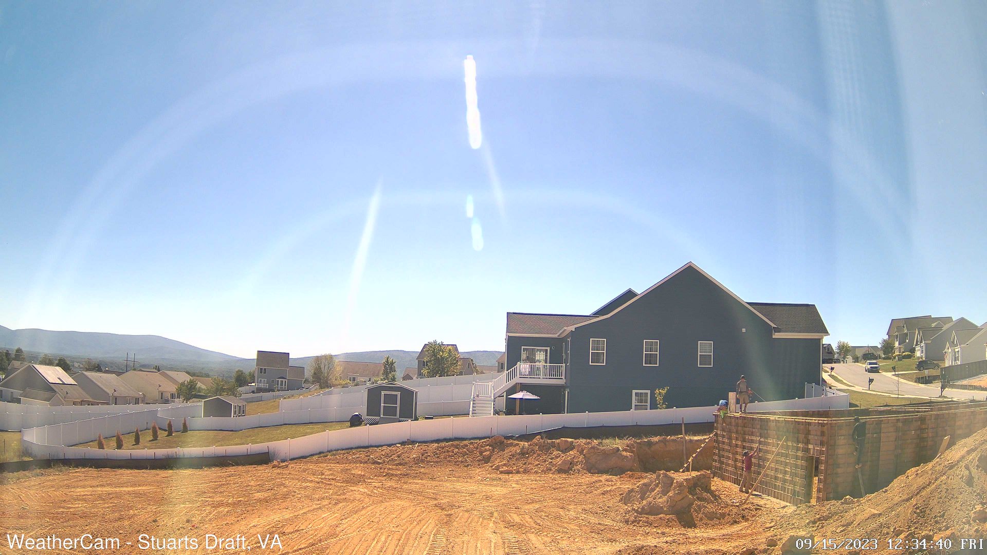
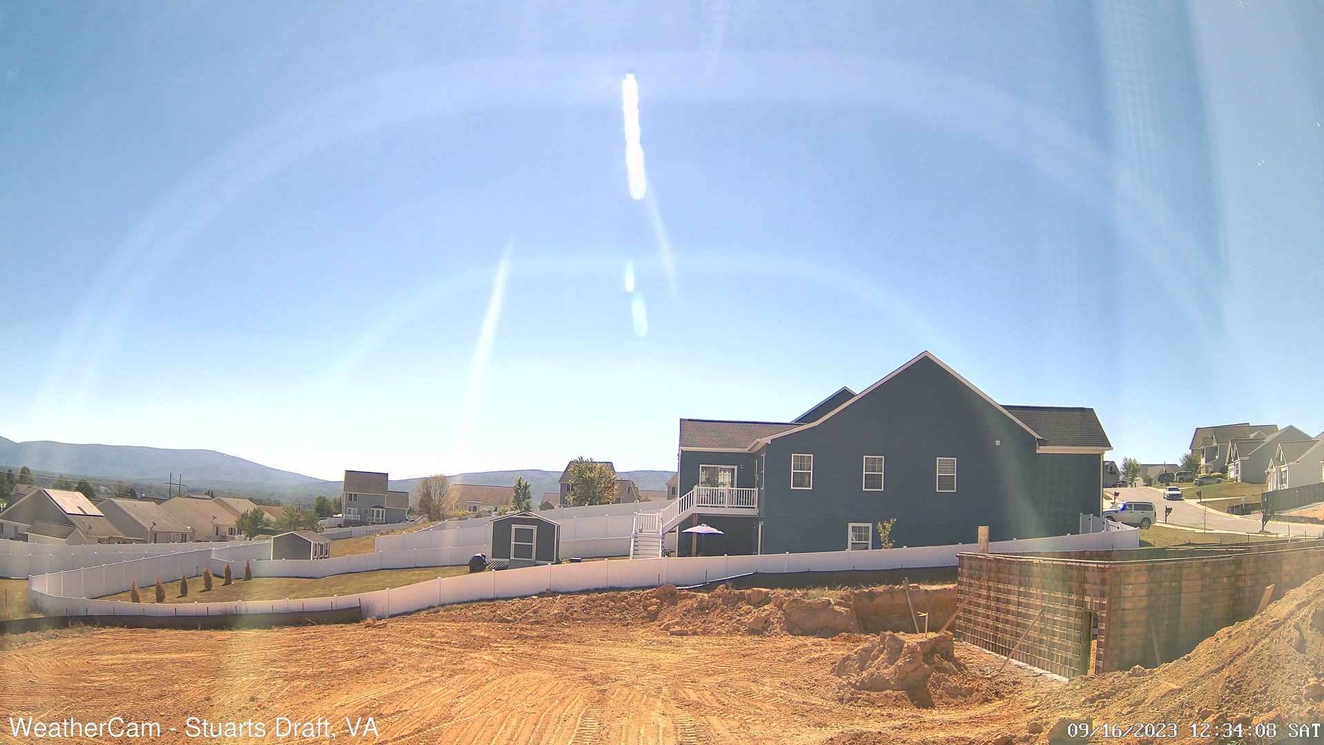
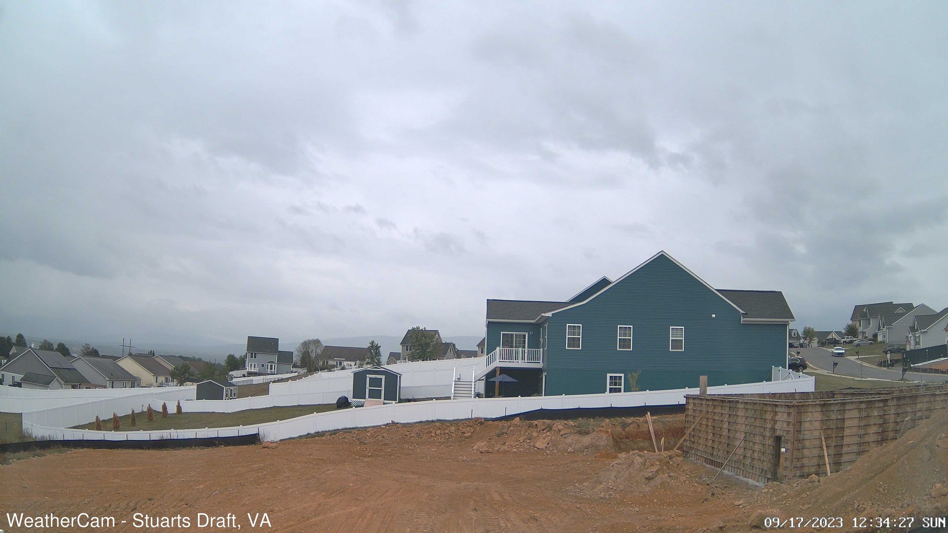
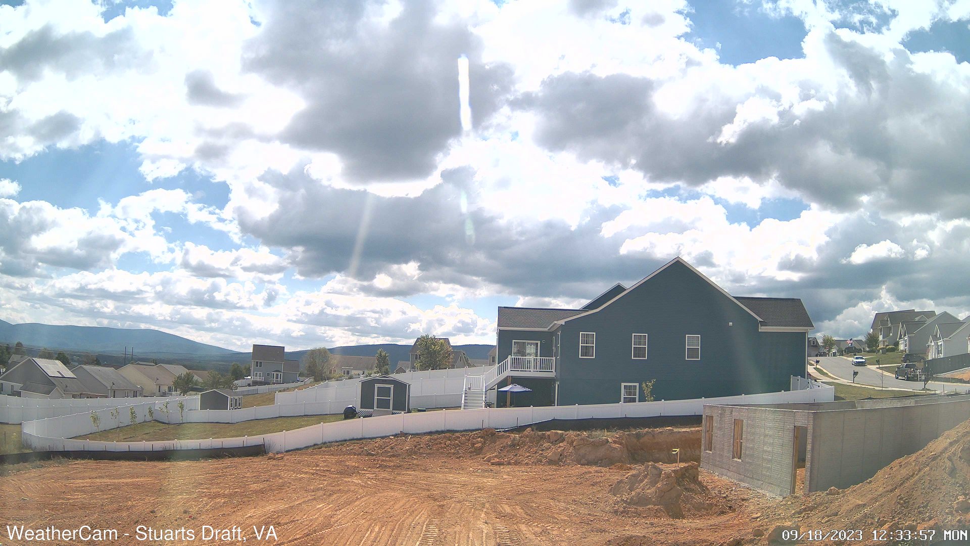
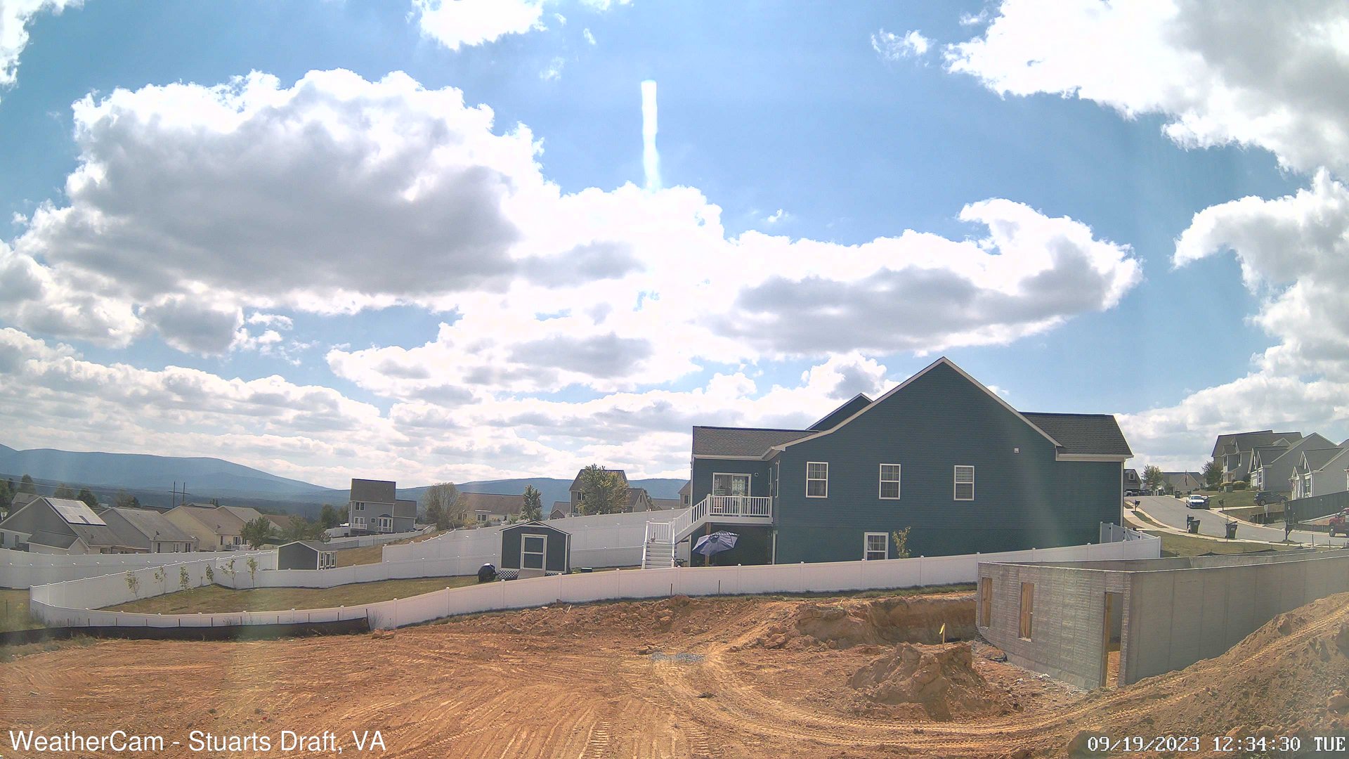
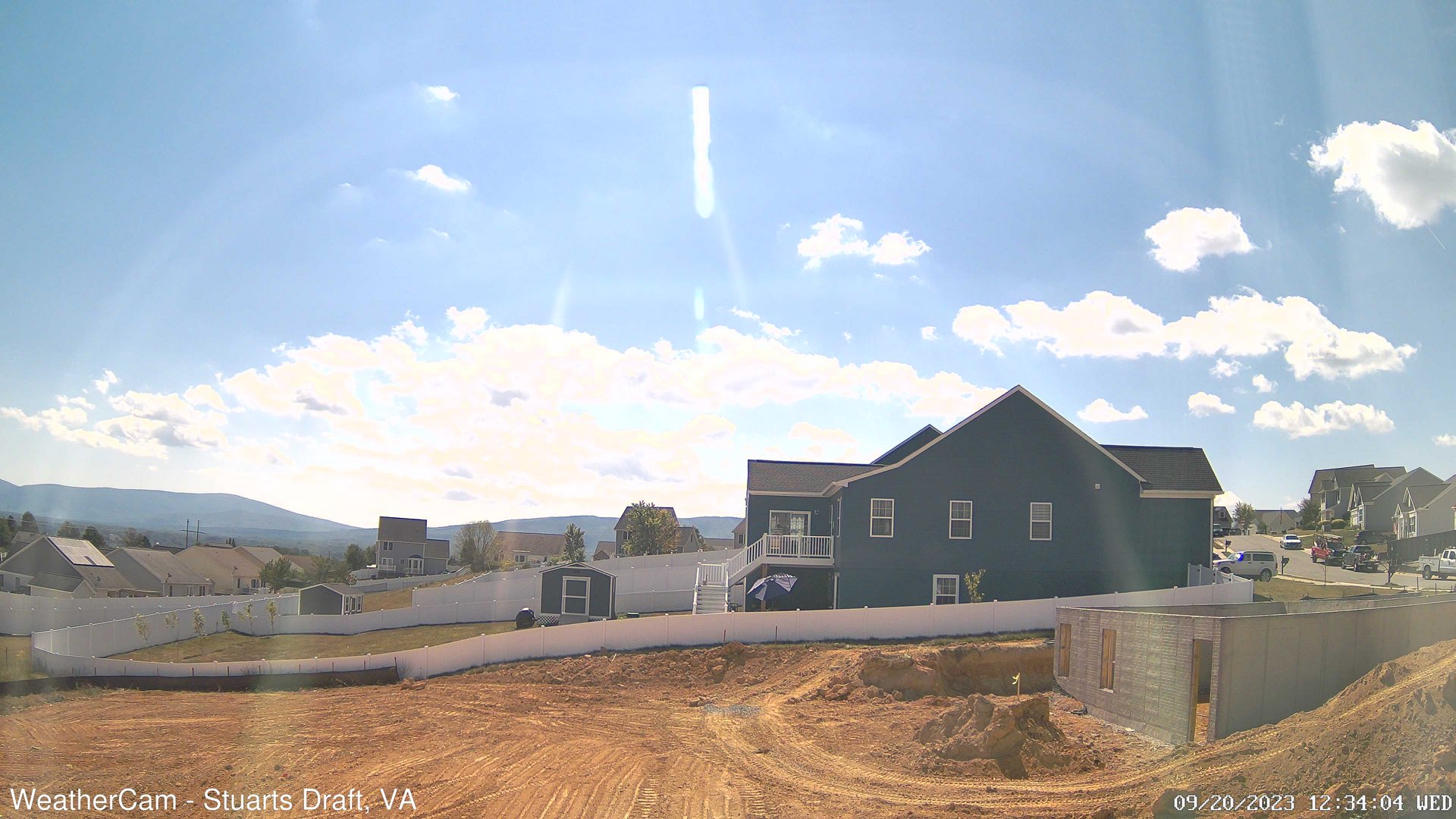
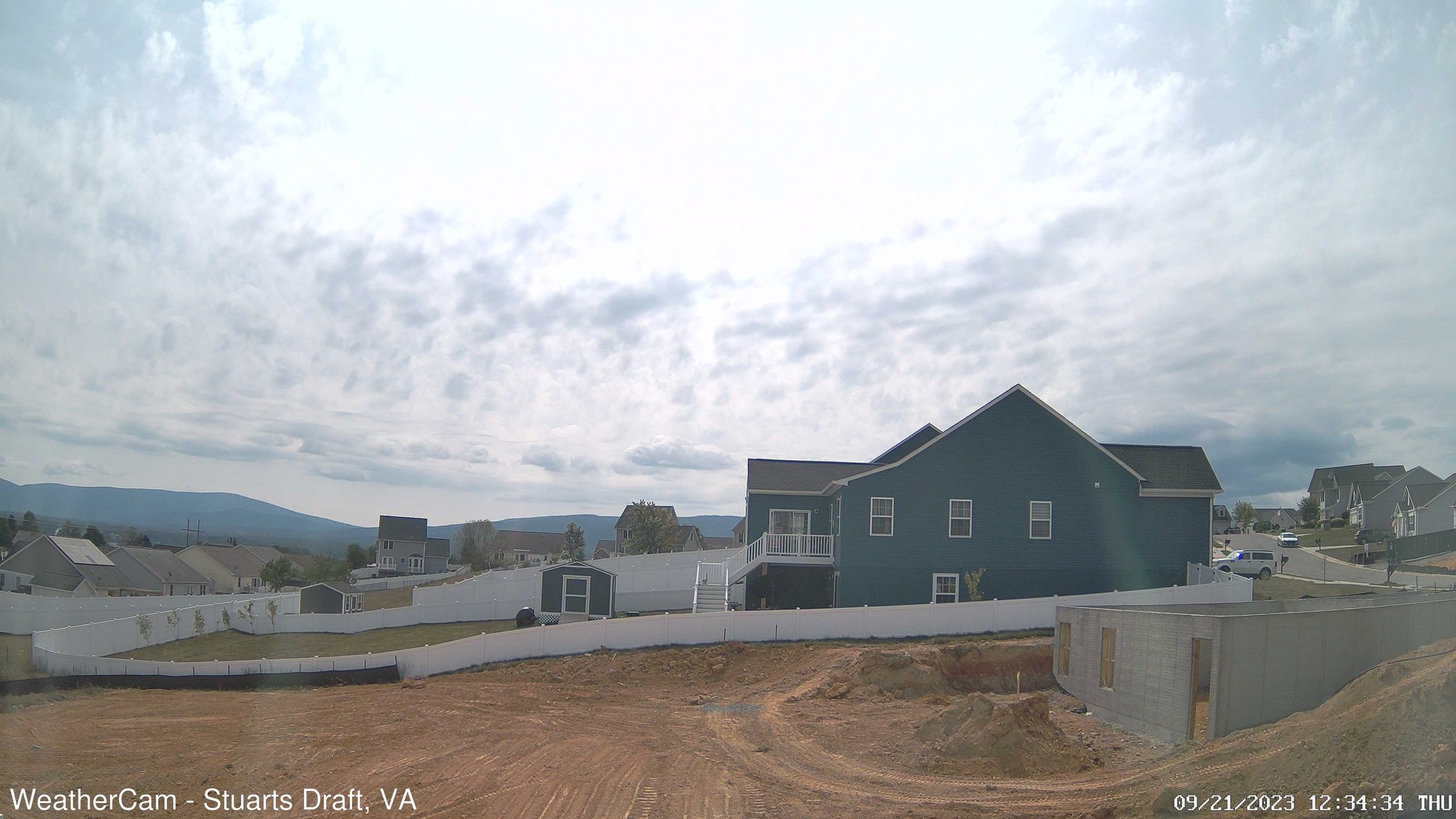
Stuarts Draft, Virginia, USA - 116.1 miles from Rodes (historical): Blue Ridge Mountains - A view from Stuarts Draft, VA of the Blue Ridge Mountains in the distance.
Operator: J. Kristopher Photography
Operator: J. Kristopher Photography

Some other places in this country: Pear (historical) - Pine Hills - Pinepoca (historical) - Riley - Spangler Factory (historical) - Stonewall (historical) - Tamroy (historical) - White Stick (historical) - Whorley (historical) - Zada