Webcams in the region of Robinette, West Virginia, USA
The List of Webcams near Robinette, West Virginia, USA:

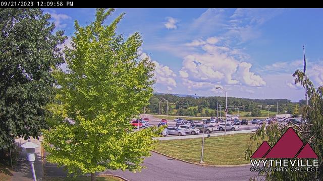
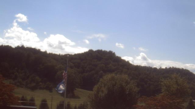
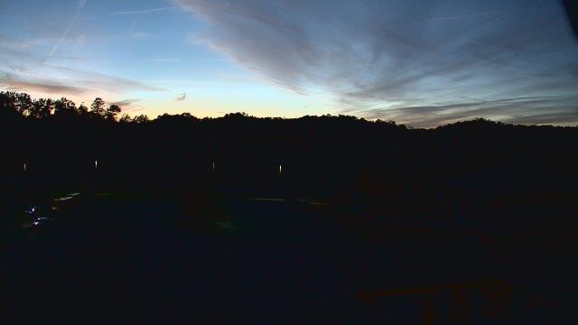
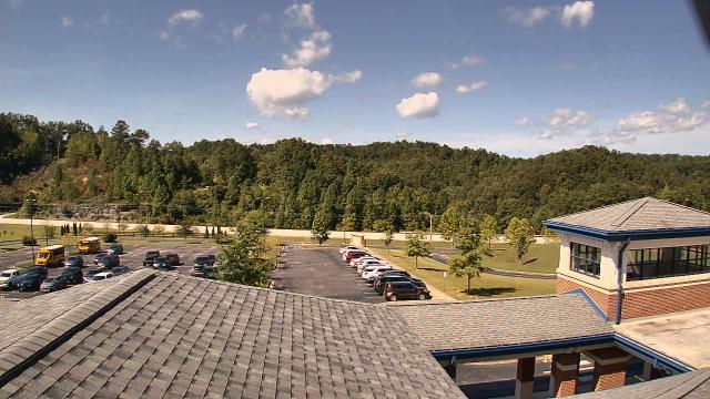
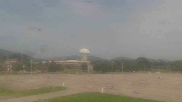
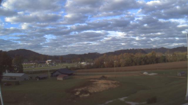
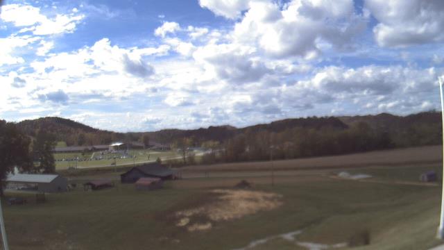
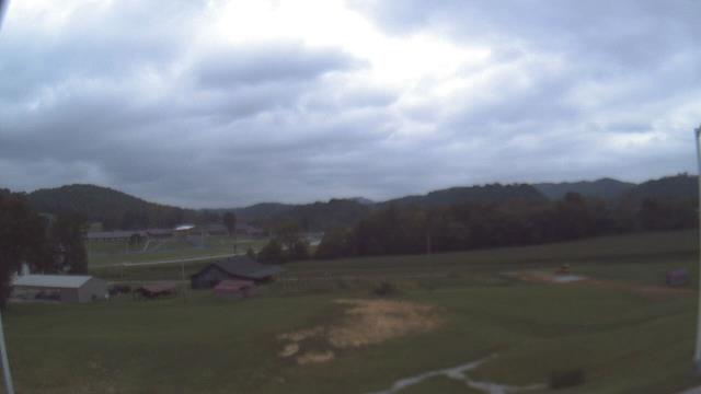
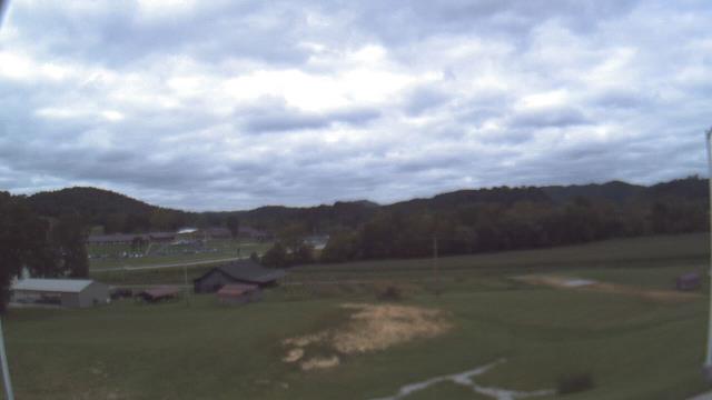
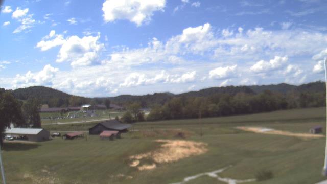
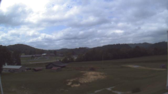
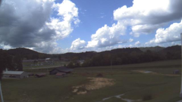
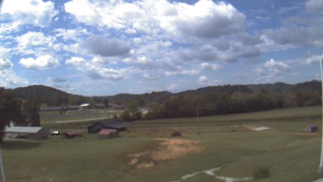
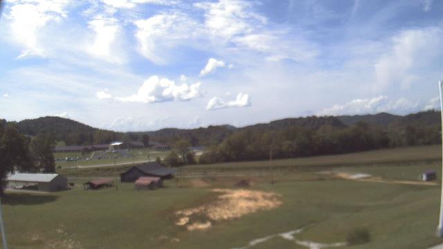
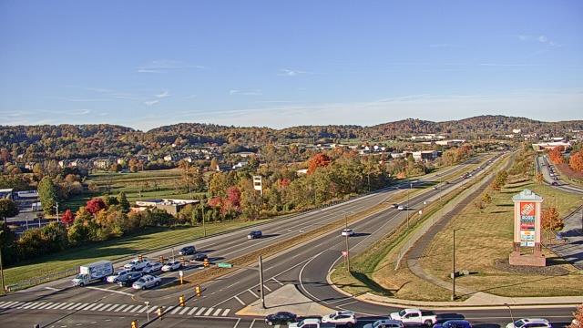
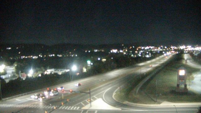
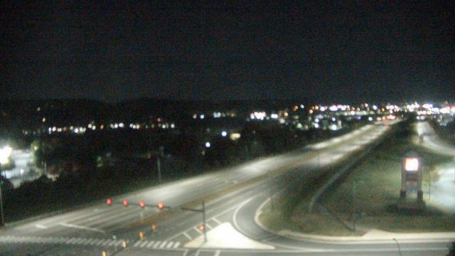
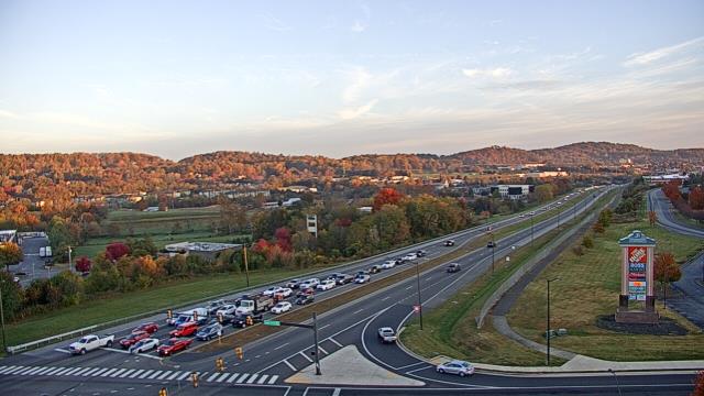
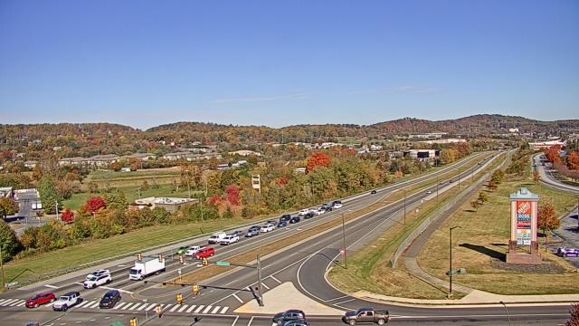
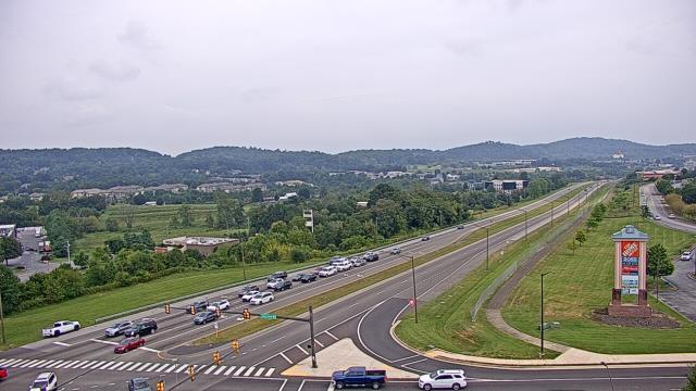
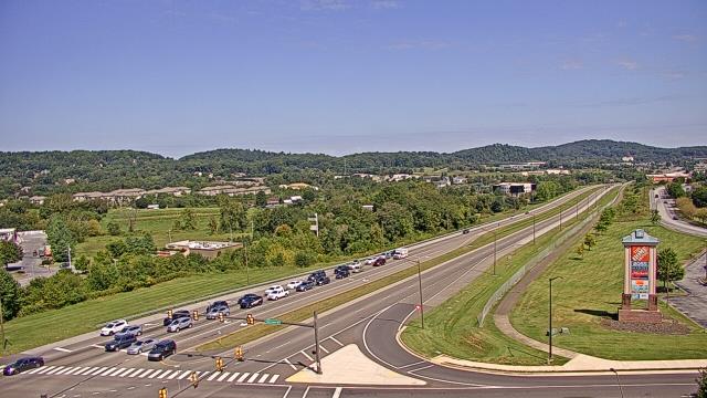
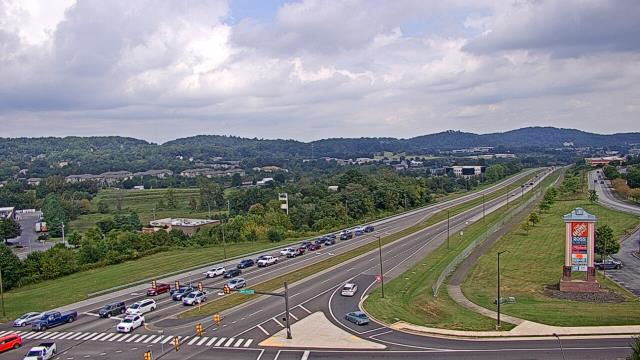
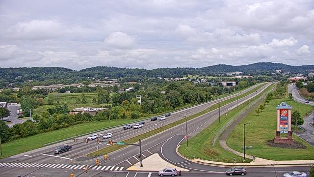
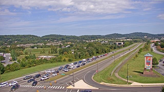
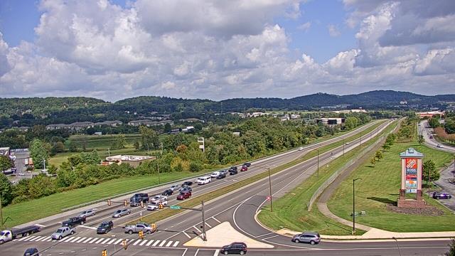
Wytheville, Virginia, USA - 69.9 miles from Robinette: Wytheville Community College - A webcam in Wytheville, Virginia - camera location: Wytheville Community College.
Operator: WeatherBug
Operator: WeatherBug


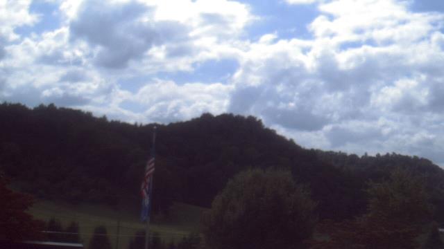
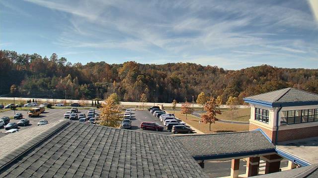
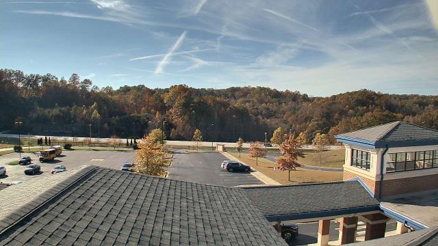
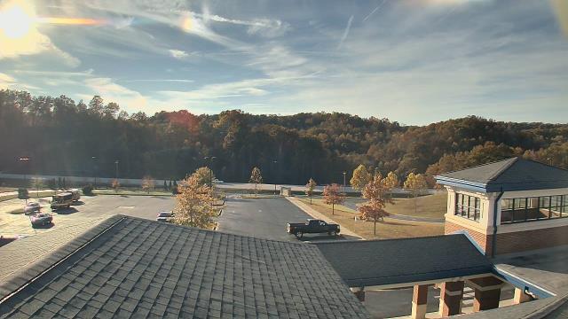
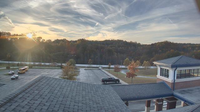
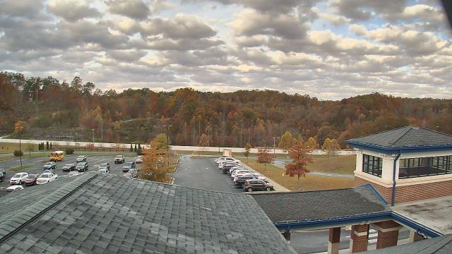
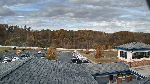
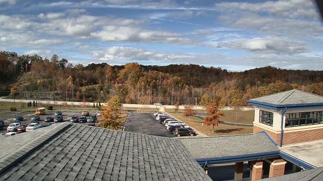
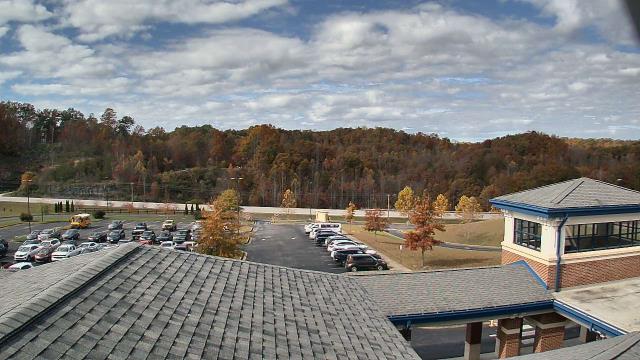
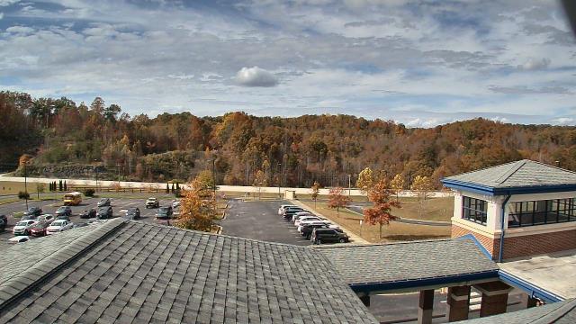
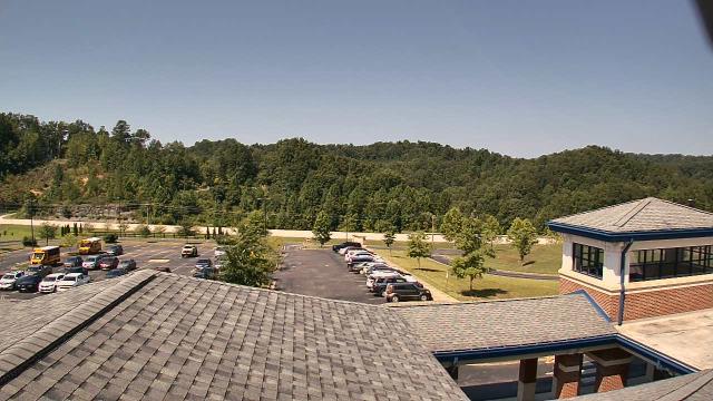
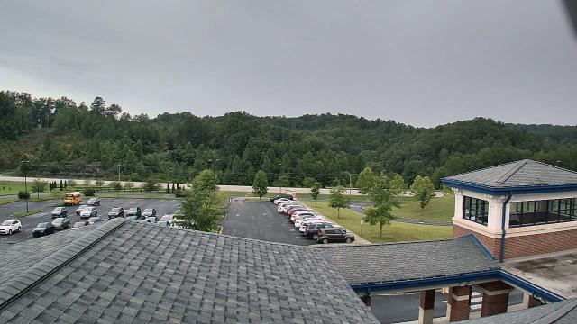
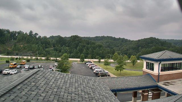
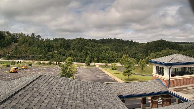
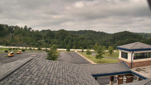
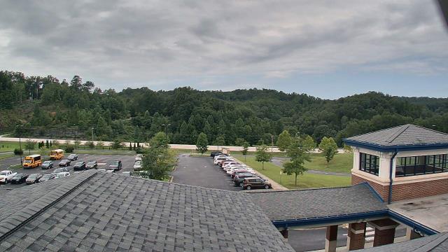
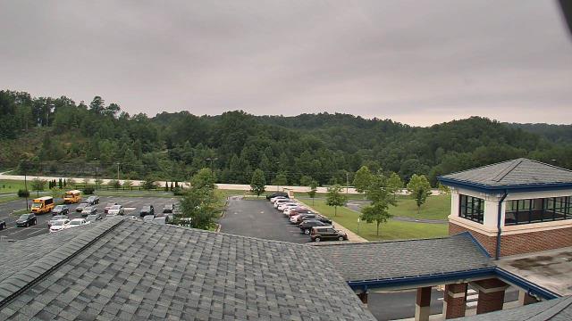
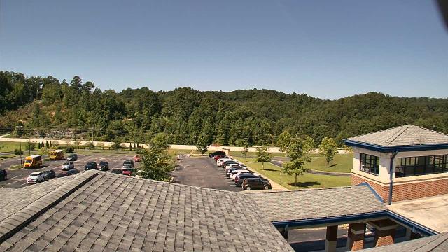
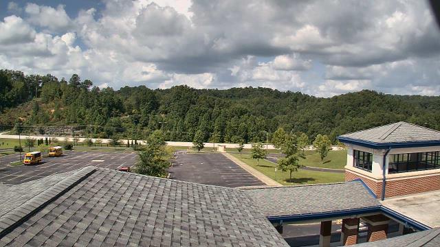
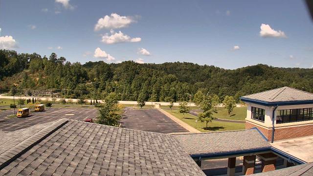
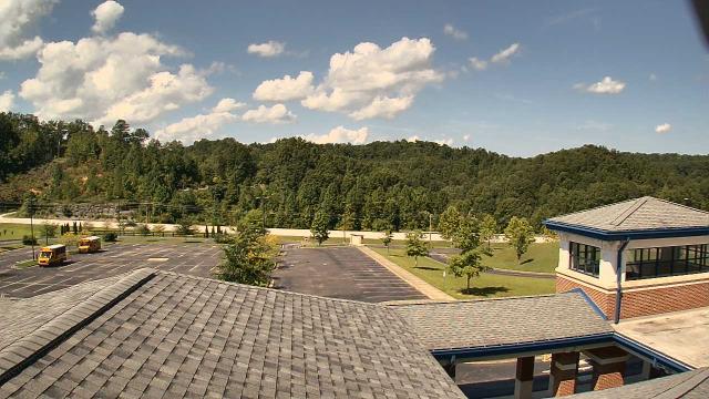
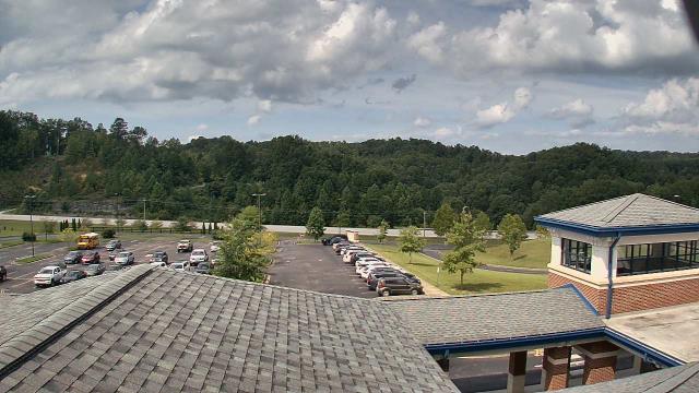
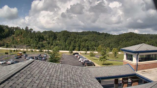
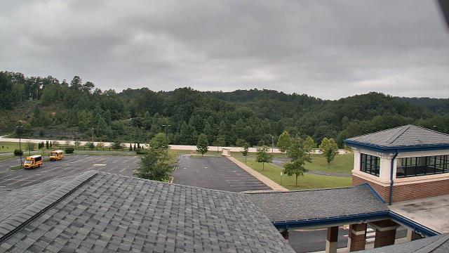
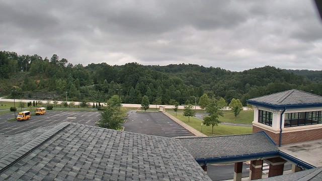
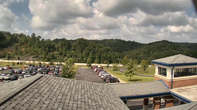
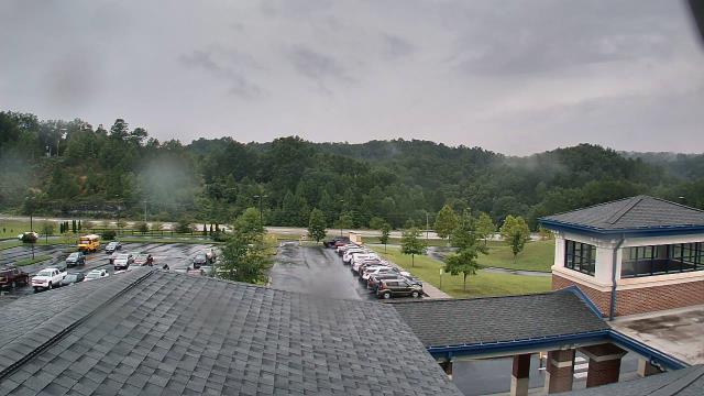
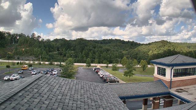
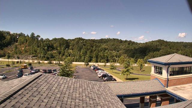
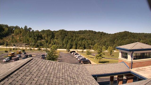
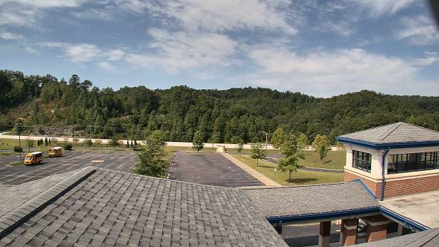
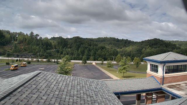
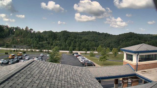
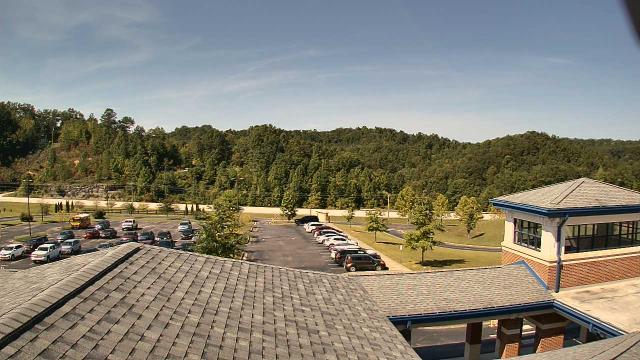
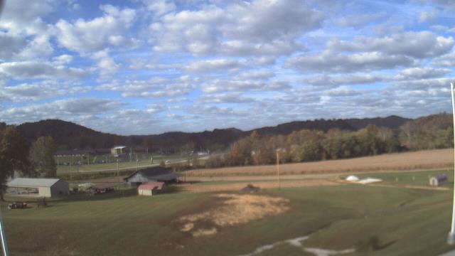
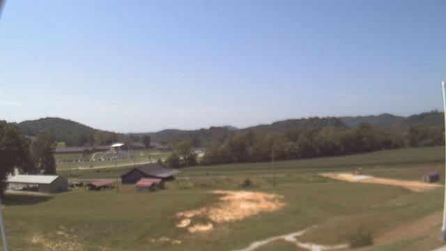
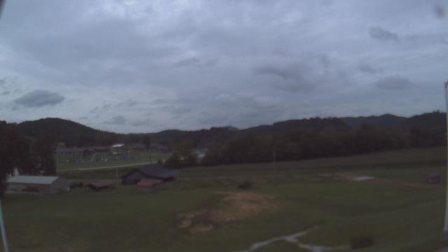
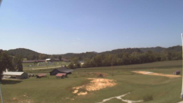
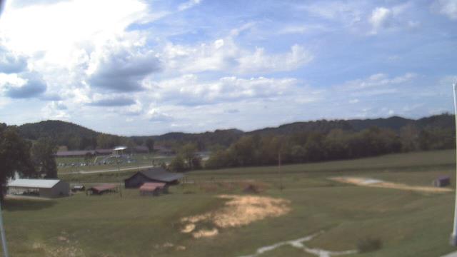
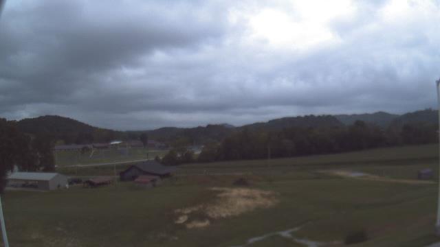
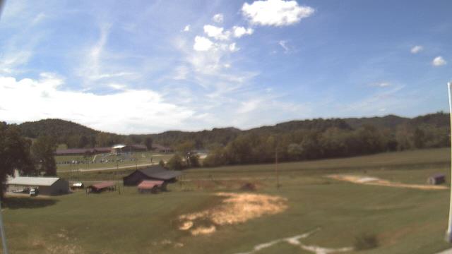
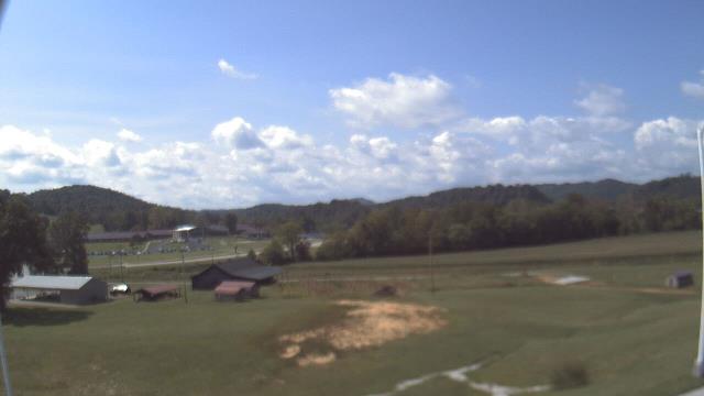
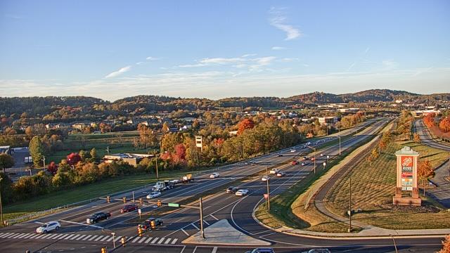
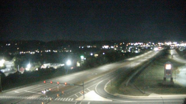
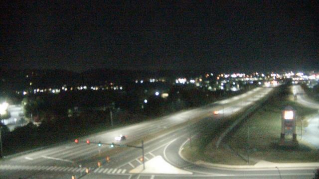
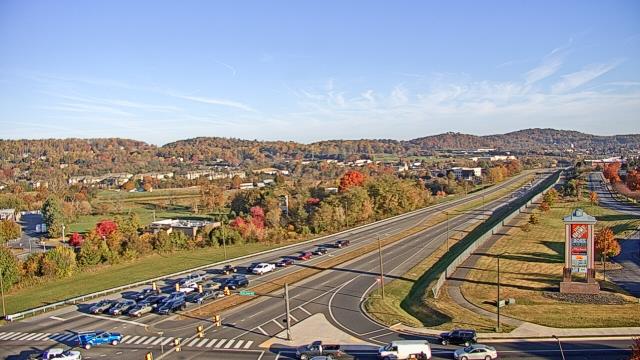
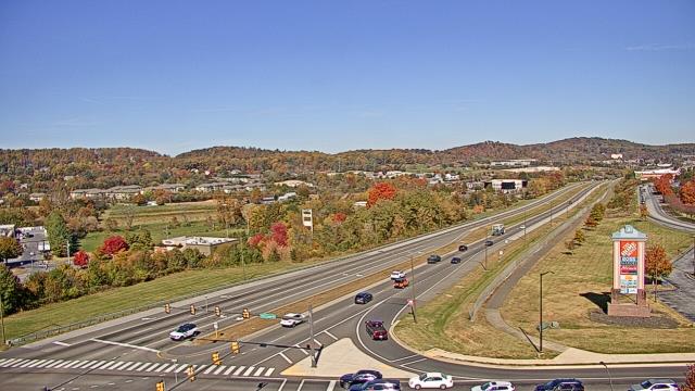
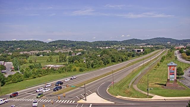
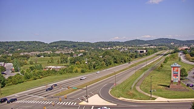
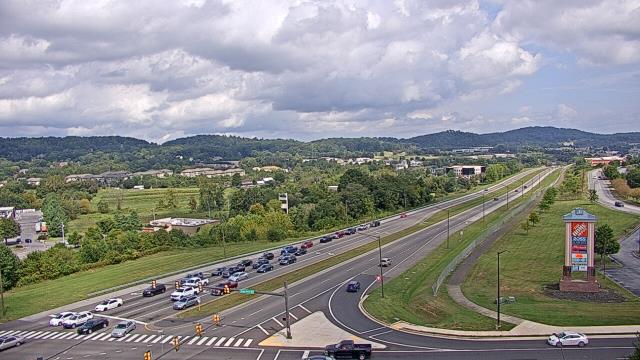
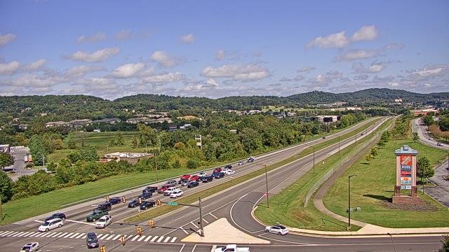
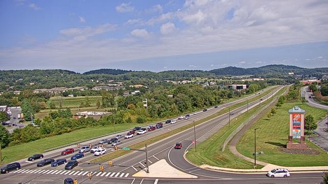
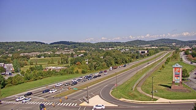
Abingdon, Virginia, USA - 75 miles from Robinette: Watauga Elementary School - A webcam in Abingdon, Virginia - camera location: Watauga Elementary School.
Operator: WeatherBug
Operator: WeatherBug


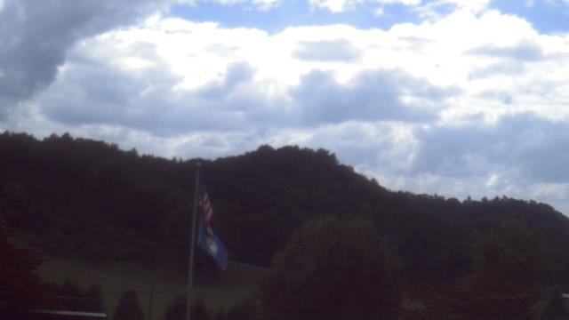

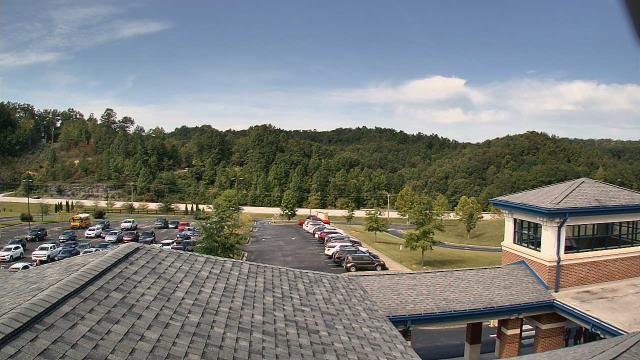
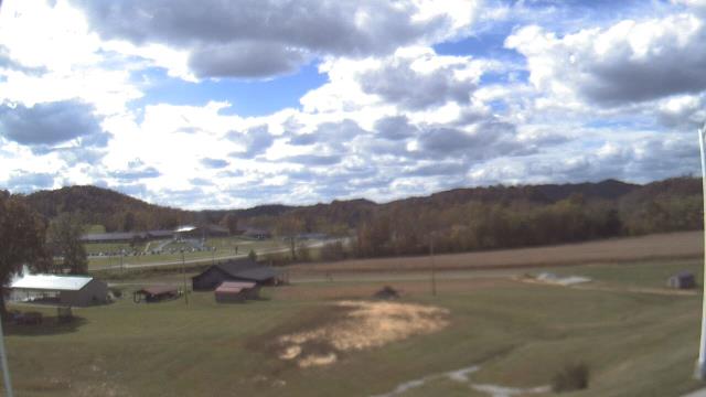
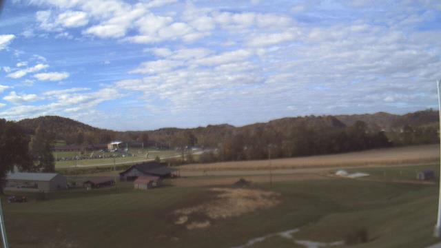
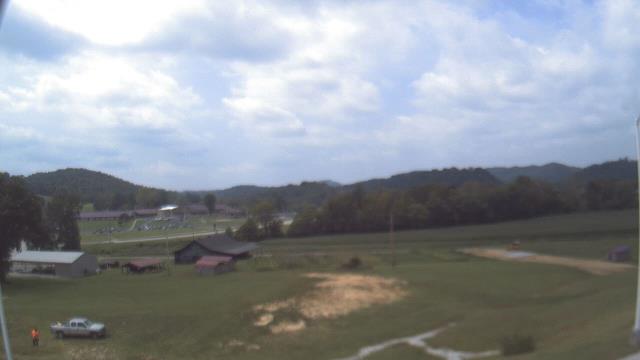
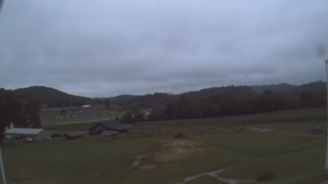
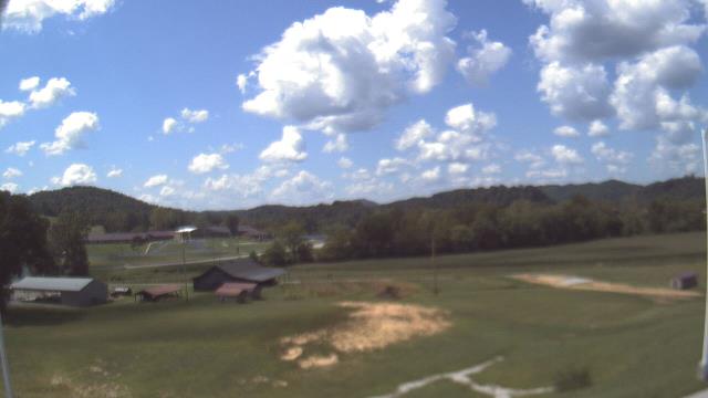
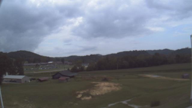
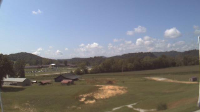
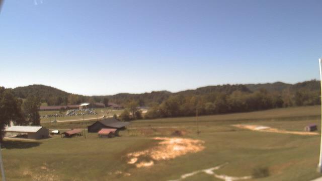
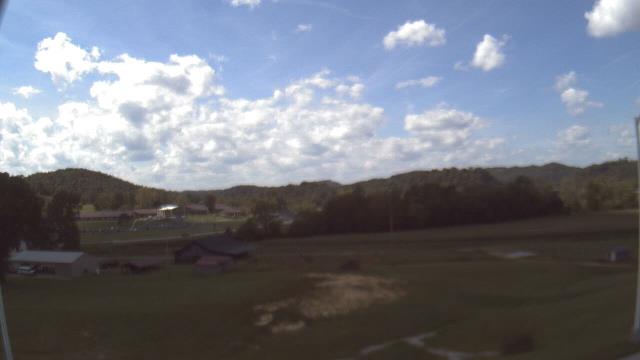
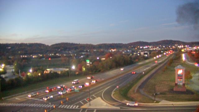
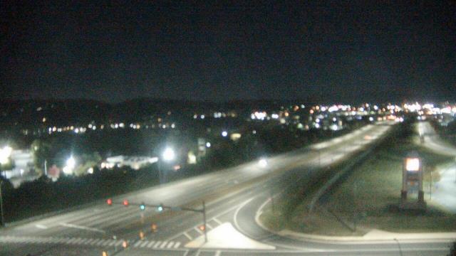
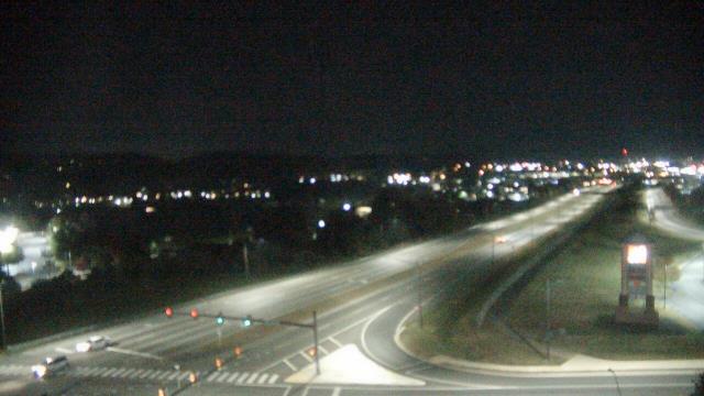
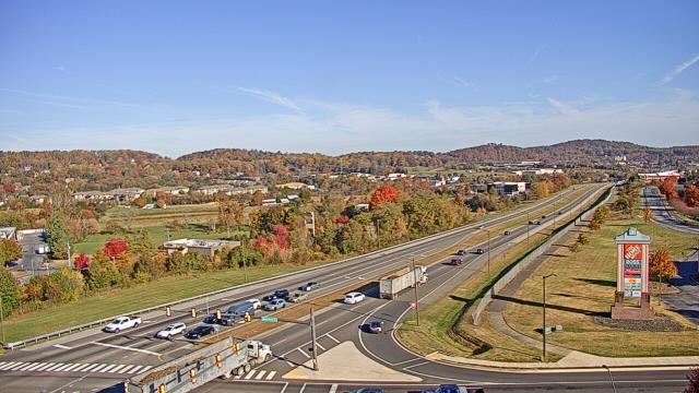
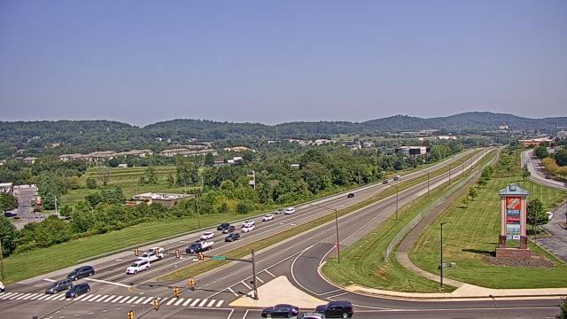
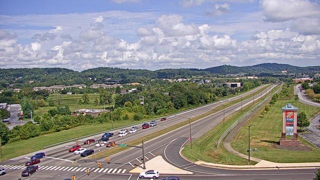
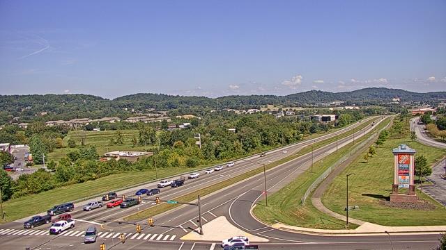
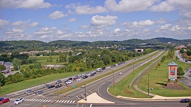
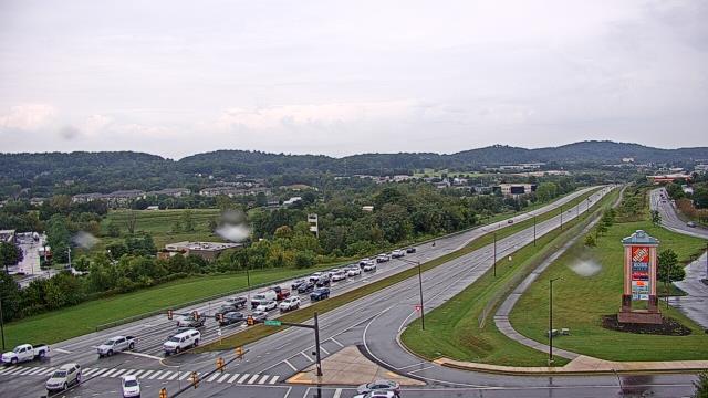
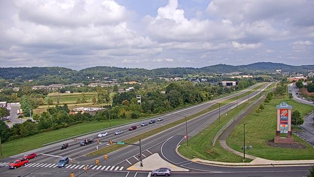
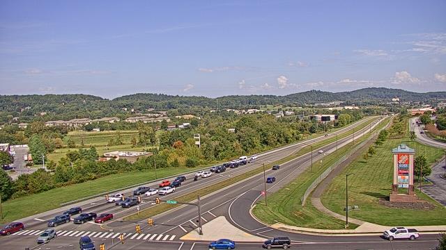
West Liberty, Kentucky, USA - 80.5 miles from Robinette: West Liberty Elementary School - A webcam in West Liberty, Kentucky - camera location: West Liberty Elementary School.
Operator: WeatherBug
Operator: WeatherBug
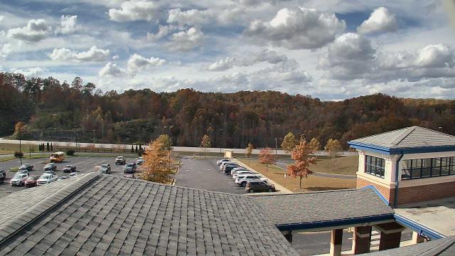


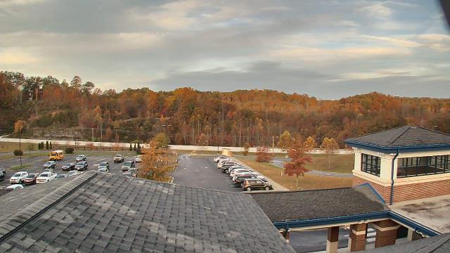


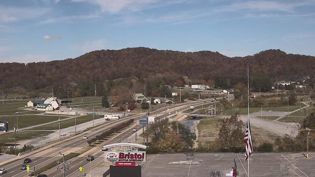
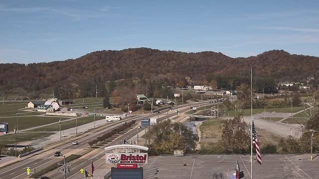
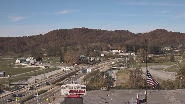
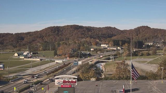
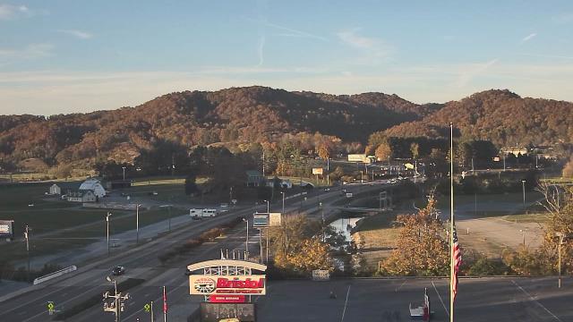
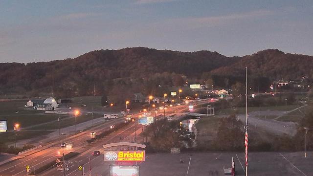
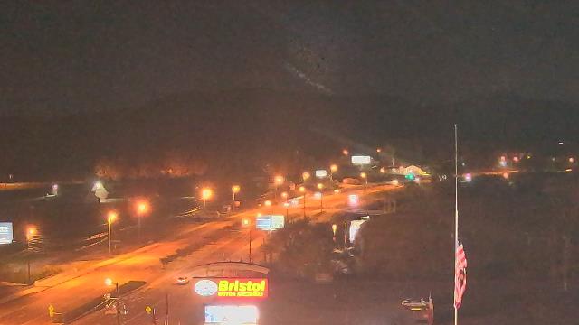
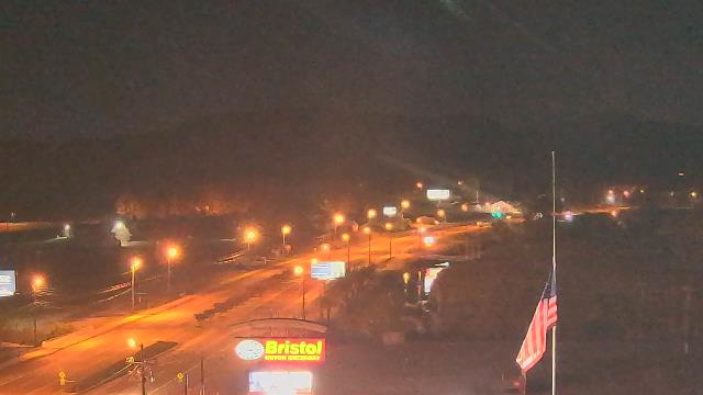
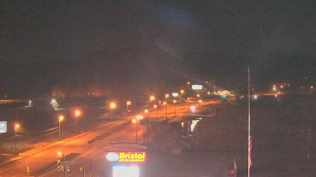
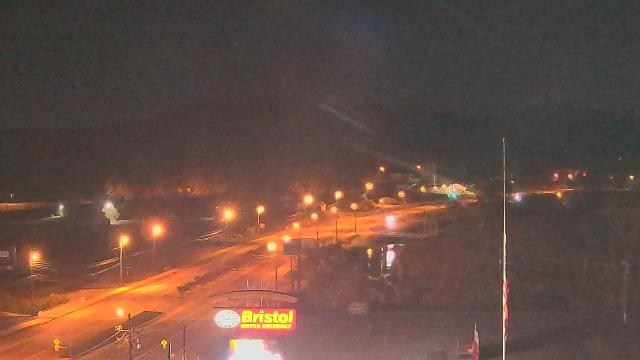
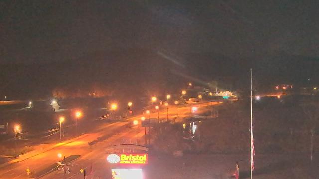
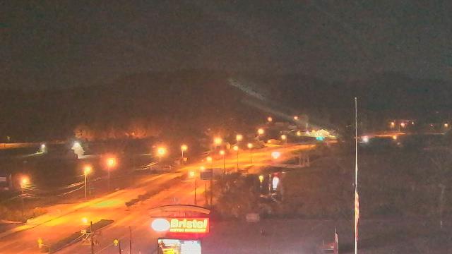
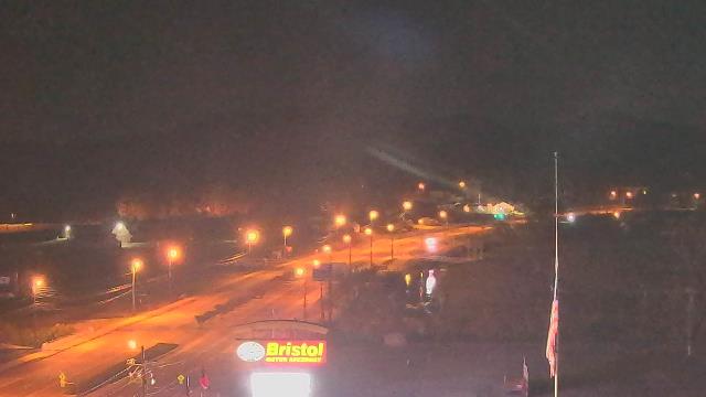
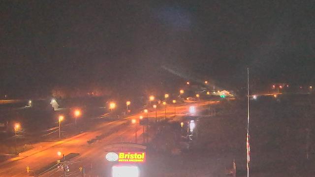
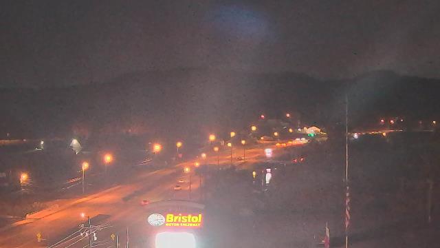
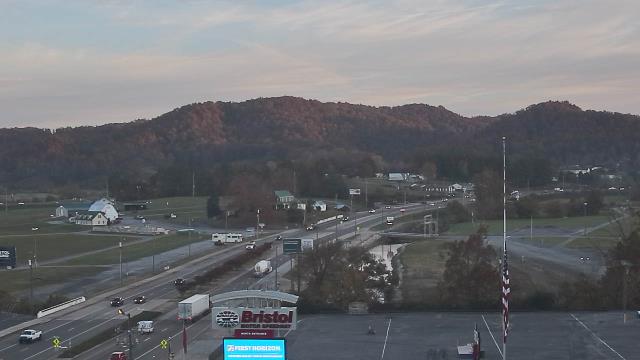
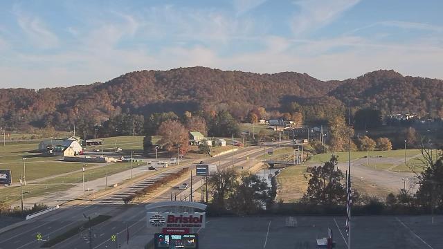
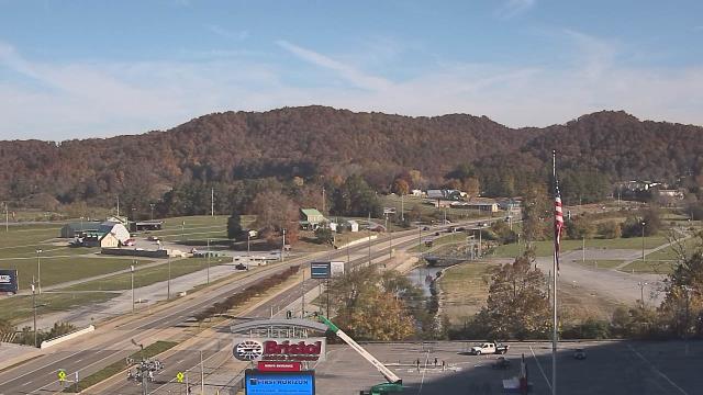
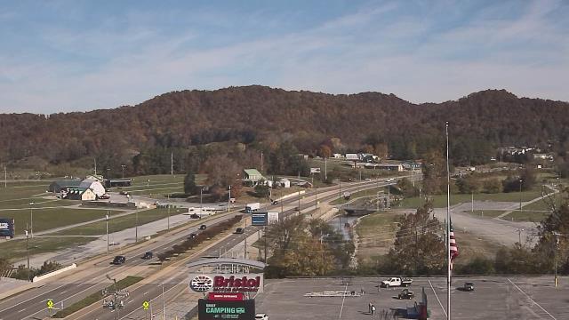
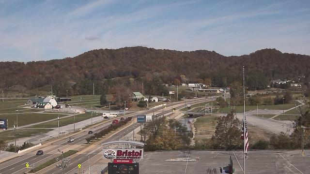
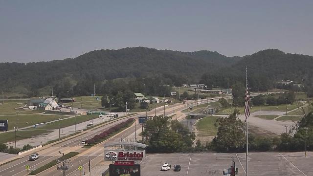
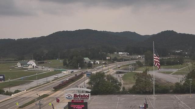
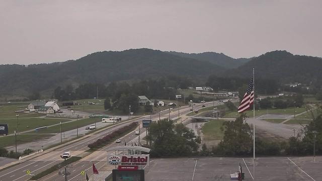
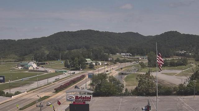
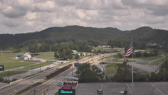
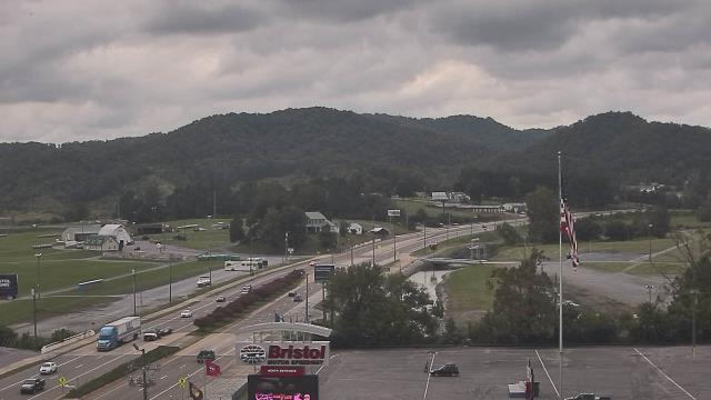
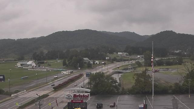
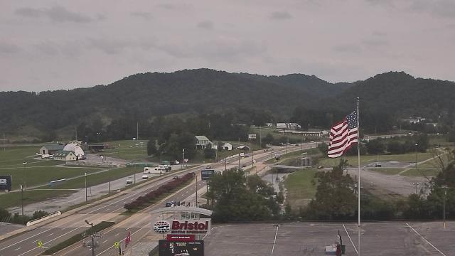
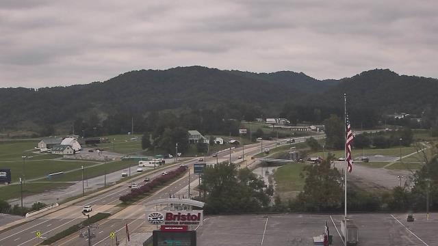
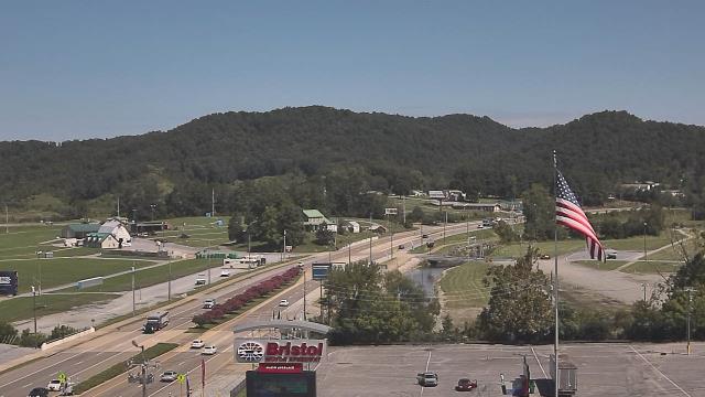
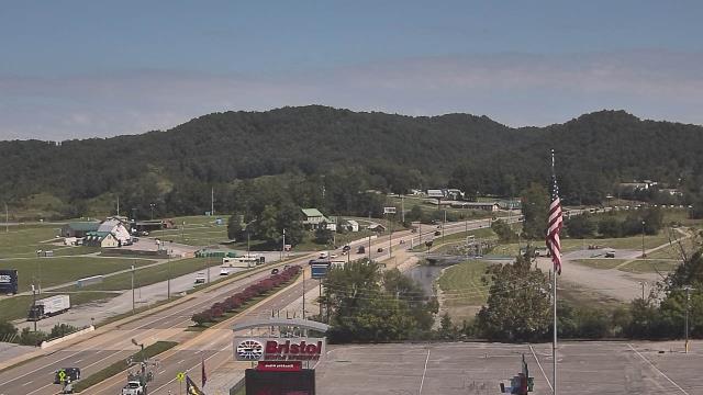
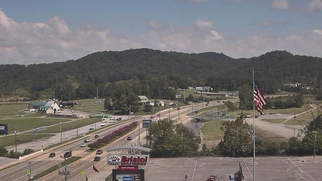
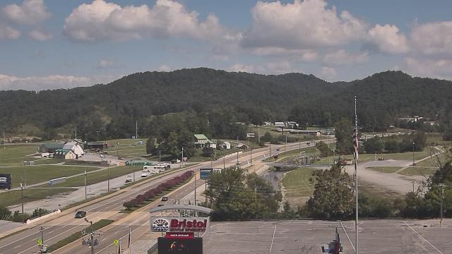
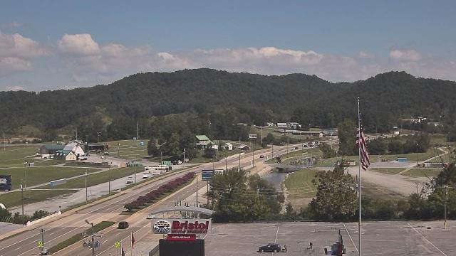
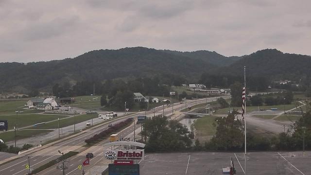
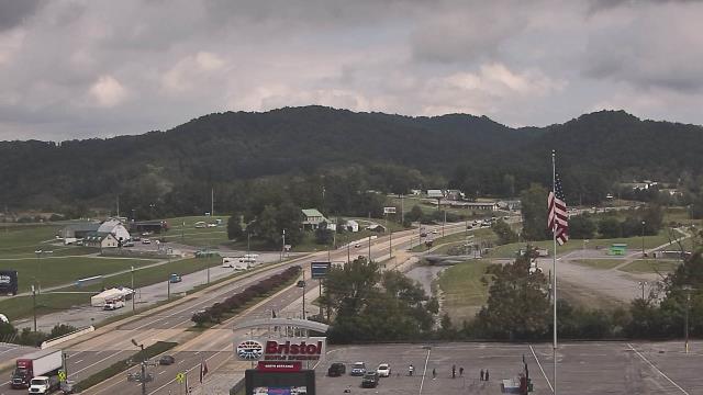
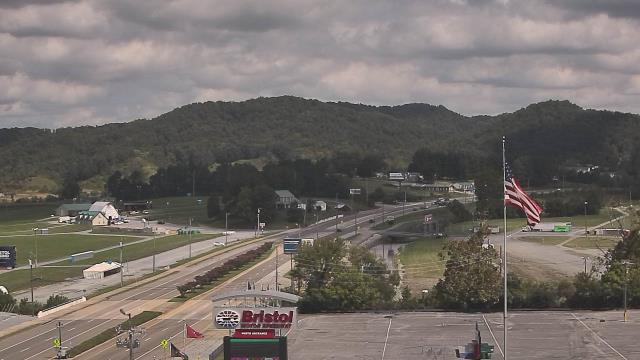
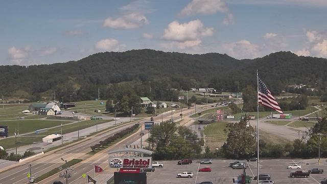
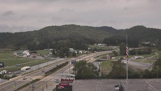
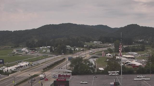
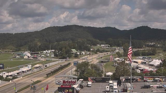
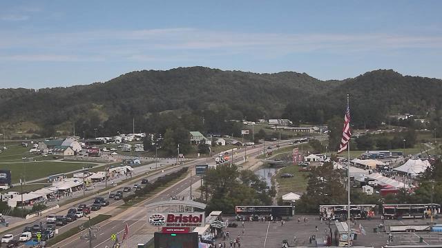
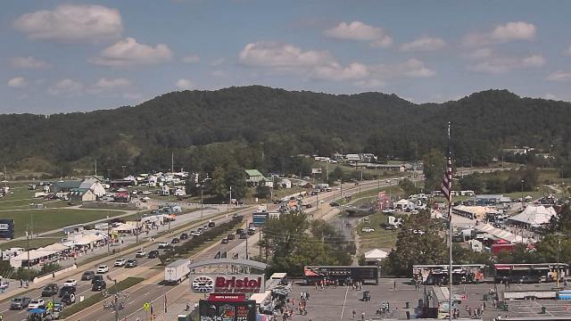
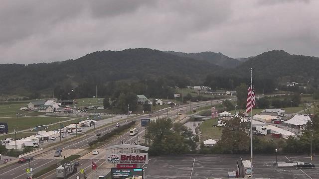
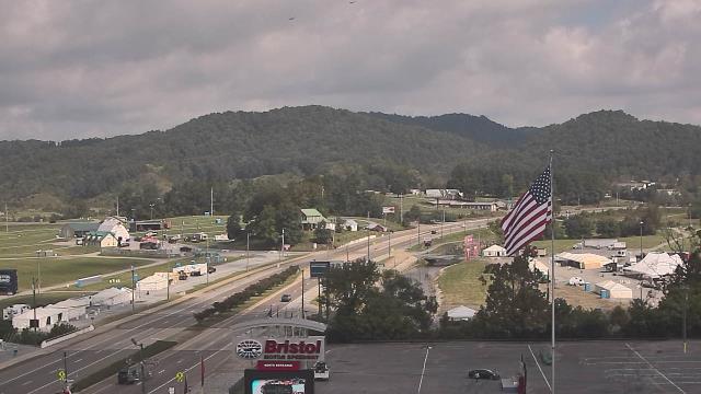
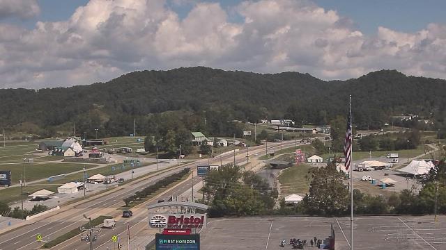
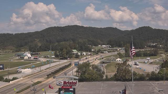
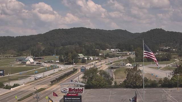
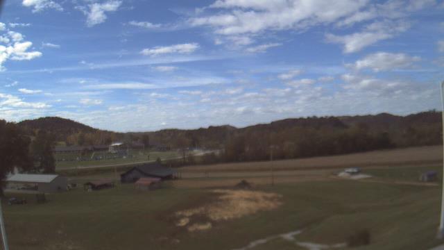
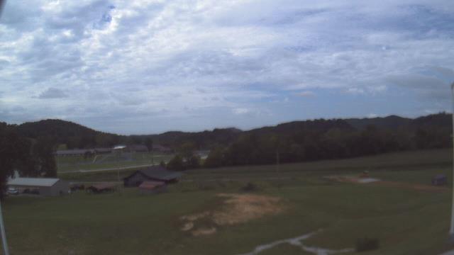
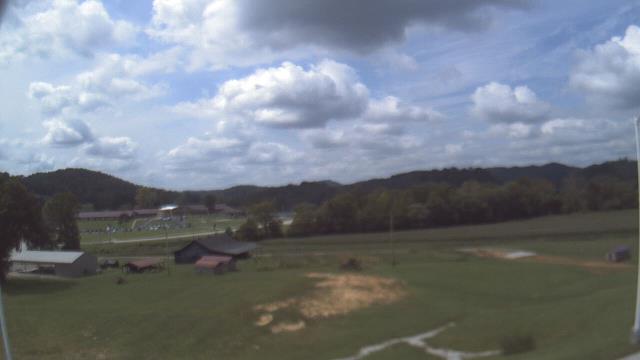
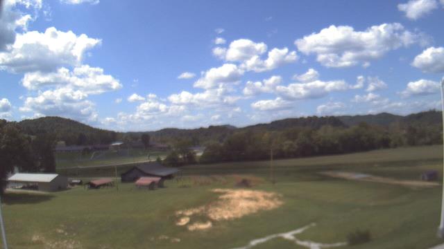
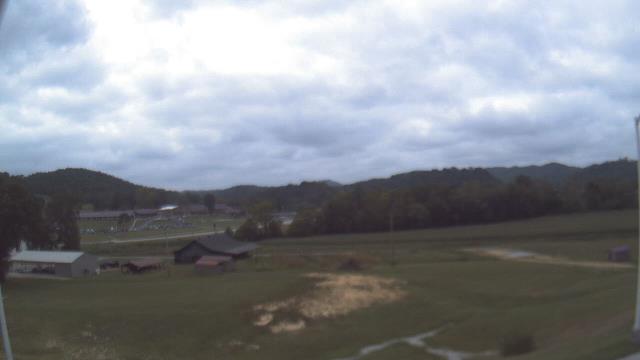
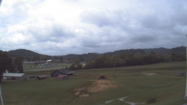
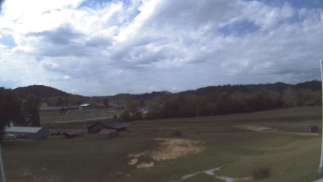
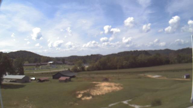
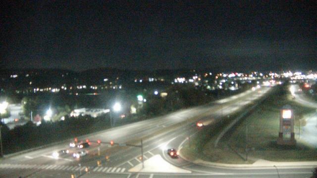
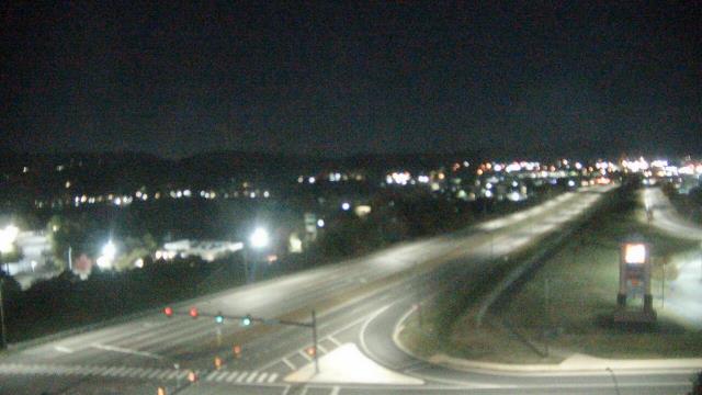
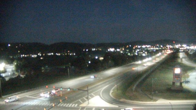
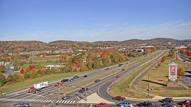
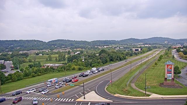
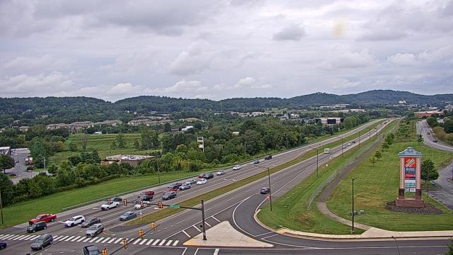
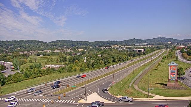
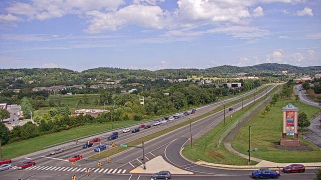
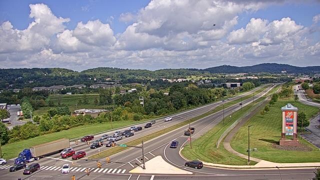
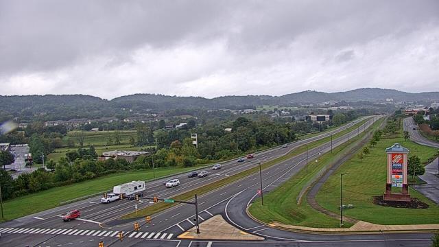
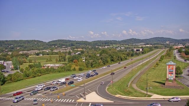
Bristol, Tennessee, USA - 85.1 miles from Robinette: Bristol Motor Speedway - A webcam in Bristol, Tennessee - camera location: Bristol Motor Speedway.
Operator: WeatherBug
Operator: WeatherBug


Riner, Virginia, USA - 89.3 miles from Robinette: Auburn Middle School - A webcam in Riner, Virginia - camera location: Auburn Middle School.
Operator: WeatherBug
Operator: WeatherBug


Salem, Virginia, USA - 101.1 miles from Robinette: City of Salem Civic Center - A webcam in Salem, Virginia - camera location: City of Salem Civic Center.
Operator: WeatherBug
Operator: WeatherBug


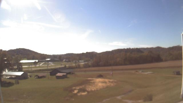
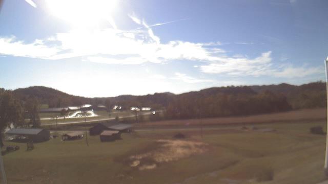
Booneville, Kentucky, USA - 105.1 miles from Robinette: Owsley Co Jr Sr High School - A webcam in Booneville, Kentucky - camera location: Owsley Co Jr Sr High School.
Operator: WeatherBug
Operator: WeatherBug


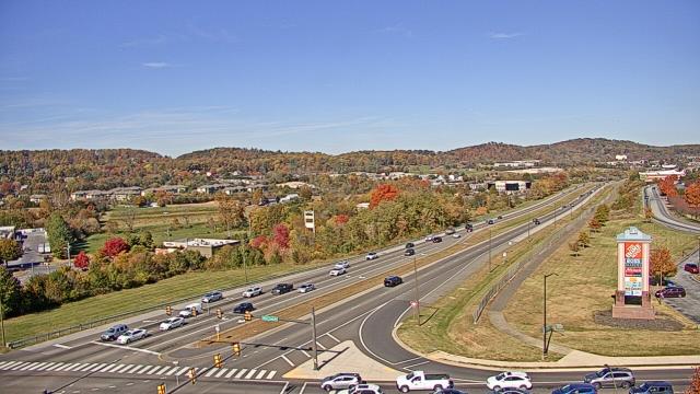
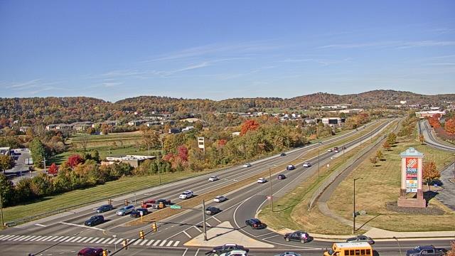
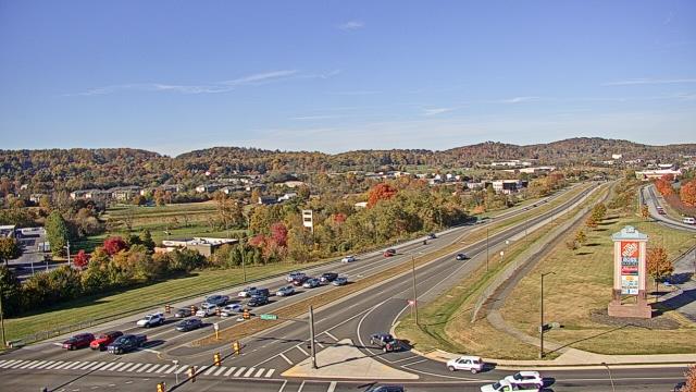
Johnson City, Tennessee, USA - 106.3 miles from Robinette: Bank of Tennessee - A webcam in Johnson City, Tennessee - camera location: Bank of Tennessee.
Operator: WeatherBug
Operator: WeatherBug


Roanoke, Virginia, USA - 107.5 miles from Robinette: Roanoke Catholic School - A webcam in Roanoke, Virginia - camera location: Roanoke Catholic School.
Operator: WeatherBug
Operator: WeatherBug


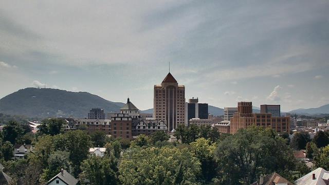

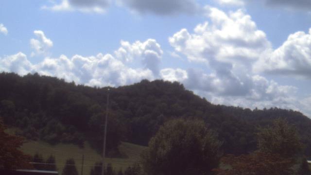
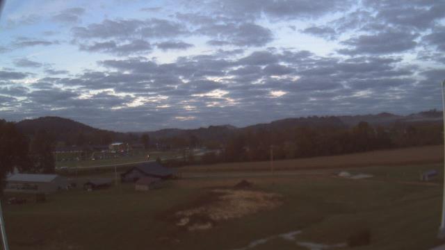
Roanoke, Virginia, USA - 107.5 miles from Robinette: Mountain View - Looking SW over Appalachians near Blue Ridge Pkwy.
Operator: Roanoke Weather Page
Operator: Roanoke Weather Page


Some other places in this country: Rimel - Rockland - Rorer - Rowlesburg - Ruddle - Saint George - Saint Marys - Sandlick - Sell - Shafer