Webcams in the region of Rand (historical), West Virginia, USA
The List of Webcams near Rand (historical), West Virginia, USA:

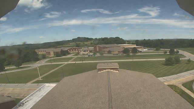
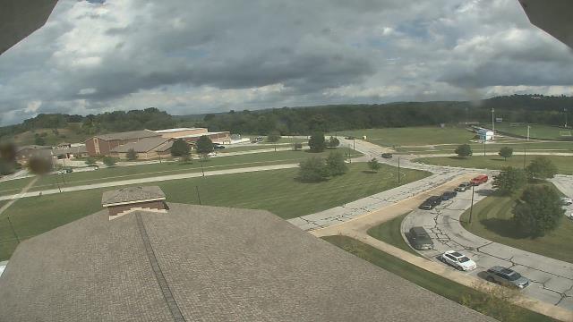
Salem, Virginia, USA - 106 miles from Rand (historical): City of Salem Civic Center - A webcam in Salem, Virginia - camera location: City of Salem Civic Center.
Operator: WeatherBug
Operator: WeatherBug


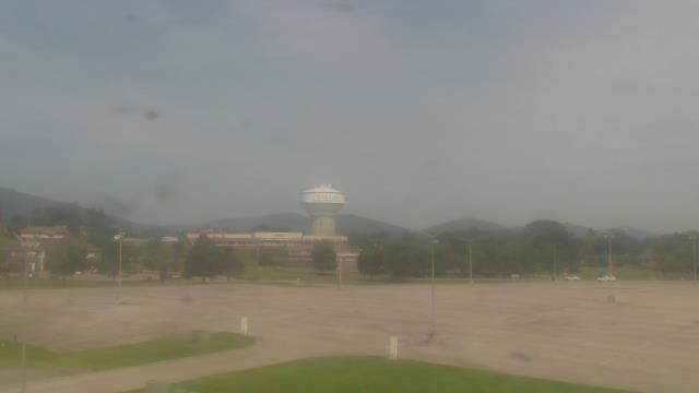

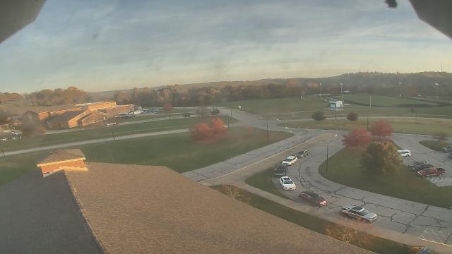
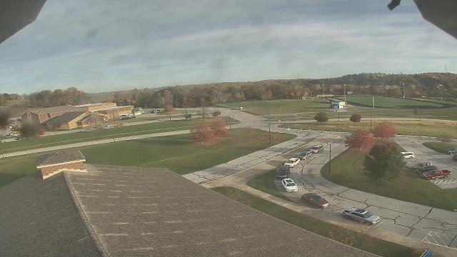
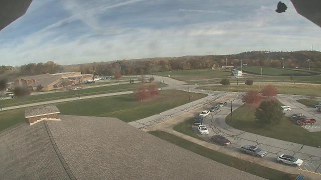
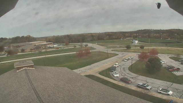
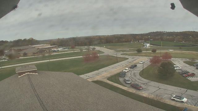
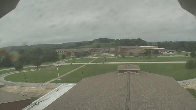
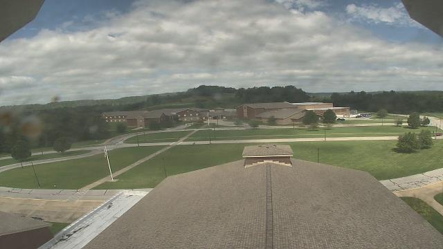
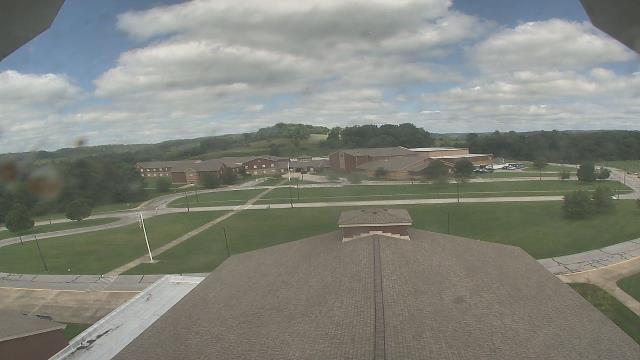
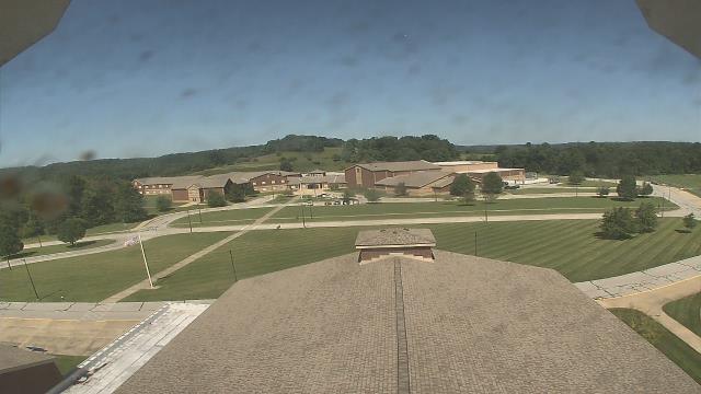
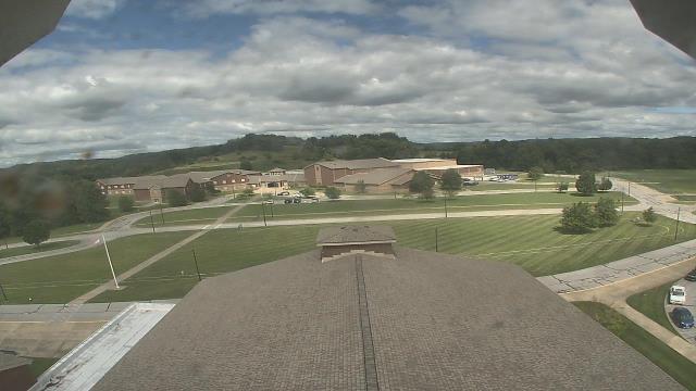
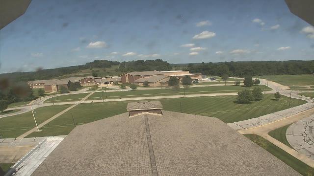
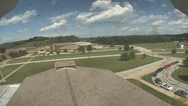
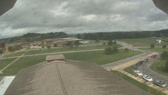
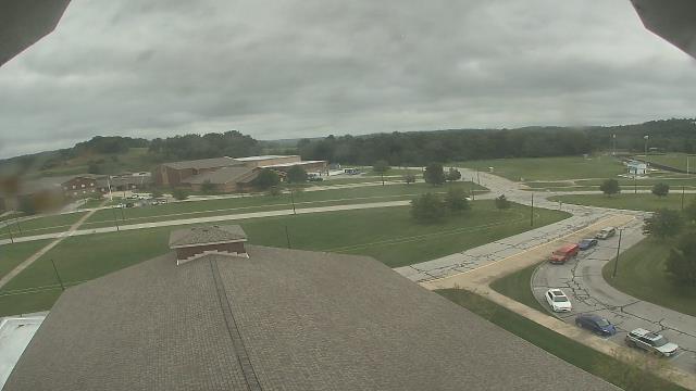
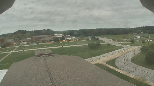
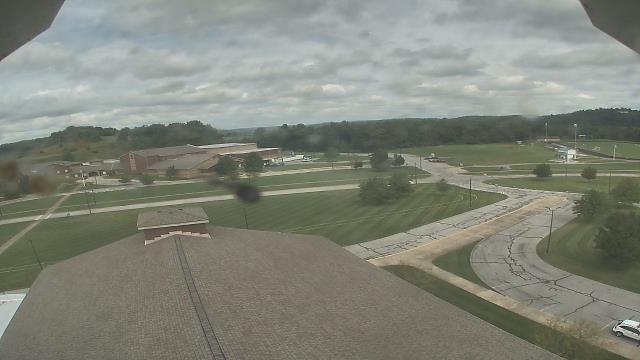
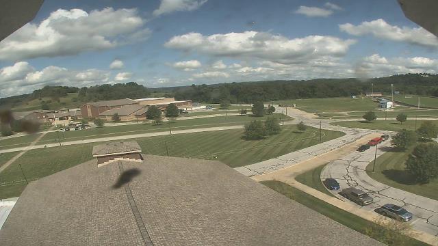
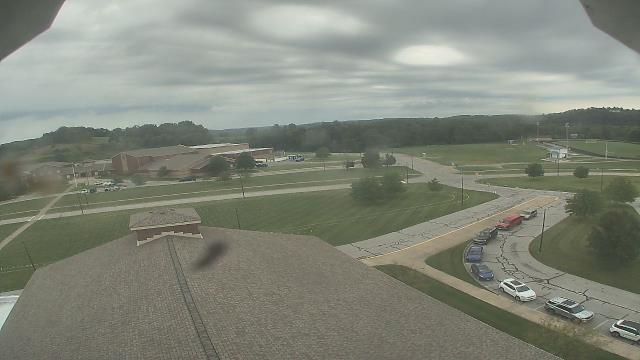
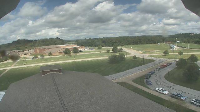
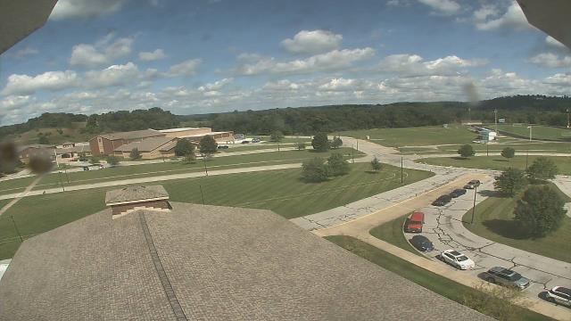
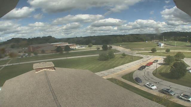
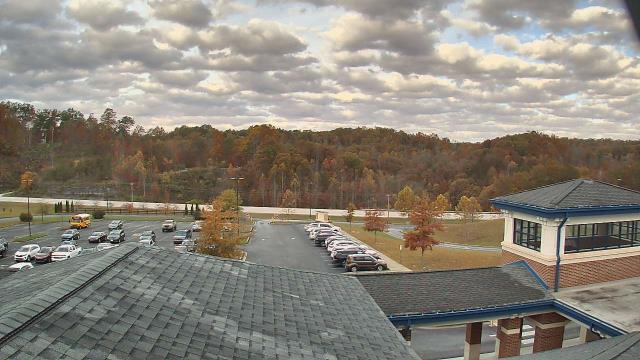
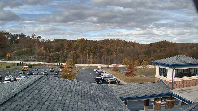
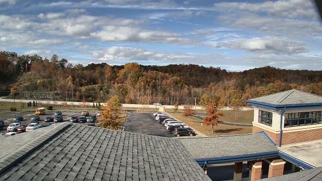
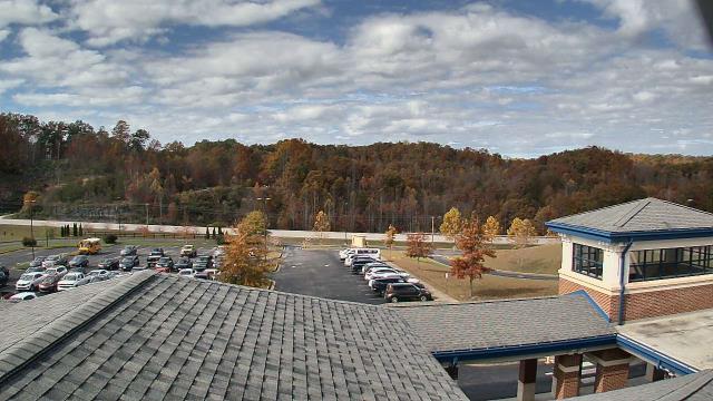
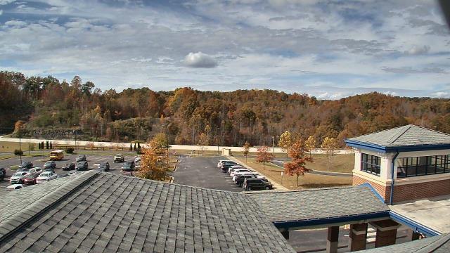
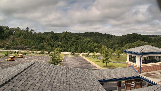
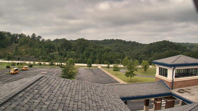
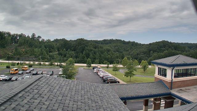
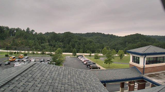
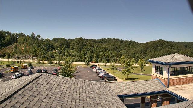
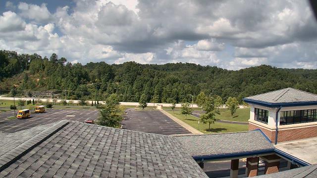
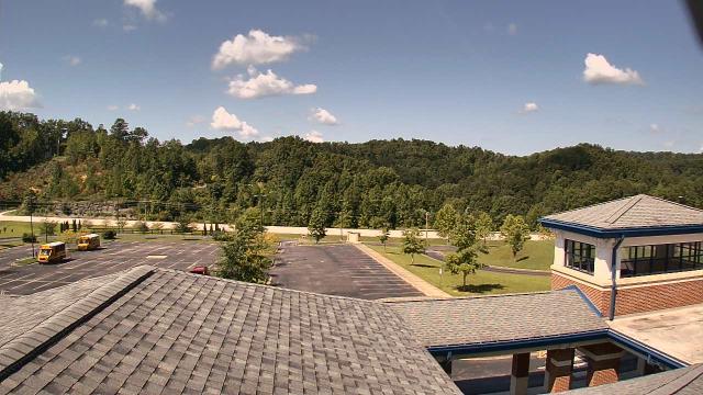
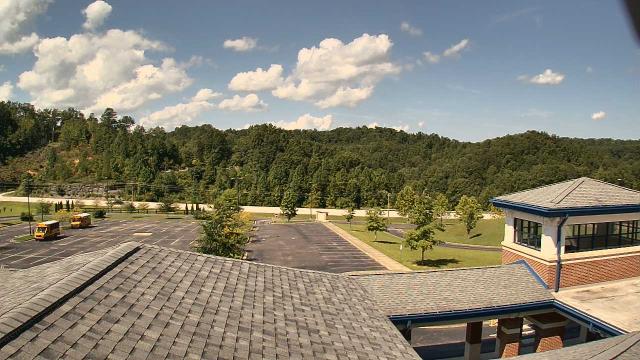
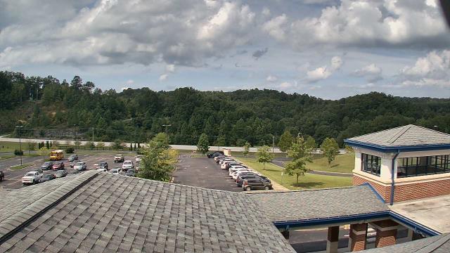
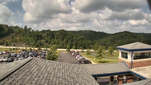
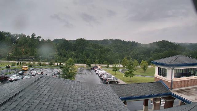
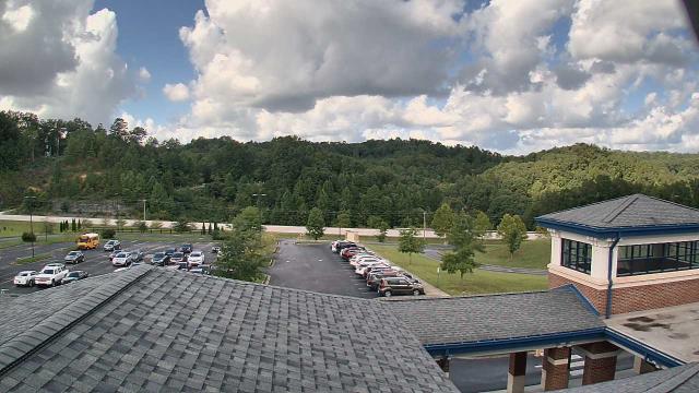
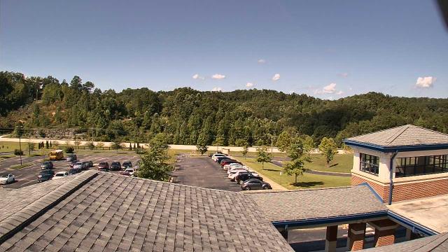
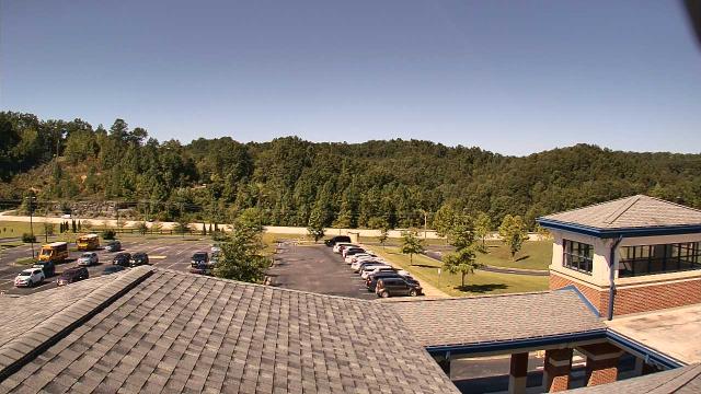
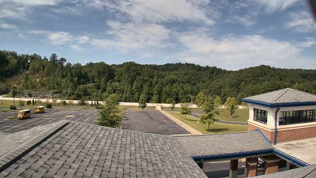
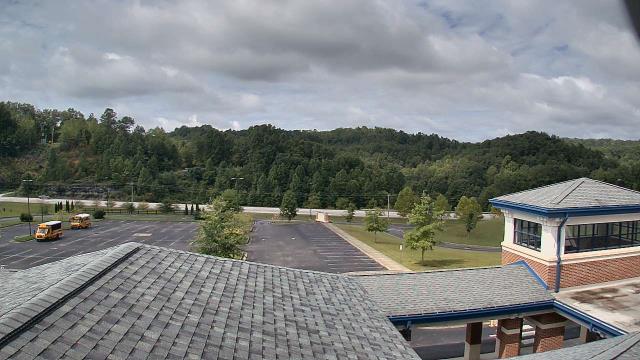
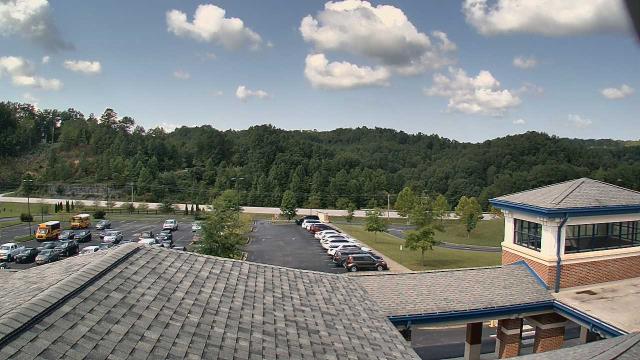
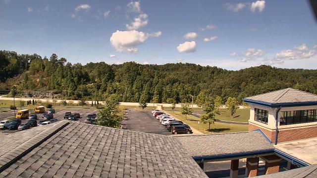
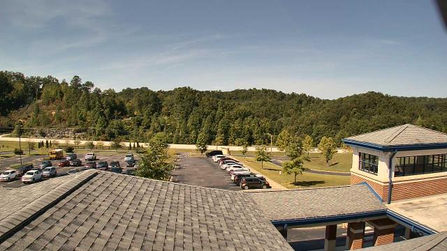
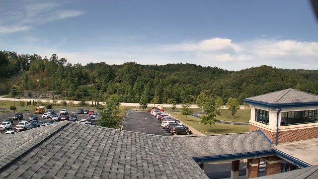
Buchanan, Virginia, USA - 106.6 miles from Rand (historical): James River High School - A webcam in Buchanan, Virginia - camera location: James River High School.
Operator: WeatherBug
Operator: WeatherBug


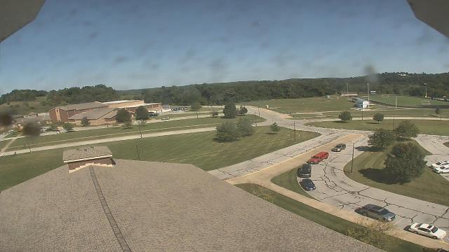
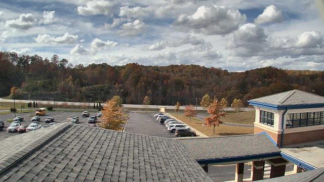
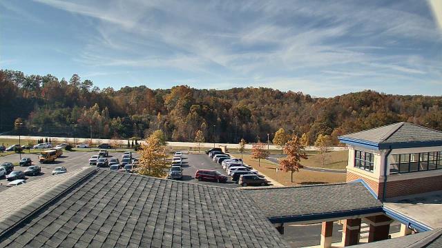
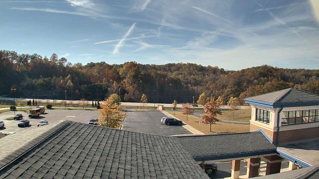
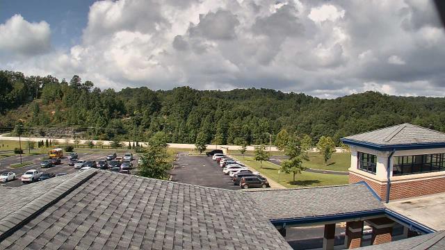
Cambridge, Ohio, USA - 106.9 miles from Rand (historical): Central Elementary School - A webcam in Cambridge, Ohio - camera location: Central Elementary School.
Operator: WeatherBug
Operator: WeatherBug


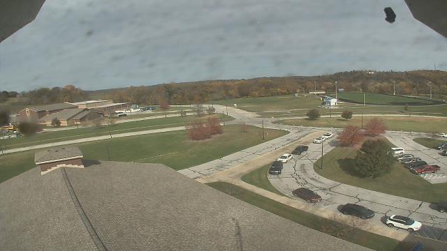
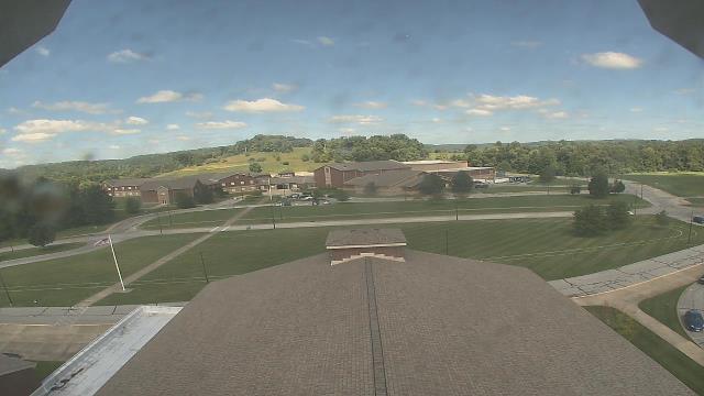
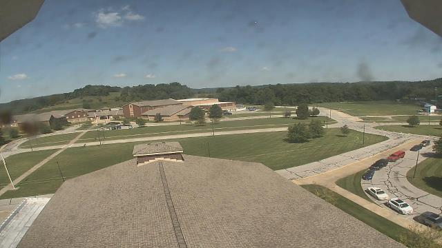
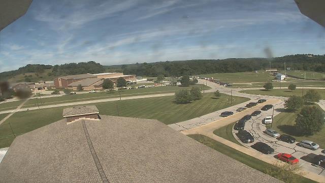
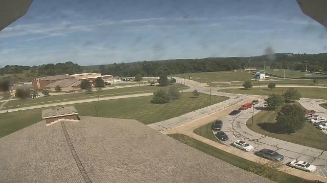

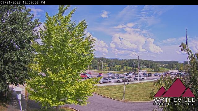
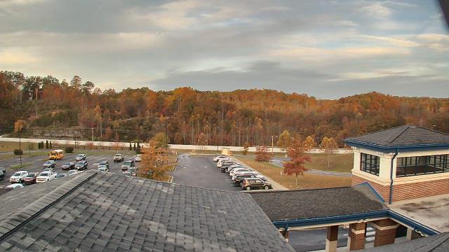
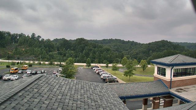
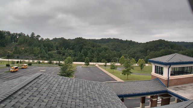
Wytheville, Virginia, USA - 108.5 miles from Rand (historical): Wytheville Community College - A webcam in Wytheville, Virginia - camera location: Wytheville Community College.
Operator: WeatherBug
Operator: WeatherBug


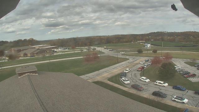
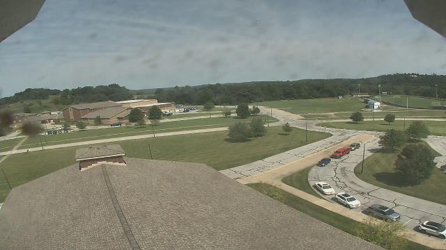
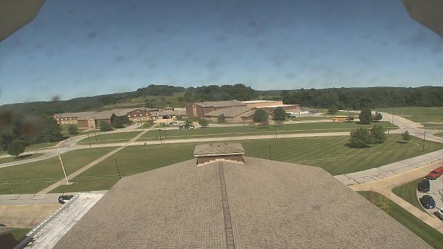
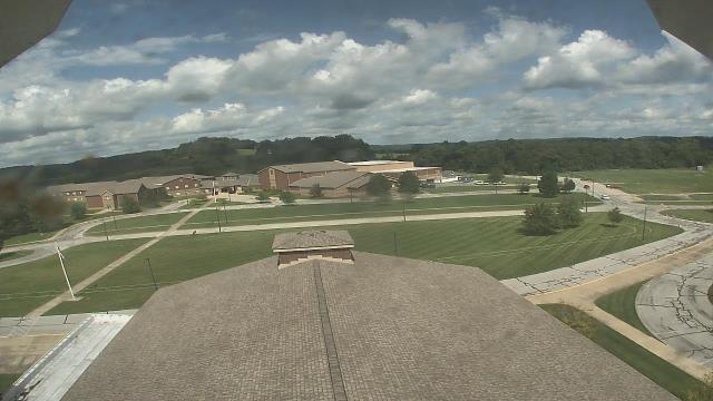
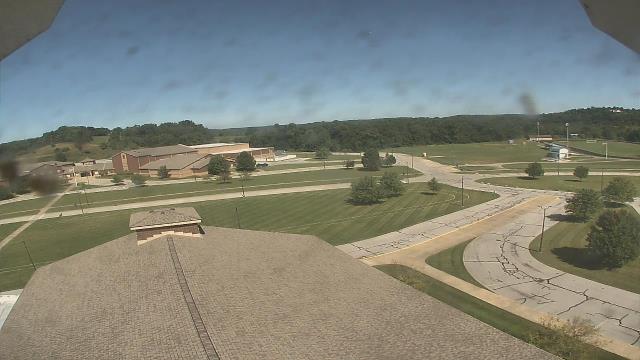
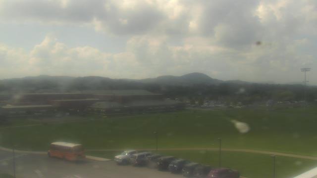
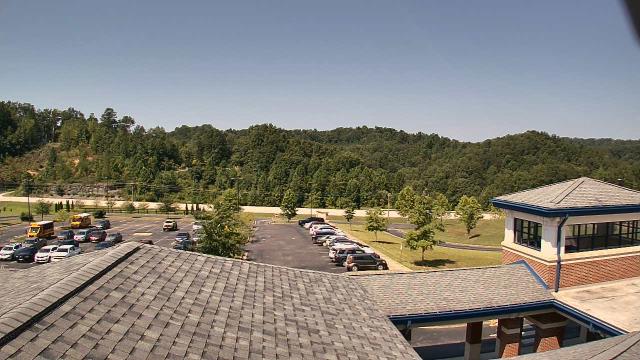
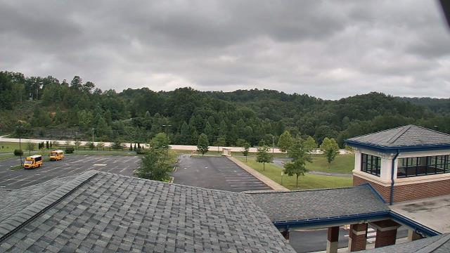
Riner, Virginia, USA - 108.8 miles from Rand (historical): Auburn Middle School - A webcam in Riner, Virginia - camera location: Auburn Middle School.
Operator: WeatherBug
Operator: WeatherBug


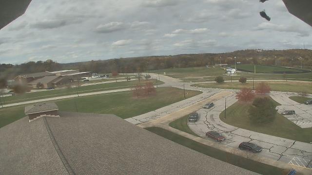
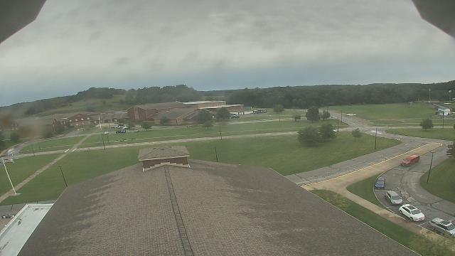
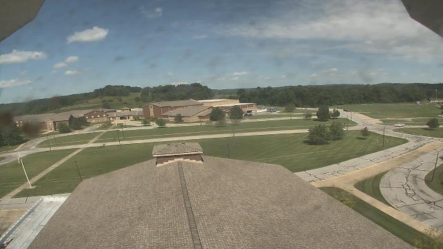
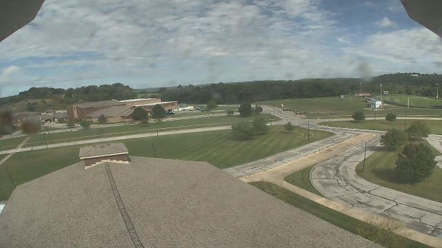
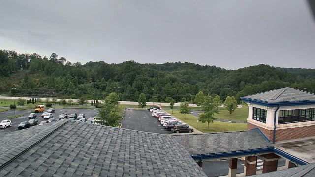
Roanoke, Virginia, USA - 111.1 miles from Rand (historical): Roanoke Catholic School - A webcam in Roanoke, Virginia - camera location: Roanoke Catholic School.
Operator: WeatherBug
Operator: WeatherBug


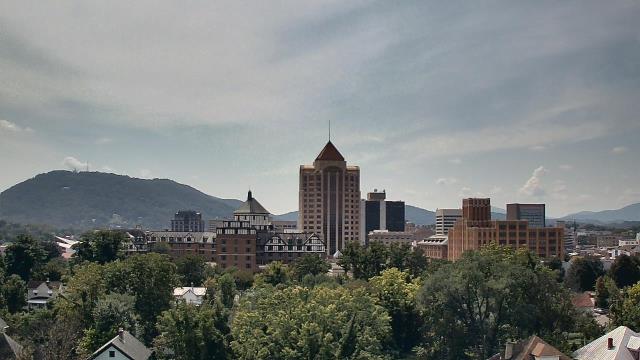

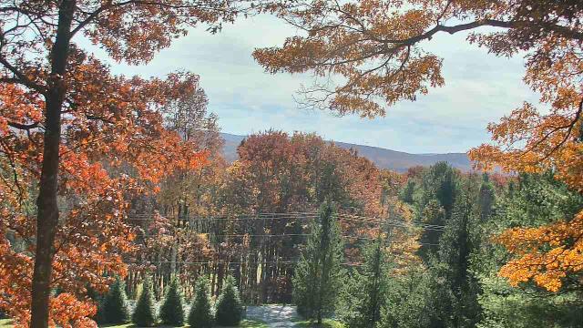
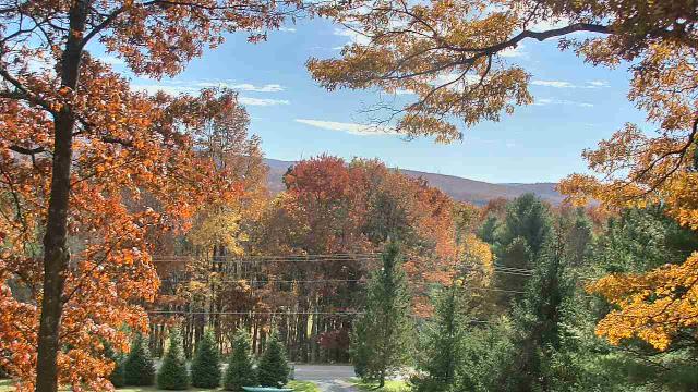
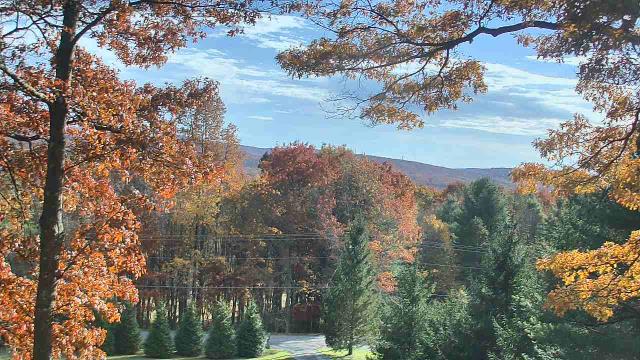
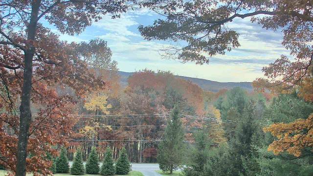
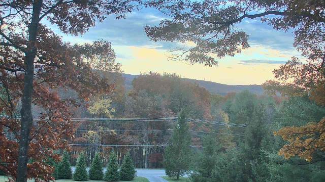
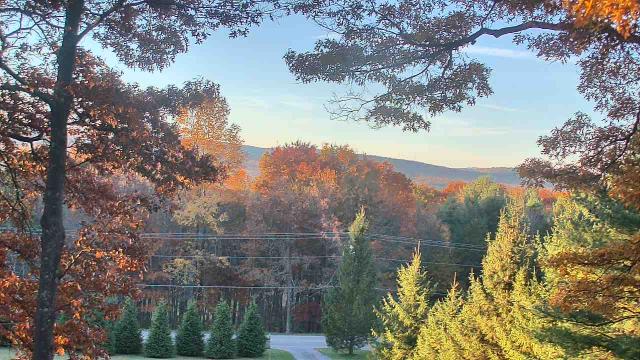
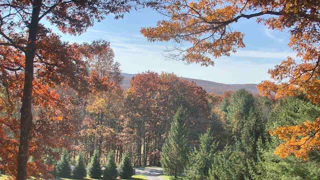
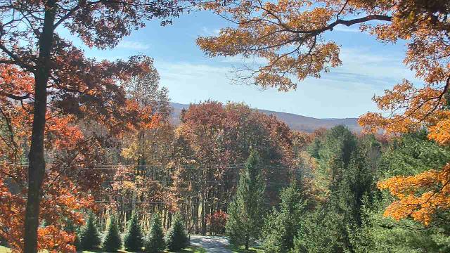
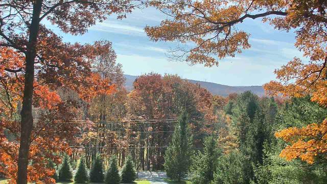
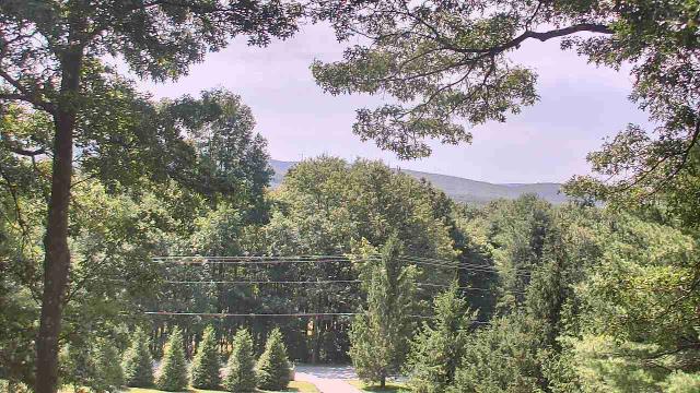
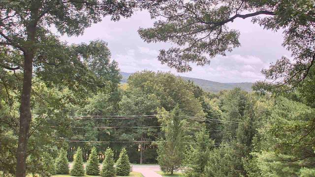
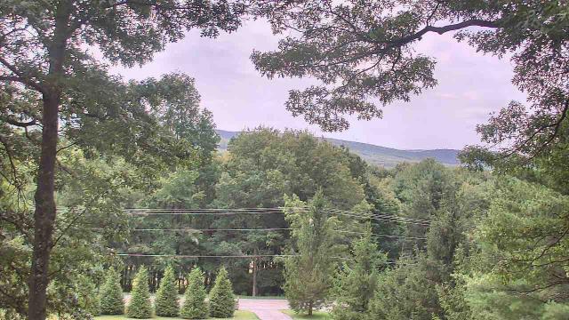
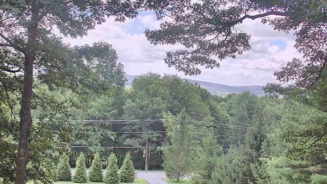
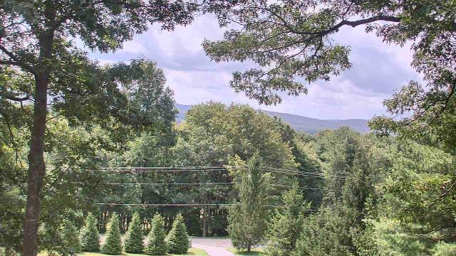
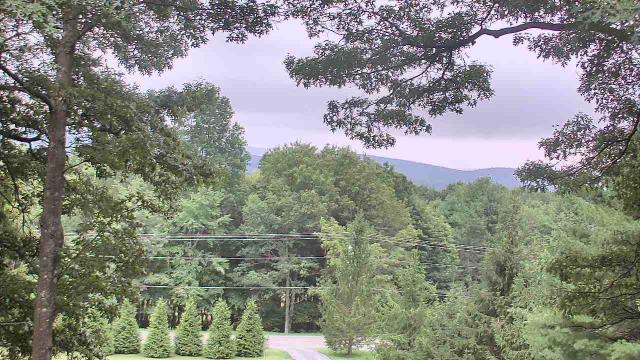
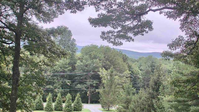
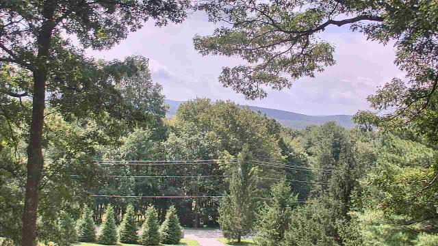
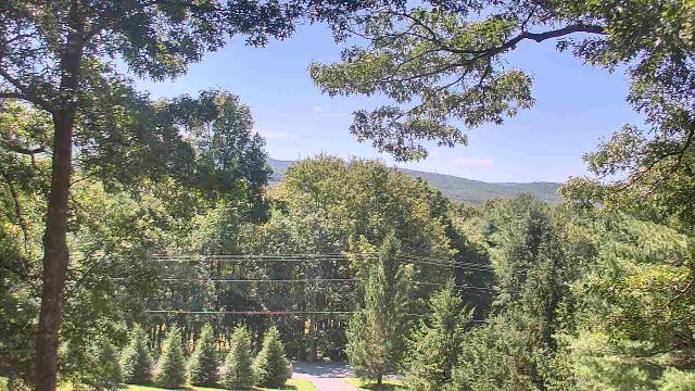
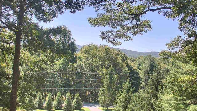
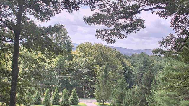
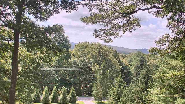
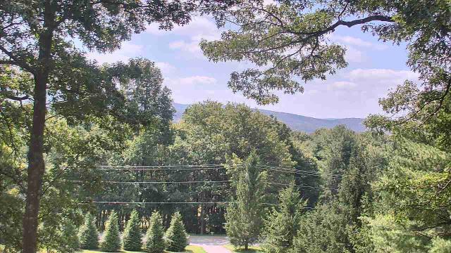
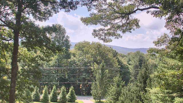
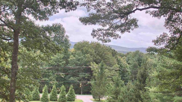
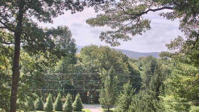
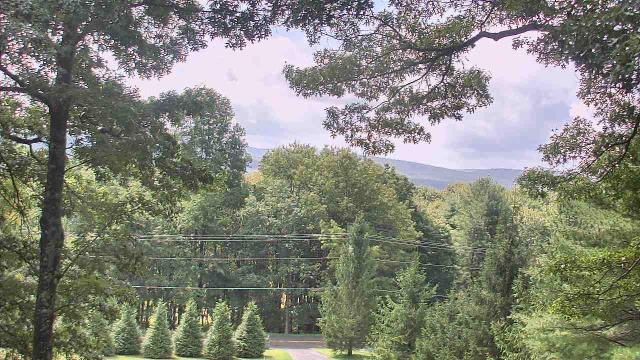
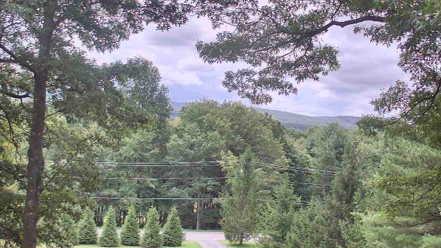
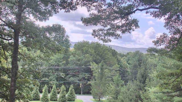
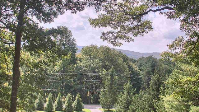
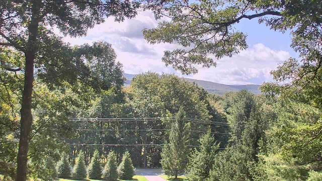
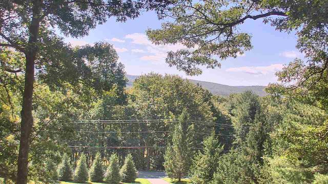
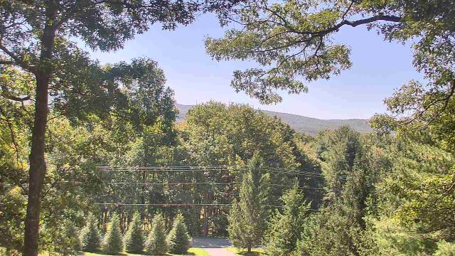
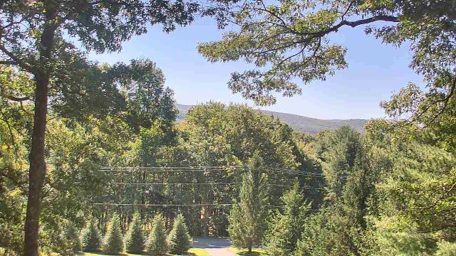
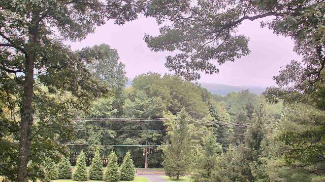
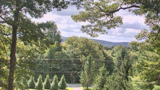
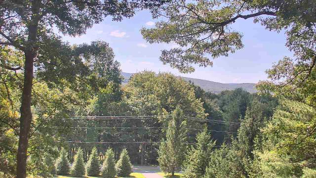
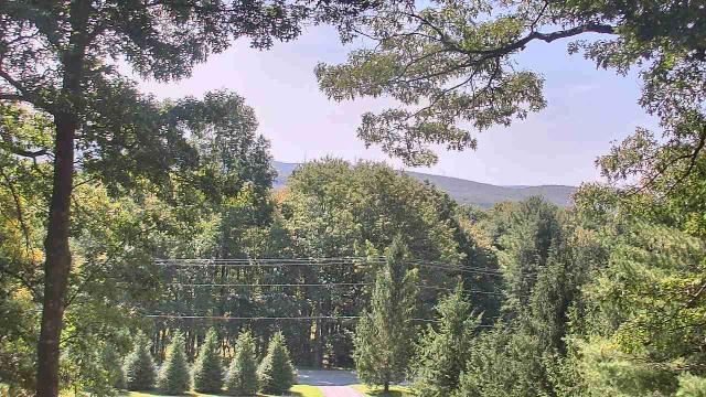
Roanoke, Virginia, USA - 111.1 miles from Rand (historical): Mountain View - Looking SW over Appalachians near Blue Ridge Pkwy.
Operator: Roanoke Weather Page
Operator: Roanoke Weather Page


West Liberty, Kentucky, USA - 116.6 miles from Rand (historical): West Liberty Elementary School - A webcam in West Liberty, Kentucky - camera location: West Liberty Elementary School.
Operator: WeatherBug
Operator: WeatherBug


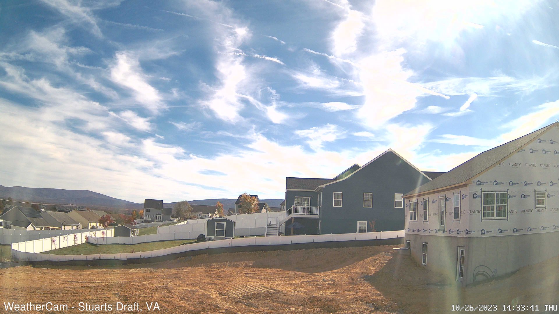
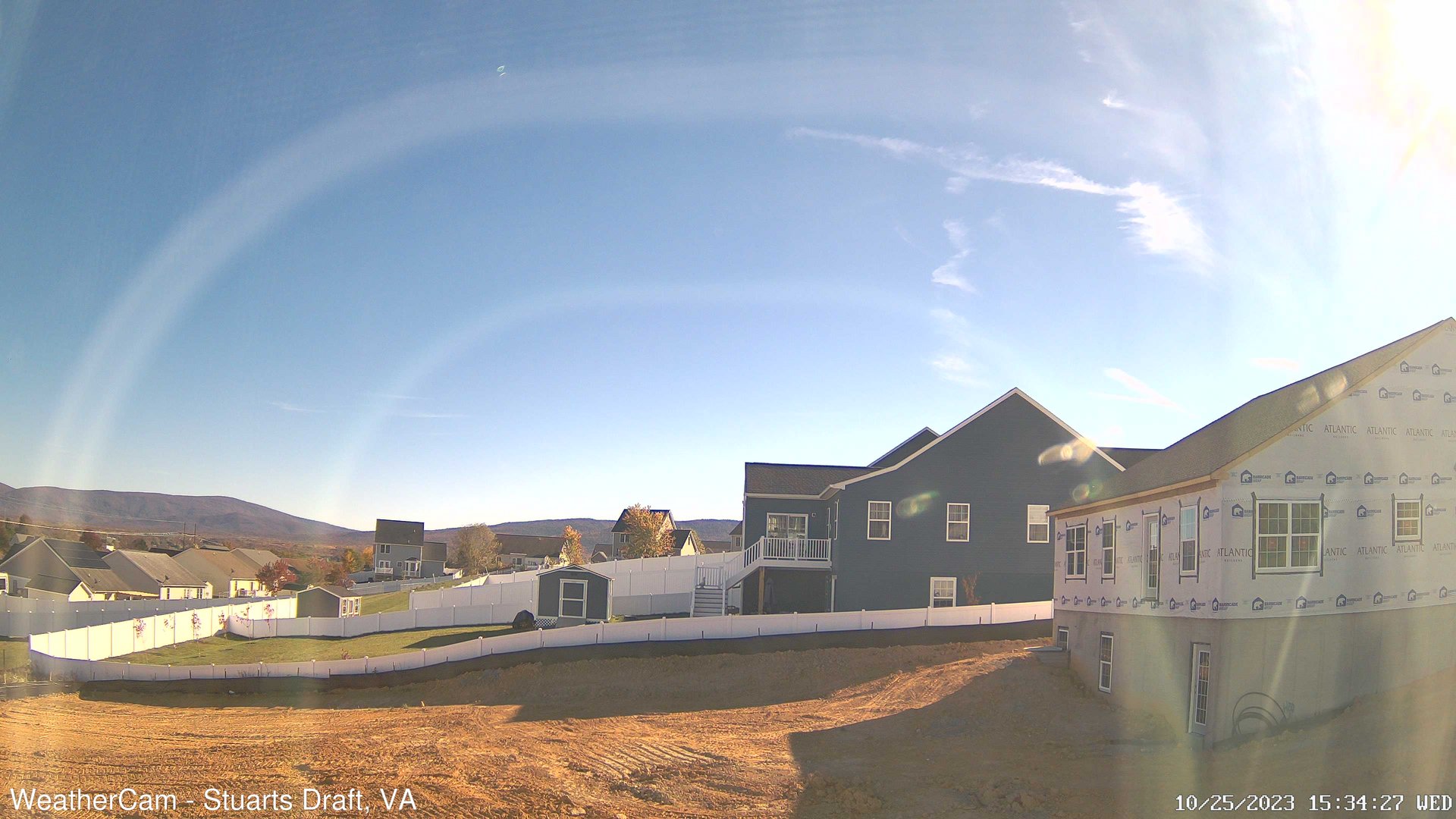
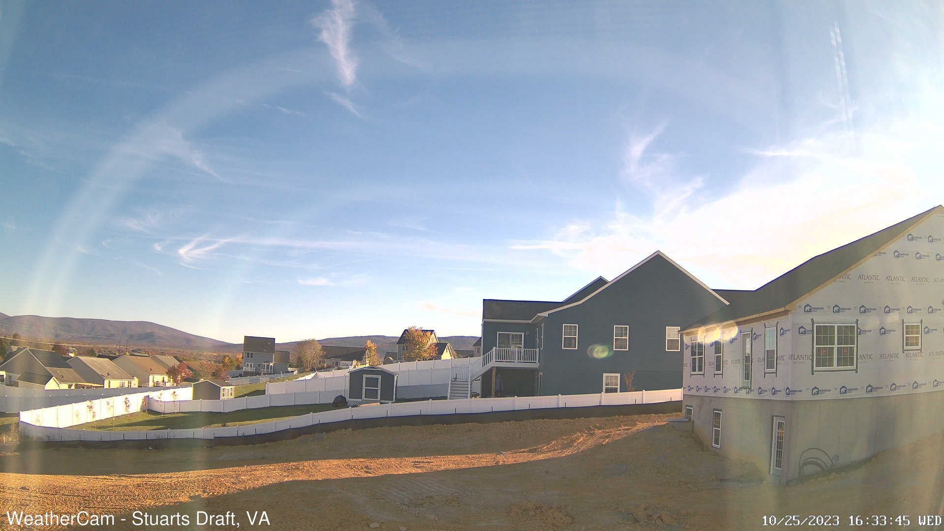
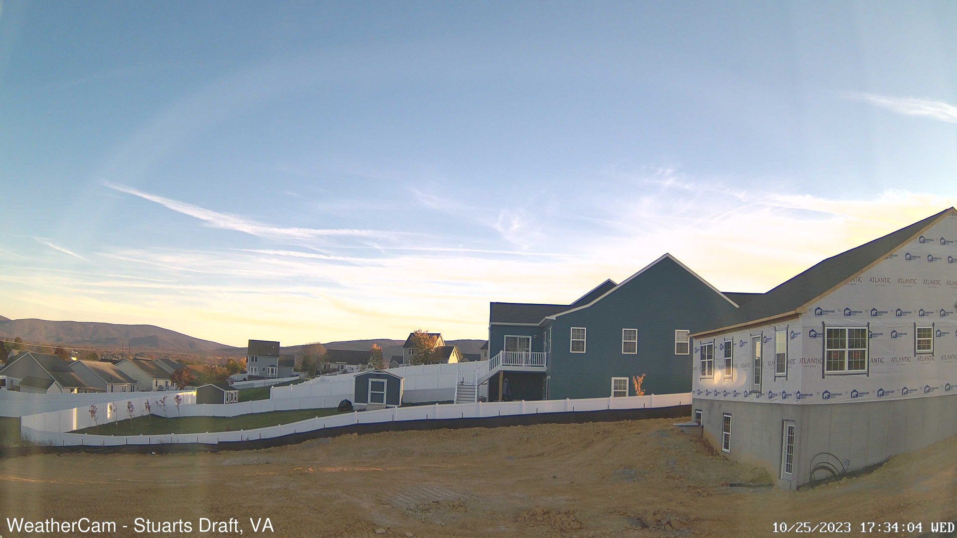
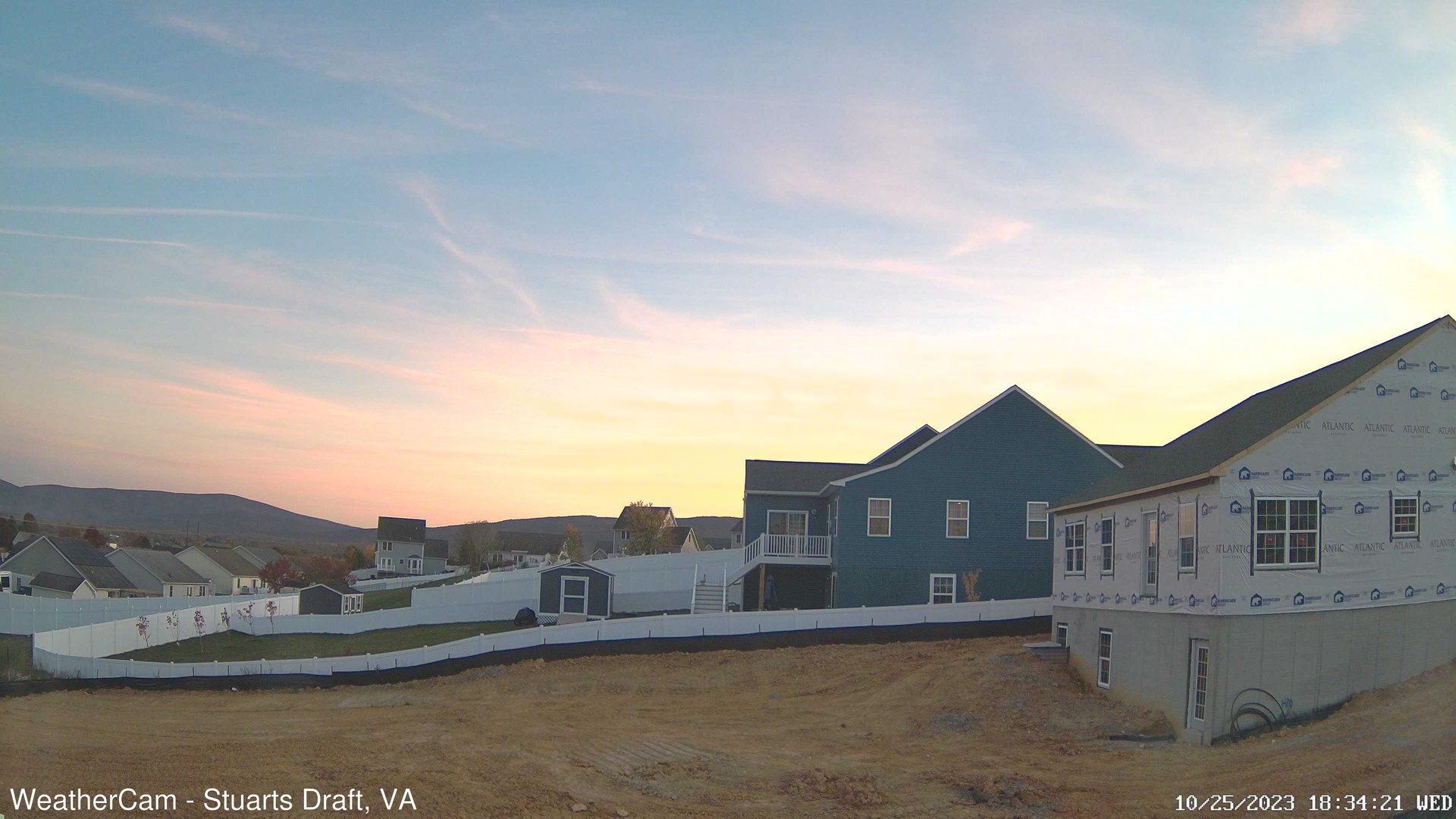
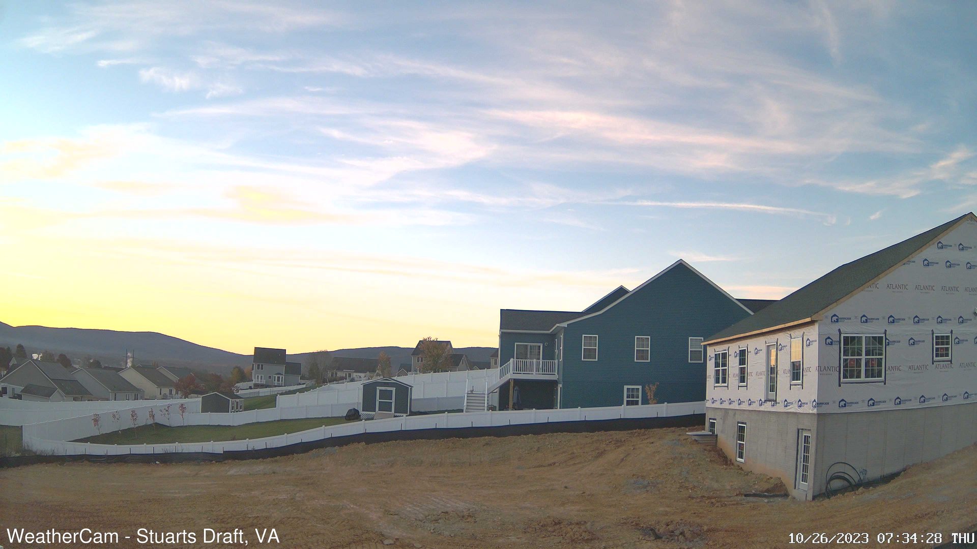
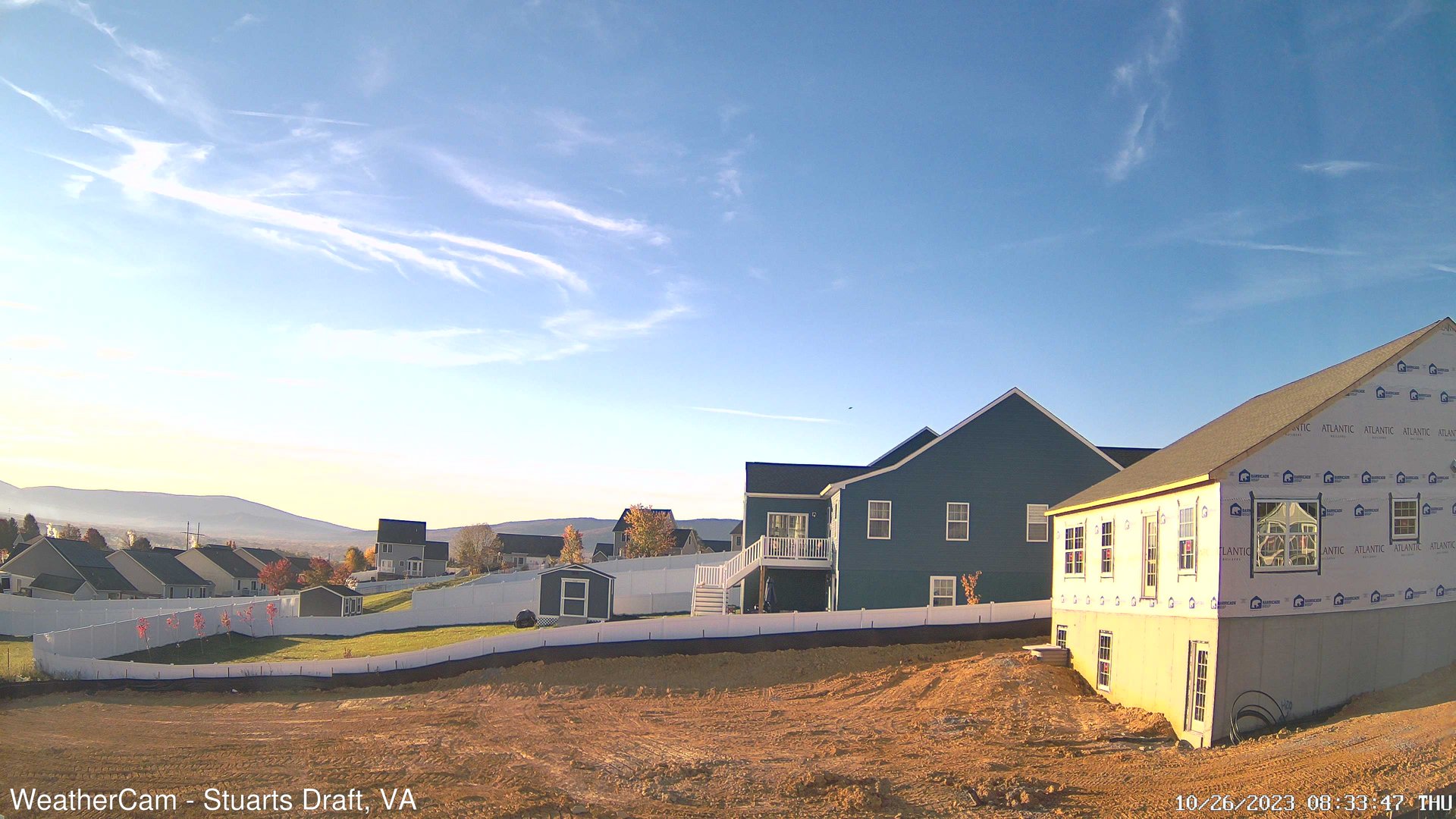
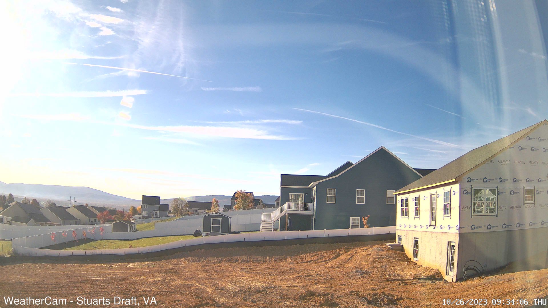
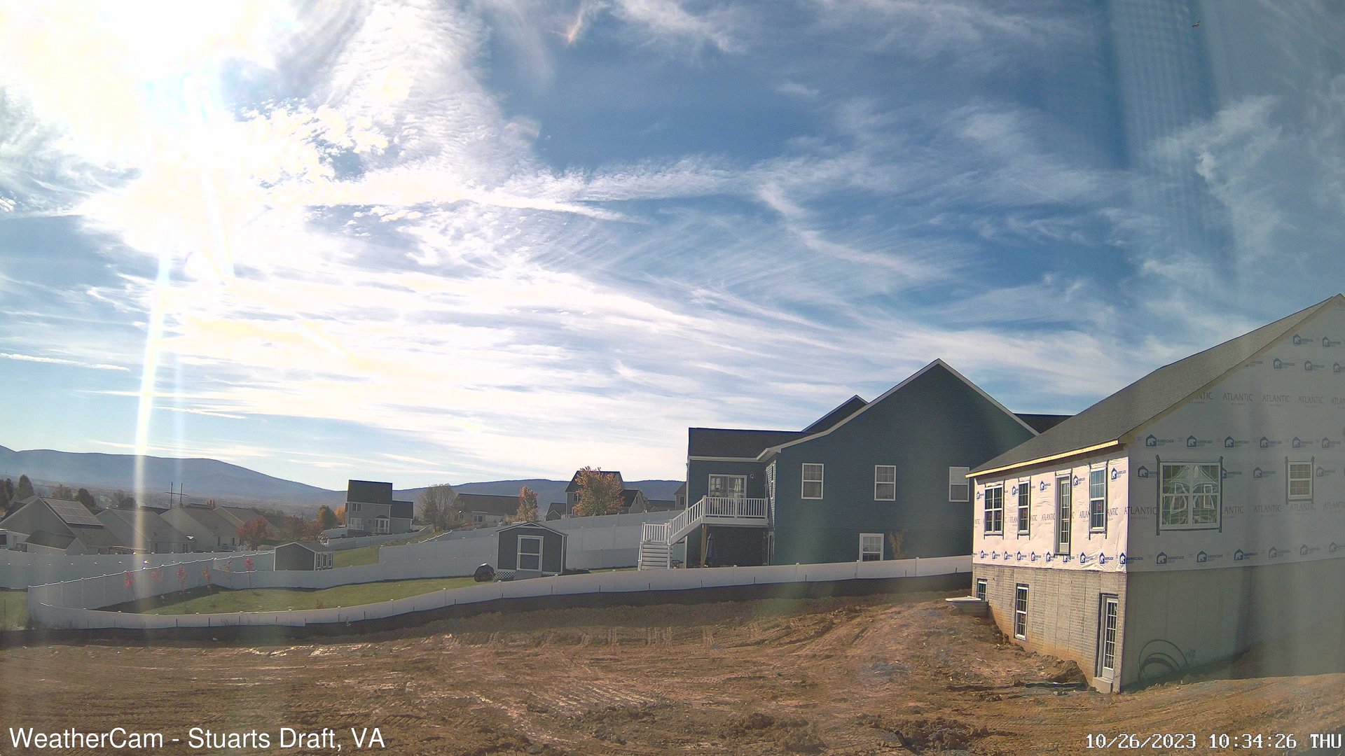
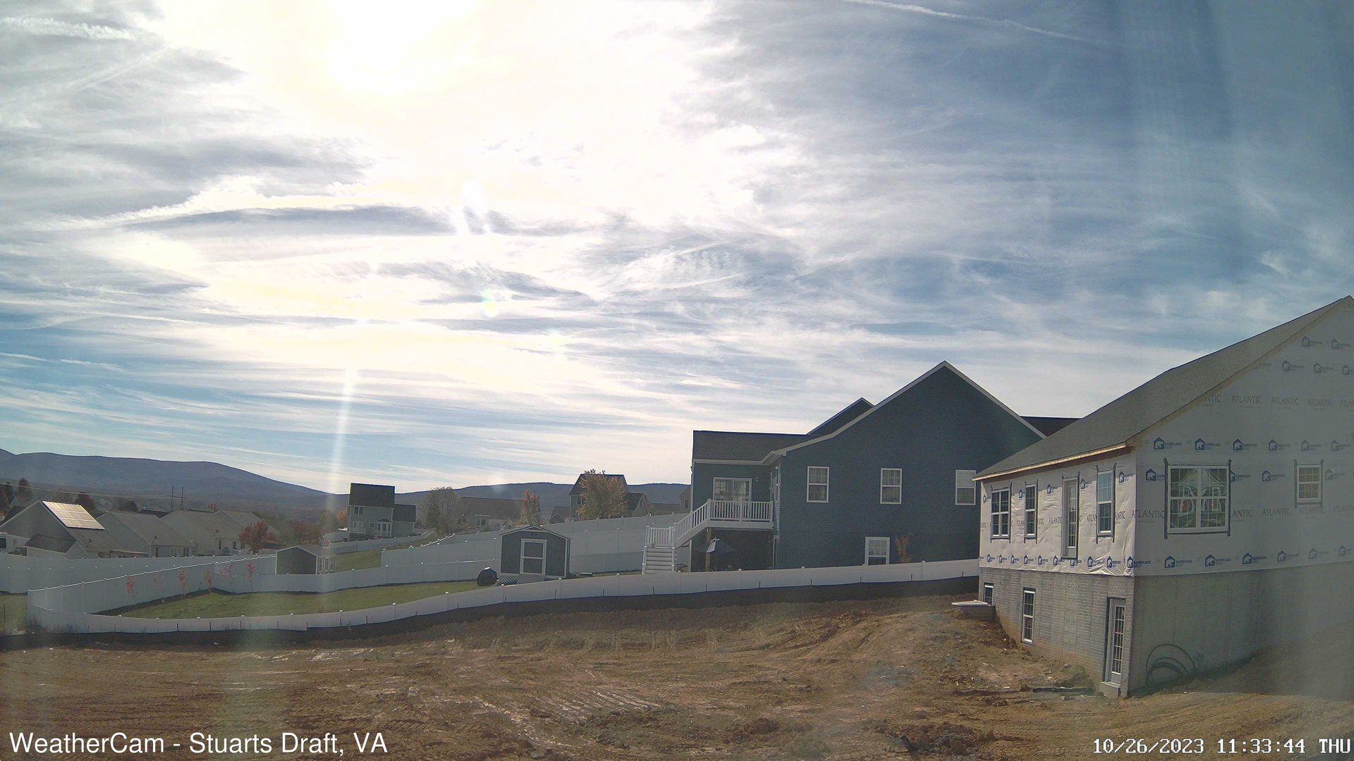
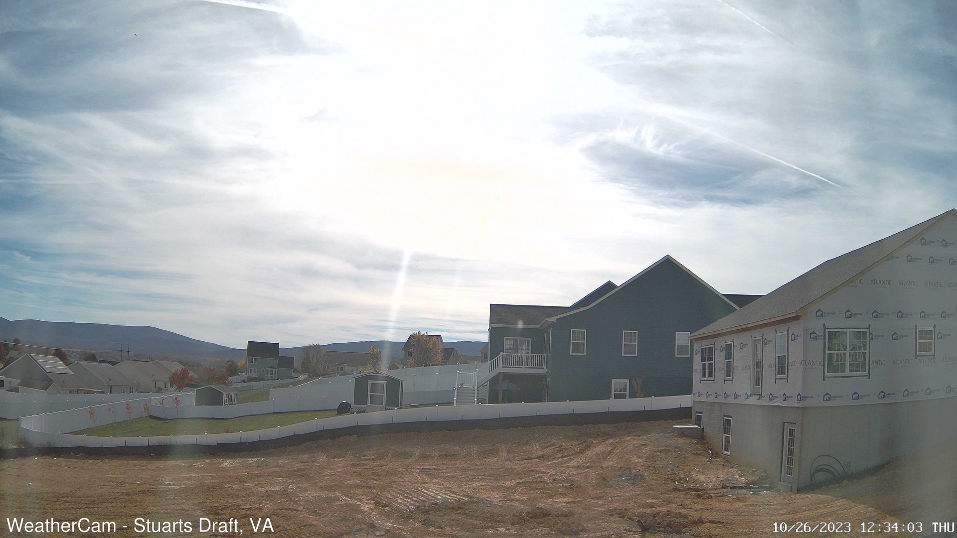
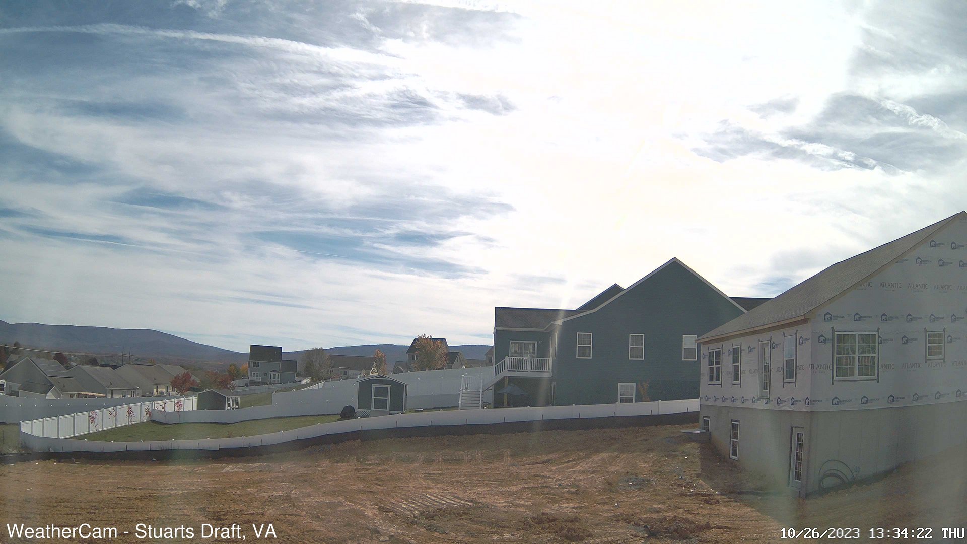
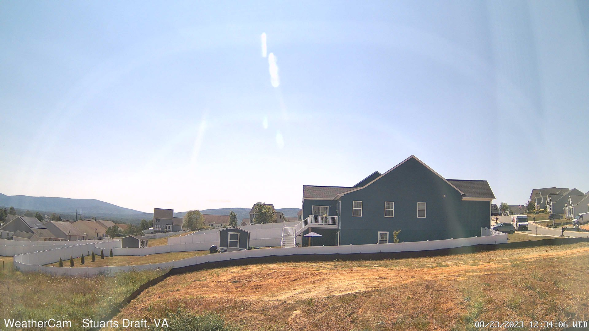
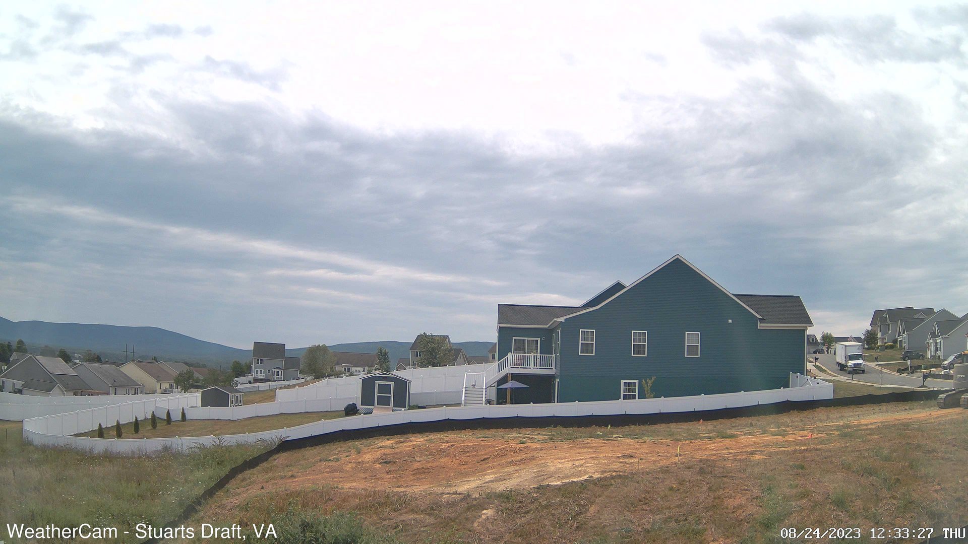
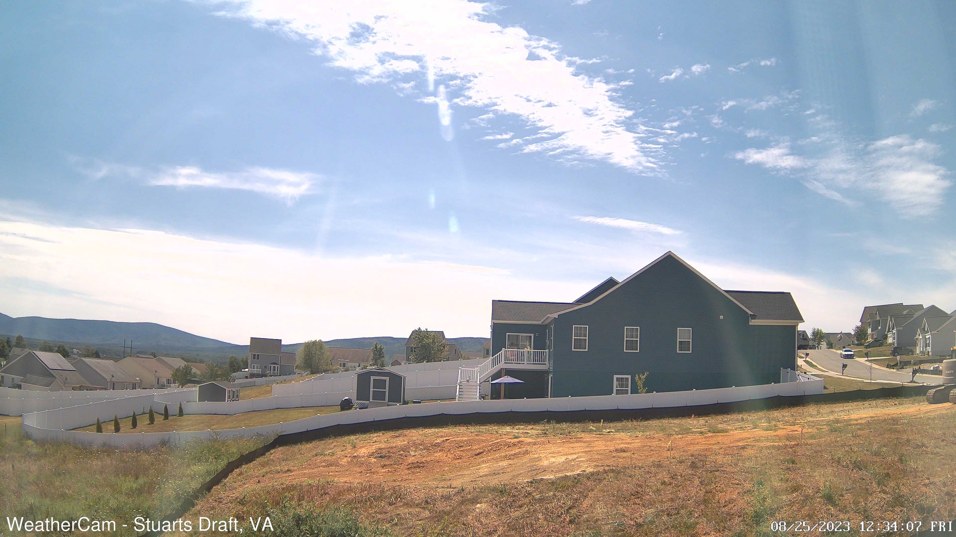
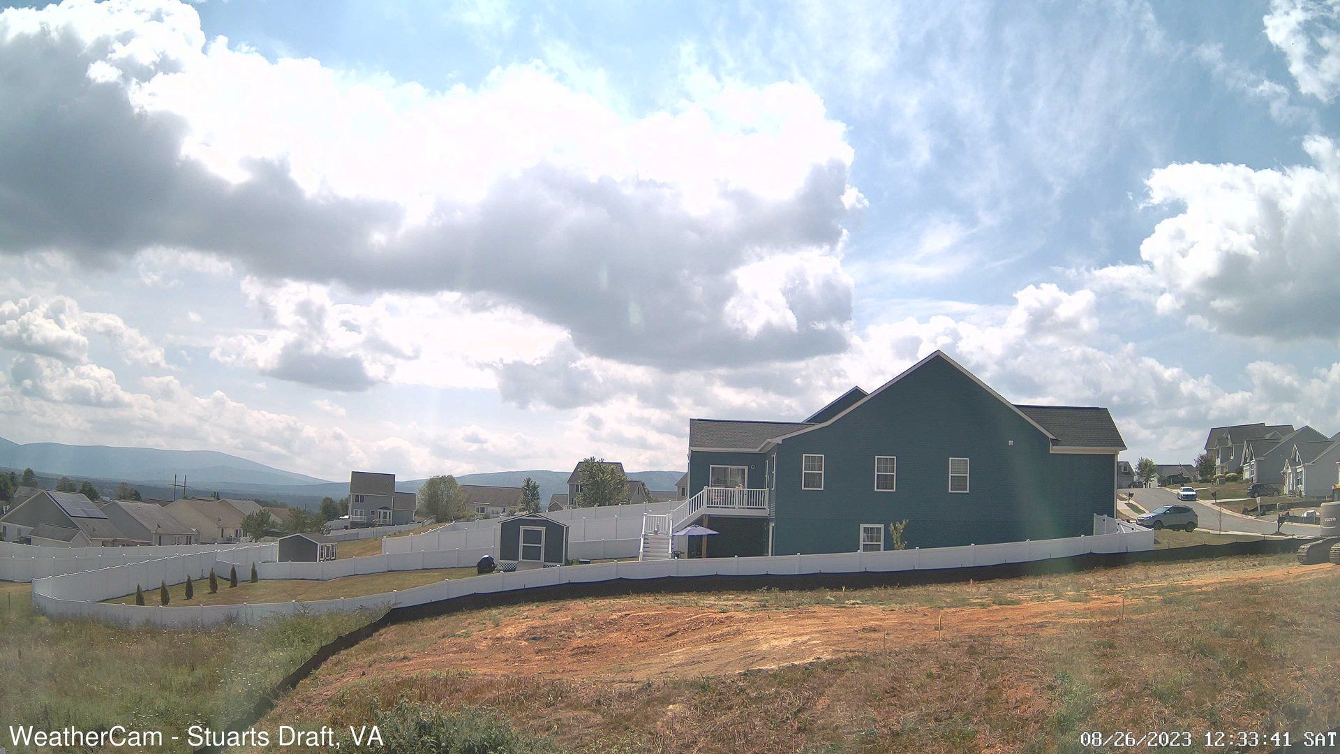
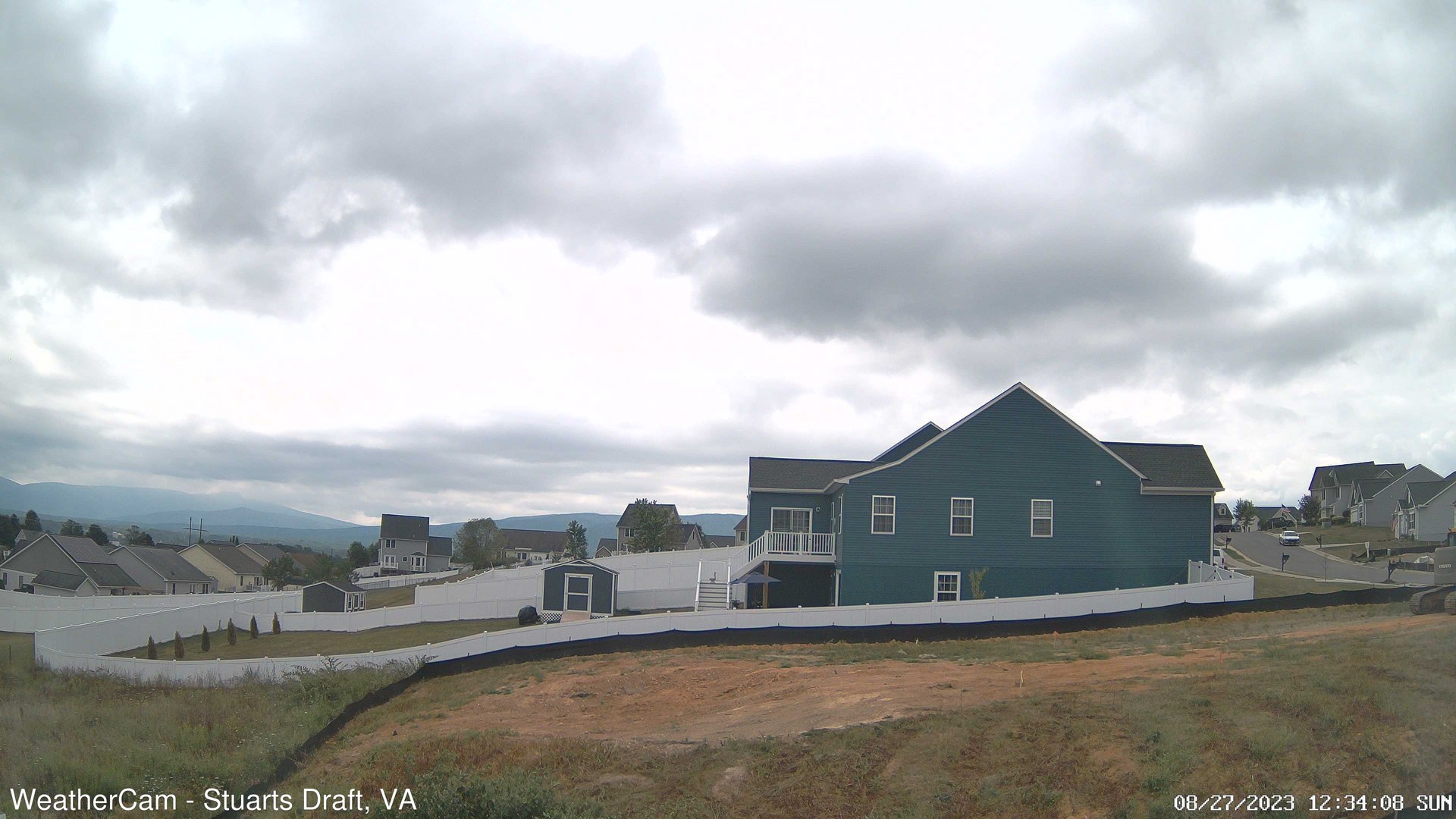
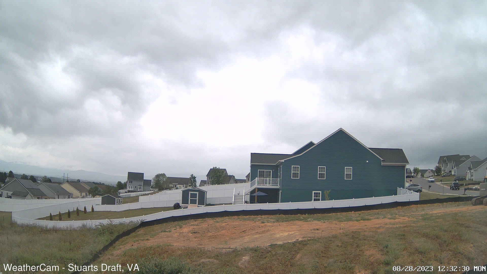
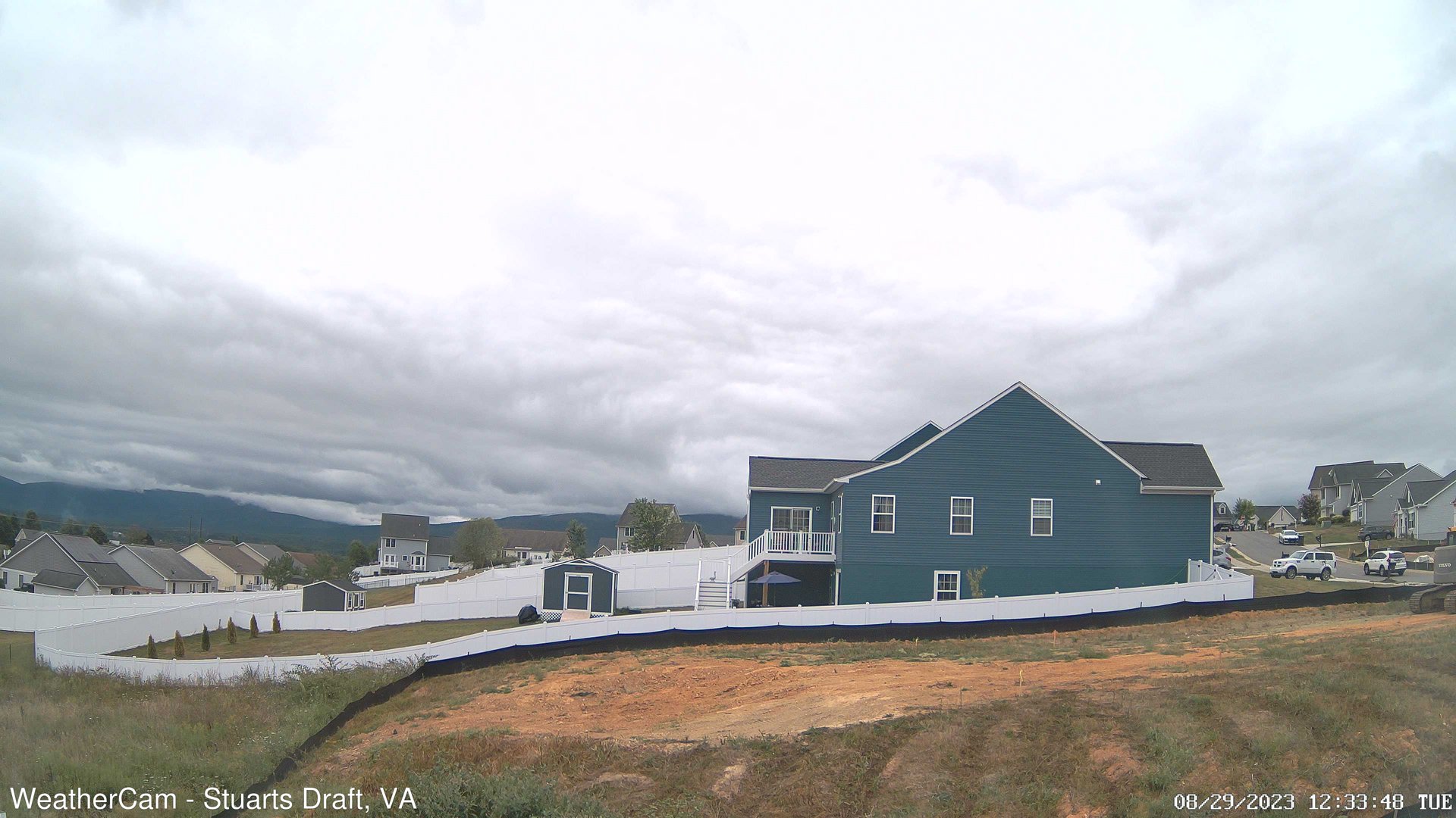
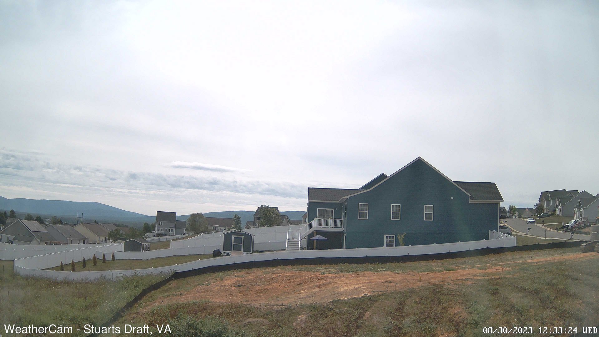
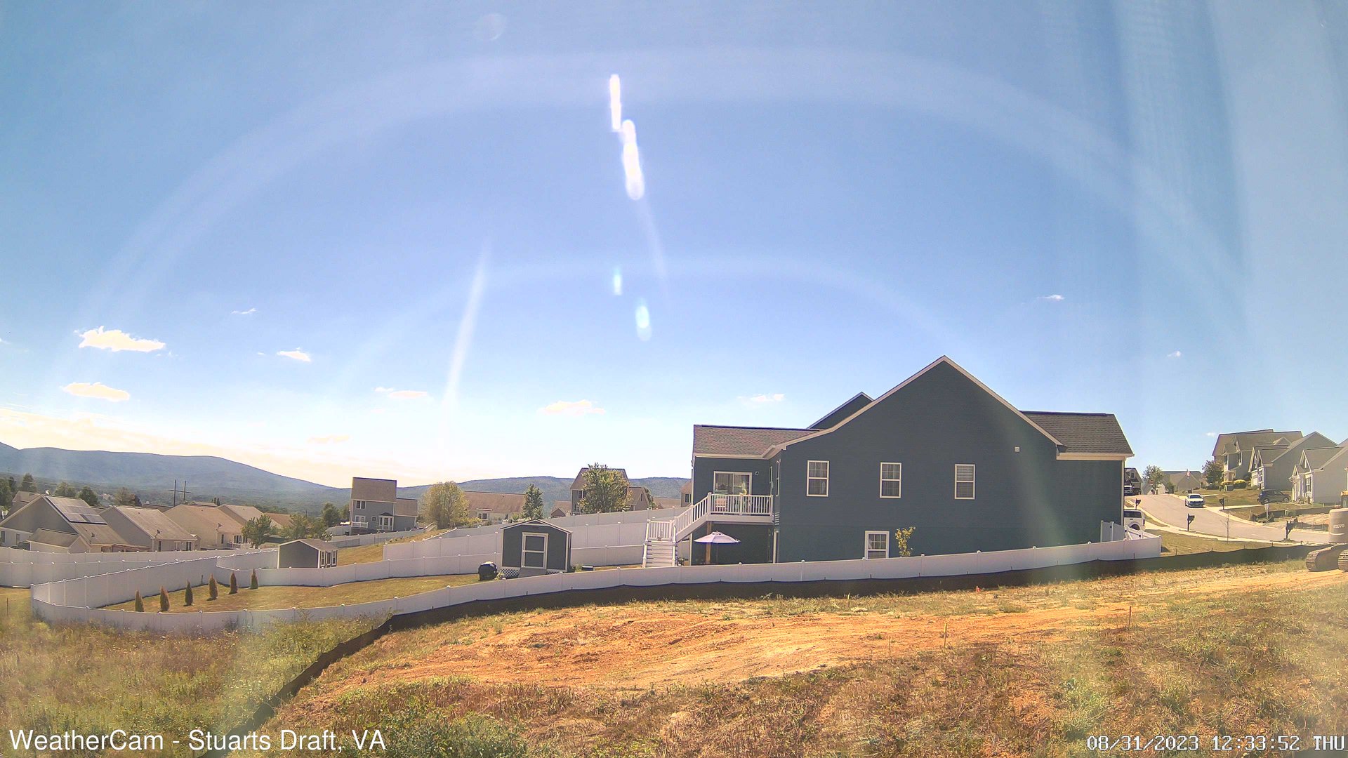
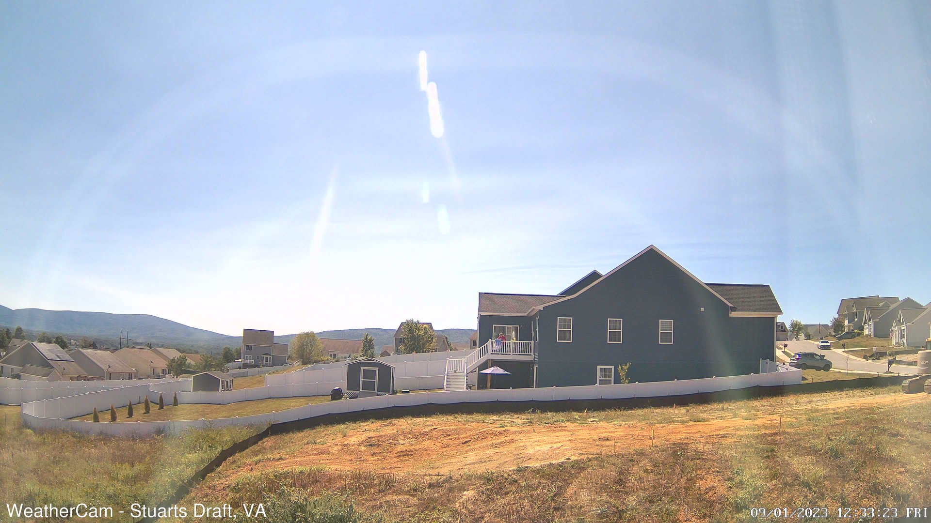
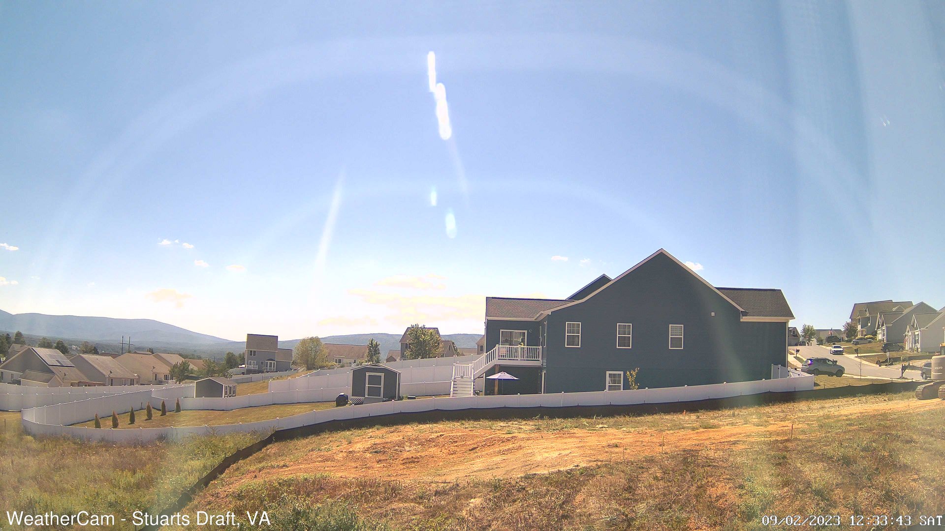
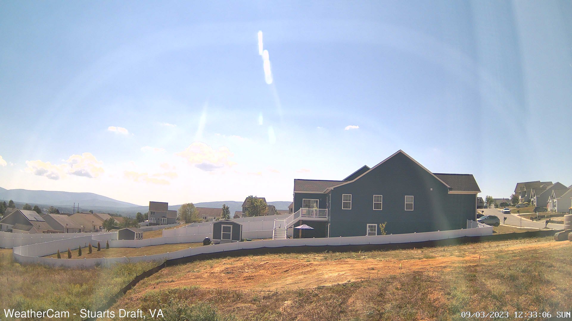
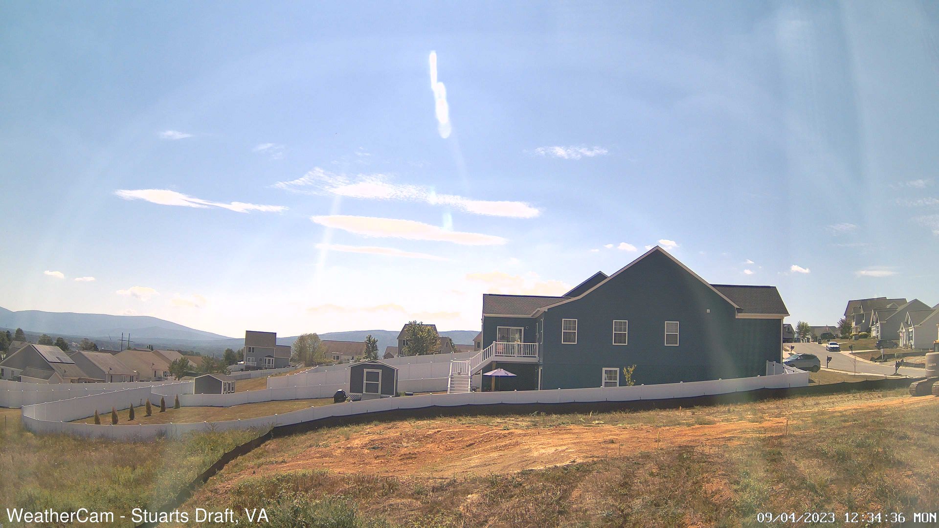
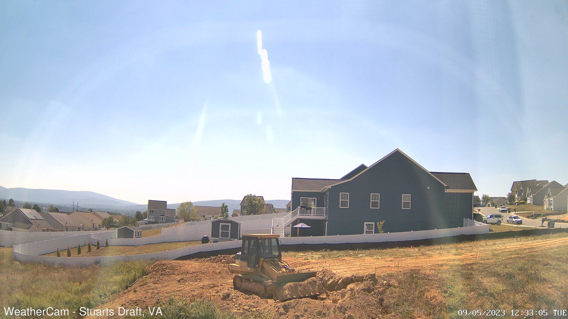
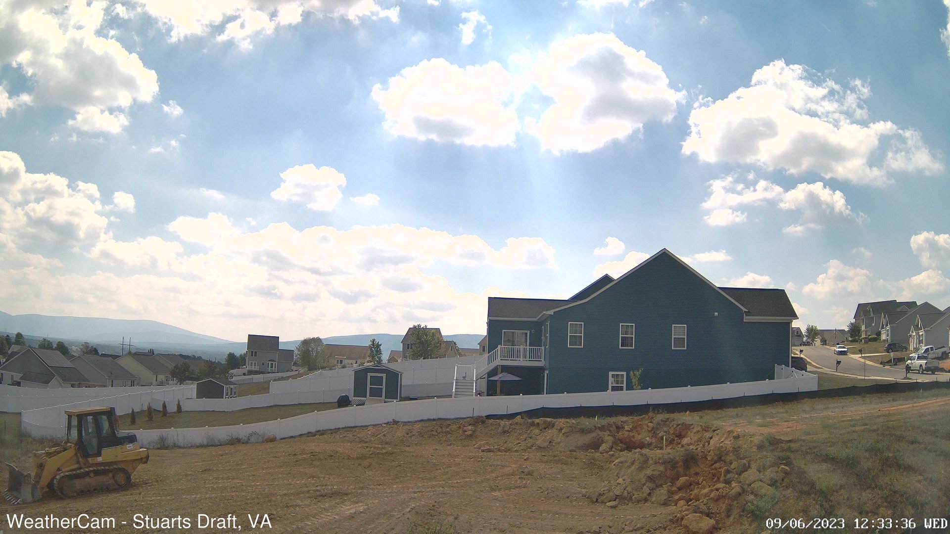
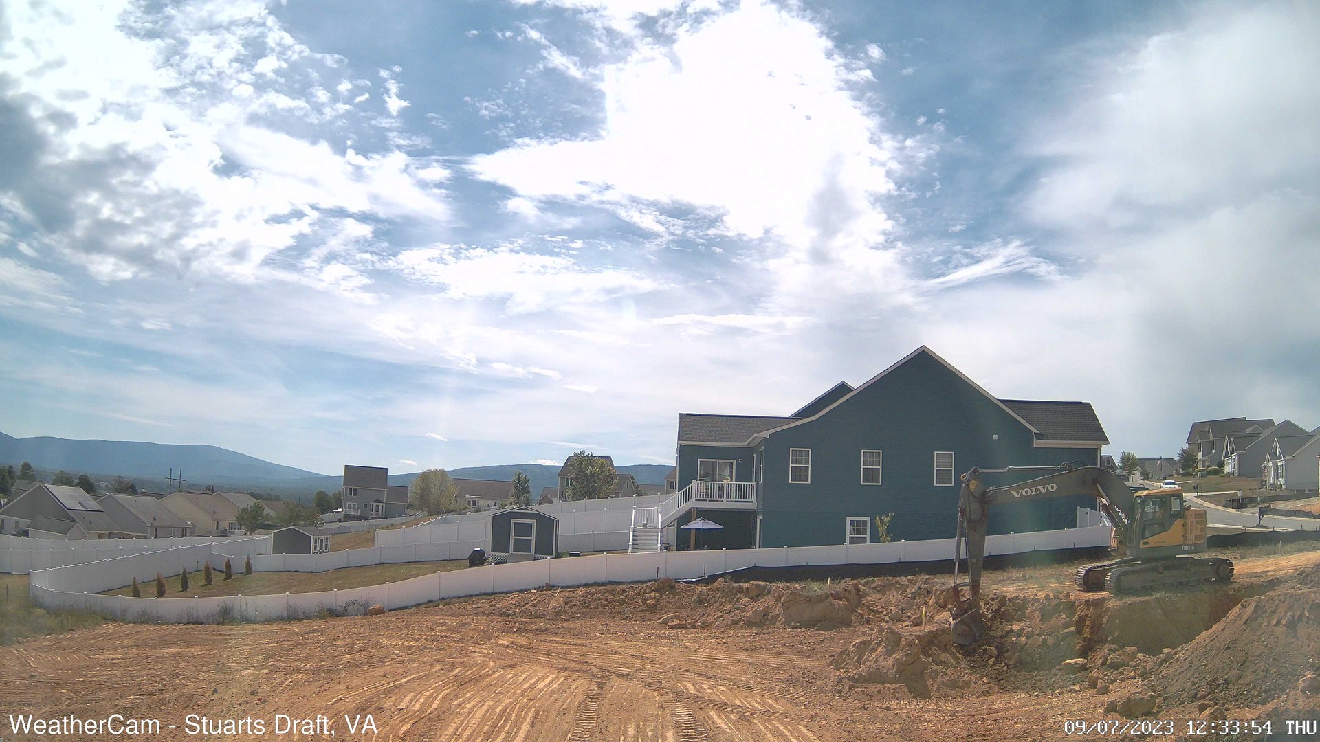
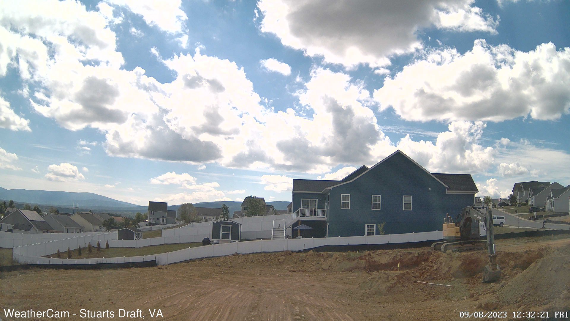
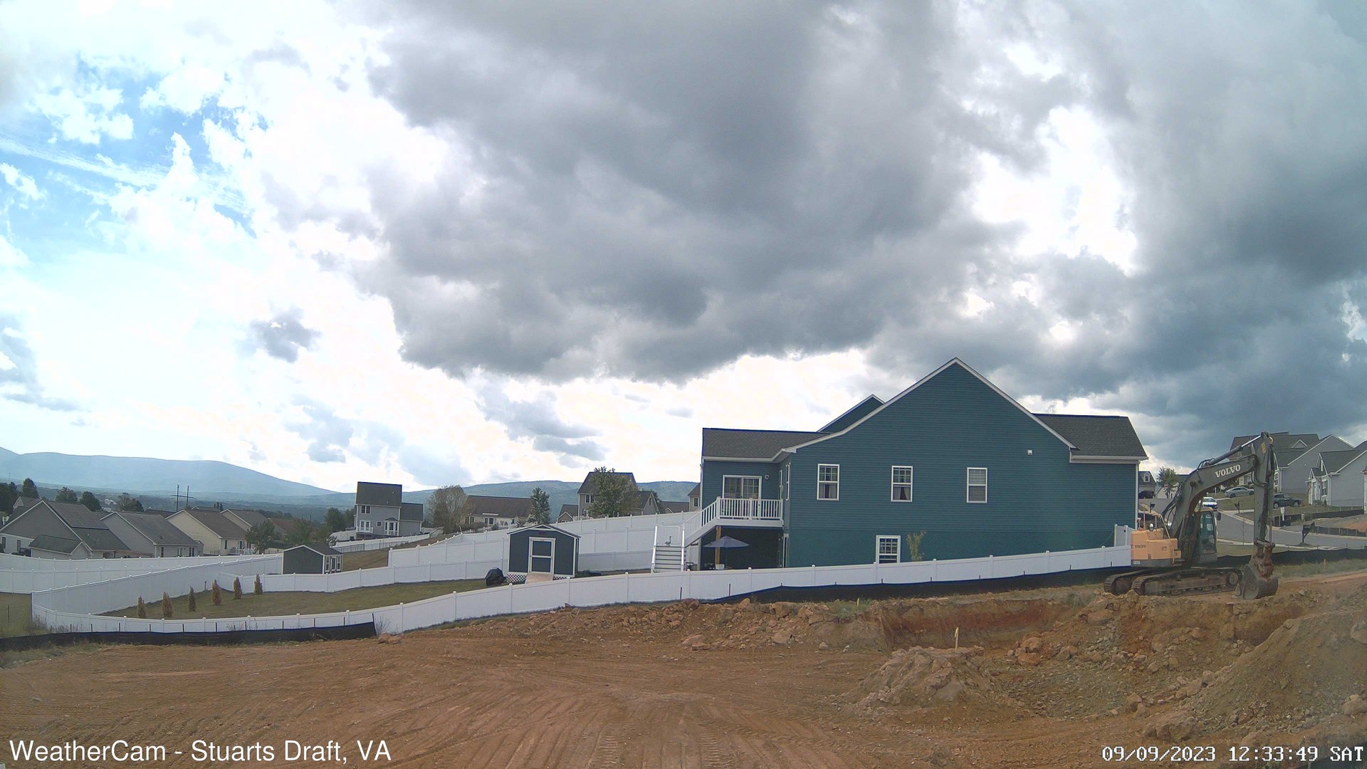
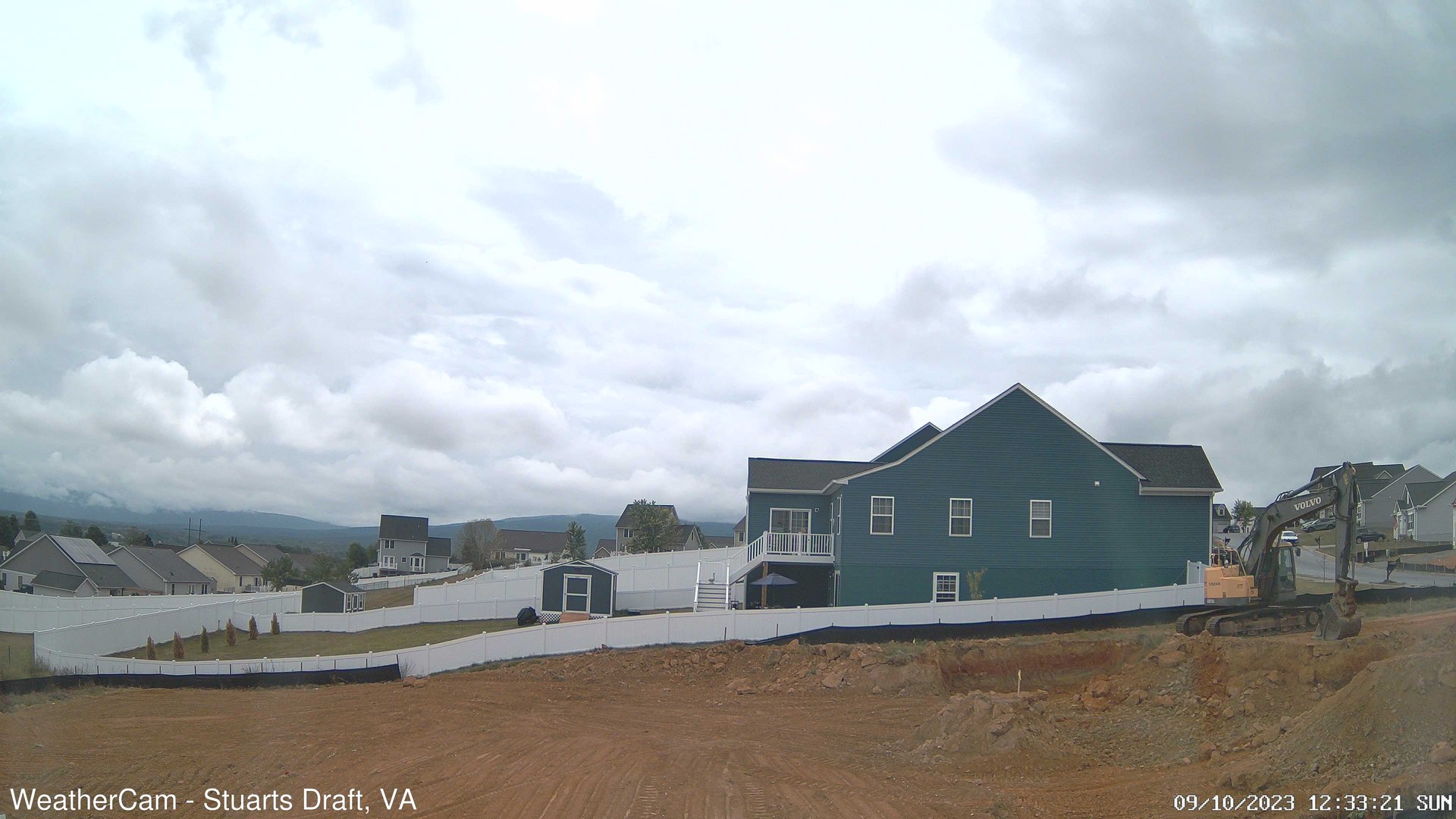
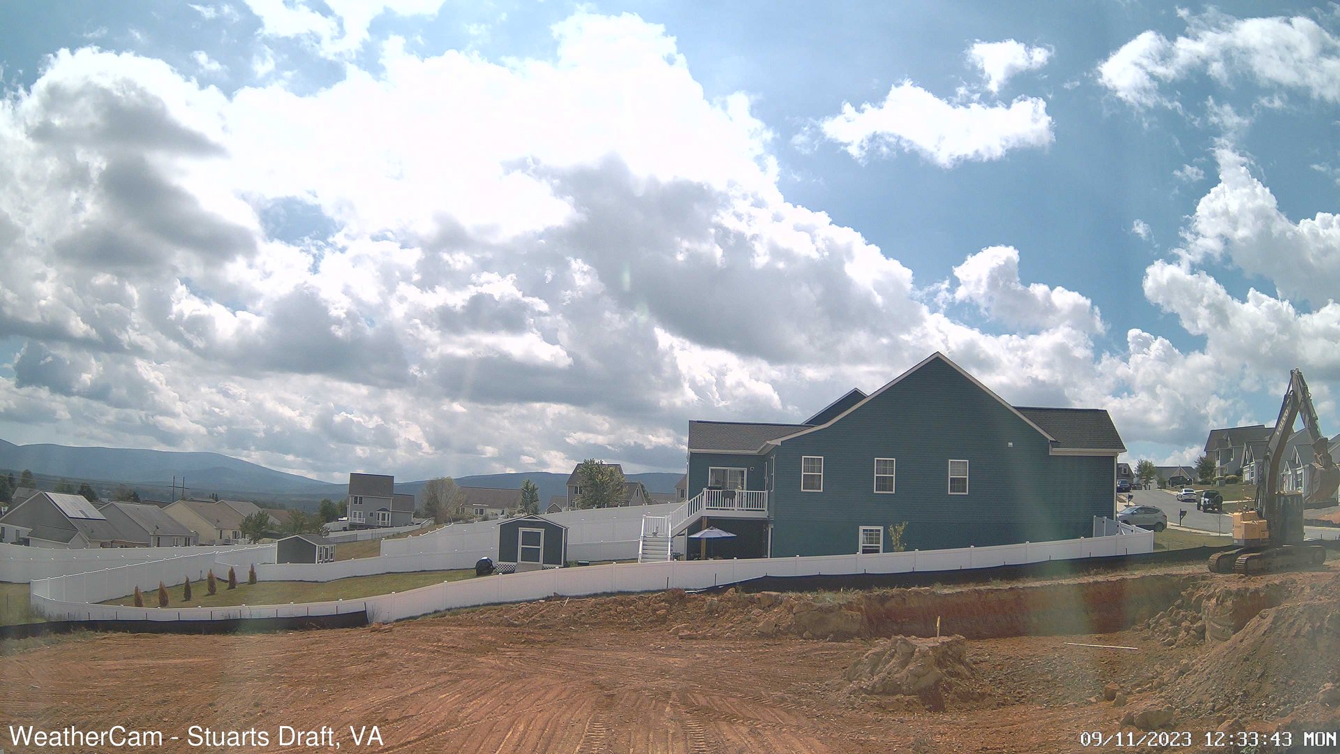
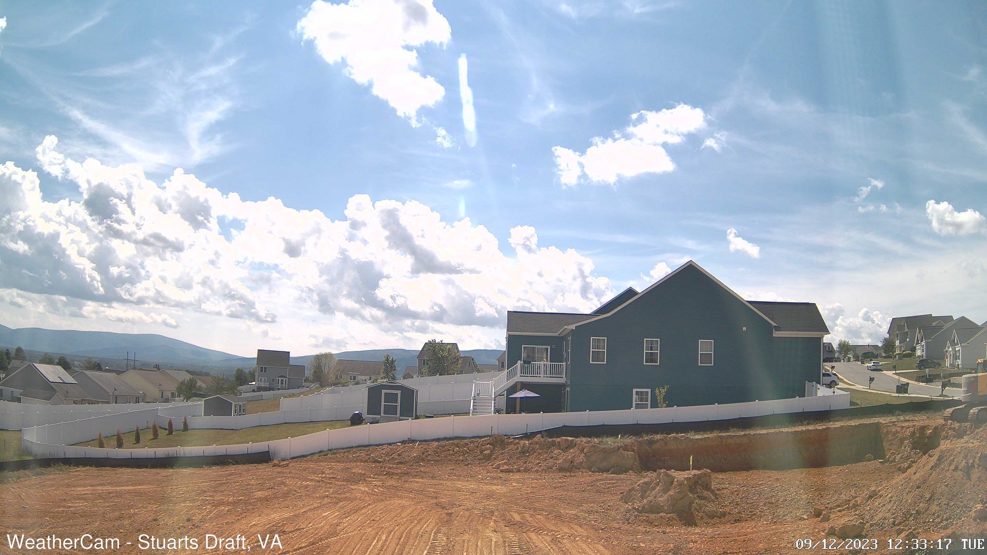
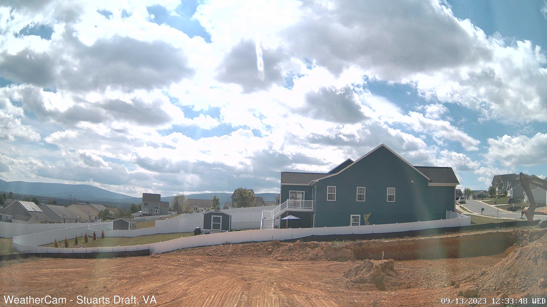
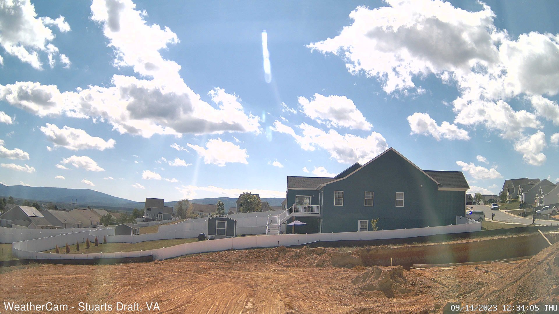
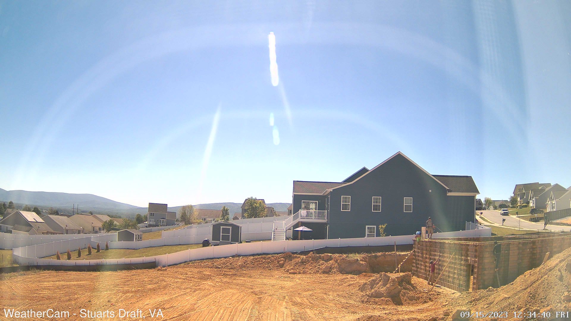
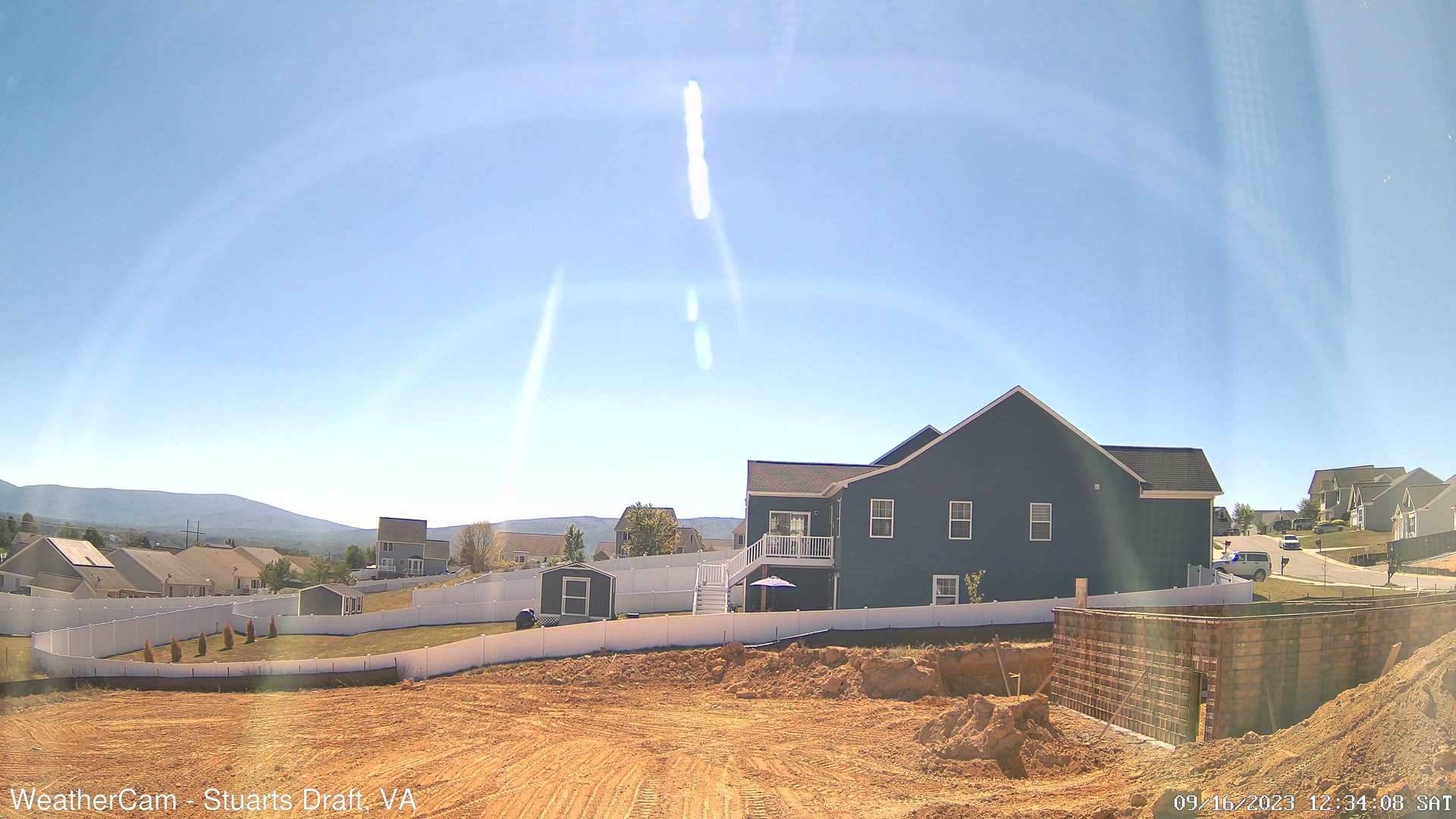
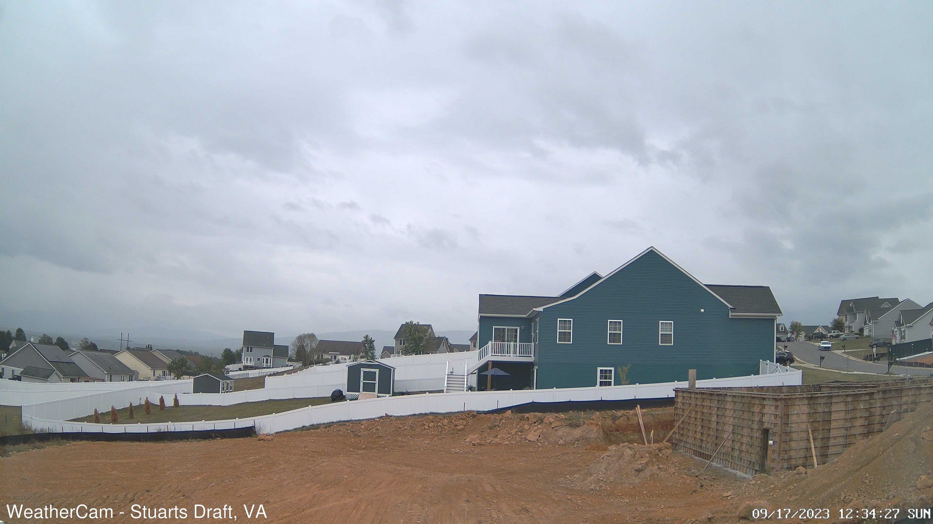
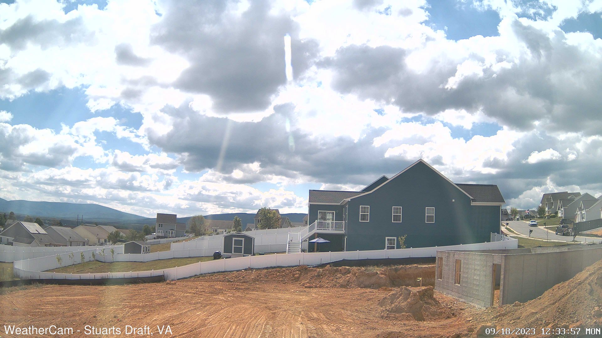
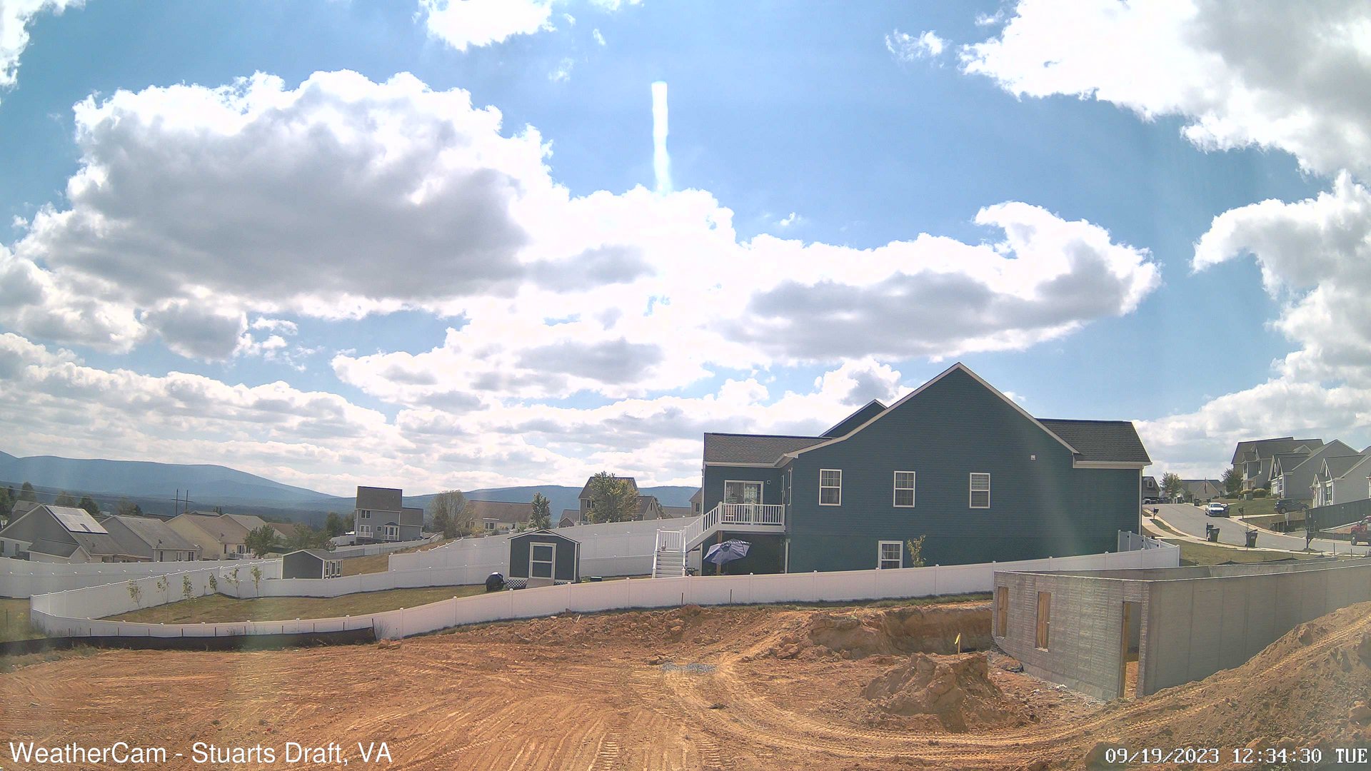
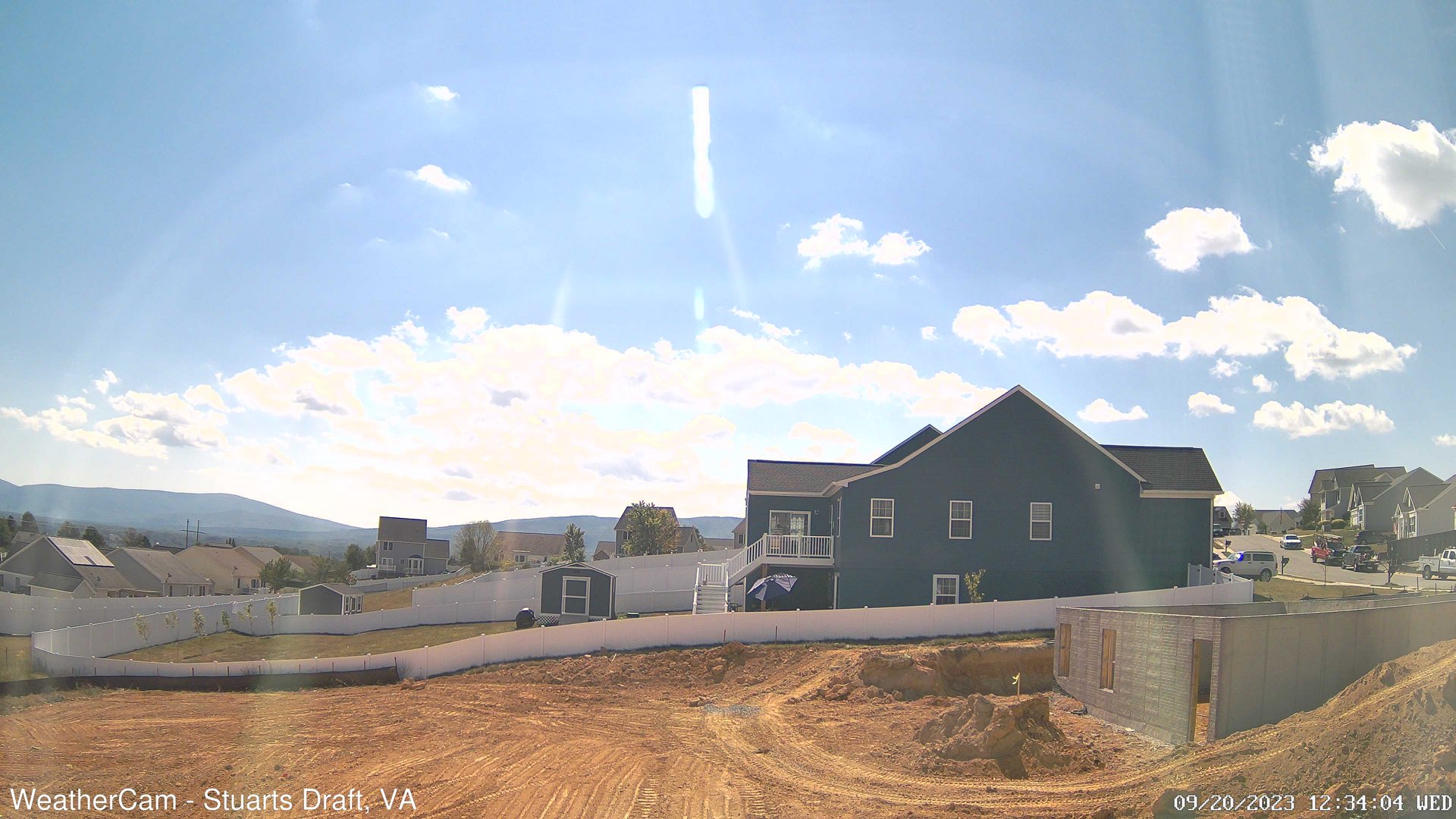
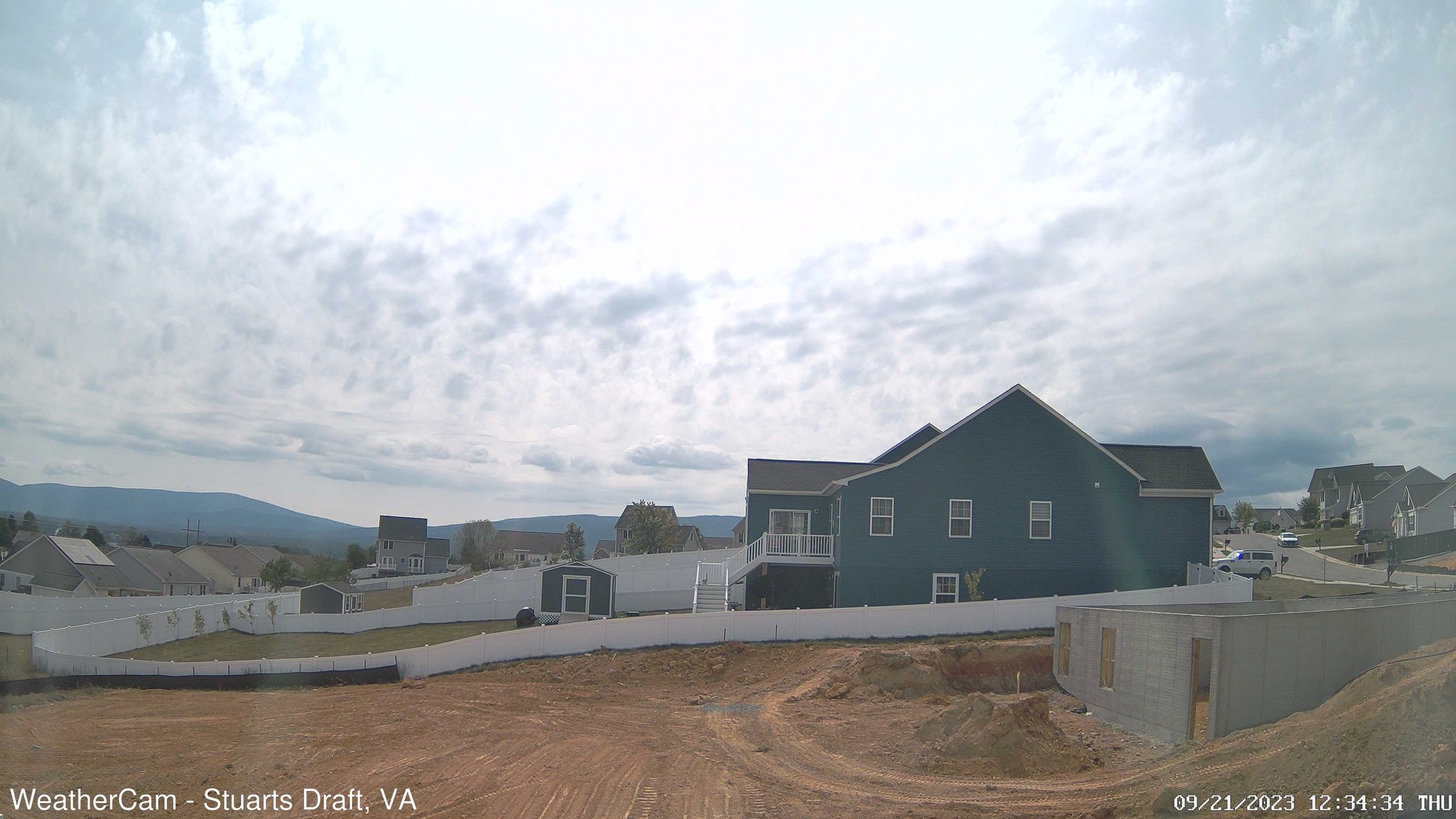
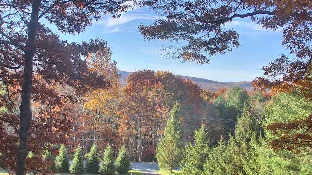
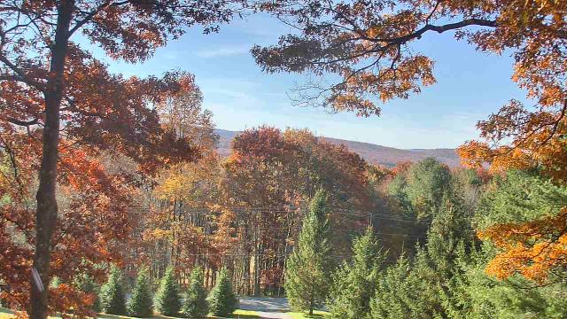
Stuarts Draft, Virginia, USA - 124.5 miles from Rand (historical): Blue Ridge Mountains - A view from Stuarts Draft, VA of the Blue Ridge Mountains in the distance.
Operator: J. Kristopher Photography
Operator: J. Kristopher Photography


Swanton, Maryland, USA - 126.6 miles from Rand (historical): Sky Valley Lodge - A webcam in Swanton, Maryland - camera location: Sky Valley Lodge.
Operator: WeatherBug
Operator: WeatherBug


Some other places in this country: Lower Falls - Marlaina Addition - Millertown - Mink (historical) - Riverdale Acres - Roseville Addition - Strawberry Heights - Villa (historical) - Wallace - Annfred