Webcams in the region of Mark (historical), West Virginia, USA
The List of Webcams near Mark (historical), West Virginia, USA:

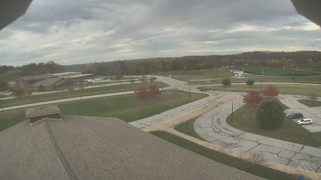
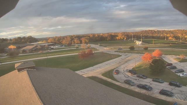
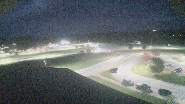
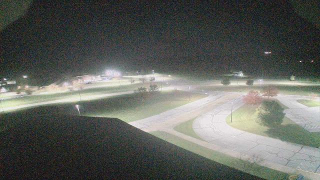
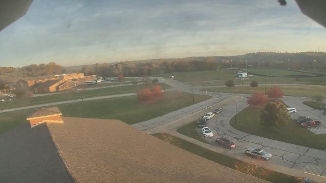
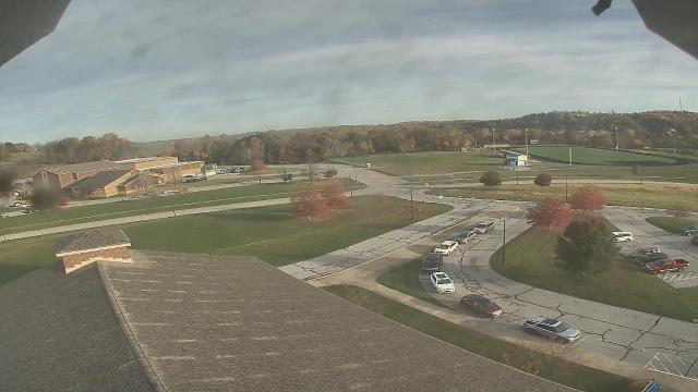
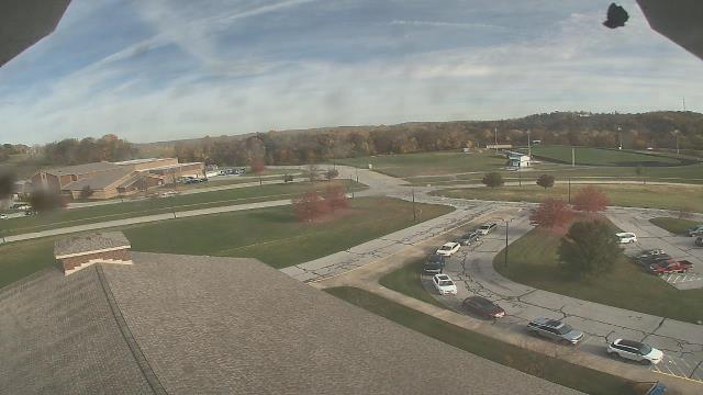
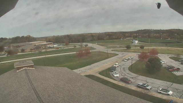
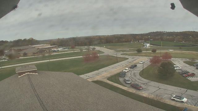
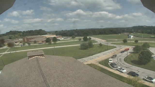
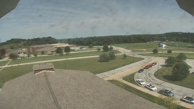
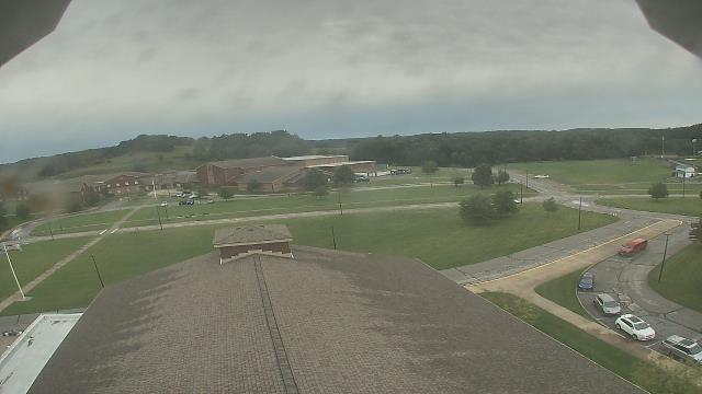
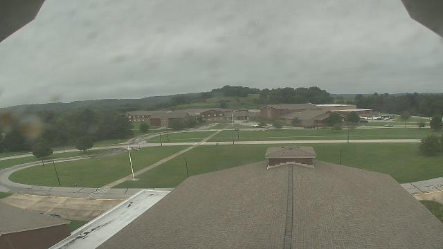
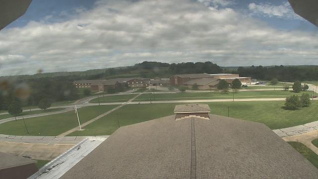
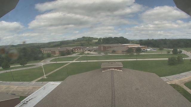
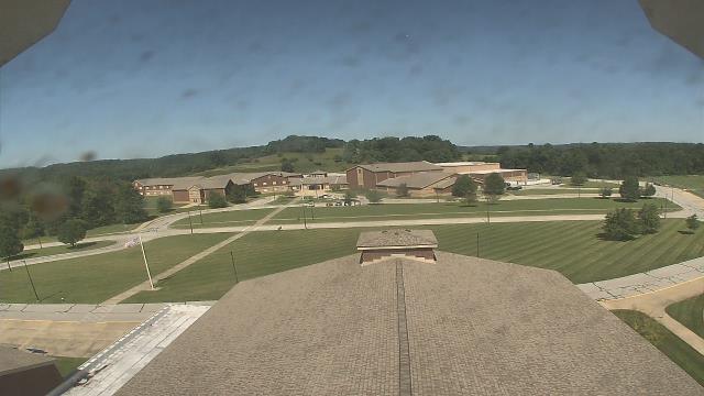
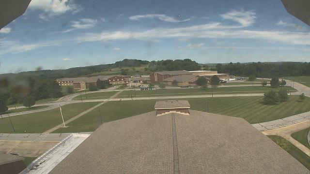
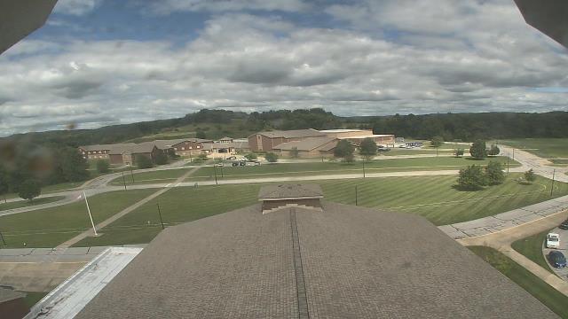
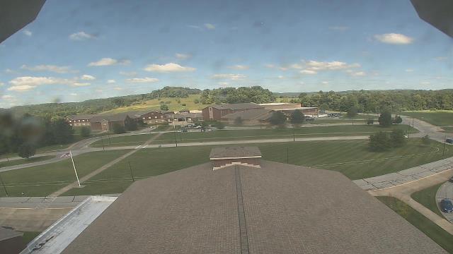
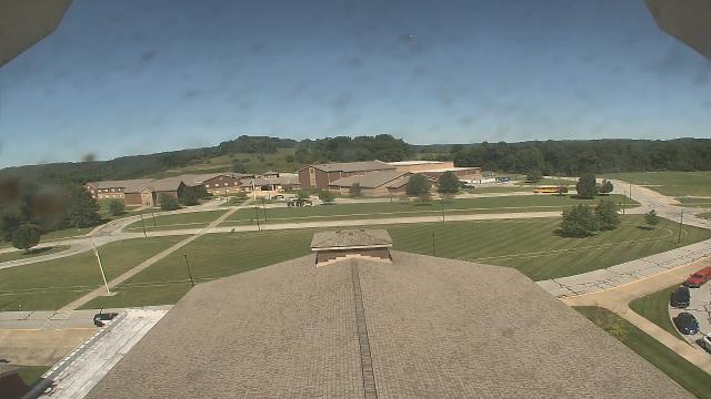
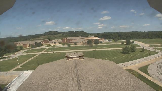
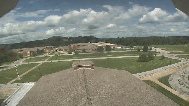
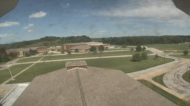
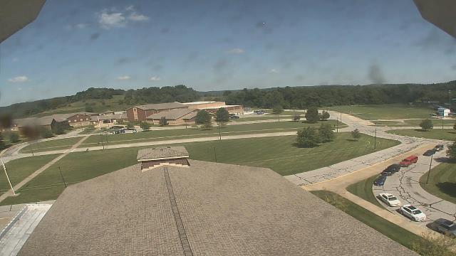
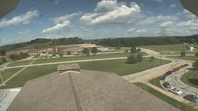
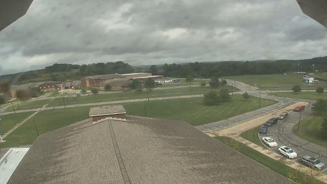
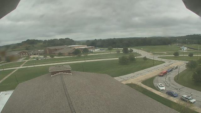
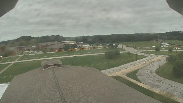
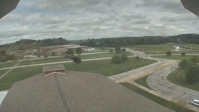
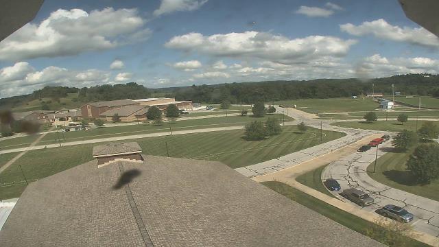
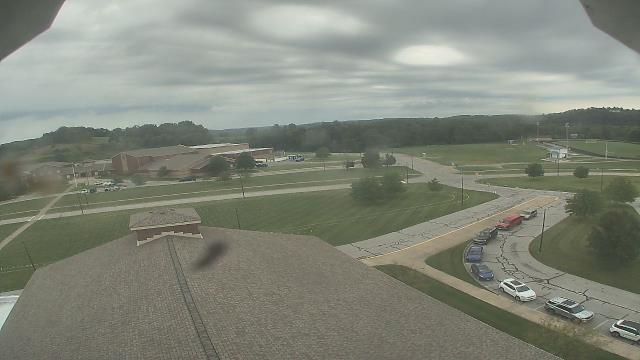
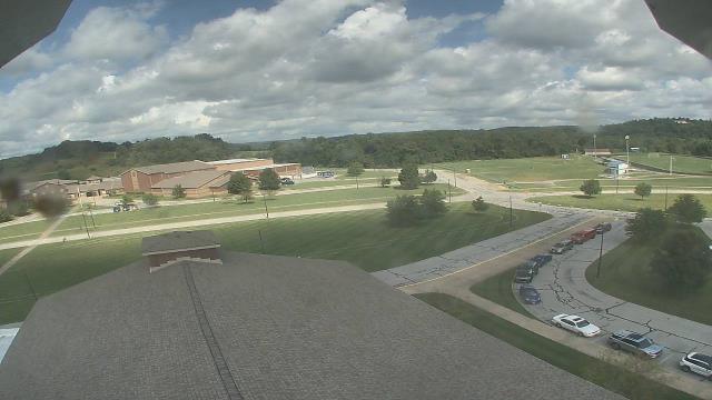
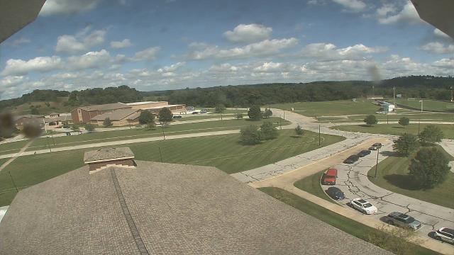
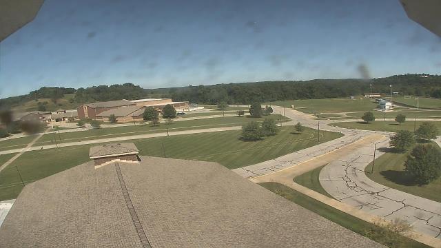
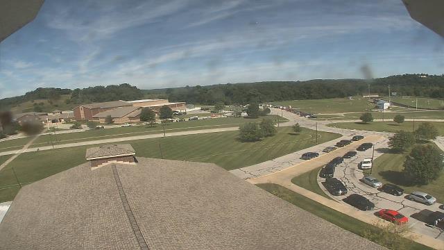
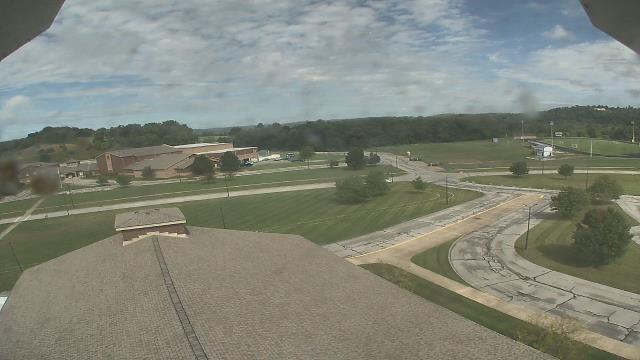
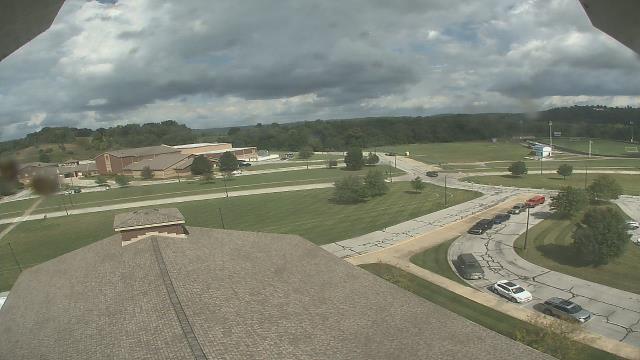
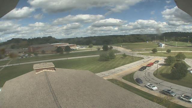
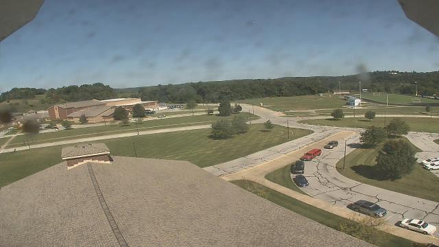
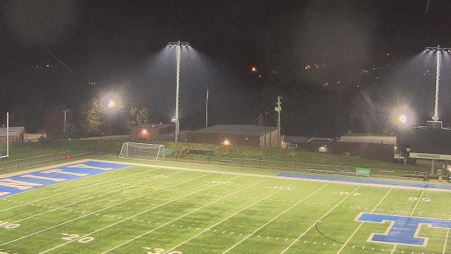
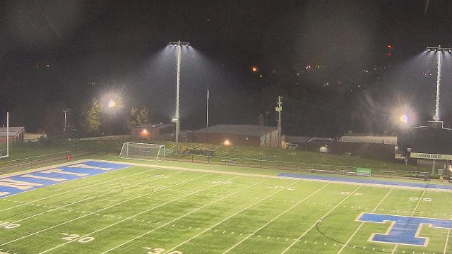
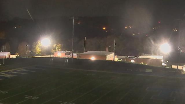
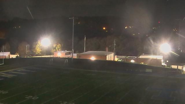
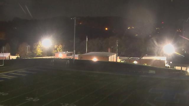
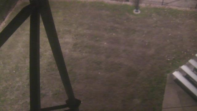
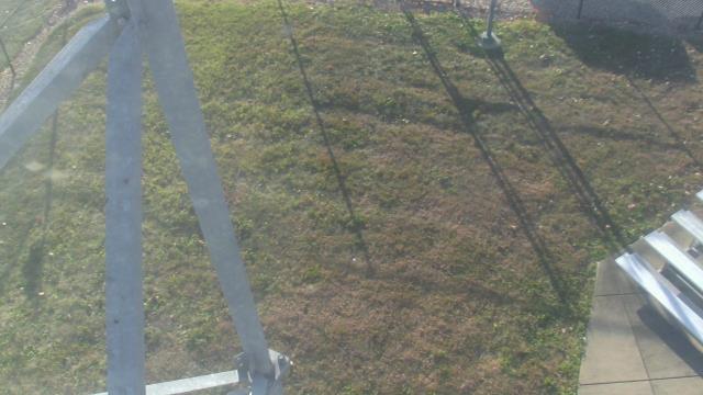
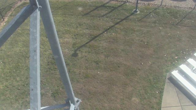
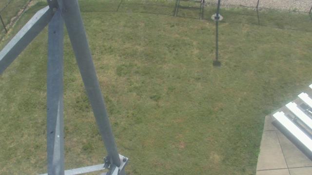
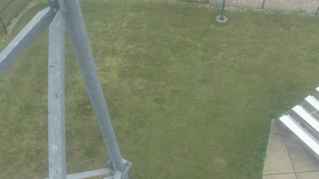
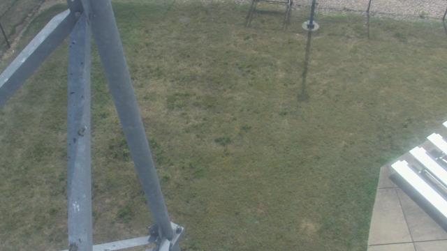
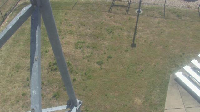
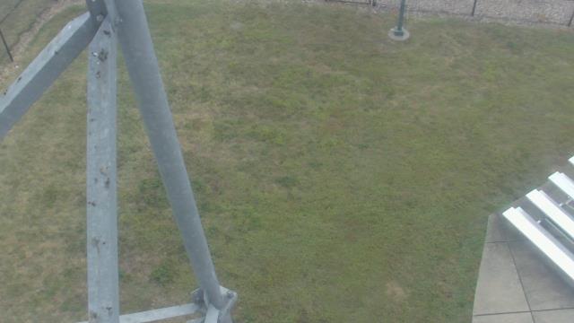
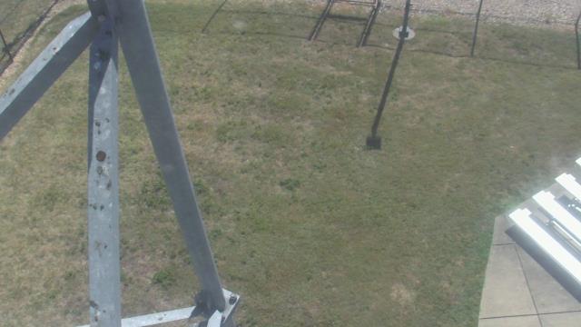
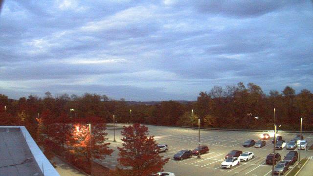
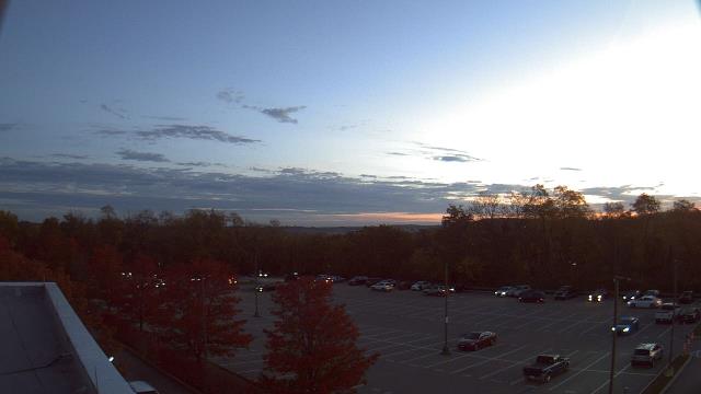
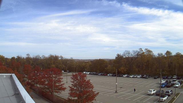
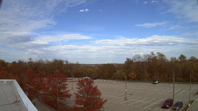
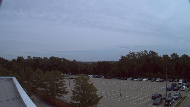
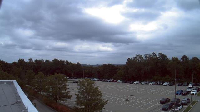
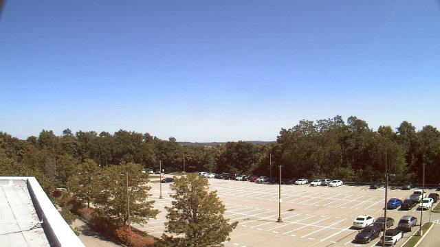
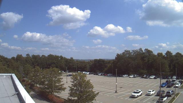
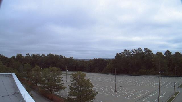
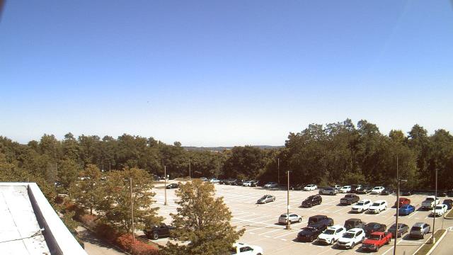
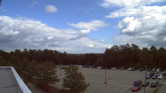
Cambridge, Ohio, USA - 97.9 miles from Mark (historical): Central Elementary School - A webcam in Cambridge, Ohio - camera location: Central Elementary School.
Operator: WeatherBug
Operator: WeatherBug


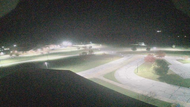

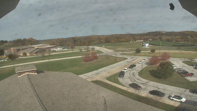


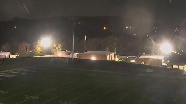
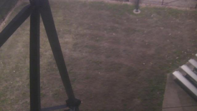
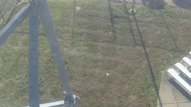
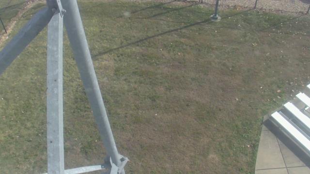
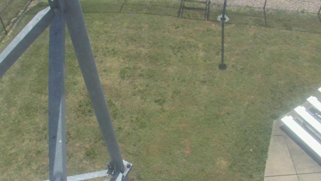
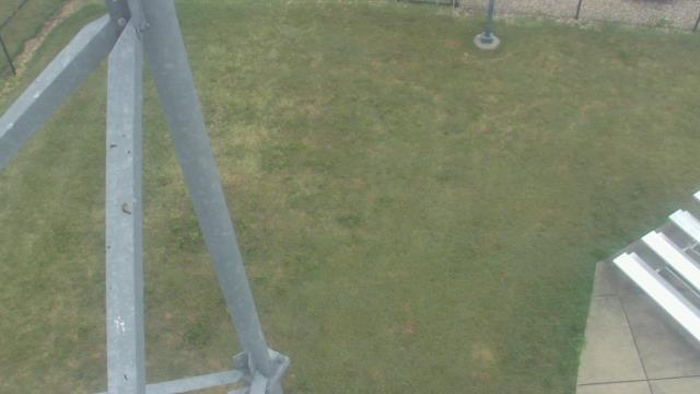
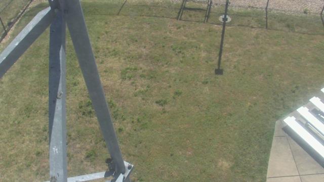
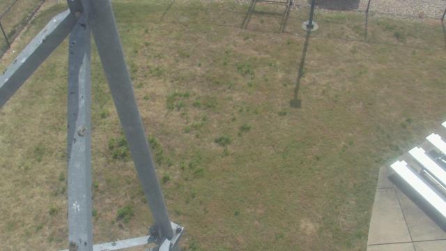
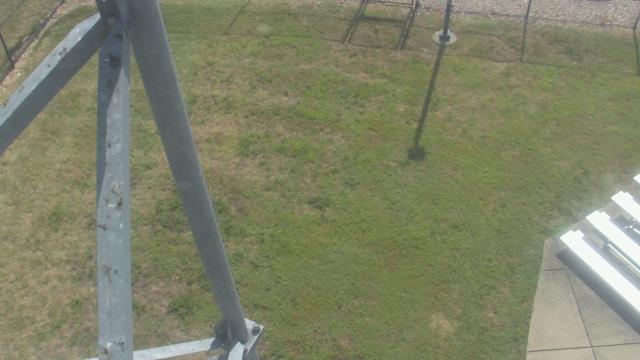
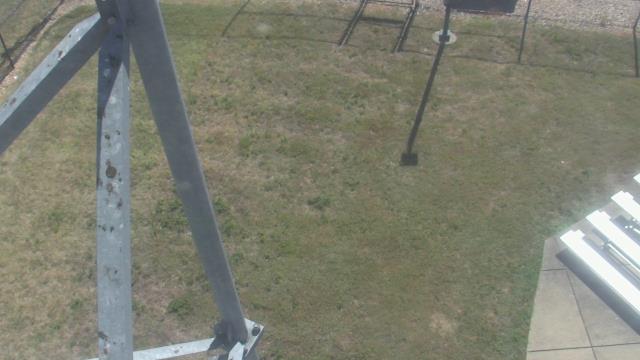
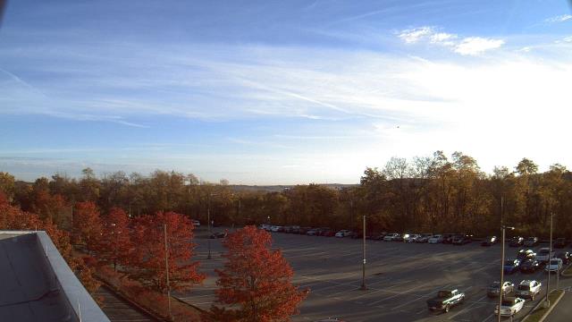
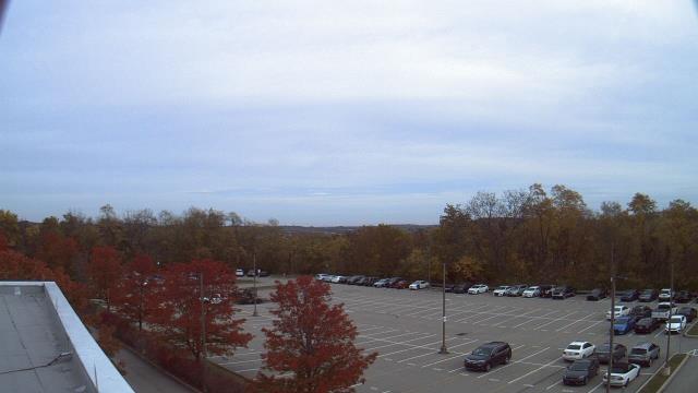
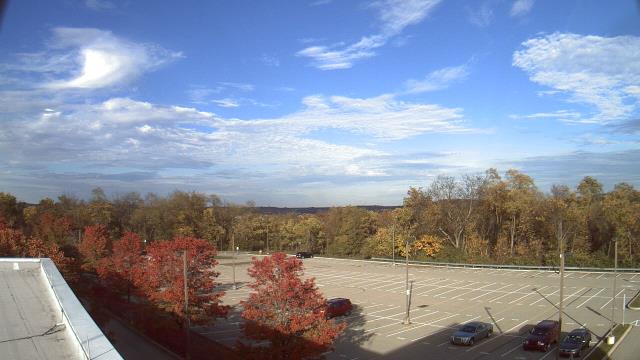
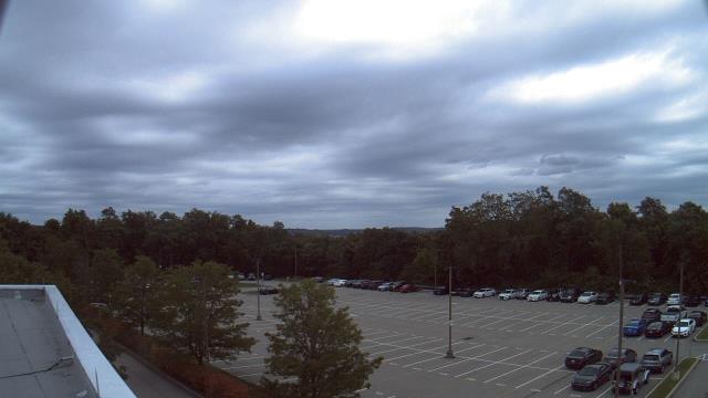
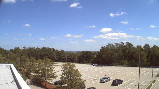
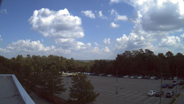
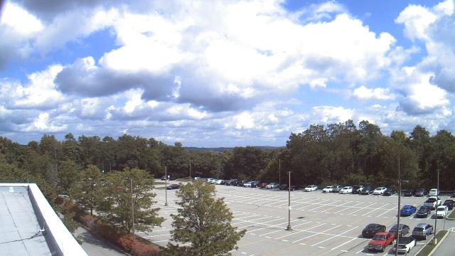
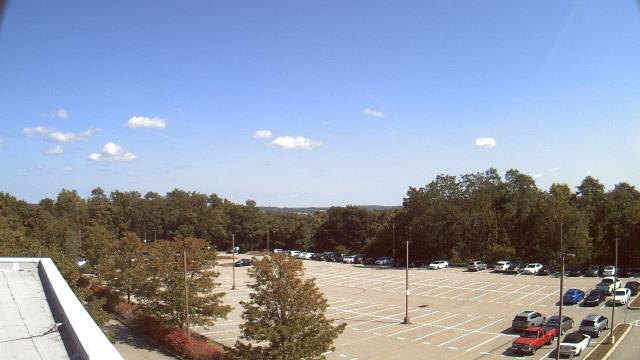
Swanton, Maryland, USA - 101.8 miles from Mark (historical): Sky Valley Lodge - A webcam in Swanton, Maryland - camera location: Sky Valley Lodge.
Operator: WeatherBug
Operator: WeatherBug


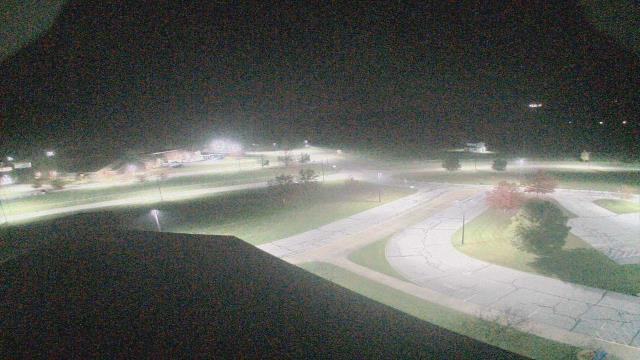
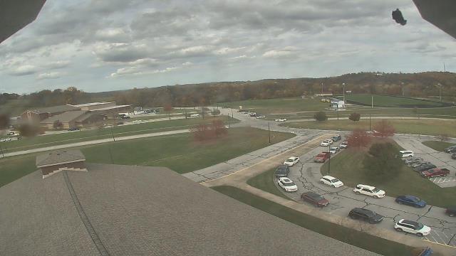
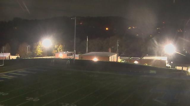
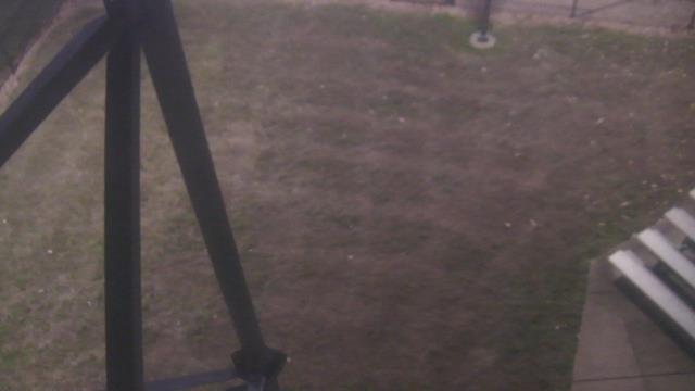
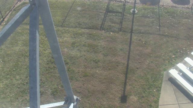
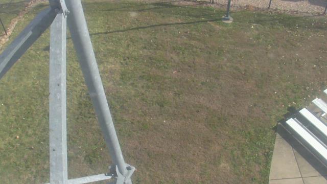
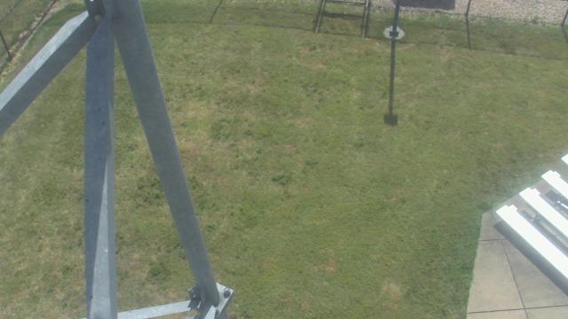
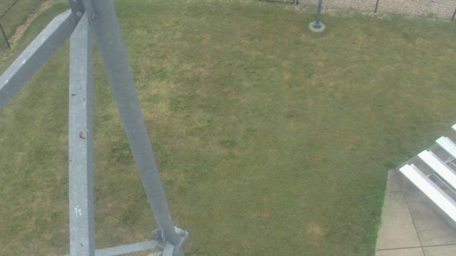
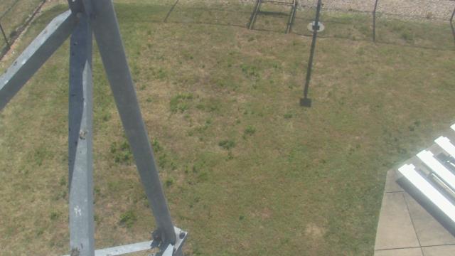
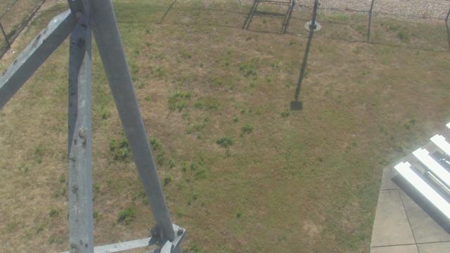
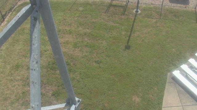
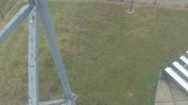
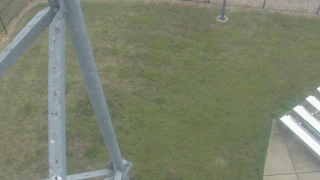
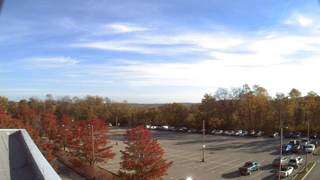
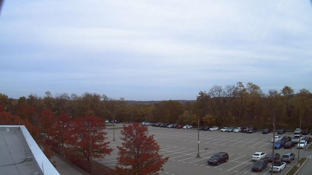
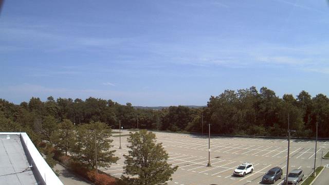
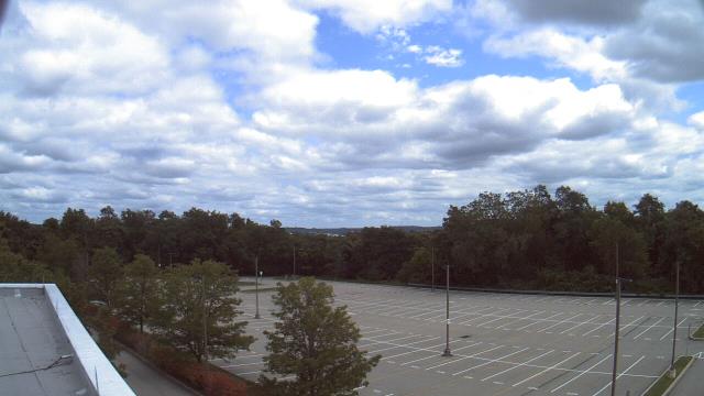
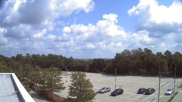
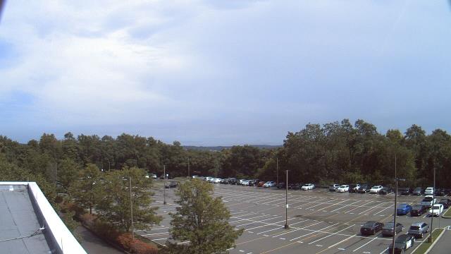
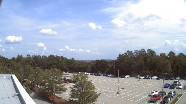
Buchanan, Virginia, USA - 103.1 miles from Mark (historical): James River High School - A webcam in Buchanan, Virginia - camera location: James River High School.
Operator: WeatherBug
Operator: WeatherBug


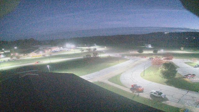
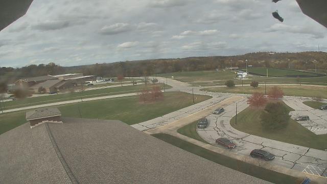
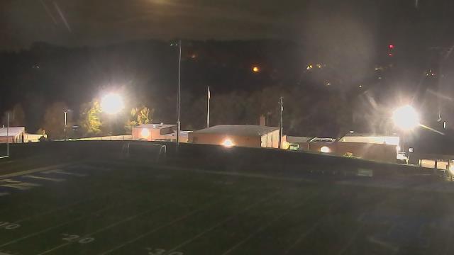
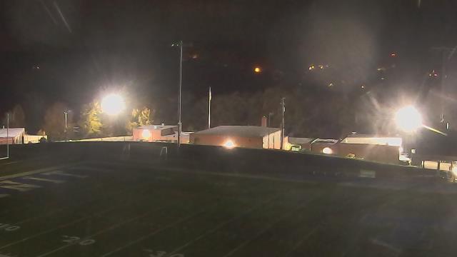
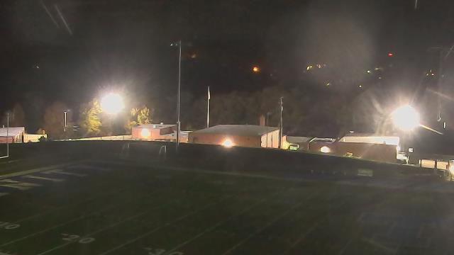
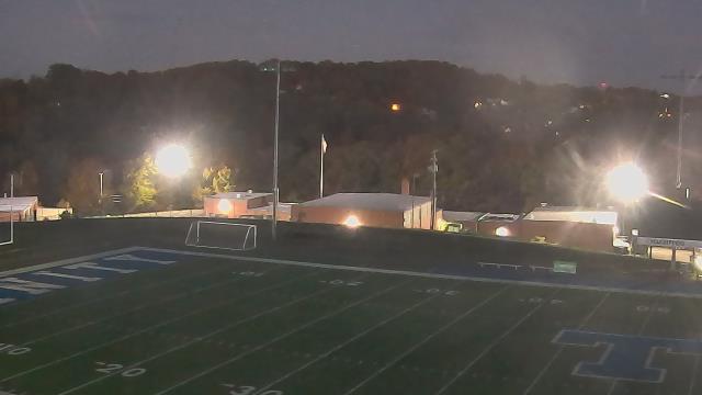
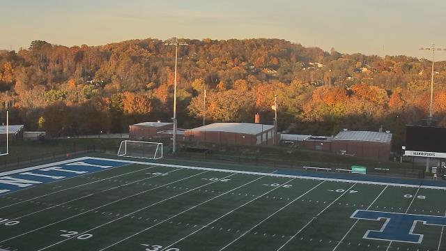
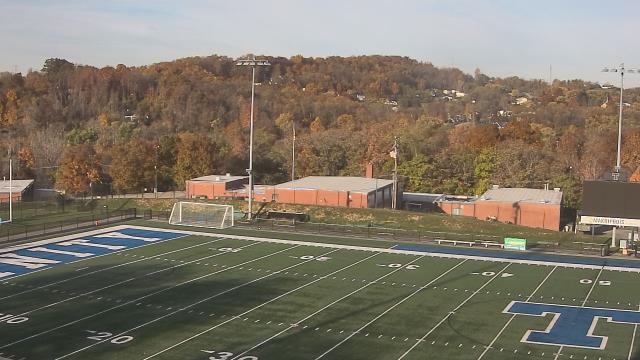
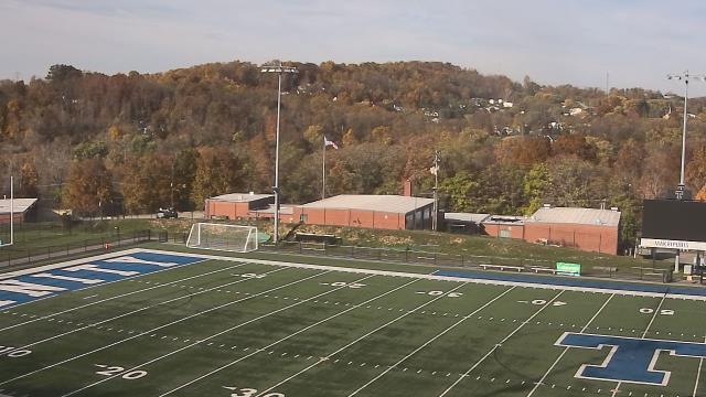
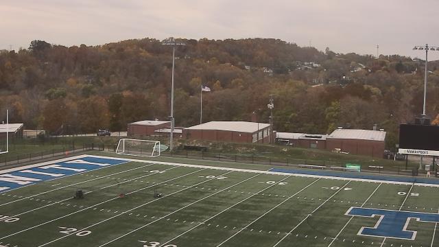
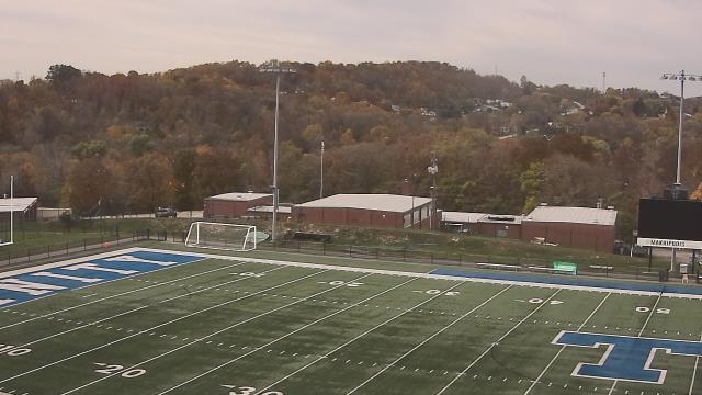
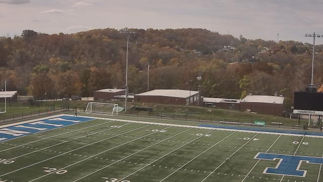
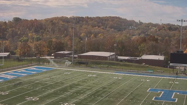
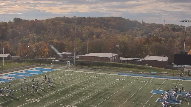
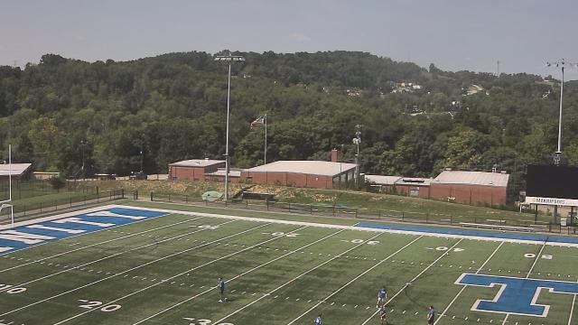
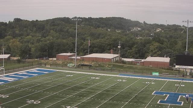
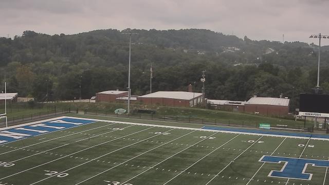
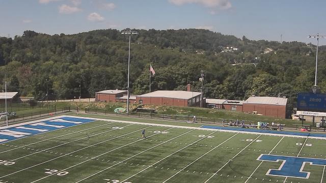
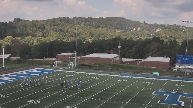
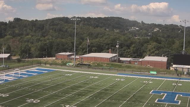
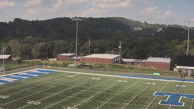
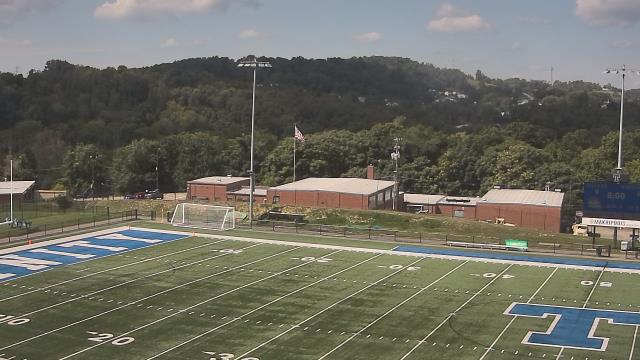
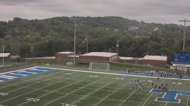
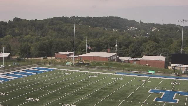
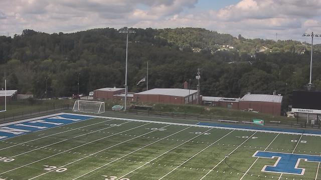
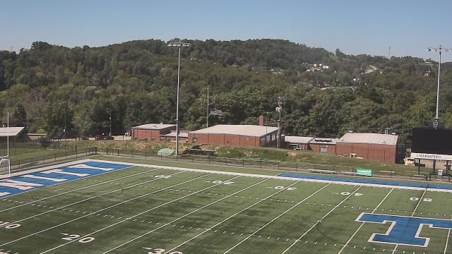
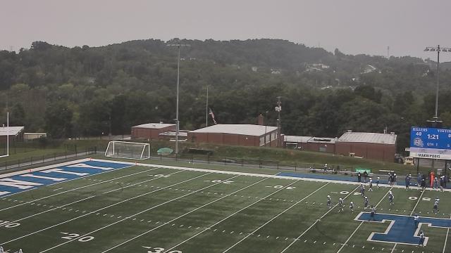
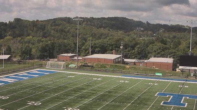
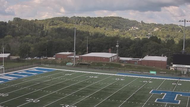
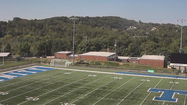
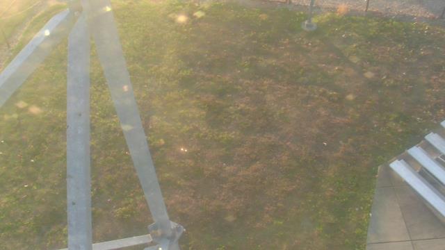
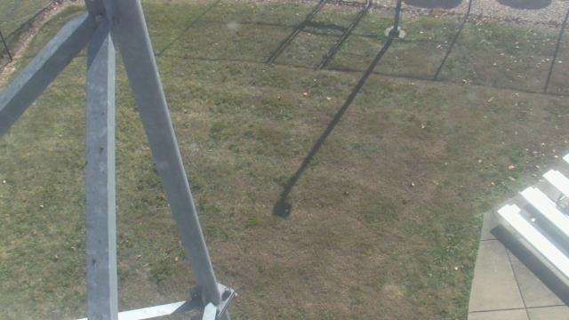
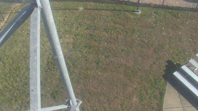
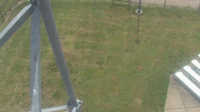
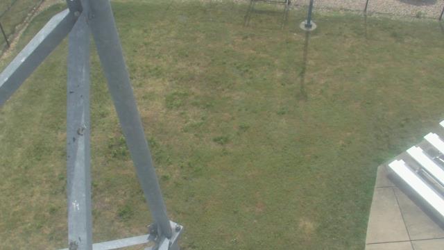
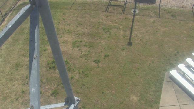
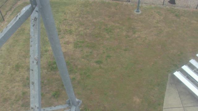
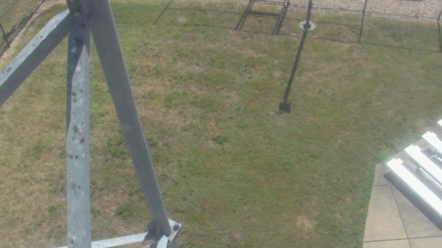
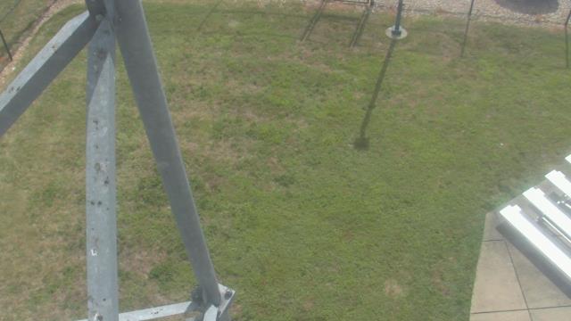
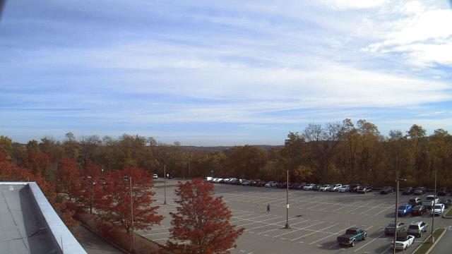
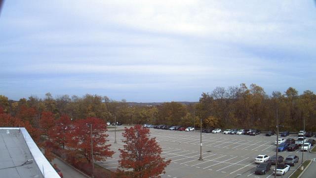
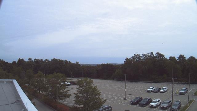
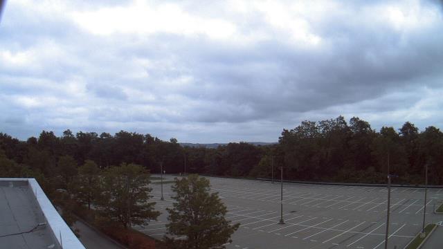
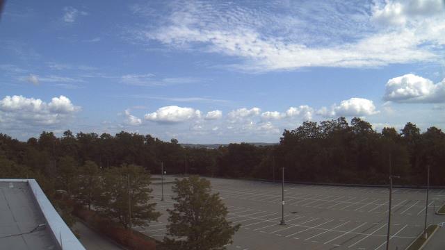
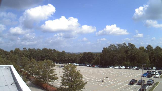
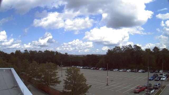
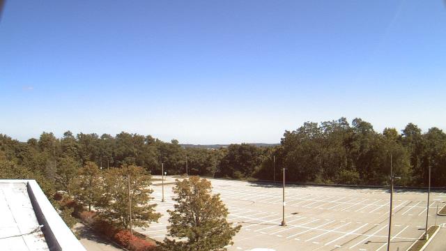
Washington, Pennsylvania, USA - 105.6 miles from Mark (historical): Trinity Middle School - A webcam in Washington, Pennsylvania - camera location: Trinity Middle School.
Operator: WeatherBug
Operator: WeatherBug


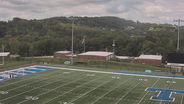

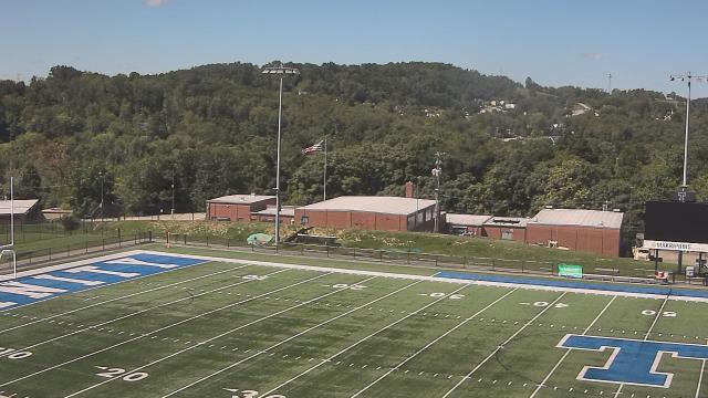


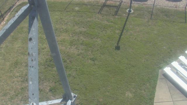
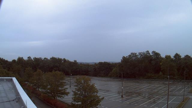
Salem, Virginia, USA - 108.6 miles from Mark (historical): City of Salem Civic Center - A webcam in Salem, Virginia - camera location: City of Salem Civic Center.
Operator: WeatherBug
Operator: WeatherBug


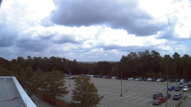
Harrisonburg, Virginia, USA - 110 miles from Mark (historical): James Madison University - A webcam in Harrisonburg, Virginia - camera location: James Madison University.
Operator: WeatherBug
Operator: WeatherBug


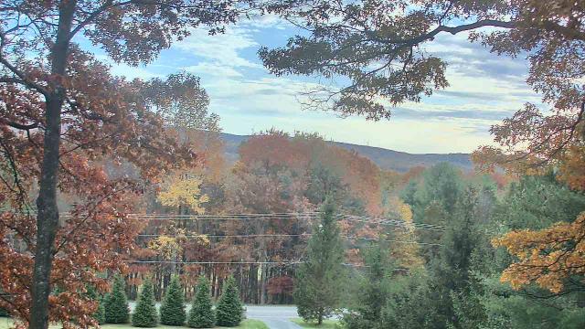
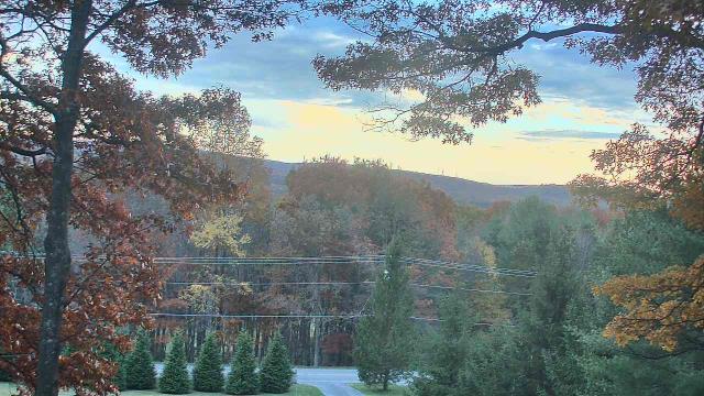
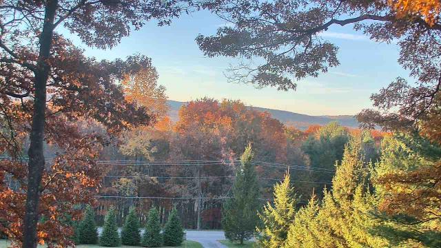
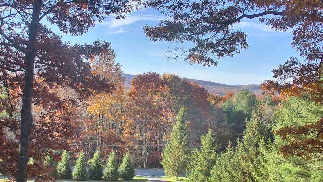
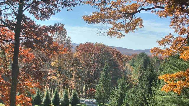
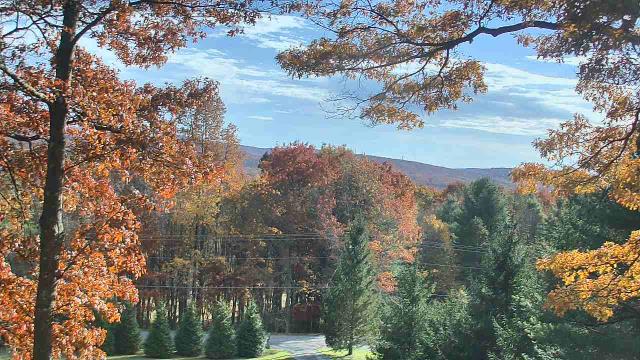
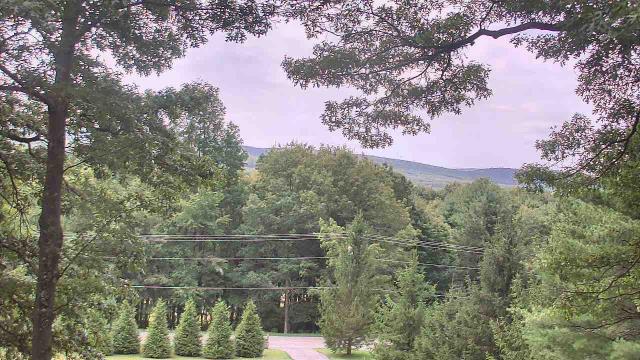
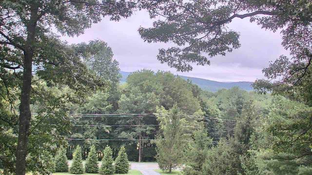
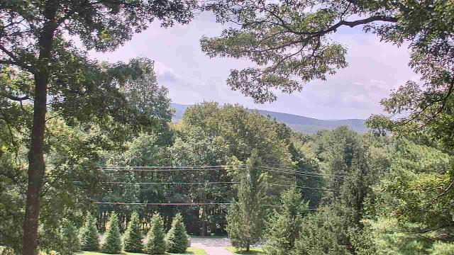
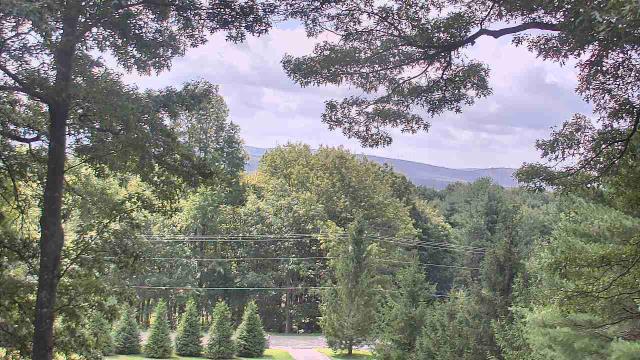
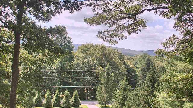
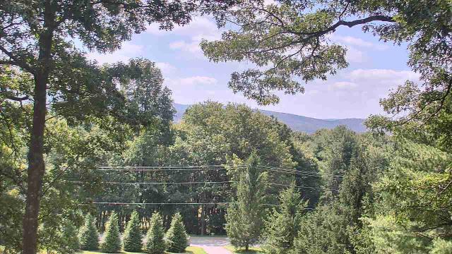
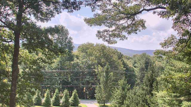
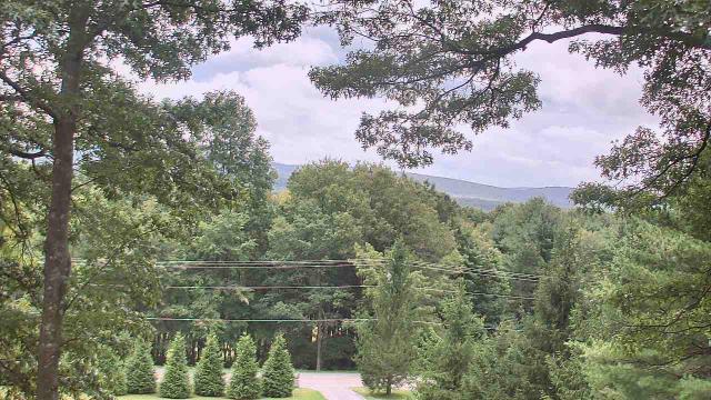
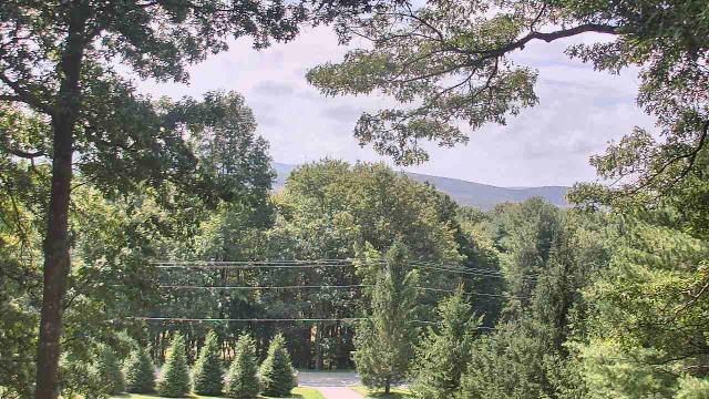
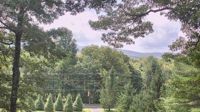
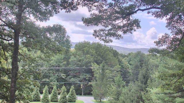
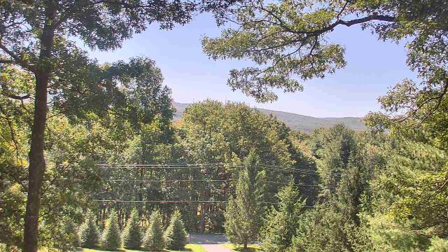
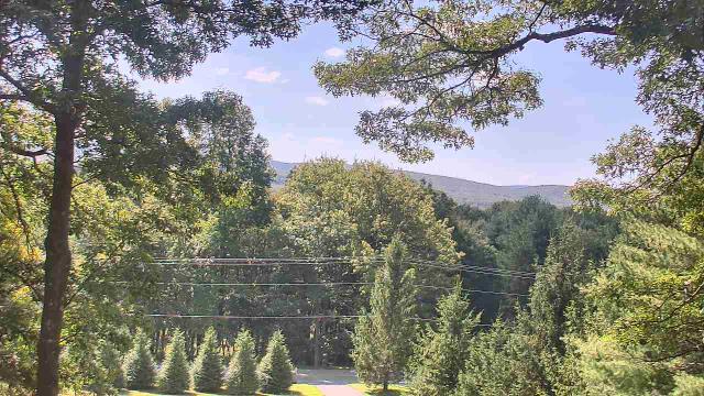
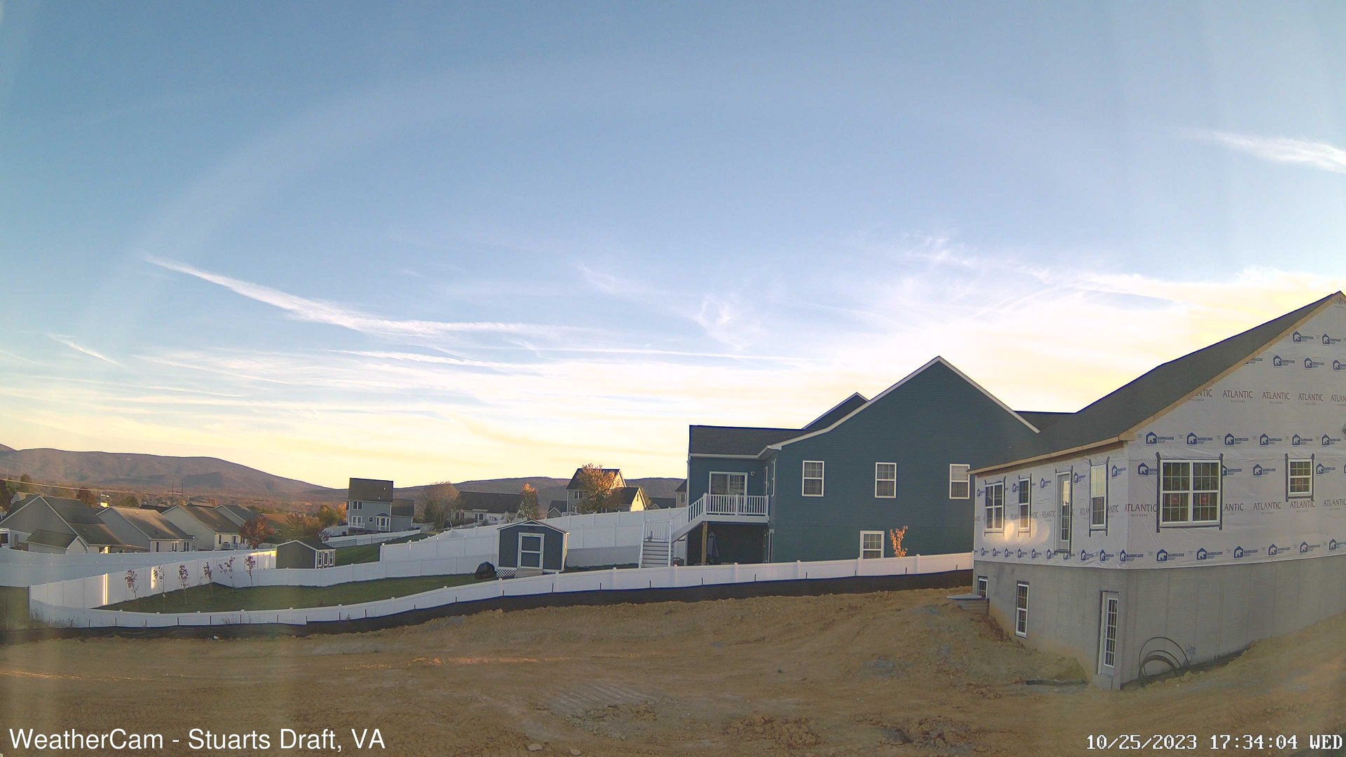
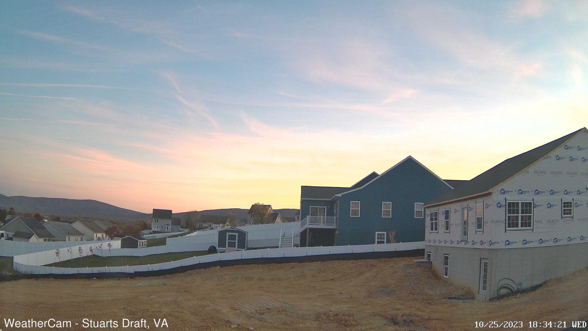
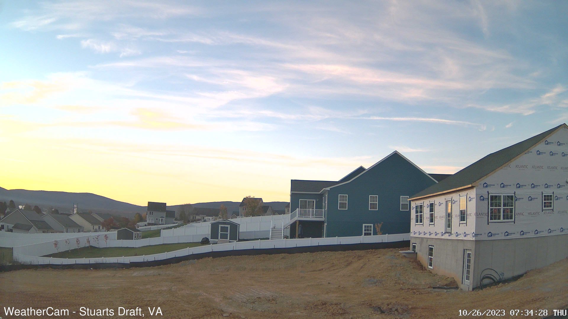
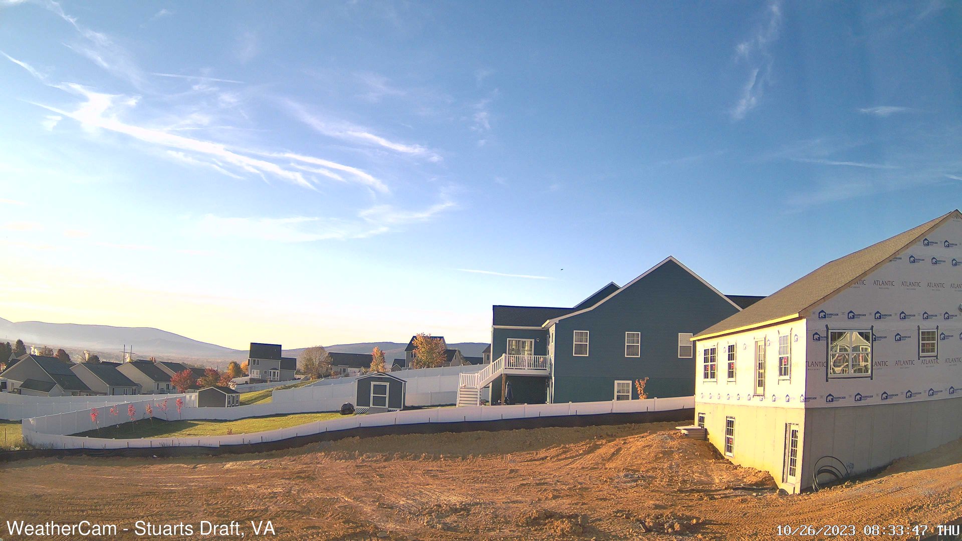
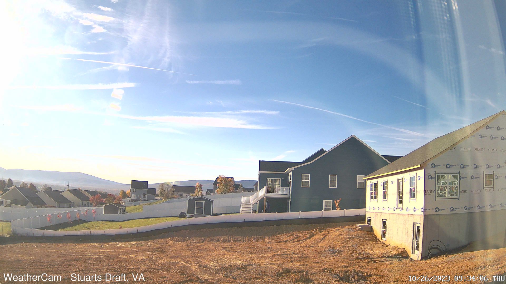
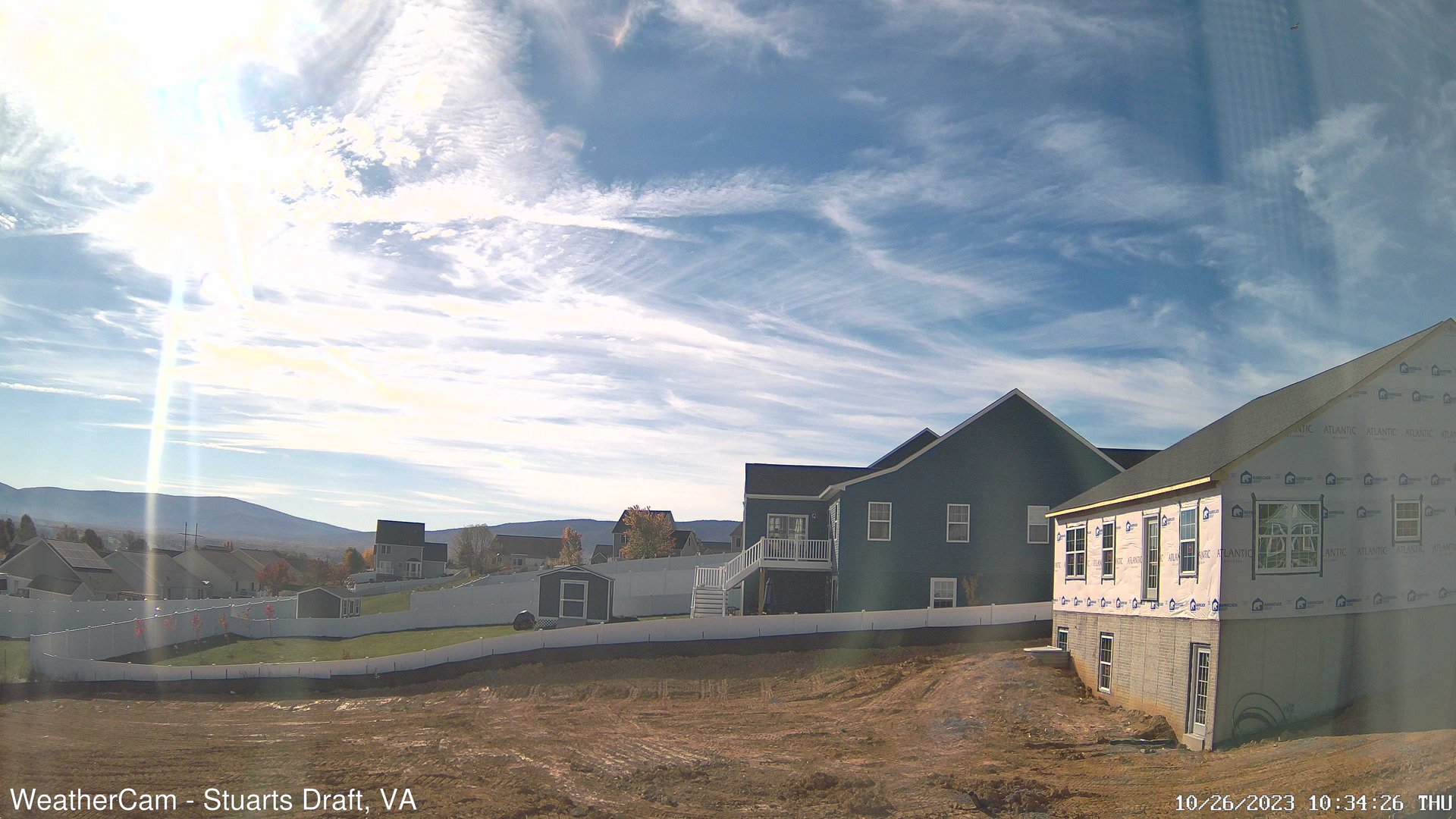
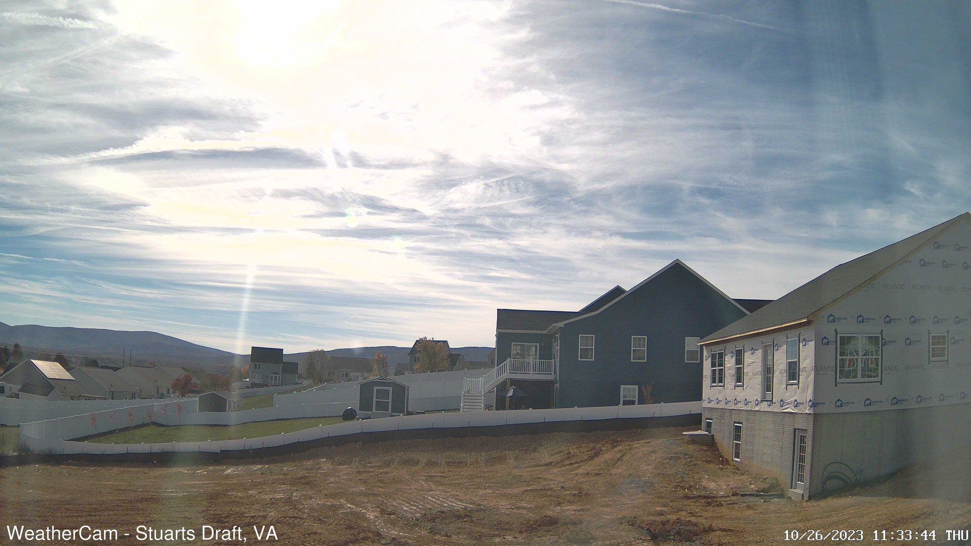
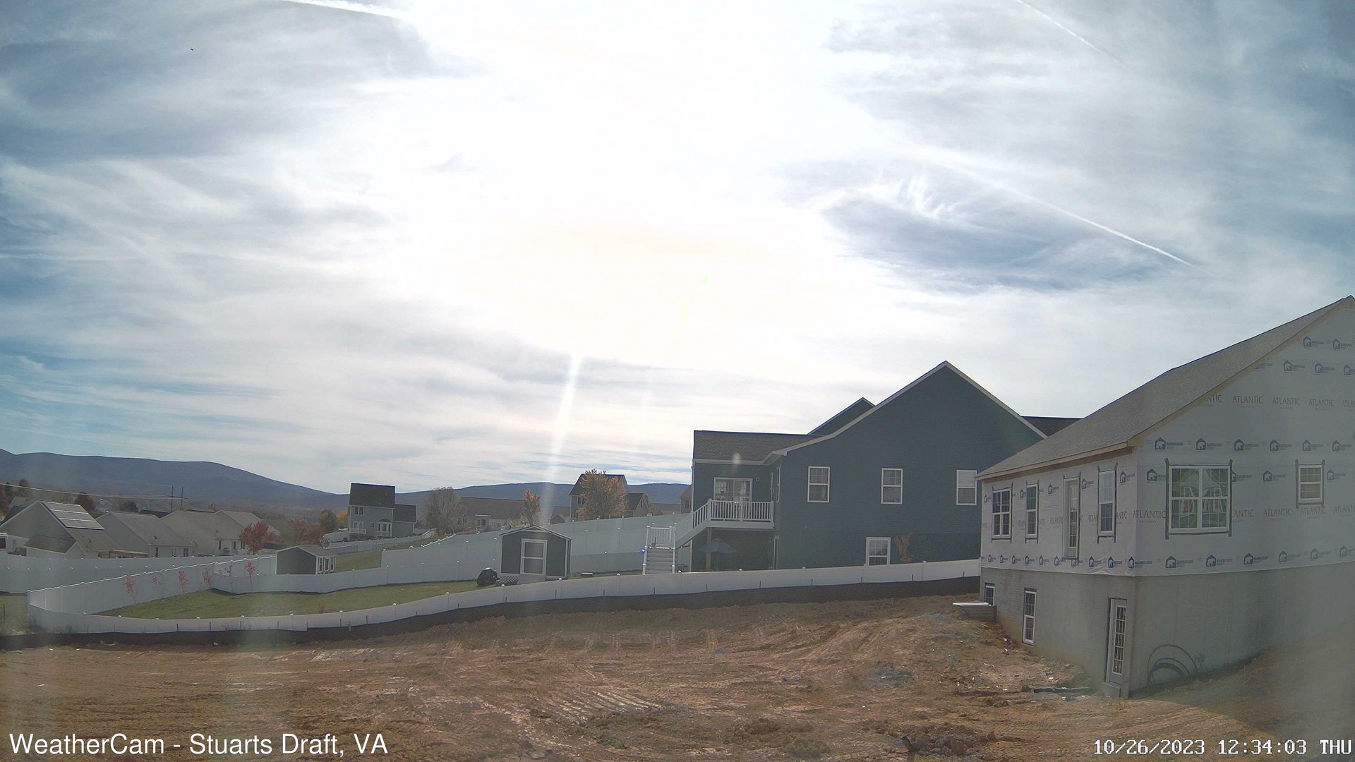
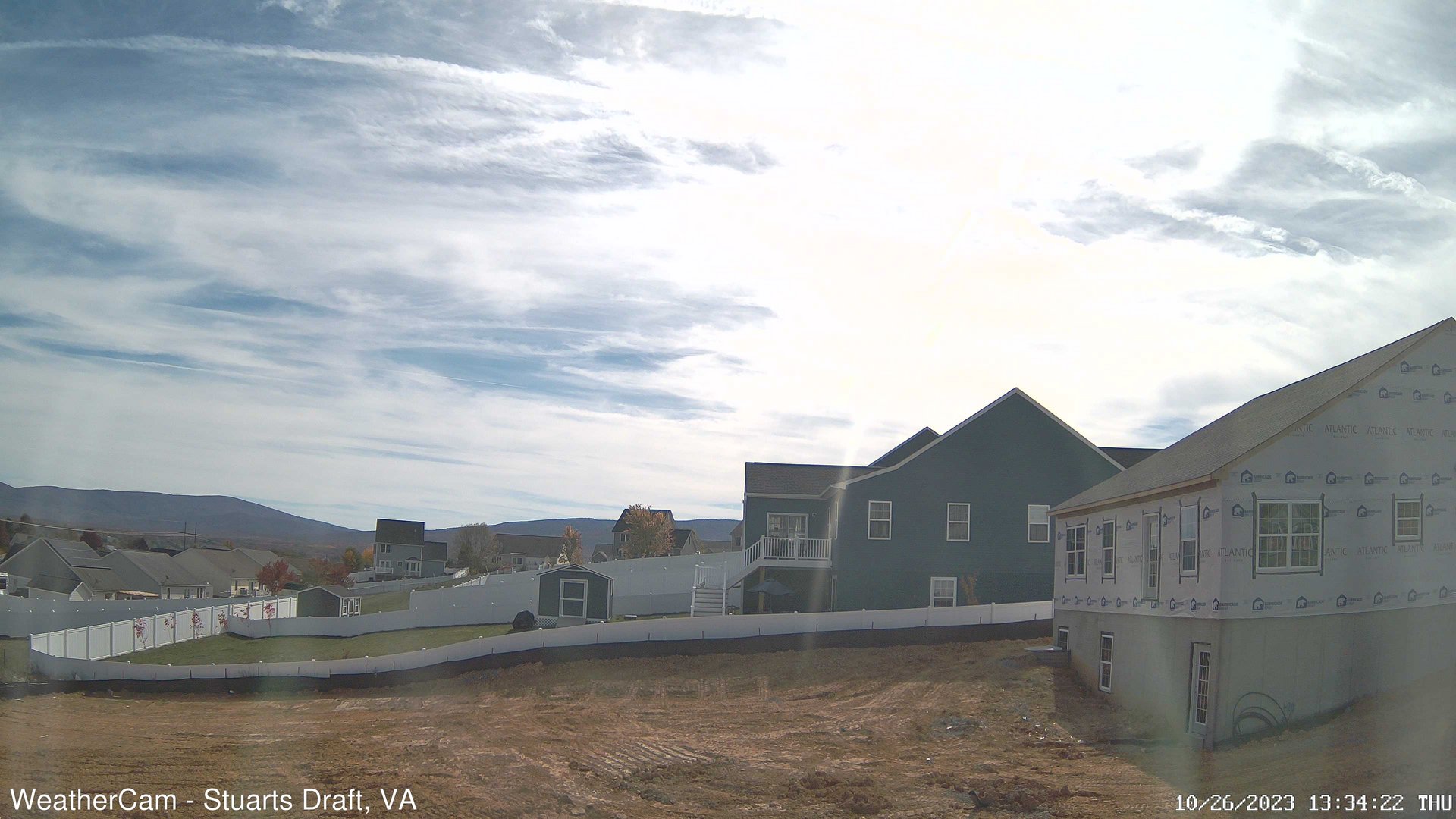
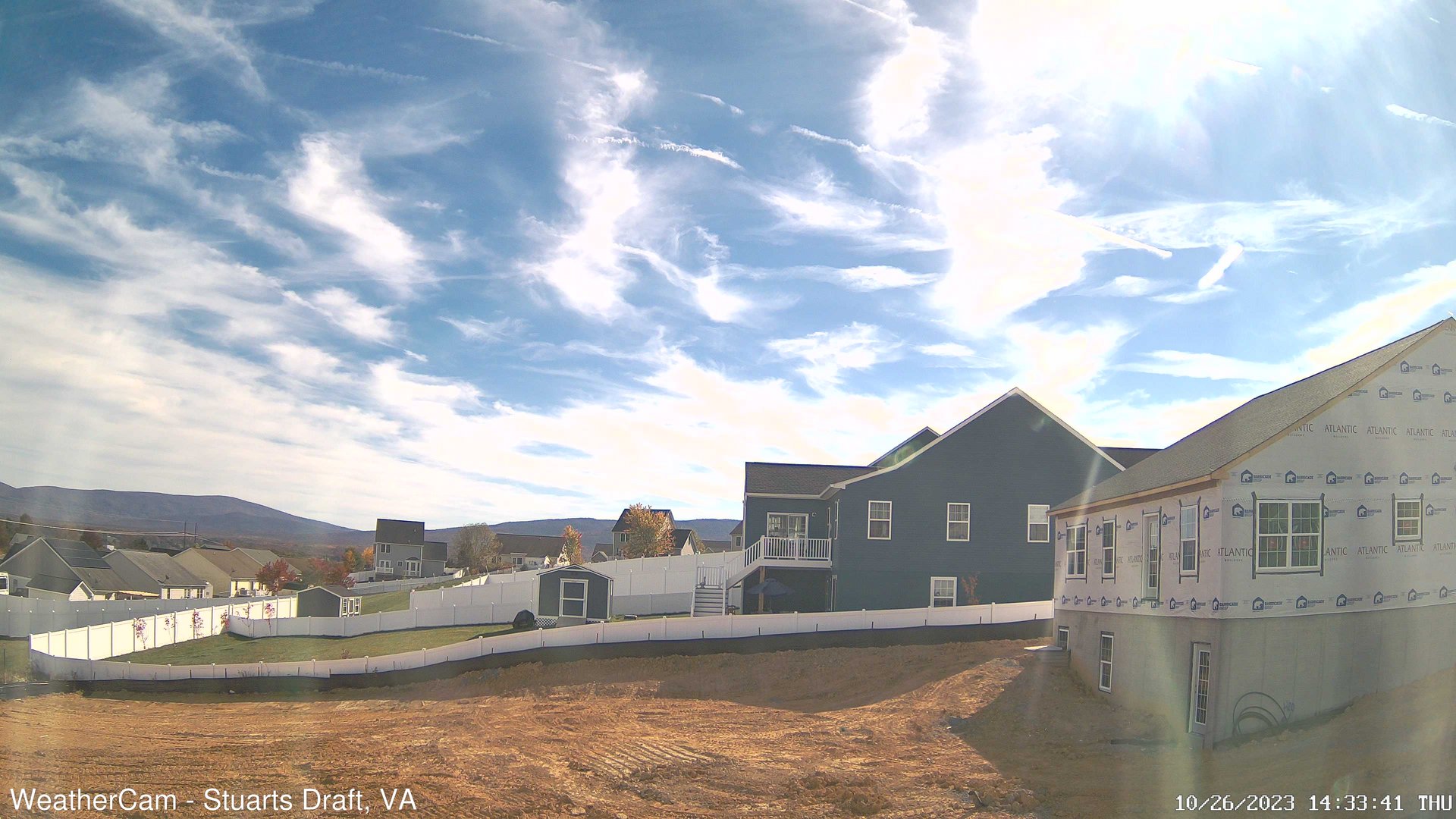
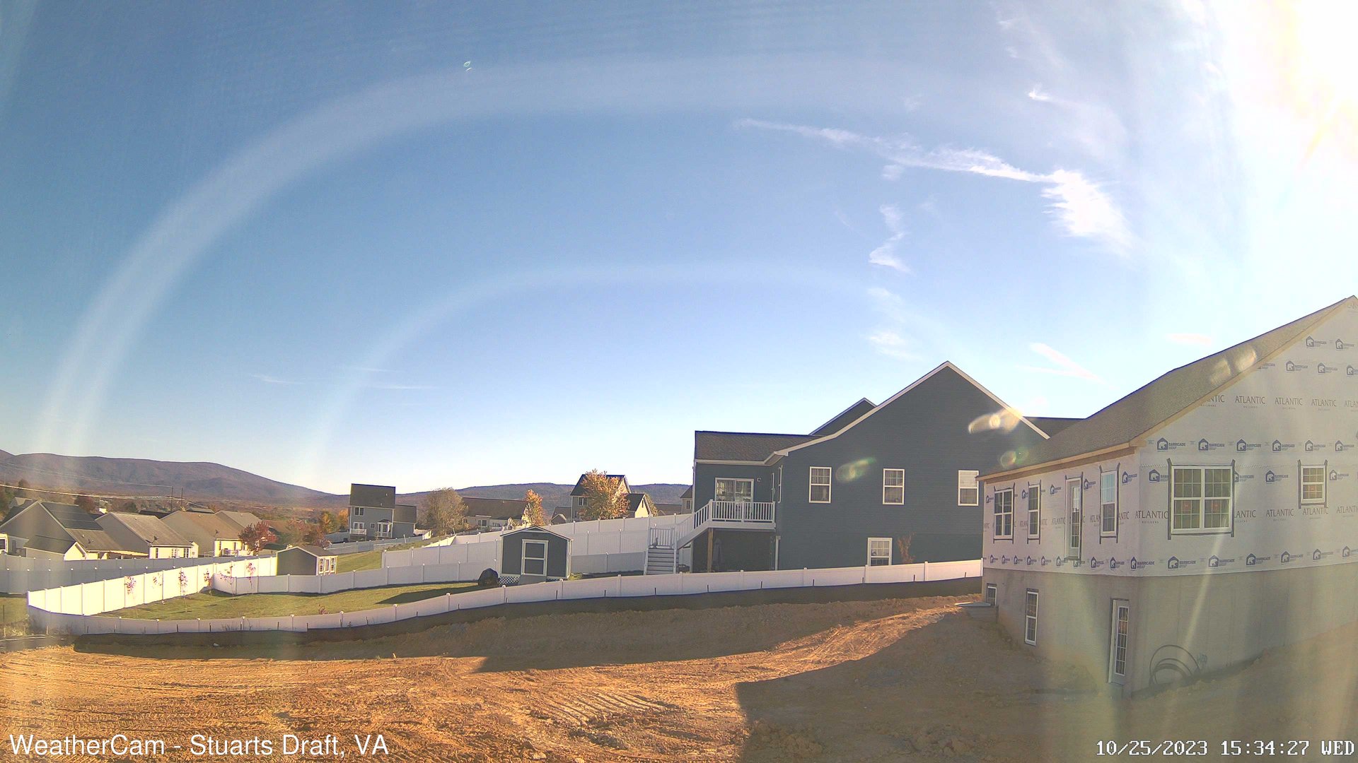
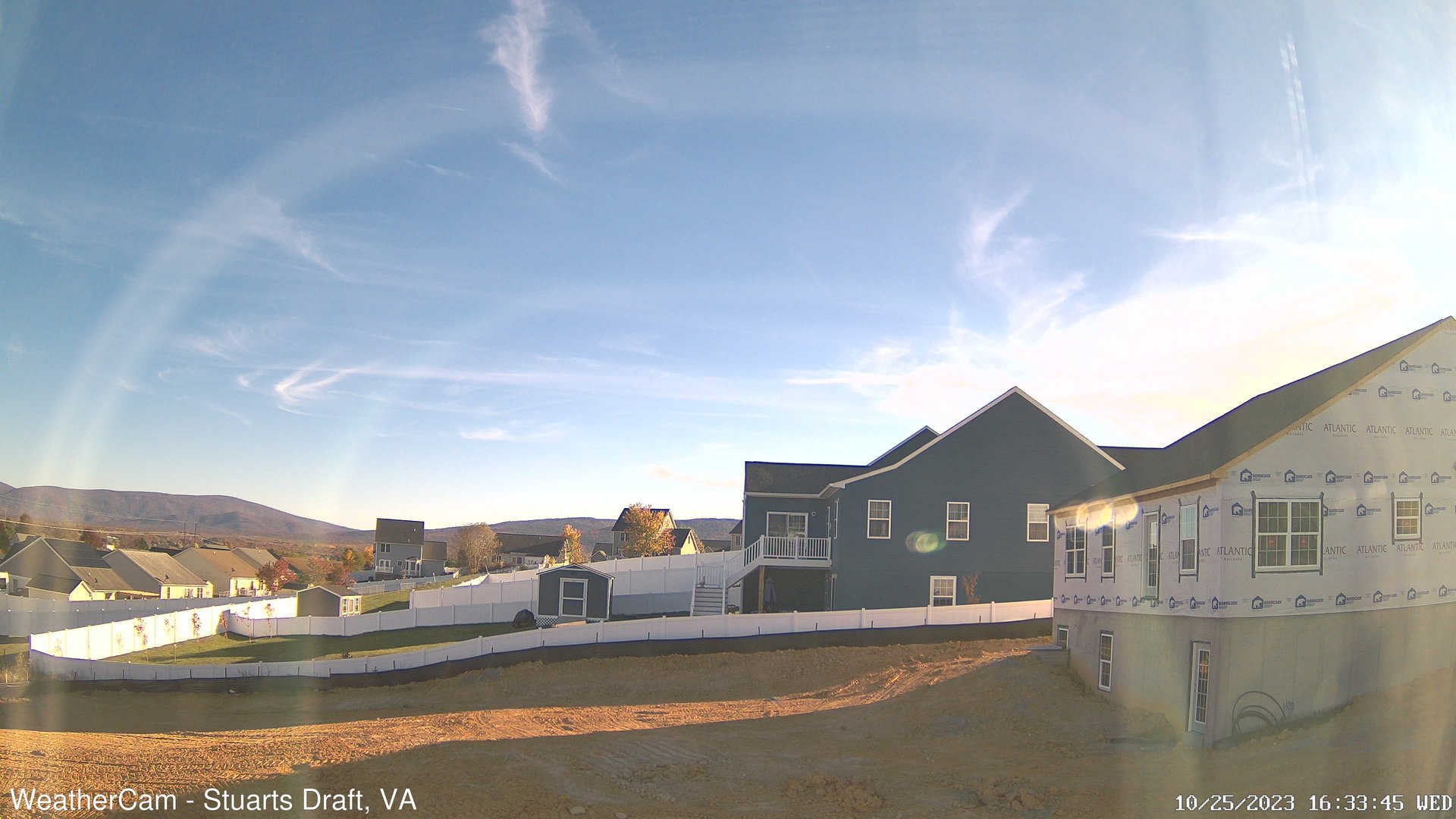
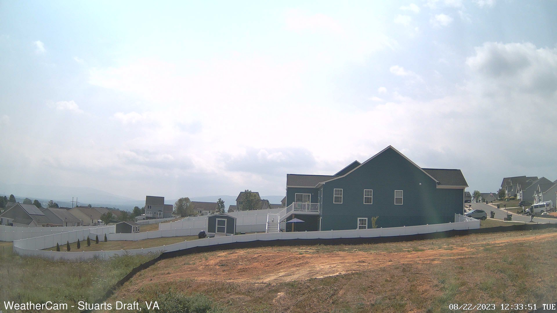
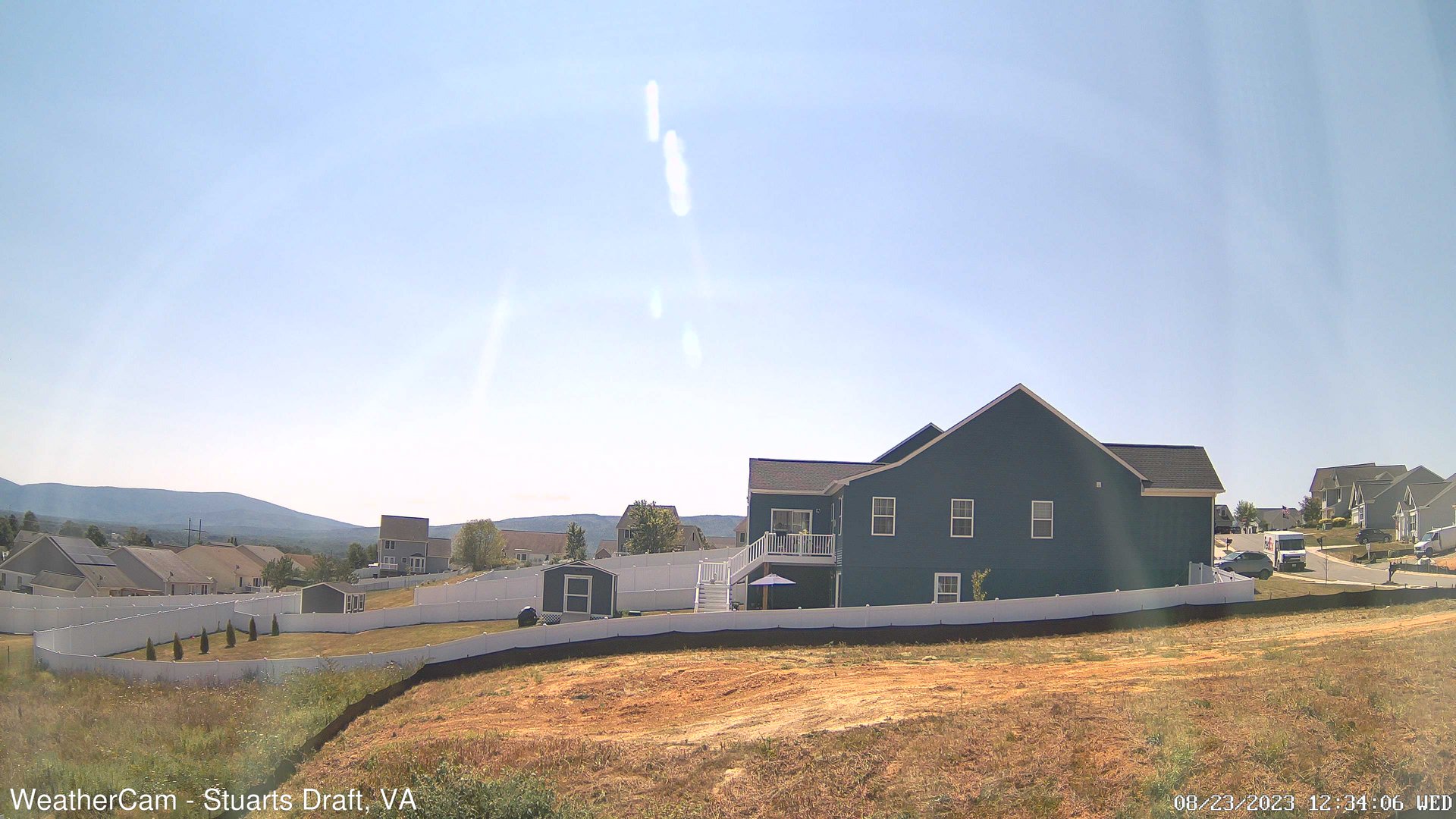
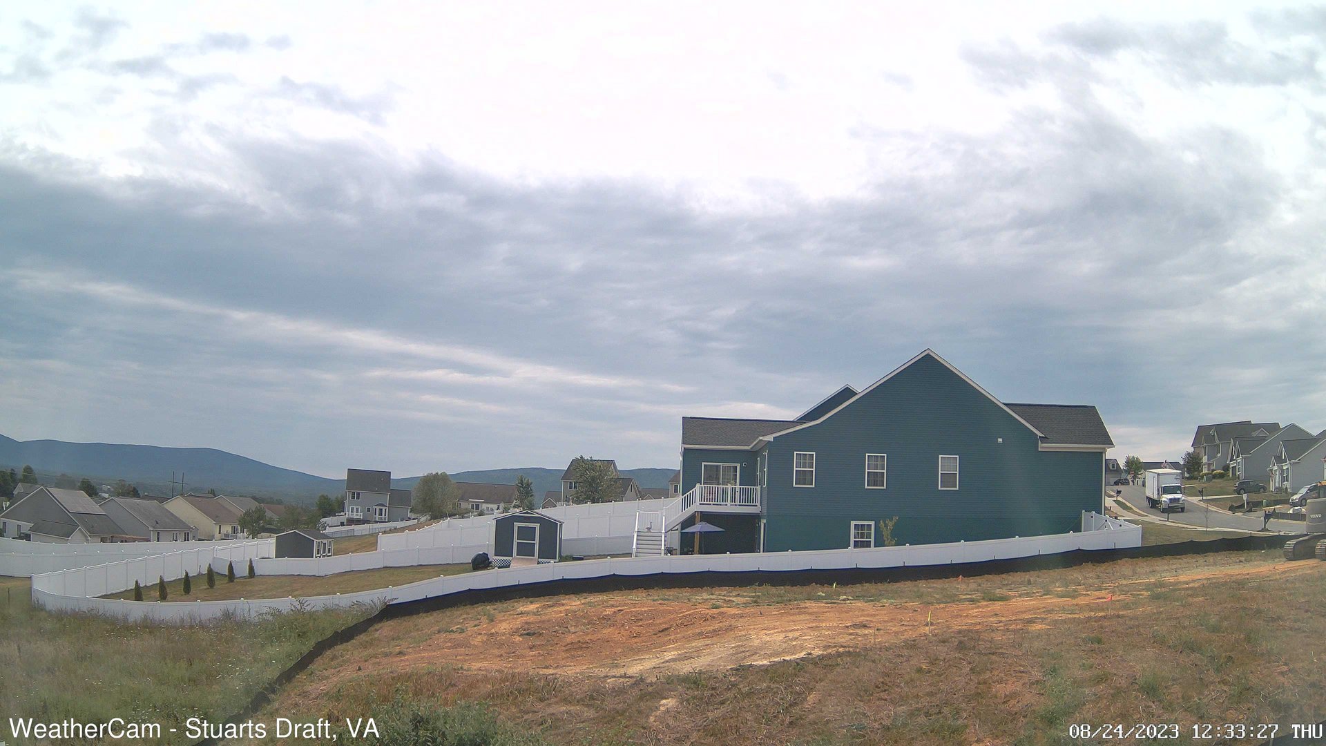
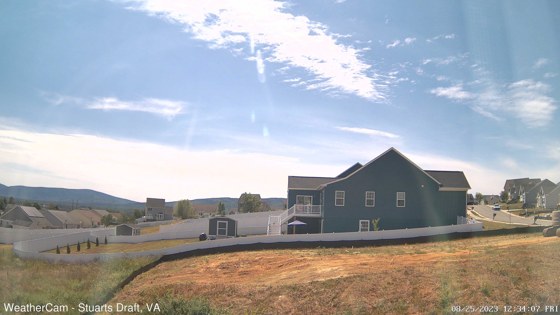
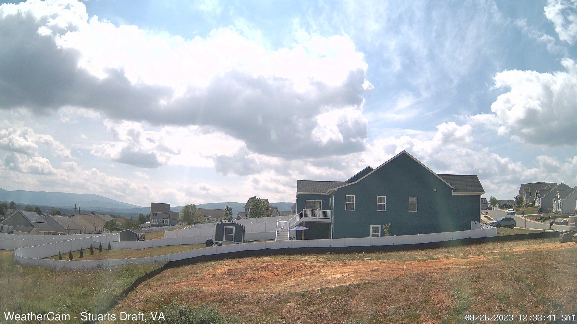
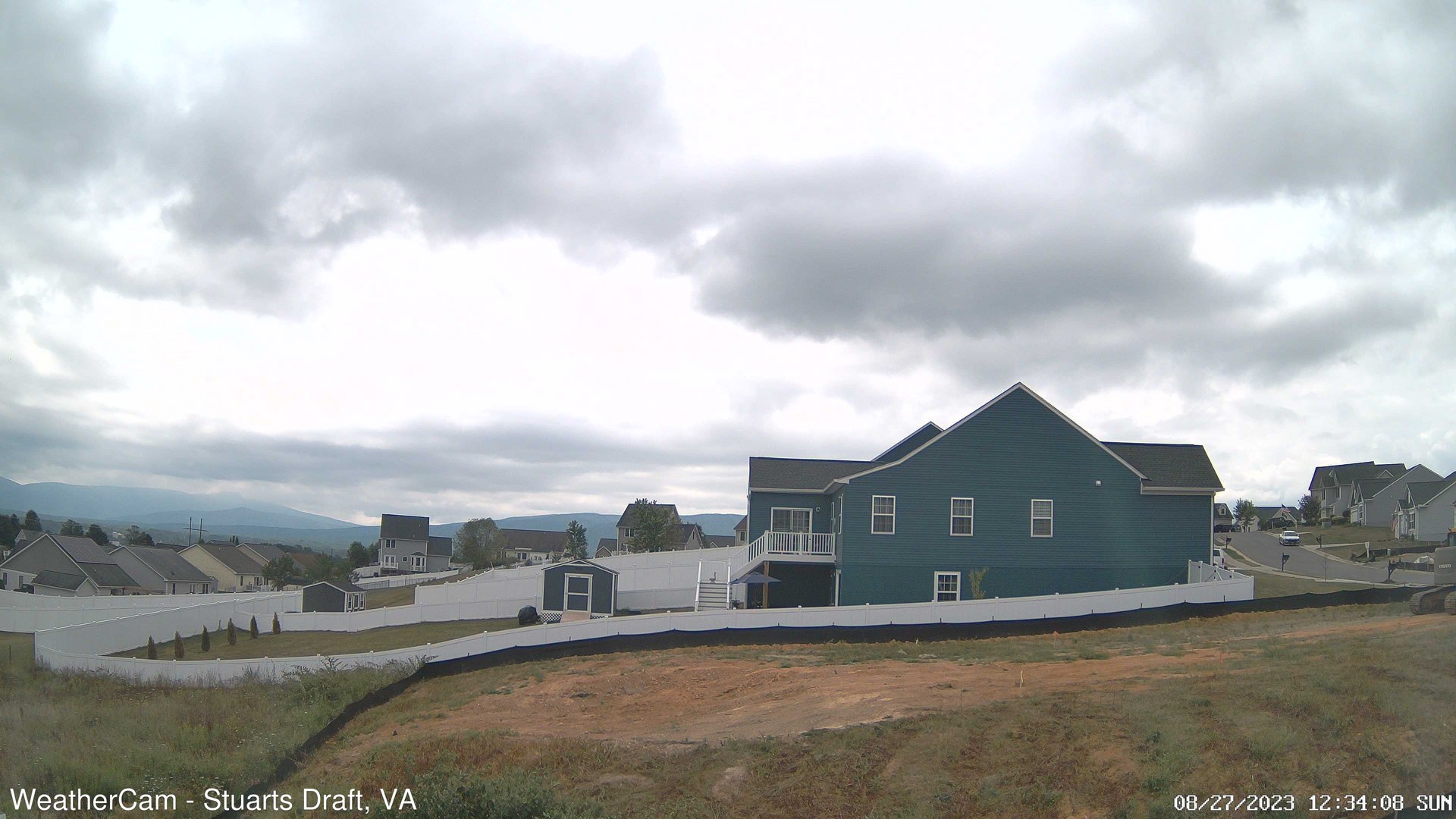
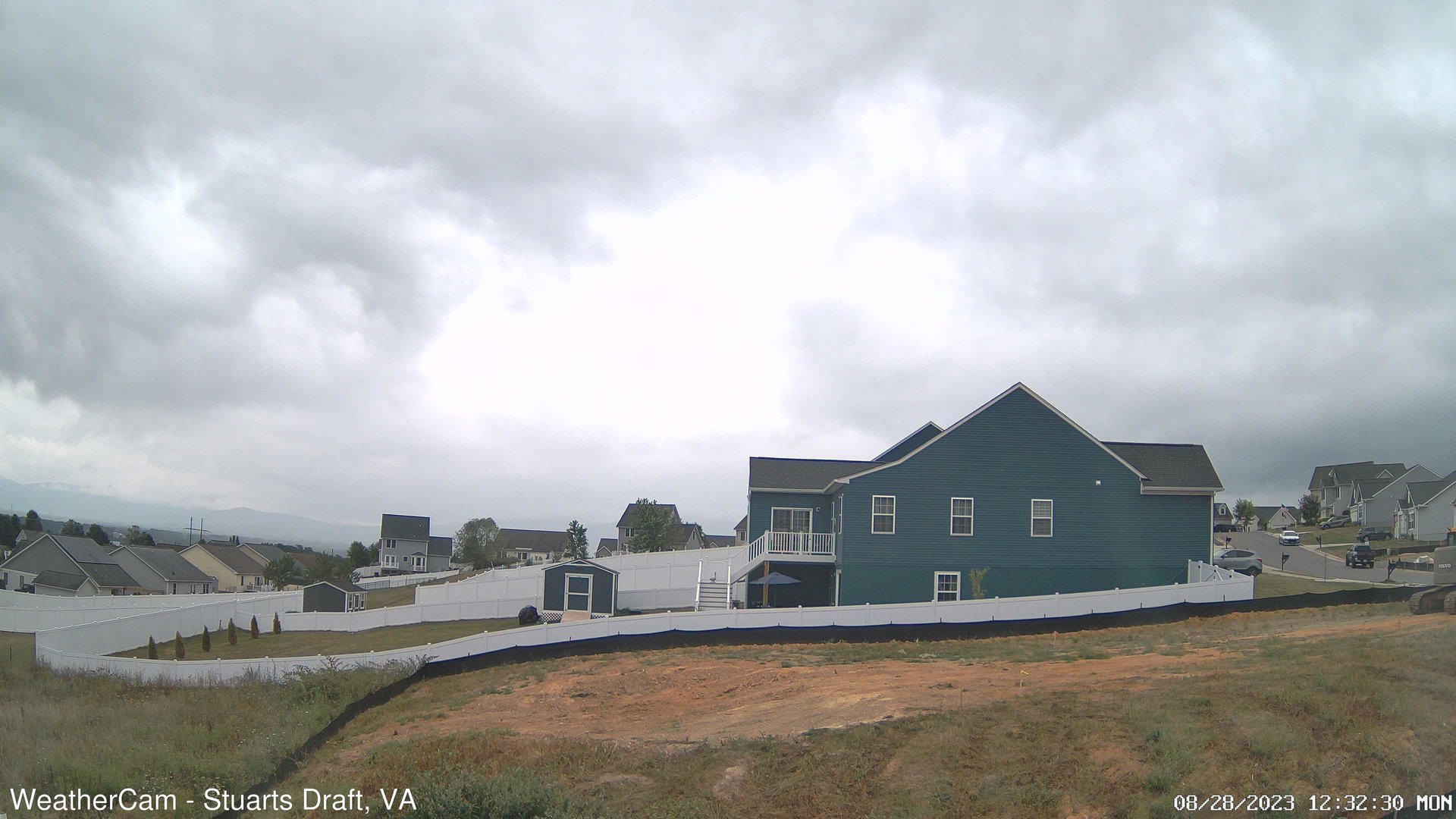
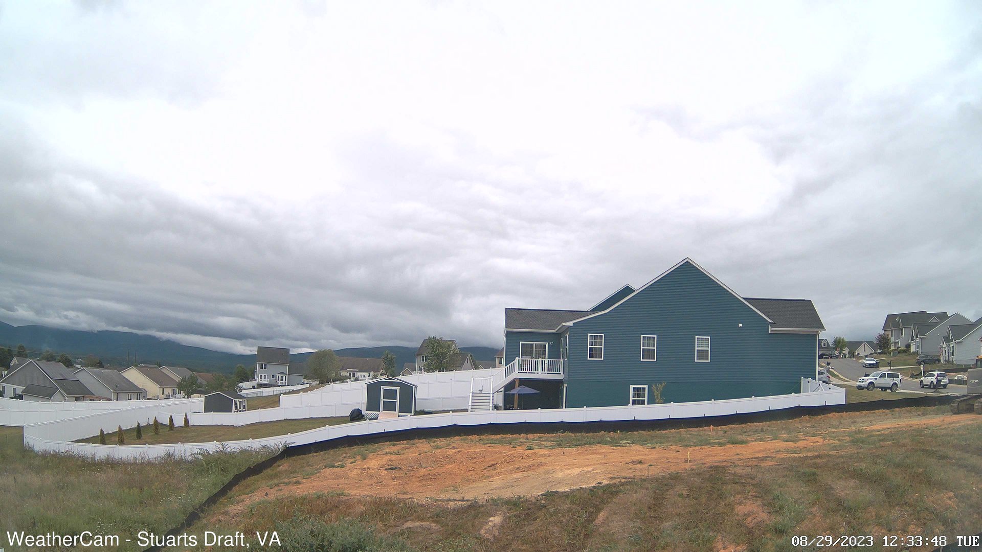
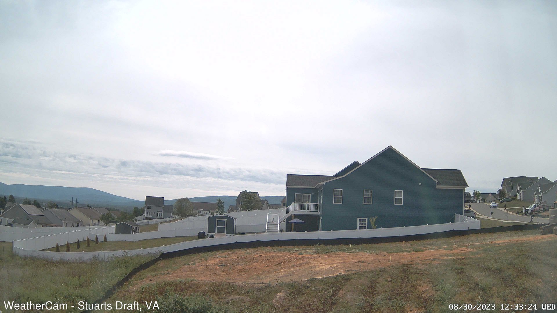
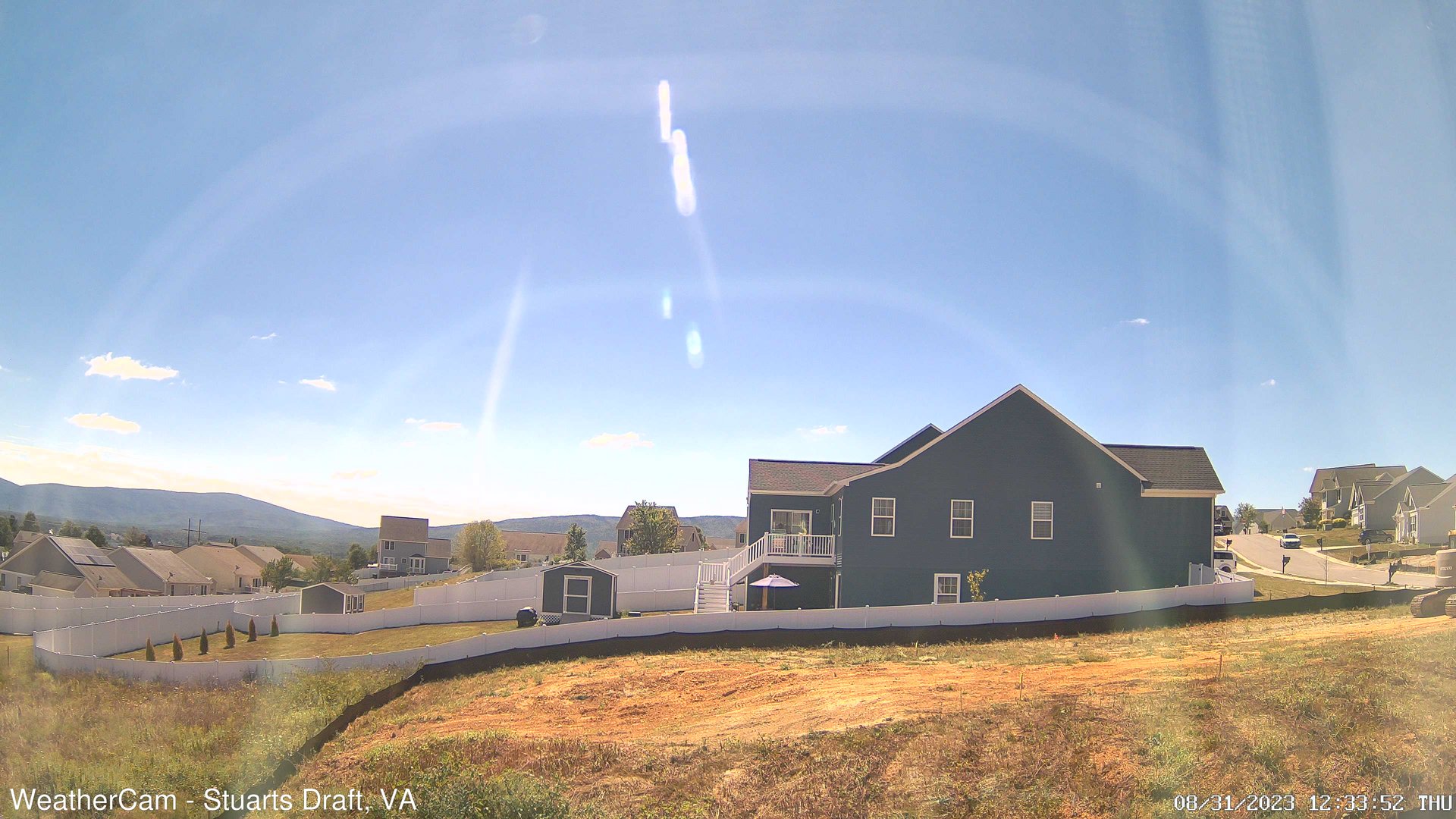
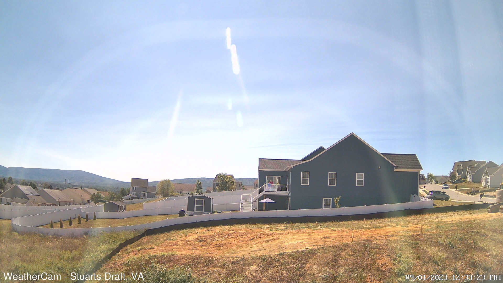
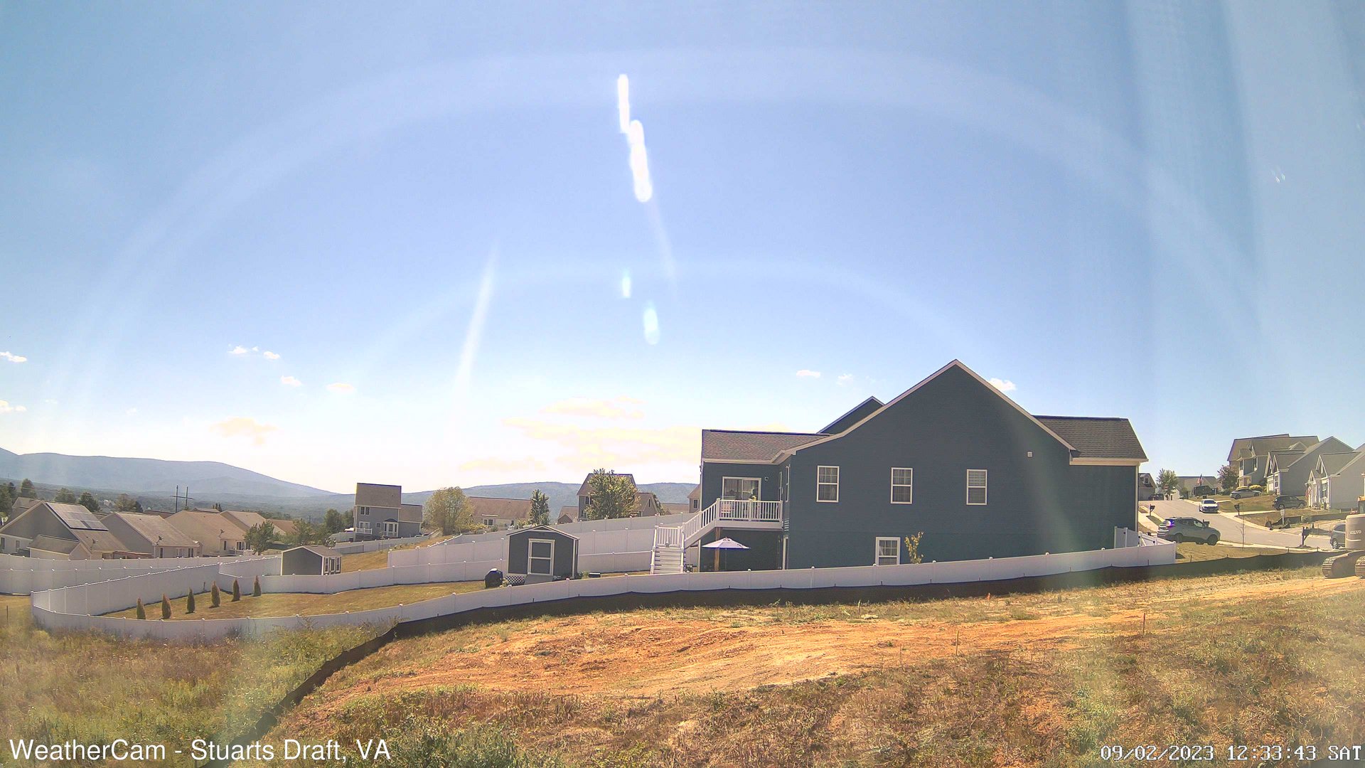
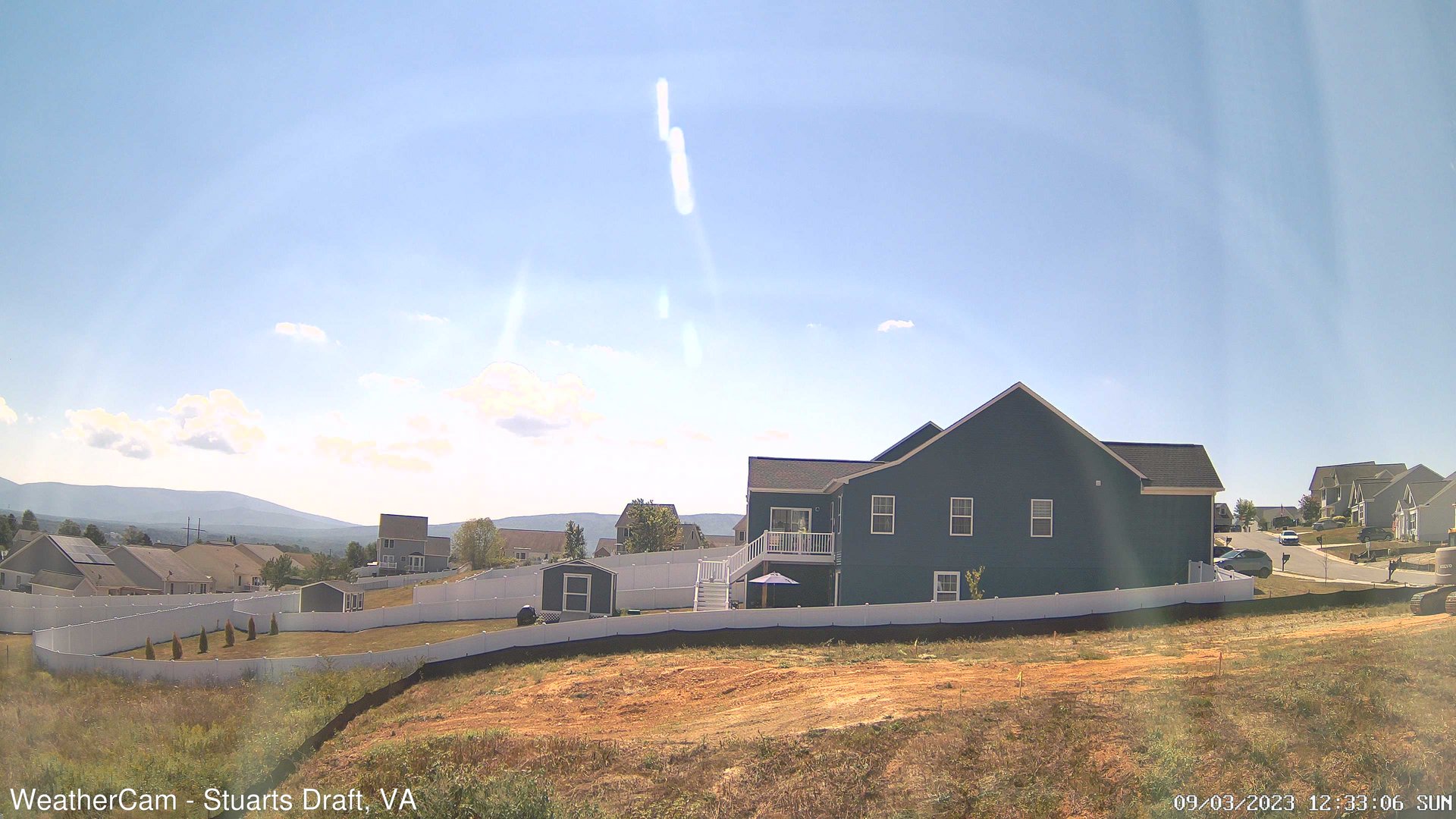
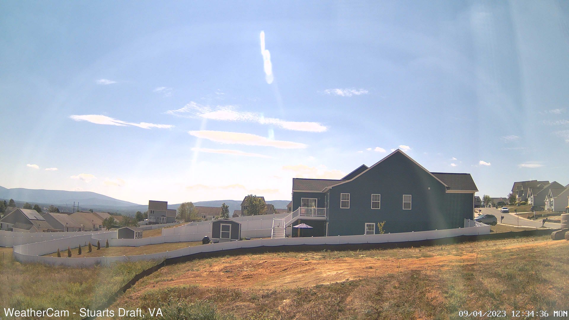
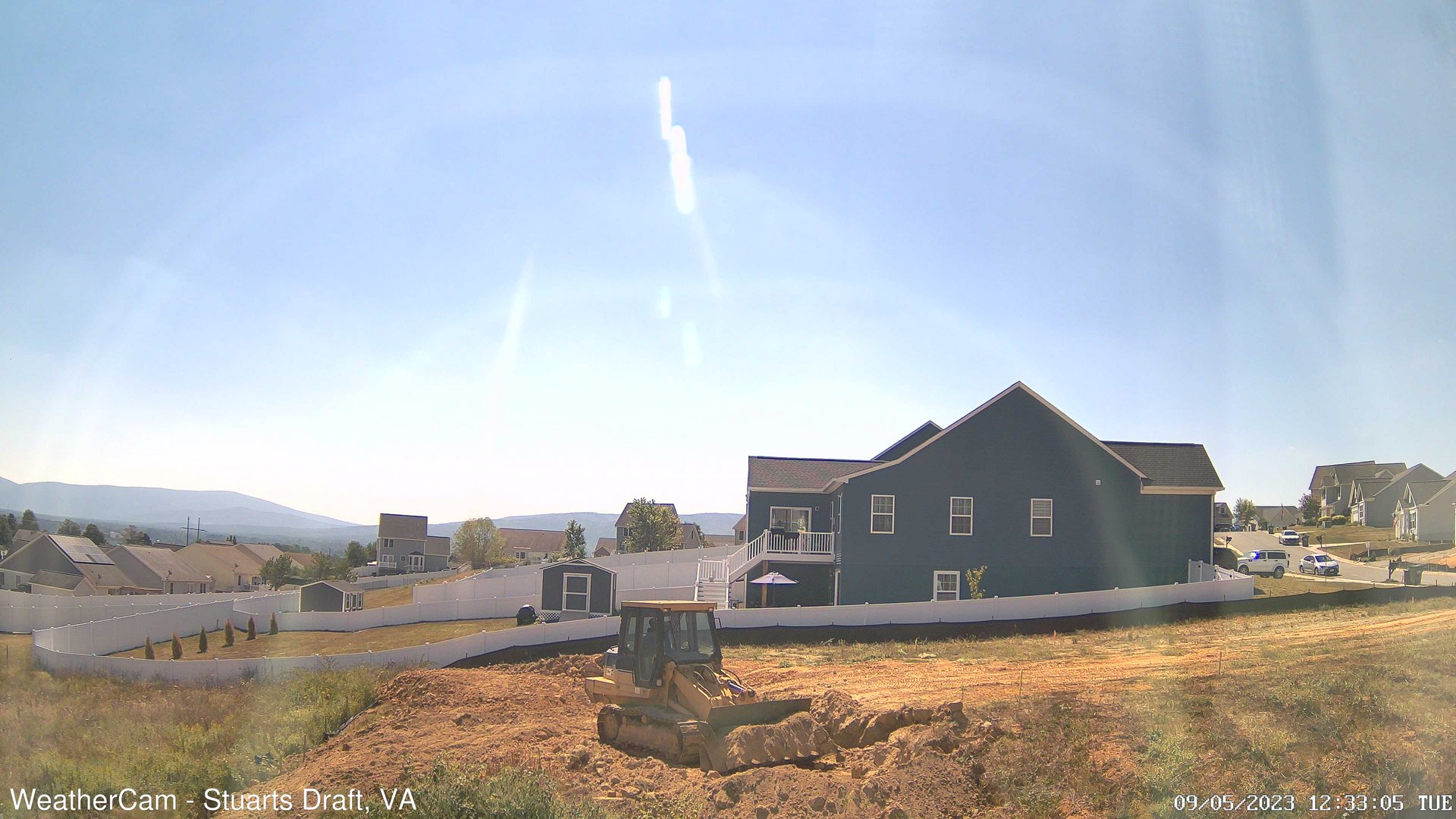
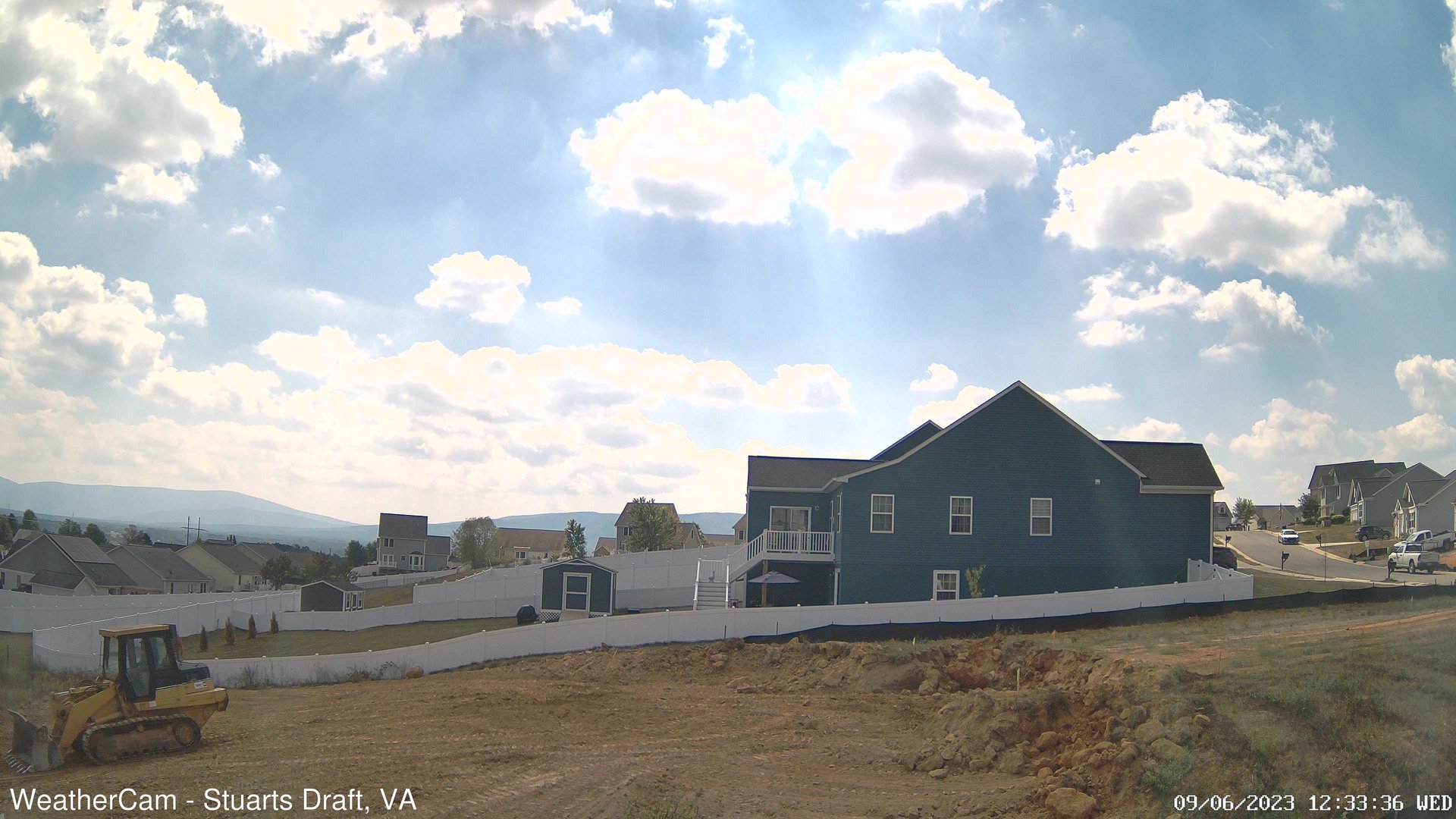
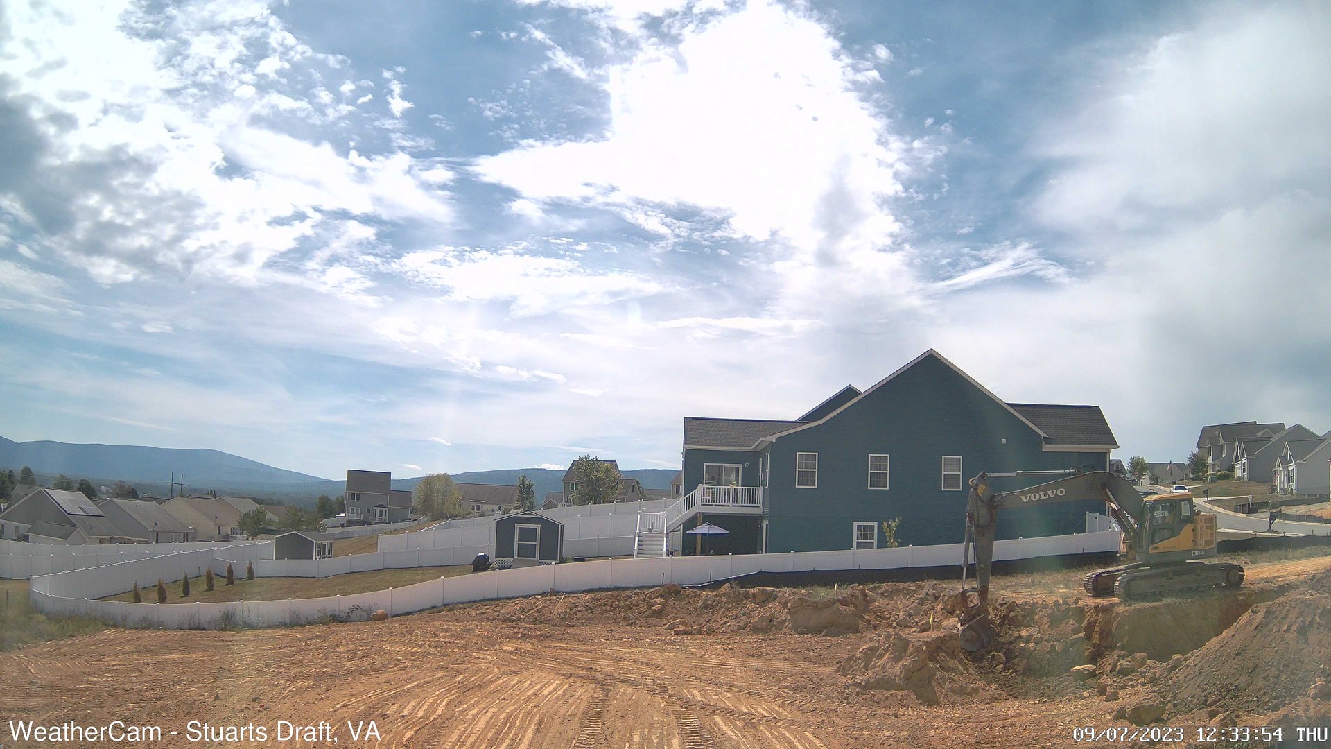
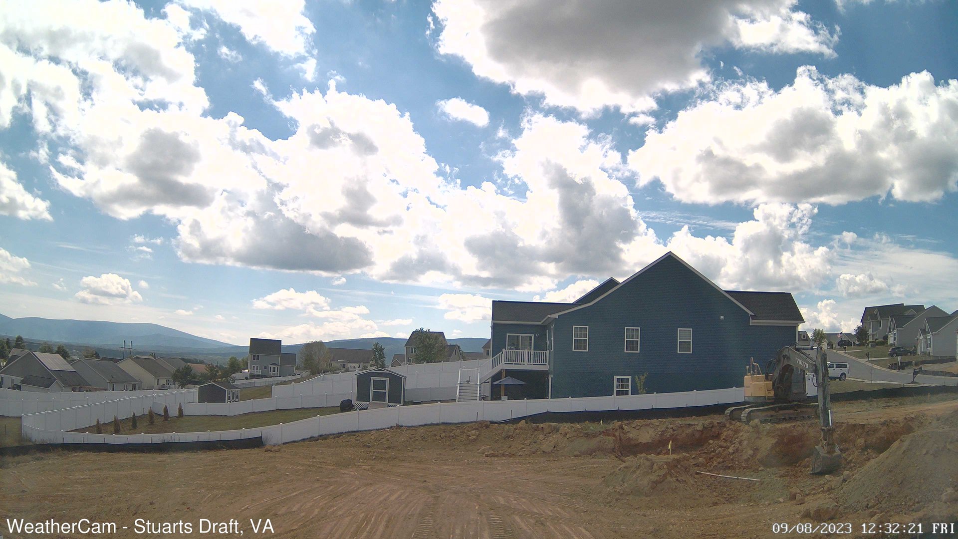
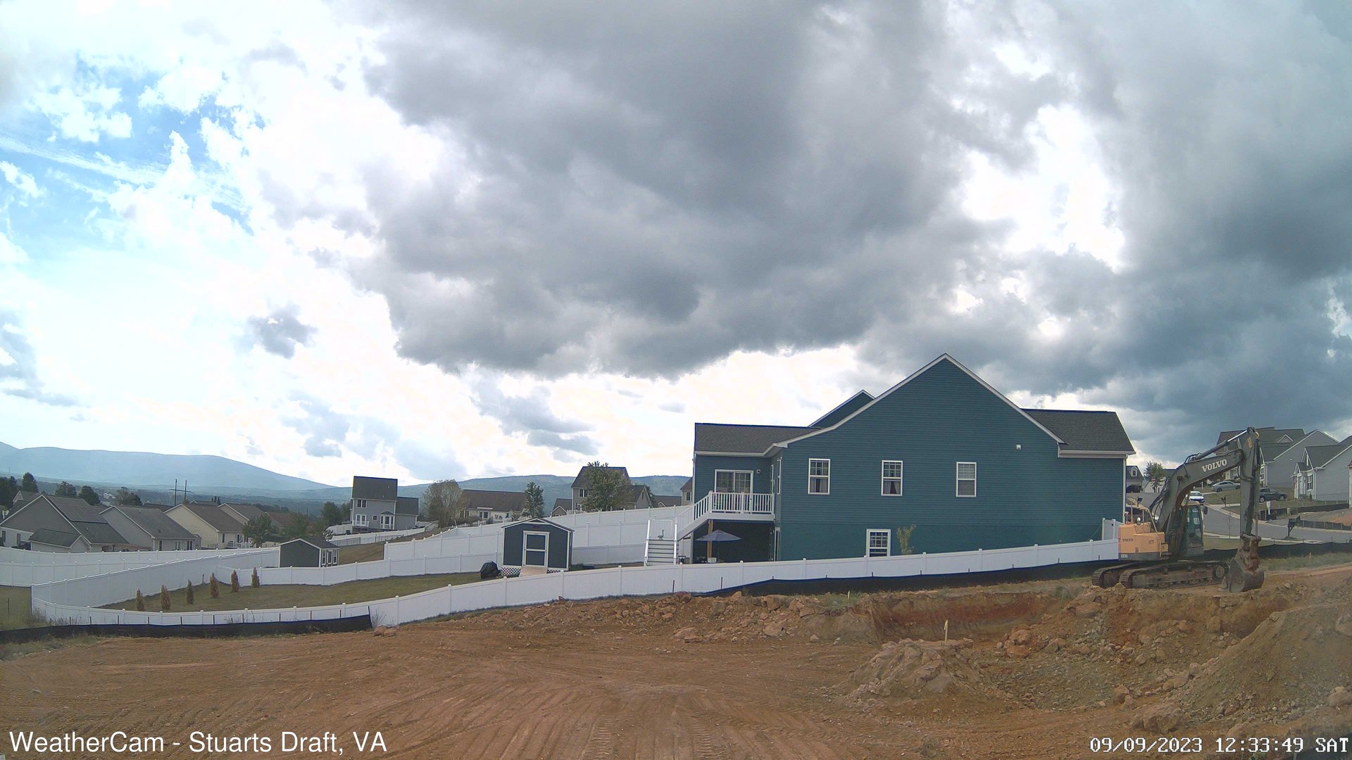
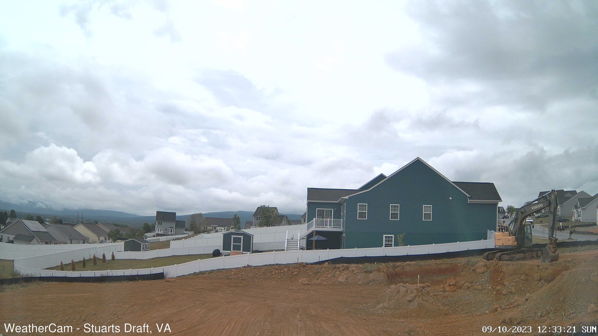
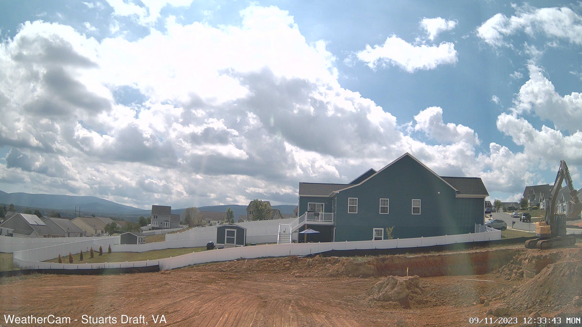
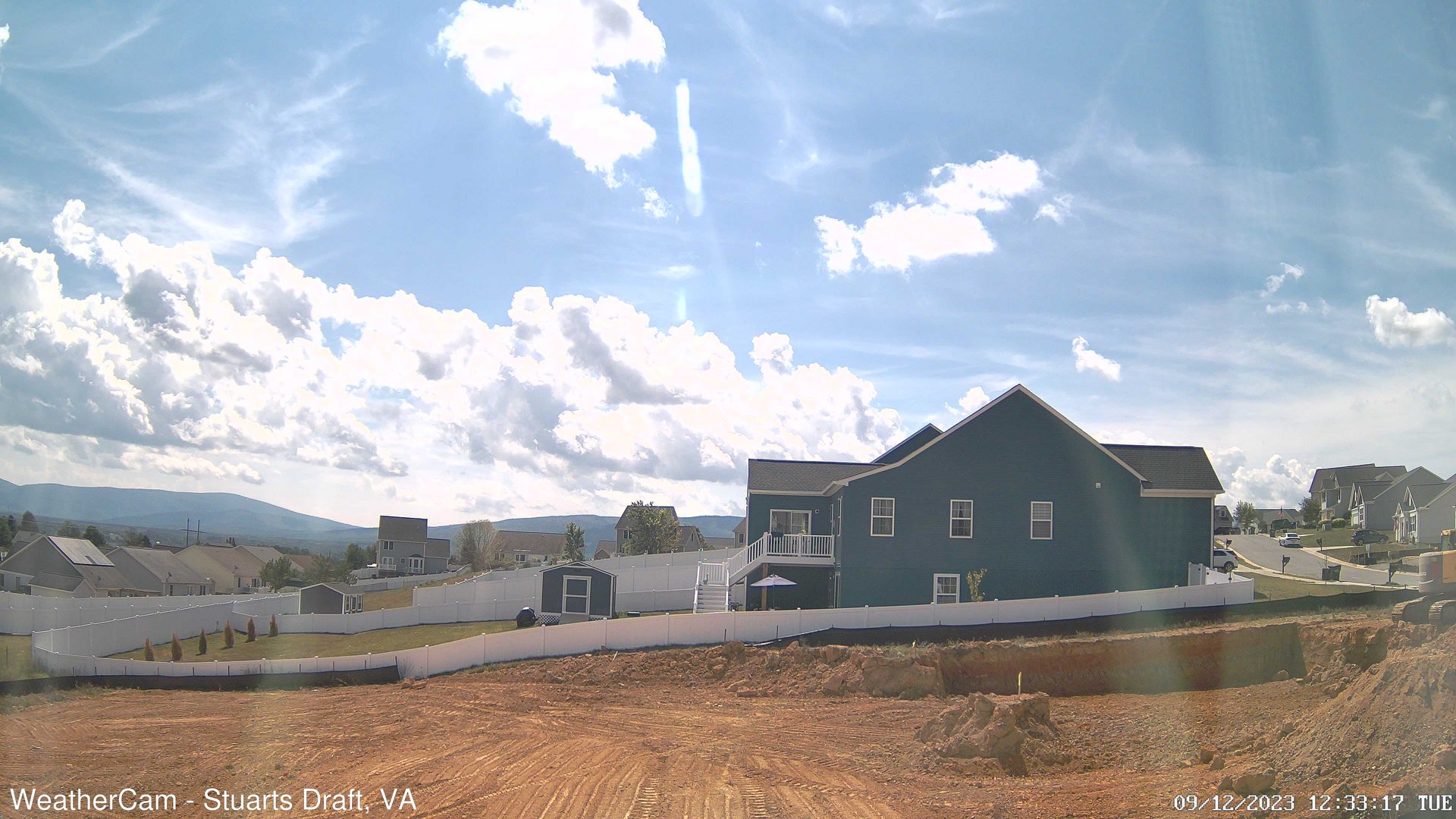
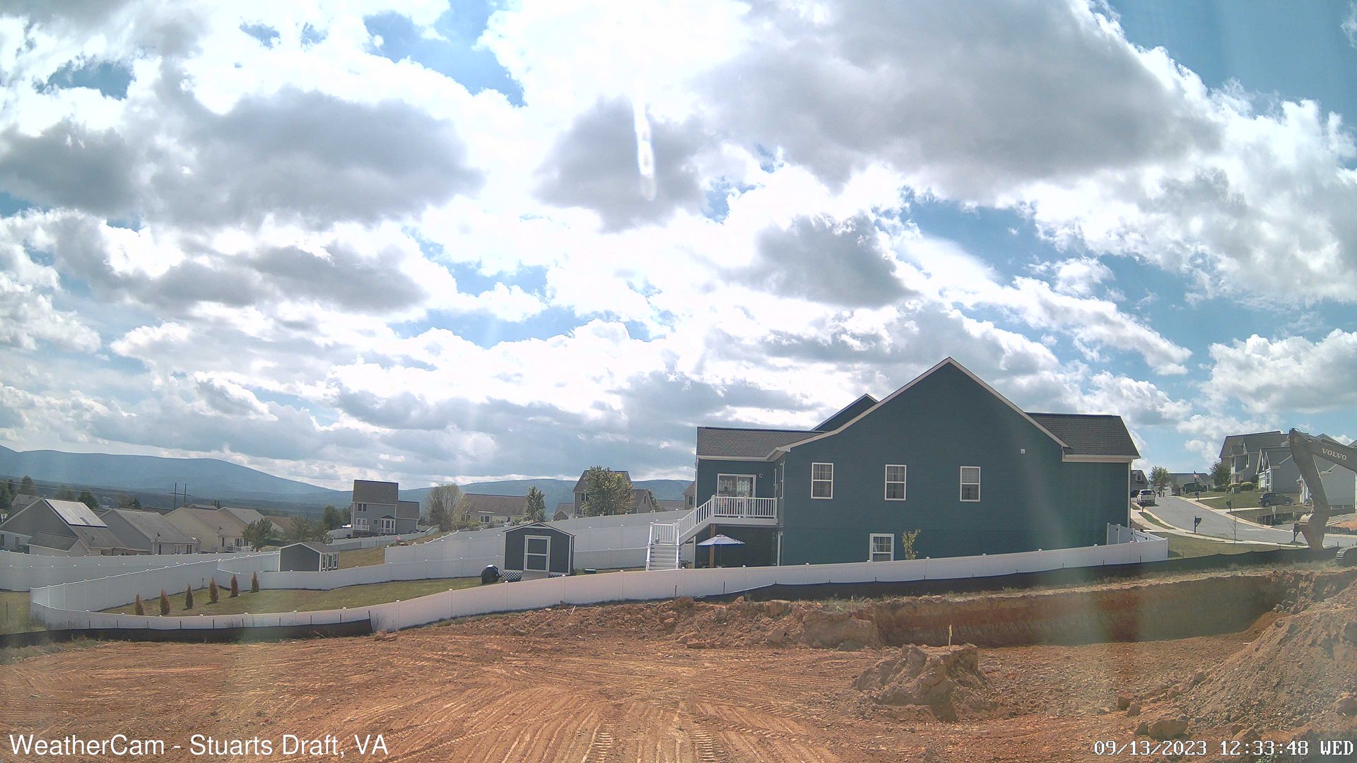
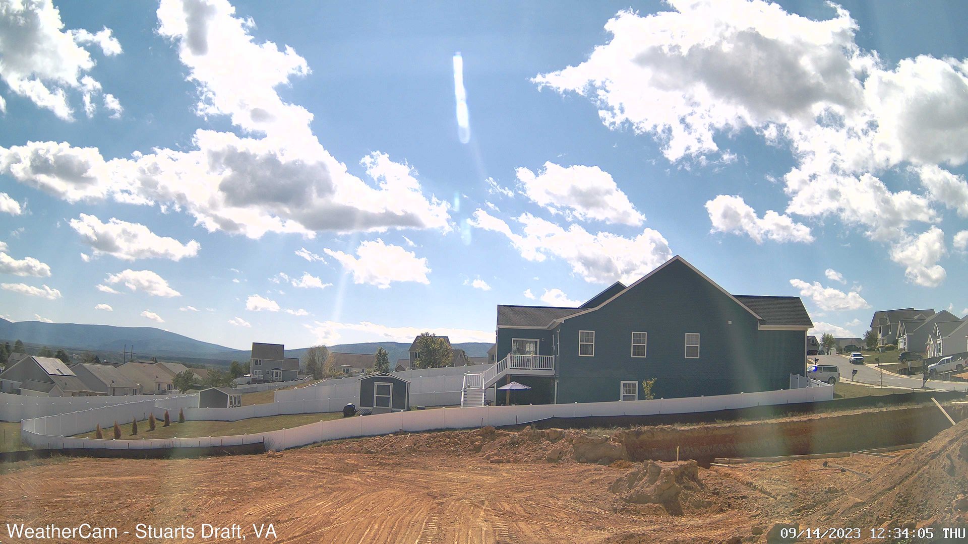
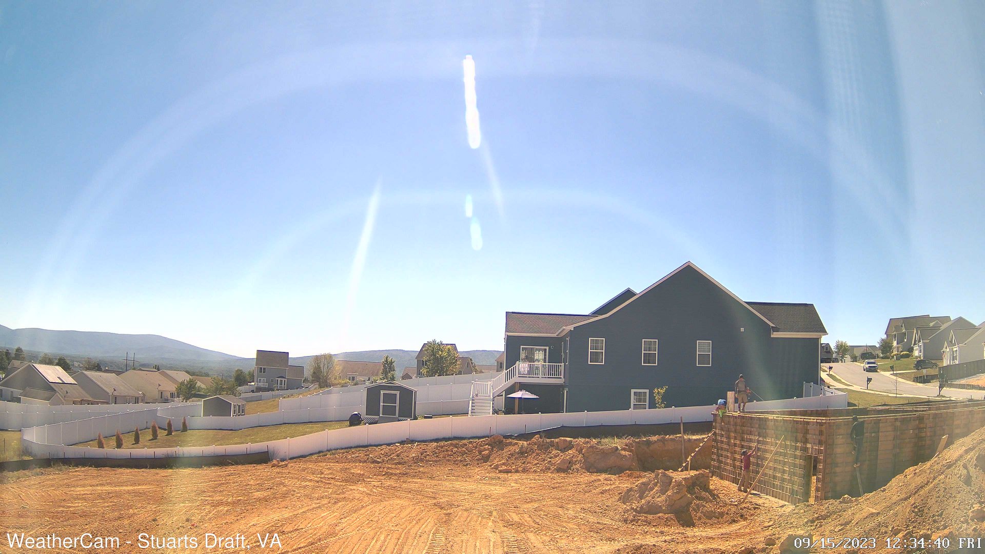
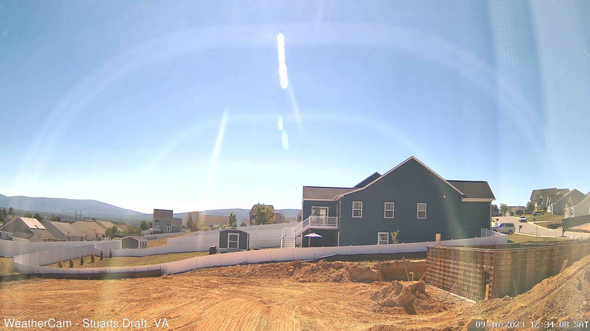
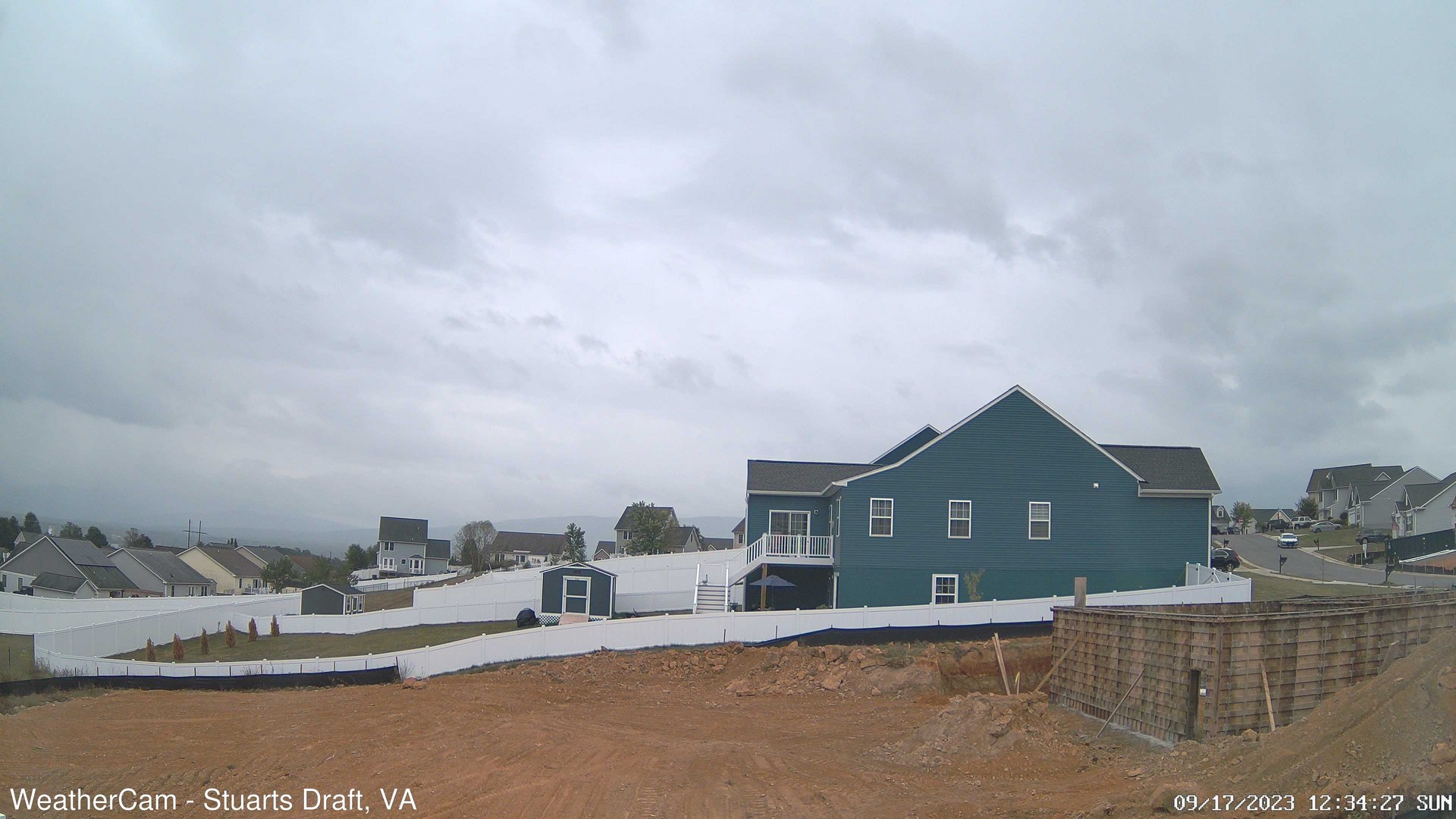
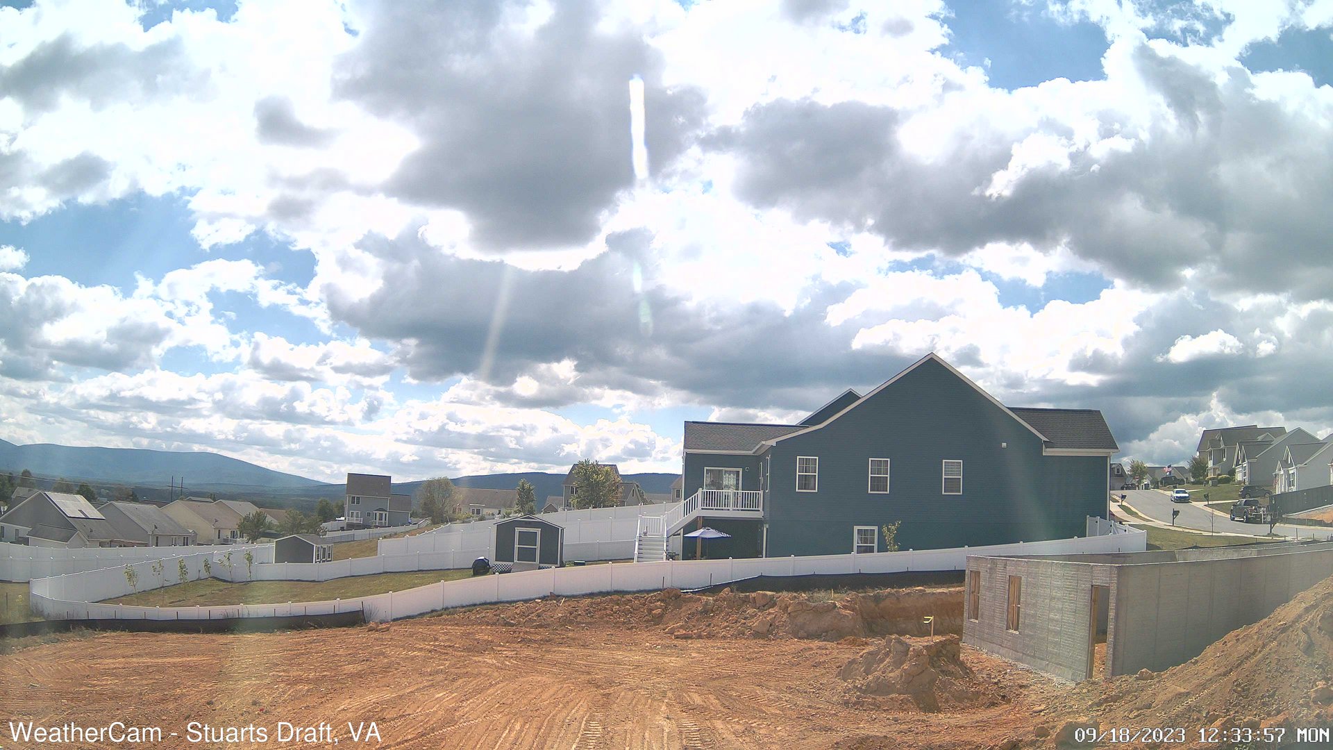
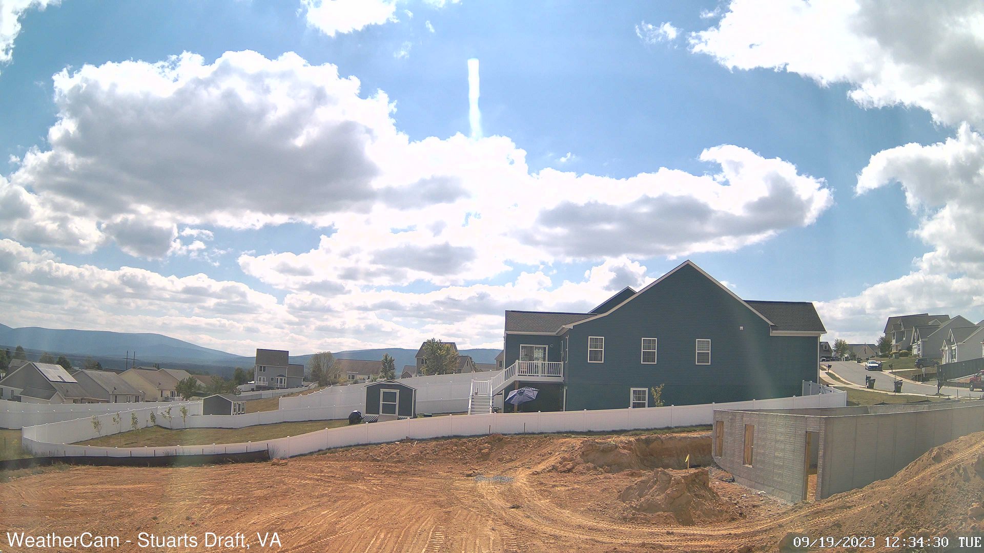
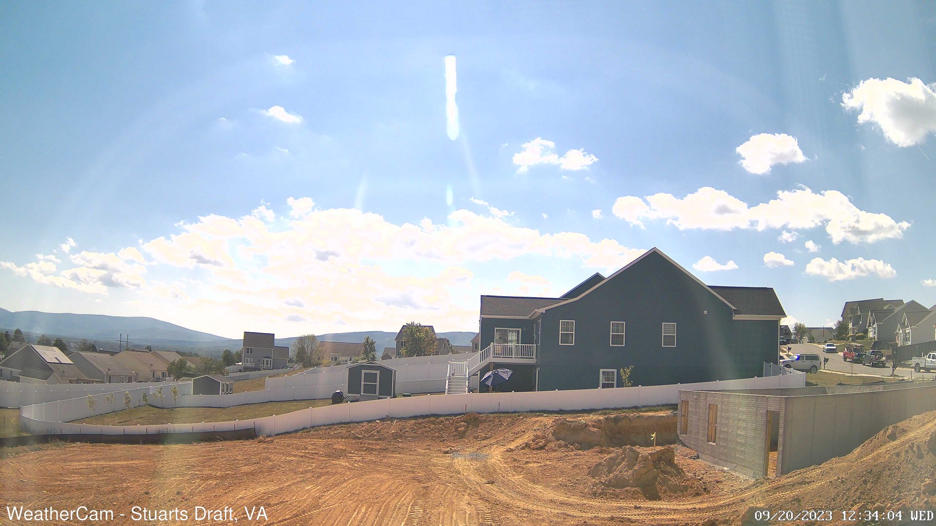
Stuarts Draft, Virginia, USA - 110.9 miles from Mark (historical): Blue Ridge Mountains - A view from Stuarts Draft, VA of the Blue Ridge Mountains in the distance.
Operator: J. Kristopher Photography
Operator: J. Kristopher Photography


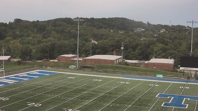
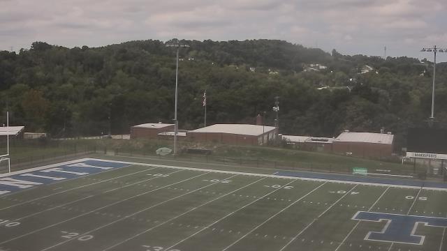
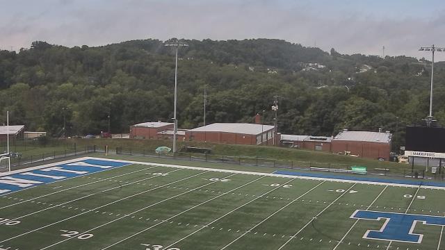
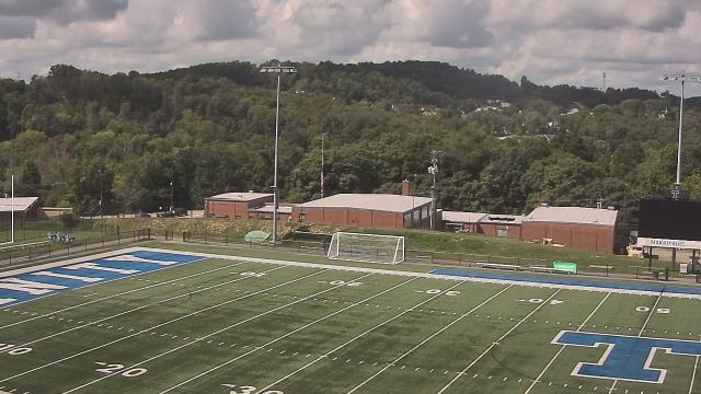
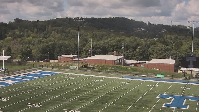
Canonsburg, Pennsylvania, USA - 112.4 miles from Mark (historical): Canon McMillan High School - A webcam in Canonsburg, Pennsylvania - camera location: Canon McMillan High School.
Operator: WeatherBug
Operator: WeatherBug


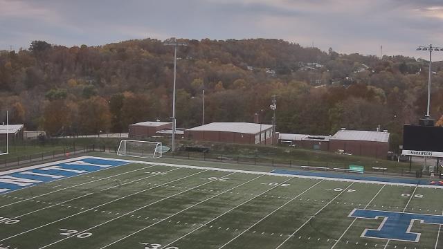
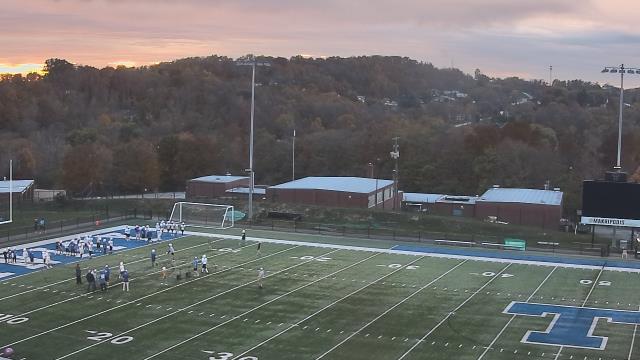
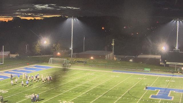
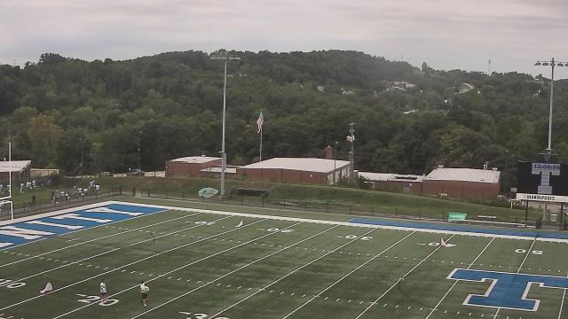
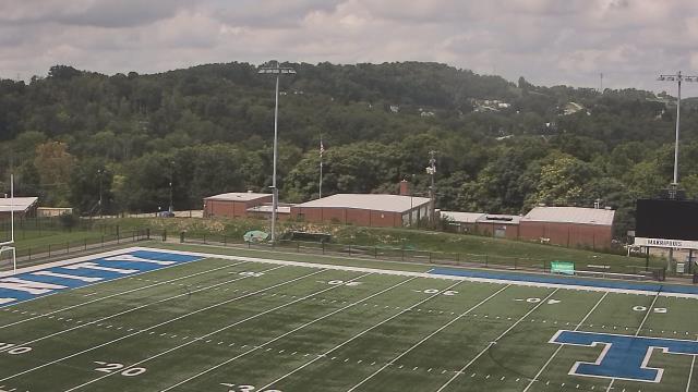
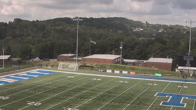
Roanoke, Virginia, USA - 112.7 miles from Mark (historical): Roanoke Catholic School - A webcam in Roanoke, Virginia - camera location: Roanoke Catholic School.
Operator: WeatherBug
Operator: WeatherBug


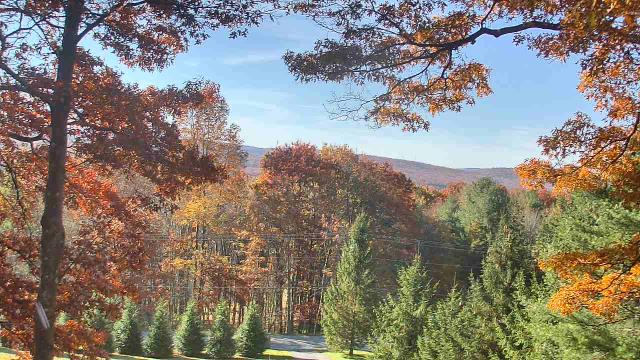
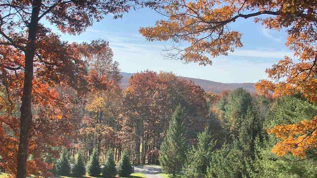
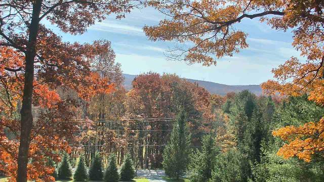
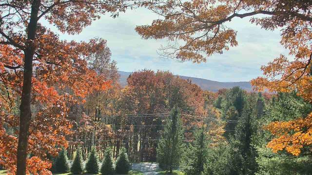
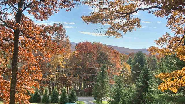
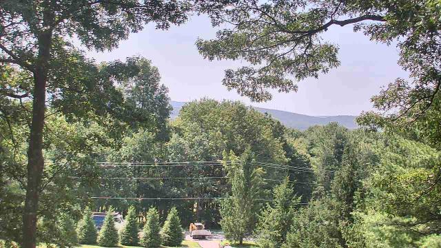
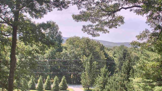
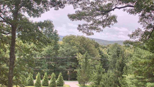
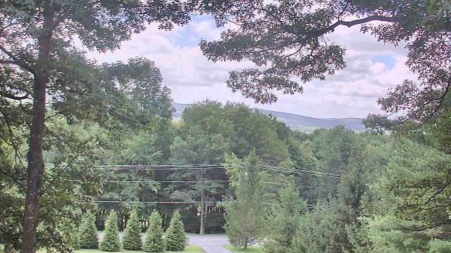
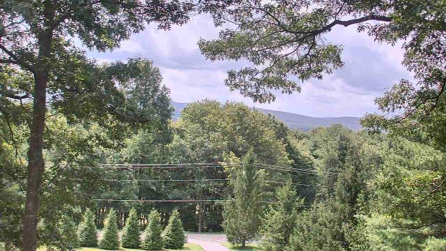
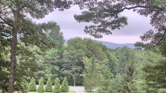
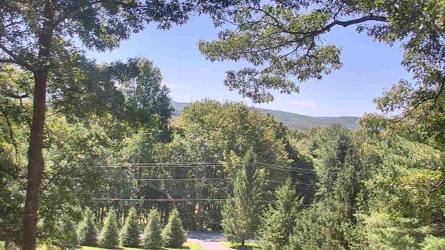
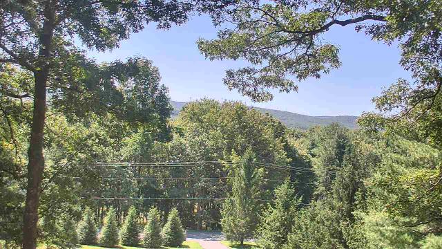
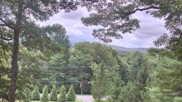
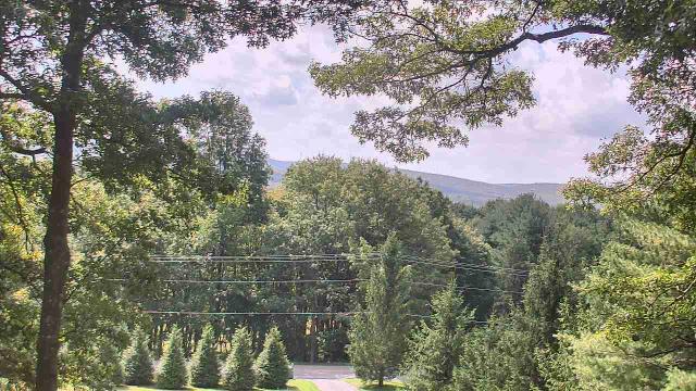
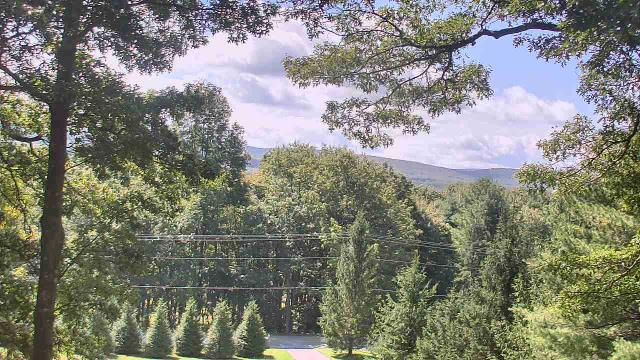
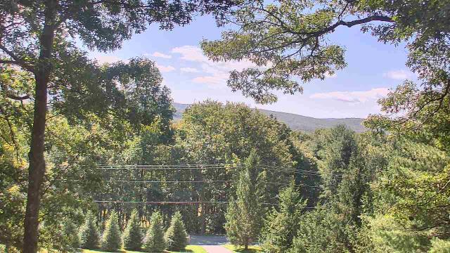
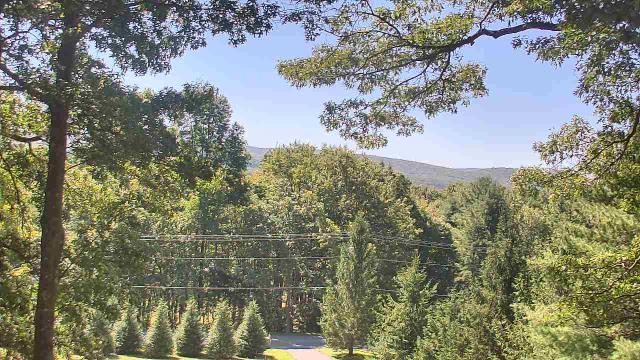
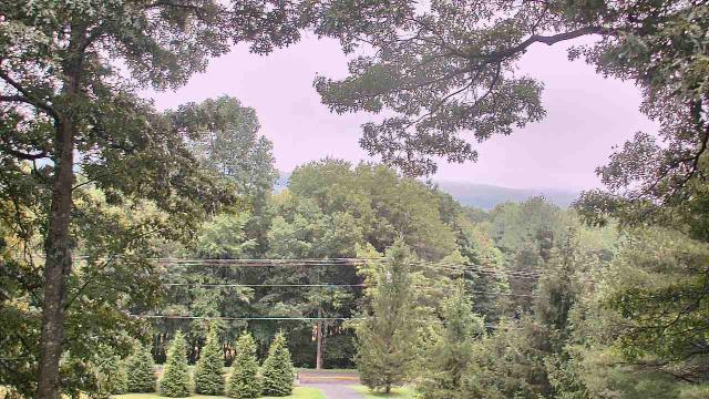
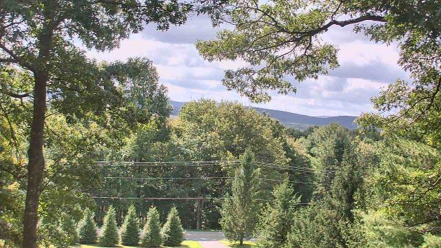
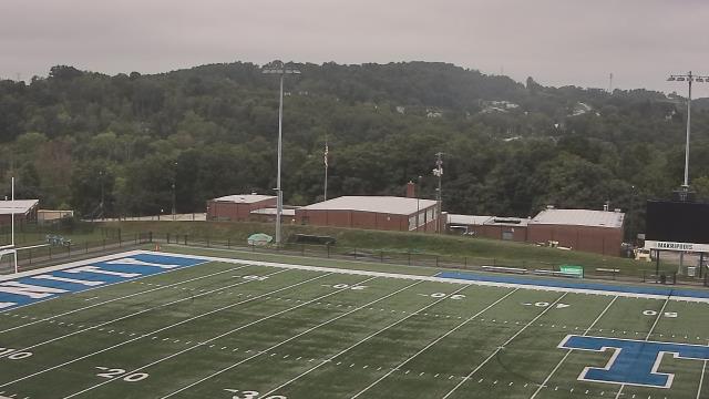
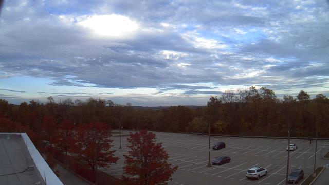
Roanoke, Virginia, USA - 112.7 miles from Mark (historical): Mountain View - Looking SW over Appalachians near Blue Ridge Pkwy.
Operator: Roanoke Weather Page
Operator: Roanoke Weather Page


Some other places in this country: Wheeler (historical) - White (historical) - German (historical) - Hope (historical) - Progress (historical) - Sleith (historical) - Clickton (historical) - Davison (historical) - Holstead (historical) - Home