Webcams in the region of Relief, Washington, USA
The List of Webcams near Relief, Washington, USA:

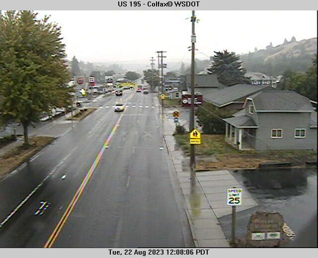
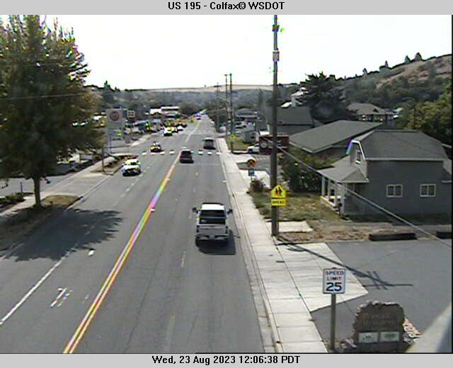
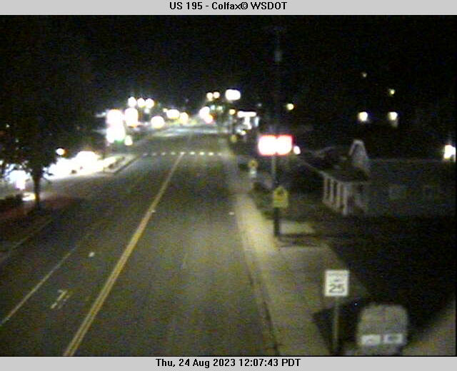
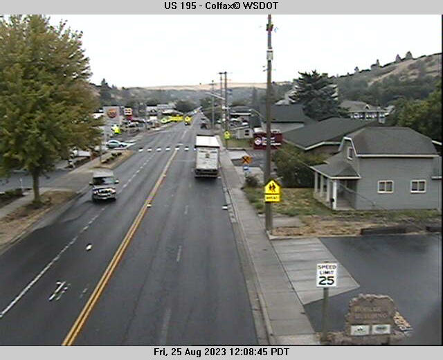
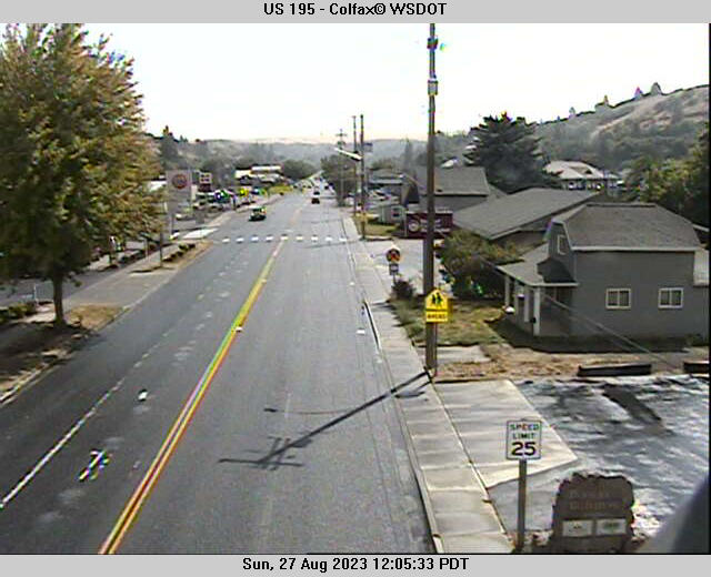
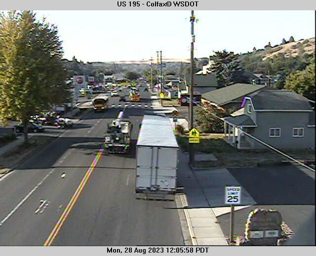
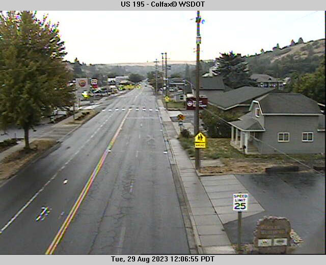
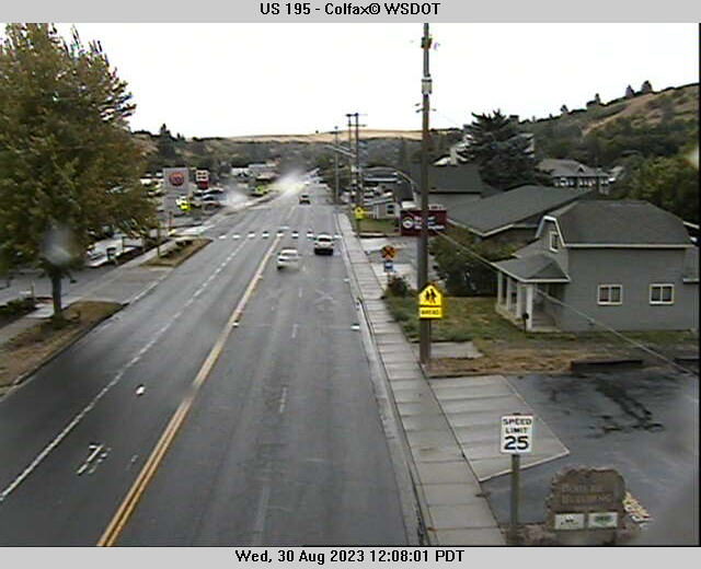
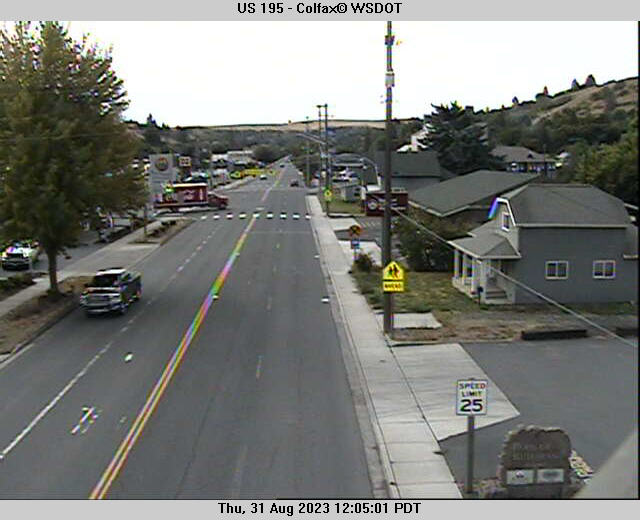
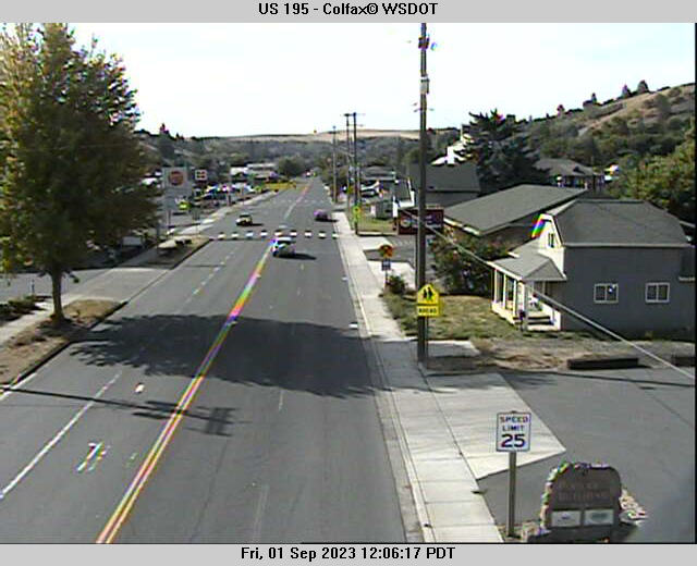
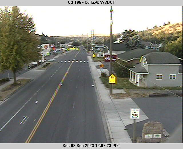
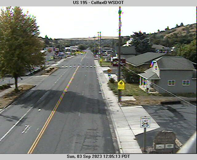
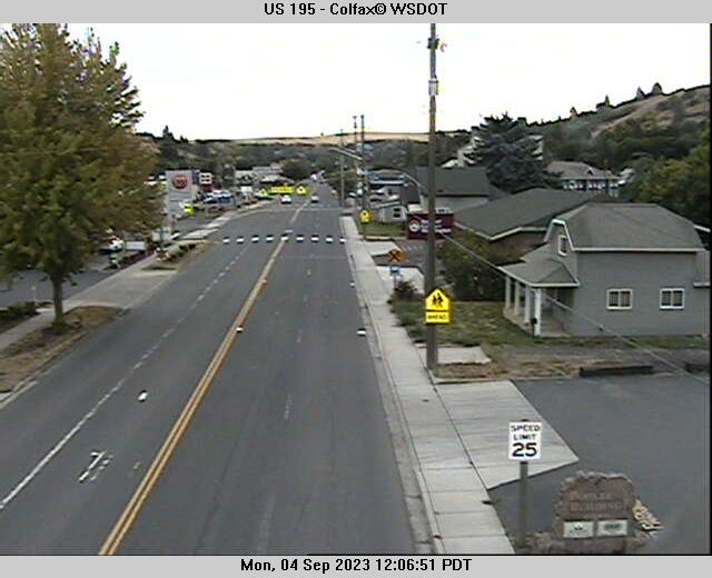
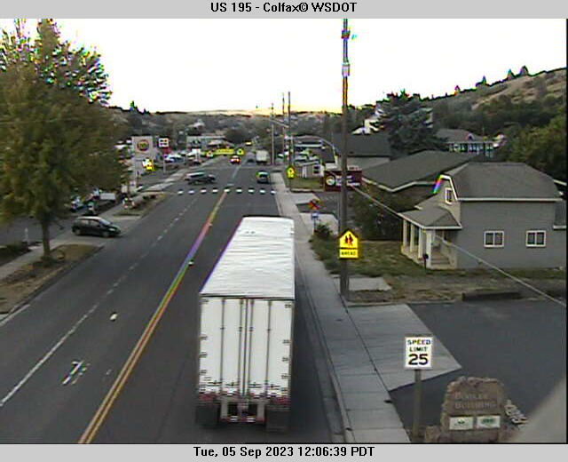
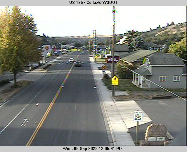
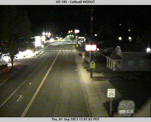
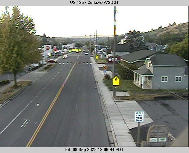
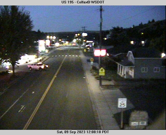
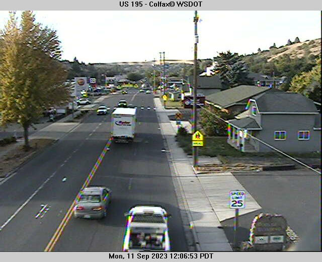
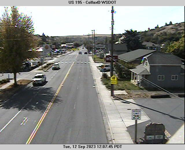
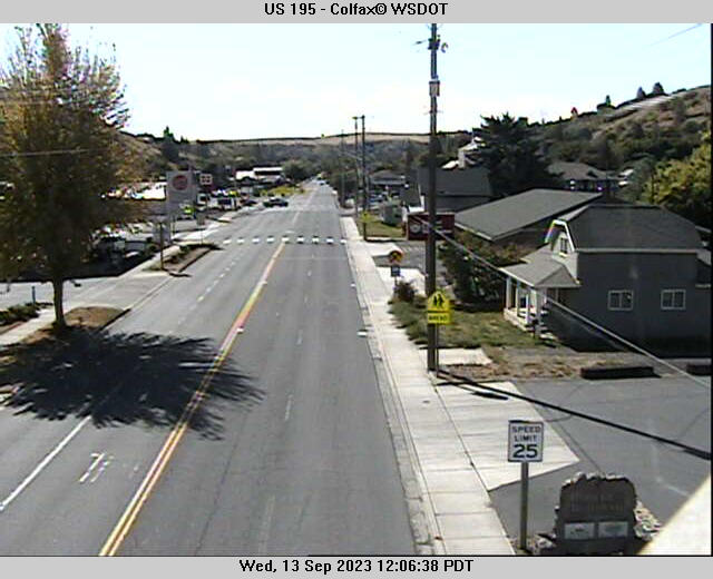
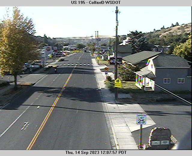
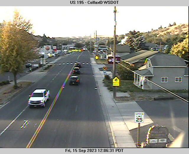
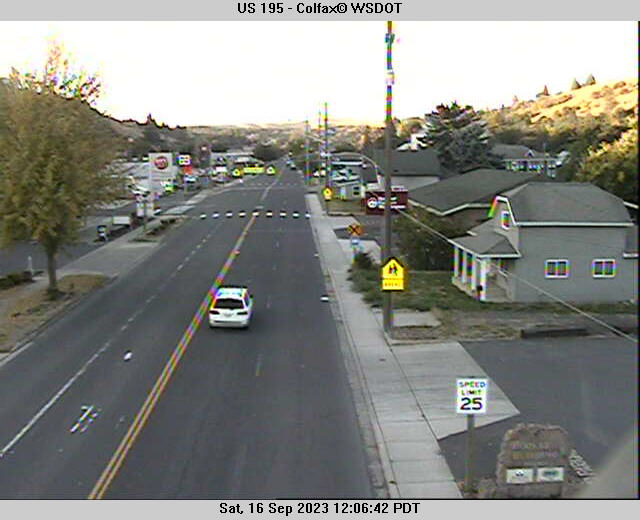
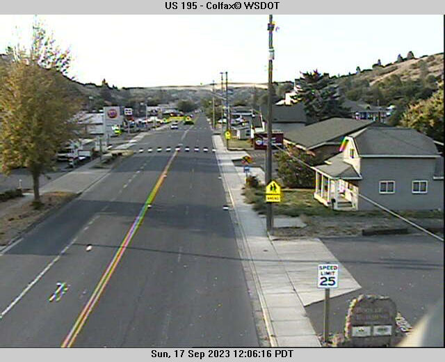
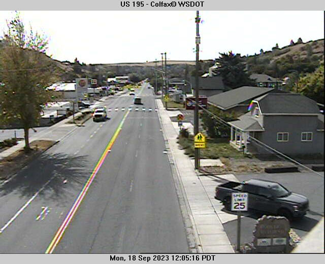
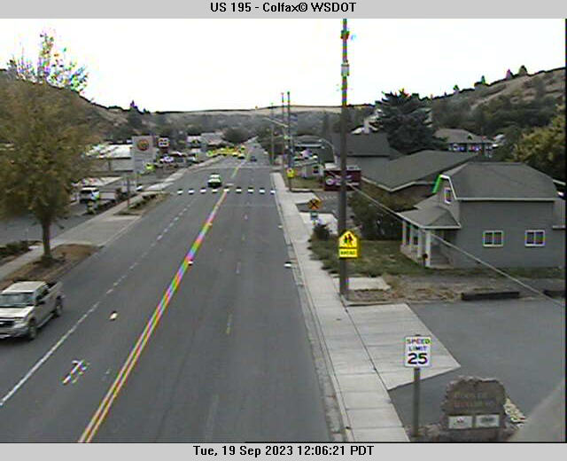
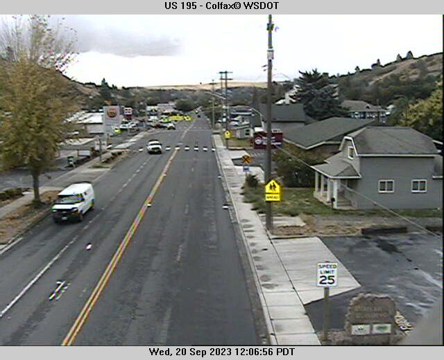
Colfax, Washington, USA - 45.2 miles from Relief: US 195 - Colfax - A view of the current traffic situation.
Operator: WSDOT
Operator: WSDOT


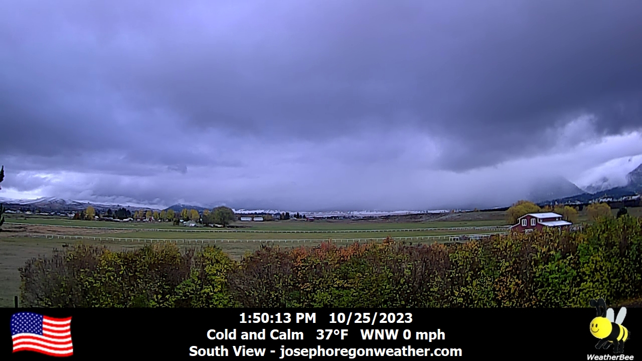
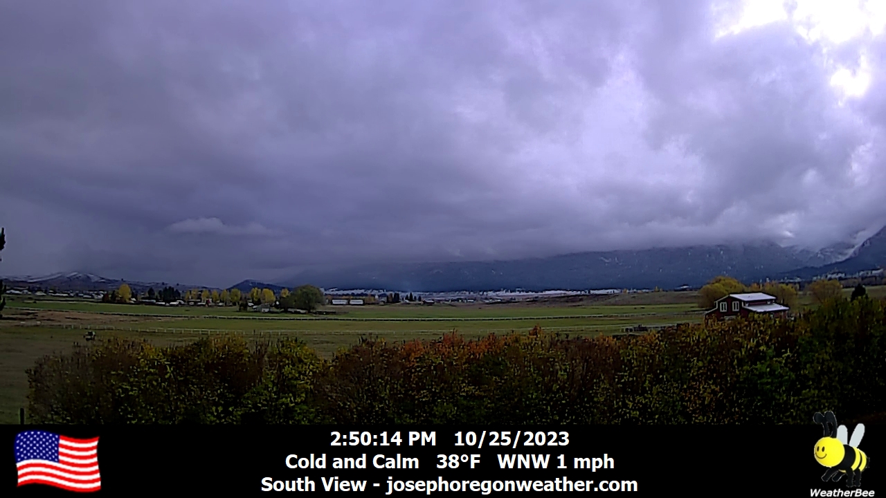
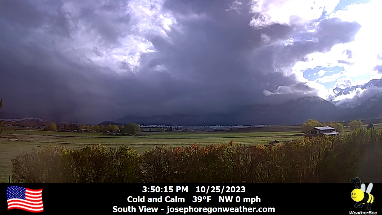
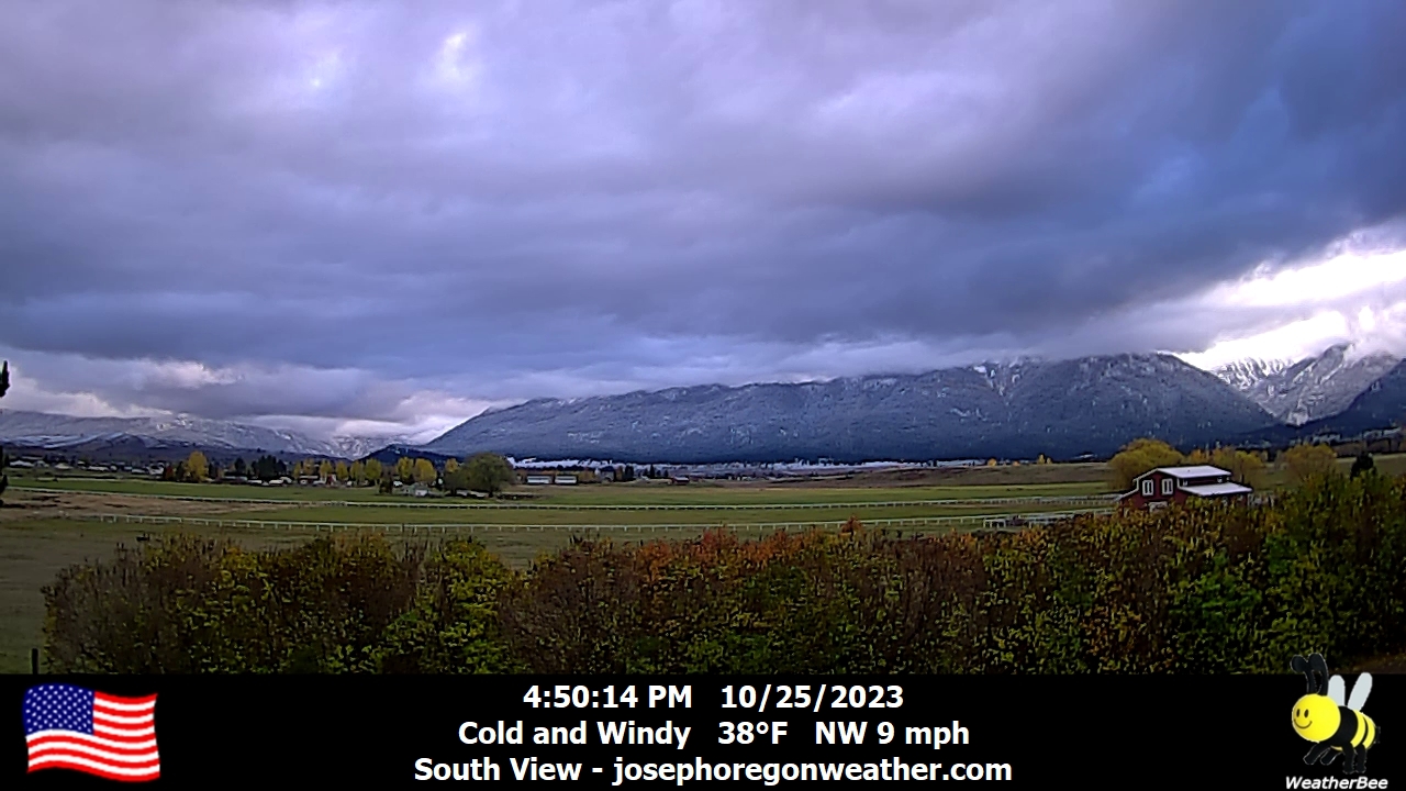
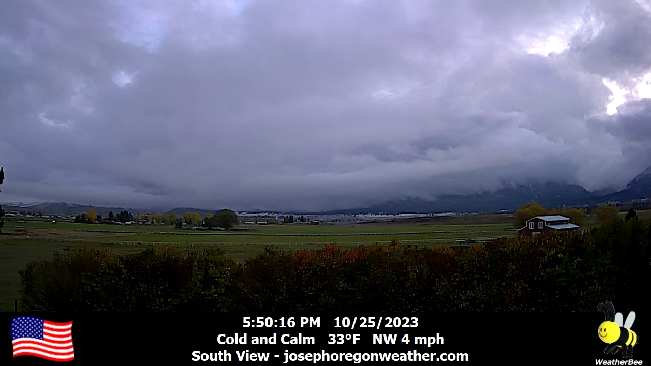
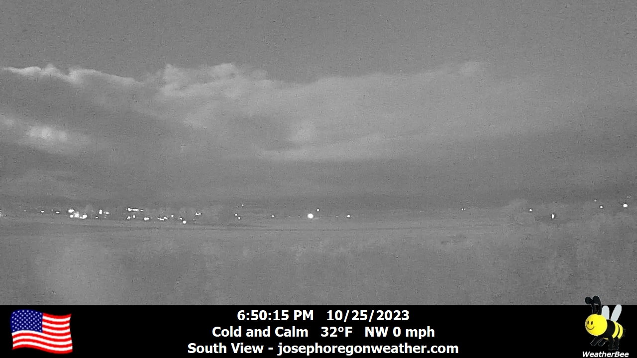
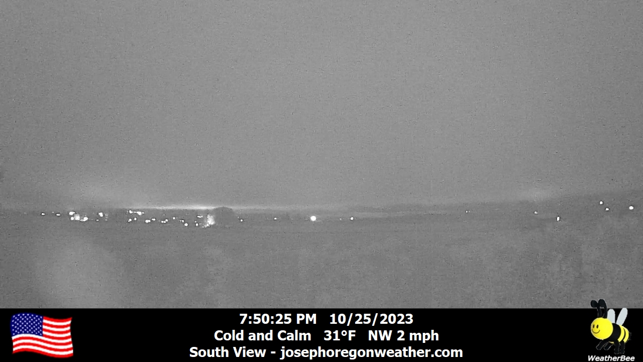
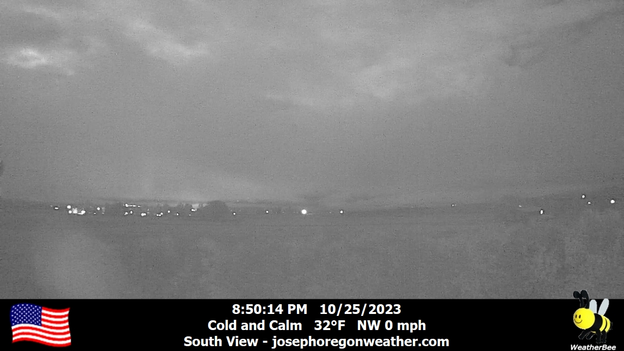
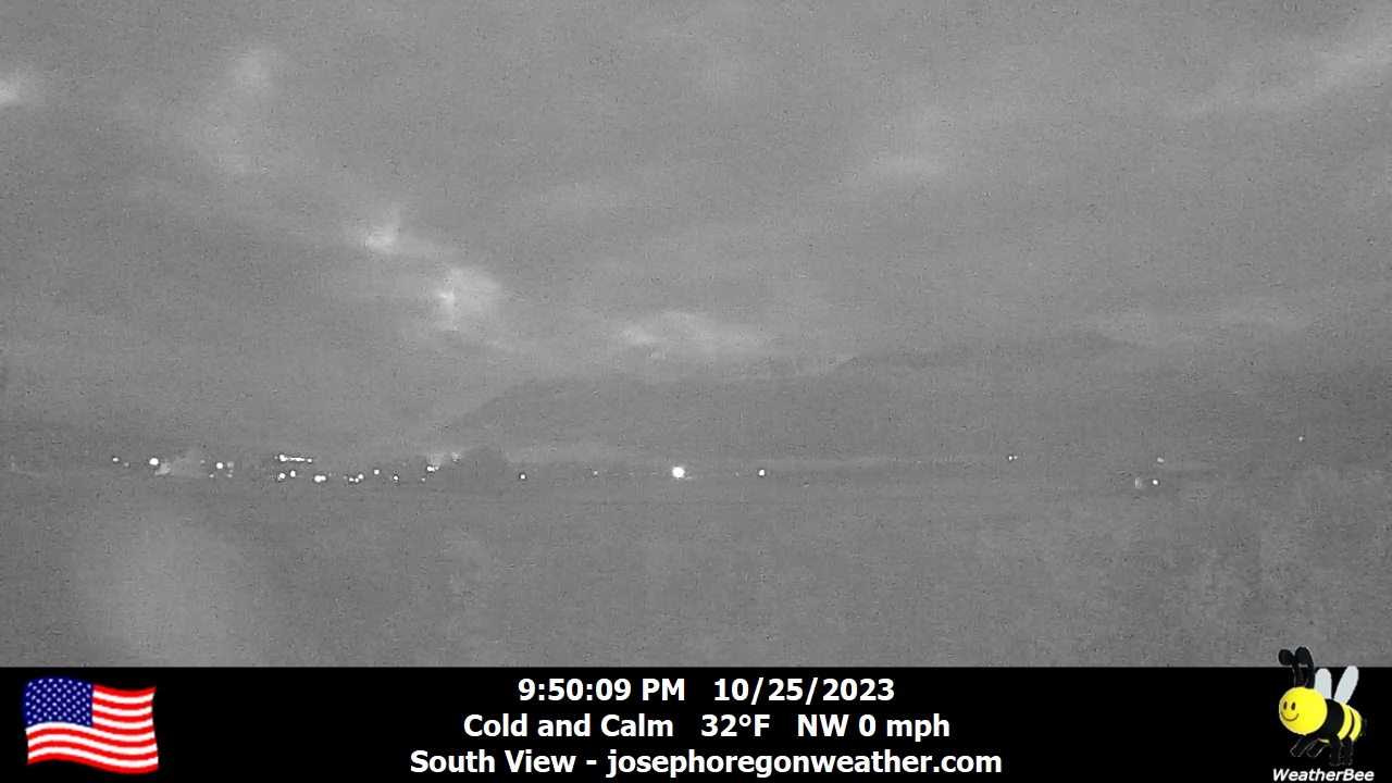
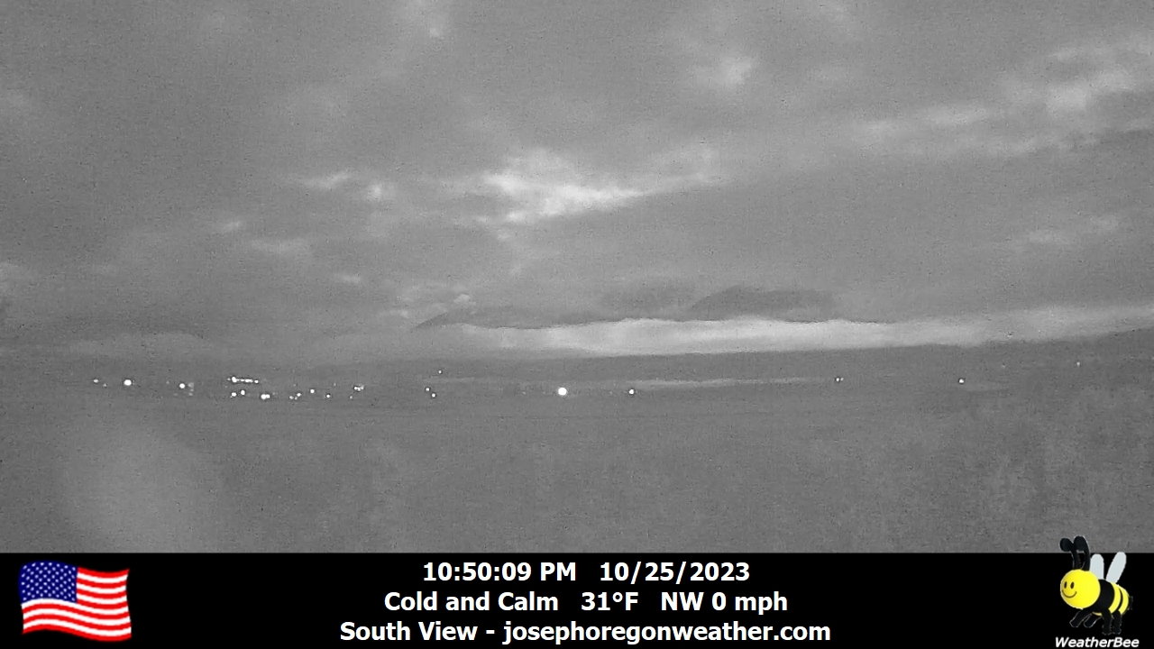
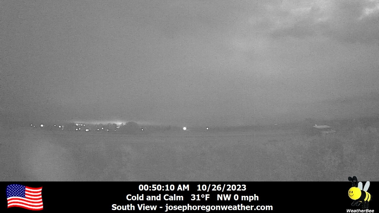
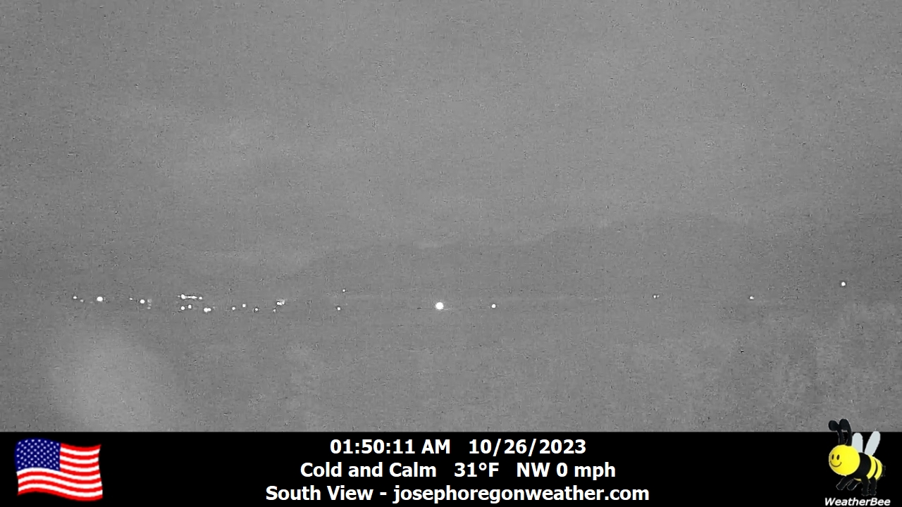
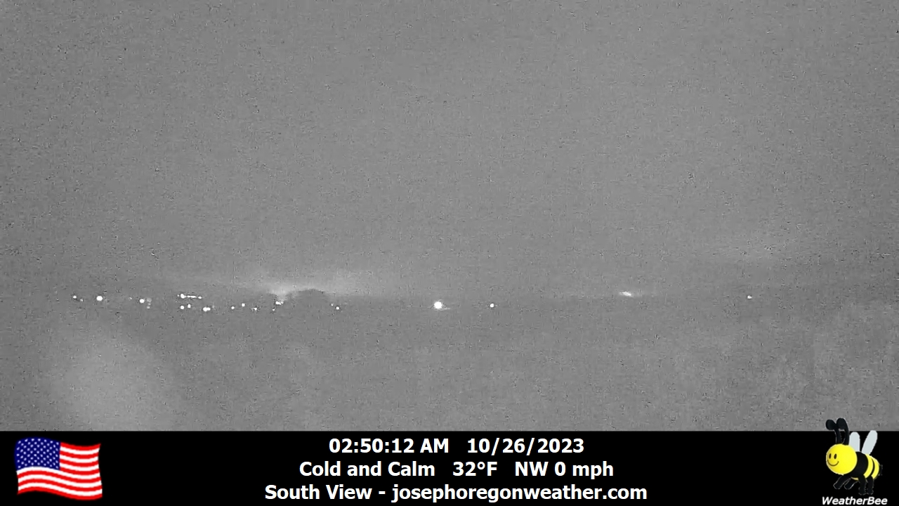
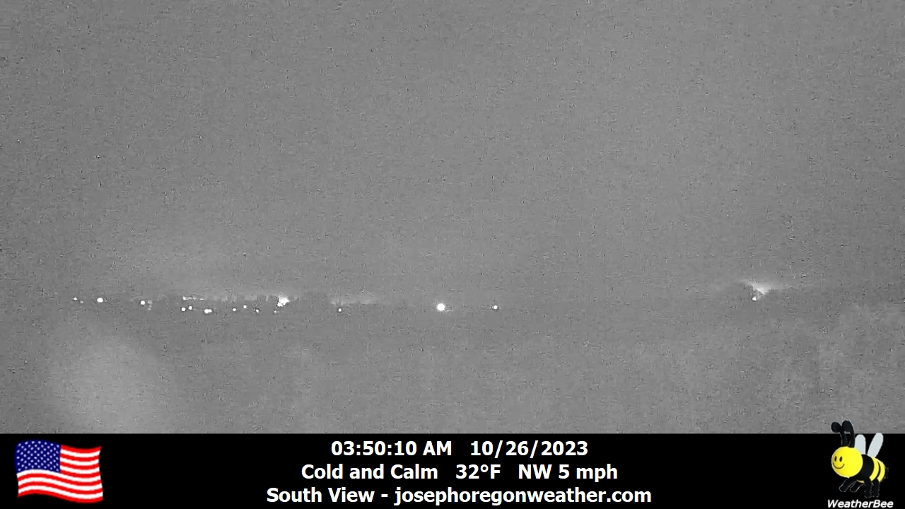
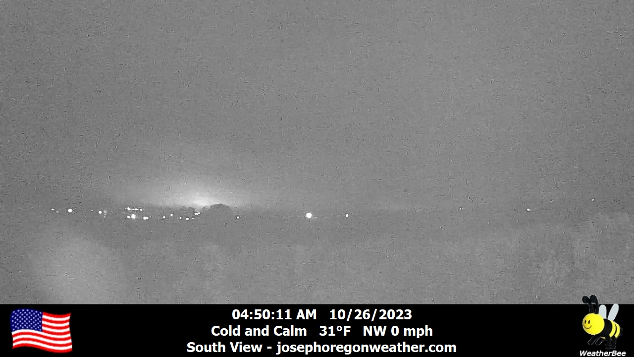
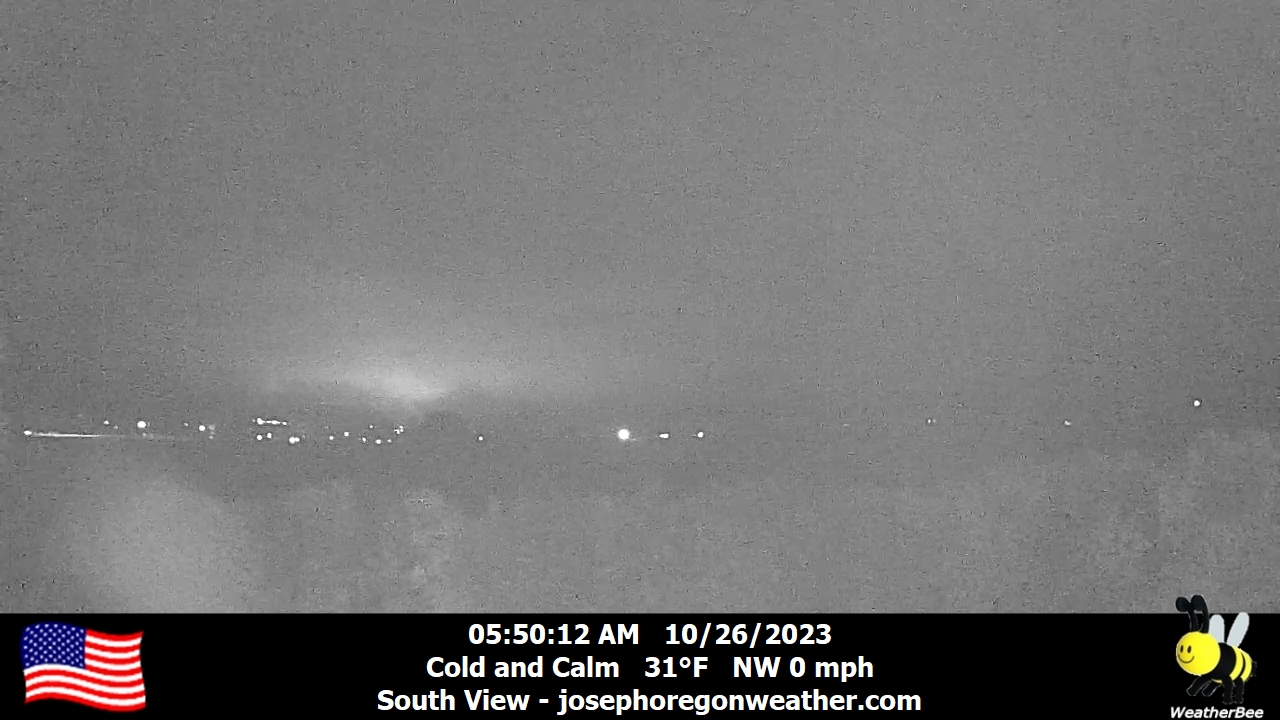
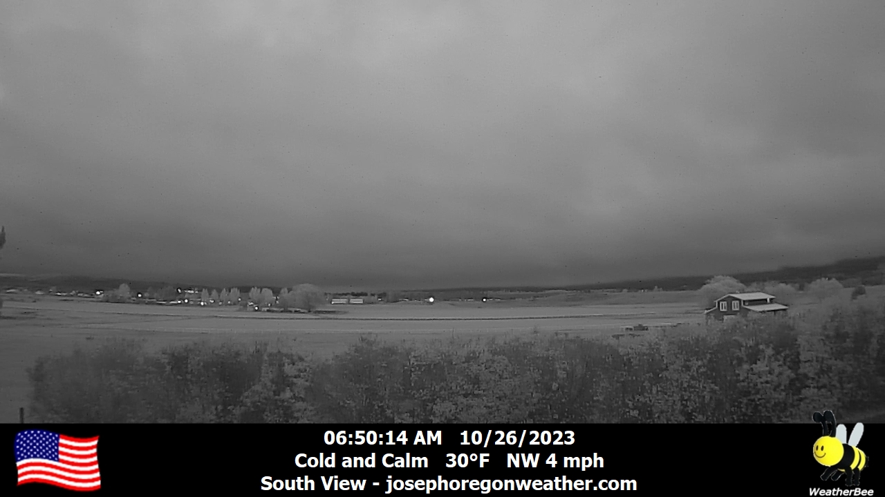
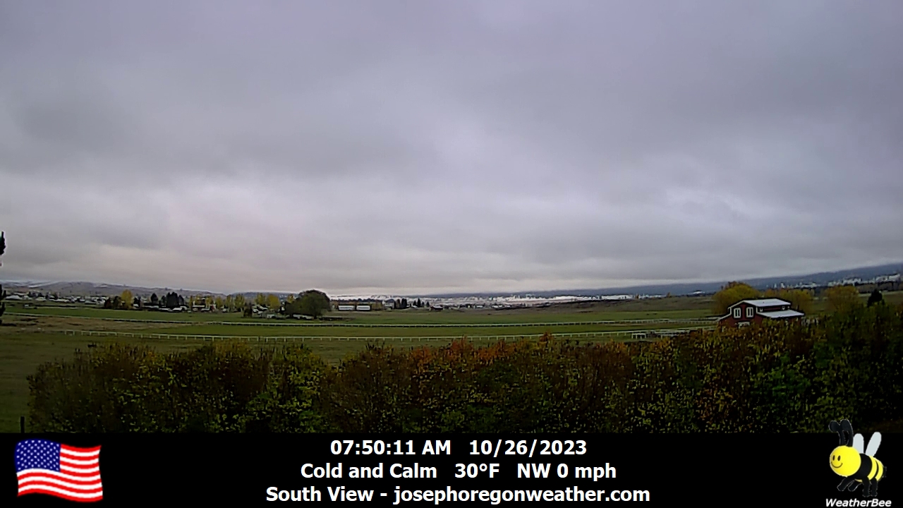
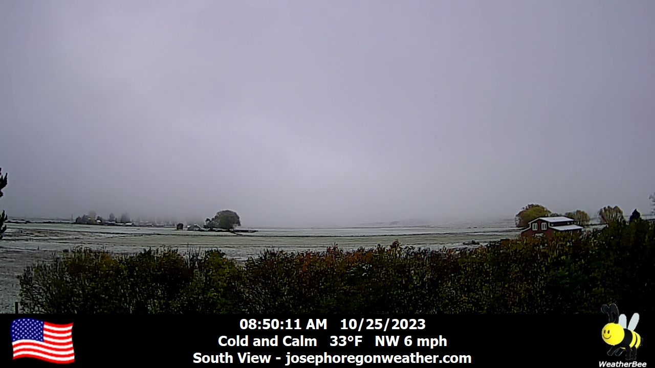
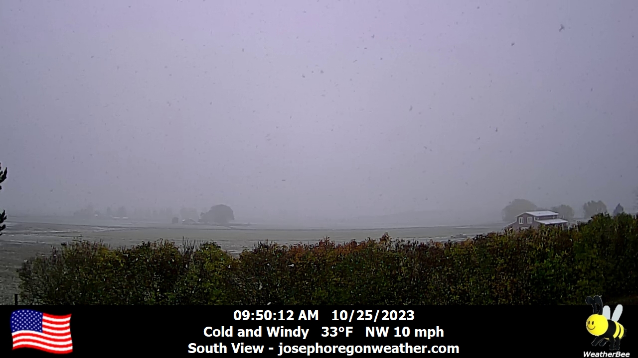
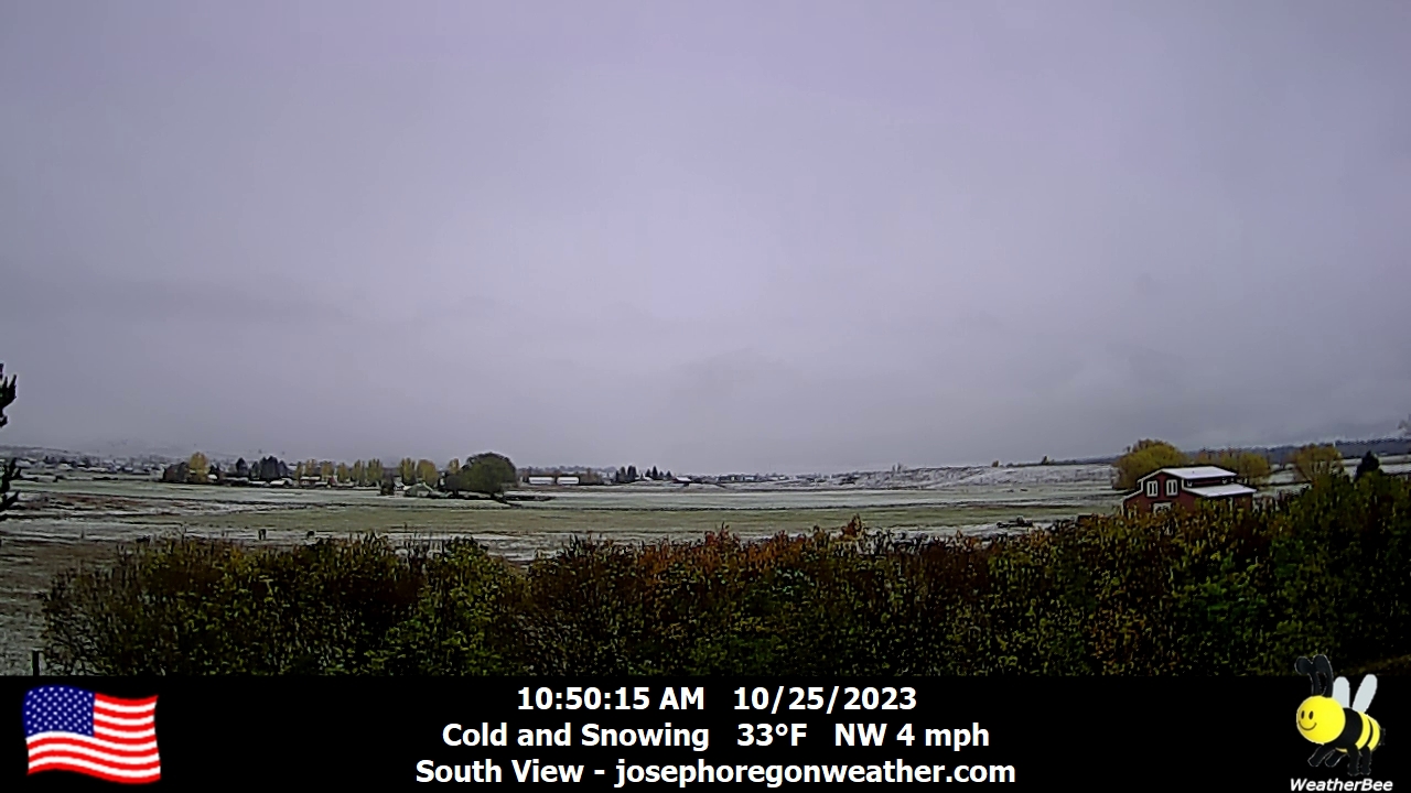
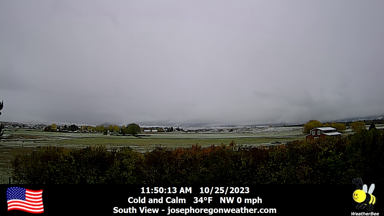
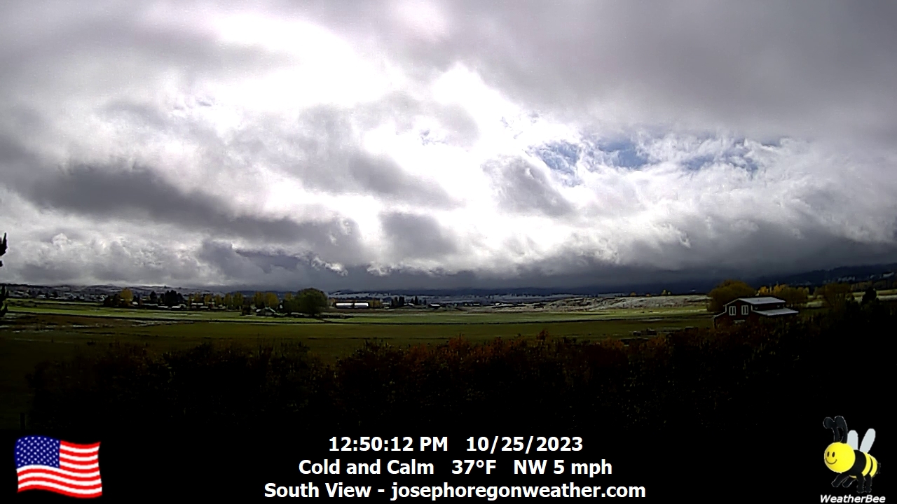
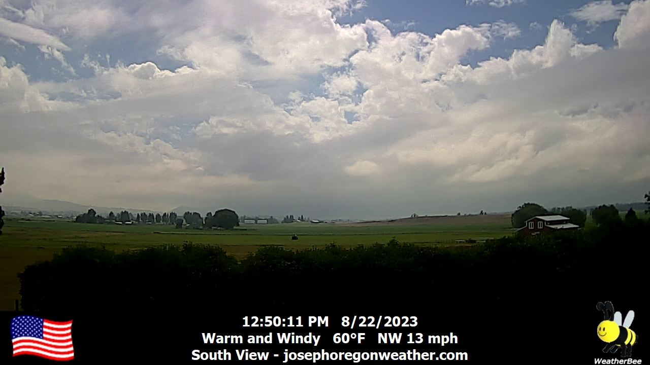
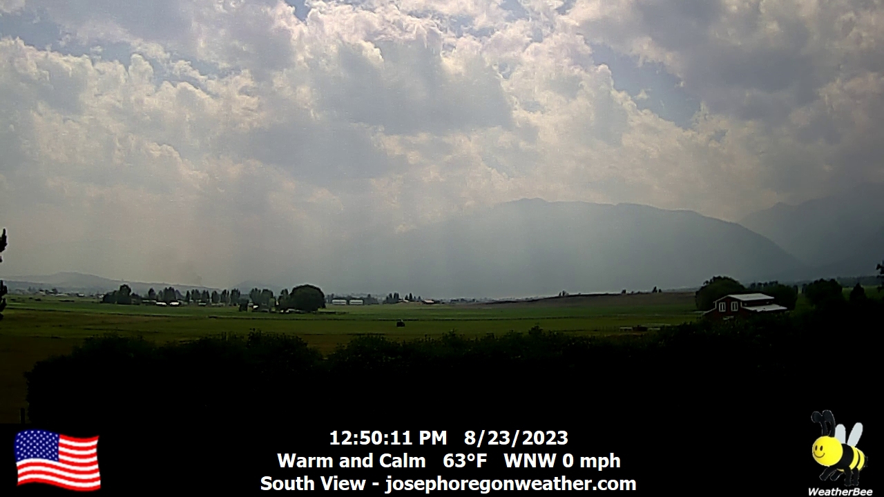
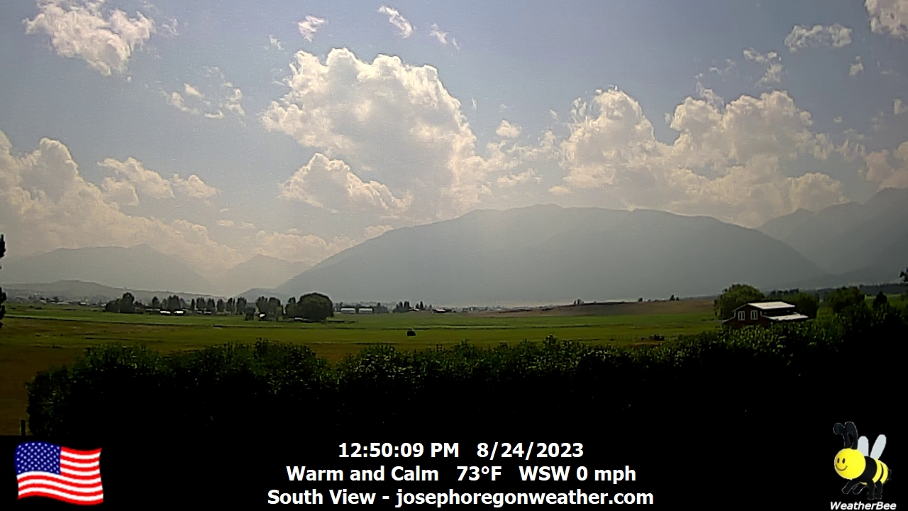
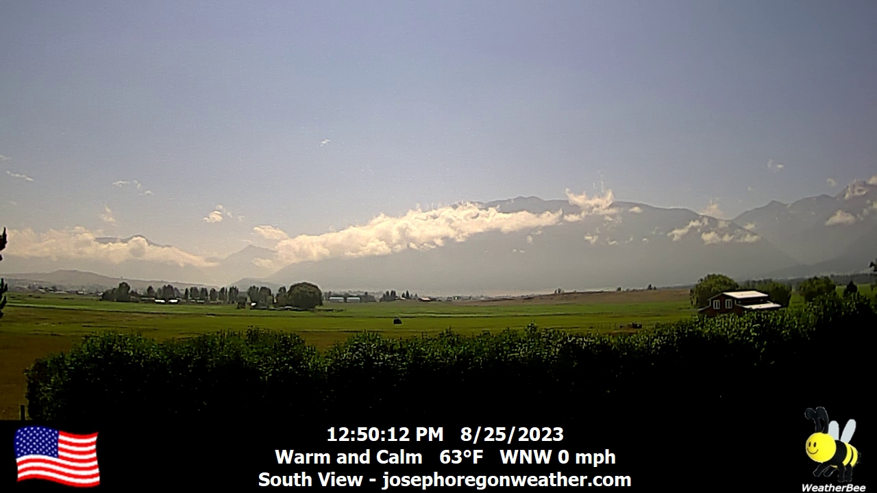
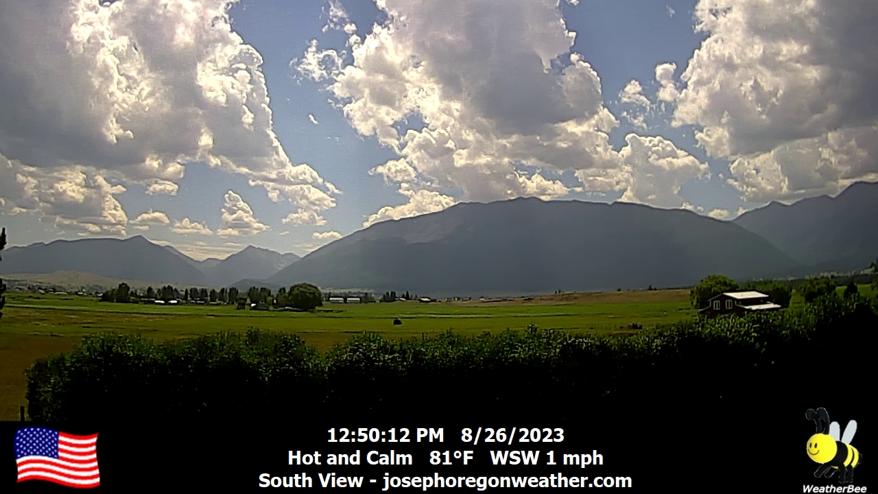
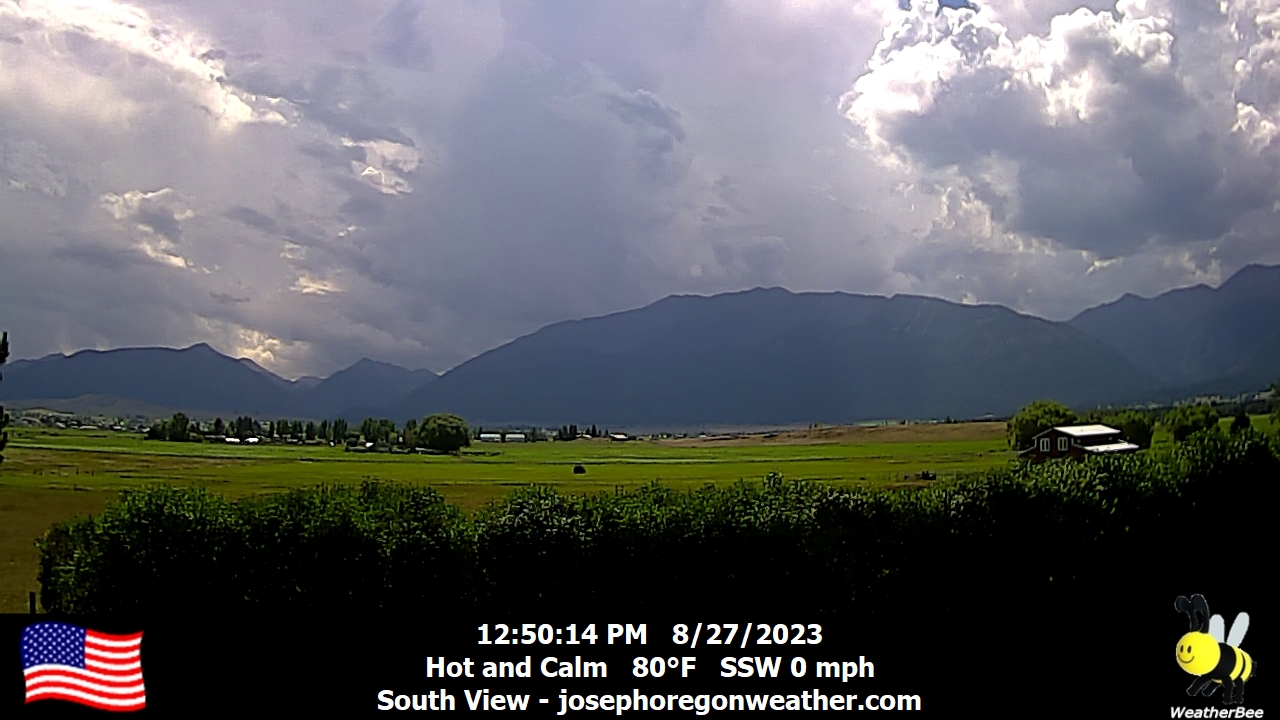
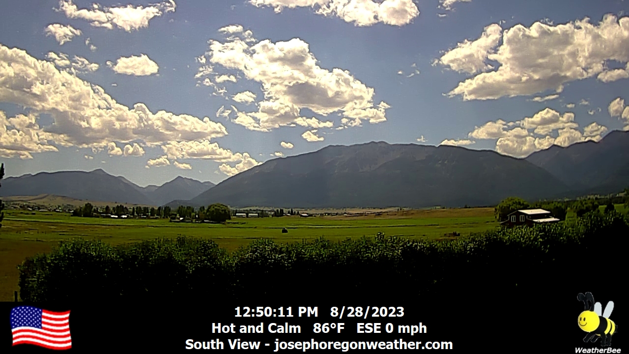
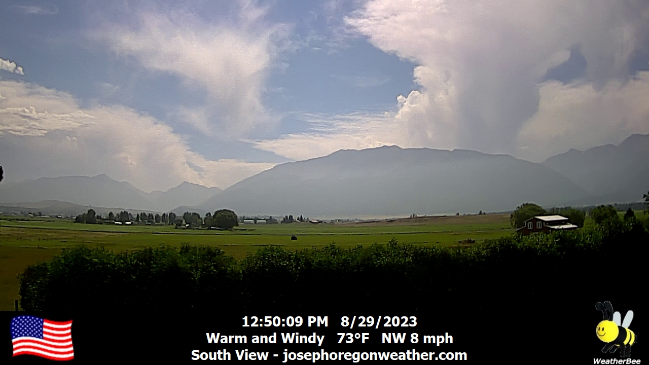
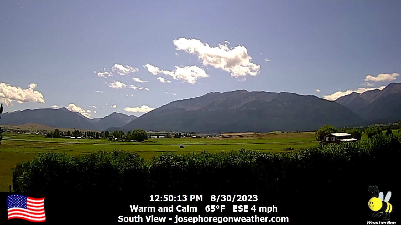
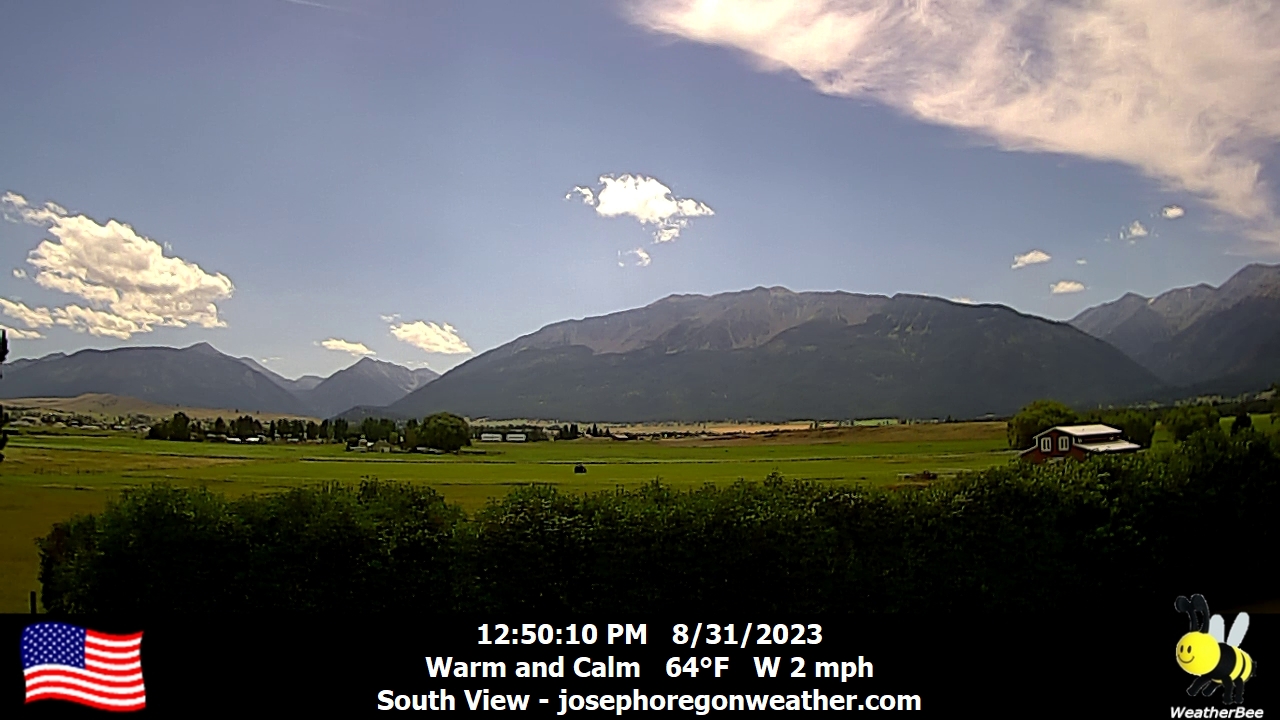
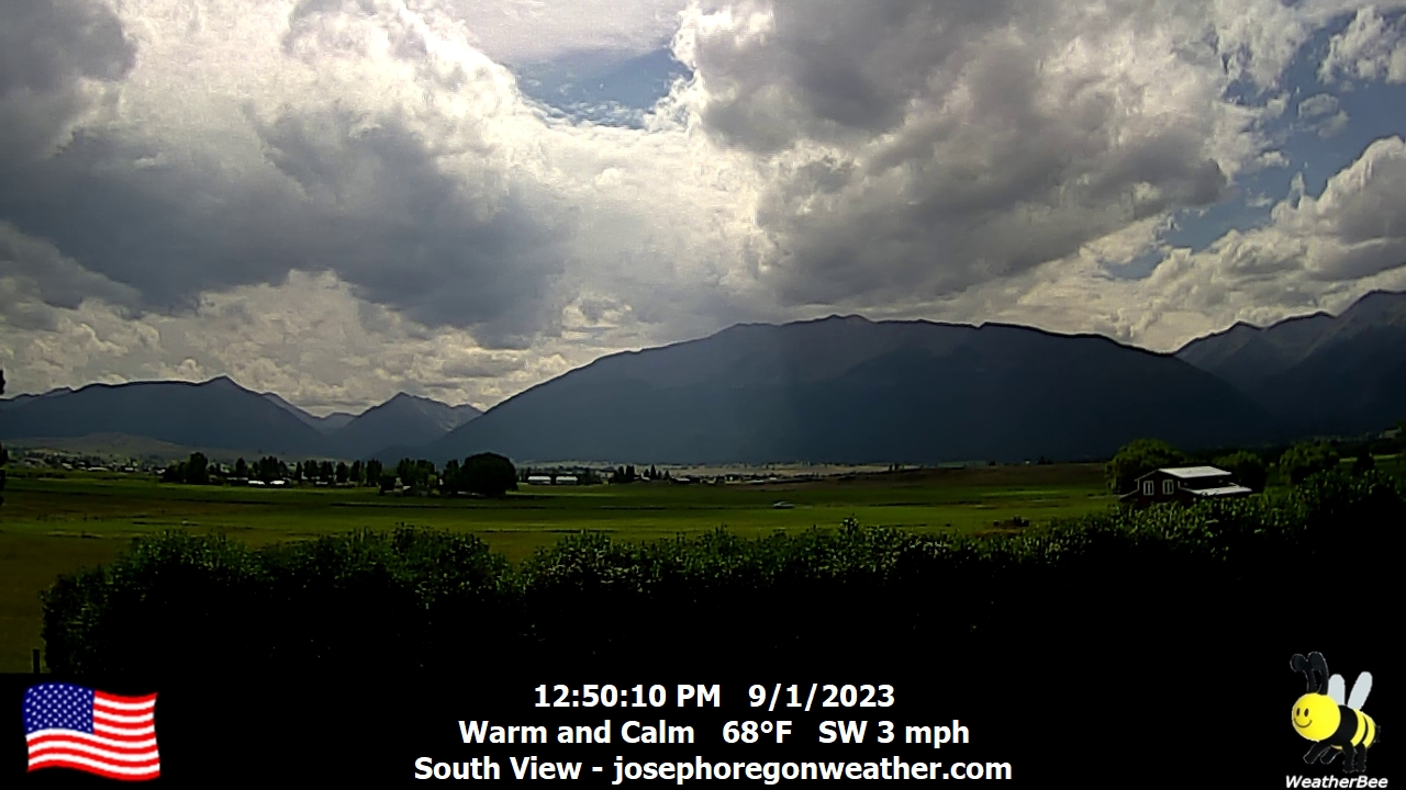
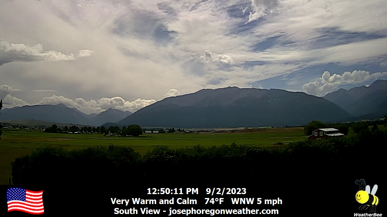
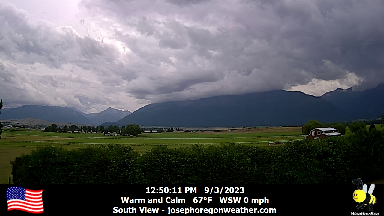
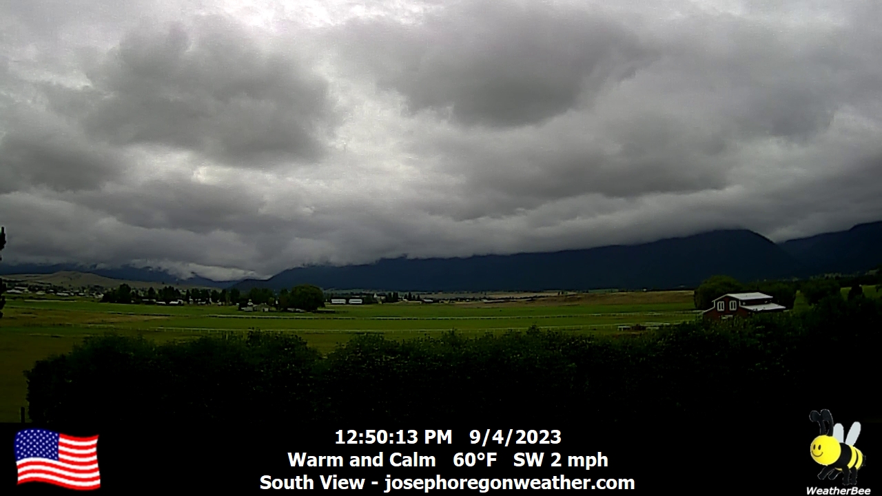
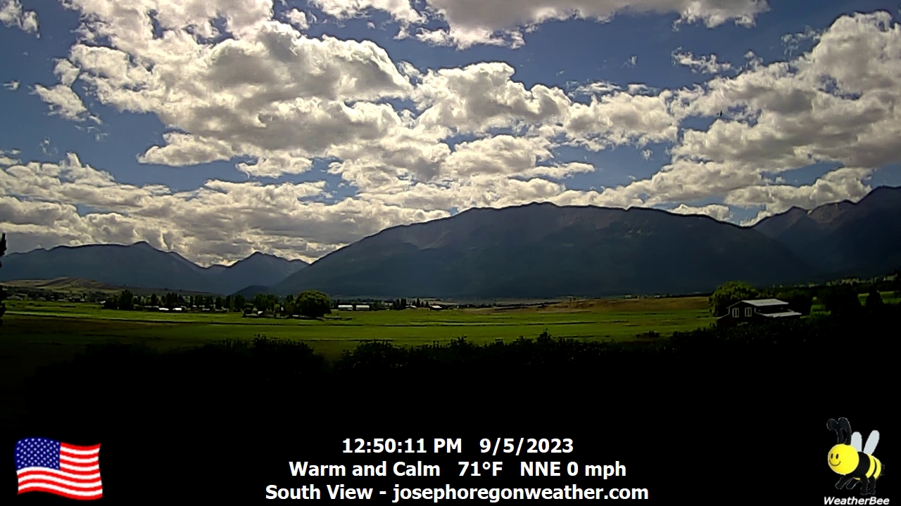
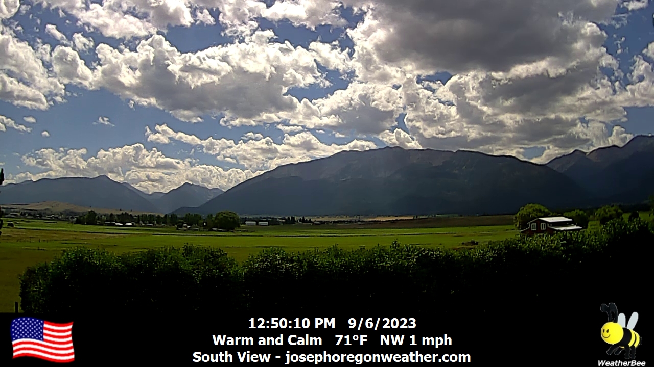
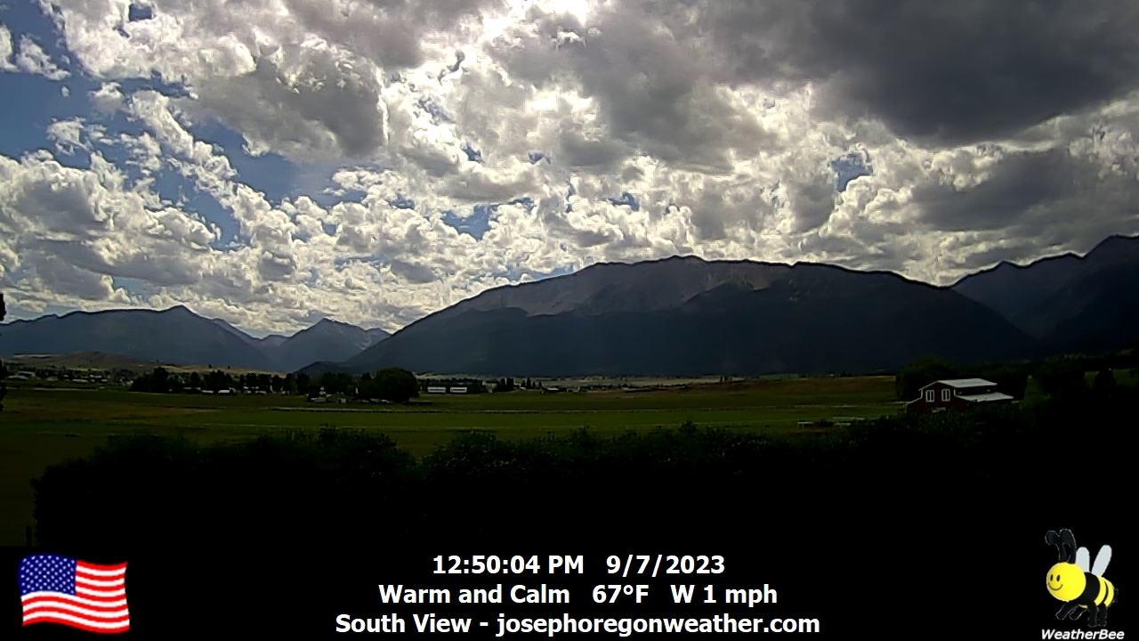
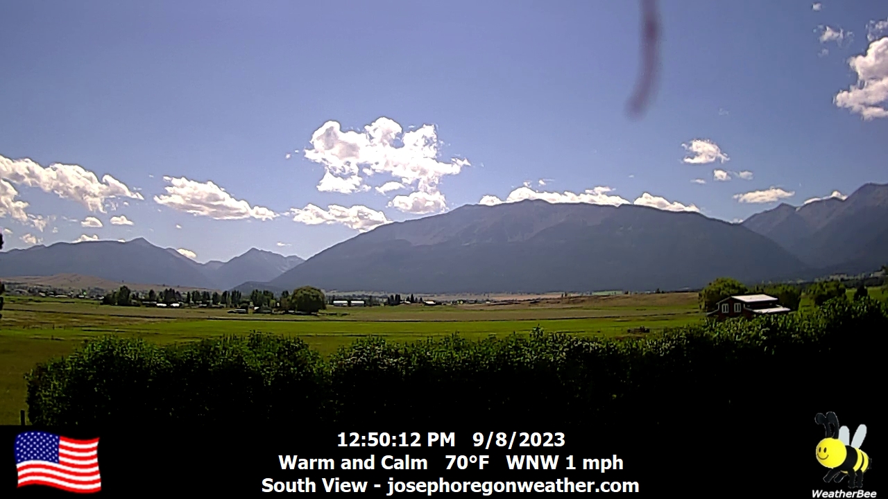
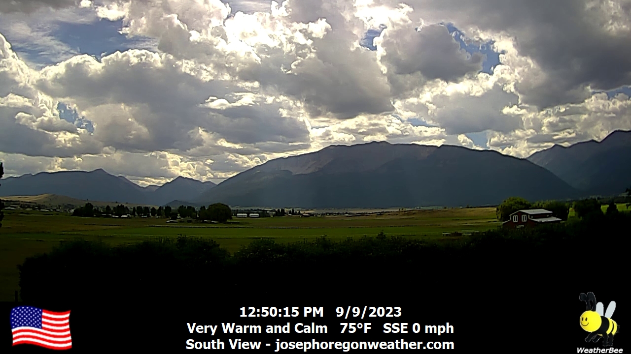
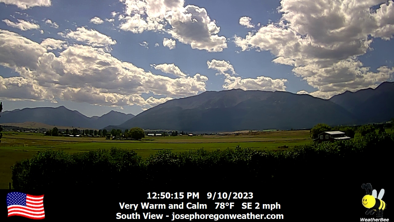
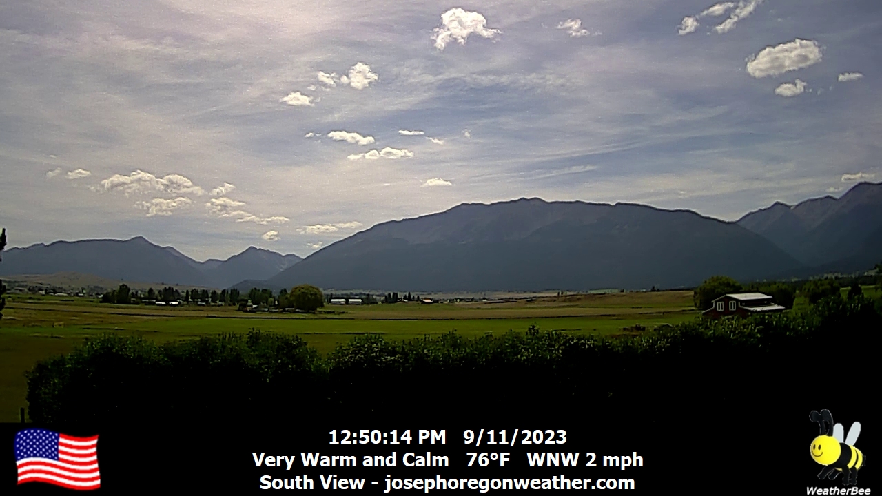
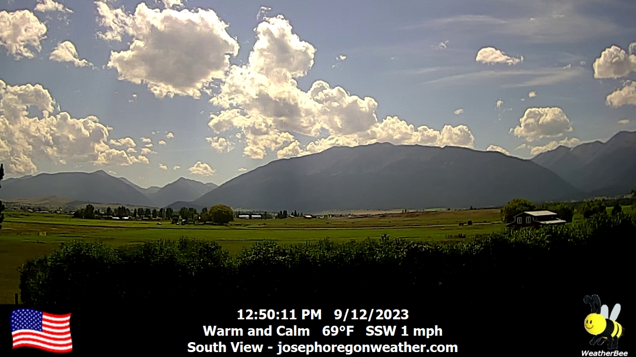
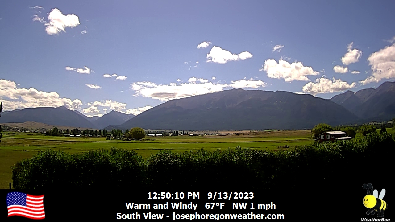
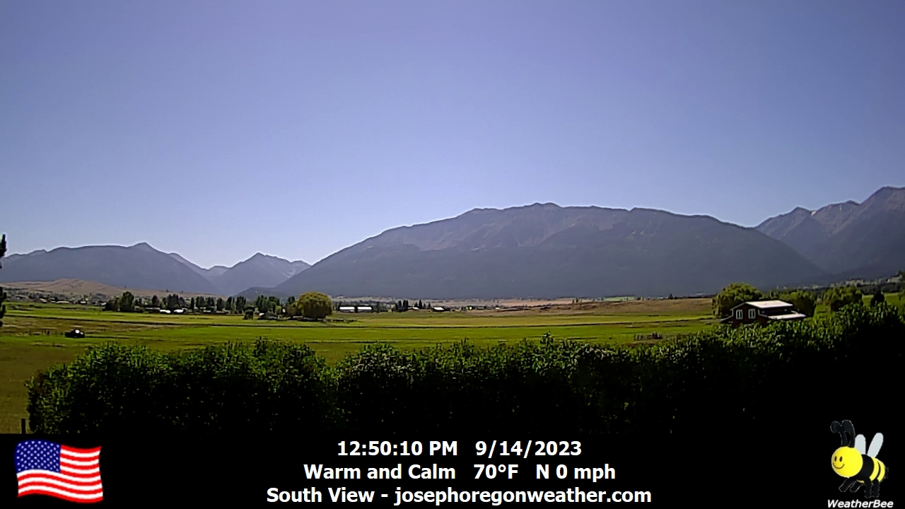
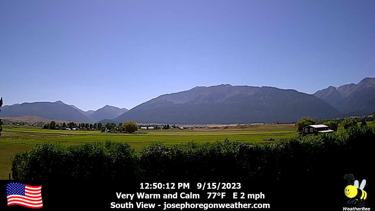
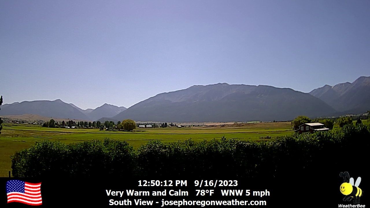
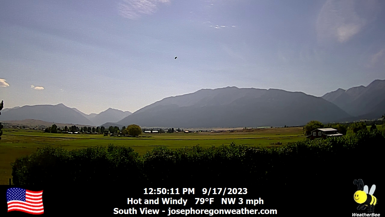
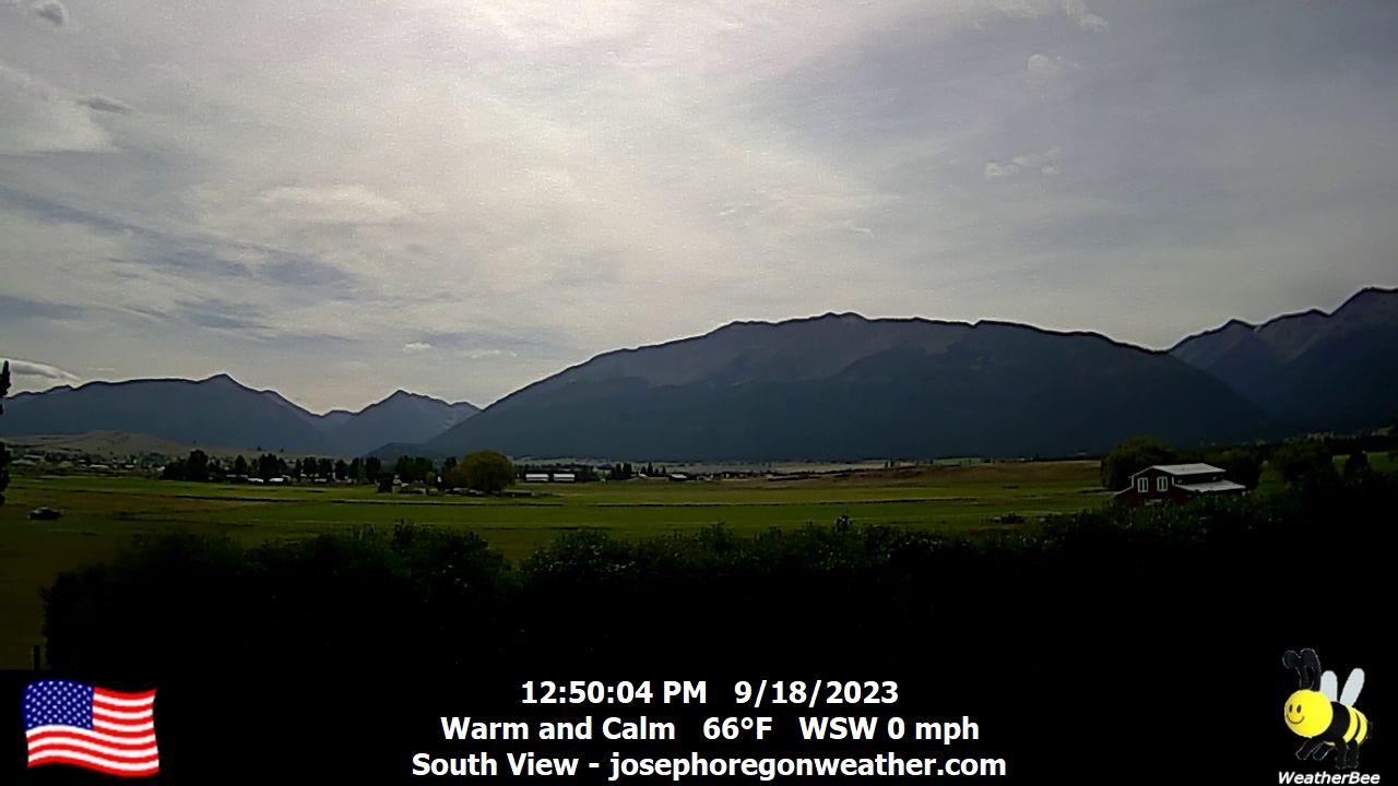
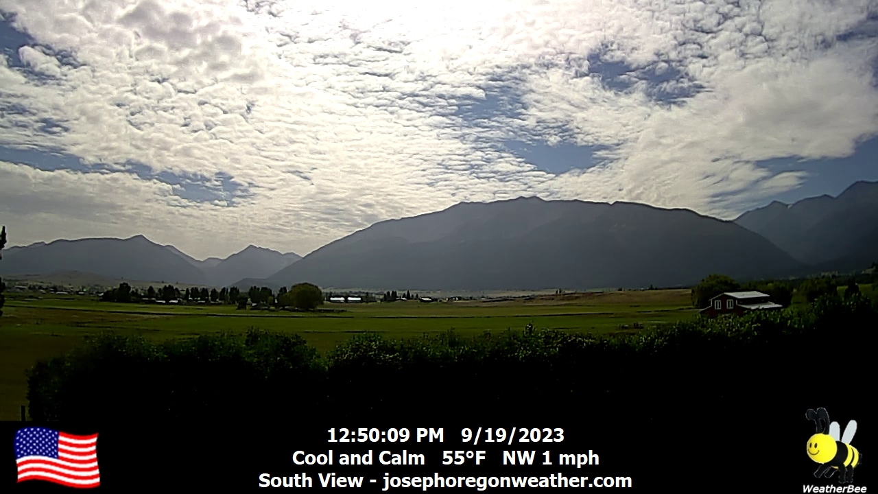
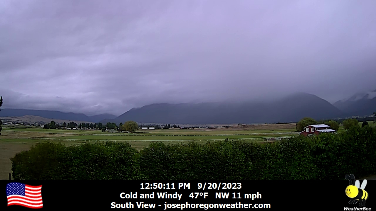
Joseph, Oregon, USA - 86.4 miles from Relief: Joseph Oregon Weather - A view of the Wallowa Mountains from Joseph, Oregon - with current weather data.
Operator: Joseph Oregon Weather
Operator: Joseph Oregon Weather


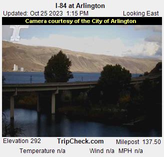
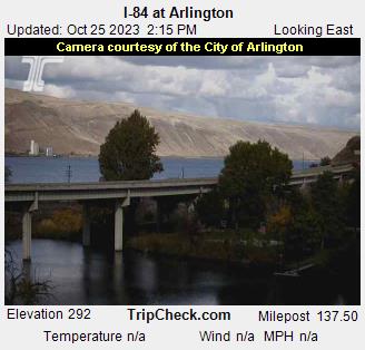
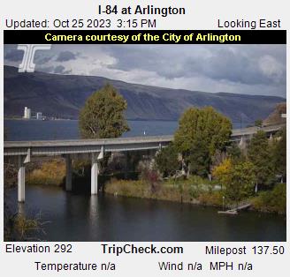
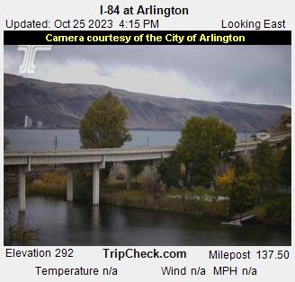
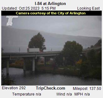
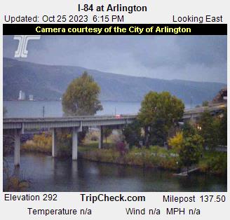
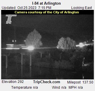
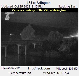
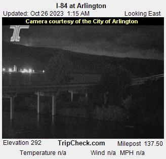
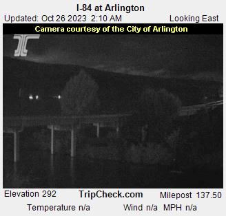
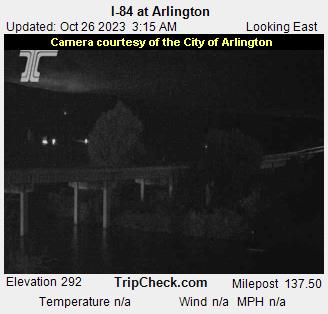
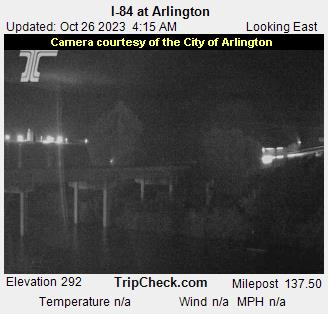
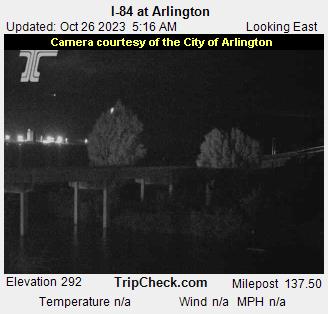
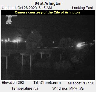
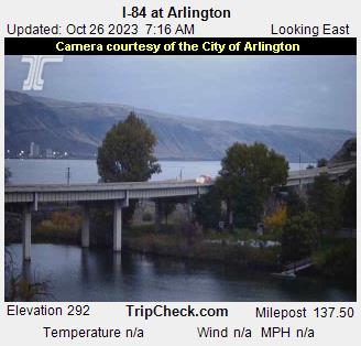
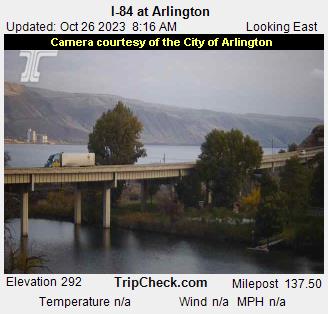
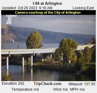
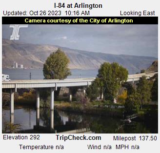
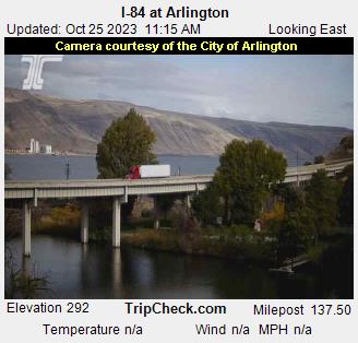
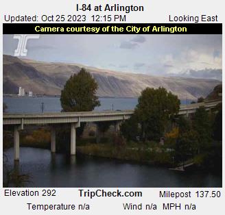
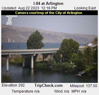
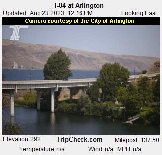
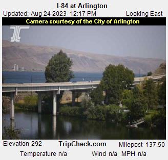
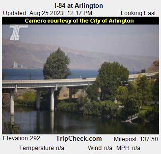
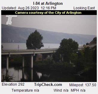
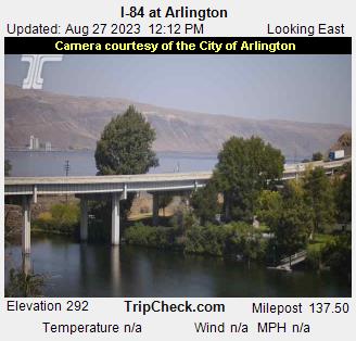
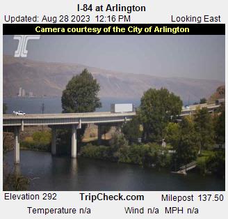
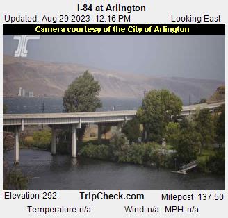
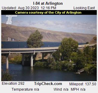
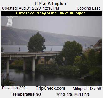
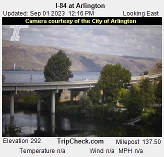
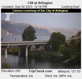
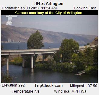
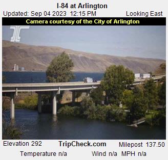
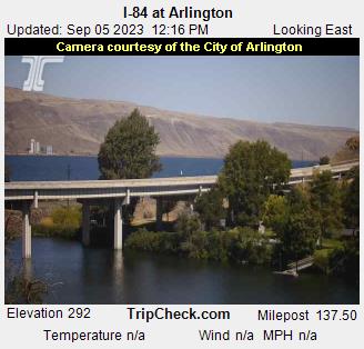
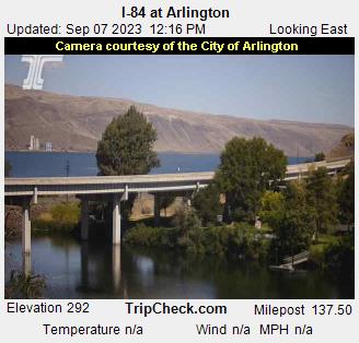
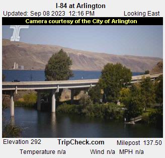
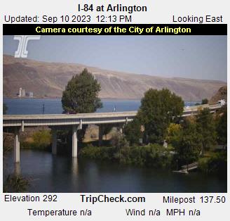
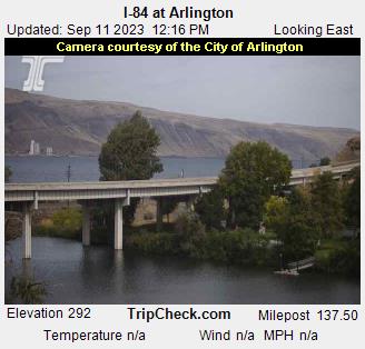
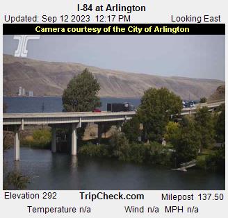
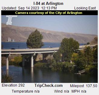
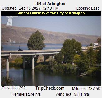
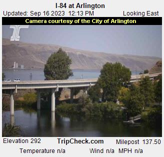
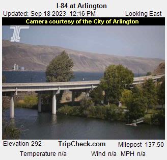
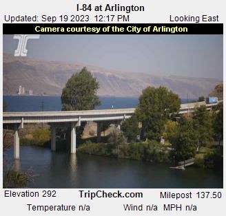
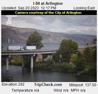
Arlington, Oregon, USA - 113.4 miles from Relief: I-84 at Arlington - A view of the current traffic situation on the I-84.
Operator: Oregon Department of Transportation
Operator: Oregon Department of Transportation


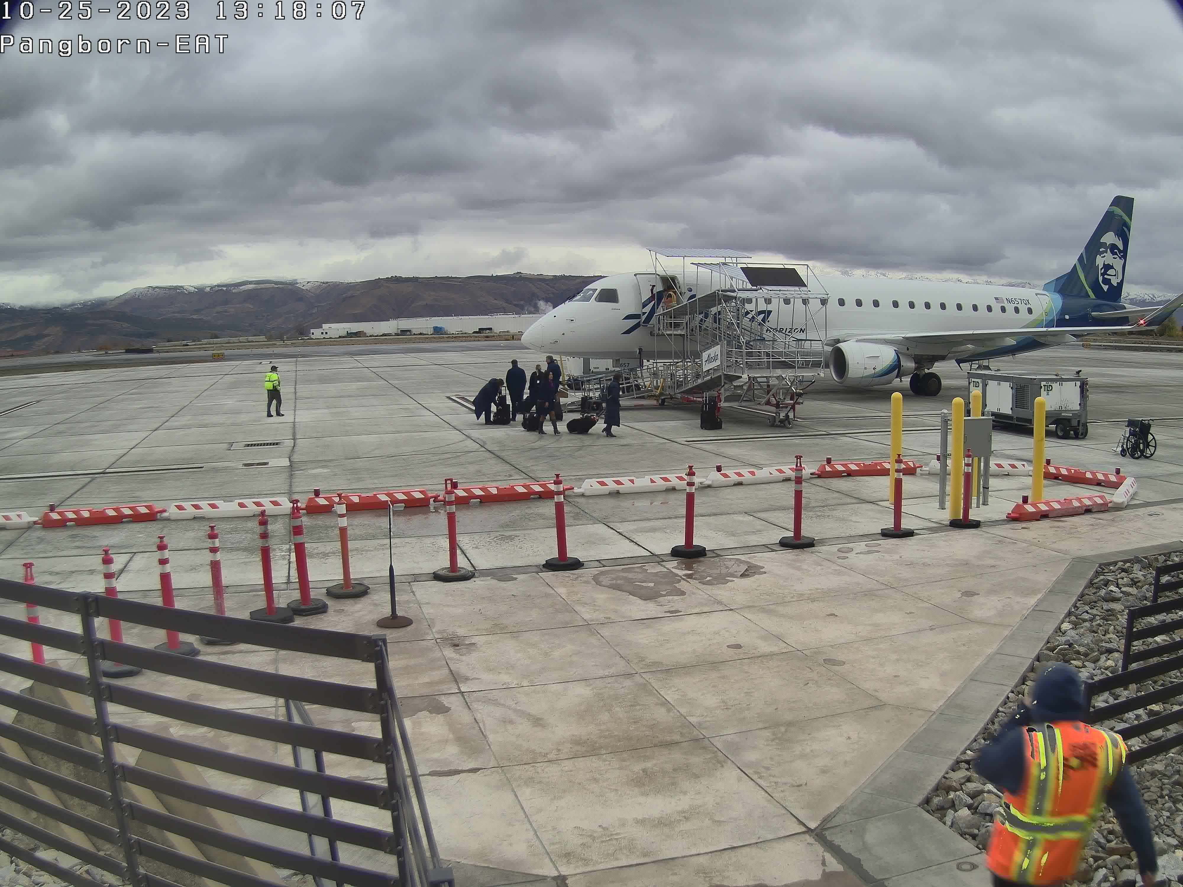
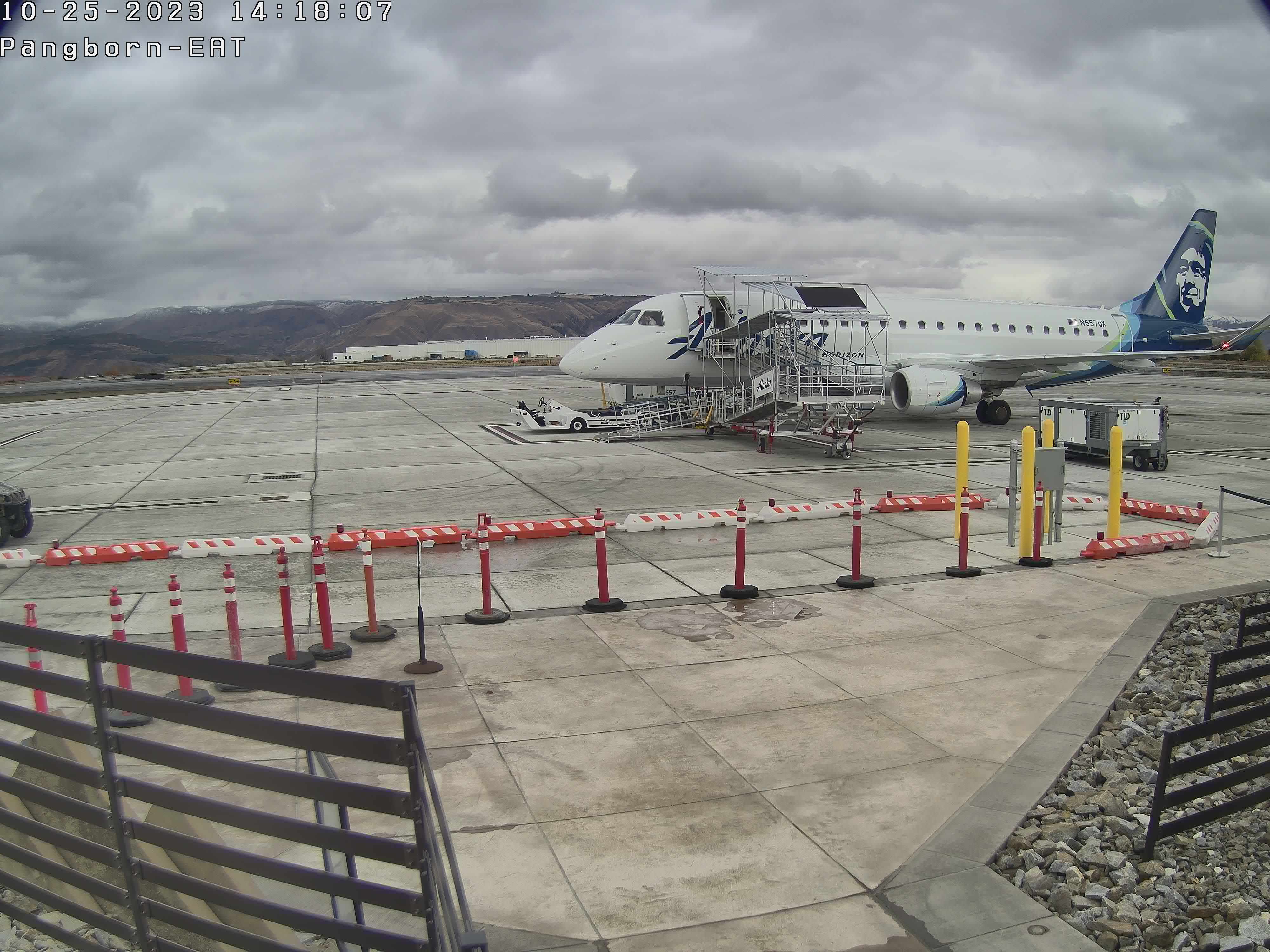
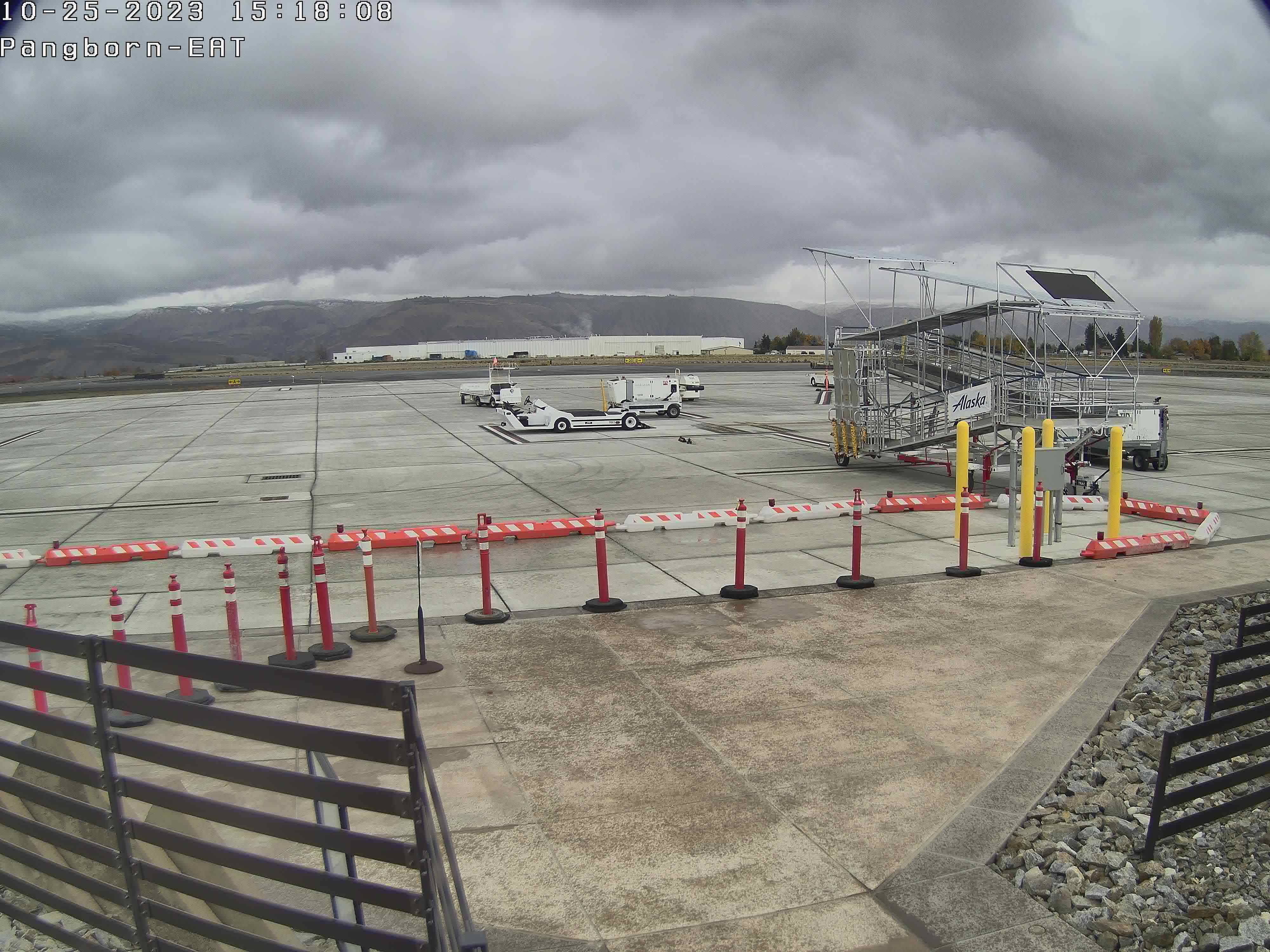
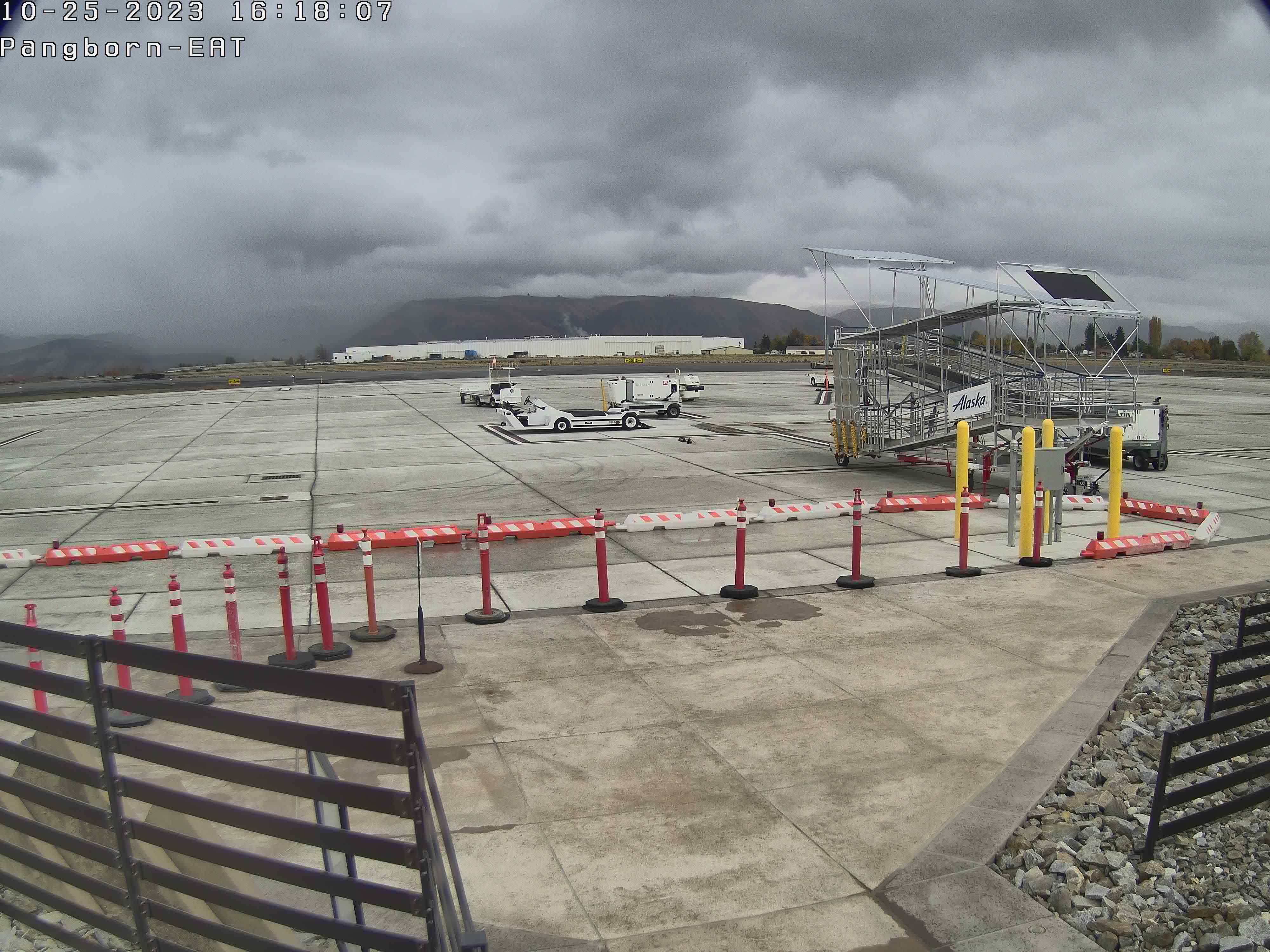
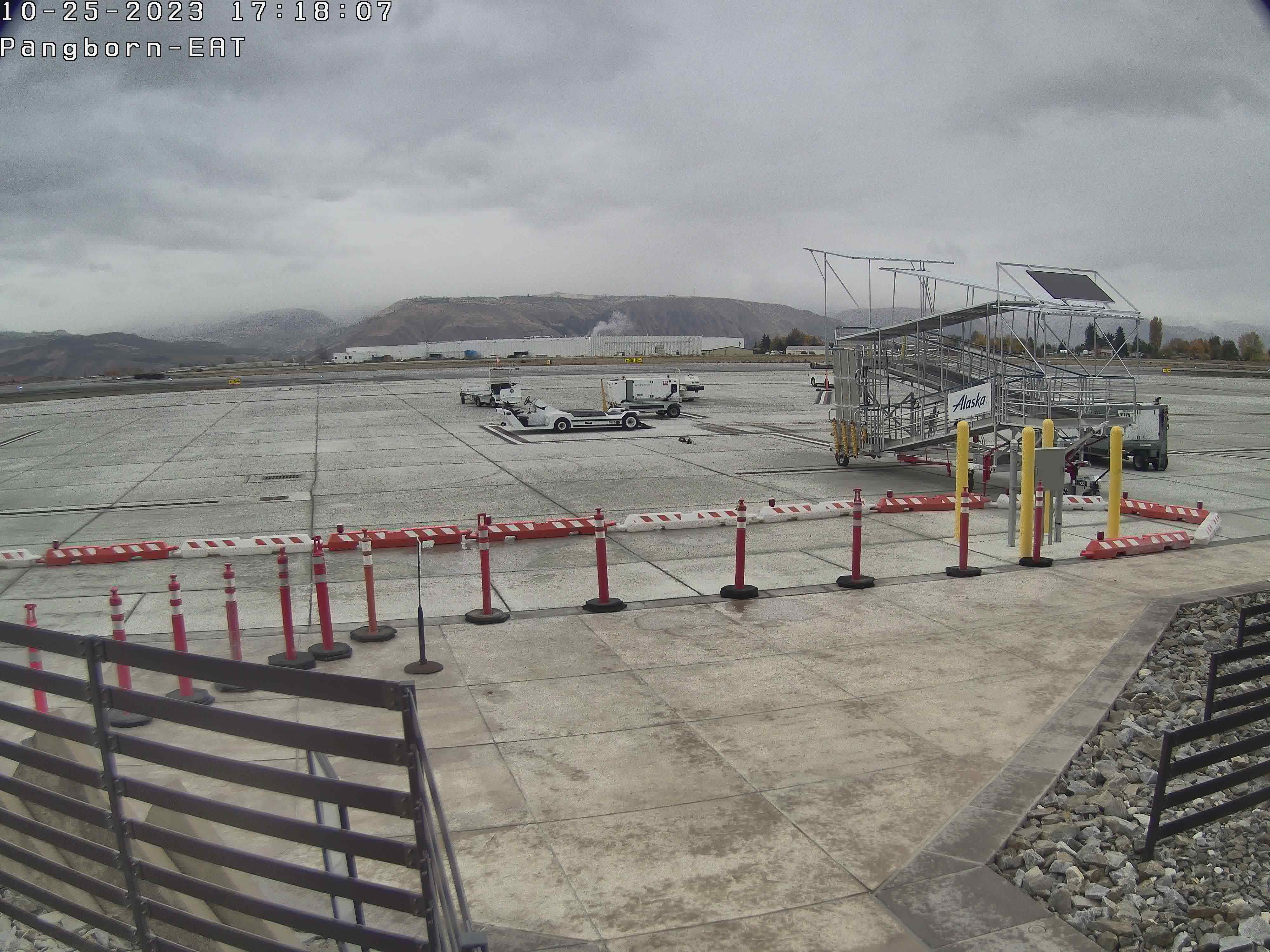
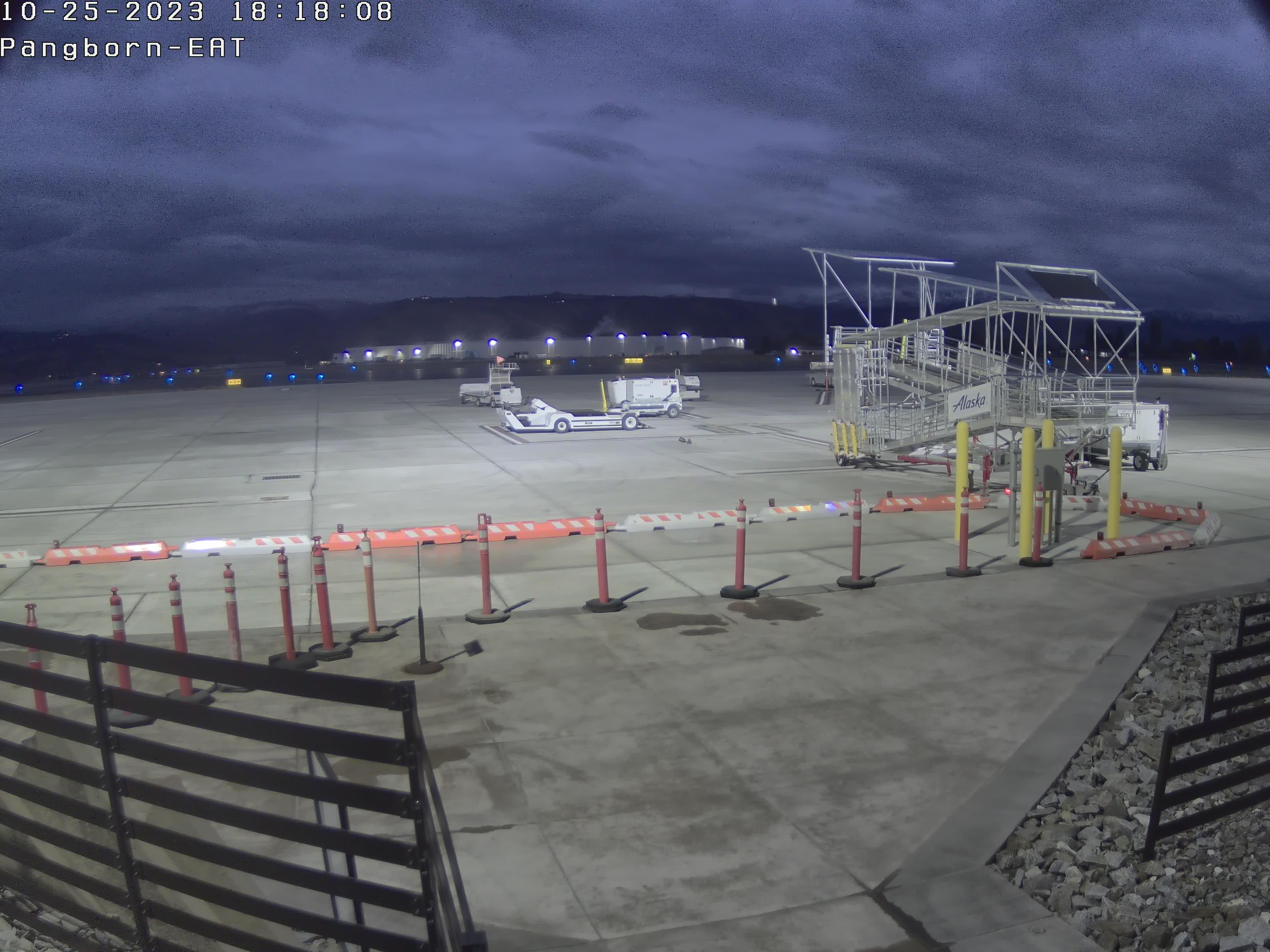
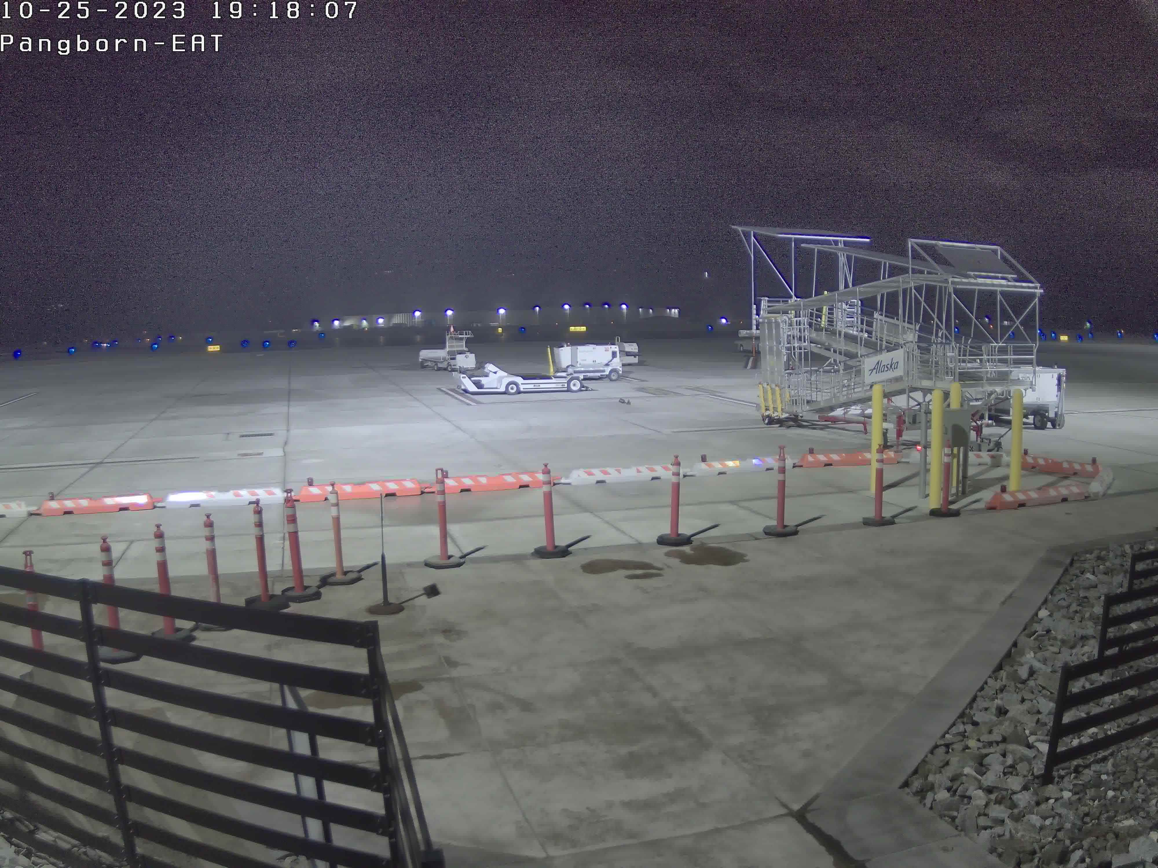
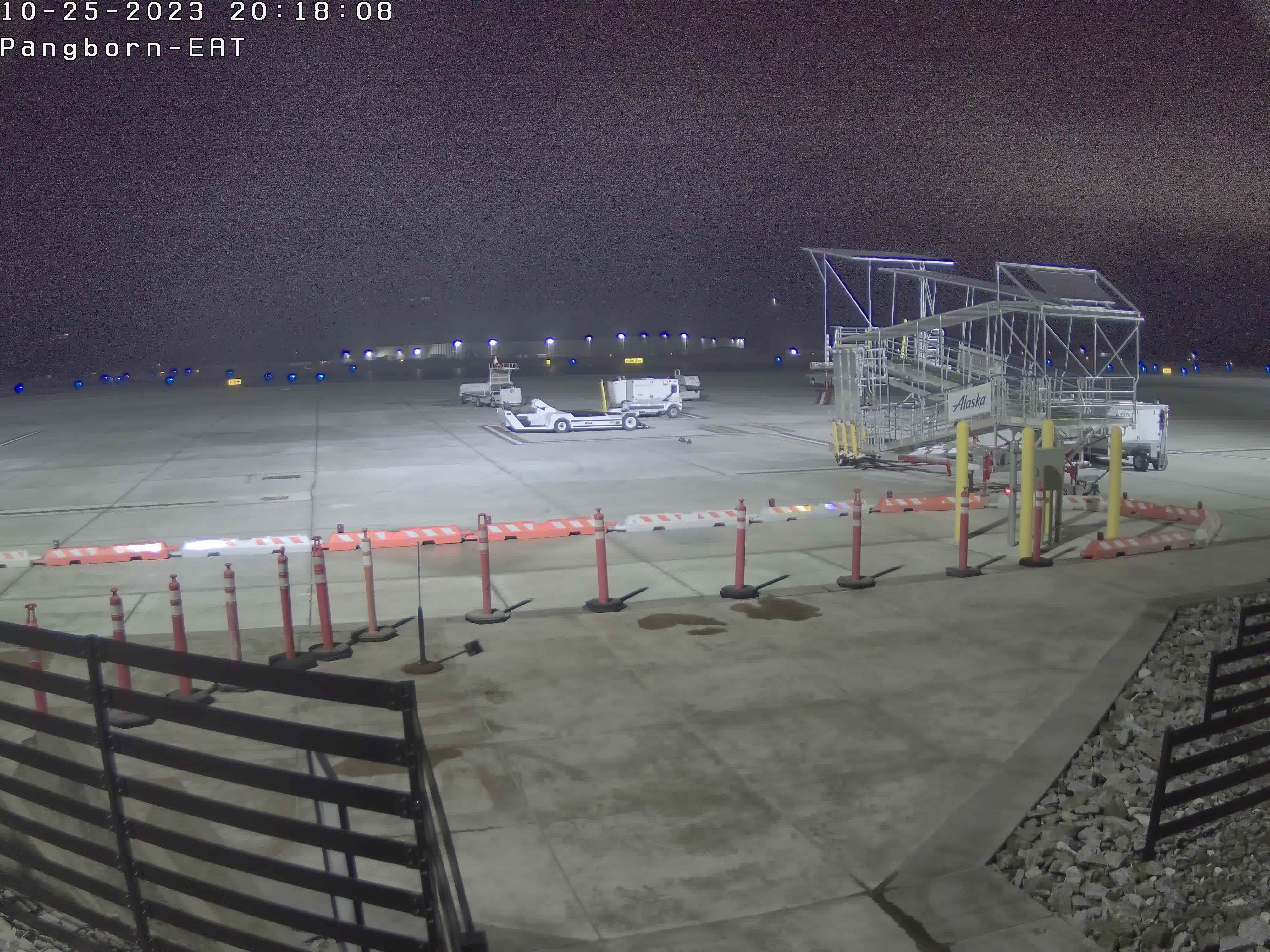
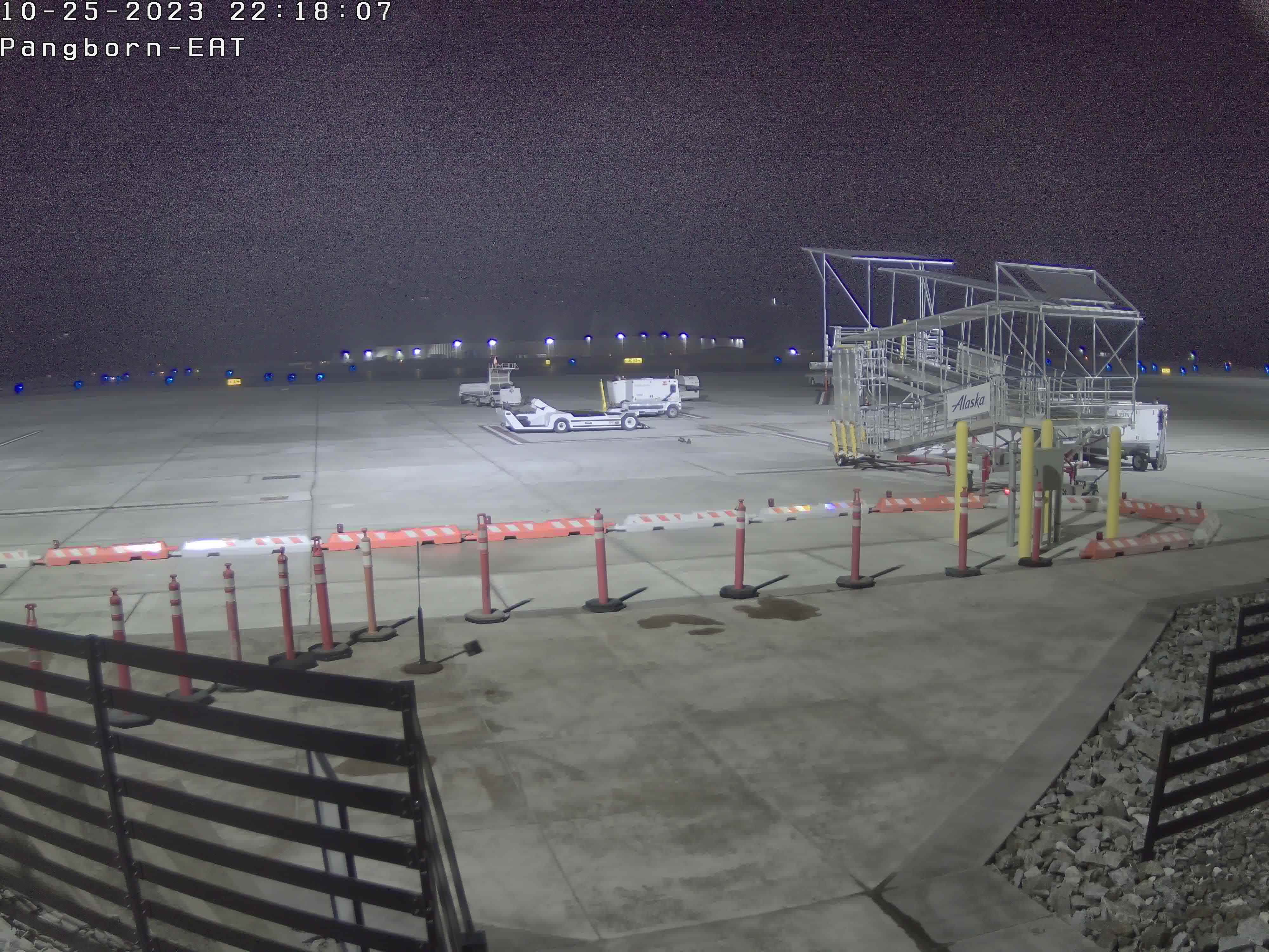
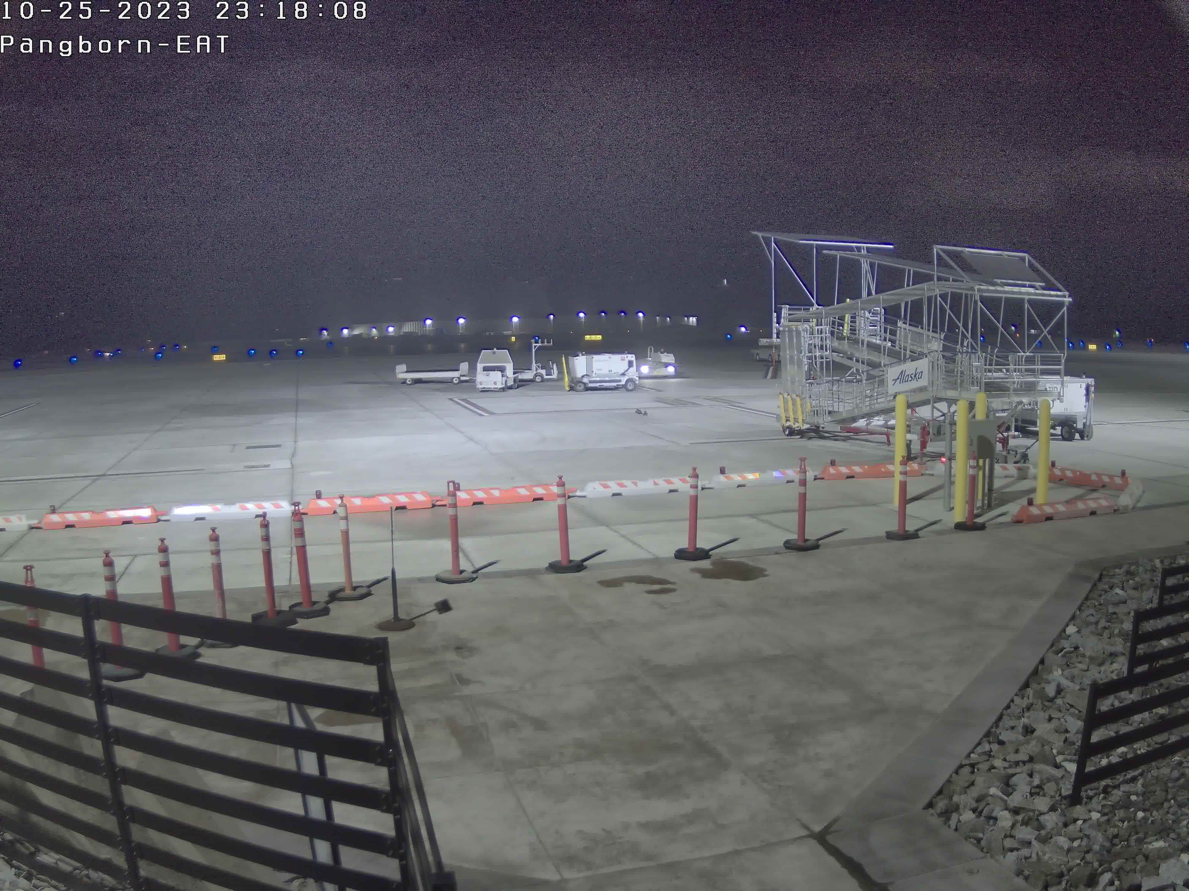
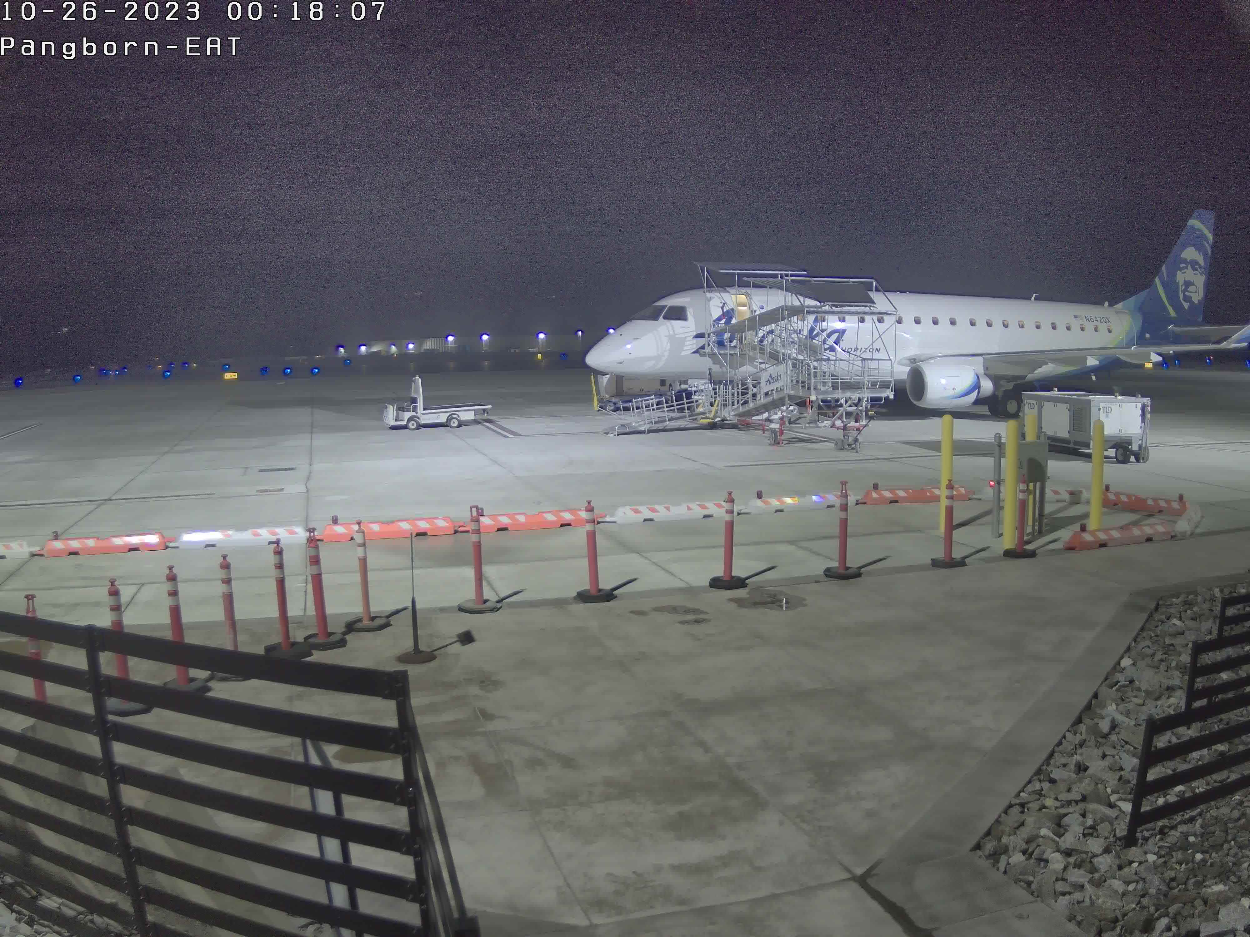
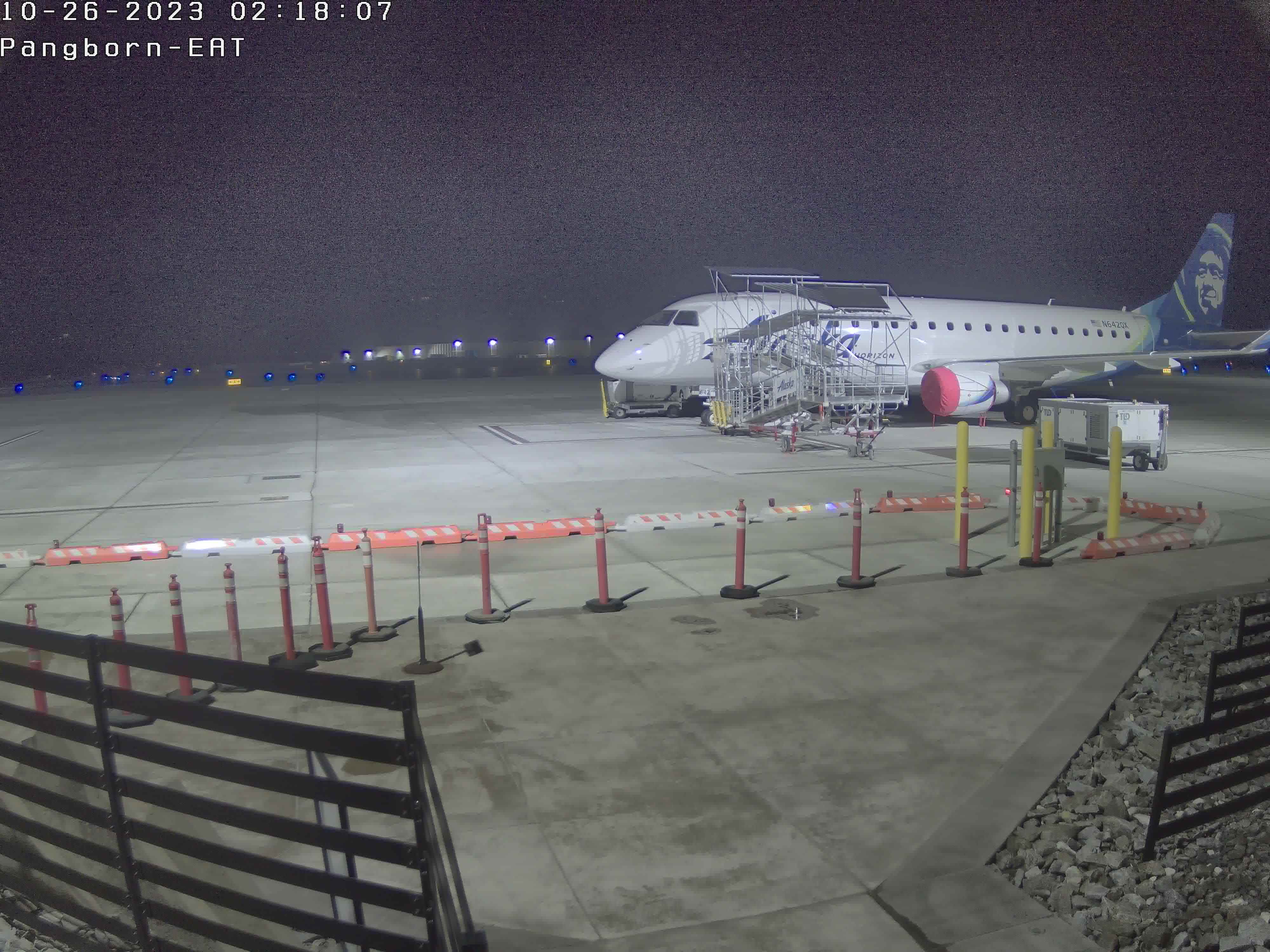
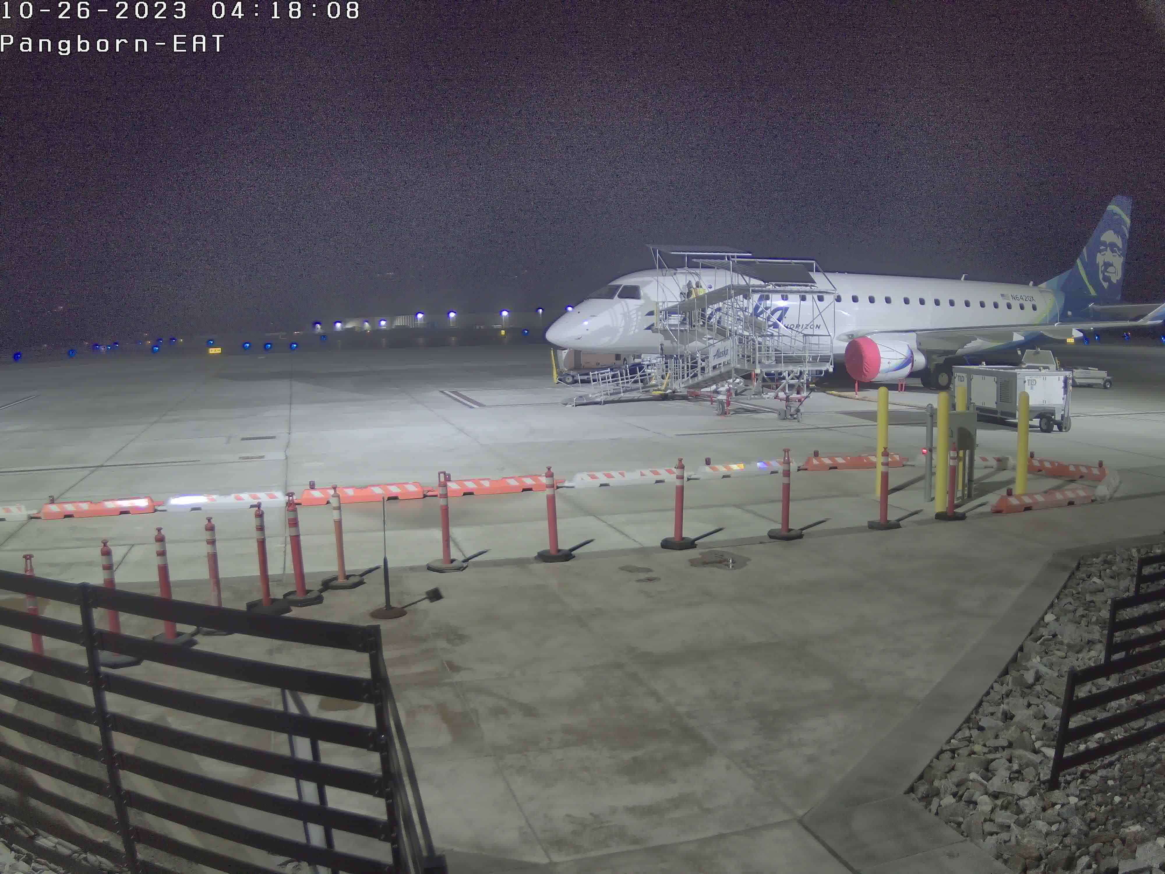
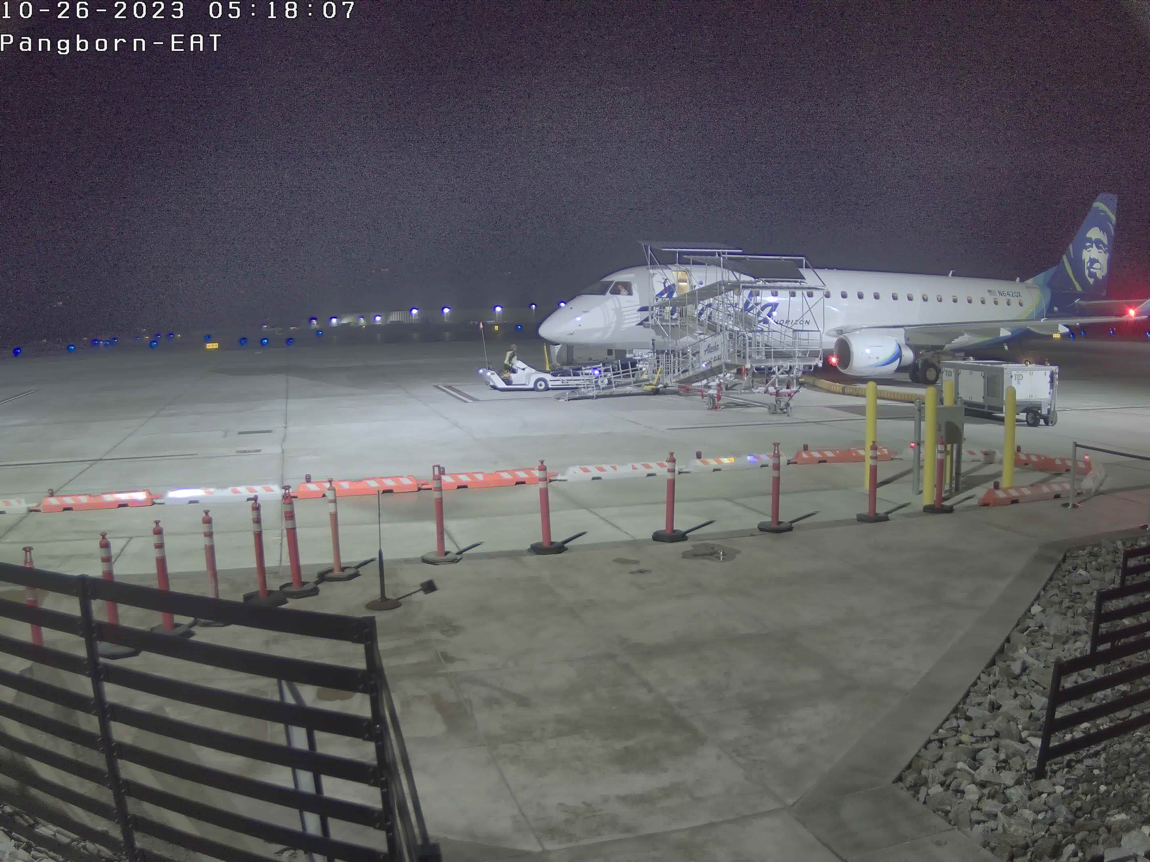
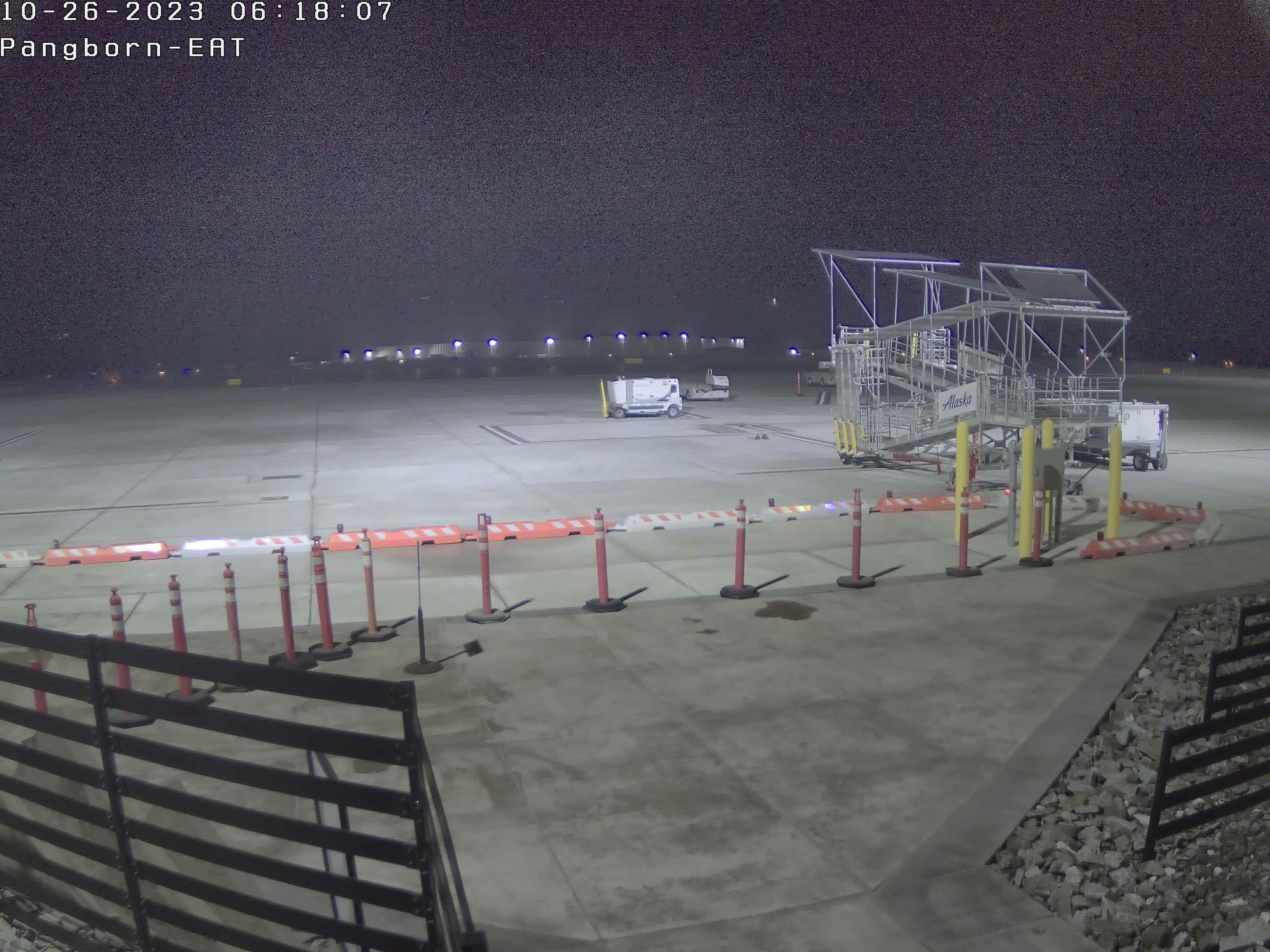
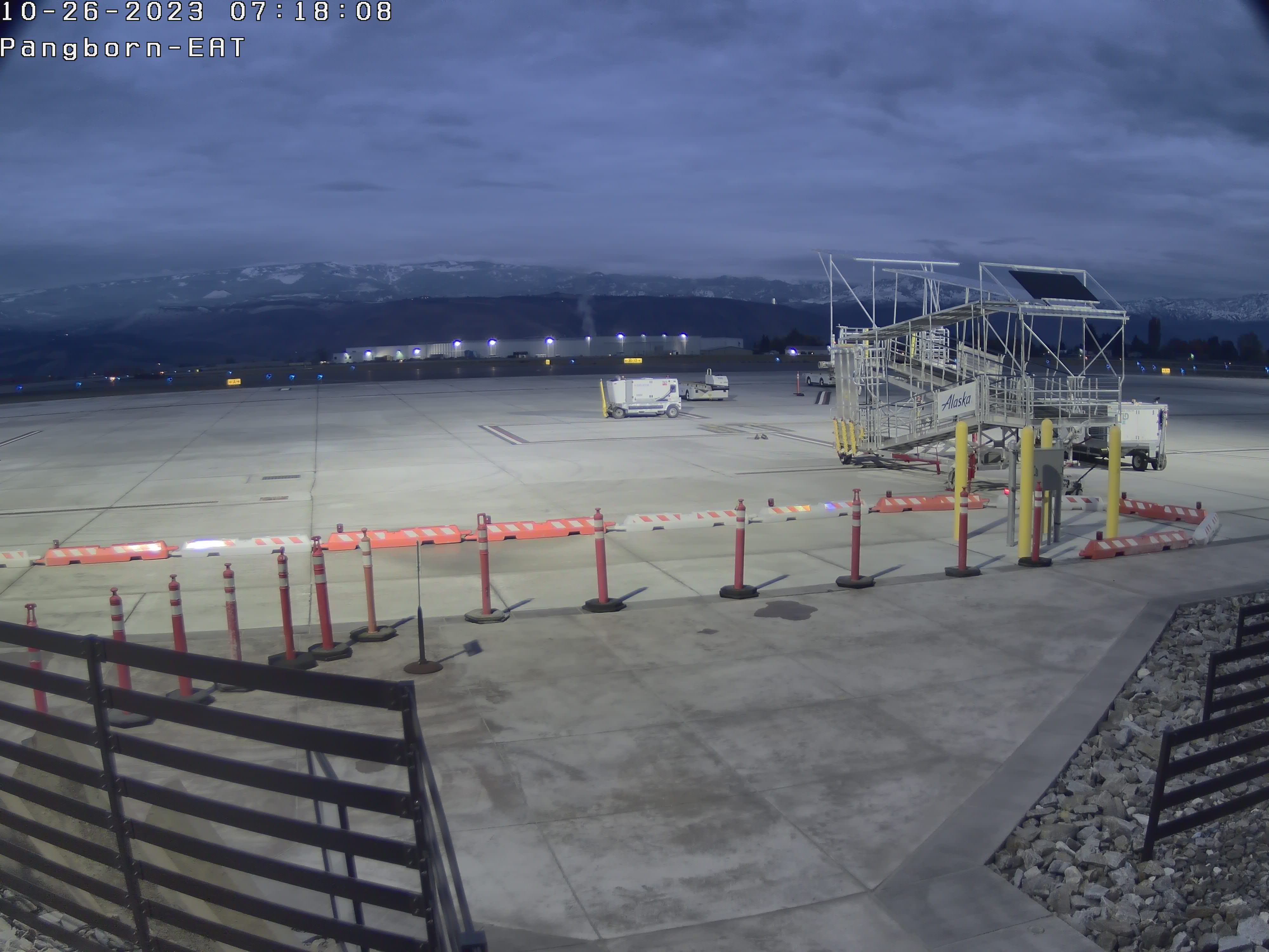
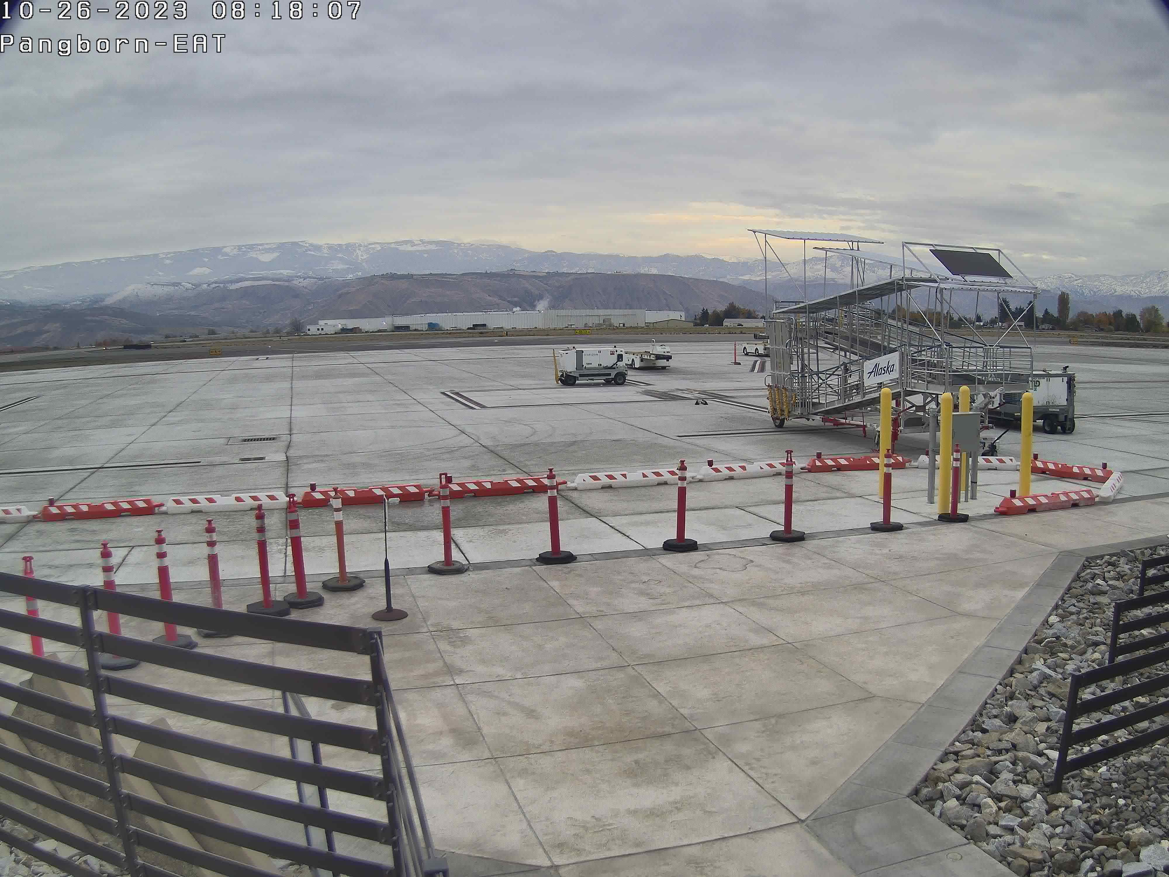
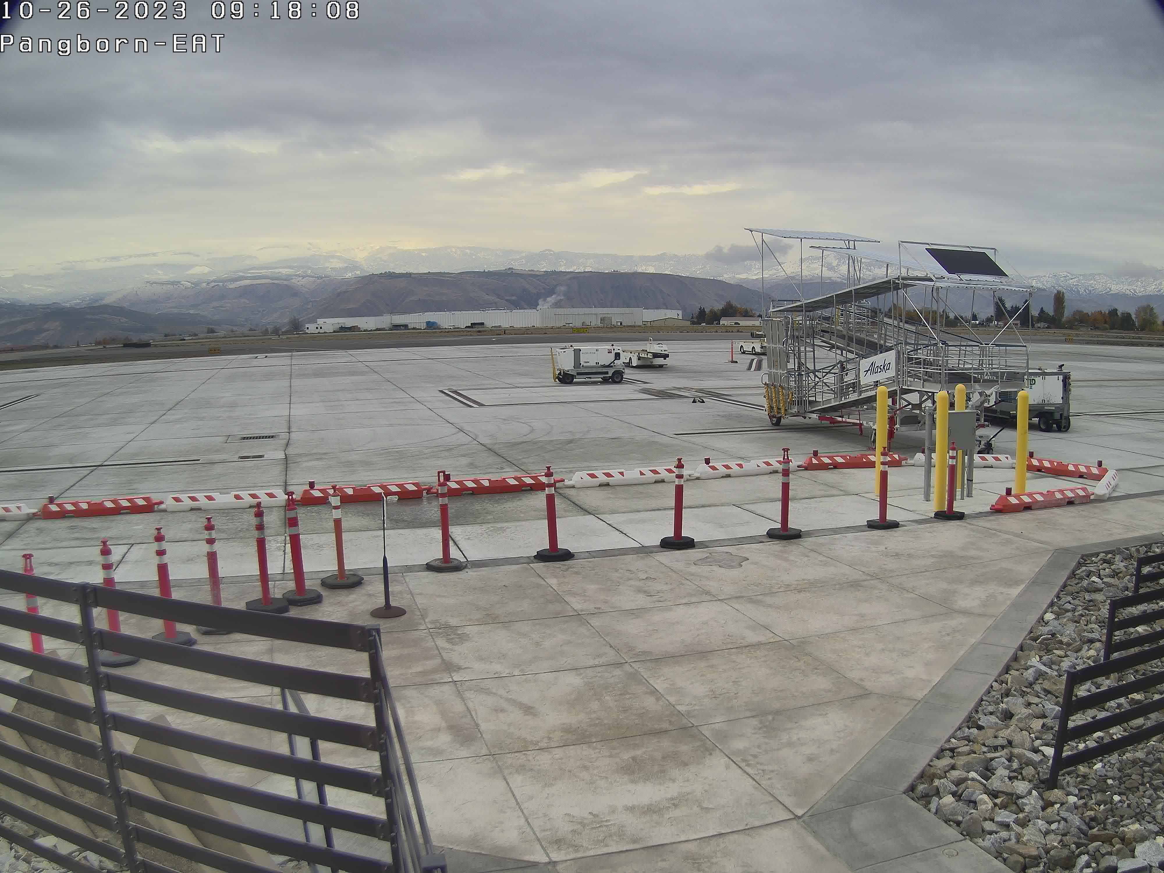
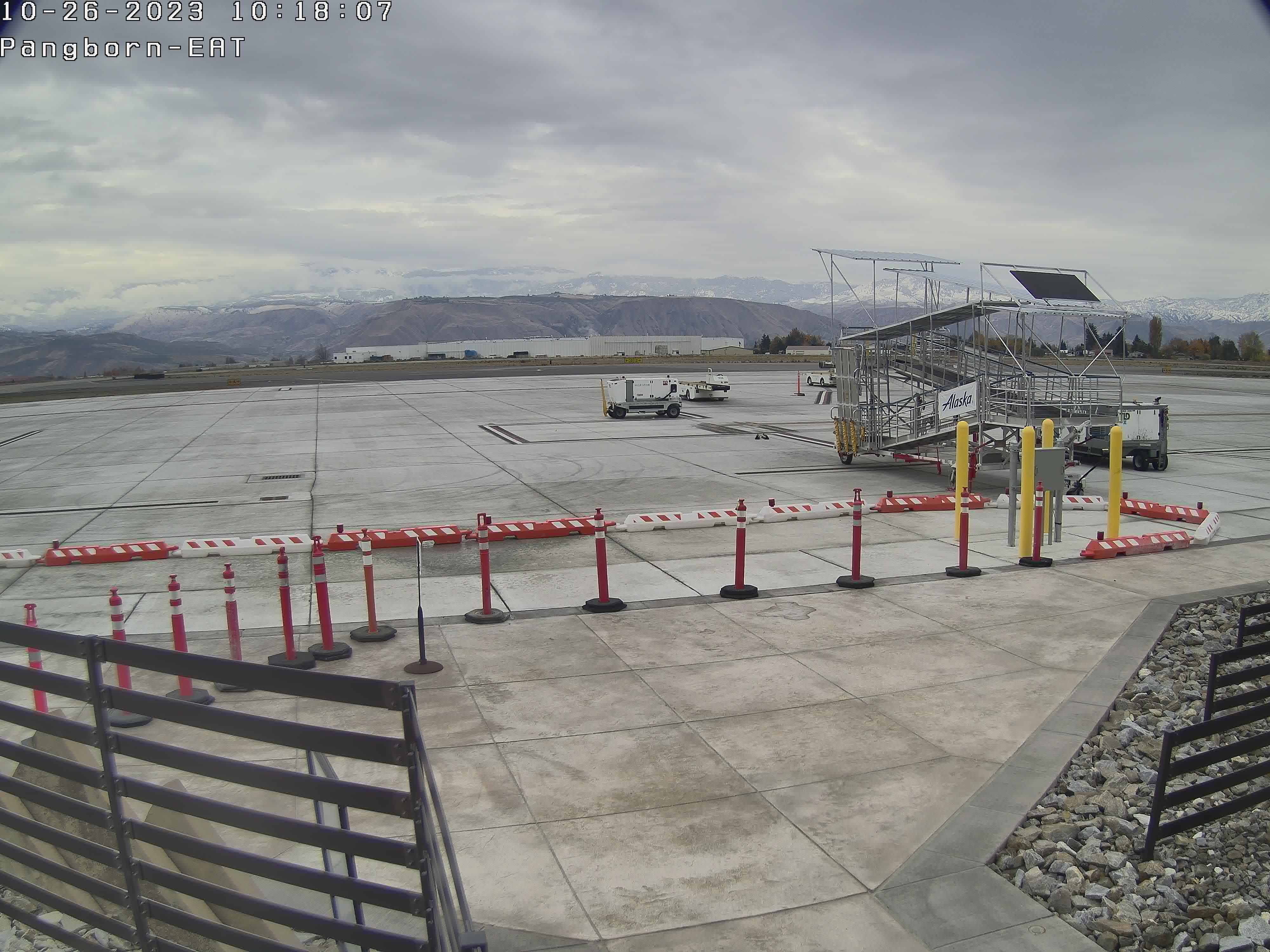
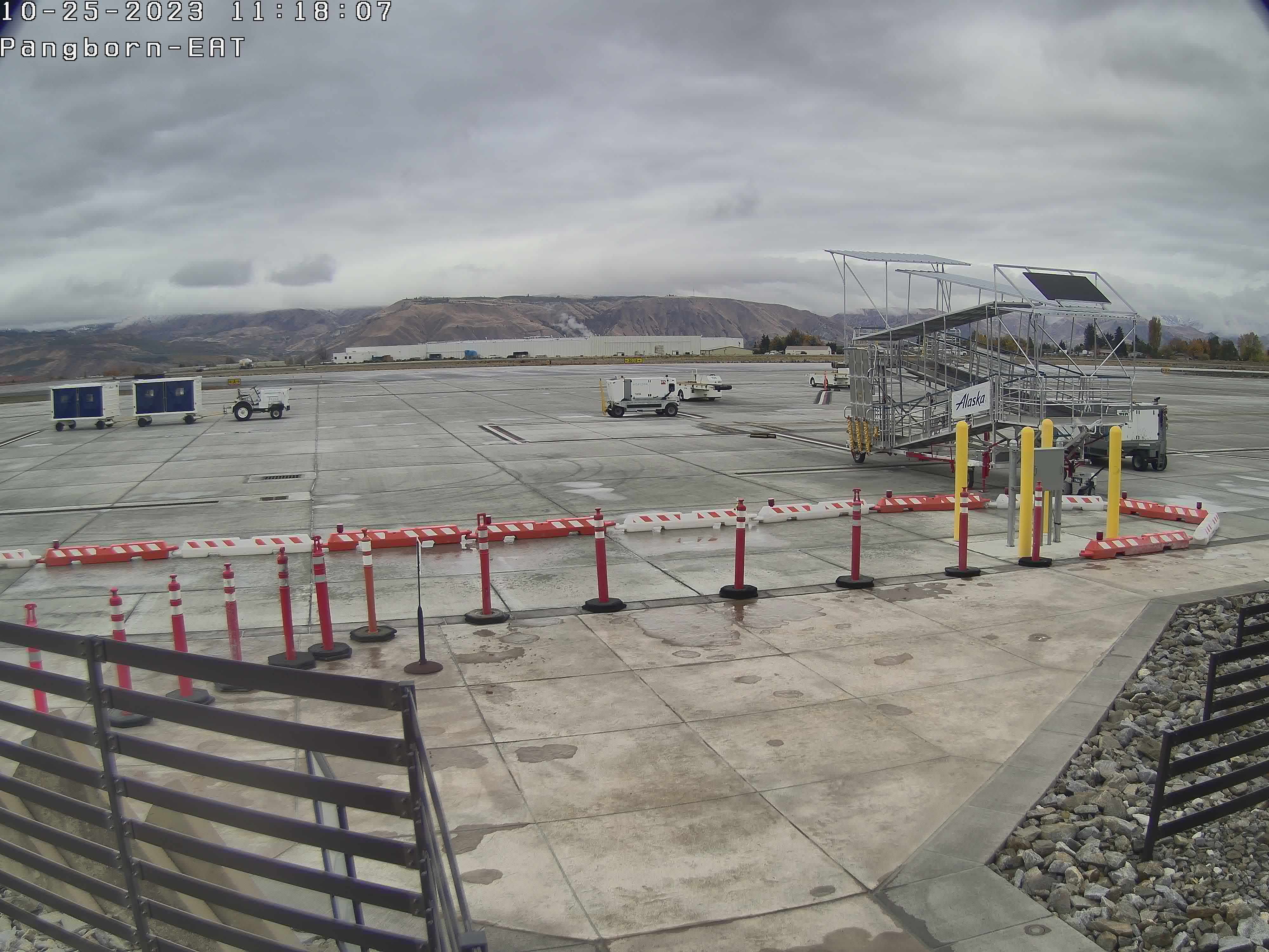
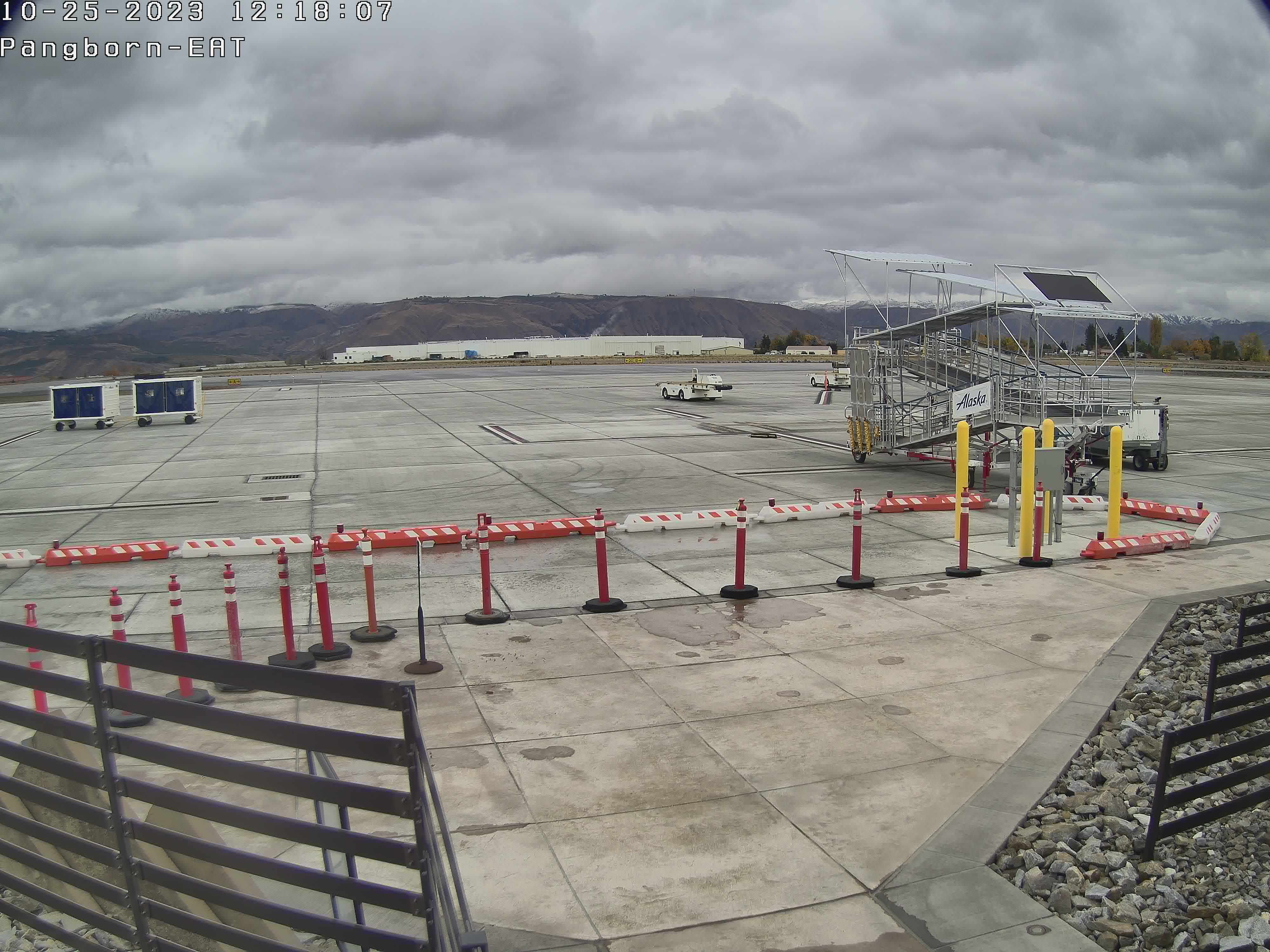
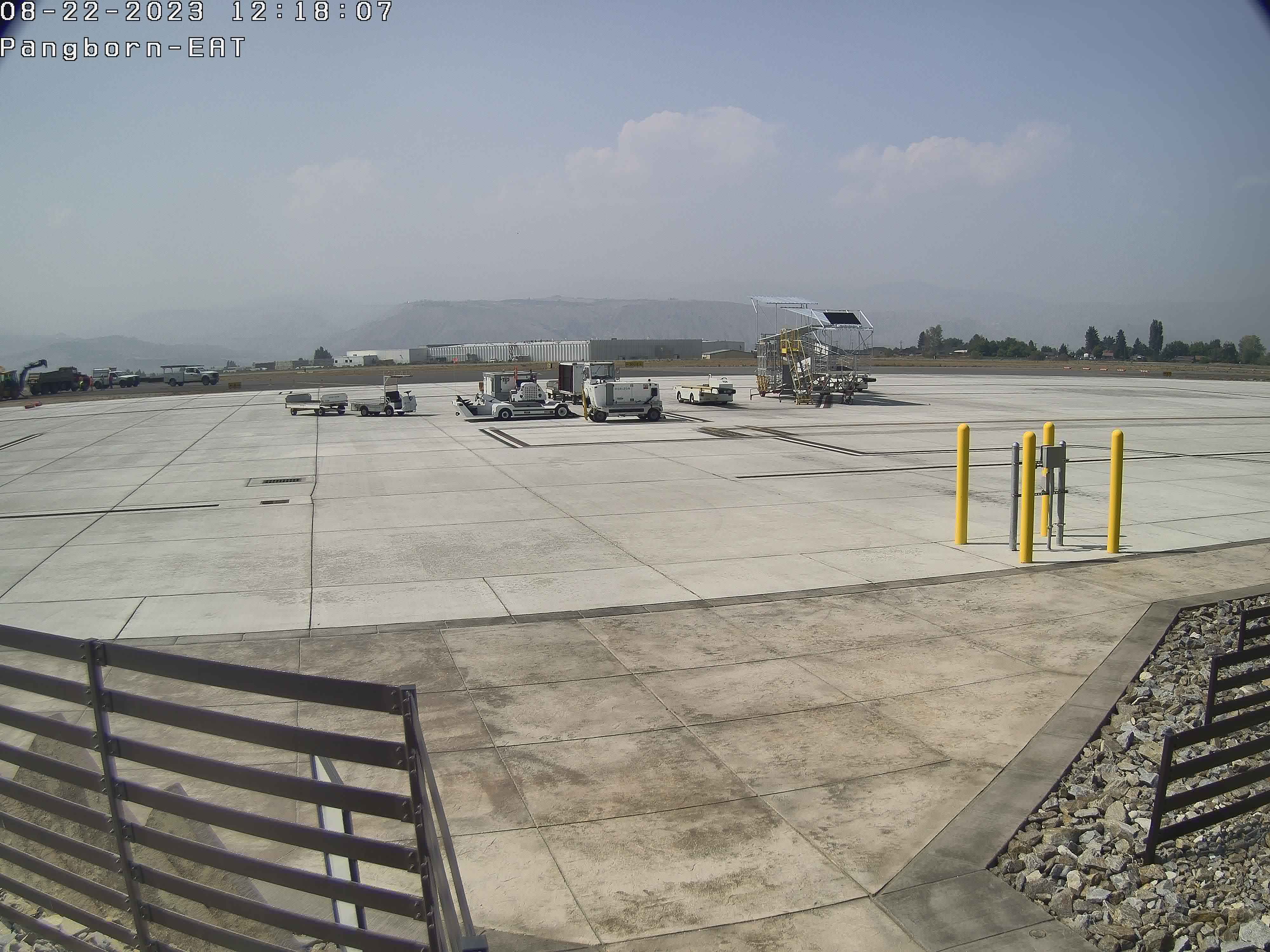
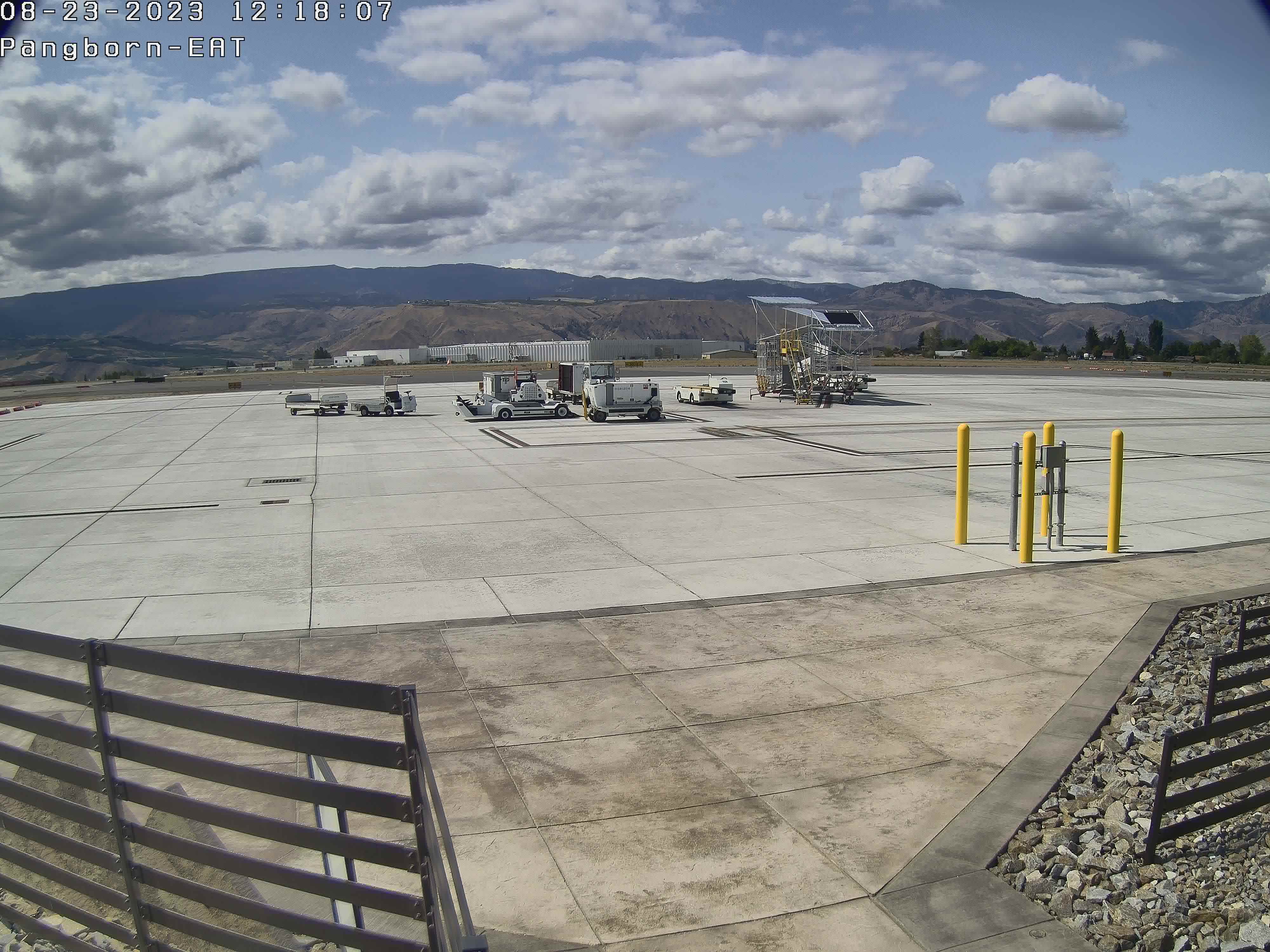
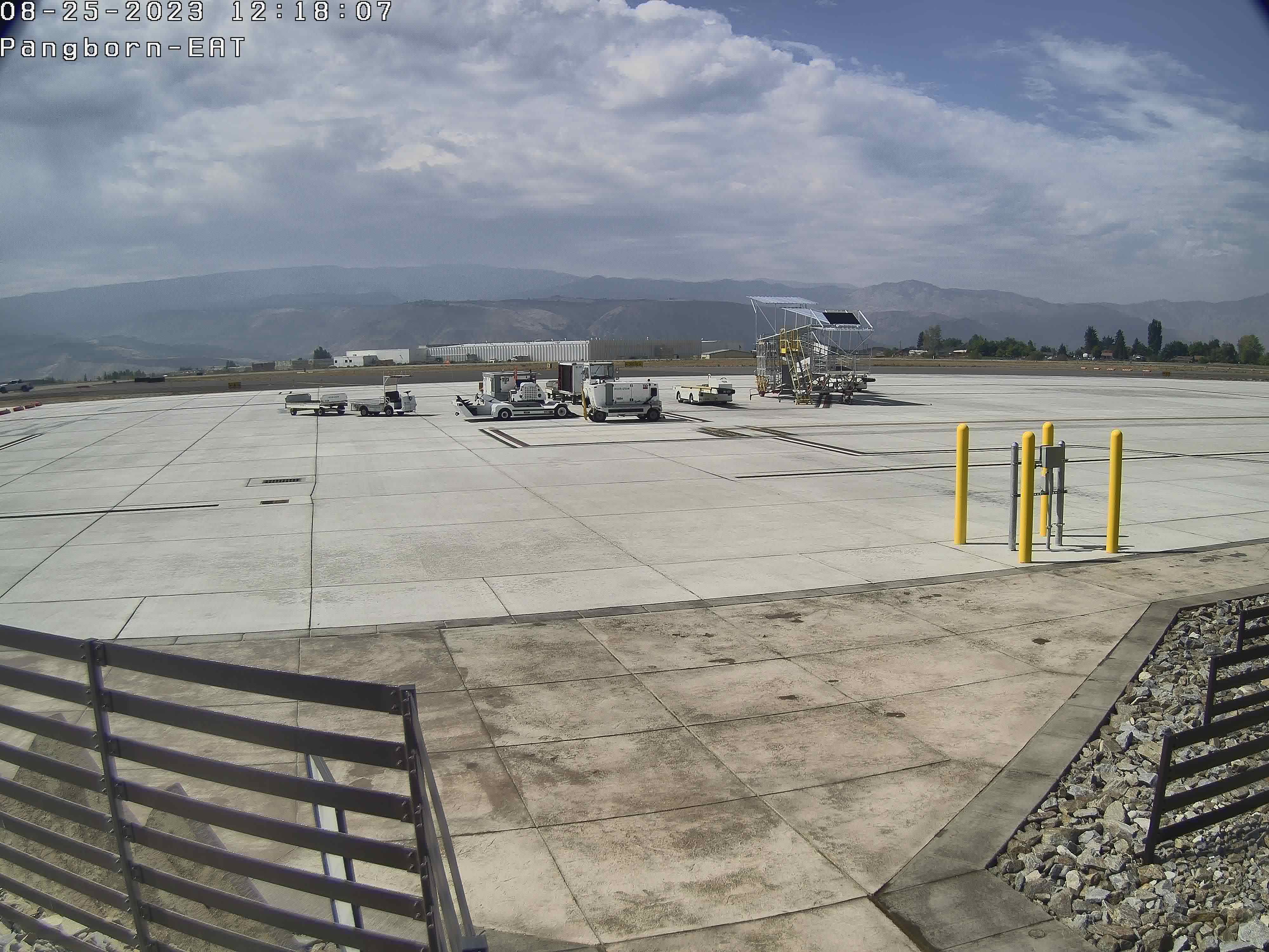
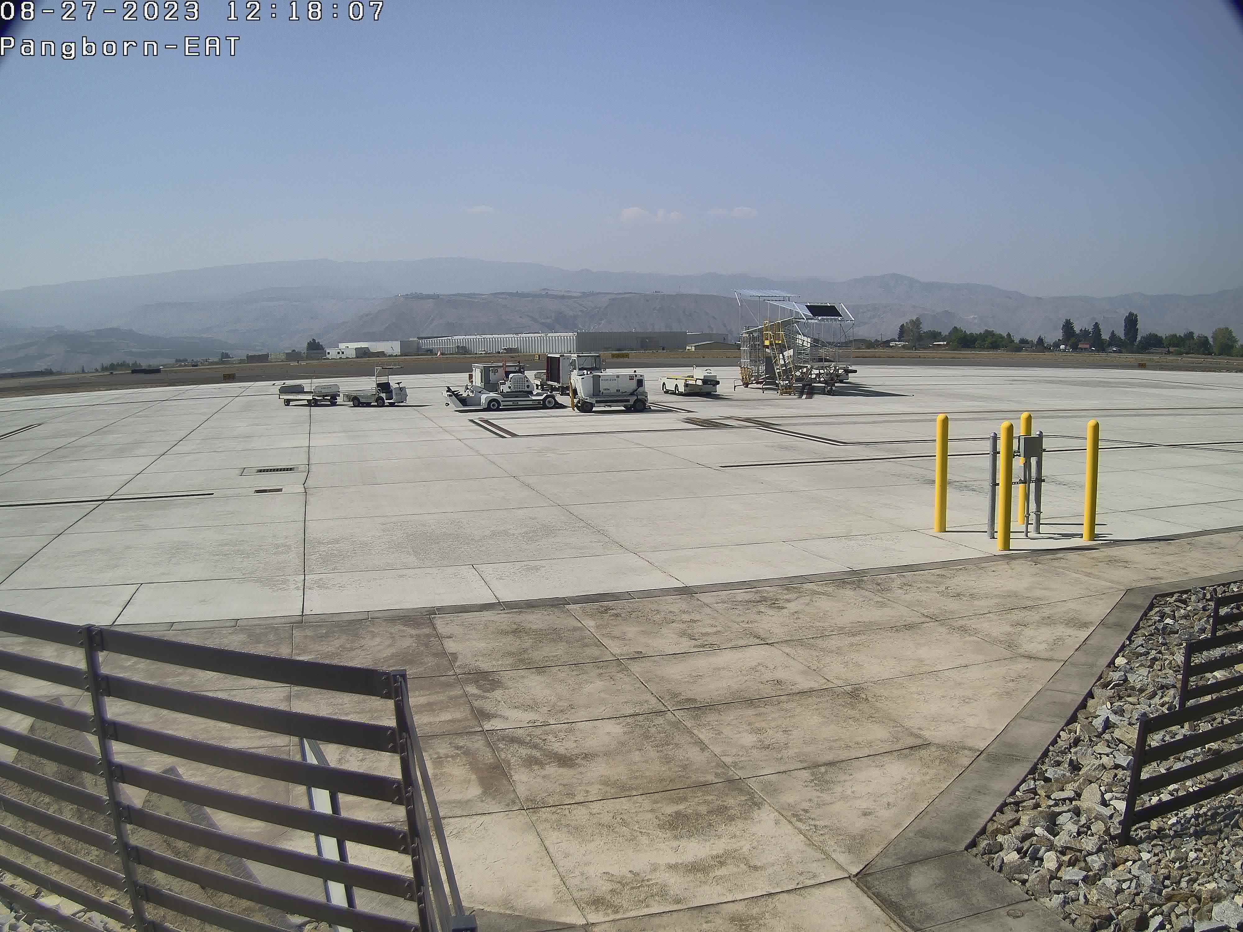
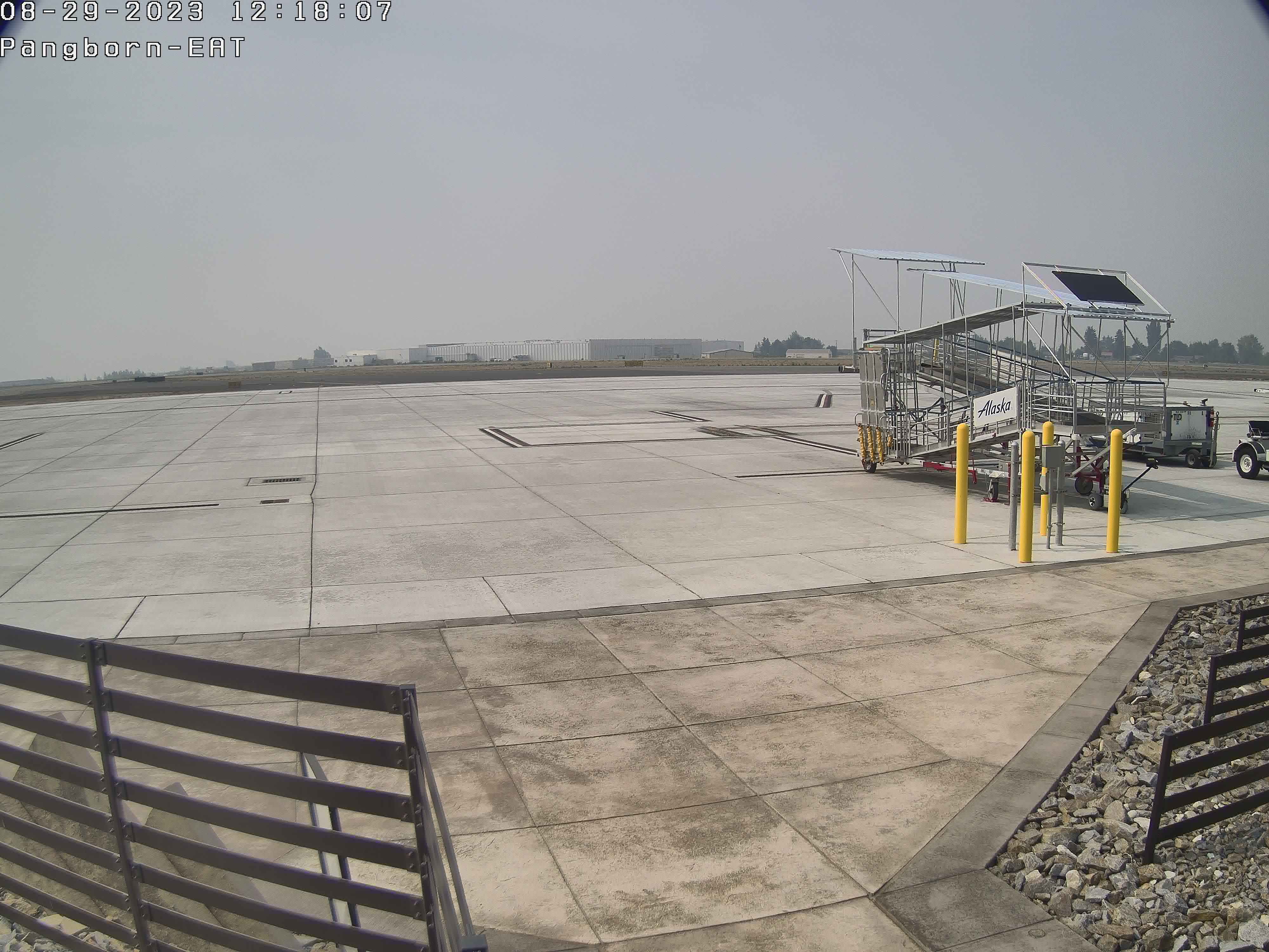
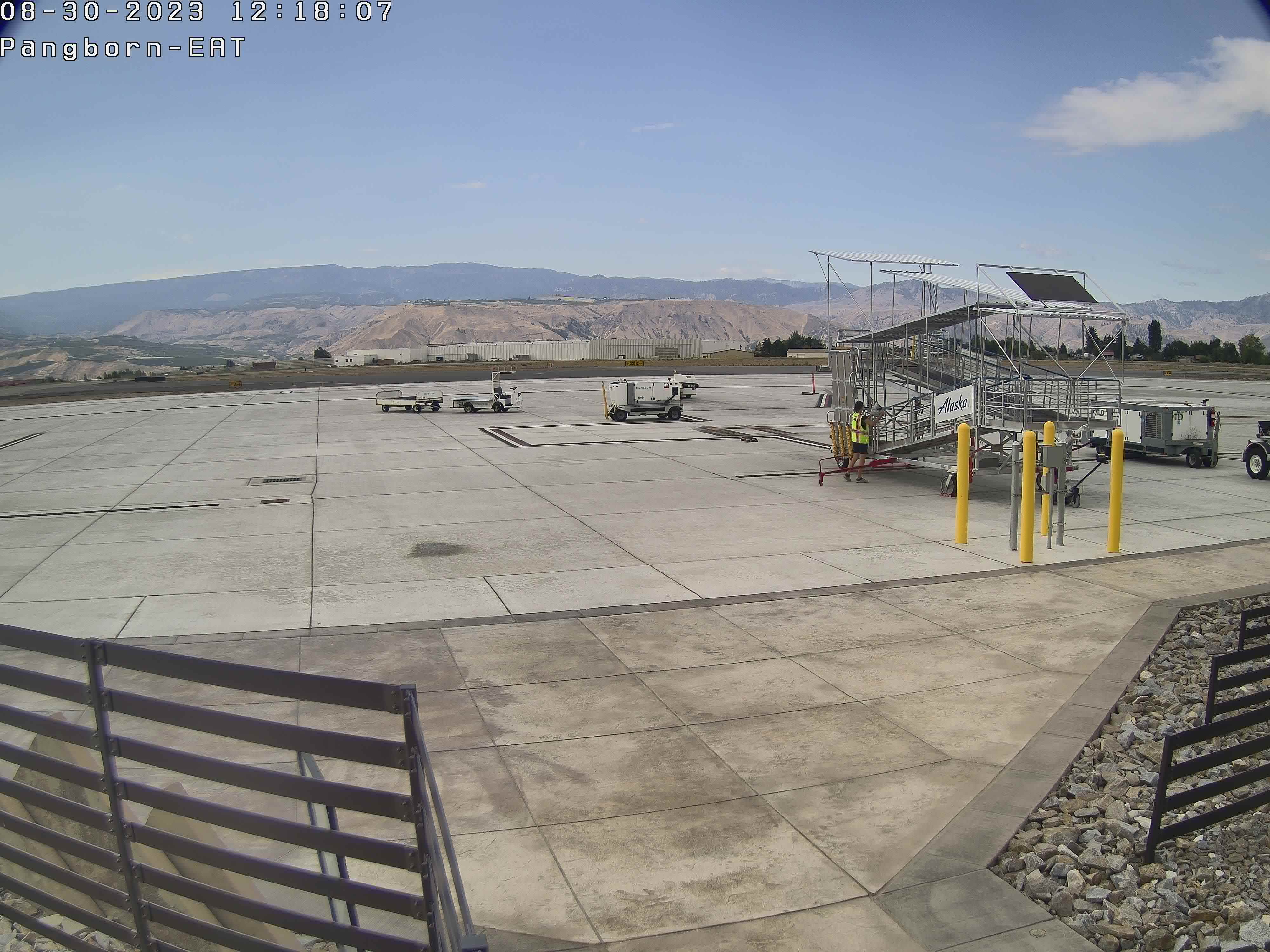
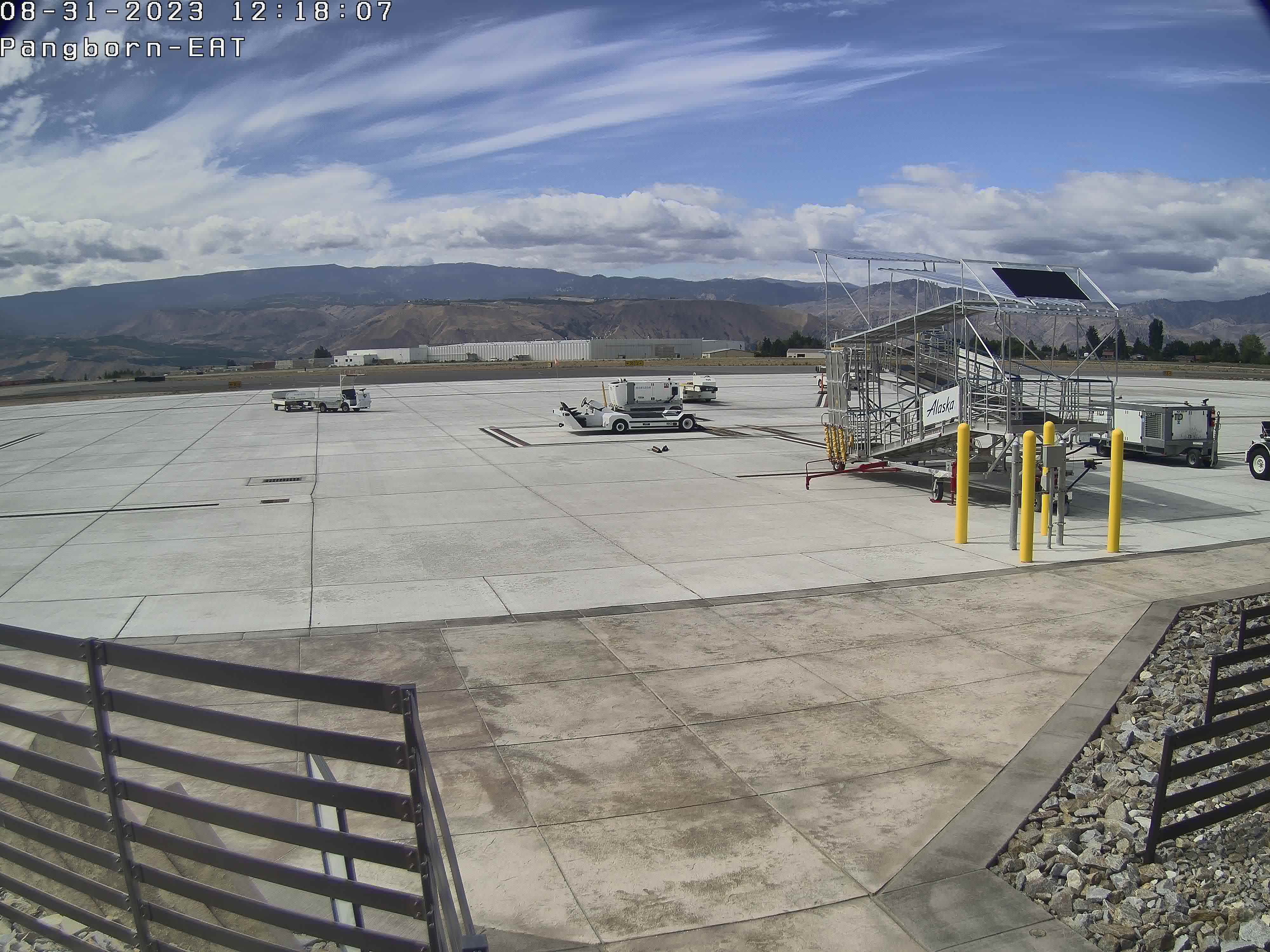
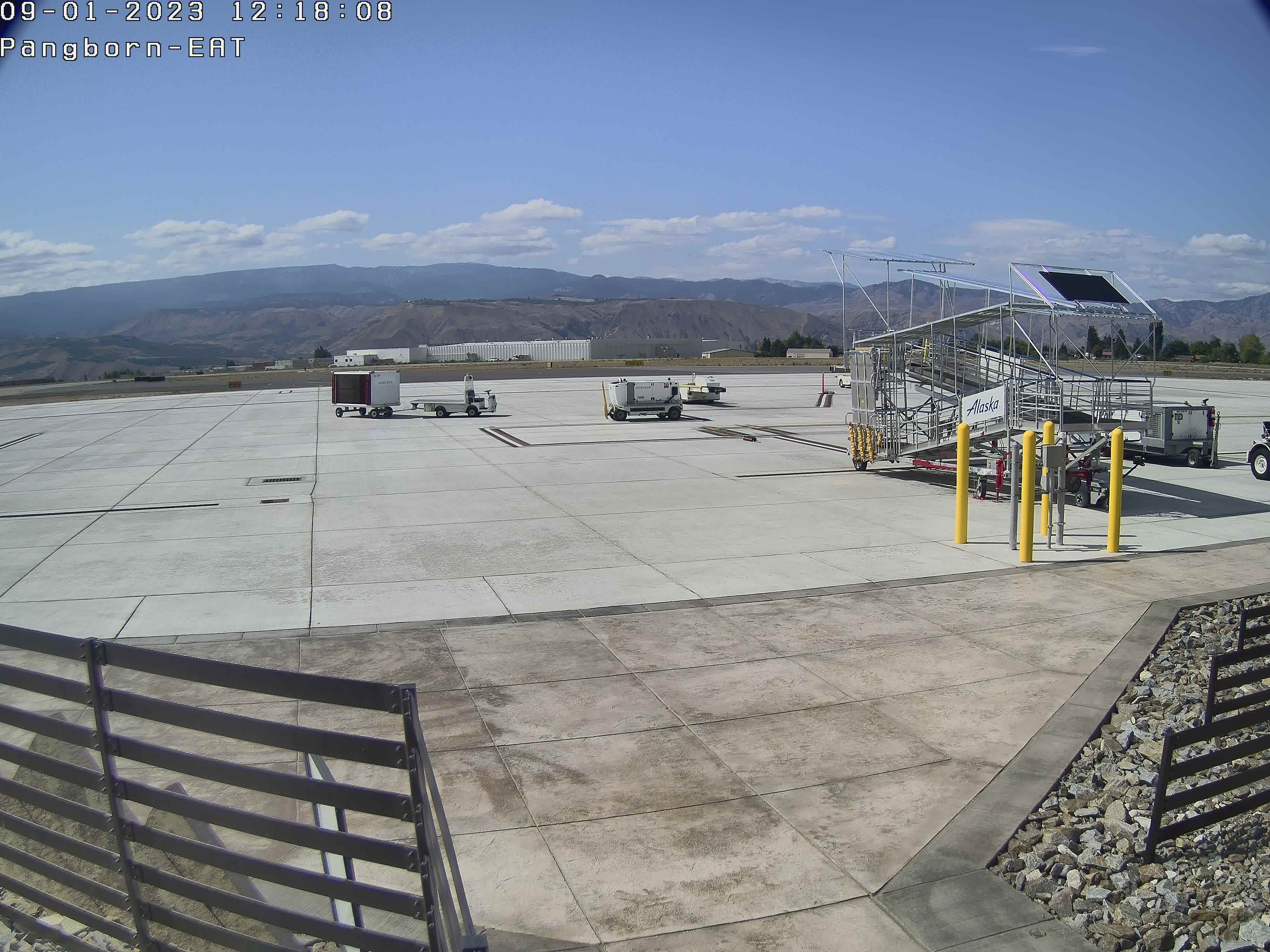
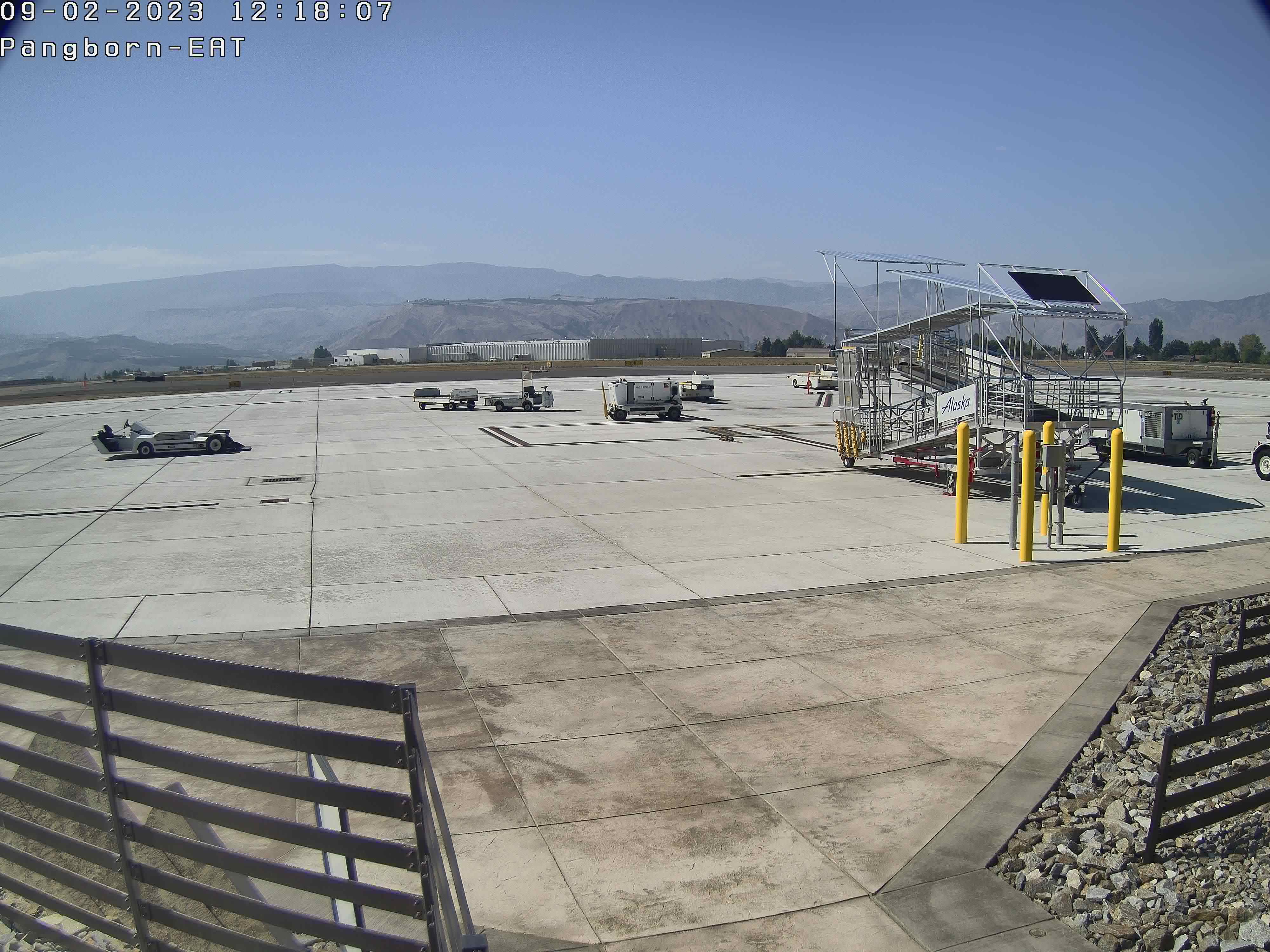
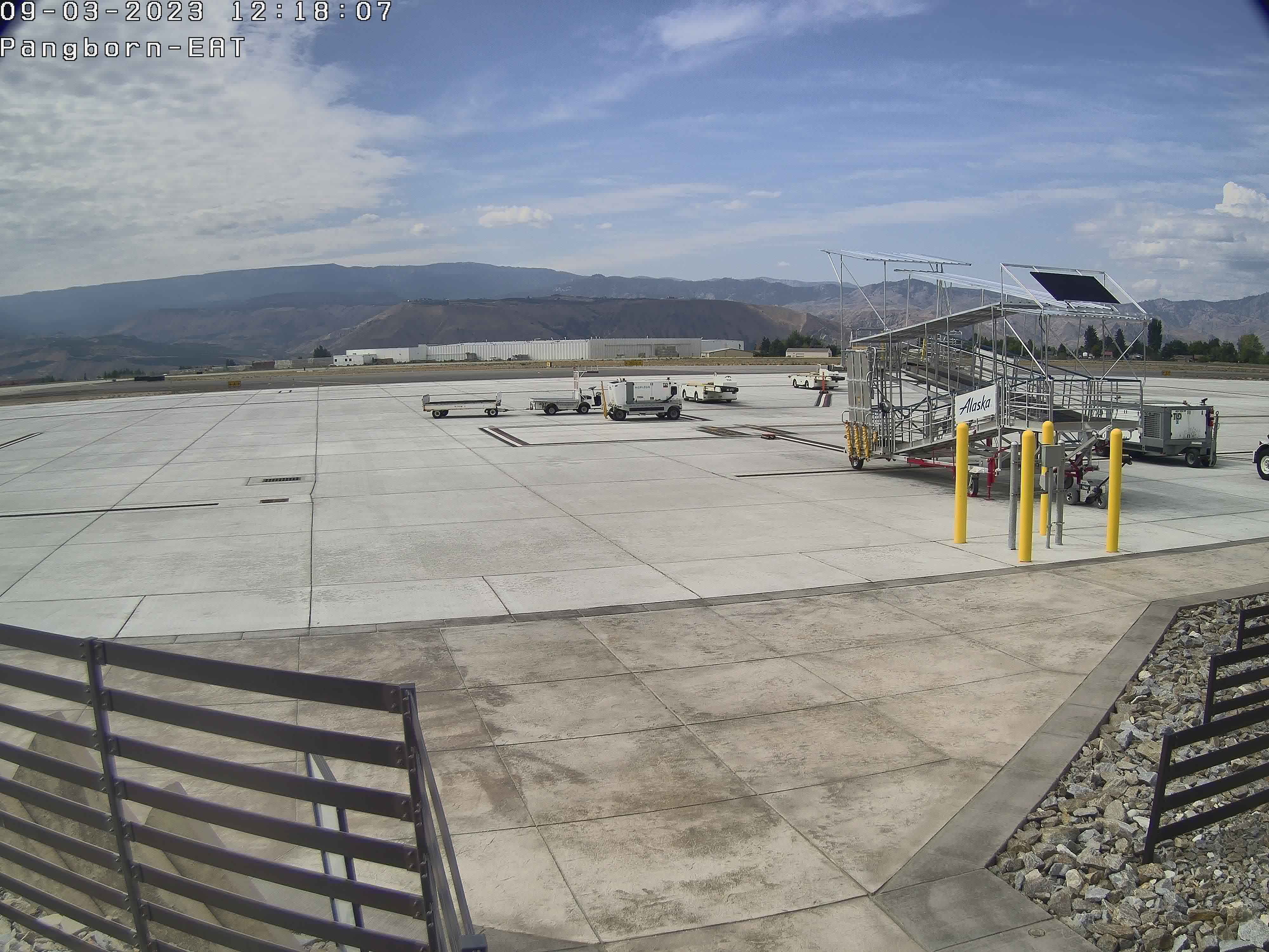
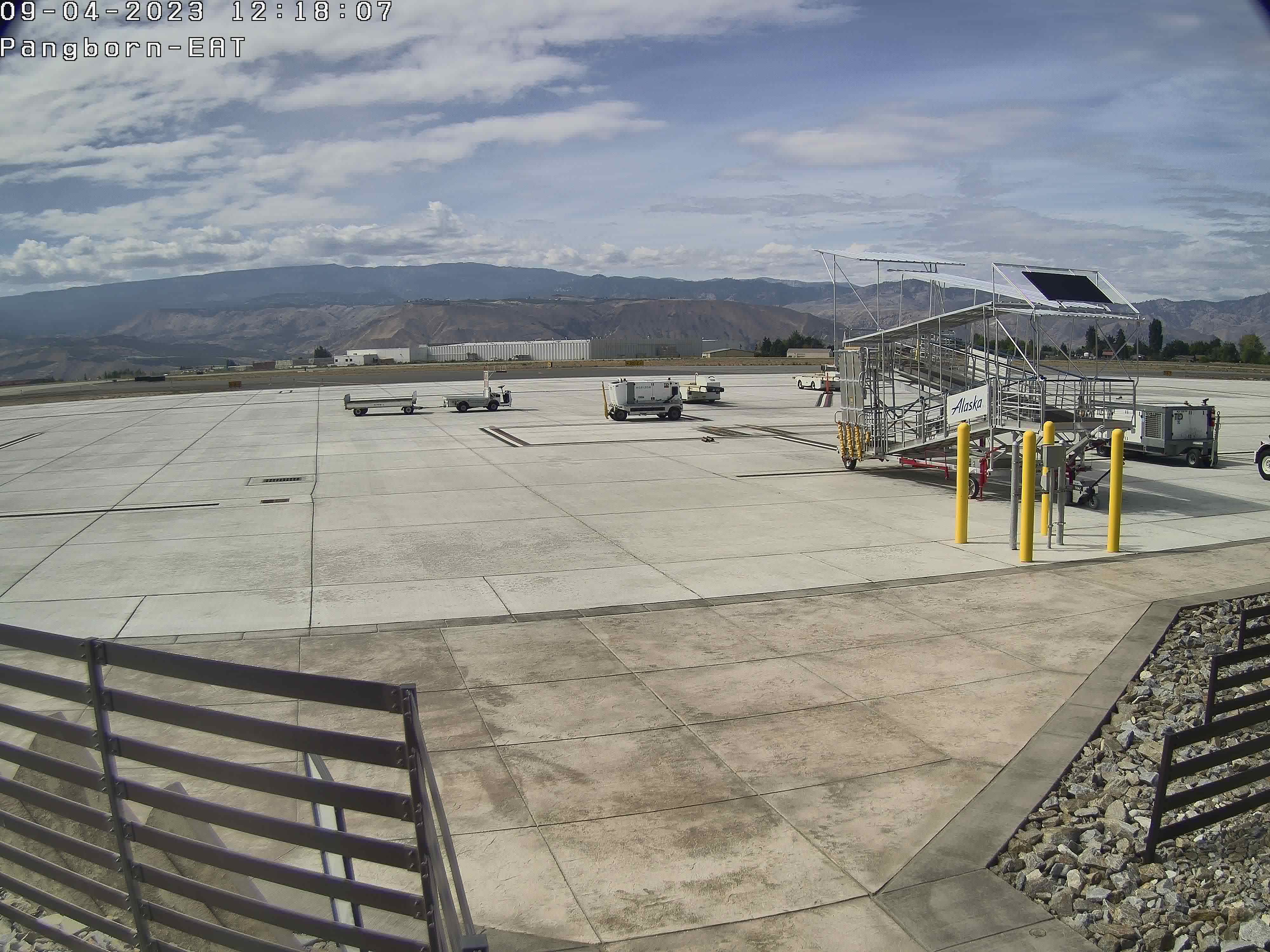
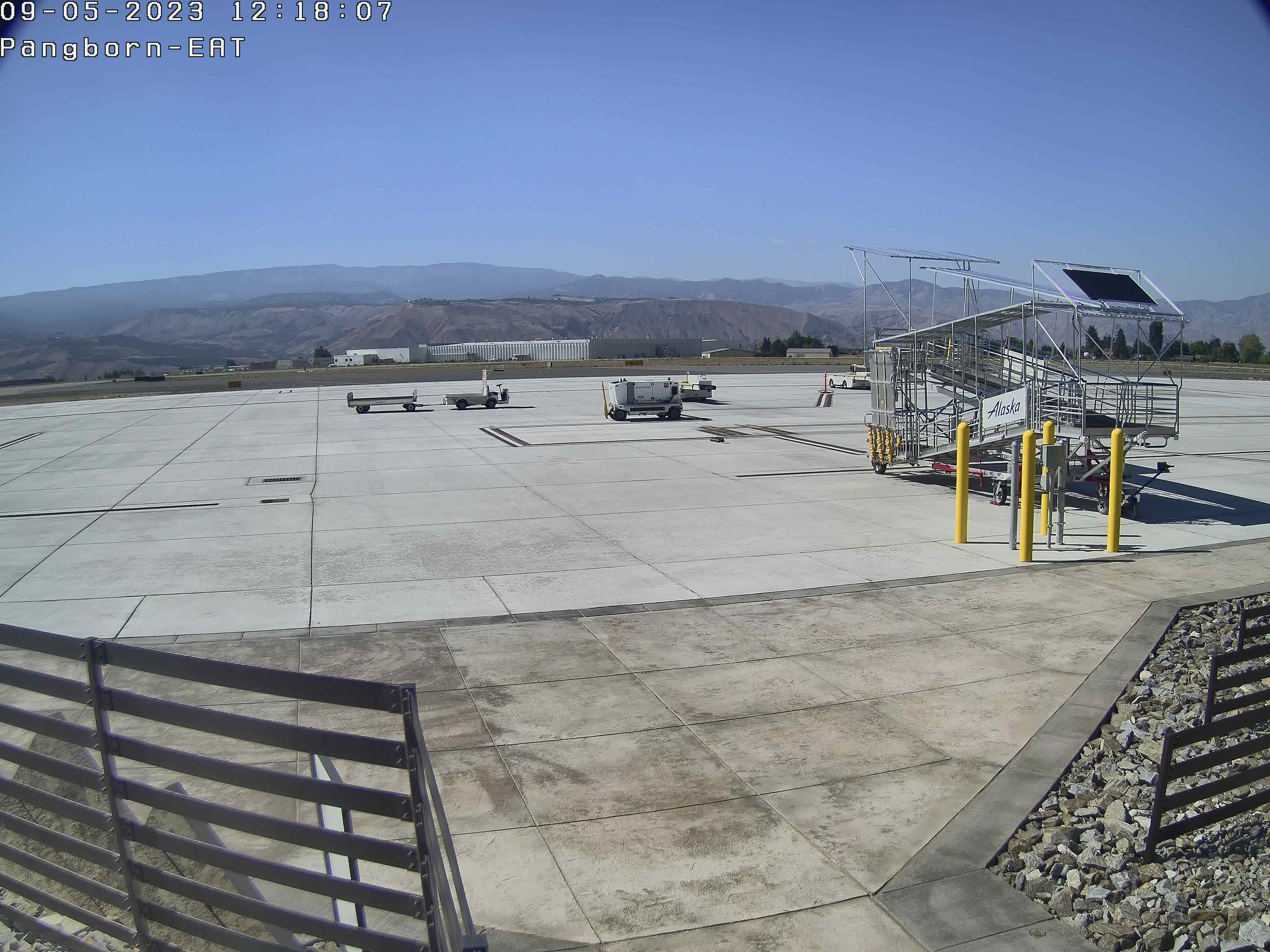
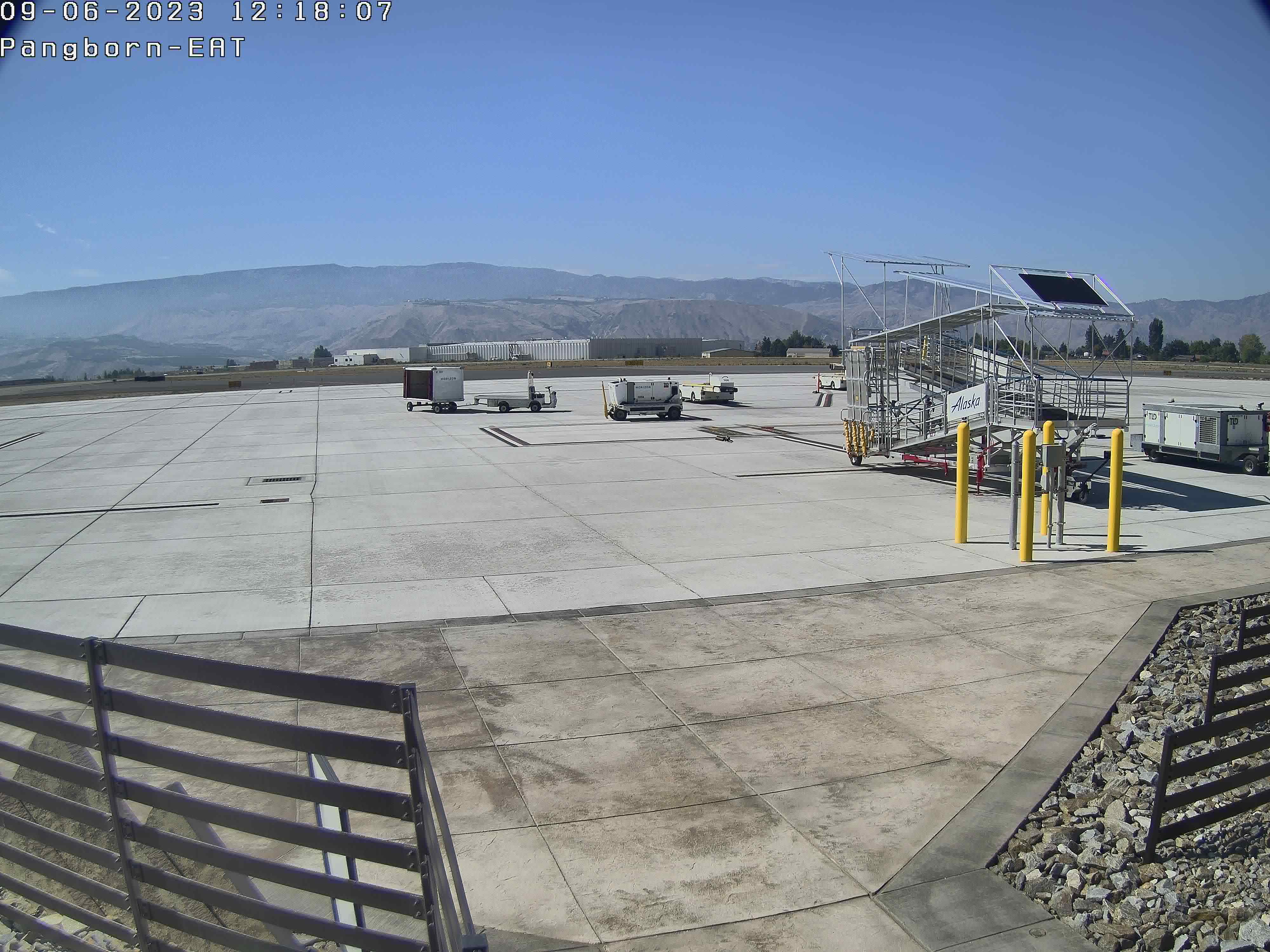
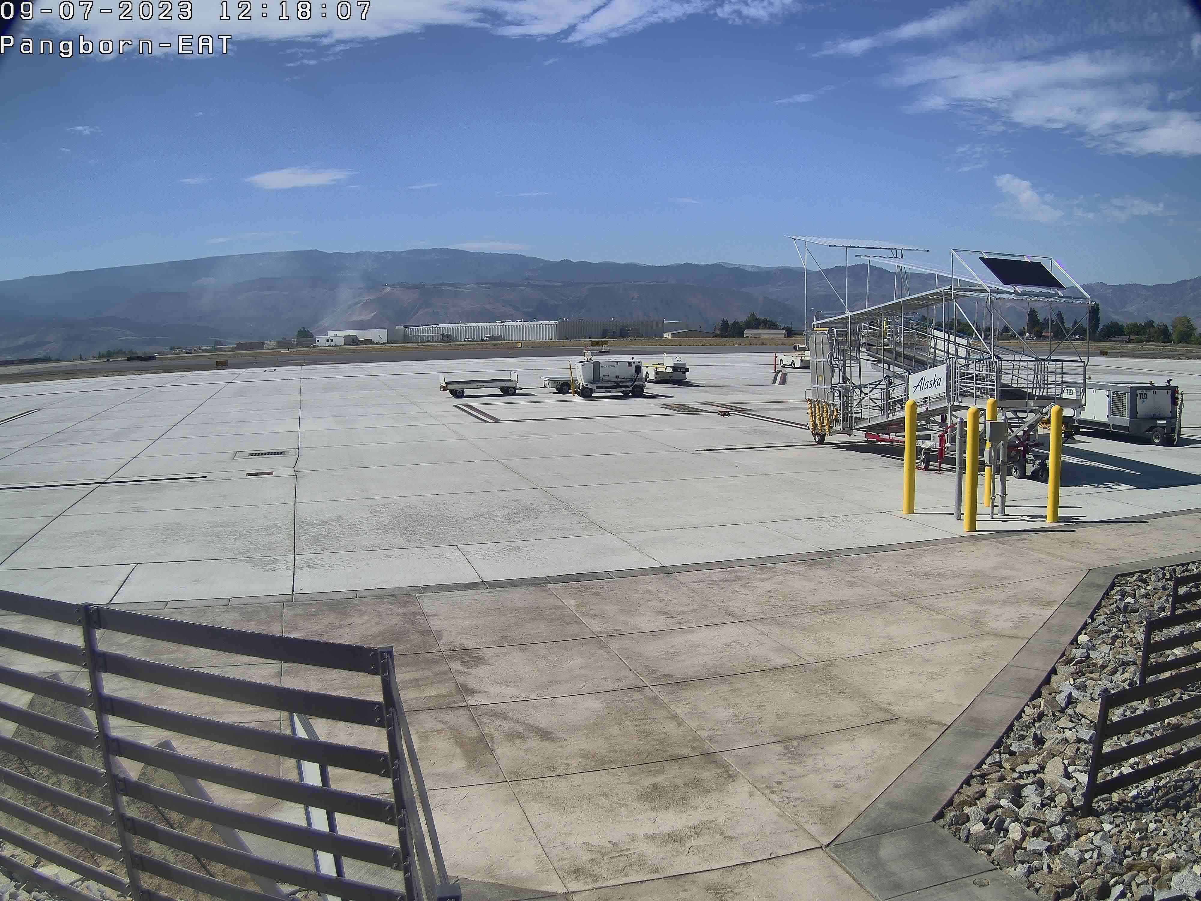
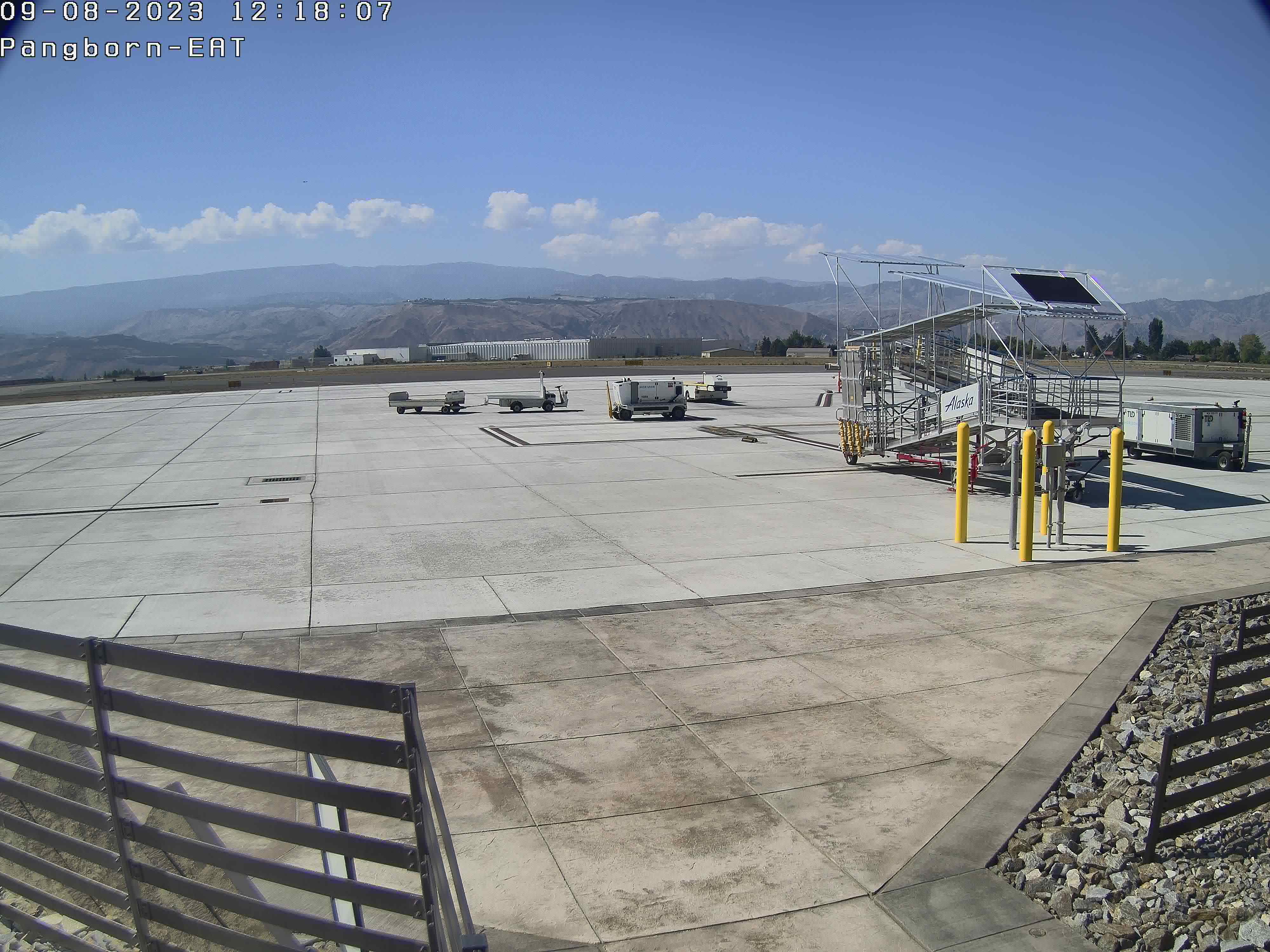
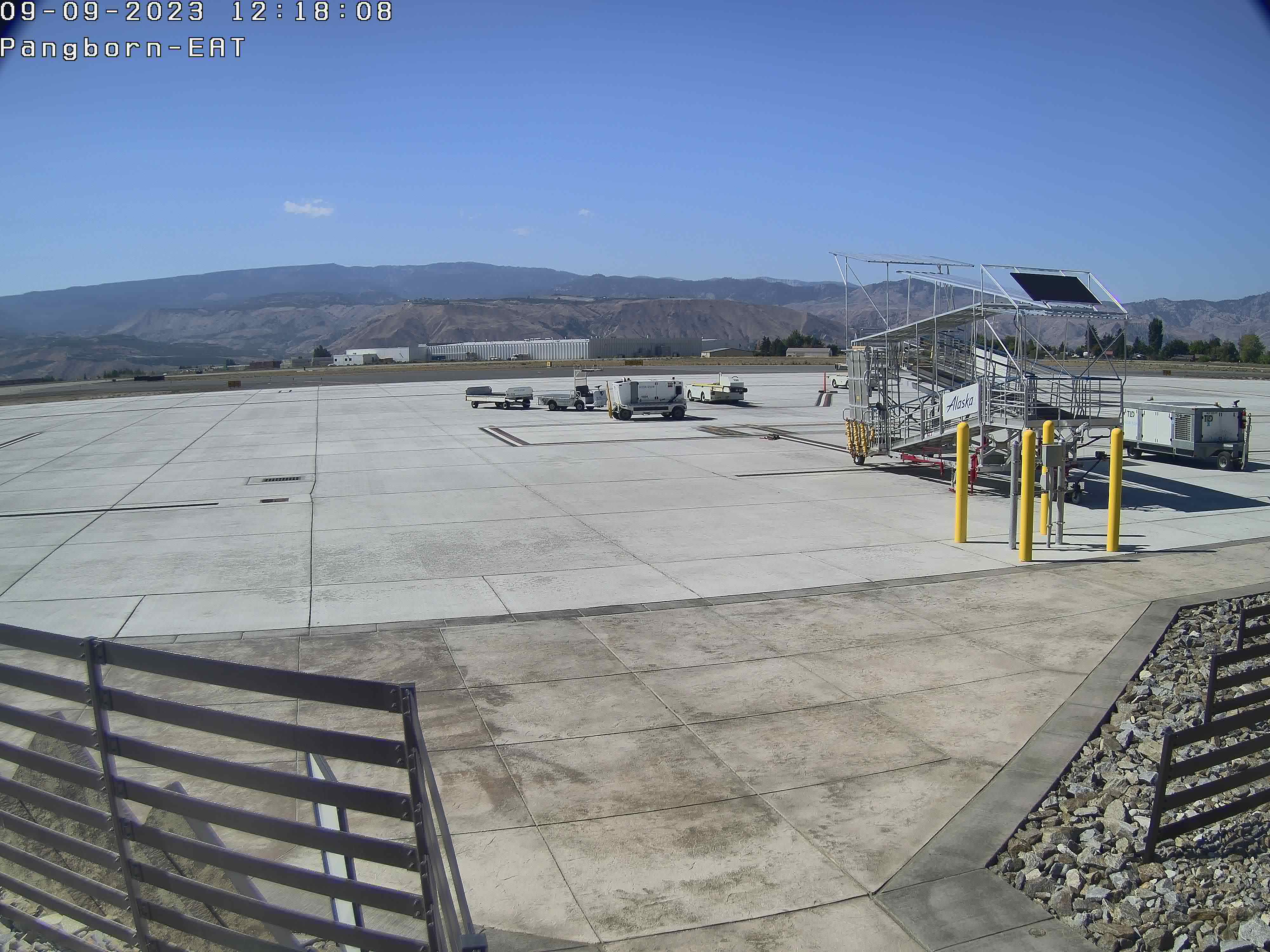
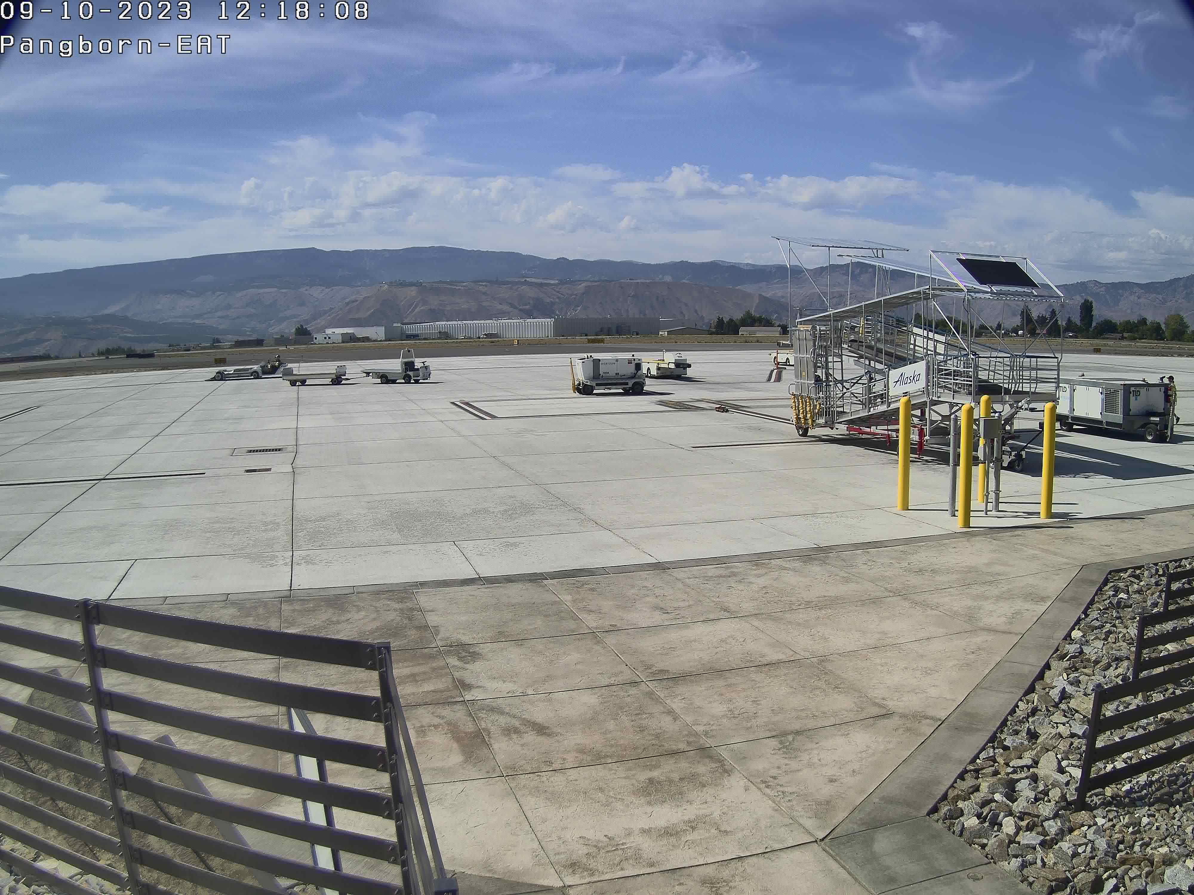
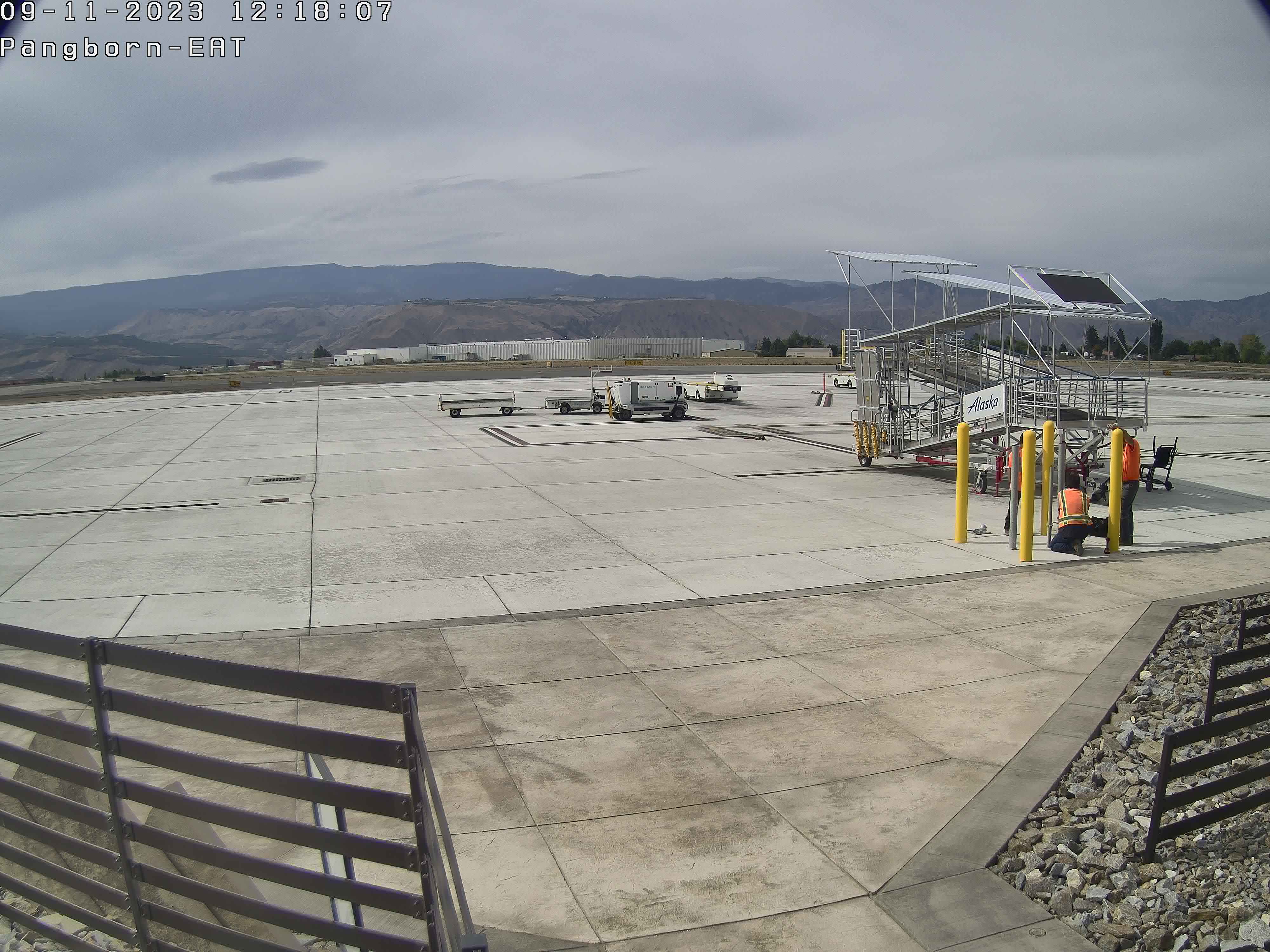
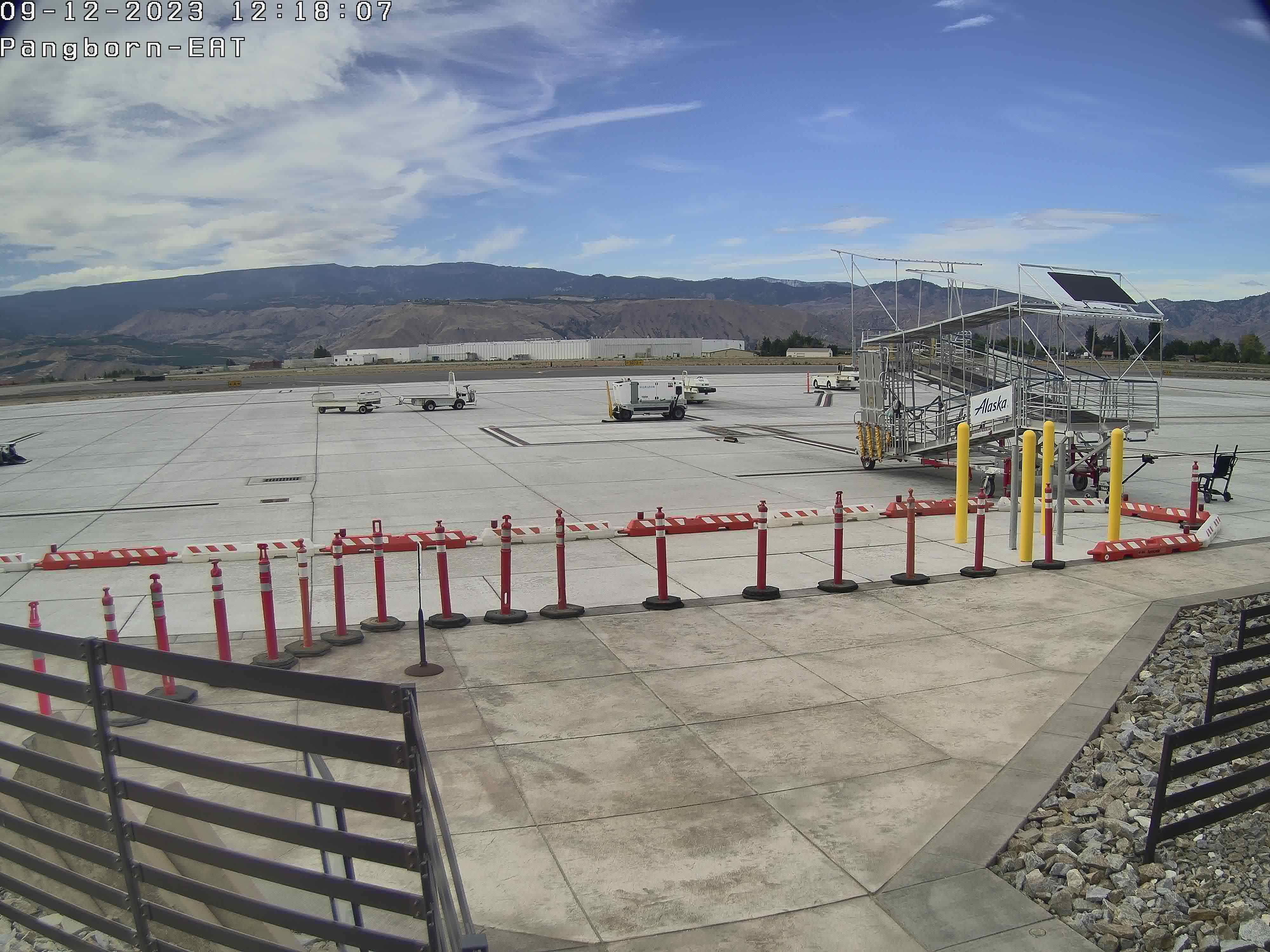
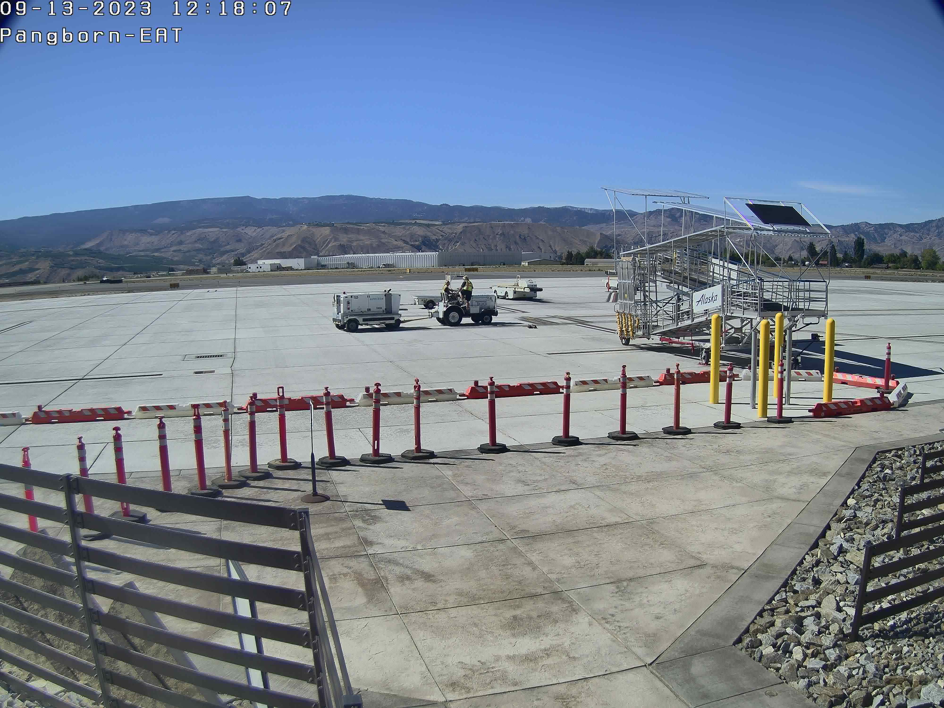
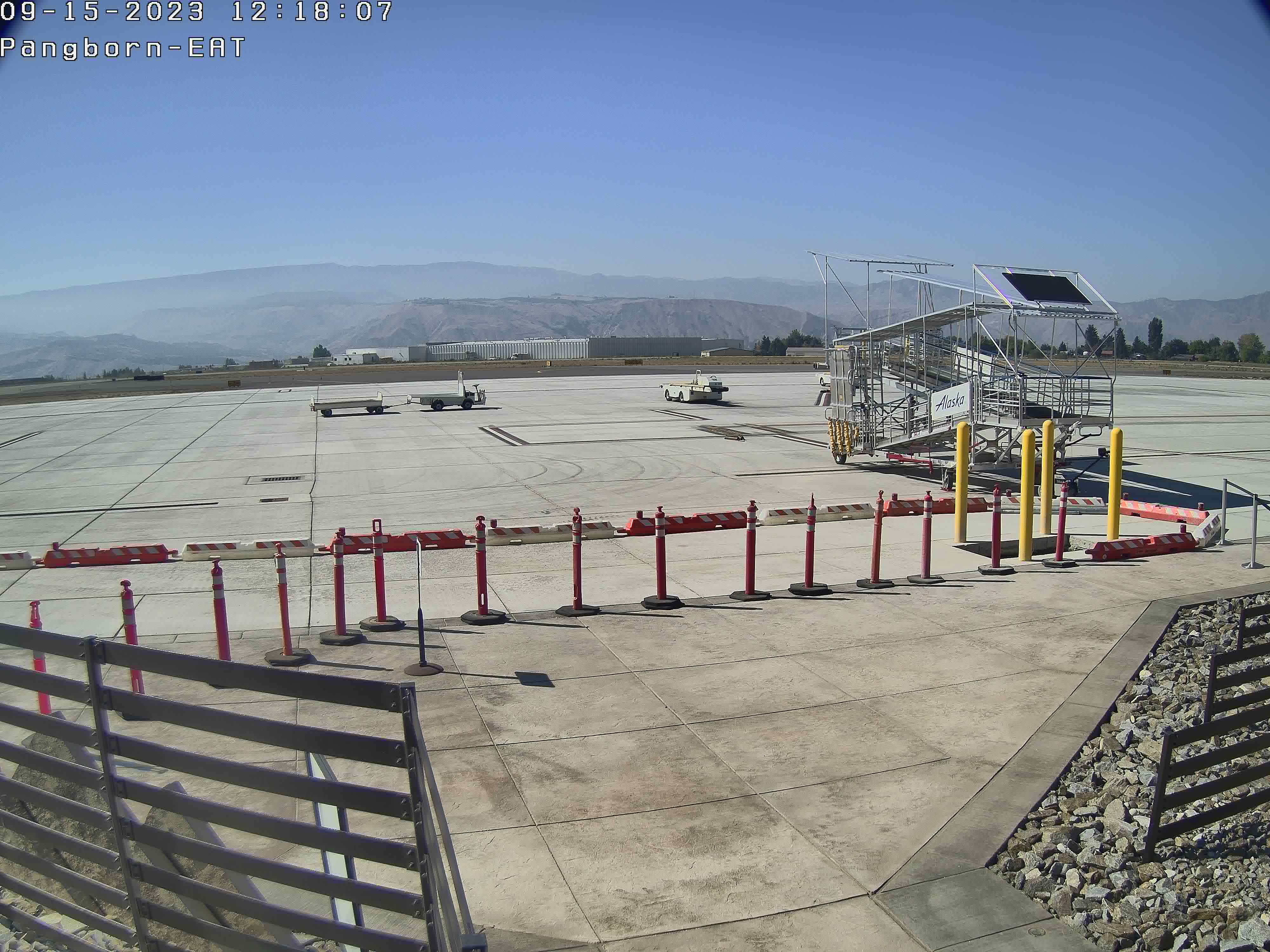
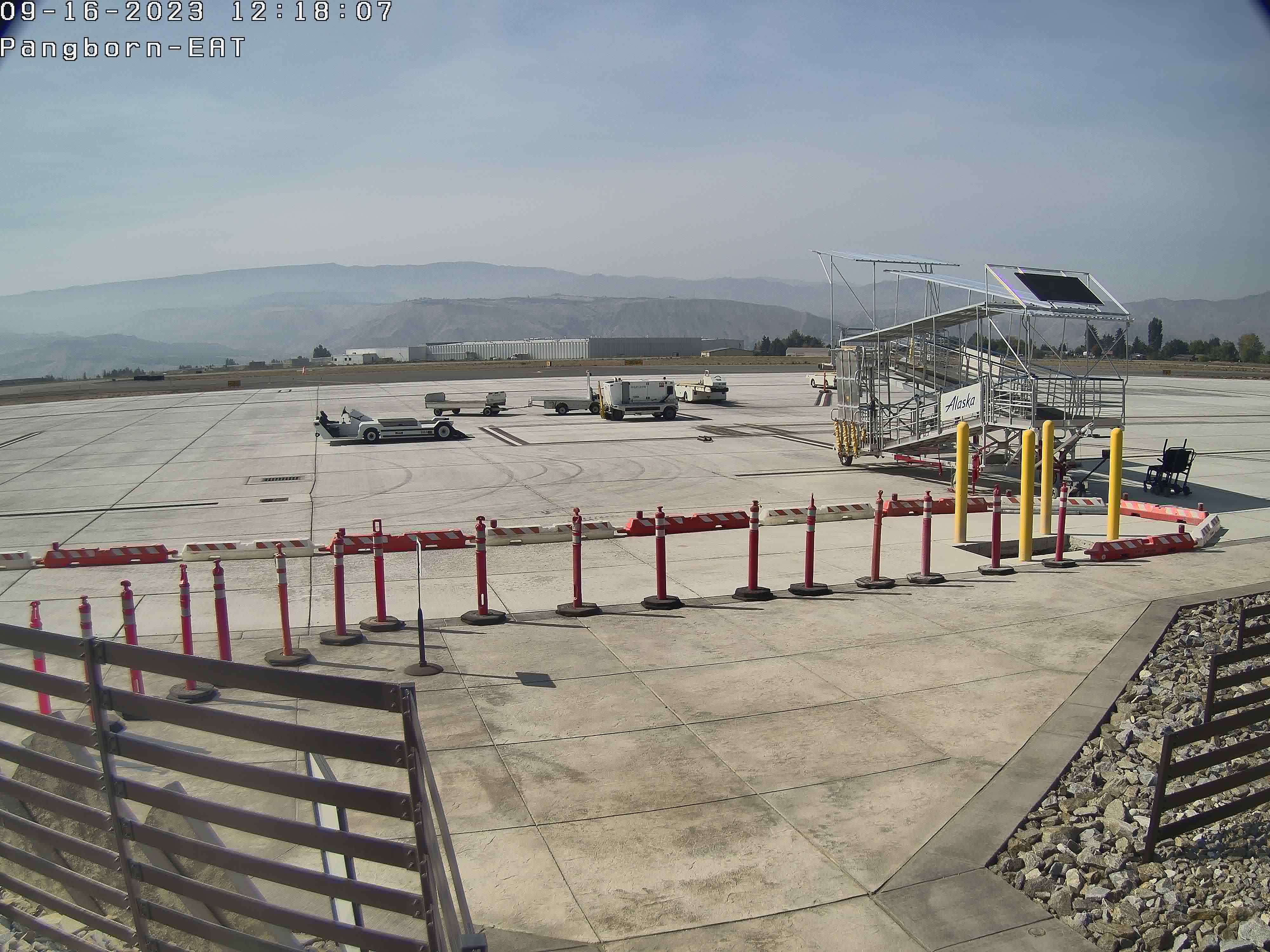
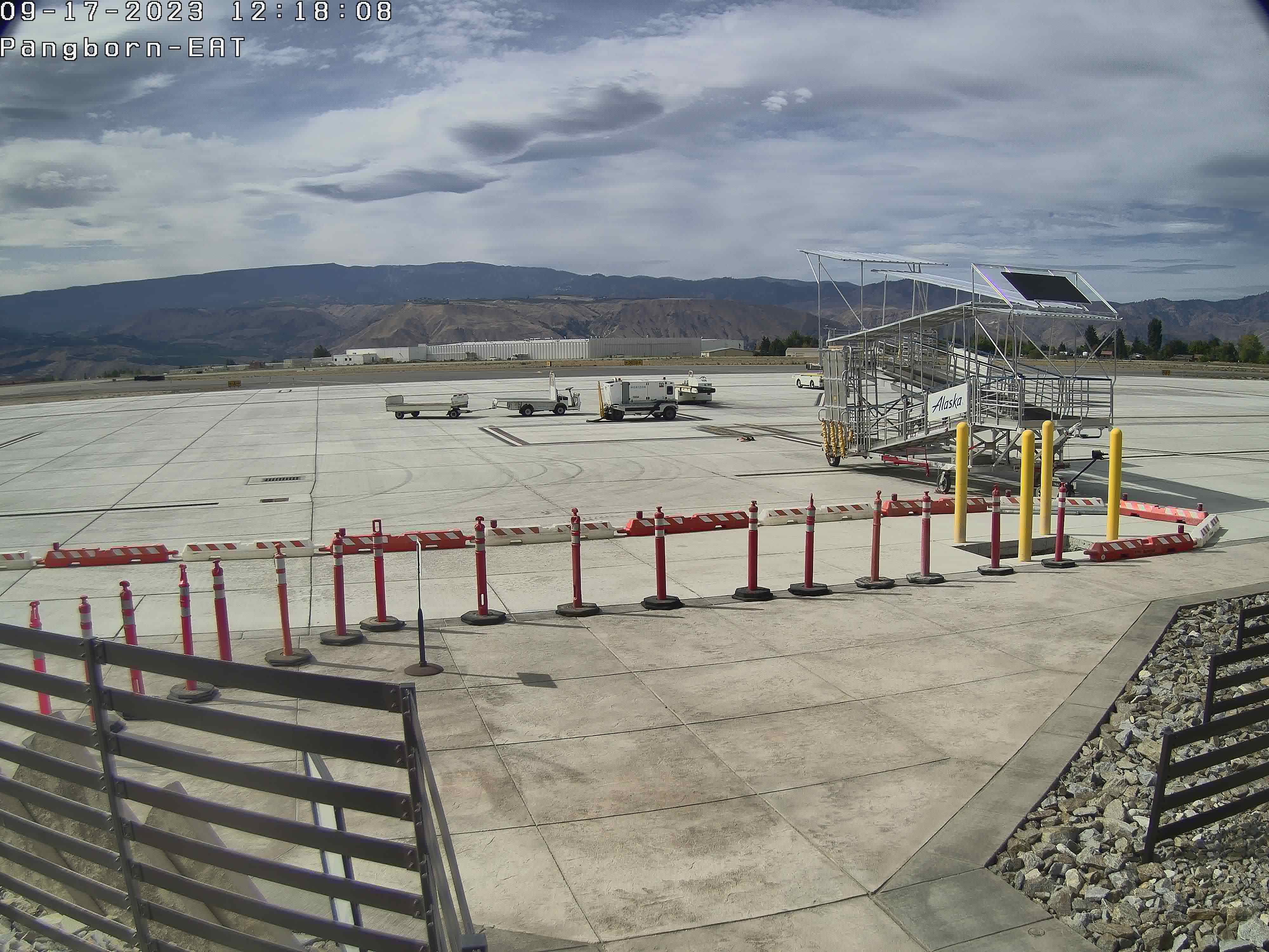
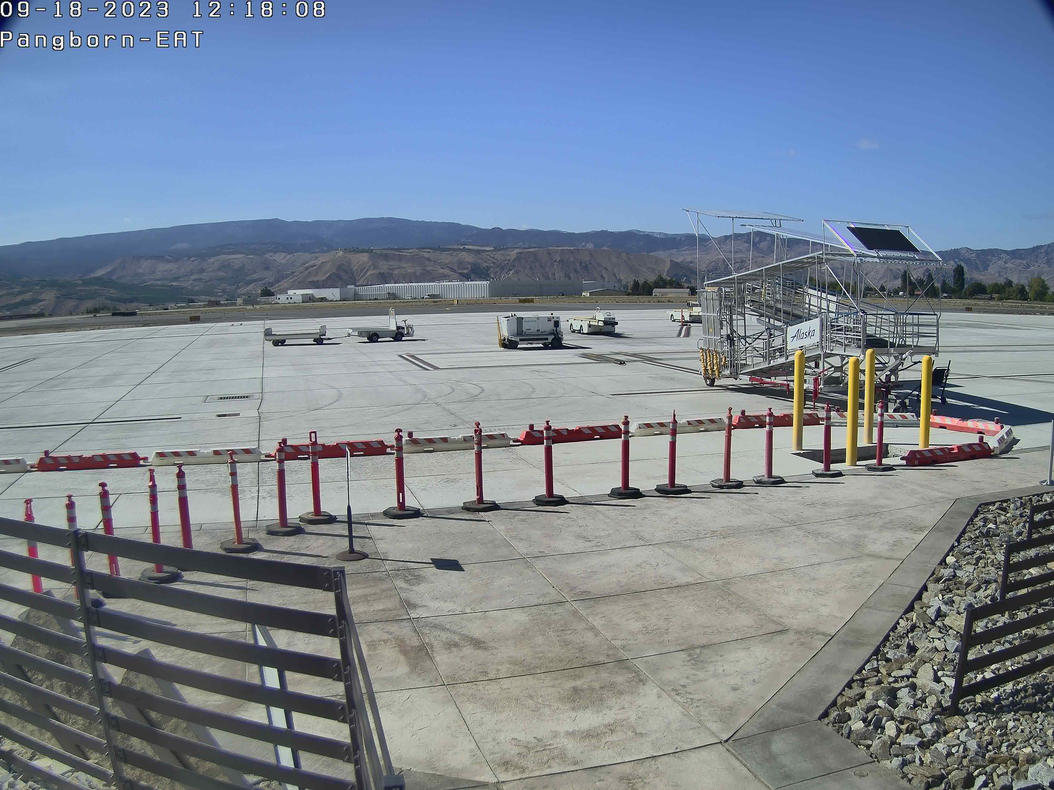
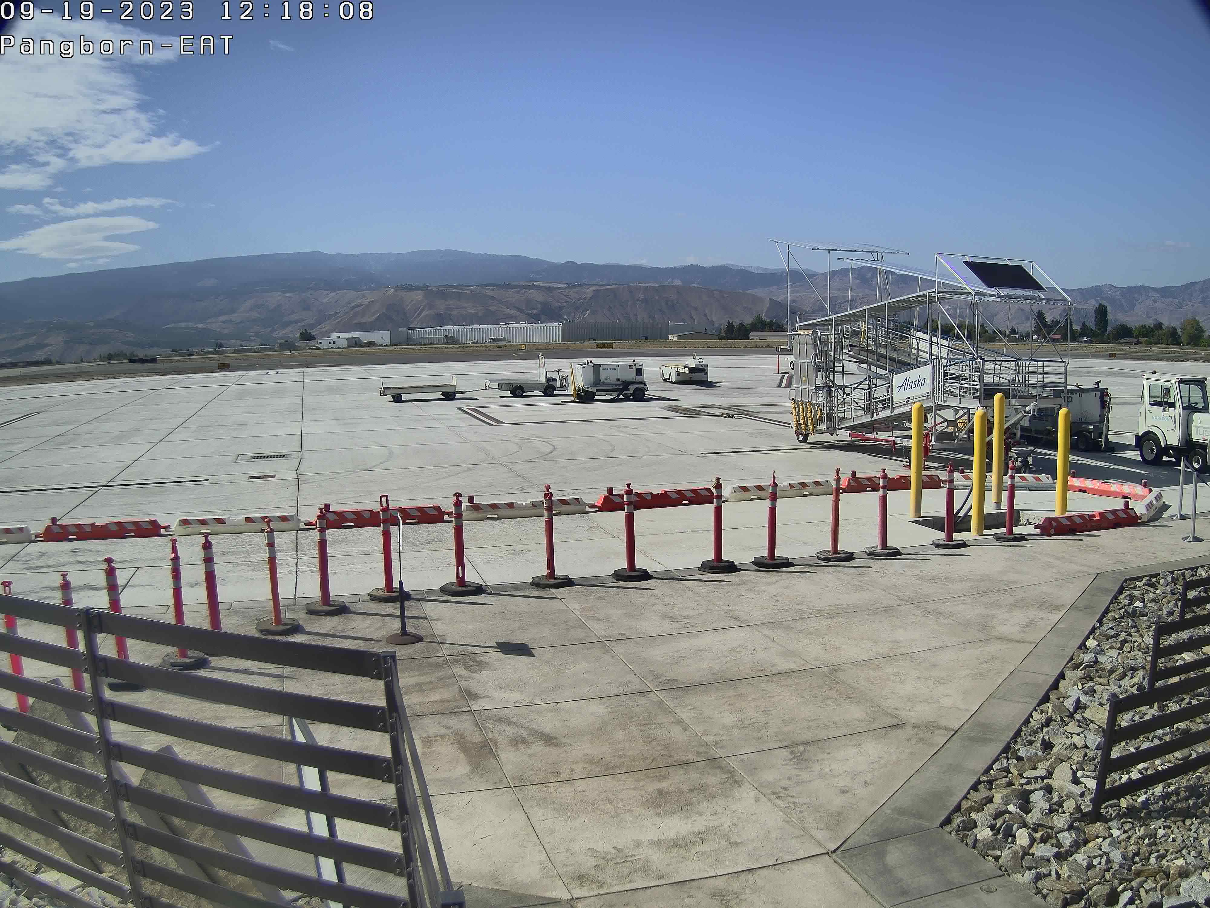
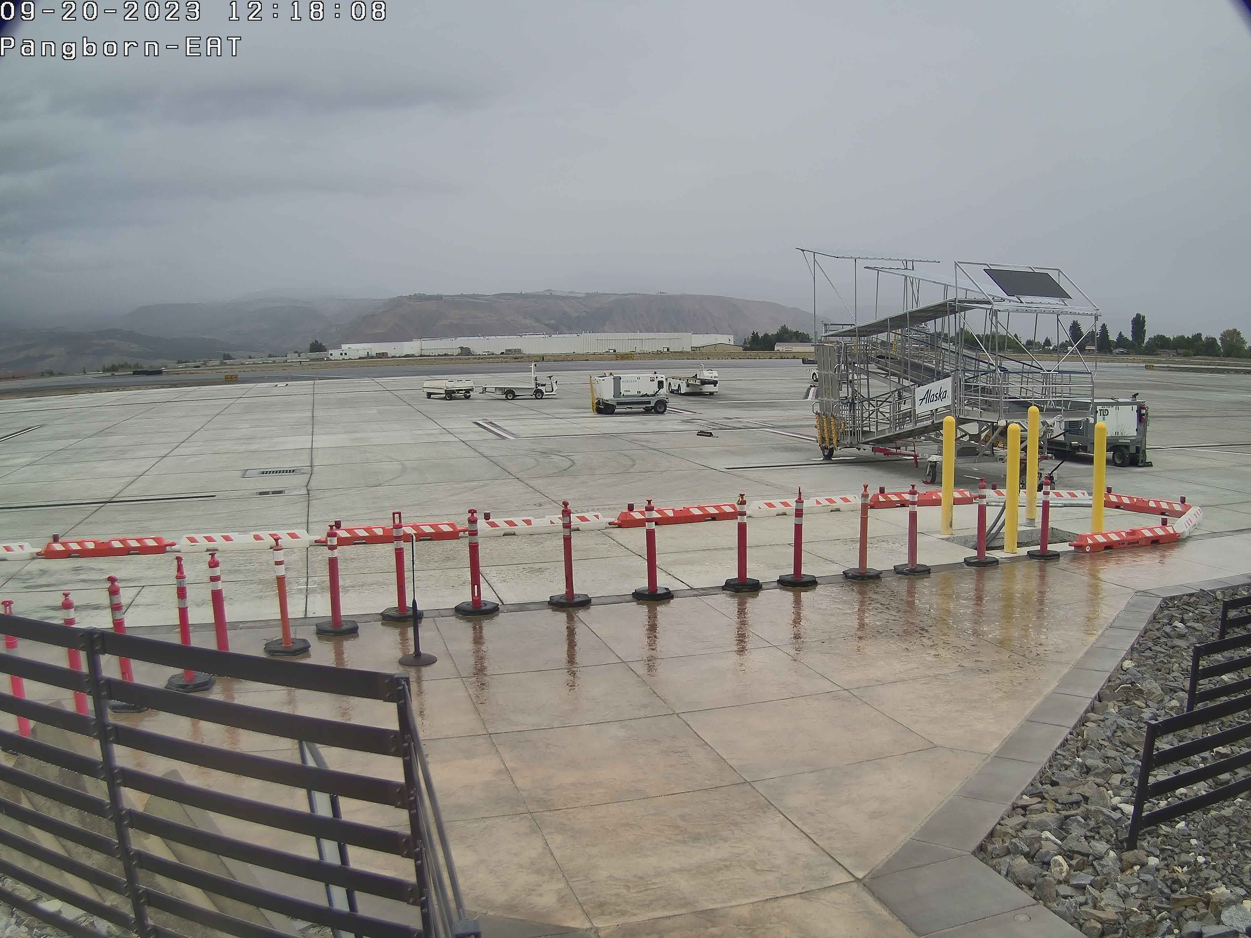
Wenatchee, Washington, USA - 124.5 miles from Relief: Pangborn Memorial Airport
Operator: Pangborn Memorial Airport
Operator: Pangborn Memorial Airport


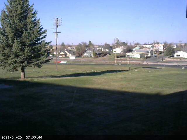
Condon, Oregon, USA - 131.5 miles from Relief: Condon High School - A view in southern direction.
Operator: Condon Schools
Operator: Condon Schools


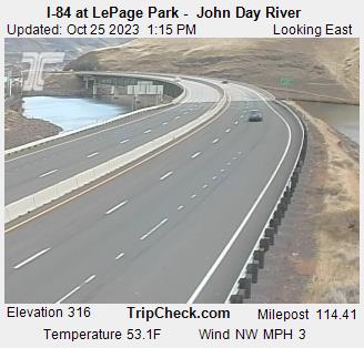
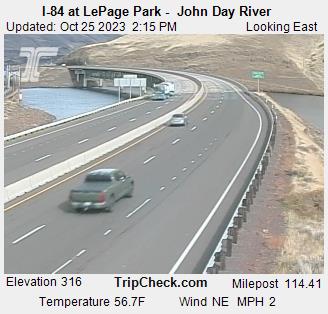
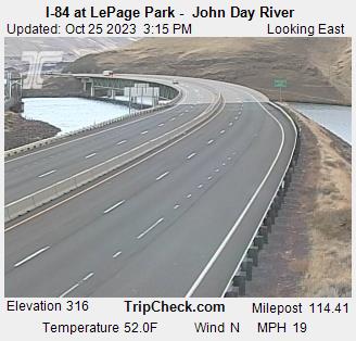
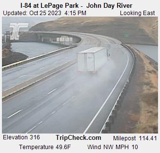
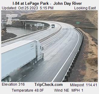
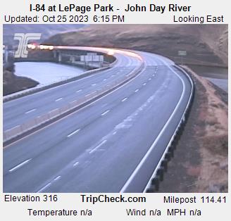
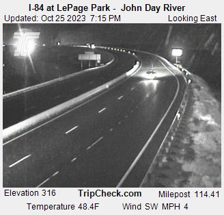
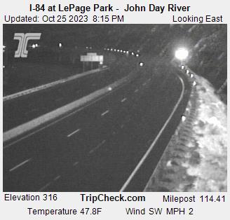
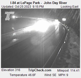
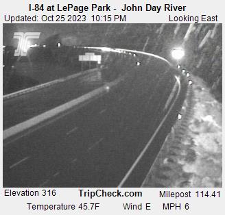
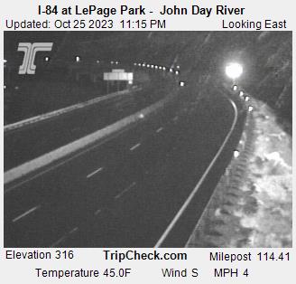
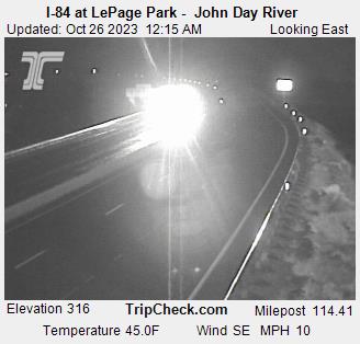
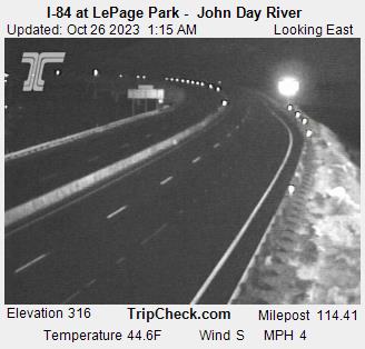
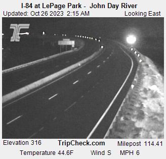
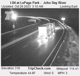
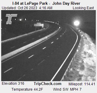
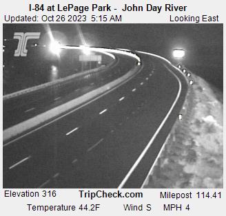
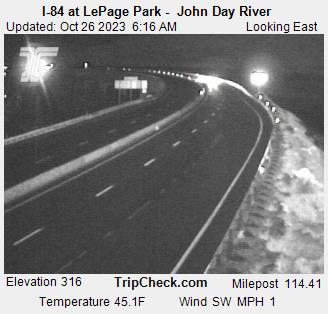
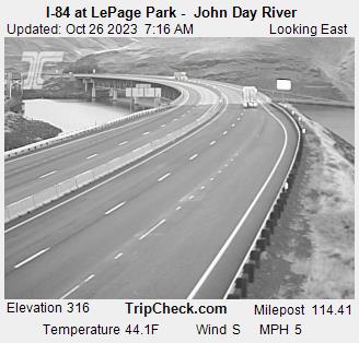
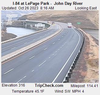
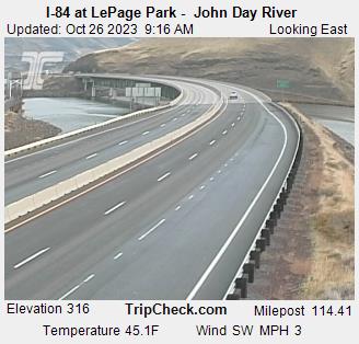
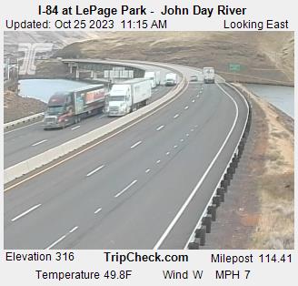
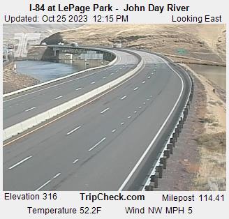
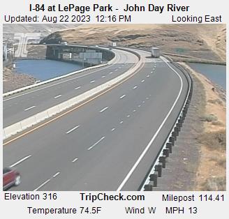
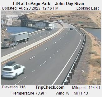
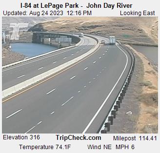
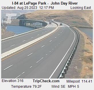
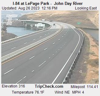
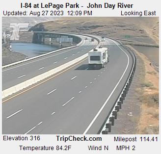
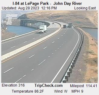
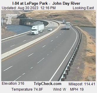
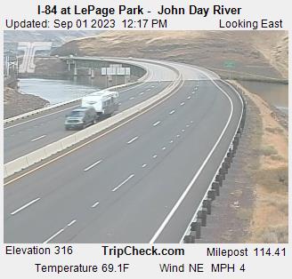
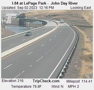
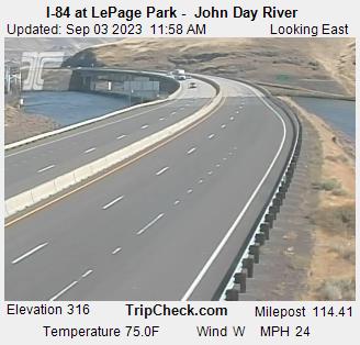
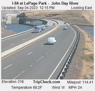
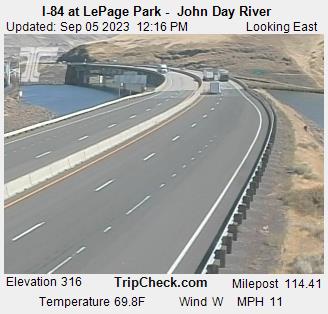
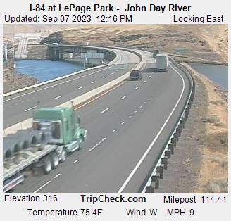
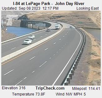
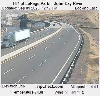
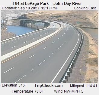
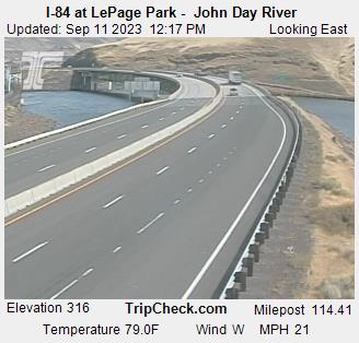
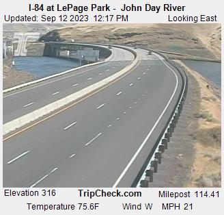
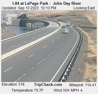
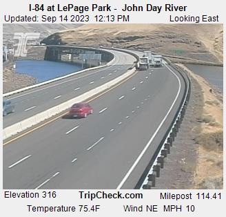
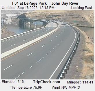
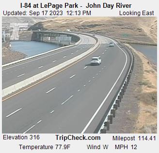
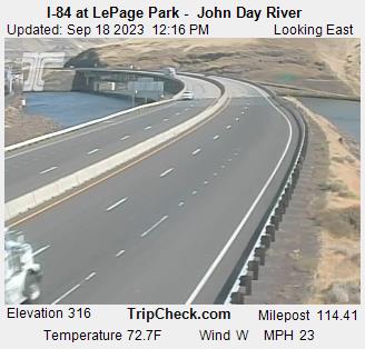
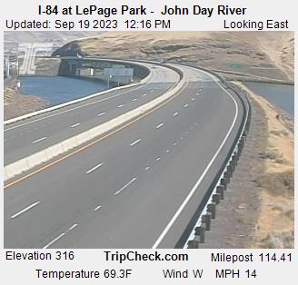
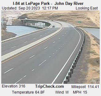
Wasco, Oregon, USA - 138.7 miles from Relief: I-84 at LePage Park - John Day River - A view of the current traffic situation on the I-84.
Operator: Oregon Department of Transportation
Operator: Oregon Department of Transportation


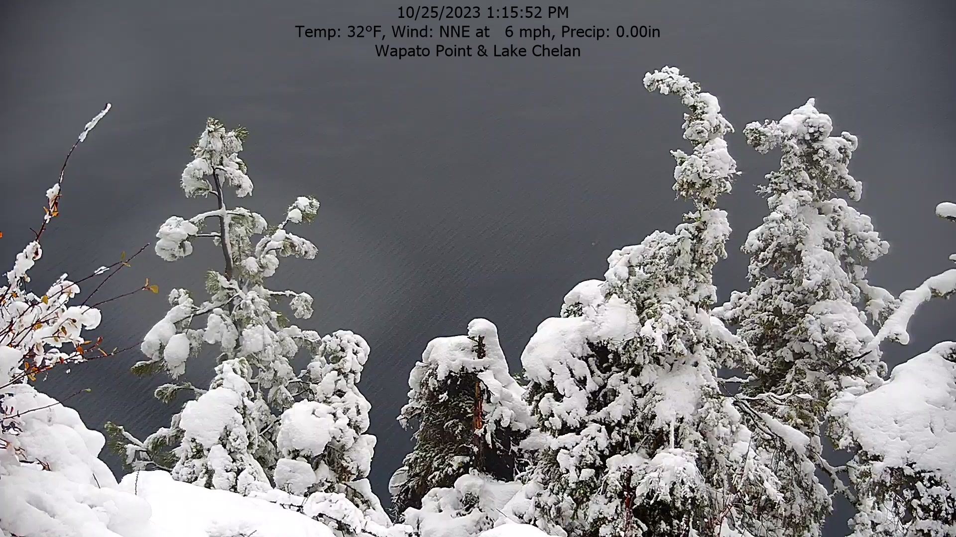
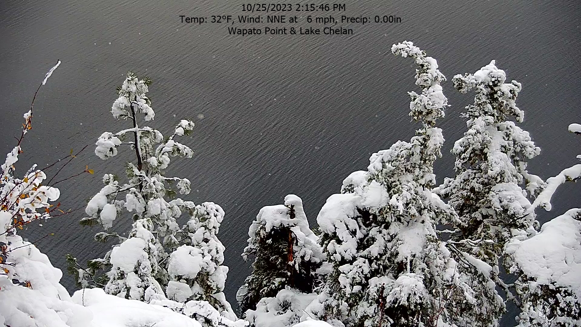
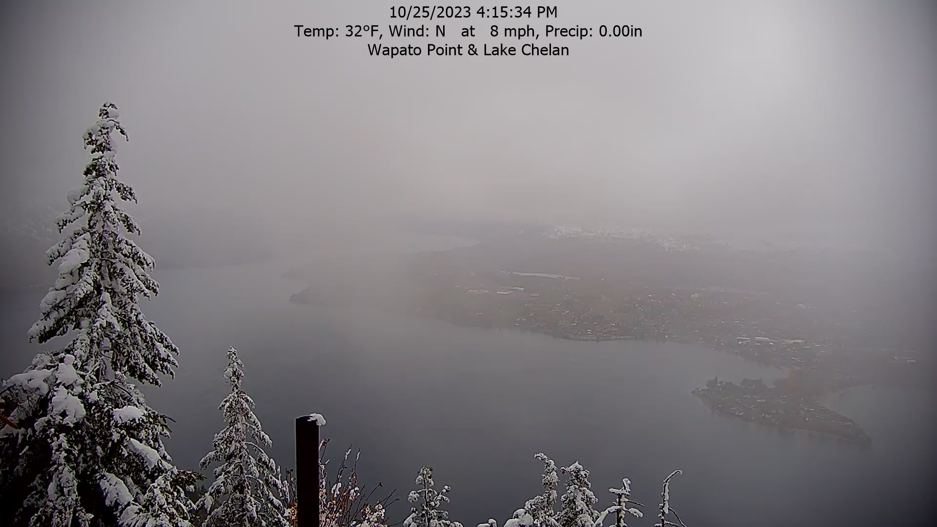
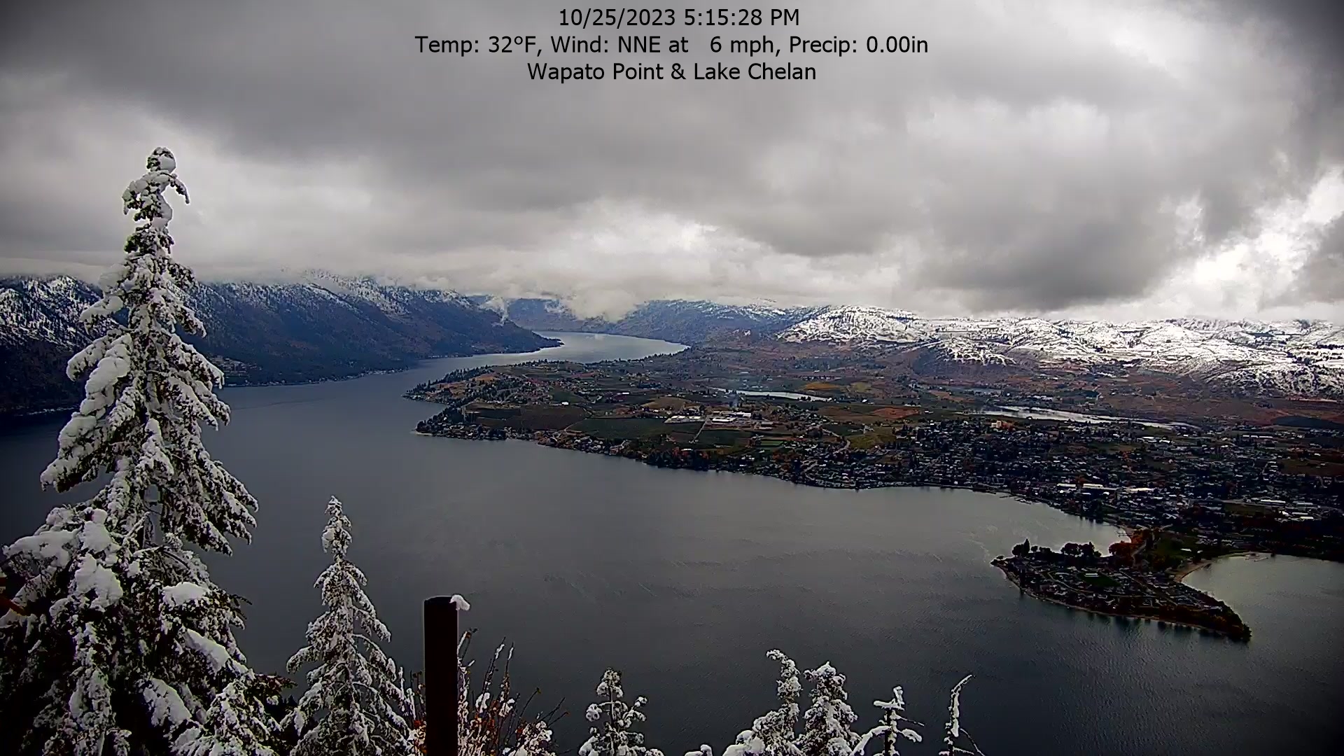
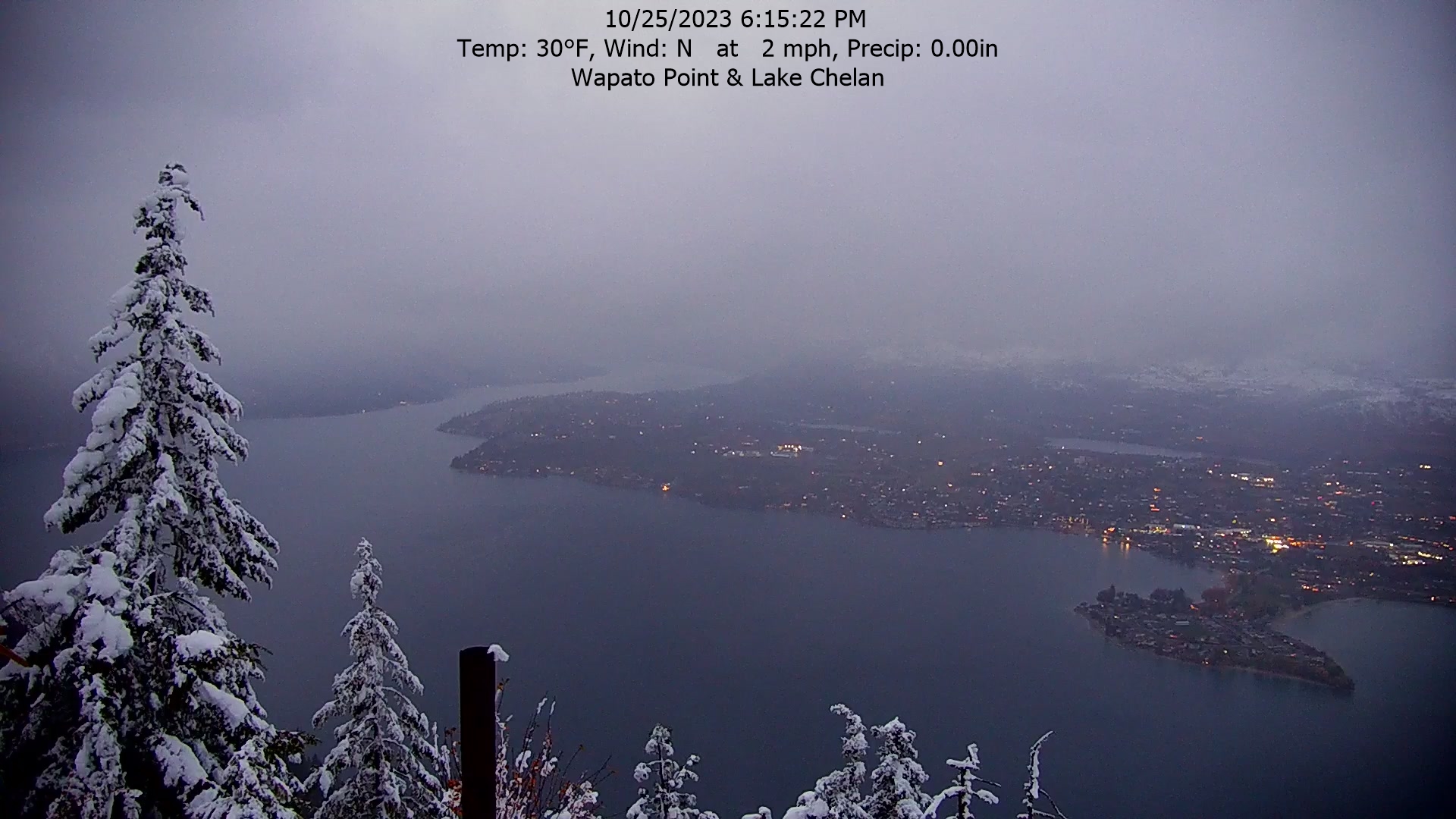
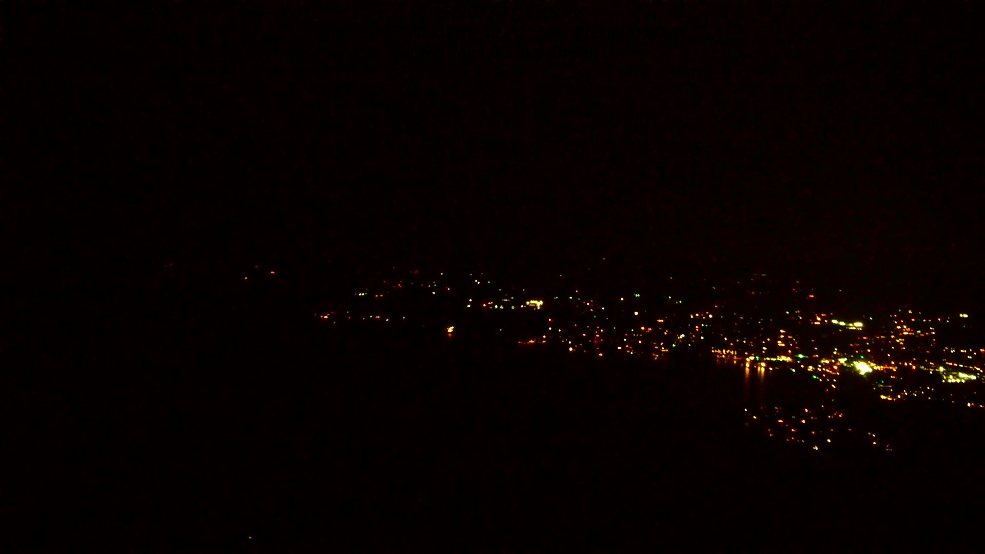
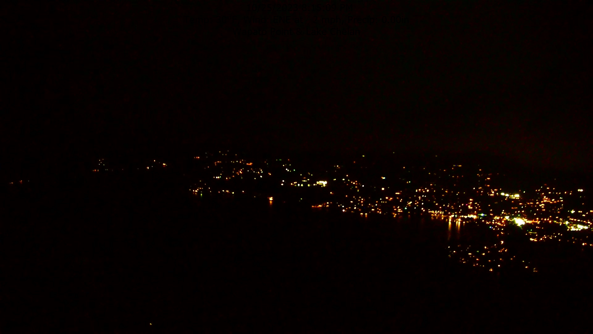
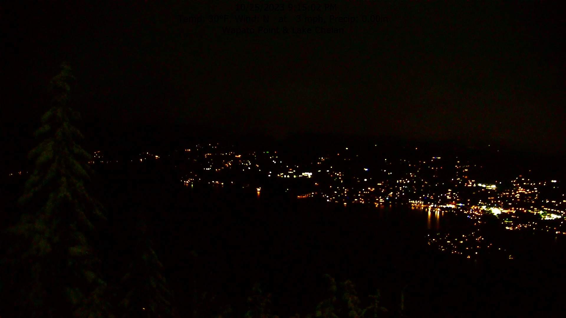
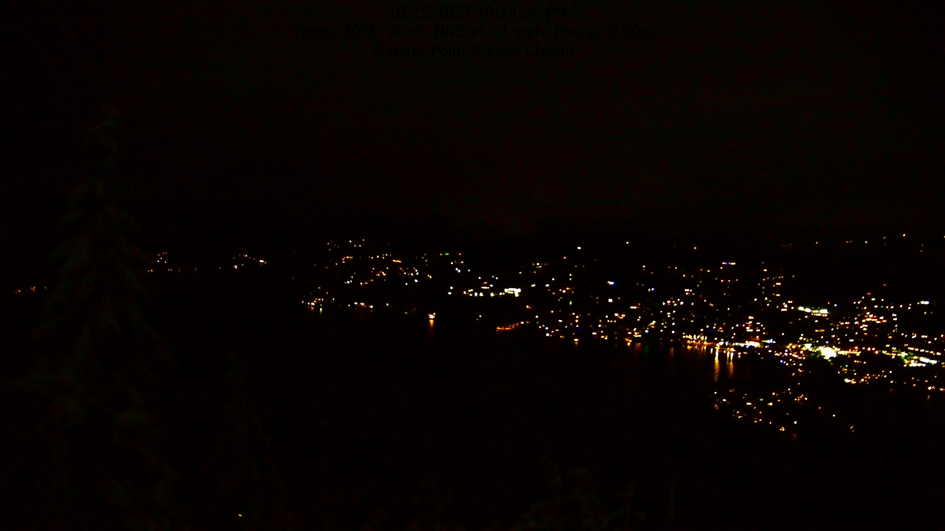
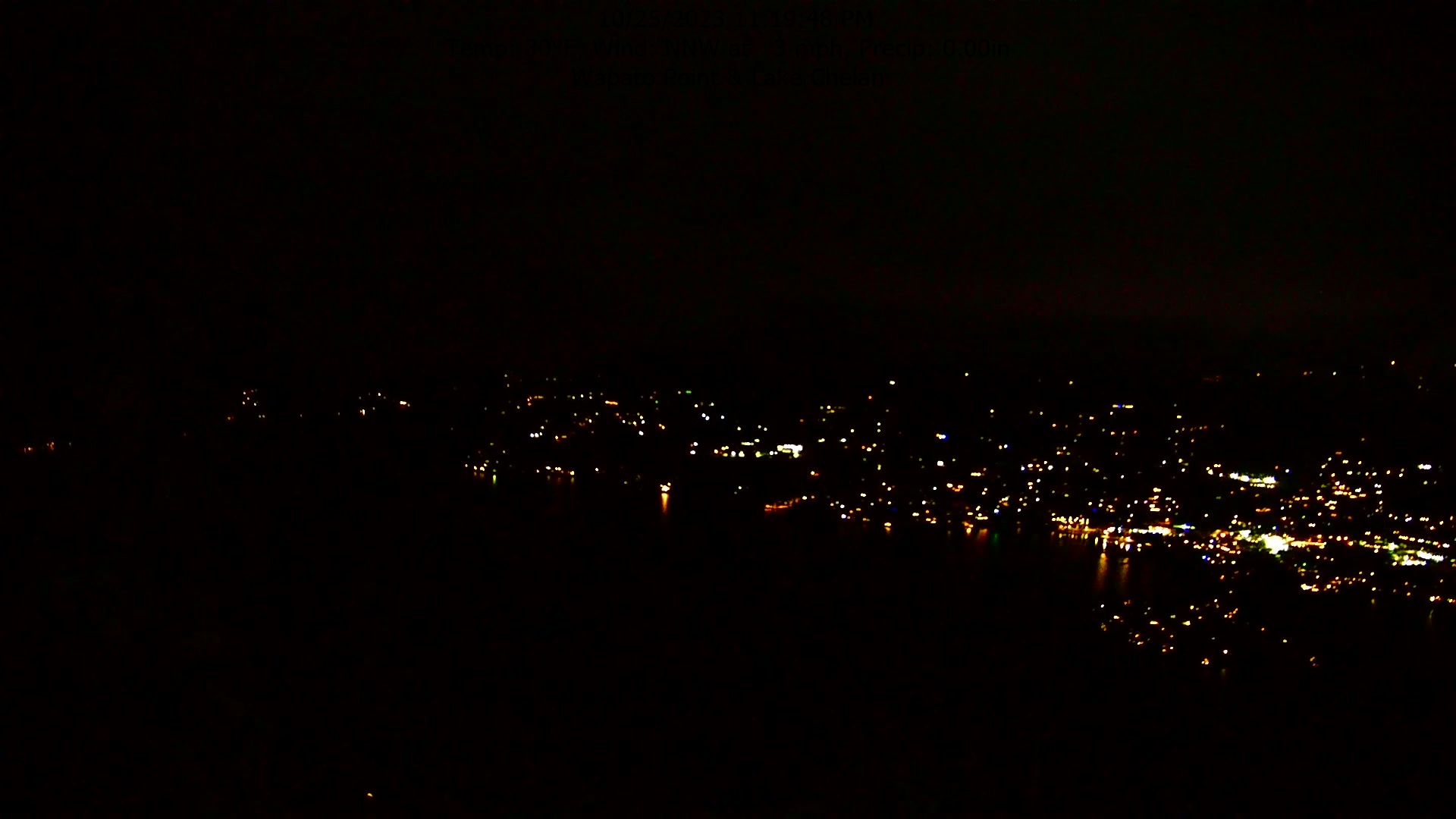
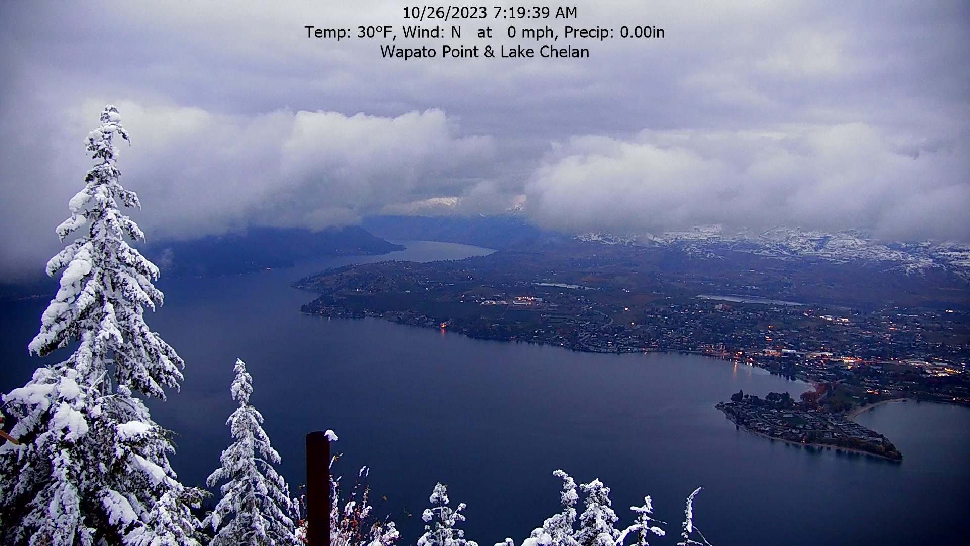
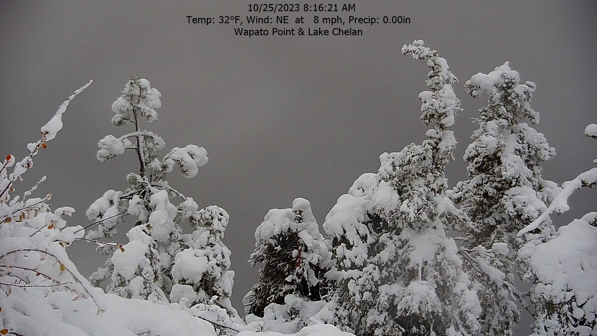
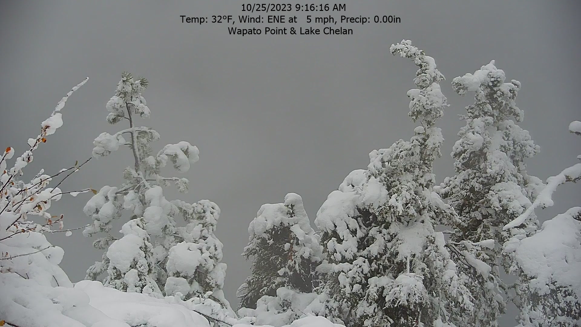
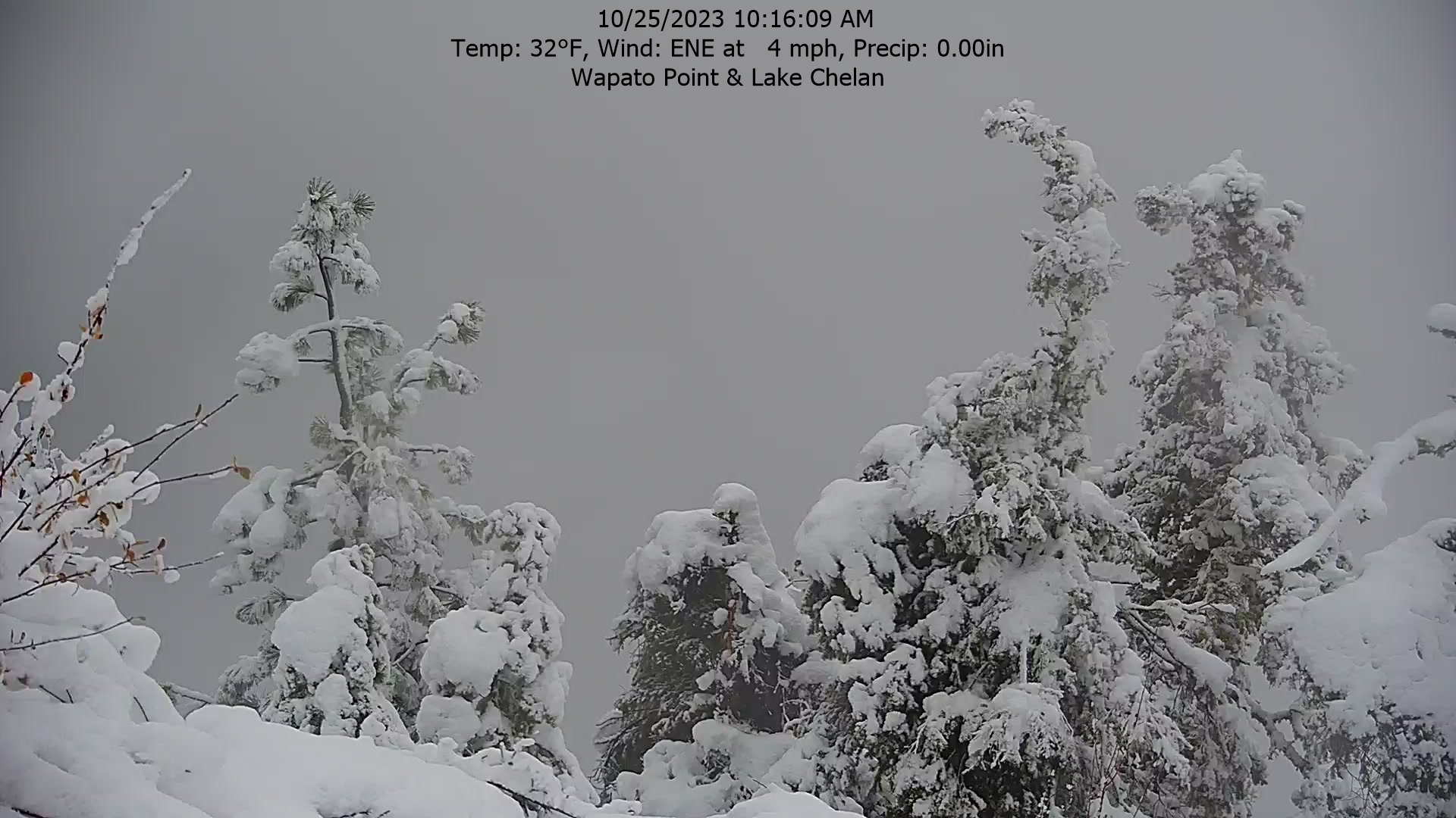
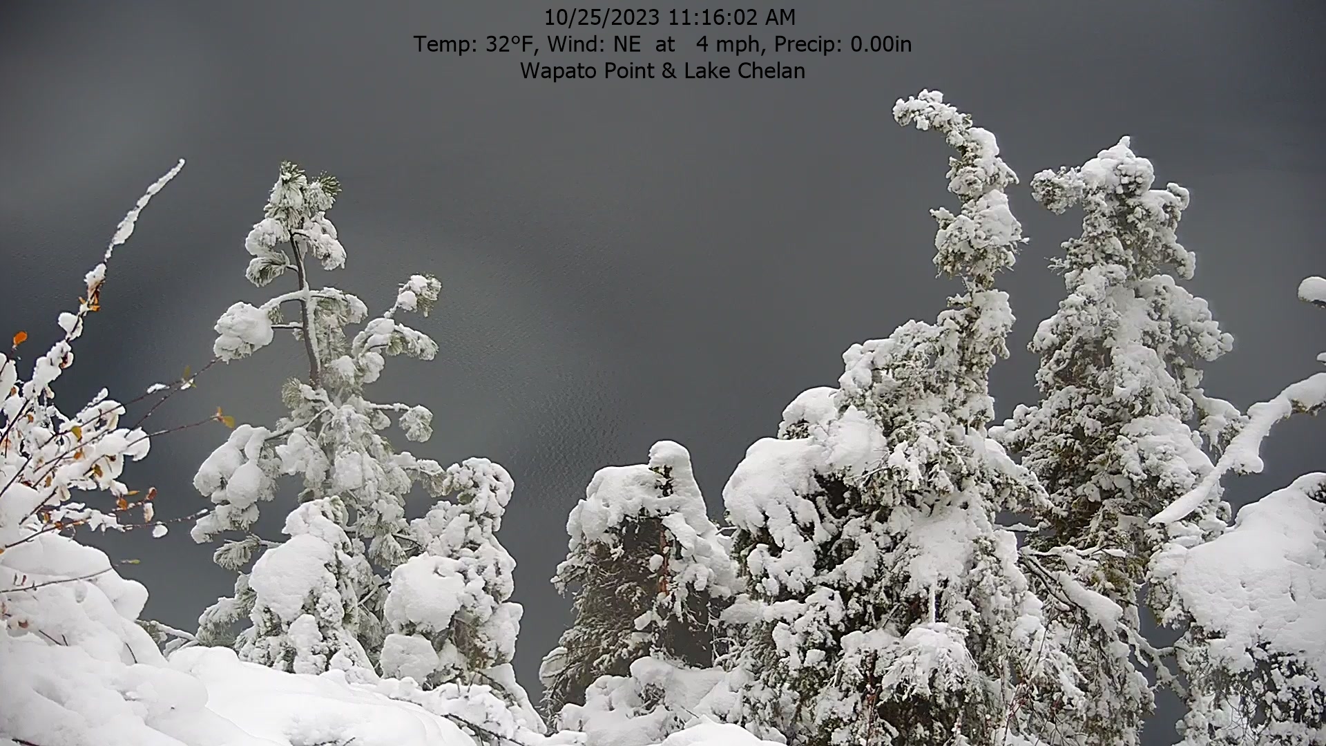
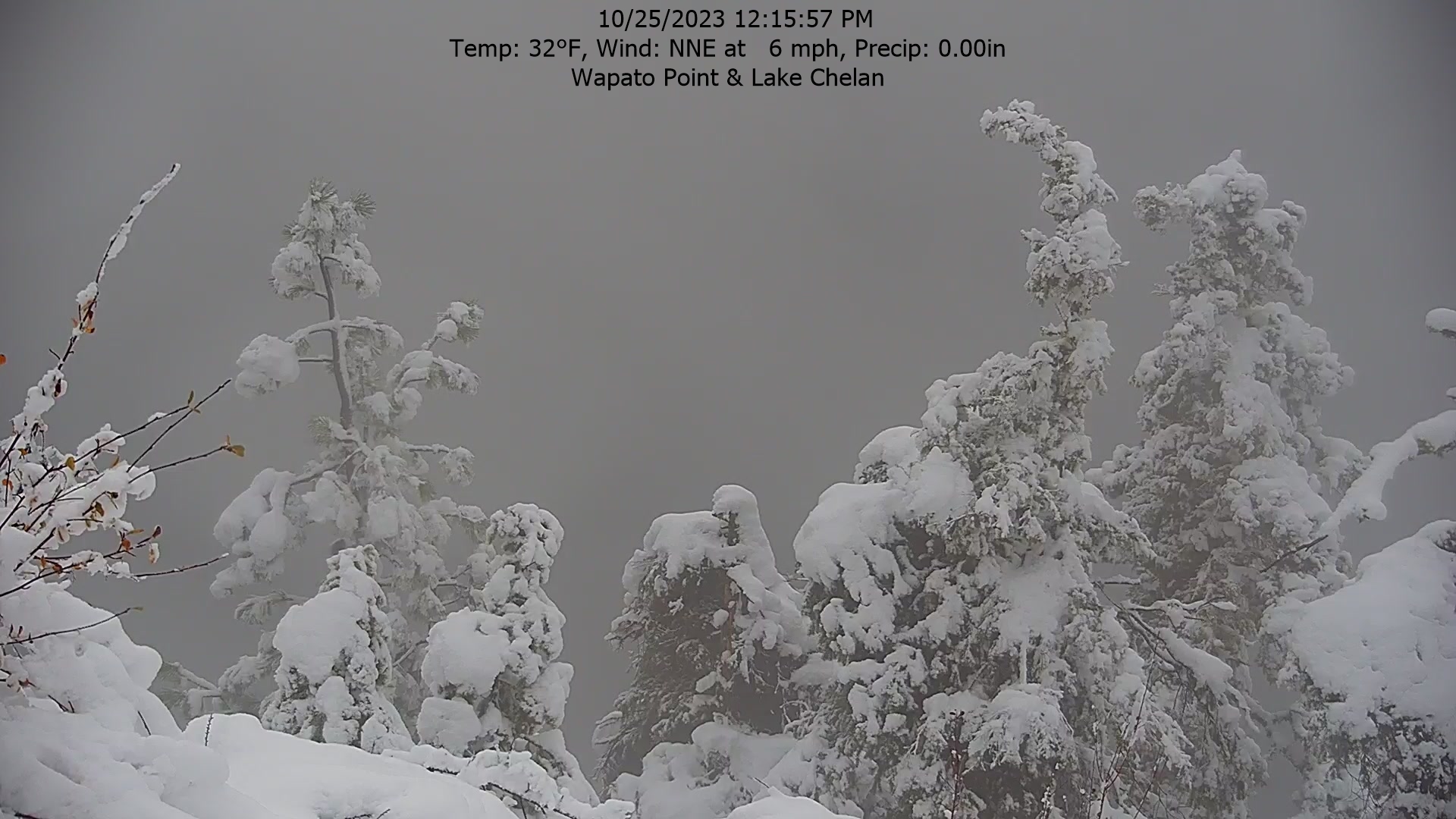
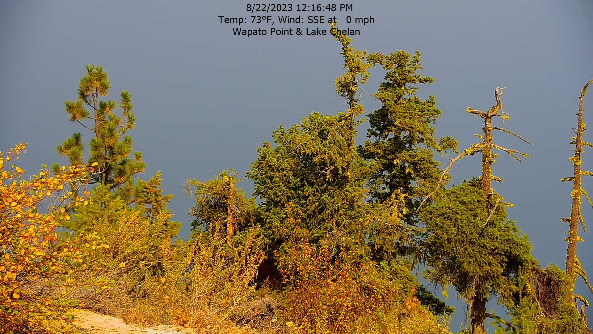
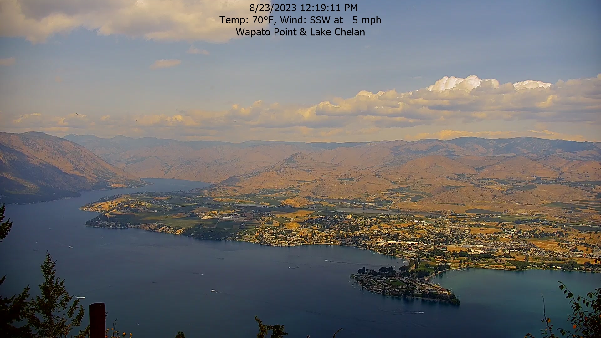
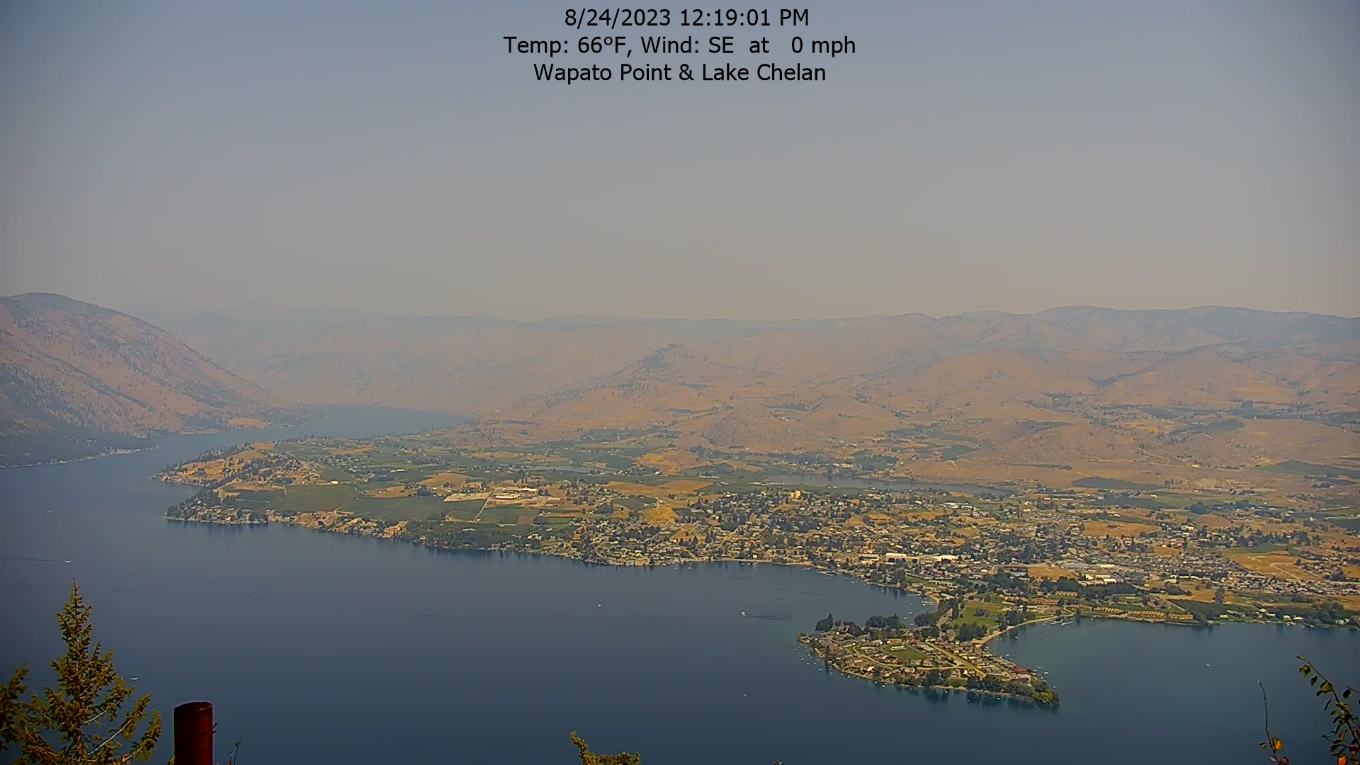
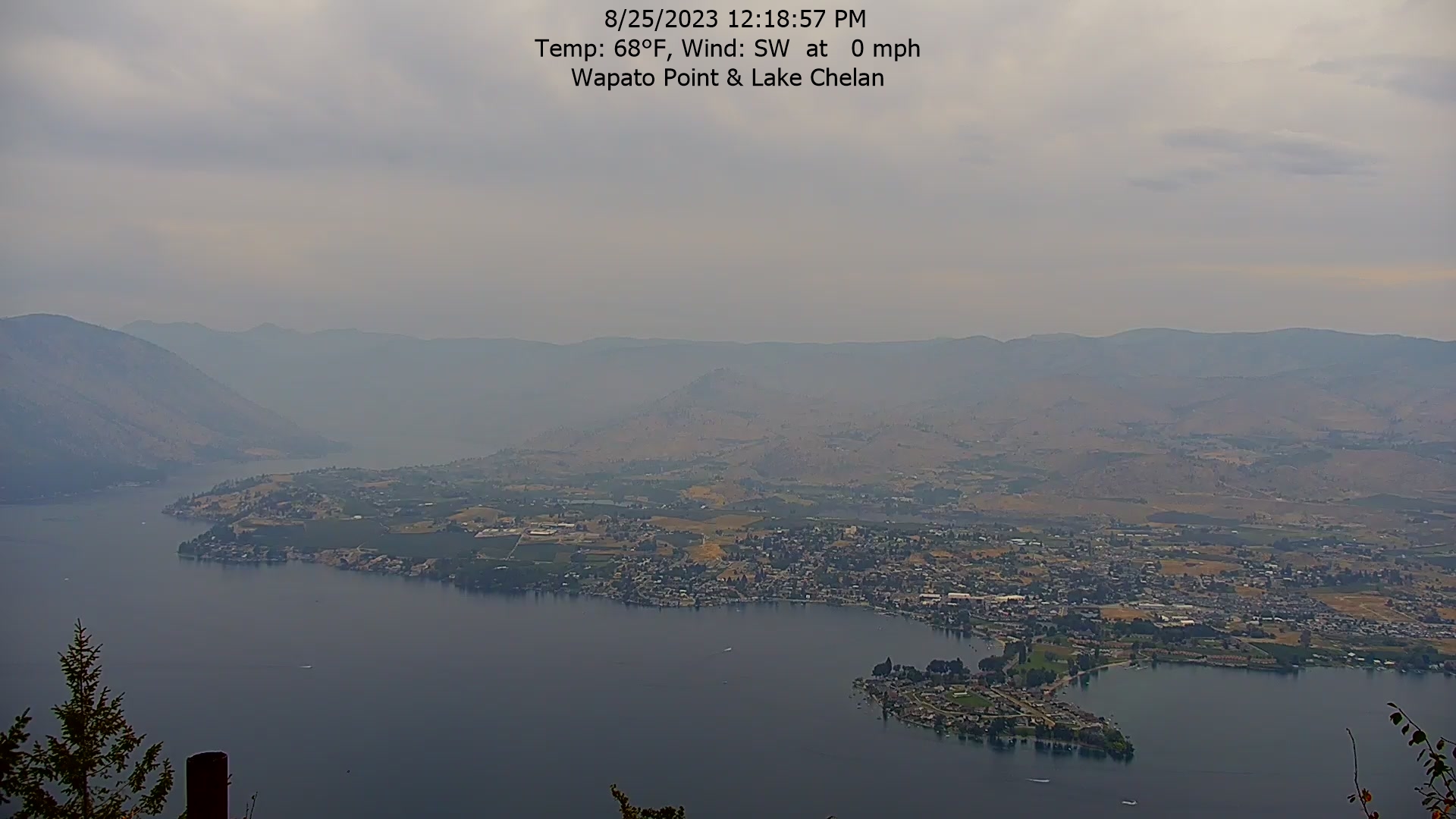
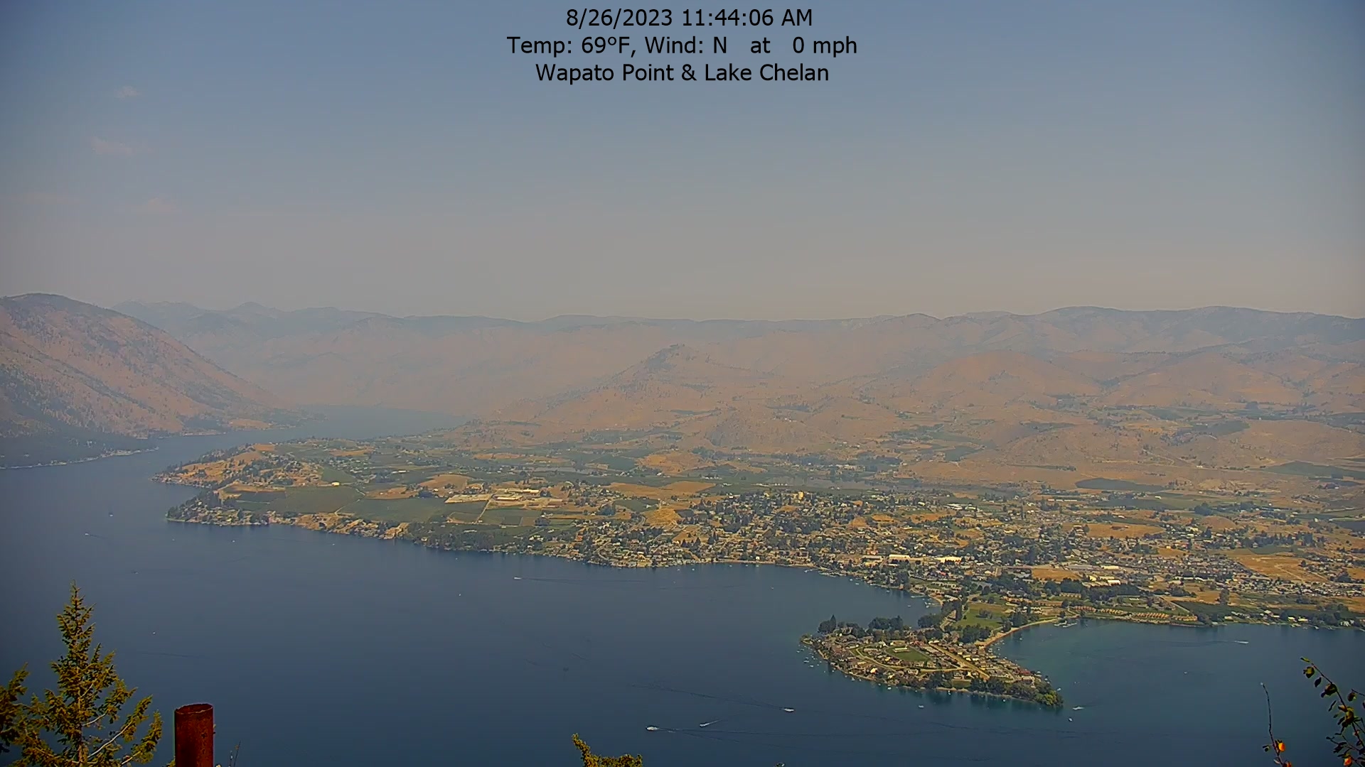
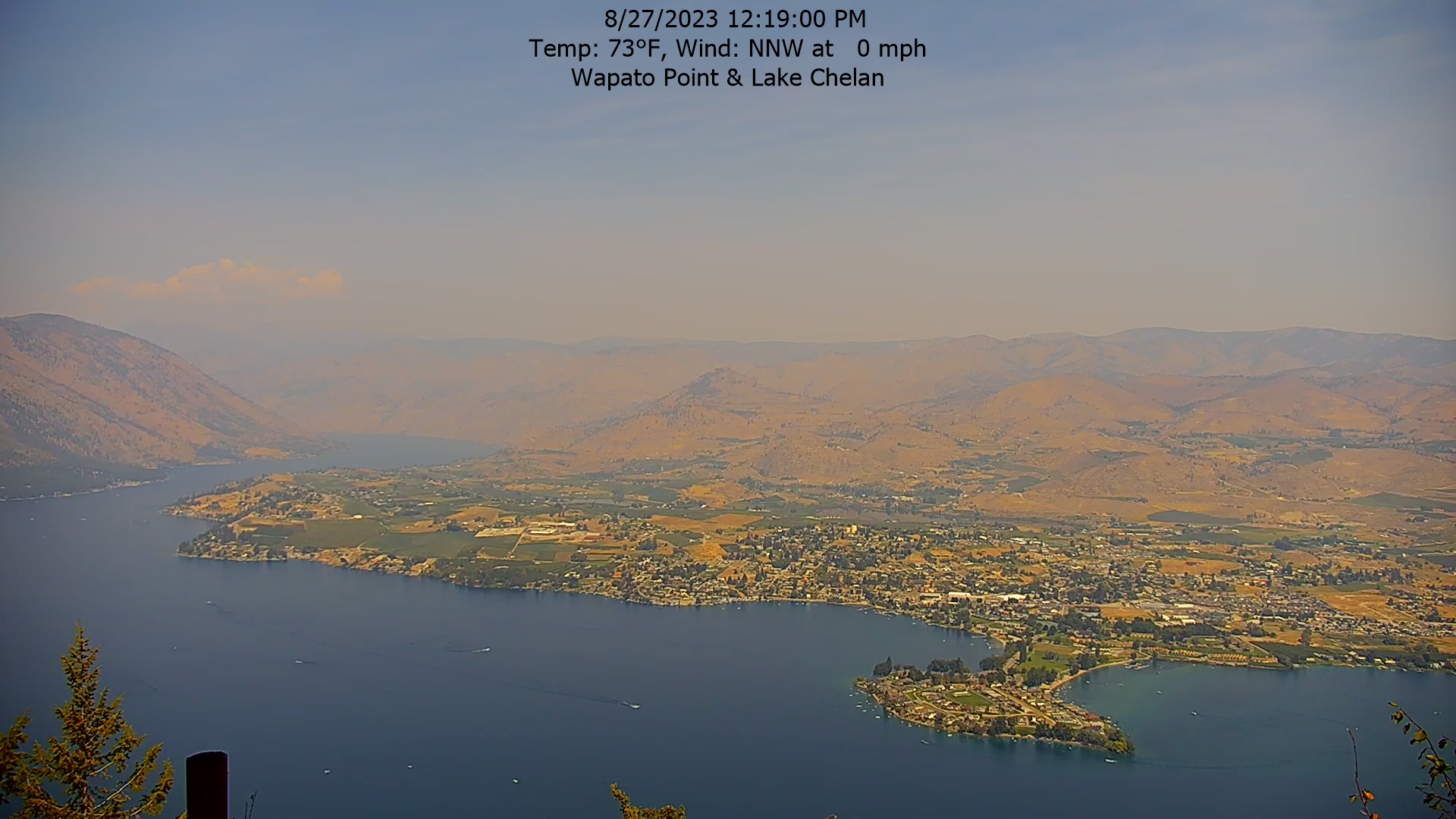
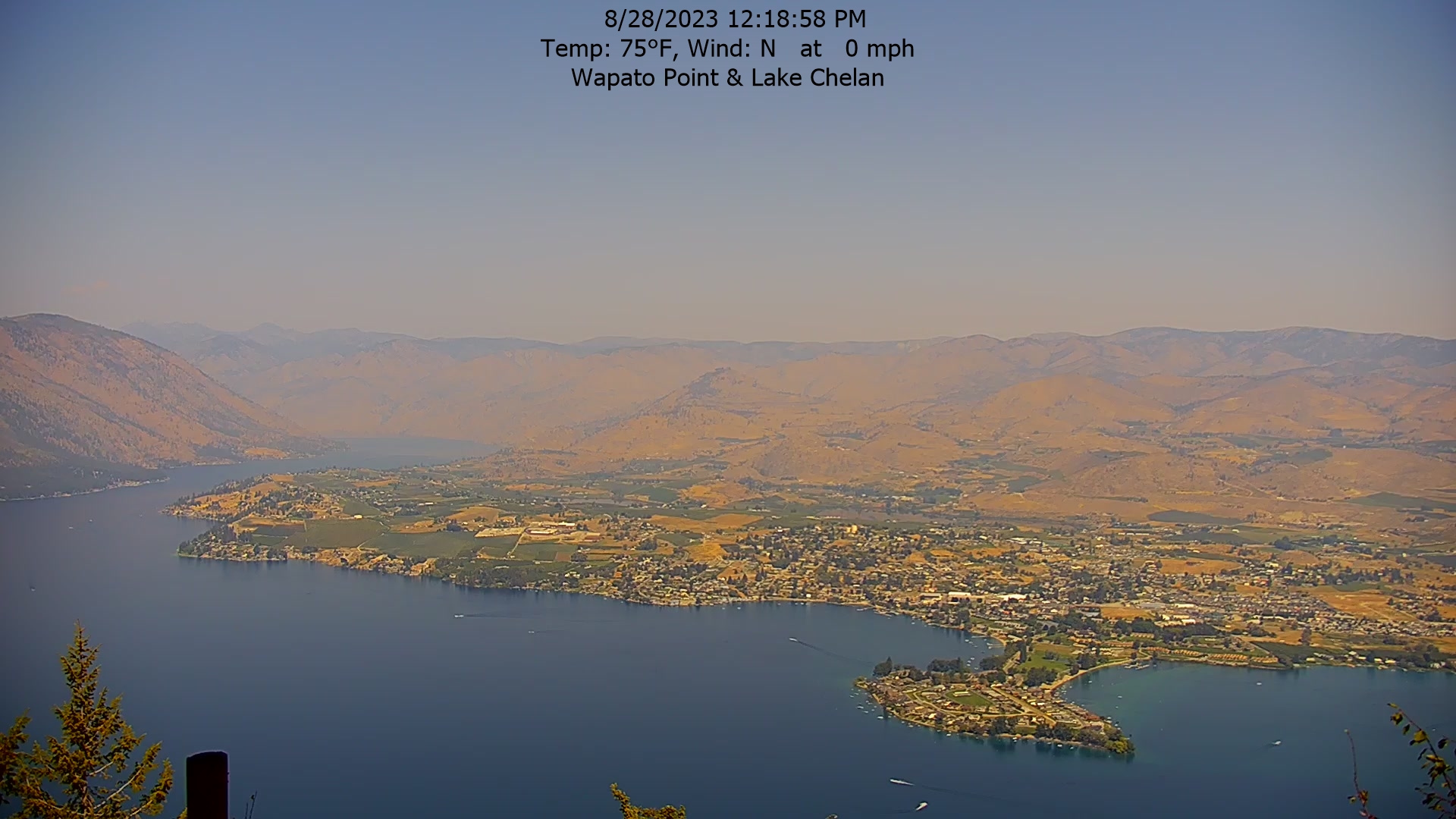
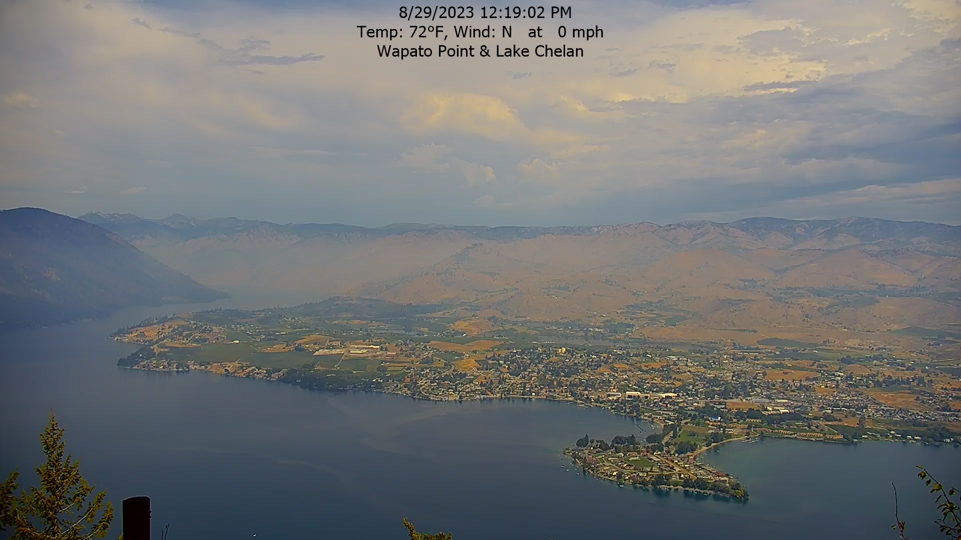
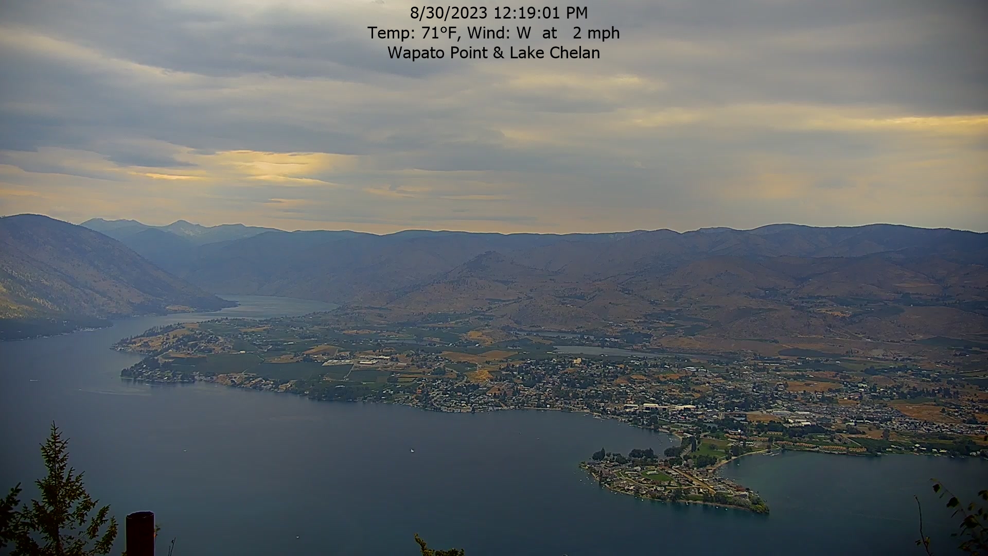
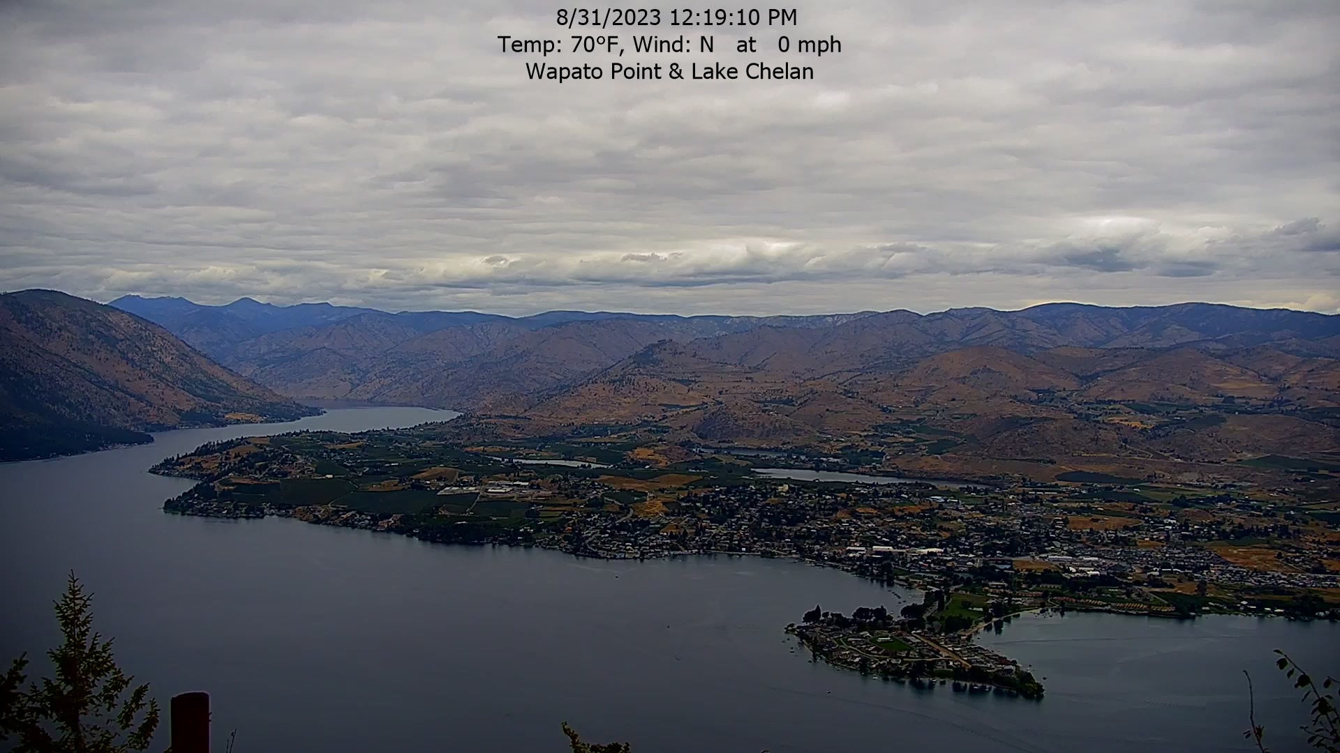
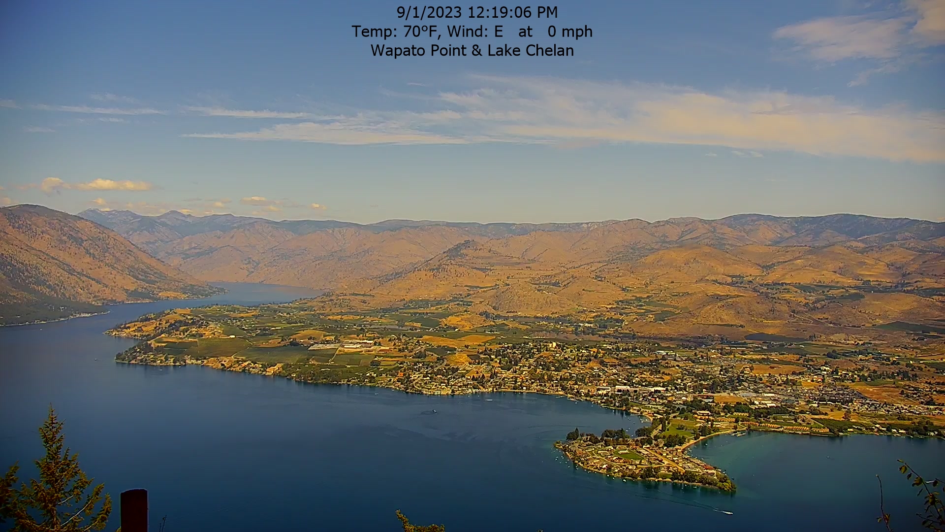
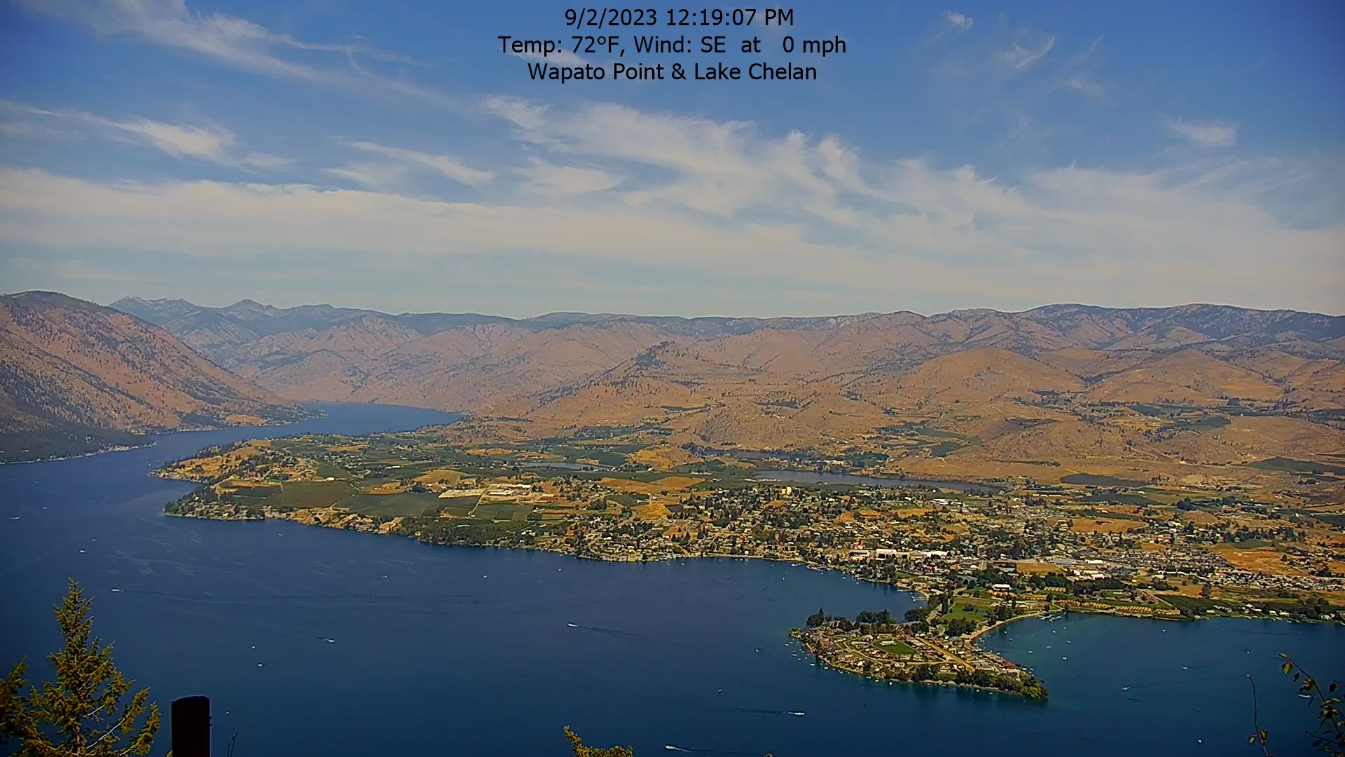
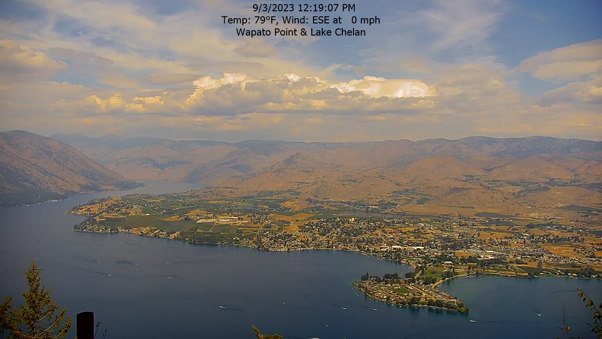
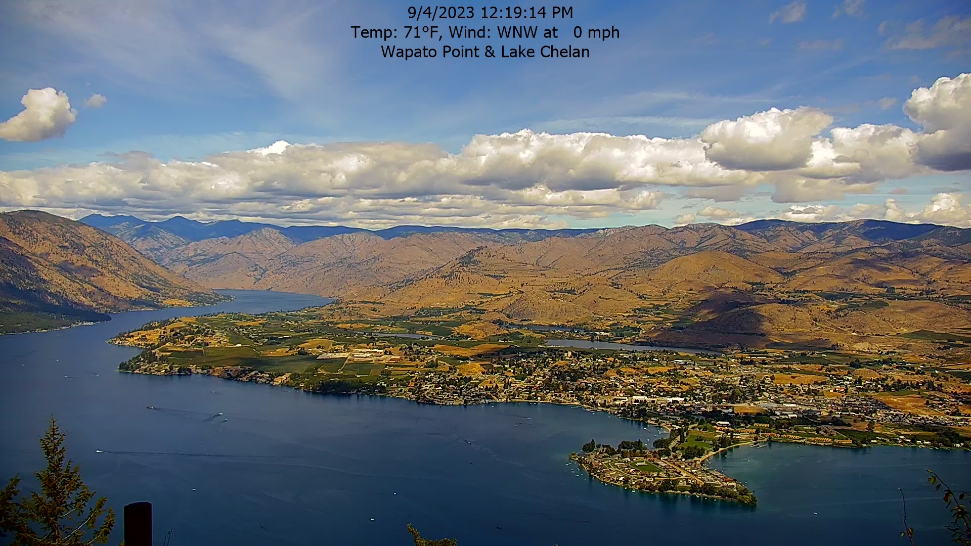
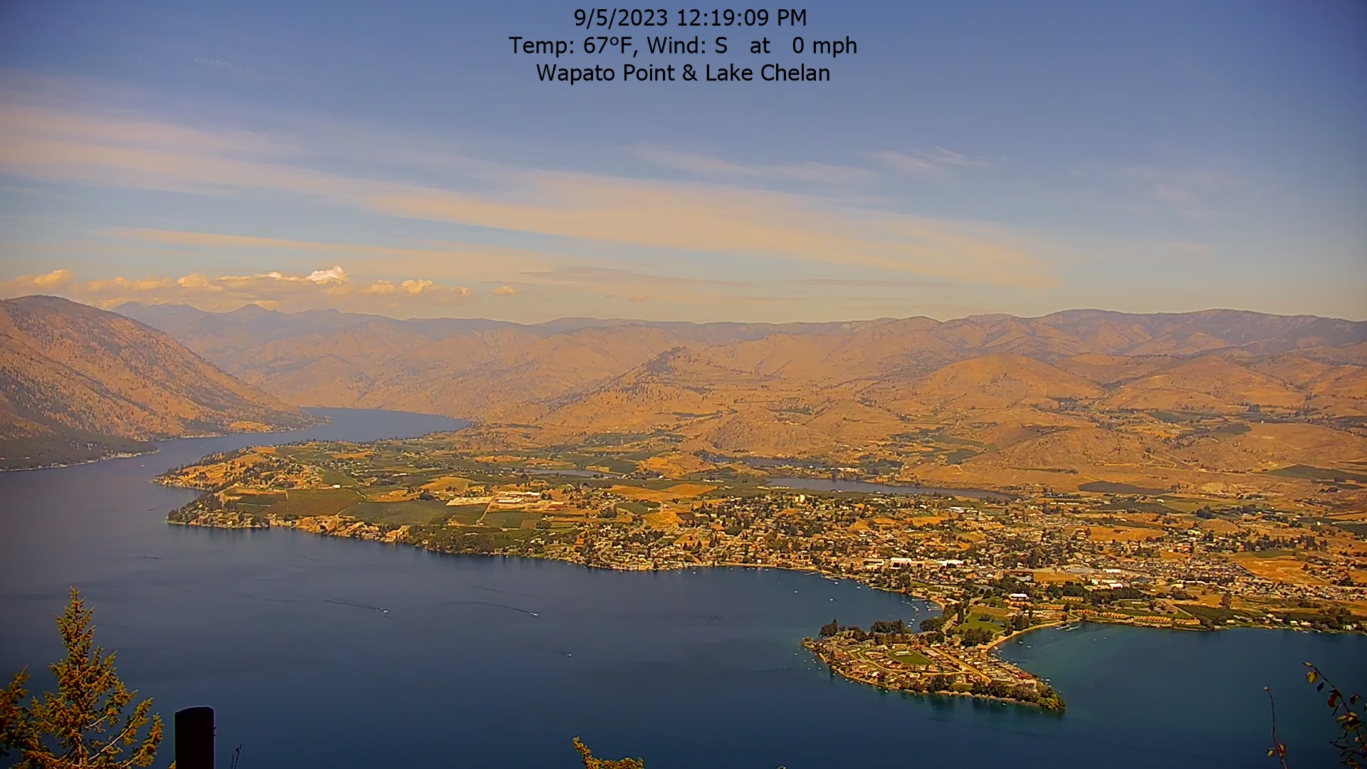
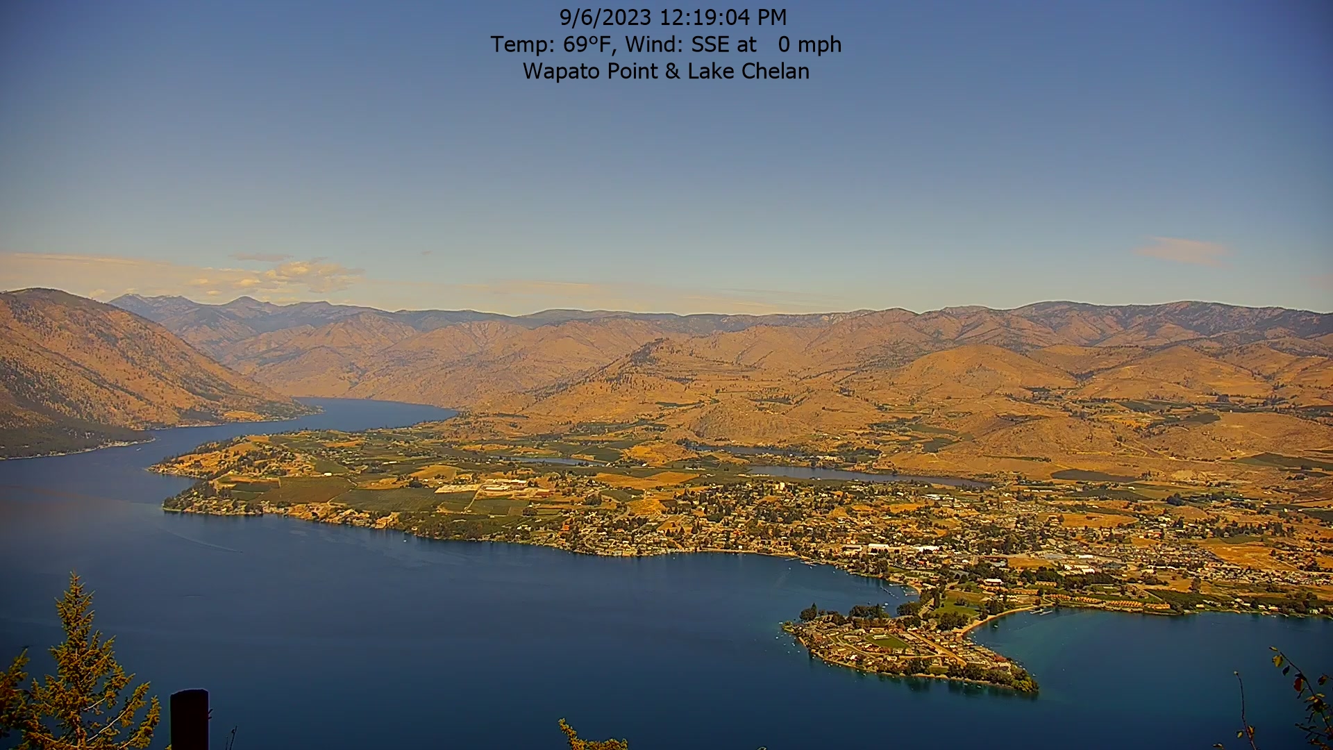
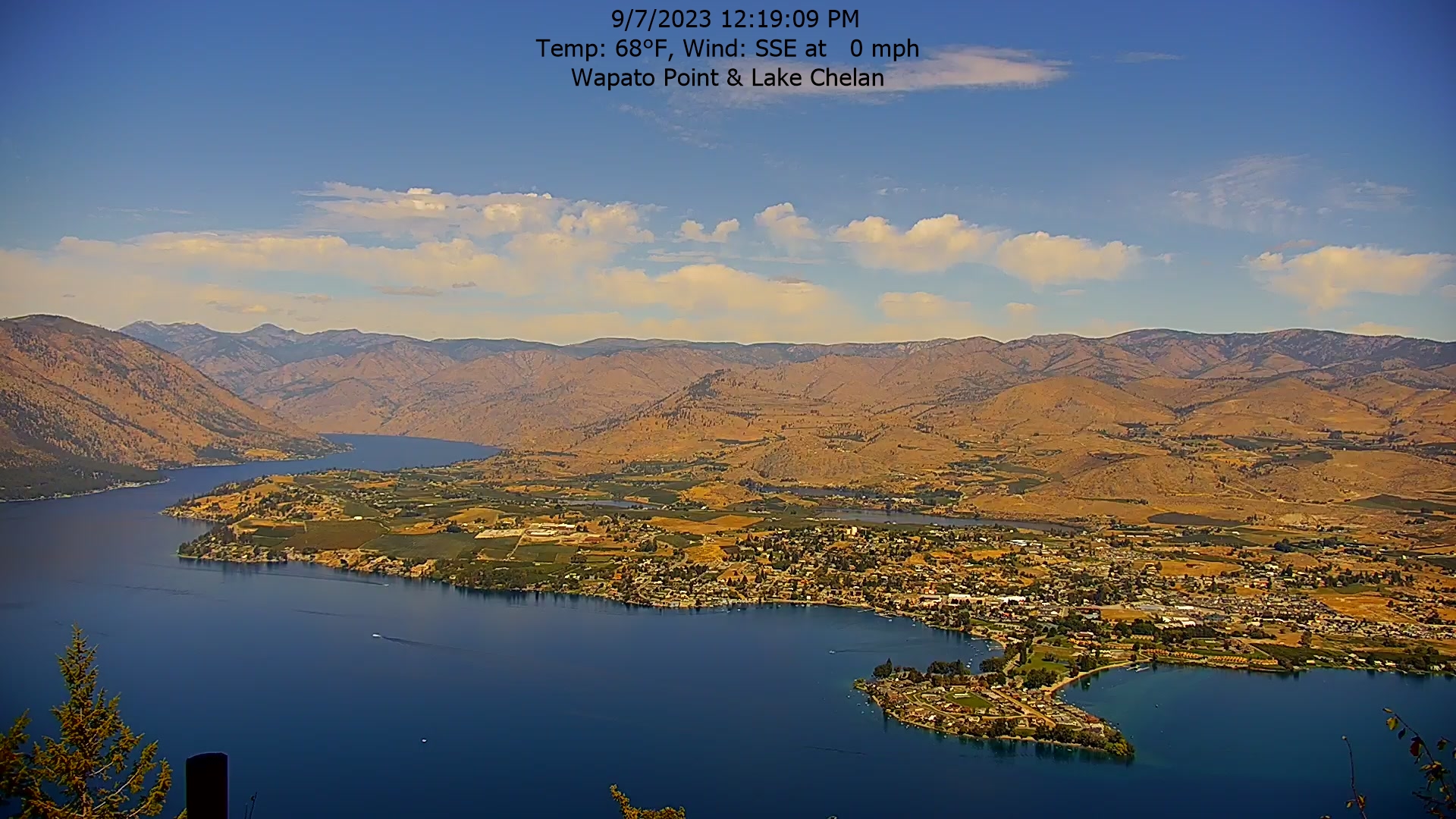
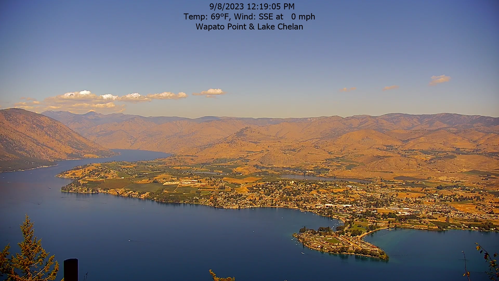
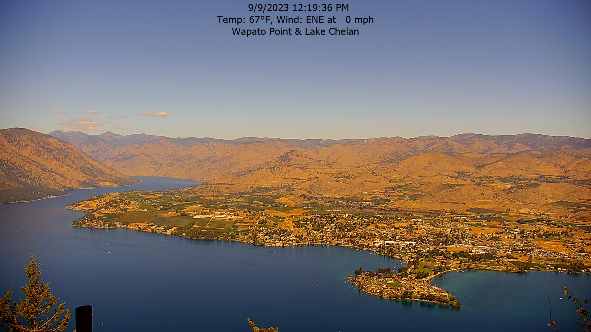
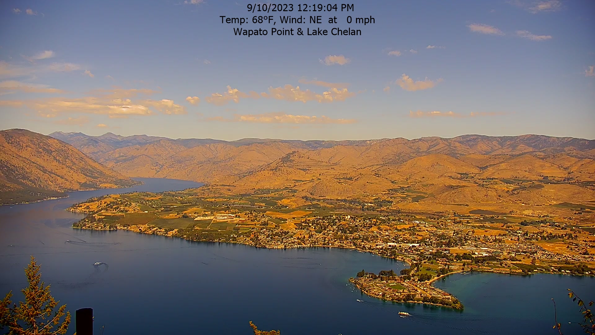
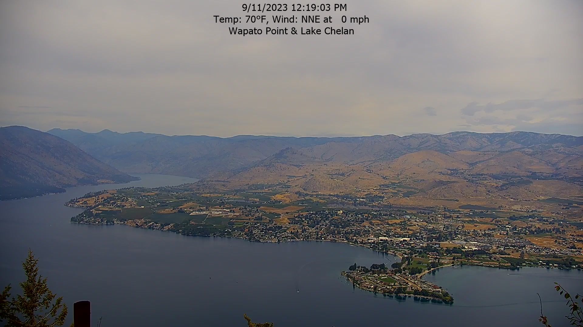
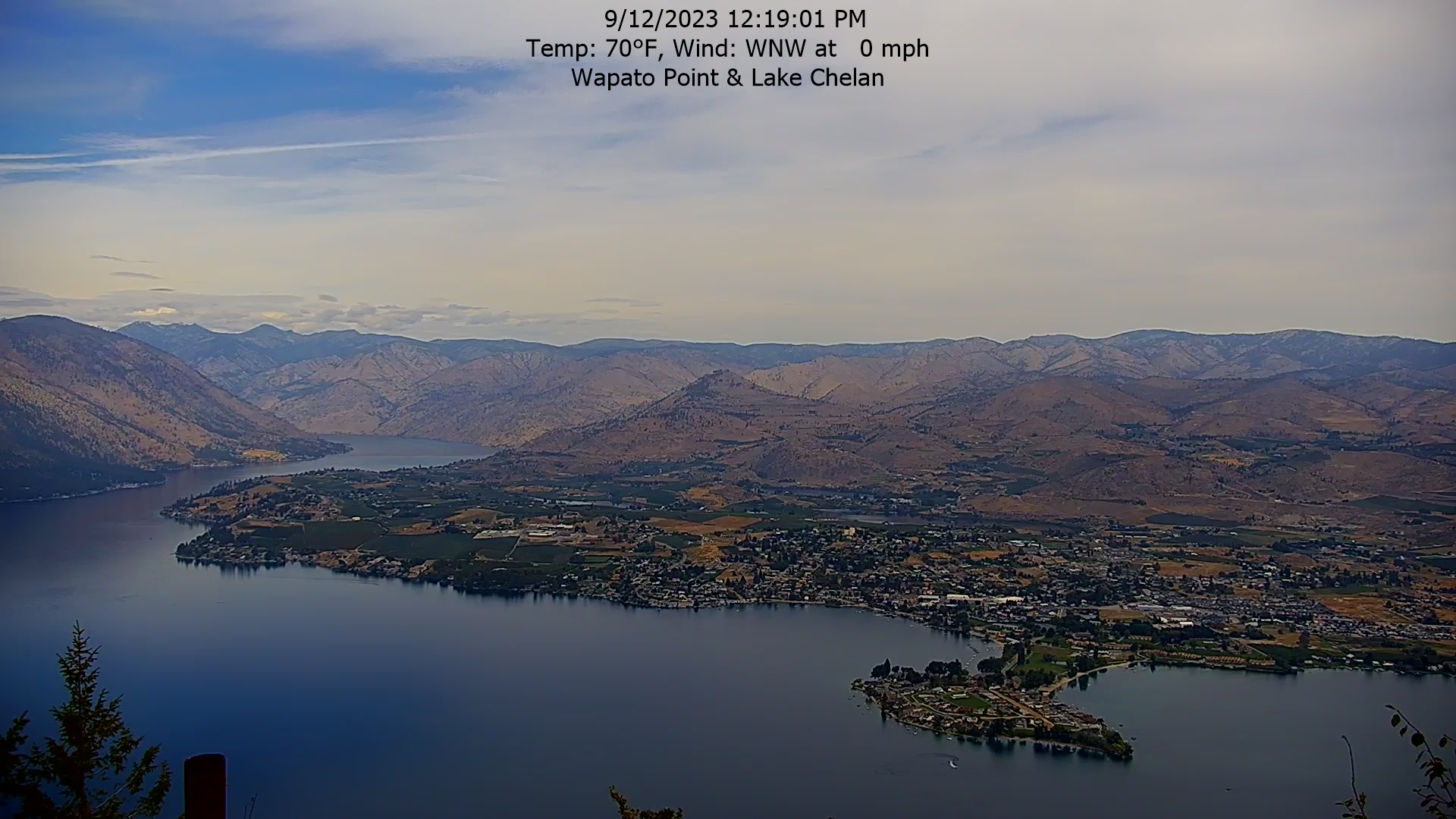
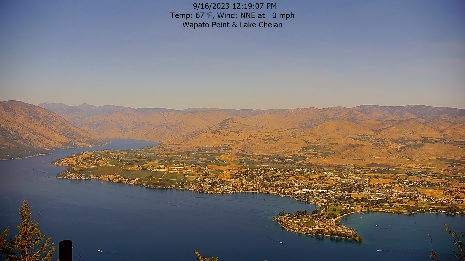
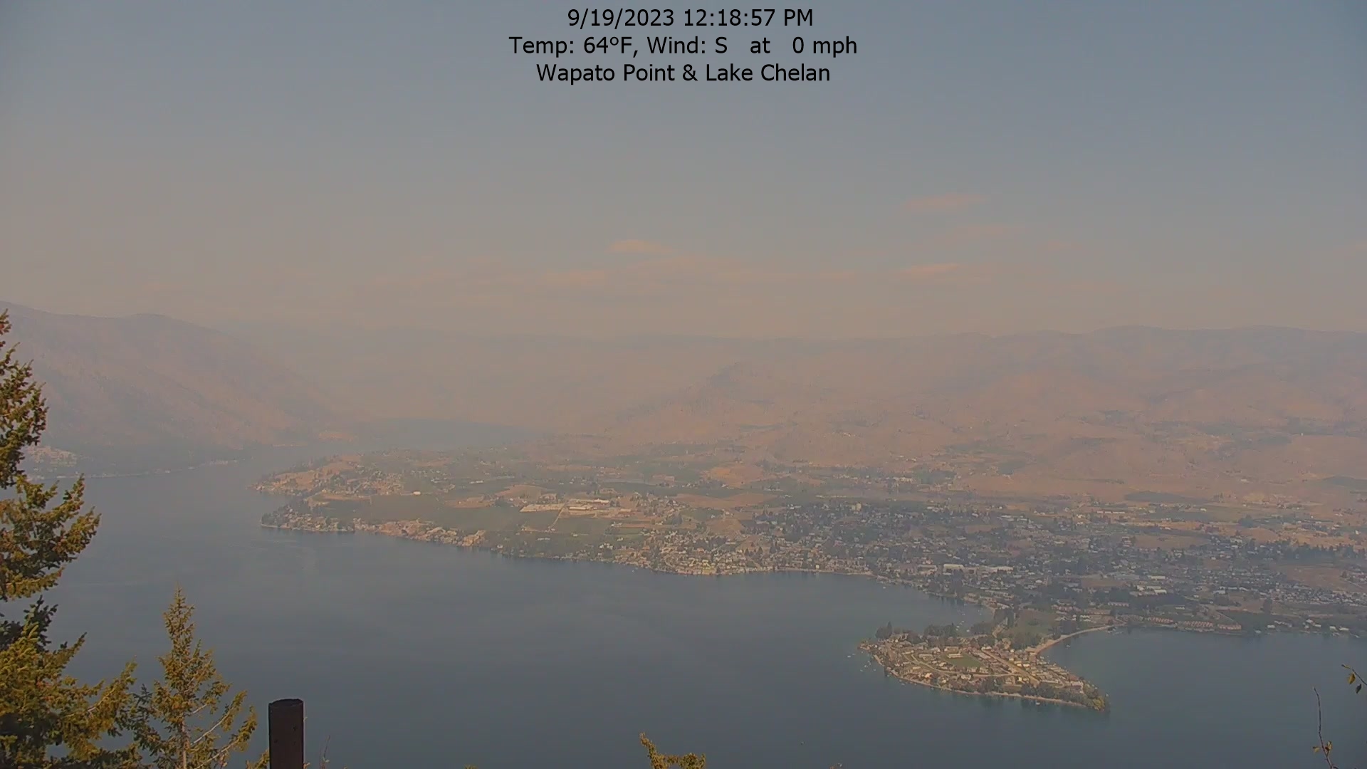
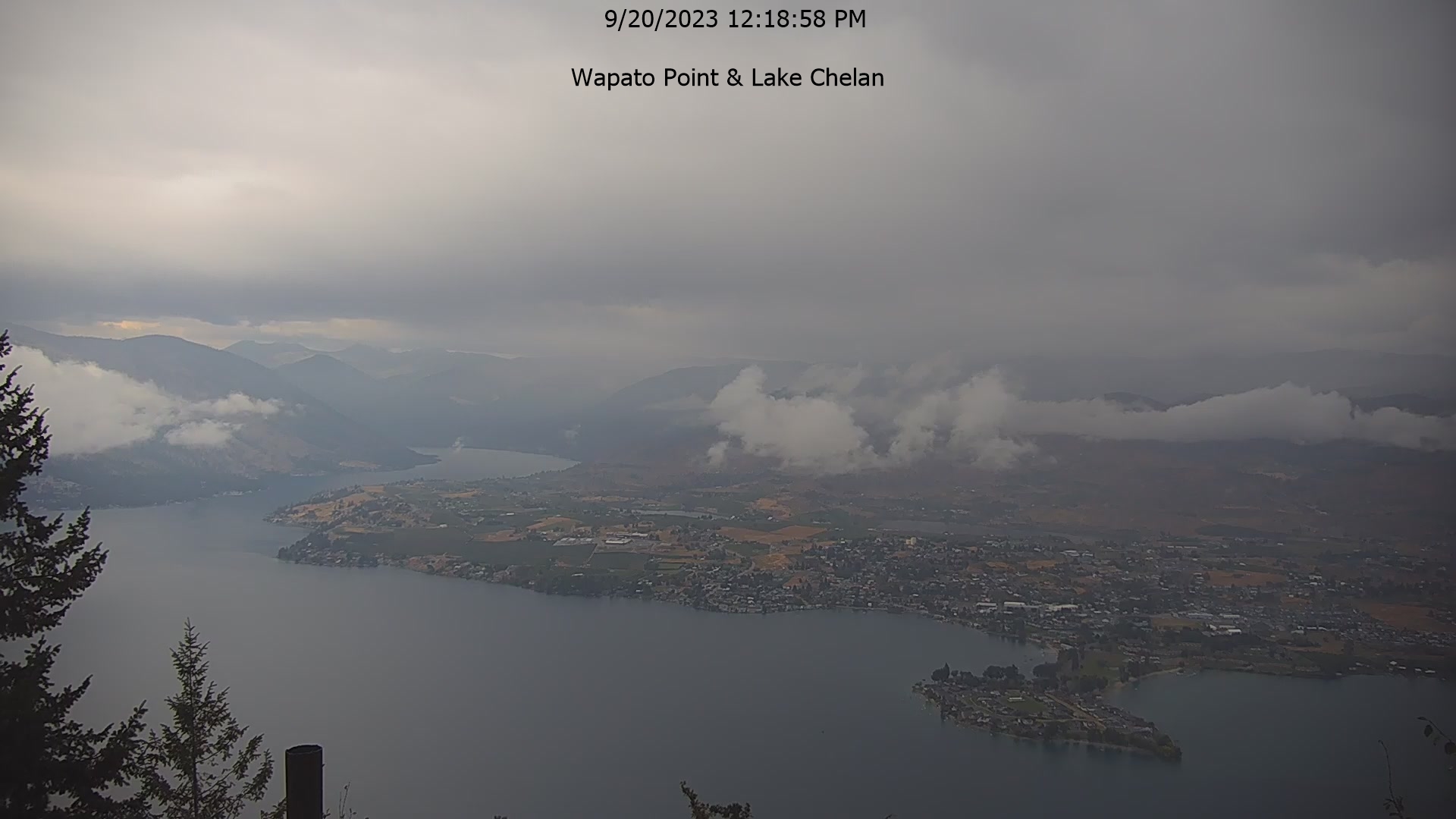
Manson, Washington, USA - 138.8 miles from Relief: Wapato Point, Lake Chelan - The view from the Wapato Point Resort.
Operator: Wapato Point Resort
Operator: Wapato Point Resort


Colville, Washington, USA - 144.8 miles from Relief: US 395 - Colville - Birch - A view of the current traffic situation.
Operator: WSDOT
Operator: WSDOT


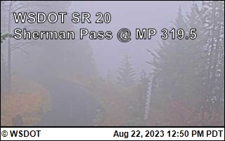
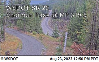
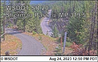
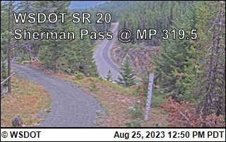
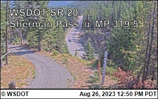
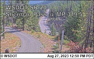
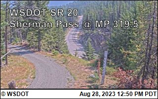
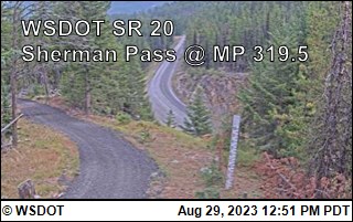
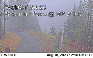
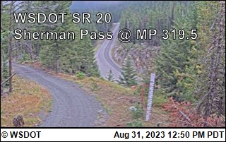
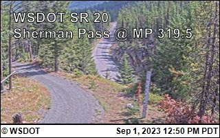
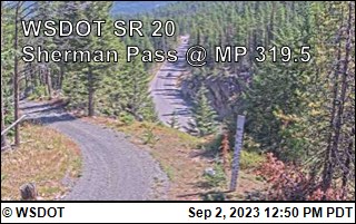
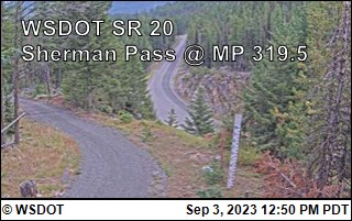
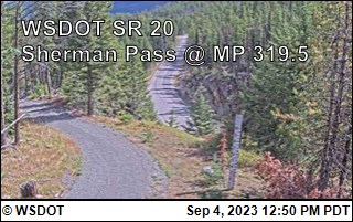
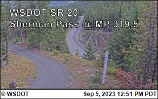
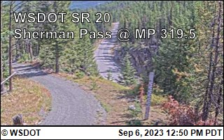
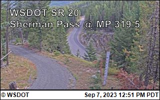
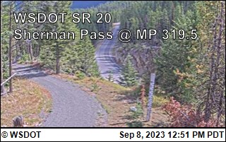
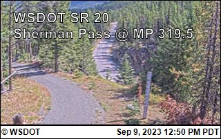
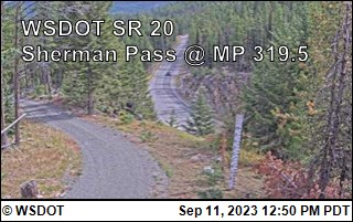
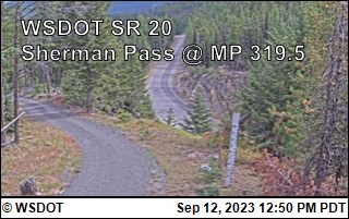
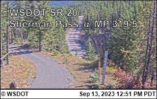
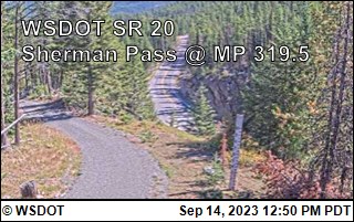
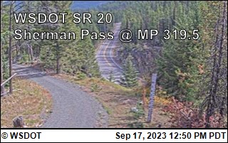
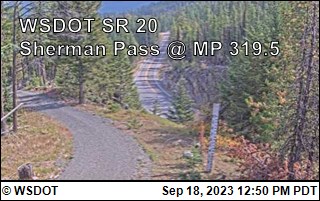
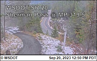
Kettle Falls, Washington, USA - 148.8 miles from Relief: Sherman Pass on SR-20 @ MP 320 - A view of the current traffic situation.
Operator: WSDOT
Operator: WSDOT


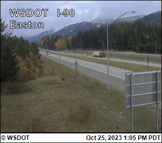
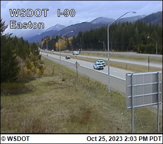
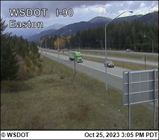
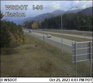
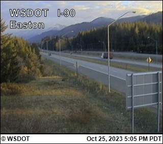
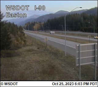
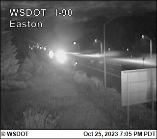
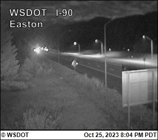
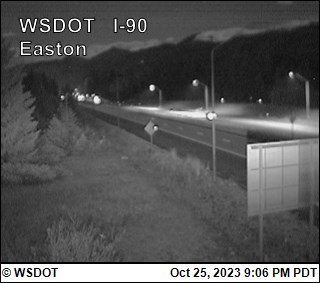
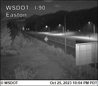
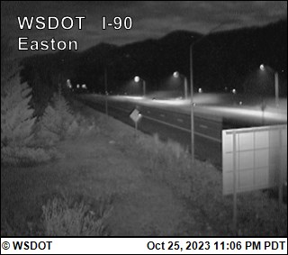
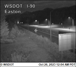
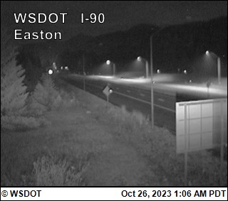
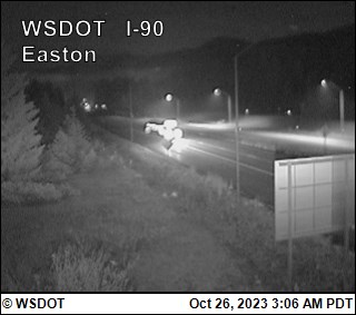
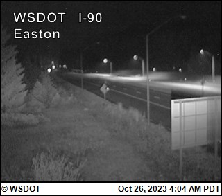
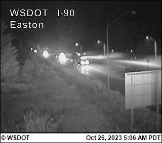
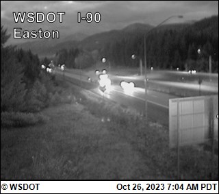
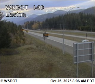
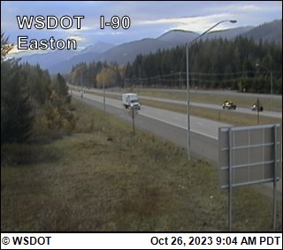
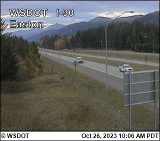
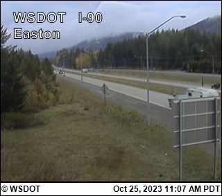
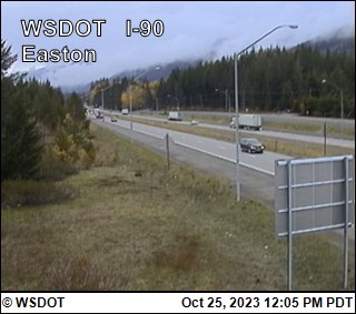
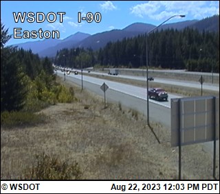
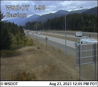
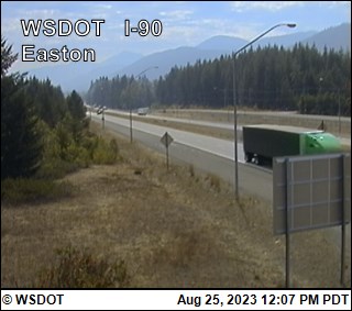
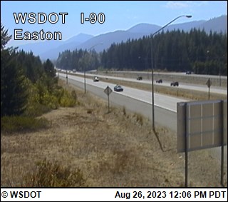
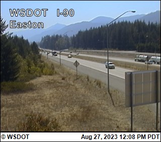
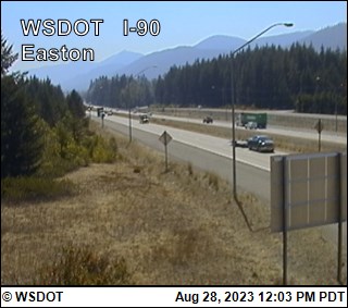
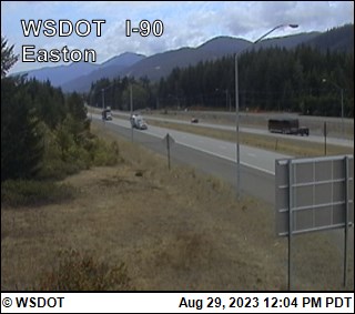
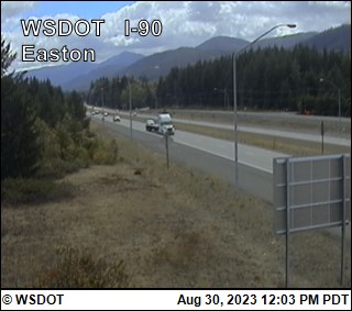
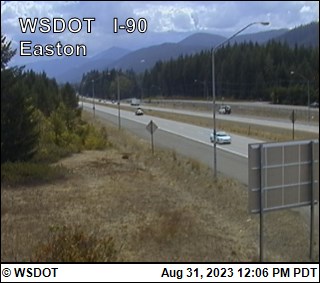
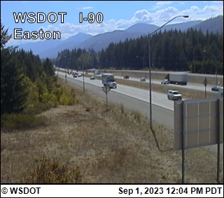
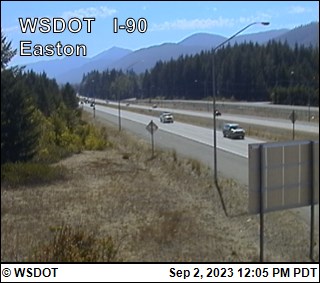
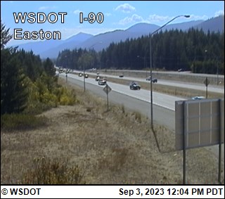
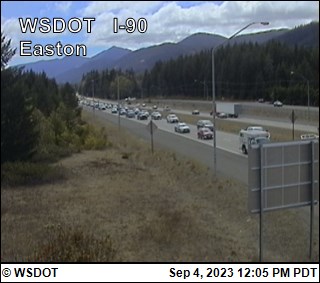
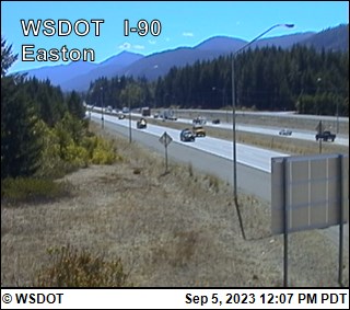
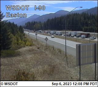
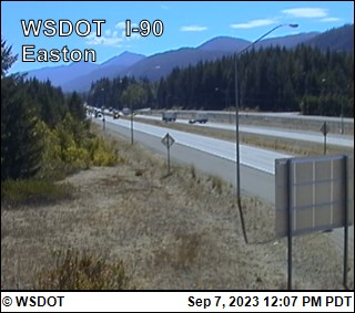
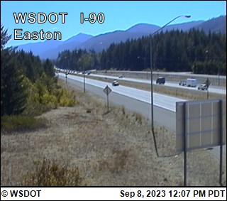
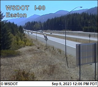
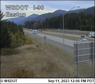
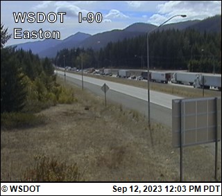
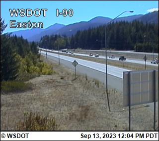
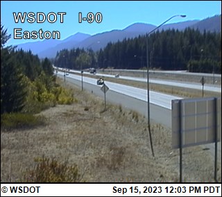
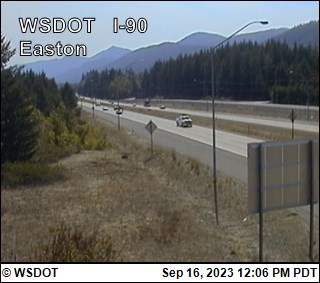
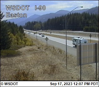
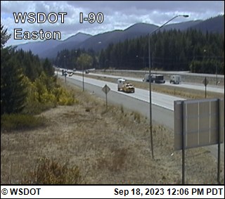
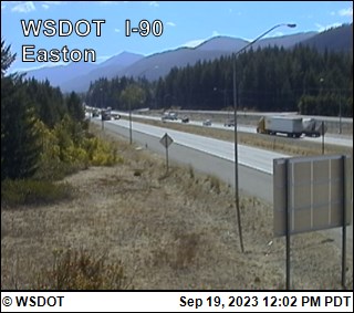
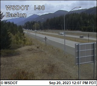
Easton, Washington, USA - 155.9 miles from Relief: Easton on I-90 @ MP70.6 - A view of the current traffic situation.
Operator: WSDOT
Operator: WSDOT


Some other places in this country: Rees Corner - Reese - Regal - Reiman - Renslow - Revere - Richardson - Richland Junction - Ringo - Riparia