Webcams in the region of Crego (historical), Washington, USA
The List of Webcams near Crego (historical), Washington, USA:

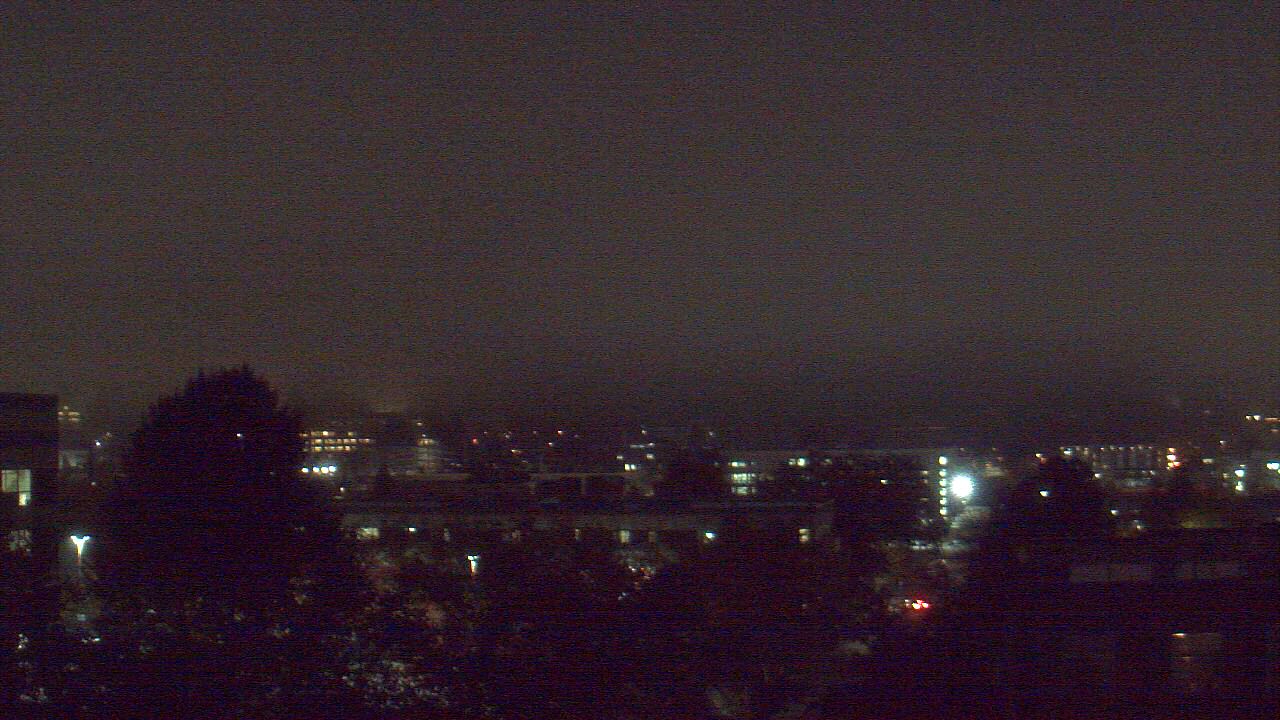
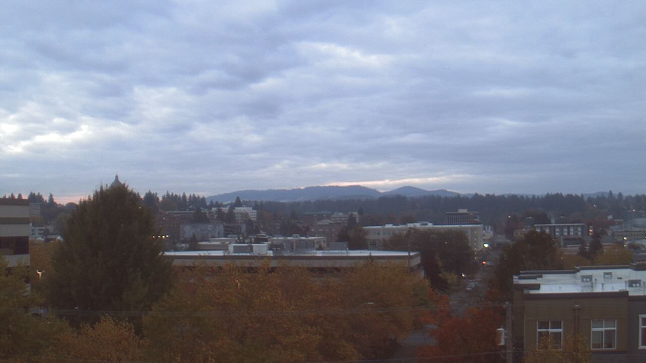
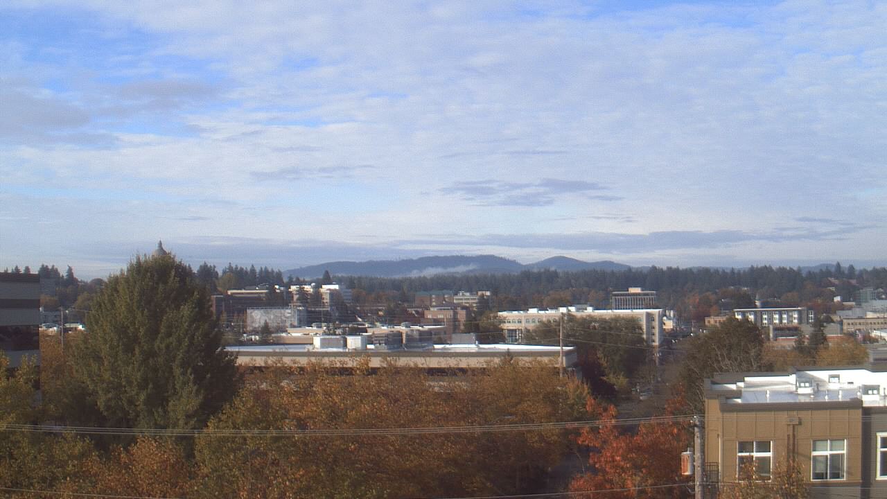
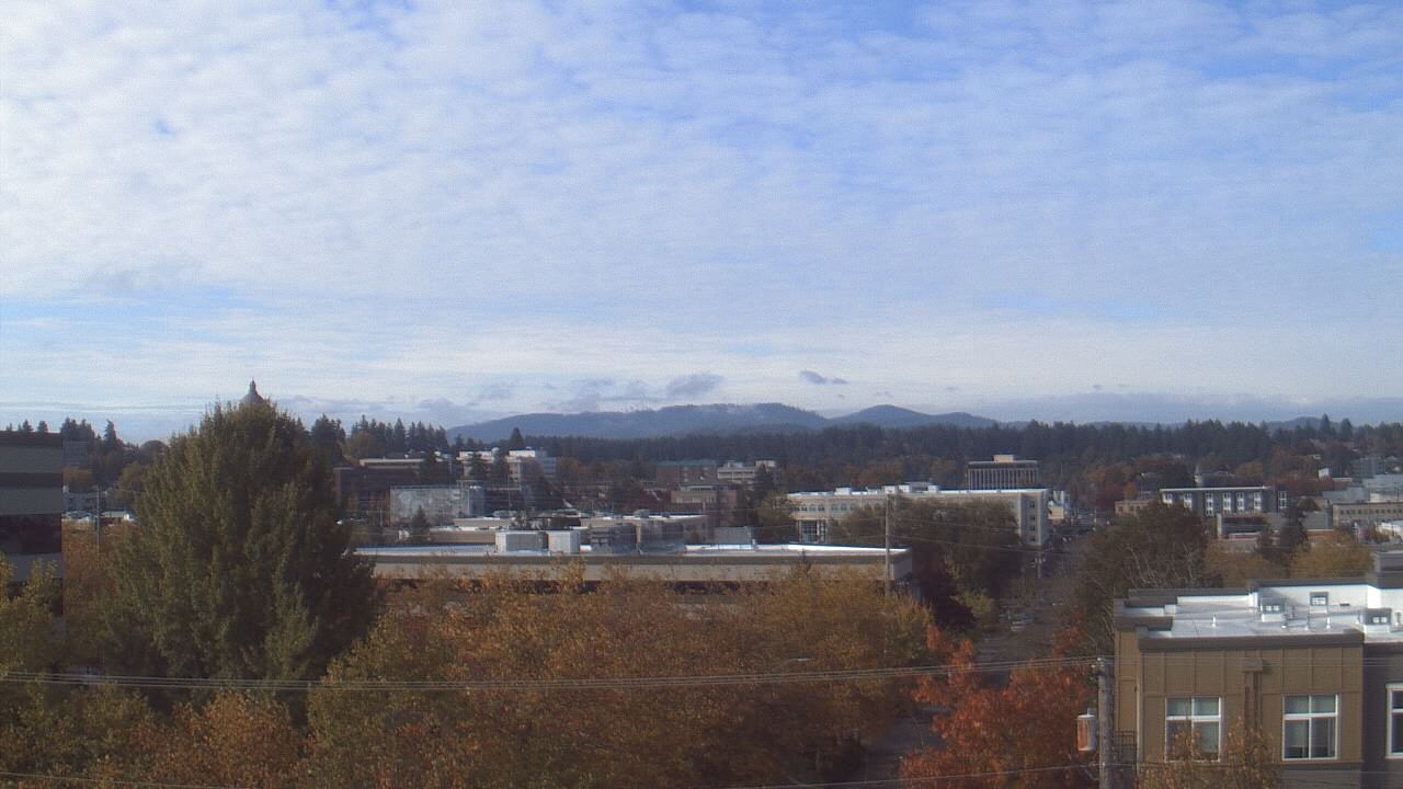
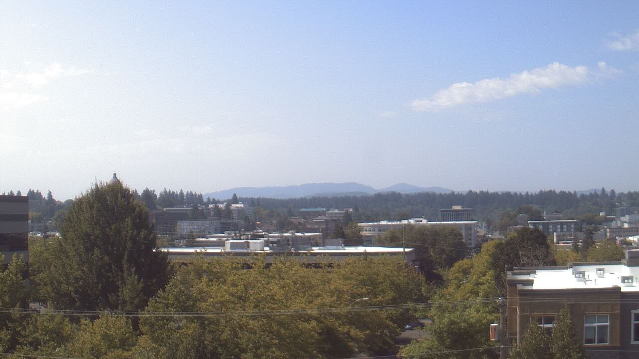
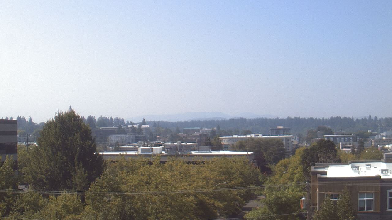
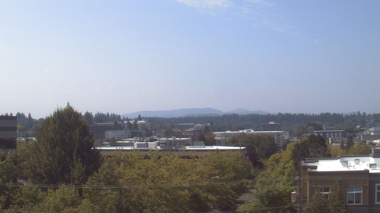
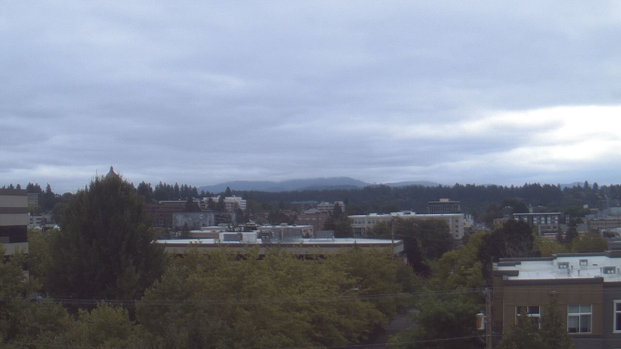
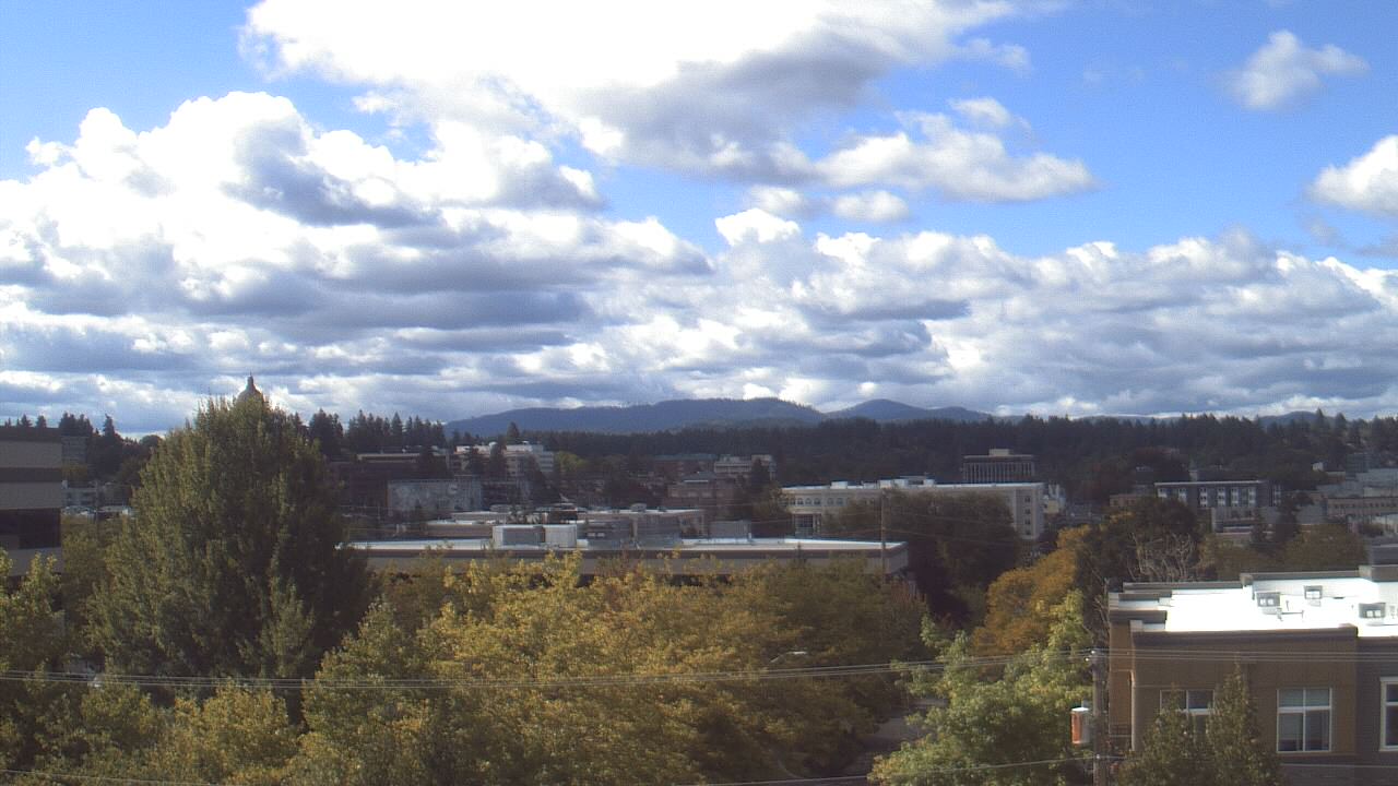
Olympia, Washington, USA - 31.2 miles from Crego (historical): Avanti High School - A webcam in Olympia, Washington - camera location: Avanti High School.
Operator: WeatherBug
Operator: WeatherBug


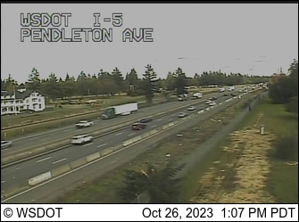
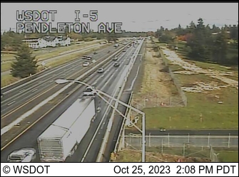
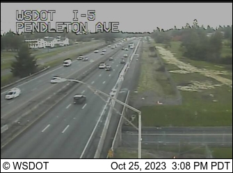
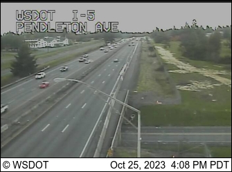
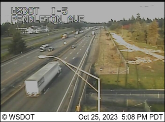
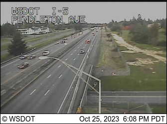
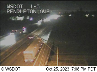
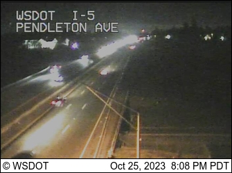
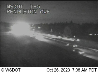
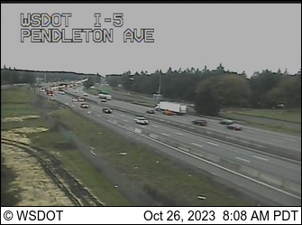
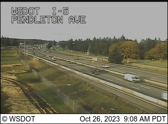
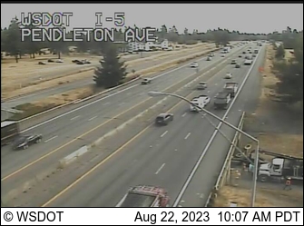
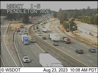
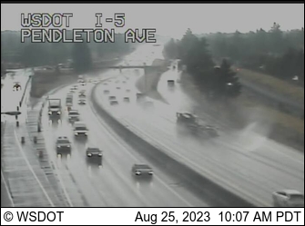
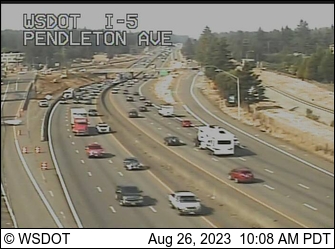
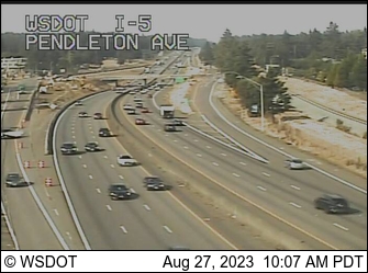
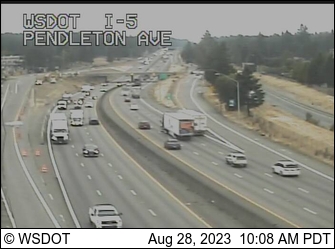
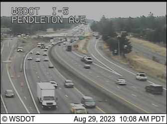
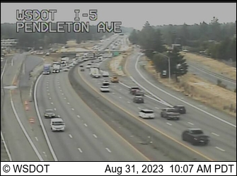
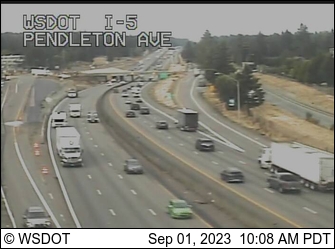
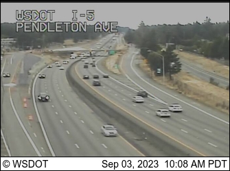
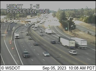
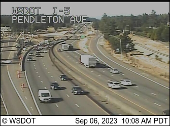
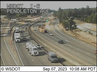
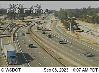
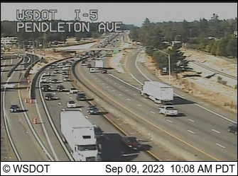
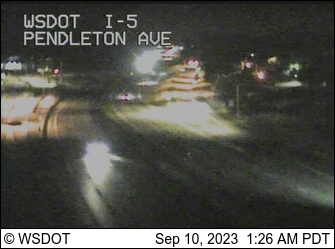
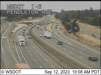
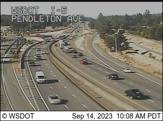
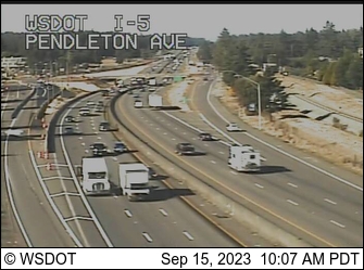
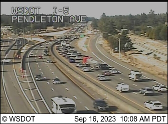
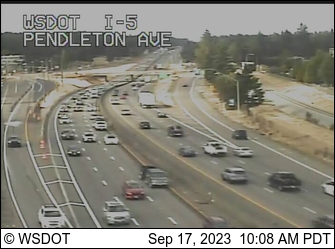
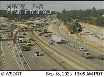
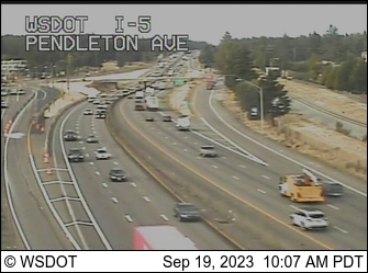
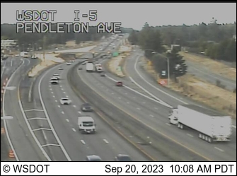
Dupont, Washington, USA - 39.8 miles from Crego (historical): I-5: Pendleton Ave - A view of the current traffic situation.
Operator: WSDOT
Operator: WSDOT


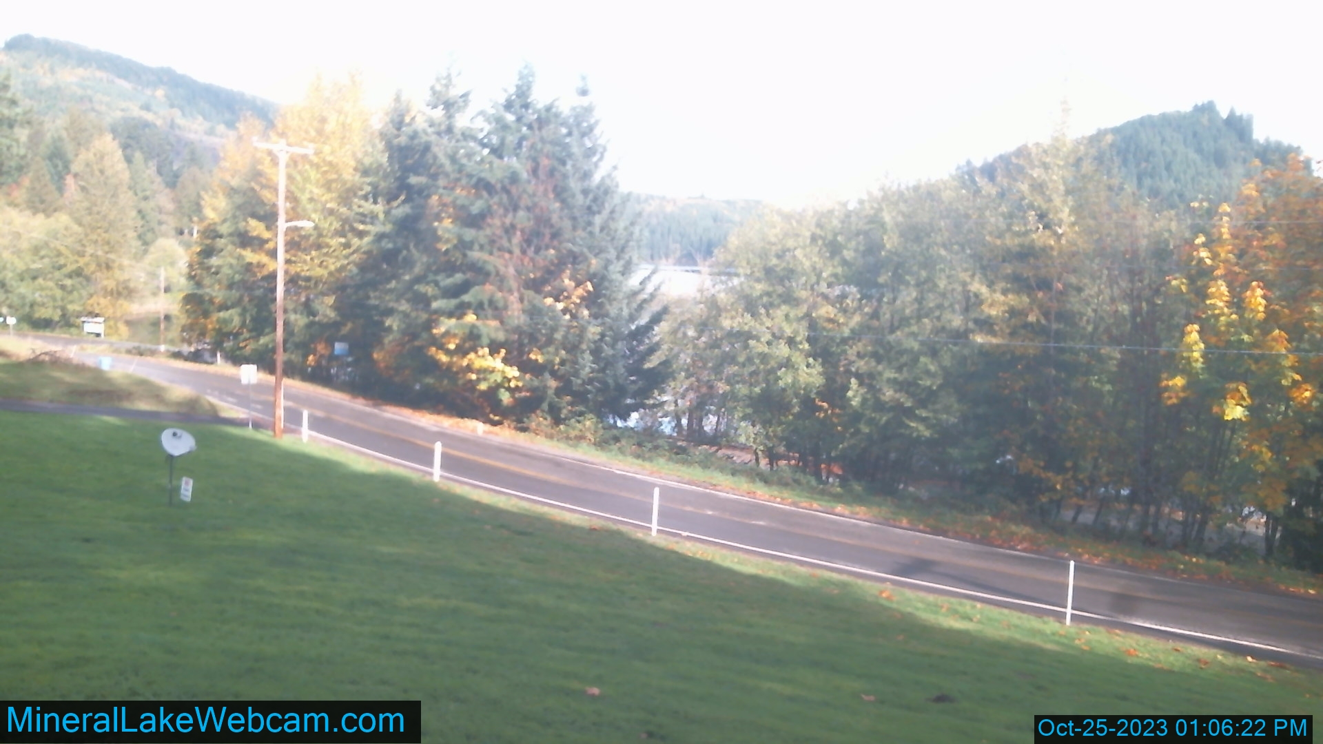
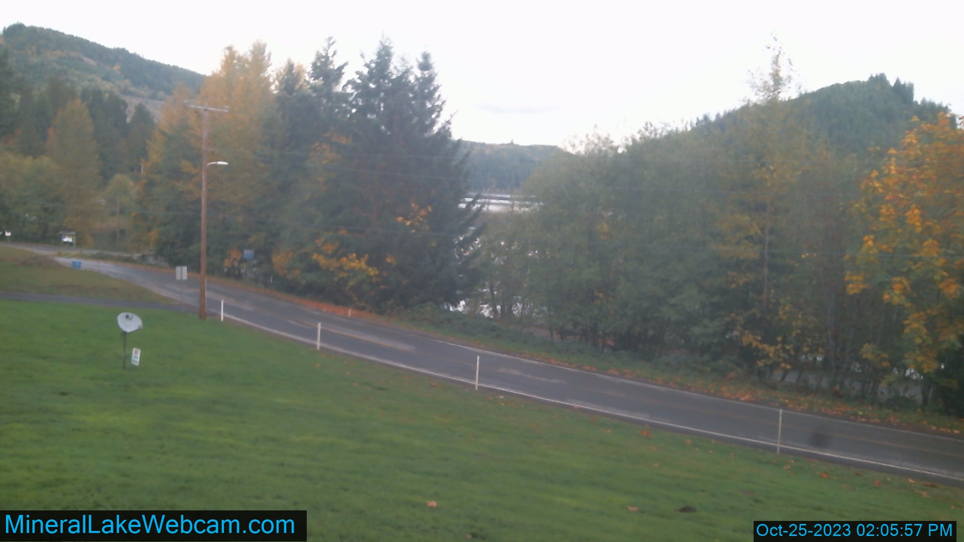
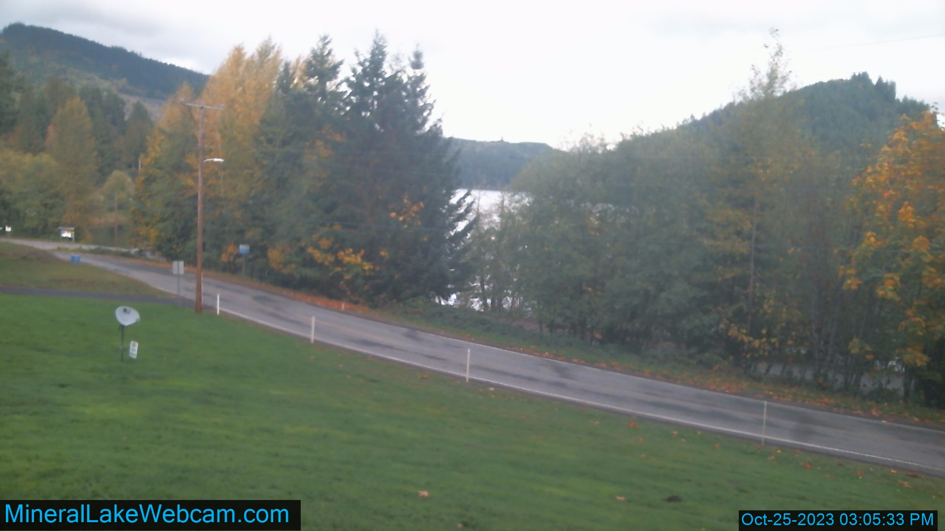
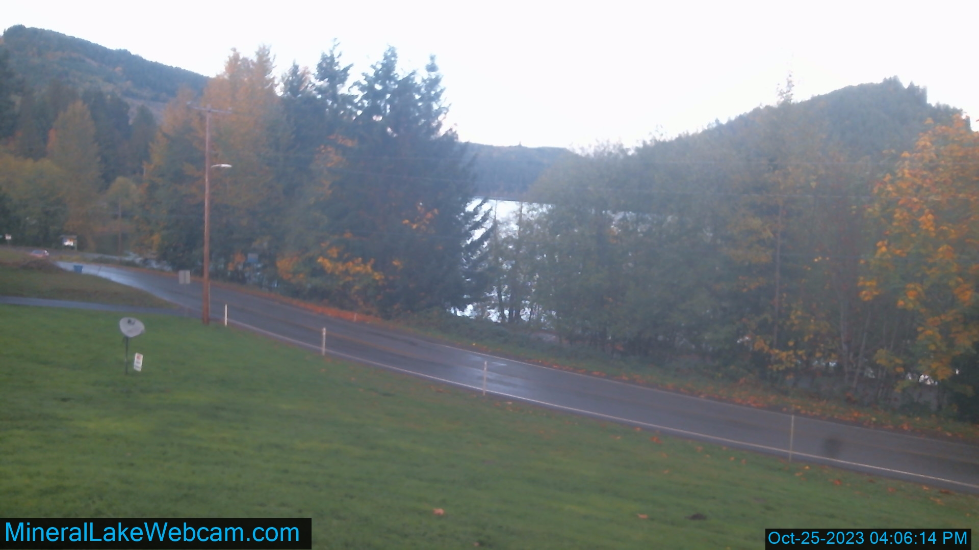
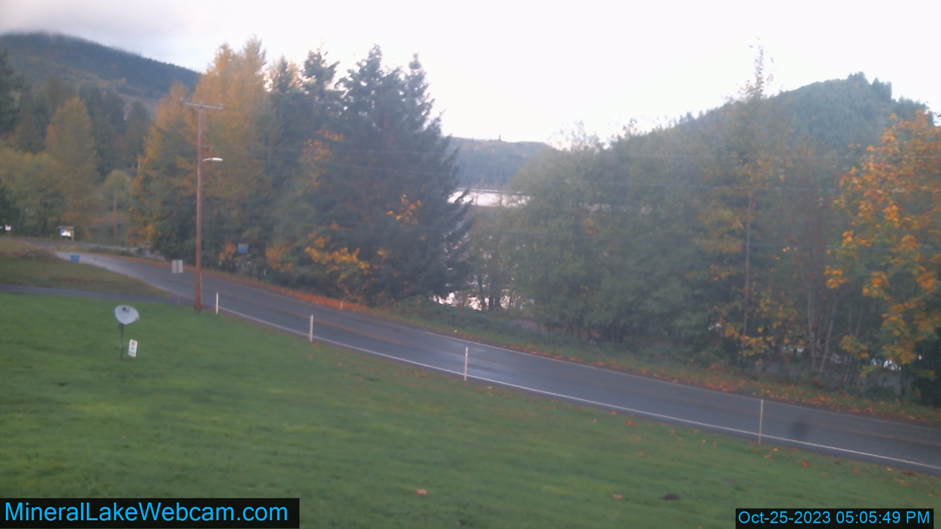
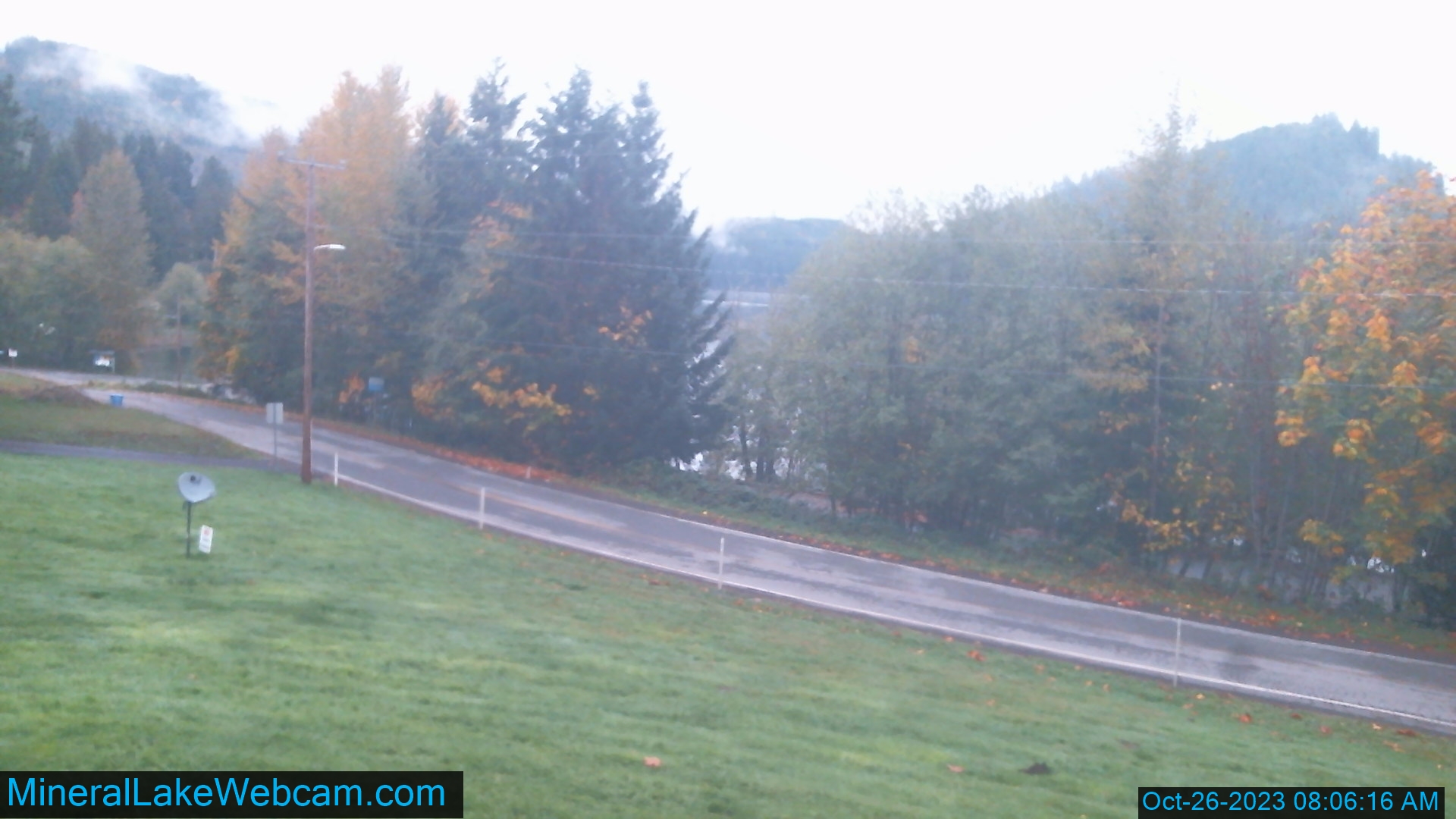
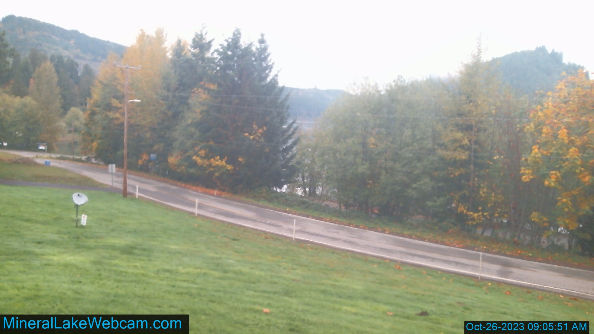
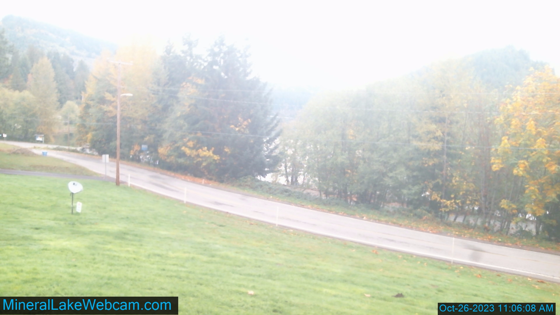
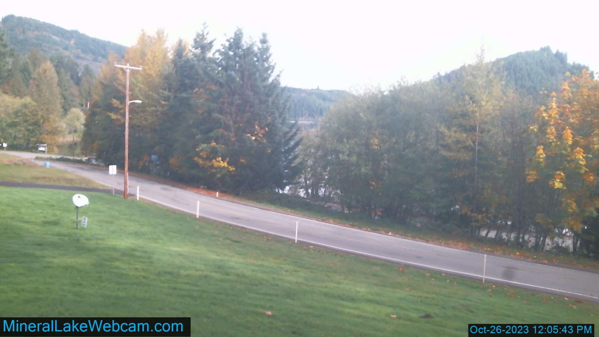
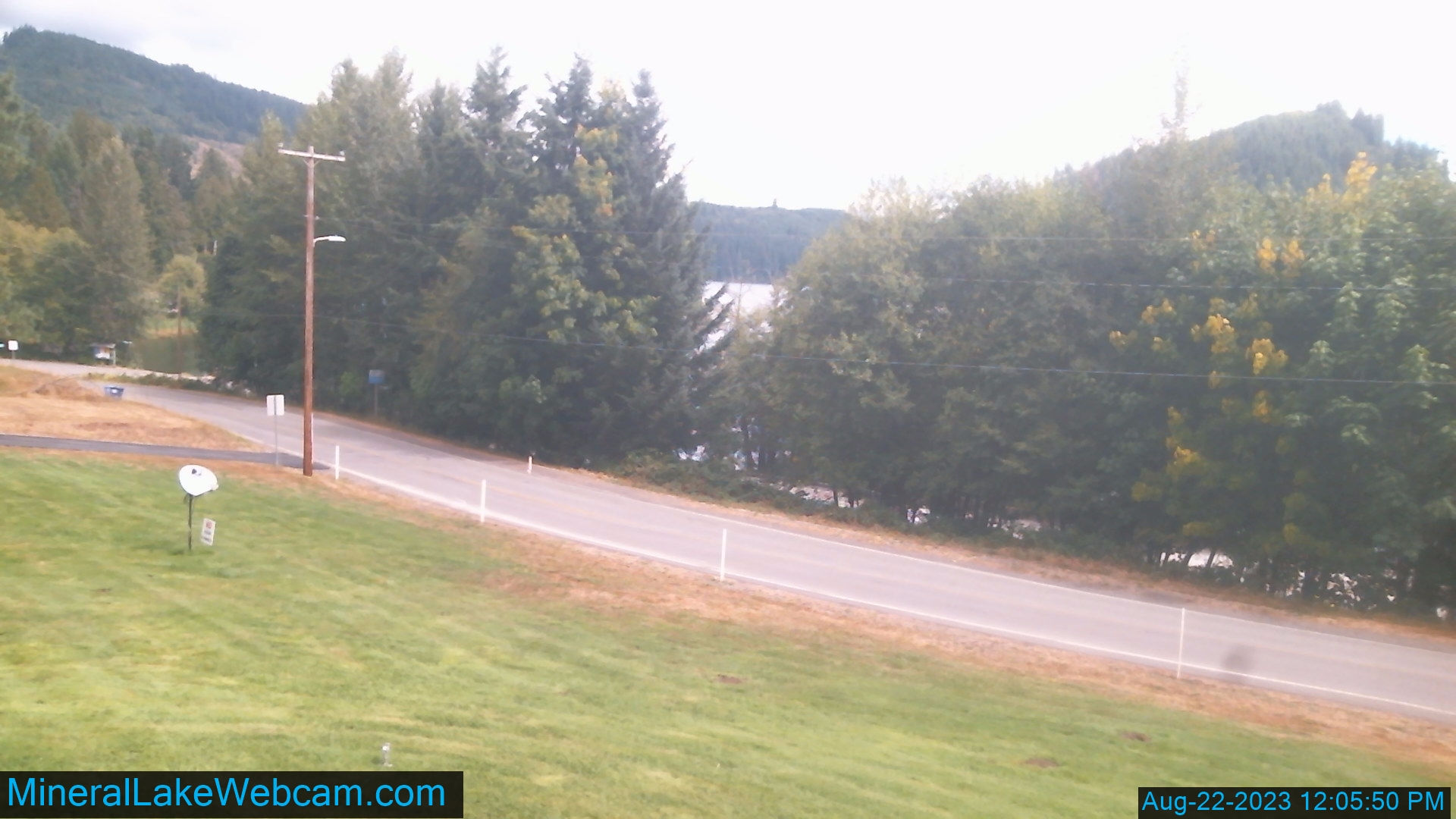
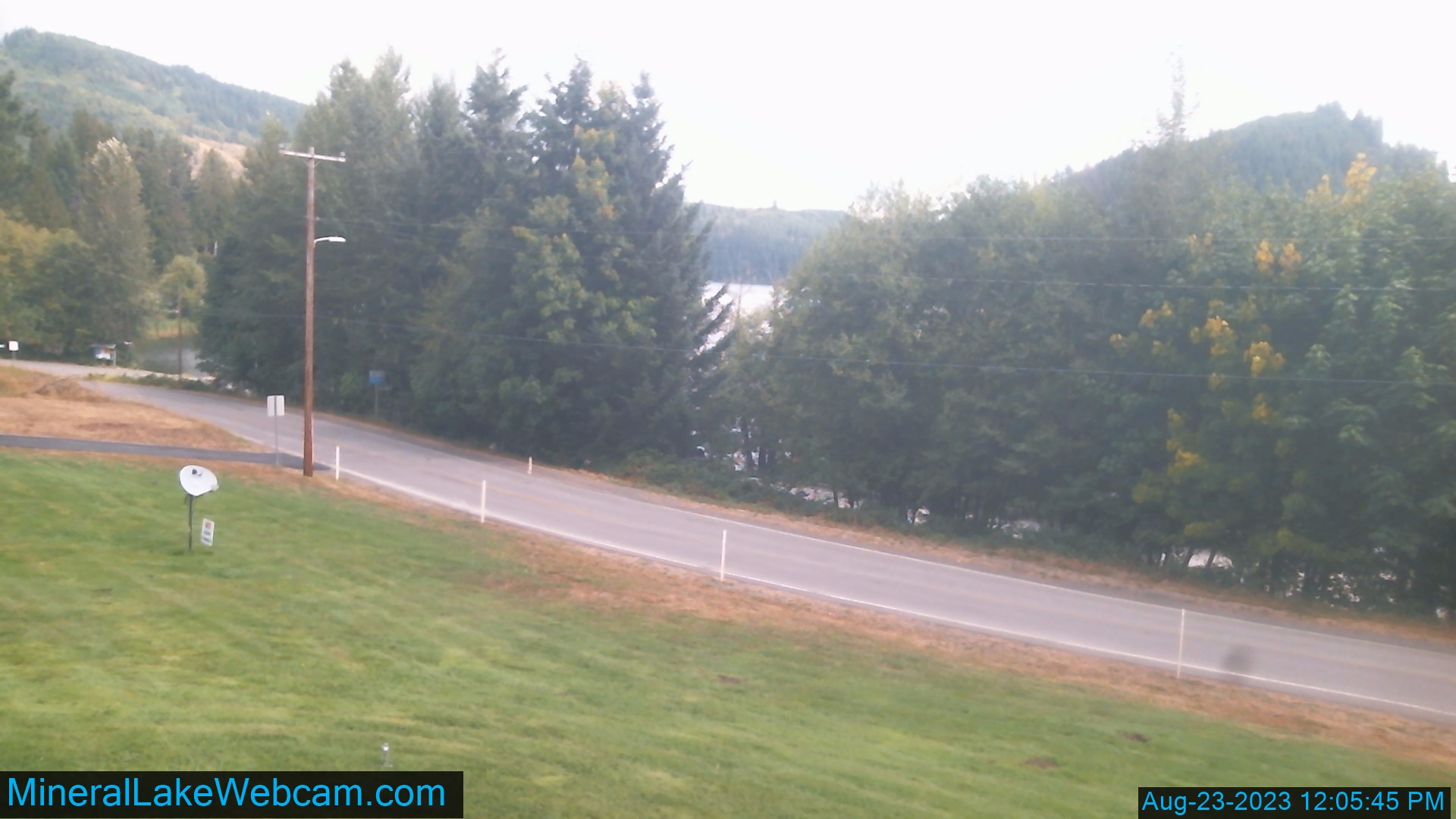
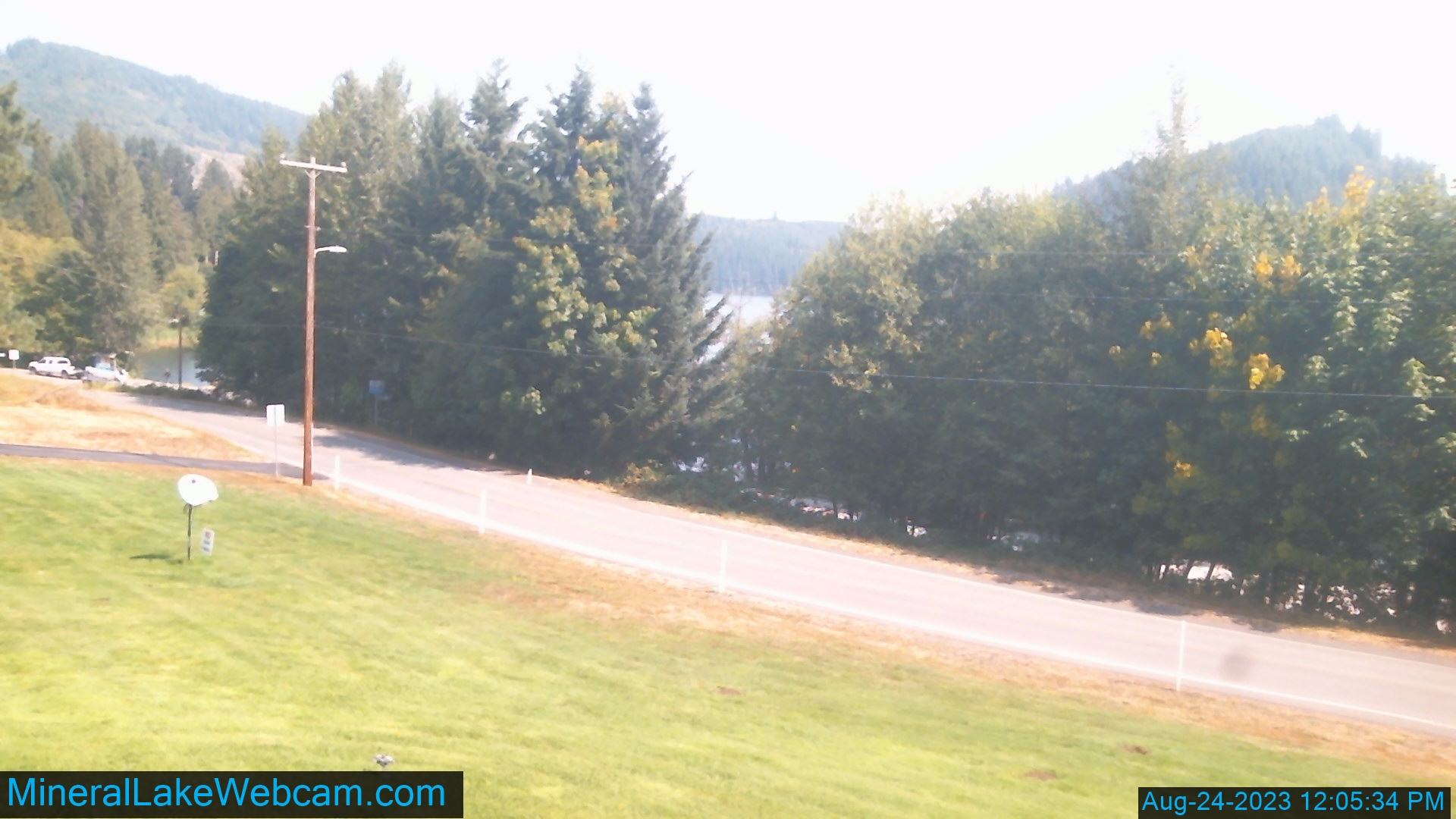
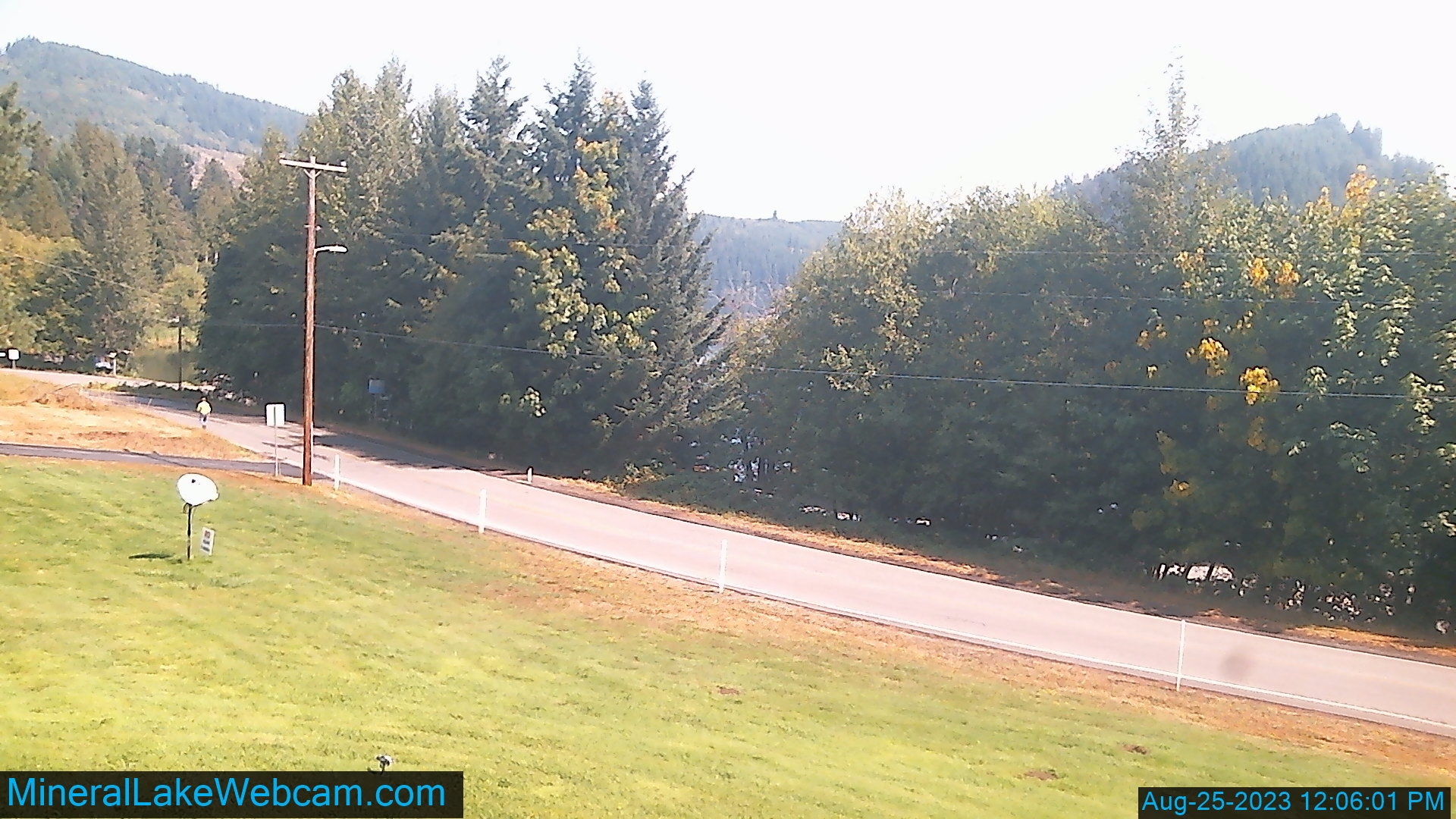
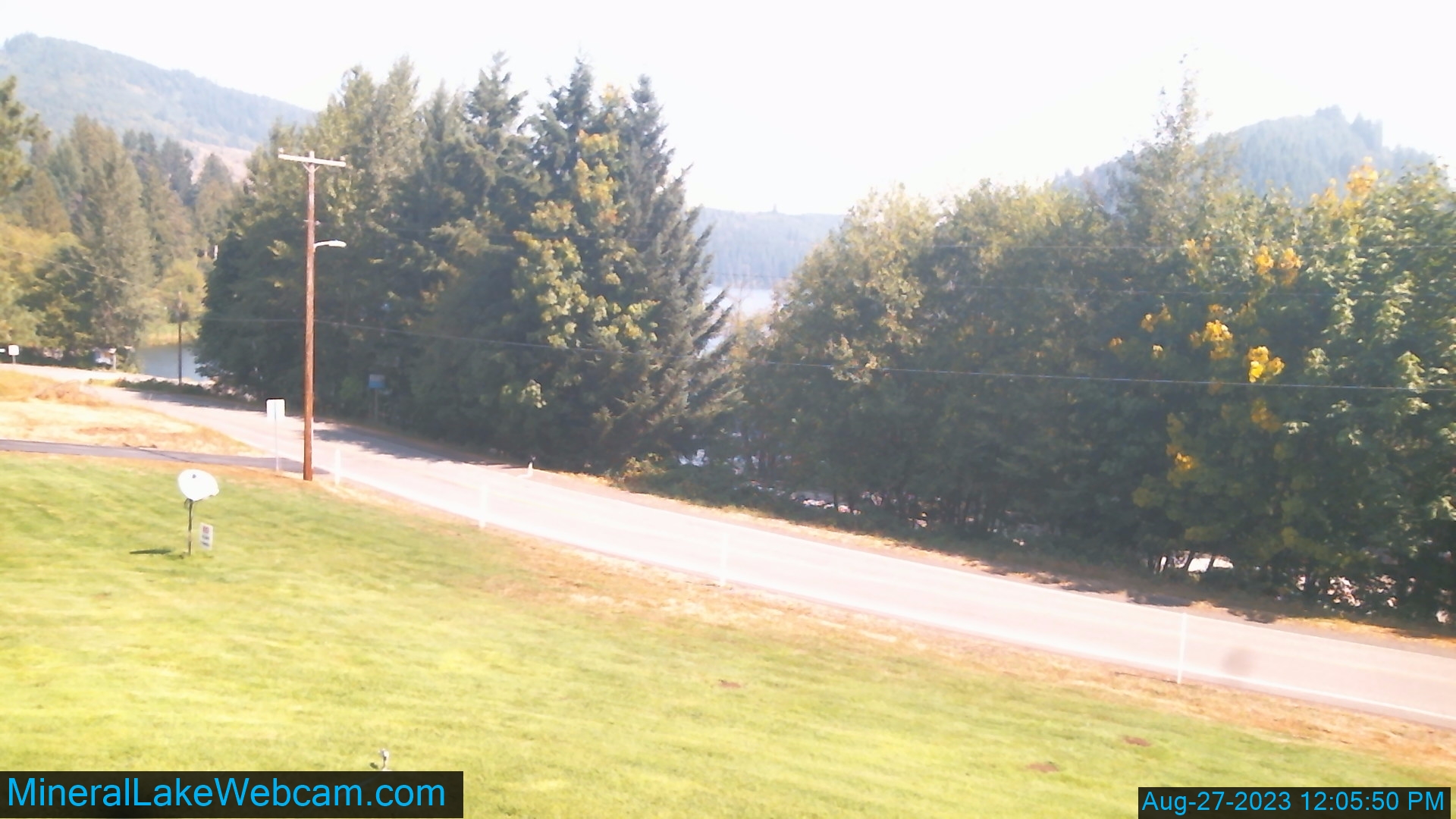
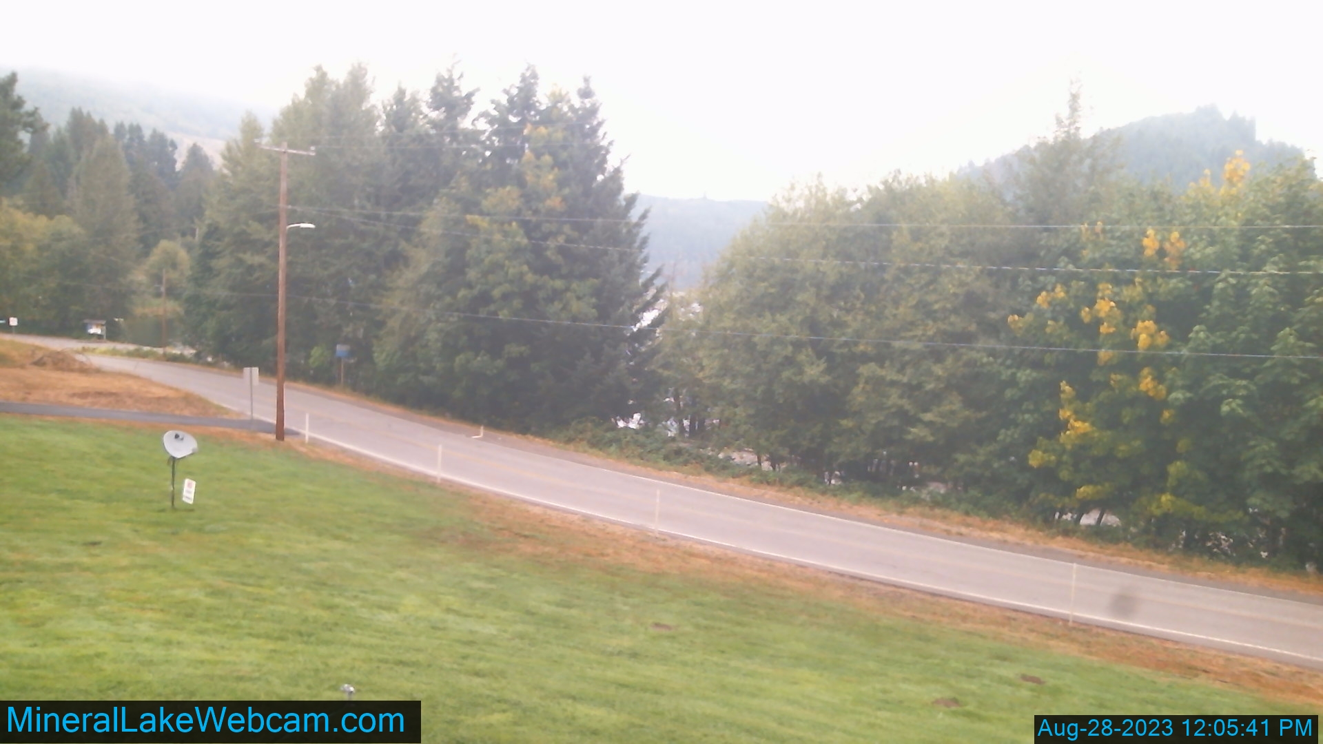
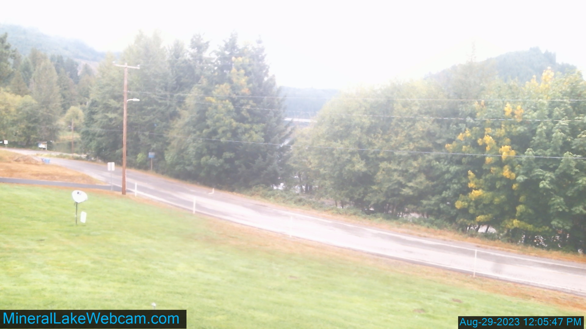
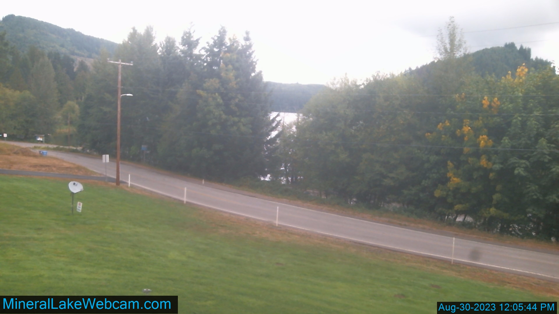
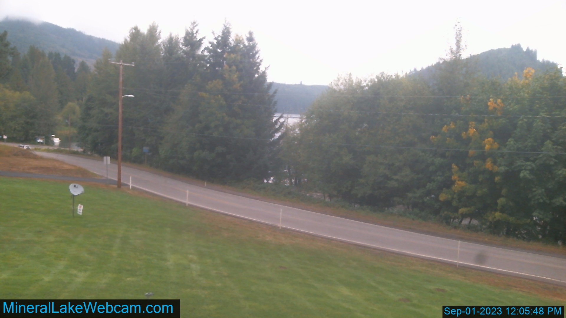
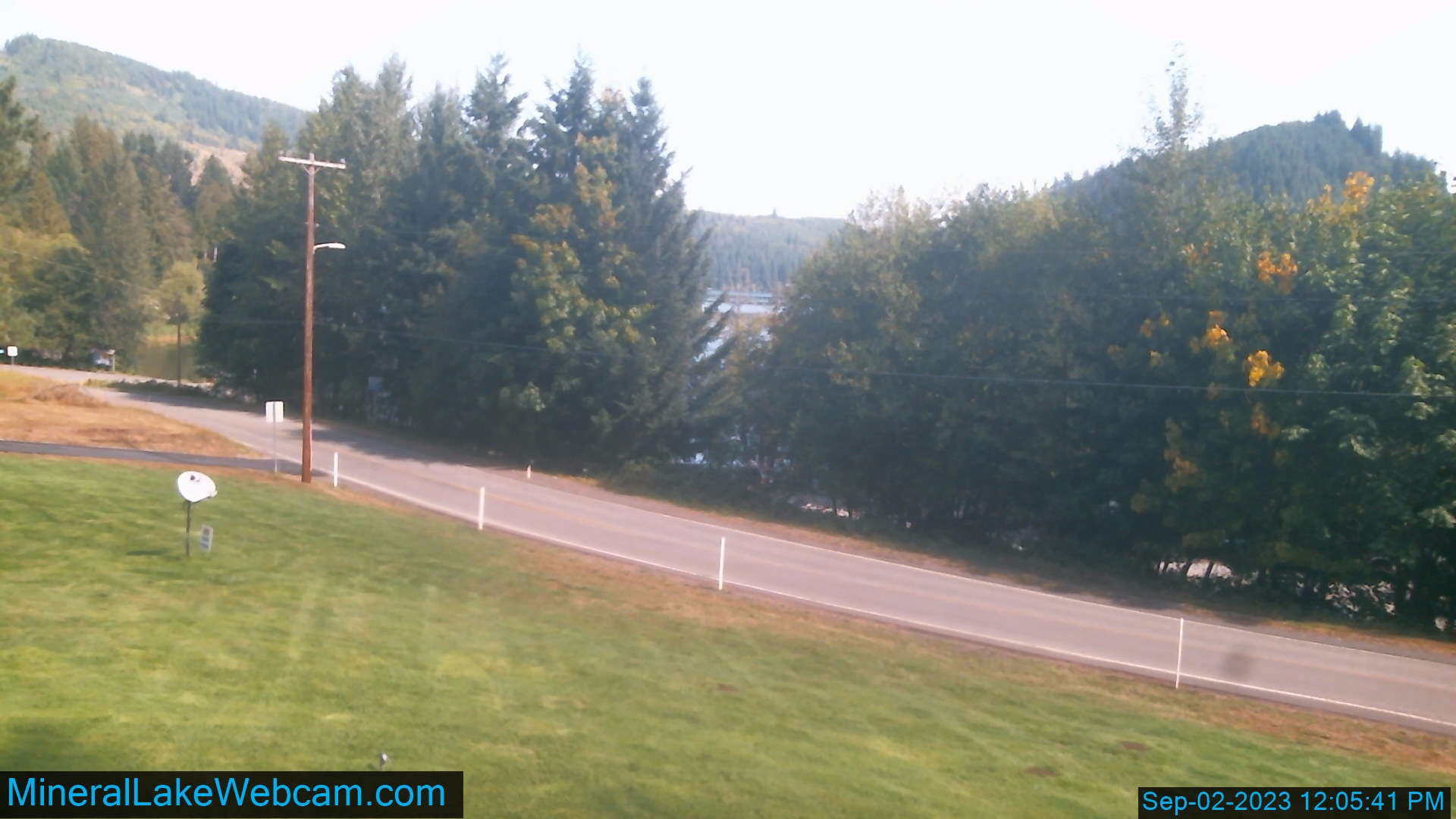
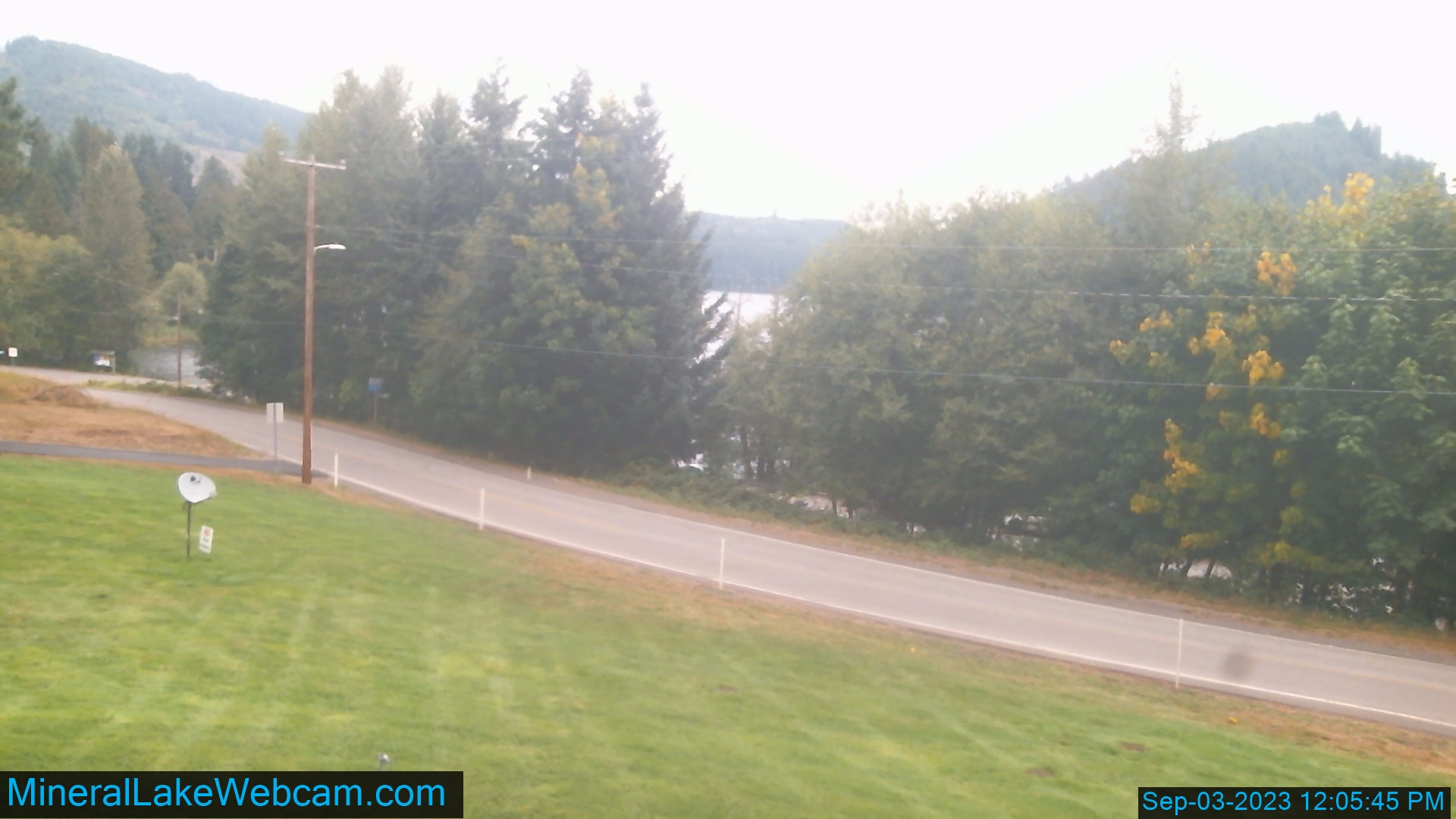
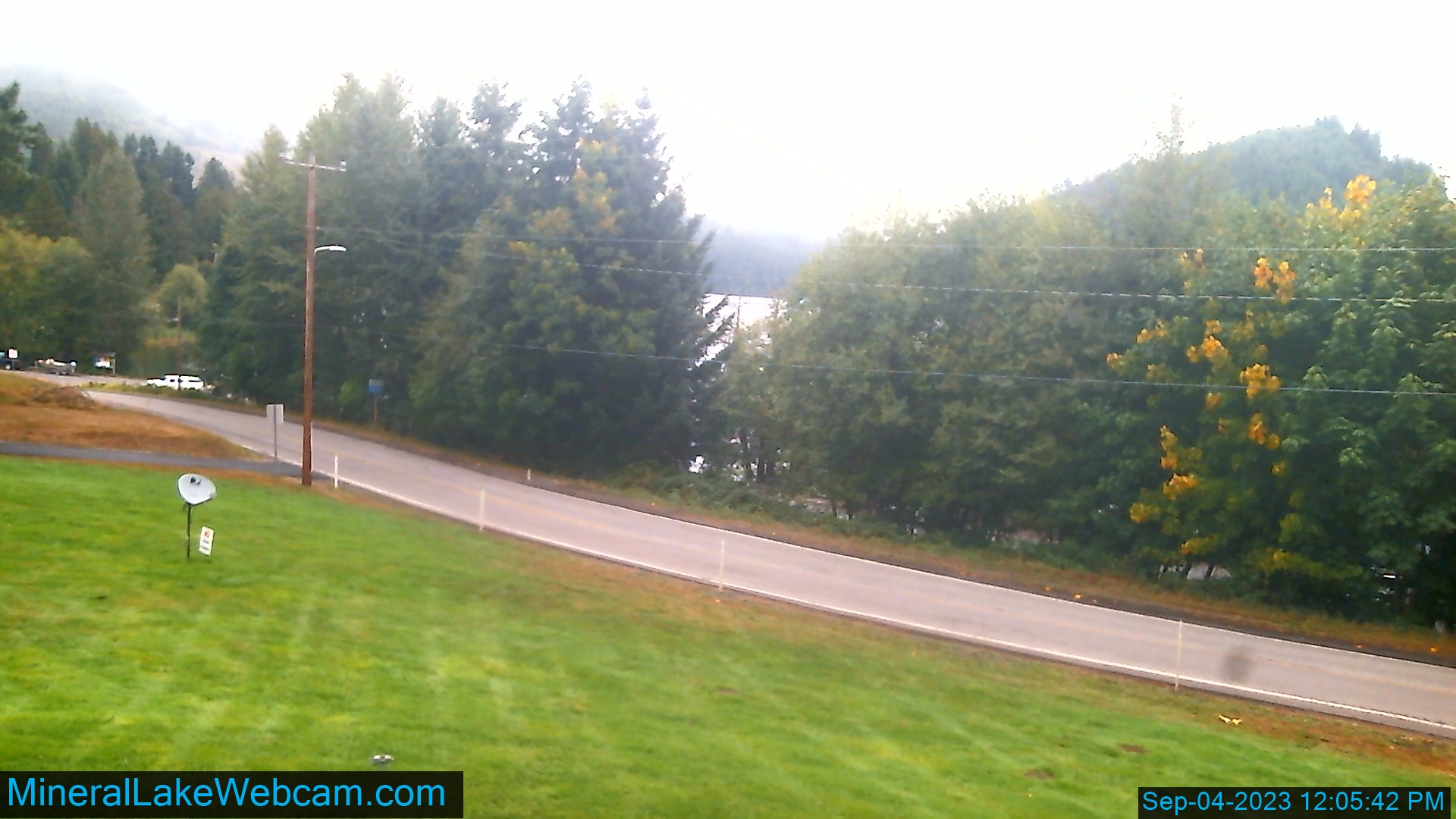
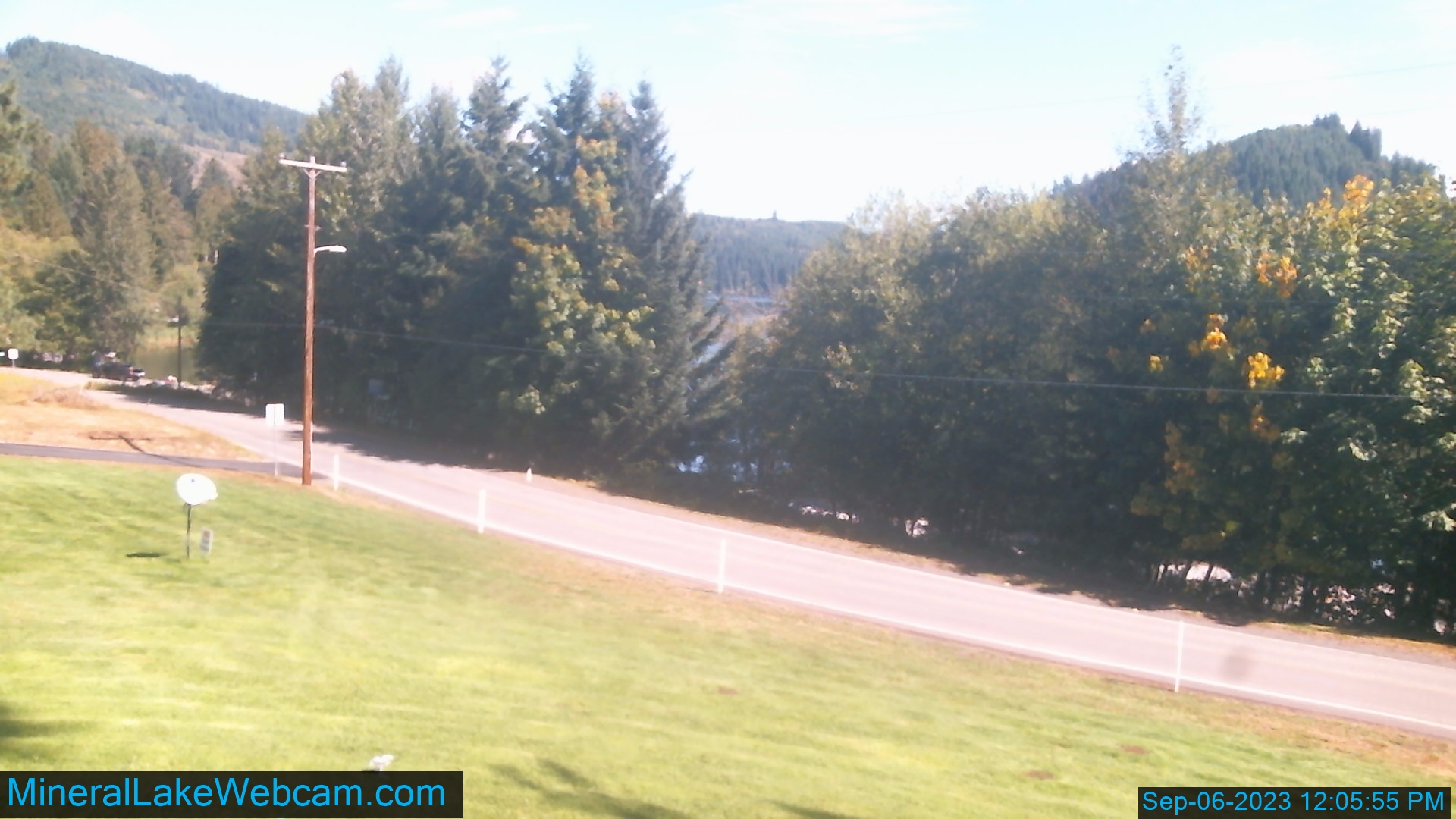
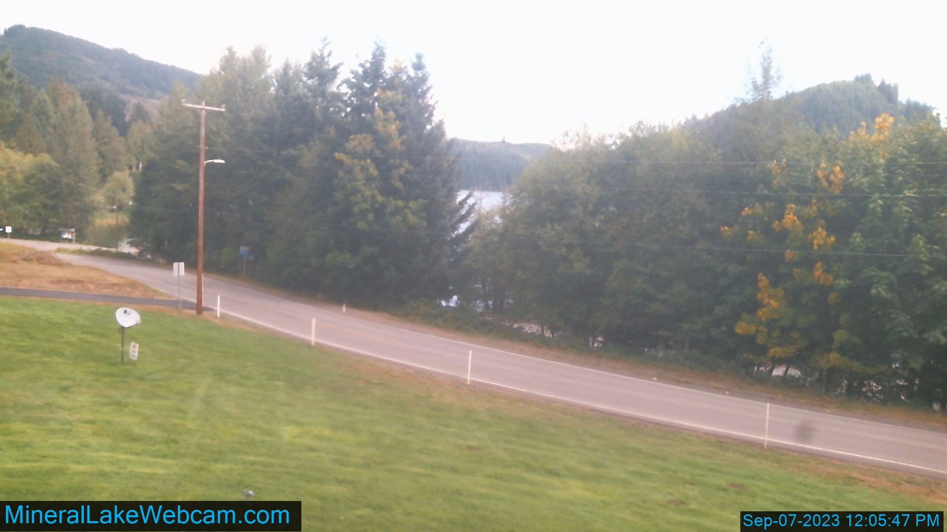
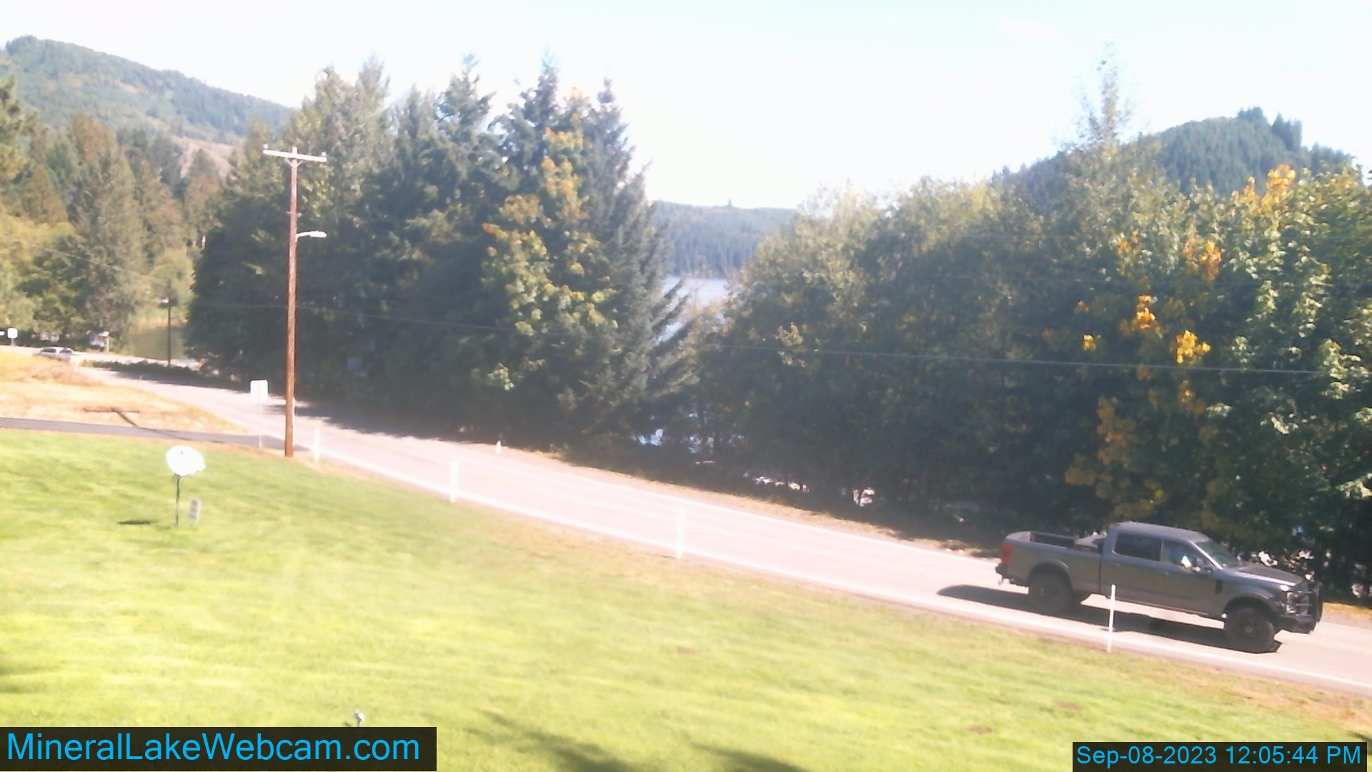
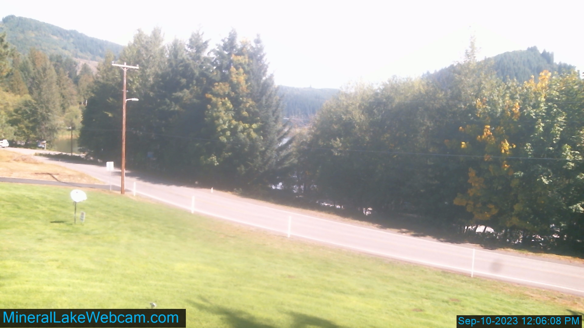
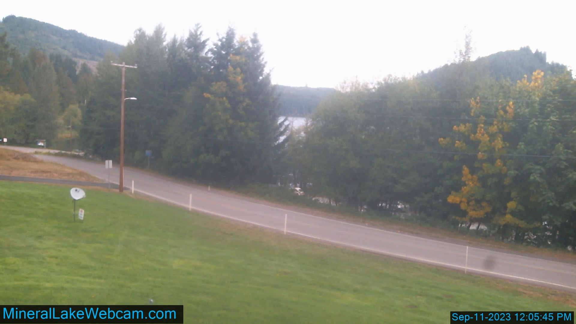
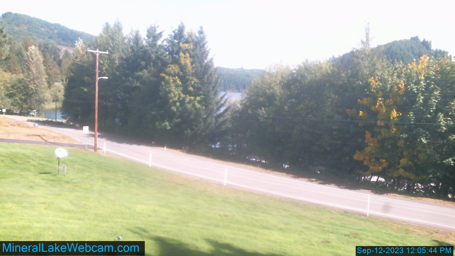
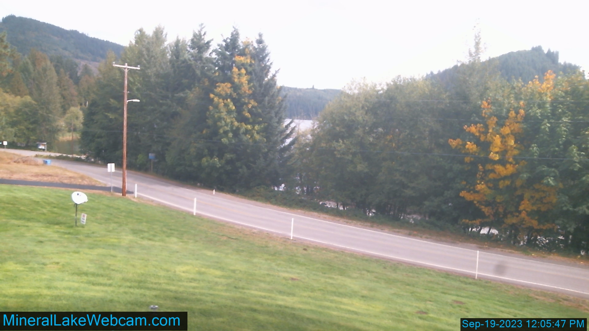
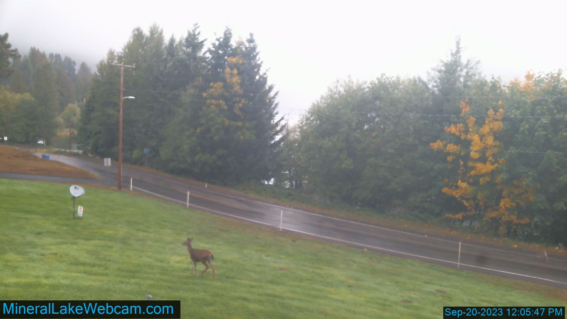
Mineral, Washington, USA - 42.2 miles from Crego (historical): Mineral Lake State Boat Ramp - Looking North from above Boat Ramp.
Operator: minerallakewebcam
Operator: minerallakewebcam


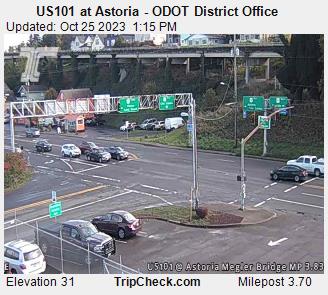
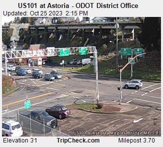
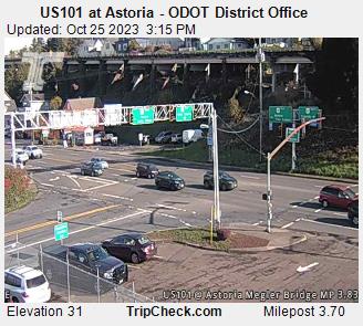
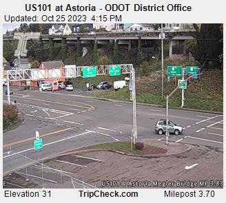
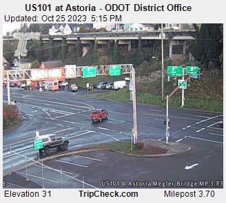
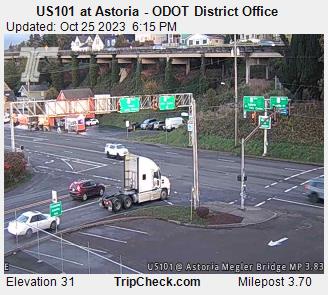
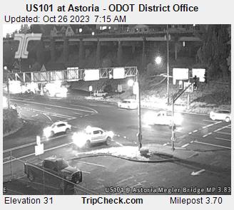
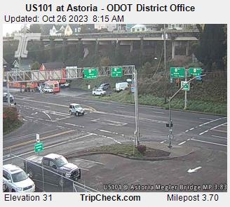
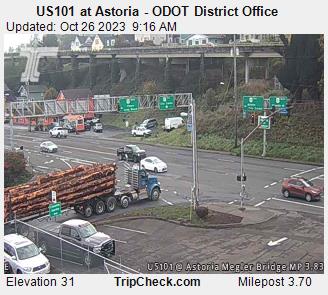
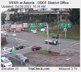
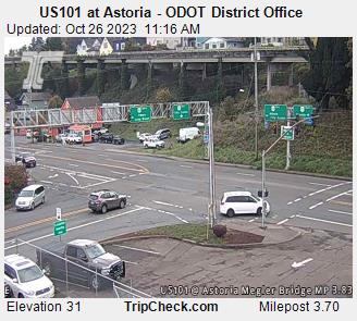
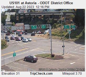
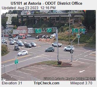
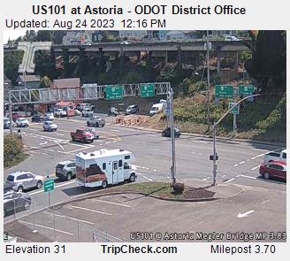
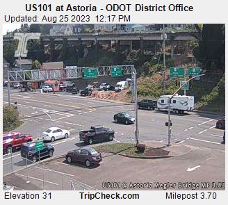
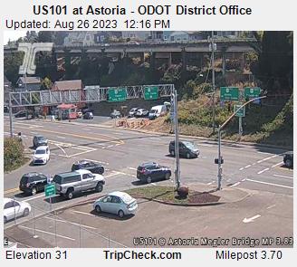
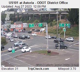
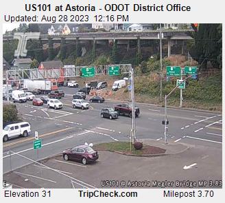
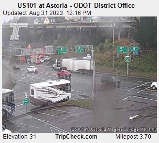
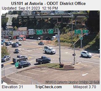
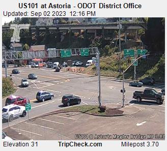
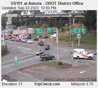
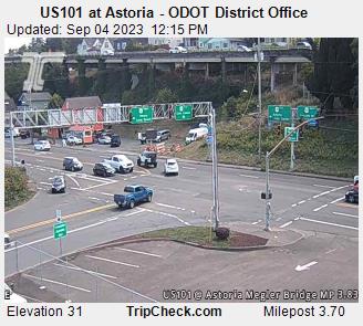
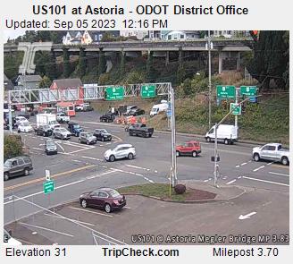
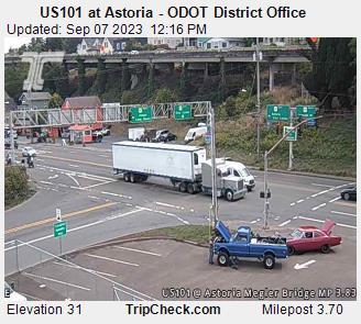
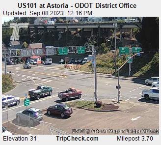
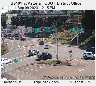
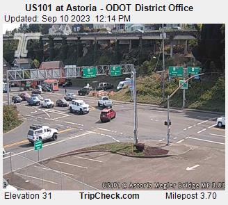
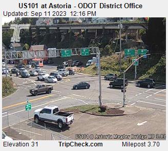
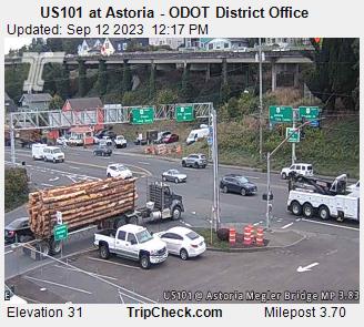
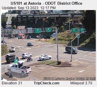
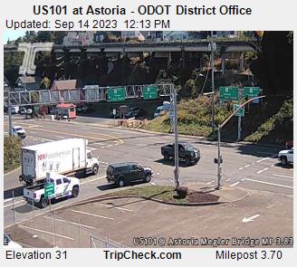
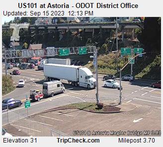
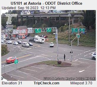
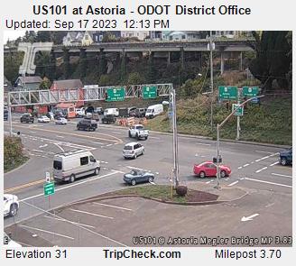
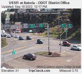
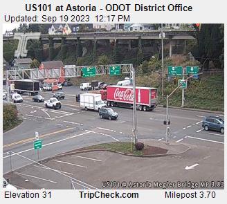
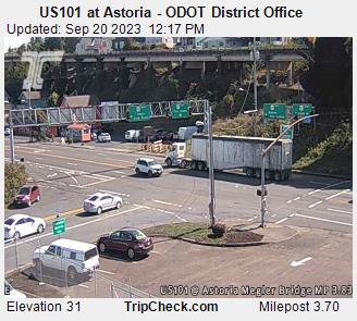
Astoria, Oregon, USA - 46.6 miles from Crego (historical): US101 at Astoria - ODOT District Office - A view of the current traffic situation on the US101.
Operator: Oregon Department of Transportation
Operator: Oregon Department of Transportation


Wishkah, Washington, USA - 49.4 miles from Crego (historical): Wishkah Valley School - A webcam in Wishkah, Washington - camera location: Wishkah Valley School.
Operator: WeatherBug
Operator: WeatherBug


Westport, Washington, USA - 53.6 miles from Crego (historical): WestportCAM - City of Westport - A webcam in Westport, Washington - camera location: WestportCAM - City of Westport.
Operator: WeatherBug
Operator: WeatherBug


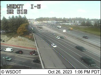
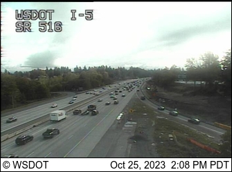
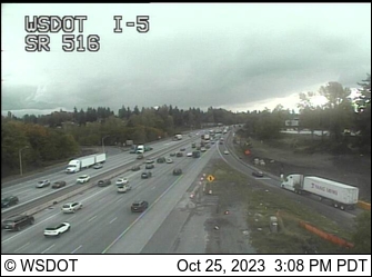
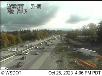
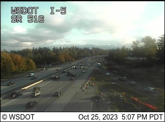
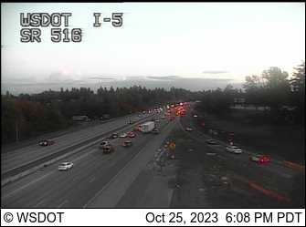
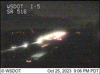
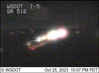
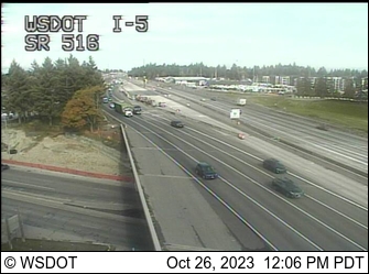
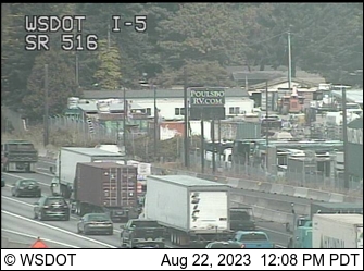
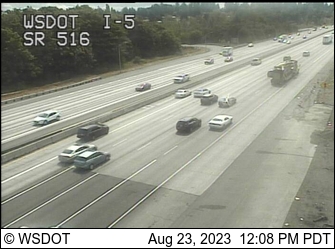
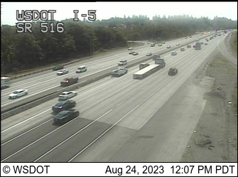
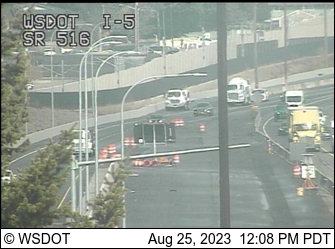
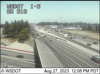
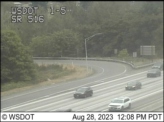
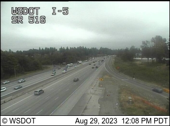
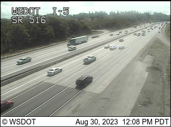
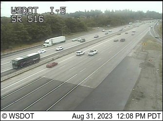
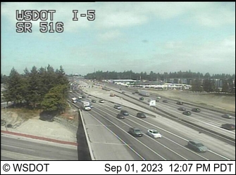
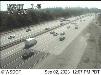
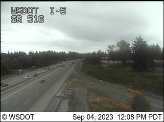
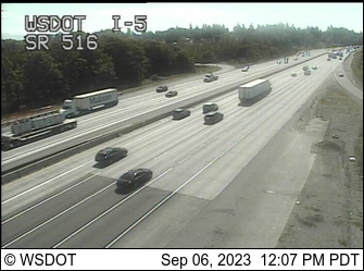
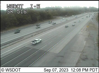
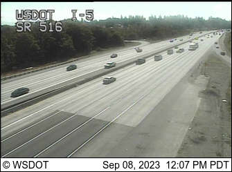
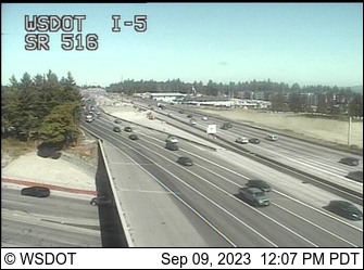
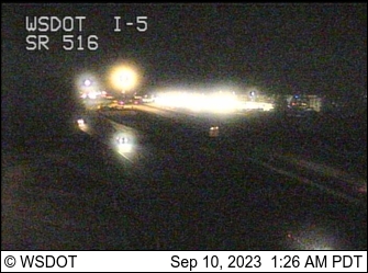
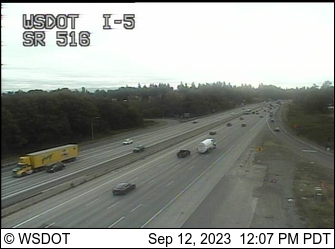
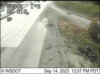
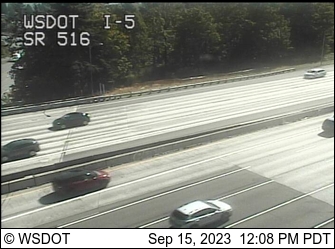
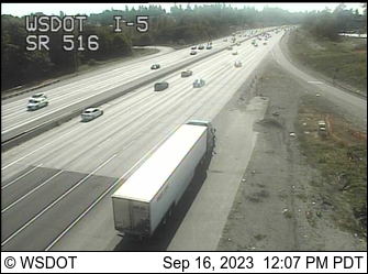
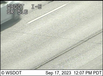
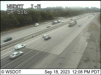
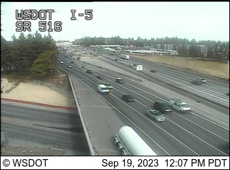
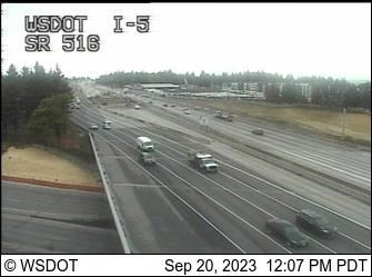
Des Moines, Washington, USA - 65.3 miles from Crego (historical): I-5/SR 516 Interchange - A view of the current traffic situation.
Operator: WSDOT
Operator: WSDOT


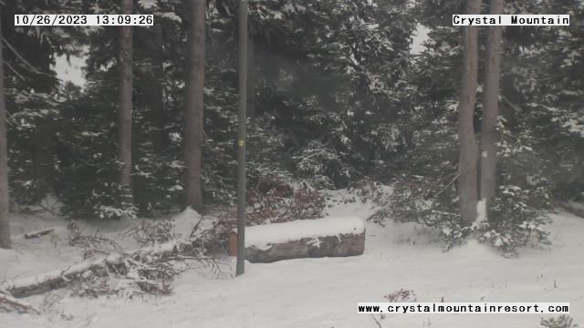
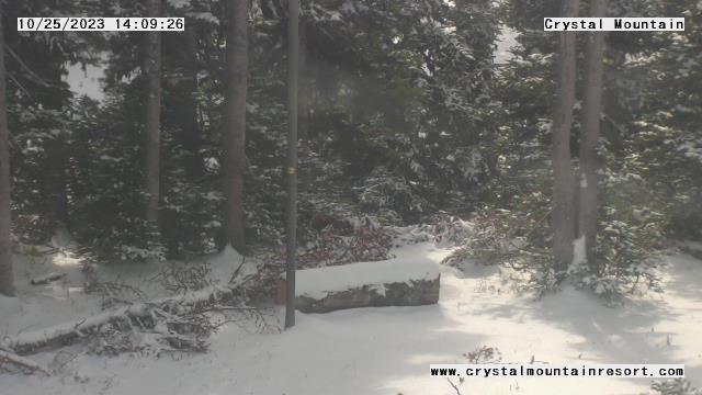
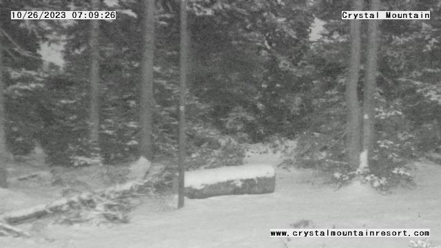
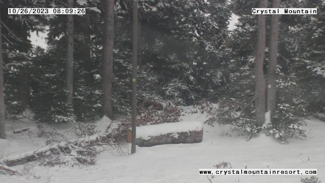
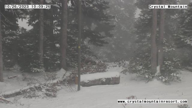
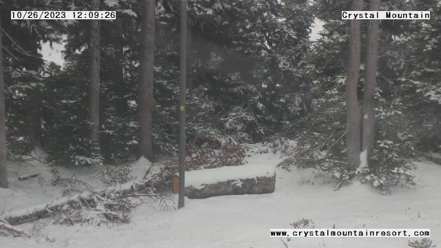
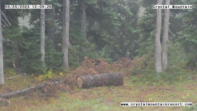
Enumclaw, Washington, USA - 65.3 miles from Crego (historical): Crystal Mountain Inc - A webcam in Enumclaw, Washington - camera location: Crystal Mountain Inc.
Operator: WeatherBug
Operator: WeatherBug


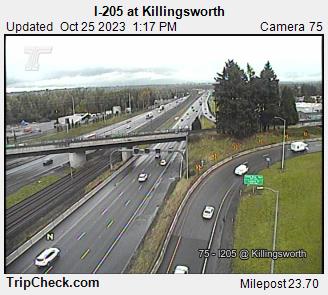
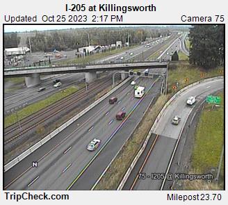
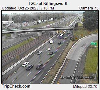
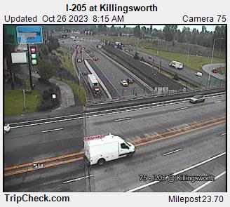
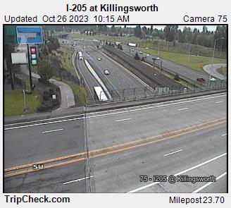
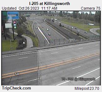
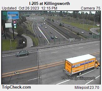
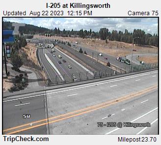
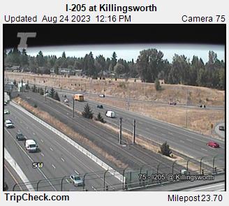
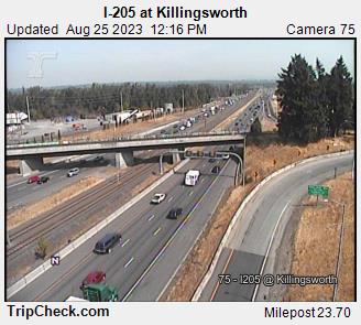
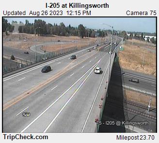
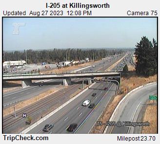
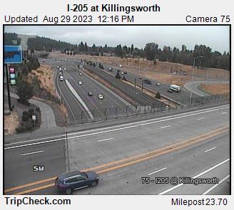
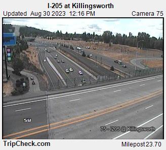
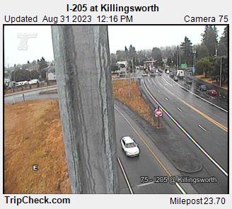
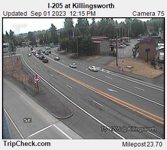
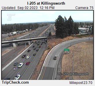
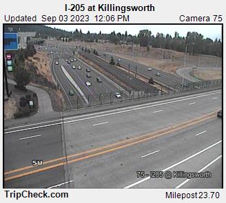
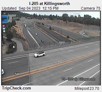
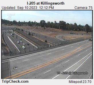
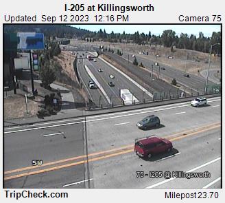
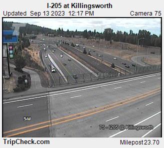
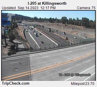
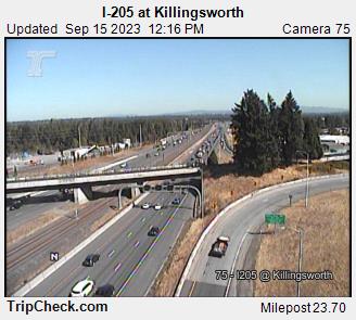
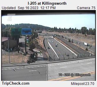
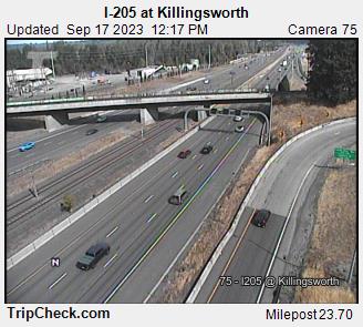
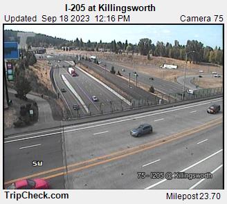
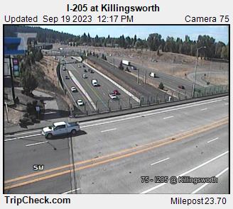
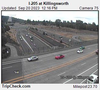
Parkrose, Oregon, USA - 75.6 miles from Crego (historical): I-205 at Killingsworth - A view of the current traffic situation on the I-205.
Operator: Oregon Department of Transportation
Operator: Oregon Department of Transportation


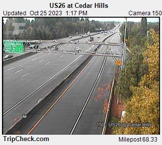
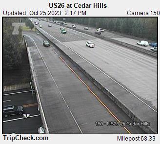
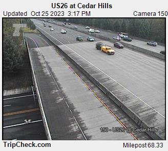
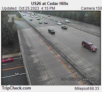
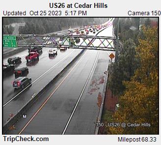
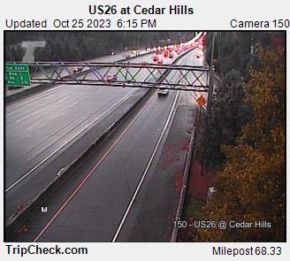
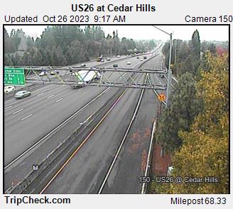
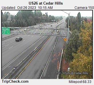
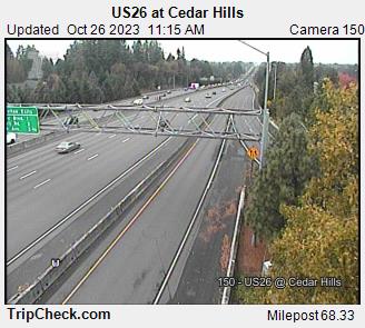
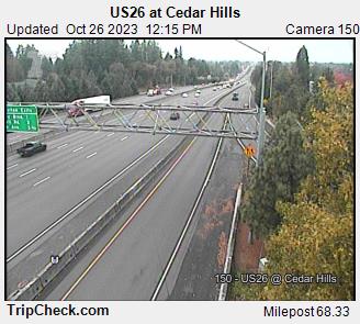
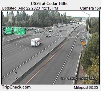
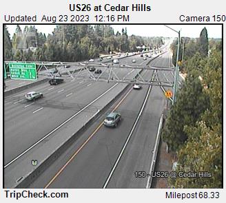
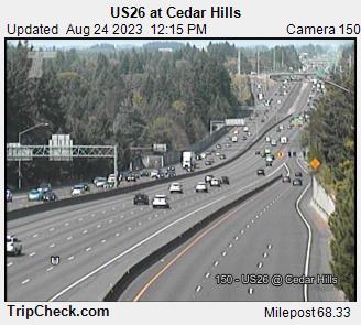
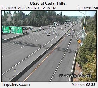
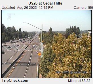
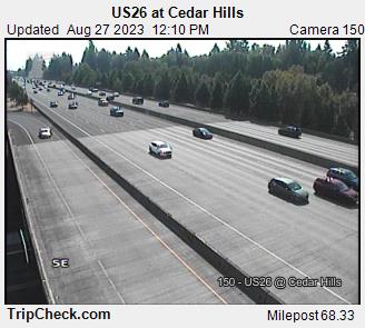
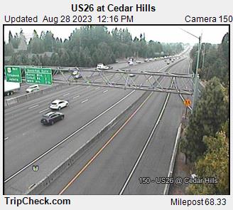
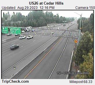
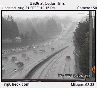
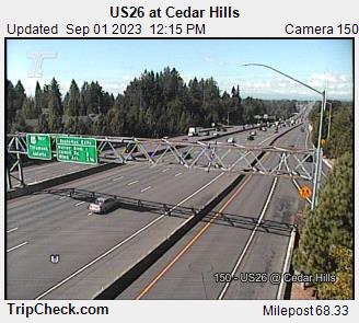
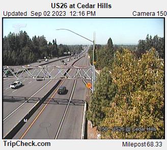
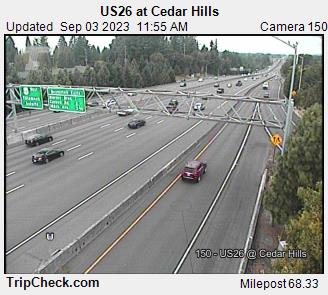
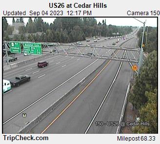
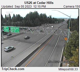
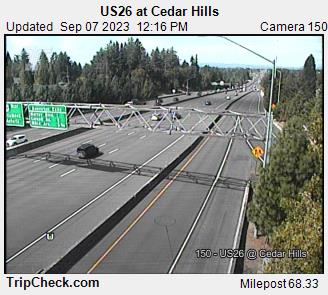
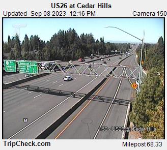
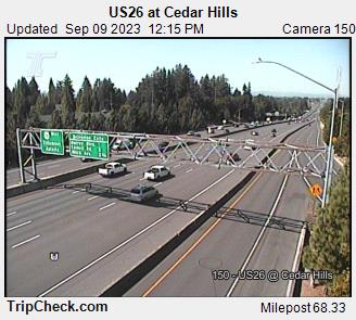
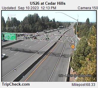
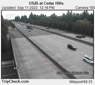
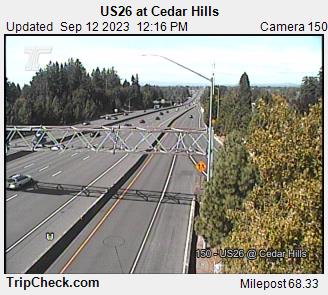
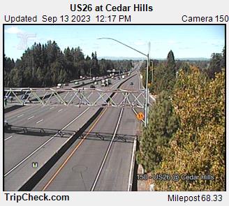
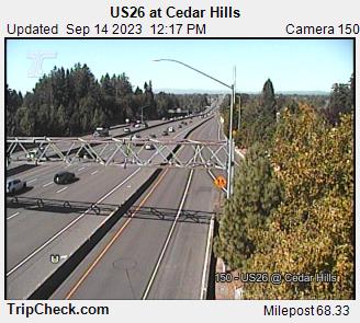
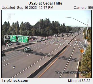
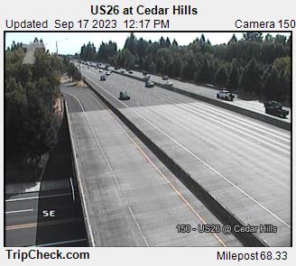
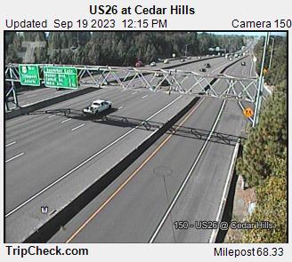
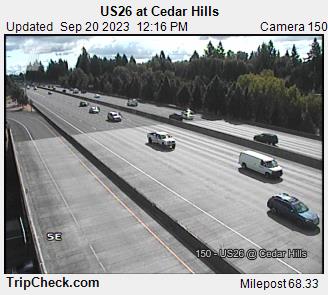
Cedar Hills, Oregon, USA - 76.1 miles from Crego (historical): US26 at Cedar Hills - A view of the current traffic situation on the US26.
Operator: Oregon Department of Transportation
Operator: Oregon Department of Transportation


Some other places in this country: Venice - Deer Trail - Mays (historical) - Fayette - Waiilatpo (historical) - Lakedale - Mason City (historical) - Marshville (historical) - Sheridan - Reynolds (historical)