Webcams in the region of Clyde Hill, Washington, USA
The List of Webcams near Clyde Hill, Washington, USA:

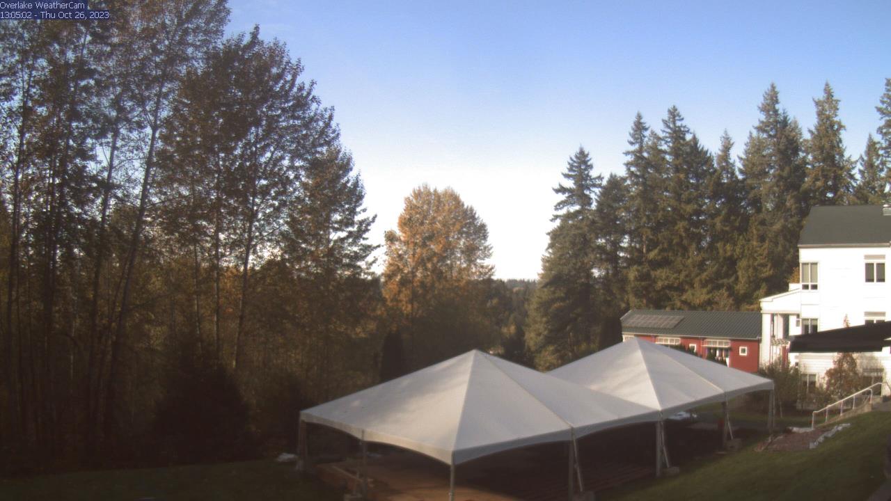
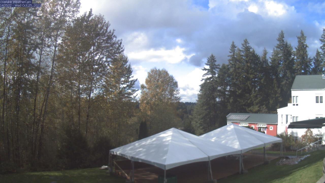
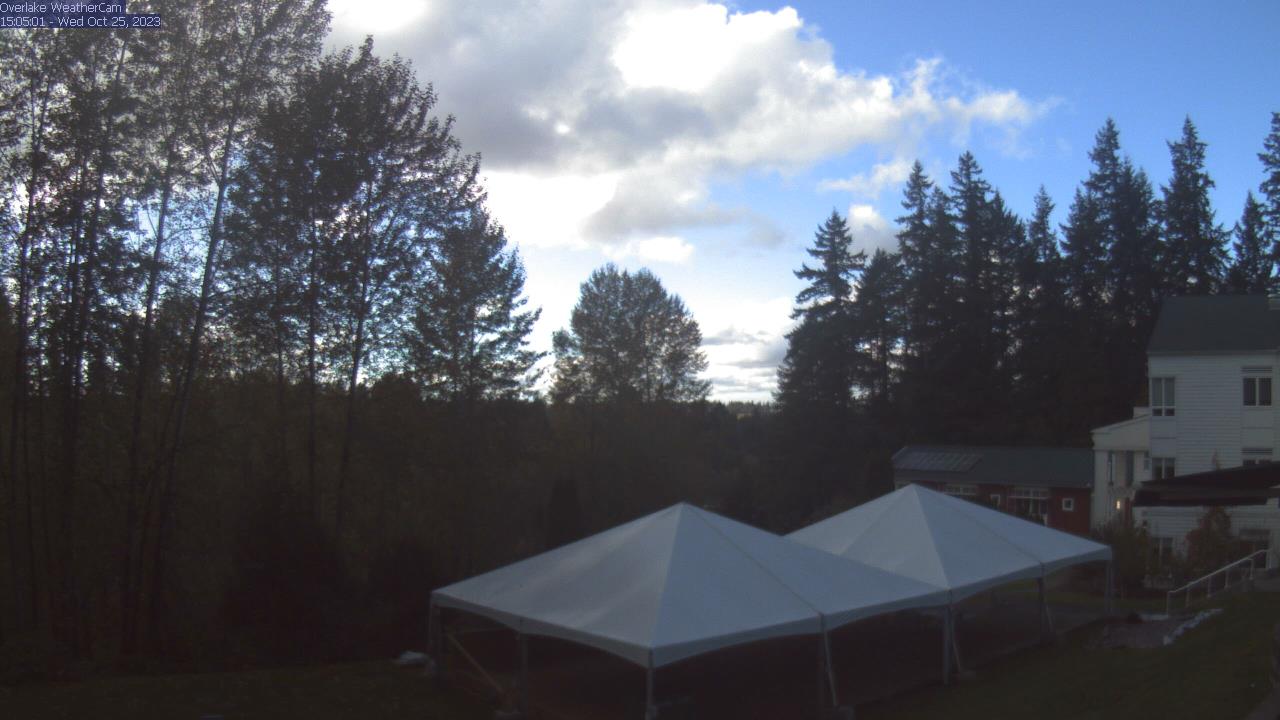
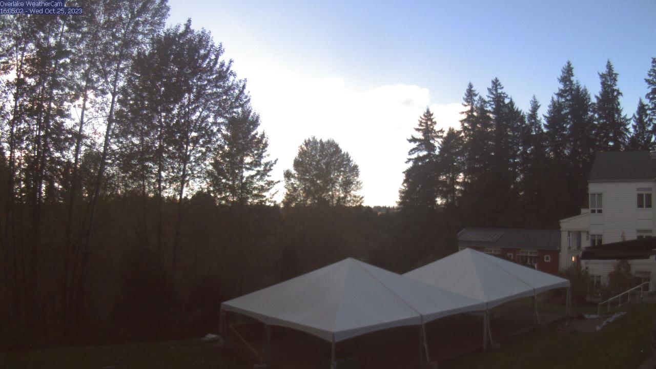
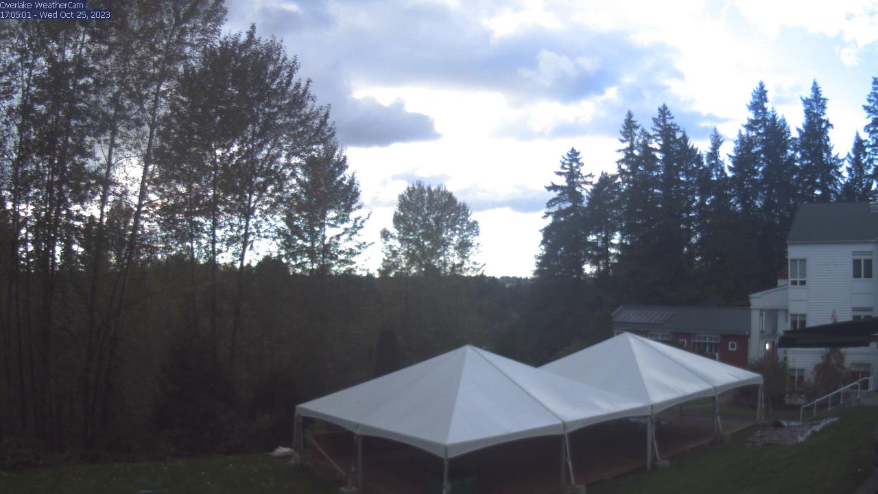
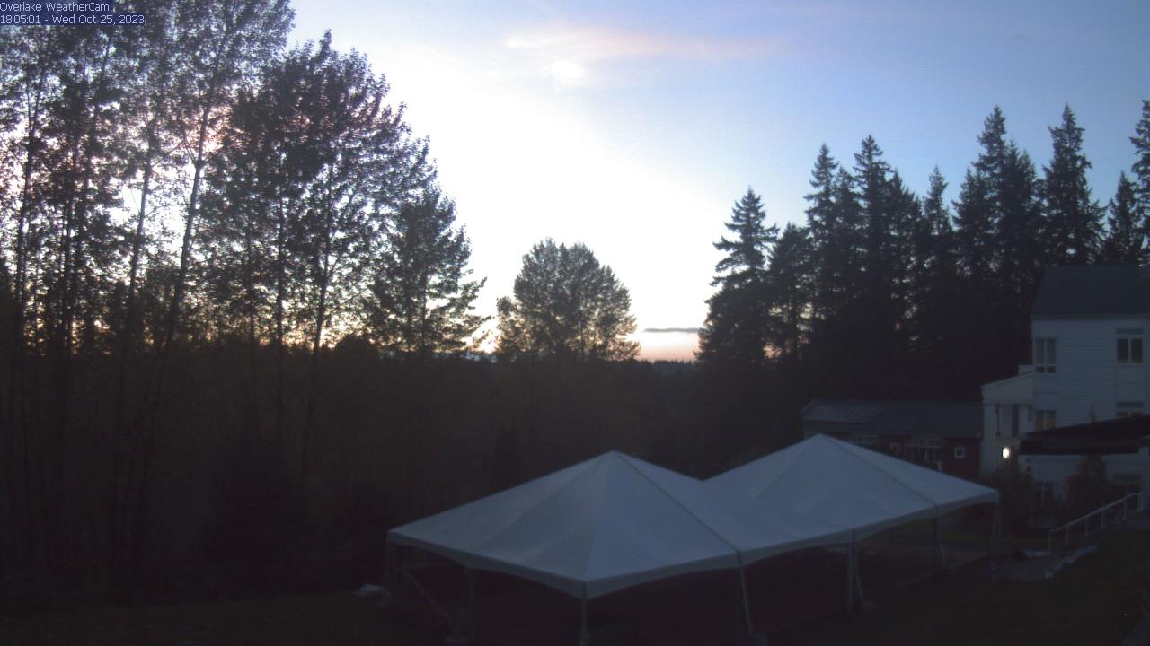
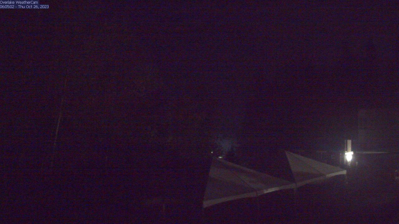
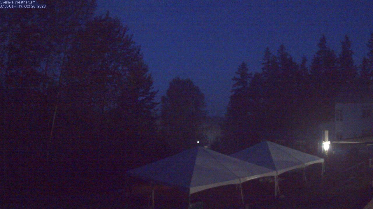
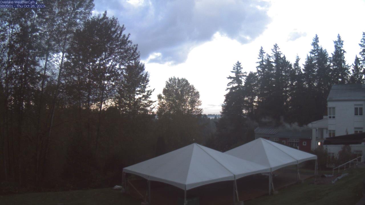
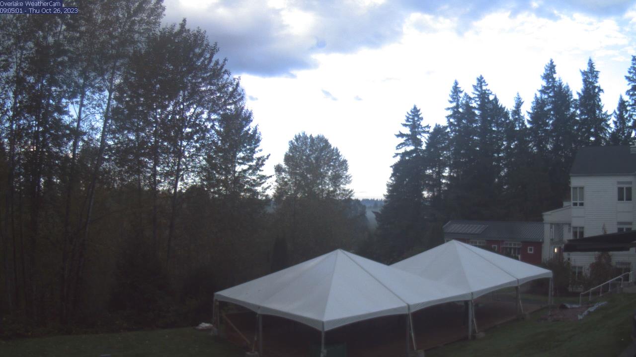
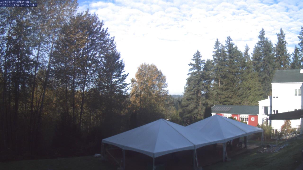
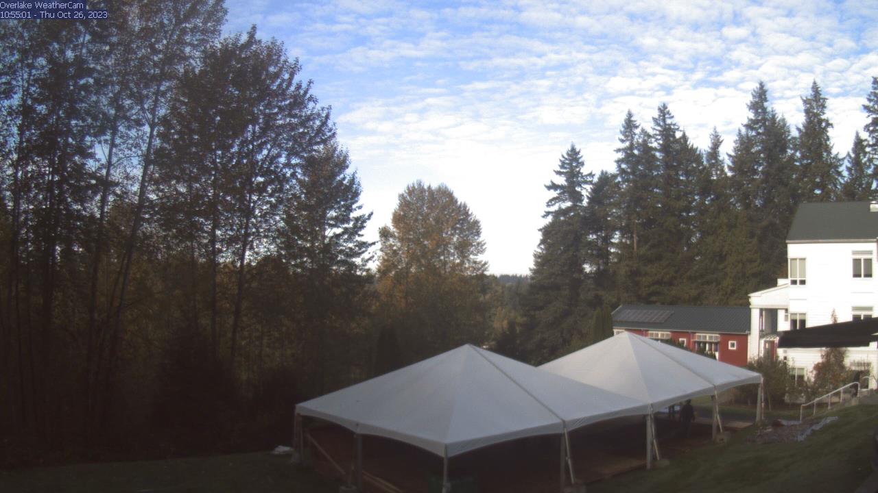
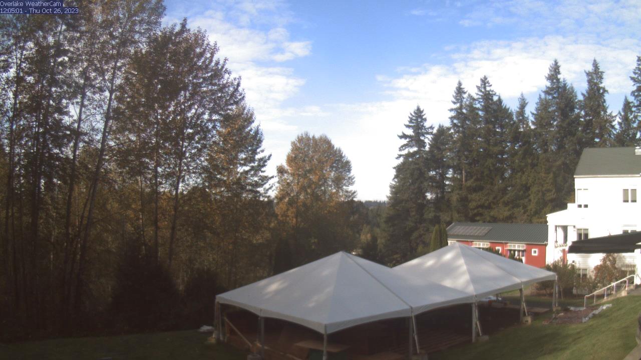
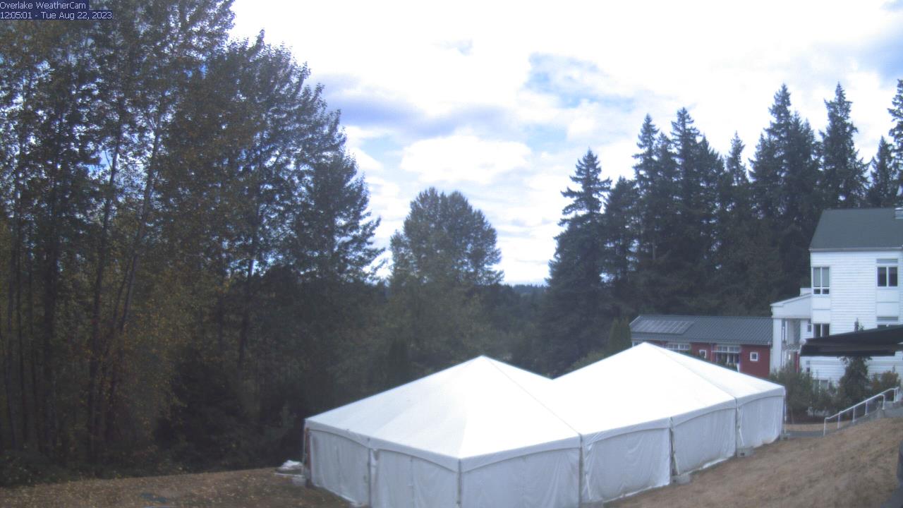
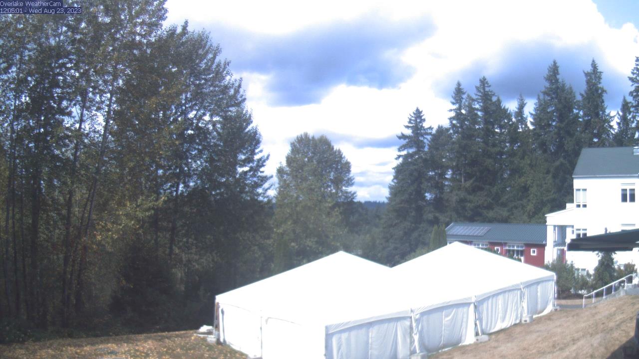
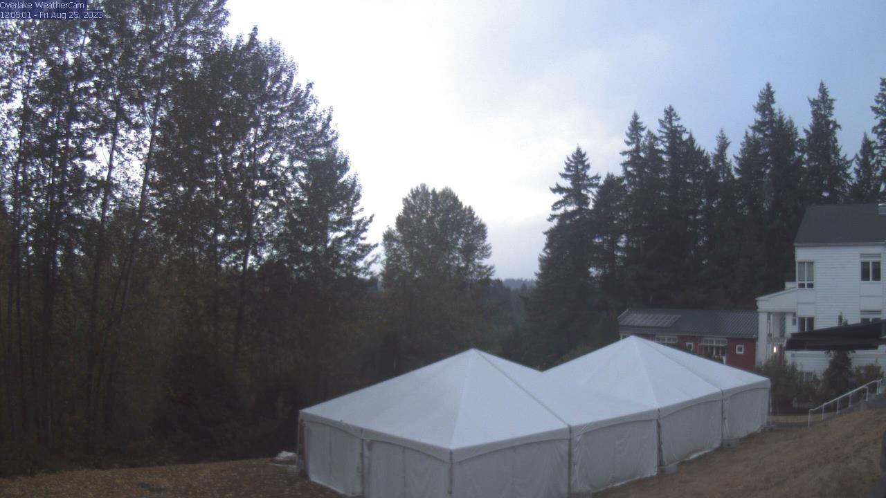
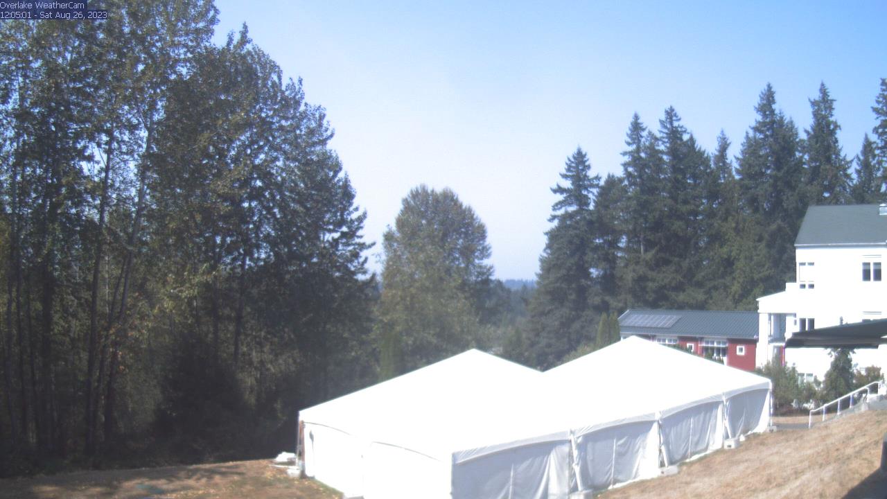
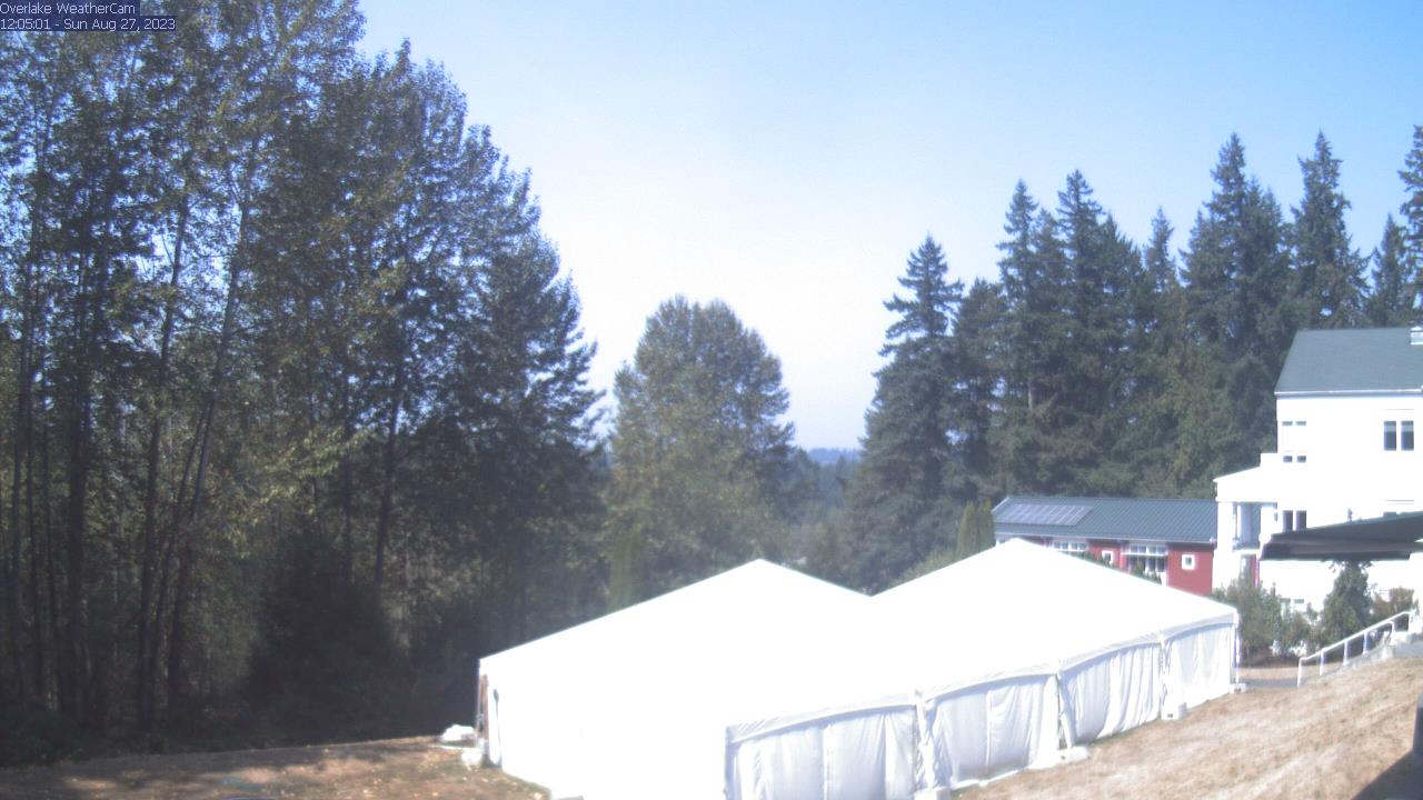
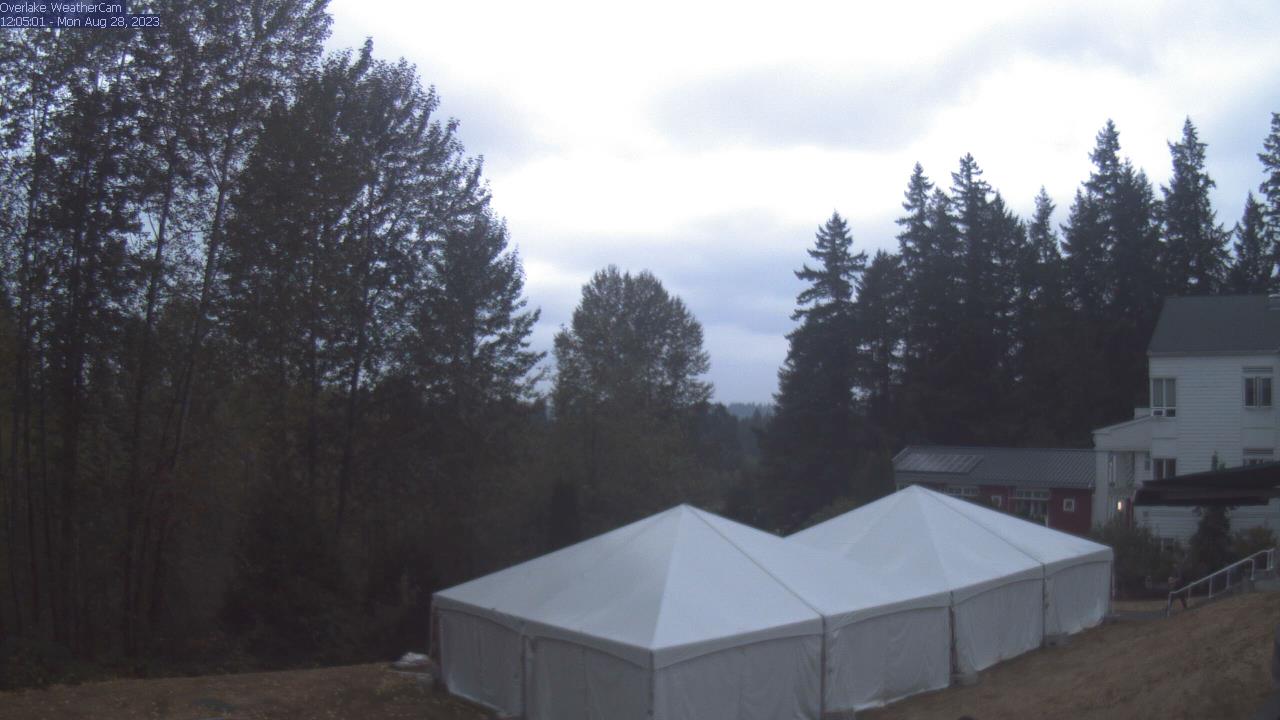
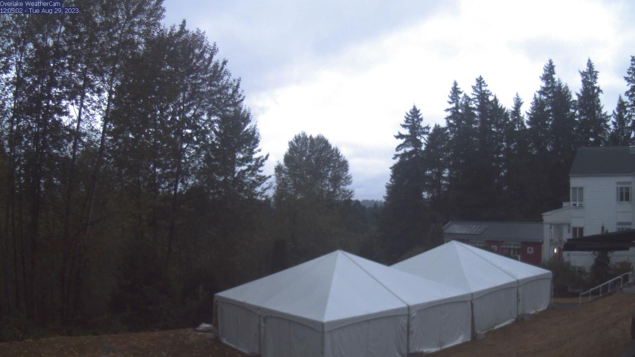
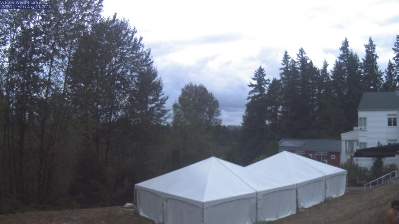
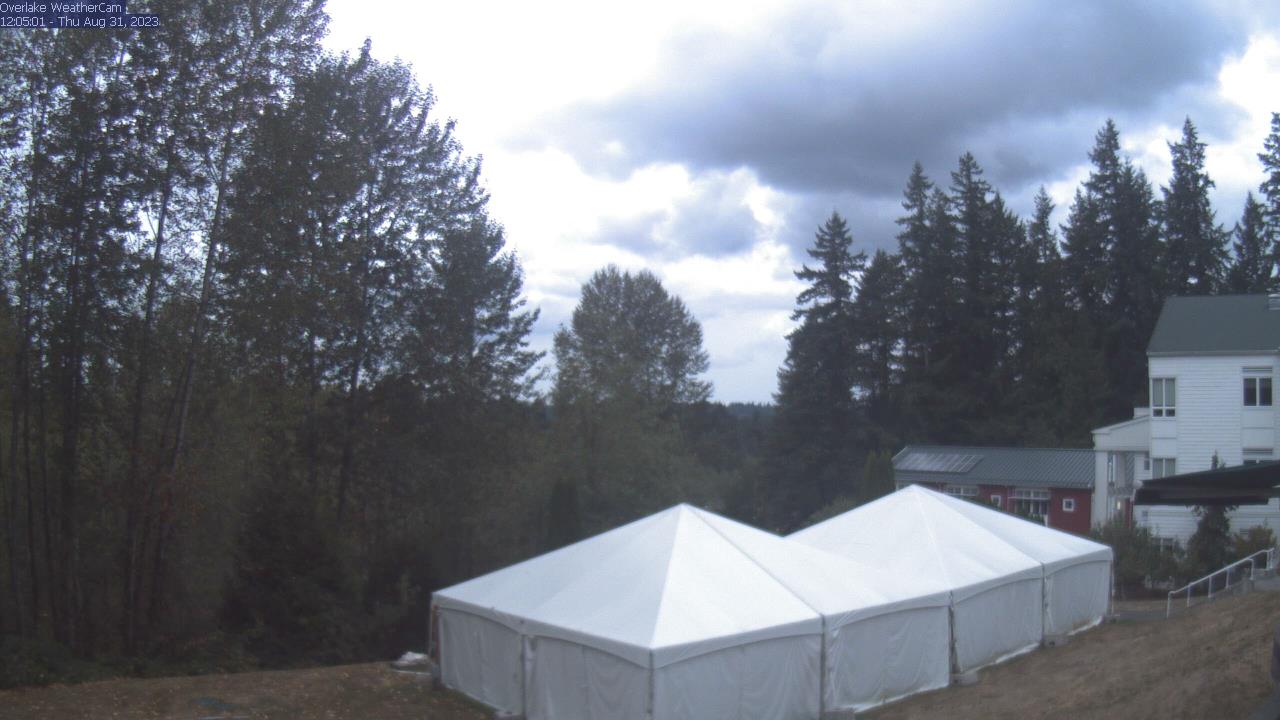
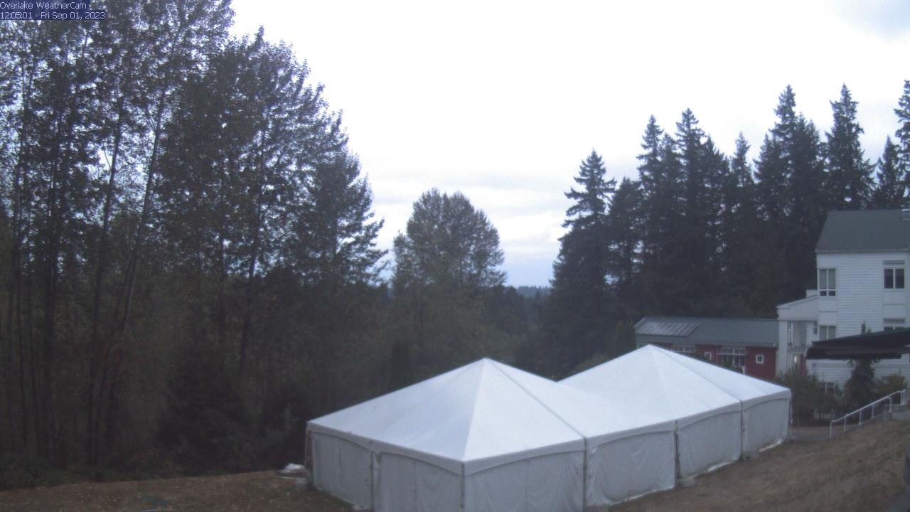
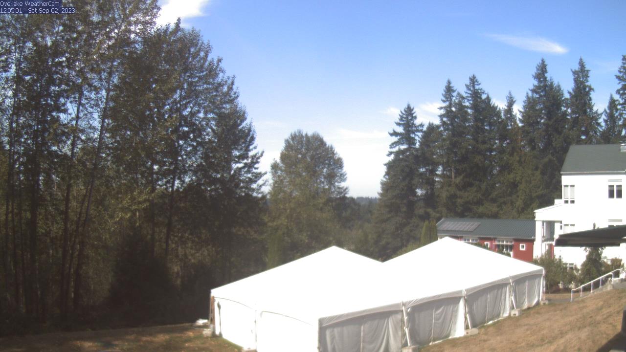
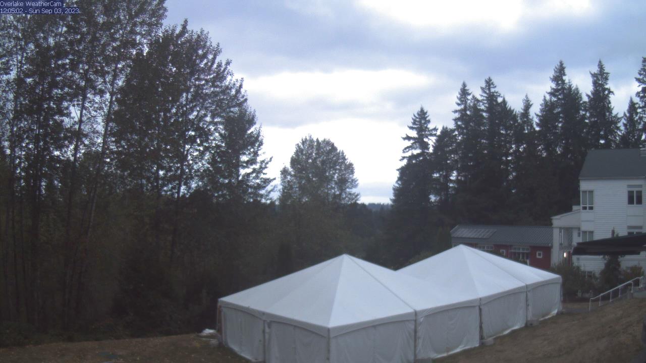
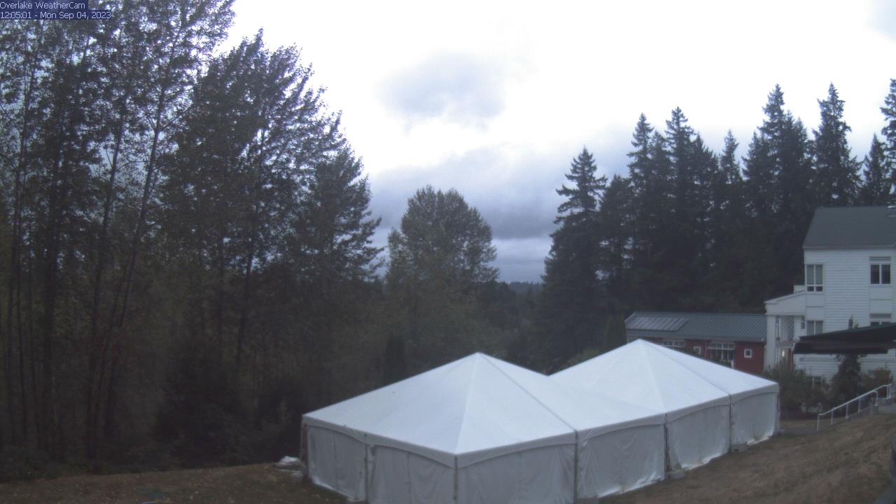
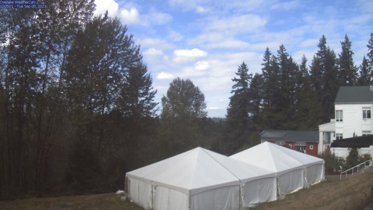
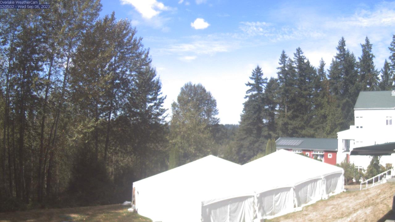
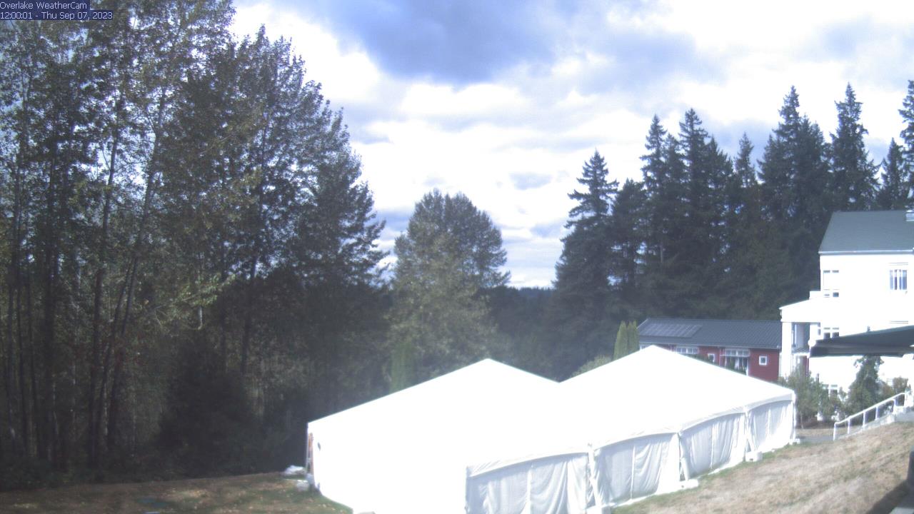
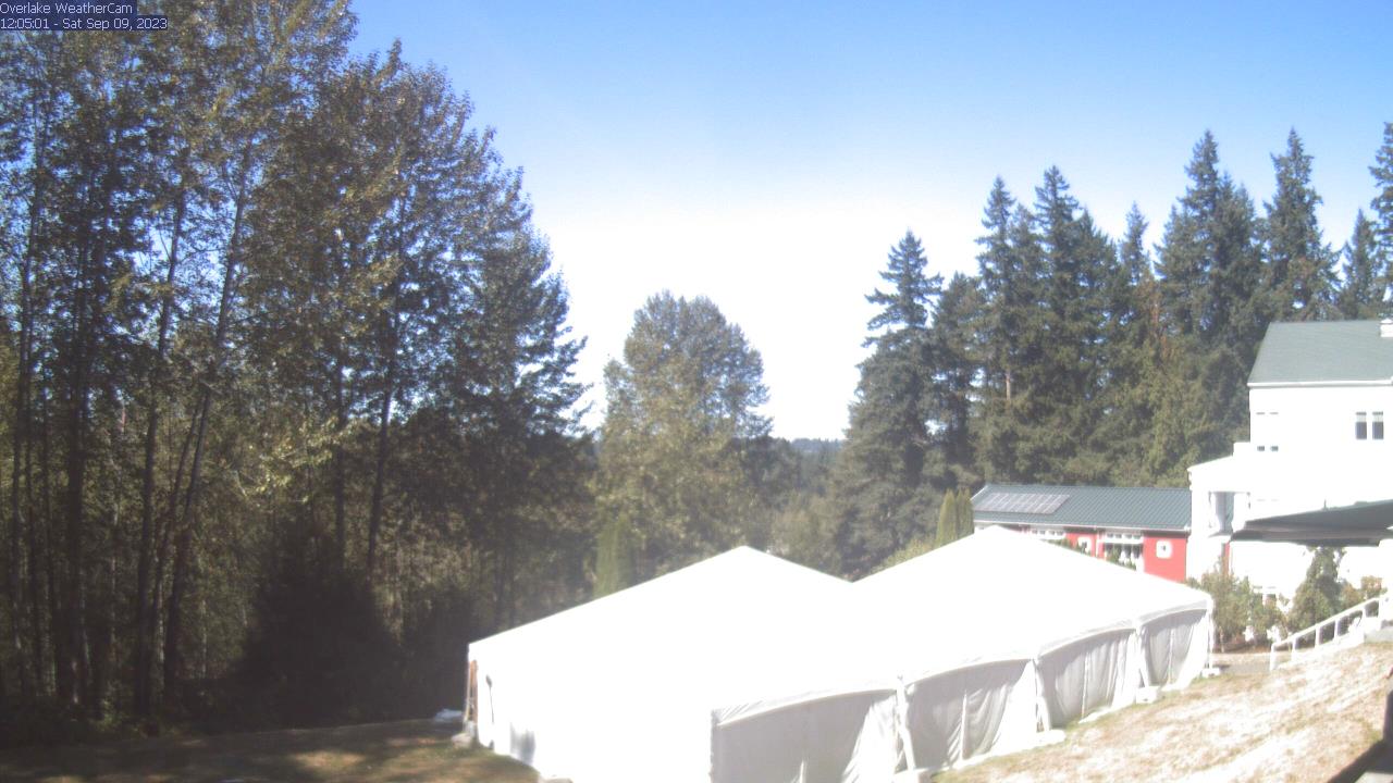
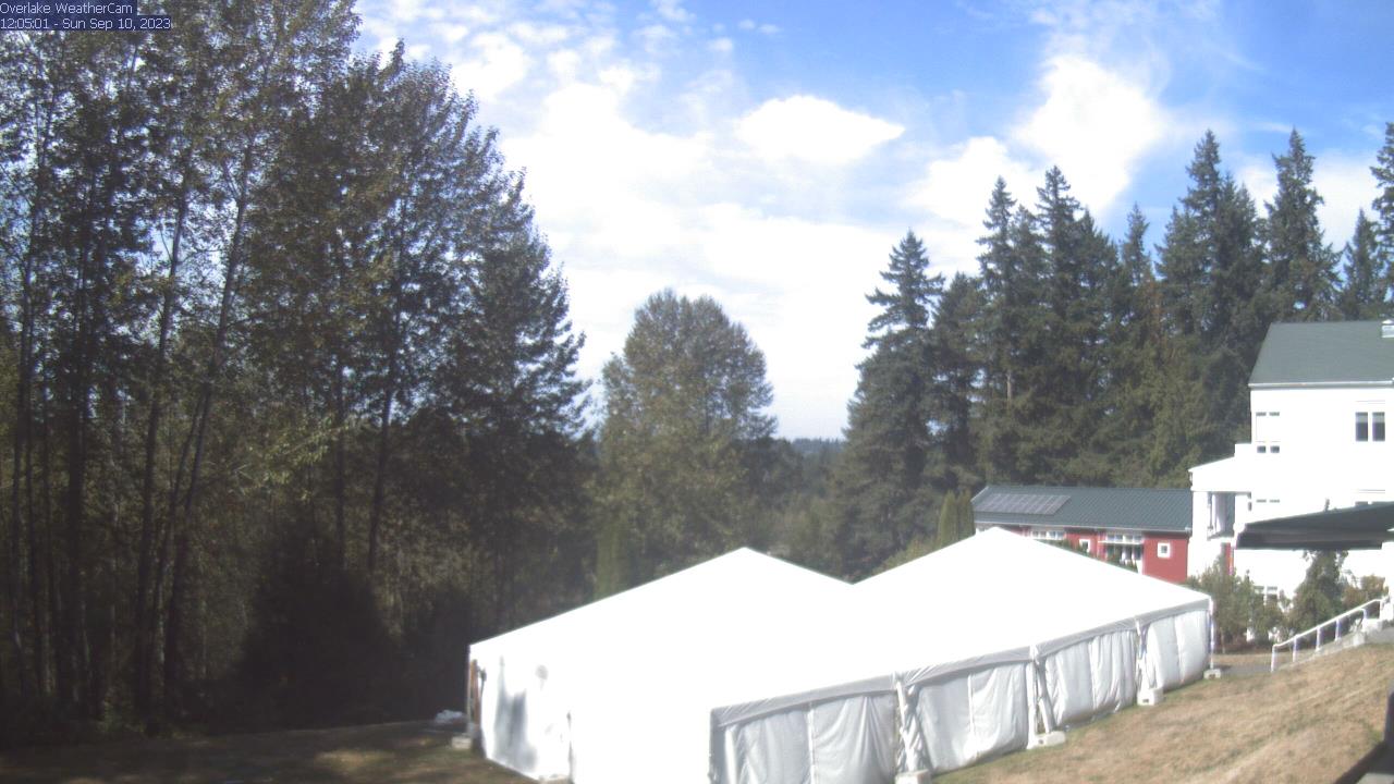
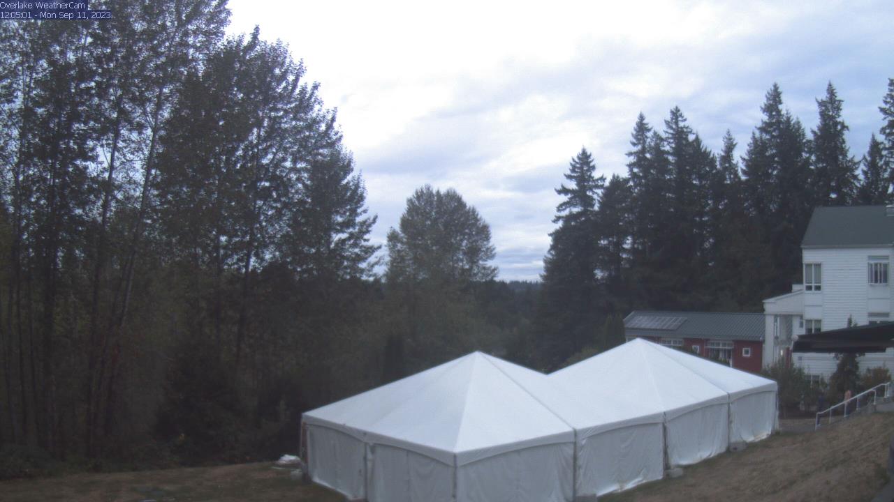
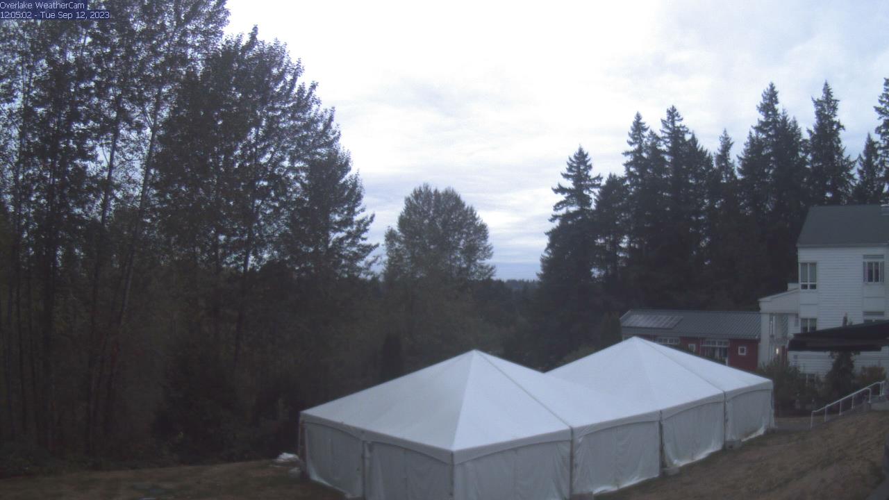
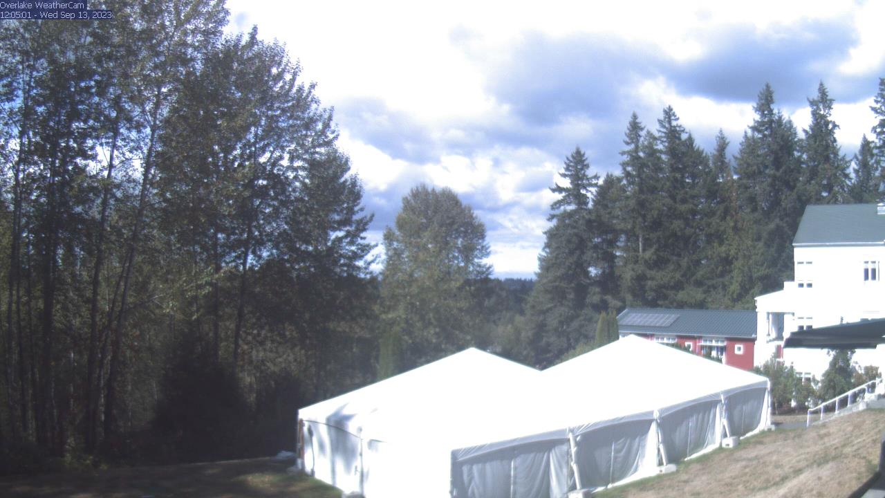
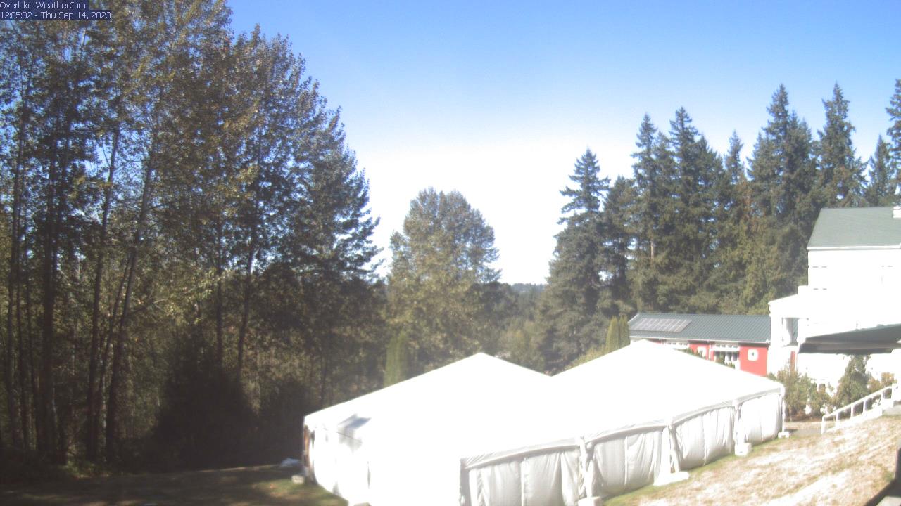
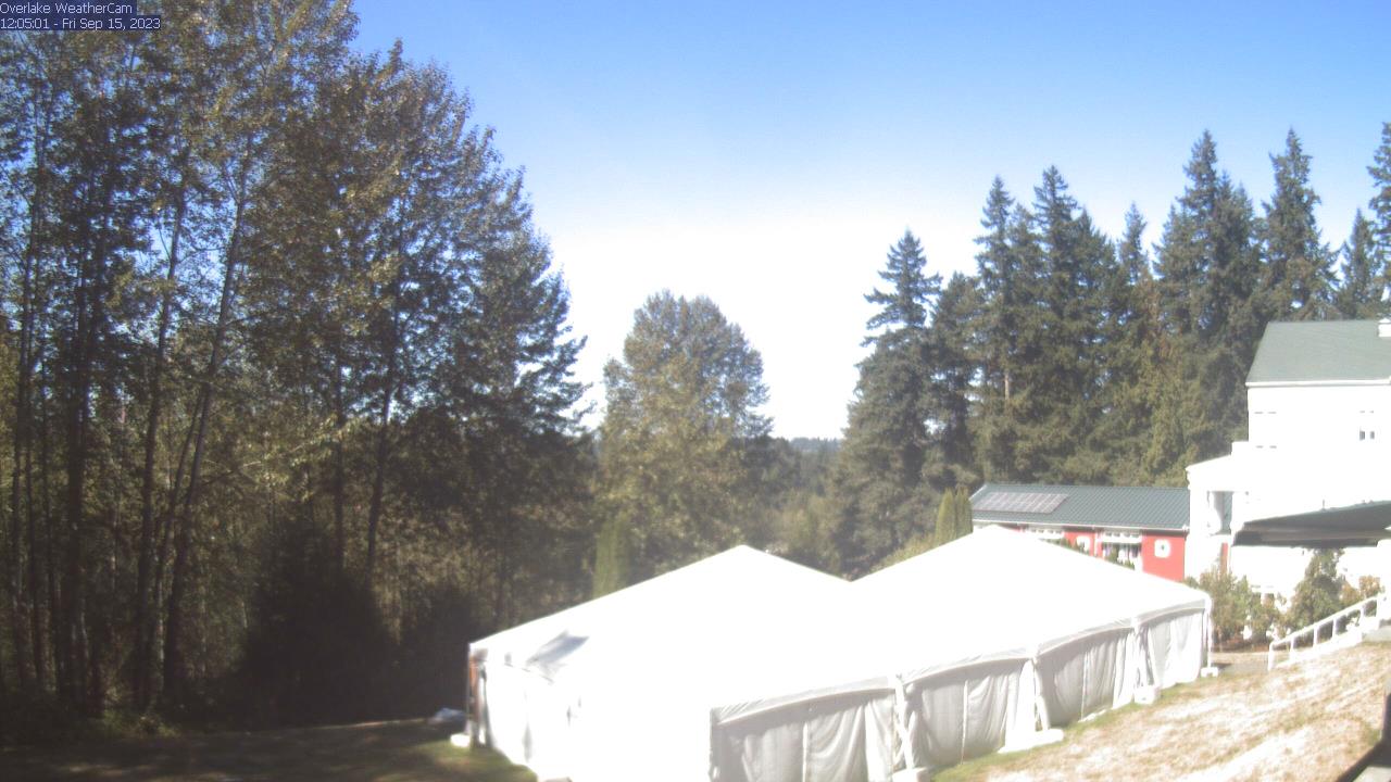
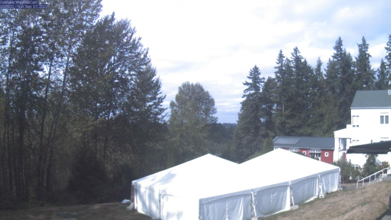
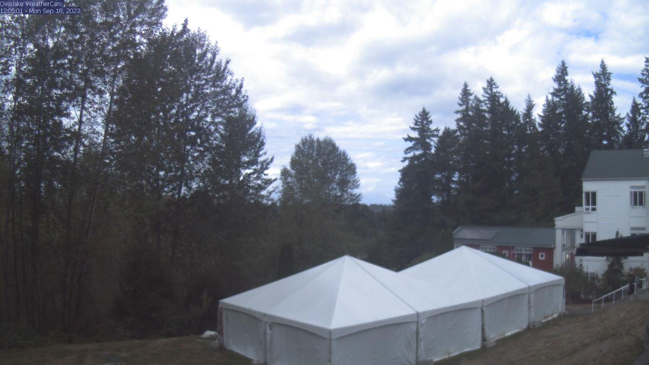
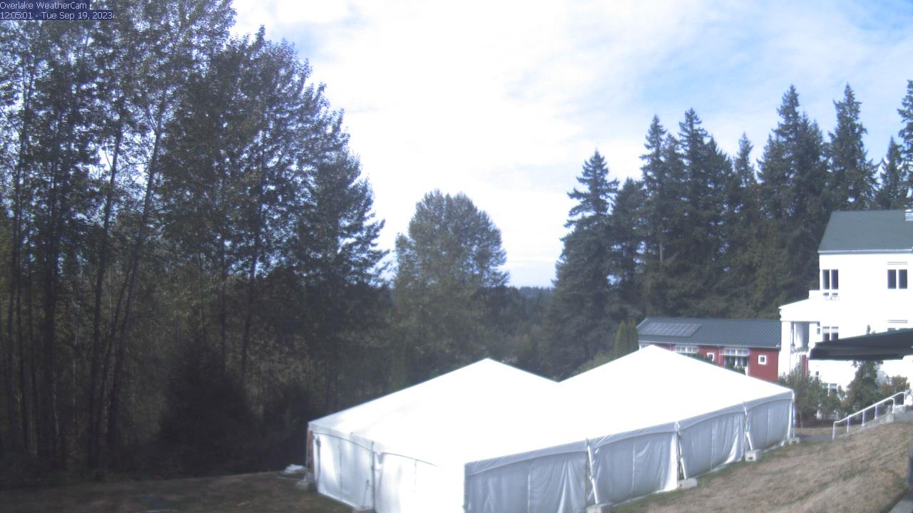
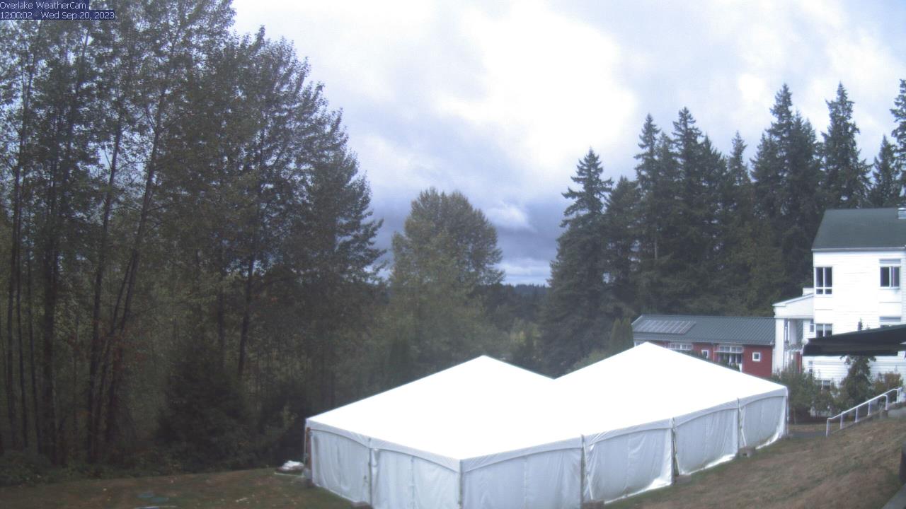
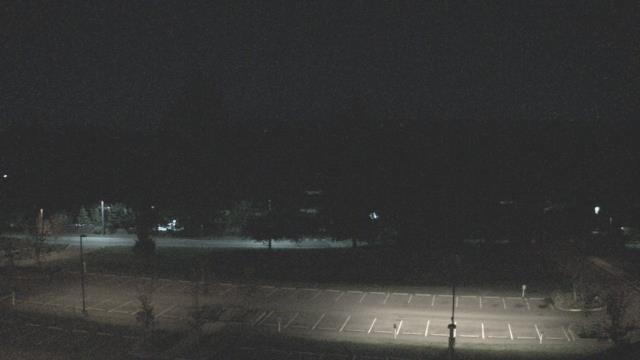
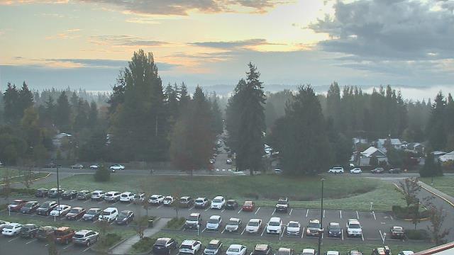
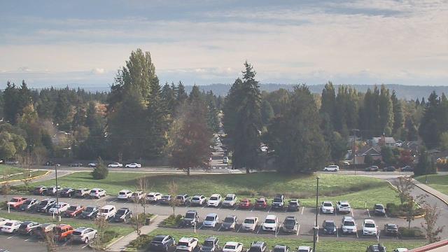
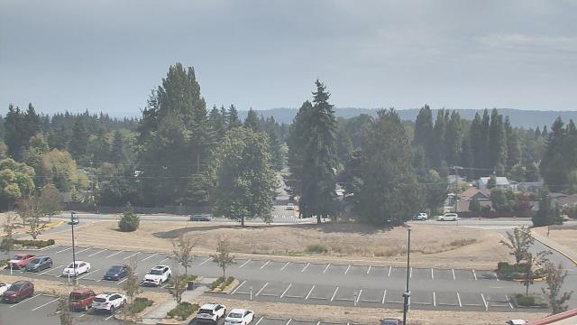
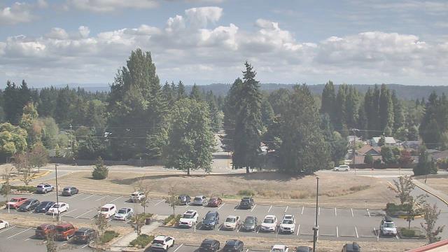
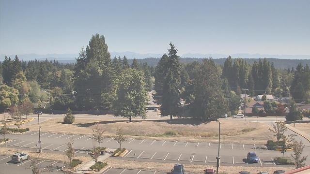
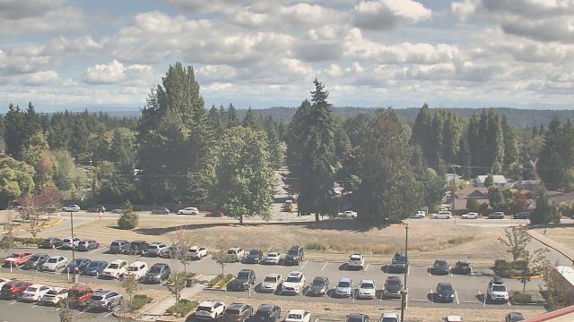
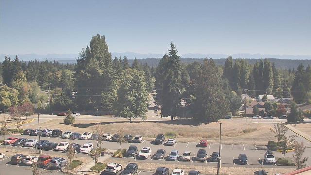
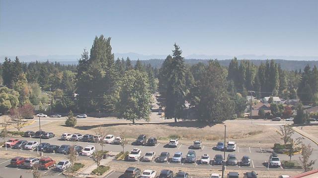
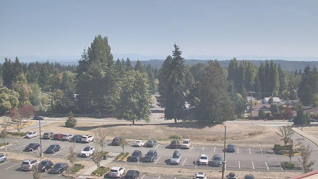
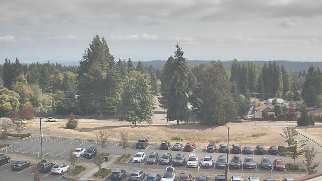
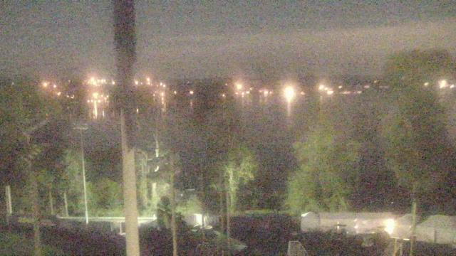
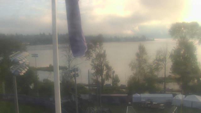
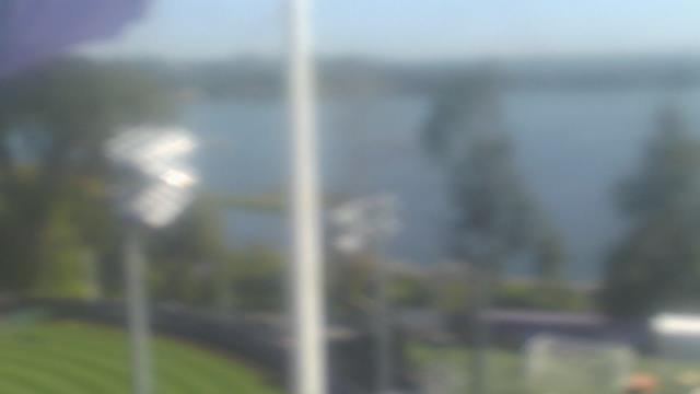
Redmond, Washington, USA - 5.2 miles from Clyde Hill: Overlake School - A webcam in Redmond, Washington - camera location: Overlake School.
Operator: WeatherBug
Operator: WeatherBug


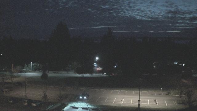
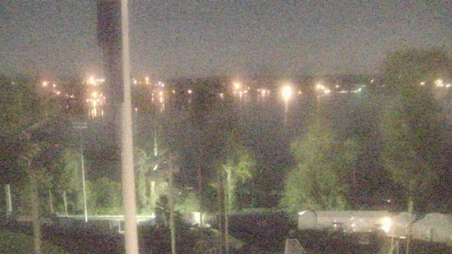
Seattle, Washington, USA - 6.1 miles from Clyde Hill: Space Needle - View of the Space Needle, the symbol of Seattle, Washington.
Operator: KIROTV.com
Operator: KIROTV.com

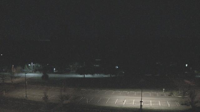
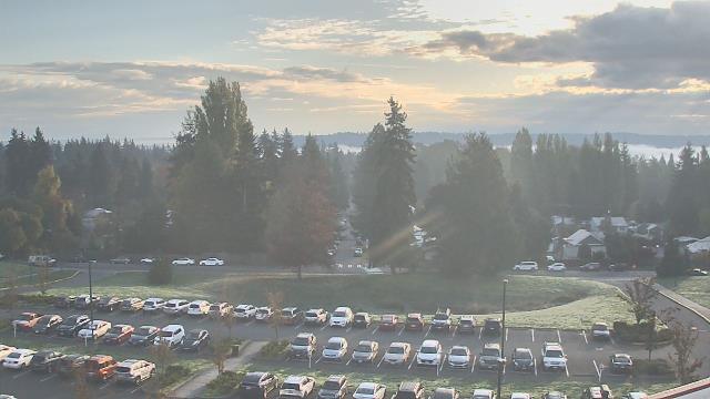
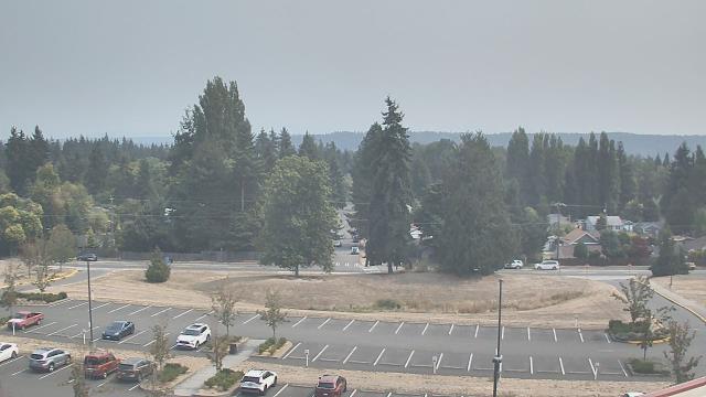
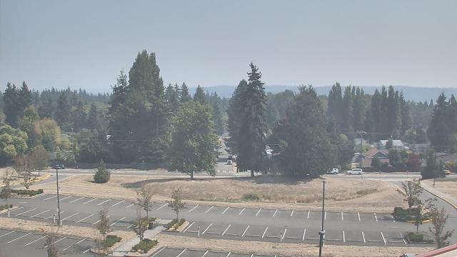
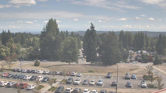
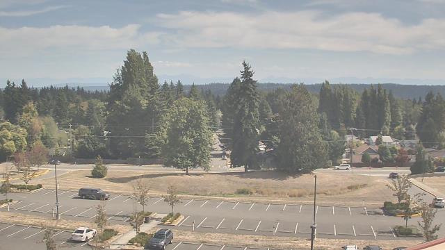
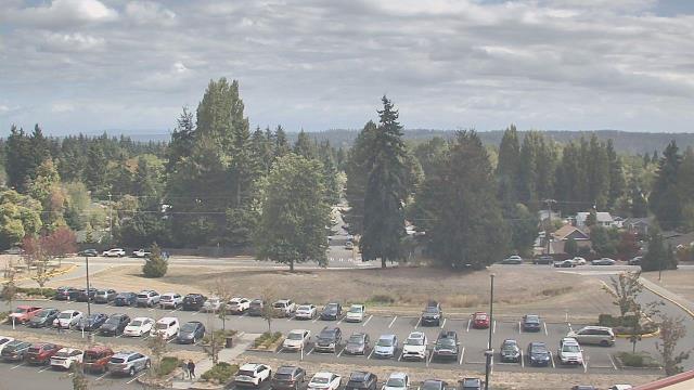
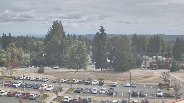
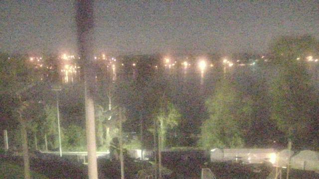
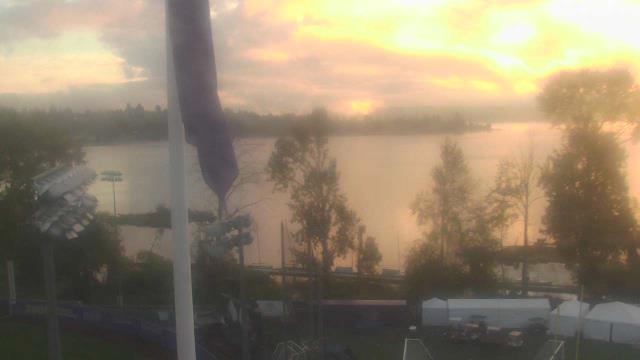
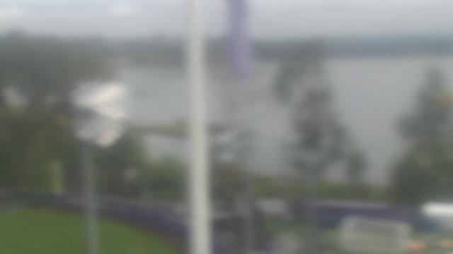
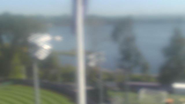
Seattle, Washington, USA - 6.1 miles from Clyde Hill: Shorecrest High School - A webcam in Seattle, Washington - camera location: Shorecrest High School.
Operator: WeatherBug
Operator: WeatherBug


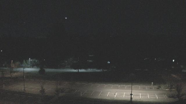
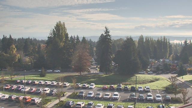
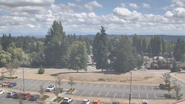


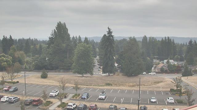


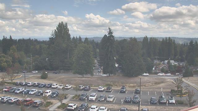
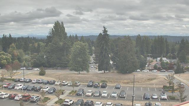

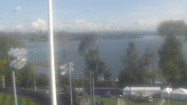
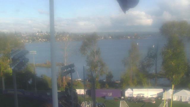
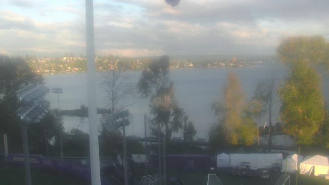
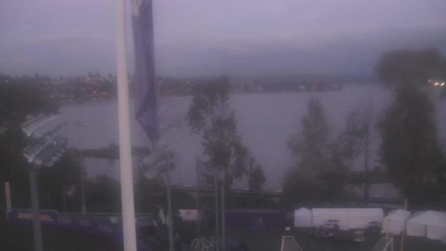
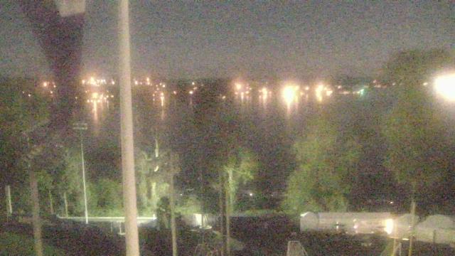
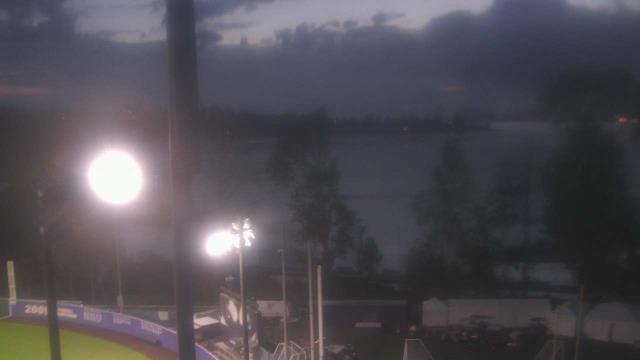
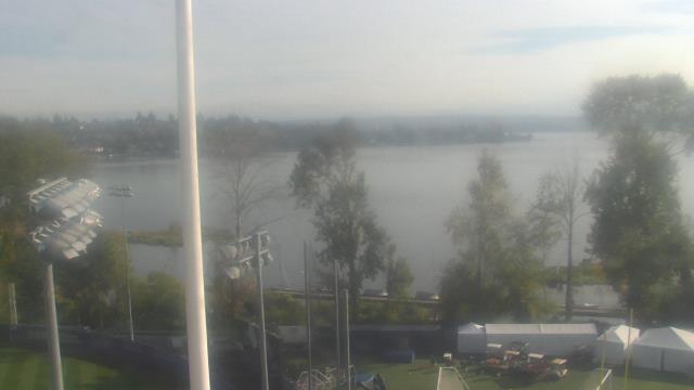
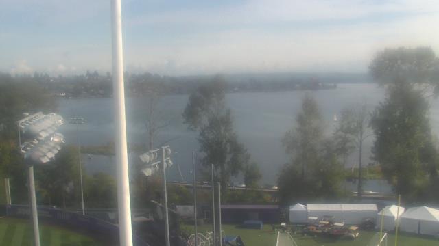
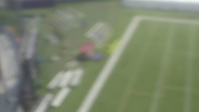
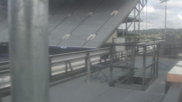
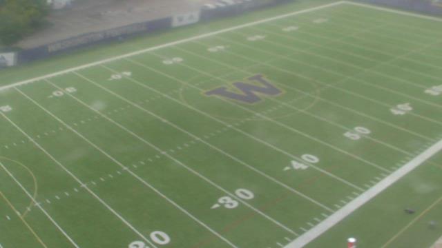
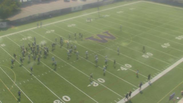
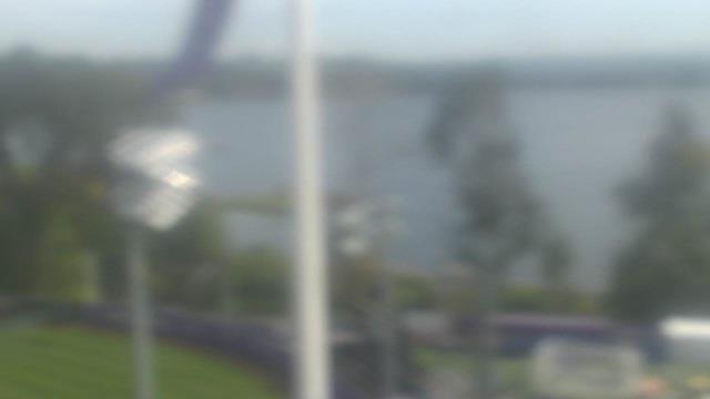
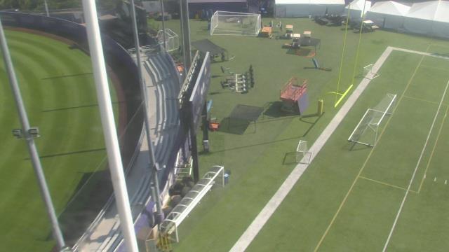
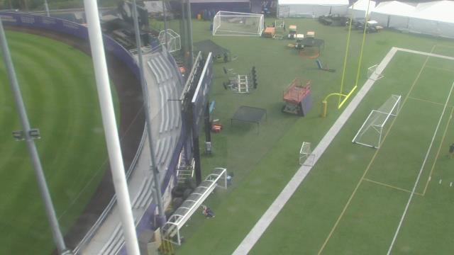
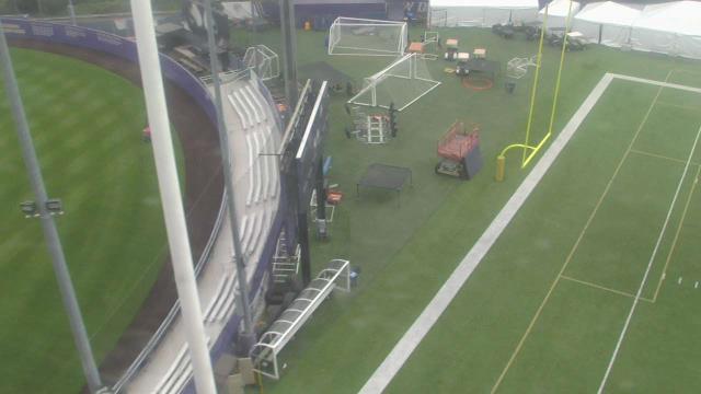
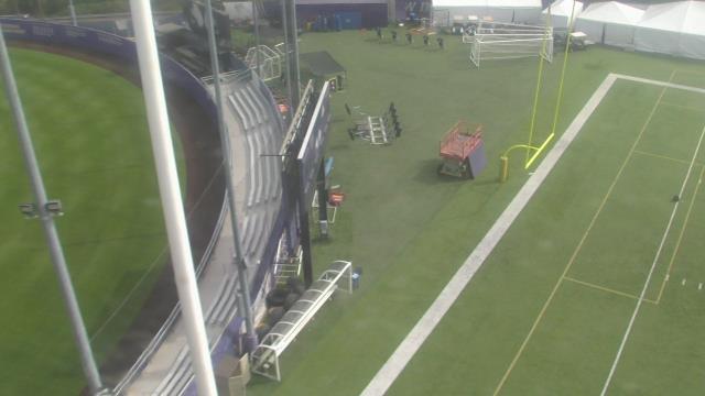
Seattle, Washington, USA - 6.1 miles from Clyde Hill: KING5 at Husky Stadium - A webcam in Seattle, Washington - camera location: KING5 at Husky Stadium.
Operator: WeatherBug
Operator: WeatherBug


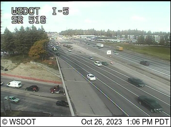
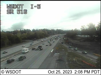
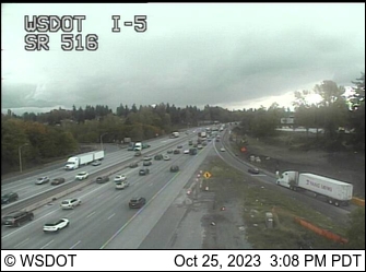
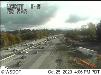
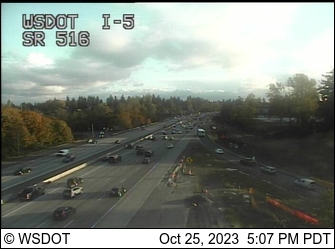
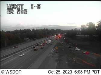
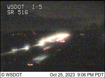
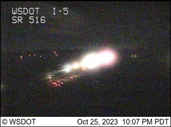
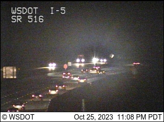
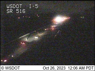
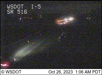
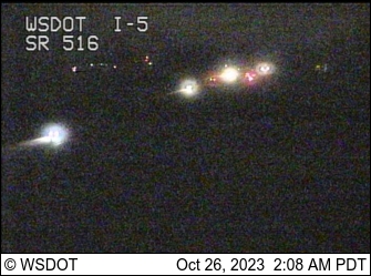
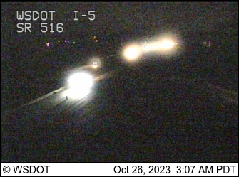
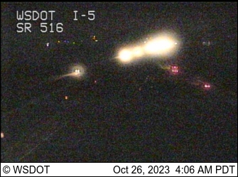
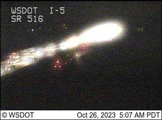
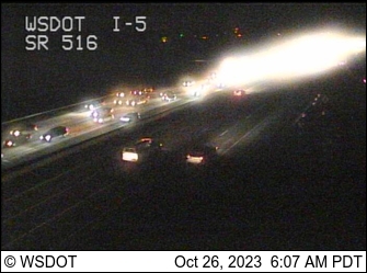
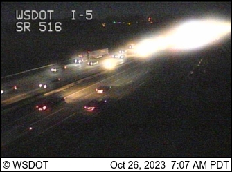
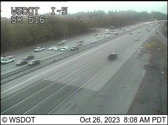
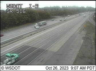
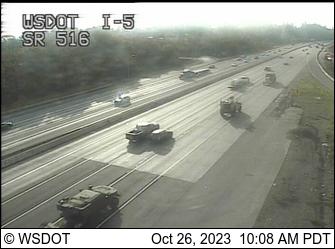
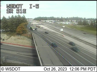
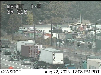
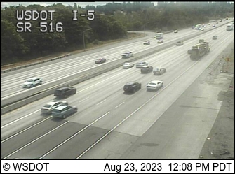
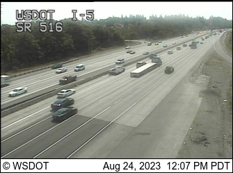
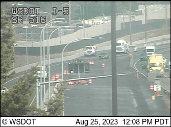
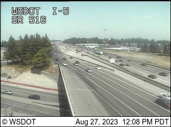
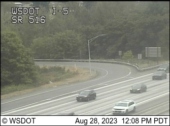
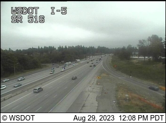
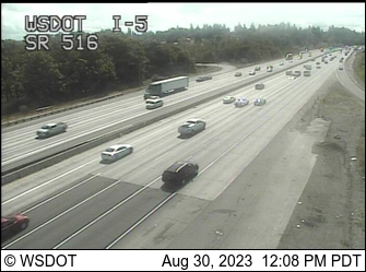
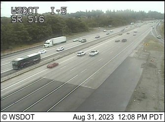
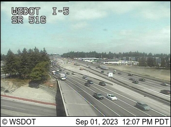
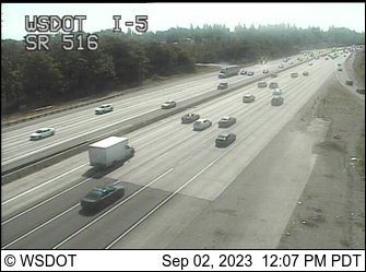
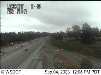
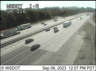
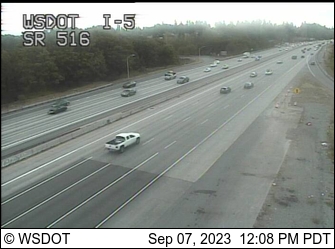
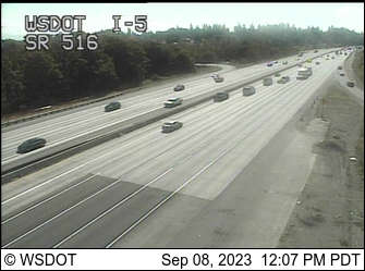
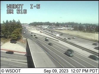
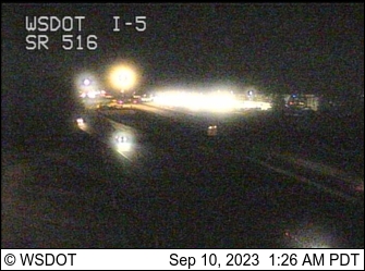
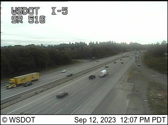
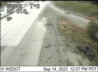
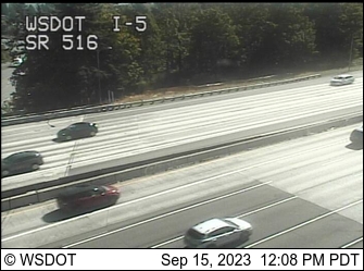
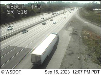
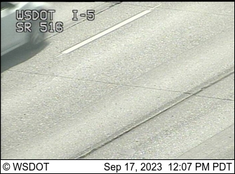
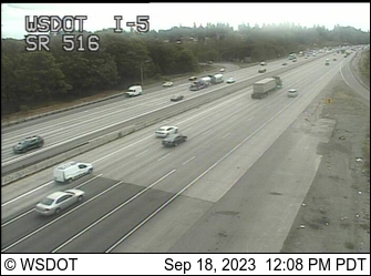
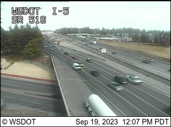
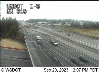
Des Moines, Washington, USA - 16.6 miles from Clyde Hill: I-5/SR 516 Interchange - A view of the current traffic situation.
Operator: WSDOT
Operator: WSDOT


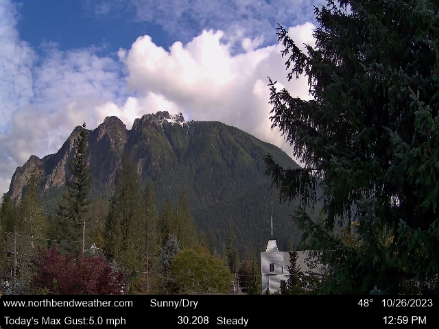
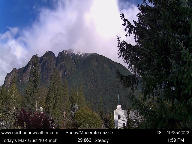
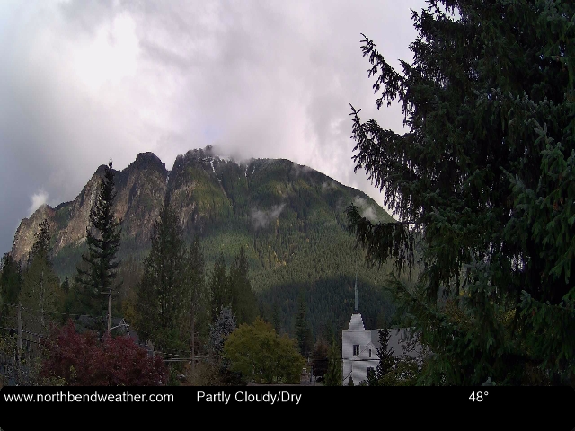
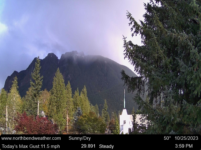
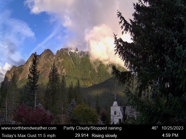
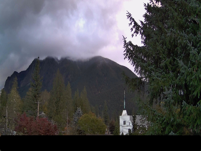
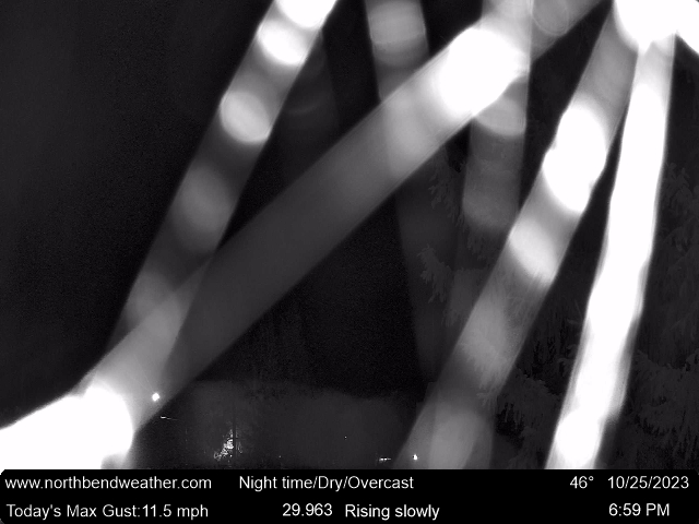
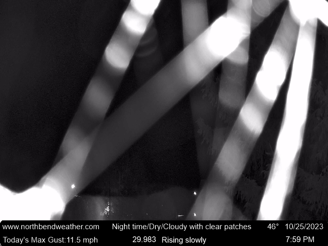
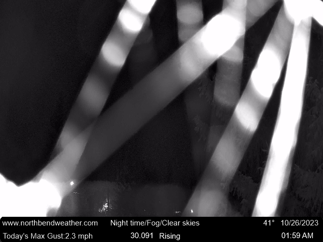
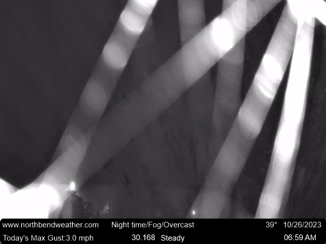
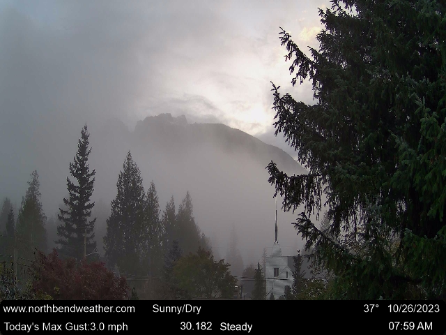
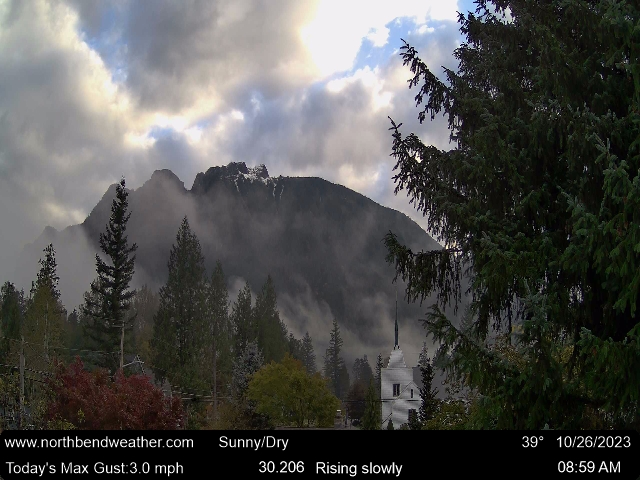
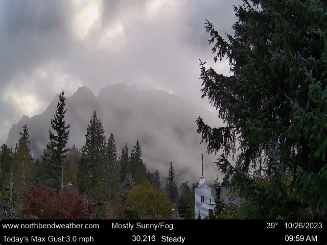
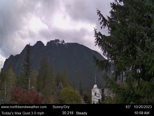
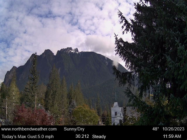
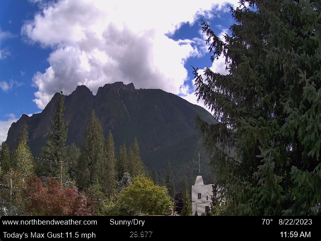
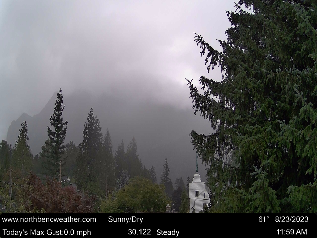
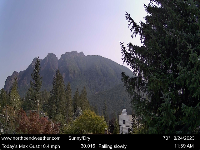
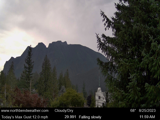
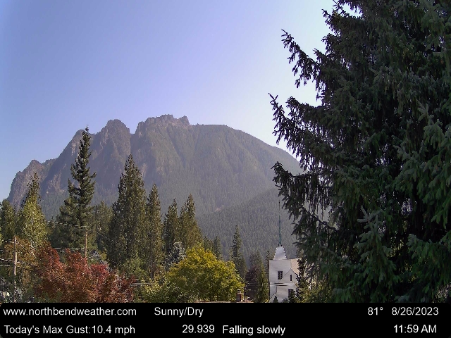
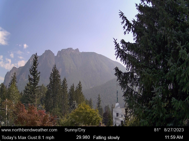
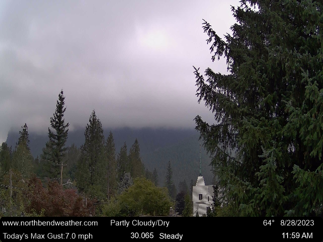
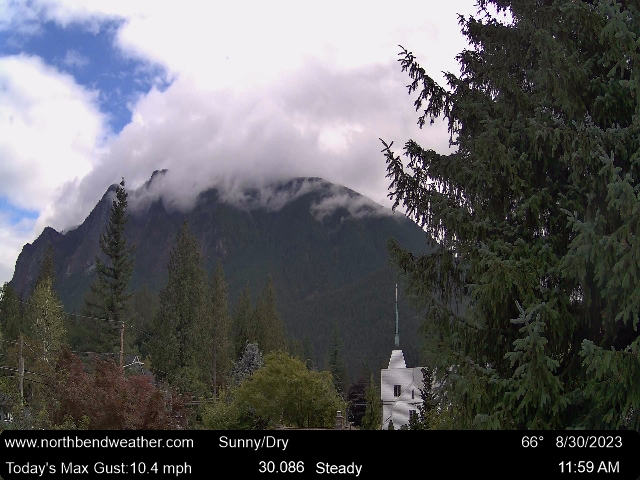
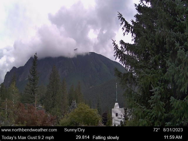
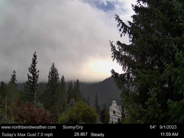
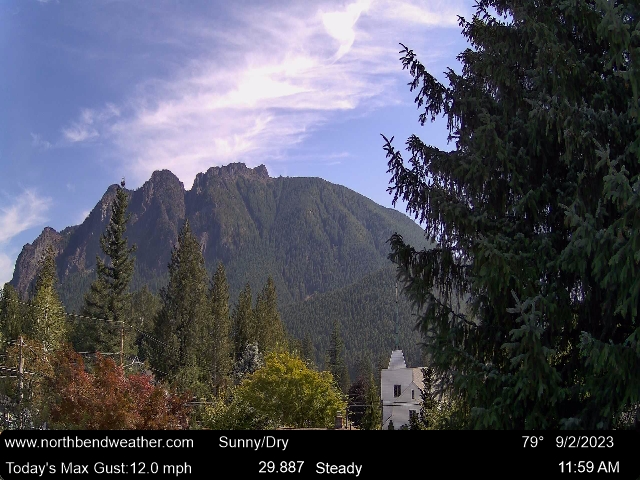
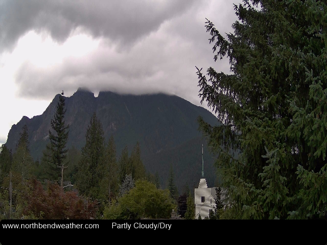
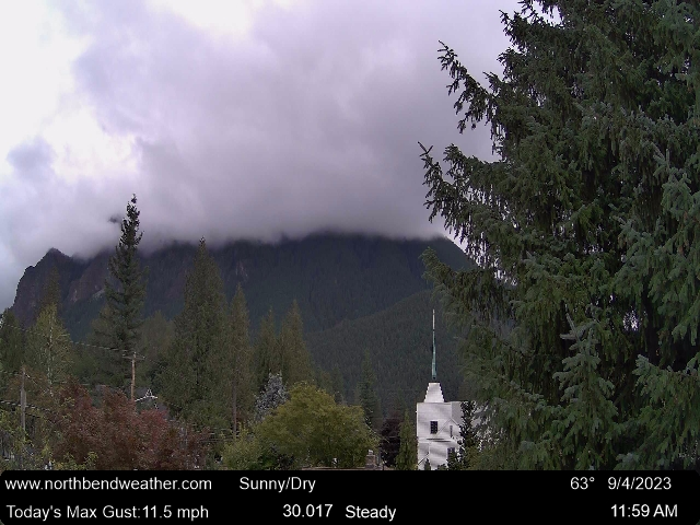
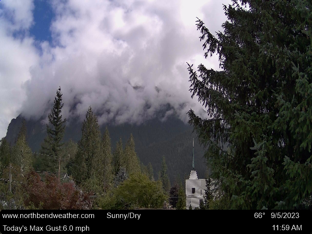
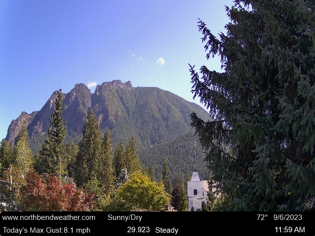
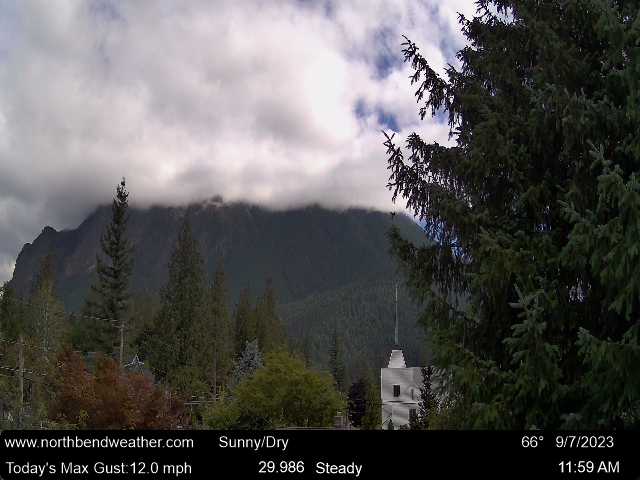
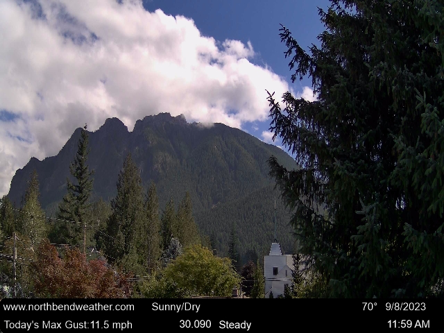
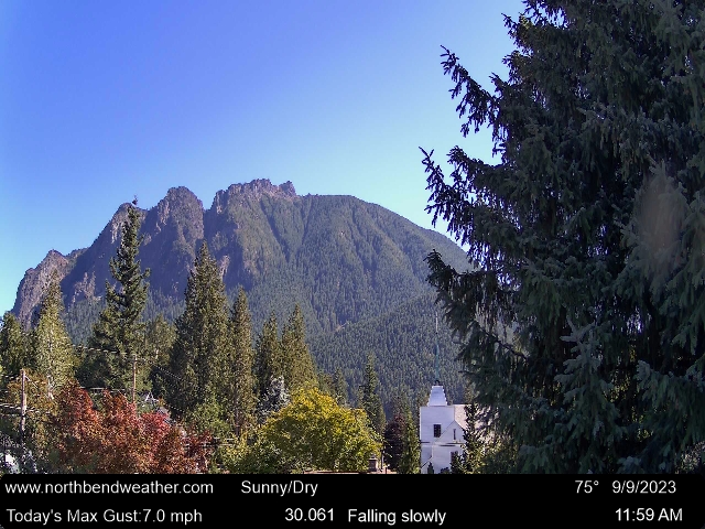
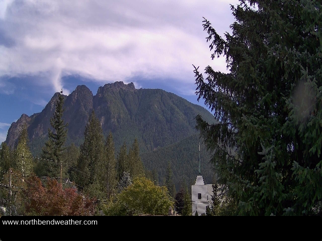
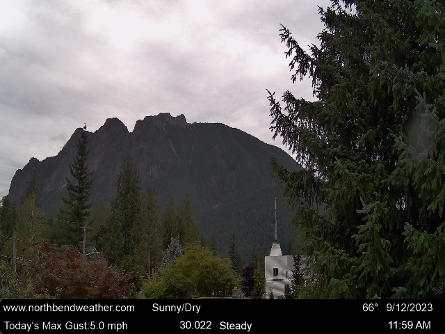
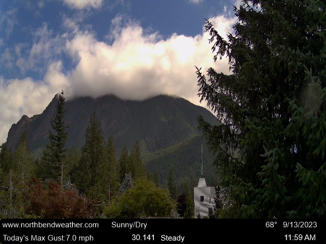
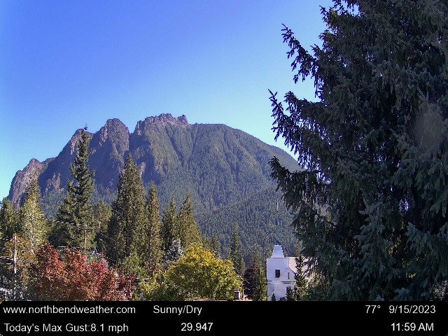
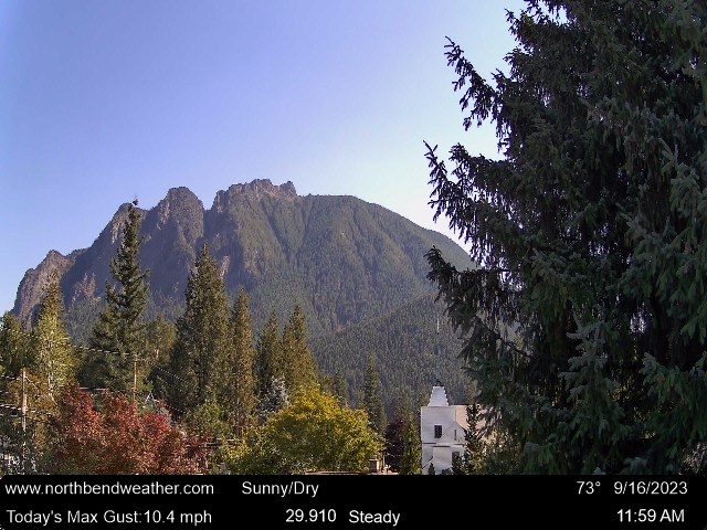
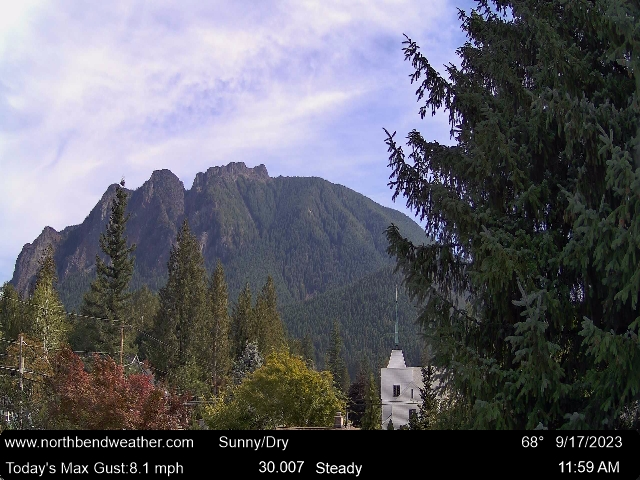
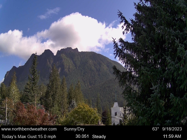
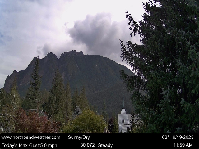
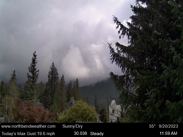
North Bend, Washington, USA - 24 miles from Clyde Hill: Weathercam - This cam is updated every 10 minutes during daylight hours - Sunrise to Sunset
Operator: North Bend Weather
Operator: North Bend Weather


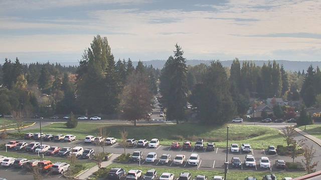
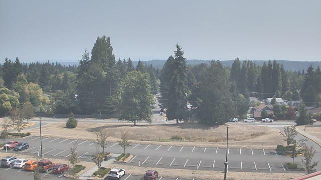
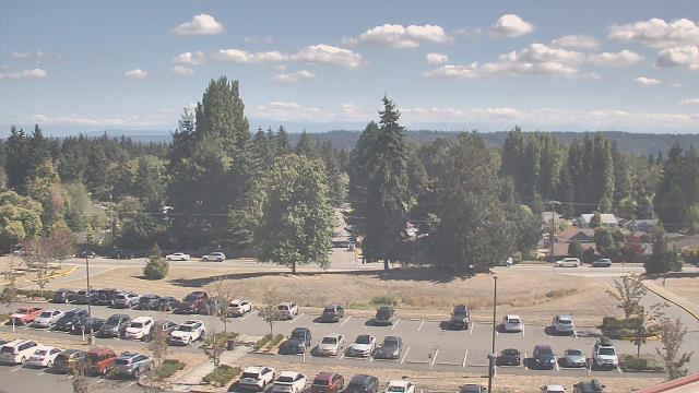
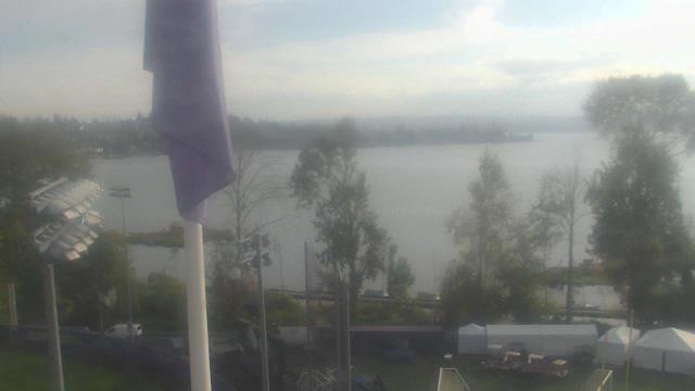
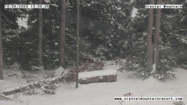
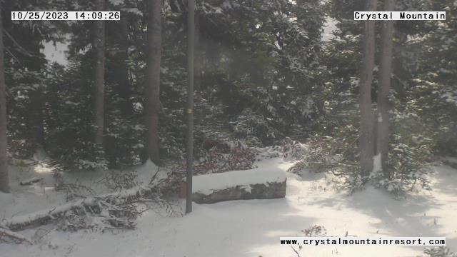
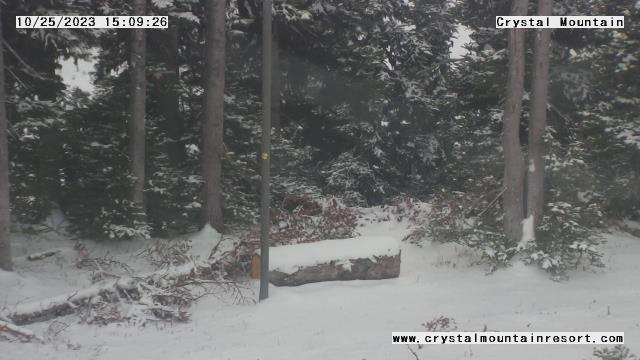
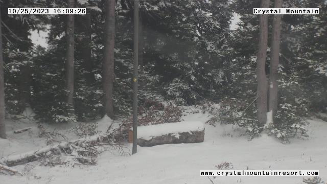
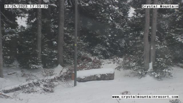
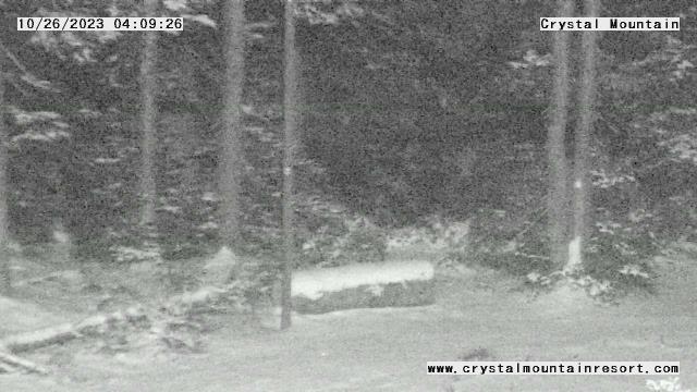
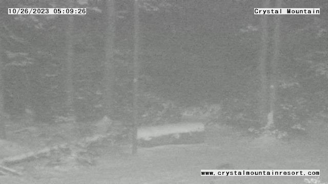
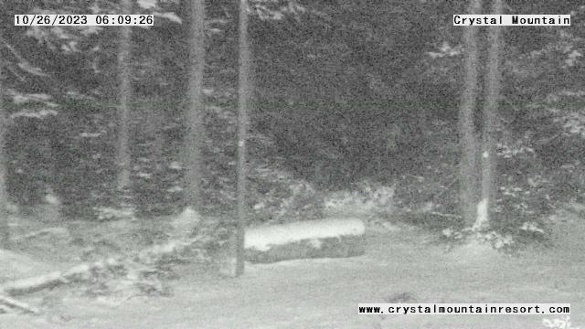
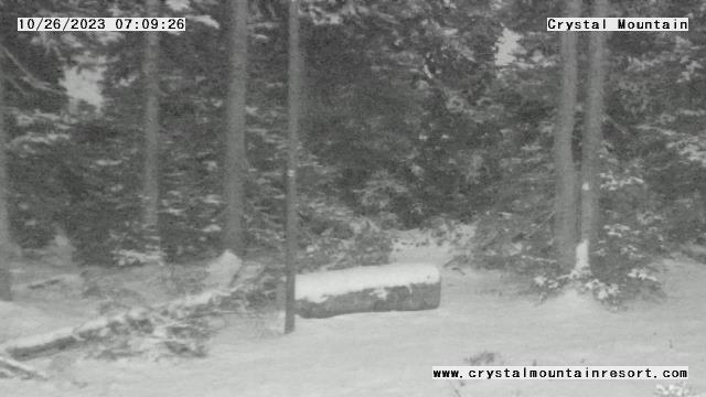
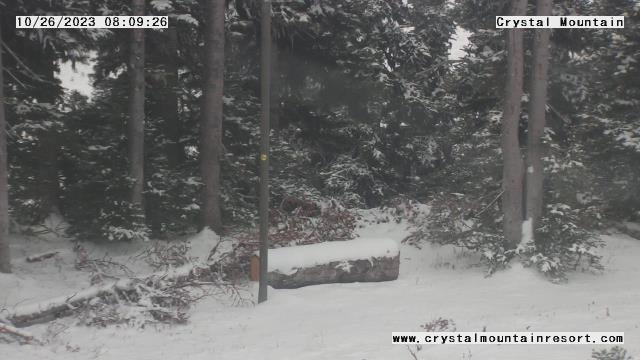
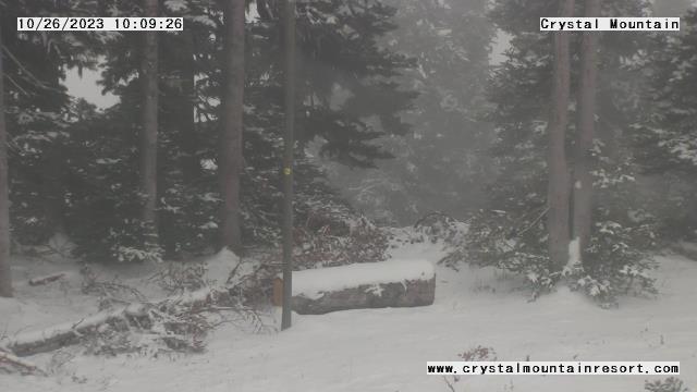
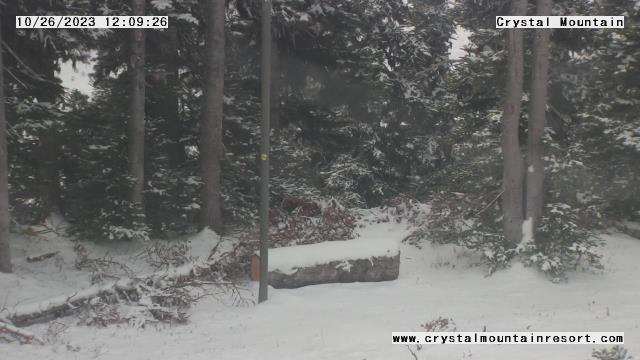
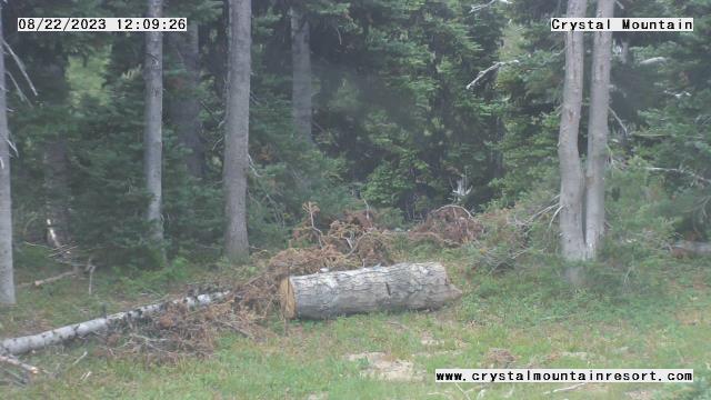
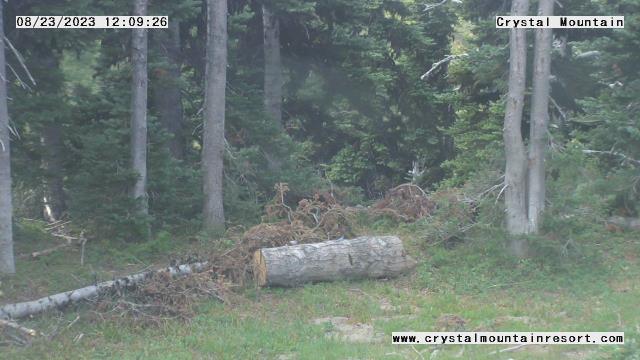
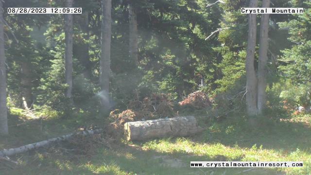
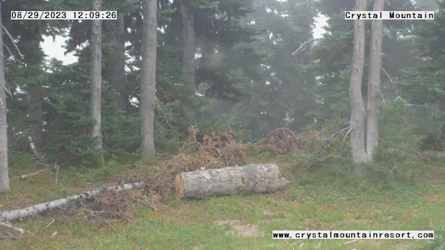
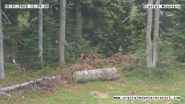
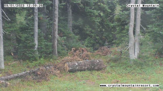
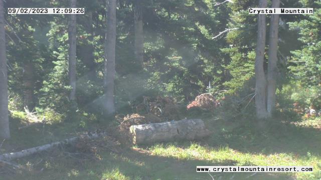
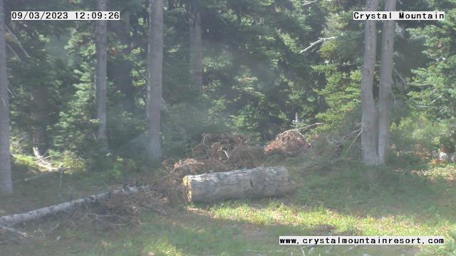
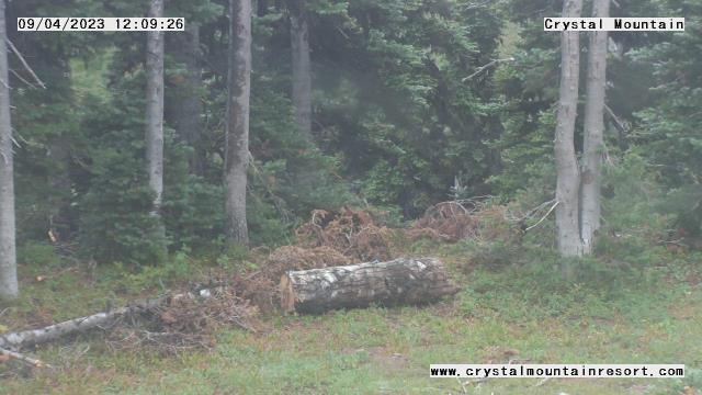
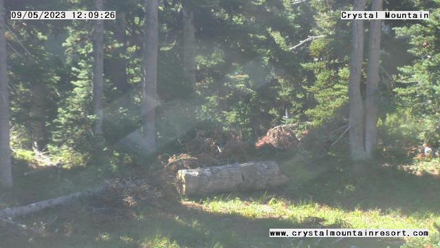
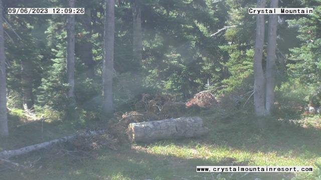
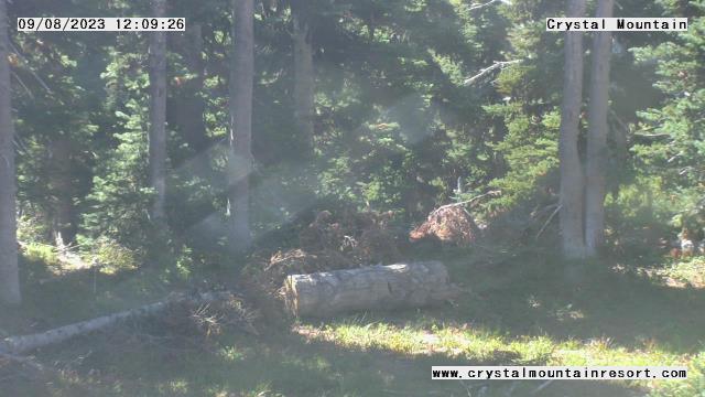
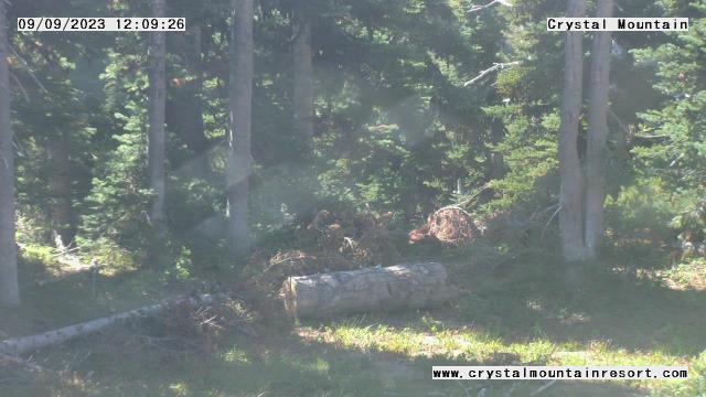
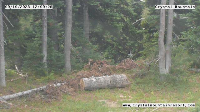
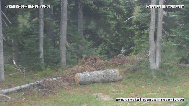
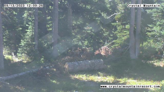
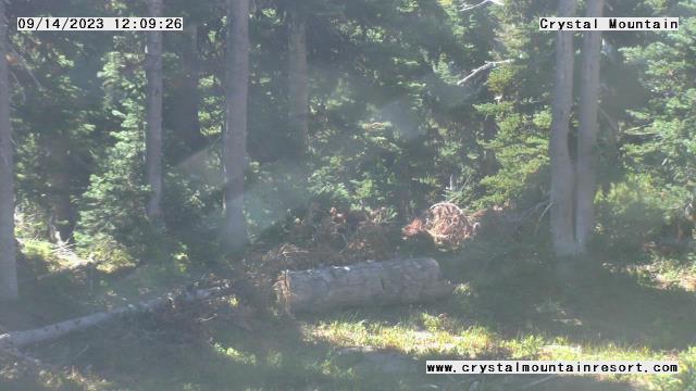
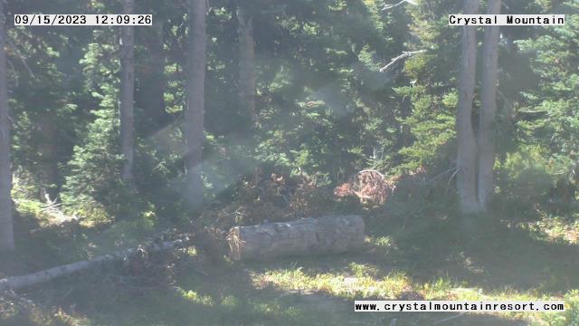
Enumclaw, Washington, USA - 31.4 miles from Clyde Hill: Crystal Mountain Inc - A webcam in Enumclaw, Washington - camera location: Crystal Mountain Inc.
Operator: WeatherBug
Operator: WeatherBug


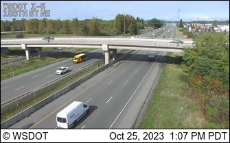
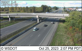
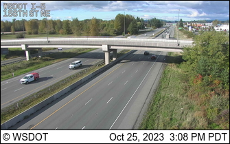
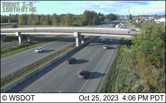
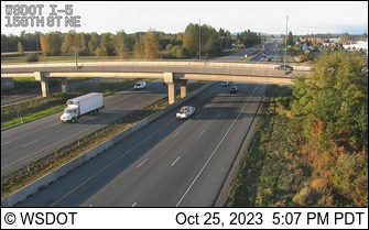
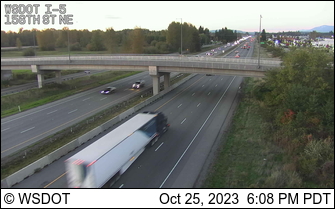
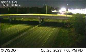
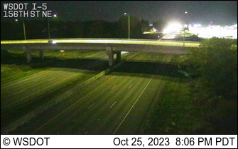
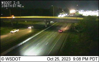
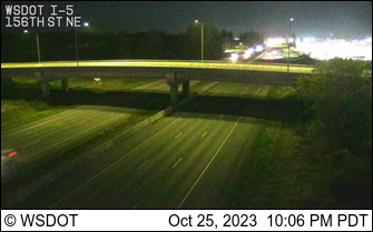
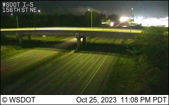
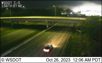
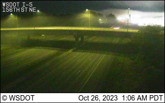
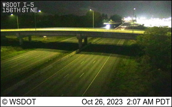
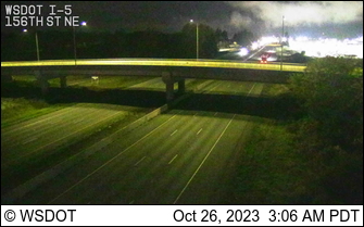
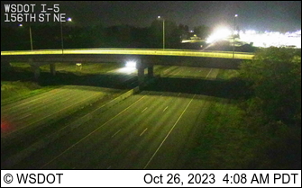
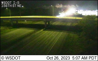
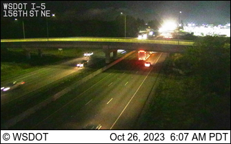
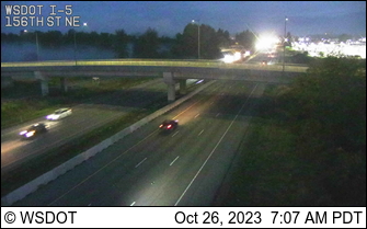
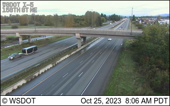
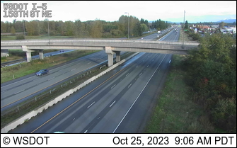
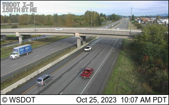
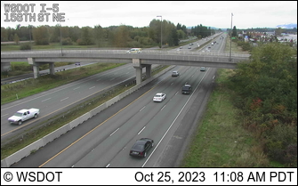
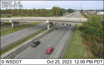
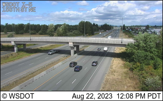
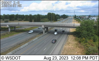
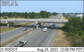
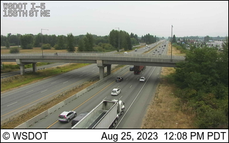
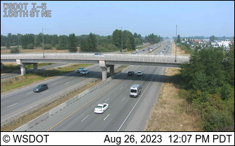
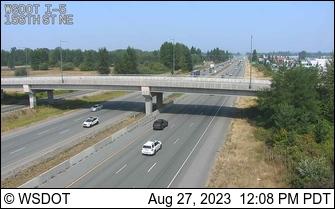
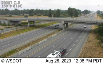
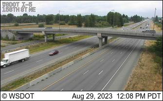
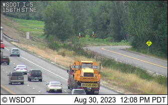
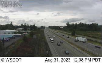
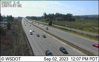
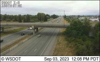
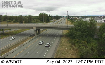
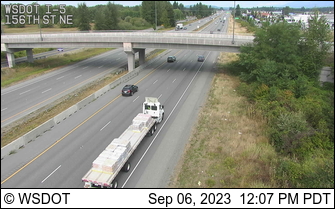
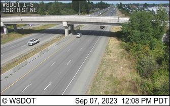
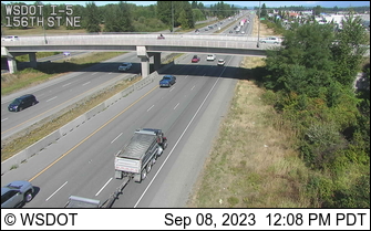
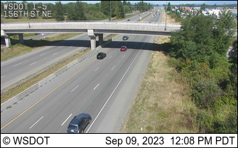
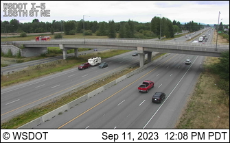
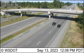
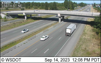
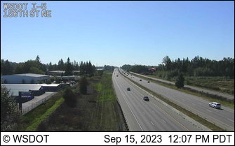
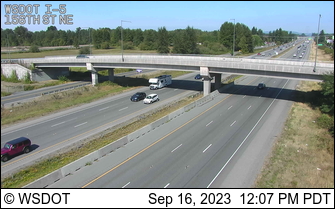
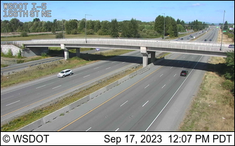
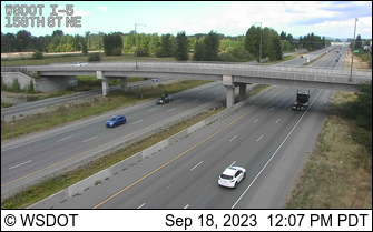
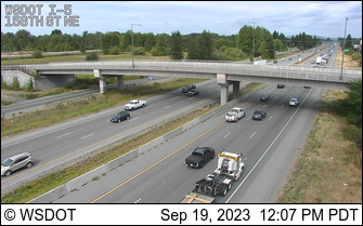
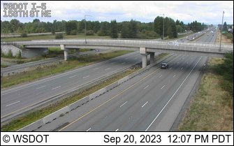
Arlington, Washington, USA - 38.4 miles from Clyde Hill: I-5: 156th St NE - A view of the current traffic situation.
Operator: WSDOT
Operator: WSDOT


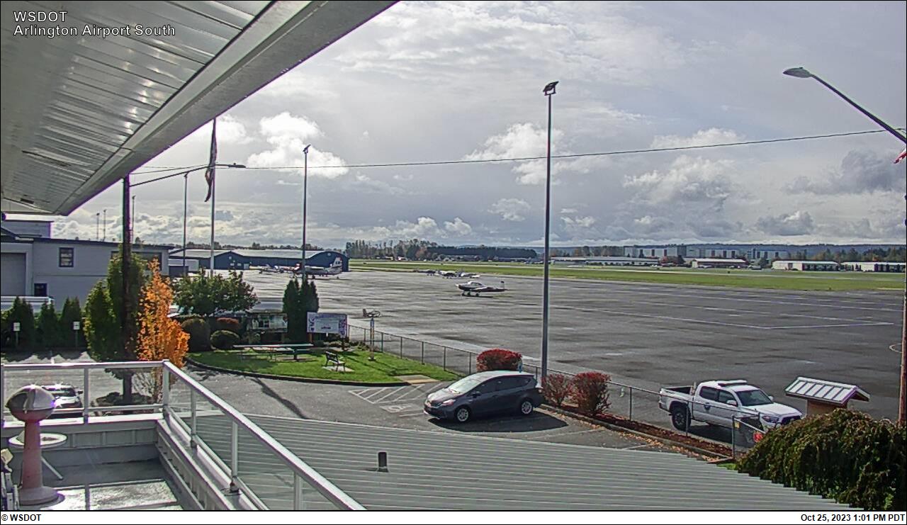
Arlington, Washington, USA - 38.4 miles from Clyde Hill: Arlington Airport Northwest
Operator: WSDOT
Operator: WSDOT


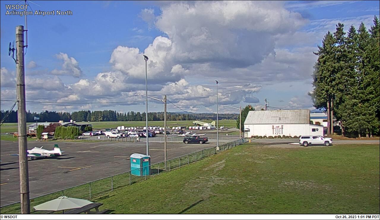
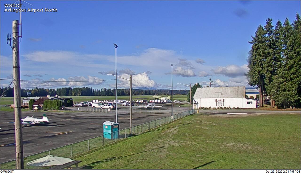
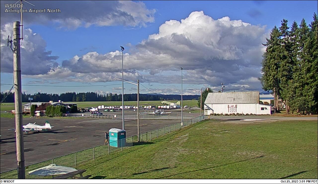
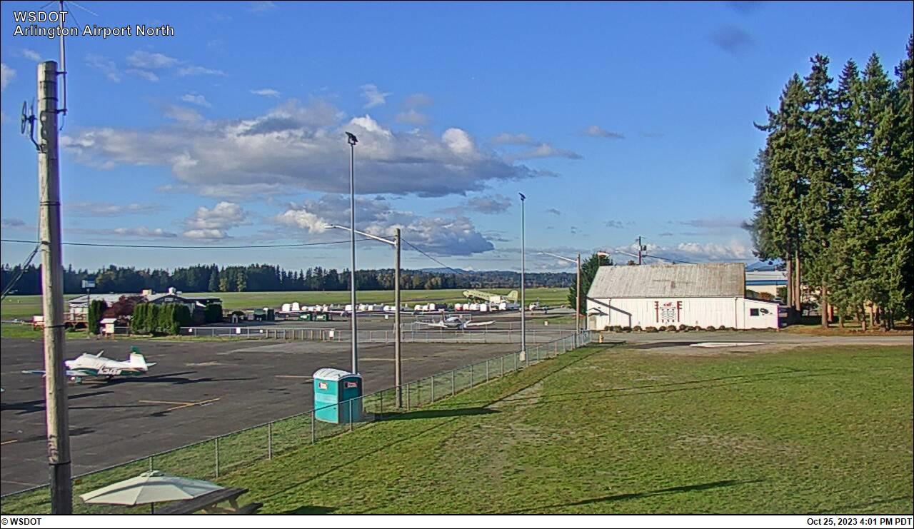
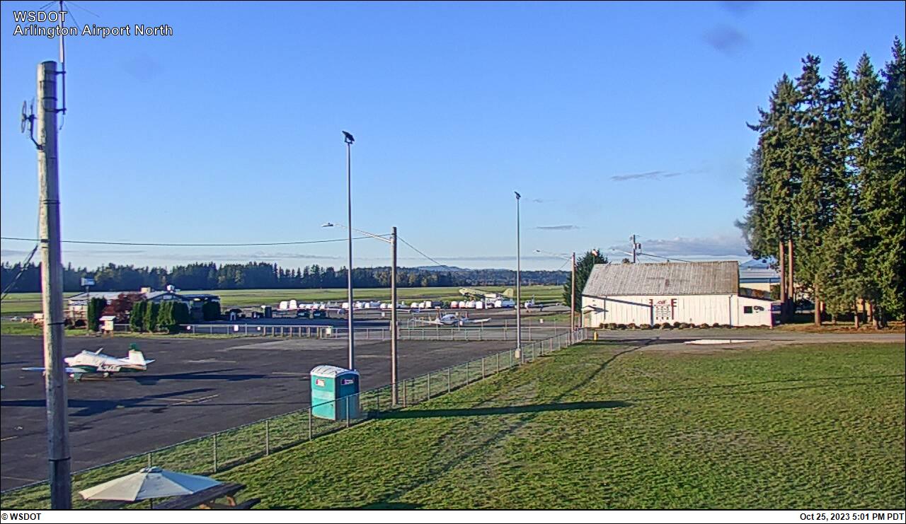
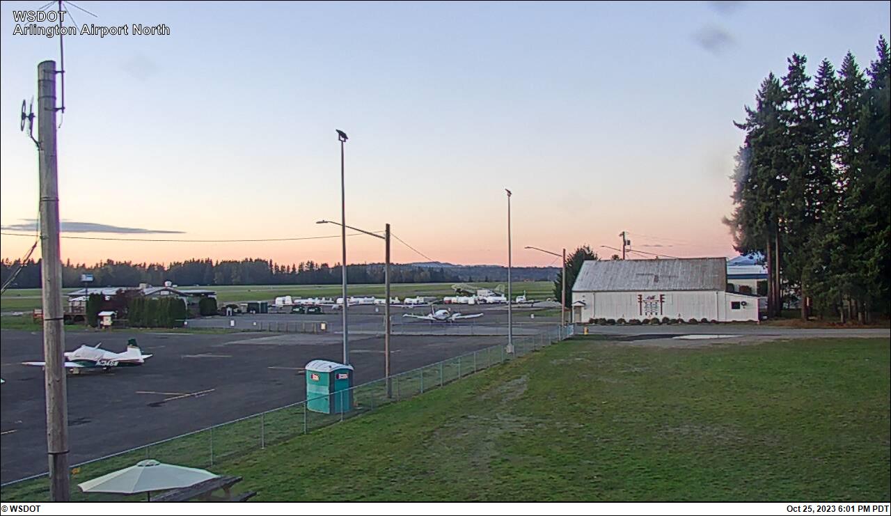
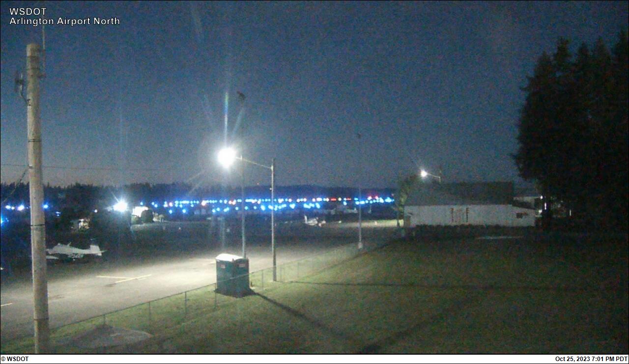
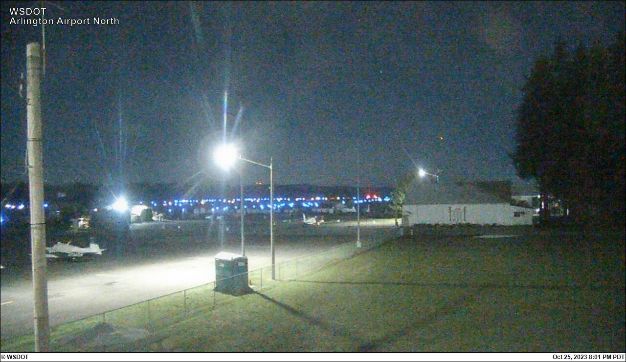
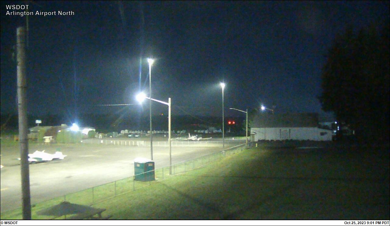
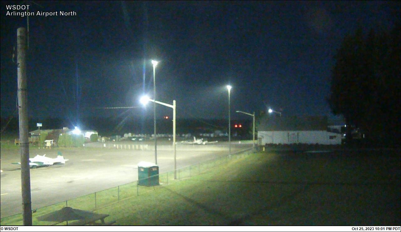
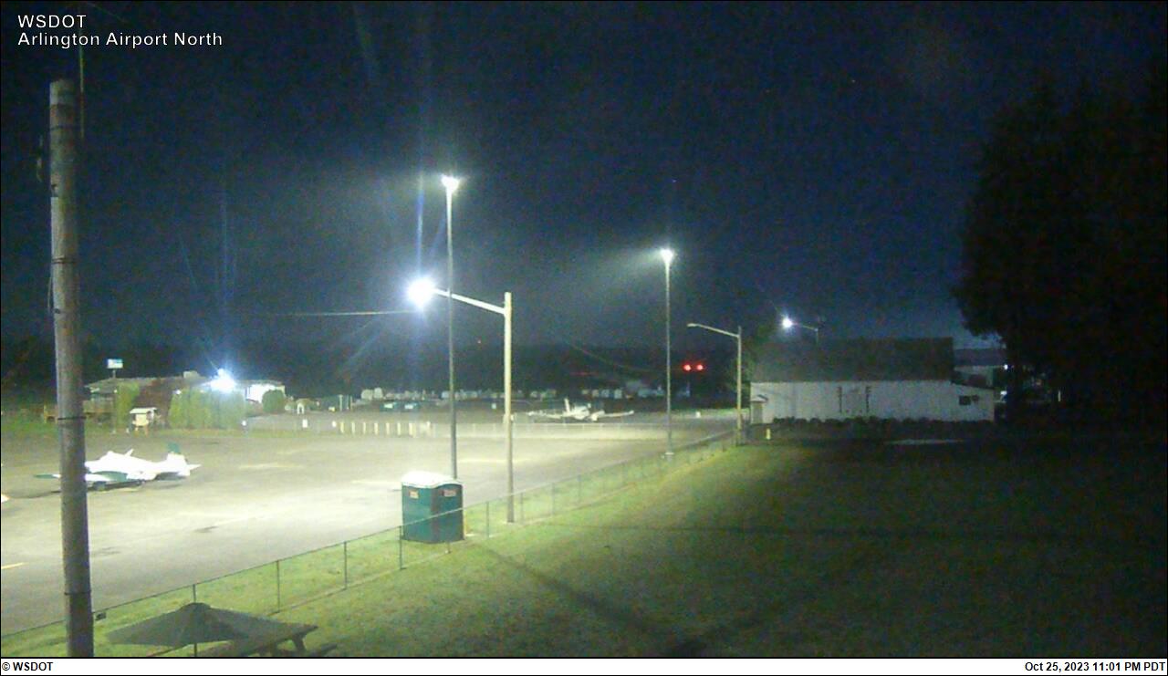
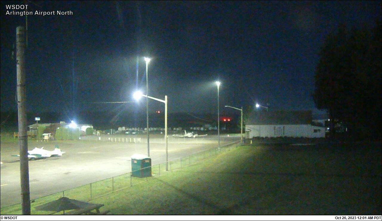
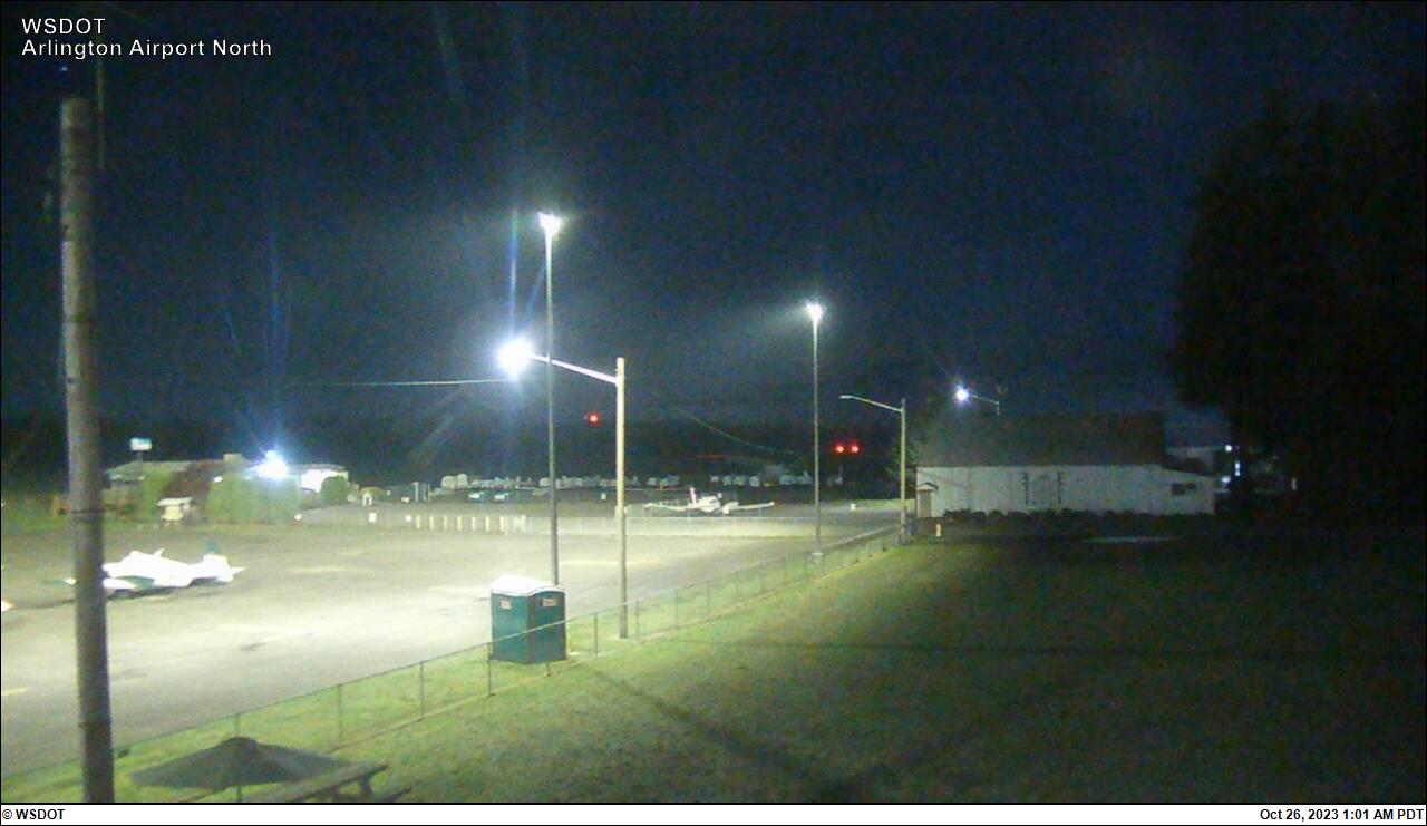
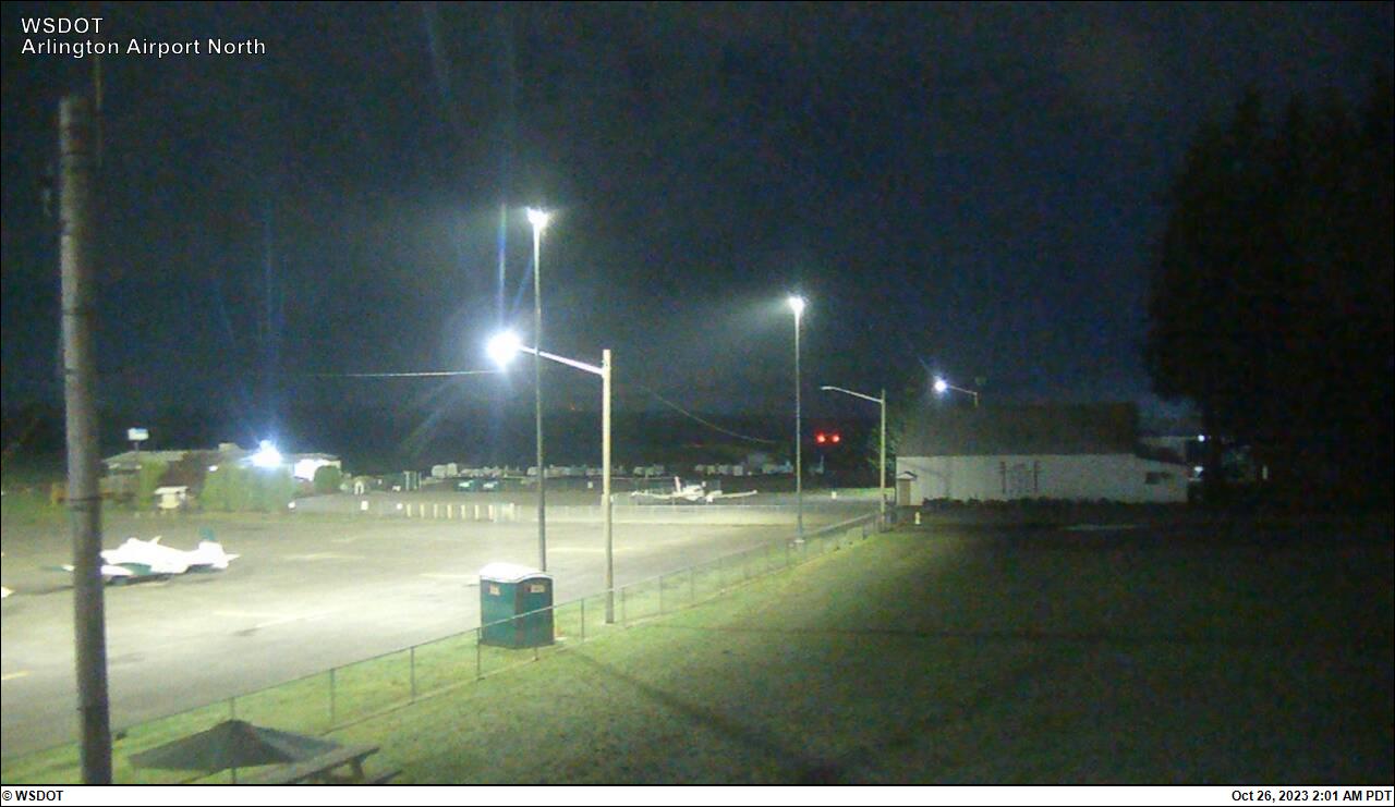
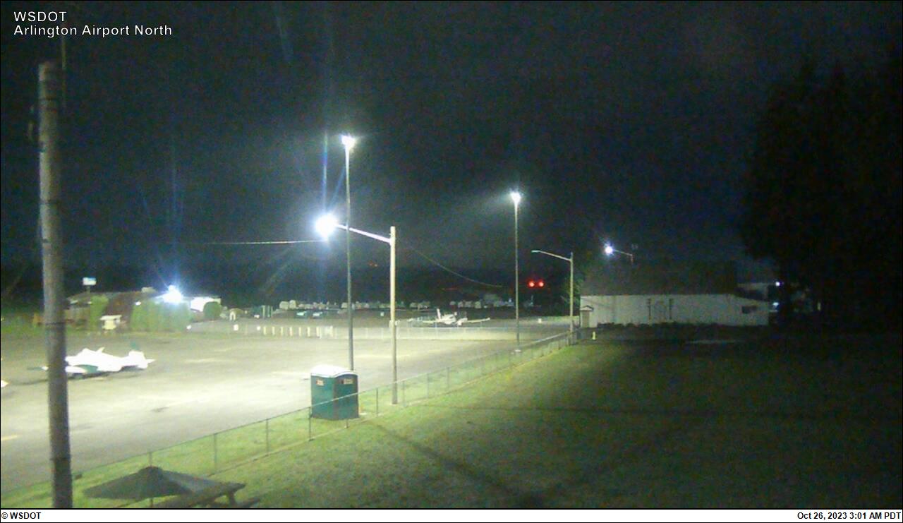
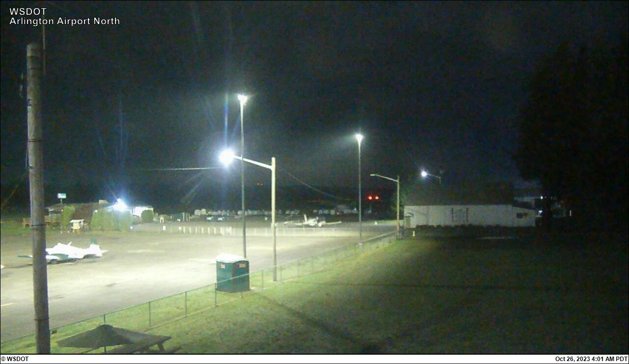
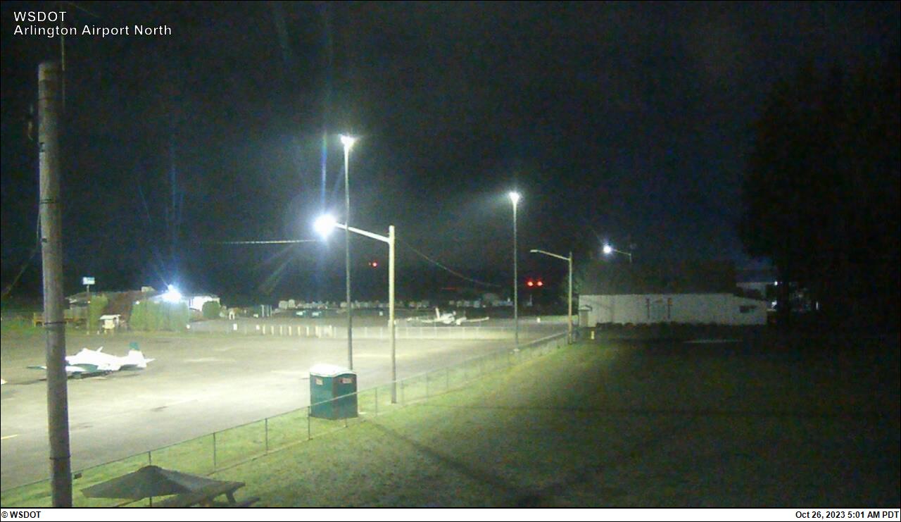
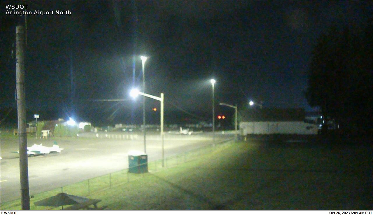
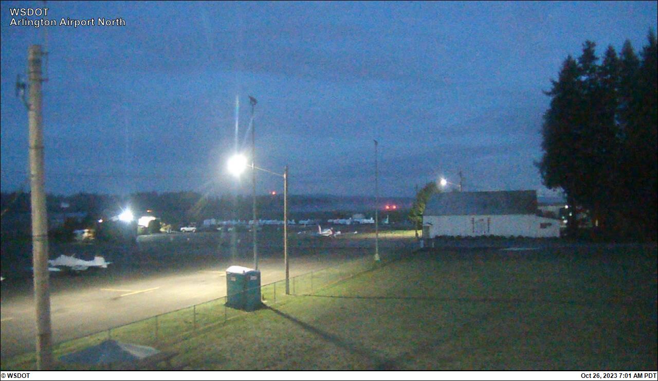
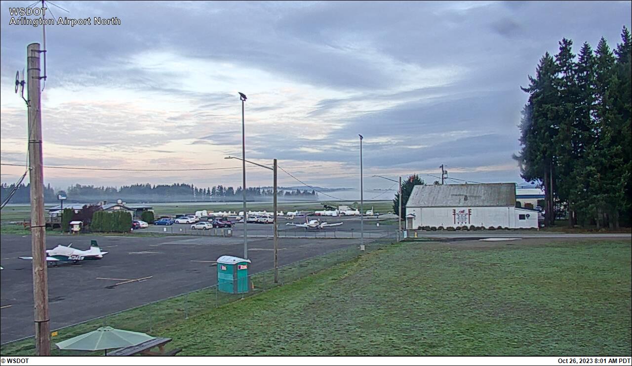
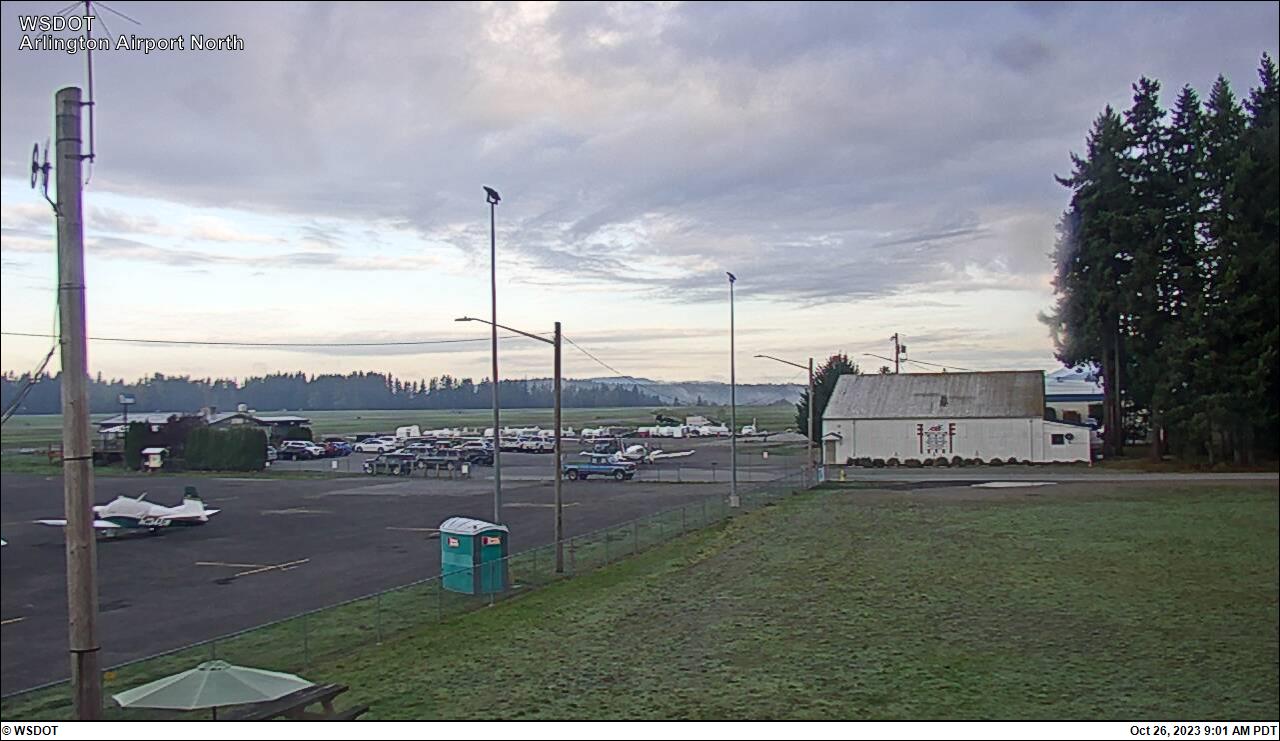
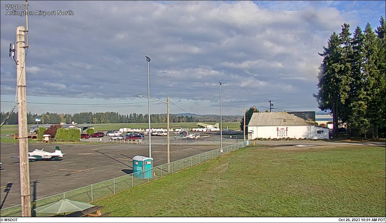
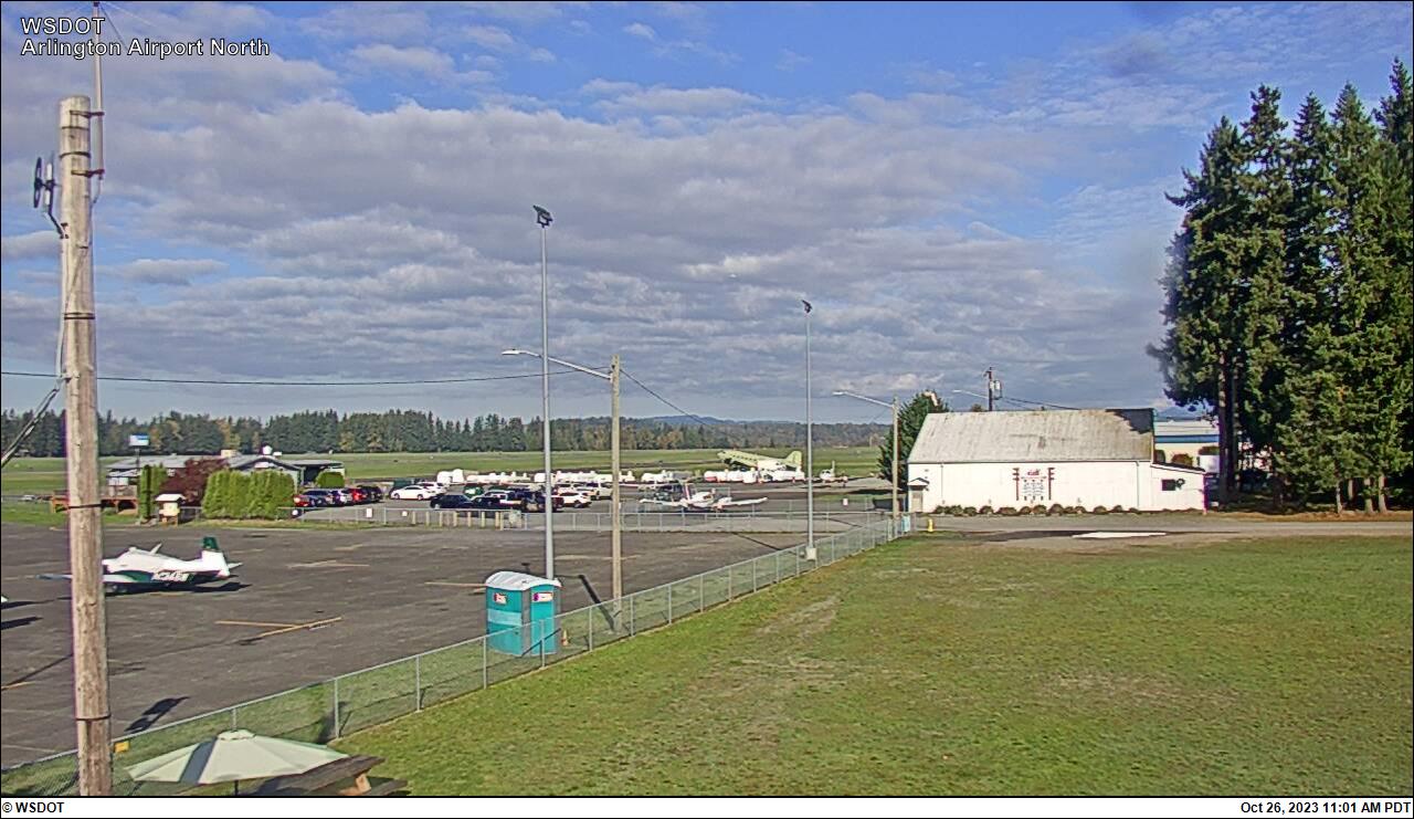
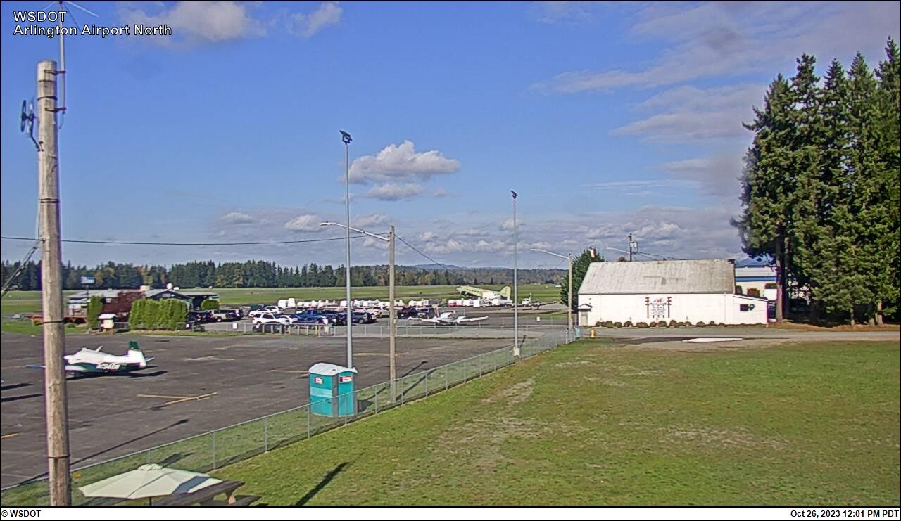
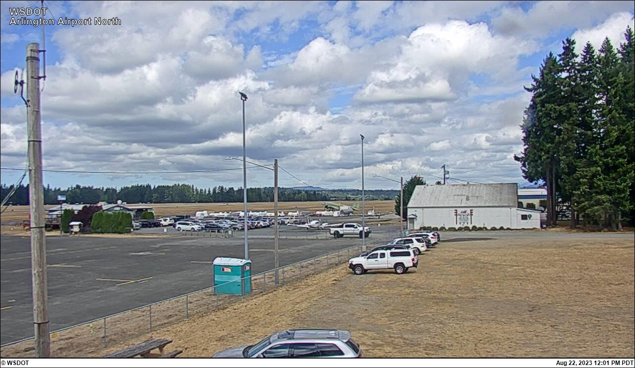
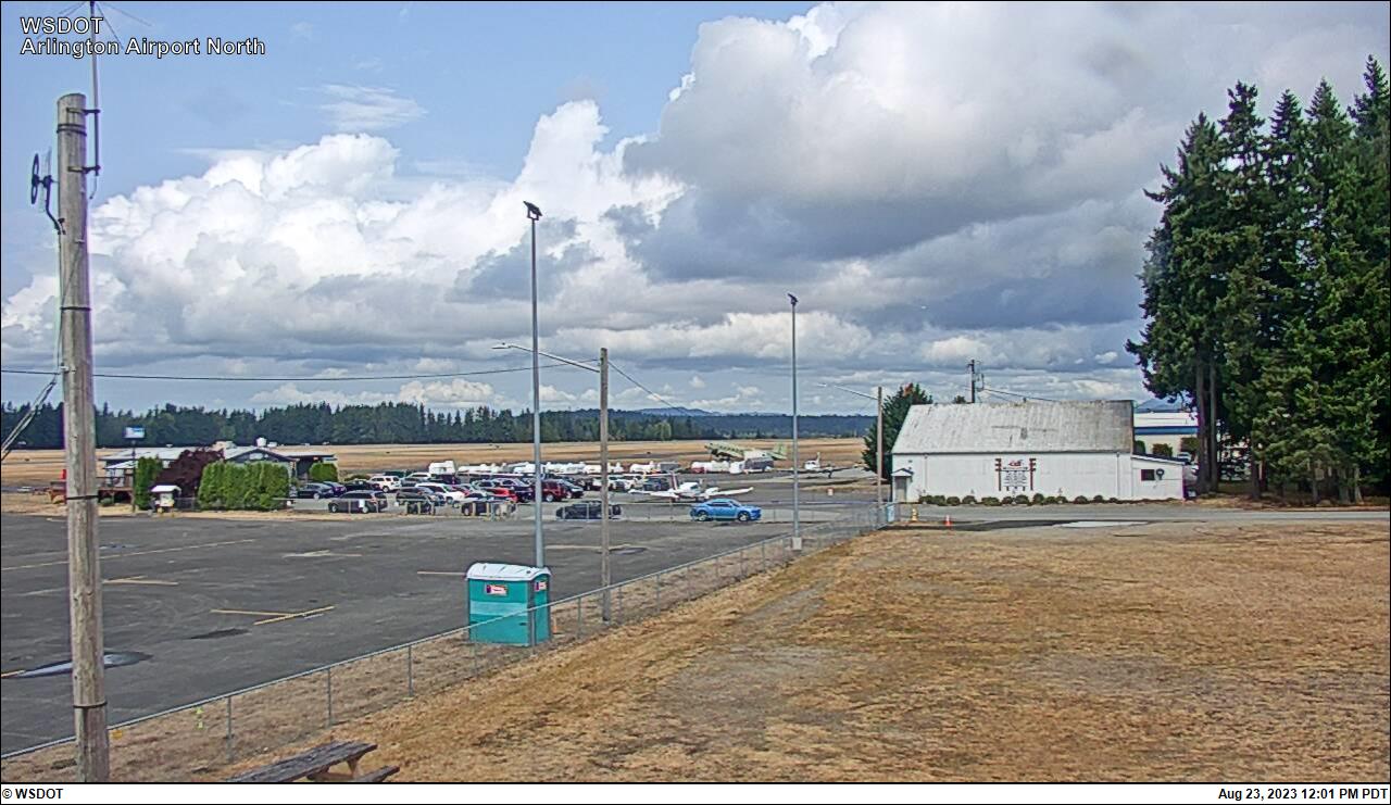
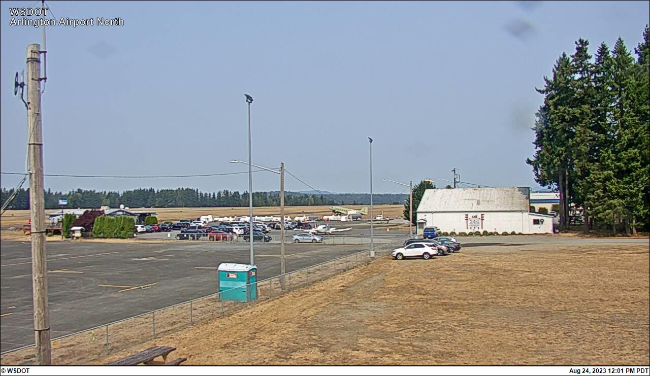
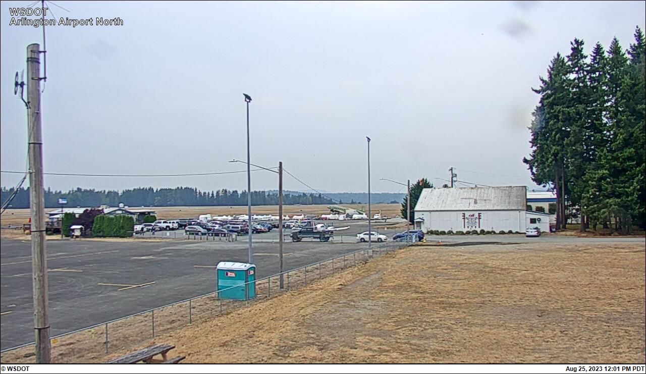
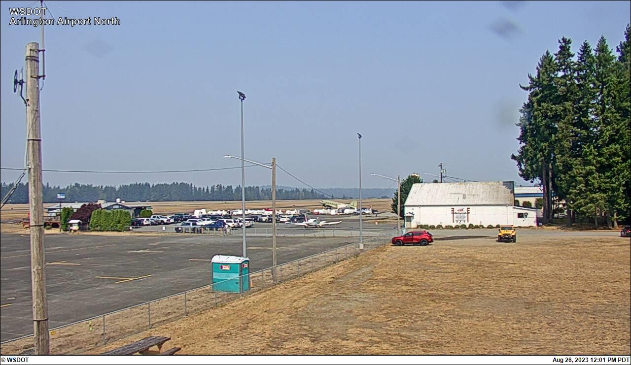
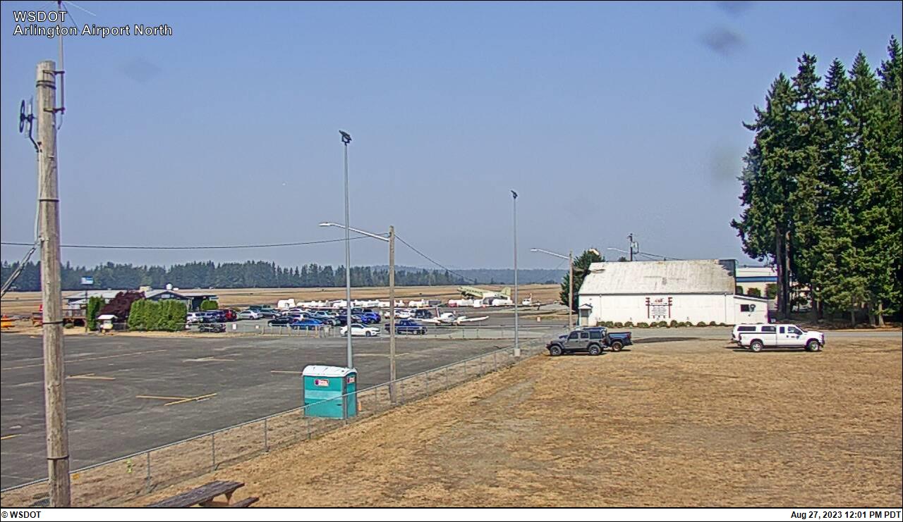
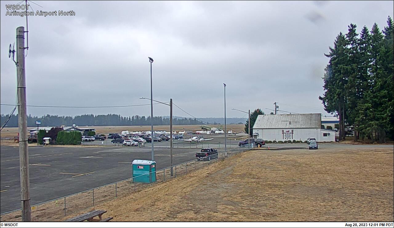
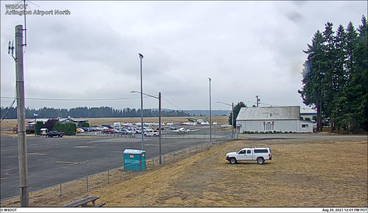
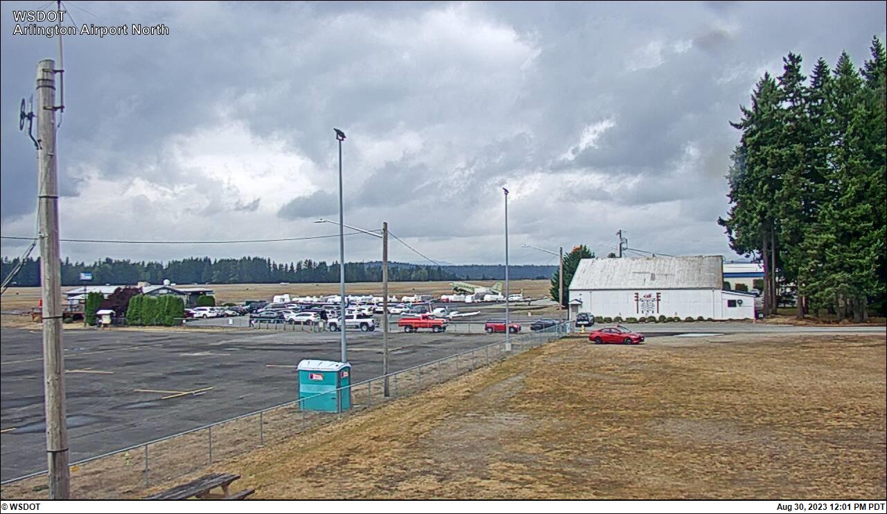
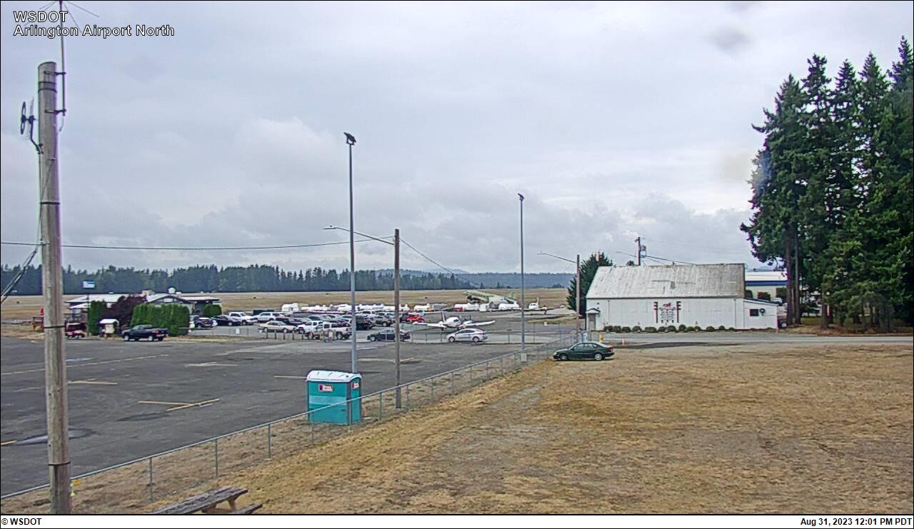
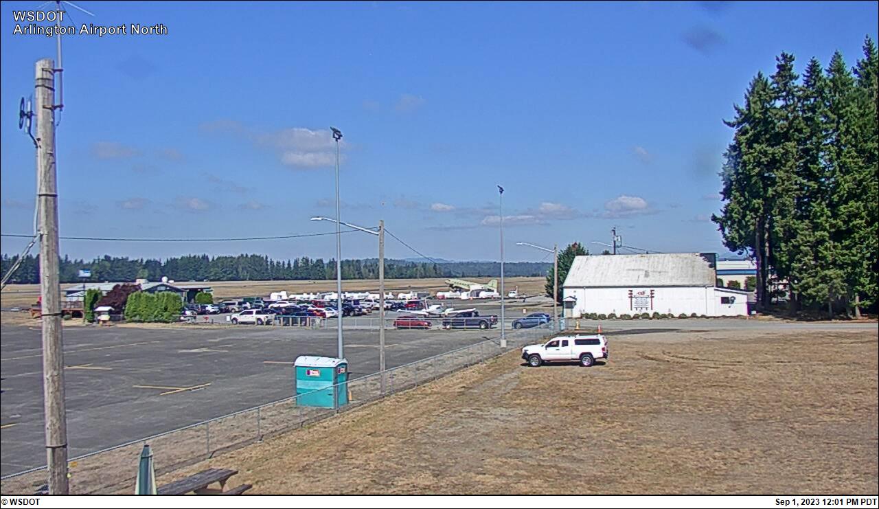
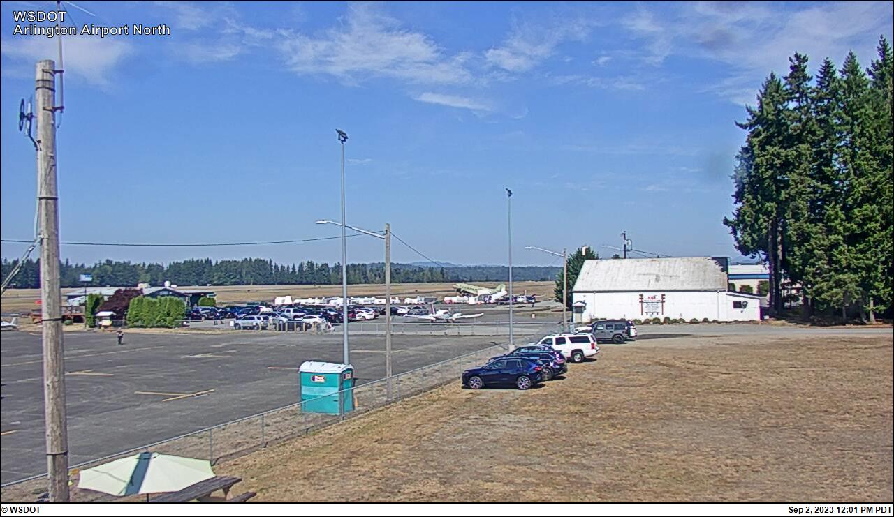
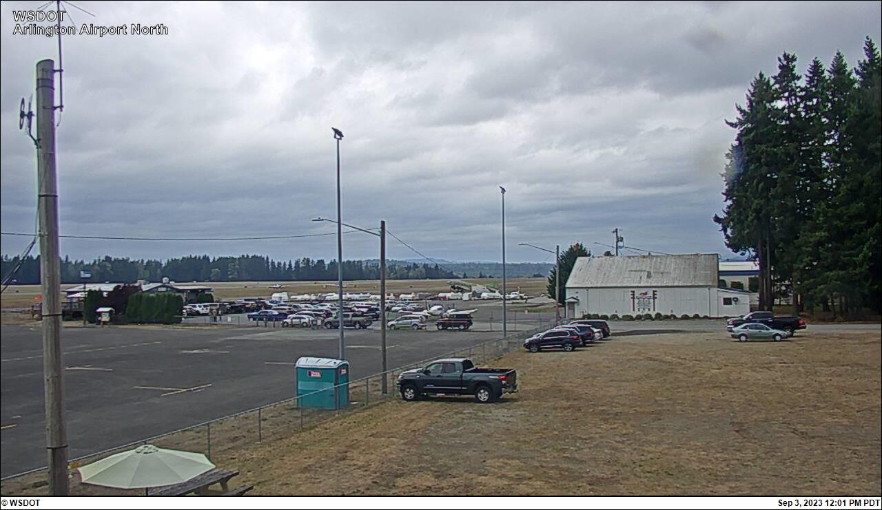
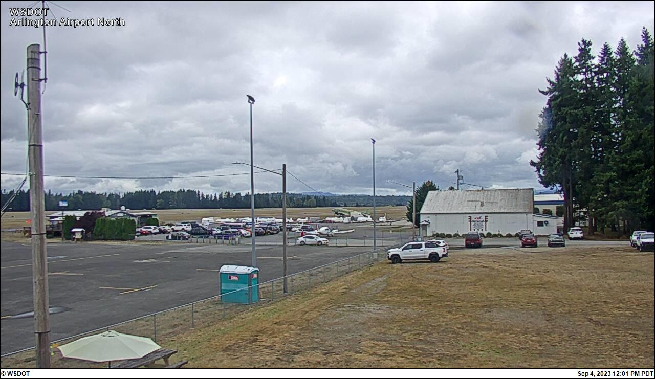
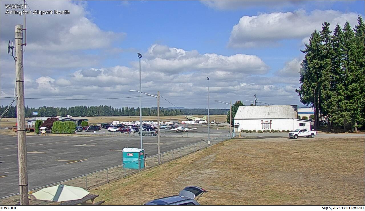
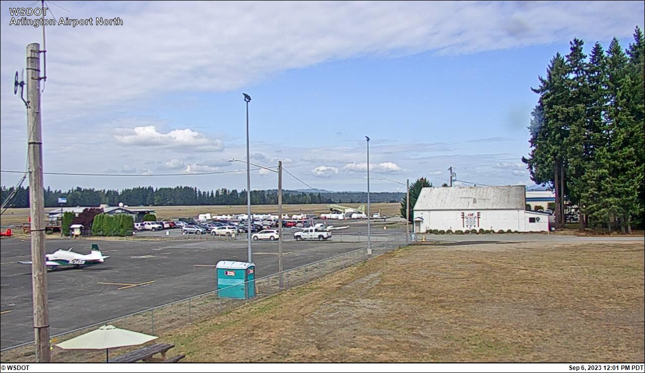
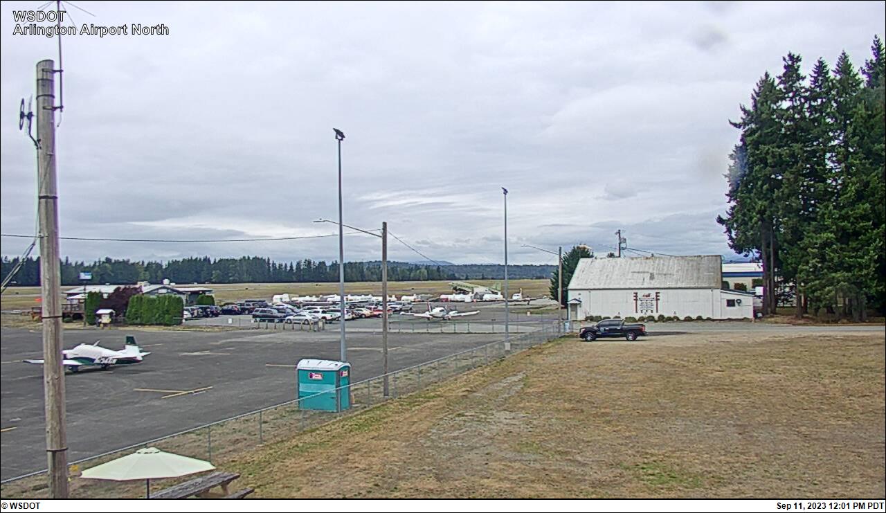
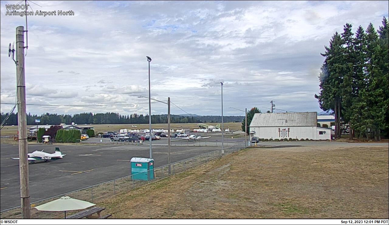
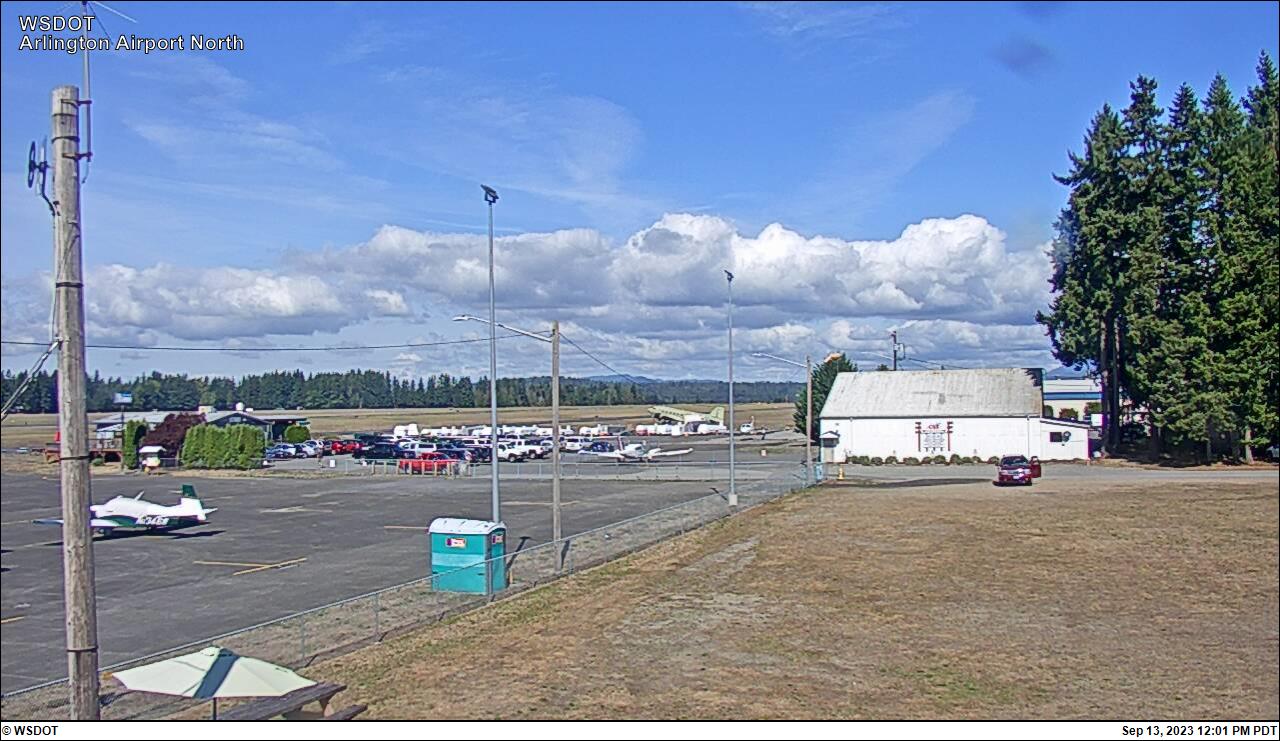
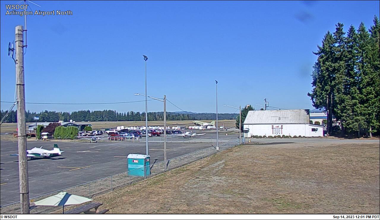
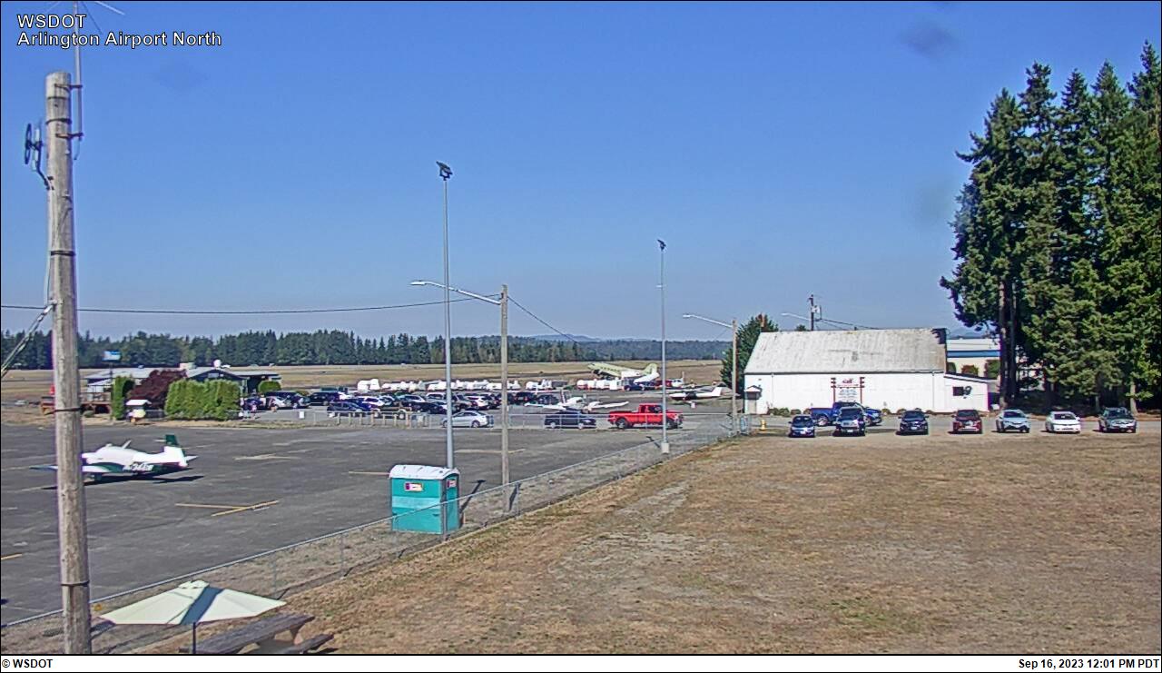
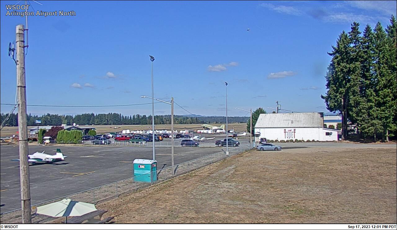
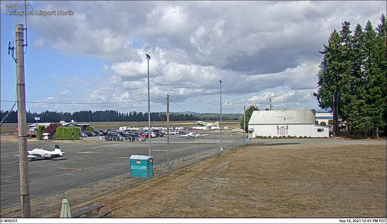
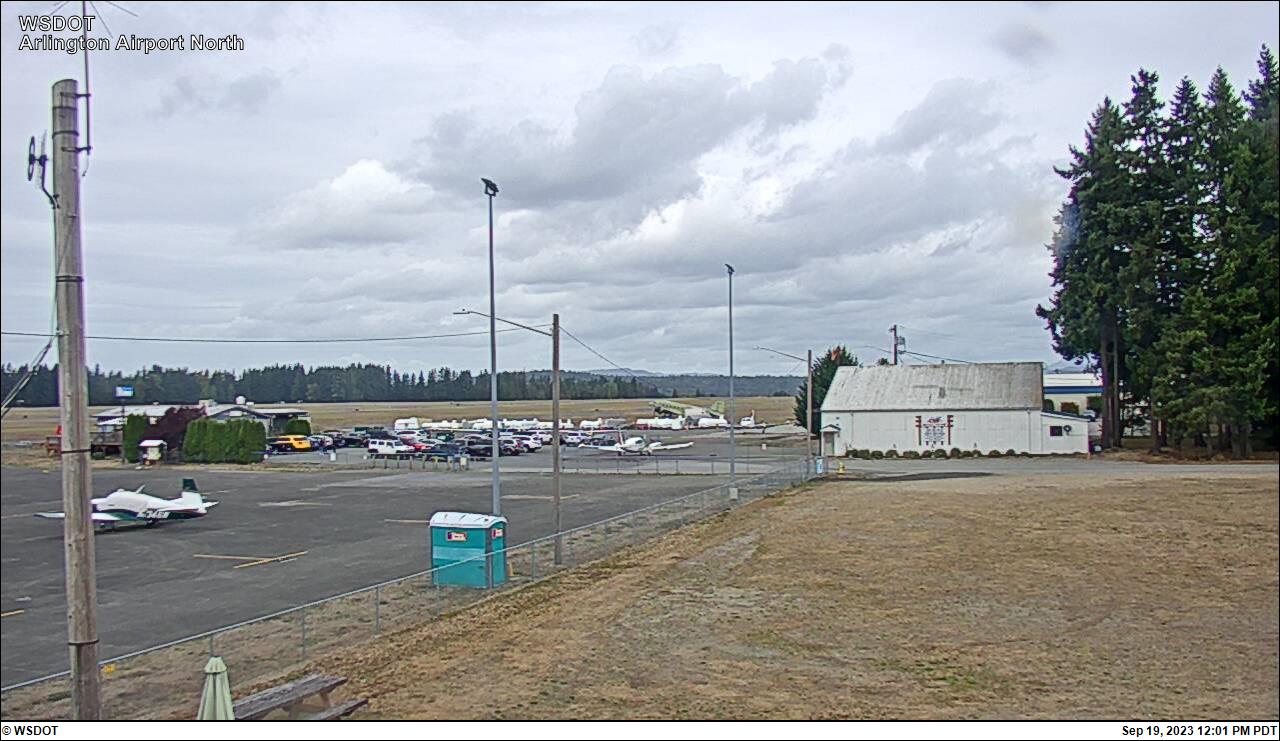
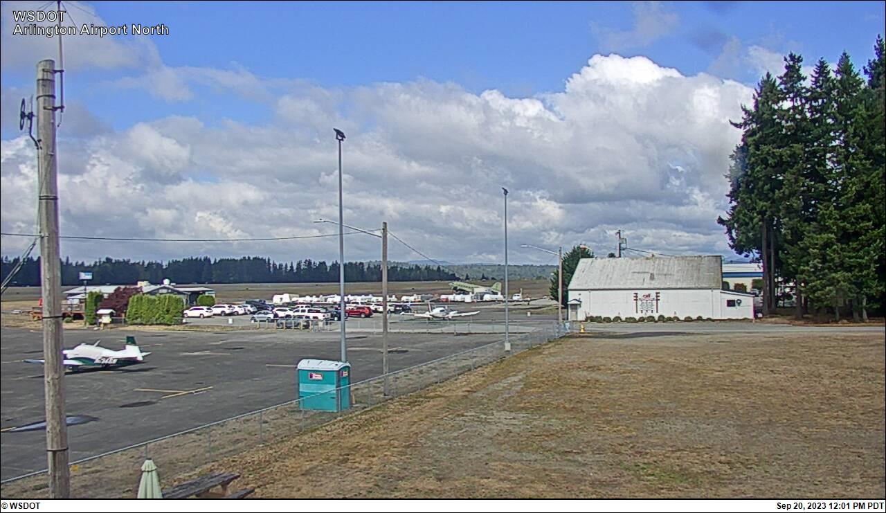
Arlington, Washington, USA - 38.4 miles from Clyde Hill: Arlington Airport North
Operator: WSDOT
Operator: WSDOT


Some other places in this country: Chehalis - Chester - Clavton - Colton - Connell - Cosmopolis - Coulee Dam - Creosote - Creston - Davenport