Webcams in the region of West Chesterfield Heights, Virginia, USA
The List of Webcams near West Chesterfield Heights, Virginia, USA:

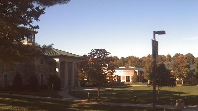
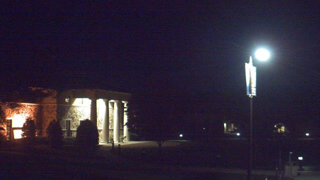
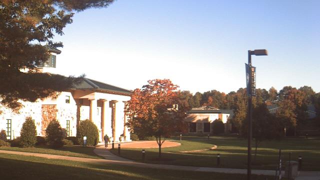
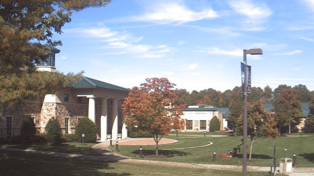
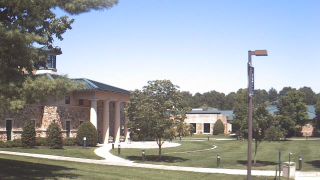
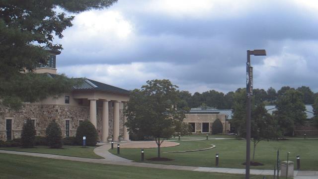
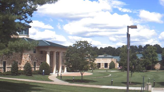
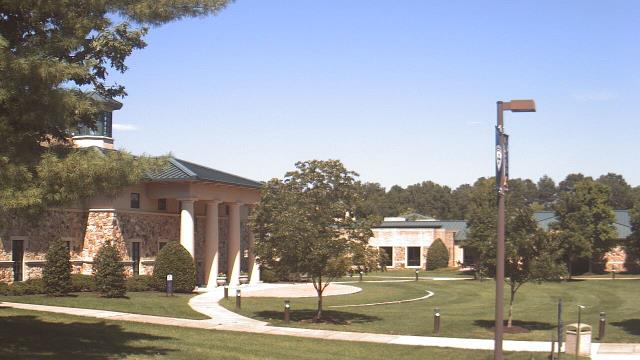
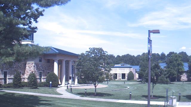
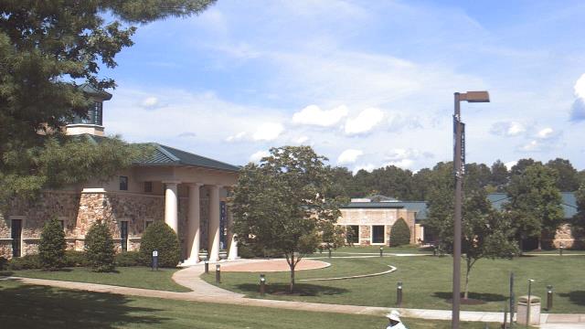
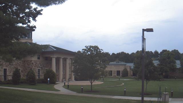
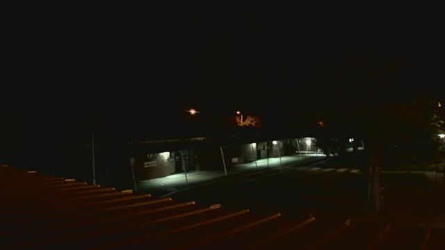
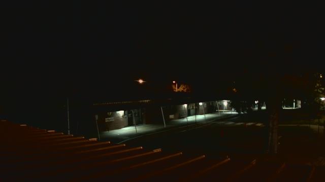
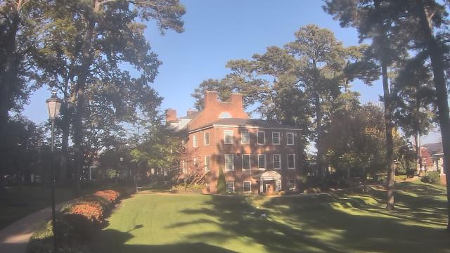
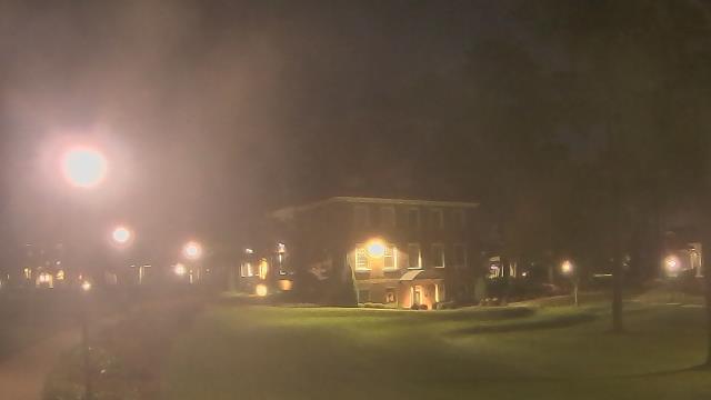
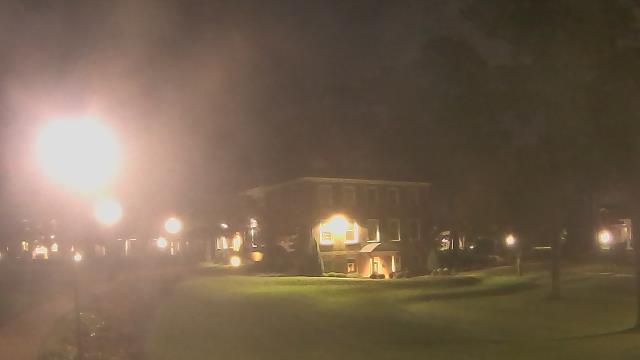
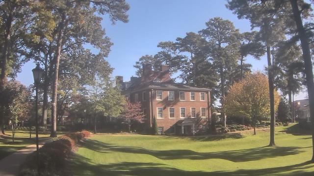
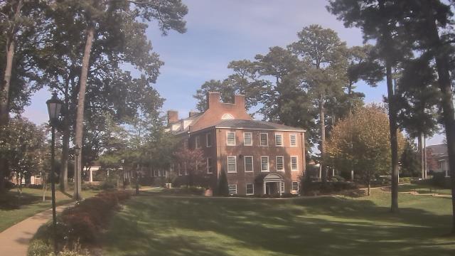
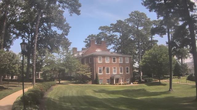
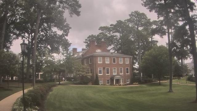
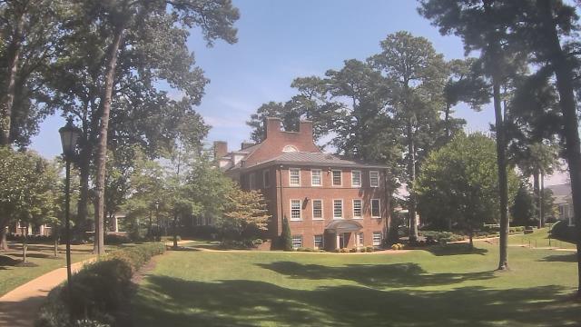
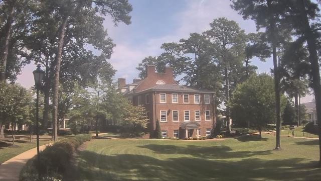
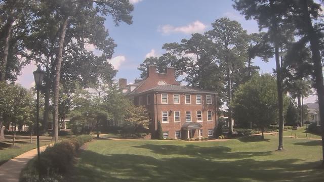
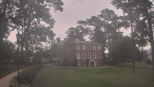
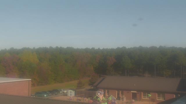
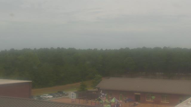
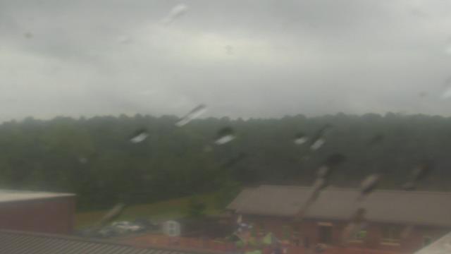
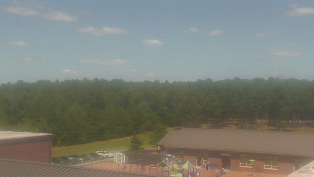
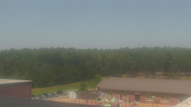
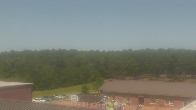
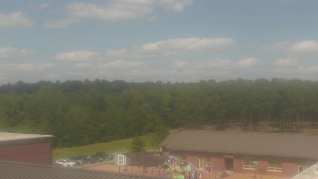
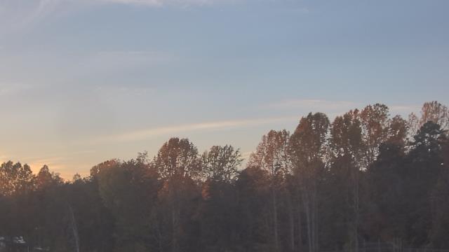
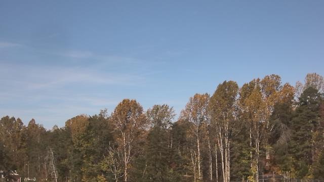
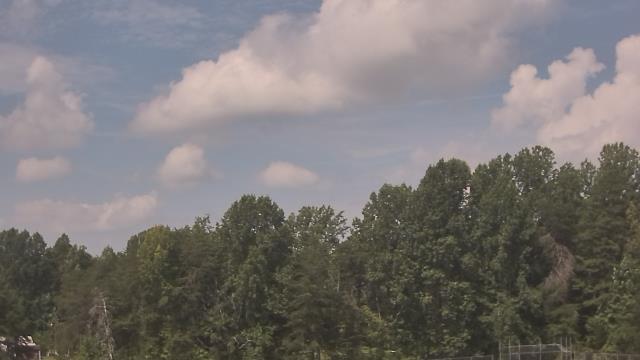
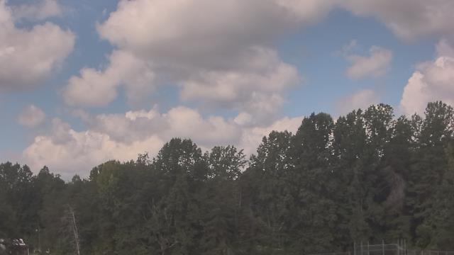
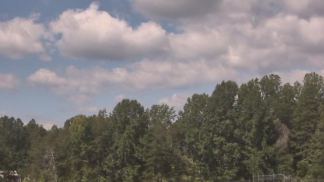
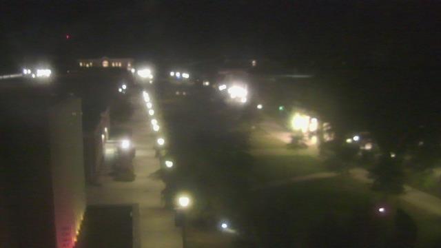
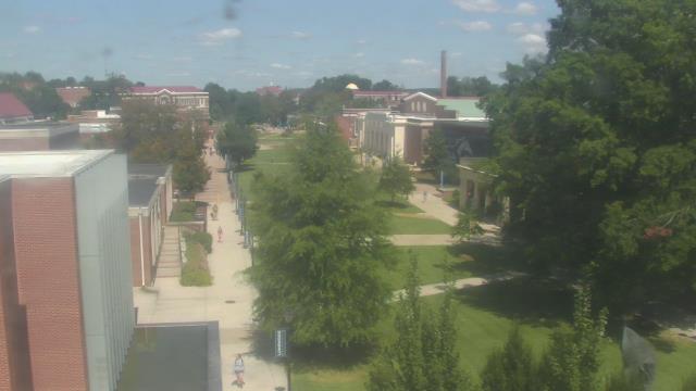
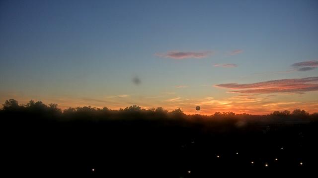
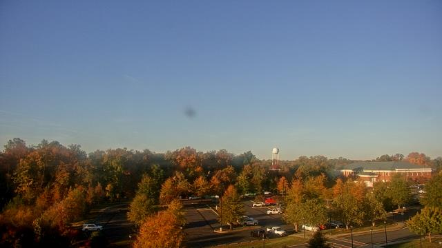
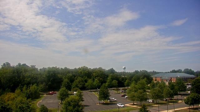
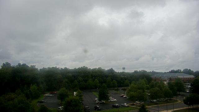
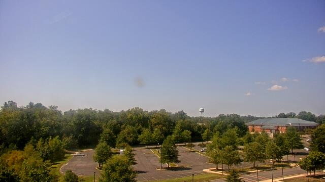
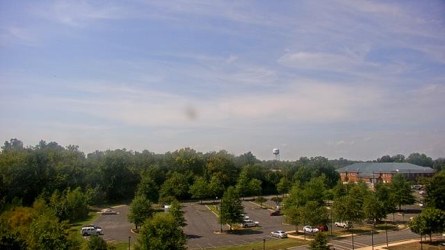
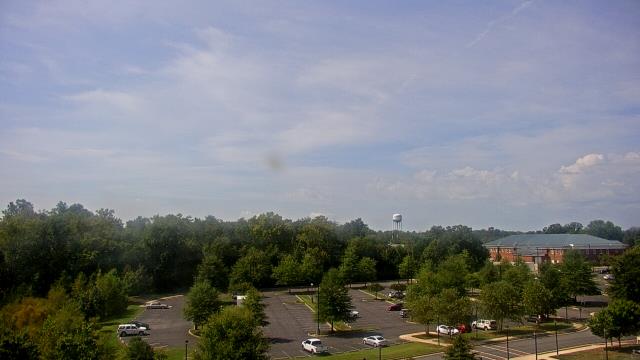
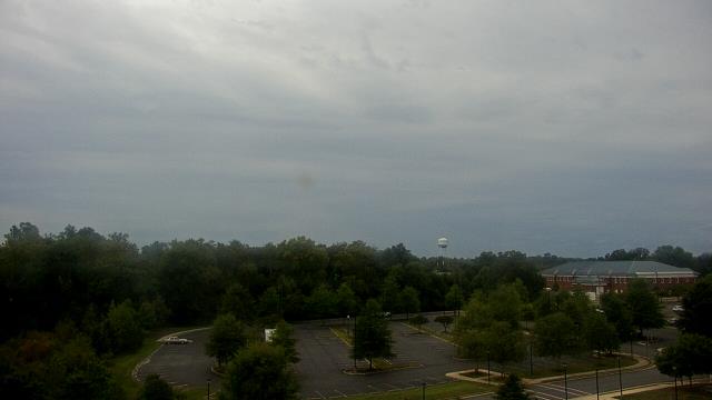
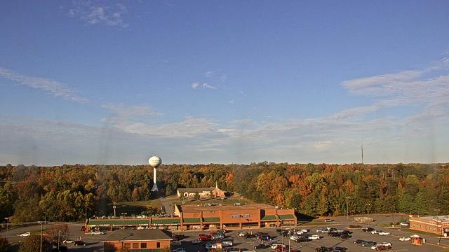
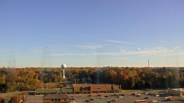
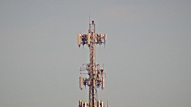
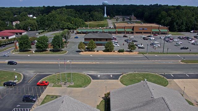
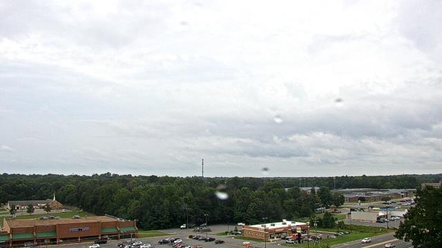
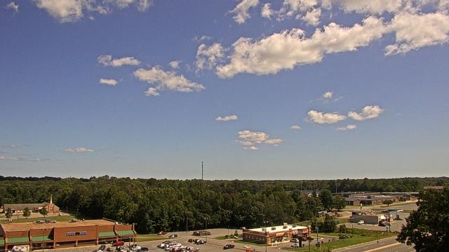
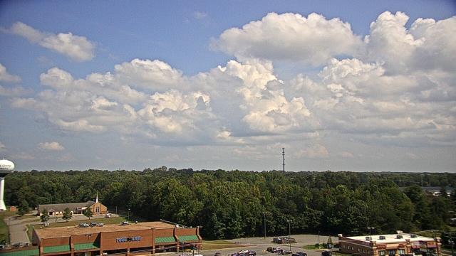
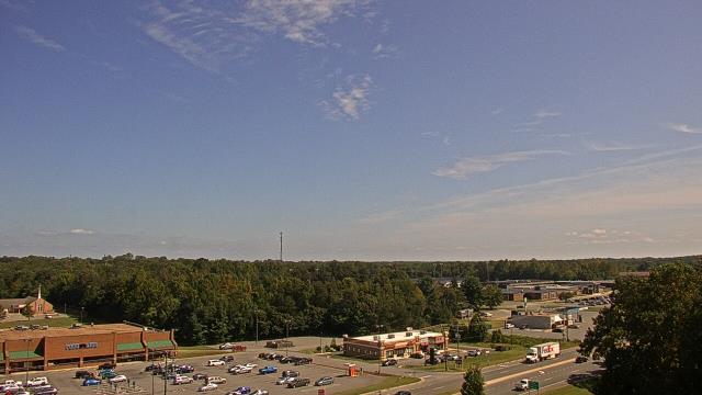
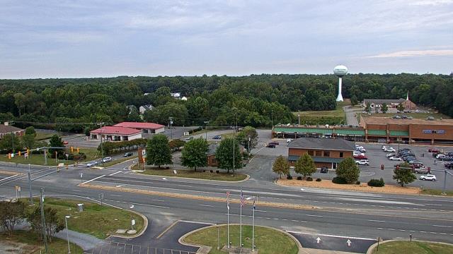
Richmond, Virginia, USA - 20.3 miles from West Chesterfield Heights: The Steward School - A webcam in Richmond, Virginia - camera location: The Steward School.
Operator: WeatherBug
Operator: WeatherBug
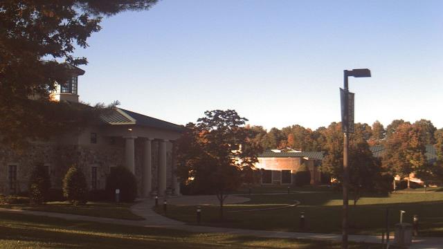


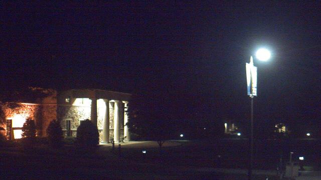


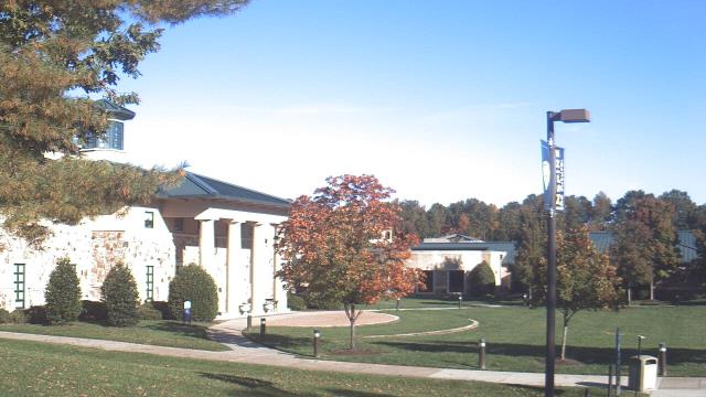
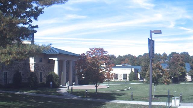
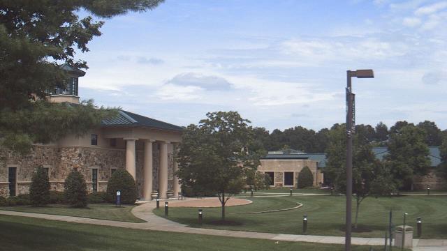
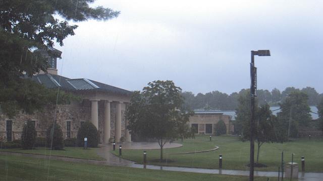
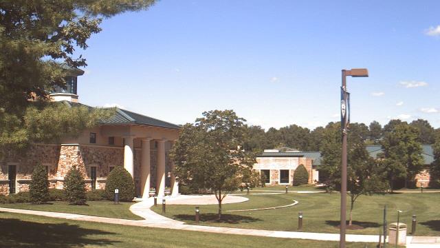
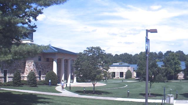
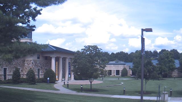
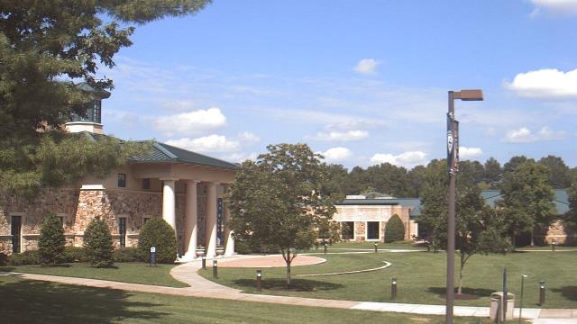

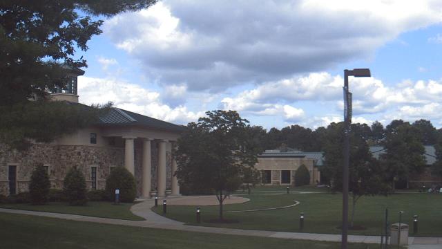

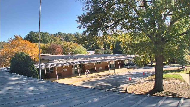
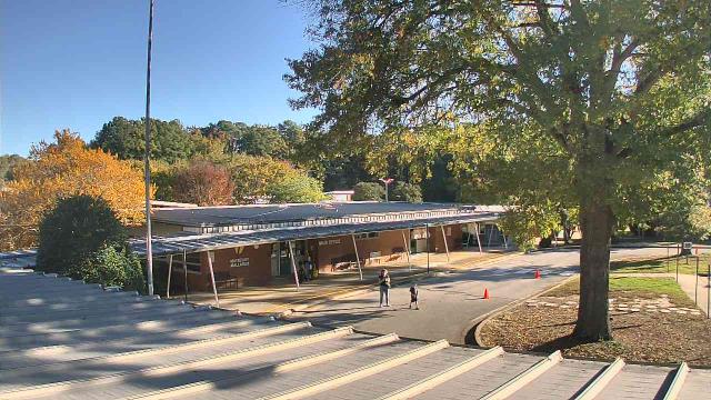
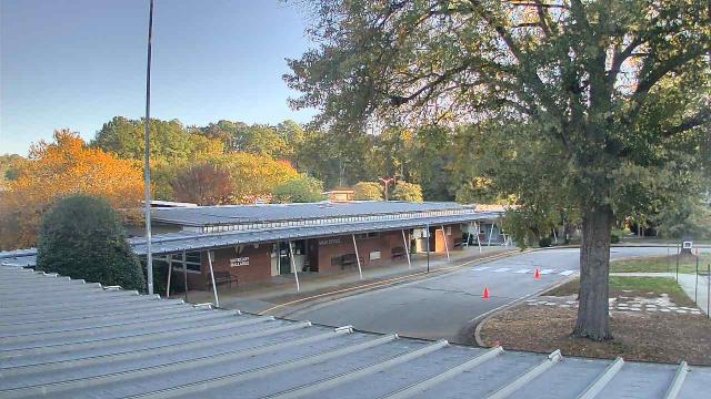
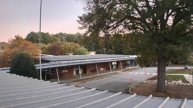
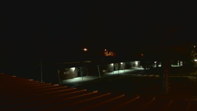
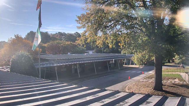
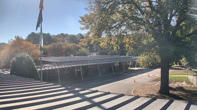
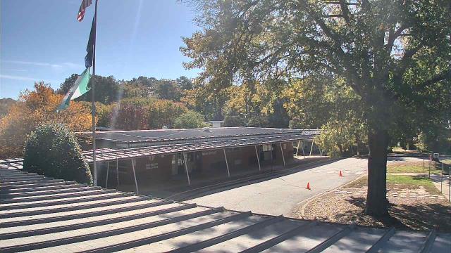
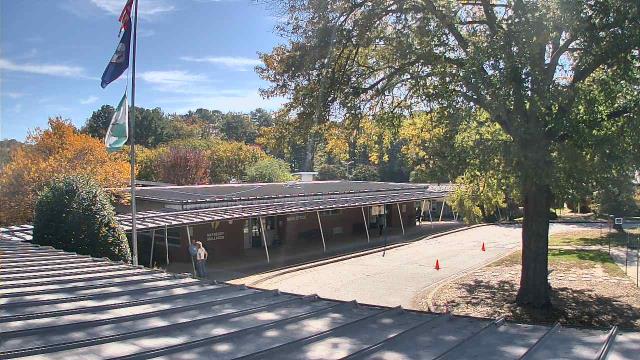
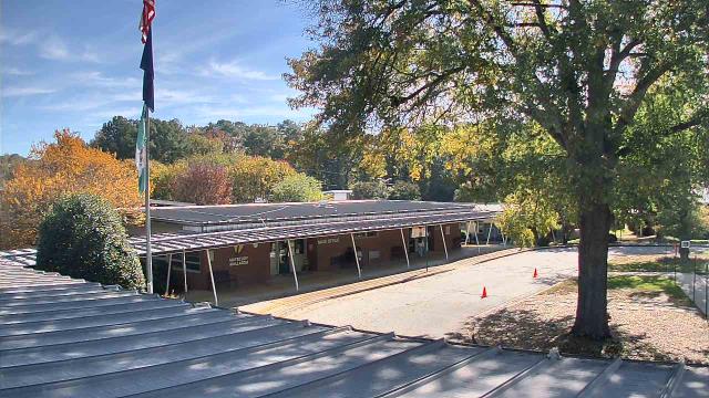
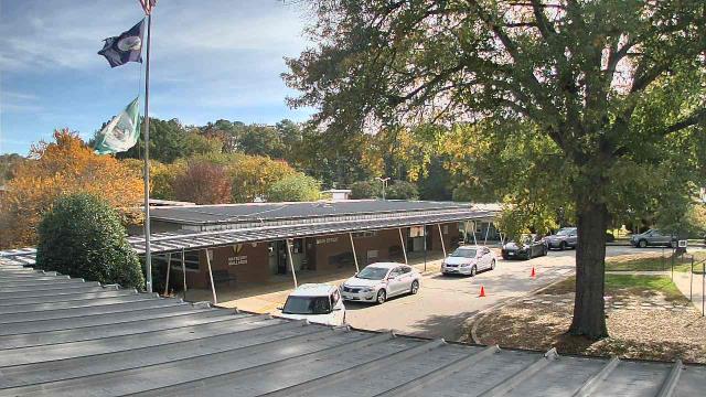
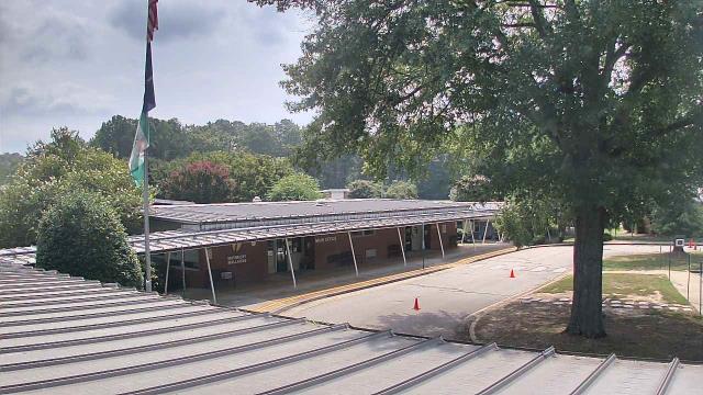
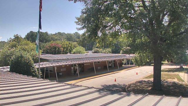
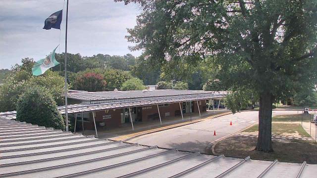
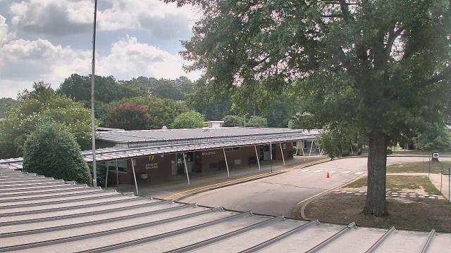
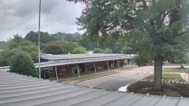
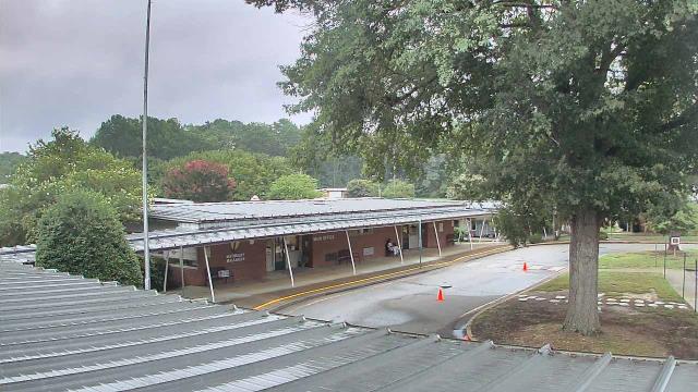
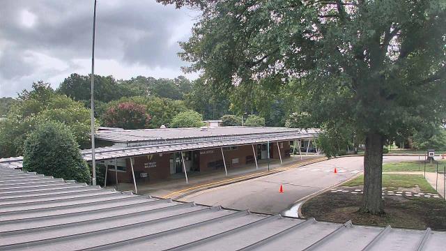
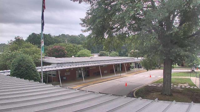
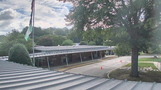
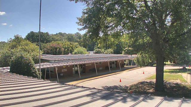
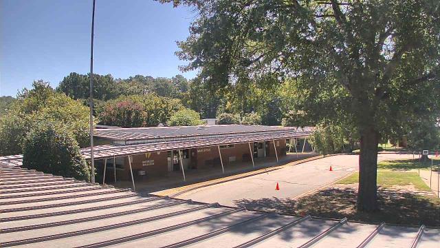
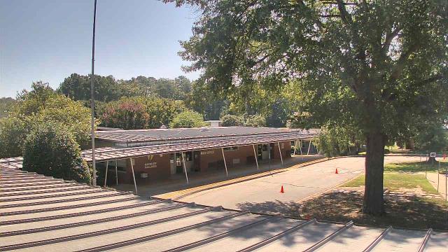
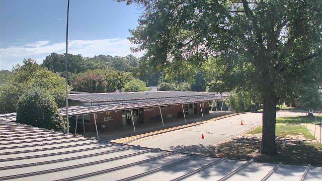
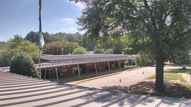
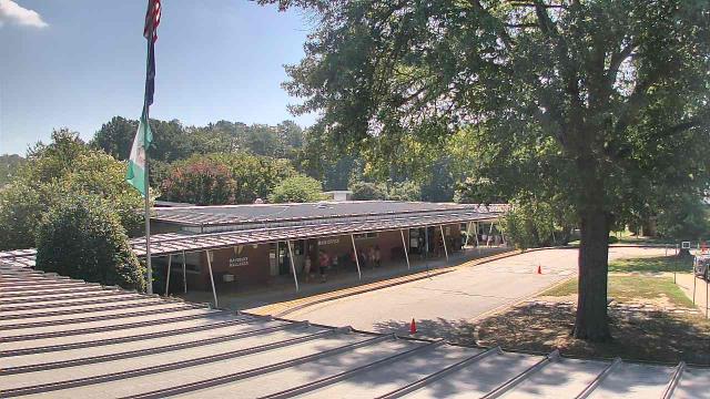
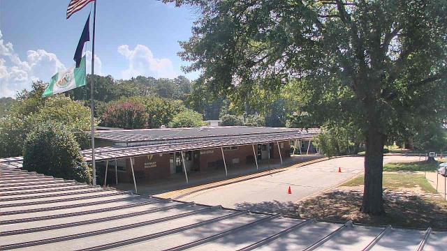
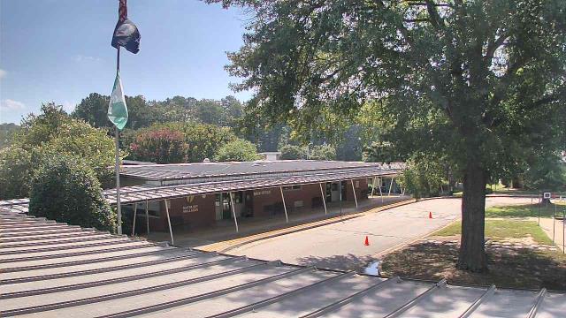
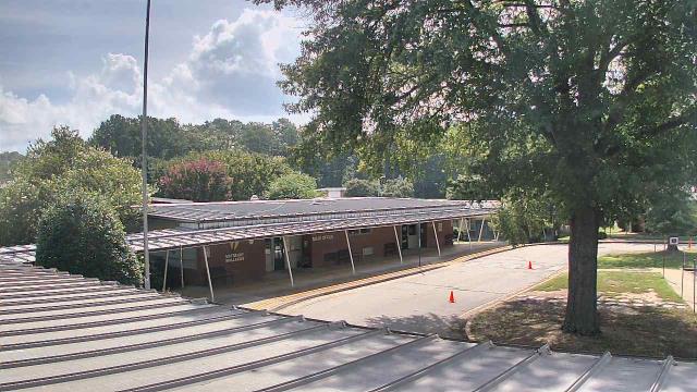
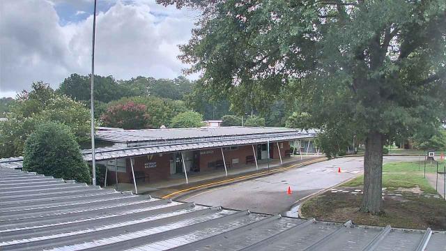
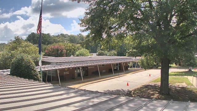
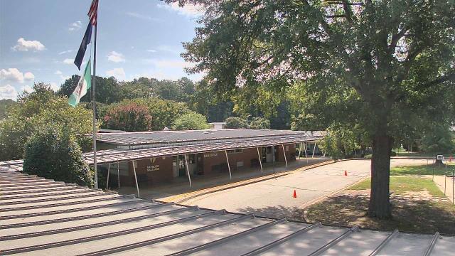
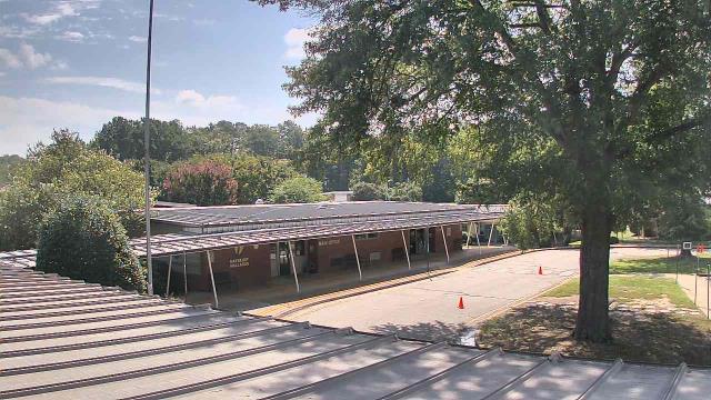
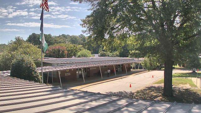
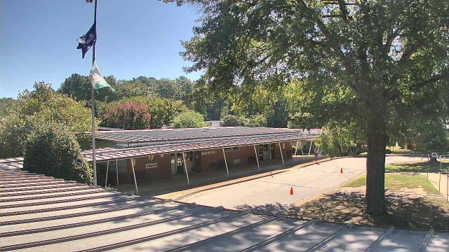
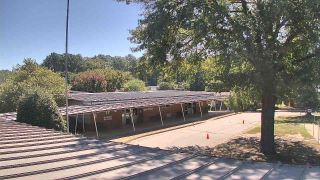
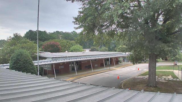
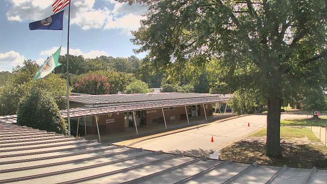
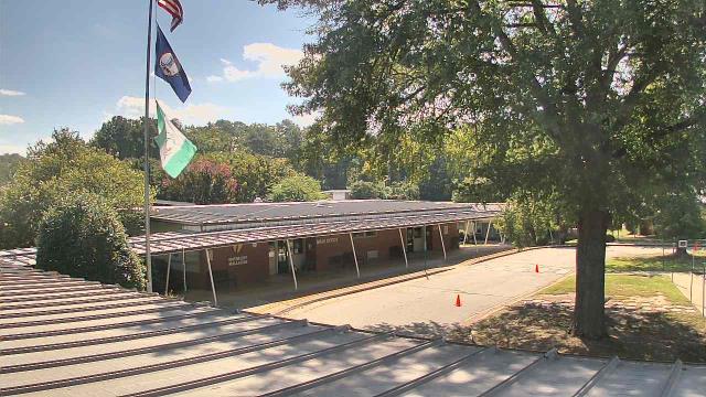
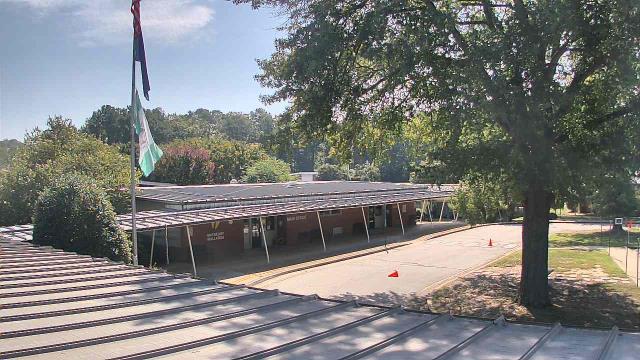
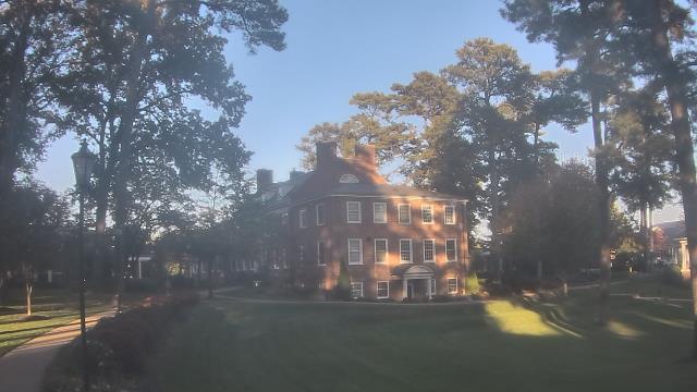
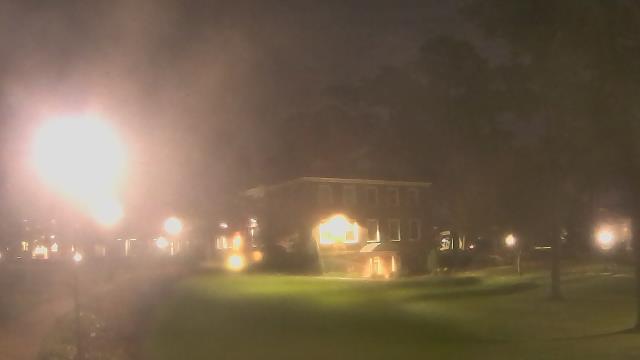
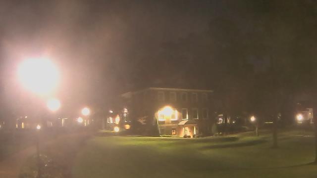
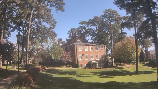
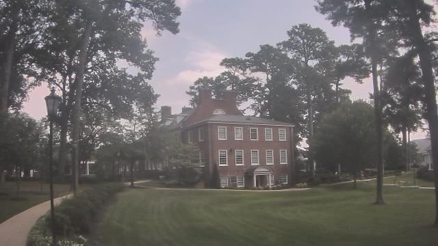
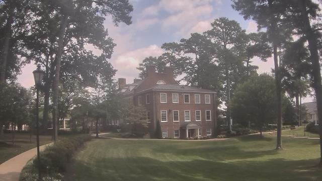
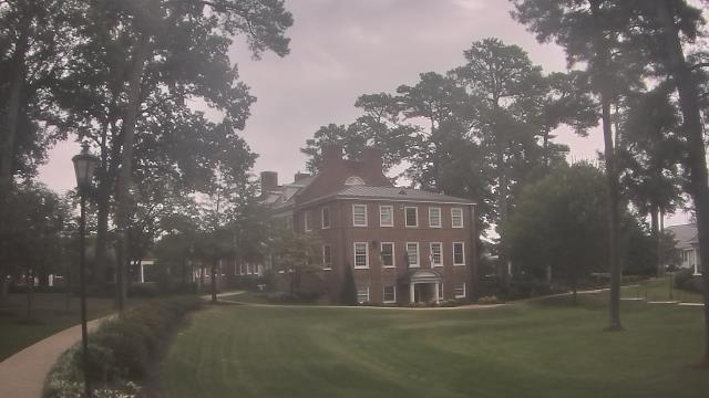
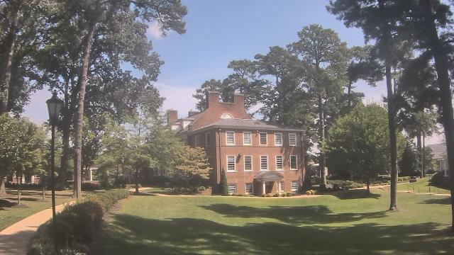
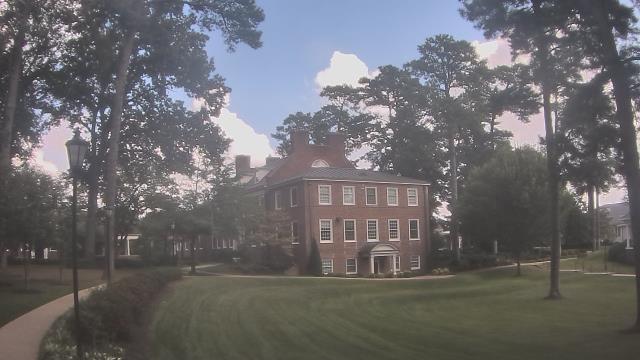
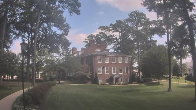
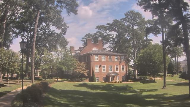
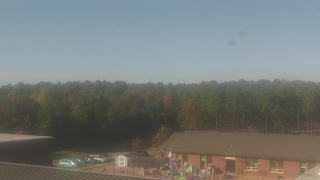
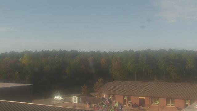
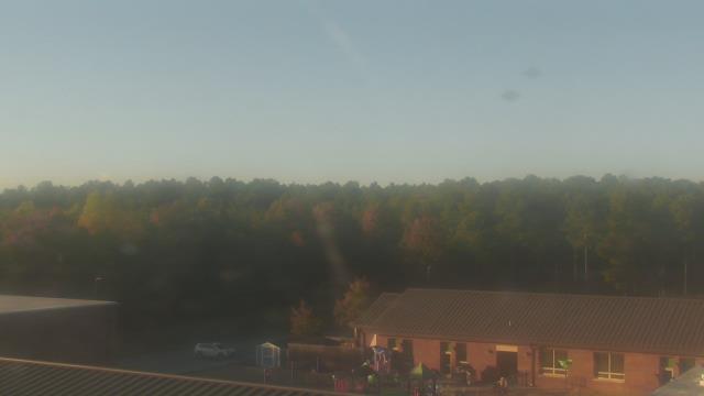
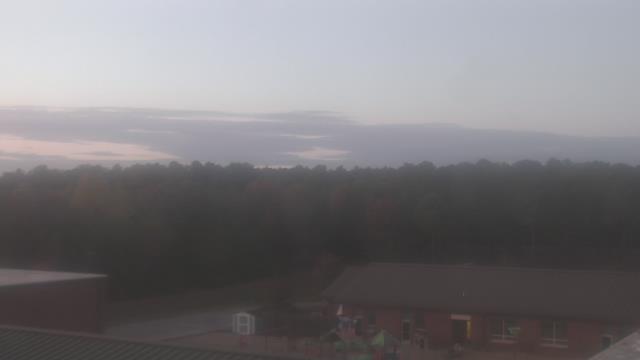
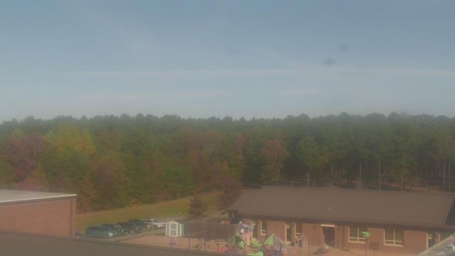
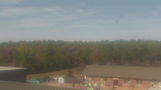
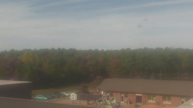
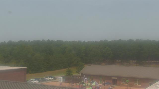
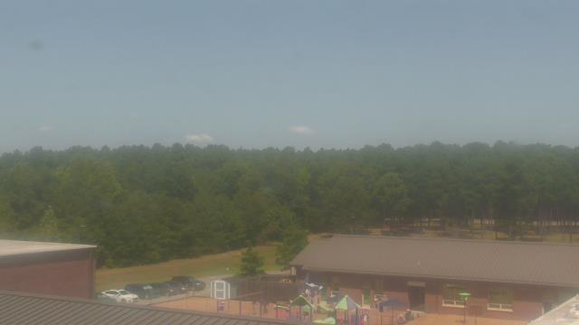
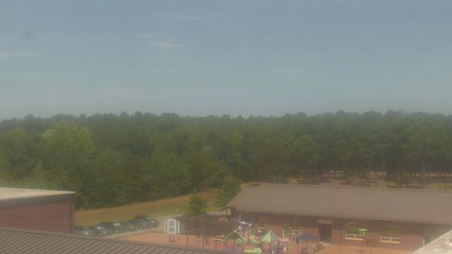
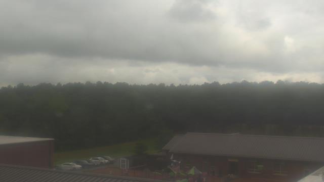
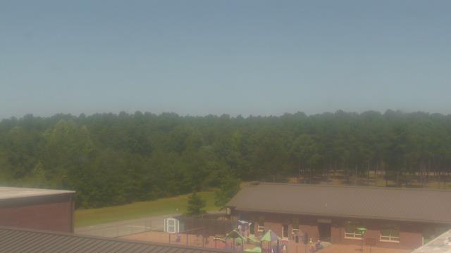
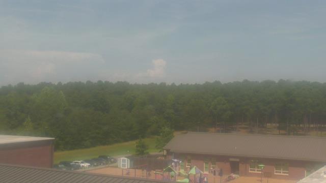
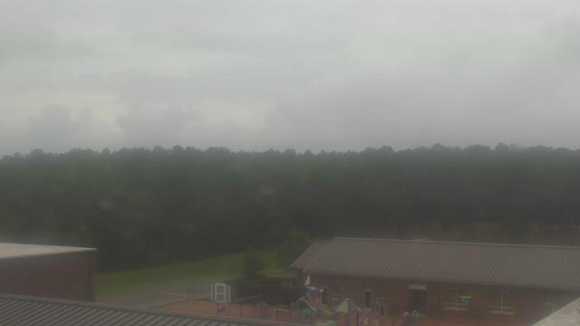
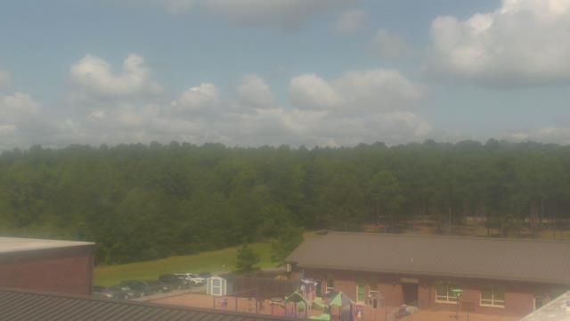
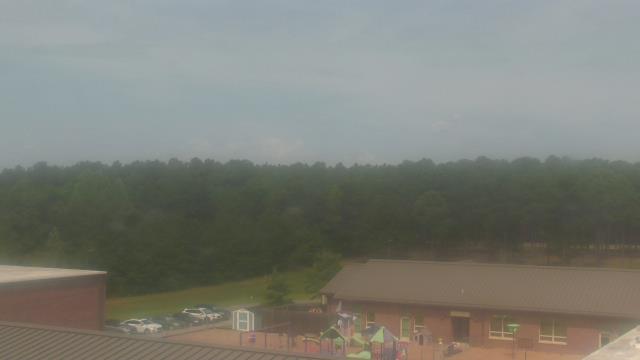
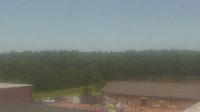
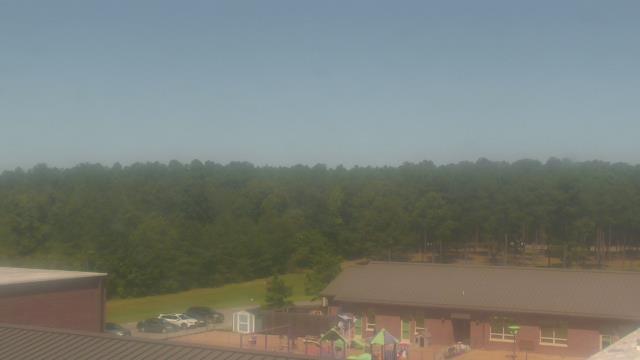
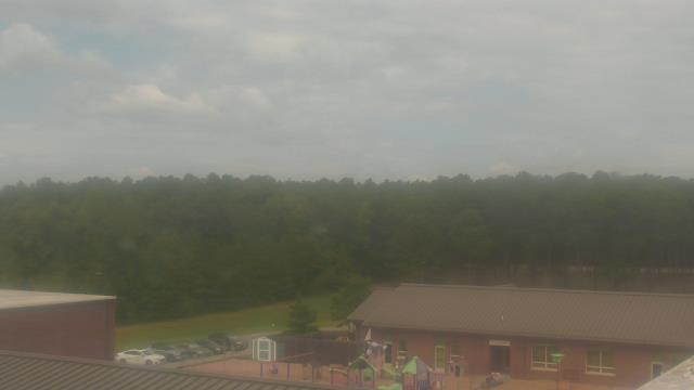
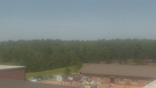
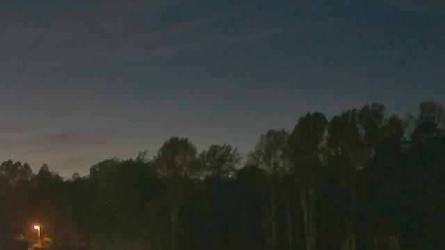
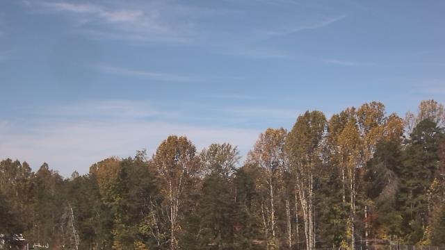
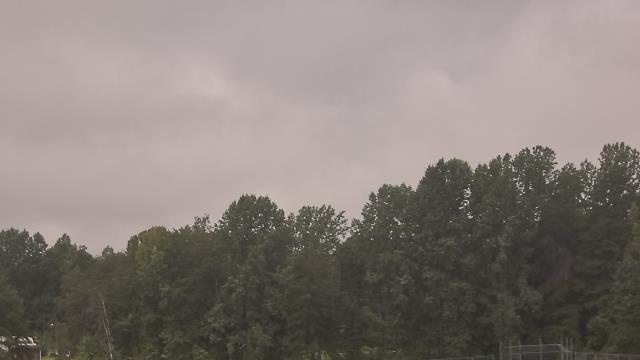
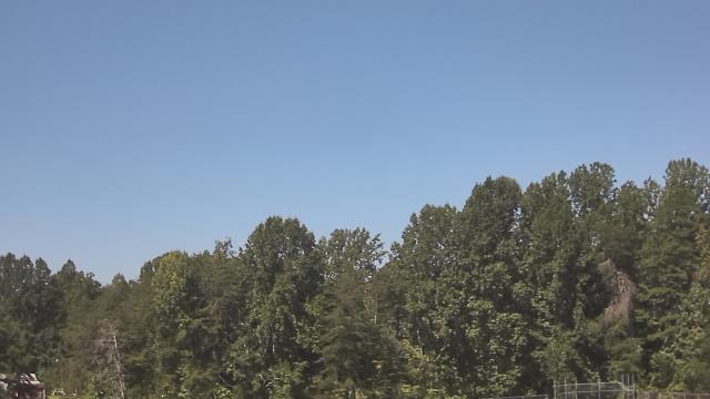
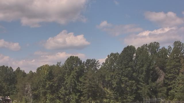
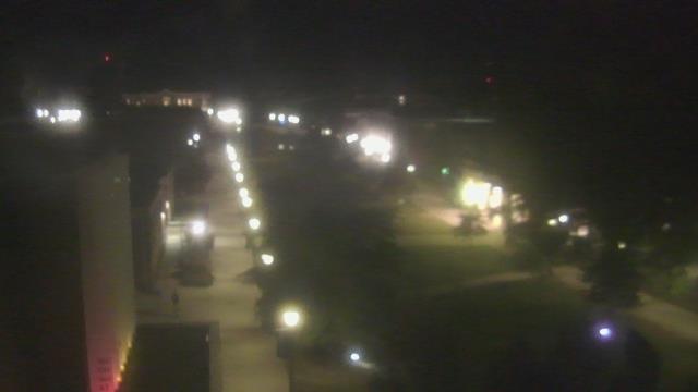
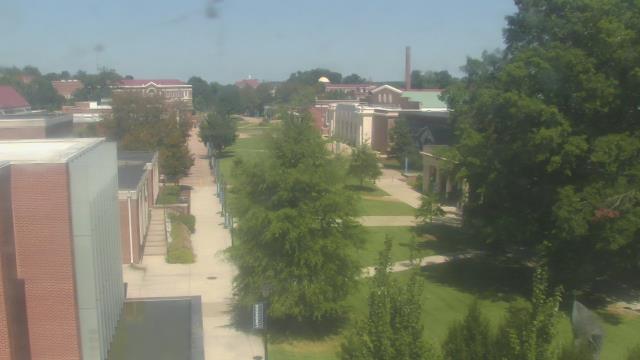
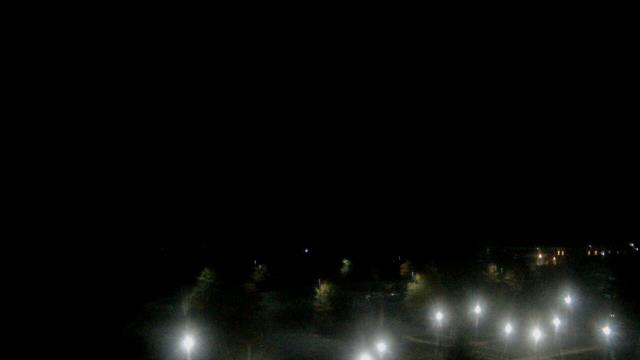
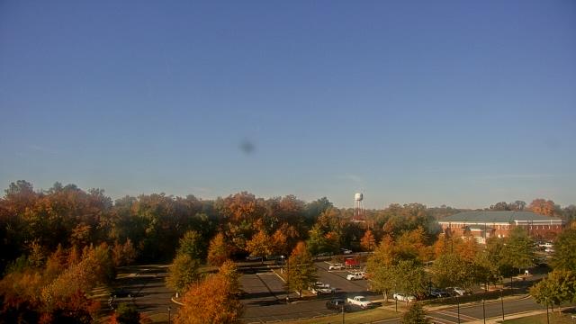
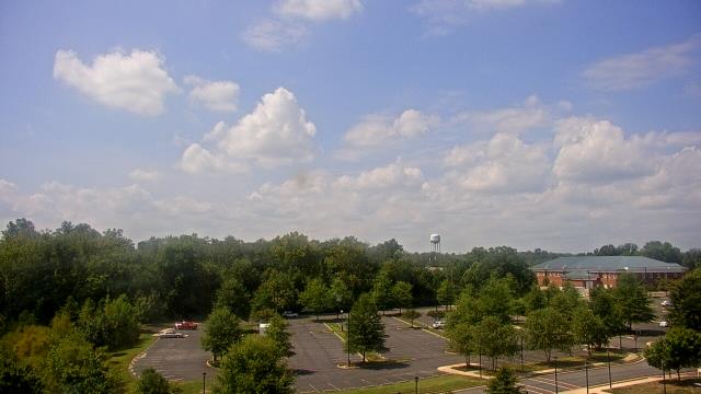
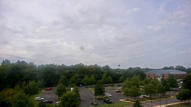
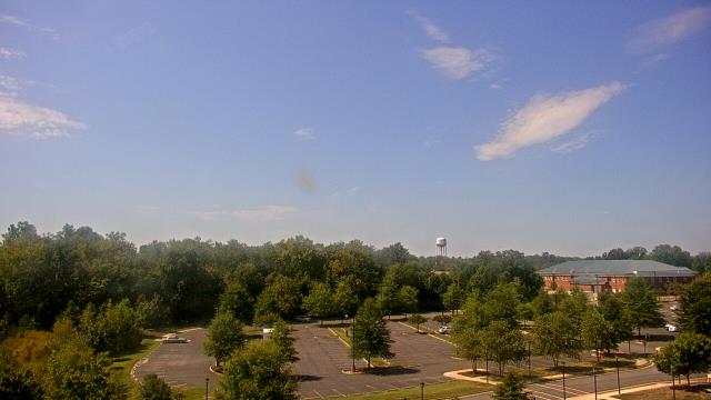
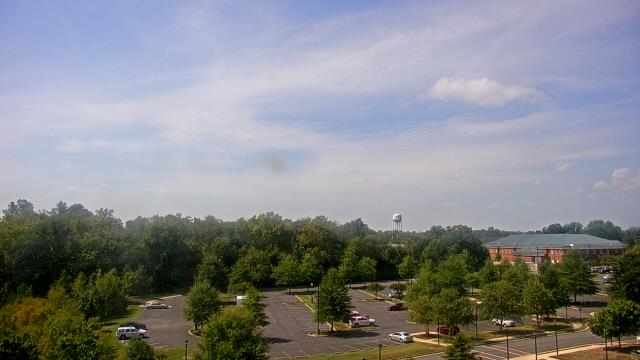
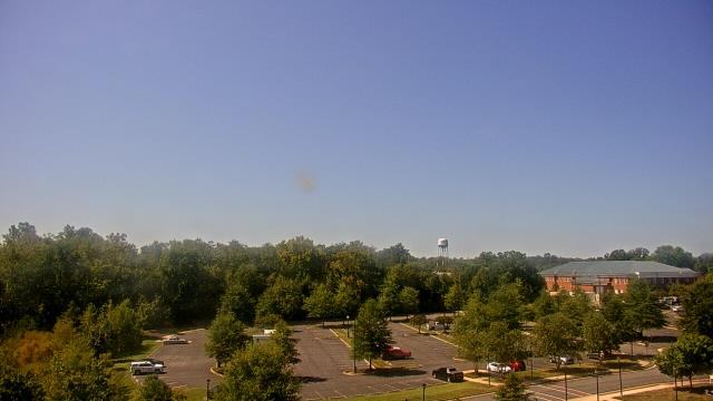
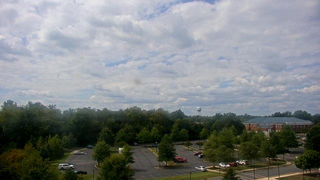
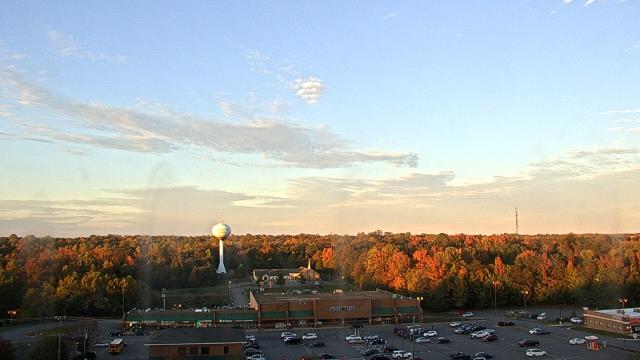
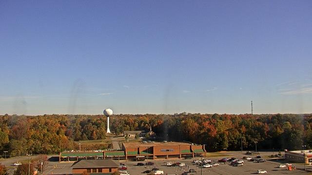
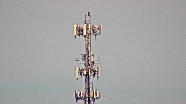
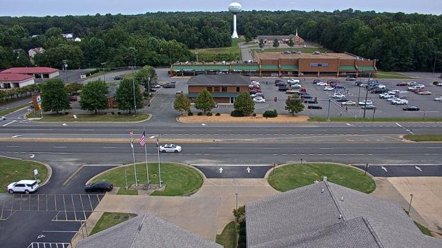
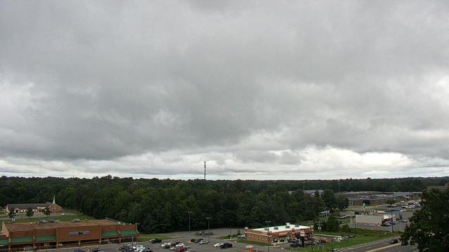
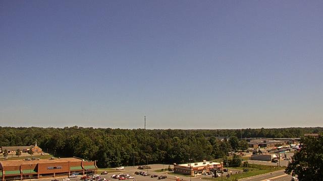
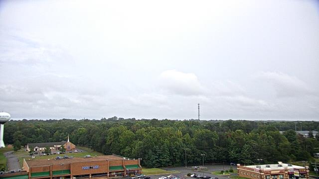
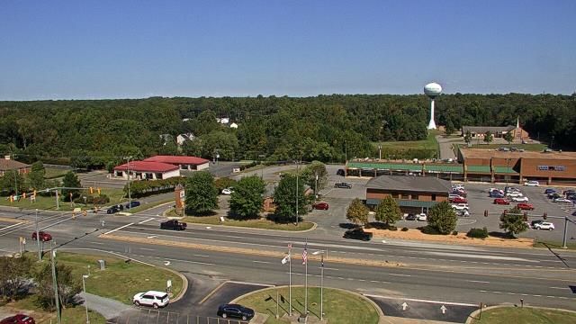
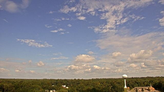
Richmond, Virginia, USA - 20.3 miles from West Chesterfield Heights: Maybeury Elementary School - A webcam in Richmond, Virginia - camera location: Maybeury Elementary School.
Operator: WeatherBug
Operator: WeatherBug
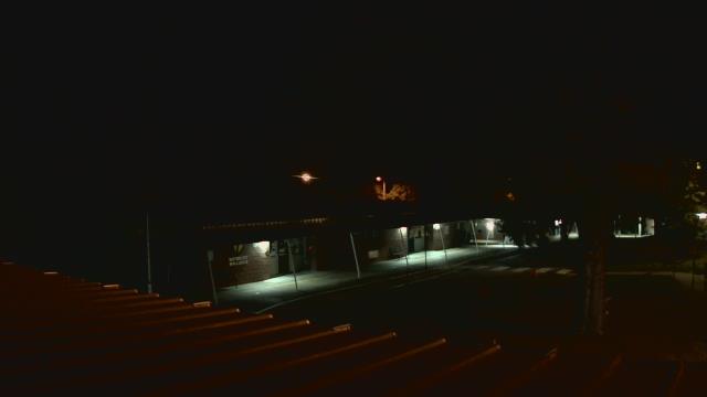

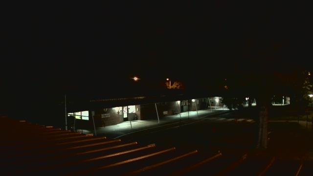
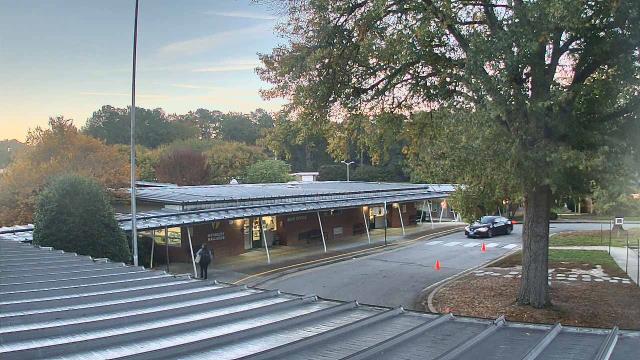


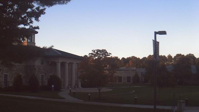
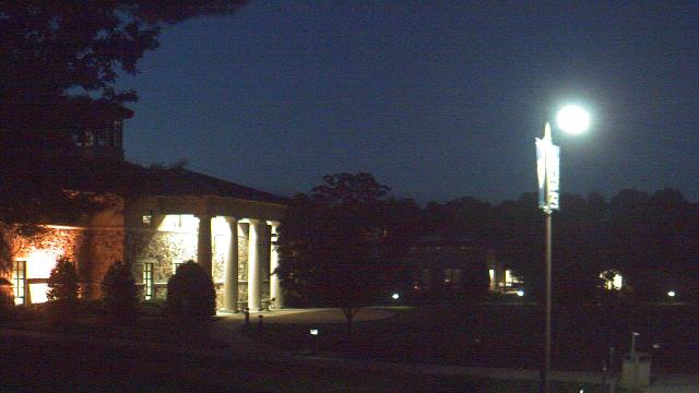
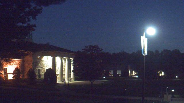
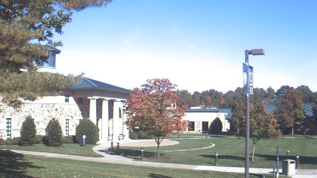
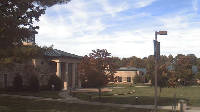
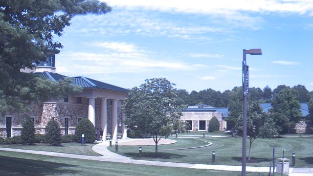
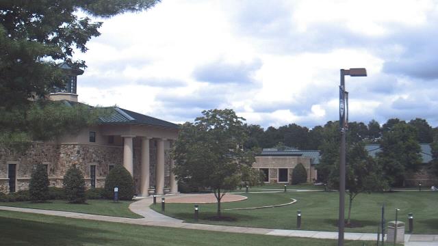
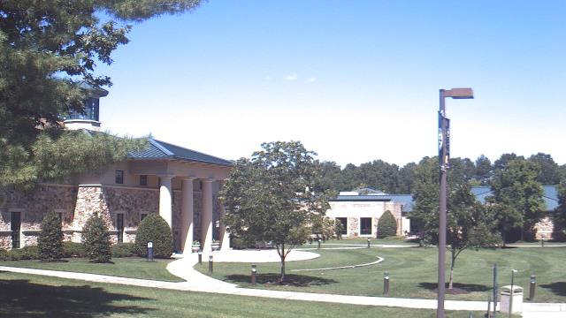
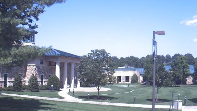
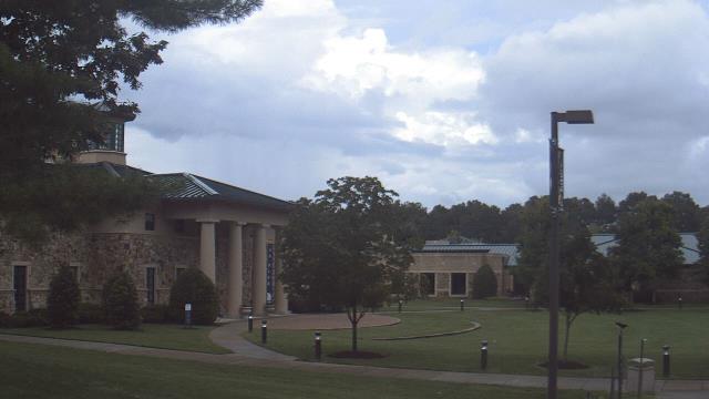
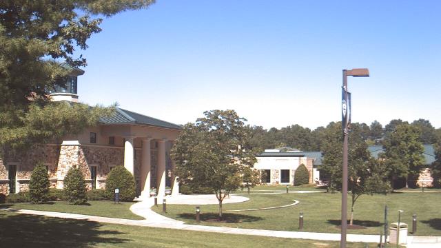
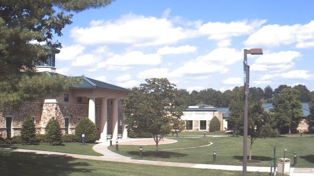
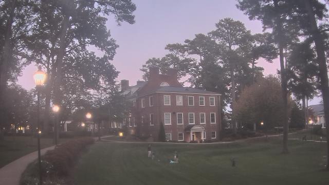
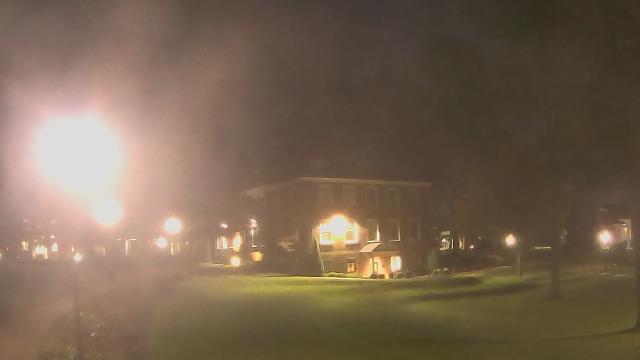
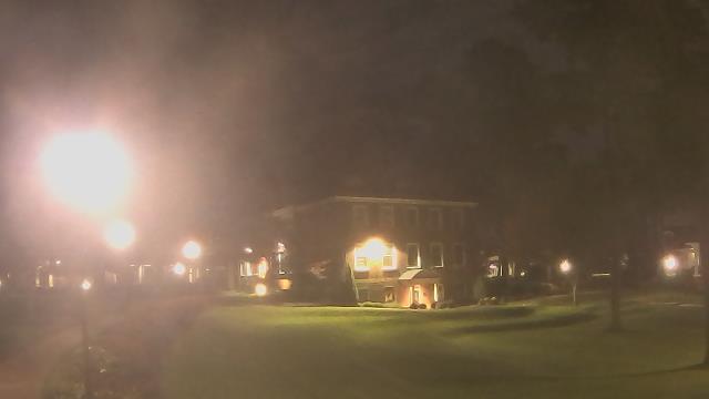
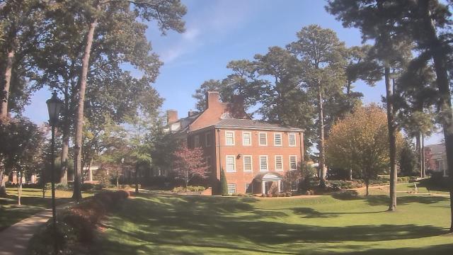
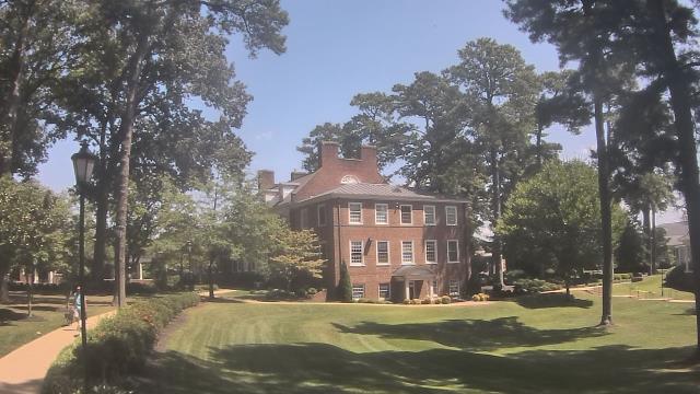
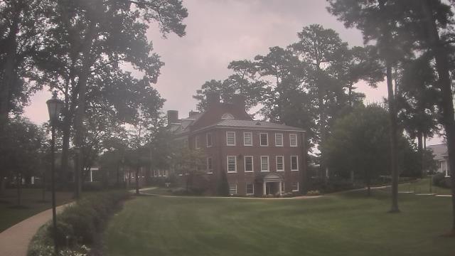
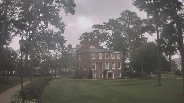
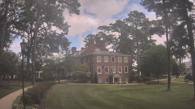
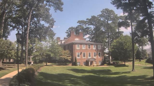
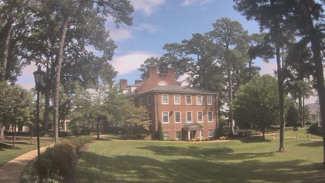
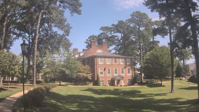
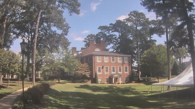
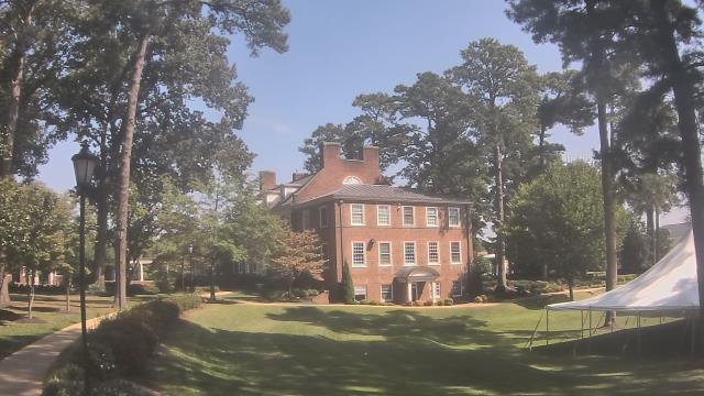
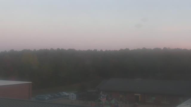
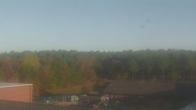
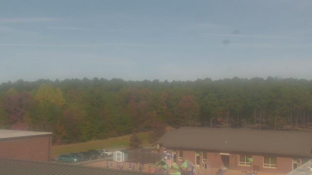
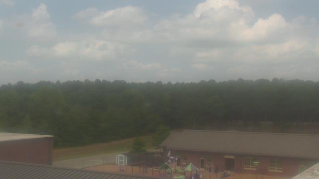
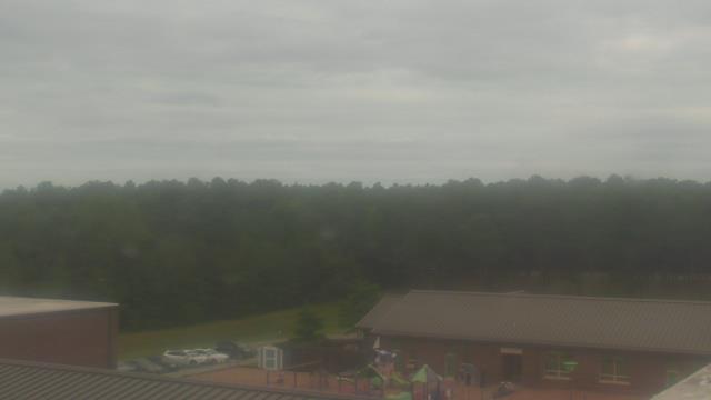
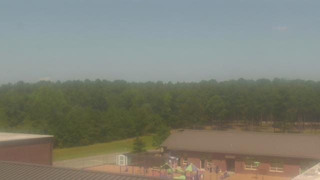
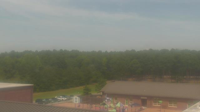
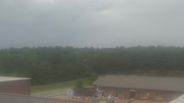
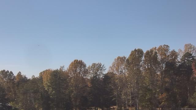
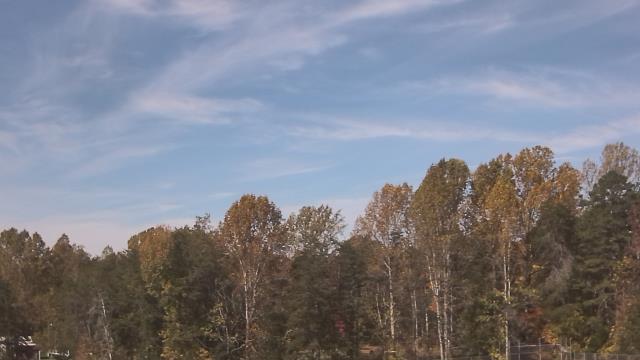
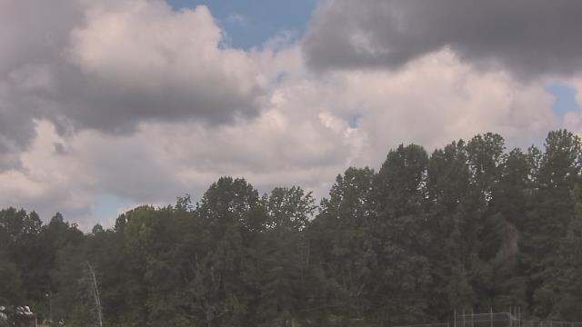
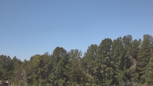
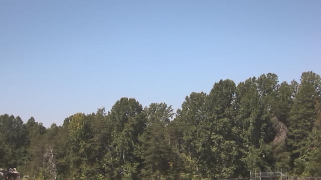
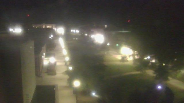
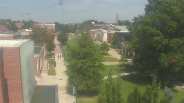
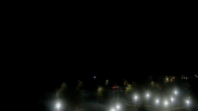
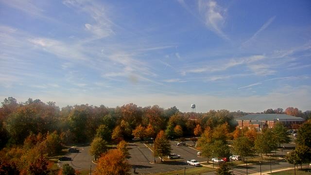
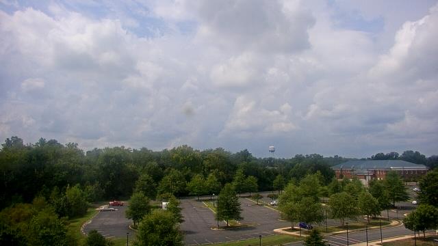
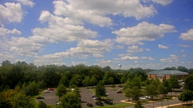
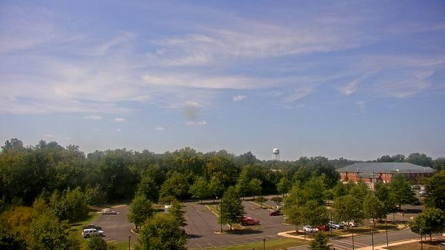
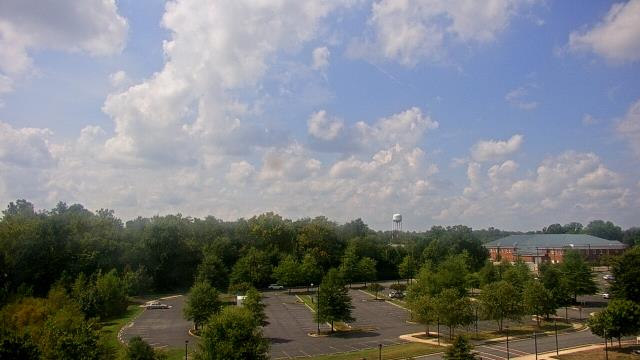
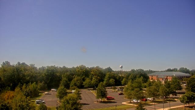
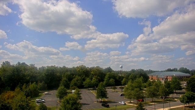
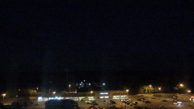
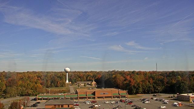
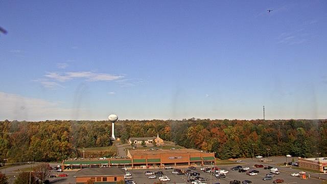
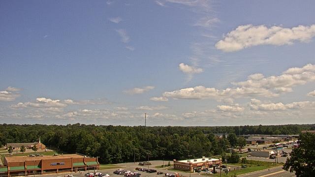
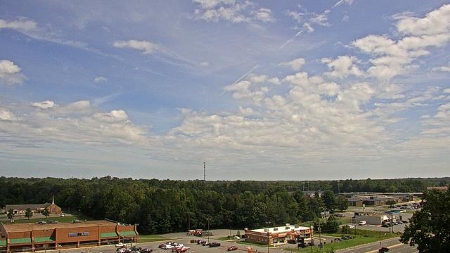
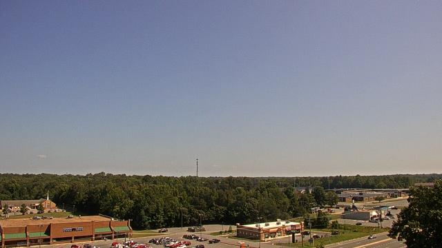
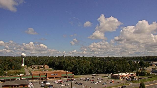
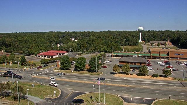
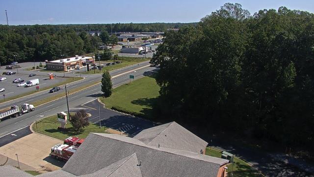
Richmond, Virginia, USA - 20.3 miles from West Chesterfield Heights: St. Christophers School - Webcam and current weather data - camera location: St. Christophers School.
Operator: WeatherBug
Operator: WeatherBug
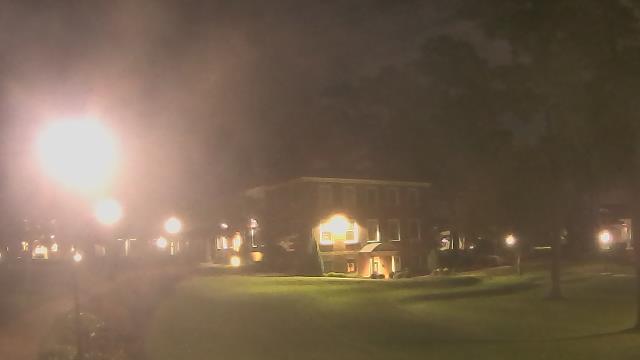
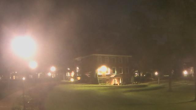


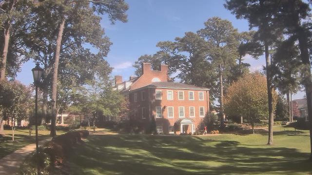
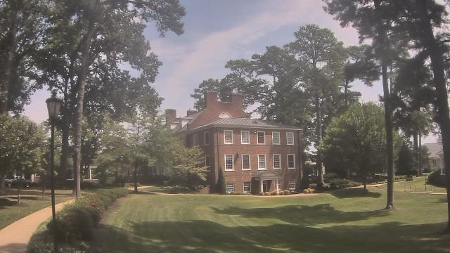


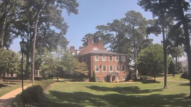
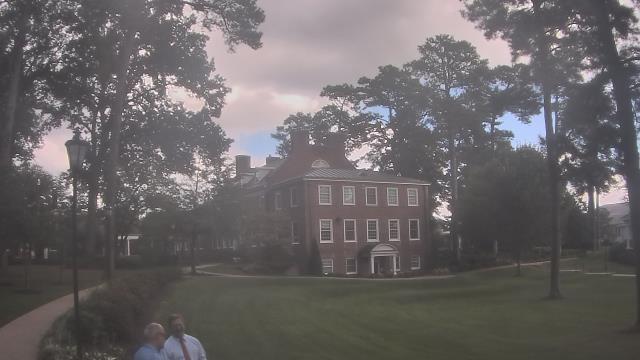
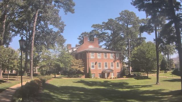


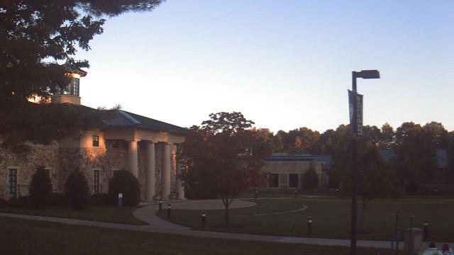
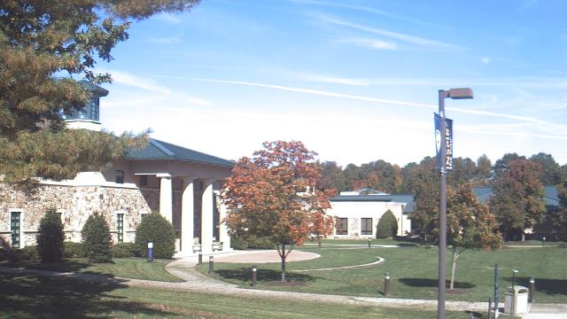
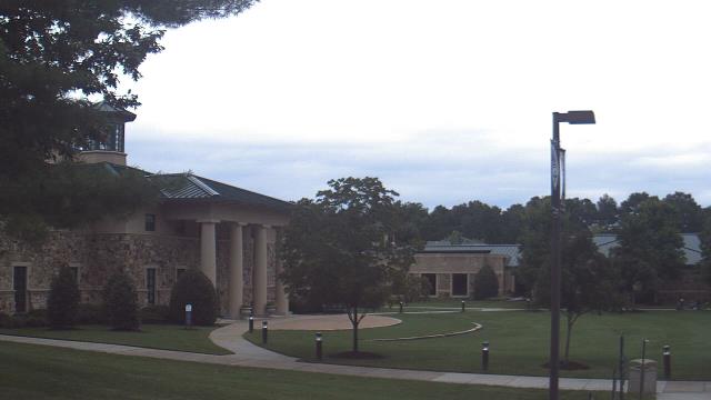
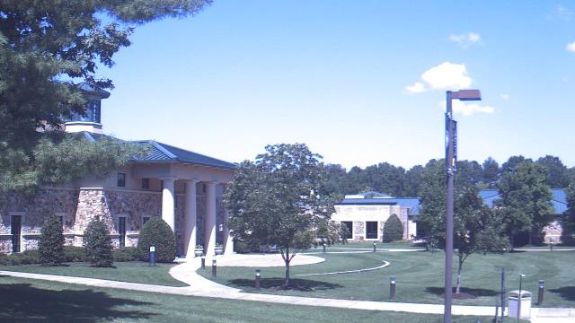
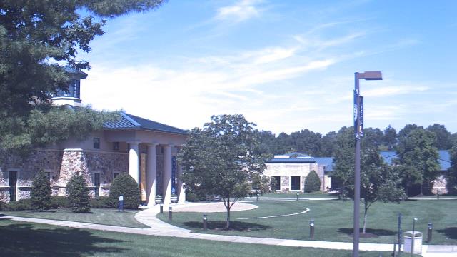
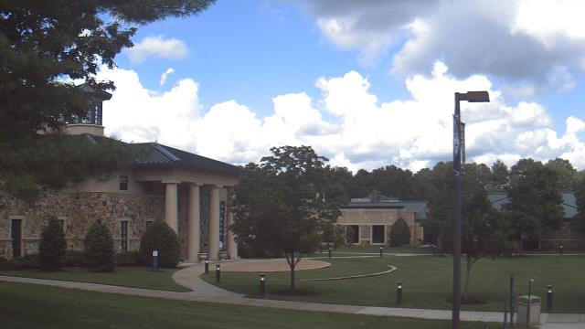
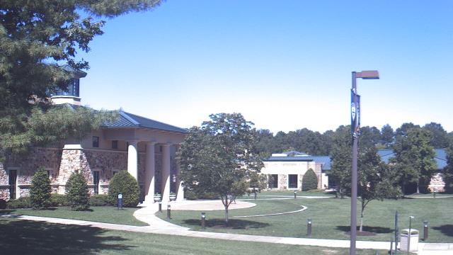
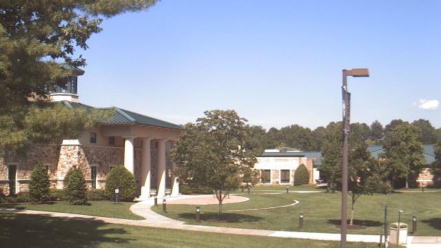
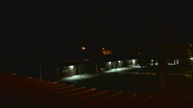
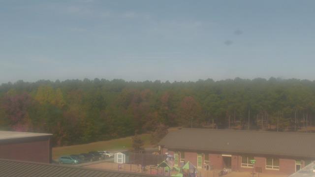
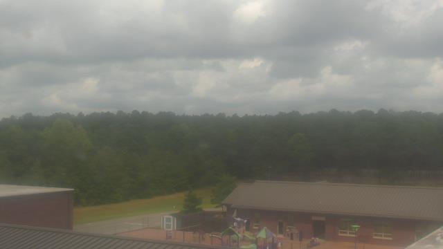
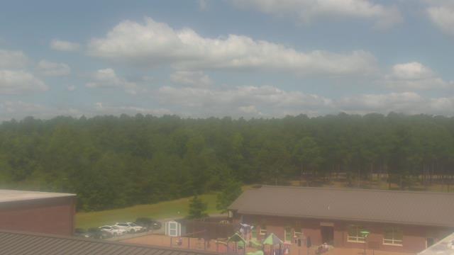
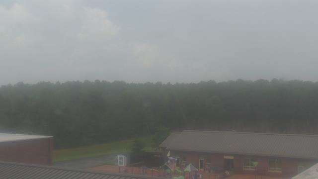
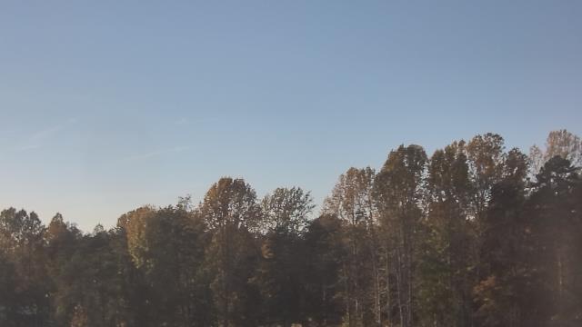
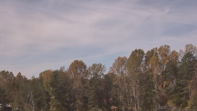
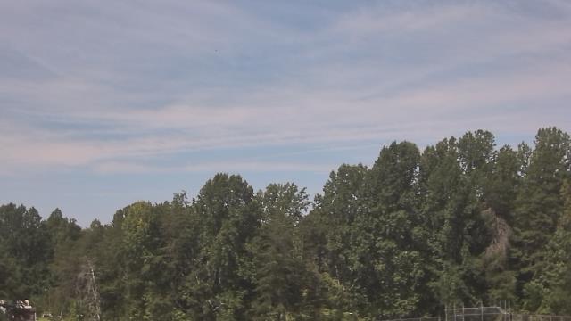
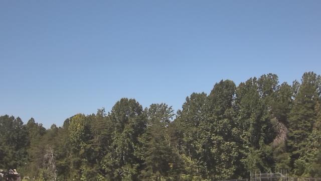
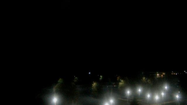
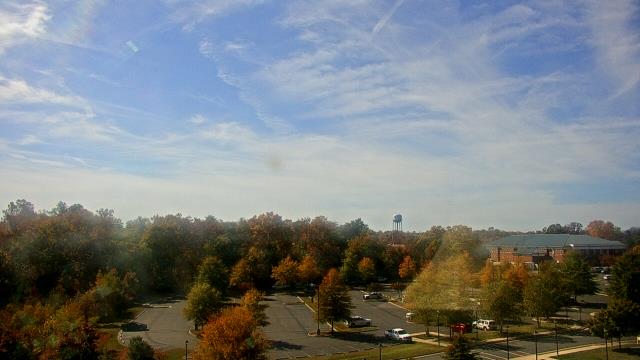
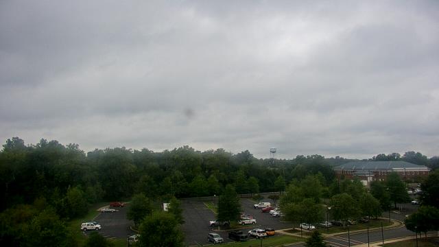
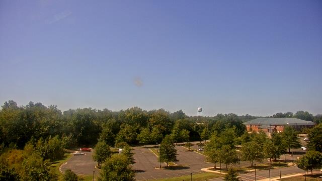
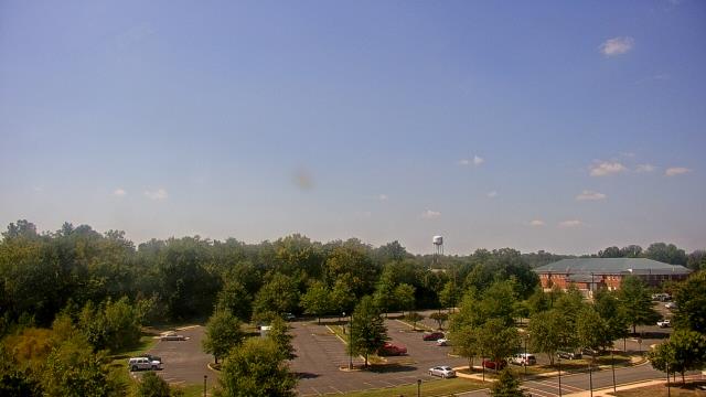
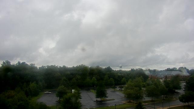
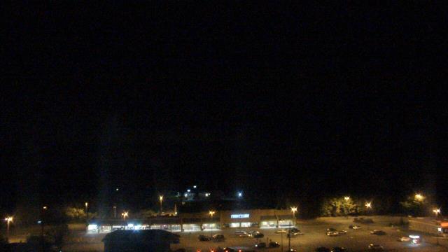
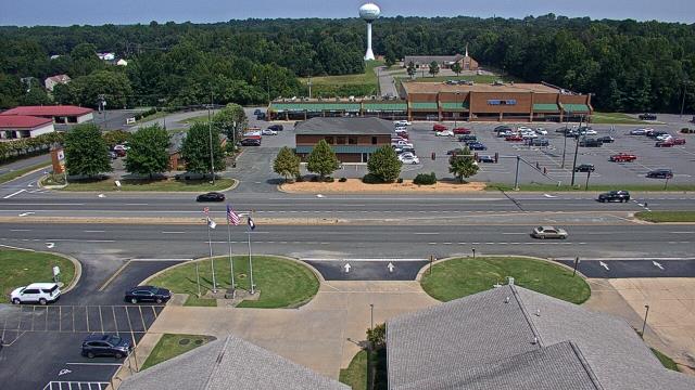
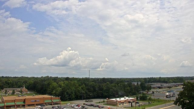
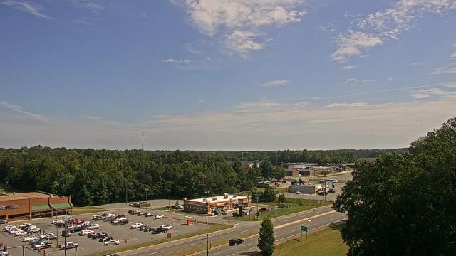
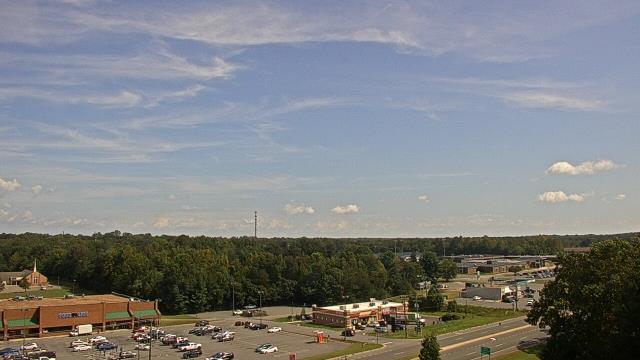
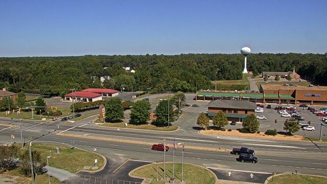
Ruther Glen, Virginia, USA - 47.1 miles from West Chesterfield Heights: The Carmel School - A webcam in Ruther Glen, Virginia - camera location: The Carmel School.
Operator: WeatherBug
Operator: WeatherBug


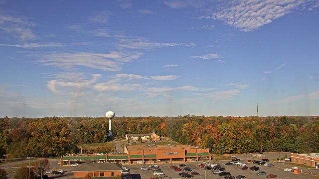
Goochland, Virginia, USA - 49.8 miles from West Chesterfield Heights: Byrd Elementary School - A webcam in Goochland, Virginia - camera location: Byrd Elementary School.
Operator: WeatherBug
Operator: WeatherBug


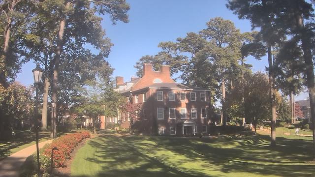
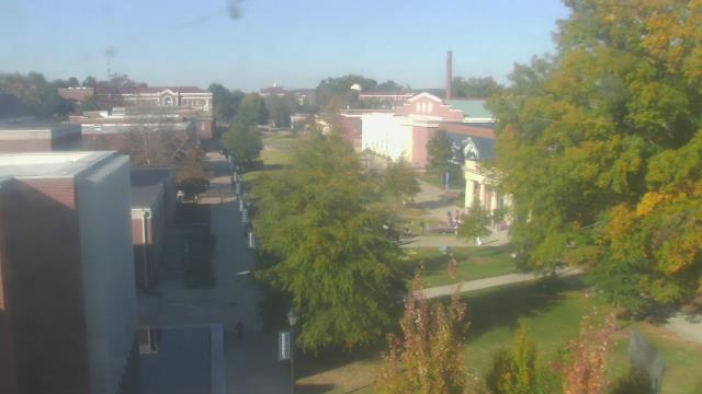
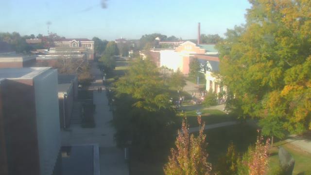
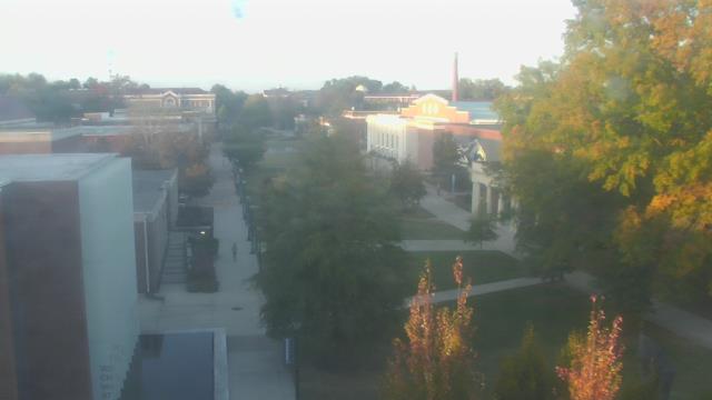
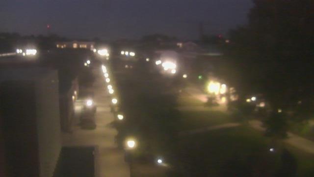
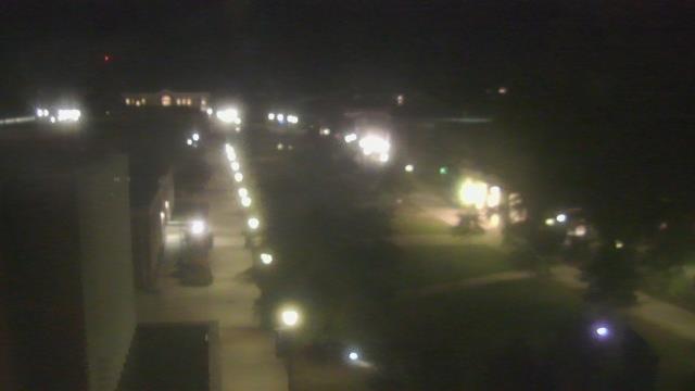
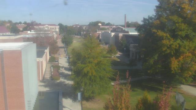
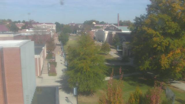
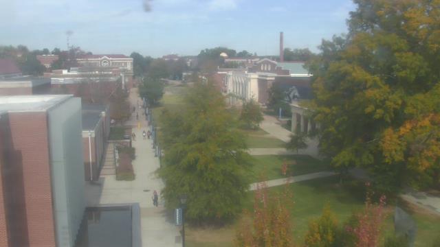
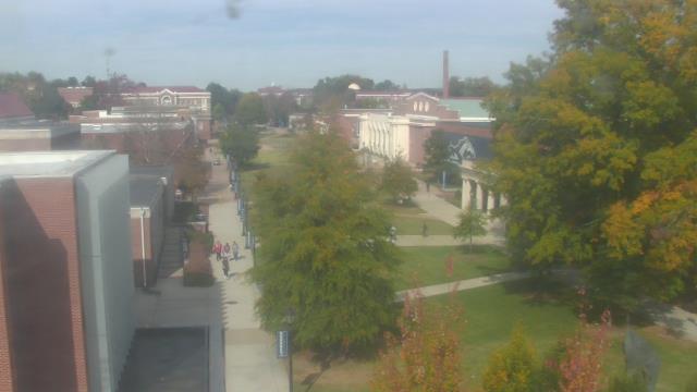
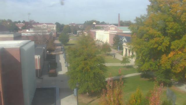
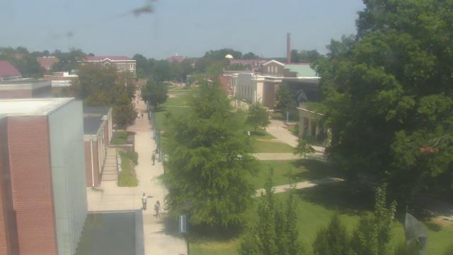
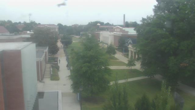
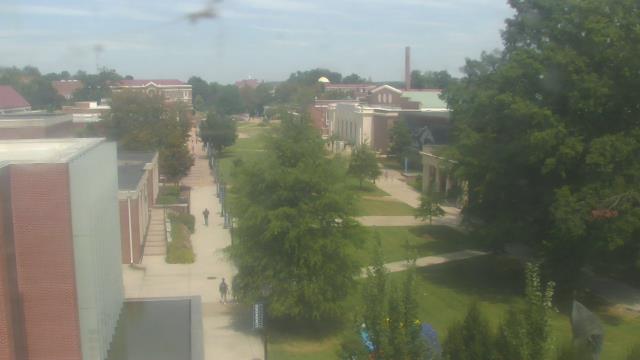
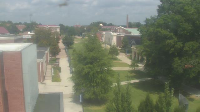
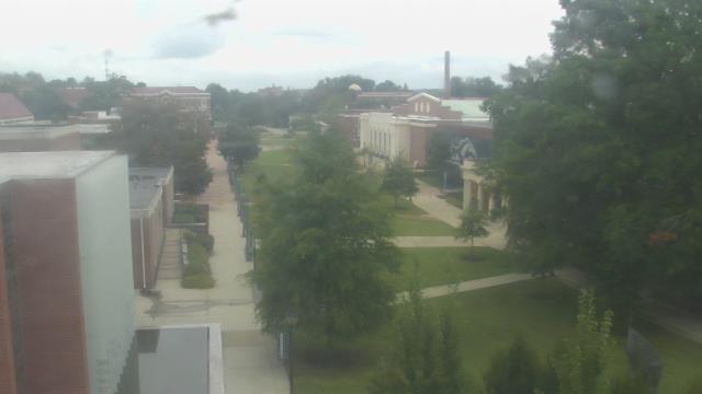
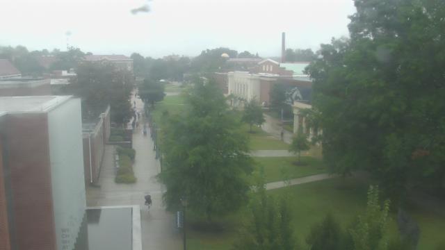
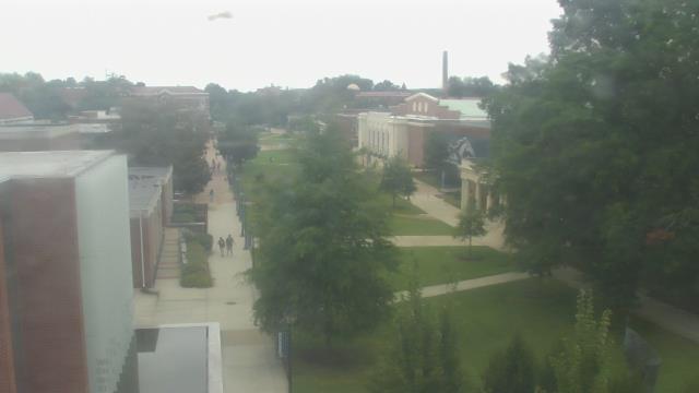
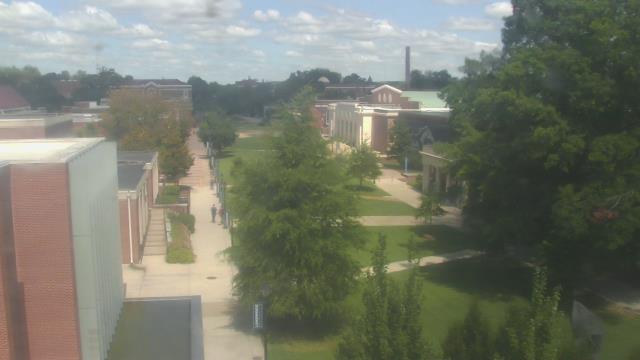
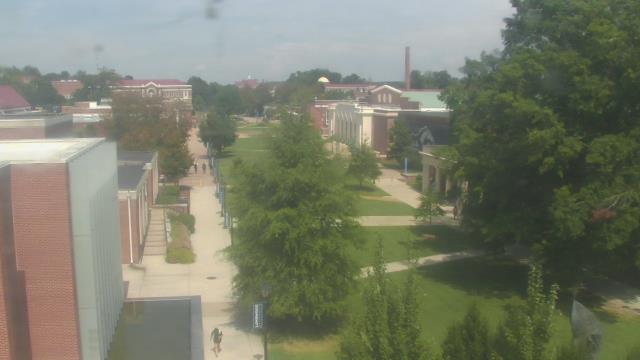
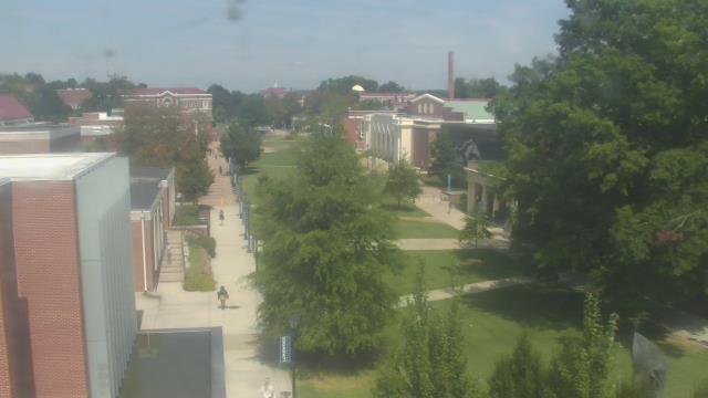
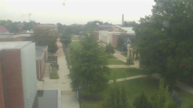
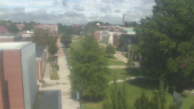
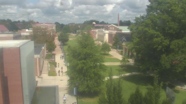
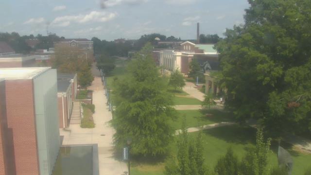
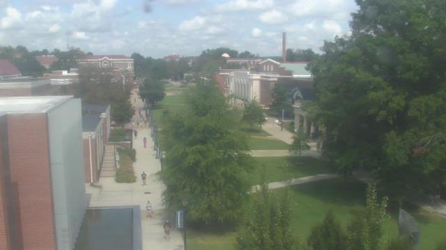
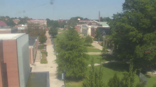
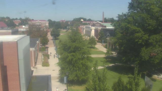
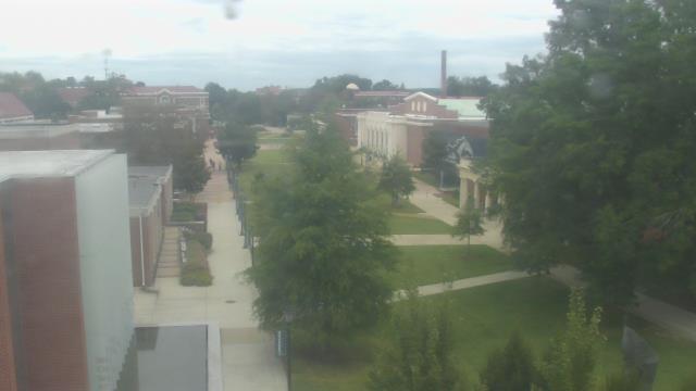
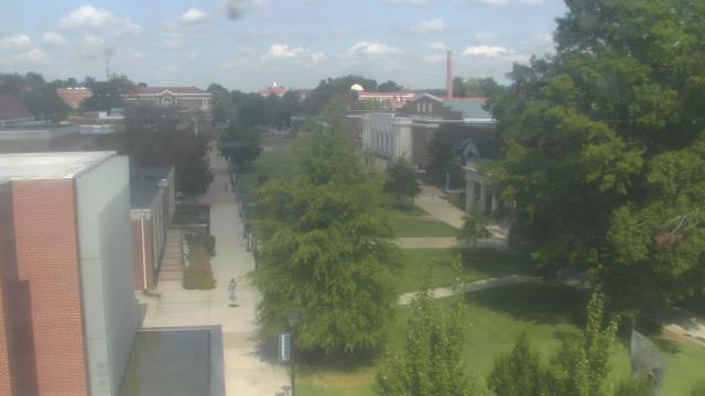
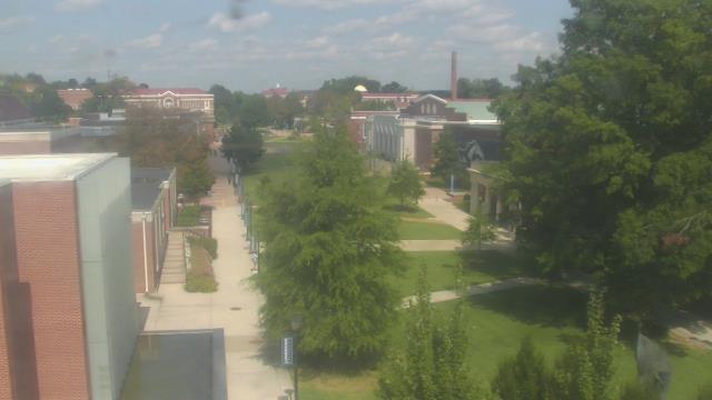
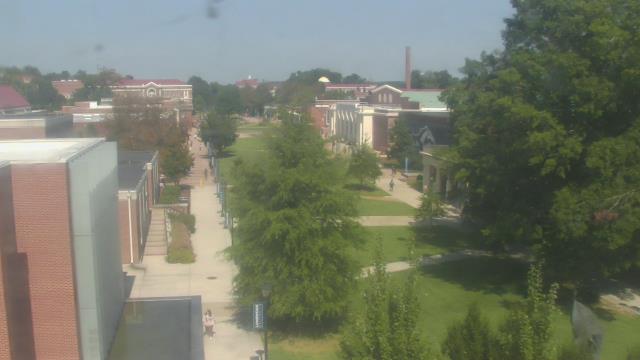
Farmville, Virginia, USA - 53.5 miles from West Chesterfield Heights: Longwood University - A webcam in Farmville, Virginia - camera location: Longwood University.
Operator: WeatherBug
Operator: WeatherBug


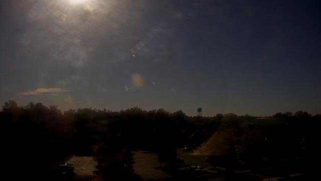
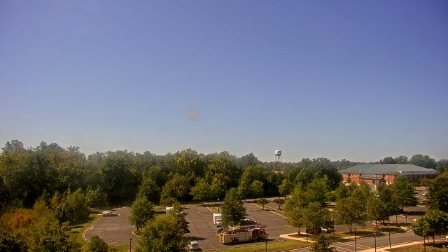
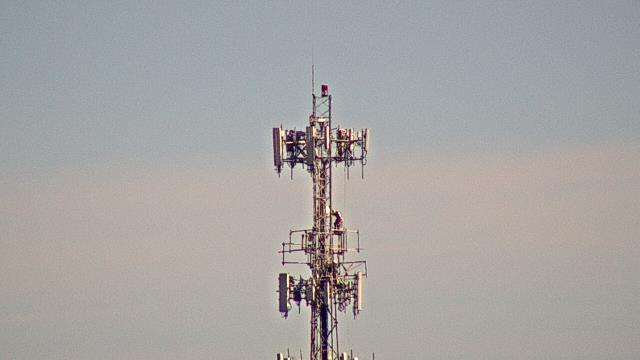
Spotsylvania, Virginia, USA - 66.3 miles from West Chesterfield Heights: Spotsylvania County Fire and Rescue - A webcam in Spotsylvania, Virginia - camera location: Spotsylvania County Fire and Rescue.
Operator: WeatherBug
Operator: WeatherBug
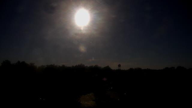


King George, Virginia, USA - 71.6 miles from West Chesterfield Heights: King George County EOC - A webcam in King George, Virginia - camera location: King George County EOC.
Operator: WeatherBug
Operator: WeatherBug


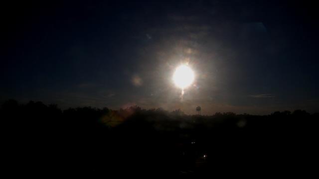
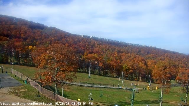
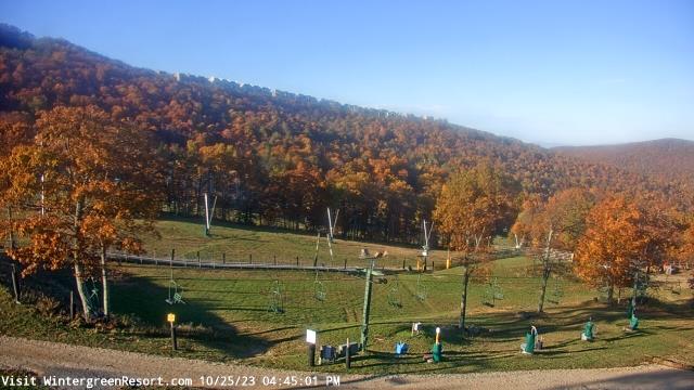
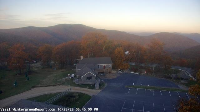
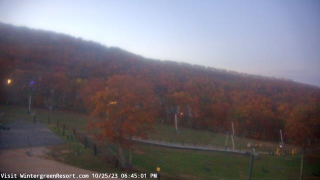
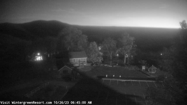
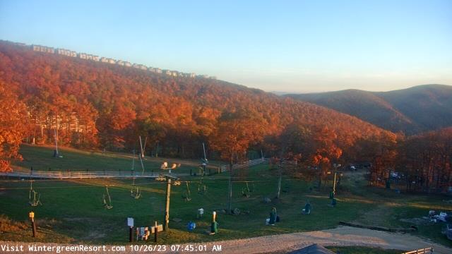
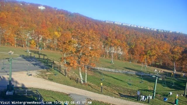
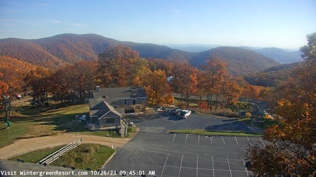
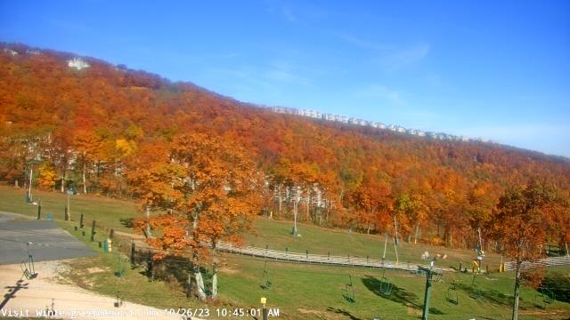
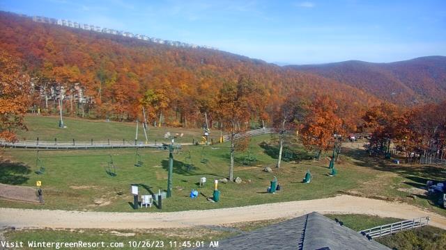
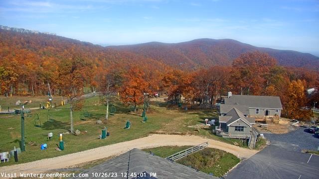
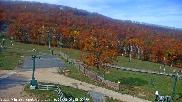
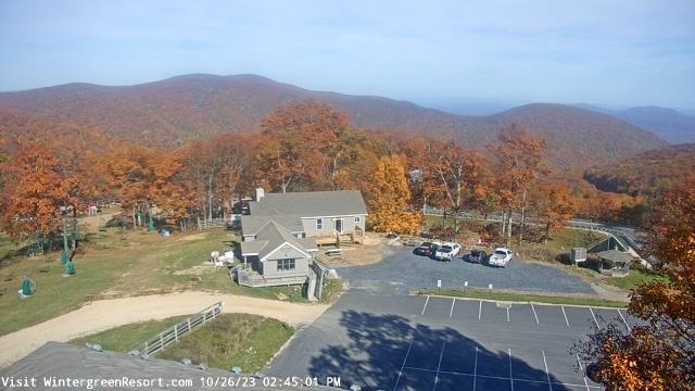
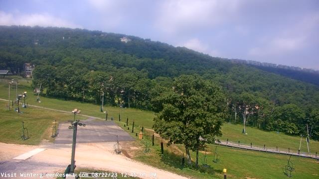
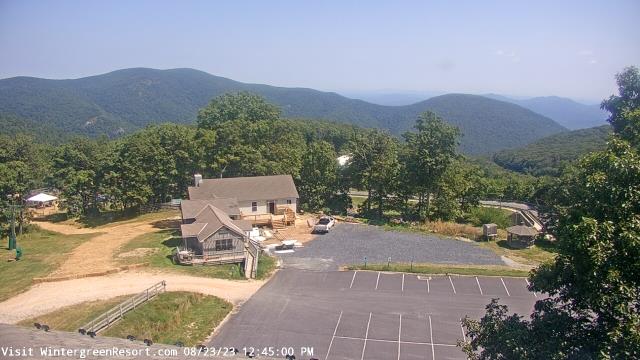
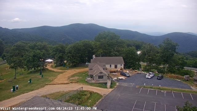
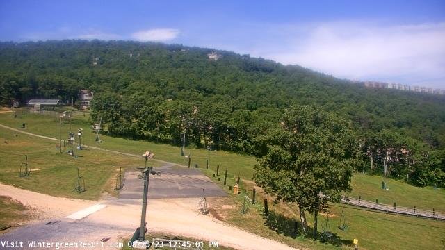
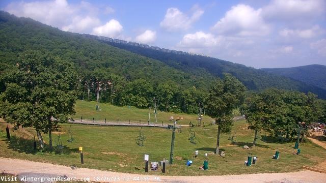
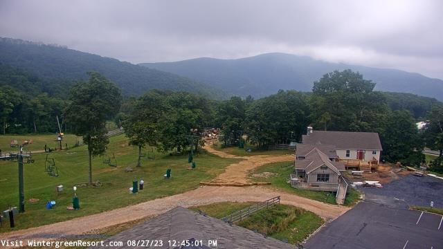
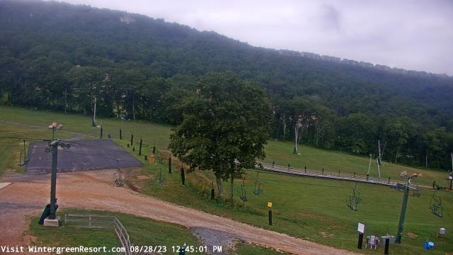
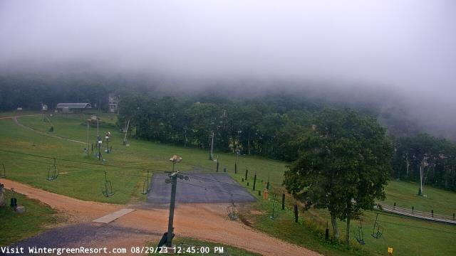
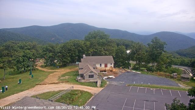
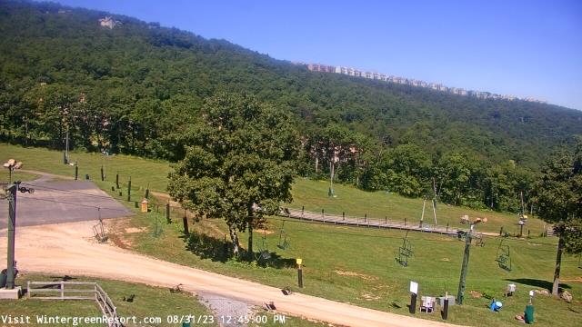
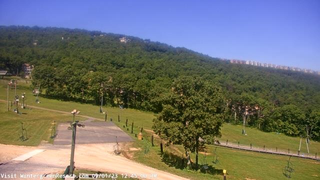
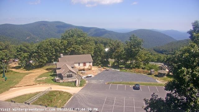
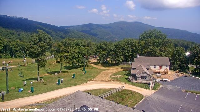
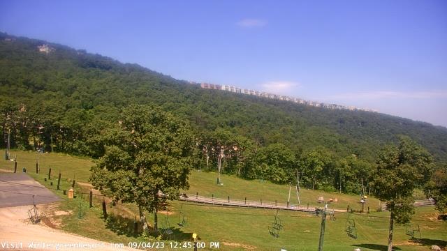
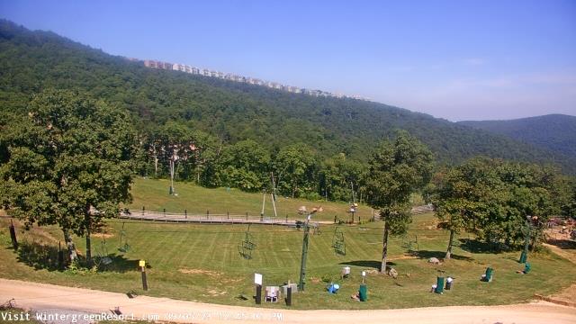
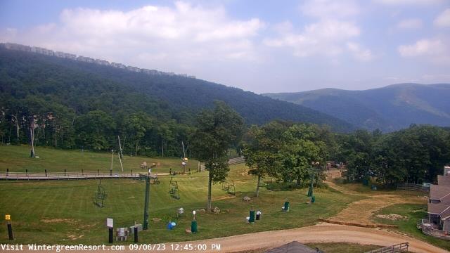
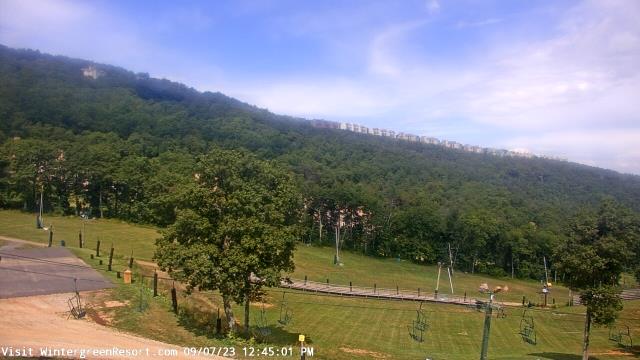
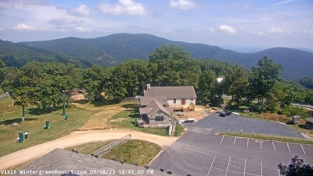
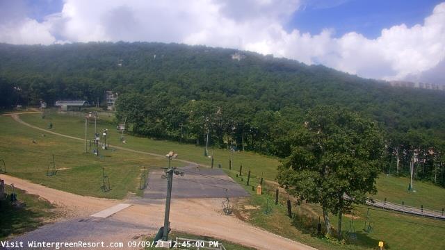
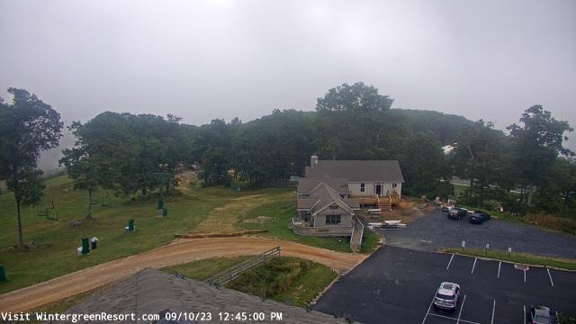
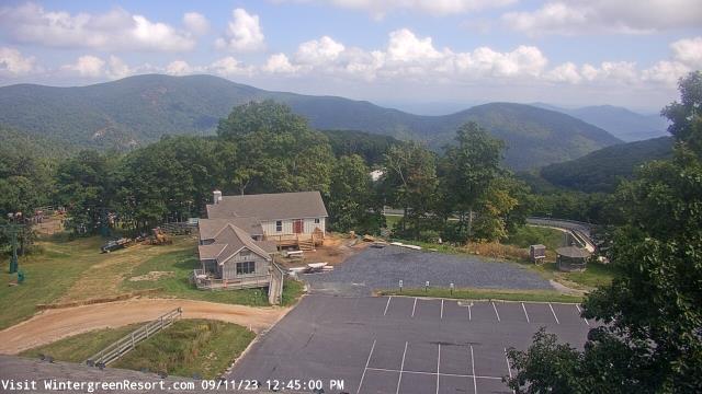
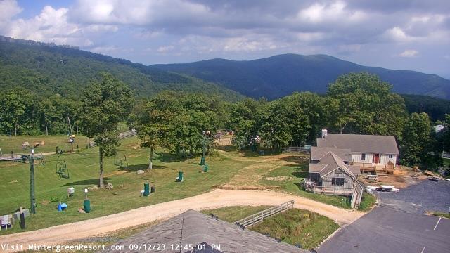
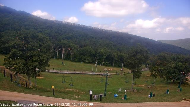
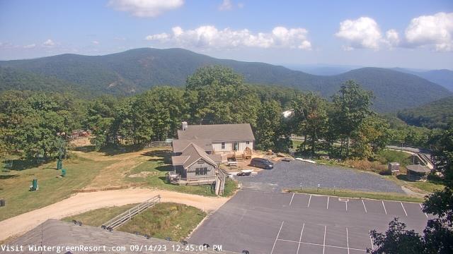
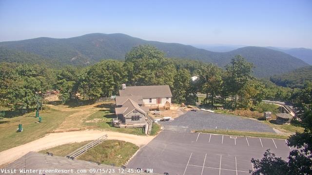
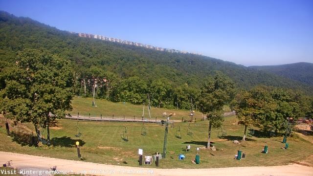
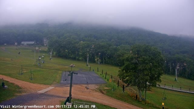
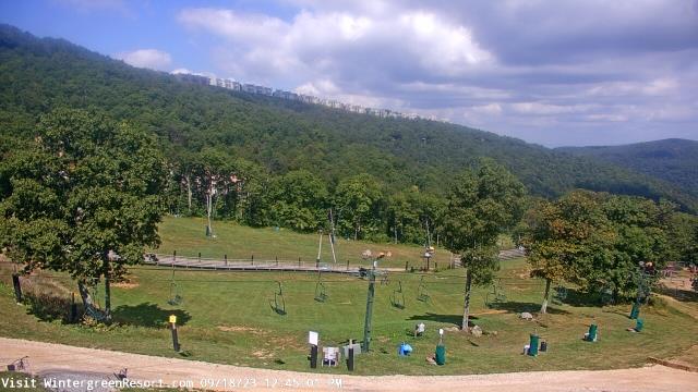
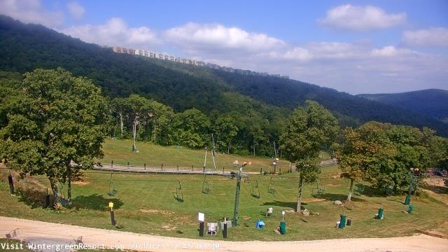
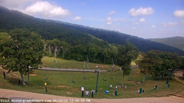
Nellysford, Virginia, USA - 91 miles from West Chesterfield Heights: Wintergreen Mtn. at 3650 ft. elev. - A webcam in Nellysford, Virginia - camera location: Wintergreen Mtn. at 3650 ft. elev..
Operator: WeatherBug
Operator: WeatherBug

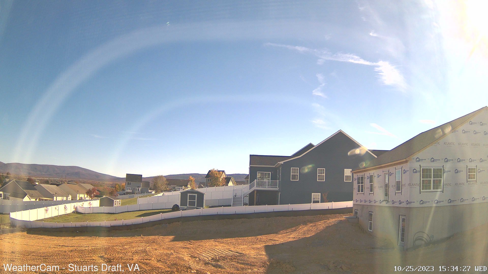
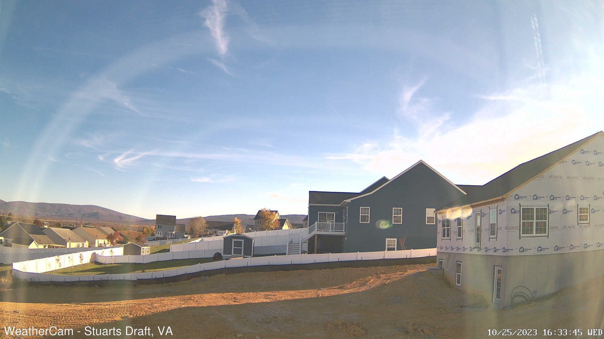
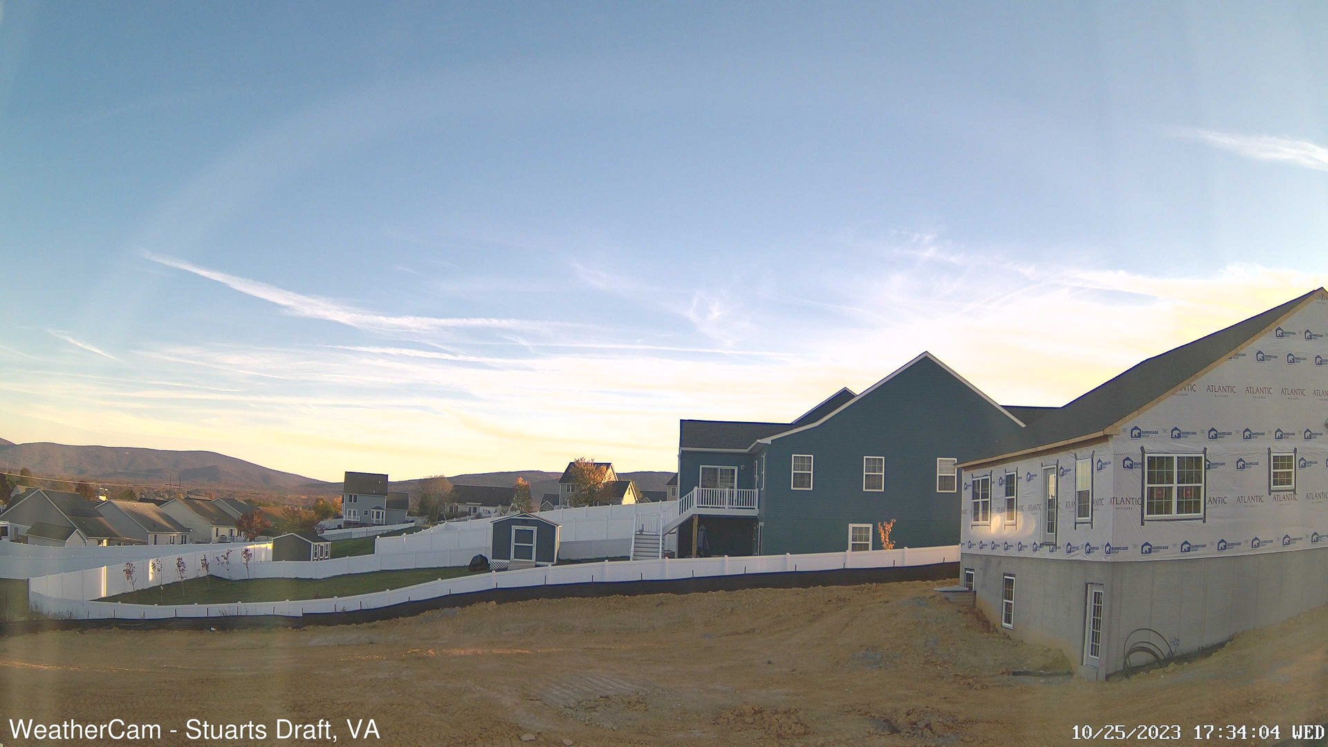
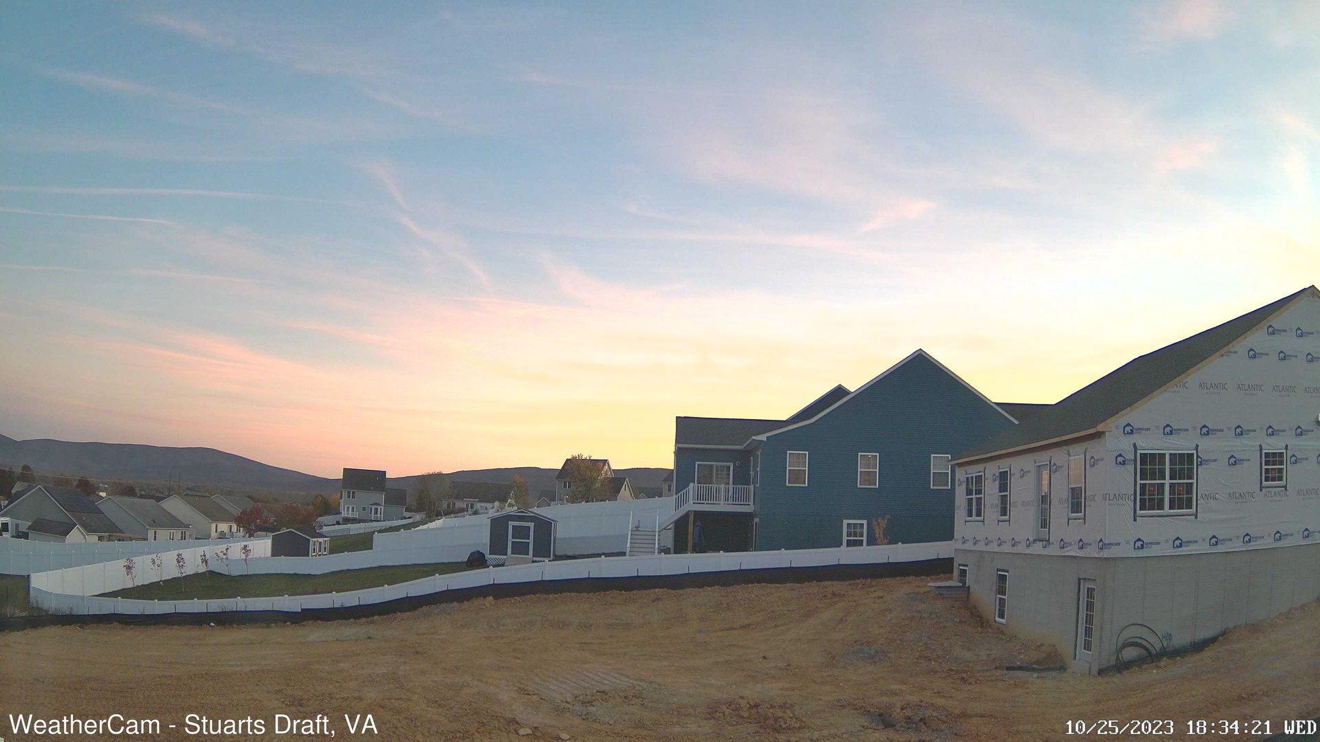
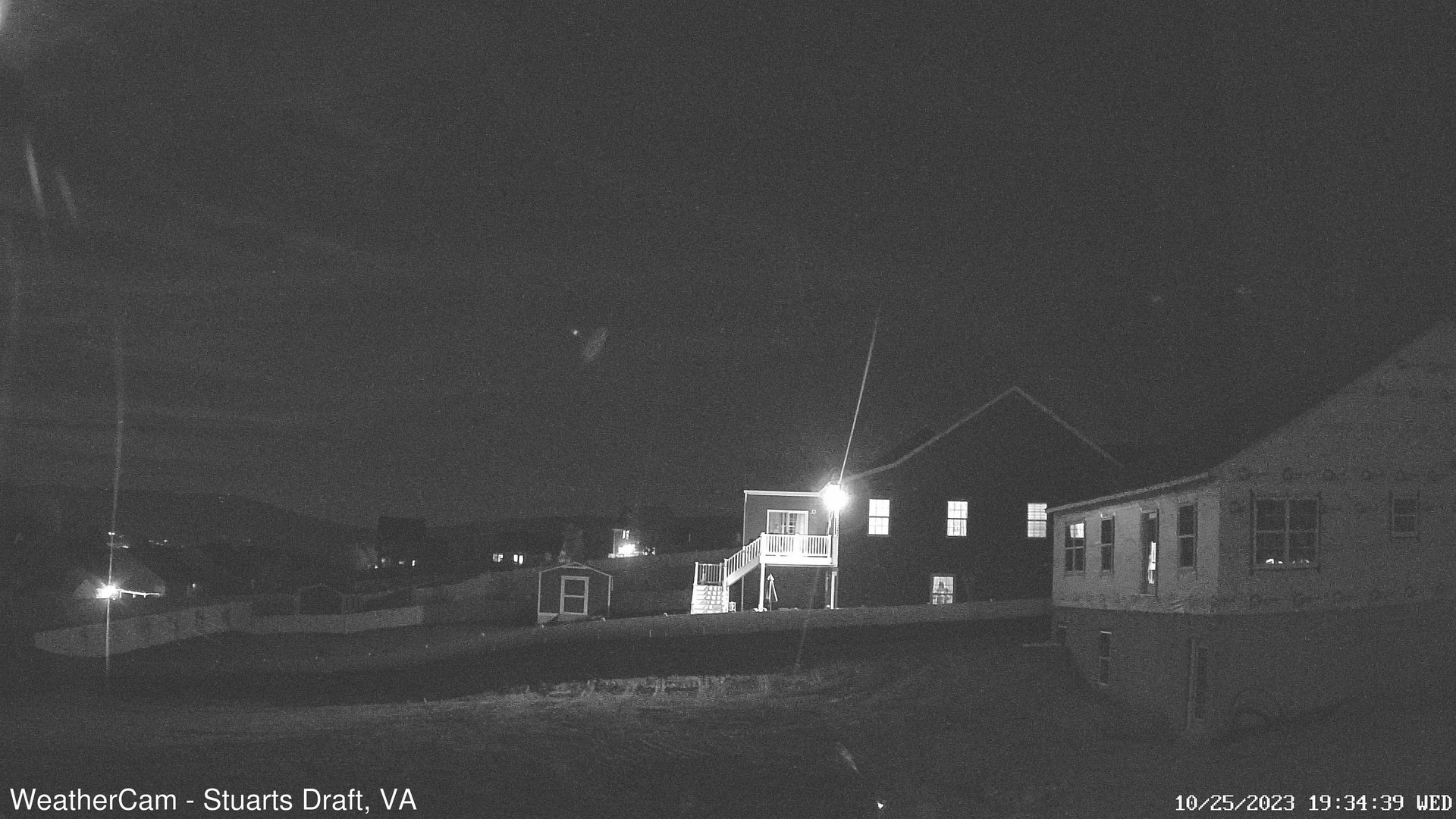
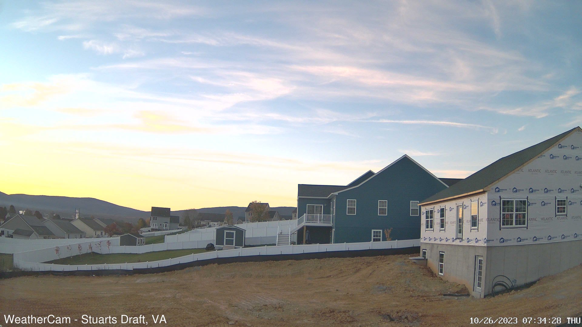
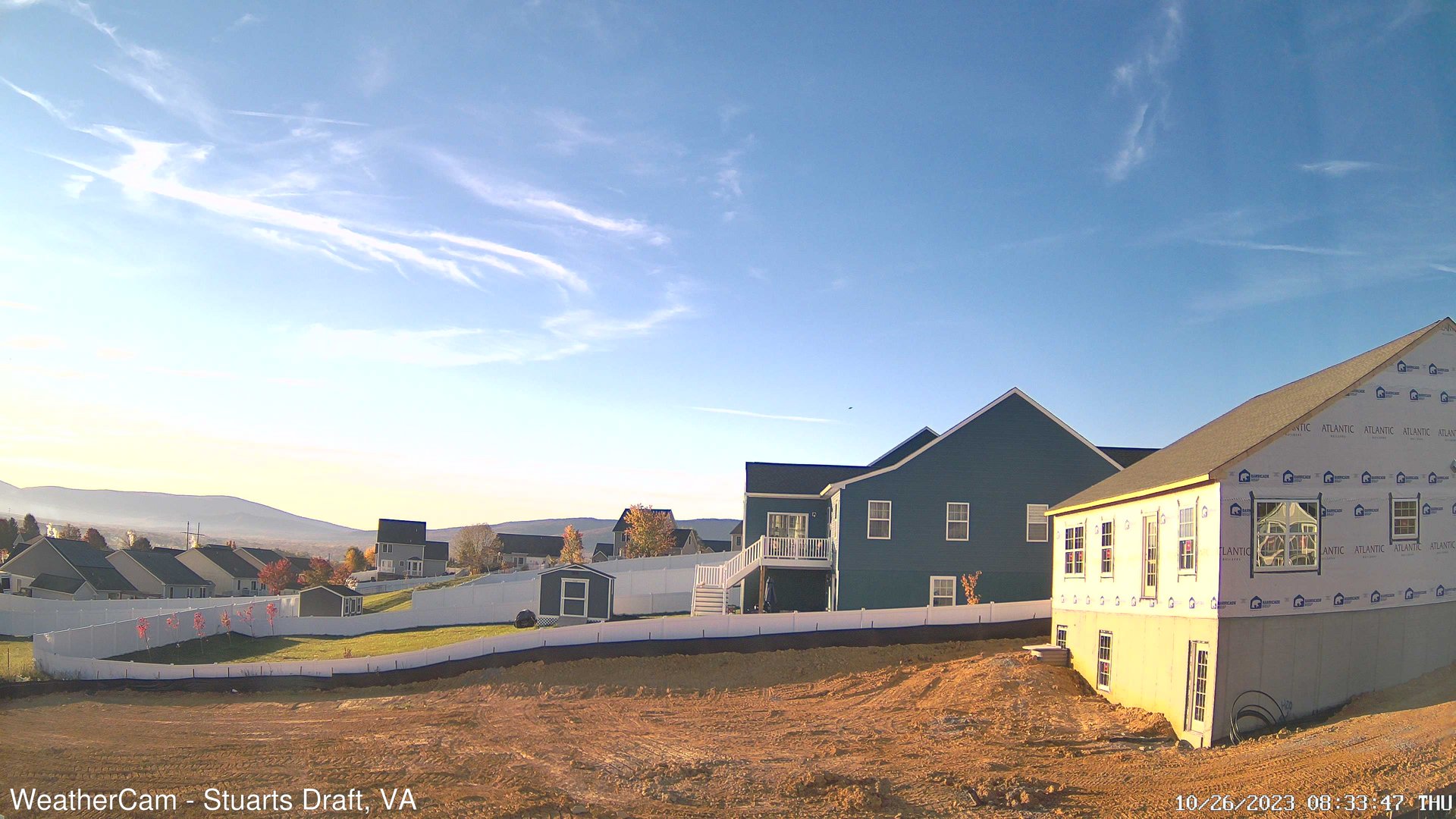
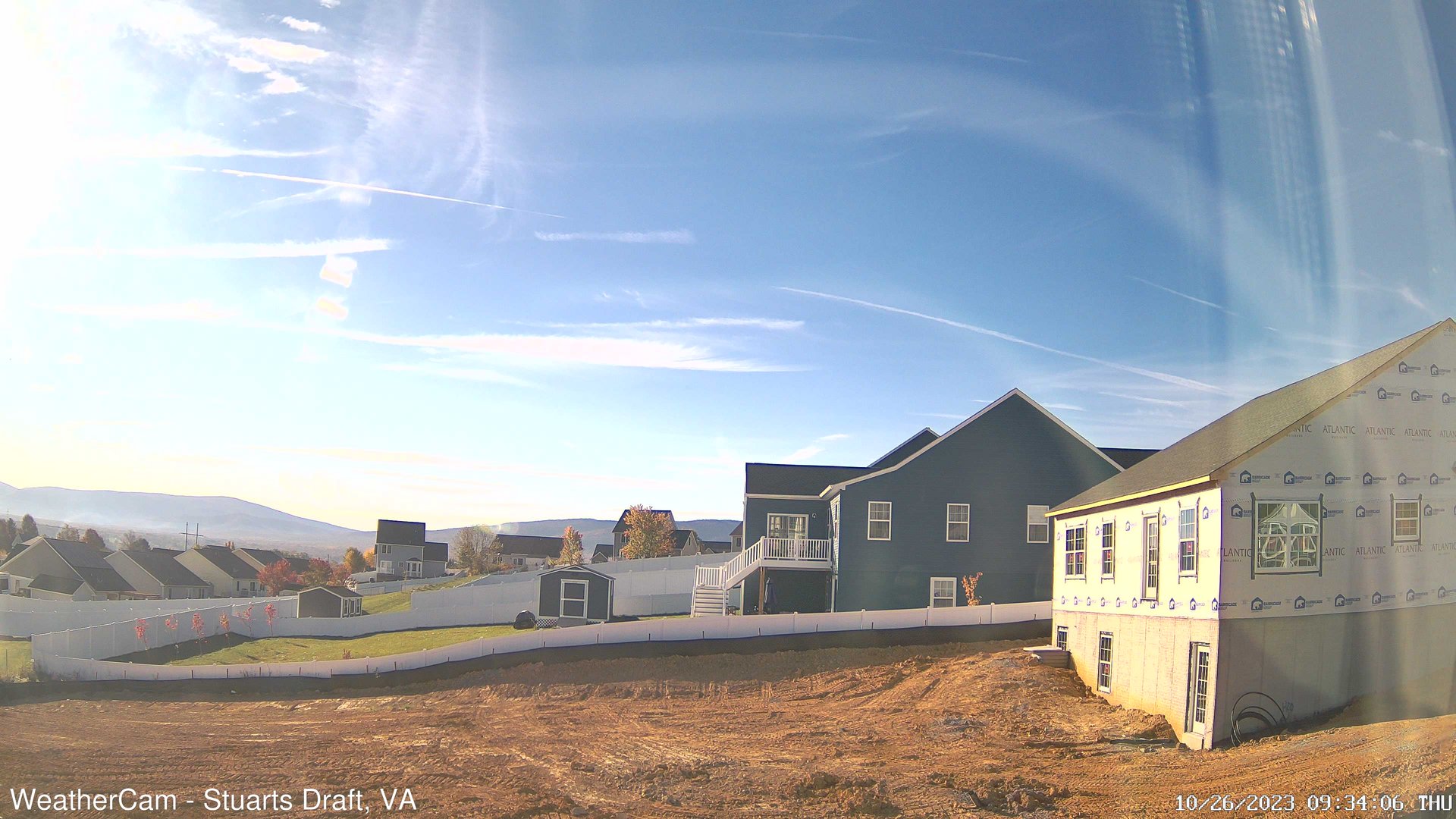
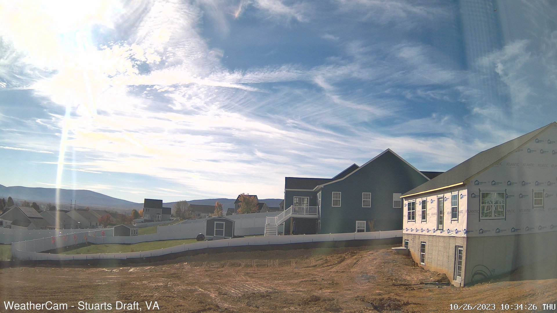
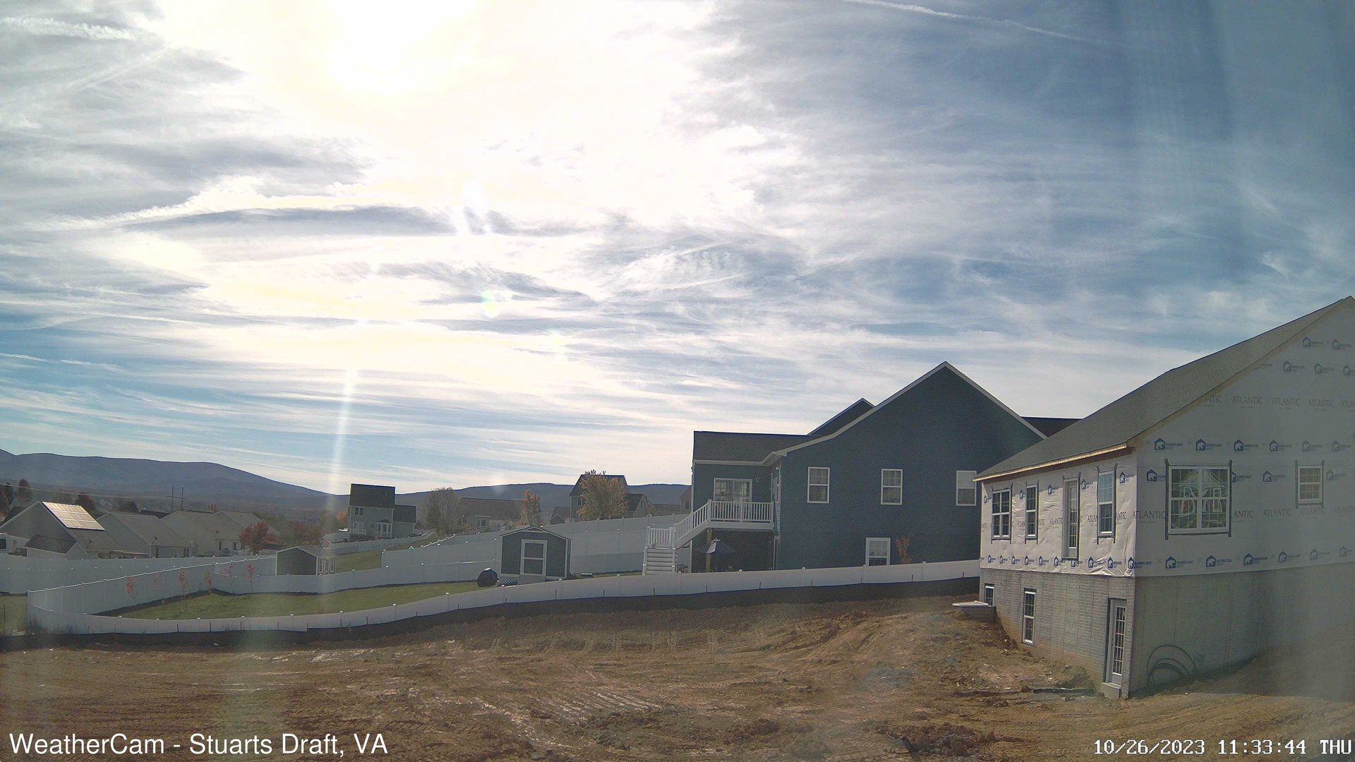
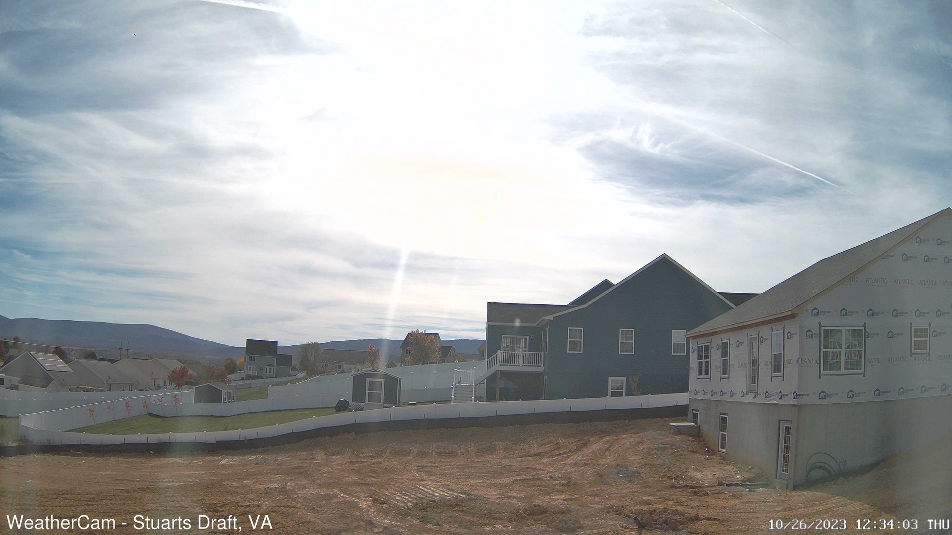
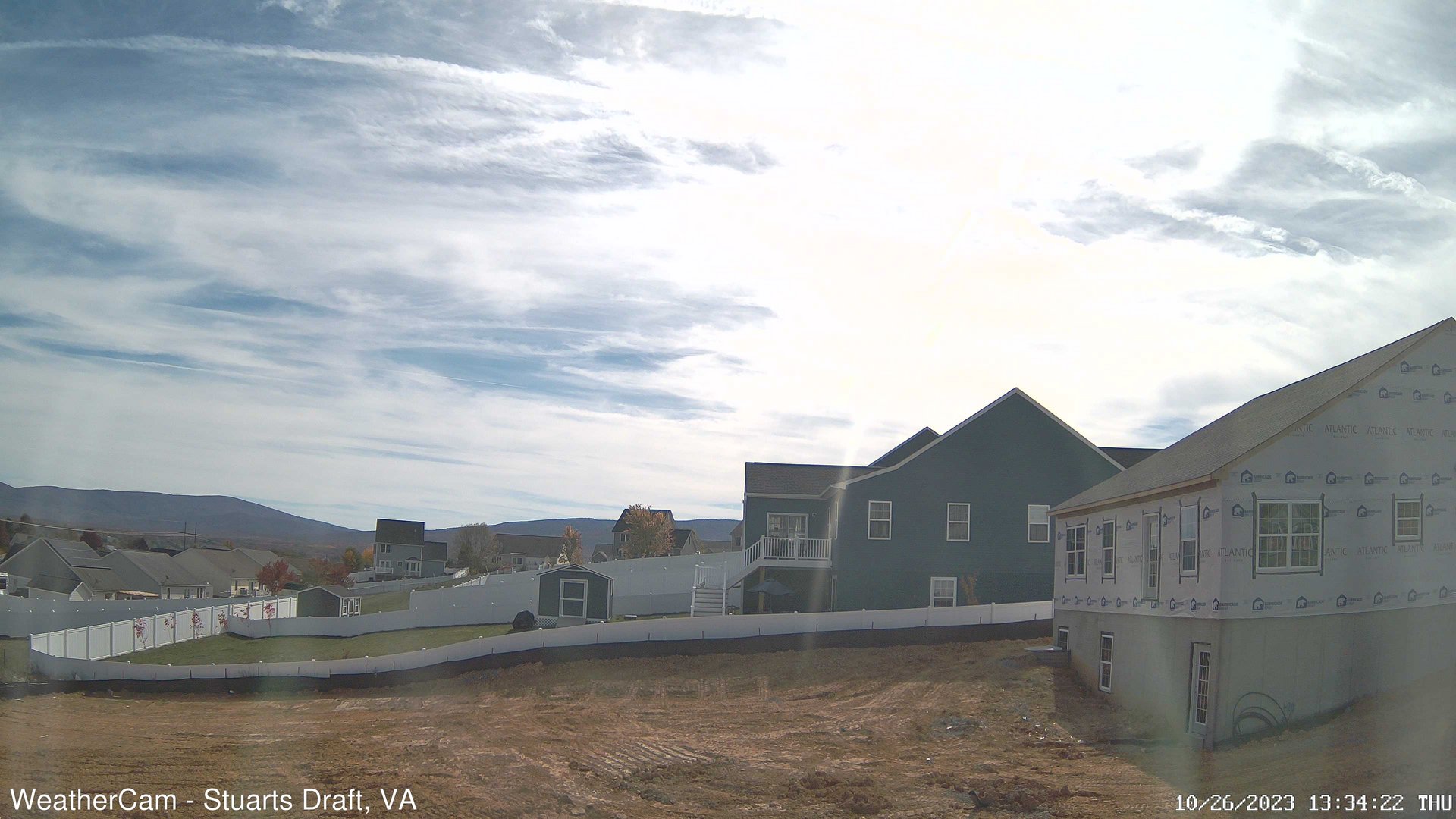
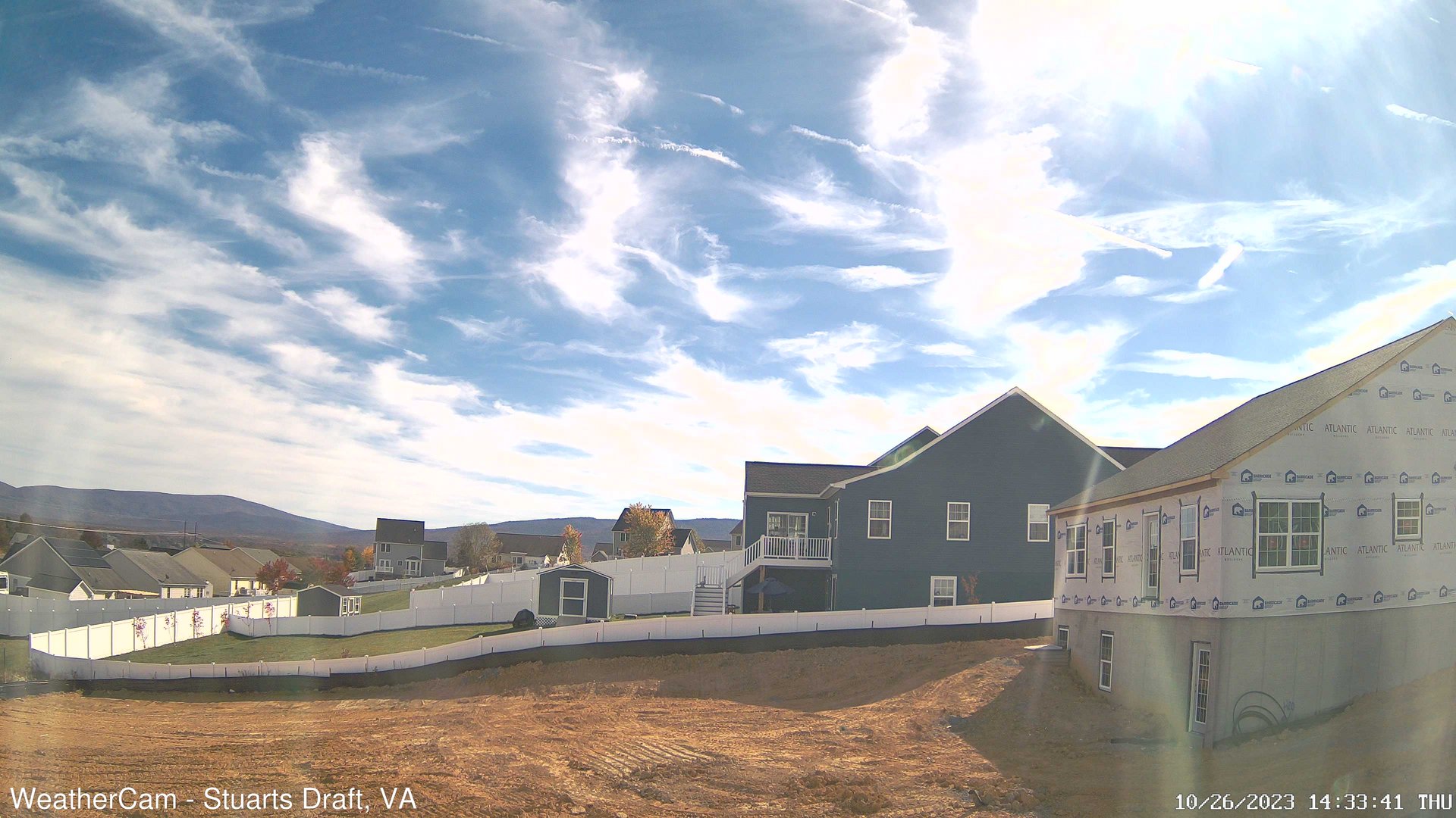
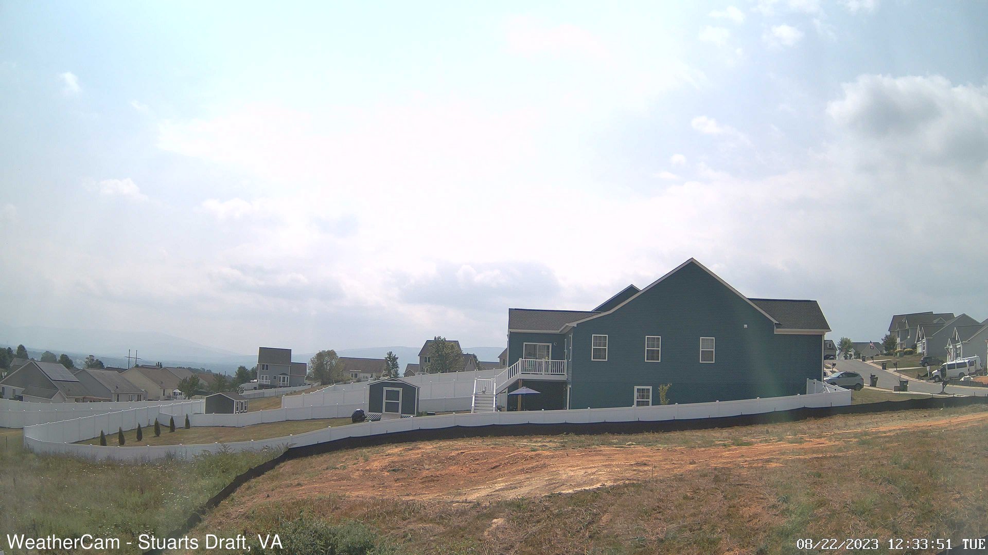
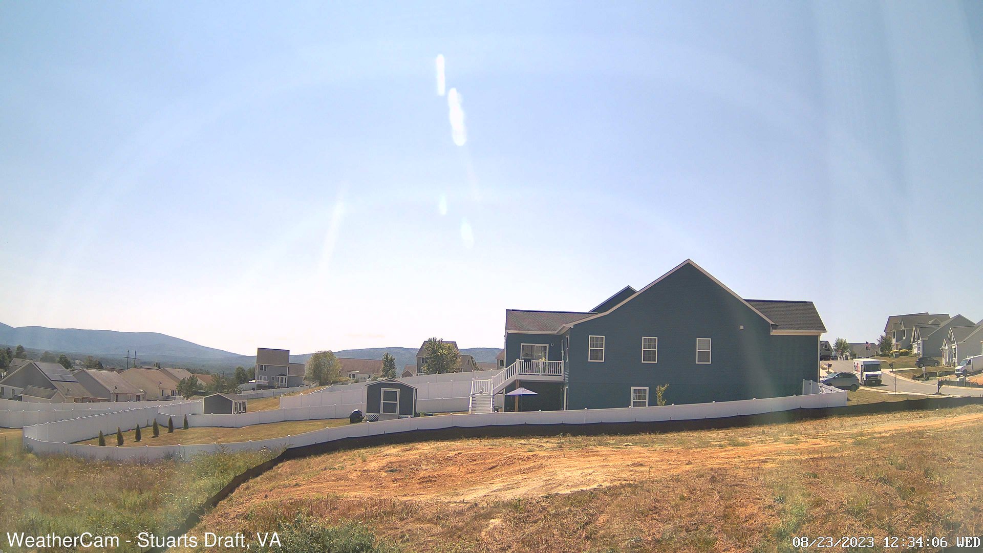
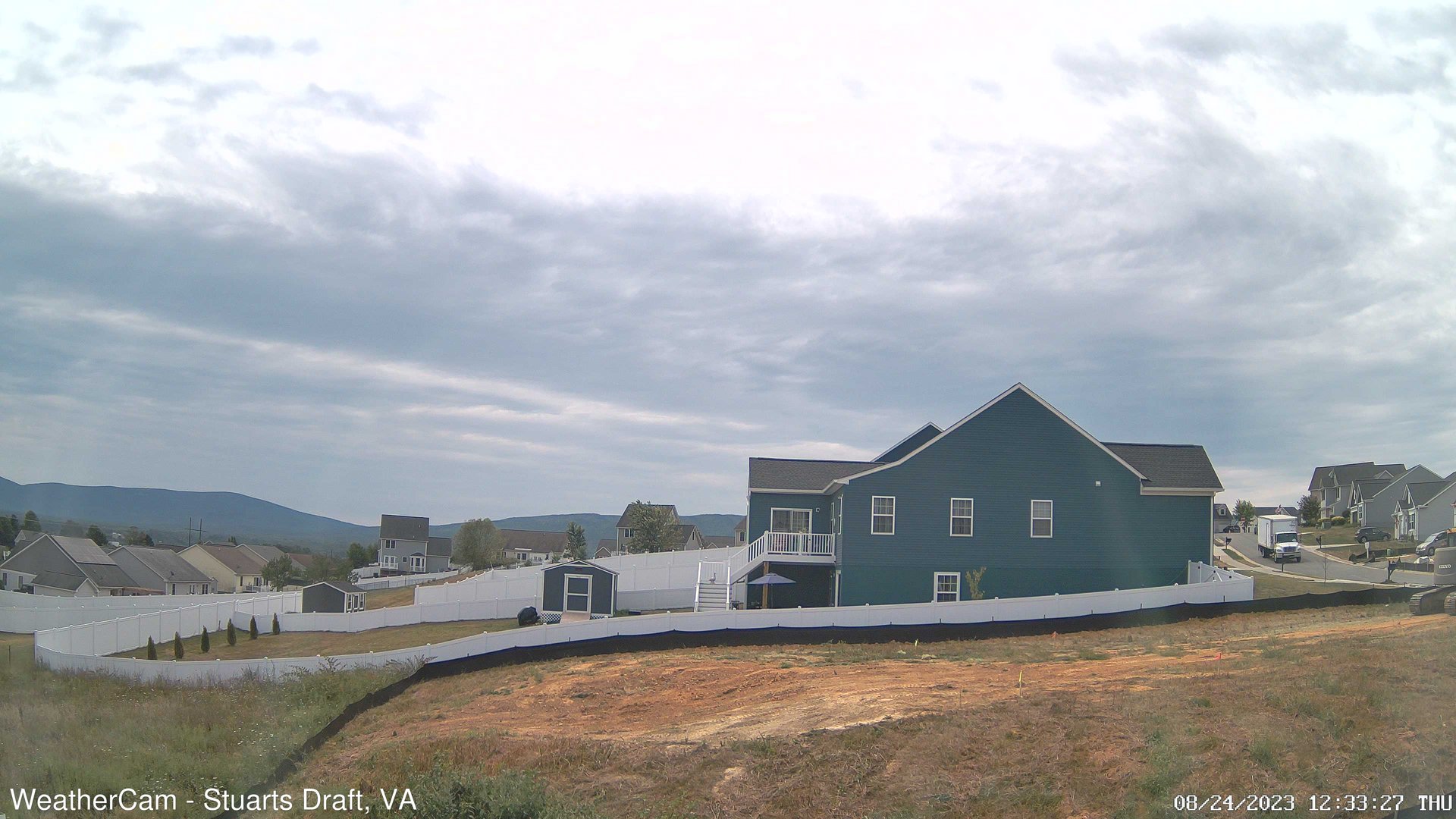
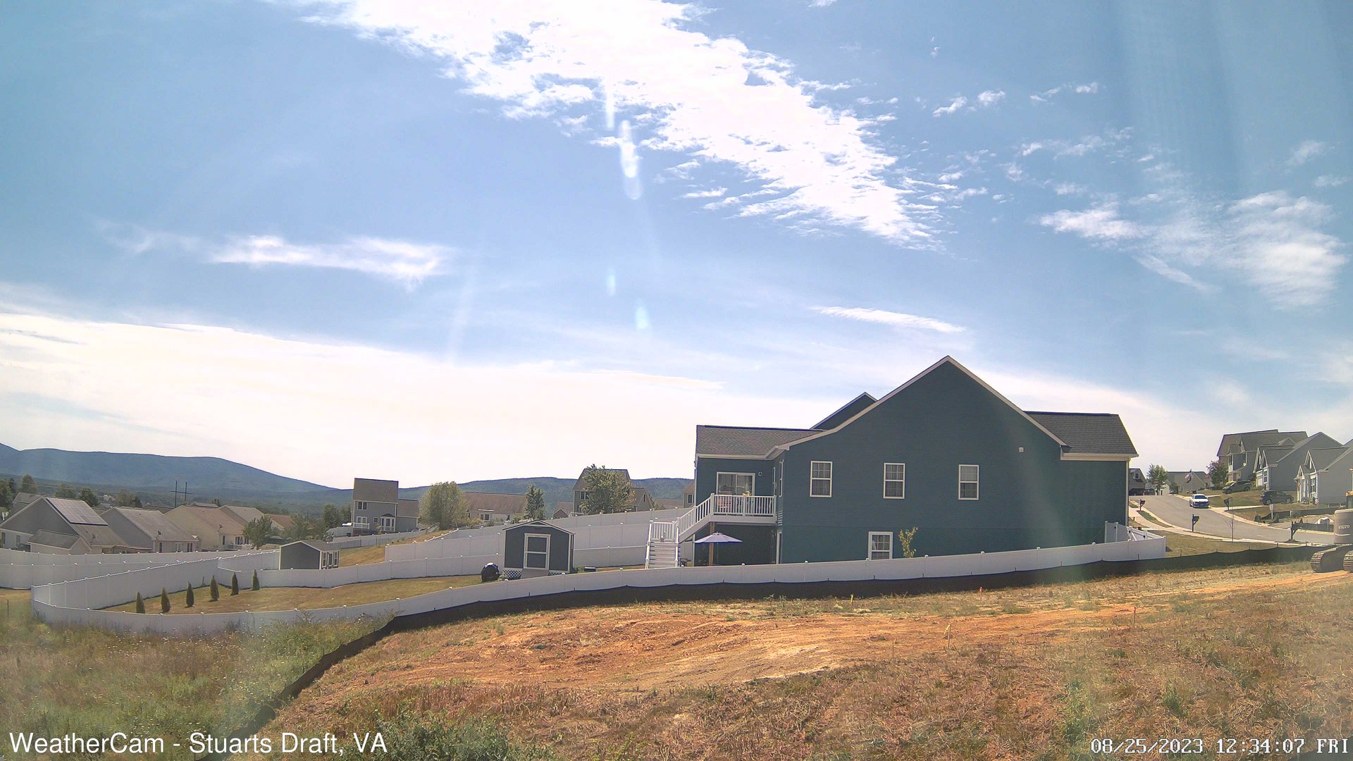
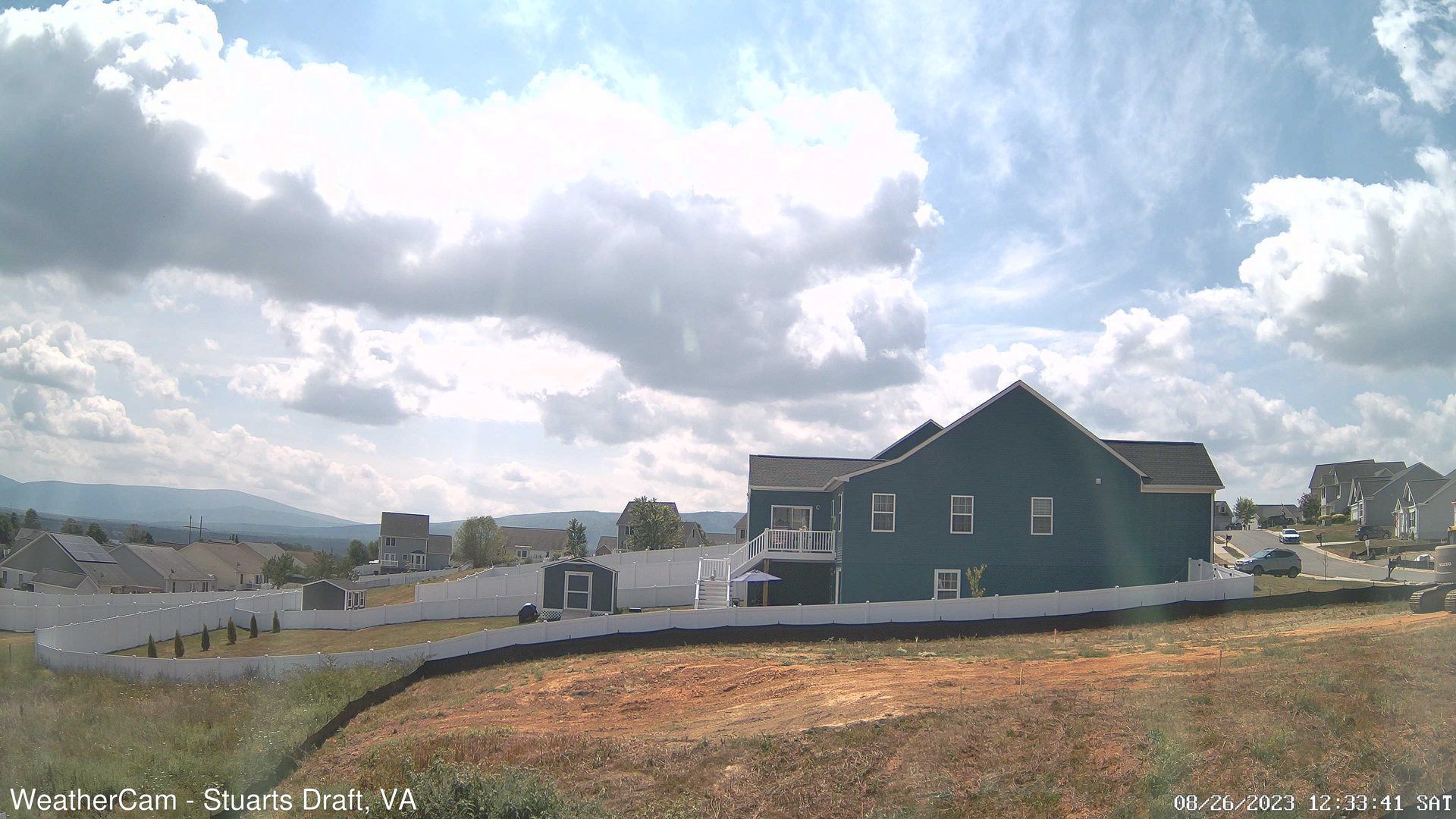
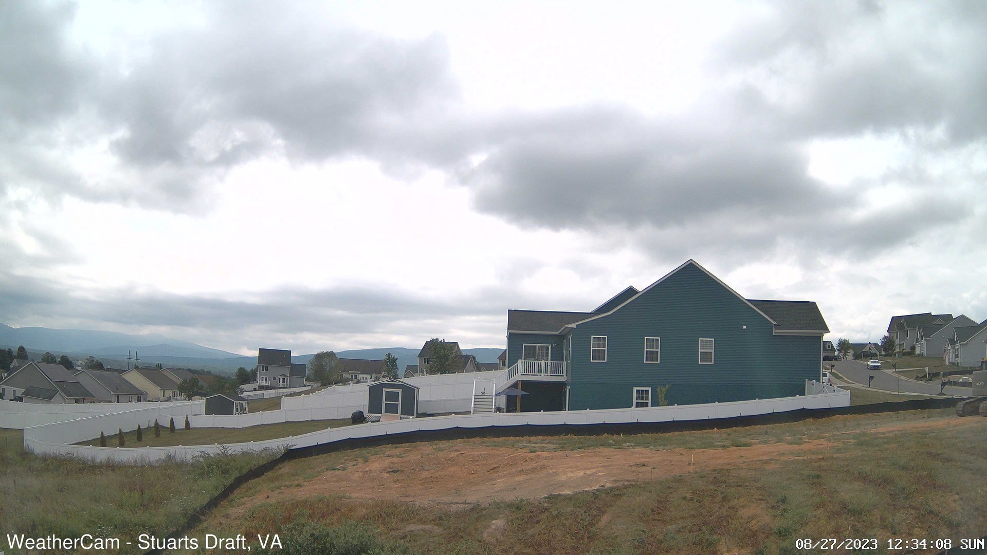
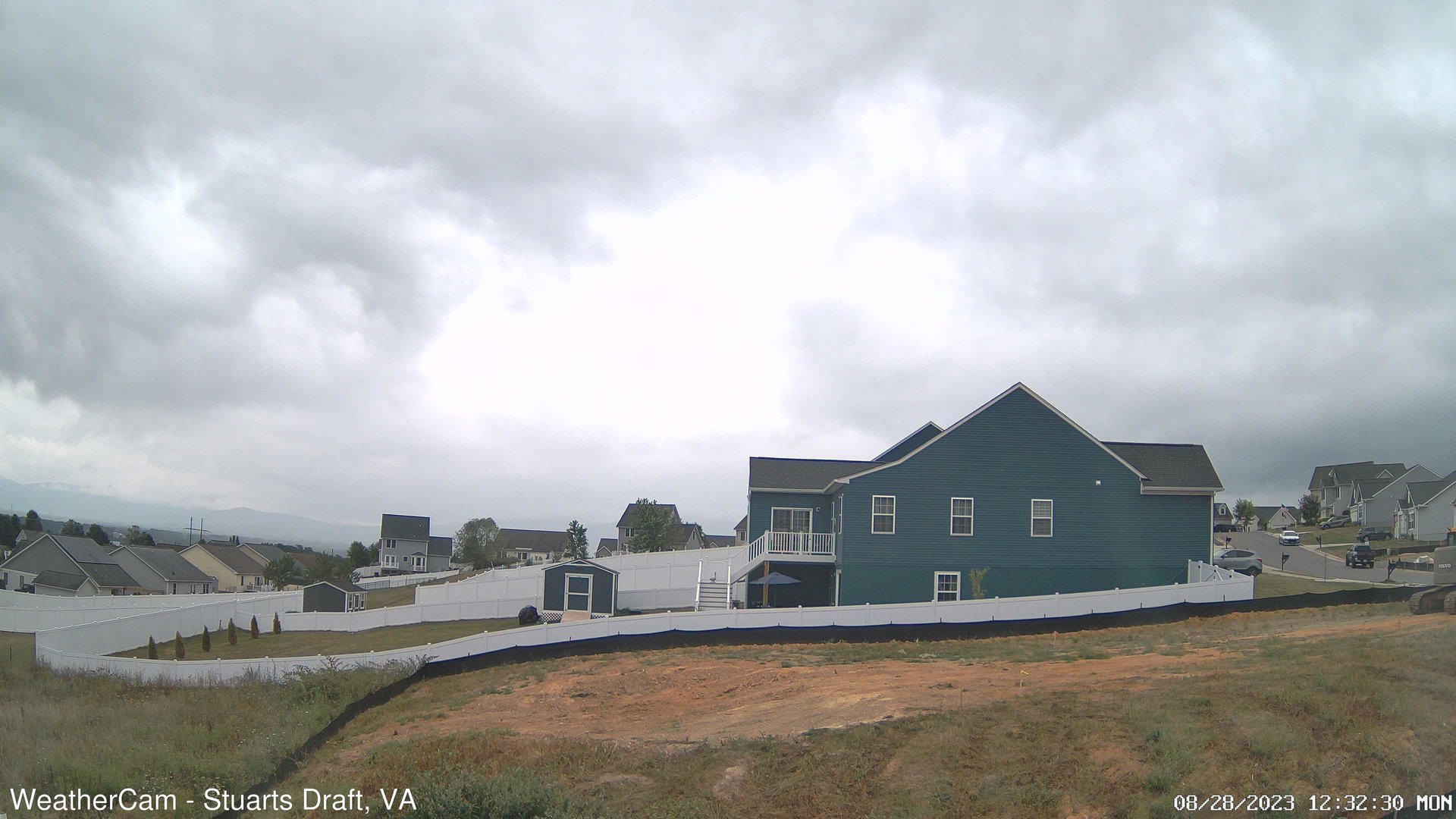
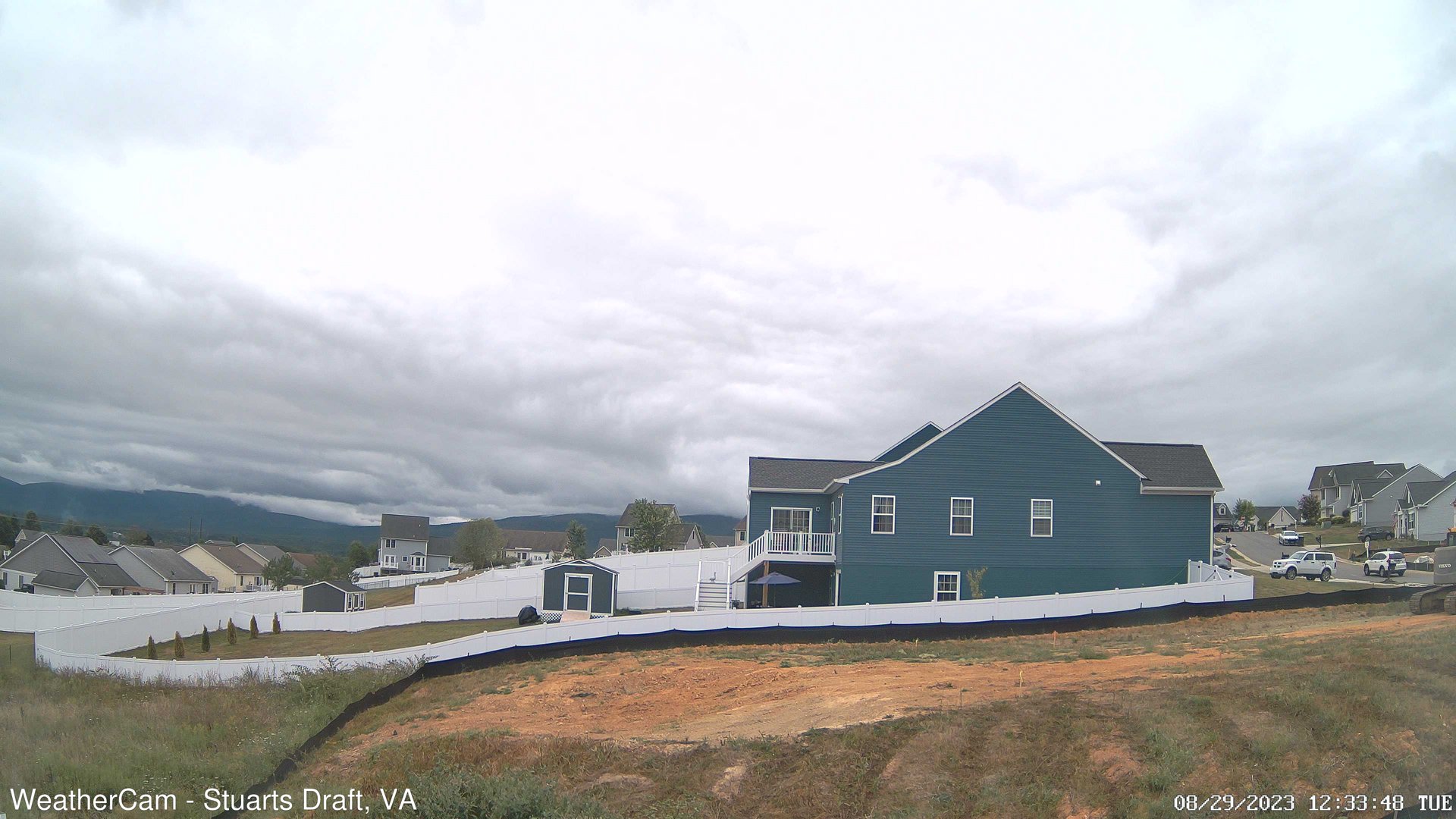
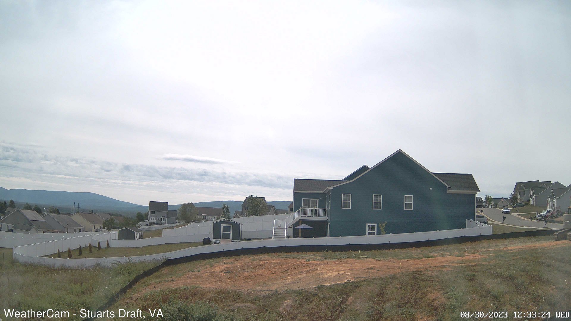
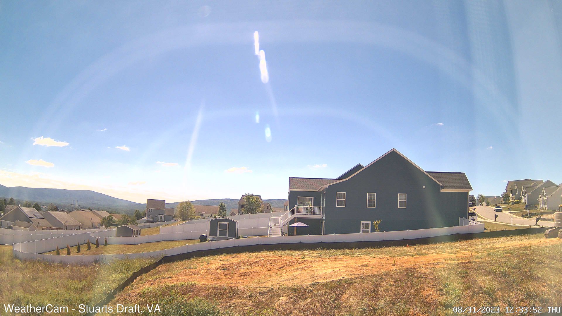
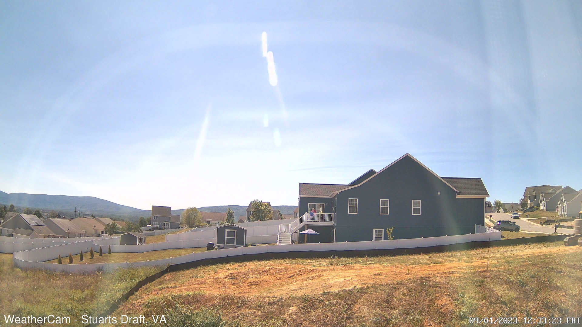
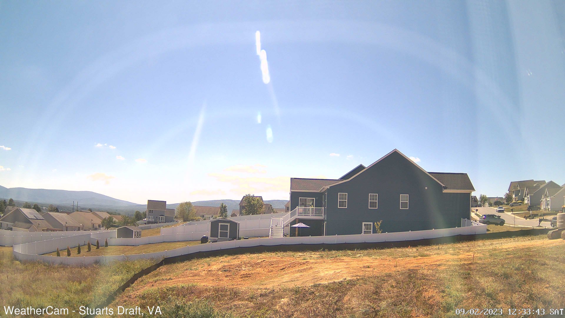
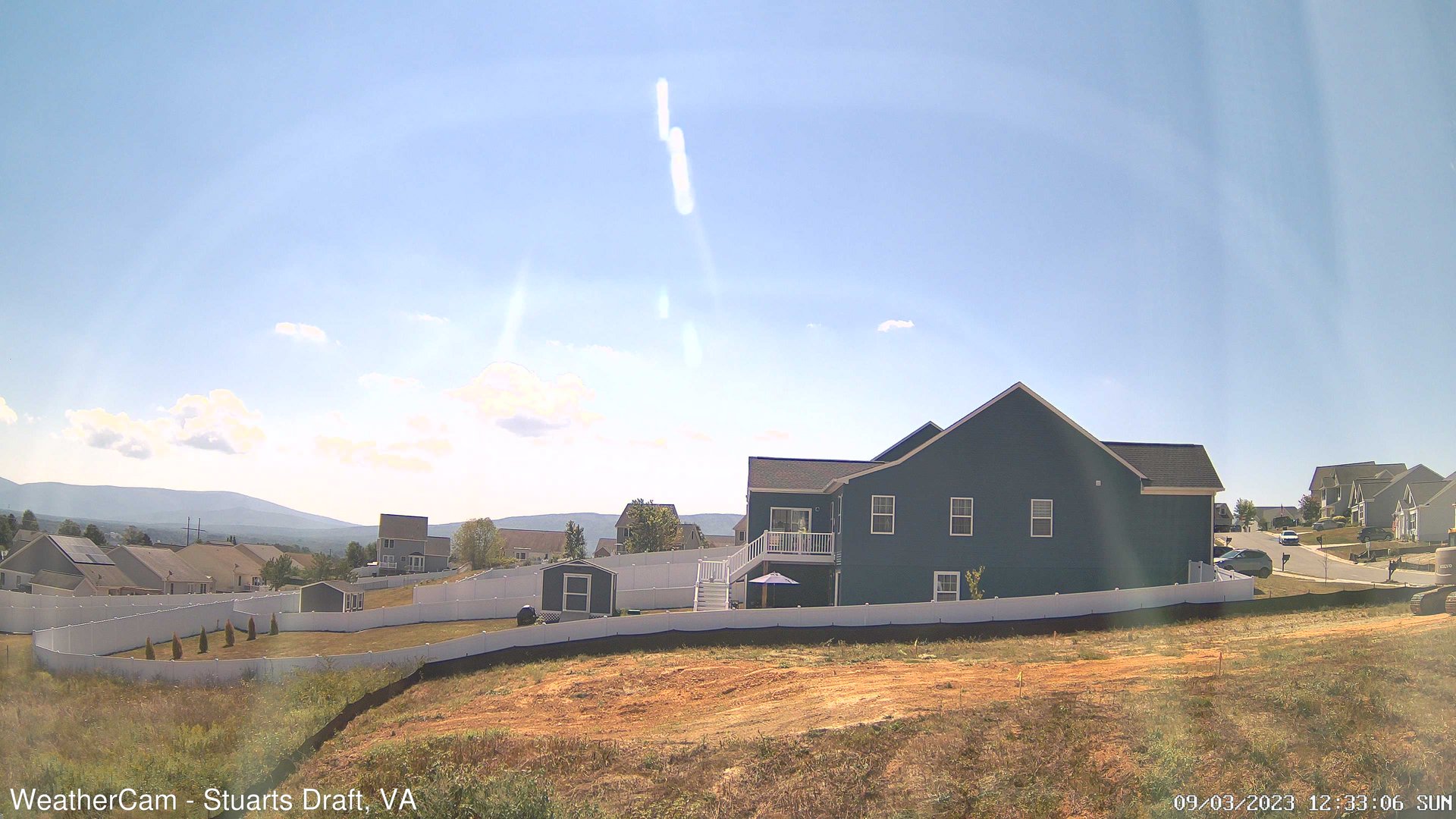
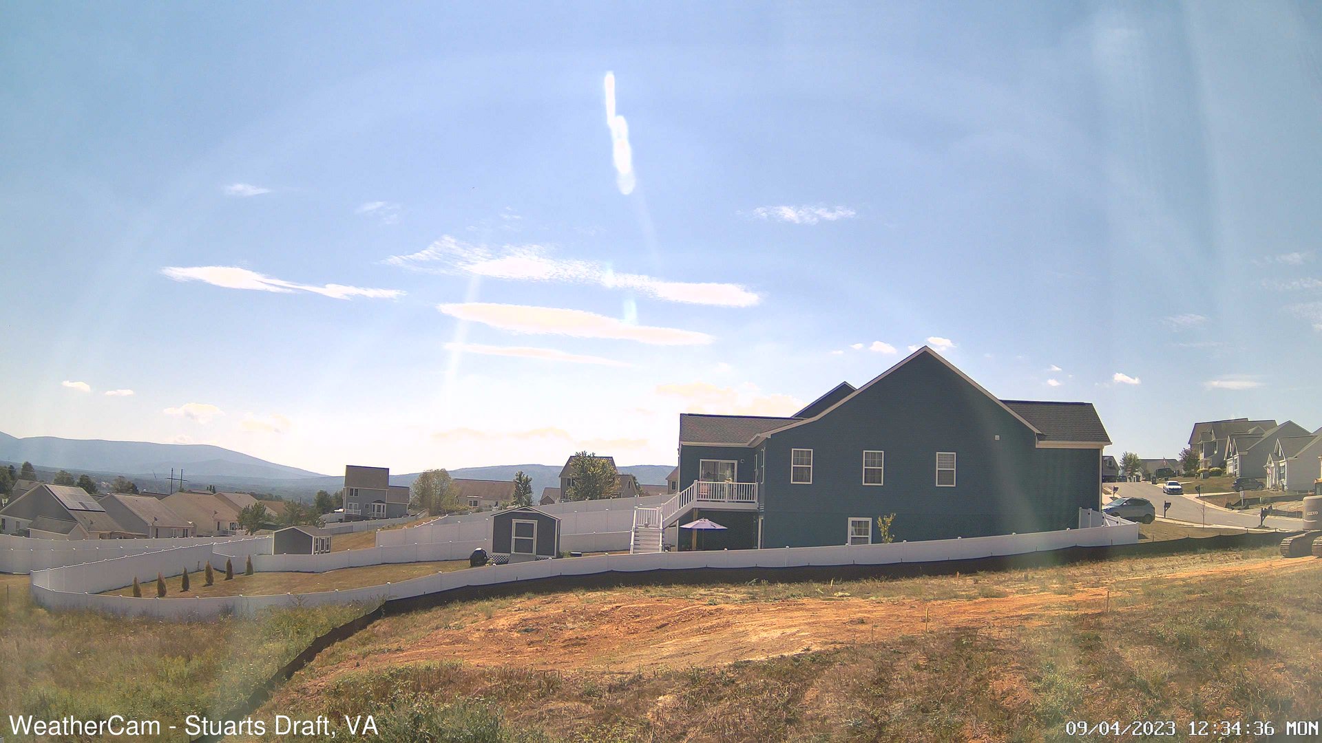
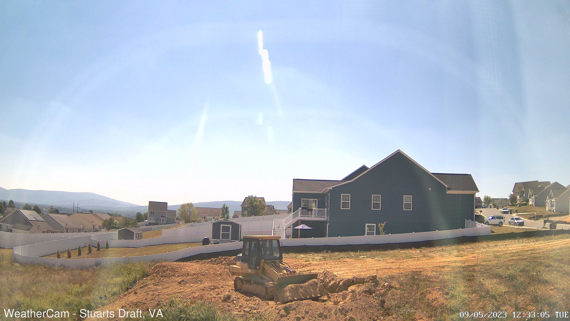
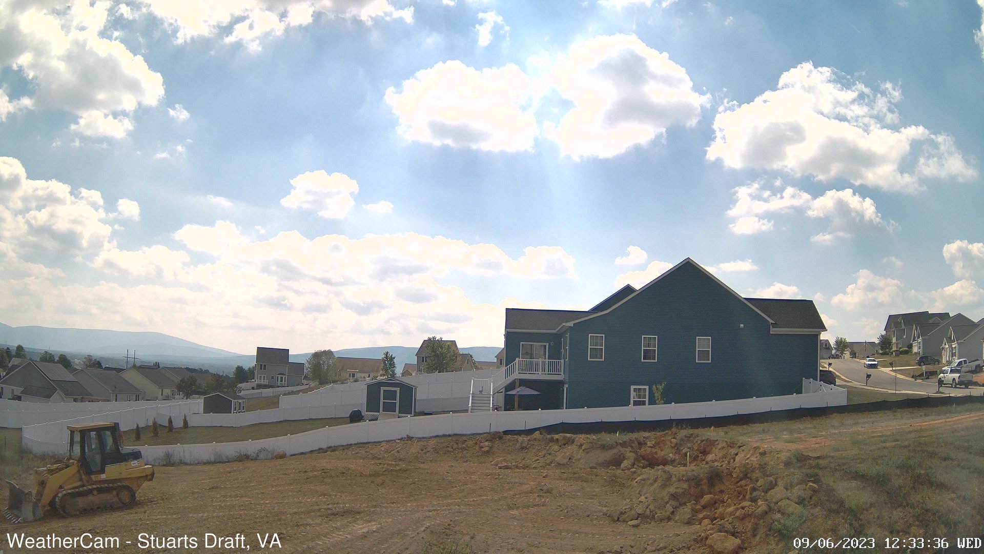
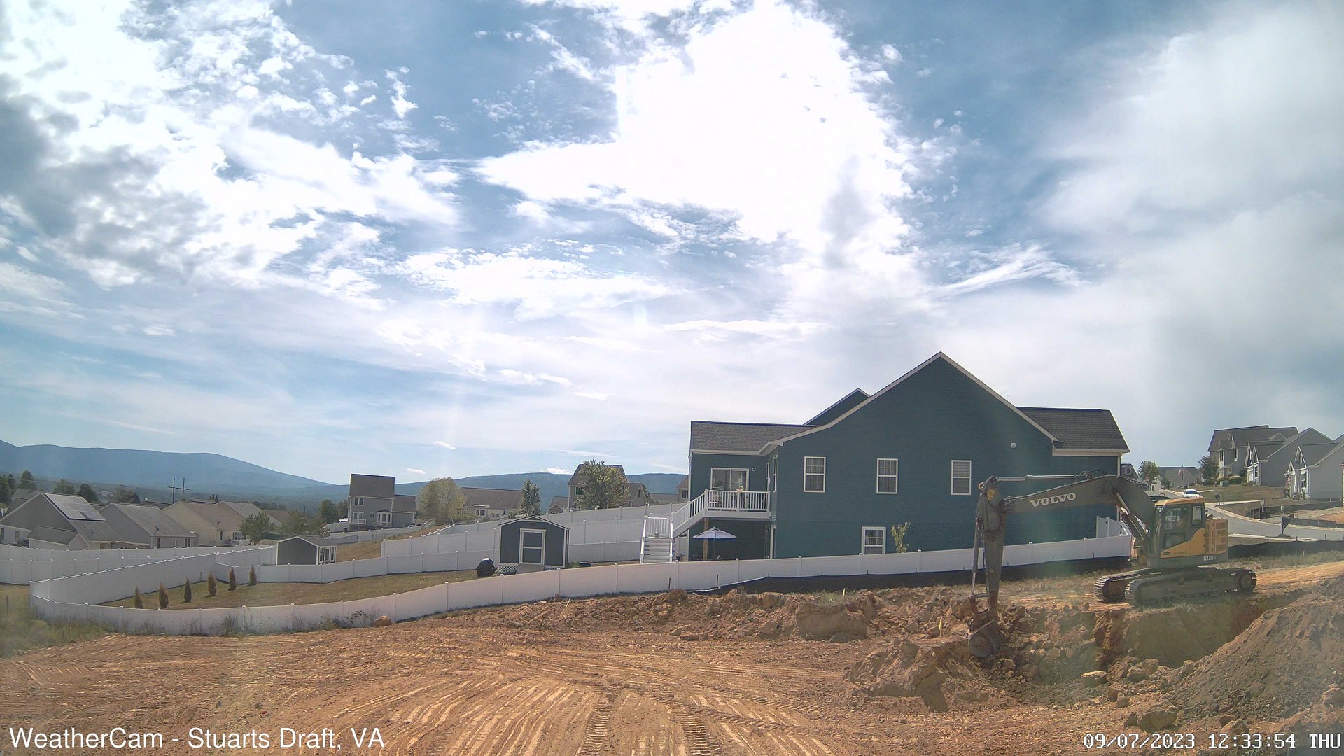
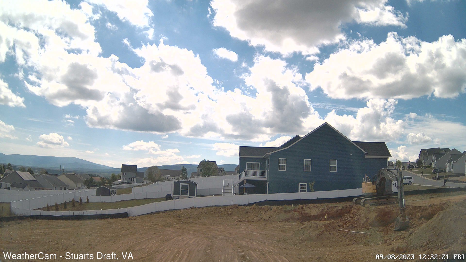
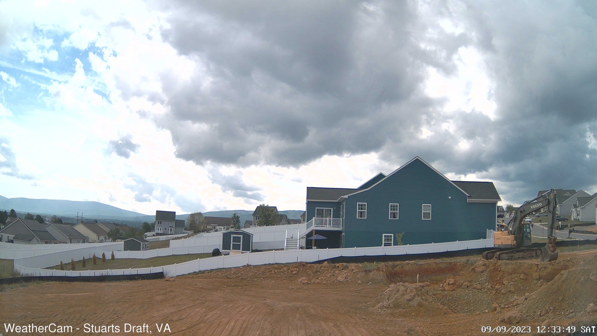
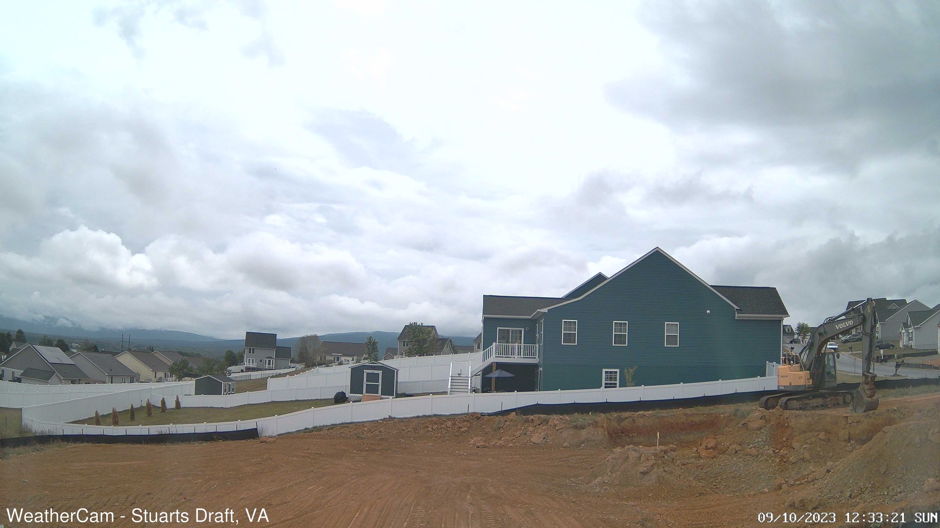
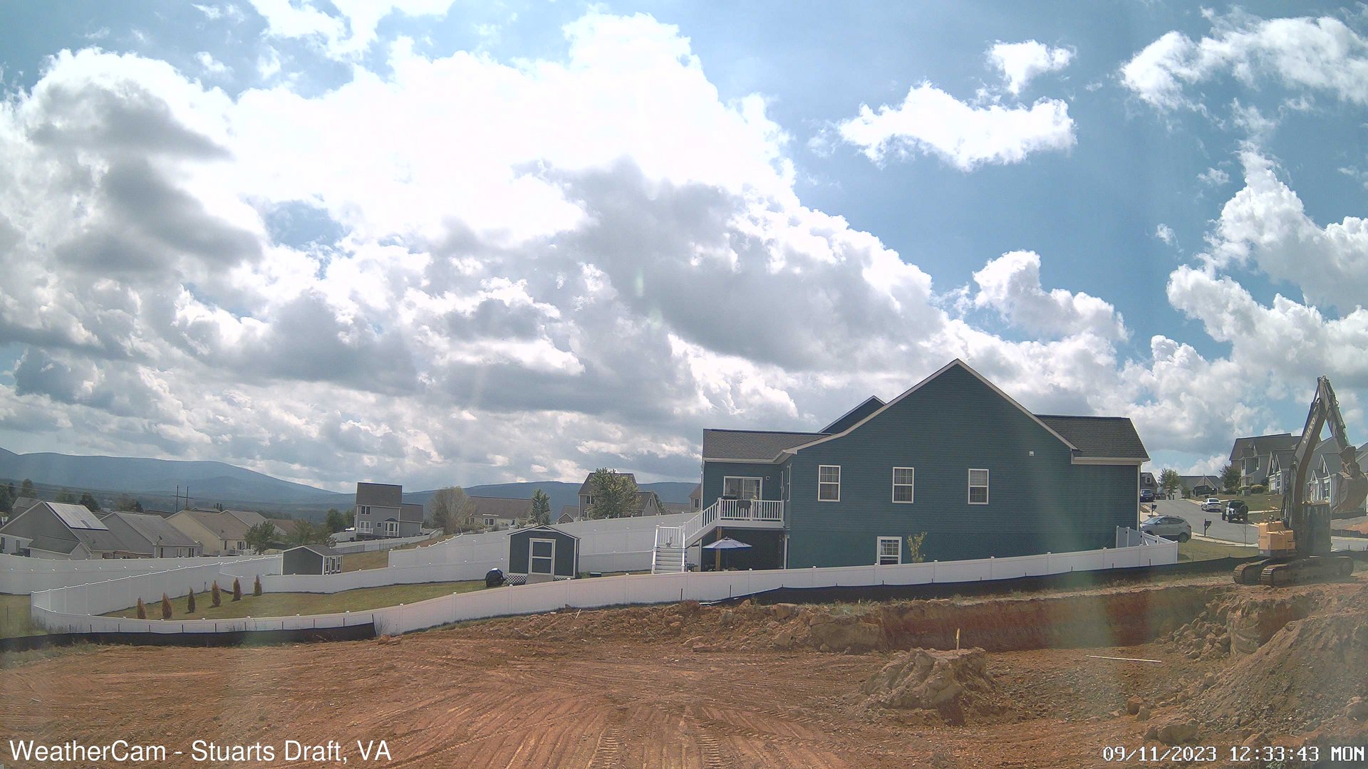
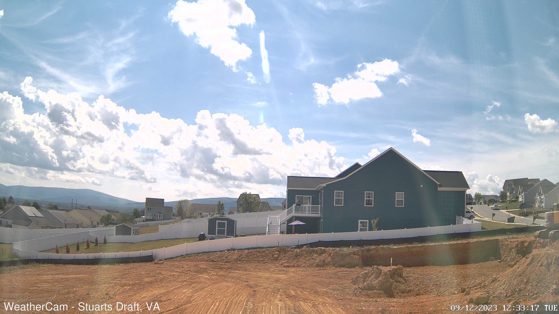
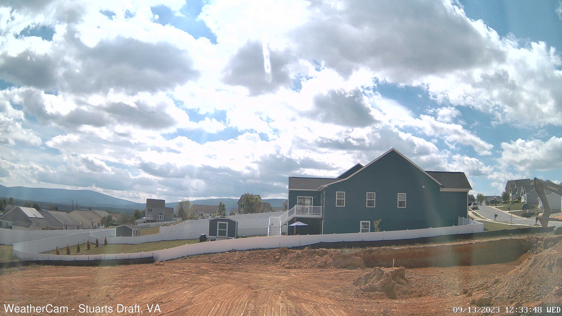
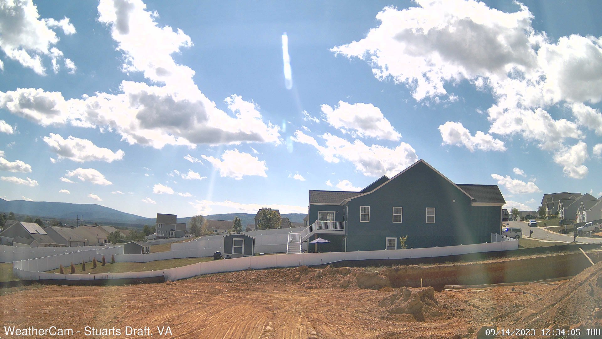
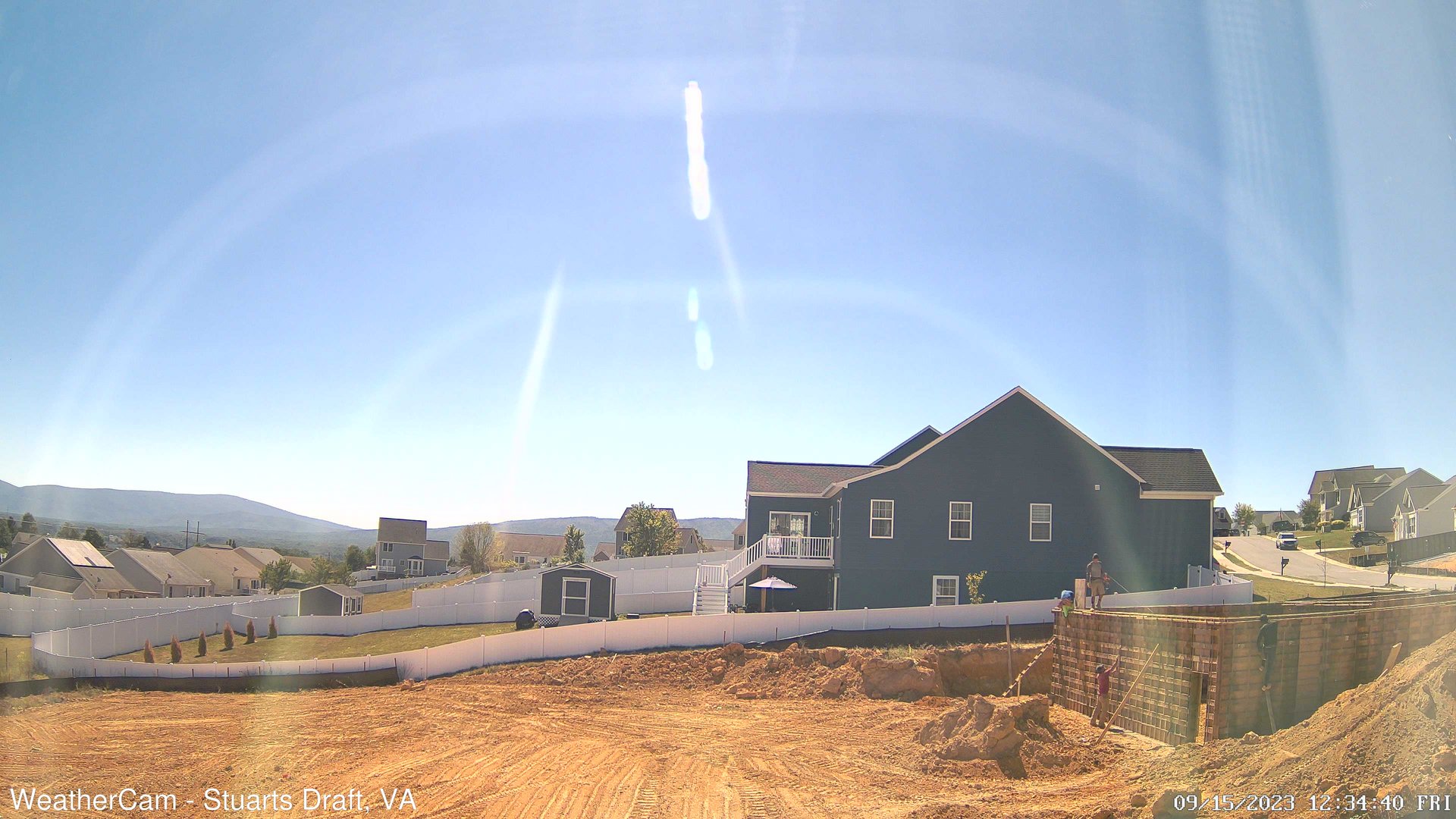
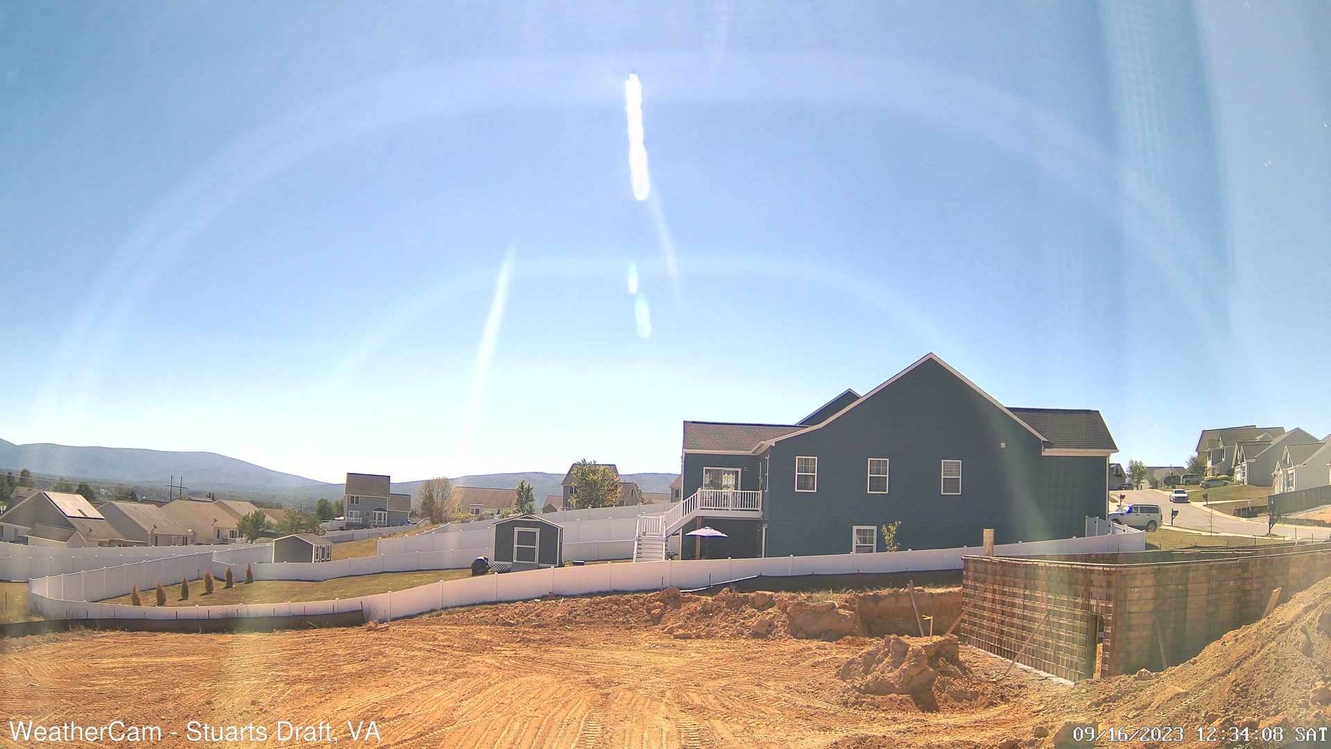
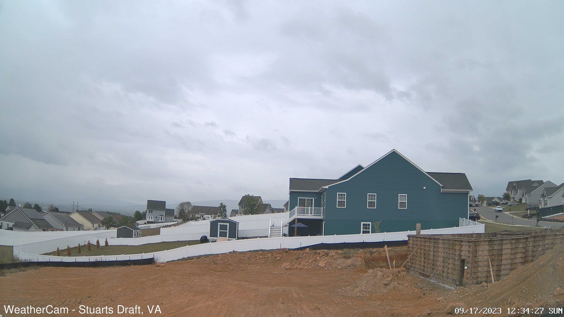
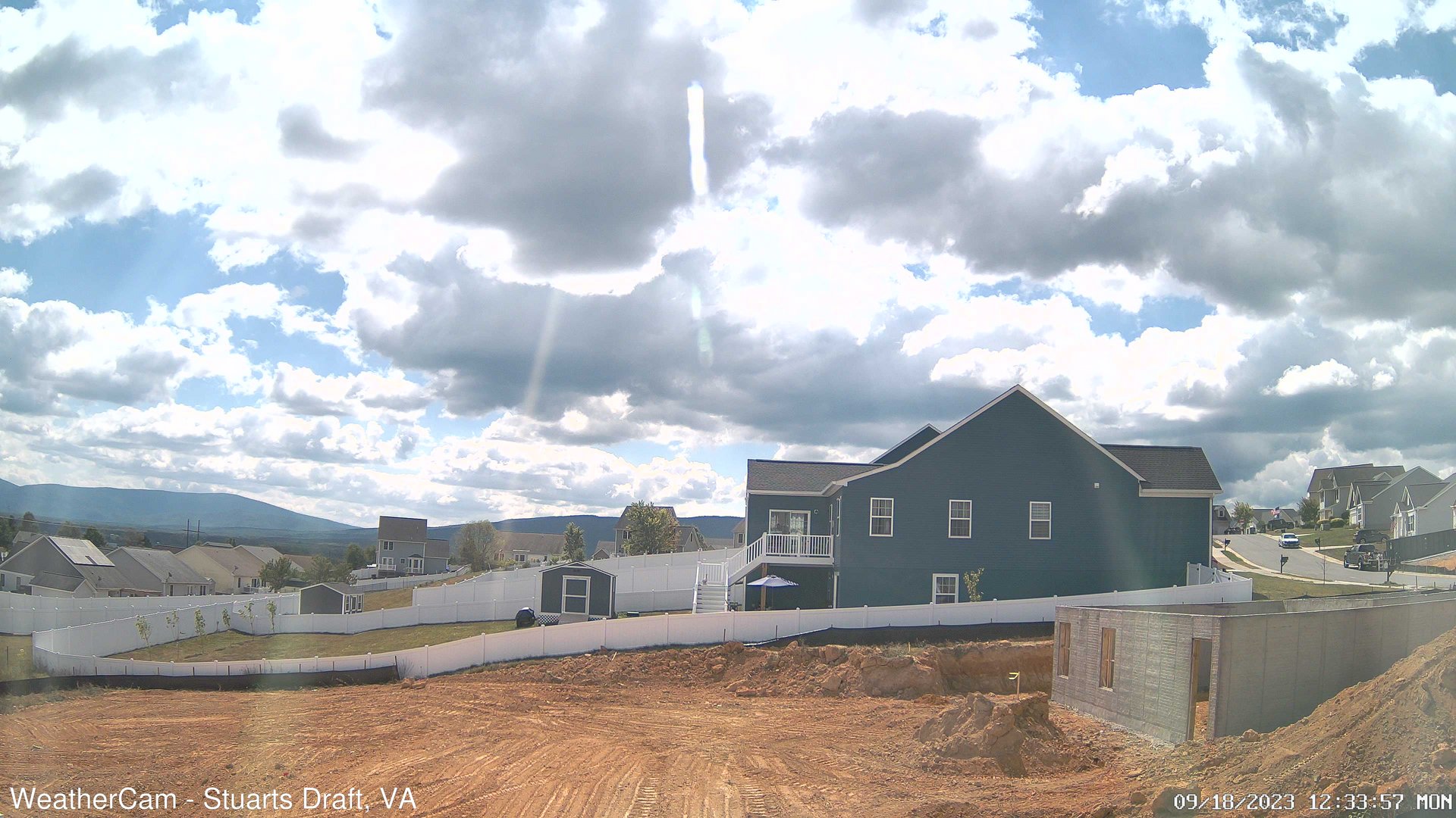
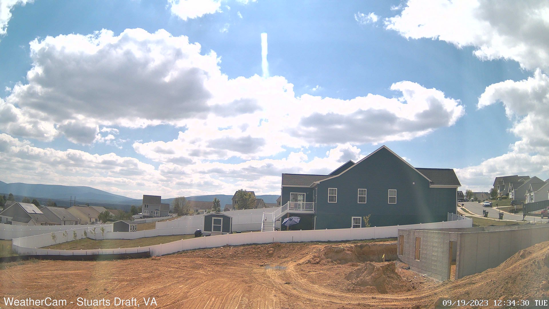
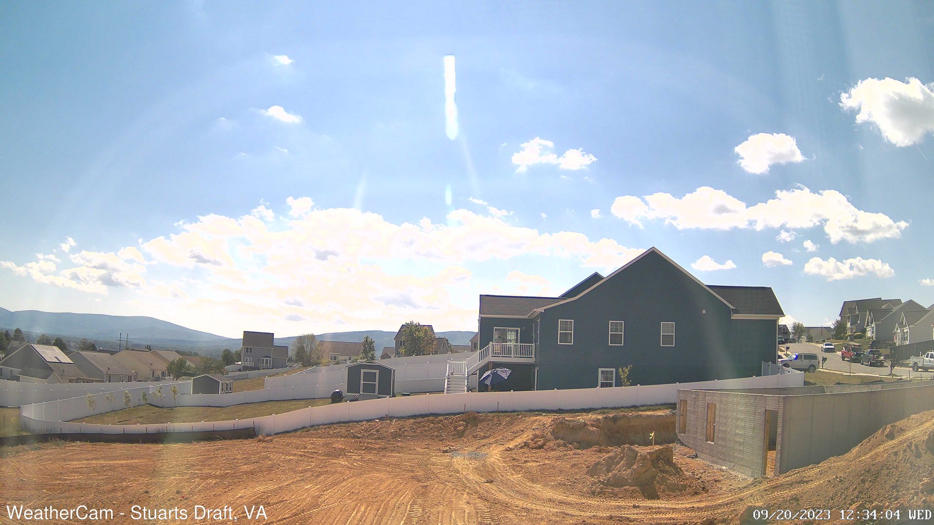
Stuarts Draft, Virginia, USA - 103.4 miles from West Chesterfield Heights: Blue Ridge Mountains - A view from Stuarts Draft, VA of the Blue Ridge Mountains in the distance.
Operator: J. Kristopher Photography
Operator: J. Kristopher Photography

Some other places in this country: Summit - Tinsberry Trace - Trojan Woods - Victoria Hills - Windsor Hills - Zoar (historical) - Fendley (historical) - Bretton Woods - Bridlewood - Broad Meadows