Webcams in the region of The Orchard, Virginia, USA
The List of Webcams near The Orchard, Virginia, USA:

Riner, Virginia, USA - 12 miles from The Orchard: Auburn Middle School - A webcam in Riner, Virginia - camera location: Auburn Middle School.
Operator: WeatherBug
Operator: WeatherBug


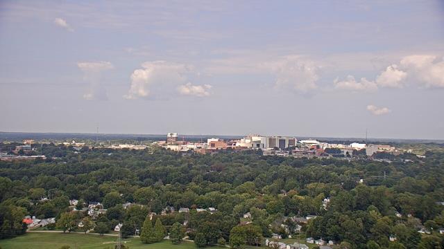
Salem, Virginia, USA - 19 miles from The Orchard: City of Salem Civic Center - A webcam in Salem, Virginia - camera location: City of Salem Civic Center.
Operator: WeatherBug
Operator: WeatherBug


Roanoke, Virginia, USA - 24.9 miles from The Orchard: Roanoke Catholic School - A webcam in Roanoke, Virginia - camera location: Roanoke Catholic School.
Operator: WeatherBug
Operator: WeatherBug


Roanoke, Virginia, USA - 24.9 miles from The Orchard: Mountain View - Looking SW over Appalachians near Blue Ridge Pkwy.
Operator: Roanoke Weather Page
Operator: Roanoke Weather Page


Buchanan, Virginia, USA - 43.1 miles from The Orchard: James River High School - A webcam in Buchanan, Virginia - camera location: James River High School.
Operator: WeatherBug
Operator: WeatherBug


Wytheville, Virginia, USA - 43.7 miles from The Orchard: Wytheville Community College - A webcam in Wytheville, Virginia - camera location: Wytheville Community College.
Operator: WeatherBug
Operator: WeatherBug


Martinsville, Virginia, USA - 47.3 miles from The Orchard: Virginia Museum of Natural History - A webcam in Martinsville, Virginia - camera location: Virginia Museum of Natural History.
Operator: WeatherBug
Operator: WeatherBug


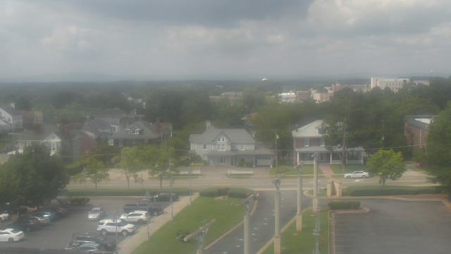
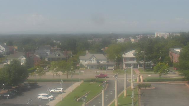

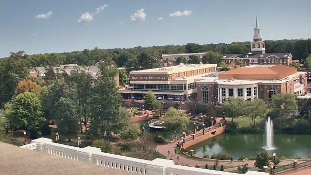
High Point, North Carolina, USA - 91.1 miles from The Orchard: High Point University - A webcam in High Point, North Carolina - camera location: High Point University.
Operator: WeatherBug
Operator: WeatherBug


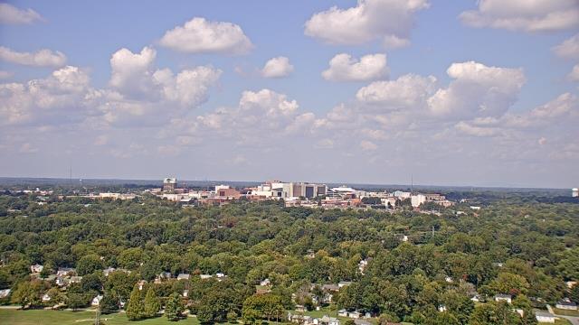
High Point, North Carolina, USA - 91.1 miles from The Orchard: WGHP-TV - A webcam in High Point, North Carolina - camera location: WGHP-TV.
Operator: WeatherBug
Operator: WeatherBug


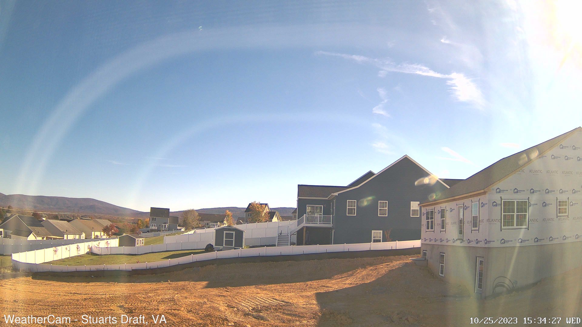
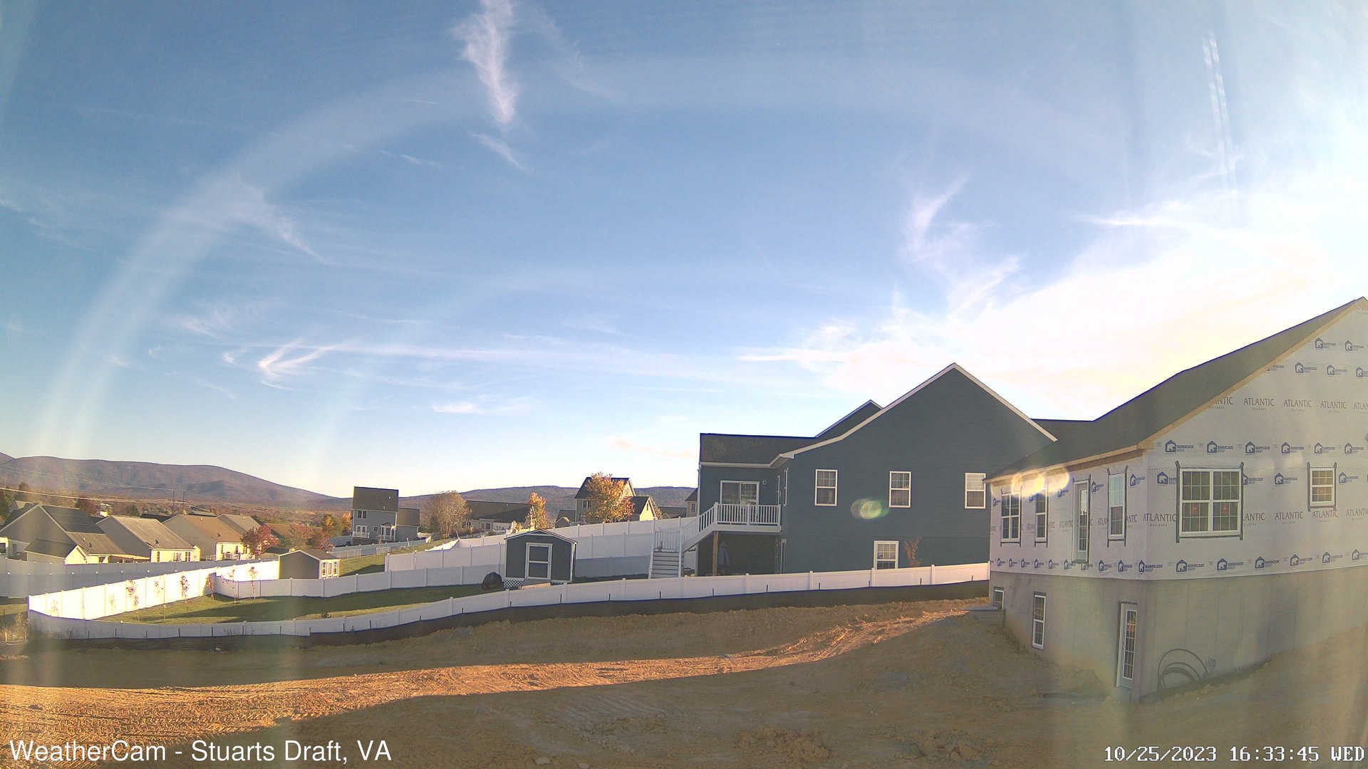
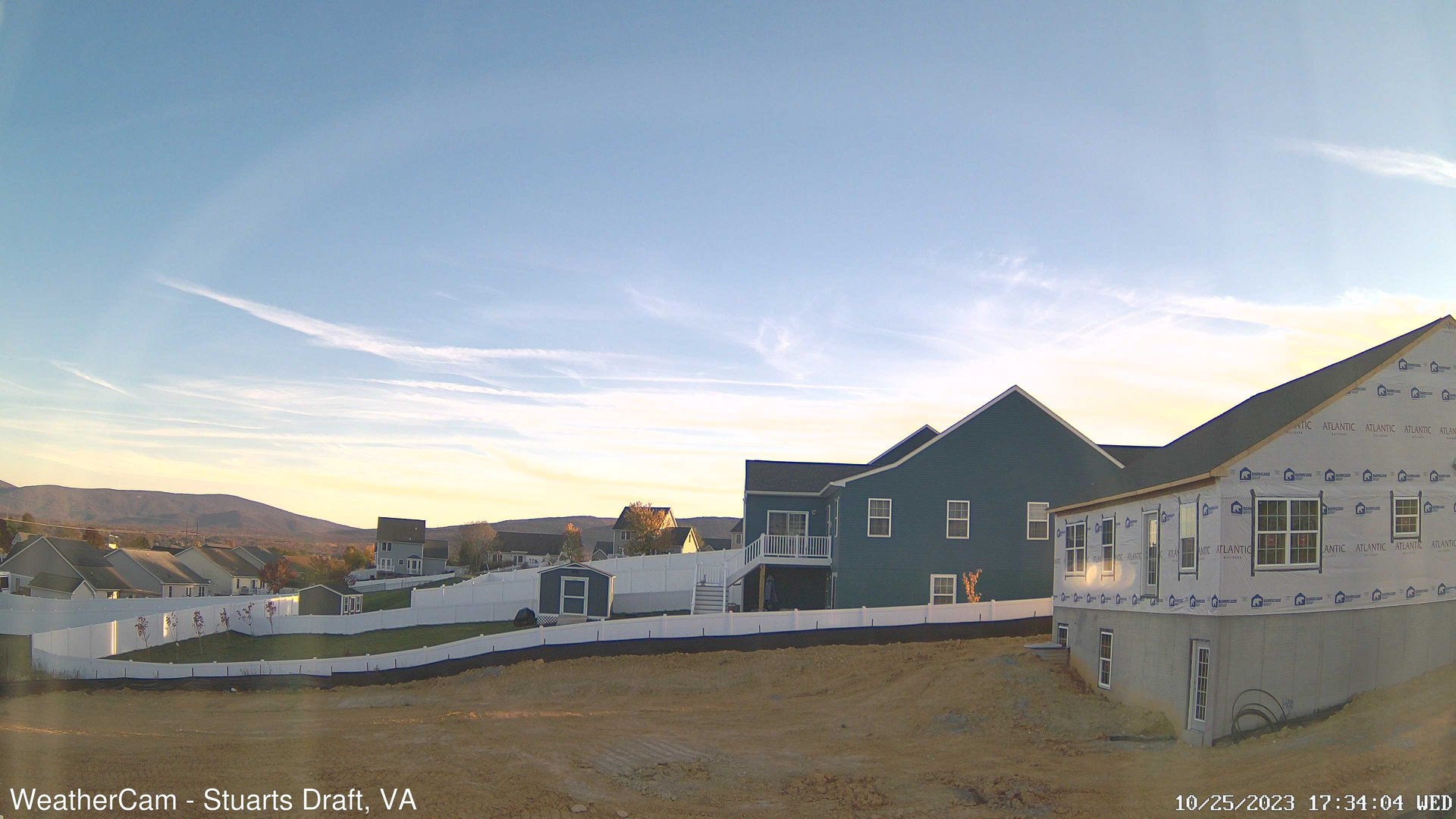
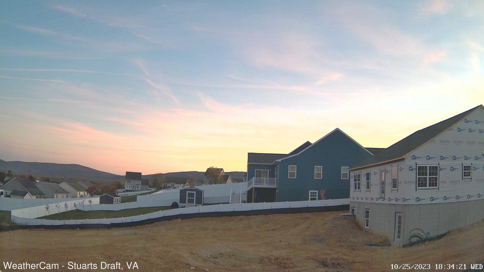
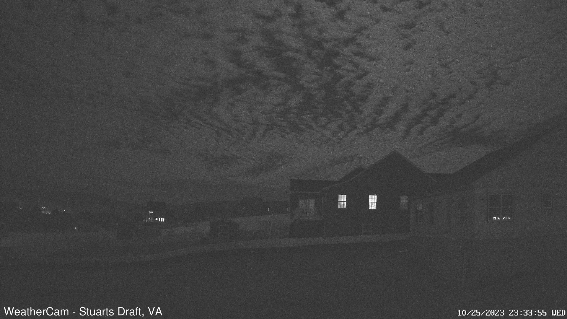
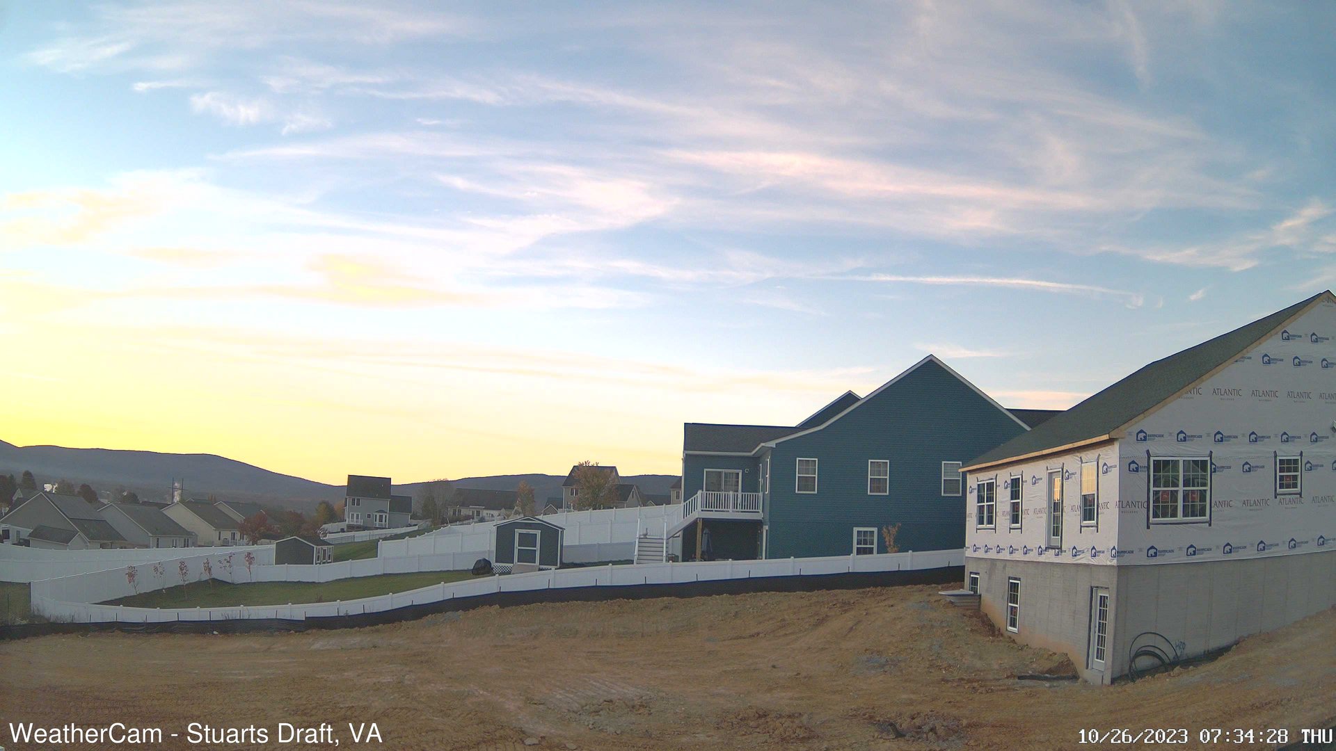
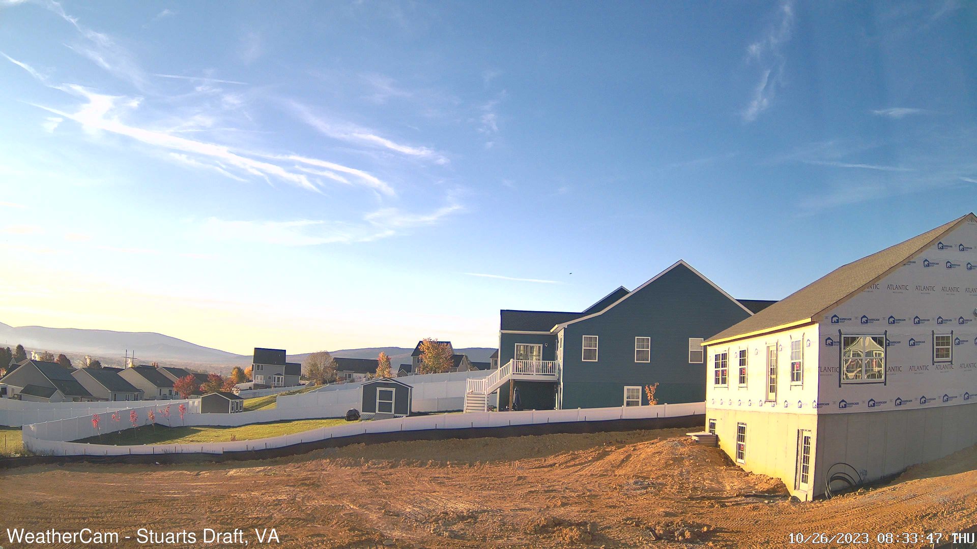
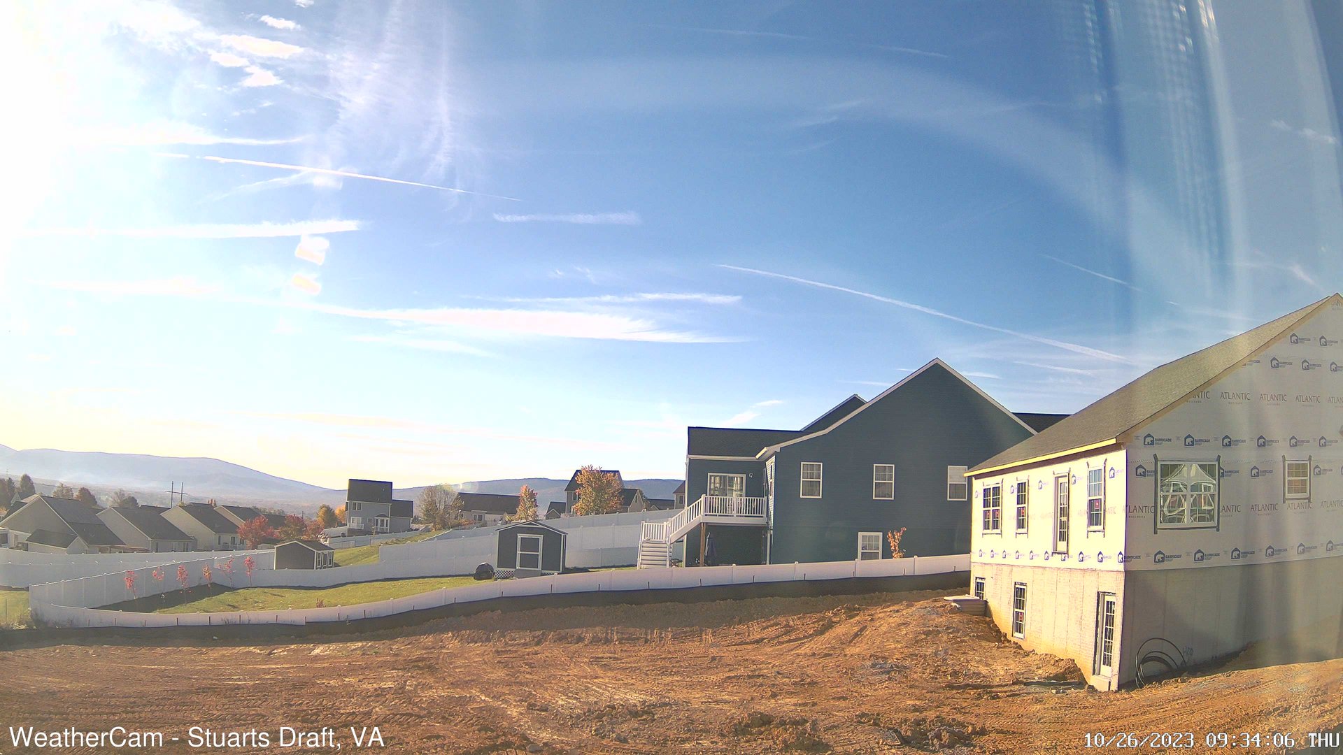
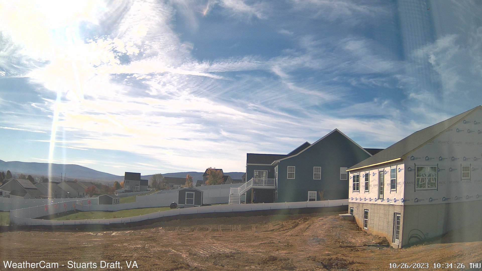
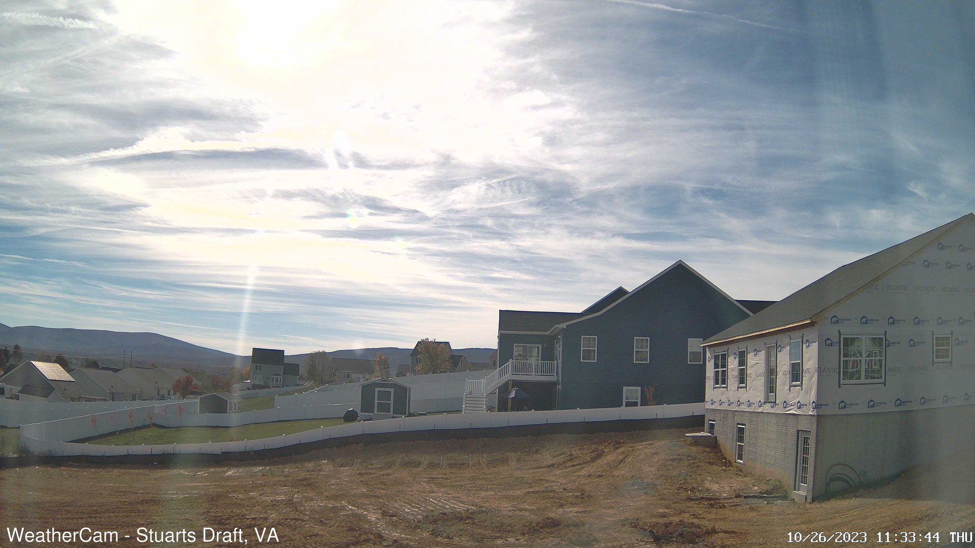
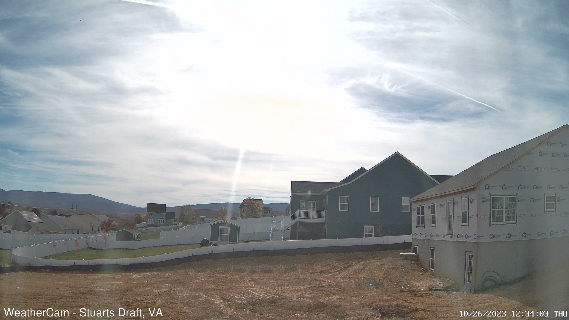
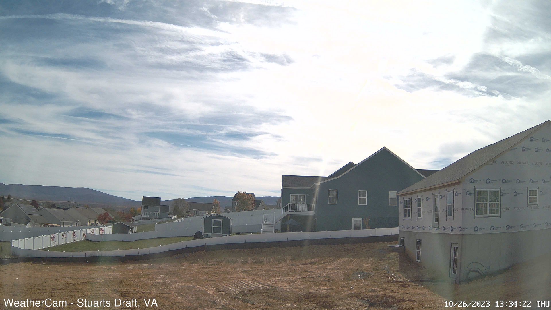
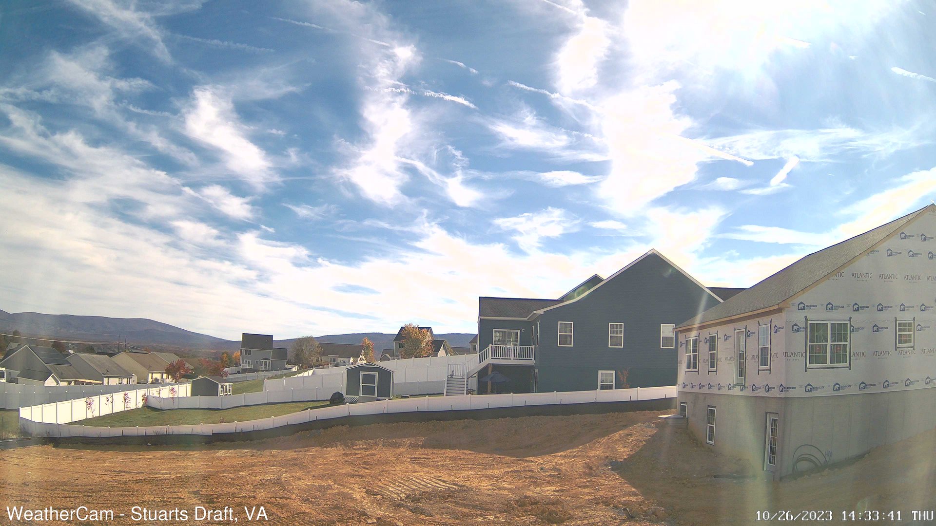
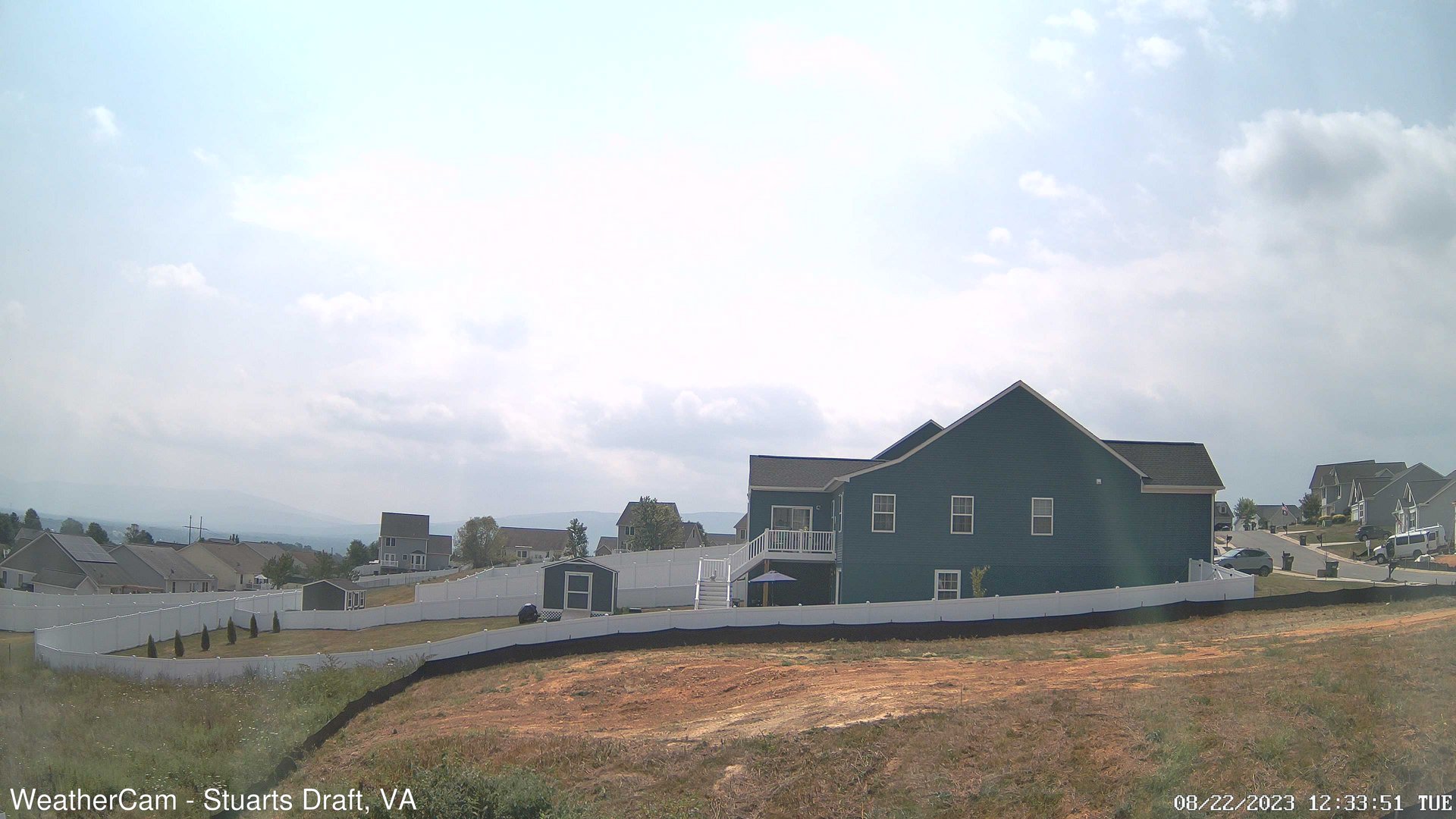
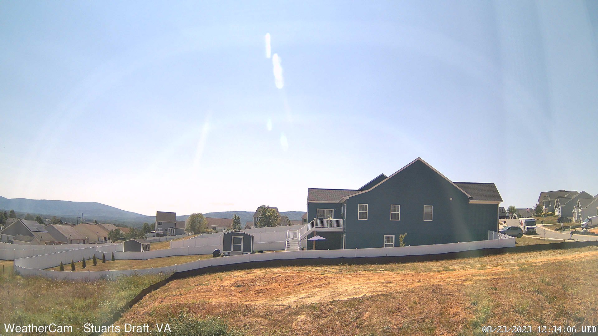
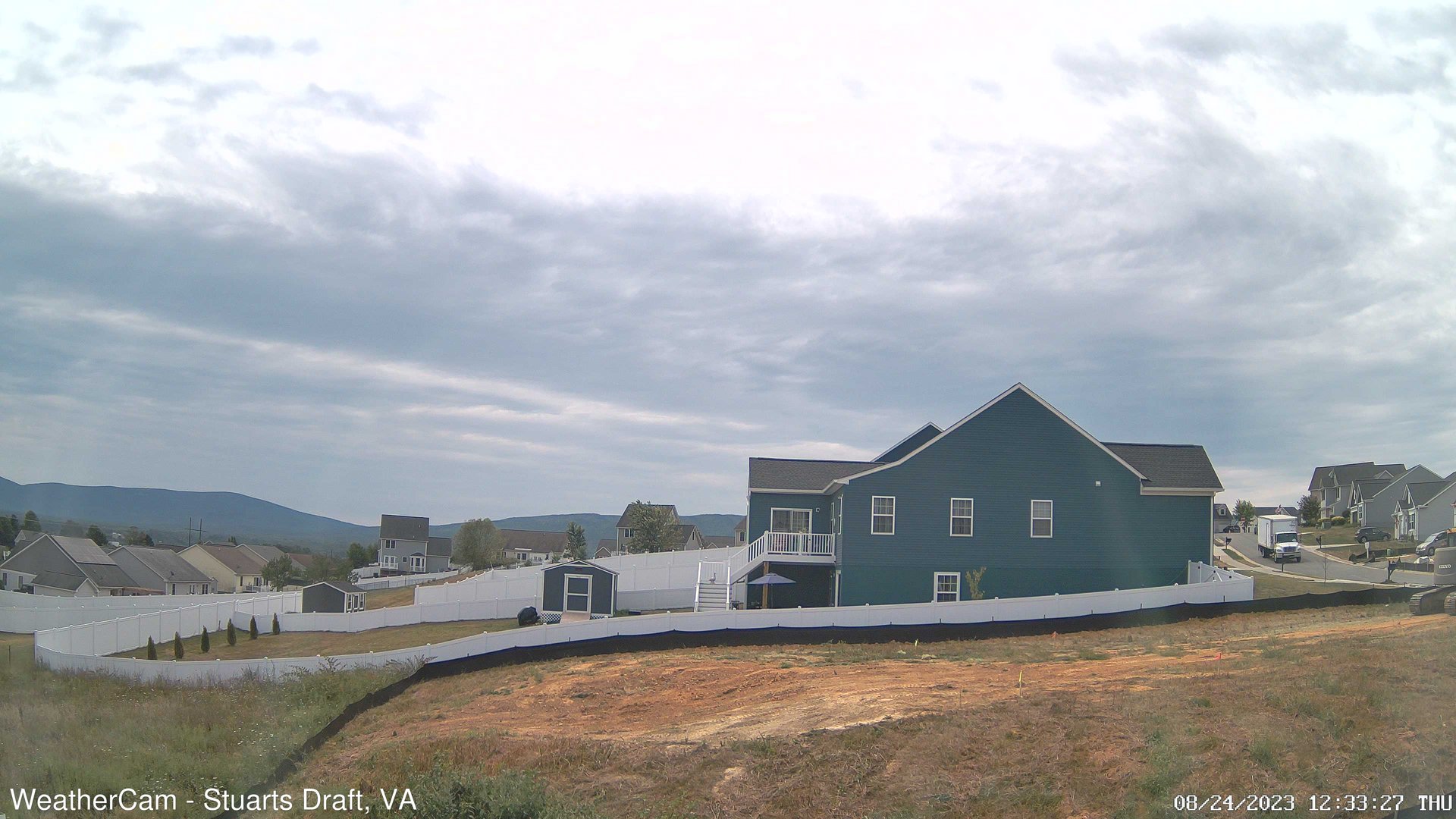
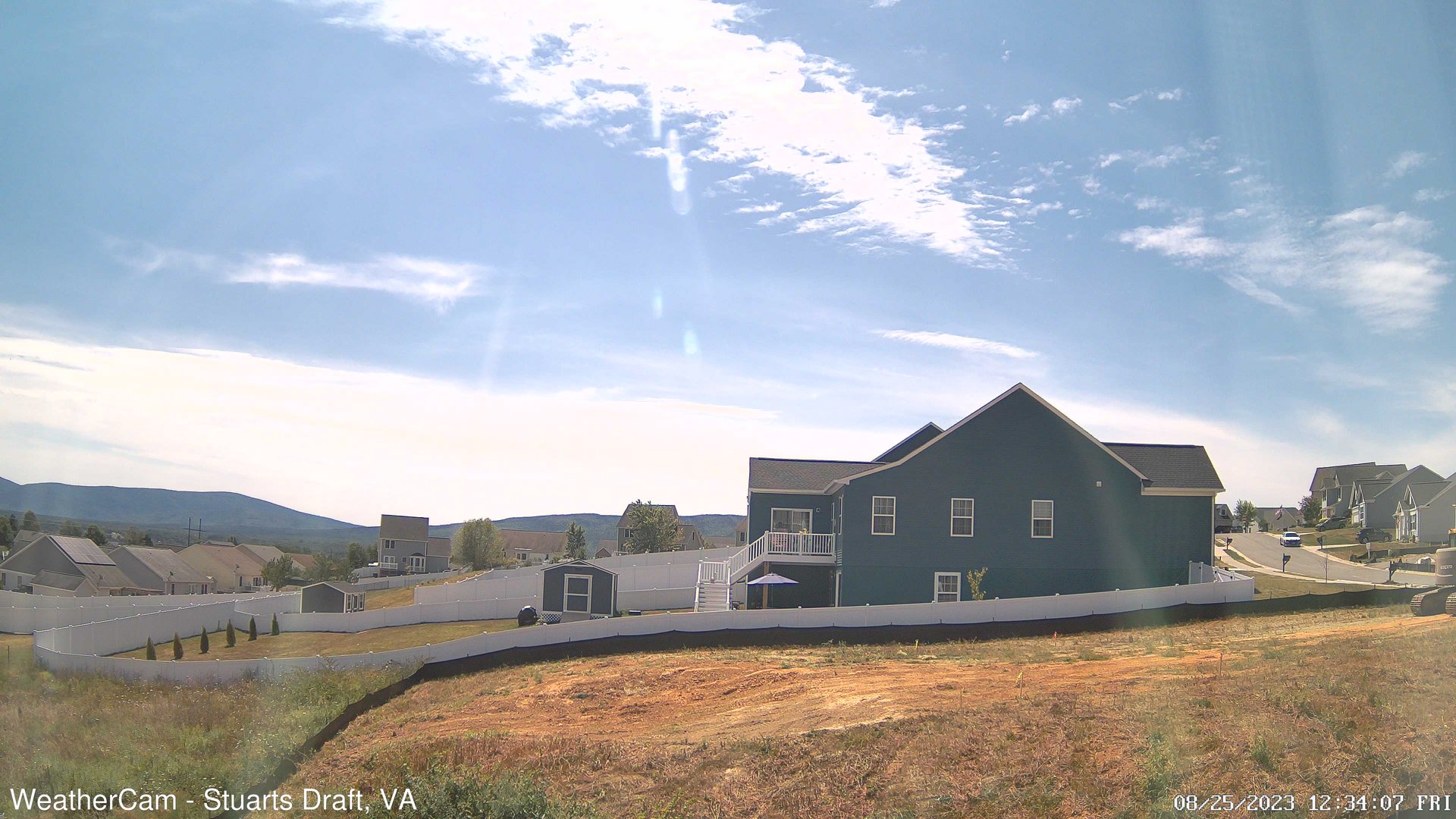
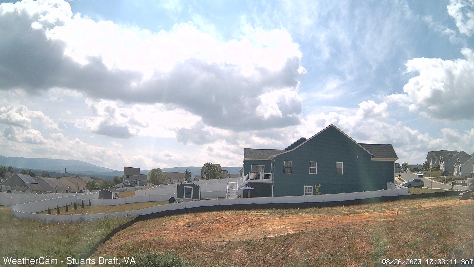
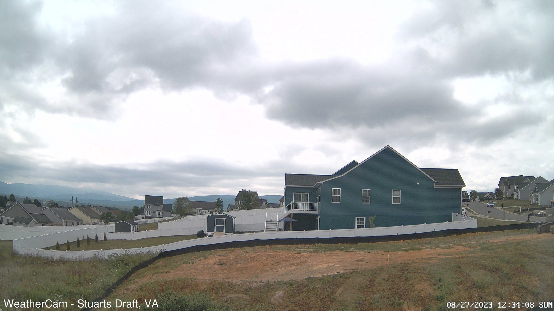
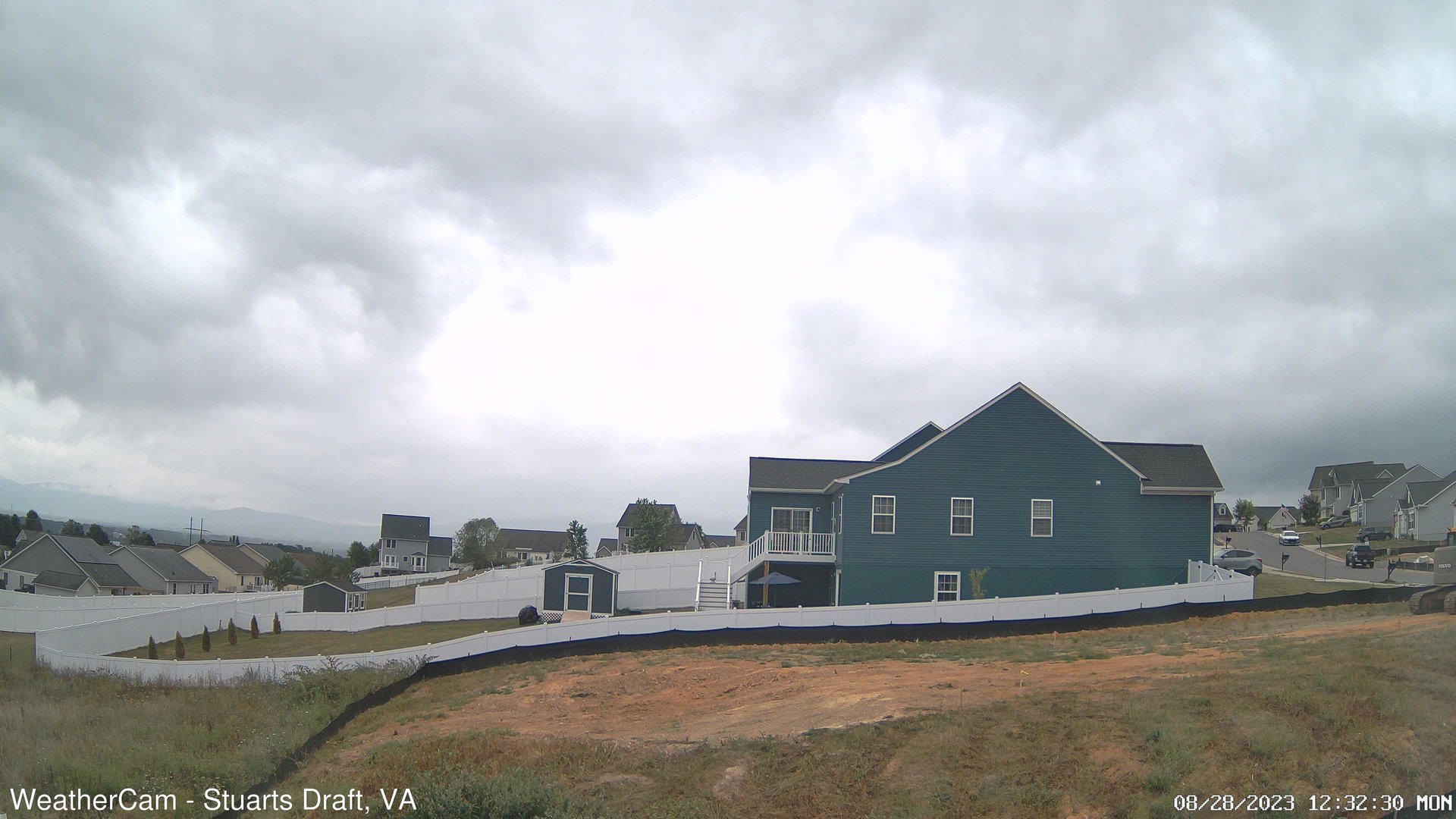
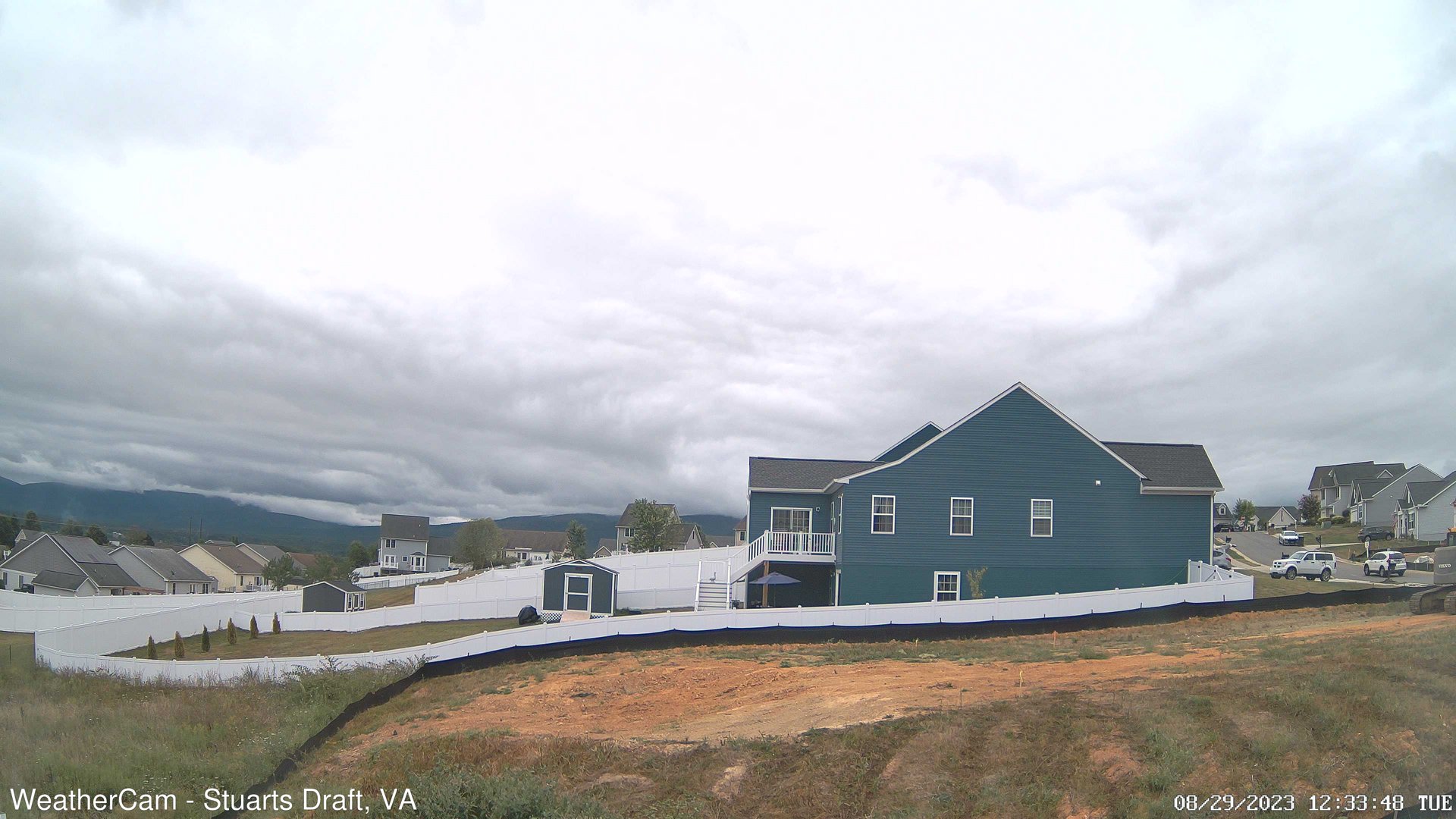
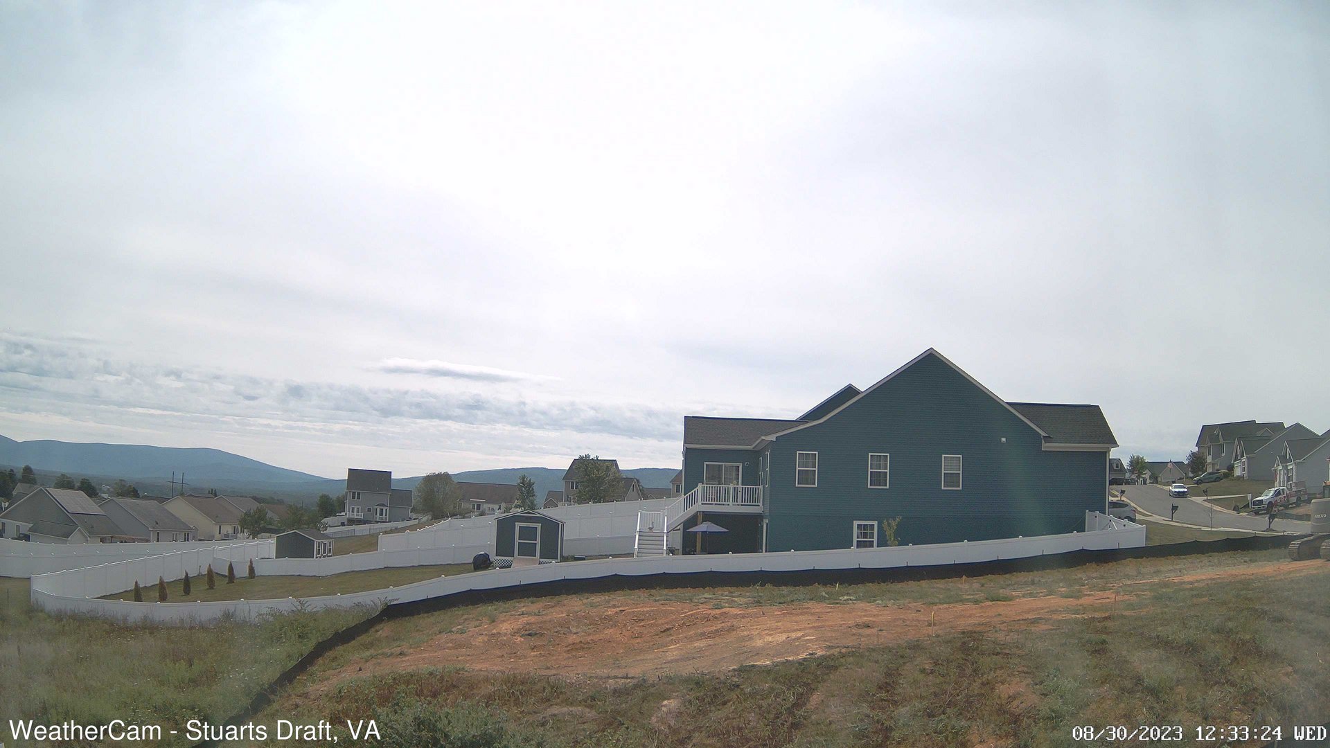
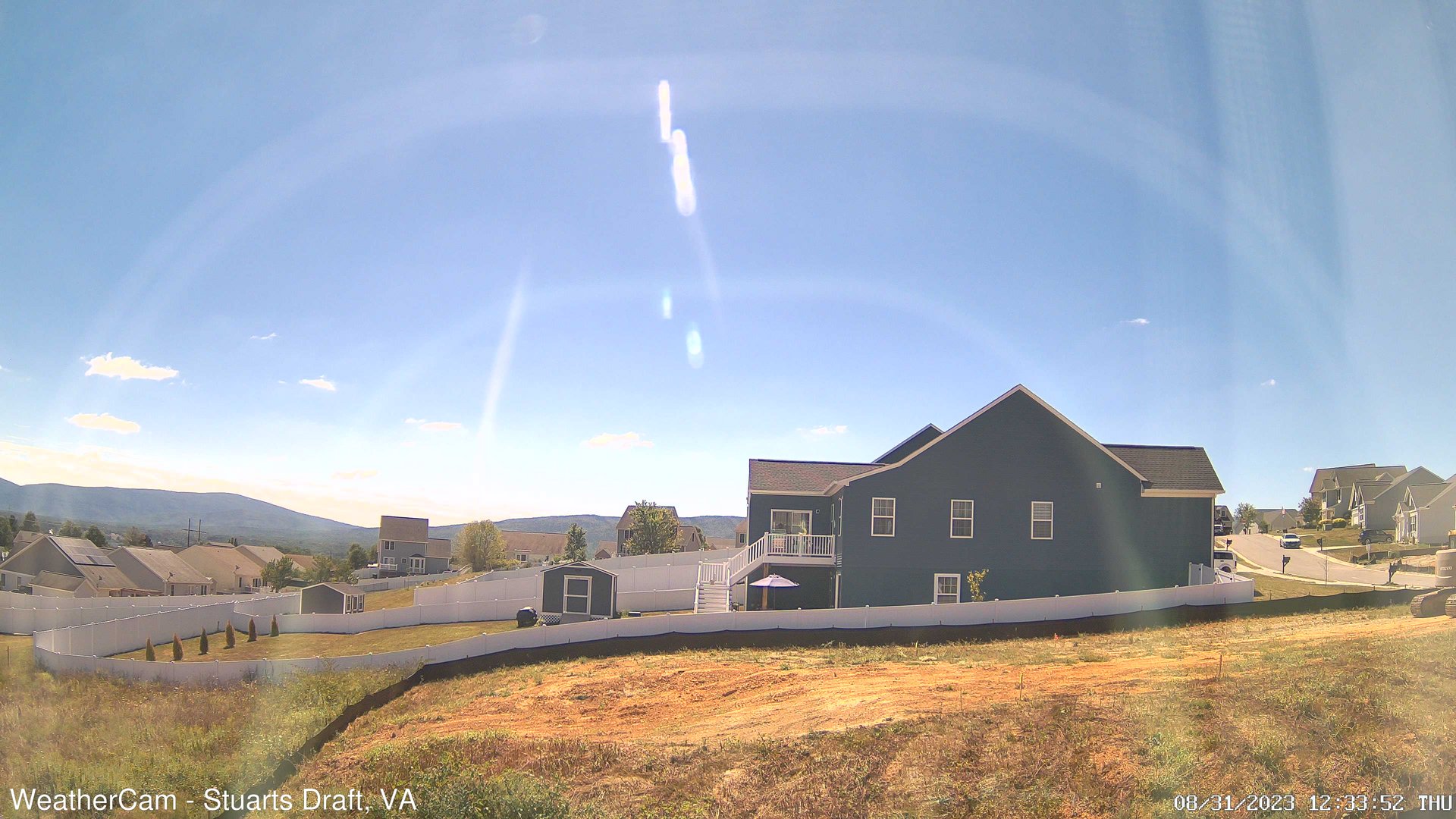
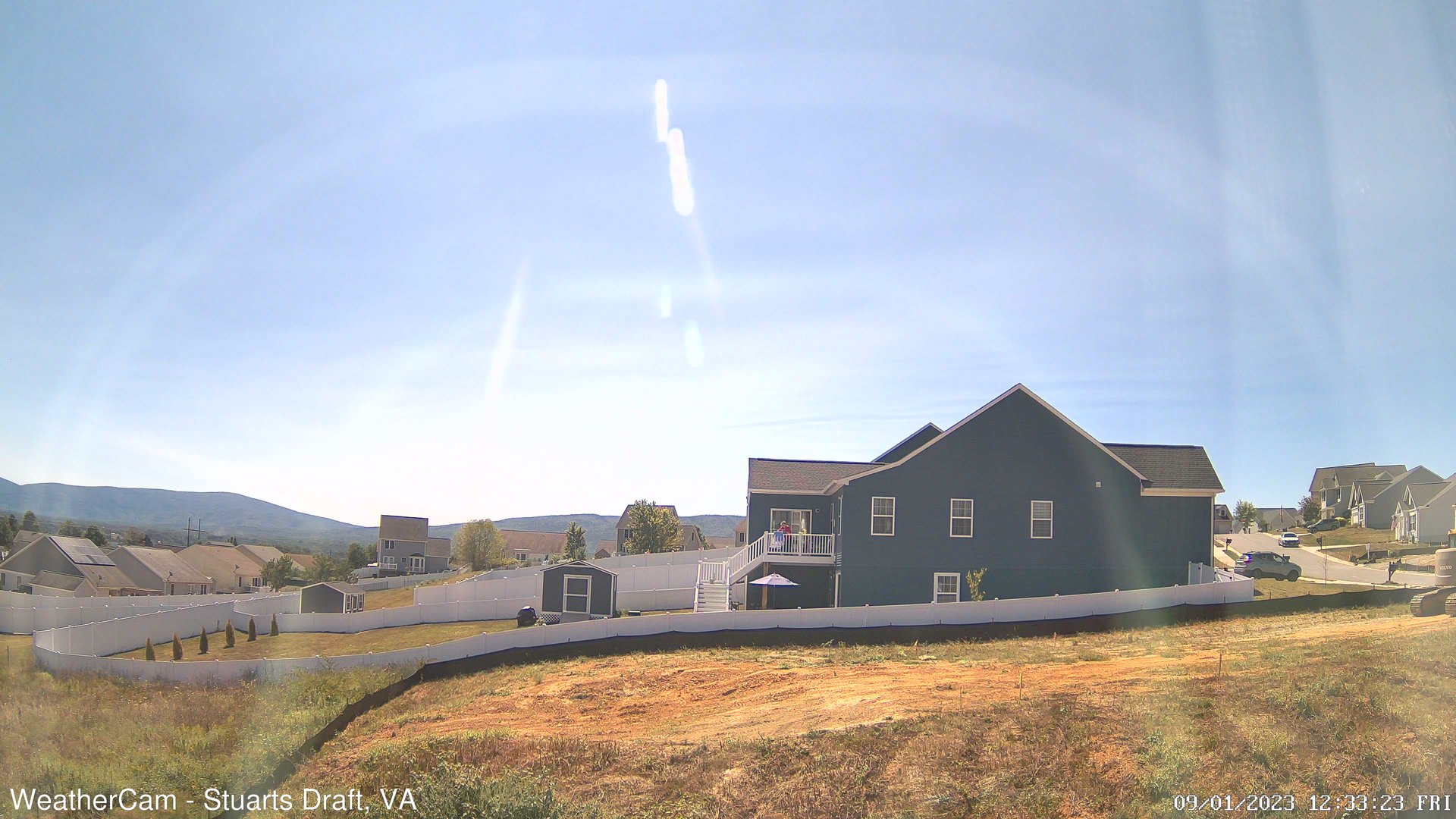
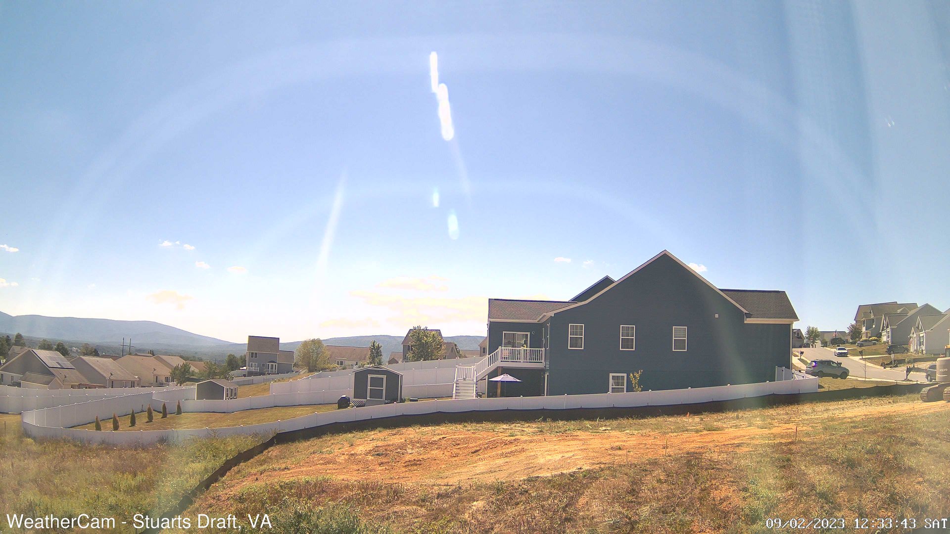
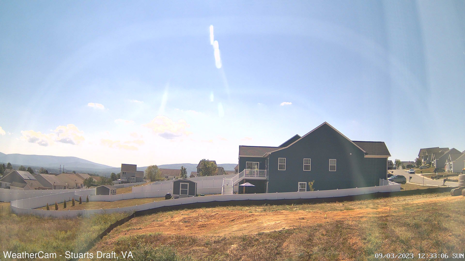
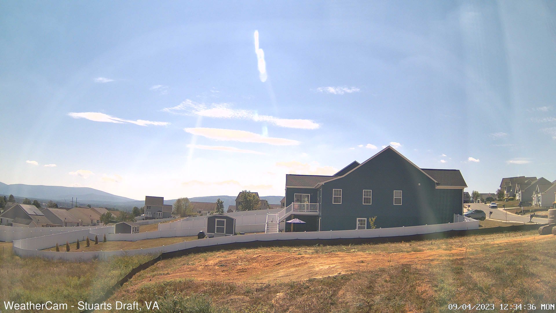
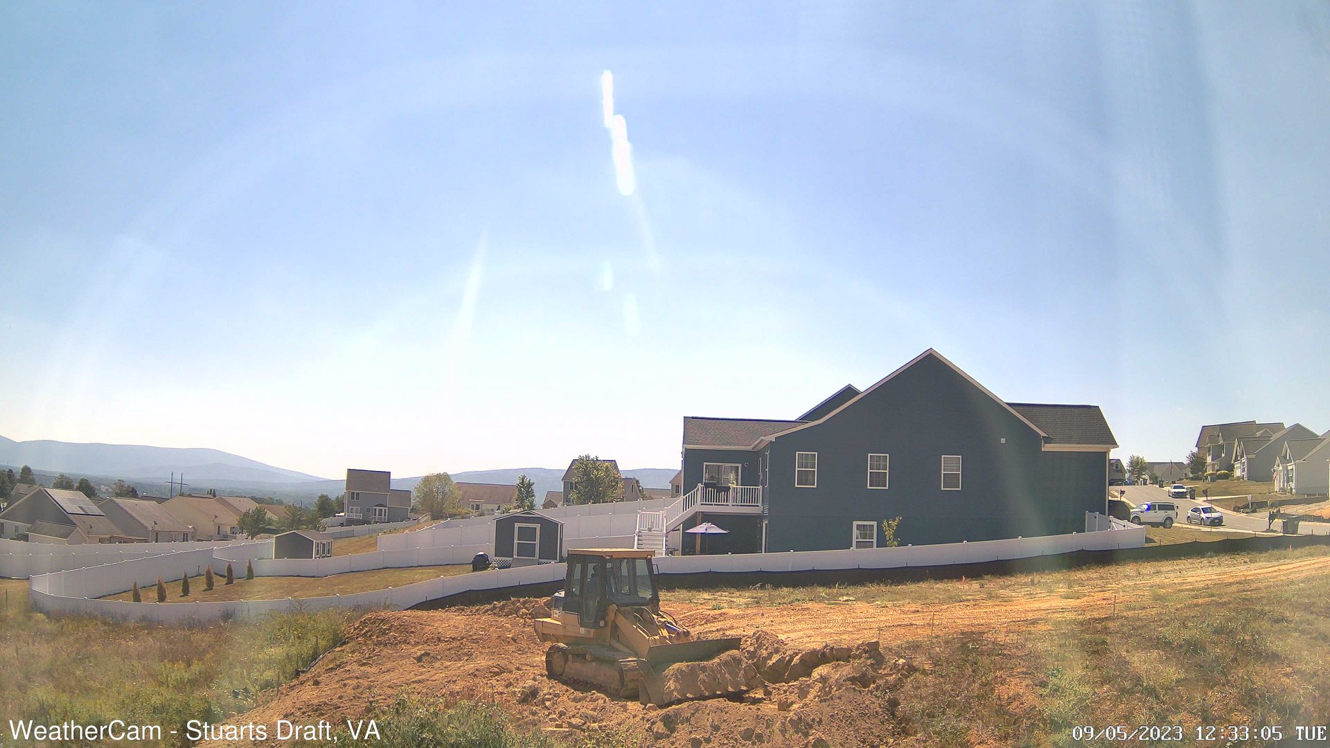
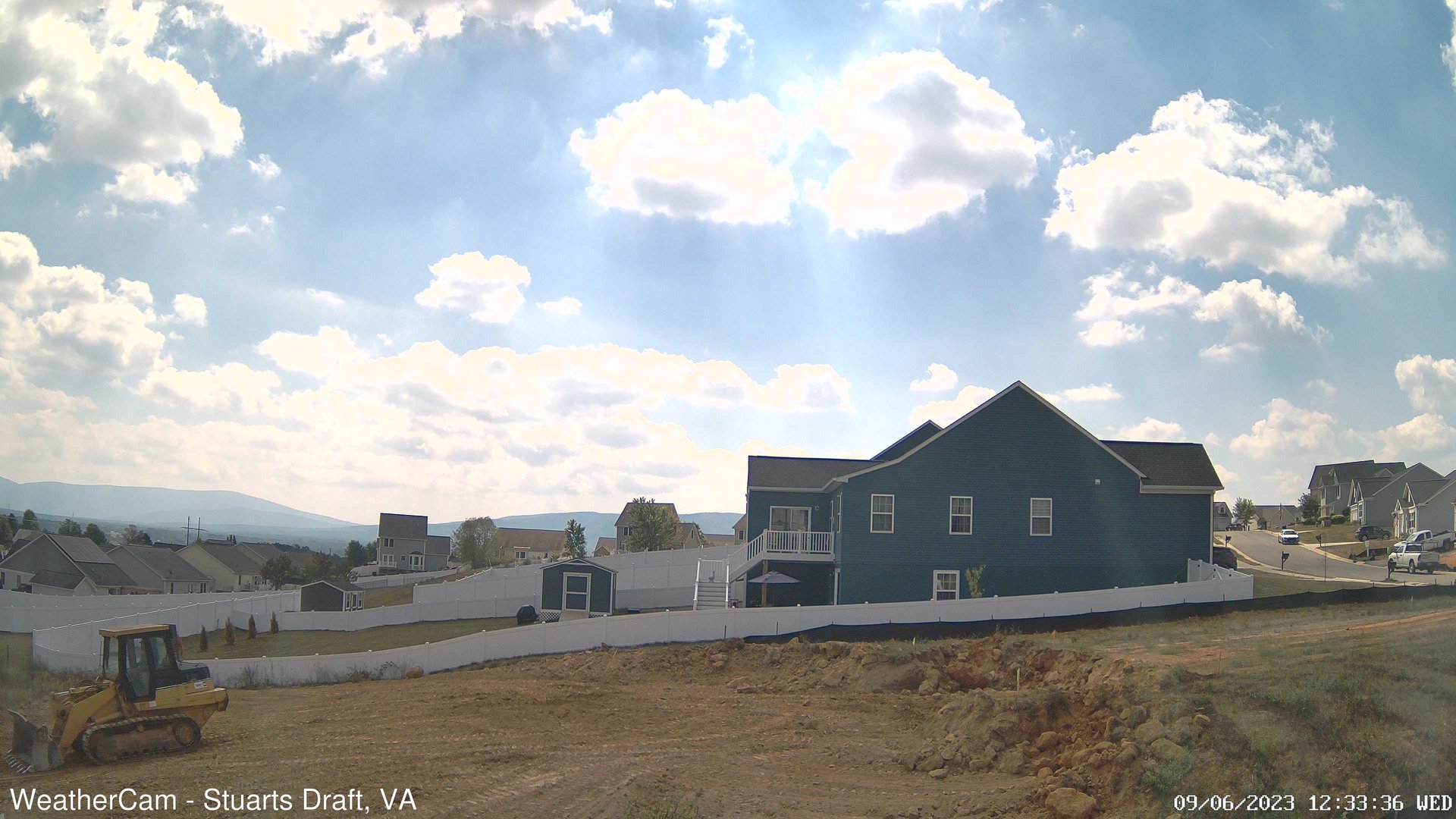
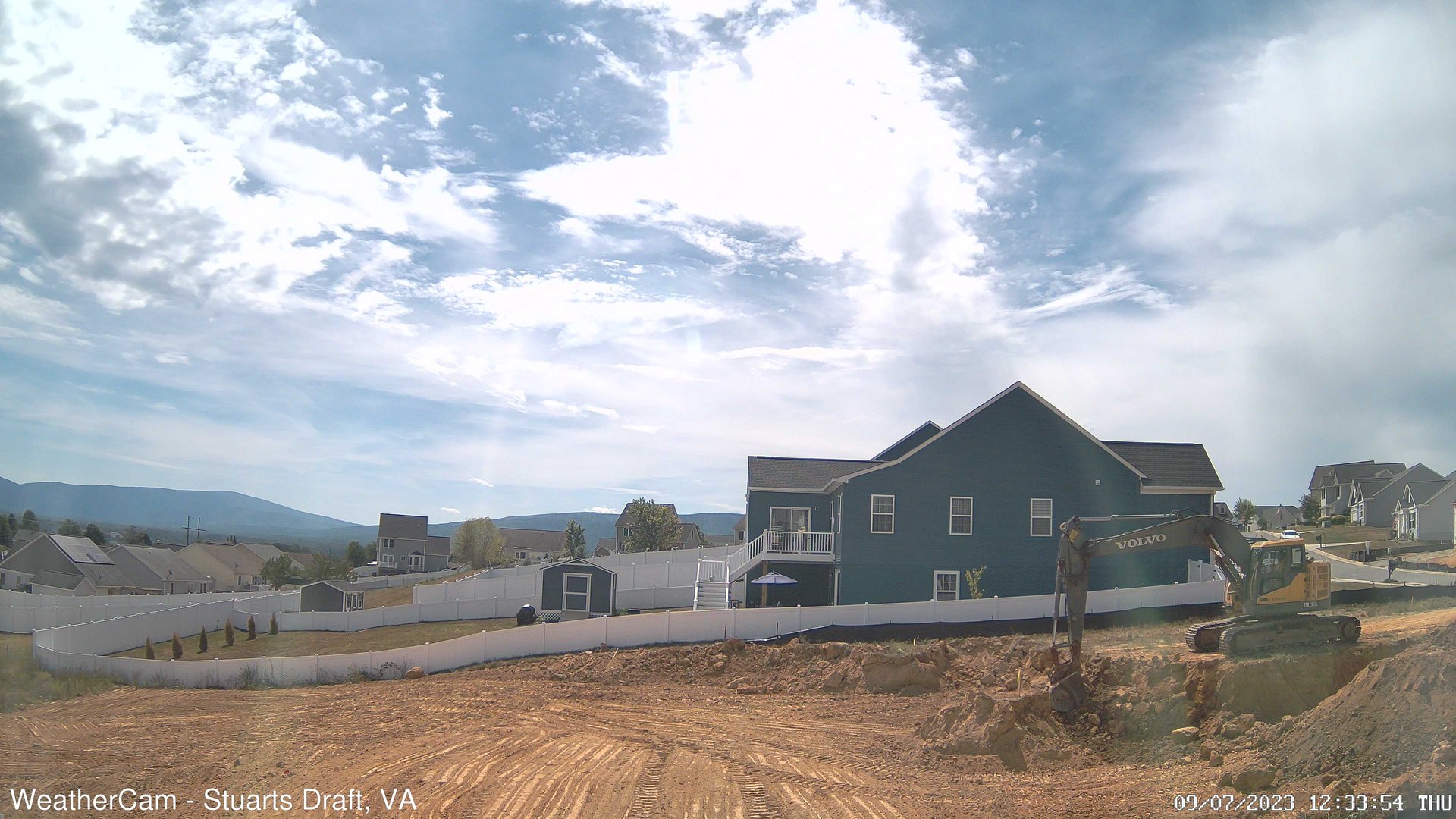
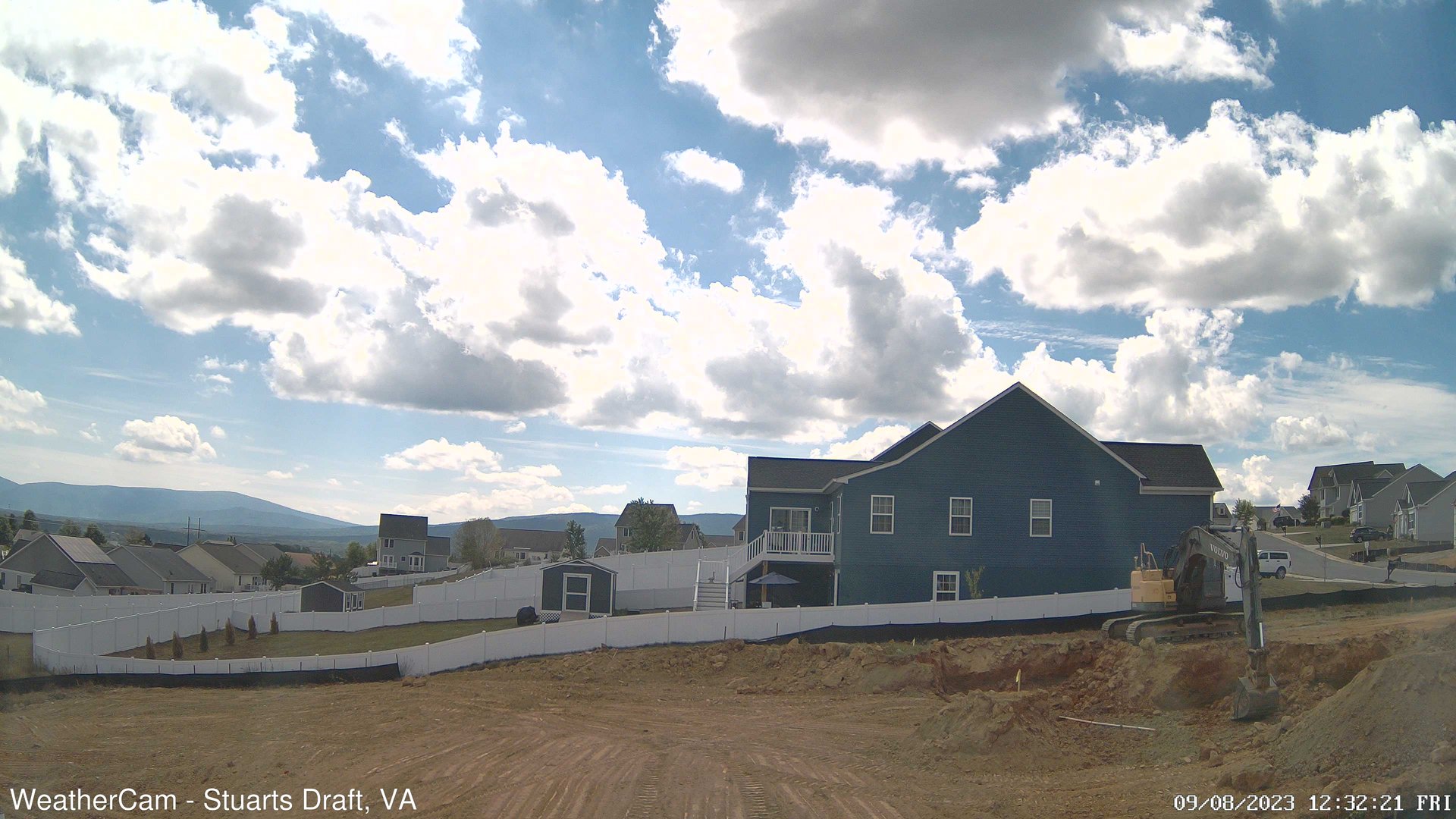
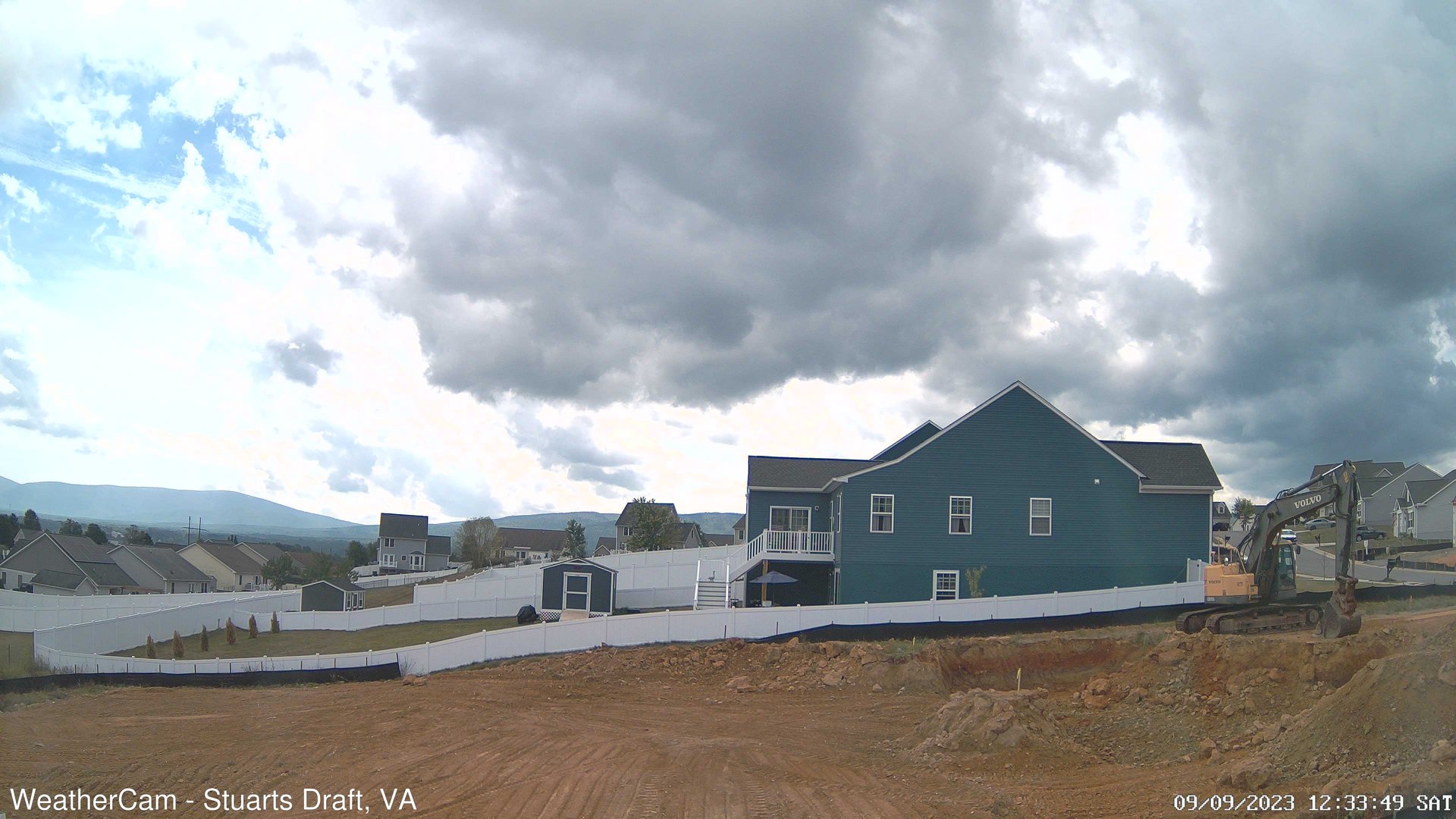
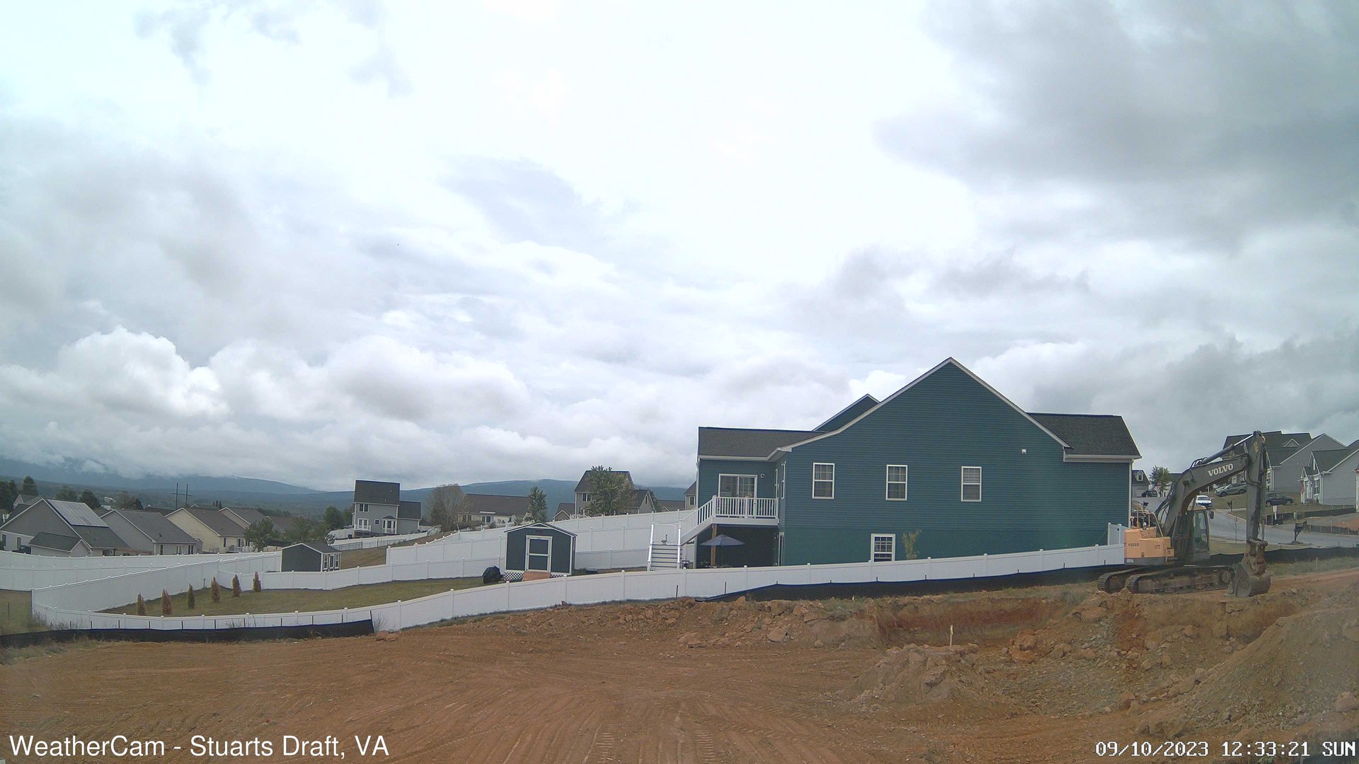
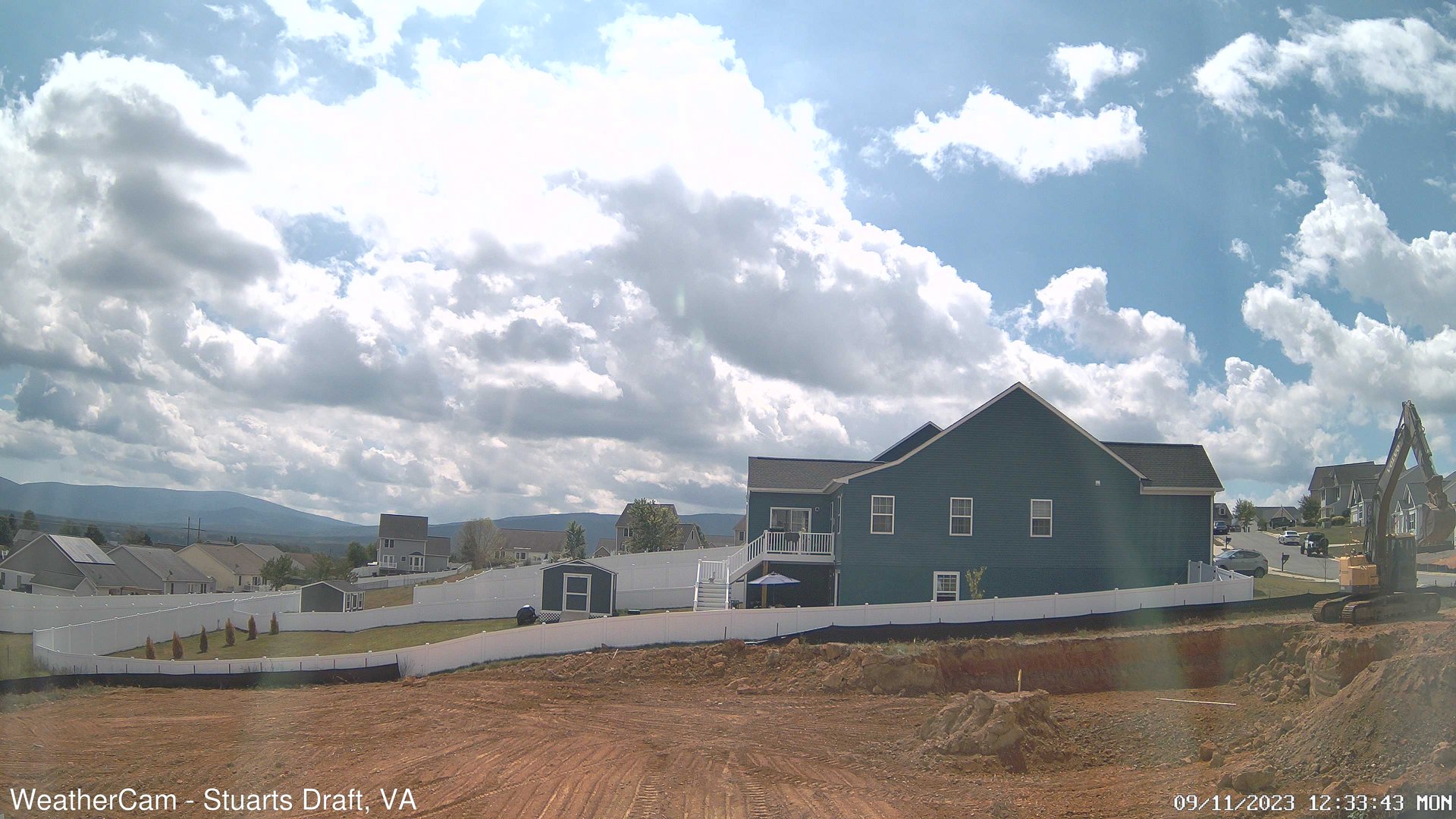
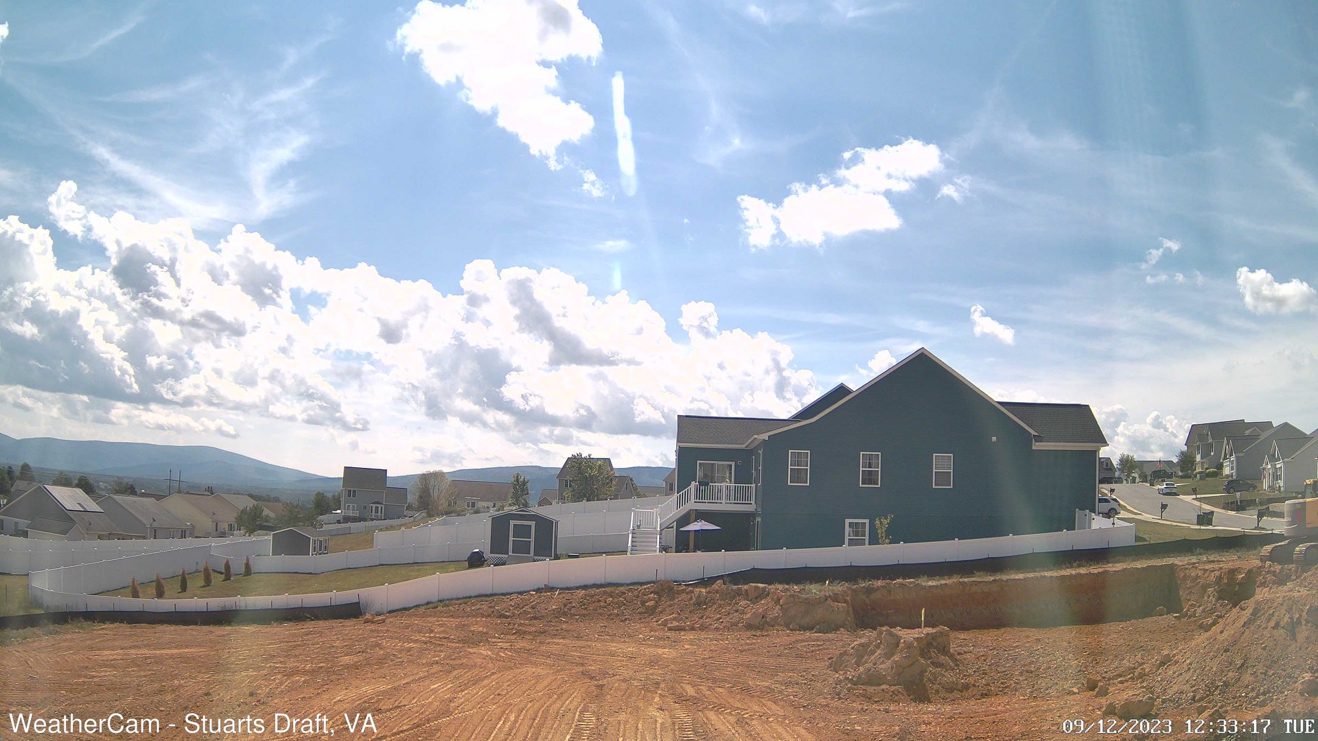
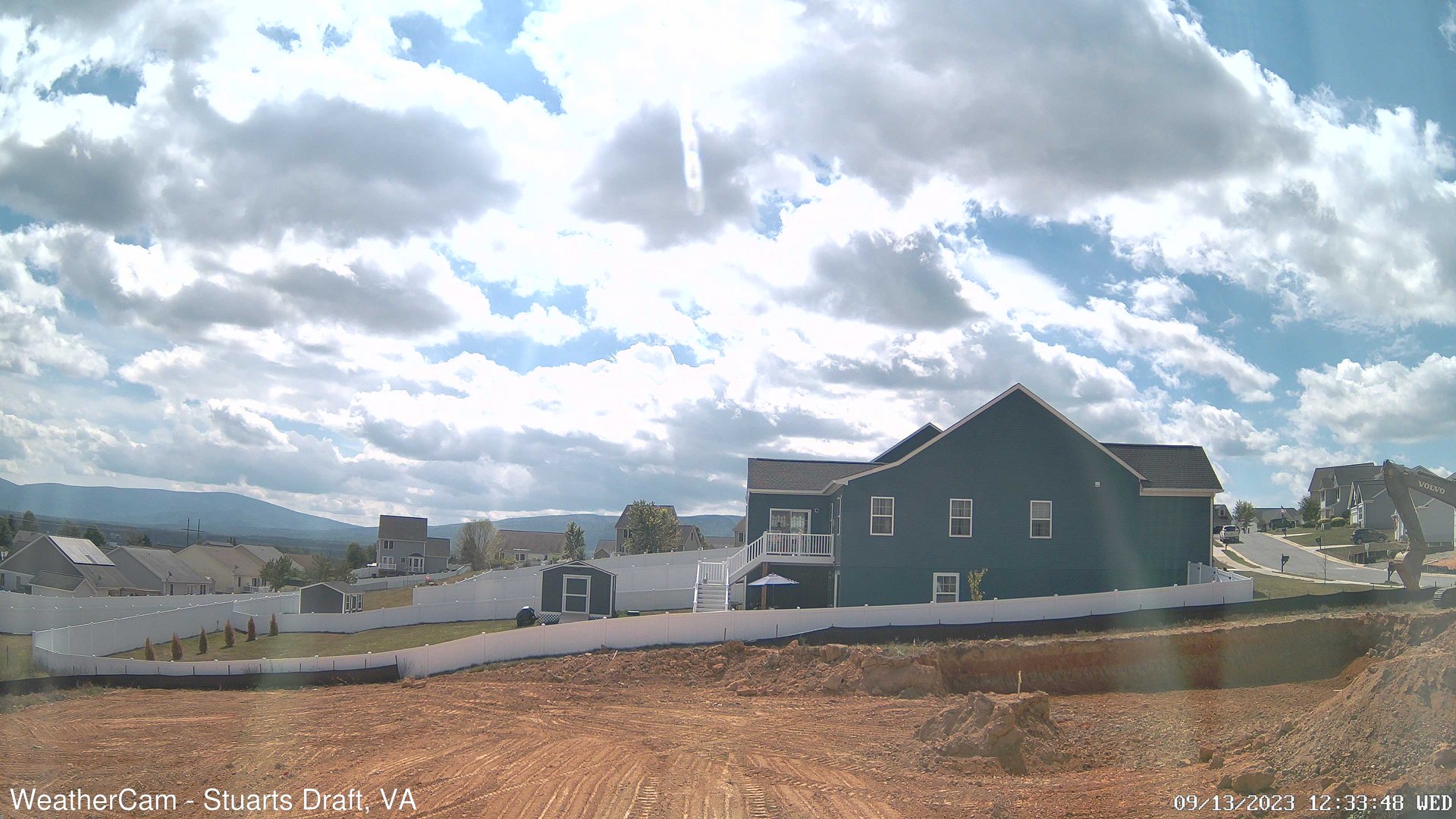
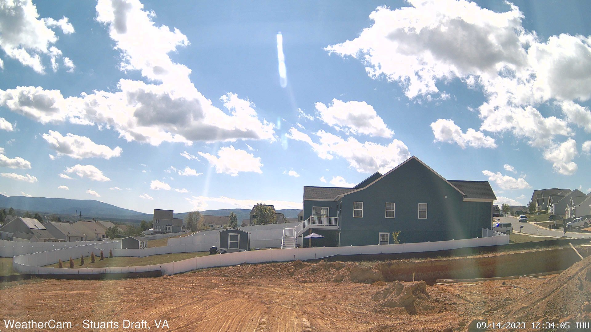
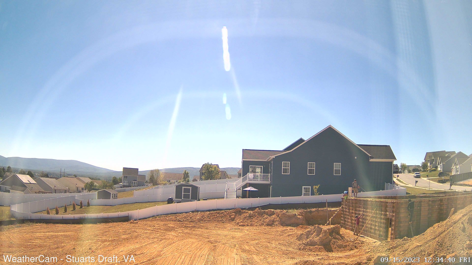
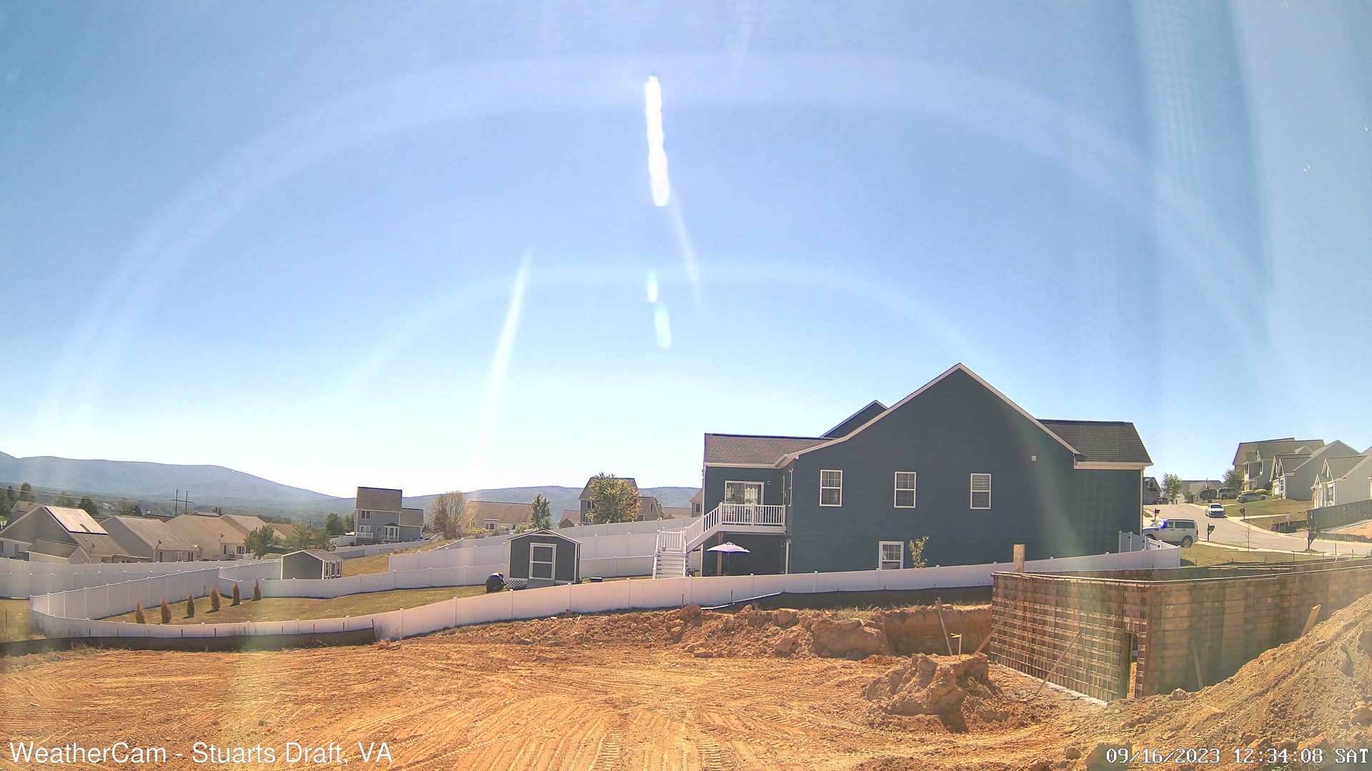
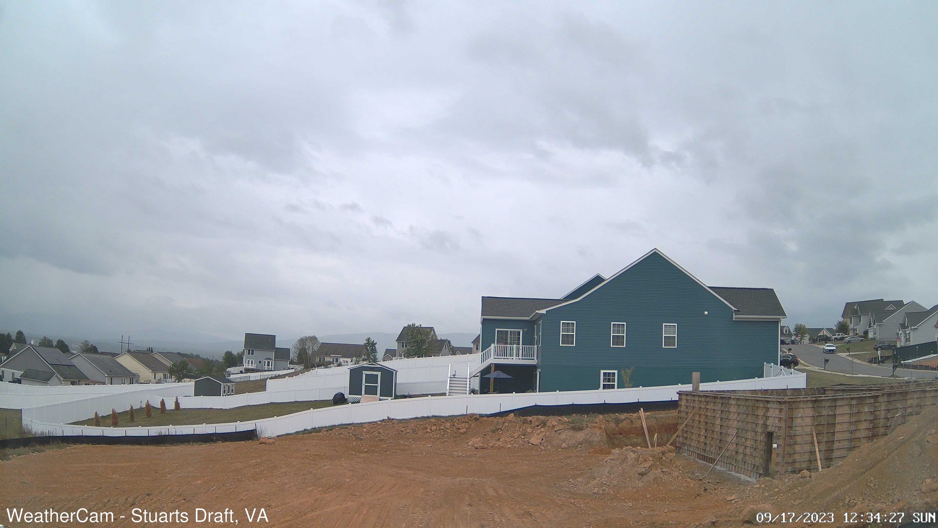
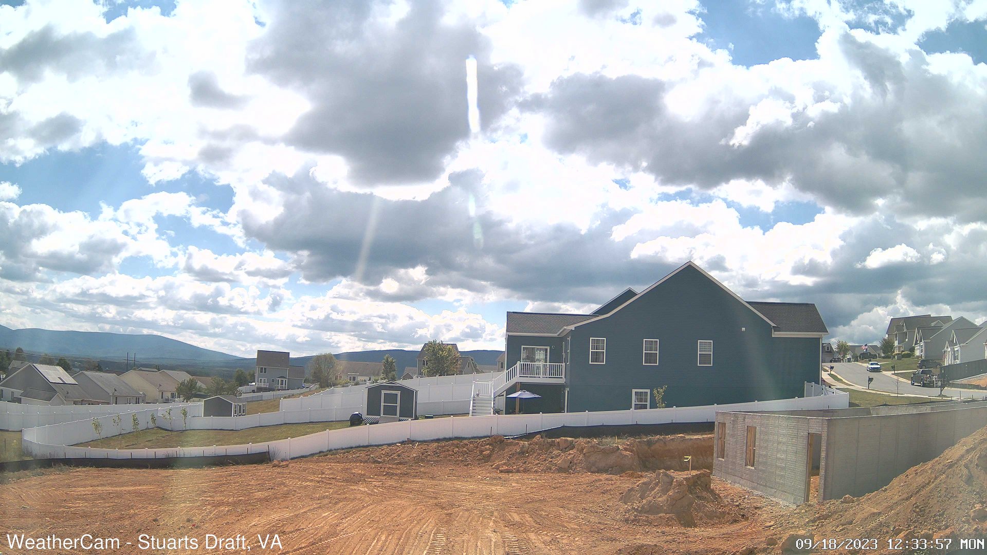
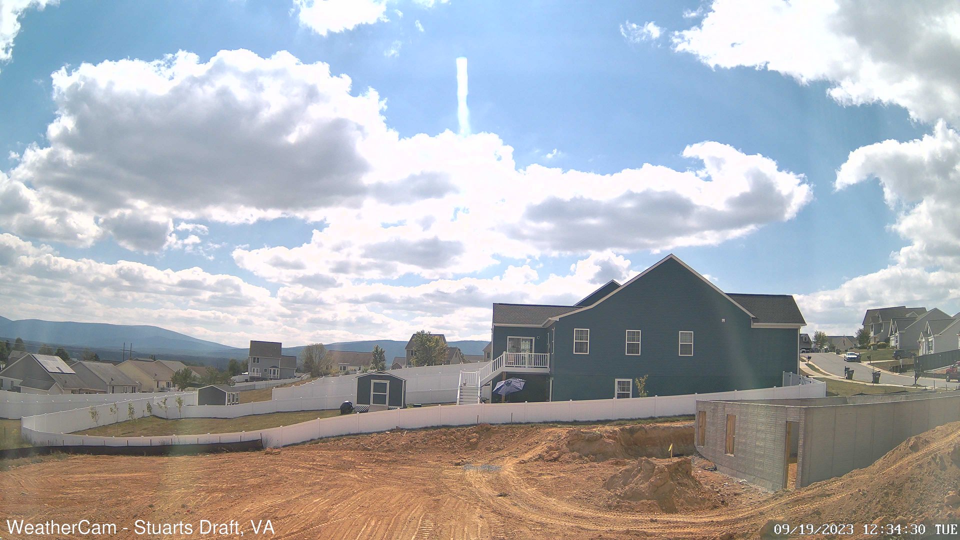
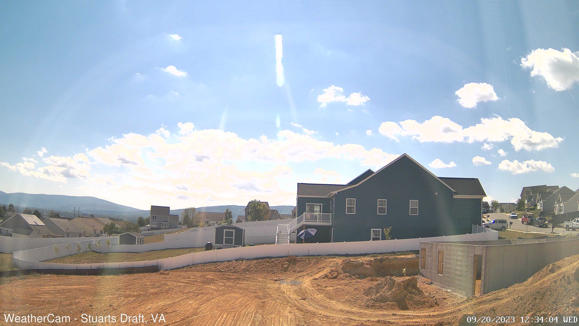
Stuarts Draft, Virginia, USA - 92.4 miles from The Orchard: Blue Ridge Mountains - A view from Stuarts Draft, VA of the Blue Ridge Mountains in the distance.
Operator: J. Kristopher Photography
Operator: J. Kristopher Photography

Some other places in this country: Suburban Hills - Sundance Ridge - Sundance Village - Teel Subdivision - The Vistas - Town and Country Estates - Tremont Estates - University Place - University Terrace - Victory Heights