Webcams in the region of Sunrise Heights, Virginia, USA
The List of Webcams near Sunrise Heights, Virginia, USA:

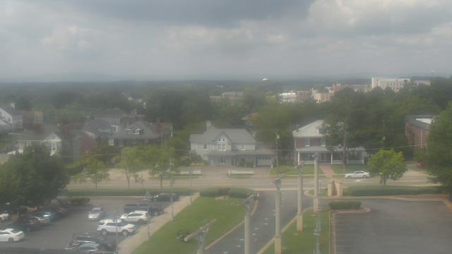
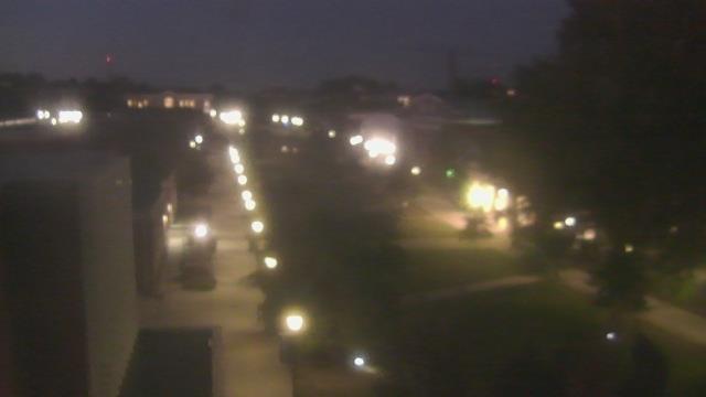
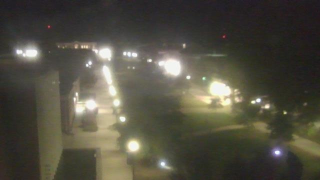
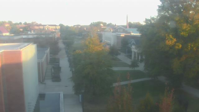
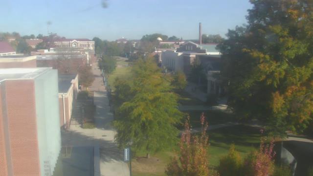
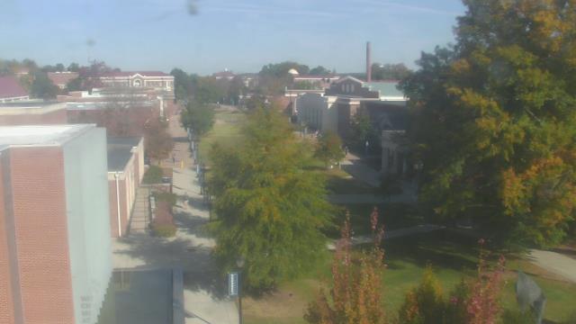
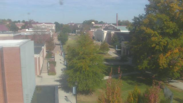
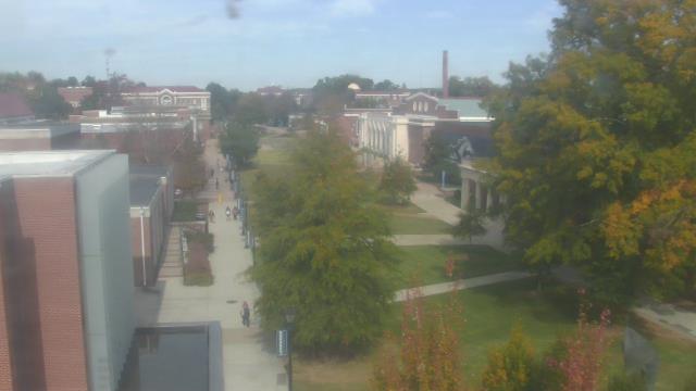
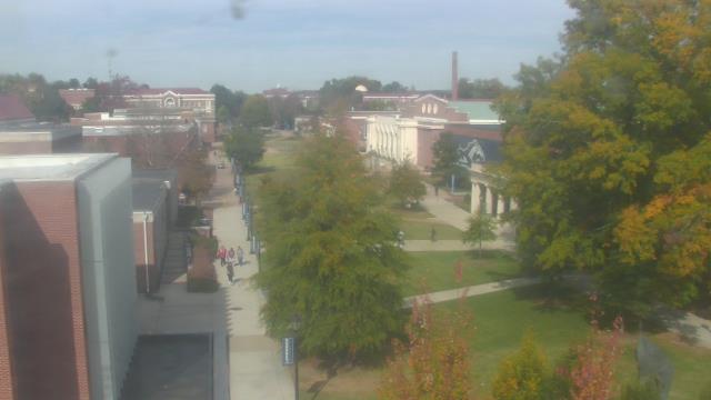
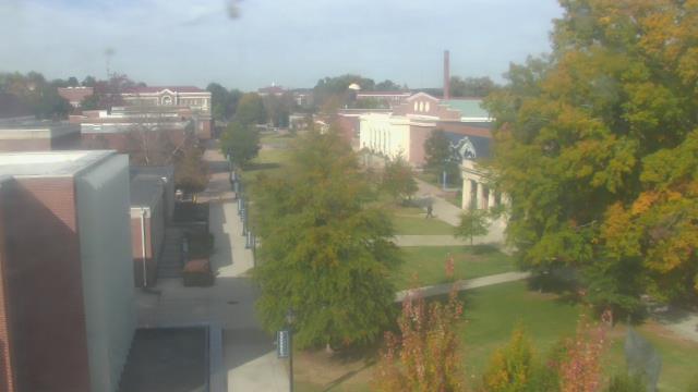
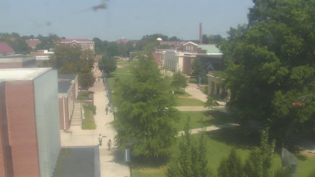
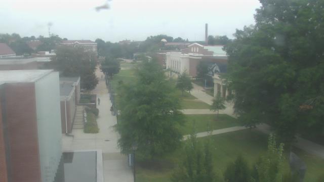
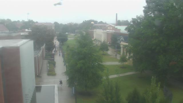
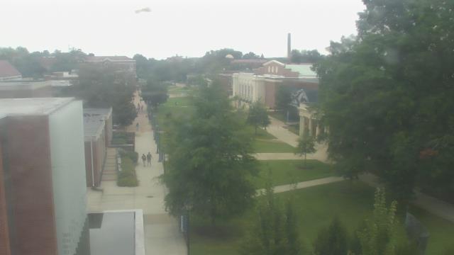
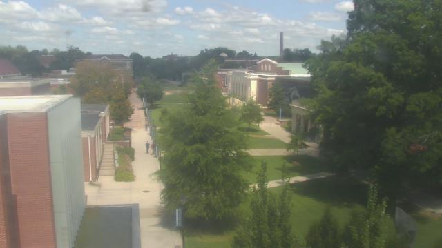
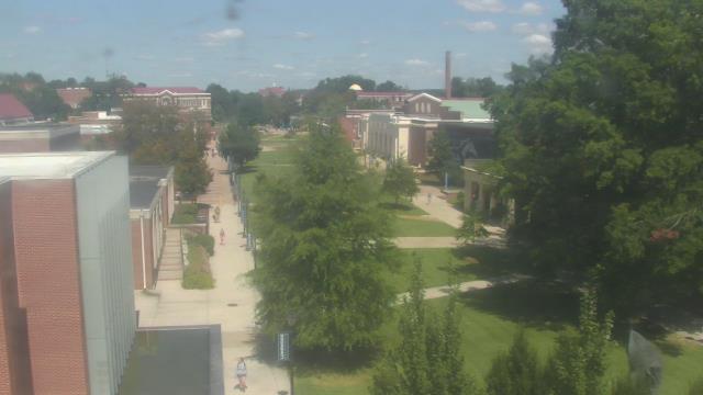
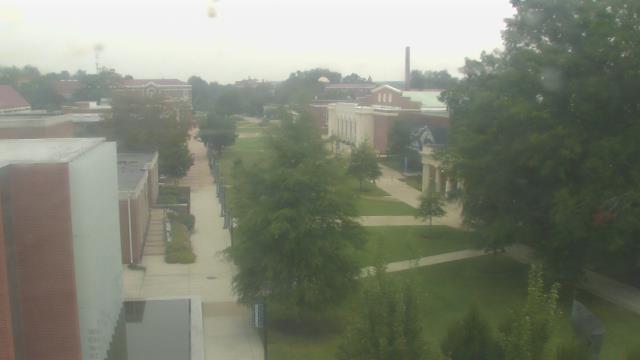
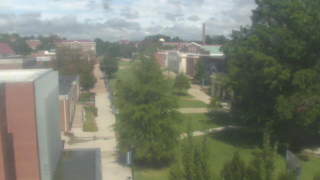
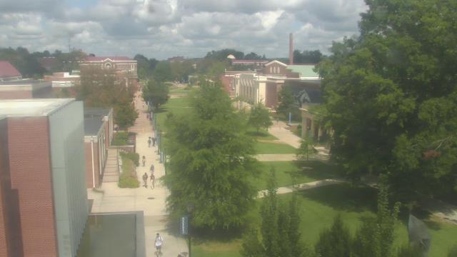
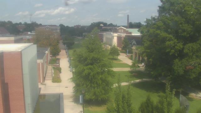
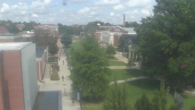
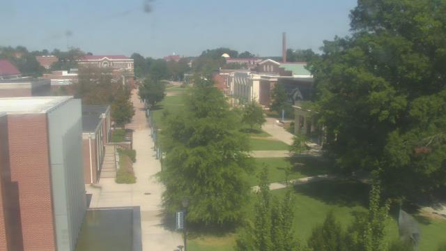
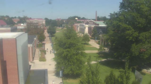
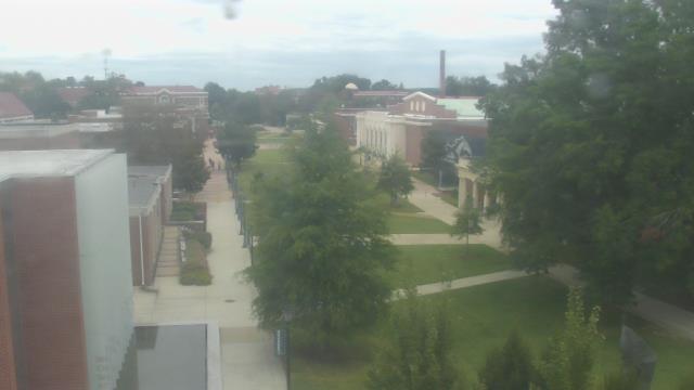
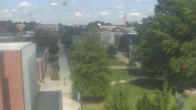
Roanoke, Virginia, USA - 1.9 miles from Sunrise Heights: Roanoke Catholic School - A webcam in Roanoke, Virginia - camera location: Roanoke Catholic School.
Operator: WeatherBug
Operator: WeatherBug


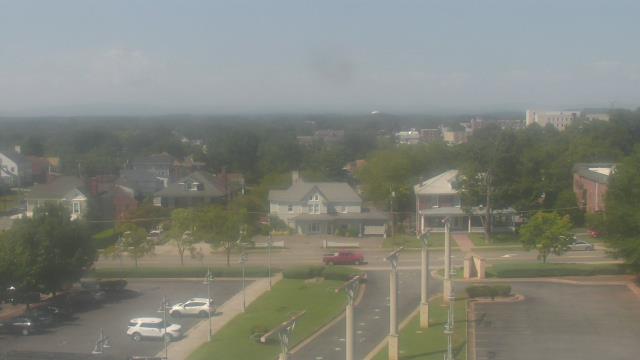
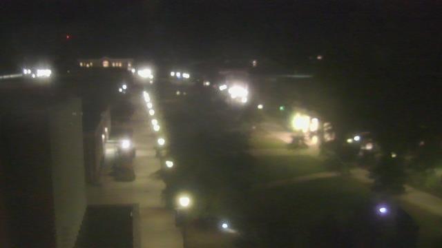
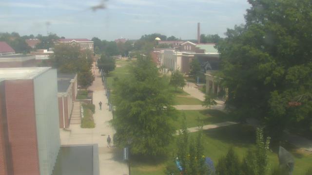
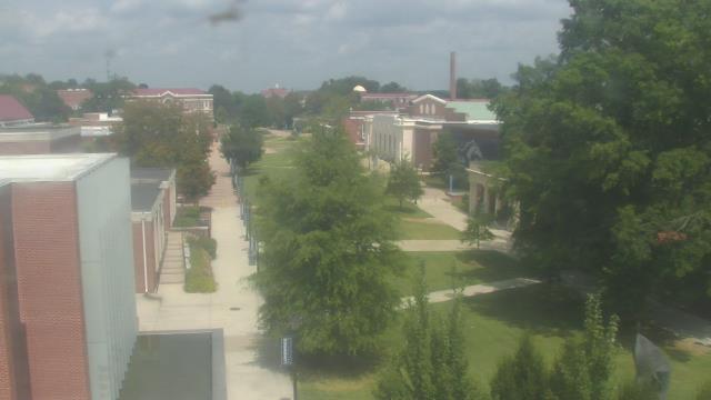
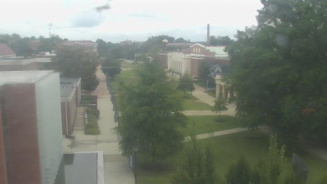
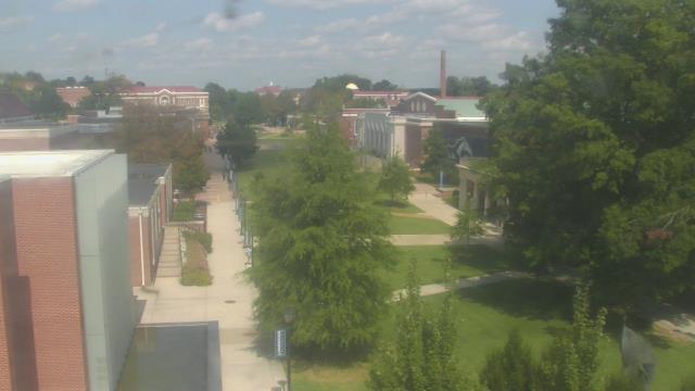
Roanoke, Virginia, USA - 1.9 miles from Sunrise Heights: Mountain View - Looking SW over Appalachians near Blue Ridge Pkwy.
Operator: Roanoke Weather Page
Operator: Roanoke Weather Page


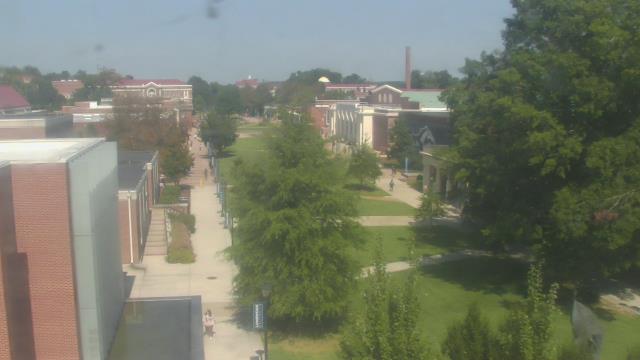
Salem, Virginia, USA - 7.1 miles from Sunrise Heights: City of Salem Civic Center - A webcam in Salem, Virginia - camera location: City of Salem Civic Center.
Operator: WeatherBug
Operator: WeatherBug


Buchanan, Virginia, USA - 21 miles from Sunrise Heights: James River High School - A webcam in Buchanan, Virginia - camera location: James River High School.
Operator: WeatherBug
Operator: WeatherBug


Riner, Virginia, USA - 32.4 miles from Sunrise Heights: Auburn Middle School - A webcam in Riner, Virginia - camera location: Auburn Middle School.
Operator: WeatherBug
Operator: WeatherBug


Martinsville, Virginia, USA - 41.8 miles from Sunrise Heights: Virginia Museum of Natural History - A webcam in Martinsville, Virginia - camera location: Virginia Museum of Natural History.
Operator: WeatherBug
Operator: WeatherBug


Wytheville, Virginia, USA - 68.9 miles from Sunrise Heights: Wytheville Community College - A webcam in Wytheville, Virginia - camera location: Wytheville Community College.
Operator: WeatherBug
Operator: WeatherBug


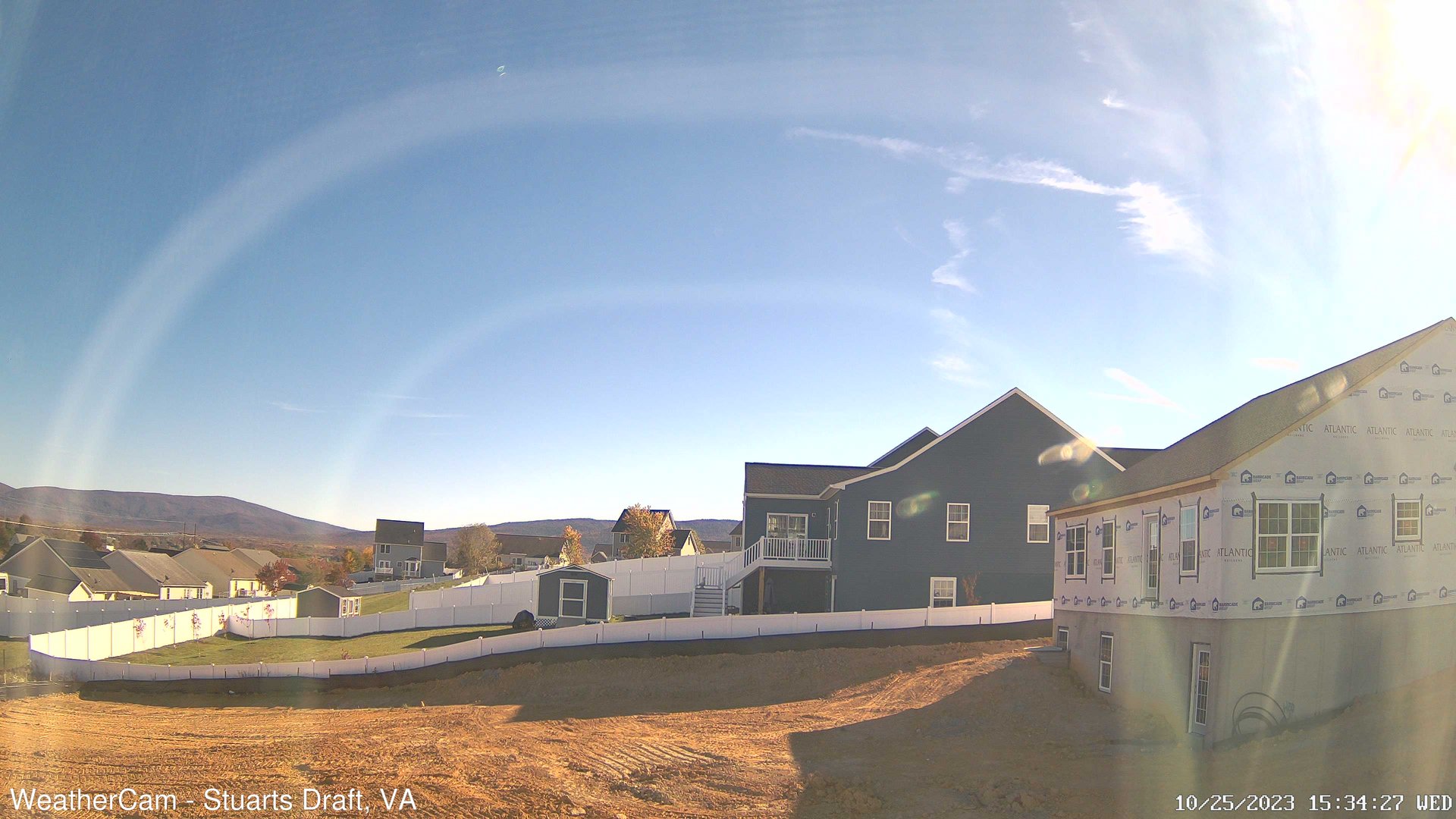
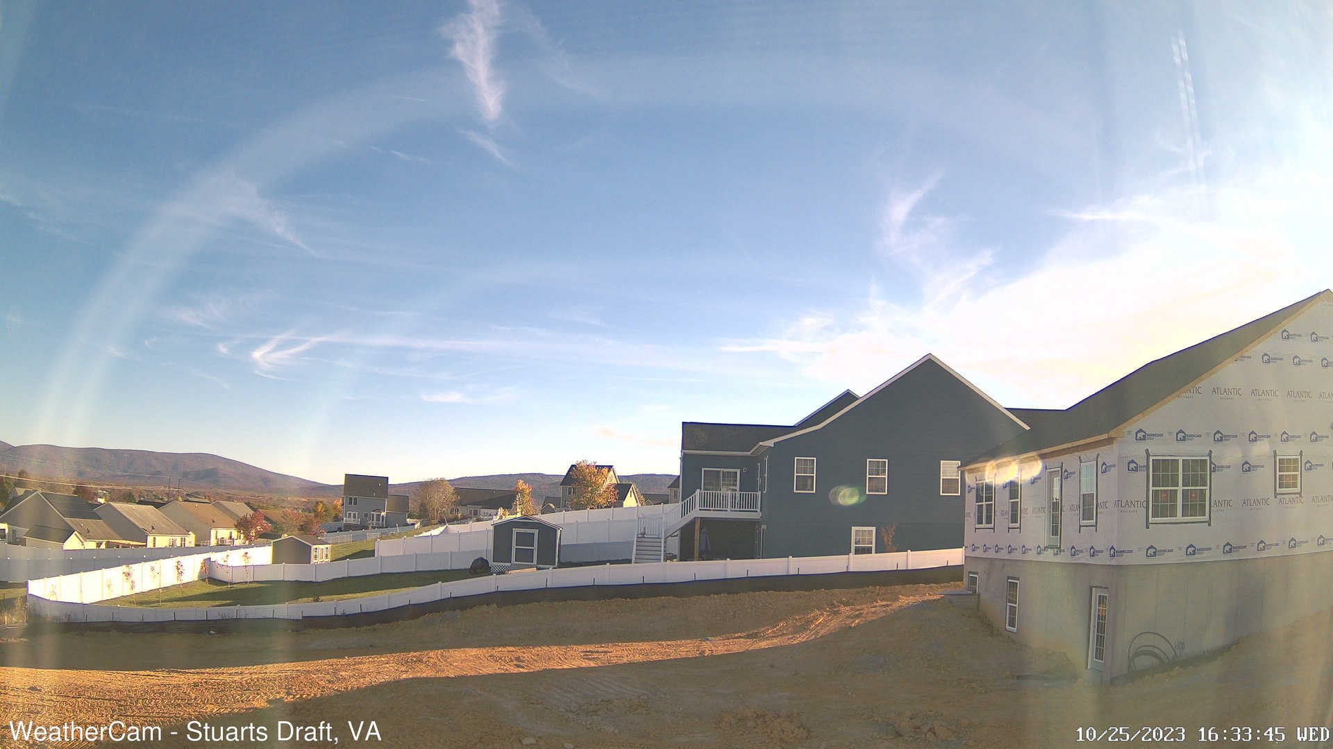
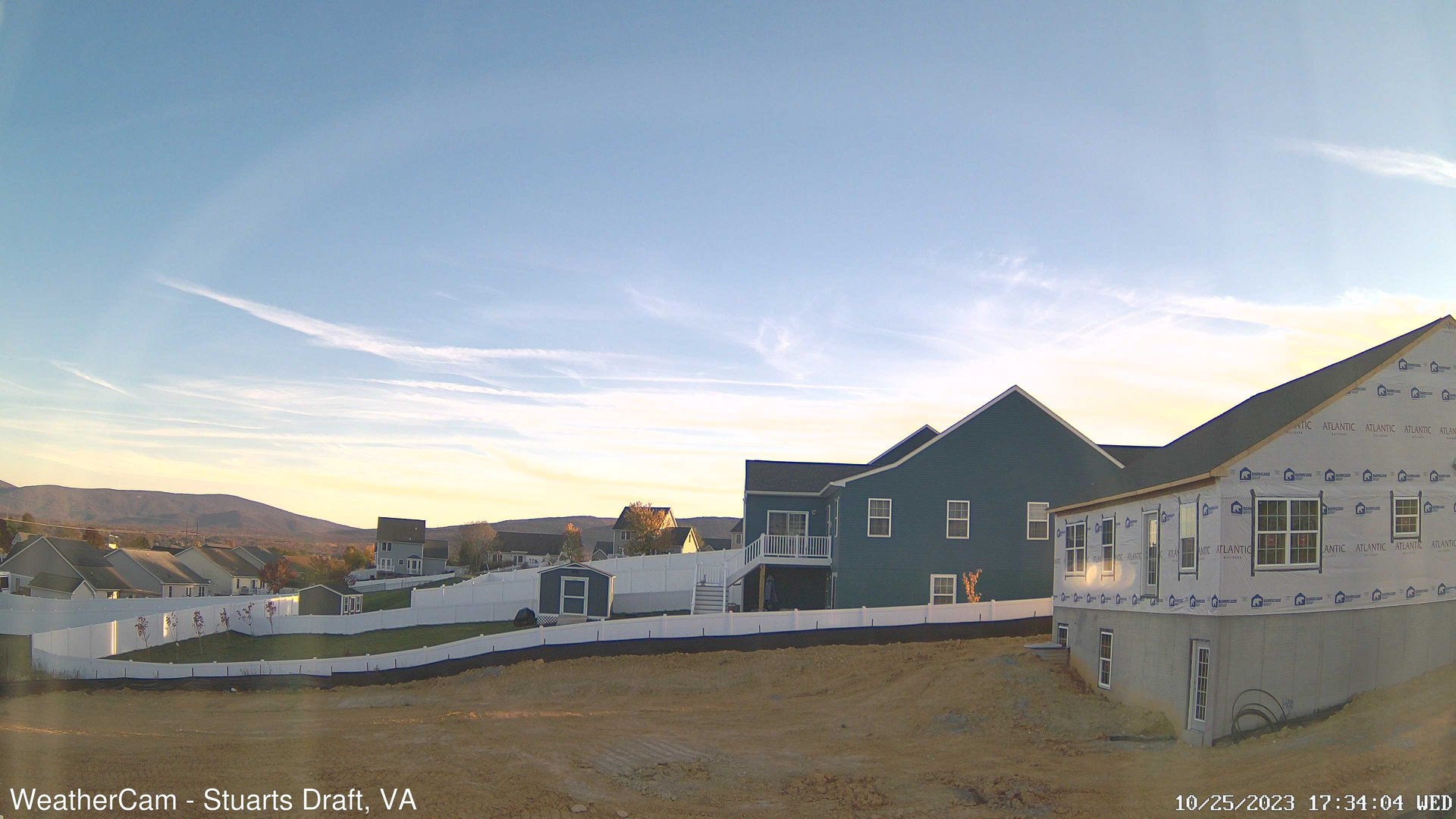
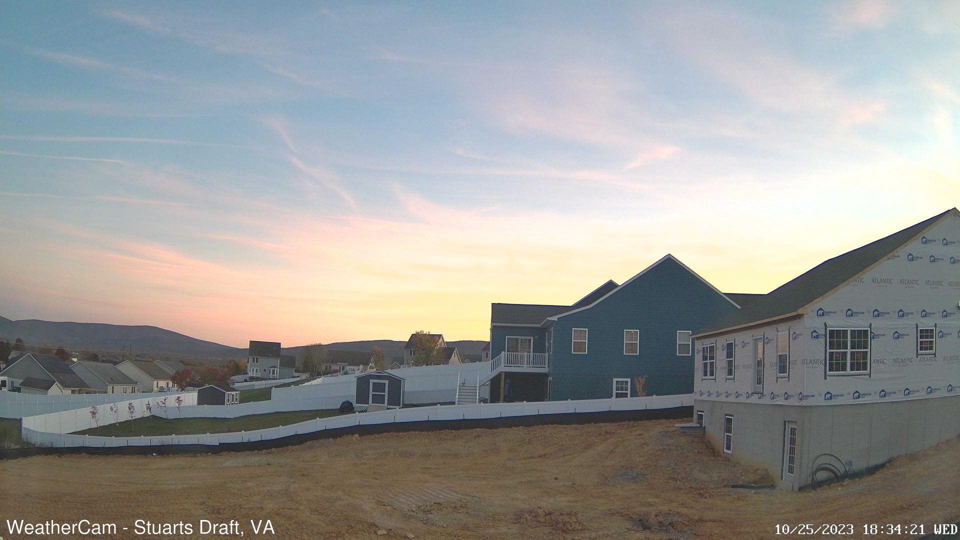
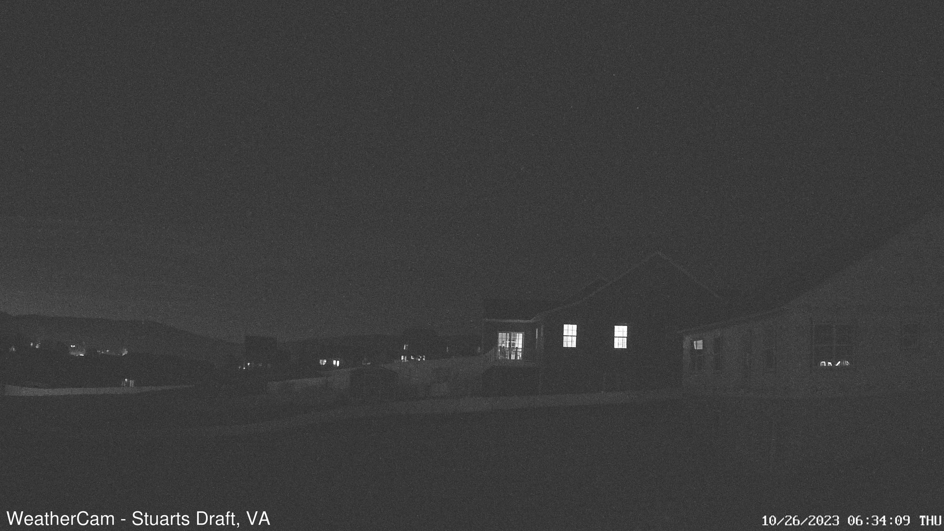
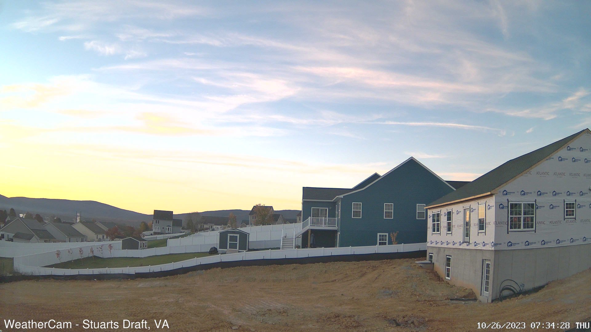
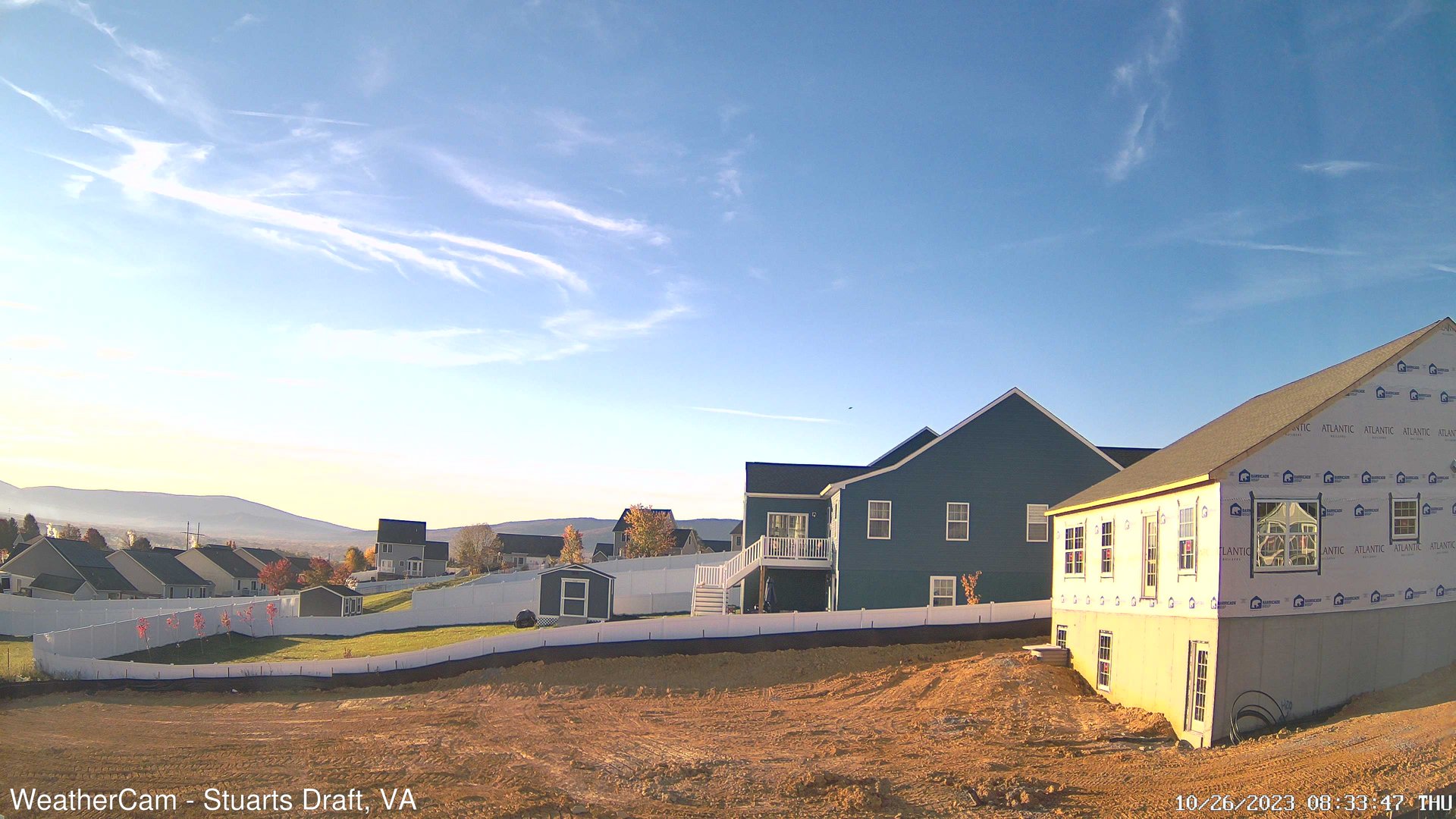
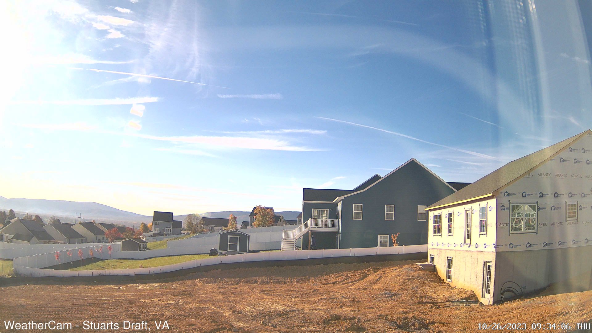
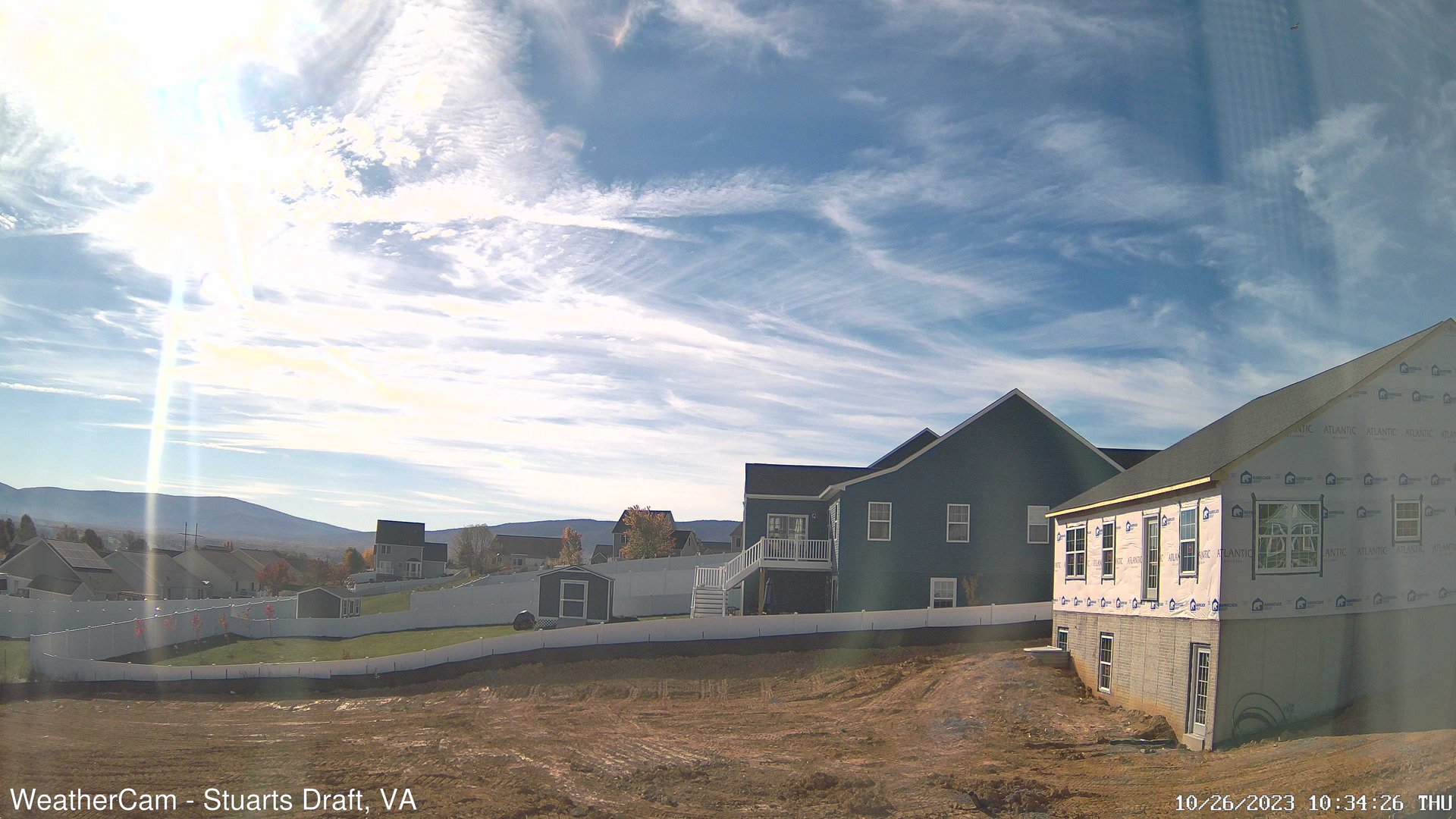
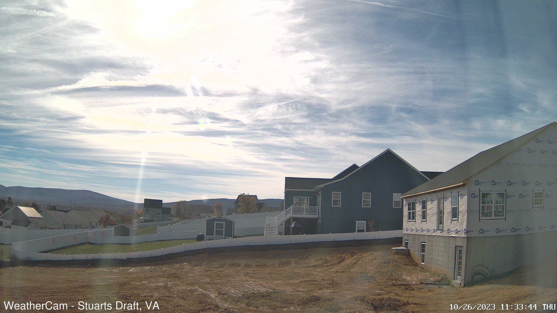
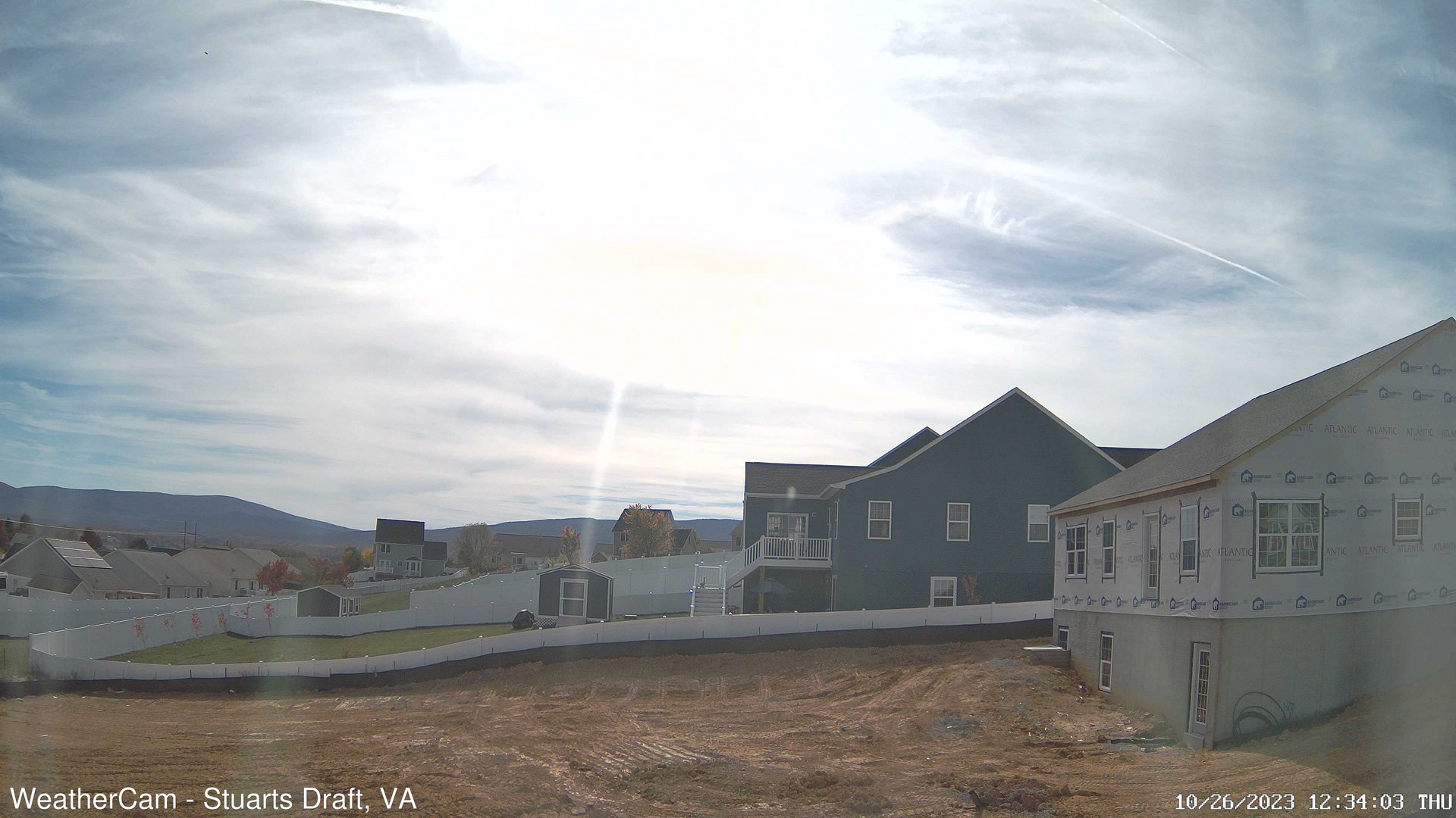
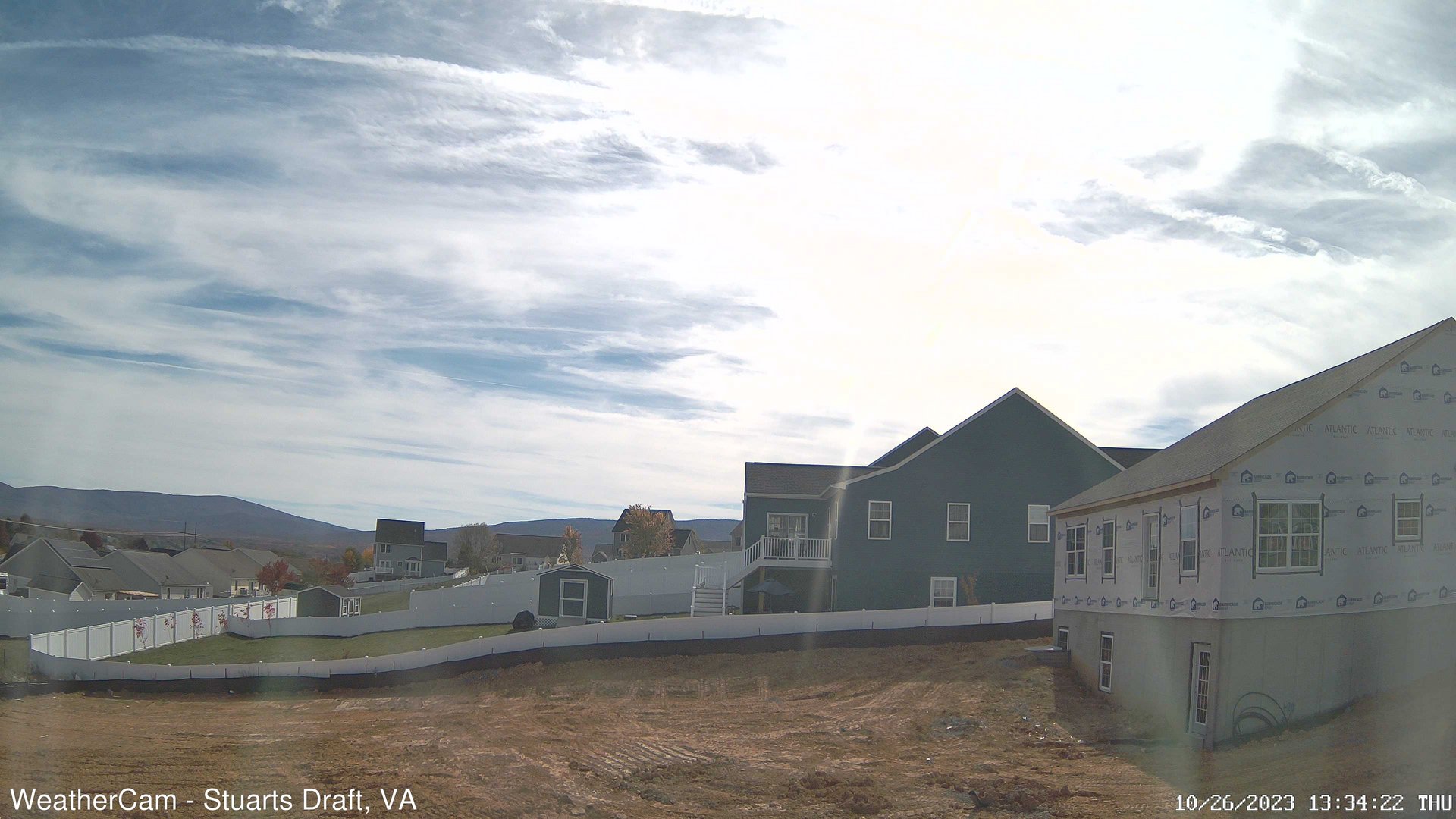
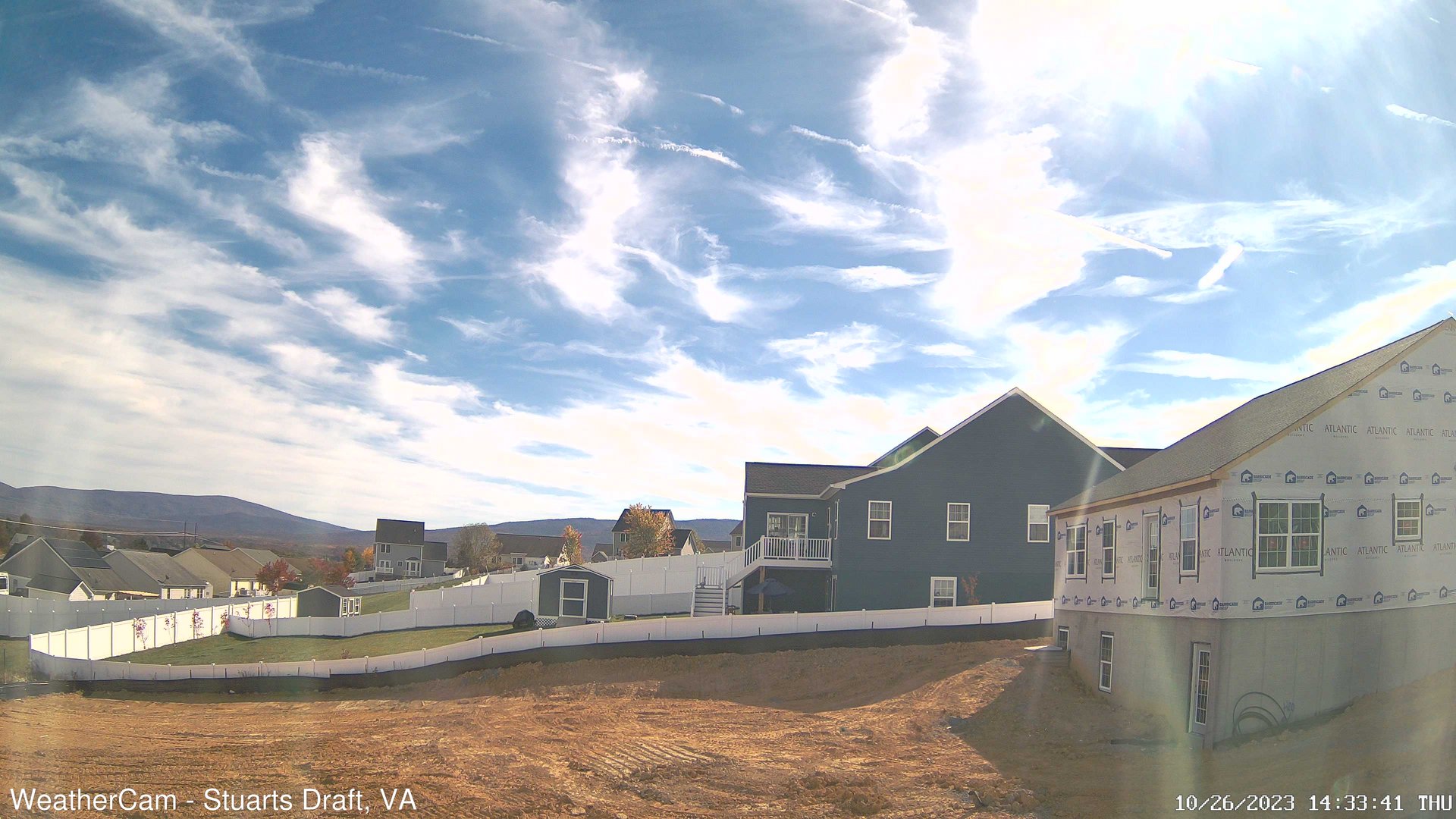
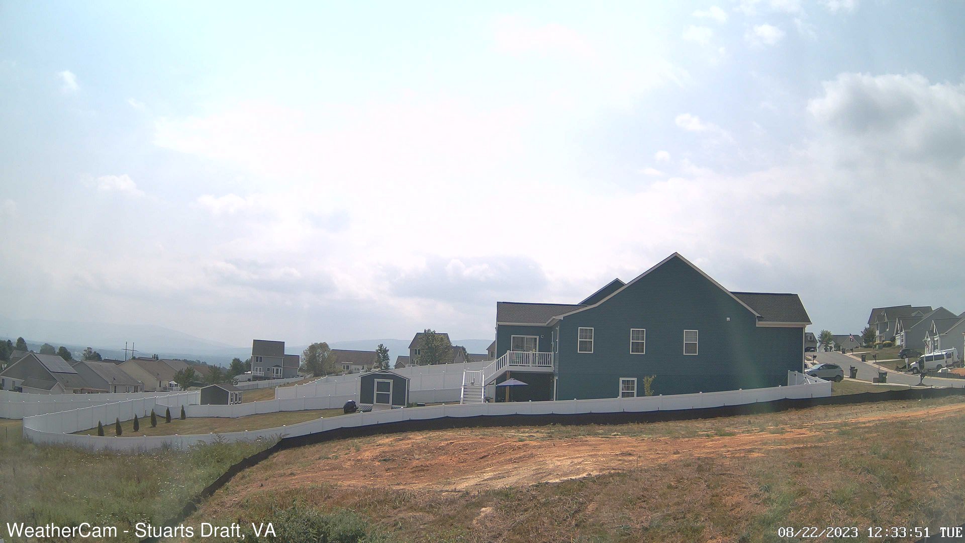
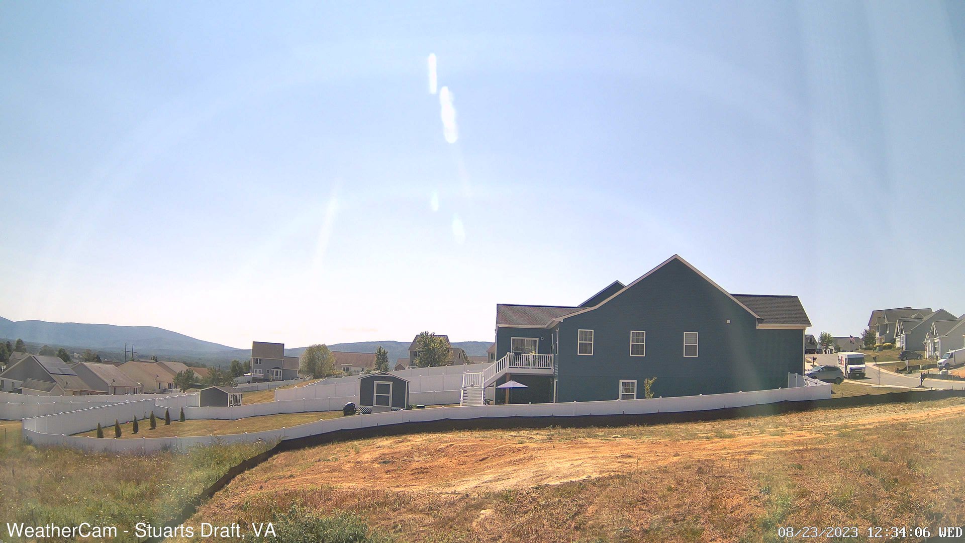
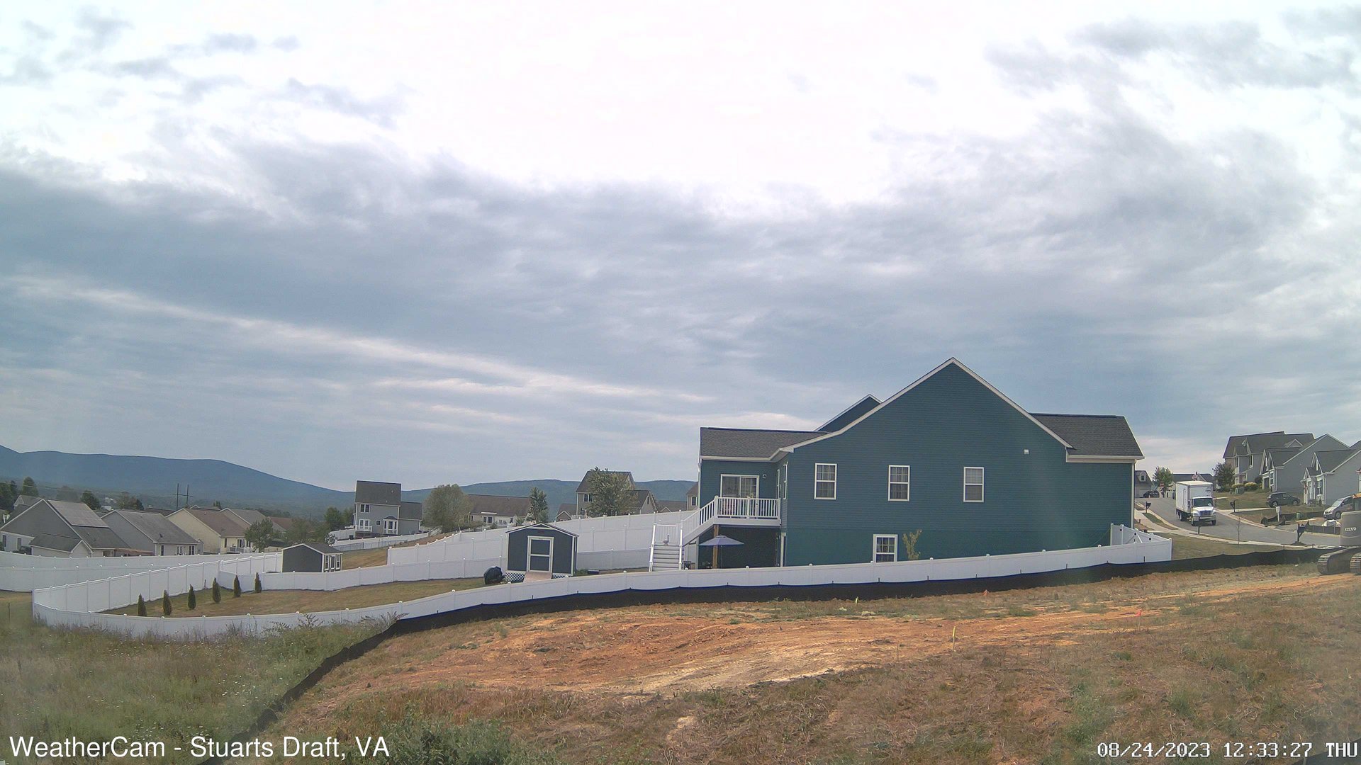
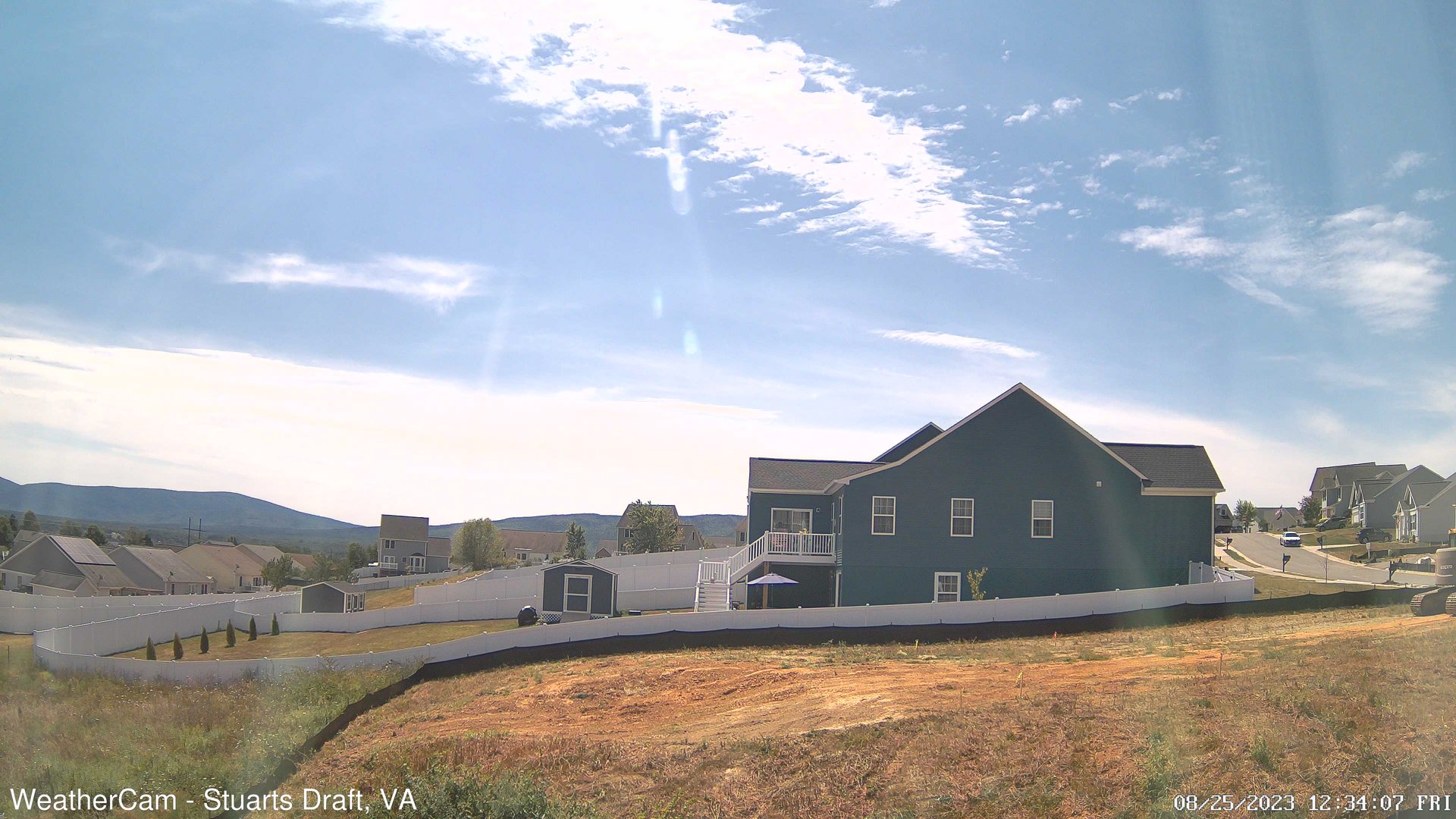
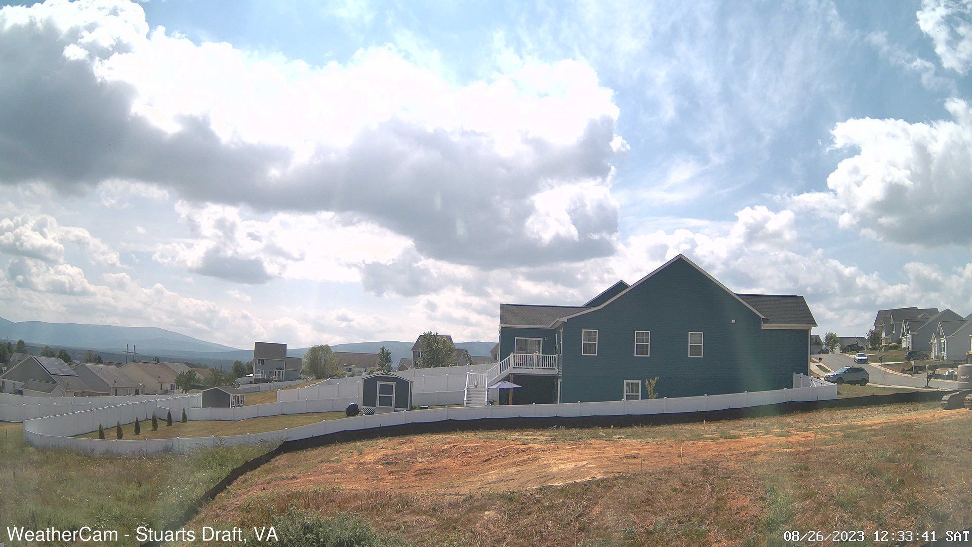
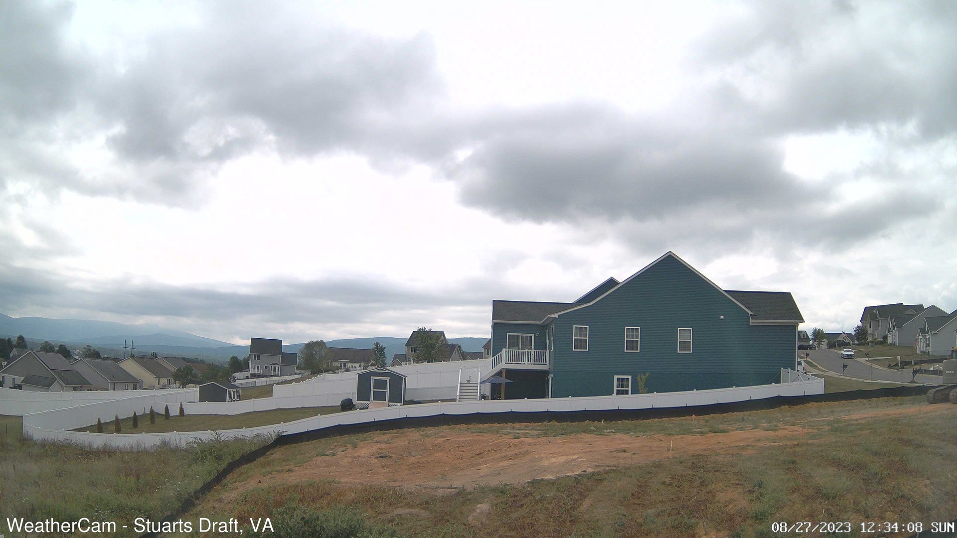
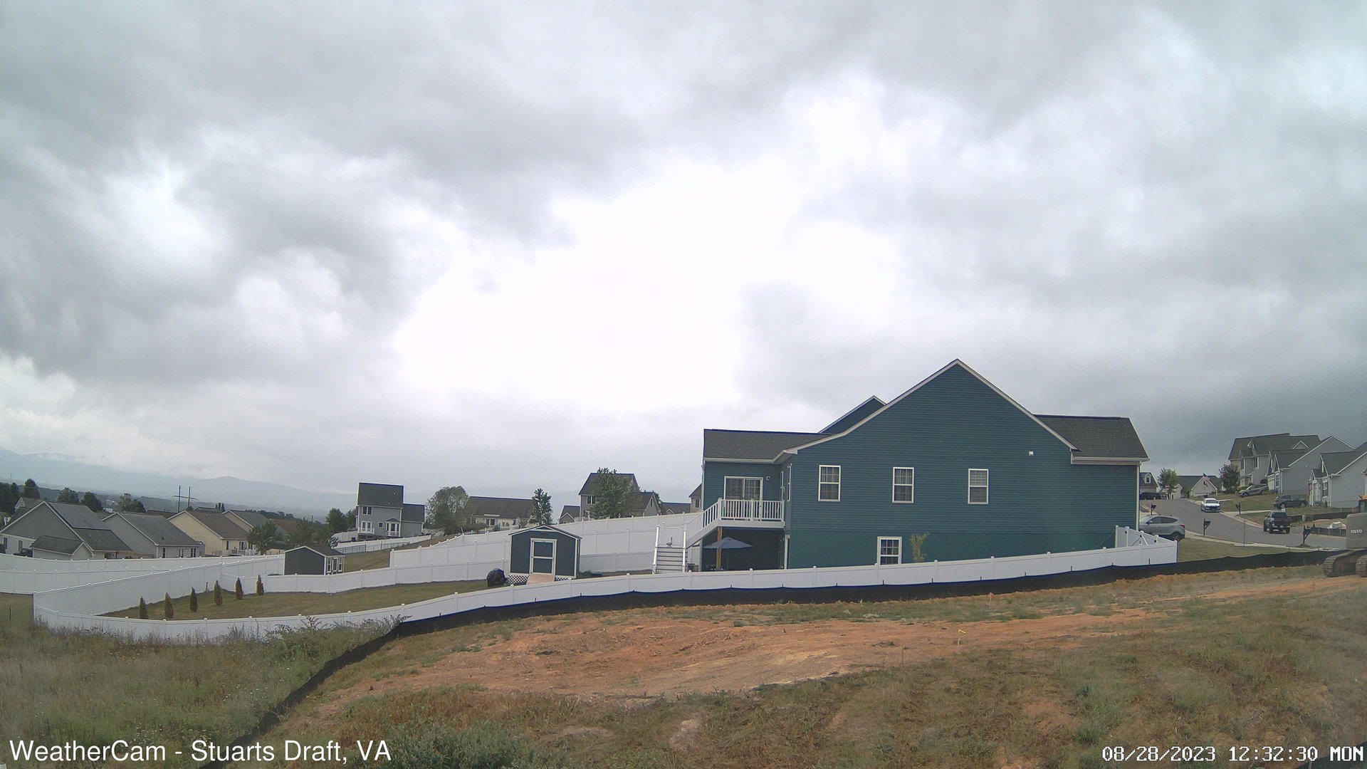
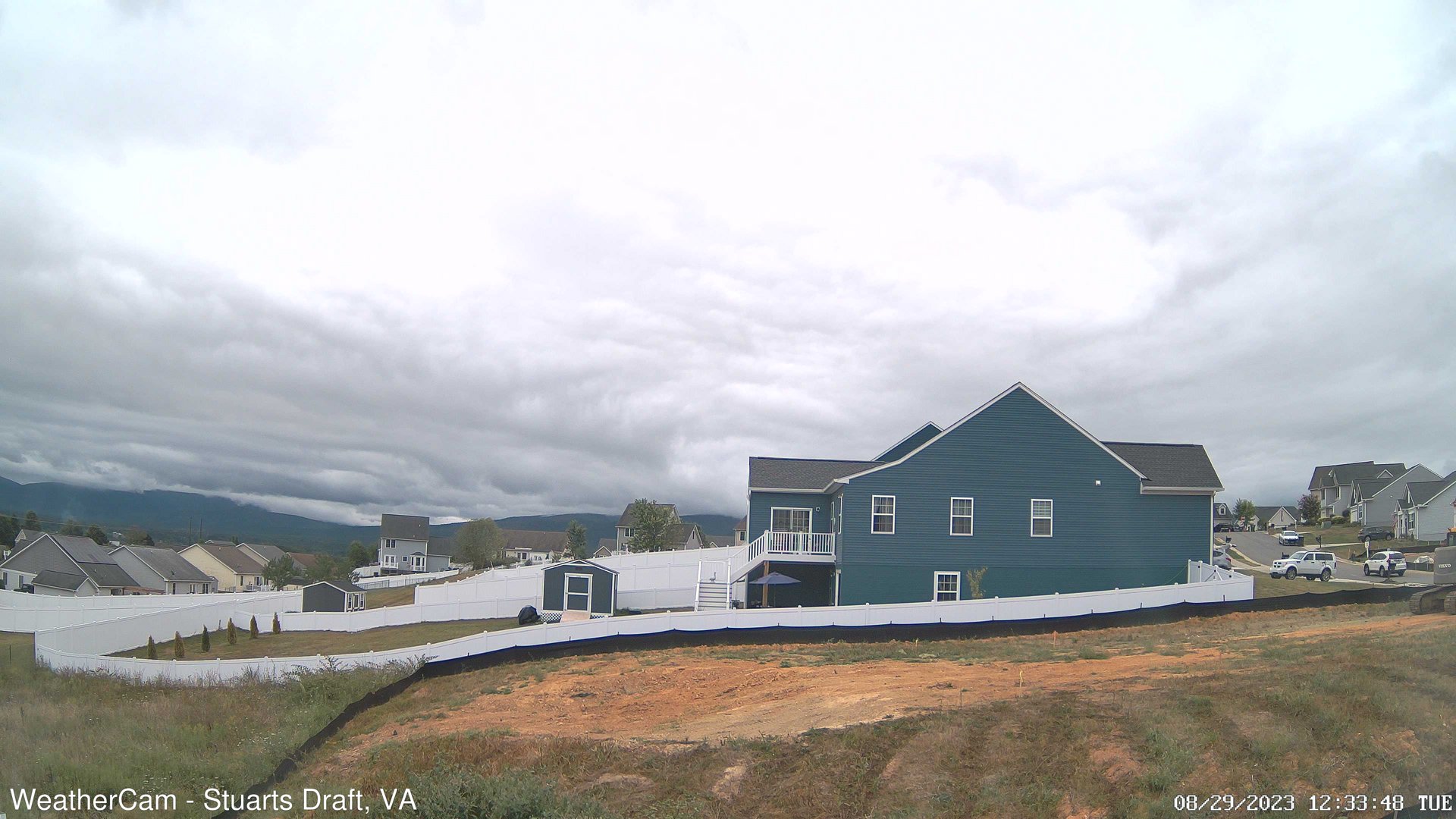
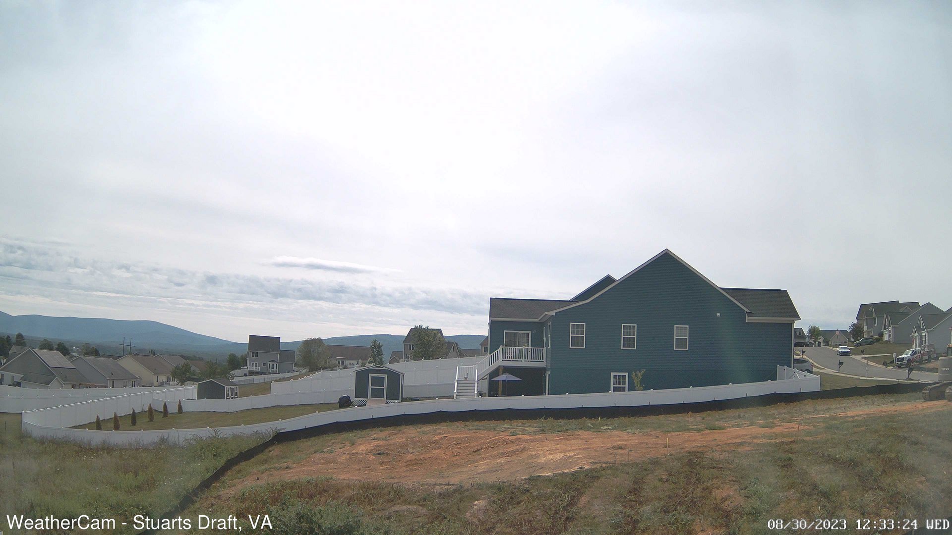
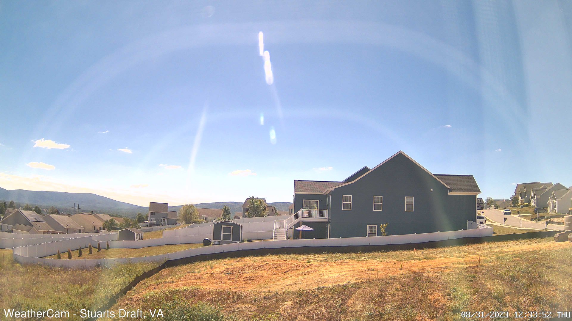
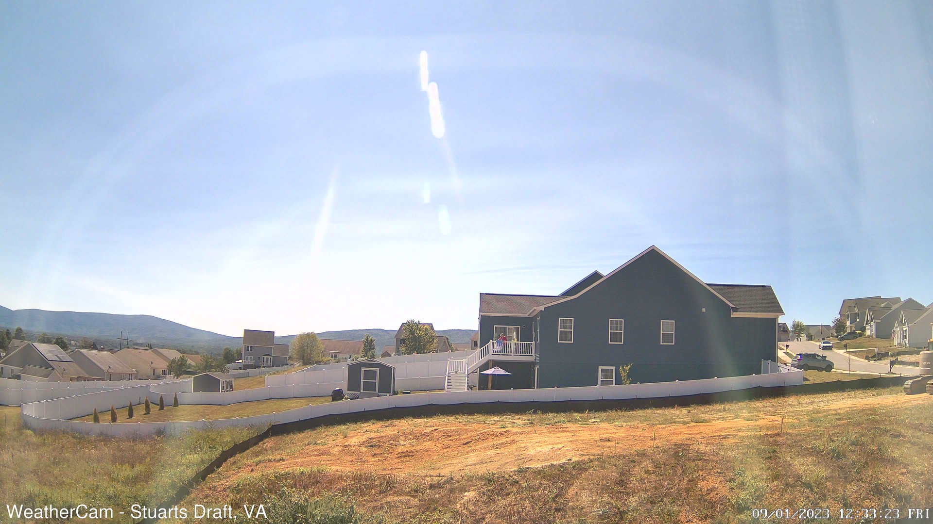
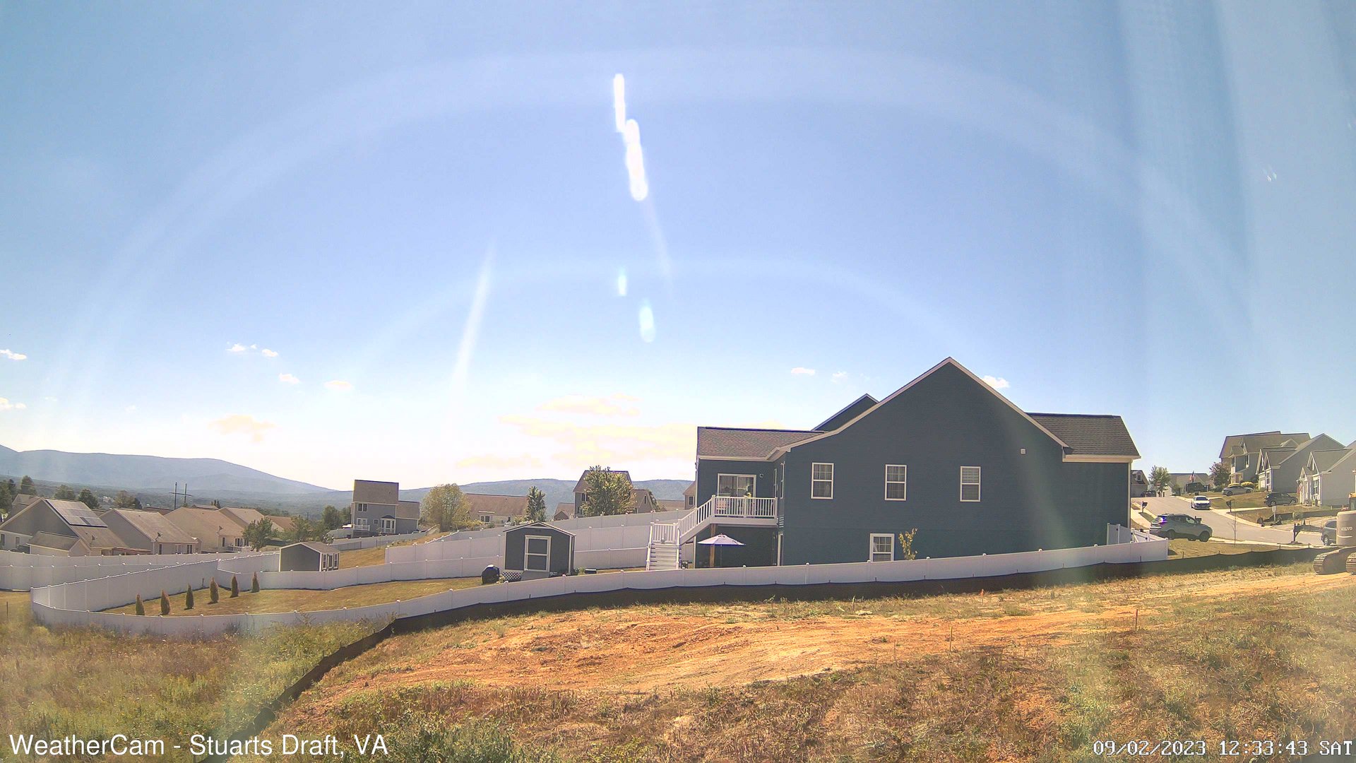
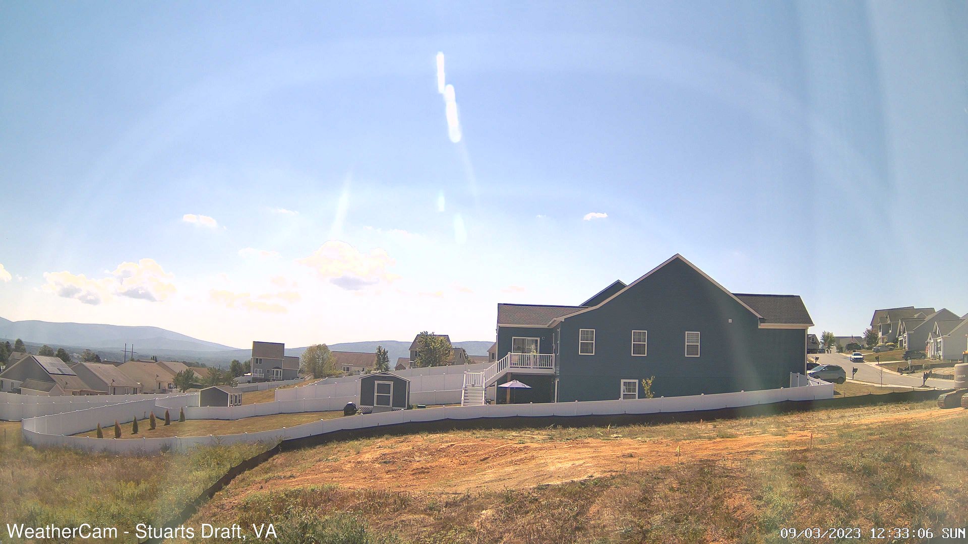
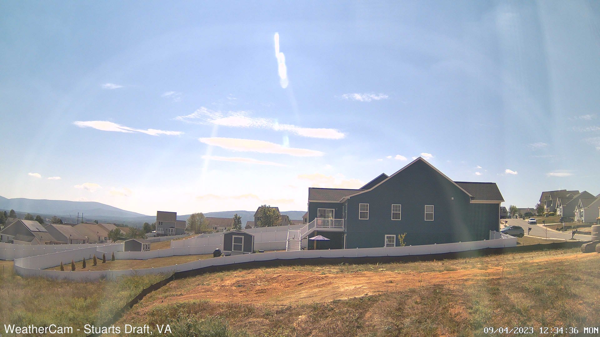
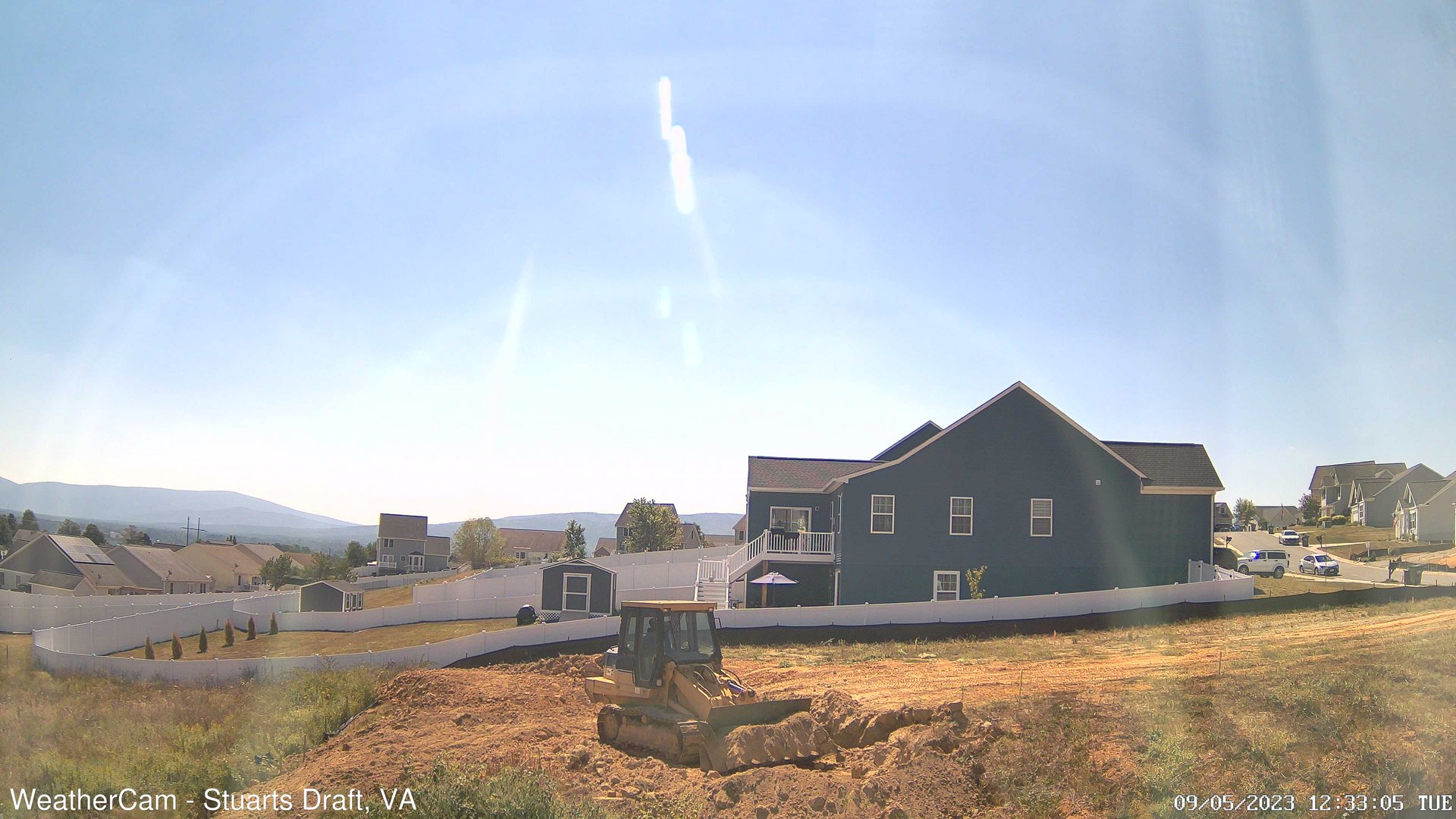
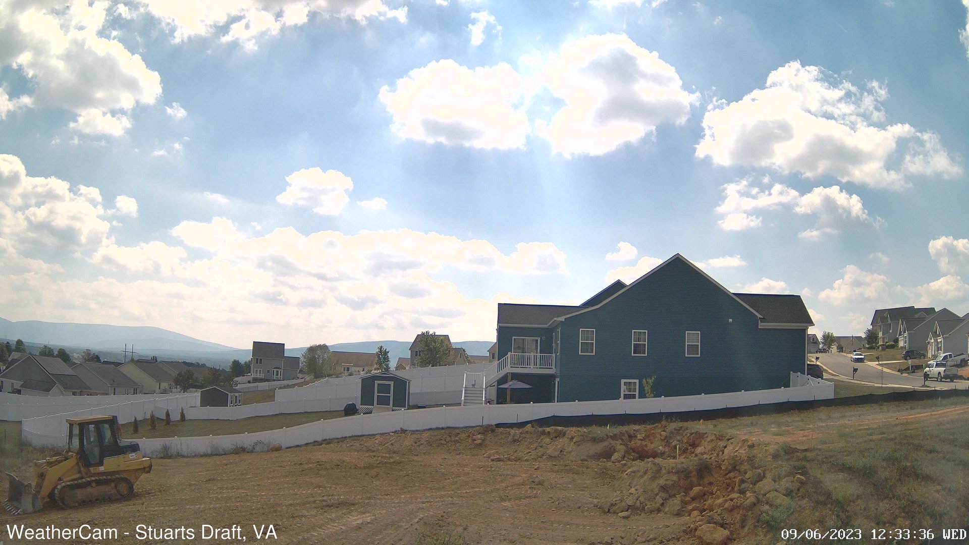
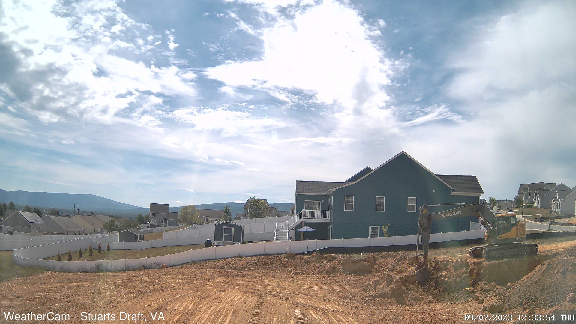
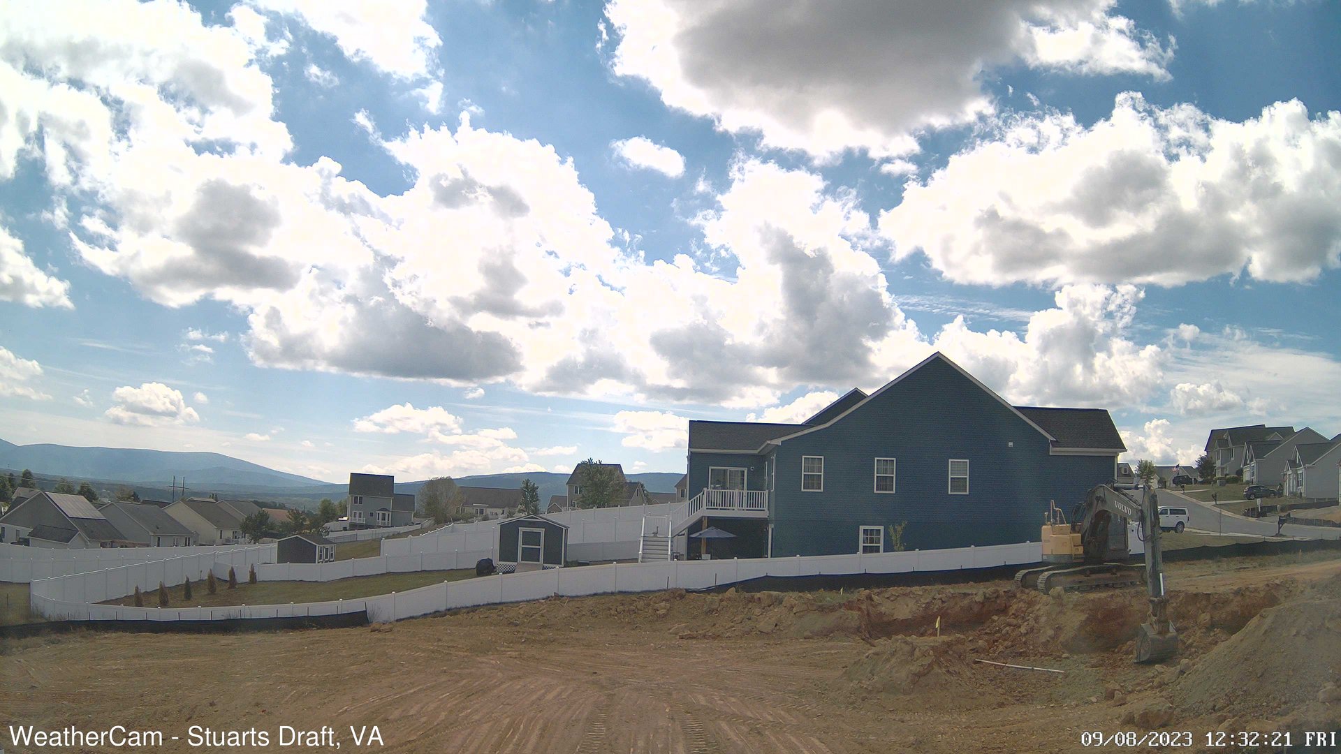
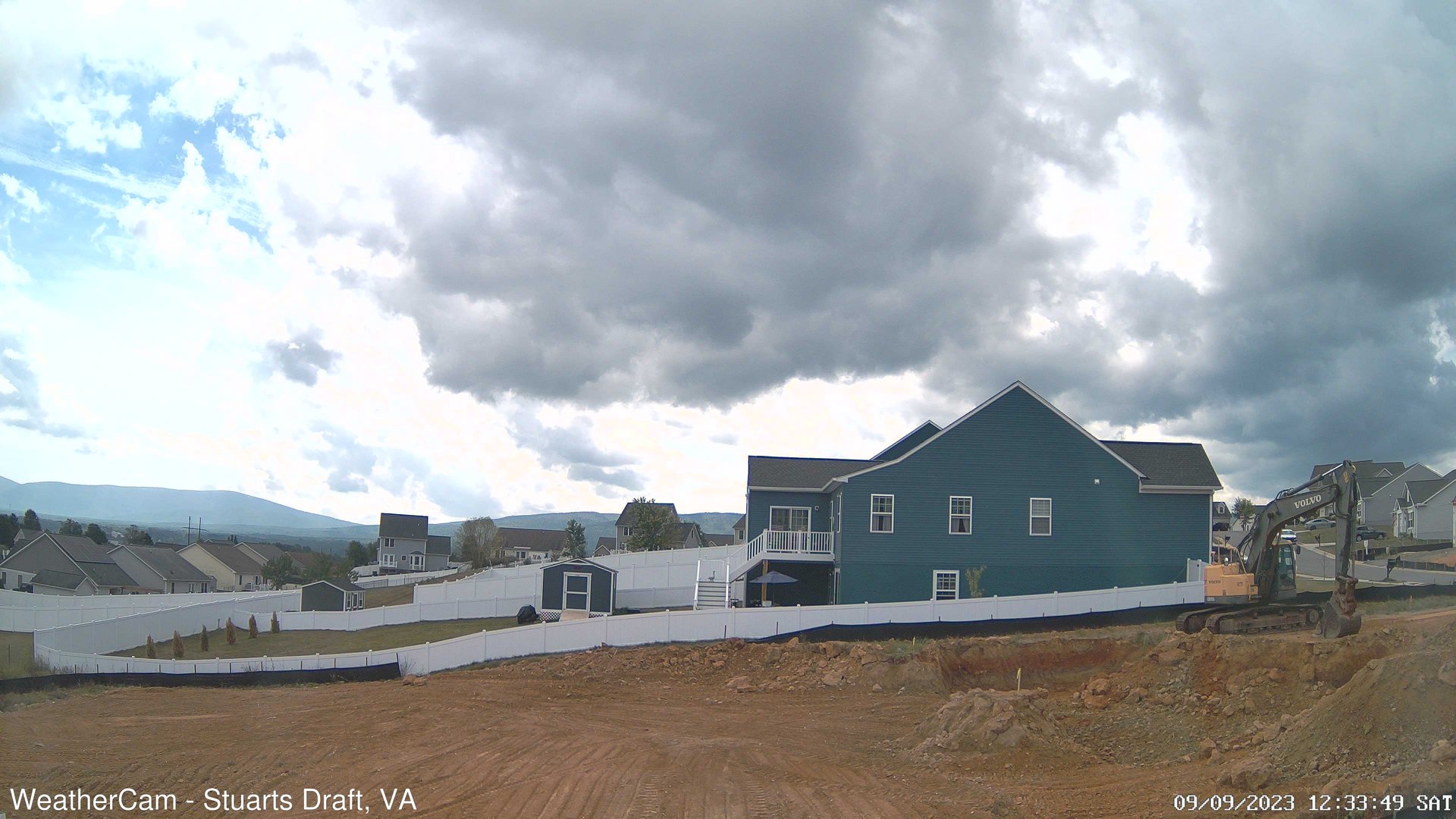
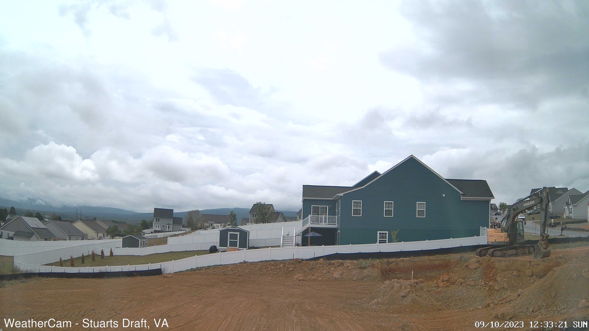
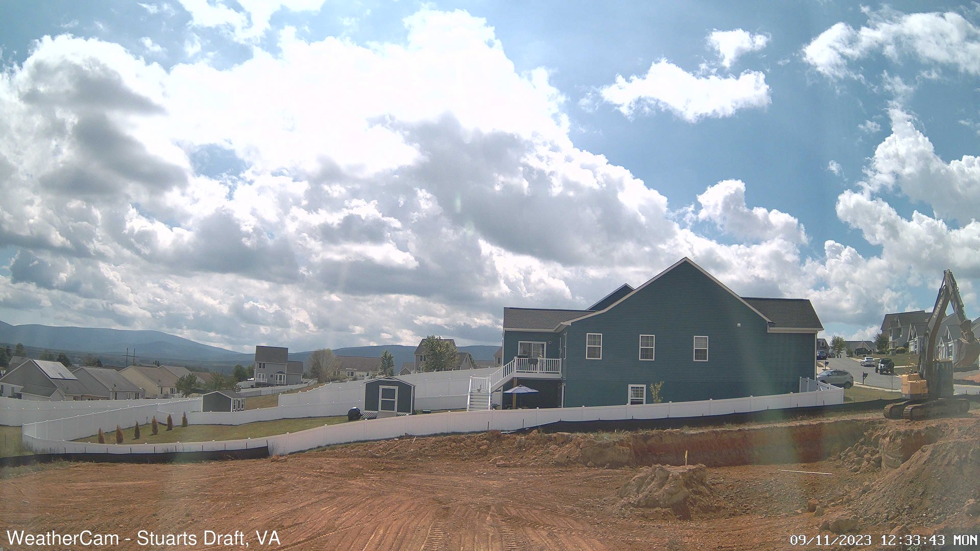
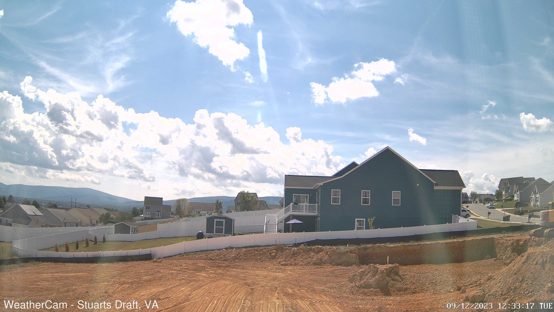
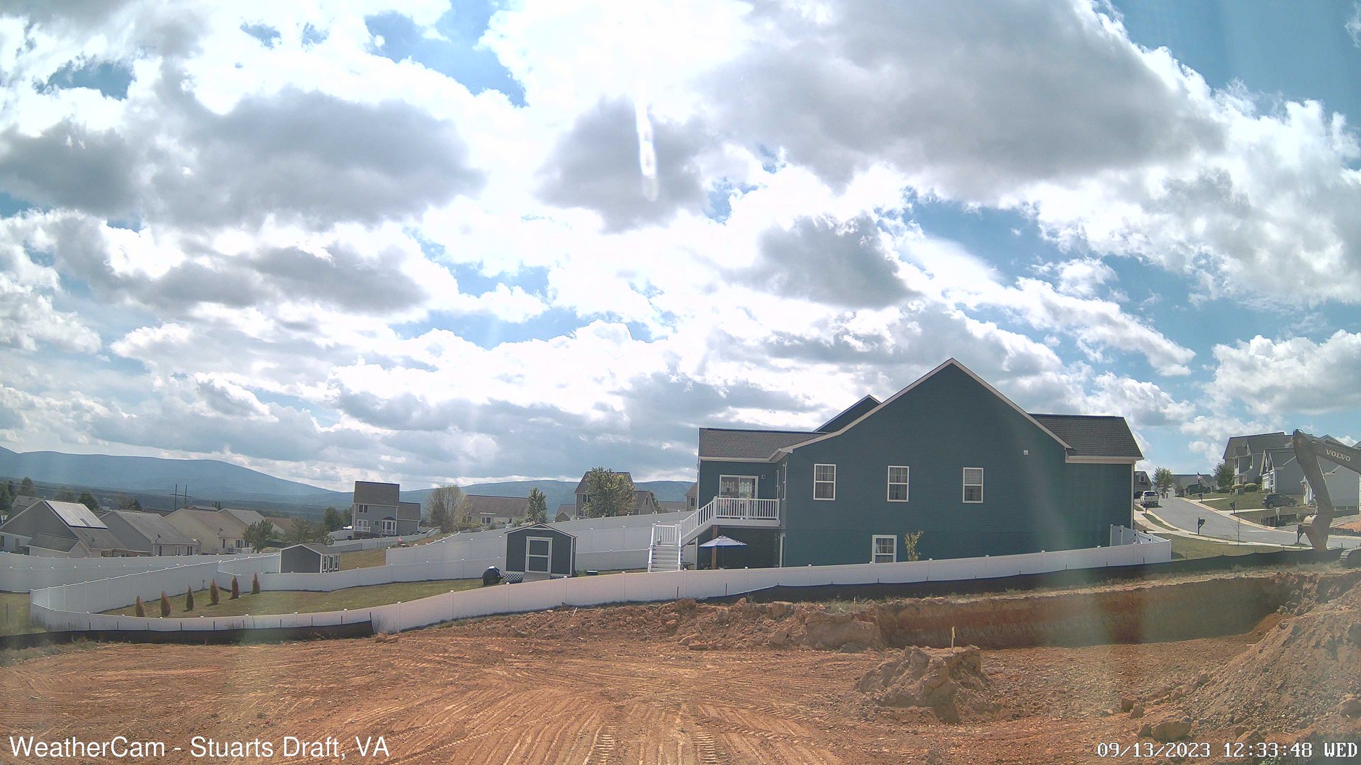
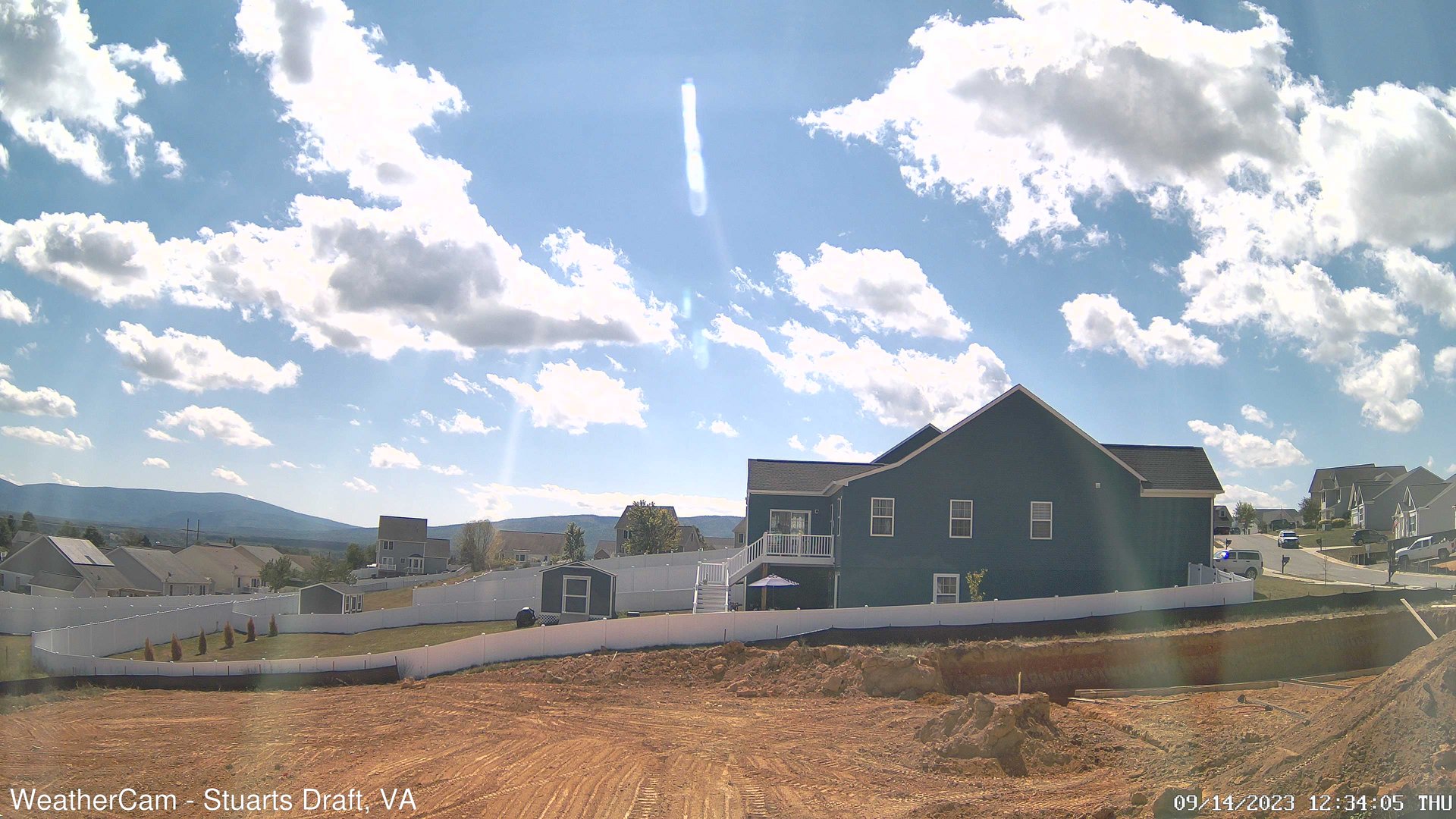
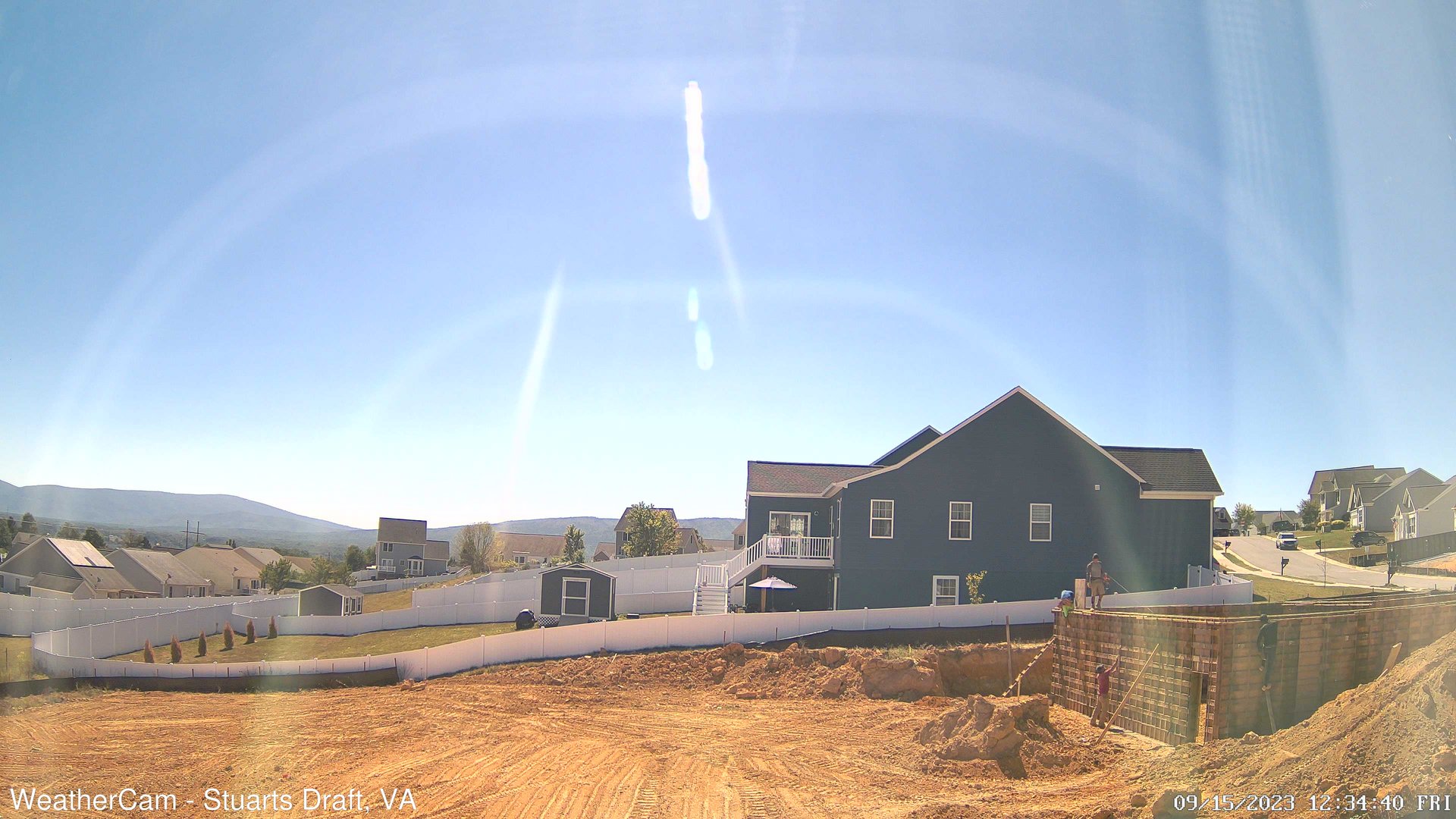
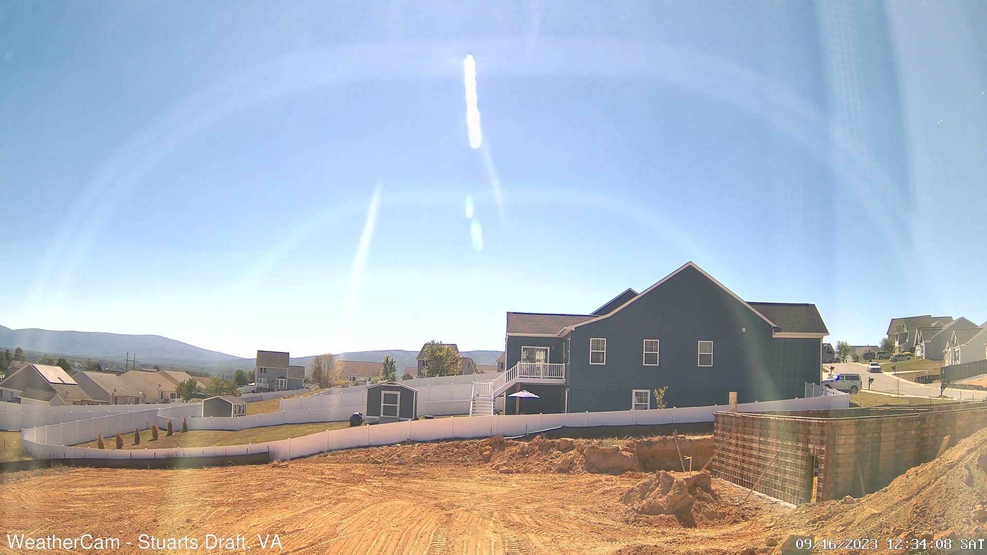
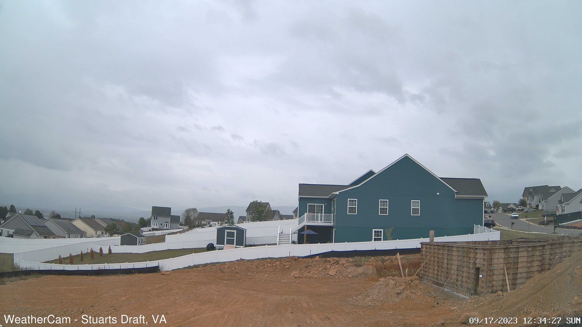
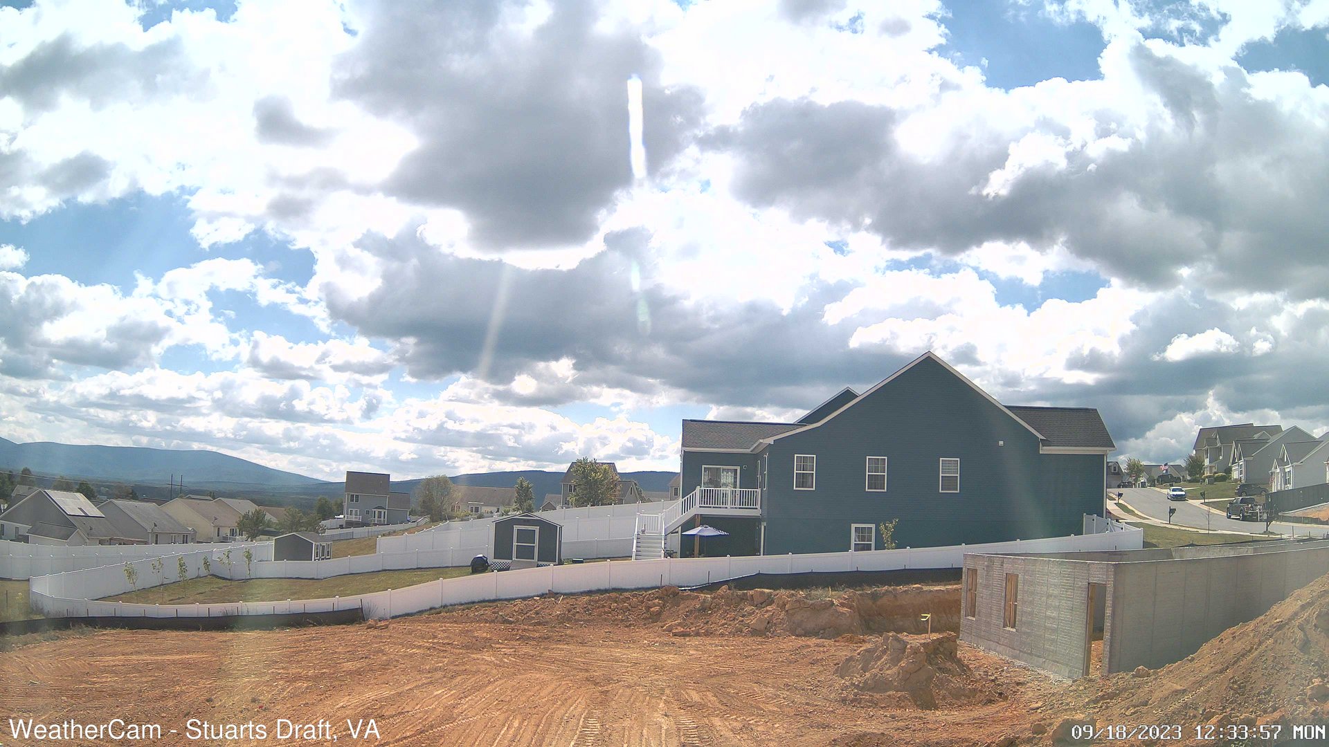
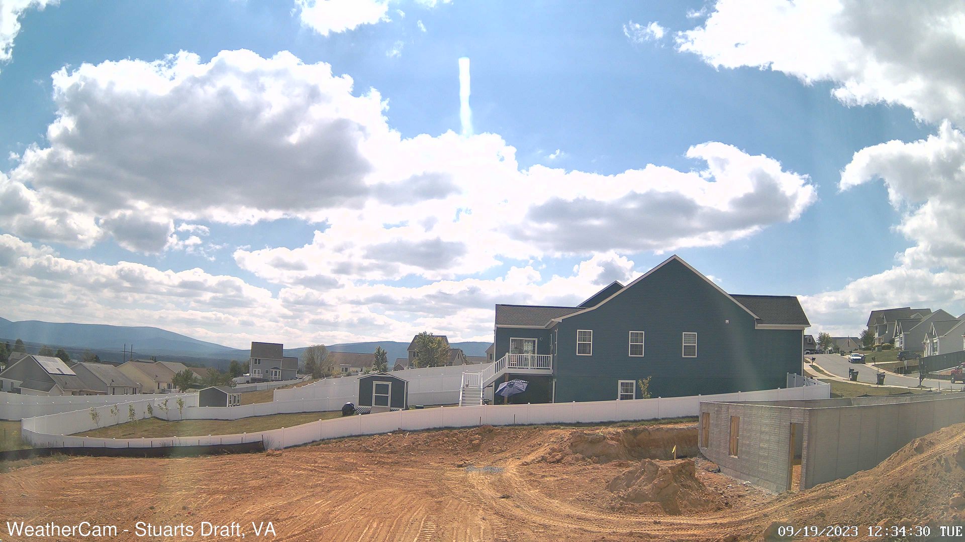
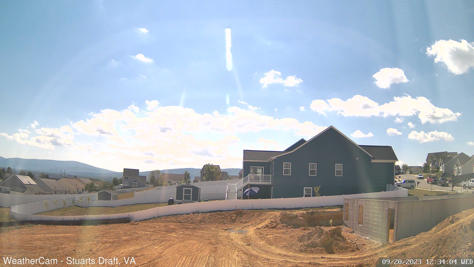
Stuarts Draft, Virginia, USA - 70.4 miles from Sunrise Heights: Blue Ridge Mountains - A view from Stuarts Draft, VA of the Blue Ridge Mountains in the distance.
Operator: J. Kristopher Photography
Operator: J. Kristopher Photography


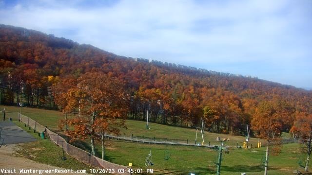
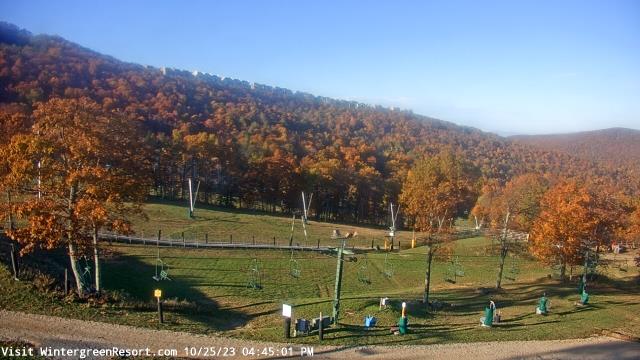
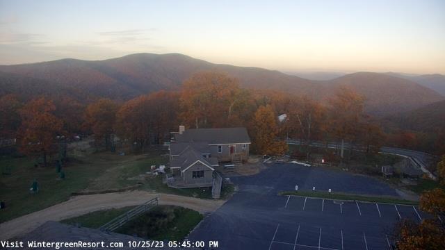
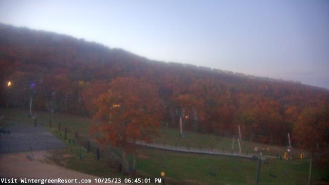
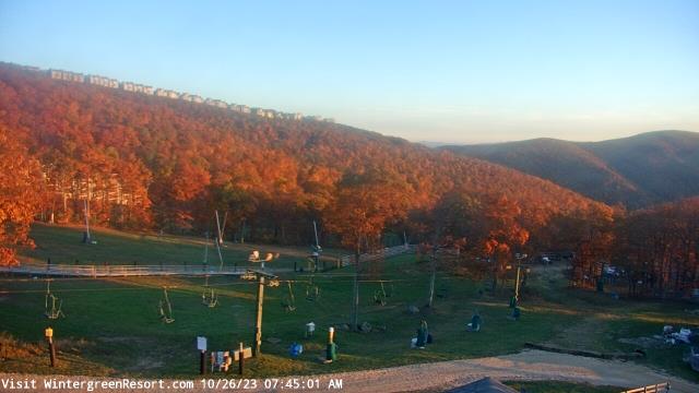
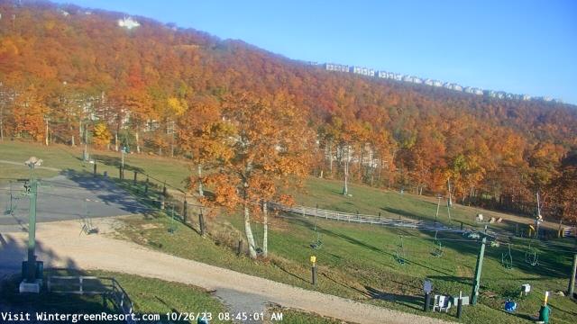
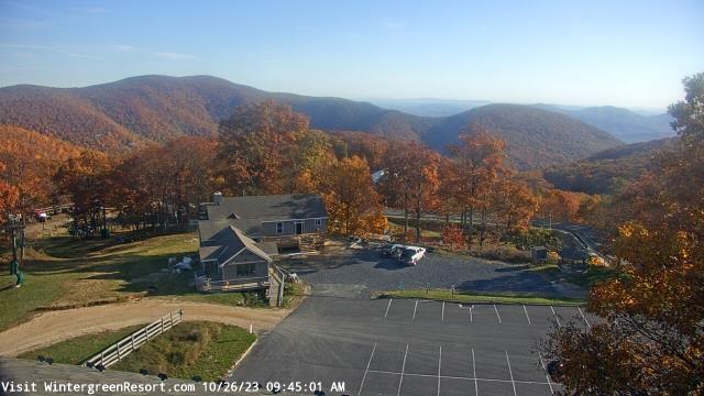
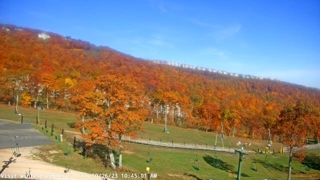
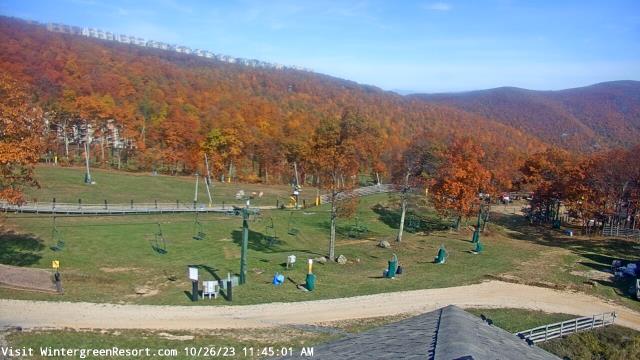
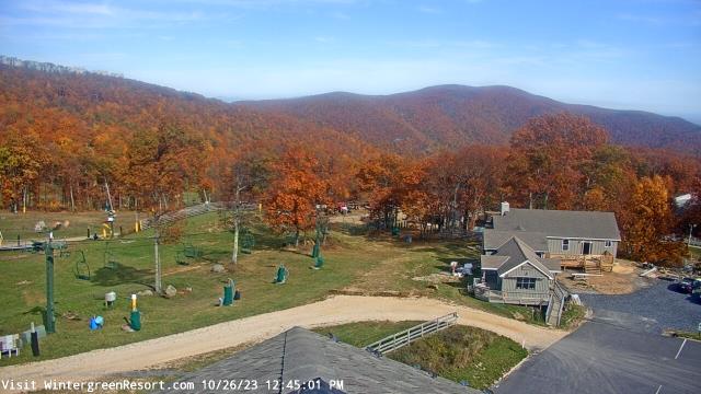
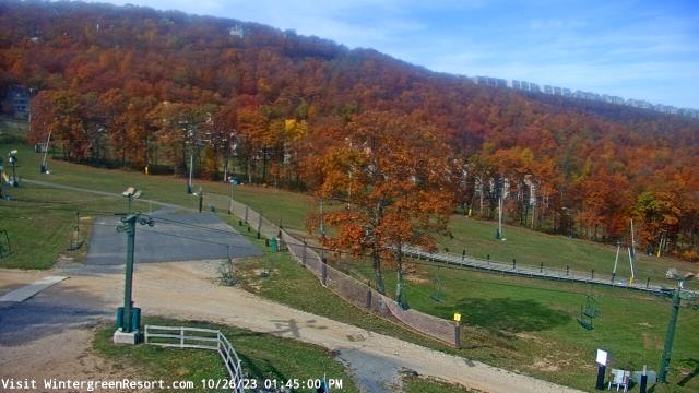
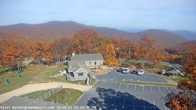
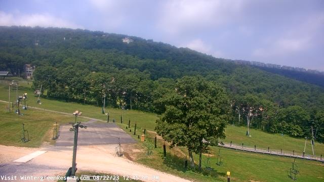
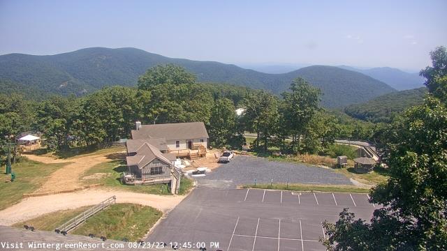
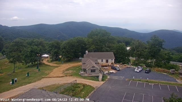
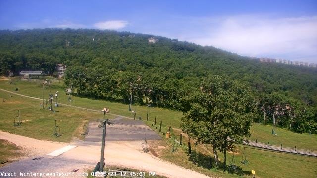
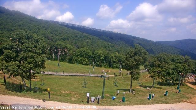
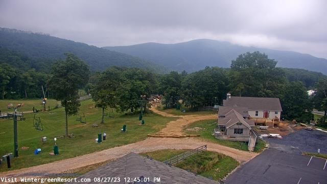
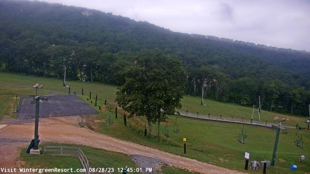
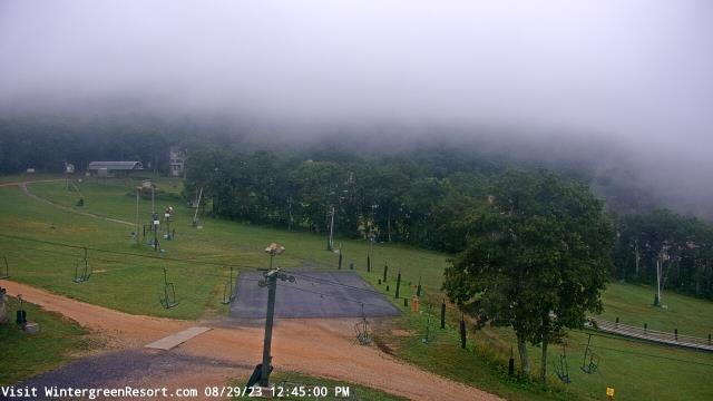
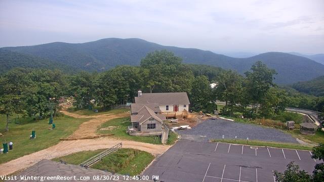
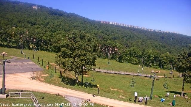
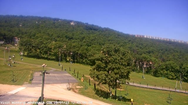
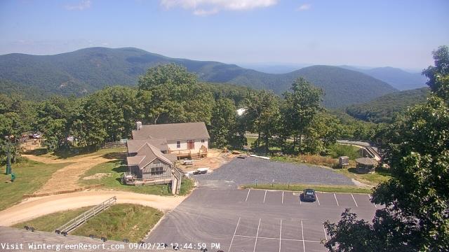
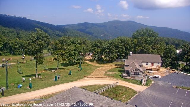
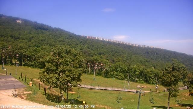
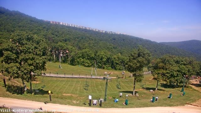
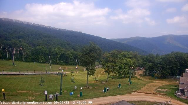
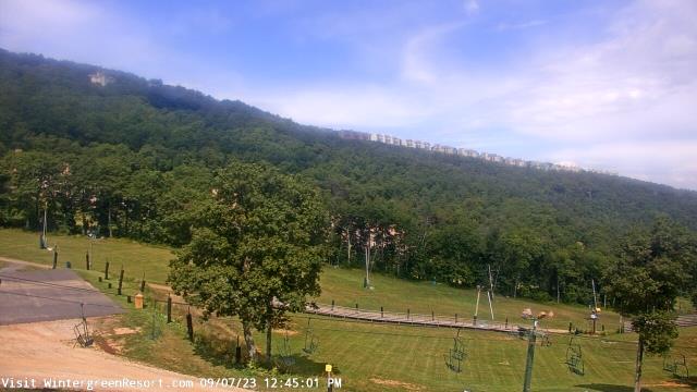
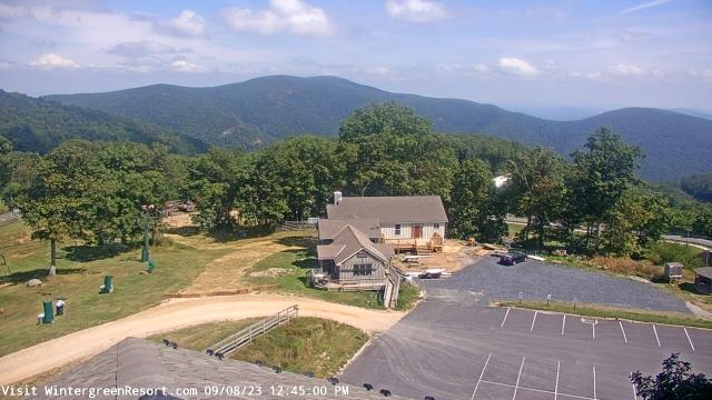
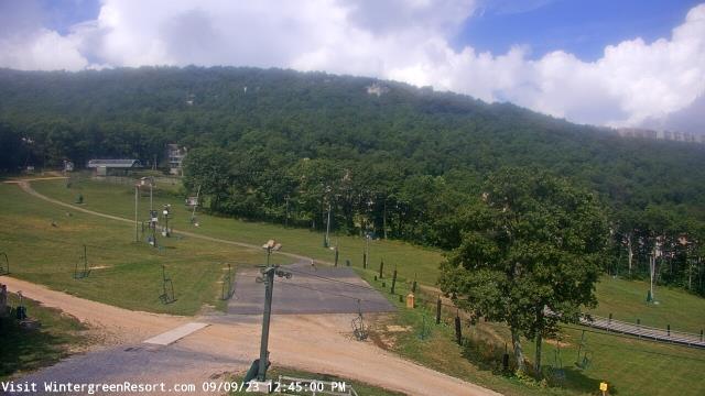
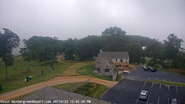
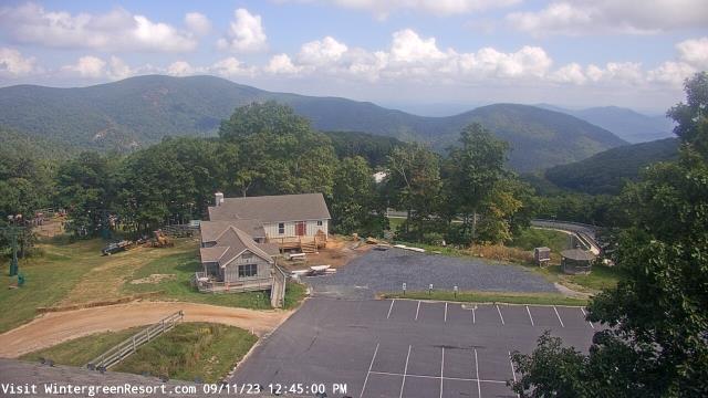
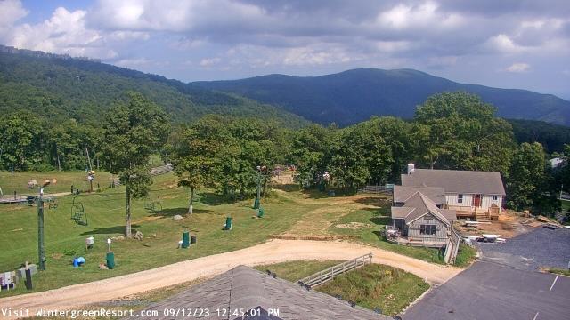
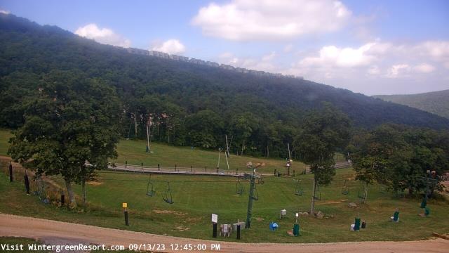
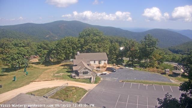
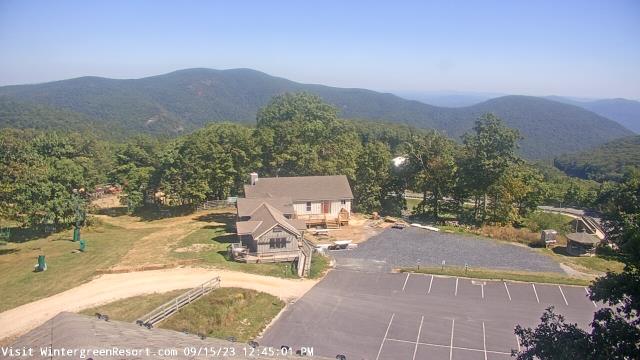
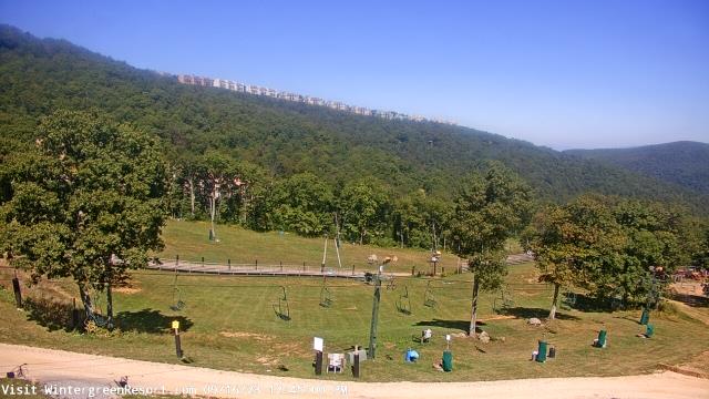
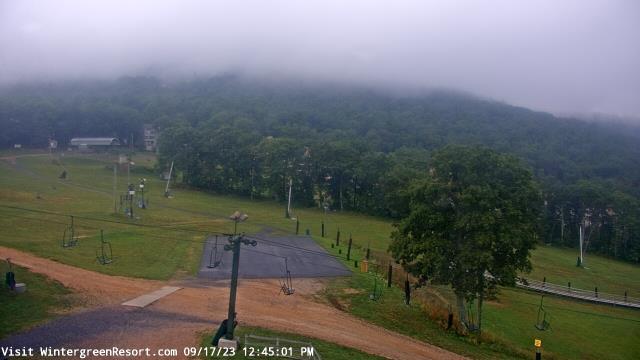
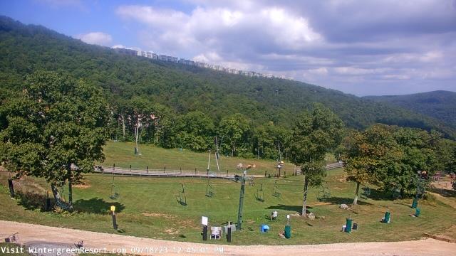
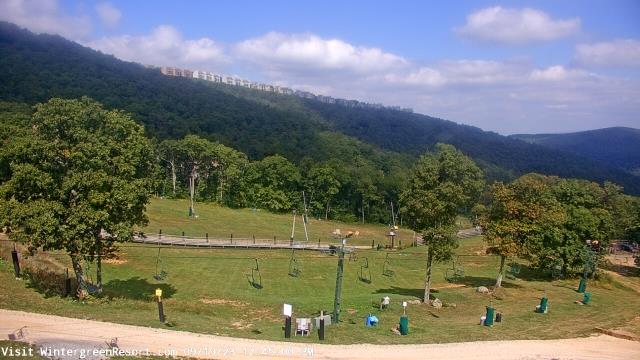
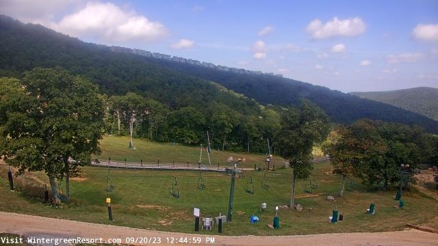
Nellysford, Virginia, USA - 70.7 miles from Sunrise Heights: Wintergreen Mtn. at 3650 ft. elev. - A webcam in Nellysford, Virginia - camera location: Wintergreen Mtn. at 3650 ft. elev..
Operator: WeatherBug
Operator: WeatherBug

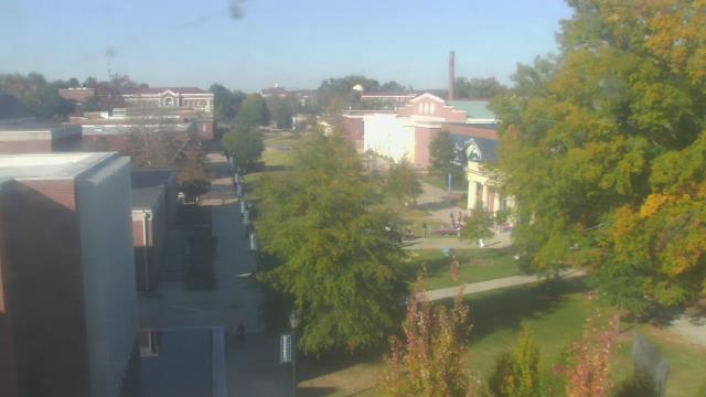
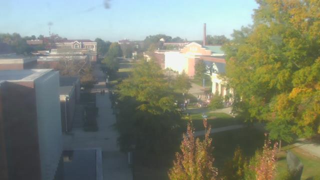
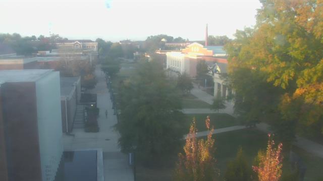
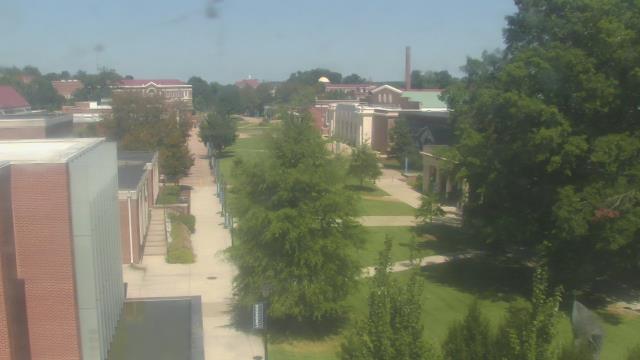
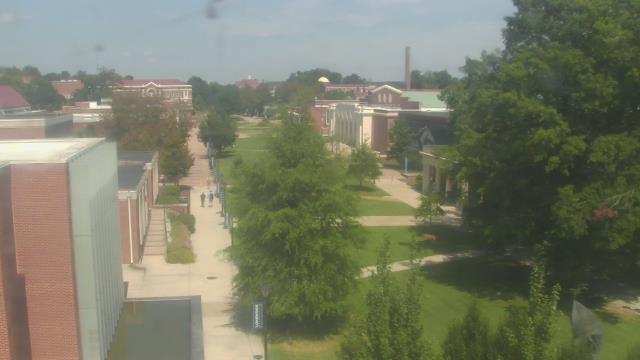
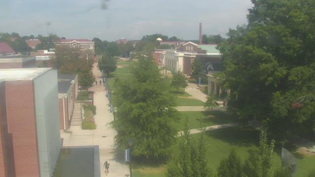
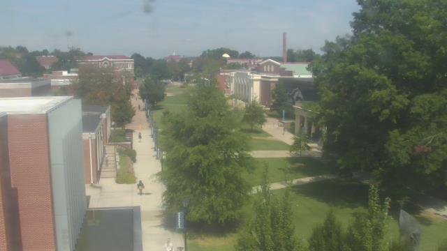
Farmville, Virginia, USA - 84.3 miles from Sunrise Heights: Longwood University - A webcam in Farmville, Virginia - camera location: Longwood University.
Operator: WeatherBug
Operator: WeatherBug


Some other places in this country: Springtree - Stratford Court - Stratford Park - Summit Hills - Sunset Hills - Swarthmore Place - Taryn Hills - Upson Addition - Valley View - Viewmont Park